Michigan Upper Peninsula day 1-5: Pictured Rocks

Our first trip to Michigan Upper Peninsula was very nice and relaxing. 1180 miles of driving, 65 miles of walking in total plus a few miles in canoe.

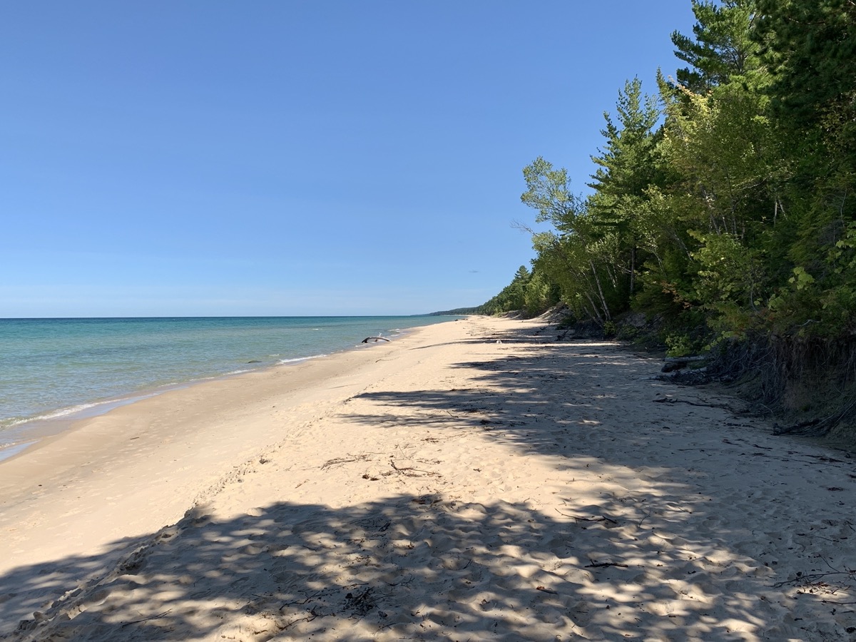
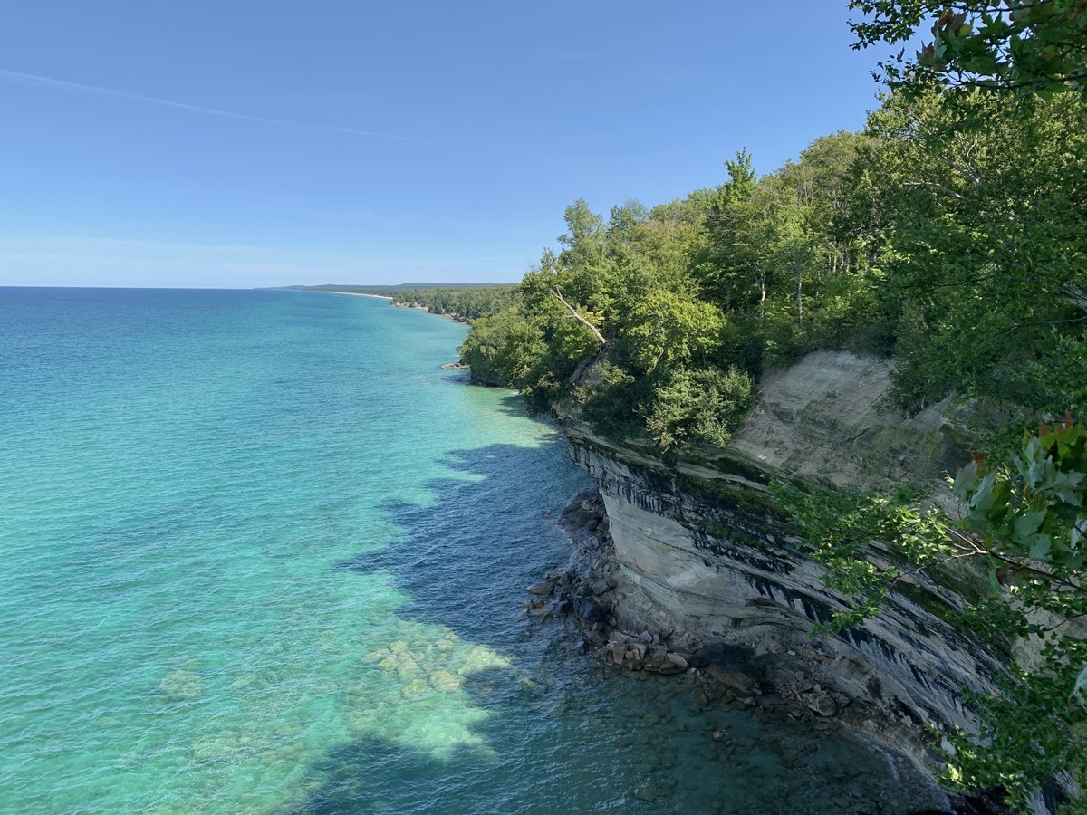
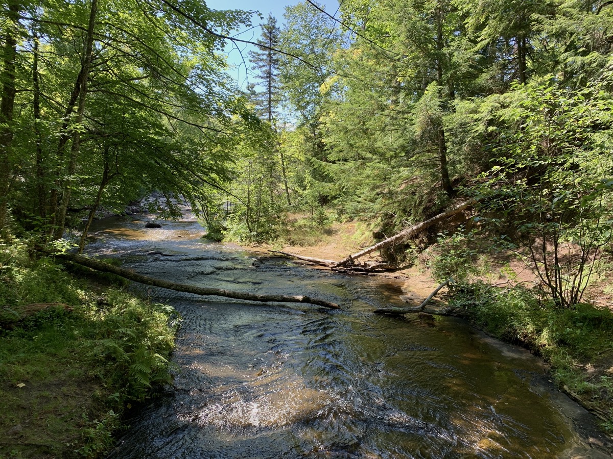
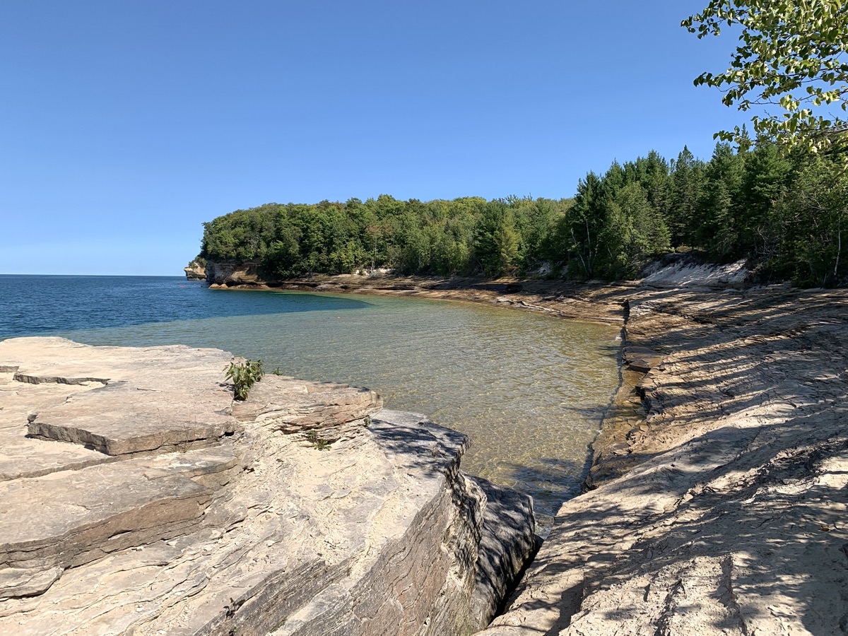
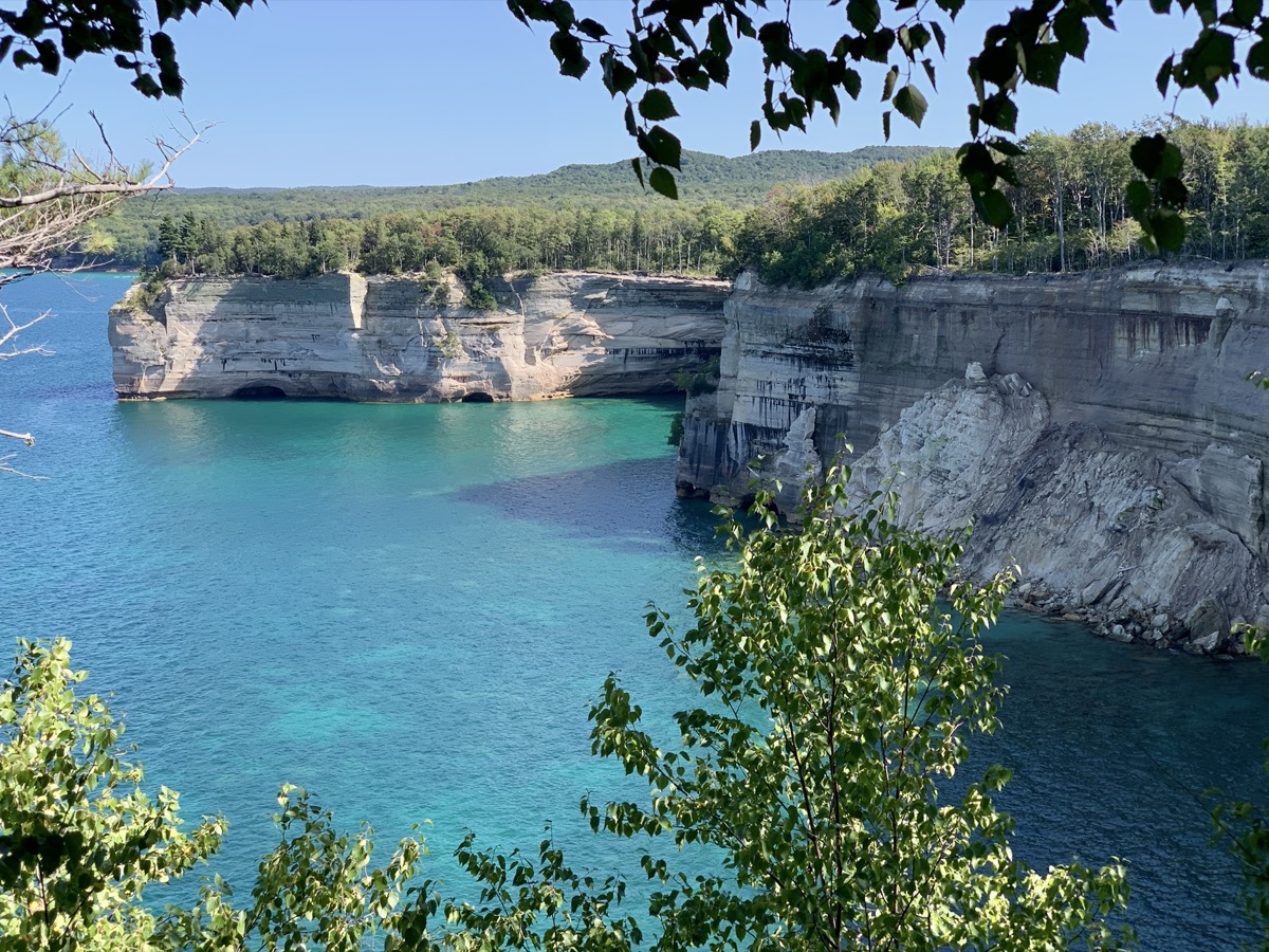
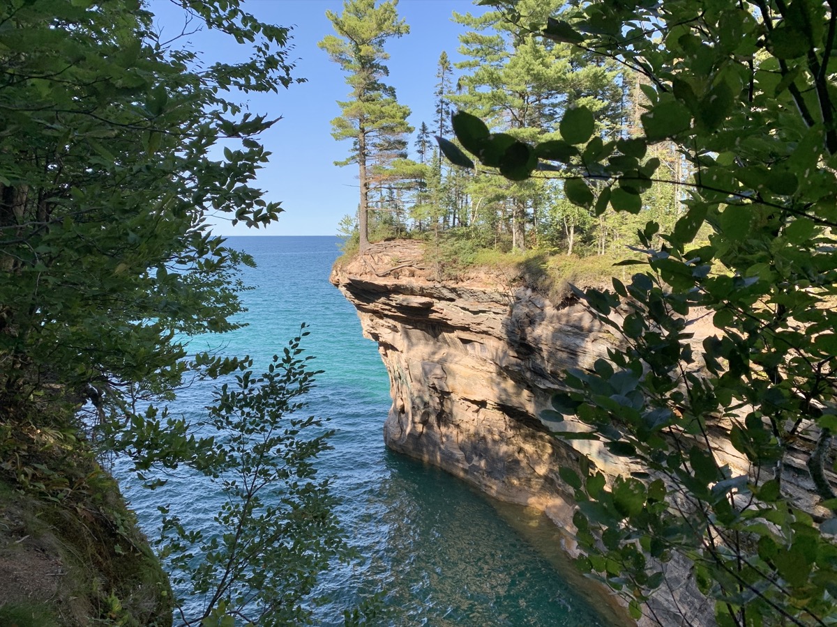
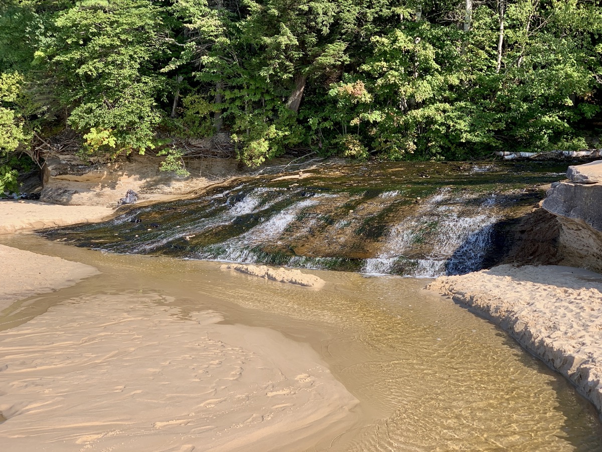
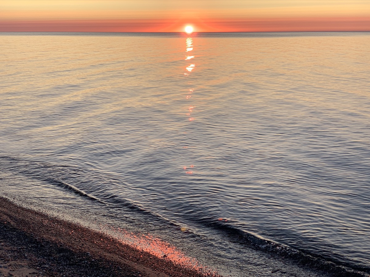
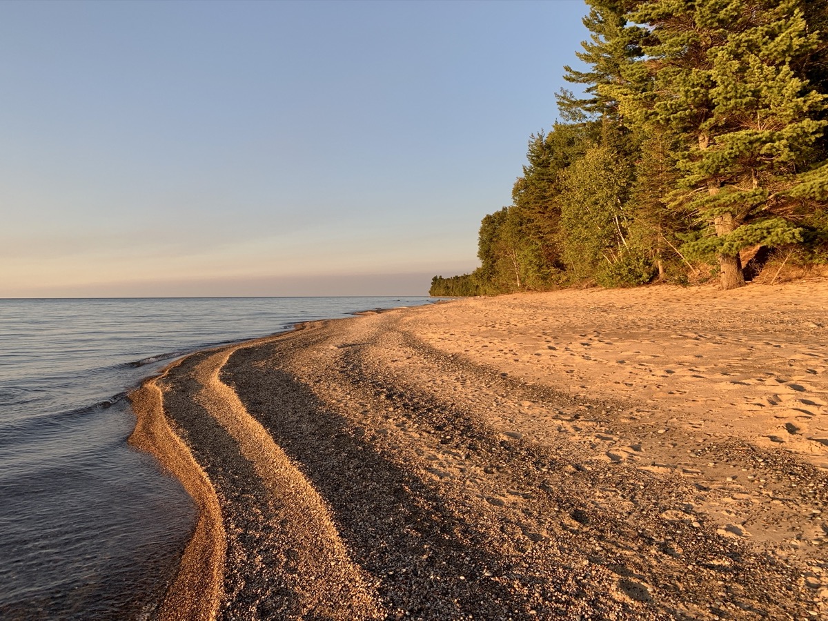
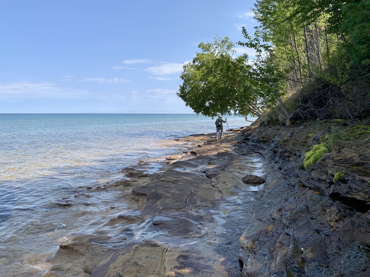
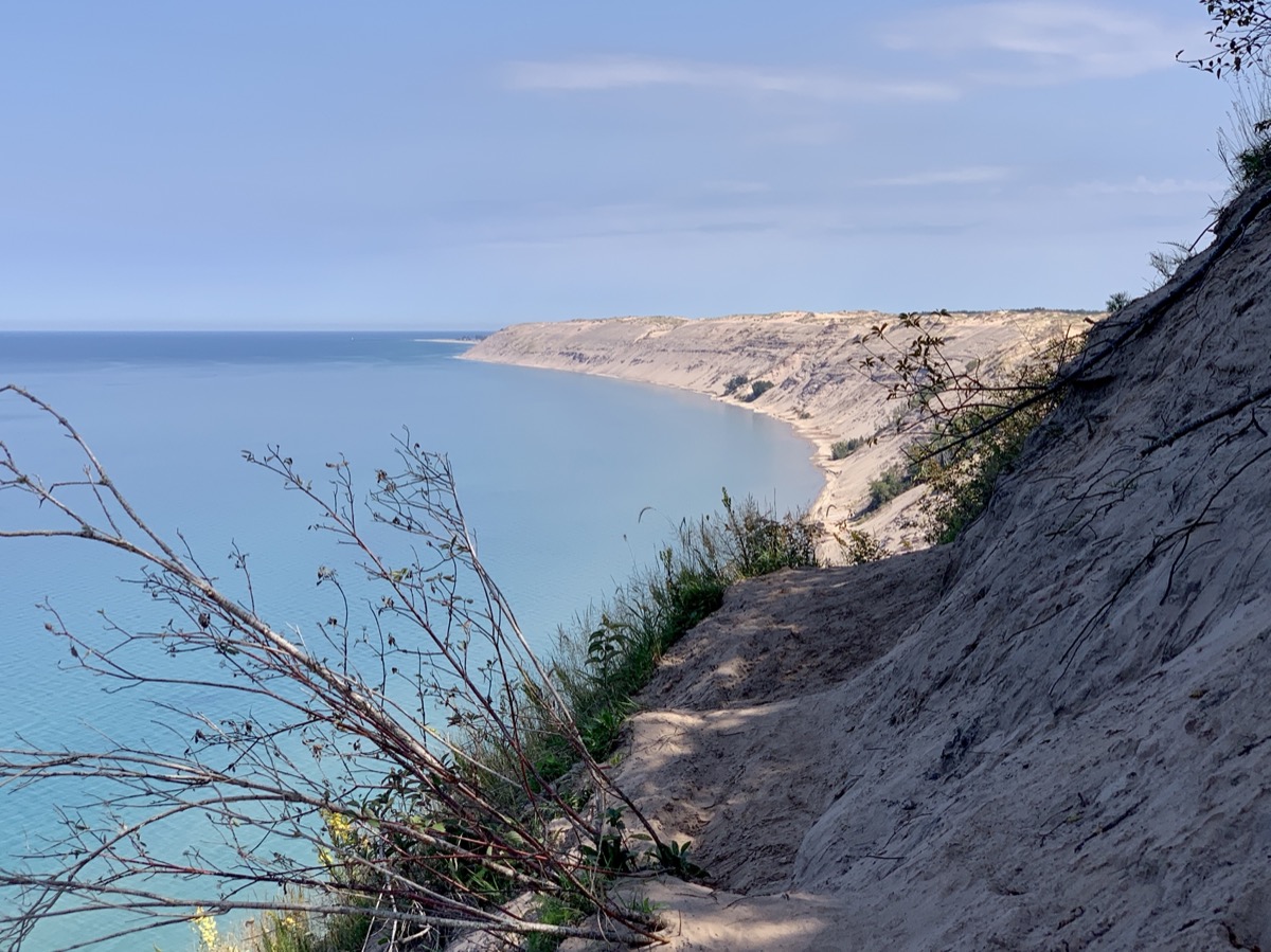
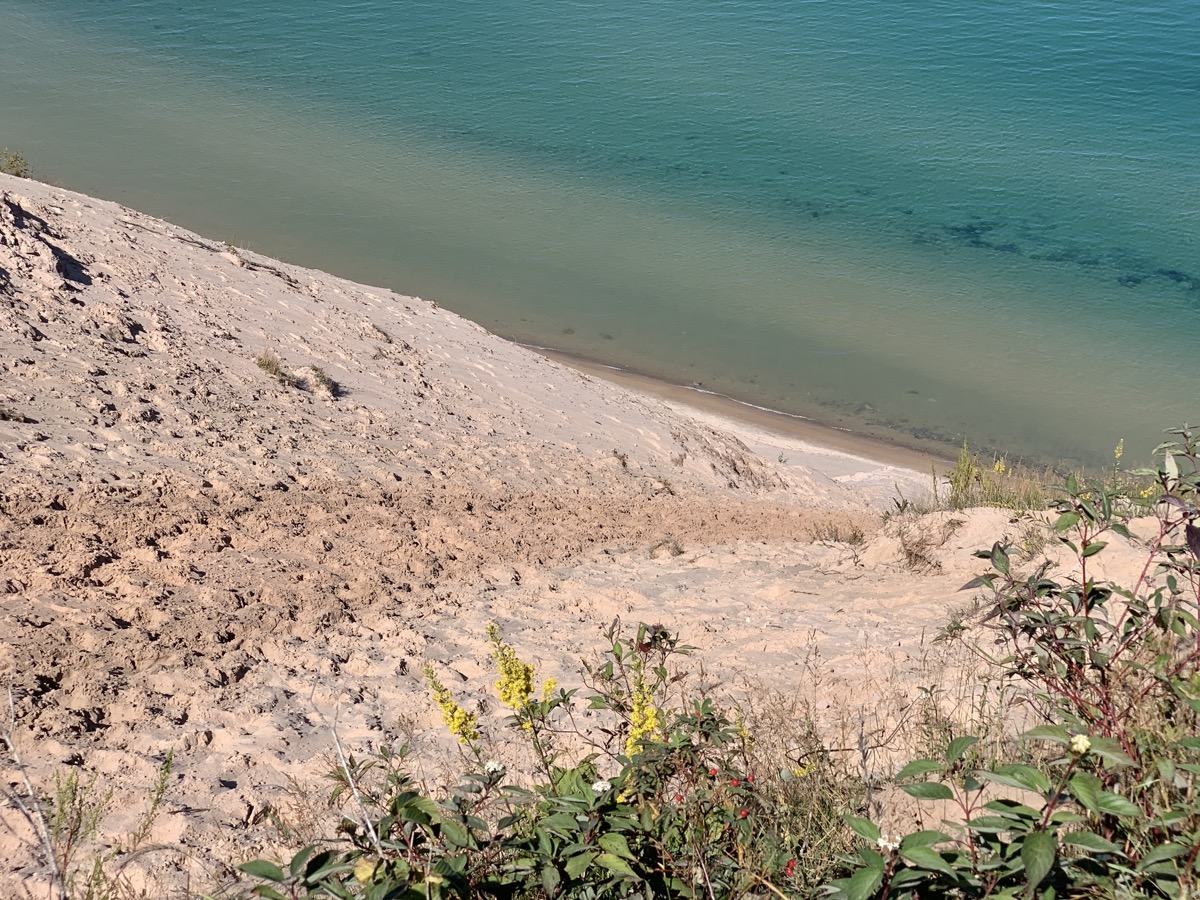
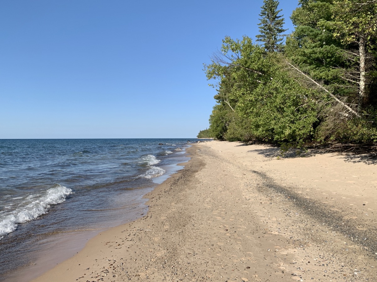
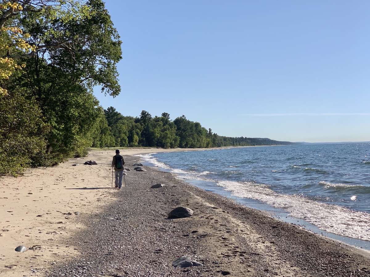
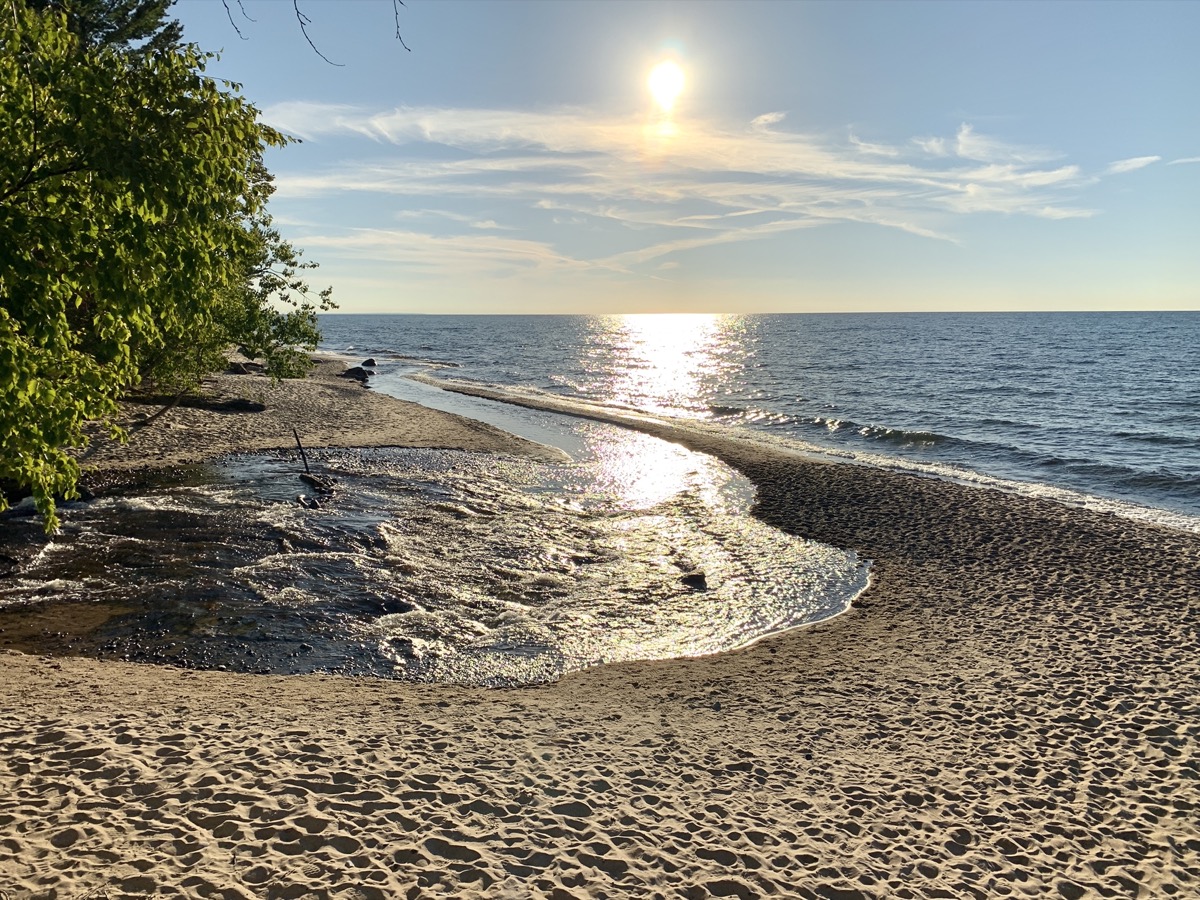
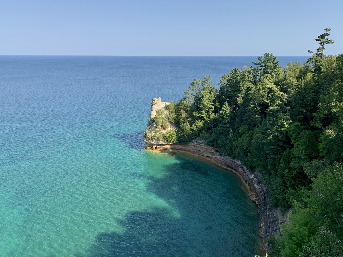
This time around we were organized a bit better and mostly packed the day before the trip. Still driving 405 miles to Beaver Lake CG in ☞ Pictured Rocks National Lakeshore was slow. Piotr was tired and we had to stop multiple time for short breaks, sometimes in nice spots along Lake Michigan. We traveled in this part of the Upper Peninsula north of Green Bay for the first time. We arrived at small Little Beaver Lake CG, forested but with sites close to one another, quite late. We had reservation, so it was not a big deal. Next morning we were ready for our first hike: 8.5 miles around Little Beaver Lake and Beaver Lake, down Beaver Creek to Lake Superior, west along Twelvemile Beach towards Spray Falls (though did not make it that far), returning to Little Beaver Lake and our campground. We were learning how to cross-over between the trail running on top of the cliff and sandy beach. And we were adding miles (throughout this entire trip) hiked on North Country Trail, our favorite. Water in Lake Superior was surprisingly warm and had intense, changing color. Our pictures do not lie – it looked like a tropical sea, not a northern lake. In the evening we moved to Upper Hurricane River CG for three nights.

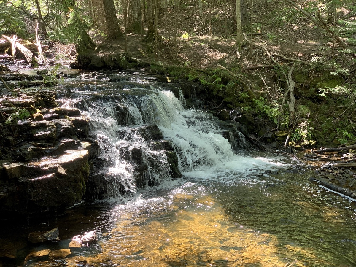
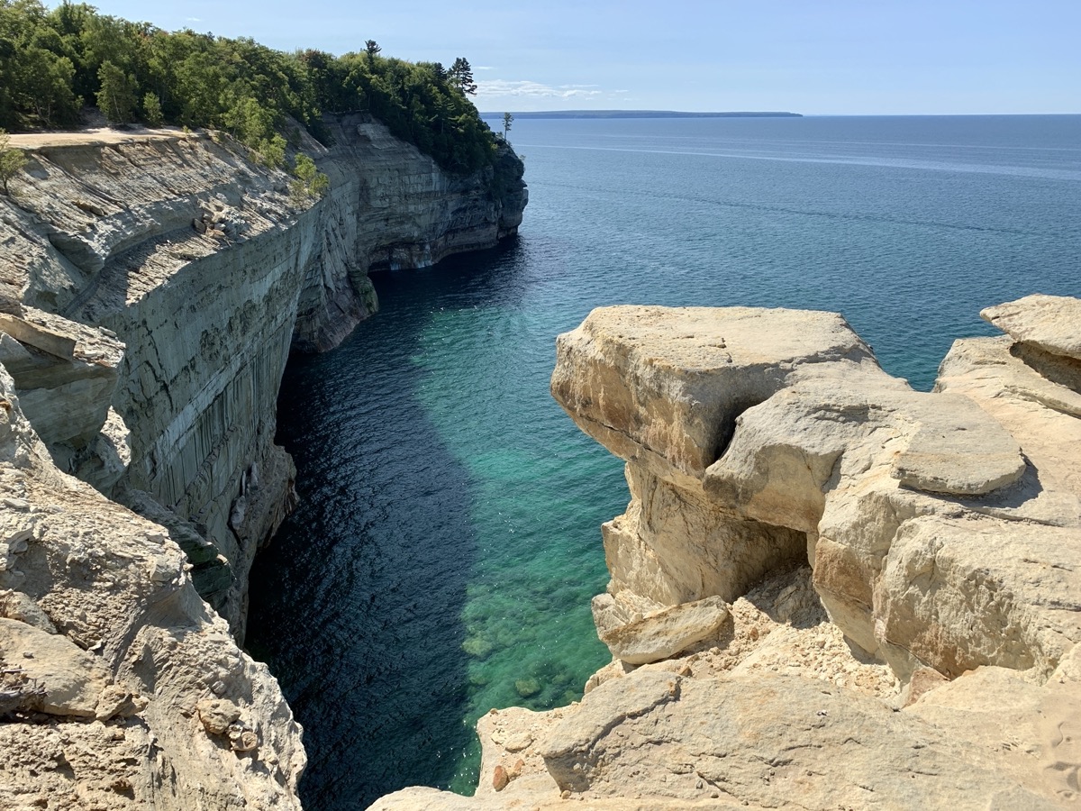
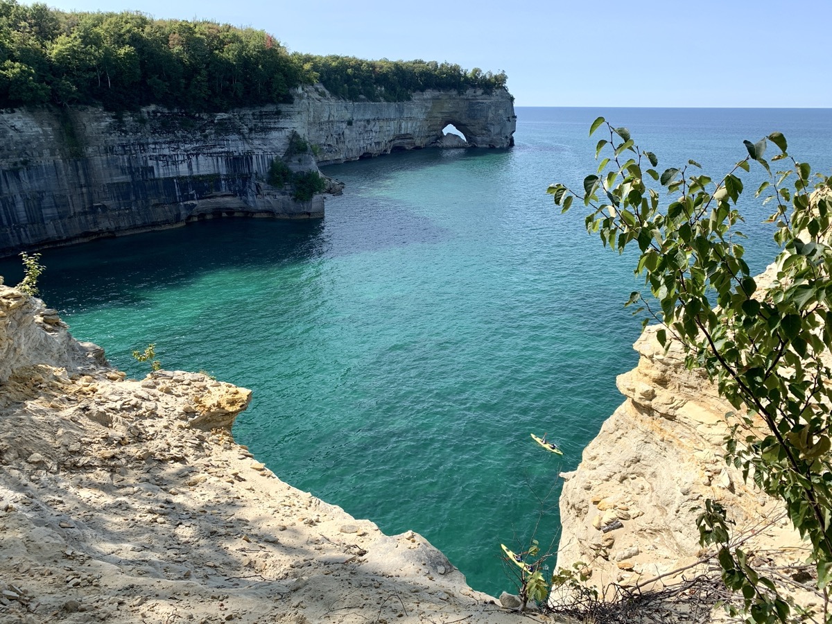
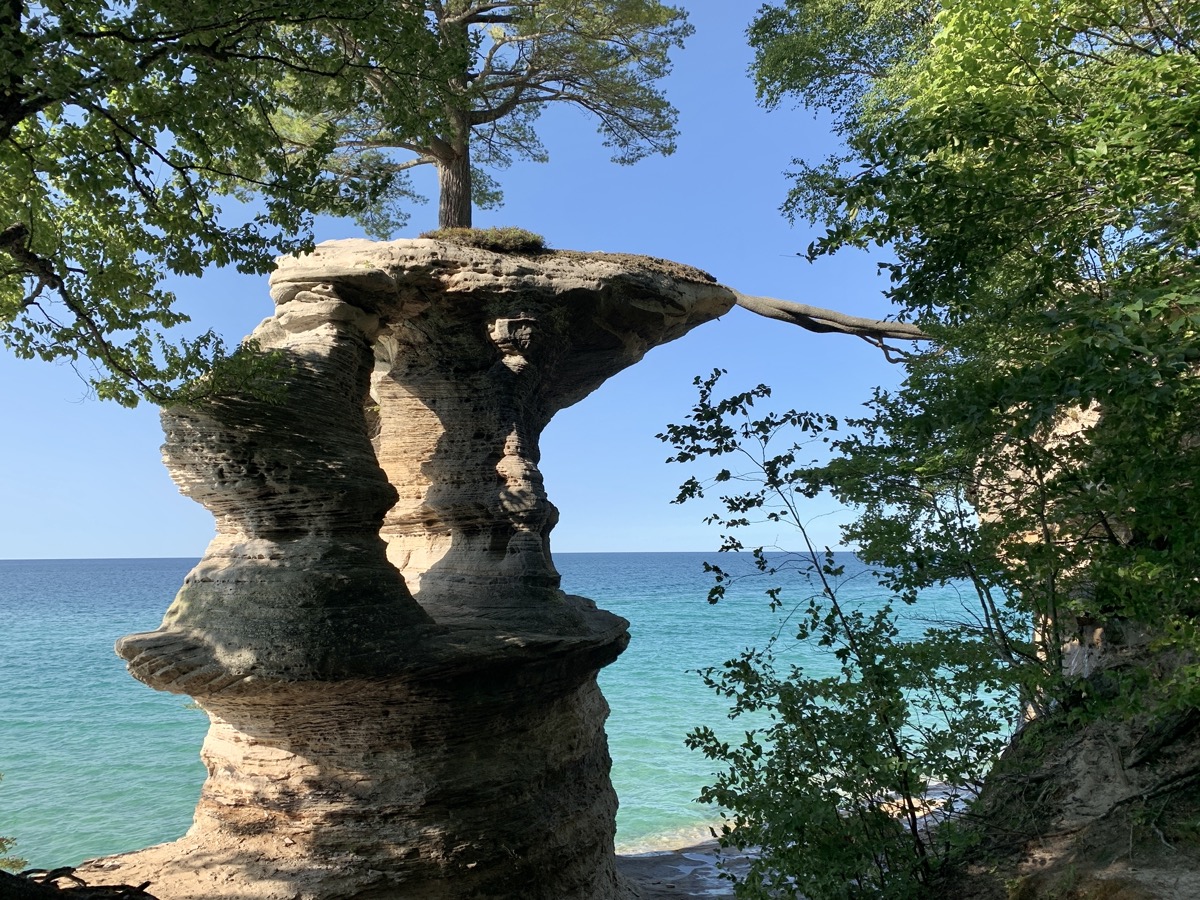
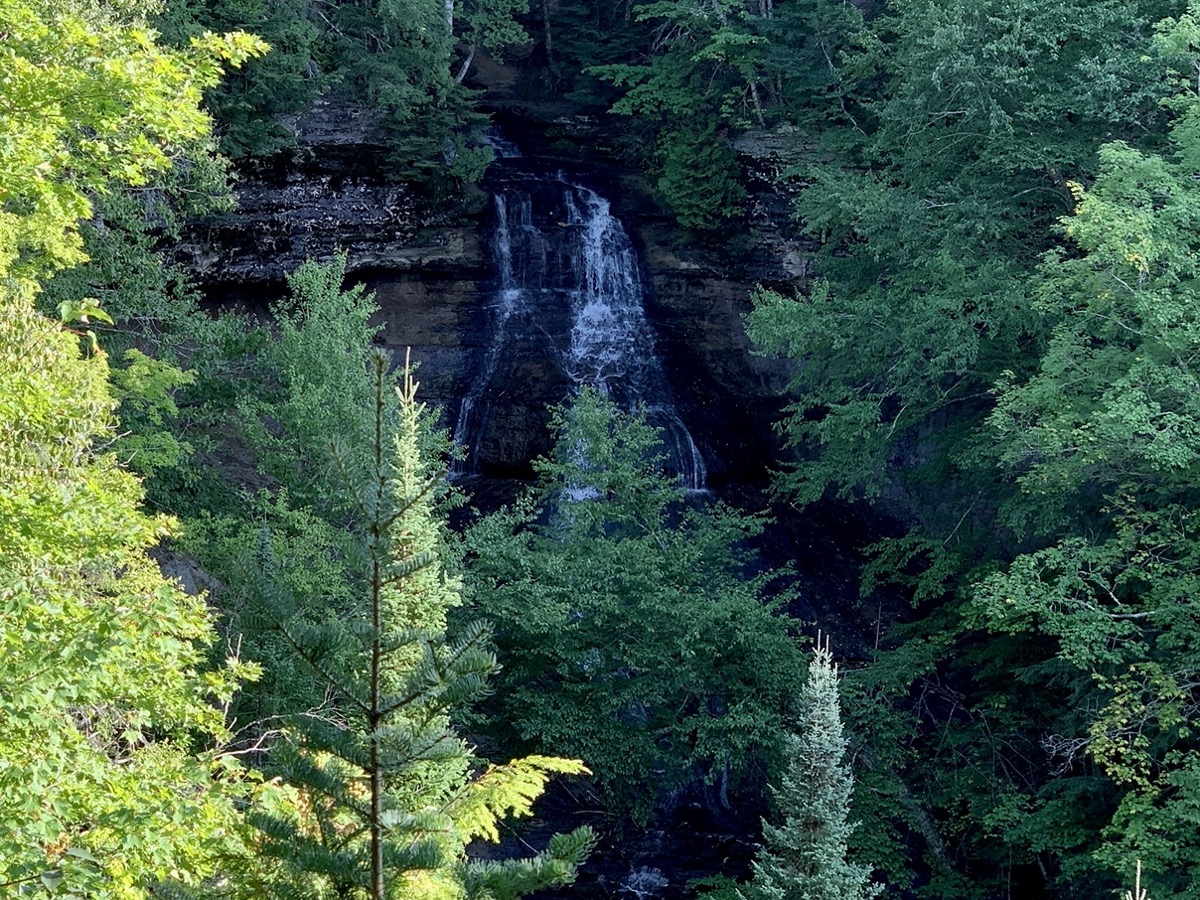
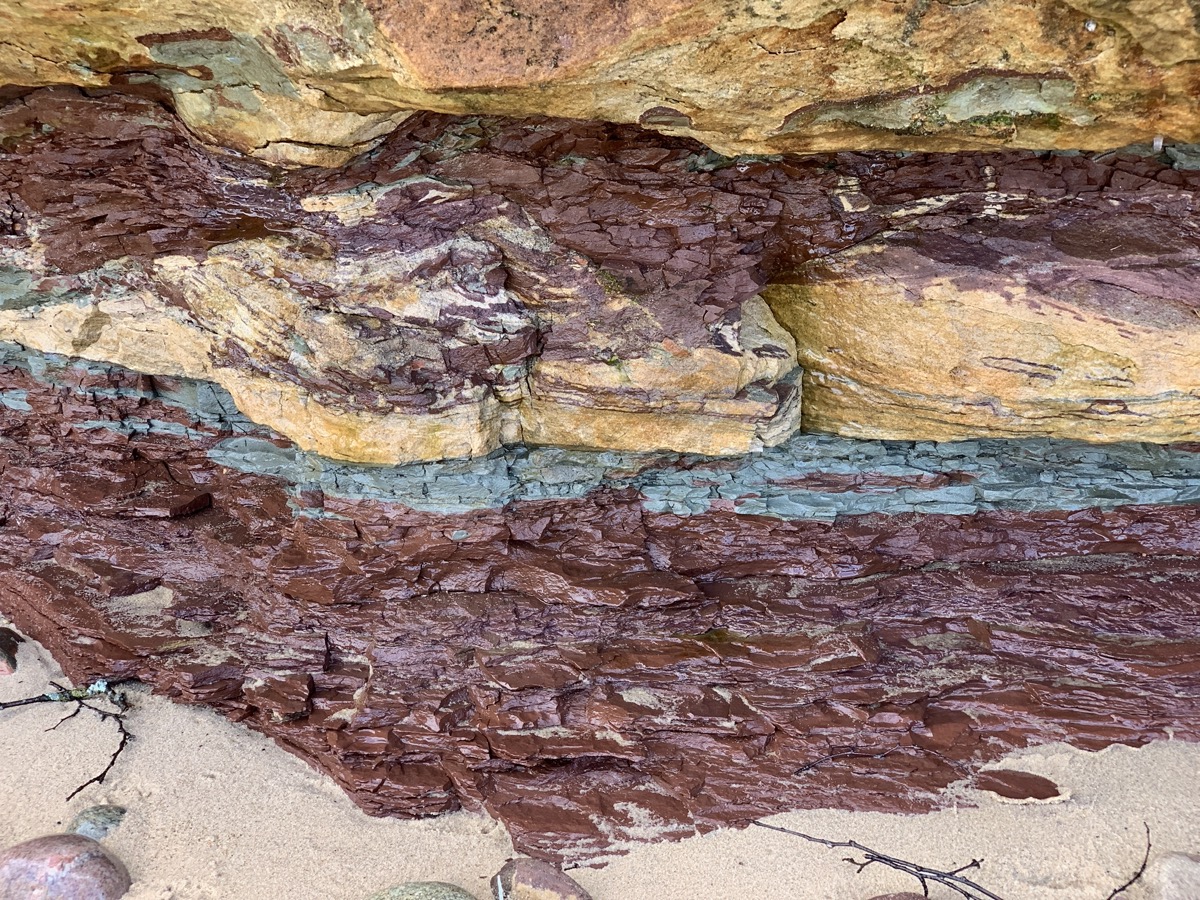
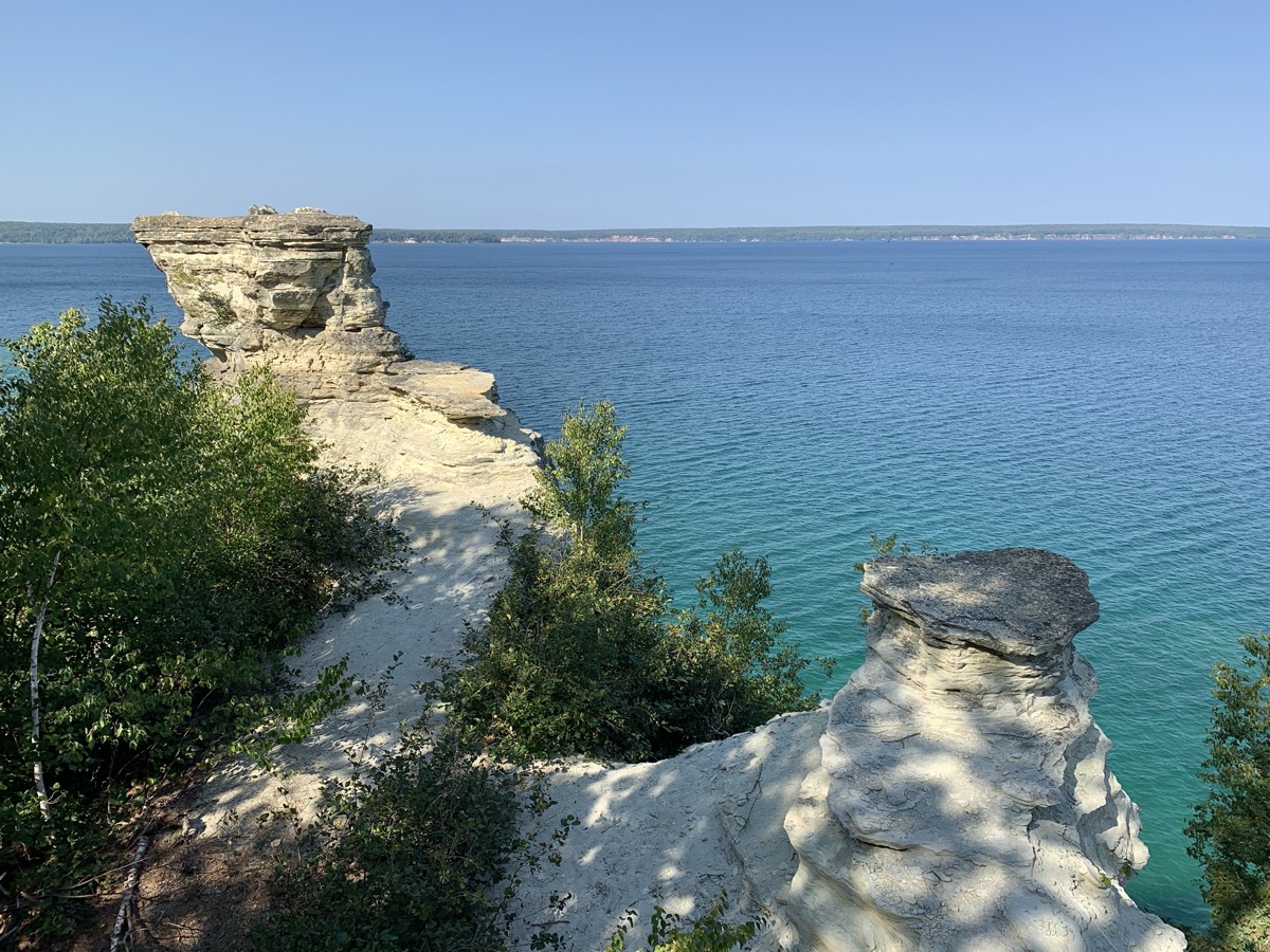
Next morning we drove to Chapel Falls trailhead and walked 10.5-mile loop to Mosquito Falls and Mosquito Beach, Grand Portal Rock, Chapel Beach and Rock, Chapel Falls. Beatiful views of the clifs and turquoise water. Many people, but this was Memorial Day weekend and great weather. On the way back to our campground, we stopped for a short sunset walk on Twelvemile Beach near Lake Superior (Sulivan Creek) Overlook.

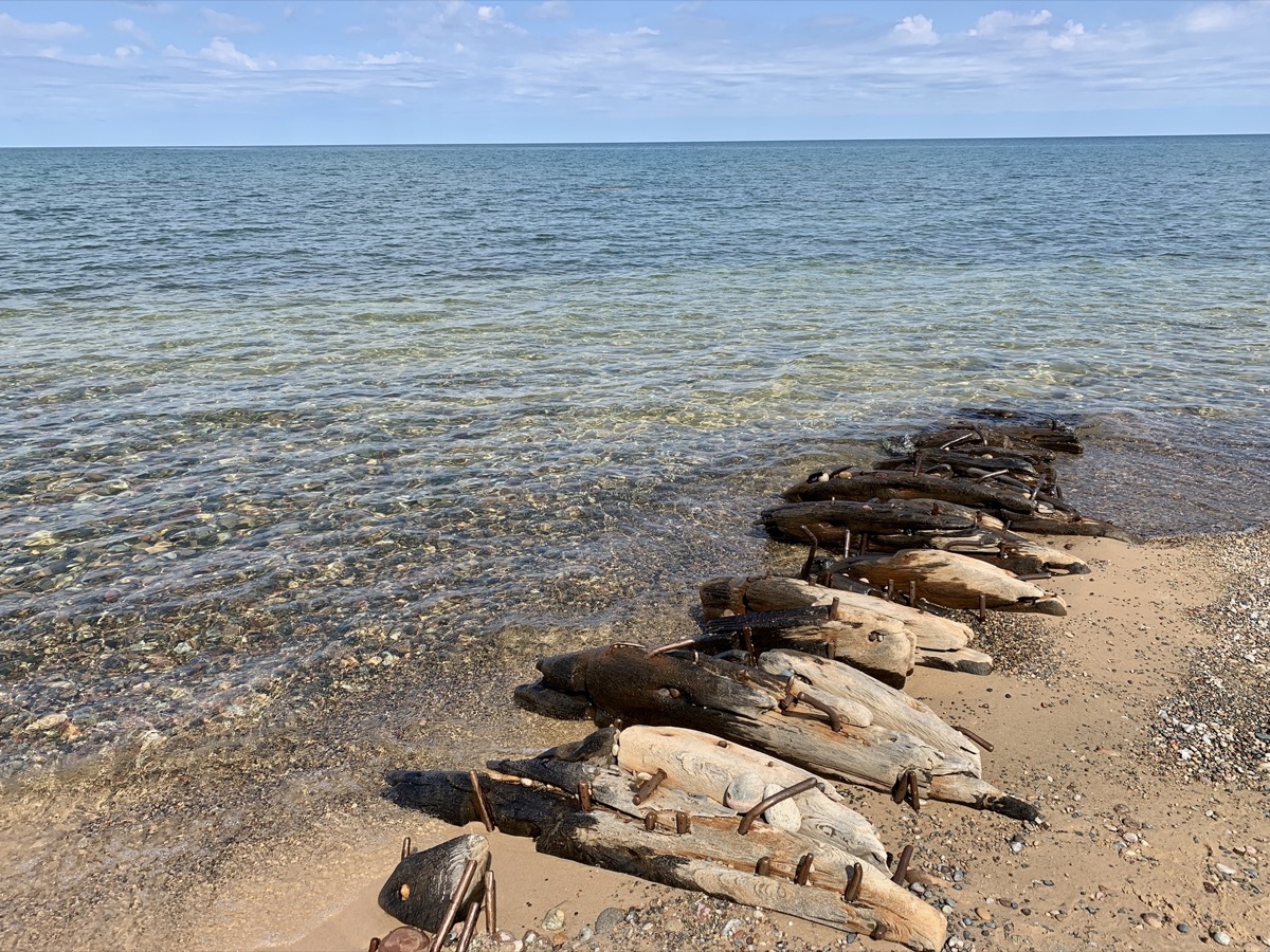
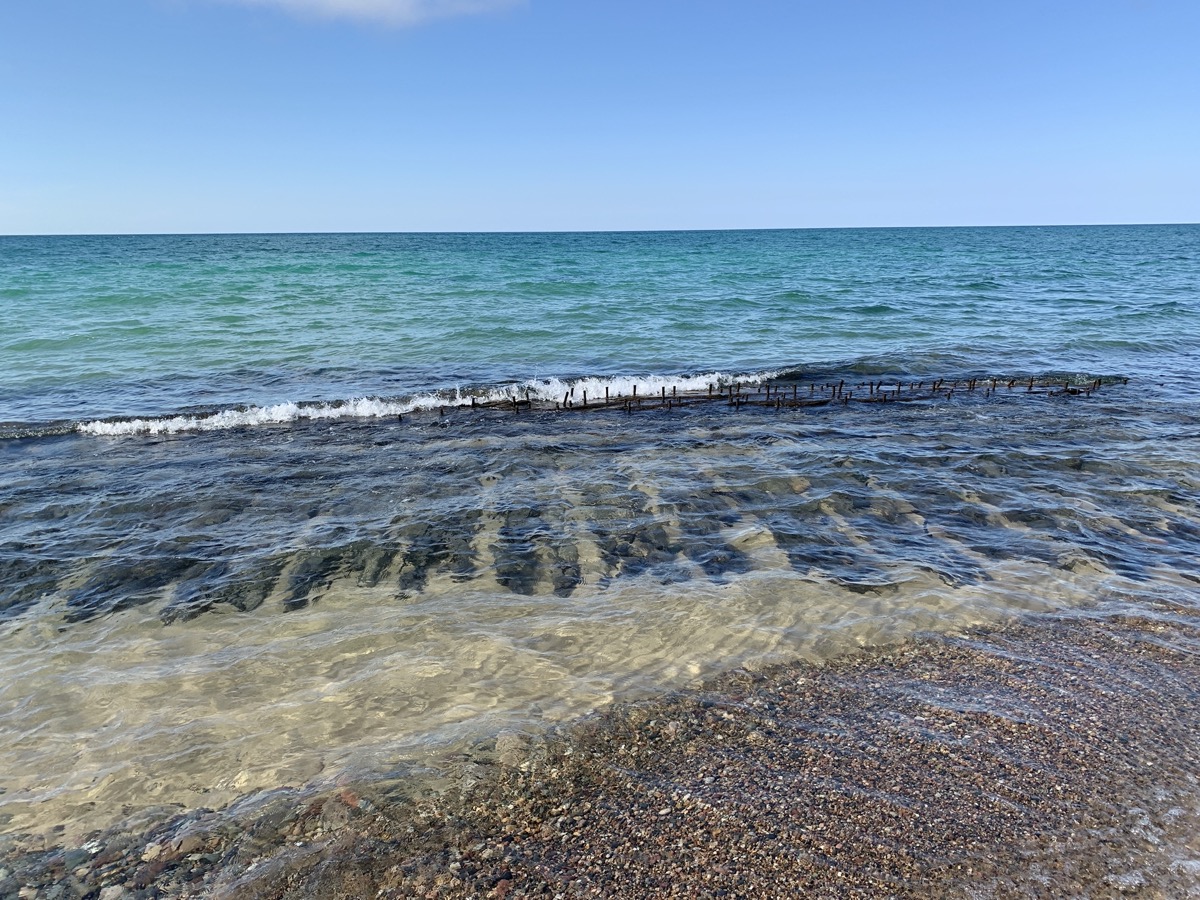
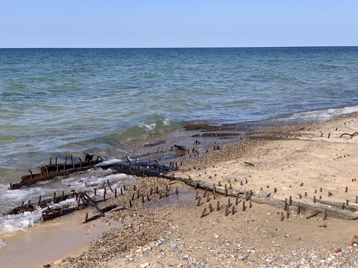
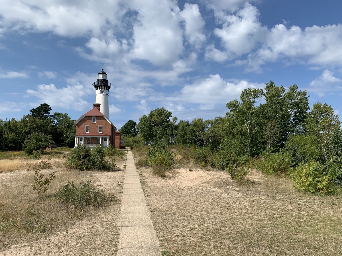
Day four, we drove very short distabce to Huricane River parking lot and walked 9 miles (return) to Au Sable Light Station, investigating ship wrecks clearly visible close to shore, than continued to steep Grand Sable Dunes (log slide point), returning the same way and finishing the day at sunset on the beach near Huricane River outlet. During lunch time at the Sable log slide we discussed extensively rolling down the slide to the lake shore, but did not do it.

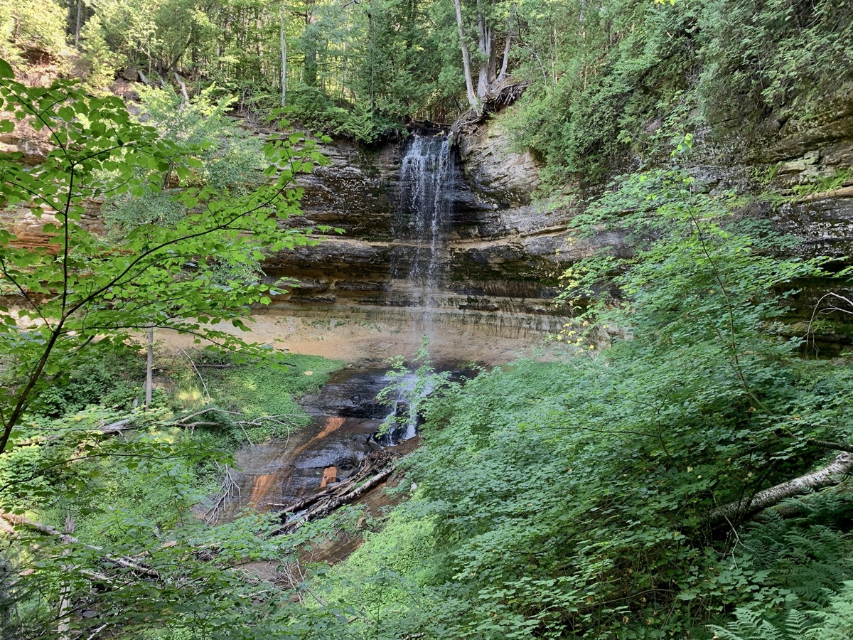
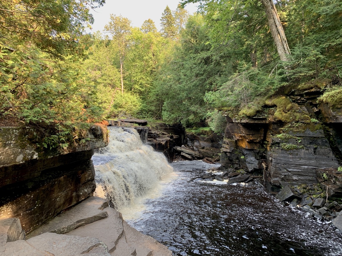
The following day, we drove 230 miles to Porcupine Mountains after visiting Miners Beach and two short breaks on the way to walk to Munsing Falls and Canyon Falls. We enjoyed sunny and mild weather the first five days of the trip and we loved the scenery. It would be nice to backpack the whole lenghth of Pictured Rocks Lakeshore, but we were late to planning and happy to score any campsites at all.

We arrived quite early at ☞ Porcupine Mountains Visitor Center to check-in for one night at Union River Outpost CG. We had to come back next morning to get backcountry permit, but a bigger problem was brewing: serious rain sweeping through the area the following 24 hours. We spent the evening preping for the multi-day hike, packing and waterproofing our backpacks, eating extra calories and taking extra long shower at Union Bay CG. The rain came late next morning.
Southwest 2022: road and hiking trip

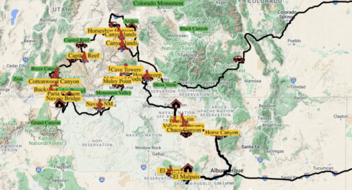
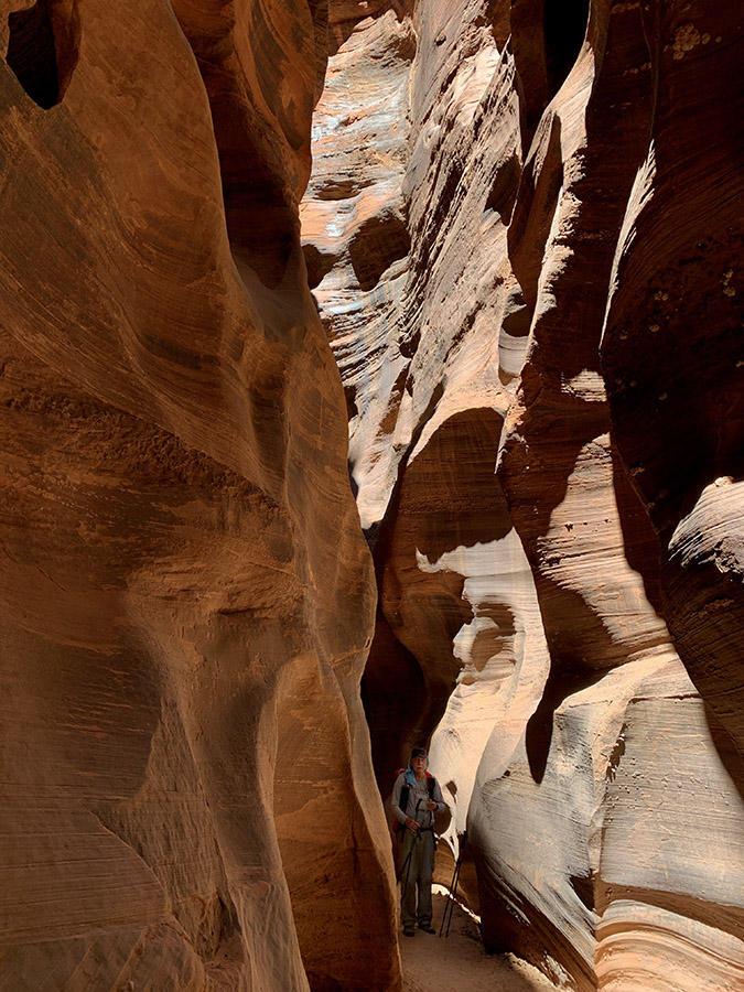
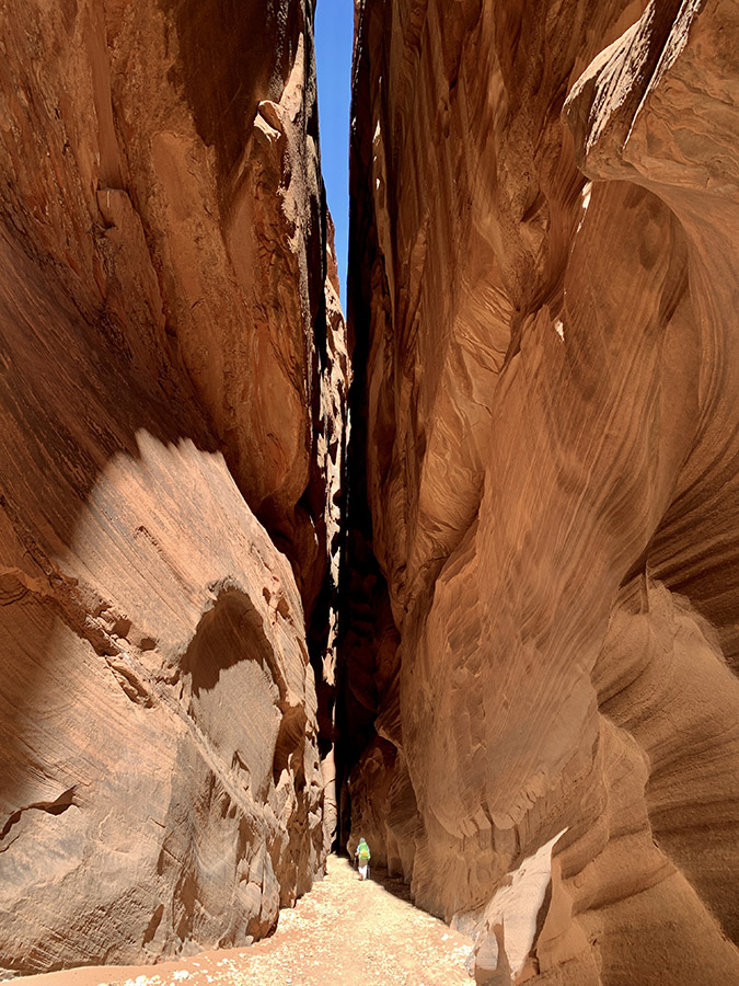
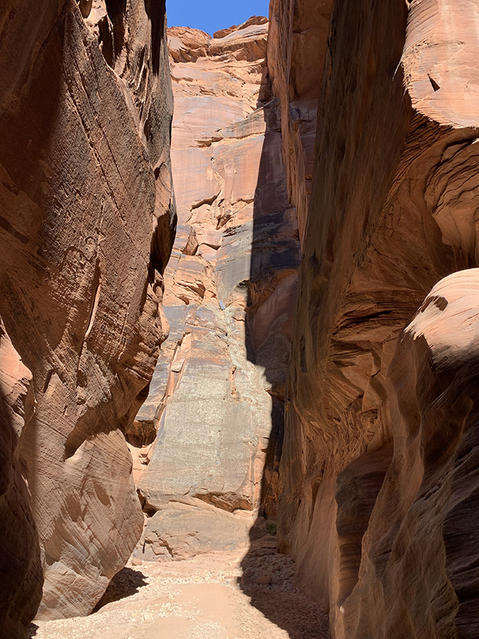
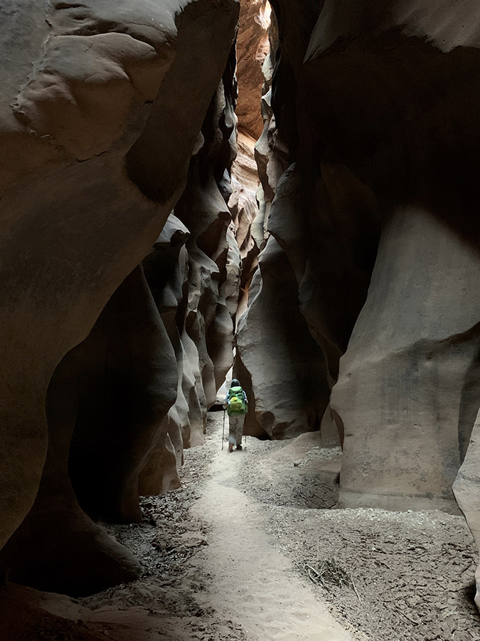
We are back from 29-day (May 11-June 8) trip to the Southwest. We drove some 5000 miles (between destinations plus local) and walked/hiked 170 miles. Our Forester performed quite well on dirt roads – it allowed us to visit some more remote wilderness areas (we avoided the temptation to explore interesting roads that required higher clearance). As we visited many of the national parks years ago, this time we focused on hiking and viewing less known sites: Puebloan ruins, narrow canyons, rock formations. We also spent some time at more popular destinations and visited historical/archeological sites. 5-day (49-mile) hike down Buckskin Gulch and Paria River Canyon was the top highlight. We liked Ah-shi-sle-pah Wilderness, Chaco Culture Park and Great Gallery in Horseshoe Canyon, and pretty much everything else.

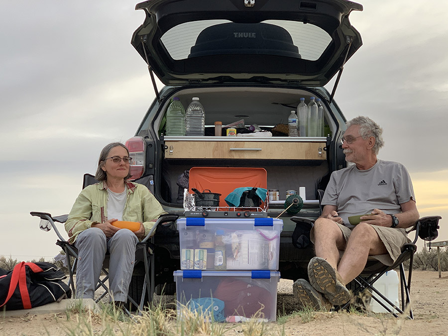
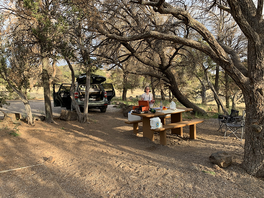
We finally tested our minimalistic camper (converted Subaru Forester): sleeping in the back is comfortable, but packing all the stuff is quite challenging (rooftop cargo box helps, we need to make some improvements before next long trip to Canada). We stayed at organized campgrounds or car-camped in the wild and from time to time stayed at motels to “reset”. Weather was cooperating: a few really hot days and a few colder nights, nothing extreme, no rain.

Southwest road trip

Completed itinerary
Day State Destination   Walking Driving
        miles miles
1 IL-MO   Bennett Spring Campground   475
2 TX   Fortress Cliff Campground   632
3 TX Palo Duro SP Mesquite Campground 9 2
4 NM Palo Duro SP Southwest Motel, Grants 5 389
5 NM El Malpais NM El Morro Campground 6 92
6 NM El Morro NM Rio De Las Vacas Campground 5 216
7 NM Chaco Culture NHP Gallo Campground 8 84
8 NM Chaco Culture NHP Gallo Campground 10 0
9 NM Ah-shi-sle-pah Wilderness De-Na-Zin Wilderness camp 8 57
10 NM Bisti/De-na-zin Wilderness Economy Inn Motel, Farmington 13 65
11 UT Hovenweep NM Hovenweep Campground 3 103
12 UT Butler Wash, Mule Canyon Muley Point camp 6 98
13 UY-AZ Valley of the Gods Canyon View Campground 5 105
14 AZ Navajo NM Cliff Dwellers Lodge, Marble Canyon 4 119
15 UT-AZ Wire Pass – Buckskin Gulch camp 1 14 0
16 AZ Paria Canyon camp 2 10 0
17 AZ Paria Canyon camp 3 10 0
18 AZ Paria Canyon camp 4 9 0
19 AZ Paria Canyon – Lees Ferry Lake Powell Stay Airbnb, Page 6 46
20 UT Cottonwood Canyon Cottonwood Canyon camp 7 52
21 UT Burr Trail Rd Capitol Reef NP Deer Creek Campground 5 89
22 UT Headquarters Canyon, Notom Rd Burro Wash camp 4 60
23 UT Horseshoe Canyon Canyonland NP Green River camp 8 103
24 UT Canyonlands NP Island in the Sky Adventure Inn, Moab 6 155
25 UT Canyonlands NP The Needles Needles Campground 6 79
26 UT Canyonlands NP The Needles Needles Campground 12 0
27 UT-CO   Penitente Canyon Campground   289
28 CO-KS   Rodeway Inn, Salina   588
29 KS-IL Chicago     680
Resources

additional resources/links are included in location-specific posts
☞ Road Trip Ryan
☞ Utah GPS Tracks
☞ BLM National Conservation Lands
☞ BLM Visit
☞ David Day Guidebooks
☞ NM Public Lands
☞ UT Land Ownership BLM map
☞ AZ 511
☞ NM roads
☞ Your Hike Guide
☞ Visit Utah
☞ Earth Trekers
☞ Your Hike Guide
☞ Bears Ears Partnership

Southwest video clips

Highlights

John Muir Trail 2021

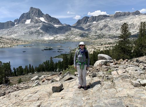
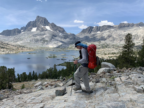
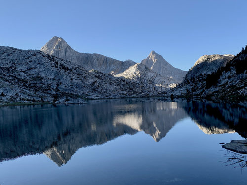
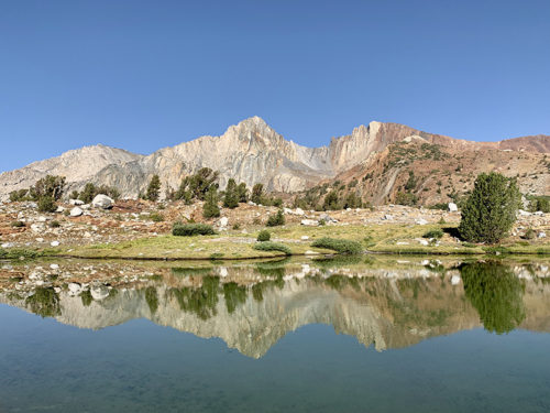
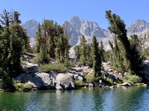
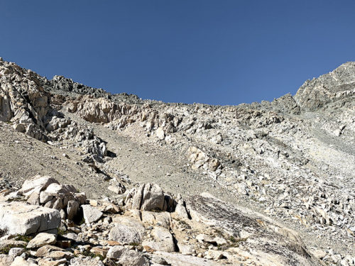
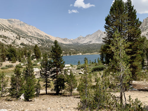
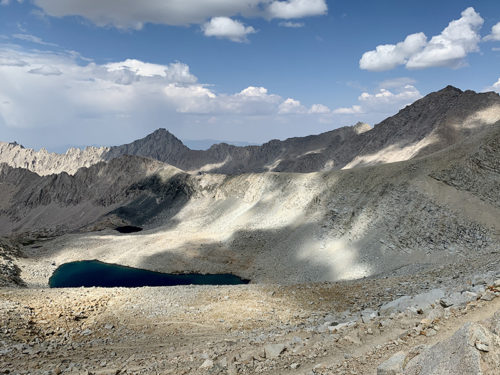
We are back in Chicago.  We were lucky this year to obtain permit from Tuolumne Meadow to Whitney Portal (combination of lottery and permit exchange). We had to cancel the trip in 2020. We chose Lyell Canyon entry trailhead to avoid crowds in Yosemite Valley and also because we already hiked most of the first segment of the trail  ☞ Tenaya Lake to Tuolumne Meadow, part of our  ☞ 2012 trip to the West, and visited the Valley a few years earlier. We drove 4200 miles (round trip) from Chicago to Lee Vining with severel stops on the way. We parked our car at Mono Basin Visitor Center in Lee Vining and took YARTS bus to Tuolumne Meadow, and at the end ESTA bus back from Lone Pine.

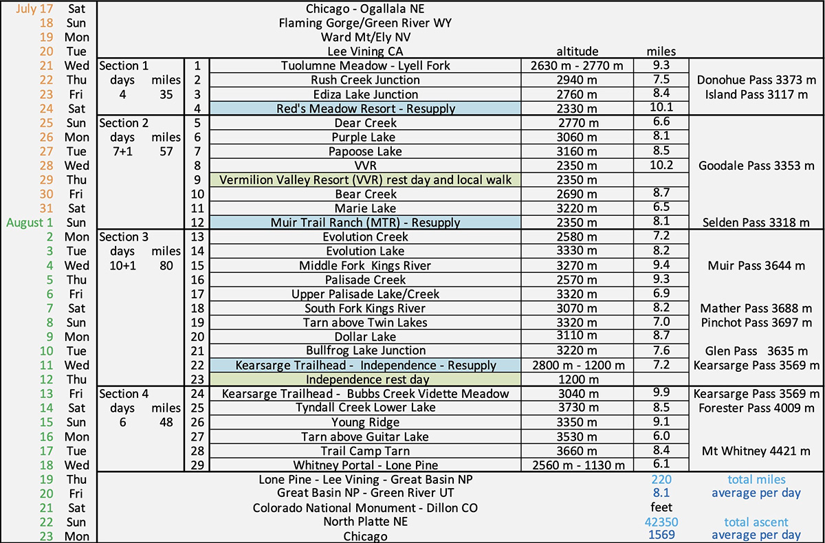
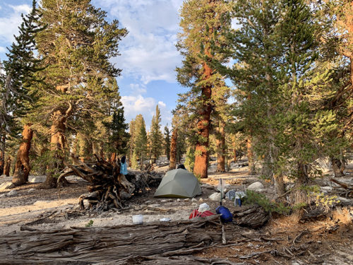
We walked SOBO 220 miles (350 km), most of JMT, except three additional short sections when we hiked down to resupply sites and used different cut-offs to get back on track. 14 km total ascent. We actually hiked a bit faster than planned: 8.1 miles per day, 29 days (including two rest days).  We used one saved day to get extra rest in Independence and one on the way back to Chicago to make extra stops. We did not really follow the most common JMT daily routine – we  were getting to a slow start in the morning and cooking dinner later in the afternoon or evening. We also spent extra time to find more remote camping spots, to comply with the rules  (to keep a bit of distance from trails and water), and stay out of the way of other hikers who operated on different schedule. We had no problem finding established sites in most places. We had pretty good plan for each day with alternatives in cases we moved faster or slower. No serious issues with altitude (nor other medical issues) as we walked slowly and hit the highest points later in the hike.  

Navigation was not a problem as we stayed on JMT.  Used trail plotted in ViewRanger with waypoints from Wenk’s guidebook (John Muir Trail: The essential guide to hiking America’s most famous trail) and Guthook Guide app (John Muir Trail) to quickly identify our position, mostly when we were looking for next water source or campsite. We lost trail only once when walking in the rain through forest burned down last year – soil erosion was so bad it was impossible in places to tell the difference between trail and water run-offs. We had no cellular connection in the mountains even at resupply sites, except on the way down from Kearsarge Pass to Independence and at the edge of Mt Whitney summit. We were able to send messages from VVR and MTR using local computers connected via satellites.

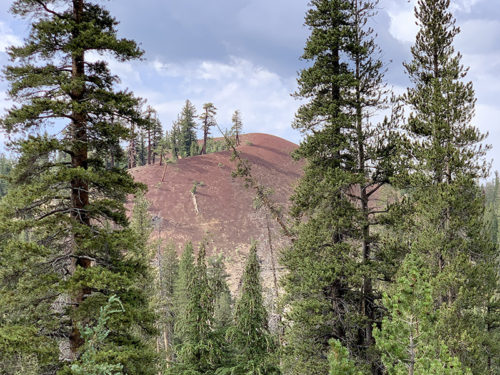
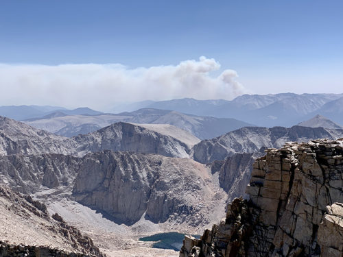
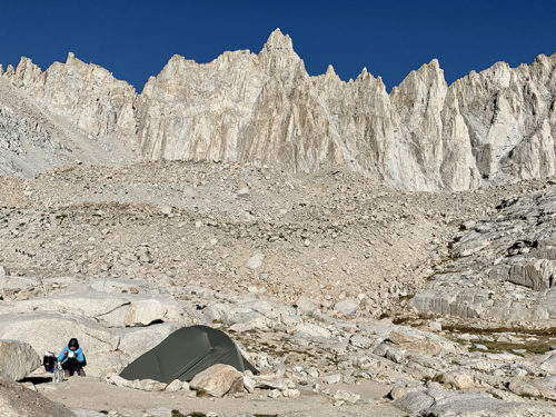
We were lucky with the weather, mostly sunny and warm even at high altitude. Mid-day high temps were mostly in the twenties (°C), in the teens on Mt Whitney, felt warmer with full sun exposure. Sleeping temps were also very comfortable dropping to 8-12°C in the morning (only once to 6.5°C). Some rain on the trail and some after hours when we were able to wait it out in our tent or at night.  Nothing too bad. A couple of days  with strong wind. The sky was often hazy because of smoke from distant wild fires. One afternoon wind blew more smoke into the valley where we camped, we could smell it but it was not intense enough to affect us much. And from the slopes of Mt Whitney we watched a big plum of smoke  appear suddenly on the horizon. We walked half a day through burned forest near Vermilion Valley Resort (VVR).

We were carrying  on average 930 g of dry food per day for two, plus small reserve for extra day or so. And we had extra meals at resupply/rest points. All recipes were designed and meals prepared by Joanna to maximize calories/g and minimize cooking time: just bringing water to a  boil (or even just using cold soaking to which we did not have to resort to). Calories were limiting – Piotr lost almost half a pound per day. Water was plentiful on most days, so there was no need to carry a lot. We did frequently refill our bottles when resting (UV sterilized). We used our full water carrying capacity only once for dry camping at Young Ridge. We started with lighter loads (fewer days to carry food for). Still there was a lot of going up and down, and up again. Our backpacks got quite heavy after resupply for the 10-day third section: Piotr’s backpack topped at 38 lb and Joanna’s at 23 lb.

Joanna spent nearly two years on research, extra long as we lost 2020 hiking season. She drafted daily hiking plan, investigated resupply options, tested new food recipes. Piotr prepared digital maps and navigation tools.  We modified/updated our hiking kit.  Anything to cut weight.

JMT 2021 itinerary

Map overwiew

JMT from Tuolumne Meadows (top) to Whitney Portal (bottom). High passes and Mt Whitney = yellow icons.

Resources and hiking kit
Guides, maps and navigation

Piotr’s packing list

Piotr’s backpack

Water, food, kitchen

More hiking kit

JMT video clips
Other video clips

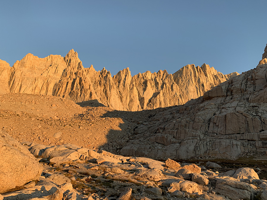
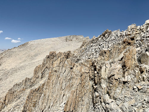
With good weather and us feeling well, we were confident Mt Whitney  was within reach – flat summit hiding behind rock outcrops near the end of the video. We looked down at the valley where we camped the night before and surrounding mountains, and the mountain range on the horizon we crossed to get here (and many more before it). Not bad.

Highlights

error: Content is protected !!