August 7-12
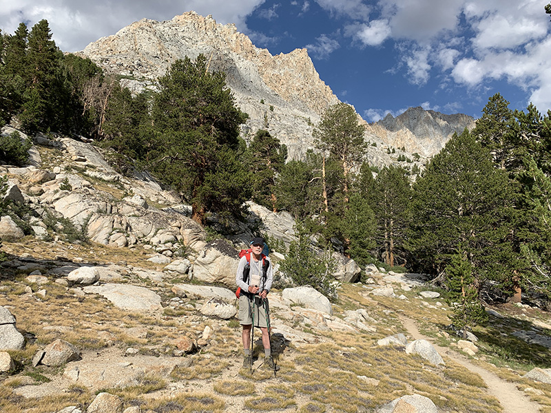
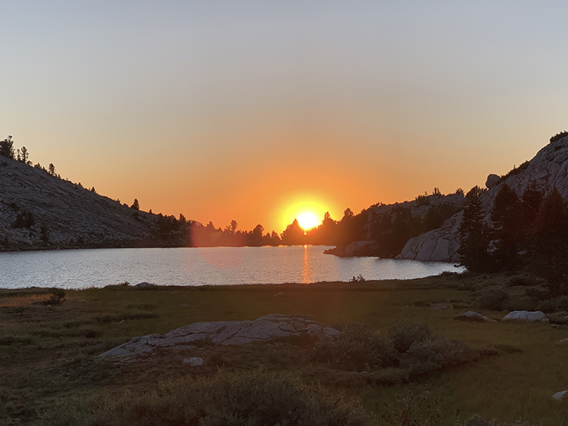
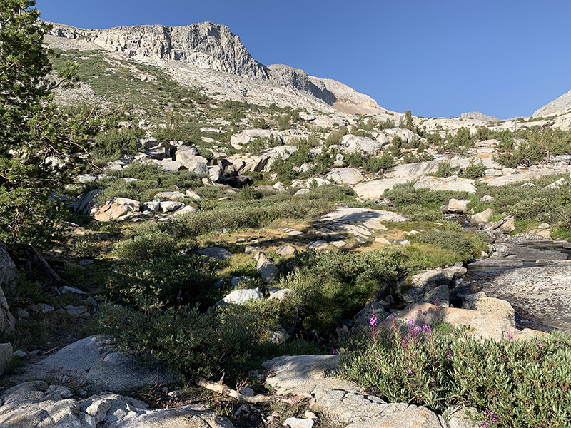
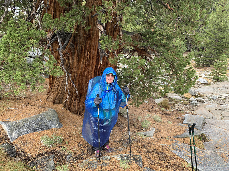
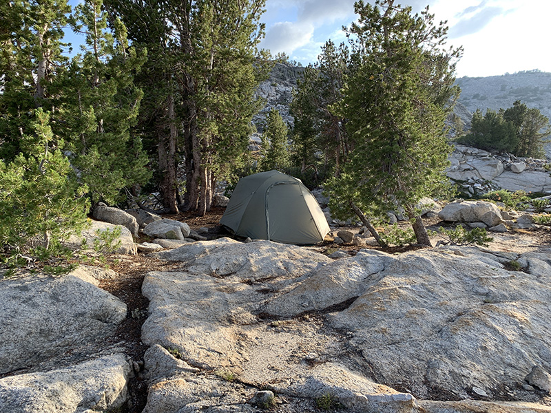
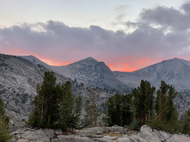
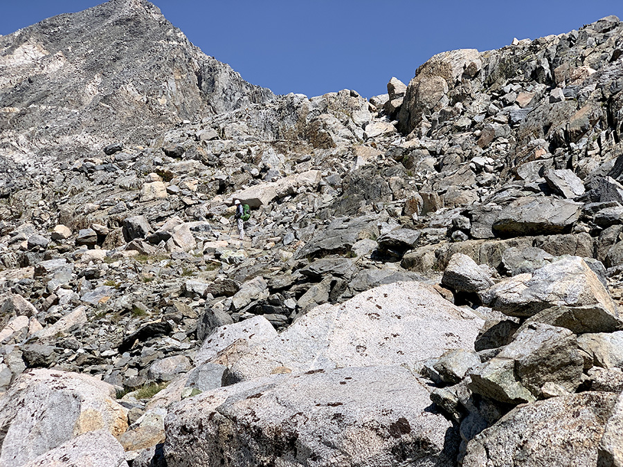
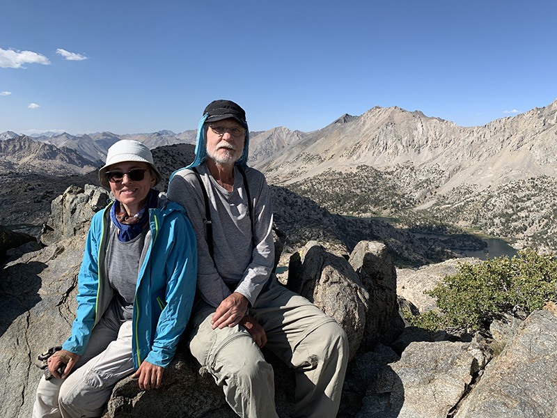
Hiking in the second half of the 10-day section got more intense – we crossed four high passes in five days, and stayed quite a bit above 3000 m. It was also becoming easier with half of the food already gone and Piotr taking some weight from Joanna. As we were getting closer to next resupply we started supplementing daily rations from reserves. Getting up before 7 am and waiting with most morning activities until Sun comes-up from behind mountains to keep us warm worked best. We were moving one full day ahead of our plan and we decided to use it for extra rest day in Independence, our next resupply stop – in retrospect, it was a very good idea !
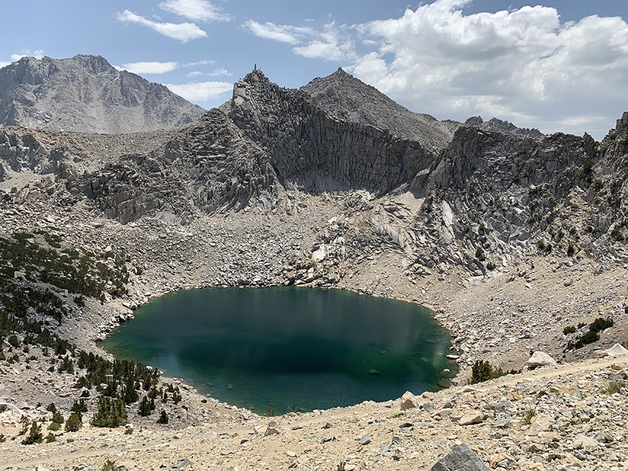
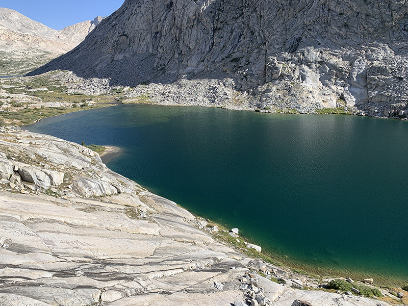
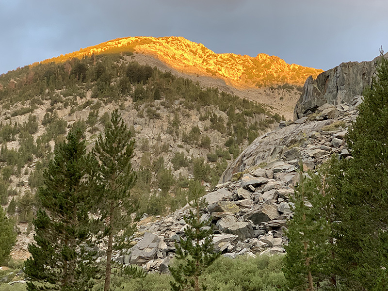
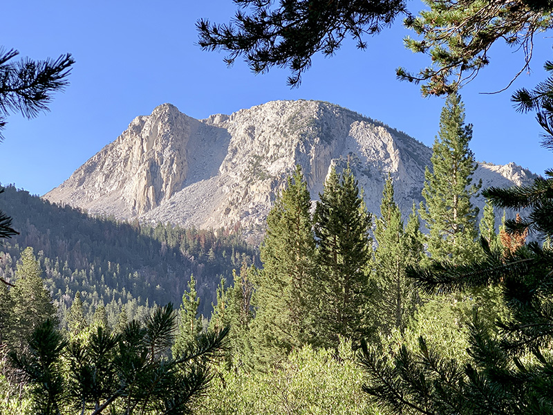
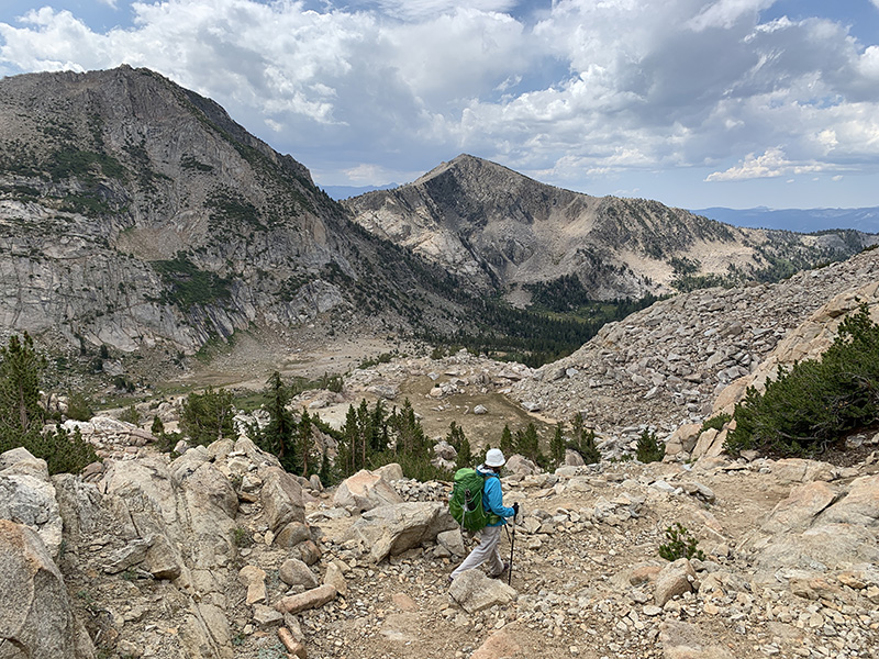
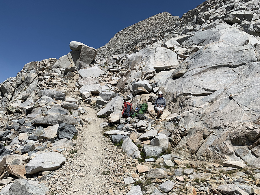
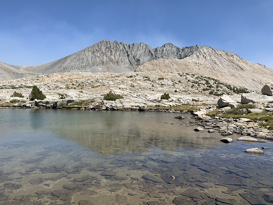
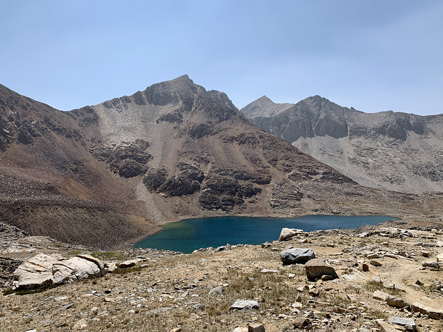
Upper Palisade Lake is at 3320 m, so crossing 3688 m Mather Pass on 8.2-mile day looked easy, 400 m up and 600 m down. But somehow we both felt it was the most difficult pass on our route. Perhaps some fatigue was setting in.
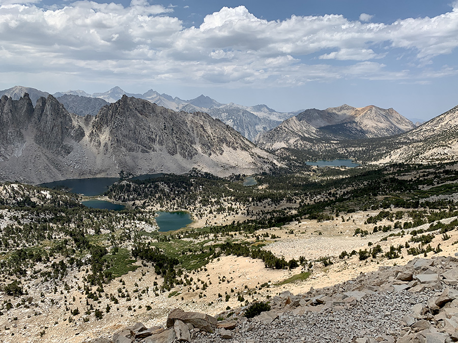
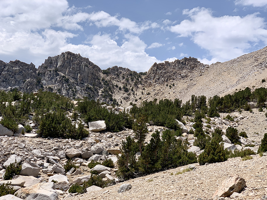
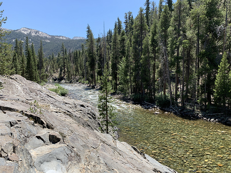
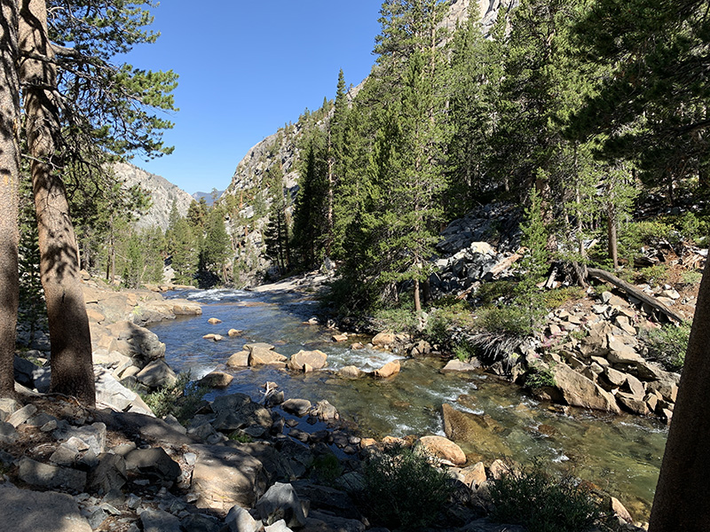
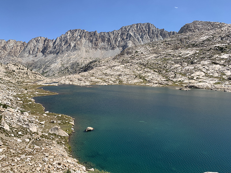
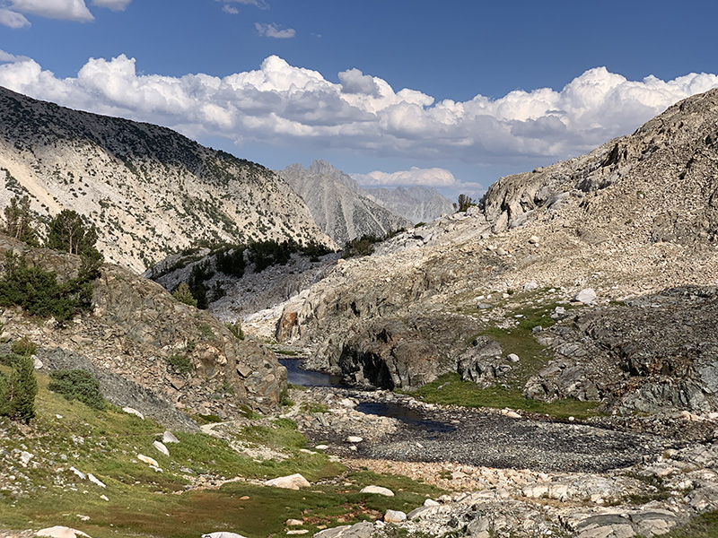
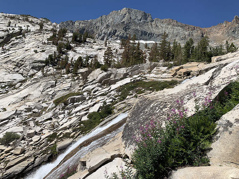
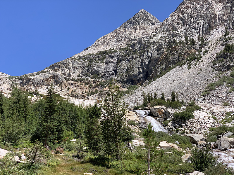
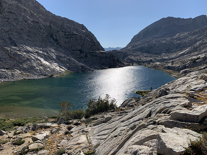
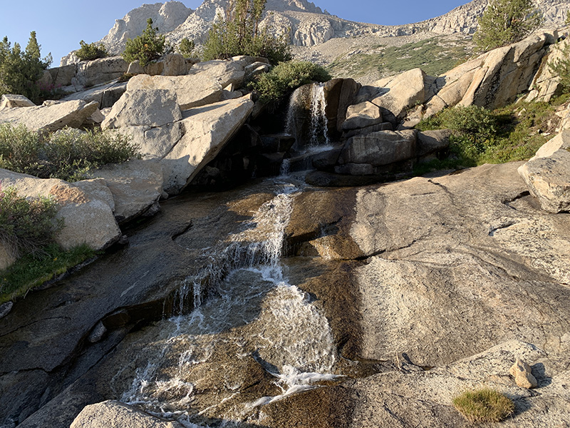
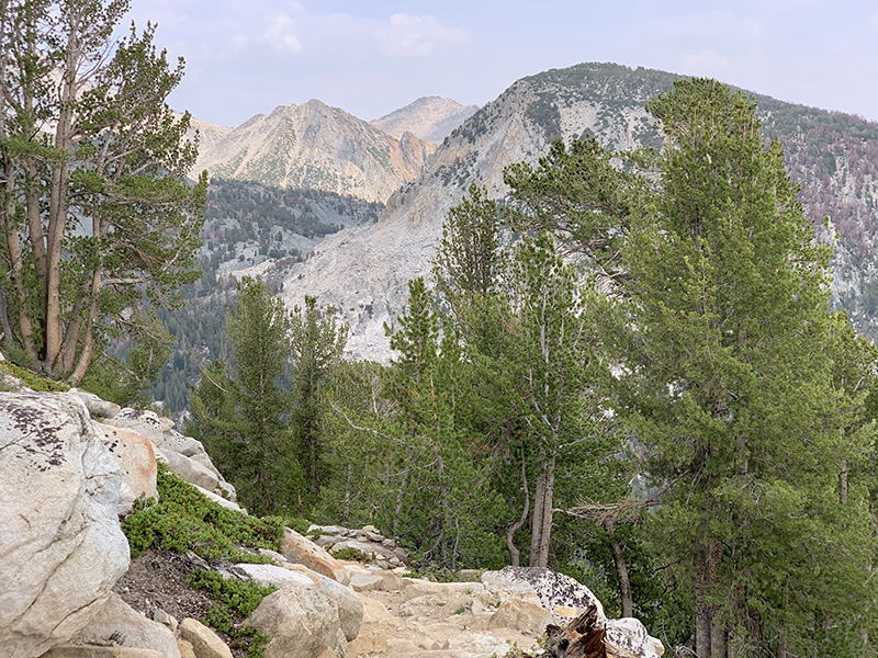
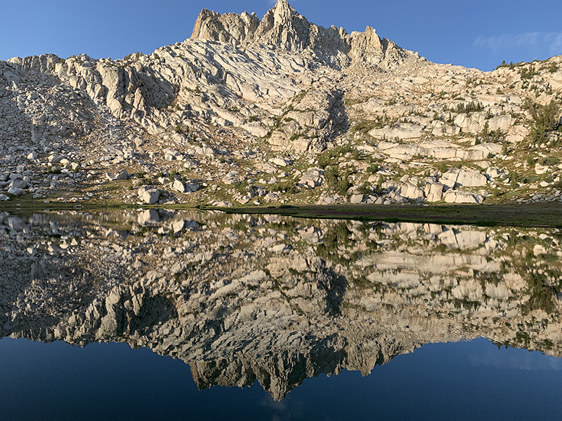
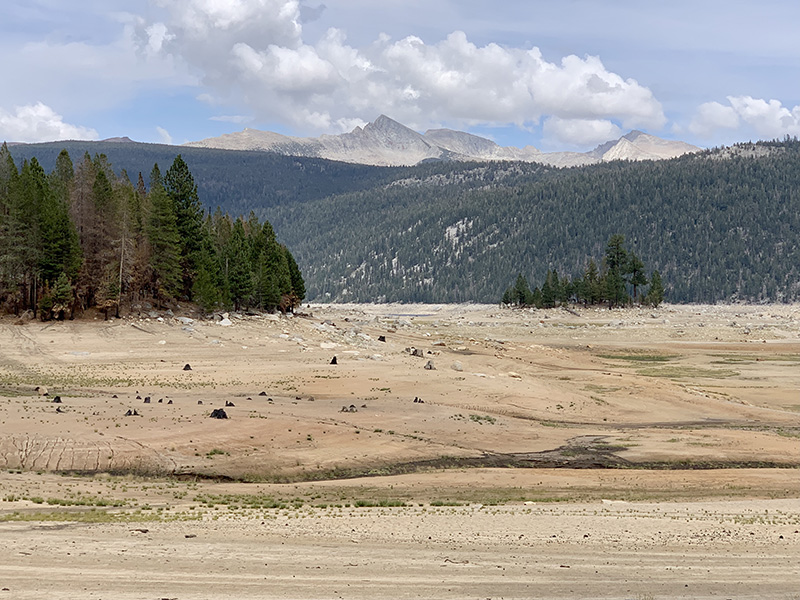
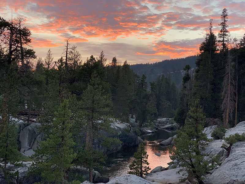
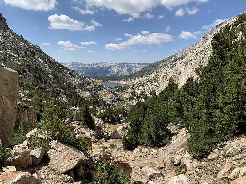
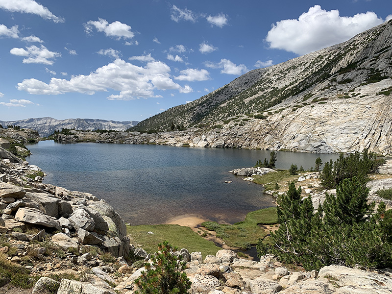
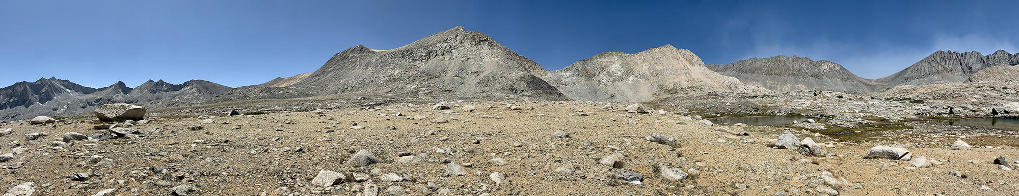
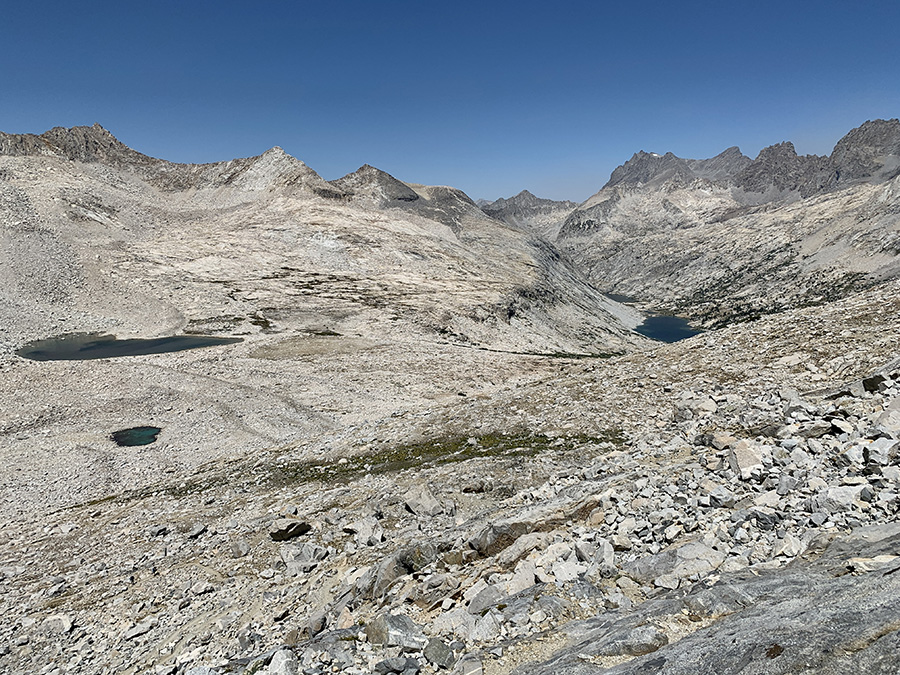
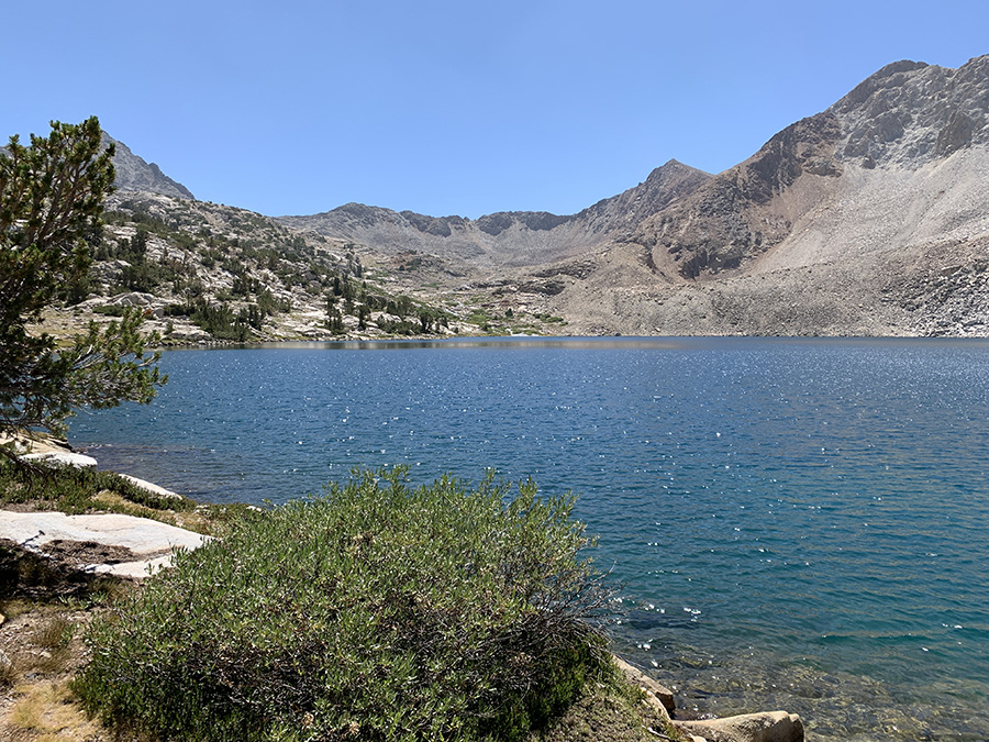
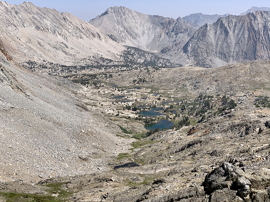
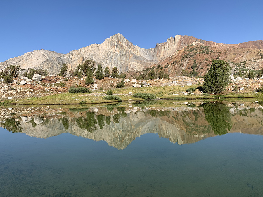
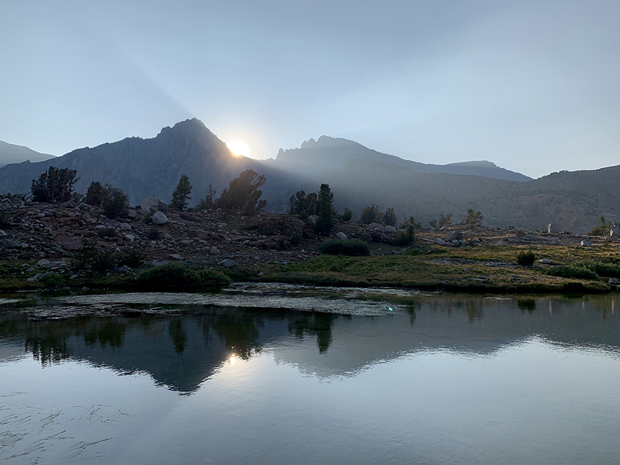
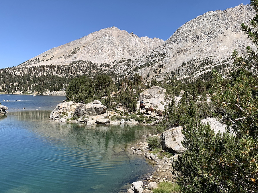
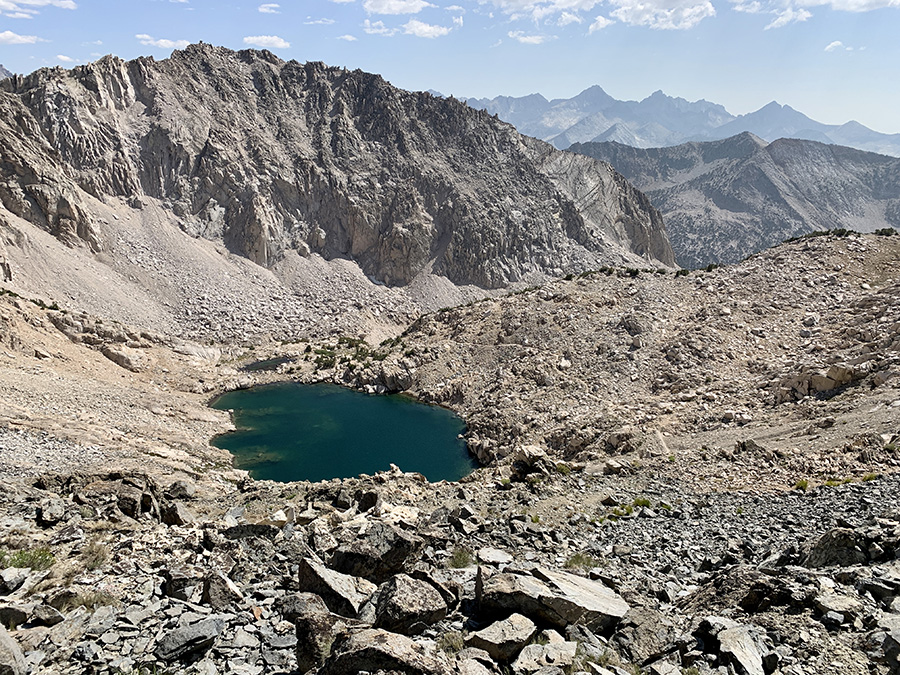
We were gaining altitude hiking through rocky landscape above Palisade Lakes and tree-line, then on quite steep switchbacks before Mather Pass. Downhill switchbacks on the other side were also steep and landscape looked barren, even with some tarns in Upper Basin at the base of the pass where we stopped for longer break. South Fork Kings River flows from the lakes/tarns in this area and we continued down along its valley until it was time to stop for the night (without going up).
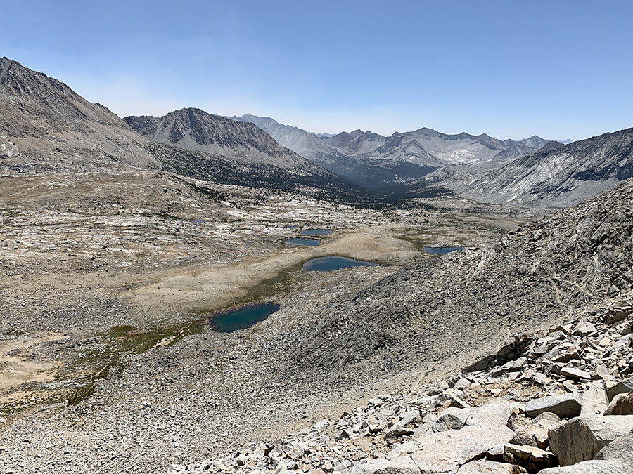
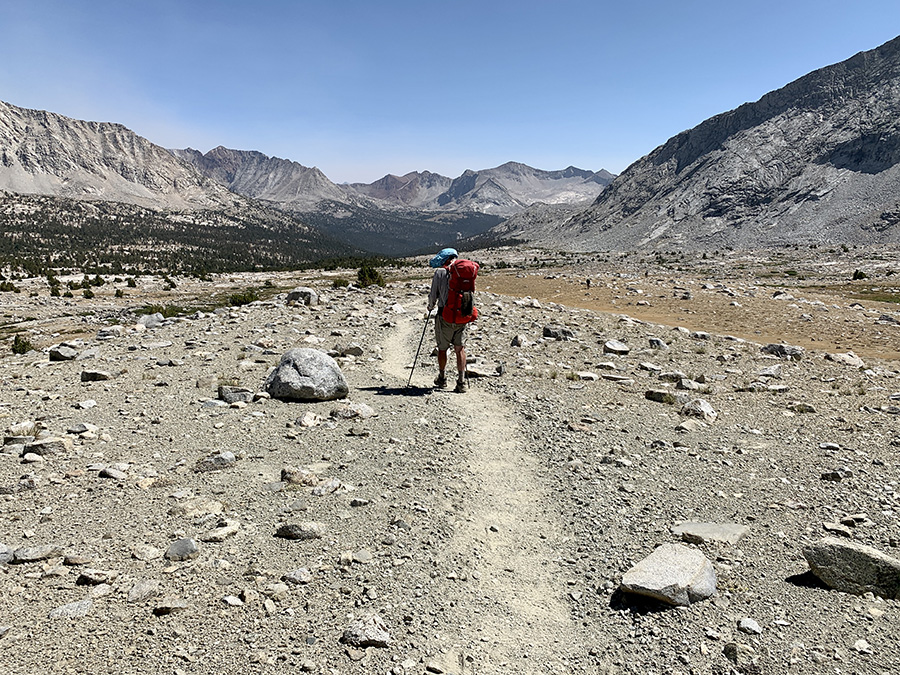
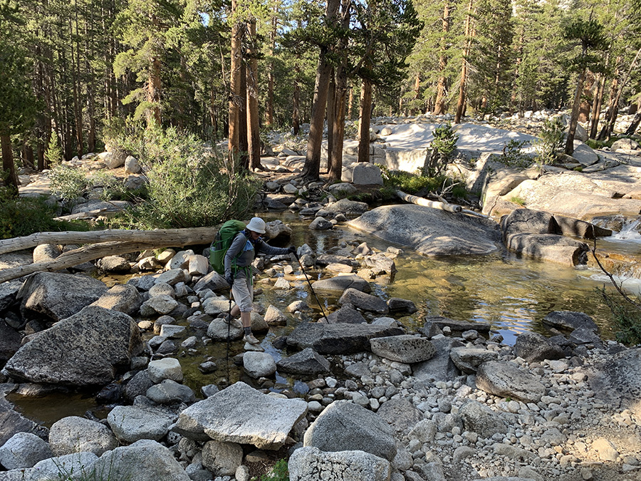
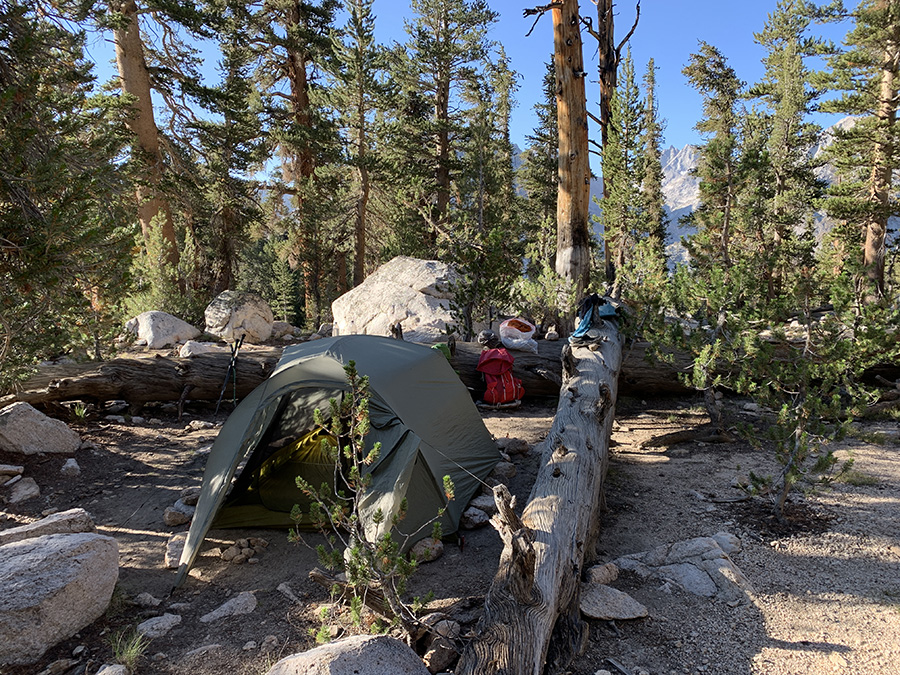
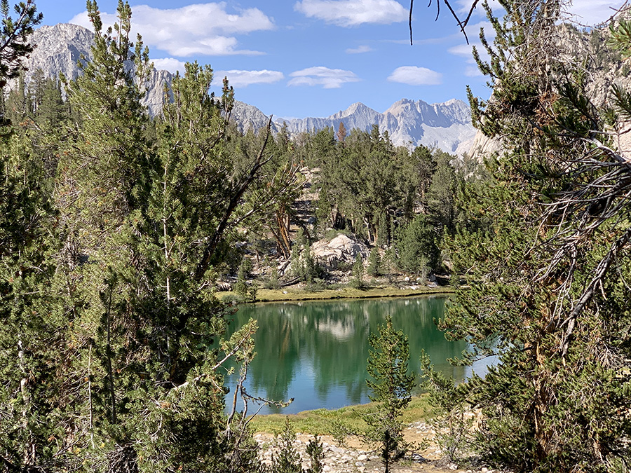
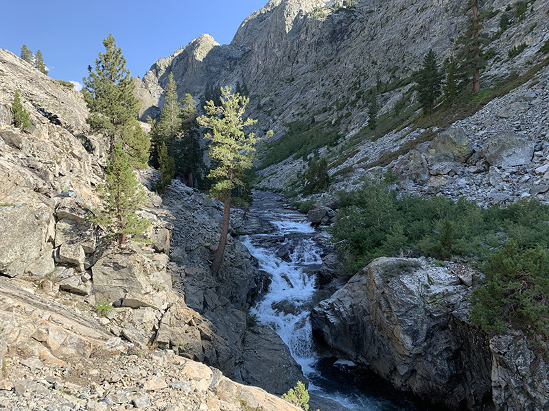
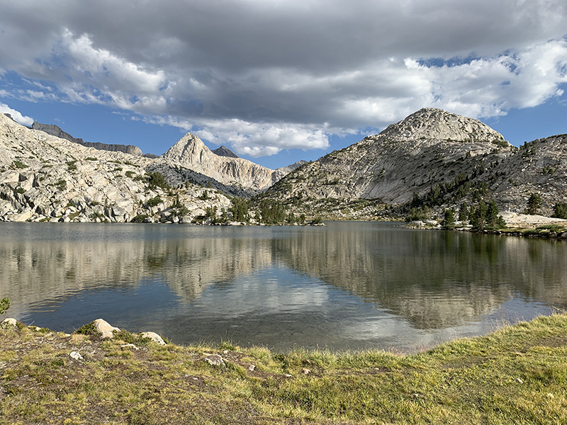
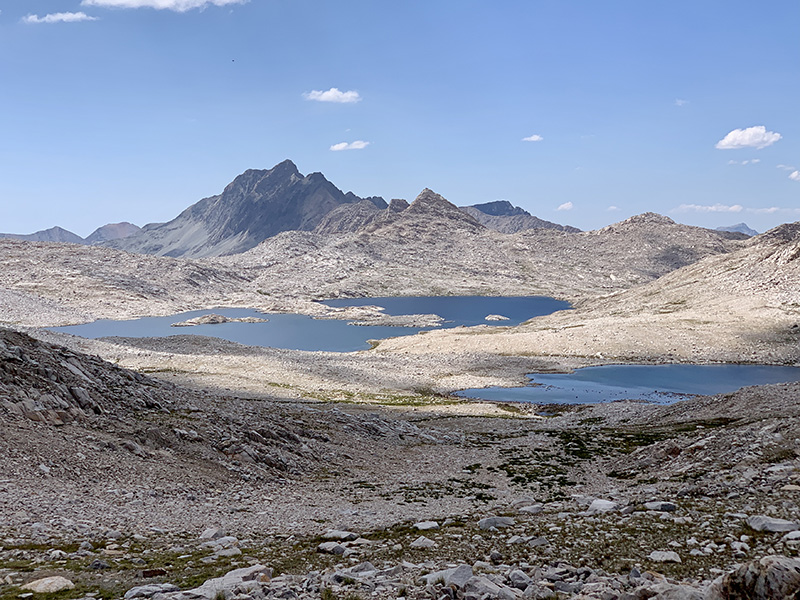
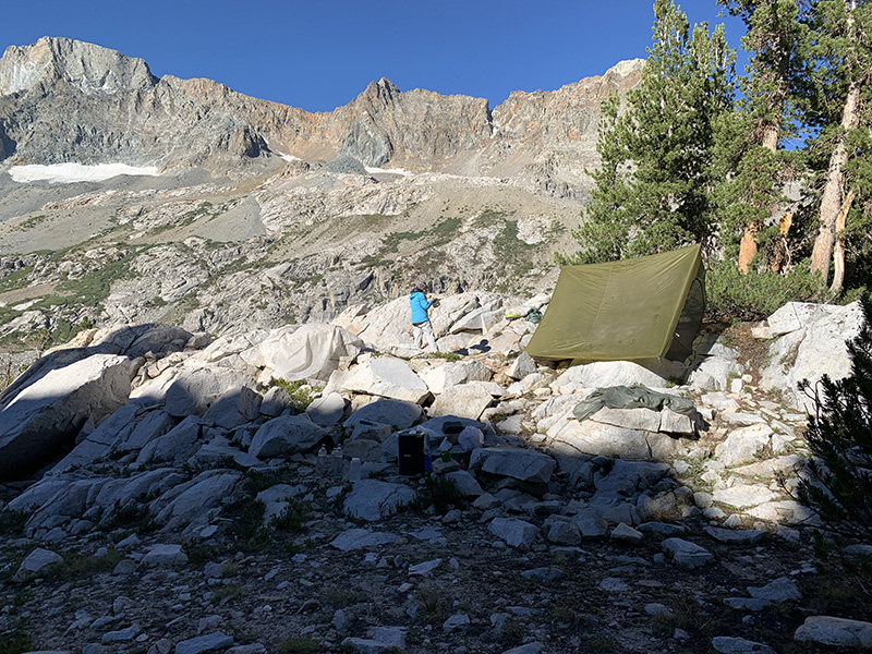
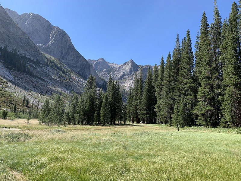
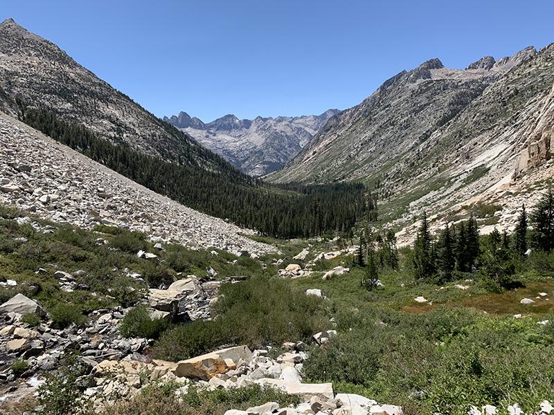
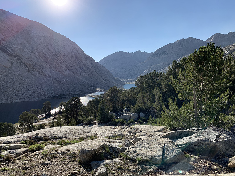
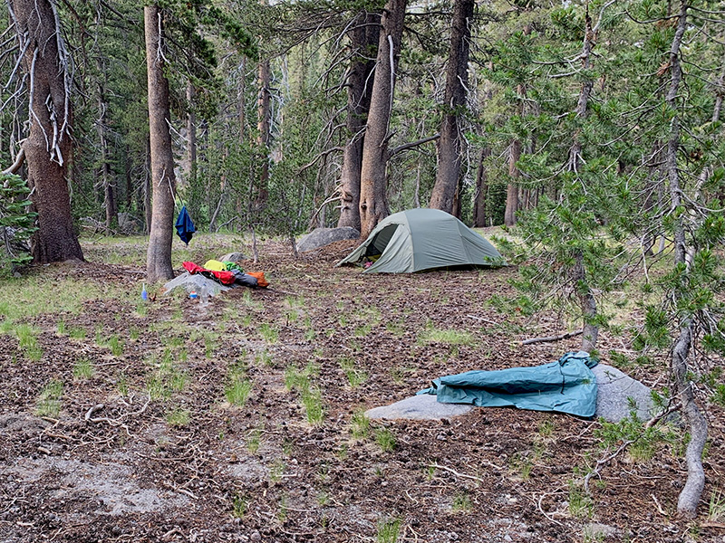
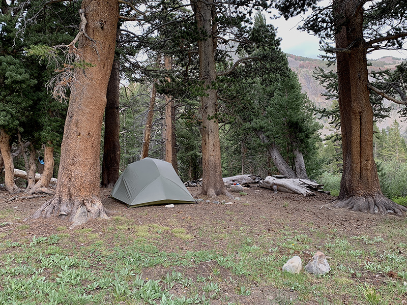
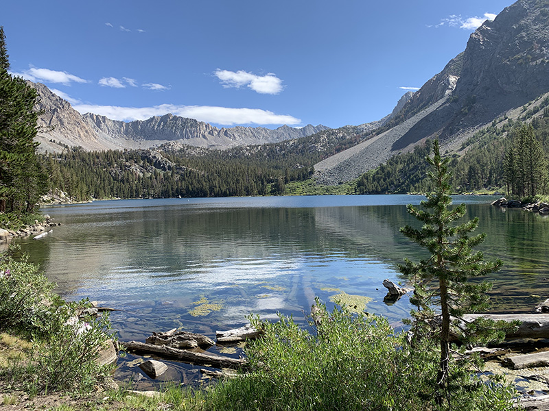
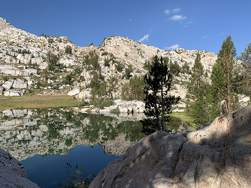
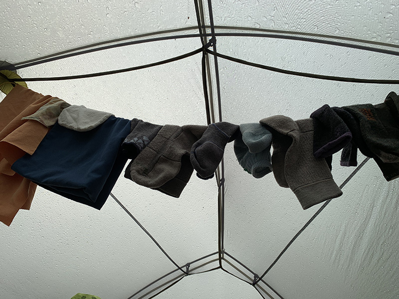
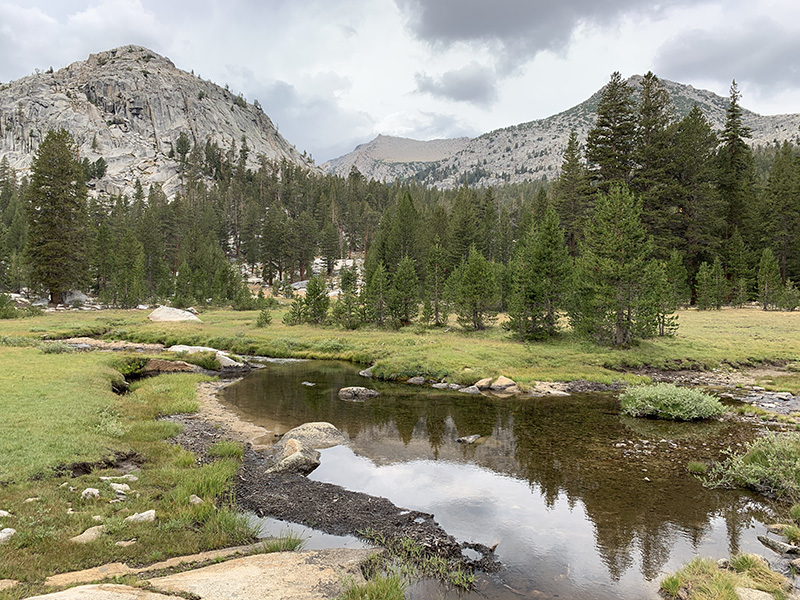
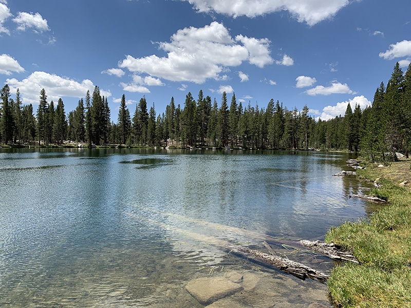
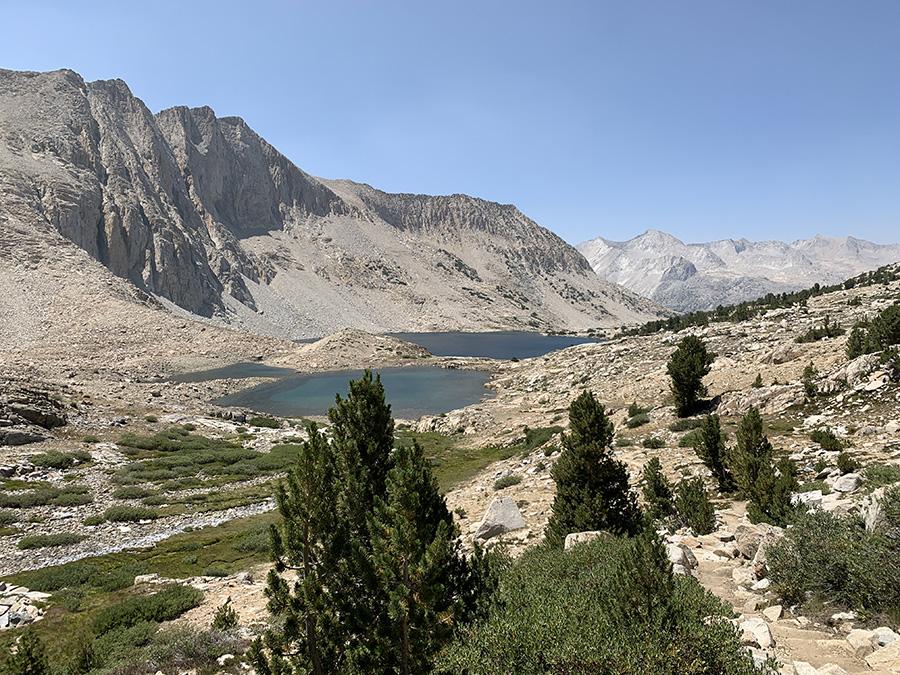
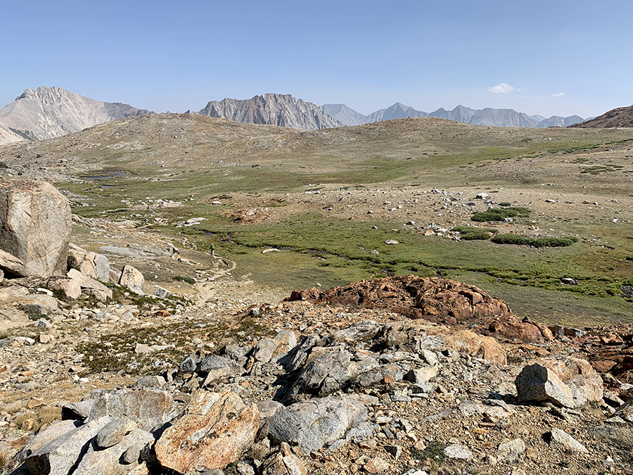
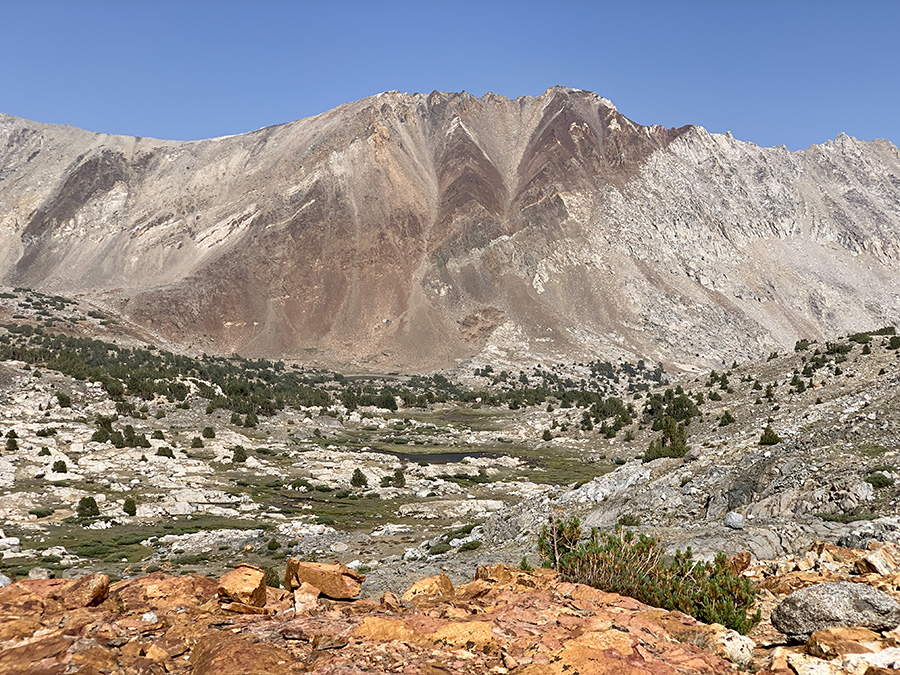
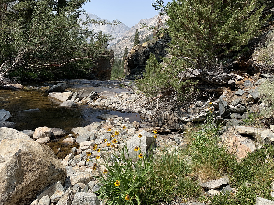
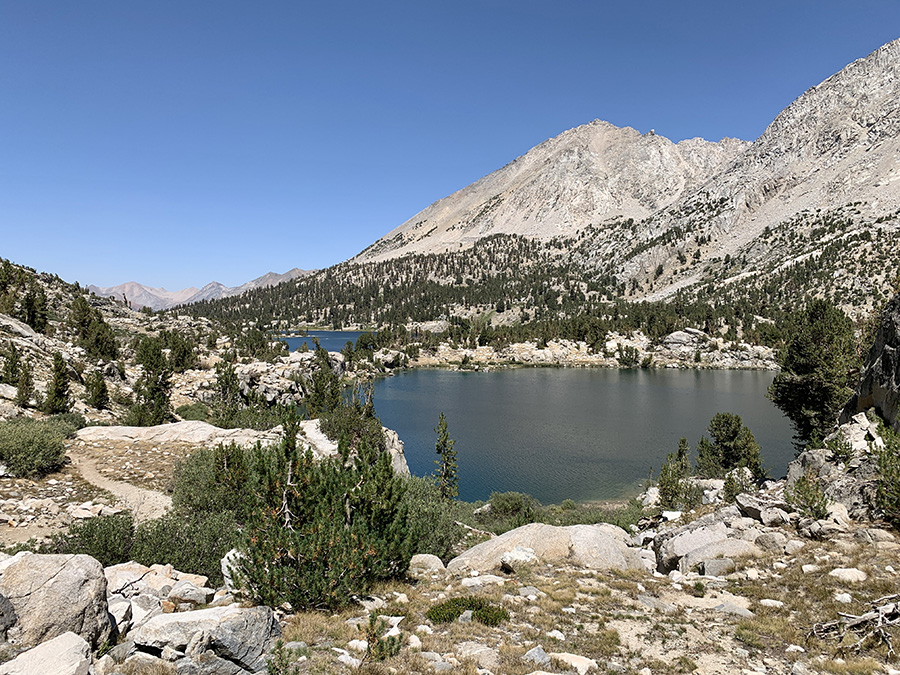
Next day we crossed Pinchot Pass, two-step 600 m ascent with relaxing flat middle part along Lake Marjorie. On descent along Woods Creek to Twin Lakes we talked to park ranger about possible campsites on the lower of the lakes, but in the end we parked at small tarn above them – to save time as we wanted to spend the rest of the sunny day relaxing. Water in the tarn was drinkable, but also warm to rinse ourselves and for minimalistic laundry (all no-soap). In the morning we continued hiking down Woods Creek, dropping 700 m, only to regain 500 m in the afternoon. We stayed at Dollar Lake, nice but with part of camping area closed for restoration and remaining options not too good. In retrospect, we should had continued to Arrowhead Lake, even if it stretched the day’s distance well above 9 miles. We now entered JMT section very popular with short-distance backpackers (coming via side trails).
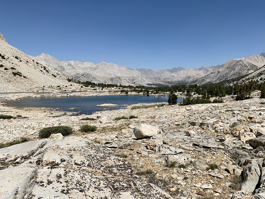
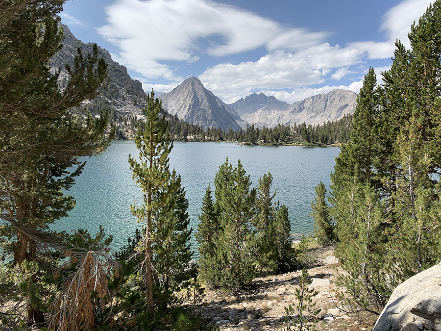
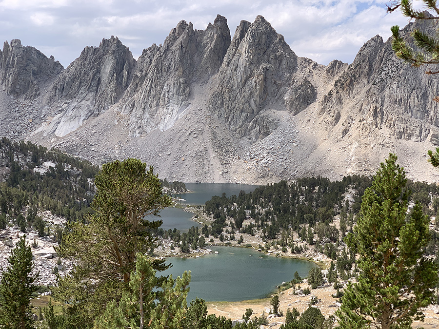
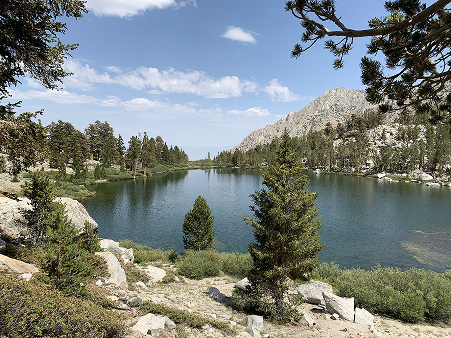
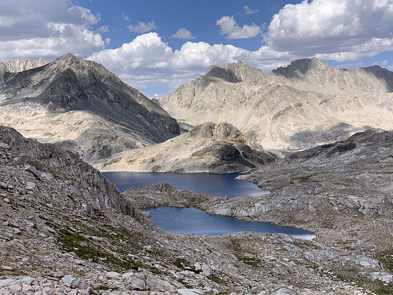
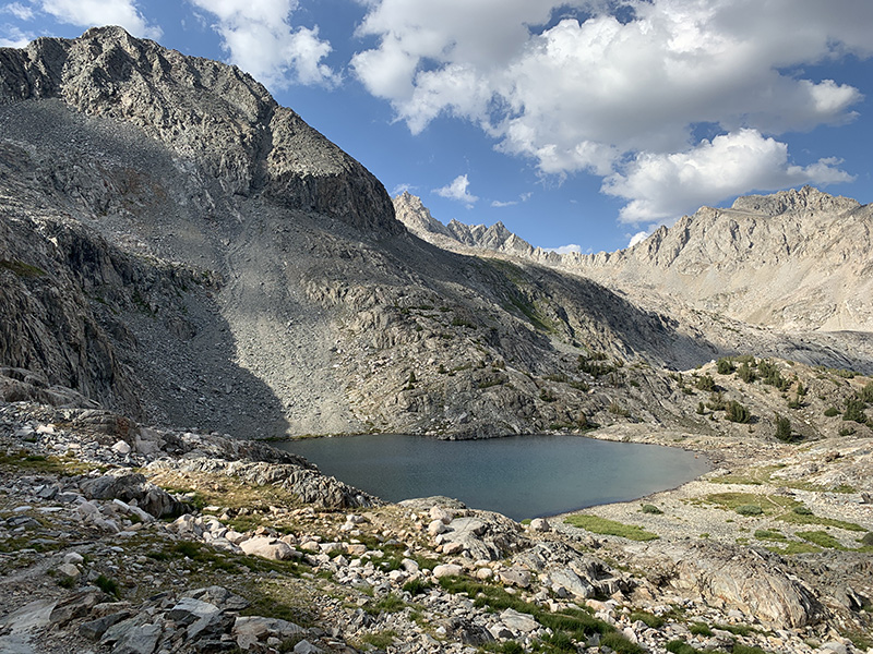
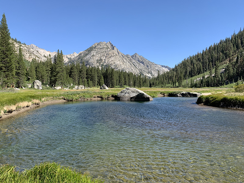
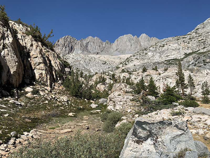
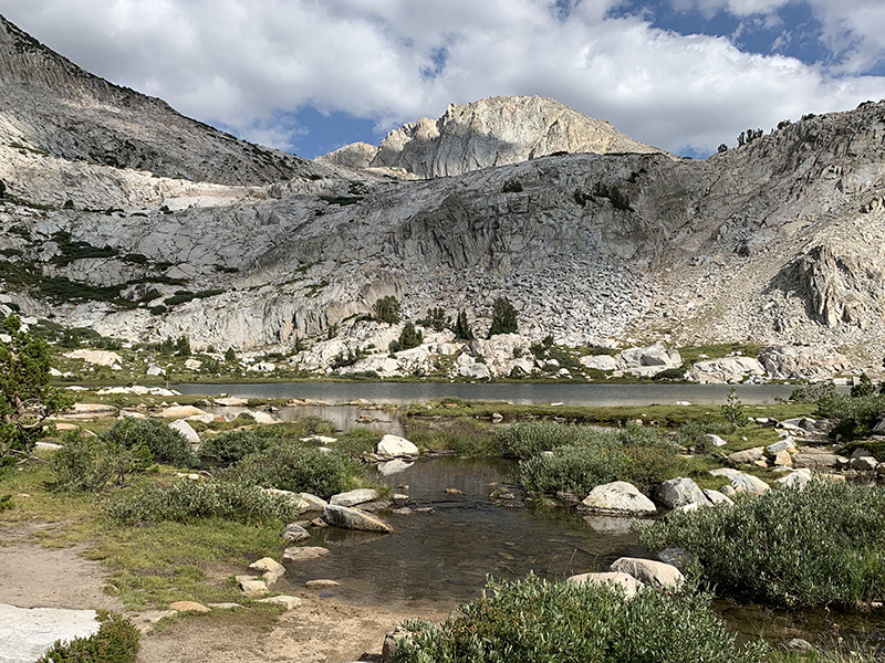
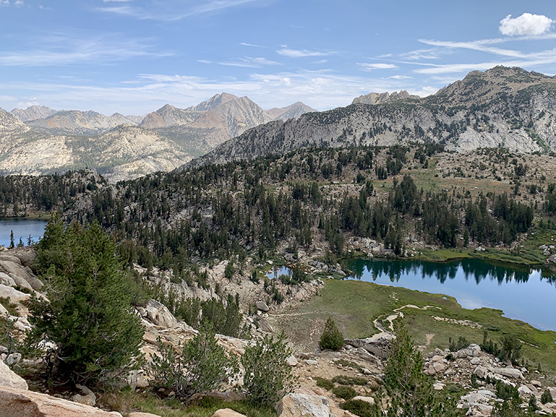
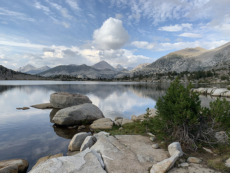
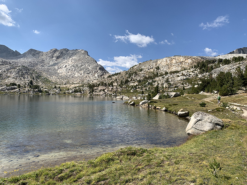
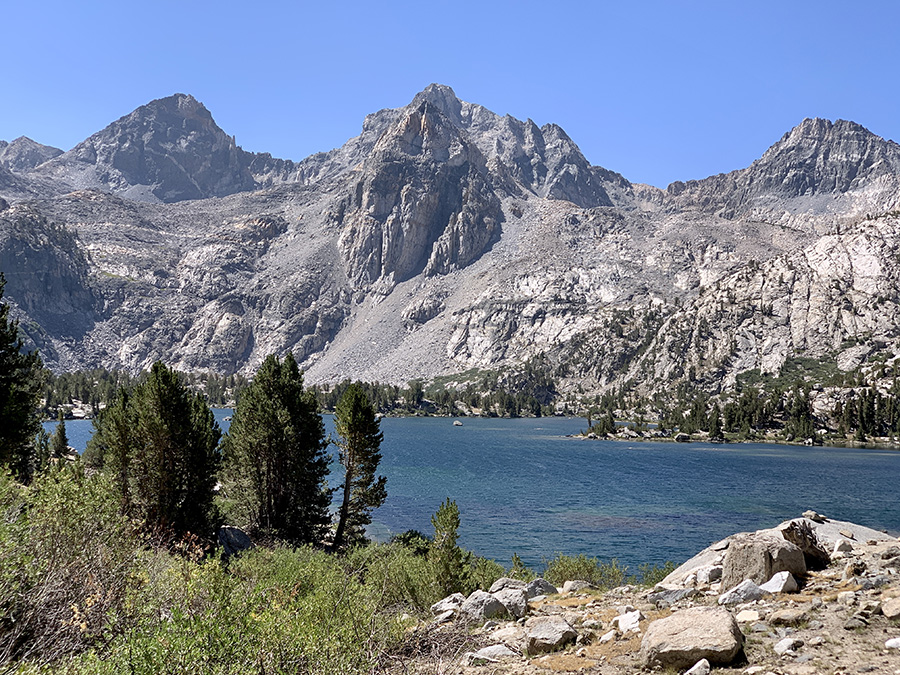
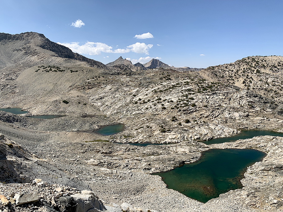
We passed Arrowhead Lake next morning and walked rather slowly along beautiful Rae Lakes (definitely more hikers in this area), before hiking up to Glen Pass – Joanna’s favorite pass, with great views all along the way. The original plan was to leave JMT and push on to Kearsarge Lakes to make the following day shorter – we wanted to have all afternoon and evening in motel in Independence to eat, shower and pack resupplies. Now with extra rest day in Independence we were not in big hurry. Coming down from Glen Pass we saw lake/tarn with water, but when we later started looking for campsite, there was no water available anywhere. We had no choice, but to walk pass Kearsarge trail junction to Bullfrog Lake trail junction and small stream. It was getting late, so we stayed there. Kearsarge (upper) trail was our original direction, but we knew there was no water there until Kearsarge Lakes (too far that day).
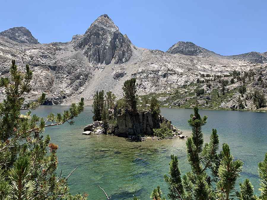
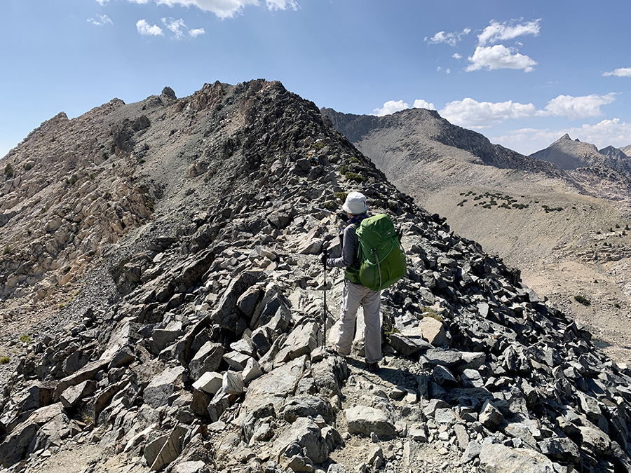
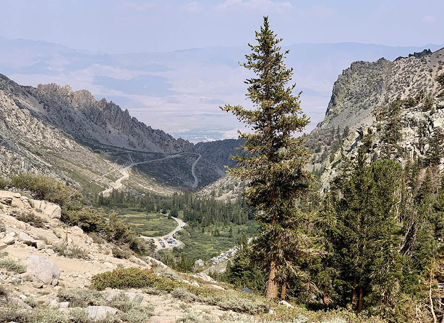
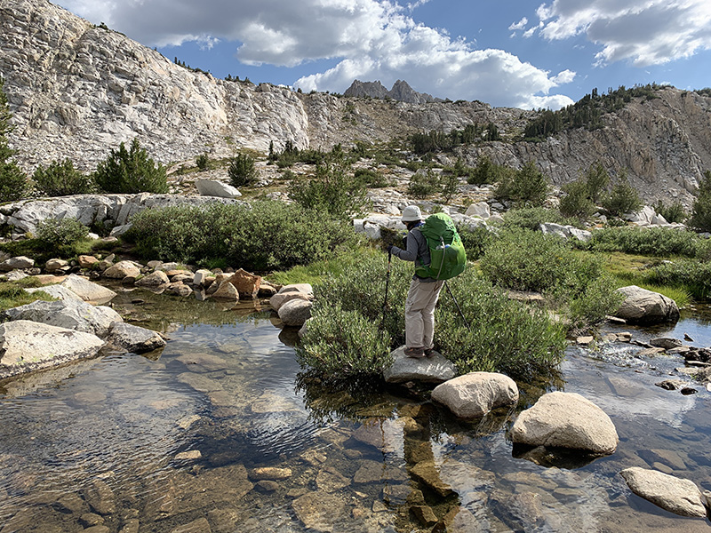
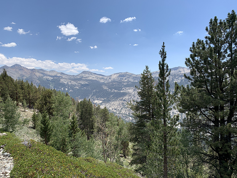
Next day we walked past Bullfrog Lake and above Kearsarge Lakes to Kearsarge Pass, very nice scenery, and then down to Onion Valley trailhead and paved road. More lakes and more people day-hiking. Joanna in no time found friendly hikers who took us to Independence, 13-mile impressive winding road down to valley bottom.
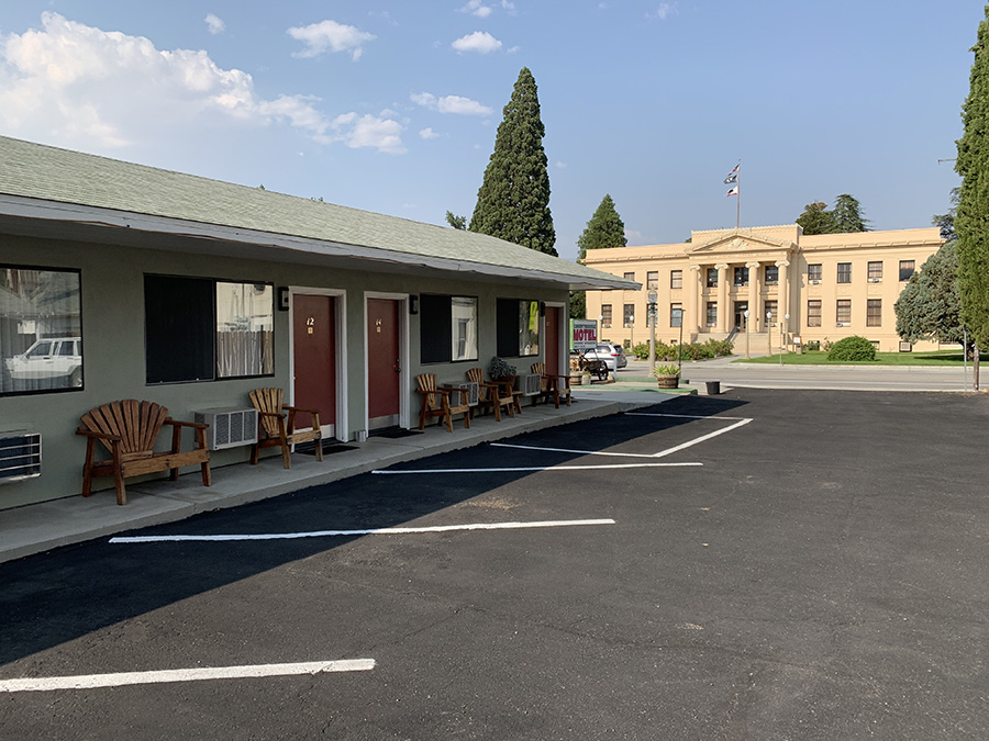
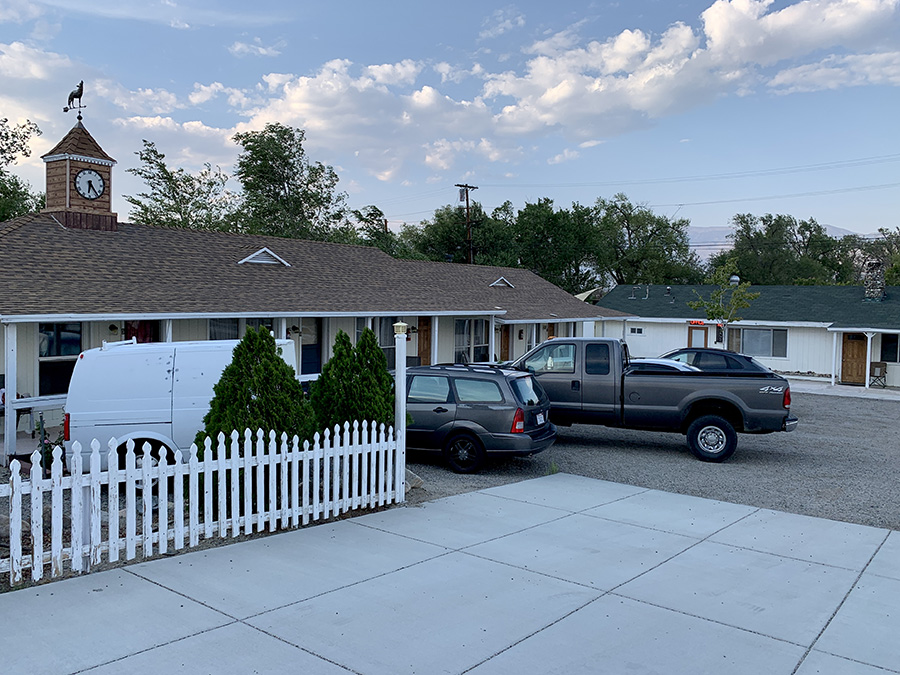
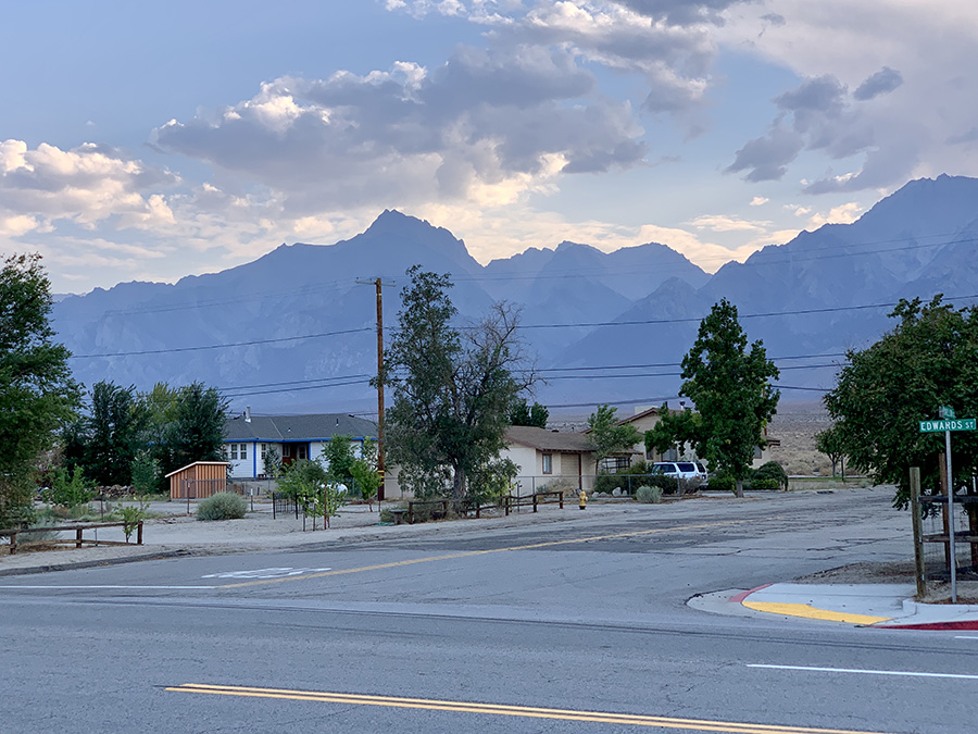
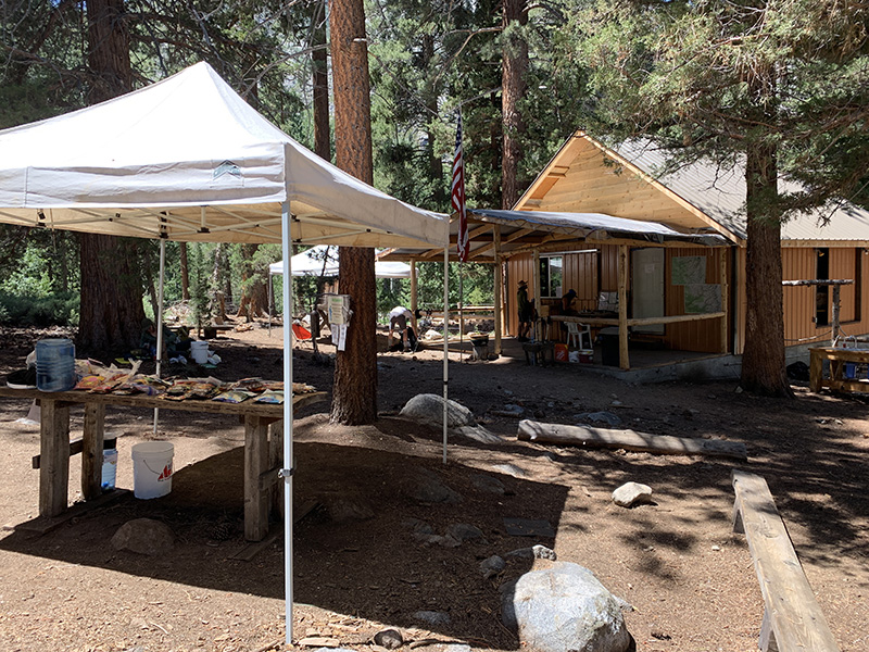
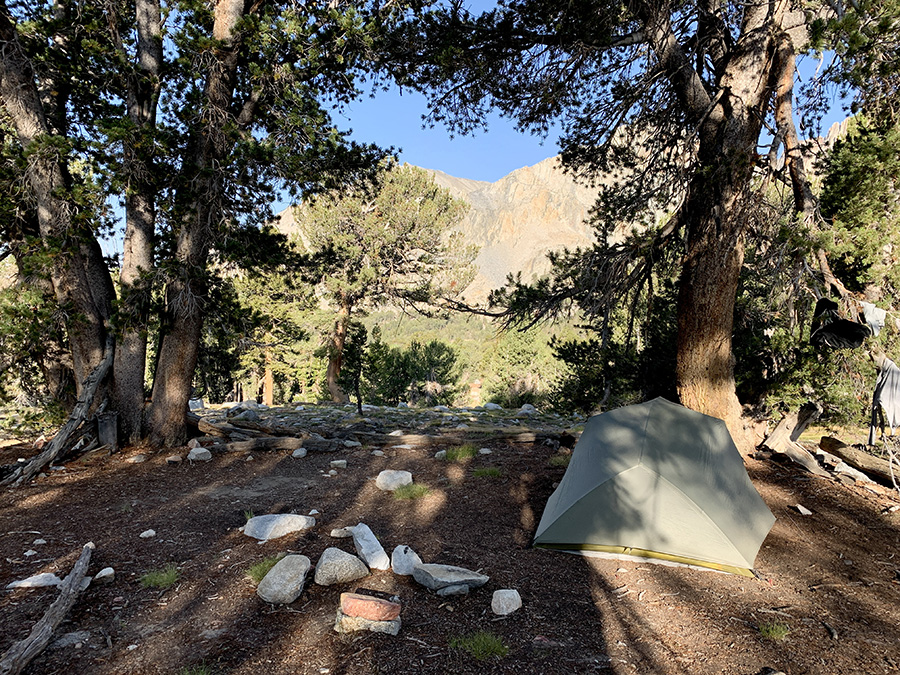
We arrived one day earlier and there were no rooms available at Independence Inn where we had reservation and where we sent resupply – package was waiting. We stayed one night at Courthouse Motel and second night at Independence Inn, both very good small local businesses (recommended). We “raided” both (gas station) stores and were able to gather some food, ate very good tacos from food truck and 12-in subs (enough for two meals each). Both motels are backpacker friendly, have laundry service and offer shuttle back to the trailhead. It was very hot down in the valley (35°C vs comfortable twenty in the mountains the day before) and the sky was hazy because of smoke from wild fires somewhere else. Next day we were hiking back up the mountains via Kersarge Pass (next post).