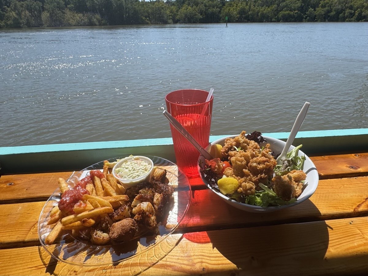
We drove 3600 miles and stayed in 16 places, 8 campgrounds and 8 motels/airbnbs. All in 23 days. Joanna had a good plan where to go and what to see, but we made specific decisions each day. We left cold weather in Chicago and arrived in sunny Florida with temps reaching 90ºF. April is already beginning of low season here – some sites were preparing to shut down for the summer (too hot). We avoided big crowds, but were still able to observe a few manatees in the wild. No problems finding places to overnight (campgrounds were mostly empty). As for Subaru camping, additional moonroof ventilation would be good on hot nights, but we did not have anything to use as insect screen. No car mechanical problems this time.
Our main destination was National Parks: Everglades, Biscayne and Congaree – we added 3 to our list of visited Parks (new total 39 out of 63). Did not make it to Key West, as originally planned. On this trip we spent more time than usual visiting several cities and museums, but also did many short day-hikes and spent a lot of time watching wildlife: birds, alligators, crocodiles and of course manatees. We are becoming bird-watchers (beginners) – on this trip we watched, photographed and identified 37, others flew by too fast. Spent almost full day at Kennedy Space Center.
Completed itinerary
Destinations
Overnight
Mar
23
Sun
1
Chicago-Nashville, I-94, I-65
IL-IN-KY-TN
Nashville Music Row airbnb
24
Mon
2
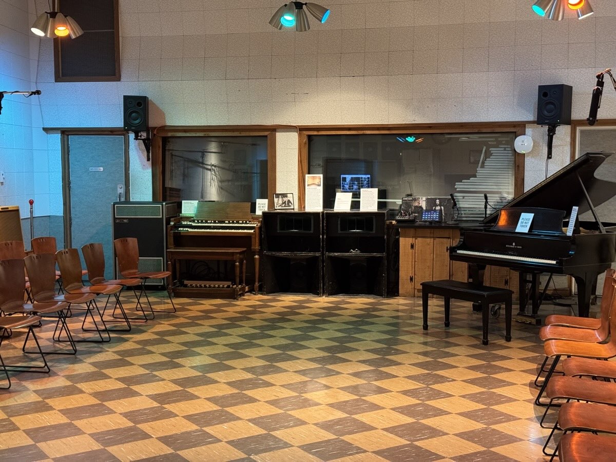
Nashville
TN
Nashville Music Row airbnb
25
Tue
3
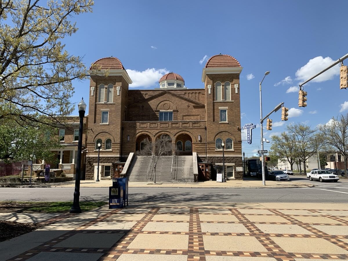
Birmingham, Montgomery
AL
Montgomery airbnb
26
Wed
4
Montgomery
AL-FL
Tate’s Hell State Forest Cash Creek CG
27
Thu
5
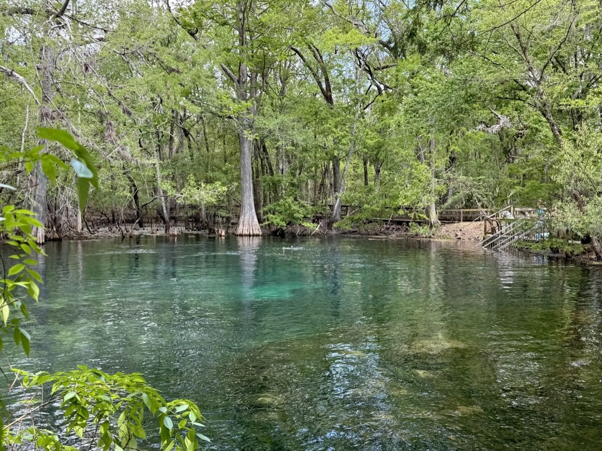
Manatee Springs
FL
Manatee Springs SP Magnolia 1 CG
28
Fri
6
Manatee Springs
FL
Manatee Springs SP Magnolia 1 CG
29
Sat
7
Crystal River, Homosassa Springs Wildlife State Park
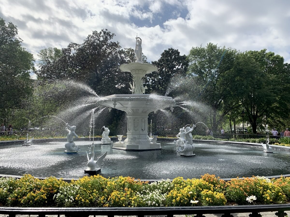
We had full day of walking in Savannah – Joanna’s favorite town. We left our car at The Isetta Inn and just looped around stoping at countless squares with old oaks, lush greenery and antebellum mansions.
Pulaski Square
Pulaski monument in Monterey Square
…
Forsyth Park
Sherman’s Headquarters – Green-Meldrin House
Colonial Park Cemetery
Georgia Queen, Savannah River Waterfront
River St
Savannah City Hall
Chippewa Square / Forrest Gump Square
The Gingerbread House, Thomas Square
Forsyth Park
We tried to have lunch at famous Mrs. Wilkes, but line was waaay too long, so we restocked at Kroger, visited Bonaventure Cemetery and headed out to Best Western Inn in Charleston, with brief rest stop at Frampton Plantation.
Bonaventure Cemetery
…
…
Day 19.
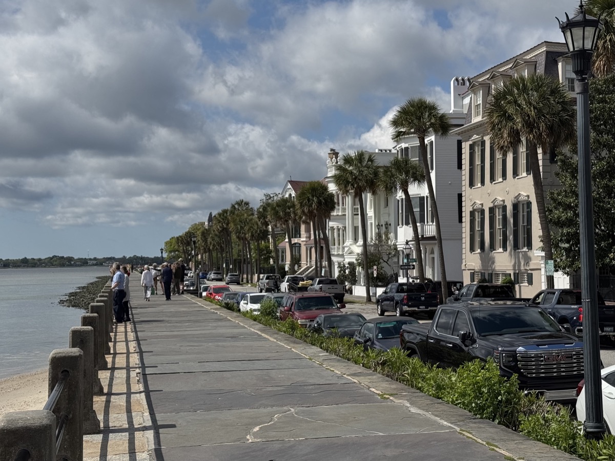
We worried about parking in Charleston center, it was packed, but finding paid street parking was not impossible. We parked in three locations to explore different neighborhoods, waterfront and slave trading museum (Ryan’s Mart). A lot of history, from English colonial times, slave trade and antebellum, and Civil War.
King St
Meeting St
St. Michael’s Church
Williams Mansion
Battery St
Rainbow Row
Pineapple fountain, Waterfront Park
Waterfront Park Pier
Ryan’s Mart – slave trading complex
Dock Street Theatre
Old Exchange & Provost Dungeon
Charleston City Market
Early dinner at Oyster House Seafood & O-Bar, southern style, very good. After dinner we started 1000-mile return home (via Knoxville and Cincinnati), with stops. First at Poinsett State Park Campground (recommended). Little time for short local walks.
Sea scallops
Shrimp boil
Poinsett Park Campground
Day 21-23.
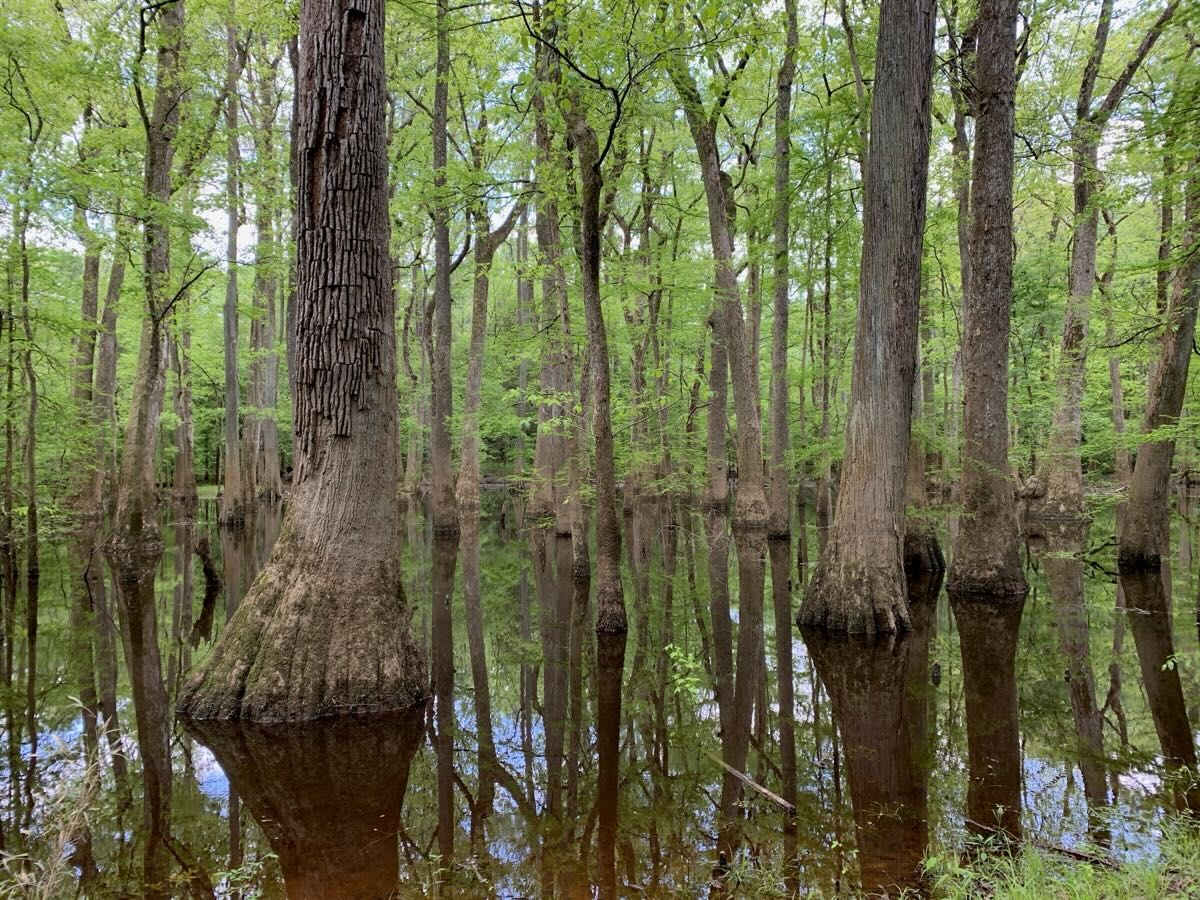
We spent most of the following day at Congaree National Park walking 8-miles including open sections of Boardwalk, Sims and Oakridge trails. The park has the largest tract of old growth bottomland hardwood forest in U.S. and many state and national champion trees.
Congaree National Park
Boardwalk
…
We parked for the night at Brick House Campground (recommended). Nice, quiet and relaxing evening with campfire. Next day we crossed Smoky Mountains, wonderful scenery reminding us past visits and hikes in the National Park. Stopped for interesting lunch at popular Biscuit Head for more southern cuisine and grocery shopping in Asheville. Joanna could not resist to use Piotr’s driver break to walk a mile on Appalachian Trail (from Tobes Creek Rd). Motel stay at Berea Comfort Inn & Suites. To keep with our tradition we stopped at KFC while in Kentucky to get fried chicken. Chicago. The End.
Brick House Campground
Fried Green Tomato Biscuit, Biscuit Head Asheville
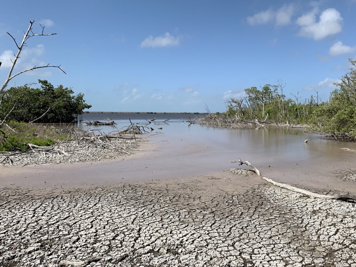
Before leaving Everglades for Miami we decided to go for another walk: to Bear Lake (3.5 miles return). But first we had to drive to trailhead on dirt road along Wilderness Waterway, the same road where we saw nest-building crocodile the day before. It was no longer there, probably better as we would not like to disturb it driving by so close. The trail goes through dense vegetation along small canal reclaimed by nature to muddy shores of Bear Lake. Altogether we spent 6 days in Big Cypress and Everglades, plenty of time to explore.
Bear Lake Trail
…
Bear Lake
By the end of the day we arrived at Miami River Inn (recommended) in Miami Little Havana neighborhood, after slowly driving just 80 miles and stopping on the way in Coral Gables (famous Miami suburb) for a short stroll.
Church of the Little Flower, Coral Gables
…
Biltmore Hotel Miami Coral Gables
After some delay we checked-in to comfortable apartment. Then walked around like locals with laundry and shopping bags, to Brickell Cleaners & Coin Laundry and Presidente Supermarket. Chose 305 Peruvian Modern Cuisine for dinner (Aquadito de mariscos and ceviche mixto). Plus tropical fruit for desert at home. Well deserved.
Ceviche mixto
Caimito (star apple)
Sapodilla
Red Alama (llama)
Day 15.
We spent most of the day in Miami Beach, crossed Miami River and took bus from there. It was fun to watch wild roosters with chicken parading in the middle of big city.
It was beautiful Sunday and we were just meandering along and between Ocean Dr, Collins Ave, Washington Ave and South Beach with many people, looking at Art Deco buildings, with stops for coffee, ice cream and swimming. Subtle pastels and whites; famous (saturated) Miami Pink seen only in ice cream cups and small accessories. Laid back atmosphere with signs of preparation for beach parties, but restaurants already packed. We are often surprised by lack of simple changing places on public beaches, no exception here.
Ocean Dr Miami Beach
…
…
Washington Ave
Ocean Dr-South Beach
South Beach
The Orange Peels park
Miami River and downtown
Cuban Classical Ballet of Miami
In the evening, our first try of Cuban cuisine at Habana con B (recommended) in Little Havana neighborhood. We were there early and had the place pretty much for ourselves. Great food and opportunity to talk about Cuba.
Aporreado de pescado – shredded boiled fish in sauce, Yuca con mojo – boiled yuca, Platanito maduro fritos – fried sweet plantain (left photo)
Evening walk up and down Calle Ocho – heart of Little Havana.
Habana con B
Calle Ocho
…
…
…
…
Day 16.
Next morning we navigated to Wynwood Walls (murals) around NW 25th St and NW 3rd Ave. After few loops and photos we got on I-95 north.
Another slow driving day, just 200 miles to Coco Beach. Driving through Miami metropolitan area and then on major highway was not interesting, but at the end it got much better – across Indian River Lagoon and along the coast. We decided to settle at Travel Inn of Titusville, nicely renovated apartment in roadside motel from the sixties. Road noise bothered Joanna, but location was very convenient, close to Kennedy Space Center.
The plan was to go swimming, but weather was not cooperating so we spent hour and a half walking on sandy beaches: Pineda and South Coco Beach (Robert P. Murkshe Memorial Park). Collecting shells and observing juvenile Atlantic ghost crabs popping-up everywhere. Very relaxing afternoon.
Atlantic ghost crab (juvenile)
Pineda Beach
…
South Coco Beach
Day 17.
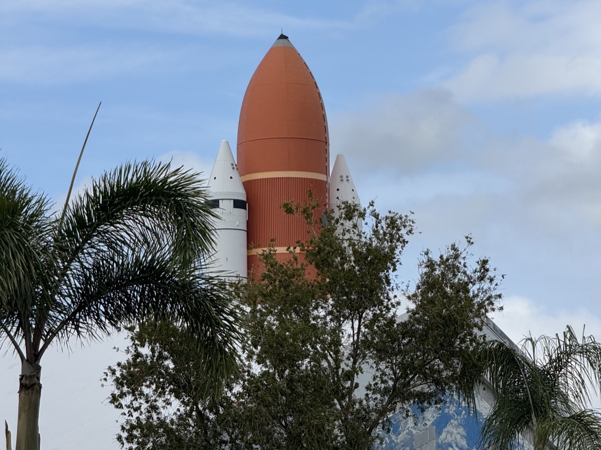
Technology day at Kennedy Space Center and it was worth it. It turn out we had many snippets of information about space exploration and it was perfect set-up the get the information illustrated and organized. Stayed at Anastasia State Park Campground.
Day 18.
Walking on wide beaches and sand dunes of Anastasia State Park (recommended) was nice counterpoint to rocket science. We were learning about protected bird nesting habitat and then tried to identify different species on the beach.
Anastasia State Park beach…
…dunes
Gopher tortoise
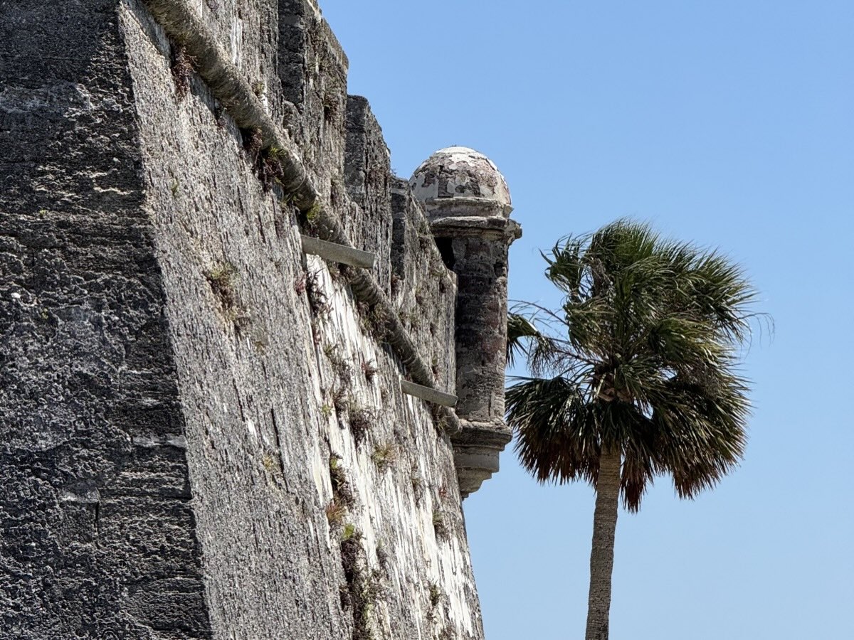
St Augustine took us a bit by surprise. Crowded with tourists (impossible to find street parking) but still nice. We visited Castillo de San Marcos fort – interesting history and place to learn more about town claiming to be the oldest in U.S.
Cathedral Basilica of St. Augustine
Castillo de San Marcos National Monument
…
St Augustine
…
Casa Monica Resort & Spa
We left Florida and at the end of the day we got first feel of Georgia staying at The Isetta Inn (recommended) in Savannah – old houses/mansions converted into airbnb complex. High quality, interesting set-up. And opportunity to talk to other travelers in shared kitchen at dinner time.
Now we were ready to immerse ourselves in Florida nature. Completely flat, sea level environment with lakes, swamps, canals and small forests, mangroves along the coast. Early April was good time to visit, not too hot and still good for outdoor activities. It was somewhat different for us mode of travel: driving from site to site and walking on short trails (at best).
We drove all day to Big Cypress National Preserve, stopped for quick chat at Welcome Center and parked at Monument Lake Campground. Very few visitors, good spots to choose from, so we decided to stay two nights to have more time to look around. Camping under watchful eyes of resident alligators not a bear for change. We were assured alligators stay in water and do not venture far from shore to mess-up your tent or steal food. Still we stayed healthy distance from them.
We managed few stops at wildlife viewing spots in the evening: boardwalk at Welcome Center, HP Williams Wayside Park, Kirby Storter Roadside Park and viewpoint at Oasis Visitor Center. Yes, we were counting alligators.
Two alligators
Nathaniel P. Reed Visitor Center
H.P. Williams Wayside Park
Five alligators
Kirby Storter Boardwalk
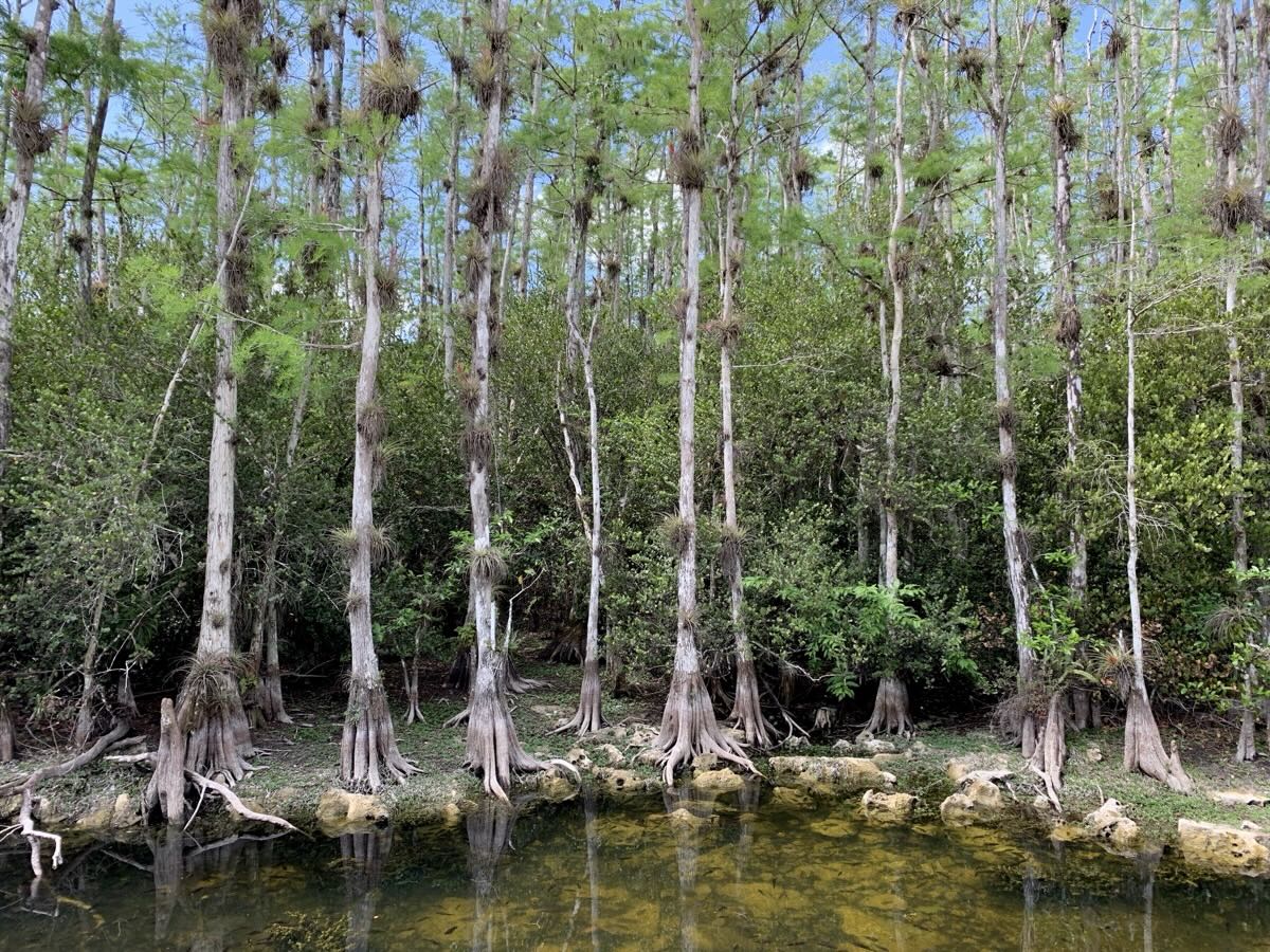
Bald cypresses
Oasis Visitor Center Boardwalk
…
…
Brown anole
Day 9.
Morning was all fogg on Monument Lake, but it burned-off rather quickly and we were not in big hurry as our Ten Thousand Islands Boat Tour (1.5 hr, Everglades National Park Adventures) out of Everglades City was at 1 PM.
Morning at Monument Lake
Our neighbor
Our camp
We had time for short mangrove boardwalk stroll before boarding the boat. Our park guide for the tour provided a lot of good information about Everglades. We started with brown pelicans, two bald eagles in mangroves at water’s edge and osprey nest just out of Everglades City. We crossed National Park border (running across water) and spent an hour circling around in just small area of vast expanse of water and sandbar islands covered with mangroves (black, red, white). Larger trees grow only on islands elevated by a few feet where signs of past inhabitation have been also found. We spent time watching playful (mating season) bottlenose dolphins. Late lunch/dinner at Triad Seafood Market & Cafe and we had time left for rest and shower at our camp.
Everglades City boardwalk
Everglades City from boat
Osprey nest
Everglades National Park…
…water…
…mangrove islands
Bottlenose dolphins
…
Fried seafood dinner at Triad Seafood Market & Cafe
Day 10.
Loop Road in Big Cypress Preserve is a destination on its own – slow driving on gravel and stopping at openings in lush vegetation (often near bridges) with water/swamp to find birds and alligators. Old canals along the road created perfect habitat within easy camera reach. If there is water there are birds or gators there, or both. Hard not to become a bird-watcher. It is not just wading birds, but also black vultures, wood storks and woodpeckers. Stands of cypresses and bromelias hanging from trees. Stopped for two short walks too (Gator Hook Trail and Tree Snail Hammock Trail). Wildlife!
Stop and go on Loop Road
Gator Hook Trail
…
American white ibis, Roseate spoonbill
Anhinga, Great egret
Red-bellied woodpecker
Alligator
Cypresses
…
Shark Valley in Everglades NP is a somewhat different experience – walk on paved trail along canal and boardwalk through wetland where birds act “domesticated”, more wary of alligators lurking in water that people walking just a few meters away. Great egret jn the clip is running away from gator not us and anhinga got out of water too. Rental bikes were available but slow walking was better for bird watching.
Great egret and Anhinga
We ended the day at Long Pine Key Campground in Everglades National Park (recommended). So many good spots to chose from.
Shark Valley wetlands
Canal along Shark Valley Loop Road
Bobcat Boardwalk
…
Great egret
Great blue heron
Standoff
Anhinga
Long Pine Key Campground
Day 11.
Started the day with Gumbo Limbo (“tourist tree” with red peeling bark) and anhinga Trails. Nesting anhinga colony, many other birds, turtles and of course alligators – this time they were talking (bellowing).
Anhinga Trail
…
River of Grass
Gumbo Limbo Trail
…
Zebra Longwing – state butterfly of Florida
Changing tune we stopped at Nike Missile Site HM-69, museum on rocket launch site from the sixties with some hardware on display. As we were heading out to spend afternoon in Biscayne National Park, we stopped at small market and bought some quality tropical fruits (very pricey and not grown in Florida). There are many ornamental plant and tree (palm) nurseries around Homestead. At Biscayne we had only little time for Jeffry Walk and snorkeling from shore (Joanna). We skipped boat snorkeling tour because of high winds – they were not going to the reef and visibility was poor.
Nike Missile Site HM-69
Palm Nursery in Homestead
Jeffry Walk
Thanks to patient, but successful shopping at Publix in Homestead we were set for exquisite camping dinner: snow crab clusters (steamed at the store) and black tip shark (cooked by Piotr). All under watchful eye of resident cardinal. Short after dark walk around Long Pine Key Campground.
Campsite #56 resident Cardinal
Snow crab clusters
Piotr’s shark after dark
After dark
Day 12.
Paddling in Paradise: 3-hour ranger-guided kayaking on Florida Bay was our planned highlight of the day, but it was cancelled due to strong wind. Instead we spent all day driving around and checking-out different nature spots: 3-in-1 Hiking Trail/Long Pine Key, Pinelands Trail, Pine Glades Lake/Long Pine Key Trail, Pa-Hay-Okee road (boardwalk and lookout tower were closed for renovation) then very nice Mahogany Hammock Trail, Nine Mile Trailhead viewpoint ending with West Lake Boardwalk Trail. We moved to Flamingo Campground (recommended) for two nights.
Landscape around here is not just swamps and low “shrubs”, but also stands of cypresses, pines, palms, gumbo limbo and mahogany. At Pa-Hay-Okee, we spent an hour watching huge number and variety of wading birds concentrated in small area of wetlands well visible from the road.
Bald Cypresses
Slash Pines
Gumbo Limbo
Sabal Palm
Mahogany
Spanish moss
Pinelands Trail
Long Pine Key Trail
Pine Glades Lake
Pa-Hay-Okee, small swamp packed with birds
Mahogany Hammock Trail
West Lake Boardwalk
Day 13.
Our hopes for kayaking were dashed again as strong wind persisted. To spend some time on water we signed-up for afternoon Backcountry Boat Tour with Flamingo Adventures. We had time for morning nature walk with volunteer ranger talking mostly about birds: osprey nest with chicks at Flamingo Marina, Great crested flycatcher (flying around too fast to capture on film) e.t.c.
Waiting for the boat we had time to look for crocodile(s) frequently visiting marina. Wilderness Waterway (canal) is now dammed to prevent salt water flooding wetlands: alligators (fresh water only) stay inland, crocodiles (sea water tolerant) stay mostly on the sea side.
Our boat tour: Wilderness Waterway to Coot Lake and Tarpon Creek (11 miles round trip) with small group and good interpretative guide was relaxing. We were learning about efforts to reverse some of the nature-damaging developments of the past (building canals, draining wetlands). And we got to watch crocodile practicing (probably) nest building as egg-laying season was approaching.
Crocodile practising nest building
Crocodile at Flamingo Marina
Wilderness Waterway
Bromelia
Red mangrove
Oysters growing on mangrove roots
Tarpon Creek-Whitewater Bay
We had time for a short walk along the coast behind Visitor Center (following adult ospreys supervising training flight of their offspring), a bit longer walk on Snake Bight Tram Trail (3,7 mi) and stop at Mrazek Pond Viewpoint to look for Tricolor herons.
Ospreys near Flamingo Amphitheatre
Snake Bight Tram Trail
…
Mrazek Pond, Tricolor herons
Flamingo Visitor Center
Flamingo Campground
We visited Guy Bradley Visitor Center at Flamingo (recommended) several times during our stay in the area to arrange tours, talk to rangers, use fast wifi internet and on couple of occasions to cool-off midday. Many activities were already winding down for the season due to approaching heat. Both campgrounds were very good and mostly empty. No problem with last minute reservations. Slow nature of Big Cypress and Everglades visit, not so much driving and hiking, gave us plenty of time for bird- and reptile-watching.