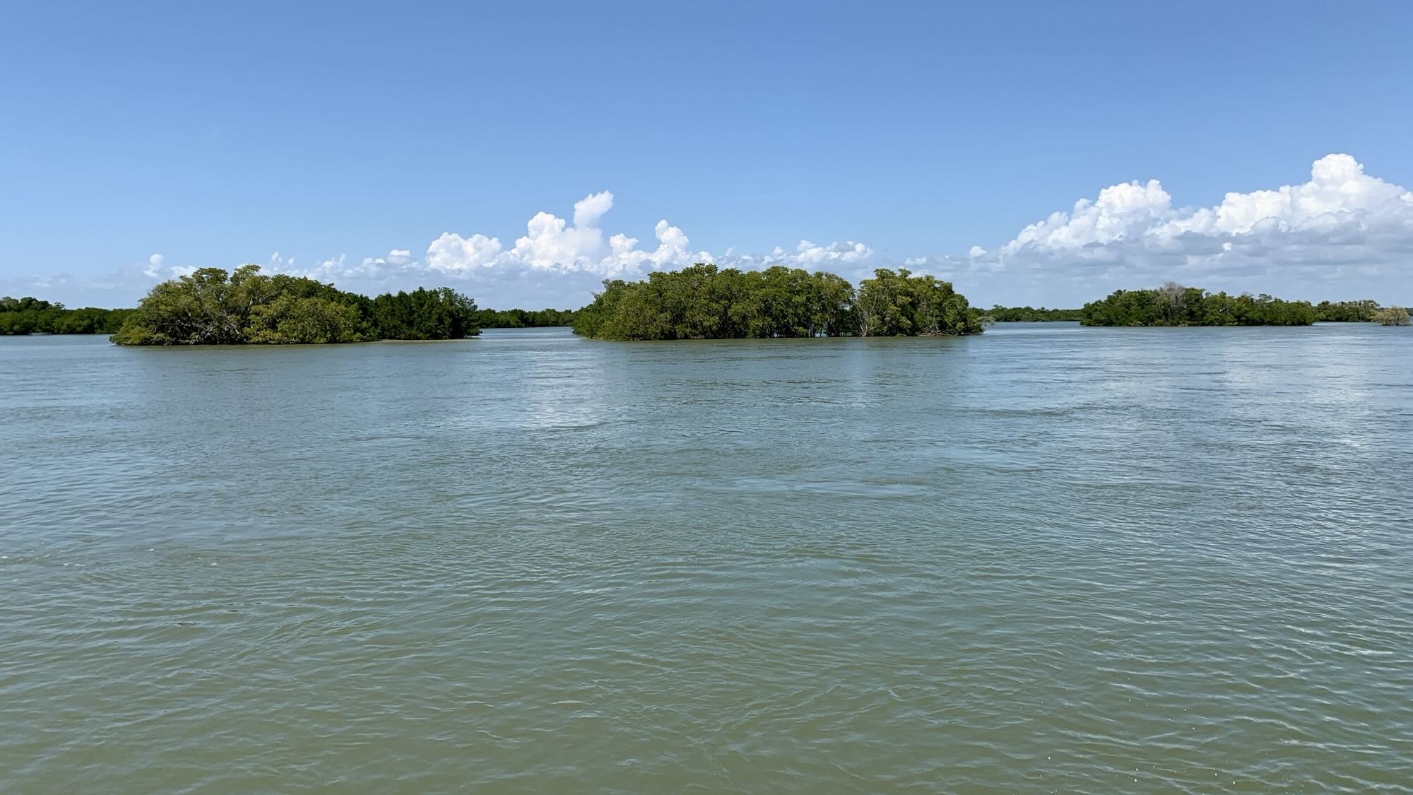
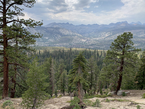
This post covers our second, 57-mile 7-day section. We were gaining confidence and getting used to daily routine, moving systematically along JMT at our own slow pace. Looking around more, taking fewer photos.
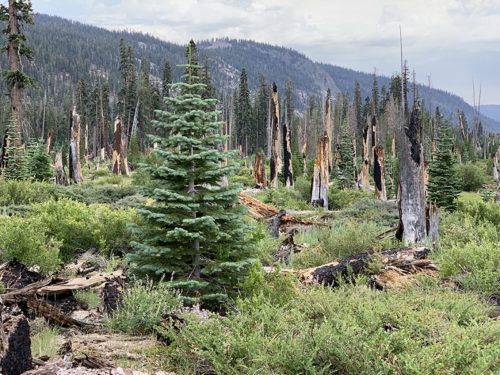
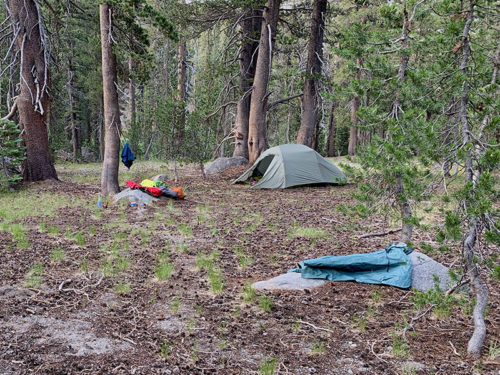
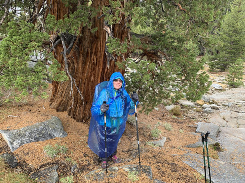
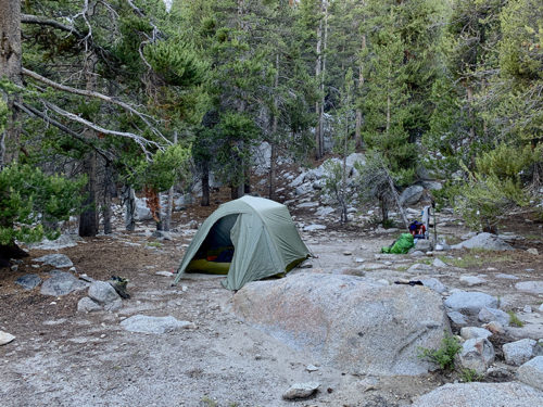
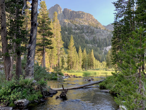
After good rest and extra meals at Red’s Meadow we were back on JMT hiking up on volcanic slopes above Middle Fork San Joaquin River. Signs of 1992 fire are evident. Quite dry stretch of ash/cinder and without water until Crater Creek near Red Cones – cinder/lava cones from volcanic activity as recent as 5000 years ago. We continued upstream along Crater Creek for a while and then jumped over to Deer Creek. We experienced passing (single-cloud) rain which we waited out under large trees. It was first day when we saw many hikers camping almost on the trail or very near the creek. The plan was to camp somewhere near Dear Creek crossing, but after checking the site out we decided to backtrack couple hundred meters to look for something more suitable. We camped under big pines in area less frequented by hikers.
Next day, we continued rather flat hike on the slopes above Fish Creek, San Joaquin River tributary, to Purple Lake. Camp sites at the trail junction at the lake were not appealing and the main site on the lake was occupied by several volunteers repairing trails. Ranger who supervised them gave us directions to good site away from the trail, but without lake view. We got good look at the lake next morning.
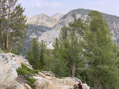
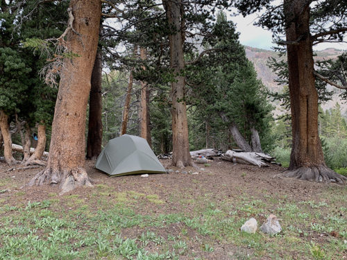
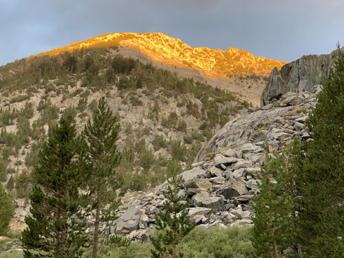
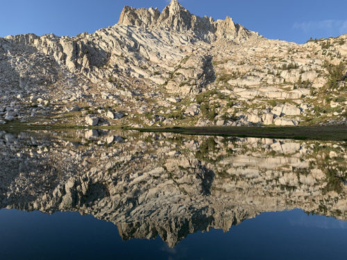
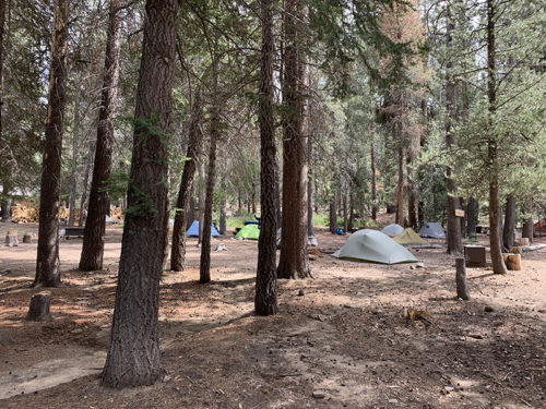
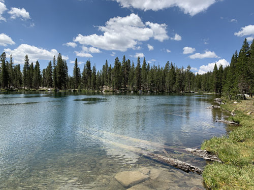
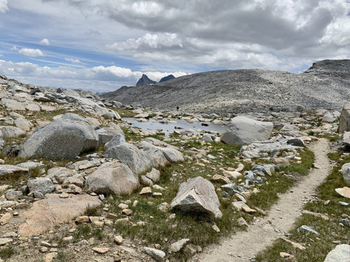
Now, the plan was to go as far as possible towards Goodale Pass, as we decided to stick to our plan and walk down to Vermilion Valley Resort (VVR) for rest day and skip short segment of JMT. Lake Edison ferry from JMT junction is not running this year because water level is too low so we had to walk all the way. We stopped at Lake Virginia, walked down to Tully Hole and Fish Creek, and started gaining altitude again to Squaw Lake. Nice place, but too early to camp. We left JMT and arrived at Papoose Lake shortly. We spent a lot of time looking for camp site, not too close to the trail and not too close to beautiful lake. Mountains around the lake were nicely lit by evening and morning sunlight. Goodale Pass is not far away.
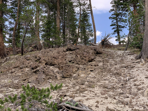
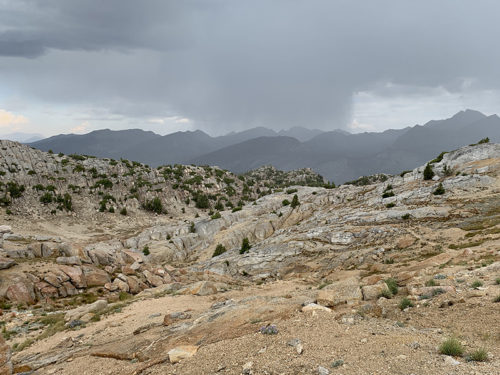
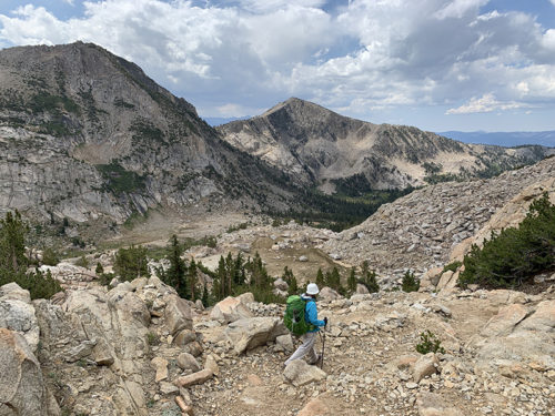
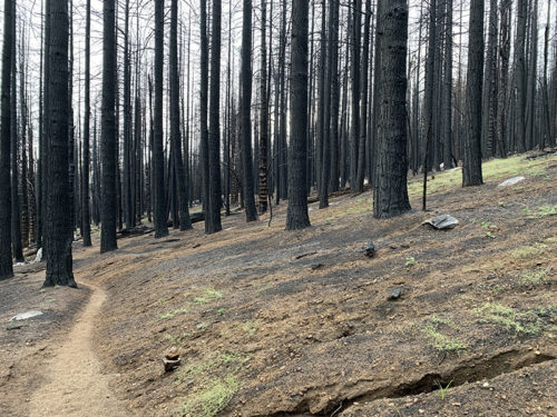
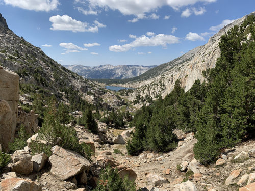
Dark clouds started to gather just as we were on the way to Goodale Pass next morning and soon we were hit with small (melting) hail. Thunders and main storm/rain were quite distant, except a few lightnings hitting a bit closer. Storm was coming from the same direction as we did, so it was better to continue towards the pass. Under such circumstances we walk much faster, no lingering, nor photos on the pass. The dark clouds were also making their way across the pass, so we just kept going. It was still mostly sunny. When we saw llamas (with small group of travelers) making their way up towards the pass, we thought we were back in the Andes. We tried to outrun the rain, but no luck – it caught-up with us as we were walking down Cold Creek towards Lake Edison. We hid under trees and rocks for a while, but when the rain became less intense we continued hiking. It was in this part of the forest, which burned last year, that we lost the trail for couple hundred meters. Soil erosion was bad with many run-off streams/marks at times indistinguishable from true path. Checked GPS and corrected direction – not really the kind of terrain one could get lost for too long. Blackened forest looked sad.
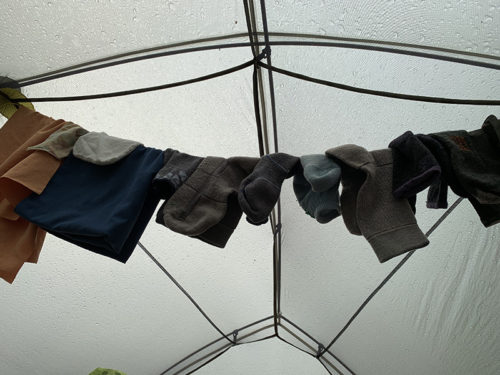
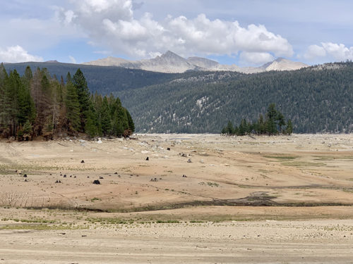
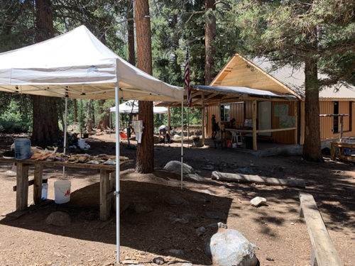
Rooms were not available at VVR, so we pitched our tent at backpackers quarters (Mushroom City, almost empty that evening, packed next day), waited out another short rain and were ready to eat and rest, shower and laundry. We talked to hikers, some of whom we already met before, and explored good backpacker supply exchange (we had another 3 days to our next resupply). Into the evening and next day. Joanna was able to send messages using local computer; our phone had no cellular signal. With time to spare on the rest day, we walked 2-hour loop on the bottom of the lake exposed by drought.
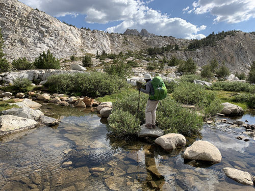
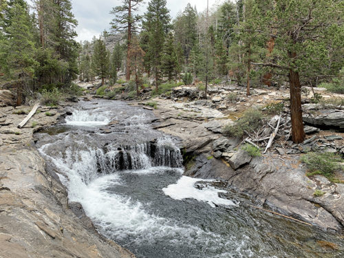
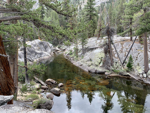
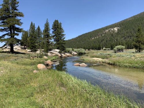
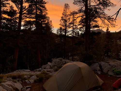
Rested and with lighter load, we started making our way back to JMT going up Bear Creek trail. Got shuttle ride (couple of miles) to trailhead, crossed over hill to the creek and then continued along the creek for the rest of the day. We liked the scenery, different from other days: Bear Creek changes every hundred meters from running cascades to pools of water standing between rocks. Clouds were following us all day and light rain caught-up with us at one point. We camped between rocks above the creek less than a mile from JMT, beautiful spot again, all for ourselves.
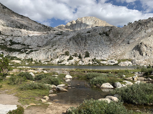
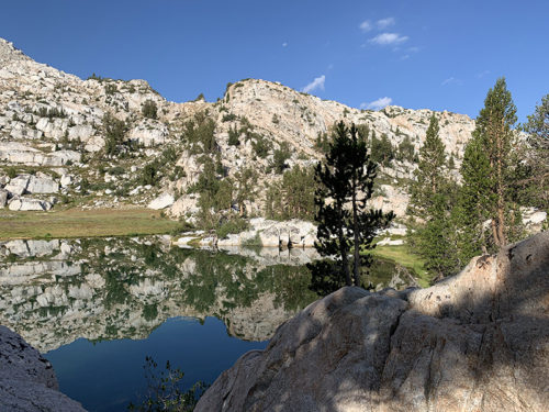
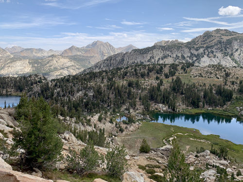
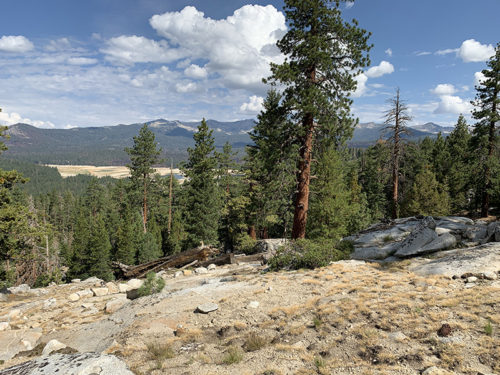
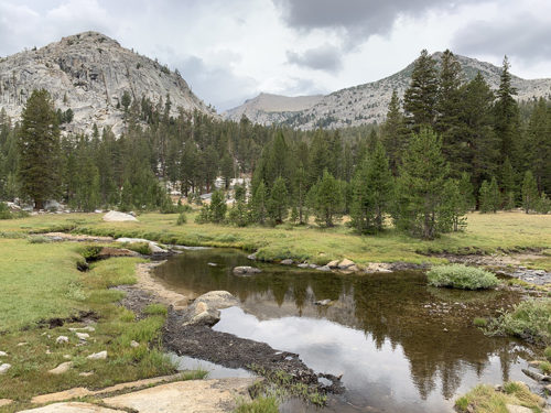
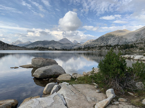
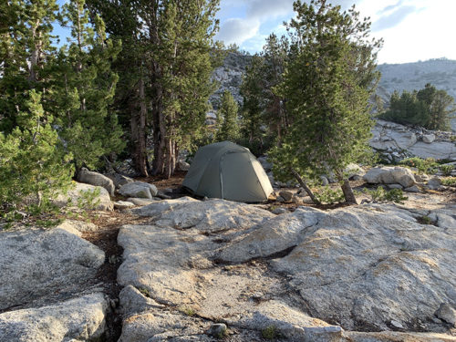
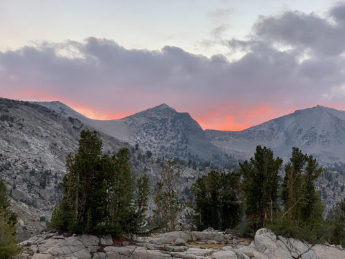
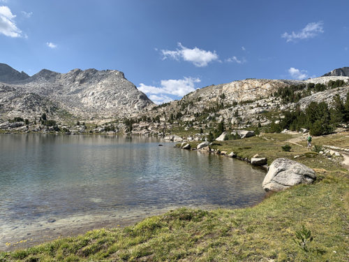
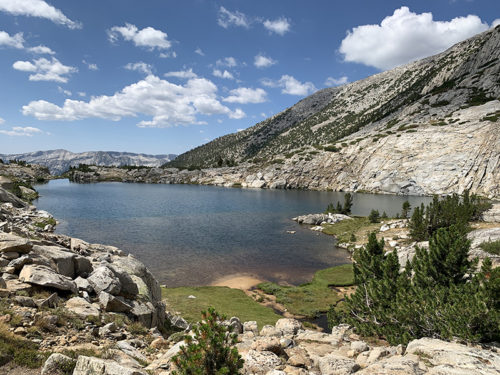
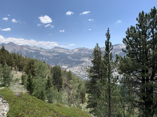
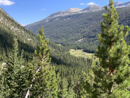
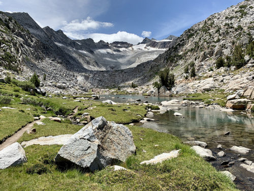
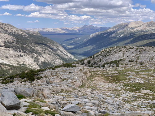
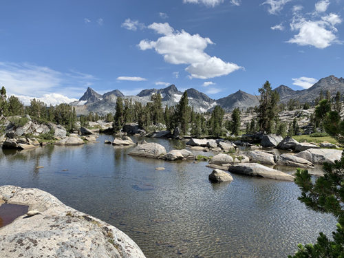
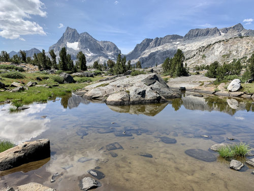
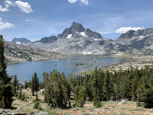
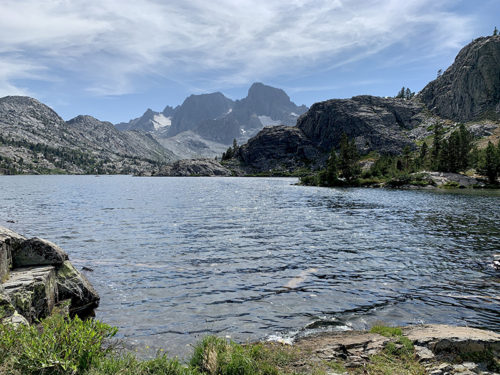
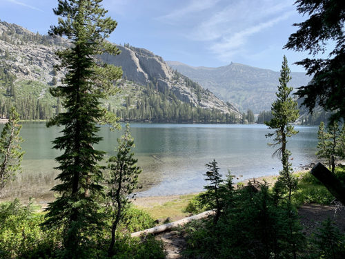
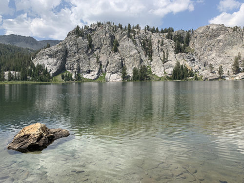
Next stop Marie Lake – large lake with irregular shape and many peninsulas and islands. We arrived earlier, found very nice campsite with views of multiple lakes. We had time to walk along waterfront and heard coyotes in the evening. Selden Pass is only 100 m above Marie Lake, we crossed it quickly next morning. The rest of the day was just walking down to Hart Lake and Sallie Keyes Lakes, followed by steep descent to South Fork San Joaquin River where Muir Trail Ranch (MTR) is located – almost 1000 m drop from the pass.
MTR backpackers resupply station is located outside of the ranch, there are no services, but personnel was friendly and helpful. Our package was waiting in good shape. We charged batteries, send out messages (local computer connected via satellite) and packed food for the next 10 days – our backpacks hit max weight. We had comfortable campsite nearby (however, this was the only place where sanitation was an issue). Blayney hot springs are in a meadow on the other side of the river. We followed rope at river crossing and soaked in small pool of hot water springing from between rocks, very nice. Piotr dived into (cold) river on the way back. Next morning, we finished packing, eating what we did not want to carry, charging batteries and it was time to gain back all the altitude we lost the previous day.
 Marie Lake
Marie Lake
 Clark’s Nutcracker at Marie Lake
Clark’s Nutcracker at Marie Lake
