August 13-16
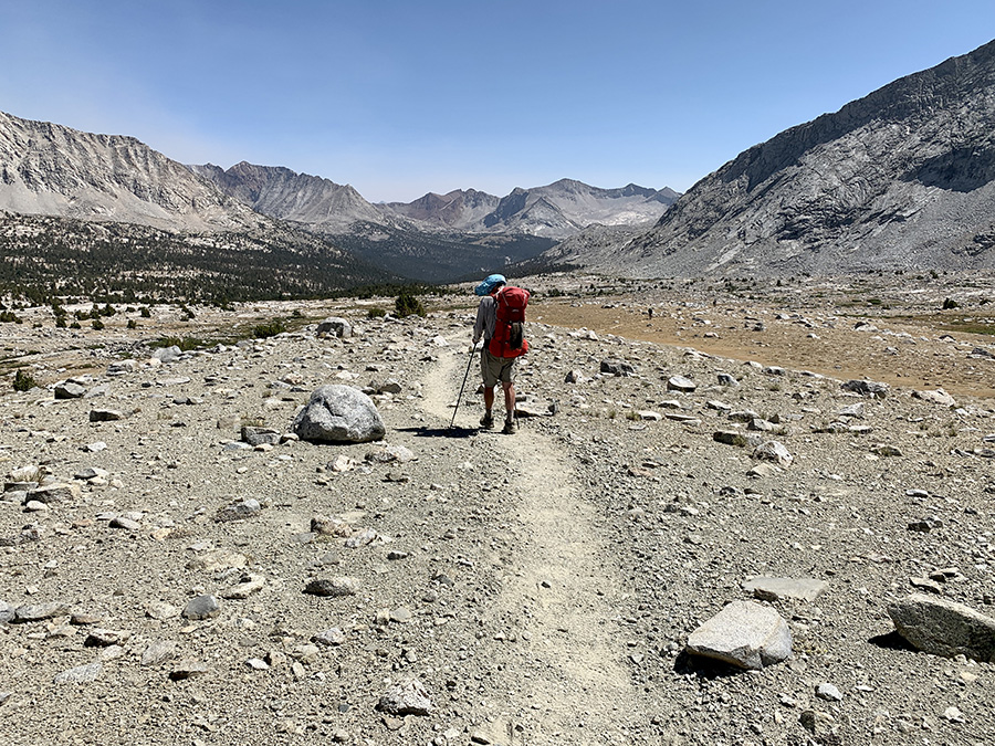
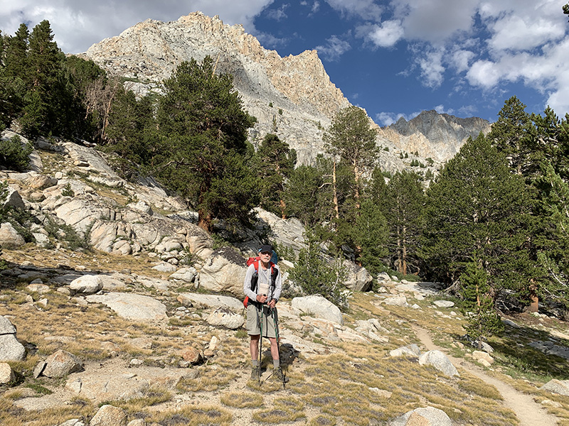
We started the final 6-day 48-mile section well rested and relaxed. The plan was to do it in 7 days. With stable weather pattern and a spare day to wait out bad weather, lighter backpacks and good physical conditions we were ready for Mt Whitney. We were already acclimatized, so going quickly up above 3000 m from 1200 m (Independence) was not a problem. Mt Whitney was of course in our plans, but we never made it into ambition satisfying goal. Just as we never intended to go faster or cover longer daily distances – we could in case of emergency, but it was not necessary. Joanna was hoping we could start moving earlier in the morning, but it did not work on the trail.
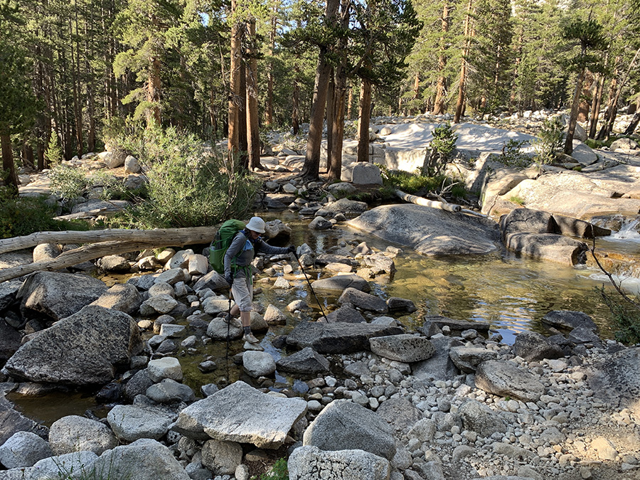
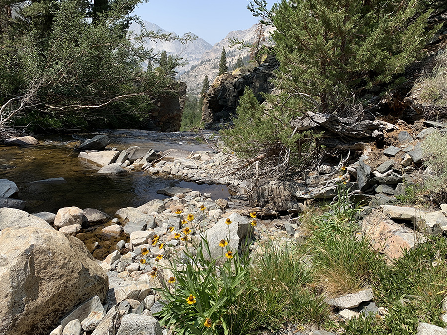
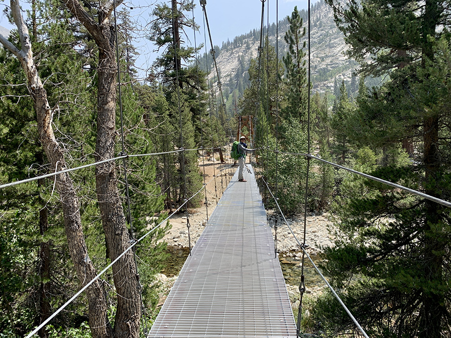
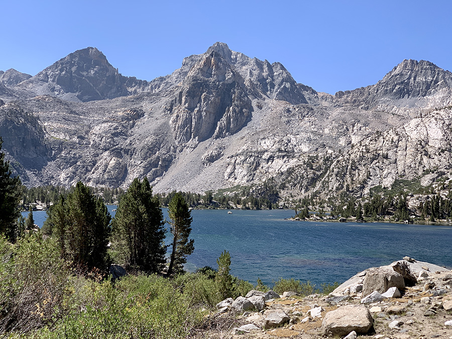
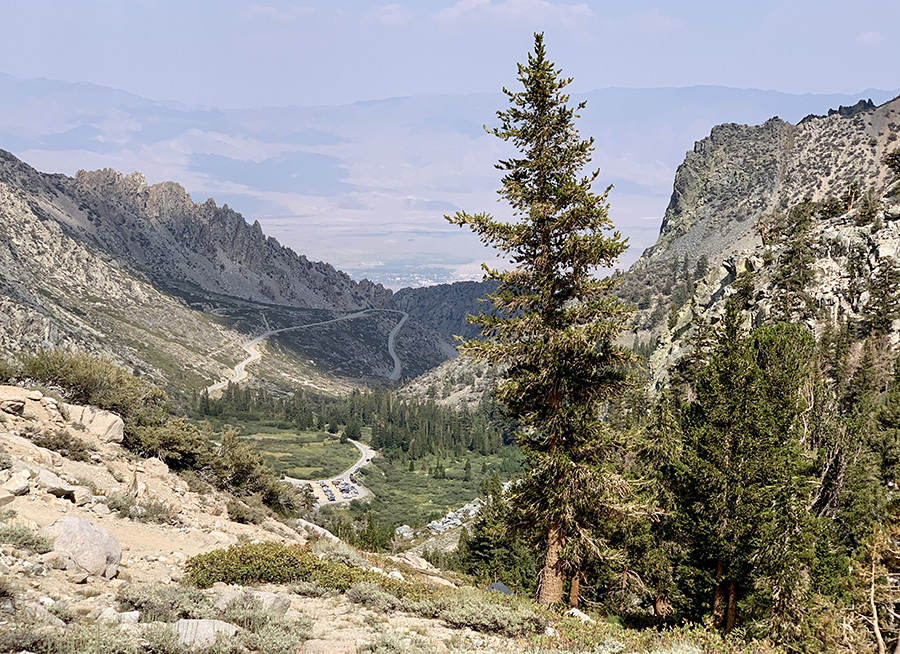
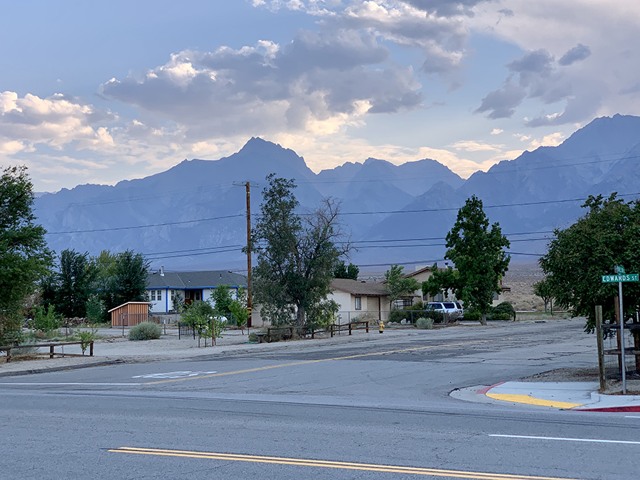
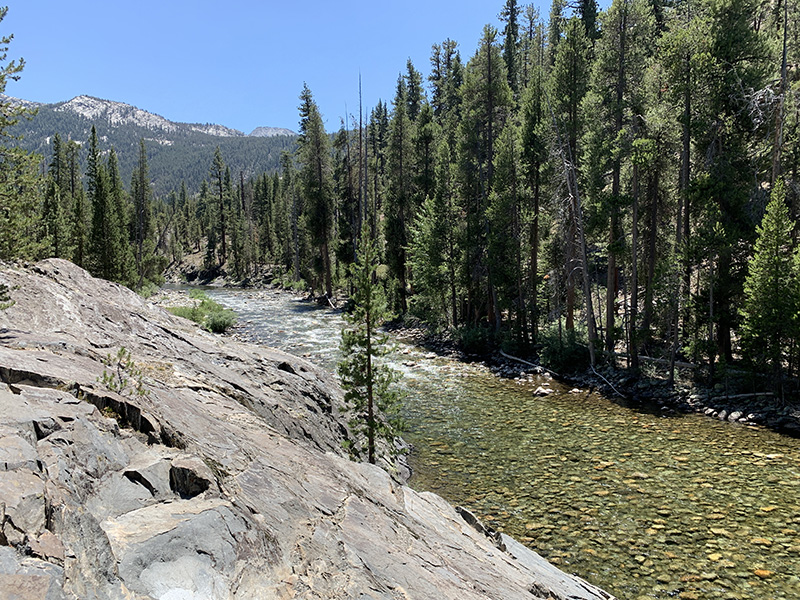
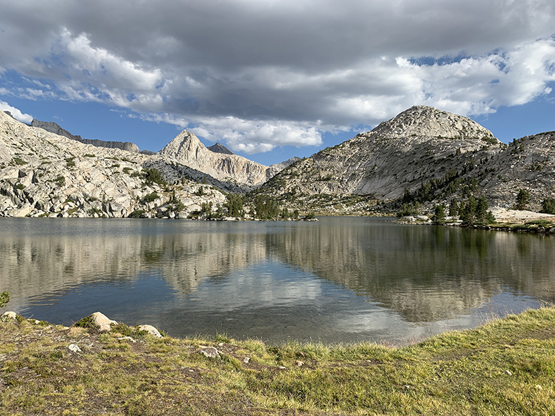
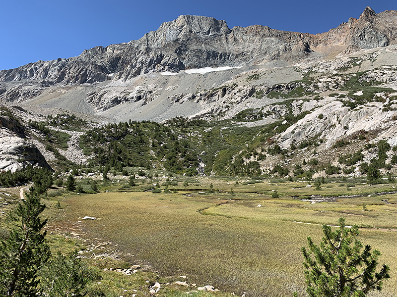
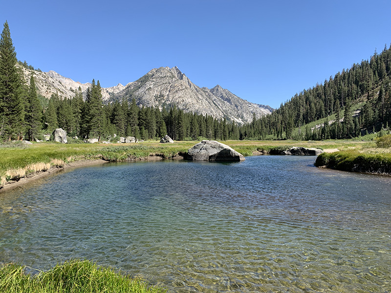
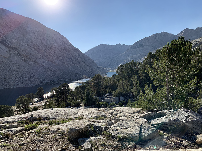
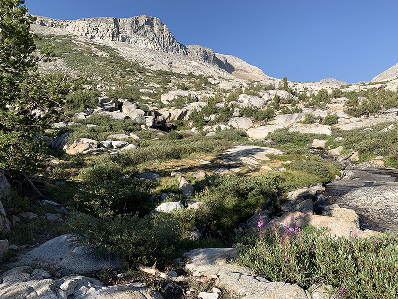
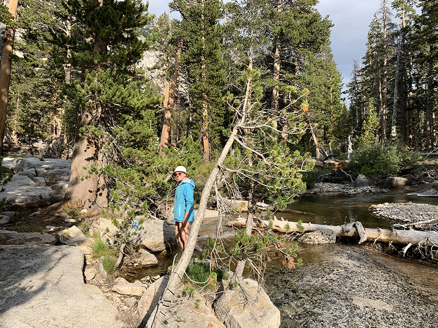
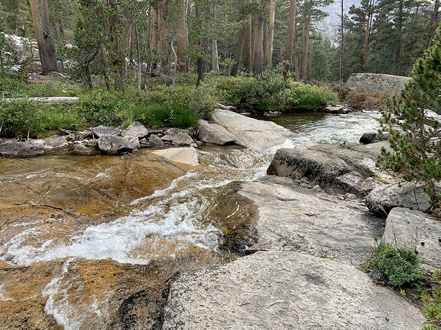
We worried about return to high mountains from low elevation of Independence with heavier = resupplied backpacks. Owner of Independence Inn drove us (and another hiker) to the trailhead. We had plenty of time to get ready the day before, so we took off earlier. First half of the day we were hiking through familiar landscape. It was actually fun to see everything from opposite direction. On the way down we selected possible campsites and convenient points to refill water bottles. None of this was necessary: we forgot to get water, jumped over Kearsarge Pass and passed “just in case” campsites, and kept going with ease and further than planned. Our bodies were already well trained, our backpacks and food rations optimized, and we were after full day of rest. We started saving time again – it was important to have some time reserve to wait out bad weather for Mt Whitney day. We passed Bullfrog Trail junction where we camped 3 nights earlier. Then down to Bubbs Creek and up the creek to Upper Vidette Meadow (which looked more like forrest). 9.9-mile day with 1000 m total ascent. We quickly found nice campsite at the creek and had sunny time to relax.
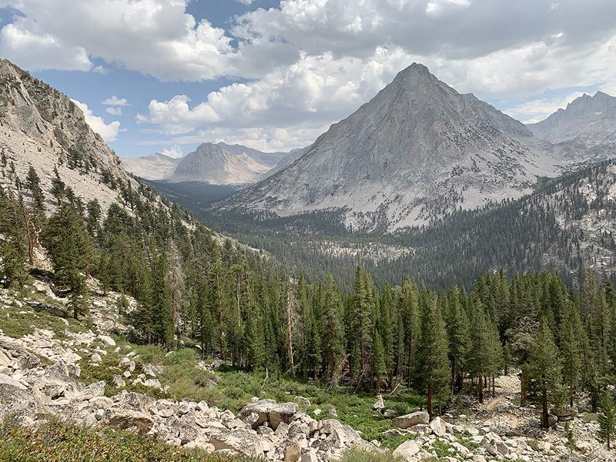
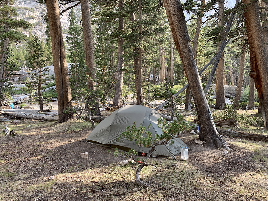
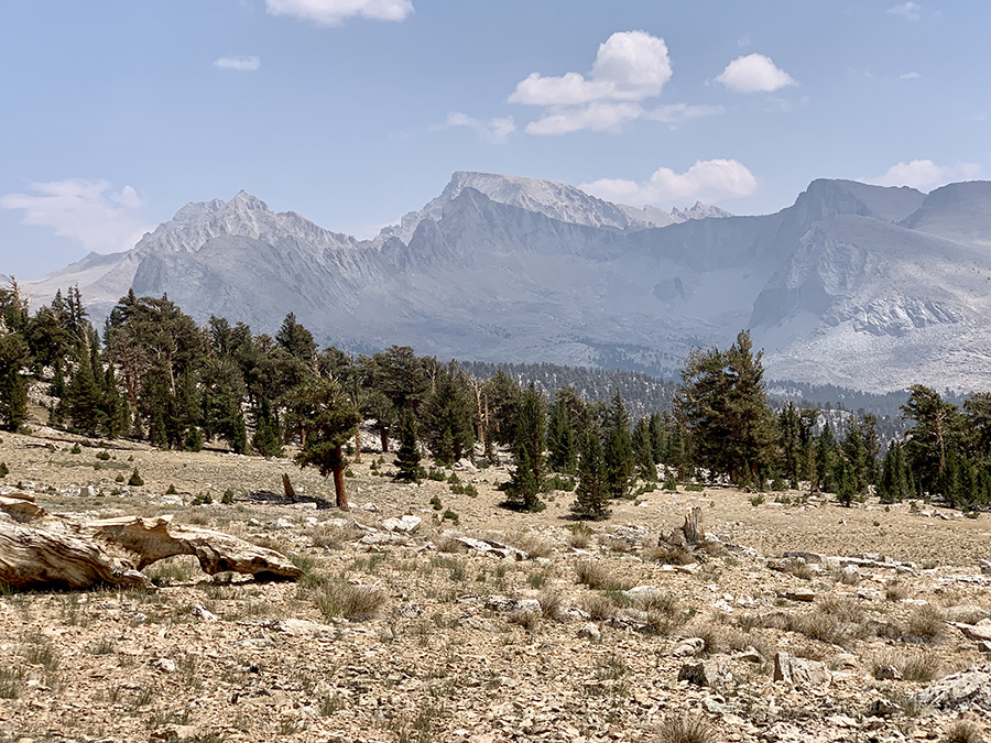
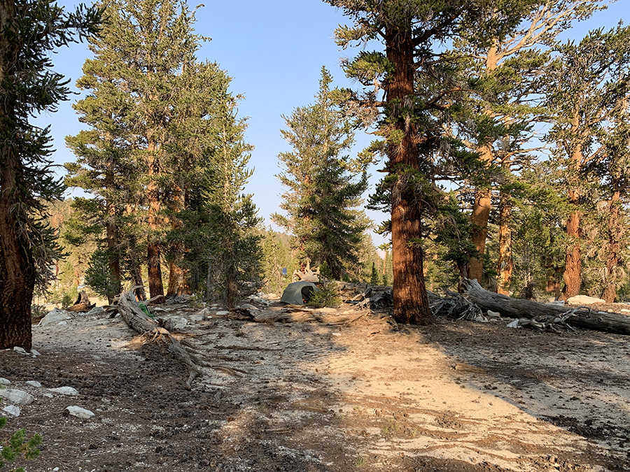
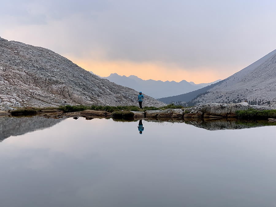
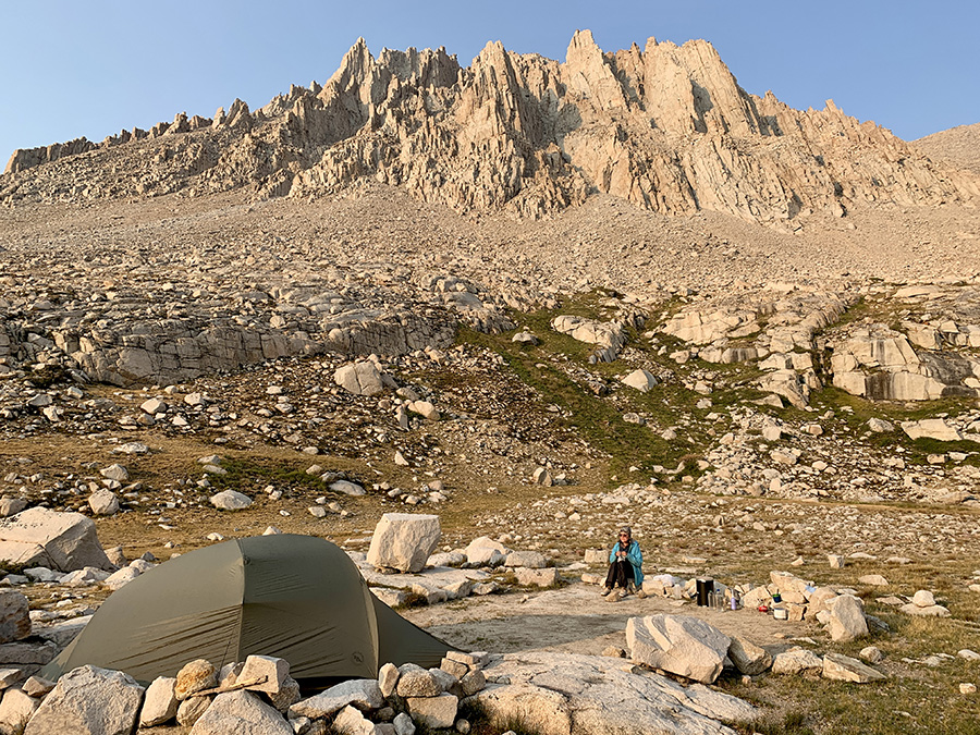
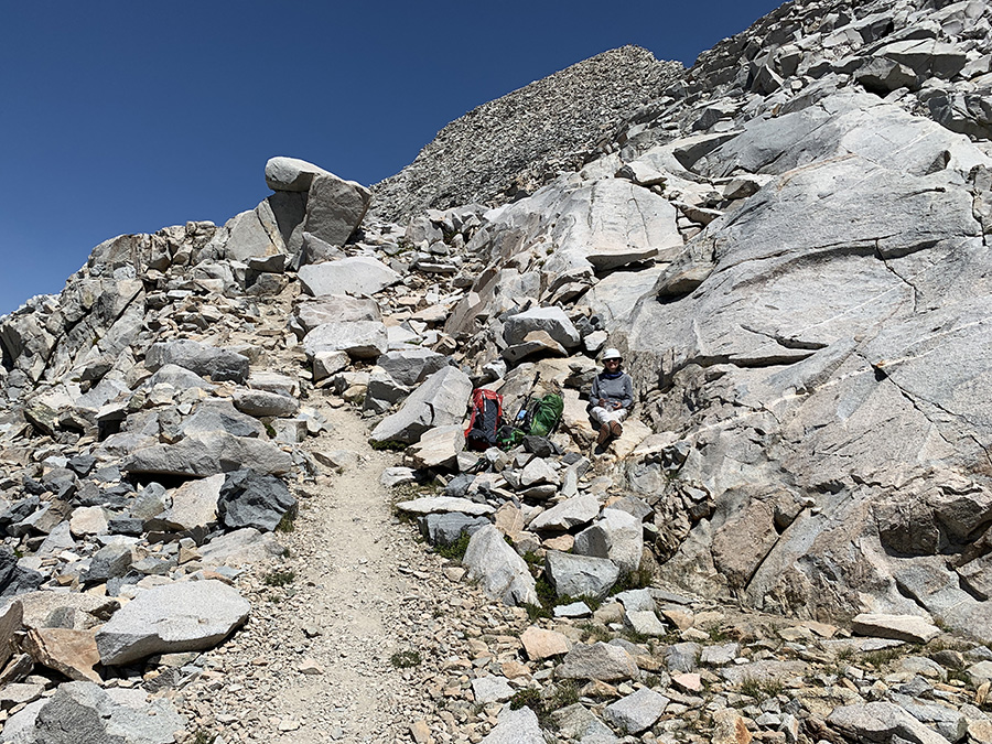
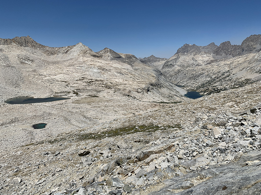
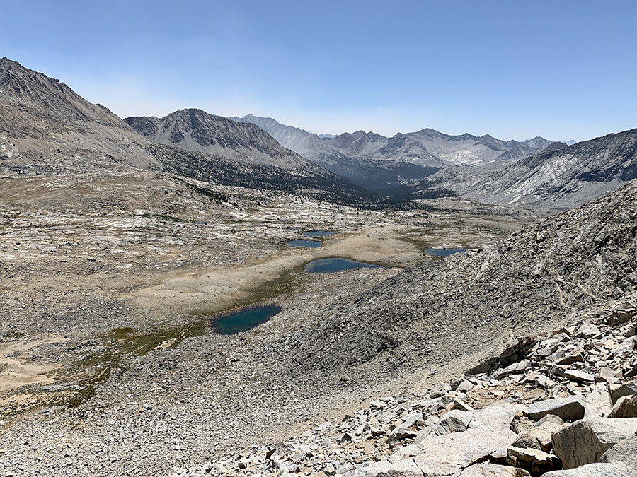
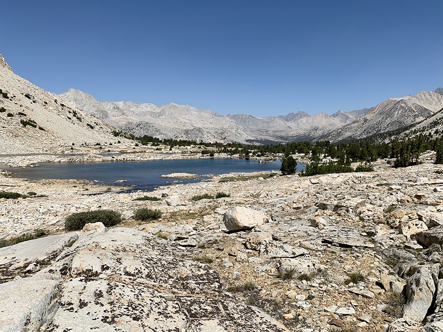
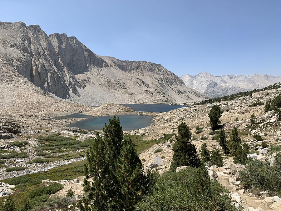
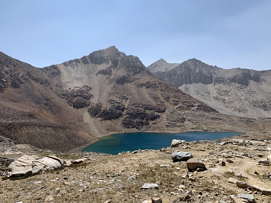
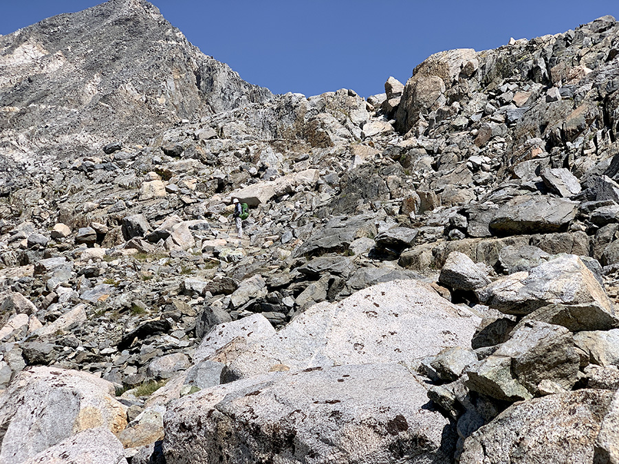
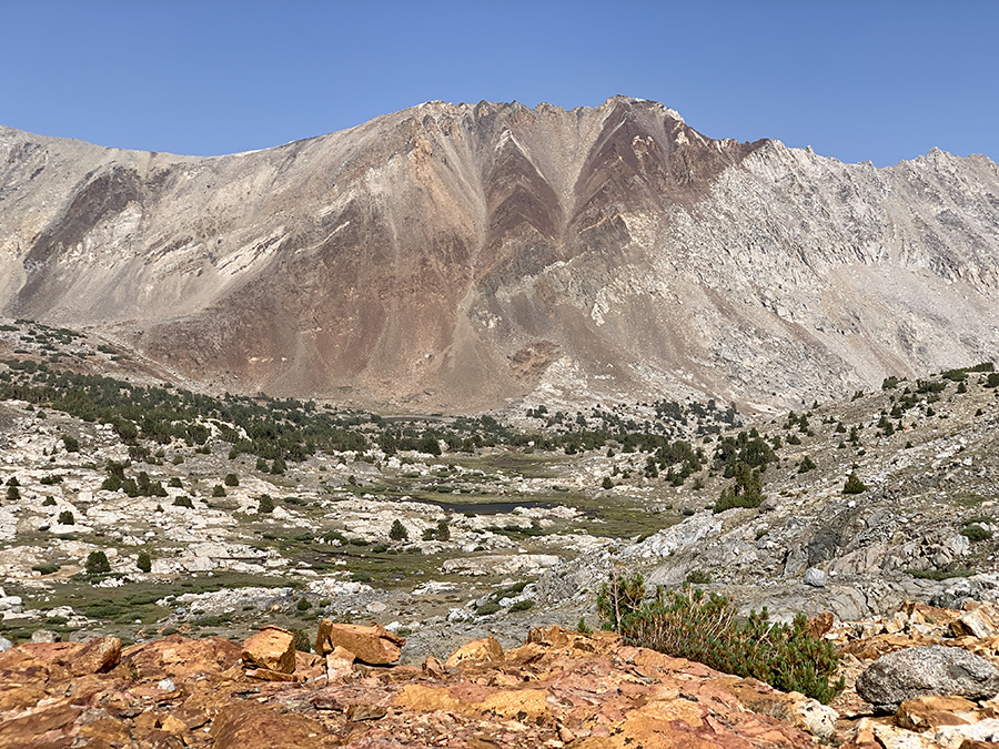
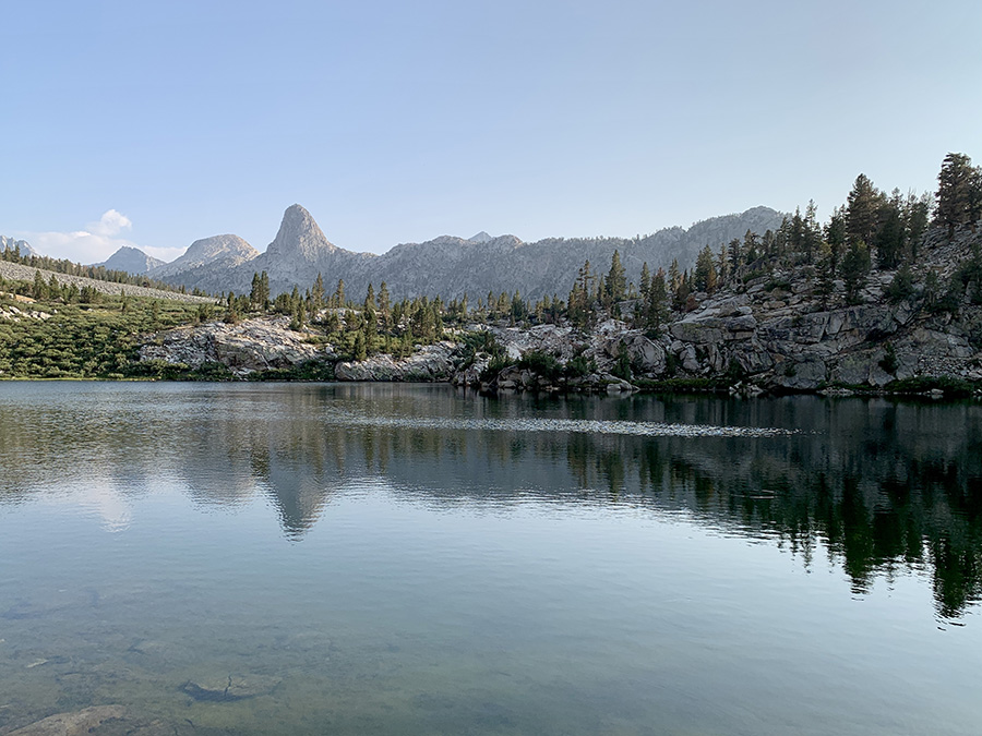
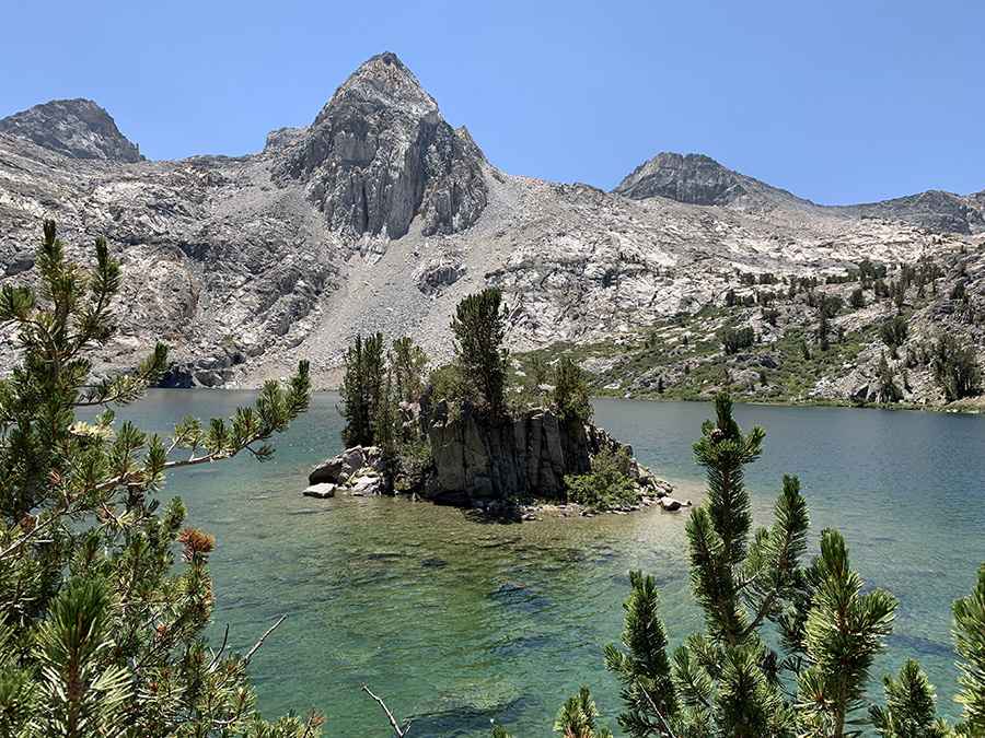
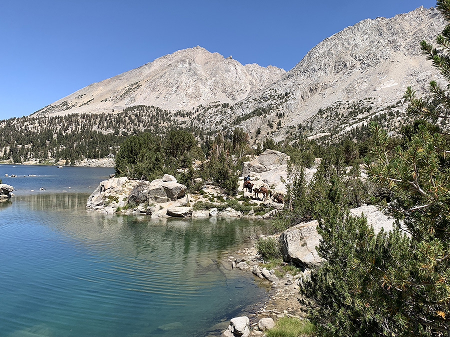
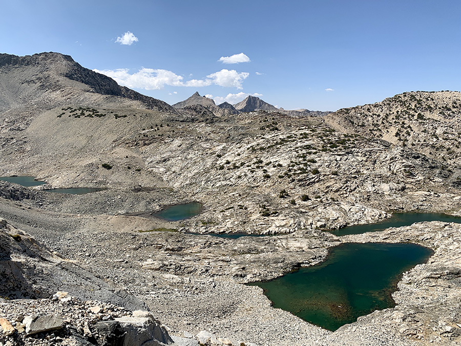
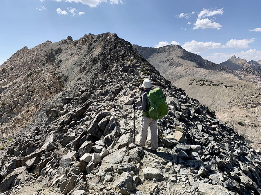
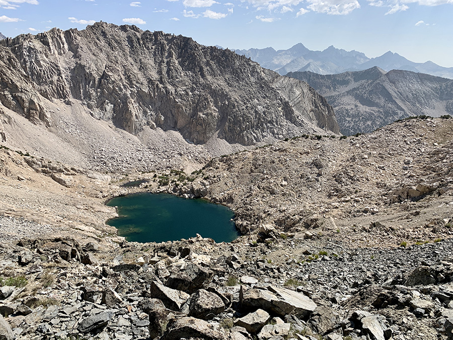
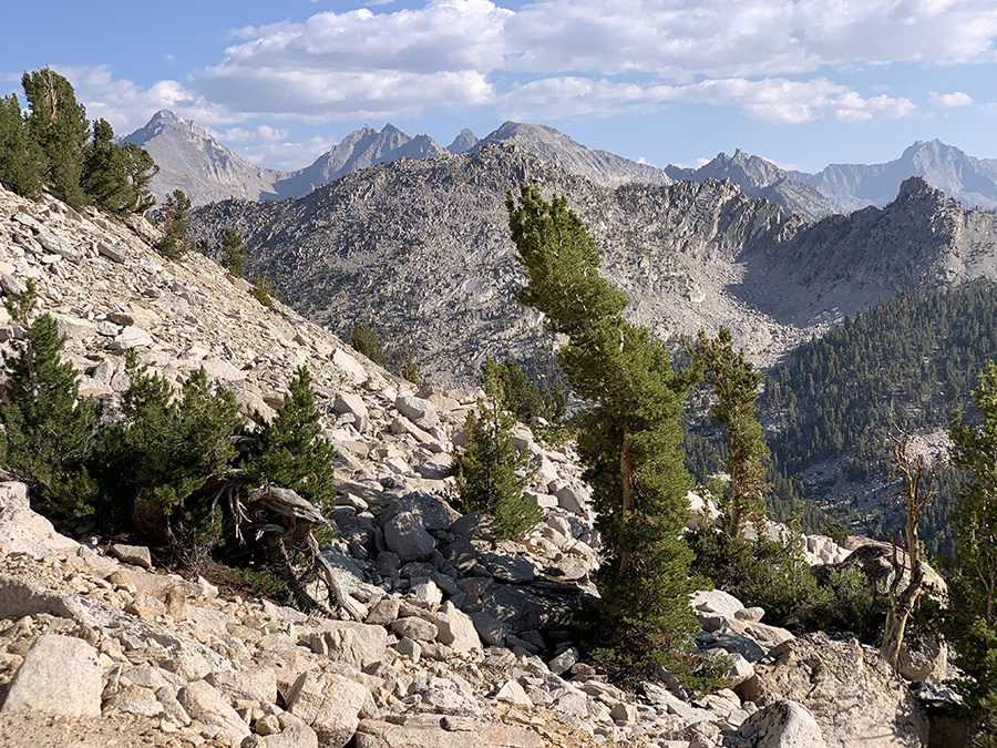
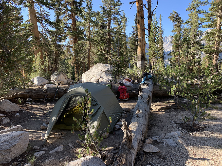
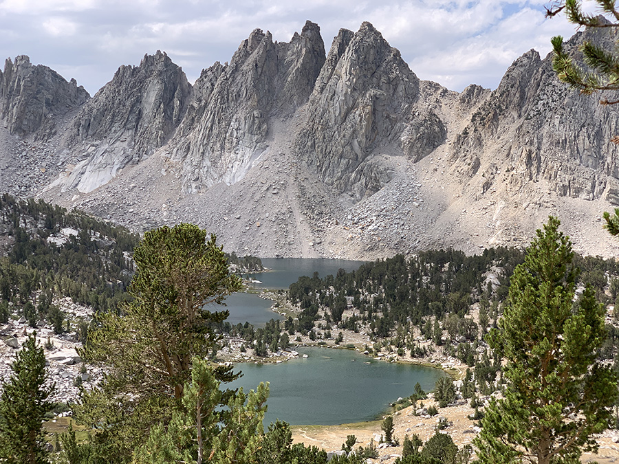
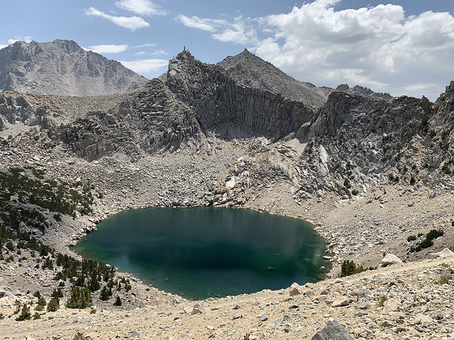
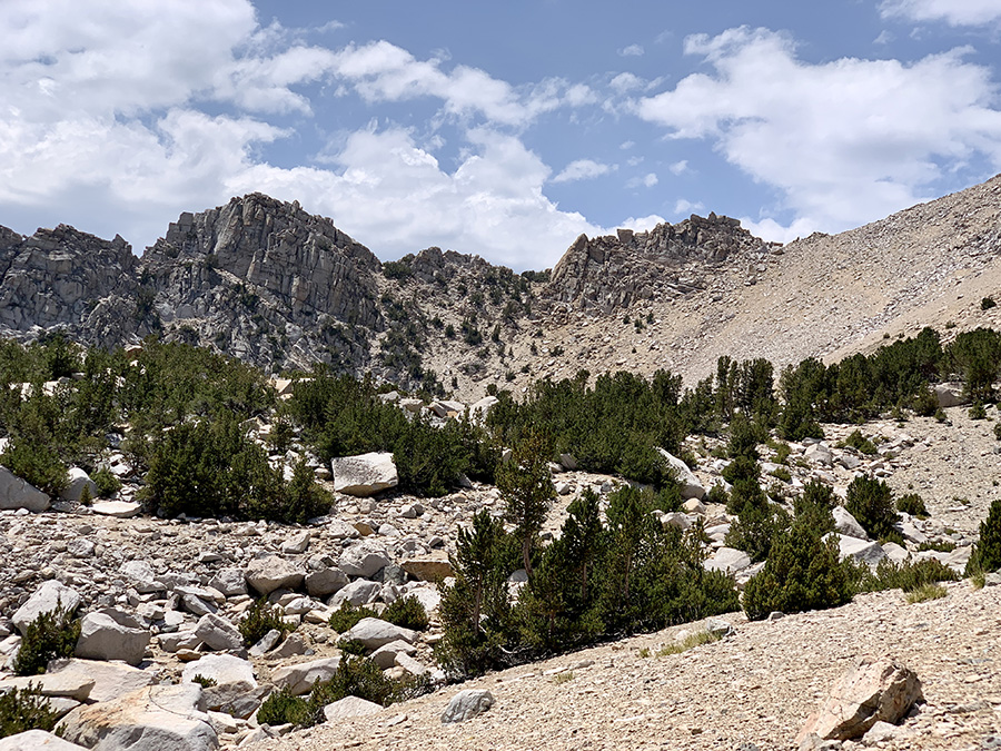
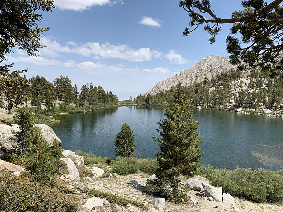
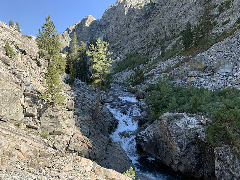
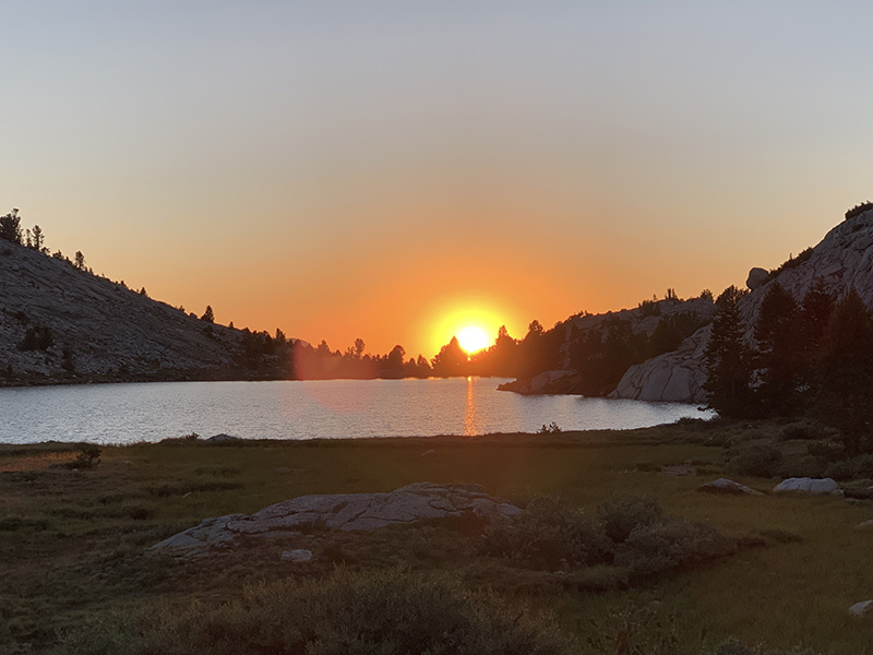
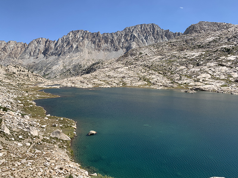
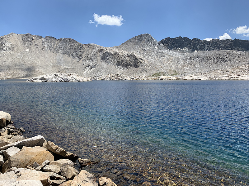
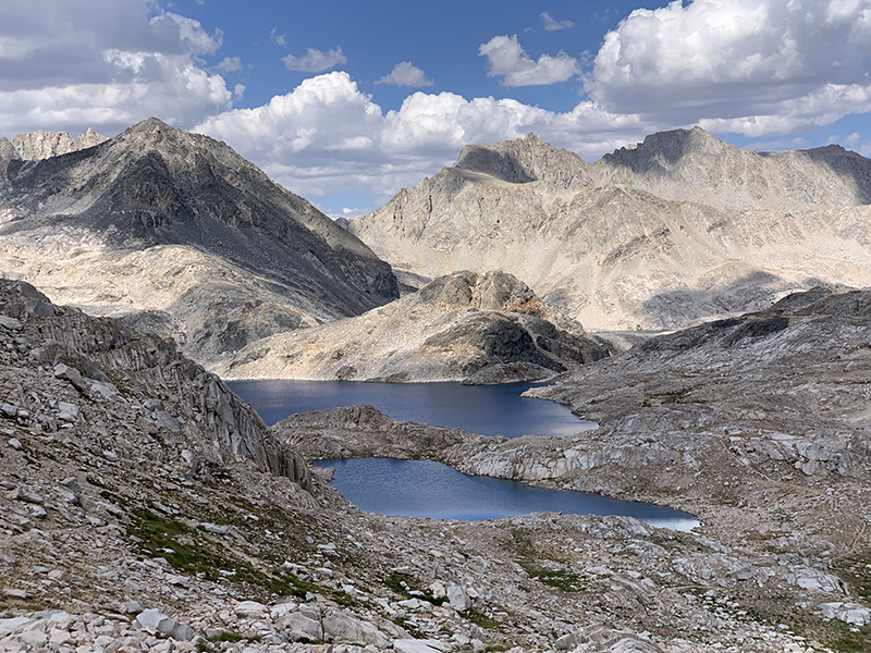
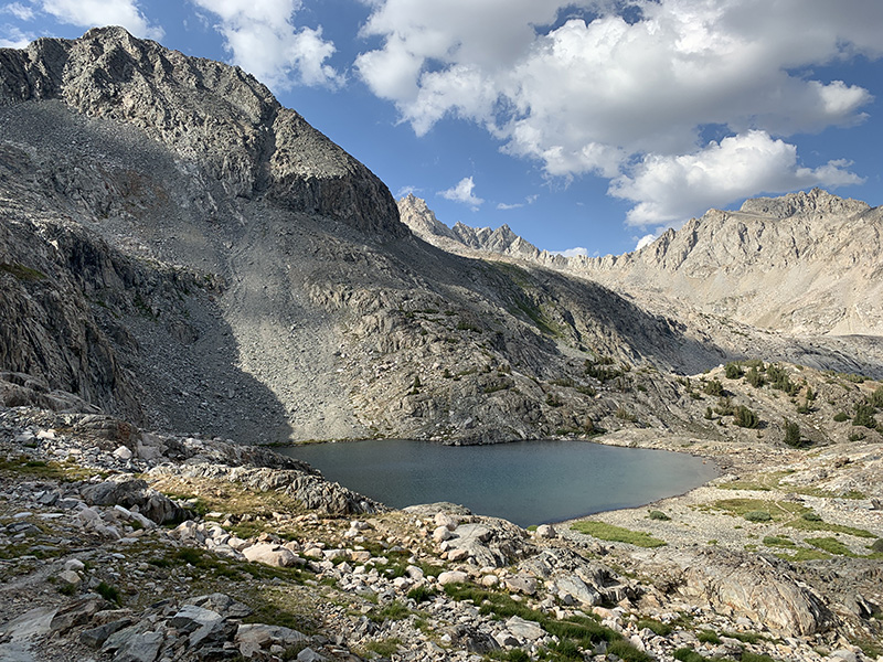
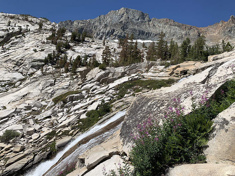
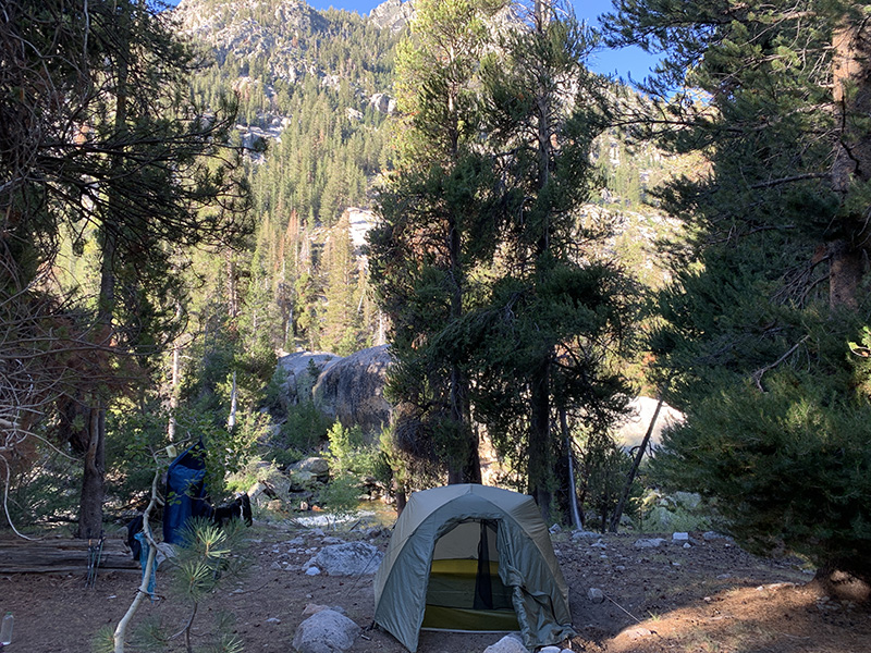
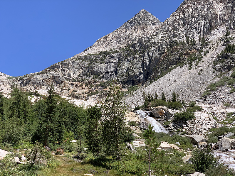
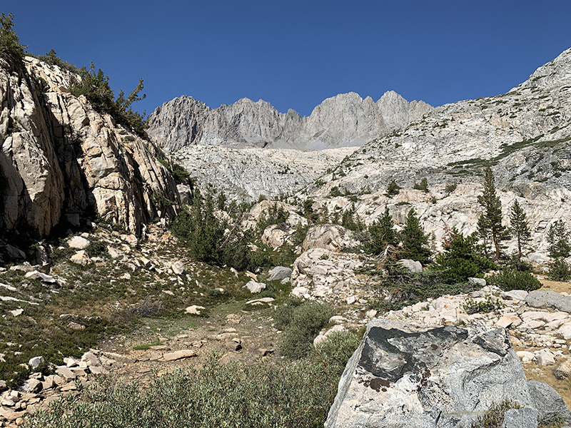
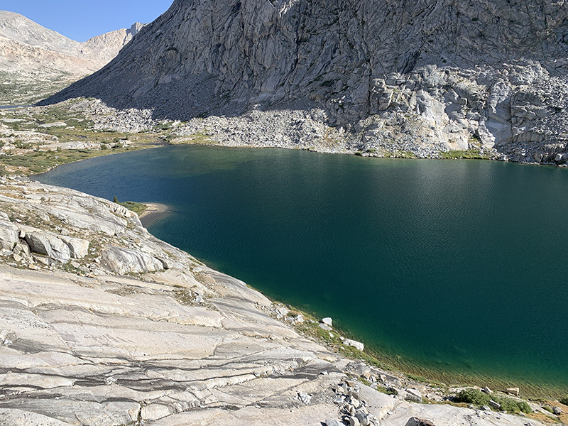
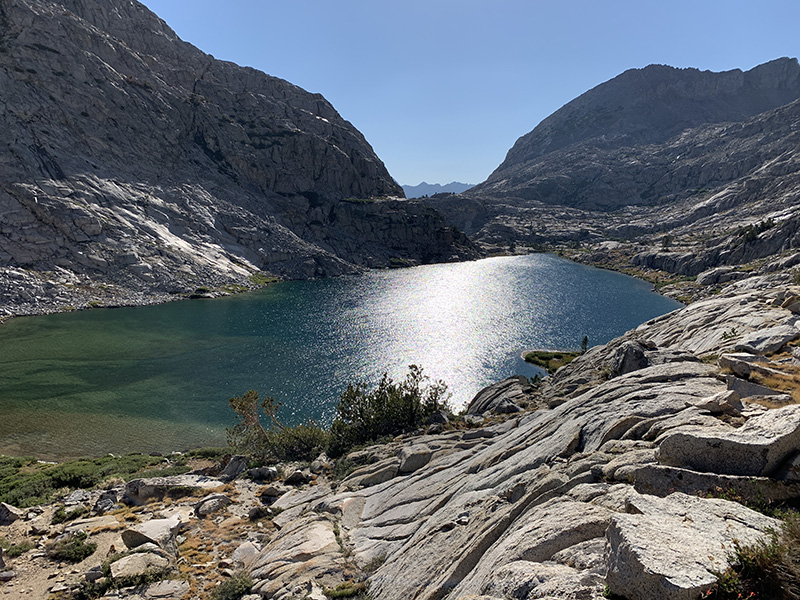
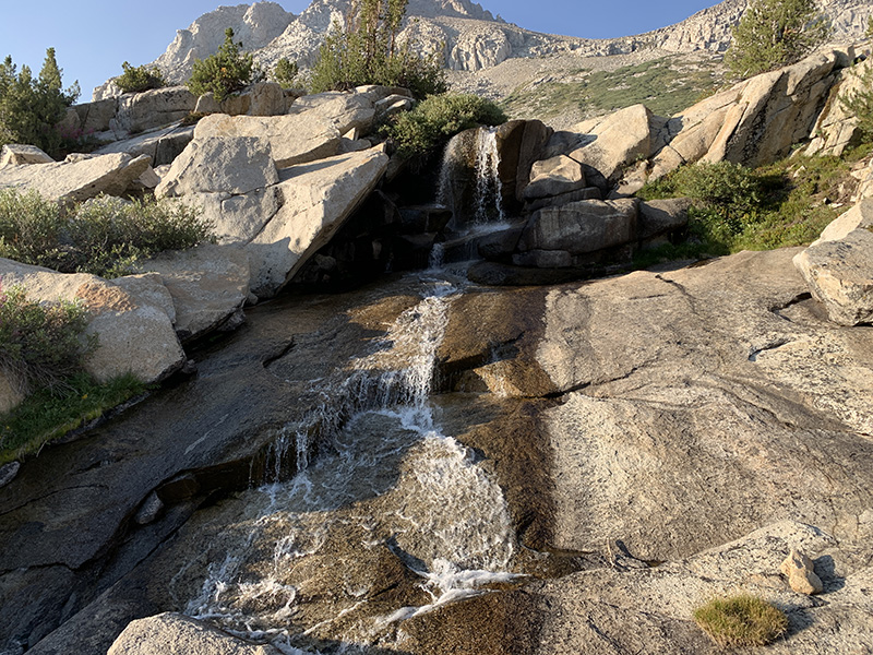
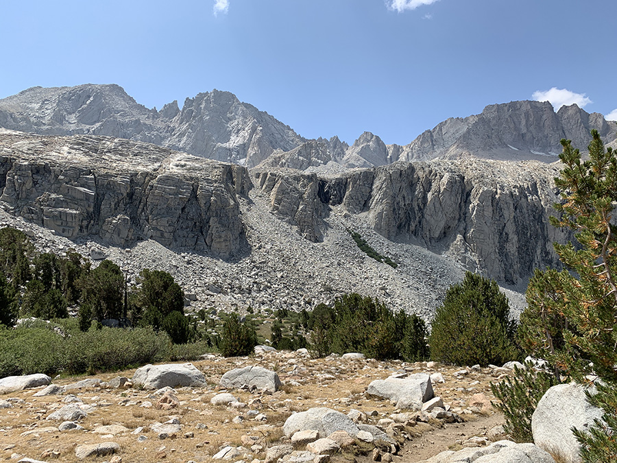
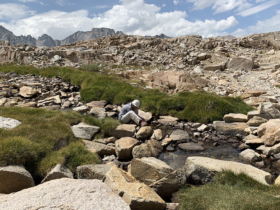
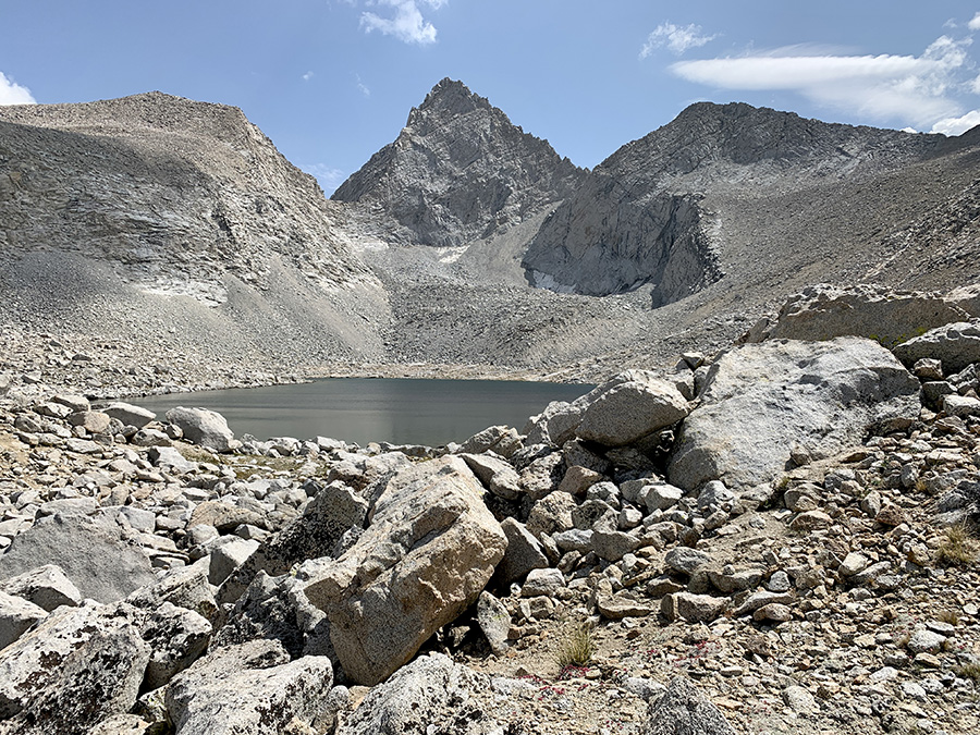
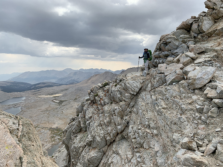
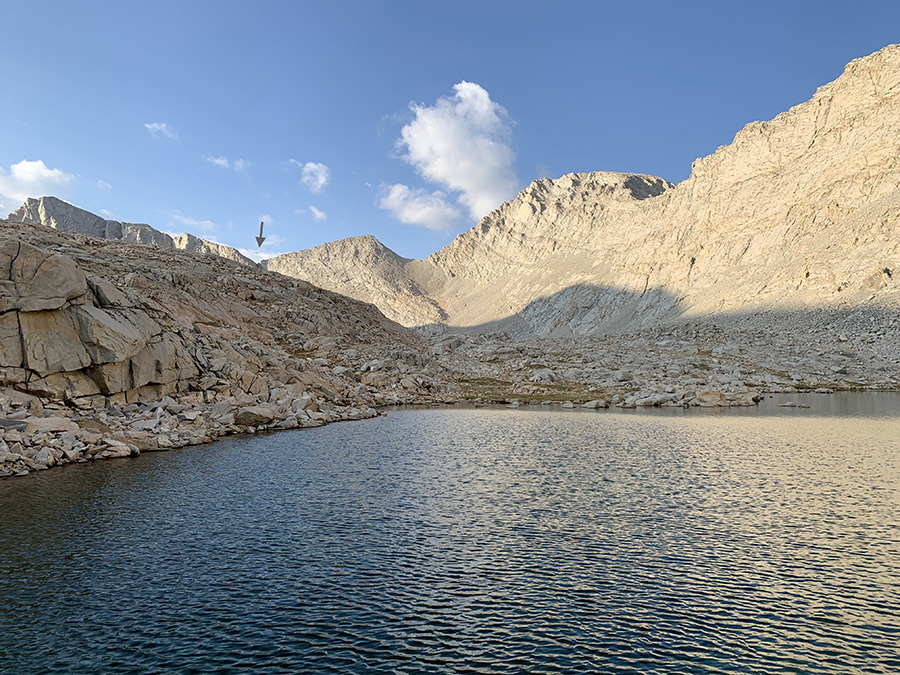
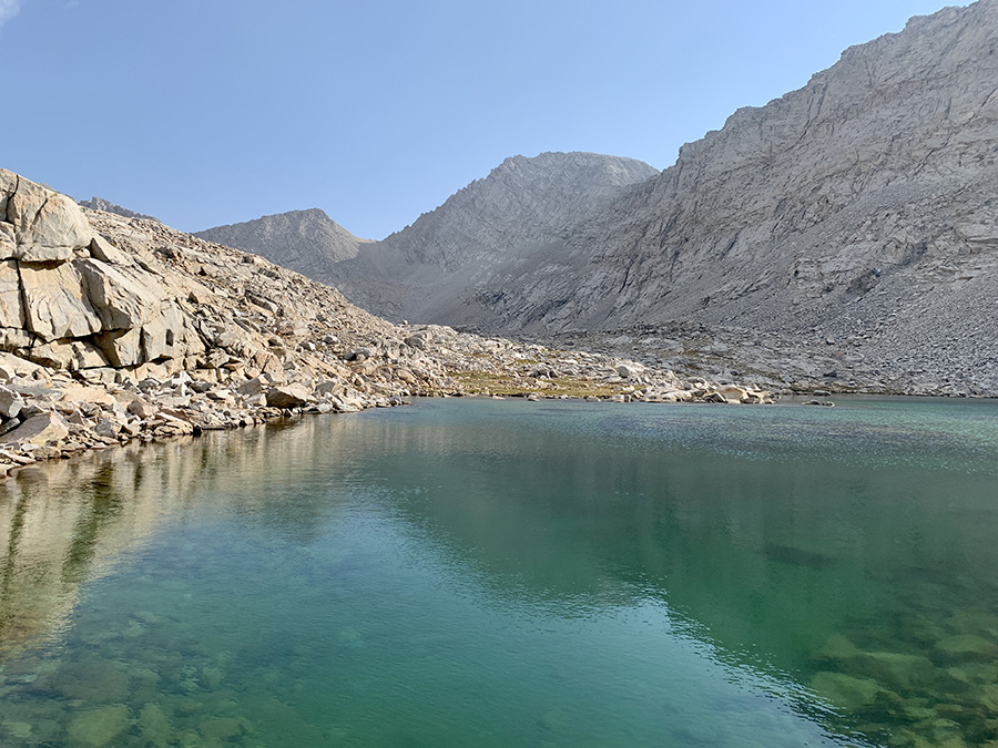
In the following 3 days we hiked to the base of Mt Whitney, just above Guitar Lake. We continued along Bubbs Creek and then up to Forester Pass, the highest pass on the trail (4009 m) gaining 1000 m. Some switchback sectors were steep, but somehow did not feel extremely difficult. We made it to Lake 12250 and reached the pass later than any other hikers that day. Weather was nice on the north side, but at the pass we saw dark clouds spreading to the south so we quickly descended to Tyndall Creek. Scenery around Forester Pass looked quite “high altitude” = bare rocks all around. Camping at the lake before pass (considered in case we got tired early) would be difficult, just piles of rocks everywhere, and once we started going downhill we continued to second of two lakes on Tyndall Creek below Diamond Mesa. We found good spot, but exposed and wind started to pick-up. It was the highest campsite of the trip – 3730 m. The Sun was still high so we climbed down the rocks to waterfront, washed and refilled water bottles. Joanna was cooking and Piotr was attaching our tent to Mother Earth, well after dark. Wind gusts were strong and we had some rain at night; it all cleared overnight. Still it was one of our favorite campsites, near lakes and with nobody else for miles in any direction.
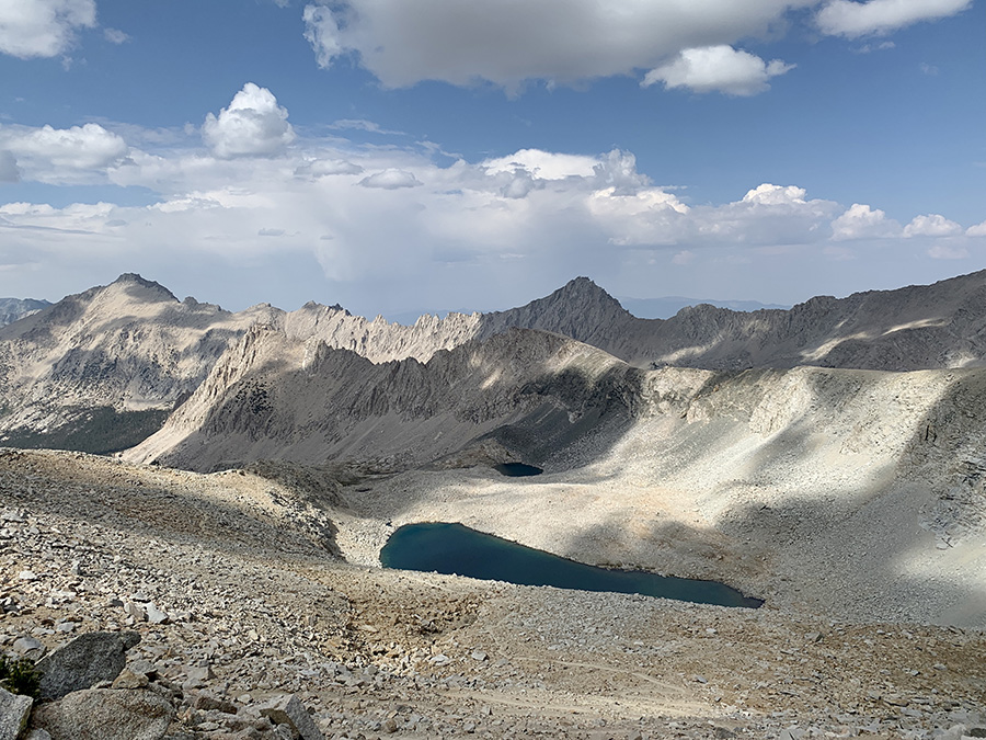
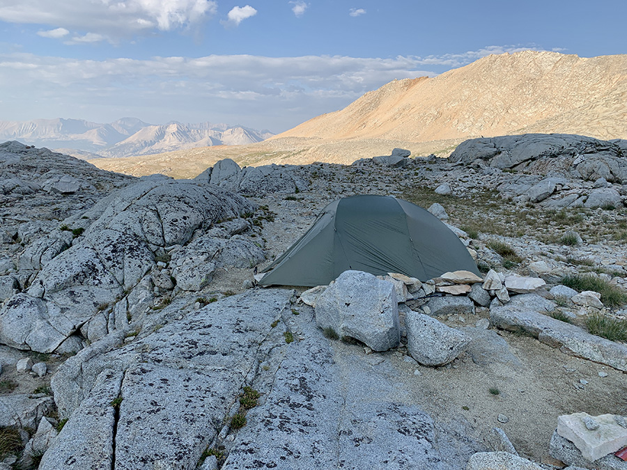
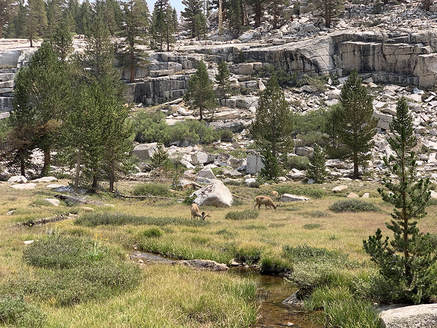
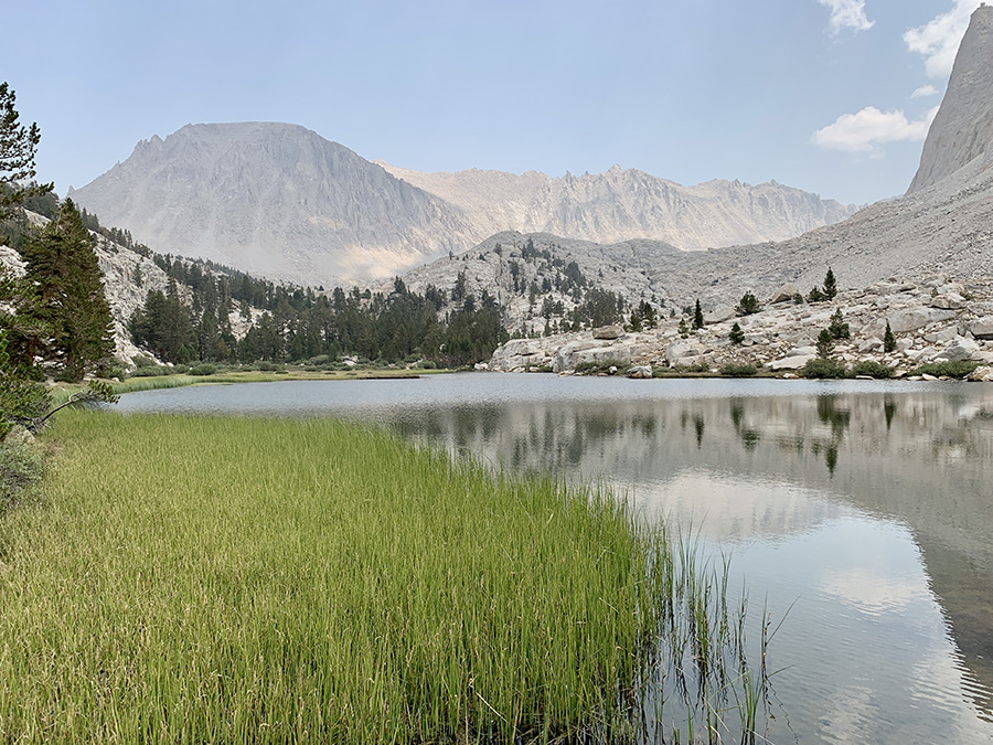
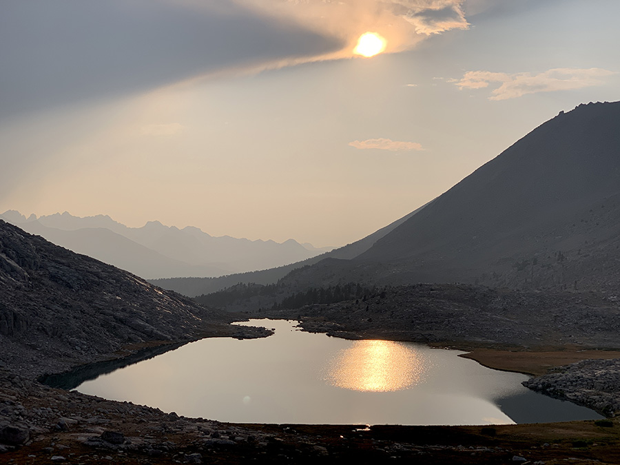
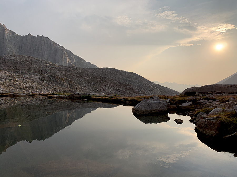
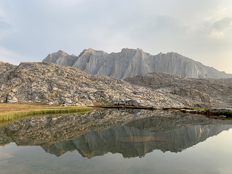
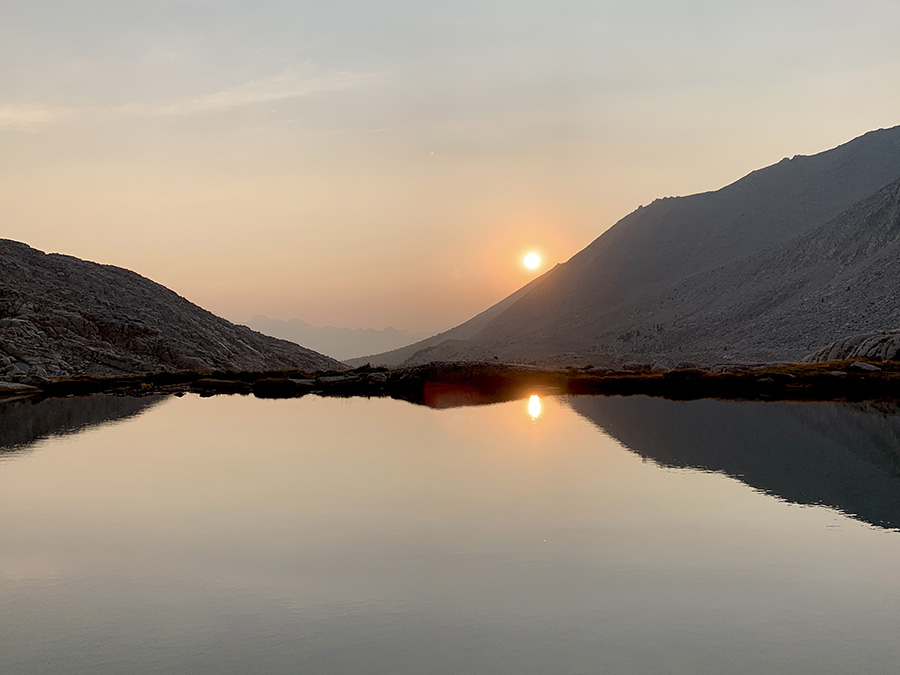
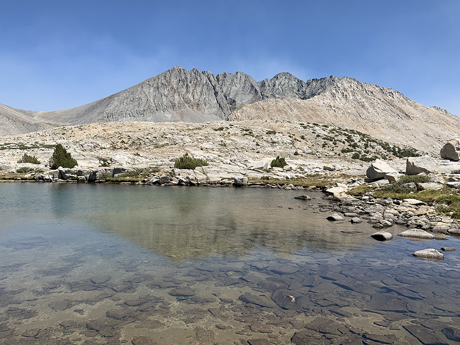
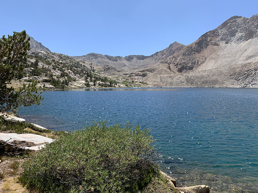
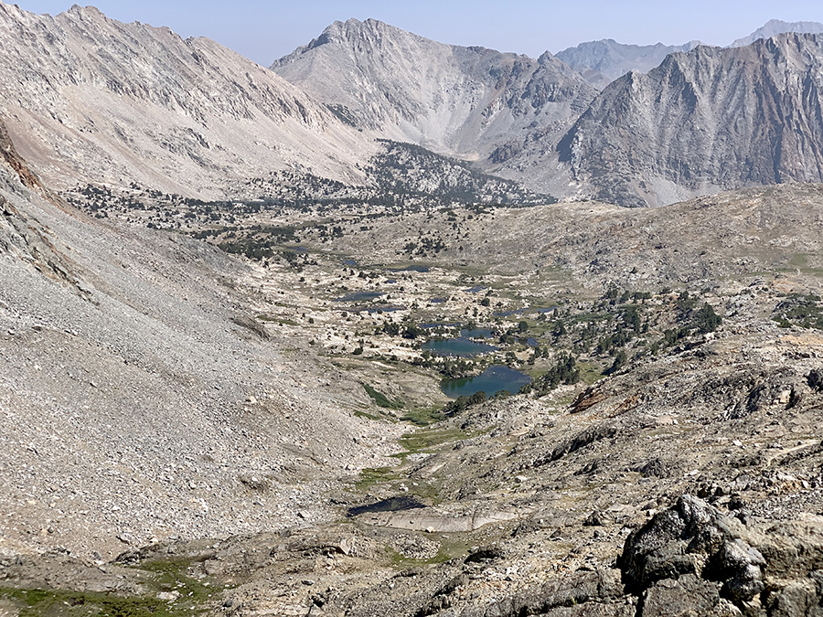
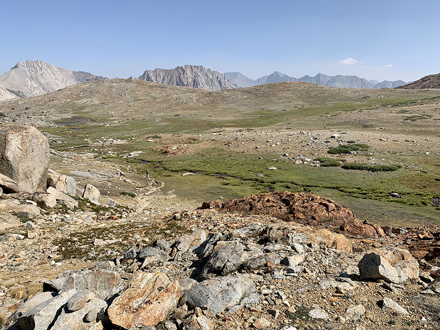
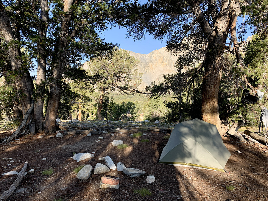
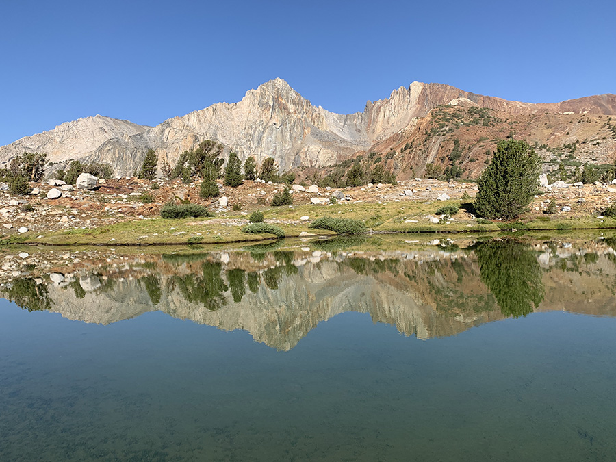
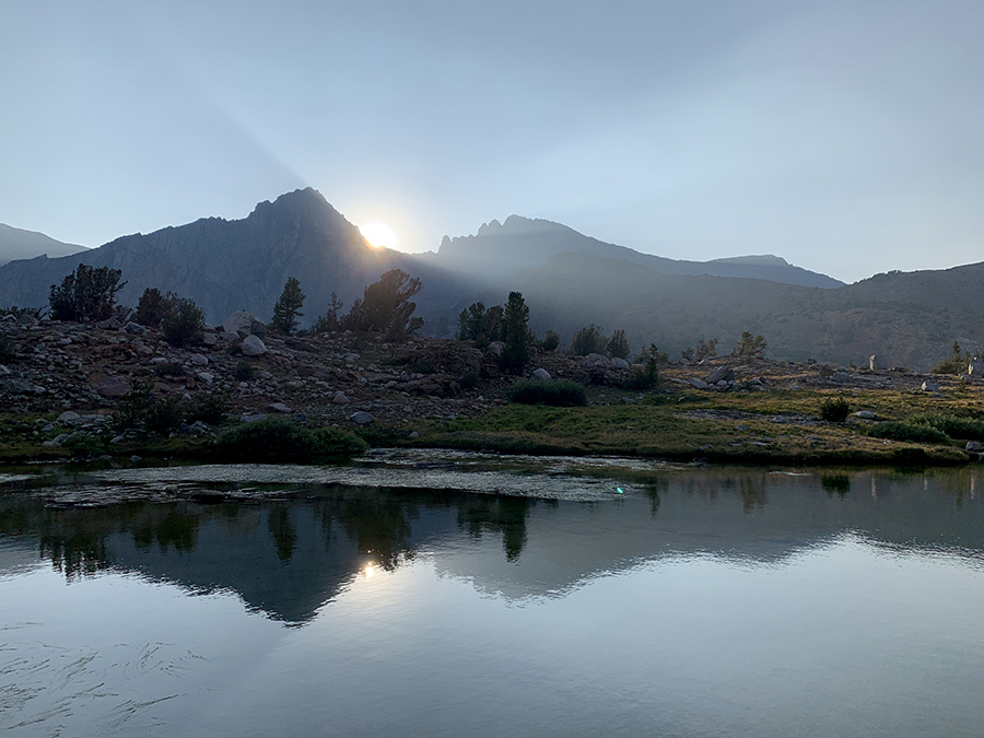
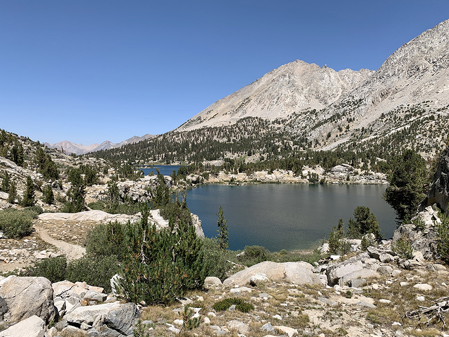
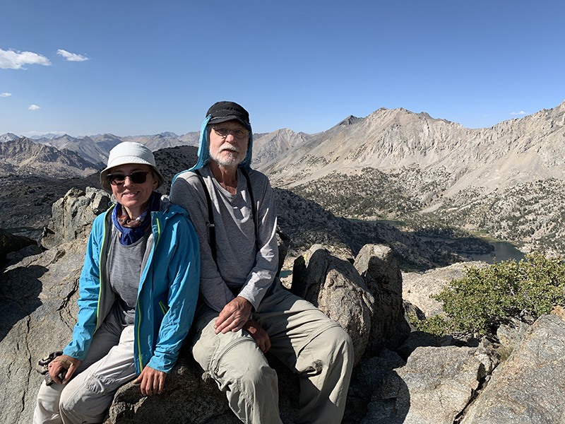
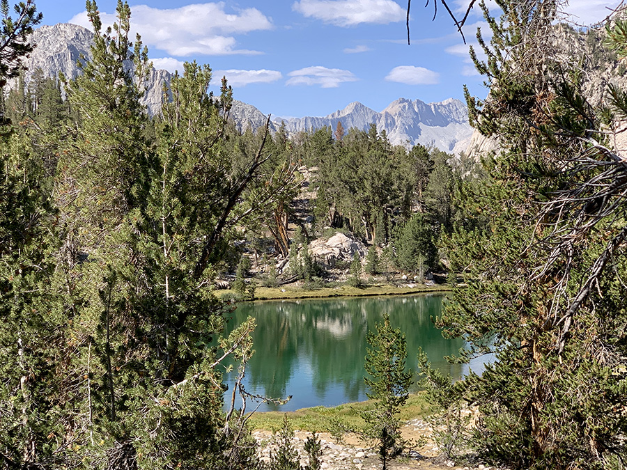
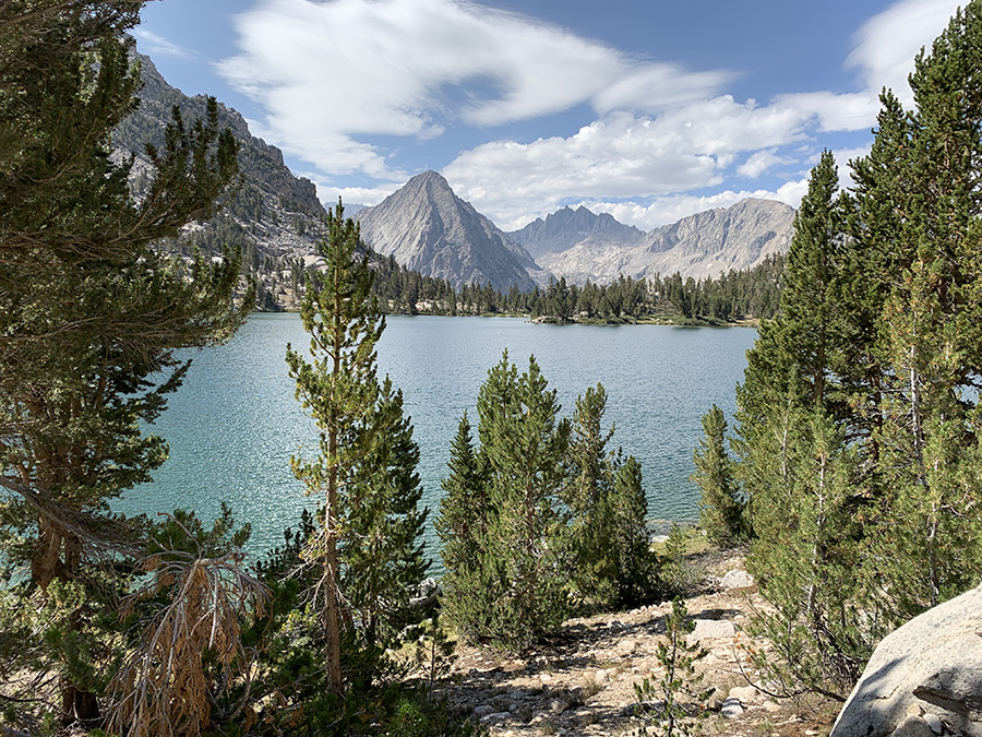
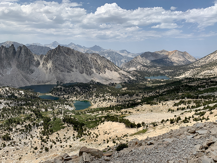
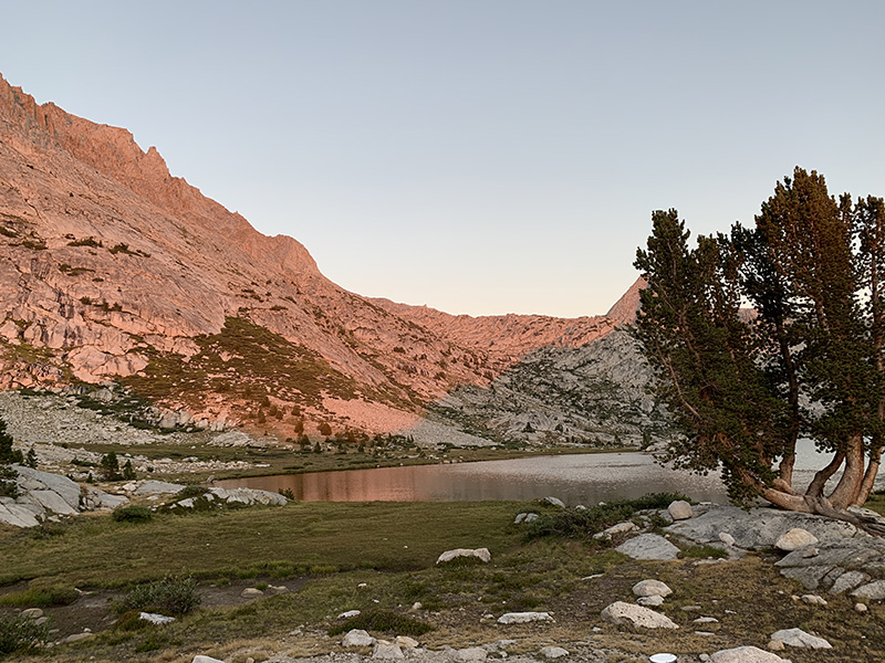
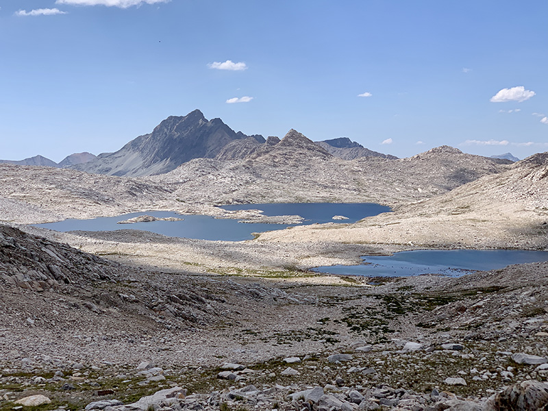
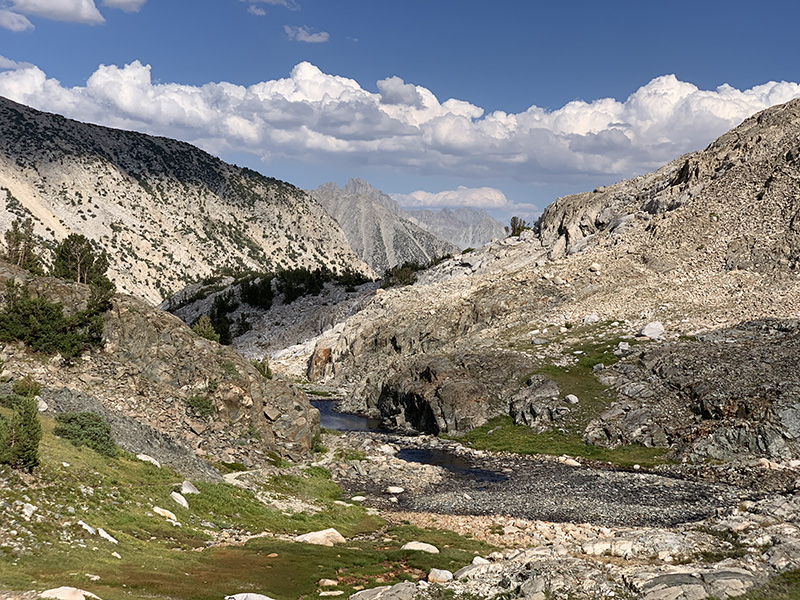
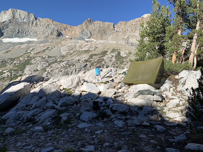
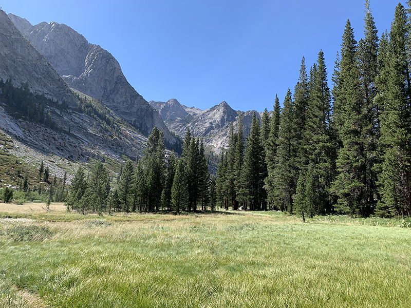
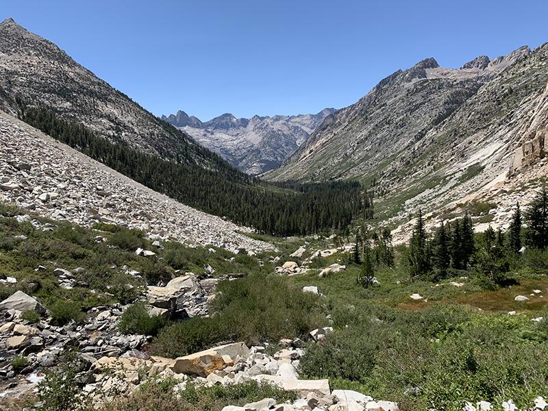
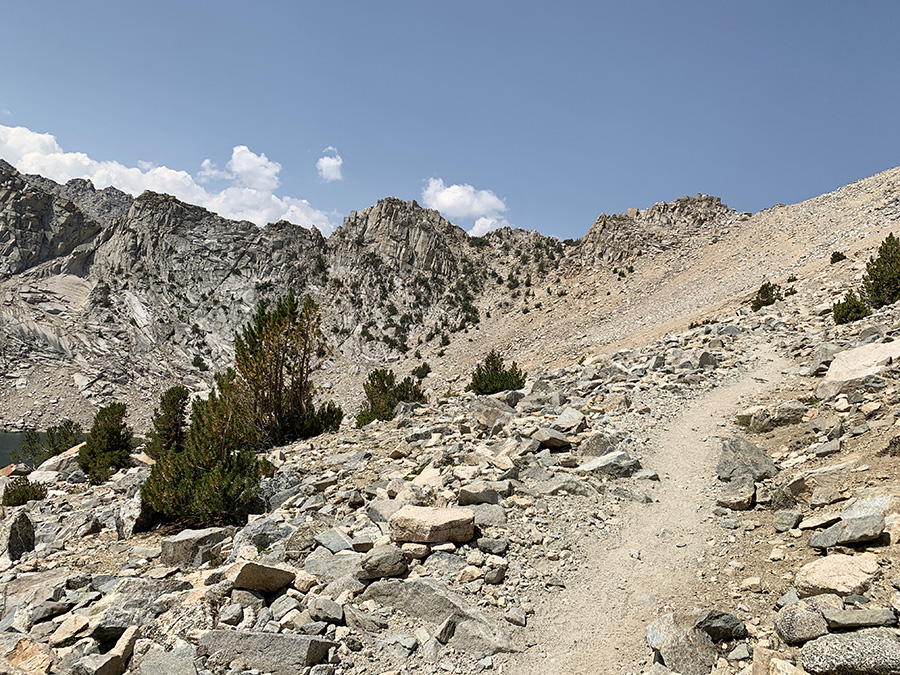
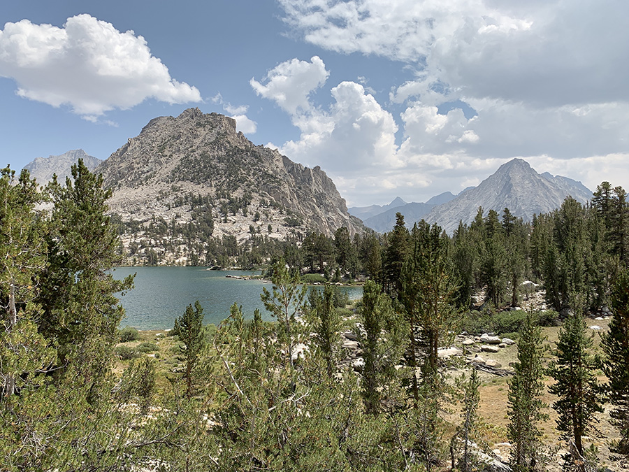
Next day was down Tyndall Creek, up to Bighorn Plateau and Lake (dry) where we had first view of Mt Whitney (not too scary from this angle), down to Wallace Creek, up to Young Ridge. We saw helicopter search and rescue near Shepherd Pass Trail junction, did not learn any details, but decided to refresh our knowledge of hand emergency signals when we get home – we did not send any to avoid confusion, just walked down steadily to show we were not seeking help. We arrived at Wallace Creek quite early and decided to continue to dry-camp at Young Ridge. We brought extra 2 L juice bottle from Independence (for dry-camping) – we filled everything up at the creek. It was very good decision, we were ahead of schedule one full day again and camping at Young Ridge saddle was most relaxing of all: sunny, warm, beach-like sandy, interestingly lit forest, evening and morning. No neighbors of course. And we made next day just 6 miles long: down to Whitney Creek, up to Timberline Lake, Guitar Lake and a small tarn above it. Storm was brewing when we arrived at Guitar Lake but Joanna decided to push on. Weather patterns during our hike were always confusing and we just kept going most of the time, but this time it looked really bad. High mountains held the storm just long enough for us to pitch our tent, the only time we did not really care where the spot was (we discovered much better spots later). It rained, lightings and thunders, and then it stopped just before dinner and sunset. Very lucky ! It was a beautiful place, with tarns and view of Guitar lake and high mountains. We were all certain of good weather for coming days and Mt Whitney summit.