Day 34-38: Yukon Top of the World Highway-Fairbanks-Chena River and Hot Springs

July 17-22

After ferry-crossing Yukon River in Dawson City (yes, good old times ferry) we stopped briefly at steamboat graveyard. Many boats were pulled on shore after gold rush never to sail again. Tylor Highway climbs to the top of the hills and winds around staying high most of the time. Nice views of surrounding valleys and forest. Weather was changing from mostly sunny to hail and back to mostly clouded. We crossed YT-AK border in slight rain and drove down into Wade Creek valley to Chicken (AK). We stopped there for coffee, photographing Pedro Dredge and other rusting gold rush machinery as we were walking back to our car.

Now we were driving on Top of The World Highway towards Tok (AK). And it was pleasant experience on its own. Taiga along the highway, small mountains on the horizon (no time to hike anything), some snow and quite dramatic weather scenery at times. With “bad tire” on our mind (weather never got really bad enough to worry us too much, but remoteness did), it was just pretty much driving through.

As we were passing Mount Fairplay, we started looking for a camping site. Road-side parking lots were not too bad (not much traffic), but for us not too inviting either. Later, many side roads were on private land. By strike of luck, we found sandy side road running along the main road. As we learned next morning it was used as construction by-pass. We found a perfect spot at small road leading to Four Mile Lake. We called it “Moose Lane” because of many fresh moose “remains”. It was still daylight when we were ready to sleep. Surprised (North American) porcupine started to walk towards us in the morning (was it coffee and breakfast smell?). We were happy to see it disappear in the bushes once it realized we were people.

We passed Tok and stopped for lunch in Delta Junction (Buffalo Center hamburgers). We continued on Richardson Highway along Tanana River to Fairbanks. We arrived in late afternoon. No available spots on campgrounds, accommodations harder to find and more expensive than always expensive because of Golden Days (parade, rubber duck race, vintage car gathering). We stayed at Chatanika Lodge 45 km from town. Interesting place with character (nice owners, good dinner) visited mostly by locals and bikers, but past its prime. The following two days were about getting new tires and battery, and our car checked, laundry and grocery shopping. We had some mild respiratory infection on top of it all, not the best of times. Joanna managed to visit the town more (city walk along Chena River from Pioneer Park to Morris Thompson Cultural and Visitors Center).

On new tires and aligned wheels we were ready to roll. Fairbanks was not on our top list of destinations, but Joanna did research about Chena River Road and Hot Springs. The side trip was pleasant, and hot spring experience much better than (Piotr) expected (quite a few people around the resort, but all well organized and pools were not crowded). We first hiked to Angel Rocks (many hikers on sunny Sunday) above the valley to sweat and then soaked in hot springs for couple of hours (both recommended). There were no good camping spots at the resort, but campgrounds along Chena Hot Springs Road were empty. We looked for a place with less standing water and fewer (?) mosquitoes, but it did not matter what we chose (stayed at Granite Tors).

Now we felt the Denali rush. We drove non-stop (300 km) to the park, secured a spot at tent walk-in Riley Creek Campground (everything else was booked). We arrived early enough to choose best spot, set-up camp, go for a walk along Riley Creek and cook dinner. This is really top-notch NPS campground (recommended) and we stayed there for four nights.

Day 29-33: Whitehorse-Dawson City

July 12-16

Day 29 was about driving (400 km) on Alaska Highway. We made it to Whitehorse in late afternoon, checked out a couple of campgrounds (we did not like overcrowded RV Park and a recommended place did not allow car camping). We ended up driving back to Caribou RV Park (recommended). The place is not big and is packed quite densely, but it has a lot of character (European owners), real bathrooms and good food served out of food truck. We made a few stops on the way of course: in Teslin (at the bridge and Tlingit Heritage Centre), Johnsons Crossing (to see what is left of collection of cars abandoned after Canol Road construction during WWII) and Marsh Lake (Joanna discovered new iPhone soft light filter=dirty lens).

Day 30 was about Whitehorse and we were getting deeper into gold rush history. We started the day walking along Yukon River Miles Canyon to historic site of Canyon City and towards Schwatke Lake. Whitehorse Falls, now submerged after the river was dammed, were treacherous waters to be conquered by river boats carrying people and cargo. Jack London navigated boats through rapids on the way to gold fields. The water is still running fast through the canyon. It has intense blue-green color. We stopped at S.S. Klondike museum (closed for renovation) and then visited fish ladder built to allow fish swim up- and down- the river passing the dam (interesting, no salmon yet, but plenty of other fish to watch). The town is nice, but not really that interesting. We walked around to Old Log Church and drove to The Horse of Whitehorse (of course). With rain coming and no good camping options, we decided to spend the night at Kaleido Lodge (recommended). The lodge is run very well by and staffed by Japanese company, and caters in season to tourists who come to watch aurora borealis.

Day 31, Dawson City was next, to get there we drove on Klondike Highway, 600 km in two days. Now we were visiting places where the gold rush was invented. Carmacks first, not much left from the old days (Montague Roadhouse, hotel and post office). But the Mighty Yukon River is still flowing north. Five Finger Rapids was another difficult navigation spot on the river (at high water). It was short, but steep walk down from highway parking lot to river’s cliff to view the rapids. Klondike Highway seemed endless and empty (it really was). We saw larger areas destroyed by wildfires as we approached Stewart Crossing (some fires still smoldering, the highway was just re-opened). With road construction slowing us down, we decided to camp at Moose Creek Campground (nice not crowded), just 25 (slow) km past Stewart Crossing. With long daylight, we had enough time for a walk down the creek to Stewart River. Wet forest and marshes. As we were reading nature trail poster about not all mosquitoes being “bad and biting”, mosquitoes diving at our backs did not feel constrained by science.

Day 32. We enjoyed reading about and viewing Tintina Trench: 1000 km long linear depression on top of fault line cutting across Yukon in part of which Klondike River flows until it merges with Yukon River in Dawson City. Then Joanna heard hissing noise – flat tire, nail or something. We drove 60 km on spare to Dawson City. Flat tire was fixable by local shop. With the problem temporarily solved, we rented private room with kitchen for two nights. We enjoyed the stay. Walking around town and visiting historic buildings from gold rush era, walking along Yukon River (rivers and steam boats provided key means of transportation back then), spending couple of hours at Diamond Tooth Gerties (evening show, beer and friendly talking with other tourists) and walking at midnight in what looked like almost full daylight. The whole town is like a living museum, very interesting.

Day 33. Gold rush in Bonanza Creek. We joined organized tour of Dredge 4 Historic Site (Parks Canada), bought tickets and rented pans the night before at Dawson City Visitor Center. Park ranger gave us good overview of gold rush era activities (1896-1999), how dredges worked, how gold was dug up etc. The entire valley floor is covered with mounds of dirt and rocks dug 100 times over by prospectors. Some shafts and rusting machinery can be found along interpretative trail. Gold mining claims and some operations continue. We did not dig, but tried panning in Klondike gold rush spirit (no luck).

Panoramic view from Midnight Dome was great (some wildfire smoke was in the air): Dawson City, Yukon River and confluence with Klondike River. Later we walked on river trail to the confluence, stopped at governor’s mansion and Jack London cabin (museum), looked around to identify more historic buildings described in guidebooks. Grocery shopping was just an attempt, but good enough to cook dinner at home (always good to have pantry under the deck, in our car that is).

We discovered that the punctured tire was also wearing off much faster than the rest and was already mostly bald. It was OK to drive for a few hundred km, but we still had thousands to Chicago. Shipment of new tires would take several days. We decided to go 600 km to Fairbanks (rather than 1100 km to Anchorage) to look for them. It was second major change of direction. Fairbanks was not high on our list of destinations.

Days 26-28: Stewart-Salmon Glacier-Hyder-Boya Lake

July 9-11

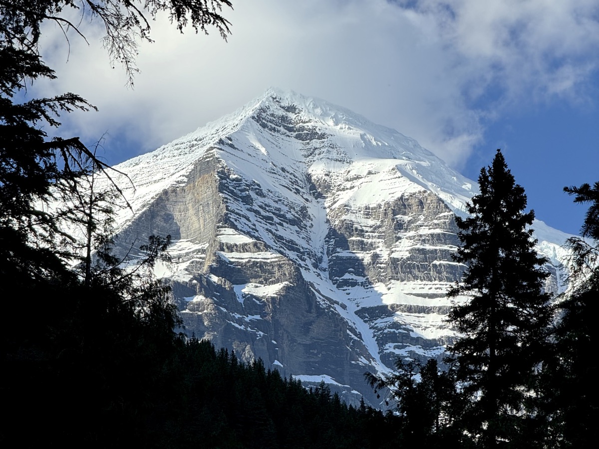
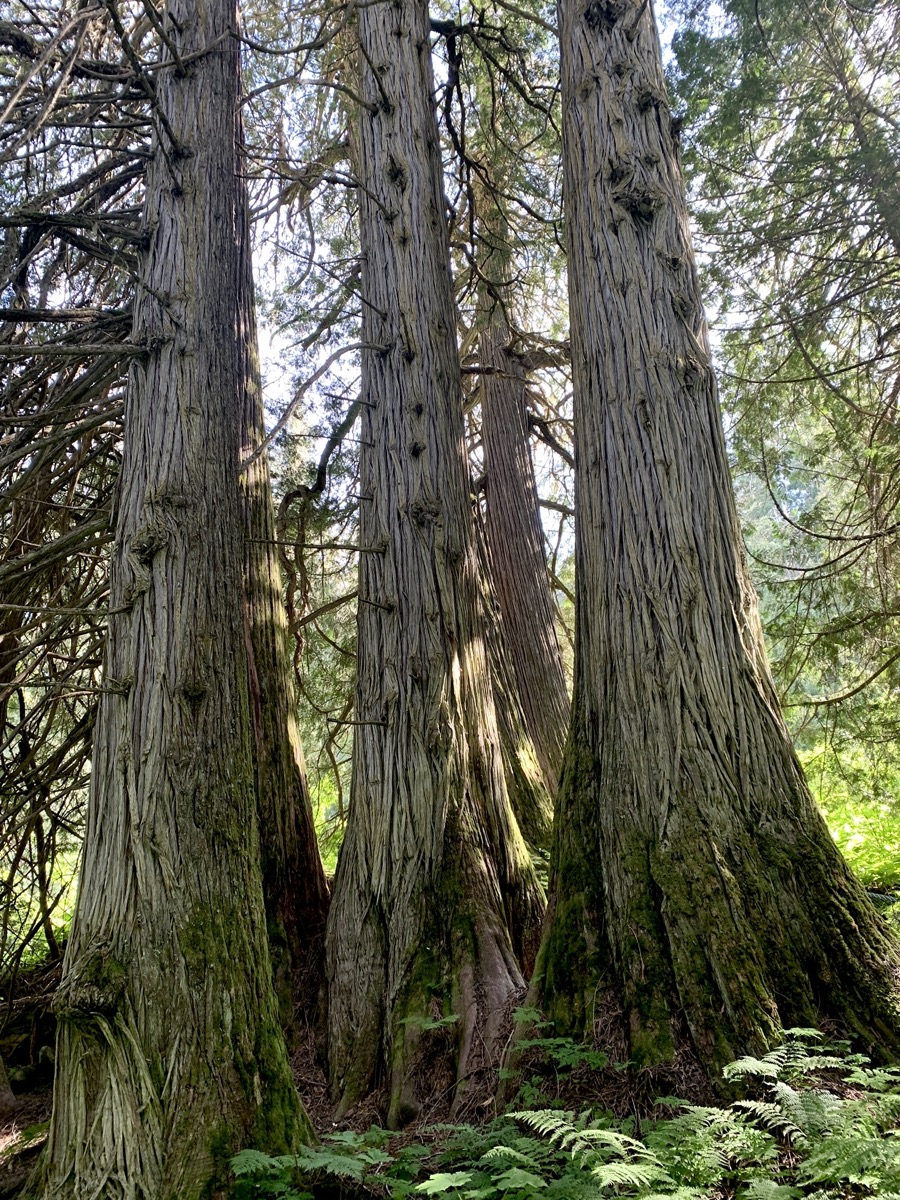
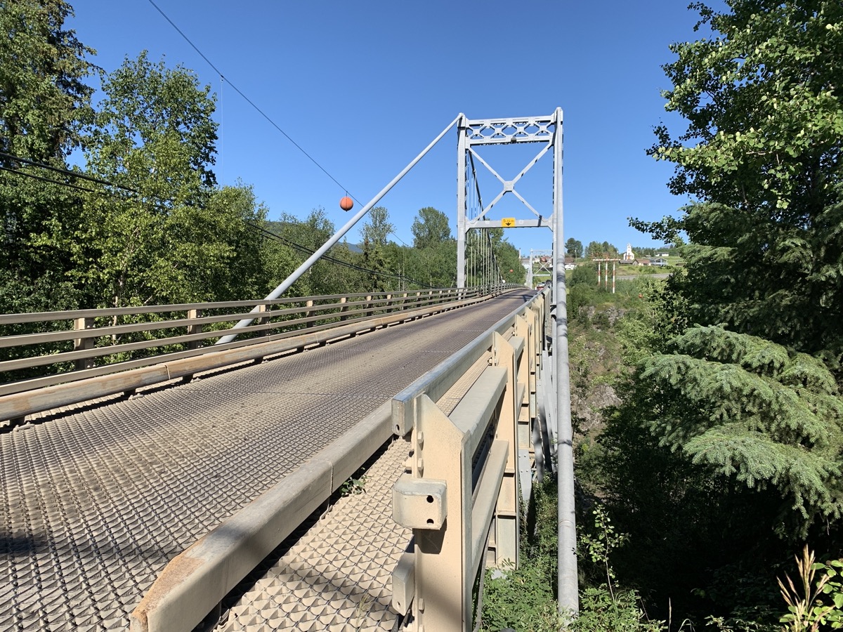
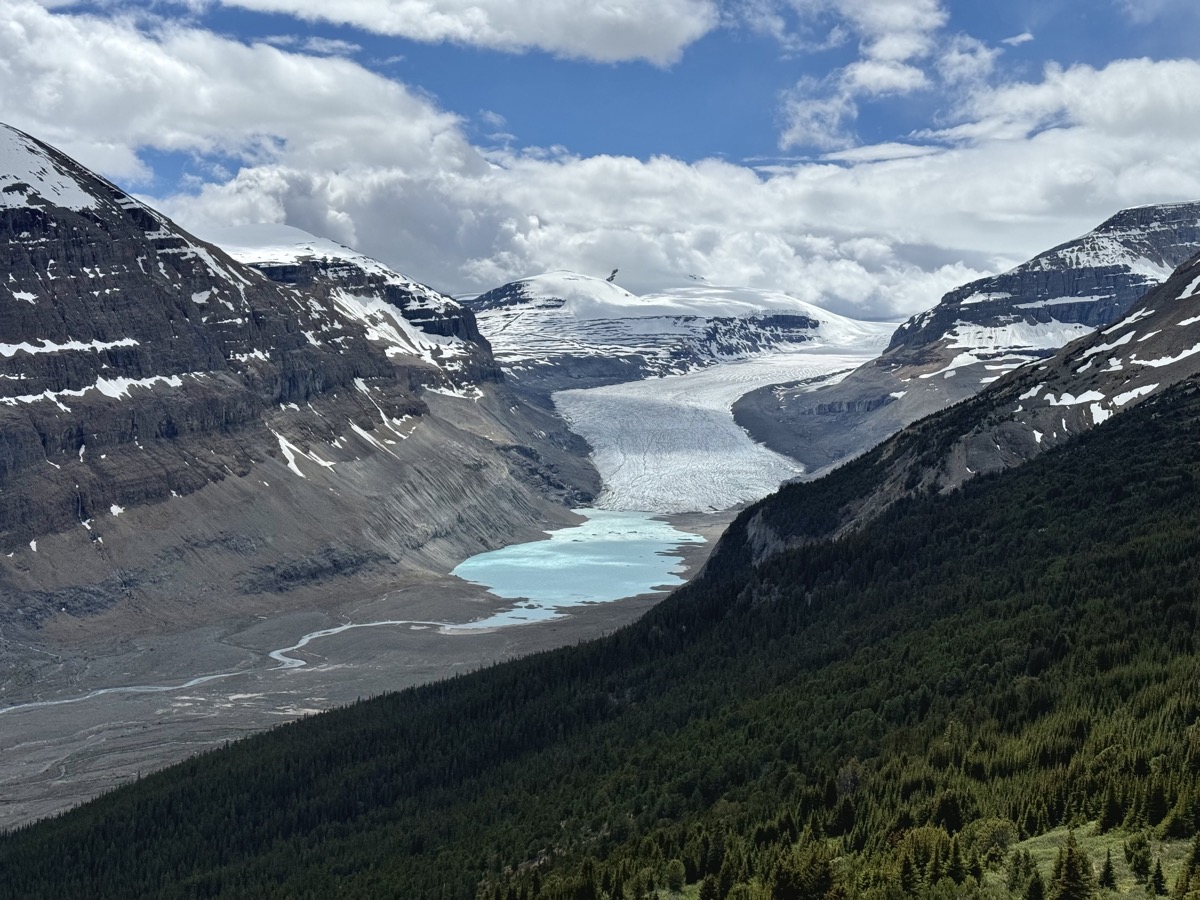
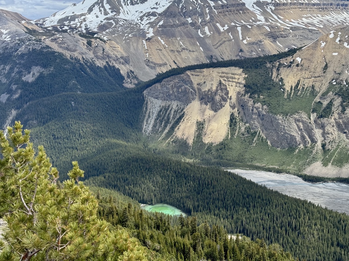
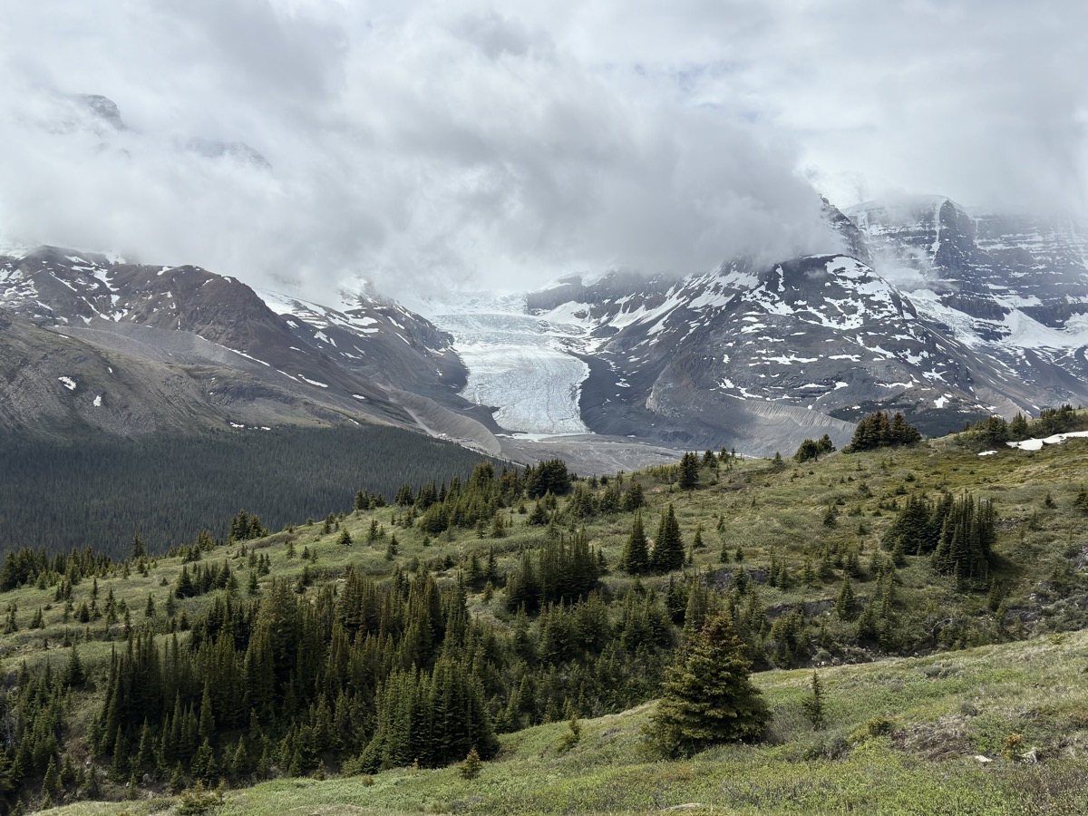
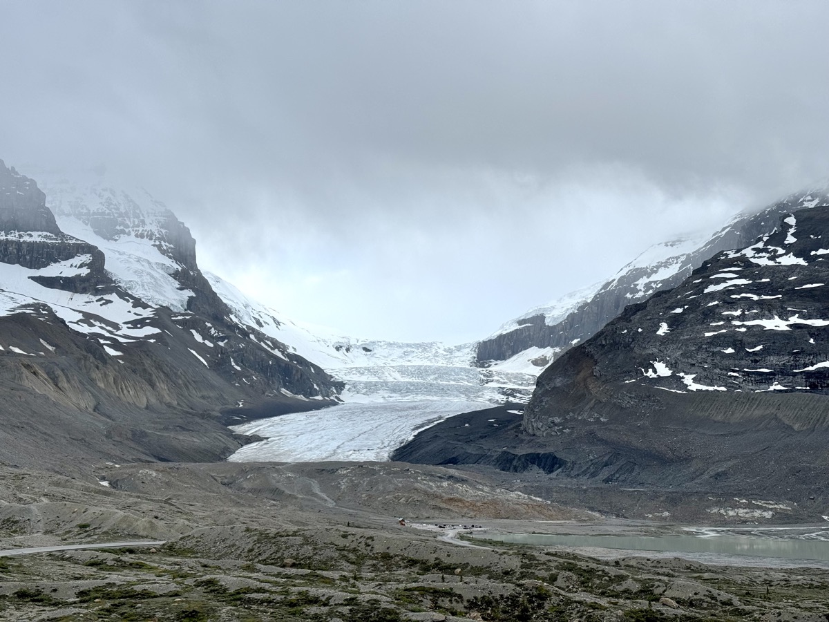
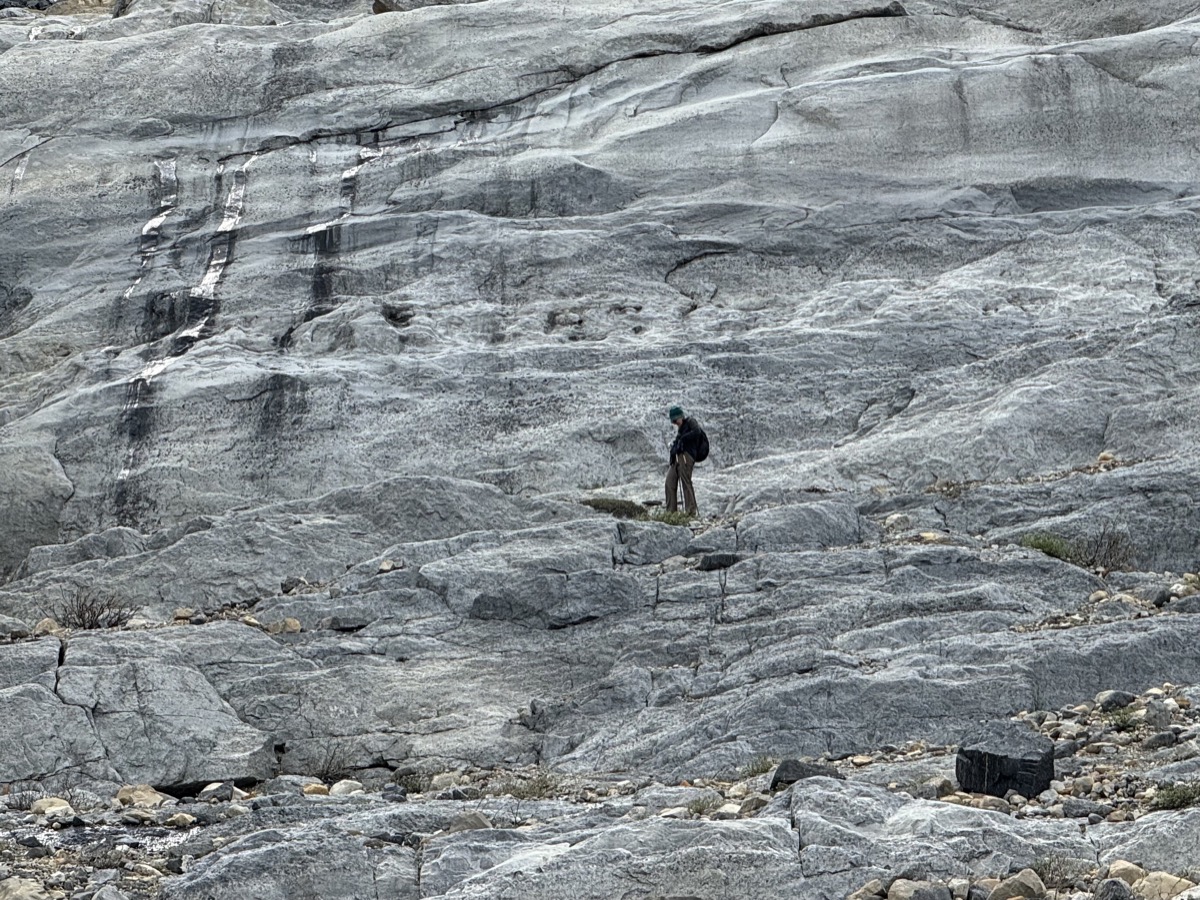
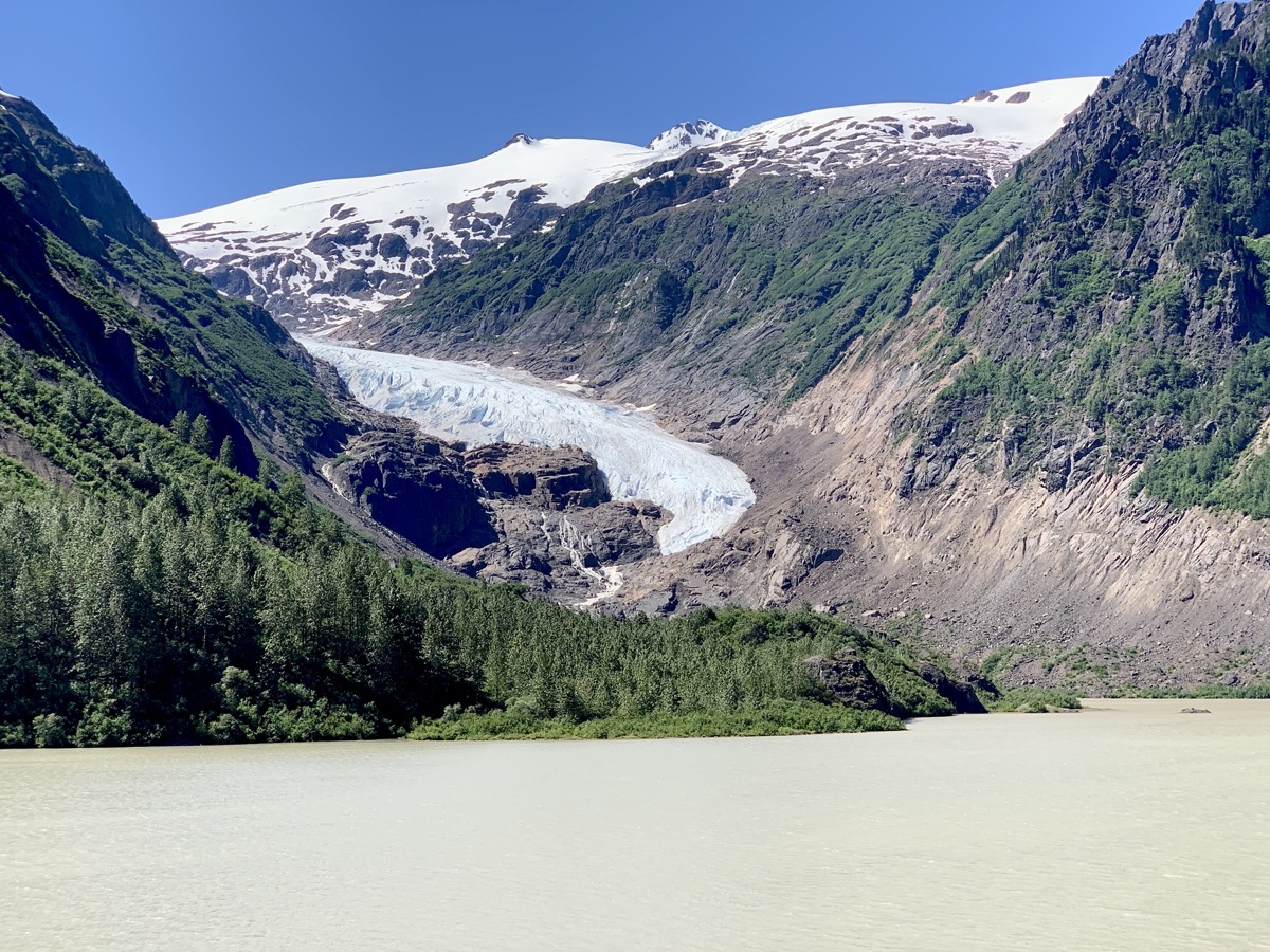
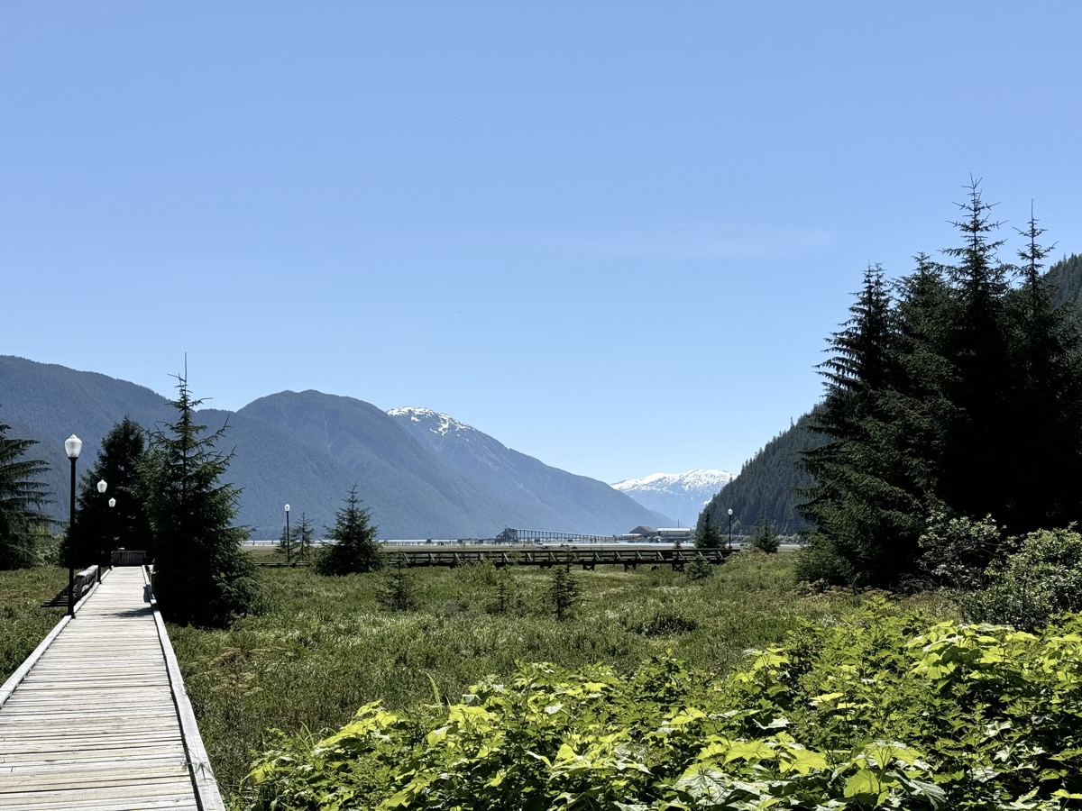
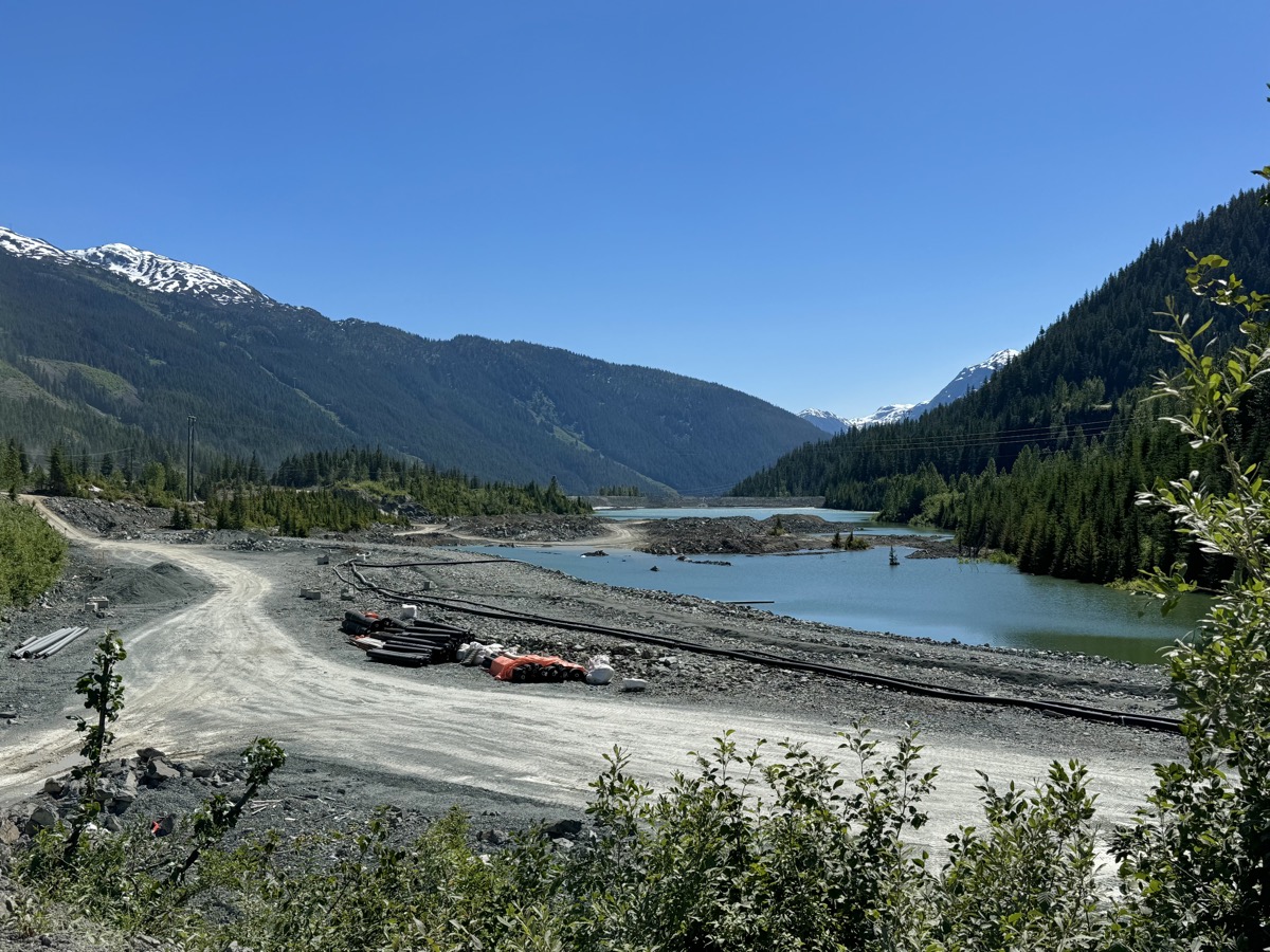
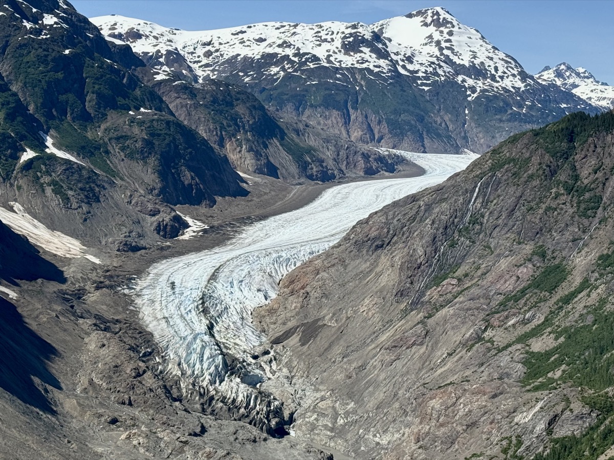
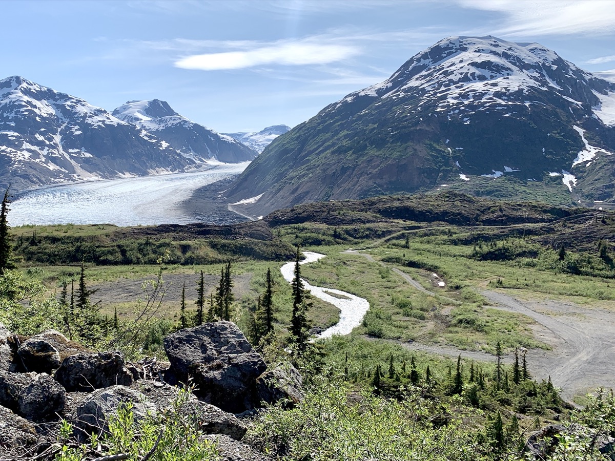
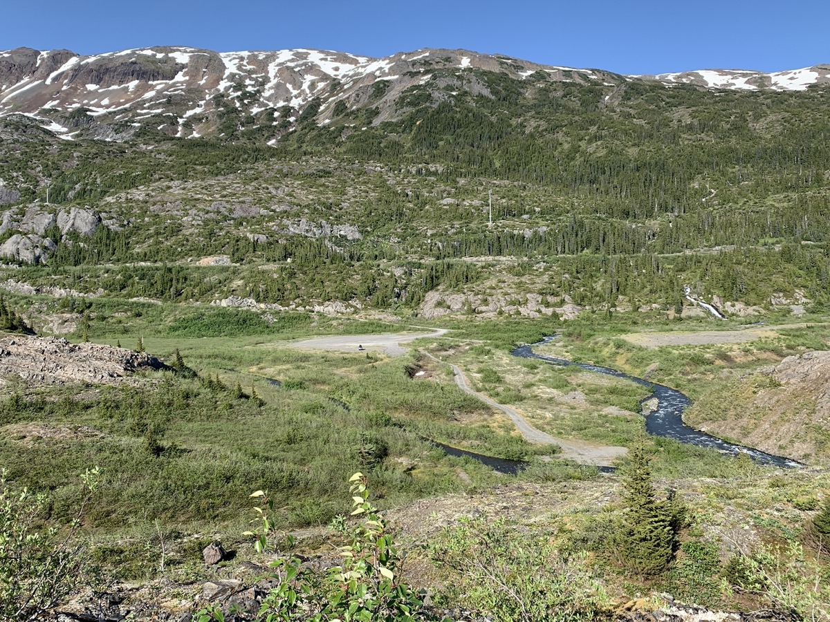
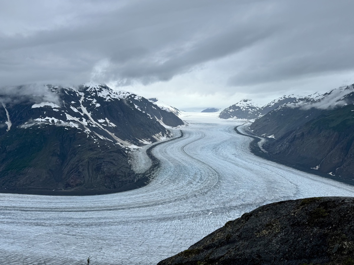
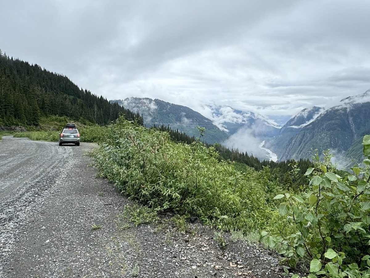
We are ready for more glaciers. Bear Glacier first, just a view from Cassiar Hwy across Strohn (glacier) Lake. In the afternoon of day 26, we took Glacier Hwy to Stewart with two more stops: at Clements Lake (scouting for possible camping on the way back) and Stewart Boardwalk (just to get a quick look at the tip of Misty Fjord and old port site). We drove through Stewart, crossed the border to Alaska, did not stop in Hyder. All quickly as we tried to get to Salmon Glacier before dark. Granduc Road climbs high above the valley floor. The road was build to gain acces to gold, copper and other metal mining sites (Premier Gold Mine, Granduc Copper Mine). Mining causes environmental damage, but the (good gravel) road provides access to glacier viewpoints. We were driving slowly, but still almost missed border crossing back to British Columbia. And soon we got first good views of the glacier. From Salmon Glacier Viewpoint (where it turns 90° right) we could see all the way up to the icefield.

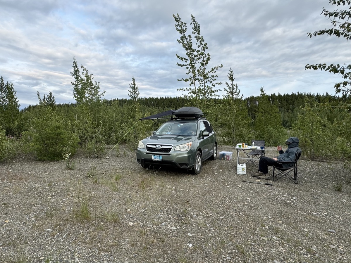
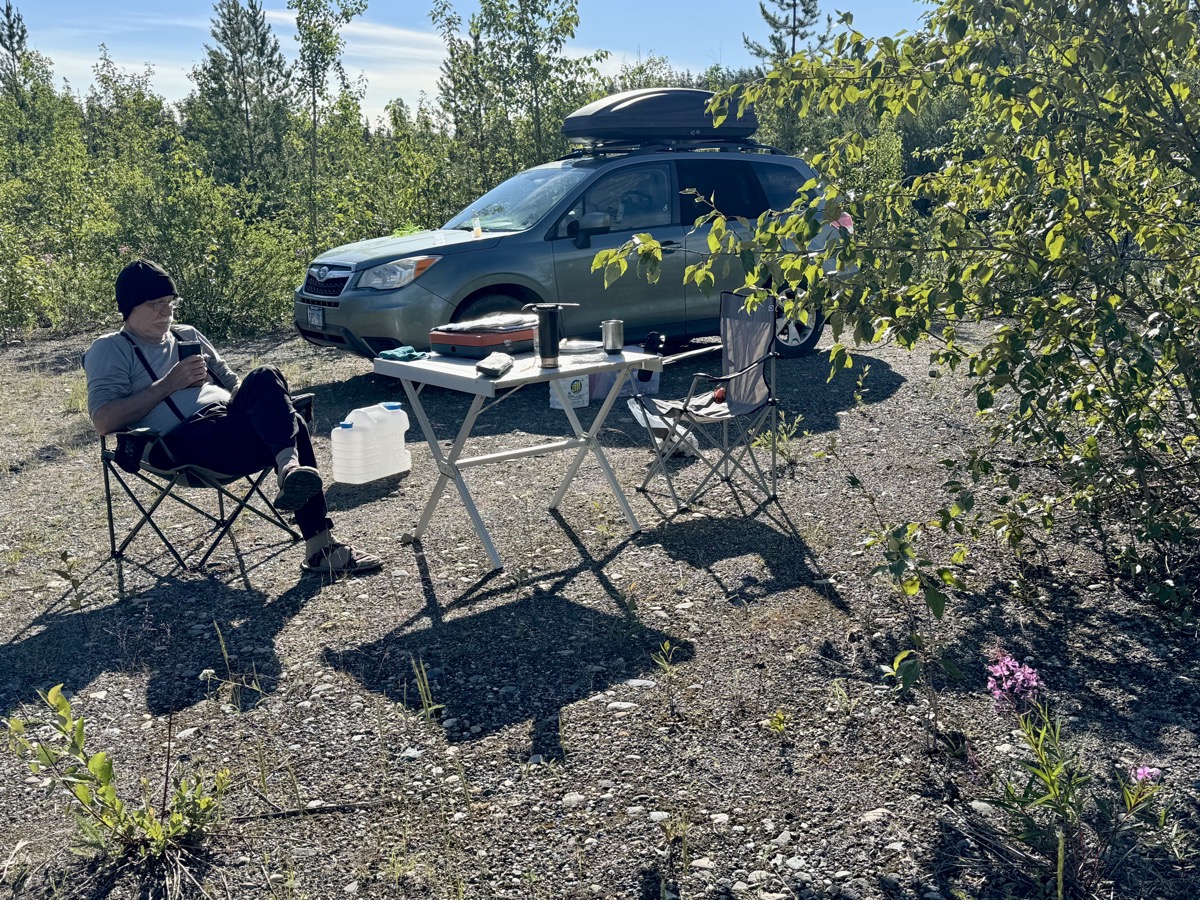
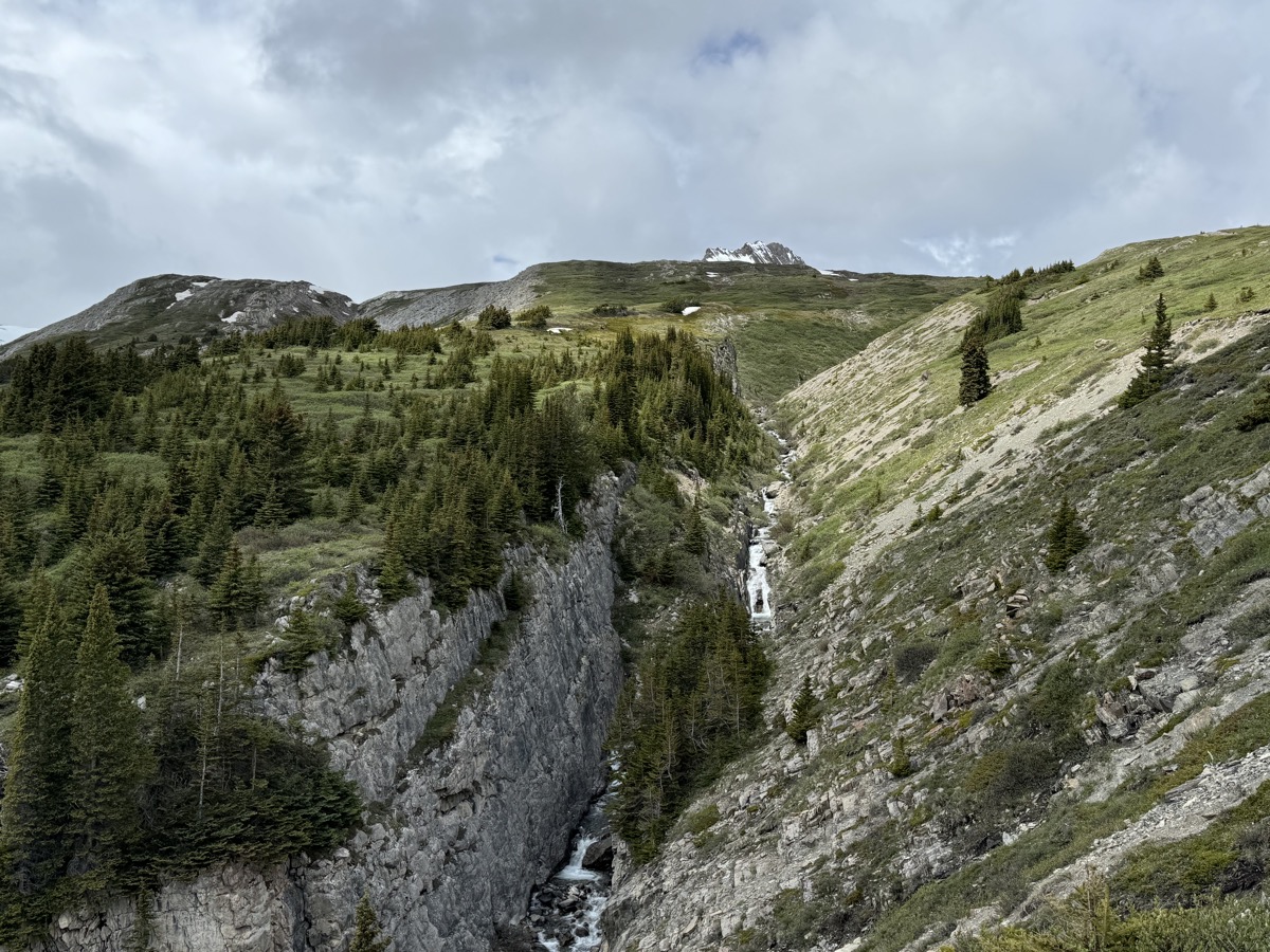
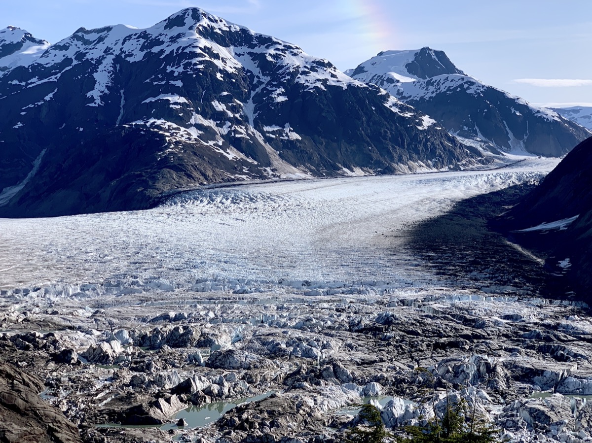
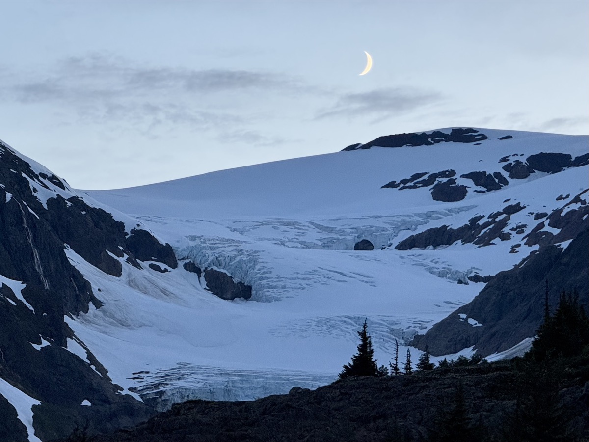
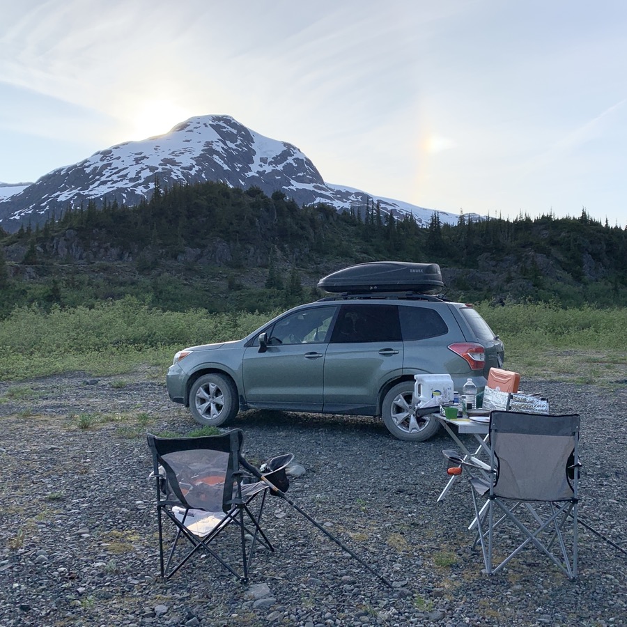
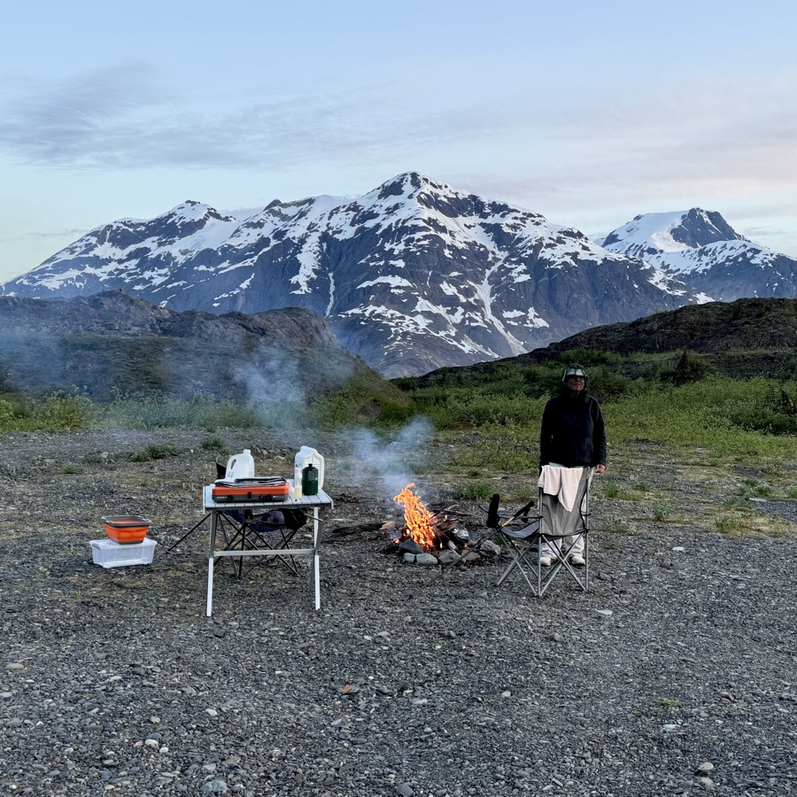
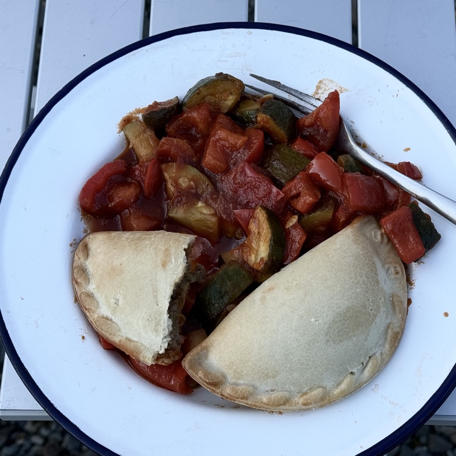
It was decision time: look for wild camping spot or go back towards Hyder/Stewart. We drove a bit further up Granduc Rd and saw below two gravel flats divided by a stream, just between the road and lateral moraine. One of them turn out to be easily accessible and we had one of the most beatiful spots to overnight all to ourselves. It was magical. Joanna had enough energy to cross the stream and run over the moraine to sea the ice’s edge and glacial ponds. Piotr collected firewood. Dinner was late (it started to turn dark around 11 pm). We hoped to see the glacier in morning sun, but it was not to be. Clouds and passing rain. We drove a few more miles up the road and turned back to Hyder. This side trip was very worth taking.

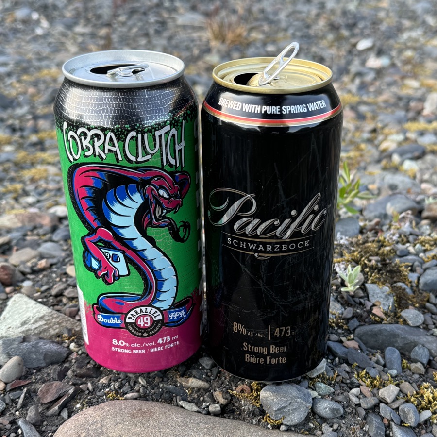
Wild camping at Salmon Glacier with fancy food. Beers (strong just in case), no grizzly bears.

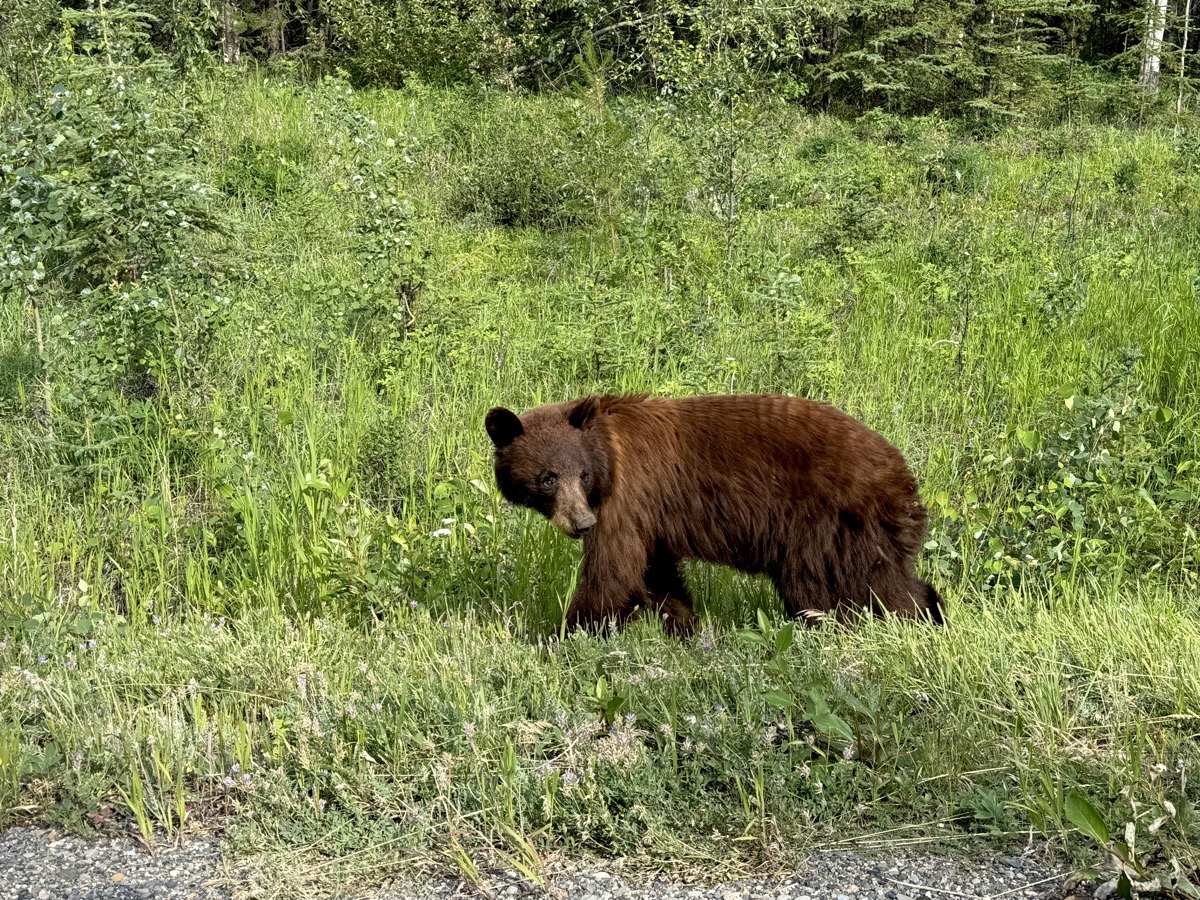
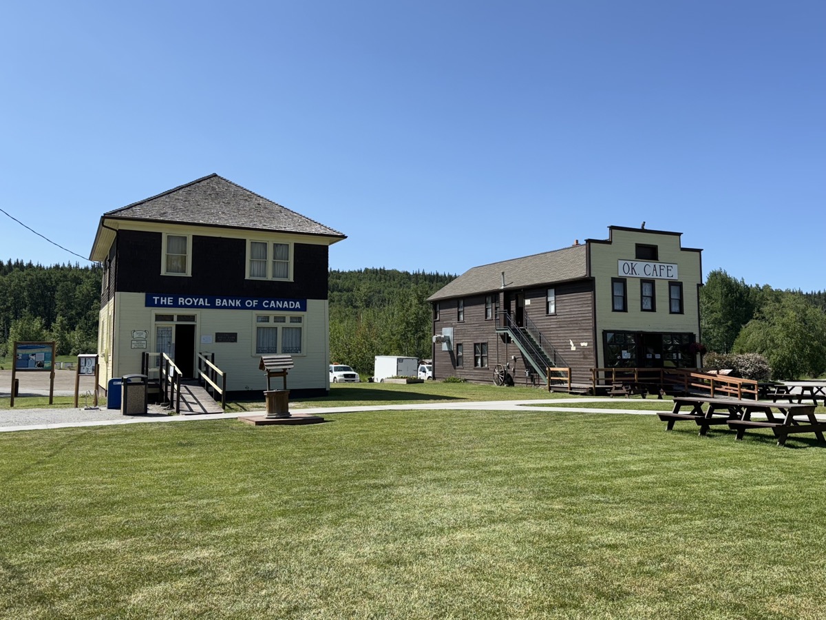
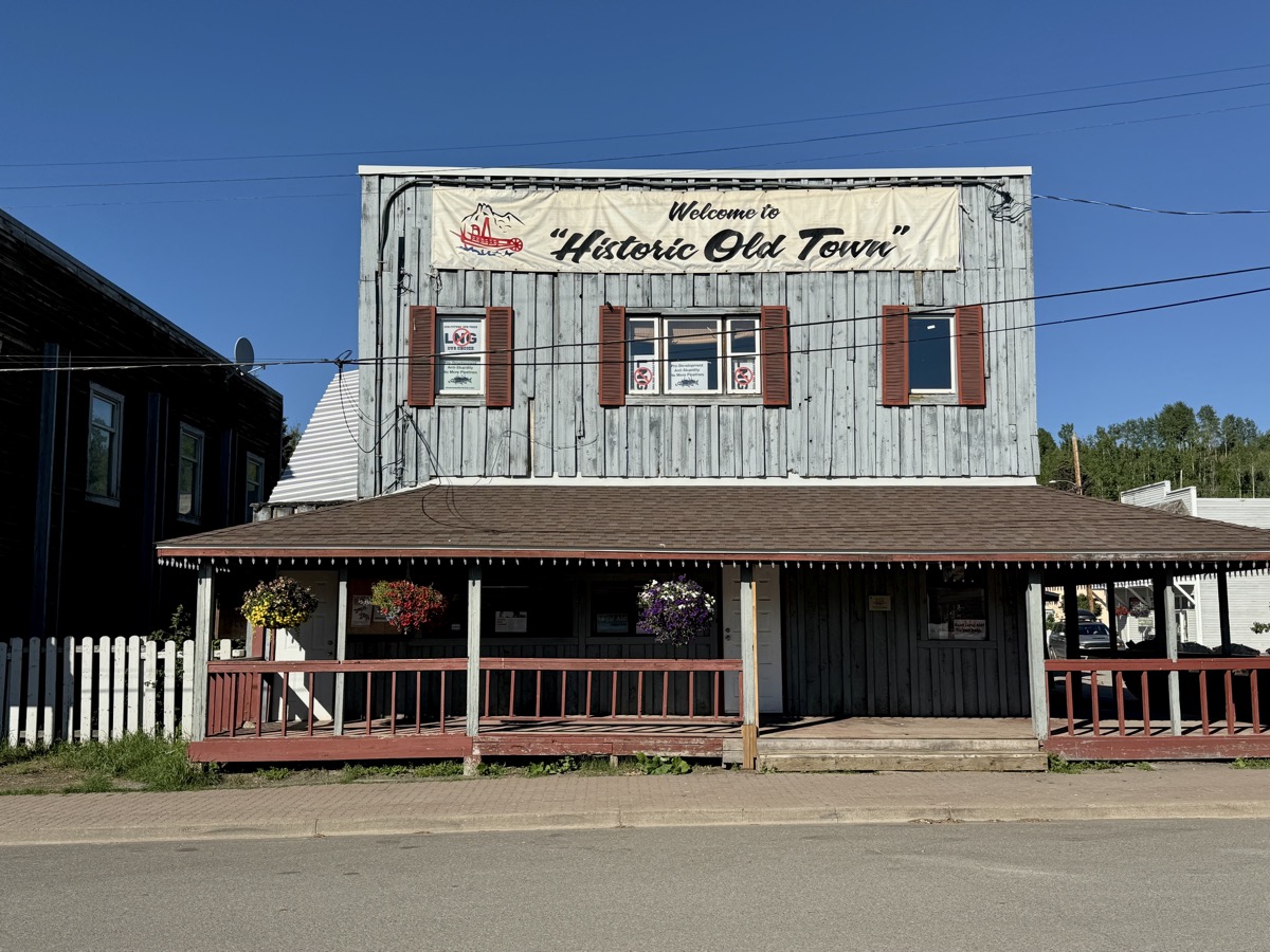
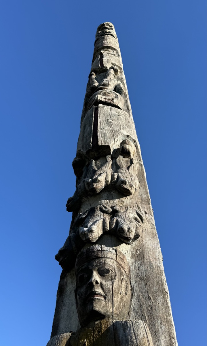
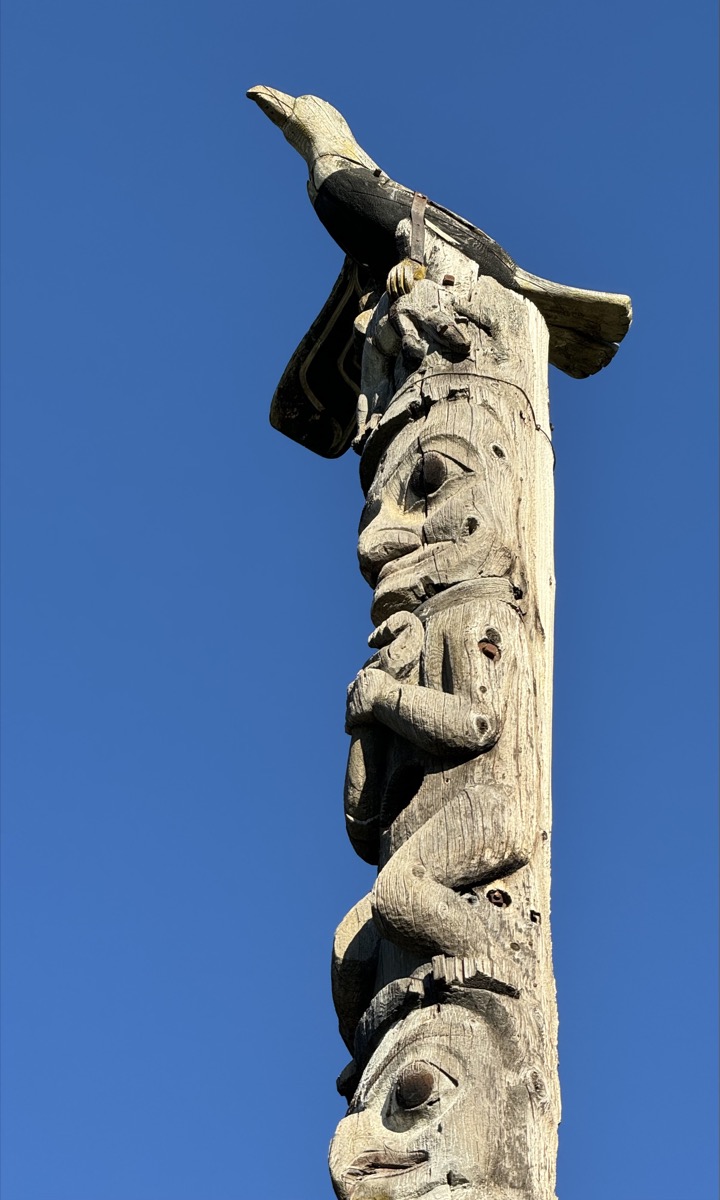
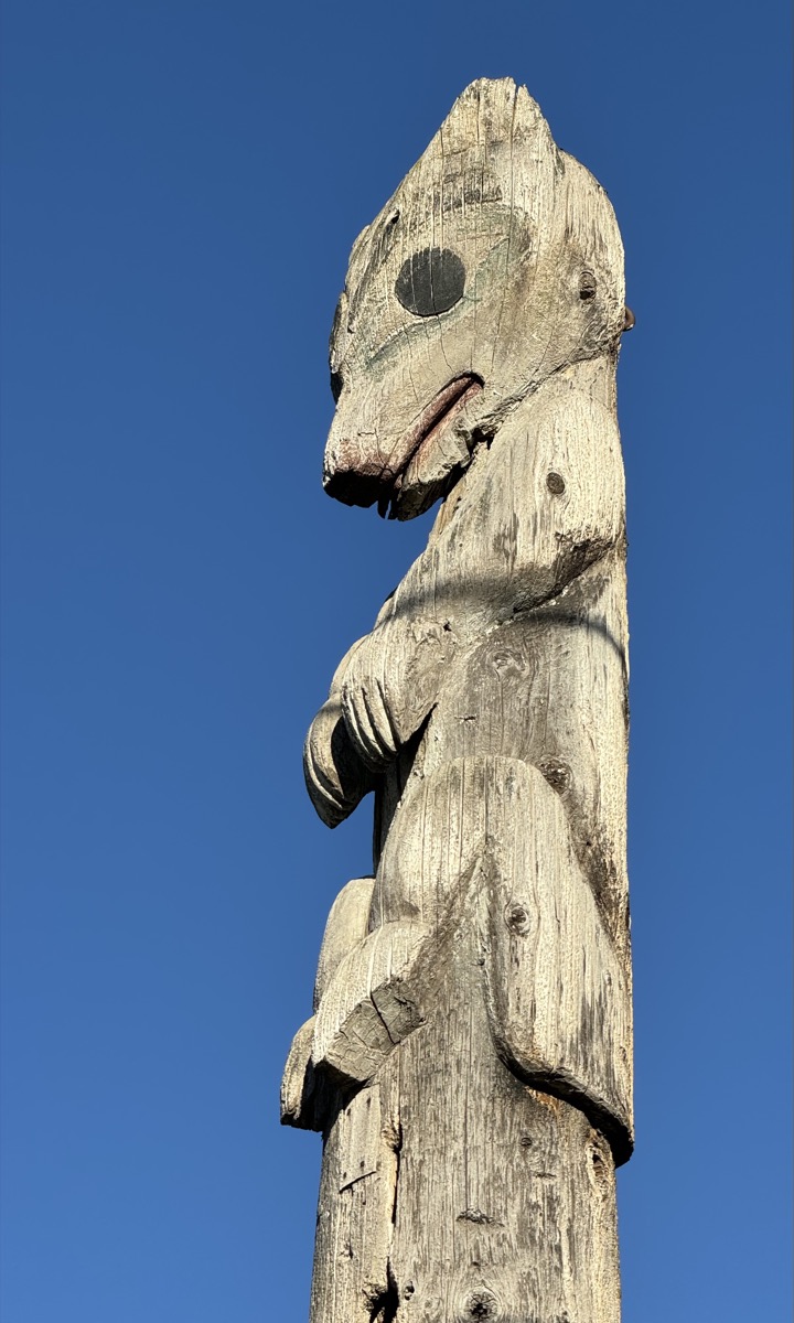
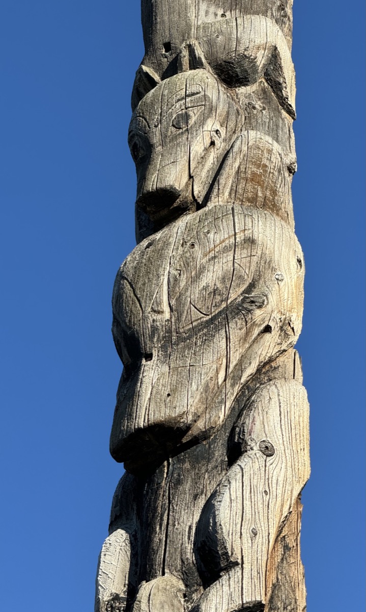
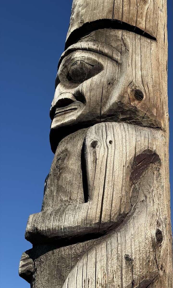
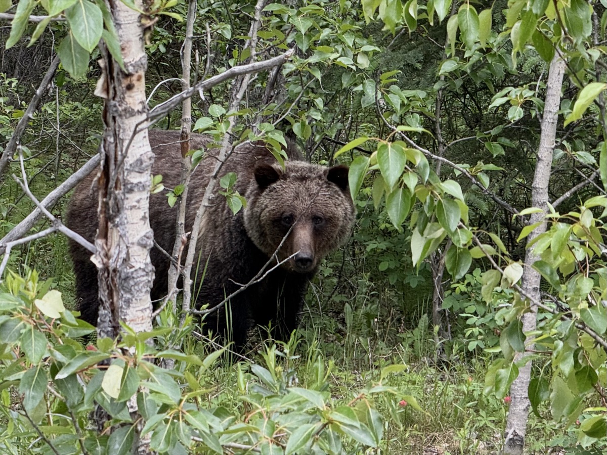
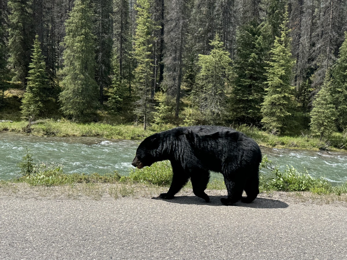
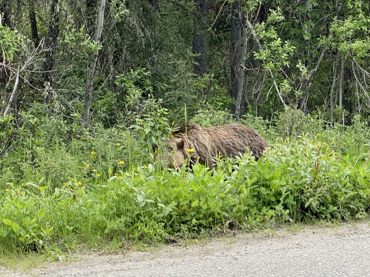
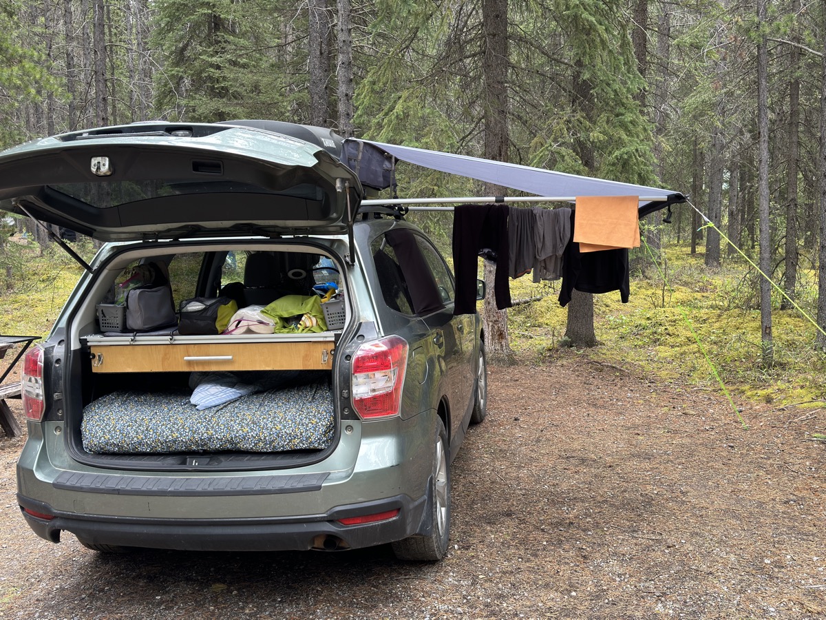
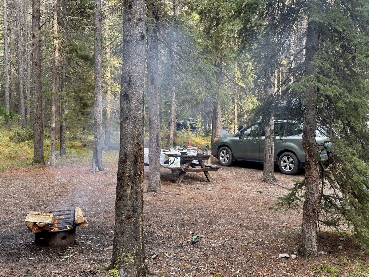
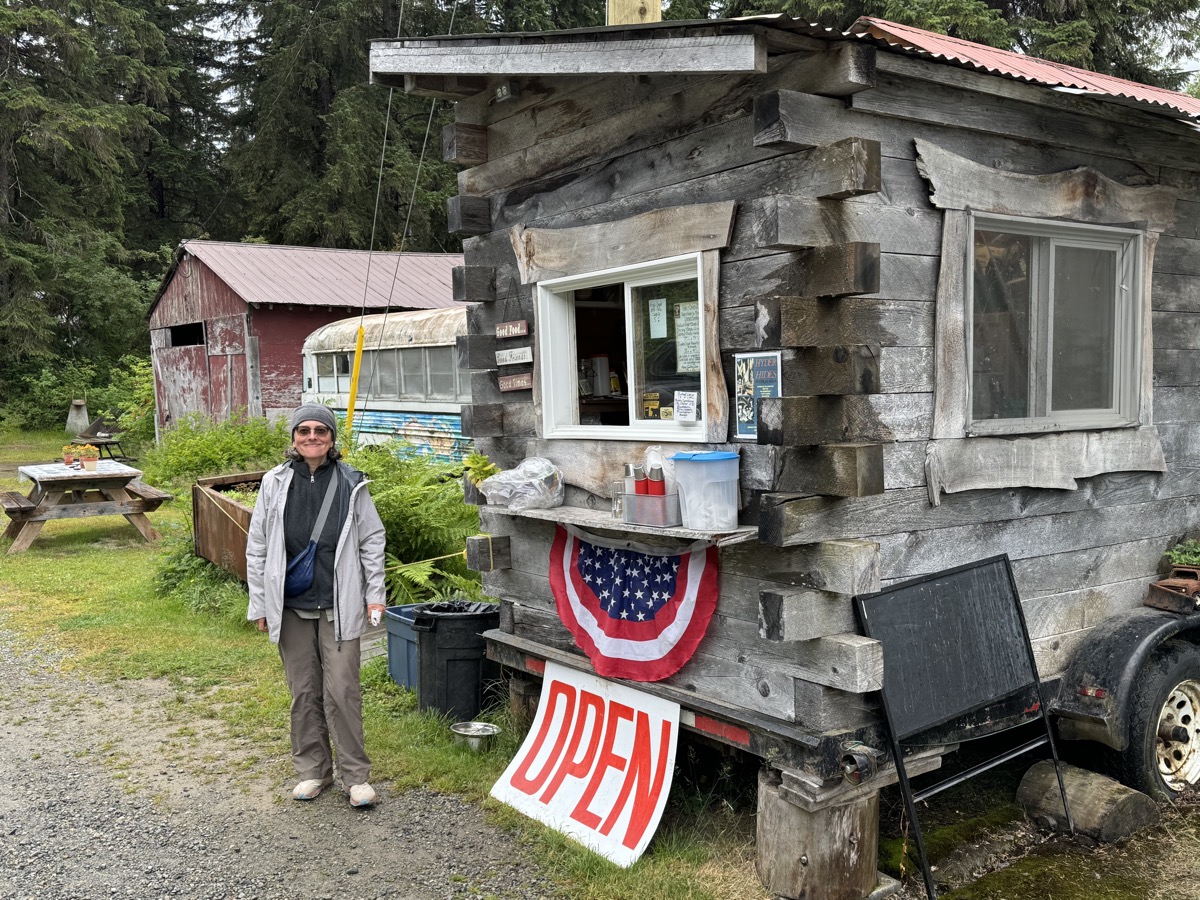
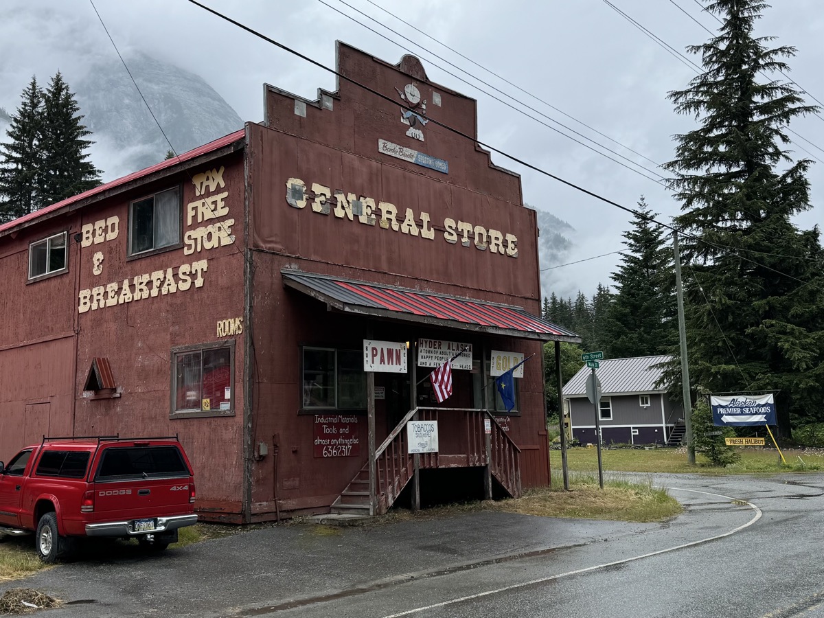
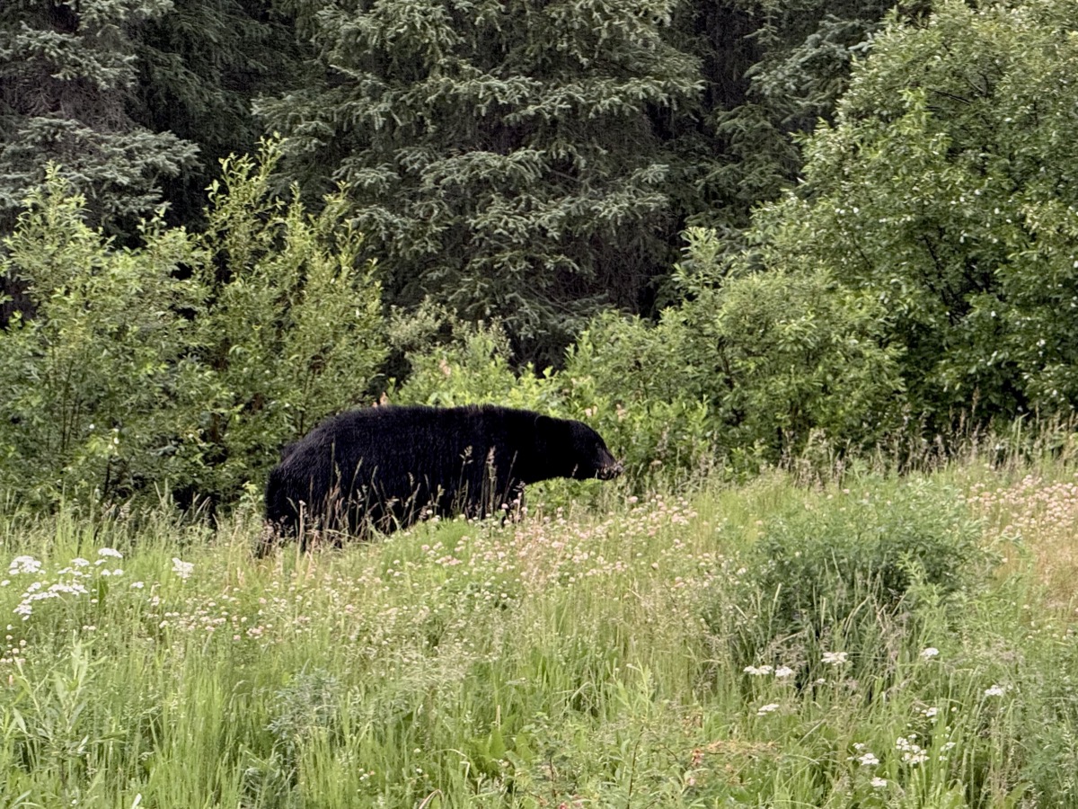
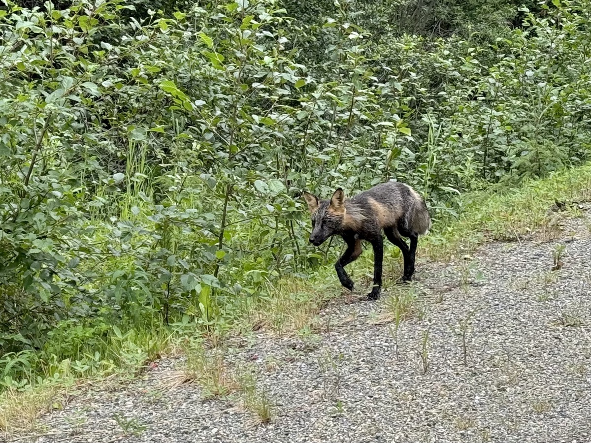
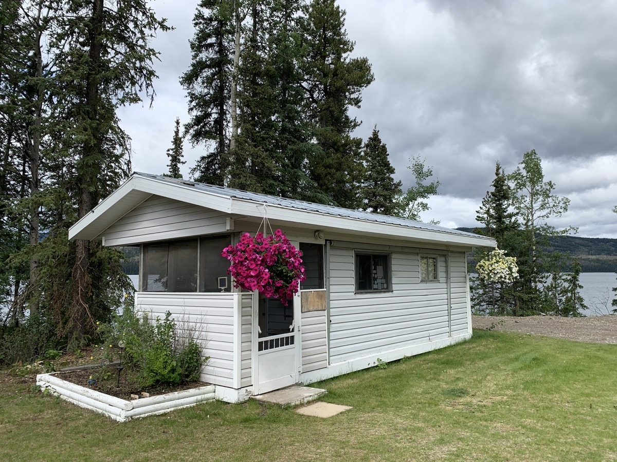
We visited Hyder, a very small town now, but with character and interesting past. Bought cod fish & chips at famous shack (the Bus) , which we ate later at Stewart Visitors Centre. Little time to look around. We drove all afternoon north on Cassiar Hwy towards Yukon Territory. Watching black bear and later arctic fox walking along the road cheered us up. After 400 km in mostly rainy weather we had no choice, but to rent a cabin on Dease Lake. Lucky as it was the only thing available for a reasonable price and it was getting late.

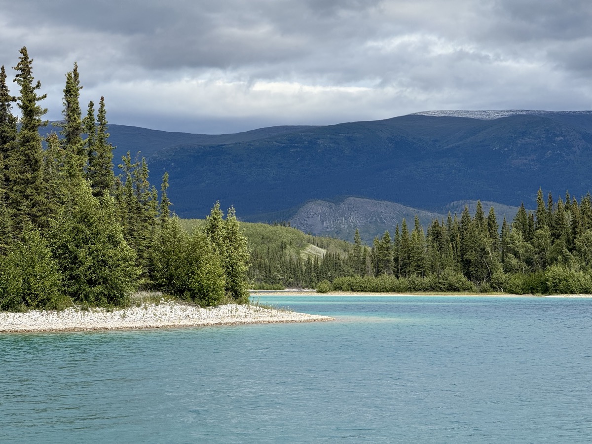
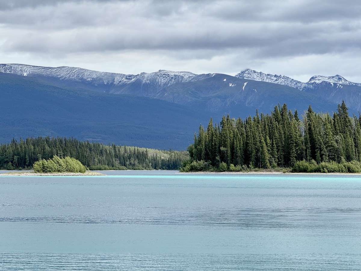
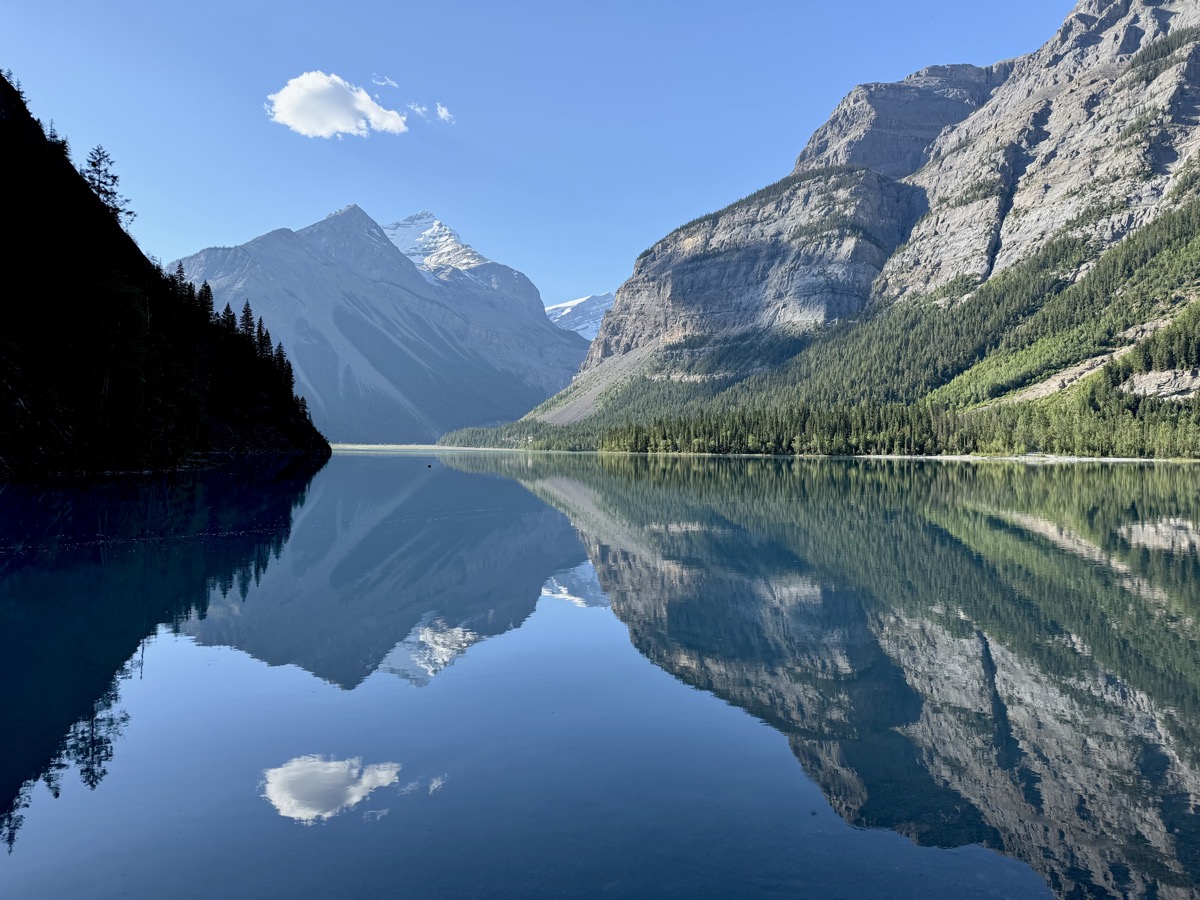
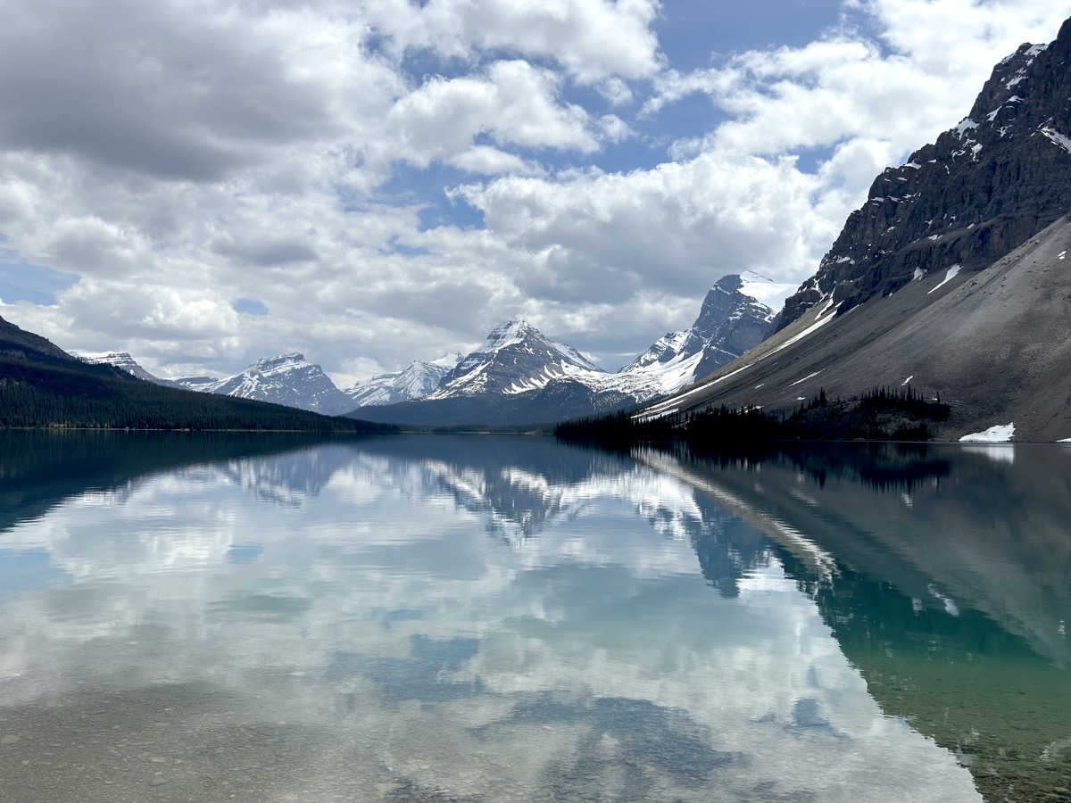
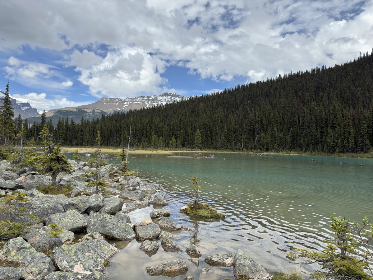
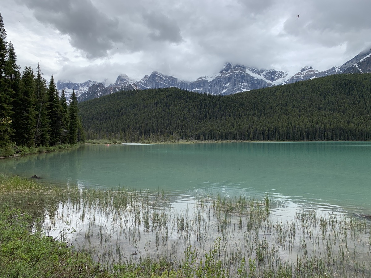
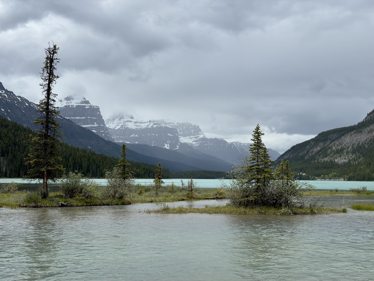
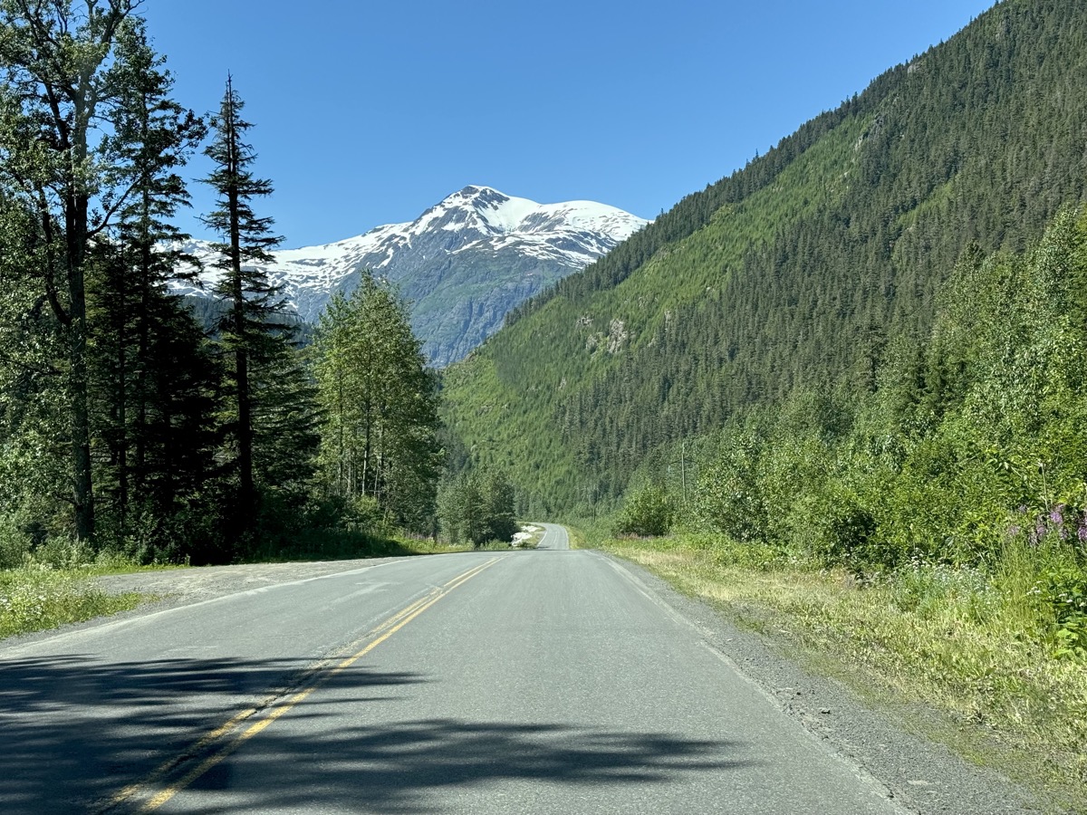
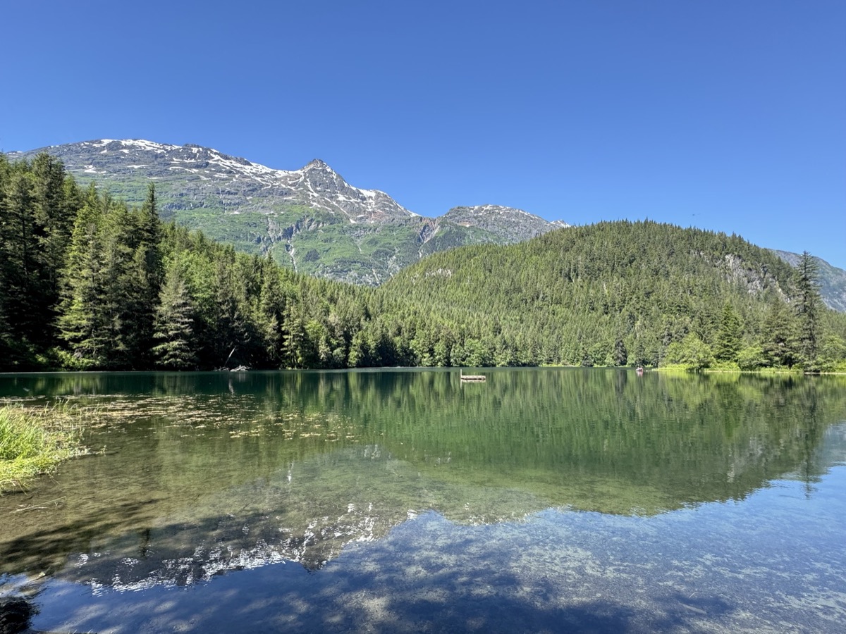
Cassiar Hwy is a major two-lane road, but not a big highway. Winding, with nice relaxing scenery, not much traffic. We drove 700 km of it (from Kitwanga to Yukon Territory); it was pleasant experience. The main stop of that day was at Boya Lake, it’s shallow water reflecting sunlight in vibrant blue colors between many small islands. We had time for short walk and lunch, checked out campground, but ended driving some more to Yukon. In hindsight, we shuld have stayed and kayaked on this beatiful lake. Later we found nice wild camping site off Alaska Hwy just west of Watson Lake to end the day.

error: Content is protected !!