August 26-September 2
Day 74 -75.
Our next destination was Skagway, but we already set our eyes on destination further down the road: Vancouver Island. To get there, we decided to go back to Watson Lake, but then take Alaska, Caribou and John Hart Hwys to Prince George via Fort Nelson and Dawson Creek (which we actually bypassed), not to return the same way we came in and to at least get a glimpse of Northern Rocky Mountains. We knew we had days with more driving ahead, 2000 km across Yukon and British Columbia from Skagway to Prince George in 4 days camping along the way. We then added another day of driving 370 km on Carcross Hwy to Green Lake Provincial Park. Warm days of Summer slowly returned as we were moving south quite fast. But Skagway first.
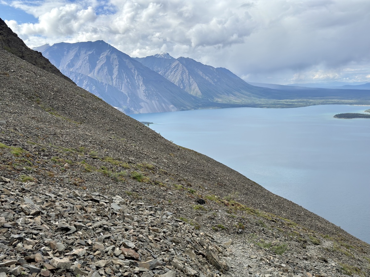
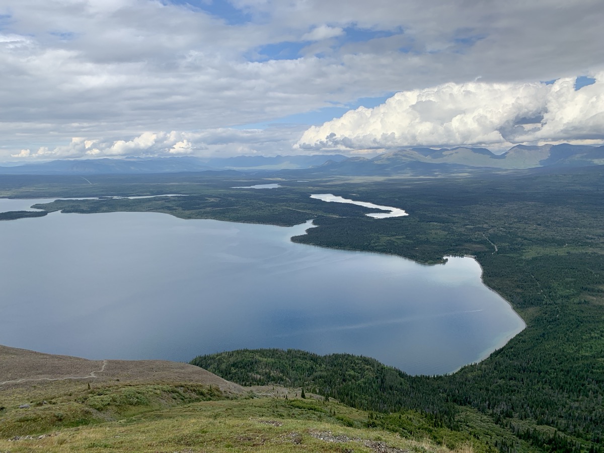
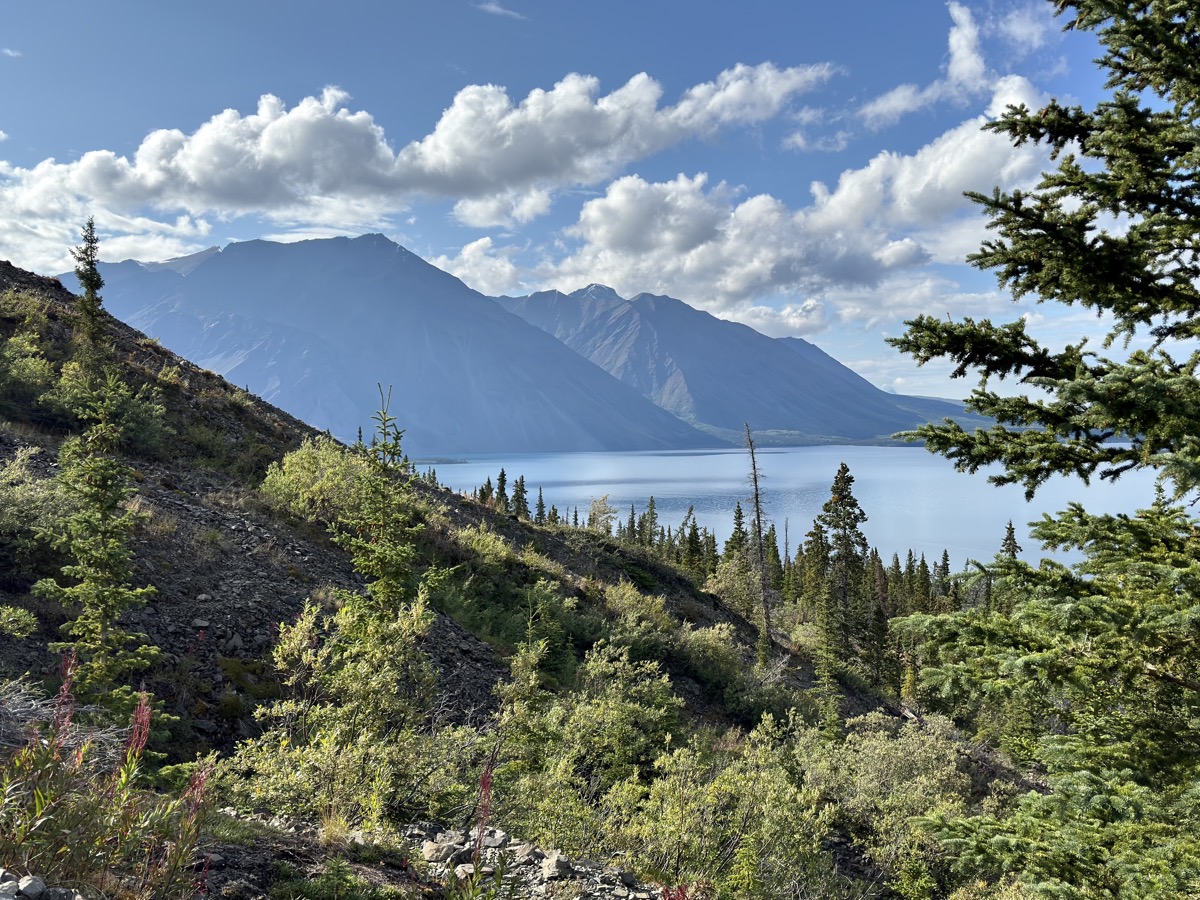
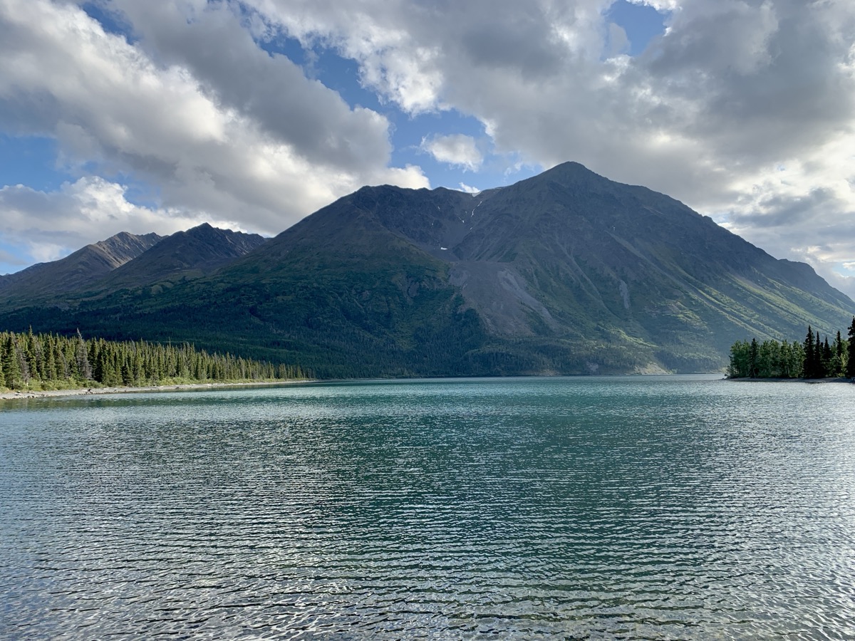
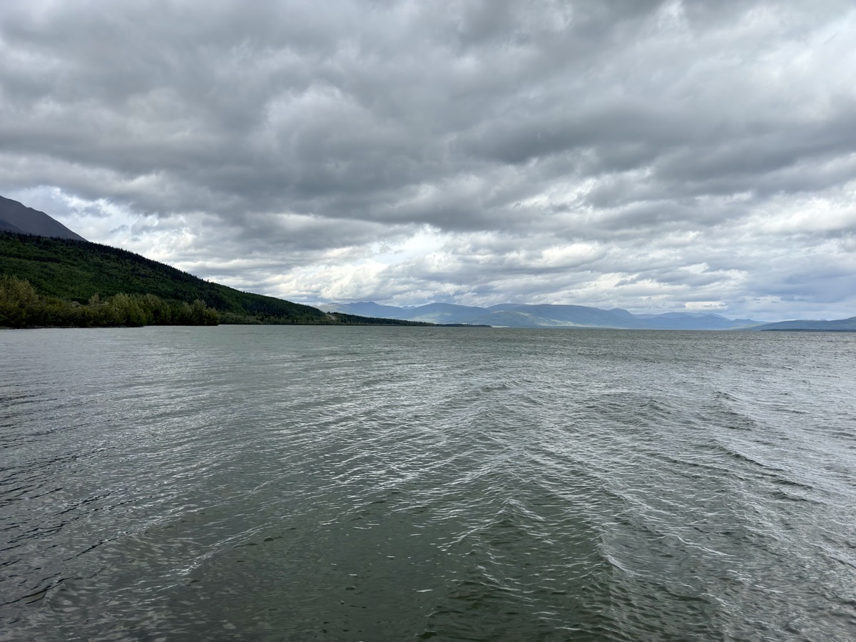
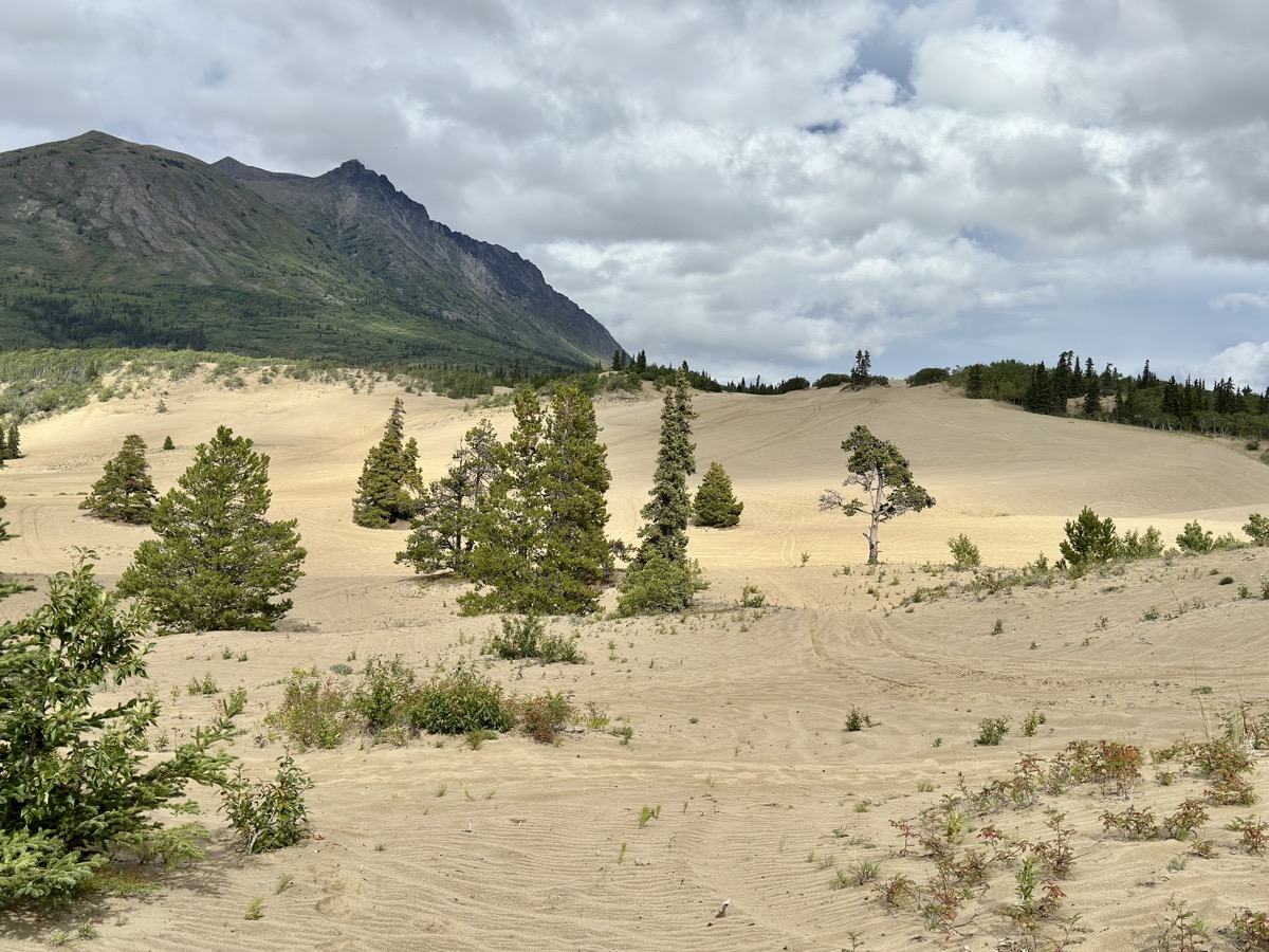
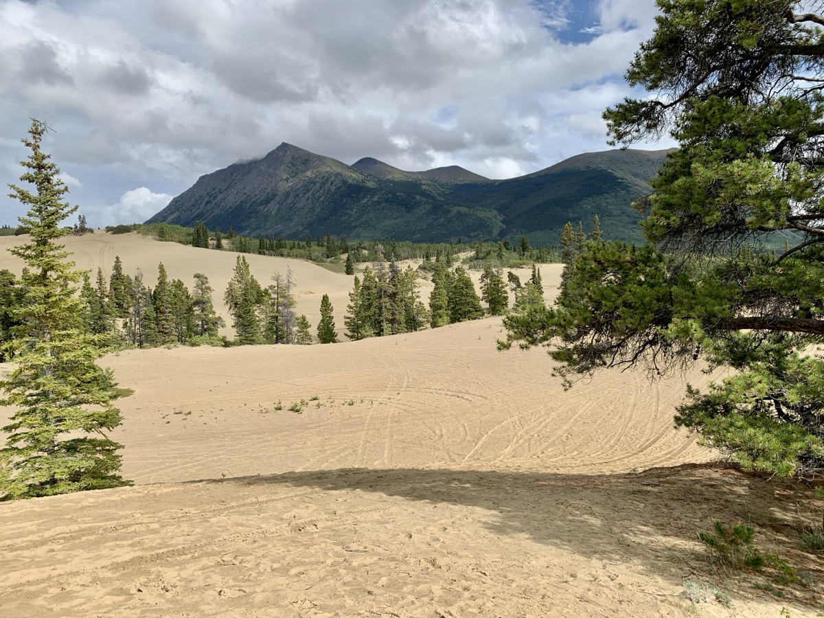
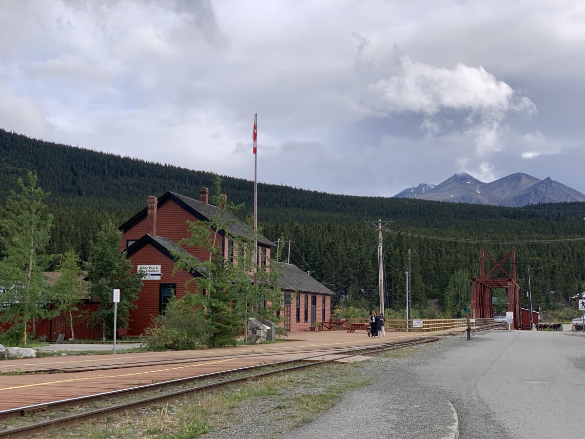
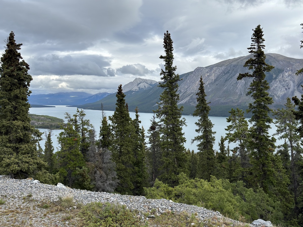
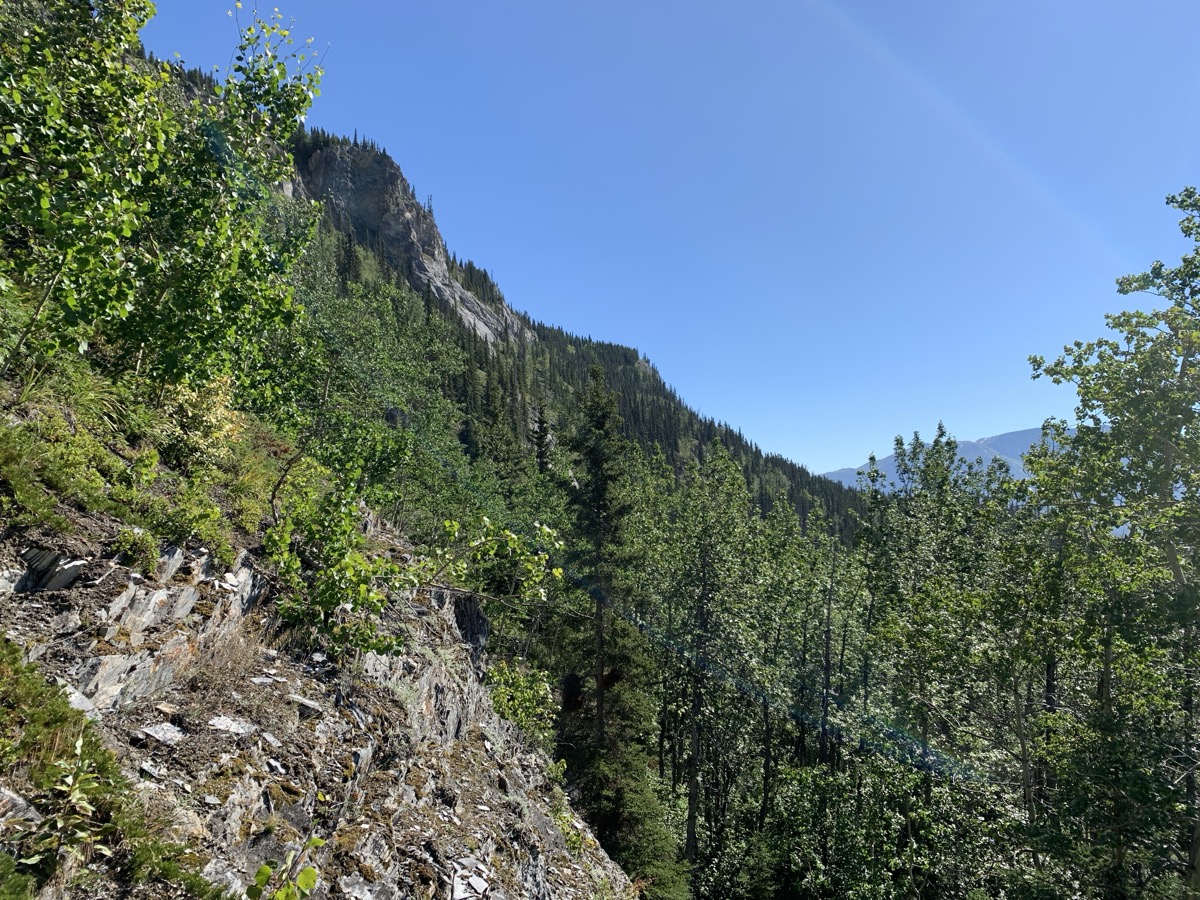
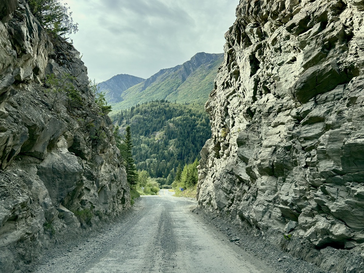
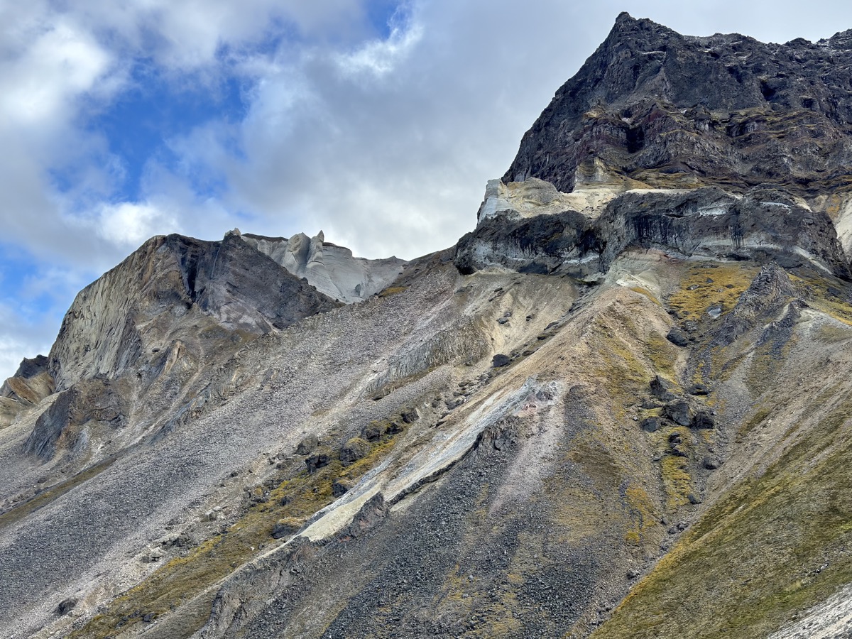
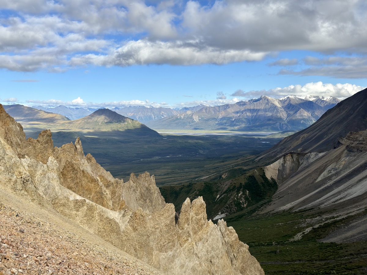
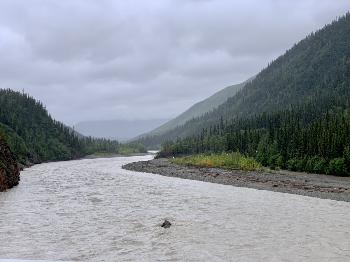
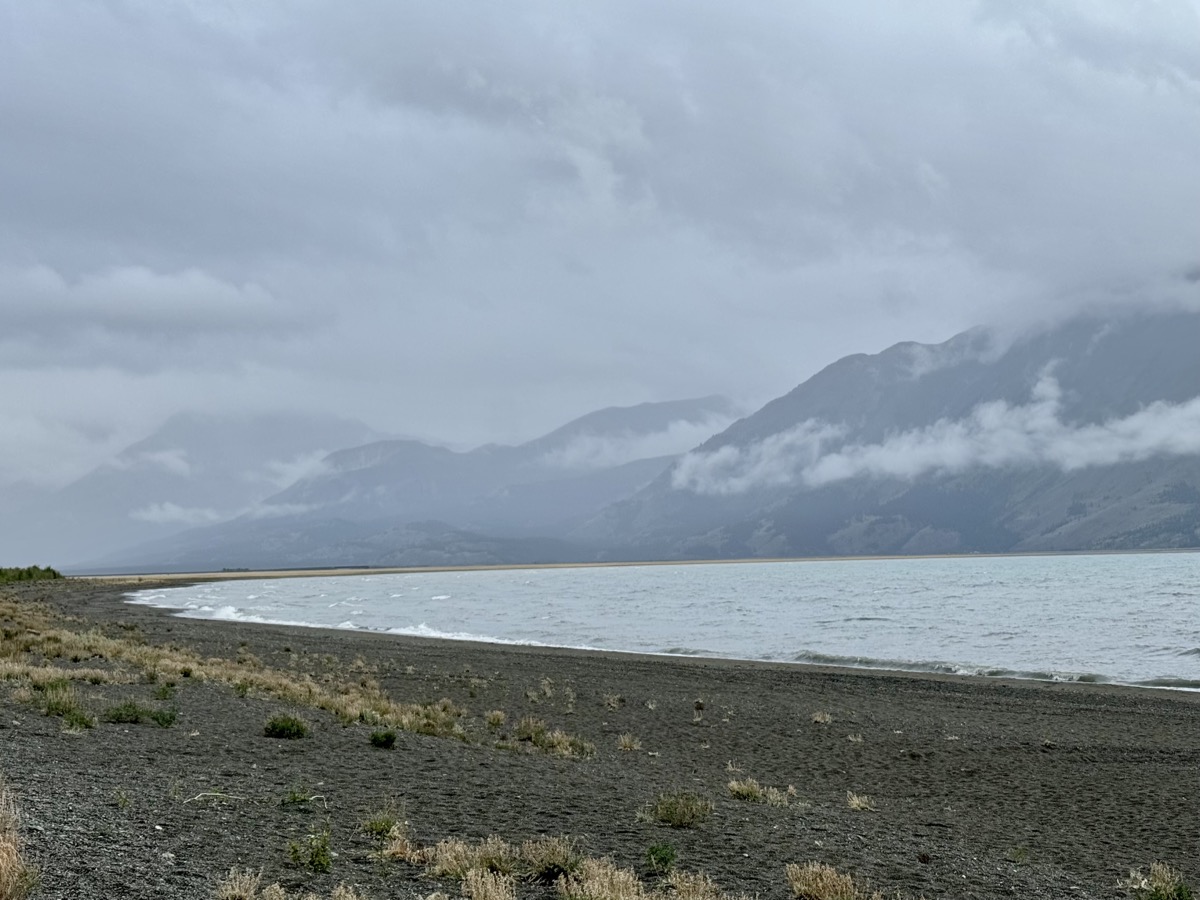
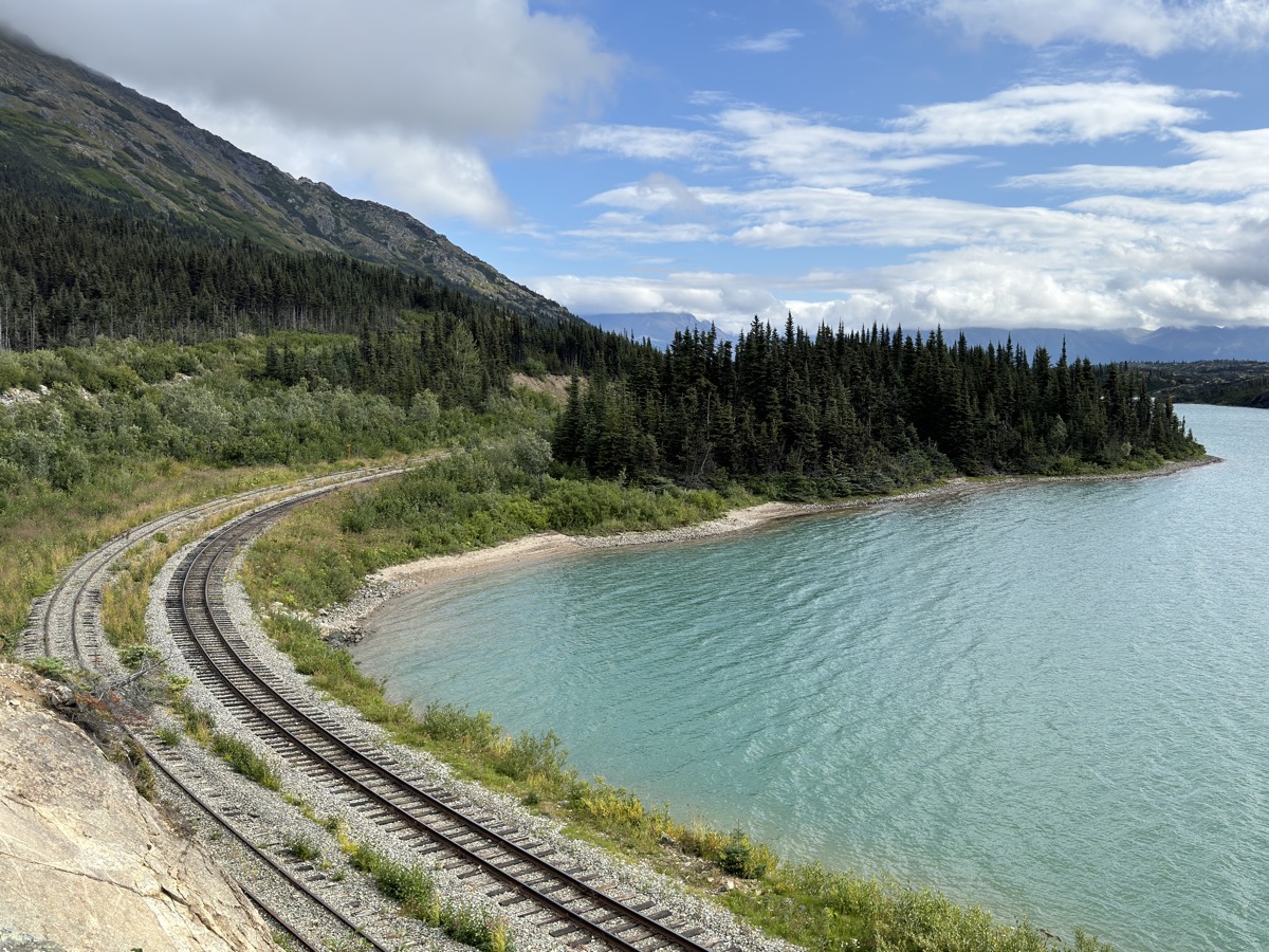
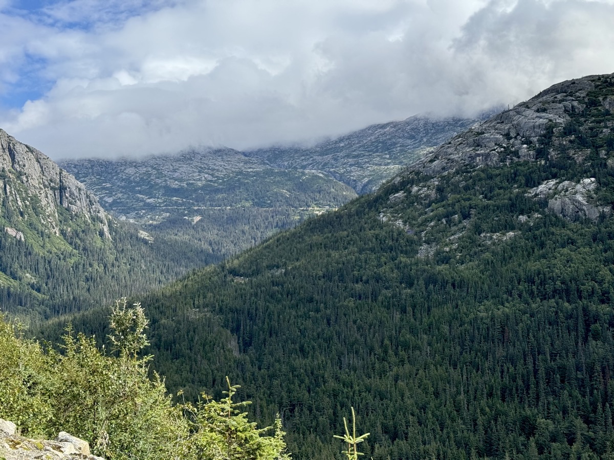
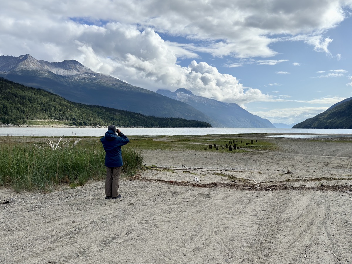
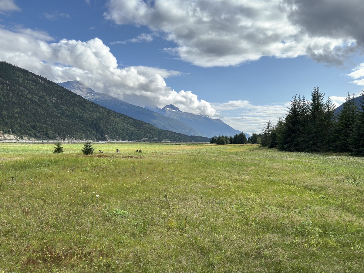
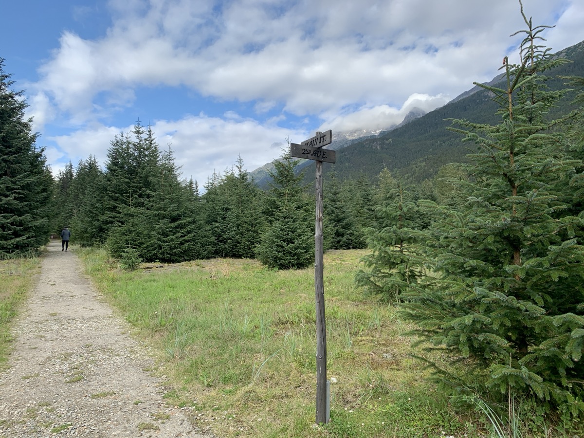
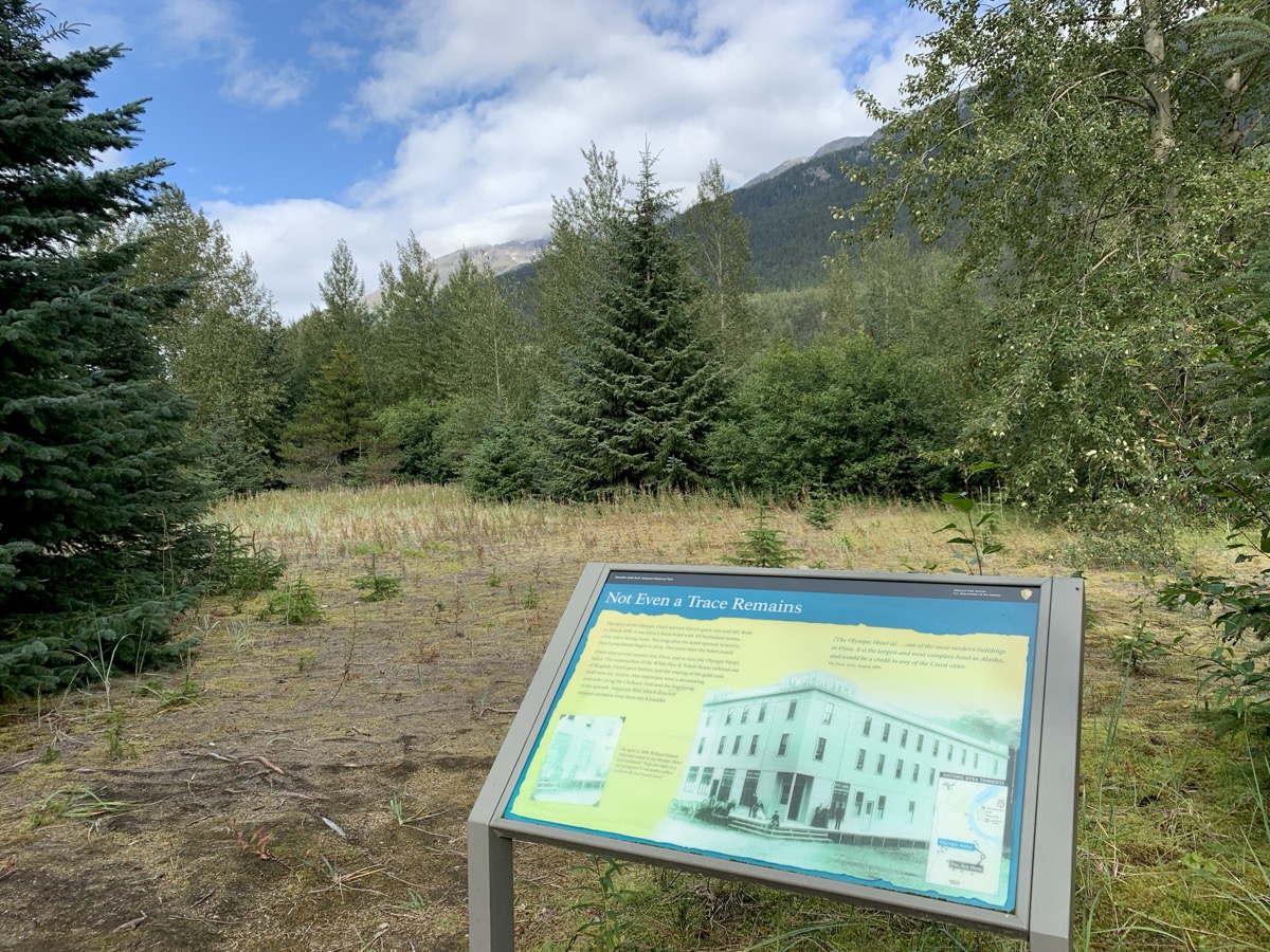
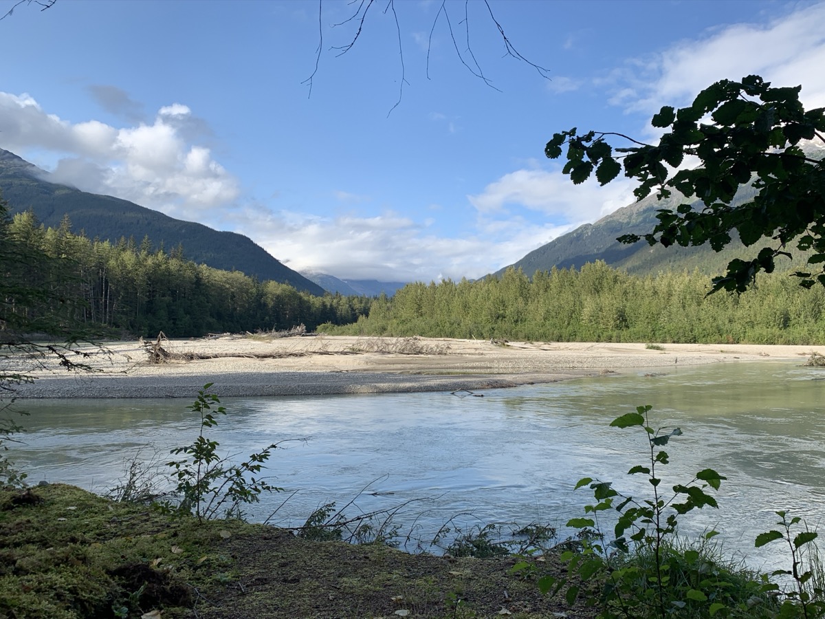
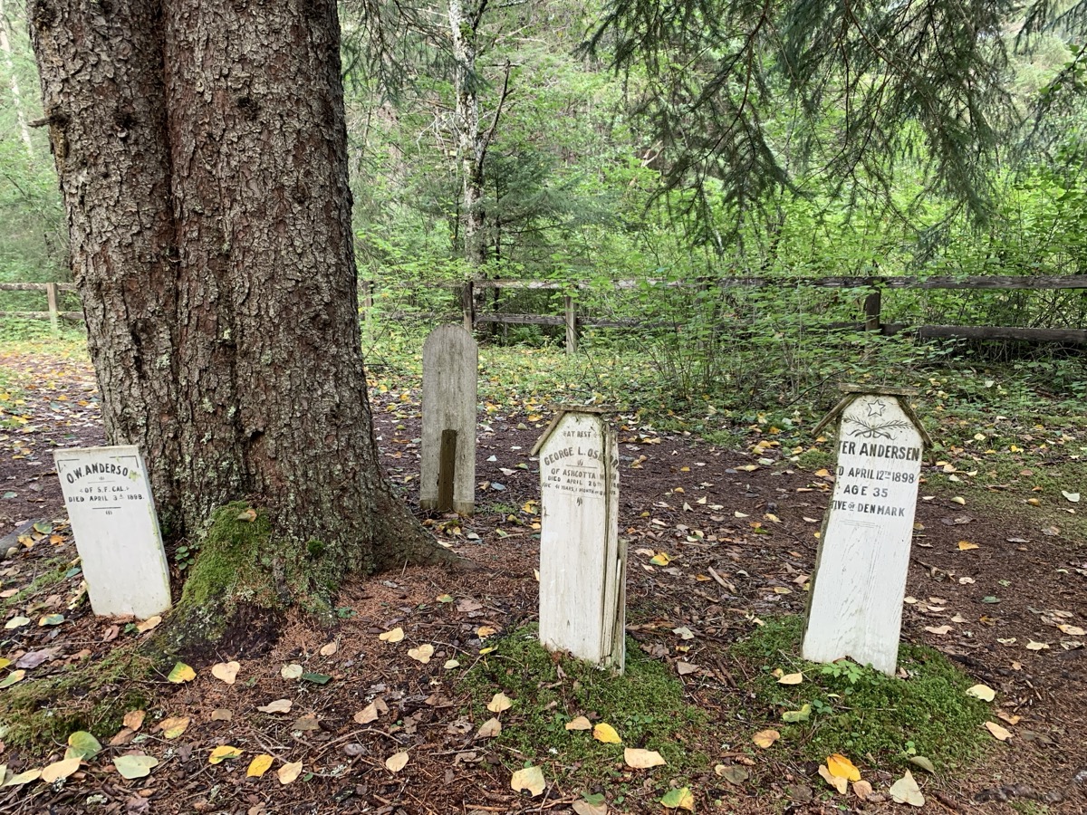
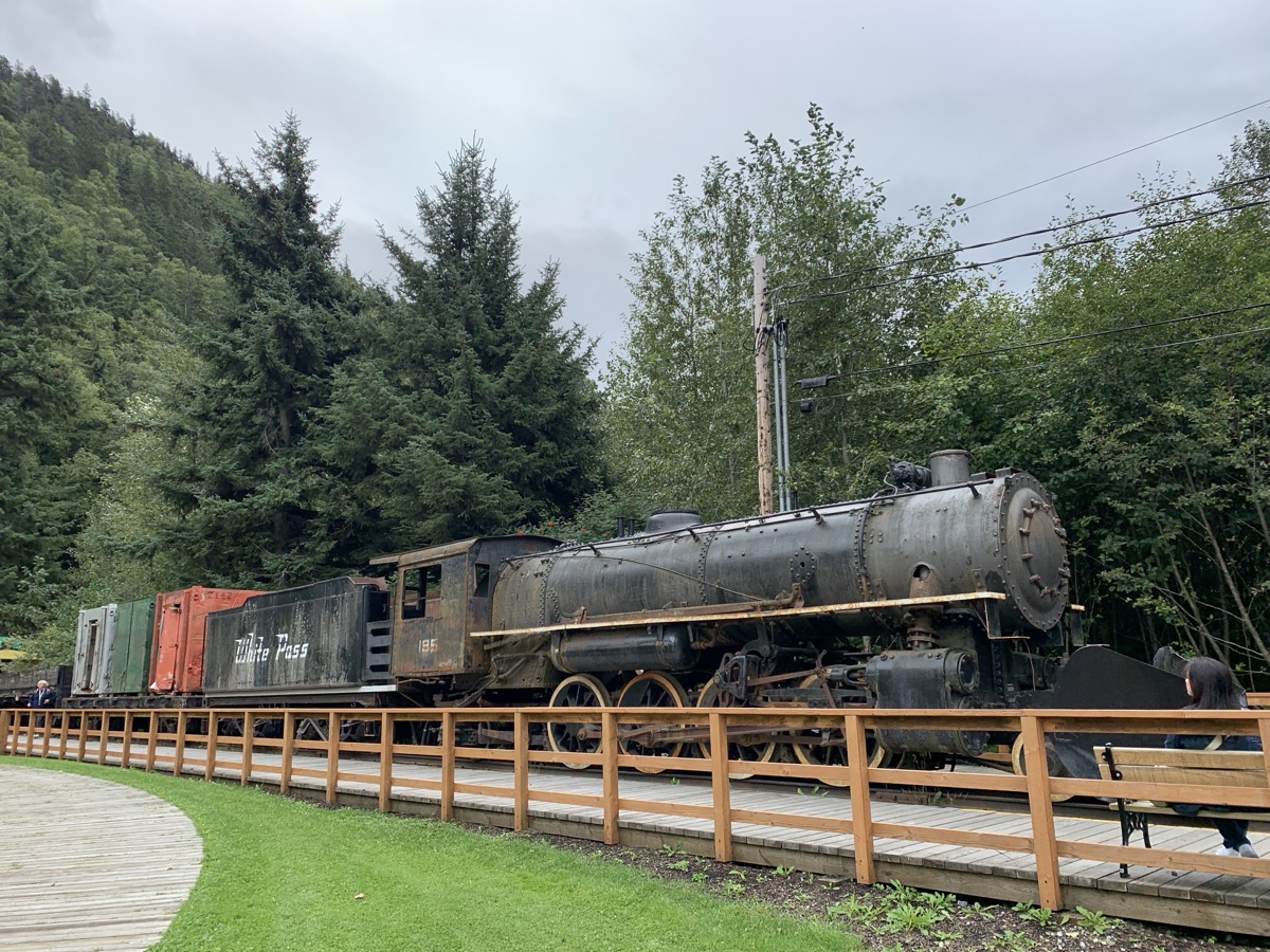
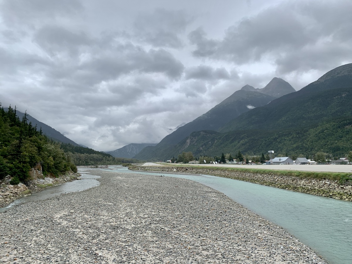
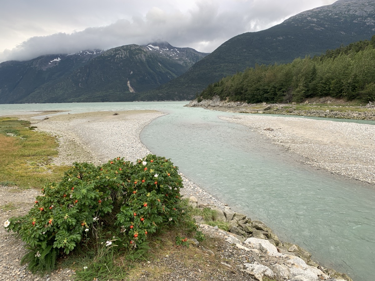
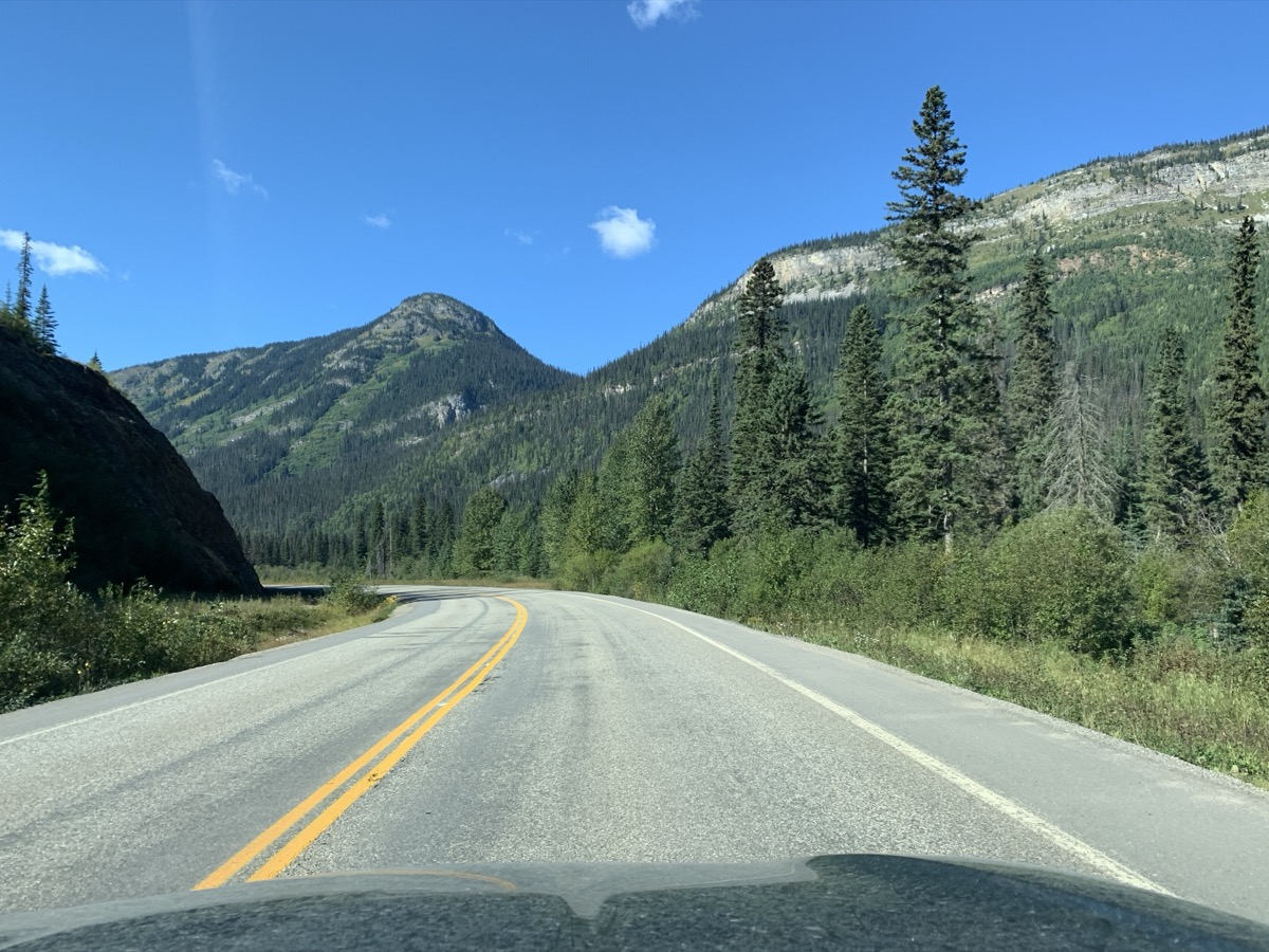
From Conrad to Skagway is a short drive including border crossing. The views are quite spectacular, both in the Summit Lake area and then down from White Pass of gold rush fame. White Pass and Yukon Railway runs on opposite slope of the valley then modern highway. Tourist train still runs between Skagway and Carcross (previous post). We made it to Skagway by lunch-time and checked-in to Westmark Hotel. Very good choice, comfortable accommodation and quick access to nearby attractions. We had time to visit nearby Dyea to learn more about gold rush history. Few visitors there. Dyea was rival entry port leading to Klondike via more difficult Chilkot pass, but was abandoned after Palm Sunday Avalanche (1898).
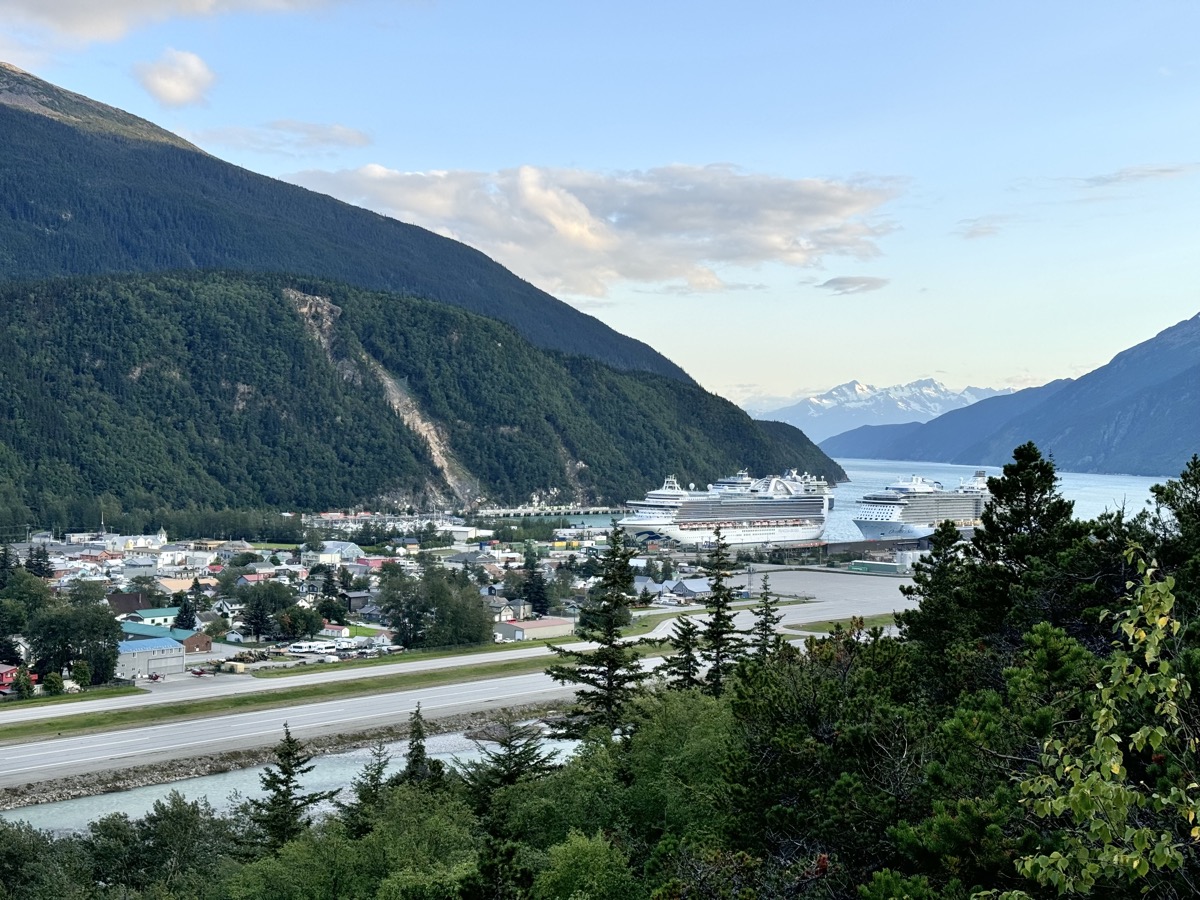
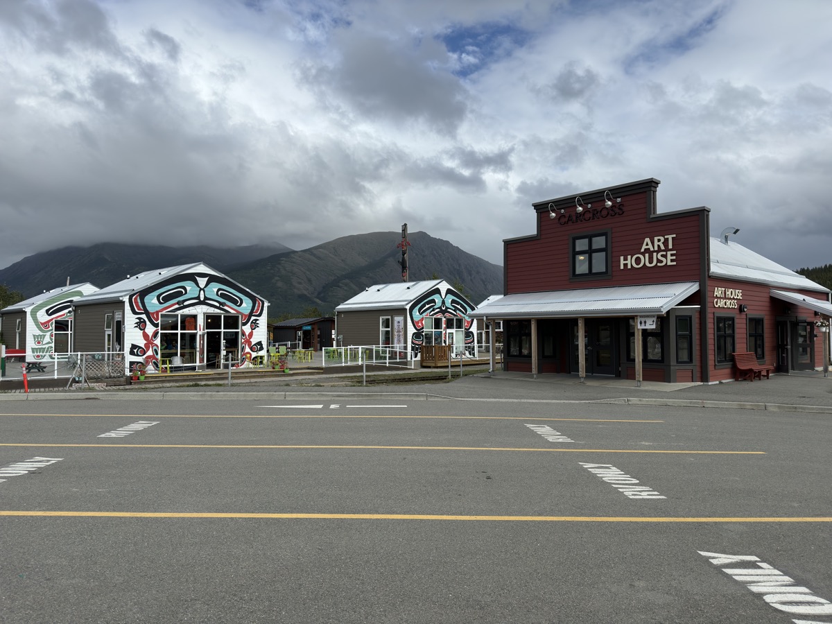
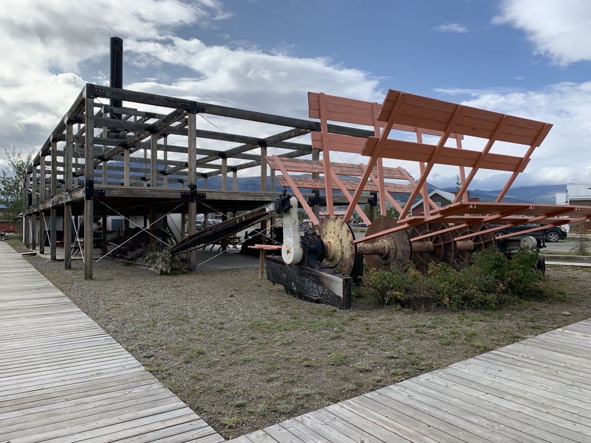
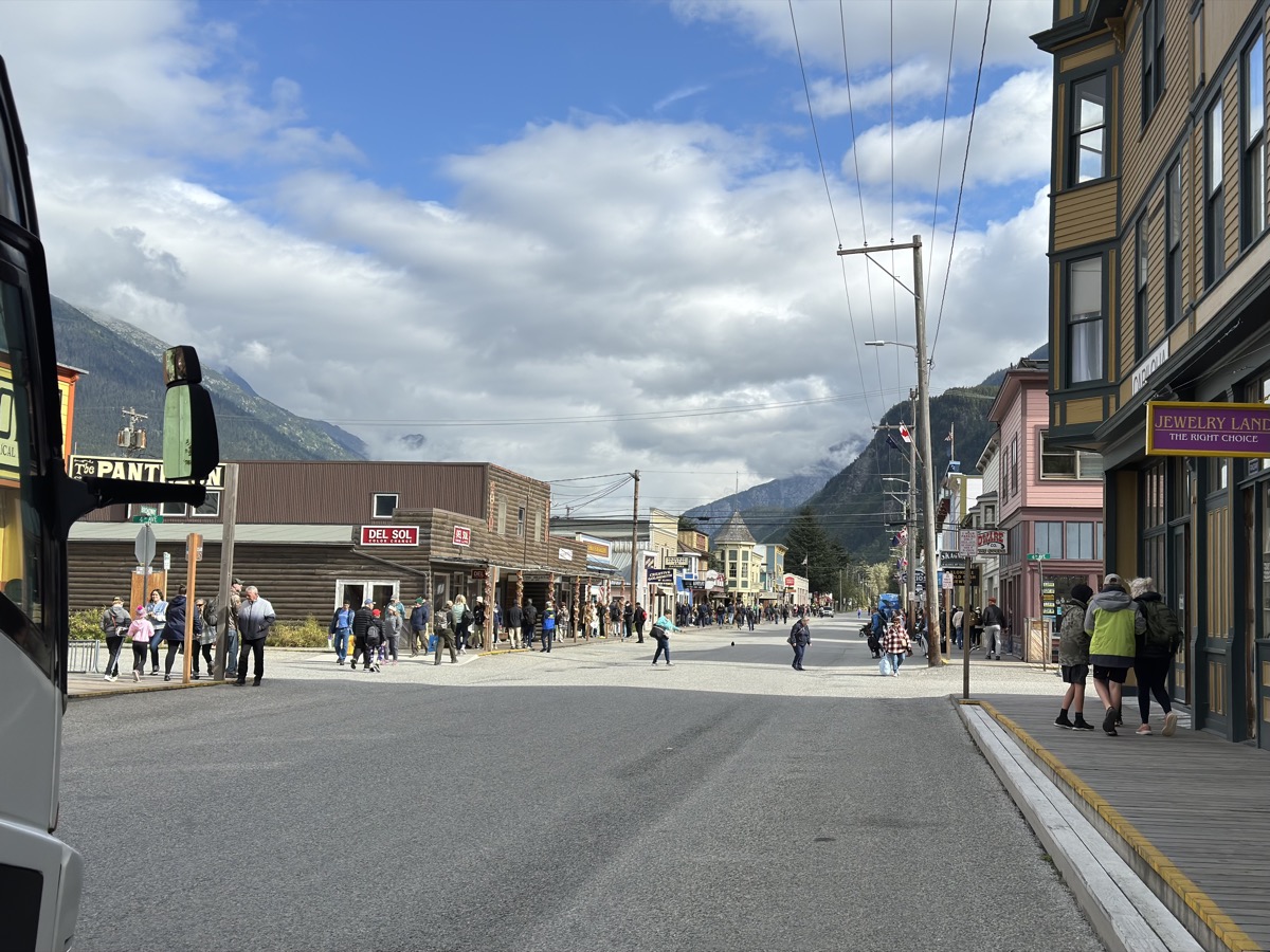
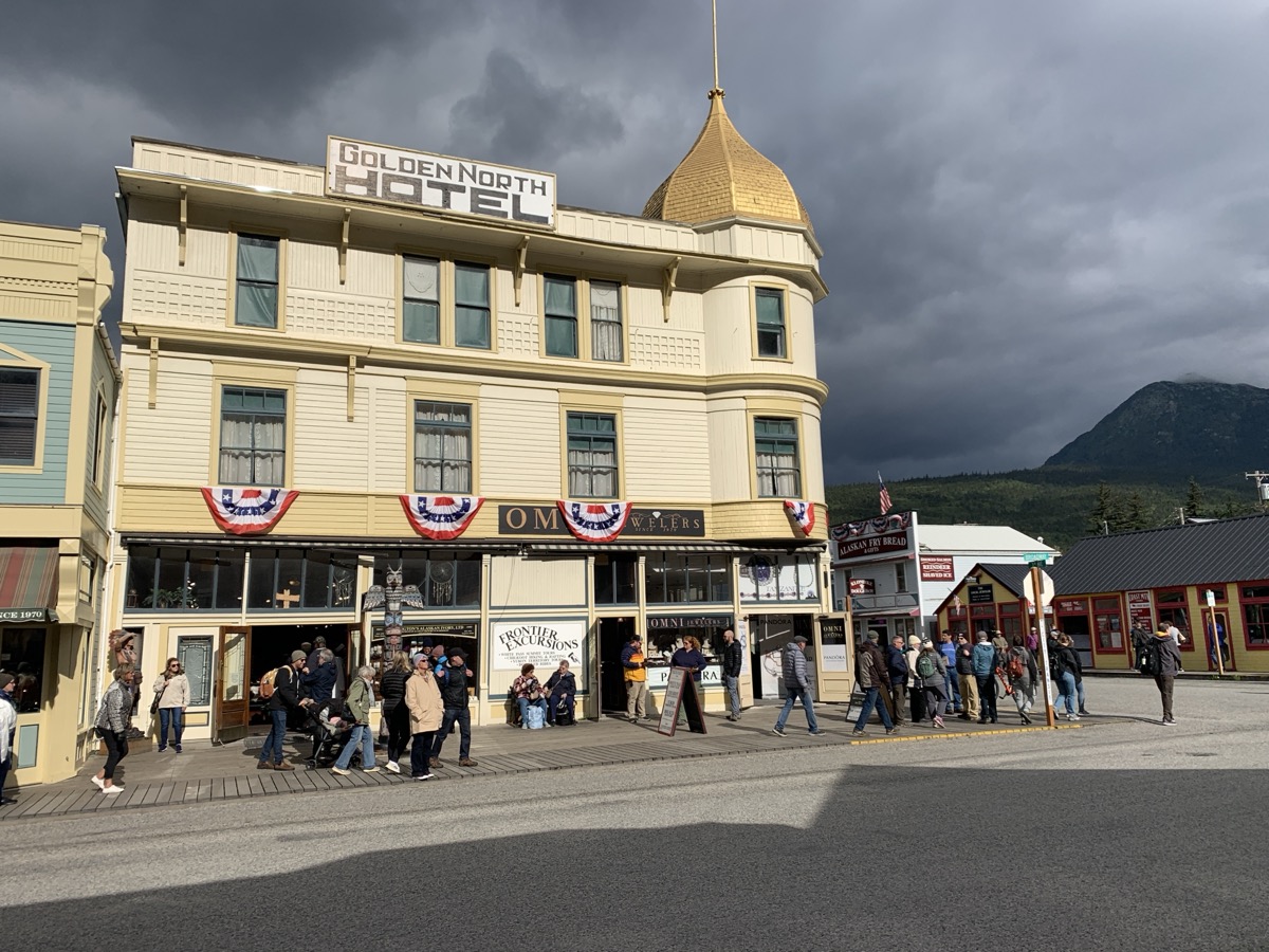
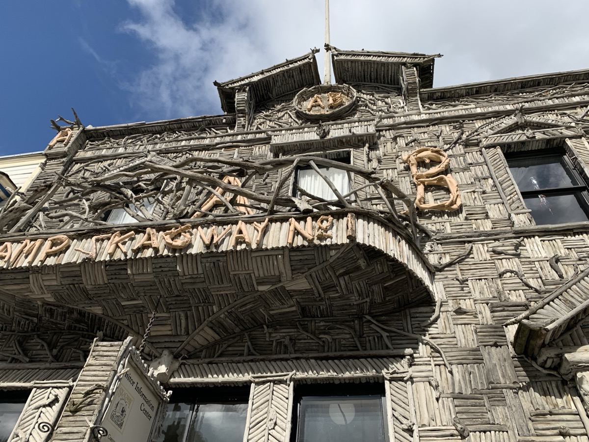
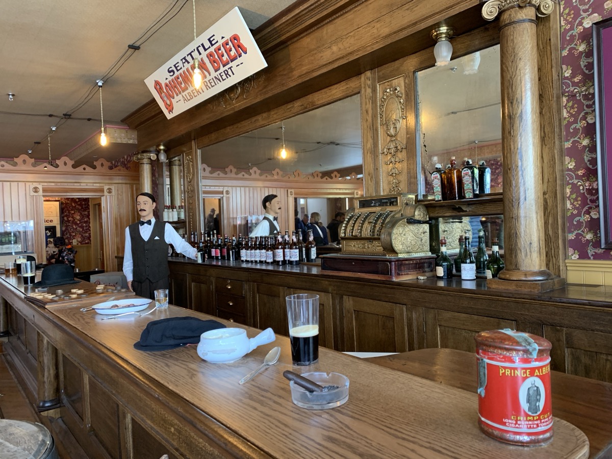
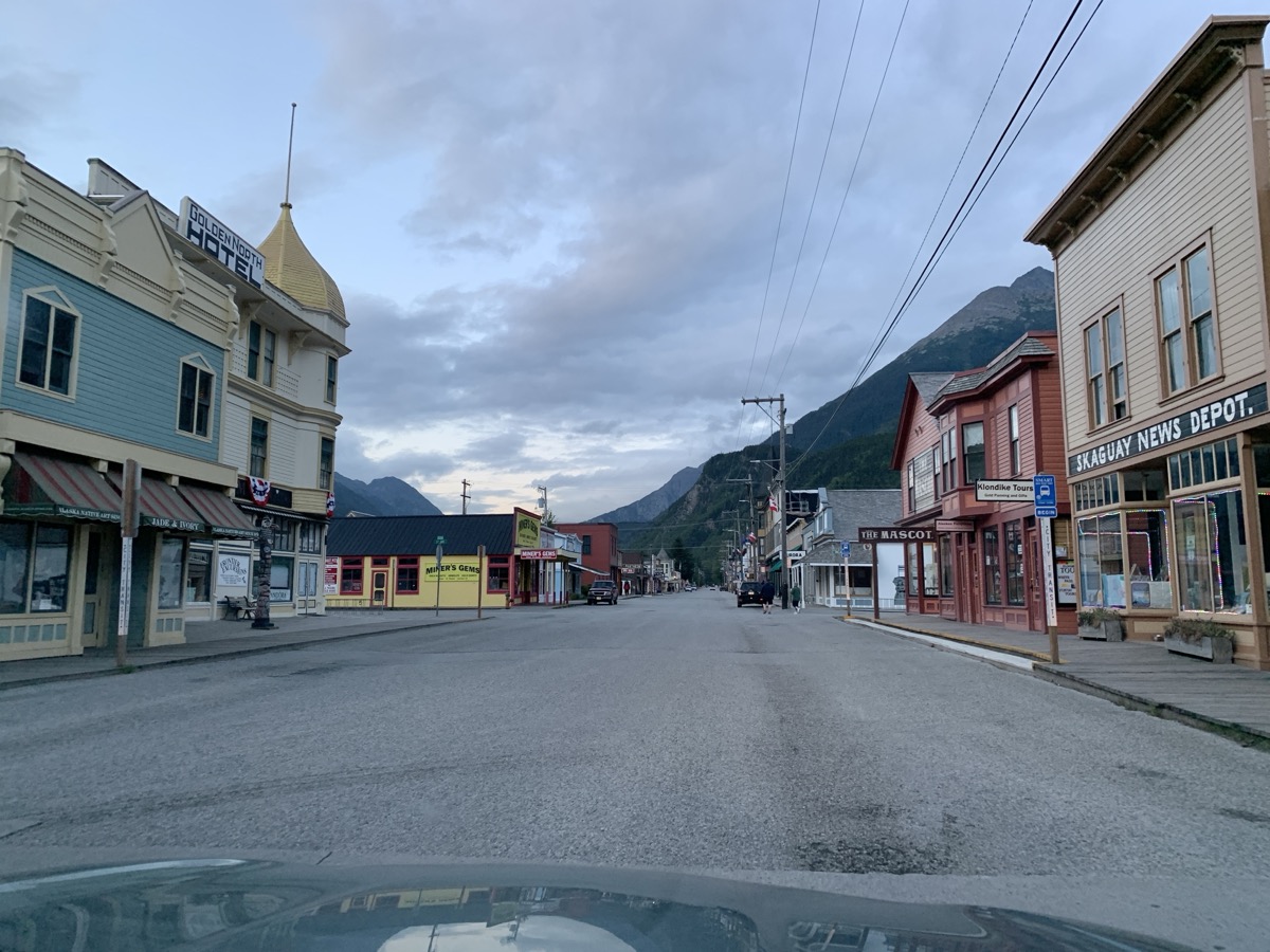
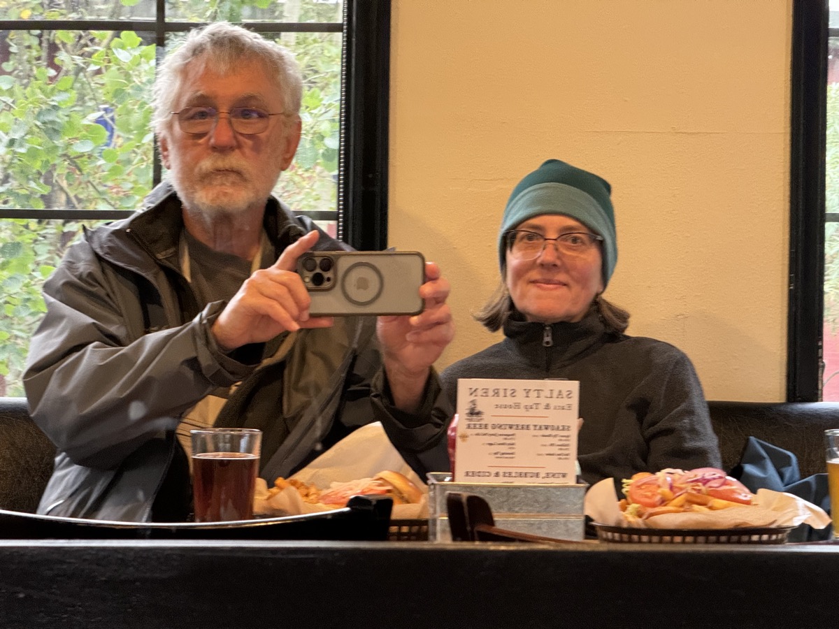
We actually liked Skagway, small town, milling around with thousands of visitors arriving daily on cruise ships. We knew what to expect and it somehow did not bother us. Streets felt deserted in the evening when visitors returned to their ships for dinner. We ended the visit with dinner at Salty Siren (fish&chips and salmon sandwich). On this trip, we visited key historic places of Klondike Gold Rush (1897-1898).
Day 76.
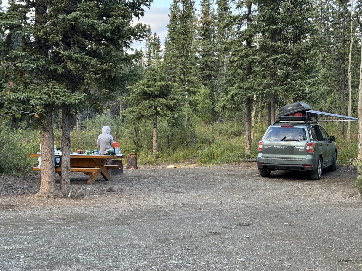
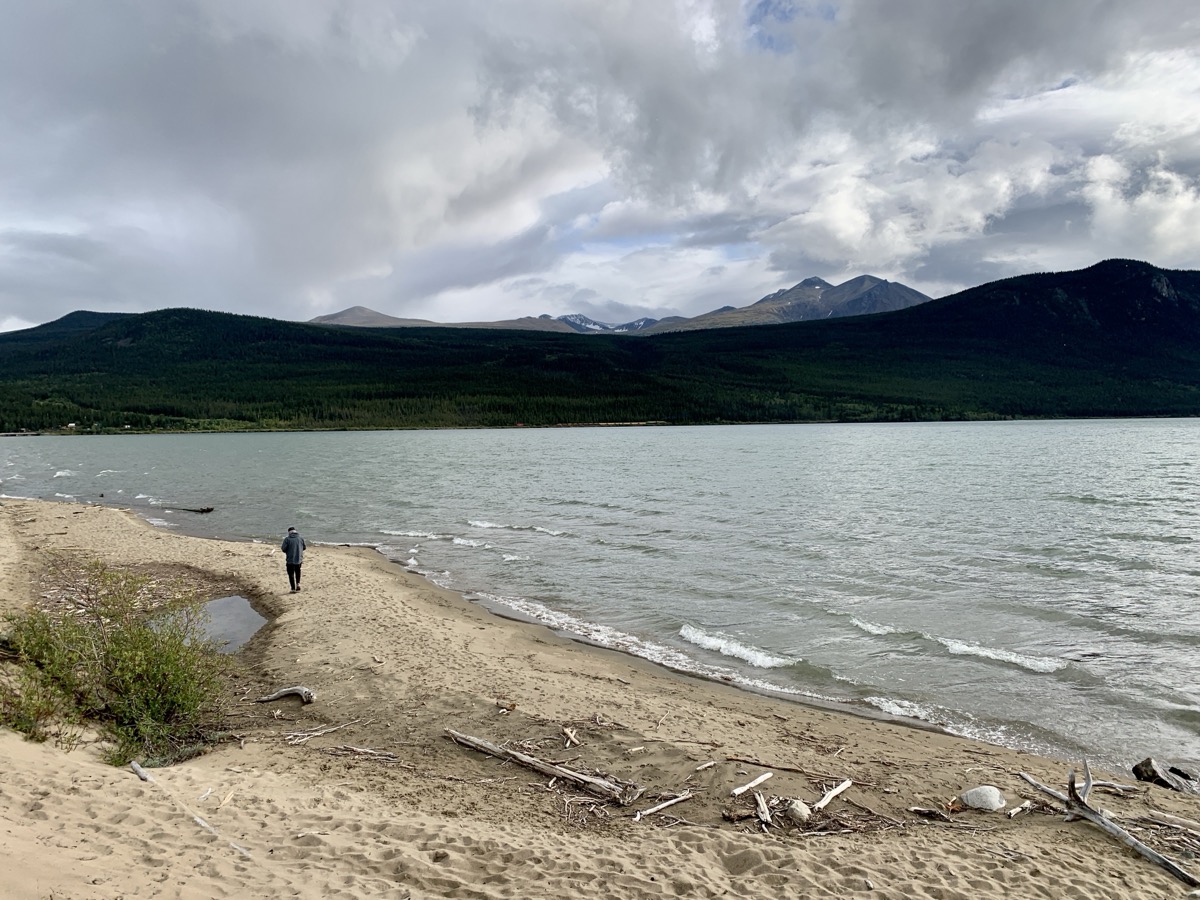
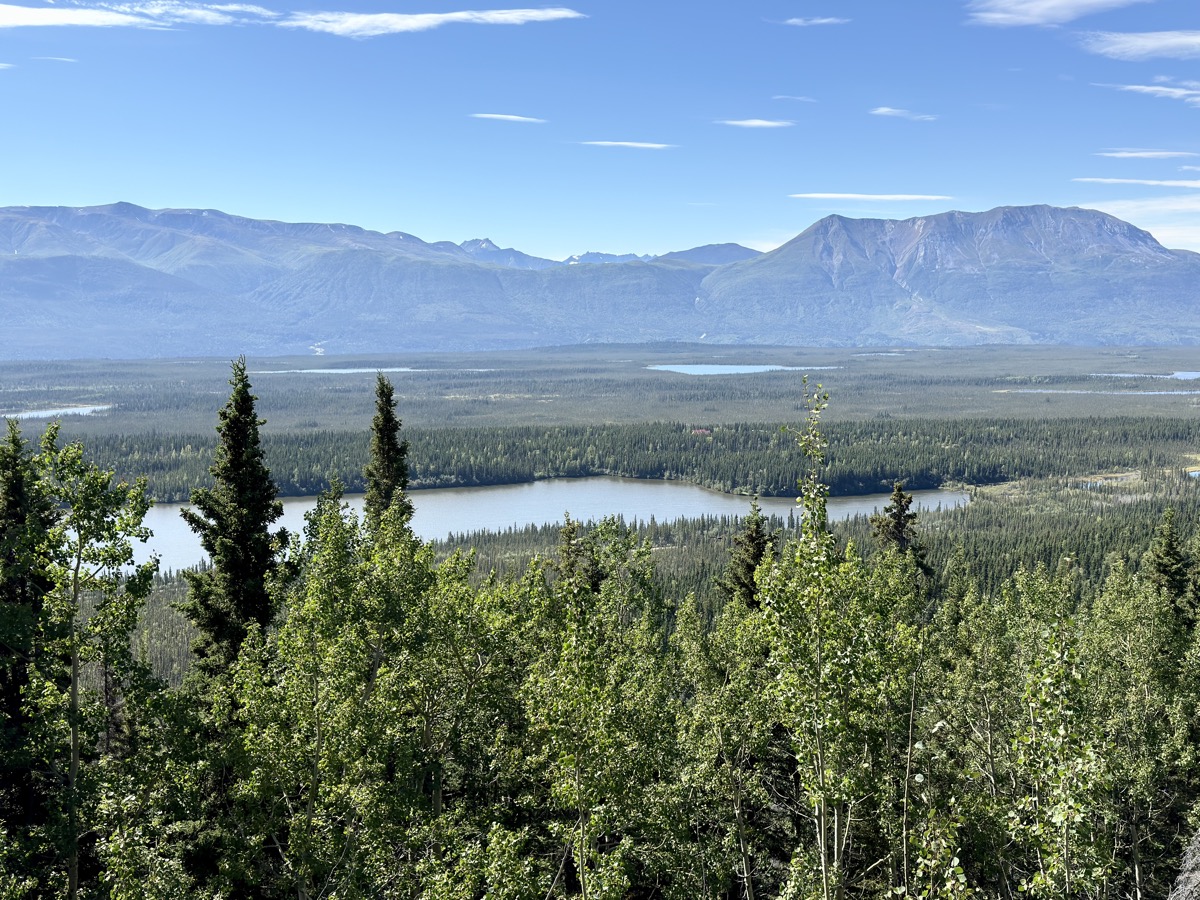
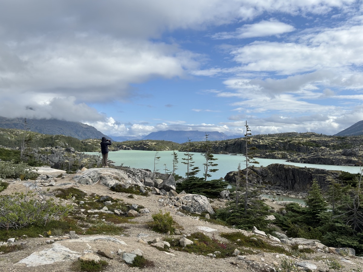
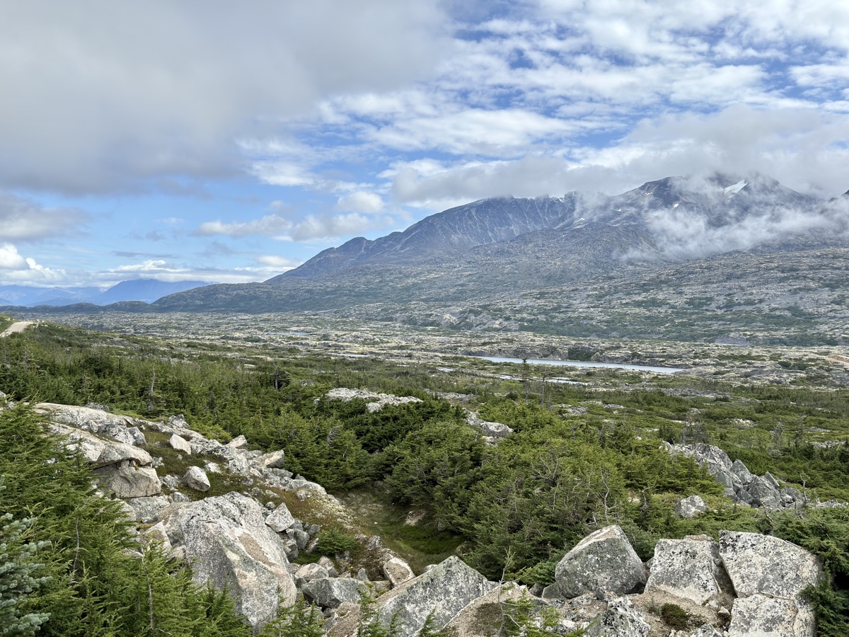
Time to return. Two days of driving on Klondike and Alaska Hwys – we knew most of this section already. Just made several short stops, mostly near White Pass to enjoy scenery. We re-visit our old wild campsite just outside Watson Lake. We liked it and it was exactly where we needed it.


Day 77.
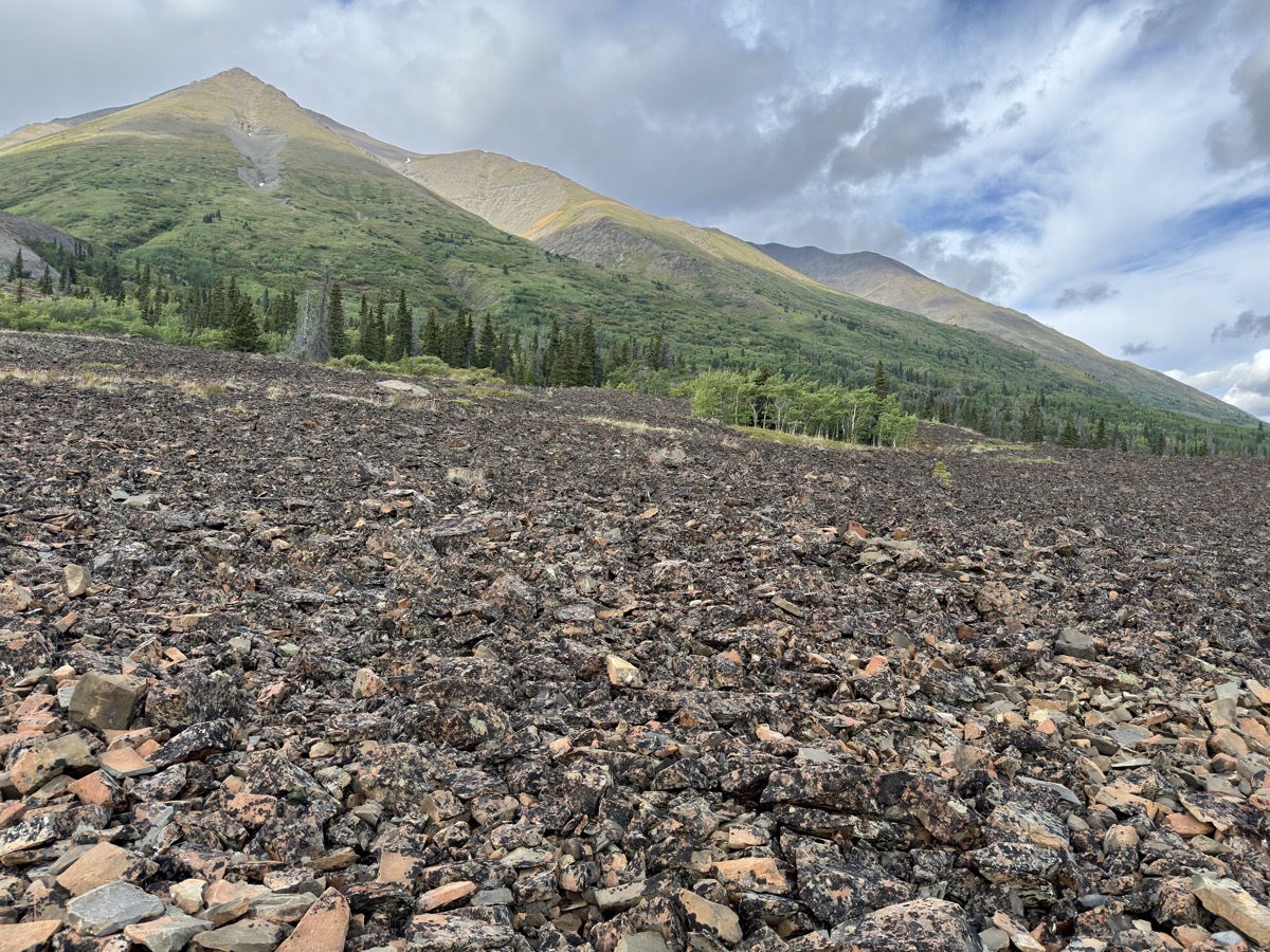
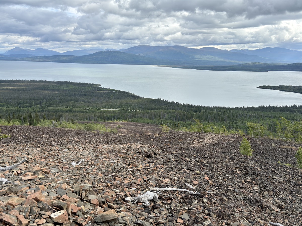
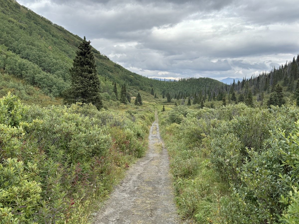
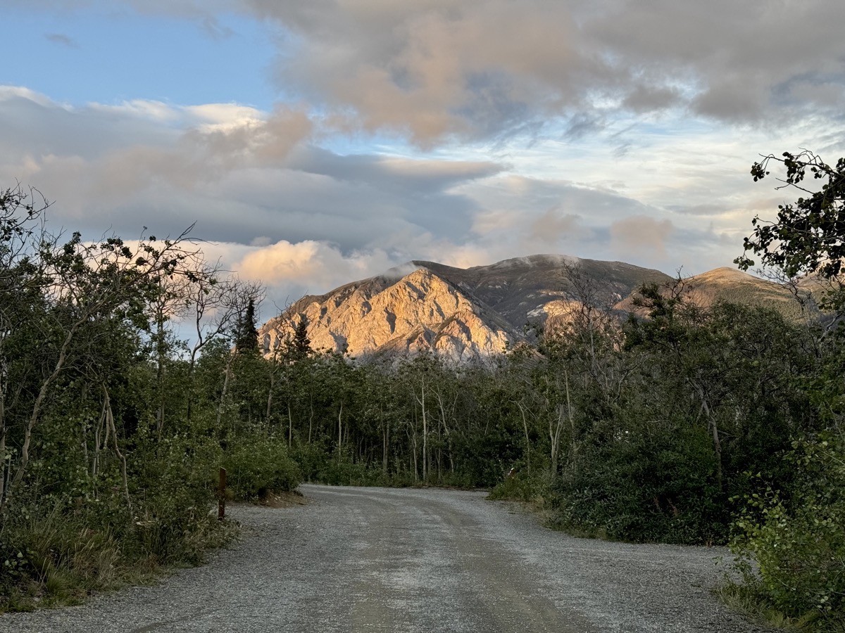
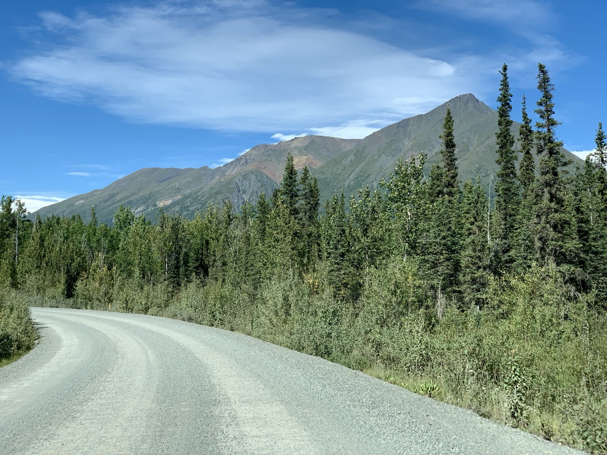
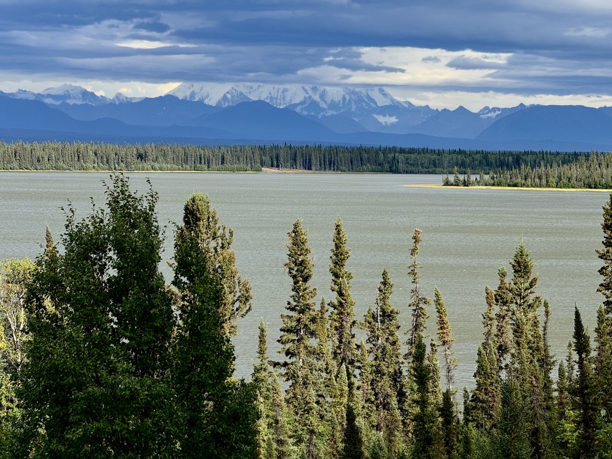
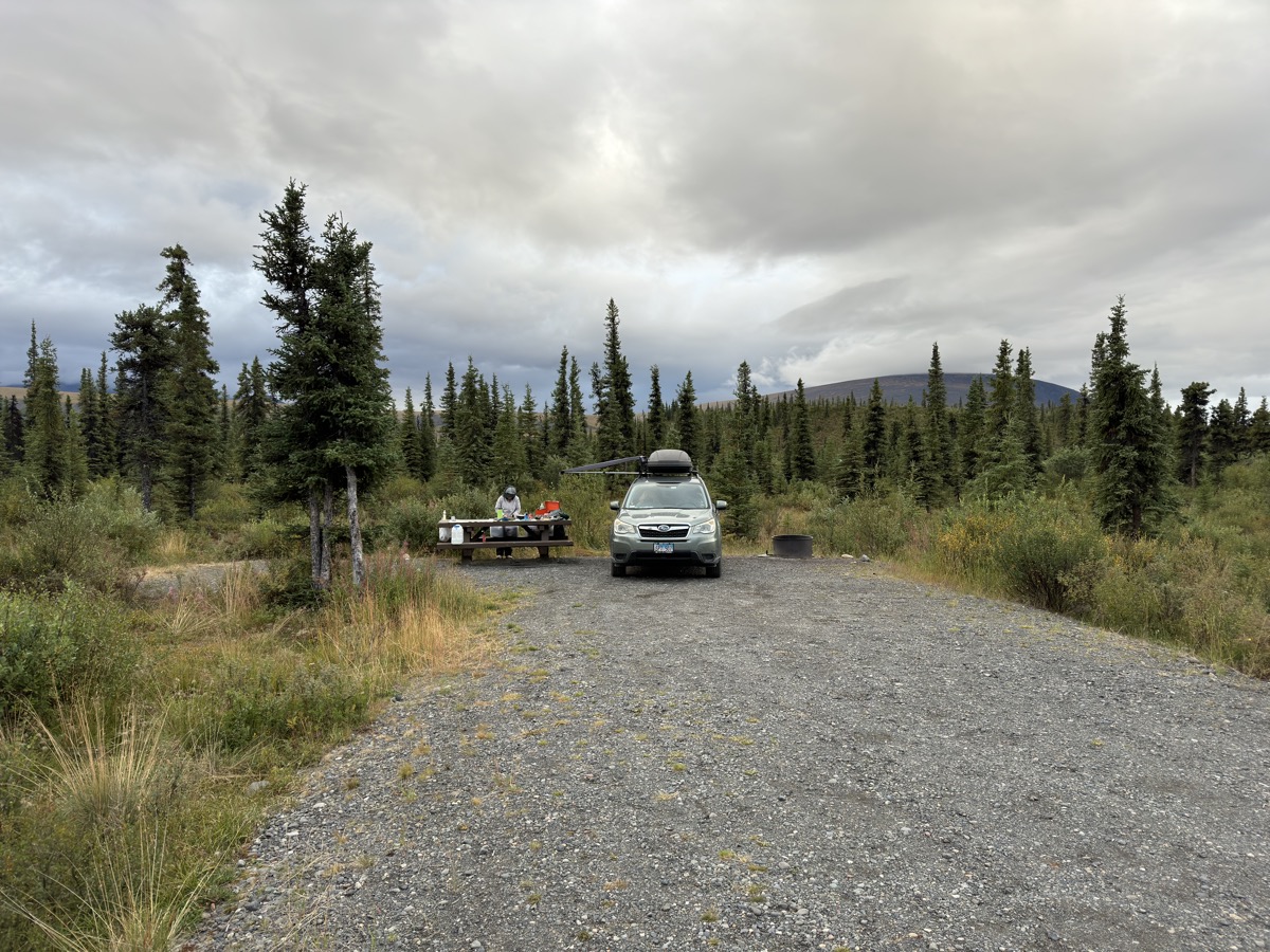
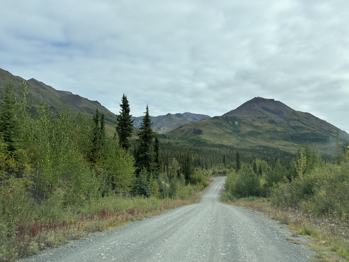
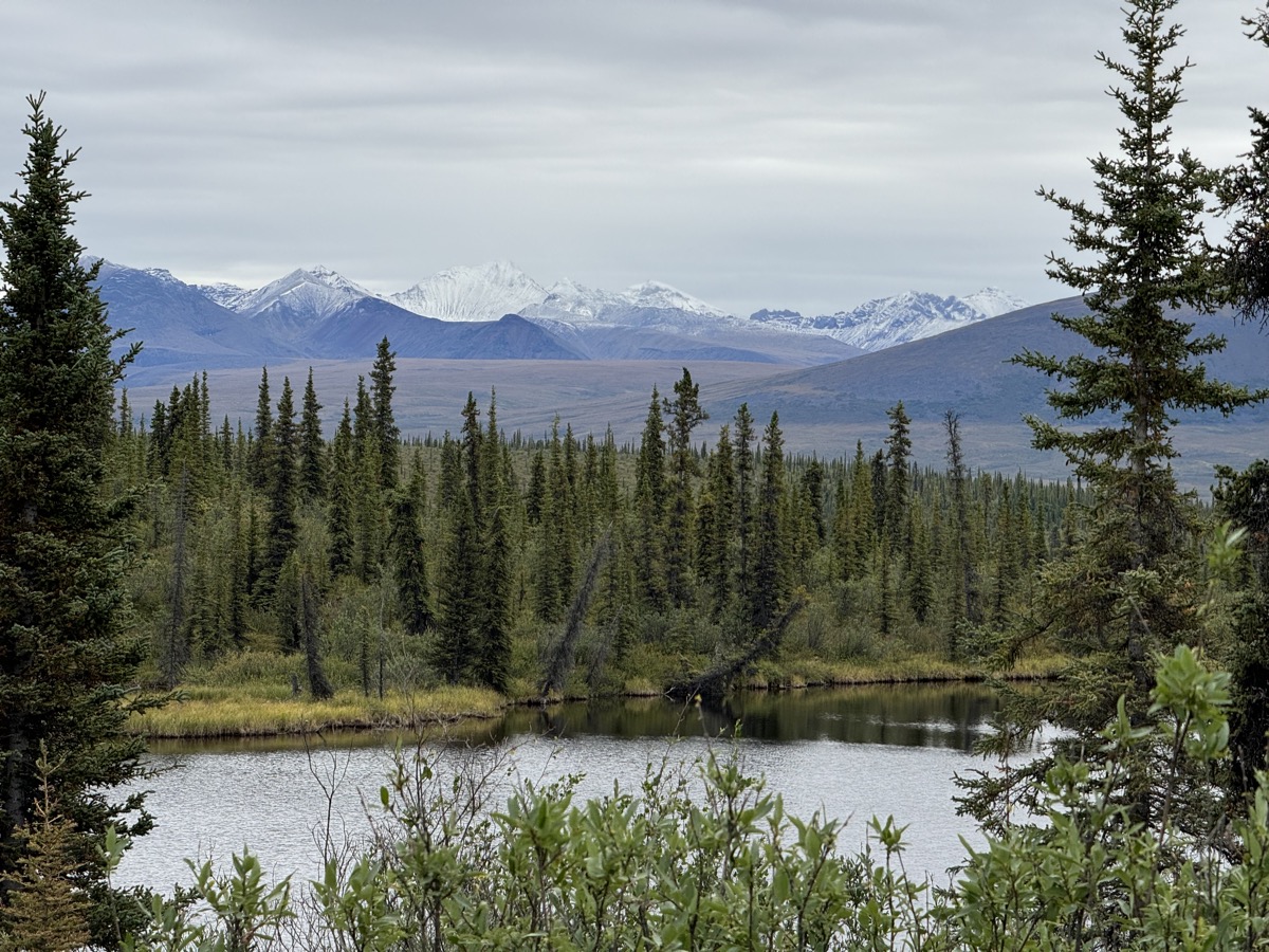
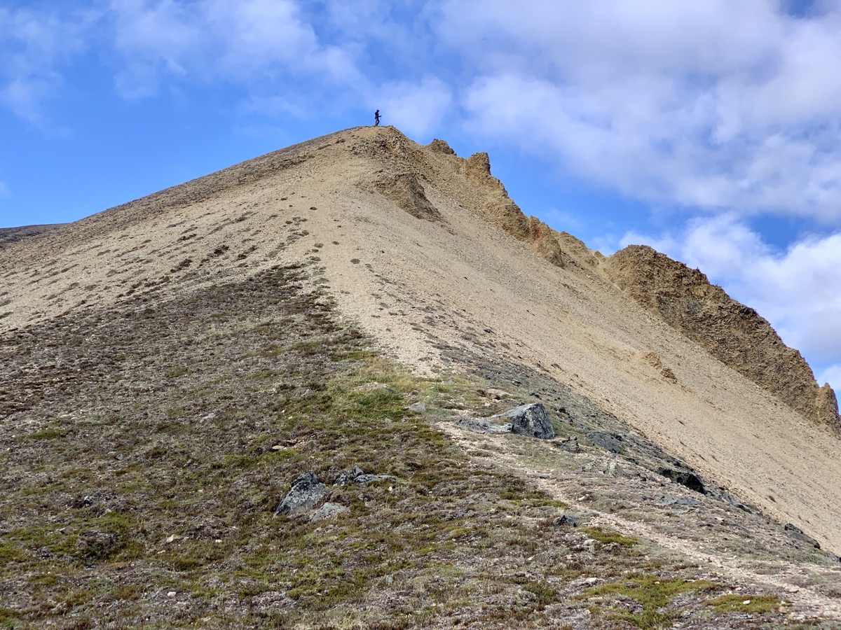
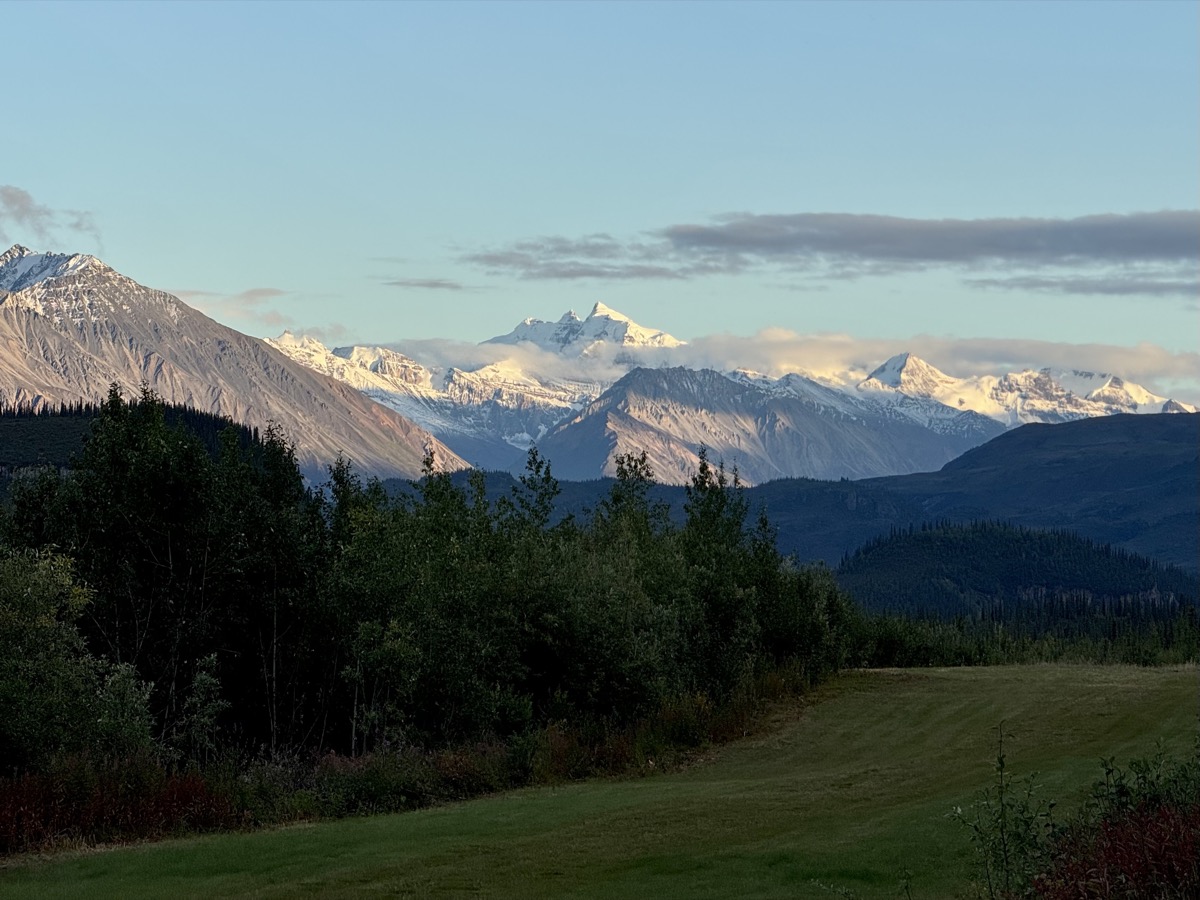
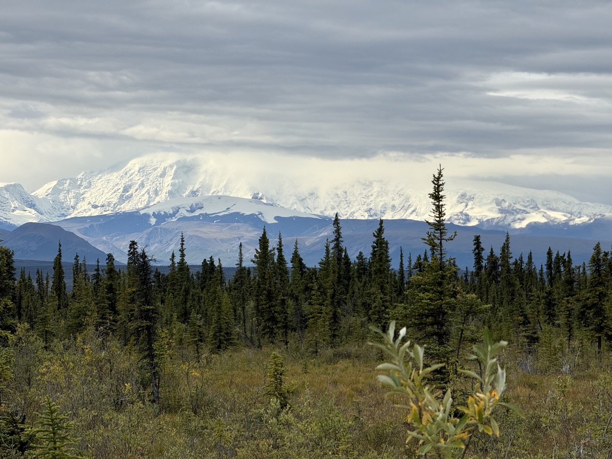
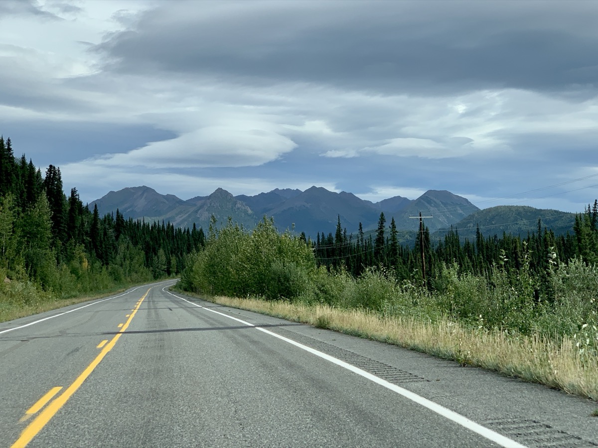
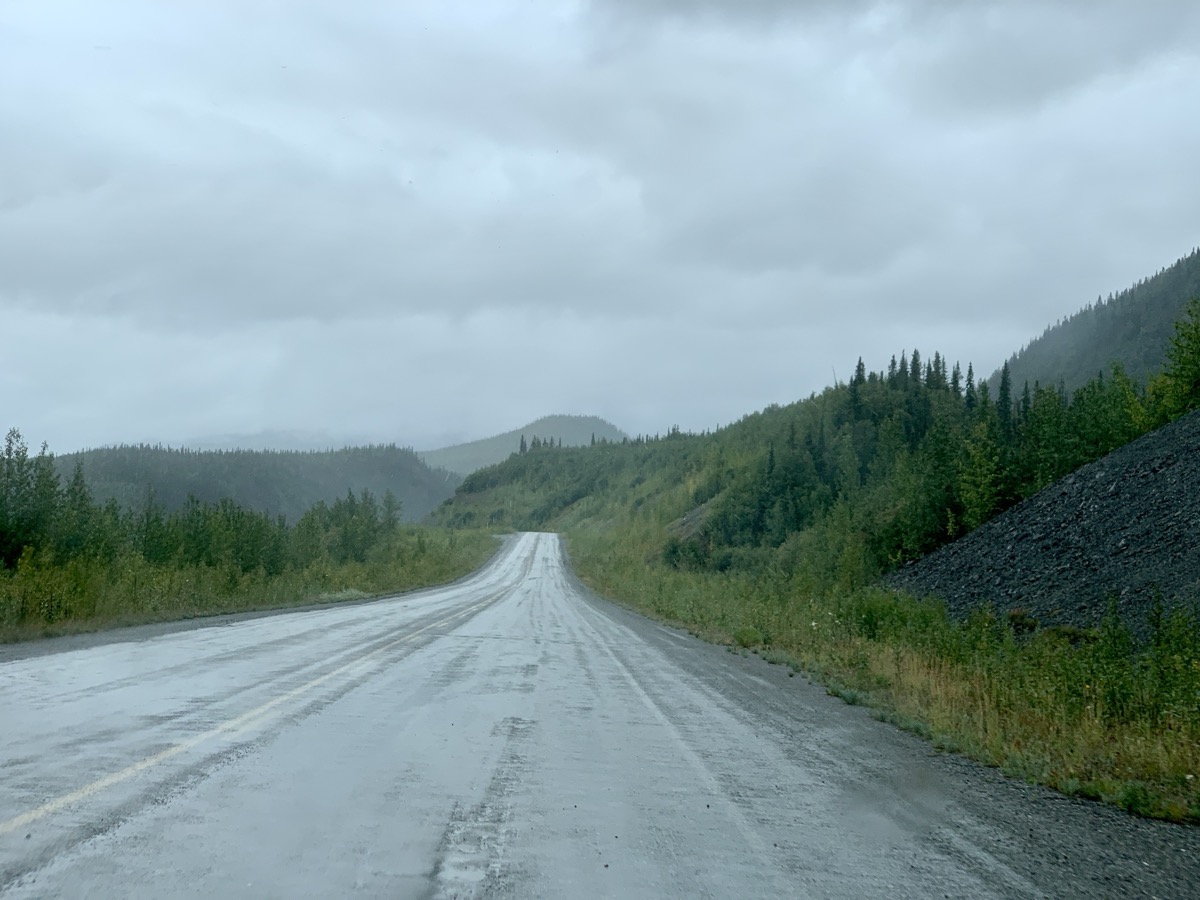
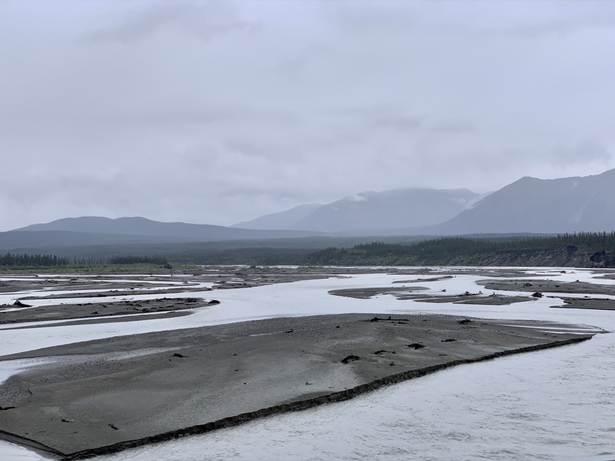
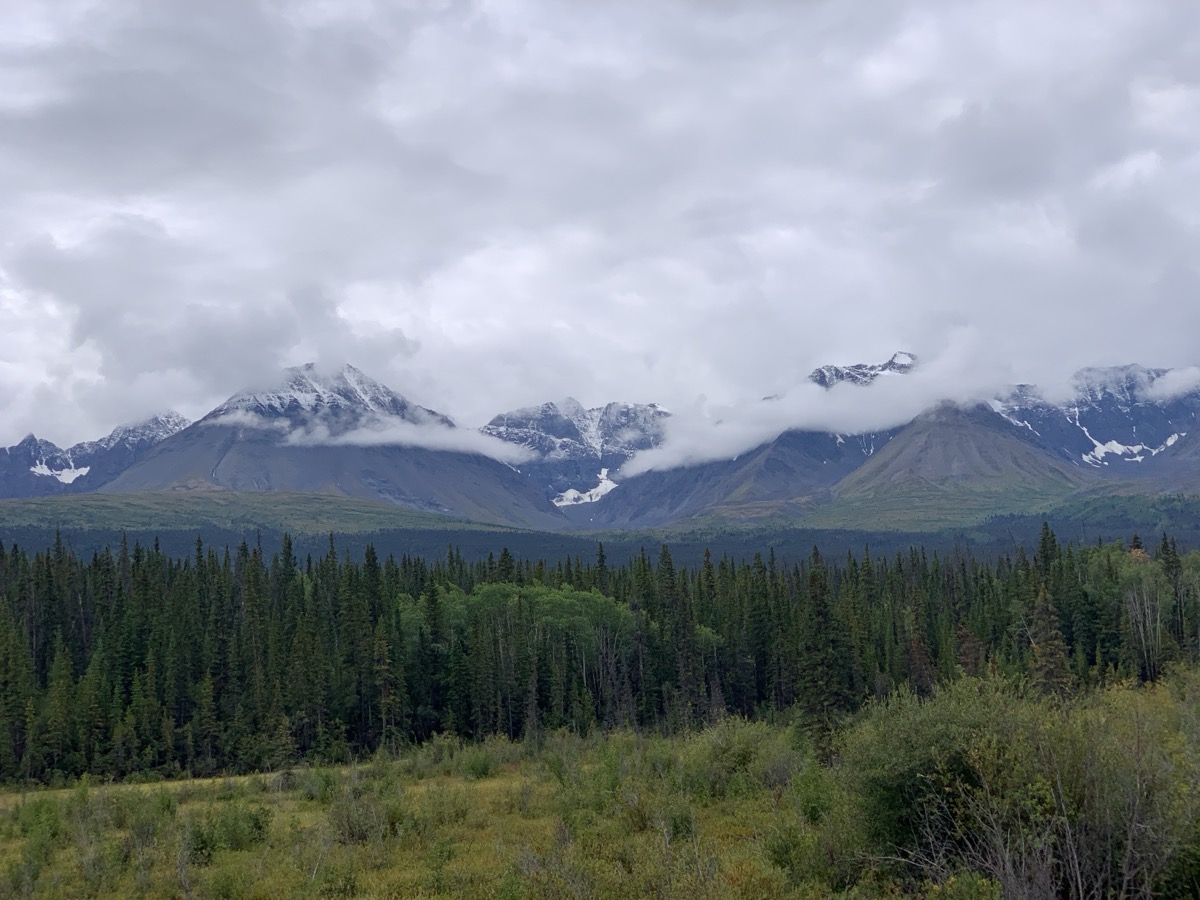
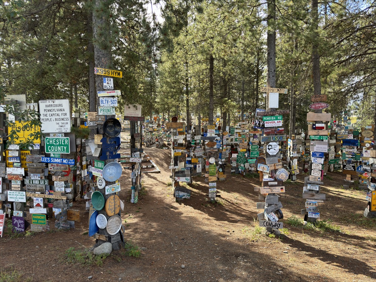
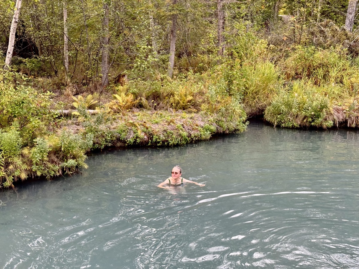
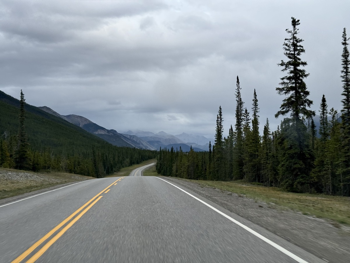
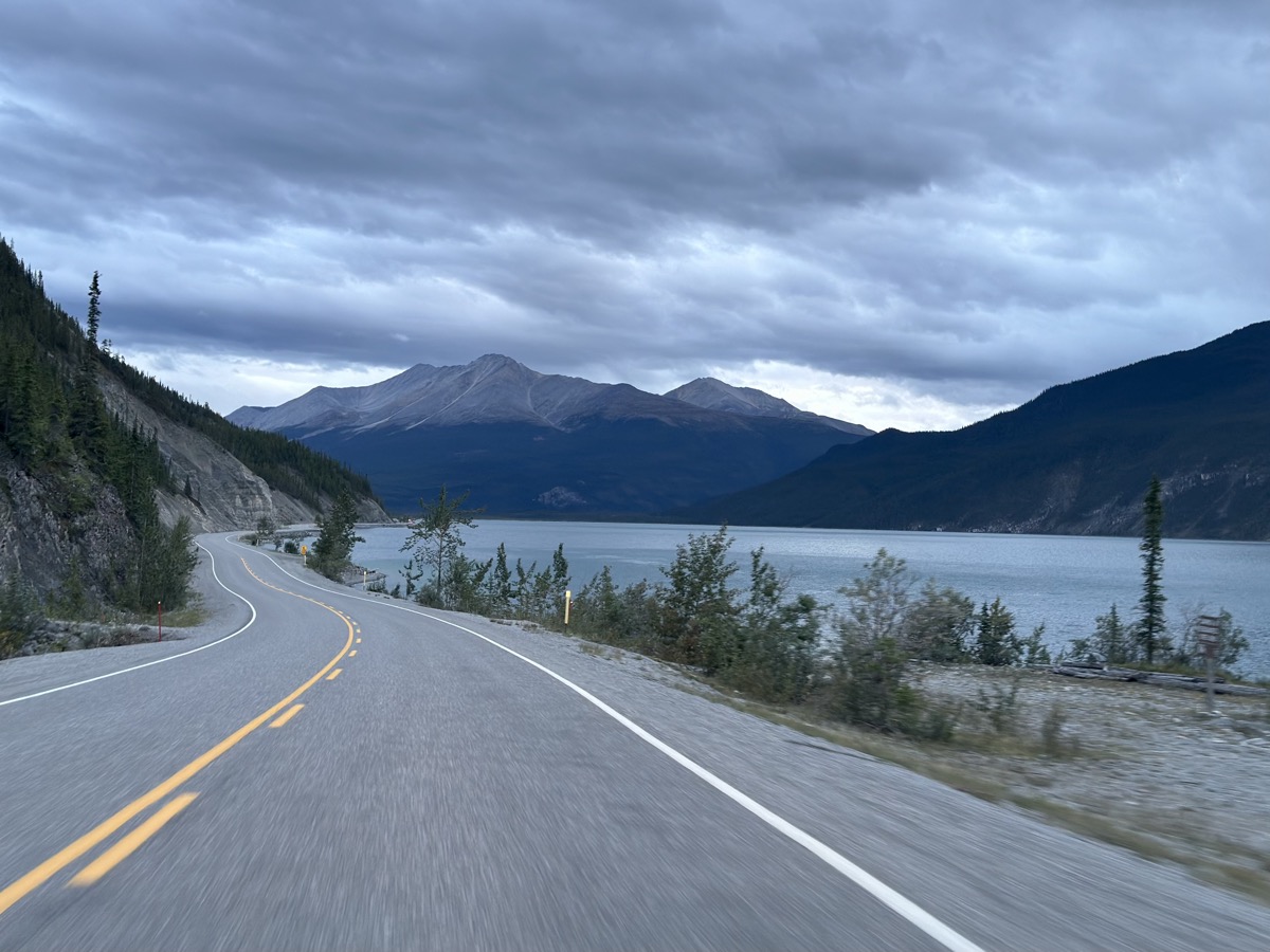
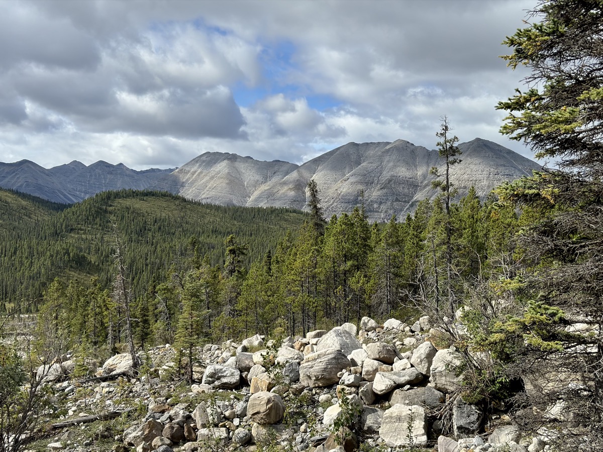
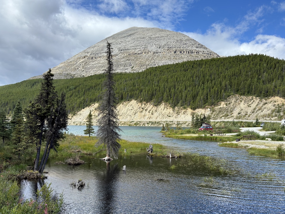
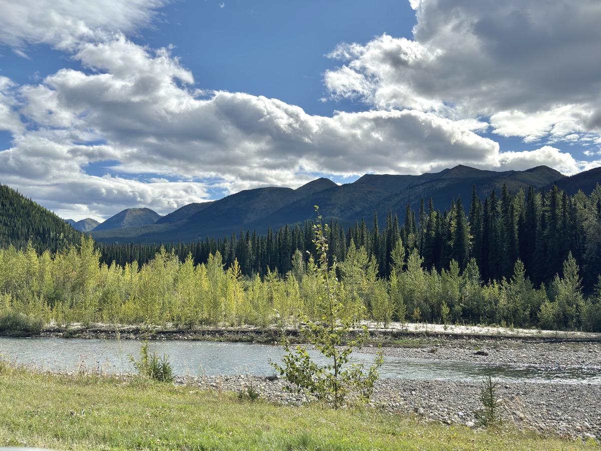
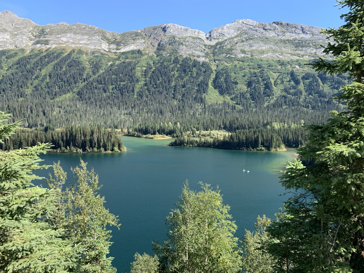
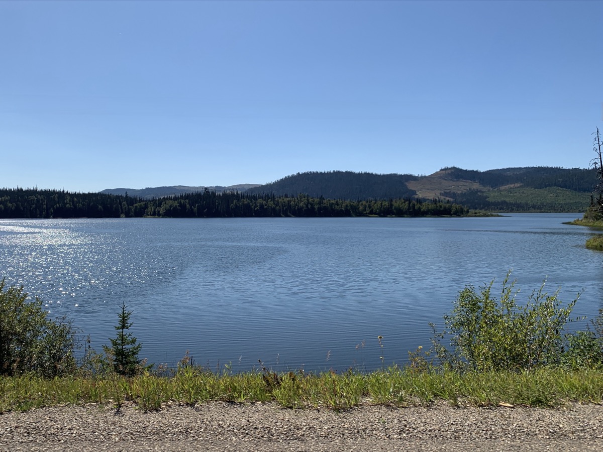
First stop next morning was at signpost forest in Watson Lake trying to find any familiar signage and in late evening we soaked in Liard Hot Springs. Even just driving through Northern Rockies was worth it for great scenery, in the evening along popular Muncho Lake – could not stay there because campgrounds were full for Labour Day. Yes, we also hit a stretch of highway under construction with heavy trucks kicking-up blinding dust. We continued after dark to primitive Toad River Community CG, just open space in forest by the river, but we were happy we found it.
Day 78.
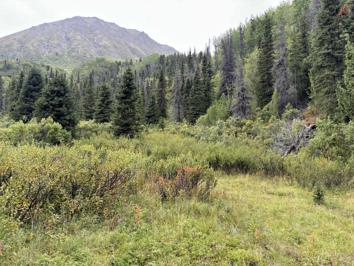
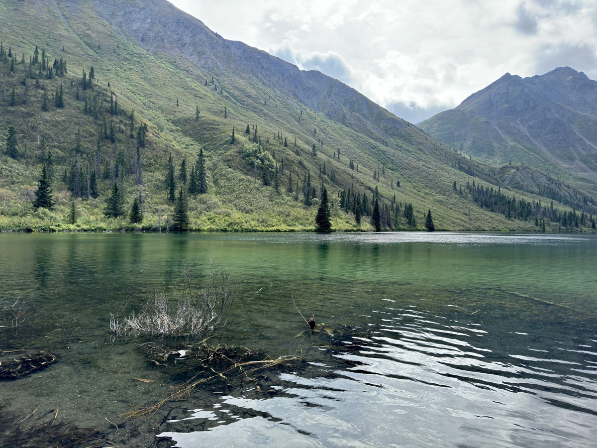
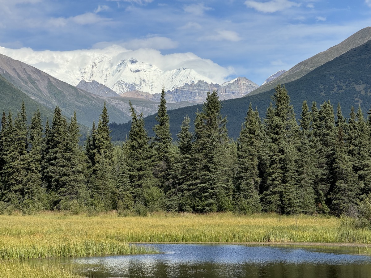
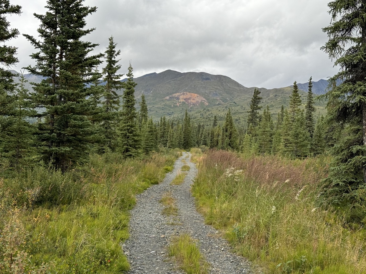
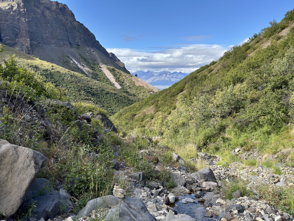
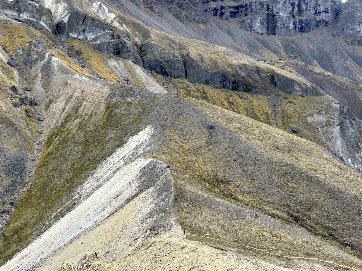
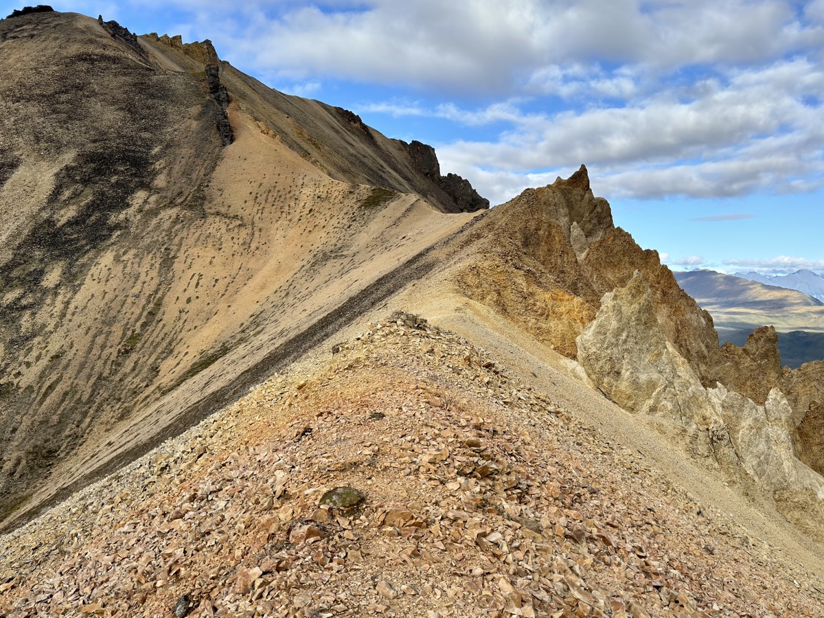
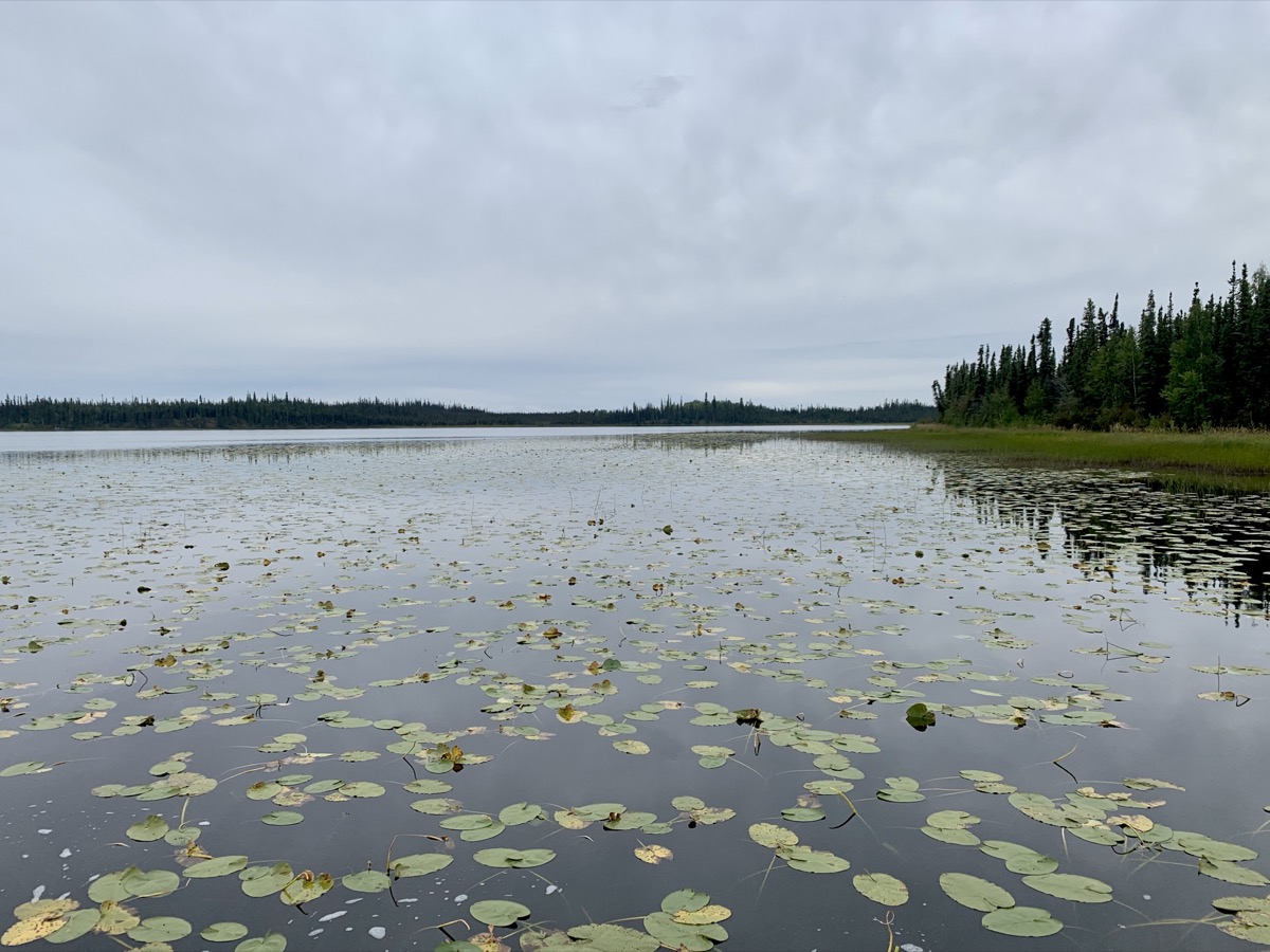
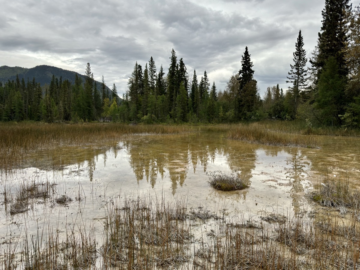
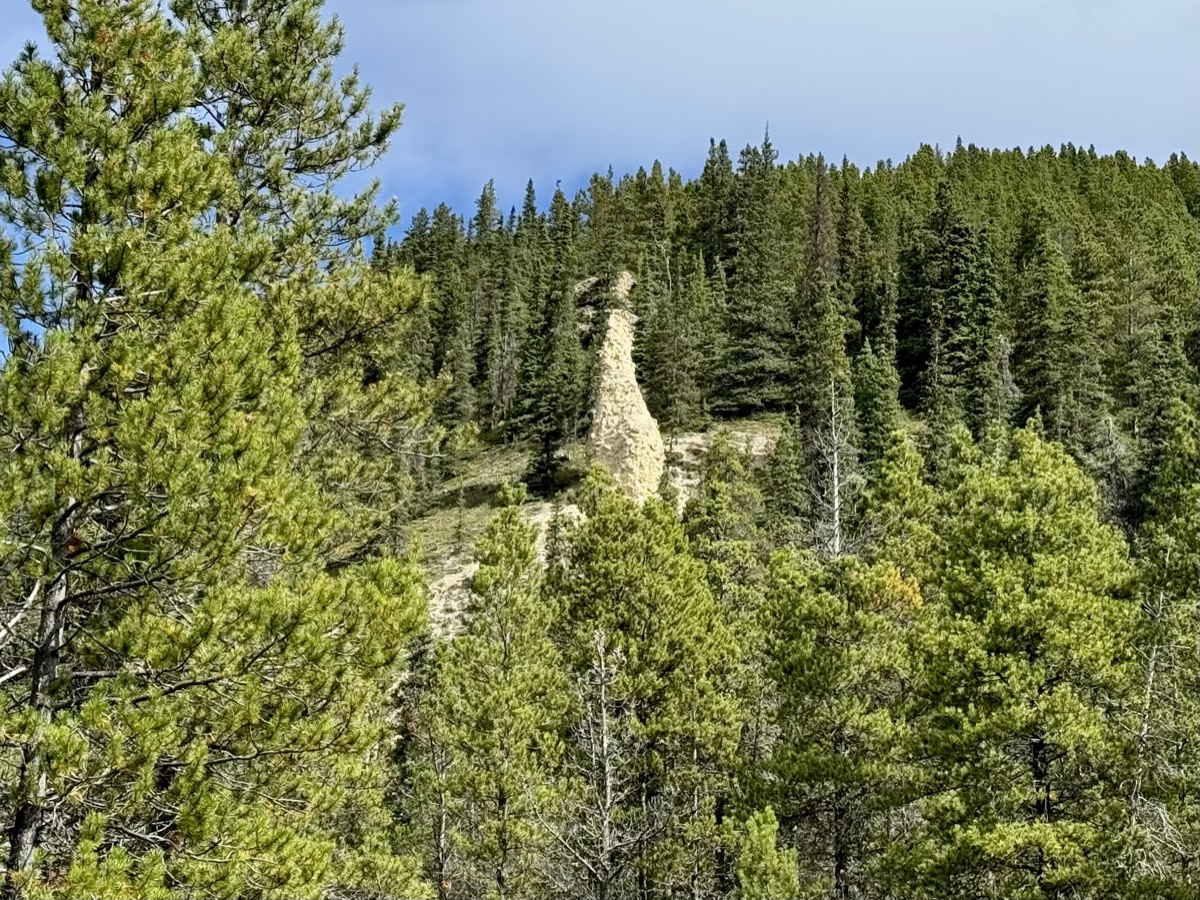
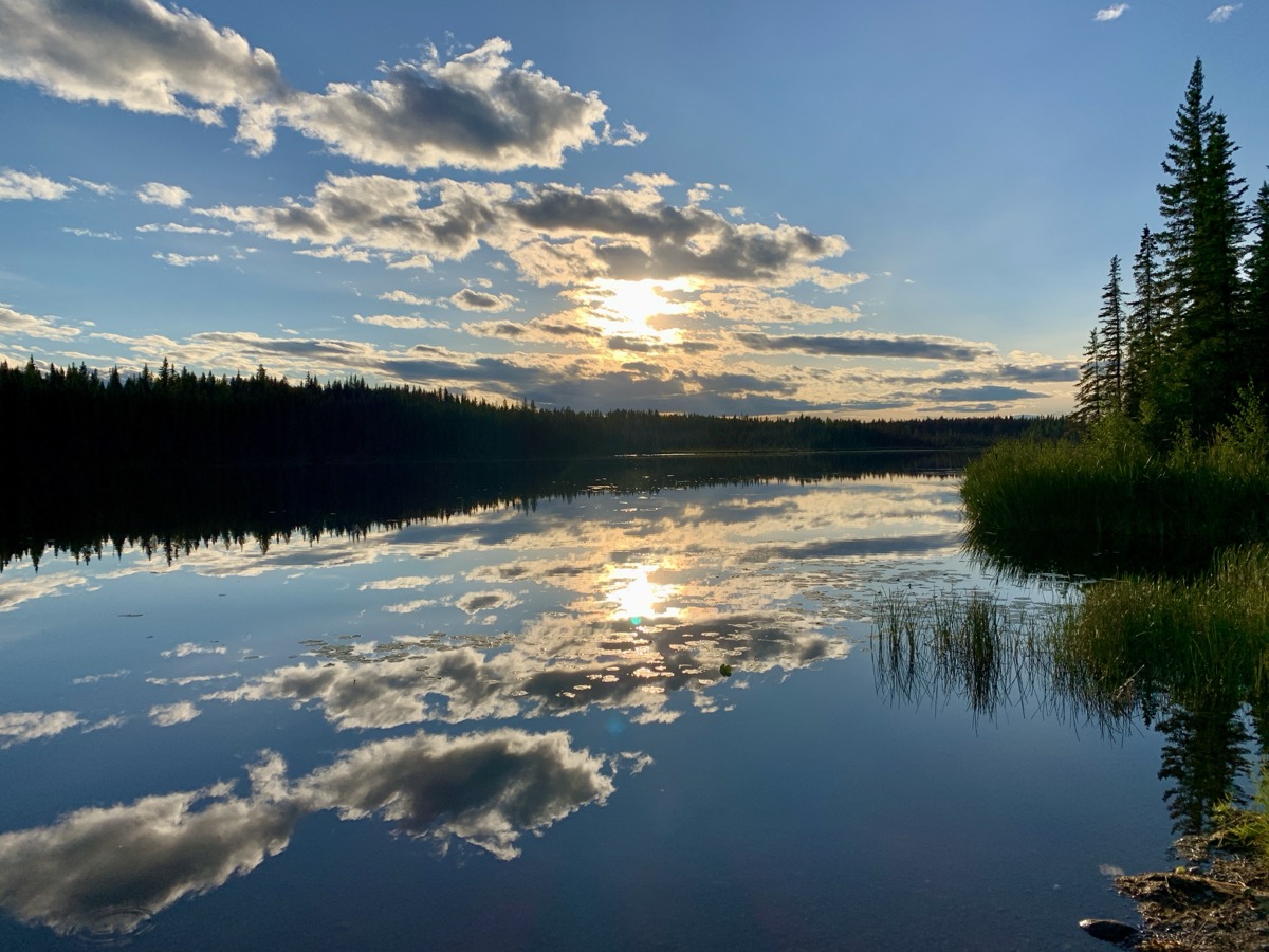
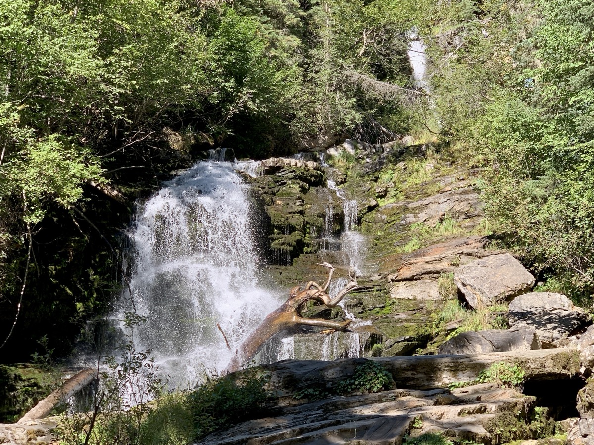
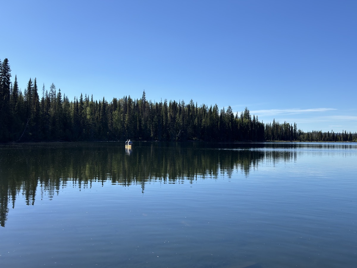
Next day, we stopped for hike on Erosion Pillar Trail (Joanna, Piotr needed driver’s nap) and then made longer stop for lunch and short hike at Summit Lake, both in Stone Mountain Provincial Park. Ended the day at Andy Bailey CG away from highway, found several large and shady spots to choose from and had dinner at tables on grassy shore of very peacefull lake.
Day 79.
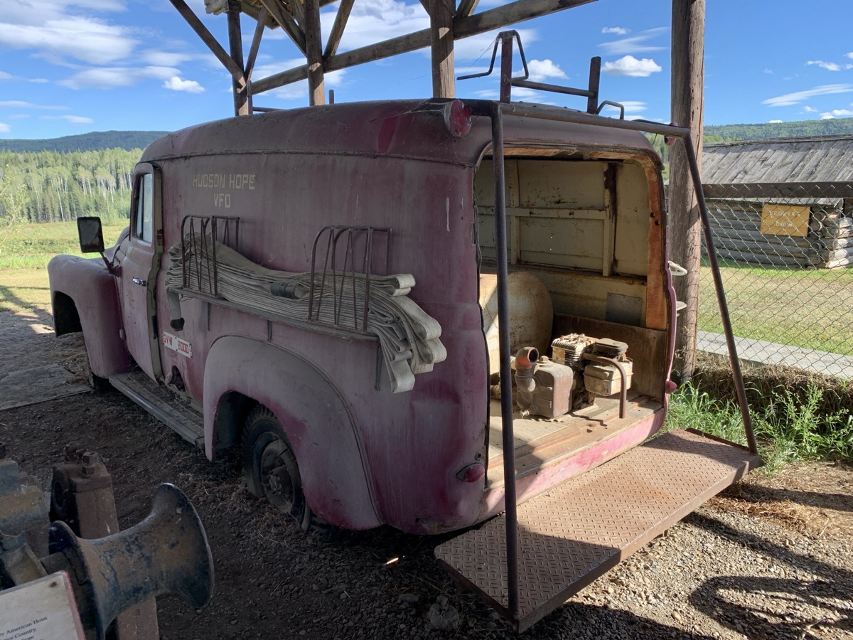
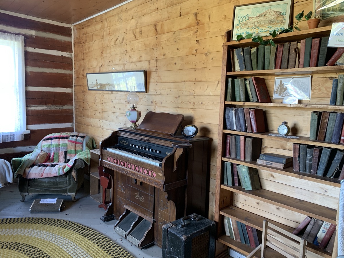
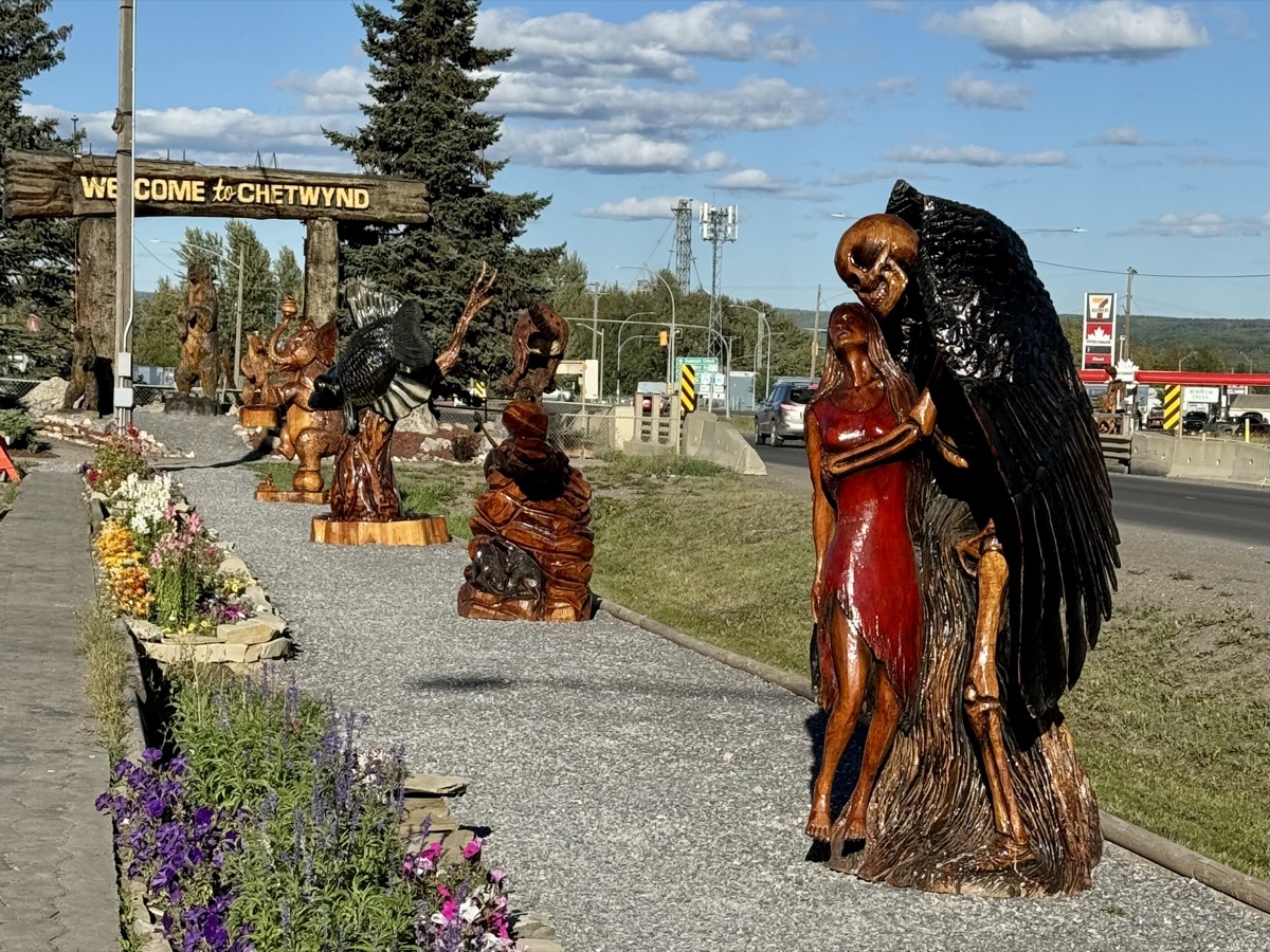
Hudson’s Hope, Chetwynd, Pine Le Moray Provincial Park. Small campground at Heart Lake CG was full except for one site – not really usable, uneven and without table, but we took it. Now, it never hurts to talk to fellow travelers. Another couple found two unoccupied spots, not obvious and not clearly marked on the map. They took one, we quickly moved to the other – nice and close to the lake. Dinner and short walk on the lake.
Day 80.
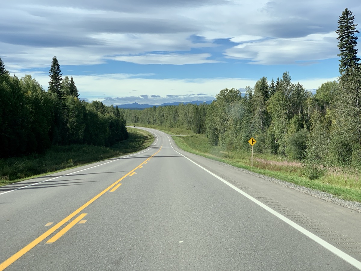
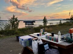
Cariboo (or Caribou) Hwy, Bijoux Falls, Crooked River Provincial Park – definitely highway and lakes day. Joanna walked short trails in Crooked River Park. We arrived in Prince George in late afternoon. All the driving started wearing Piotr down – it was time for good rest. Joanna rented small apartment on airbnb – entire first floor in newly built house in new subdivision. All high quality and well organized. Nice host. We had time to re-stock, cook and laundry before more camping.
Day 81.
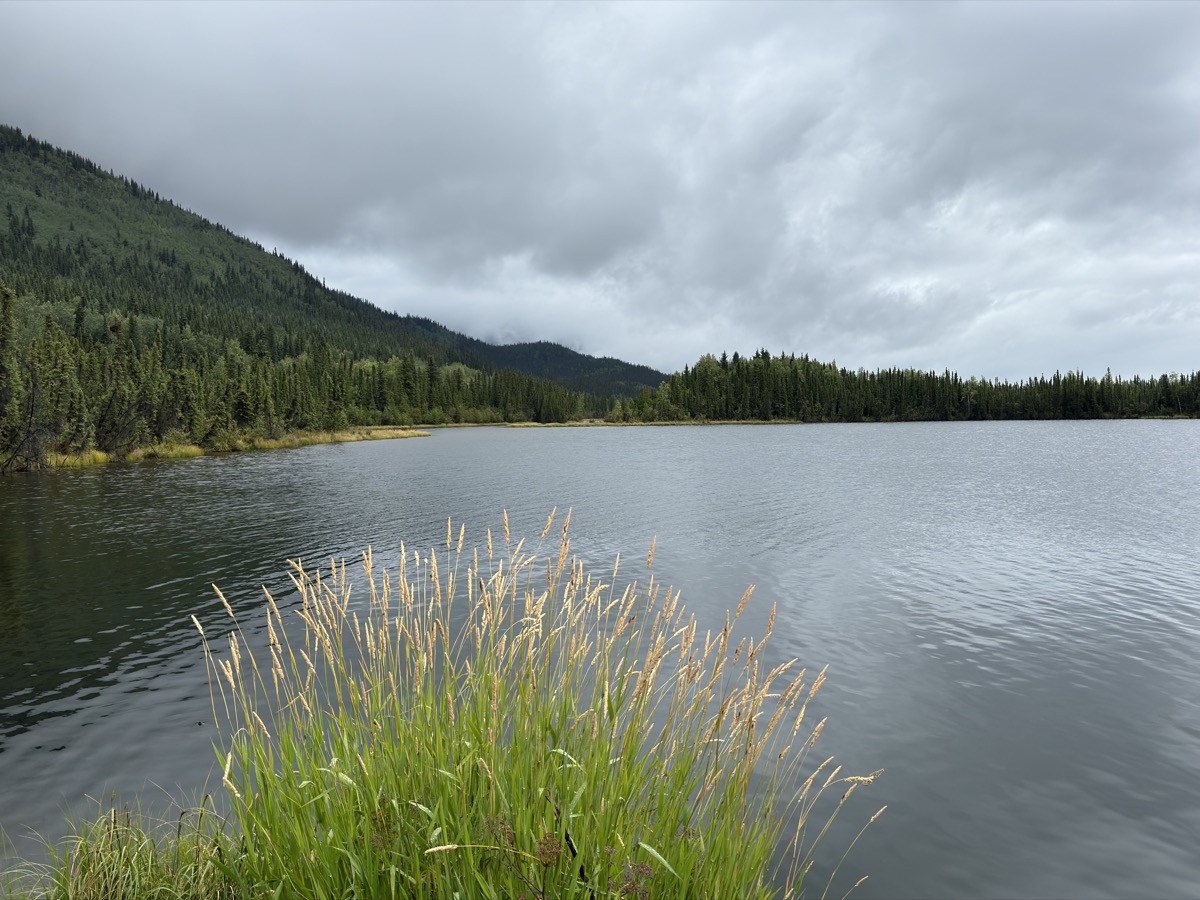
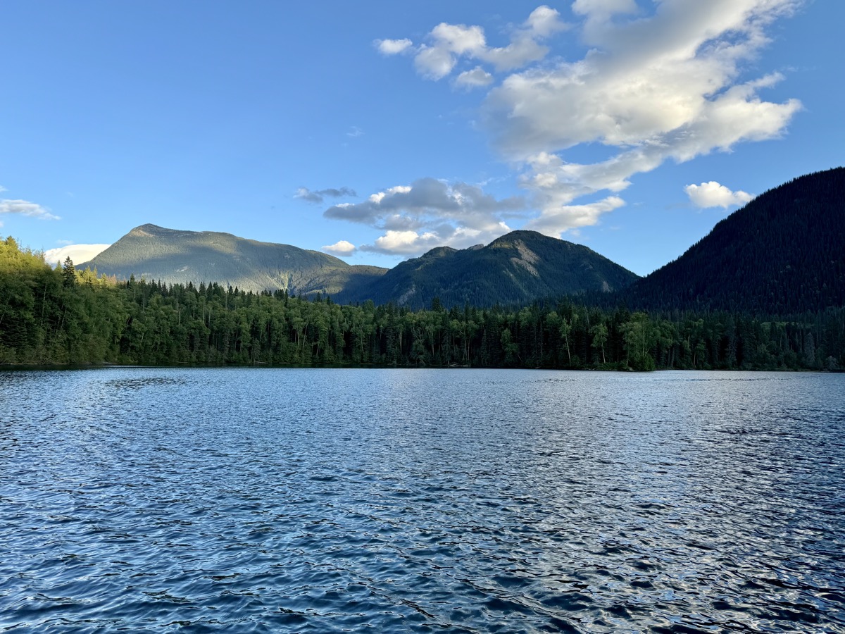
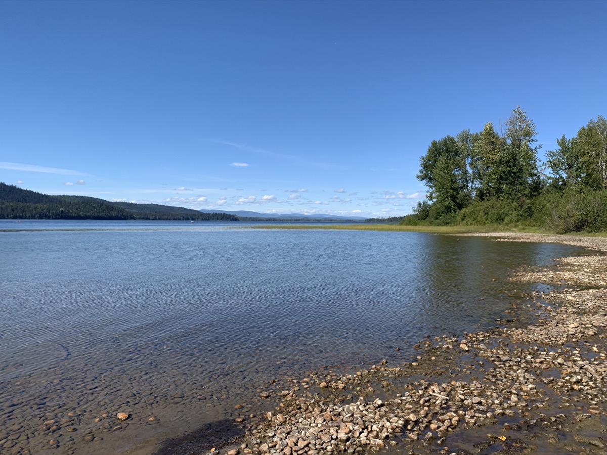
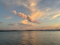
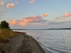
Easy day, good weather, highway and small towns on the way. Green Lake Provincial Park is a short distance from main highway, but worth the extra drive. Quality campground, well maintained, nice host and we had spot right on the lake.
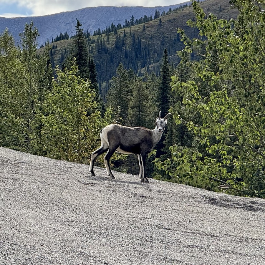
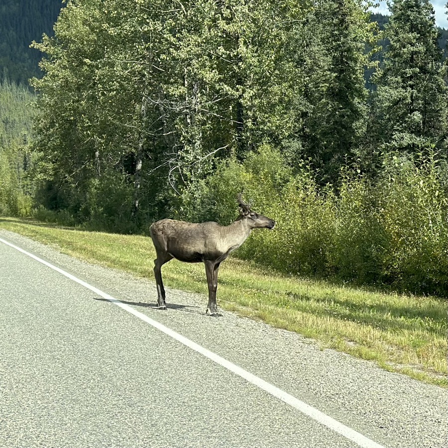
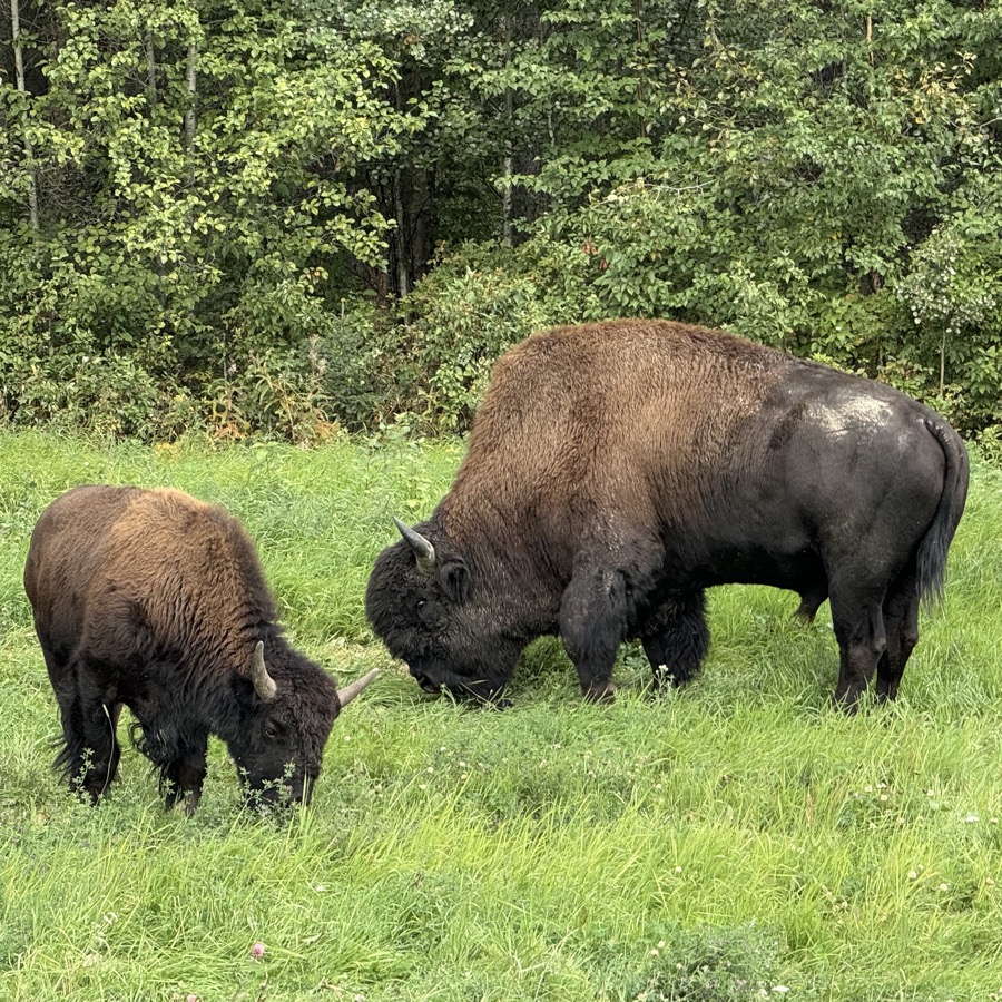
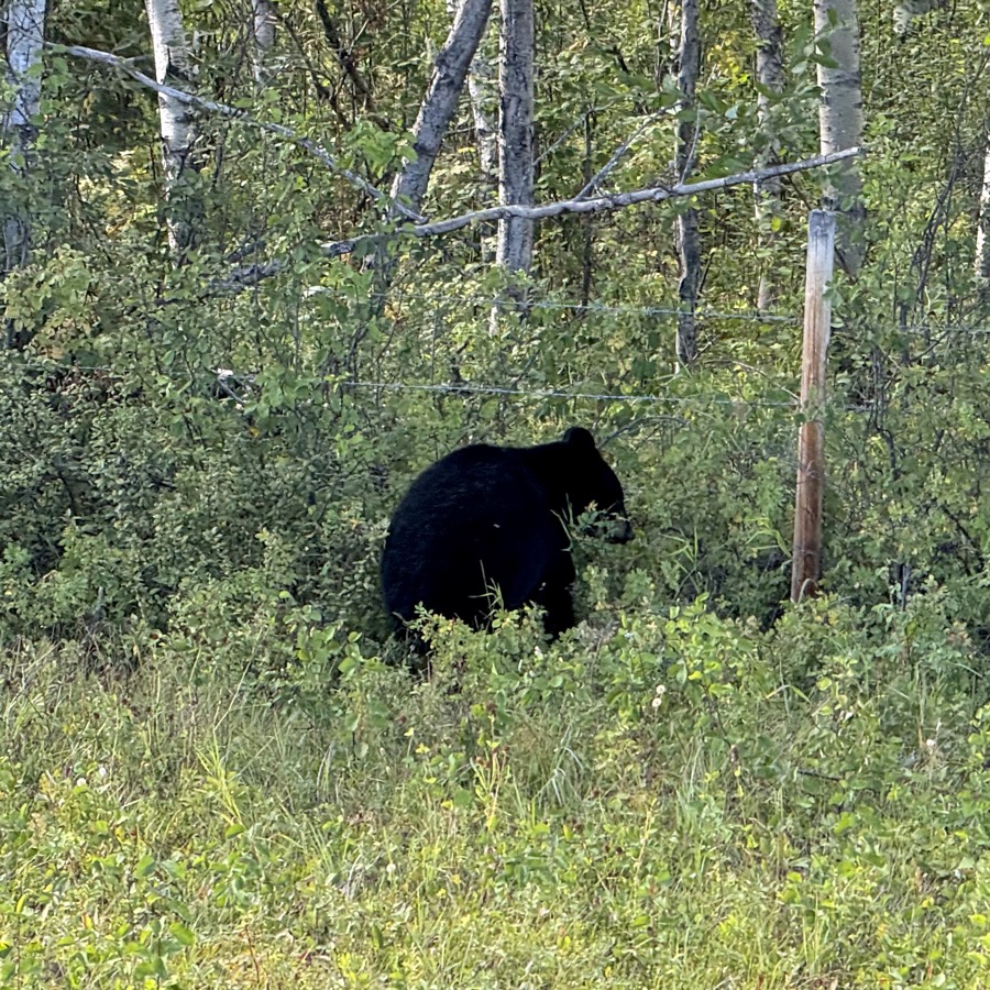
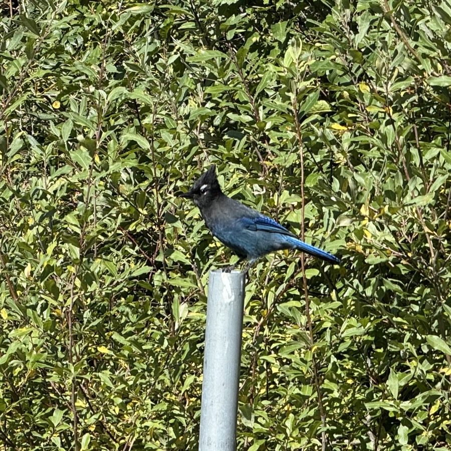
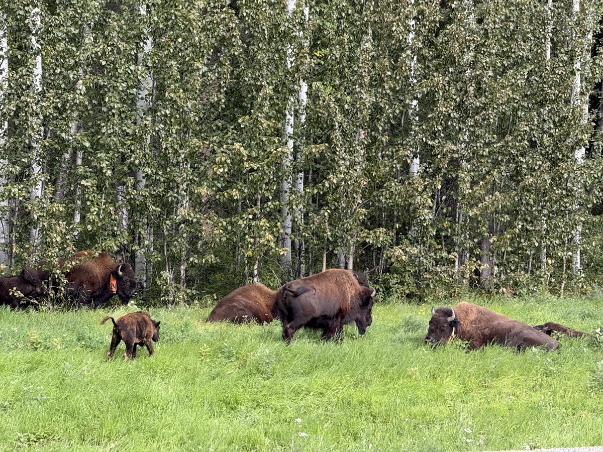
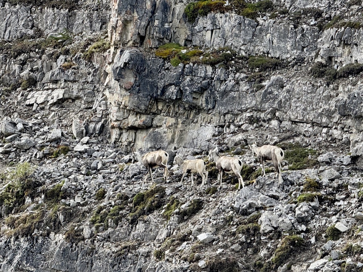
We were lucky to spot iconic animals of the region: Rock Sheep, Caribou, Wood Bison, Black Bear and Stellar Jay.