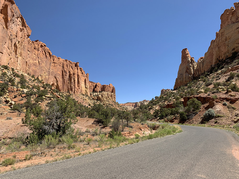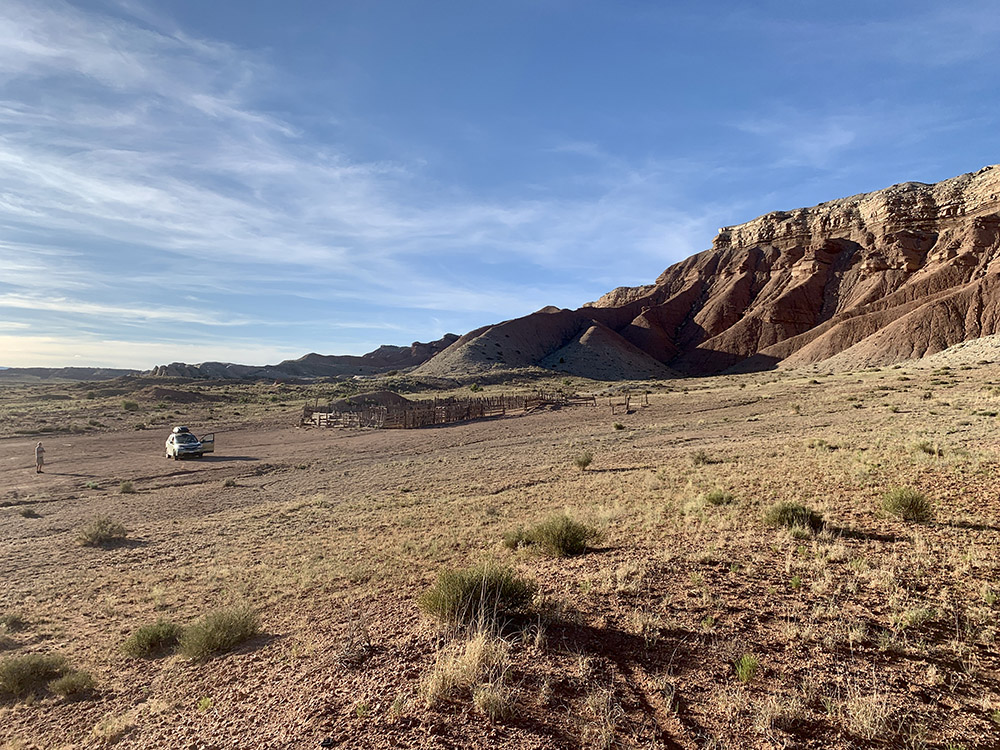
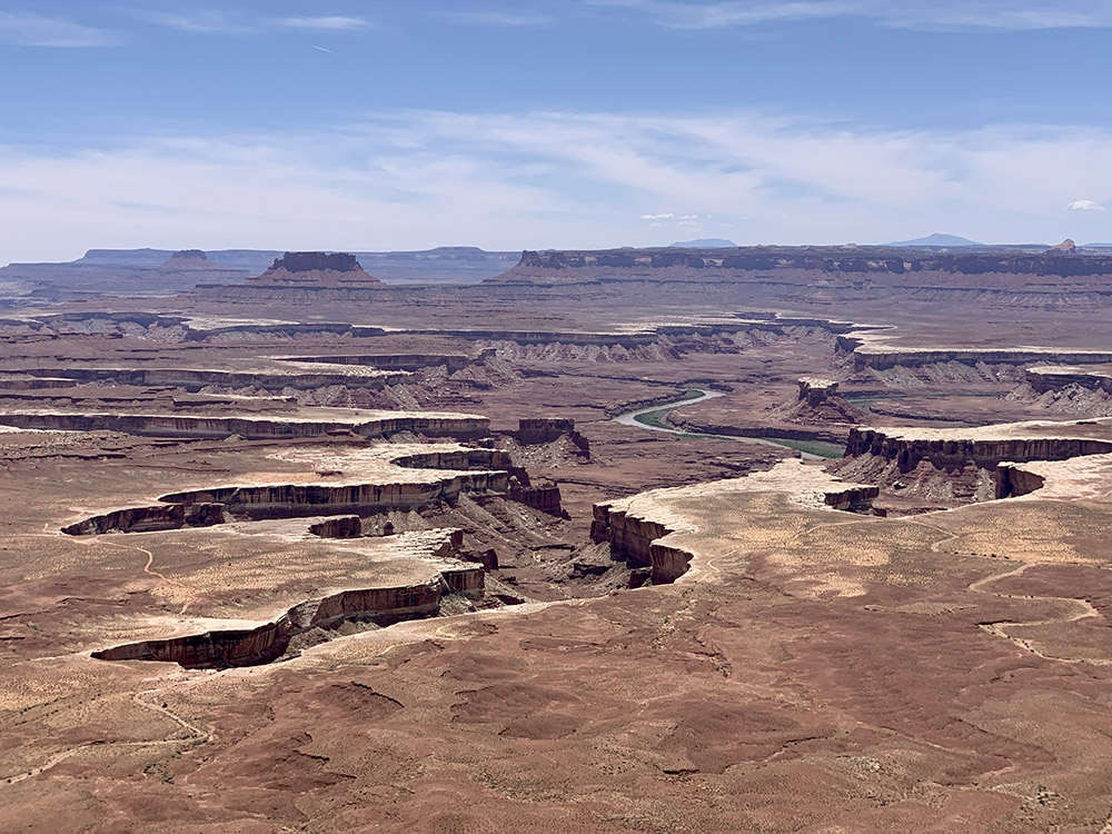
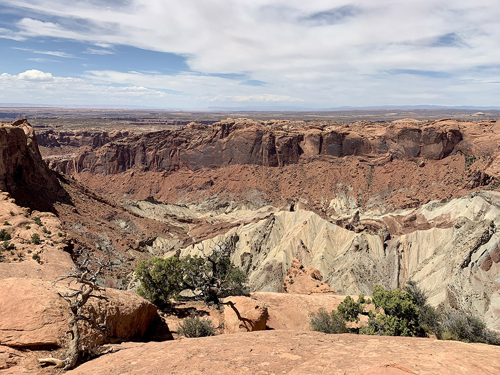
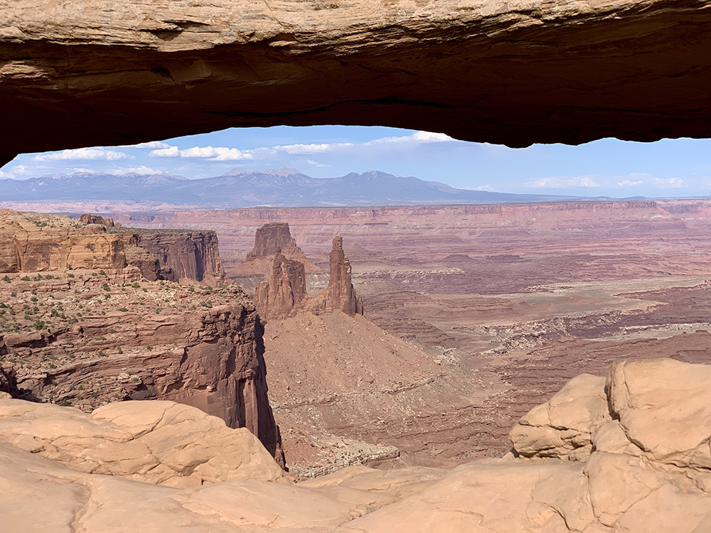
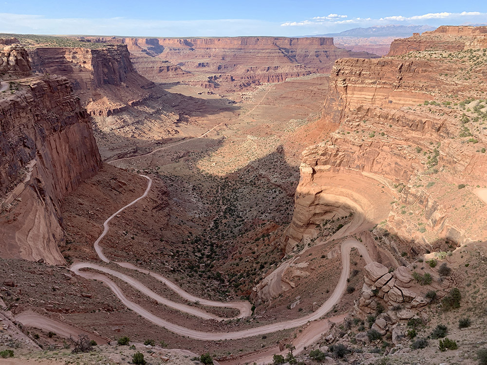
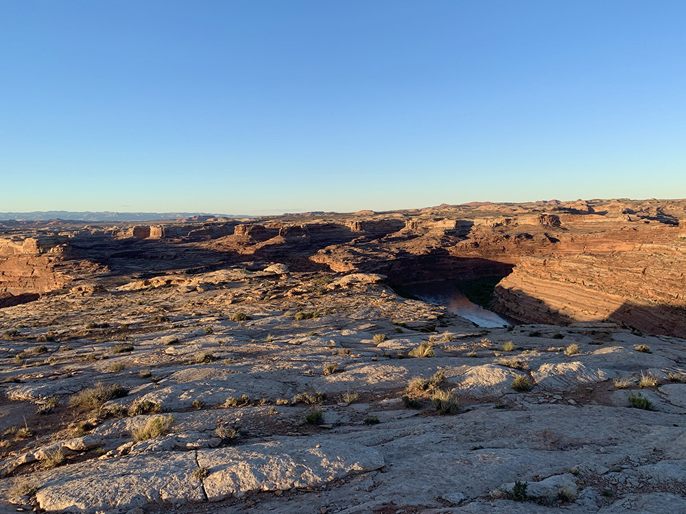
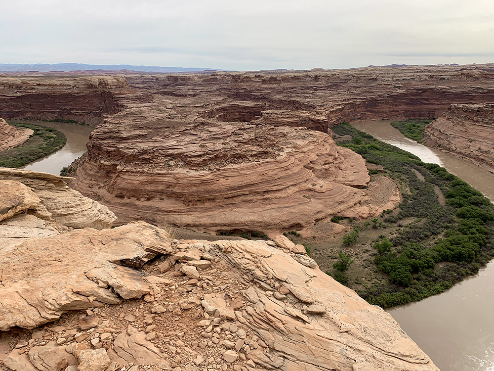
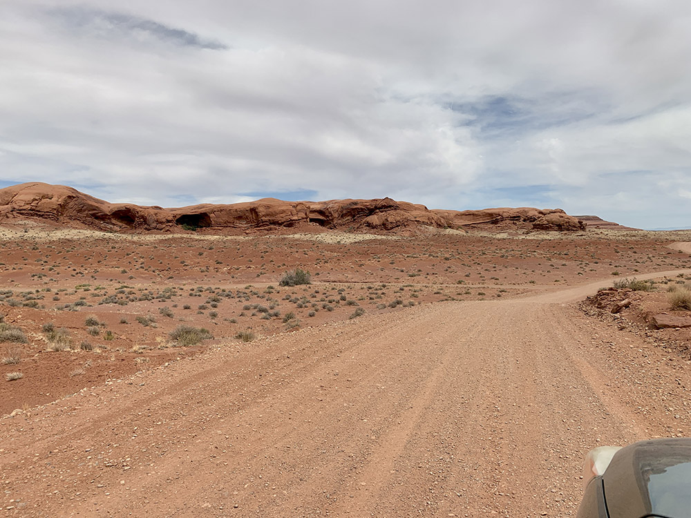
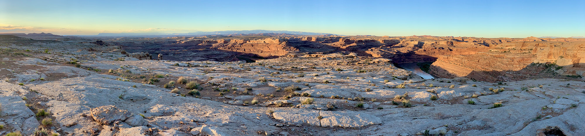
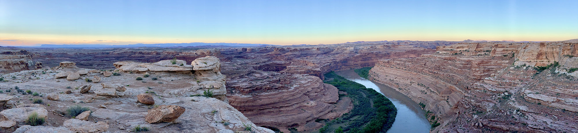
After breakfast at our best camp of the trip, we slowly made our way to Green River UT (couple of photos in previous post) to resupply. The neighborhood looked familiar – we stopped in town on our way back to Chicago from California in 2021. We arrived at ☞ Island in the Sky District of Canyonlands NP just after noon. Small Willow Flat campground was full (Friday). We decided not to look for camping alternatives, but instead head to Moab at the end of the day (stayed at Adventure Inn). This way we had entire afternoon to check-out a few spots/overlooks: Green River Overlook, Upheaval Dome (short walk), Grand View Point (Joanna walked the rim trail, Piotr took driver’s nap), Mesa Arch (short trail). Views were beautiful but this is the most popular section of the park and the only “crowded” place on our trip. We often looked down at different sections of 100-mile White Rim Road (one rim lower) and wondered, if we could drive on it in our Subaru (?). First section down Shafer Canyon looked OK and was very tempting (next time).
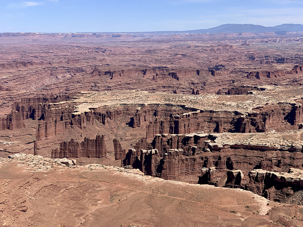
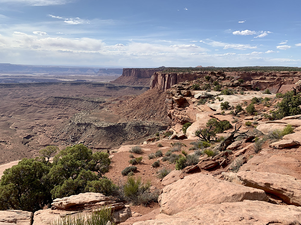
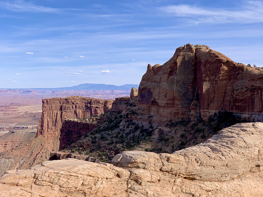
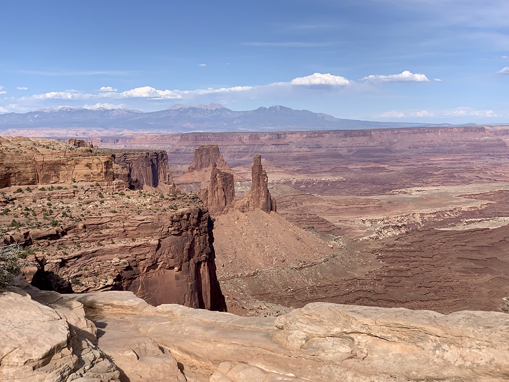
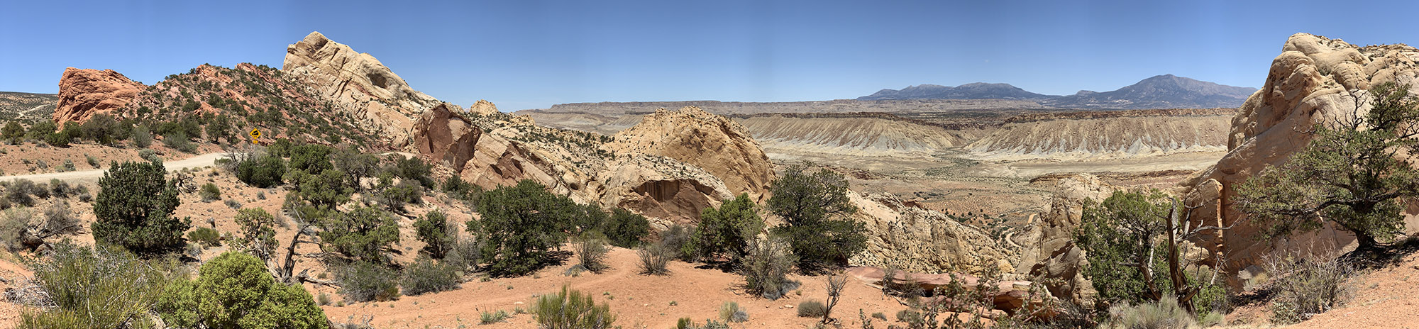
Grand View Point
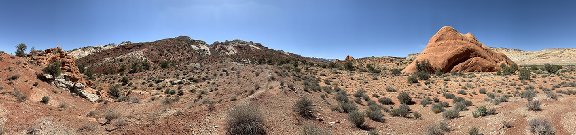
Mesa Arch
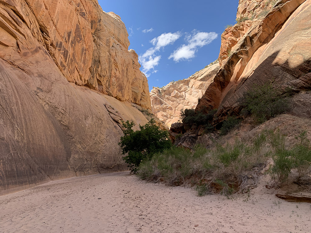
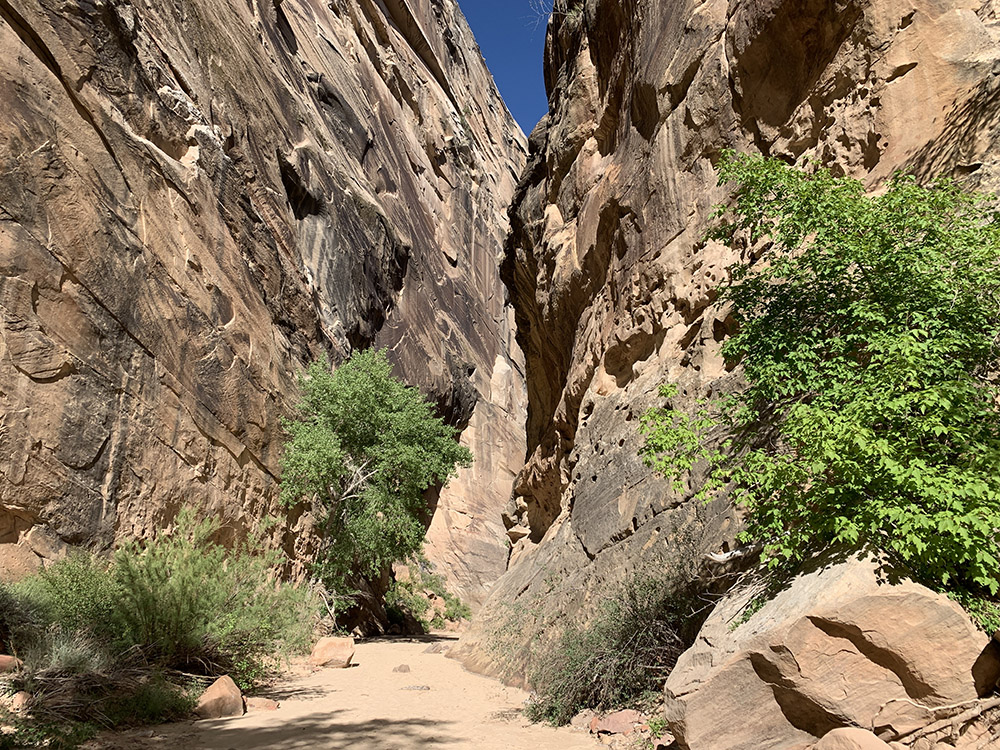
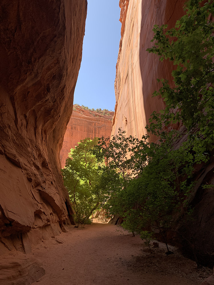
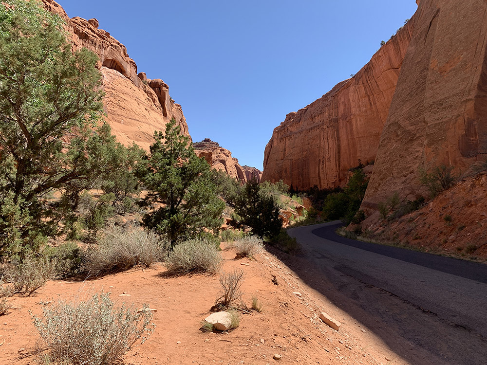
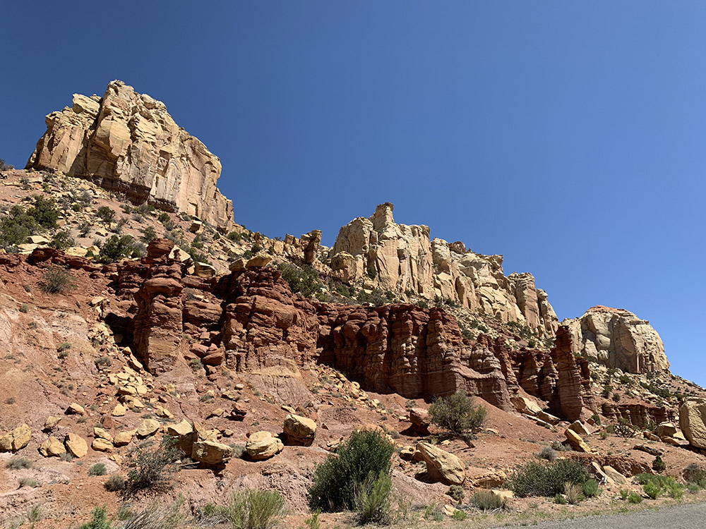
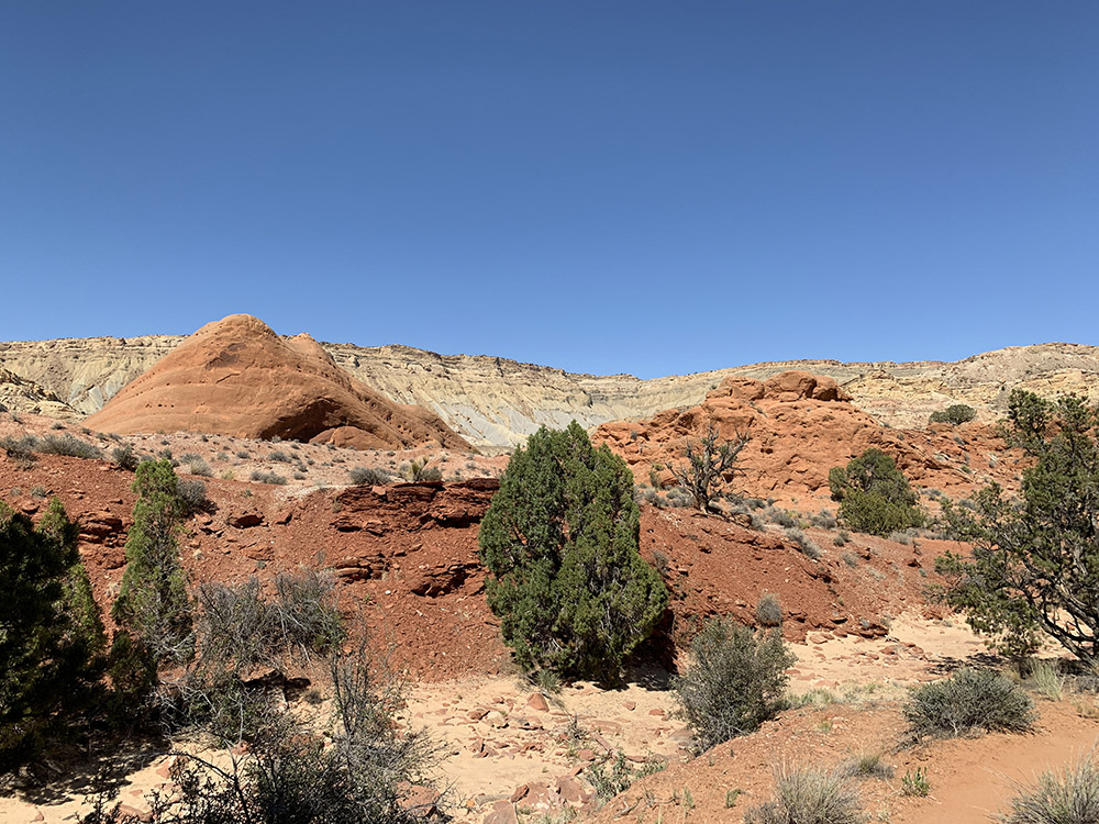
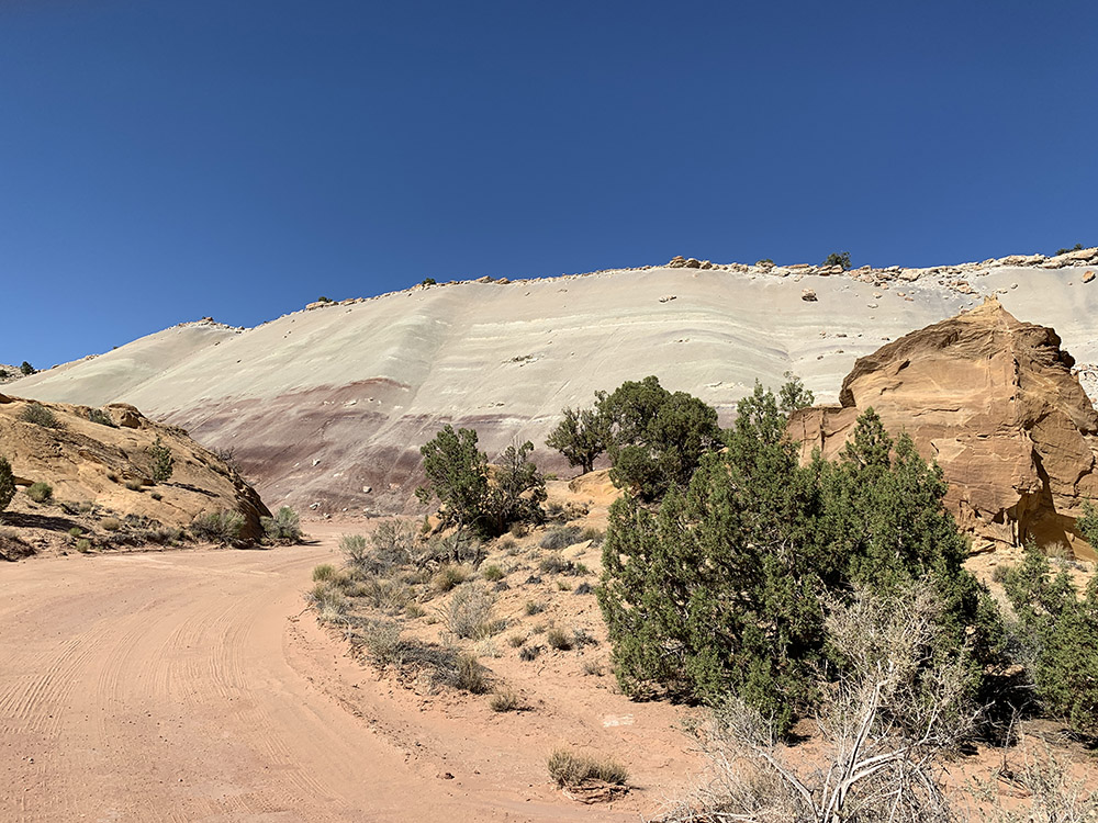
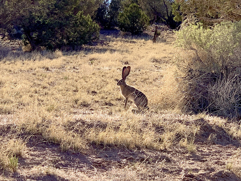
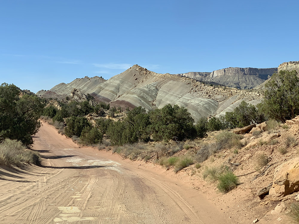
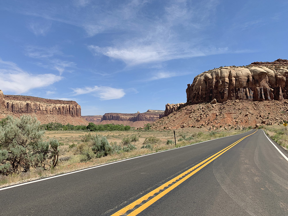
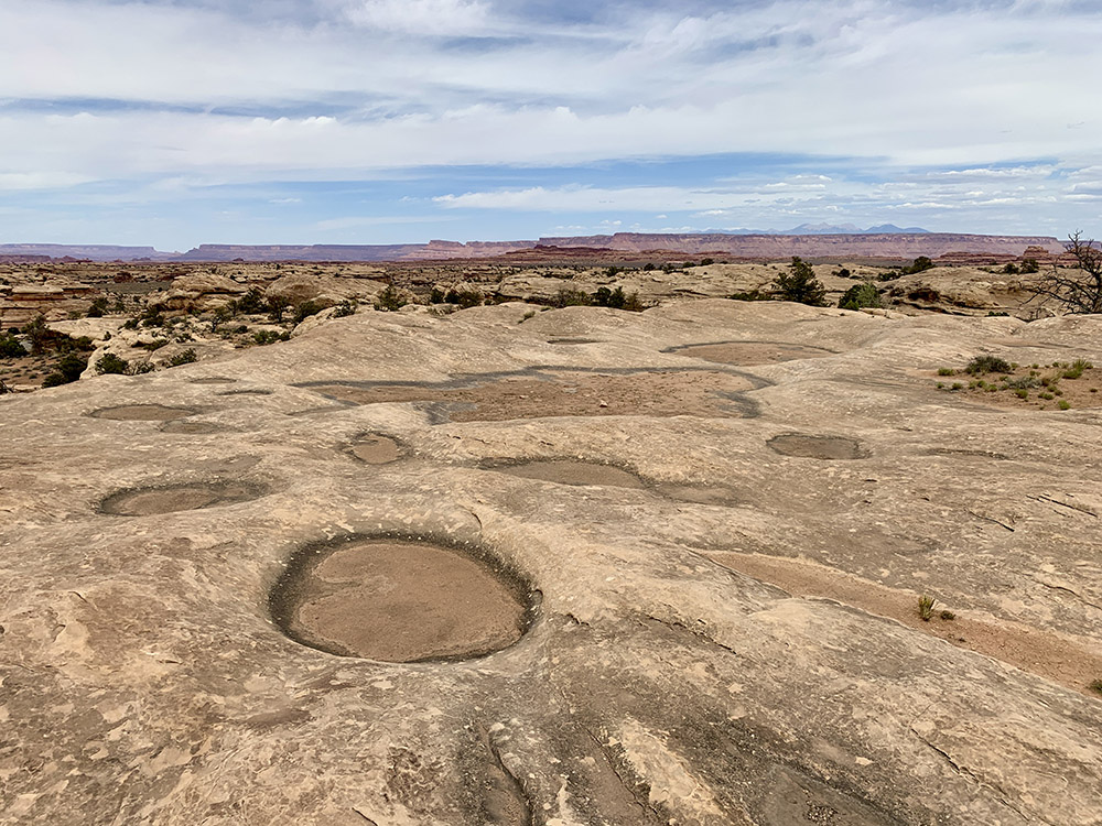
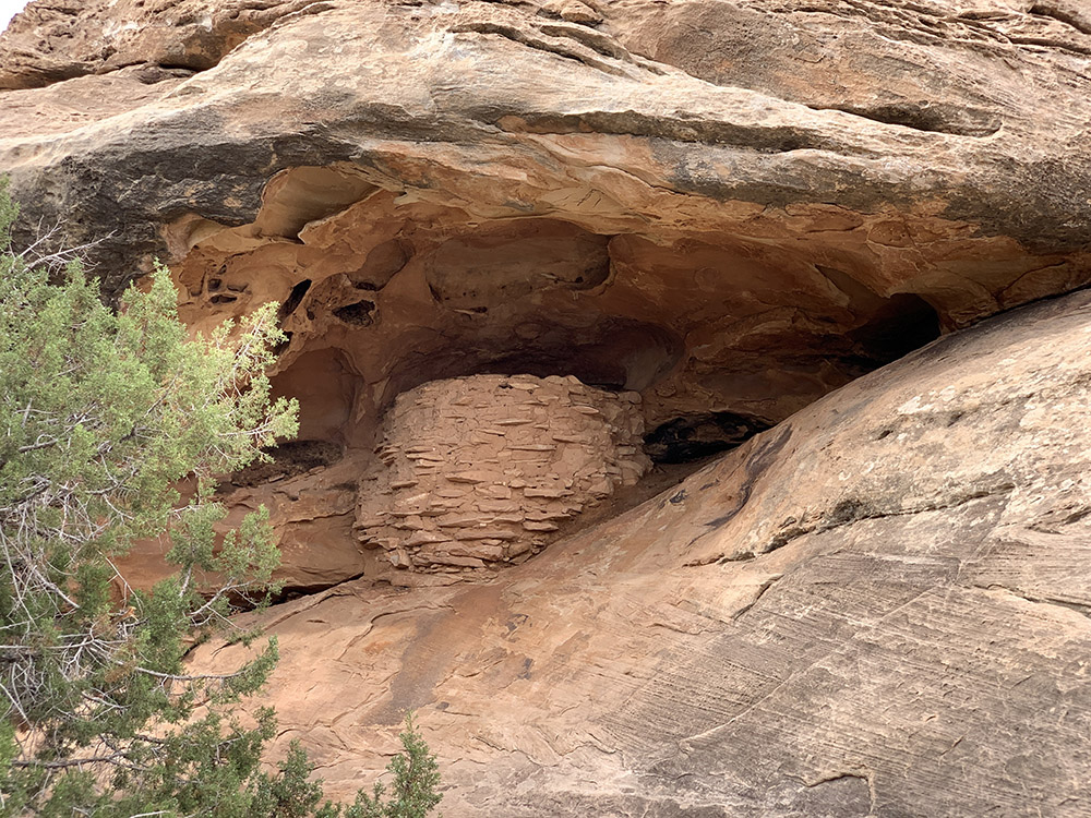
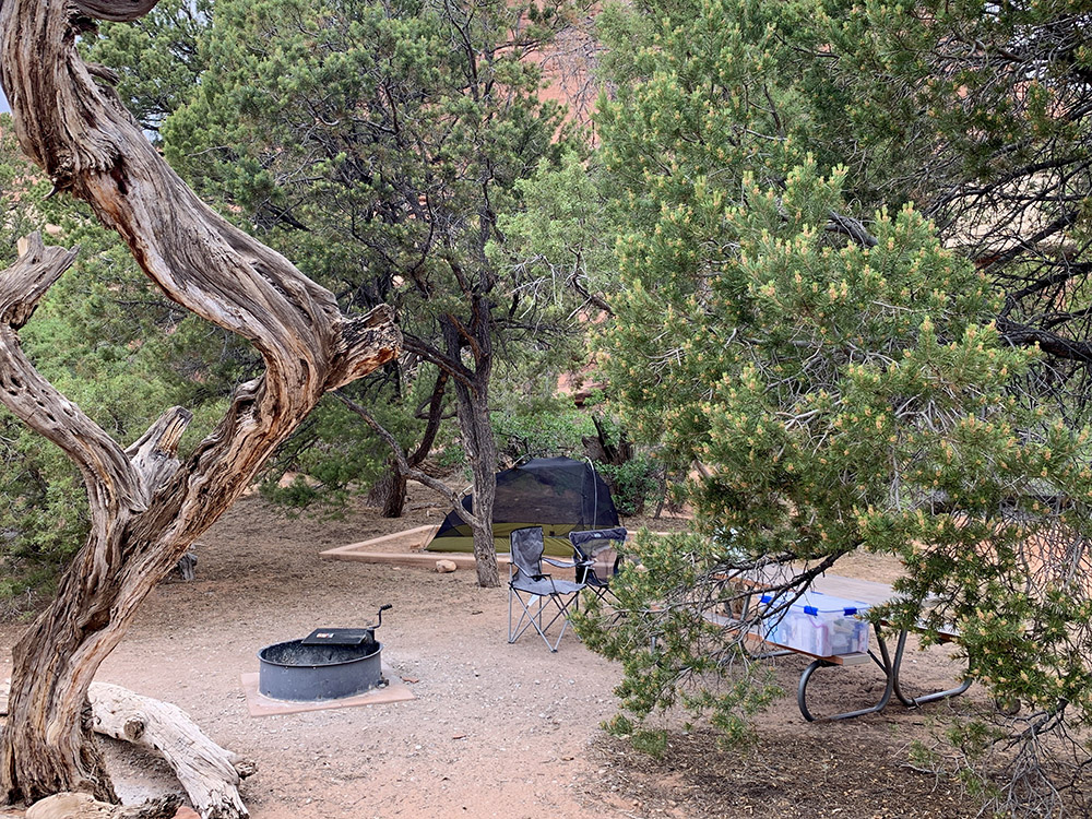
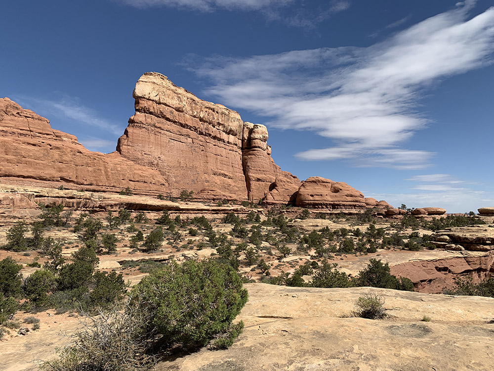
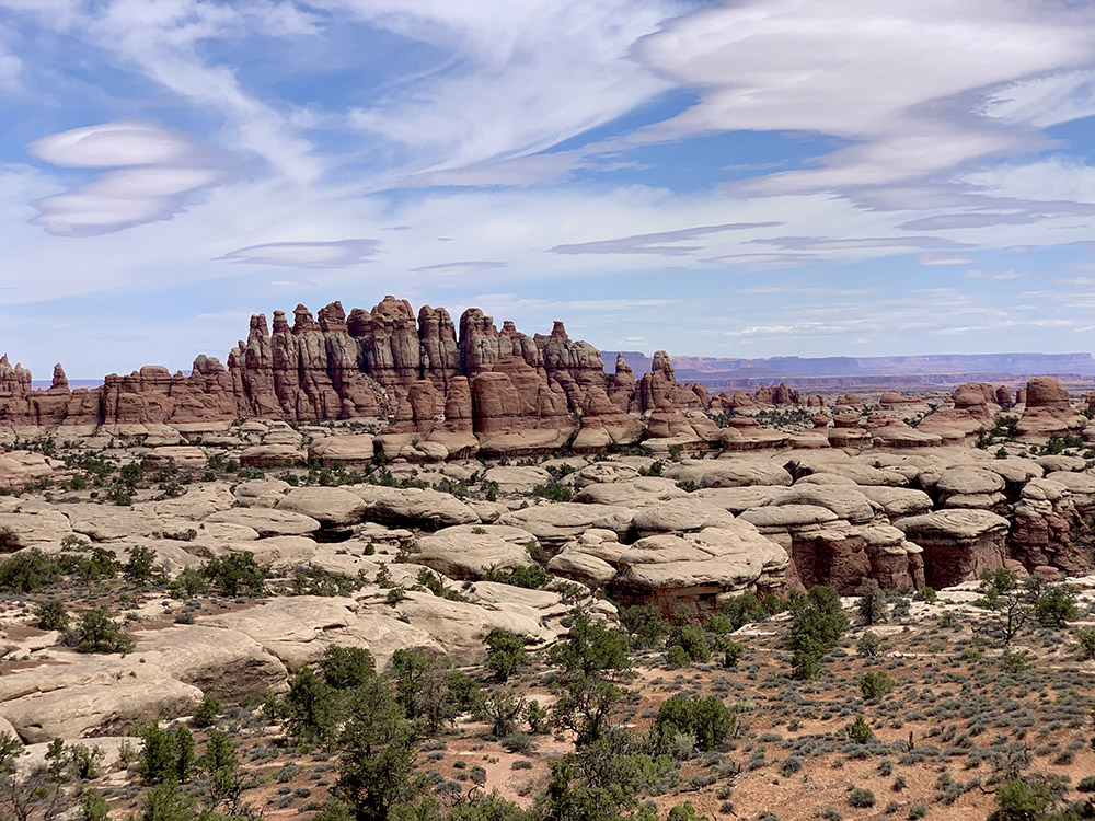
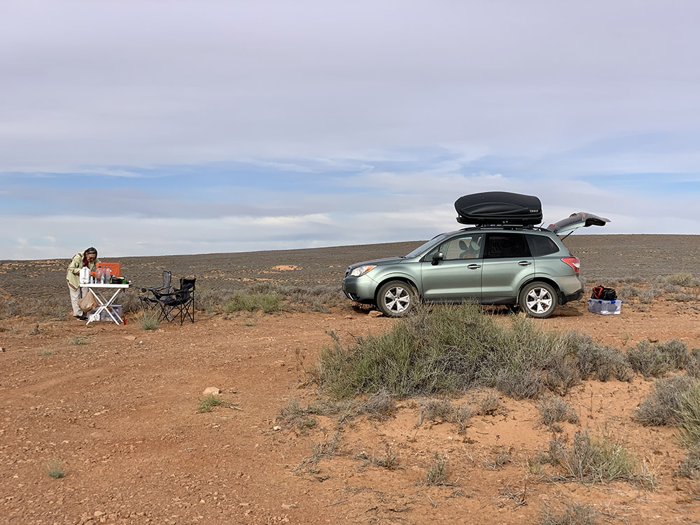
Next morning we drove around to ☞ The Needles District of Canyonlands NP – enjoyed the views on the way, but without stopping to get to the Squaw Flat campground early to reserve a good site for two nights (Saturday and Sunday, we expected many visitors for the weekend). It worked – the campground is large and there were many spots to choose from when we arrived. Our spot was spacious and nice, not too close to neighbours, so we decided to sleep in tent for a change. With campsite in the bag, we were ready for short walks: Pot Hole Trail, Big Spring Canyon Overlook, Slickrock Trail, Roadside Ruin Trail. Despite the weekend, Needles District was not too crowded, far less so than Island in the Sky the day before. It looked like more people come here for longer hikes and spread out through quite large area.

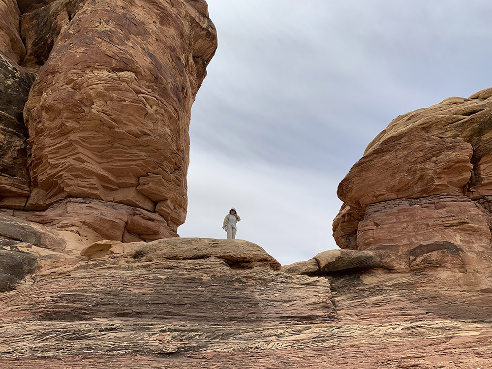
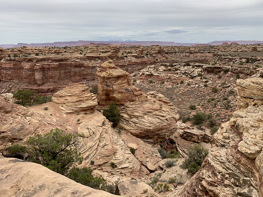

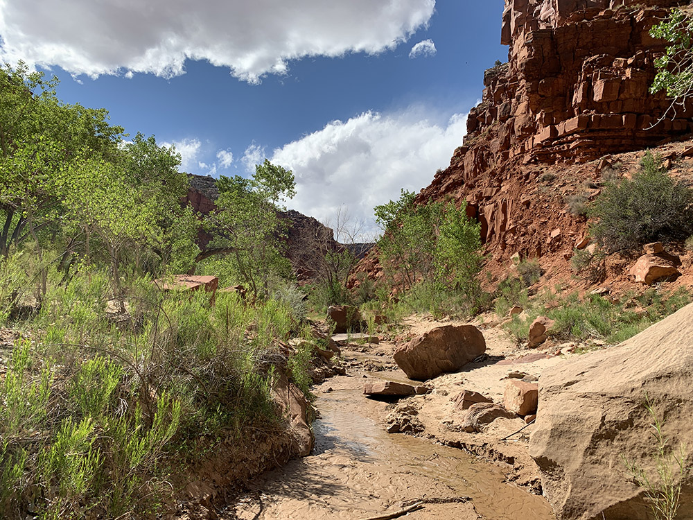
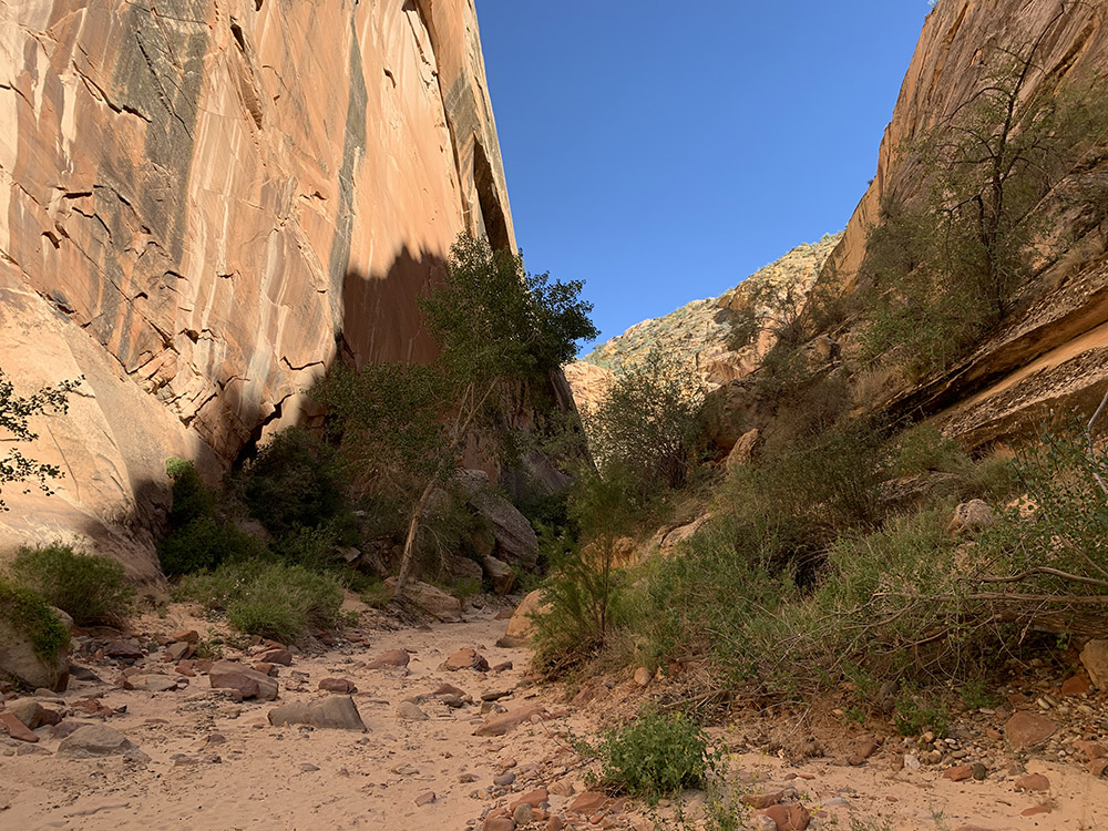
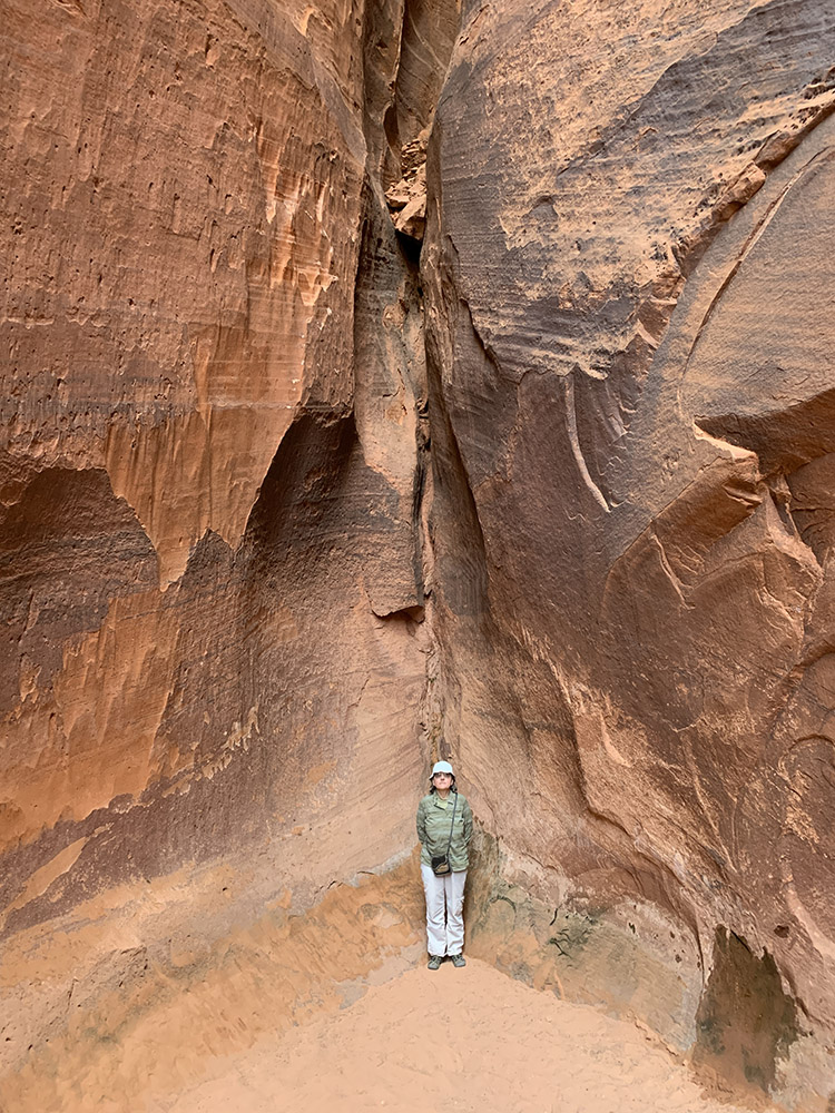
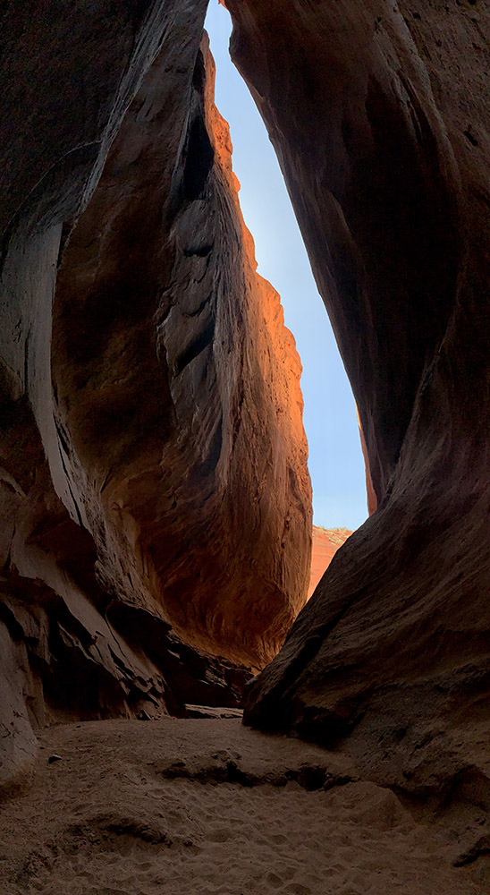
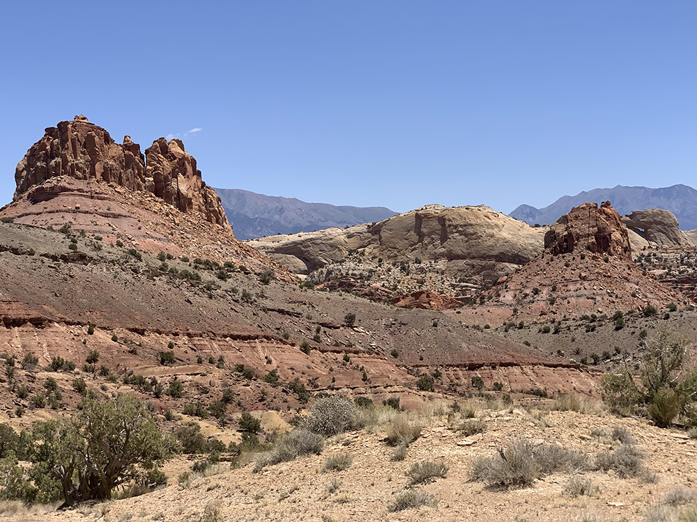
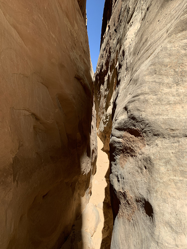
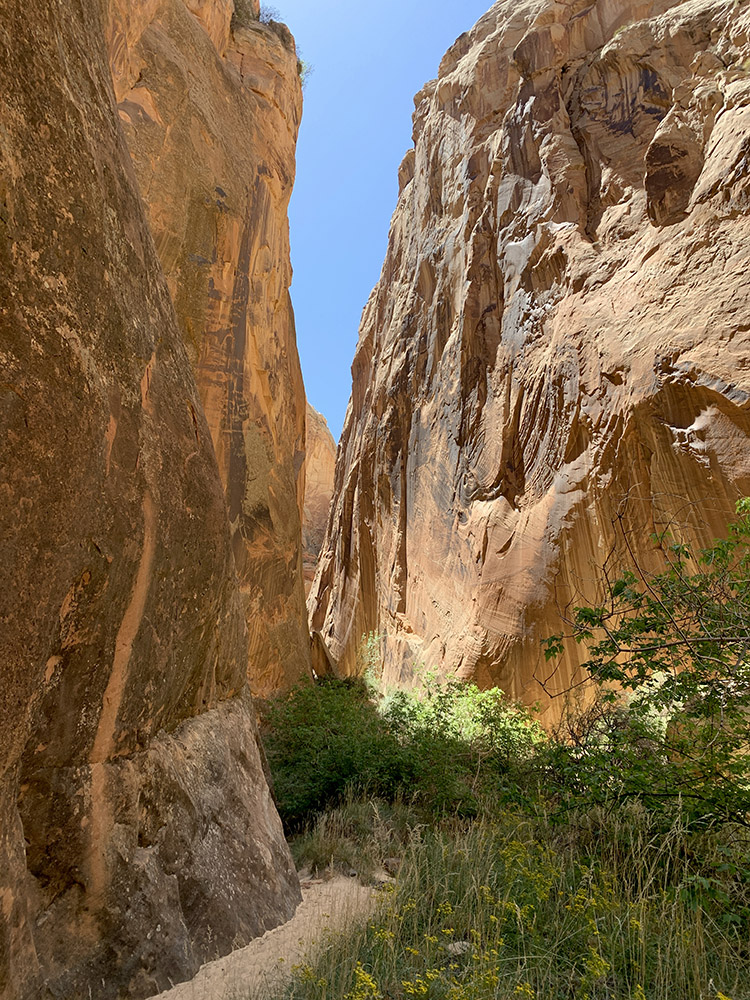
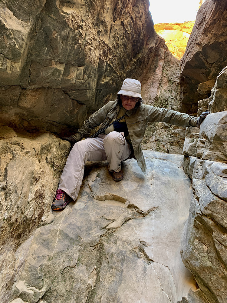
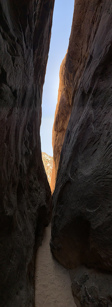
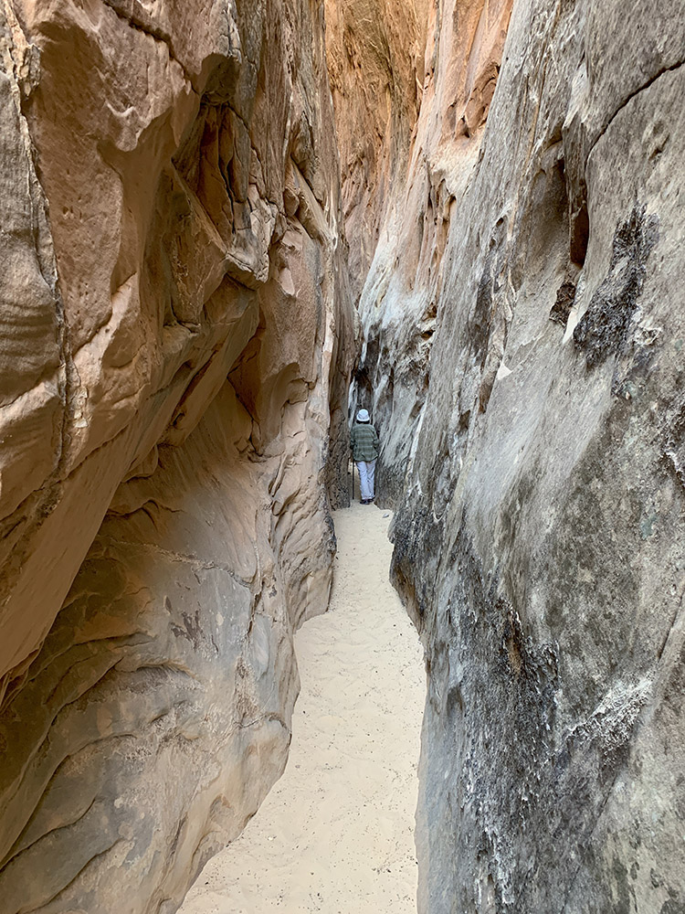
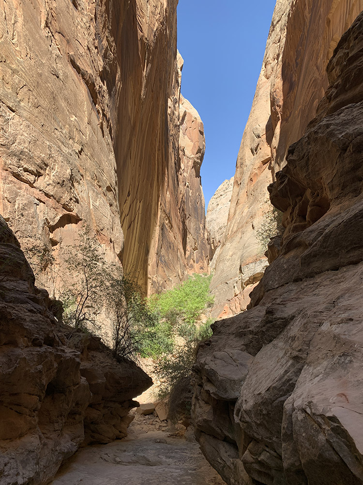
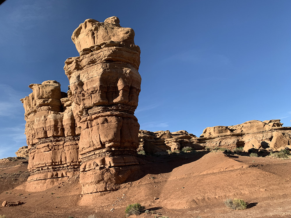
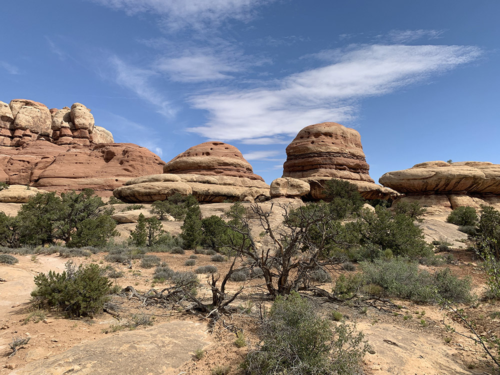
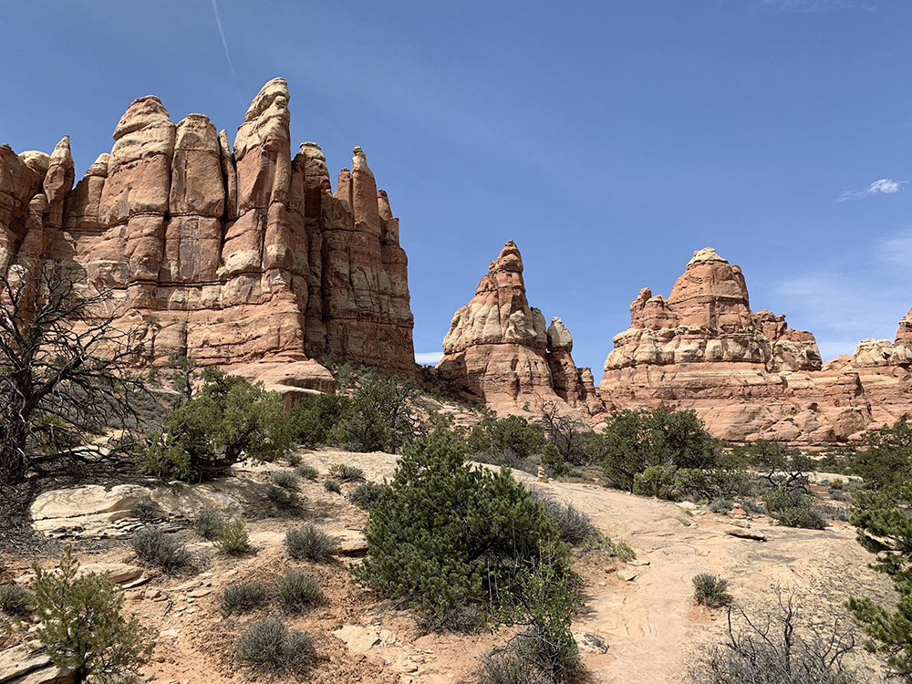
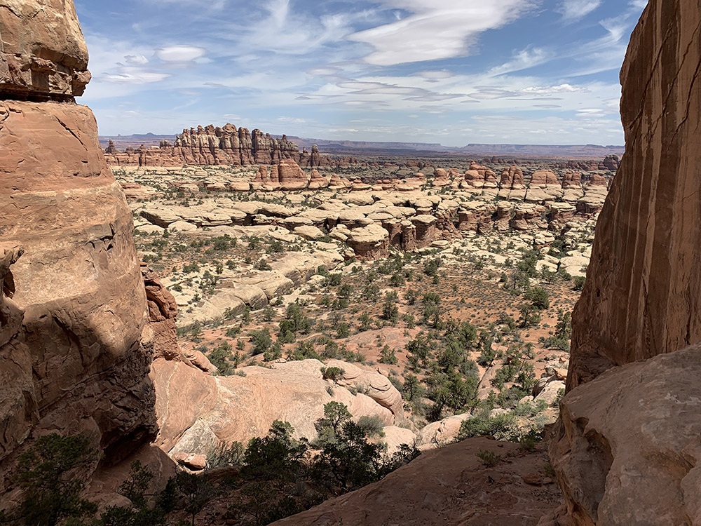
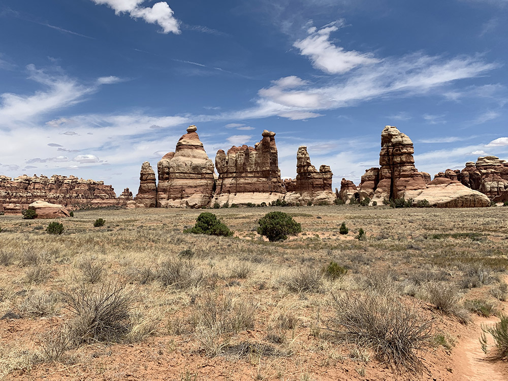
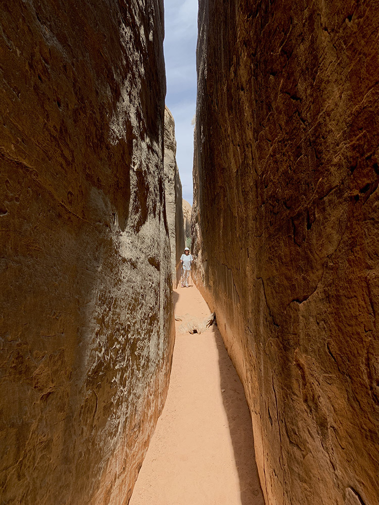
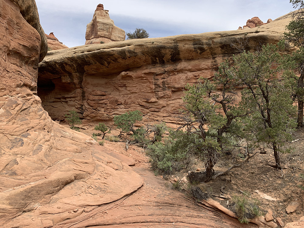
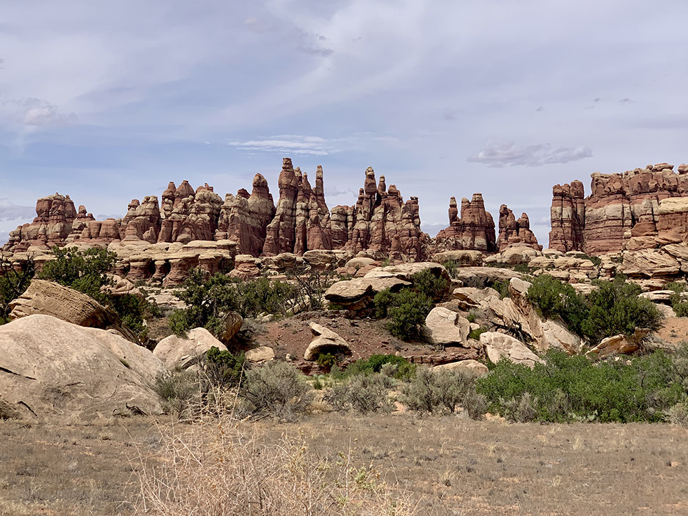
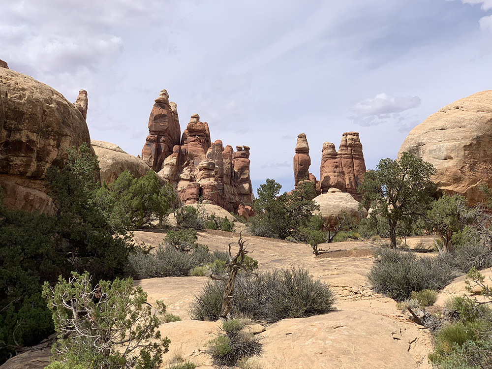
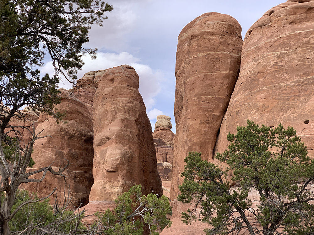
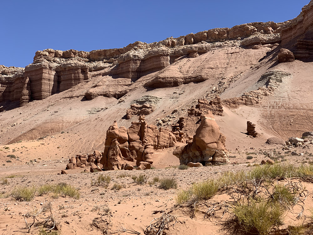
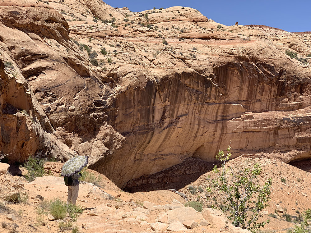
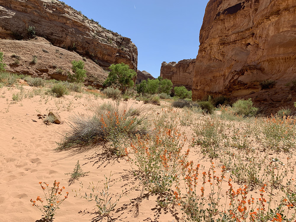
Our last full hiking day of the trip: 12-mile Chesler Park/Joint Trail loop. We drove short distance from our camp to Elephant Hill trailhead, followed easy trail up on open rocky terrain passing across some impressive looking rocks on the way. Chesler Park is a large meadow that sits on small plateau with rock “monuments” standing all around. At some point we descended a bit from the plateau (one “level ” down towards Colorado River) through a maze of slots in sandstone to dry wash only to go back up different way to close the loop and return to the trailhead. It was quite hot in Devils Kitchen. Yes, some of the standing rocks look like “needles”.
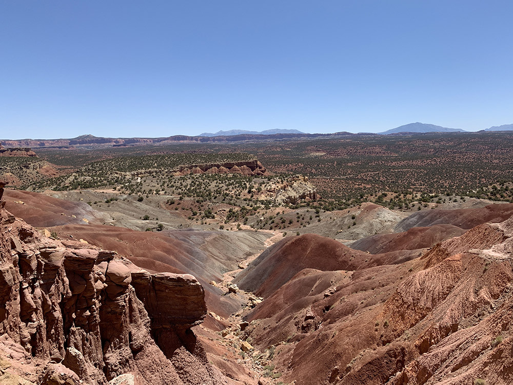
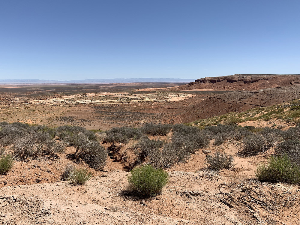
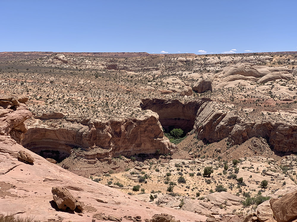
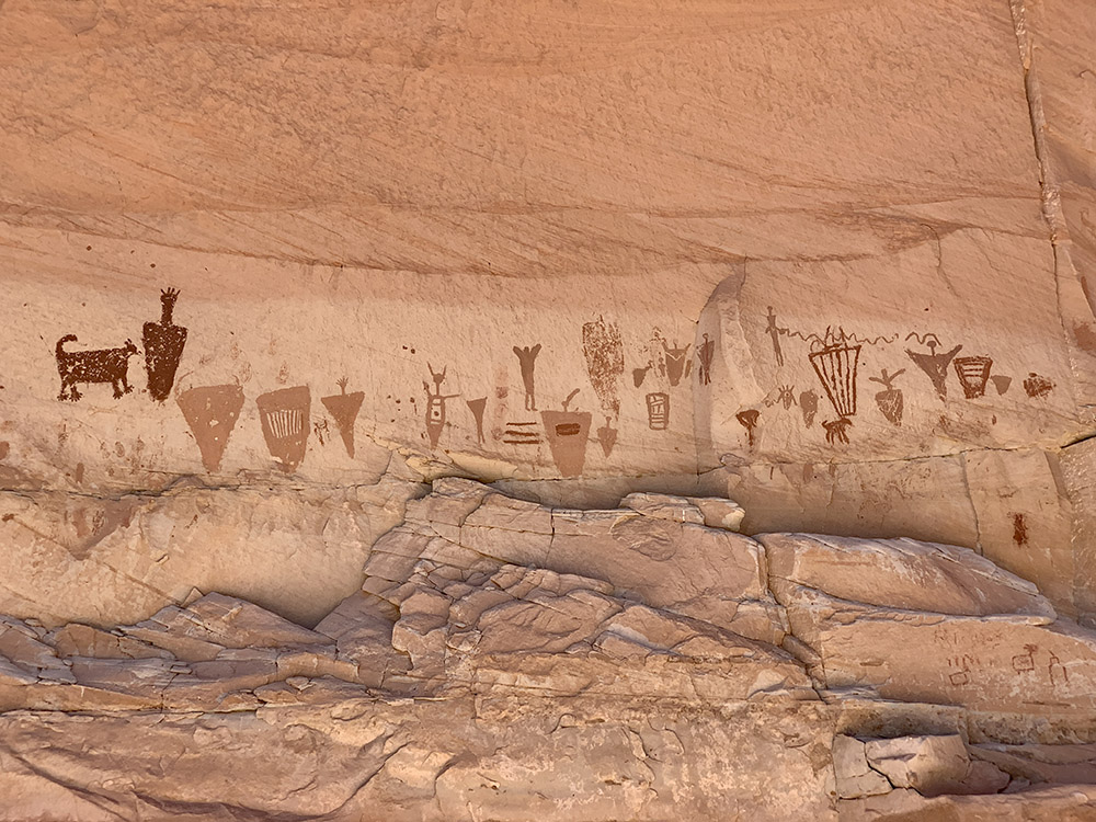
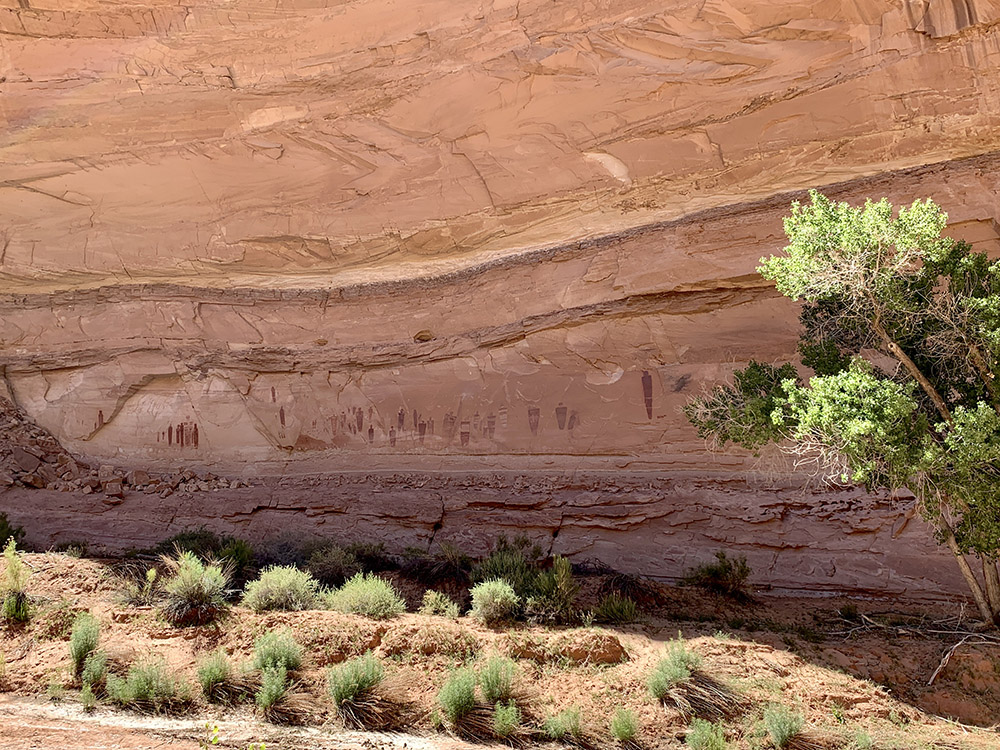
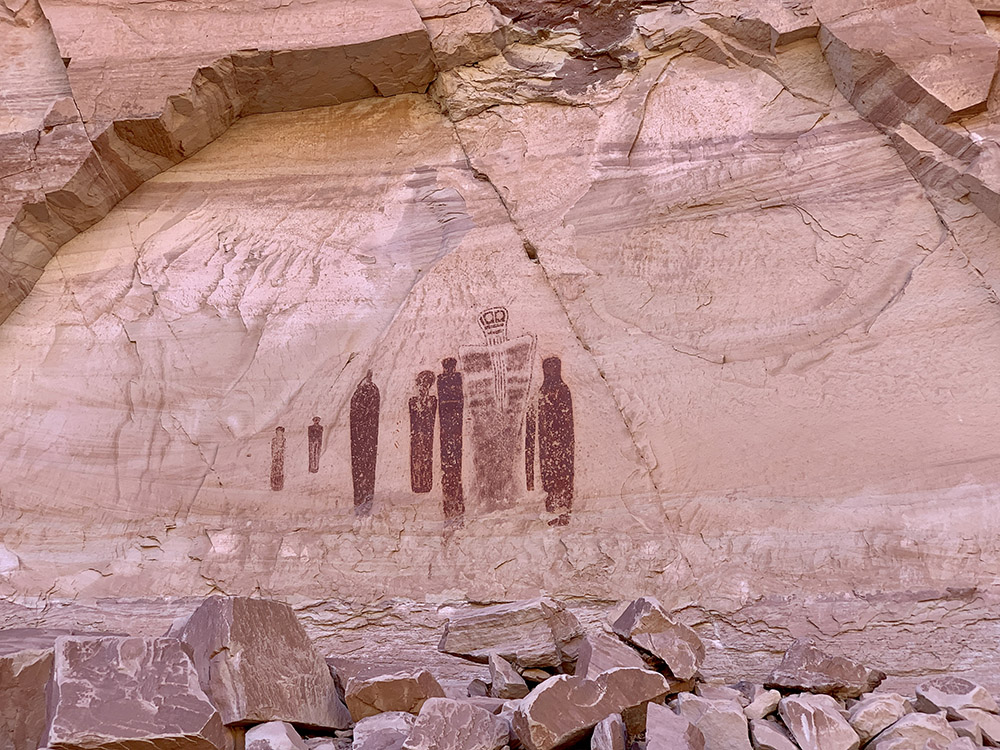
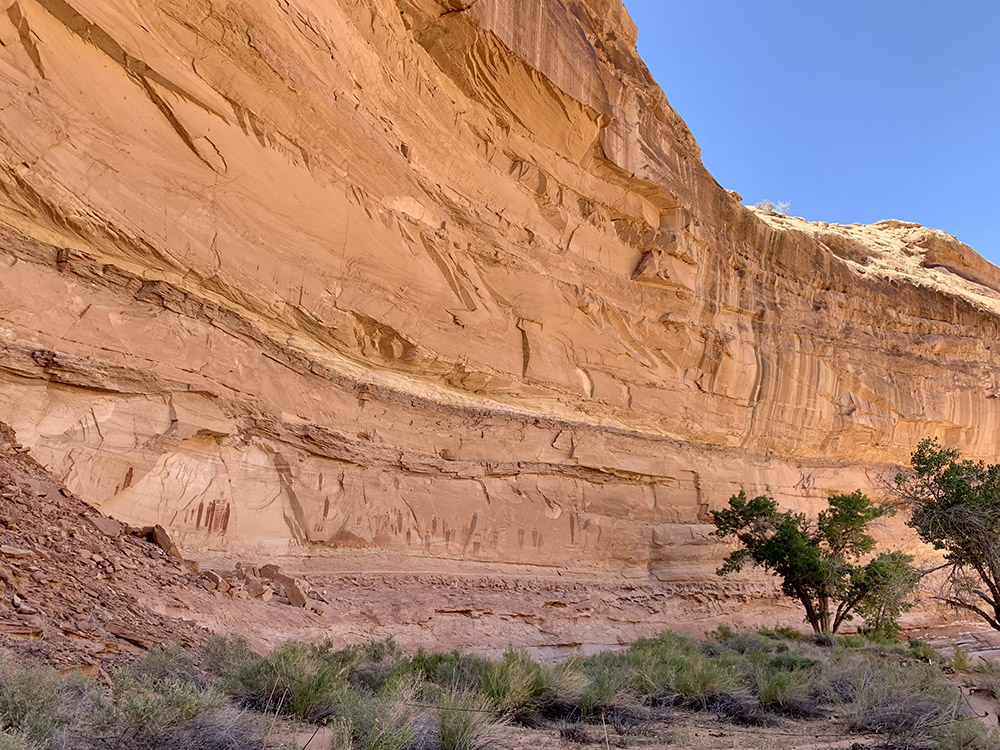
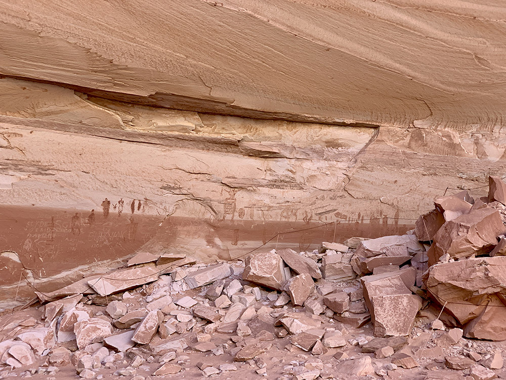
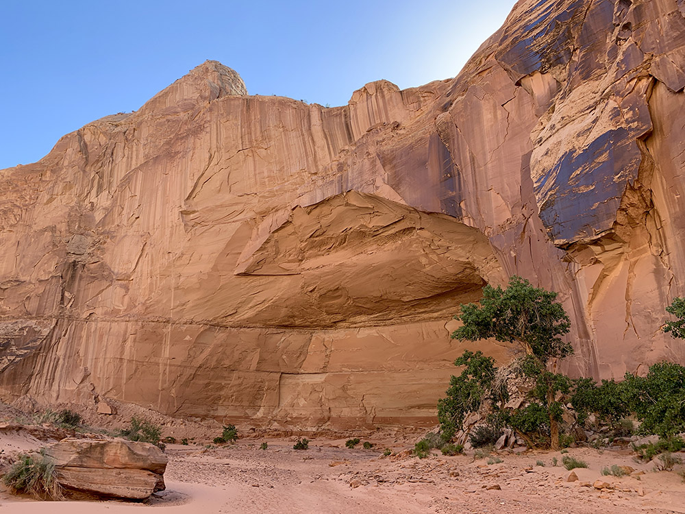
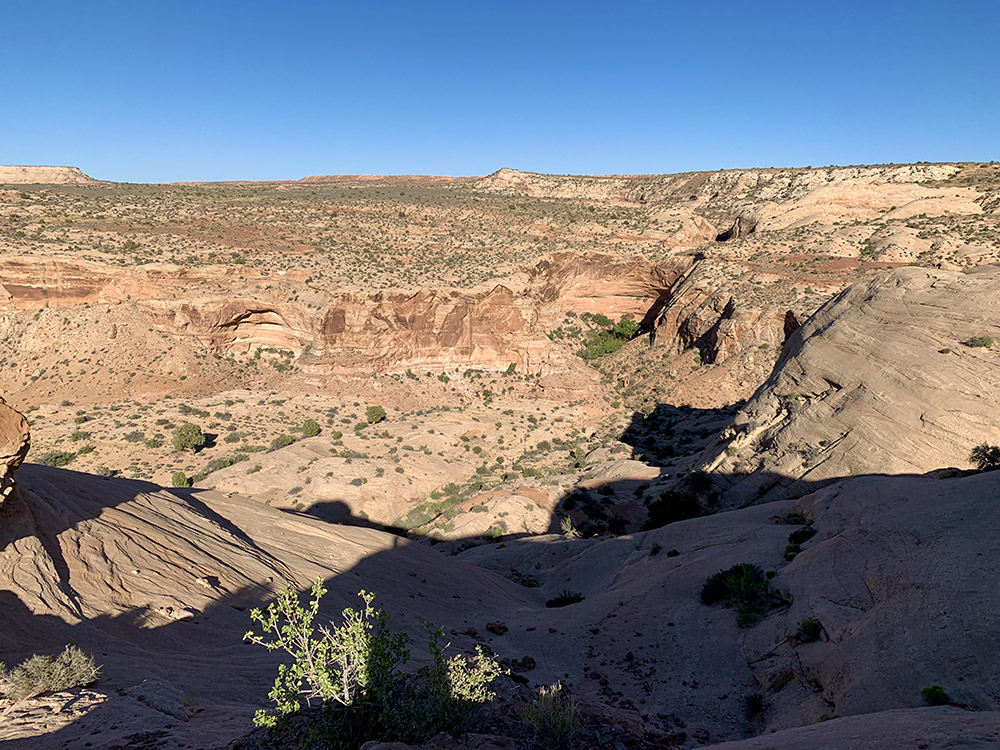
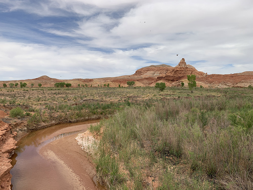
Canyonlands is vast with open vistas all the way to the horizon, the Horseshoe Canyon quite far away (north-west) on the other side of Green and Colorado Rivers. We had good sunny weather, quite warm and just a few drops of rain one night. In the short time we saw the main features (Piotr visited Canyonlands briefly years ago), perhaps could come back for backcountry hiking in Maze district or camping along White Rim Road.
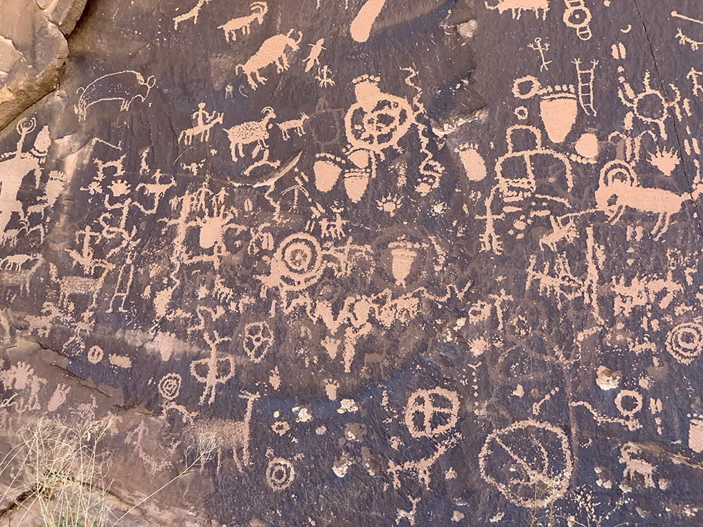
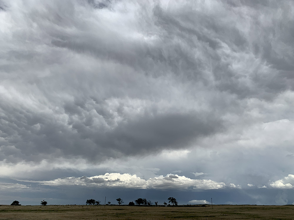
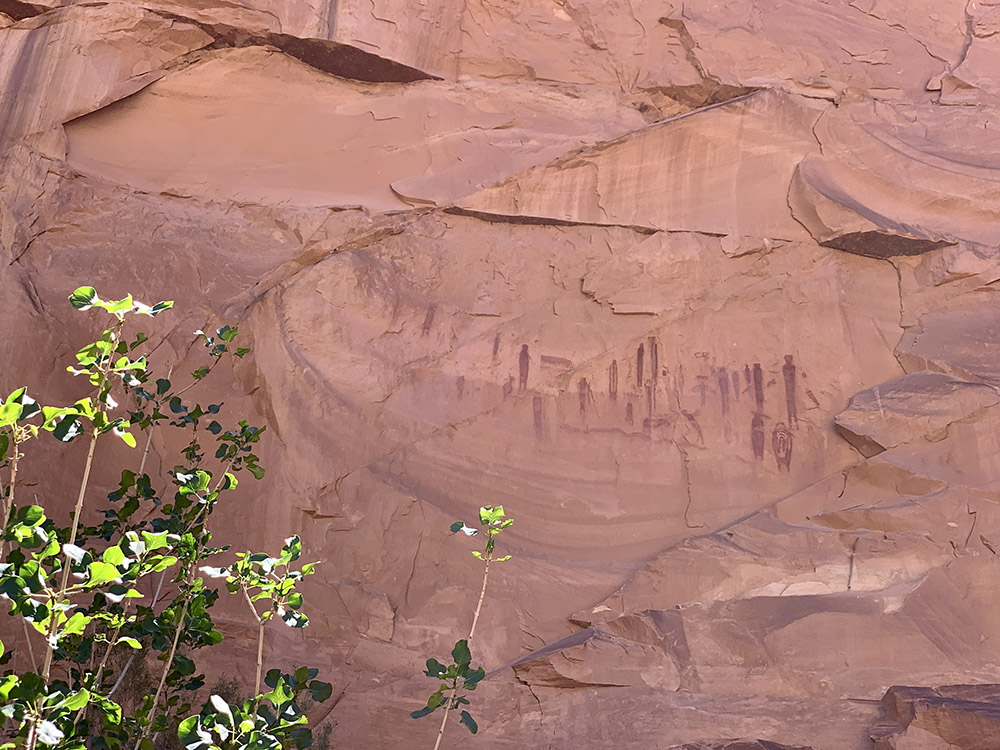
We stopped at Newspaper Rock on the way out of Canyonlands, filled-up the tank and started serious driving back home. We made it to Colorado Penitente Canyon Campgroud (disappointing) on the first day, Salina KS and Chicago over the following two days. Somewhere after Colorado Springs a big storm started gathering on the horizon behind us and followed us (literally) for some 400 miles as we were driving east. We could not stop or slow down without it catching up with us quickly. Piotr did not want to waste time waiting it out and we were a bit afraid of driving in strong wind with the cargo box on the roof. Wind and heavy rain did catch up with us shortly after we checked in to Roadway Inn in Salina, but at that time severe weather and shelter in place warnings were just cancelled. Easy (boring) driving the rest of the way.
 Resources