May 30-June 1
 Resources
☞ Cotonwood Rd BLM map
☞ Burr Trail Wolverine Loop Rd BLM map
☞ Cottonwood Canyon Road
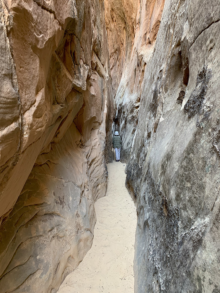
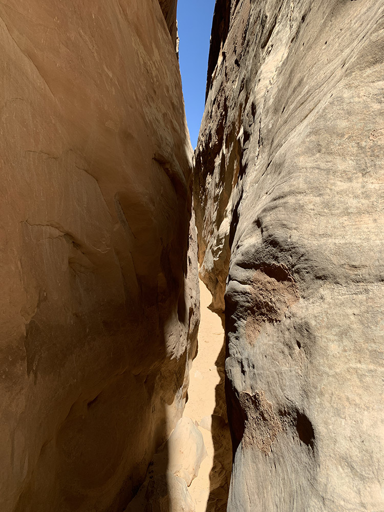
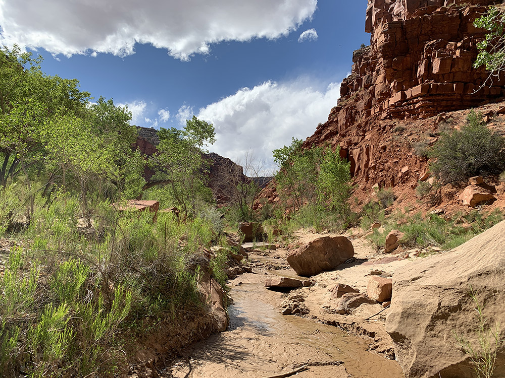
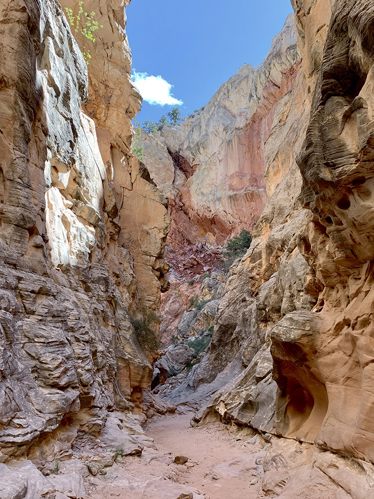
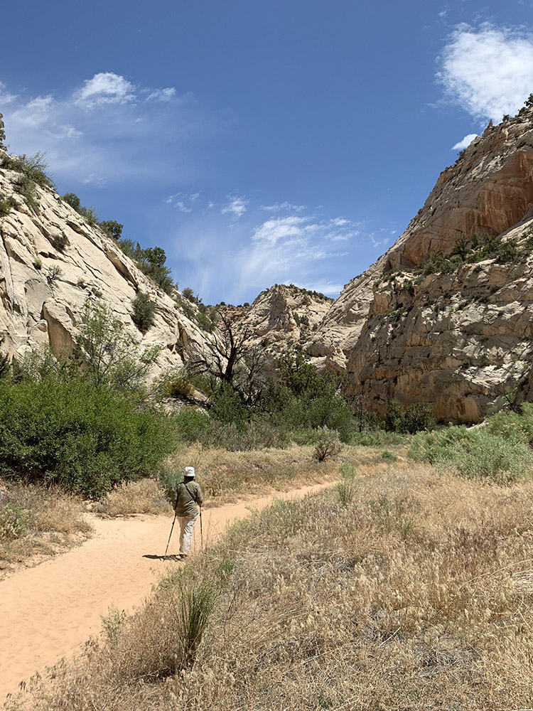
☞ Cottonwood Wash Narrows
☞ What’s like to drive Cottonwood Canyon Road?
☞ How to loop fold in Capitol Reef NP?
☞ Headquarters Canyon
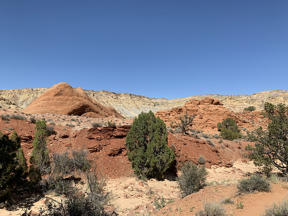
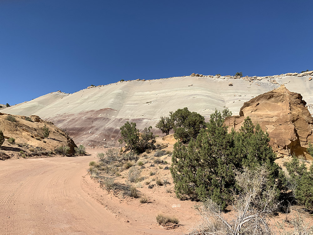
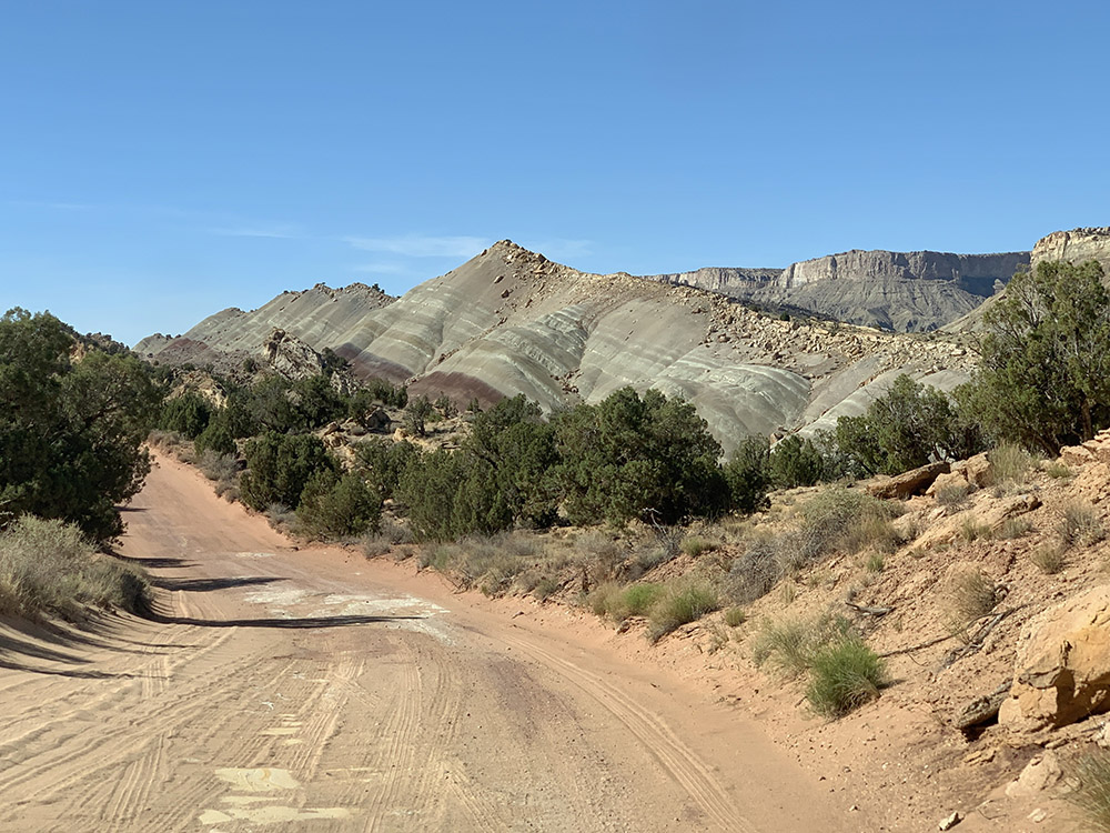
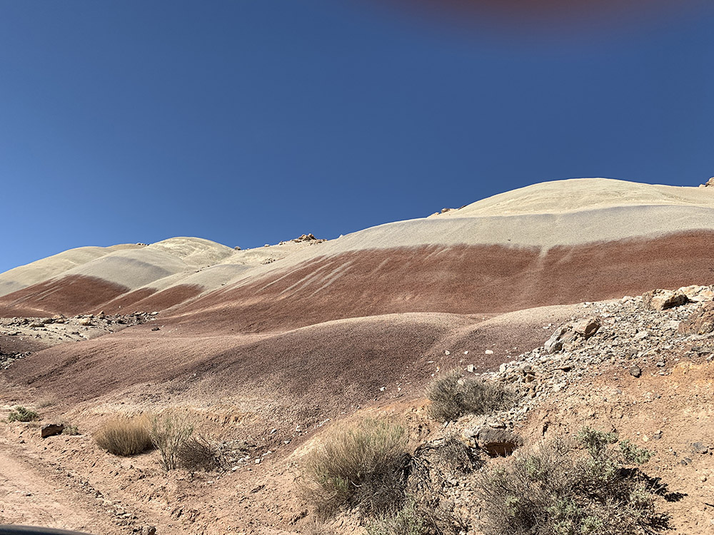
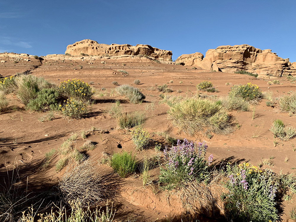
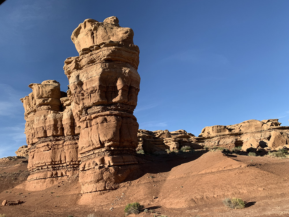
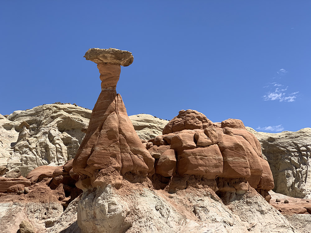
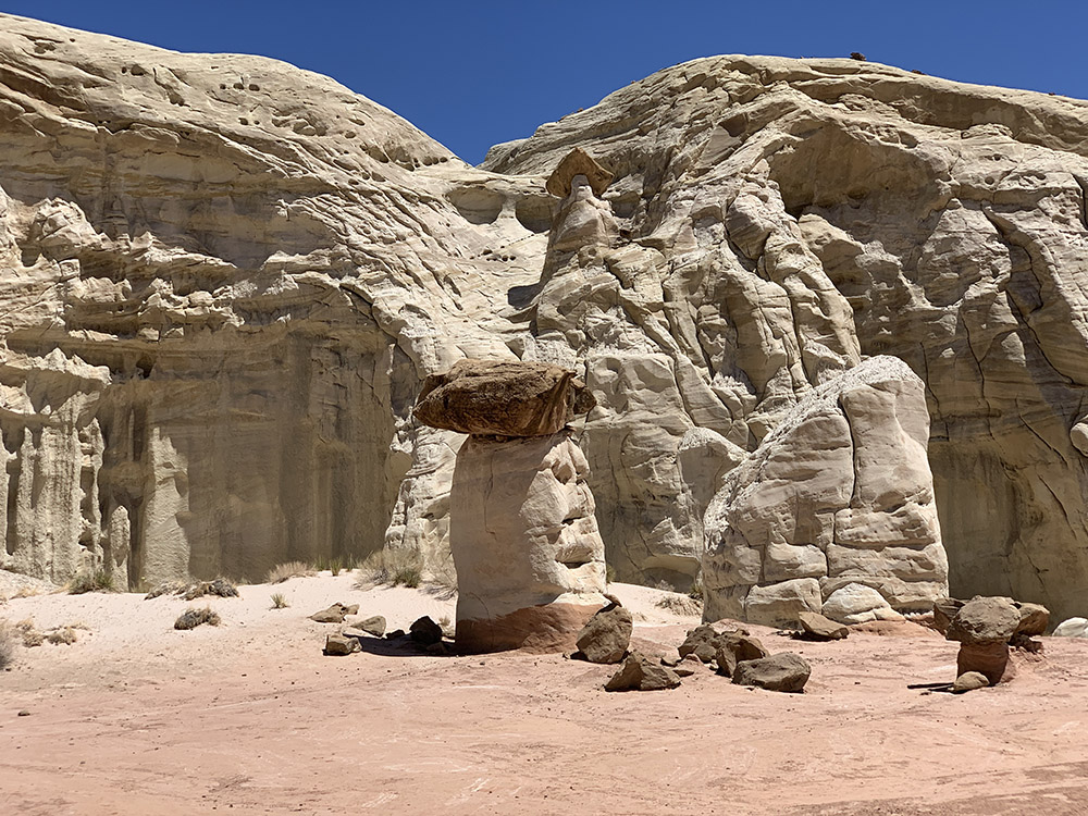
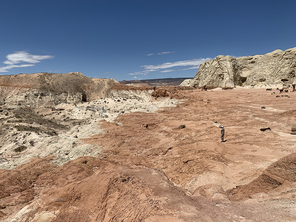
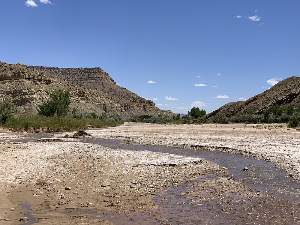
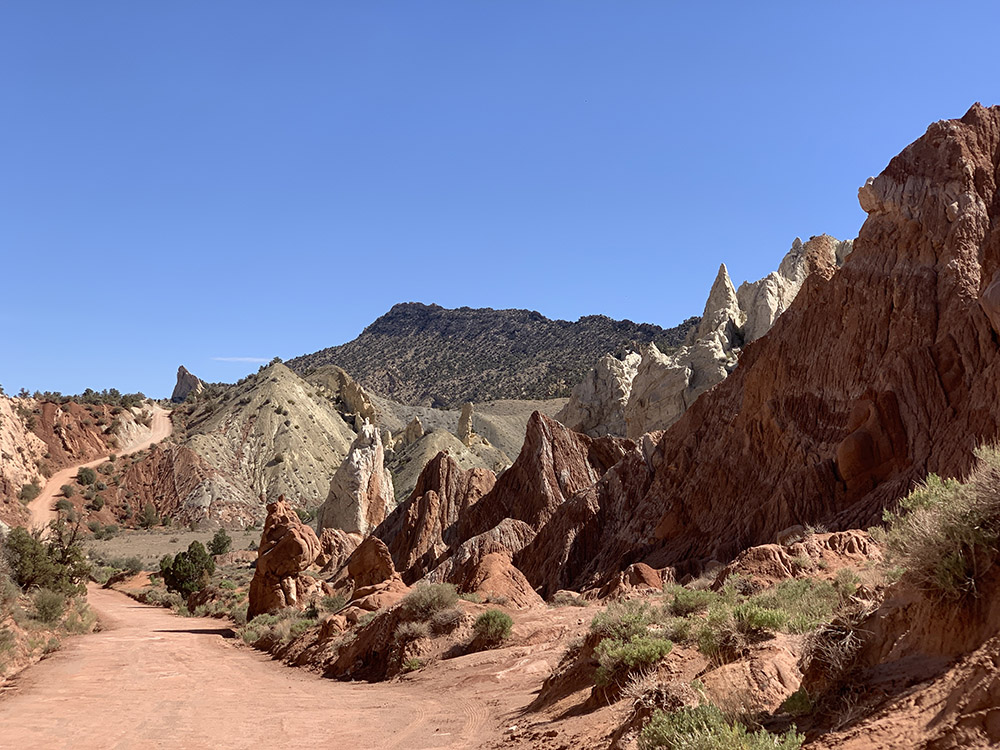
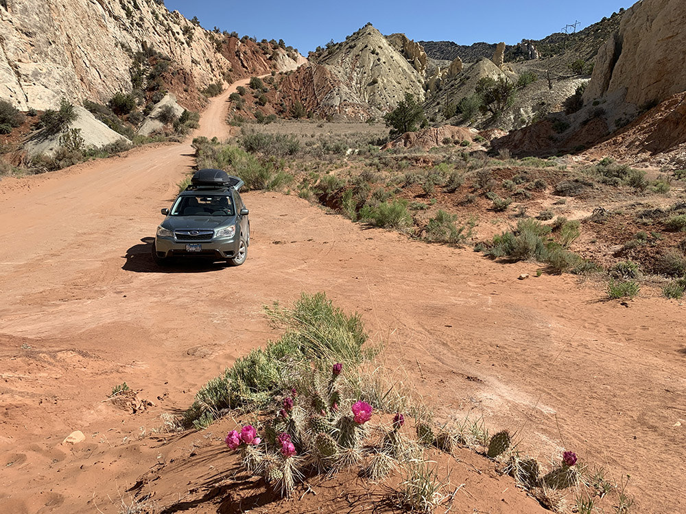
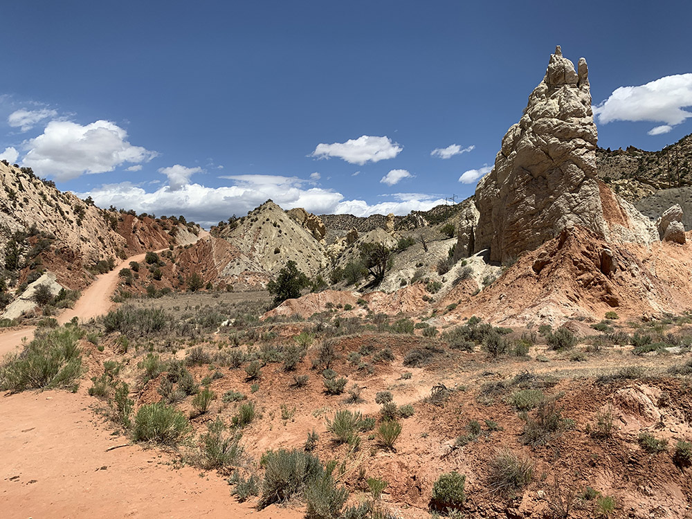
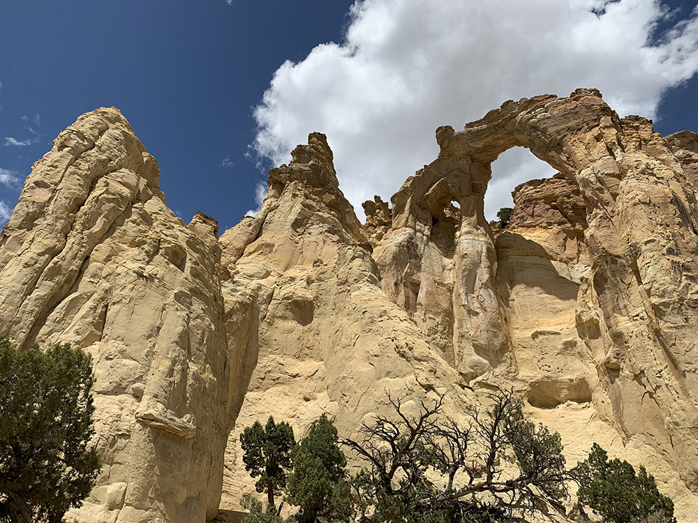
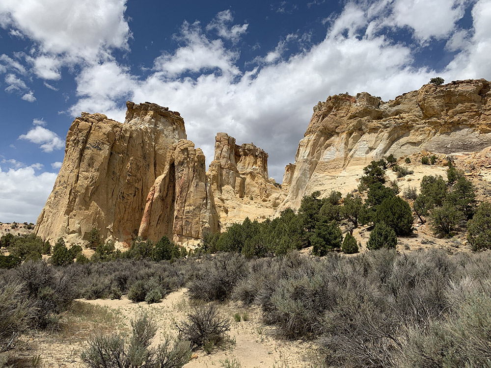
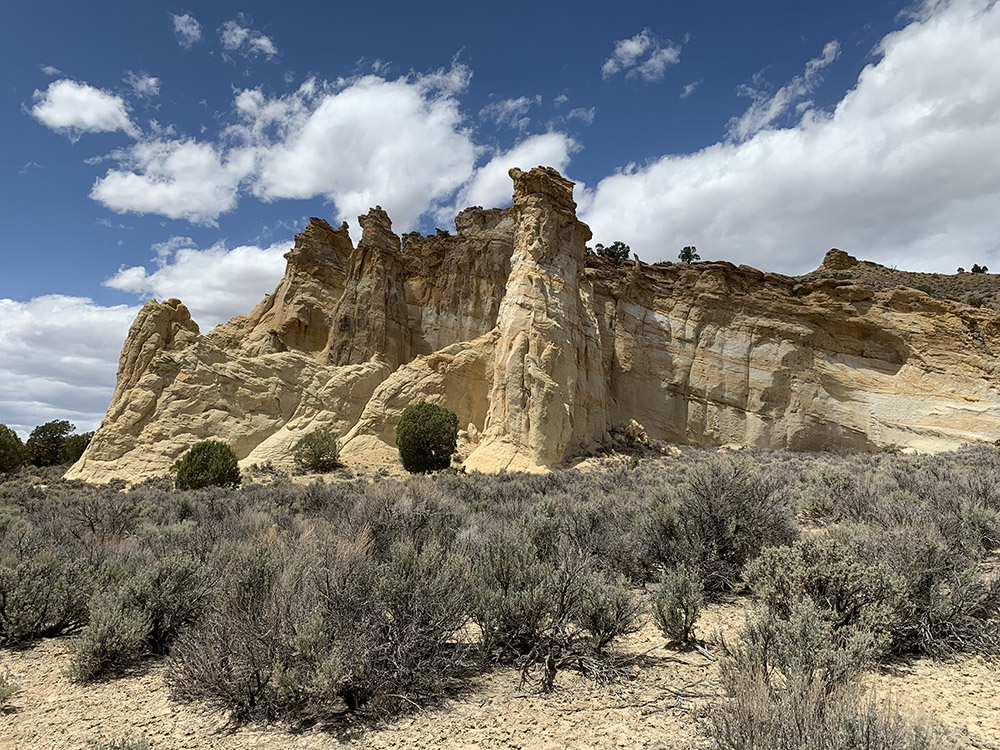
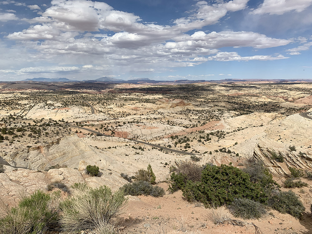
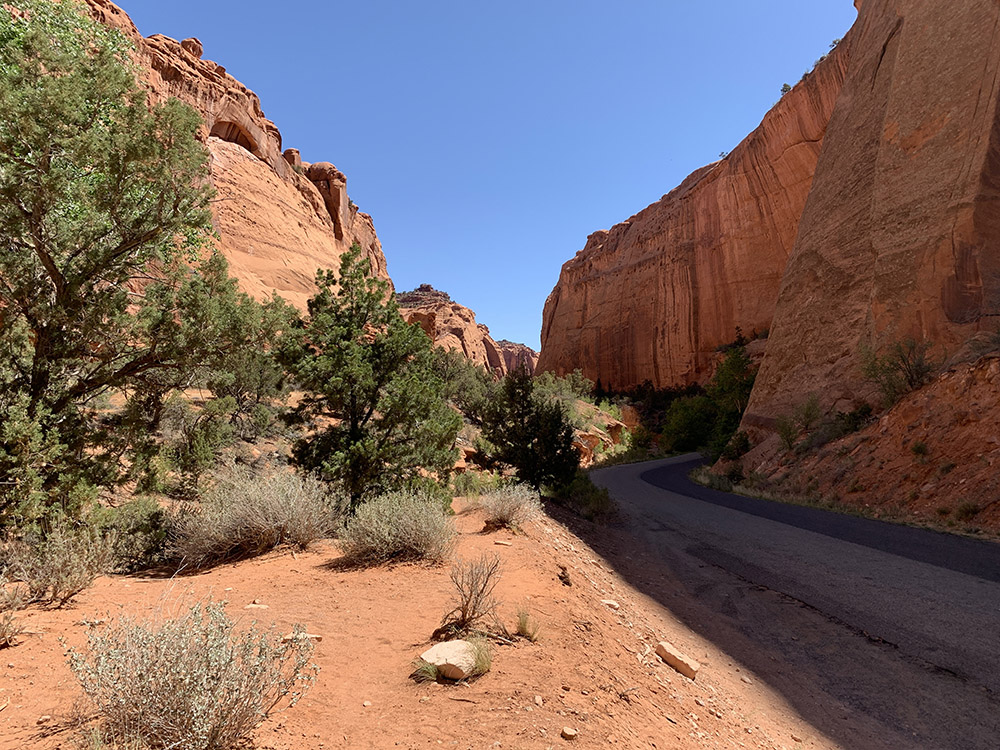
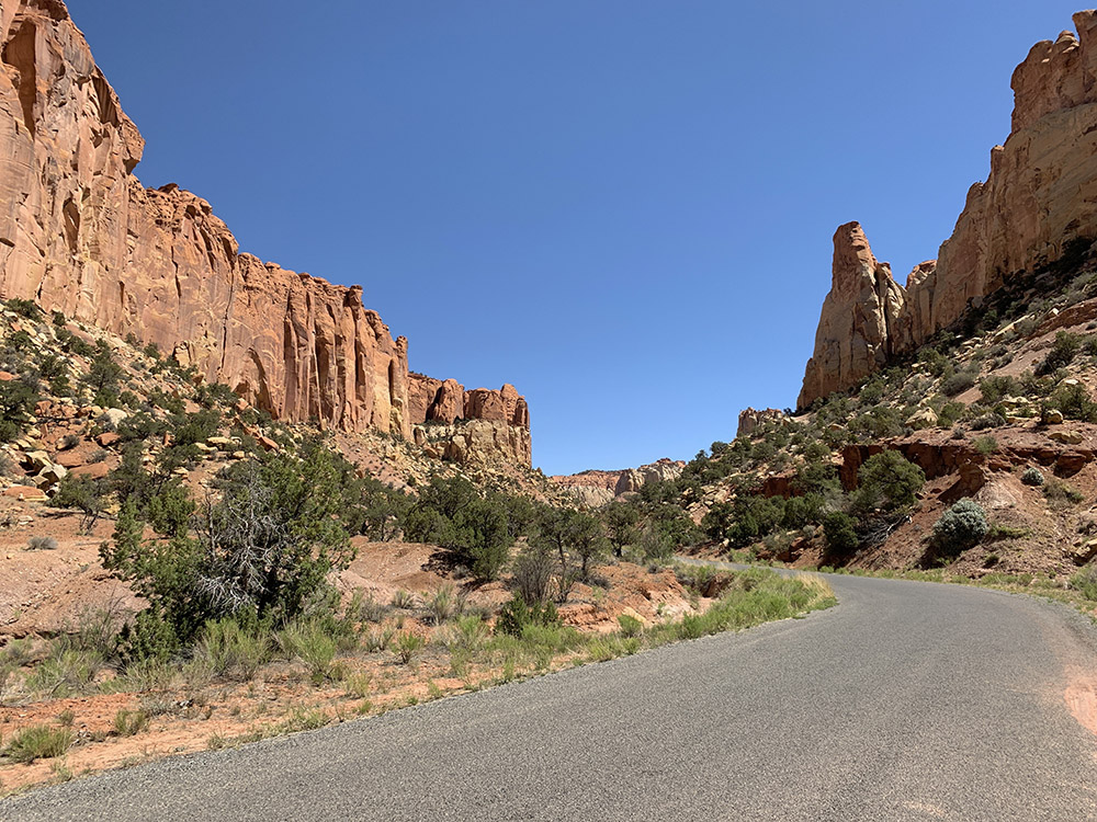
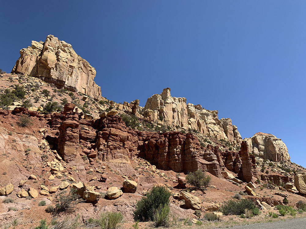
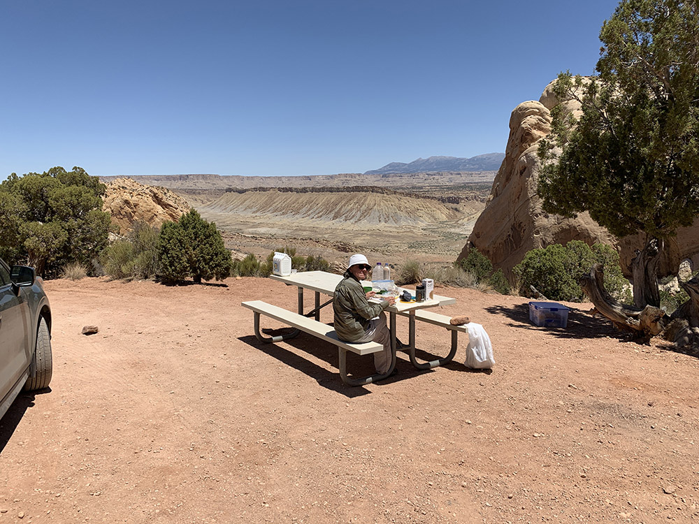
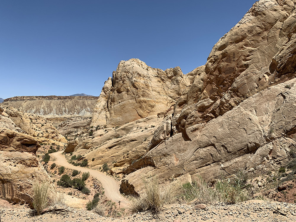
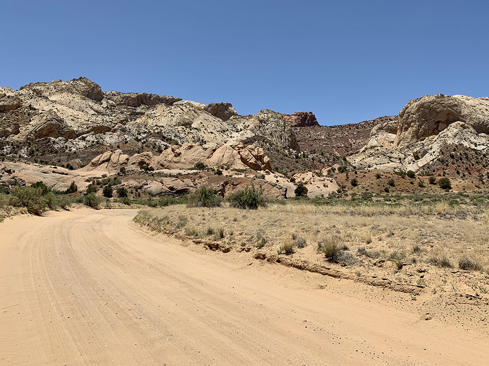
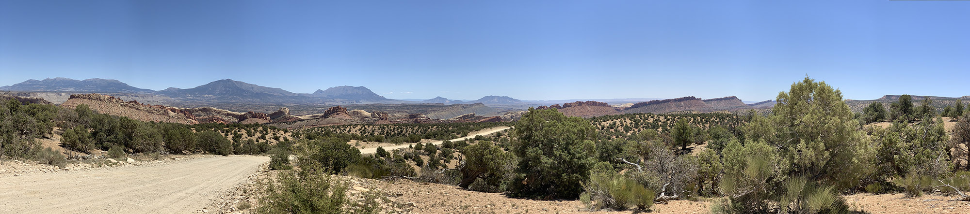
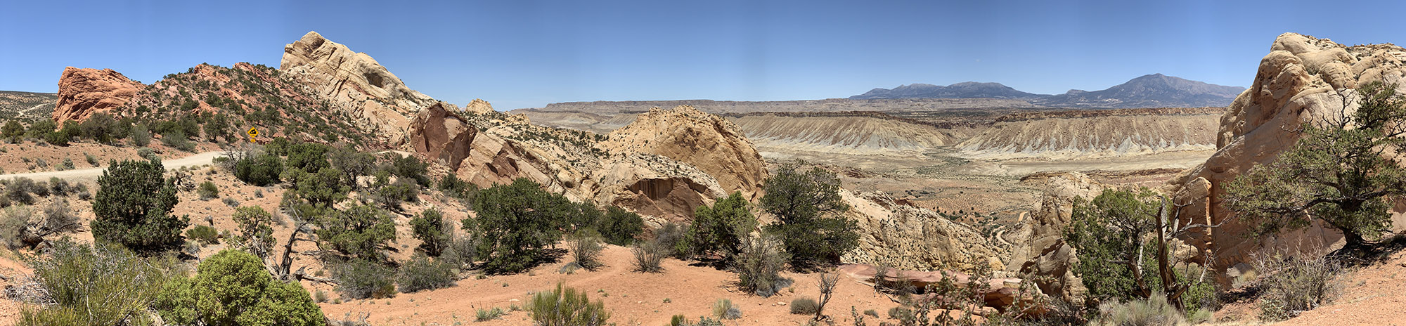
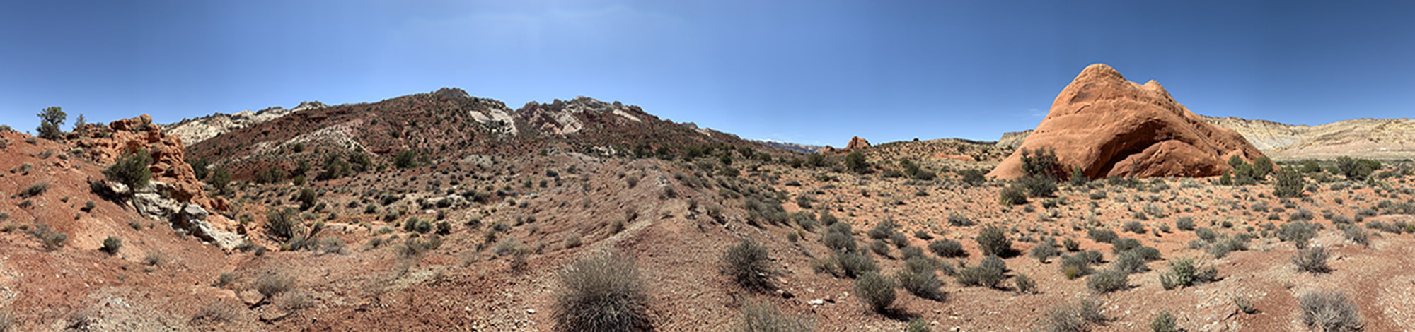
After good night rest in Page, regrouped, resupplied and triple-washed, we are heading north towards ☞ Grand Staircase-Escalante NM and ☞ Capitol Reef NP . This 3 day section was a slow road trip on scenic byways and dirt roads. We started with a short walk to visit ☞ Toadstool Hoodoos, just off Hwy 89. We spent the rest of the day driving on ☞ Cottonwood Canyon Rd . The gravel surface was much better than we anticipated. We stopped briefly to check-out Paria River (still with some flowing water at this spot) and then stopped for 2-hour easy walk up and down Hackberry Canyon. Driving slowly we checked out possible camp sites and settled in between small trees on sandy bank of Cottonwood Creek. We wanted to be close to the ☞ Cottonwood Wash Narrows trailheads – we walked almost the entire section starting from and returning to the north trailhead next morning (3 miles), including short but quite impressive slot section. The scenery around this part of the road is very interesting. We had lunch at picnic area near Grosvenor Arch and short walk along the impresive rock formation. We were then driving on Hwy 12 past Escalante towards Boulder. We did get a few good views of Escalante and Calf Canyons, but only from the car. Viewpoint bays were horrible (bad design) and we were running out of time. After short drive on Burr Trail Road we camped at Deer Creek campground. Piotr discovered that his credit card disappeared, decided to drive back in the morning towards Boulder until cellular signal to lock it.
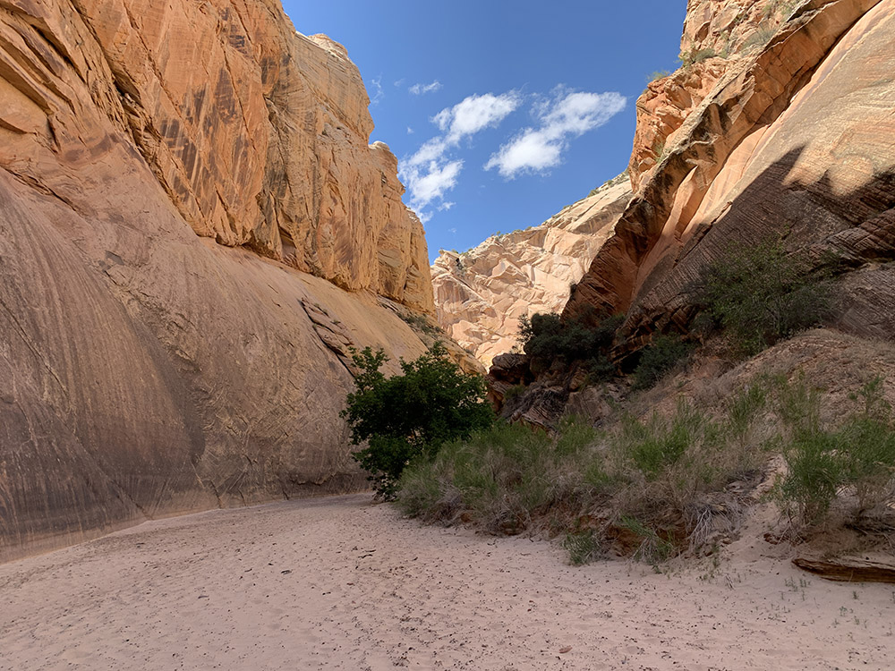
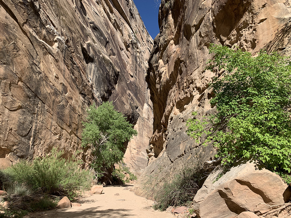
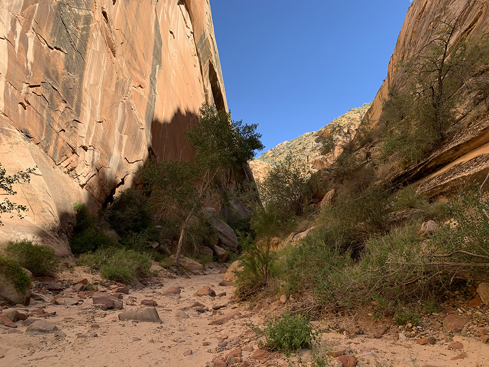
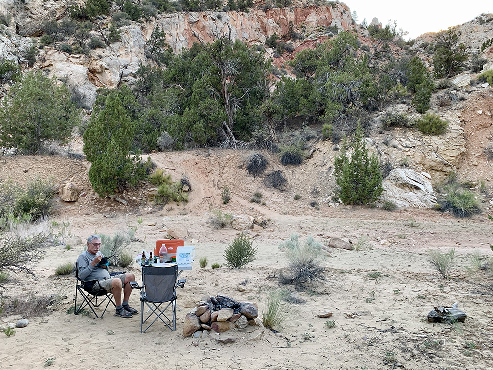
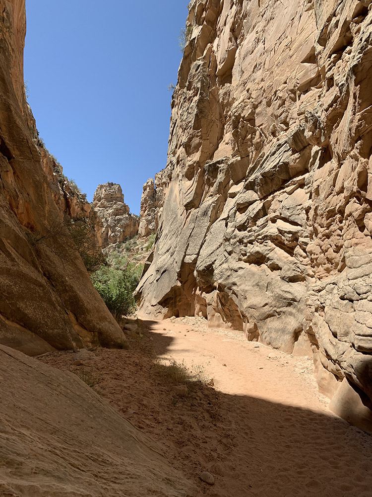
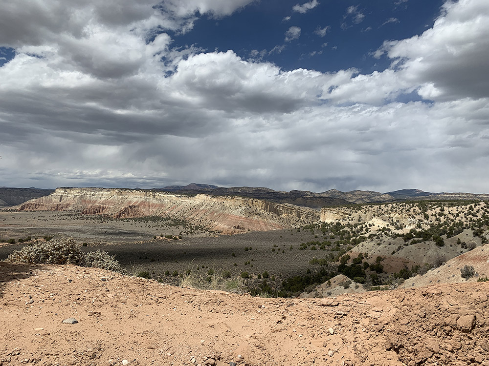
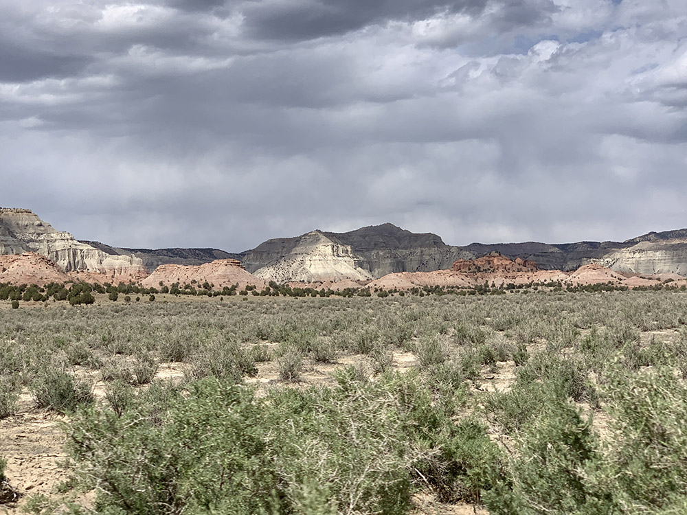
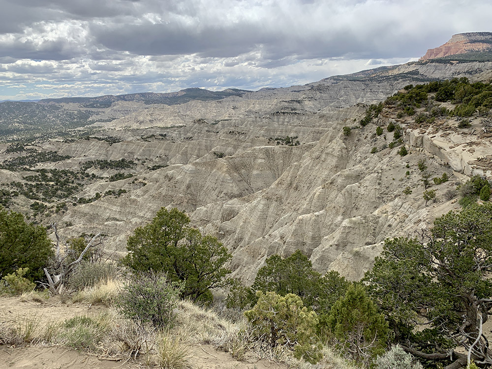
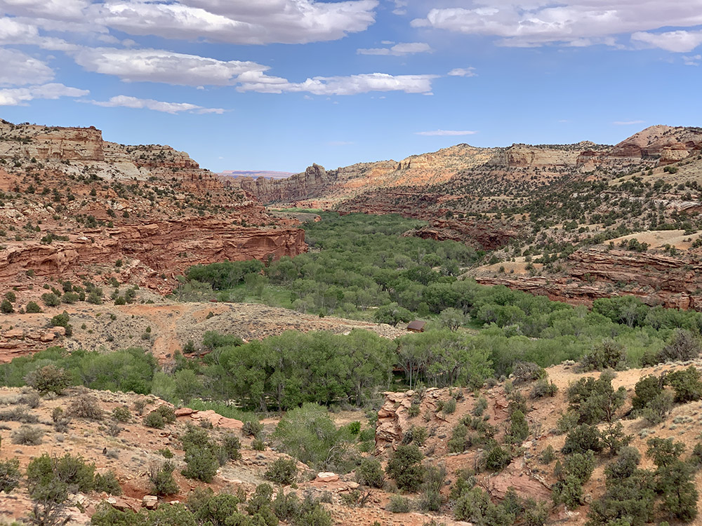
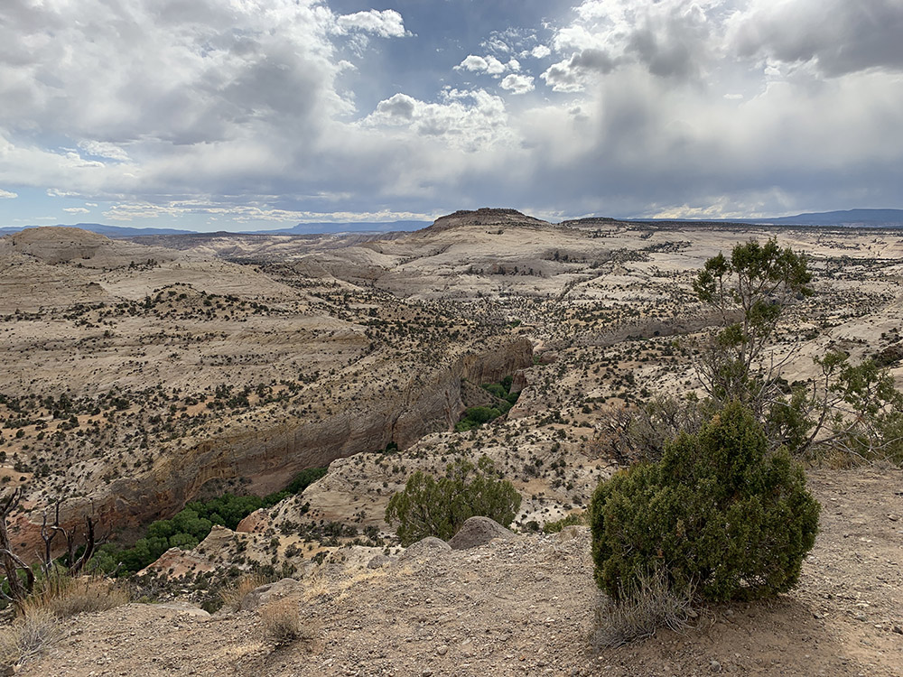
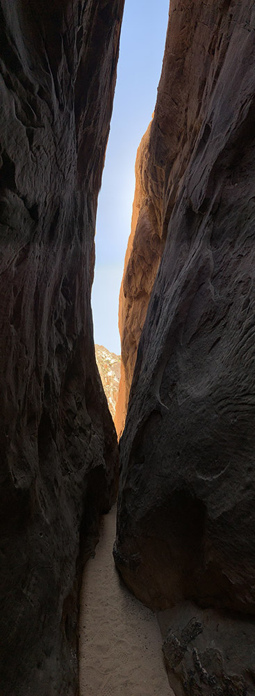
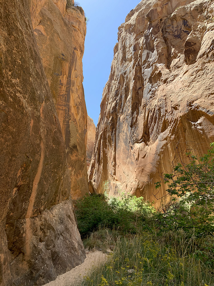
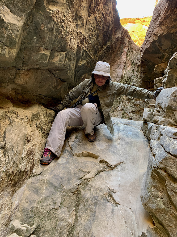
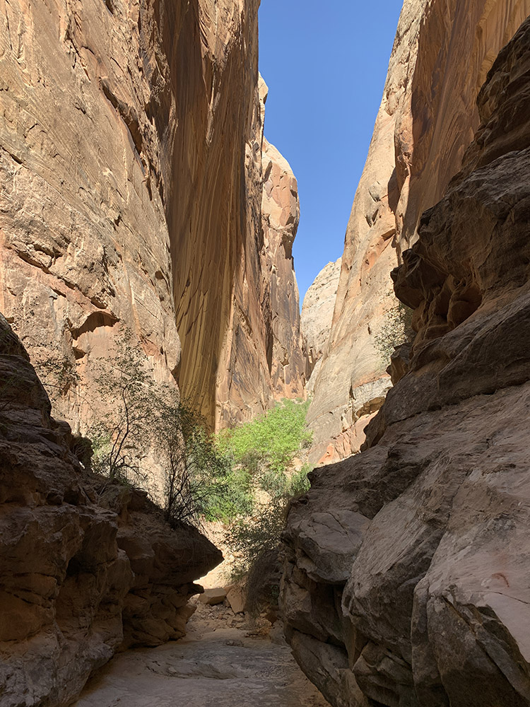
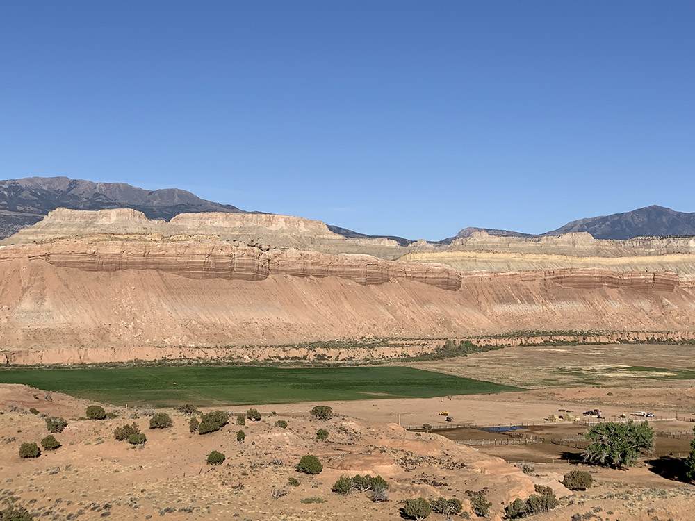
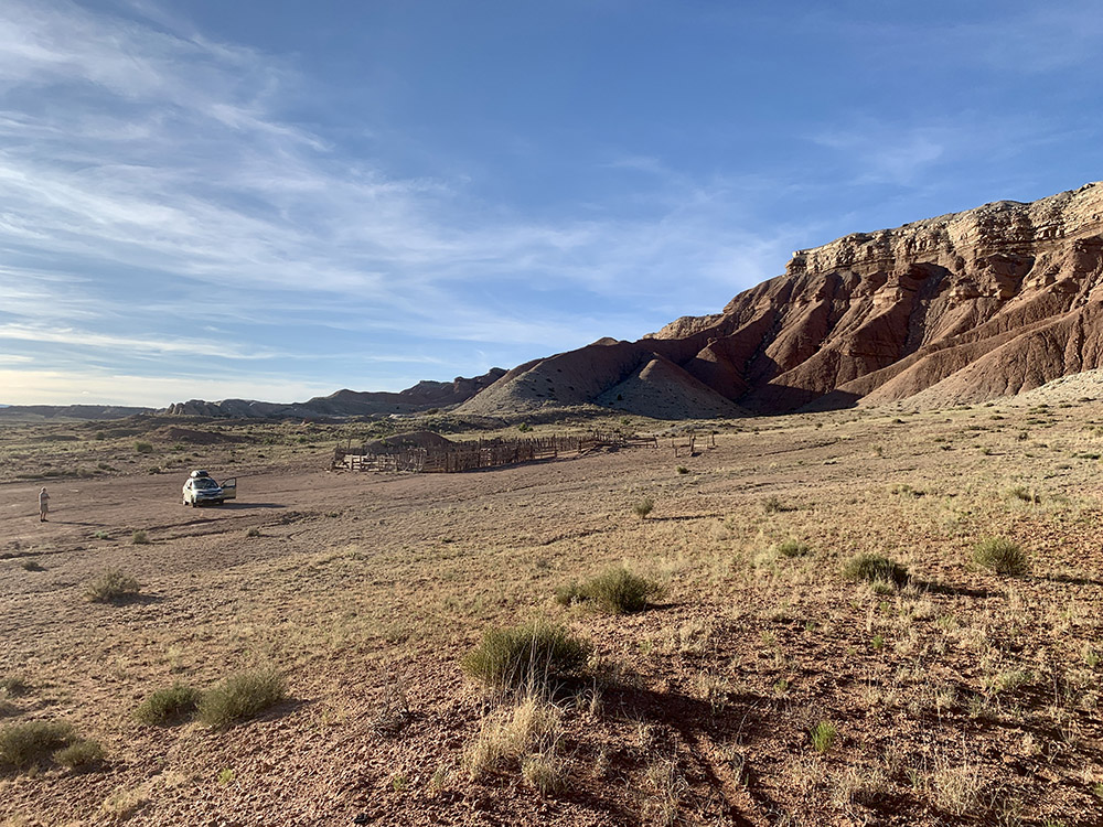
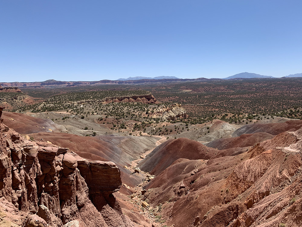
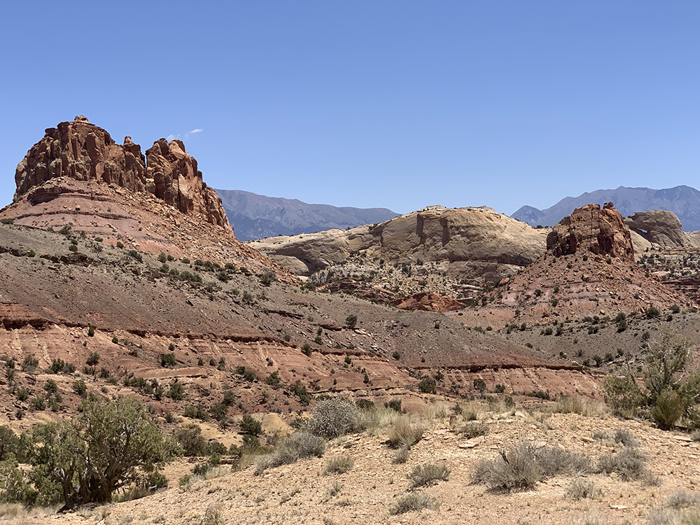
The following day we continued on Burr Trail Rd, first through Long Canyon and then across plateau towards Capitol Reef. We stopped at the top end of the canyon and then for lunch at the top of Burr Trail Switchbacks. Very nice views from both places. After the switchbacks we turned south on Notom-Bullfrog Rd just for a short distance to ☞ Headquarters Canyon trailhead, our main 7-mile walking exploration of the day. Joanna practised taking “vertical panos” to capture impressive heights of narrow slot canyons. We spent the rest of the afternoon driving slowly north on Notom Rd. After a short drive into Burro Wash we just camped in the middle of nowhere, well near an old abandoned corral. It was too late to drive any further to look for wild campsite as we originally planned. We tried to help stranded motorists late in the afternoon, their van broke down and would not start. We managed to send messages asking unsuccessfully for help (non-emergency; messages were delivered but resulted in unhelpful automatic response) using Zoleo (there was no cellular signal in the area). In the end it was other motorists passing by who were able to help them after we left. Joanna prepared fancy salad for dinner and we watched another orange sunset over reddish hills.
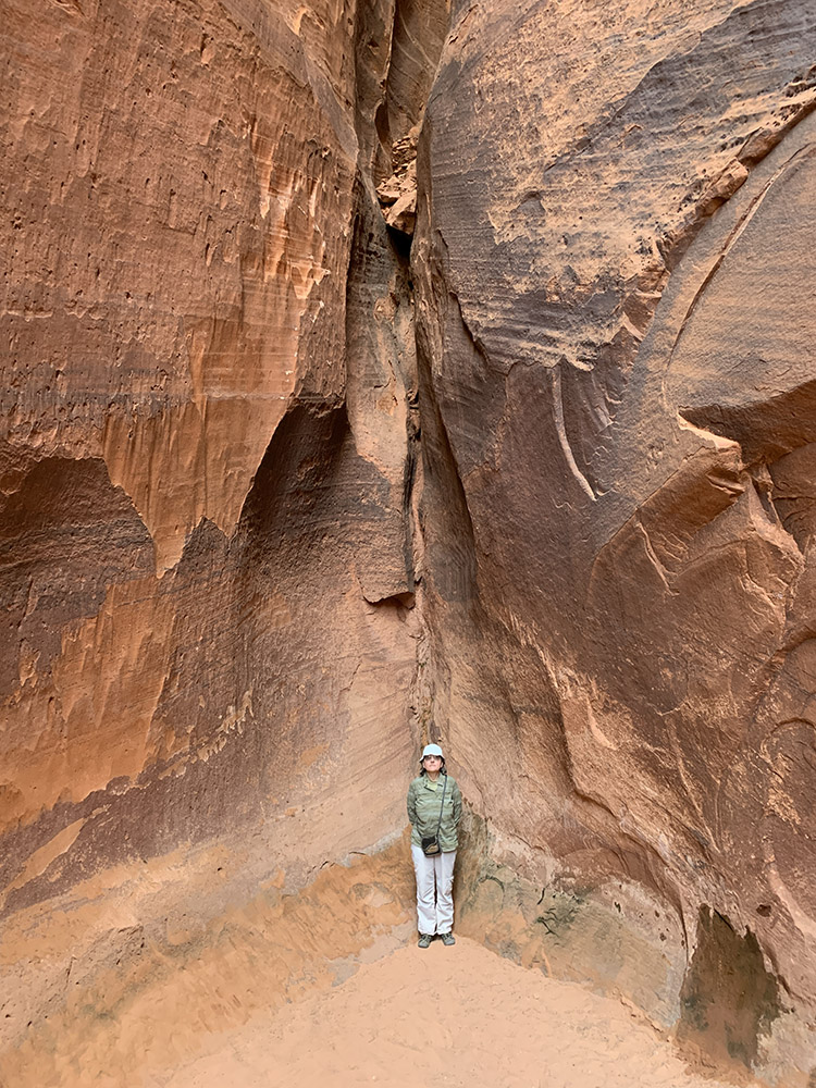
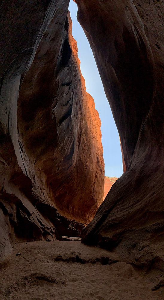
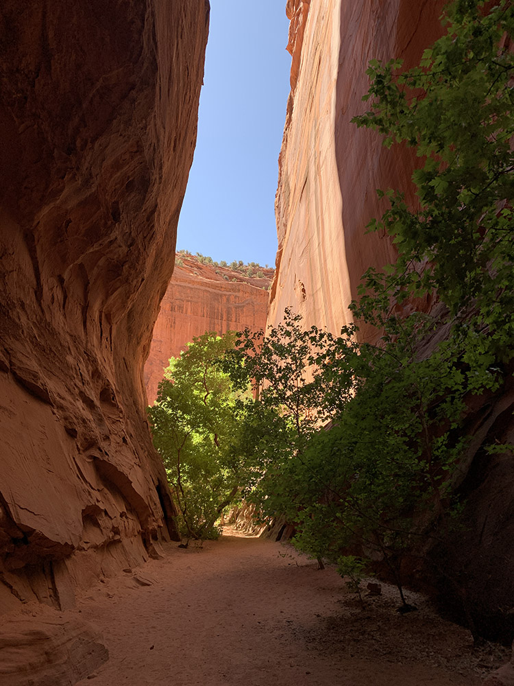

Capturing narrow and deep slot canyons on film is quite difficult – they are way more impressive in real life. Video clips do not work too well because of wide lighting range. We tried “vertical panos” with some success. Having a person in the frame helps set the scale. On the other hand, it was hard not to take so many pictures.