Our next section was 10 days and 80 miles to next resupply and extra rest day in Independence.
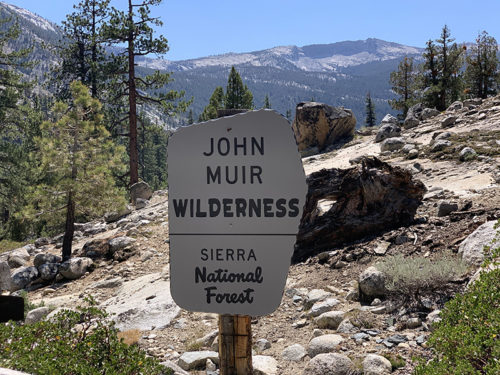
We spent quite a bit of time preparing resupply for this section, to carry enough calories at minimum weight. And we were quite happy to carry it all in our backpacks – our resupply bucket mailed in advance disappeared for several days, we worried it was lost and even started preparing replacement, in a hurry, as we had only two days left before leaving for California. It turned out, it was moving along fine, just much slower, and was never scanned anywhere until it happily appeared at the destination post office. Nobody knew where it was while in transit. We received notification just as we were heading to the post office to mail the replacement. It made its way to Muir Trail Ranch (MTR) Resupply Center several days later.
Joanna was “trading” on backpackers supply exchanges at all resupply stops, always found something interesting to add to our limited diet. Made some adjustments because we were hiking faster saving some food, but we sticked to the plan developed at home most of the time. Our rations were sufficient, barely. We always had some food reserve we could dig-in, if needed. Piotr experienced obvious calorie deficiency twice when we started hiking before full breakfast.
Now we just had to lift the weight up 1000 m over the following two days to pull ourselves out of the valley. It (carrying the weight) was actually not as bad as we feared, two weeks of backpacking started to make a difference. This post covers the first half of the section.
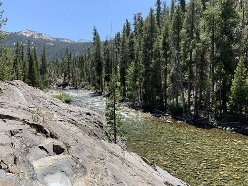
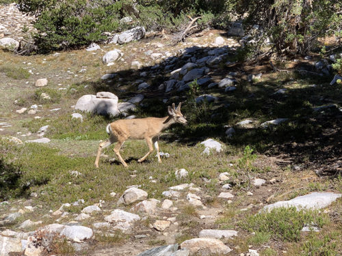
First day was easy without big altitude drops/gains, simply walking upstream South Fork San Joaquin River to Evolution Creek. We found good campsite at their confluence, some 100 m from large well established site, just below first switchbacks which we decided to leave for next day. Our bear canister was filled to capacity. We ate dinner and were left with some non-food items we decided to hang on tree – Piotr found a decent tree with long branches, but doing it right is not as easy as it sounds. Nothing got stolen. We were now at lower elevation on trails with more hikers where bear encounters happen more frequently. Not as frequent as in, for example, Smoky Mountains NP, and are rare at higher elevation this time of year at least. We talked to other hikers and rangers, and heard only one report of bear sighting on JMT – the bear was following us on trail, but we did not see it (just photo taken by another hiker).
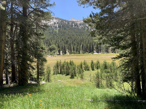
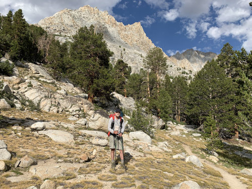
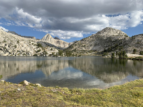
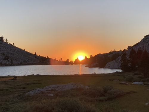
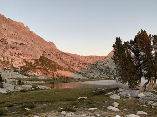
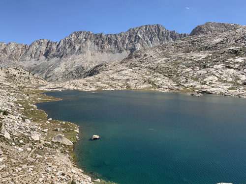
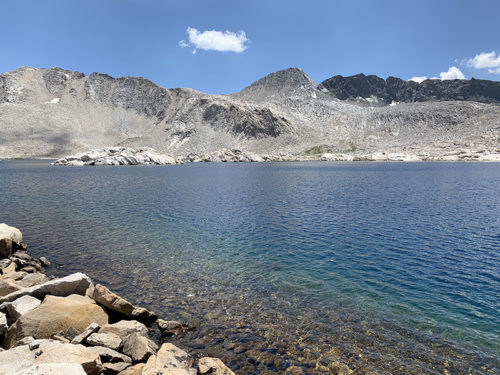
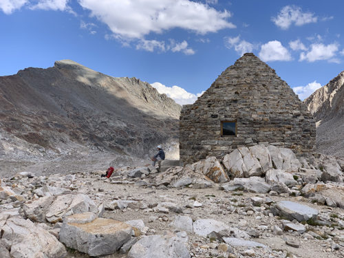
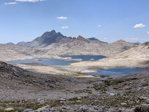
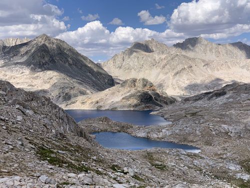
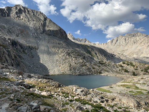
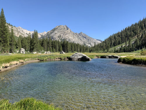
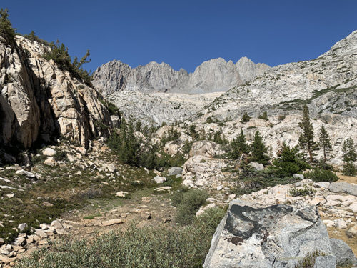
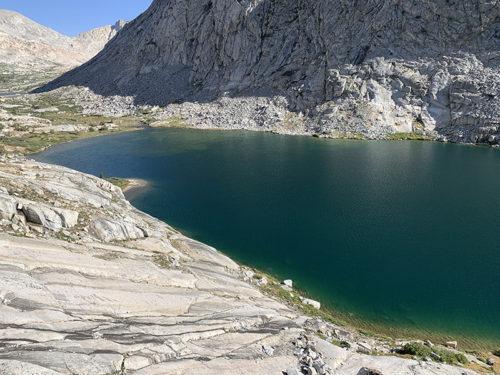
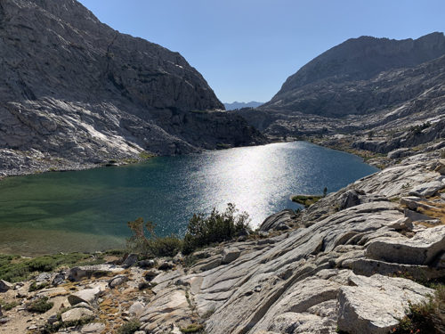
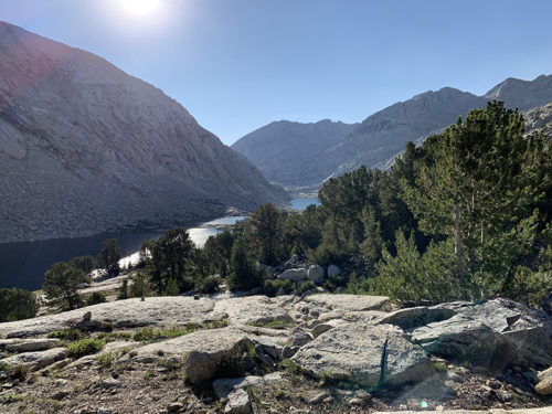
Hiking upstream of Evolution Creek was broken into two steep sections with easier terrain in the middle. Relaxing sight of water rolling slowly through green meadows – pleasant distraction from by now familiar scenery of high rocky mountains and lakes. Water level in the creek was low (~2 feet) – the only wet crossing on our route was not big deal. We arrived at Evolution Lake relatively early. Looking down on the lake from the trail we saw attractive sites near the lake. We settled on flat peninsula, decent distance from trail and prescribed distance from water – the best camp of entire hike. Evolution Basin was our favorite part of the trail. We were now back above 3000 m, yes more blue mountain lakes and austere white and grey rocky mountains around us, heading to Muir Pass. Pleasant hike on the way up, quite tiring on the way down. We rested at Muir Hut and started descending down Middle Fork Kings River. Geology suddenly changed – from mostly granite to more colorful volcanic rocks and rusted mountains, pleasant surprise. That day was the only time we had problem finding campsite at selected location (too many backpackers), we walked further and found good spot on the river.
 Evolution Lake
Evolution Lake
 Wanda Lake
Wanda Lake
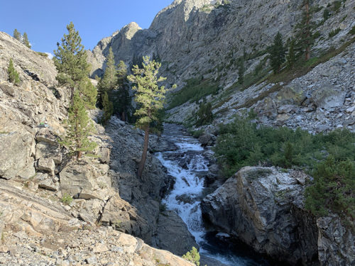
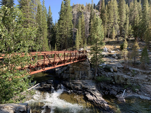
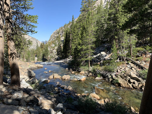
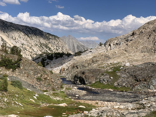
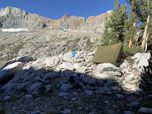
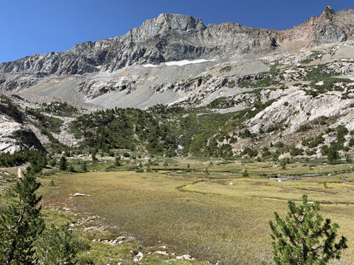
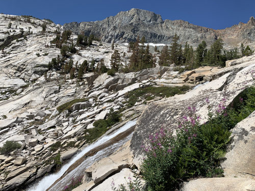
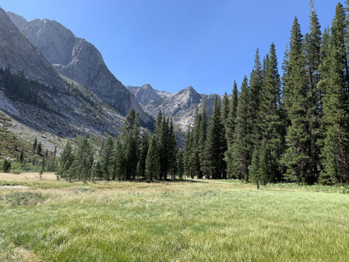
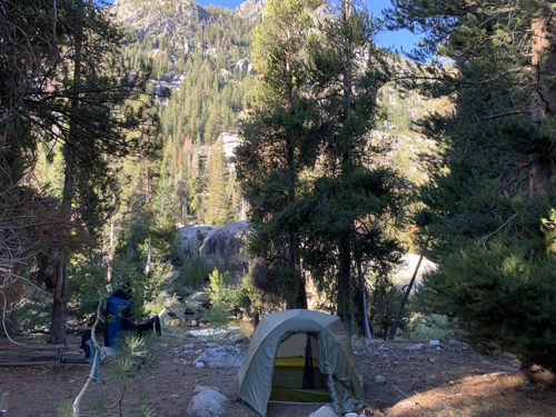
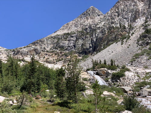
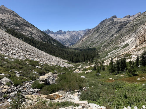
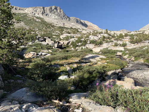
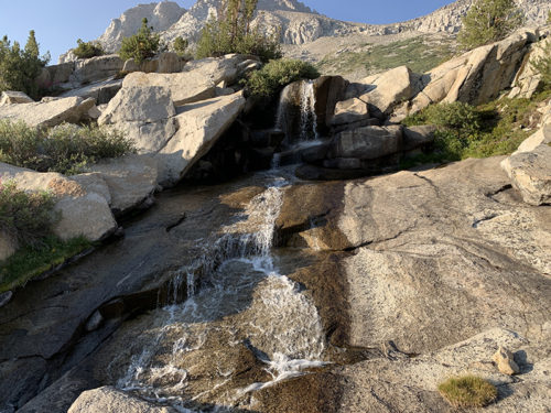
Another day of walking down (Kings) river valley with short ascent up Palisade Creek to end the day. Followed by another day of hiking up the creek, this time gaining more altitude (750 m). We passed Lower Palisade Lake. It was still early and we wanted to be closer to Mather Pass. At this point, we already knew how to look for campsites. There were some nice spots near the trail above Upper Palisade Lake, nice views, but the best one on rock outcrop was too small for our tent. We walked up further above the trail along Palisade Creek which flows down from lakes higher up towards the lake below – we had private waterfall shower in our backyard.
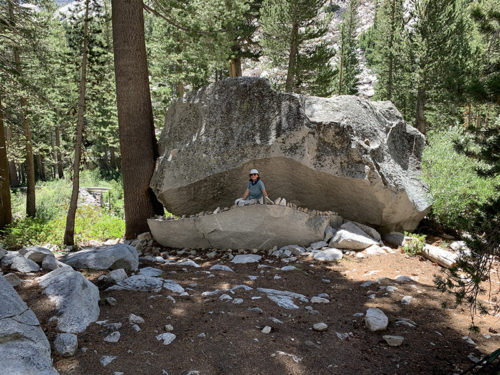
Selecting campsite can be really hard, when two people try to decide between two spots. We like camping – finding good spots is important. Joanna’s priority was protection from wind and noise, Piotr wanted the flattest spot safe from potential rain water flow. We were learning how to pitch tent between rocks and trees, using stones, wood and hiking poles as alternative to stakes (this new experience came handy later on). We often cooked dinner after dark and never took off in the morning without coffee. Most JMT hikers start at dawn and snore at dusk – some spatial separation was needed. We searched for nice views, and waited for sun in the morning to warm-up and dry out (condensation).
Mather Pass is next (next post).
Przepiękne zdjęcia!
Pieknie!