Scotland, day 6: Isle of Mull to Glencoe

The weather improved and we could see Ben More well, but it was too late to hike it because it was time to move on to Glencoe. We stayed most of the day on smaller, quiet roads with two ferry crossings: from Fishnish to Lochaline and from Ardgour to Corran. We visited Duart Castle on the way. Section of A82 to Ballachulish Bridge was quite busy. We stopped in Ballachulish for info and lunch at Visitor Centre, and to buy groceries at Co-Op. Signal Rock Cottage was our next base, self-catering again. We arrived early enough for a few loops on Signal Rock trails before dinner.

Signal Rock (4.5 km)Signal Rock loop from Signal Rock Cottages. 4.5 km, 100 m total ascent.
Click on wikiloc logo for more info

Scotland, day 4 & 5: Isle of Mull

Our primary hikes planned on Mull were coastal trail to Carsaig Arches and Ben Mor. On day 4, weather was so and so (clouds, some passing rain) and we decided to go to Carsaig Arches (recommended). We were lucky to arrive early enough to find parking on tiny lot at the trailhead. The rest was just rumbling along the coast, up and down piles of rocks. We really enjoyed walking on volcanic rocks and dark gray beaches exposed by low tide. It was nice hike, we spent pretty much all day there.

Carsaig Arches (13 km)Carsaig trailhead-Arches, return same way. 13 km, 200 m total ascent.
Click on wikiloc logo for more info

Carsaig Arches

The following day we made a desperate attempt to hike Ben More, we drove to the trailhead: with heavy fog and occasional rain we decide it was not worth it. We drove around Mull to Tobermory instead (via Salem and Dervaig on the way back). Slow driving on narrow local roads was actually very pleasant experience. Many road segments were scenic even in not so good weather. The scenery had some feel of remoteness, perhaps because we met only few cars and people. We stopped several times to look for sea otters, but no luck. We came back to Ardtun in the evening, but by that point we knew it was not going to get really dark.

Scotland, day 3: Staffa and Iona from Isle of Mull

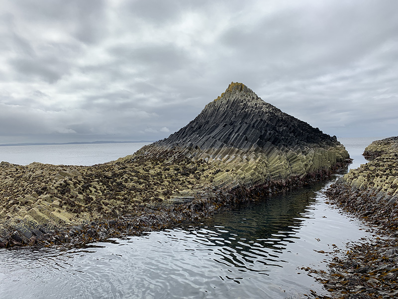
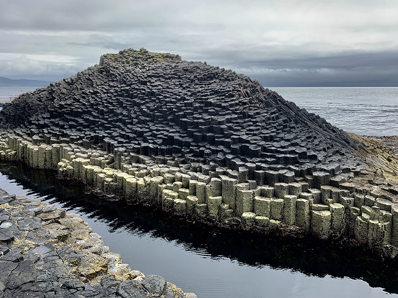
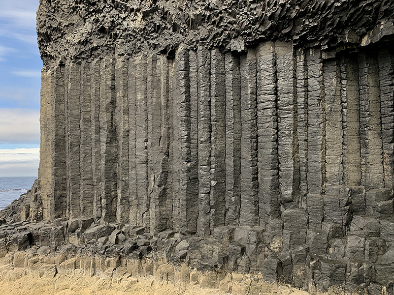
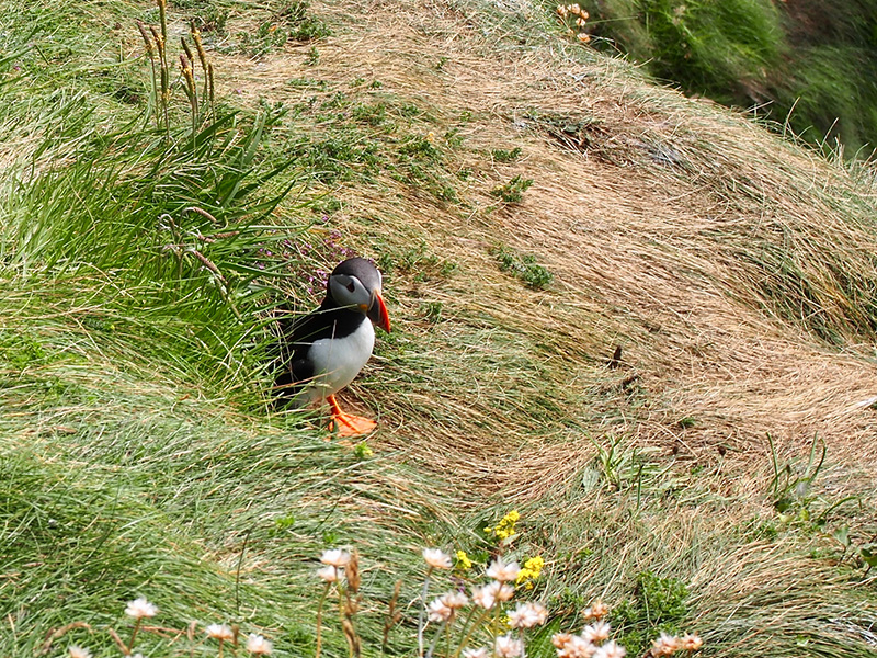
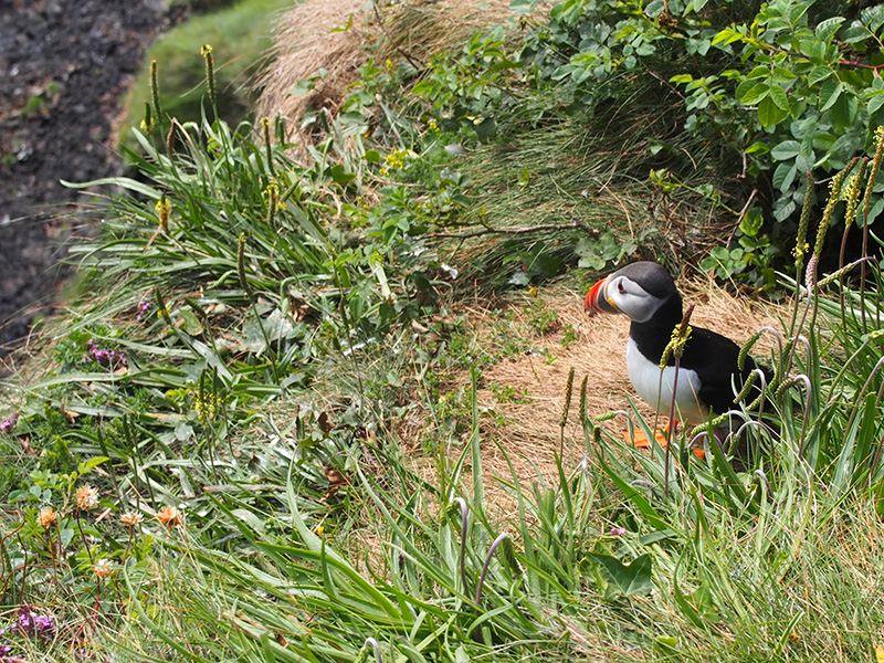
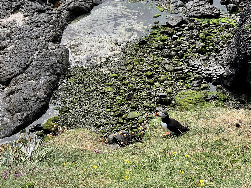
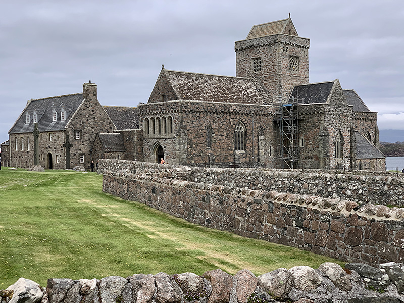
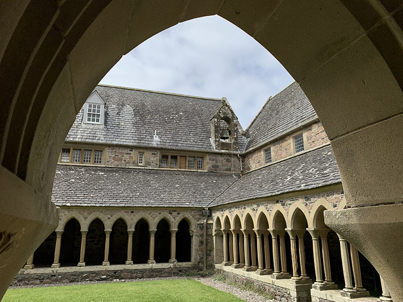
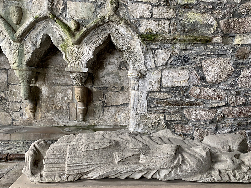
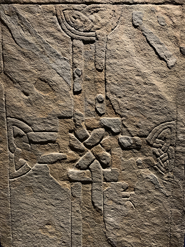
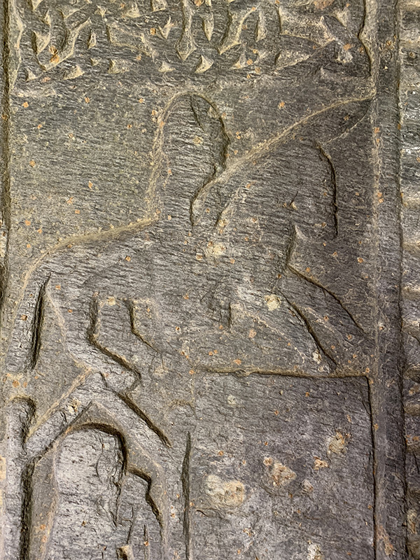
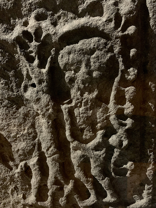
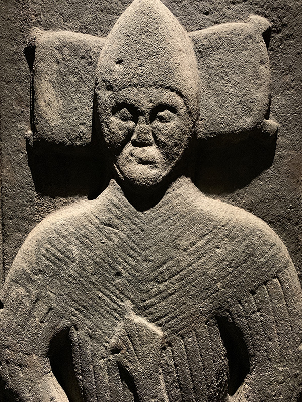
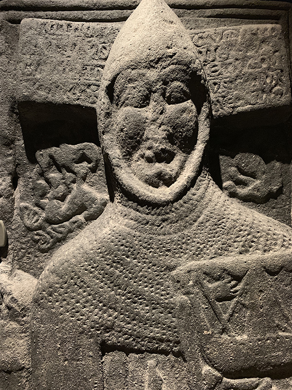
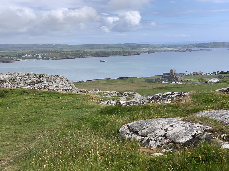
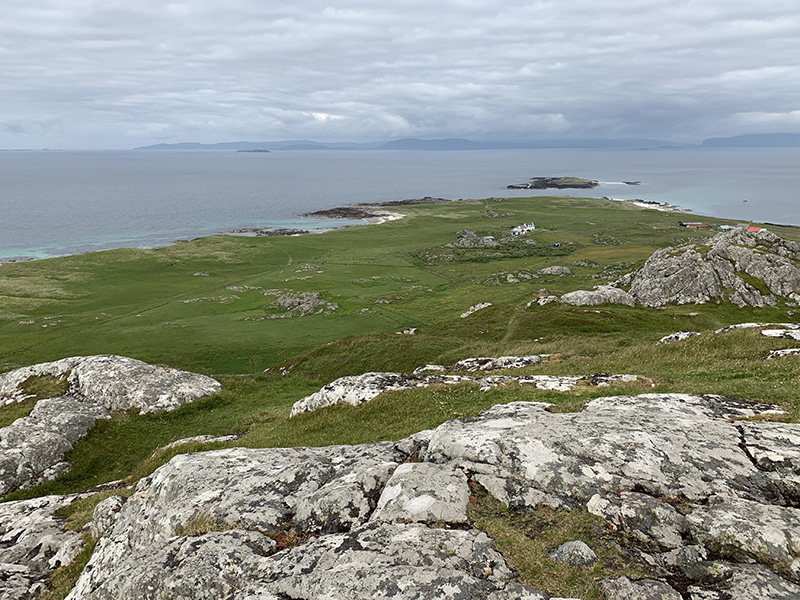
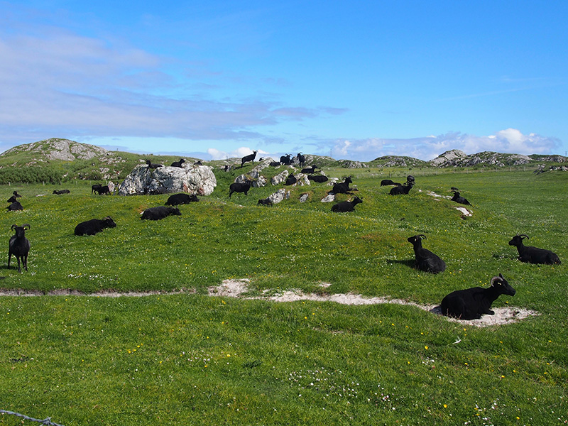
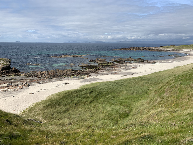
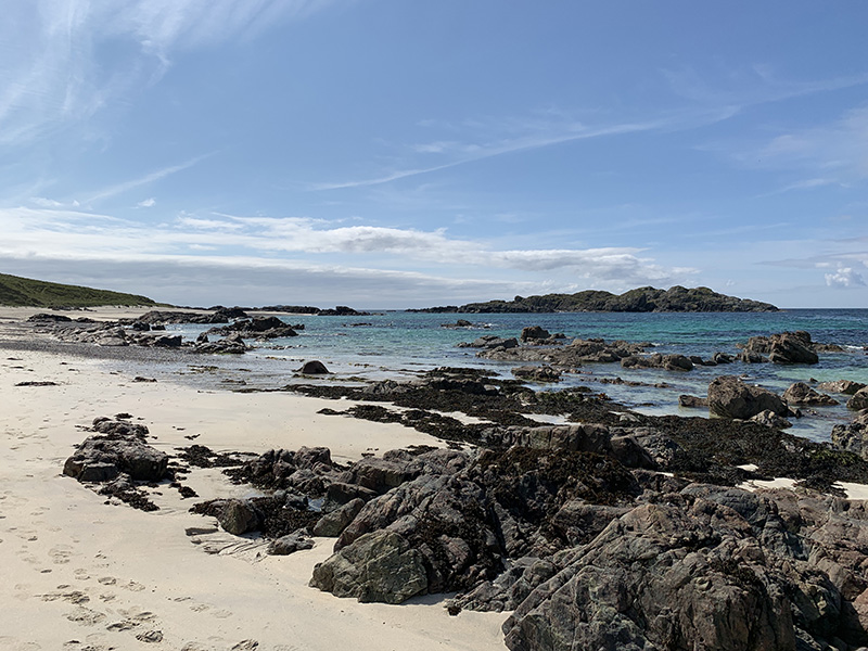
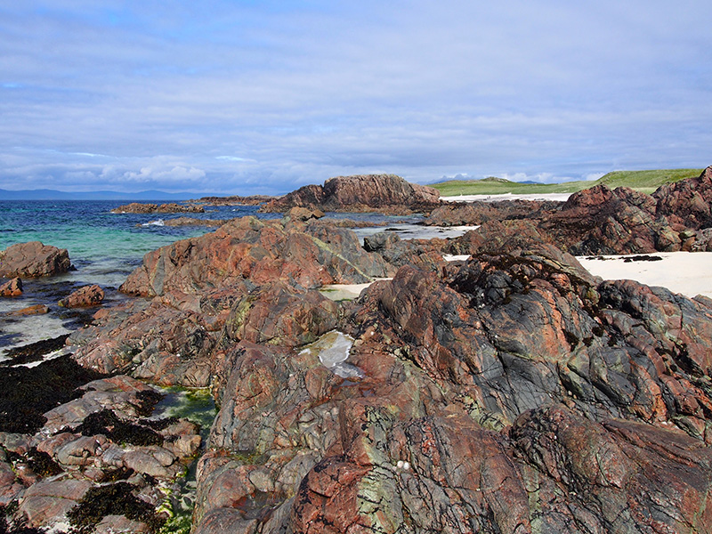
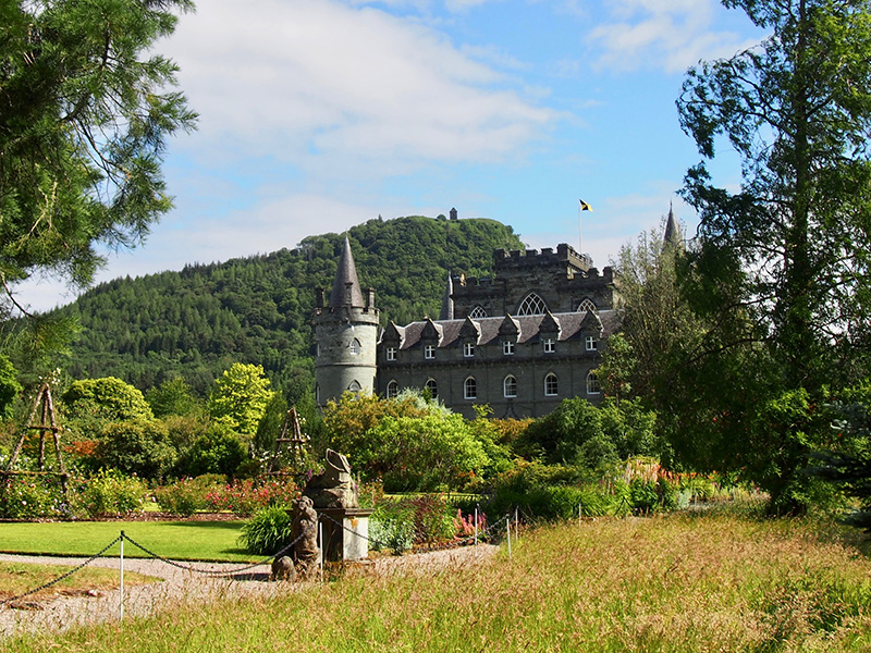
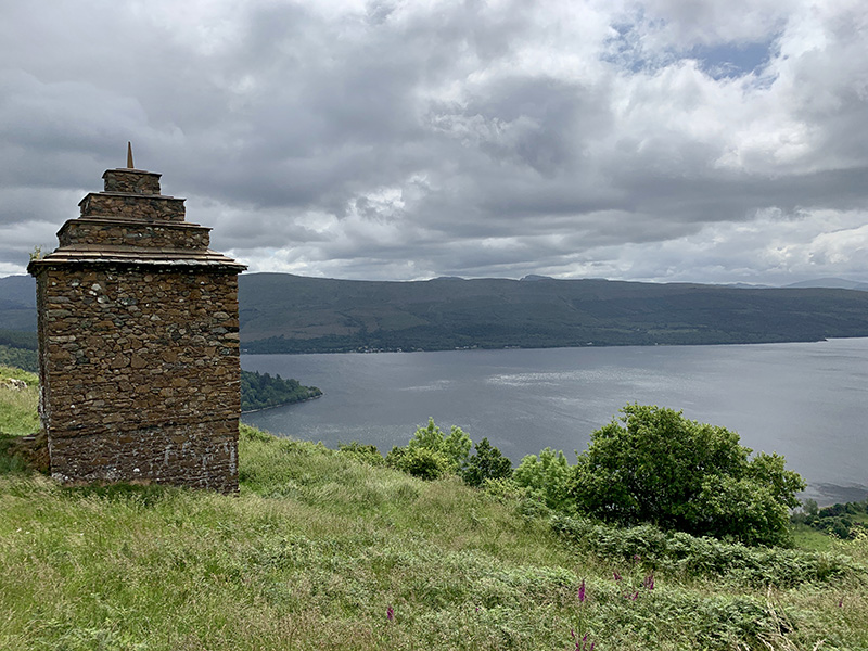
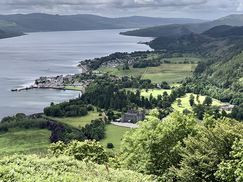
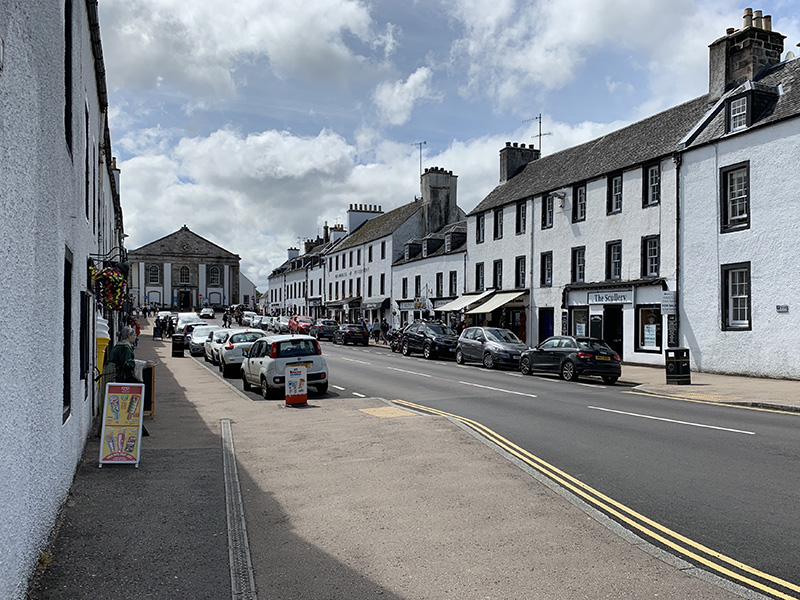
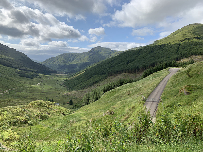
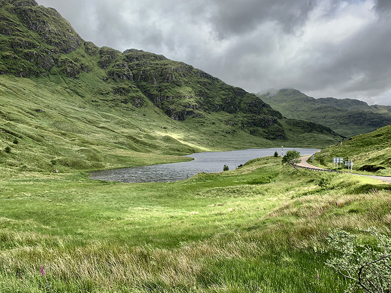
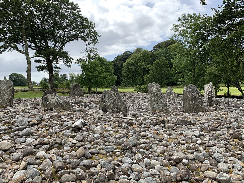
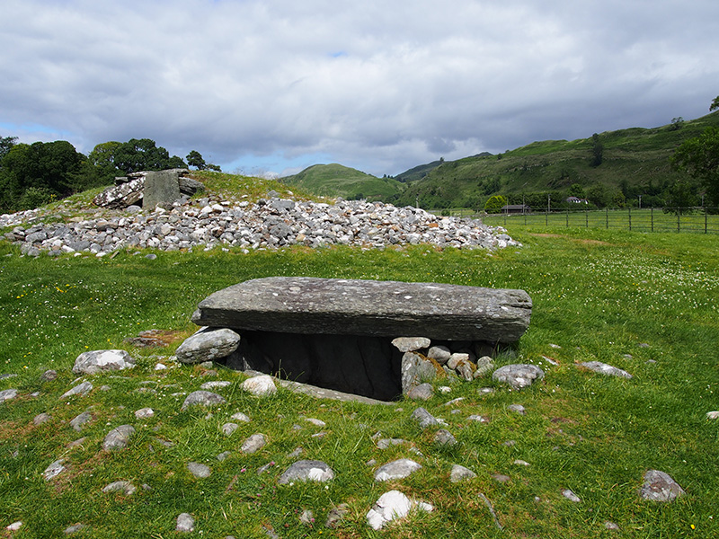
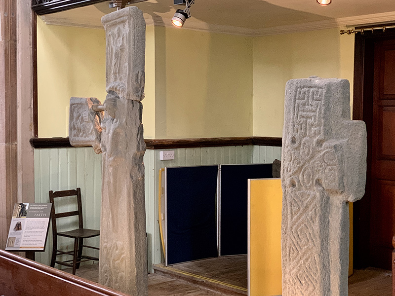
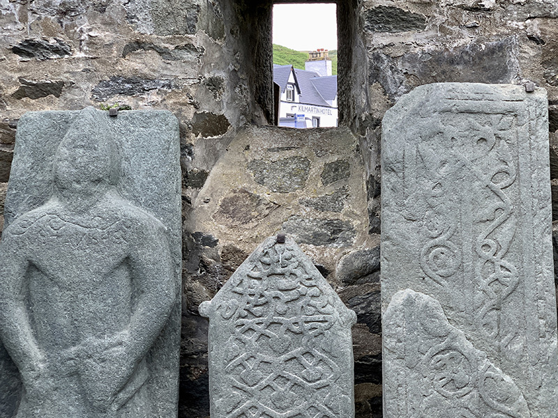
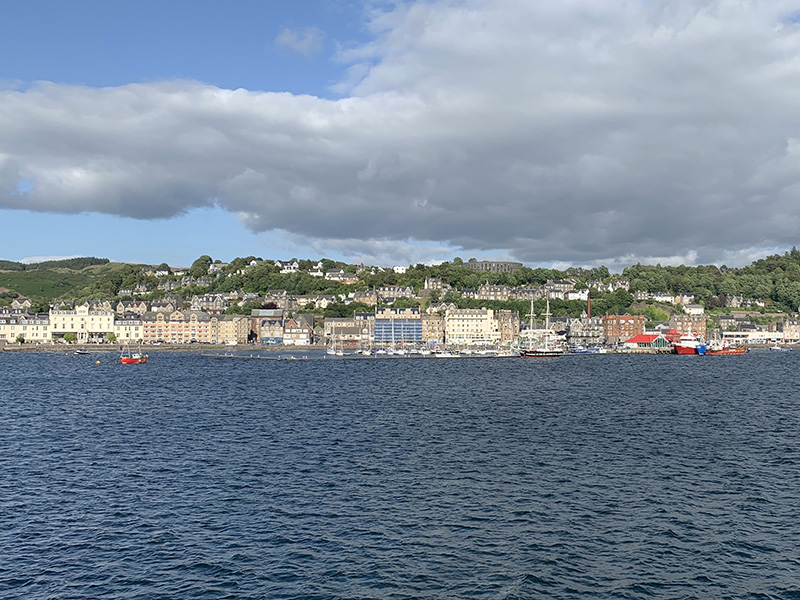
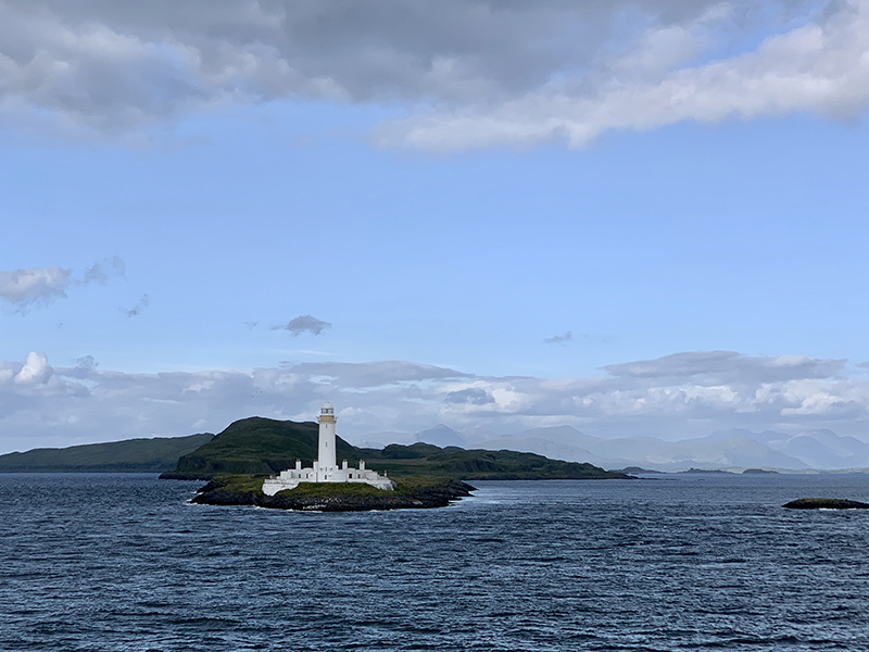
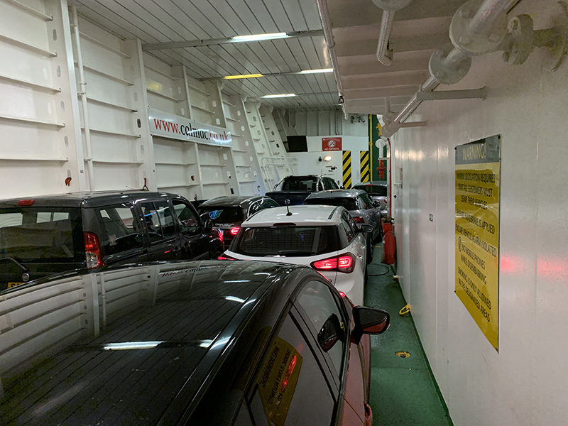
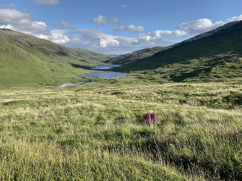
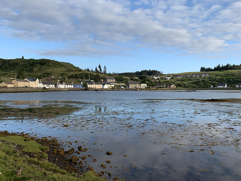
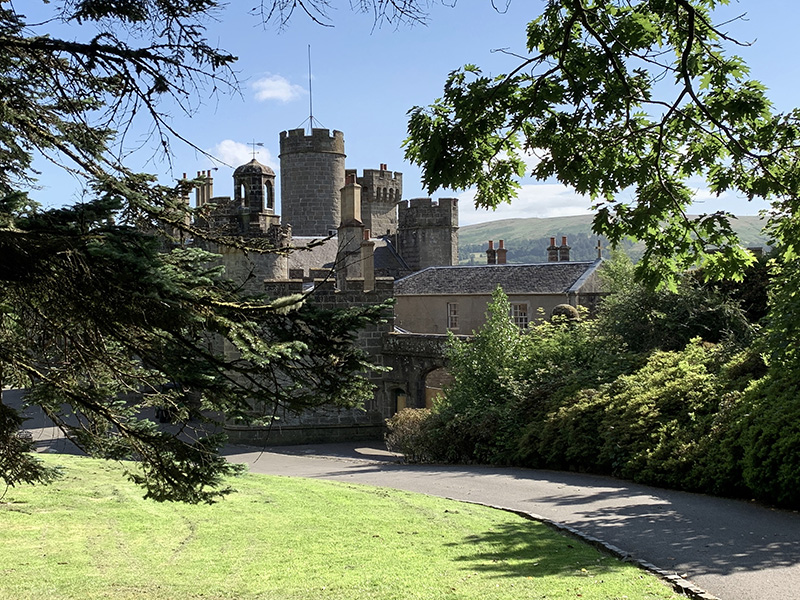
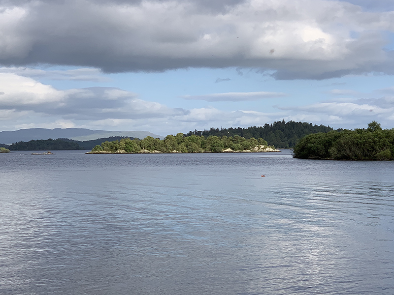
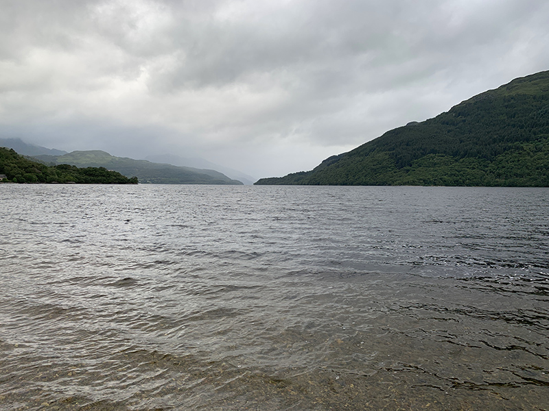
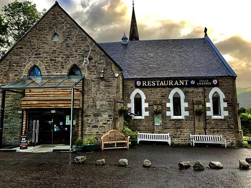
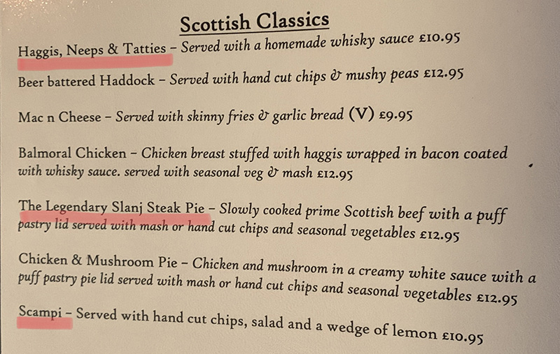
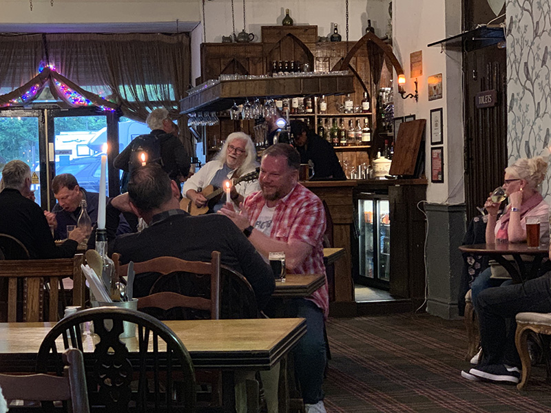
Boat to Staffa (Staffa Trips) was full and we were glad we bought tickets the day before. We parked our car in Fionnphort village and walked over to the dock. The sea was calm. On approach and then walking around, Staffa is dominated visually by high vertical basalt columns with grassy fields on top. We first walked to Fingal’s Cave entrance and then back and up the cliffs (SW coast) to watch puffins. We saw many. On the way back, tour boat dropped us off at Baile Mor on Iona. We had the rest of the day to explore the island. We walked through Nunnery and visited the Abbey. With limited time, we decided to walk straight  up Dun I and then continue down the hill to the beaches along the NW coast (recommended). An easy hike and with great sunny weather relaxing walking on the beaches. Very few tourists on Dun I and no people further on. We started walking South along the coast, no obvious hiking trail, just pieces and bits of local trails to follow. With little time to spare, our competitive tempers flared up and we split for the final run across the rugged terrain to catch last ferry. The incentive was clear: there is no way to cross to Fionnphort after the last ferry departs. We were back at our base in Ardtun for late dinner.

North Iona (10 km)Staffa tour boat/Baile Mor-Iona Nunnery and Abbey-Dun I-beaches along NW coast-Iona Fionnphort Ferry/Baile Mor. 10 km, 180 m total ascent.
Click on wikiloc logo for more info
error: Content is protected !!