Relaxed and with nice weather, we continued to walked down beautiful and quiet Bhote Koshi valley. To Namche for chocolate cake at Namche Bakery and then down to Monjo, where we stayed for the night in the same lodge as on the way up (Mount Kailash Lodge). Thame to Monjo is ~13 km. The next day, as we walked another 13 km to Lukla, the weather was still good and we heard all the planes in the air – encouraging sign as we were hopping to fly out of Lukla early next morning. No luck, the weather got worse and we got stuck. Got to the airport before sunrise, checked in and went through security, and spent the whole day there – not a single flight arrived or departed that day because of clouds somewhere between Lukla and Kathmandu. Cargo helicopters were flying, some people payed for helicopters, but still were not able to fly out that day. Groups were rebooked for early morning flights next day, but individuals couldn’t change their tickets until ~4 pm and we got only late 10 am departure slot. Stayed in an overpriced and not so friendly lodge (moved to a different one for the second night). On the second day of waiting for our flight to Kathmandu, we also went to the airport at sunrise, but we’re not able to switch to an earlier flight. Clouds were on and off and flights were way behind the schedule. With our late slot we had no chance. After watching how people flying cargo and passengers operate at Lukla, we decided an escape at any cost (perhaps not the $500 they were asking for helicopter flight) was our best bet, although some flights were coming in (and going out).
Lukla airstrip
Landing at Lukla airstrip
We took an offer to fly to Ramechhap, a local egg and fuel hub, to put our feet on the ground in the lowlands. Five-hour bus ride to Kathmandu completed the adventure. The bus ride required constant active management, business models of the driver and the passengers were divergent. Despite some hiking fatigue setting in, we missed the high mountains already.
We were supposed to go on a day hike in the valley behind/above Thame
Bhote Koshi gorge…
…
Last look towards Thame
Hiking down Bhote Koshi valley…
…
…
LED street lights powered by solar panels
Namche, Thamserku
Saturday, laundry day in Namche
On the way to Monjo, same bridge, opposite direction
Somebody is trekking somewhere
No weather, no flight…
…no way…
…we are stuck in Lukla…
…nothing to do…
…no weather, no flight…
…but some people gonna make it on the second day
Our backpacks already passed luggage tenderizer…
…and our team is patiently watching the egg count
On the way to Ramechhap, high mountains above the clouds…
…villages and fields below
Ramechhap, prospecting passangers watch egg and fuel shuffle
Joanna said NO to “chicken bus”, only mascot stayed
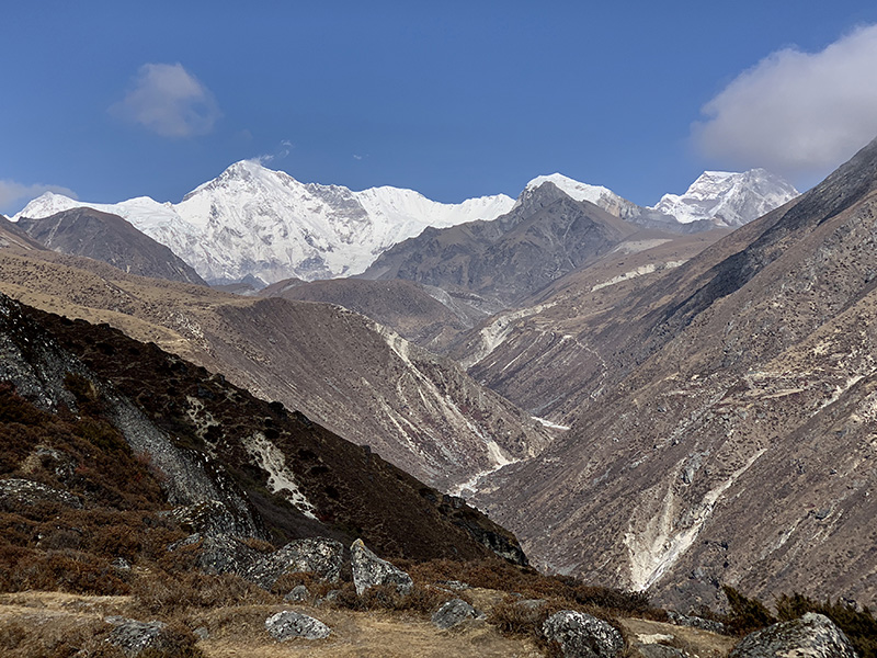
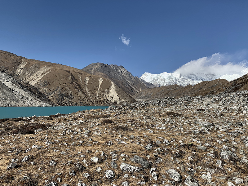
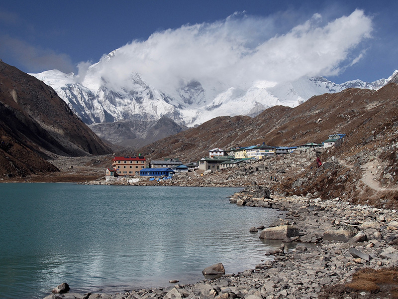
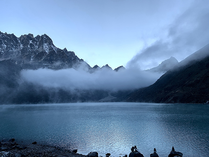
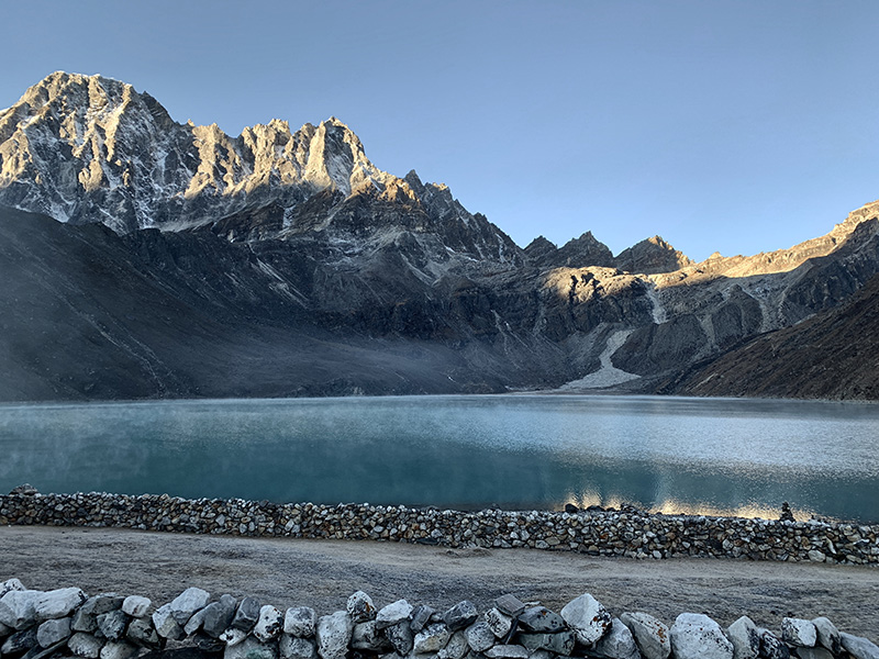
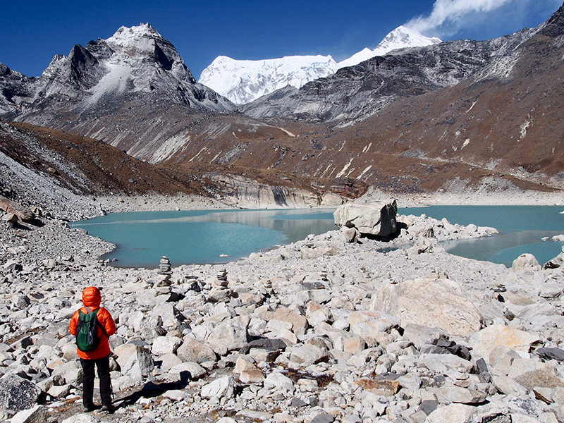
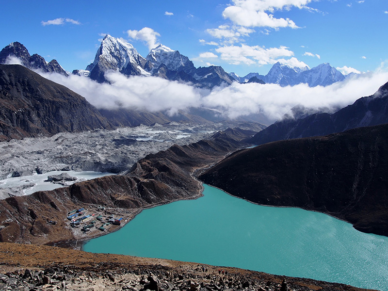
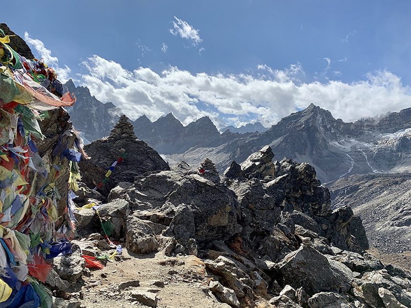
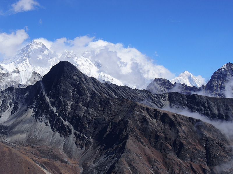
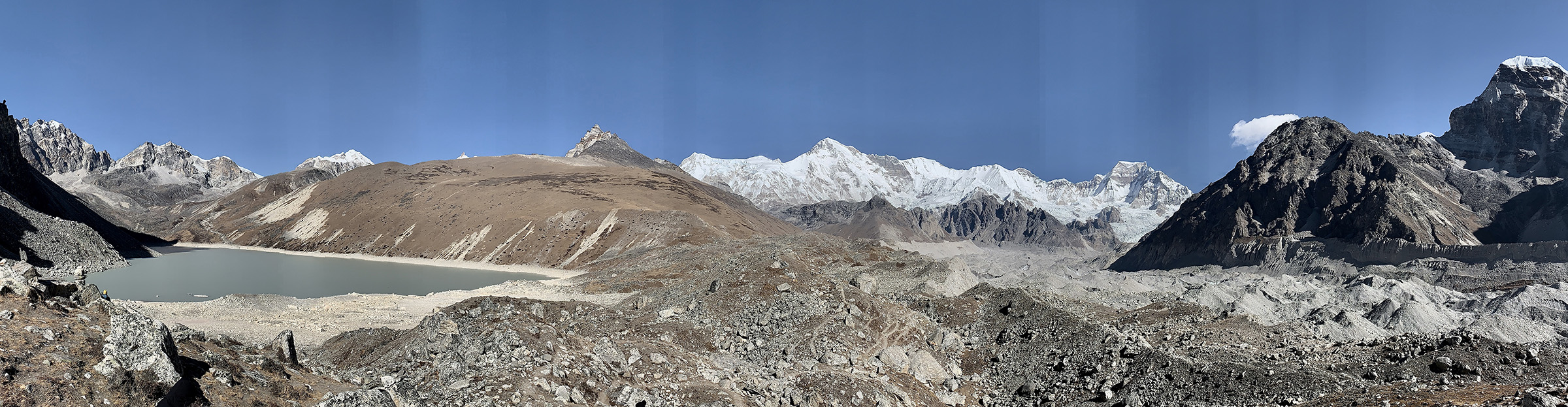
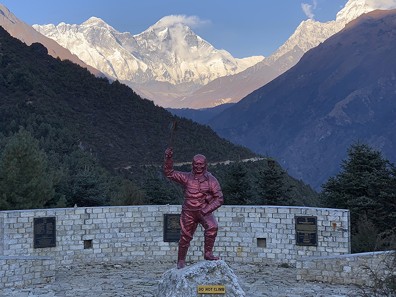
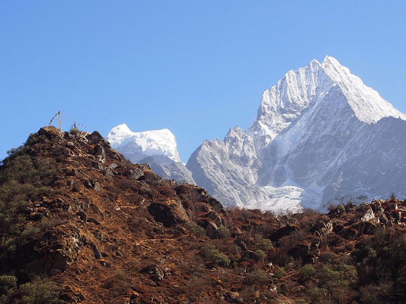
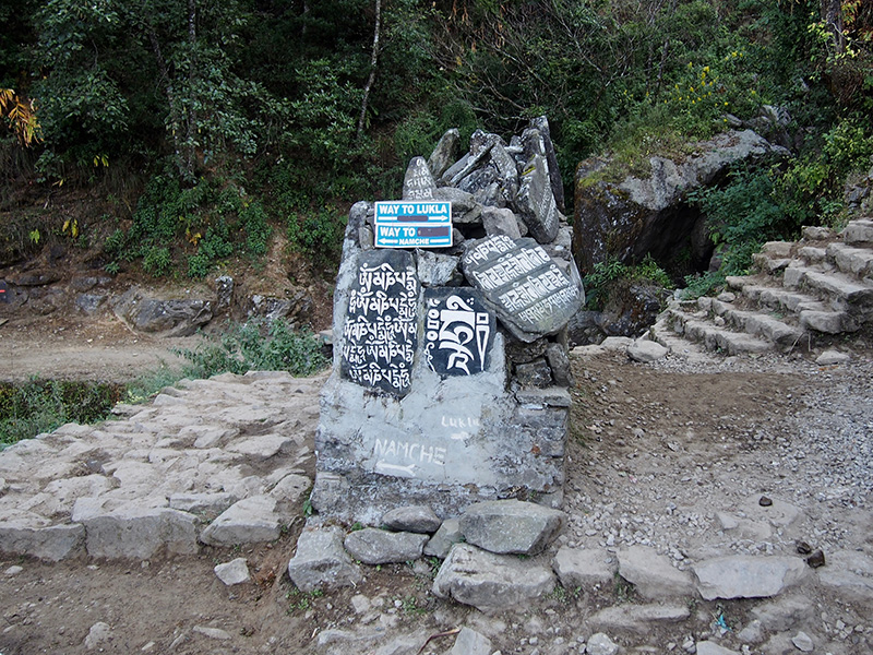
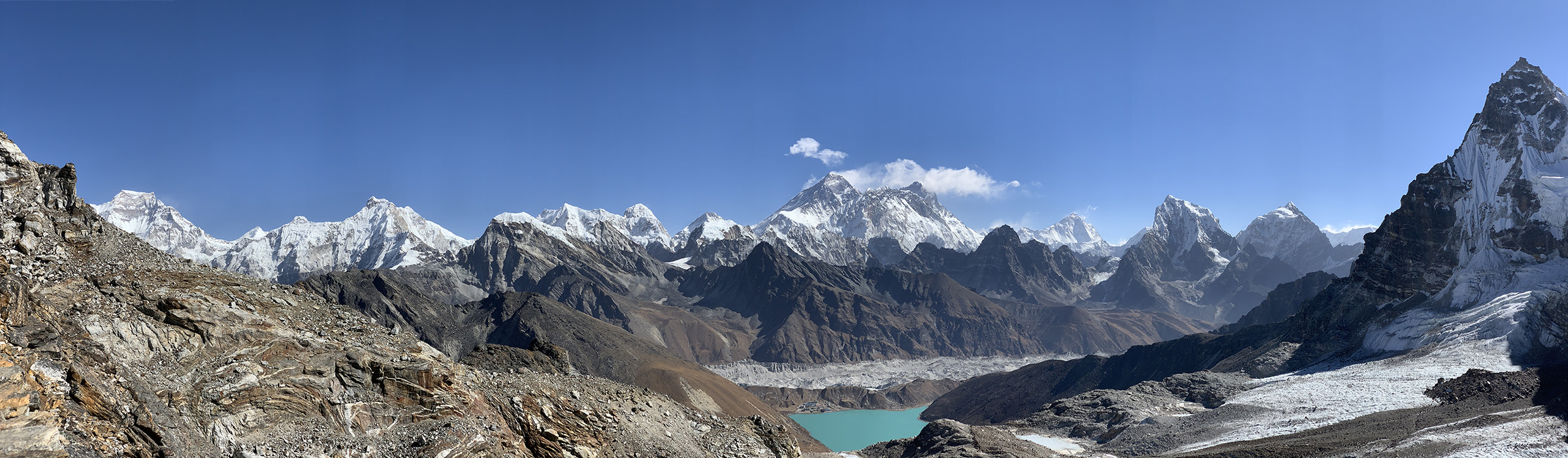
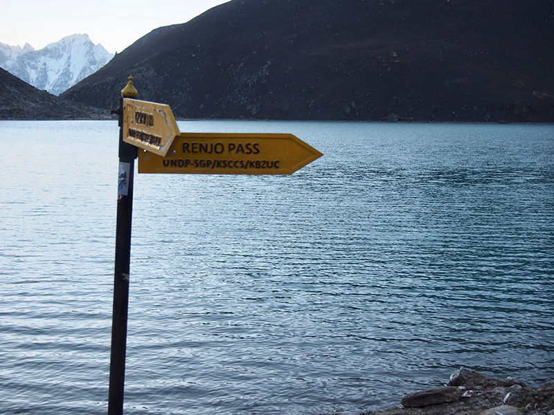
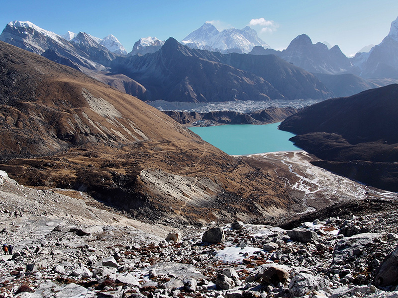
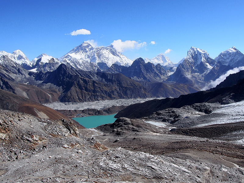
After visiting remote Gokyo Lake V and scrambling up Gokyo Ri, it was time to cross Renjo Pass, one of the famous passes in the Khumbu/Everest region – considered the easies and with best panoramic view of the high mountains. With perfect weather we were not disappointed!
Panoramic view from Renjo La, Everest and Lhotse are right above Gokyo/Lake III and Makalu is a bit further away on the right side.
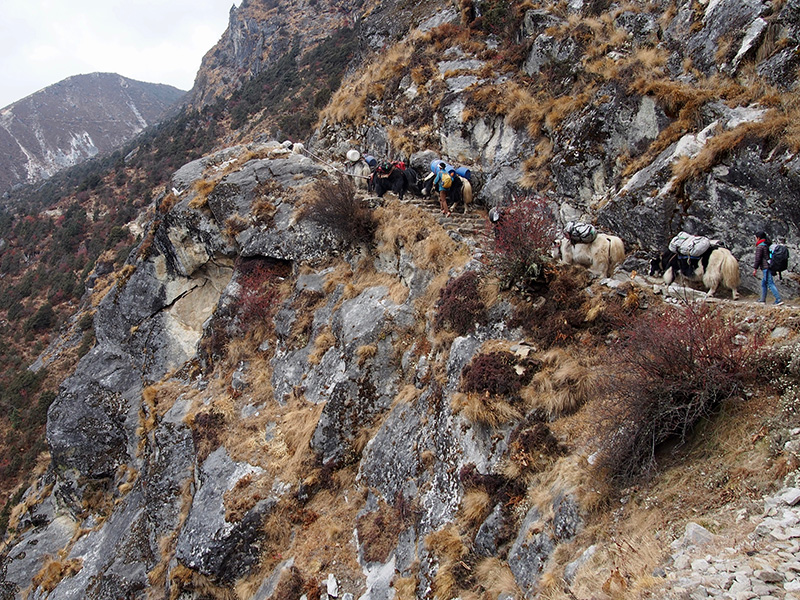
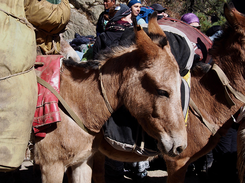
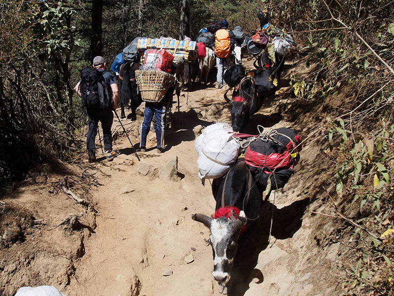
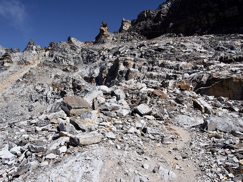
From Gokyo to Lunden (a.k.a. Lungden or Lumde, first village with lodges on the other side of the pass ) is ~11 km, 4.5 km and 600 m up to Renjo La, and then 1000 m down. Our porter-guide hired for half a day helped us carry the load up, so we could relax and enjoy the scenery. We also wanted to reach the pass as early as possible, as the weather pattern with clouds in the afternoon was what we were getting every day. The trail is relatively easy (without backpacks) with some steep sectors. The ascent is nicer and easier (although longer) than Gokyo Ri. 
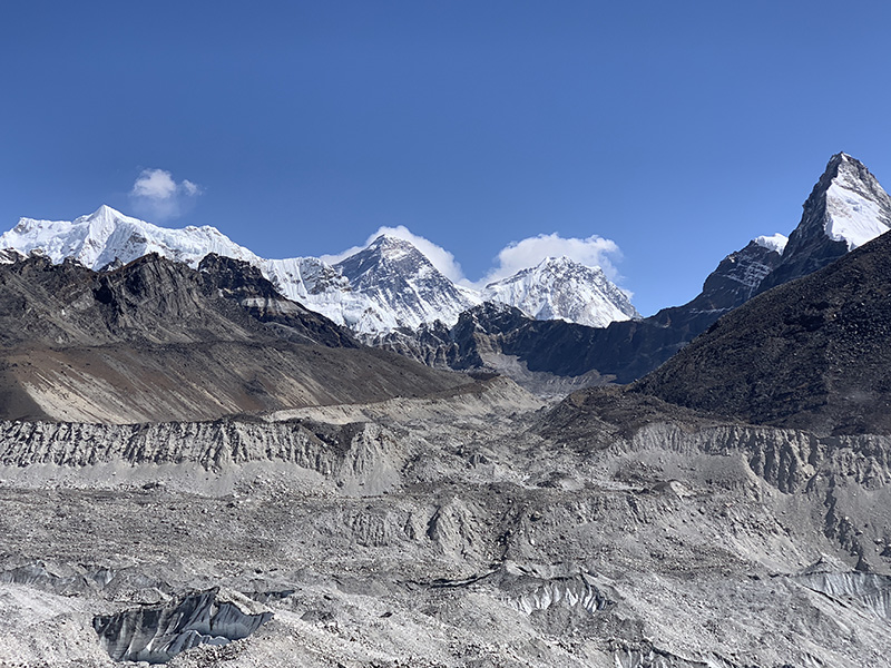
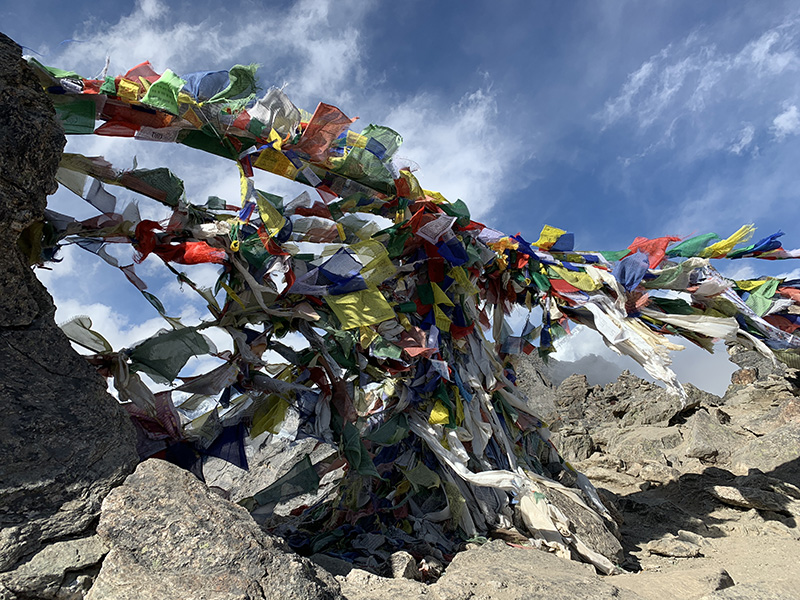
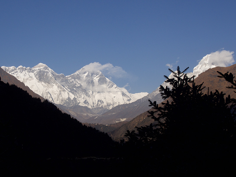
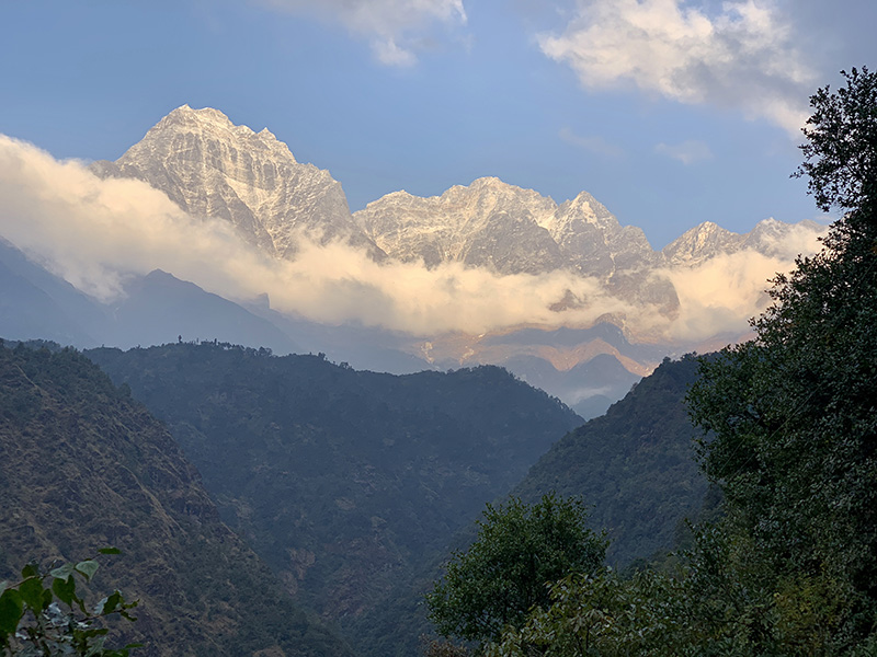
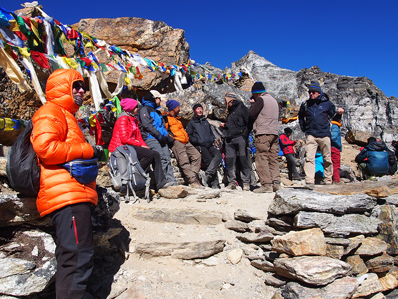
We were on the pass before the clouds and the views were amazing, best panorama on our trek. We spent an hour at the pass in perfect weather, sun and no wind, admiring the views.
View from Renjo La
View from Renjo La
There were probably 40-50 people on the trail that morning. We started hiking shortly after sunrise in subzero temps ( -6℃), but we warmed up quickly when the Sun got higher (in some quiet spots to above 20℃). 
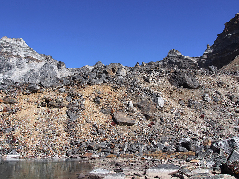
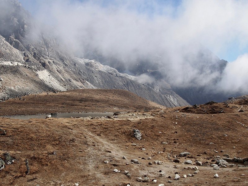
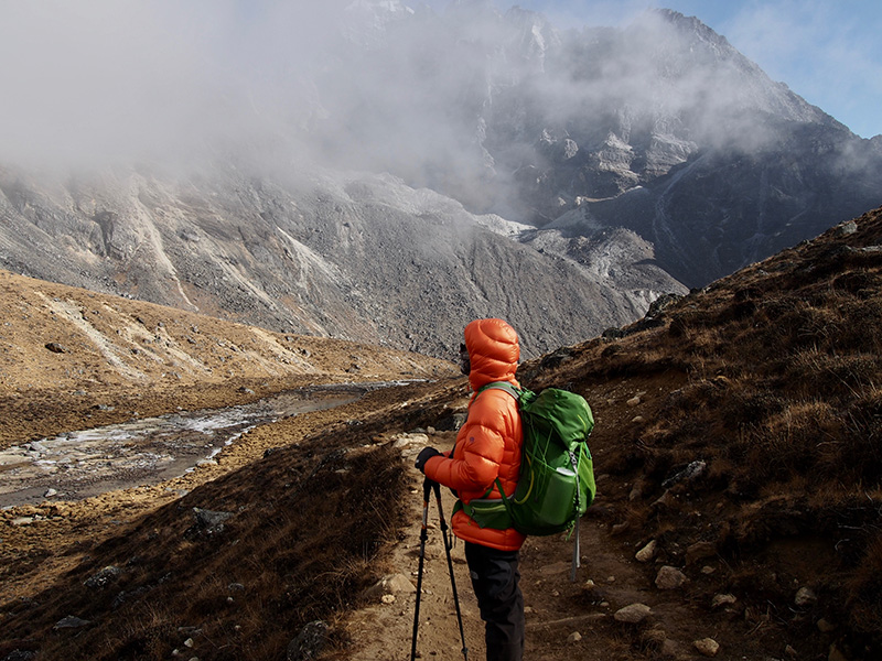
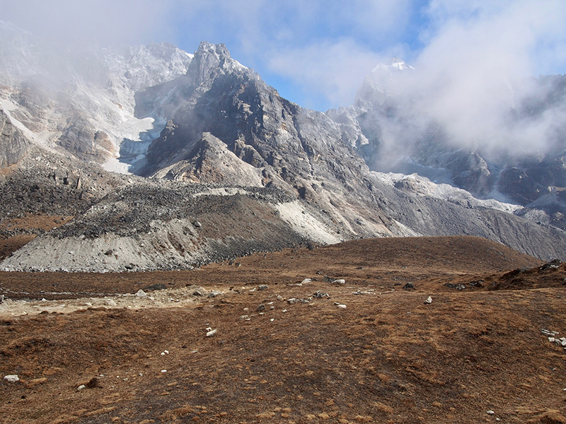
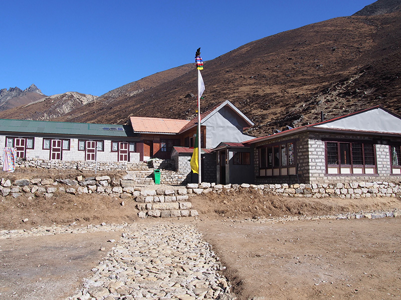
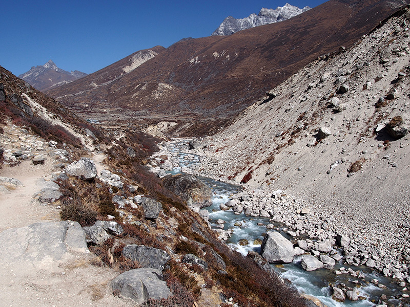
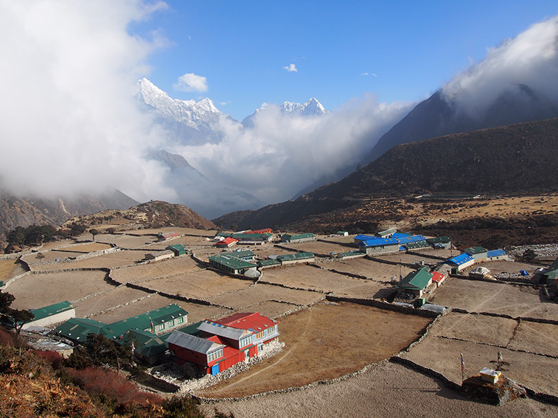
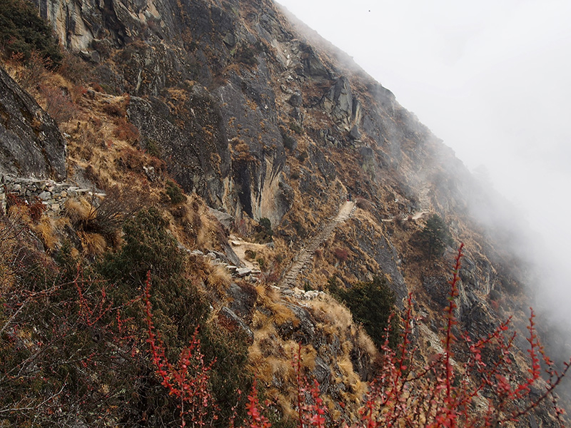
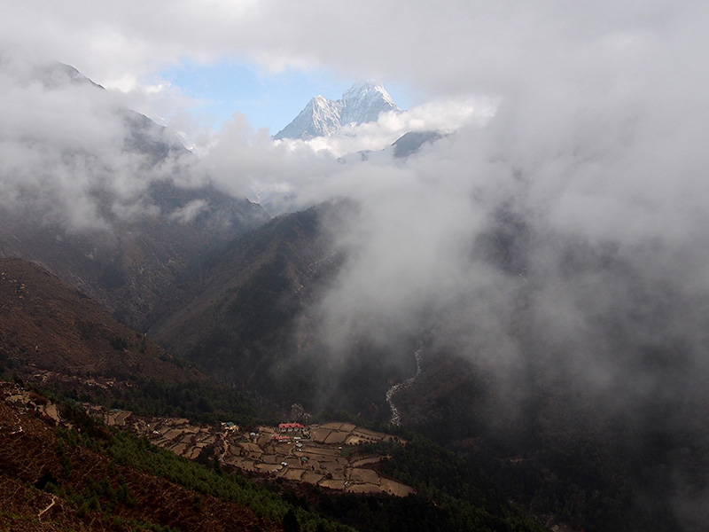
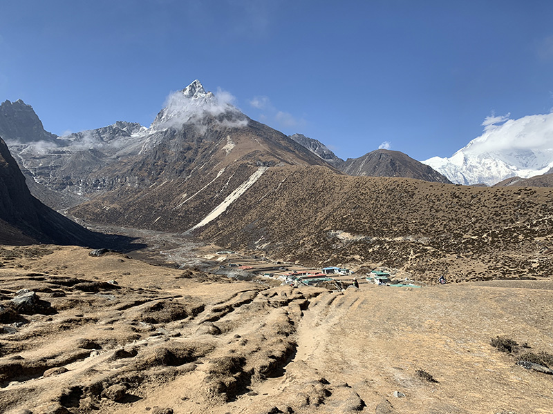
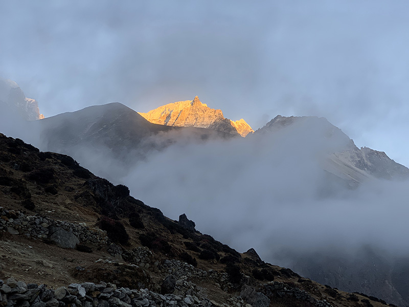
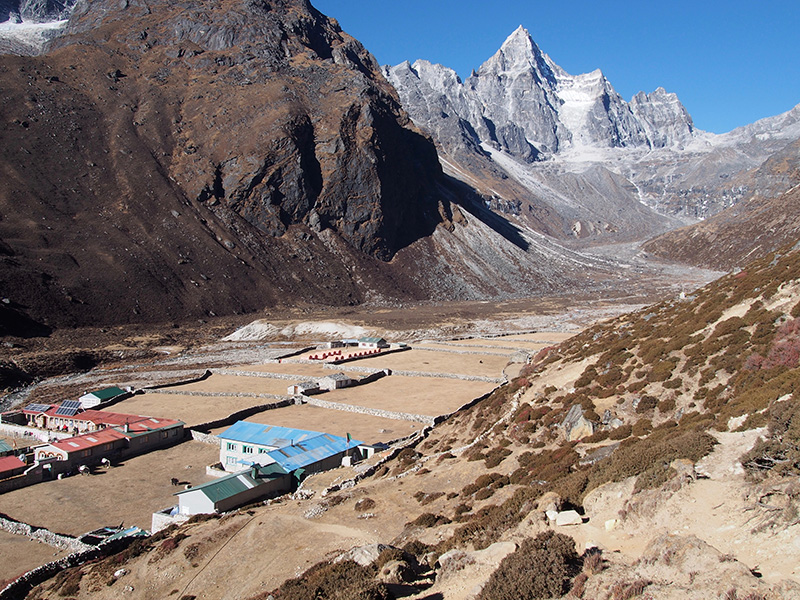
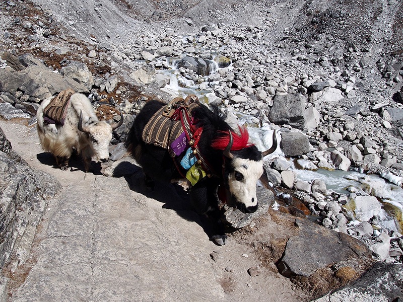
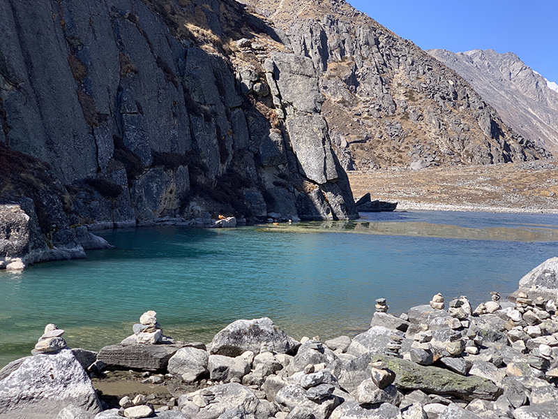
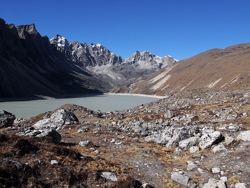
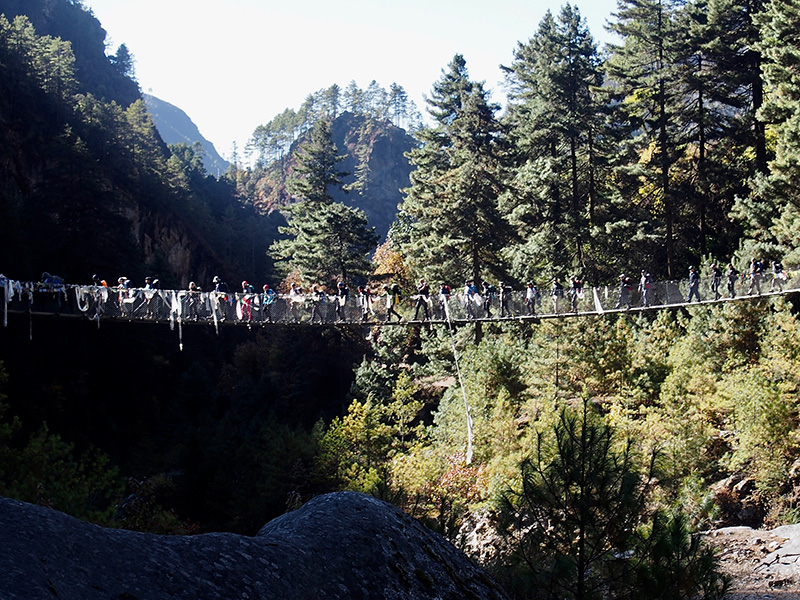
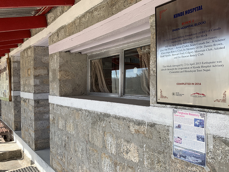
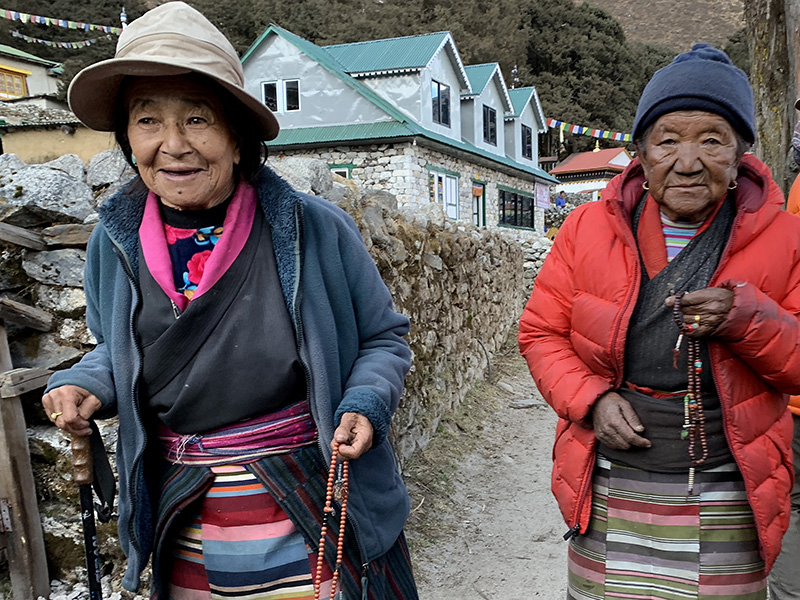
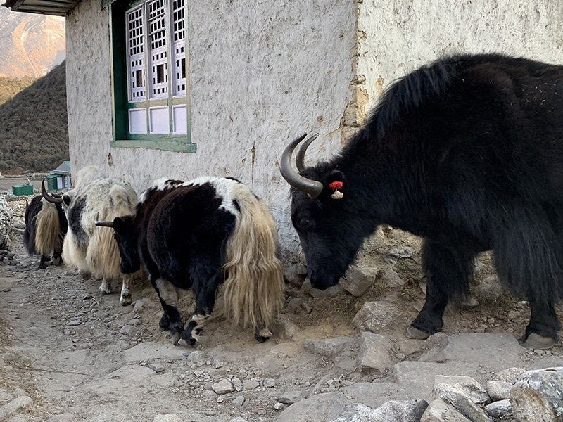
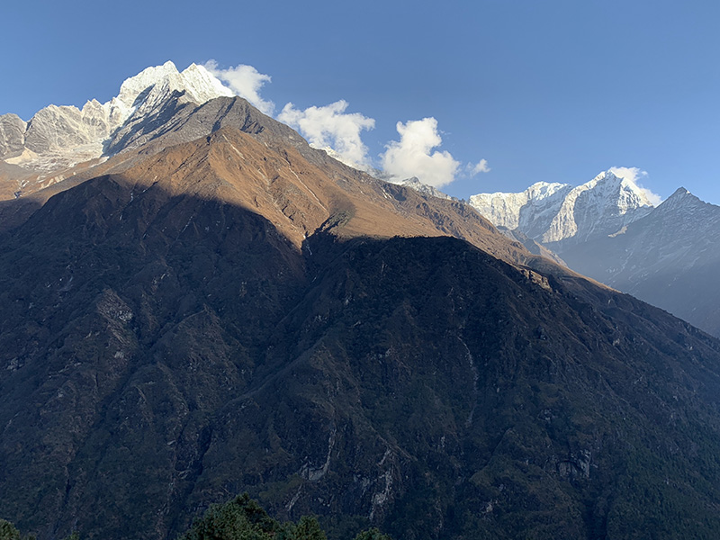
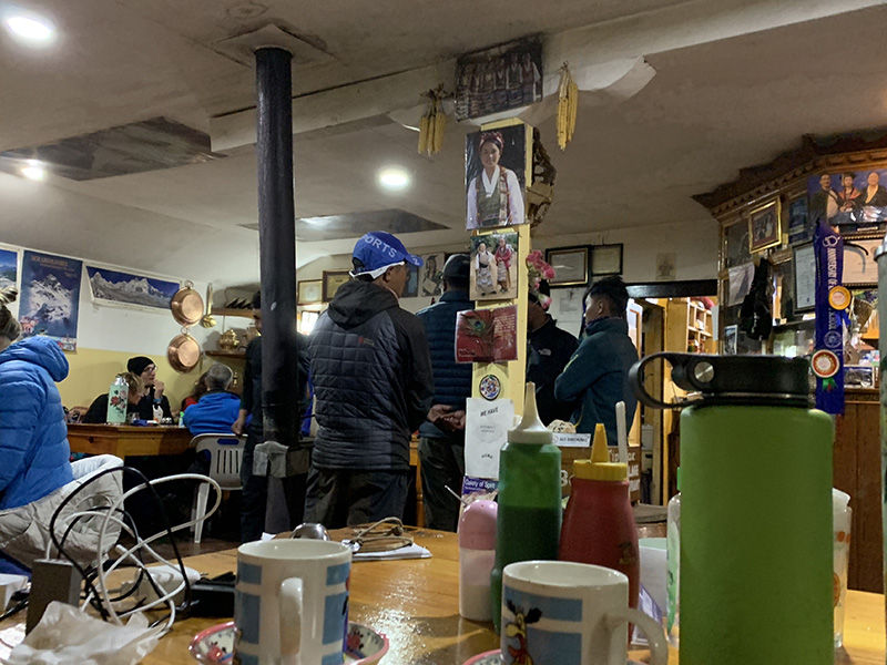
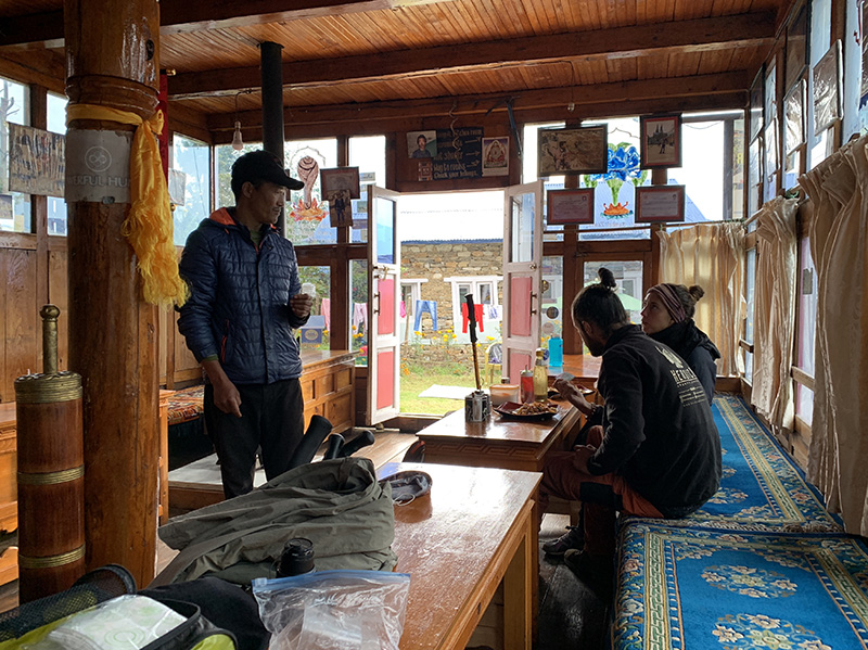
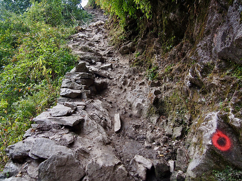
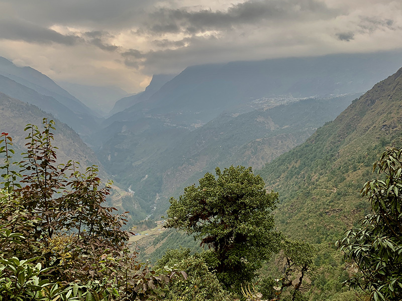
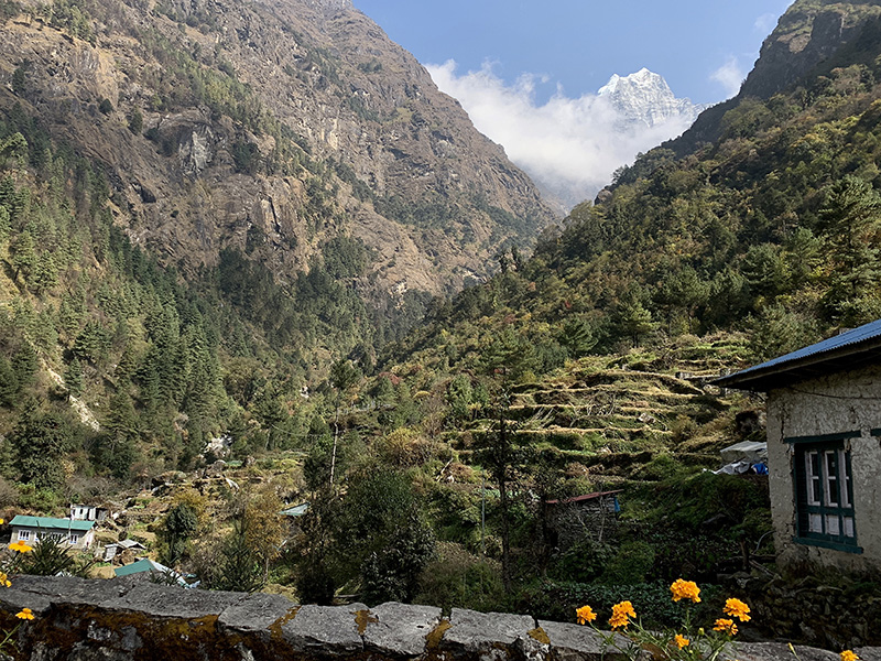
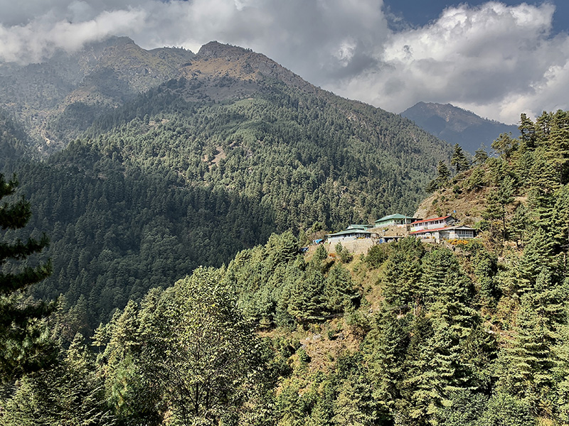
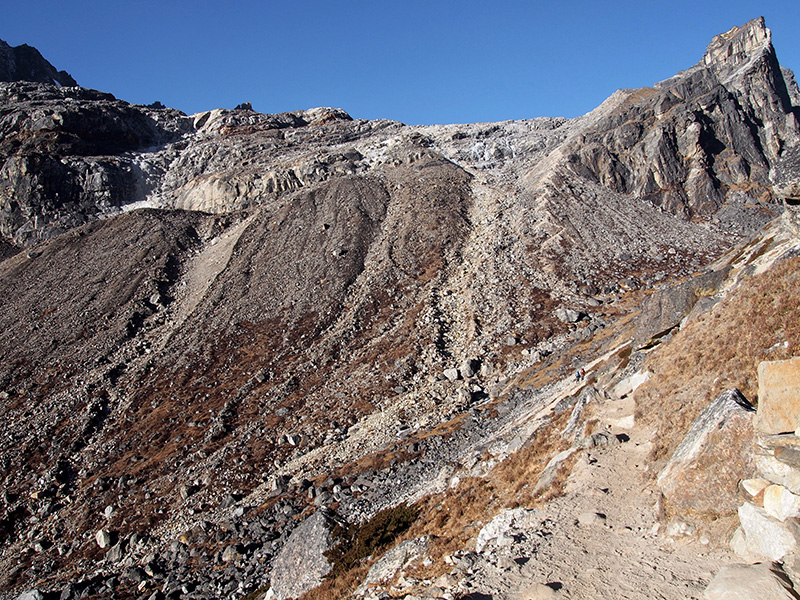
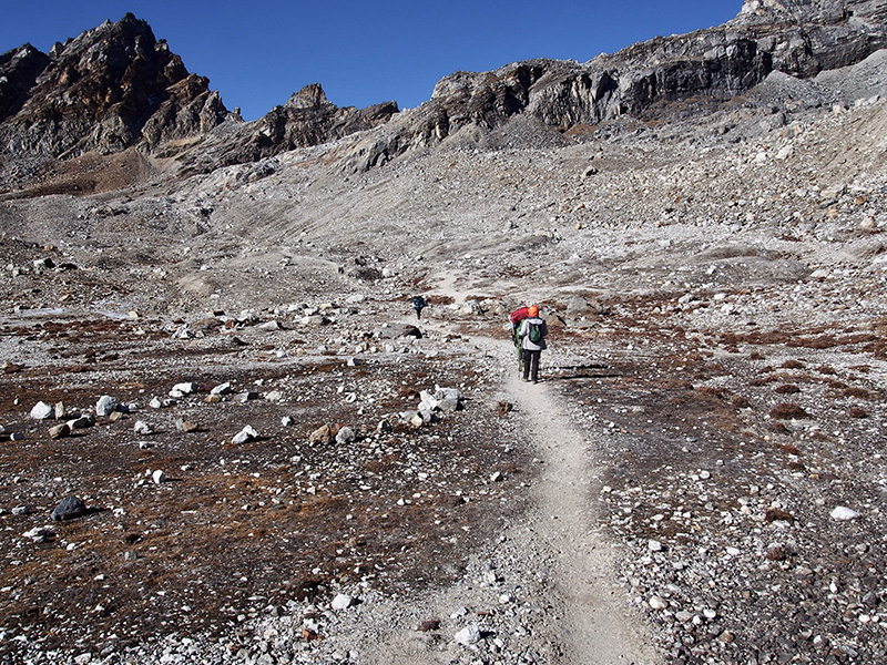
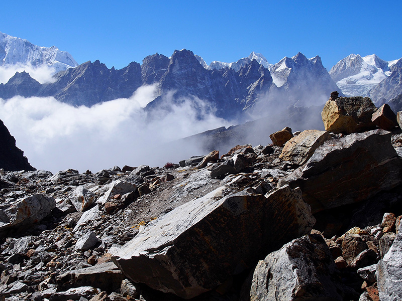
Hiked down a steep section of the trail rebuilt after 2015 earthquake, took back our backpacks, had lunch at a lake near the base of the pass, and continued to Lunden. Despite heavy cloud cover and temps dropping below freezing again, it was very nice hike down the beautiful Renjo Khola valley with quite magical views of the mountains appearing/disappearing quickly between clouds. We took a wrong path towards Arye (we knew about the “Y”), but quickly realized the mistake and crossed some pastures to return to the correct trail – we surprised yak herder (who spoke perfect English) when we showed up on his pasture out of nowhere. We spent the night at a newly renovated and good Renjo Pass Support Lodge (recommended) with several other hikers who also came down from the pass. Nice rooms with (small) toilets. Very nice host. One fellow hiker was recovering from a bout of altitude sickness after being helped down the mountain (failed attempt to cross Renjo pass). 
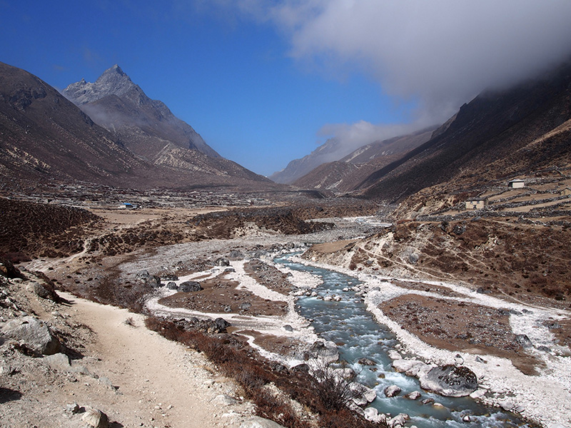
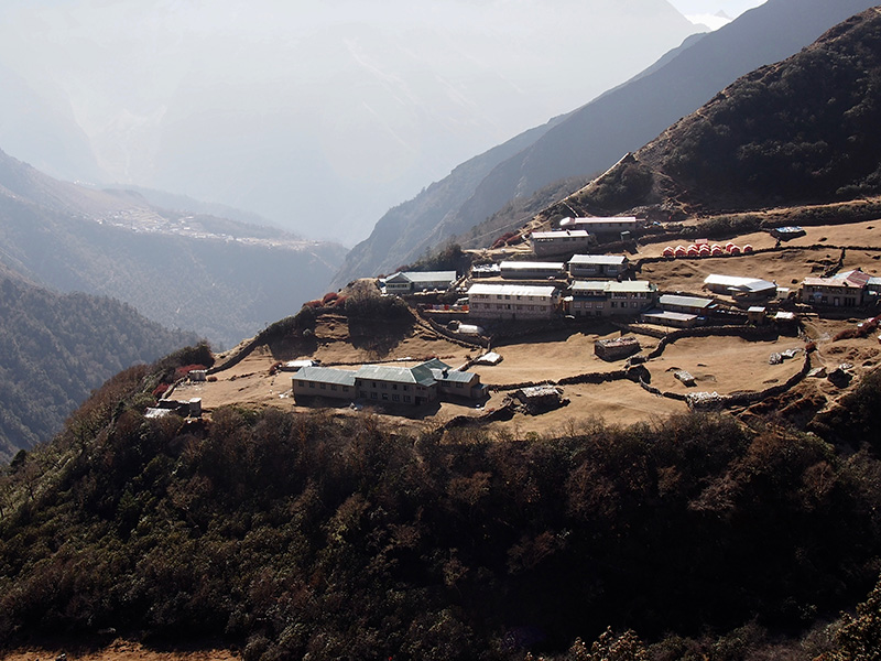
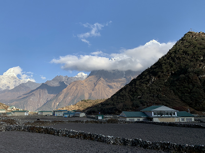
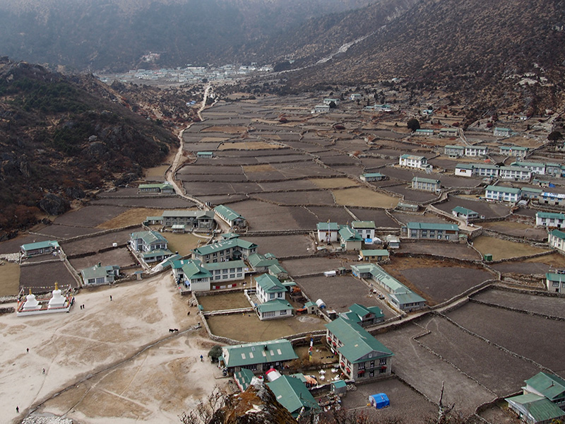
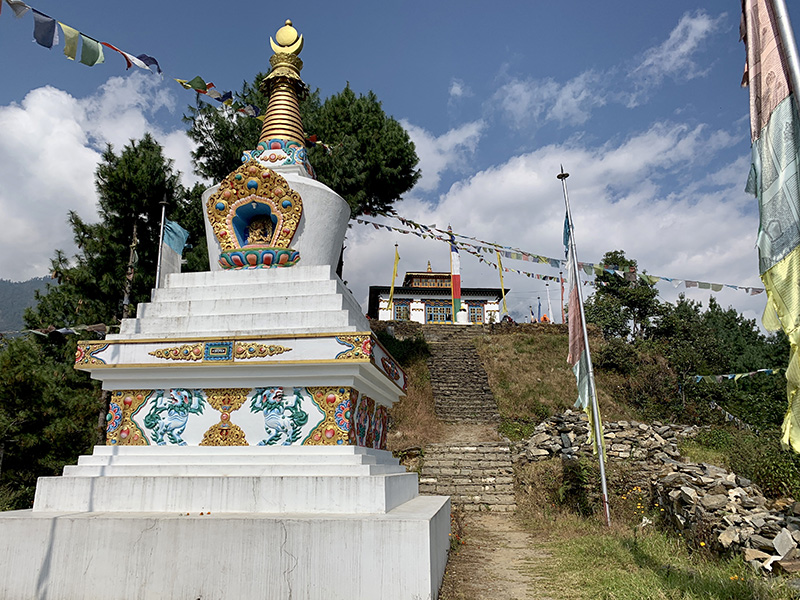
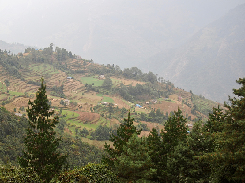
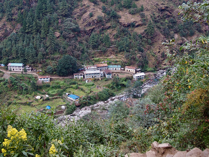
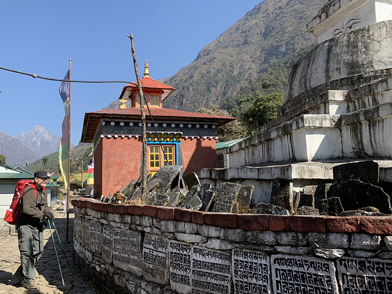
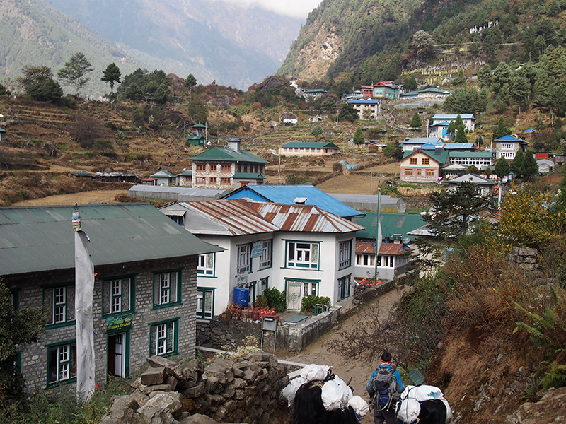
The next day it was easy and lazy/slow hike down the Bhote Koshi valley, along an old trading route from Tibet. Nice villages, very few people on the trail. From Lunden to Thame is another 9.5 km. We were too lazy to visit Thame gompa, just looked from the ridge. Stayed in nice Valley View Lodge and played with giggly owner’s daughter. We were the only guests. Thame is a big and nice village. We used our reserve day earlier so no day hike towards Tashi Labsta.
Objective for the day is clear…
…we came this way…
…and are heading higher…
…and higher to Renjo La
From Renjo La (5375 masl) you get them all in one picture…
…Pumori, Everest, Nuptse, Lhotse, Makalu, Ngozumpa Glacier, Gokyo/Lake III
View to the other side of the pass…
…and down to the lake…
…the trail zig-zags between rocks and boulders down from the pass…
We started from Khumjung in very nice weather, but soon clouds came in and we hiked in fog most of the day. At 4000 masl and with Sun behind heavy clouds it was quite cold, small streams and waterfalls were frozen on the surface. We were now hiking north up the Dudh Koshi valley towards Ngozumpa Glacier. The tourist crowd disappeared as the main trail to EBC turns East/North-East after Namche. We passed Mong La (pass) and stayed for the night in Dole at Alpine Cottage Lodge (looked good from the outside, but it was our coldest night with temp in the room dropping to -1°C). The good weather returned the next day, sunny mornings but still clouds every afternoon, as we continued to Machermo. Nice day, good views, nice trail in the valley, not crowded at all, relaxing. Very good Sherpa Land Lodge with nice hosts, great atmosphere, the warmest fire of the entire trek. We are gaining altitude. Again very nice walk next day to Gokyo with stops at Lake I and II. Hike from Khumjung to Gokyo (two days) = ~ 20 km. Since we heard that sometimes there were not enough rooms in Gokyo available for late comers, we reserved Cho Oyu View Lodge – it had empty rooms, but other lodges were full. It was OK, but old and quite cold (again ~ 0°C at night in our room). We were both fighting Khumbu cough and cold, so we decided to moved for second and third night to (new) Thanka Inn with insulated walls and sealed windows. It was more expensive, but so much warmer – it was 8°C at night! And food was delicious.
We planned two day hikes from Gokyo: to Lake V and possibly Lake VI, and summiting Gokyo Ri. We went for a relaxed walk to Lake V first despite discouraging weather which made some other hikers turn back. It was a great day (with packed lunch), wonderful views of Ngozumpa glacier, Cho Oyu, Everest, Lhotse. View of Everest was the excellent from this angle. One of the best days of the trek. Lake VI was beyond our reach, we ran out of time as we spent a lot of time around the lower lakes and on the side moraine watching the glacier and all the big mountains around. Taking pictures. We were almost alone there. Quite stunning views from the moraine above the lake (Scoundrel’s Point).
Ngozumpa Glacier view from Scoundrel’s Point
Hike from Gokyo to Lake V and back = ~ 12 km. The next day Joanna made it to Gokyo Ri summit. I took my rest day and slept most of the day. Gokyi Ri trail is short (~4 km round trip) but very steep (600 m altitude gain), straightforward but strenuous hike. The views on the way up and from the top were great – four 8000 m peaks (Cho Oyu, Everest, Lhotse, Makalu), lakes and the glacier. Clouds started coming in up the valley when I was approaching the summit, making for some interesting photos. I stayed there about an hour.
View from Gokyo Ri
View from Gokyo Ri
There was no wind.Very few or at times no people at the top (I started later than most). Going down was much easier and fast. The clouds were getting quite thick in the afternoon. Long sleep in warm room, and Piotr started recovering from the cough.
We were quite lucky as a group of guides/porters who came with tourist staying in our lodge had a break the next day and one of them agreed to help us carry our stuff up to Renjo La pass after looking at and weighing our backpacks in his hands: “Oh, daypacks”. It made us feel good as we really tried to travel light (most of our warm clothes were on us at this point). He was actually a porter guide and spoke good english.
Trail to Mong La…
…
…
Mong La (3970 masl)
Trail to Dole…
…
…Dole (4032 masl)
Trail from Dole to Machermo: Dudh Koshi valley and Cho Oyu (left)
Machermo (4390 masl)
Sunset from our lodge in Machermo
Machermo
Trail to Gokyo
…
Gokyo Lake I
Gokyo Lake II
Gokyo (4754 masl)
Gokyo Lake III
Gokyo Lake III
Gokyo Lake IV…
… view from the top of Ngozumpa Glacier moraine: Cho Oyu (left, 8188) and Gyachung Kang (right, 7952)
Gokyo Lake V (4965 masl)…
…view from the side (lateral) moraine near Lake V, with Everest and Lhotse
View from the slope of Gokyo Ri…
Gokyo Ri…
…5350 masl
View from Gokyo Ri
View from Gokyo Ri: Everest, Lhotse and Makalu
Panoramic view from the moraine at Gokyo Lake IV towards Cho Oyu (left, 8188) and Gyachung Kang (right, 7952)