We made two day-trips by train from ☞ Glasgow. Our itinerary covered the most important sites, we walked everywhere.
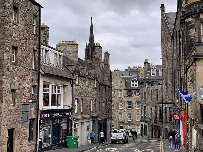
Day 1: Waverley Station ➜ Market St ➜ Castle ➜ High St ➜ St Giles’ Cathedral ➜ George IV Bridge ➜ Greyfriars Kirkyard ➜ Candlemaker Row ➜ Victoria St ➜ High St ➜ Waverley Station.
Day 2: Waverley Station ➜ Canongate ➜ Scottish Parliament ➜ Palace of Holyroodhouse ➜ Arthur’s Seat ➜ Scottish Parliament ➜ Canongate Kir ➜ Cockburn St ➜ Waverley Bridge ➜ Princes St ➜ Scott Monument ➜ Scottish National Gallery ➜ almoral Hotel ➜ Waverley Station.
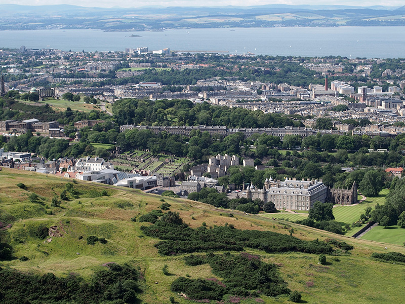
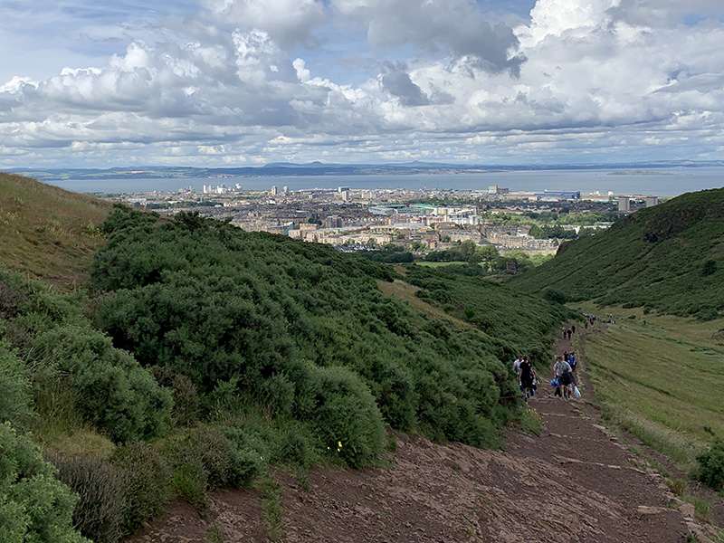
In perfect weather on Saturday afternoon atmosphere on Arthur’s Seat trail was festive and panoramic view of the city was really nice.So was the view of the old town from Princes St (Scott Monument).
Arthur’s Seat (3 km)rthur’s Seat loop. 3 km, 200 m total ascent. Click on wikiloc logo for more info
View from Arthur’s Seat
Edinburgh view from Princes St
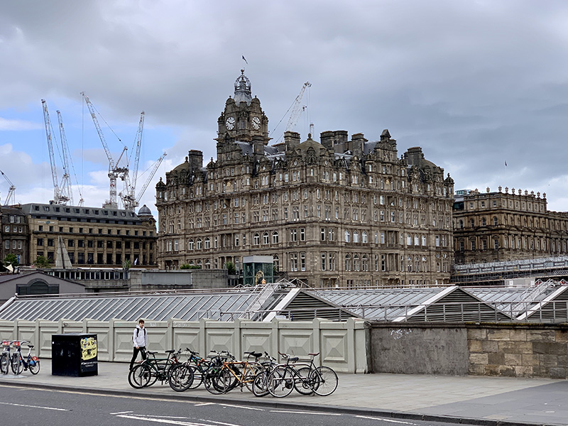
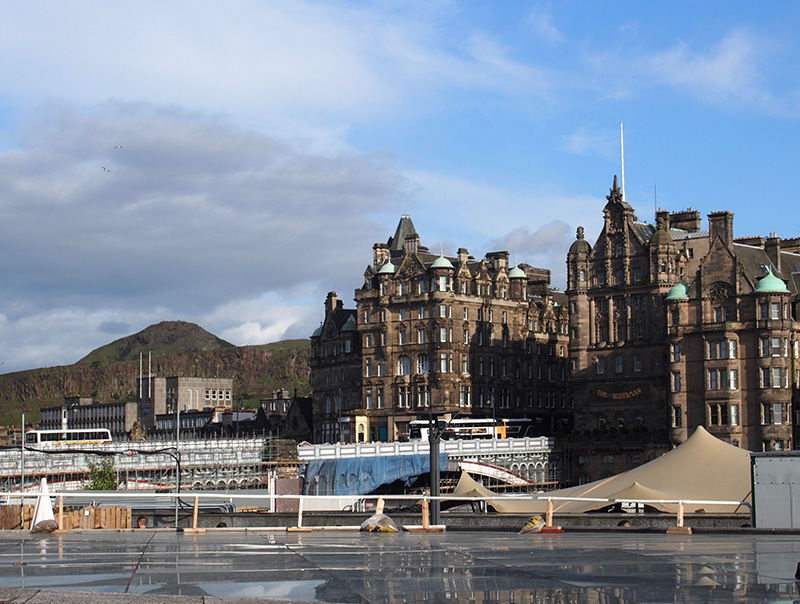
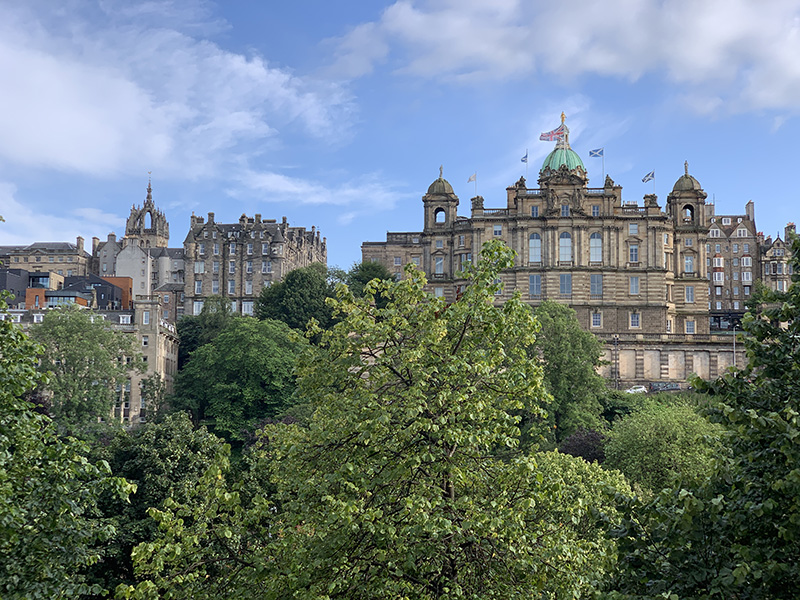
Balmoral Hotel above the roof of Waverley train station
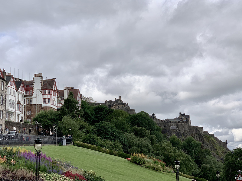
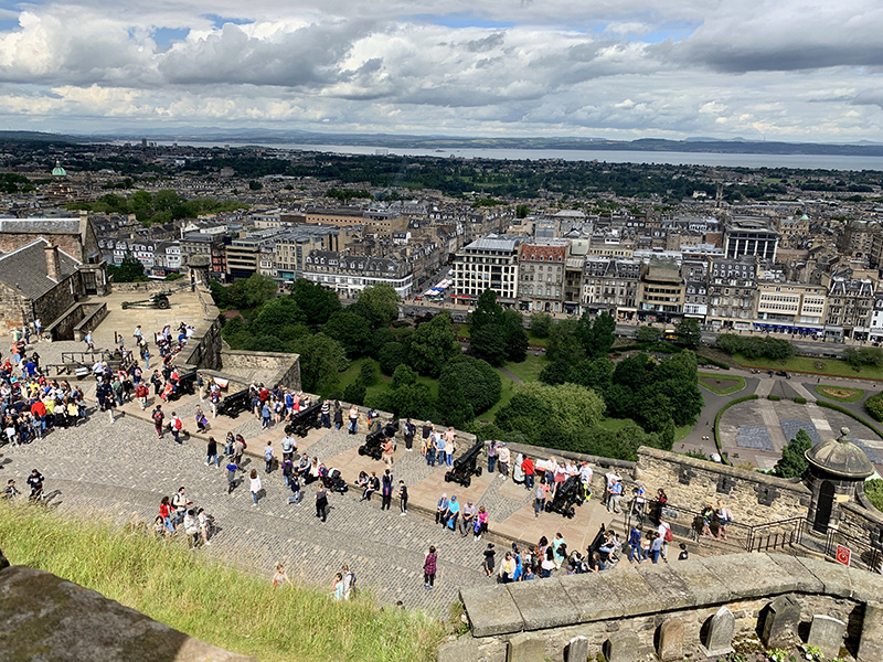
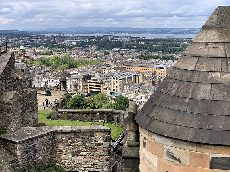
Edinburgh Castle above Prince Street Gardens
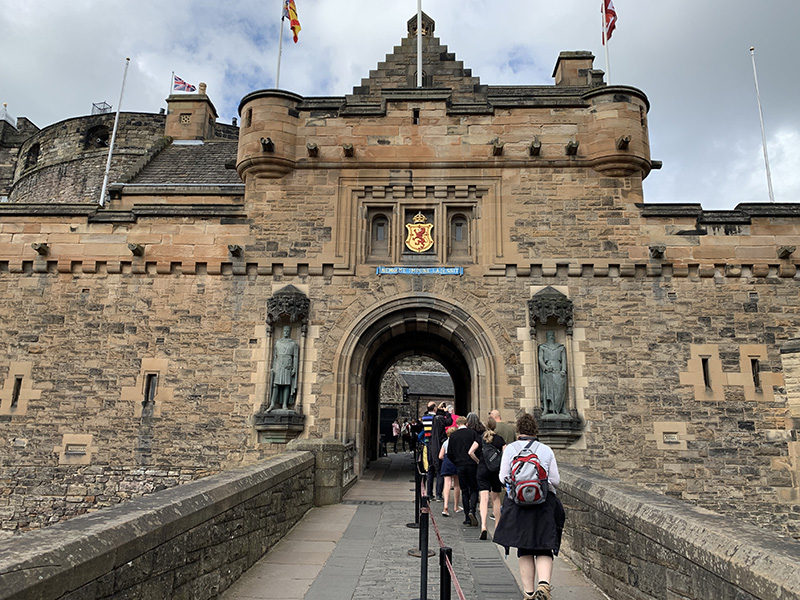
Edinburgh Castle, the Gatehouse…
…
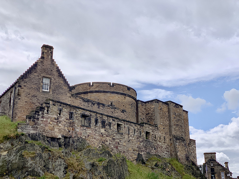
…view from the upper castle towards One O’Clock Gun…
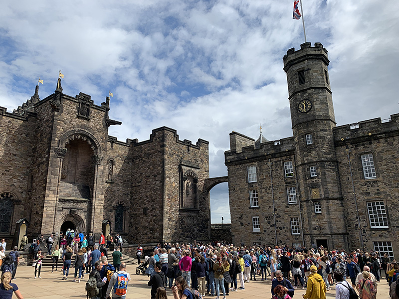
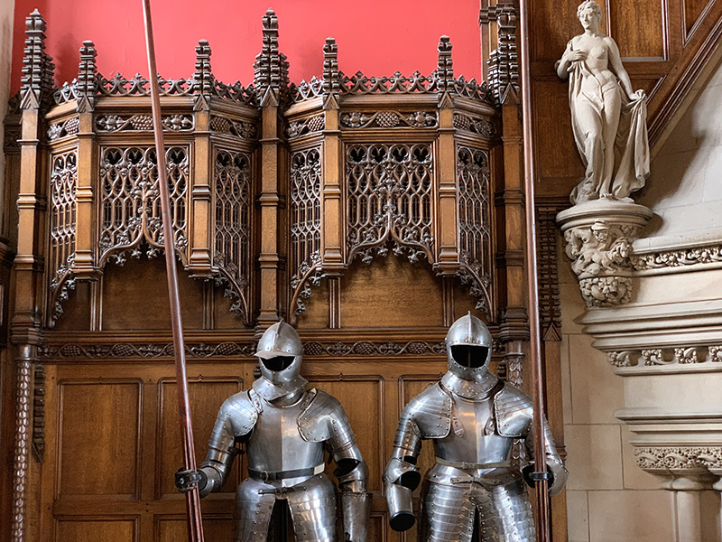
…The Royal Palace…
…
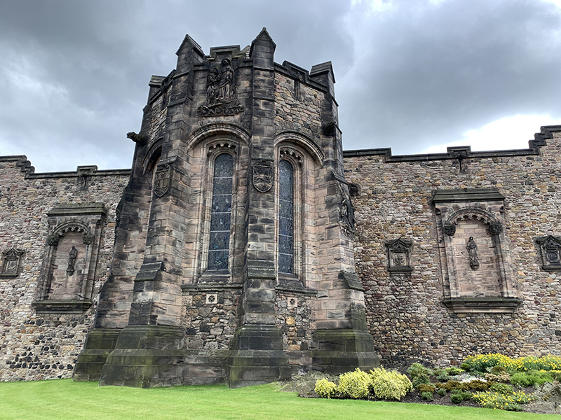
…Scottish National War Memorial…
…
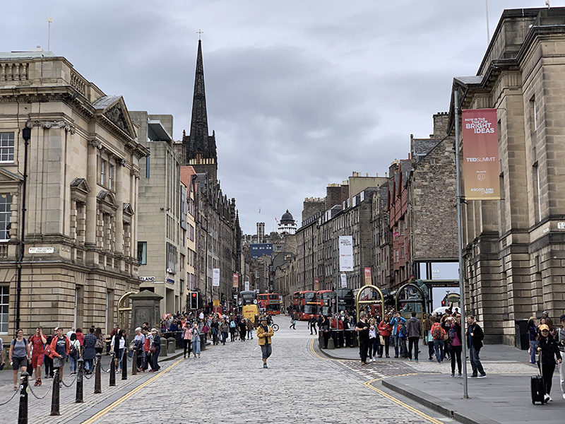
High Street…
…
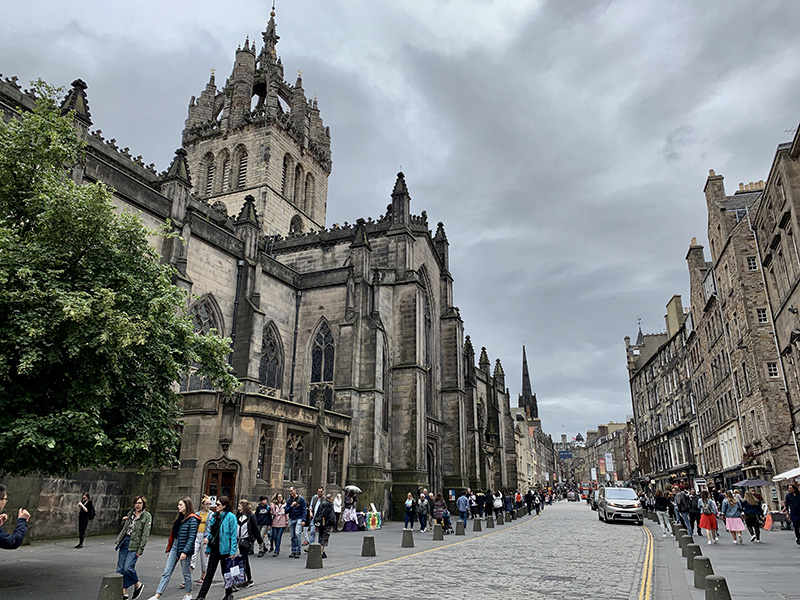
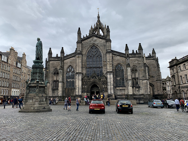
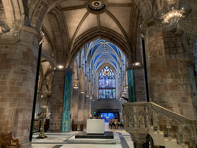
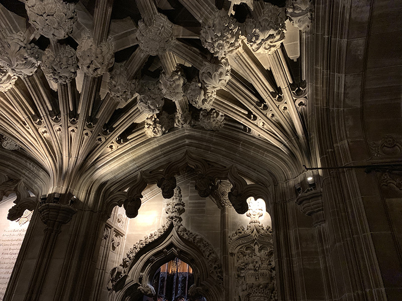
…St Giles’ Cathedral
…
…
Candelmaker Row
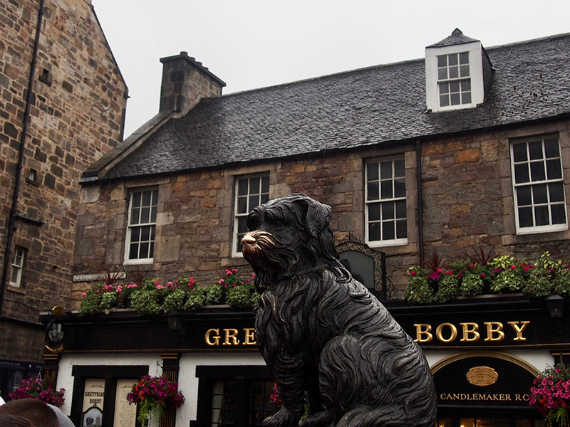
Greyfriars Bobby
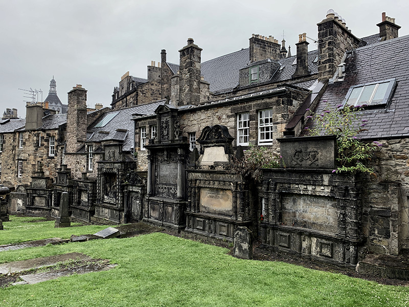
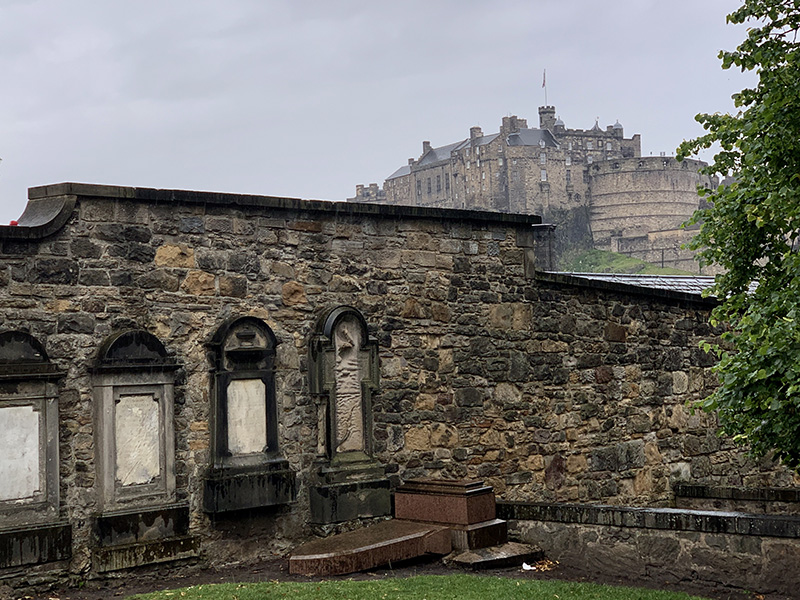
Greyfriars Kirkyard…
…view towards the Castle…
…and George Heriot’s School
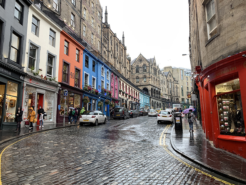
Victoria Street
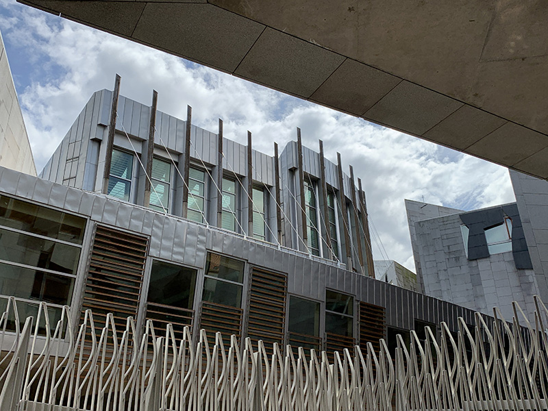
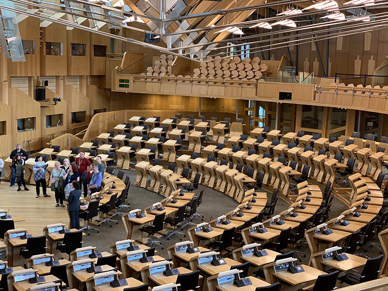
Scottish Parliament…
…
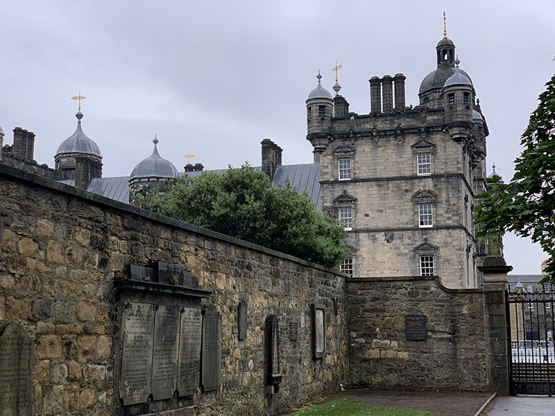
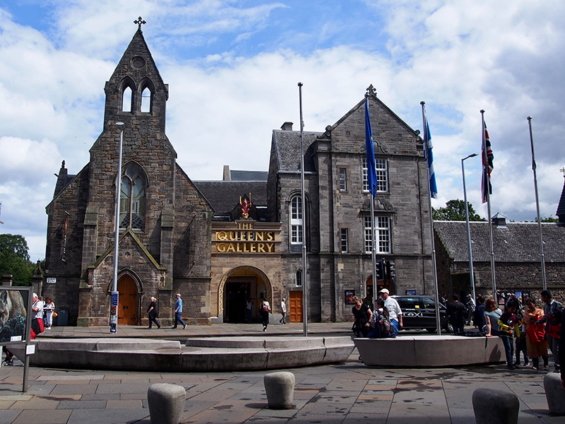
Palace of Holyroodhouse, Qeen’s Gallery
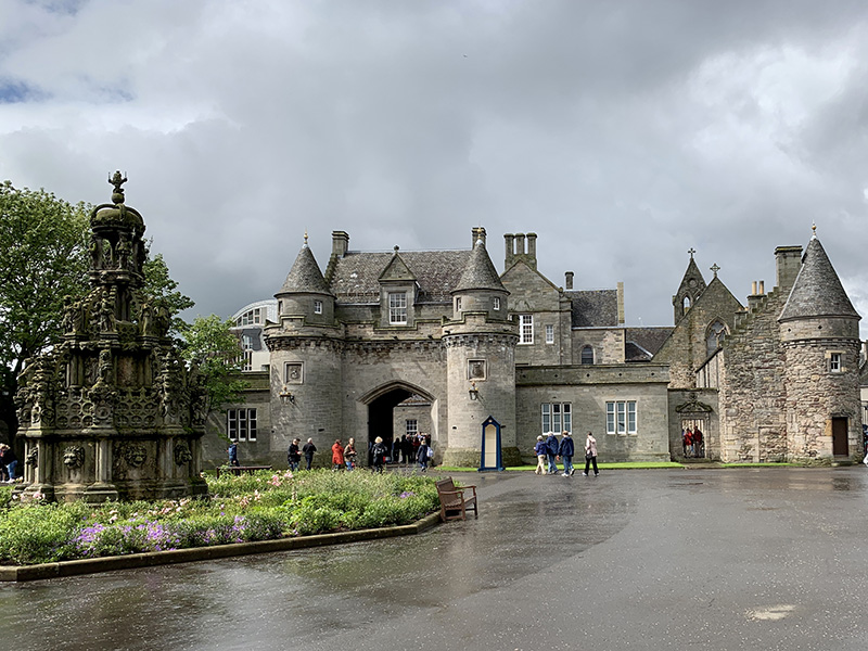
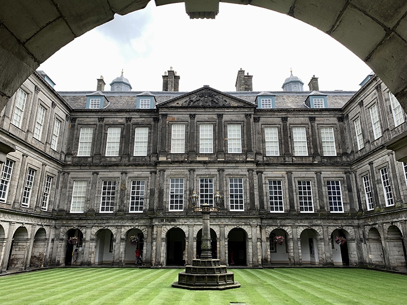
Palace of Holyroodhouse…
…
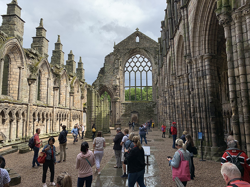
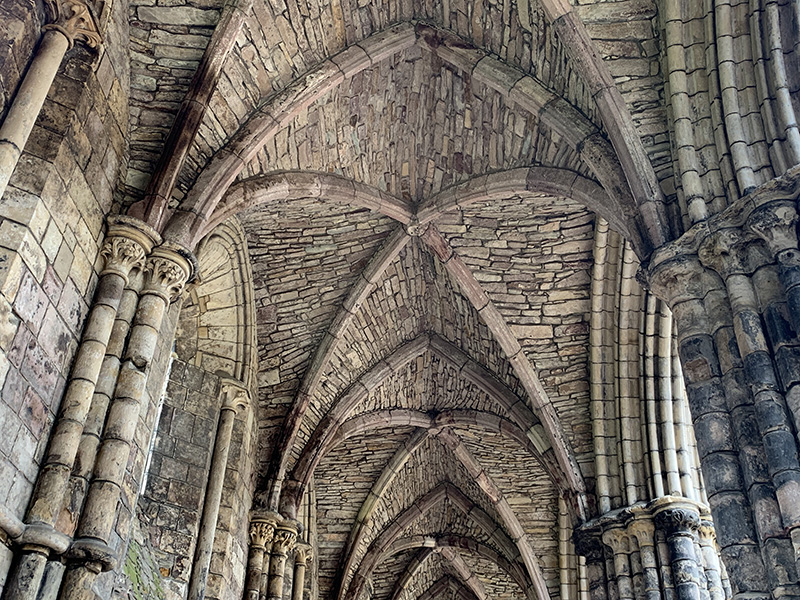
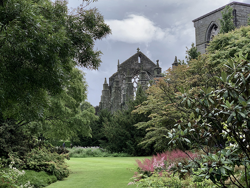
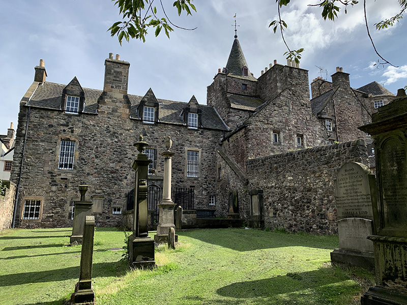
Holyrood Abbey…
…
…
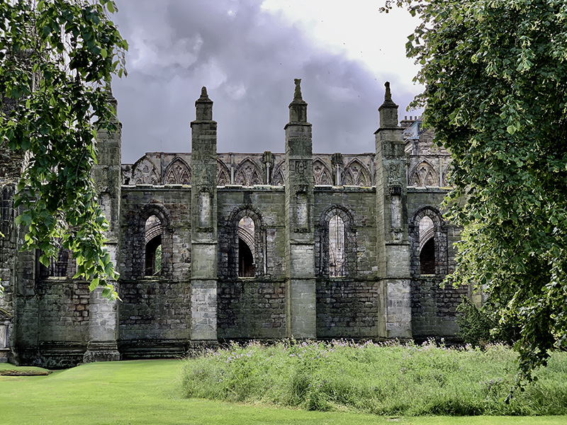
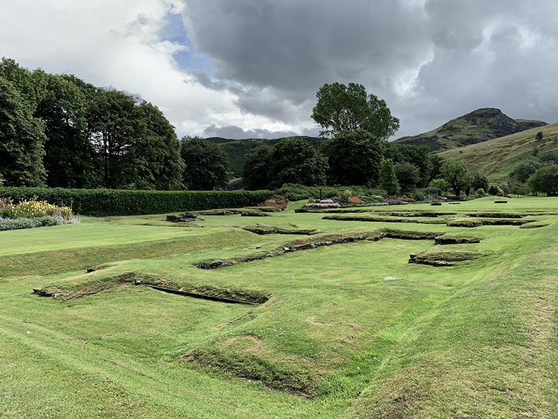
…old abbey foundations, Arthur’s Seat on the horizon…
…
Palace of Holyroodhouse…
…and gardens..
Holyrood Park, view towards the Palace…
…main trail up to…
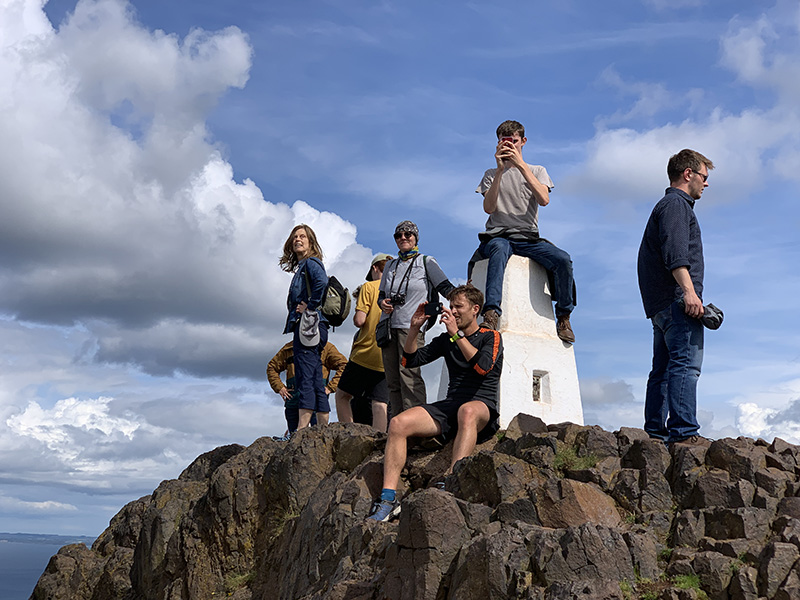
…Arthur’s Seat
The People’s Story Museum, view from Canongate Kirkyard
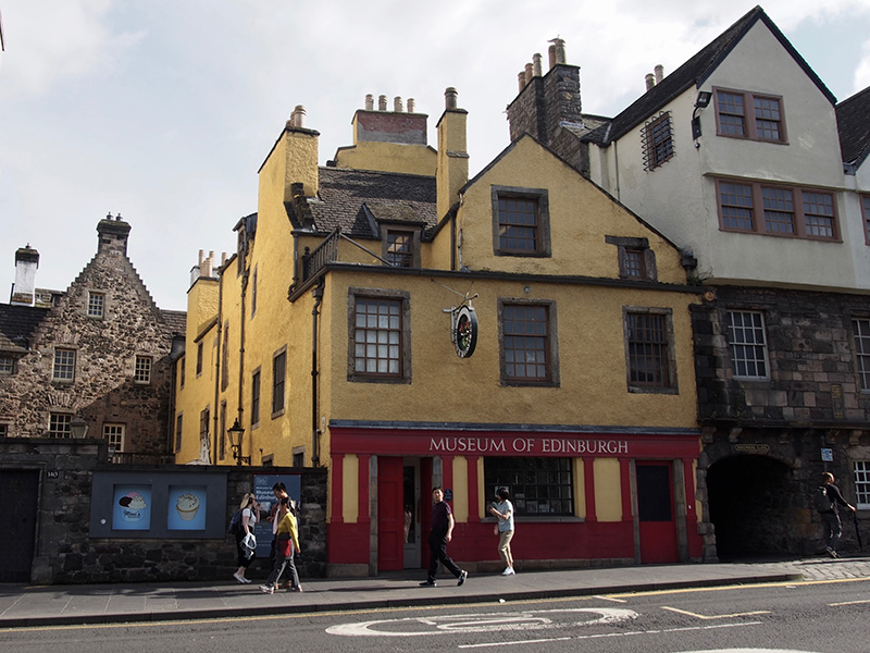
Museum of Edinburgh
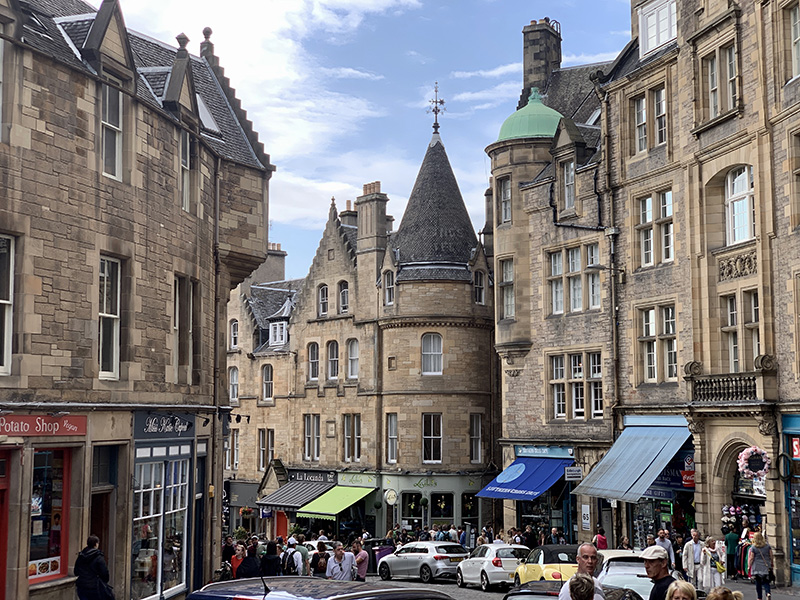
Cockburn Street
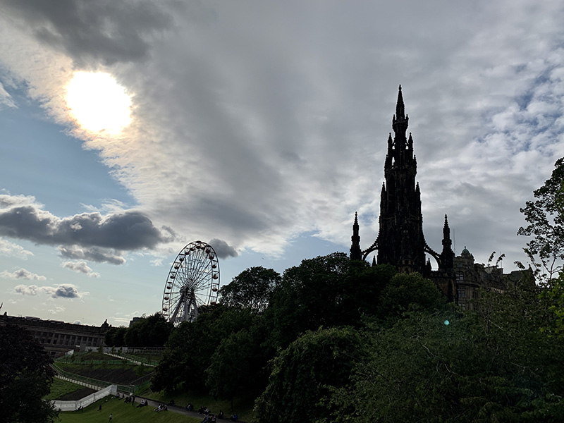
Scott Monument
View towards Arthur’s Seat (above the roof of Waverley Mall)
…Museum on the Mound…
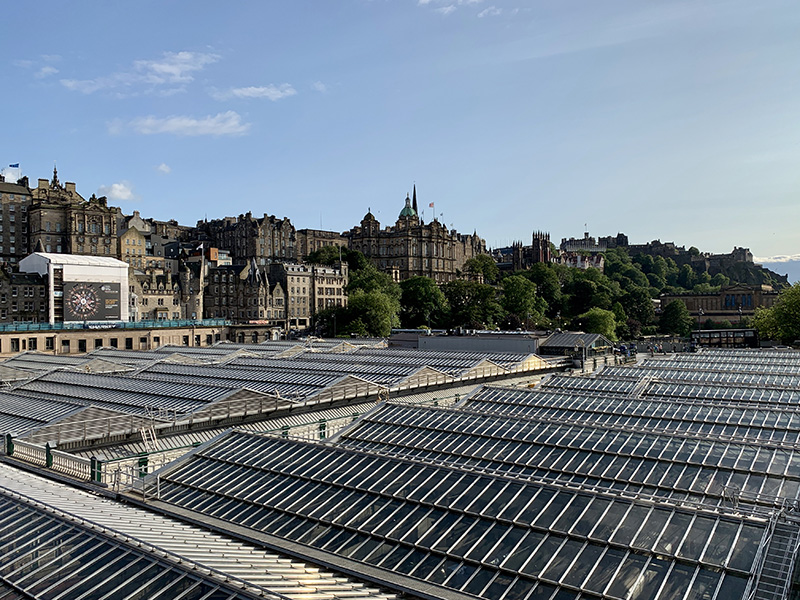
View towards the Castle (above the roof of Waverley train station)
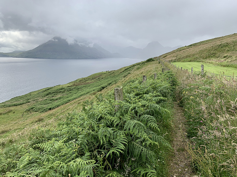
We started our two-day return to Glasgow by driving to Elgol and hiking along the coast towards Camasunary. The objective was to get good look at Black Cuillin – first from B8083 on the way to Elgol. The weather was not surprising anymore, between partial Sun, clouds and light rain.
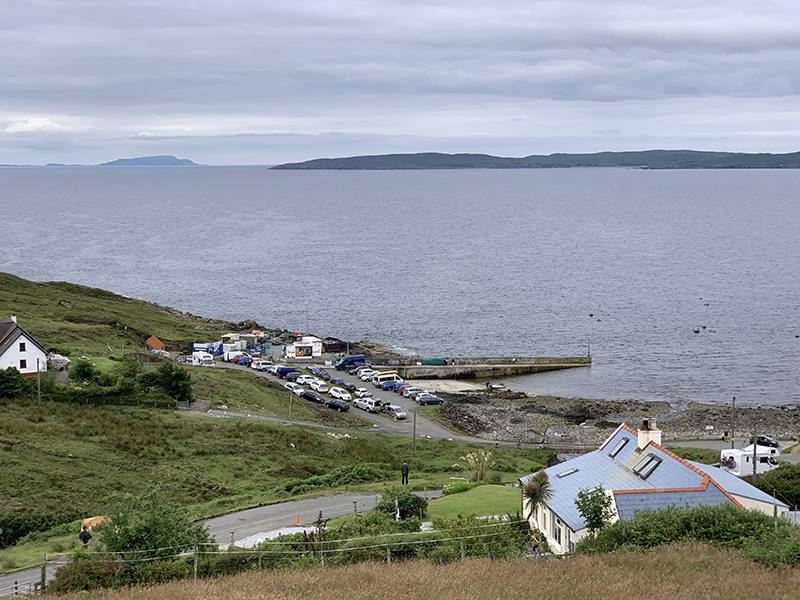
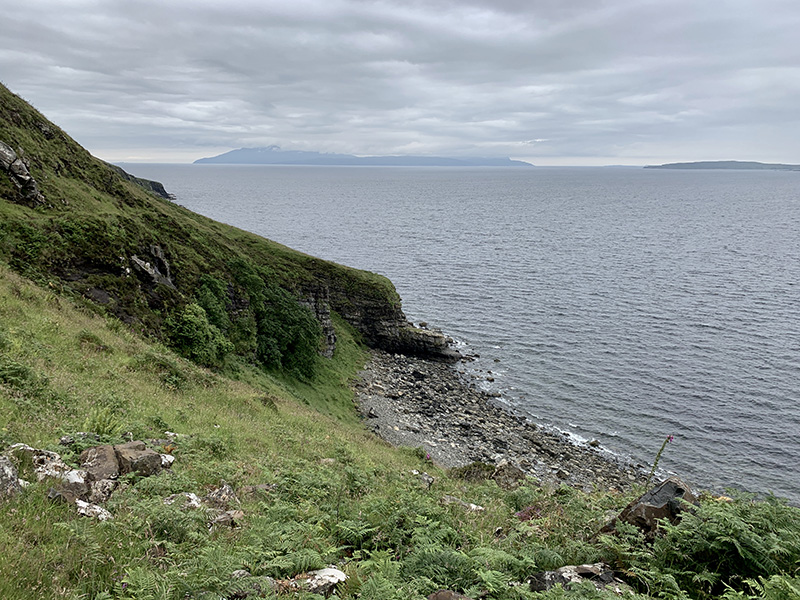
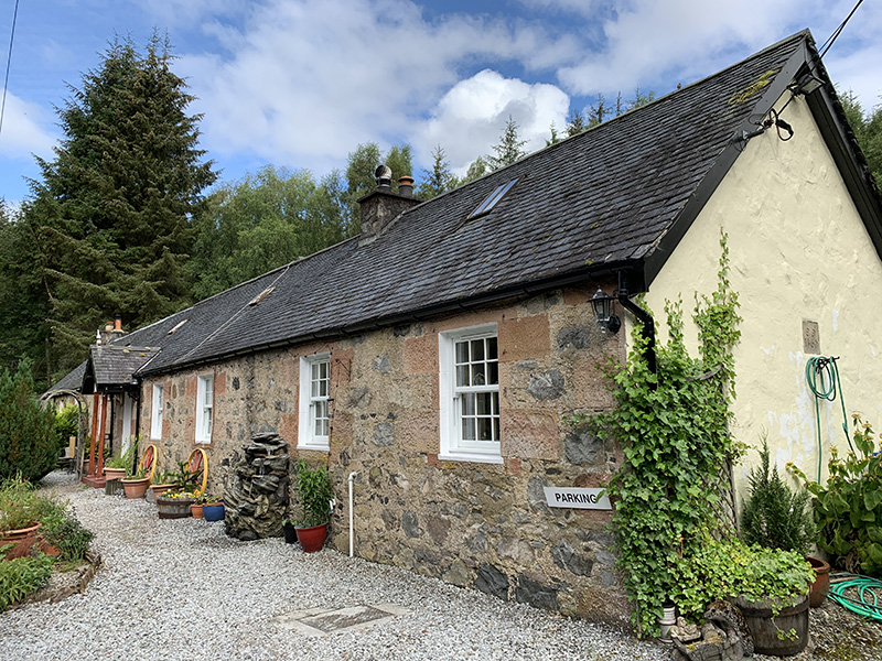
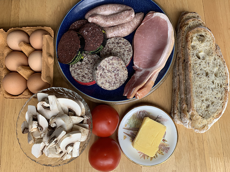
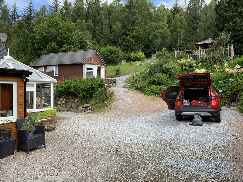
Elgol is a small village, compact and packed with cars and visitors, but we found parking spot by Elgol Shop (coffee and scones) and were on the move shortly. The trail was easy, but quite muddy at times, just along the coast, sometimes on top of the cliff, sometimes on the beach. Very good view on the Cuillin peaks across the water. Late lunch at Creelers of Skye in Broadford, Skye Bridge and Nursery Cottages in Invergarry ☞ Nursery Cottages (recommended). We cooked dinner in our comfortable and well organized cottage. Few groceries our host gathered for us turned out to be large amount of food to prepare true Scottish breakfast next morning.
Elgol to Camasunary (10 km)From Elgol towards Camasunary beach and return. 10 km, 300 m total ascent. Click on wikiloc logo for more info
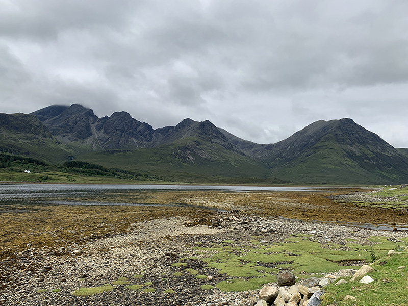
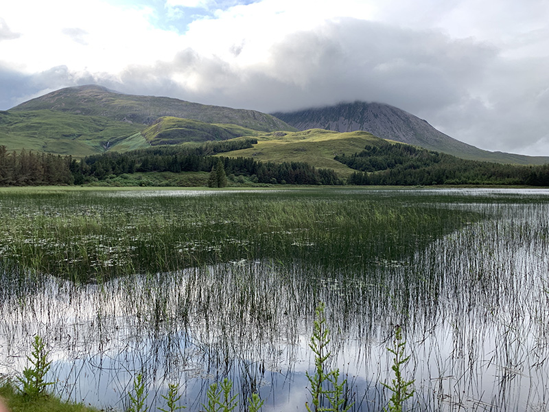
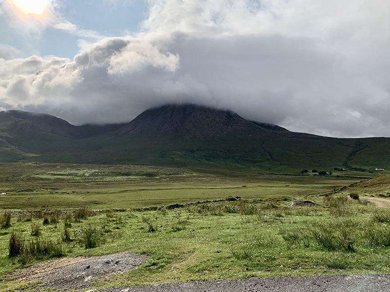
Cuillin across Loch Slapin from B8083 near Torrin
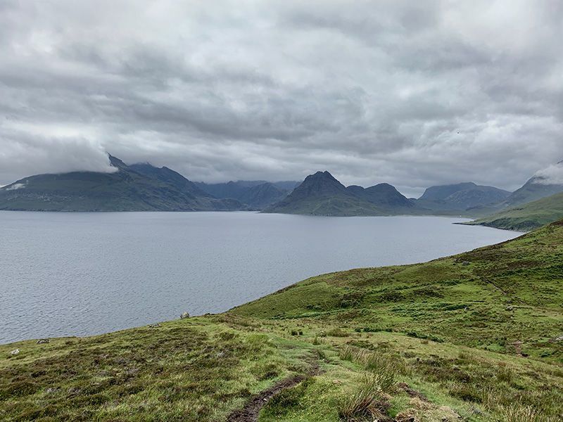
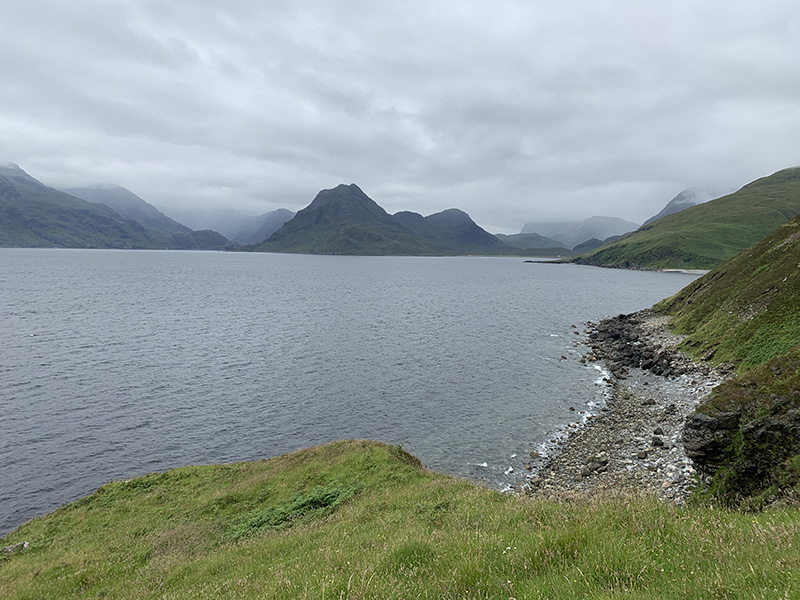
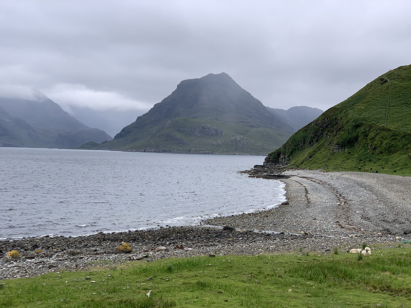
Cuillin from Elgol to Camasunary trail
Black Cuillin and Loch Slapin near Torrin
Elgol
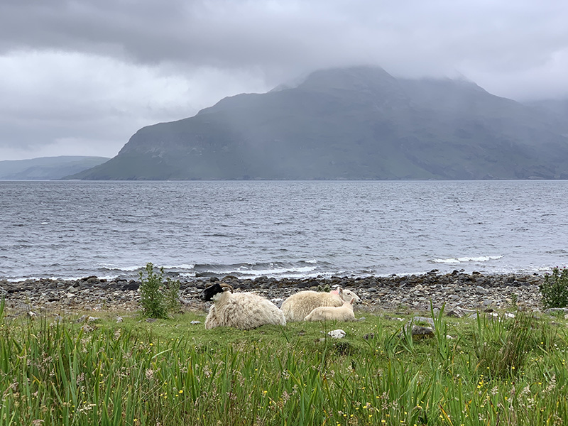
Camasunary trail out of Elgol…
…
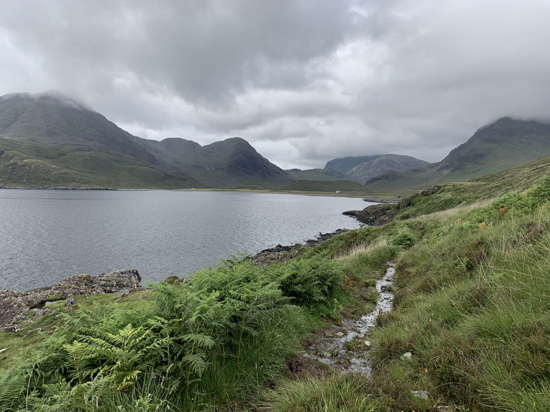
…great views of Loch Scavaig…
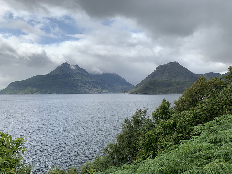
…and Black Cuillin…
…
…
…
…wet and muddy on the way back
Loch Cill Chriosd
…
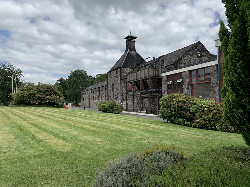
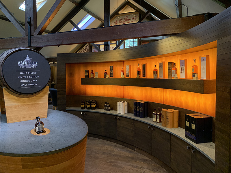
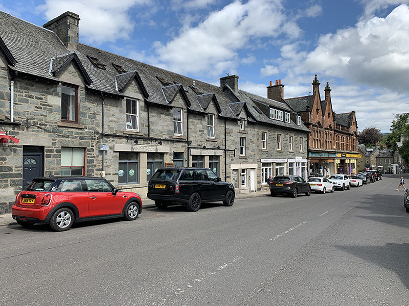
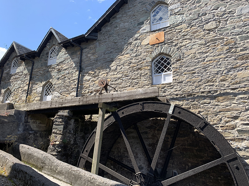
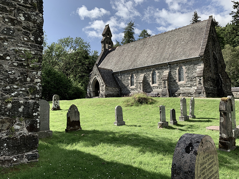
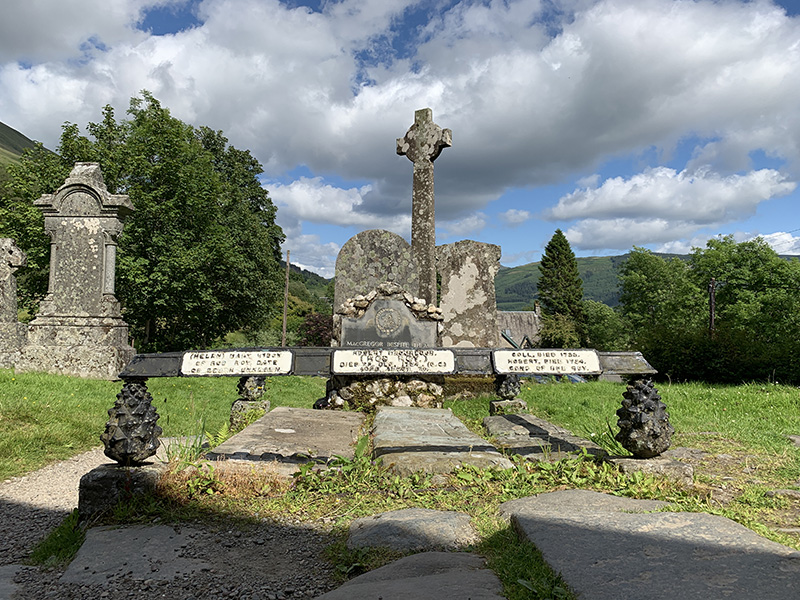
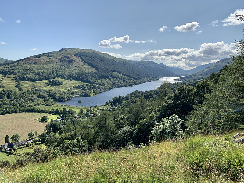
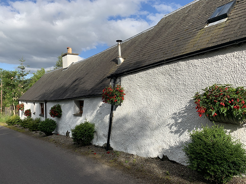
The following day was mostly driving, from Invergarry to Aberfeldy, Balquhidder, Doune Castle, Stirling Castle and Glasgow. On some stretches of the road driving required a lot of concentration: it was Saturday and many drivers were pushing it real hard. We visited Dewar’s Aberfeldy Distillery and had coffee at the Watermill in town. We visited Balquhidder church and cemetery (Rob Roy and MacGregors), and enjoyed last walk of the trip to Creag an Turin.
Balquhidder to Creag an Tuirc (3 km)Balquhidder-Creag an Tuirc loop. 3 km, 150 m total ascent. Click on wikiloc logo for more info
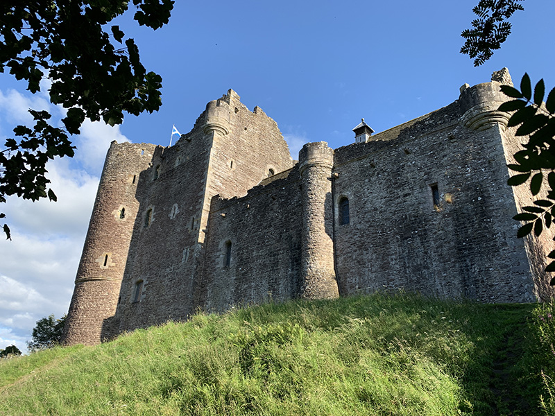
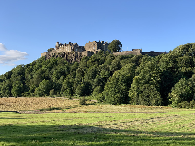
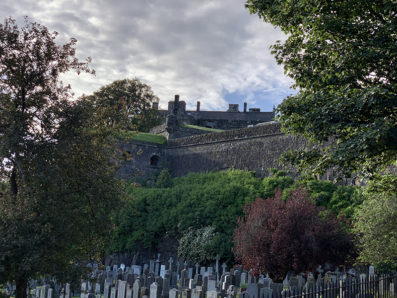
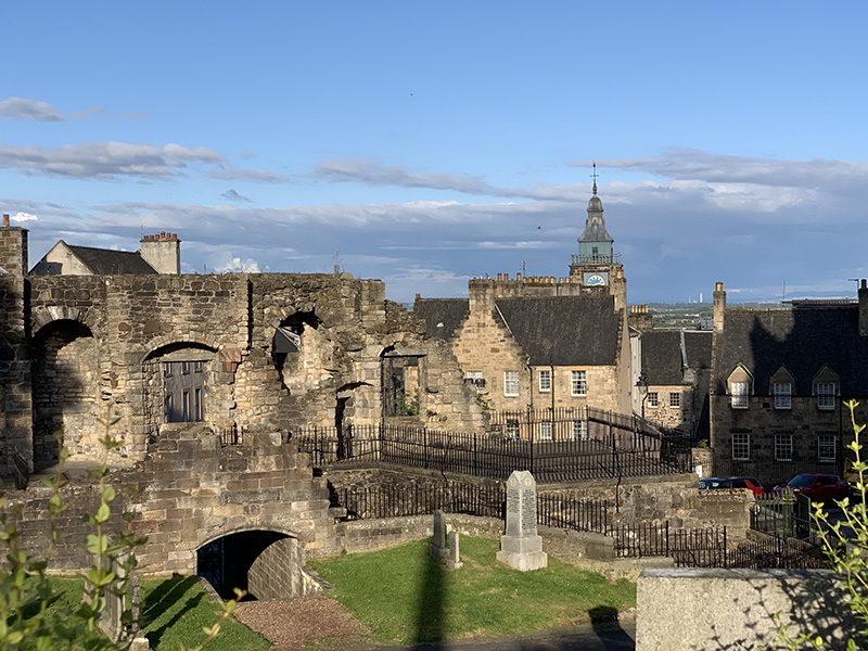
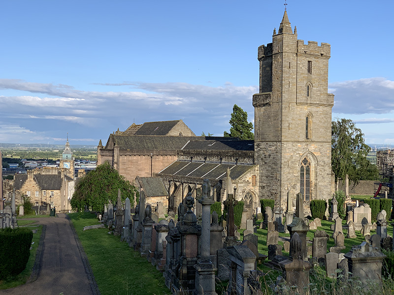
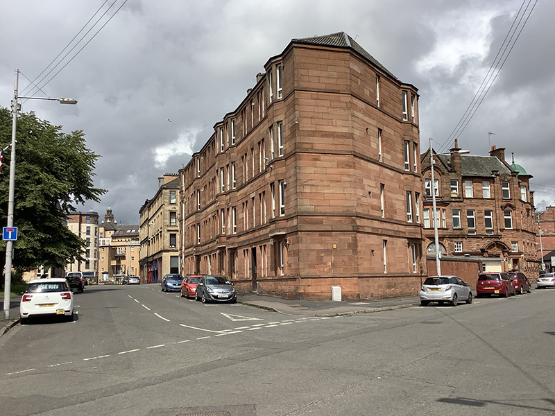
We had little time left for Doune Castle (just walked around it) and spent the rest visiting Stirling Castle (also just outside) and nearby sites on the hill. To save time we navigated narrow streets to the parking lot just next to the castle. All that was left was driving on main highway (easy traffic) to Glasgow and finding the way to our flat on Blackie St in Finniestone (fantastically complicated exit from the highway, but we made it with help from google). We had enough time to get food from Tesco on Argyle St.
 Arthur’s Seat (3 km)