Skip to content
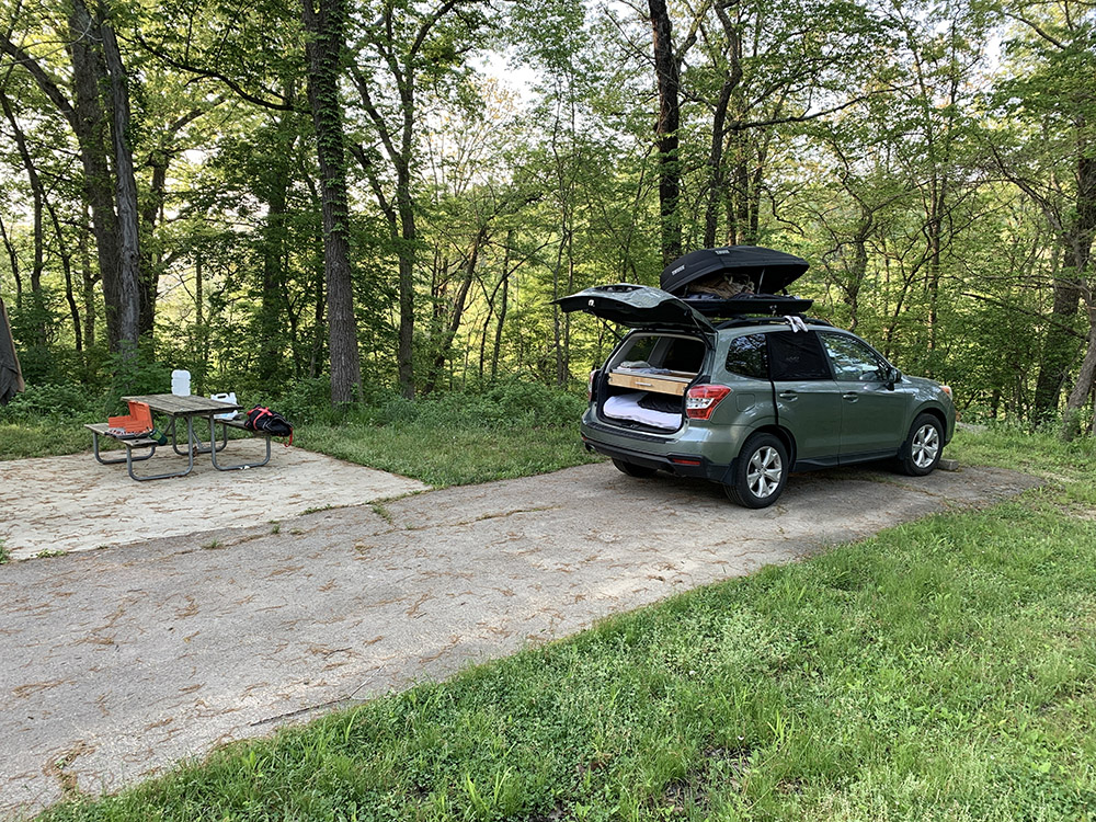
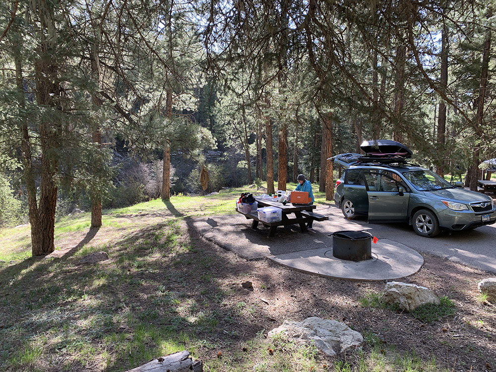
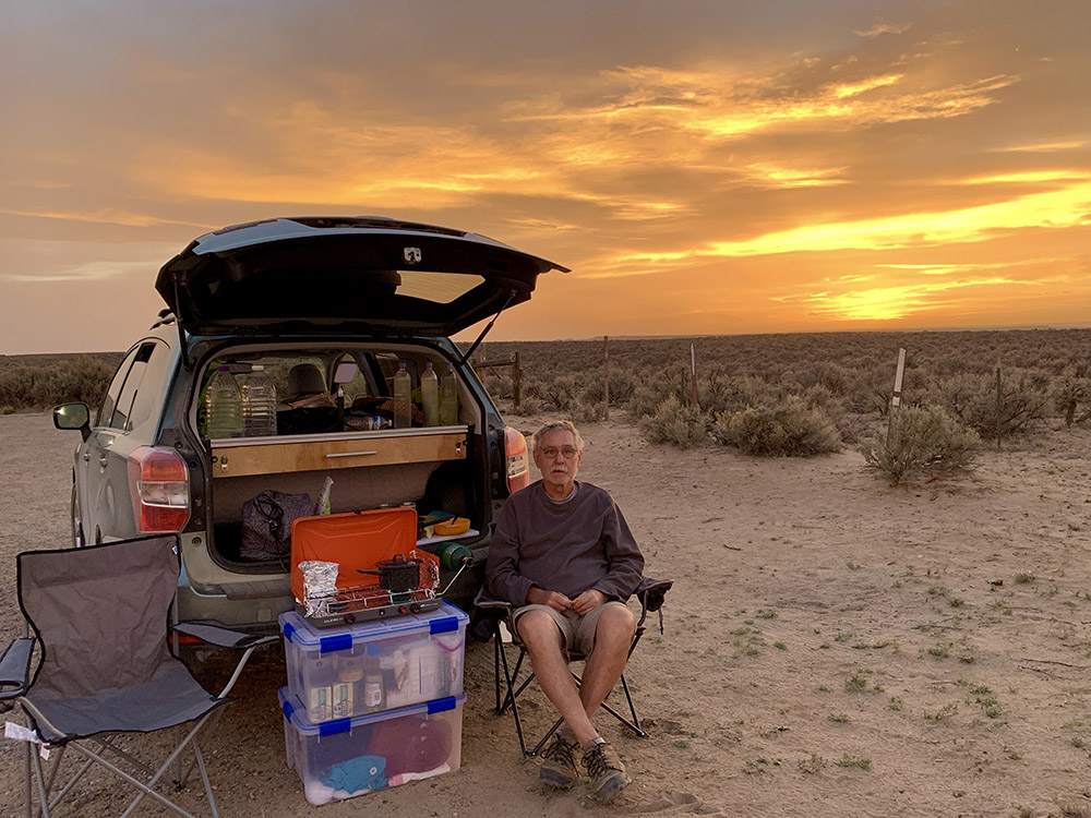
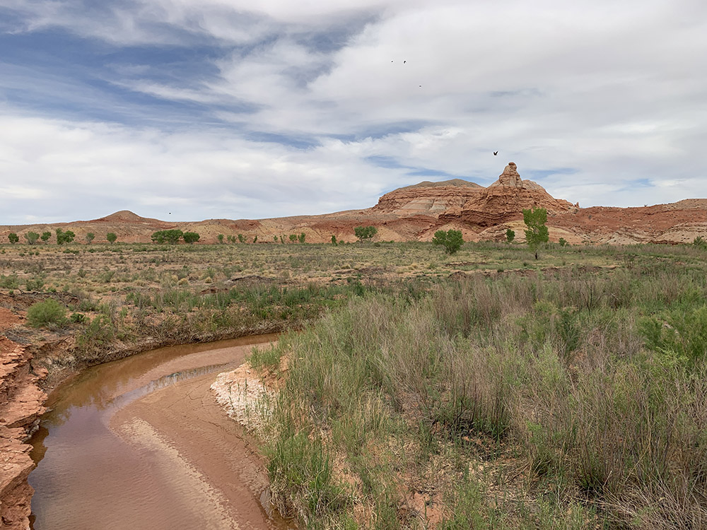
Bennett Spring Campground
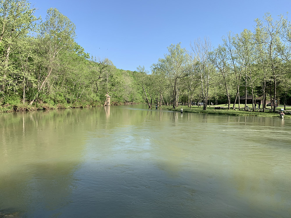
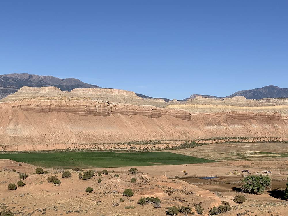
Bennett Spring
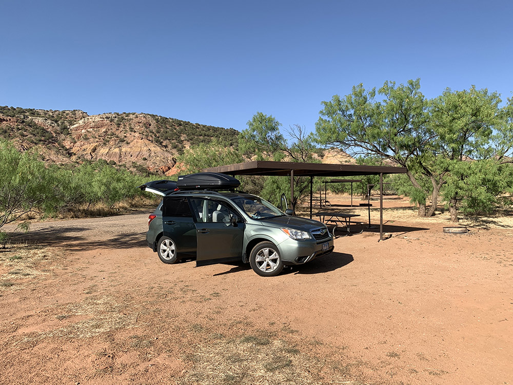
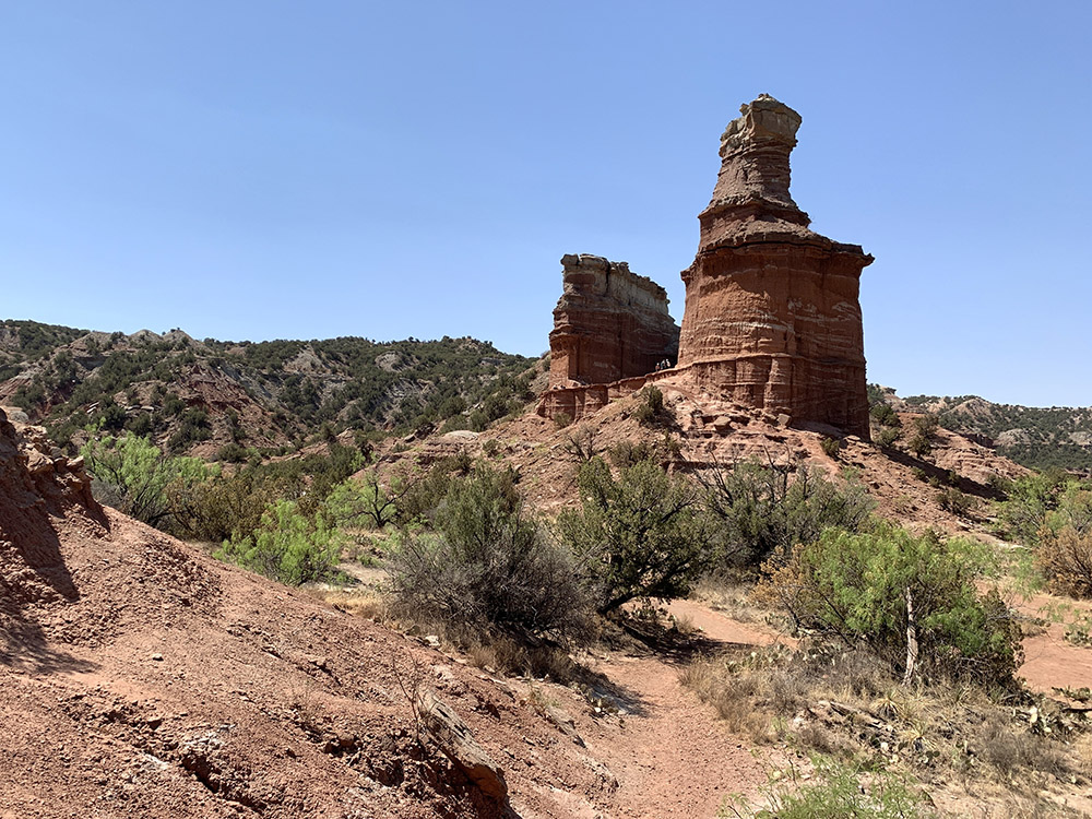
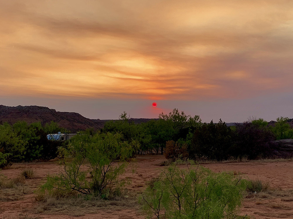
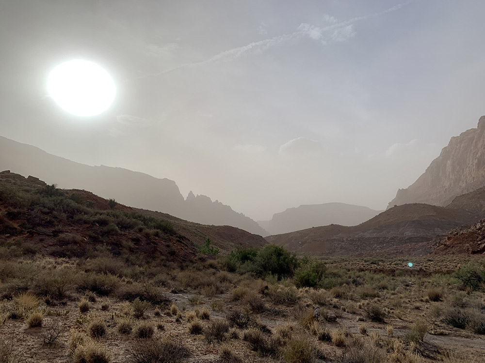
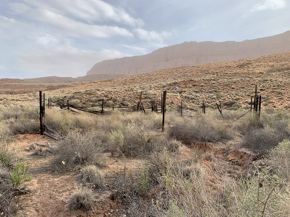
Palo Duro, Fortress Cliff Campground
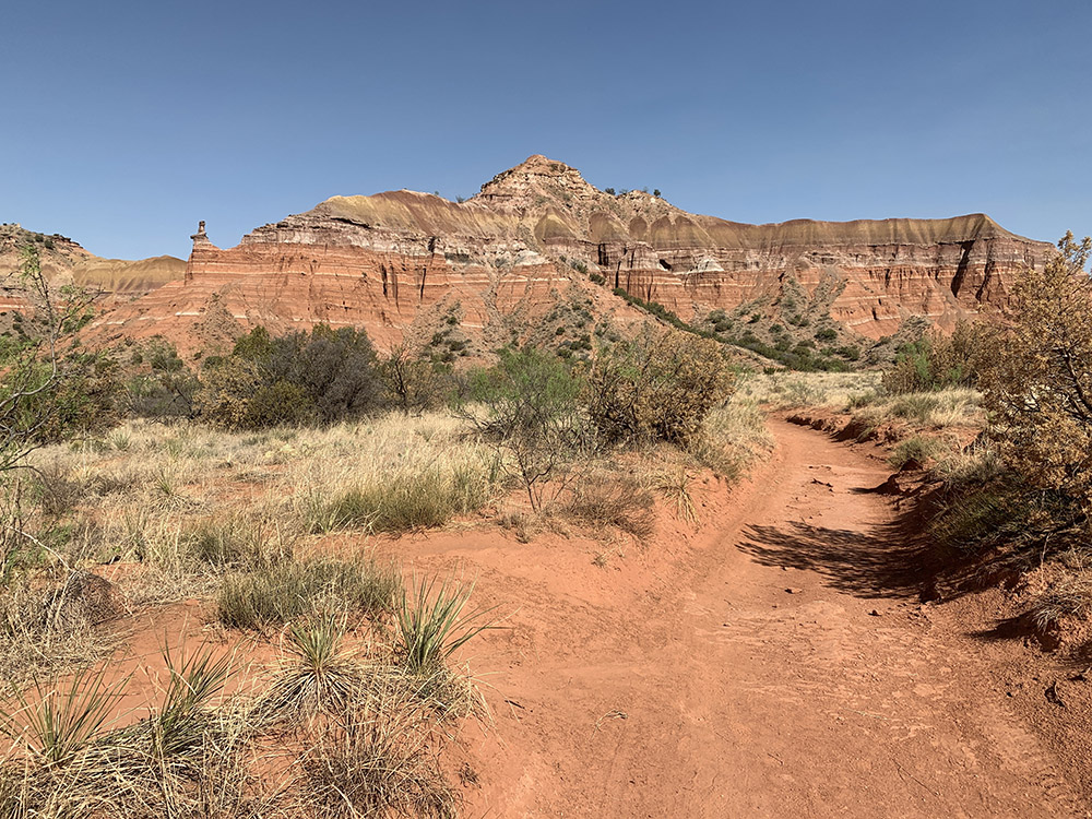
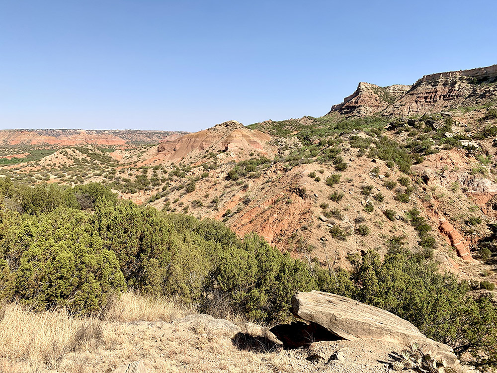
On trail to…
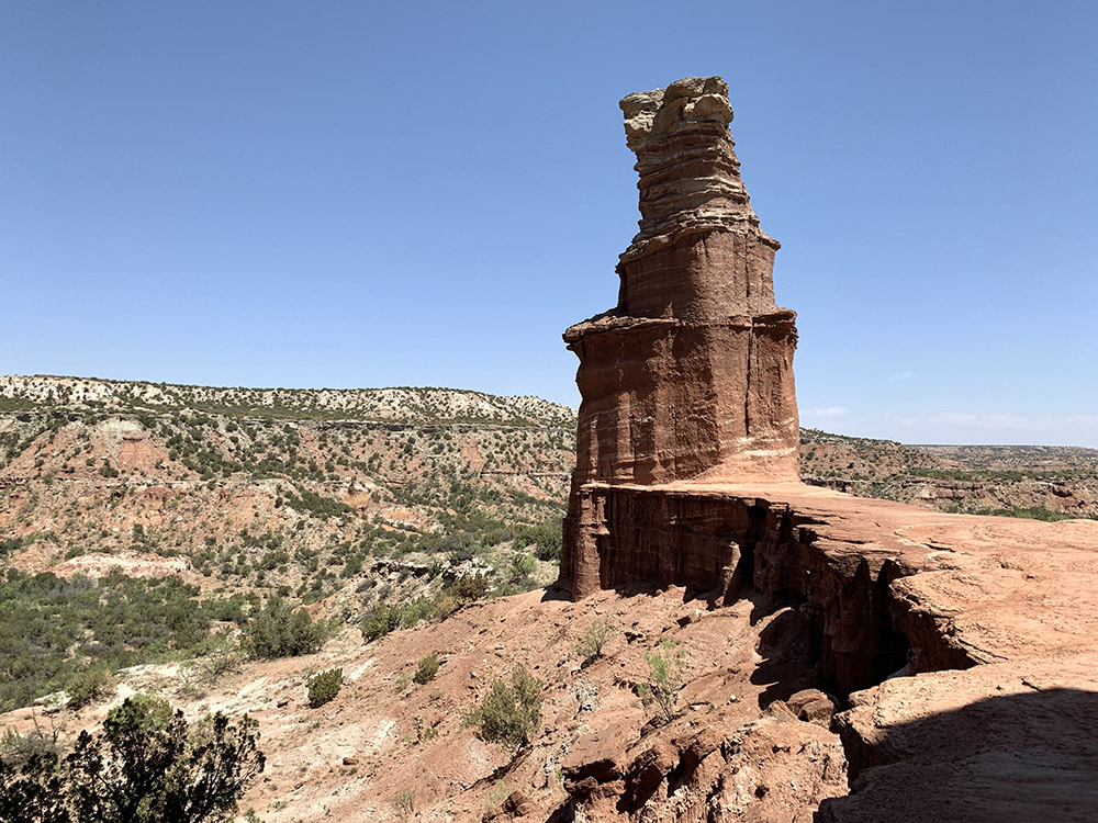
…the Lighthouse…
…
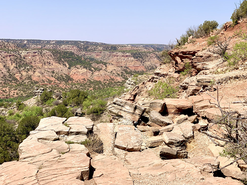
…and returning to camp
…
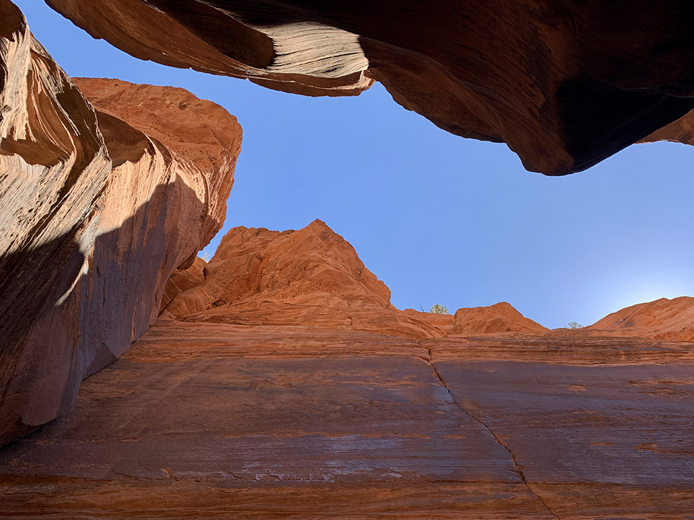
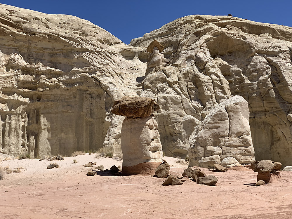
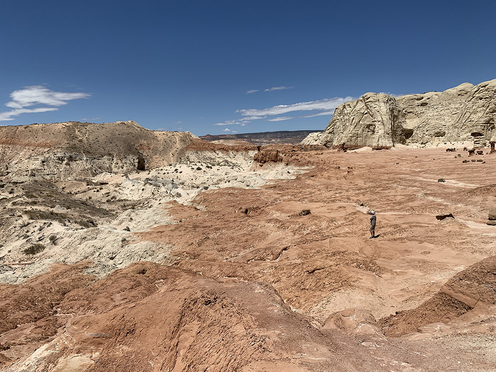
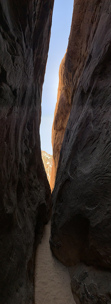
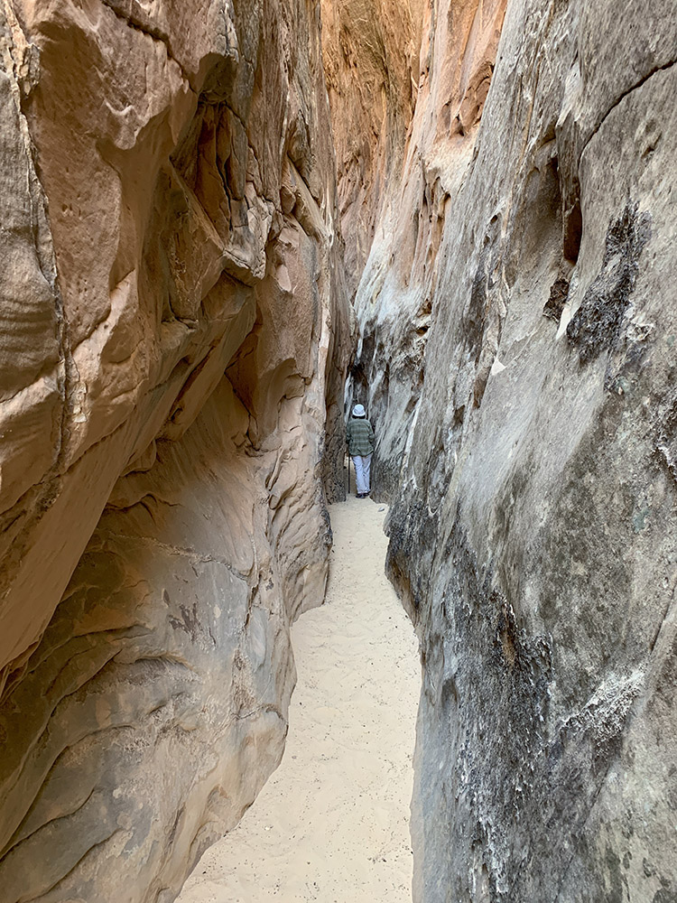
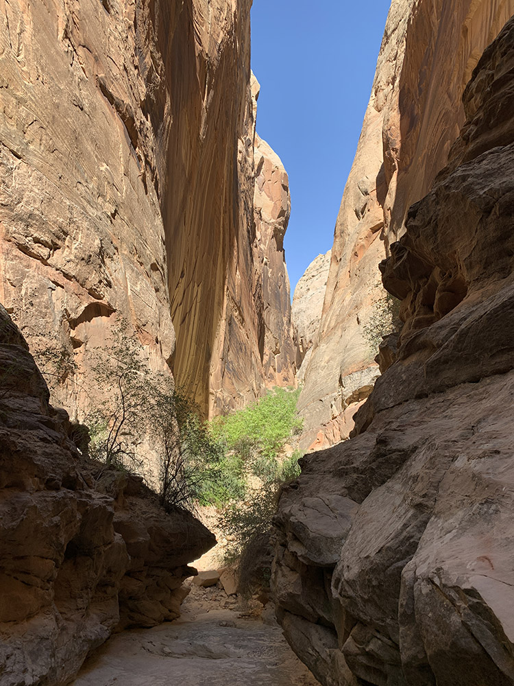
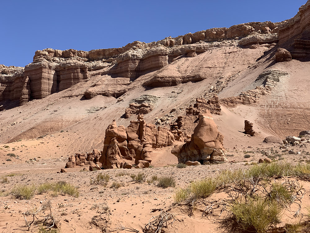
Mesquite Campground
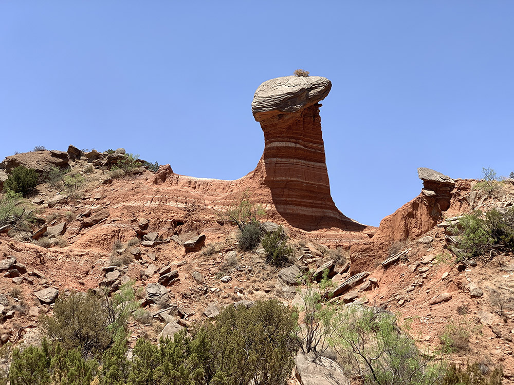
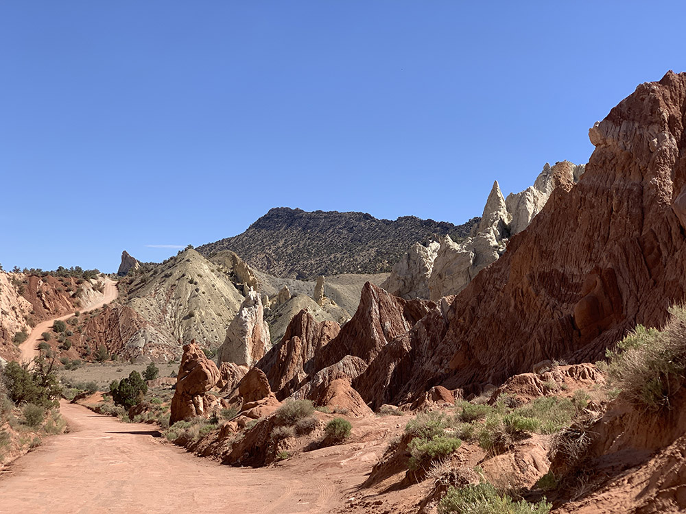
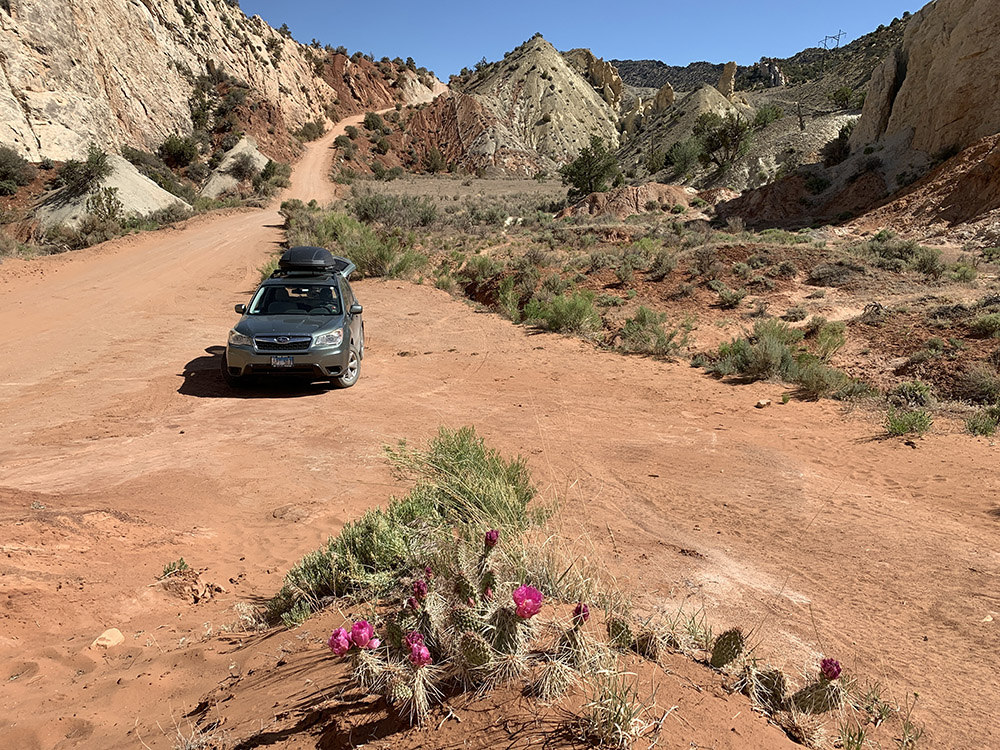
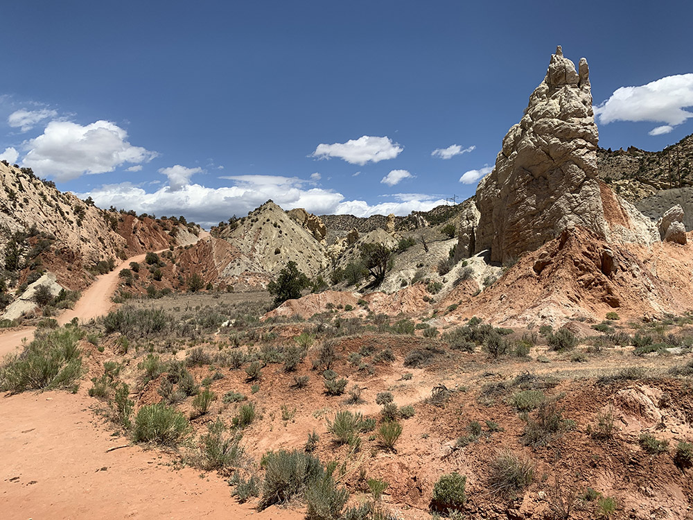
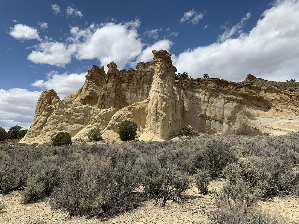
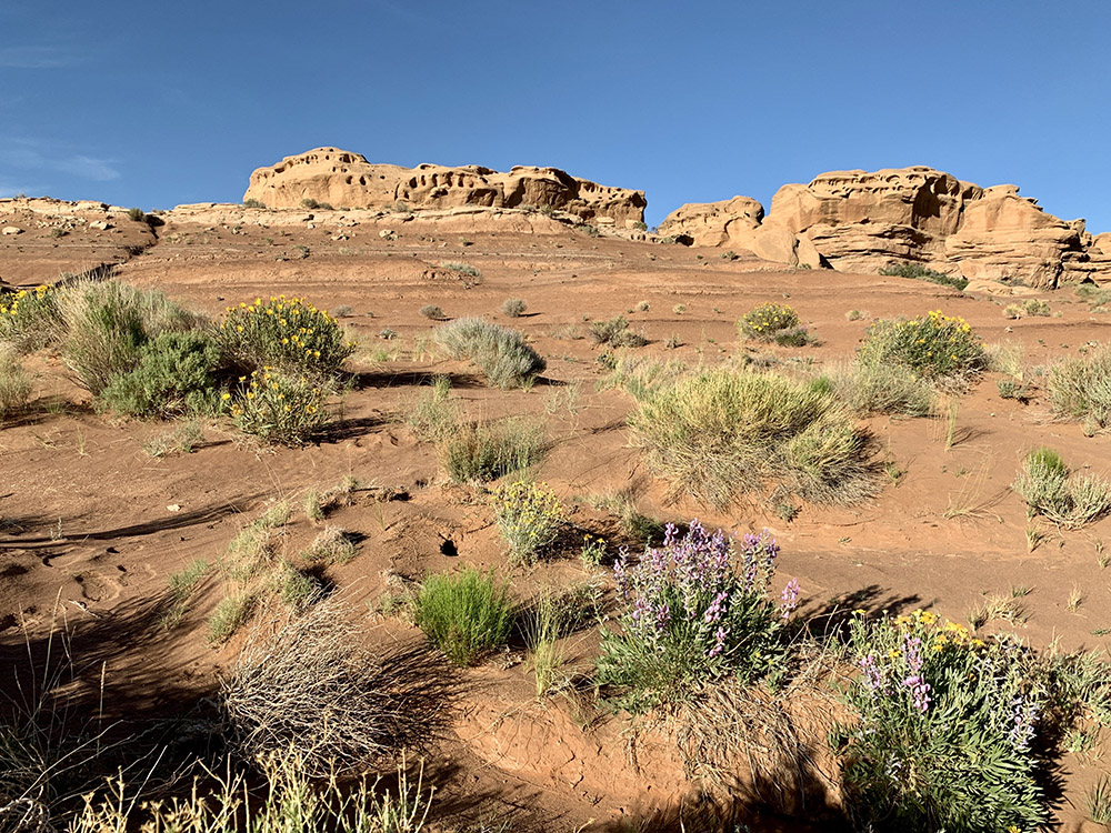
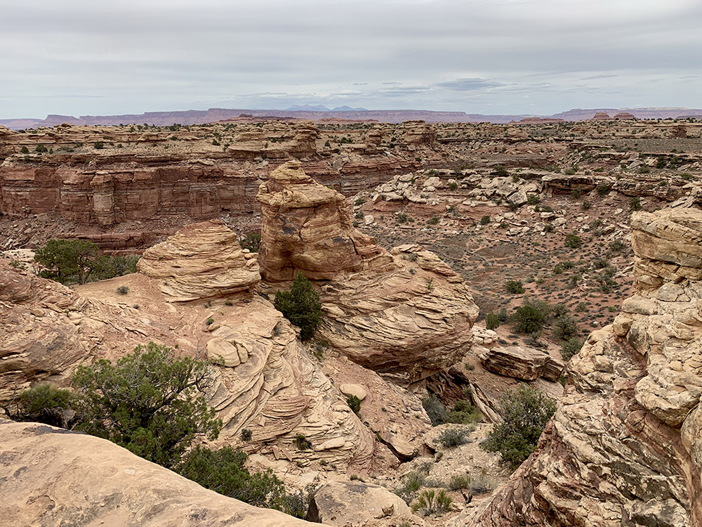
Rock Garden trail…
…
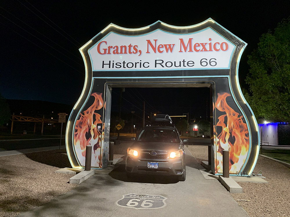
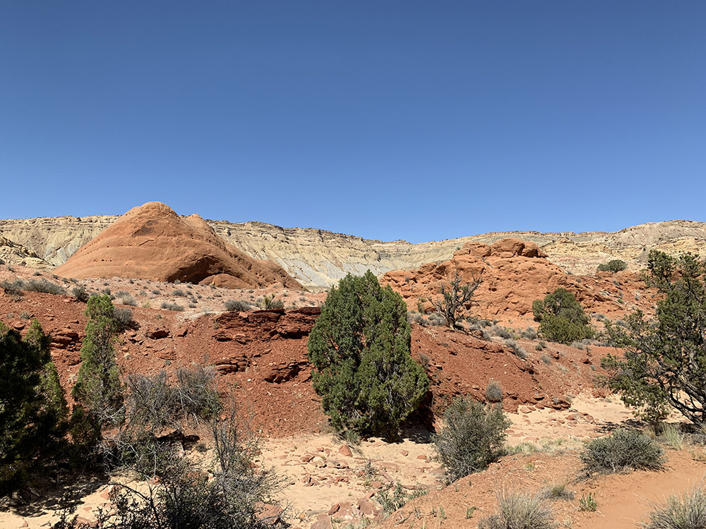
Rt 66 in Grants
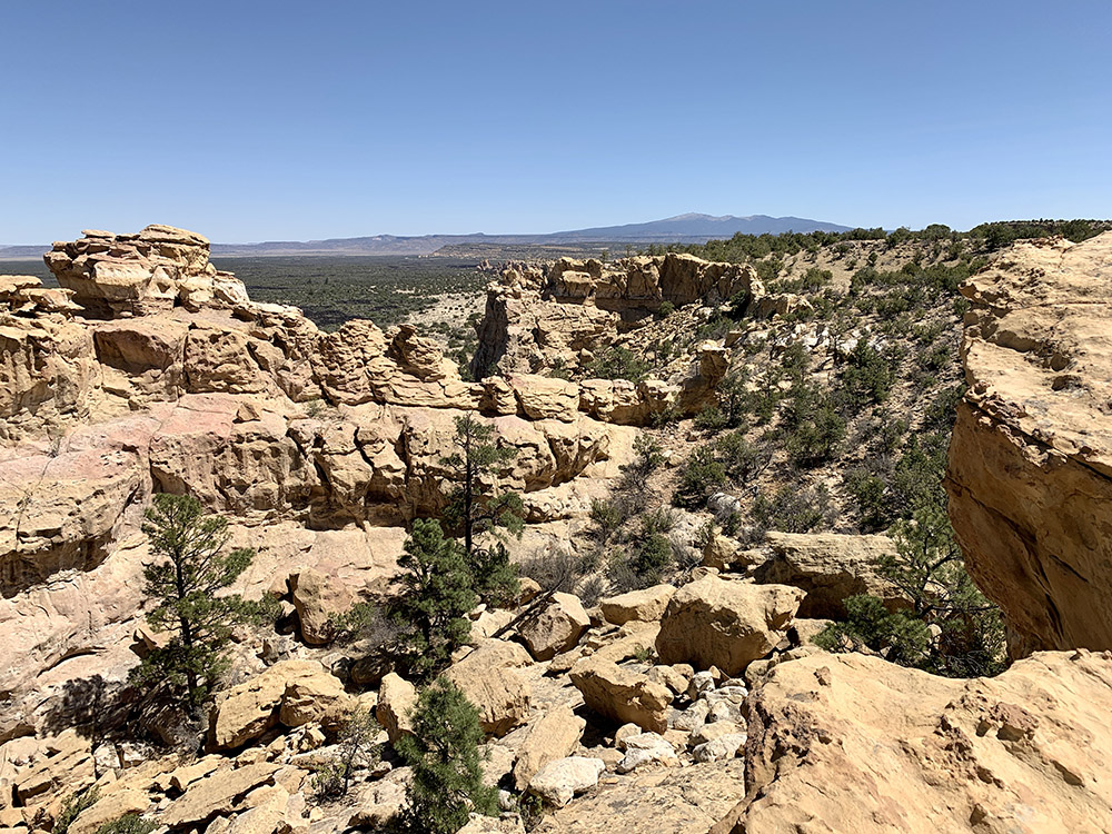
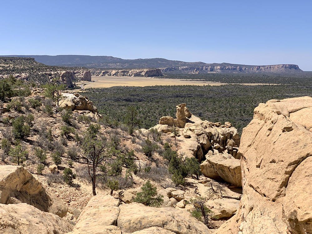
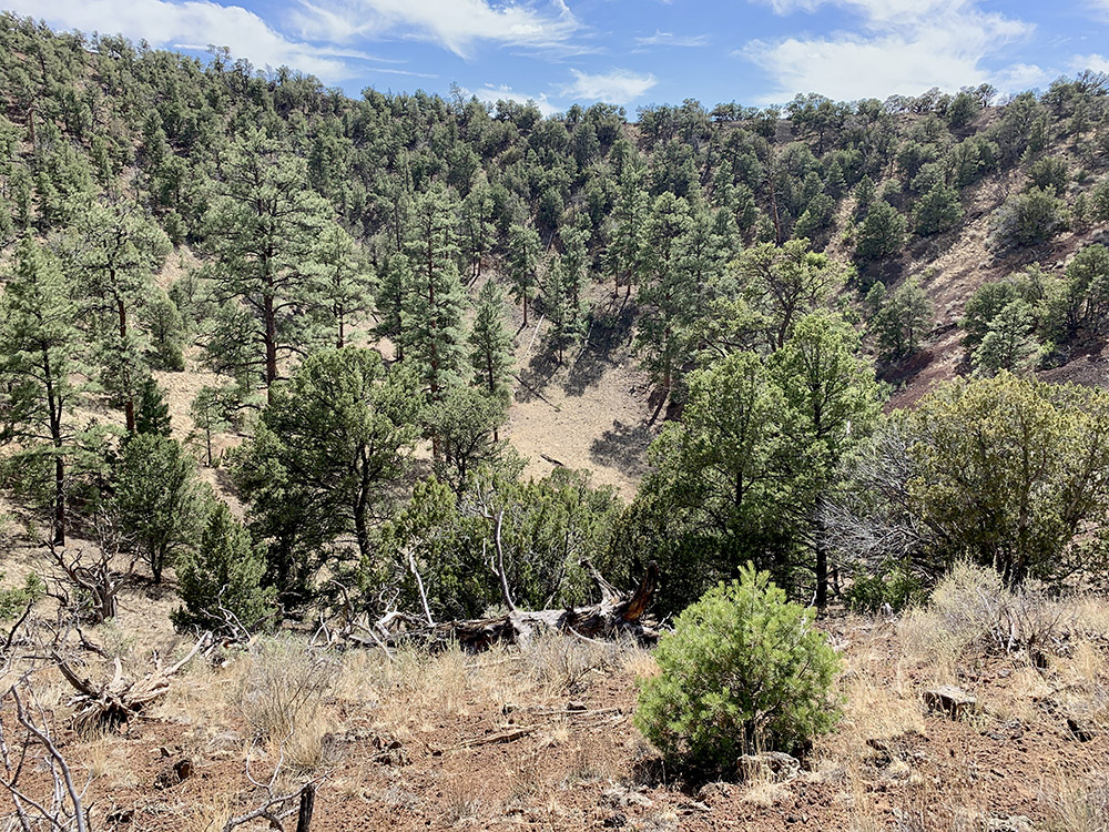
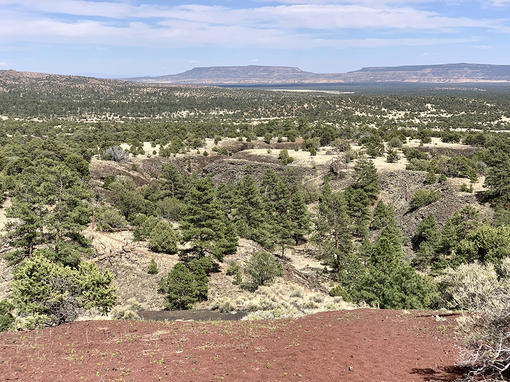
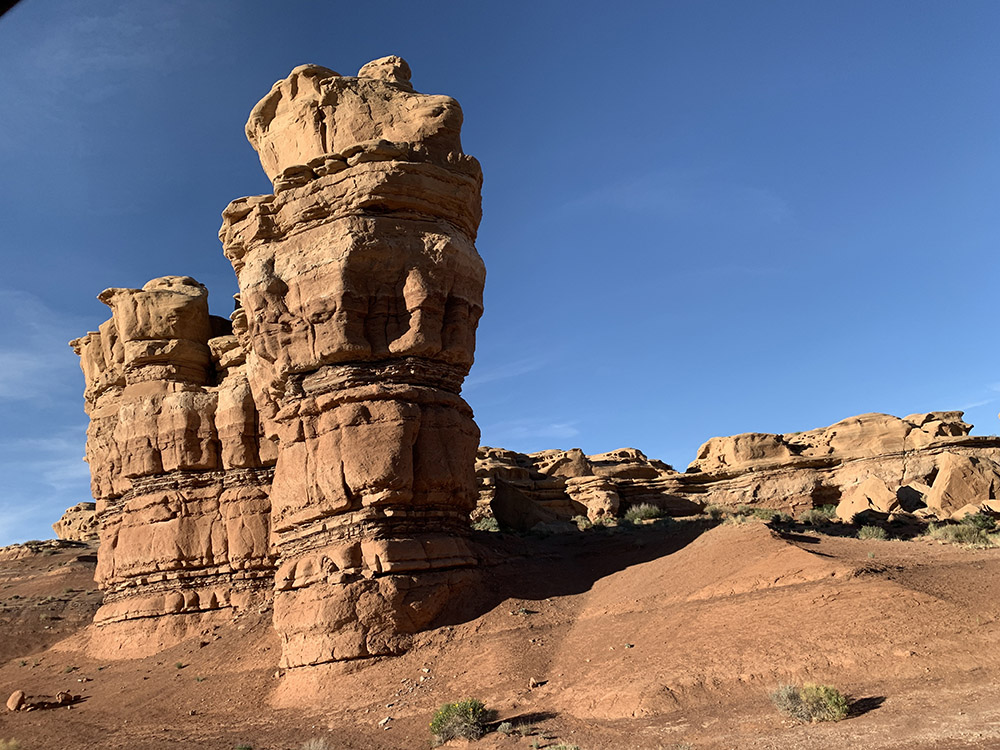
El Malpais Sandstone Bluffs…
…above younger McCartys lava flow…
…
…
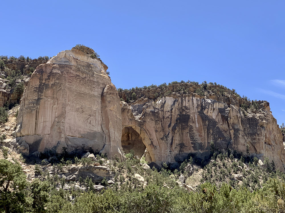
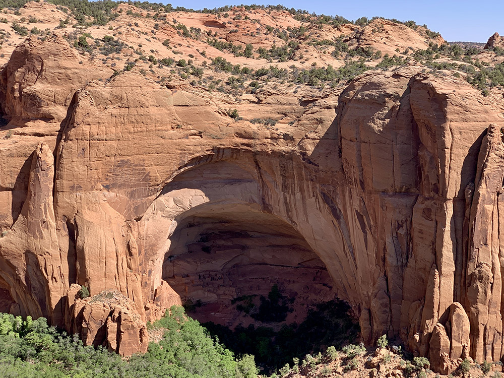
La Ventana Arch
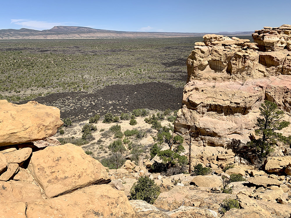
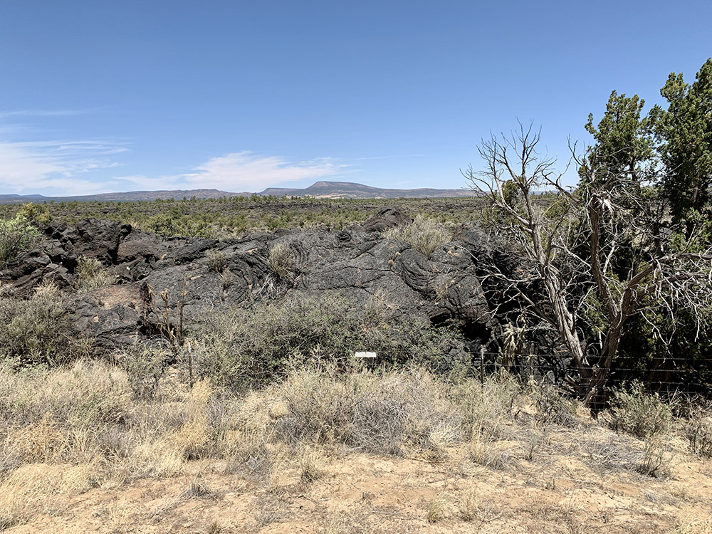
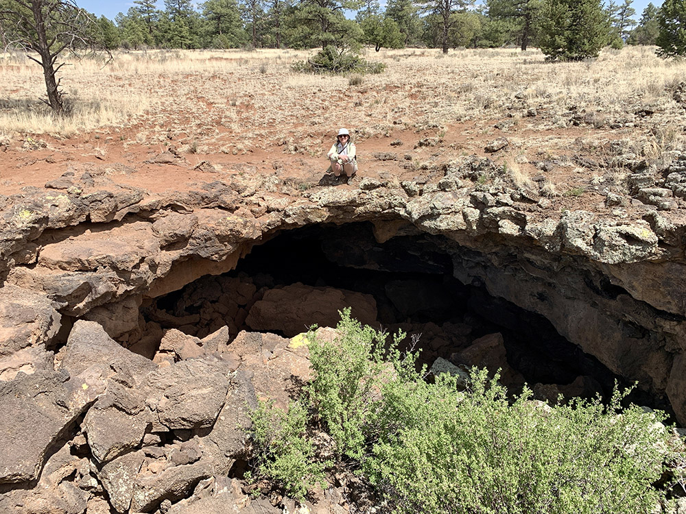
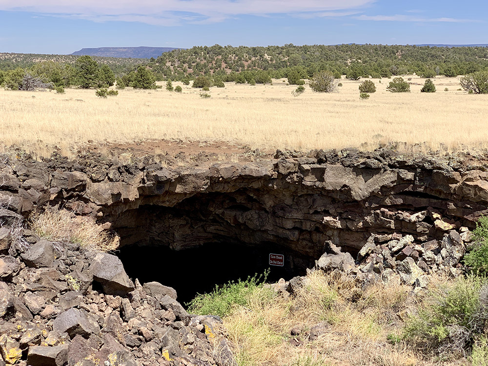
Lava tubes in older El Calderon lava flow…
…
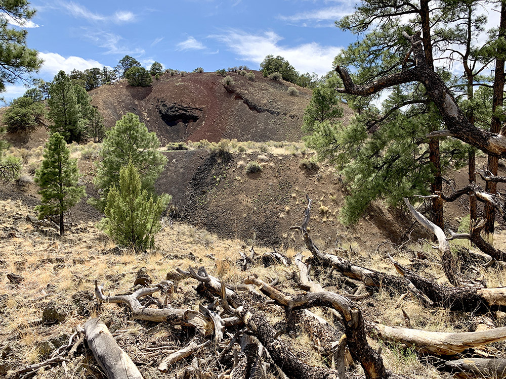
Calderon Cinder Cone
…
…
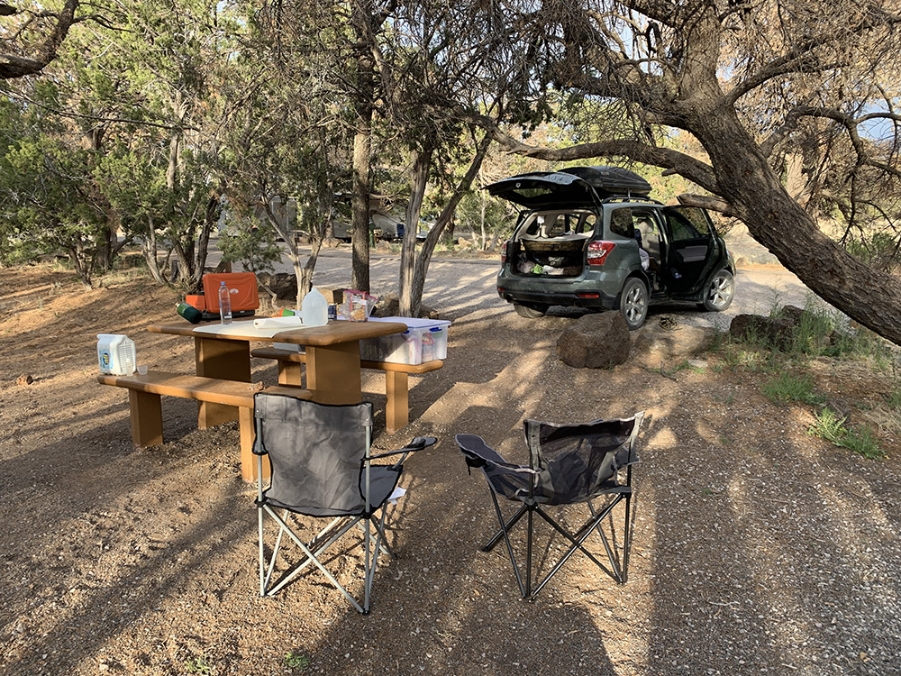
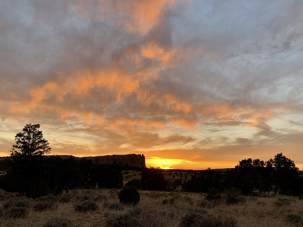
El Morro Campground
…
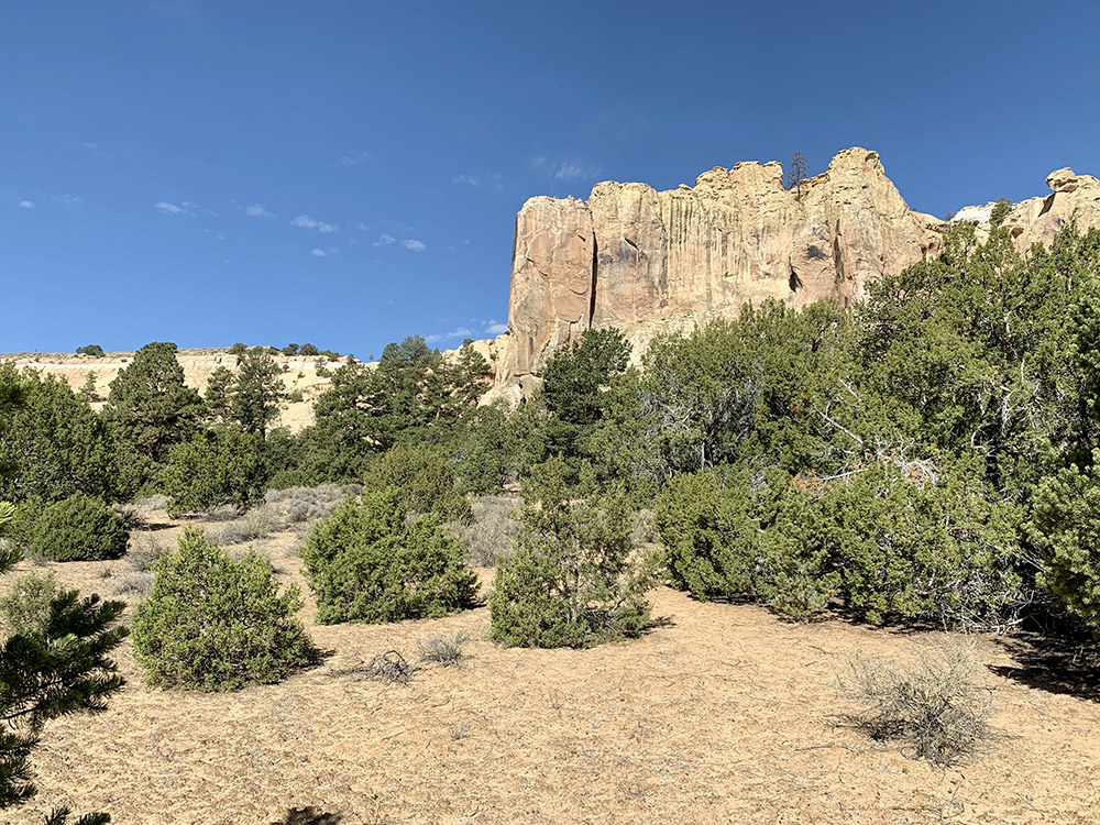
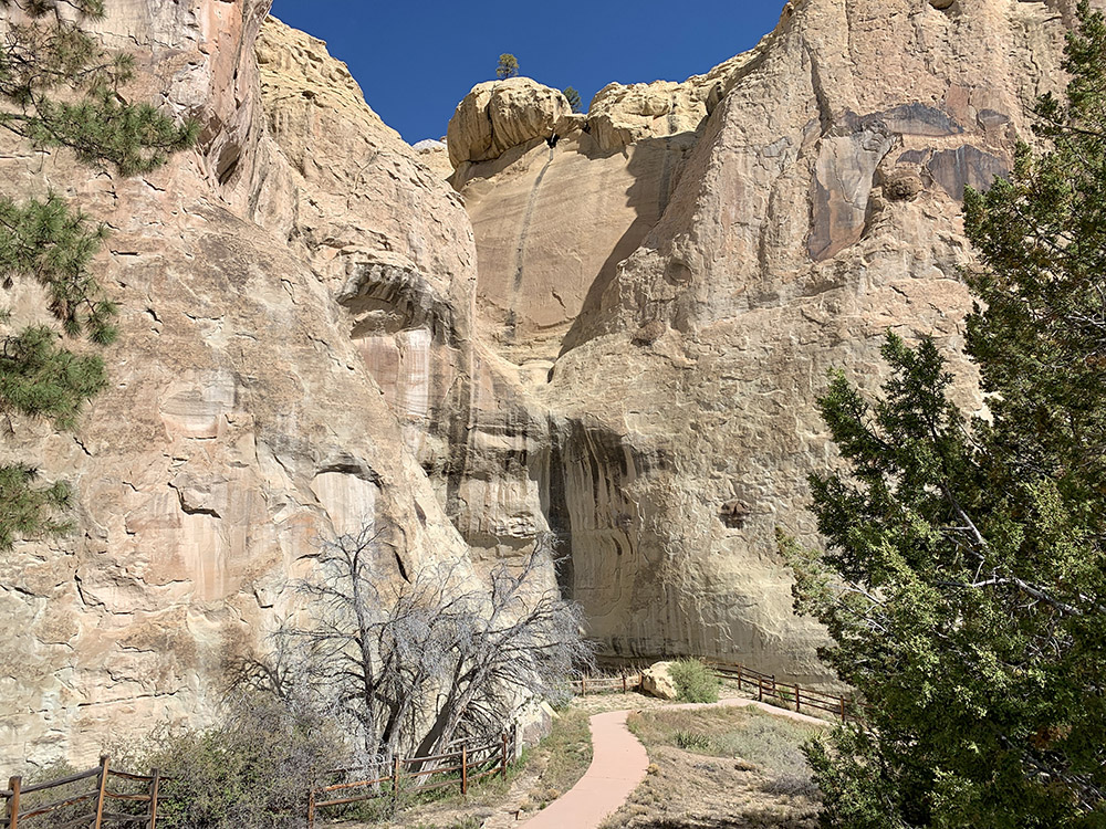
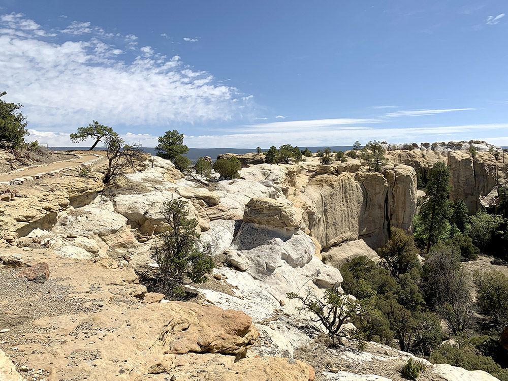
El Morro
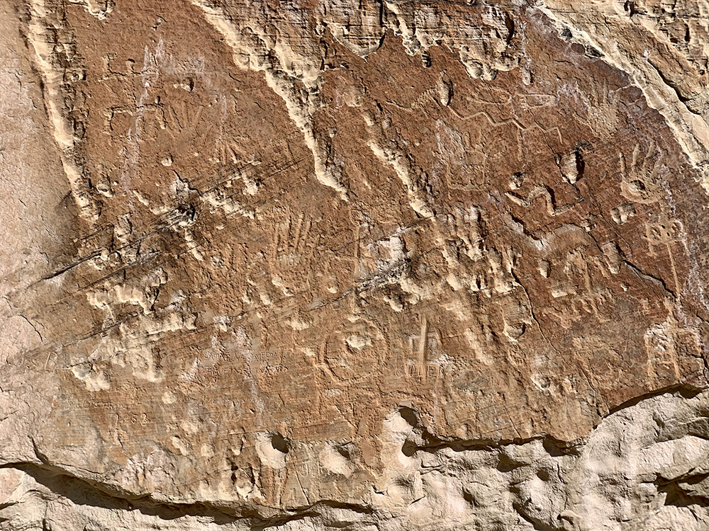
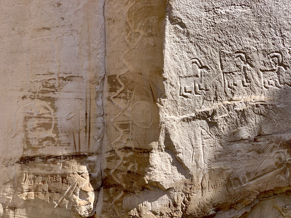
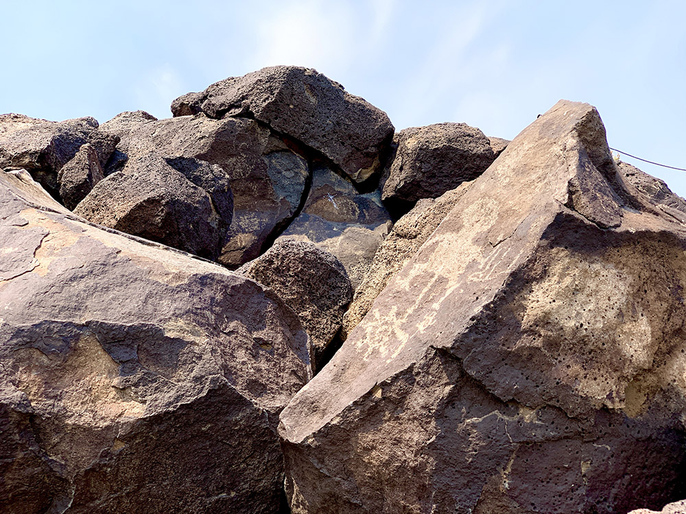
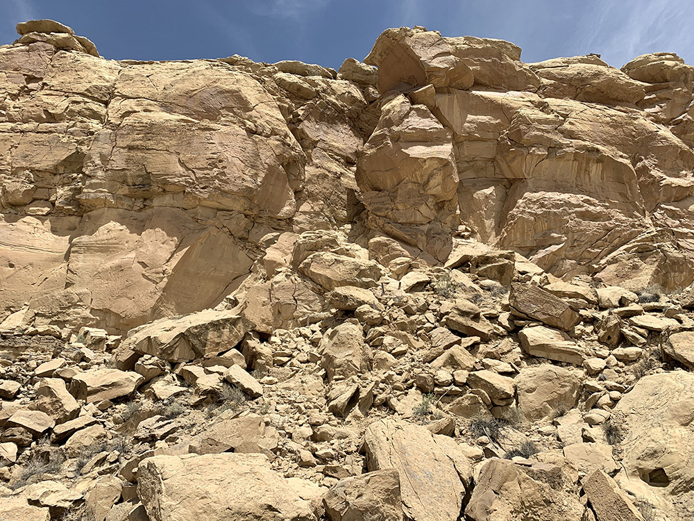
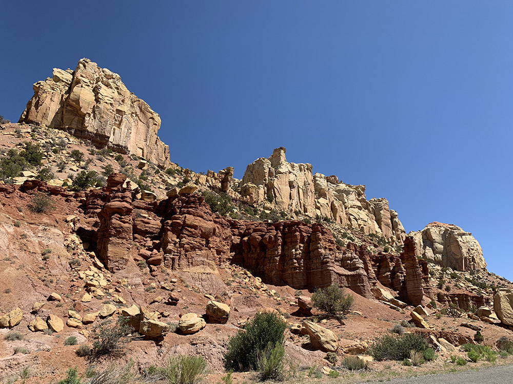
Impressive bluffs…
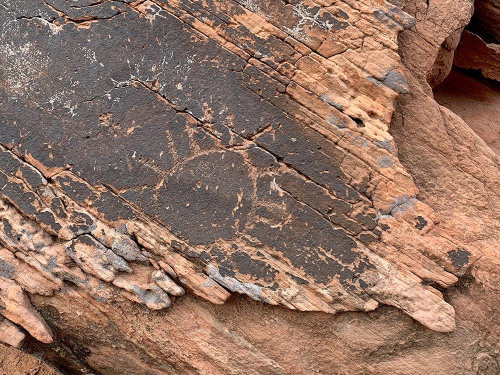
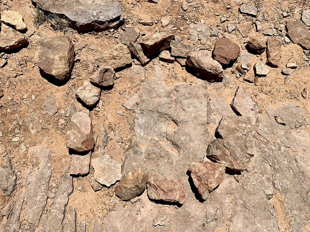
…with petroglyphs along the ground-level path…
…
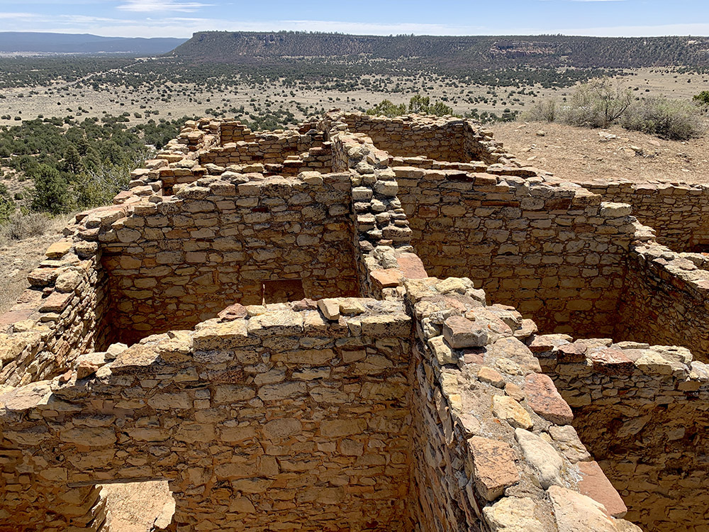
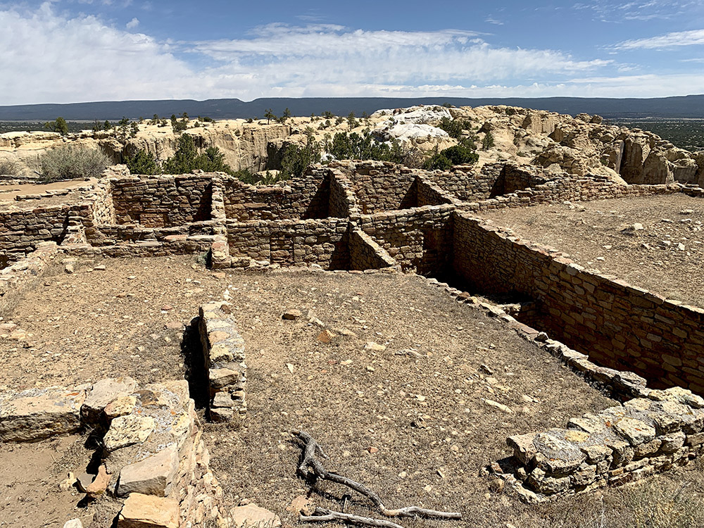
On top of the messa…
…ruins of impressive…
…Pueblo Atsinna…
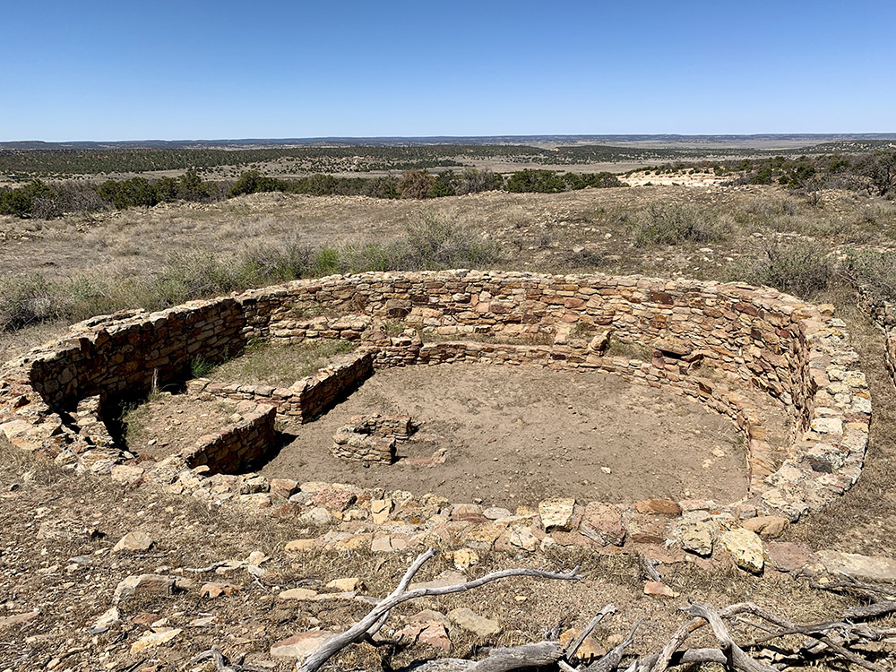
…Kiwa
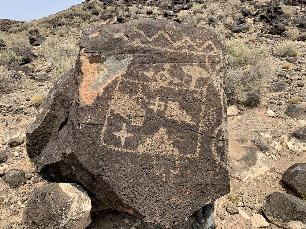
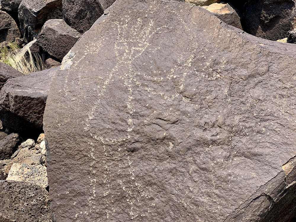
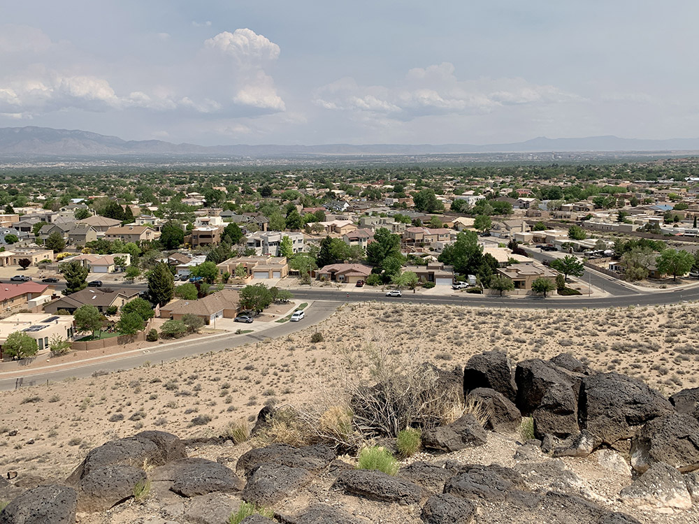
Boca Negra Canyon…
…Petroglyph NM…
…
…Albuquerque
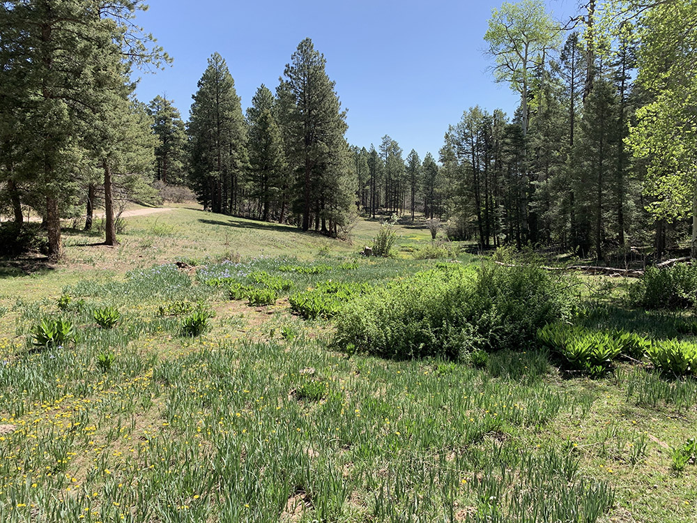
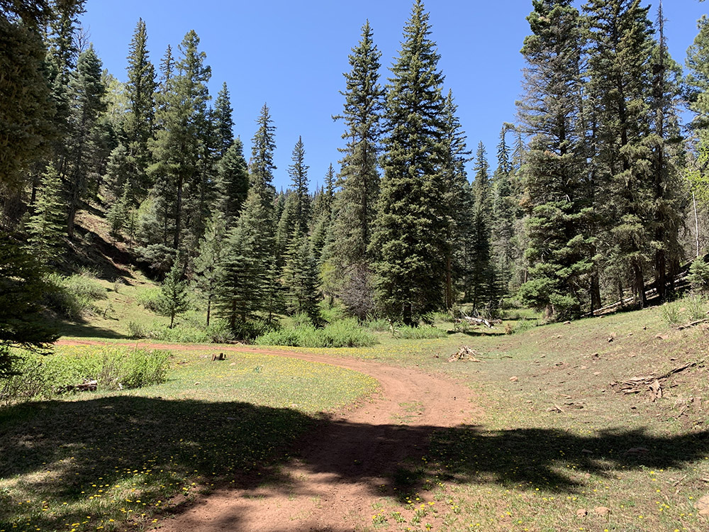
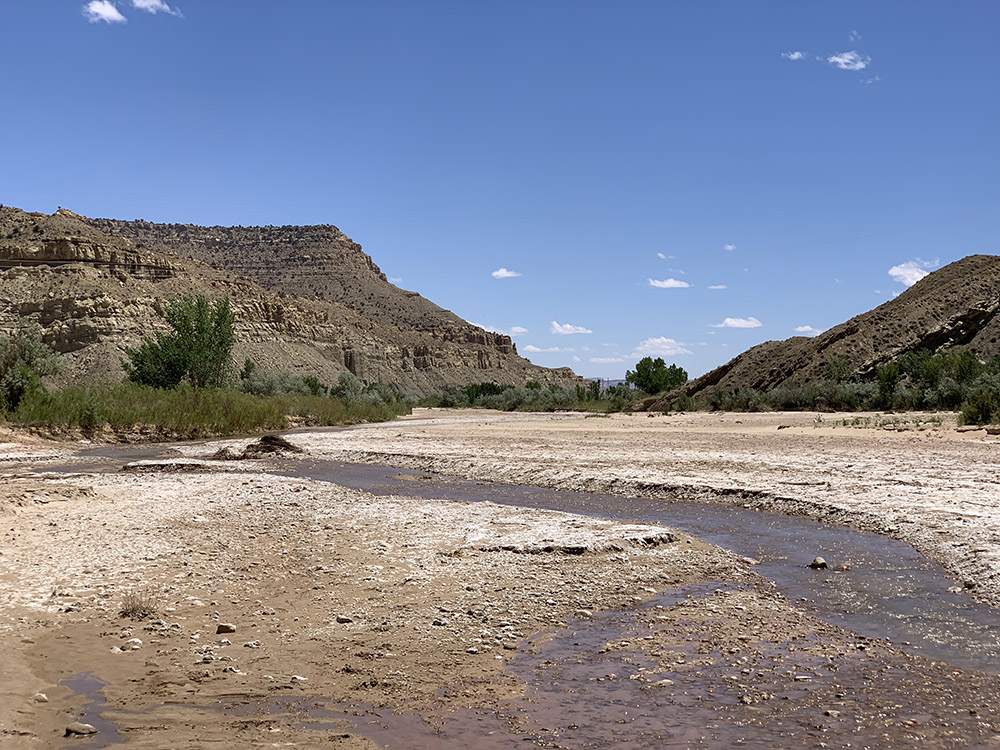
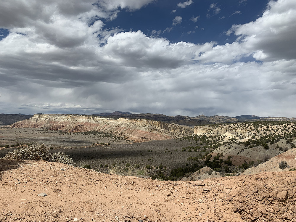
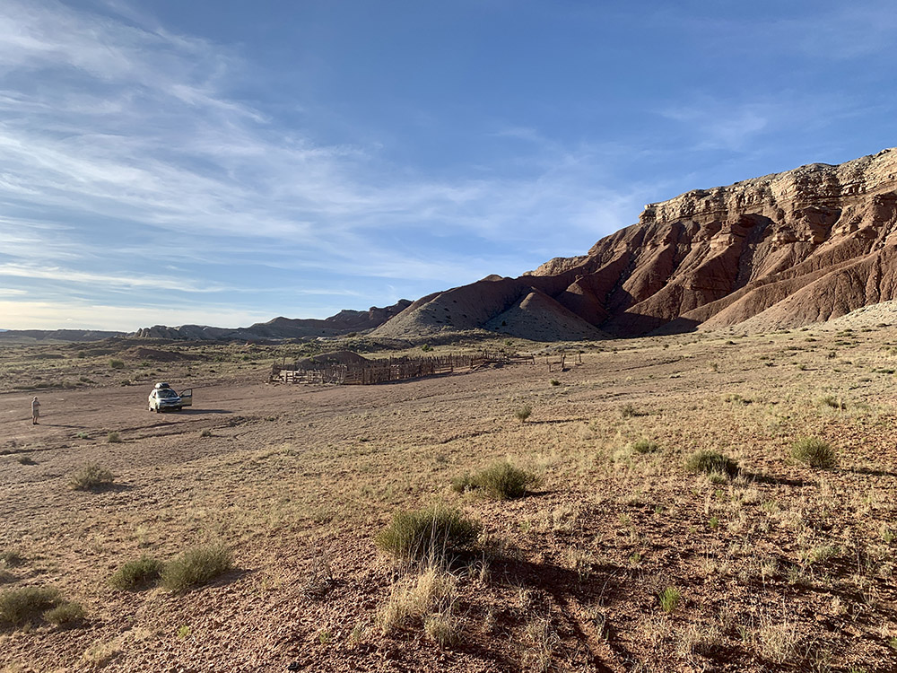
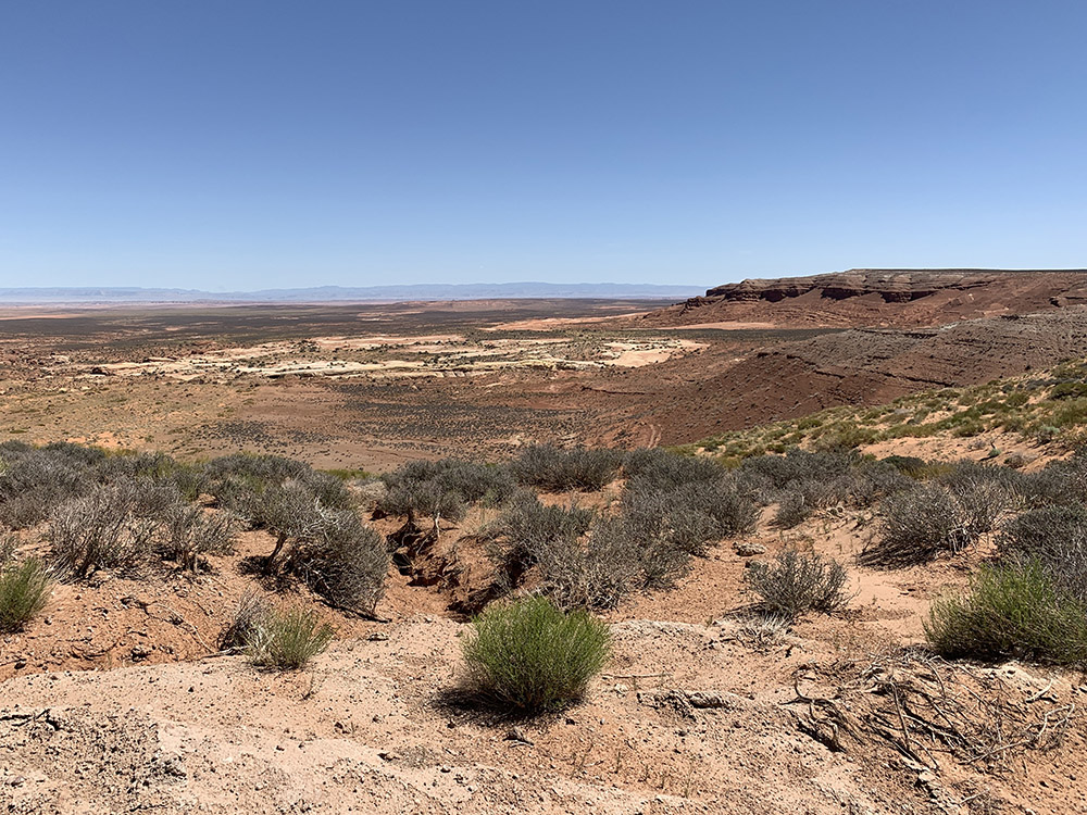
Rio De Las Vacas Campground
…
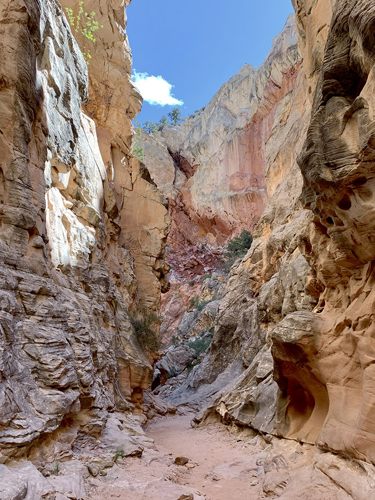
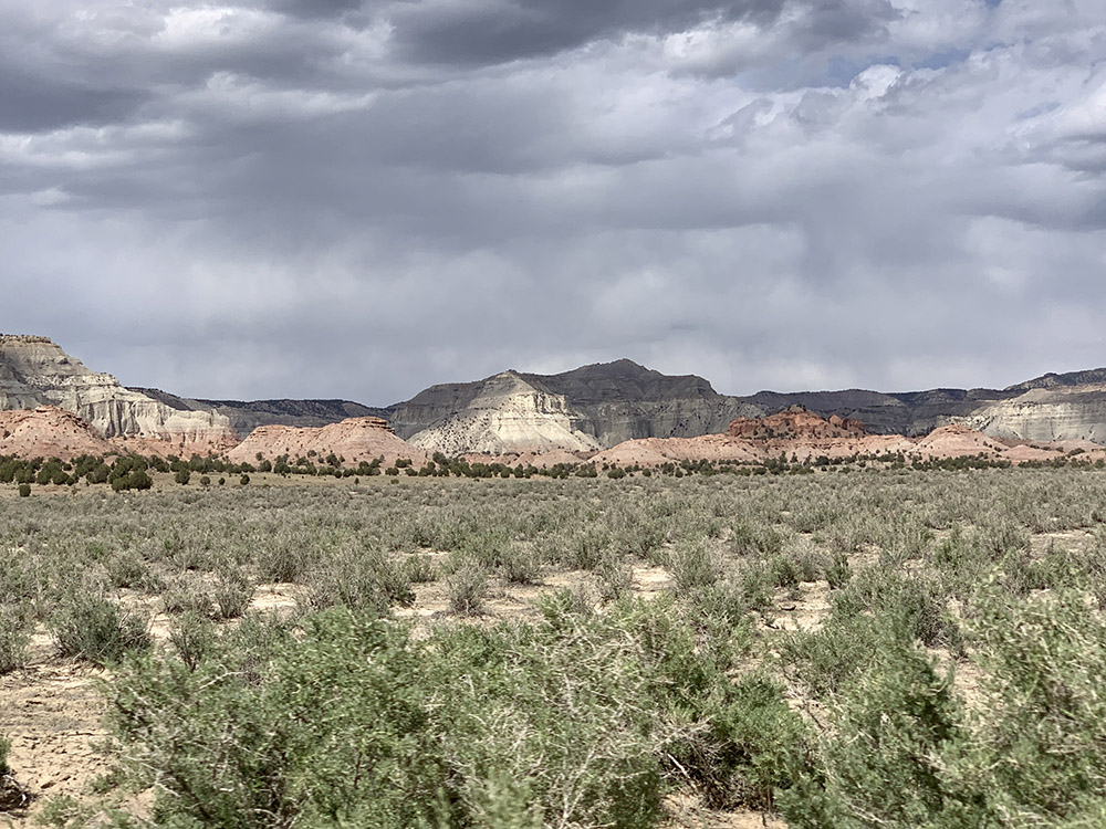
…Horse Canyon Forest Rd
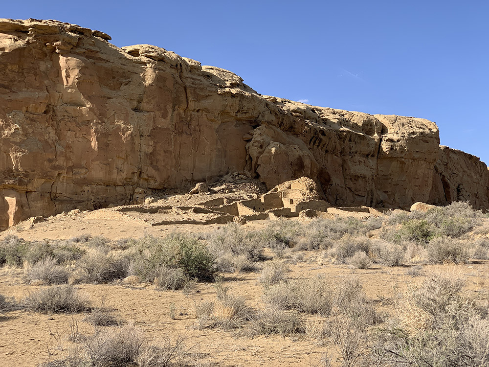
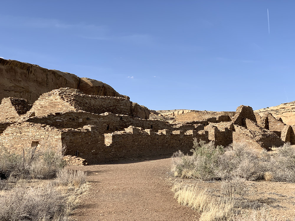
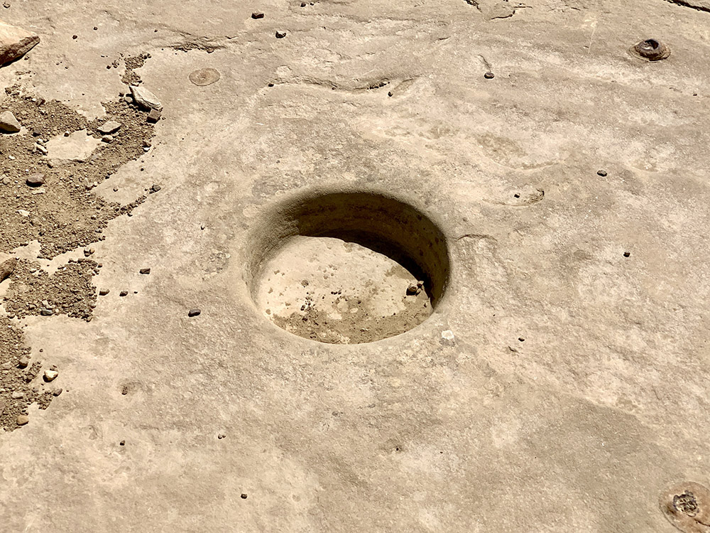
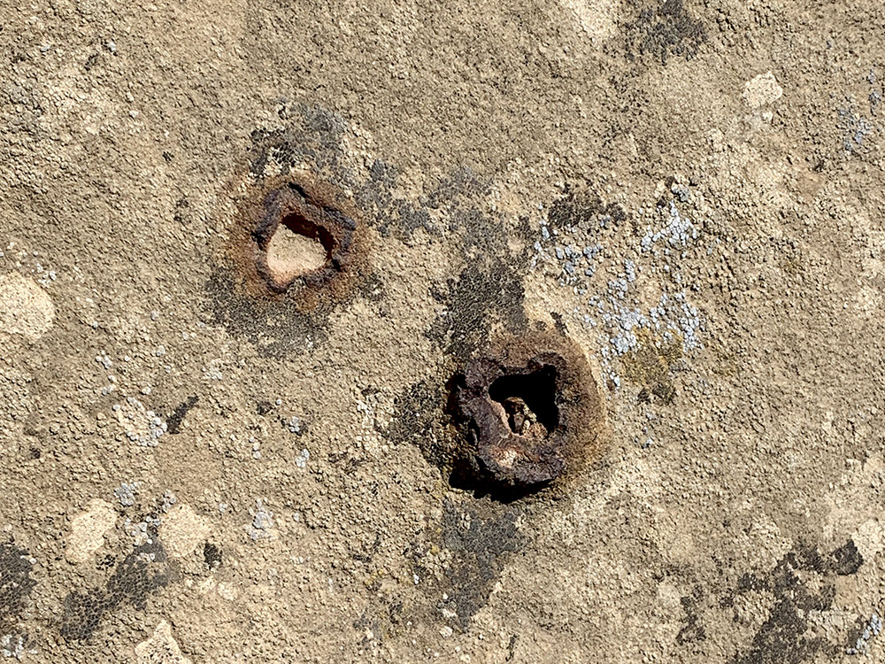
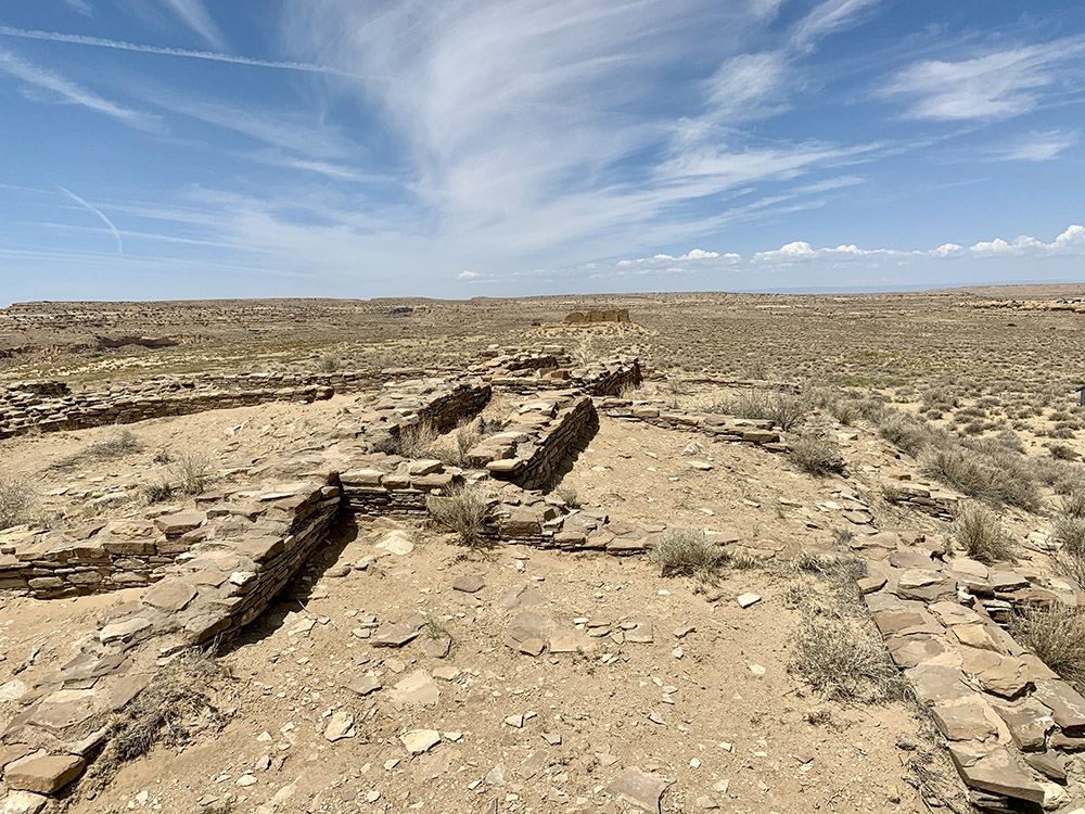
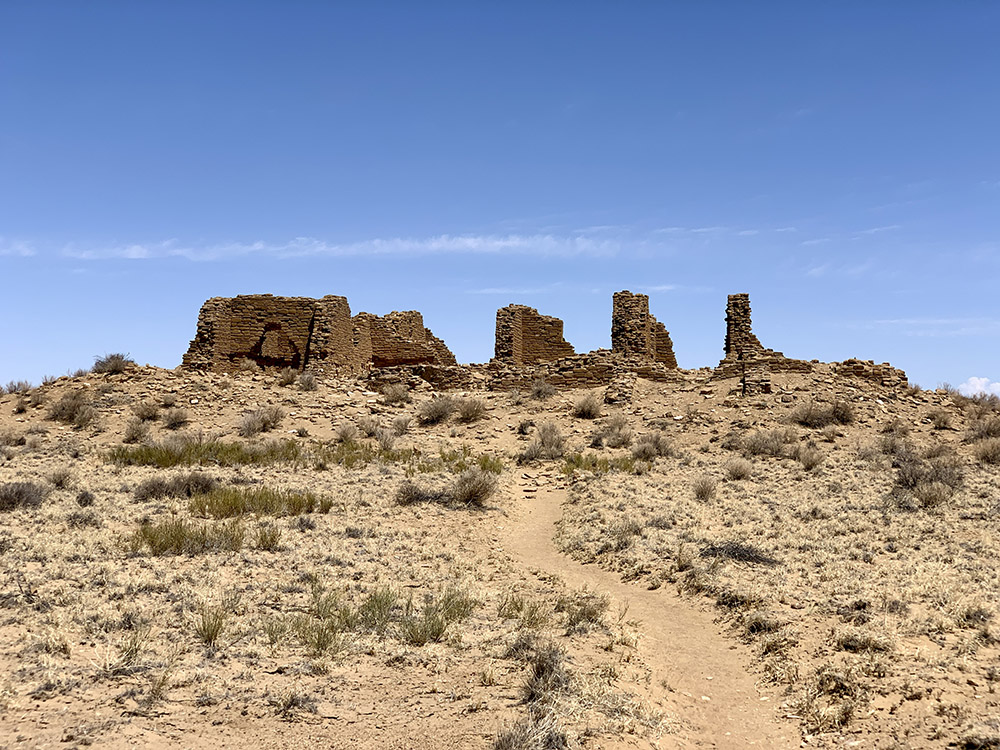
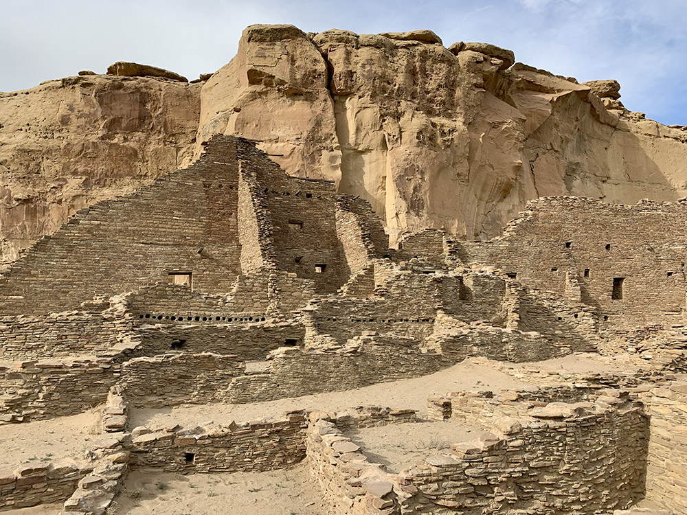
Chaco, Hungo Pavi
Hungo Pavi
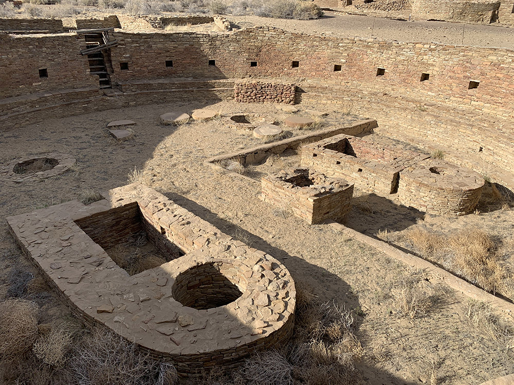
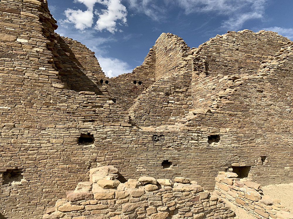
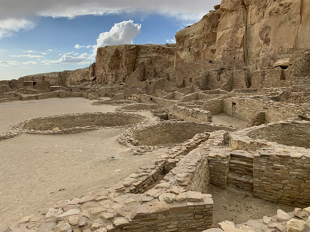
Chetro Ketl (Great Kiva)
Chetro Ketl
Chetro Ketl
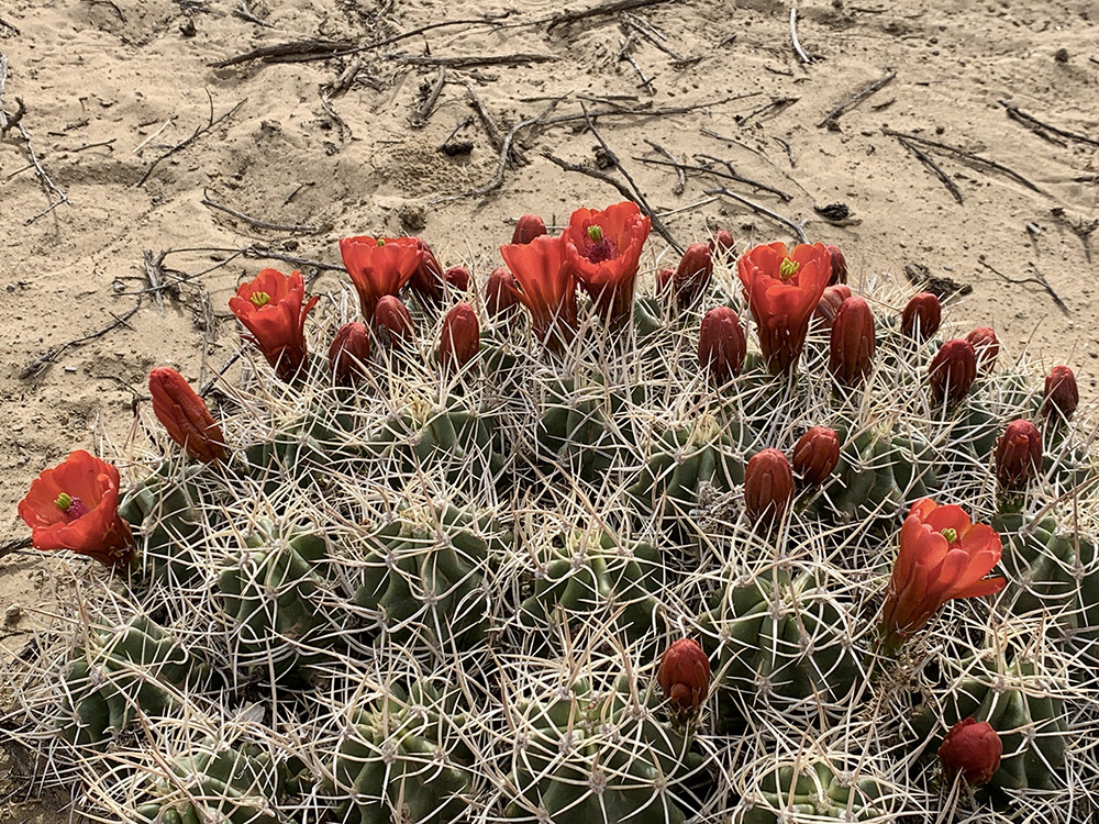
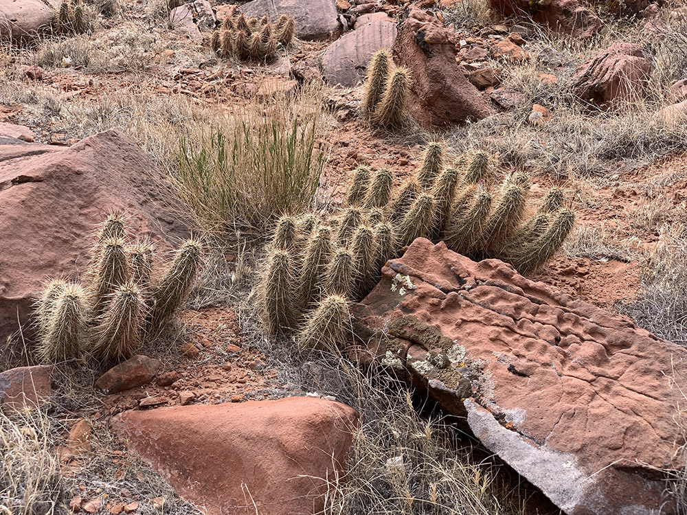
Claret Cup cactus
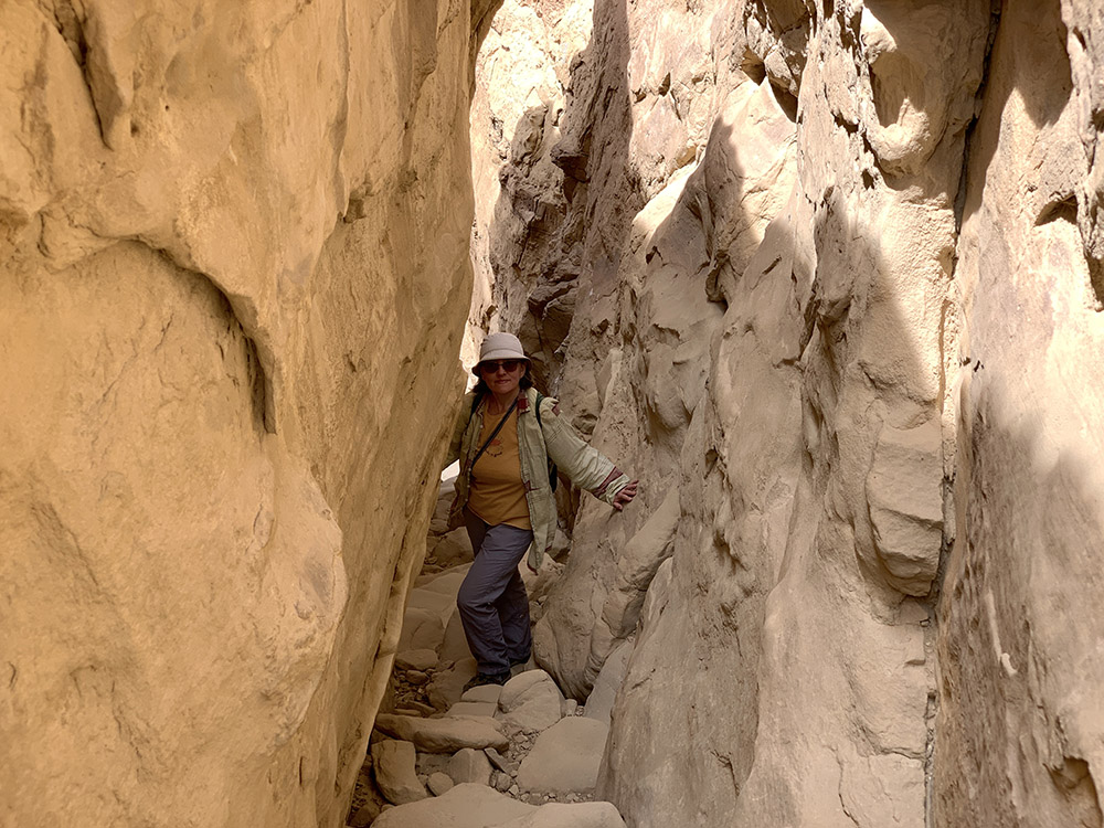
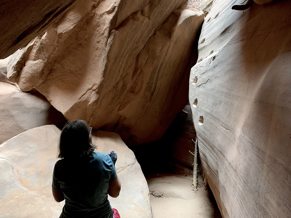
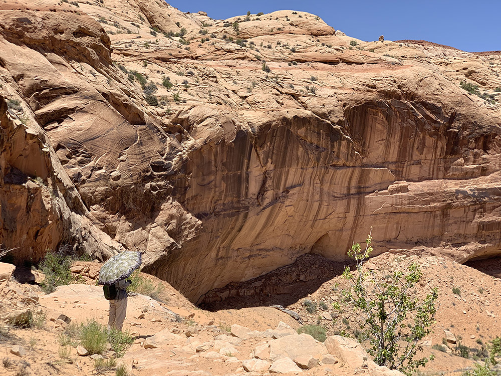
Puzzling beginning of trail to Pueblo Alto…
…but Joanna found the passage…
…and we were on the mesa
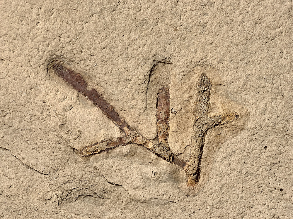
Signs of past human activity…
…and fossils (shrimp burrows)…
…on top of sandstone slabs
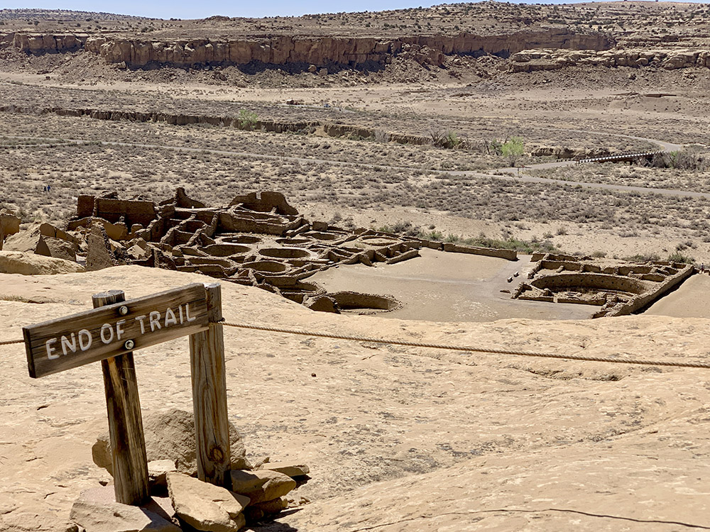
Pueblo Alto
New Pueblo Alto
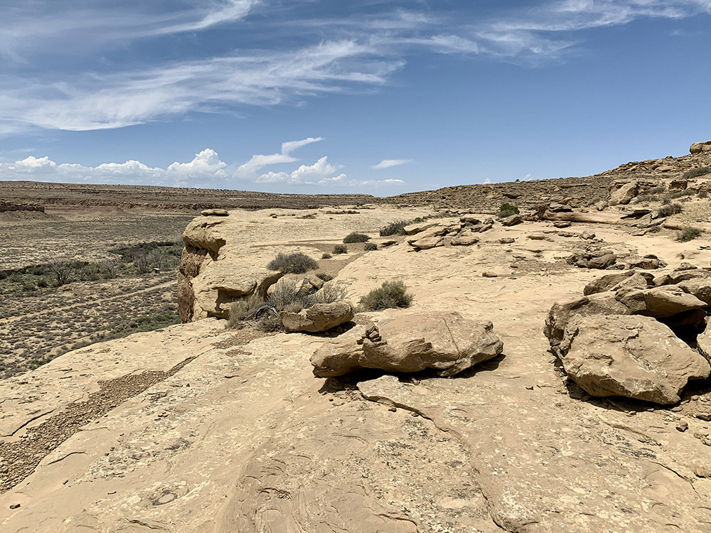
End of trail looks obvious, but aerial view of Pueblo Bonito is good from here
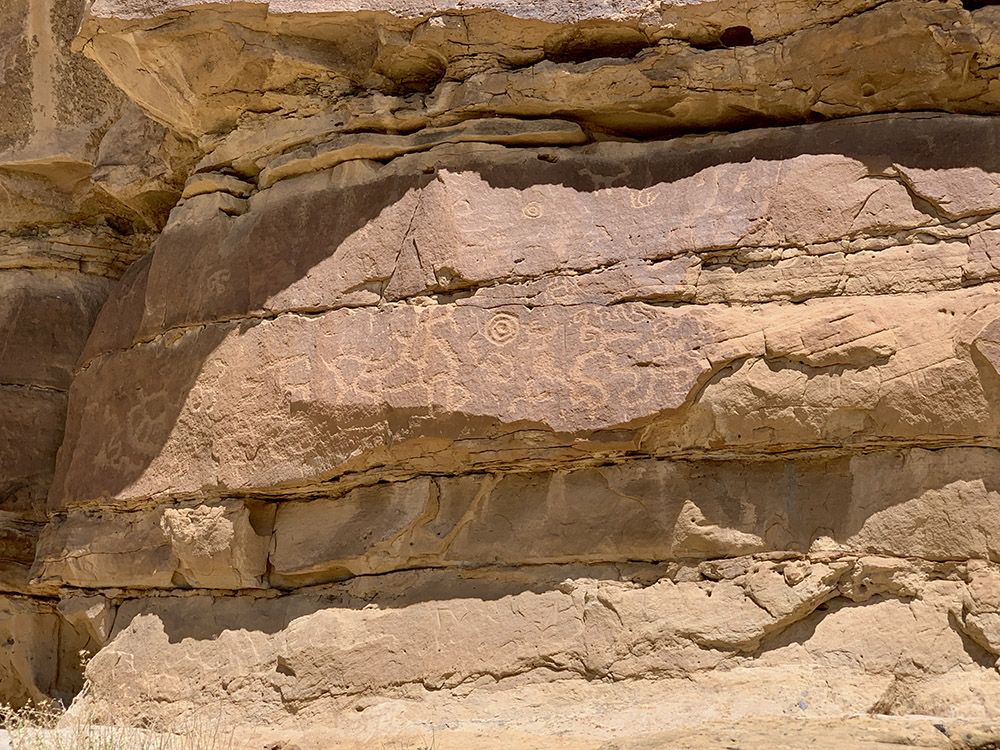
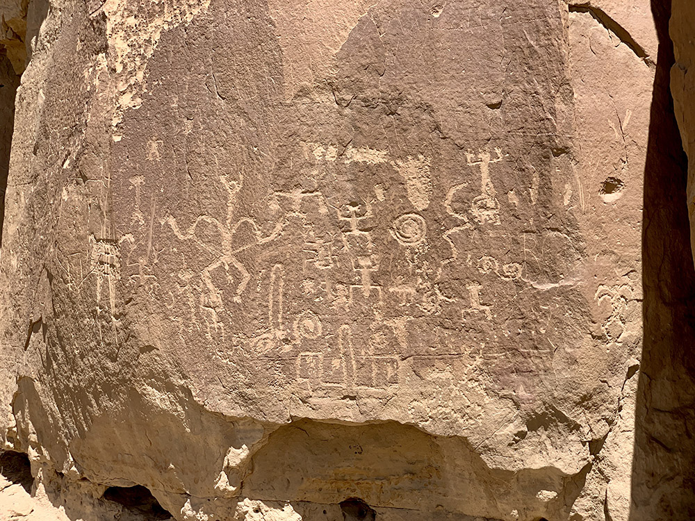
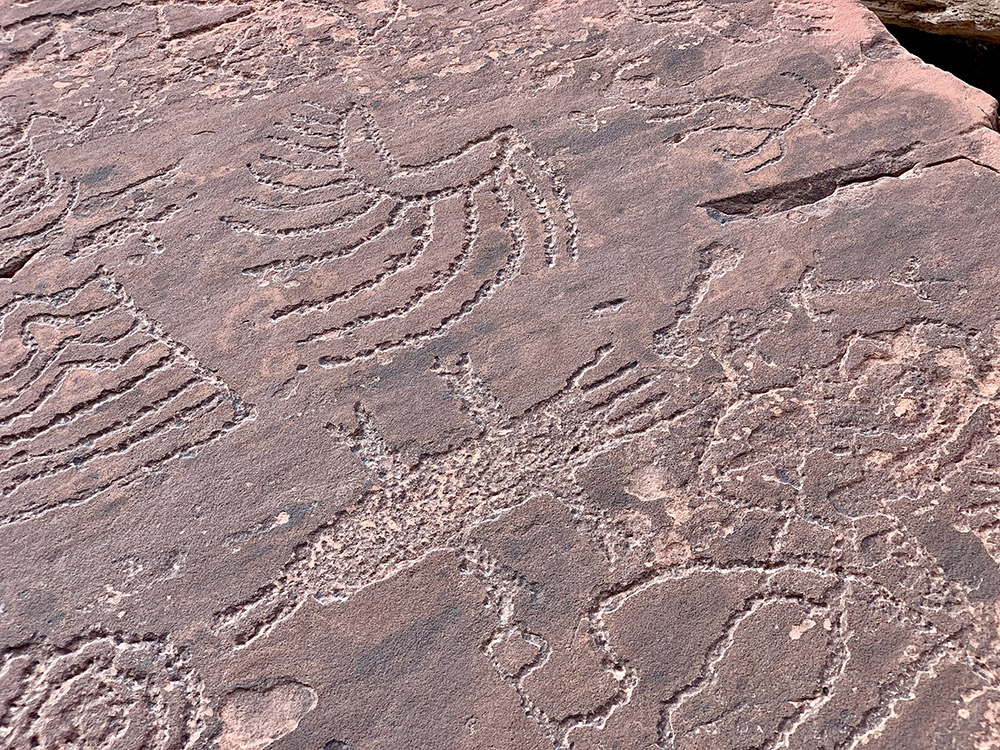
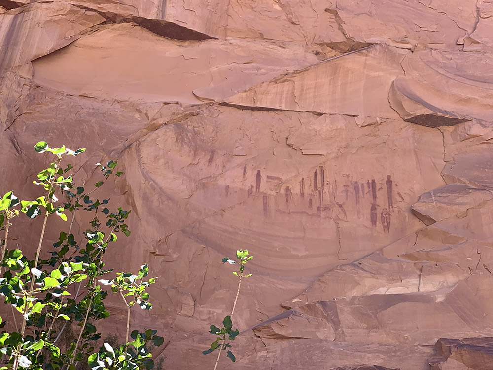
Petroglyph trail …
…petroglyphs
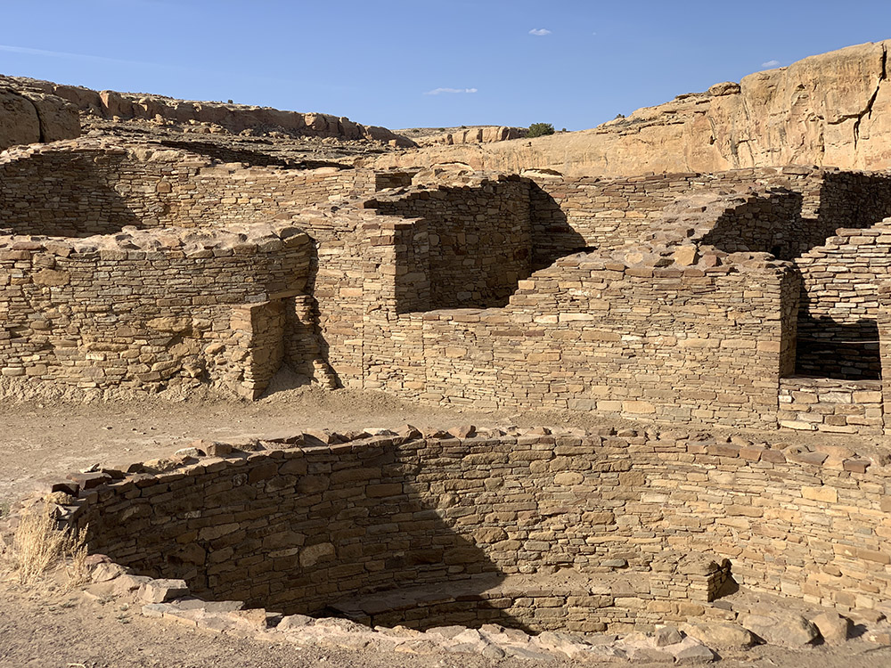
Pueblo Del Arroyo
Pueblo Del Arroyo
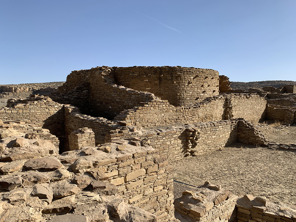
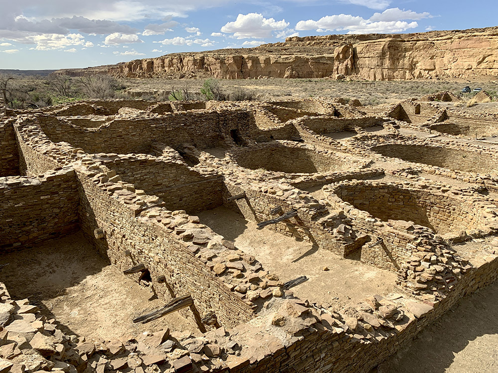
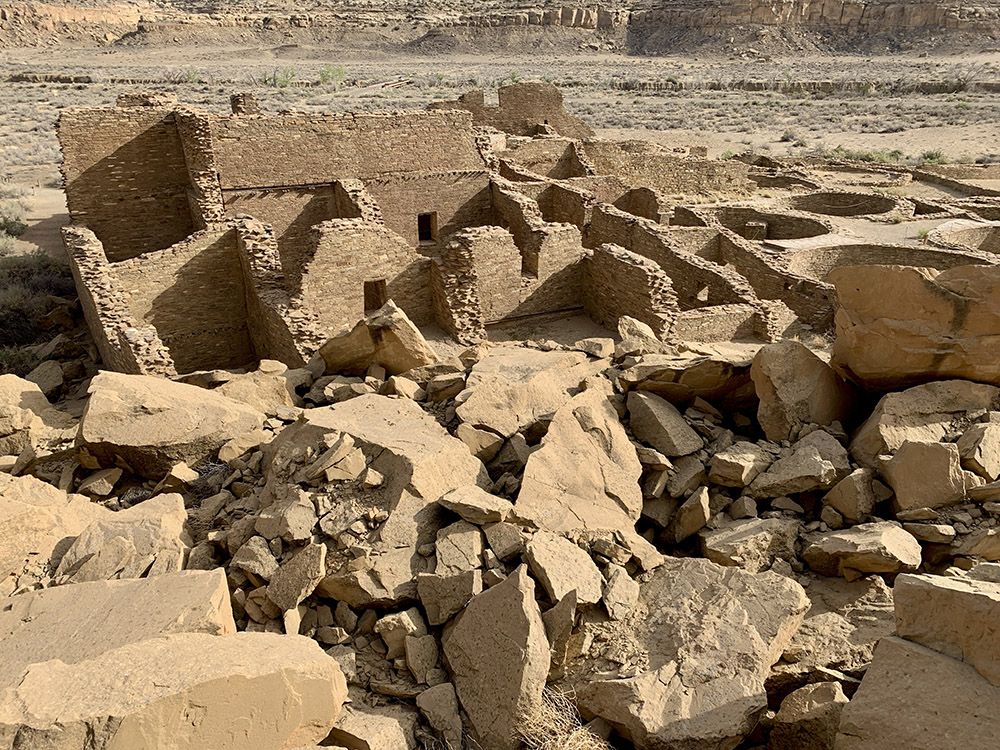
Pueblo Bonito (some excavated rooms destroyed by rock fall)
Pueblo Bonito
Pueblo Bonito
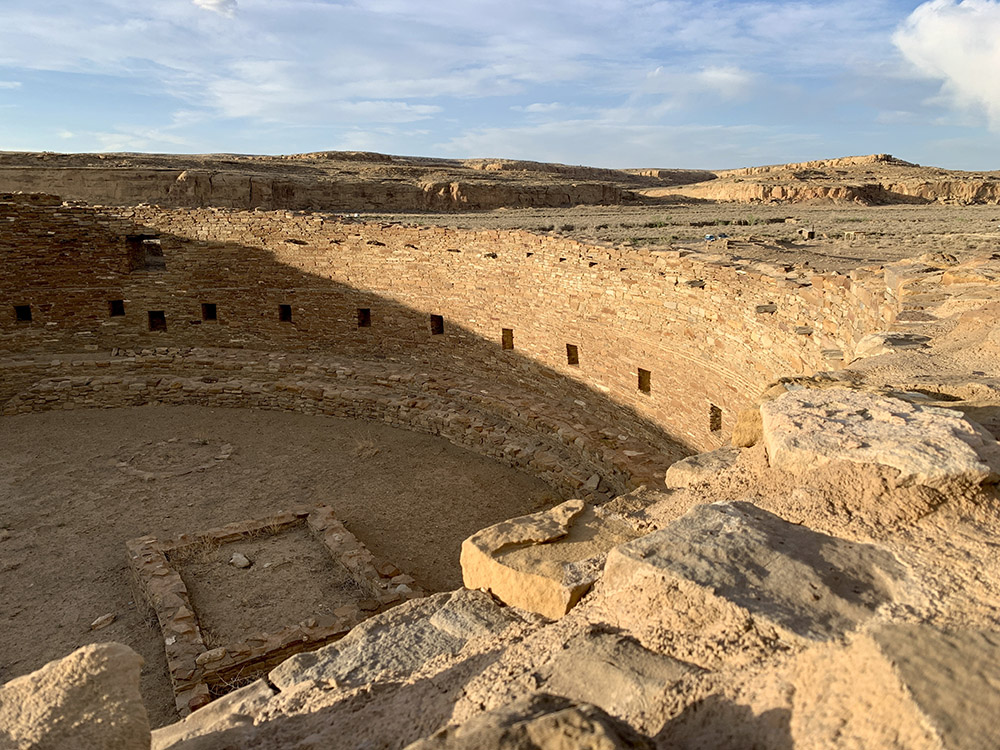
Casa Rinconada (Great Kiva)
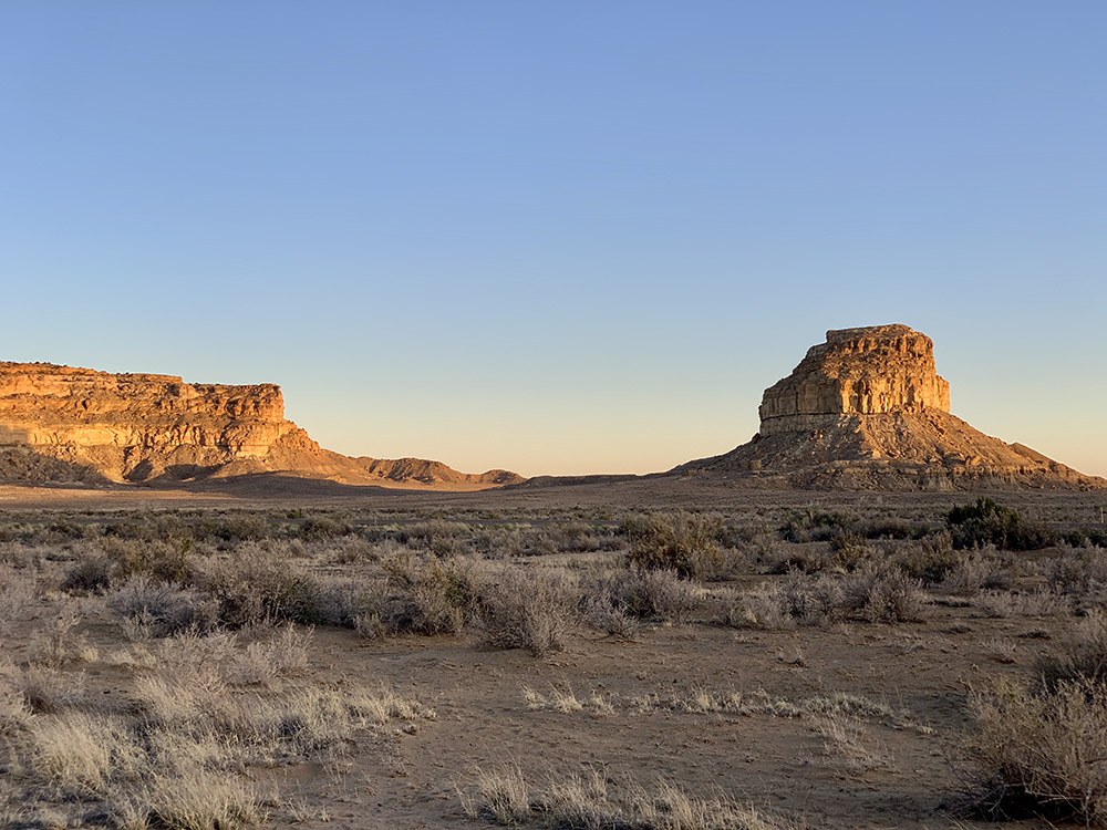
Fajada Butte
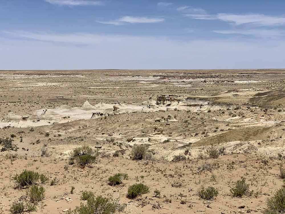
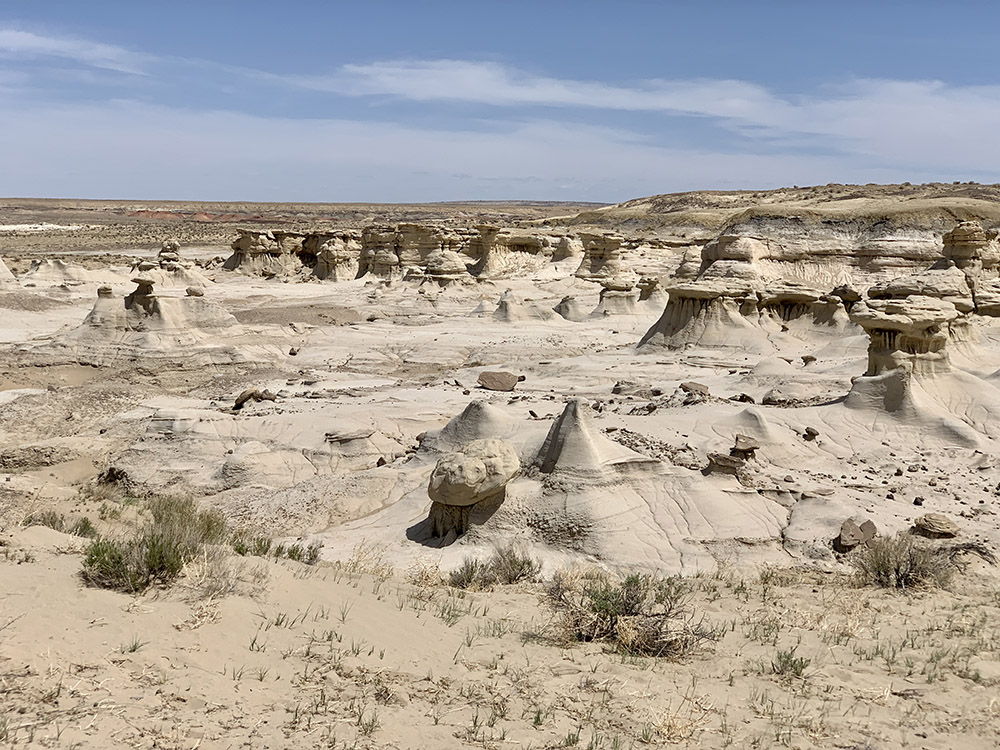
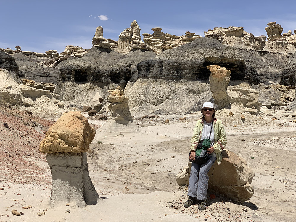
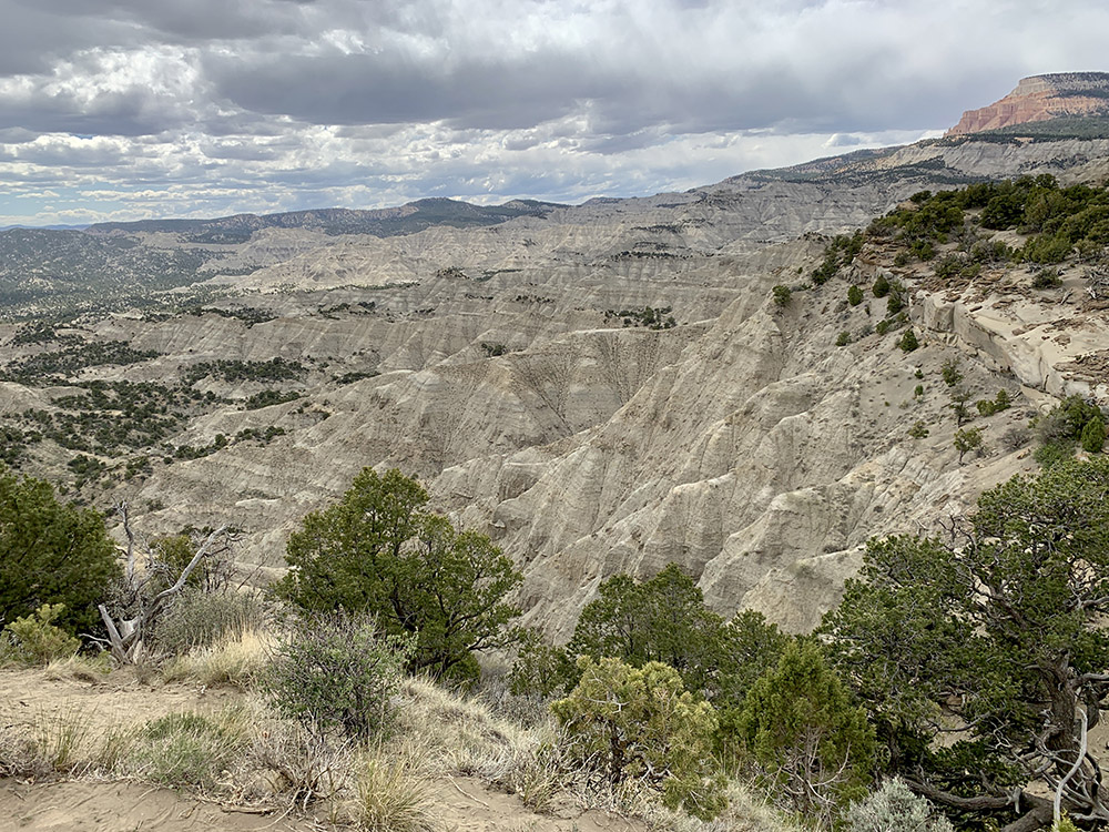
Ah-shi-sle-pah Wilderness, Valley of Dreams
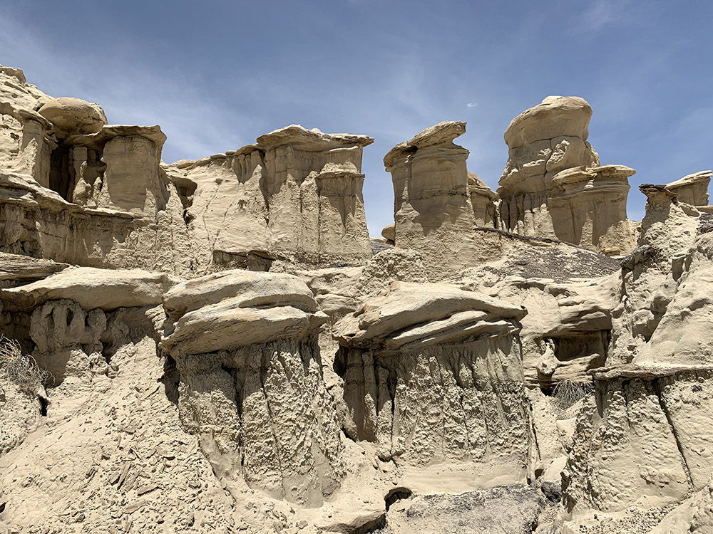
Three Wise Men area
…
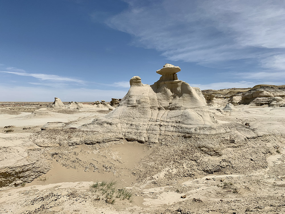
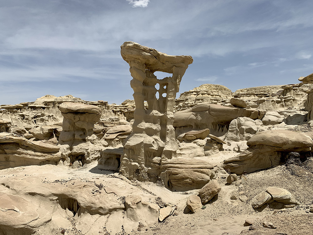
Three Wise Men
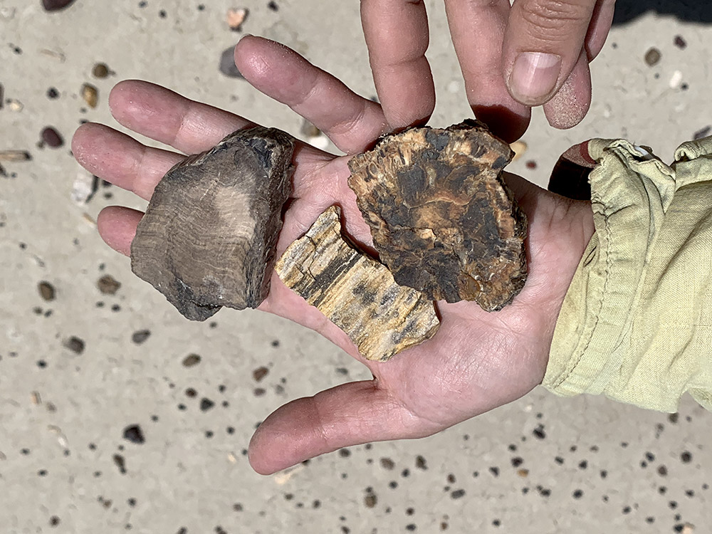
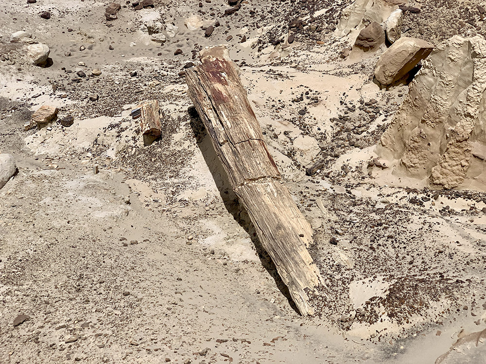
Pieces of petrified trees
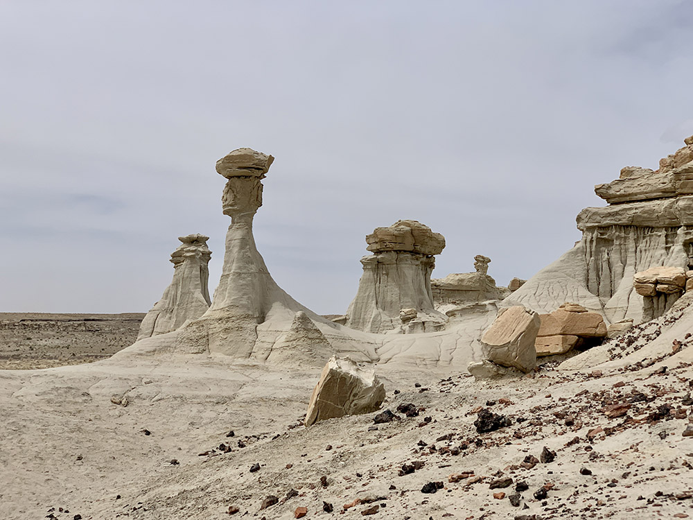
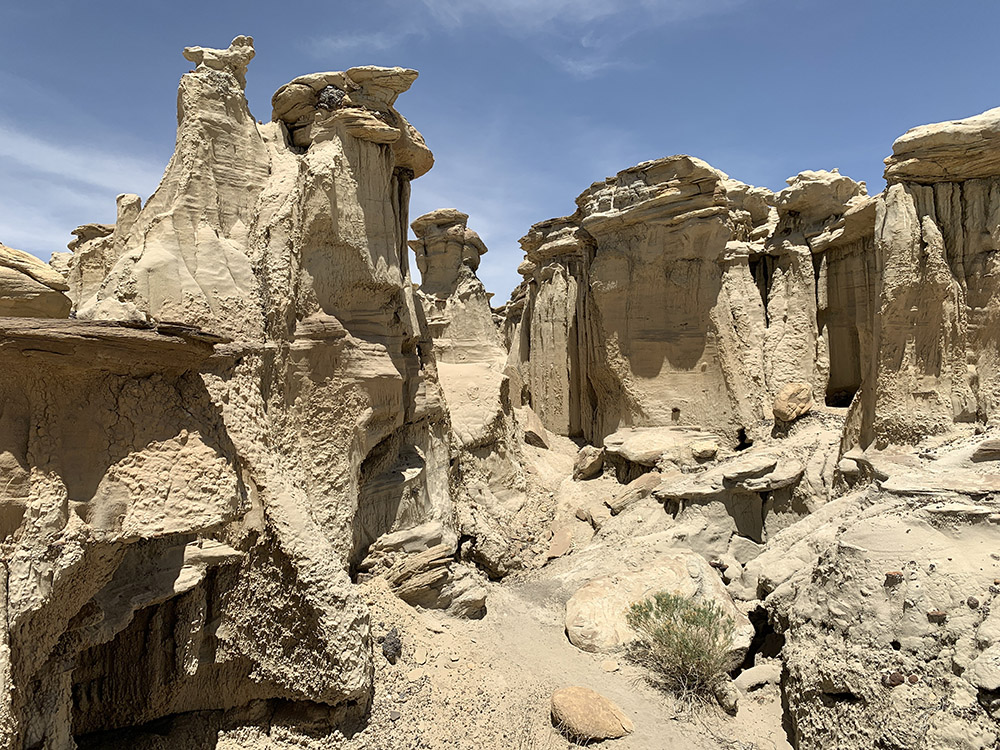
Alien Throne area
Alien Throne
…
…
…
Petrified tree trunk
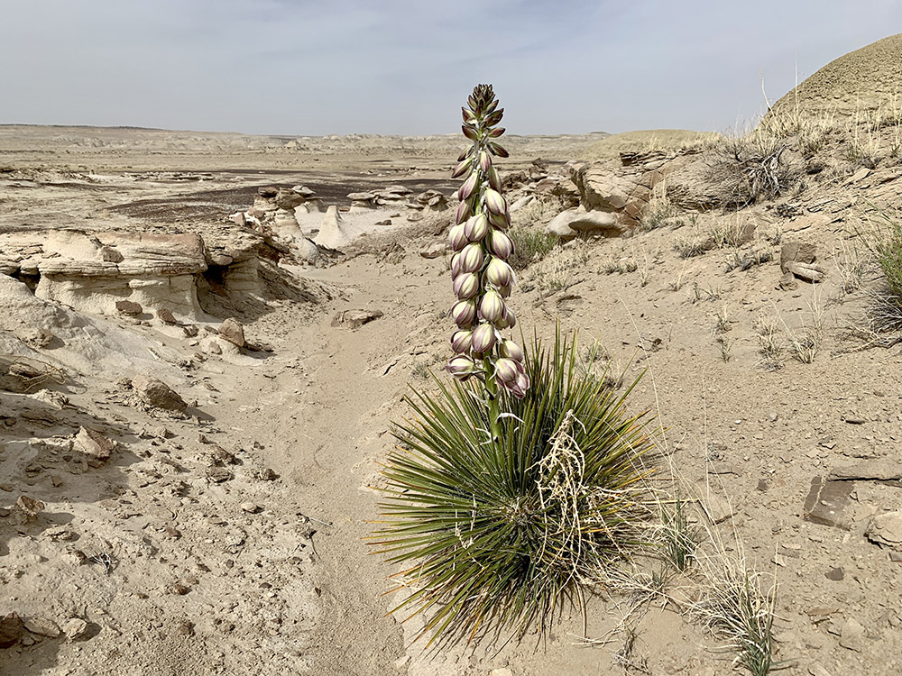
Yucca
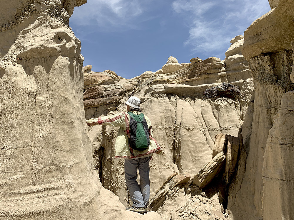
Ah-shi-sle-pah Trail
…
…
…
…
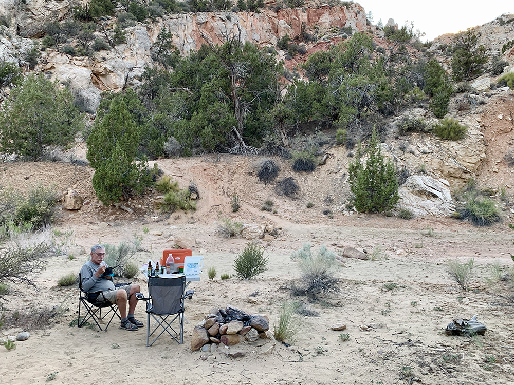
Relaxing after dinner at De-na-zin camp
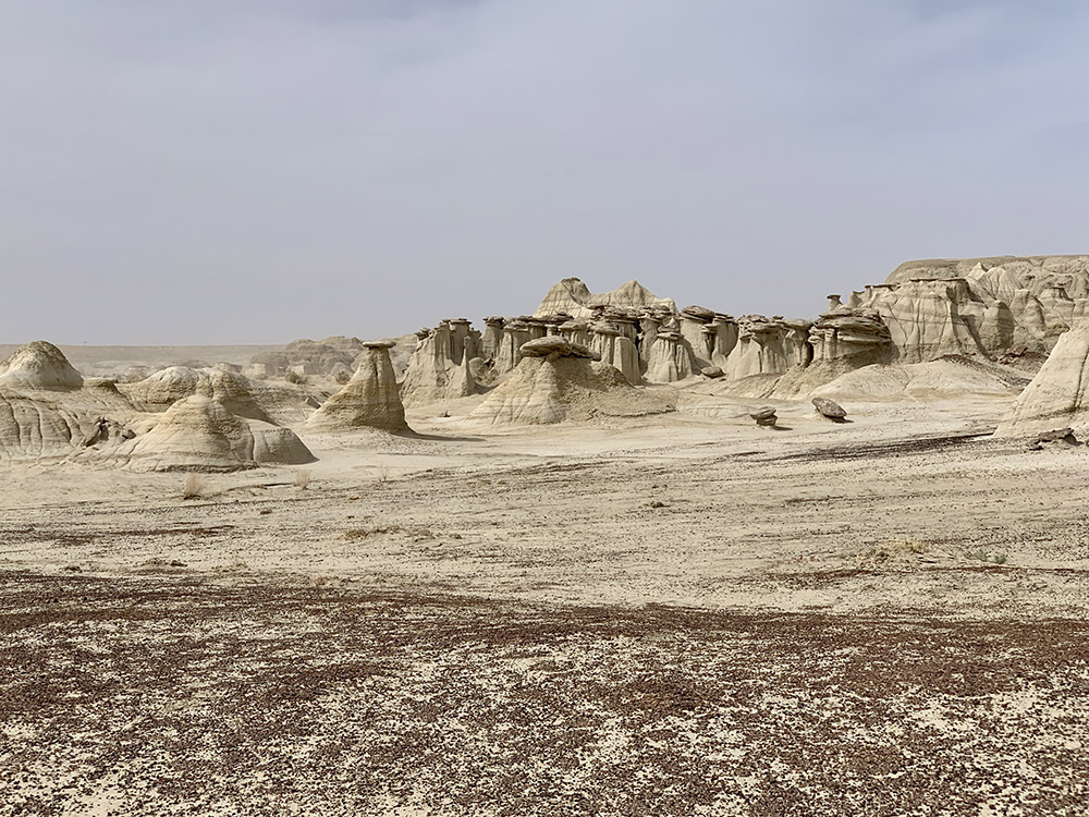
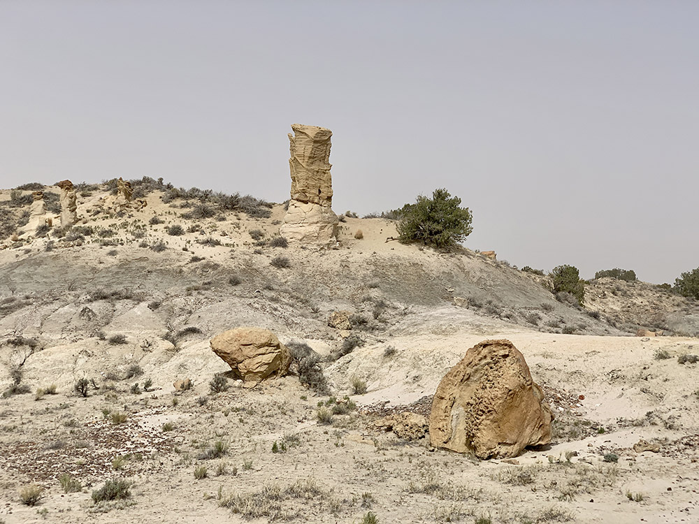
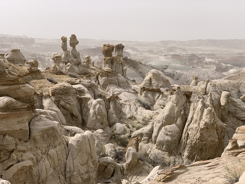
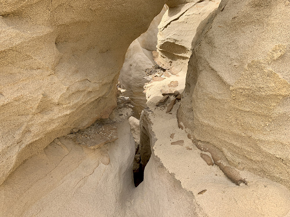
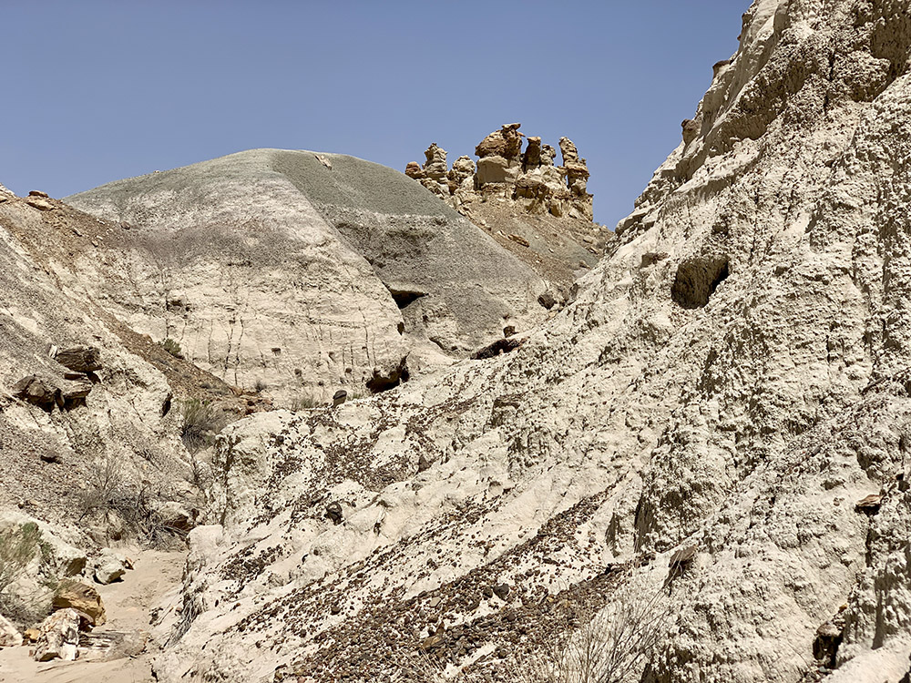
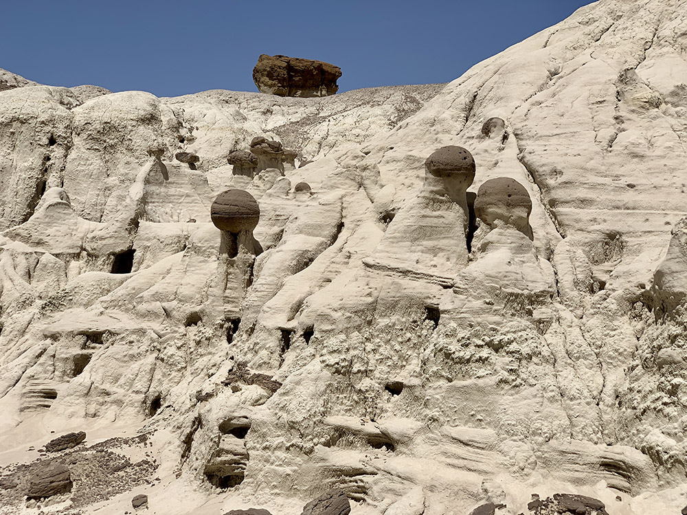
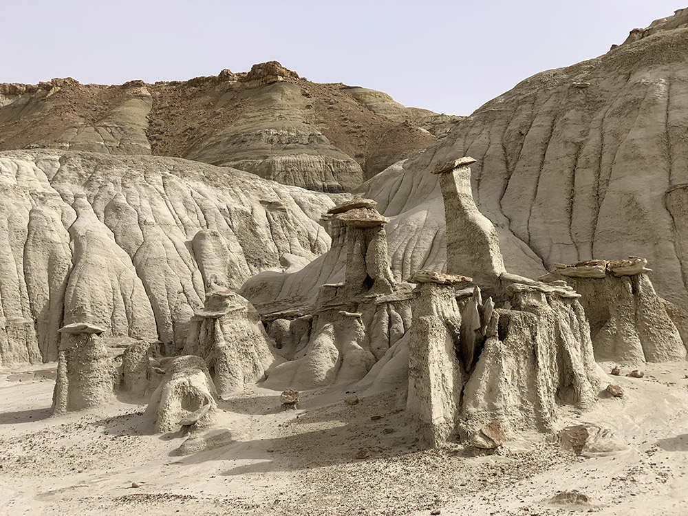
De-na-zin Wilderness, Yellow Hoodoo
View from the top…
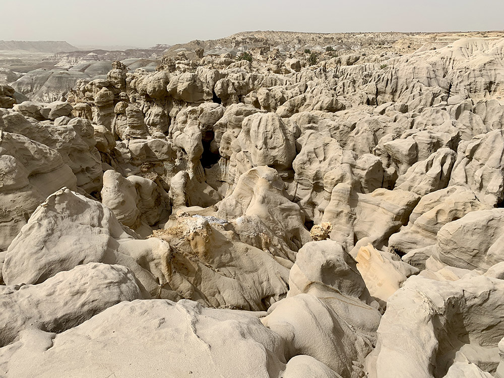
…real maze…
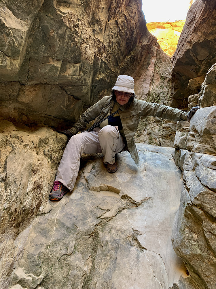
…passages too narrow to squeeze through…
…so we walked arround to look at the same rocks from the bottom…
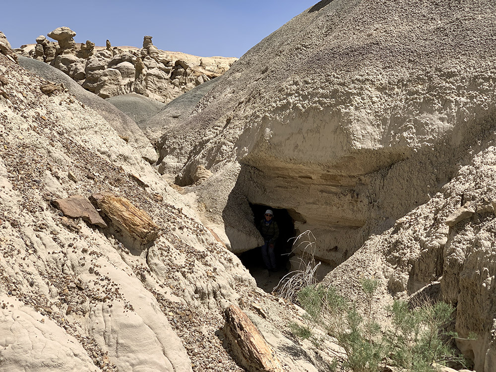
…exploring some small “canyons”…
…
…and intriguing rock formations
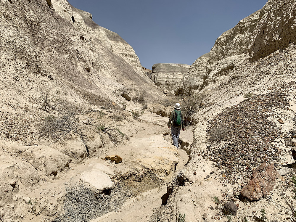
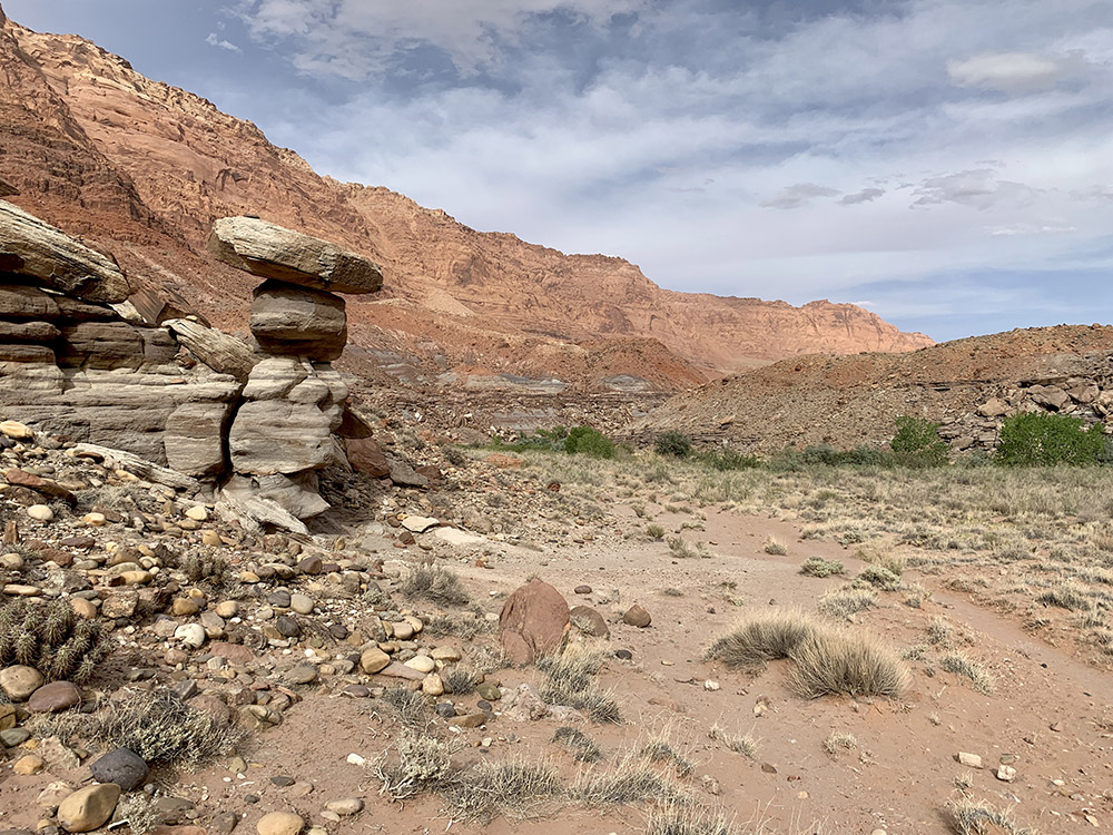
Washes often serve as convenient approasch trails
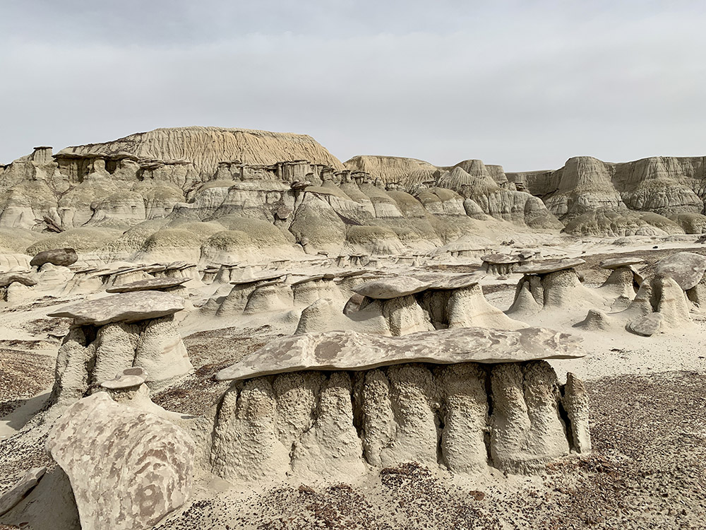
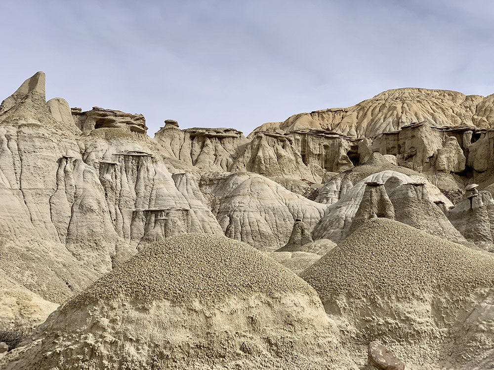
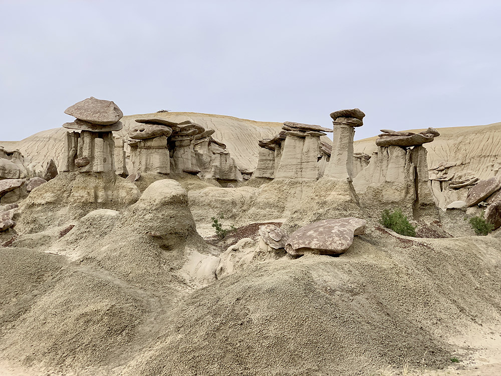
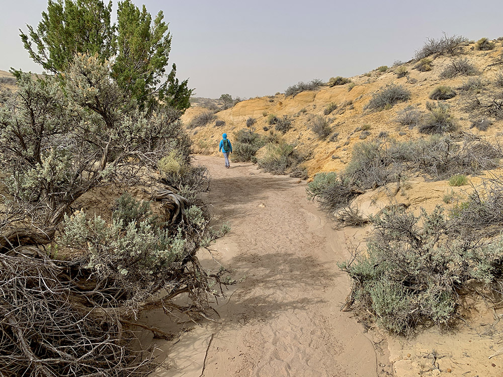
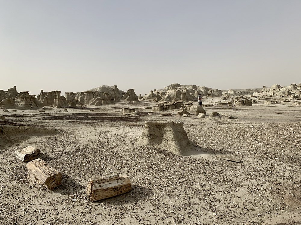
Entering Bisti Wilderness…
…
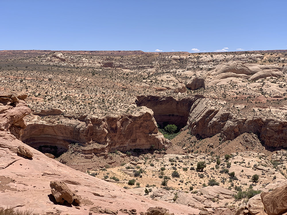
Bisti Arch
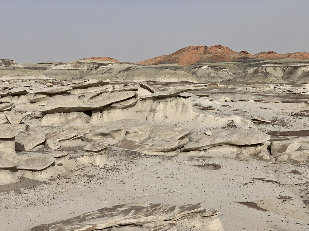
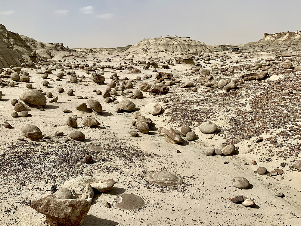
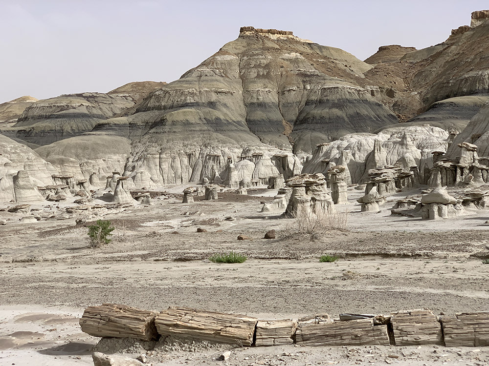
Valley of Bones
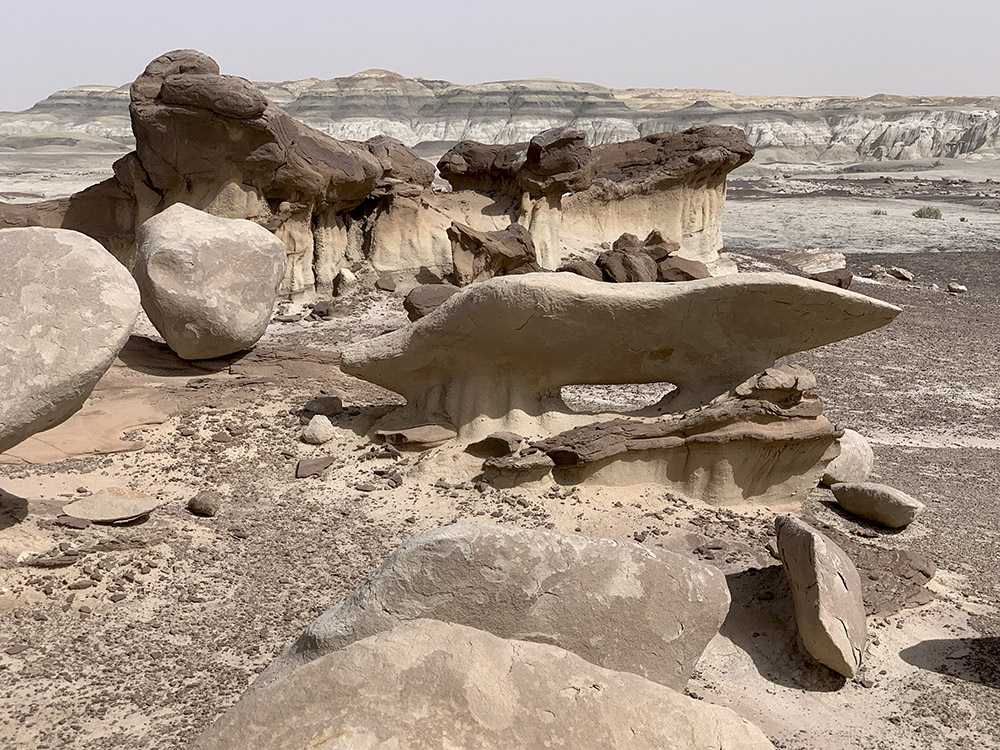
Petrified wood…
…
…the largest specimen we saw
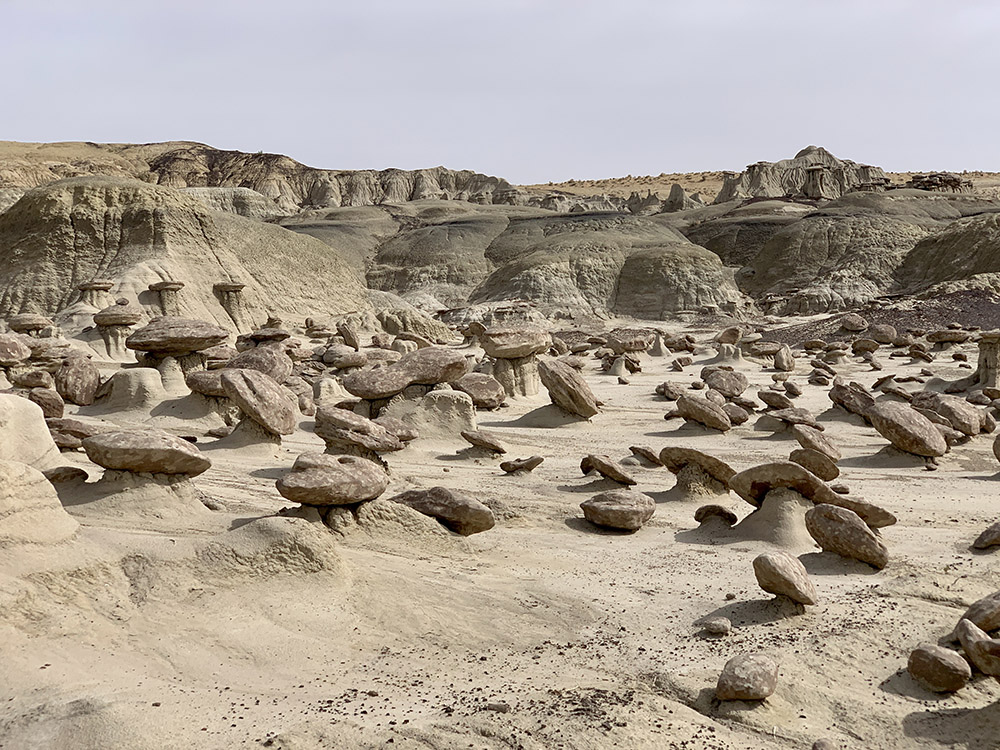
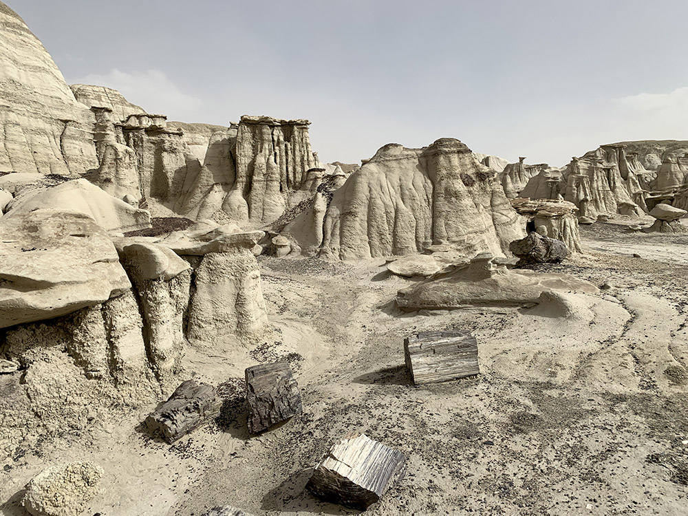
Petrified wood and mushrooms…
…mushrooms
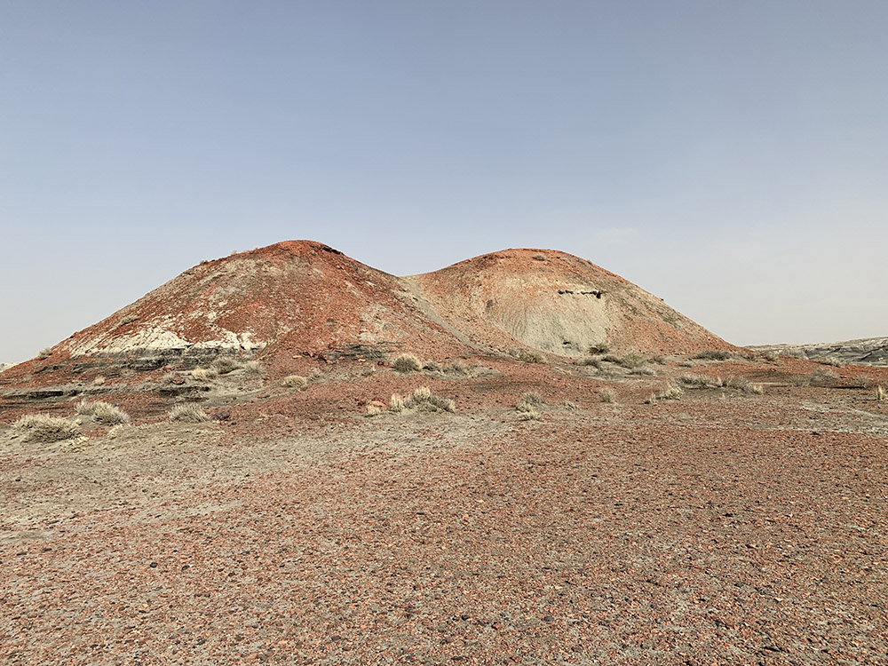
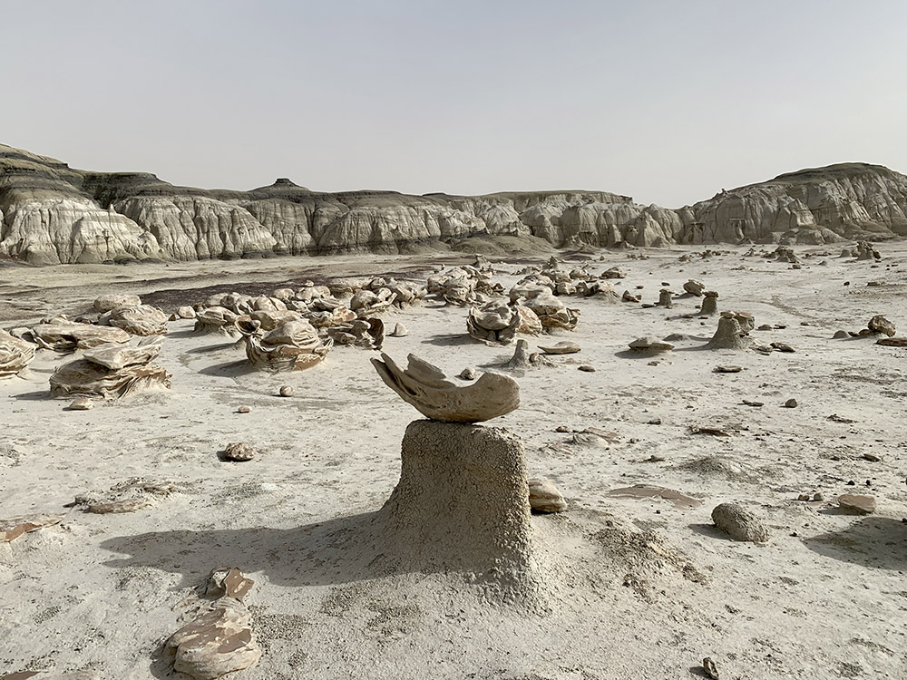
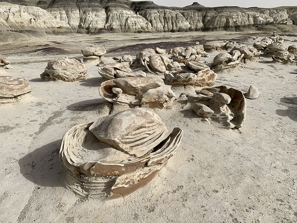
Cracked Eggs…
…Egg hatchery
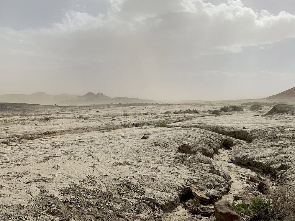
Dust storm intensifies as we are leaving the wilderness
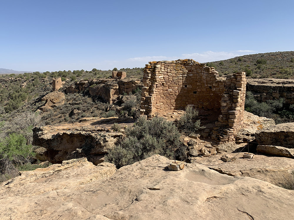
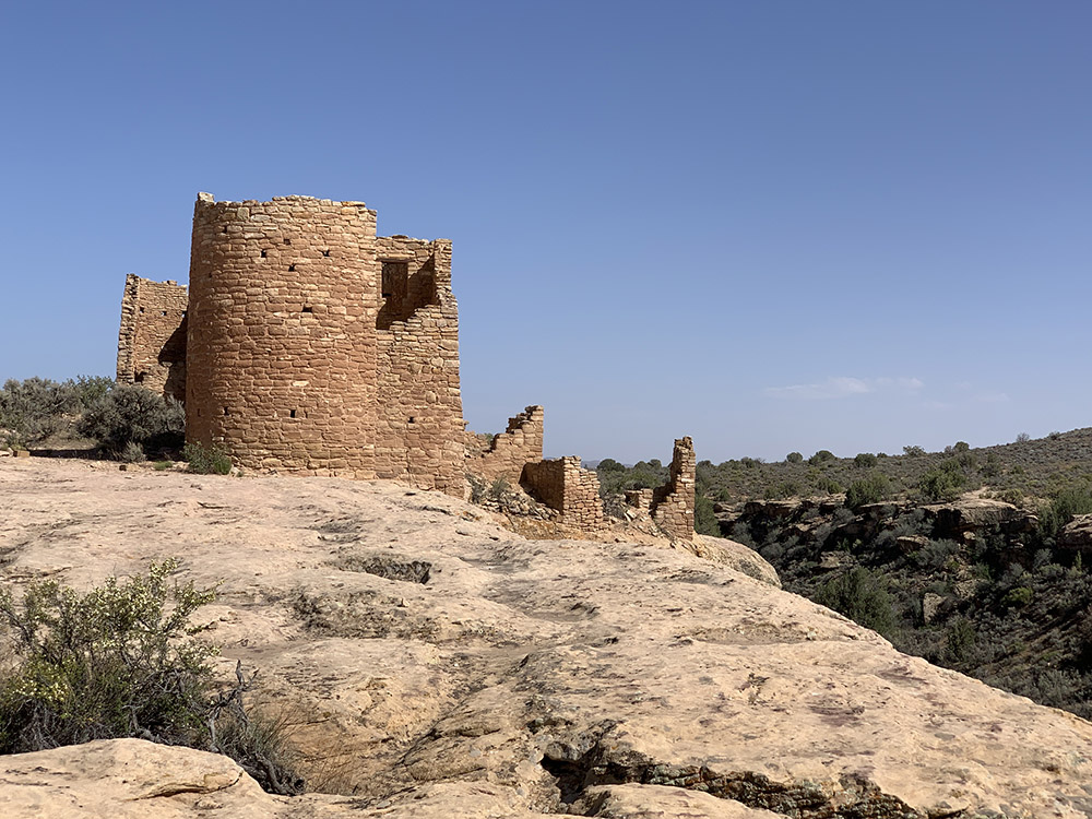
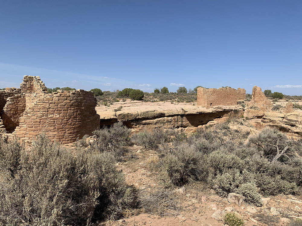
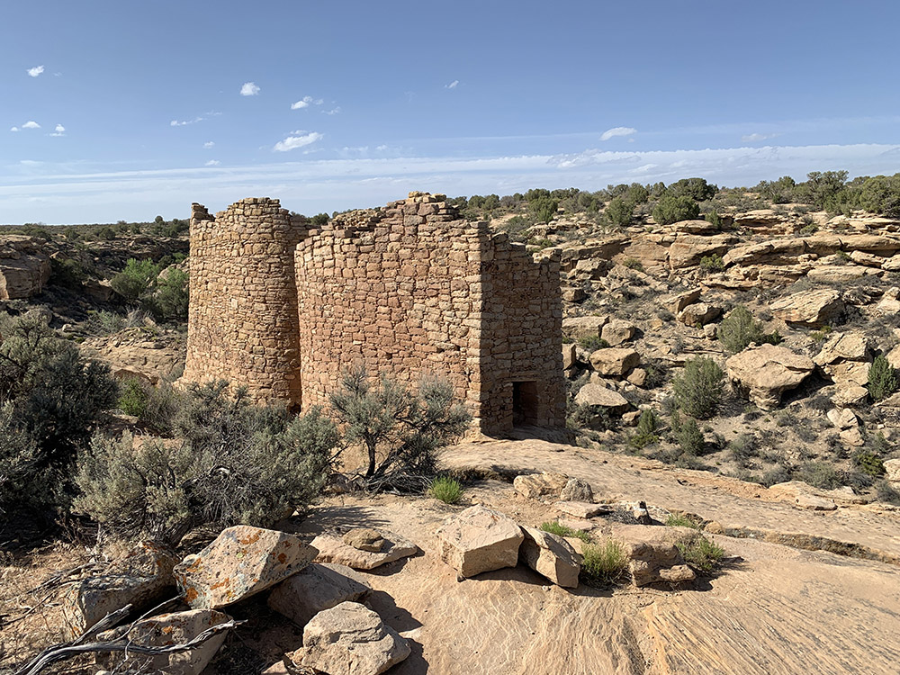
Hovenweep towers…
…
…
…
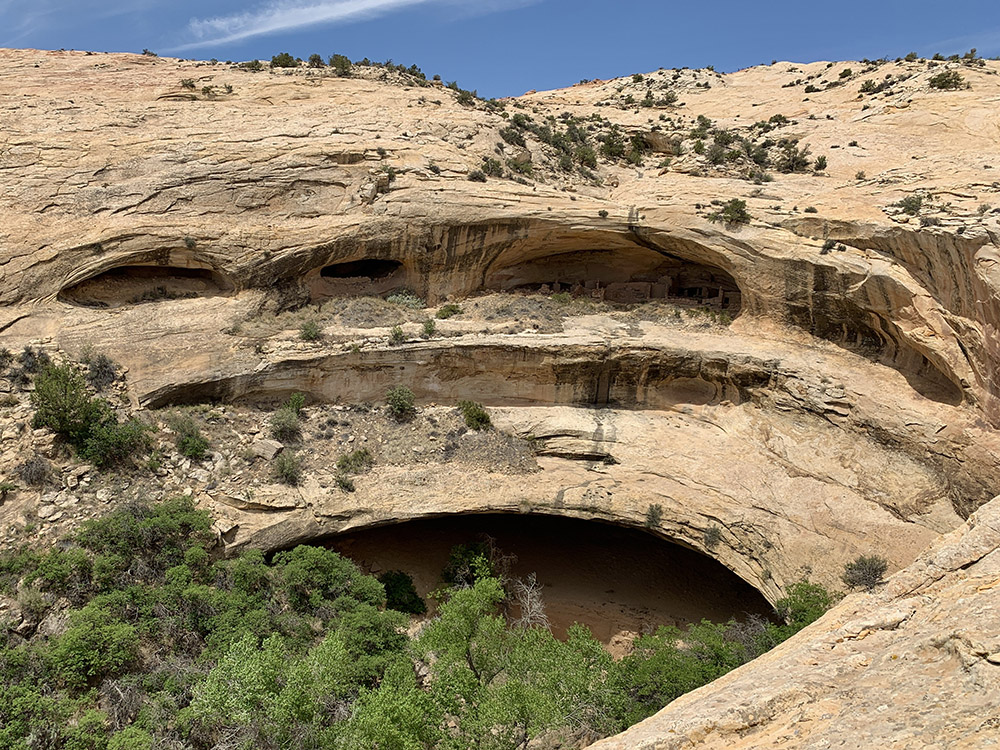
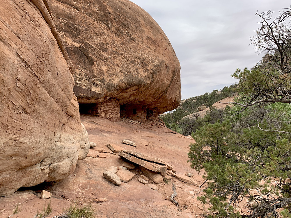
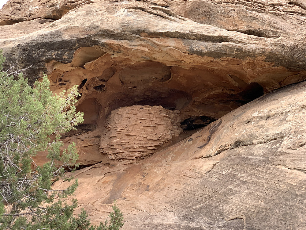
Butler wash ruins (under the arches)
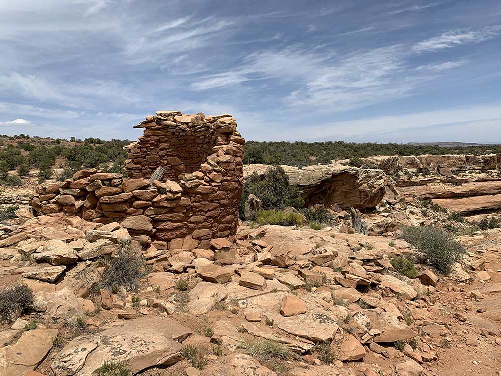
Cave Towers
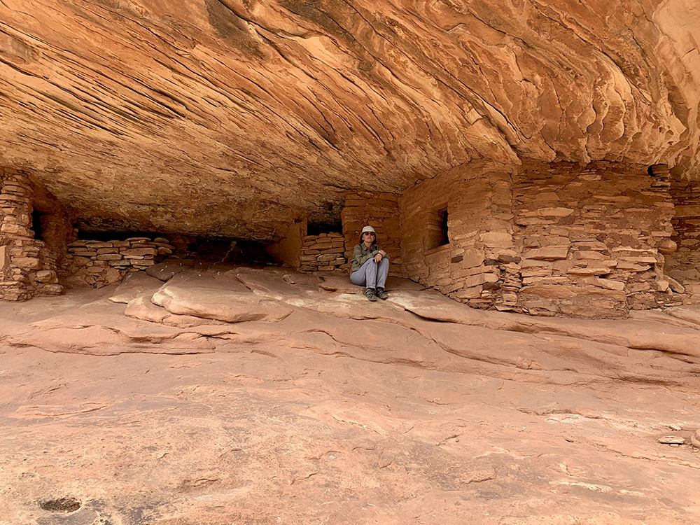
Hous on Fire
…
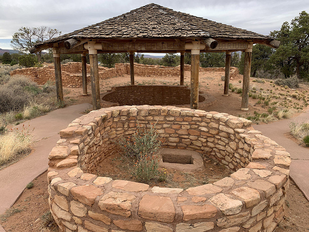
Mule Canyon Roadside Kiva
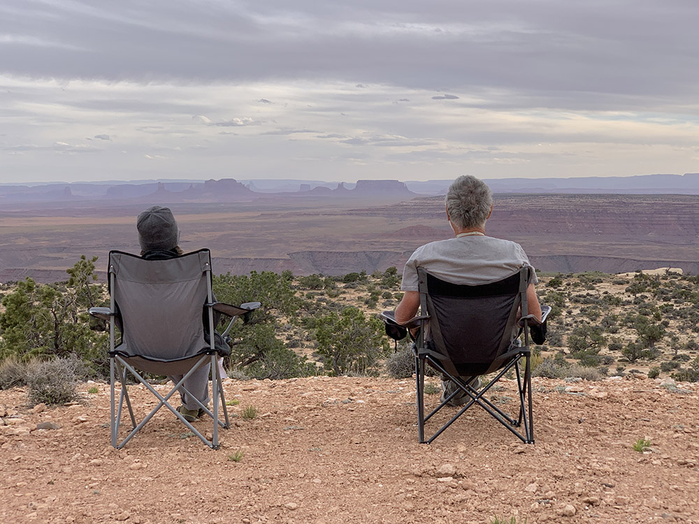
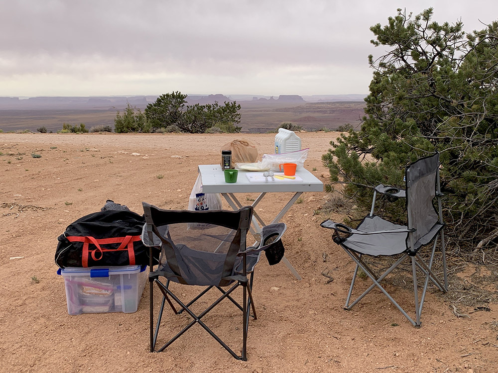
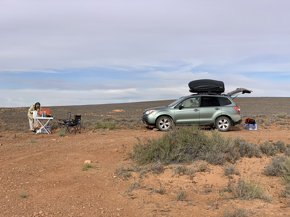
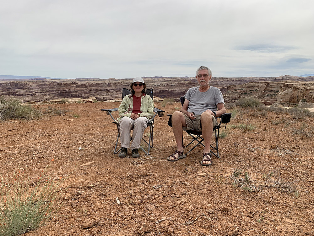
View from Muley Point Camp…
…evening…
…and morning
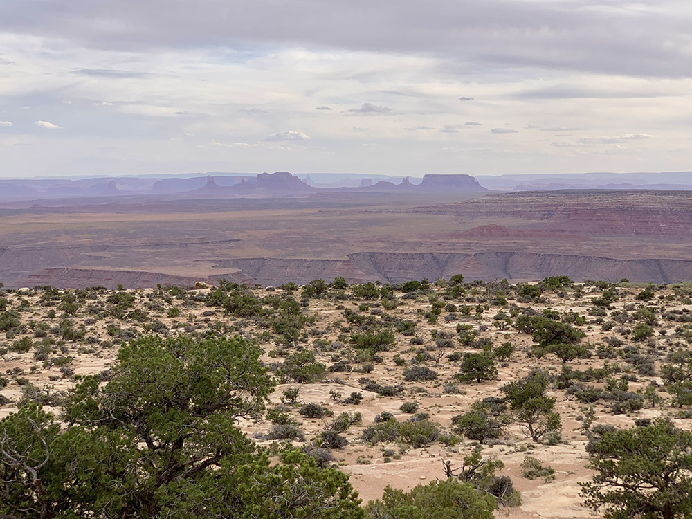
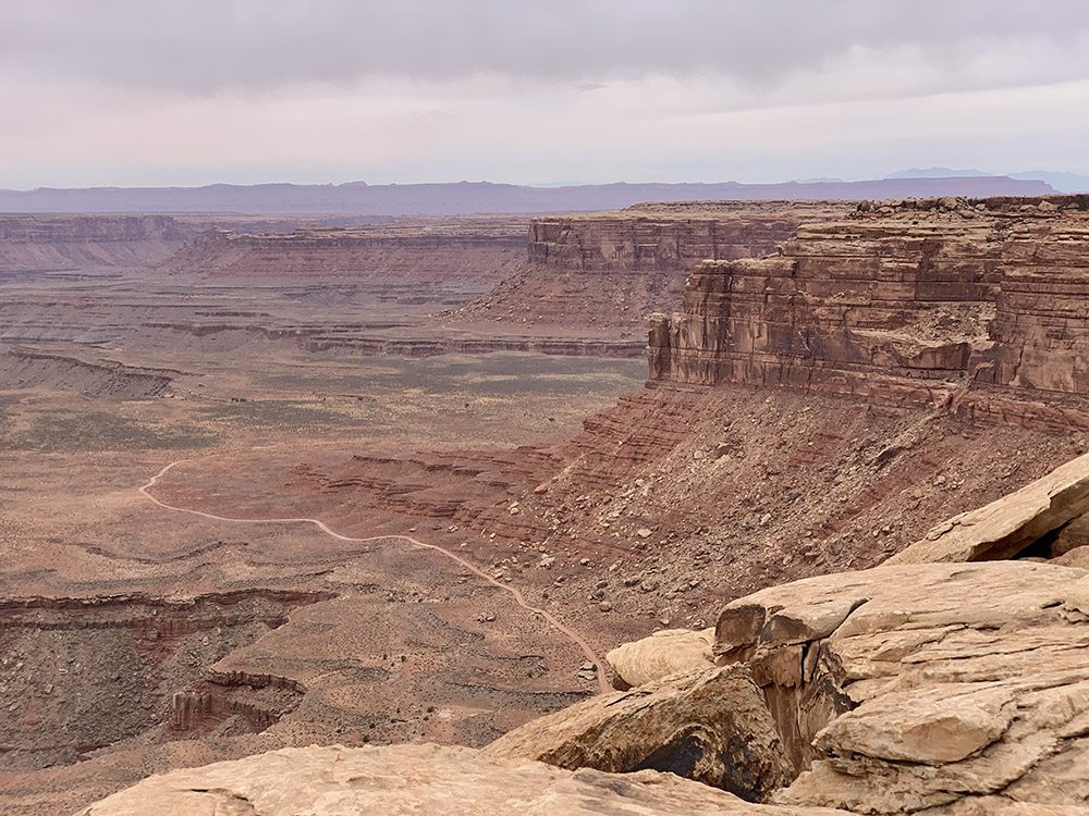
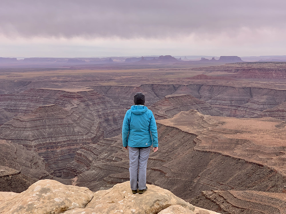
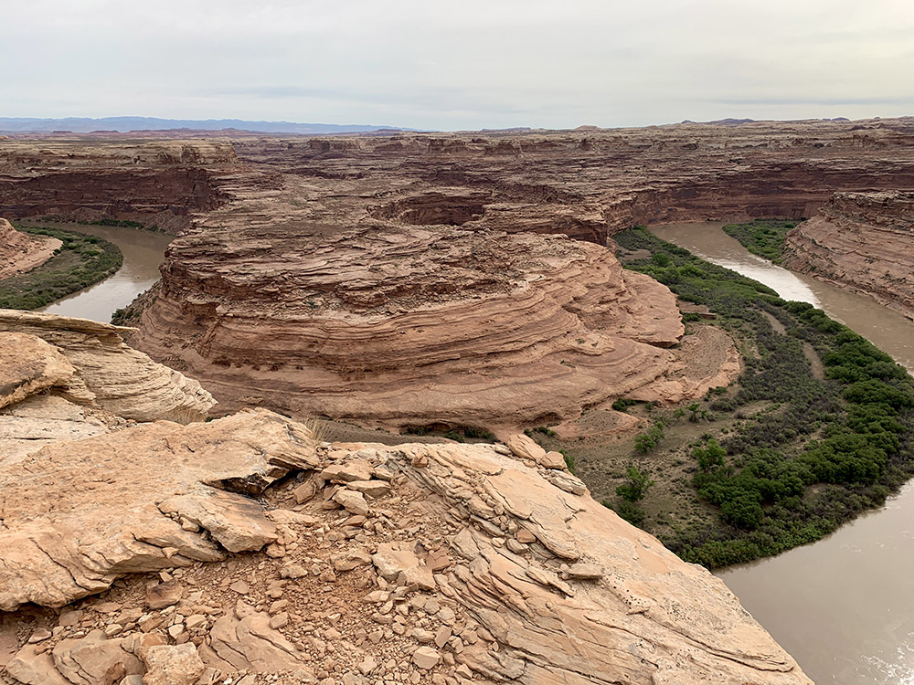
Views from Muley Point…
…
…
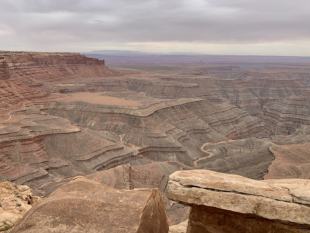
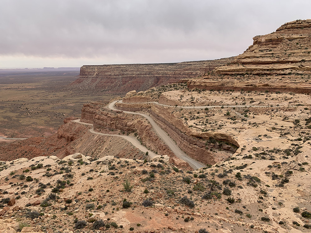
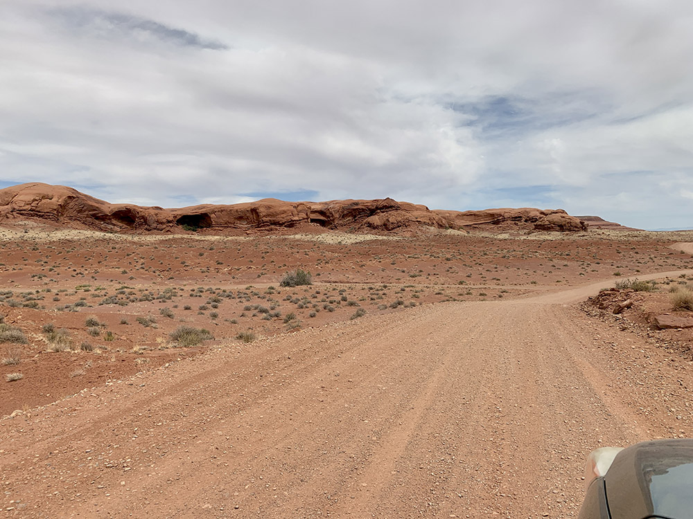
Moki Dugway
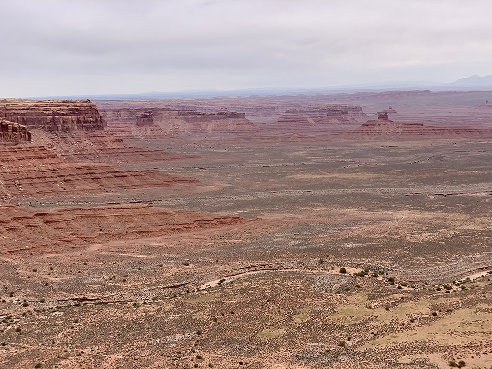
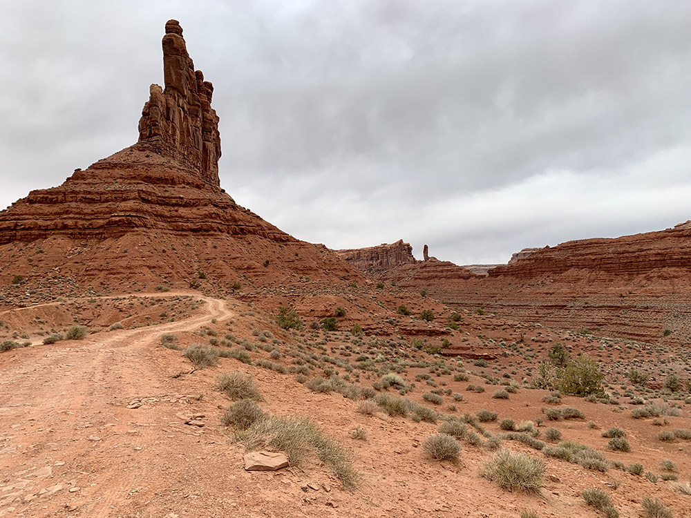
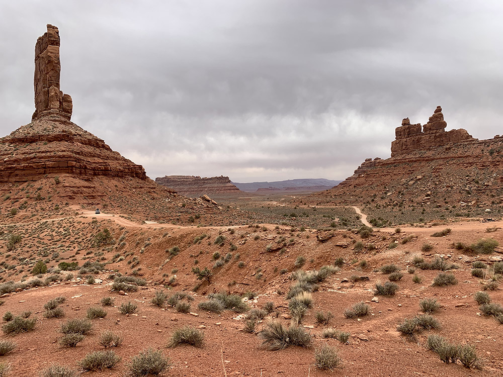
Cedar Mesa – Valley of the Gods, view from Moki Dugway
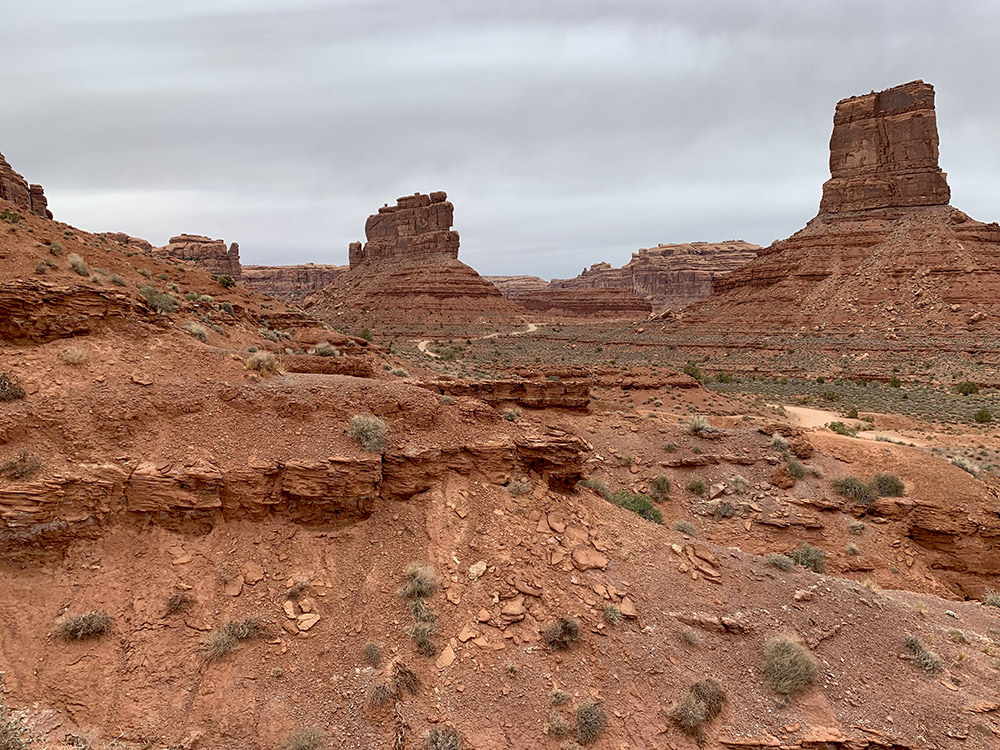
Valley of the Gods
…
…
…
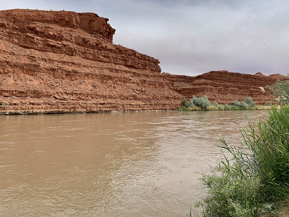
San Juan River in Mexican Hat
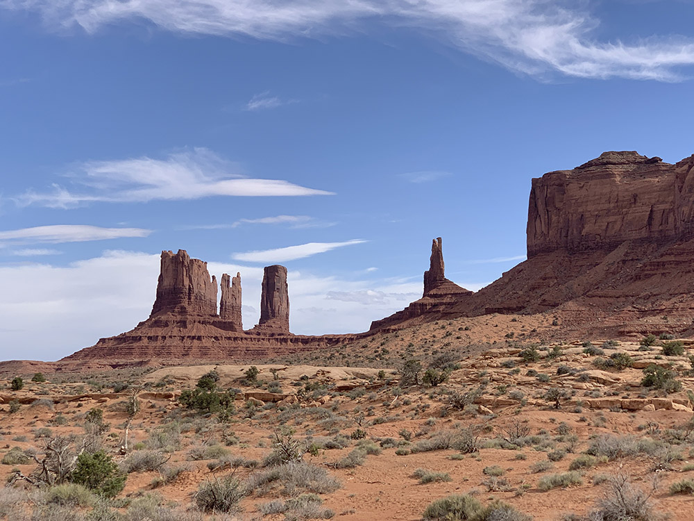
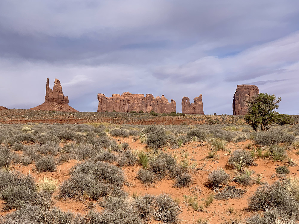
Monument Valley…
…views from Hwy 163
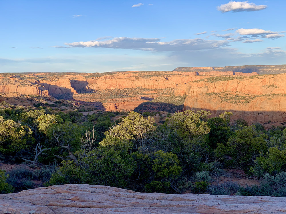
Navajo NM, view from our campsite…
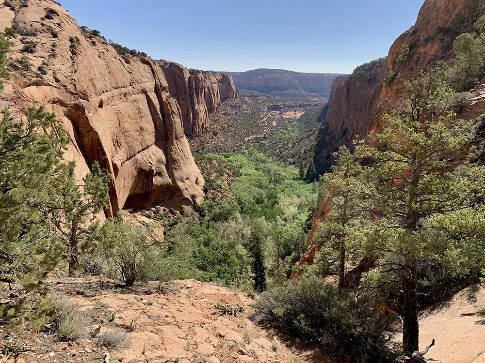
…next morning on Aspen Trail…
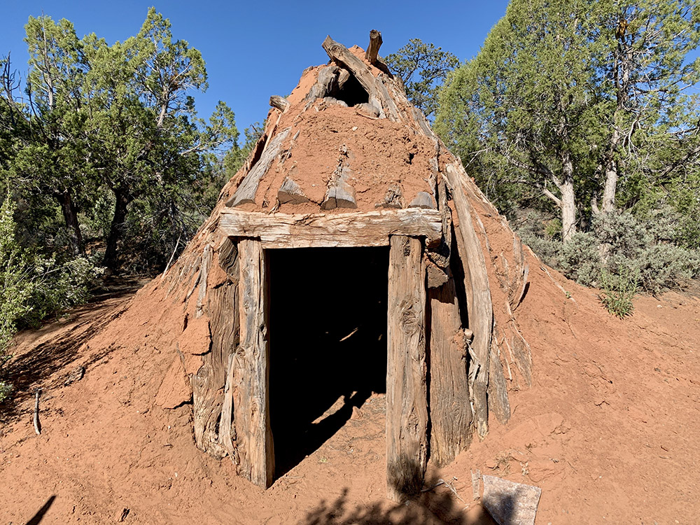
…reconstructed hogan (dwelling)
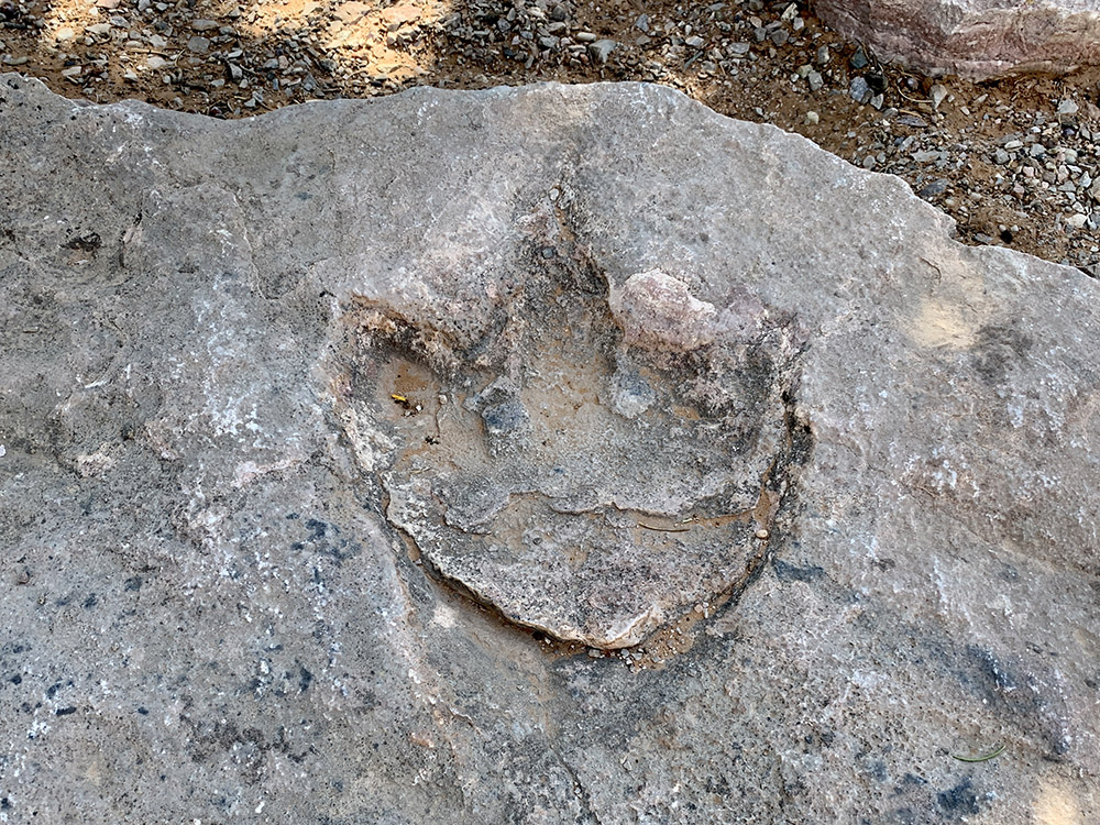
Dinosaur footprint…
…
…Betatakin Cliff Dwellings
Rt 221 to Shonto
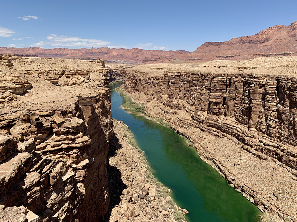
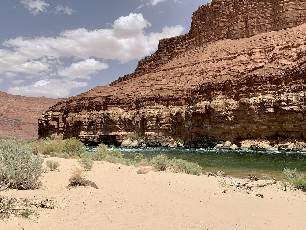
Colorado River
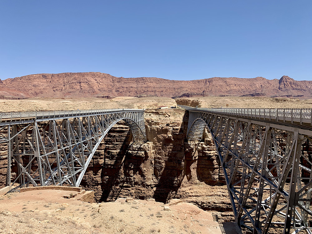
Navajo Bridge and new bridge across Colorado River
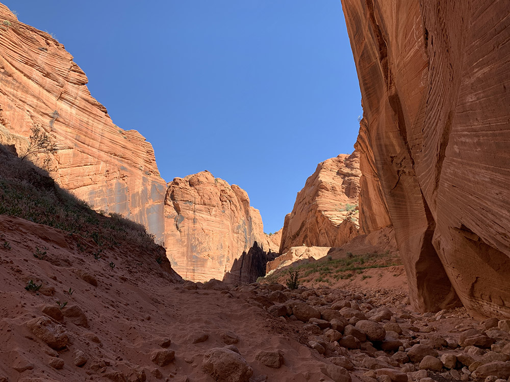
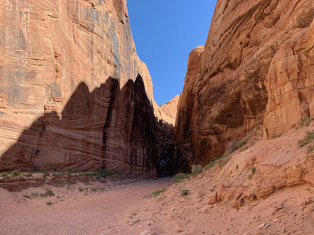
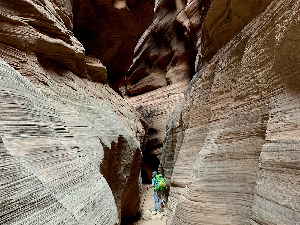
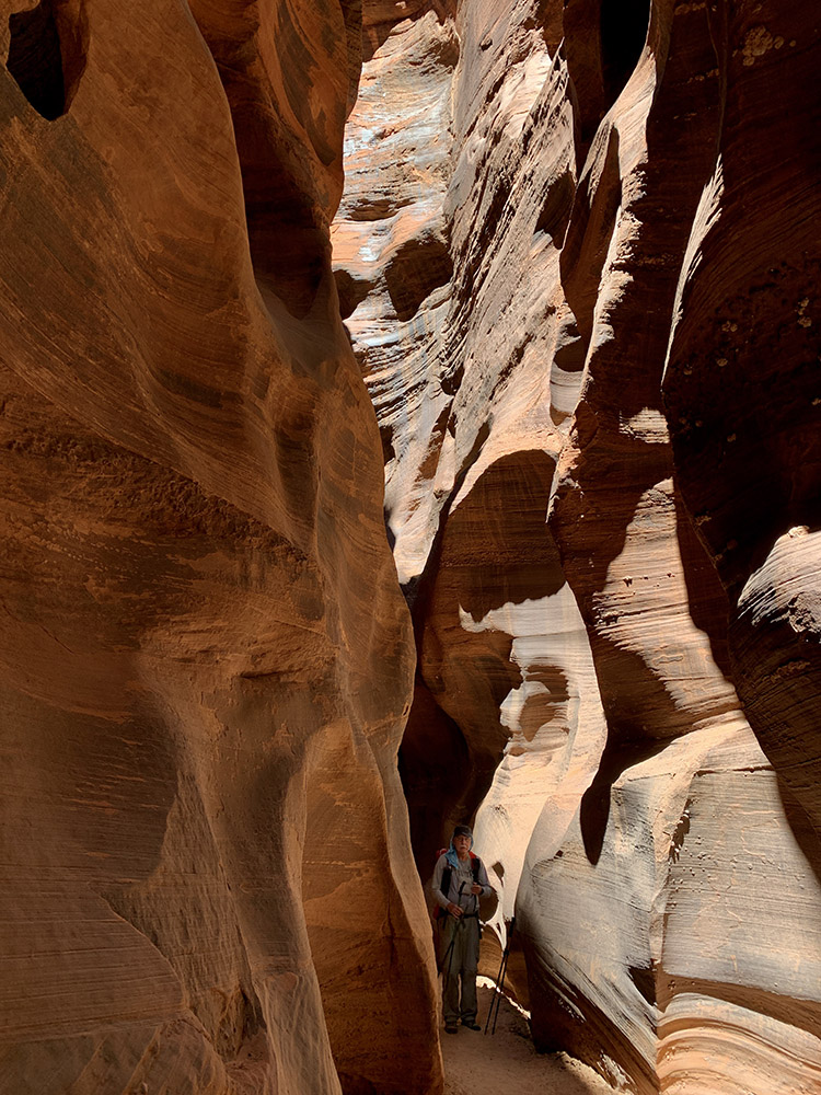
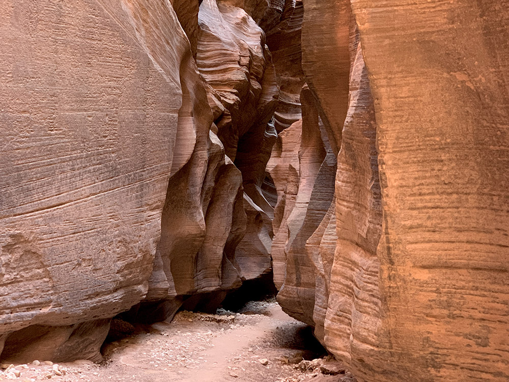
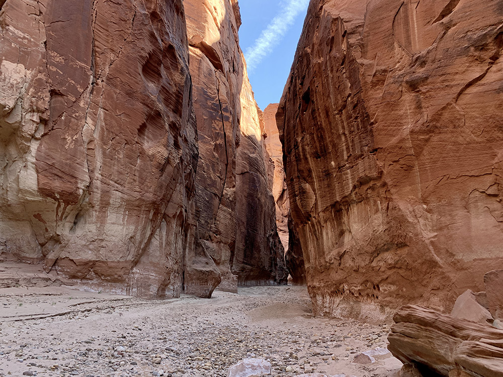
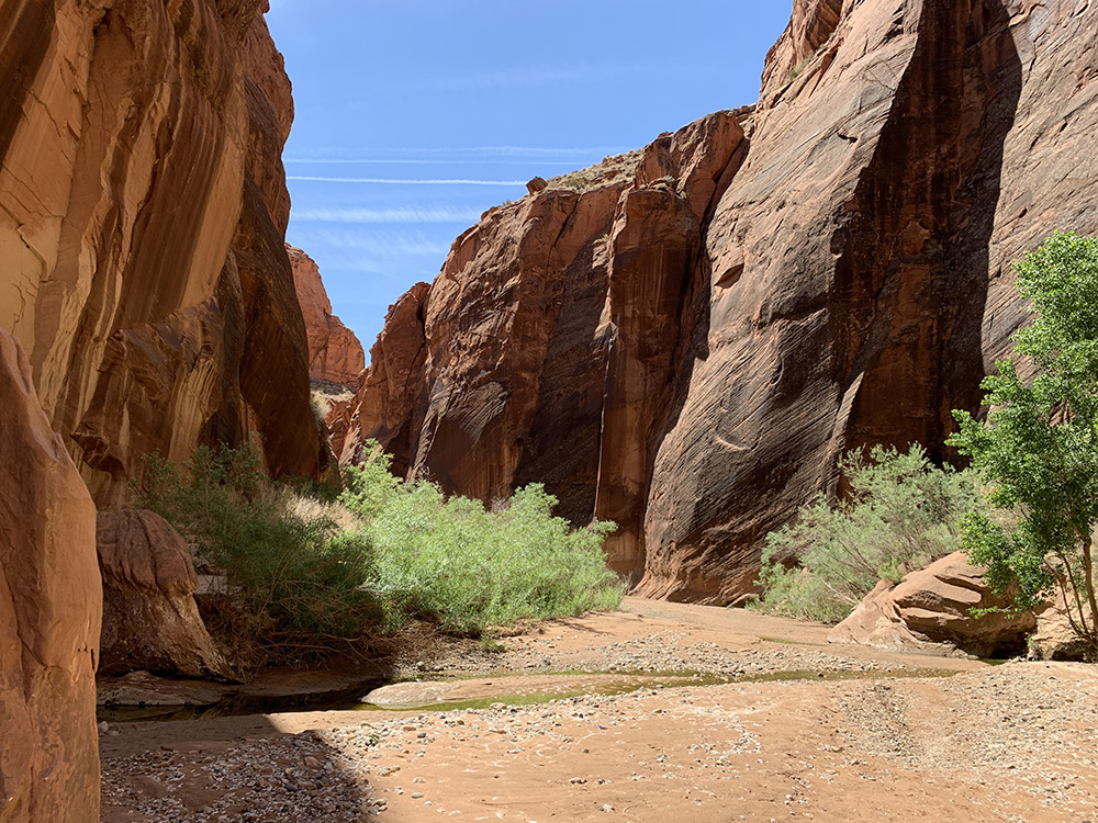
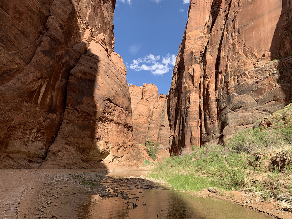
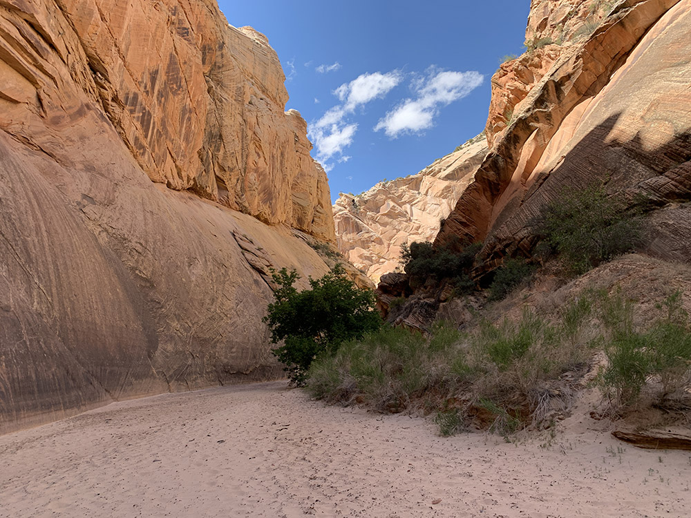
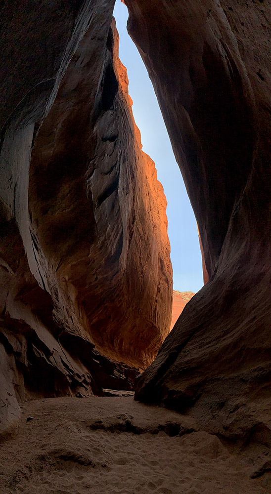
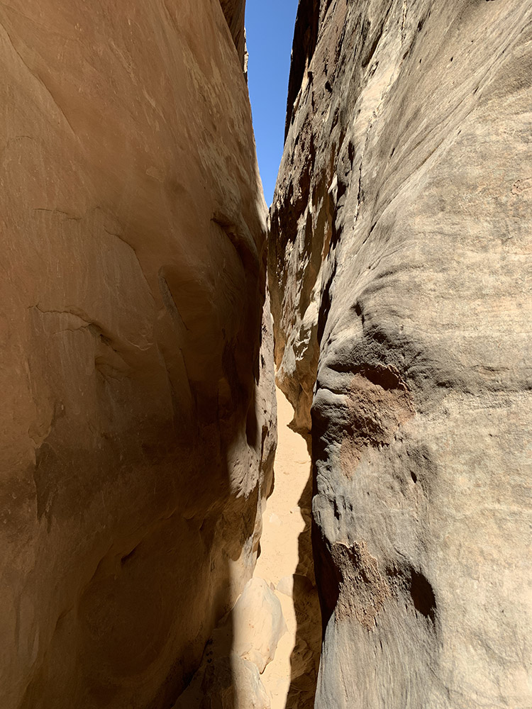
Just entered Buckskin Gulch (looking upstream)
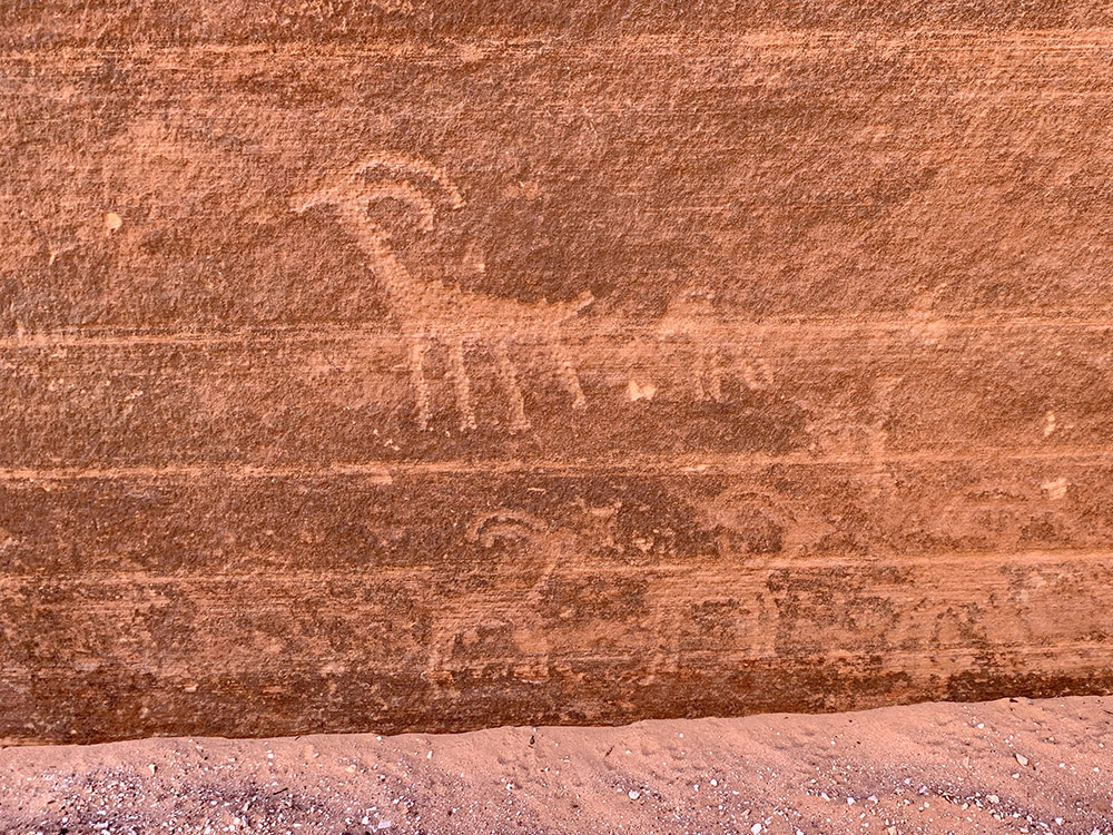
Signs left by earlier visitors (nice bighorn petroglyphs)
Heading down into Buckskin slot canyon
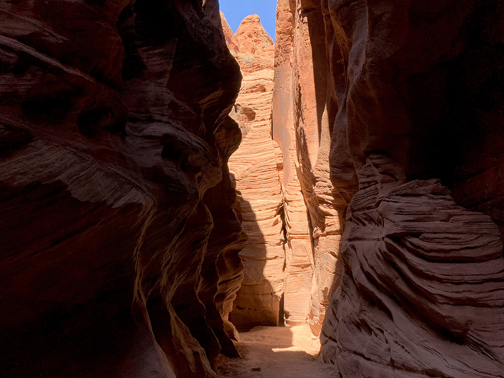
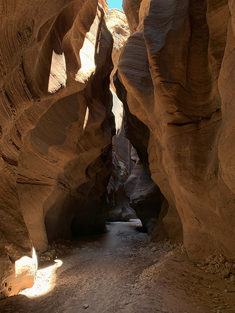
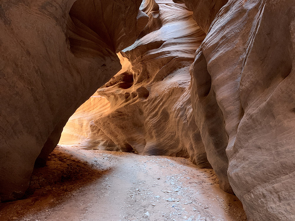
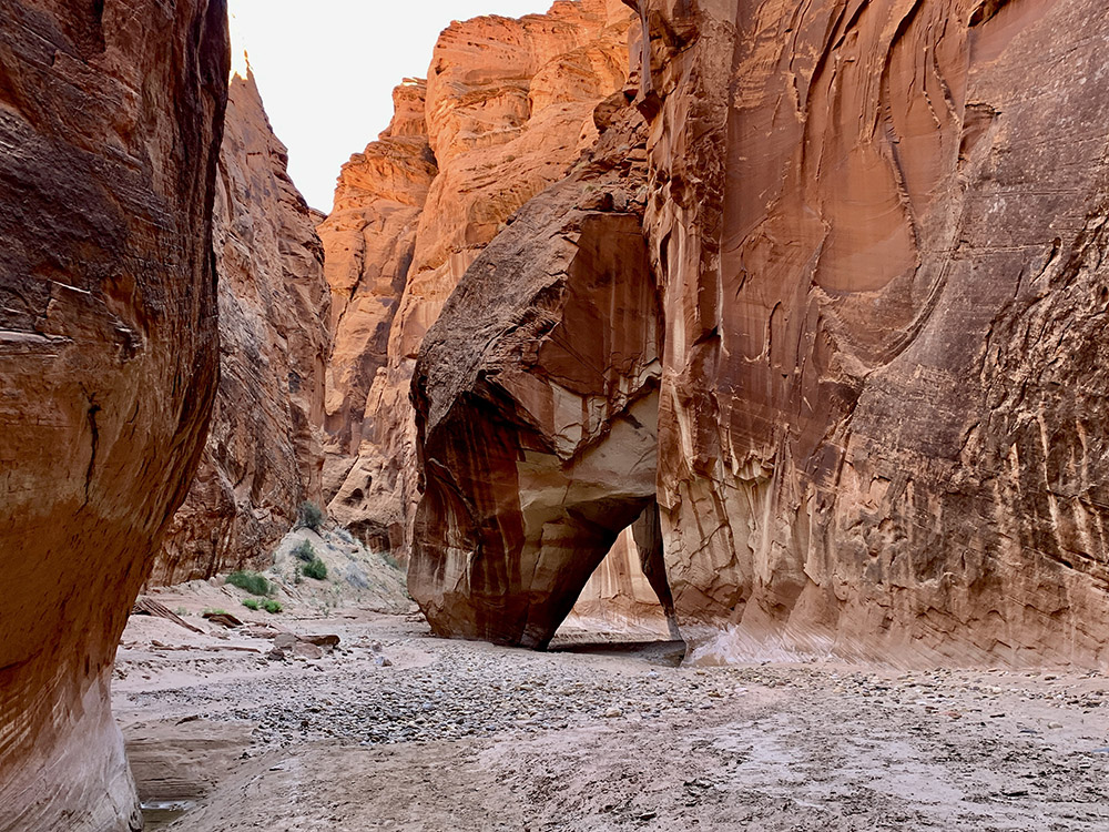
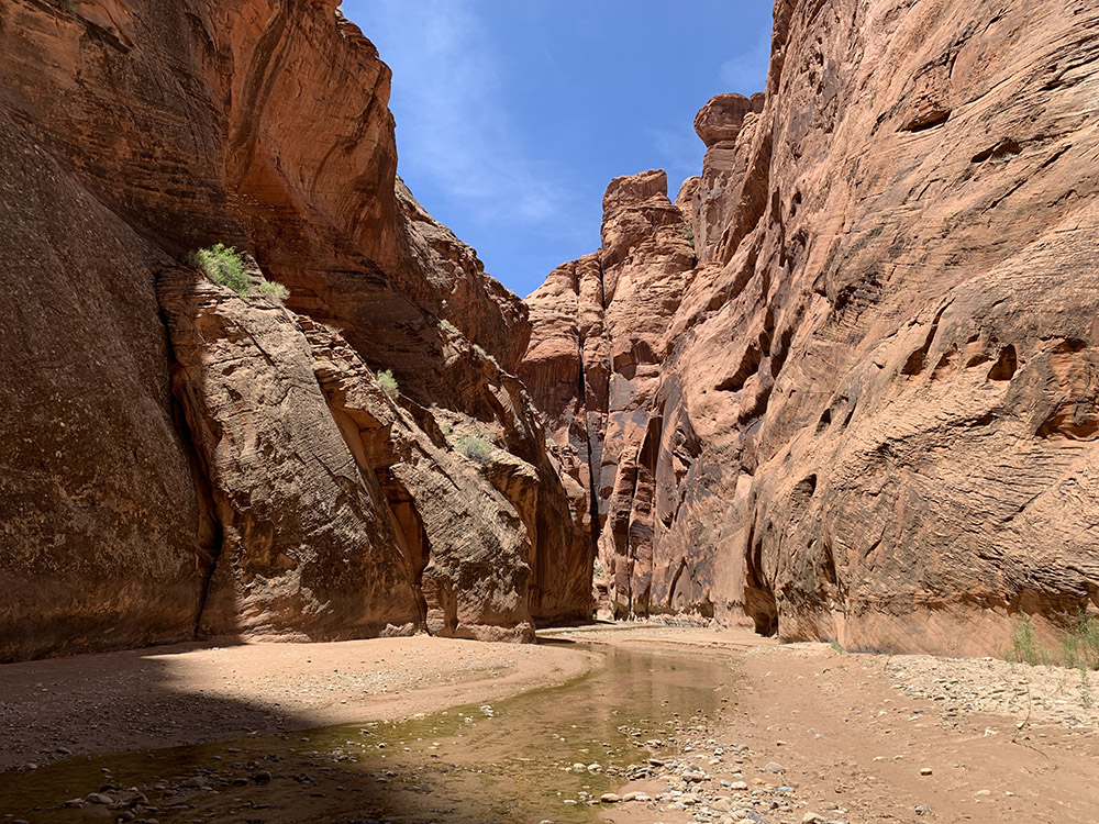
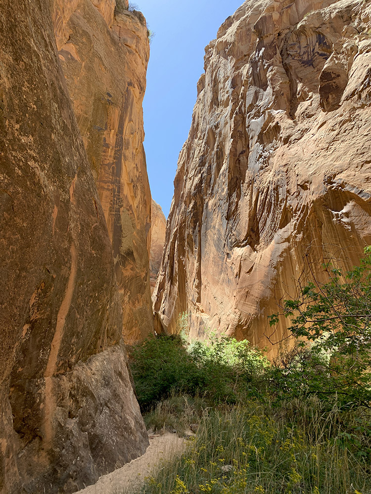
High walls and 90° turns…
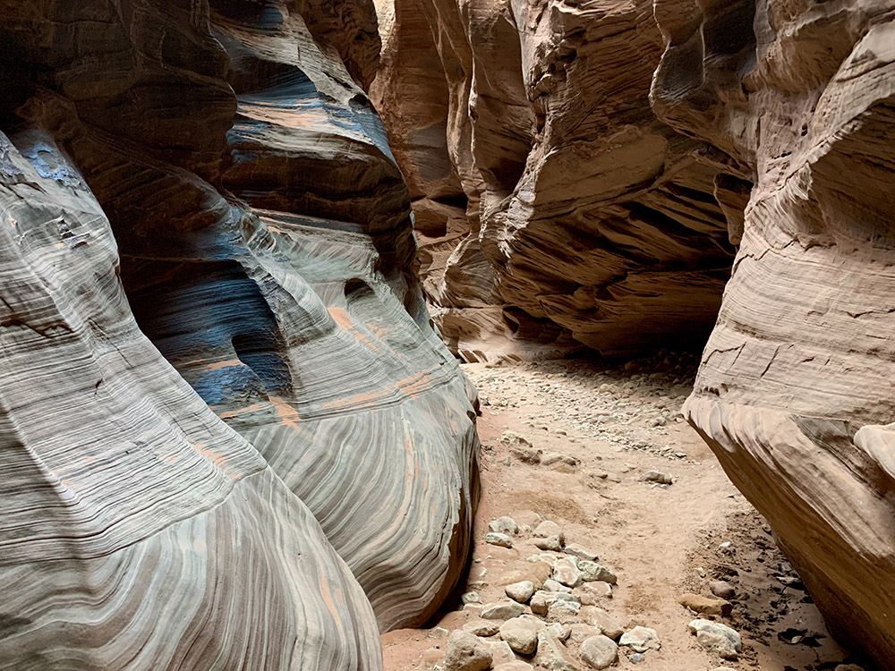
Meandering…
…
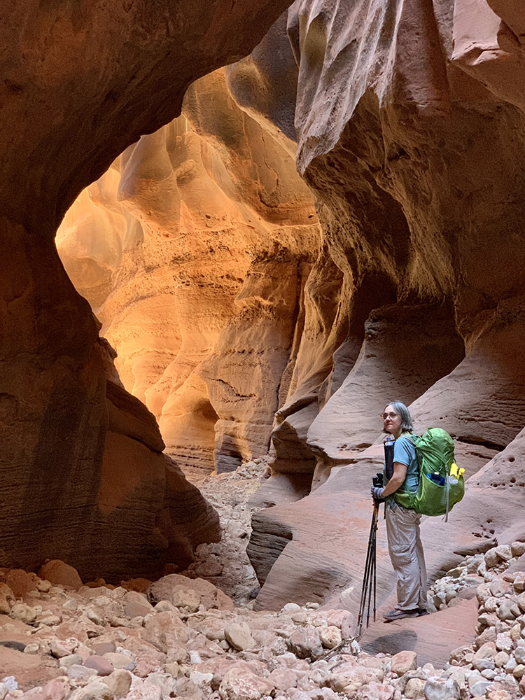
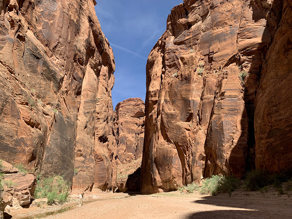
…with wider sections…
…and with GPS reading…
…
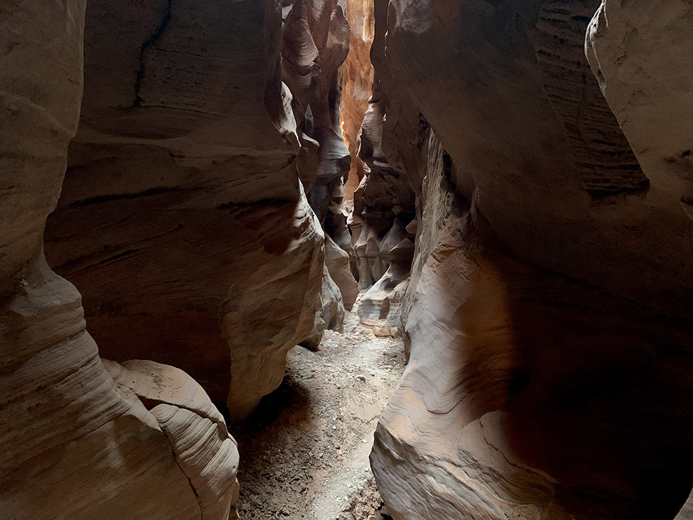
…then narrow again…
…
…
…narrower and darker…
…but sunny blue skye above…
…
…
…last rock fall before the confluence (Joanna was happy not to have to climb down the steps)…
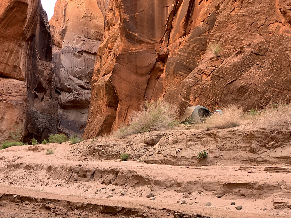
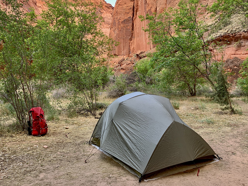
…camping just below the confluence of Buckskin Gulch and Paria River
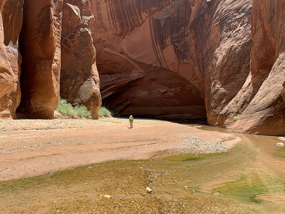
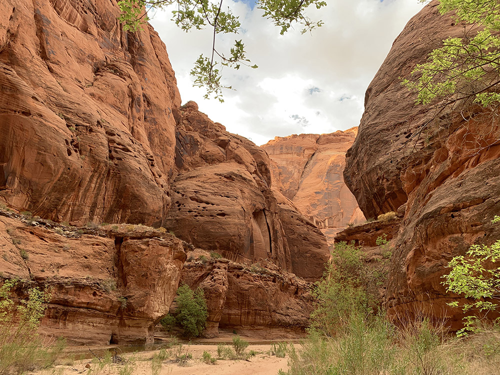
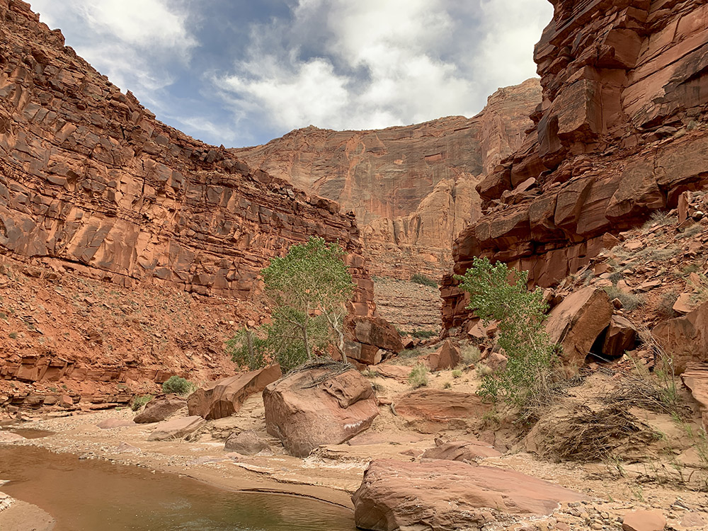
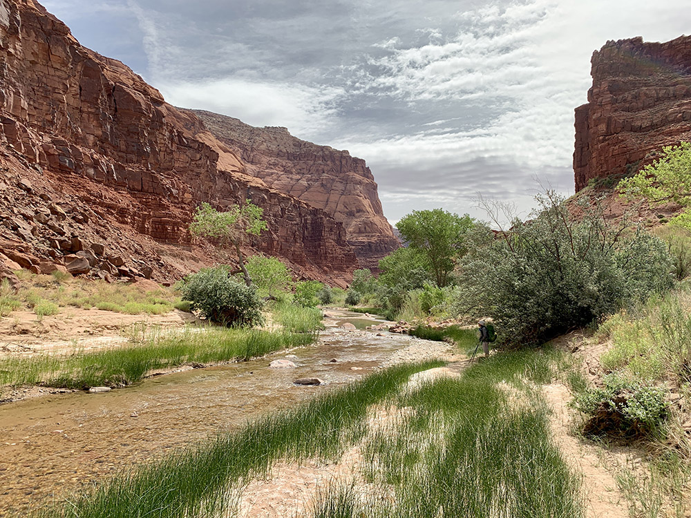
Heading up Paria River from the confluence with Buckskin Gulch…
…to the Arch…
…and then down the river
…
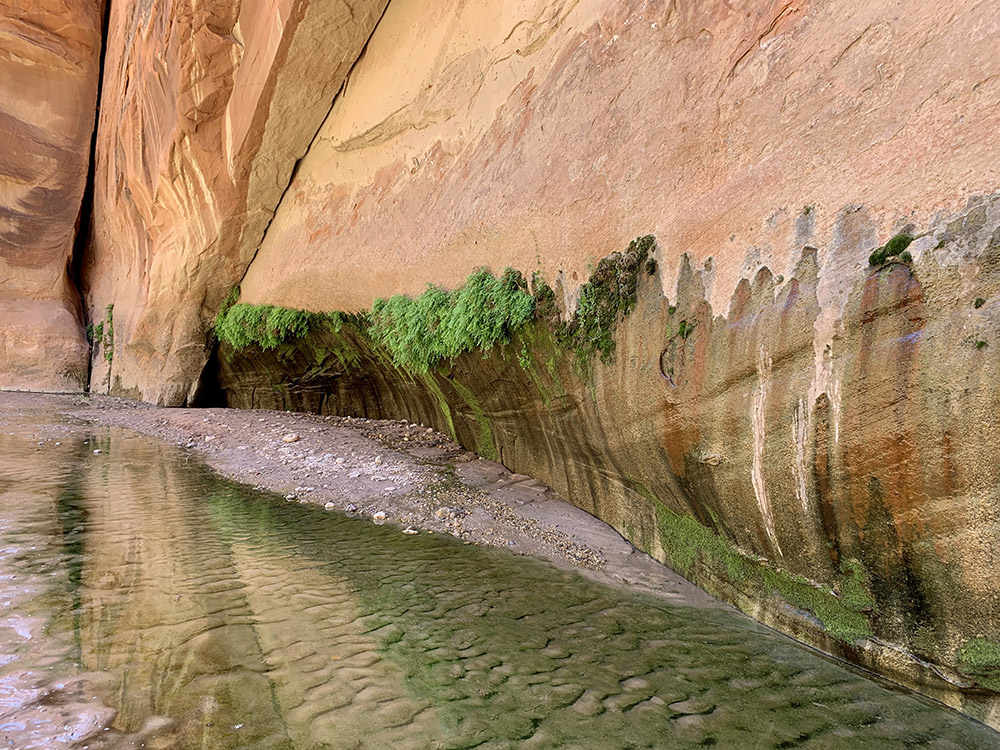
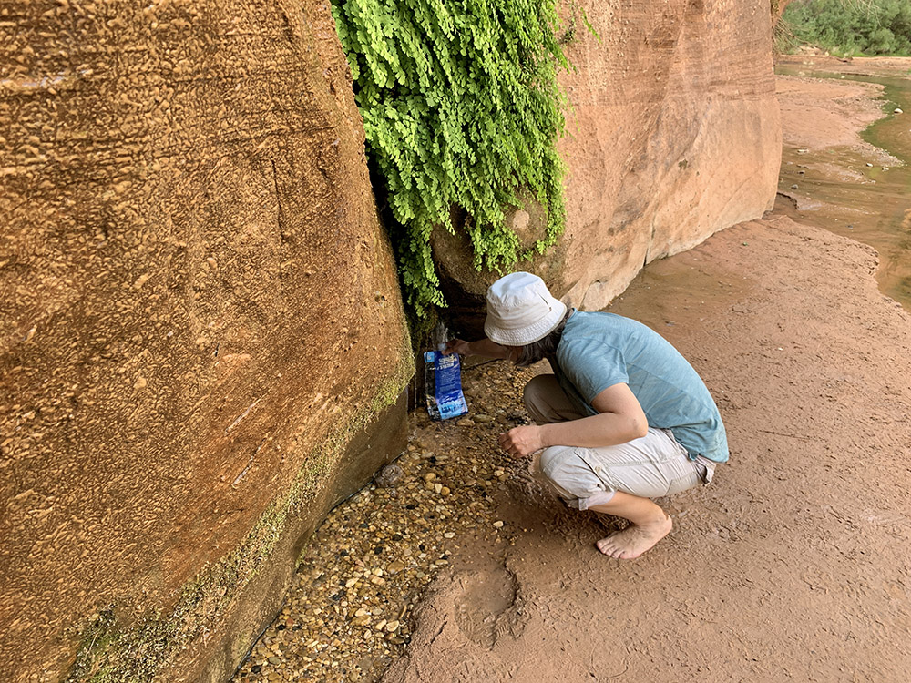
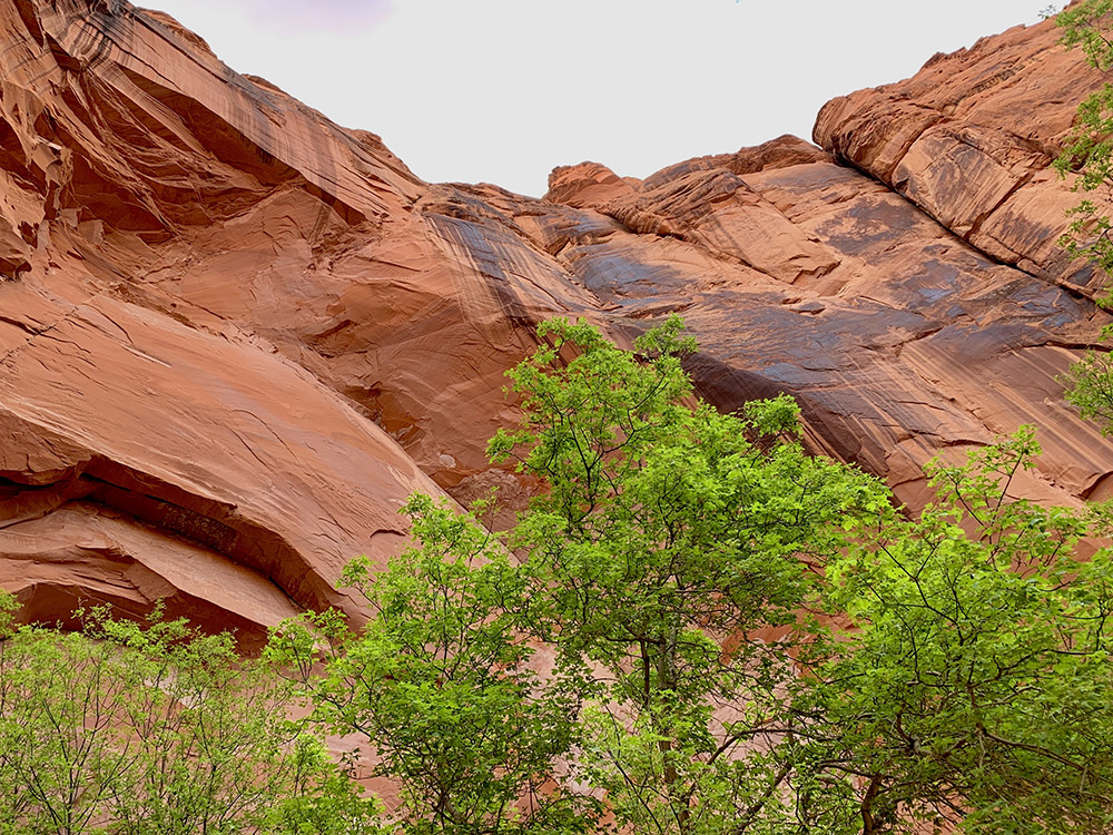
…side wall spring…
…
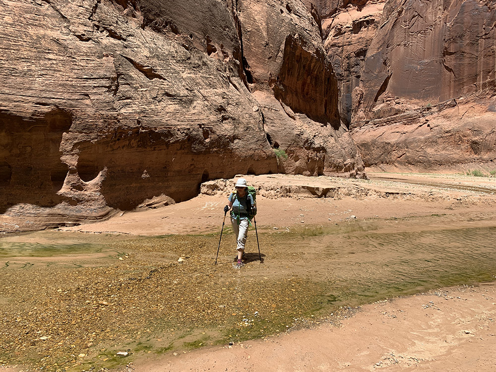
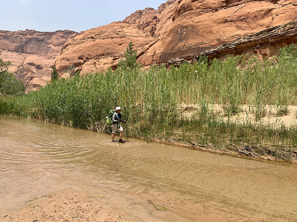
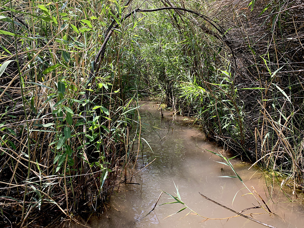
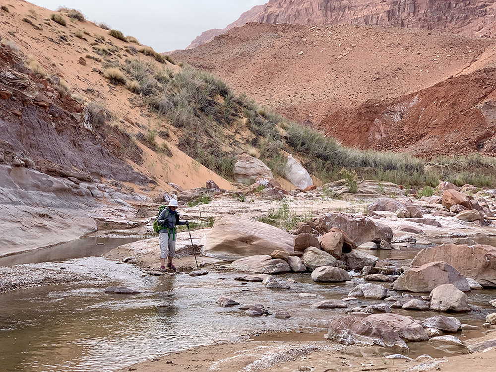
…wading through…
…
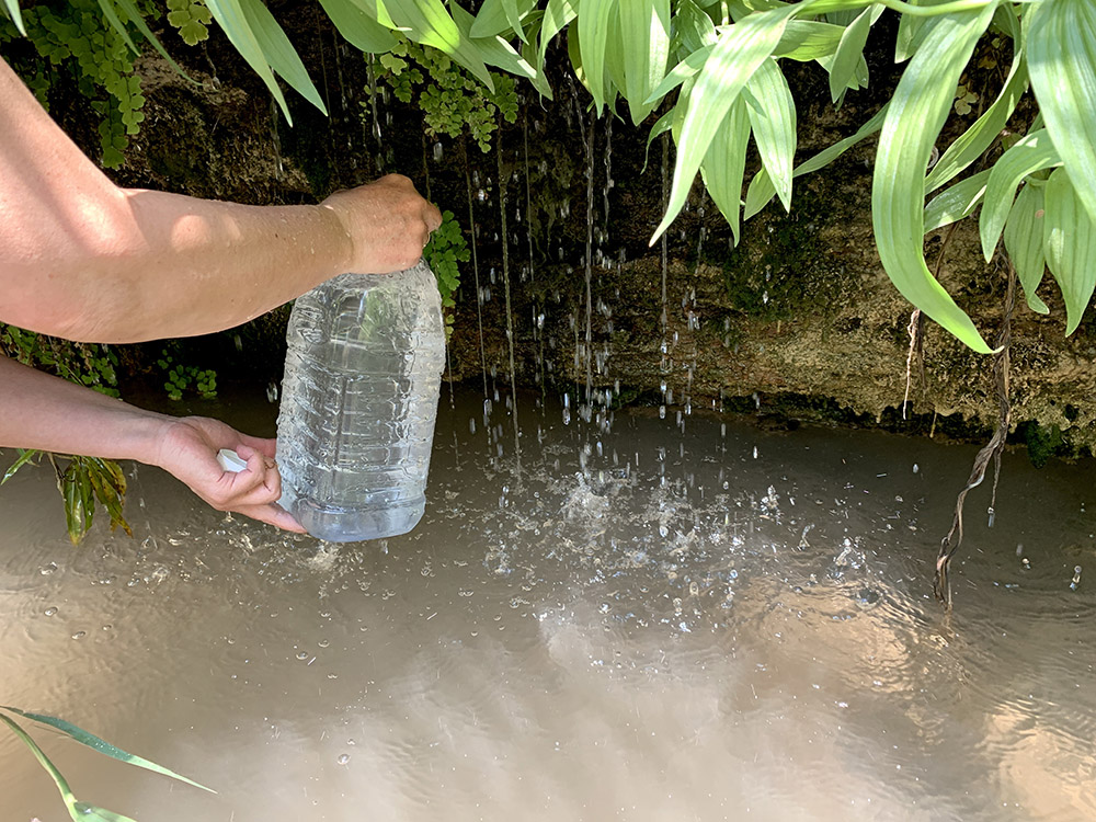
…collecting spring water…
…
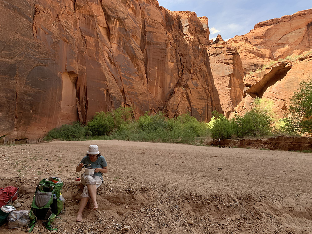
…lunch…
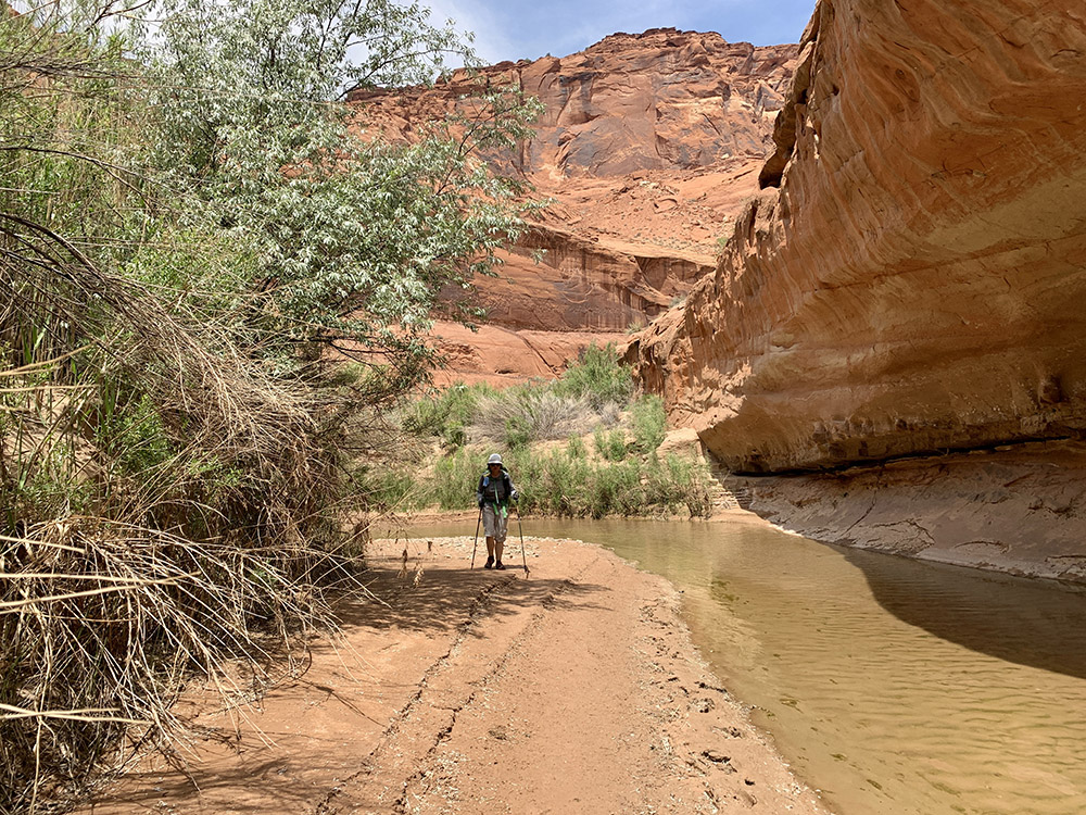
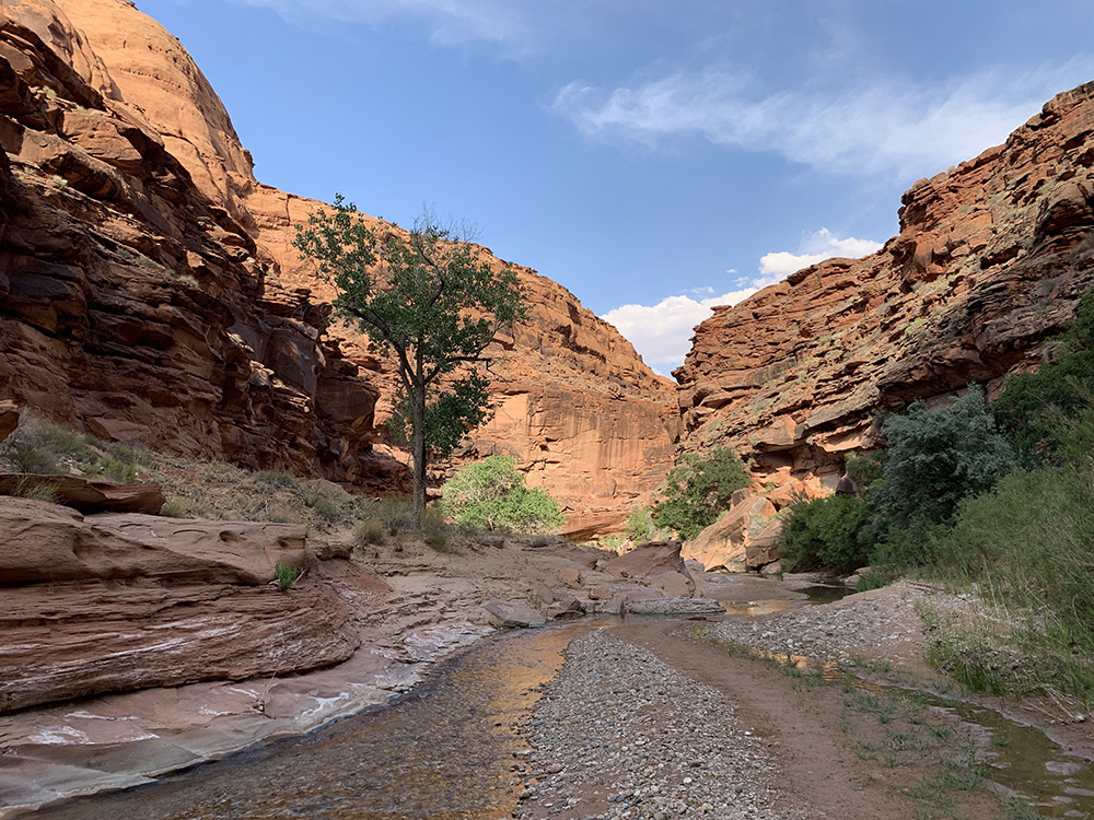
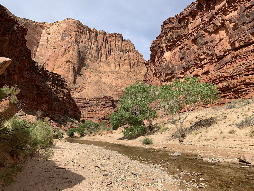
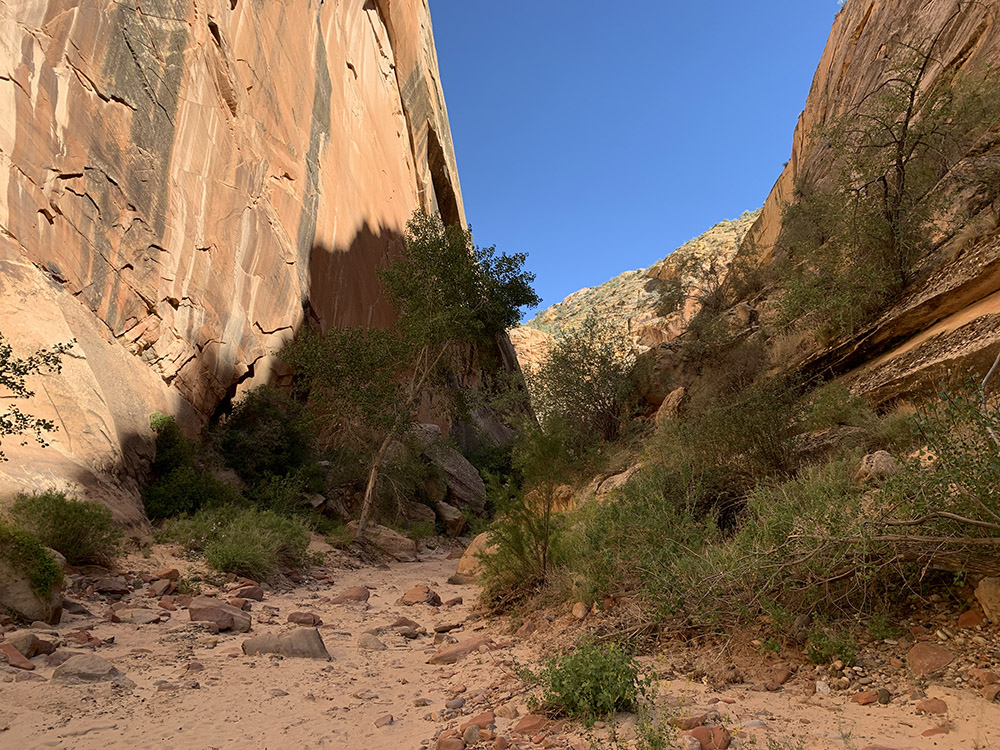
…more canyon walking…
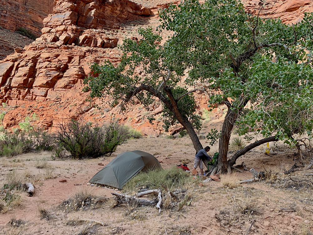
…campsite…
…big rock overhang (arch) above our tent…
…and the way out for next day
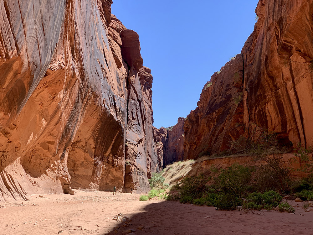
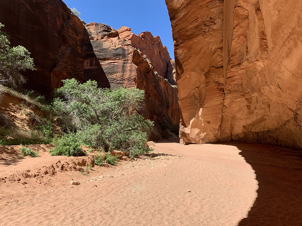
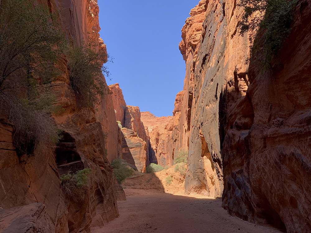
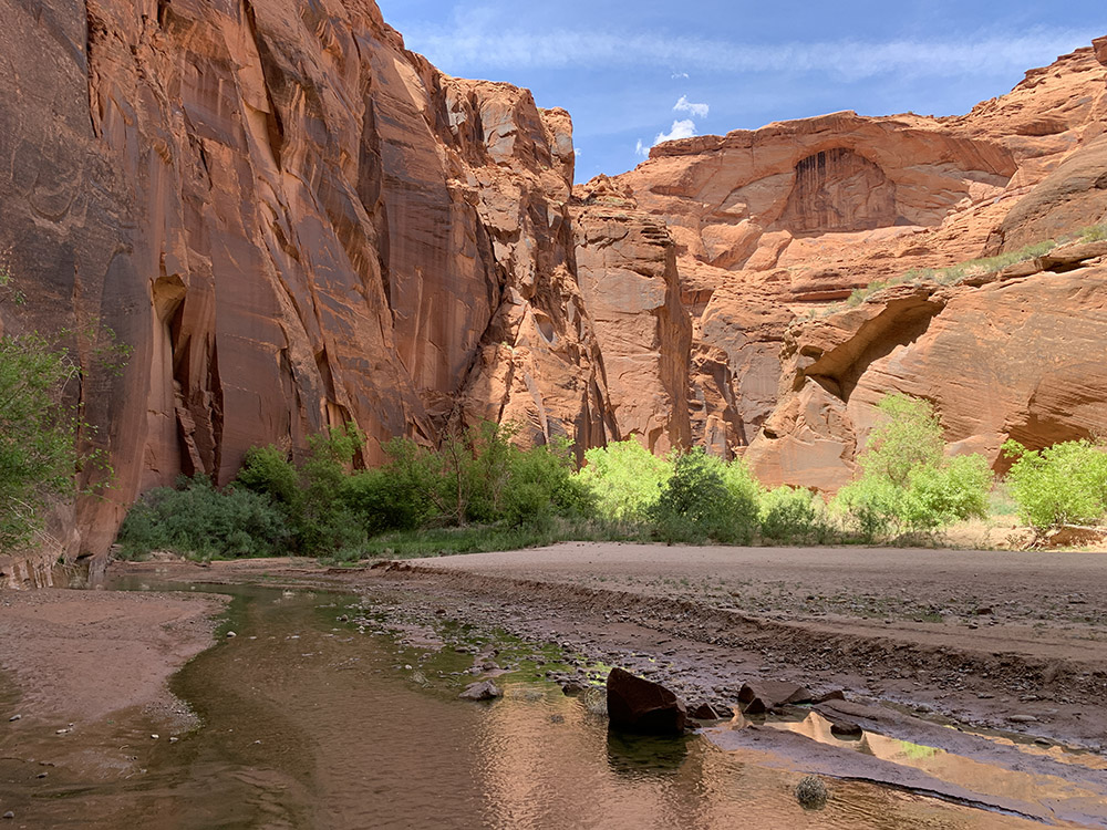
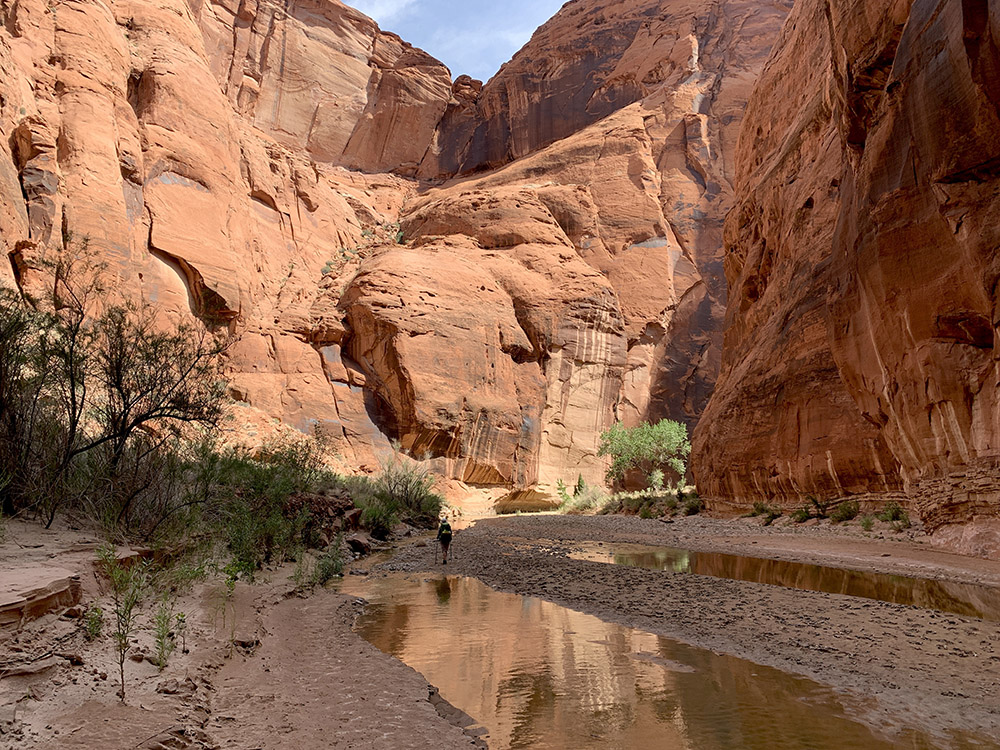
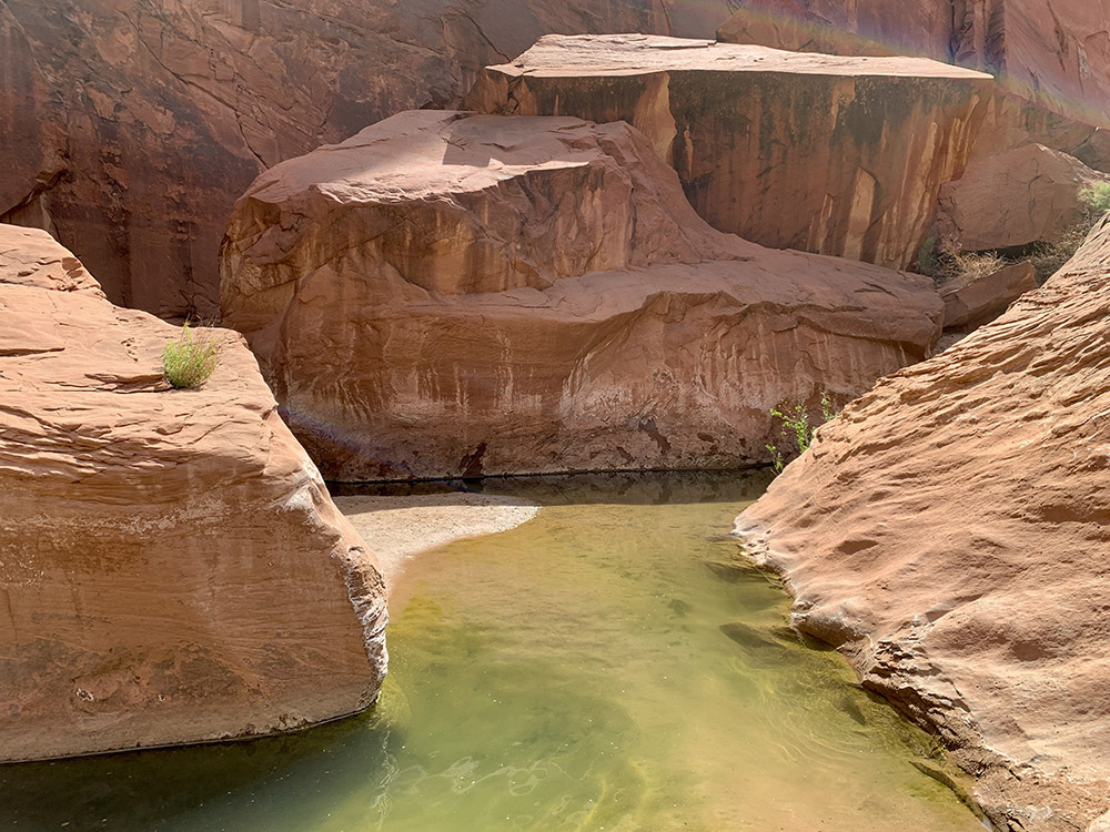
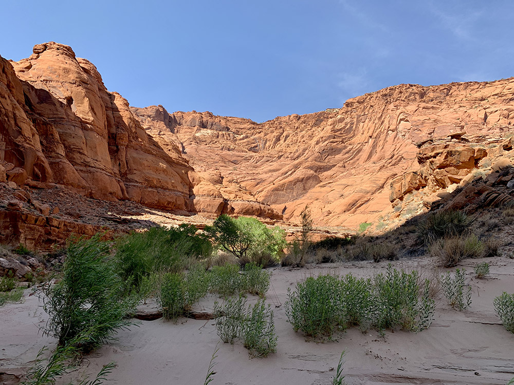
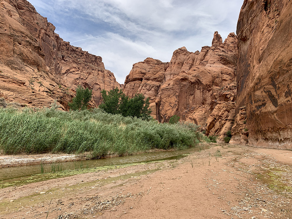
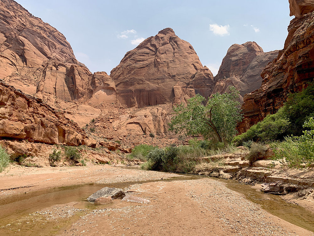
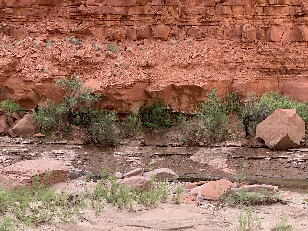
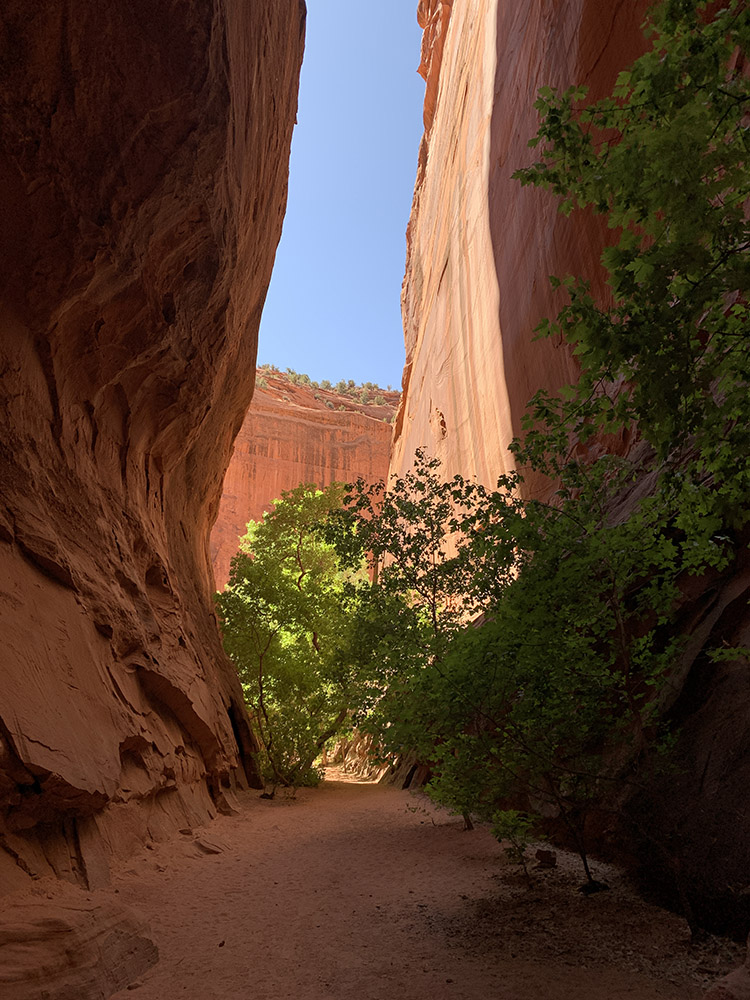
Paria River
…
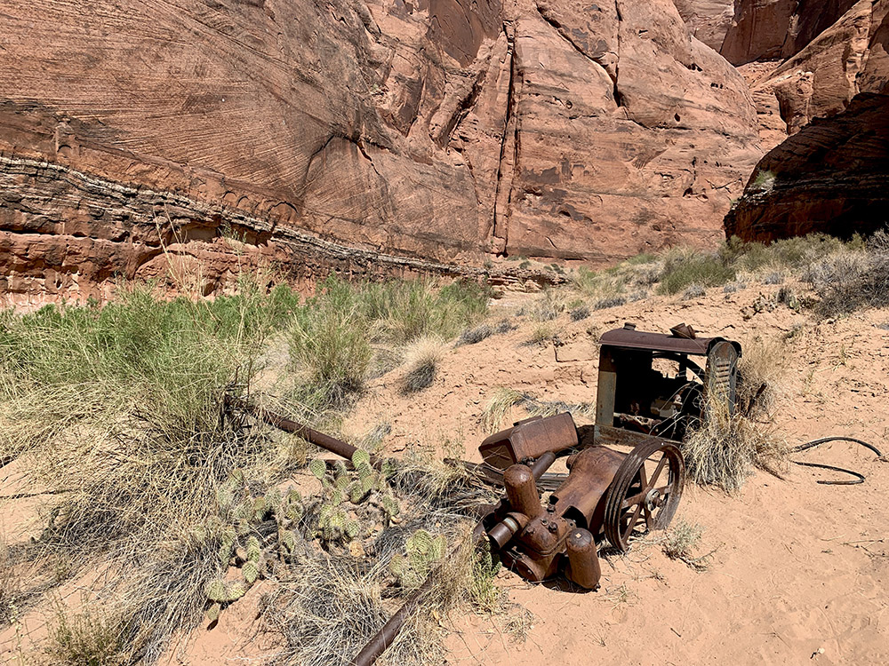
Rusting pump from failed attempts to pump water from the river for farming on the mesa above
…
…
…
…
…
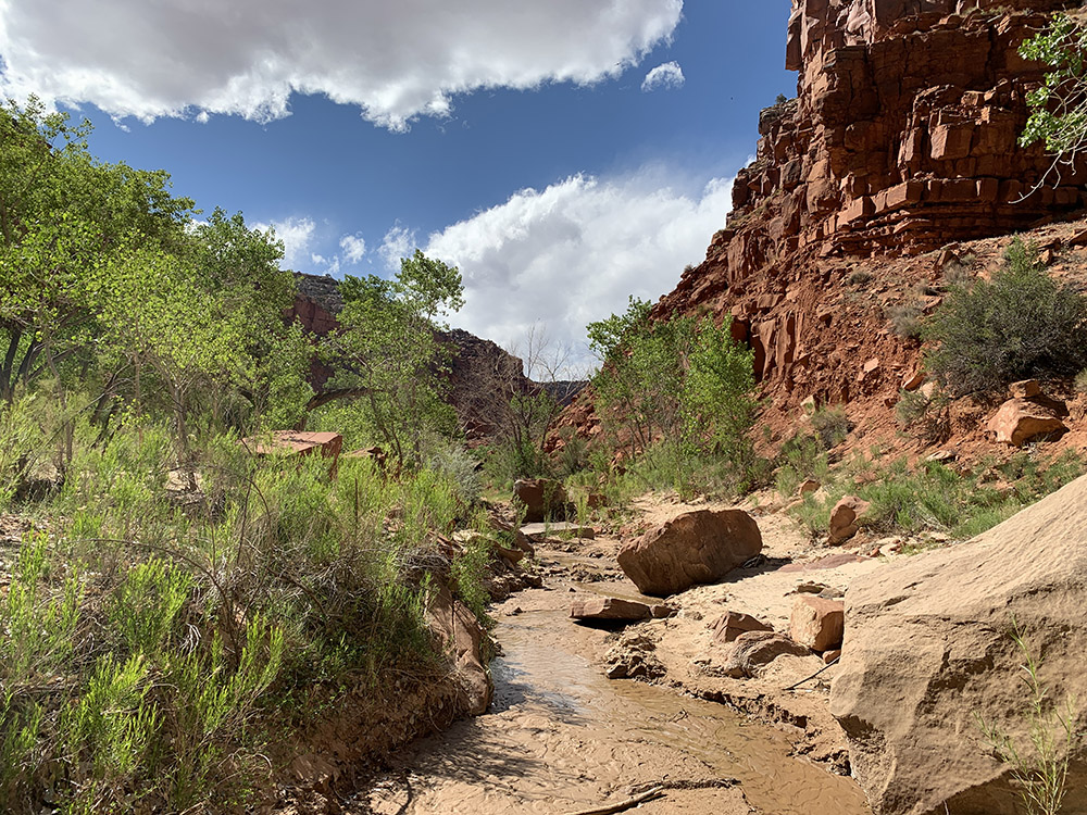
Way to Big Spring
Crystal clear spring water dripping into muddy pool and filling our bottles quickly
…
…
…
Shower Springs…
…and our camp on a sand bar across the river from the springs
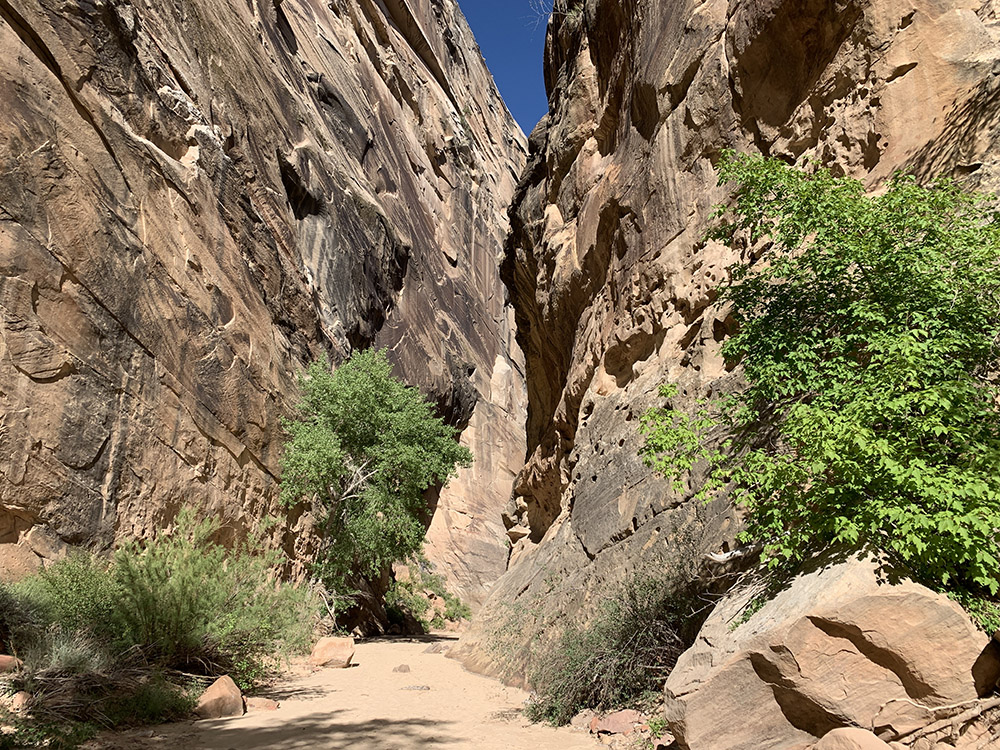
Still a canyon…
…
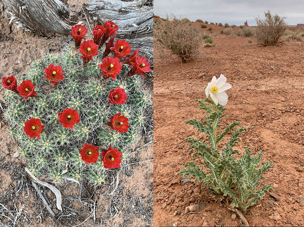
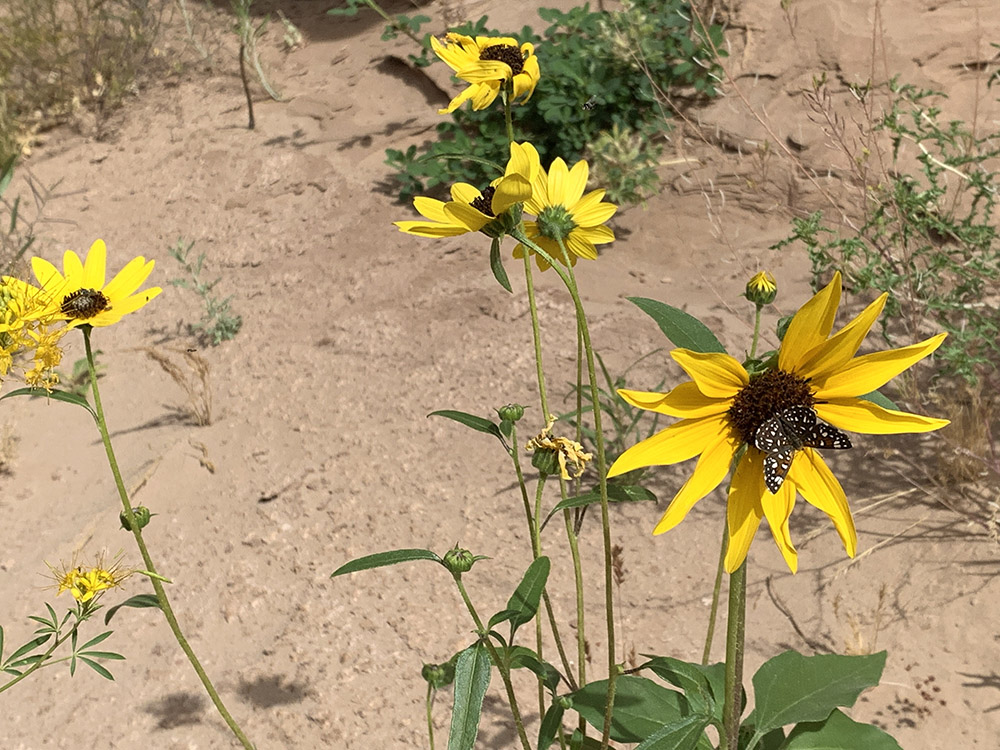
Spring flowers
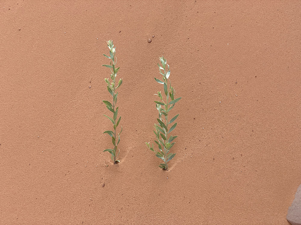
…more signs of desert vegetation
…
…
Walking on volcanic ash
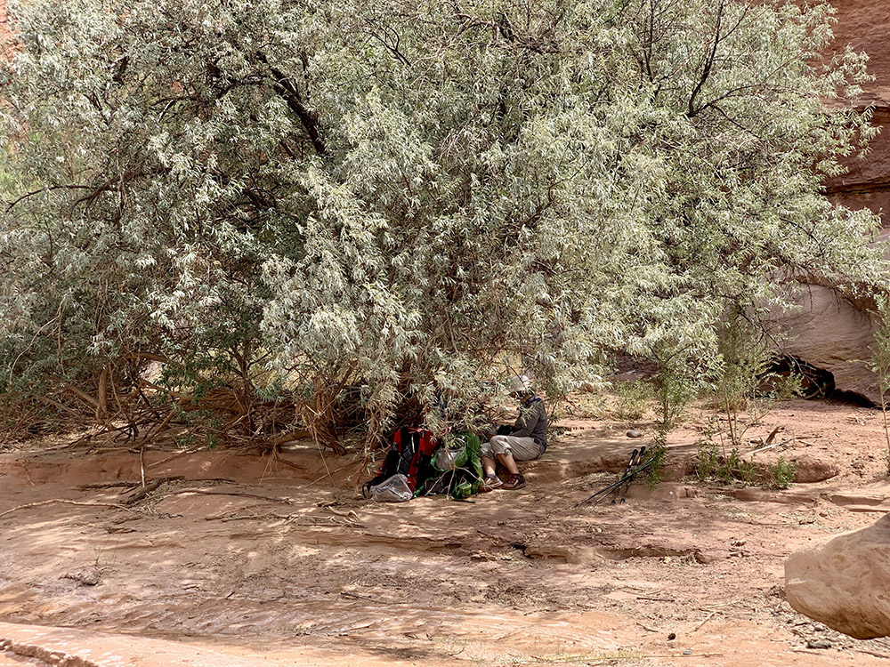
Hard to find shaded lunch spot
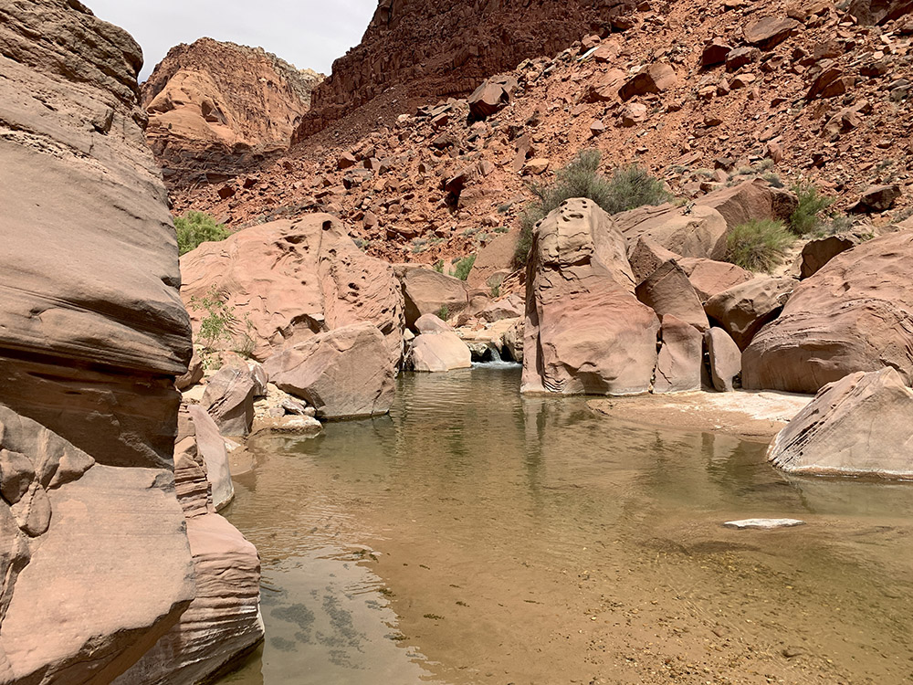
But plenty of water around to soak-in/swim after lunch
Orange-pink dunes
Dry crossing
People came here, who knows when
…
At times dust in the air turned into sand storm (almost)
Wilson Ranch
Locals at our campsite (did not go to sleep until after dark)
People tried to settle here under the dunes (we camped here)
Shortcuts cutting across meanders…
…
…
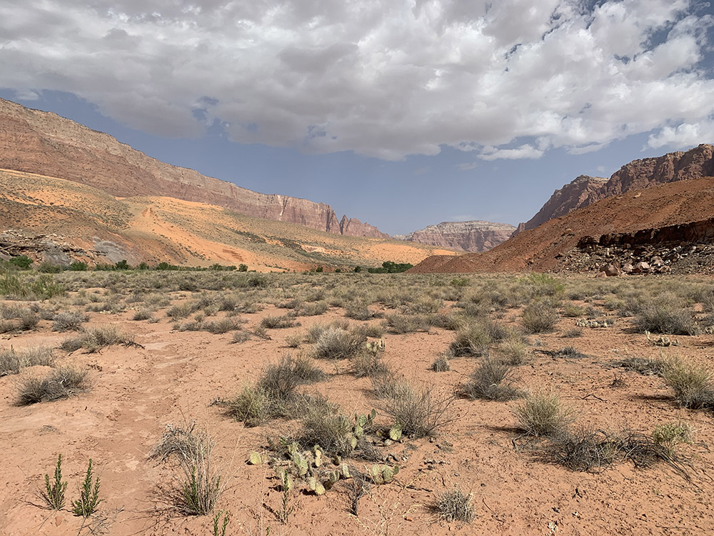
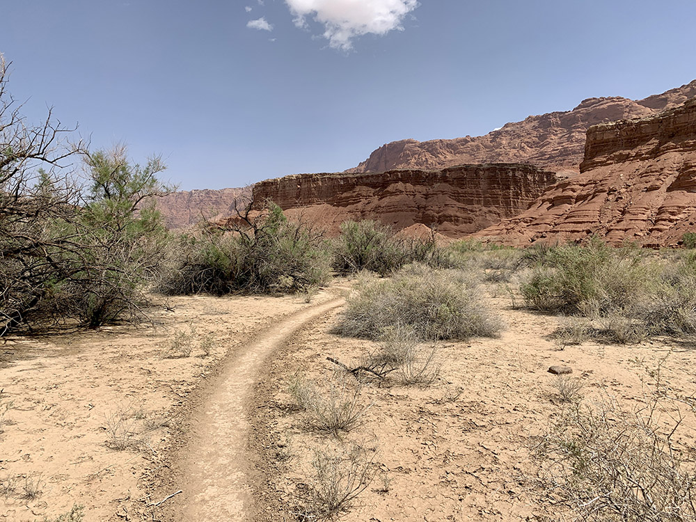
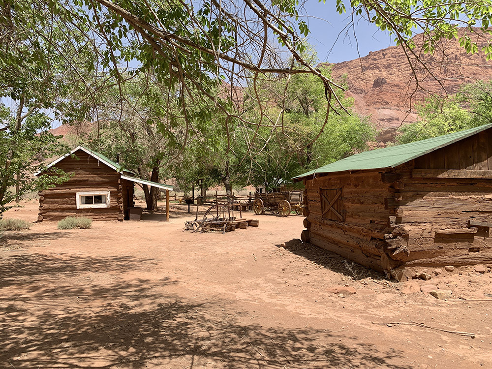
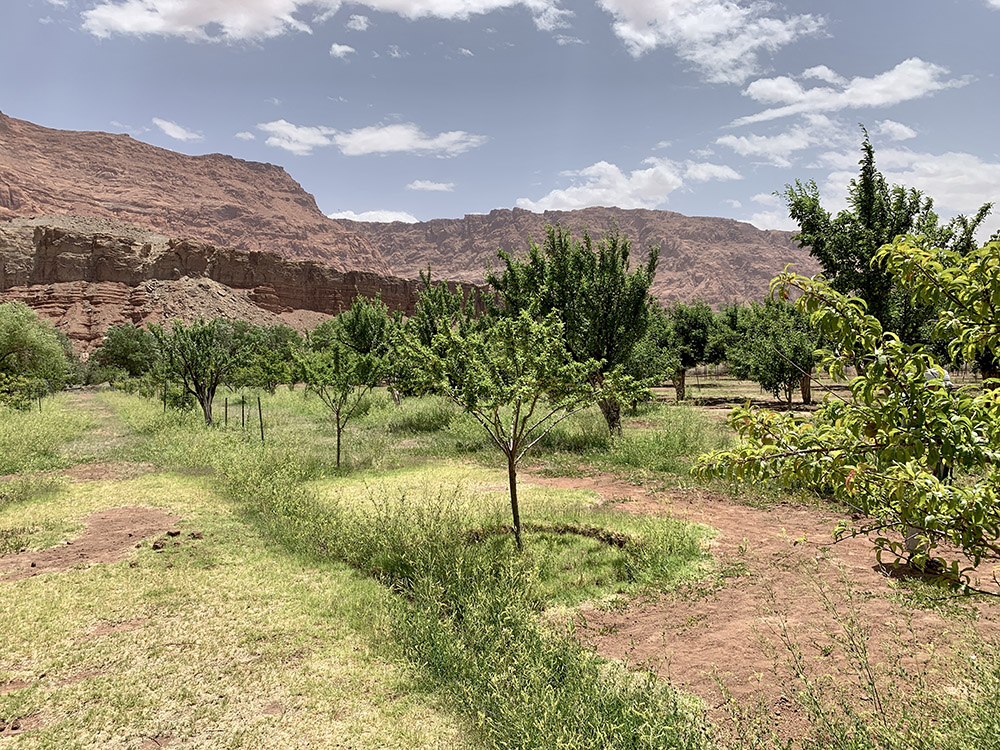
Lonely Dell Ranch
Orchards at the ranch
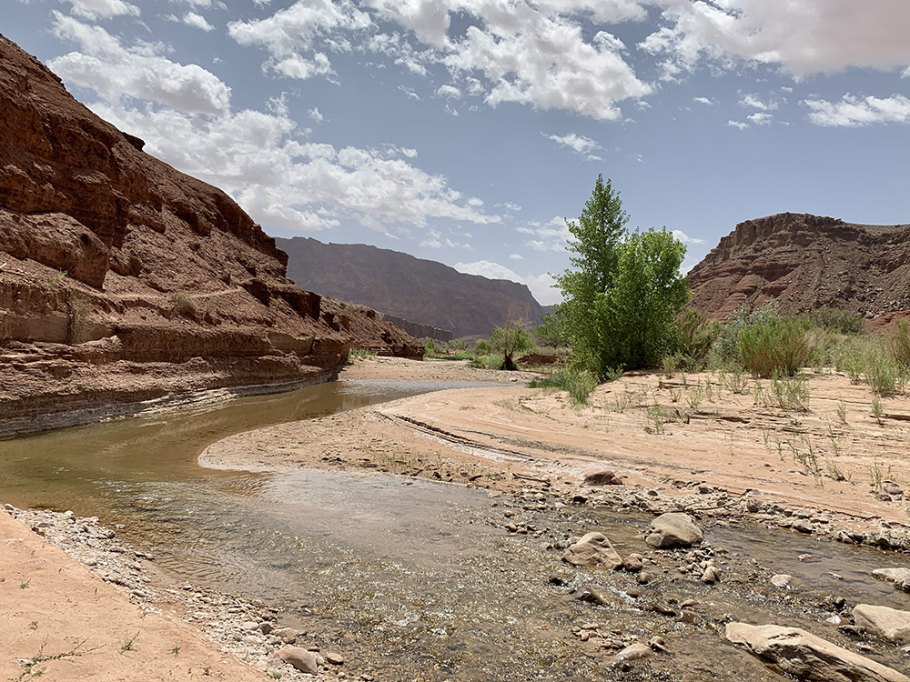
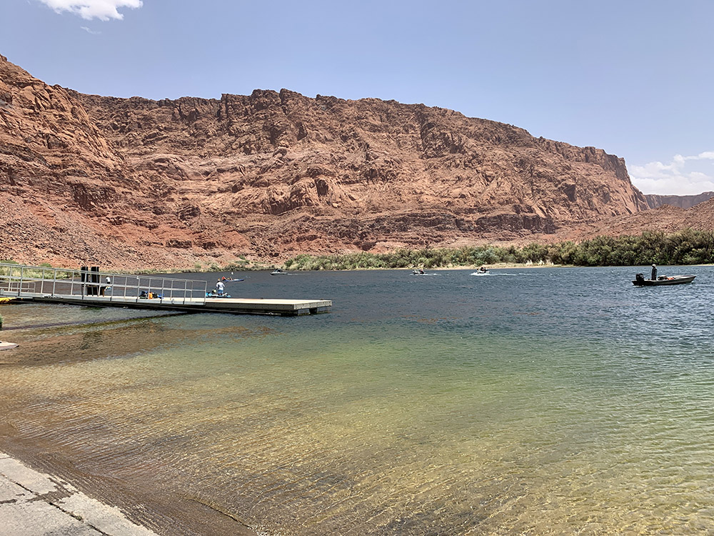
Lees Ferry, Colorado River
Colorado River
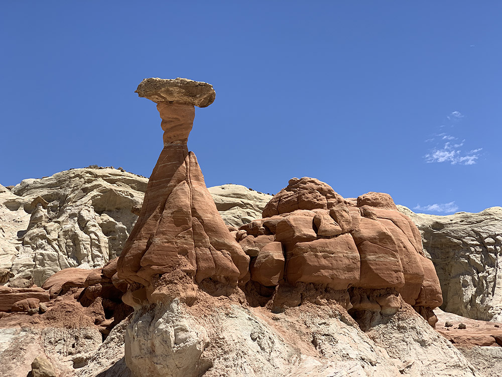
Toadstool Hoodoos…
…
…
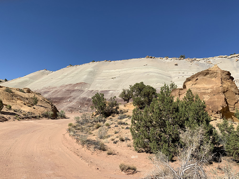
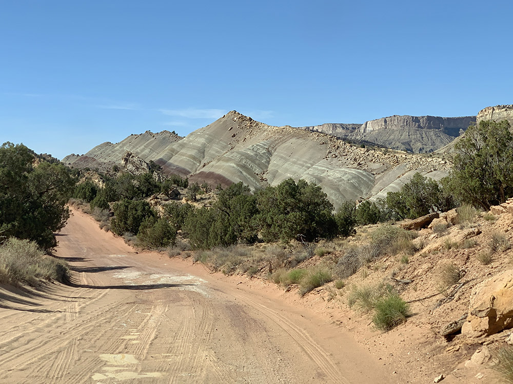
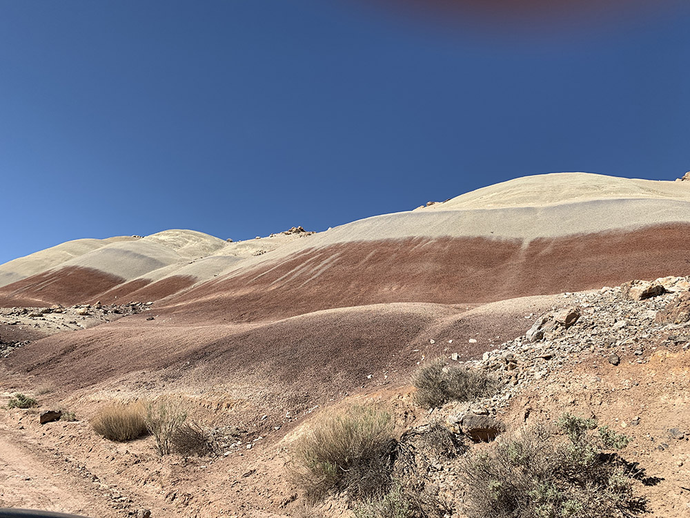
Upper Paria River near Cottonwood Canyon Rd
…and we are heading into Hackberry Creek canyon…
…
…
…
Camp at Cottonwood Creek (dry)
Cottonwood Canyon Rd
…
…
Cottonwood Narrows
…
…
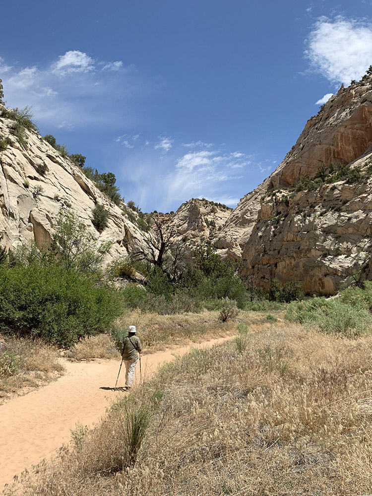
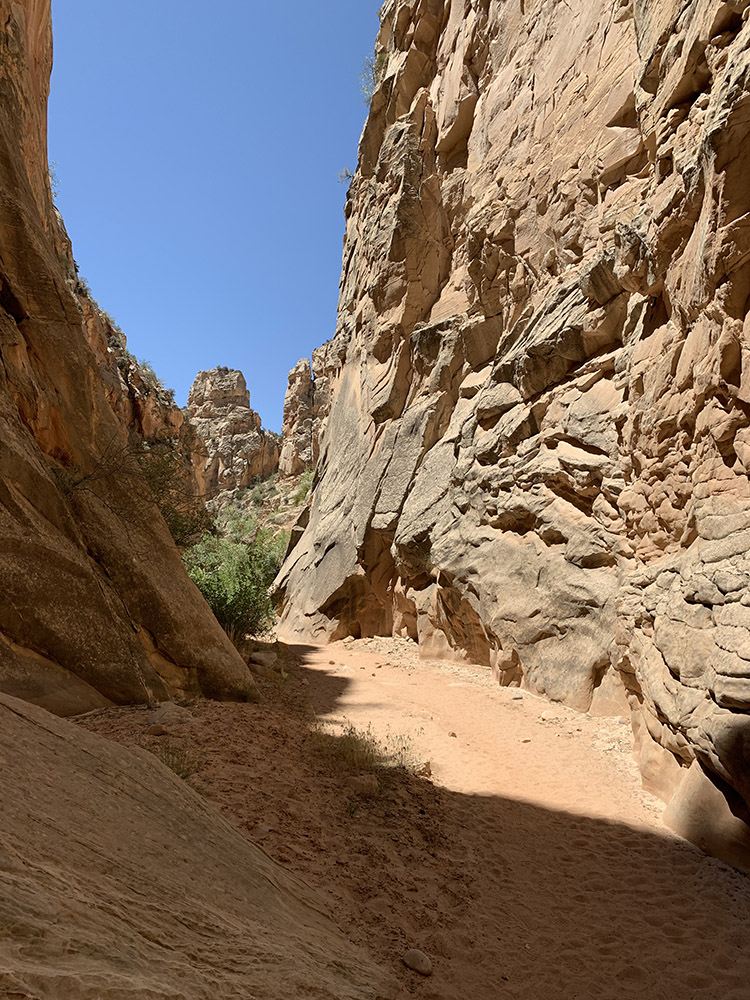
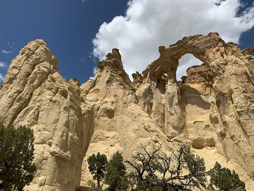
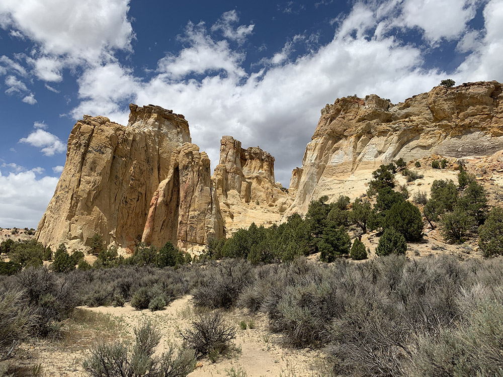
Grosvenor Arch
…
…
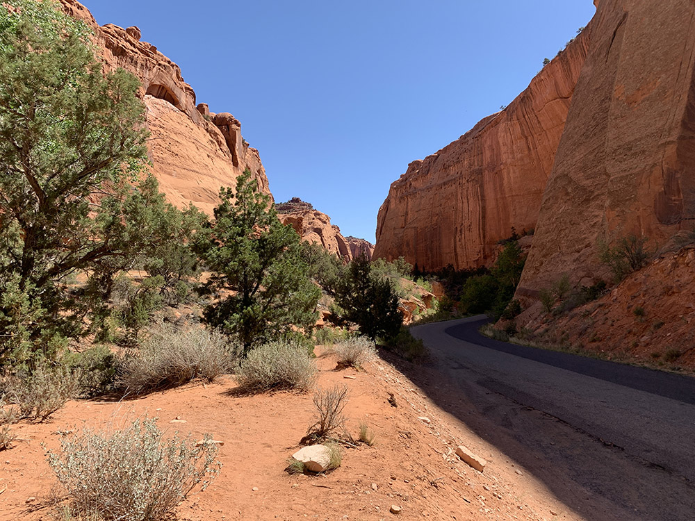
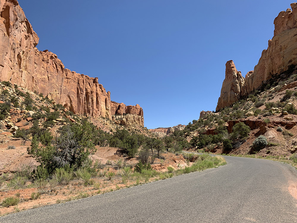
Cottonwood Canyon Rd, Grand Staircase-Escalante
Kodachrome Basin in the distance
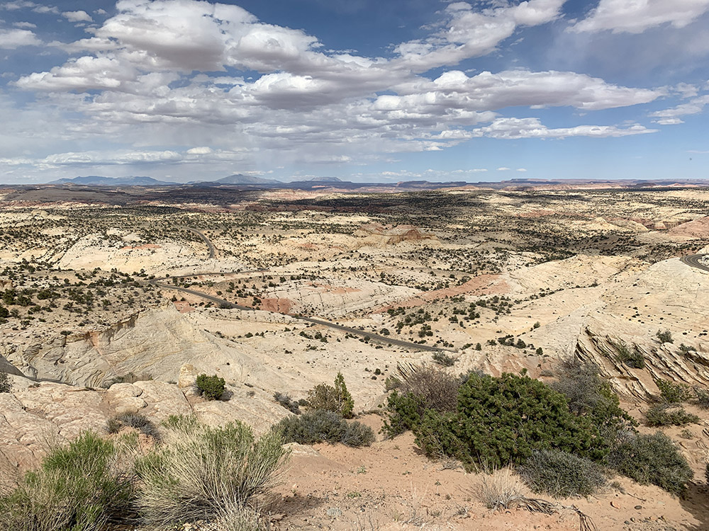
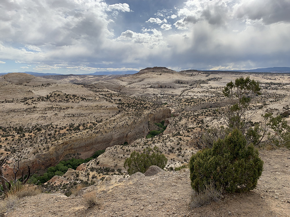
Scenic byway on the way to Escalante (Hwy 12)…
…and towards Boulder..
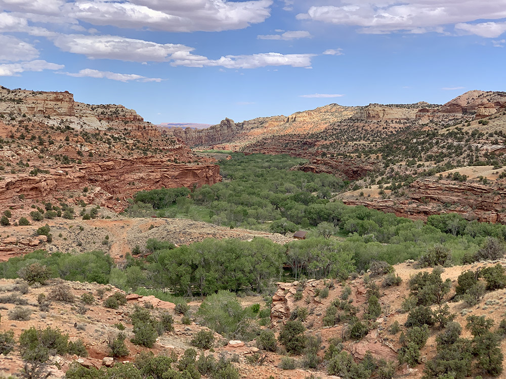
…Escalante River…
…Calf Creek
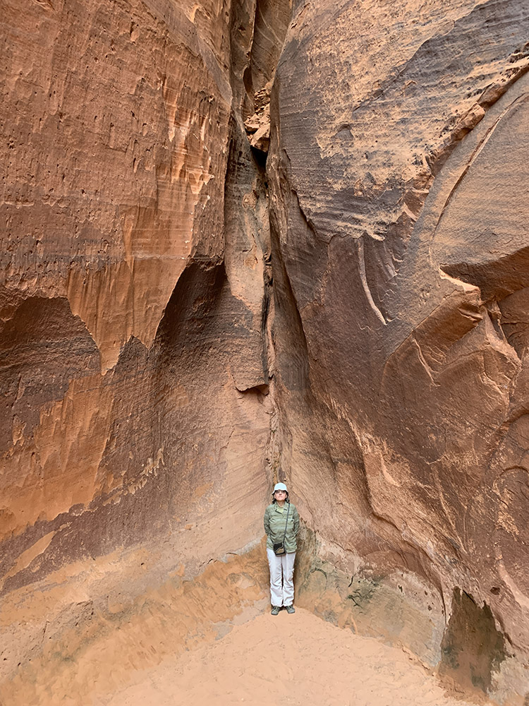
Walked to the end of short…
…Singing Canyon
Long Canyon, Burr Trail Rd…
…
…
View east from top end of Long Canyon
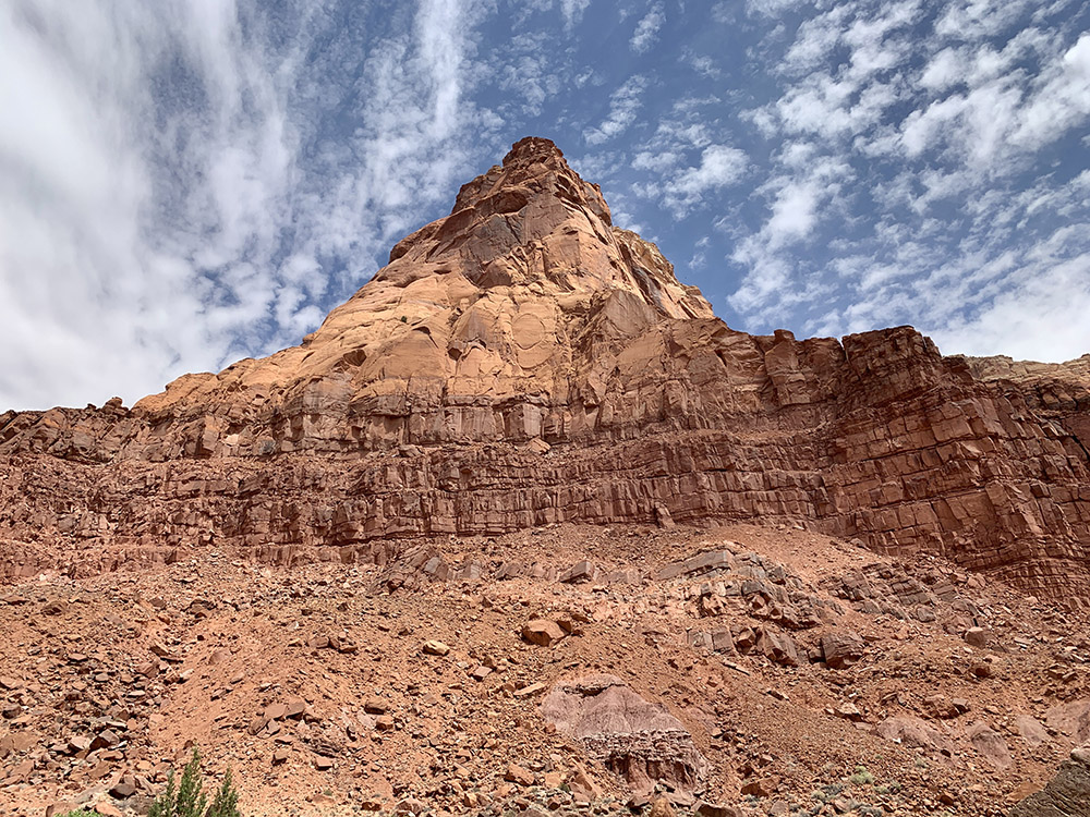
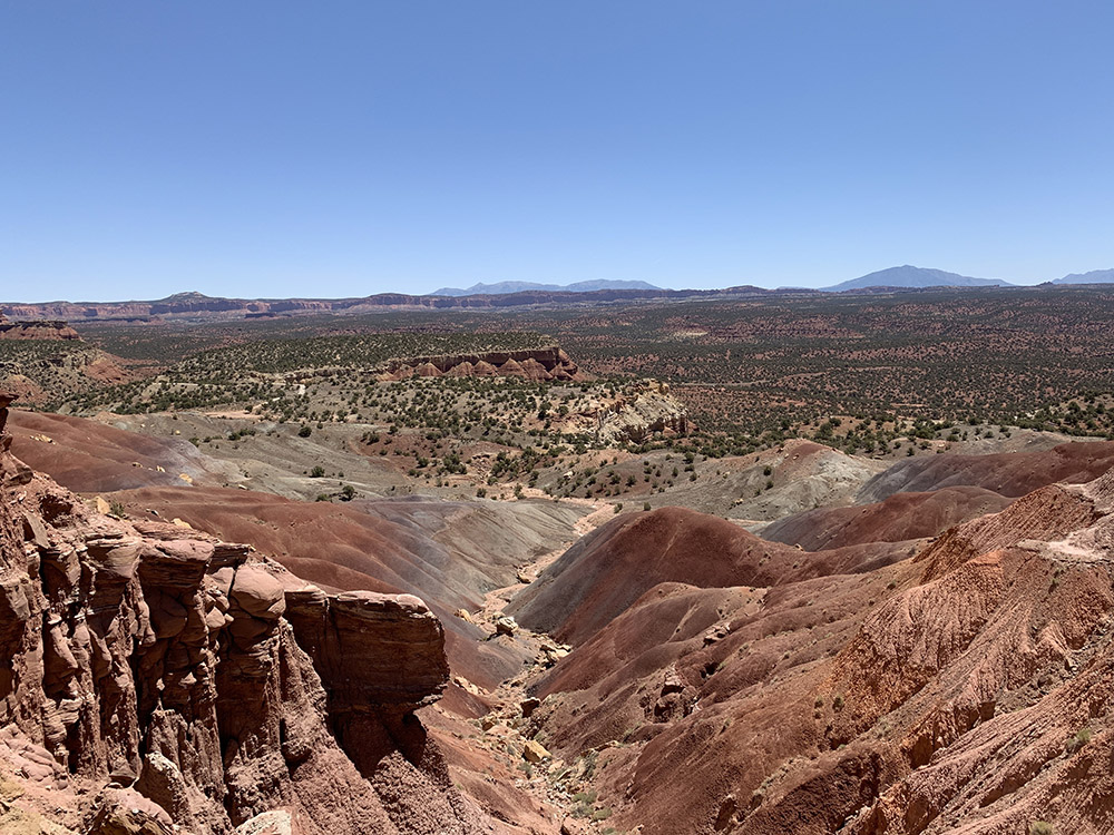
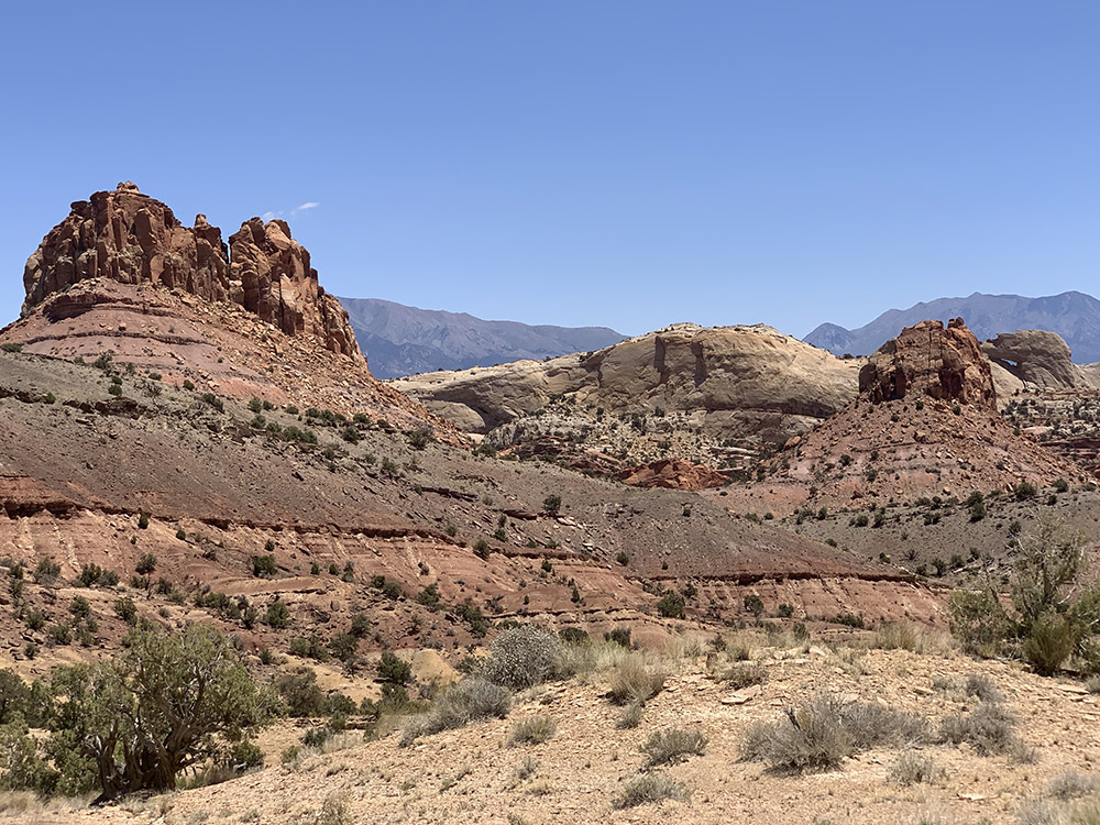
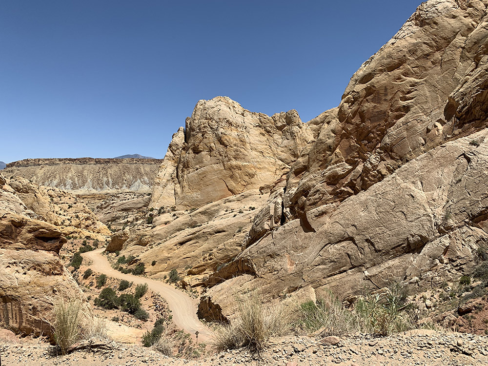
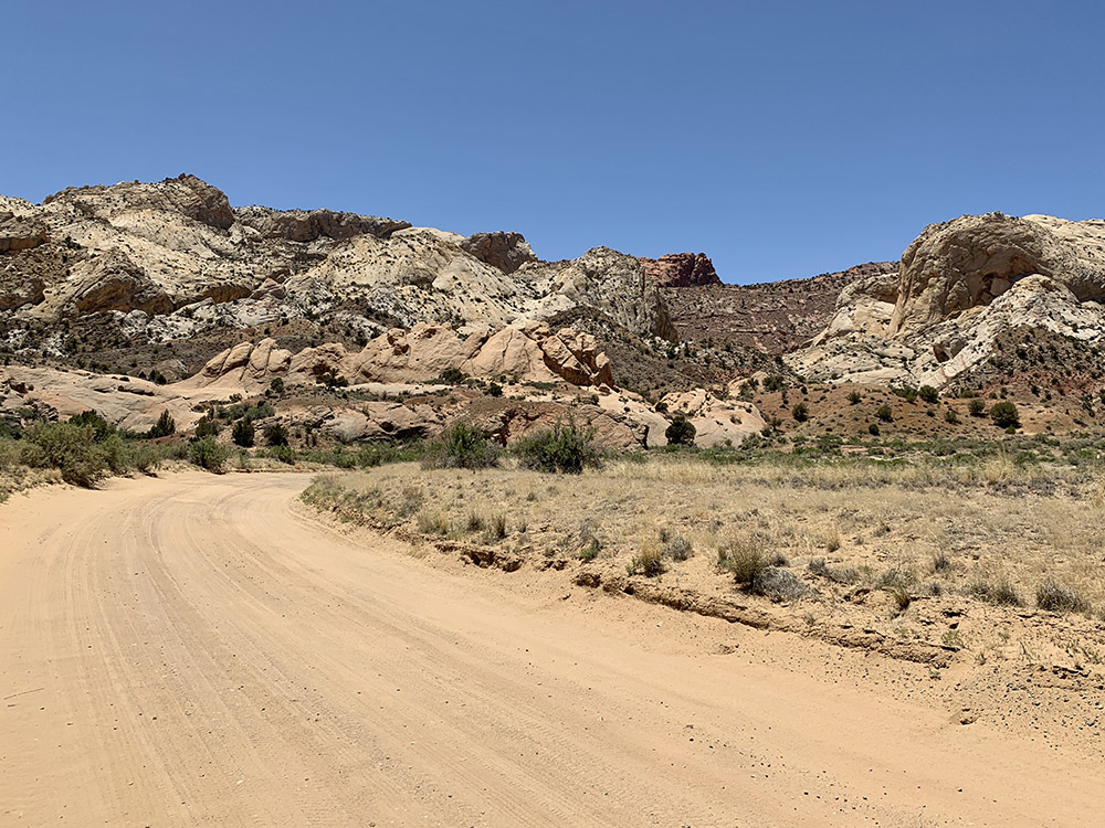
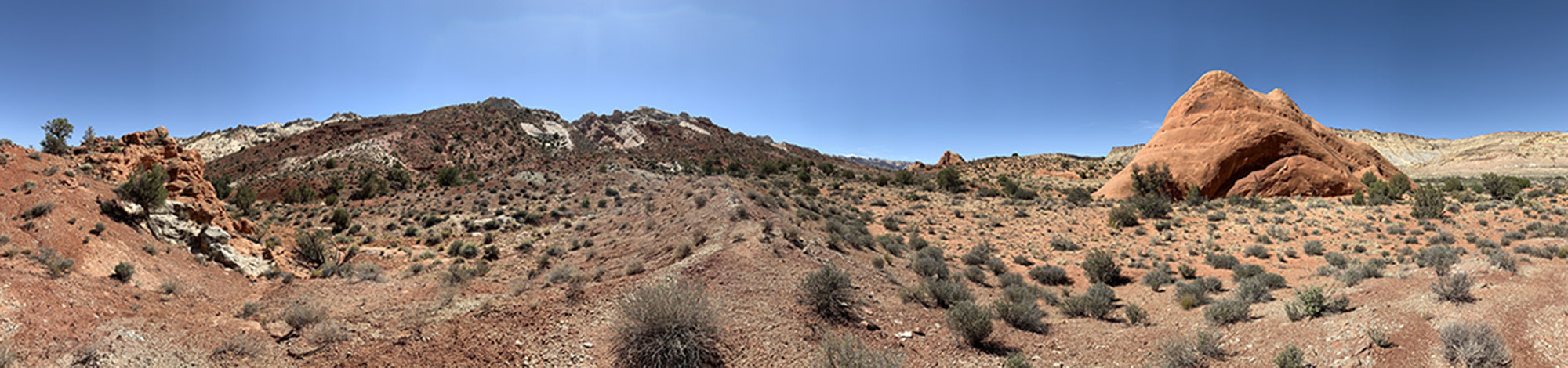
Capitol Reef NP
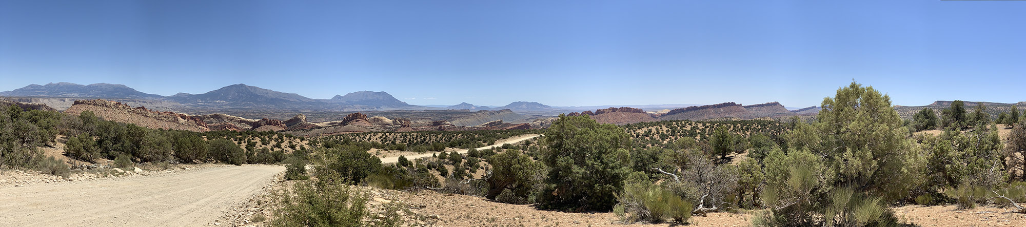
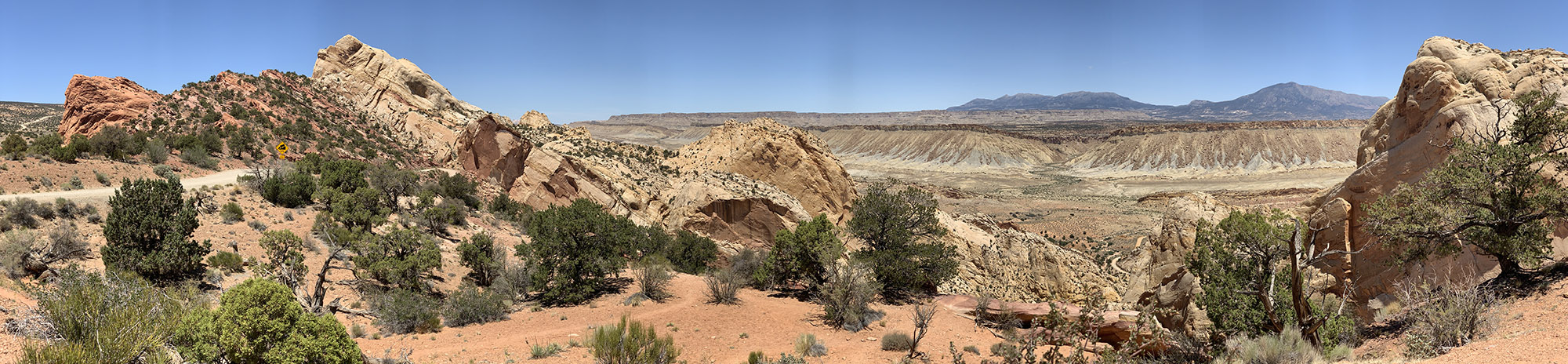
Lunch on top of Burr Trail Switchbacks…
The switchbacks down to…
…Notom-Bullfrog Rd
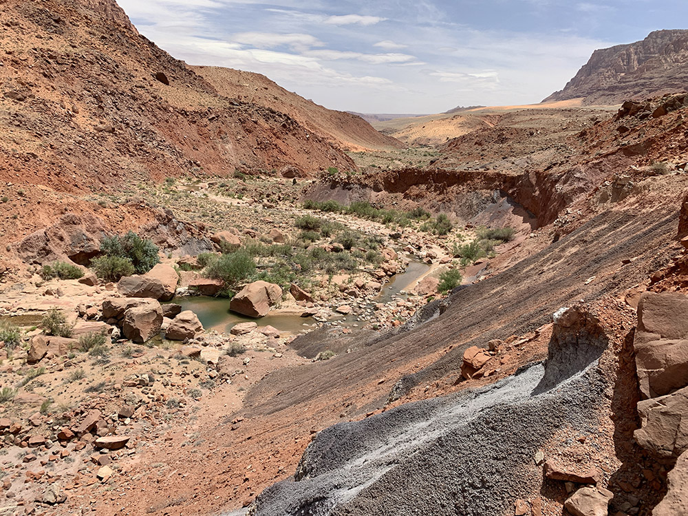
Hike to Headquarters Canyon
Entering Capitol Reef NP from west on Burr Trail Rd
View east from the top of Burr Trail Switchbacks through Waterpocket fold (Strike Valley and Notom Rd below)
Hiking towards Headquarters Canyon from Notom Rd trailhead (Capitol Reef NP)
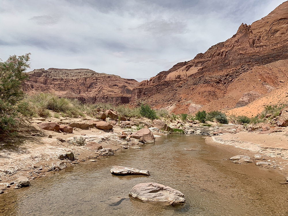
Headquarters Canyon
…
…
…
Hiking back from Headquarters Canyon
Heading north on Notom Rd
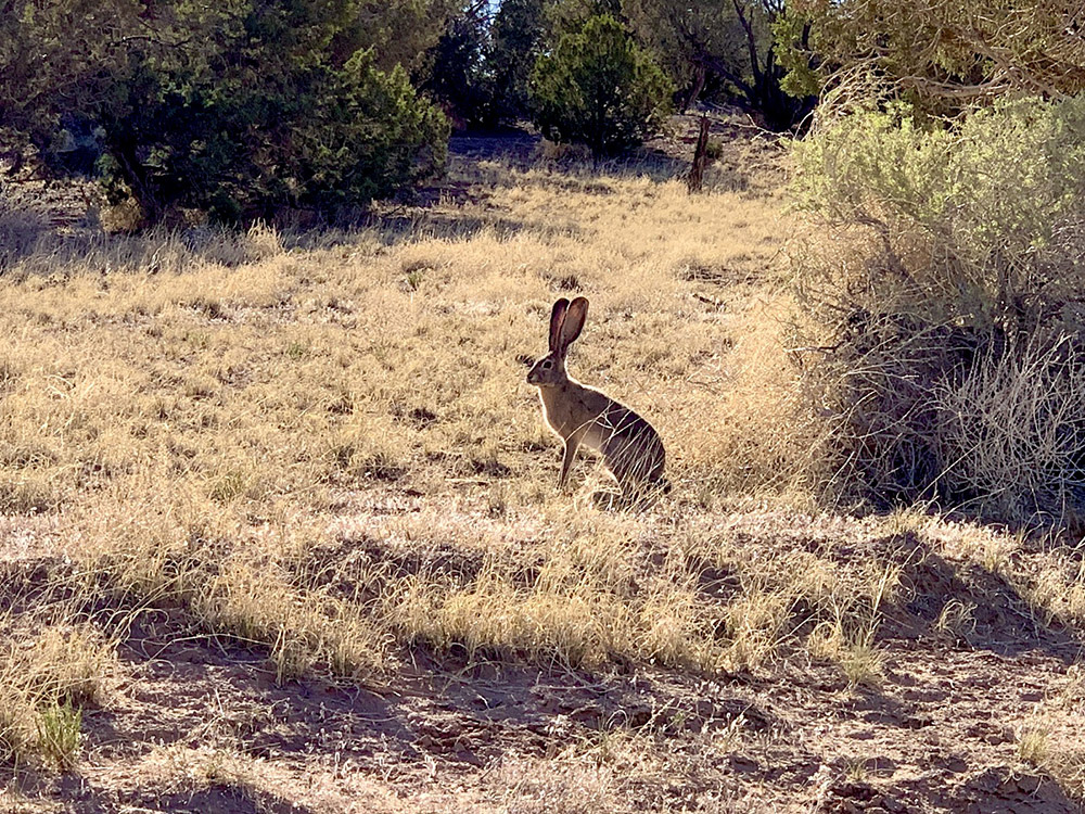
Blacked-tailed jackrabbit
…
…
Sandy Ranch and Henry Mountains in the distance
Desert flowers
Hoodoos near Notom Rd
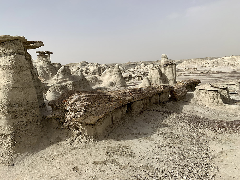
Camping under Oyster Shell Reef
Driving to Horseshoe Canyon
…
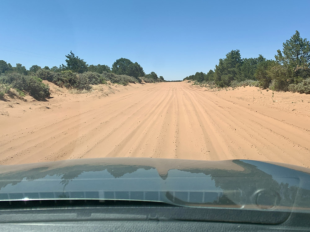
Driving through sand dunes
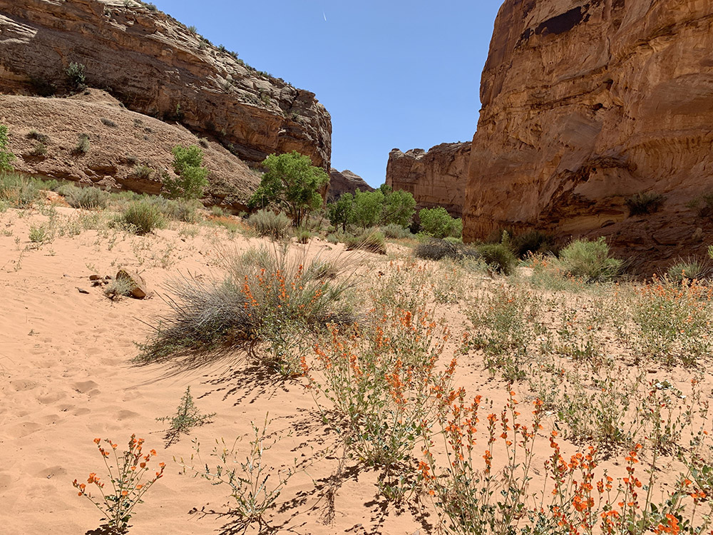
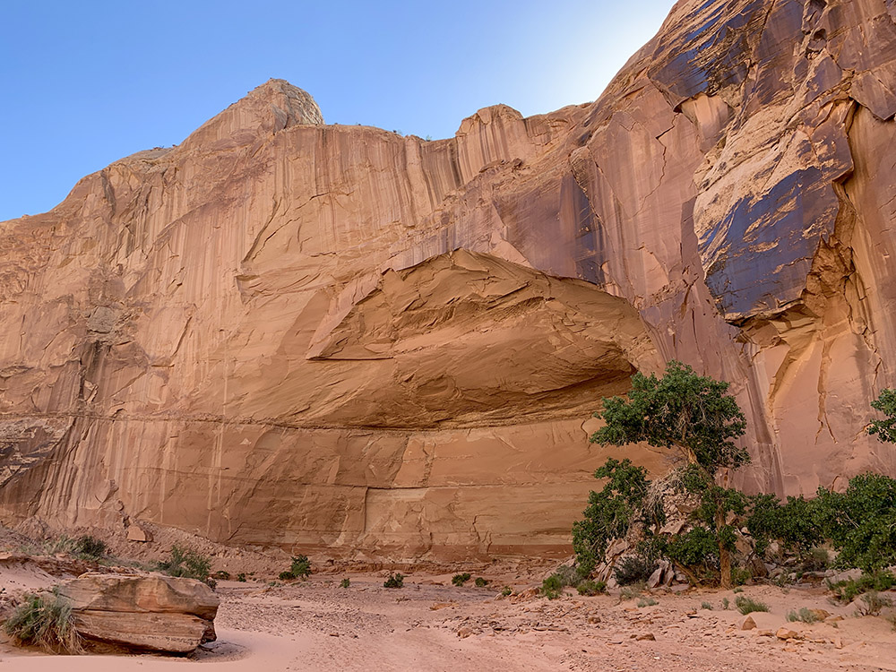
Horseshoe Canyon
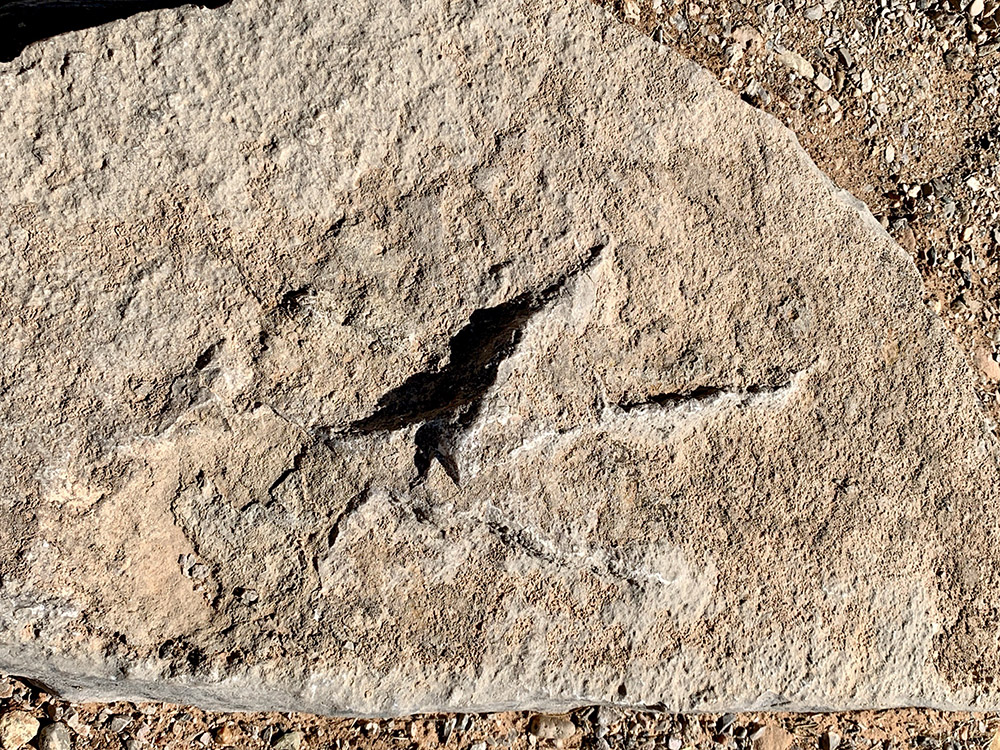
Dinosaur track
Descending to the canyon
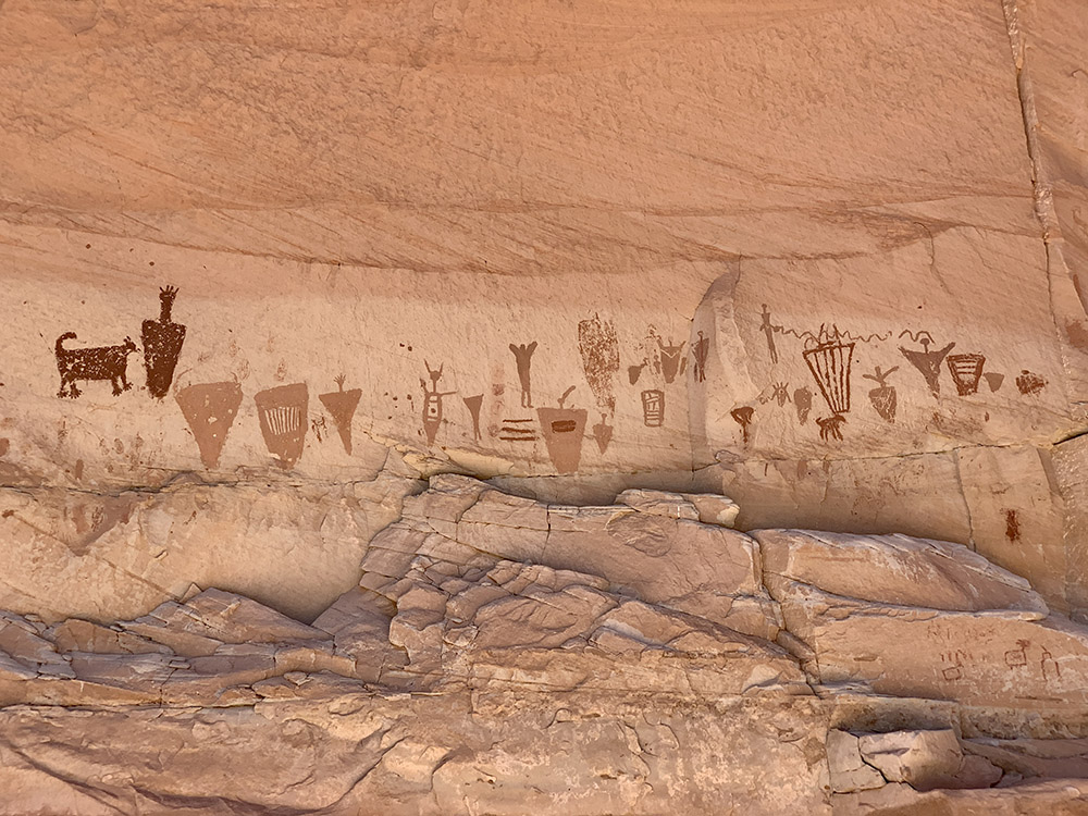
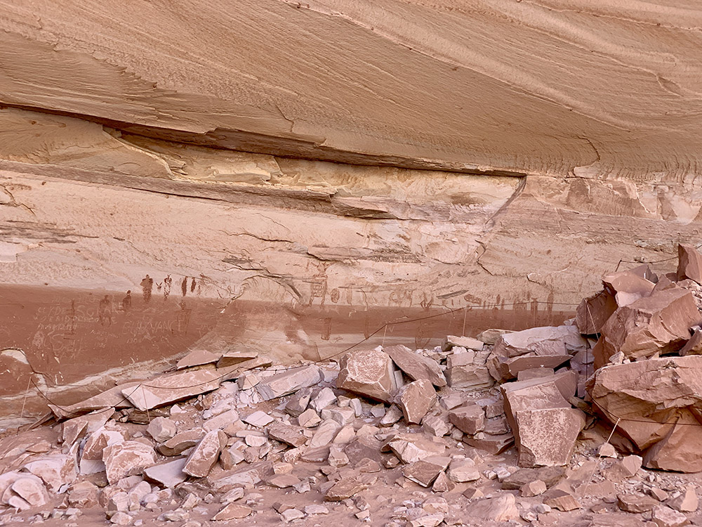
High Panel (the oldest pictoghraphs)
Horseshoe Panel
…
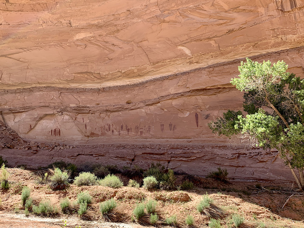
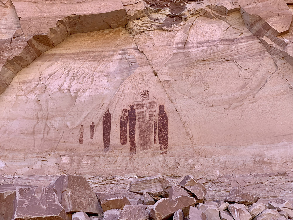
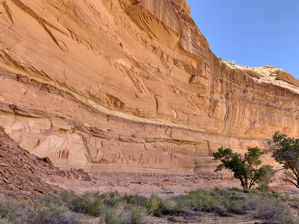
Great Gallery
Great Gallery
…
Alcove Panel
Alcove
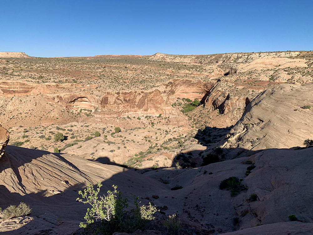
Back at the rim
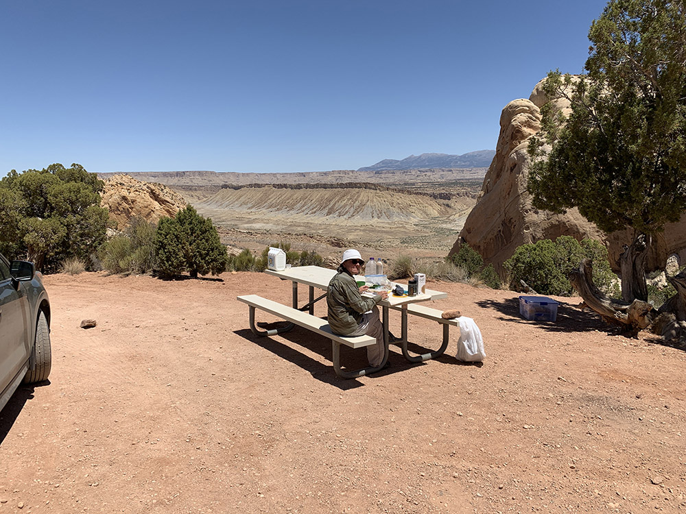
View from our campsite
…
Green River from the campsite
Happy campers
Lower San Rafael Rd
San Rafael River
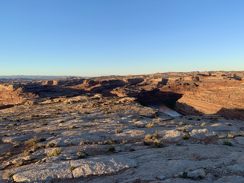
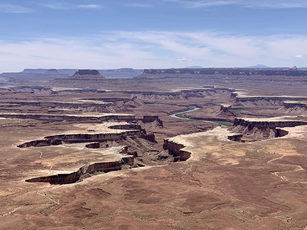
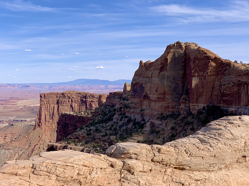
Island in the Sky, Green River Overlook
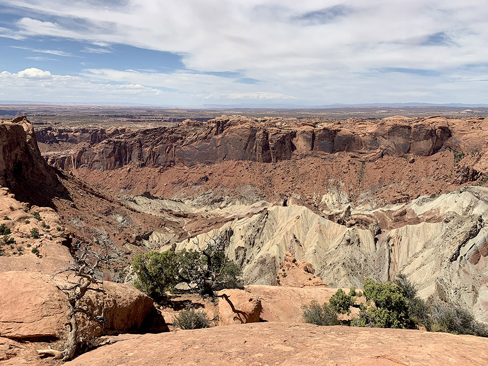
Upheaval Dome, the hole is either volcano or meteorite crater
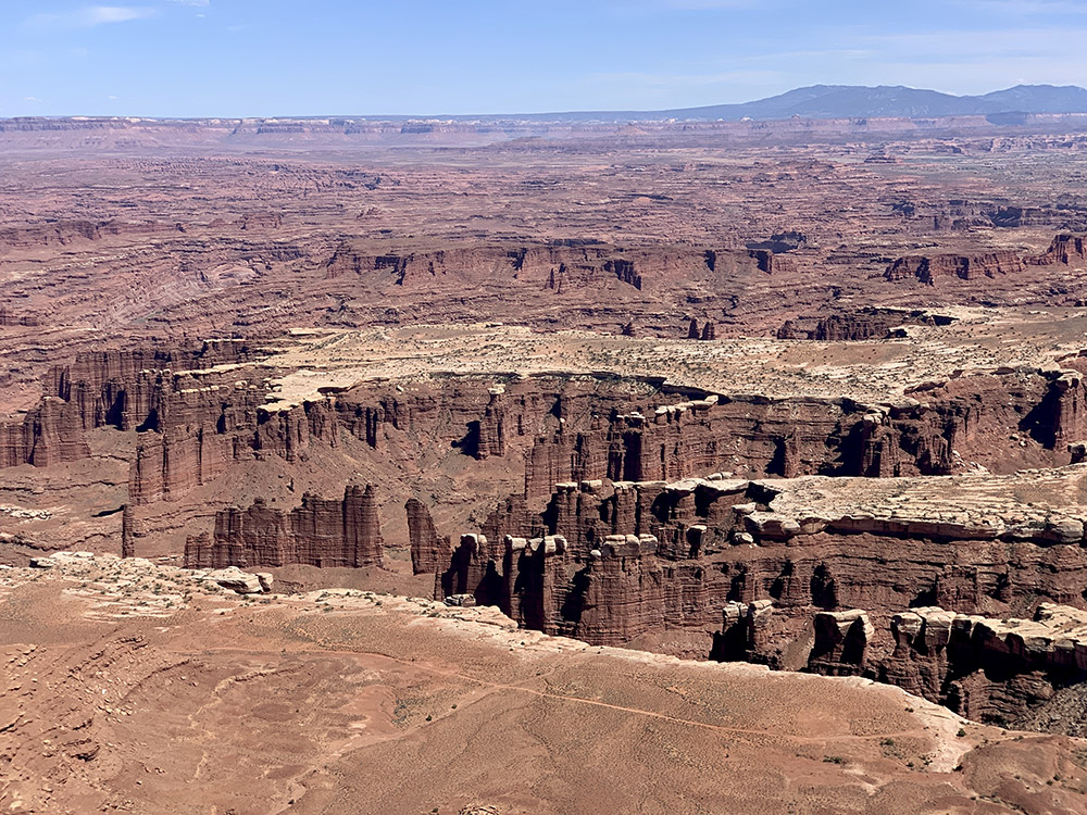
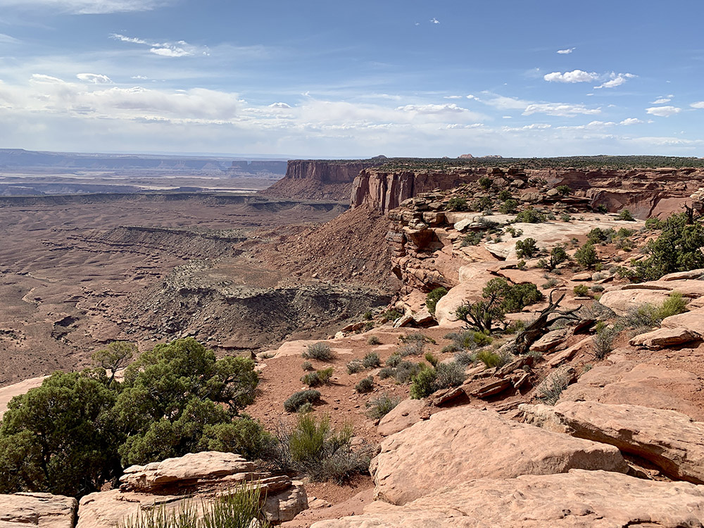
Grand View Point…
…trail along the rim
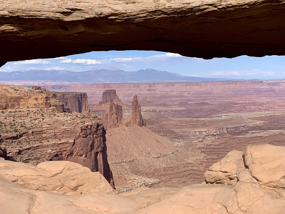
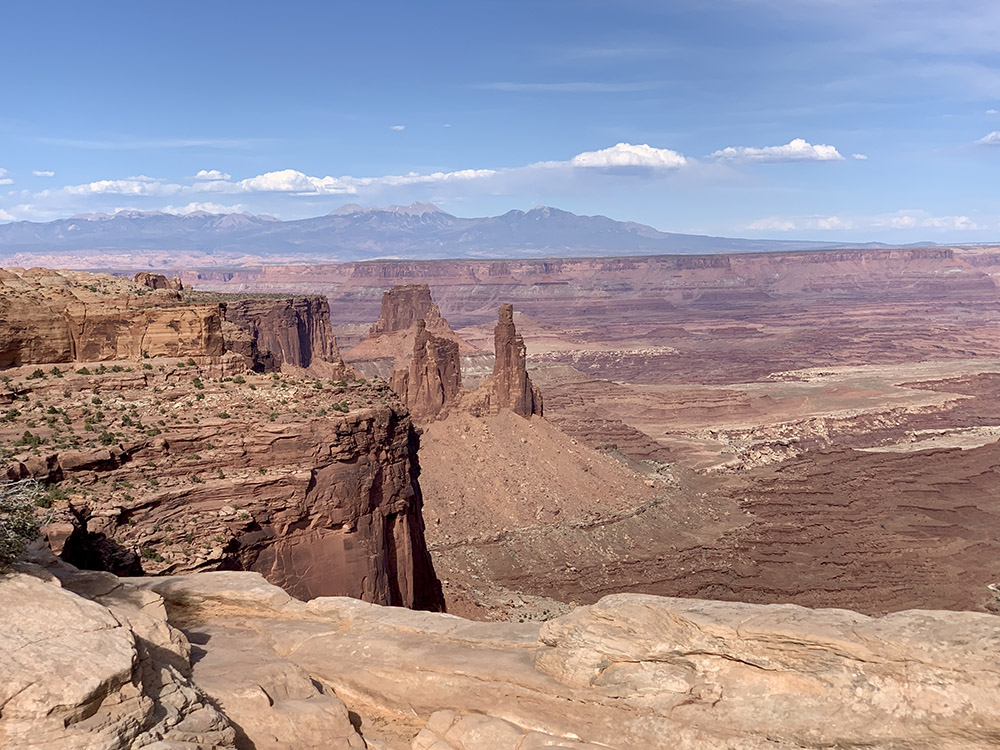
Looking through Mesa Arch…
…and above it right…
…and left
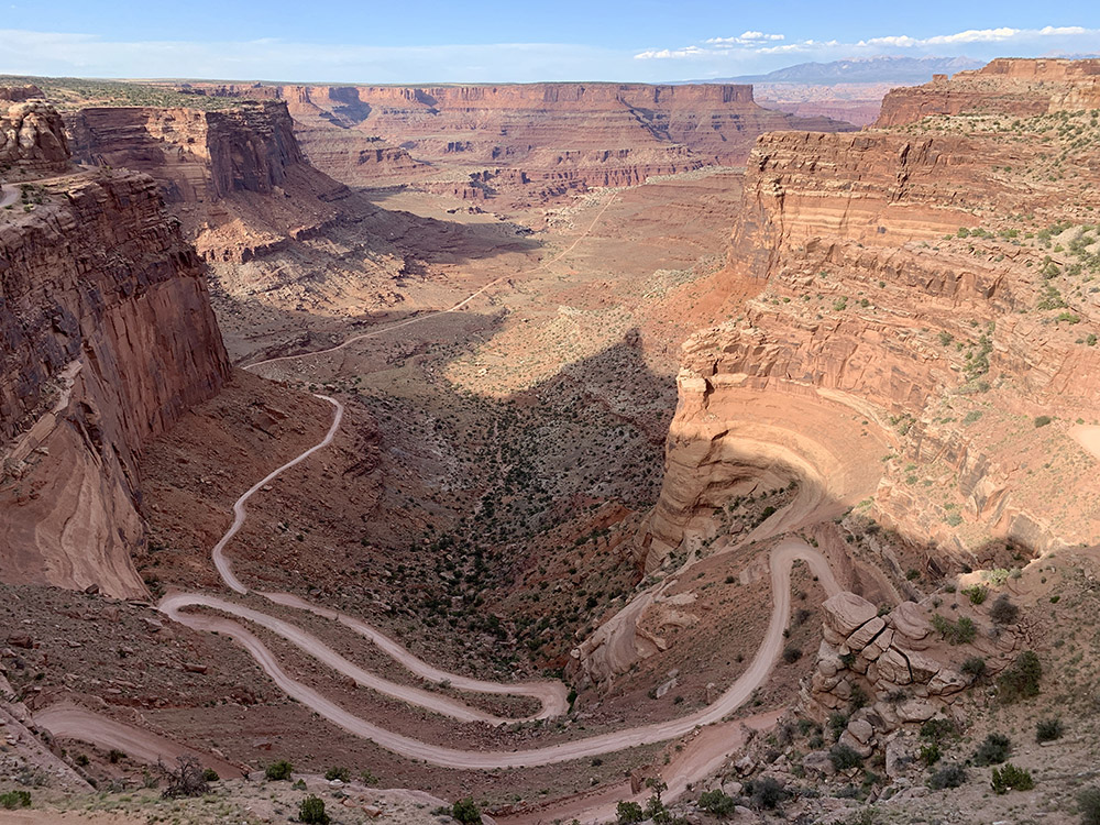
Shafer Canyon Trail, old mining road
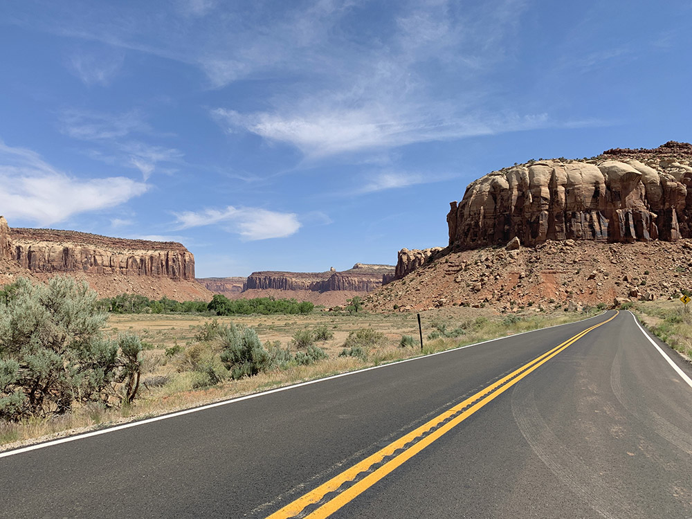
Heading to The Needles District next day
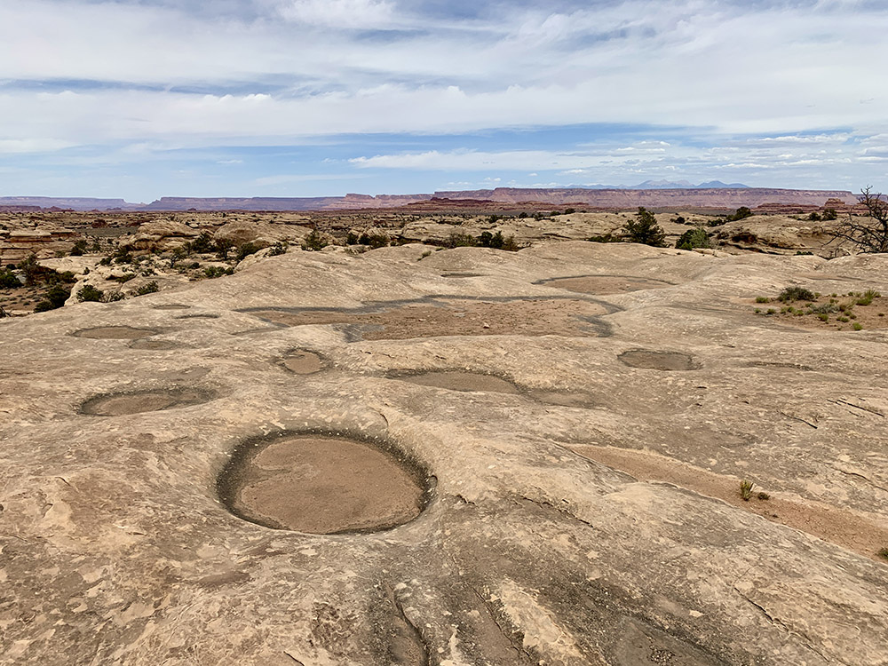
Pot Hole Trail
Big Spring Canyon…
…overlook
Slickrock Trail…
…to the end on rim above Colorado River Canyon (river out of sight here)
Ancient granary (Roadside Ruin)
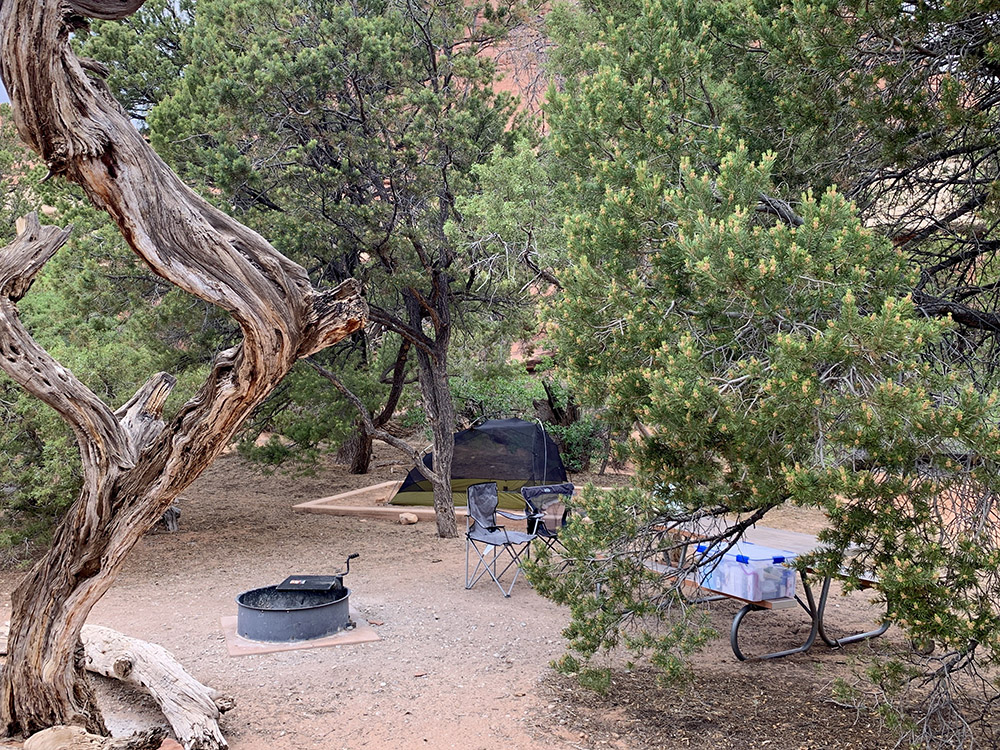
Our camp at The Needles
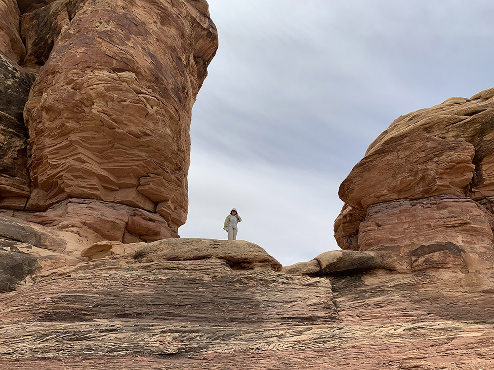
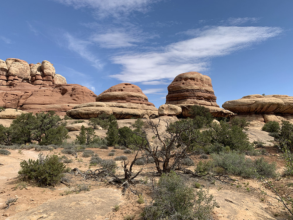
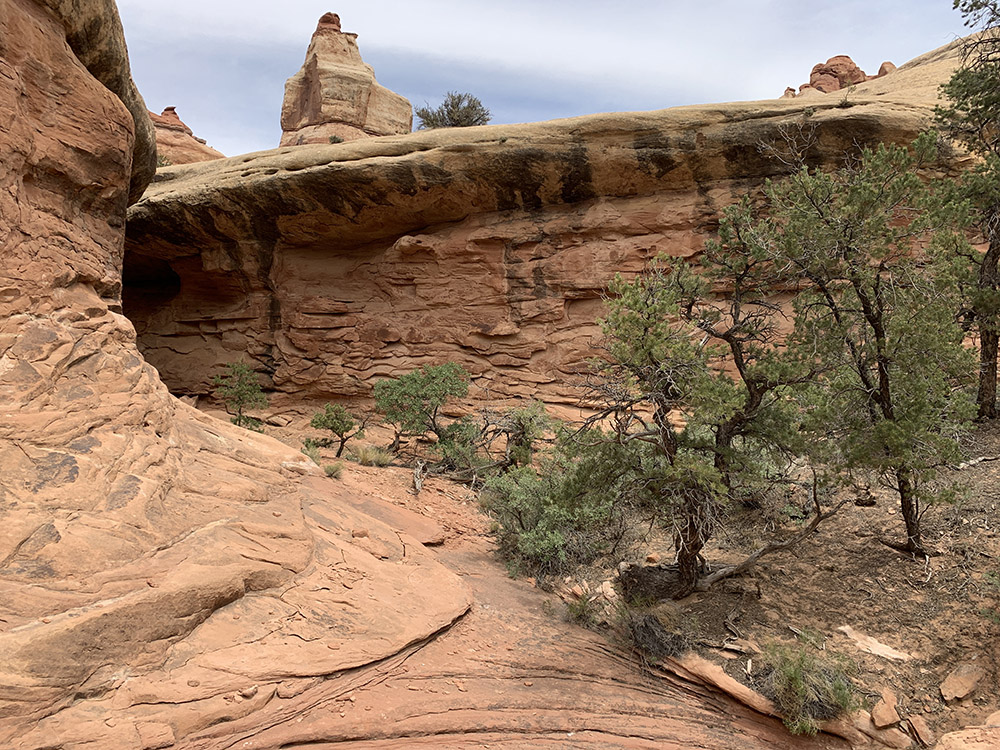
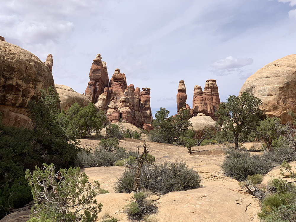
On the way to Chesler Park…
…
…
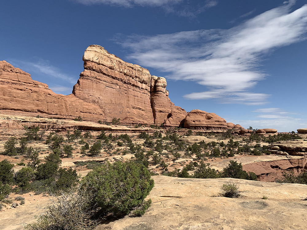
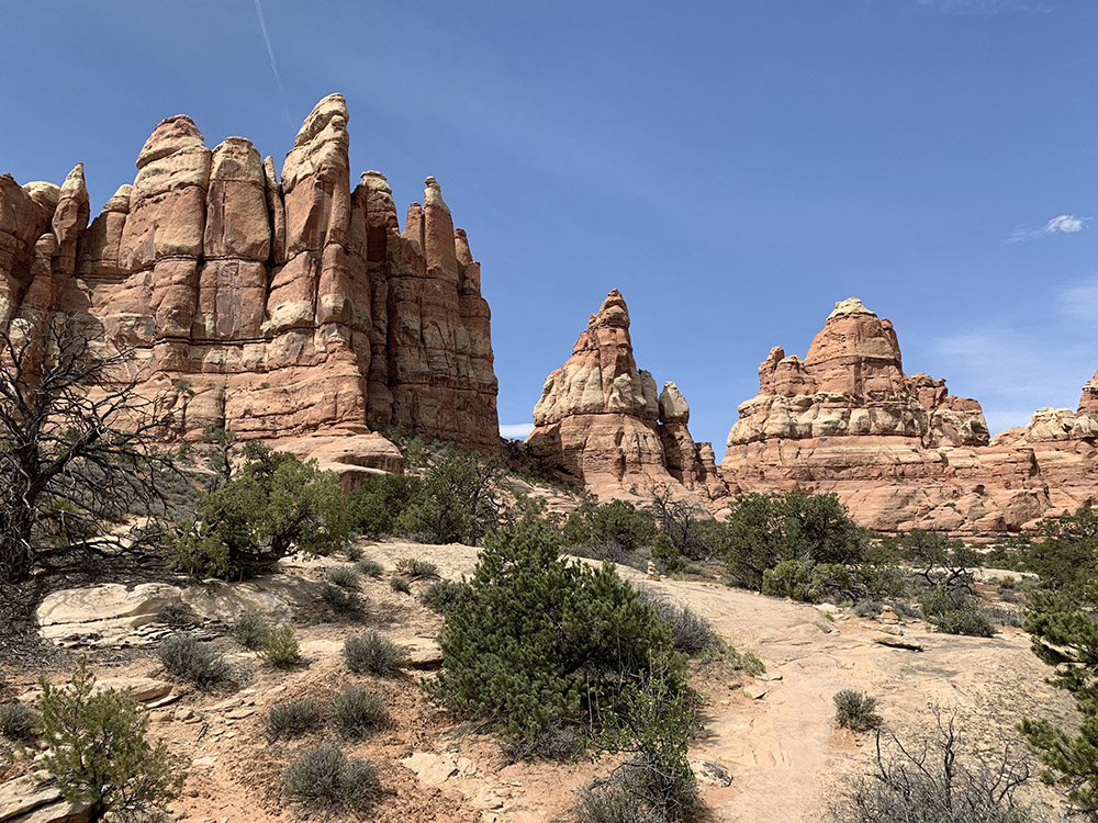
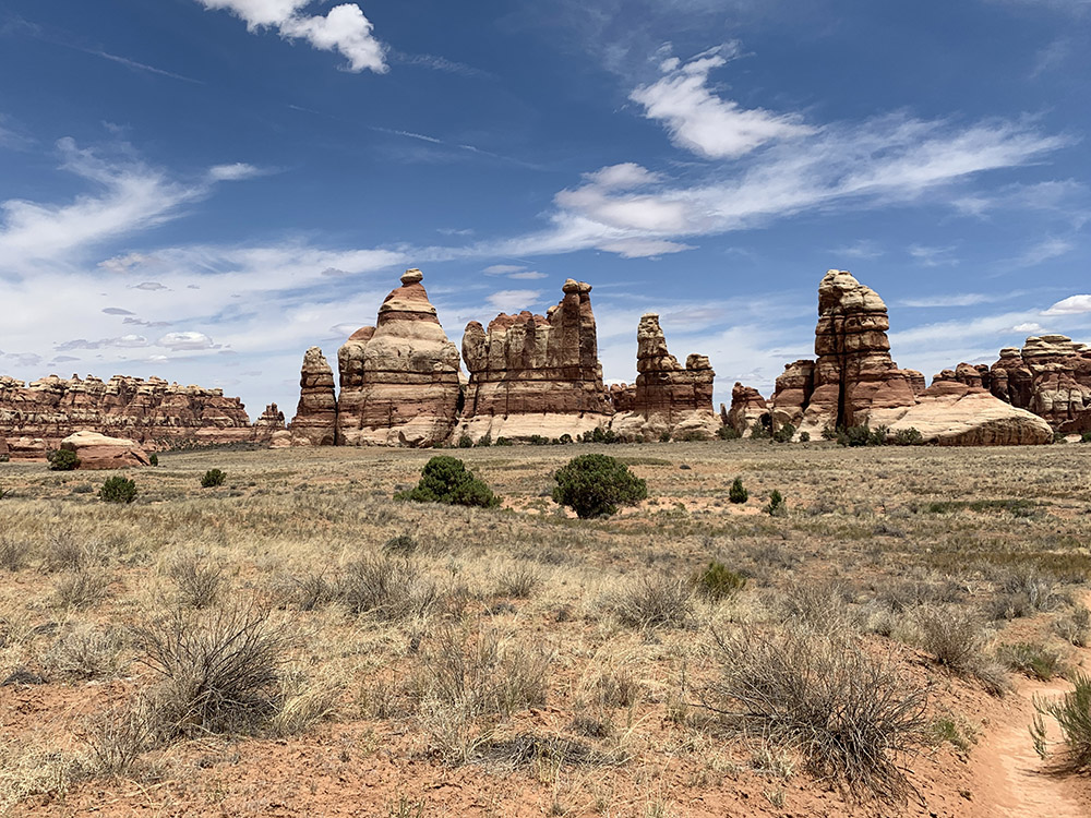
Looking back from the edge of Chesler Park plateau
…Chesler Park…
…meadow
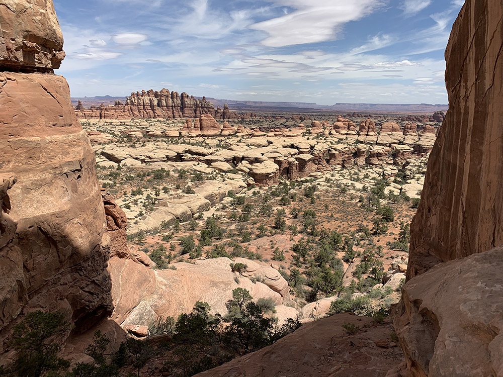
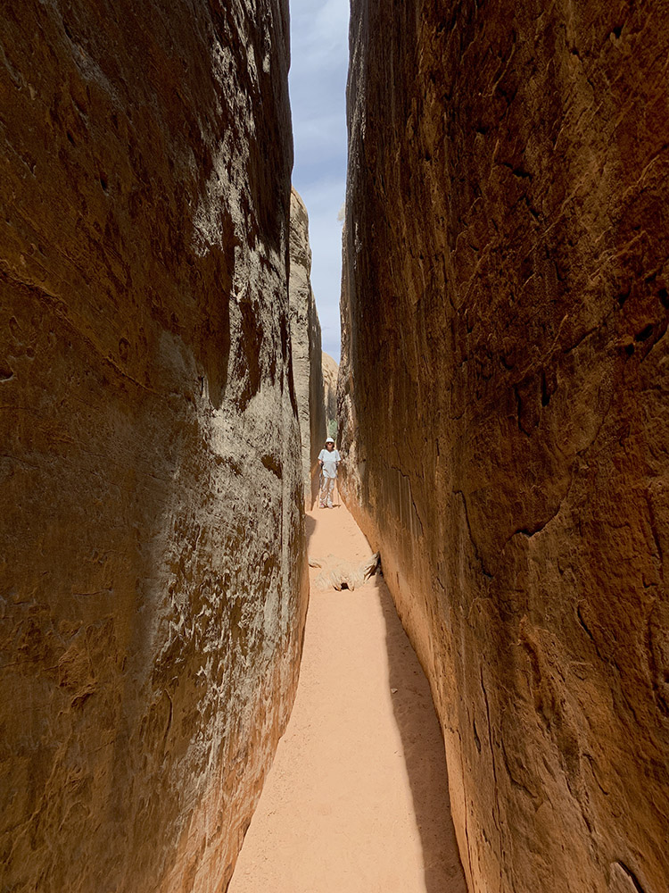
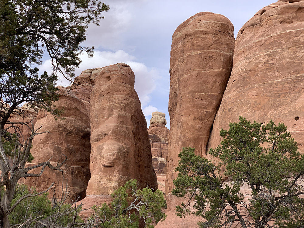
…through slot canyons and narrow washes of Joint Trail…
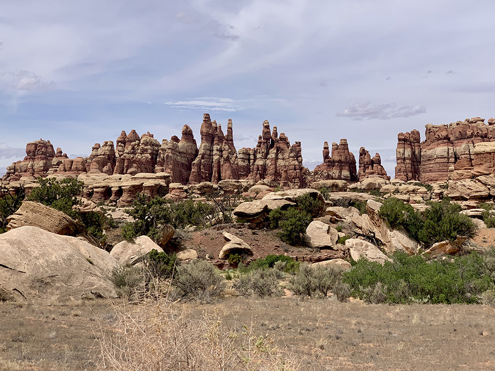
…more needles…
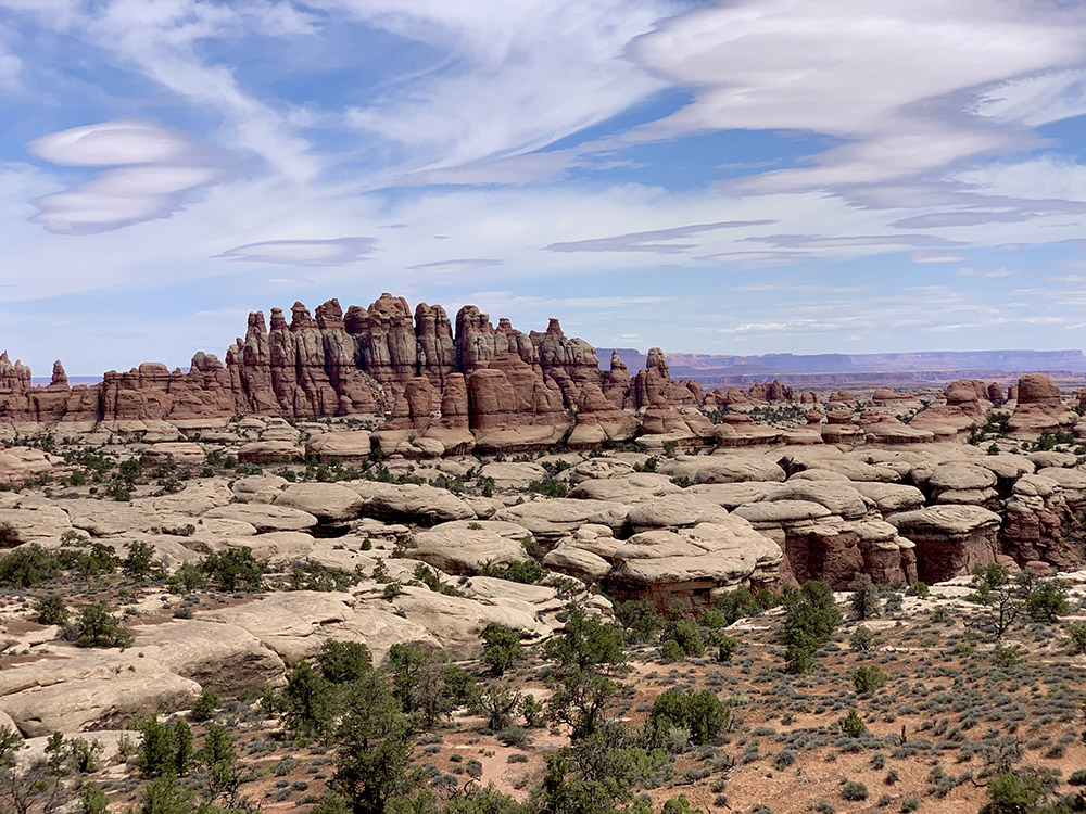
…around in Chesler Park
…and we are heading back to Elephant Hill trailhead
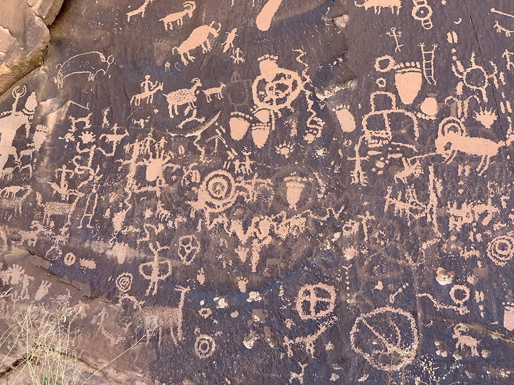
Newspaper Rock
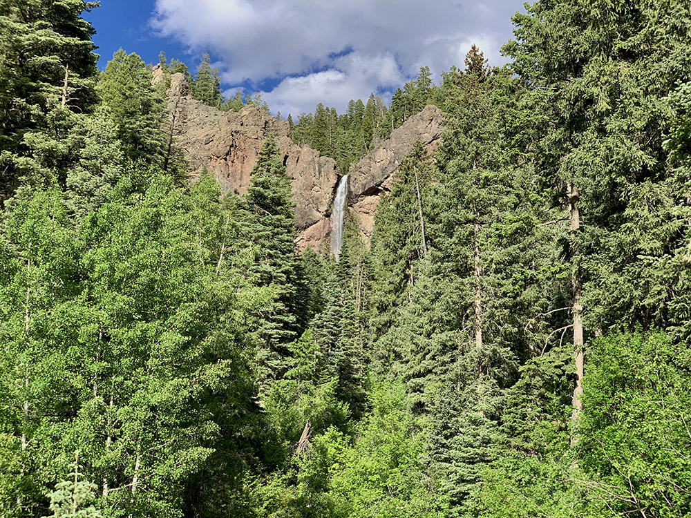
Treasure Falls CO
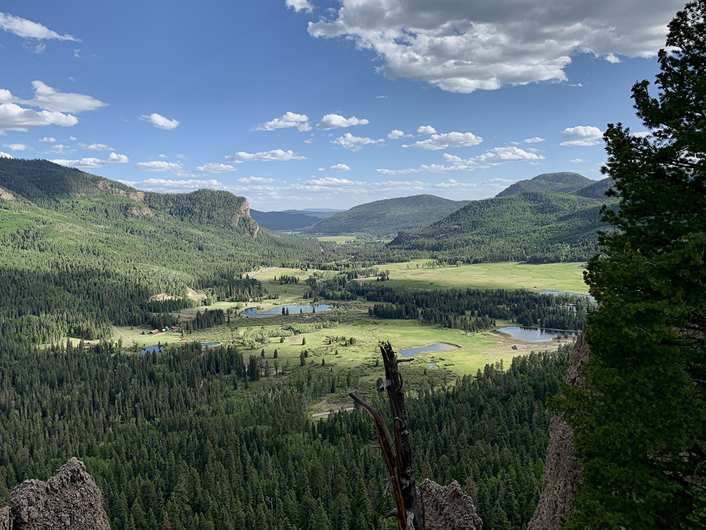
West Fork San Juan River valley CO
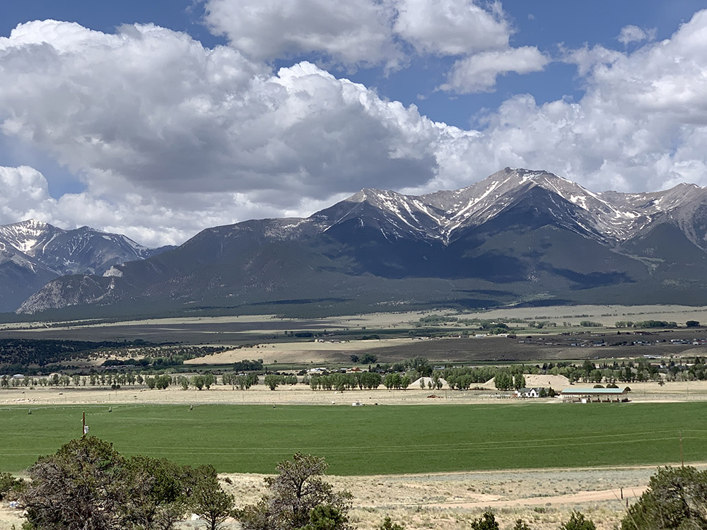
Back to the Rockies, near Buena Vista CO
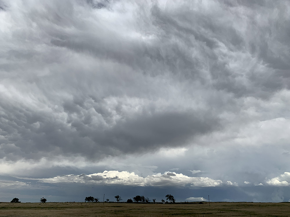
Near Colorado Springs
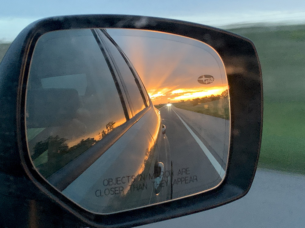
Approaching Salina KS, sunset through otherwise overcast sky
Like this:
Like Loading...
error: