Skip to content
Highlights…
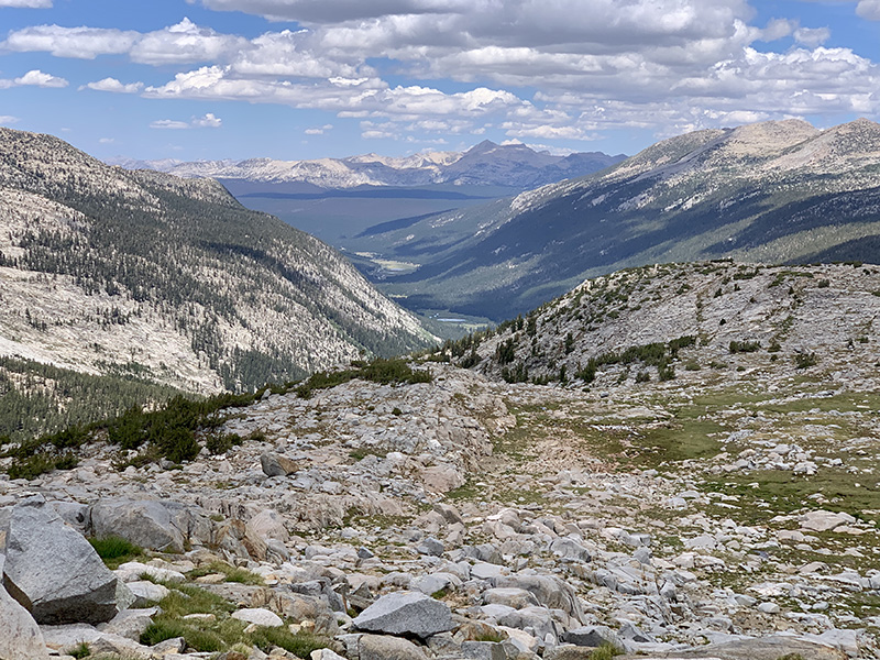
Heading towards Donahue Pass, our first pass on the trail
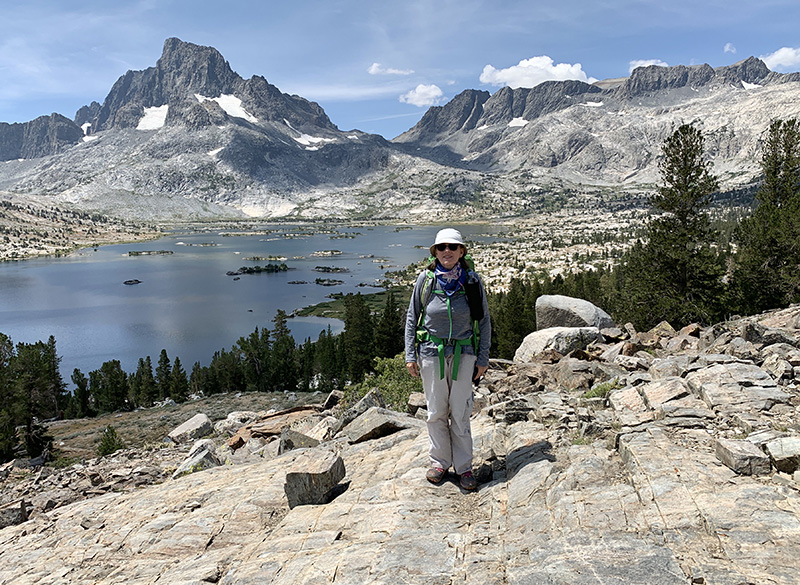
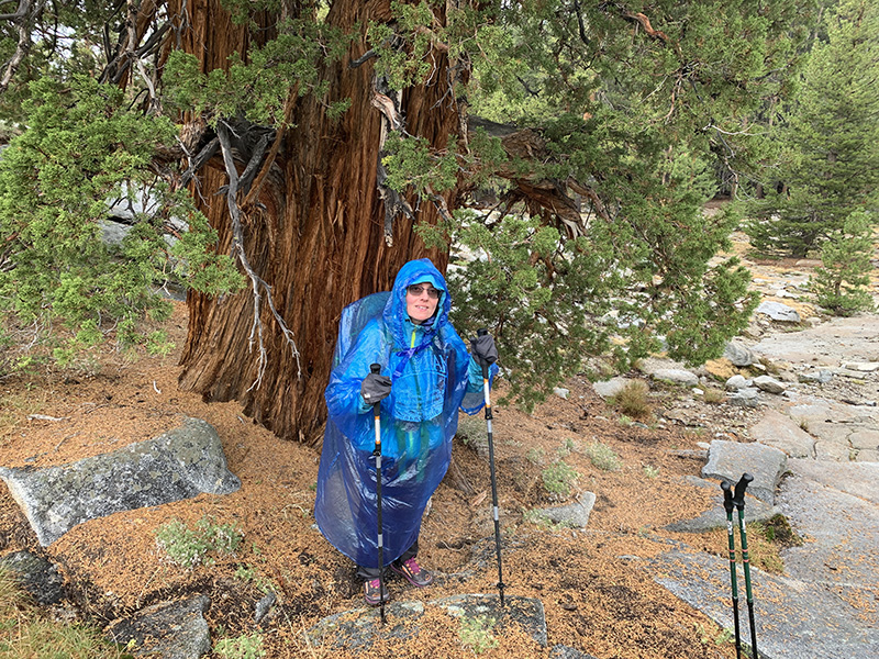
Joanna posing spontaneously…
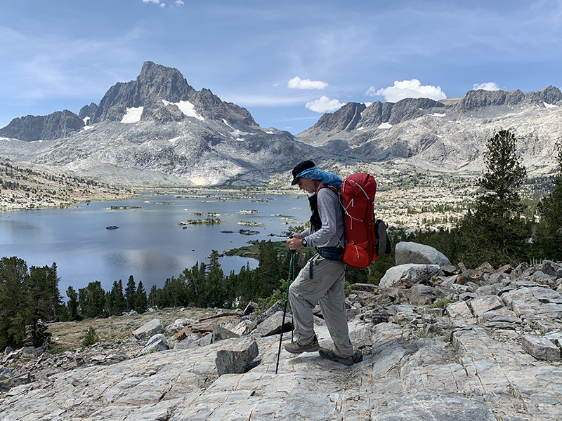
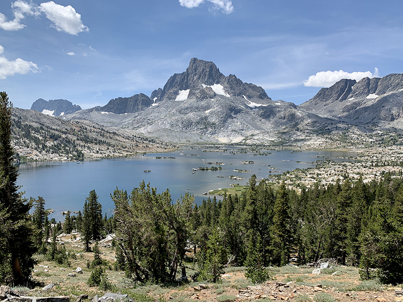
…Piotr dancing, Thousand Island Lake
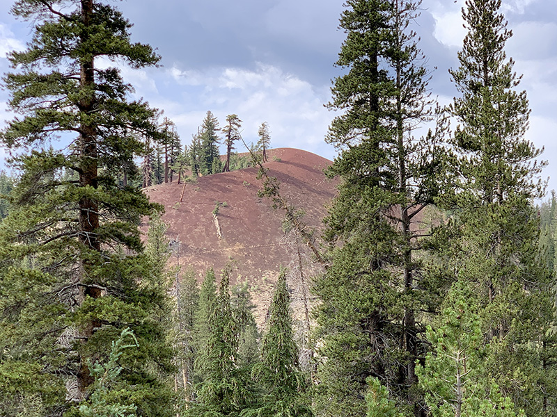
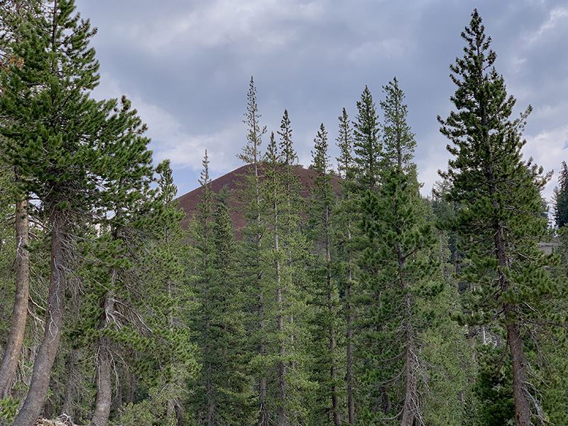
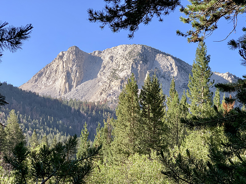
Red Cone, volcanic landscape for a change
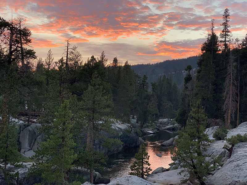
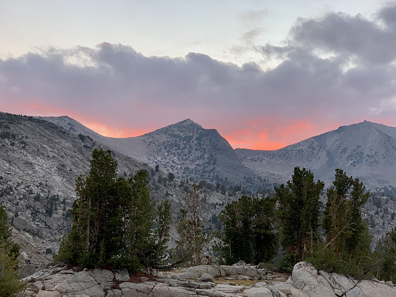
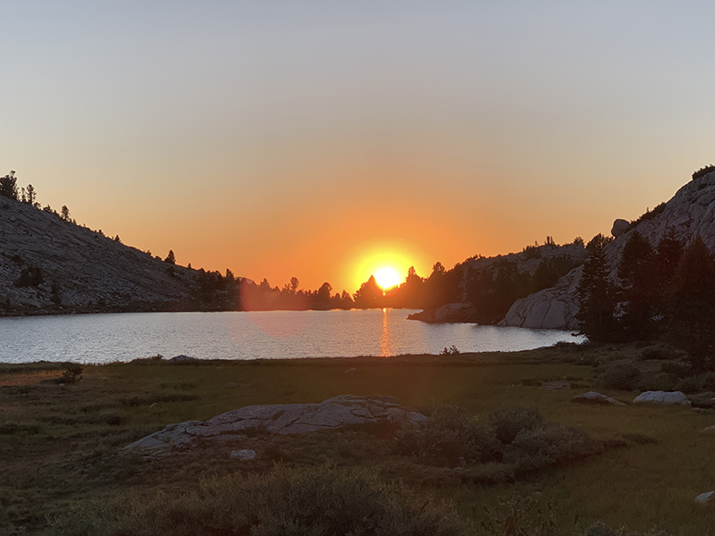
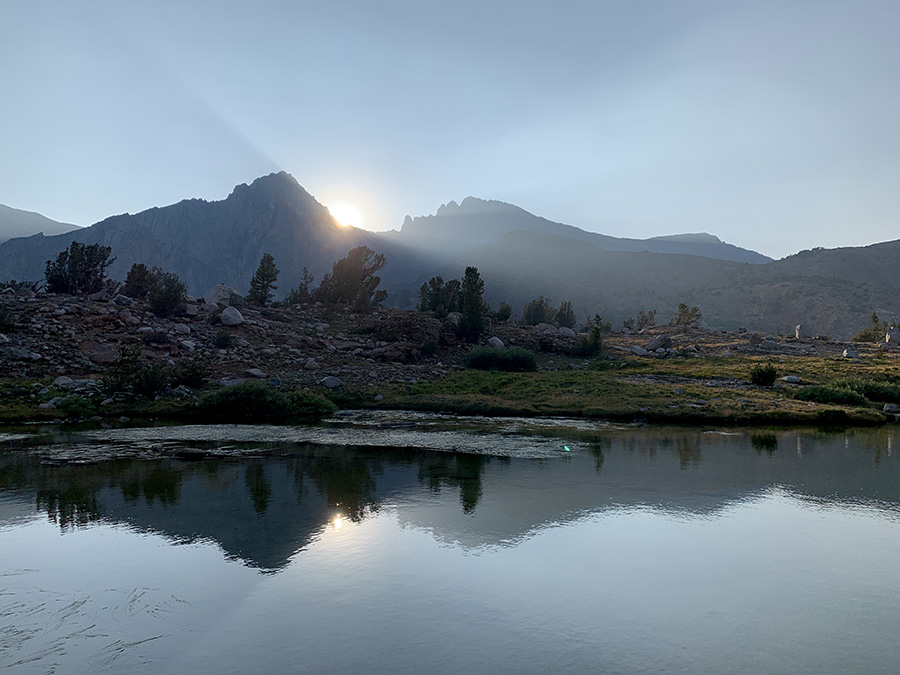
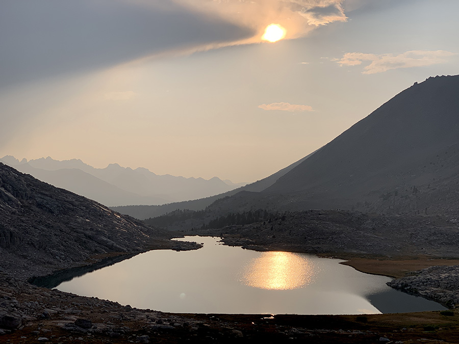
Sunset at Papoose Lake, near Goodale Pass, as we left JMT for rest day at VVR
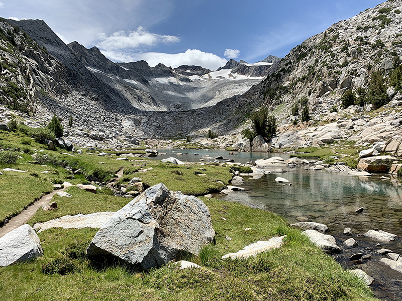
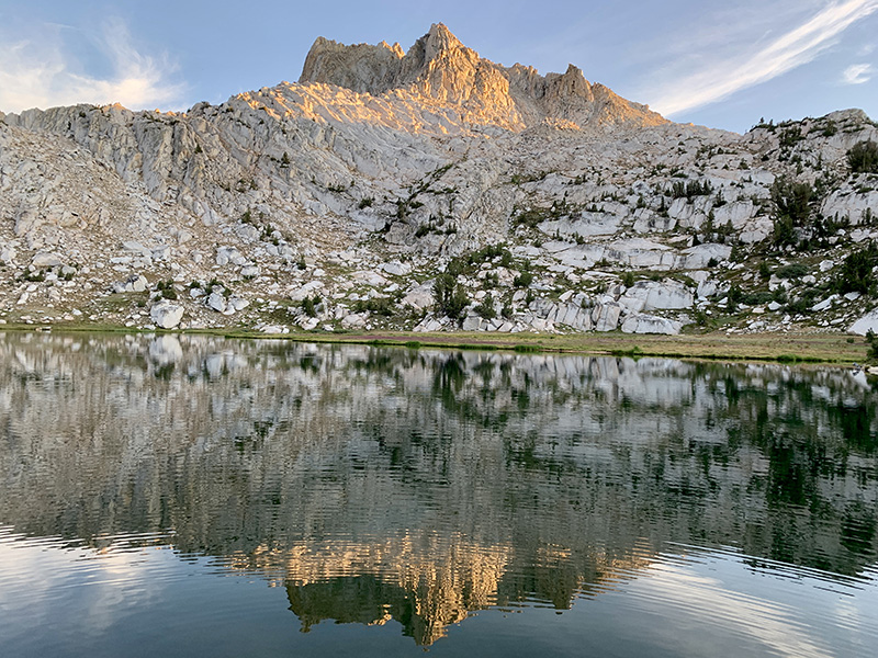
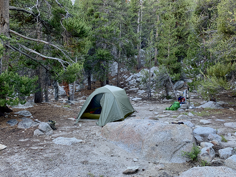
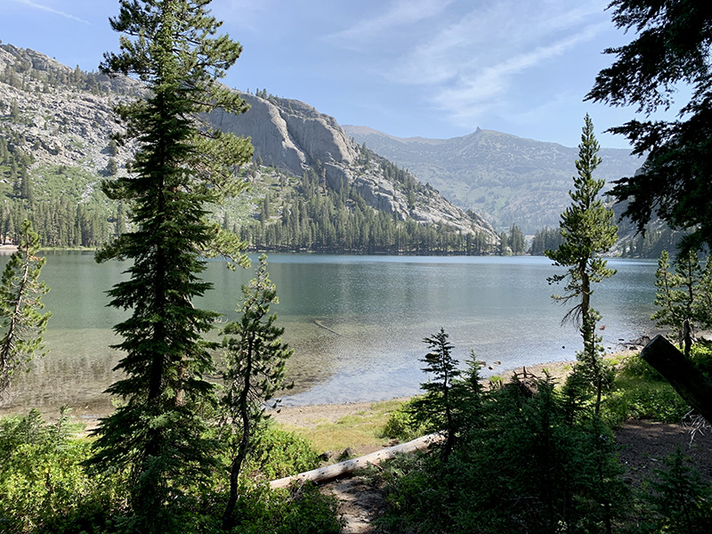
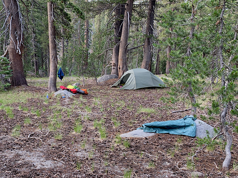
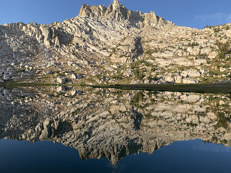
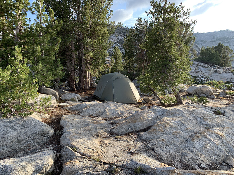
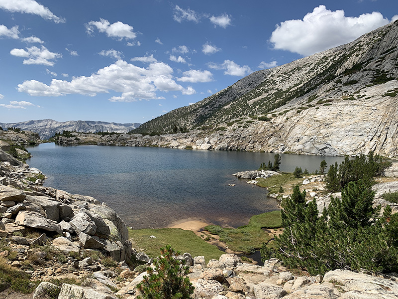
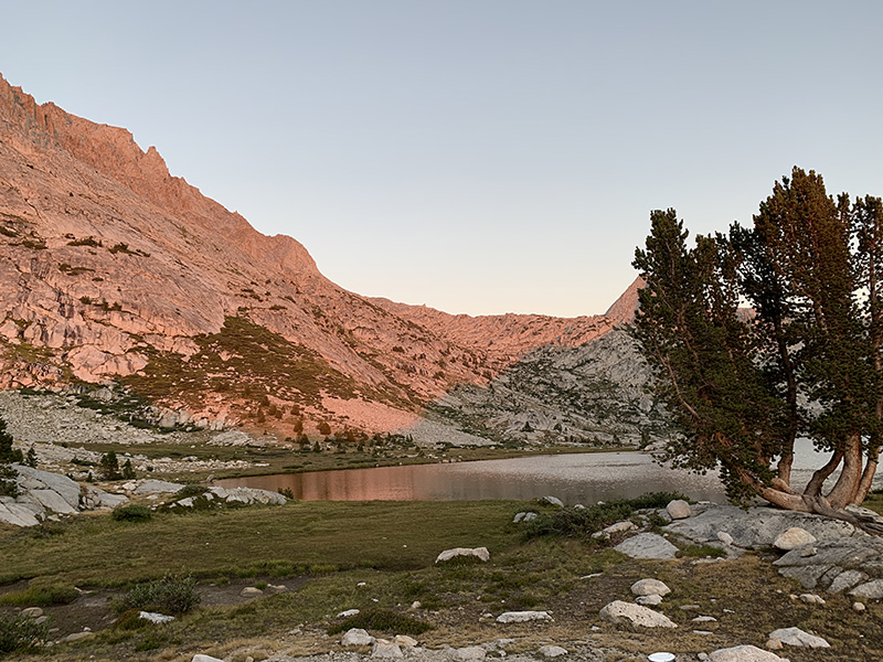
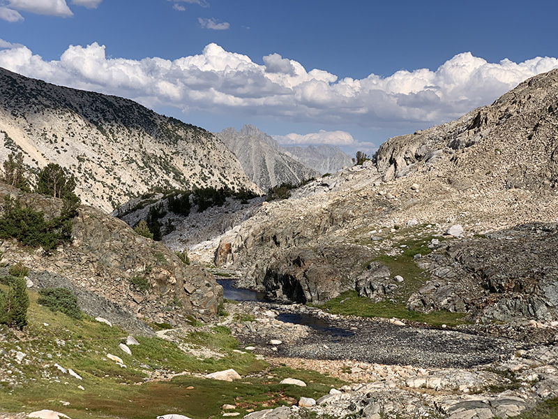
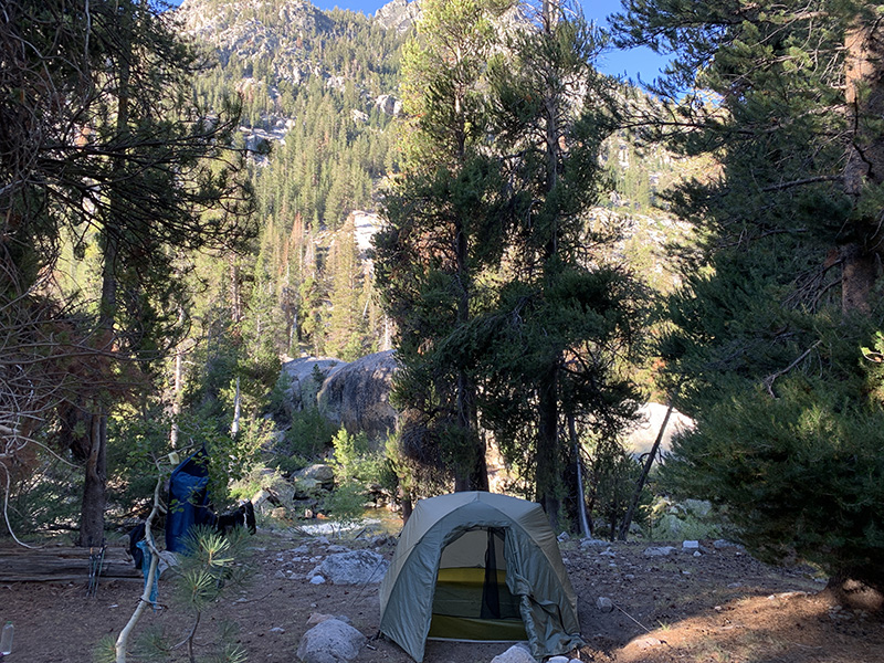
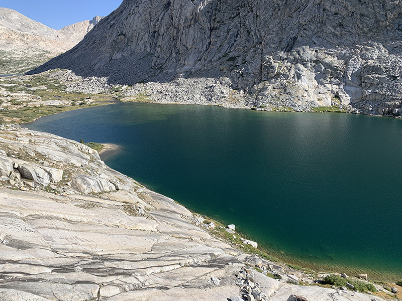
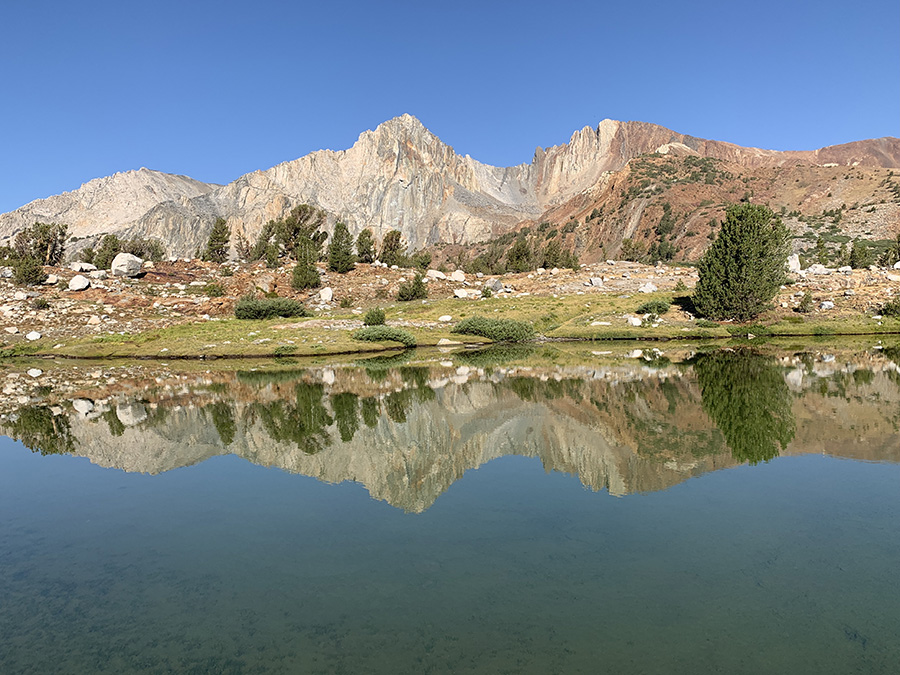
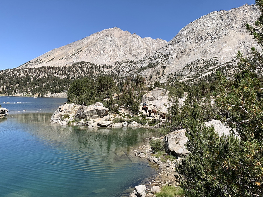
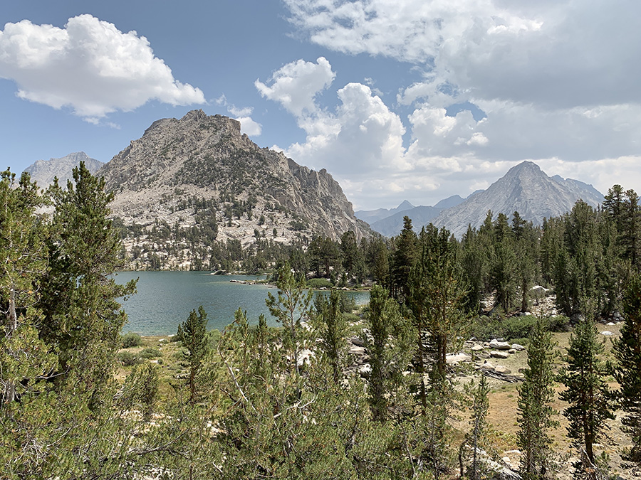
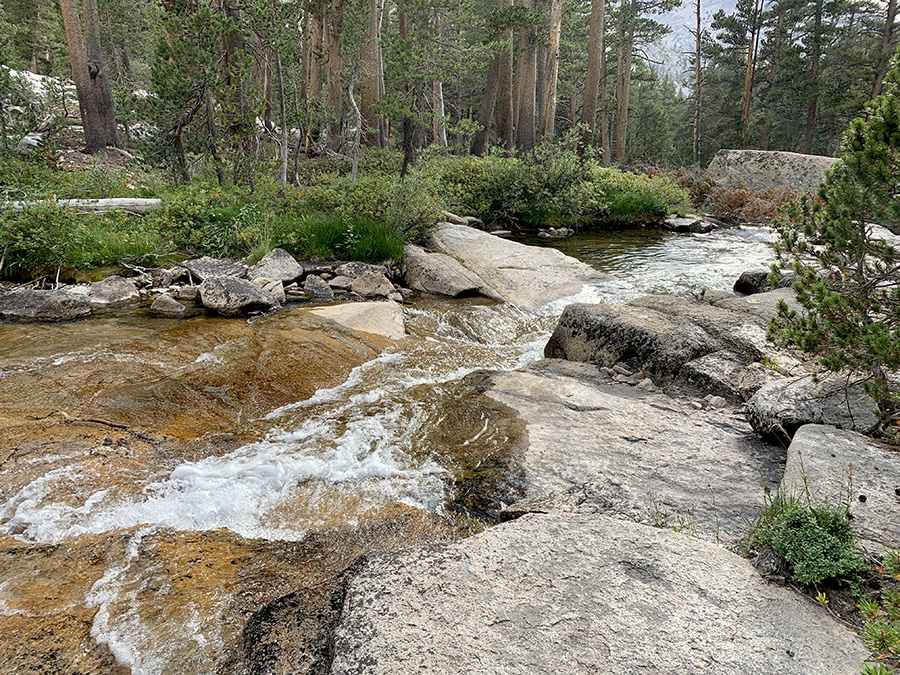
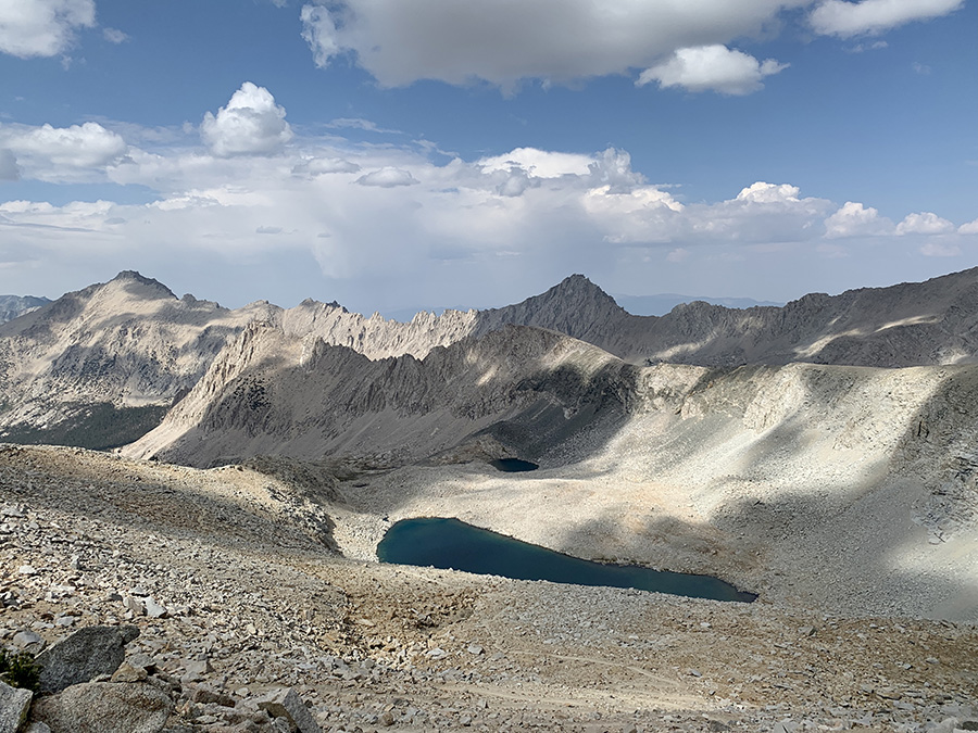
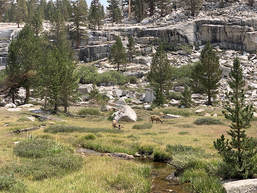
Evolution Lake, view from our campsite, efforts to find good spot paid off
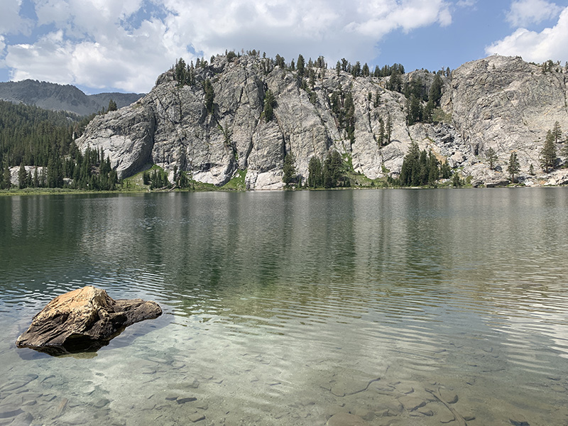
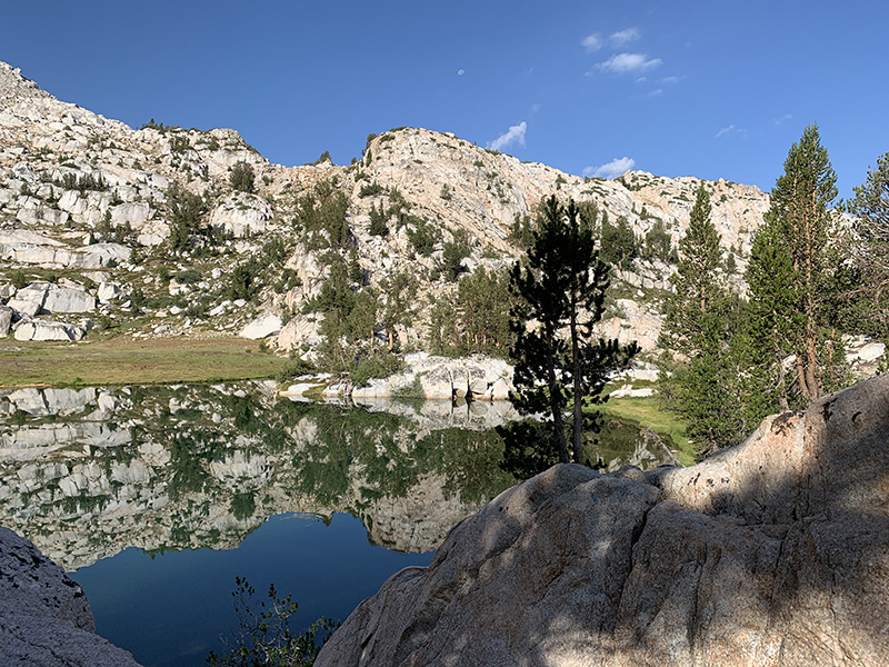
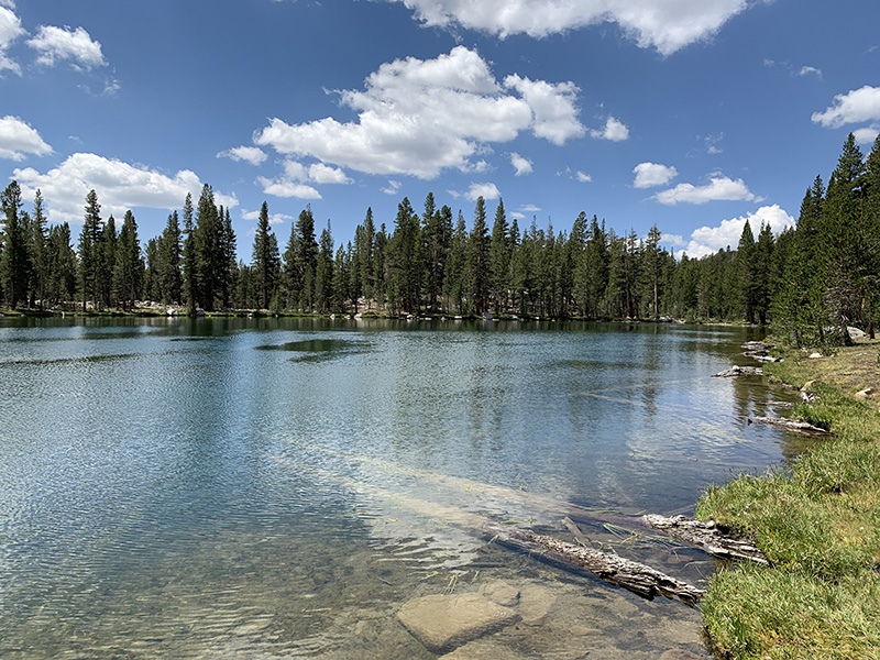
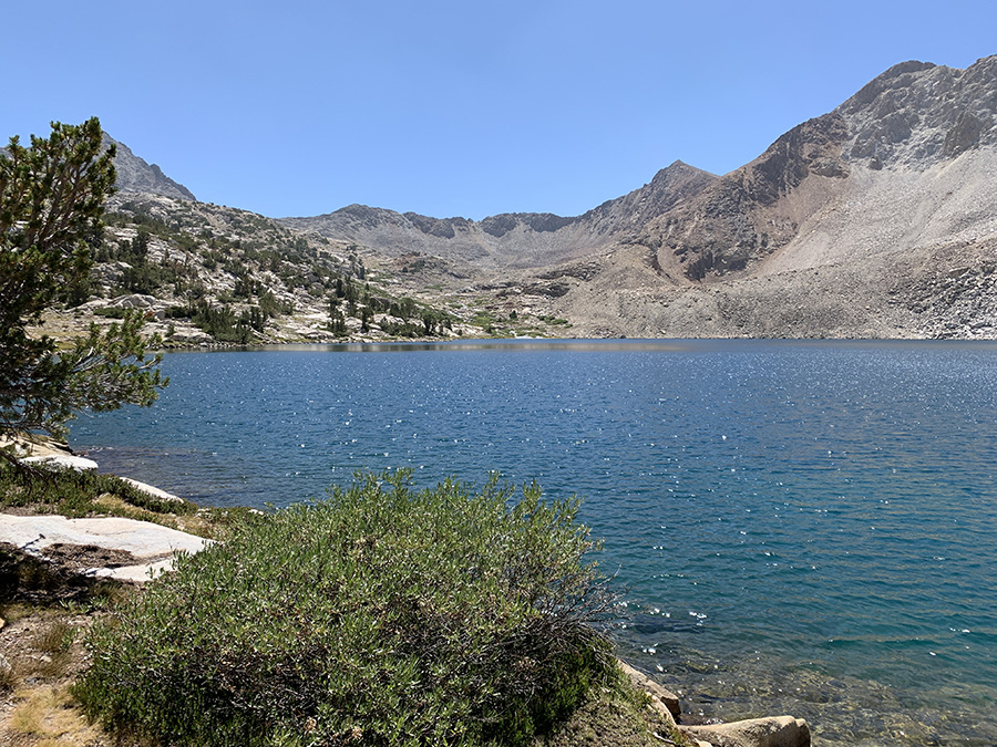
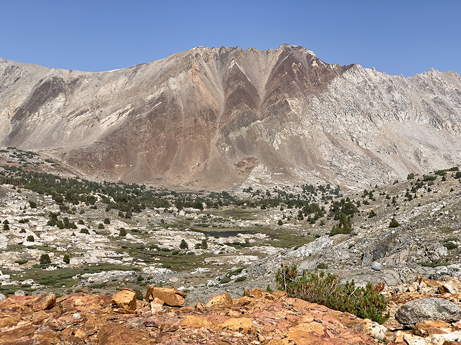
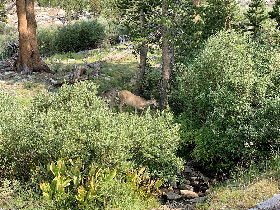
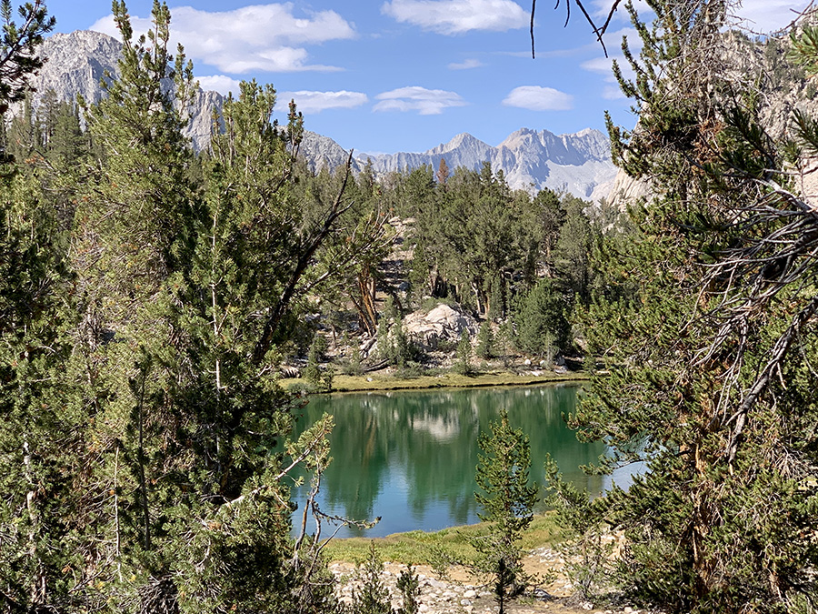
Tarn above Twin Lakes, we camped nearby, enjoyed sunny afternoon and warm water
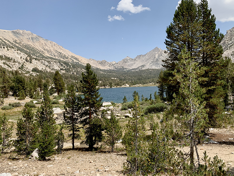
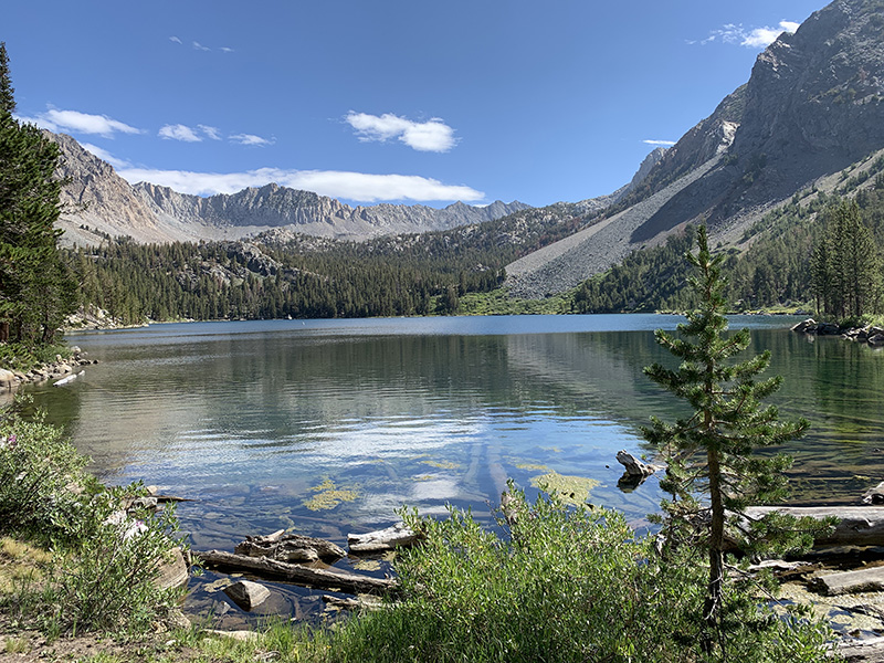
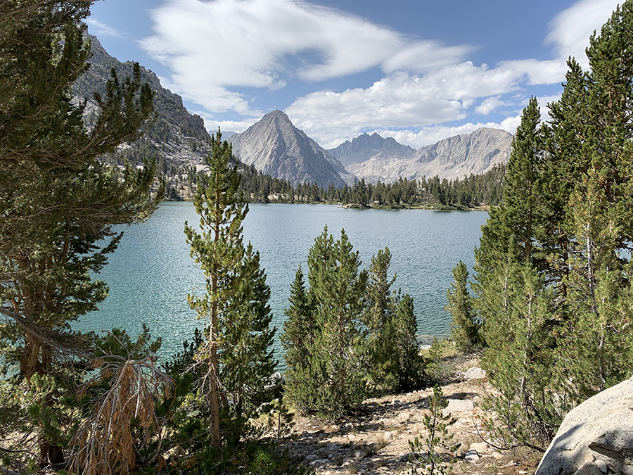
Rae Lake, more crowded part of JMT, on the way to…
…Glen Pass, all passes look impassable at first
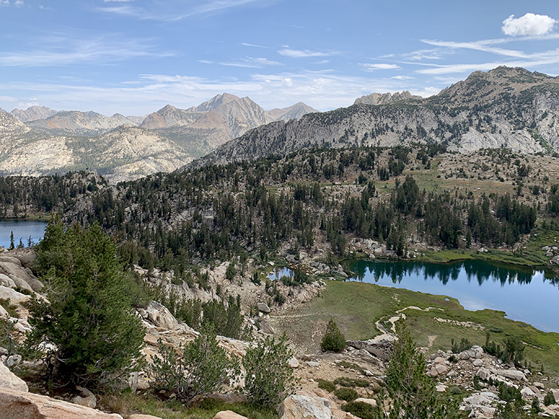
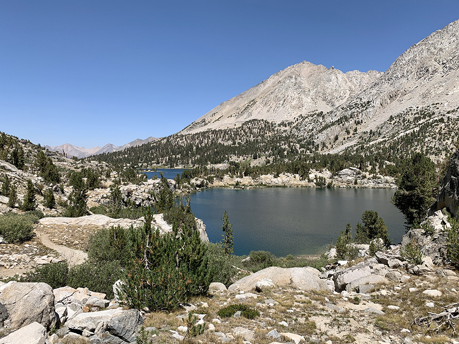
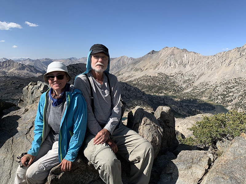
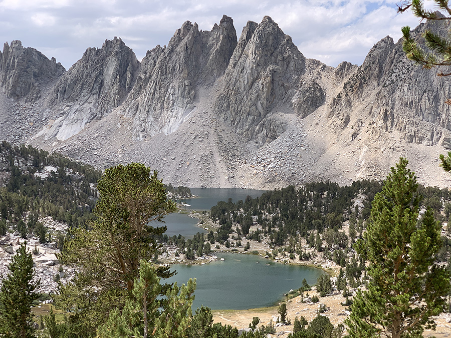
Bullfrog Lake, Kearsarge Pass (and rest day in Independence) on the horizon
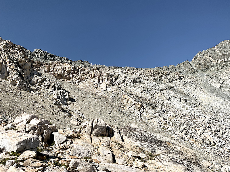
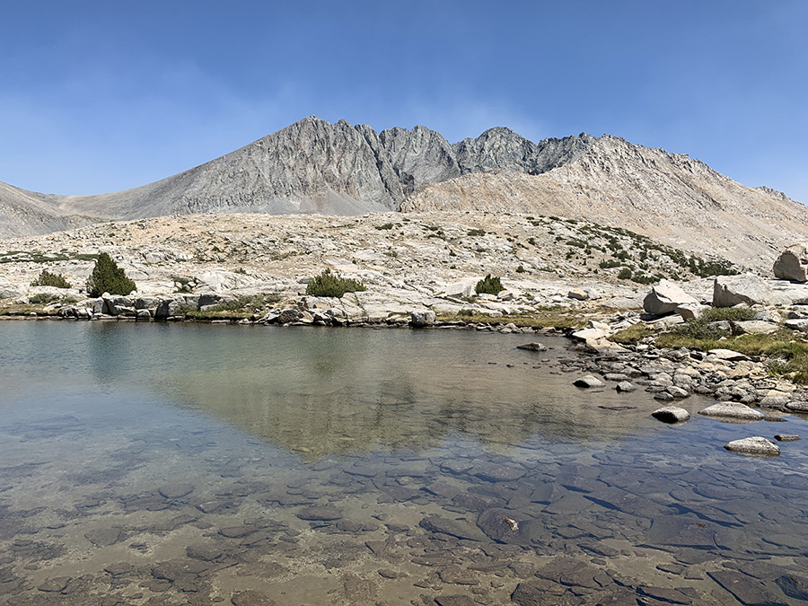
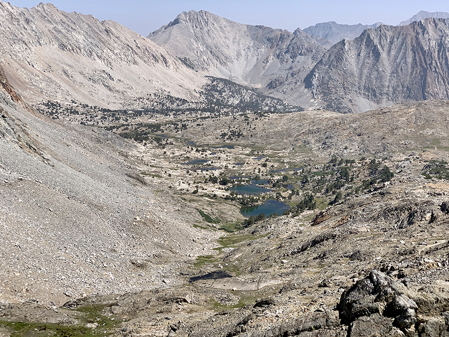
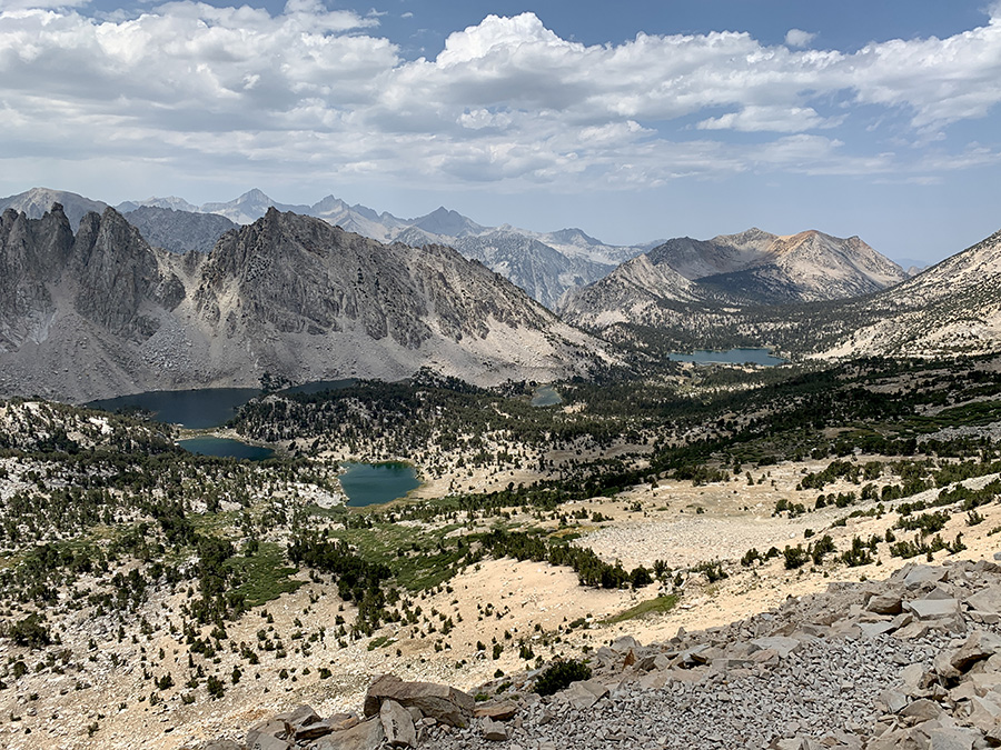
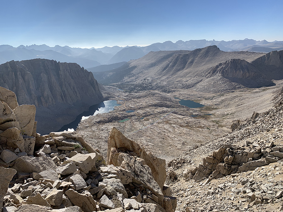
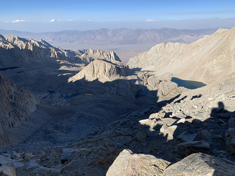
View from Forester Pass down on the way we came up from Lake 12250
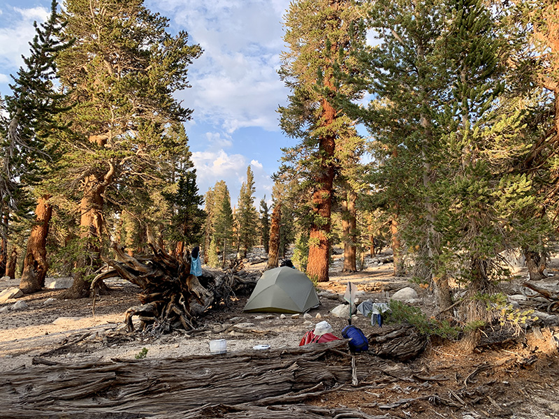
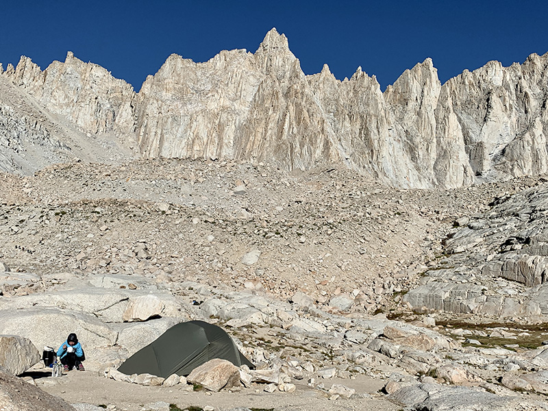
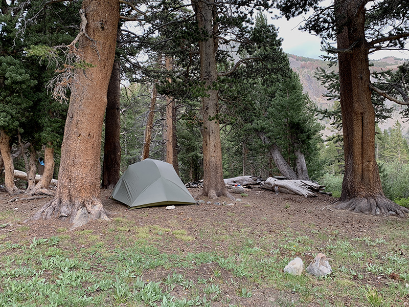
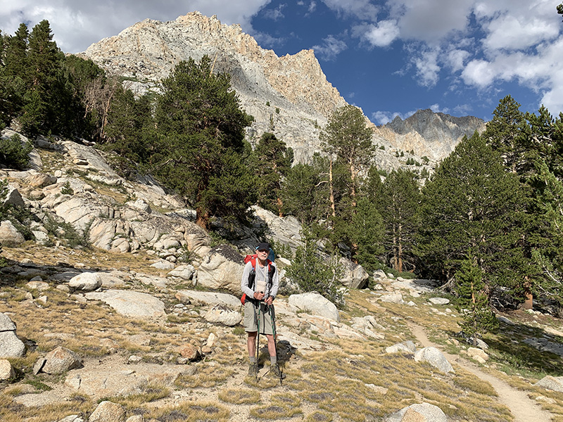
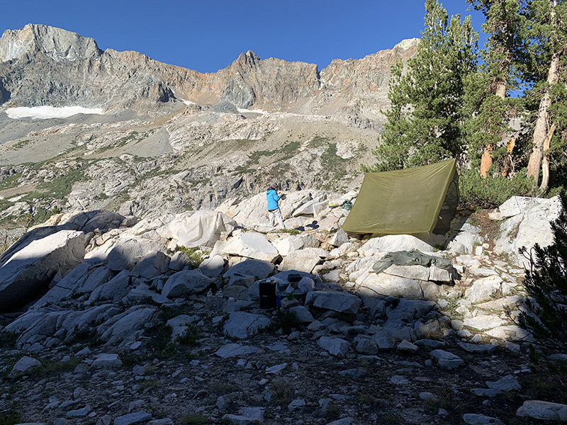
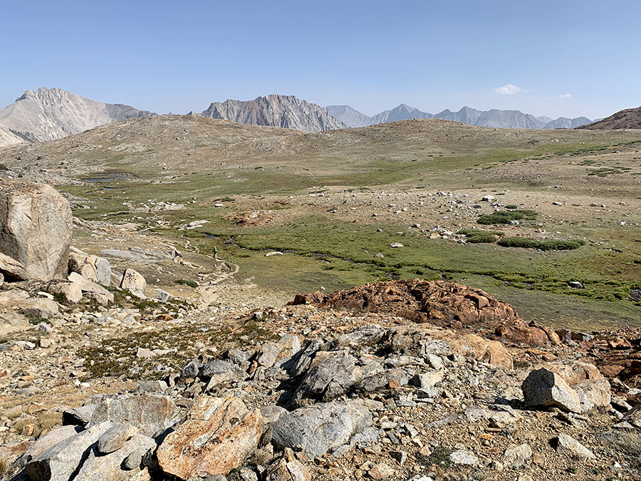
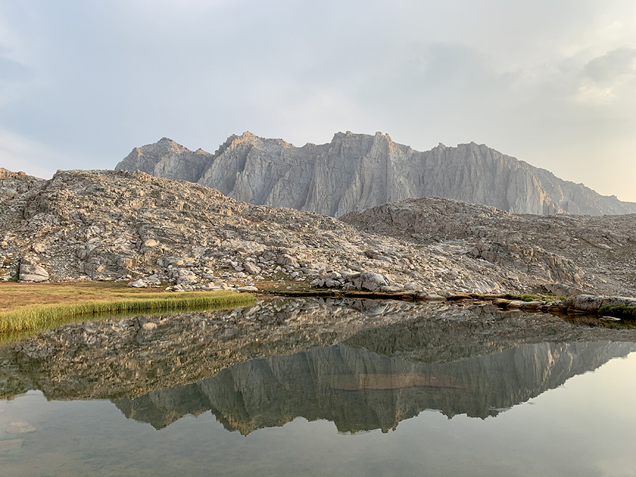
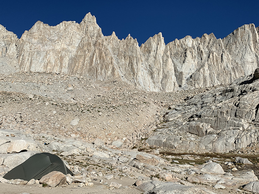
Camping at Young Ridge, sunny, warm and relaxing rest
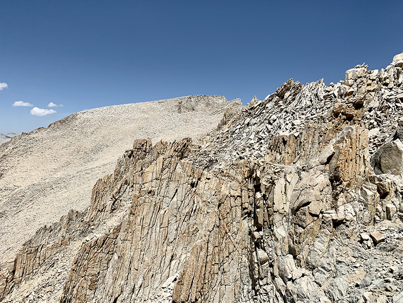
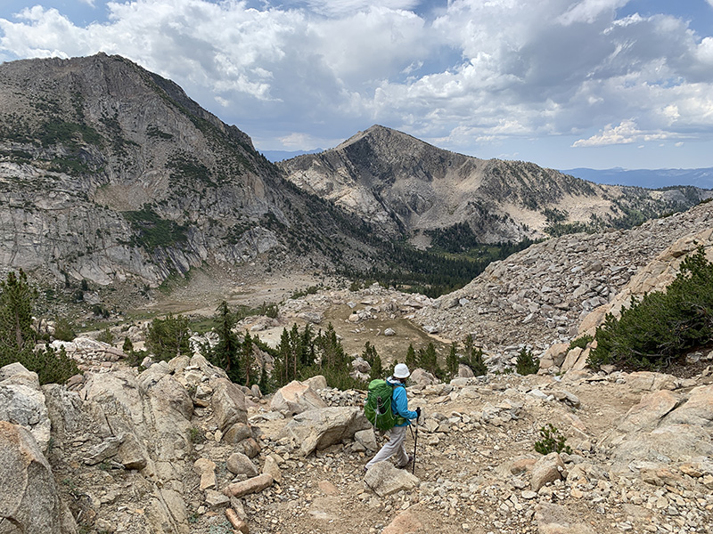
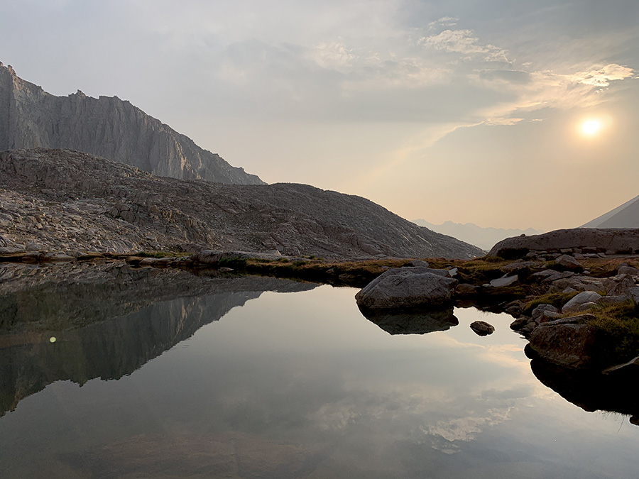
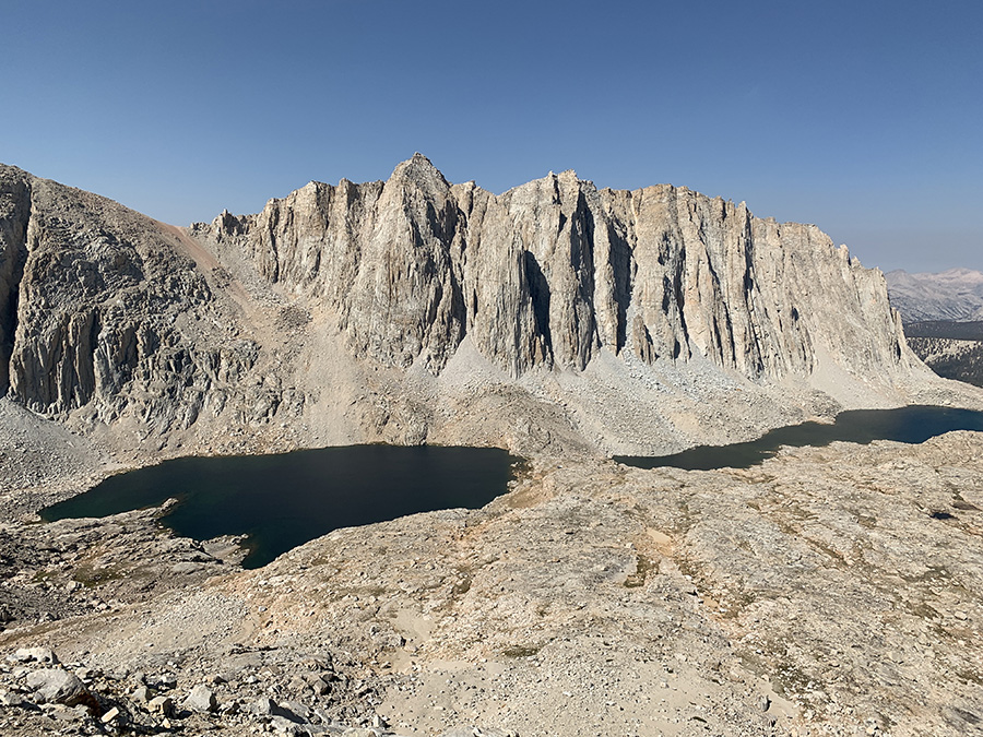
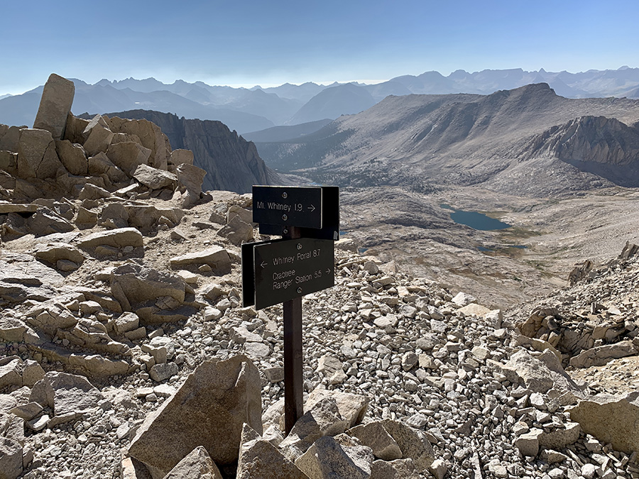
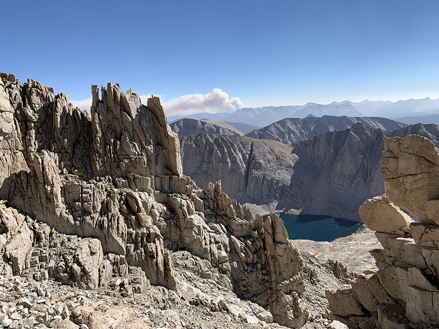
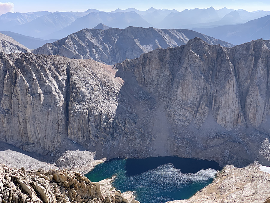
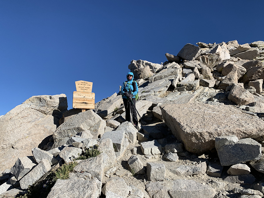
Finally, we can see Mt Whitney summit and how to get there
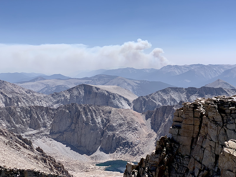
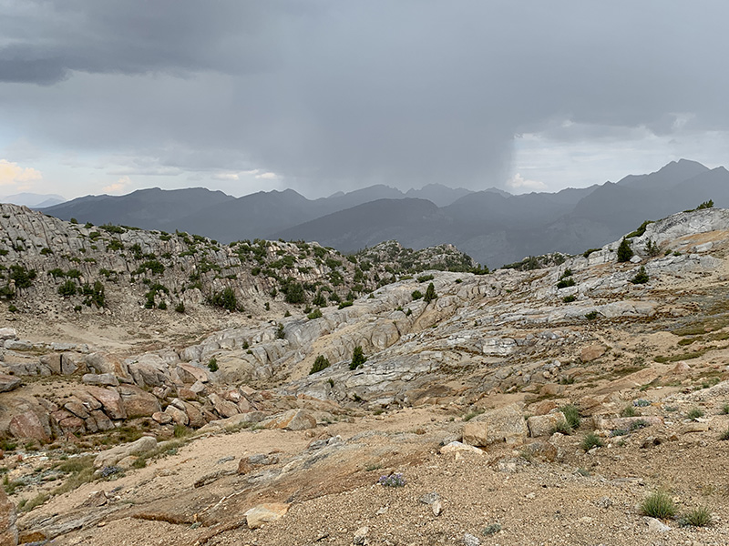
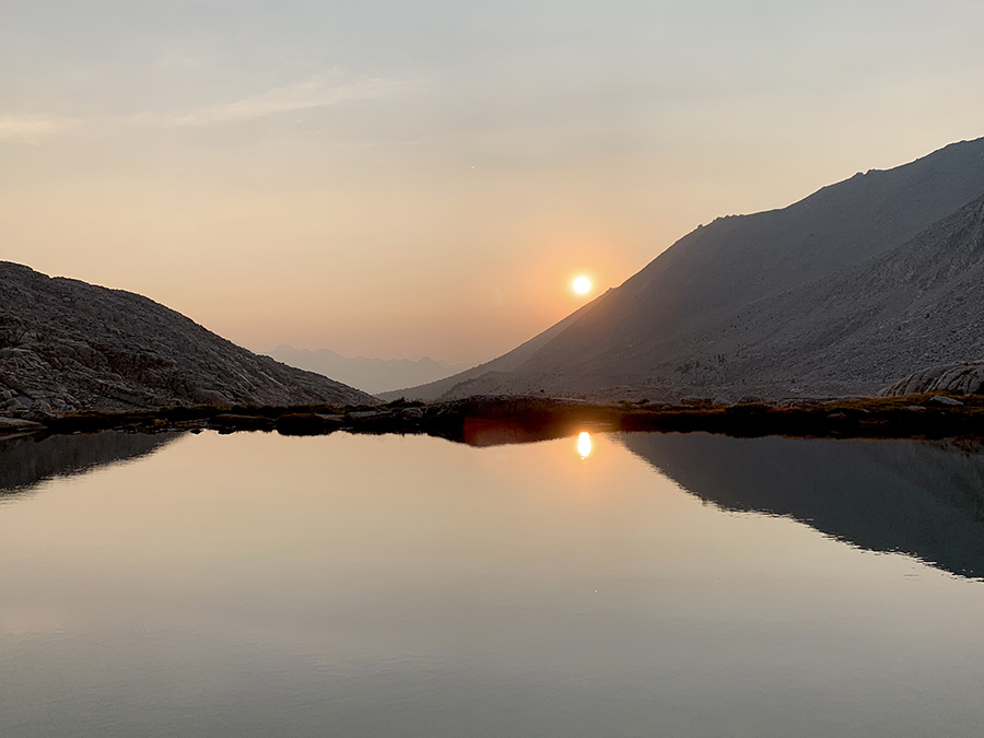
Watching smoke from wild fire rising on the horizon
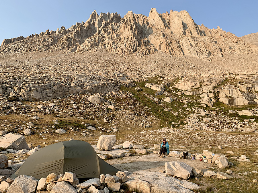
Breakfast with Mt Whitney in the background (summit not in this picture)
All photos…
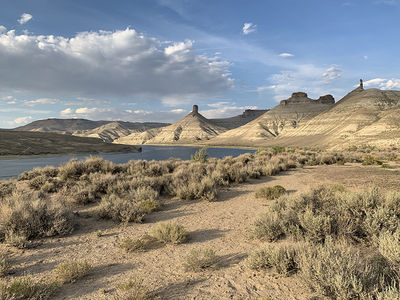
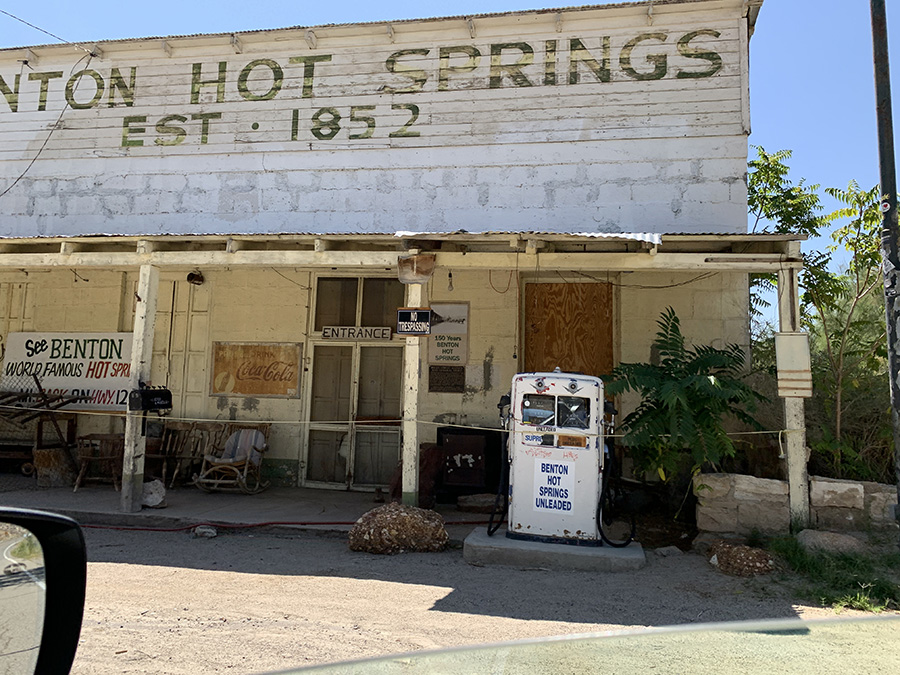
Flaming Gorge, view from Firehole Canyon Campground
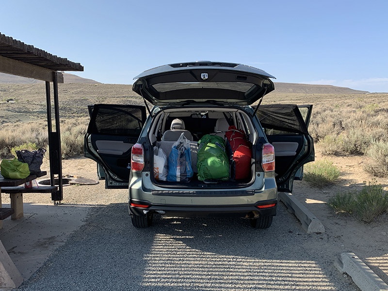
Ready to go
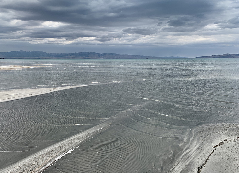
Great Salt Lake…
…
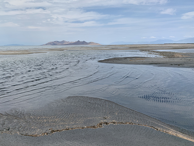
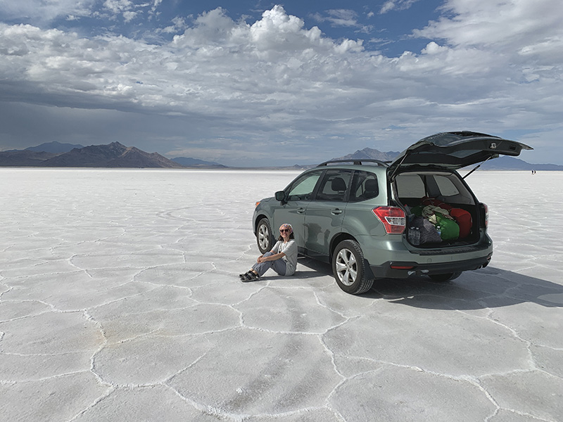
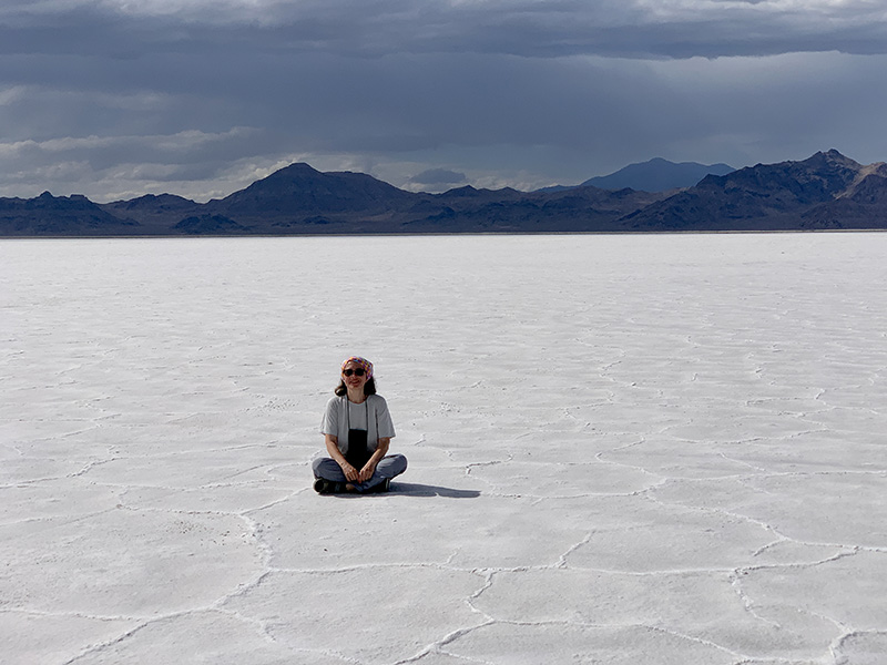
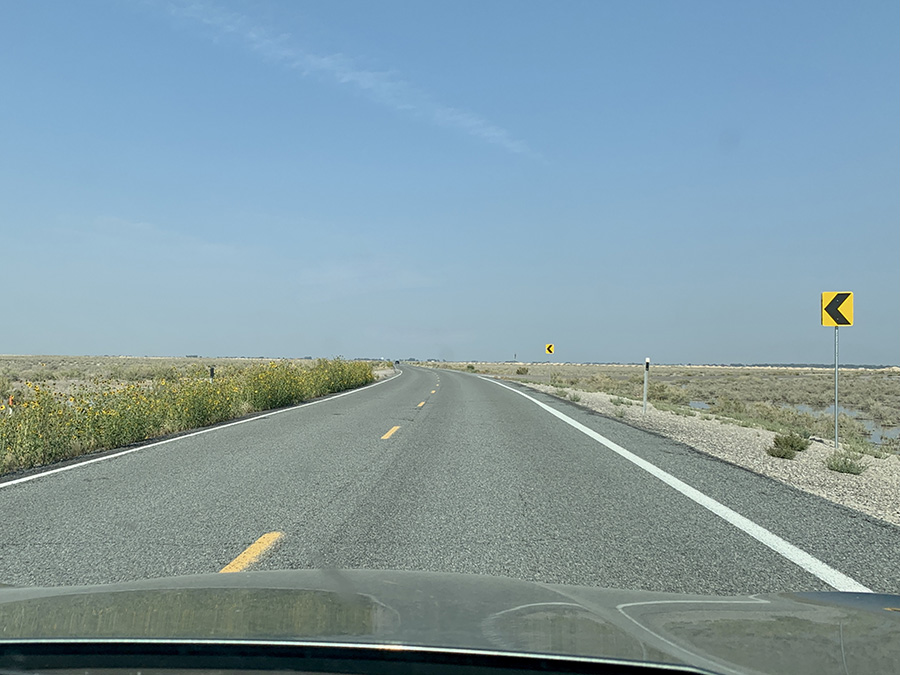
Great Salt Lake Desert…
…
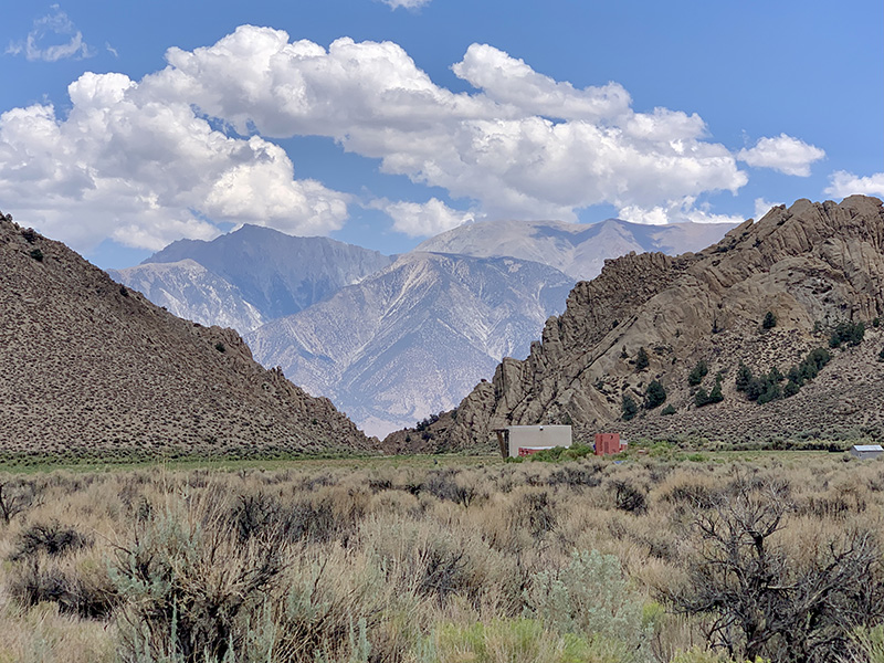
Nevada near Schell Creek (Schellbourne) Pony Express Station
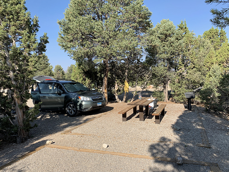
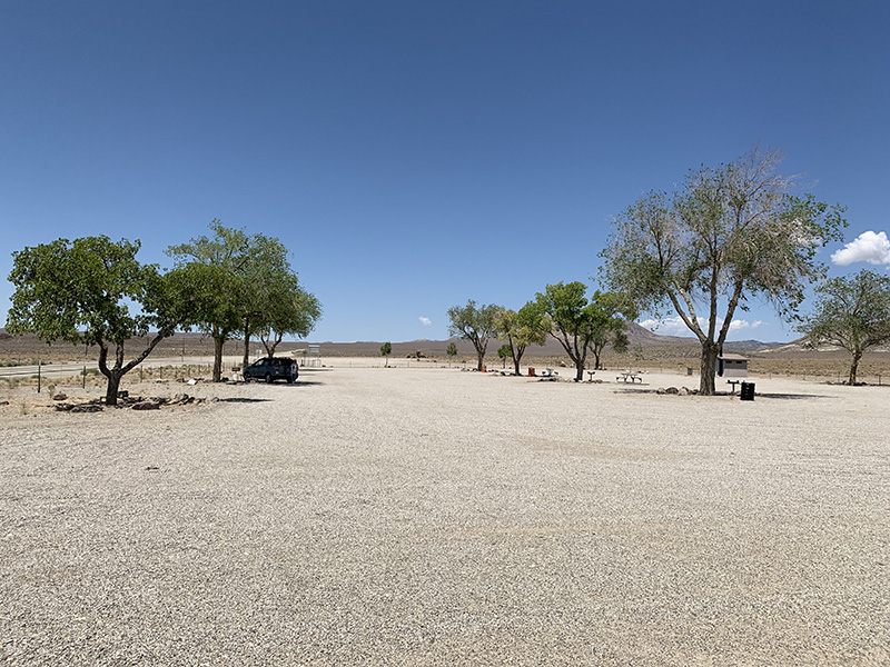
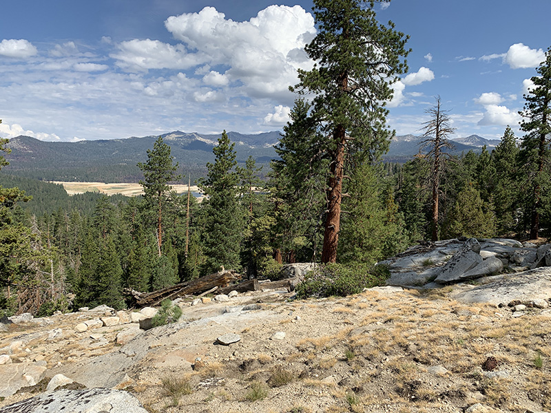
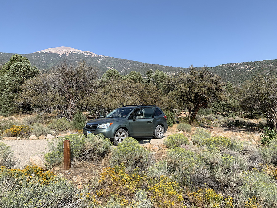
Ward Mountain Campground
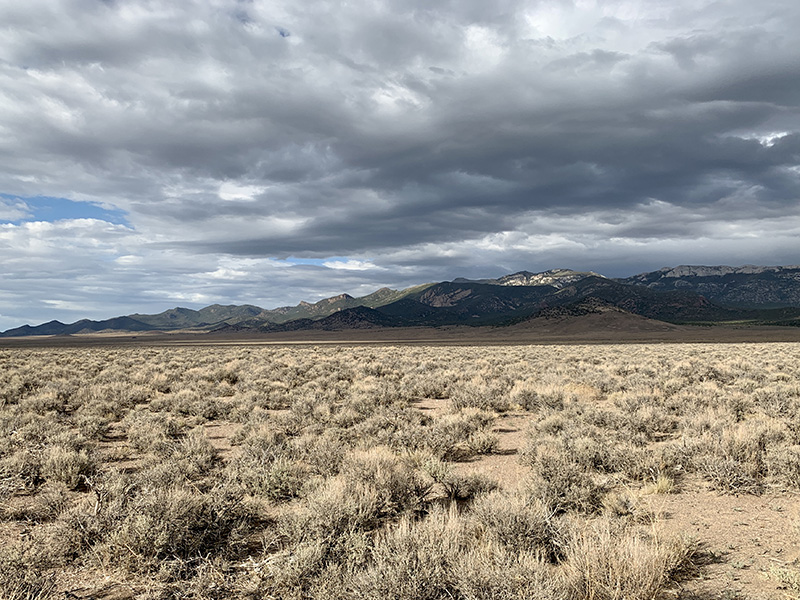
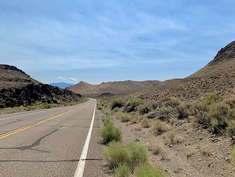
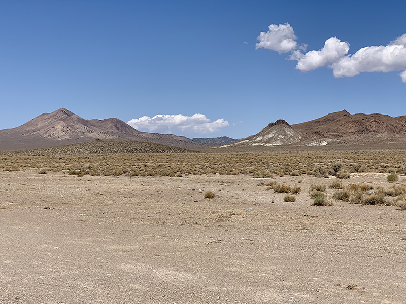
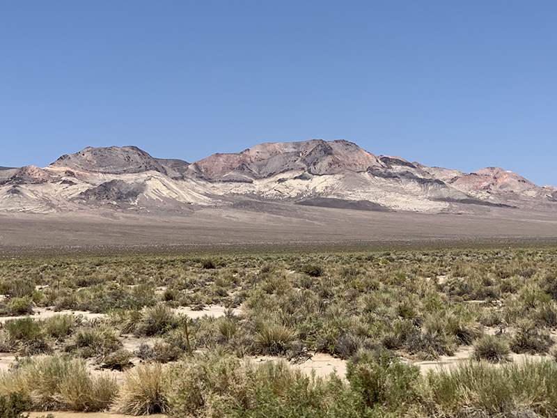
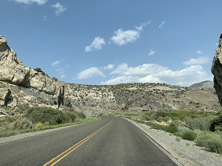
Driving across Nevada…
…rest stop…
…
…
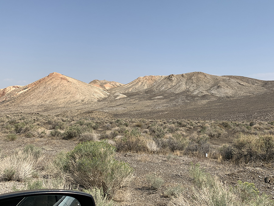
Boundary Peak NV, view from Hwy 6 in CA
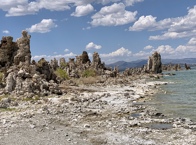
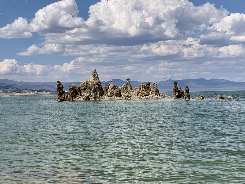
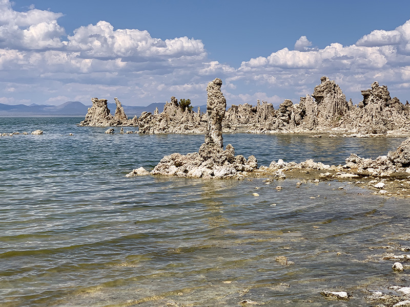
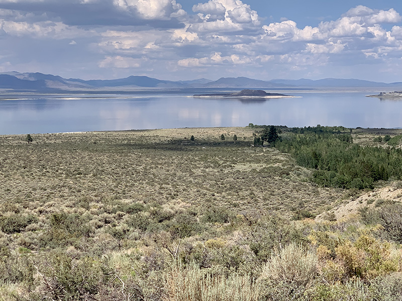
Mono Lake South Tufa…
…
…
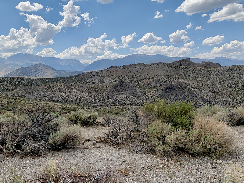
Checking high mountains on the horizon, behind Panum Crater
Last look at Mono Lake and we are on the way to Tuolumne Meadow
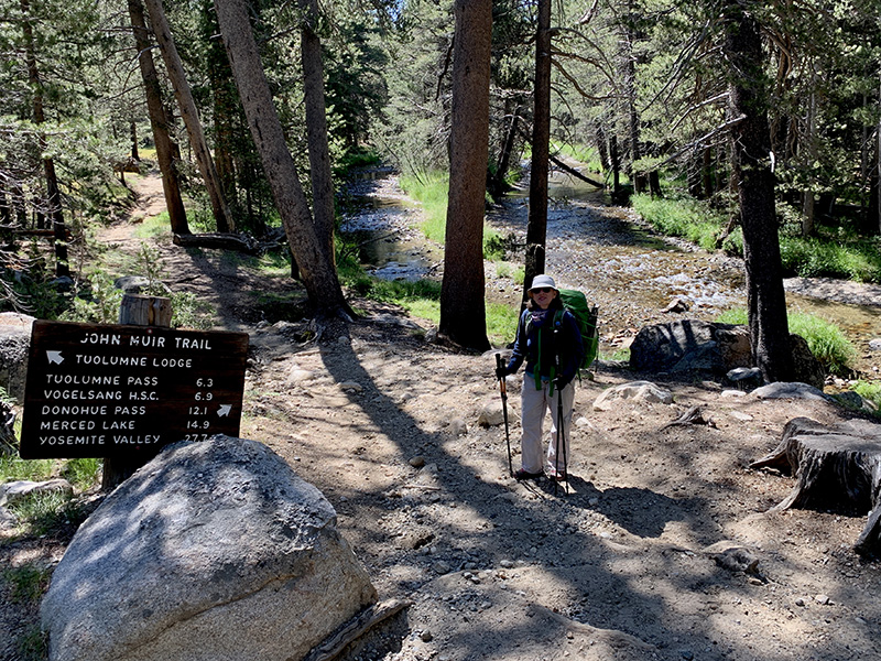
Out of Tuolumne Meadow and on JMT
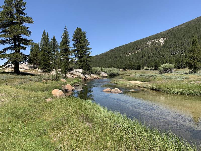
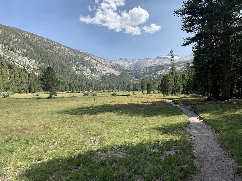
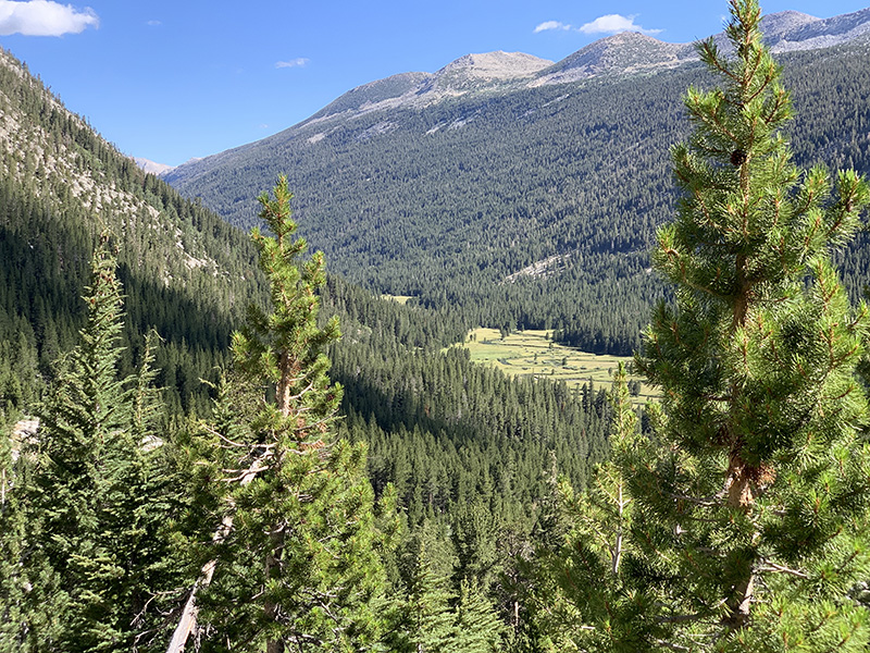
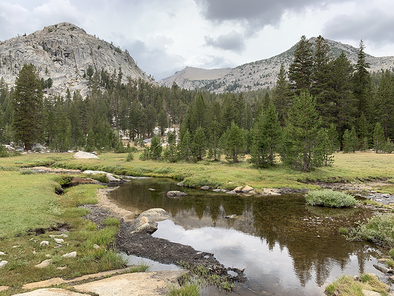
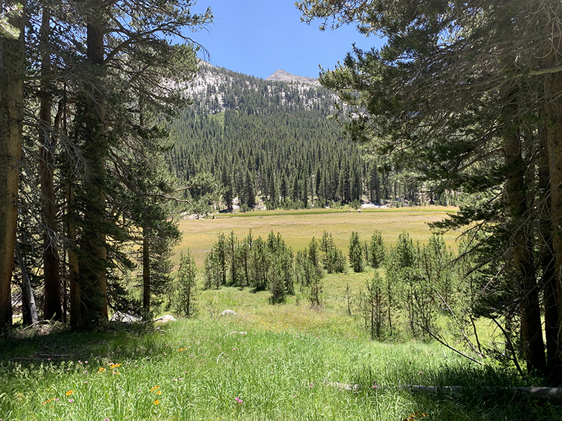
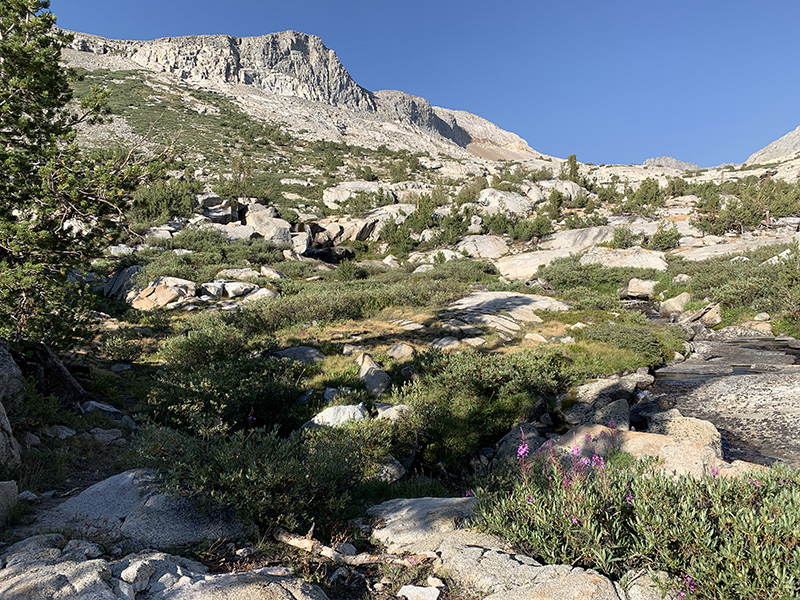
Lyell Canyon
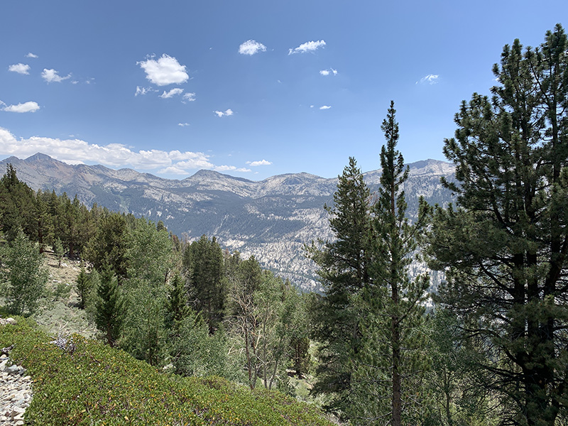
Easy hiking, mountains look far away
First campsite at Lyell Fork
Next morning work begins…
…as we quickly gain altitude above Lyell Canyon…
…mountains get closer and the pass is somewhere up there…
…Donohue Pass ahead…
…last look at Lyell Fork valley…
…and we find more mountains as we descend on the other side of the pass
Sunset at Rush Creek
Banner Mountain…
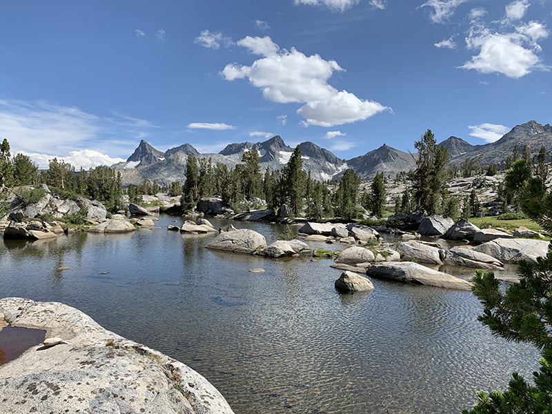
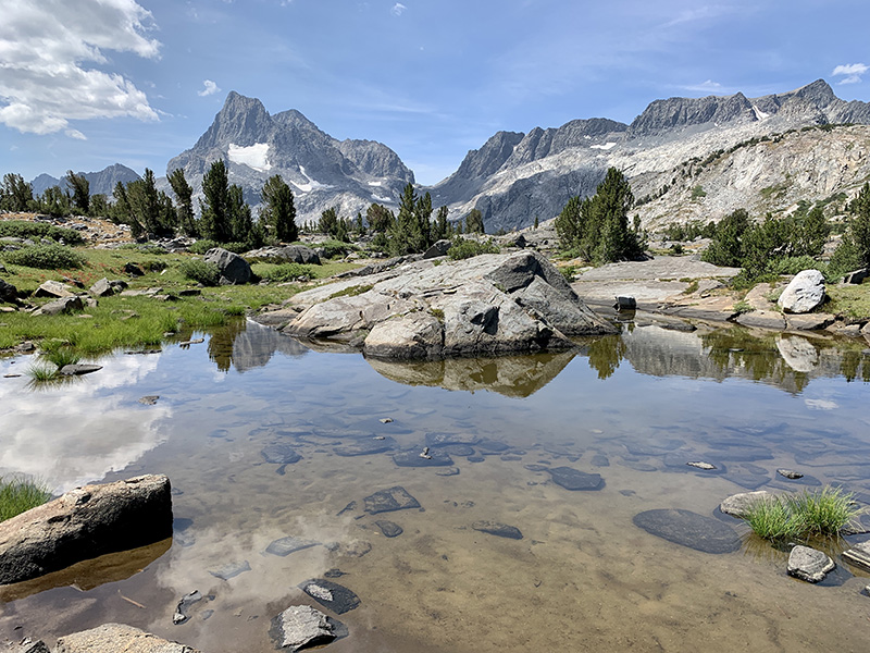
…above Thousand Island Lake…
…and Garnet Lake
…
Shadow Creek, time to stop for the night
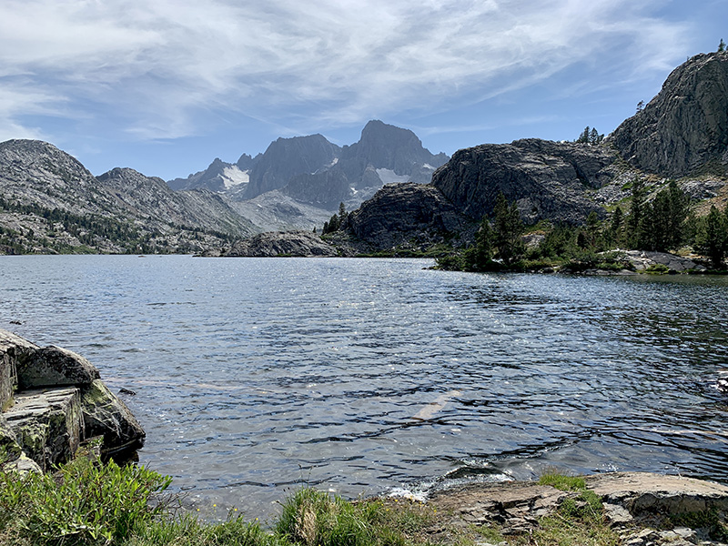
Shadow Lake
Rosalie Lake
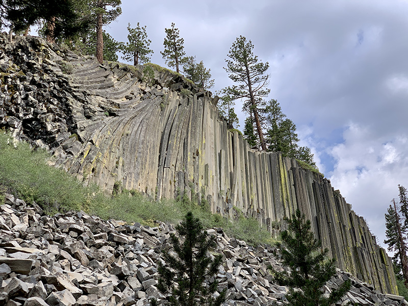
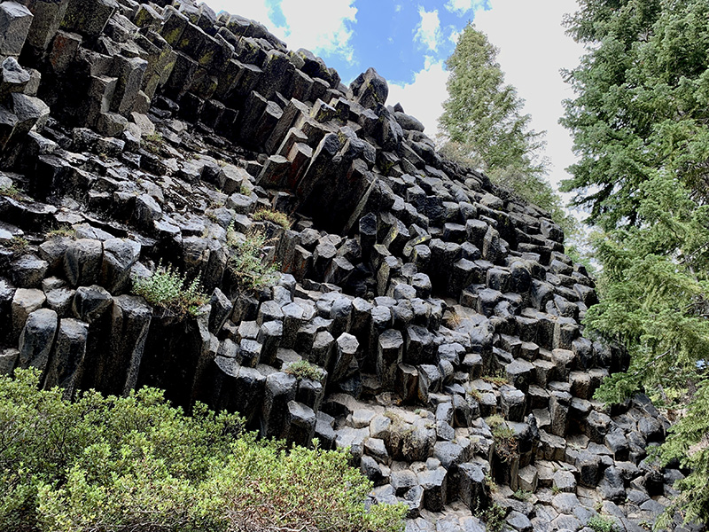
Devil’s Postpile
…
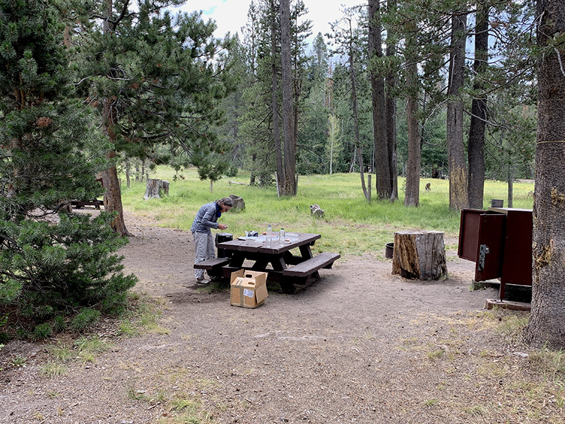
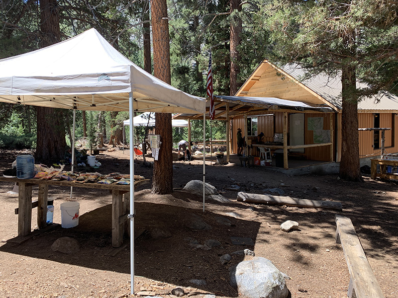
Packing resupply at Red’s Meadow campground
Leaving Red’s Meadow…
…on trail above Middle Fork San Joaquin River valley
Red Cone…
…cinder and volcanic rocks
Camping near Deer Creek
On trail above Fish Creek next day
Camp above Purple Lake…
…view in the evening…
…and in the morning
Purple Lake
Squaw Lake…
…to early to camp here, we push on
Papoose Lake next morning…
…as we are heading out and up…
…last look at Lake of Lone Indian and Papoose Lake from trail…
…to Goodale Pass with even bigger storm behind us…
…so we are dropping down to the valley on the other side in a hurry
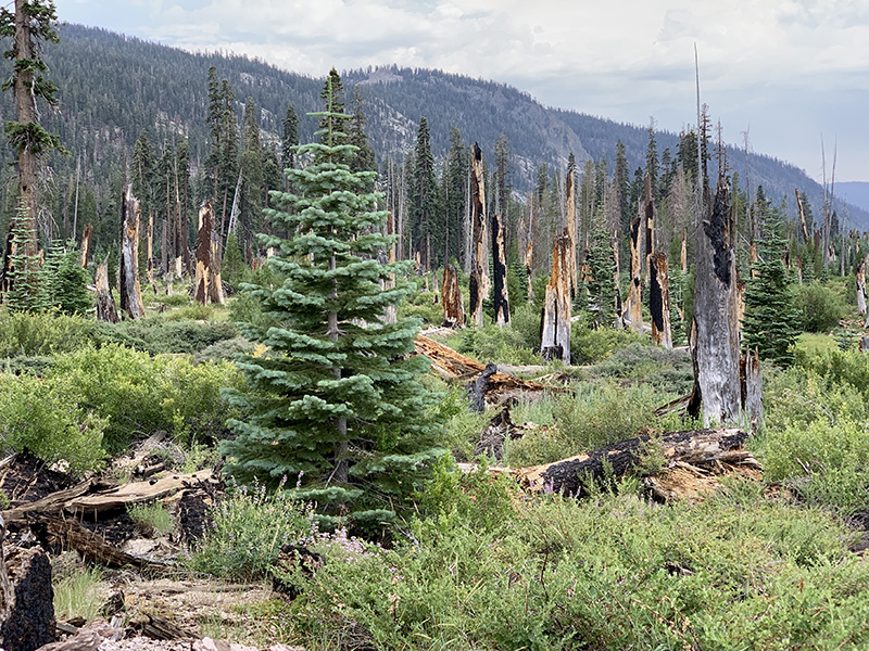
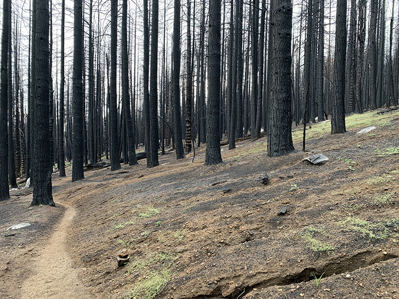
Forest near VVR burned last year
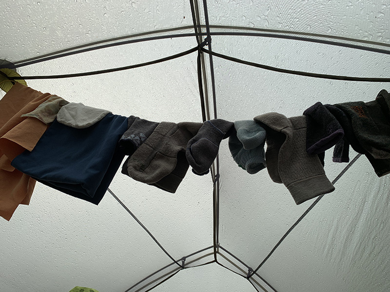
Waiting out short rain
Mushroom City at VVR
Lake Edison
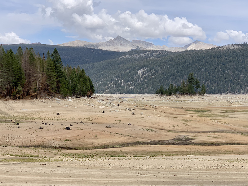
Crossing over hill from VVR to Bear Creek (dry Lake Edison at the bottom)
Bear Creek
…
…at times hiking in passing light rain
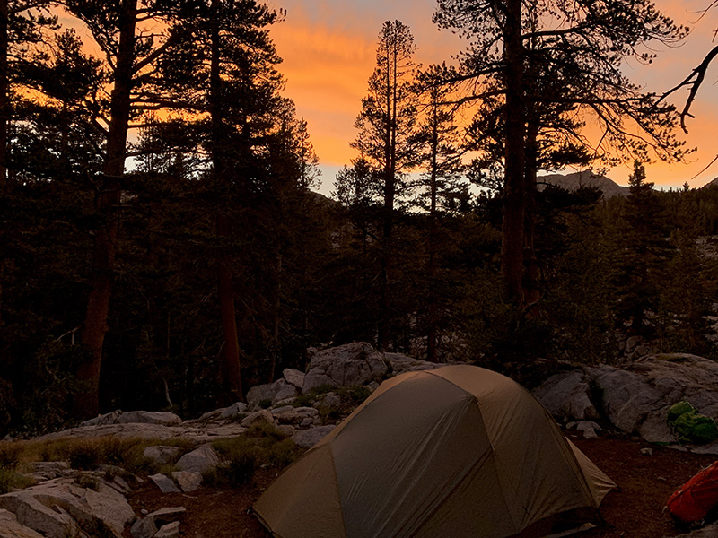
Sunset at our Bear Creek camp
We continue up West Fork Bear Creek for a while
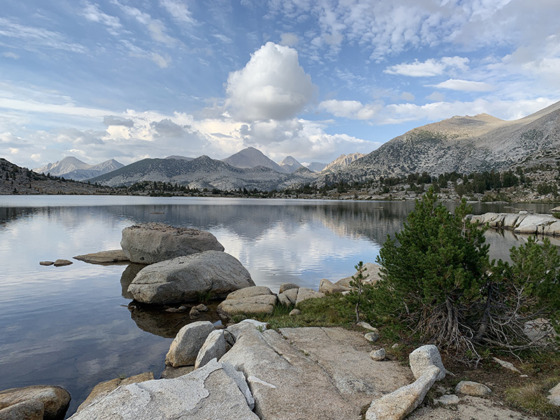
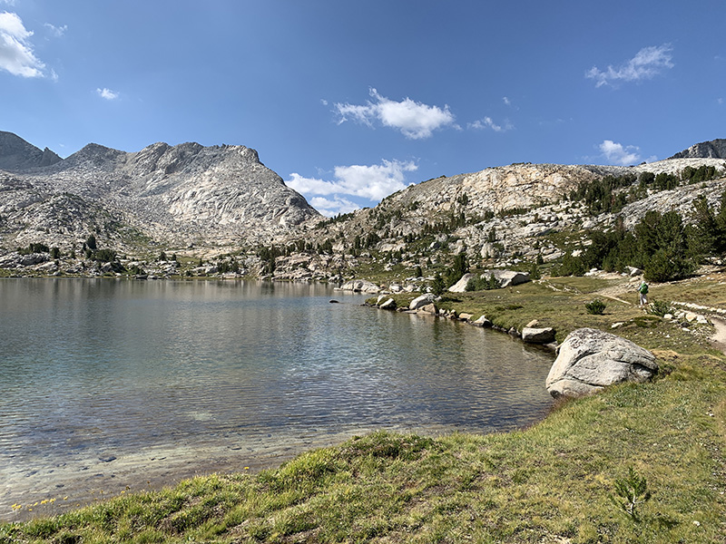
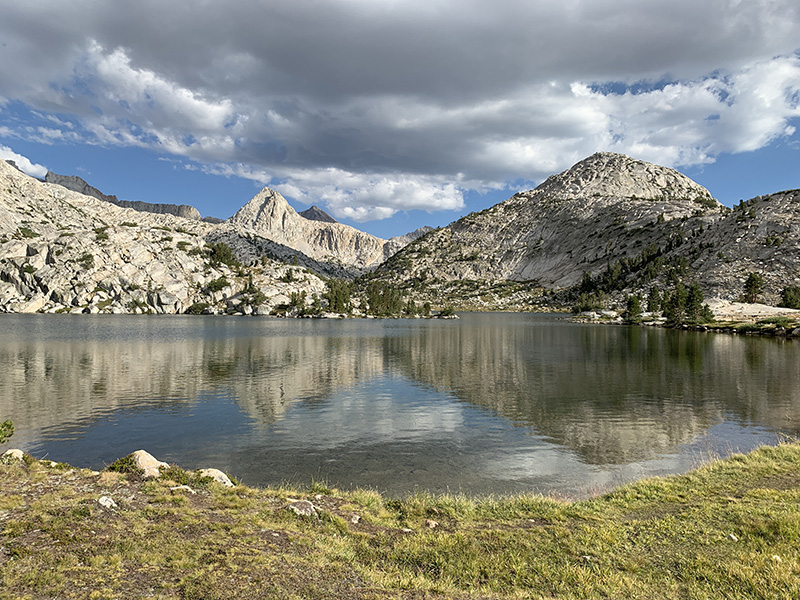
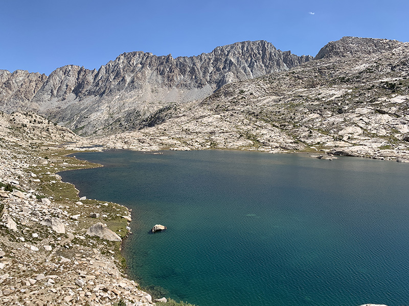
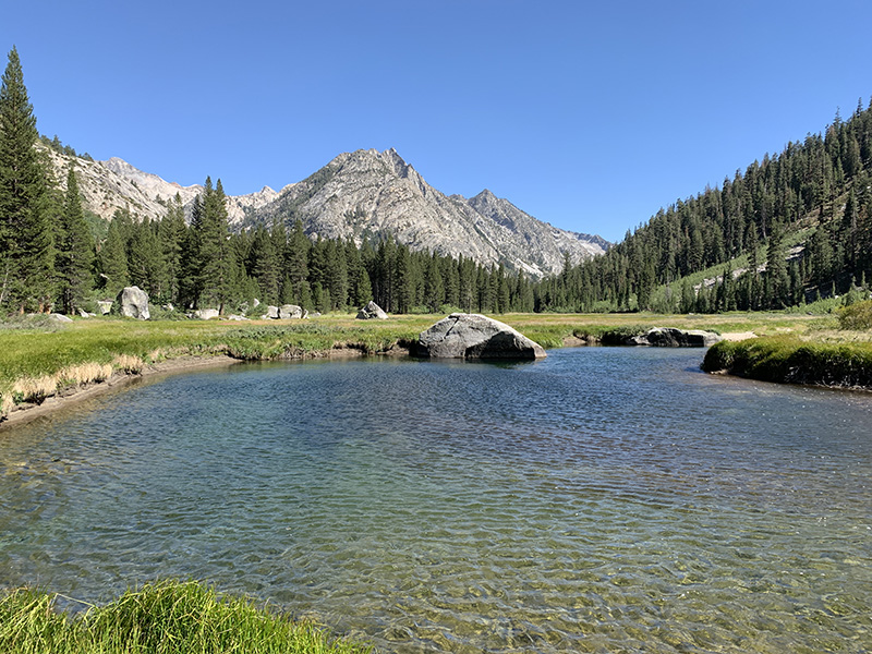
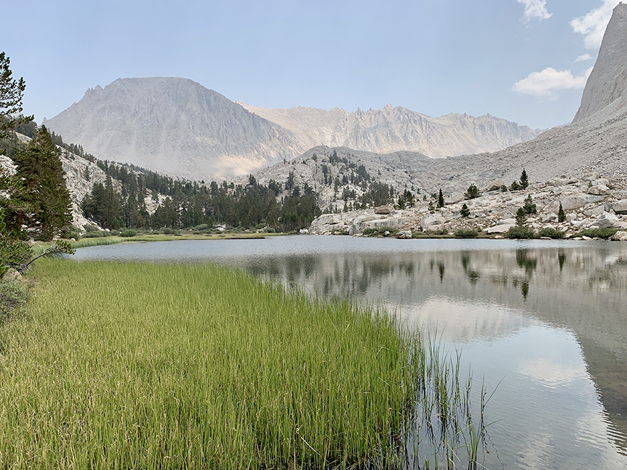
Marie Lake
Camping above Marie Lake
…and listening to coyotes howling somewhere out there at sunset
Marie Lake in the direction we are hiking next morning…
…to Selden Pass (looking back at Marie Lake)
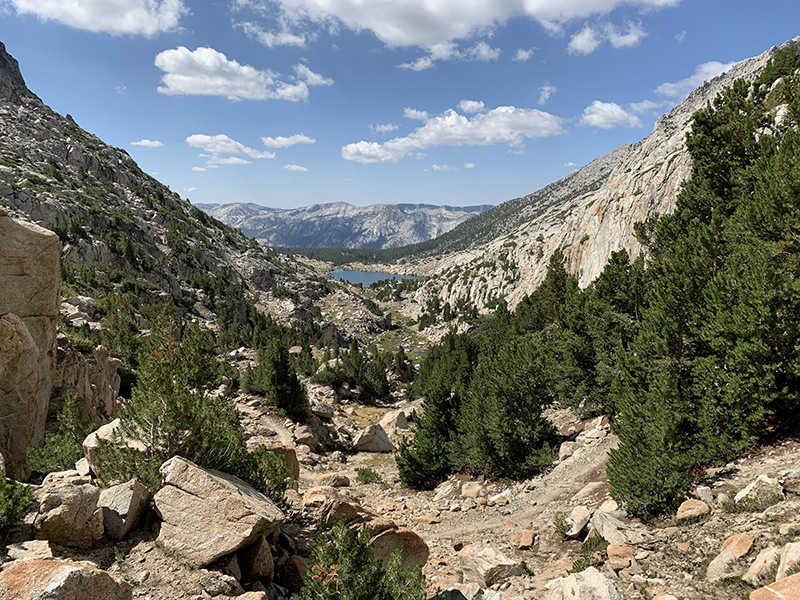
Heart Lake on the other side of the pass…
…Sallie Keyes Lakes…
…and we are descending quickly to the valley bottom…
…to Muir Trail Ranch backpacker resupply station
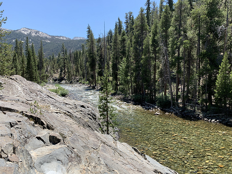
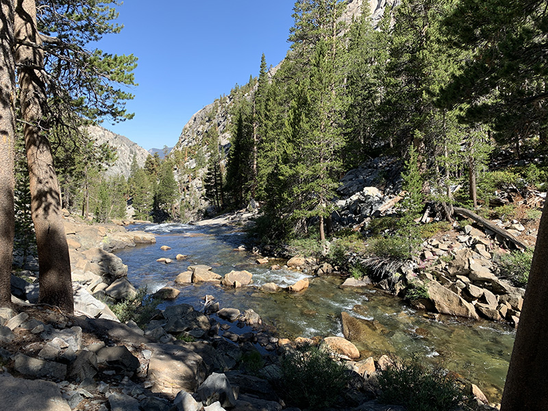
South Fork San Joaquin River…
…
…hiking upstream…
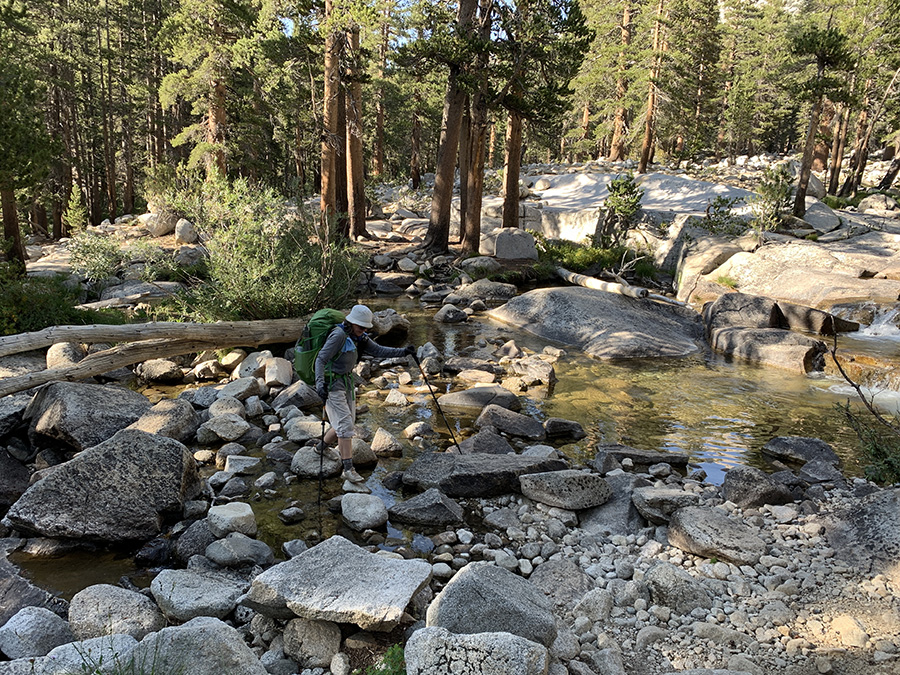
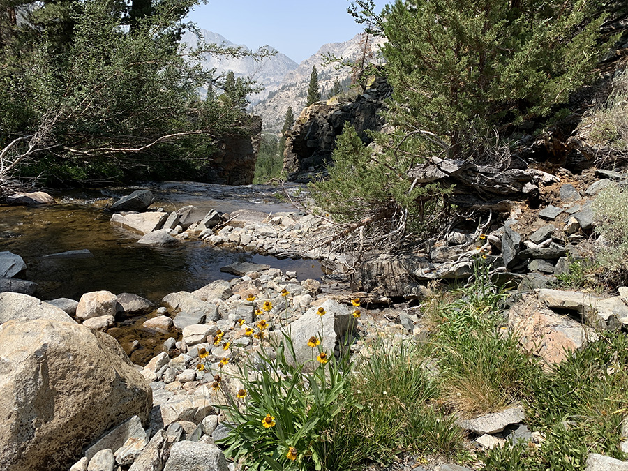
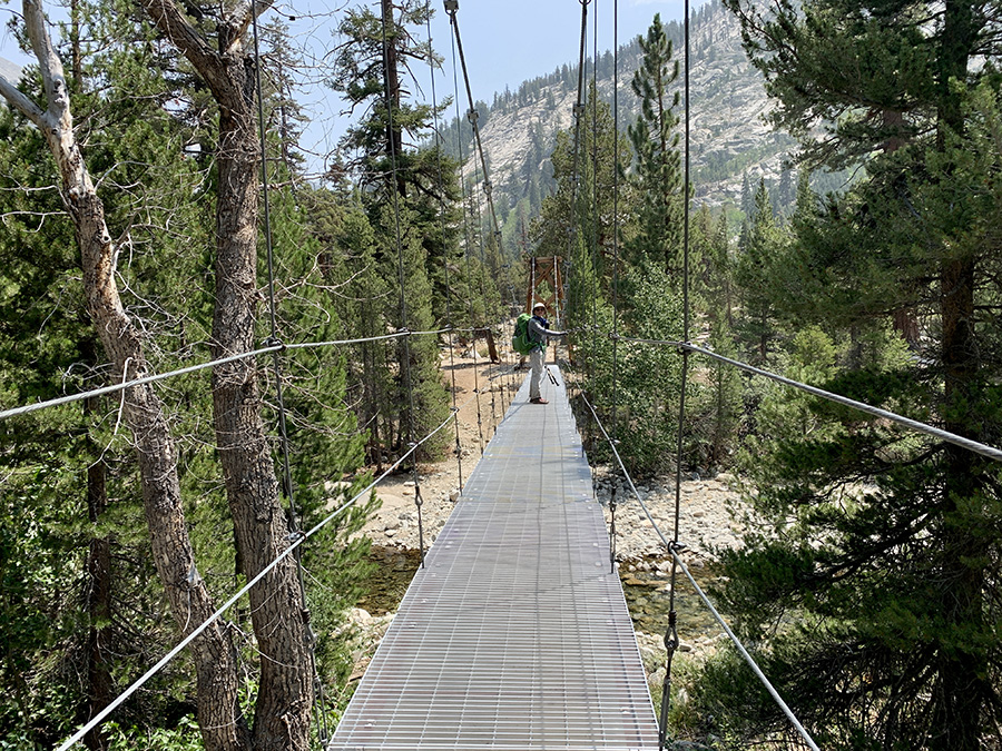
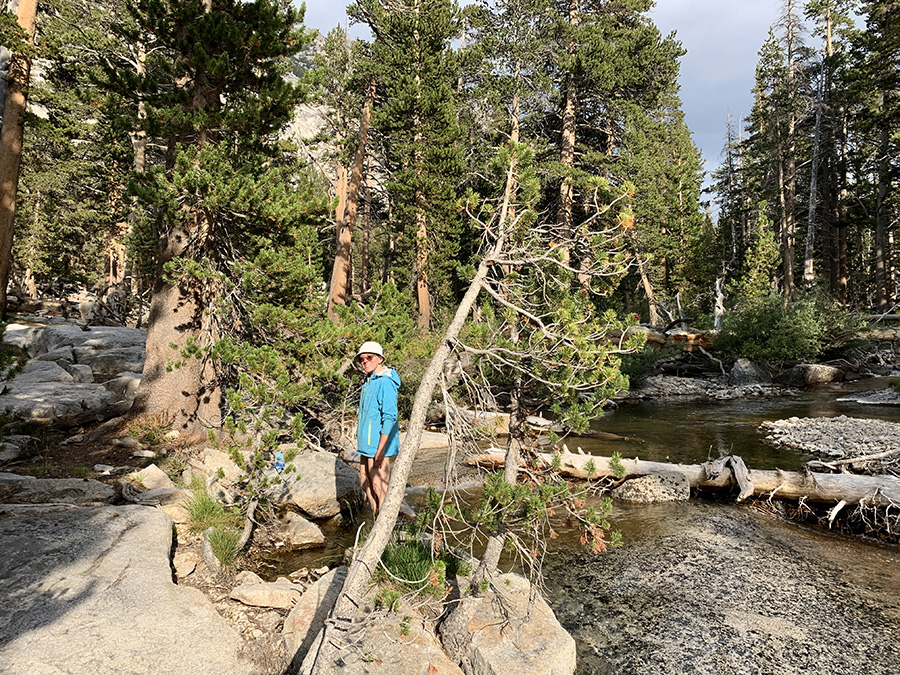
…last bridge near Evolution Creek confluence
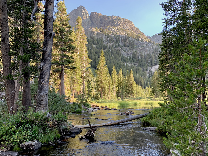
Evolution Creek…
…McClure meadow…
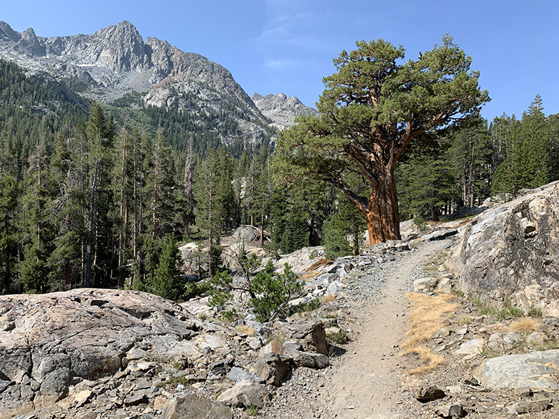
…on trail…
…to Evolutiuon Lake…
…for sunset…
…at our campsite
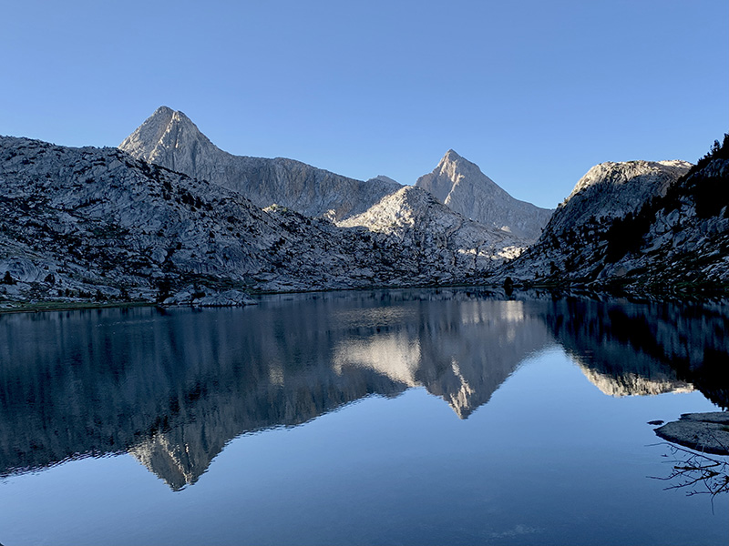
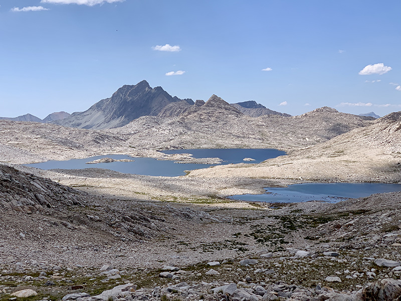
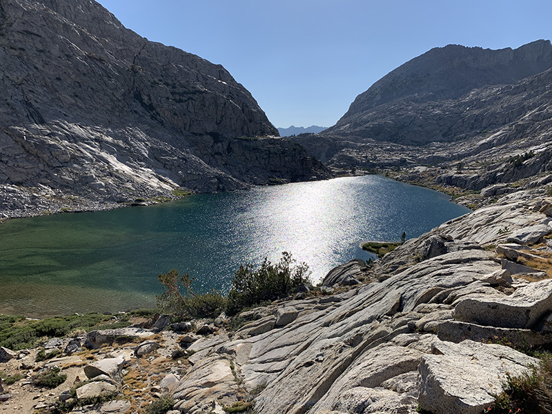
From Evolution Lake we hiked to Sapphire Lake…
…to Wanda Lake…
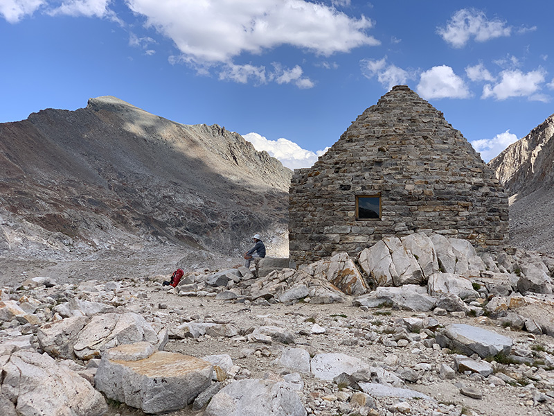
…and Muir Pass
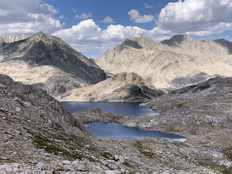
Looking back from the pass (Wanda Lake and Lake McDermand)
…and forward to Helen Lake…
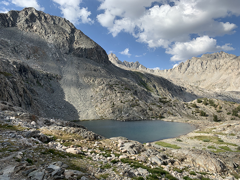
Planned to stay at small lake…
…but had to walk further down Middle Fork Kings River
Warming-up and drying-out in the morning
…
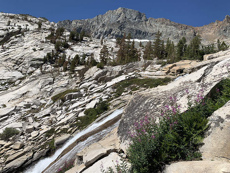
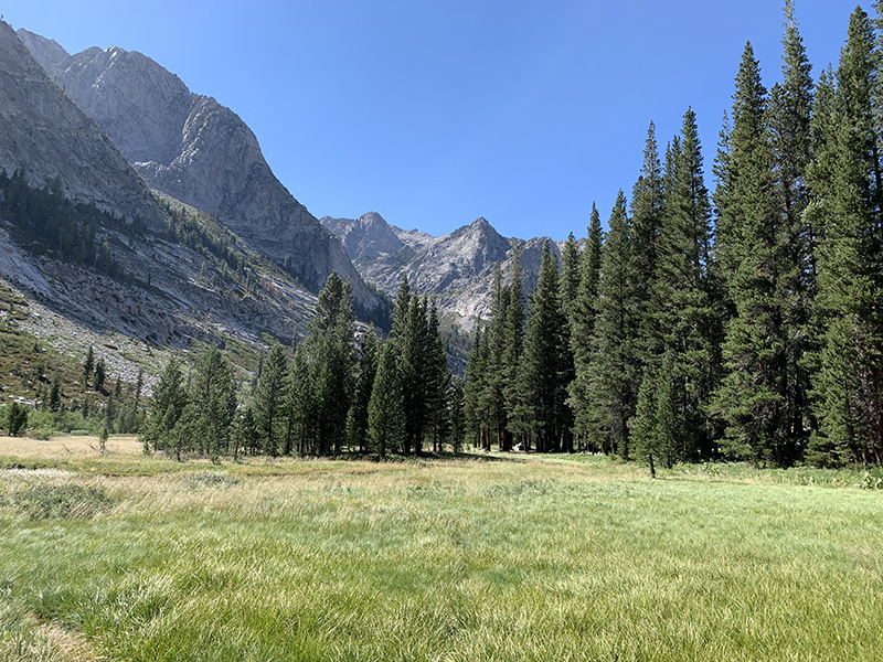
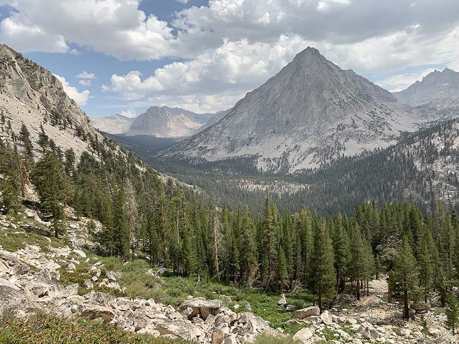
Middle Fork Kings River valley…meadows…
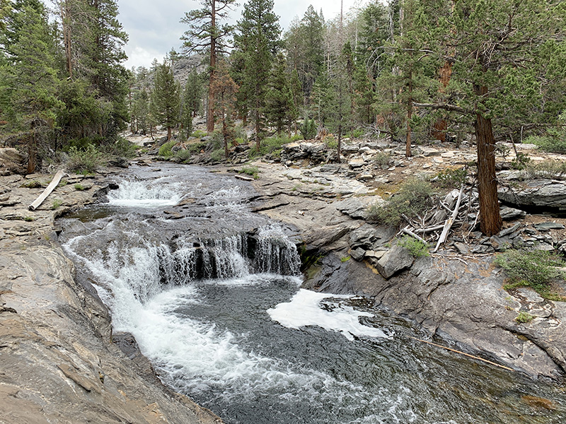
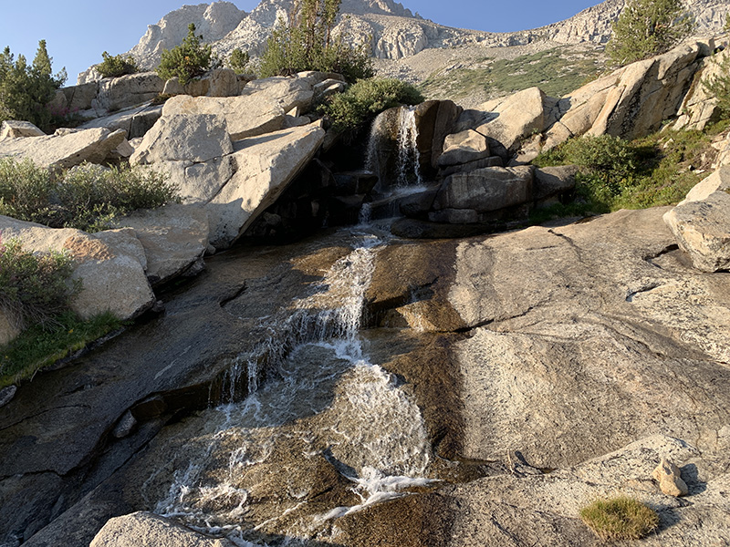
…and waterfalls…
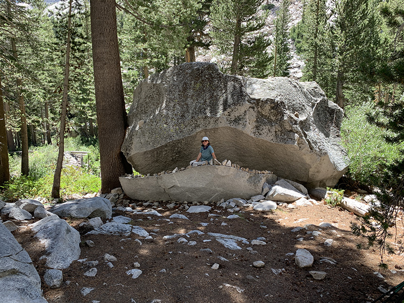
…Rock Monster…
…Grouse Meadow…
…
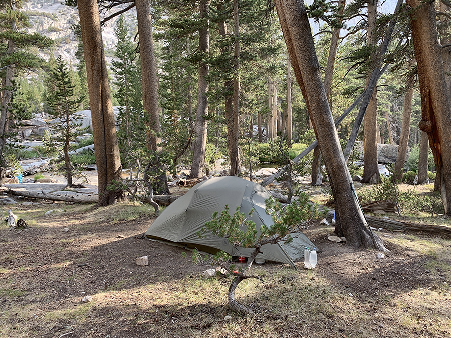
Camping at Palisade Creek
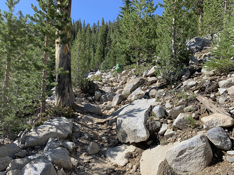
Hiking up Palisade Creek…
…from Kings River valley…
…up…
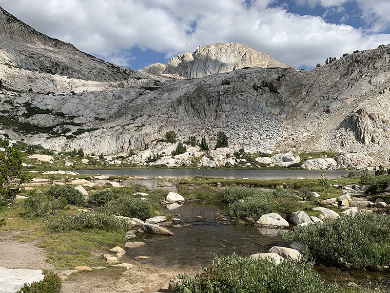
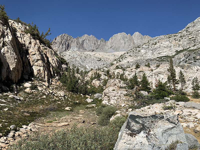
…to Palisade Lakes
Lower Palisade Lake
Palisade Lakes, view from our campsite
Our backyard…
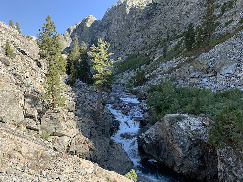
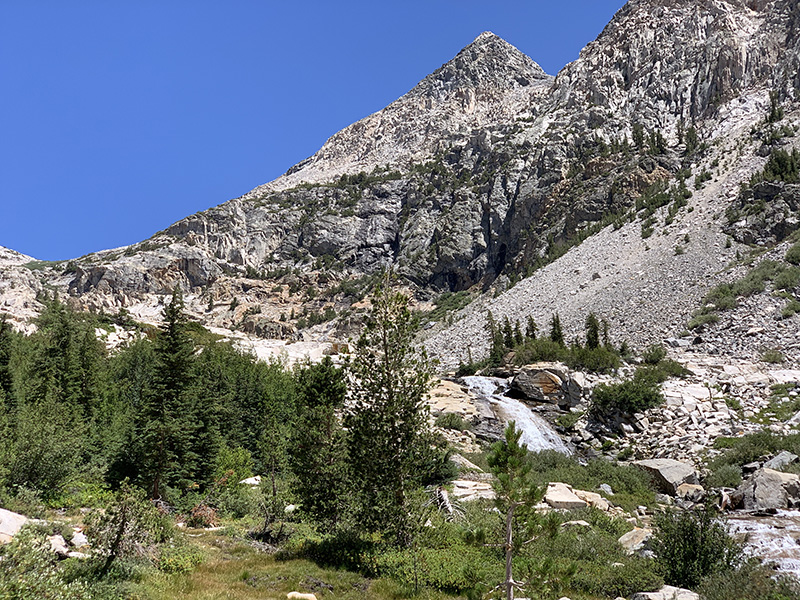
…and waterfalls on Palisade Creek above Upper Palisade Lake
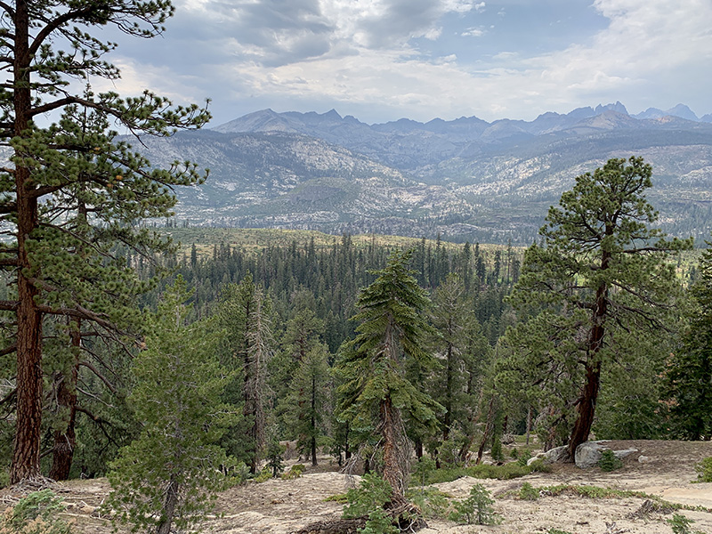
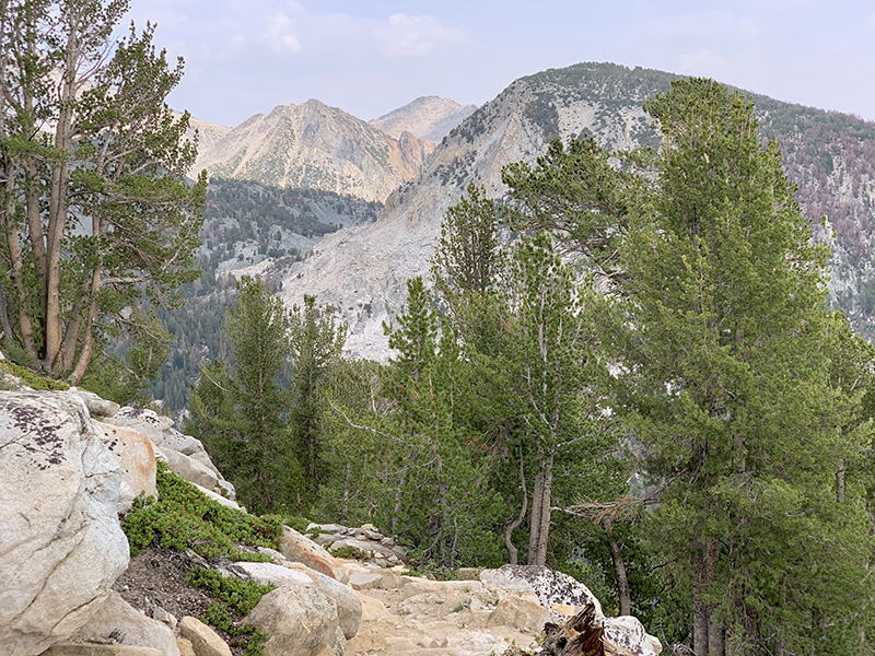
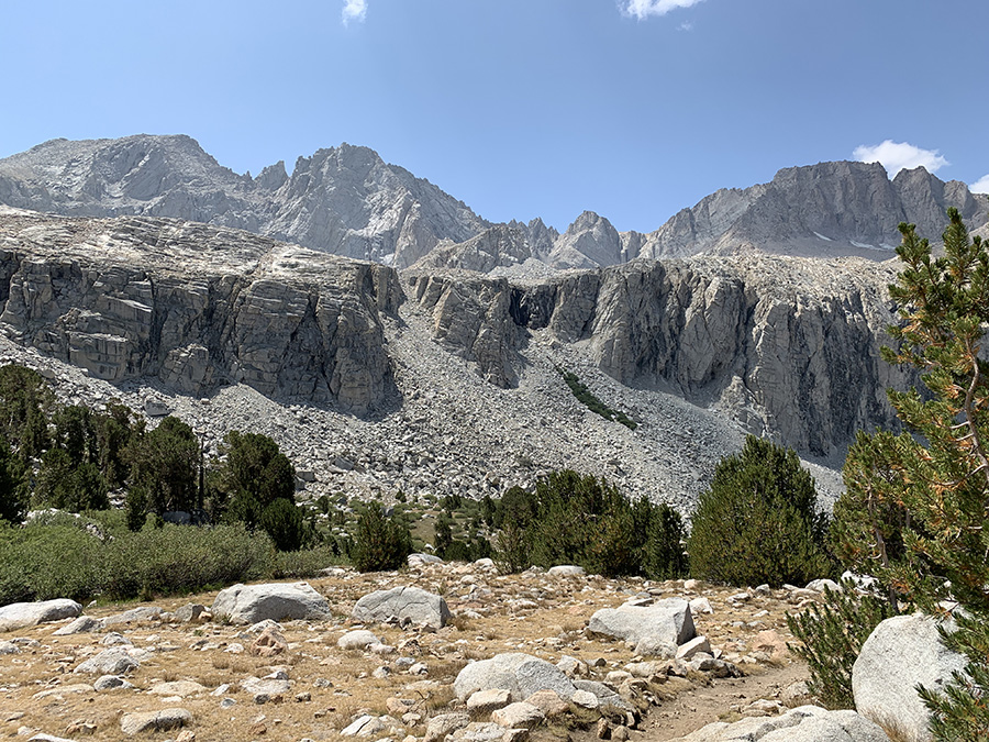
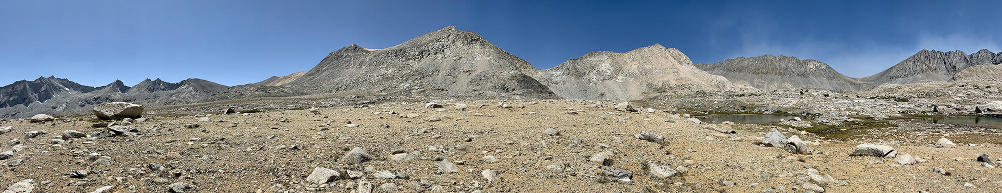 Panorama of Mather Pass, saddle on the right side, from Upper Basin
Mather Pass…
…looking back down at Palisade Lakes…
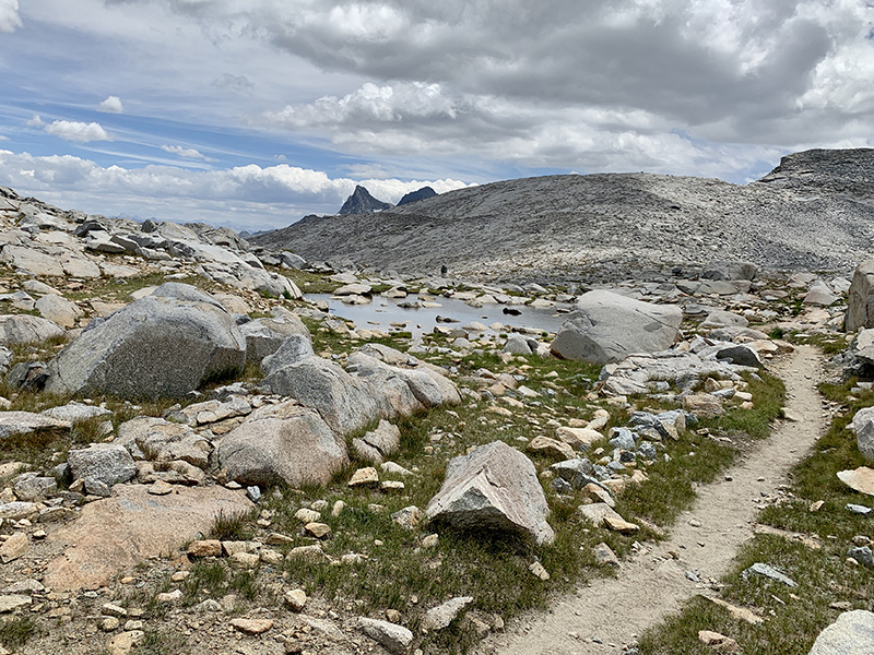
…and forward at Upper Basin…
…where we rested at small tarn…
…and continued down…
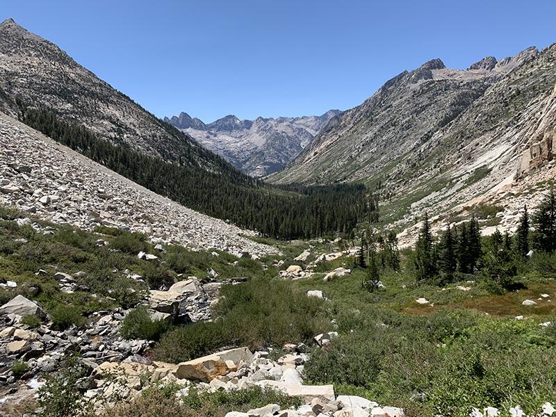
…South Fork Kings River
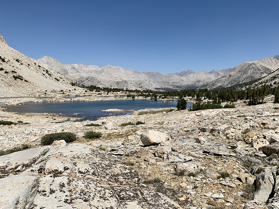
We left South Fork Kings River Valley behind, walked by some tarns…
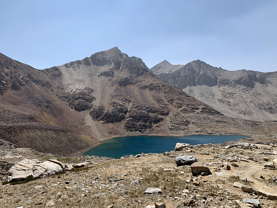
…to Lake Marjorie…
…then higher…
…and higher to Pinchot Pass…
…final approach…
…and view on the other side
We are now hiking down Woods Creek valley…
…with rusted mountains…
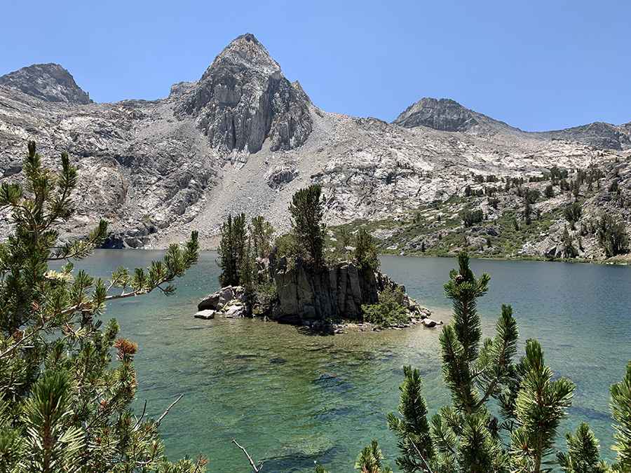
…to camp above Twin Lakes…
…near nice tarn where we spent late afternoon…
…until Sun disappeared behind mountains
Continued along Woods Creek…
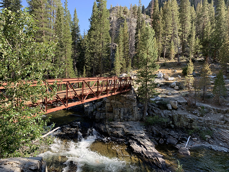
…to suspension bridge where popular Rae Lakes loop joins JMT…
…
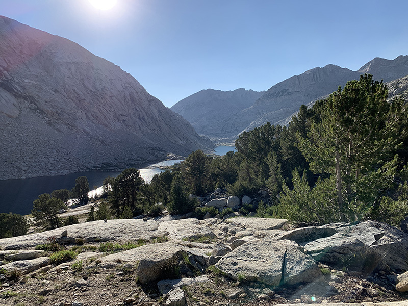
and then up South Fork Woods Creek to Dollar Lake
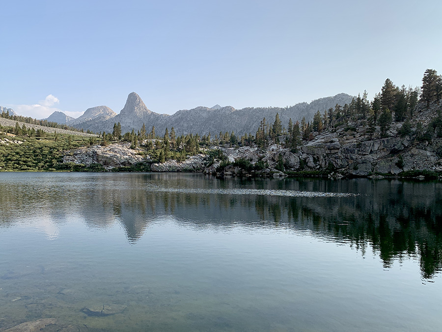
Rae Lakes…
…
…
…
…hiking up again…
…to Glen Pass…
…
…valley on the other side
Traversing slopes above Charlotte Lake
Camp at Bullfrog Lake trail junction as we are leaving…
…passing green tarn with good candidate campsites when we return…
…Bullfrog Lake, no camping – closed for restoration
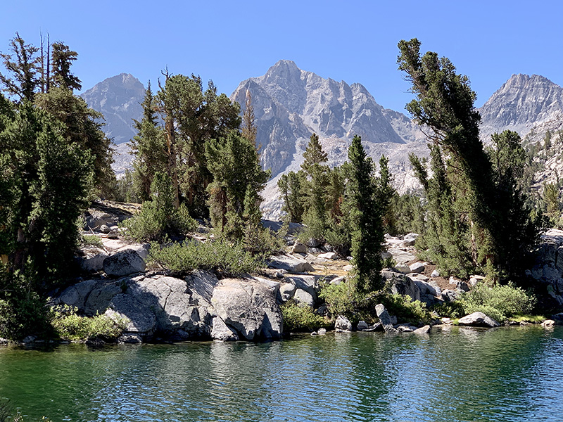
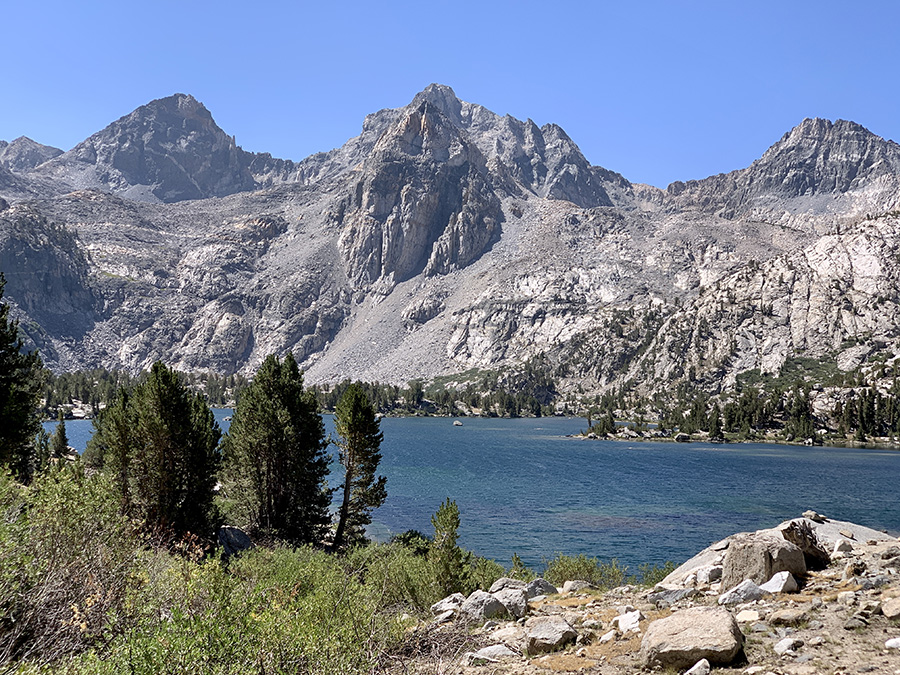
Kearsarge Lakes…
…climbing higher, view towards Keararge Lakes and Bullfrog Lake…
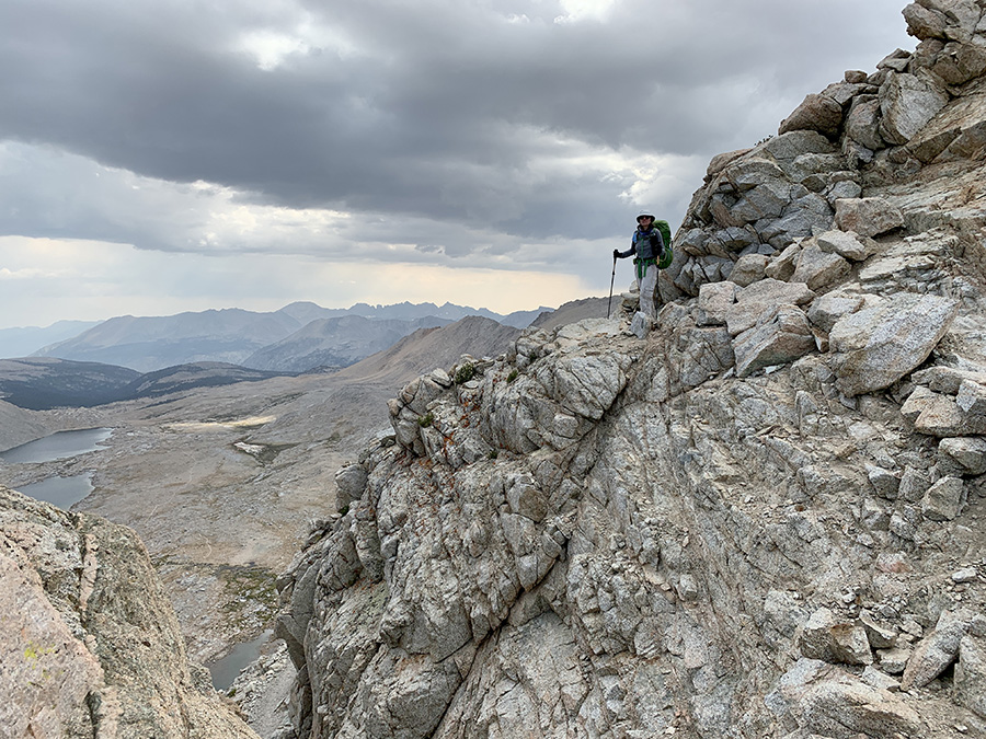
…looking down on the other side of Kearsarge Pass…
…now behind us, but we are going back up in two days
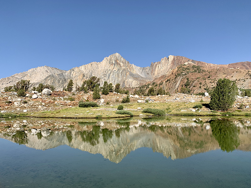
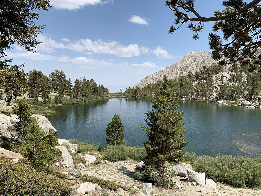
Gilbert Lake
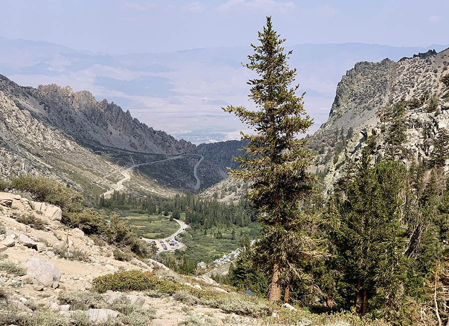
Parking lot at trailhead and Onion Valley Road to Independence
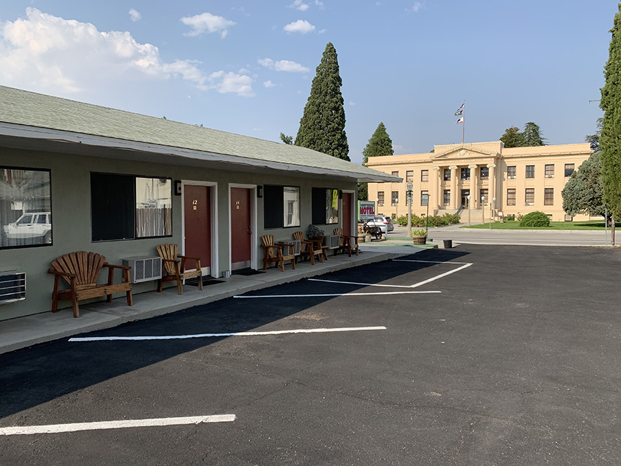
Courhouse Motel
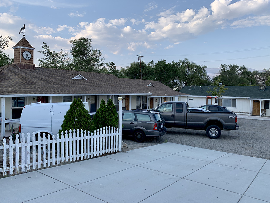
Independence Inn
Next morning we are driving to trailhead and hiking into mountains again
Return to Kearsarge Pass…
…Bullfrog Lake…
…Bubbs Creek ahead
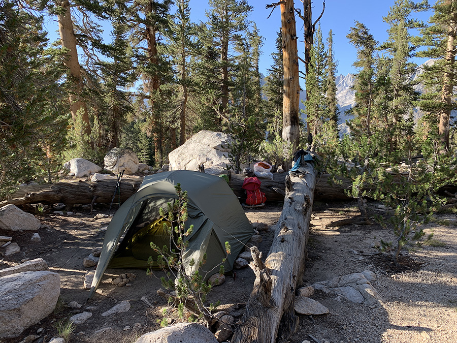
Camping…
…
…at Bubbs Creek (Upper Vidette Meadow)
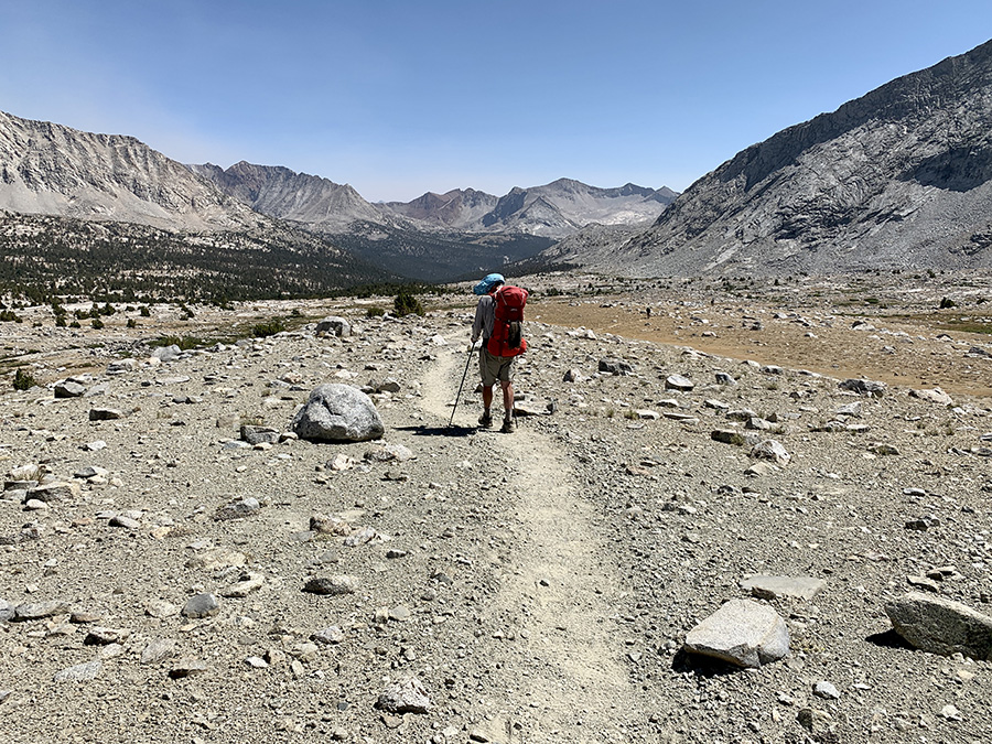
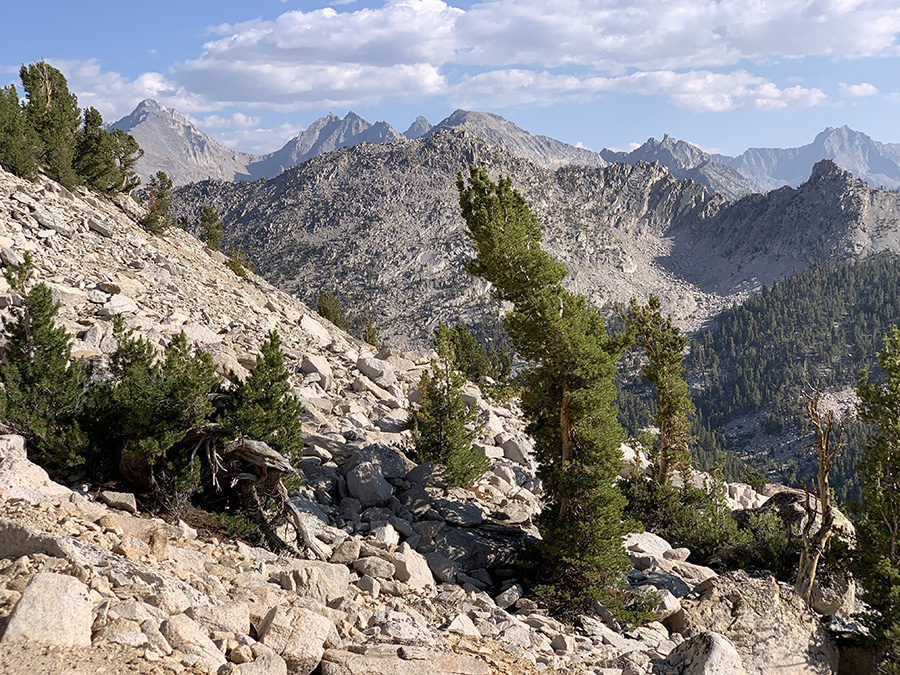
Hiked out of Bubbs Creek valley.
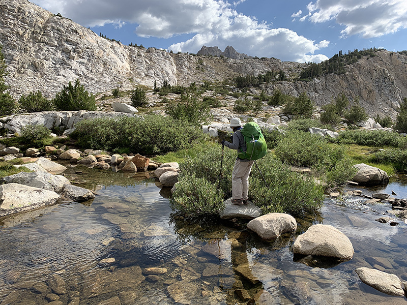
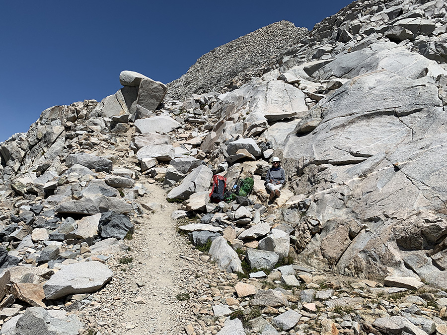
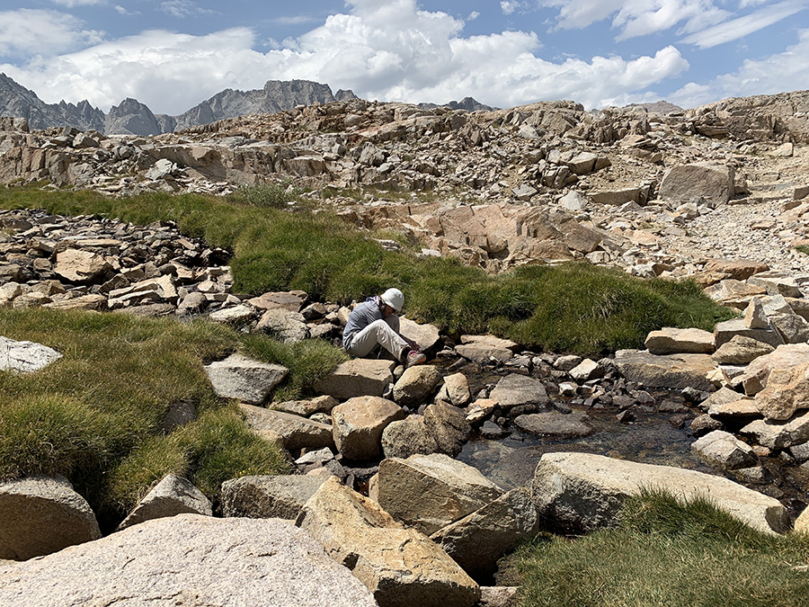
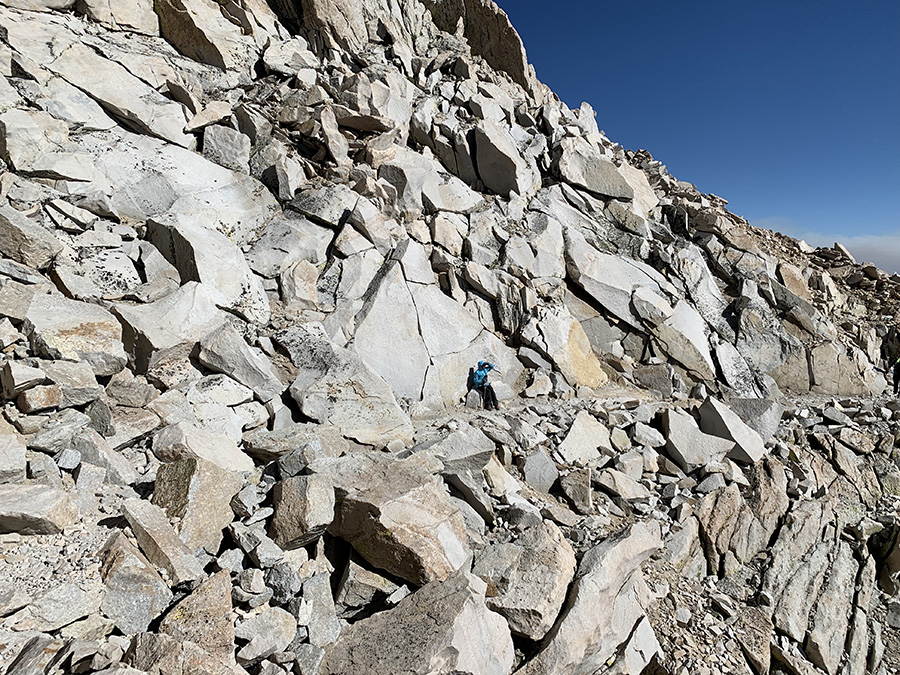
Taking water frequently not to carry weight
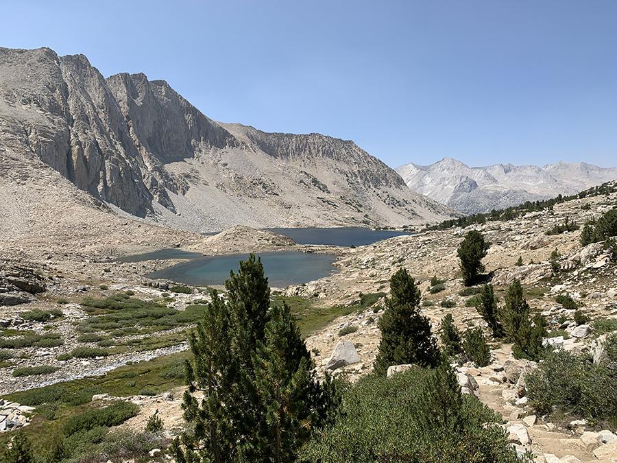
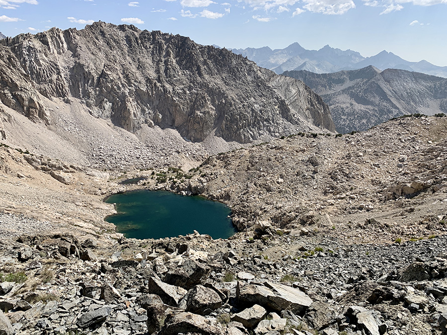
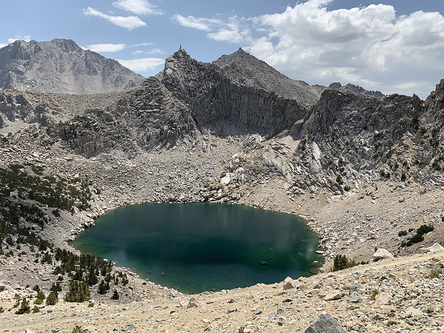
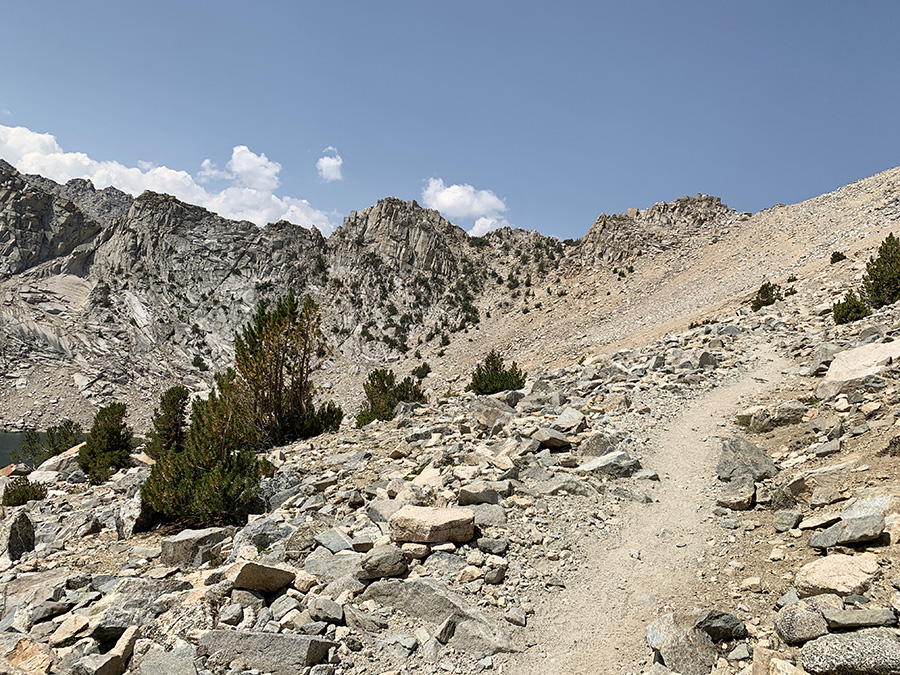
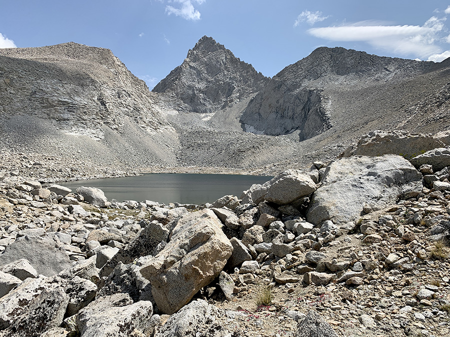
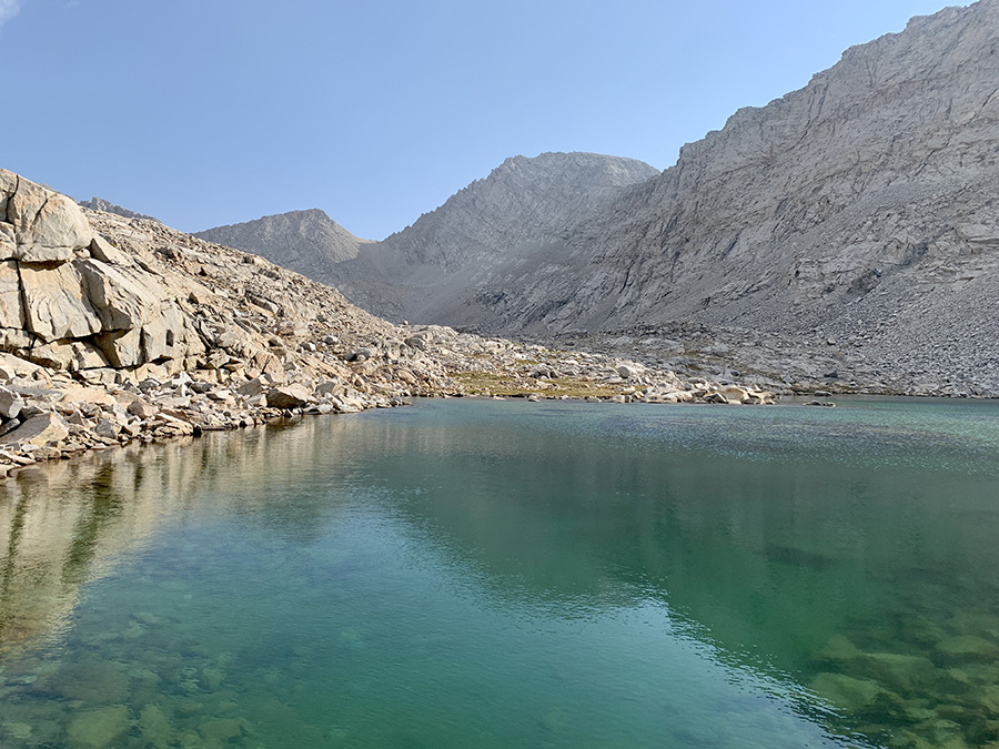
Just passed Lake 12250…
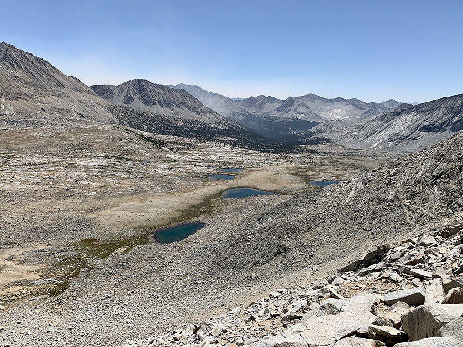
…view from Forester Pass, Lake 12250
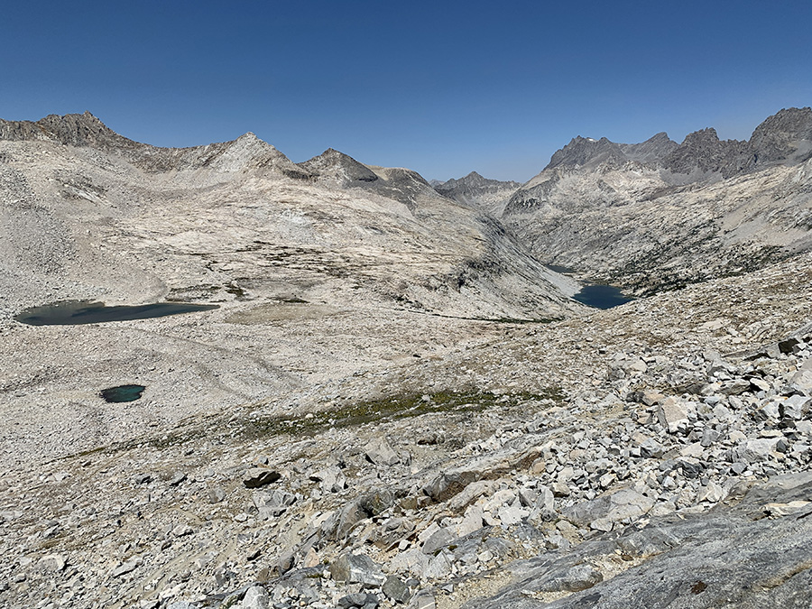
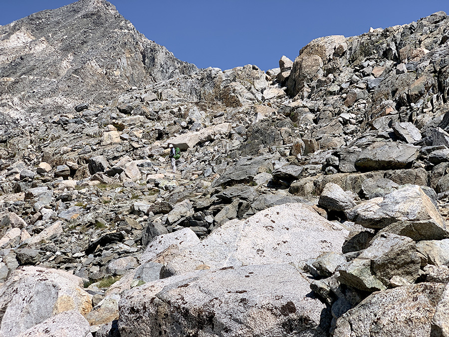
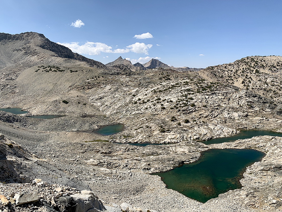
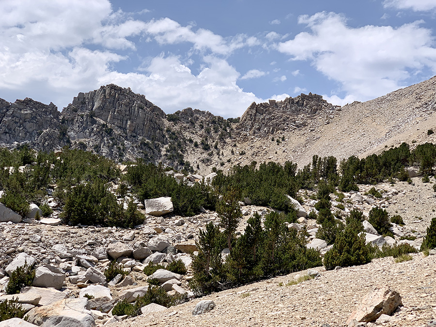
Looking for way out, and down to lakes where we camped
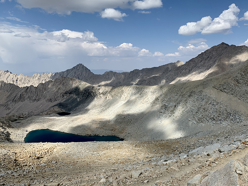
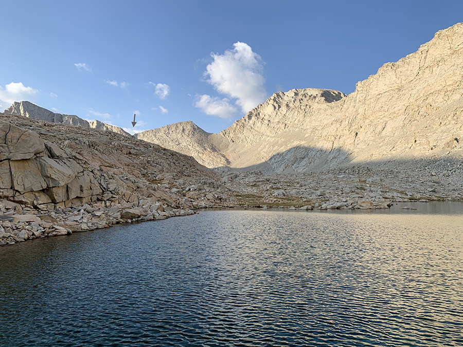
We camped above this lake, Forester Pass on horizon (arrow)
Checking cords, stakes and anchors one more time
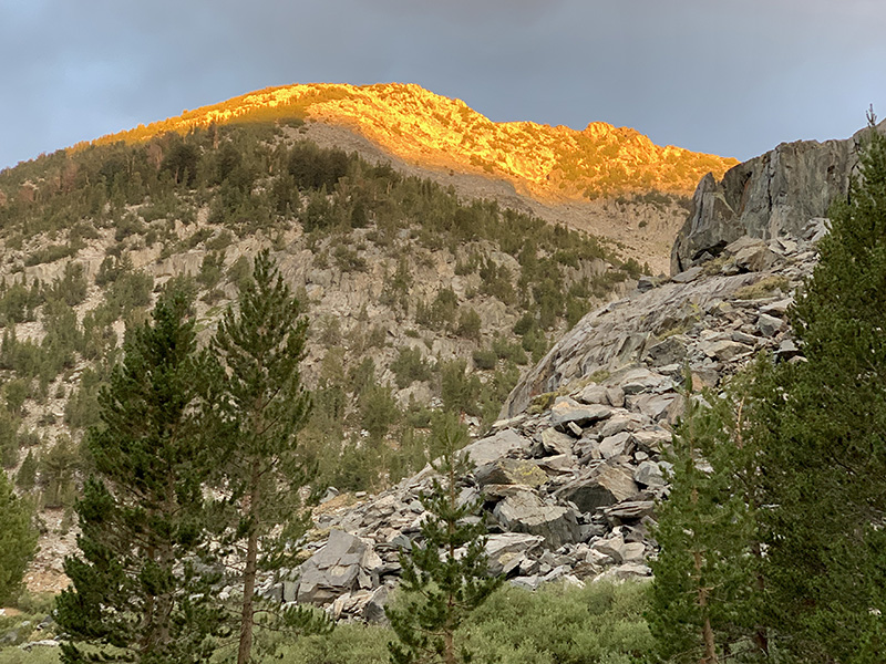
Sun-heater coming to our tent in minutes
Lake changed color in the morning
Search & rescue helicopter just took off (Tyndall Creek valley)
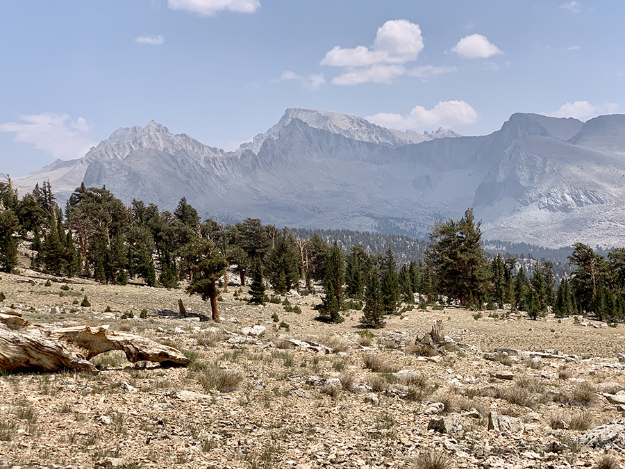
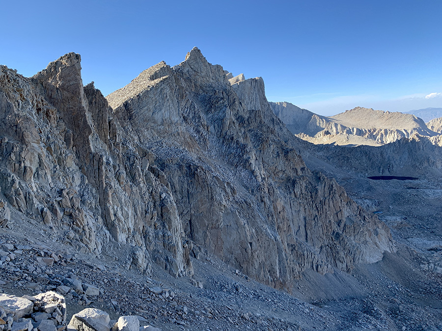
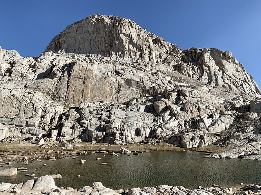
First good look at Mt Whitney from Bighorn Plateau
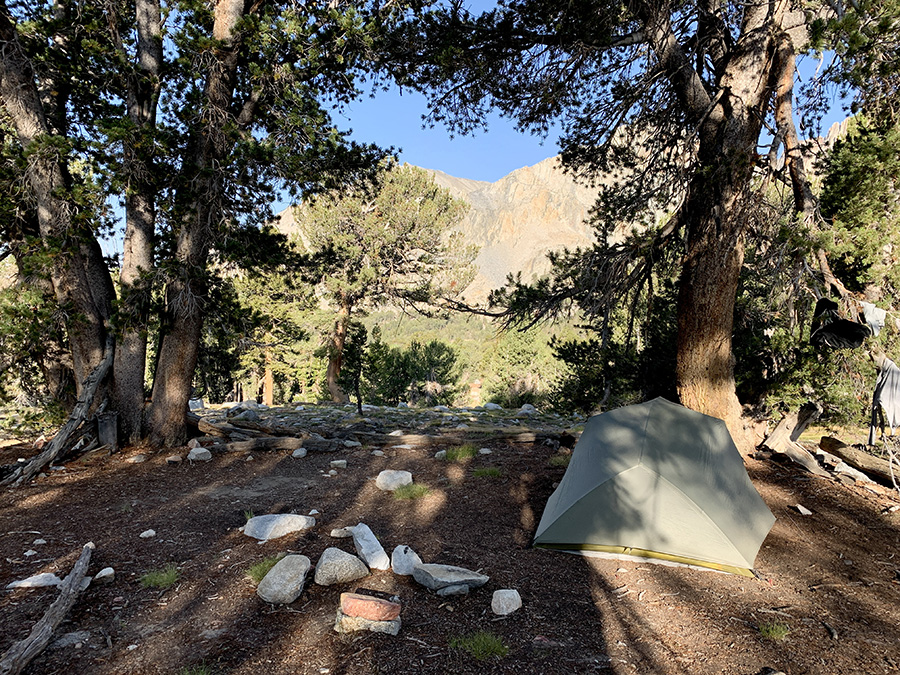
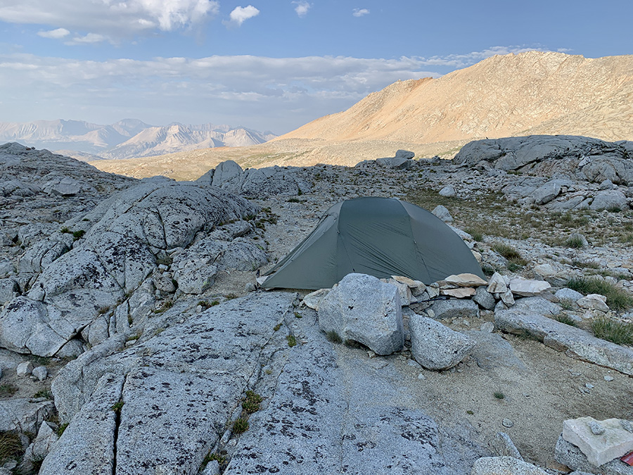
Camping on Young Ridge
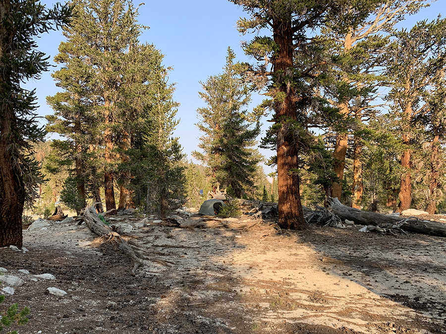
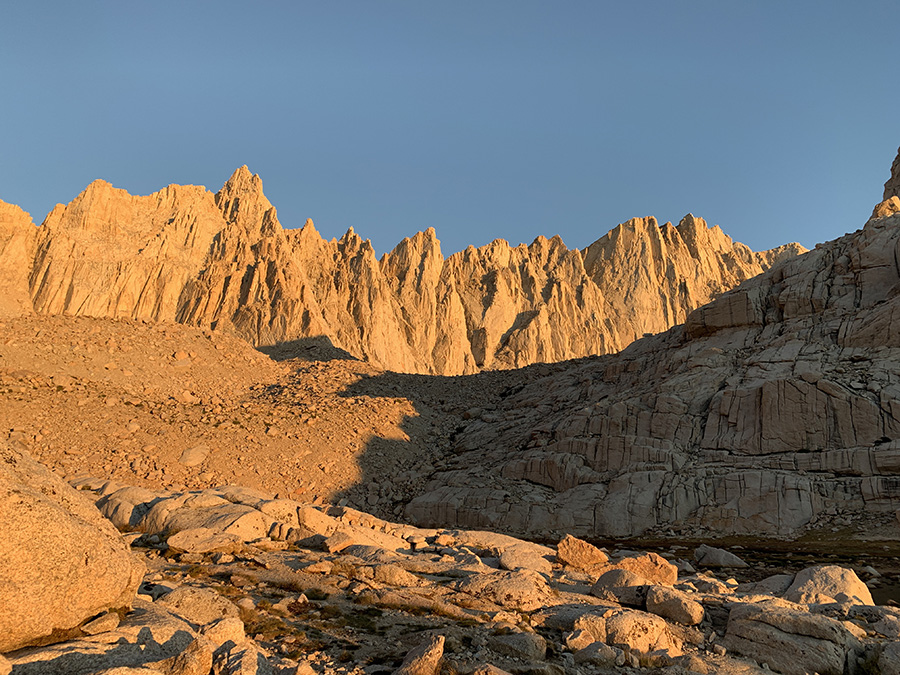
Crabtree Meadows (Whitney Creek)
Timberline Lake
Storm just passed above us…
…at small tarn above Guitar Lake…
…Guitar Lake…
…outlet of our tarn…
…sun is back…
…dinner time…
…and sunset
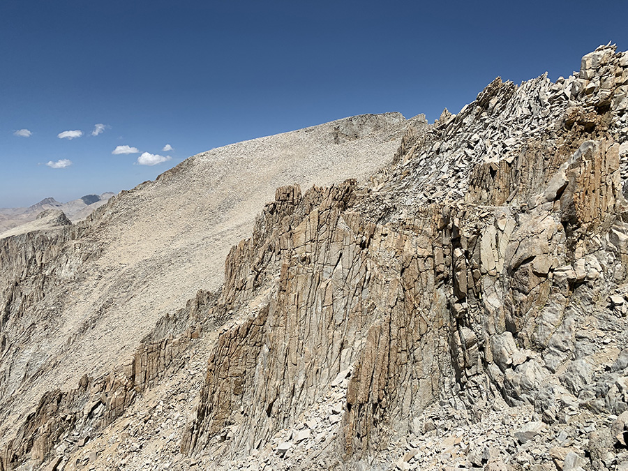
On Mt Whitney slope, Mt. Hitchcock below…
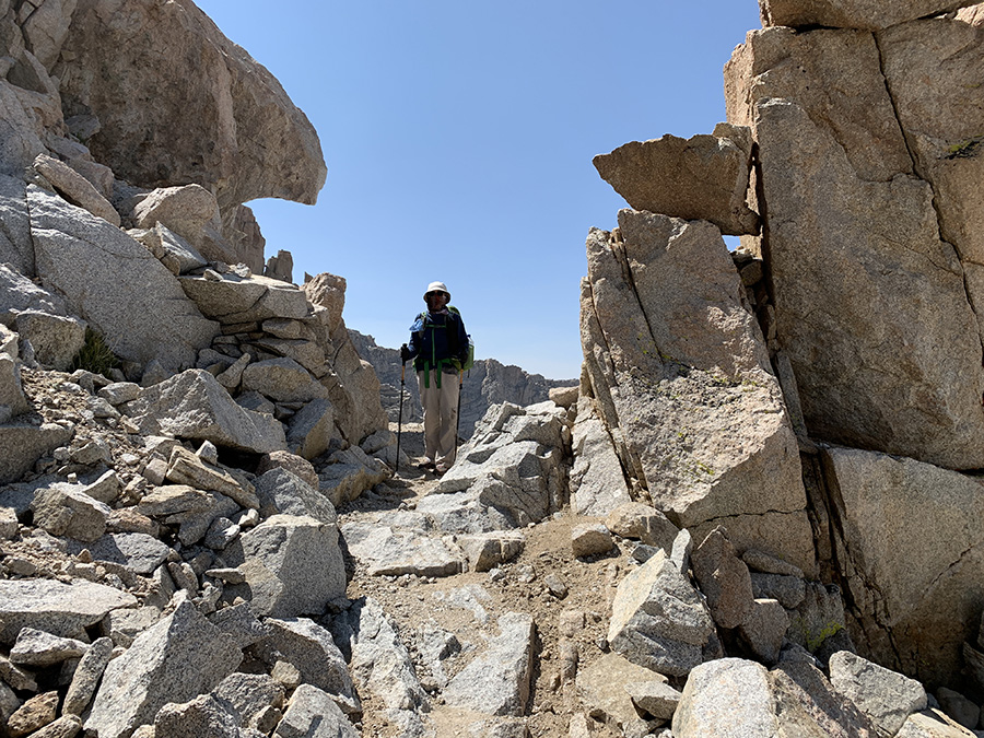
…cutting through rock outcrops…
…left backpacks at trail junction (tucked against rock wall)…
…walking towards flat summit…
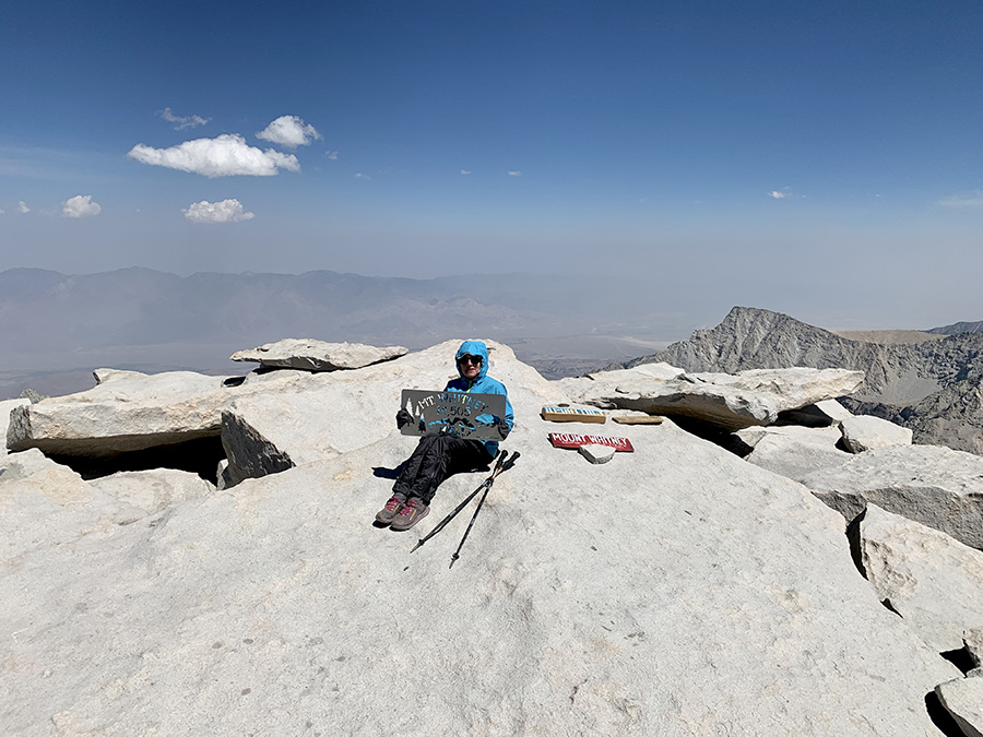
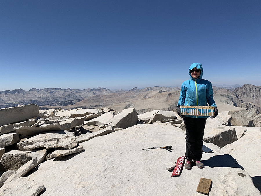
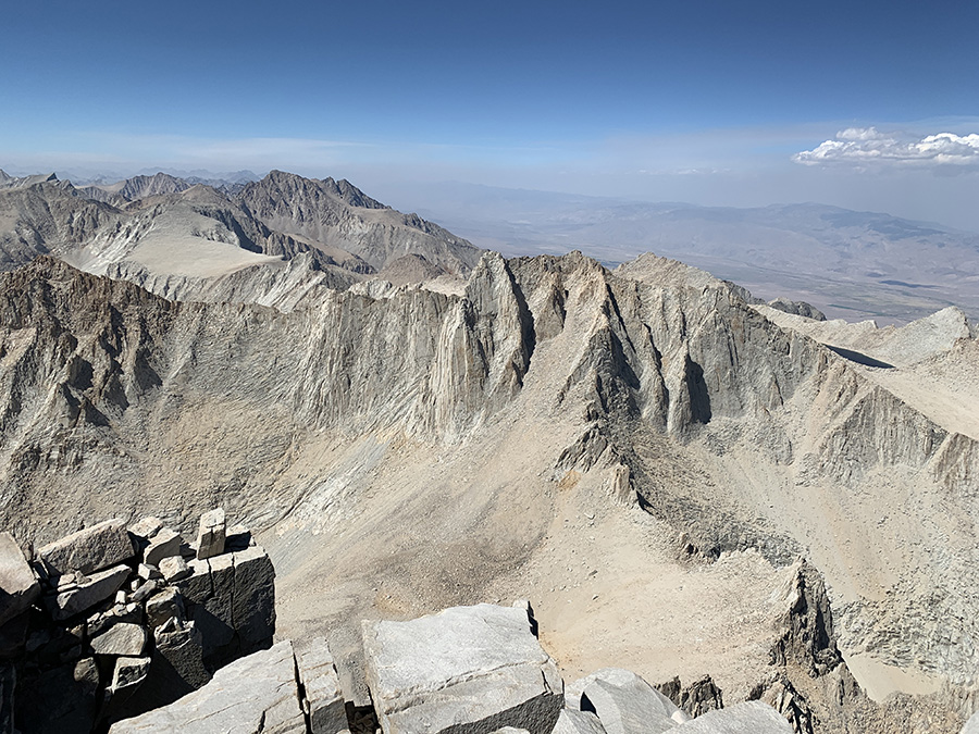
…made it, Owens Valley in the bacground..
…
…
…
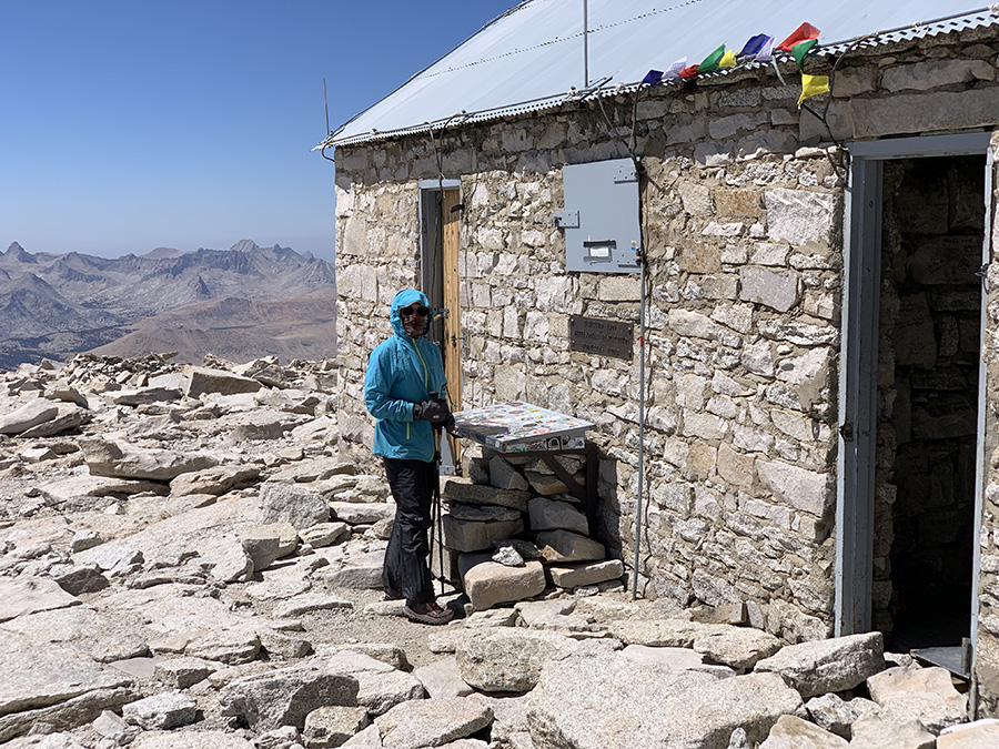
…signing register
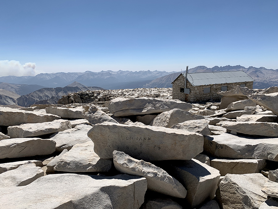
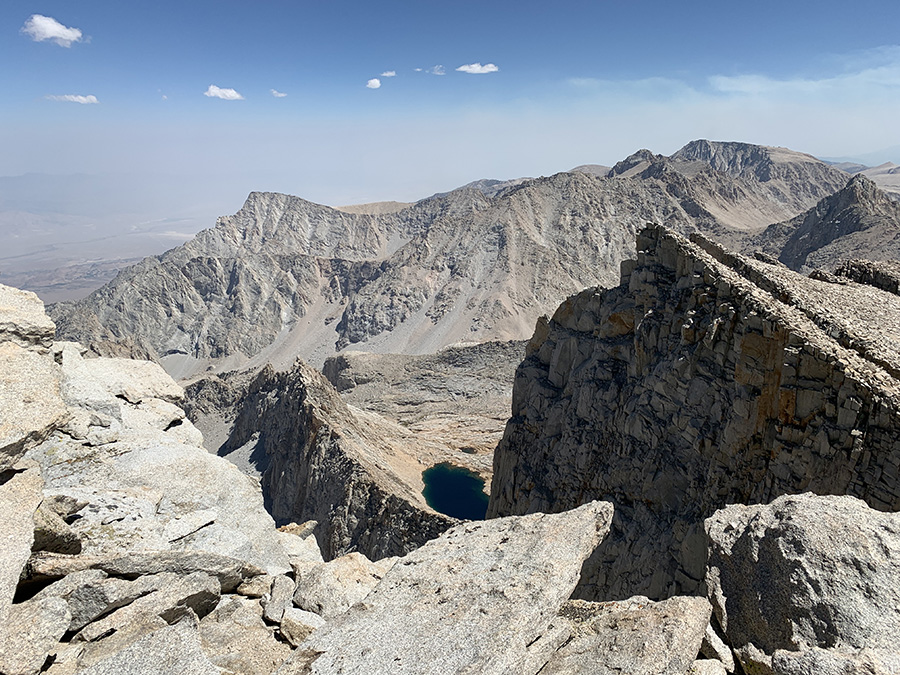
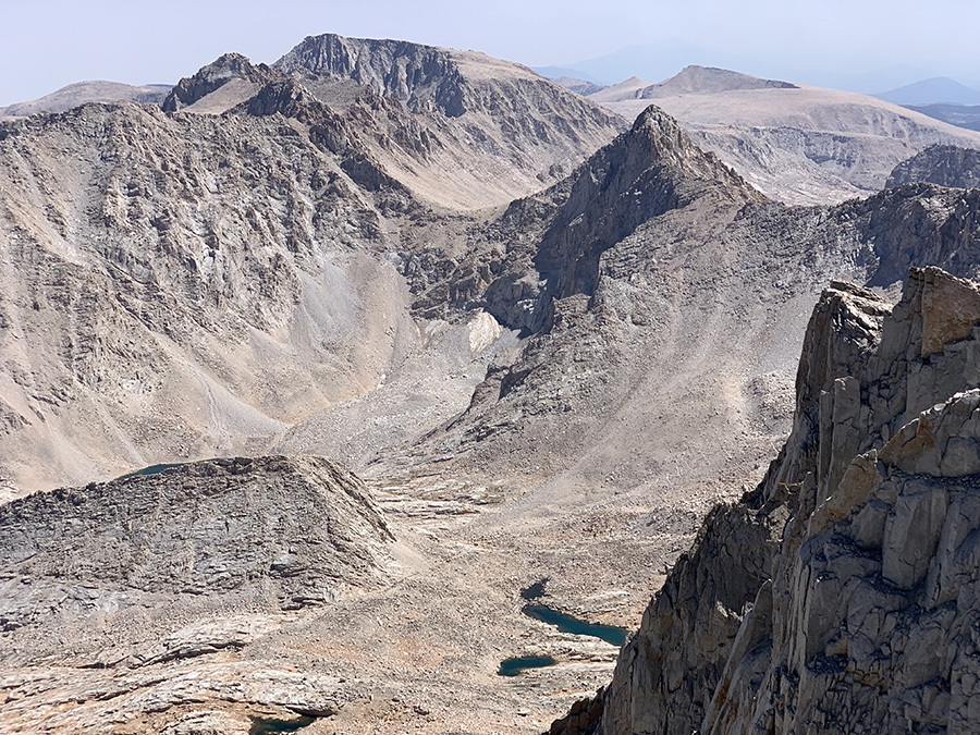
…mountains on other three sides…
…
…
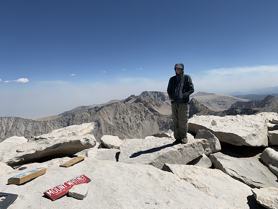
…hiking down already, smoke plume on the horizon…
…Hitchcock lakes
…quick rest on the trail…
…Guitar Lake last time..
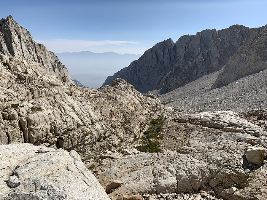
…Lone Pine Creek valley, the way down…
…crossing Trail Crest…
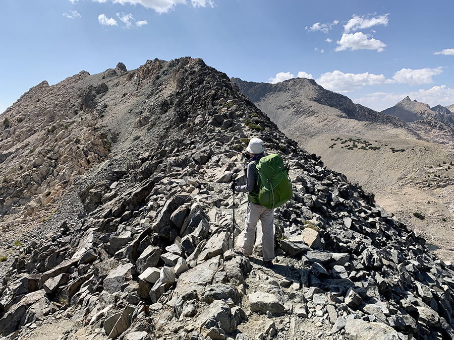
…and we are on the other side of the teeth
Joanna got early morning view…
…Piotr overslept, but mountains were still there
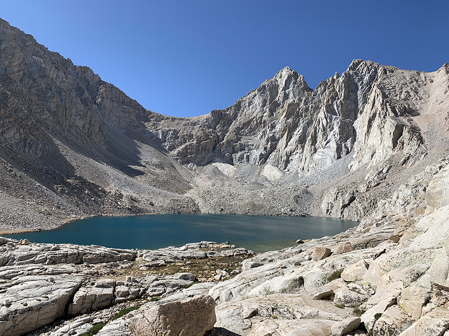
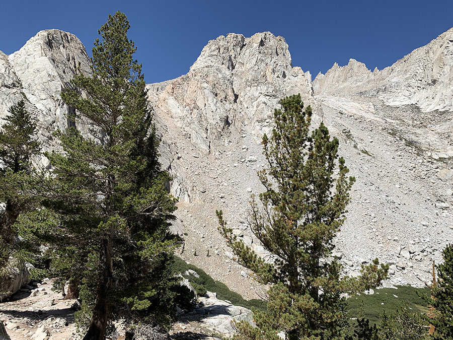
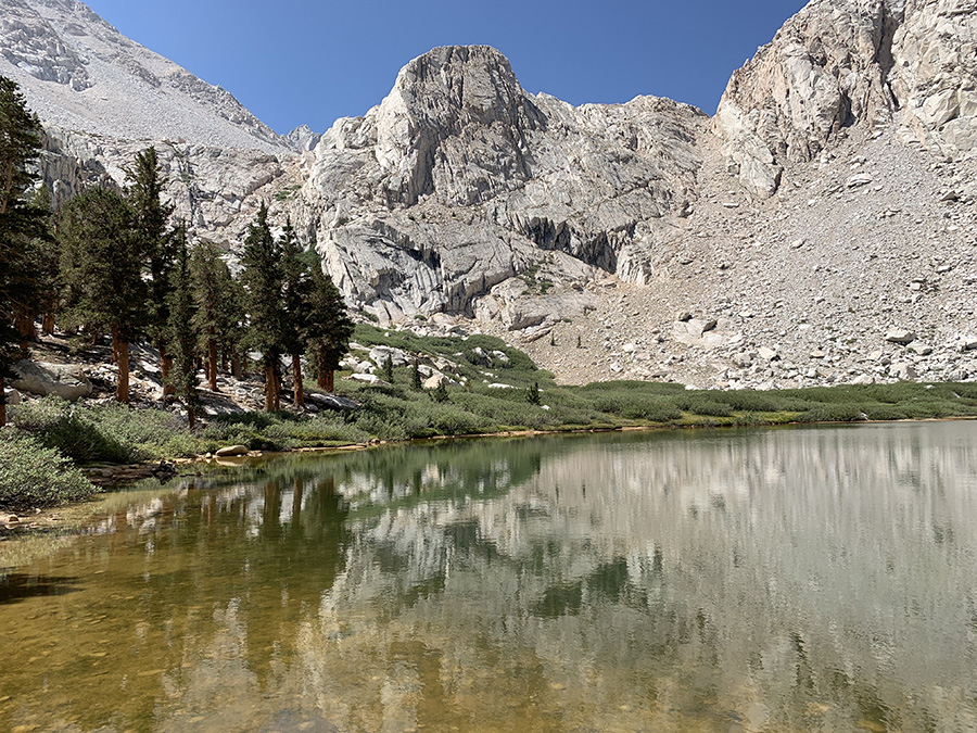
Trail Camp Tarn
Constitution Lake
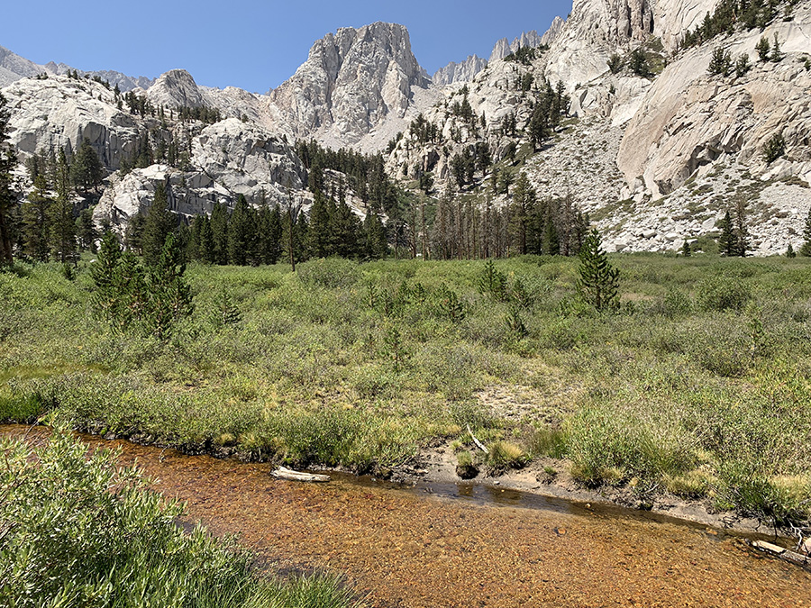
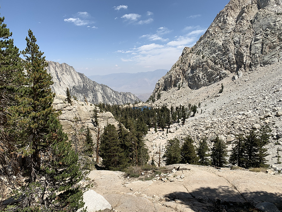
Lone Pine Creek valley
…
Mirror Lake
Lone Pine Creek
Lone Pine Lake
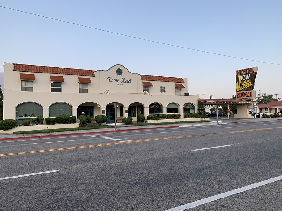
Dow Villa Hotel in Lone Pine
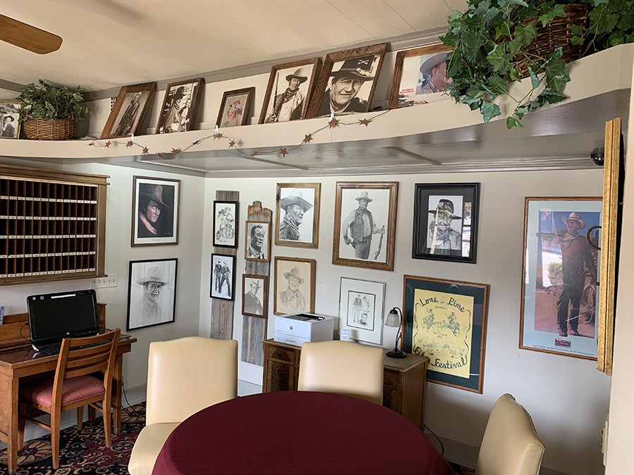
Movie memorabilia in hotel lobby
Expo at Mono Basin Historical Society
Breakfast at Whoa Nellie Deli
Looking for last gas station…
…before driving on empty stretch of Rt 6…
…
Camping at Baker Creek
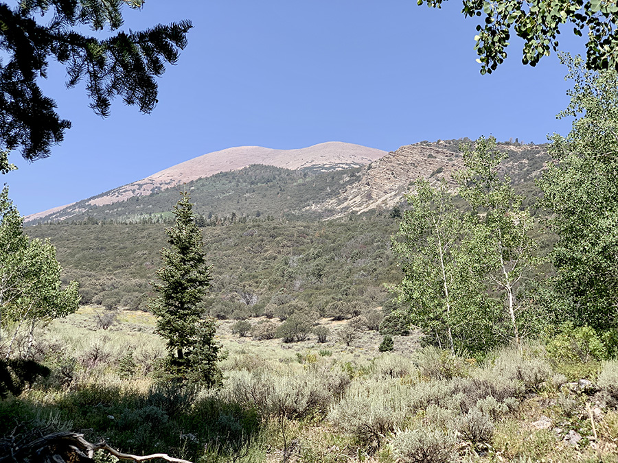
Wheeler Peak from Baker Creek trail
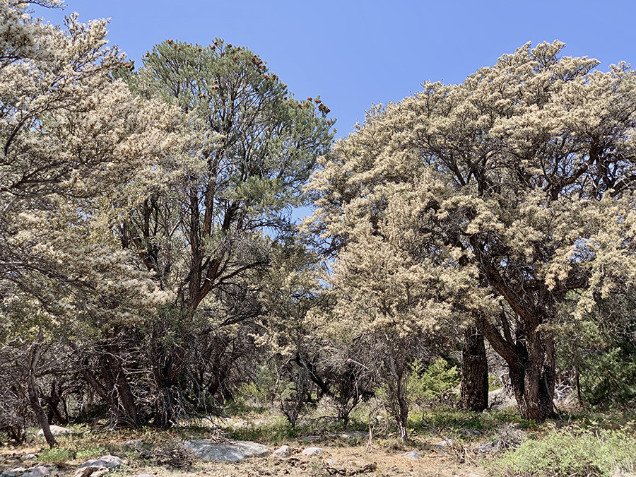
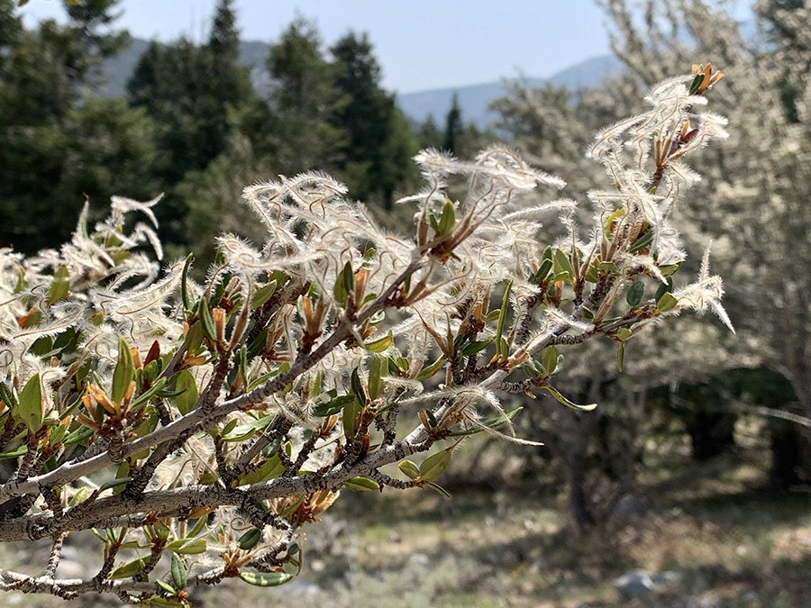
Mountain Mahogany…
…
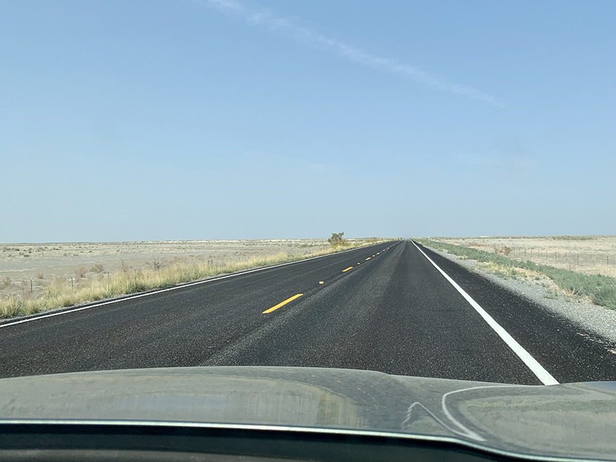
West-central UT (Sevier Desert), highway straight to horizon…
…sharp left turn…
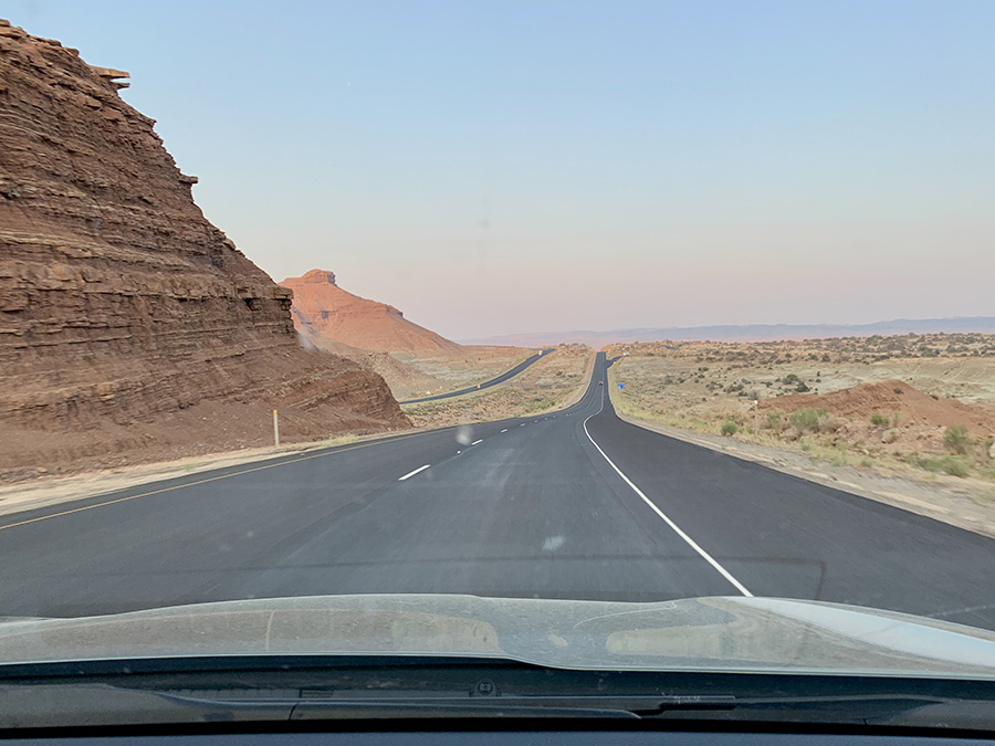
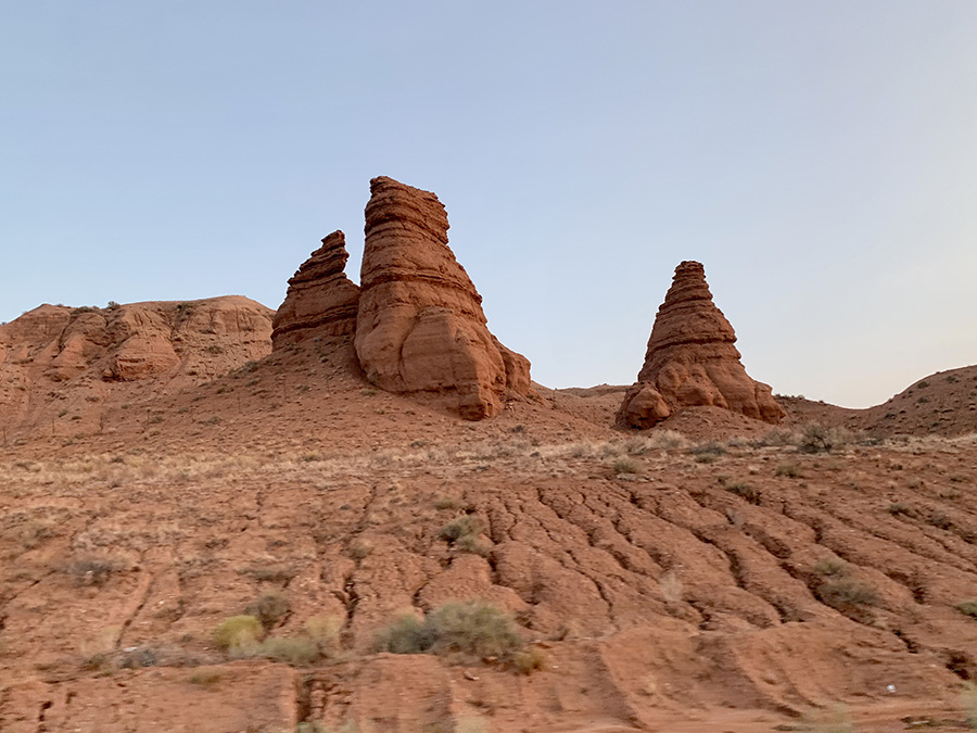
…colorful hills
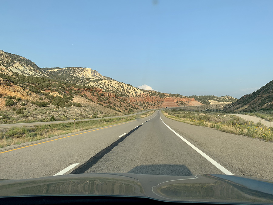
Driving down to prehistoric sea bottom
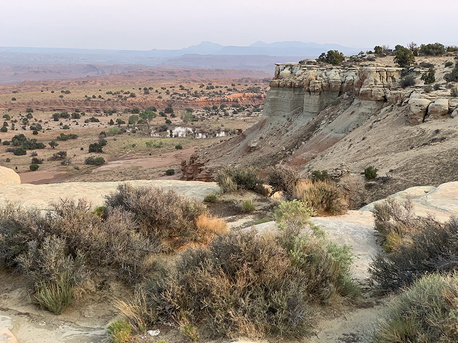
Castle Valley Overlook
…
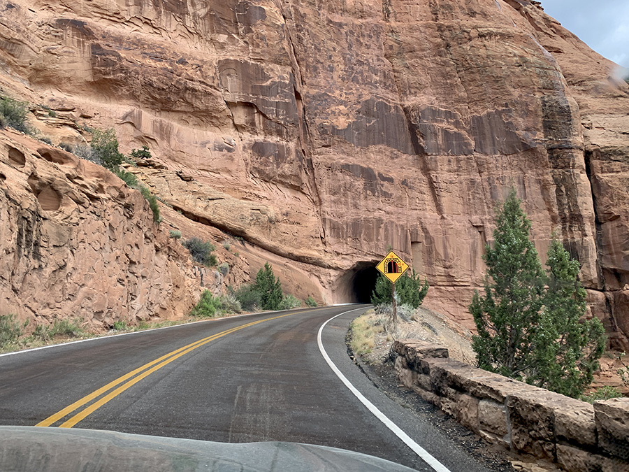
Tunnel to Colorado National Monument
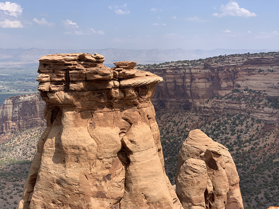
The way we came up to the top of mesa
…
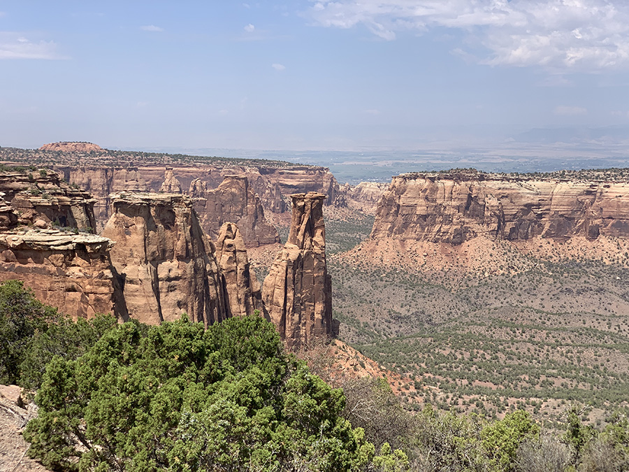
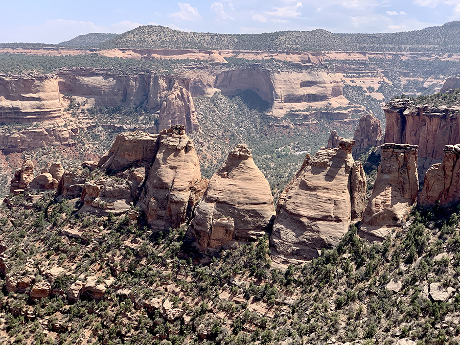
Monument Canyon View
Coke Ovens Overview
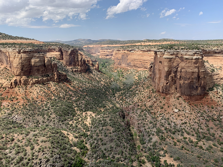
Ute Canyon View
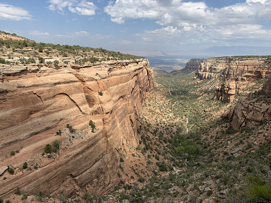
Red Canyon Overlook
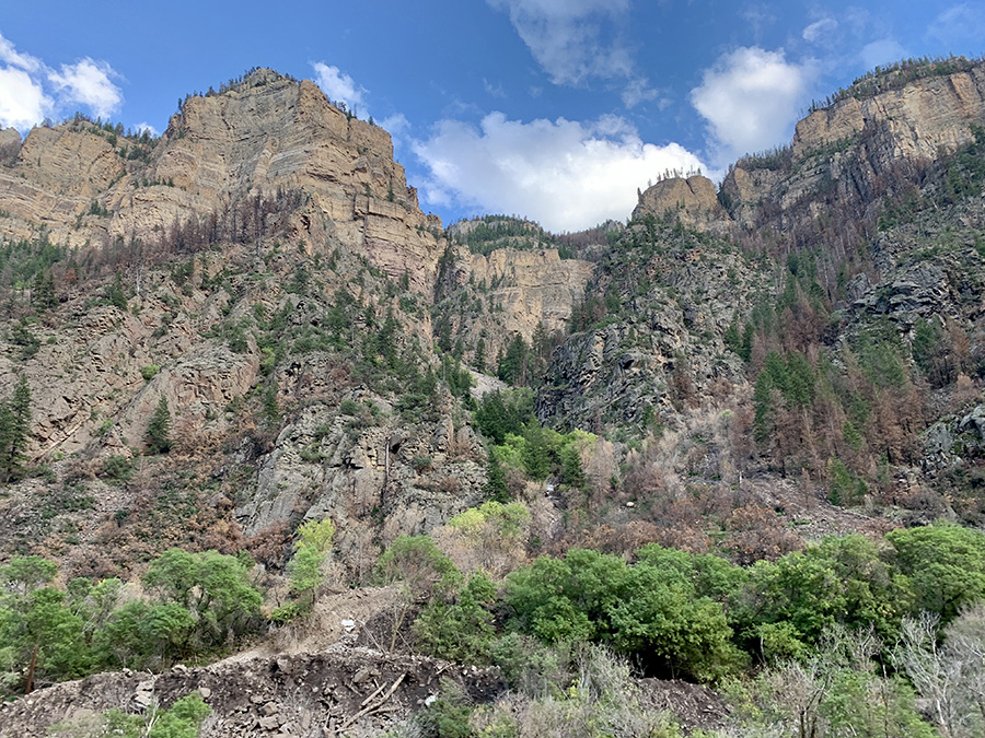
On I-70 along Colorado River (on the right)…
…into the Rockies
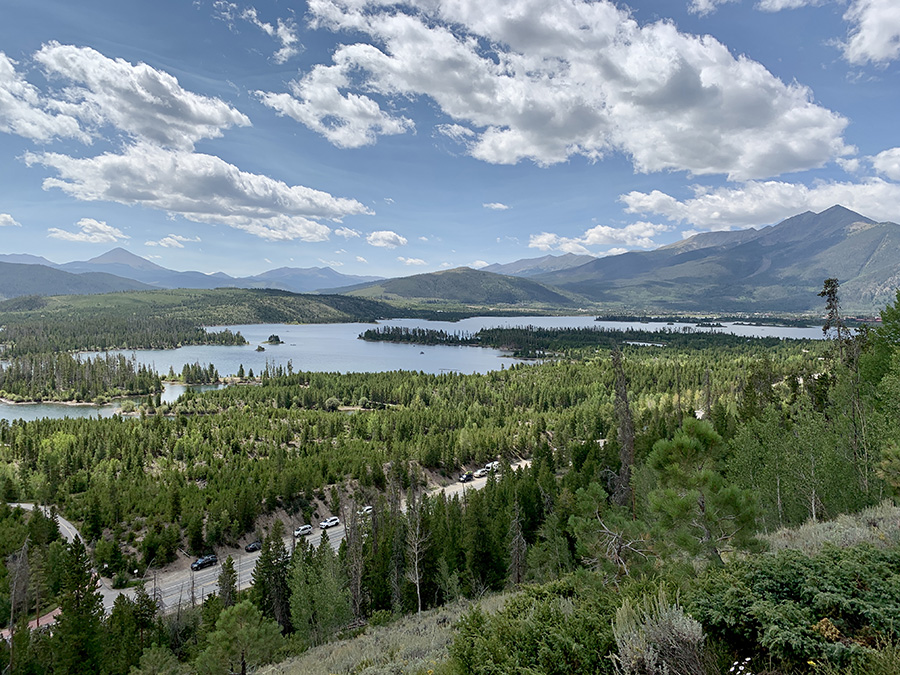
Dillon Reservoir, looking west towards Silverthorne
View from the Old Dillon Reservoir
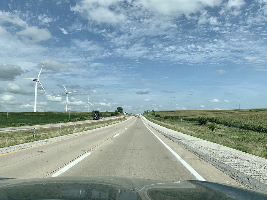
Iowa
Like this:
Like Loading...
error: