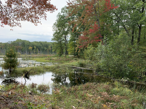
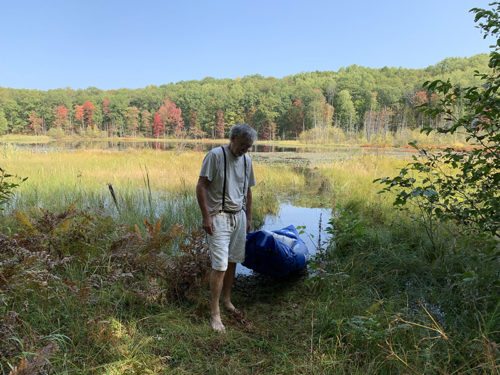
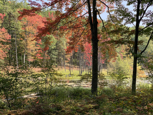
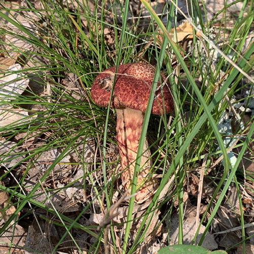
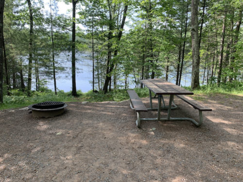
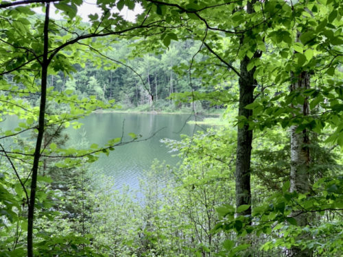
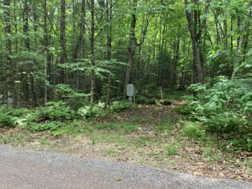
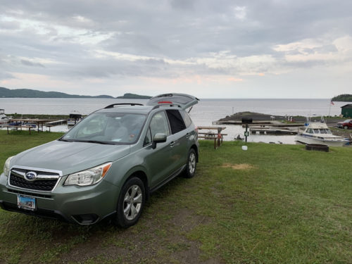
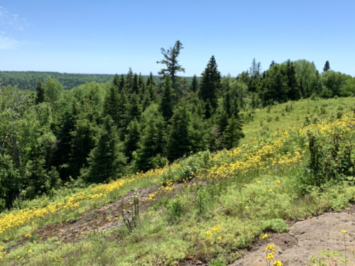
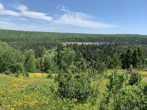
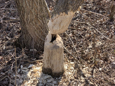
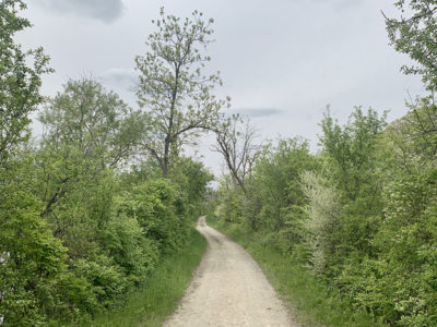
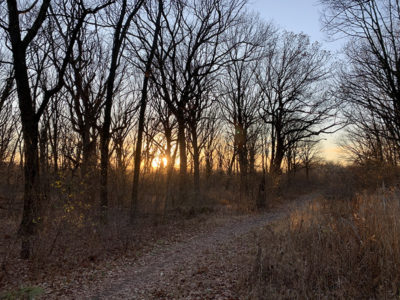
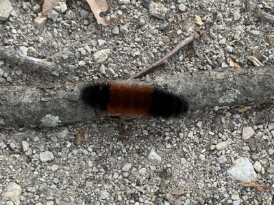
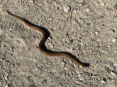
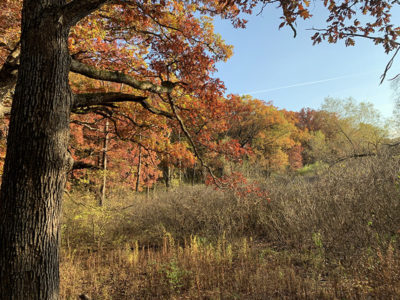
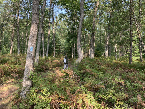
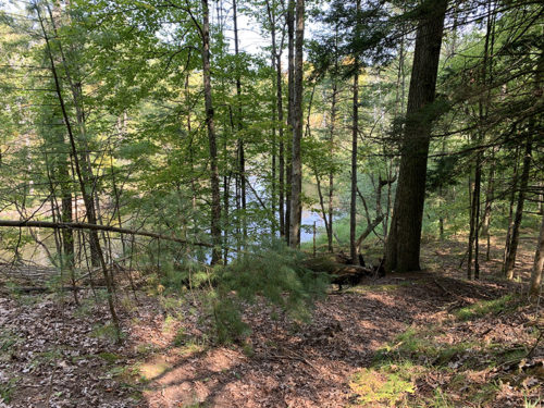
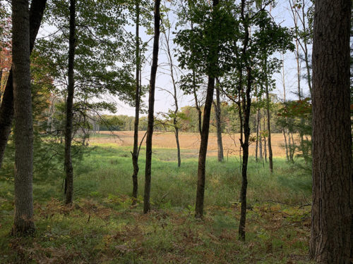
After frantic packing and long drive we arrived at dusk at Two Lakes (Bass and Owen) campground (recommended) in Chequamegon–Nicolet National Forest, north Wisconsin. We had a nice spot on Bass Lake. Next morning, we walked a short loop through the forest to Porcupine Lake from a small parking spot on Porcupine Rd. We were swarmed by mosquitoes all the way. Permethrin treated outer layer cloth, DEET, picaridin and mosquito nets helped somewhat. At some point we met North Country Trail (one of our favorites) which we hiked a bit in Michigan in previous years. With car packed in the morning, we took a short break for picnic at Lake Owen and drove the rest of the day to Grand Portage (Marina). We stopped at Northwest Outlet in Superior WI to buy water filter (somehow misplaced ours). The weather was not looking too good: rain and cold. We slept both nights in our car converted to “camper” (more about it some other time).
Lake Porcupine loop and short drive to Lake Owen picnic area
Click on wikiloc logo for more info
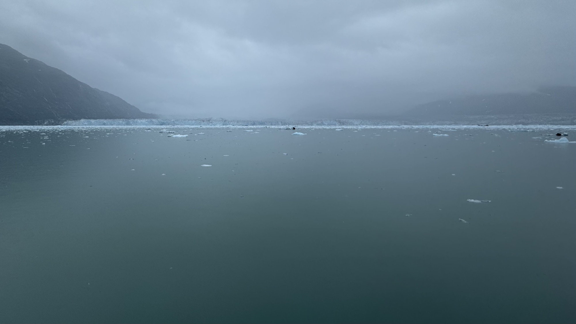
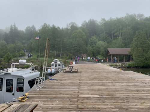
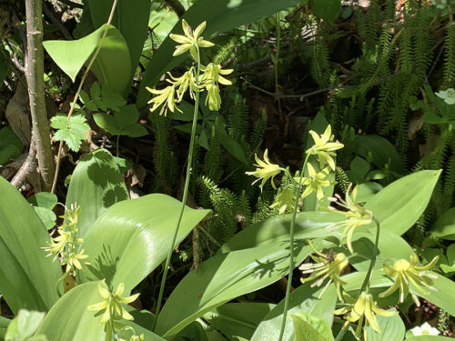
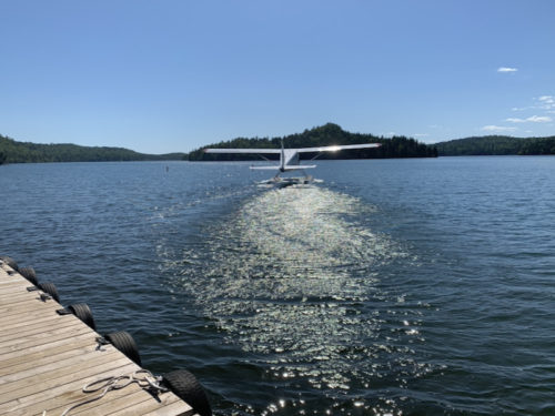
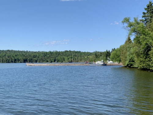
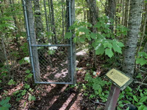
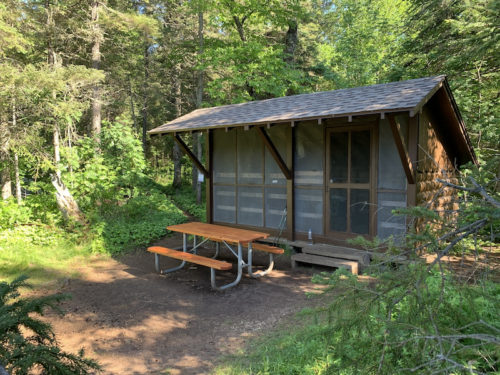
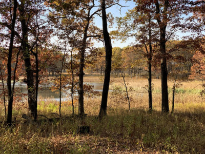
Morning was even less promising: cold, wet and foggy. We left our car in parking lot next to the ferry dock and were the first ready to board. We checked-in our backpacks, walking sticks and fuel and took seats outside in the back of the ferry. We had warm cloths, rain ponchos plus food and some other stuff we needed only in Windigo packed in shopping bags. The ferry was full. The sailing was uneventful, in quite dense fog. We had the briefing with ranger, picked up a permit and were ready to go. Washington Creek campground looked rather full, but we went to shelter #1 and got lucky: the group staying there the previous night just finished packing and was about to leave. The shelter has nice location and view on the creek. By the time we settled, the fog disappeared and we had nice, sunny rest of the day: a relaxing walk on Feldman trail to Grace Creek overlook, with stops on the way back to see moose exclosure exhibition, Windigo docks and the store (we used electrical outlet there to charge batteries). The trail was beautiful with many wildflowers and great views from overlook. We heard a moose in the background in the afternoon and got to see it in early evening. The night was quiet, cold, no rain.
Bass Lake…
…site 61
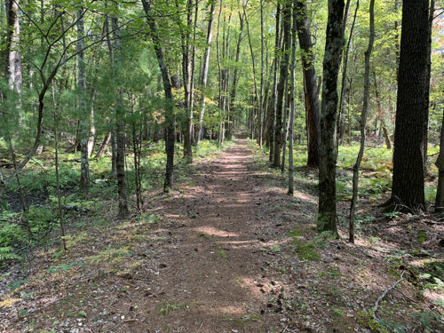
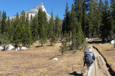
North Country Trail passing…
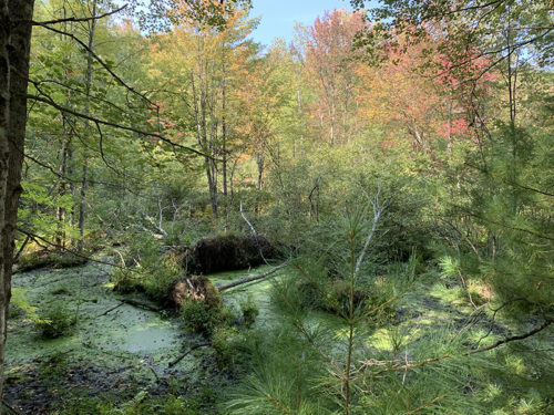
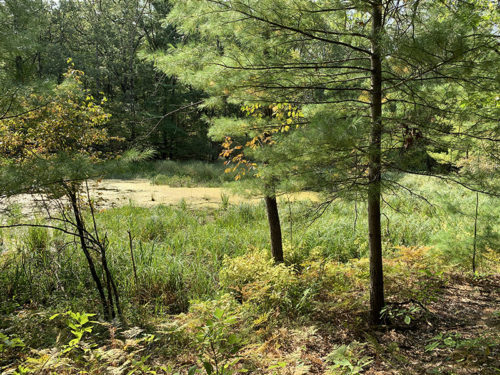
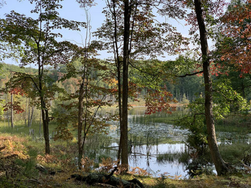
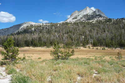
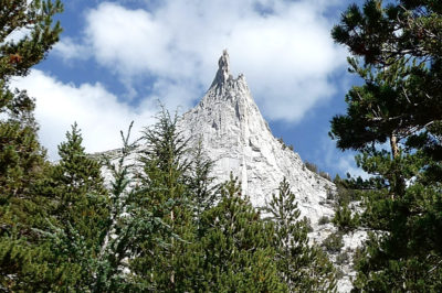
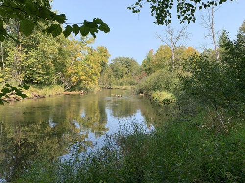
…Porcupine Lake
Eighteenmile Creek
Trail from Porcupine Lake at Porcupine Lake Rd
Intersection with North Country trail further down the road
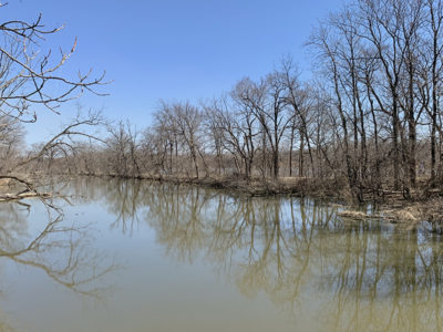
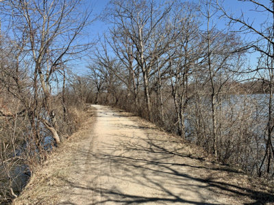
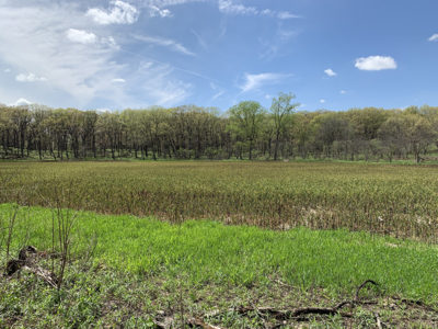
On March 20 we walked 13 km (return) from McKinley Woods to Moose Island on I&MC trail along Des Plaines River. Not too many signs of spring yet. Beaver at work, squirrels, waterfowl, and what looked from distance like hawk and couple of eagles.
Illinois & Michigan Canal
…
trail
Des Plaines River
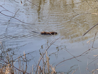
Muskrat
Beaver’s work almost finished
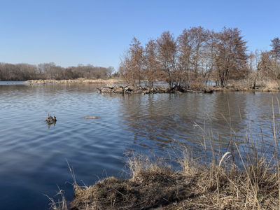
Returned on May 9 to walk 11.5 km (return) west from McKinley Woods past Dresden Island lock. Got a good look at muskrats, wild turkeys, turkey vultures, egrets, geese. We did not see any orioles, but bird-watcher drew our attention to their song coming from the forest.
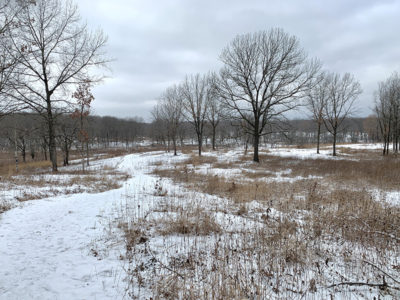
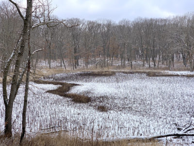
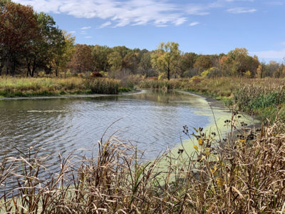
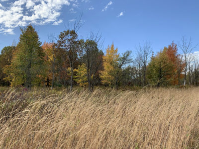
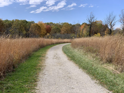
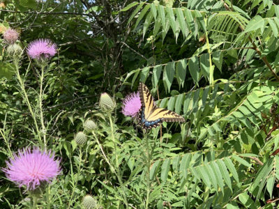
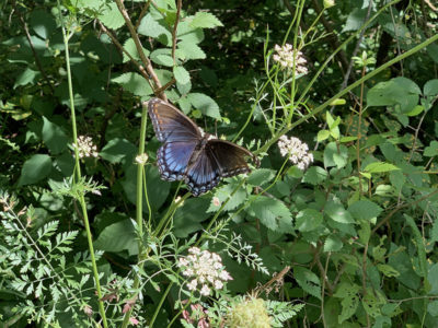
Sag Valley Forest Preserve. Two loops in Teason’s Woods: 5.5 km in January, 9.5 km in April (recommended ) and another 12 km loop in May. Walking for a while on unmarked trails cutting across woods and prairie.
JMT second try – we have permit for the hike from Mono/Parker Pass trailhead to Whitney Portal starting late July 2021. Still working on alternative entry trailhead: we prefer to start from Lyell Canyon trailhead and perhaps changing from linear hike to a loop. The trail trace is 310 km, but including side resupply trips we will hike around 350 km. We plan on driving from Chicago. We have a month to enjoy the hike.
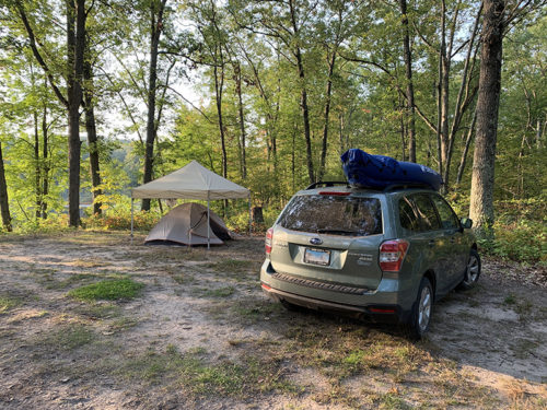
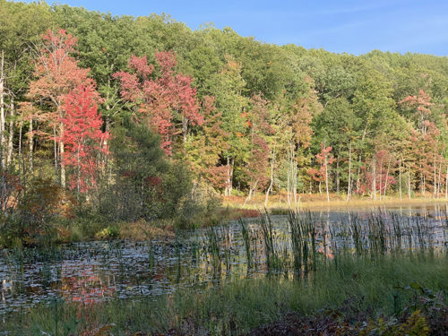
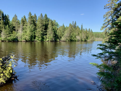
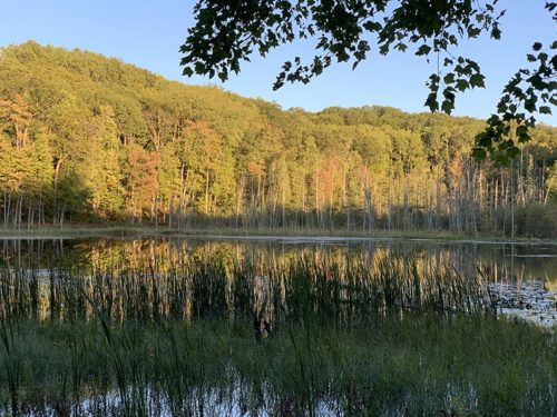
We returned to Manistee Forest sooner than anticipated three weeks earlier when we were ☞ Camping in Manistee Forest. This time we went straight to Kenosha Lake to set camp on high bank of the lake. We could choose from 6 sites, no other campers and just two hikers in three and a half days. We cooked dinner, enjoyed lake view at sunset, observed osprey fishing, relaxed at camp fire and ended the day with some star gazing. When looking at stars at the lake edge, we heard a beaver slapping its tail to warn the rest of the family. At night we heard coyotes, one night quite close to our camp.
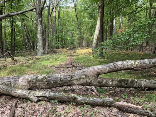
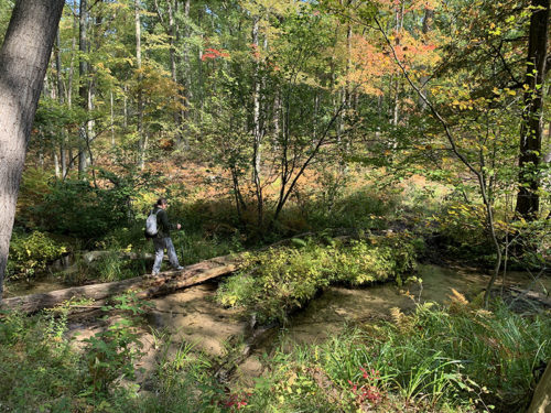
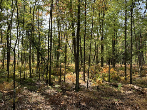
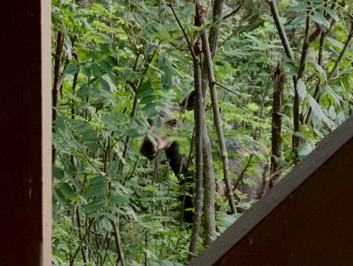
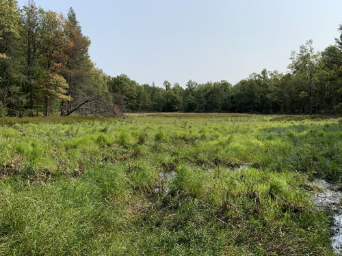
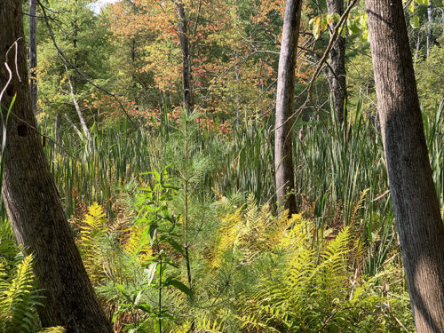
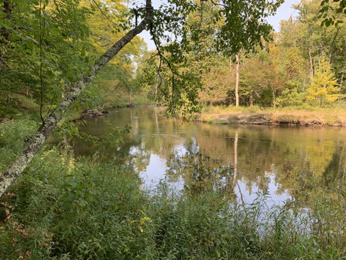
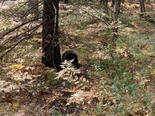
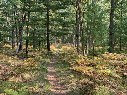
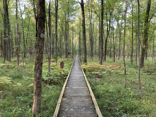
Next day was a longer hike on North Country National Scenic Trail (NCT). We drove a short distance (via Alger Av, Osborn Av, 96th St) to trail parking off Jenks Rd and started walking north towards Pere Marquette River. Nice sector along Jenks Creek, passing some marshes, crossing forest (some of it private and fenced). We stopped for lunch with nice view of the river, talked to an angler fishing for king salmon and continued walking on the trail along the river for a while. At some point we turned back and when walking along private section saw a big porcupine on trail ahead of us! It was not afraid and after a while disappeared in the forest. We walked-by our parked car and continued to Sterling Marsh, walked 11 of 13 boardwalks crossing the wetlands, almost to the point where we made it to from south three weeks earlier. We returned to the parking lot and drove to our campsite (this time via M37 and Bitely). We hiked 20.5 km that day.
NCT Jenks Rd to Pere Marquette River (20.5 km)North Country National Scenic Trail from Jenks Rd parking lot North to Pere Marquette River, back South to Sterling Marsh and boardwalks. 20.5 km. Click on wikiloc logo to see more details
Day 1. Kenosha Lake upon arrival
Day 2. On the trail
Marsh near Jenks Creek
…
Pere Marquette River
…
…view from the trail
Porcupine
NCT
Sterling Marsh
…
Longest (Ed Chappel) boardwalk
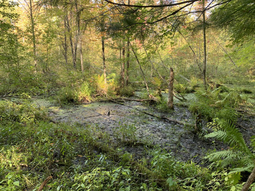
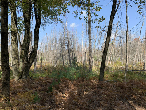
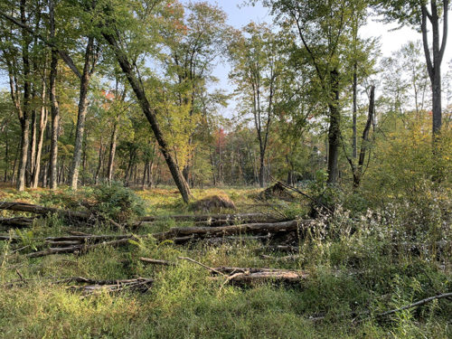
The following two days we decided to explore local forest roads and trails: NE and W of Kenosha Lake. The highlight of the next day was walking around marsh with dense green vegetation near W Roosevelt Rd . We tried to walk to somewhere near intersection of Alger Av and W 16 Mile Rd, but extension of Roosevelt Rd (alt Alger Av) was overgrown and probably not easily passable. We crossed 16 Mile Rd to NFS 5395 and tried to get to the intersection from the other side, but forest road we picked was closed at some point (private property). We ended walking a bit on 16 Mile Rd (gravel, no cars) and picked NCT at the intersection. We returned to our camp following the trail, we already knew this section, but could not find appealing alternatives and time for camp fire and dinner was approaching. We hiked 13.7 km. We had just enough time to try our inflatable kayak for the first time. That evening we saw a beaver swimming across the lake and heard them at night working. Great view of Kenosha Lake from our camp.
Northeast of Kenosha Lake (13.7 km)Loop from Kenosha Lake to W Roosevelt Rd, return via W 16 Mile Rd and North Country National Scenic Trail. 13.7 km. Click on wikiloc logo to see more details
Kenosha Lake
Day 3. Kenosha Lake outlet
…
…
Marsh near W Roosevelt Rd…
…
W Roosevelt Rd
…
Kenosha Lake
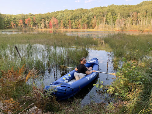
First time on our new inflatable
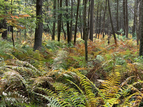
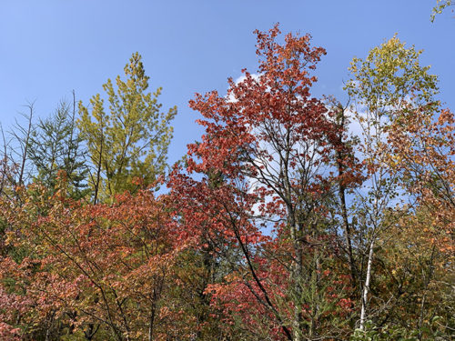
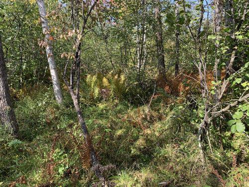
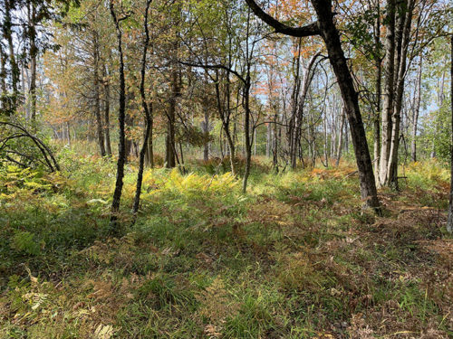
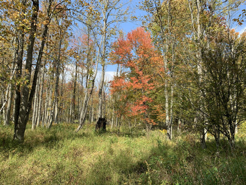
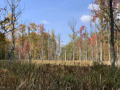
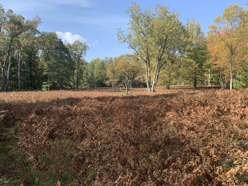
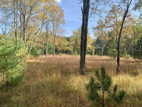
Our last hike was towards Otterman Lake and Cedar Creek. But first we spent an hour on our kayak, the views from water were very nice as the forest around the lake was turning red/orange/yellow. Piotr modified our new canopy, made it shorter so it fits in our car better and over our tents, it worked out well. We started hiking by crossing Kenosha Lake outlet (same way as the day before) and after a short detour walked west on NFS 5260. We walked pass the lake/marsh to the point where vegetation got too dense and we had to turn back. There was no easy way to cross the creek or get a good open view of the terrain. So we decided to try going around on the other side of the lake. Started on forest road, then trail, then “perhaps trail” and made a small loop in the forest looking for an interesting way out. The forest was easy to cross without trail as long as we stayed clear of the wetland areas (would be a different story after heavy rain). On the way back we made a side loop to explore fields of ferns (all brown already) and nice meadows. Contemplated for a moment making a wild shortcut to Kenosha Lake access road, but we had enough rough hiking for the day and terrain ahead looked marshy. We hiked only 10.8 km. Finished packing and headed home.
West of Kenosha Lake (10.8 km)Loop from Kenosha Lake to NFS 5260, East past Otterman Lake and towards Cedar Creek, return and continue towards Cedar Creek on the South side of Otterman Lake, return to NSF 5260 and Kenosha Lake with short side loop. 10.8 km.
Click on wikiloc logo to see more details
 Lake Porcupine loop and short drive to Lake Owen picnic area


 Sag Valley and Palos Forest Preserves trail maps
 Herrick Lake and Danada Forest Preserves trail maps
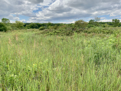
 Northeast of Kenosha Lake (13.7 km)