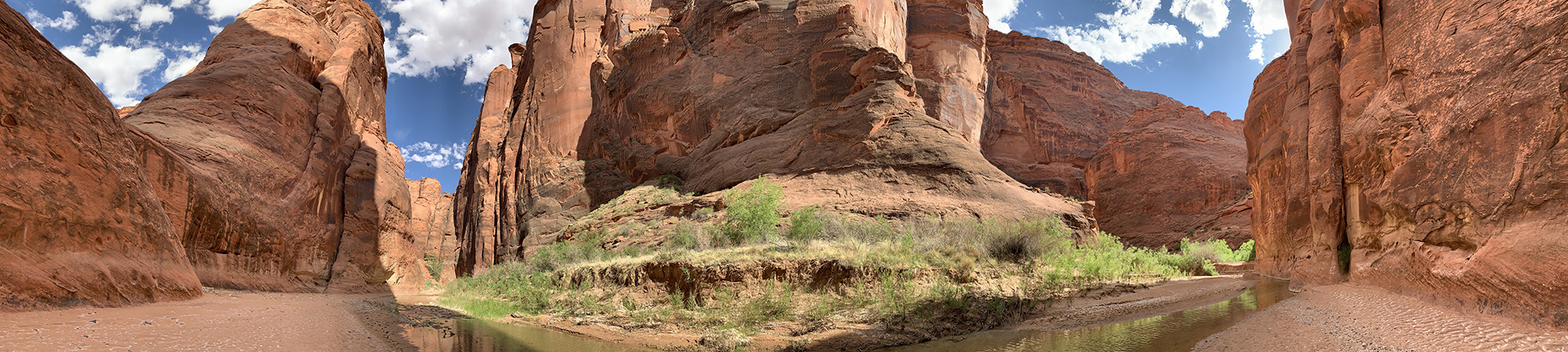
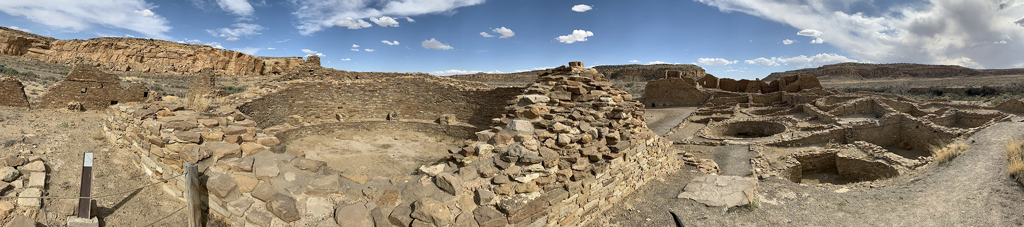
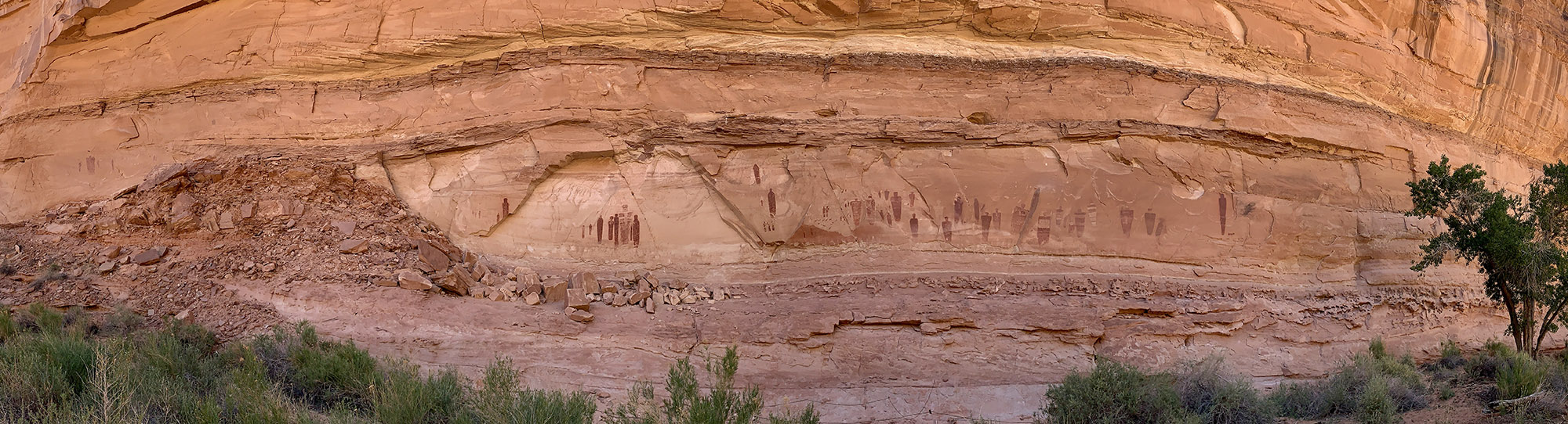
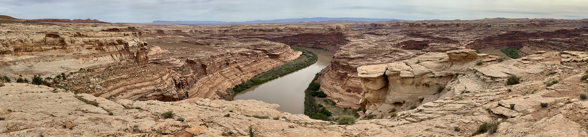
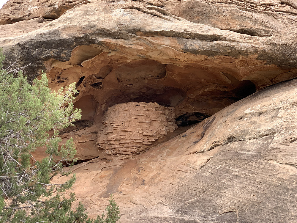
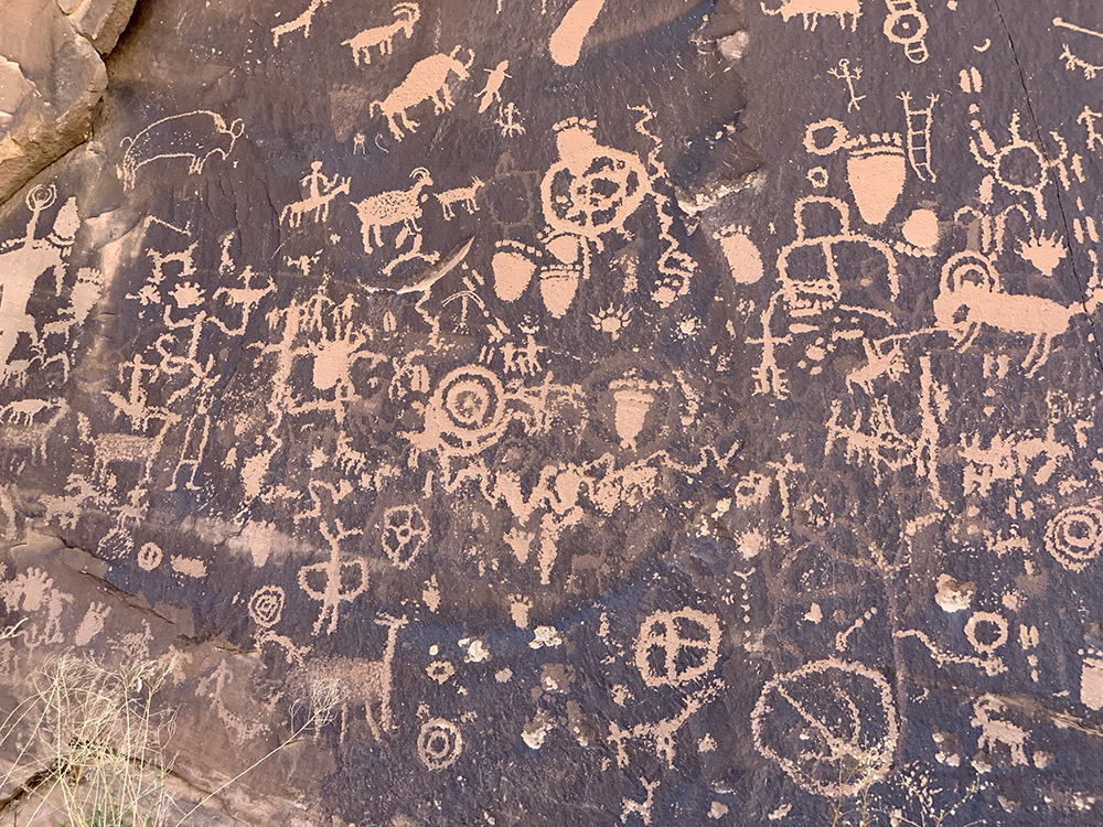
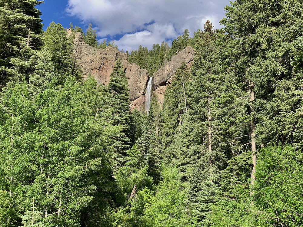
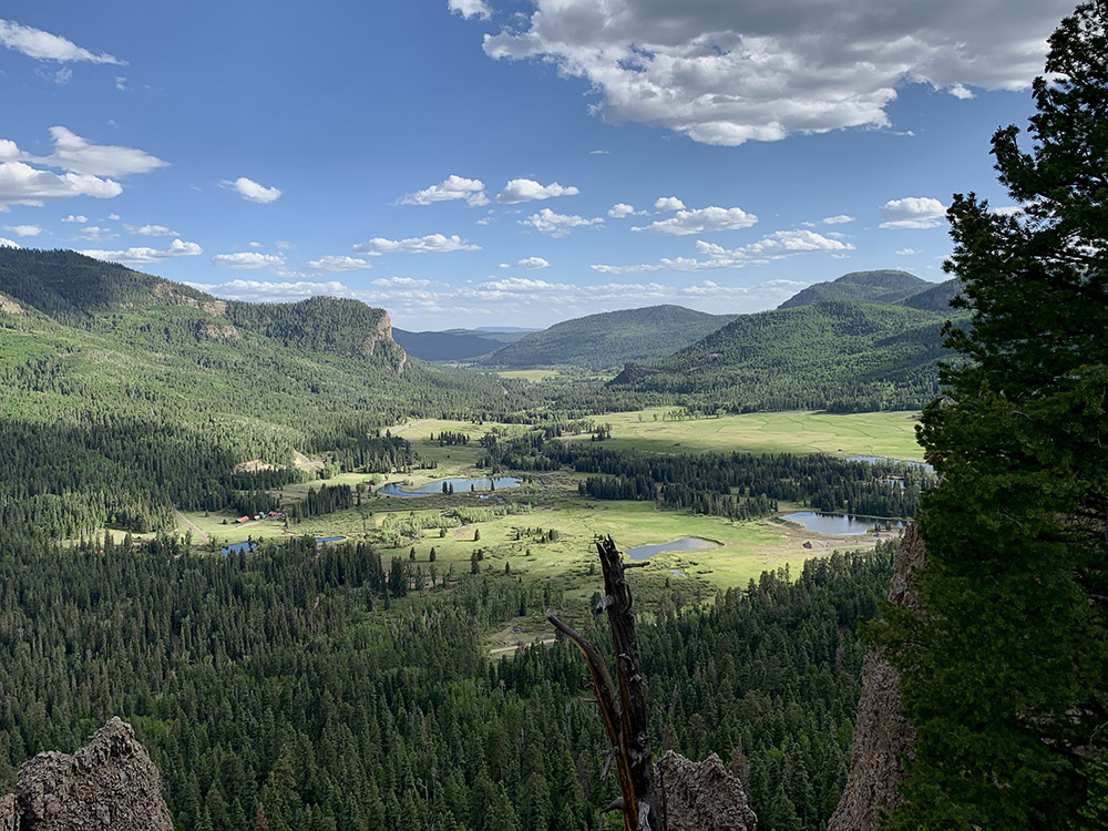
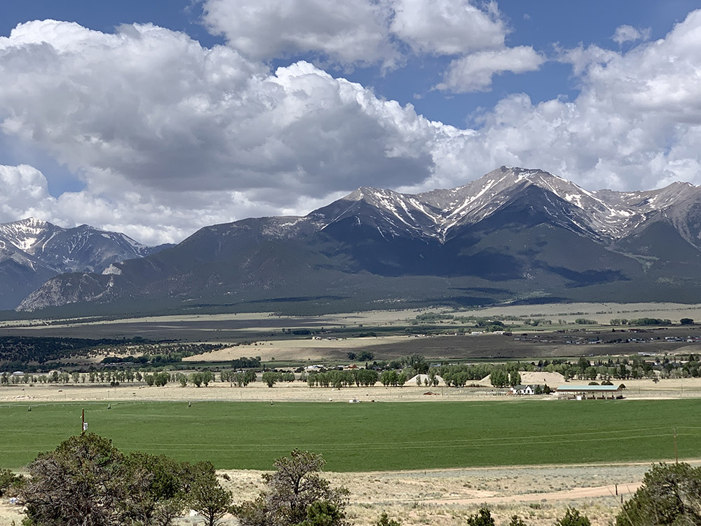
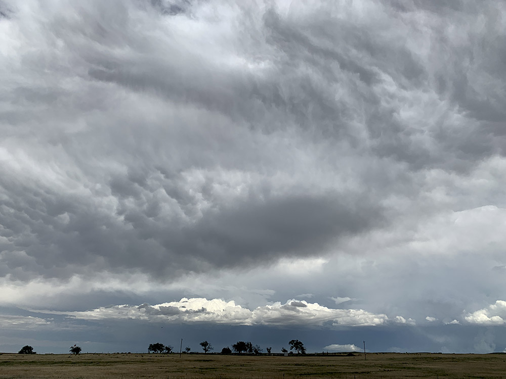
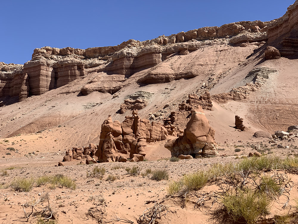
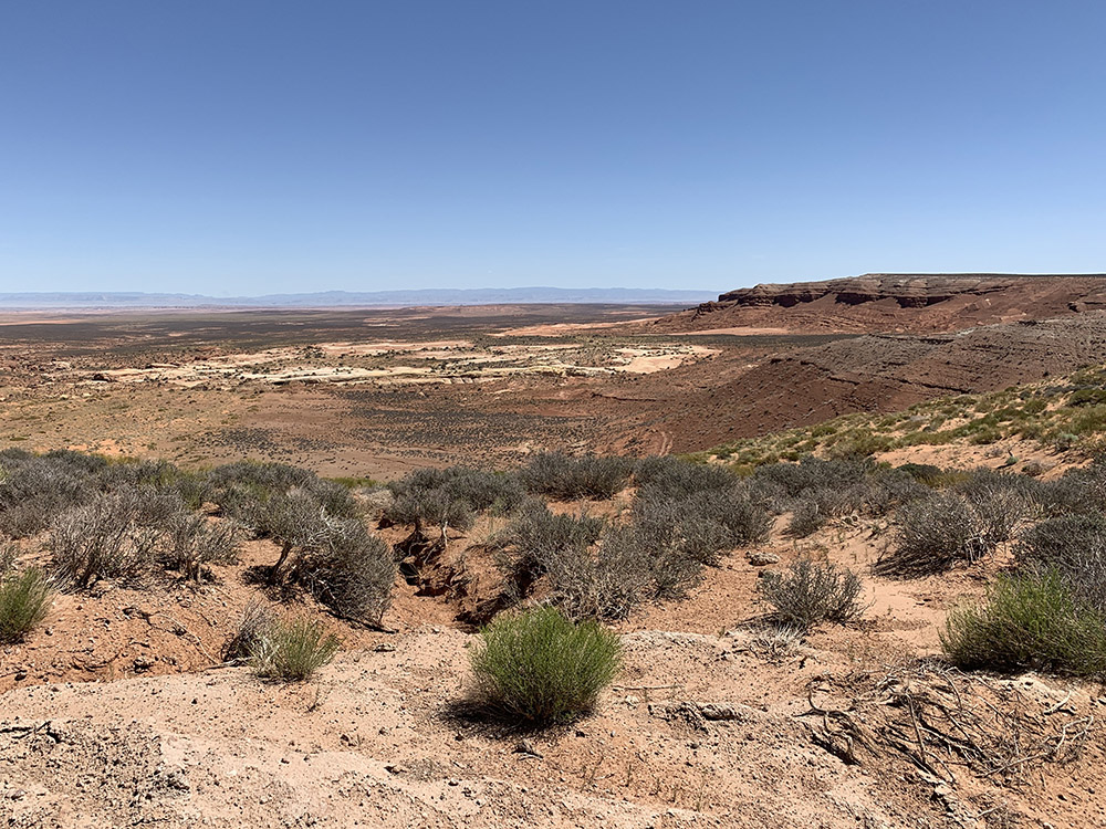
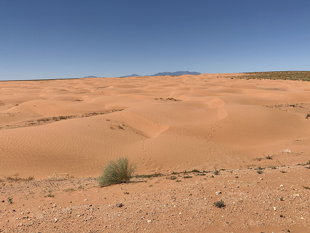
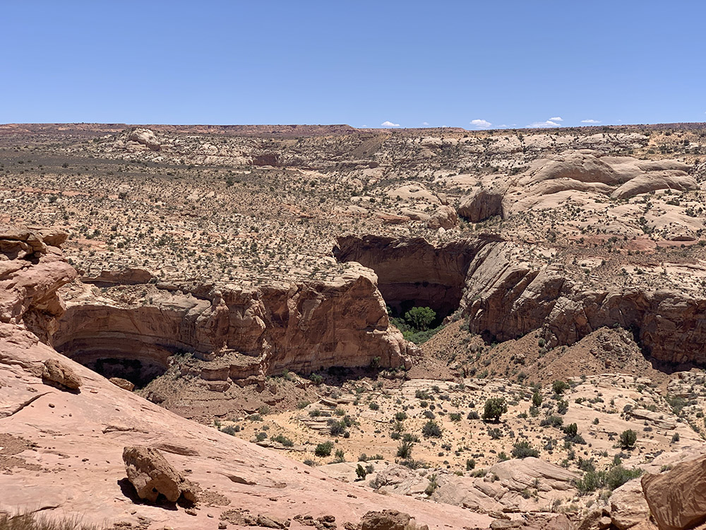
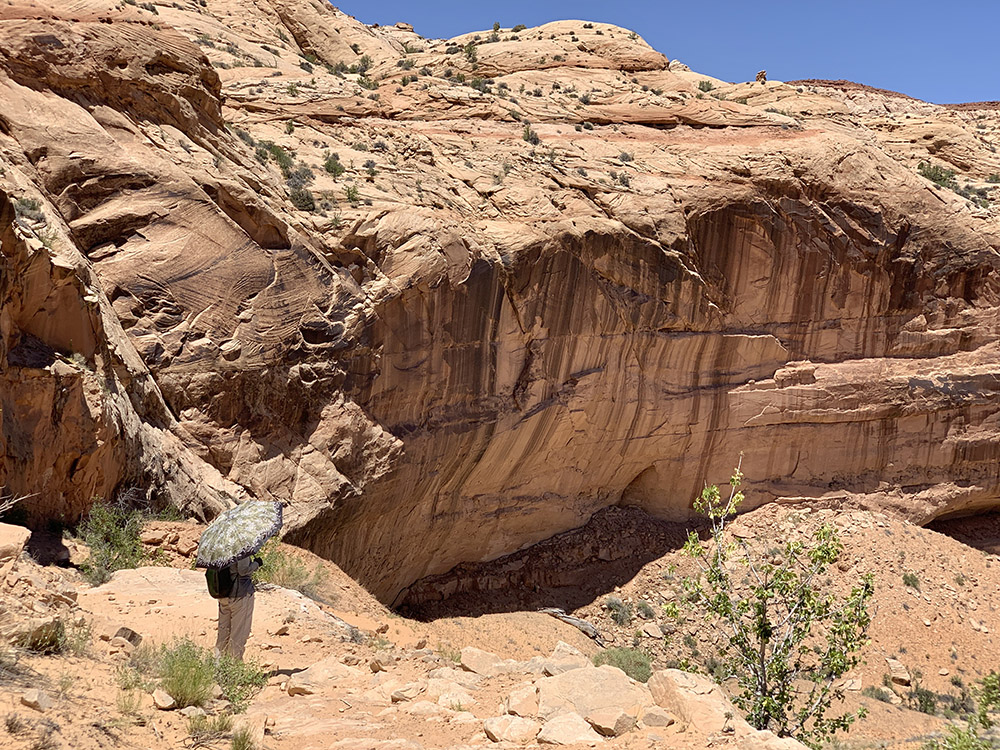
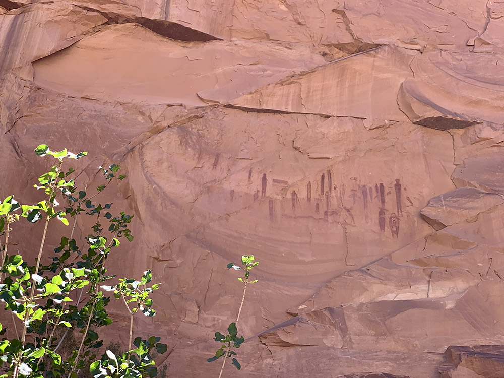
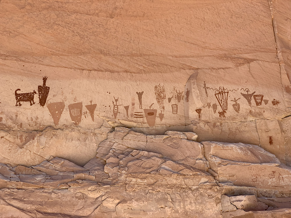
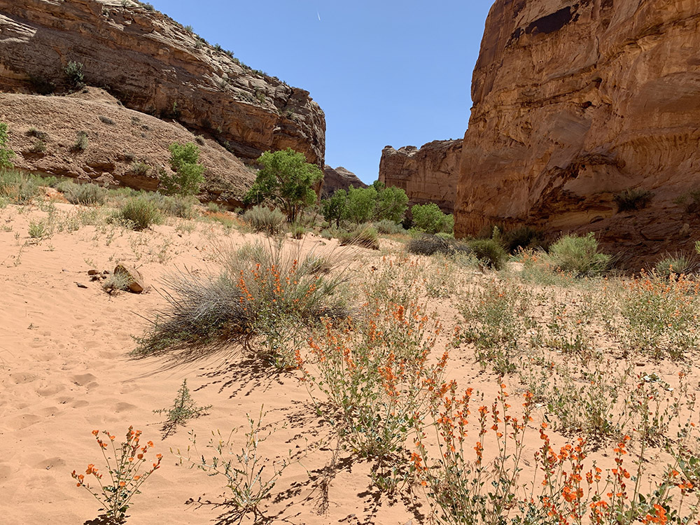
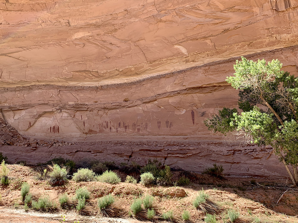
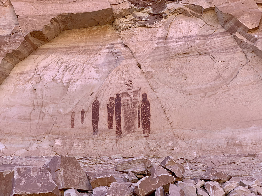
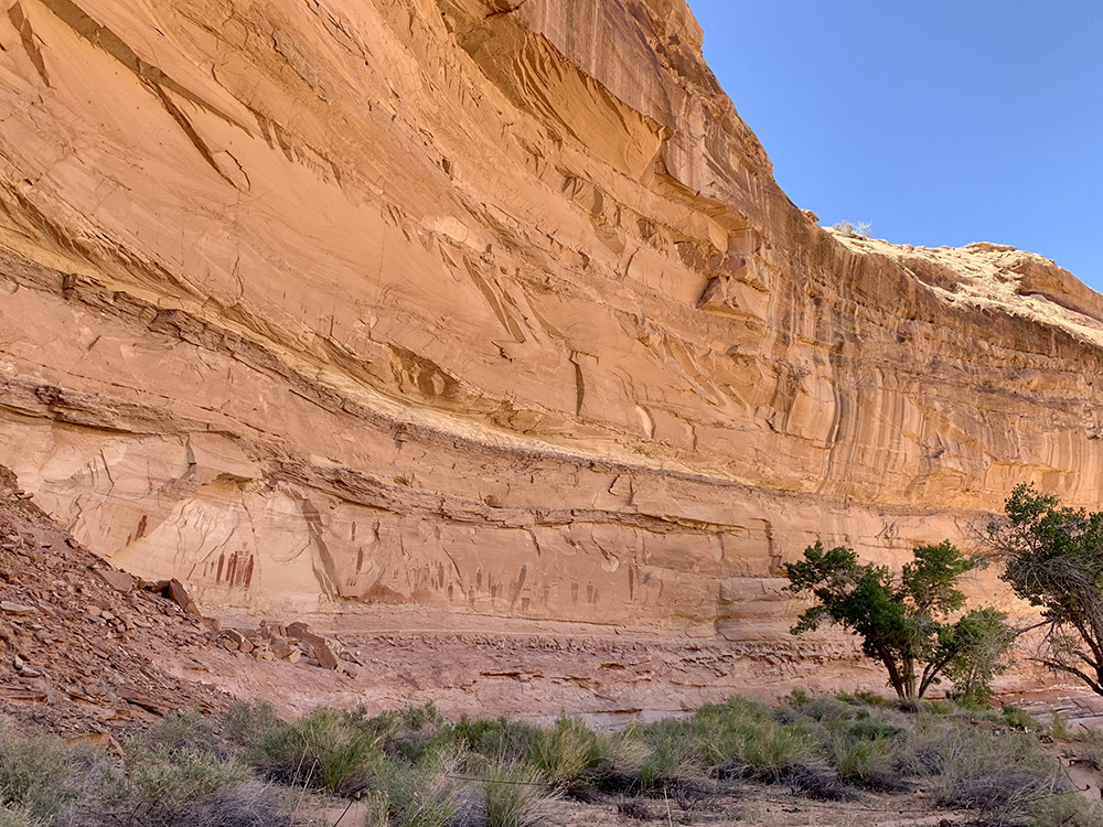
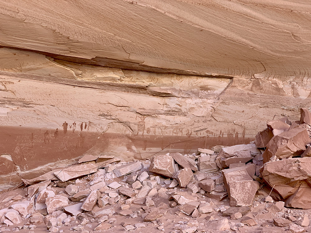
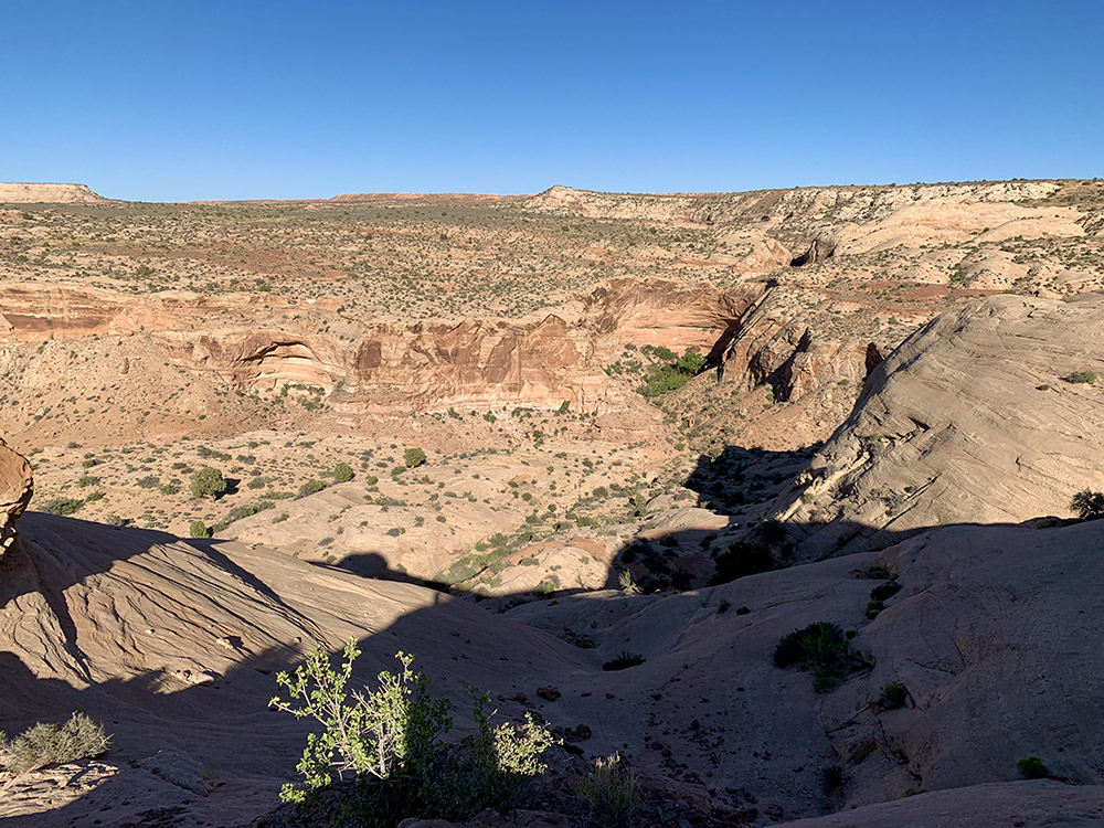
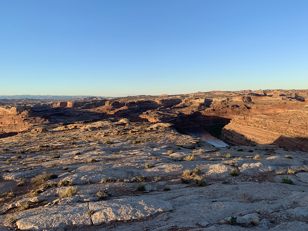
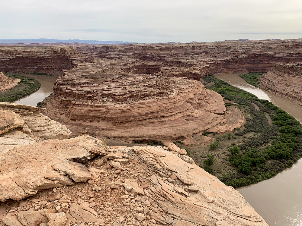
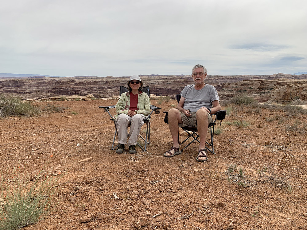
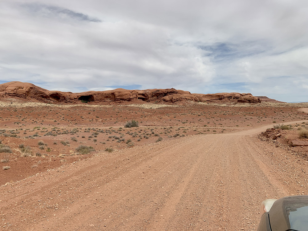
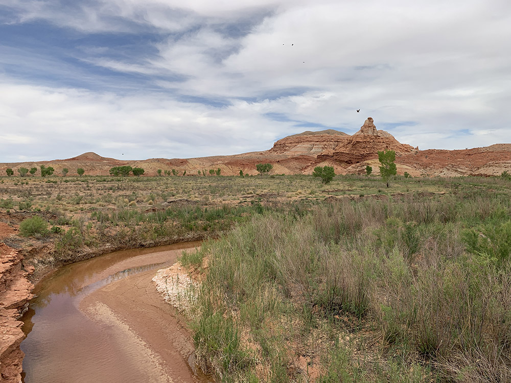
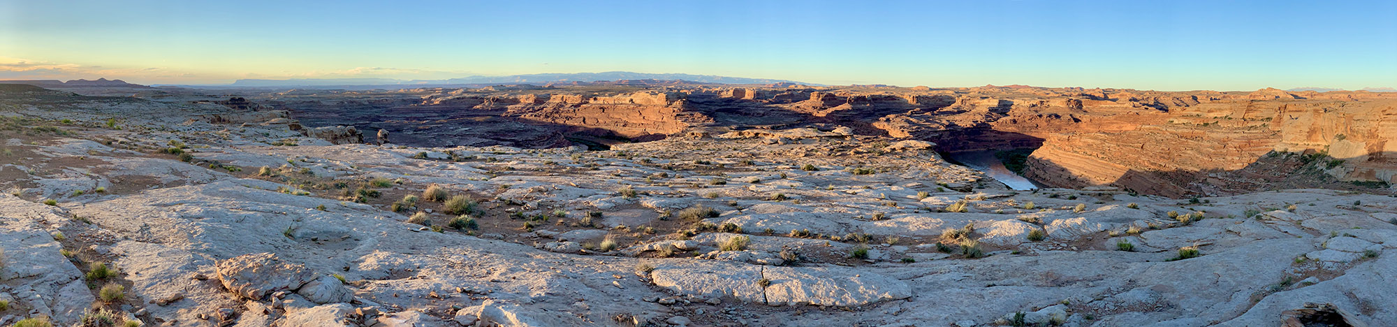
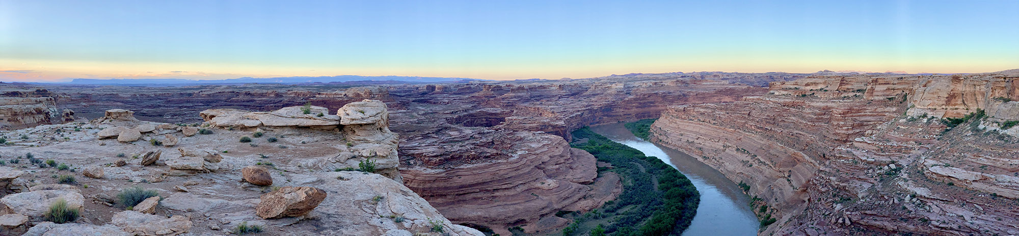
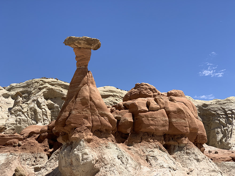
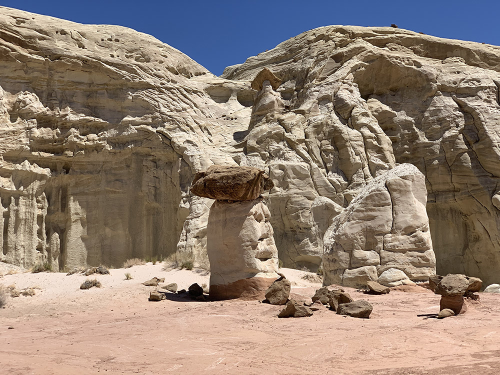
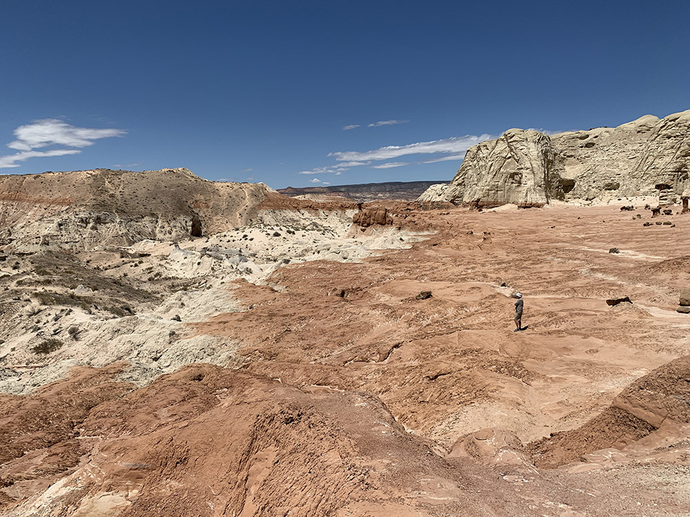
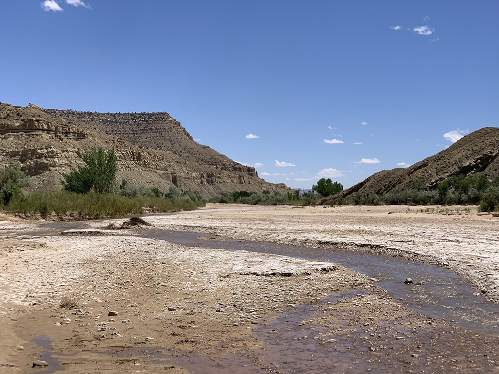
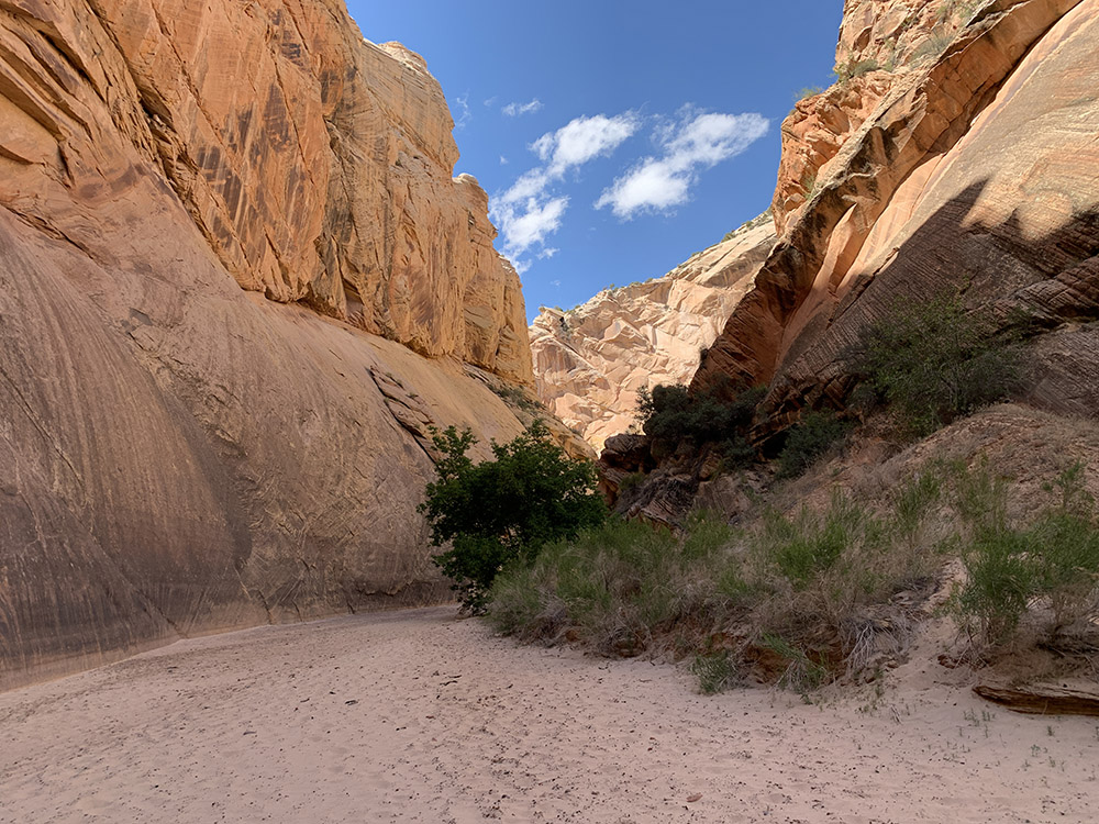
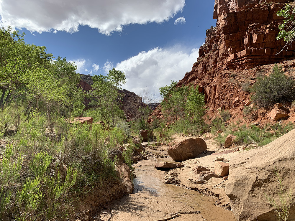
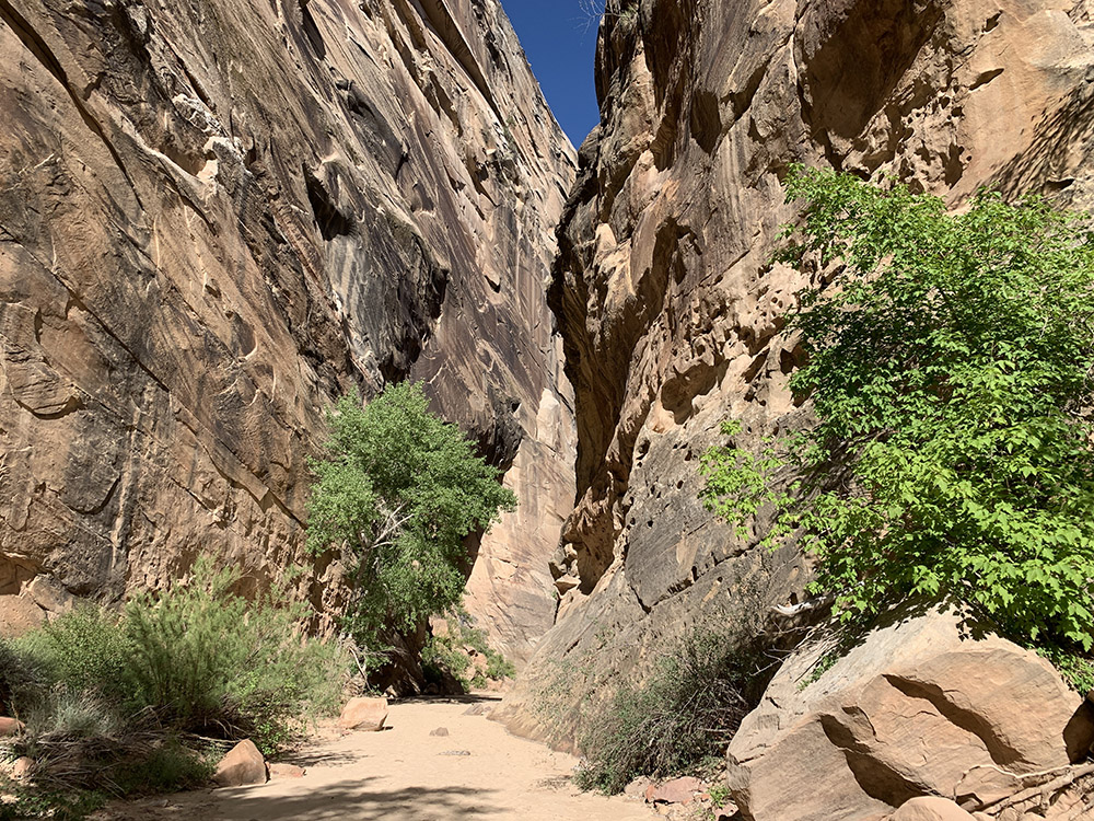
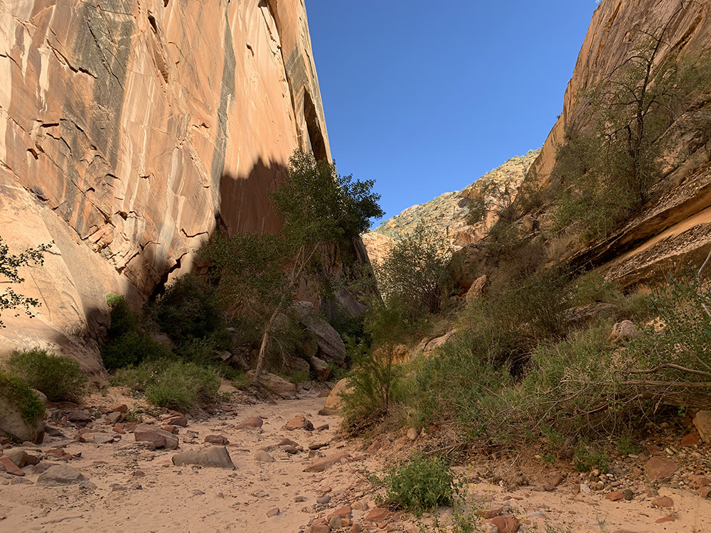
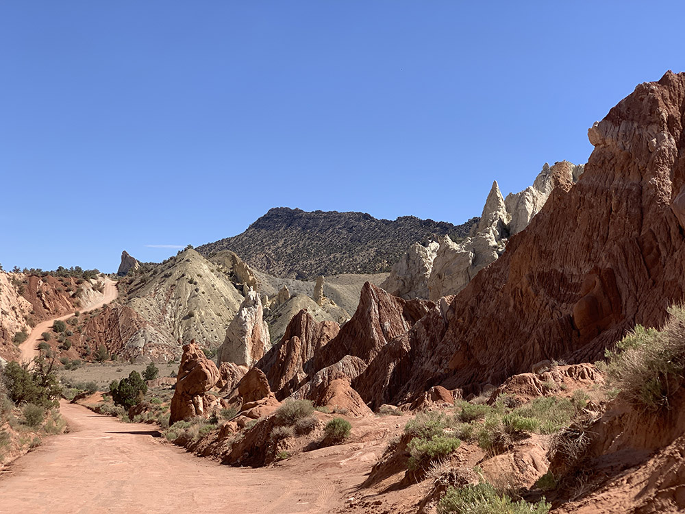
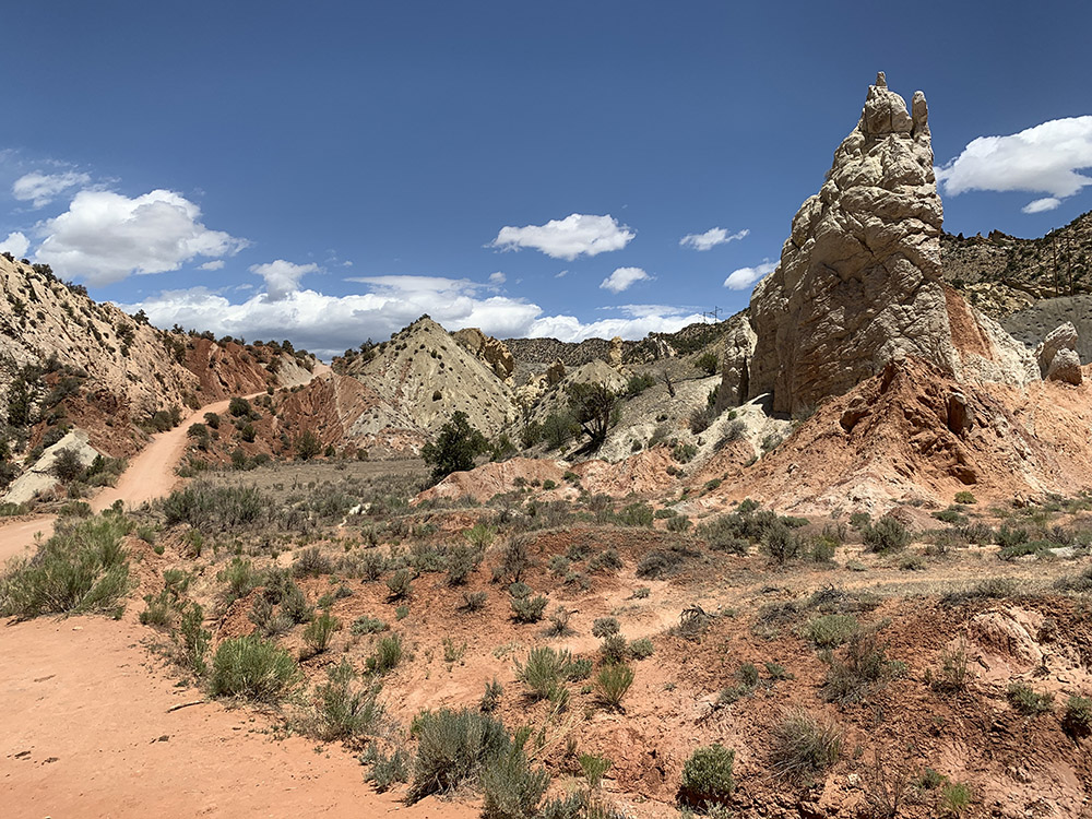
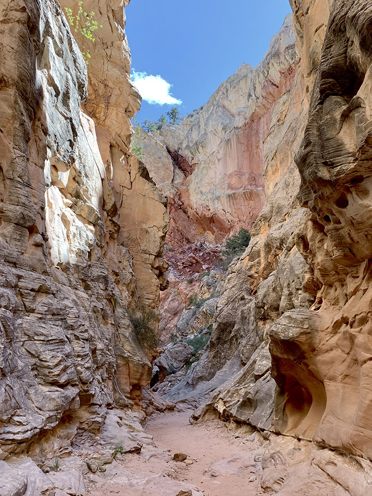
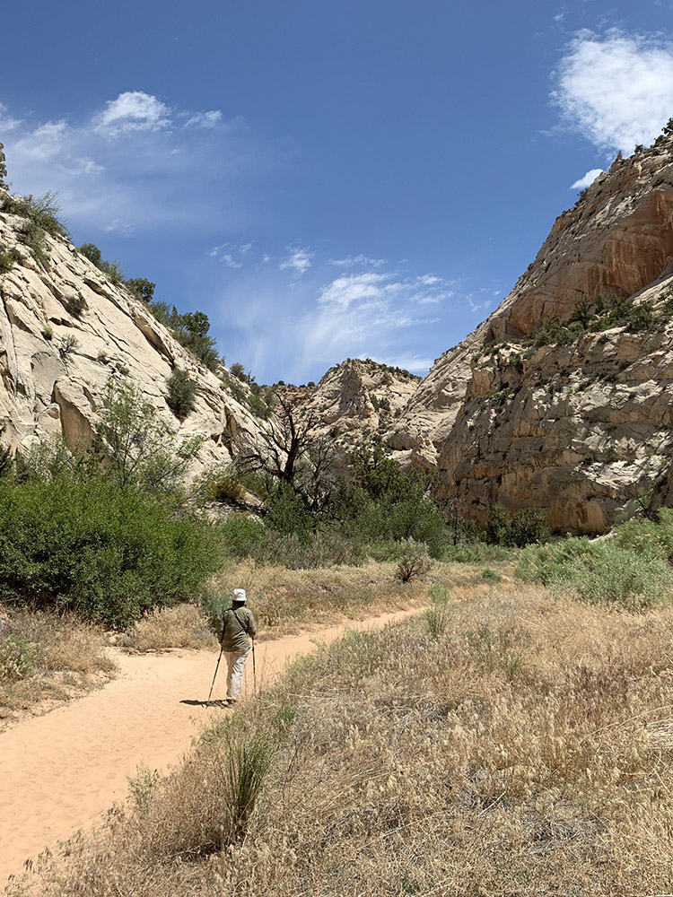
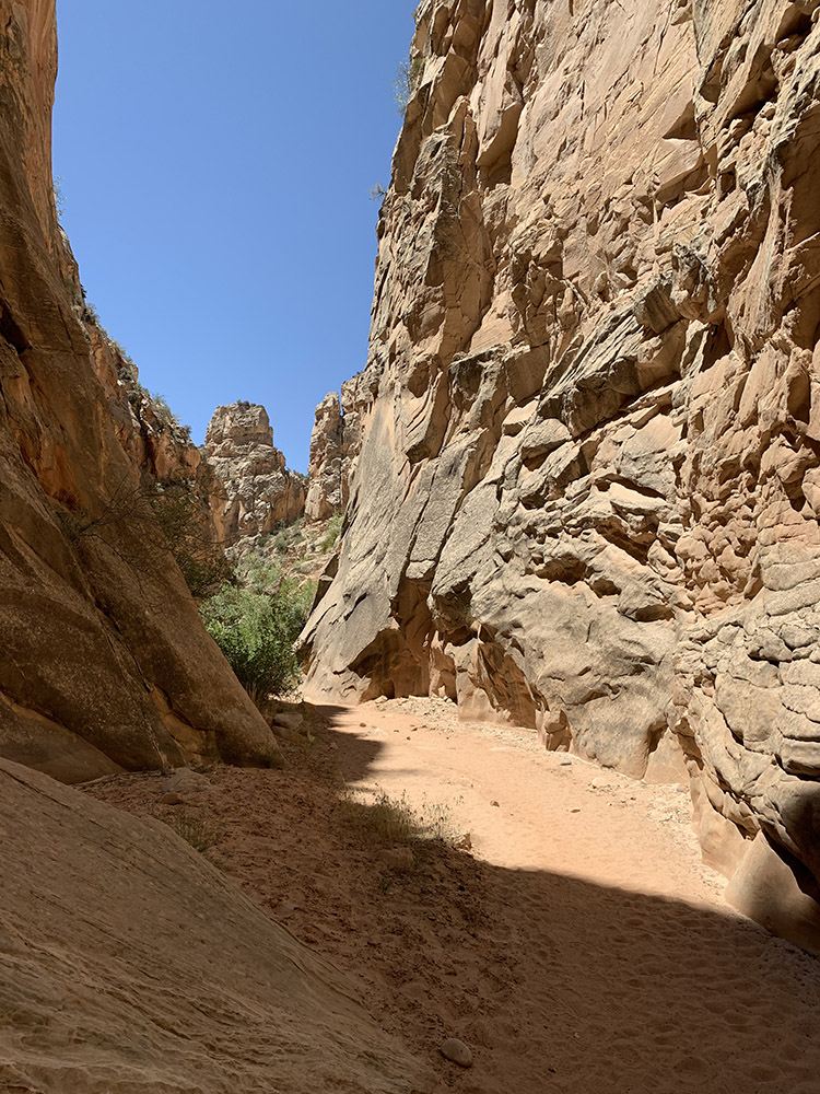
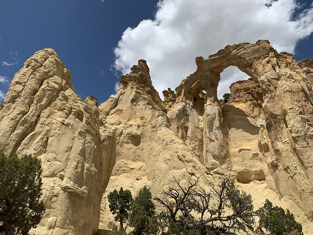
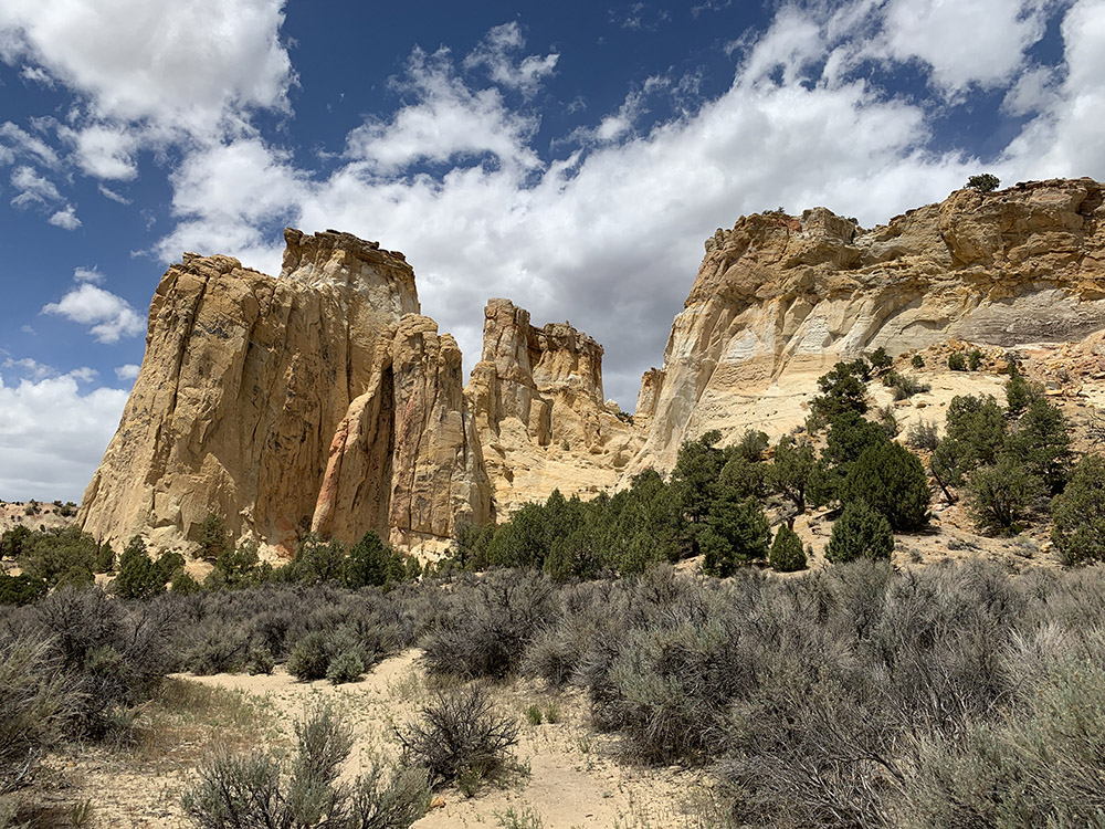
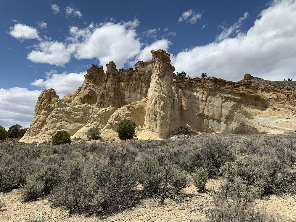
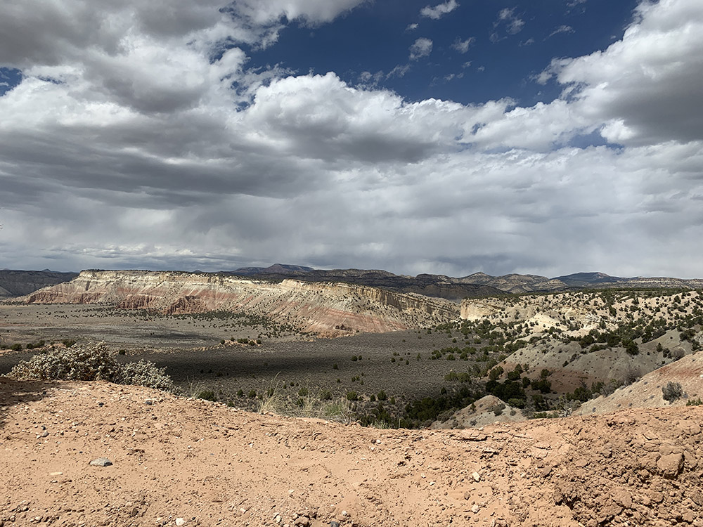
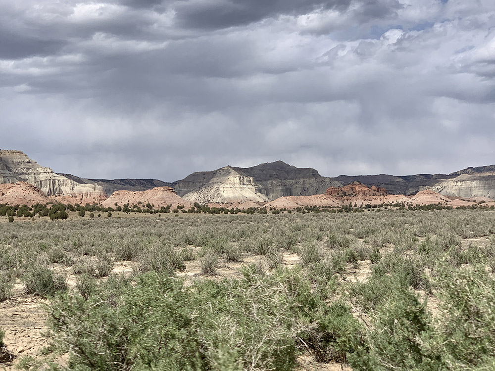
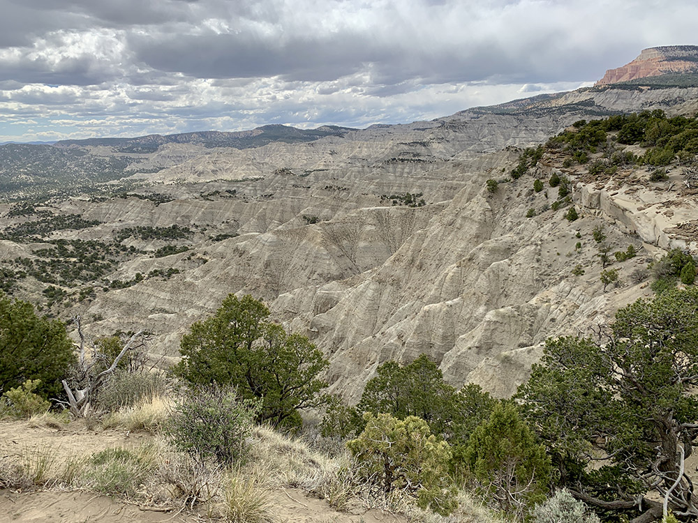
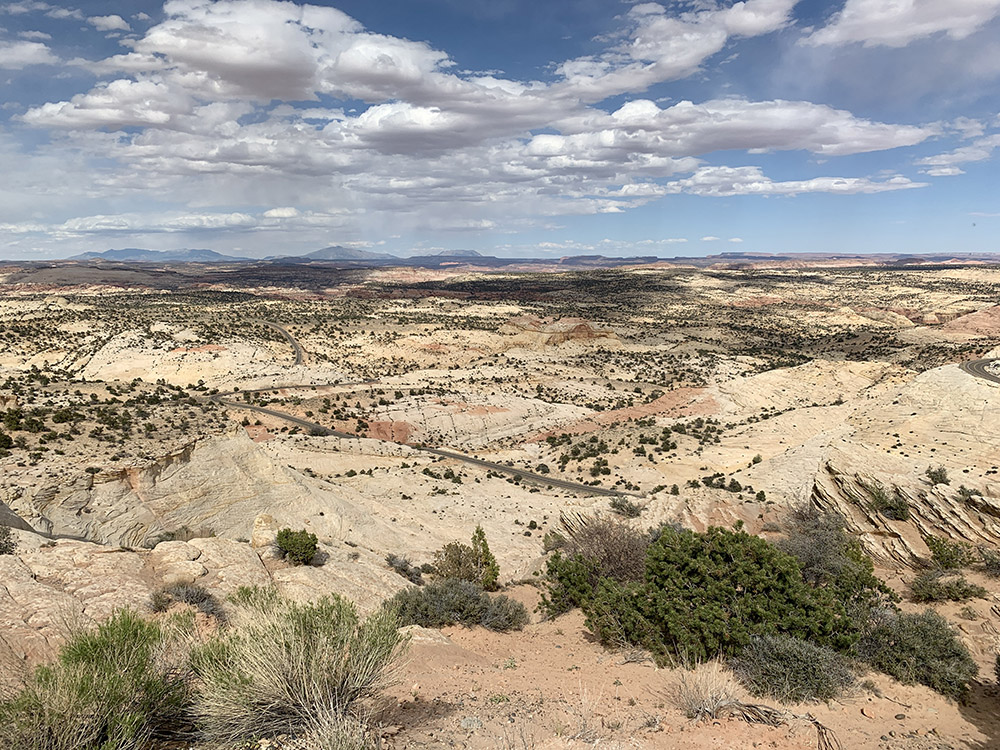
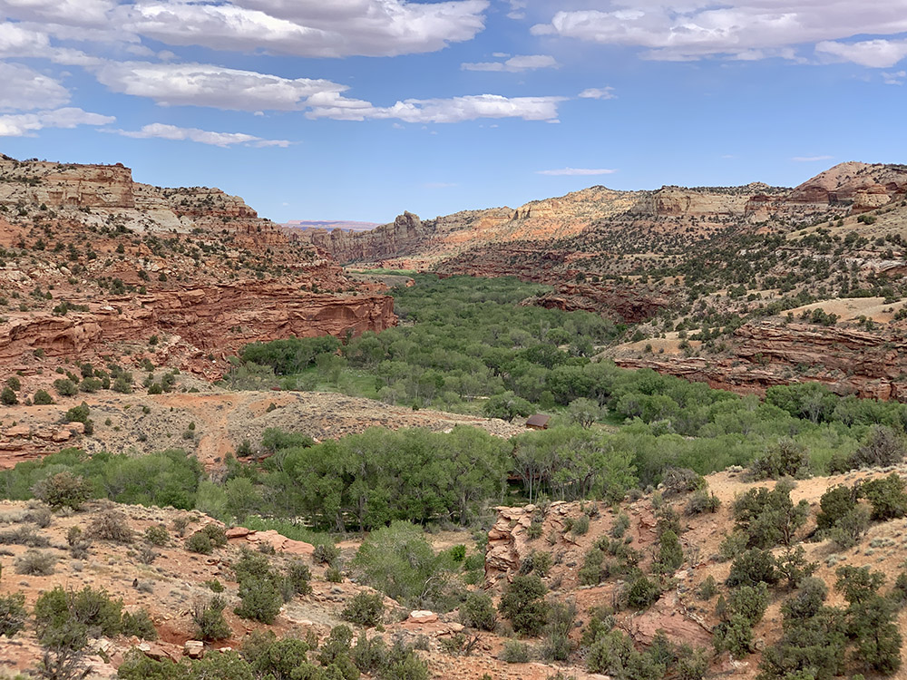
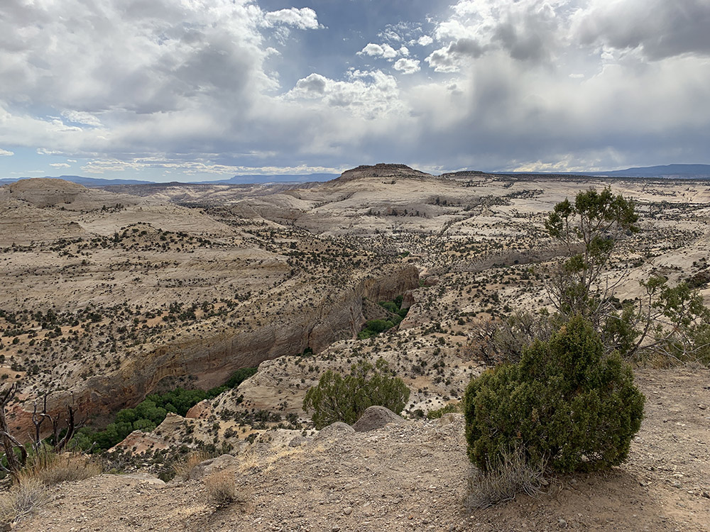
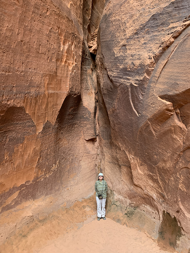
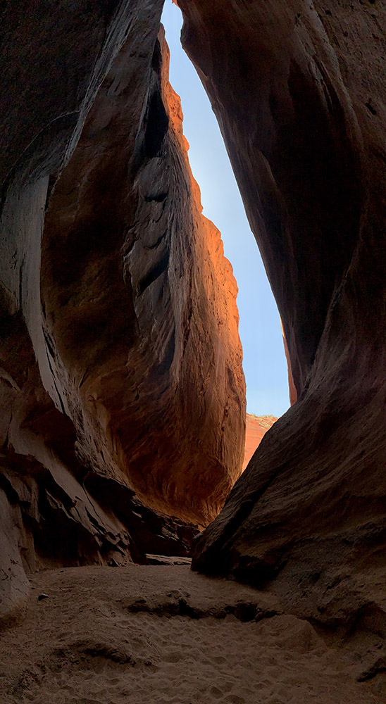
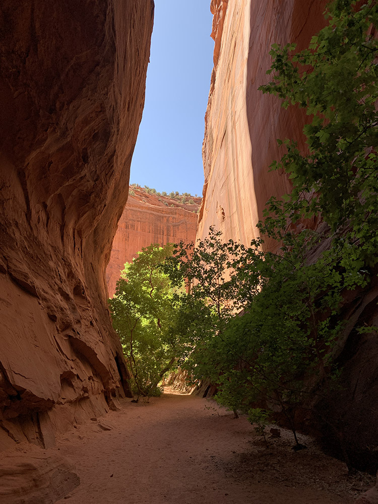
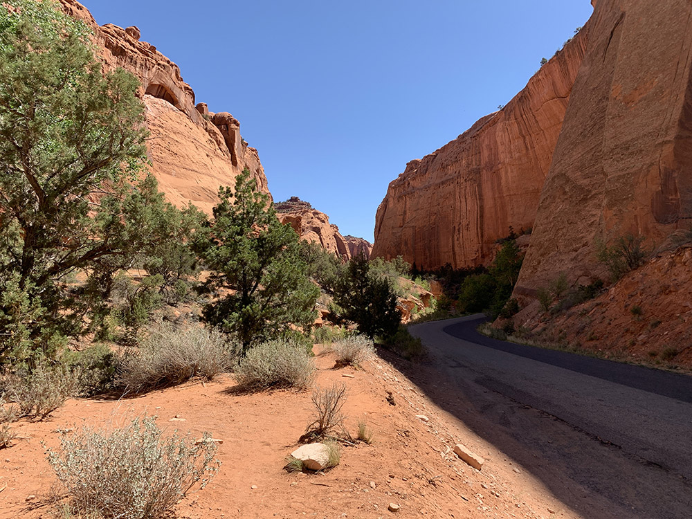
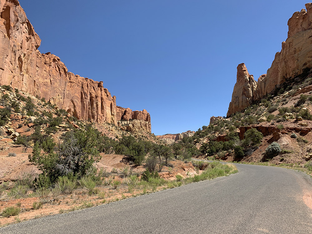
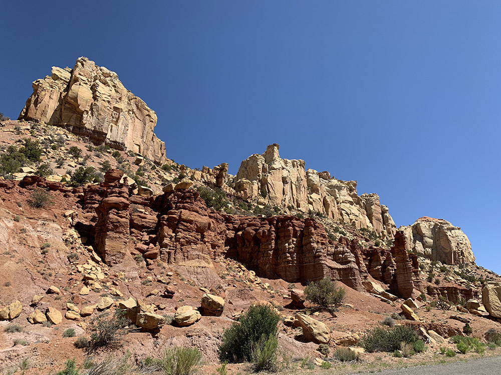
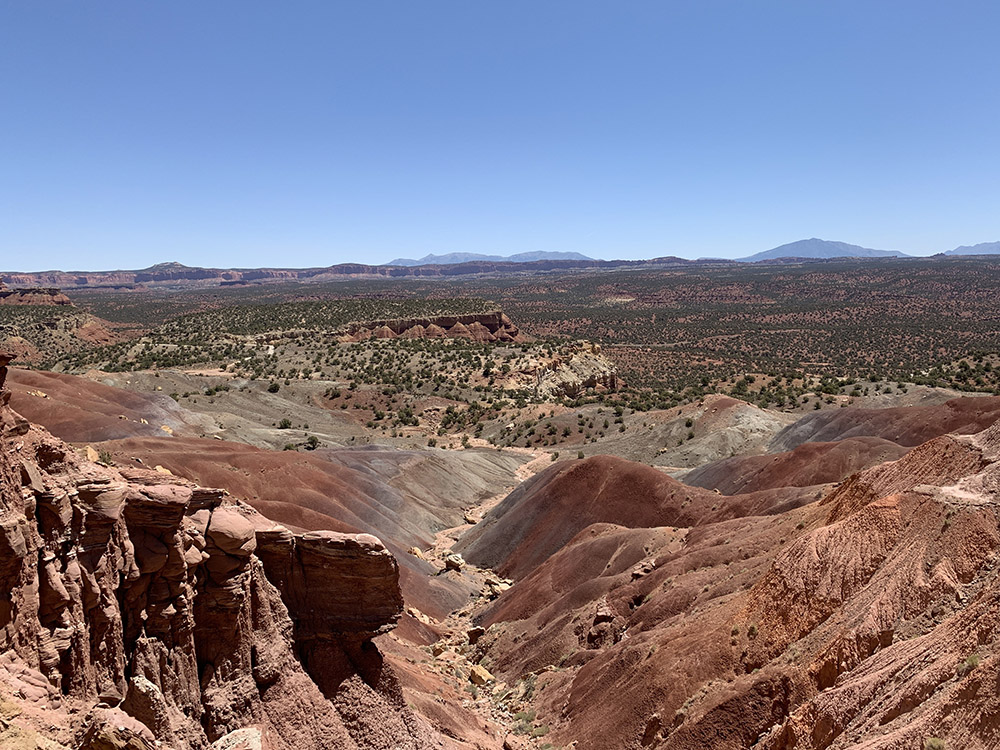
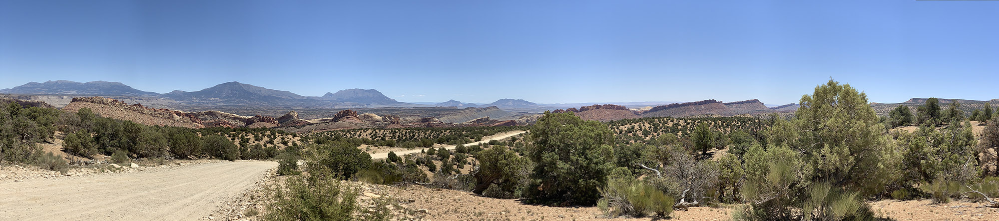
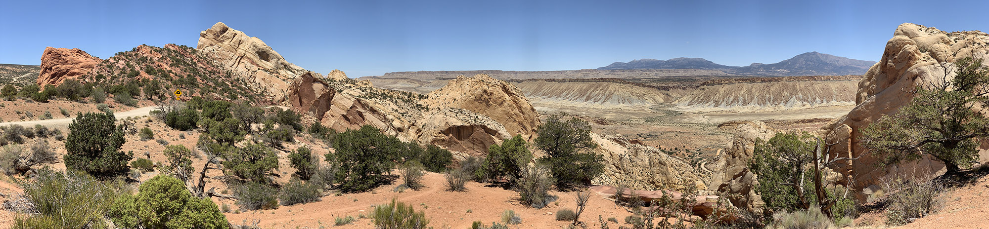
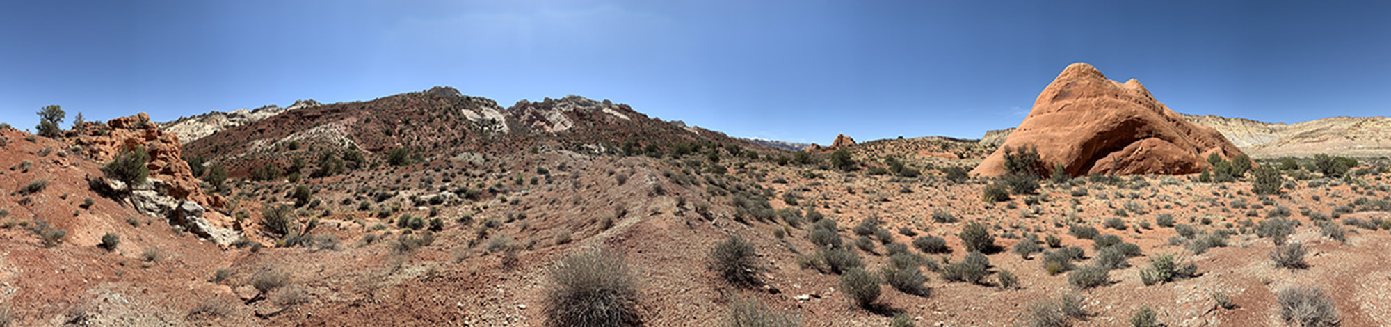
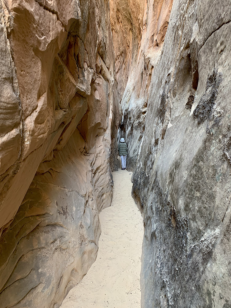
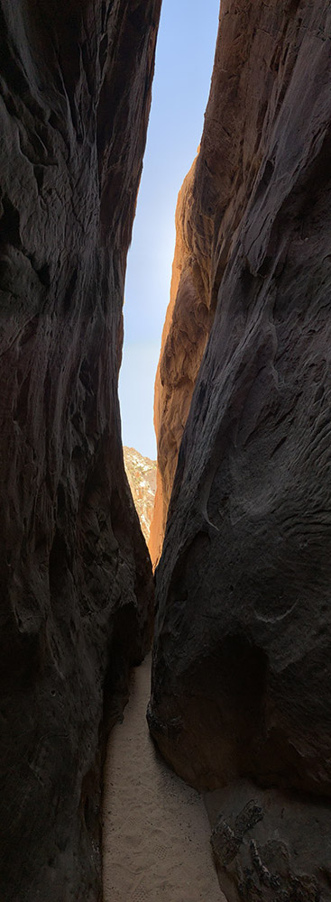
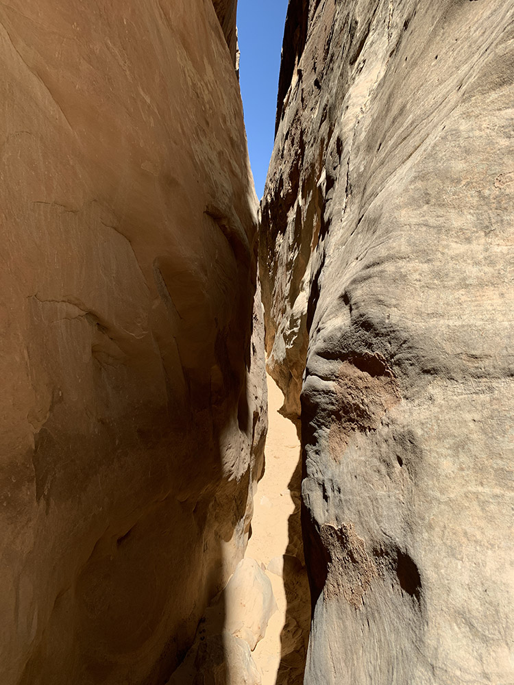
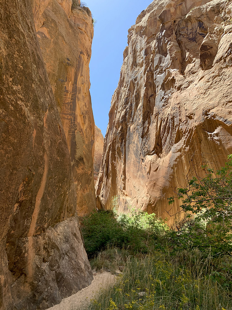
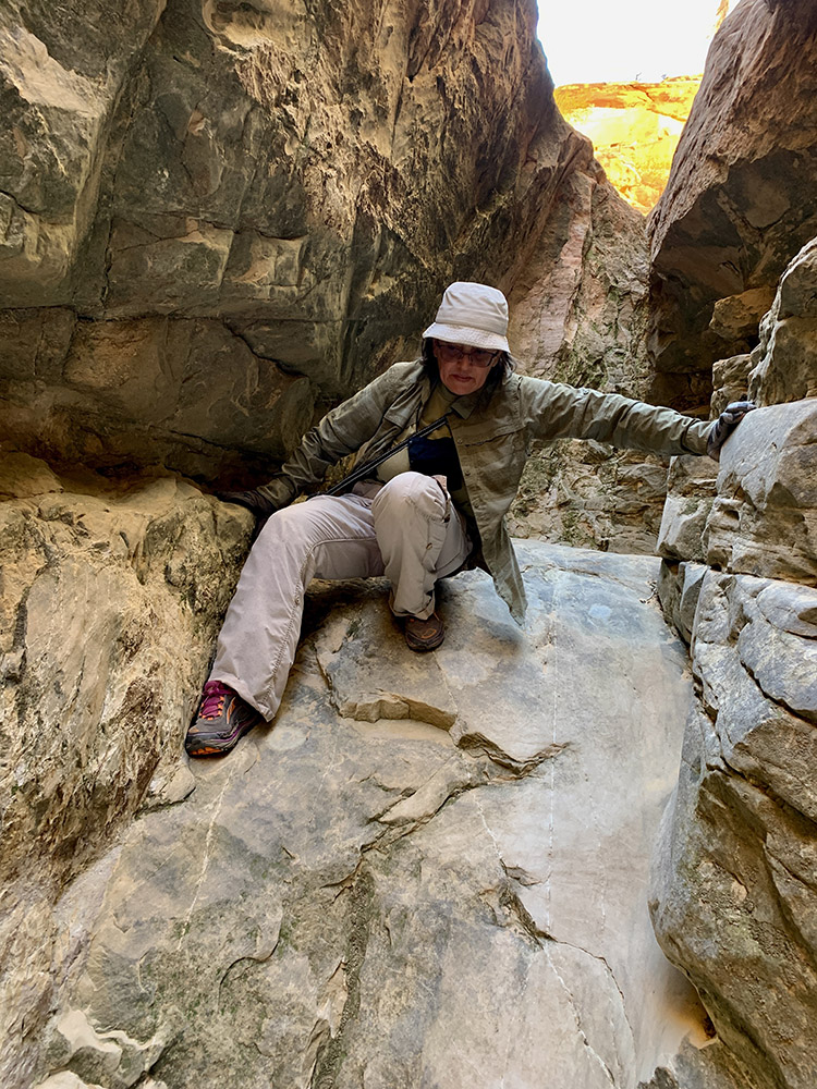
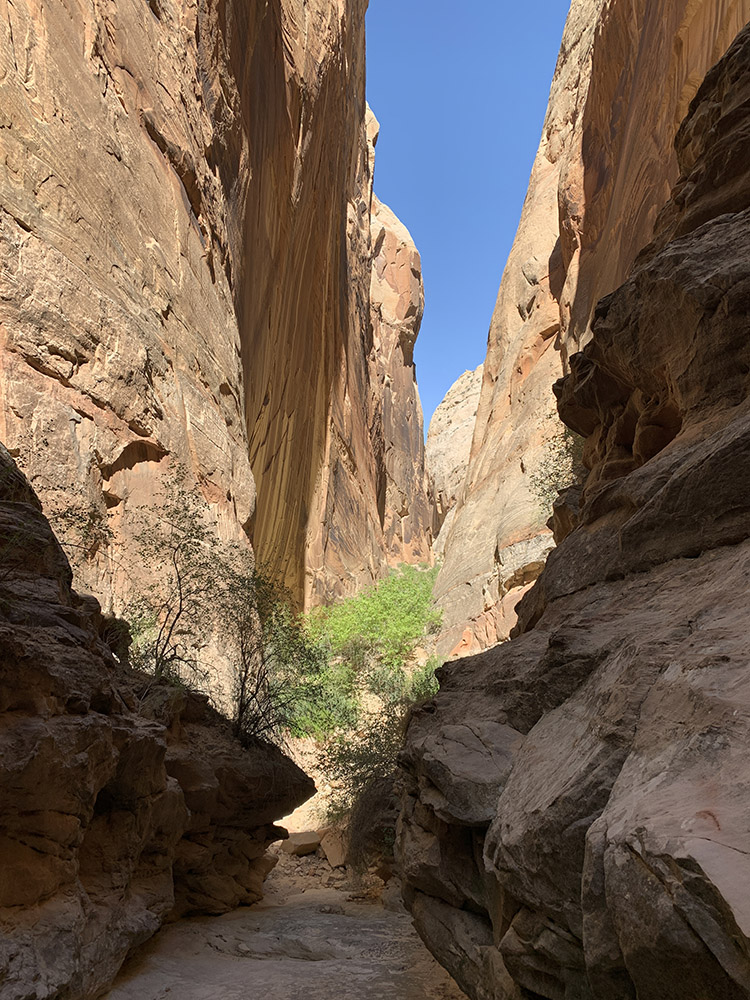
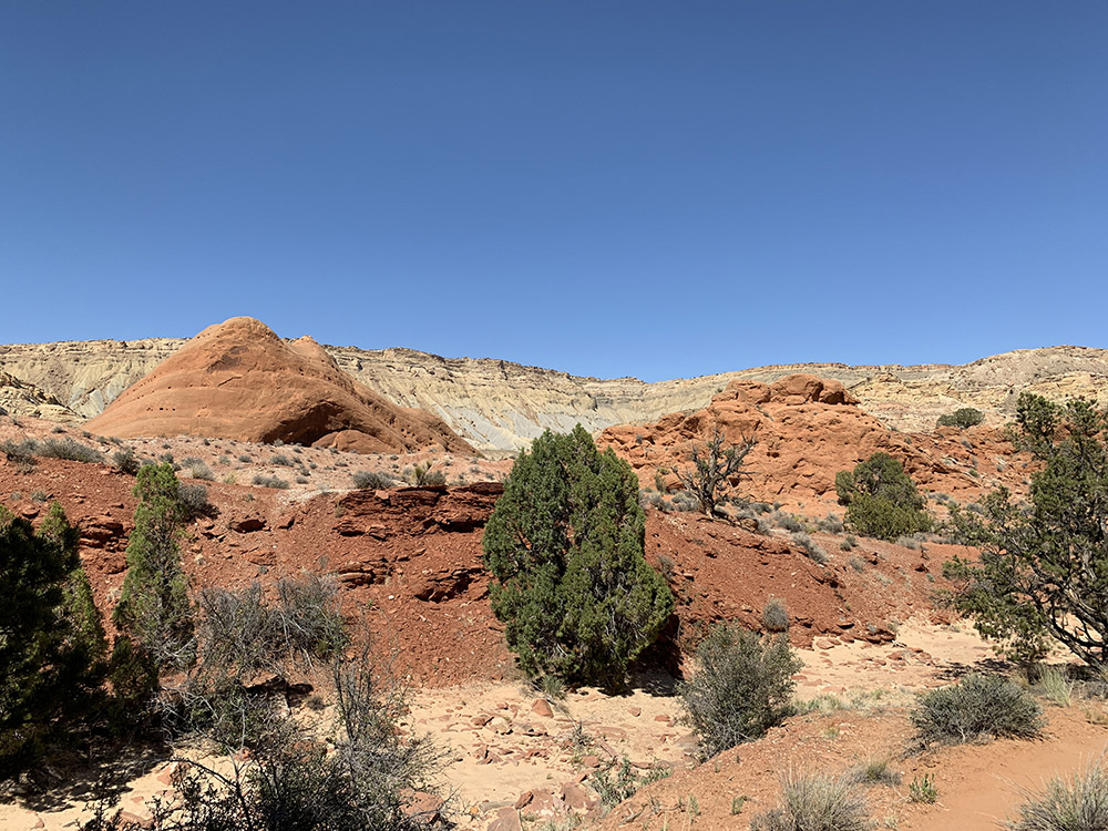
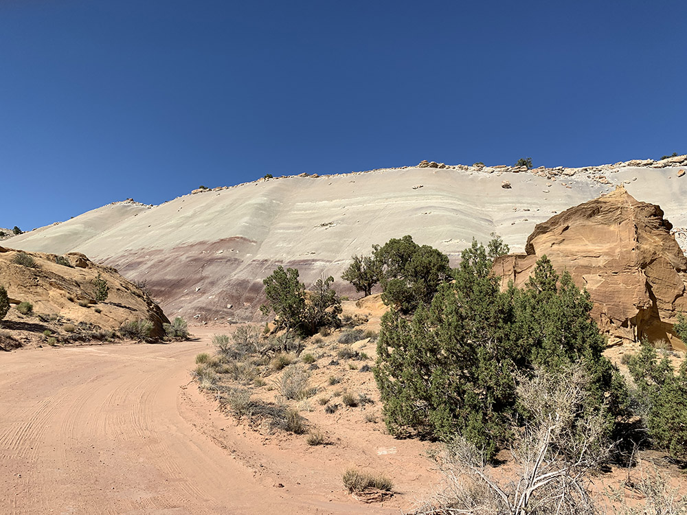
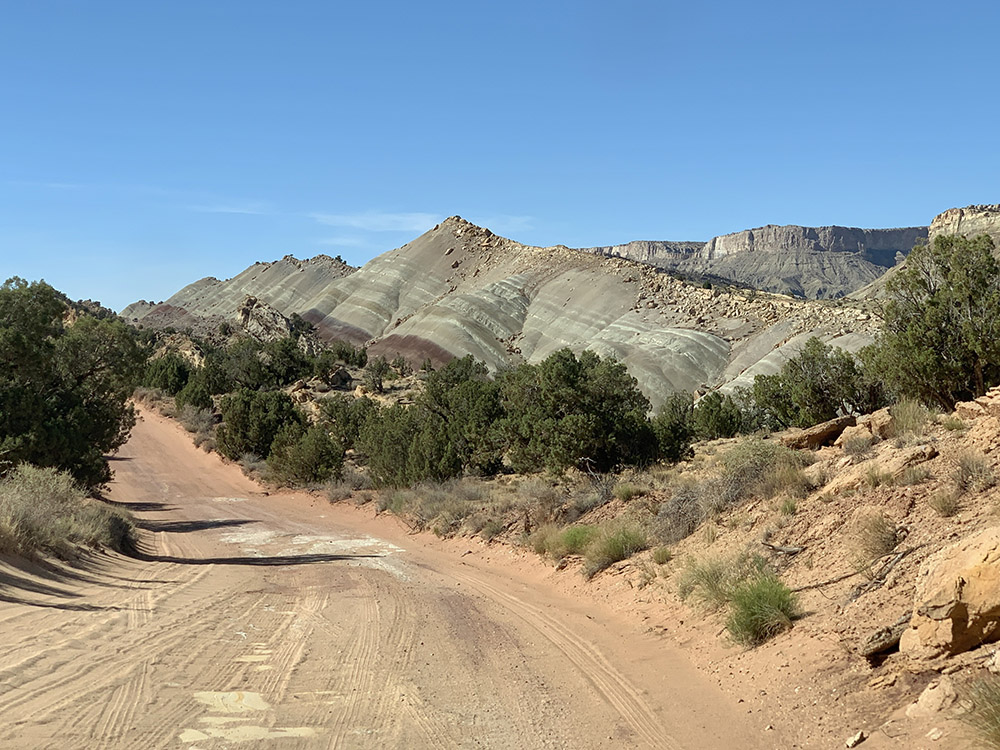
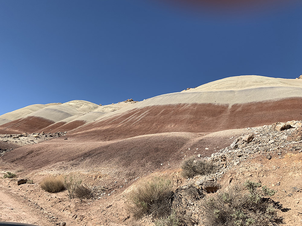
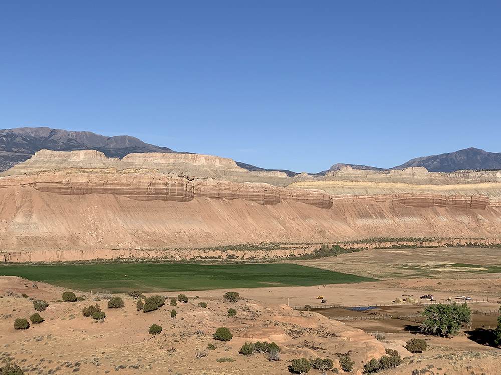
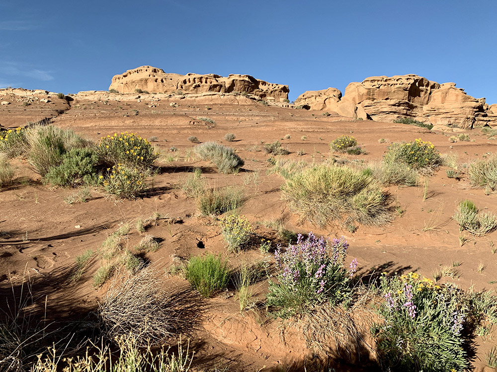
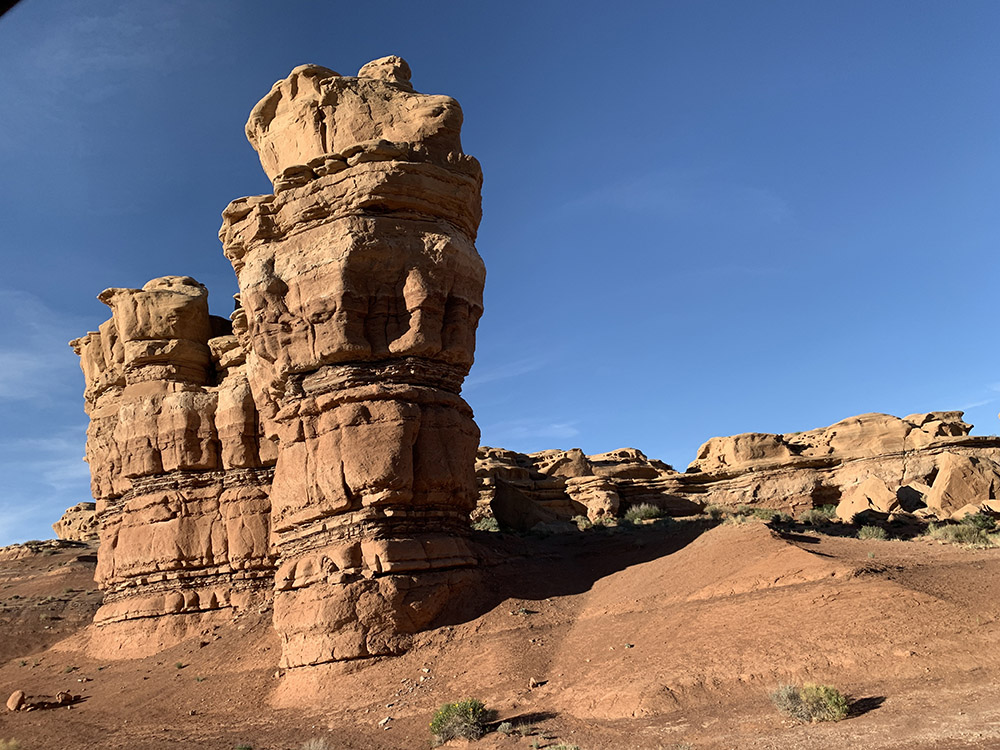
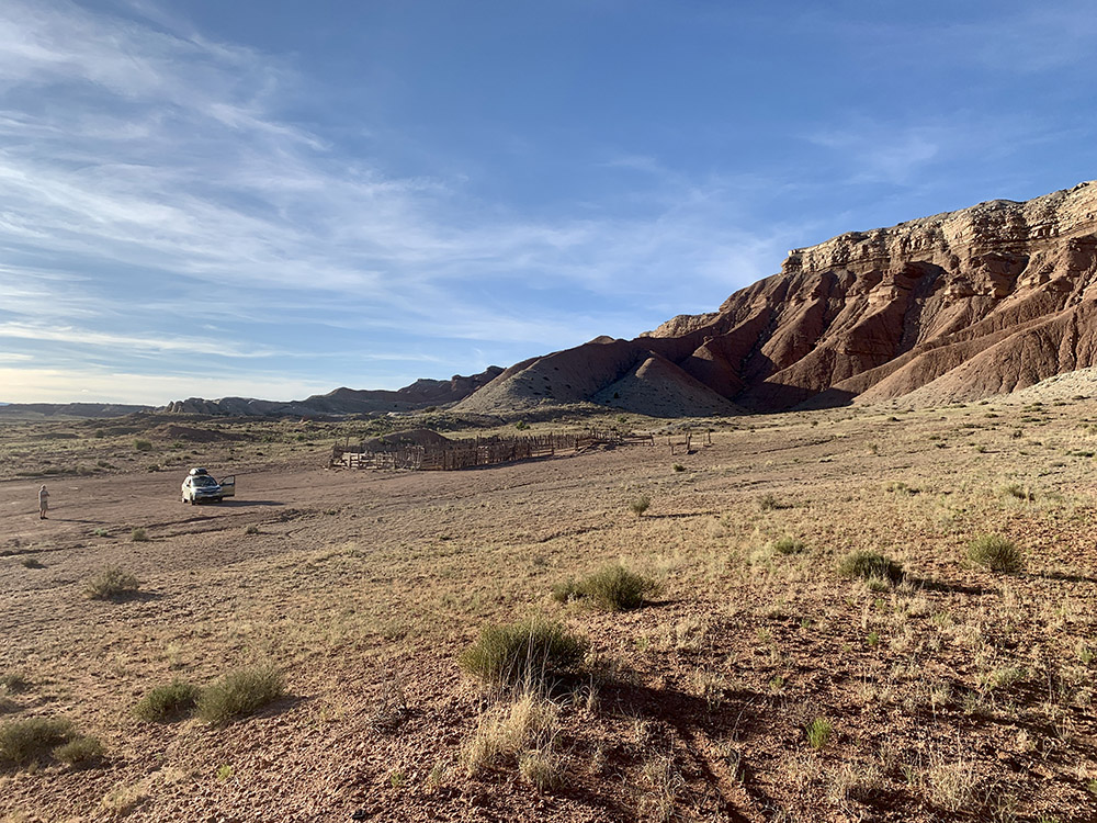
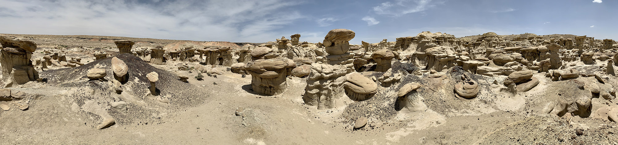
We are back from 29-day (May 11-June 8) trip to the Southwest. We drove some 5000 miles (between destinations plus local) and walked/hiked 170 miles. Our Forester performed quite well on dirt roads – it allowed us to visit some more remote wilderness areas (we avoided the temptation to explore interesting roads that required higher clearance). As we visited many of the national parks years ago, this time we focused on hiking and viewing less known sites: Puebloan ruins, narrow canyons, rock formations. We also spent some time at more popular destinations and visited historical/archeological sites. 5-day (49-mile) hike down Buckskin Gulch and Paria River Canyon was the top highlight. We liked Ah-shi-sle-pah Wilderness, Chaco Culture Park and Great Gallery in Horseshoe Canyon, and pretty much everything else.
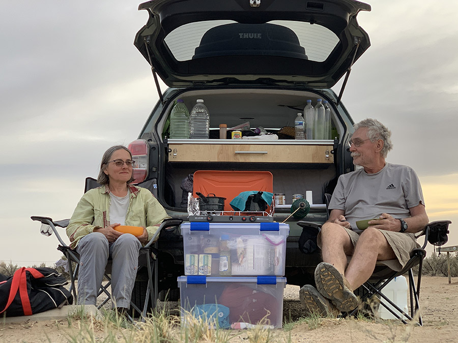
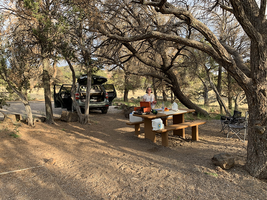
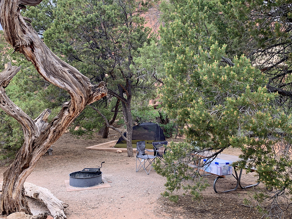
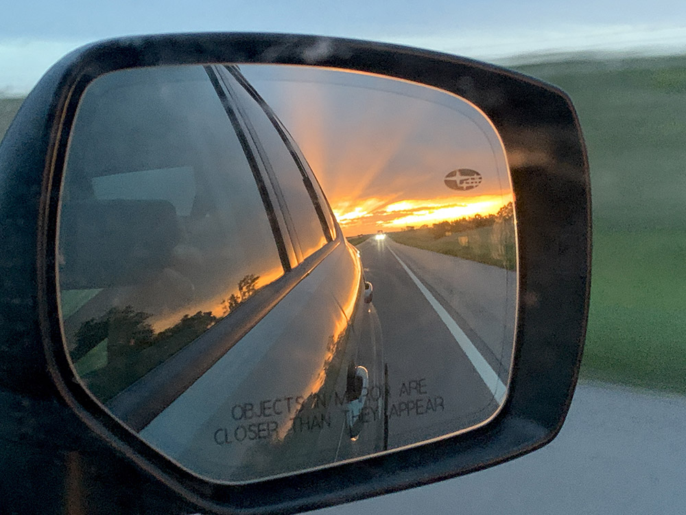
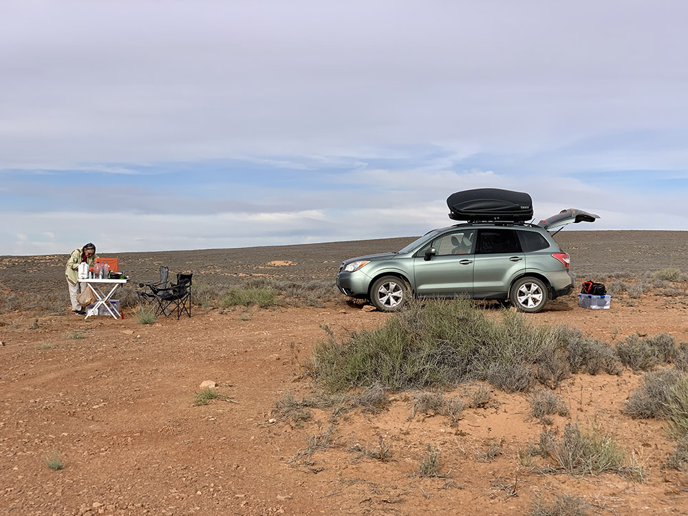
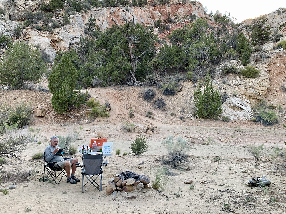
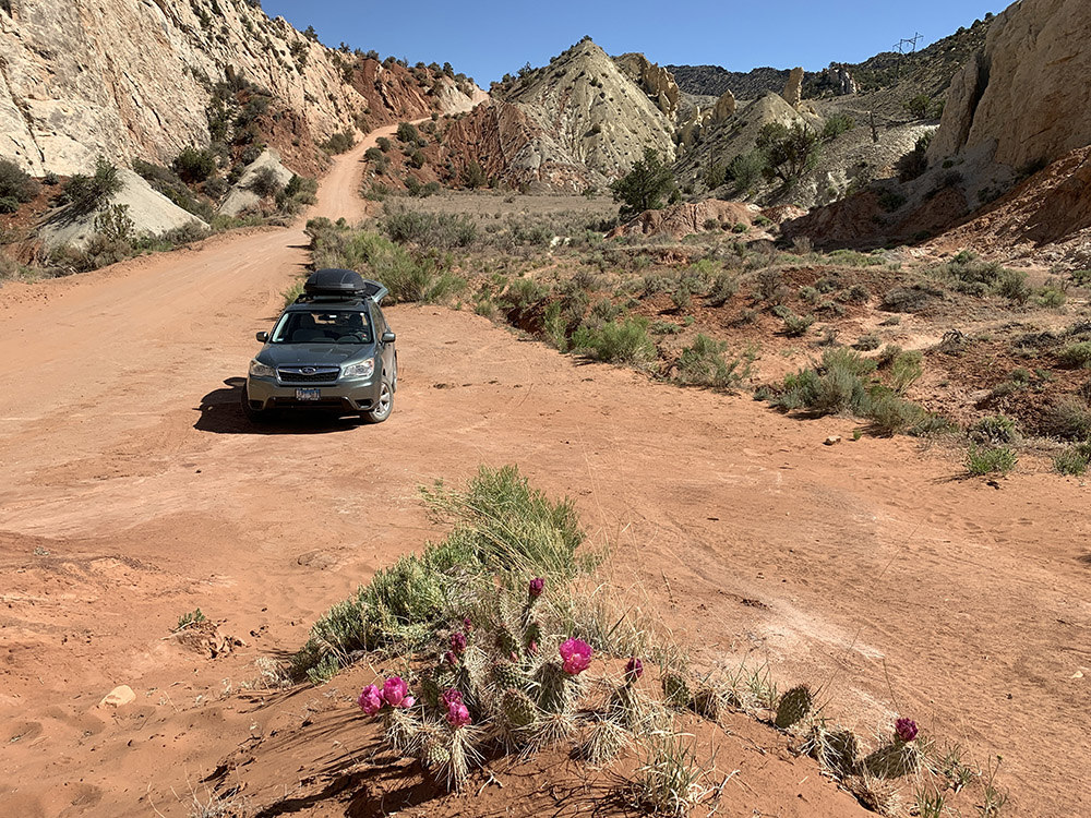
We finally tested our minimalistic camper (converted Subaru Forester): sleeping in the back is comfortable, but packing all the stuff is quite challenging (rooftop cargo box helps, we need to make some improvements before next long trip to Canada). We stayed at organized campgrounds or car-camped in the wild and from time to time stayed at motels to “reset”. Weather was cooperating: a few really hot days and a few colder nights, nothing extreme, no rain.

 Completed itinerary
| Day | State | Destination | Walking | Driving | |
| miles | miles | ||||
| 1 | IL-MO | Bennett Spring Campground | 475 | ||
| 2 | TX | Fortress Cliff Campground | 632 | ||
| 3 | TX | Palo Duro SP | Mesquite Campground | 9 | 2 |
| 4 | NM | Palo Duro SP | Southwest Motel, Grants | 5 | 389 |
| 5 | NM | El Malpais NM | El Morro Campground | 6 | 92 |
| 6 | NM | El Morro NM | Rio De Las Vacas Campground | 5 | 216 |
| 7 | NM | Chaco Culture NHP | Gallo Campground | 8 | 84 |
| 8 | NM | Chaco Culture NHP | Gallo Campground | 10 | 0 |
| 9 | NM | Ah-shi-sle-pah Wilderness | De-Na-Zin Wilderness camp | 8 | 57 |
| 10 | NM | Bisti/De-na-zin Wilderness | Economy Inn Motel, Farmington | 13 | 65 |
| 11 | UT | Hovenweep NM | Hovenweep Campground | 3 | 103 |
| 12 | UT | Butler Wash, Mule Canyon | Muley Point camp | 6 | 98 |
| 13 | UY-AZ | Valley of the Gods | Canyon View Campground | 5 | 105 |
| 14 | AZ | Navajo NM | Cliff Dwellers Lodge, Marble Canyon | 4 | 119 |
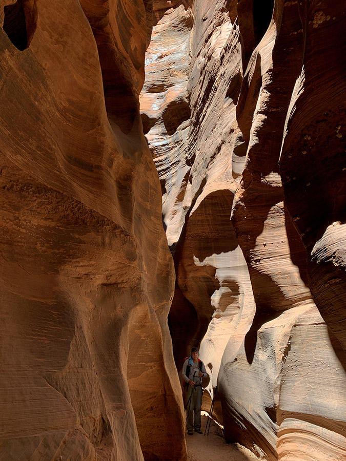
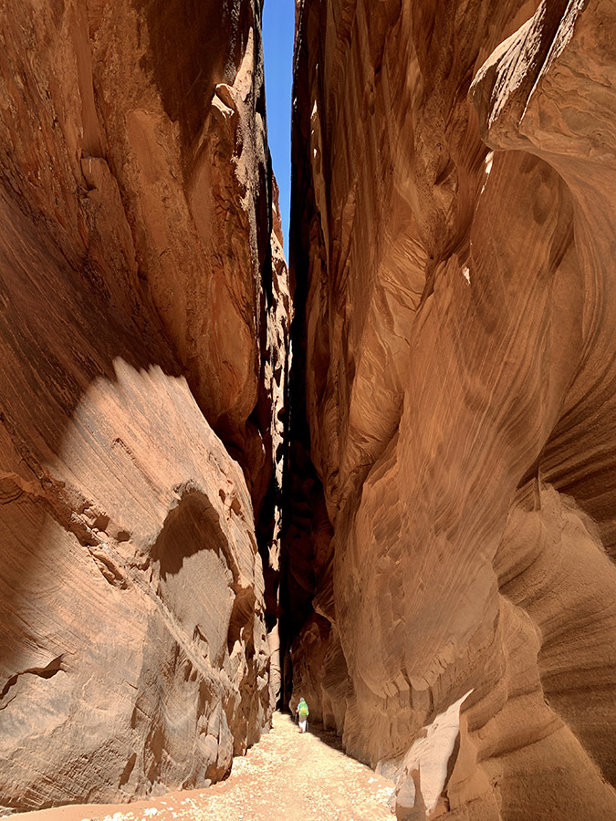
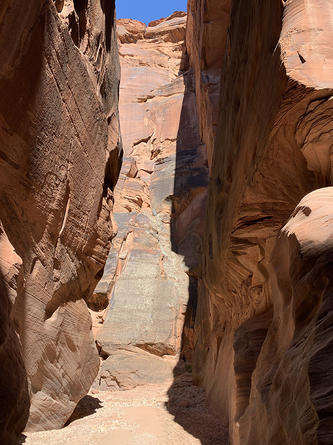
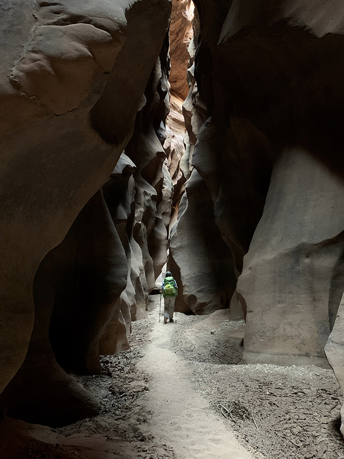
| 15 | UT-AZ | Wire Pass – Buckskin Gulch | camp 1 | 14 | 0 |
| 16 | AZ | Paria Canyon | camp 2 | 10 | 0 |
| 17 | AZ | Paria Canyon | camp 3 | 10 | 0 |
| 18 | AZ | Paria Canyon | camp 4 | 9 | 0 |
| 19 | AZ | Paria Canyon – Lees Ferry | Lake Powell Stay Airbnb, Page | 6 | 46 |
| 20 | UT | Cottonwood Canyon | Cottonwood Canyon camp | 7 | 52 |
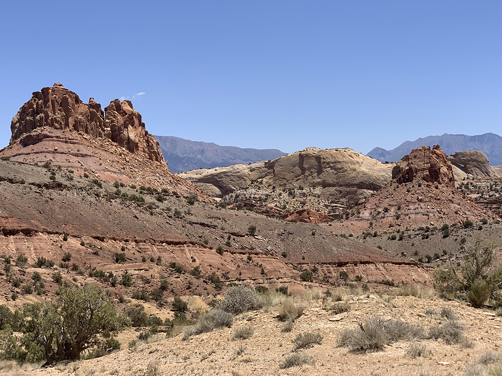
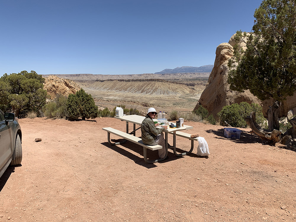
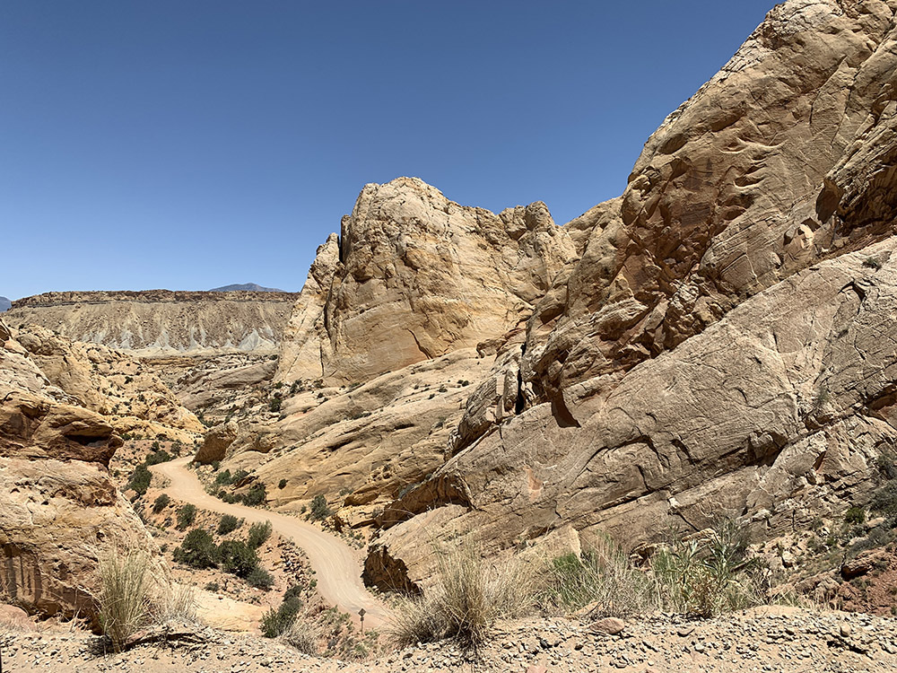
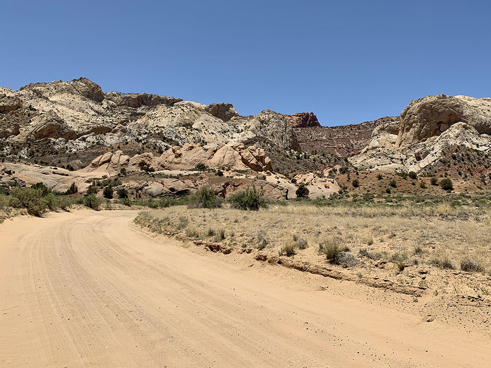
| 21 | UT | Burr Trail Rd Capitol Reef NP | Deer Creek Campground | 5 | 89 |
| 22 | UT | Headquarters Canyon, Notom Rd | Burro Wash camp | 4 | 60 |
| 23 | UT | Horseshoe Canyon Canyonland NP | Green River camp | 8 | 103 |
| 24 | UT | Canyonlands NP Island in the Sky | Adventure Inn, Moab | 6 | 155 |
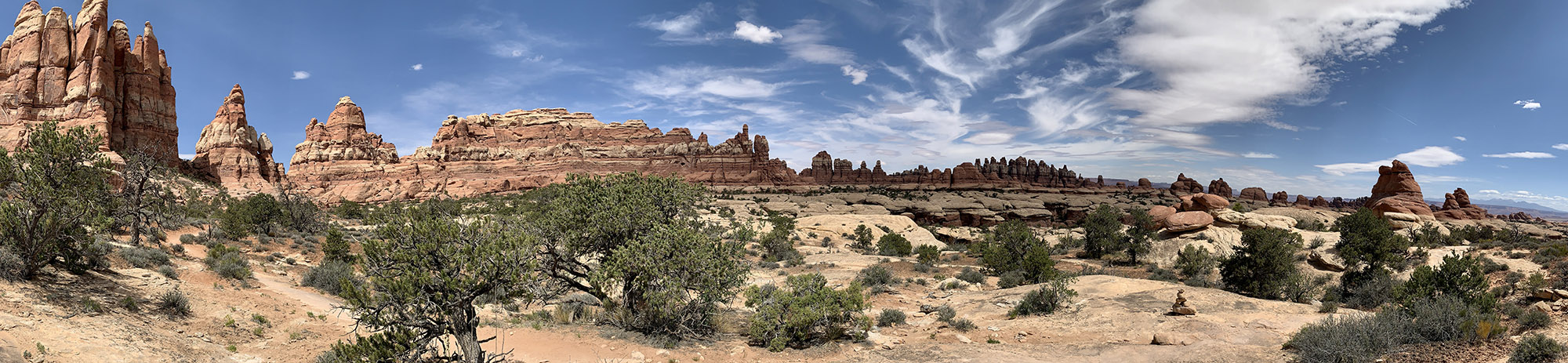
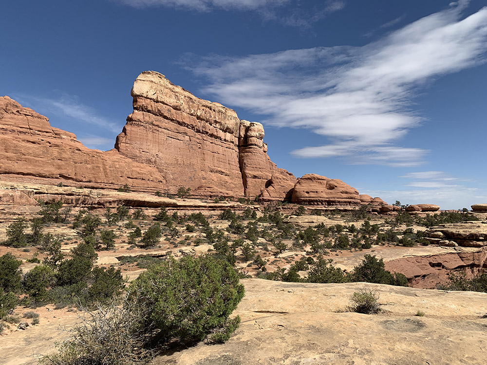
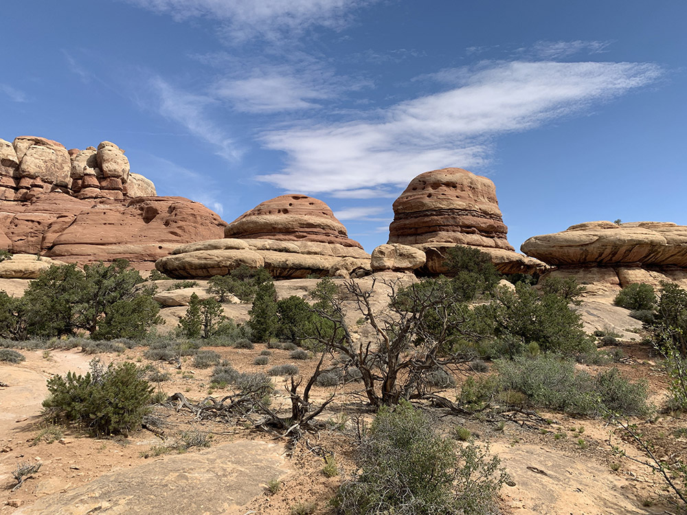
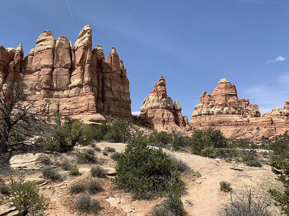
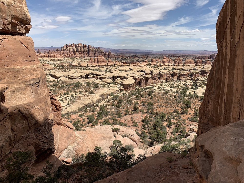
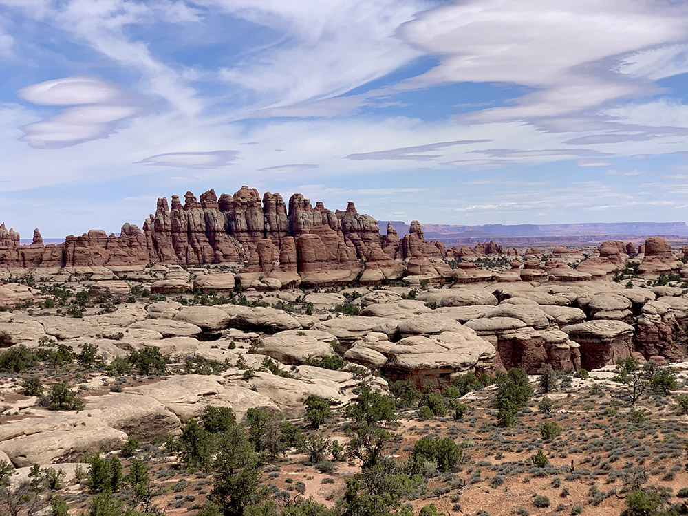
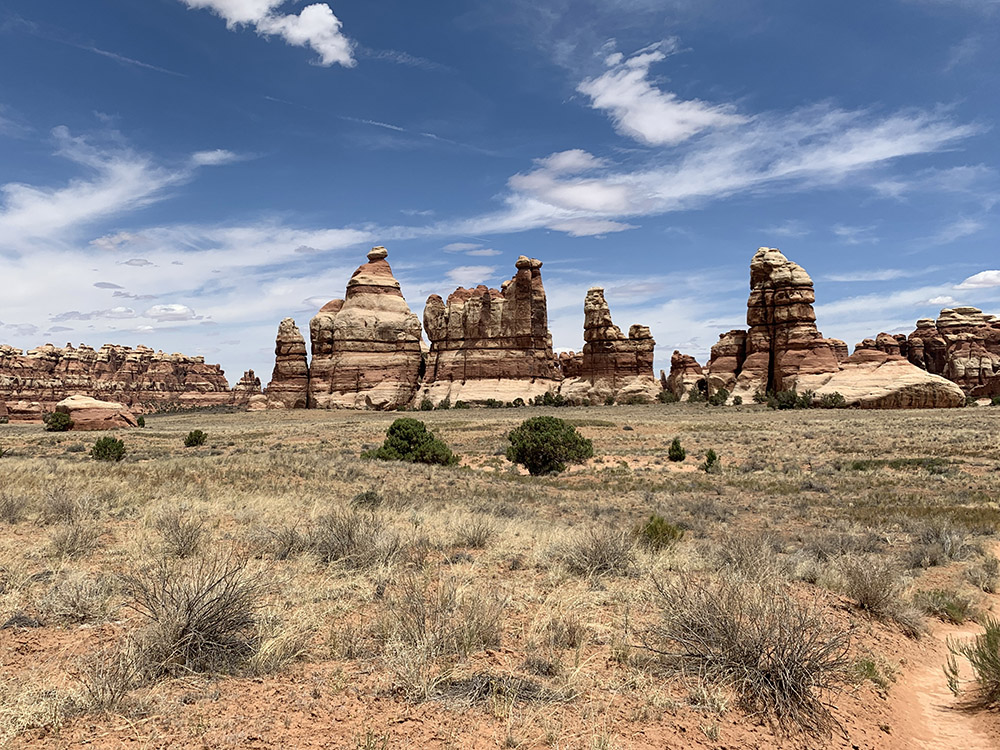
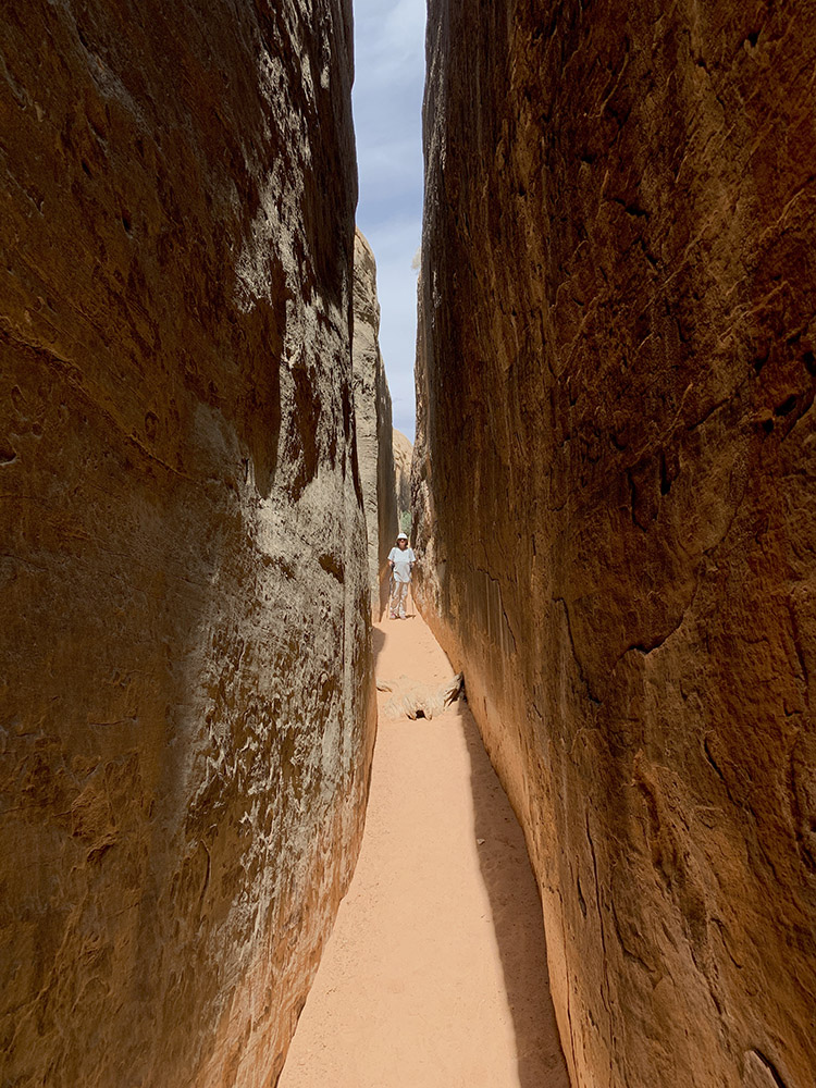
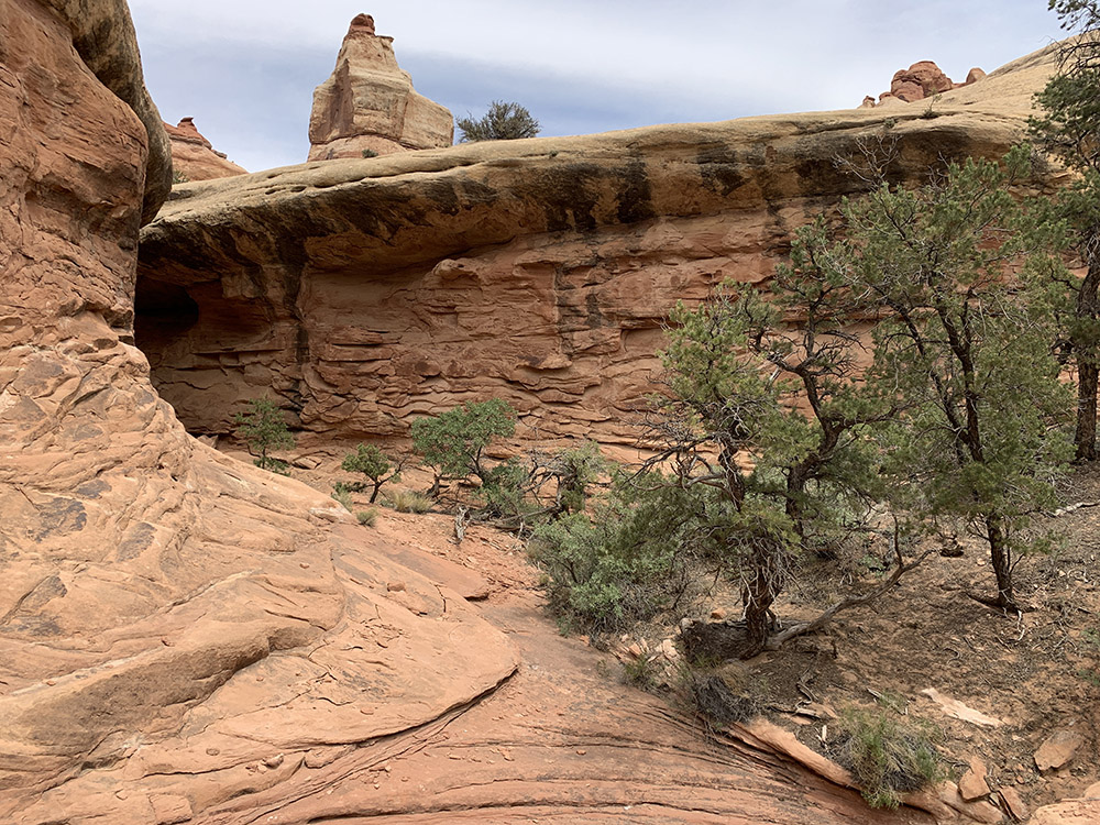
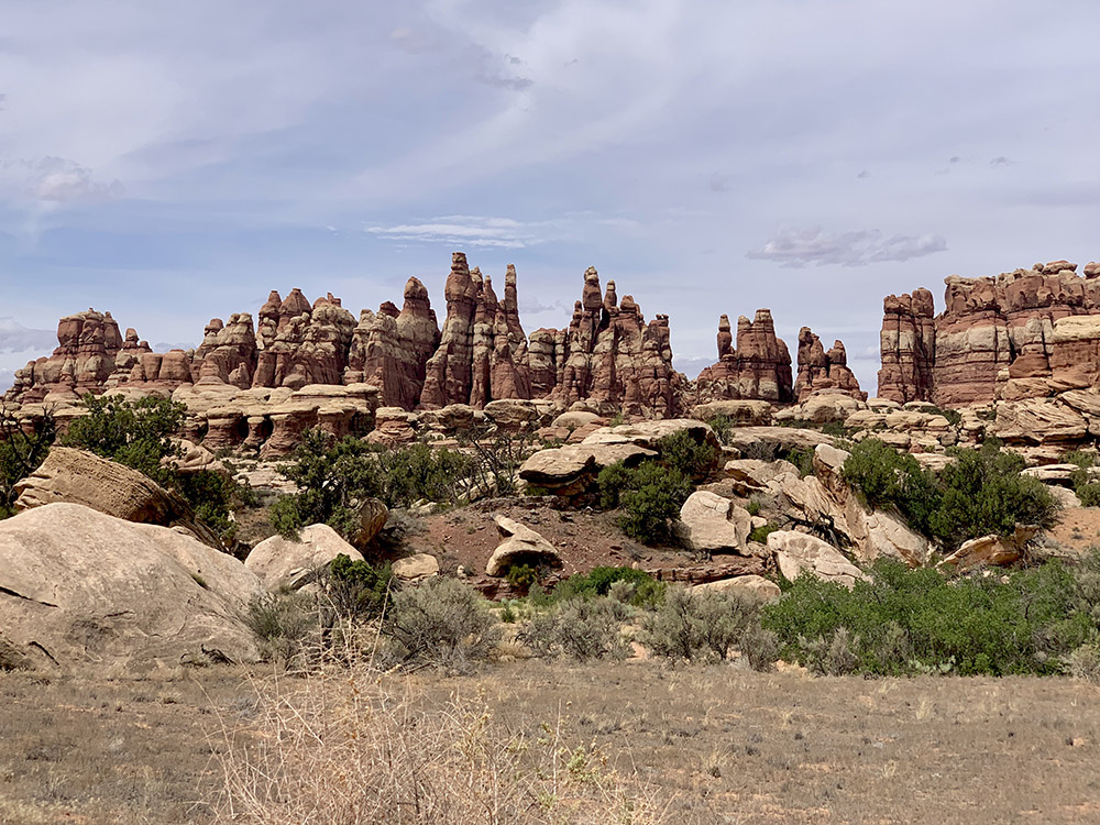
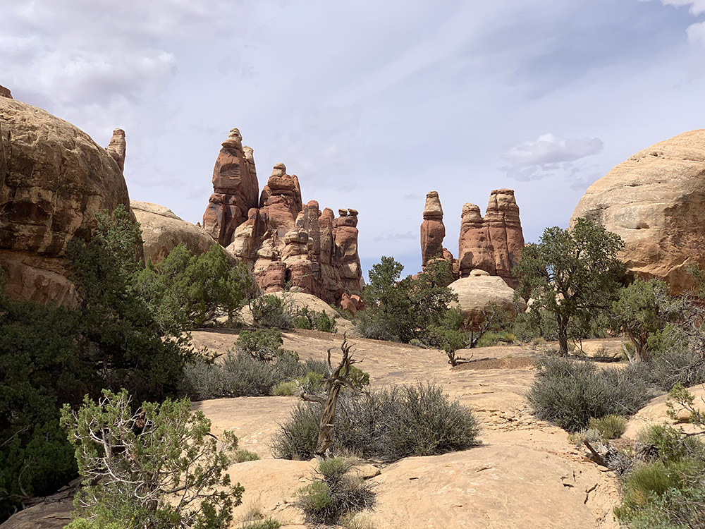
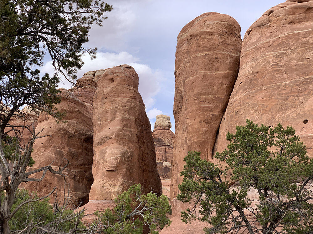
| 25 | UT | Canyonlands NP The Needles | Needles Campground | 6 | 79 |
| 26 | UT | Canyonlands NP The Needles | Needles Campground | 12 | 0 |
| 27 | UT-CO | Penitente Canyon Campground | 289 | ||
| 28 | CO-KS | Rodeway Inn, Salina | 588 | ||
| 29 | KS-IL | Chicago | 680 |
 Resources
additional resources/links are included in location-specific posts
☞ Road Trip Ryan
☞ Utah GPS Tracks
☞ BLM National Conservation Lands
☞ BLM Visit
☞ David Day Guidebooks
☞ NM Public Lands
☞ UT Land Ownership BLM map
☞ AZ 511
☞ NM roads
☞ Your Hike Guide
☞ Visit Utah
☞ Earth Trekers
☞ Your Hike Guide
☞ Bears Ears Partnership
 Southwest video clips
Highlights