11-day trip to Puerto Rico

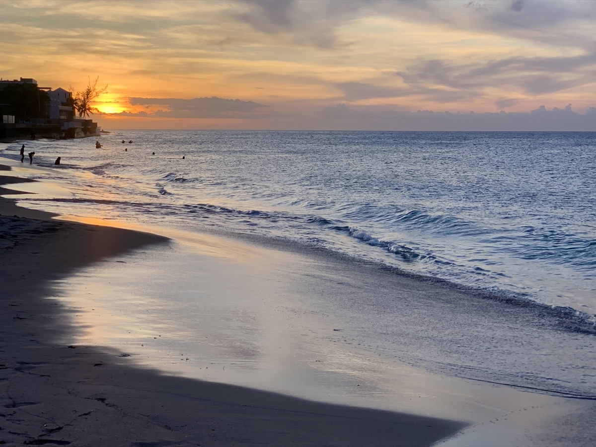
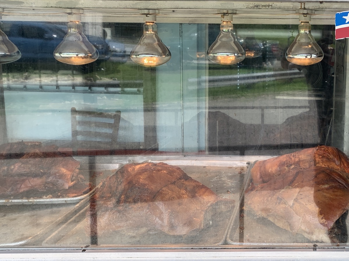
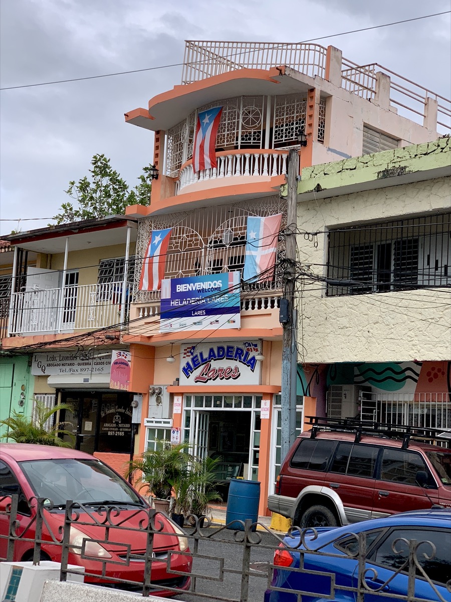
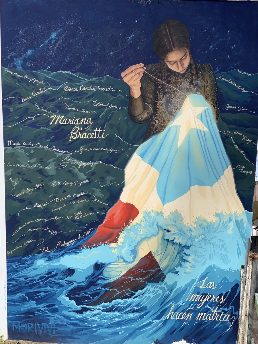
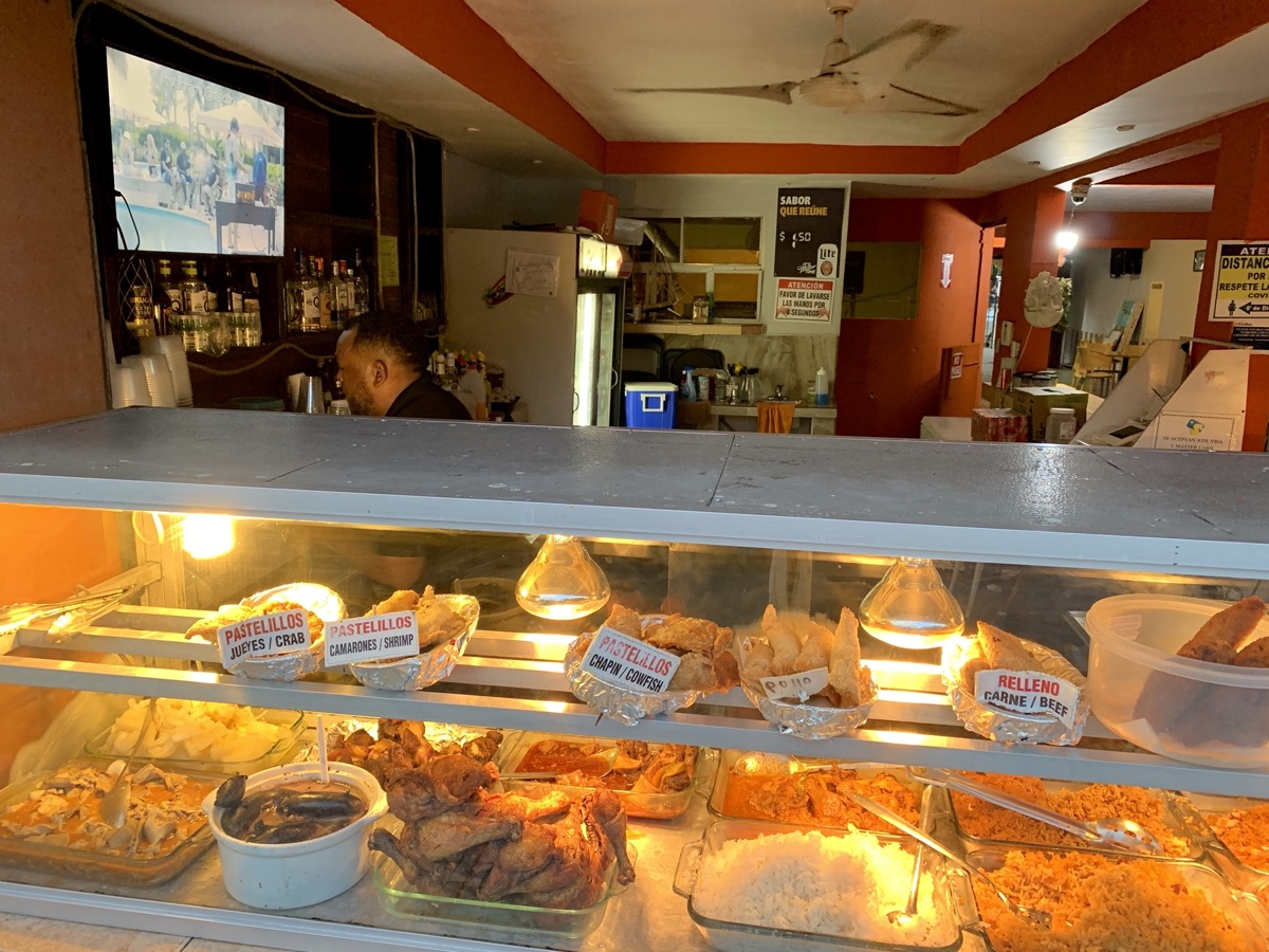
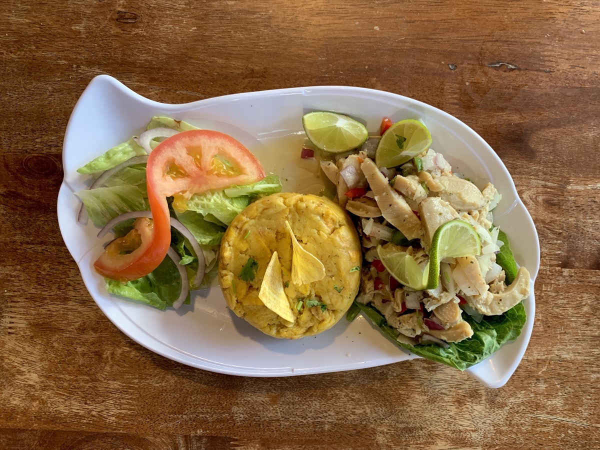
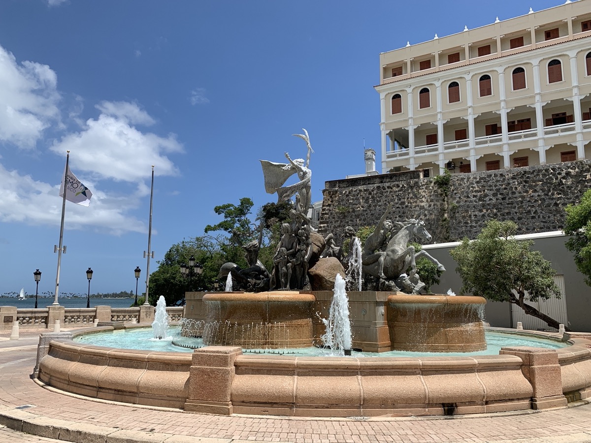
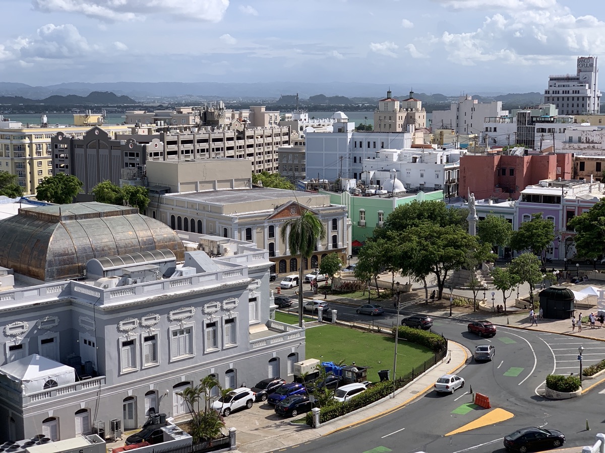
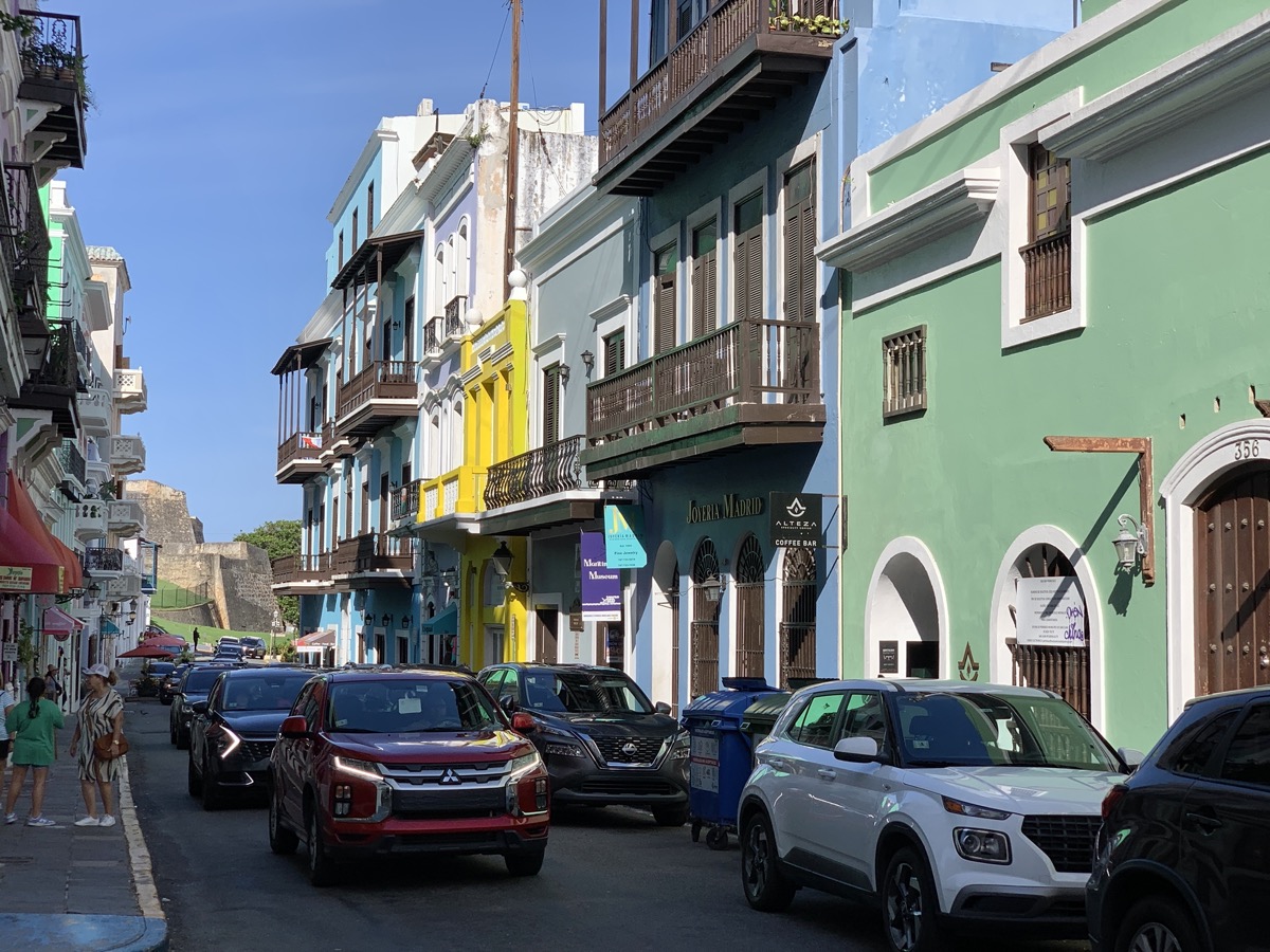
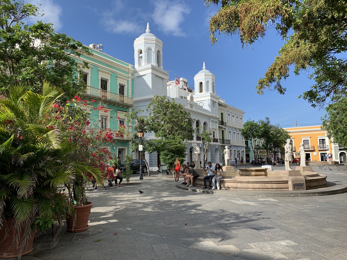
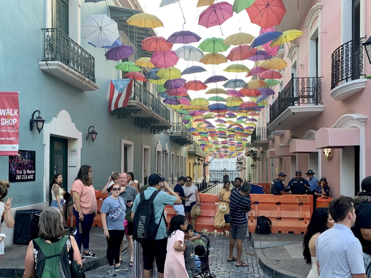
We considered different short trip options for Piotr’s birthday and decided on “tropical island” – Puerto Rico. The main reason: it has three of World’s five bioluminescent bays, including the brightest one, which we really wanted to visit. Tickets were reasonably priced (Frontier). We arrived on time on the way-in, but were significantly delayed on the way back – we decided to rebook for the following day (non-stop flight to Chicago) rather than being stuck in Atlanta. Everything else was easy to arrange even on short notice (airbnbs, car rental, ferry, tours). We were very happy with the selected airbnbs (only one had less than ideal localization, it was selected on the spot for the last night after flight delay), all were very clean, well-organized and with kitchens/kitchenette. Some were really large with bedroom and living room. Hosts were easy to interact with and helpful. Food was good, especially seafood, but vegetables were scarce. Overall prices were similar to US, slightly cheaper.

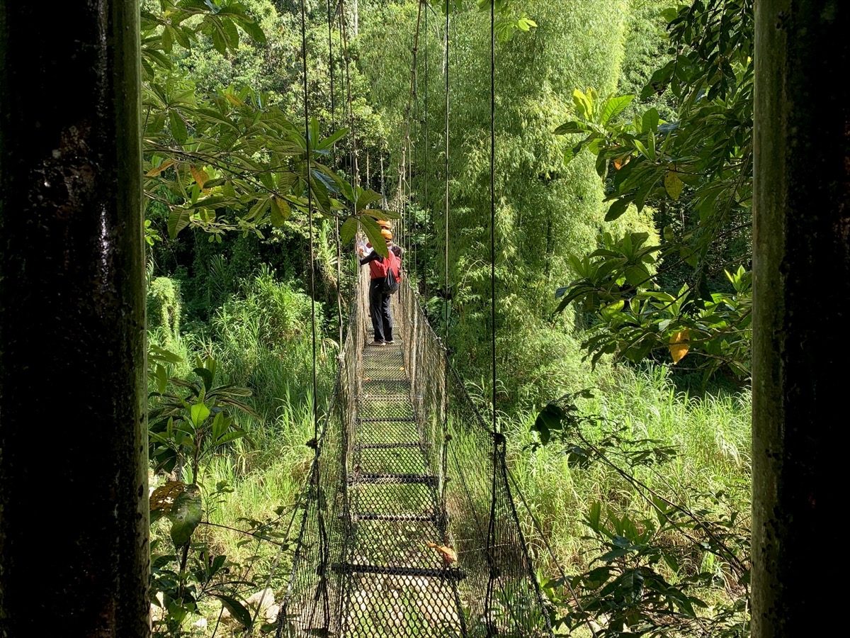
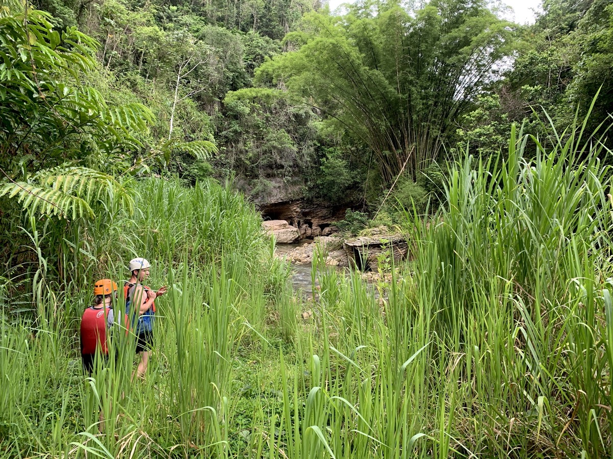
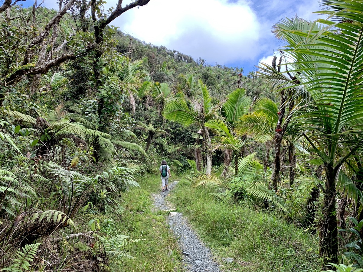
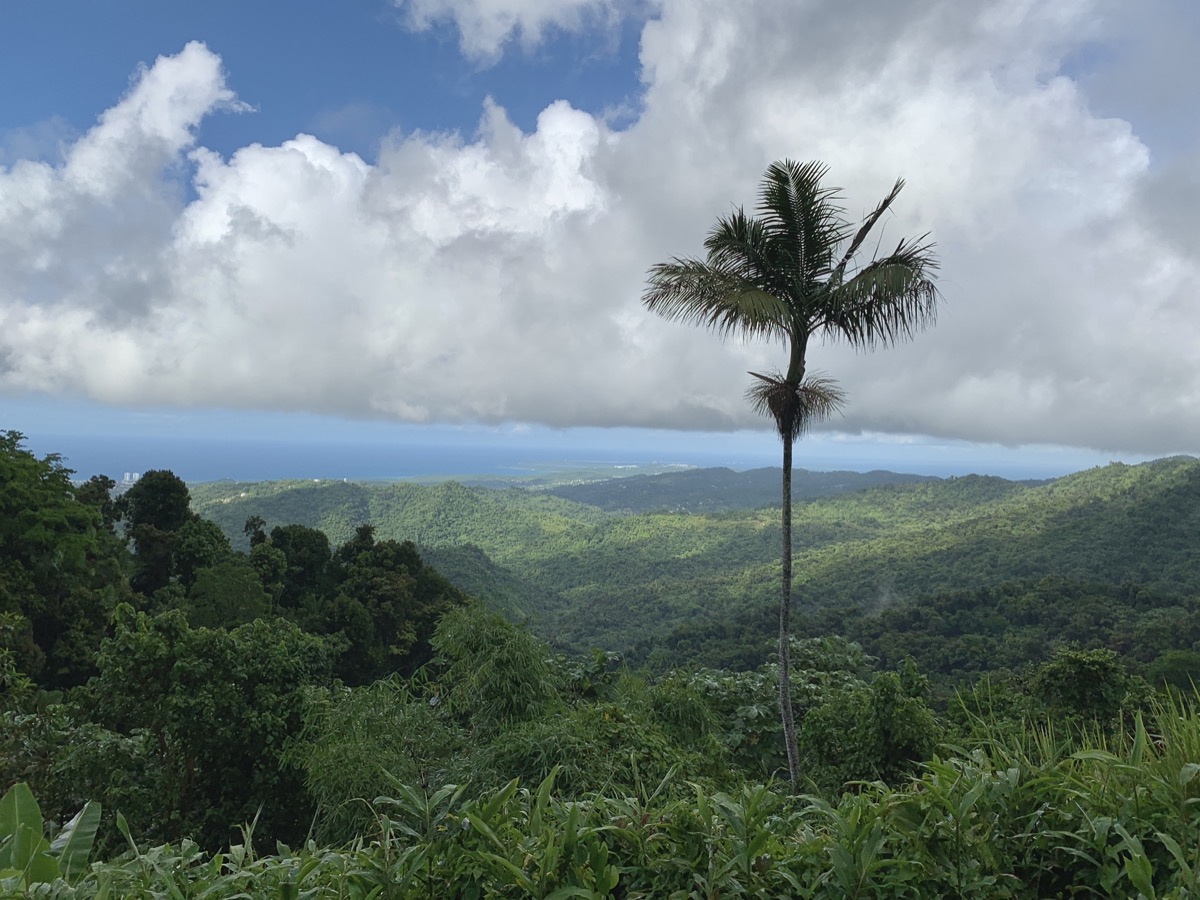
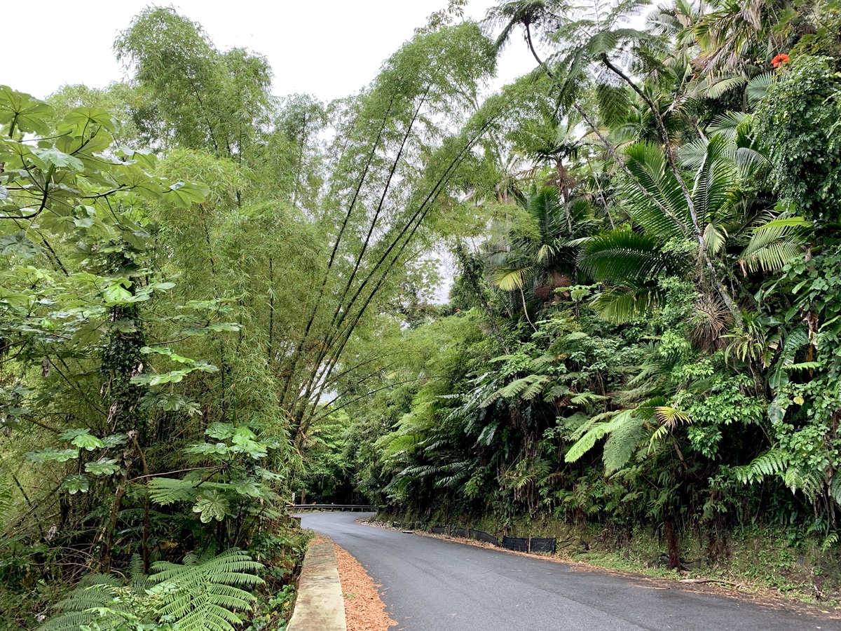
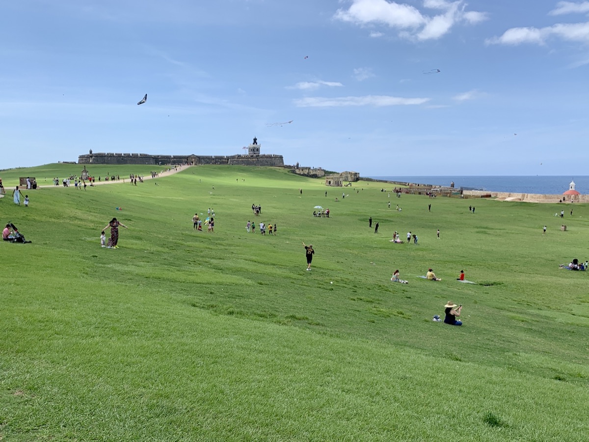
We drove 770 km in rental Hyundai Sonata from Enterprise in Isla Verde (recommended). It was supposed to be Toyota. Piotr did not quite like small windows and low roof. We also used ferry and shuttles across Vieques island plus two tours. We even managed to take a bus from the airport twice, despite everyone saying that public transport does not work – it works well, but there is very little information. Driving required quite a bit of concentration on often narrow and winding roads (Joanna chose Ruta Panoramica through mountainous interior), some with sudden changes in pavement quality (potholes) and markings. Major highways (some with tolls, but most paid roads can be easily avoided) are OK. Most drivers are relaxed and we had no problems at all. The number of cars everywhere was quite surprising. As always, we walked a lot – 10 km a day on average (the seven short & easy trails shown on the map below are just 39 km).

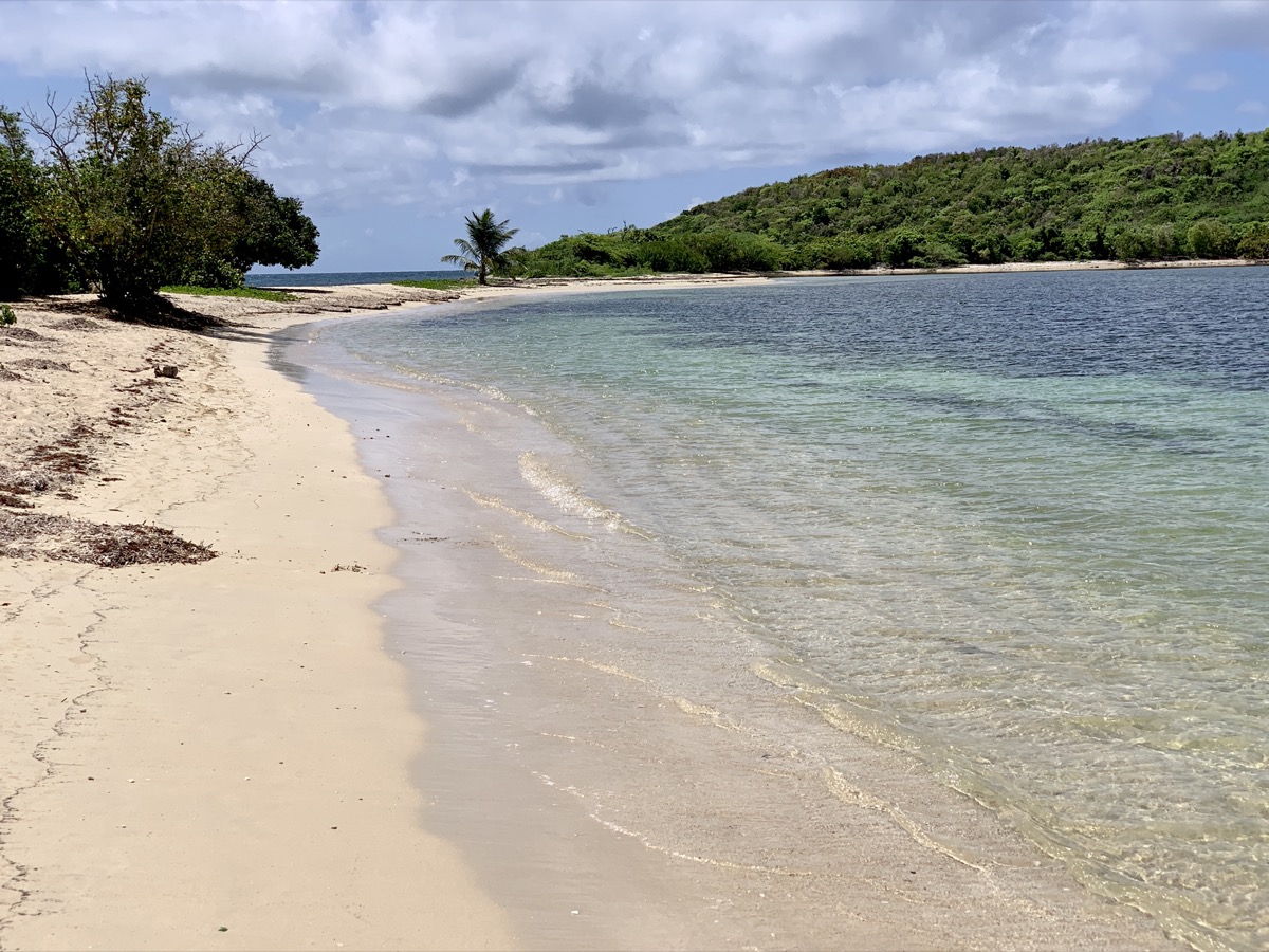
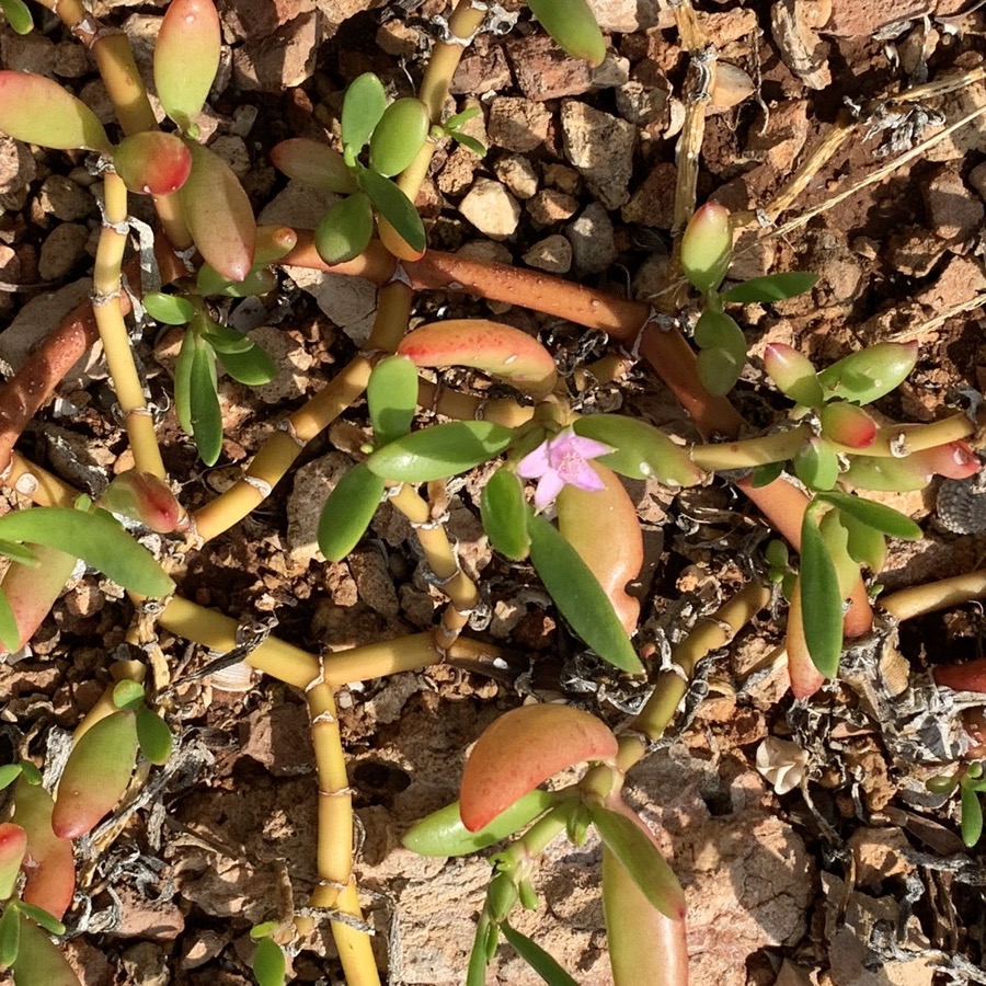
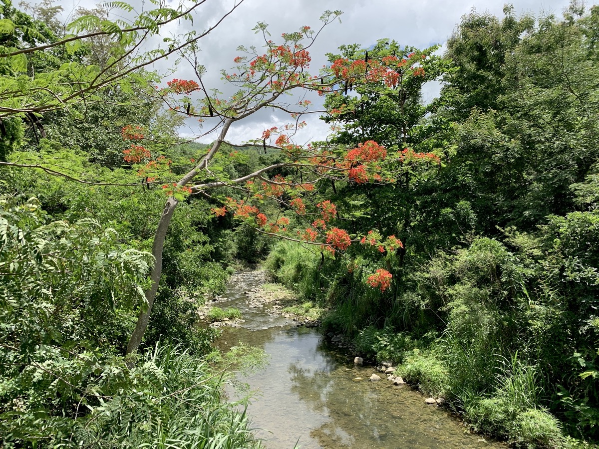
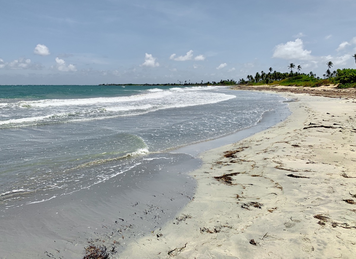
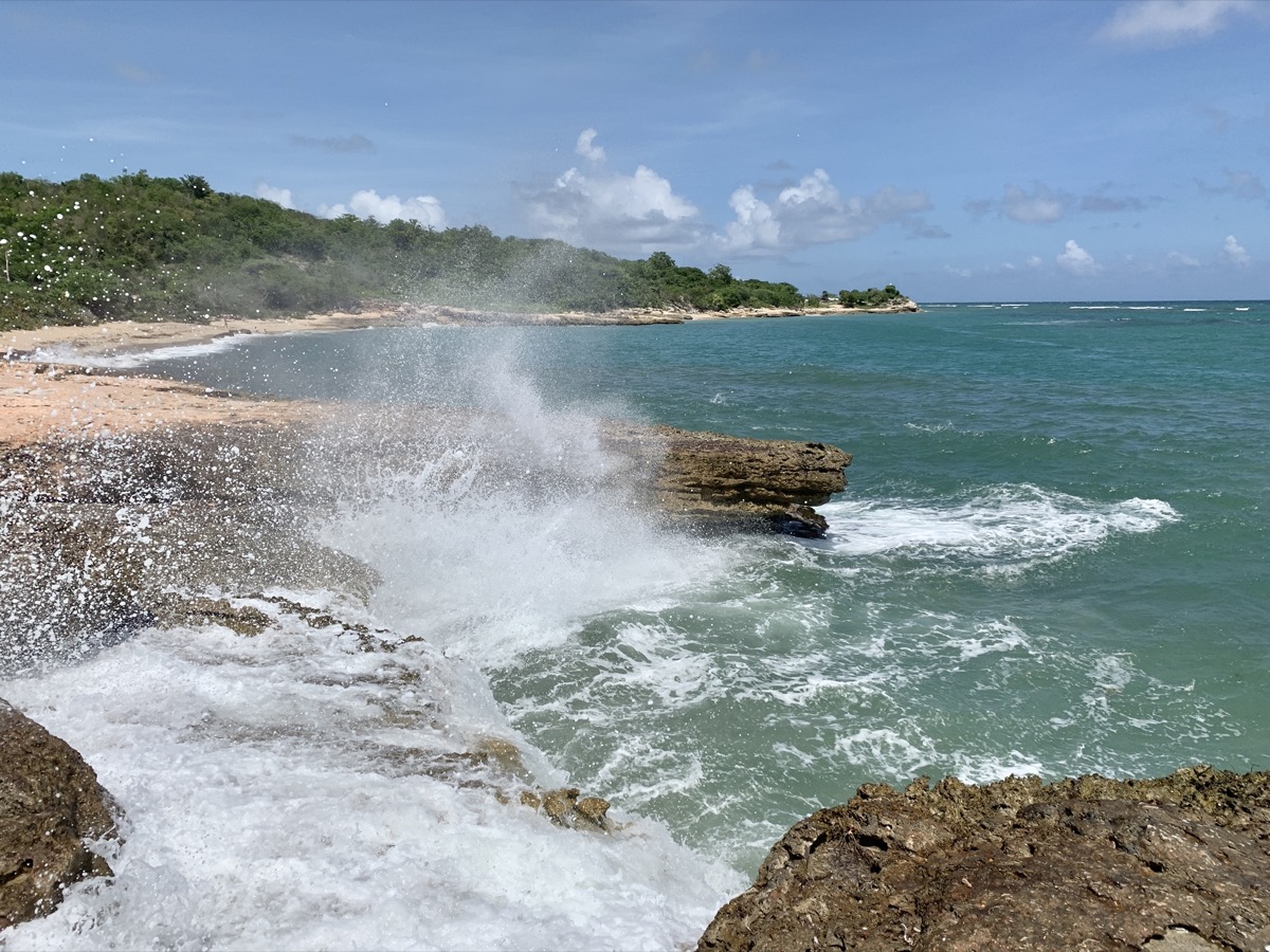
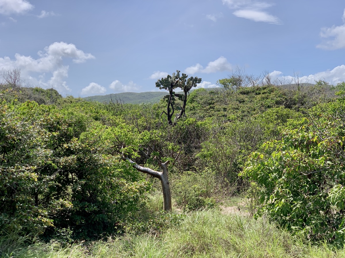
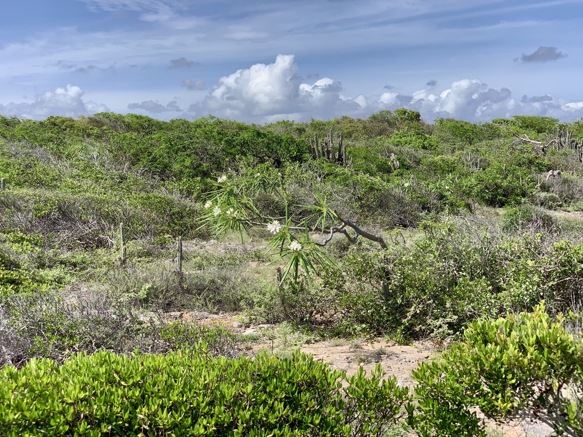
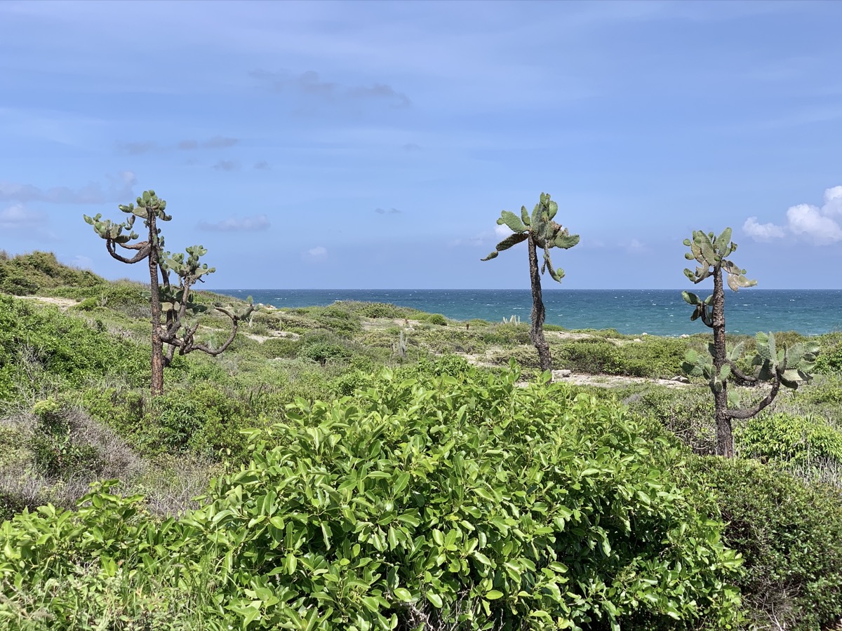
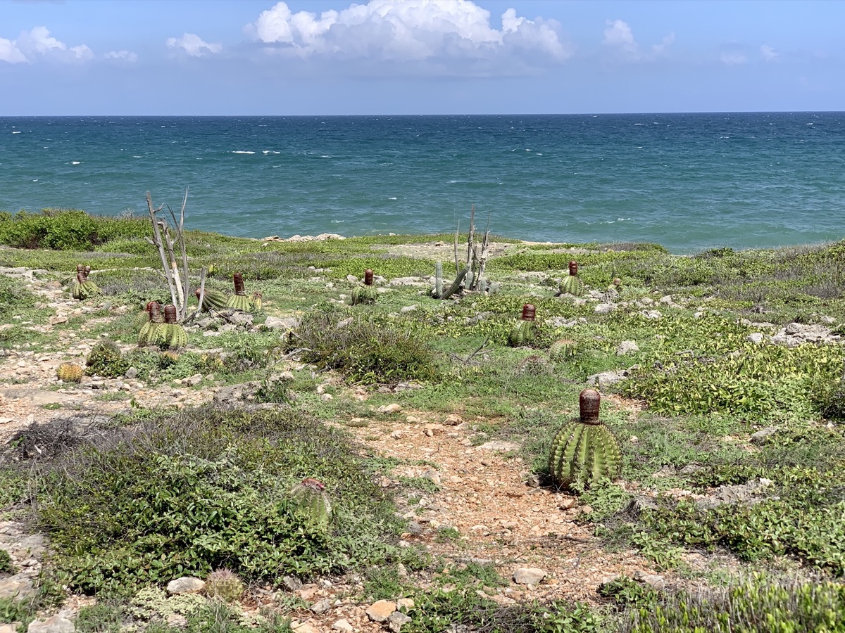
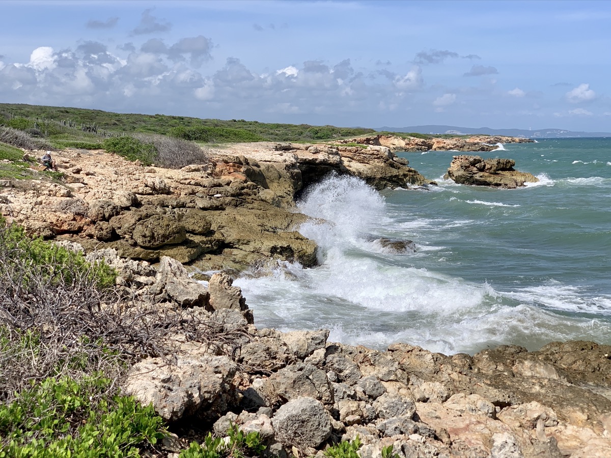
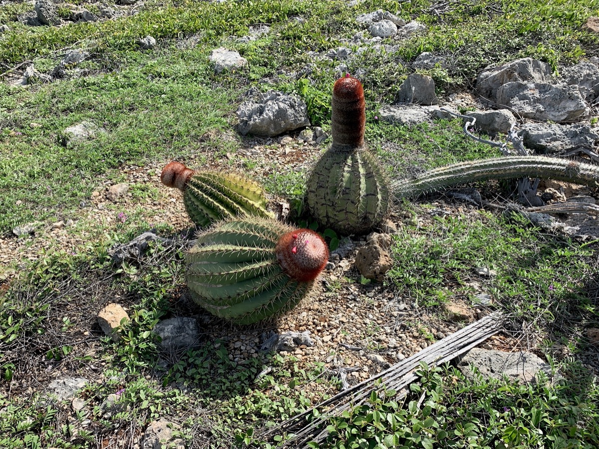
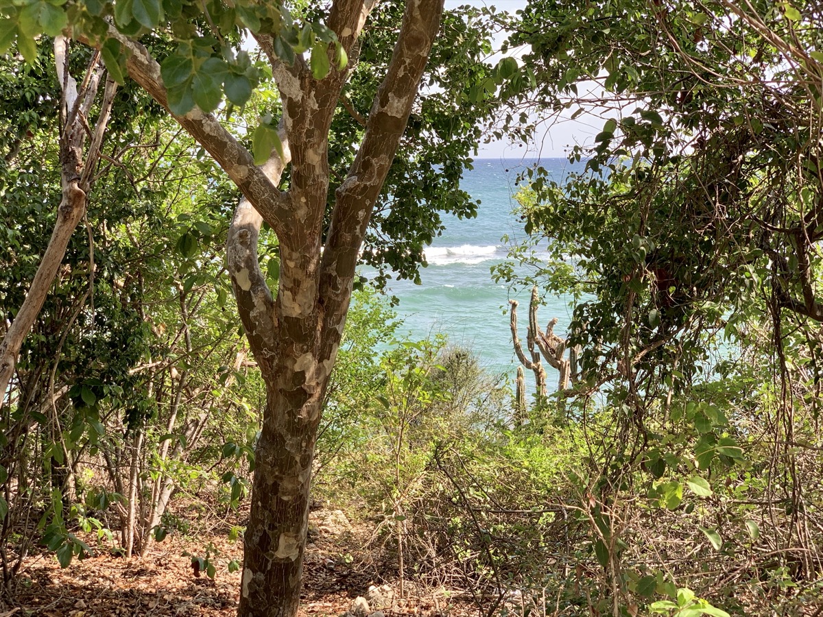
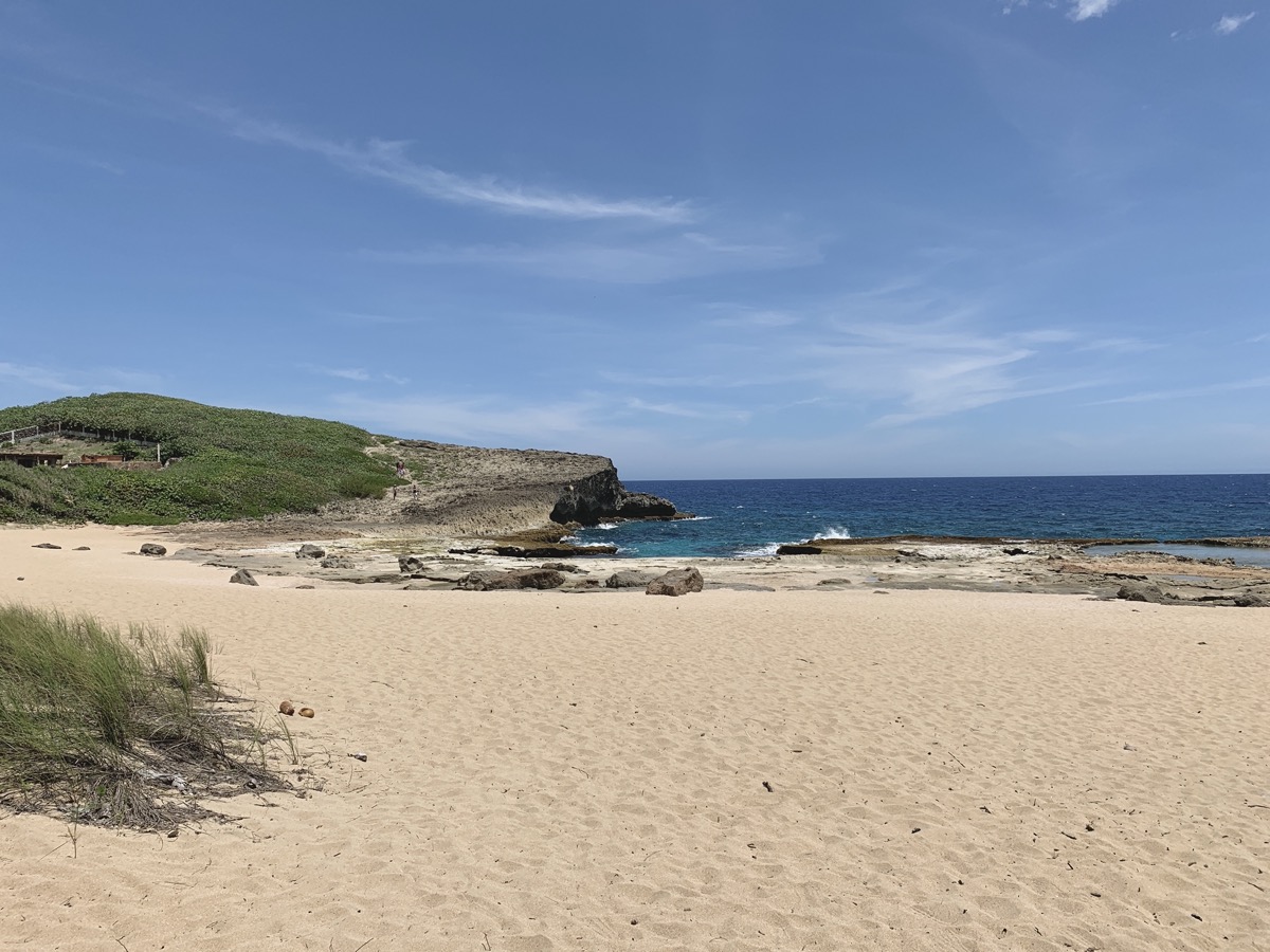
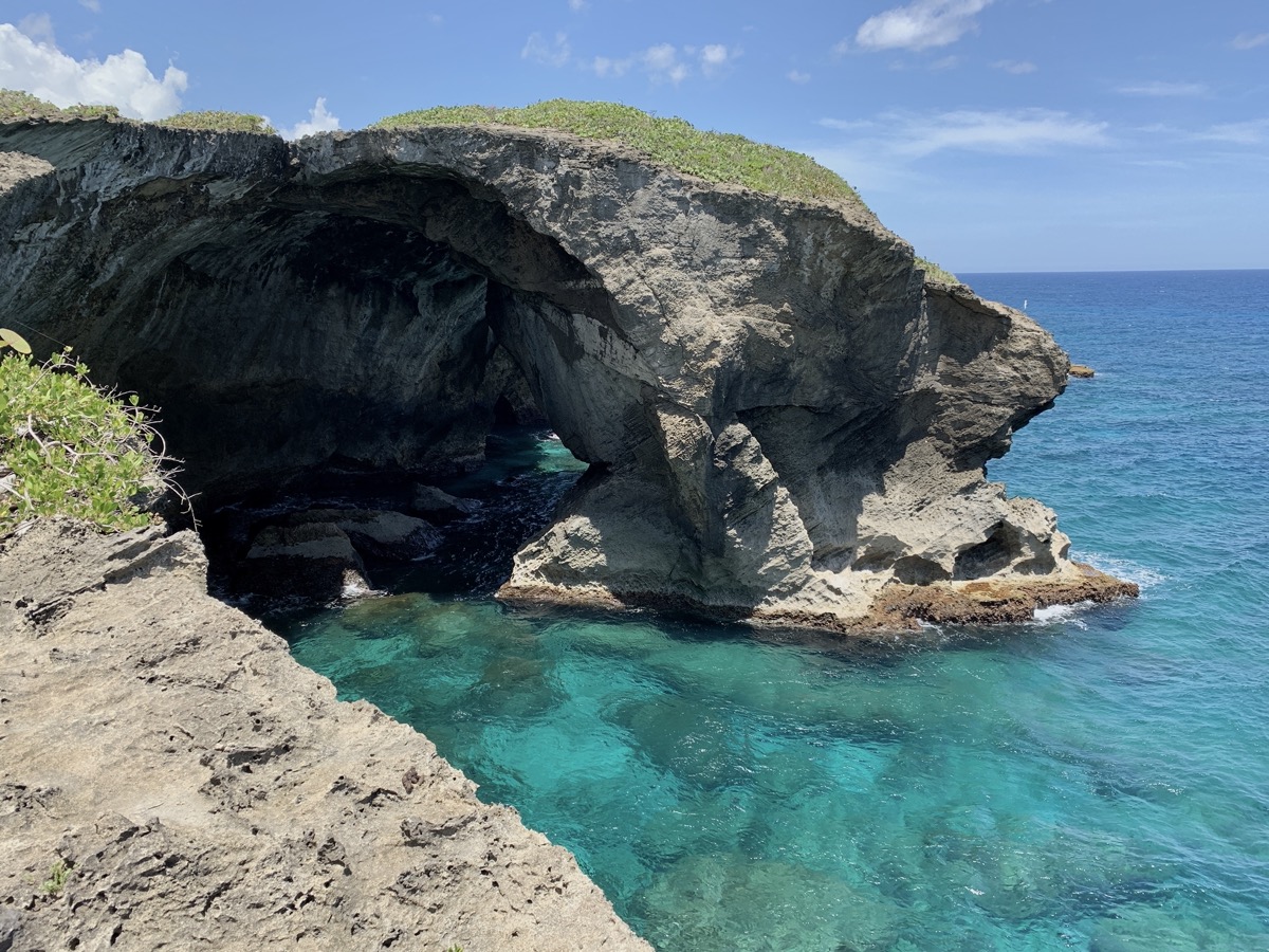
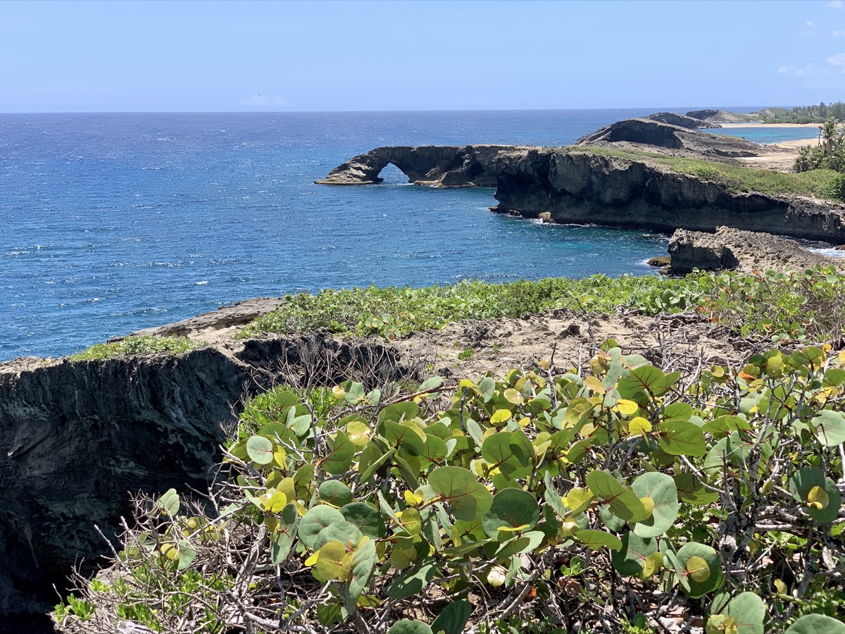
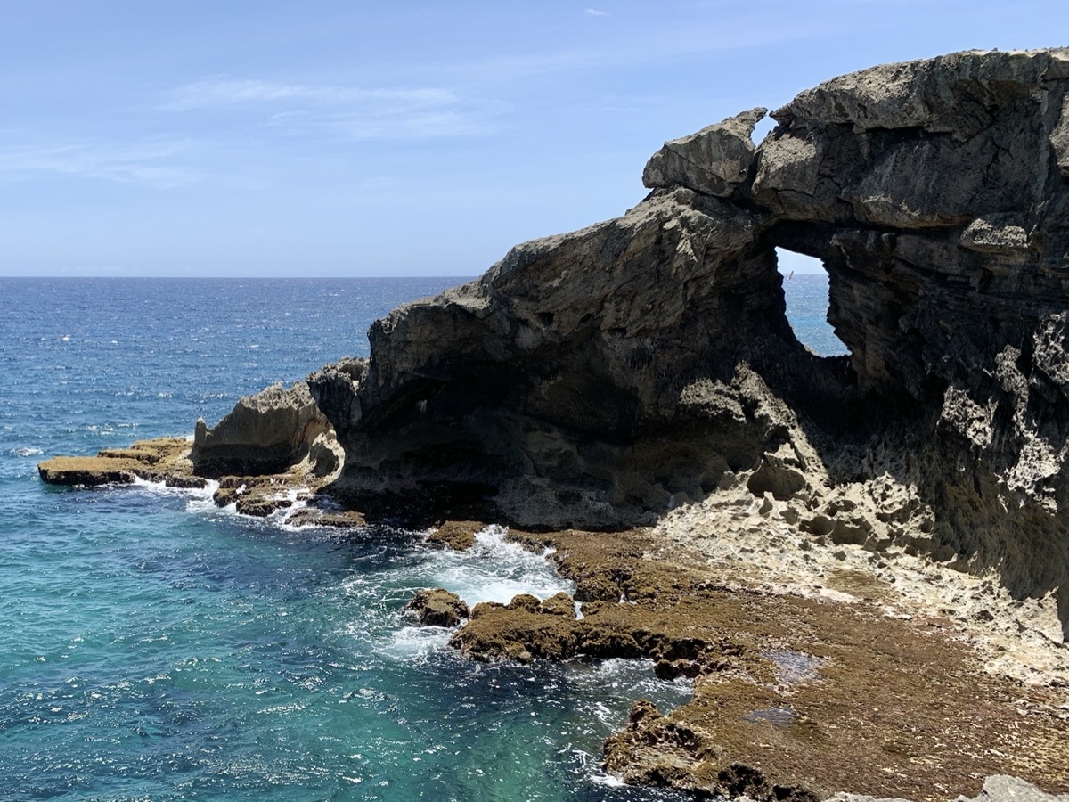
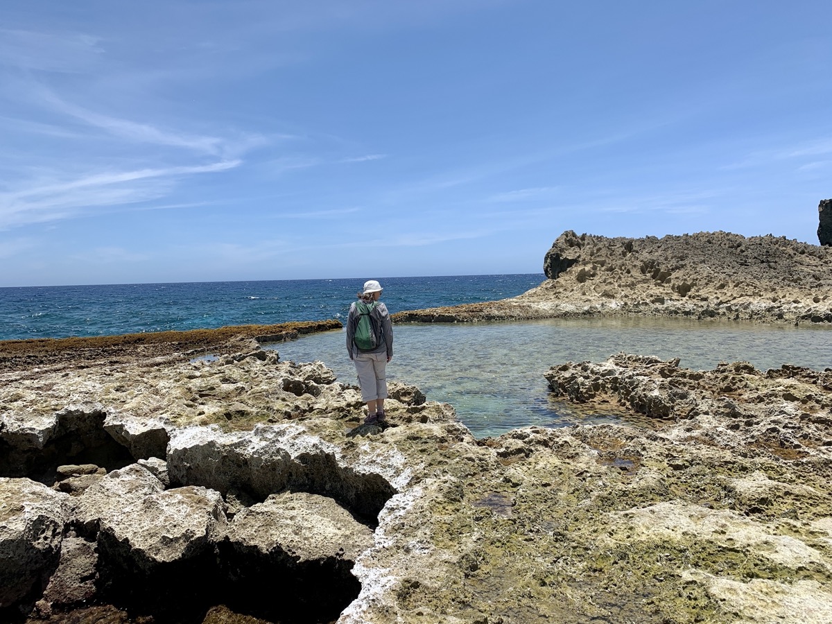
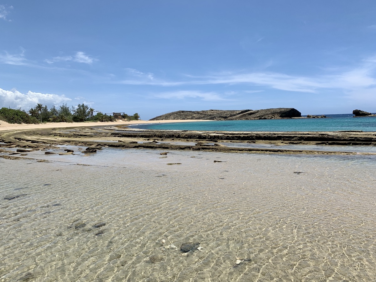
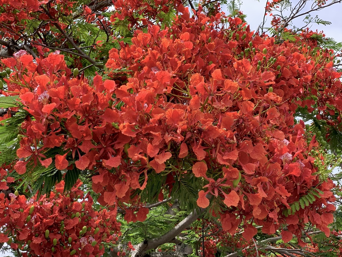
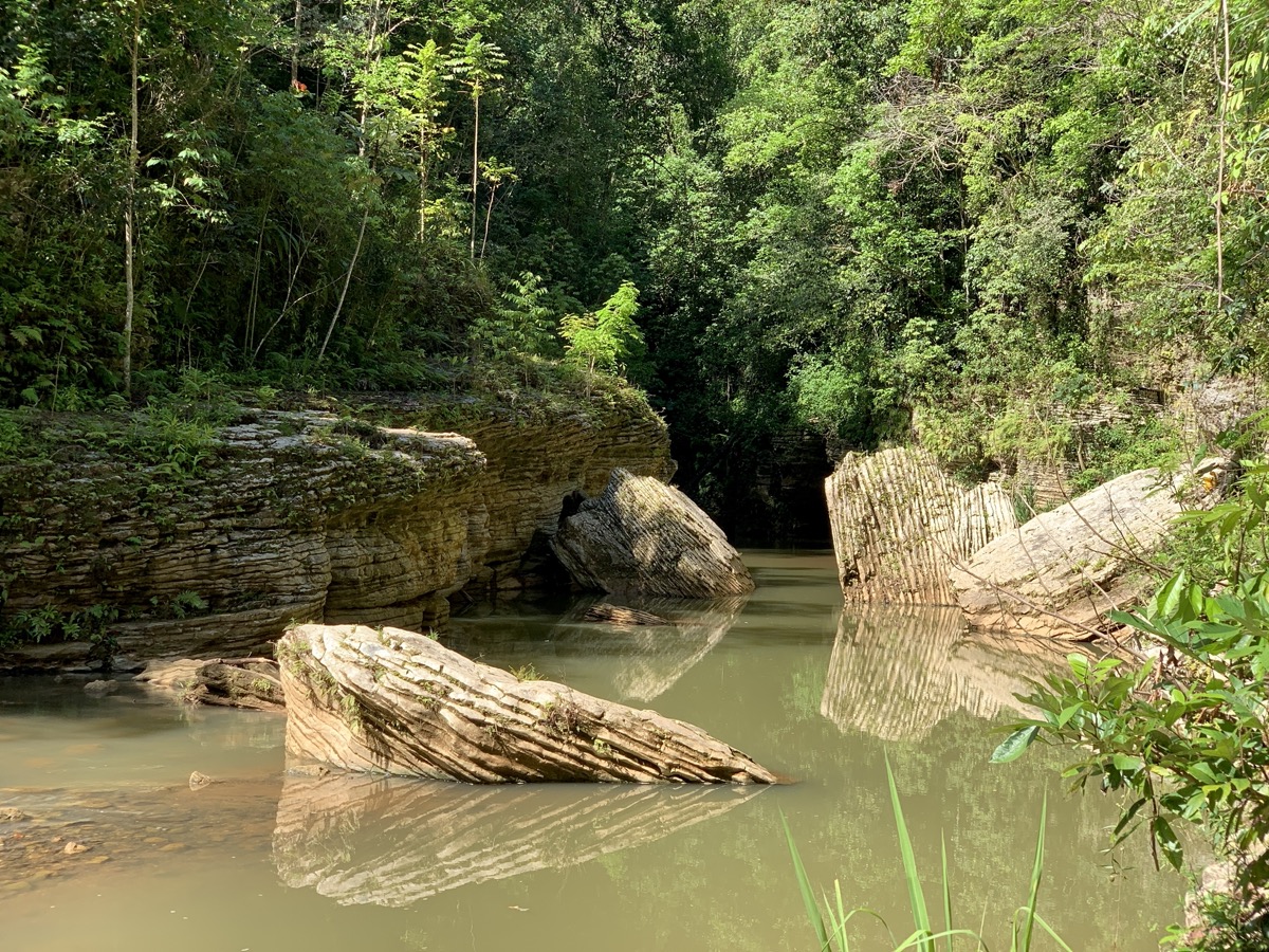
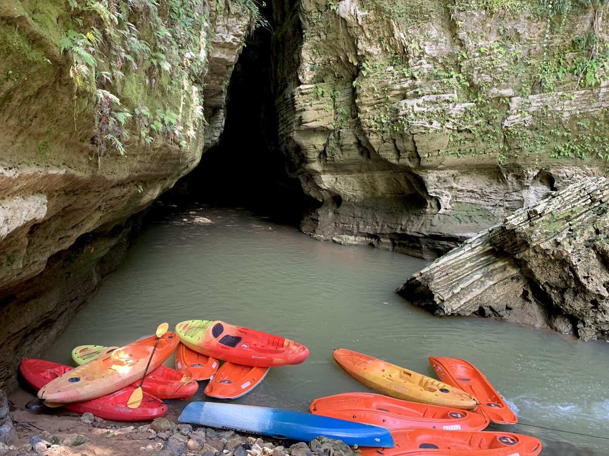
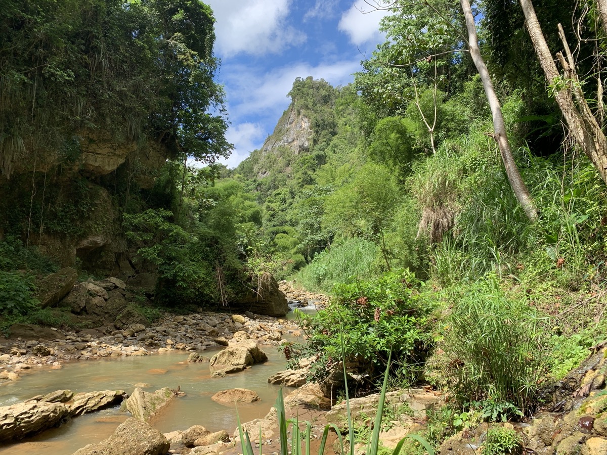
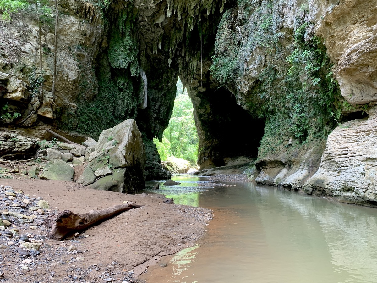
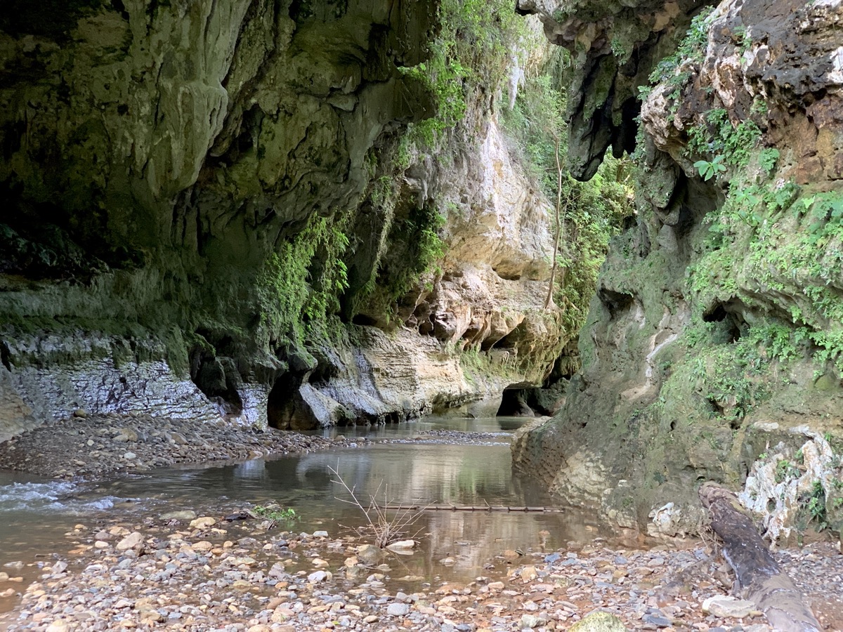
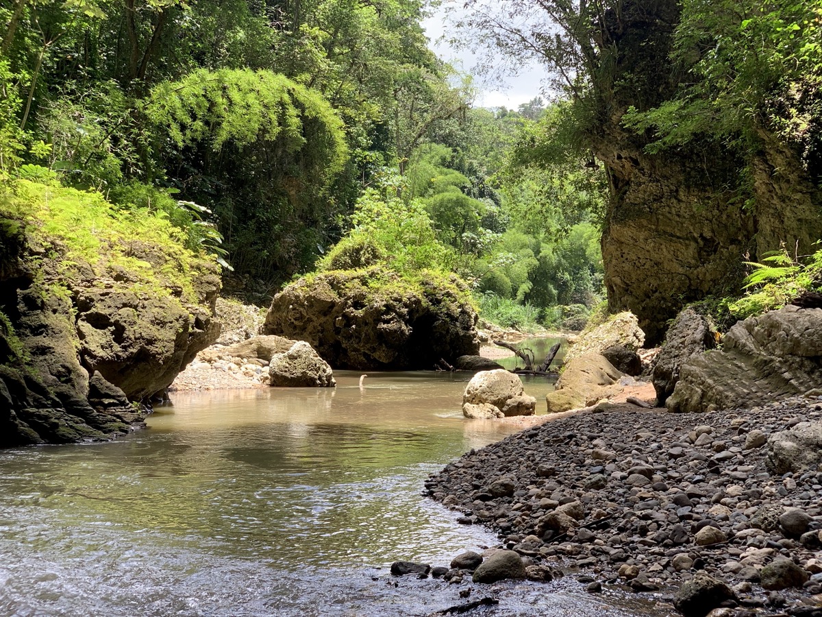
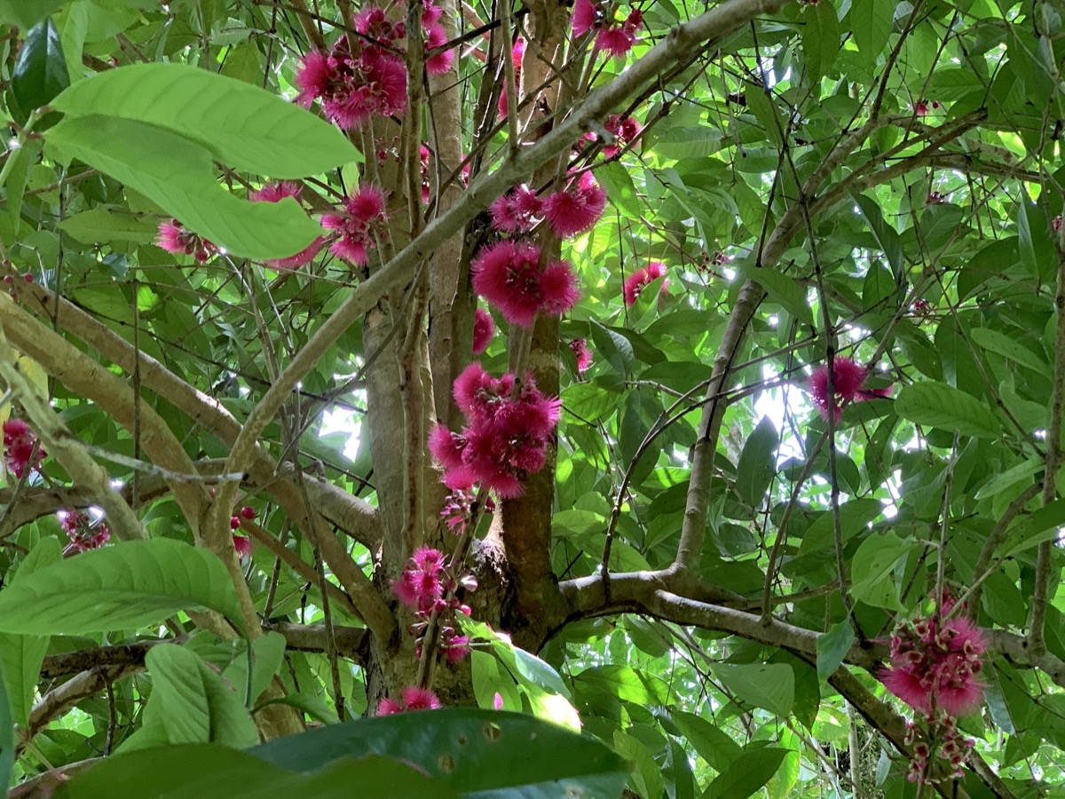
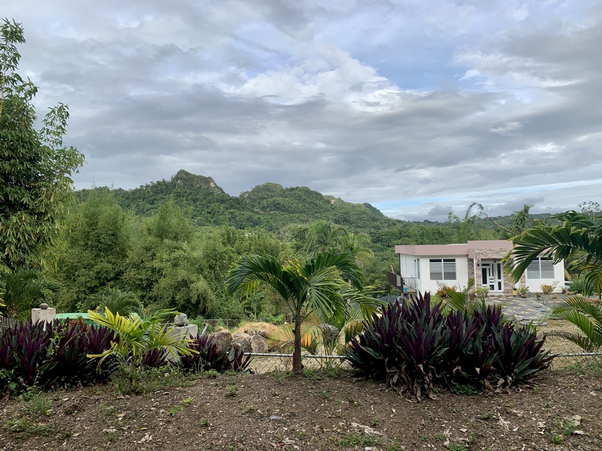
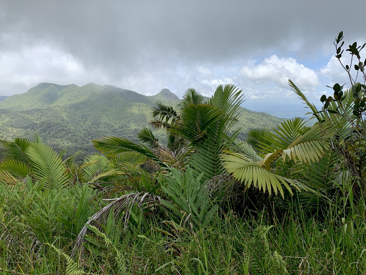
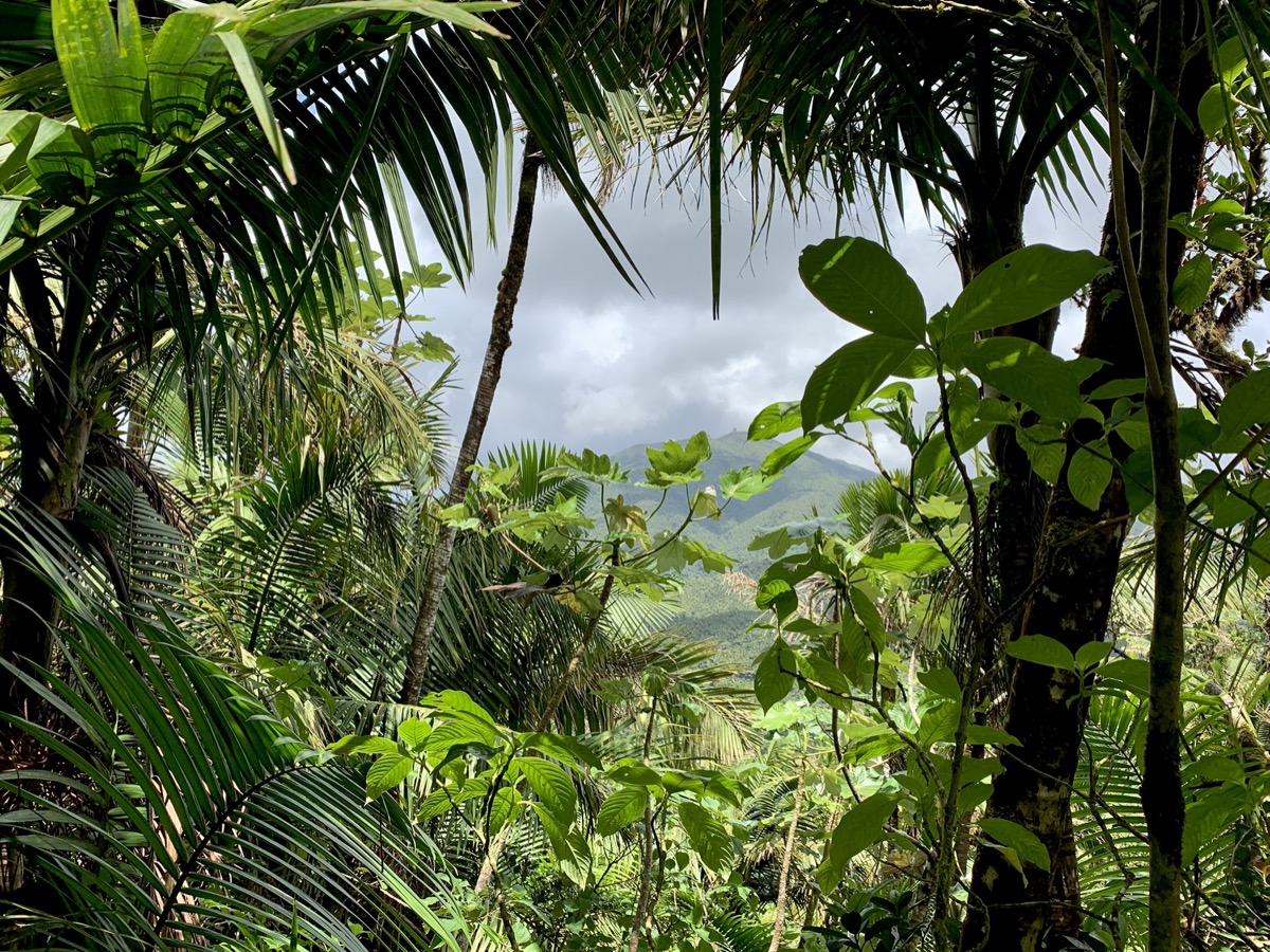
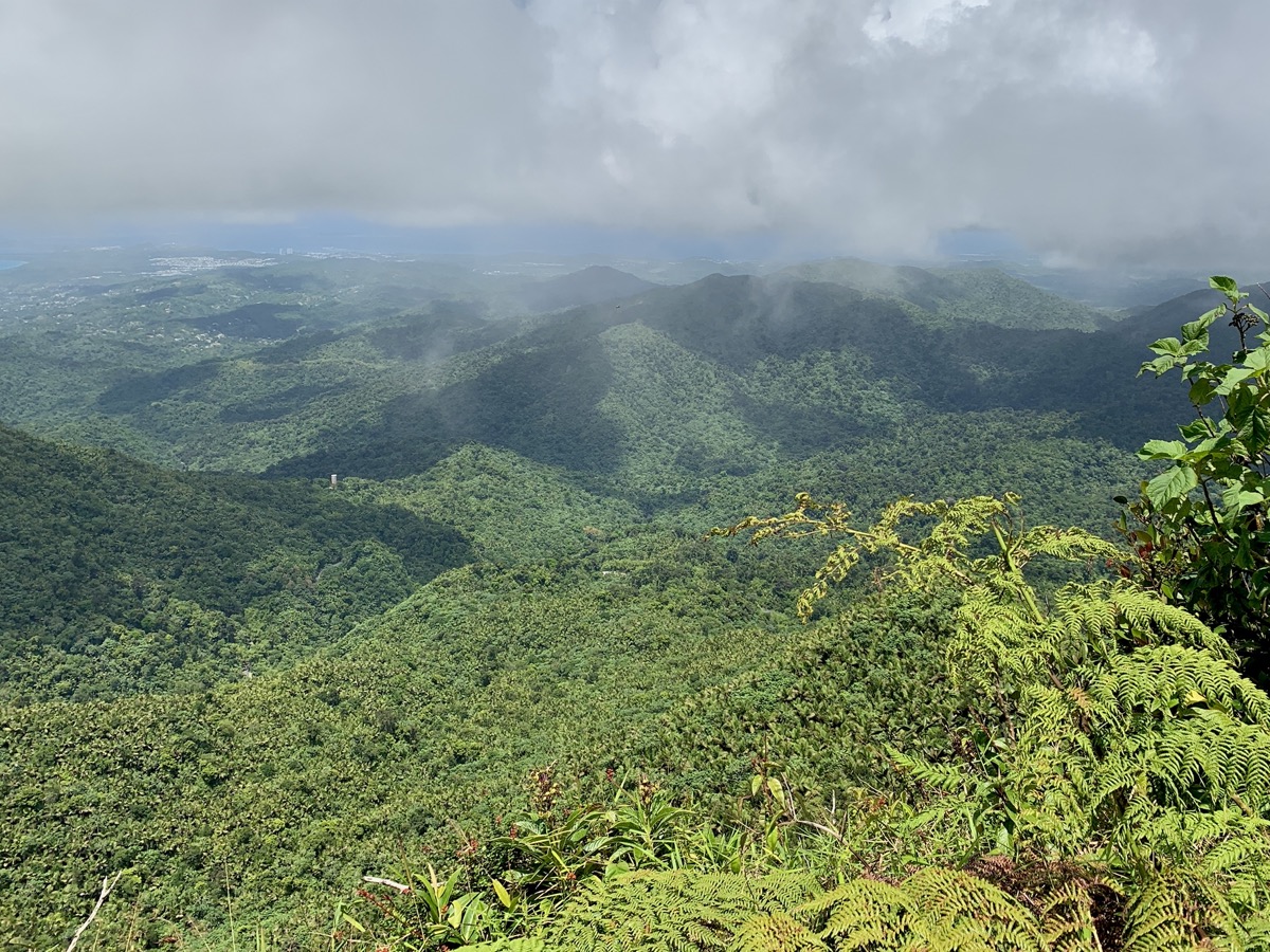
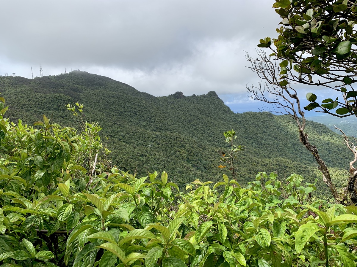
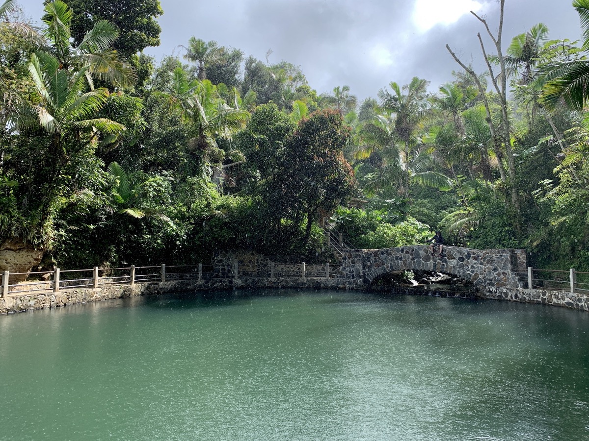
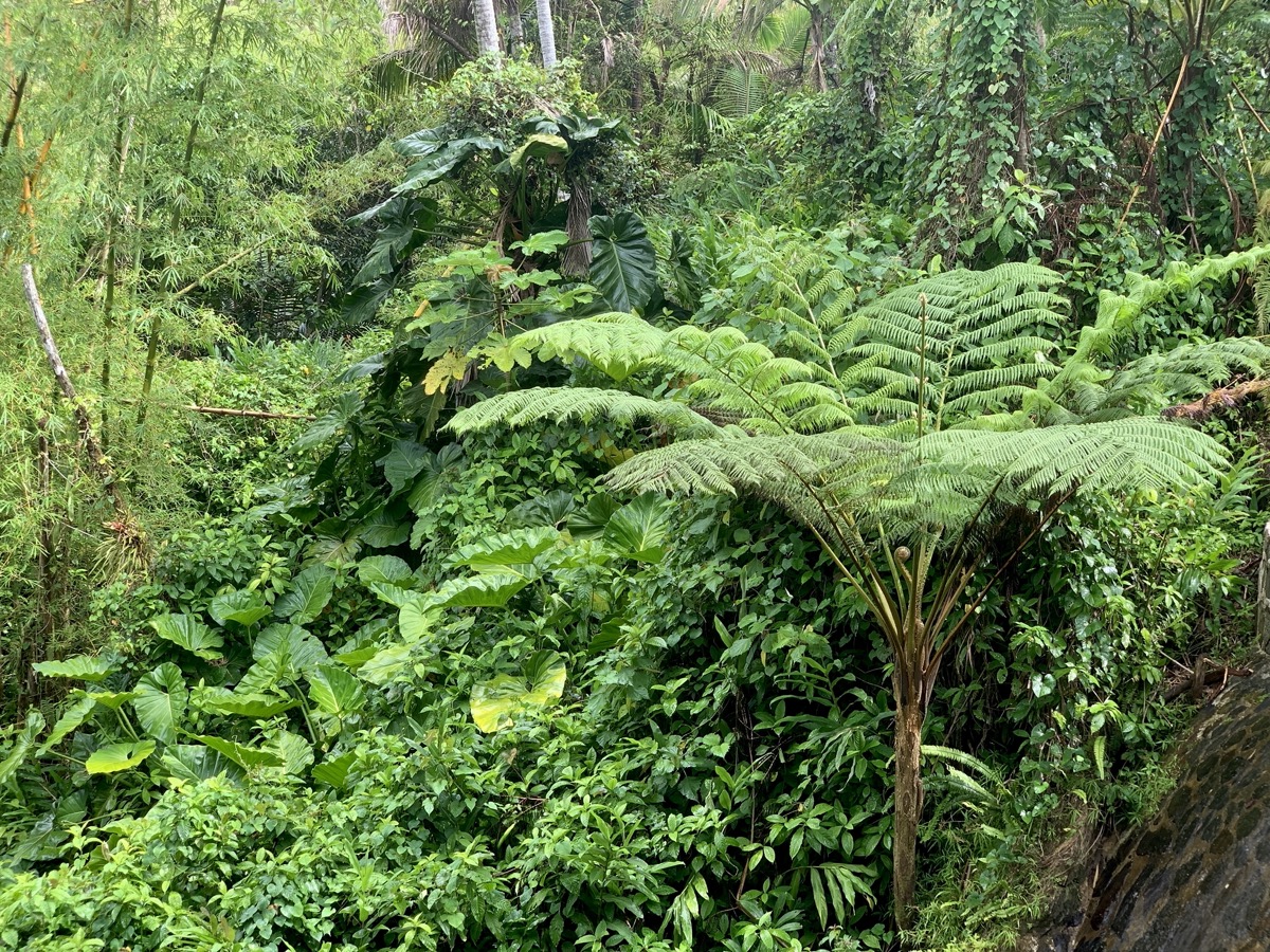
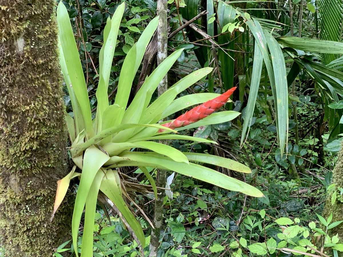
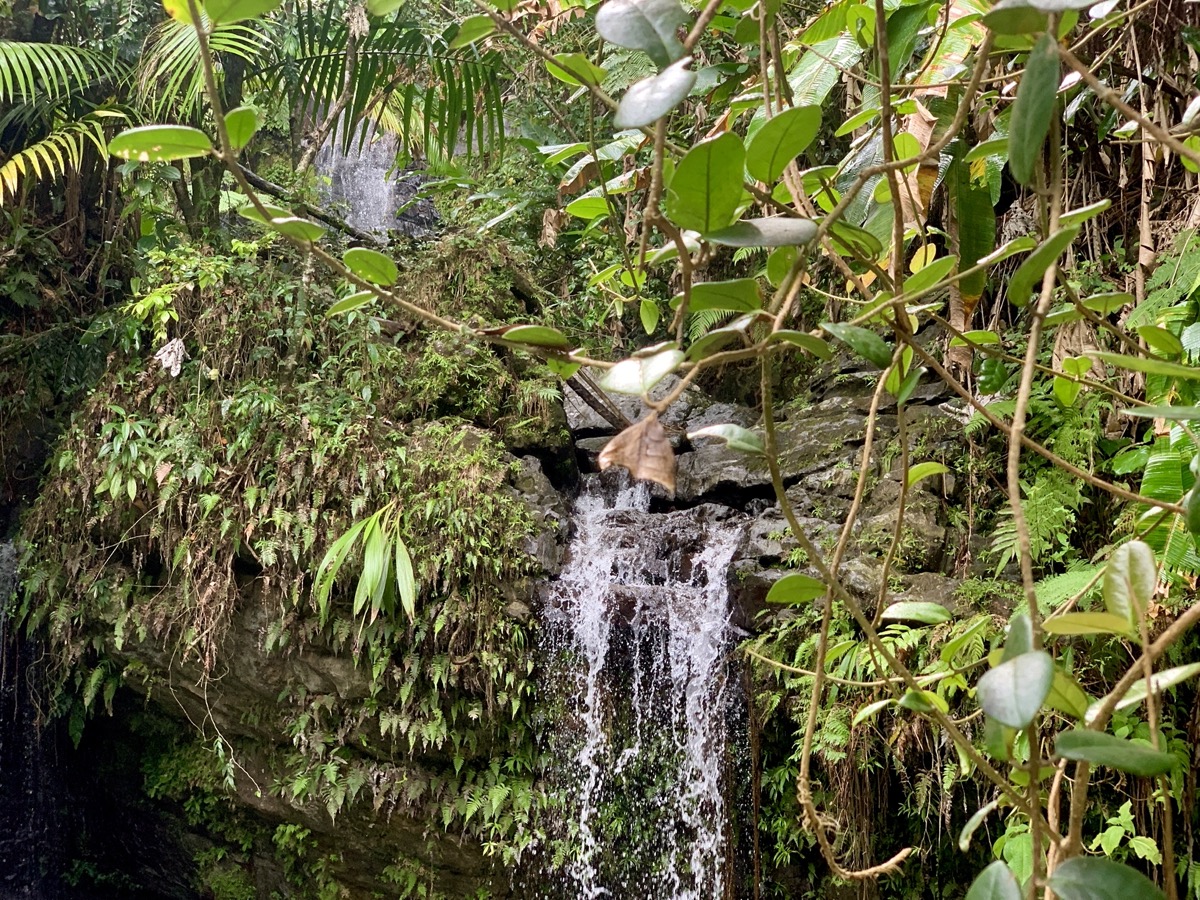
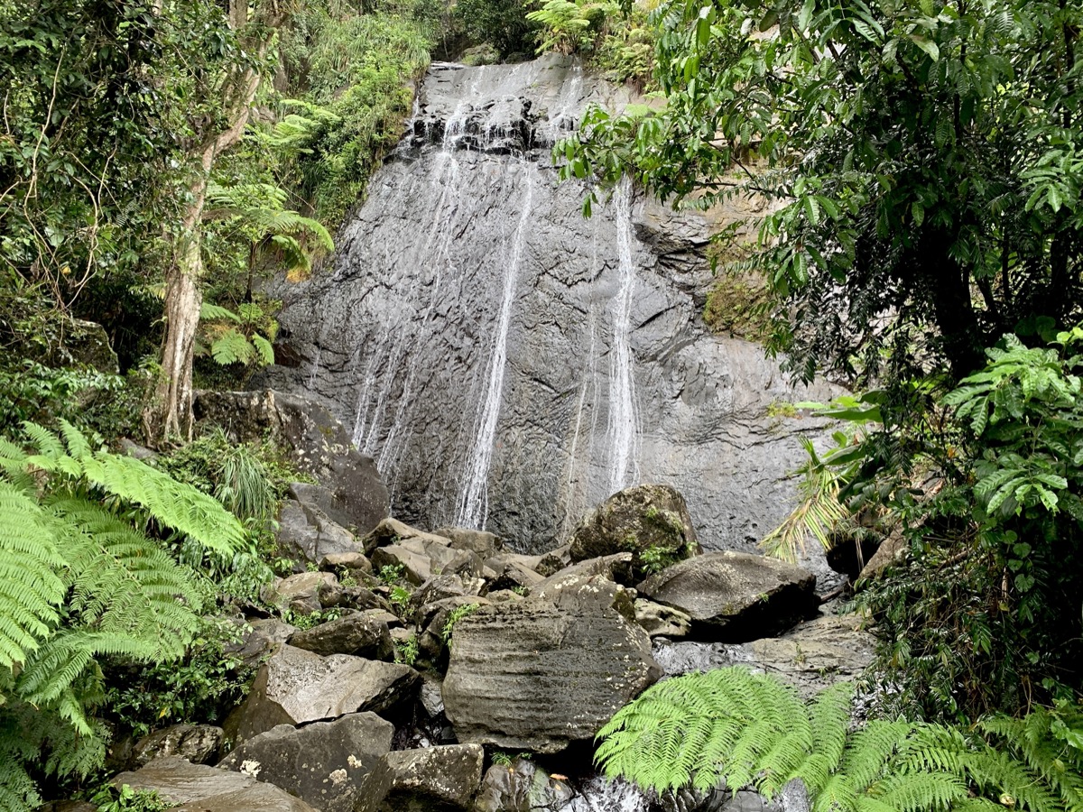
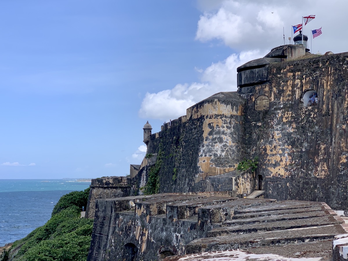
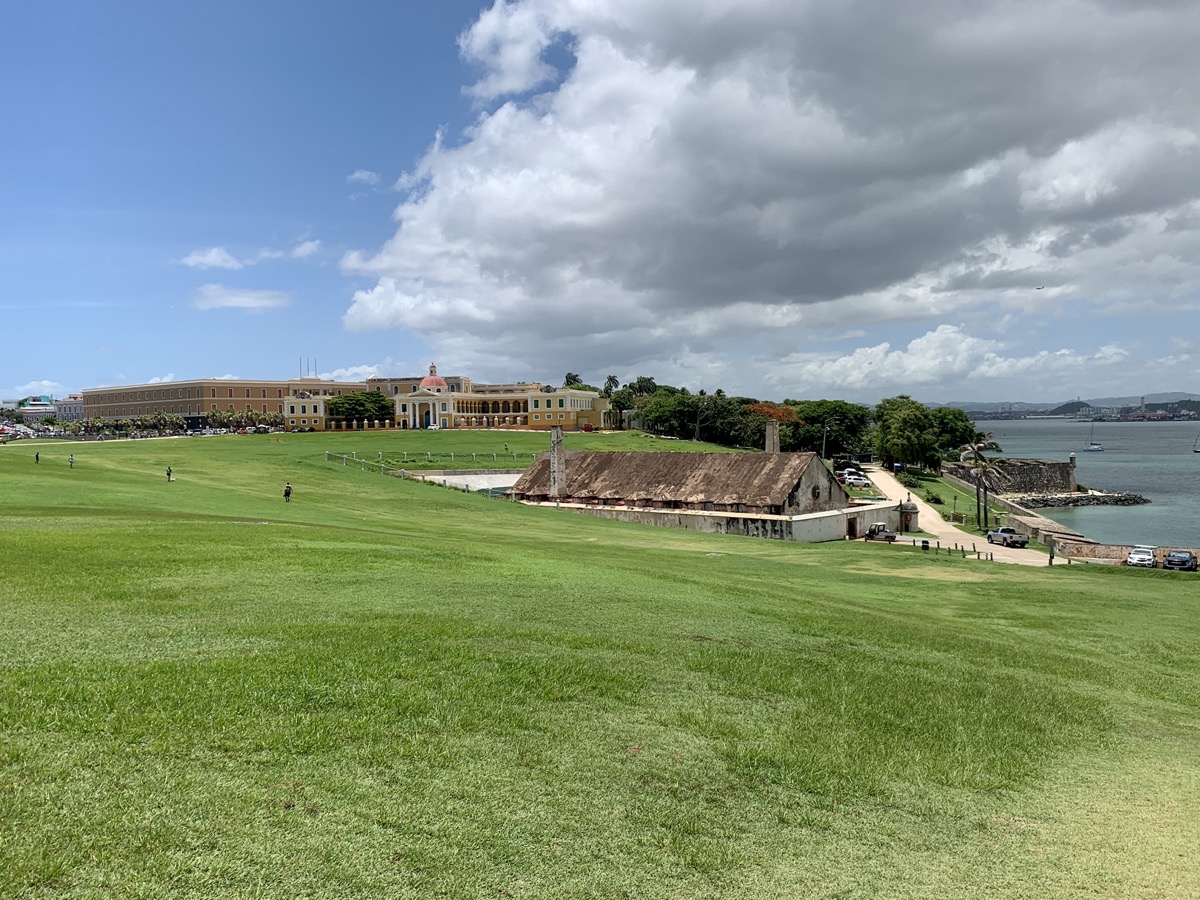
We visited several forests (two tropical rain forests, a cloud forest, dry costal forest, mangroves) and a dozen beaches, some with good swimming some with sargassum accumulation to different degree. At El Yunque, rain forest  covers low, sometimes rugged hills on old volcanic foundations. The rest of Puerto Rico is pretty much uplifted and eroded limestone formation.

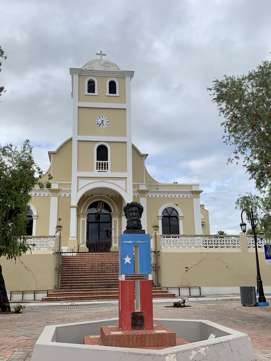
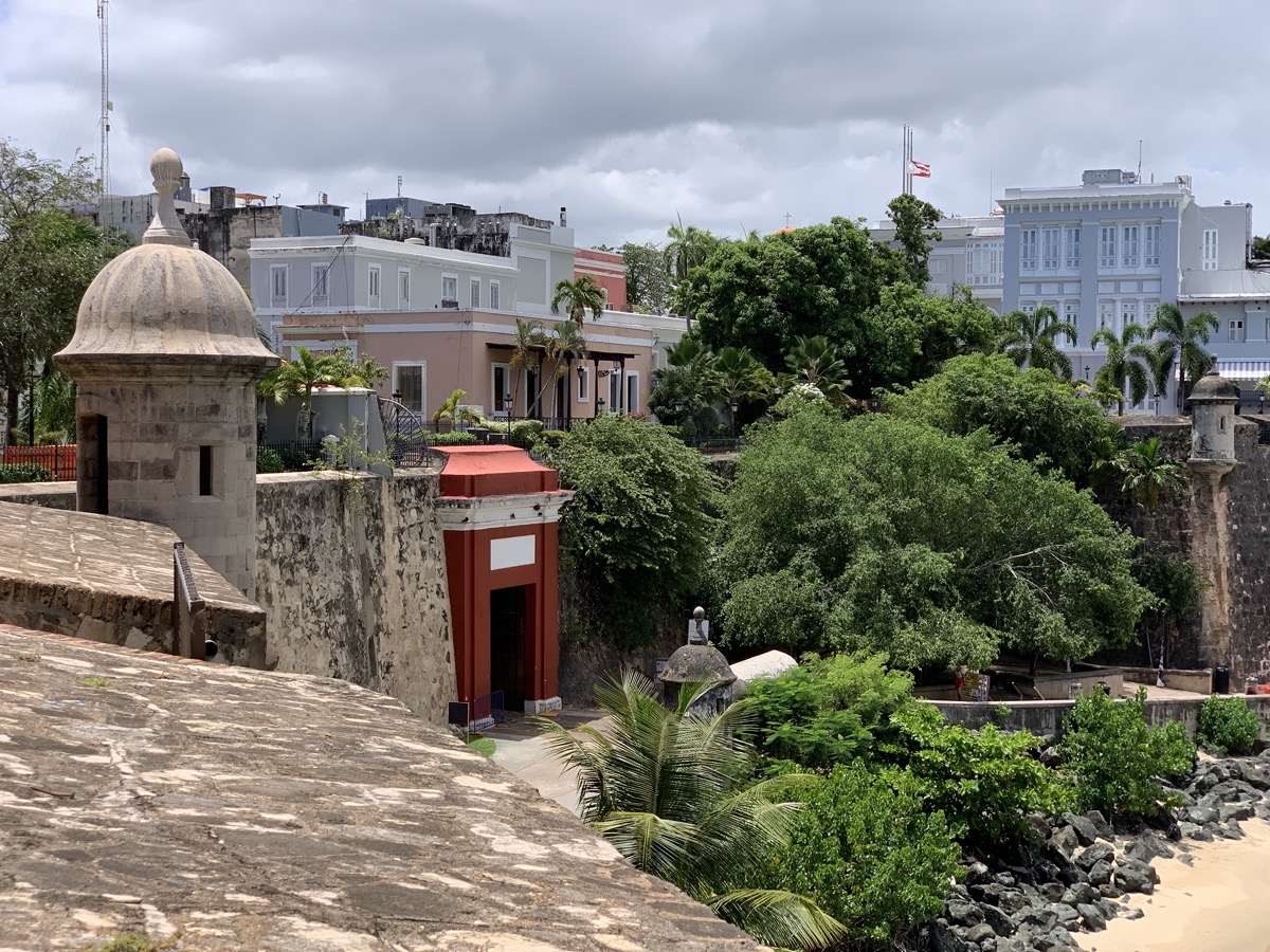
There is still damage from hurricanes Maria and Fiona, some abandoned properties, many trails and tourist amenities closed, but many houses and businesses were freshly renovated.

Our destinations.

Resources

additional resources/links are included in location-specific posts
☞ Rough Guides: Puerto Rico
☞ iNaturalist Puerto Rico
☞ PR Day Trips
☞ PR Travel Guide
☞ Ruta Panoramica map 1
☞ Ruta Panoramica map 2 (East)

Puerto Rico day 9-11: Bosque de Guánica and north coast (Arecibo – San Juan)

Guánica State Forest was our next destination for its unique, considered largest and most pristine tropical dry coastal forest ecosystem (and Biosphere Reserve). It is located on the south shore (southeast of the island) facing Carribean Sea. Driving to Guanica was quite slow and boring. First stop was at Tibes Indigenous Ceremonial Center and botanical garden on the outskirts of Ponce with interesting plants used by indigenous Taino. We then drove along the coast to Playa Tamarindo, parked our car at the end of the road and walked part of Meseta Trail along the coast stopping frequently to examin often unique (to us) plants and birds. Plus swiming at Tamarindo beach afterwards. It was much hotter than in the mountains. Altogether we spent just four hours there and came back to Utuado at dusk. More photos of plants from the forest are in our ☞ Puerto Rico nature photo album.

On what we thought was our last day in Puerto Rico, we drove north to Arecibo for last swim at La Poza del Obispo, spent an hour exploring Cueva del Indio Nature Reserve which we realy enjoyed,  stopped briefly at Playa Caracoles, ate late lunch at Pura Pesca (recommended) in Barcenoleta, beat traffic to San Juan to return our rental, took bus to the airport and checked-in for our flight back. Only to discover a moment later that our flight departure was delayed by full 2 hours, more than our layover in Atlanta.  Quick decission to stay in San Juan rather than being stranded over night in Atlanta. Luckily we were rebooked for a better=direct flight next day. Our apartment that we quickly booked was nice and clean, but in less than perfect location. With extra time, in the evening we walked to Playa Ocean Park and back home through gated neighbourhood. And then again to the same beach for morning swim. Lunch at Degetau Sea Food Restaurant and we were back at the airport for an easy flight to Chicago. The day was very hot so we used Uber for transportation (efficient but requires patience to get good rates).

Puerto Rico day 7 & 8: Ruta Panorámica and Rio Tanamá

Ruta Panorámica runs 250 km from Maunabo in Southeast to Mayagüez in the West,  but we had one day to cover only 60-km PR143-section between Barranquitas and Adjuntas. We first drove quickly to Cidra and then followed PR172 and PR156 (already interesting) to Mirador Suñé (Barranquitas) for a quick look at Cañón San Cristóbal. A short drive later we joined Ruta Panorámica proper. The road winds along the central mountain range (Cordillera Central) most of the time staying on top of the hills/ridges with great views on surrounding forest, fields and small villages. The green had many shades from bright and yellowish in full sun to dark and bluish when the sky was overcast. We made several stops on the way: in Barranquitas, at a  small store looking for some food (not much choice), at  Al Horno Bakery & Coffee Shop for lunch break for good coffee and sweets (recommended), at Mirador Orocovis-Villalba, at Charco de los Suspiros to hike to Torre de Toro Negro (5.5-km loop), and at El Banquillo (best views). We followed PR10/ PR123 to  PR111  in Utuado and then to comfortable Mi Casita (recommended) with wonderful hosts, our base for 3 night, across the road from Capilla Perpetuo Socorro just off PR611 (winding and narrow).

Excellent practice of driving on narrow, winding roads with many potholes – all day just  135 km, not rushed. We had enough time for hikes which proved excellent: a short and well maintened Vereda Suñé to see a deep Cañón San Cristóbal and a longer trail in Toro Negro rainforest, much less popular than El Yunque. All tourist amenities (information, bathrooms, picknic areas) were closed at all viewpoints and trails but parking and limited number of trails were available.

Cañón San Cristóbal, view from Mirador Suñé

View from Torre de Toro Negro

Next day we made a trip to Rio Tanamá to kayak through Cueva El Portillo and then walk in the river and swim to Cueva Del Arco. The kayaking part was with a large group, but the second part was just us and our guide. We just wished the river exploration and swimming part was longer. The tour was very well organized by ☞ Batey Adventures (recommended ☞ TA review). Edwin, our guide, turn out to be also a gifted naturalist with good knowledge of local nature and very easy to interact with. After the tour, we walked across the street (PR111) from Batey’s office to Caguana Ceremonial Indigenous Heritage Center to learn about Taino past. Interesting archeological site and small botanical garden (recommended). We continued west on PR111 to Lares to try rosted pork at Lechonera Rancho T (very good), Piotr explored Heladería Lares and we walked around the town center to check out some murals. When we came back to Mia Casite we finally got to see coqui that we heard everywhere, all the time.

error: Content is protected !!