July 25-26
Day 1-3
After driving for more than a day on I80, somewhere in Nebraska, we made first important decision: we are heading to Southern Colorado first. Driving on smaller roads for a change. Made it only to Oakley Kansas on day 2.
Joanna had our first destination already researched: dispersed camping and hiking along Lake Como Road on southern slope of Blanca Peak (4,374 m) of Sangre de Cristo Range. The road gets bumpy as it climbs up, so at some point we decided to stay at a good spot (many were available) with open view of the mountains. Joanna practiced night sky photography after dinner. Next morning we just walked 8 km and 500 m up and down the (4WD) road to stretch legs and get first taste of thiner air at almost 3000 masl. Relaxing hike with great views, no other hikers, few “machines”. Lake Como was too far/high for us that first day.


Day 4
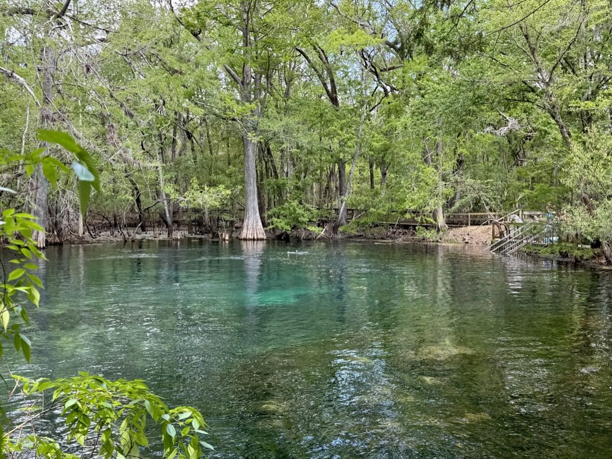
Next destination: Great Sand Dunes National Park. We were quite lucky (weekend) to find campsites for two nights at very good park campground (recommended). In the afternoon we walked a short trail to Zapata Falls. Joanna practiced some fancy footwork on rocks, Piotr just waded through very (refreshing) cold water. All to get a glimpse of the falls. The trailhead is located above the valley floor offering good panoramic view of the dunes at the east edge of San Luis Valley pushed against surrounding mountains of Sangre de Cristo Range. And then we just looked around or starred at the dunes plotting exploration route for early next morning. Had time to plan next move, some idea where to go first to avoid biggest crowds. It was morning walk on the dunes and evening walk in Mendino Creek, with midday fiesta (hot weather).
We were getting into travel rhythm after leaving Chicago in a hurry with just a general plan. Sightseeing: yes, but we also needed several days to warm-up and start pushing to higher elevations on easier day-hikes to trigger altitude acclimatization before Colorado Trail.