July 17-22
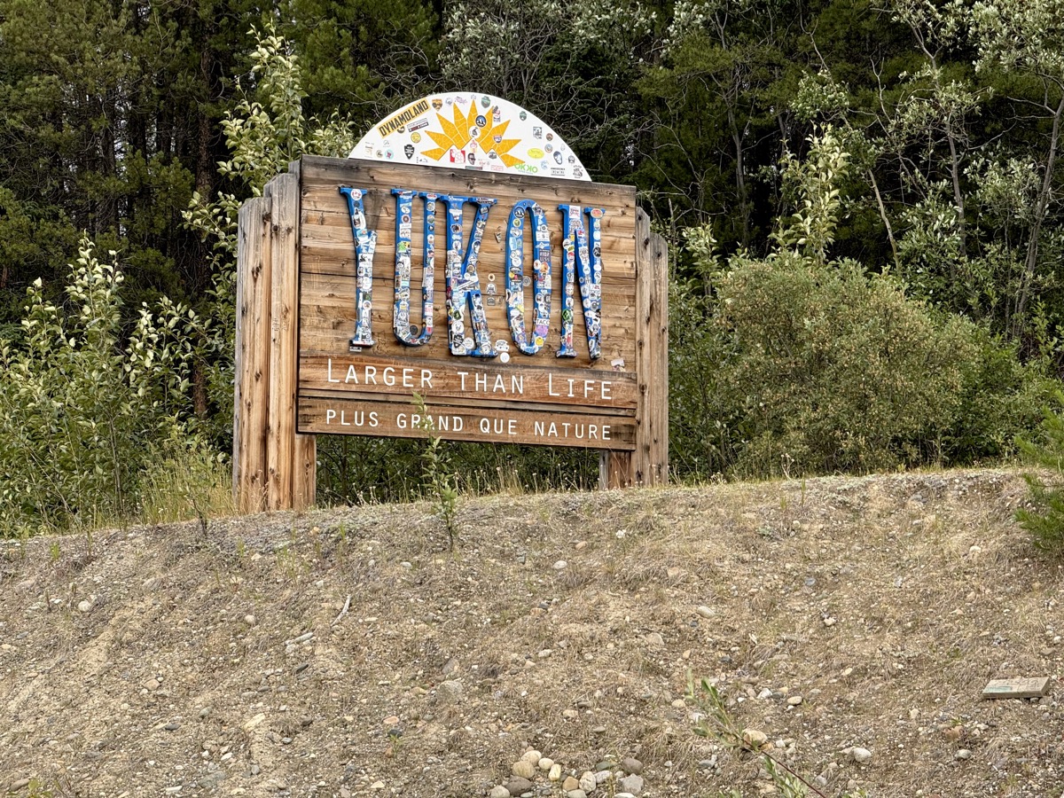
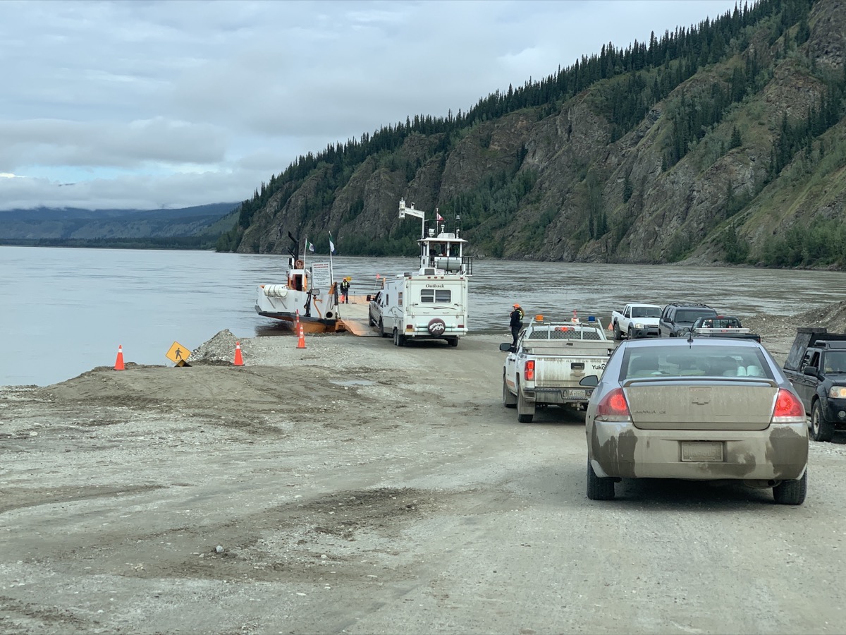
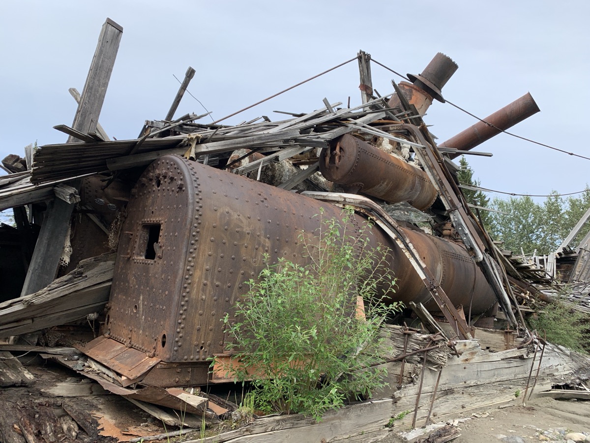
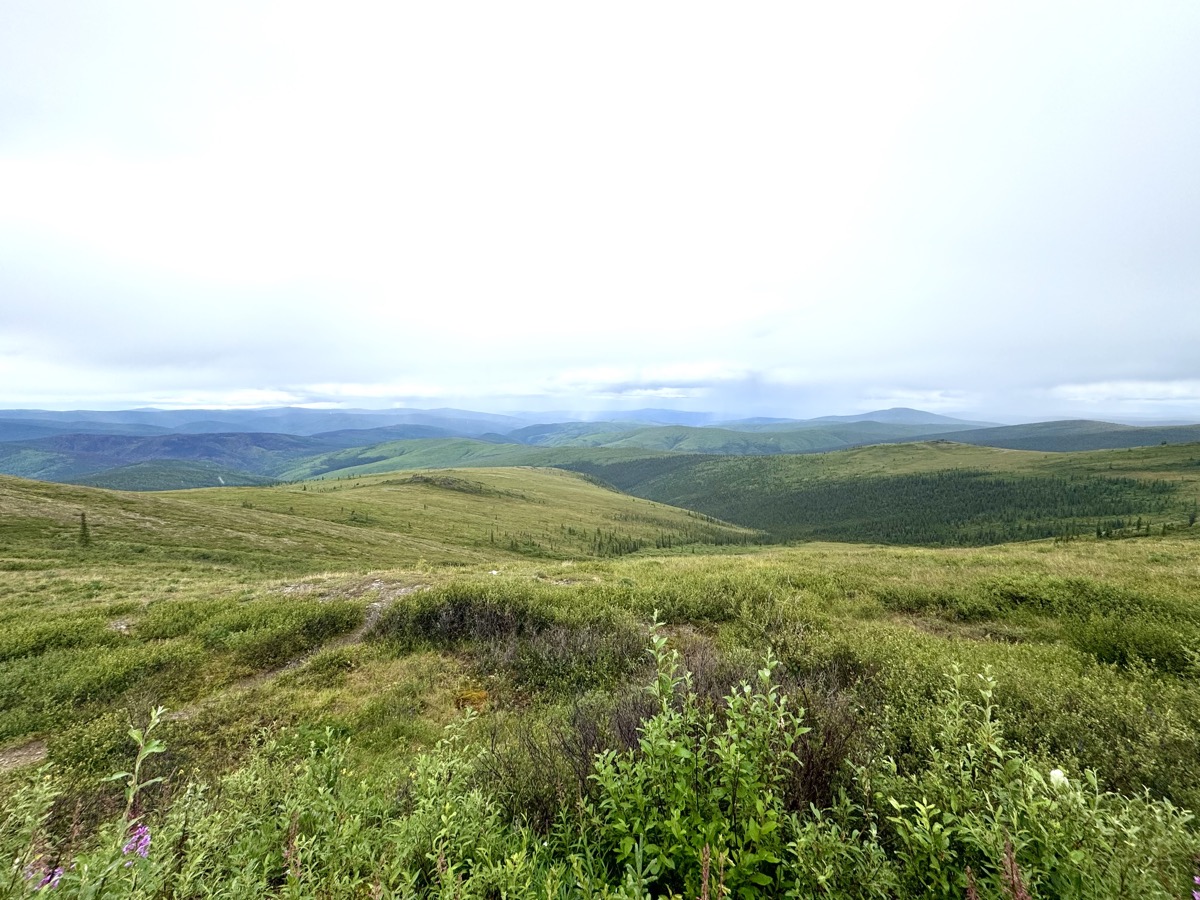
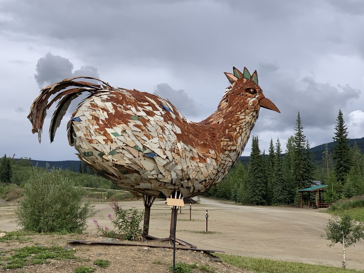
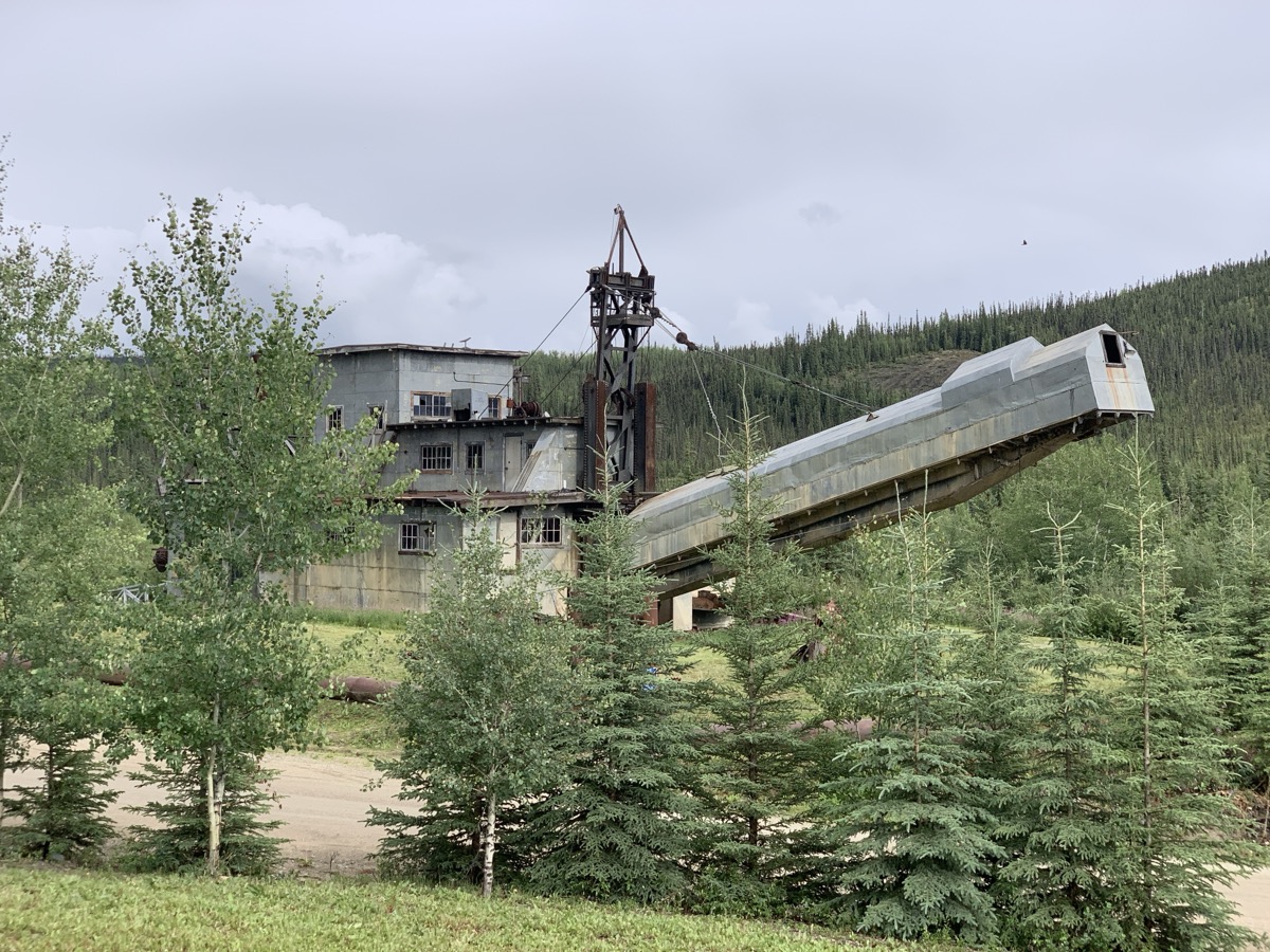
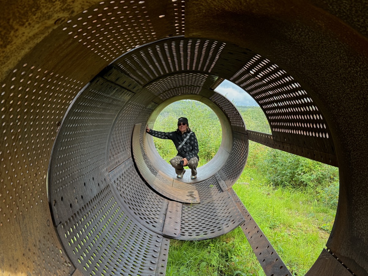
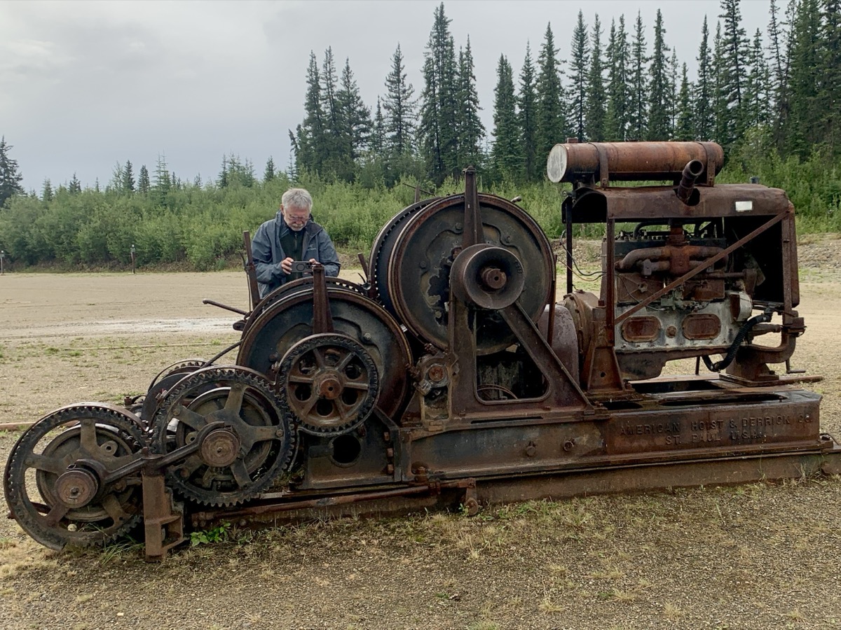
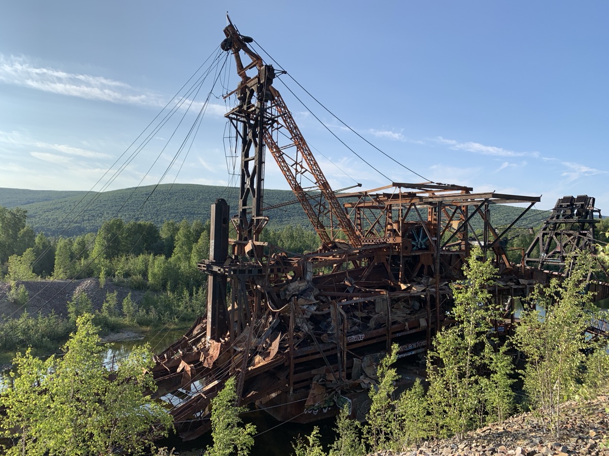
After ferry-crossing Yukon River in Dawson City (yes, good old times ferry) we stopped briefly at steamboat graveyard. Many boats were pulled on shore after gold rush never to sail again. Tylor Highway climbs to the top of the hills and winds around staying high most of the time. Nice views of surrounding valleys and forest. Weather was changing from mostly sunny to hail and back to mostly clouded. We crossed YT-AK border in slight rain and drove down into Wade Creek valley to Chicken (AK). We stopped there for coffee, photographing Pedro Dredge and other rusting gold rush machinery as we were walking back to our car.
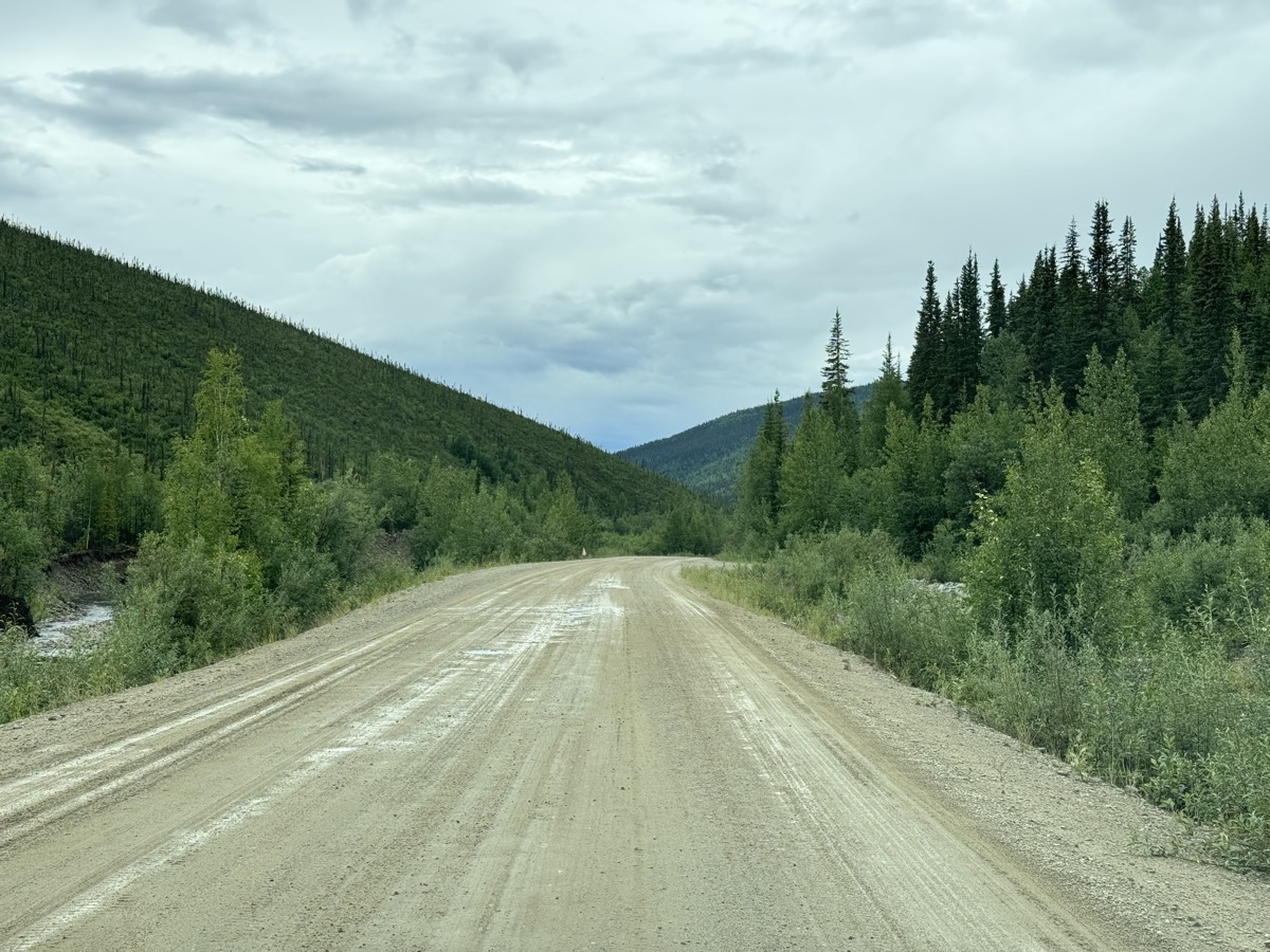
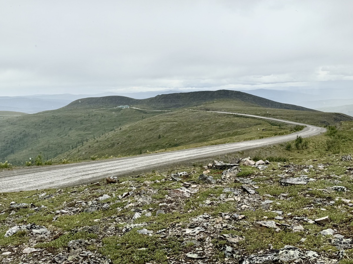
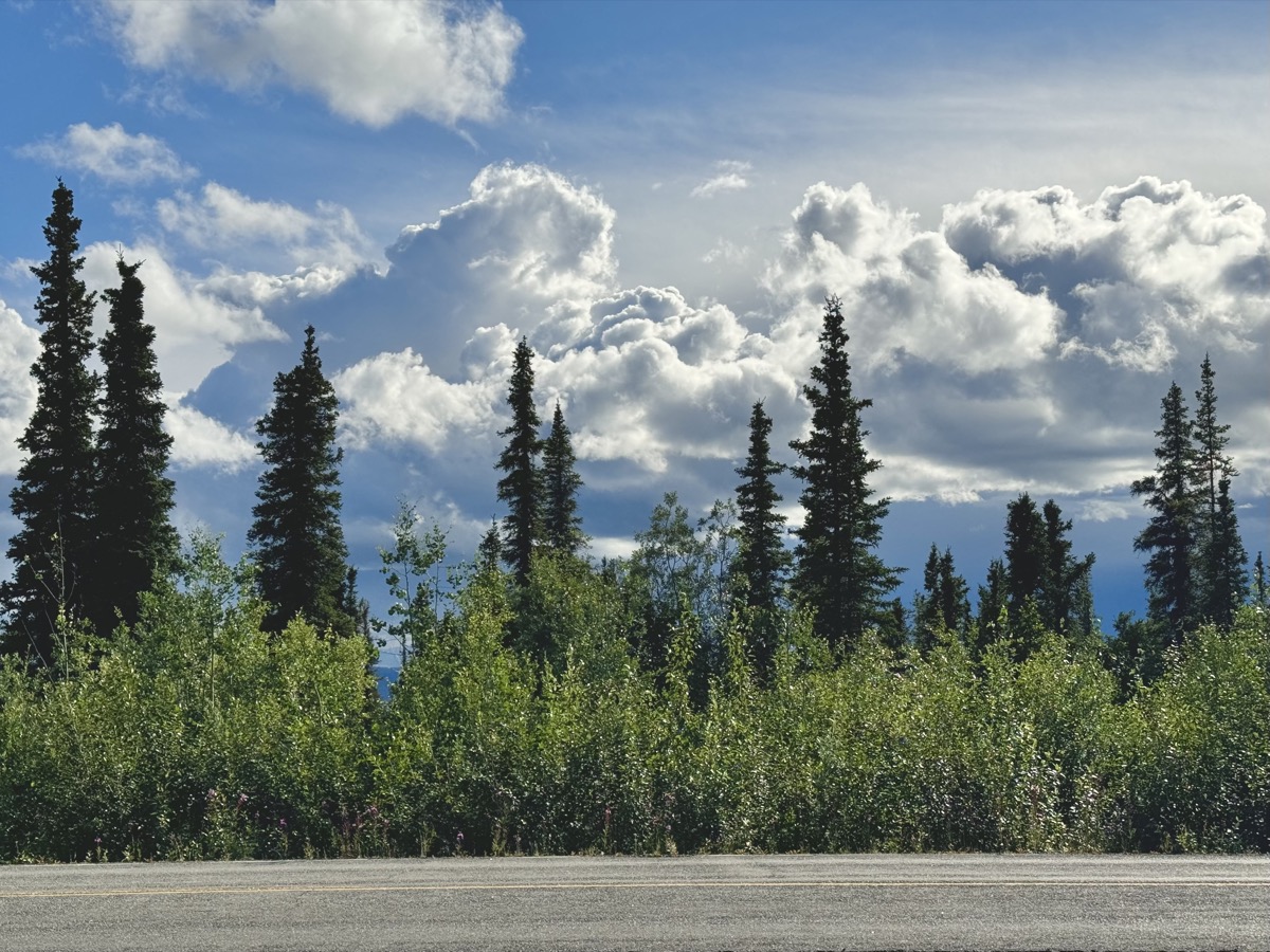
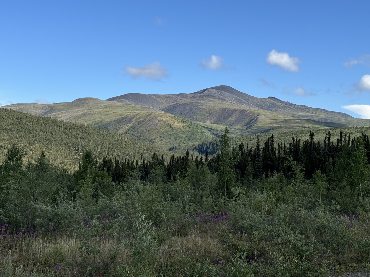
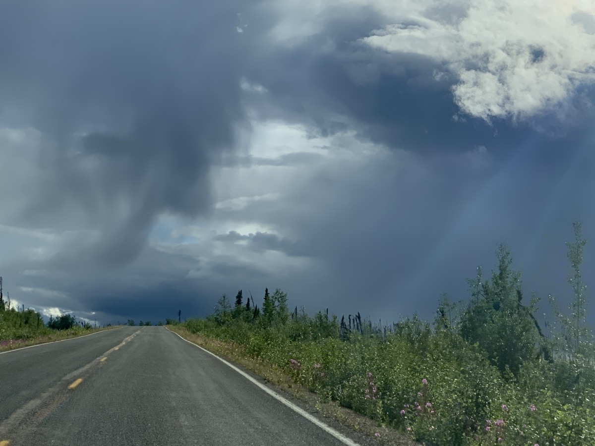
Now we were driving on Top of The World Highway towards Tok (AK). And it was pleasant experience on its own. Taiga along the highway, small mountains on the horizon (no time to hike anything), some snow and quite dramatic weather scenery at times. With “bad tire” on our mind (weather never got really bad enough to worry us too much, but remoteness did), it was just pretty much driving through.
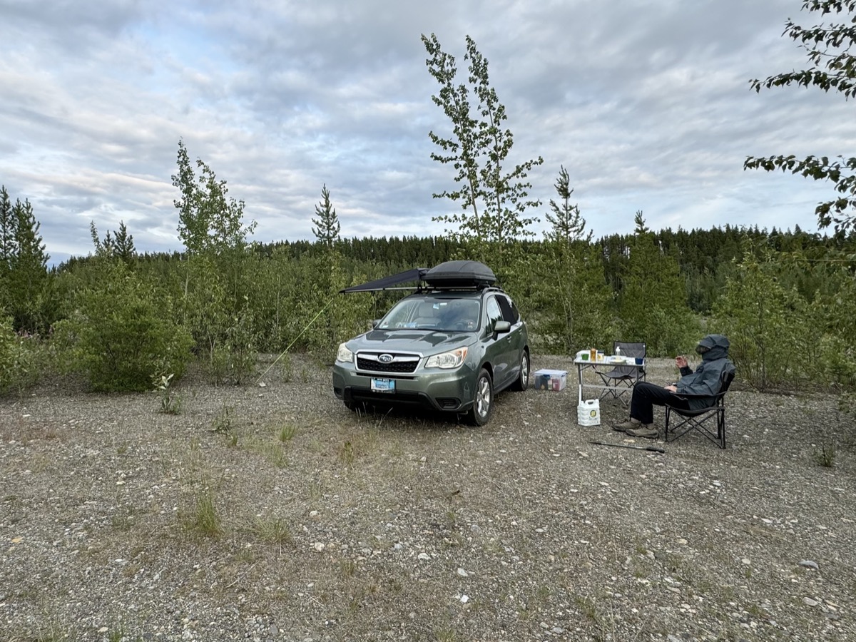
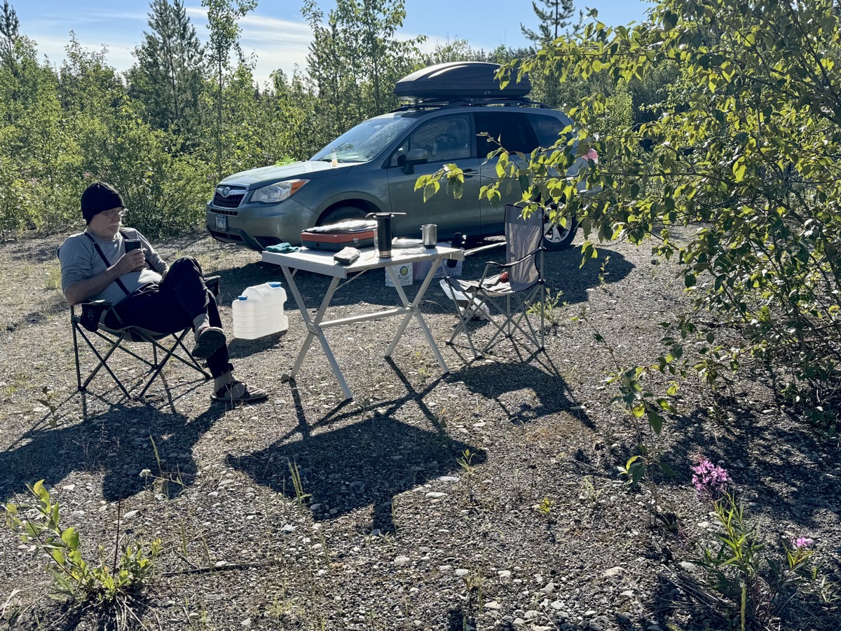
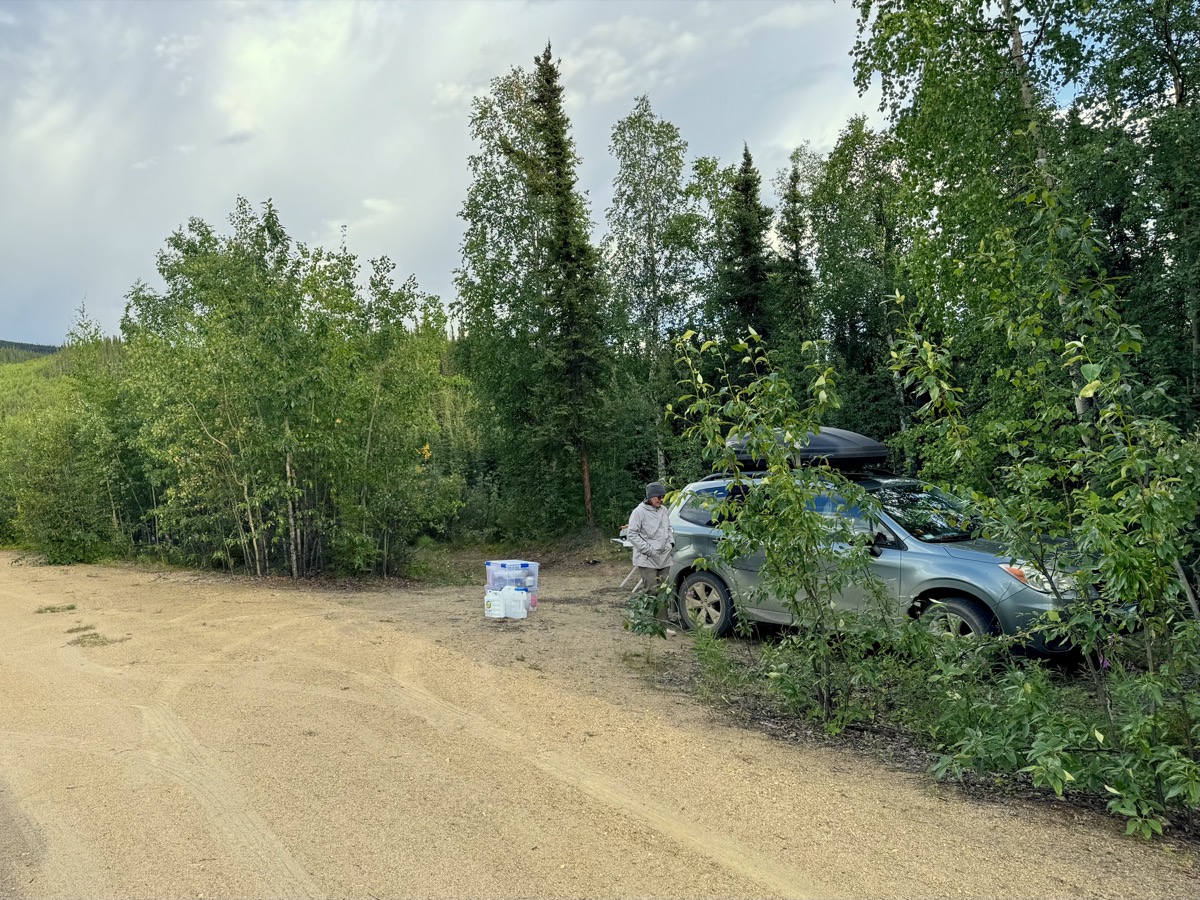
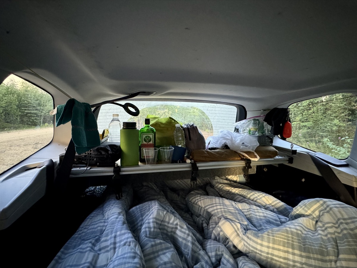
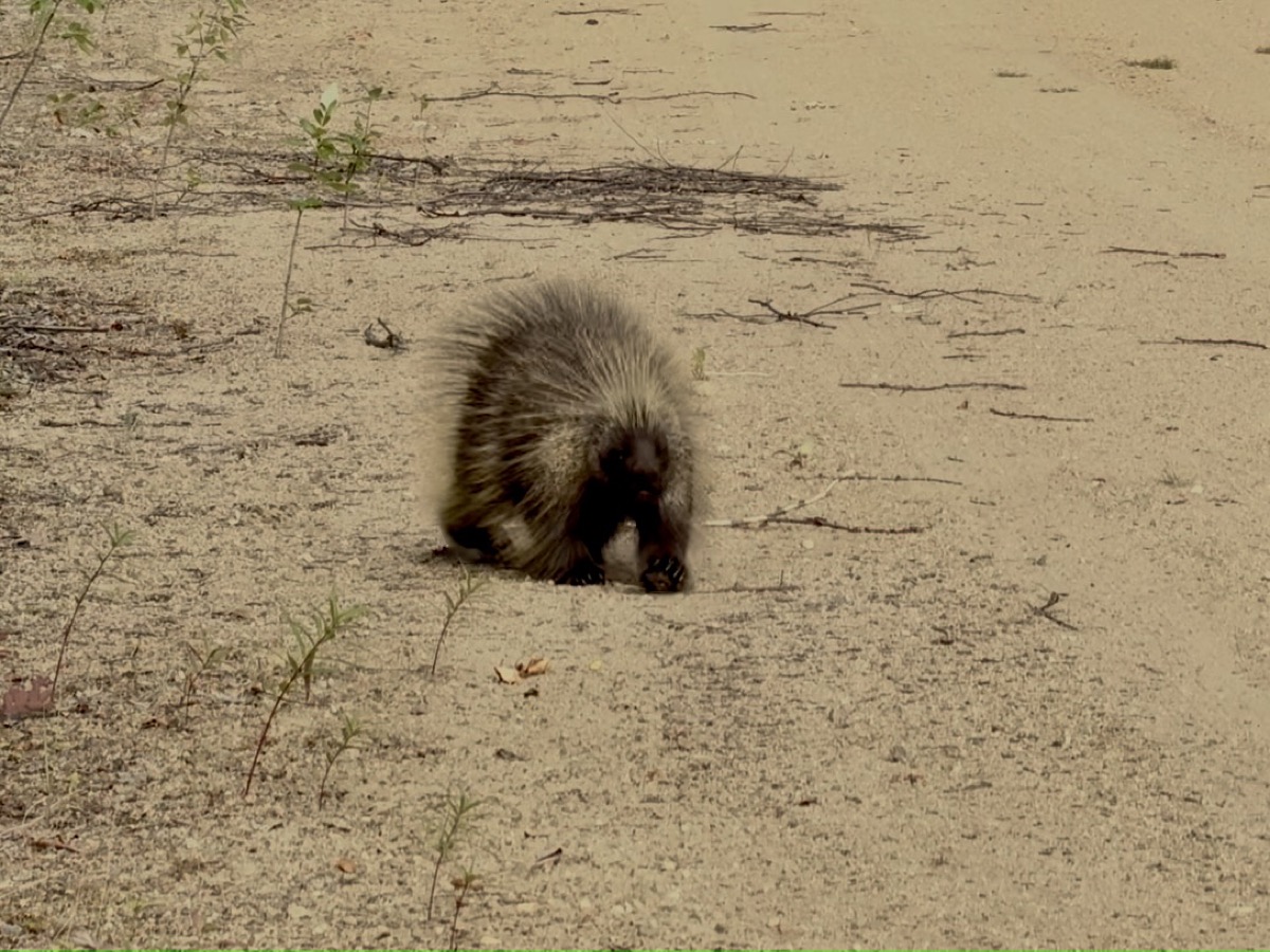
As we were passing Mount Fairplay, we started looking for a camping site. Road-side parking lots were not too bad (not much traffic), but for us not too inviting either. Later, many side roads were on private land. By strike of luck, we found sandy side road running along the main road. As we learned next morning it was used as construction by-pass. We found a perfect spot at small road leading to Four Mile Lake. We called it “Moose Lane” because of many fresh moose “remains”. It was still daylight when we were ready to sleep. Surprised (North American) porcupine started to walk towards us in the morning (was it coffee and breakfast smell?). We were happy to see it disappear in the bushes once it realized we were people.
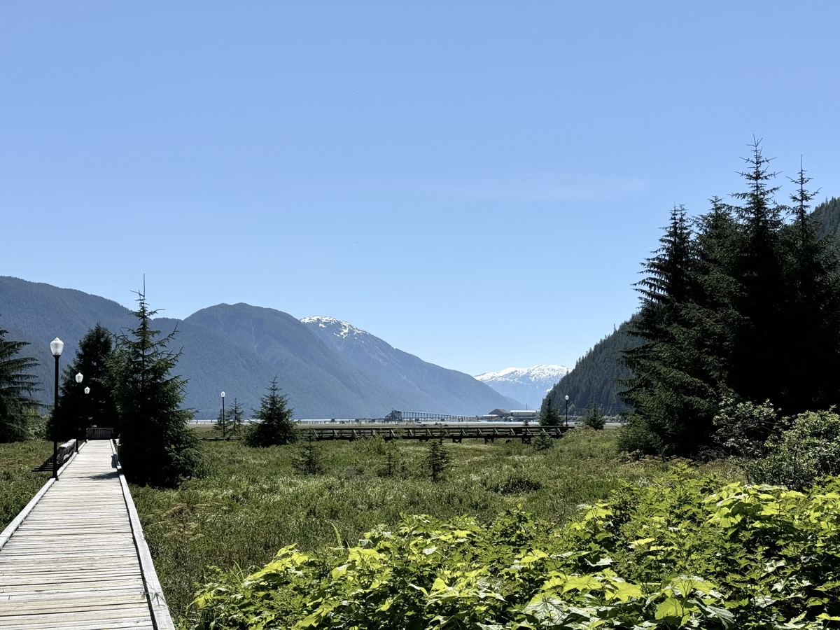
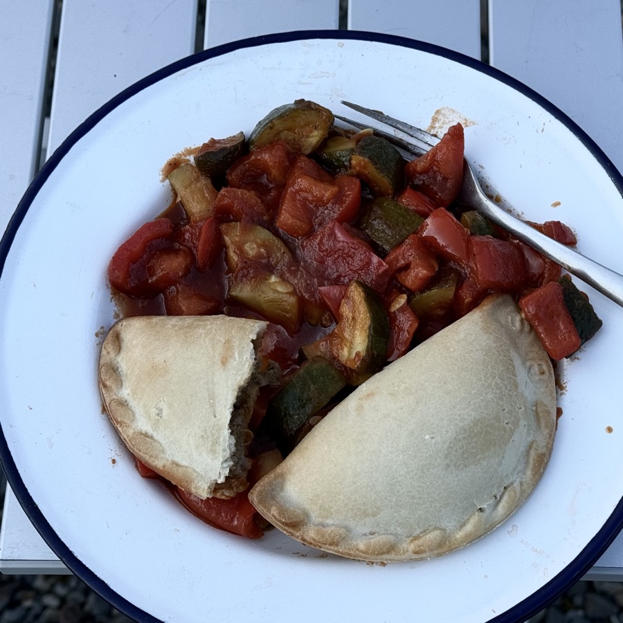
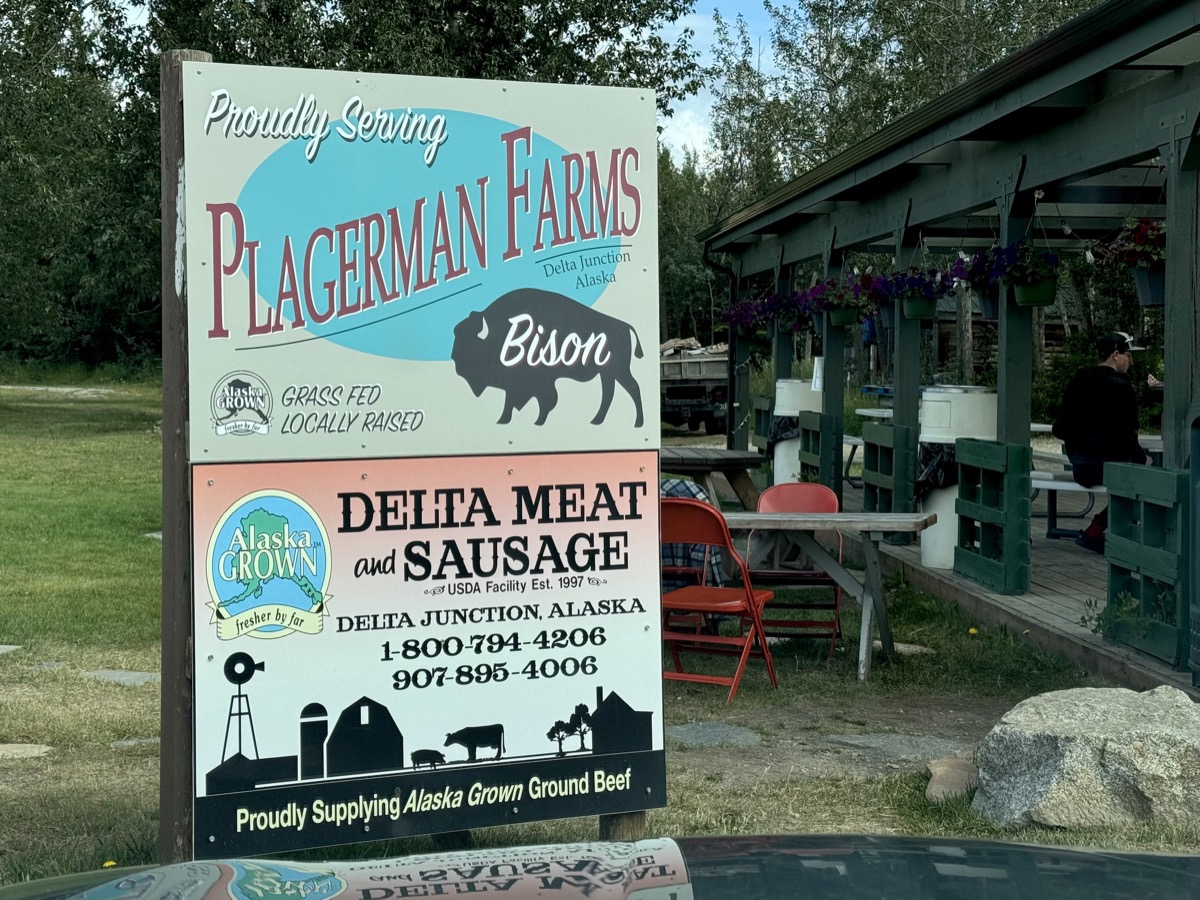
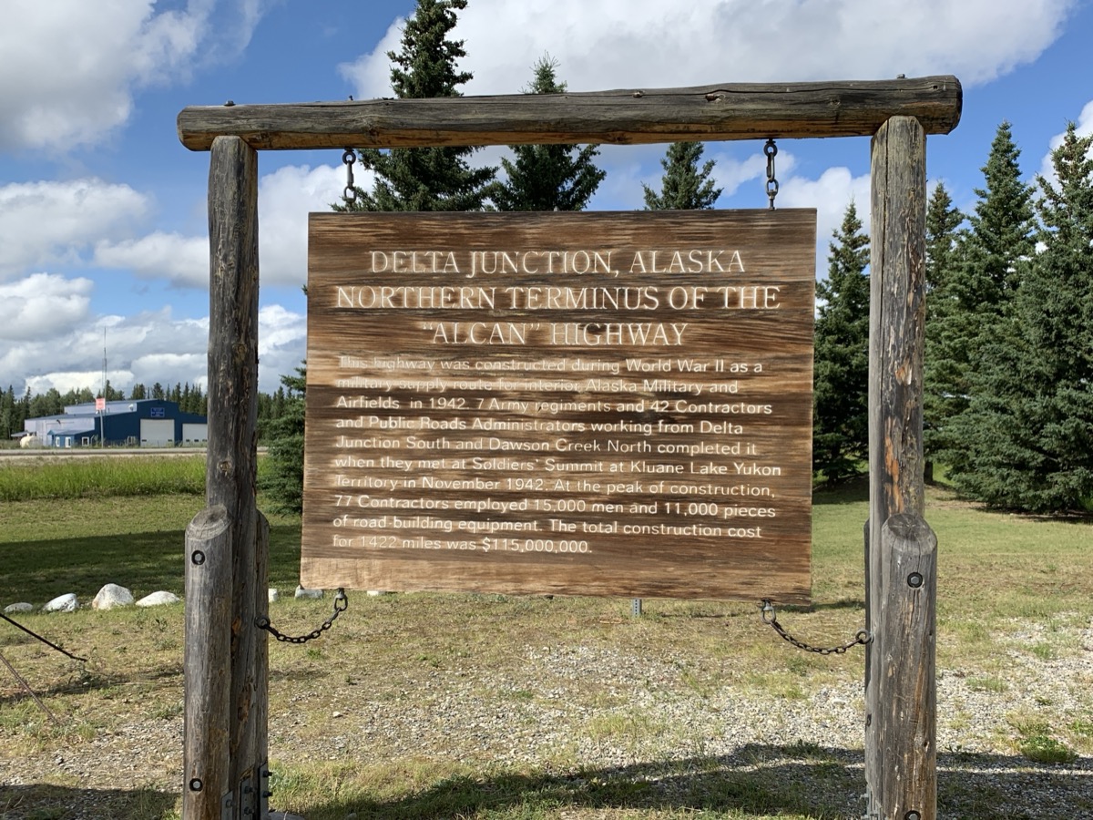
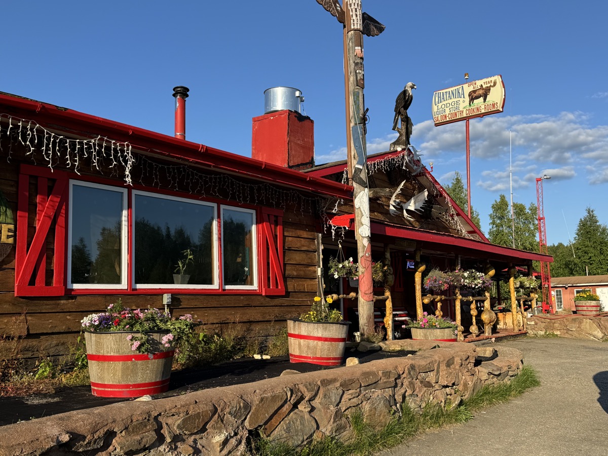
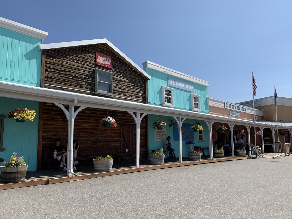
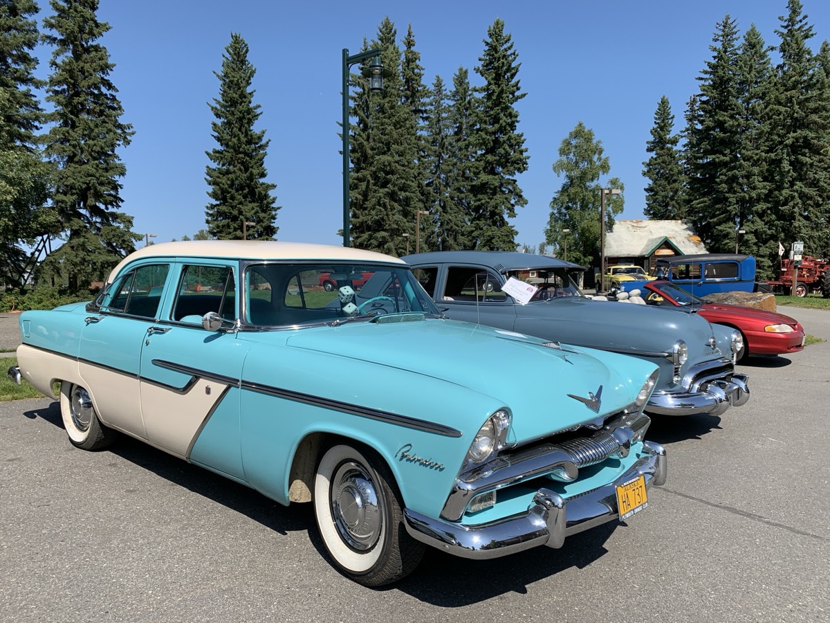
We passed Tok and stopped for lunch in Delta Junction (Buffalo Center hamburgers). We continued on Richardson Highway along Tanana River to Fairbanks. We arrived in late afternoon. No available spots on campgrounds, accommodations harder to find and more expensive than always expensive because of Golden Days (parade, rubber duck race, vintage car gathering). We stayed at Chatanika Lodge 45 km from town. Interesting place with character (nice owners, good dinner) visited mostly by locals and bikers, but past its prime. The following two days were about getting new tires and battery, and our car checked, laundry and grocery shopping. We had some mild respiratory infection on top of it all, not the best of times. Joanna managed to visit the town more (city walk along Chena River from Pioneer Park to Morris Thompson Cultural and Visitors Center).


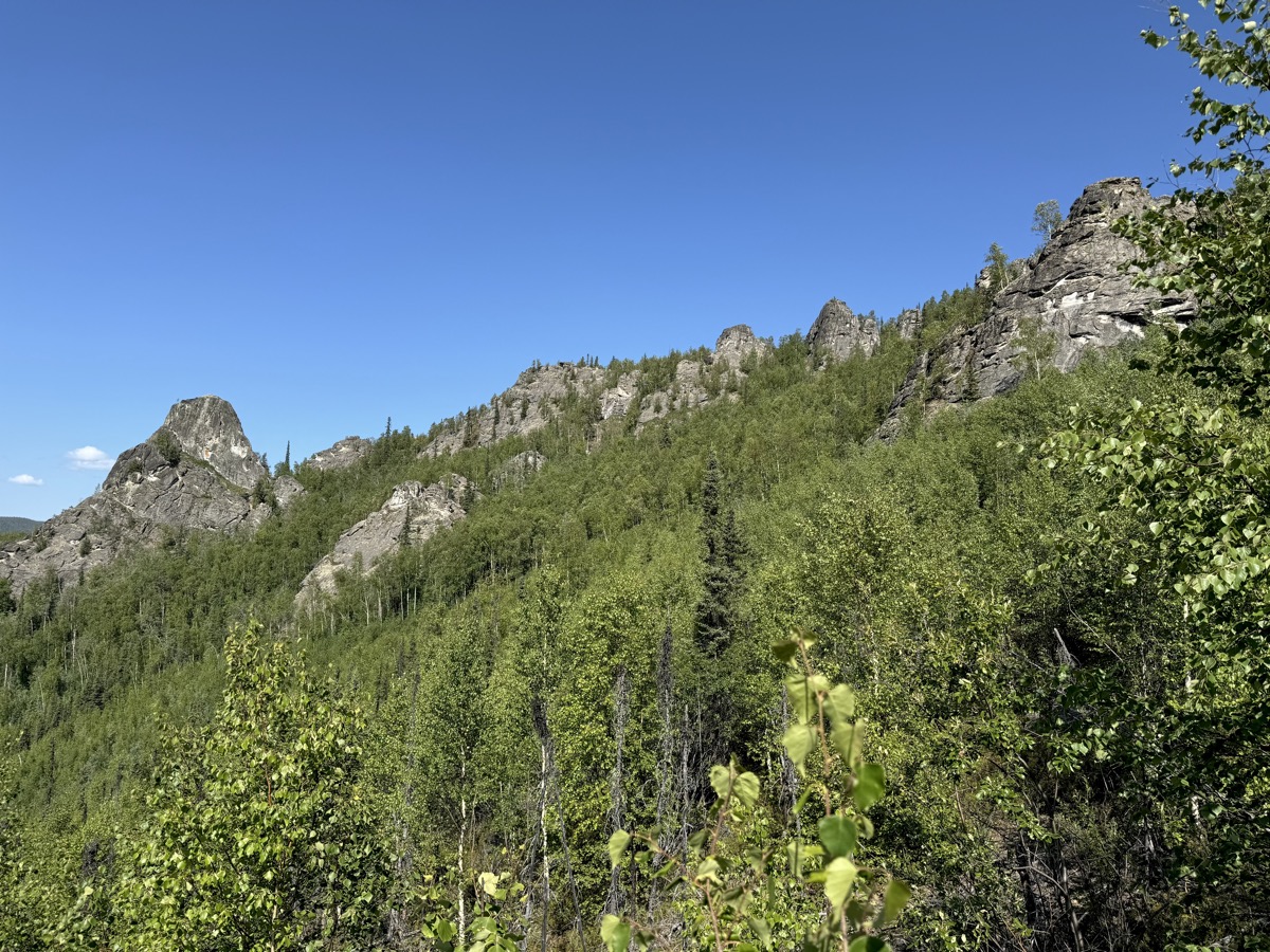
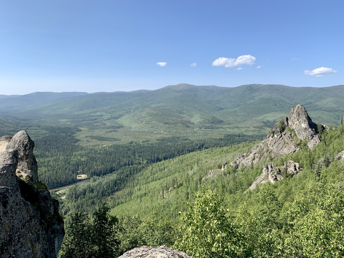
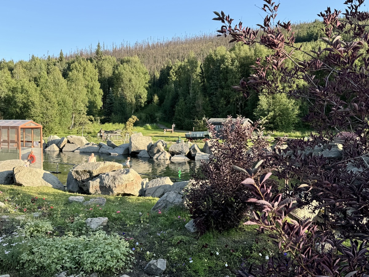
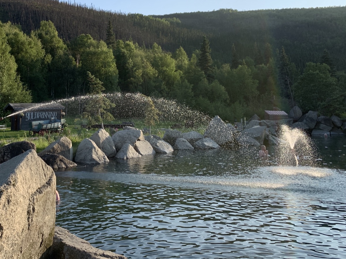
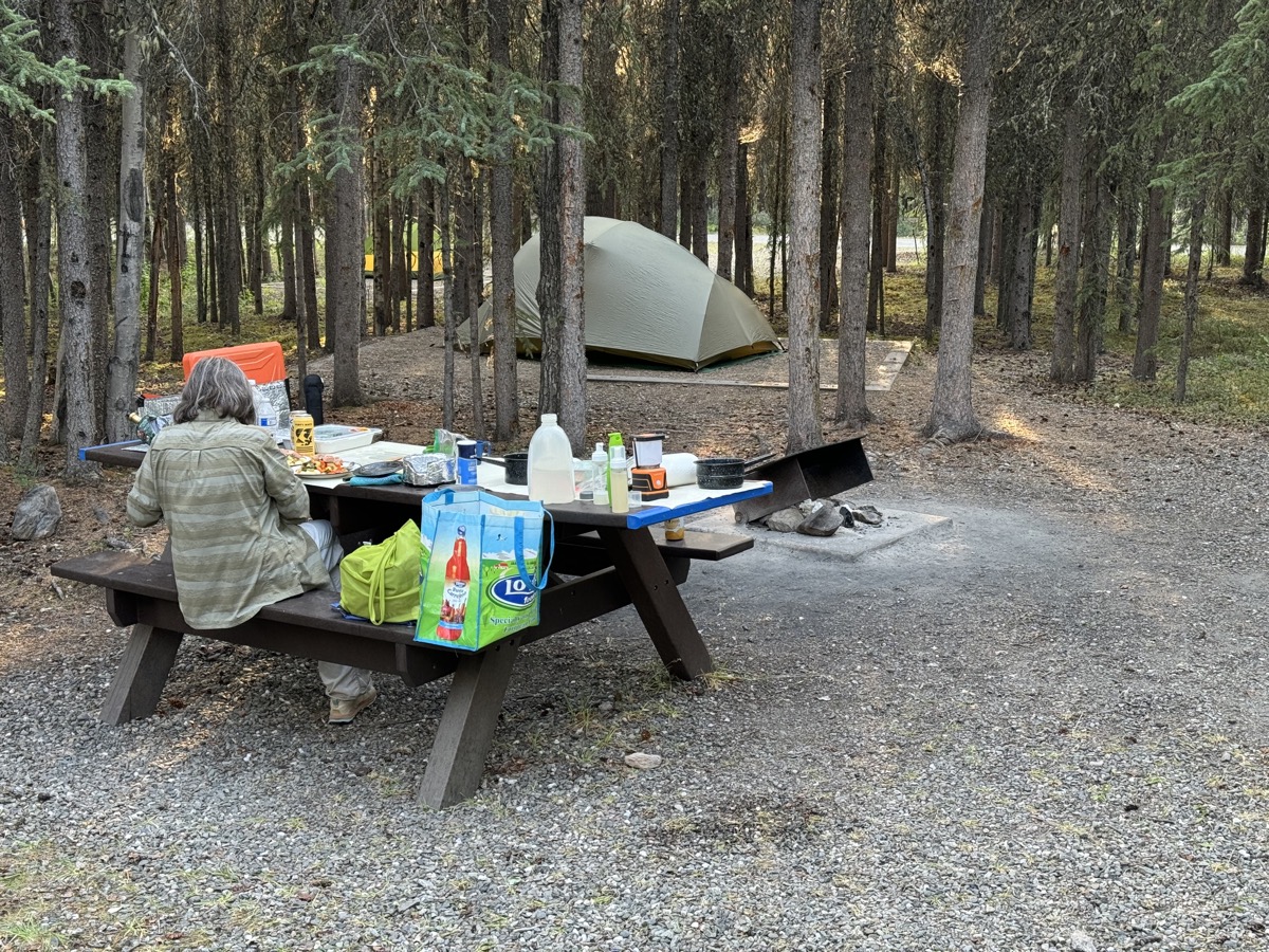
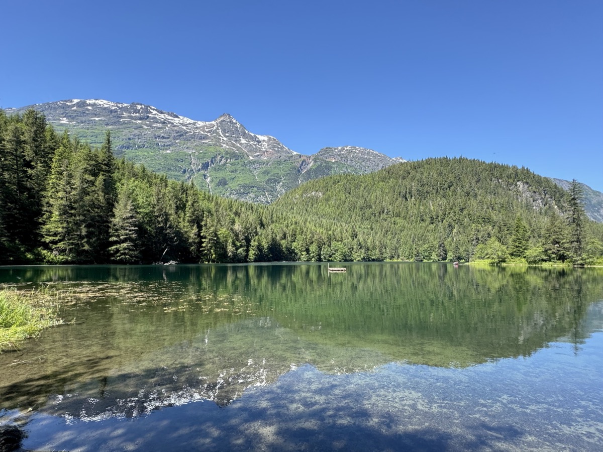
On new tires and aligned wheels we were ready to roll. Fairbanks was not on our top list of destinations, but Joanna did research about Chena River Road and Hot Springs. The side trip was pleasant, and hot spring experience much better than (Piotr) expected (quite a few people around the resort, but all well organized and pools were not crowded). We first hiked to Angel Rocks (many hikers on sunny Sunday) above the valley to sweat and then soaked in hot springs for couple of hours (both recommended). There were no good camping spots at the resort, but campgrounds along Chena Hot Springs Road were empty. We looked for a place with less standing water and fewer (?) mosquitoes, but it did not matter what we chose (stayed at Granite Tors).
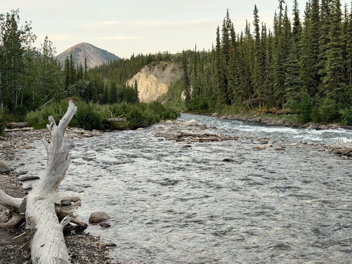
Now we felt the Denali rush. We drove non-stop (300 km) to the park, secured a spot at tent walk-in Riley Creek Campground (everything else was booked). We arrived early enough to choose best spot, set-up camp, go for a walk along Riley Creek and cook dinner. This is really top-notch NPS campground (recommended) and we stayed there for four nights.