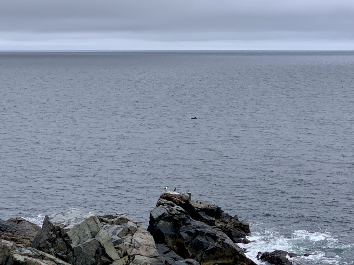
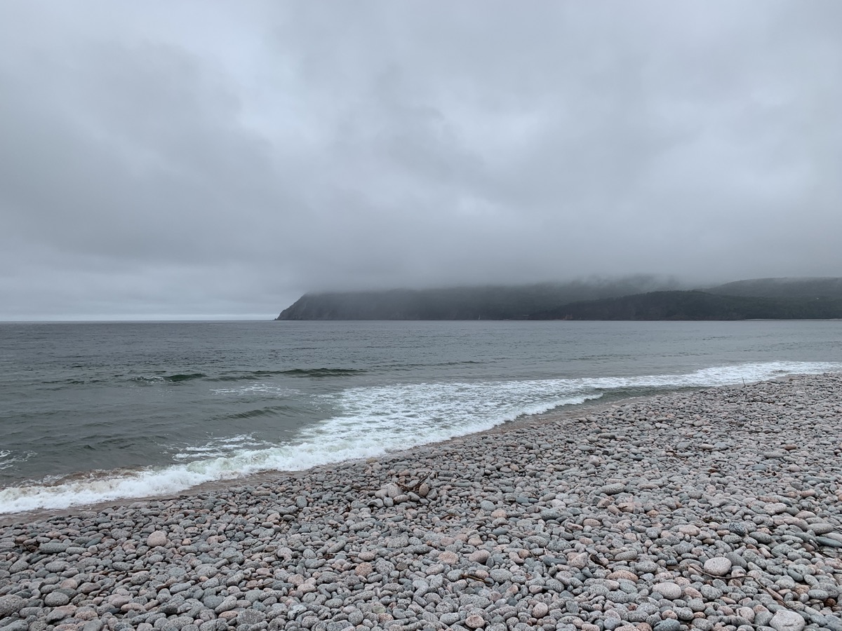
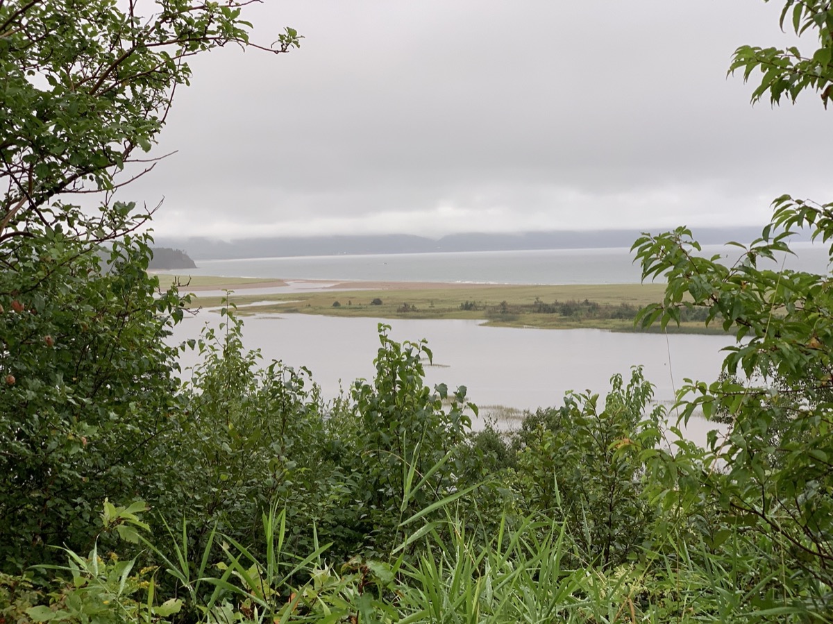
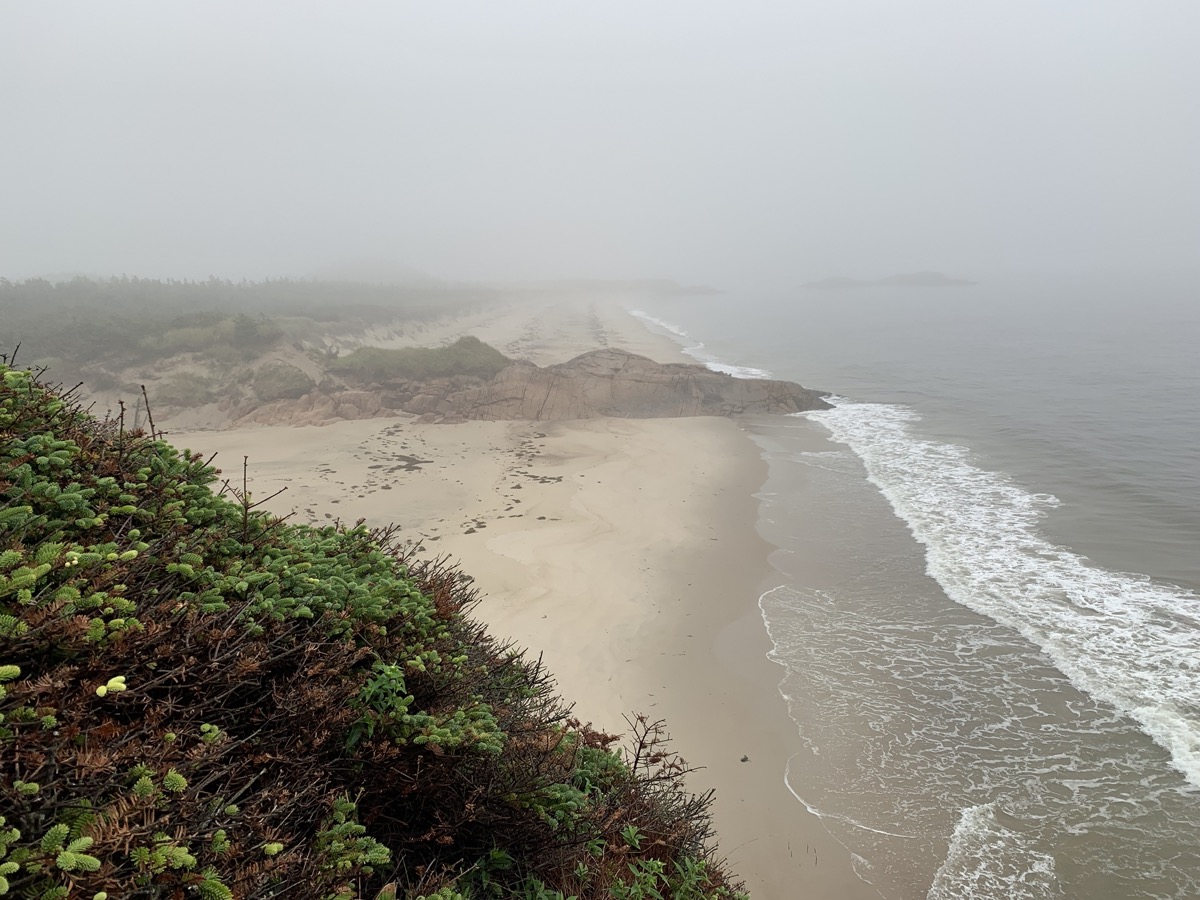
We did sleep quite a bit on ferry, but were not fully rested. The day started with clouds and passing rains as we were driving west and then north toward Cape Breton Highlands National Park. But first, breakfast plus coffee at Chanterelle Inn & Cottages. The weather was not encouraging when we arrived at Ingonish Visitor Centre. Rain was breaking at times allowing for decent walks at Middle Head Trail and Ingonish Beach in Cape Breton Highlands National Park. Very good sighting of several pilot whale pods from the tip of the peninsula.
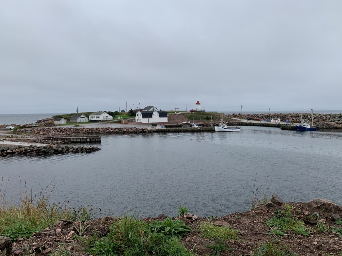
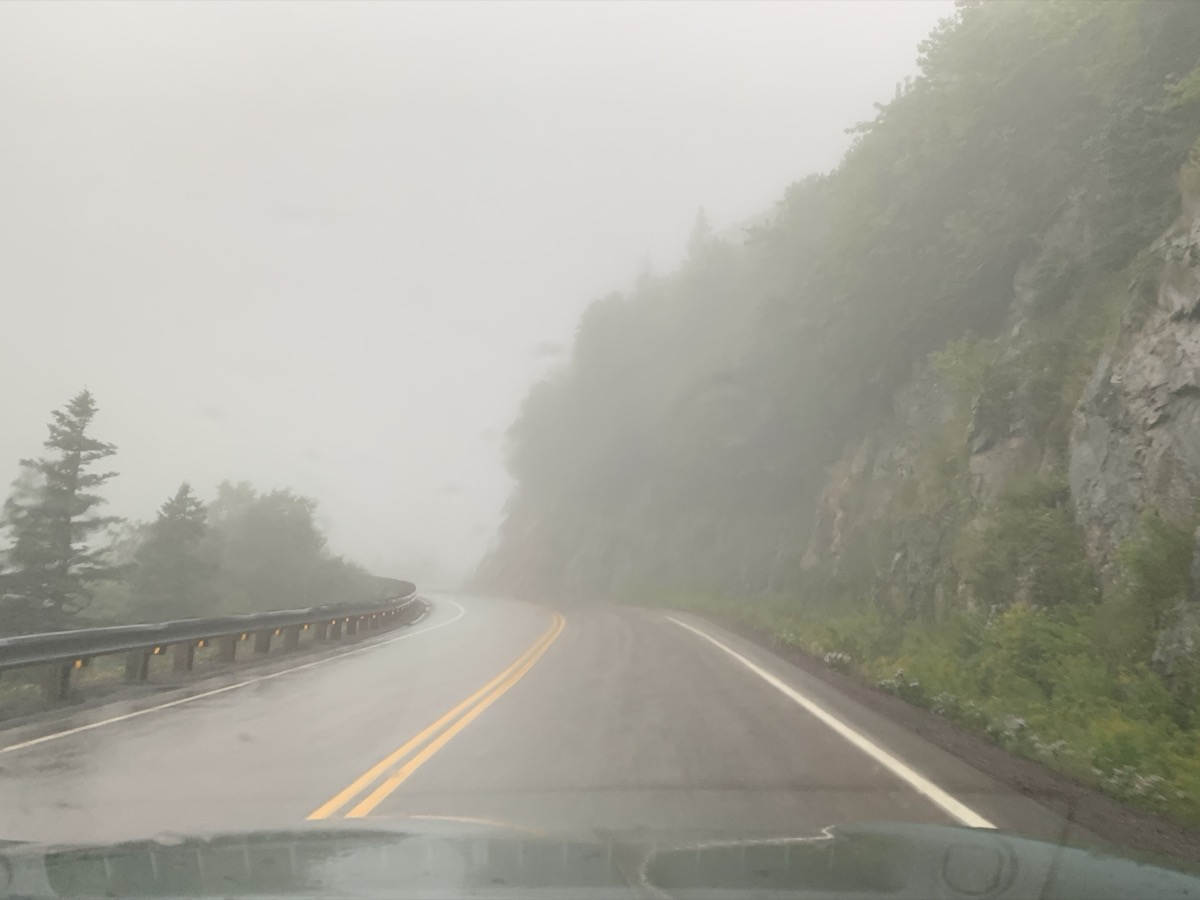
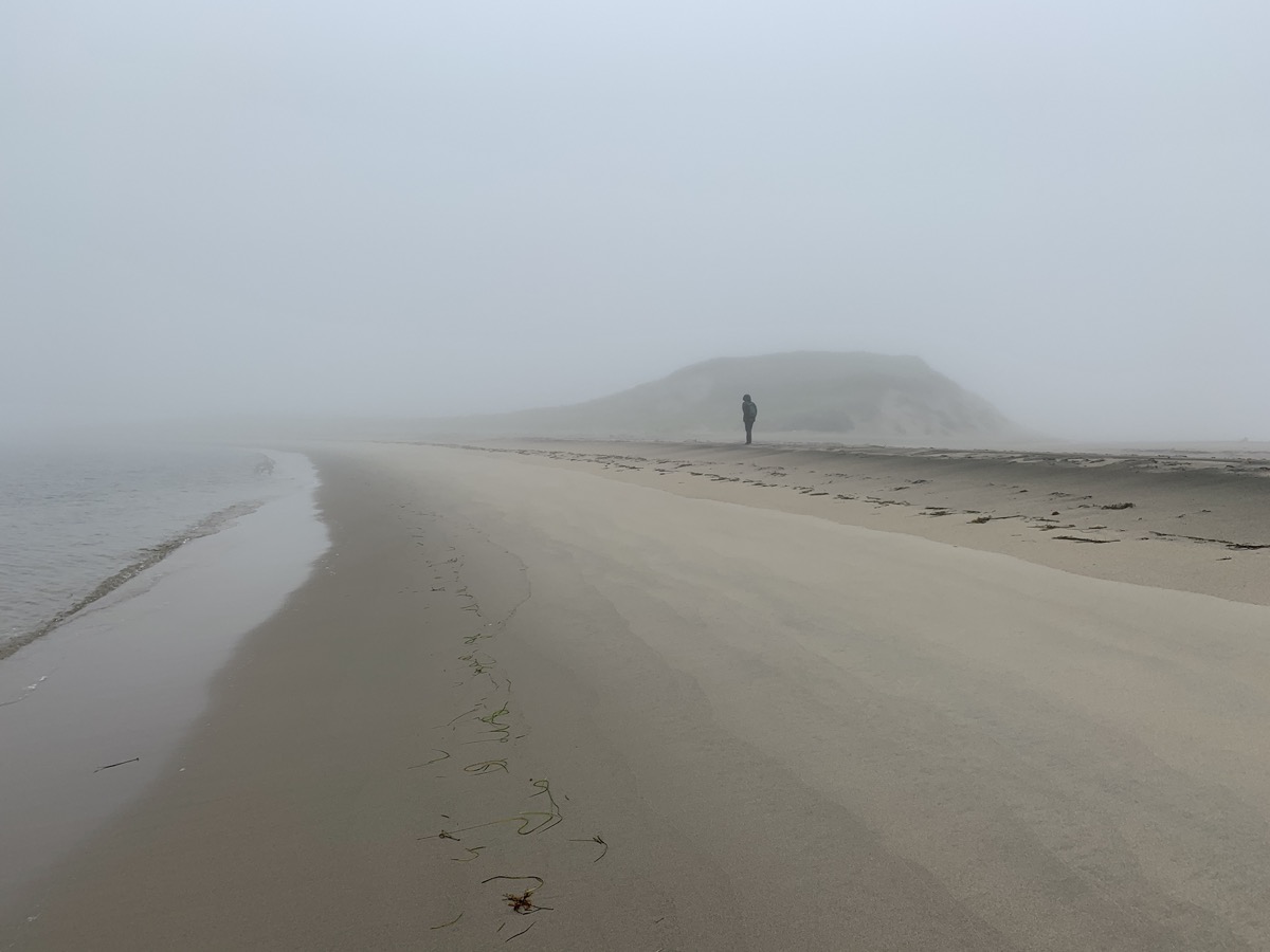
After brief detour to South Harbour, we finished the day in Pleasant Bay. The rain was quite heavy at times, driving was slow and tiring. After extended debate we ended-up in local motel rather than camping at one of the day-time parking lots (a.k.a. National Park campgrounds). We were quite disappointed as we were driving on famous Cabot Trail and weather refused to cooperate all day – this was the only time it happened during our entire trip.
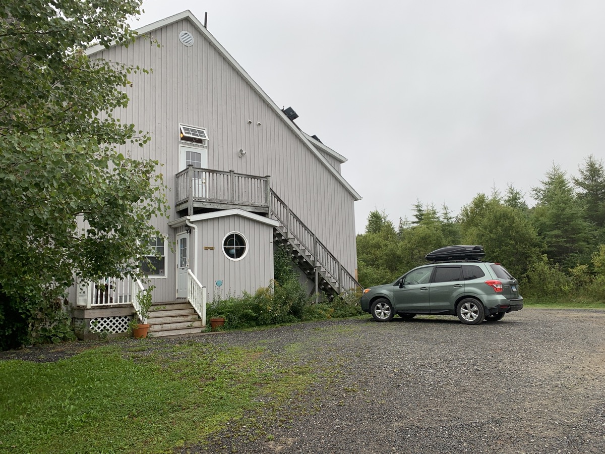
Chanterelle Inn & Cottages
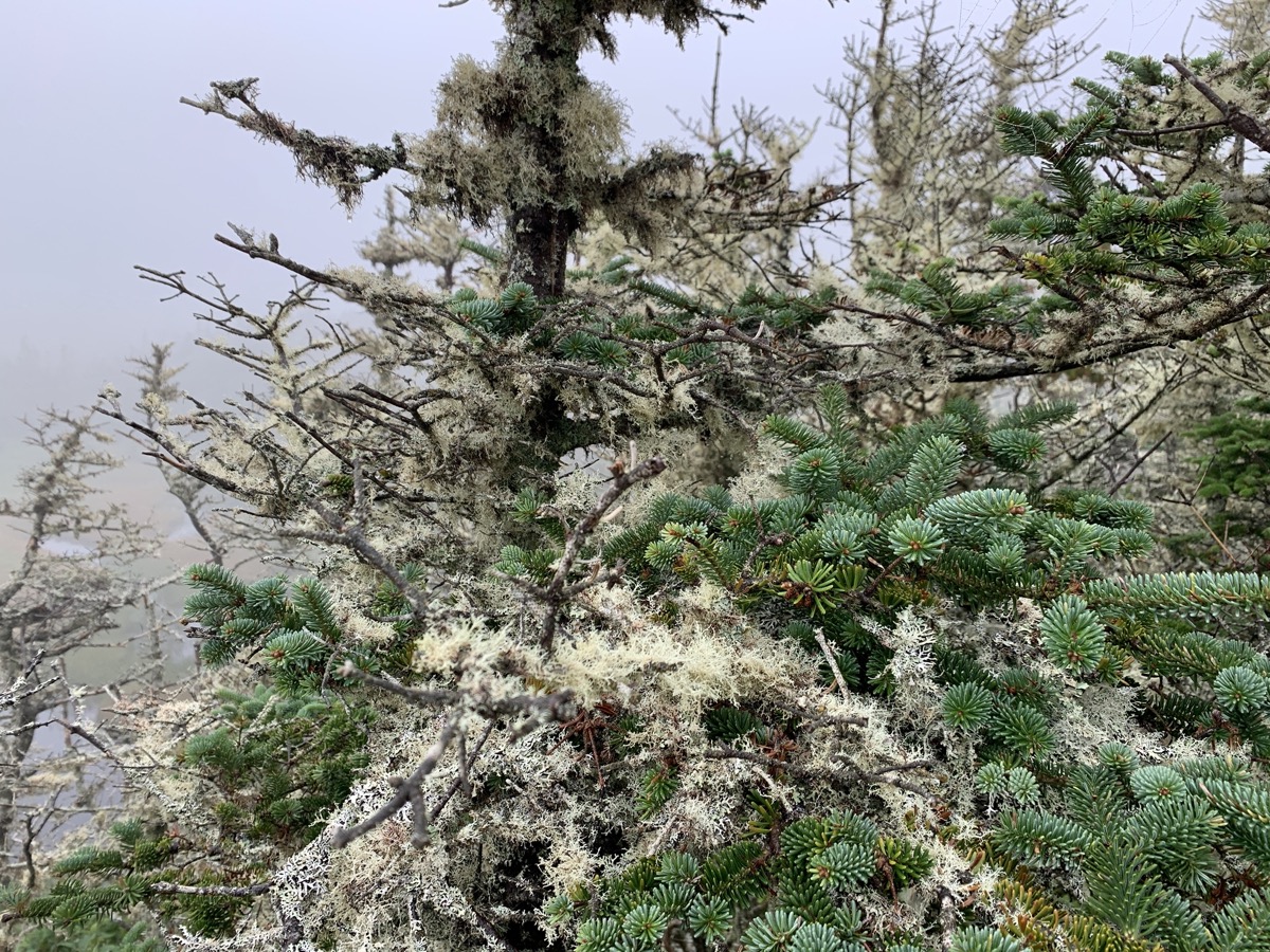
Middle Head Trail…
…
Pilot whales in sight
Ingonish Beach
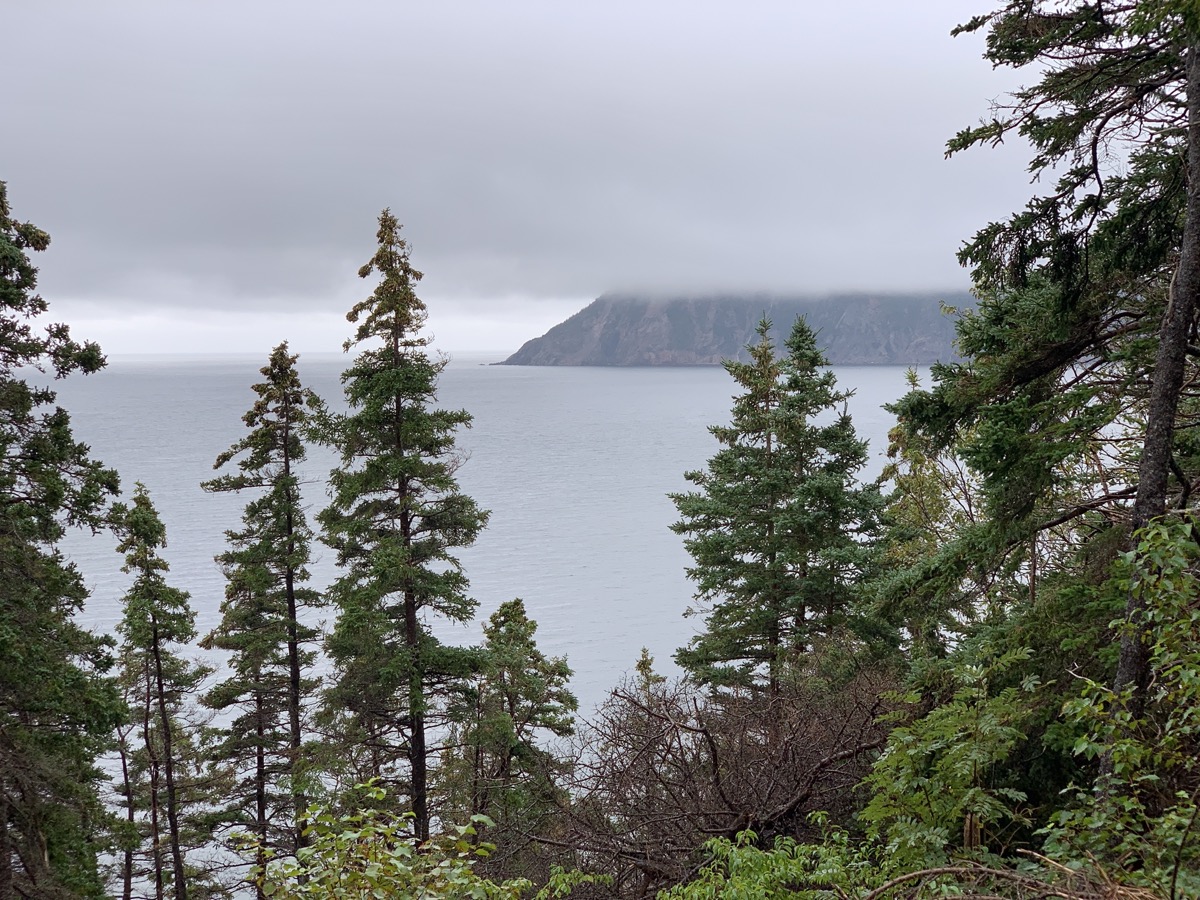
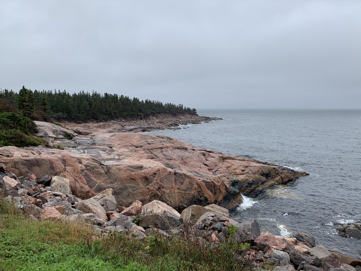
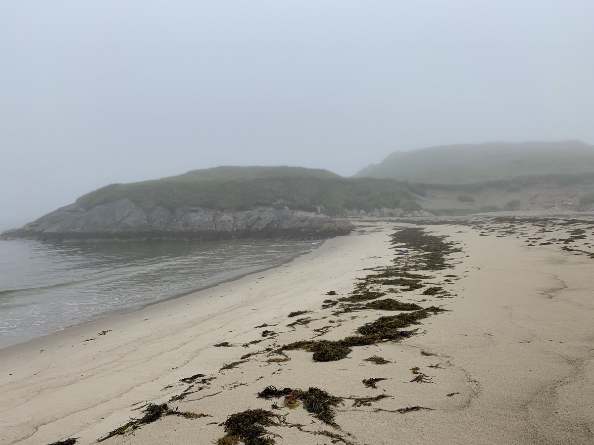
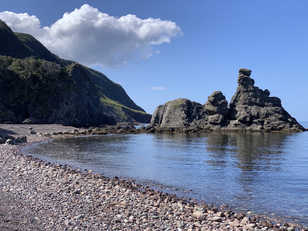
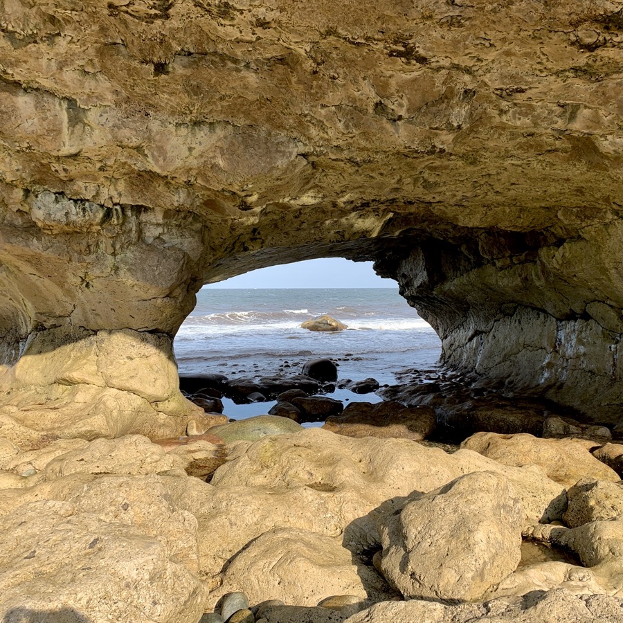
MacKinnons Cove
Neils Harbour Point Lighthouse
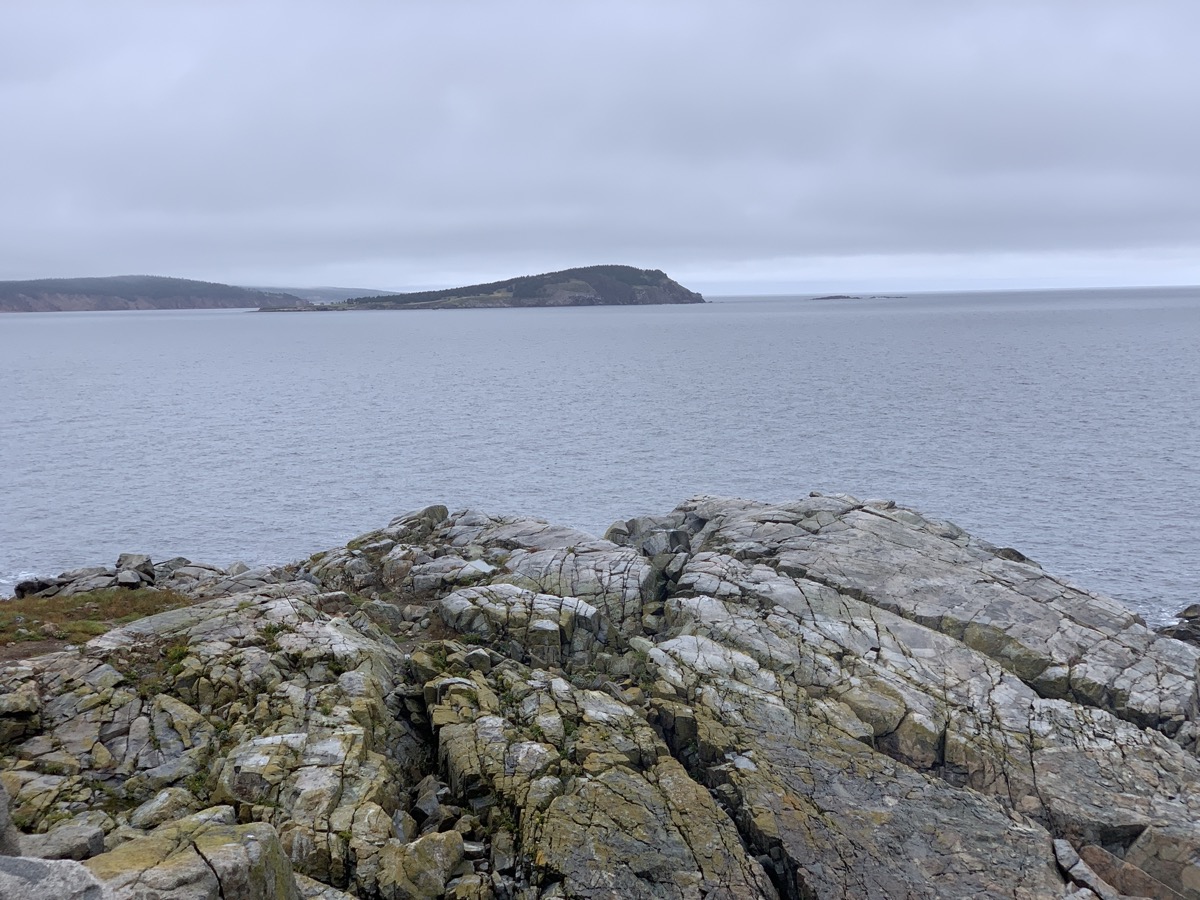
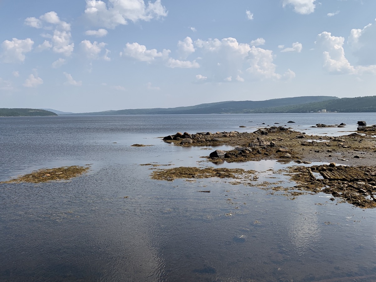
South Harbour
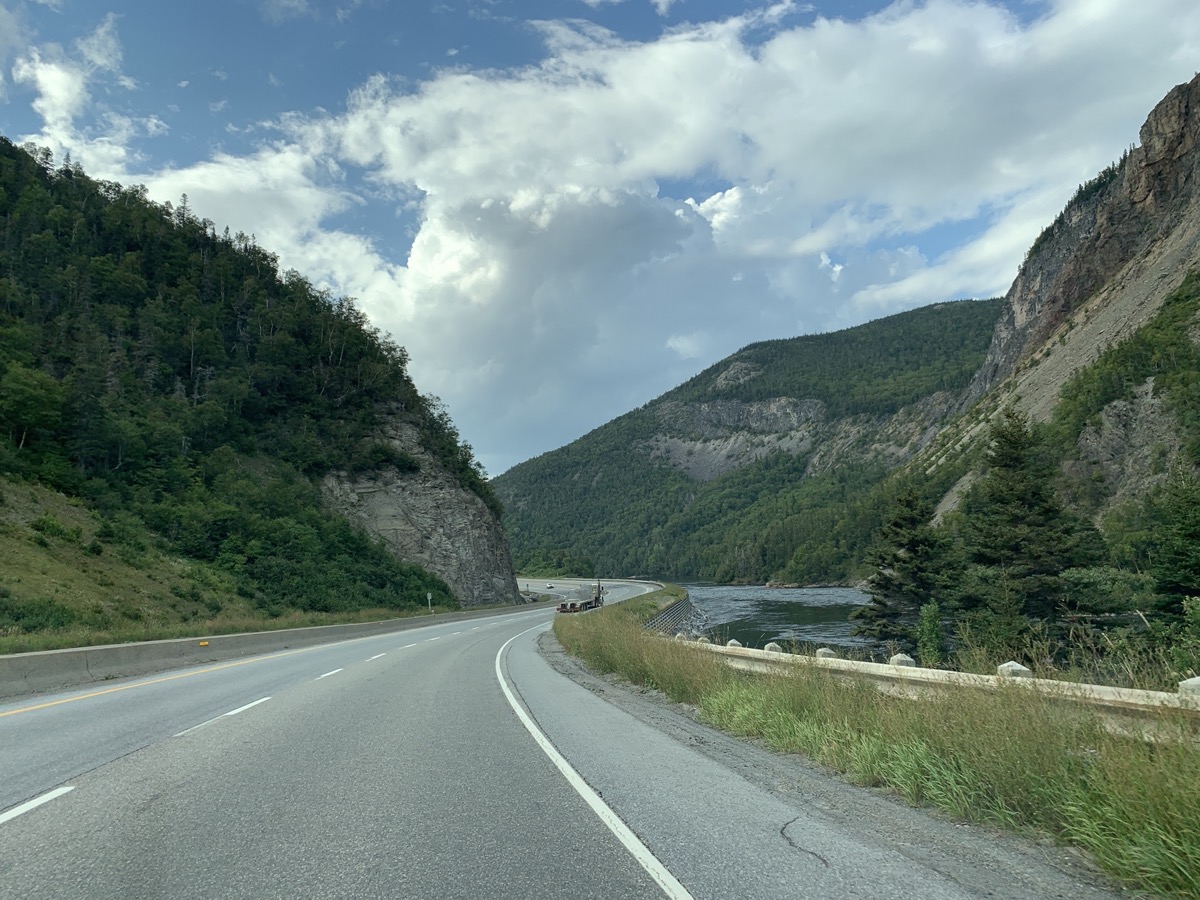
Cabot Trail in McGregor Brook
Day 25
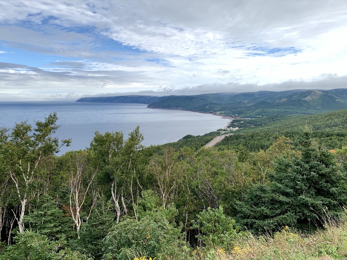
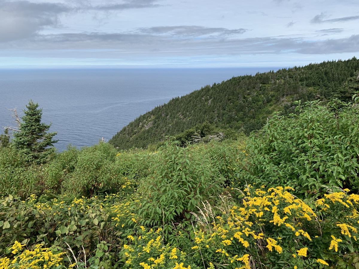
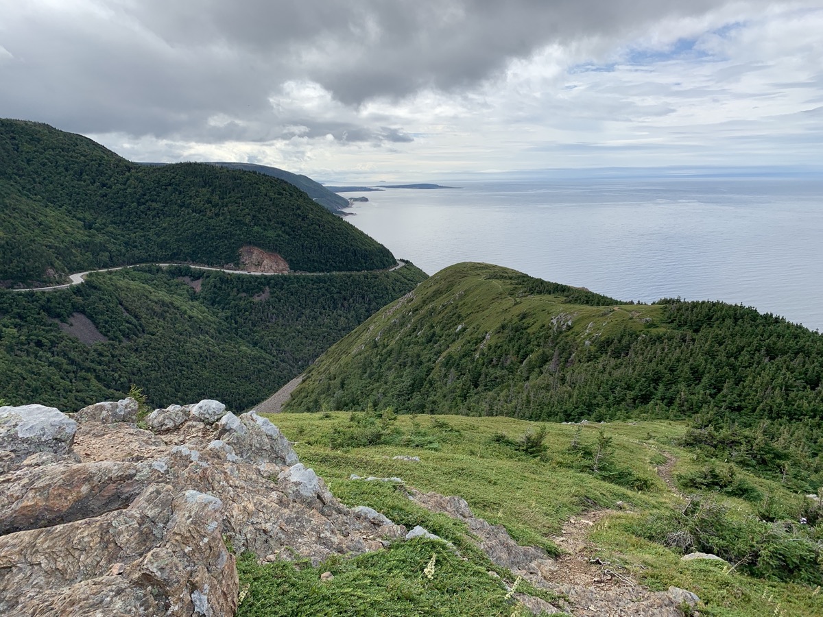
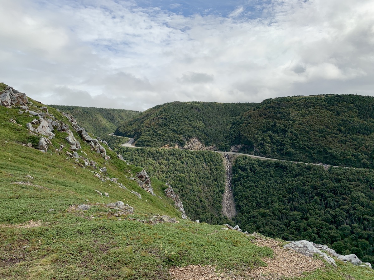
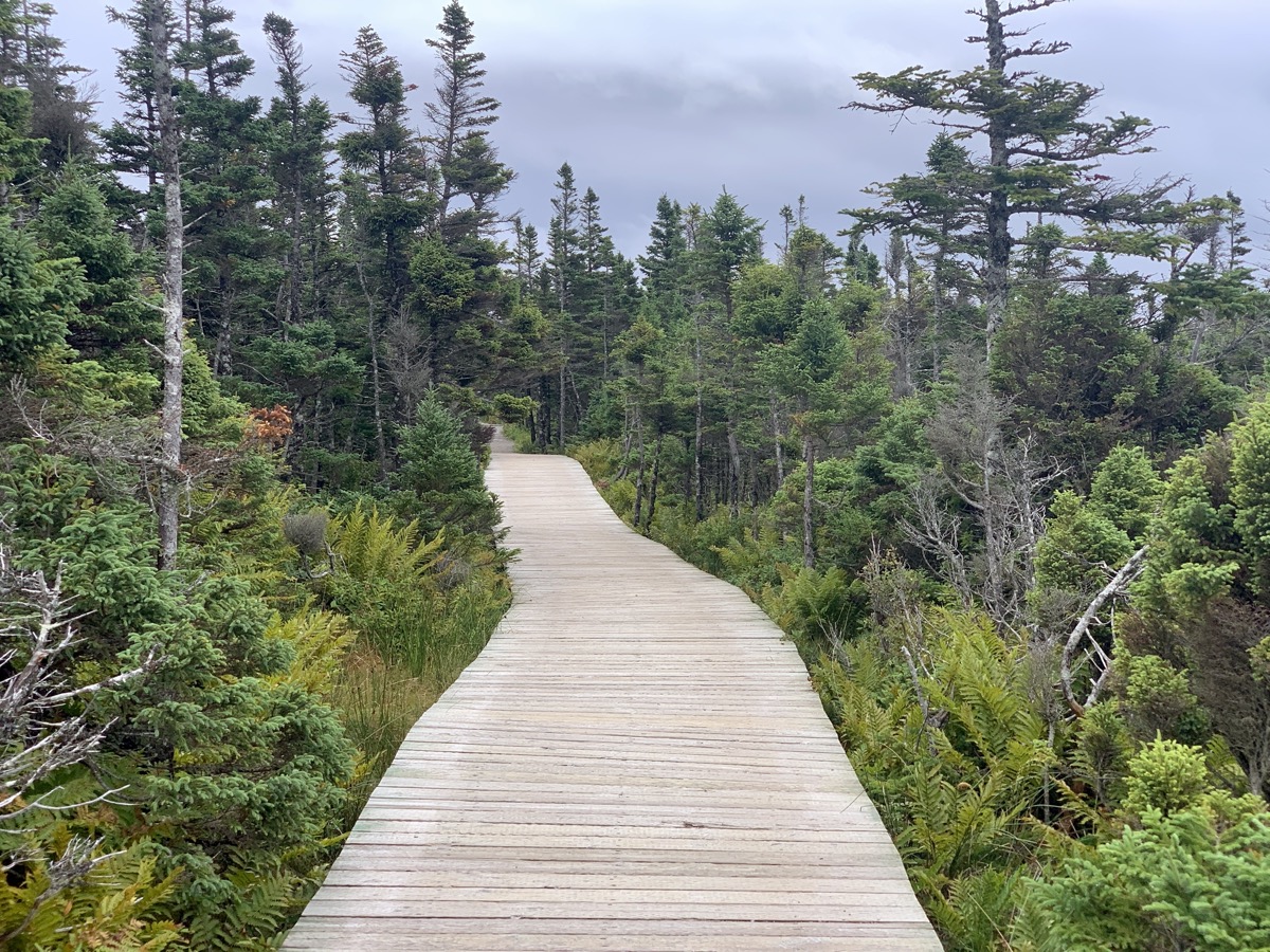
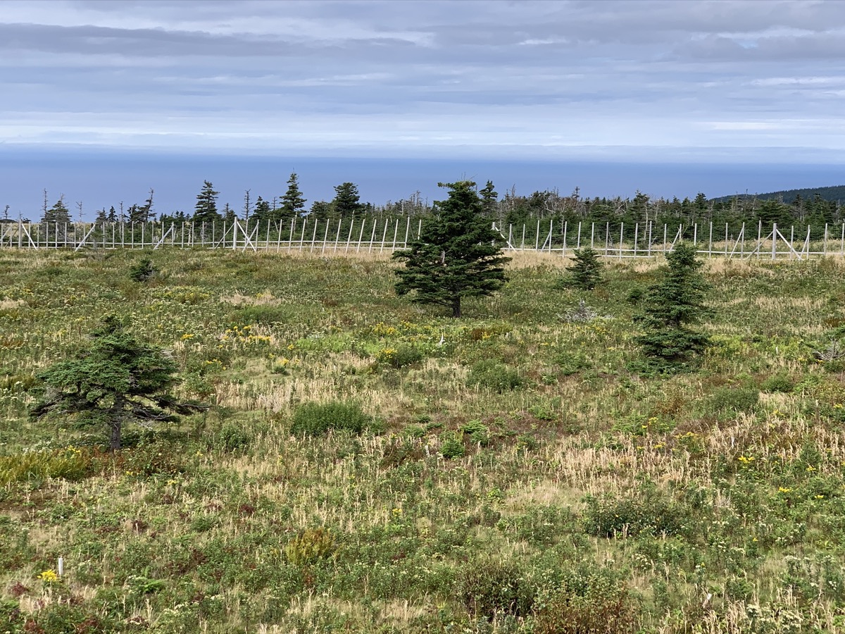
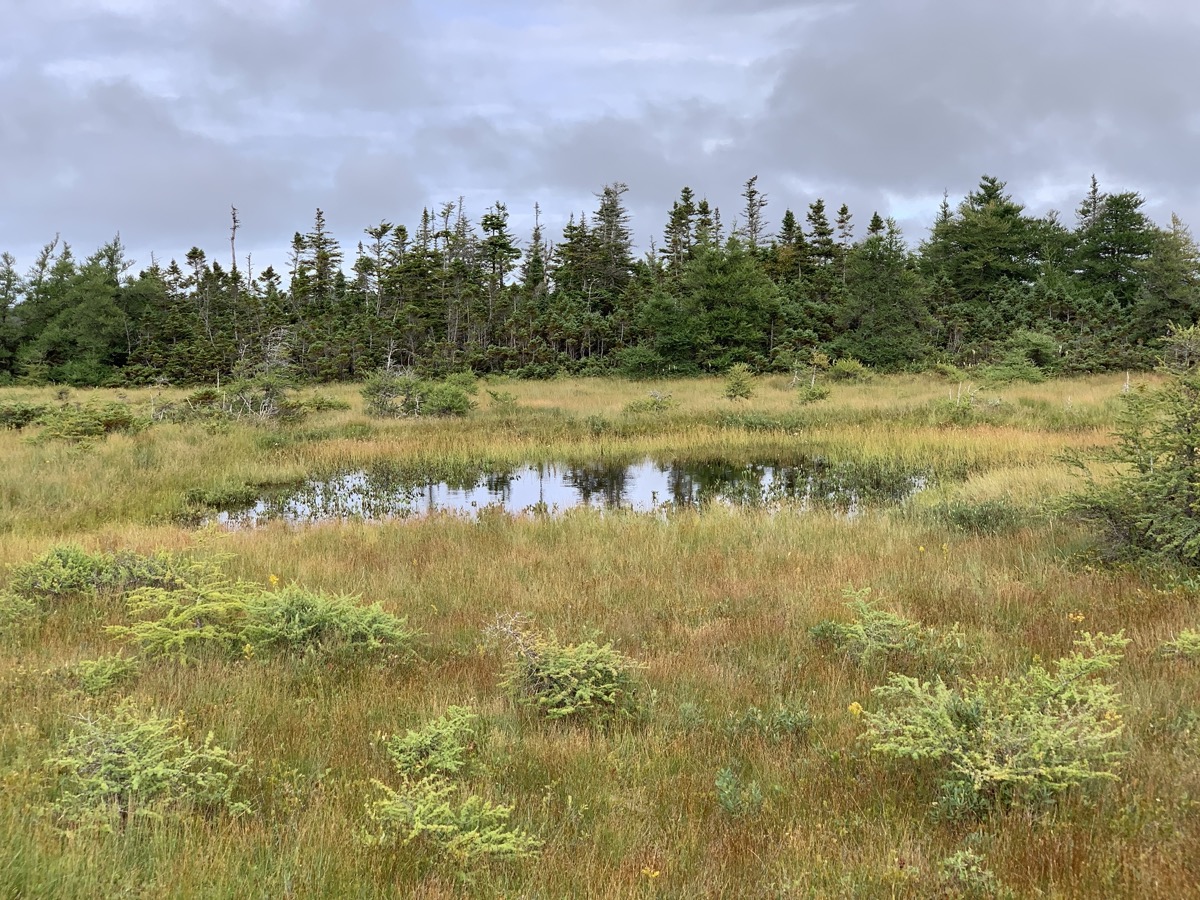
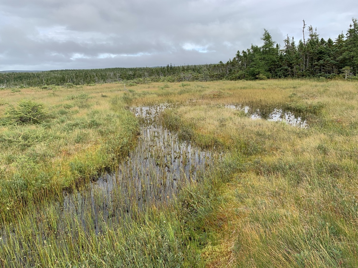
Sunny day with passing clouds. Confirmed at Whale Interpretative Center in Pleasant Bay that what we saw the day before were really pilot whales. Checked-out models of different whales at the beach. We spent the rest of the day on Skyline Trail, Bog Trail and Le Buttereau Trail. Skyline is very popular with many visitors, but offers great vistas, examples of local habitats and moose influence.
Talked with ranger about bog habitat and how plants (e.g. normally larger tamarack) respond to harsh environment, growing smaller and looking (?) half-dead. Hot/cold, windy, wet, acidic bog environment dominated by sphagnum mosses.
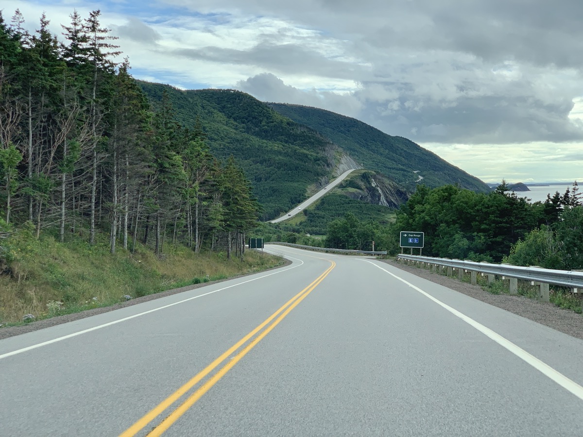
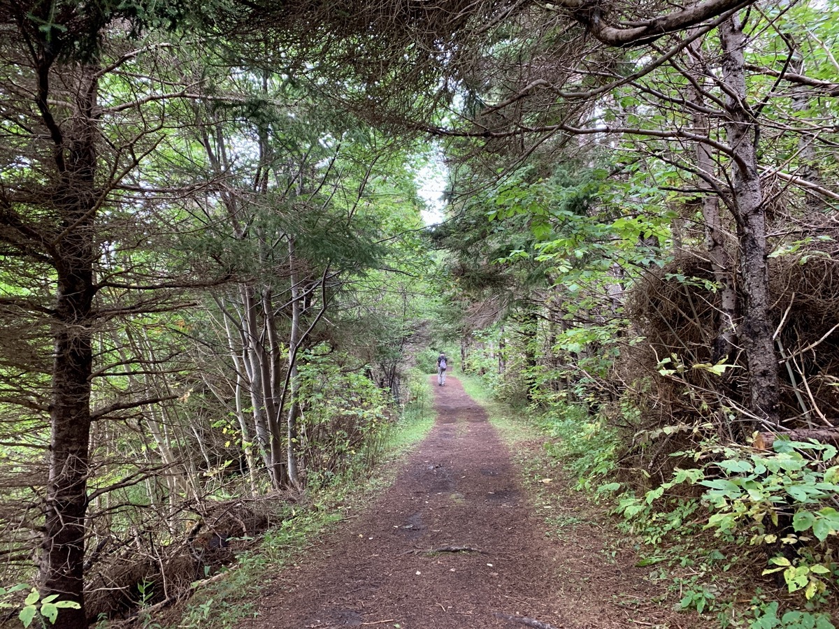
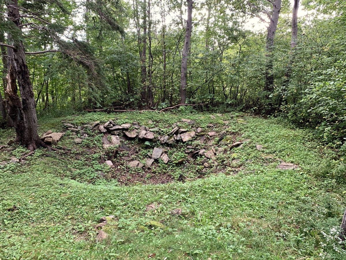
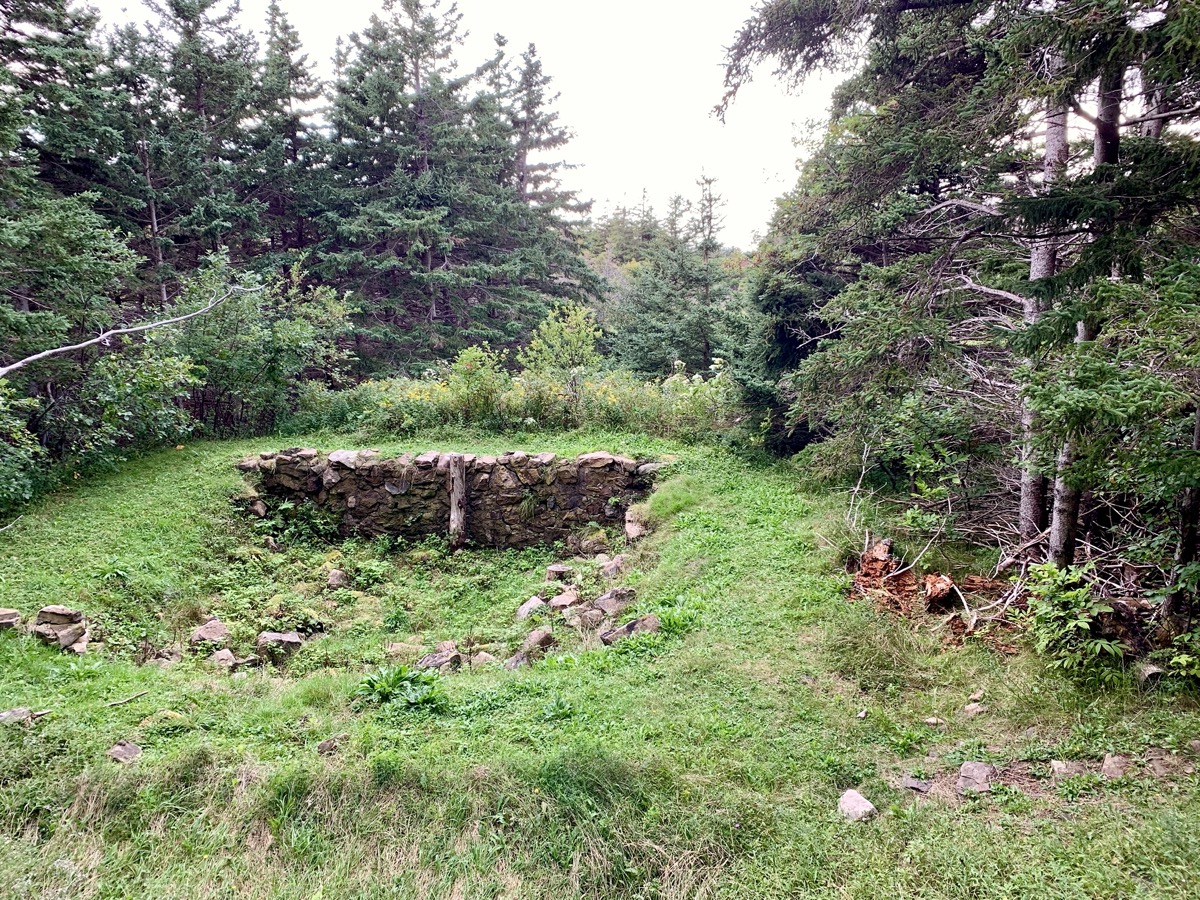
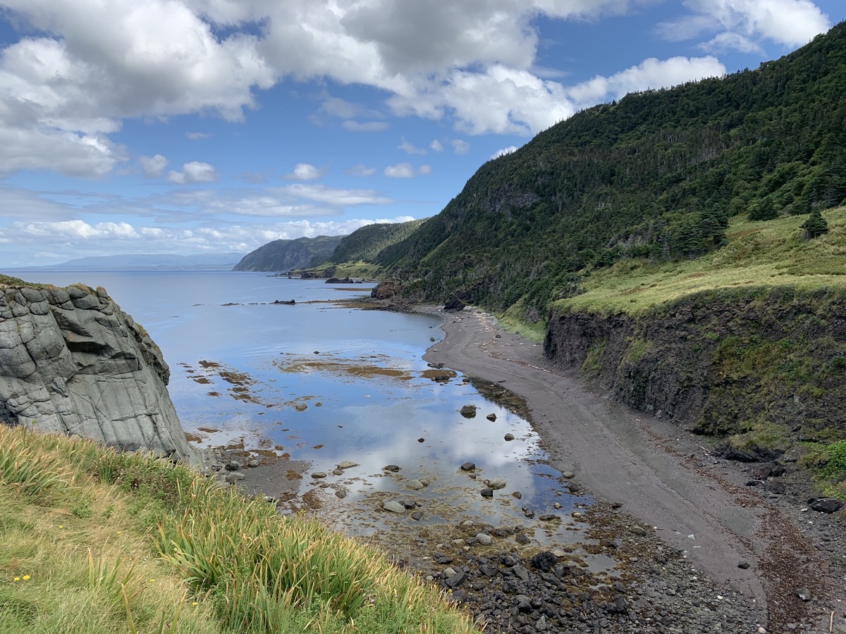
Cabot Trail (road) is very scenic winding south-west along Gulf of St Lawrence coast. At Buttereau we were learning about Acadians and their settlement. Did not meet a black bear seen walking on the trail, but once we saw tree full of aromatic, ripe apples we knew why it was there. Settled for the night at Cheticamp Campground (sites too close to one another with no trees, Cape Breton campgrounds are not like we are used to in National Parks).
Skyline Trail…
…Ocean…
…view on Cabot Trail…
…
…
…experimental exclosure in moose teritory
Bog Trail…
…
Cabot Trail
Buttereau Trail…
…remnants of Acadian settlement…
…
Day 26
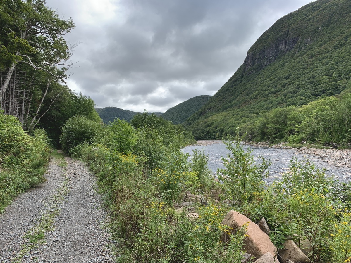
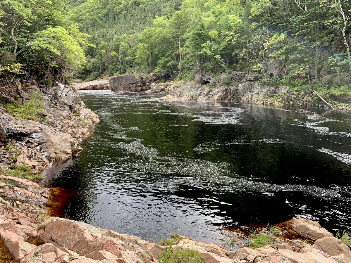
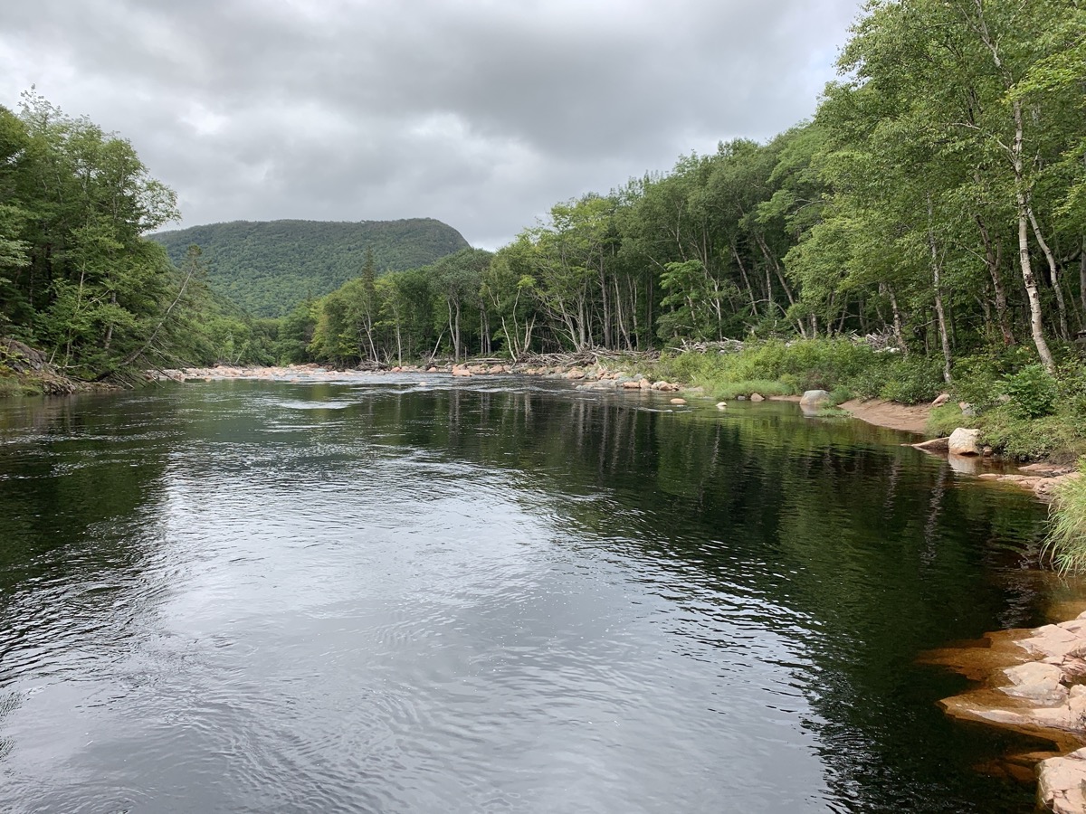
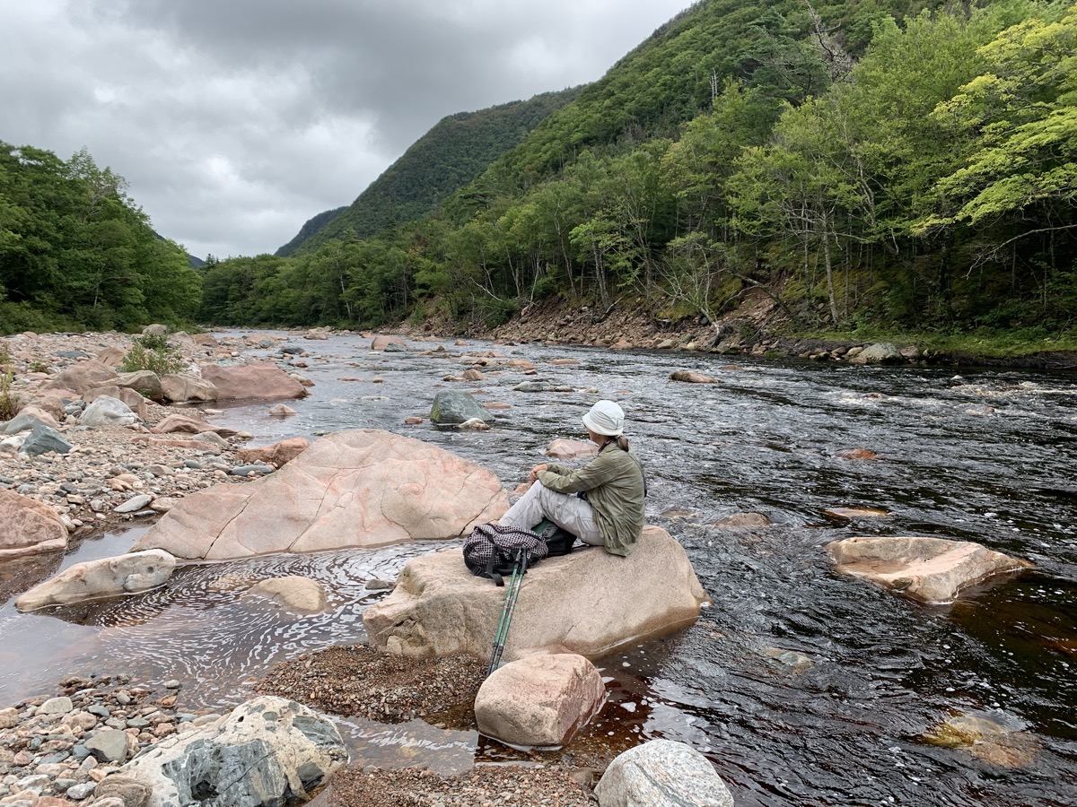
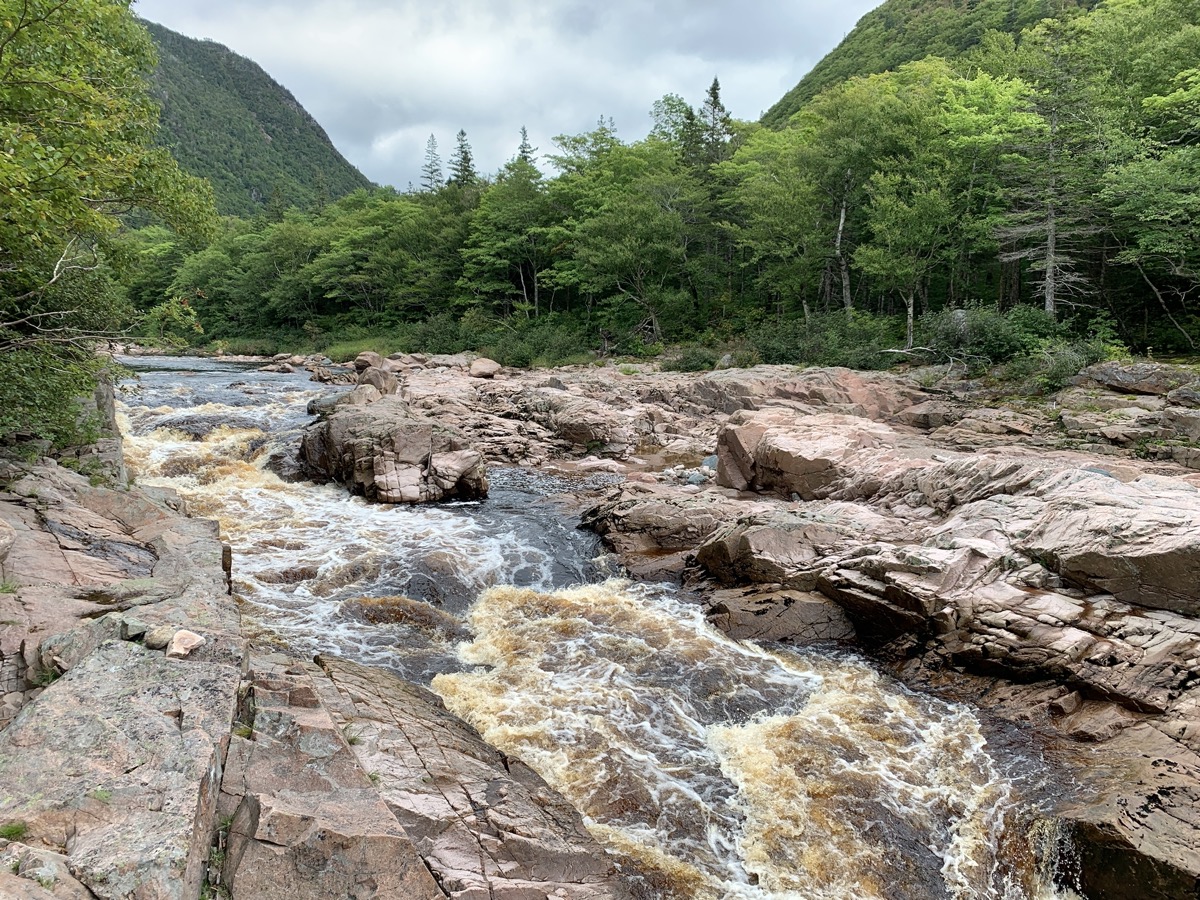
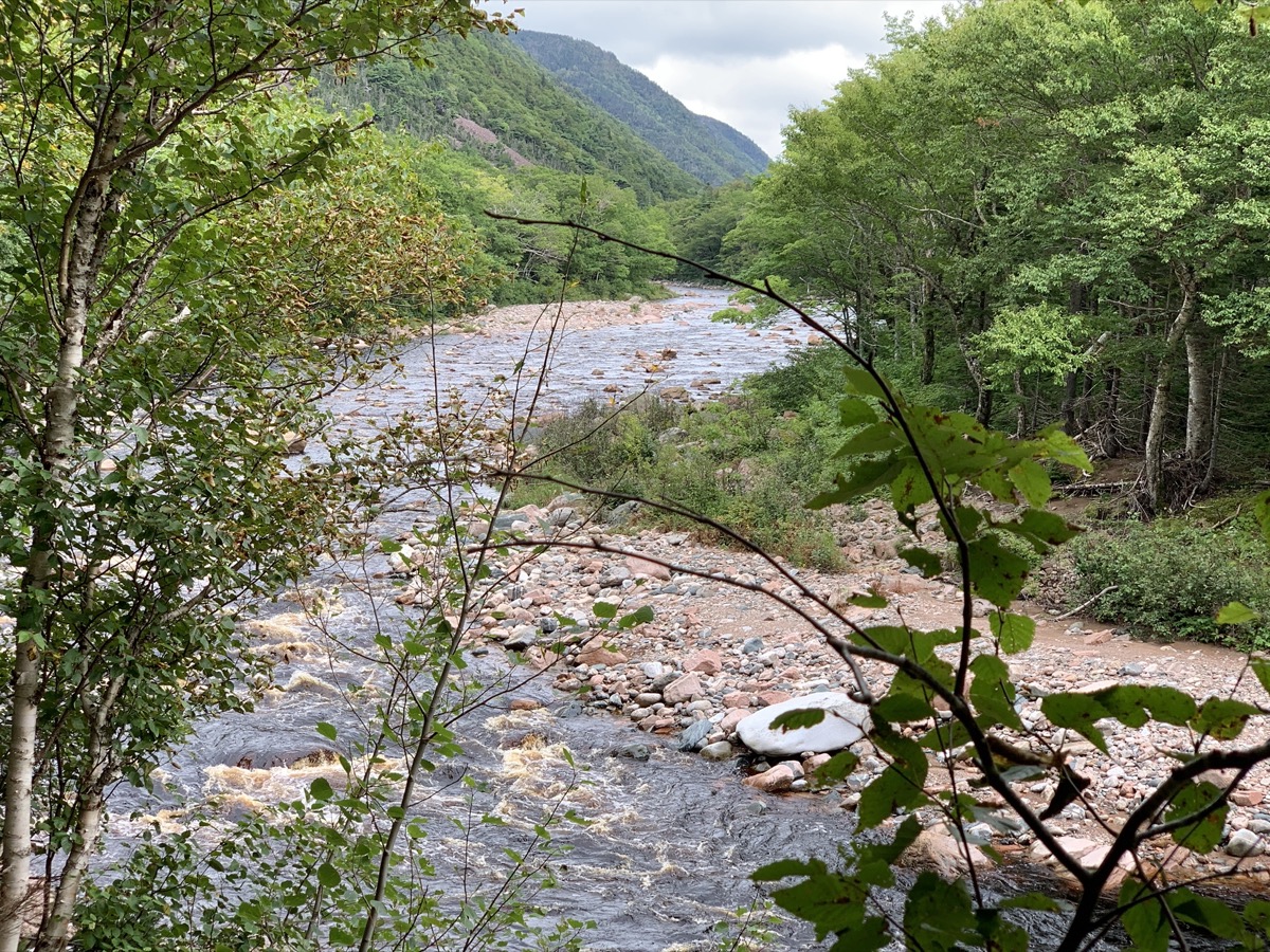
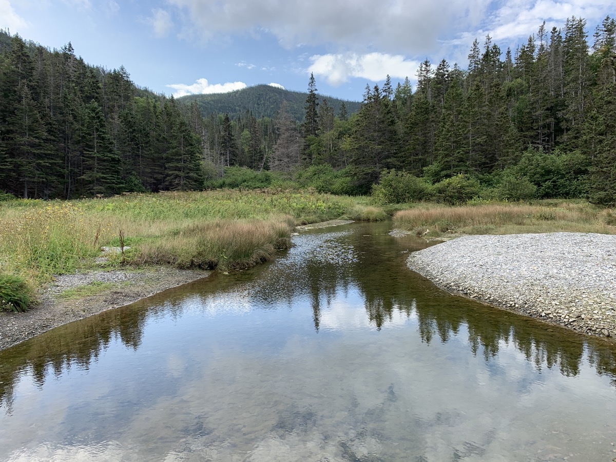
We liked morning hike on Salmon (fishing) Pools Road Trail, 10 km (return) along Cheticamp River, just from the end of Cheticamp campground. Few people, very quiet. Probably busy during fishing season. The river is coloured orange/brown by tanins, quite vivid when iluminated by sun and looked at an angle, then black-dark where water is deep (pools). Contrasting with surrounding greenery. Download Piotr’s GPX file
Salmon Pools Road Trail
Cheticamp River…
…and pools…
…
…rapids…
…nice valley
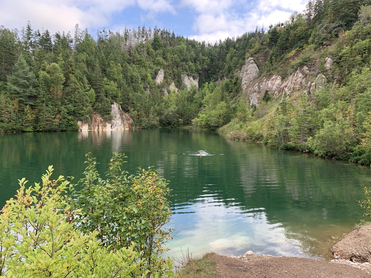
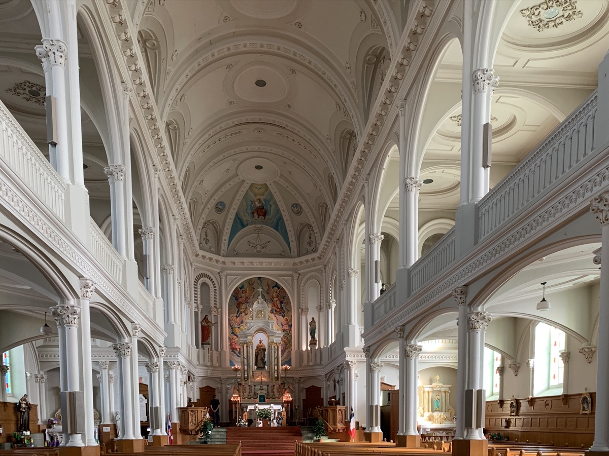
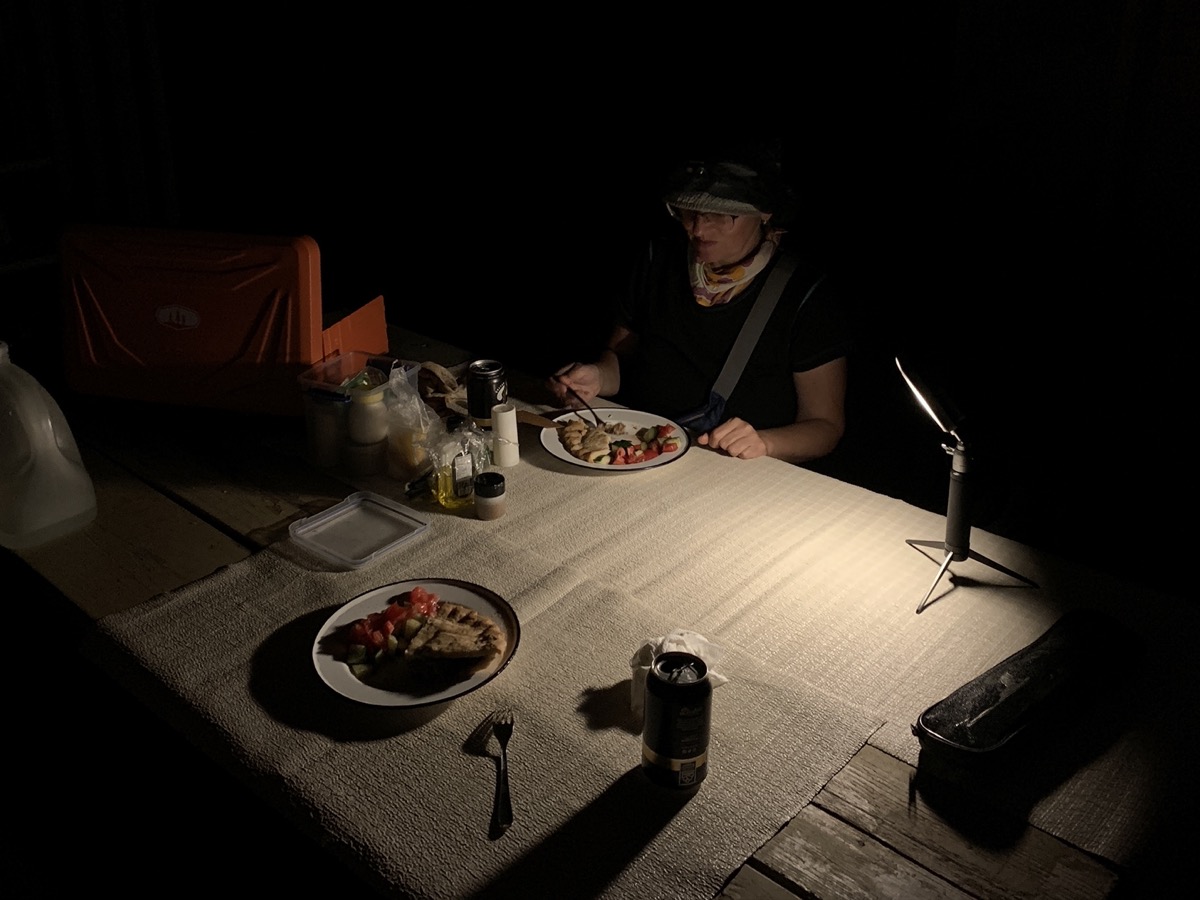
We then stopped for a short walk on Gypsum Mine Trail (near Cheticamp) and quick swim (Joanna) in the pool. Inspected small chips of gypsum minerals (selenite and perhaps alabaster) scattered around. Joanna visited Saint Peter’s Church. We arrived late at Whycocomagh Provincial Park. Acadian meat pie from local bakery for dinner after dark.
Gypsum mine pool
Saint Peter’s Church
Whycocomagh campground
Day 27
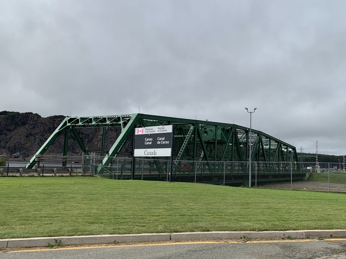
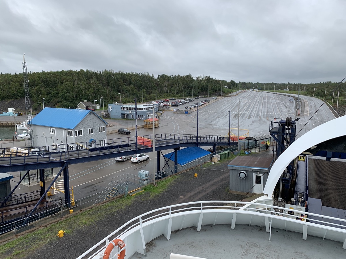
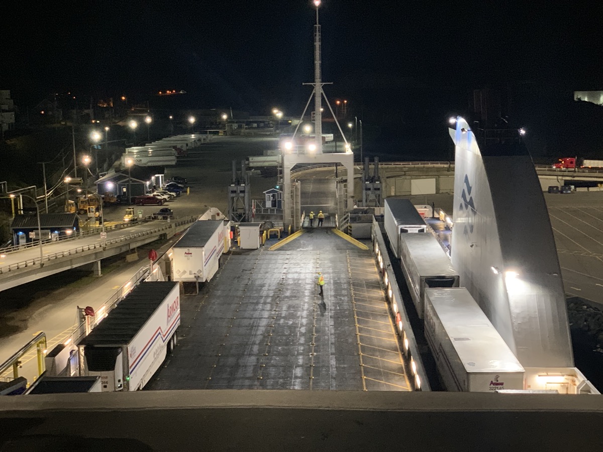
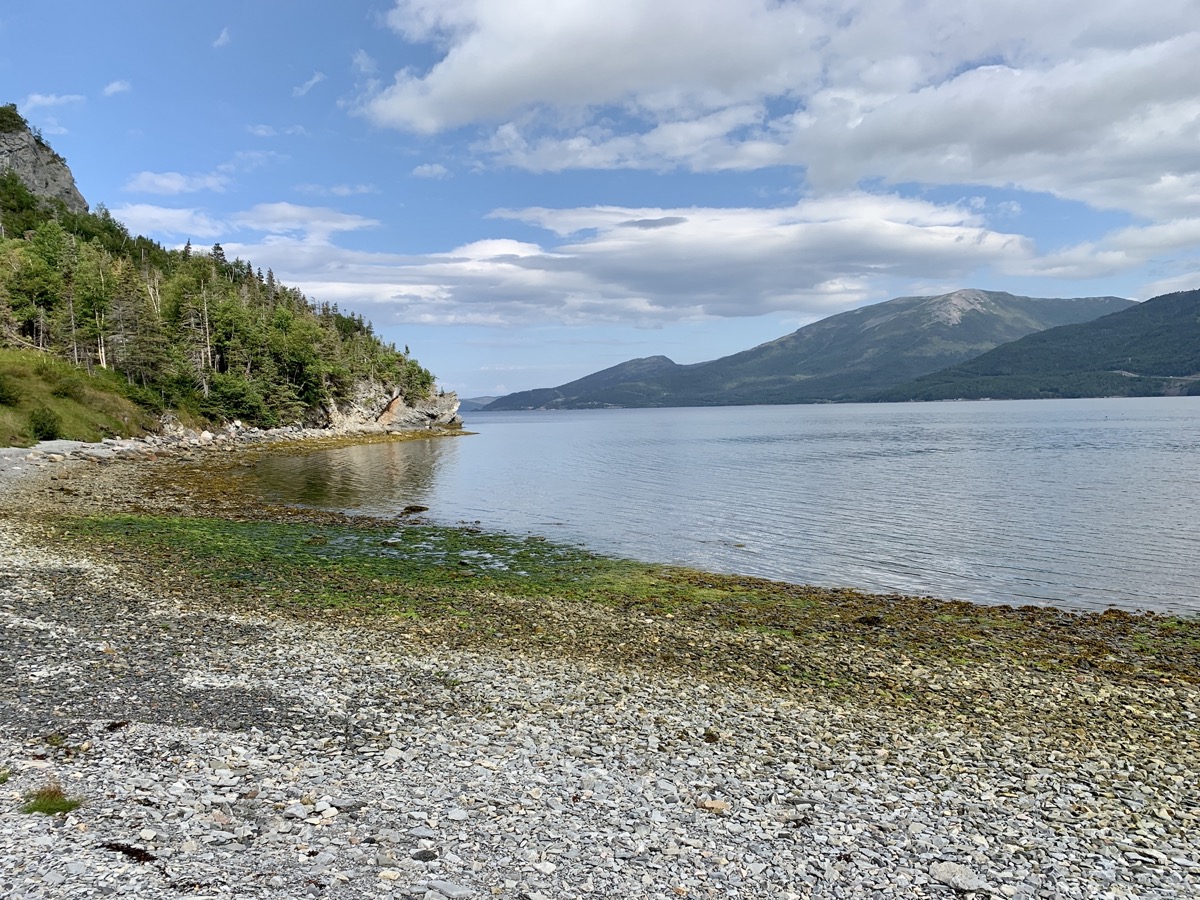
First half of the day passed uneventfully, just driving and looking around, stopping to see Canso Causeway and Bridge connecting Cape Breton Island to Nova Scotia peninsula. Monotony settled-in after 4 weeks of travel. We were following weather forecasts and path of hurricane Lee as it was moving in the same direction as us: Prince Edward Island. It was expected to loose most of its energy and rain. We decided to ignore anxiety and continue as planned. By midday we were in Caribou boarding ferry to Prince Edward Island.
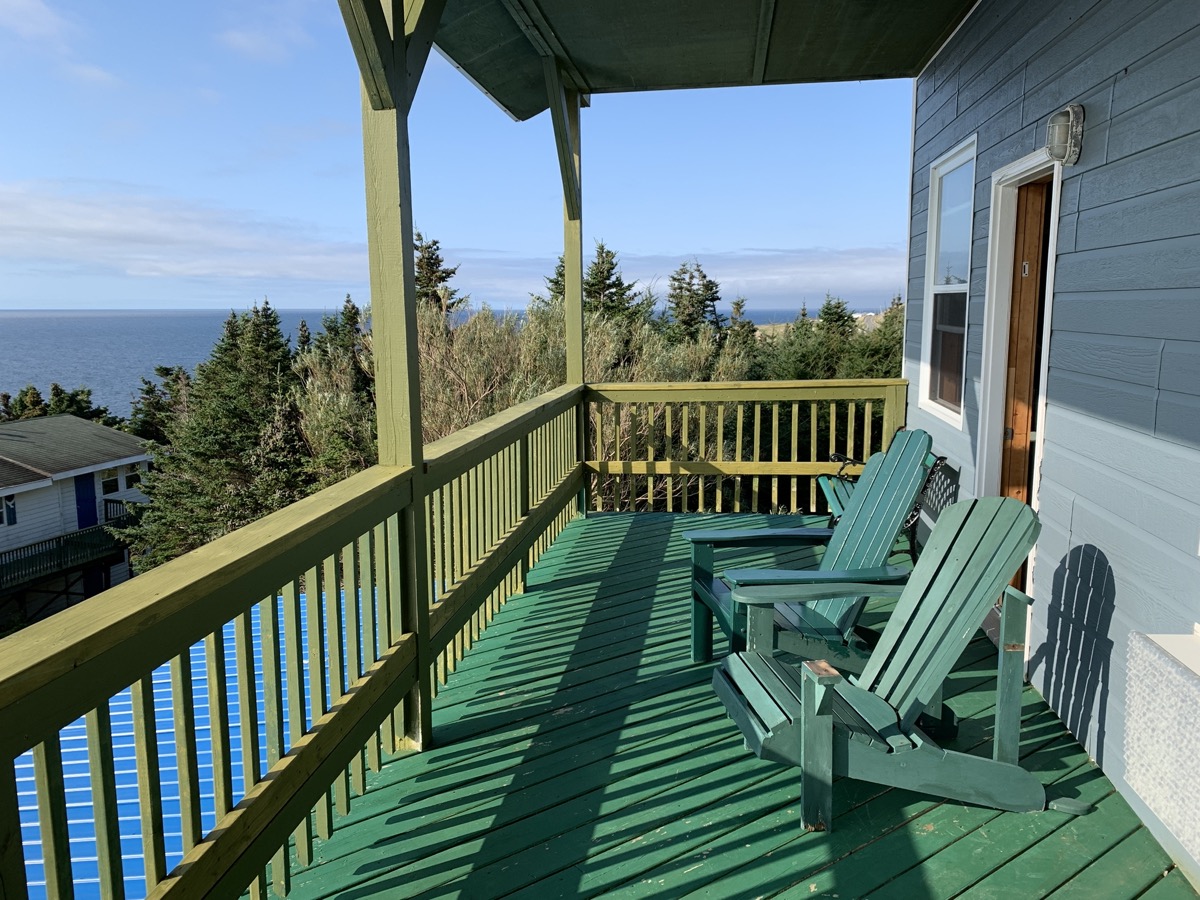
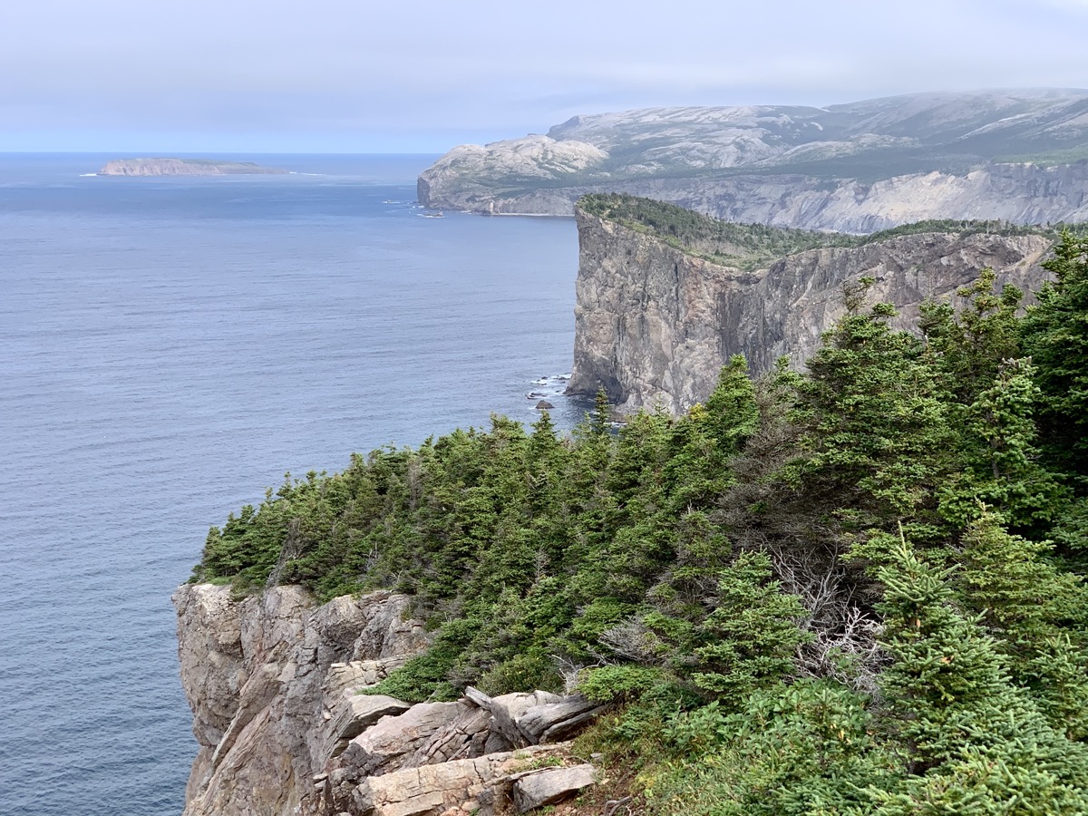
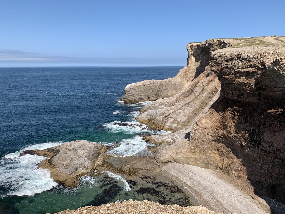
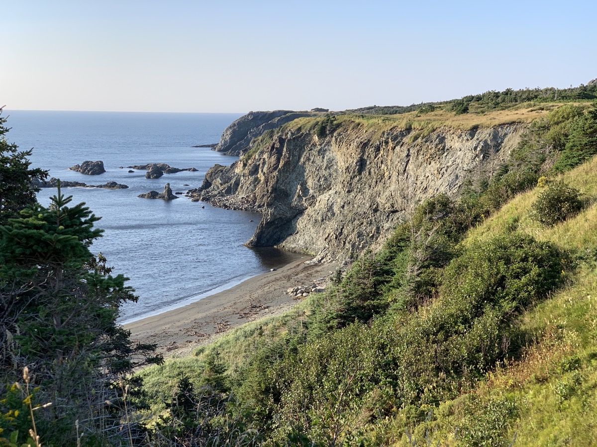
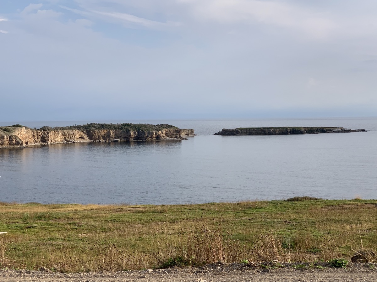
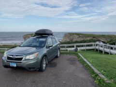
The day started with great and sunny view from our room, good breakfast and talk with our host about whale watching. And we are on 7 km high cliff (Boutte du Cap) walk with beautiful views. Watching a few diving gannets, but no whales. Download Piotr’s GPX file
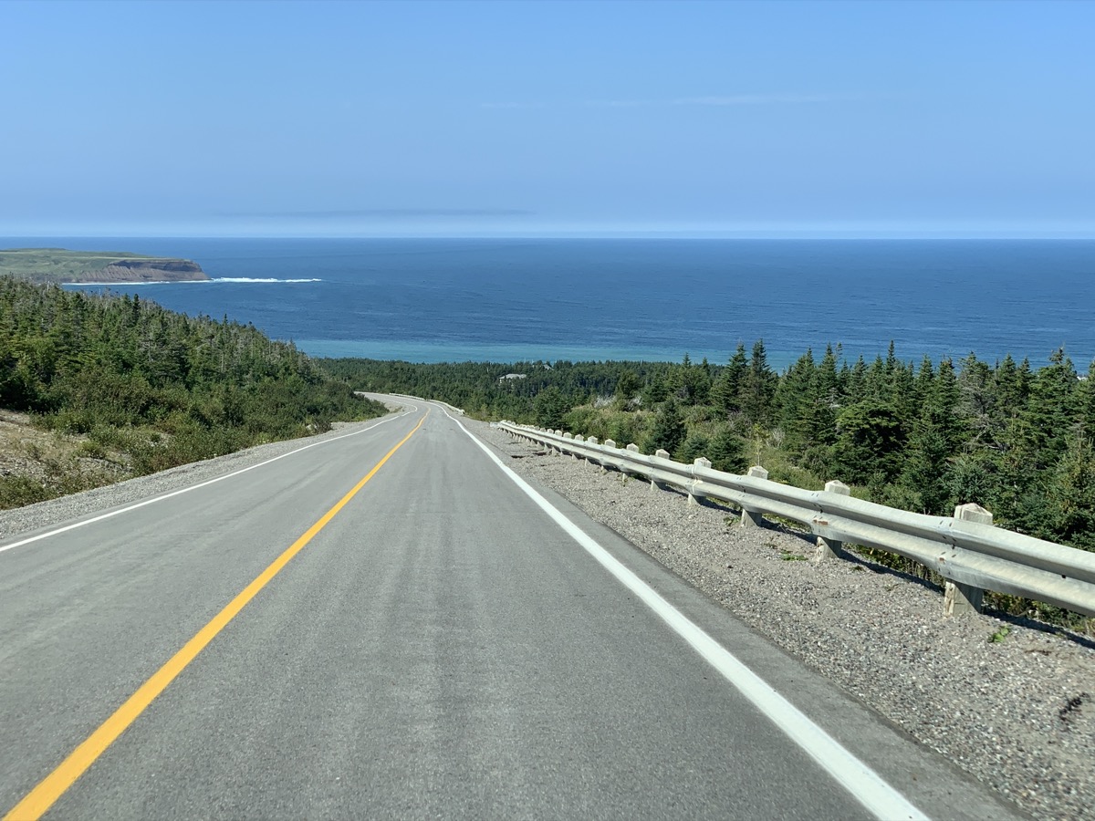
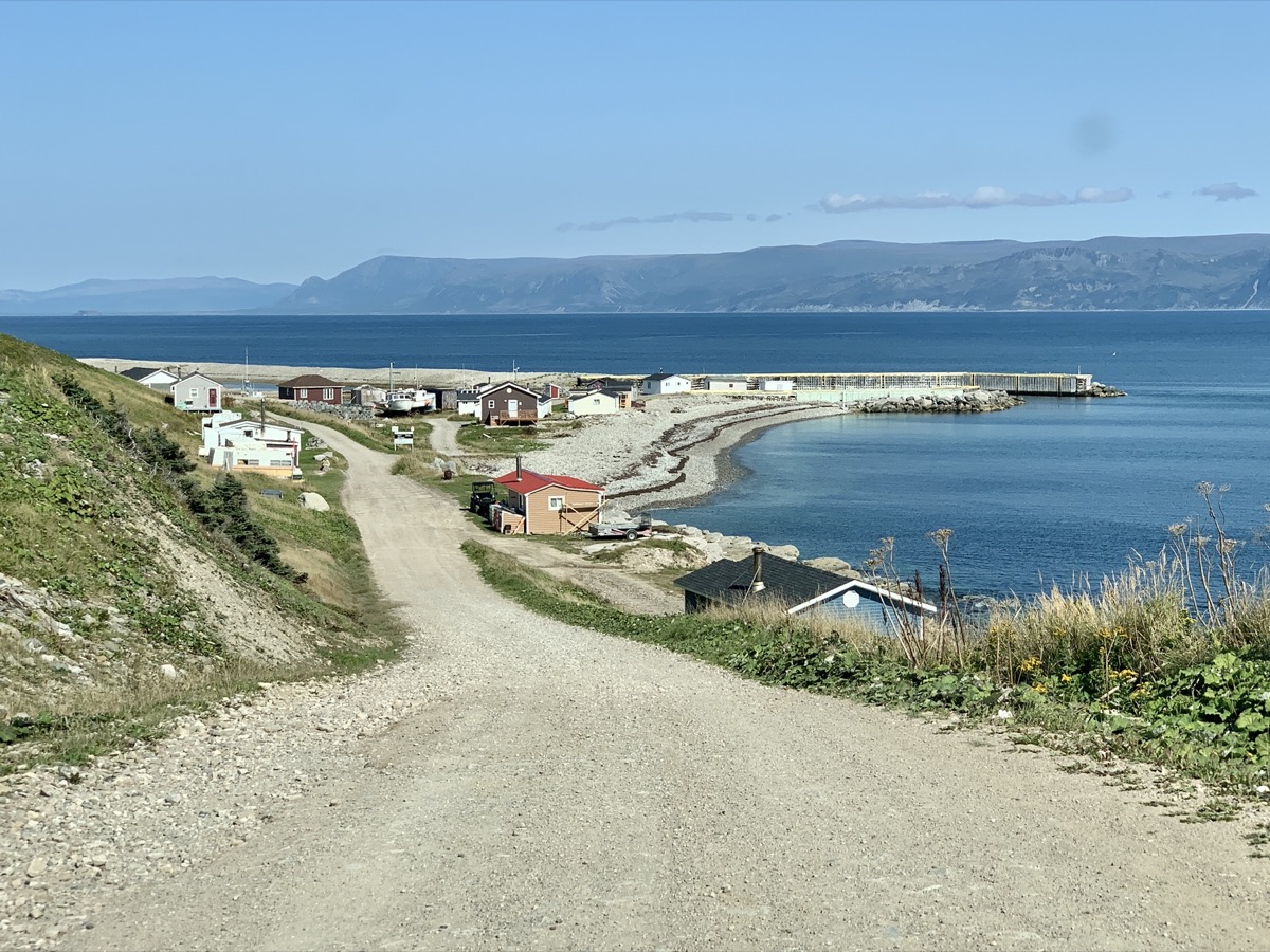
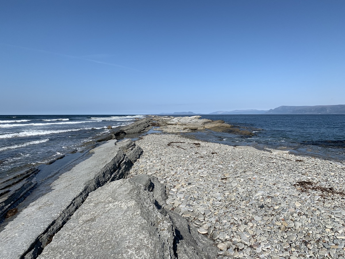
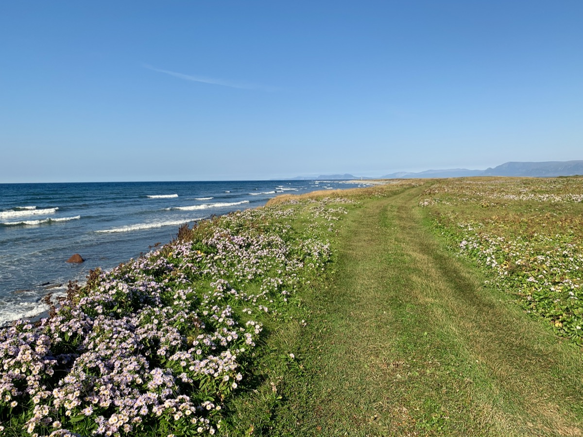
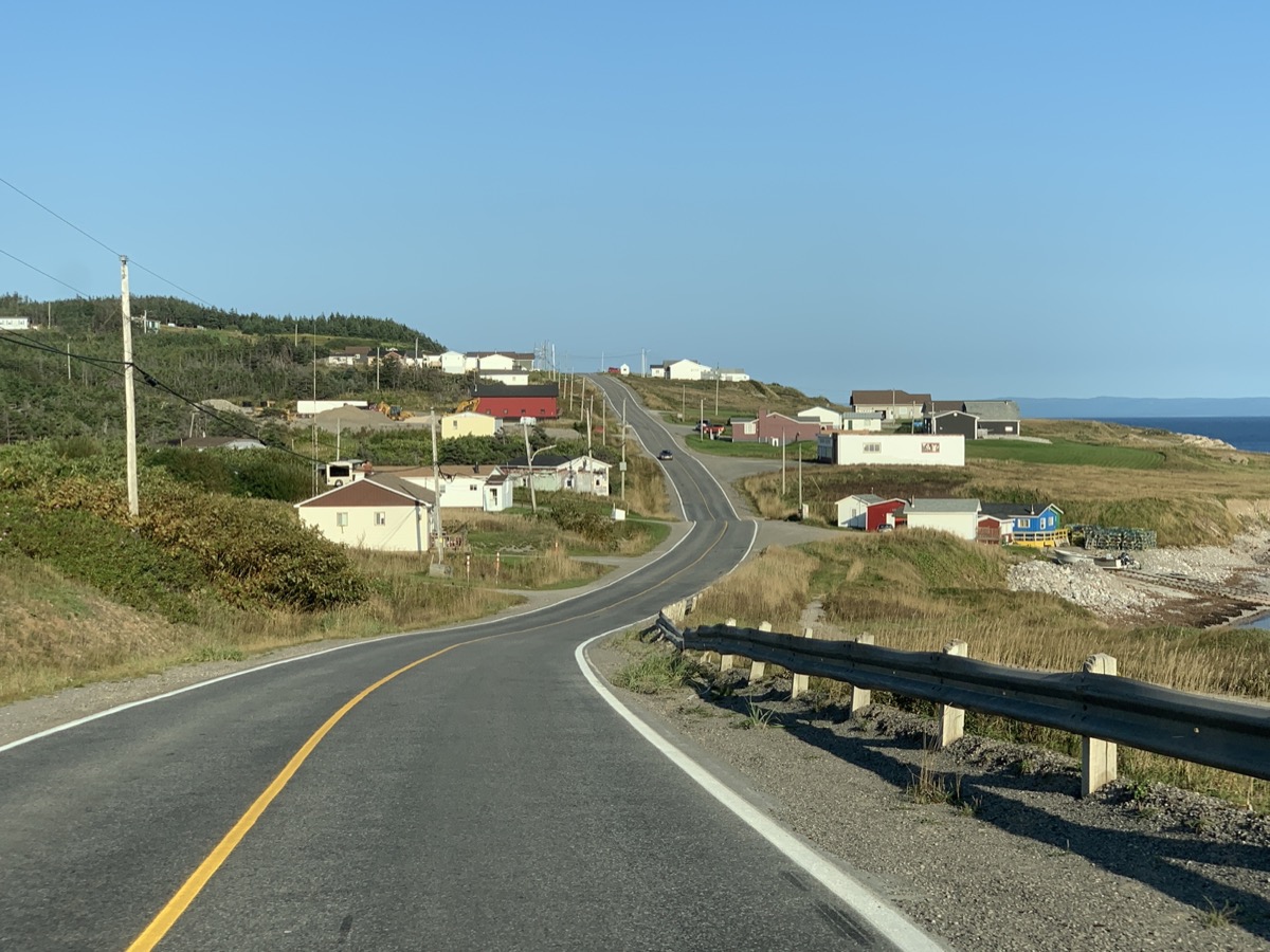
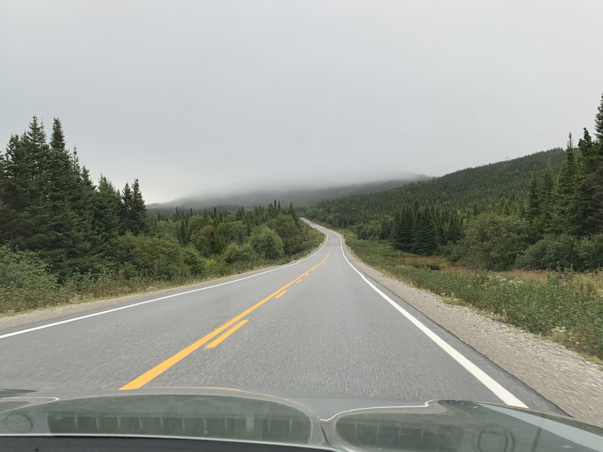
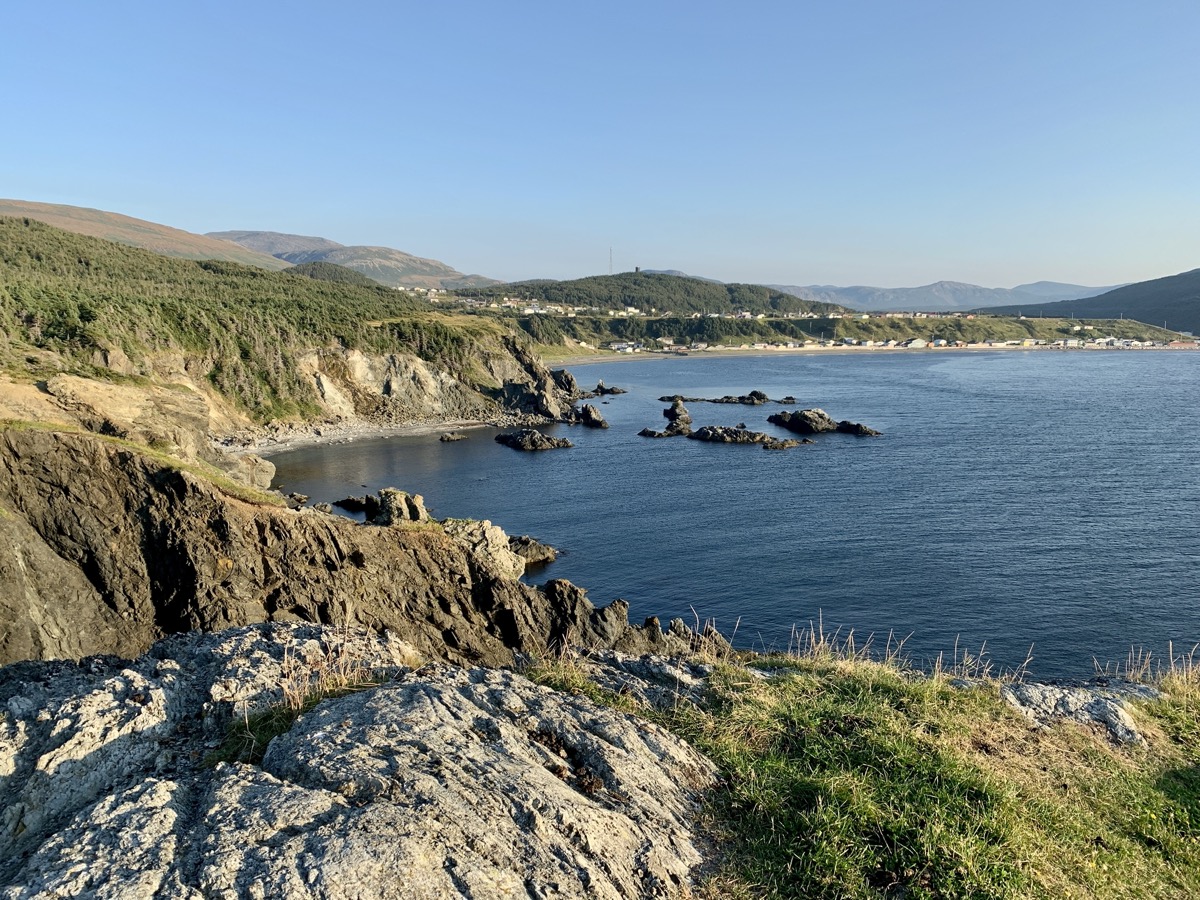
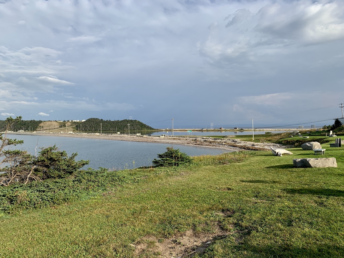
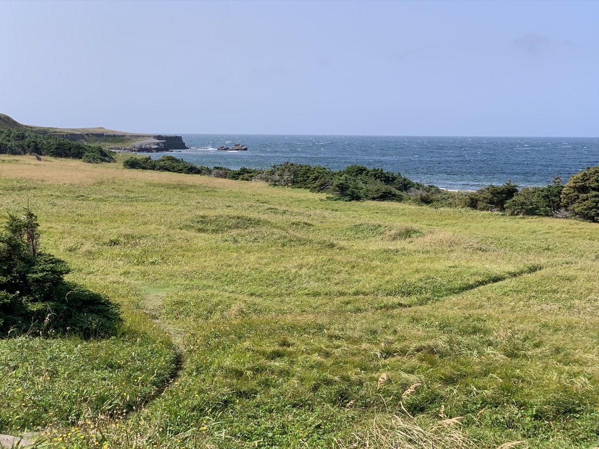
We spent all afternoon driving along the north side of Cape St George (Rte 463 then 460 and 490). Stopped for lunch at Tea By The Sea restaurant. Next stop: Long Point. Parked our car in Blue Beach at the end of the World of easily drivable gravel road. Joanna walked all the way to the very tip of narrow rock bar with sea on both sides, and we scrolled back to our car through grassy peninsula coloured with Alpine Asters. We did not see a person on our walk. Picked-up groceries in Stephenville, home to a former US Air Force base and international airport. We filled-up tank in Stephenville Crossing and shortly after crossing Hwy 1 started looking for a side road to camp as we were driving on Rte 480 toward Burgeo. Stopped at small turn-around on gravel forest road away from “main” road, nice.
Inn at the Cape
On high cliff trail, Red Island in the distance
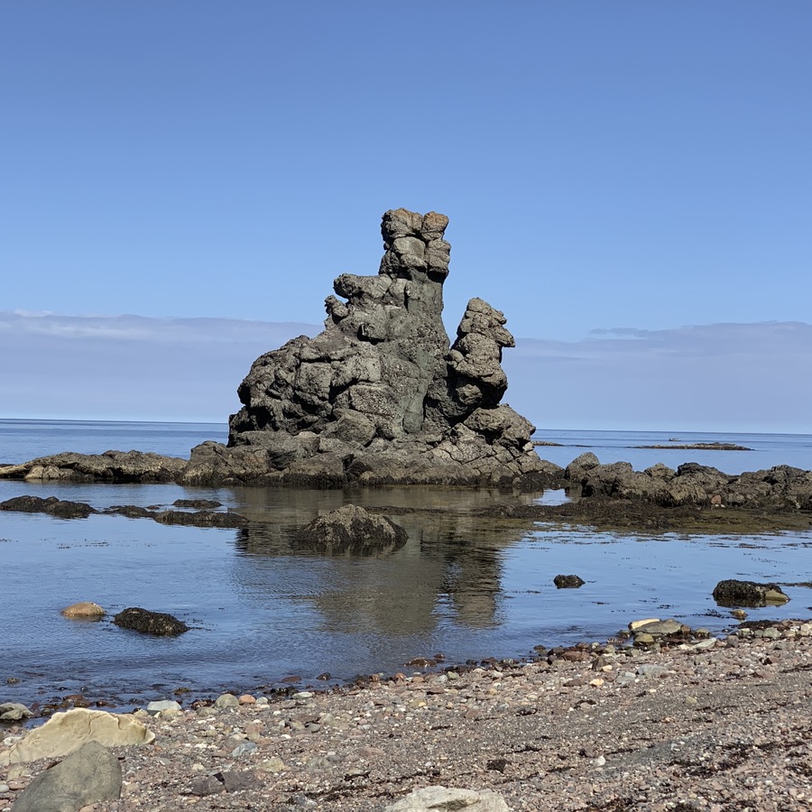
The Boot
Rte 463
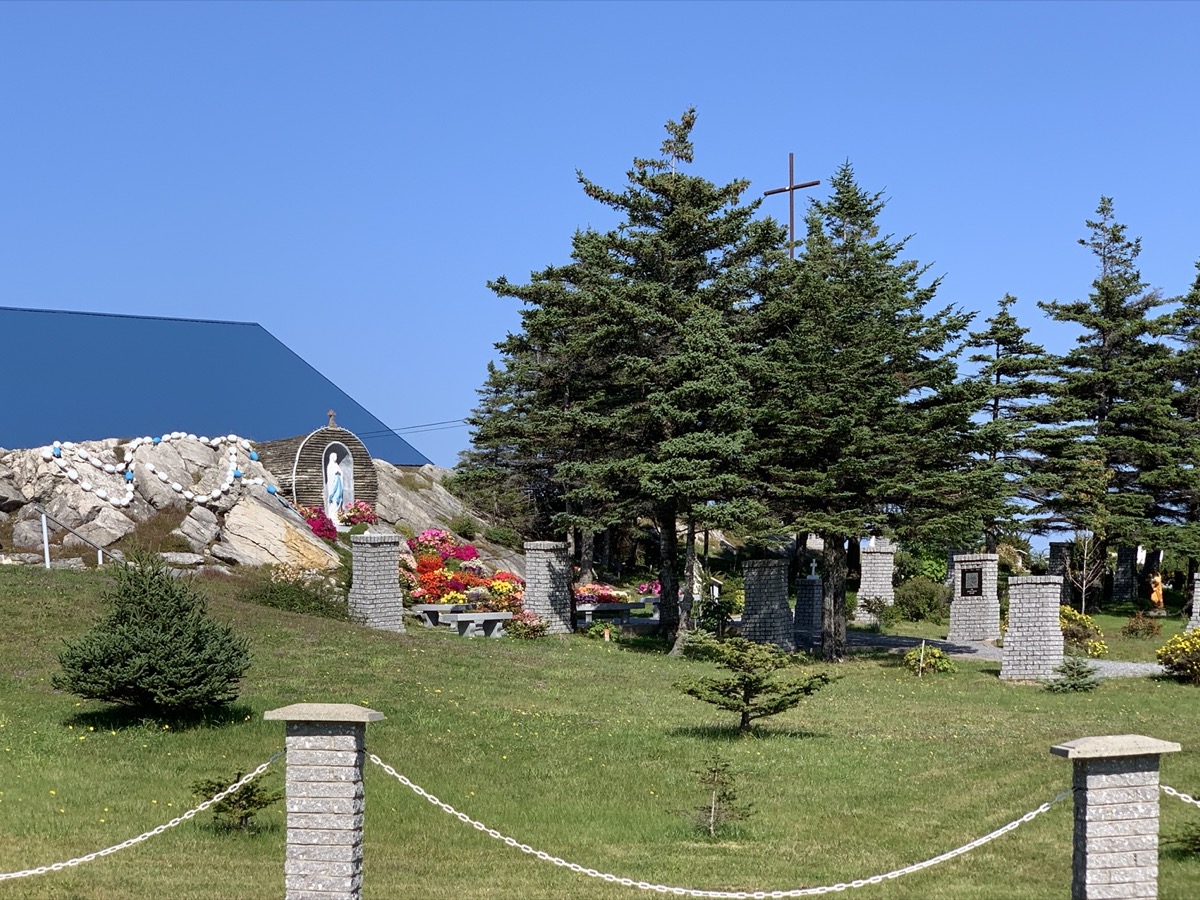
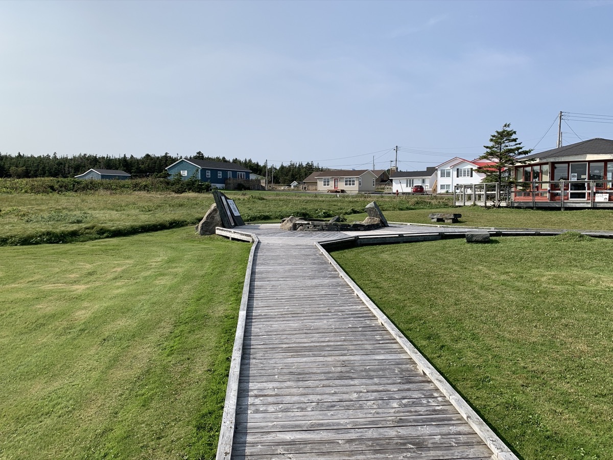
Lourdes Newfoundland
Blue Beach
Long Point
…
Rte 460
Day 22.
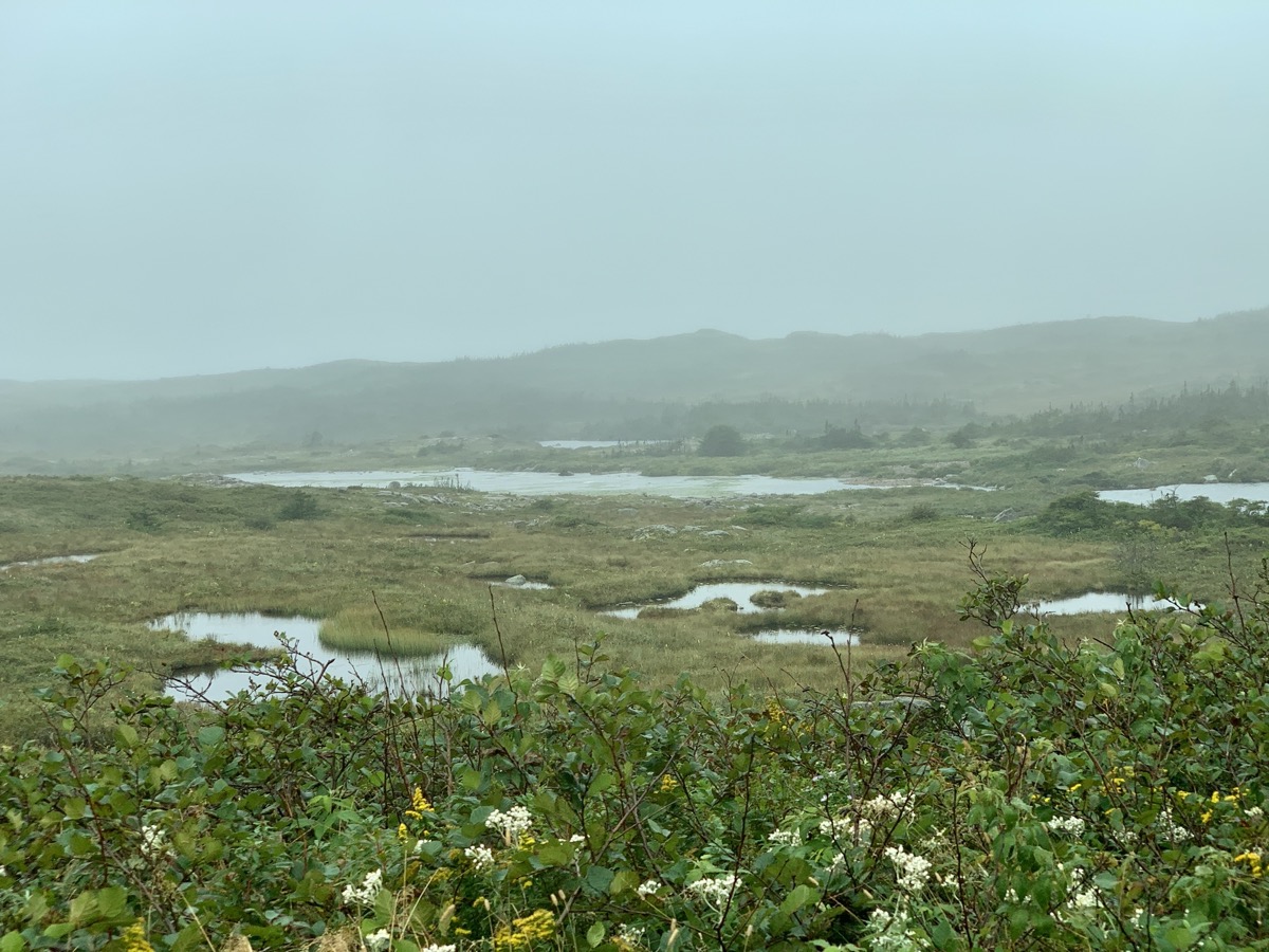
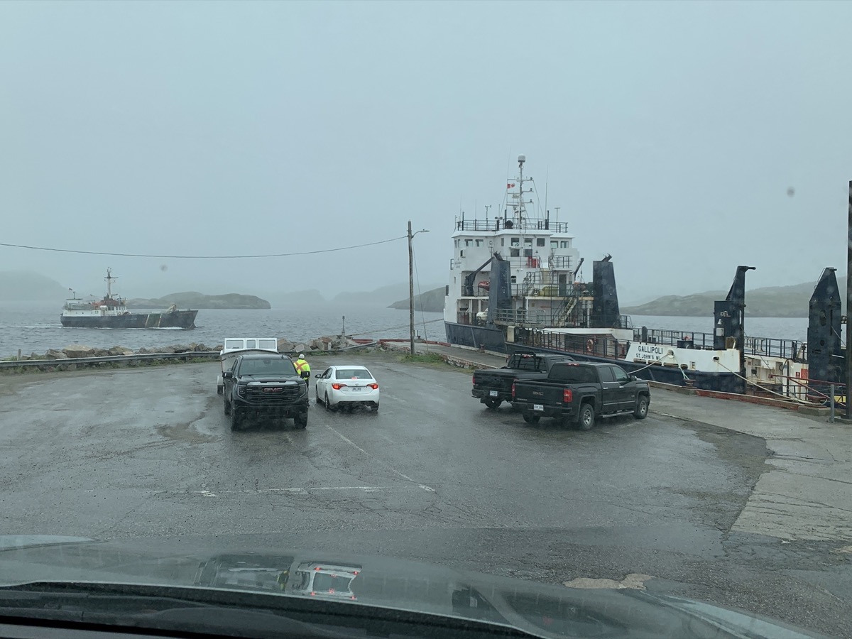
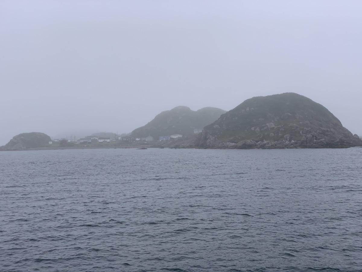
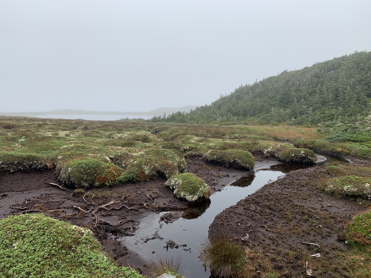
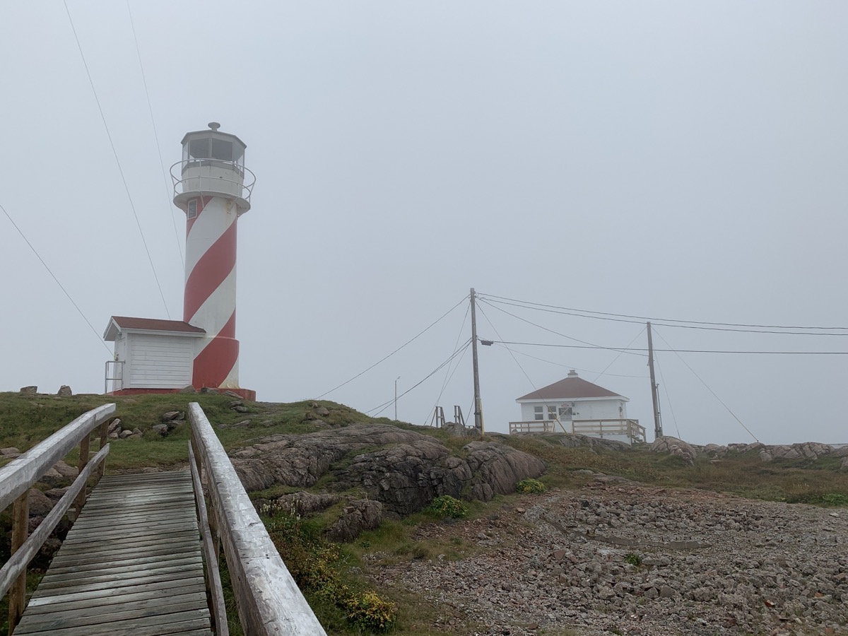
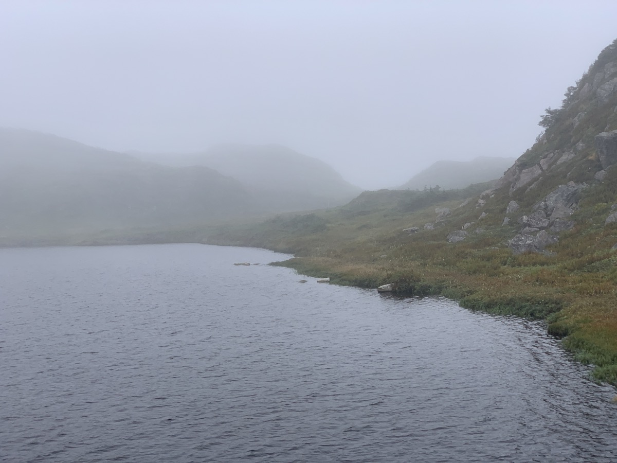
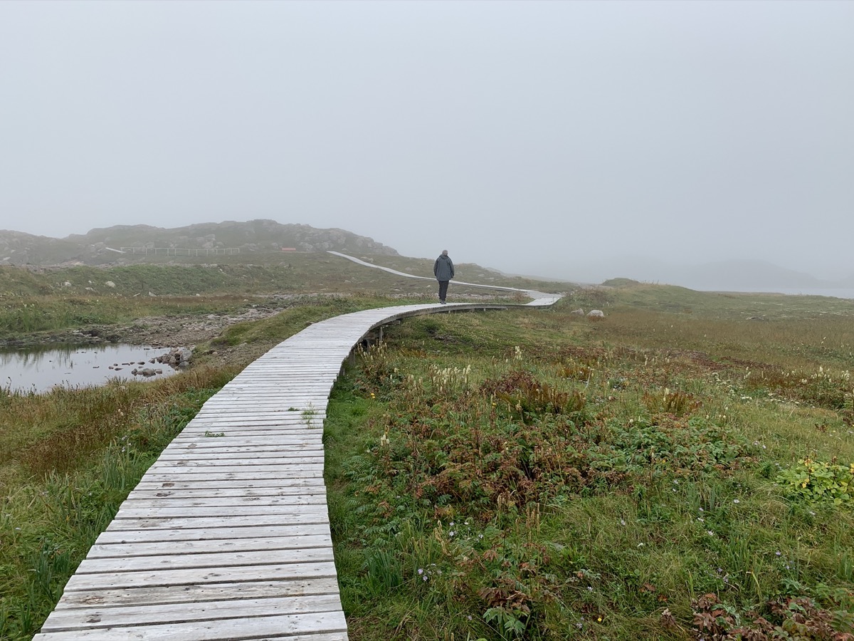
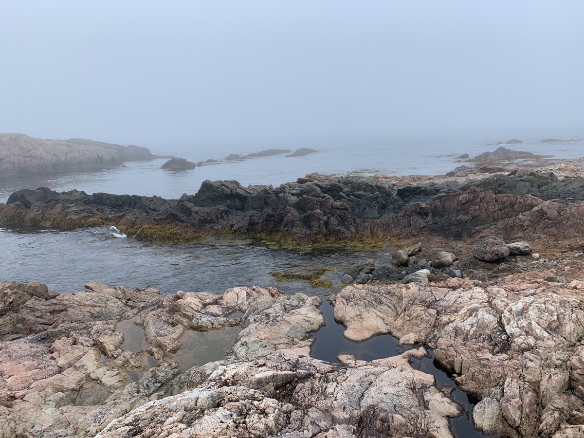
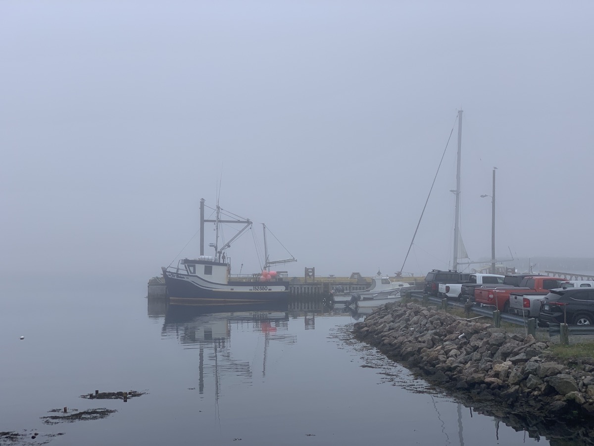
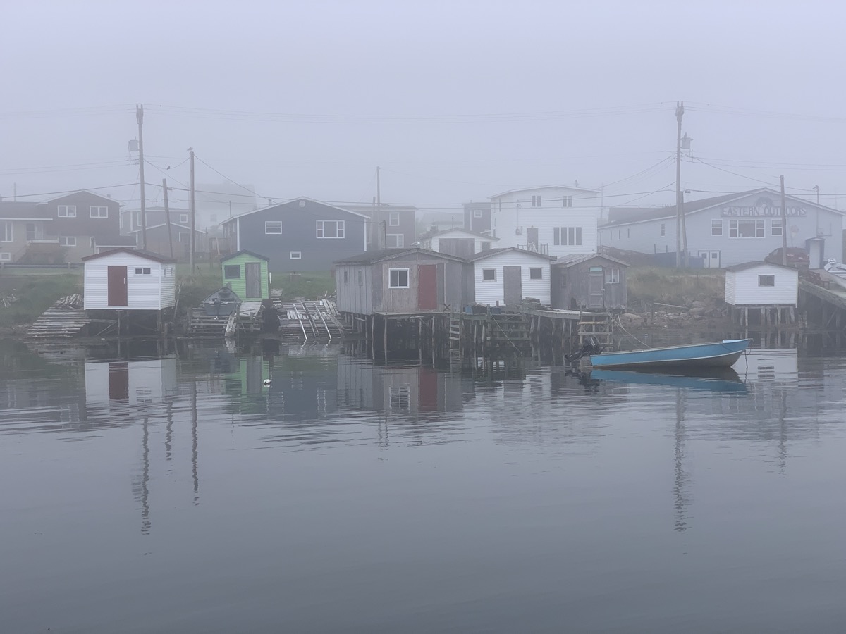
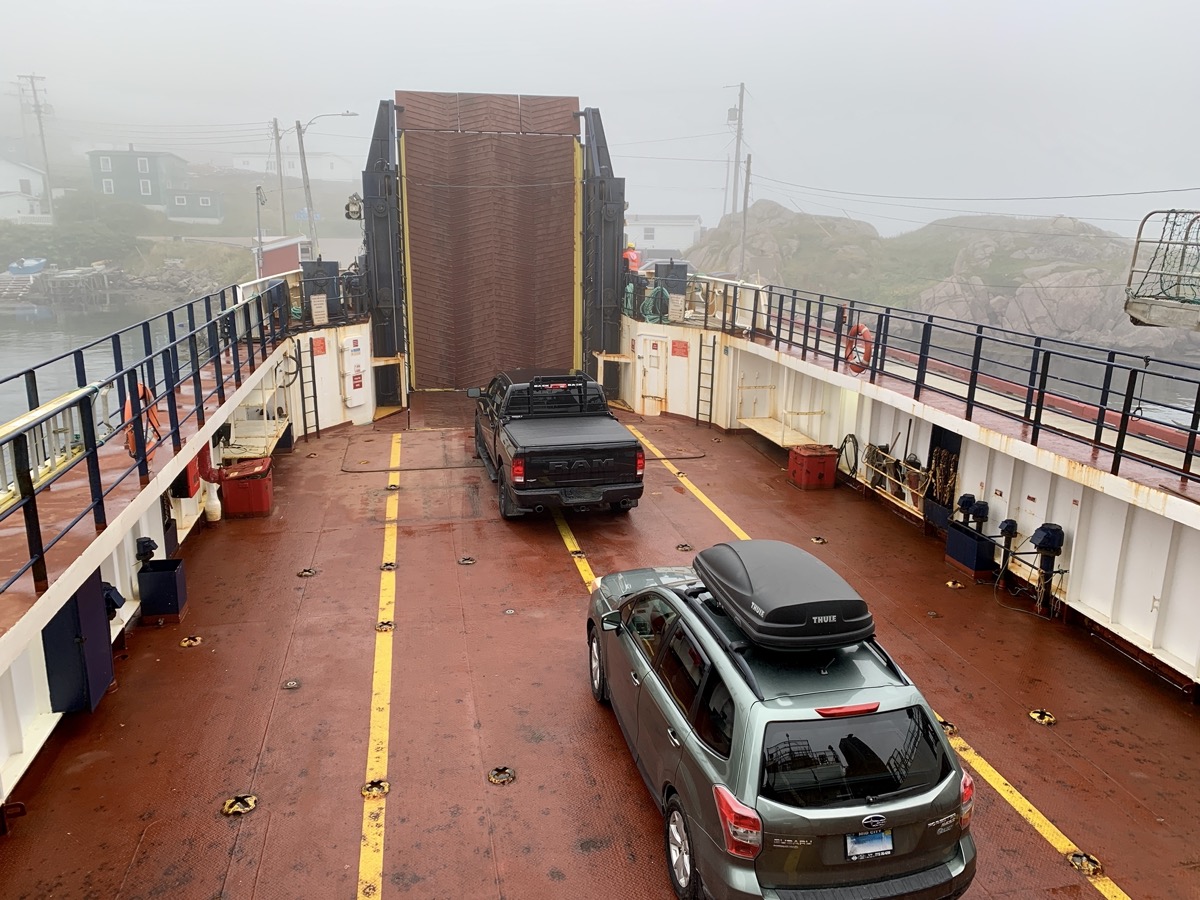
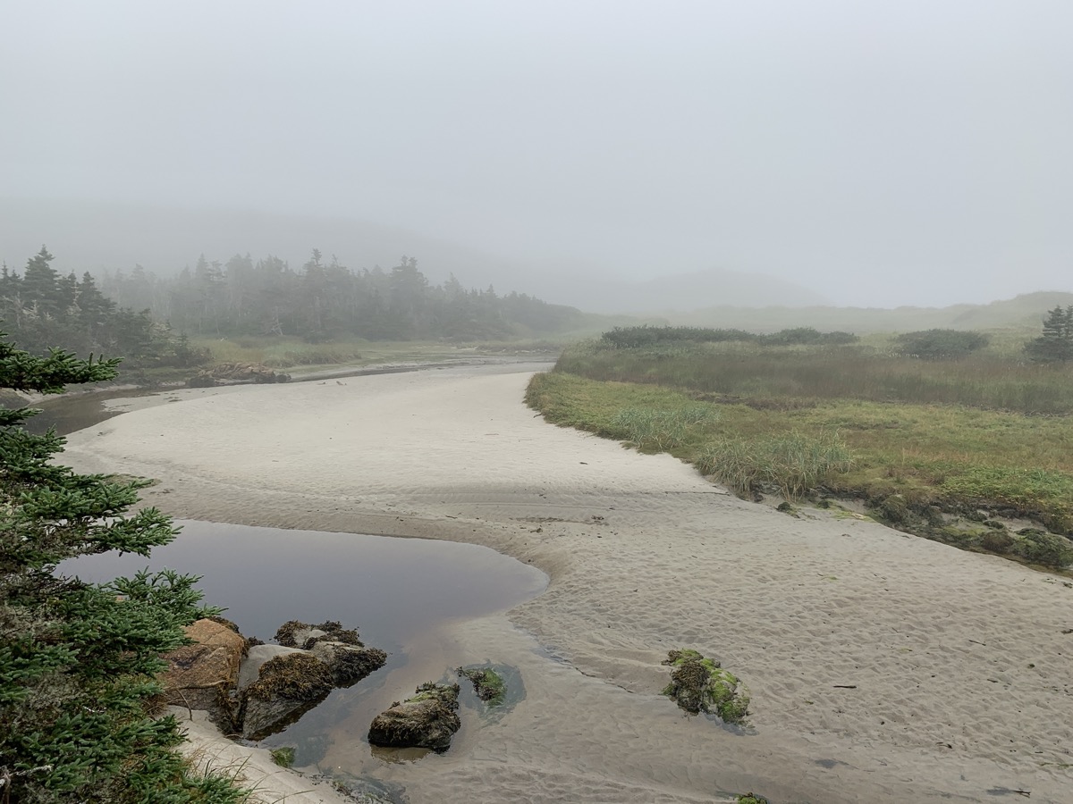
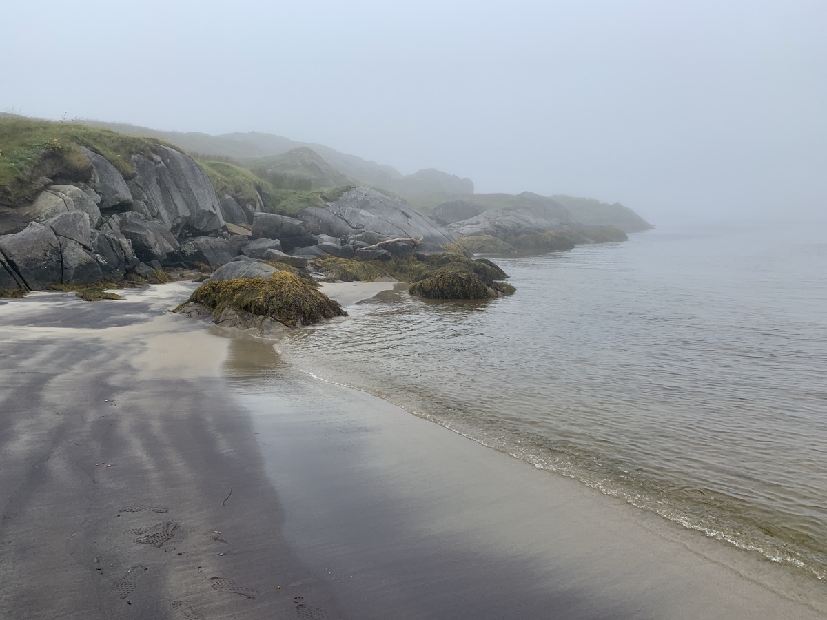
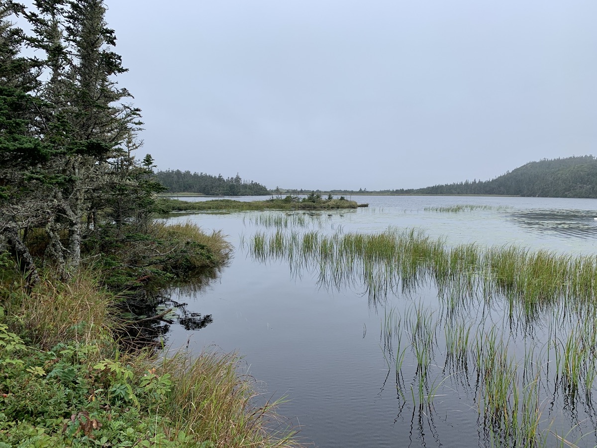
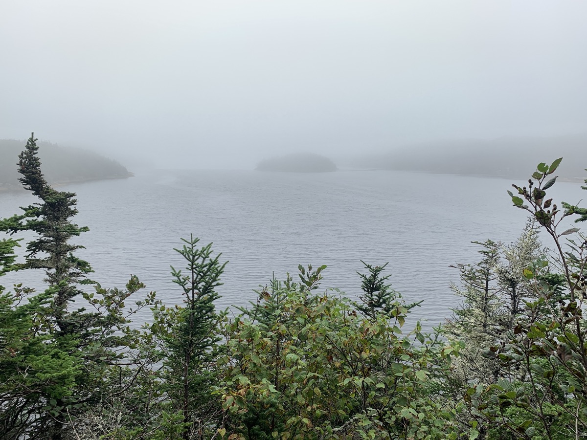
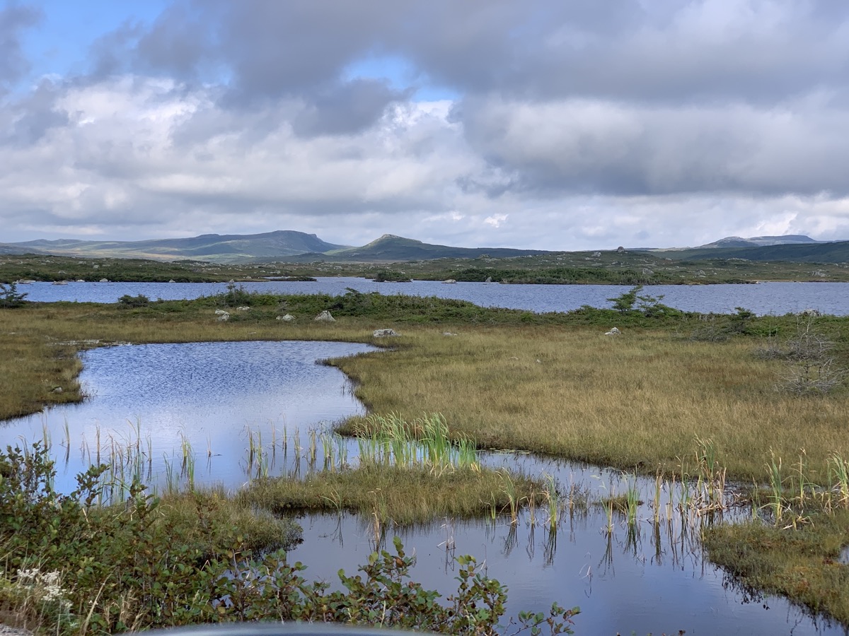
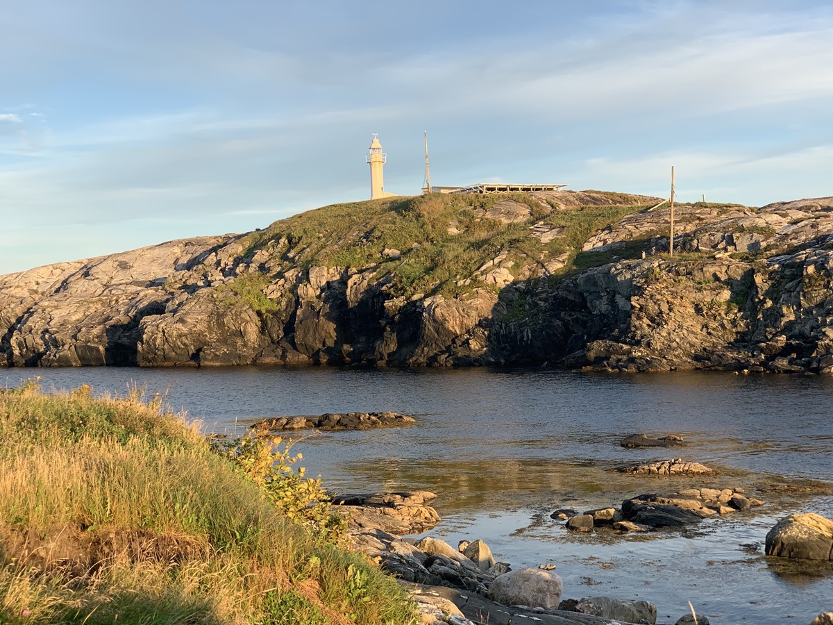
The day started with surprise visit by local moose hunters at our campsite (first day of season). Continued south on Rte 480. There was a ferry loading cars at the end of the road in Burgeo. We asked if there was space for us and in no time we were seaborne for Ramea, mysterious behind dense fog. Completly unplanned, spontaneus decission. The island is small – we visited all corners in half a day. Walking slowly on Ramea walking trail (boardwalk) in quite dense fog most of the time, magical. No expansive vistas or whales, but quiet and relaxing. Talked to the man on duty at the lighthouse (fog horn instead of light that day) and had lunch at Eastern Outfitters. We took the ferry back and ended the day at Sandbank Provincial Park campground (only a few visitors there). It was one of the most memorable days of our trip.
Rte 480…
…
Burgeo-Ramea ferry
Approaching Ramea
Ramea peatland…
…lighthouse…
…coast..
…boardwalks through marshes…
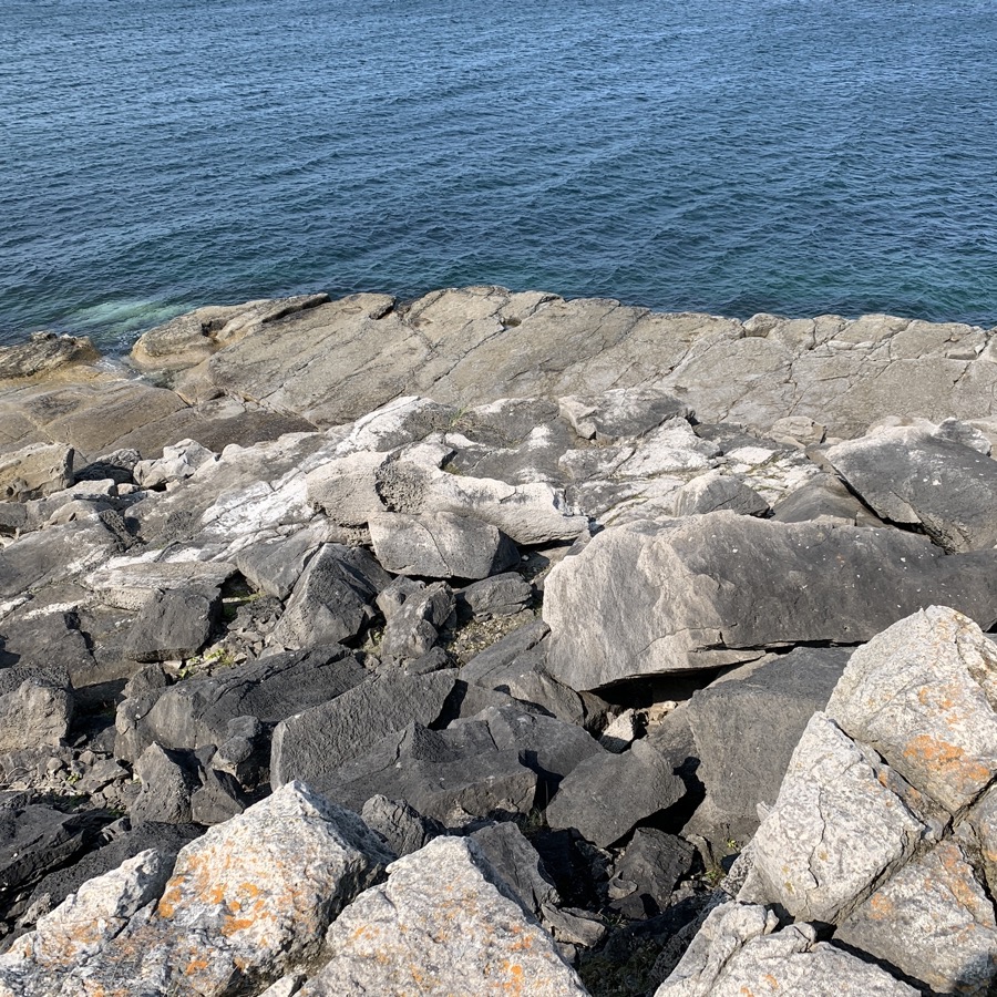
…interesting rocks on the coast…
…fishing…
…village
Departing for Burgeo
Day 23.
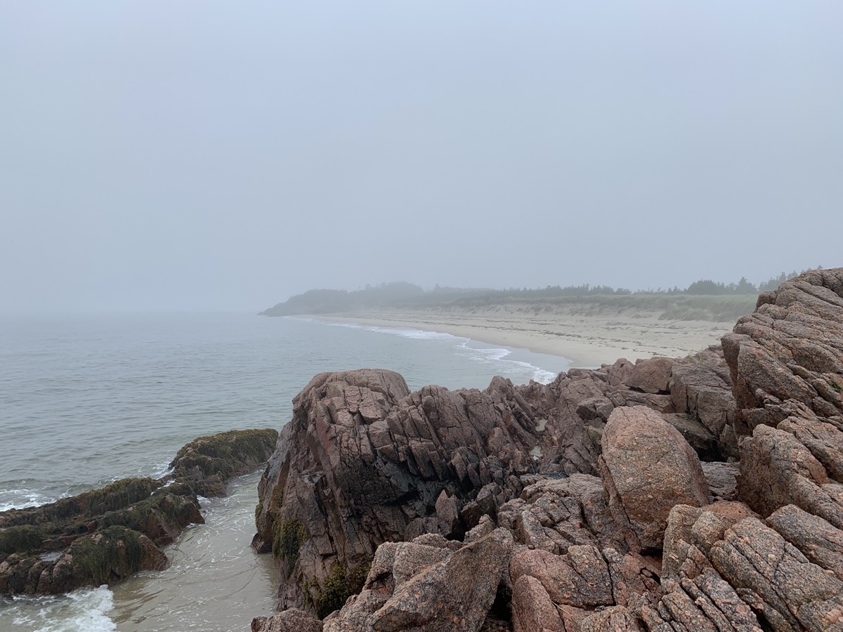
We spent the first half of the day walking on endless beaches and wetlands of Sandbank Provincial Park, very peaceful. In the afternoon we were back on Rte 480 and then Hwy 1 to Port aux Basques to catch 7-hour over-night ferry to New Sydney, Nova Scotia. This time we watched time and ticket availability to make sure we do not miss it. We bought reserved, more comfortable seats on the upper deck (9th level) to catch some sleep. Tried to find a place to eat dinner driving narrow streats of Port aux Basques all the way to the tip of the peninsula and Channel Head Lighthouse across water. No luck – settled for food at ferry terminal.
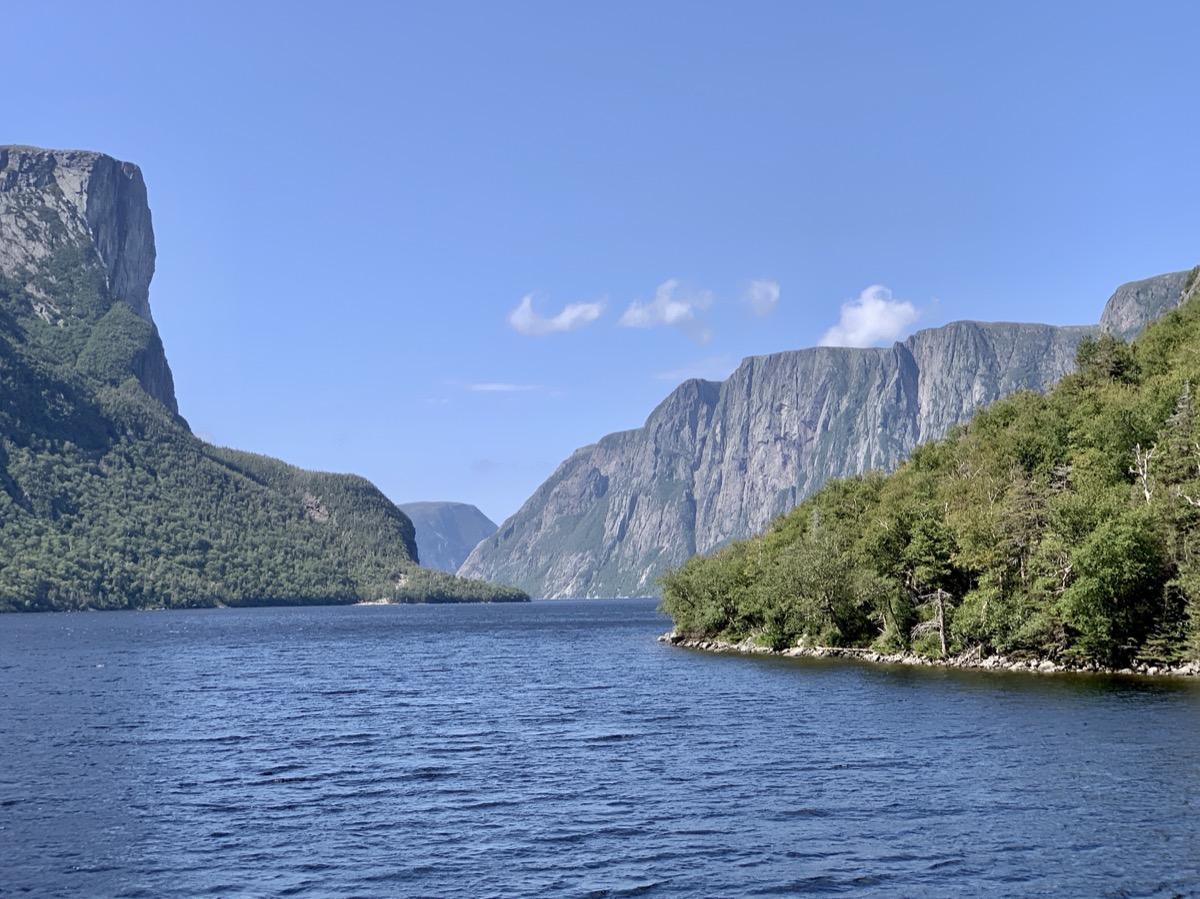
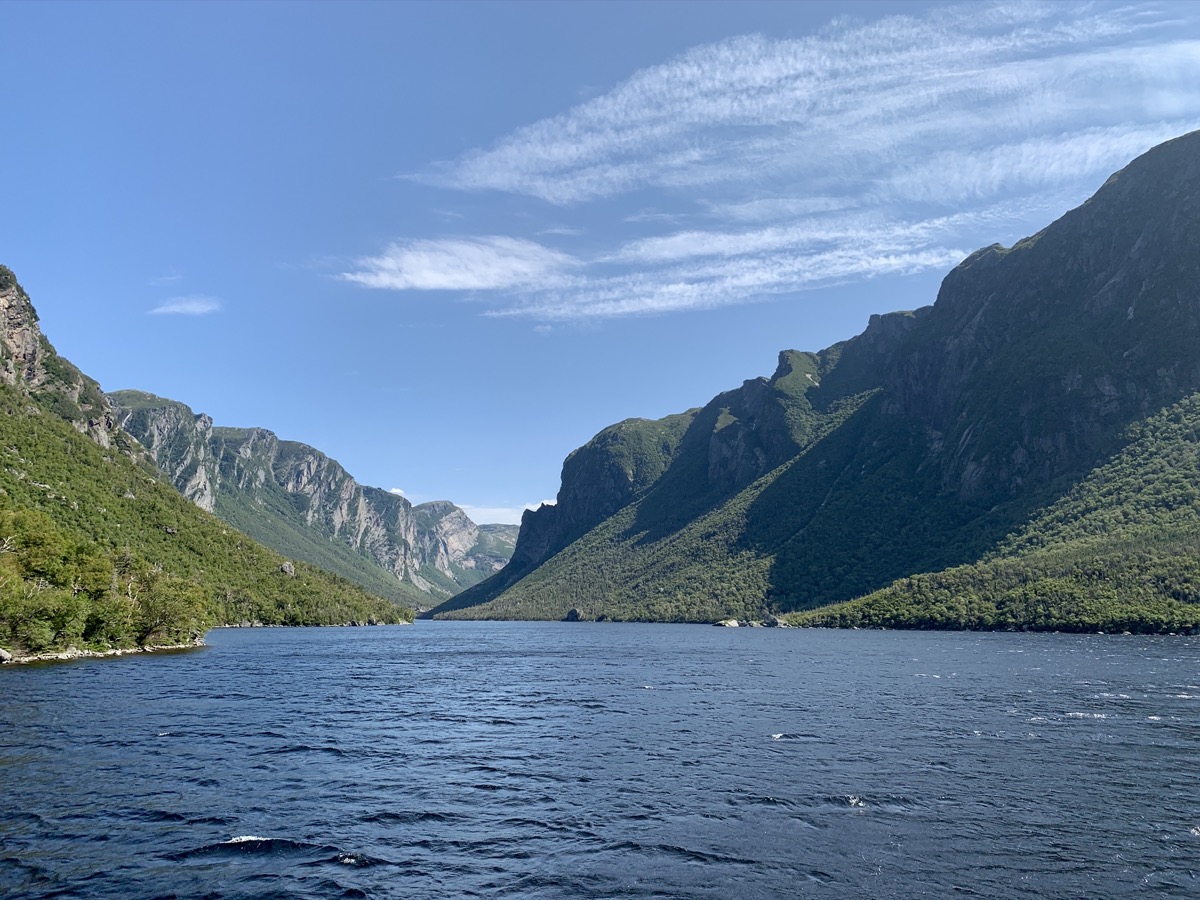
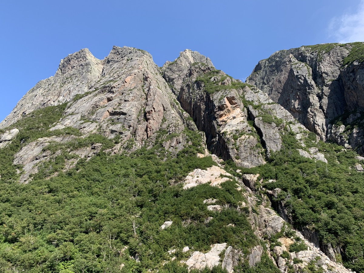
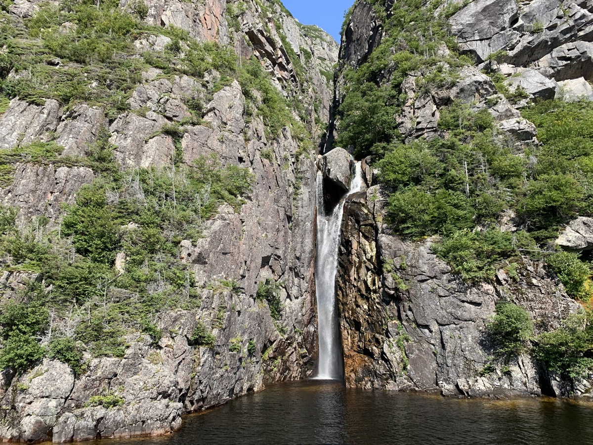
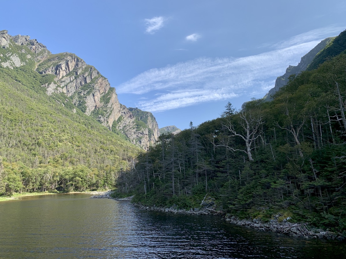
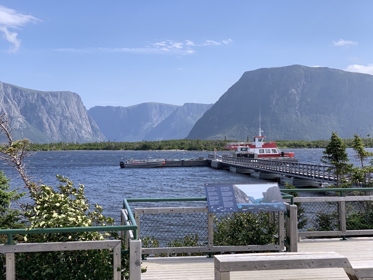
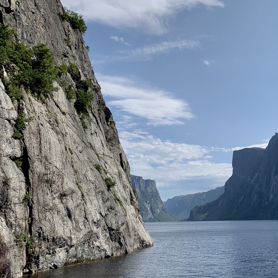
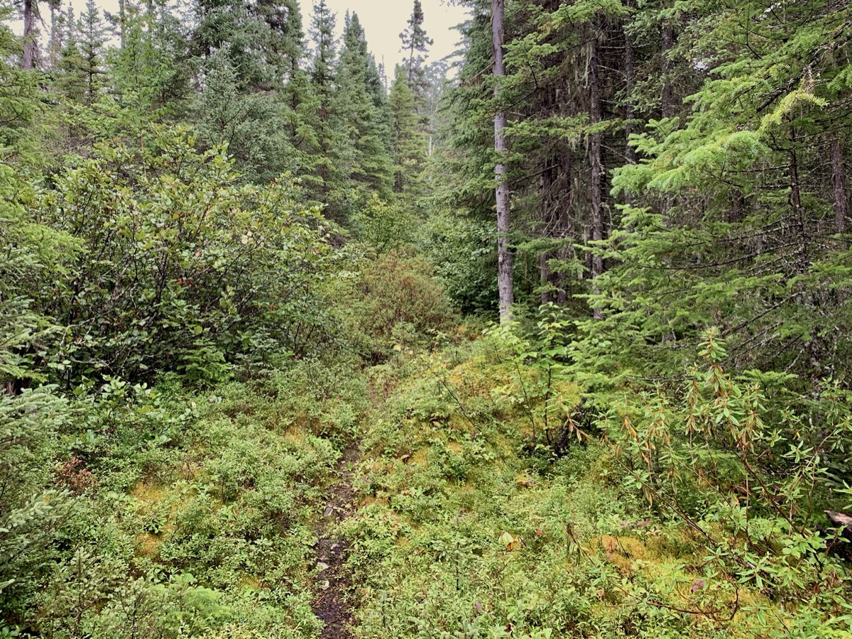
Quick action and Joanna secured two tickets (lucky for us last minute cancellation) for boat tour of West Brook Pond as we were driving to Gros Morne National Park. We arrived just in time for short, lazy walk from parking lot to boat dock (on return we took different trail). Good opportunity to observe boreal ecosystem along the trail. West Brook Pond is ex-fjord, now cut off from the sea due to lower sea level. The boat was packed. Guides were good. It was relaxing and informative experience.
West Brook Pond…
…
…
…
…
…by boat
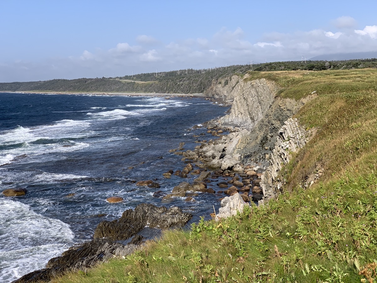
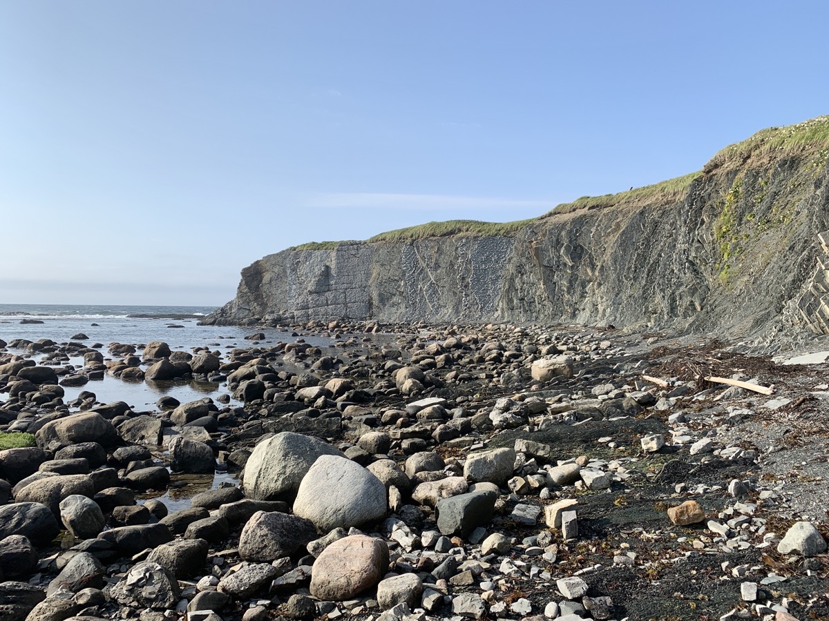
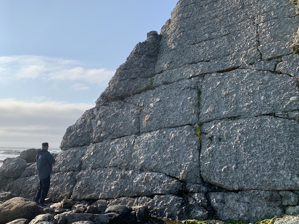
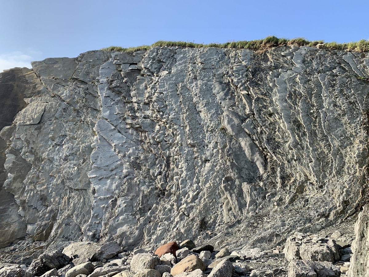
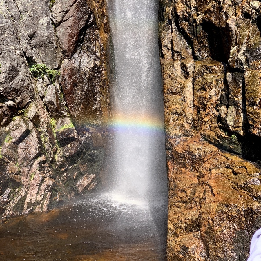
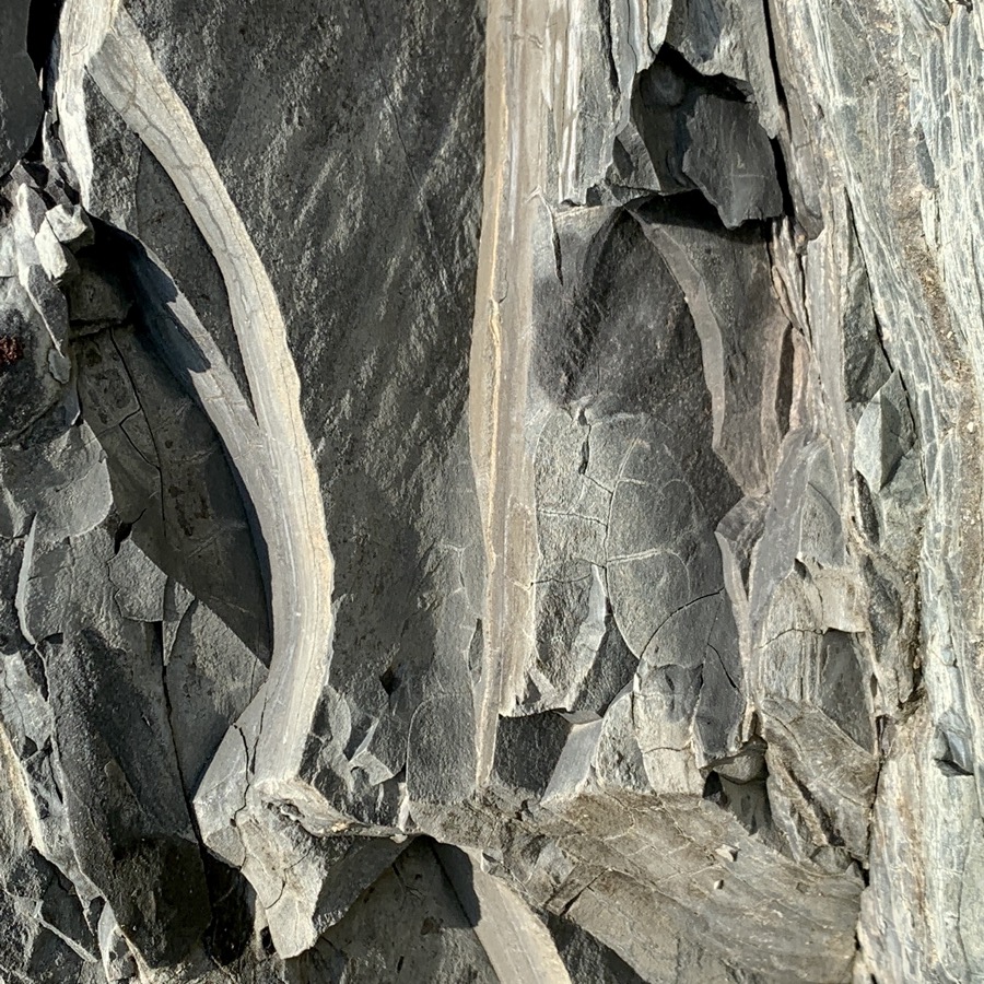
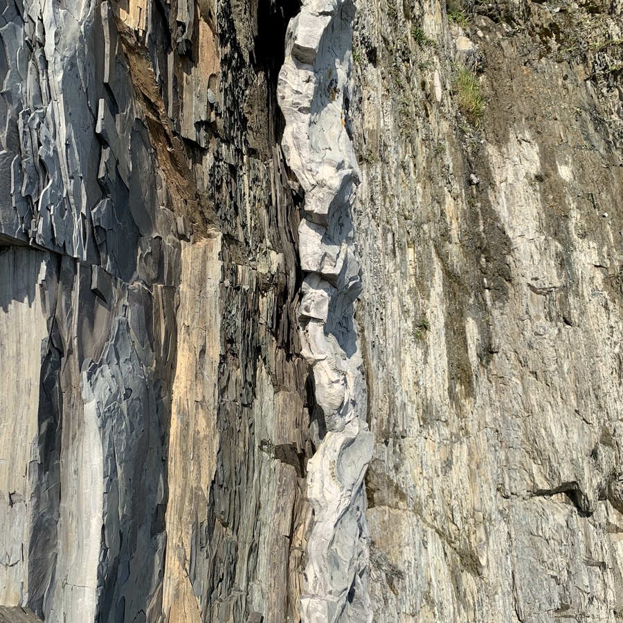
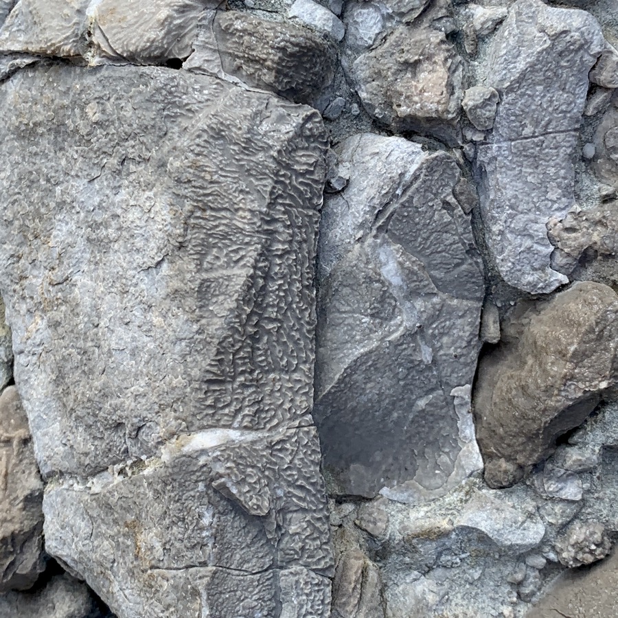
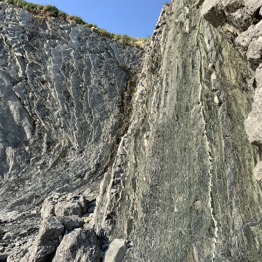
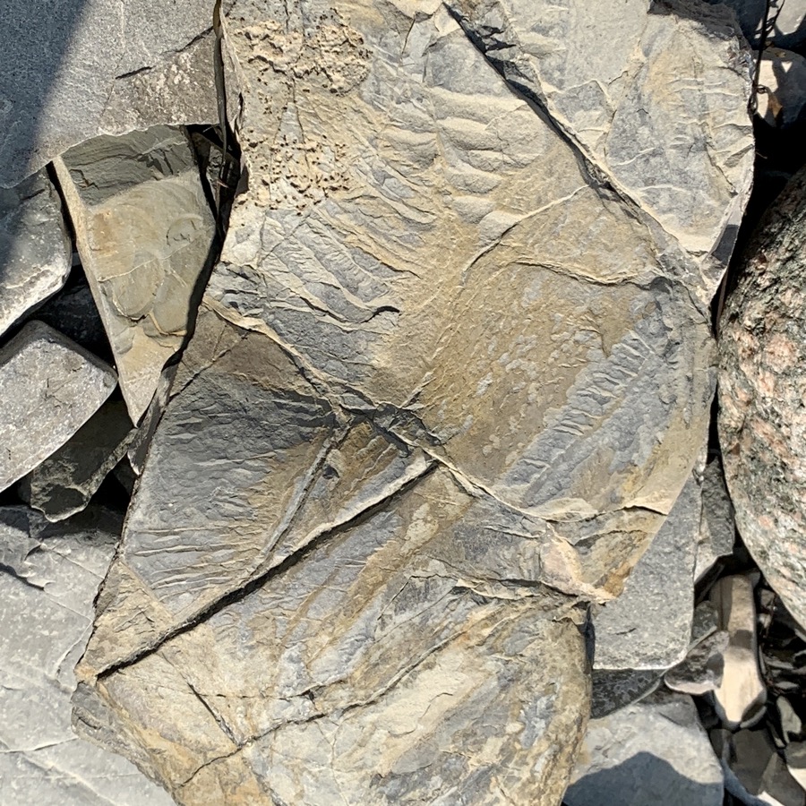
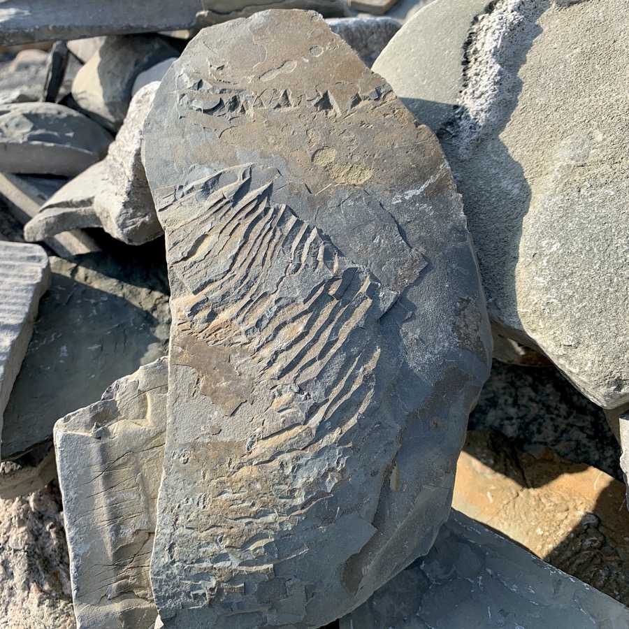
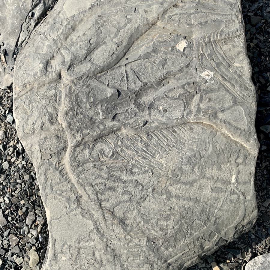
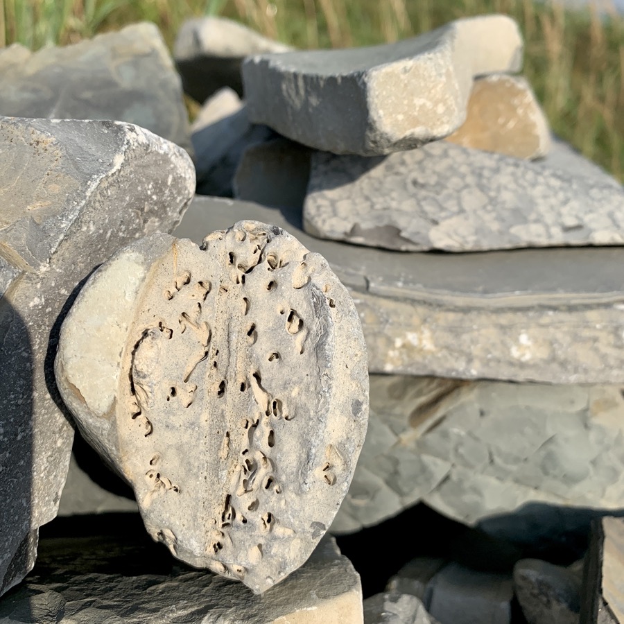
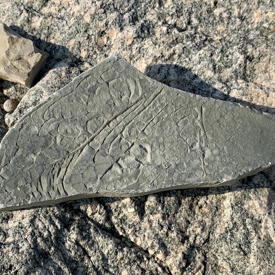
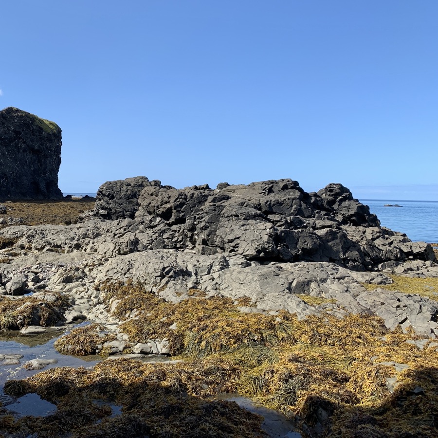
In the afternoon we spent some time at Green Point, wandering on stony beach, investigating rocks, deposits and fossils from 500 MYA Cambrian-Ordovician boundary exposed in cliff and on shore, somewhere between almost vertical layers. We still had some time left for short walk to Gull Pond near Berry Hill Campground where we settled for two nights.
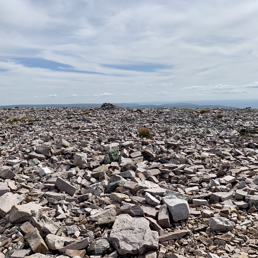
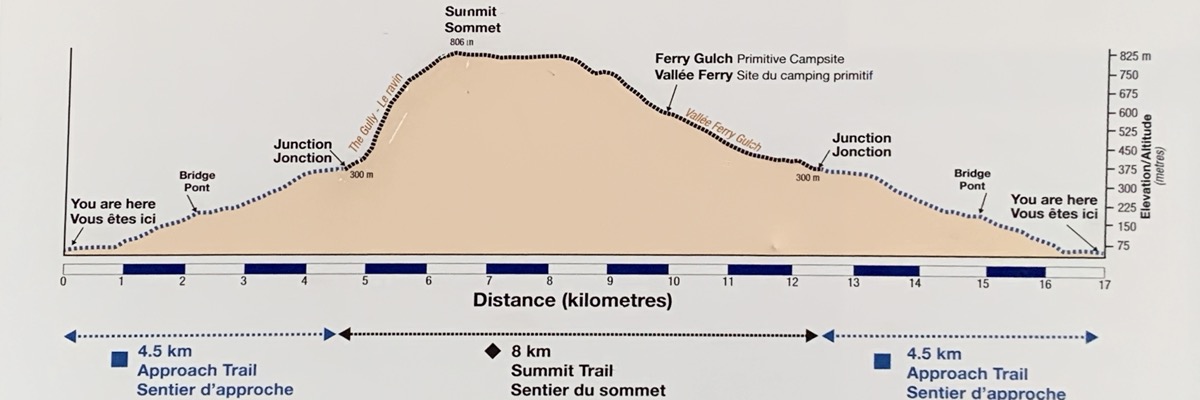
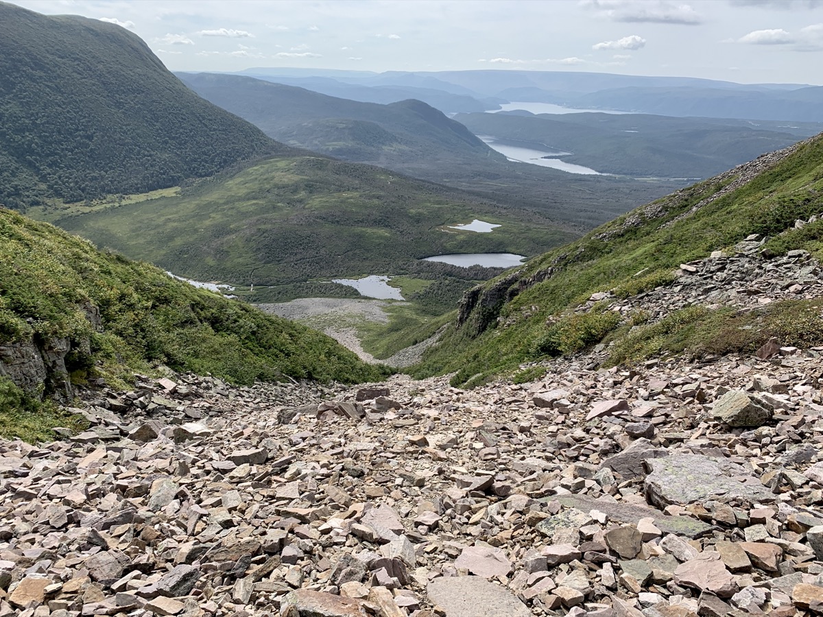
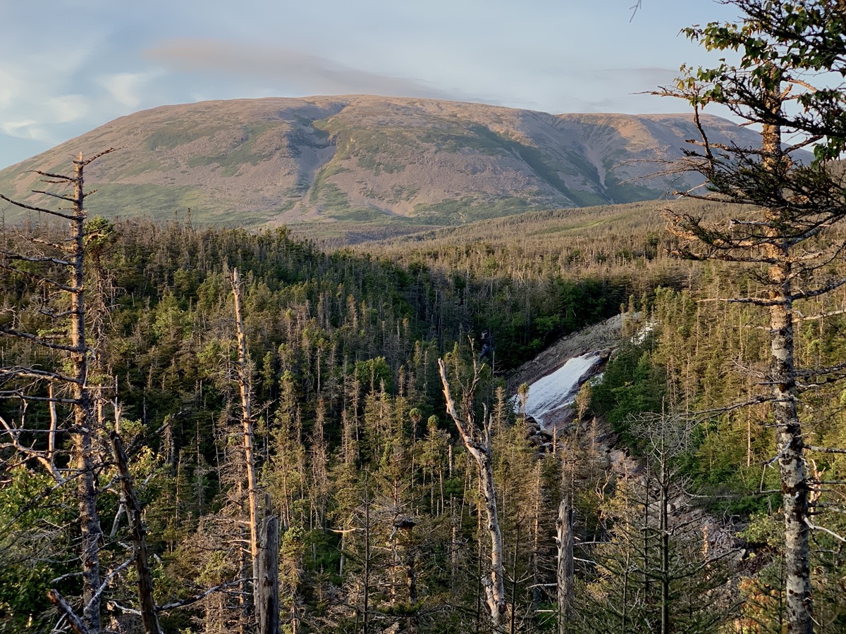
Plan for the day is clear: summit Gros Morne. 17-km loop (we walked 19 km with extra viewpoints etc.), 750m elevation gain and decent scramble on the way up (The Gully). We knew it was steep but, it execeeded our expectation. We left our car at the trailhead parking lot and started walking on good, well marked trail. Not too many hikers that day. Weather perfect. Download GPX file
Diagram posted at trailead says it all
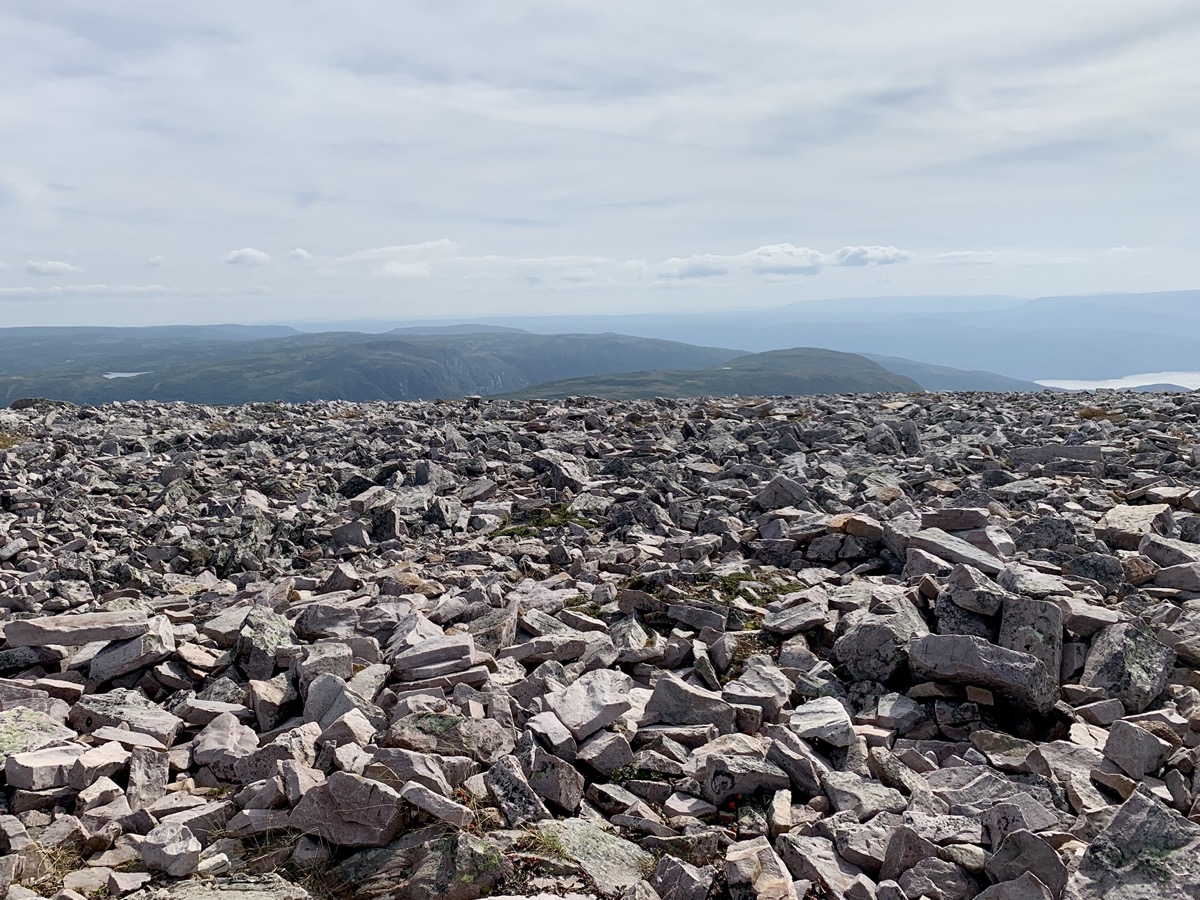
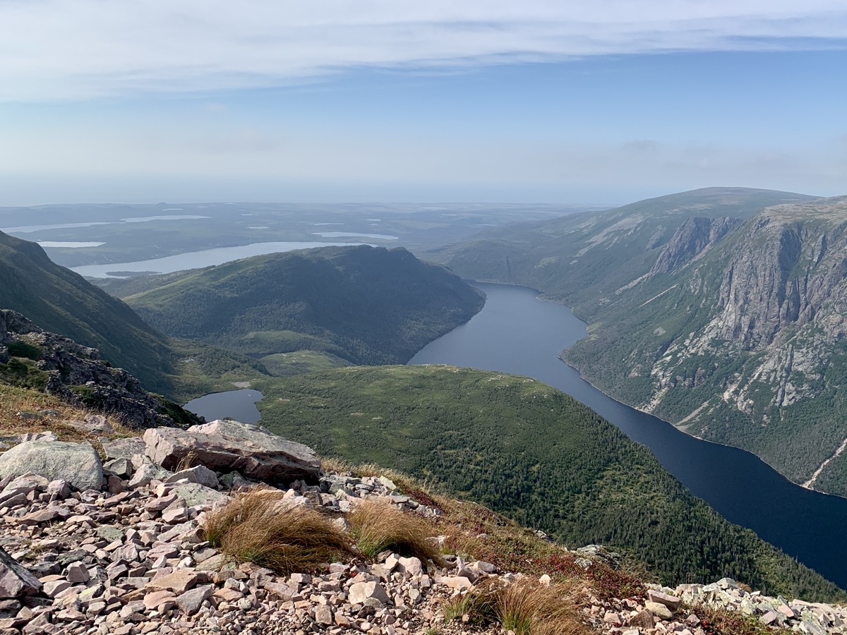
Yes, we struggled a bit in The Gully, but once on top we did ok and descent was easy. No rush. We were rewarded by great views, especially on the other side of the summit. Distant views were quite hazy. No way we could not remember Ben Nevis hike in Scotland and final scramble on that famous pile of stones with panoramic 360° view from top. We spent all day on the mountain before retreating, quite tired, to Berry Hill Campground.
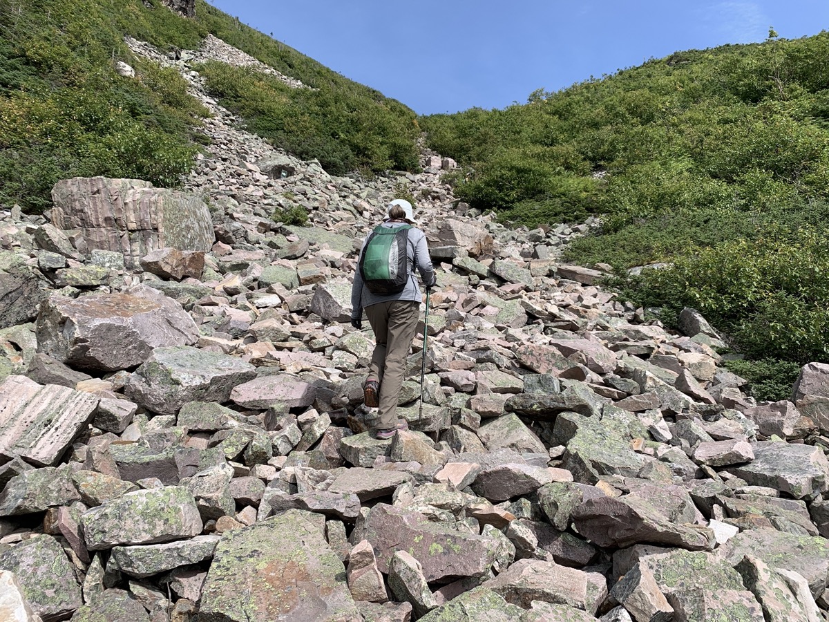
We are 2/3 up…
…The Gully…
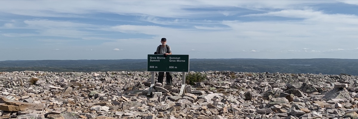
…and the top
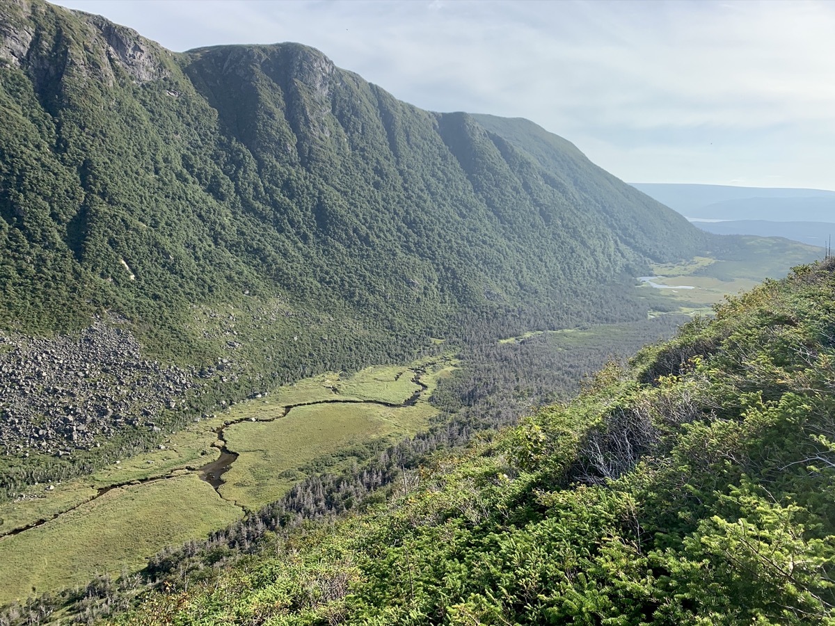
View on the other side…
…and valley on the way out
Last check on the Mountain
Day 18.
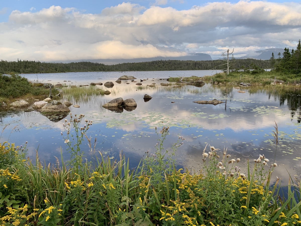
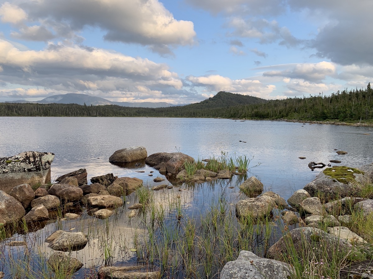
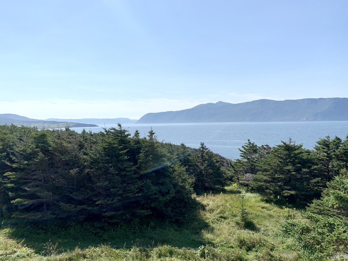
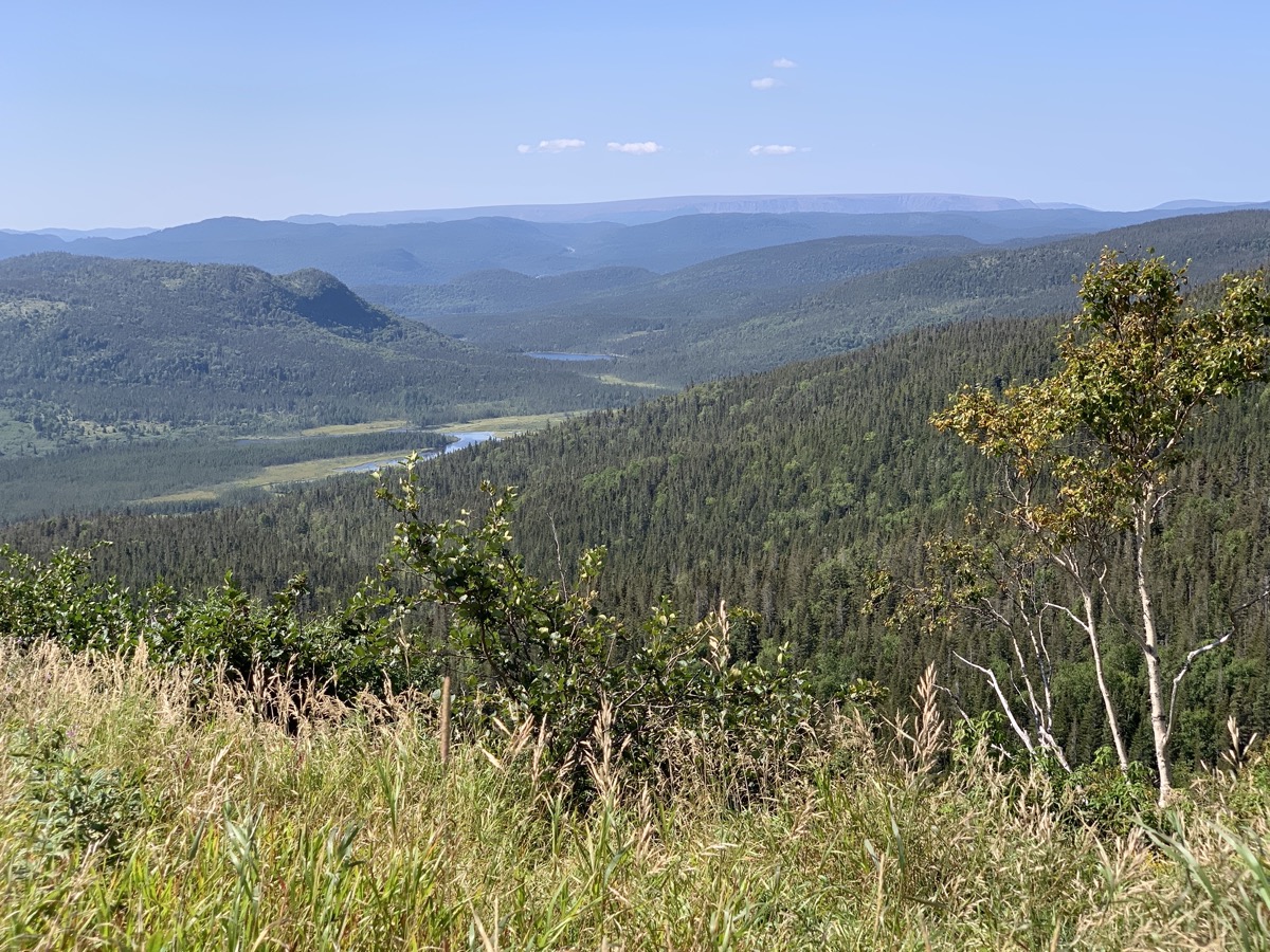
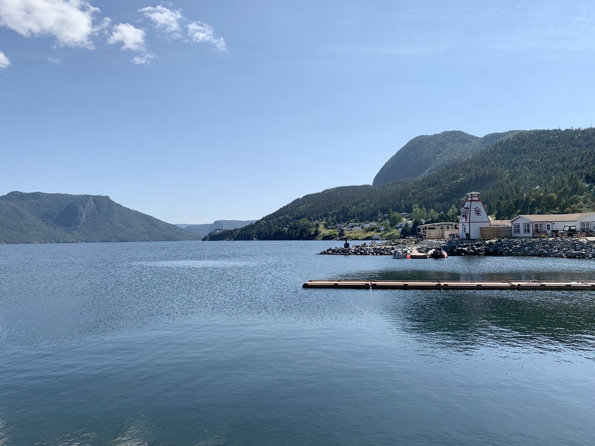
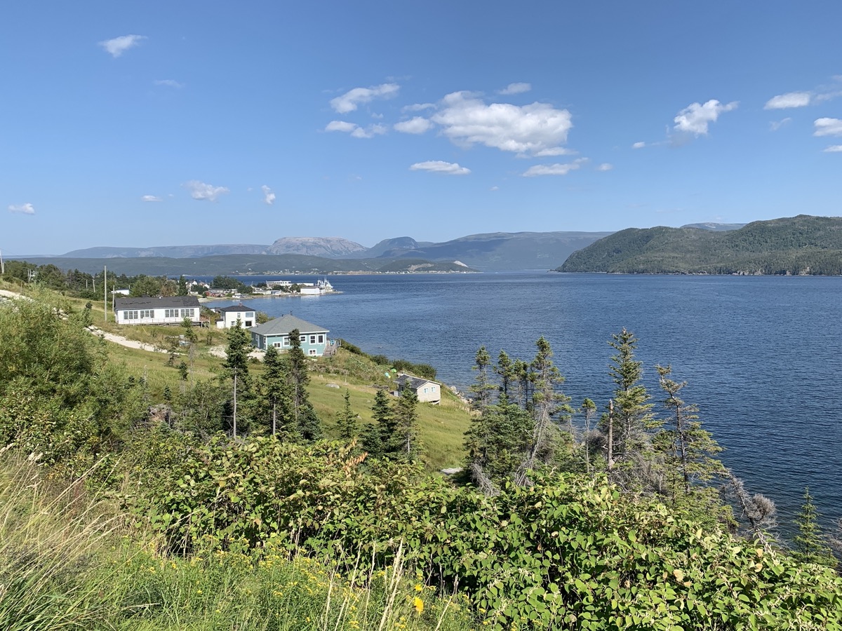
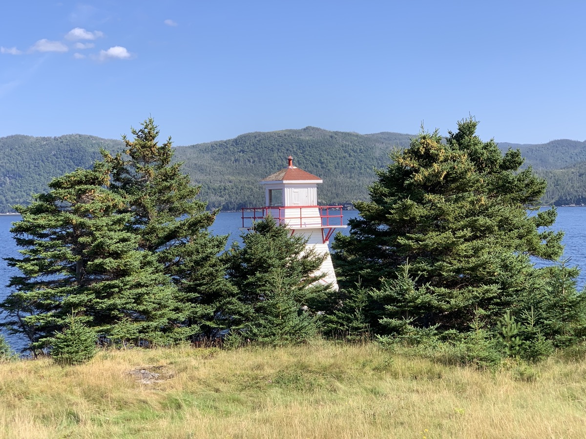
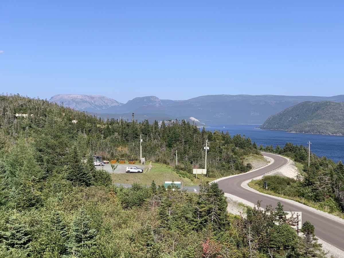
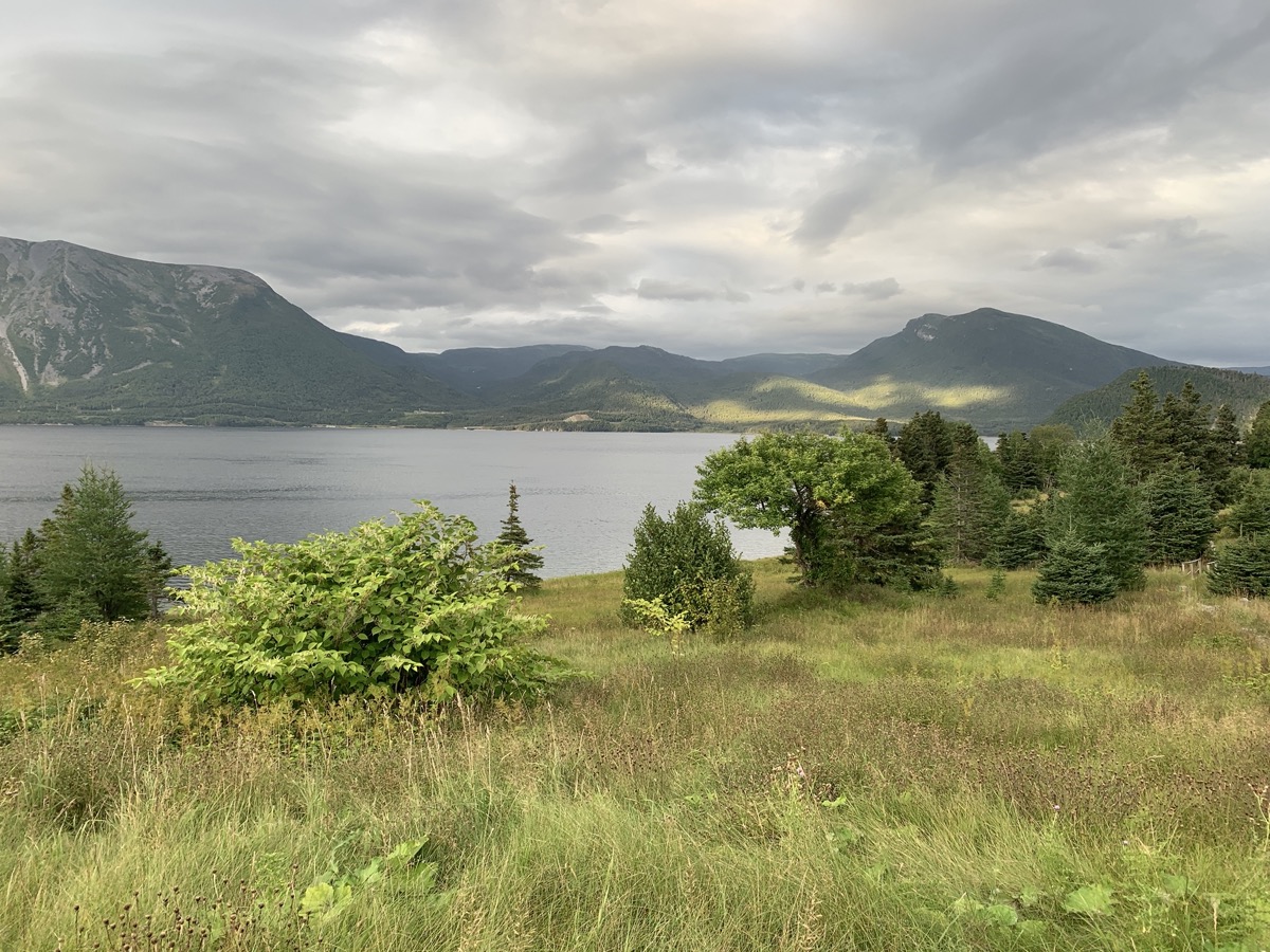
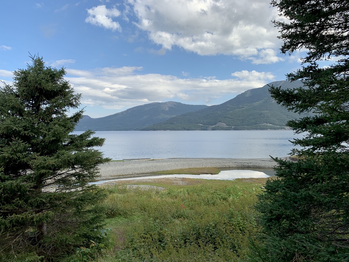
“Rest day” as we were still feeling The Gully in our legs. We are transferring to Trout River (campground) driving with stops on the way at Woody Cove, Woody Point and Discovery Centre. Many good views across water surrounded by green hills. At the end of the day we walked to Trout River Little Pond (next to campground) and short Estern Point Trail along cliff above Trout River village for sunset. Finished the day with scalops and seafood chowder dinner at Seaside Restaurant.
Woody Cove
View from Birchy Head Rte 430
South Arm
View from Bonny Bay lookout
Woody Point Lighthouse
View from Woody Point Discovery Centre
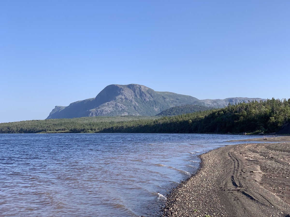
Trout River Little Pond
Trout River…
…Eastern Point Trail
Day 19.
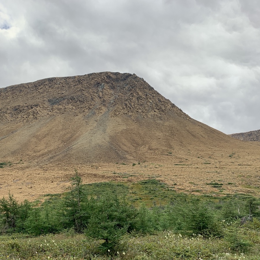
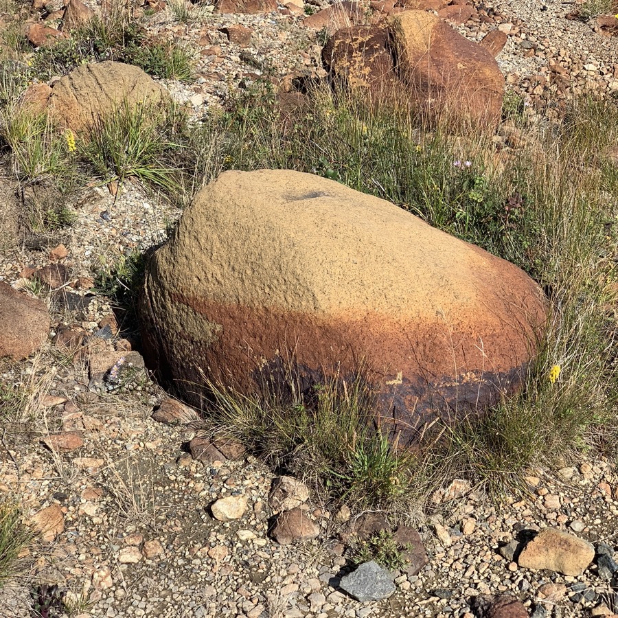
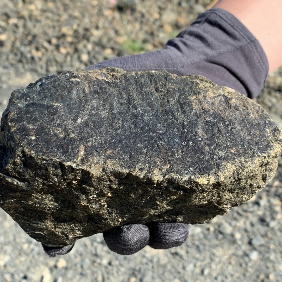
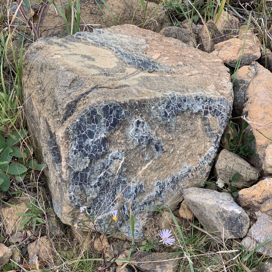
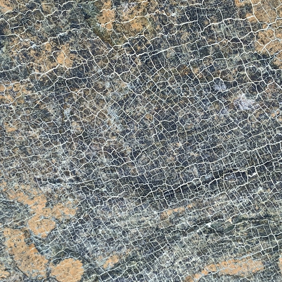
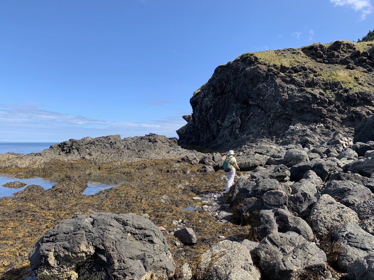
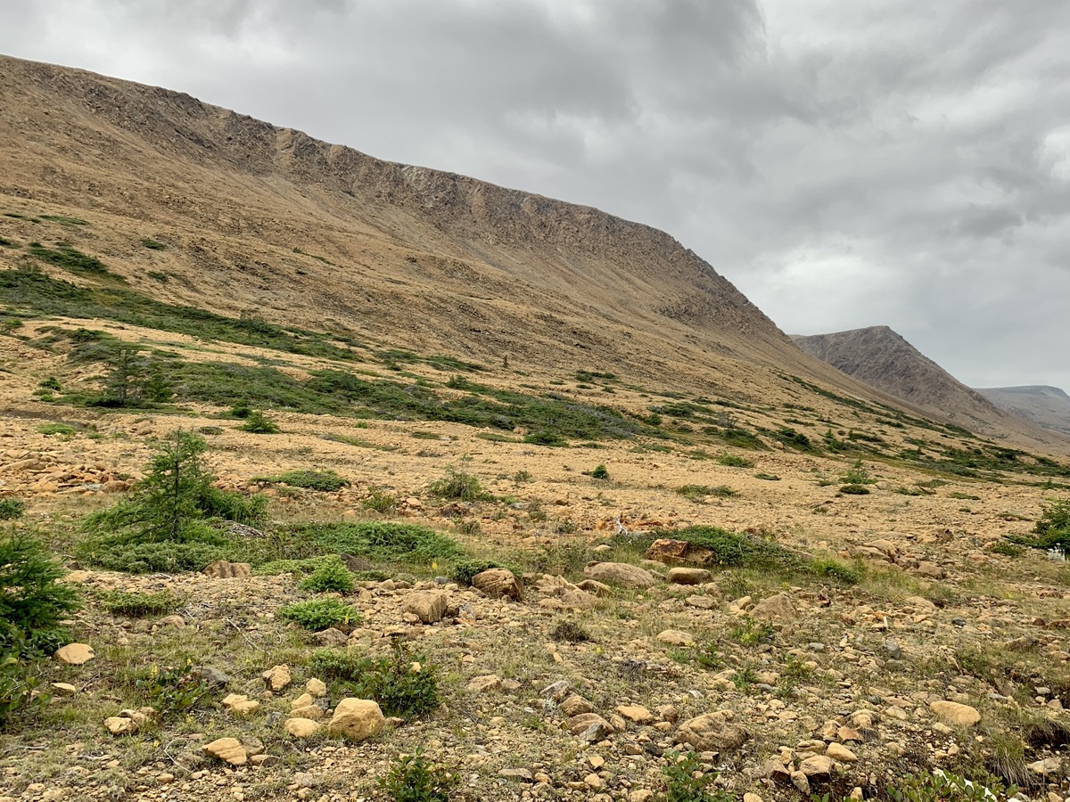
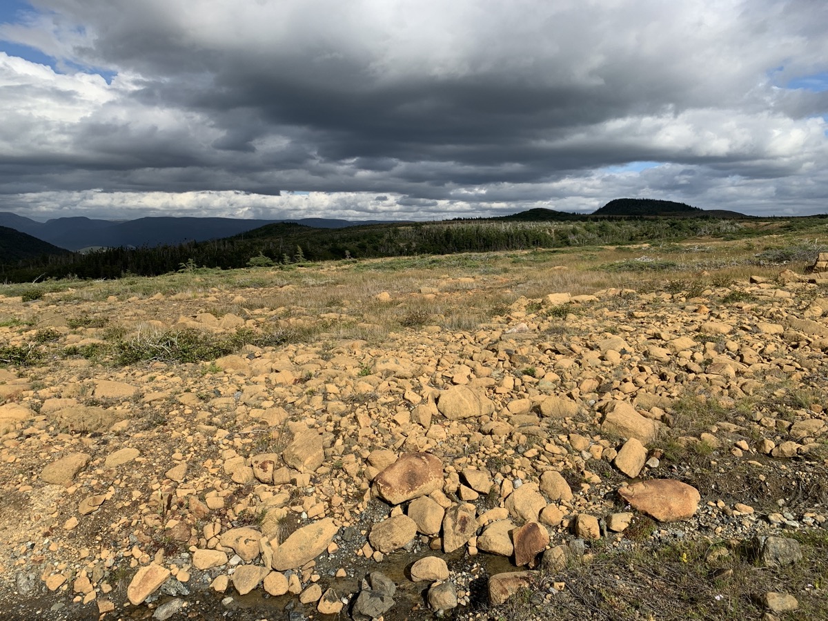
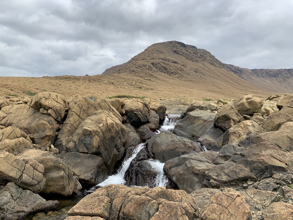
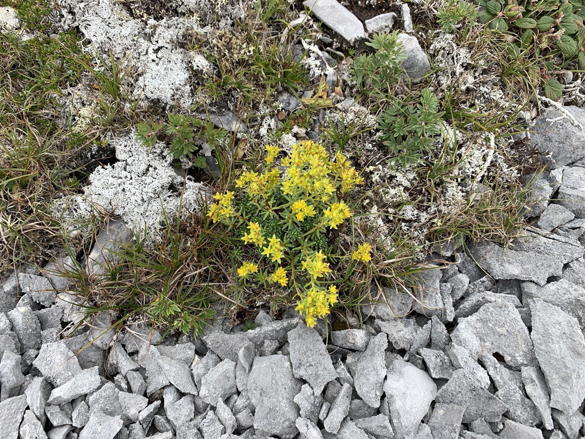
We started the day by walking to Green Gardens and exploring the shoreline, followed by short walk on Tablelands Trail. The day was about rocks derived from the Earth upper mantle deep underneath ocean crest, thrown all over the place. Peridotite: light rusty to dark orange on the surface, dark green inside, and metamorphosed to serpentinite, heavy and rich in iron. And volcanic rocks (basalts) on the coast. Download Piotr’s GPX file
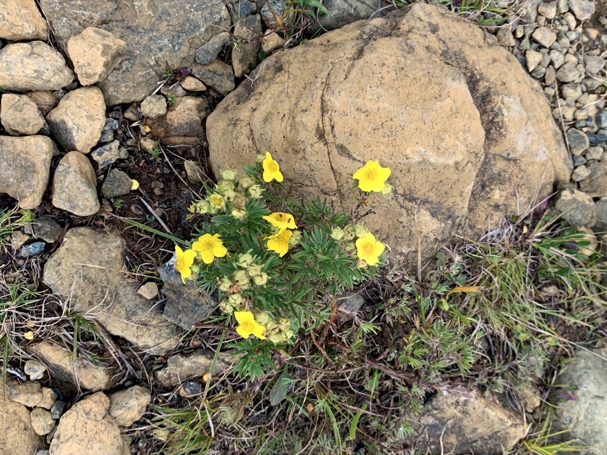
Joanna was a bit disappointed and thought it would be more interesting to spend entire day exploring Tablelands rather than hiking Gros Morne (although it was good hike too and apparenly with best views). Lack of prep work showed this time, we did not know that “no trail” route to the top of Tablelands was well shown on a map and almost a trail. We found some time to investigate small plants growing between rocks. Ended the day at Lomond Campground, Piotr setting up our camper and tending camp fire, Joanna cooking. Another great 19 km walking day.
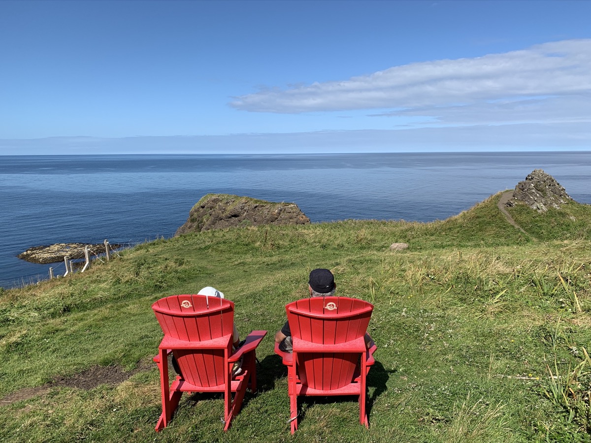
Green Gardens…
…exploring the coast at low tide…
…
…
Tablelands…
…
…
Dasiphora fruticosa
East Arm at Lomond
Day 20.
Joanna decided to walk in the morning to Stanleyville, abandoned logging village, Piotr packed the camp and we were leaving Gros Morne. We stopped in Deer Lake to pick-up some supplies and talk to rangers at Visitor Center. Grabbed quick lunch from Off The Hook Fish & Chips food truck (fresh and good). With a tip from the rangers we found Gros Morne Coffee Roasters (recommended). Great place to buy good coffee and try some fresh brew, and talk.
It was decission time where to go next. Decided to visit Cape St George and next day continue south-east across the island to Burgeo and Sandbanks Provincial Park. We are leaving eastern part of Newfoundland for a future visit.
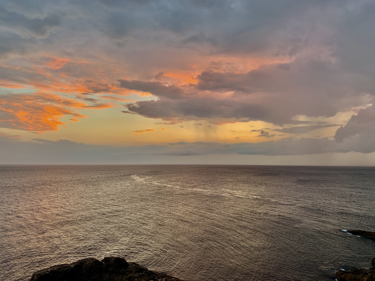
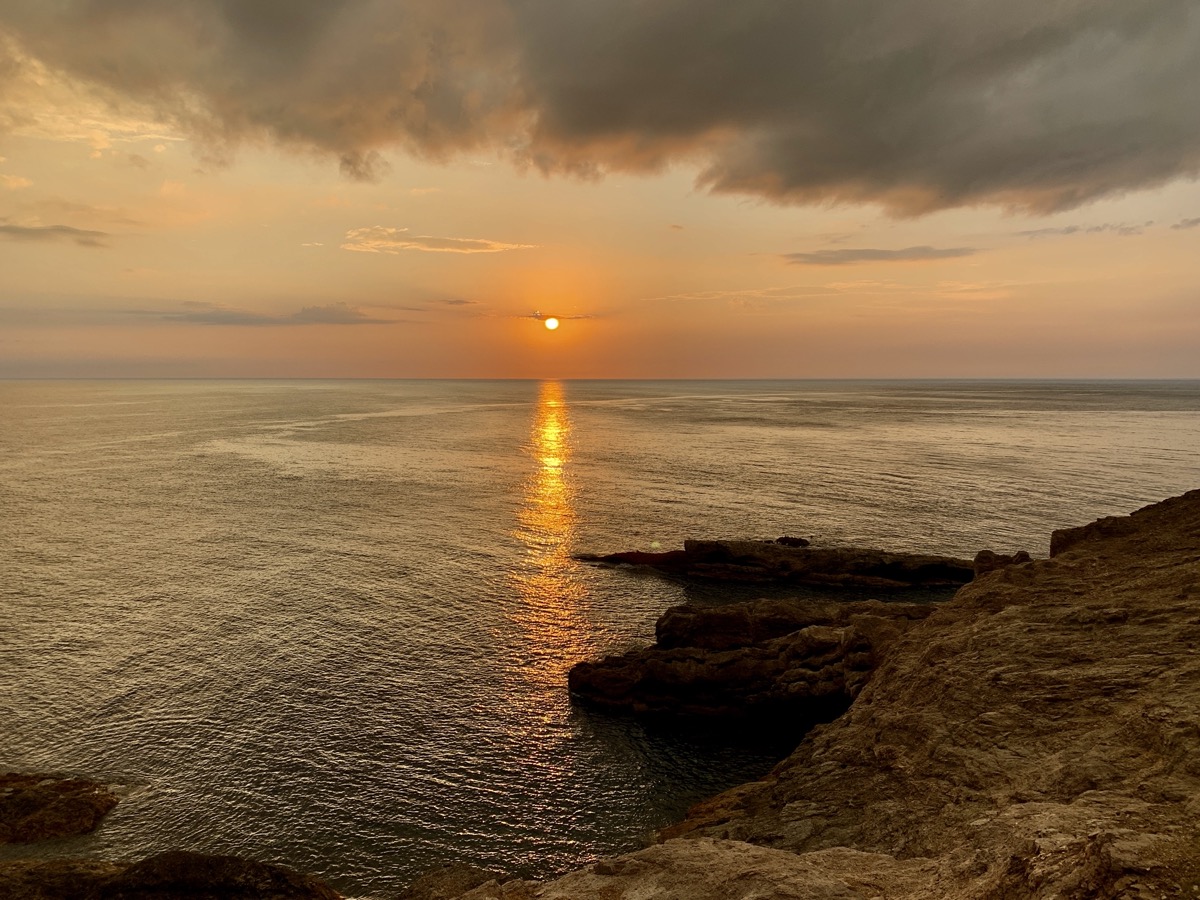
The rest of the afternoon was just driving, good part of it on Trans Canada Hwy 1. Rather uneventful. We stopped at The Gravels (Port au Port) and then followed Rte 460 along south coast all the way to the tip of Cape St George. We decided to stay at Inn at the Cape rather than camp at Boutte du Cap Park. The Inn was the best guesthouse of our entire trip (recommended). Very comfortable, well organized (laundry room, home made breakfast) and great hosts. The campground has great (tempting) location though. We made a run for the Boutte viewpoint to catch sunset. Serious clouds, but big rain never materialized.
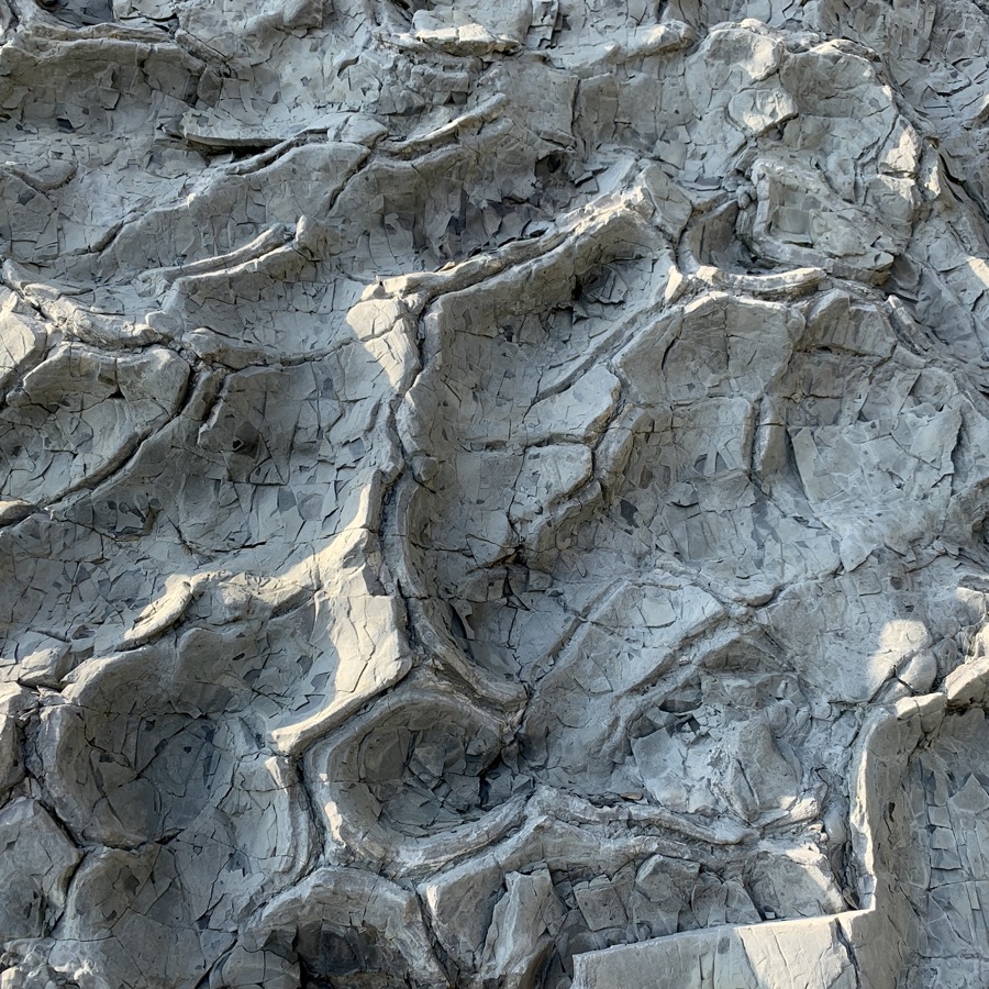
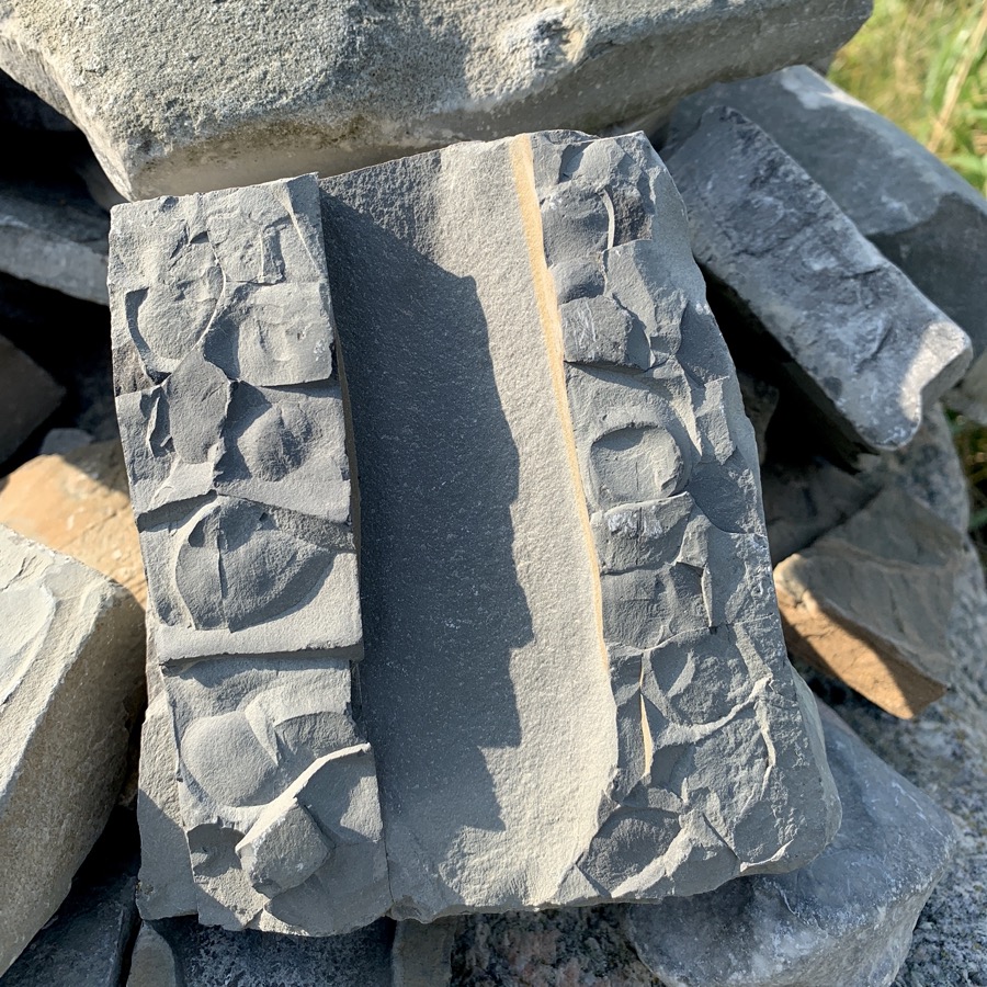
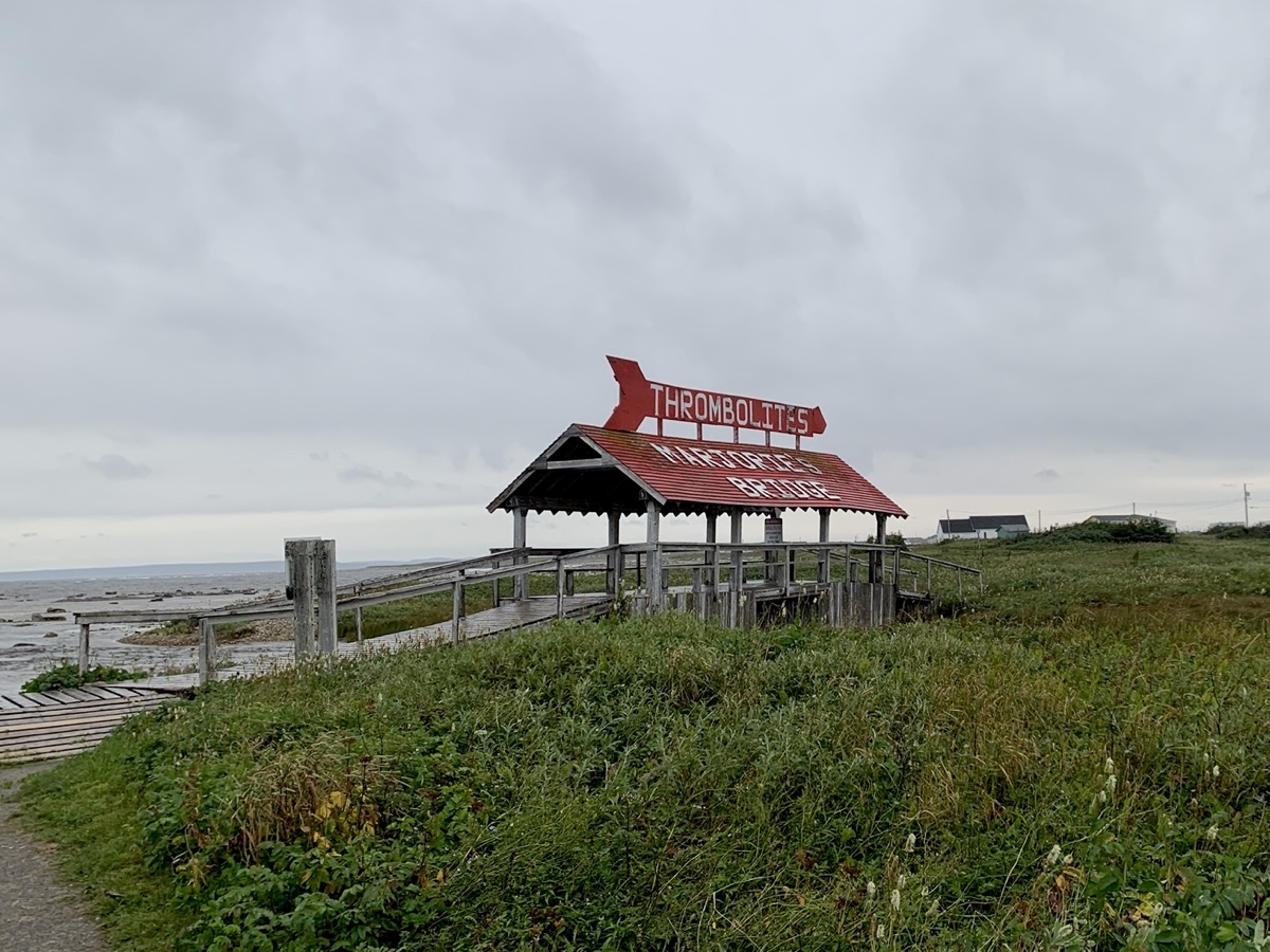
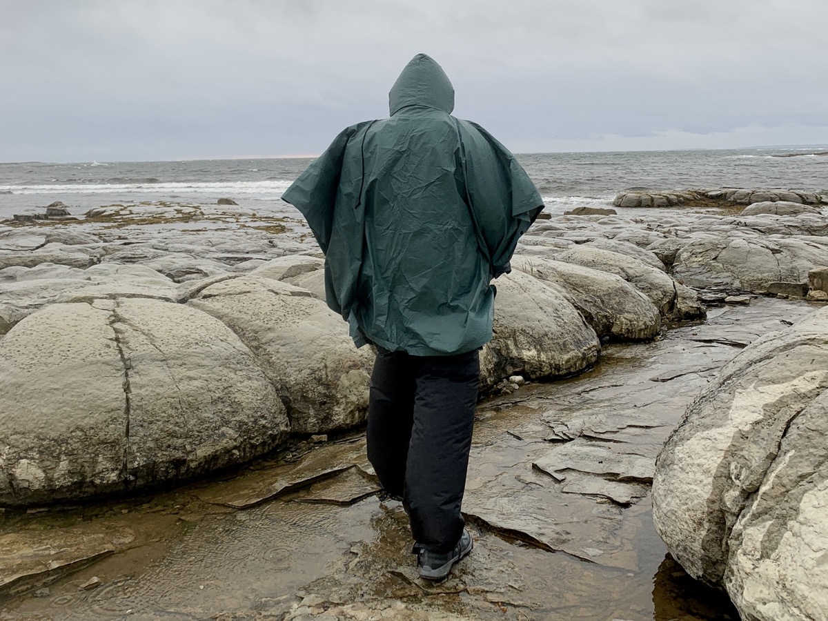
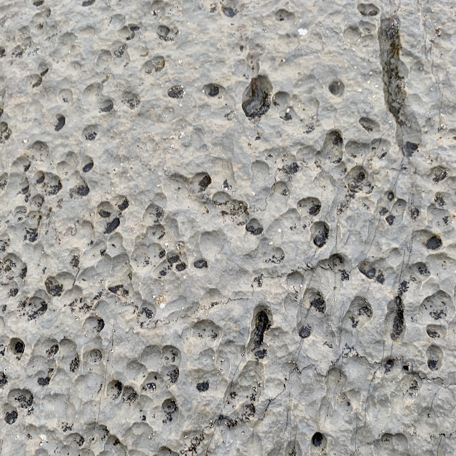
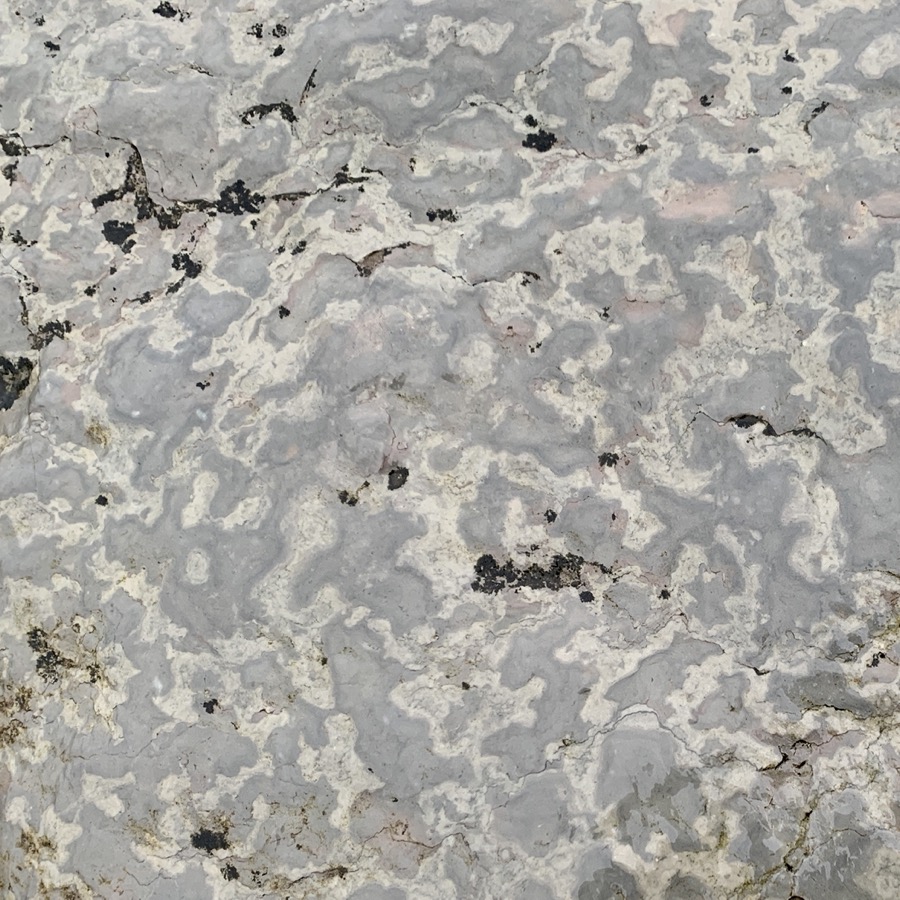
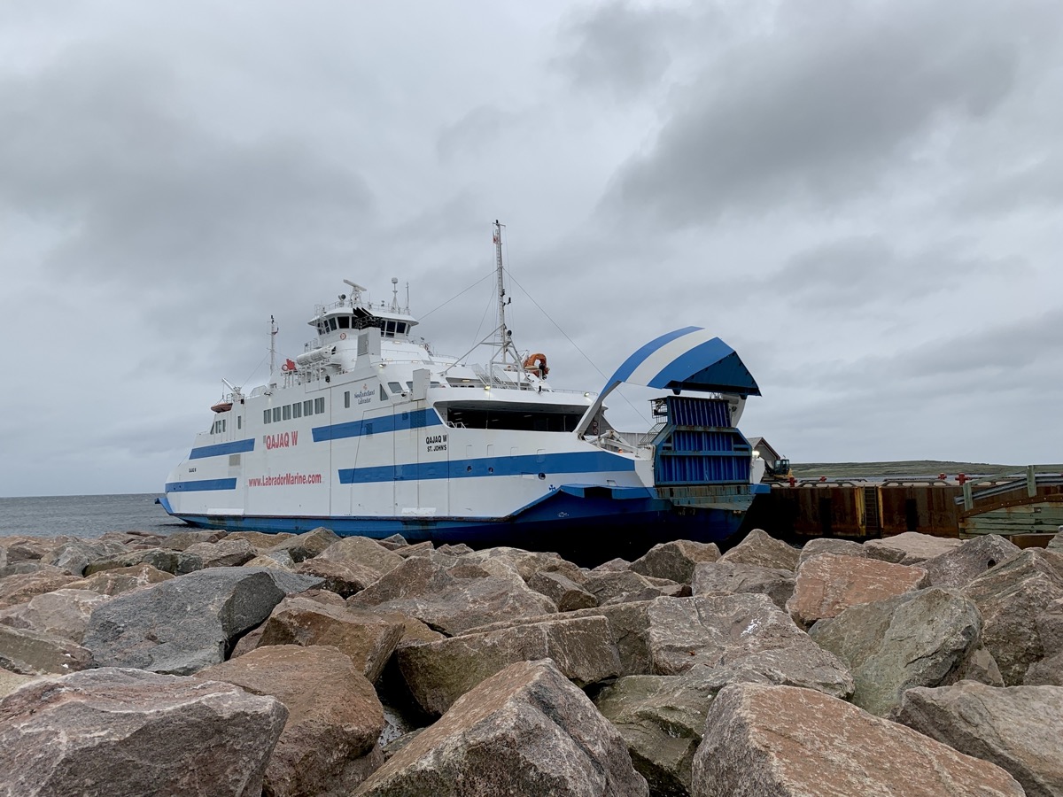
The ferry ride from Blanc-Sablon to Saint Barbe was short and quite comfortable. By the time we arrived wind was strong and our boat waited for a while for quieter moment to dock. Despite wind, rain and cold we walked (in rain pants and ponchos) short Marjorie Bridge & Thrombolites Walking Trail at Flowers Cove, located some 20 km from St Barbe. We then continued in light rain on Rte 430 until sunset. We found a decent spot on little pond (gravel pit) just past Eddies Cove. No weather for cooking dinner, just quick snacks and hope for sunny morning coffee.
Marjorie Bridge
…
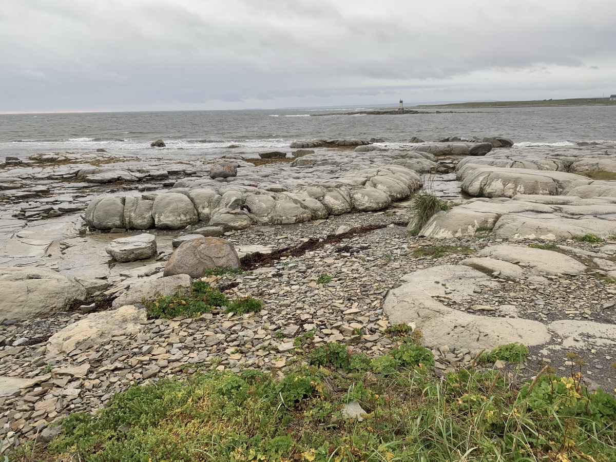
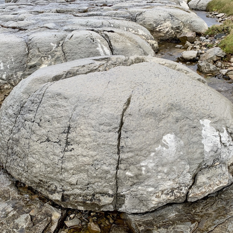
Thrombolites
That also meant new task: photographing rocks and fossils, starting with thrombolites.
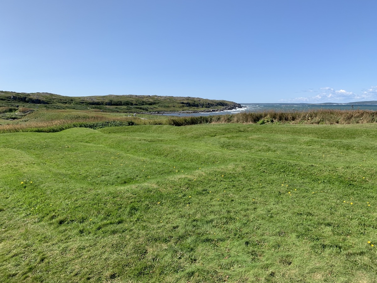
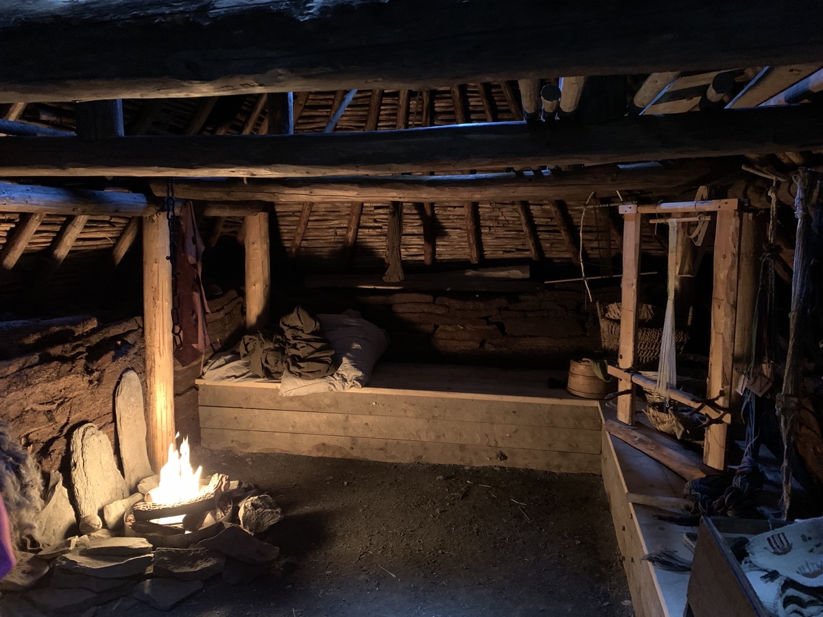
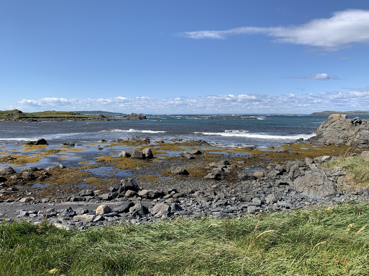
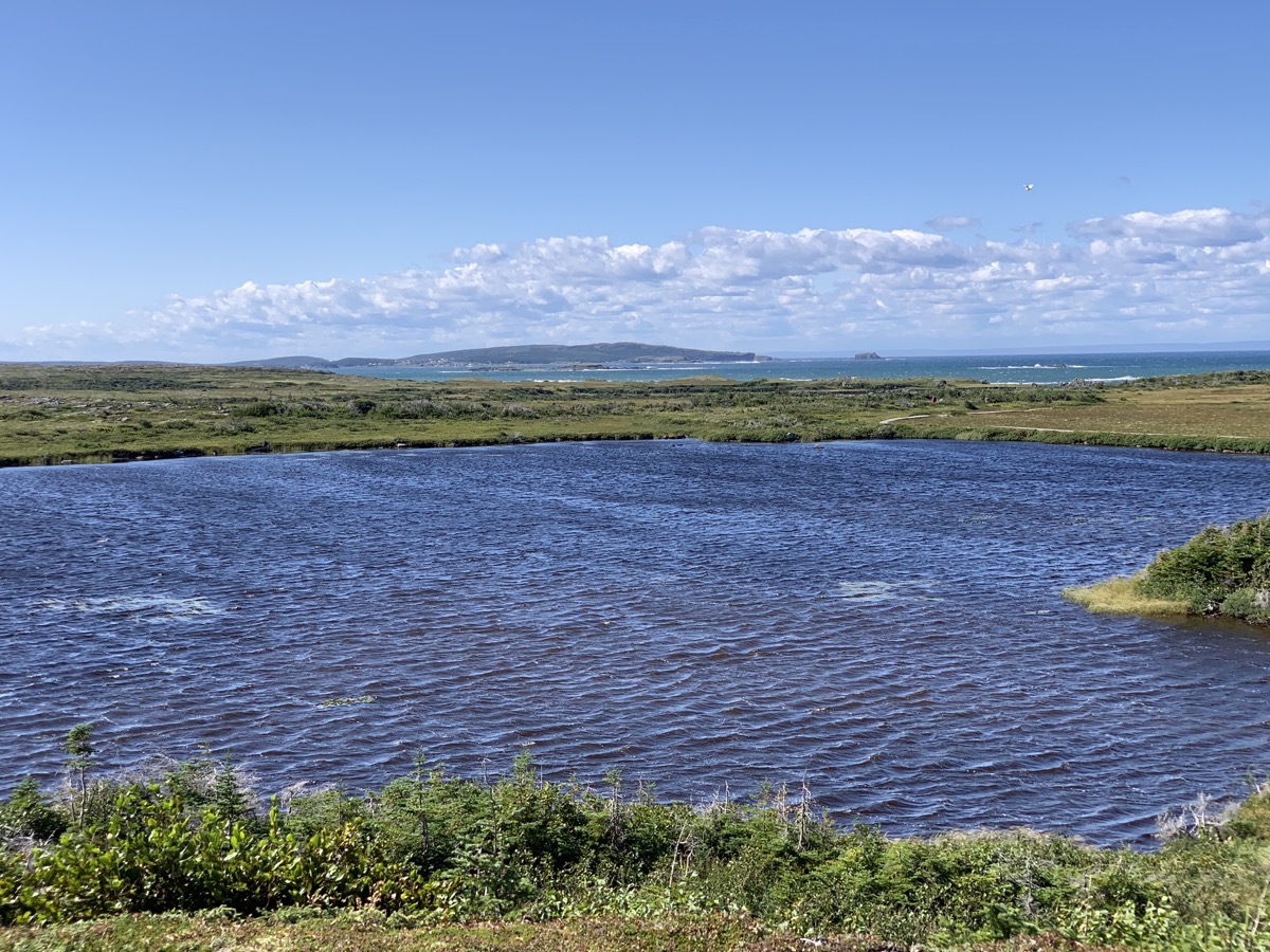
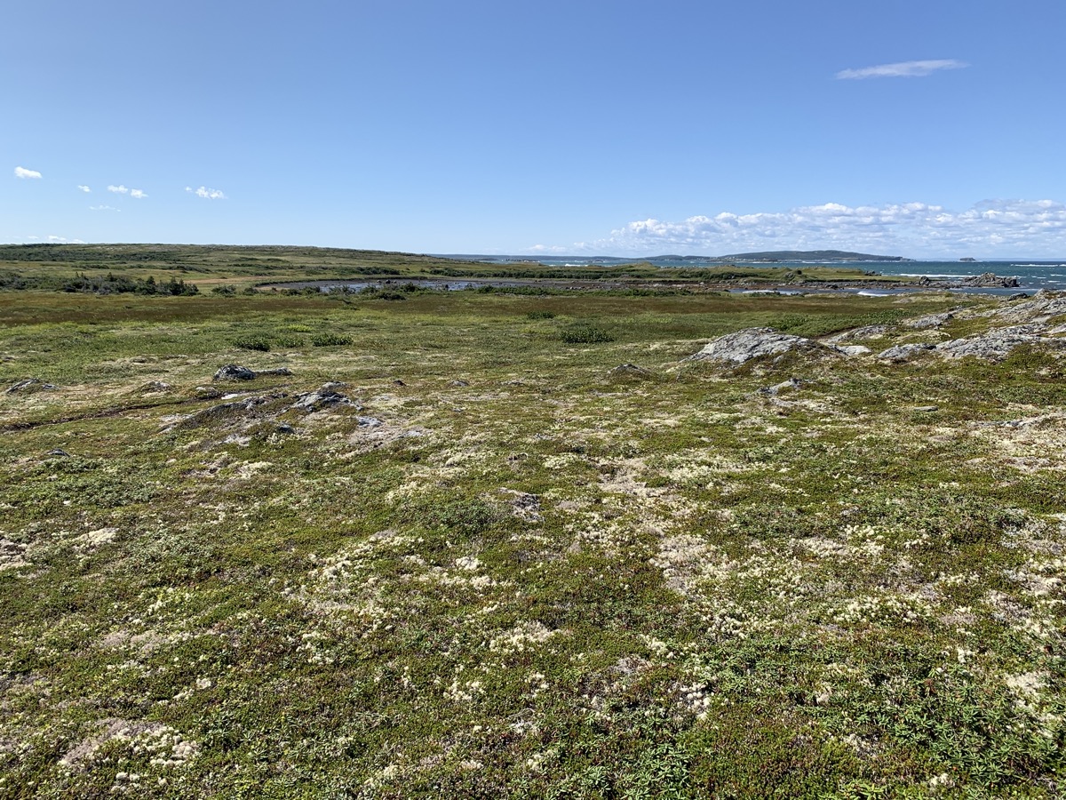
Sunny weather returns. We are heading east and then north-east to L’Anse aux Meadows to learn what Vikings were doing there. North part of Newfoundland has some of the remoteness we felt in Newfoundland and Labrador. First stop at Dark Tickle shop in St Lunaire. Too early – no coffee served yet (10:30 am ?). We watched bakeapple (cloudberry) preserves being made “home-style” (we bought a small jar). An hour later we were at the archeological site (UNESCO World Heritage Site) – the only firmly confirmed Norse settlement in North America, also occupied earlier by indigenous people. We joined good guided tour, visited “Viking Settlement” exhibition and park museum, finished by walking short loop along the coast and through meadows.
Norse settlement was here (building mound outlines)…
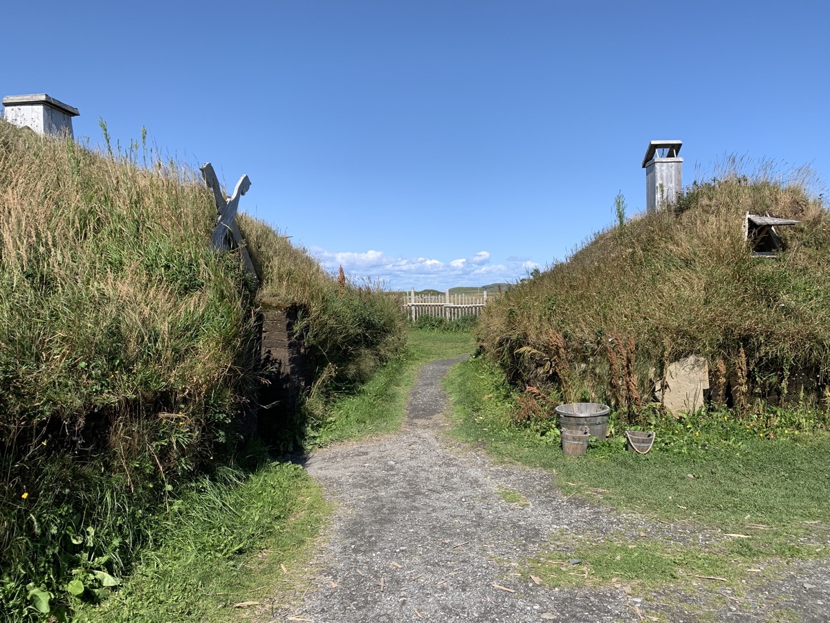
…how we imagine they lived…
…
What the Vikings saw…
…
…probably more trees then
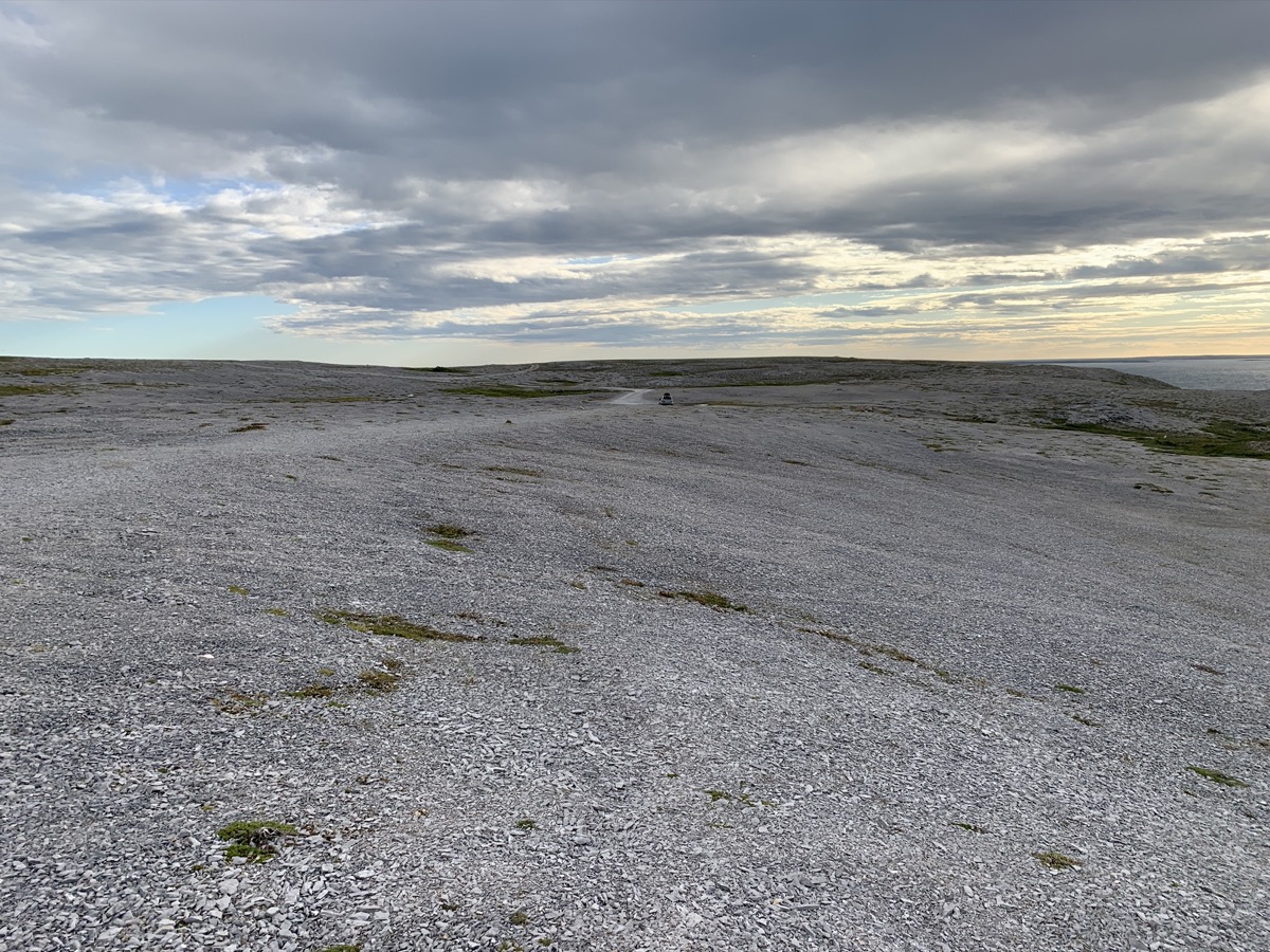
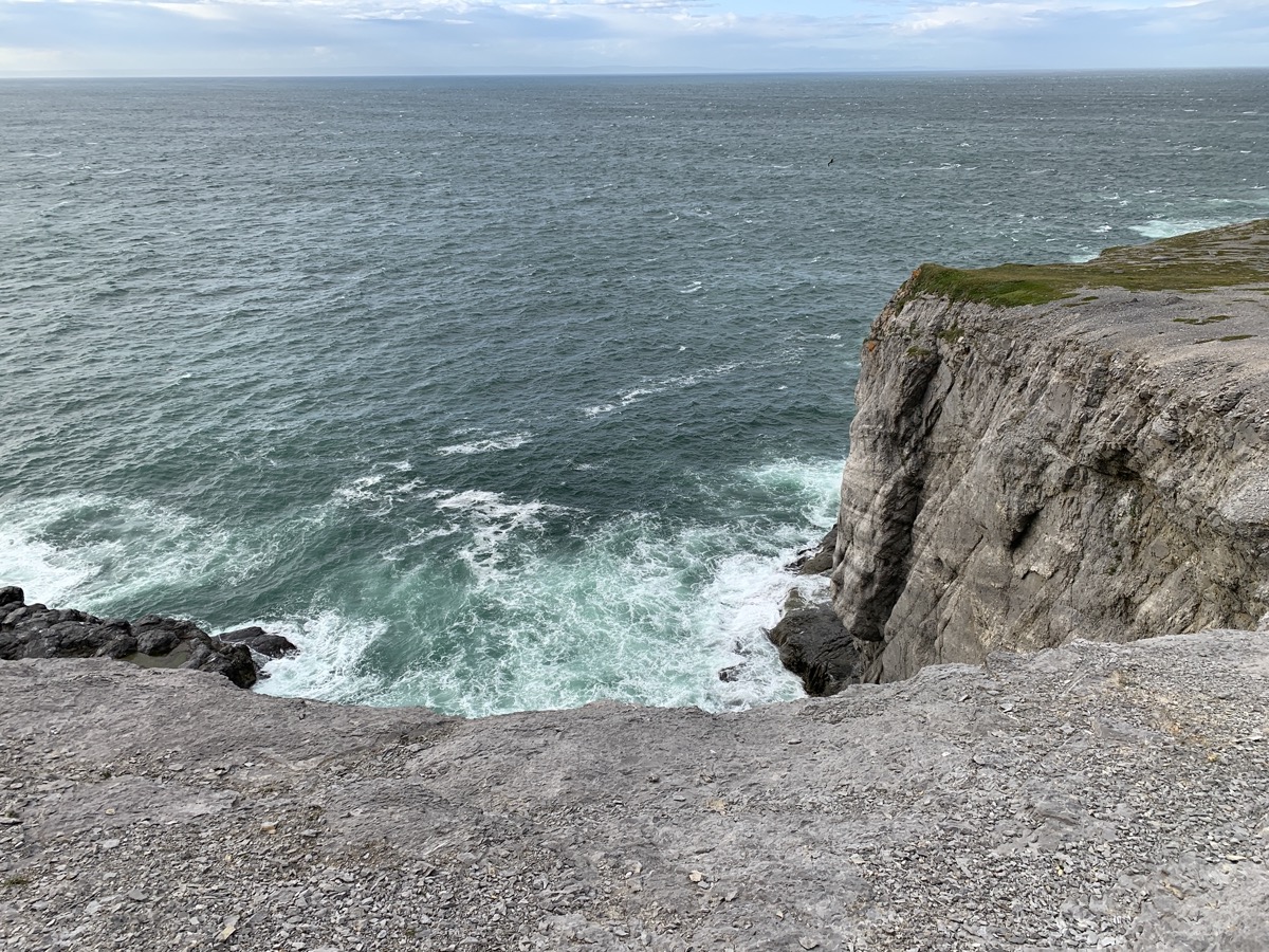
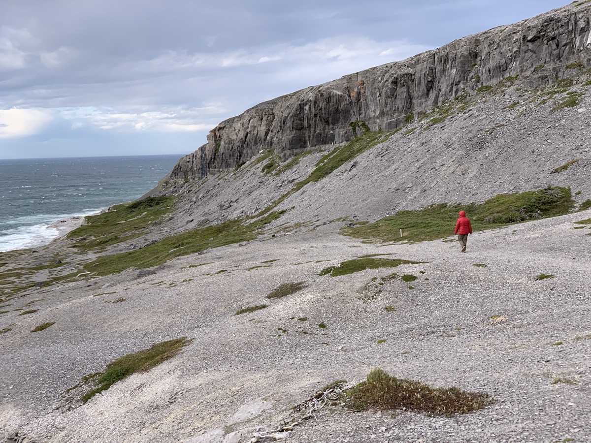
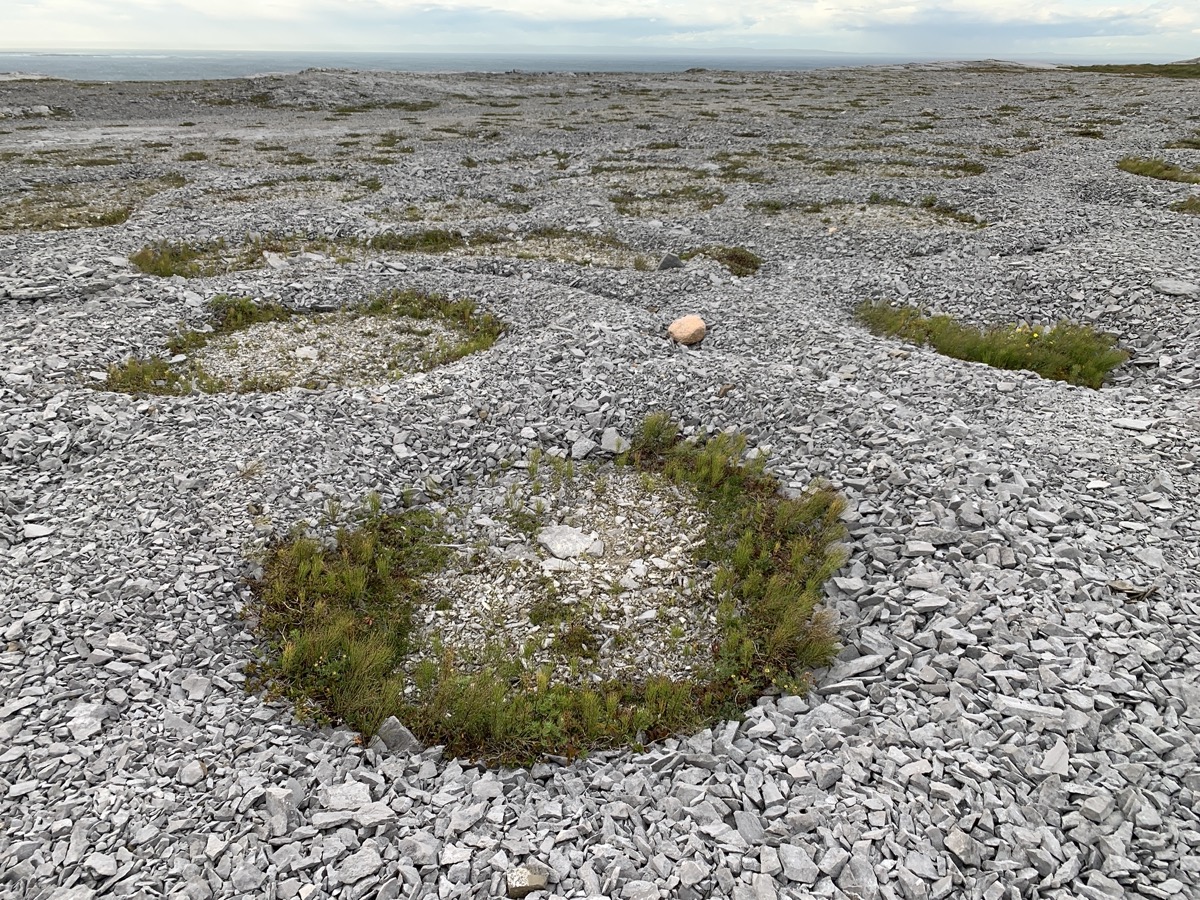
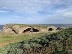
In the afternoon we drove back the same way we came and then north-west to Burnt Cape Ecological Reserve near Raleigh to look for rare plants among rock barrens. With substantial lunch on the way at The Daily Catch restaurant (recommended) in St Lunaire-Griquet – probably best seafood of the enitre trip. Simple but great freshness and taste: cod gratin, seafood chowder and black mussles. Good french bread to go. Good location right on the coast (Rte 436).
We arrived at the Reserve not really knowing what to expect – we first parked at the entrance only to learn we can explore it by car so we drove to the end of the gravel road. It is open, barren land on top of high, rocky cliff with waves breaking below. Sun was already low, but gray clouds moving in pushed it even lower and wind was howling. Quite a scenery. We looked around for a while, Joanna investigated interesting pockets of vegetation.
Burnt Cape…
…
…
…
…
…Ecological Reserve
It was already getting dark when we started making our way south. By the time we arrived at Main Brook Park campground the office was already closed, but the owner who lives nearby came to check us in, and was kind to wait while we took quick shower. Great! End of very long day.
Day 15.
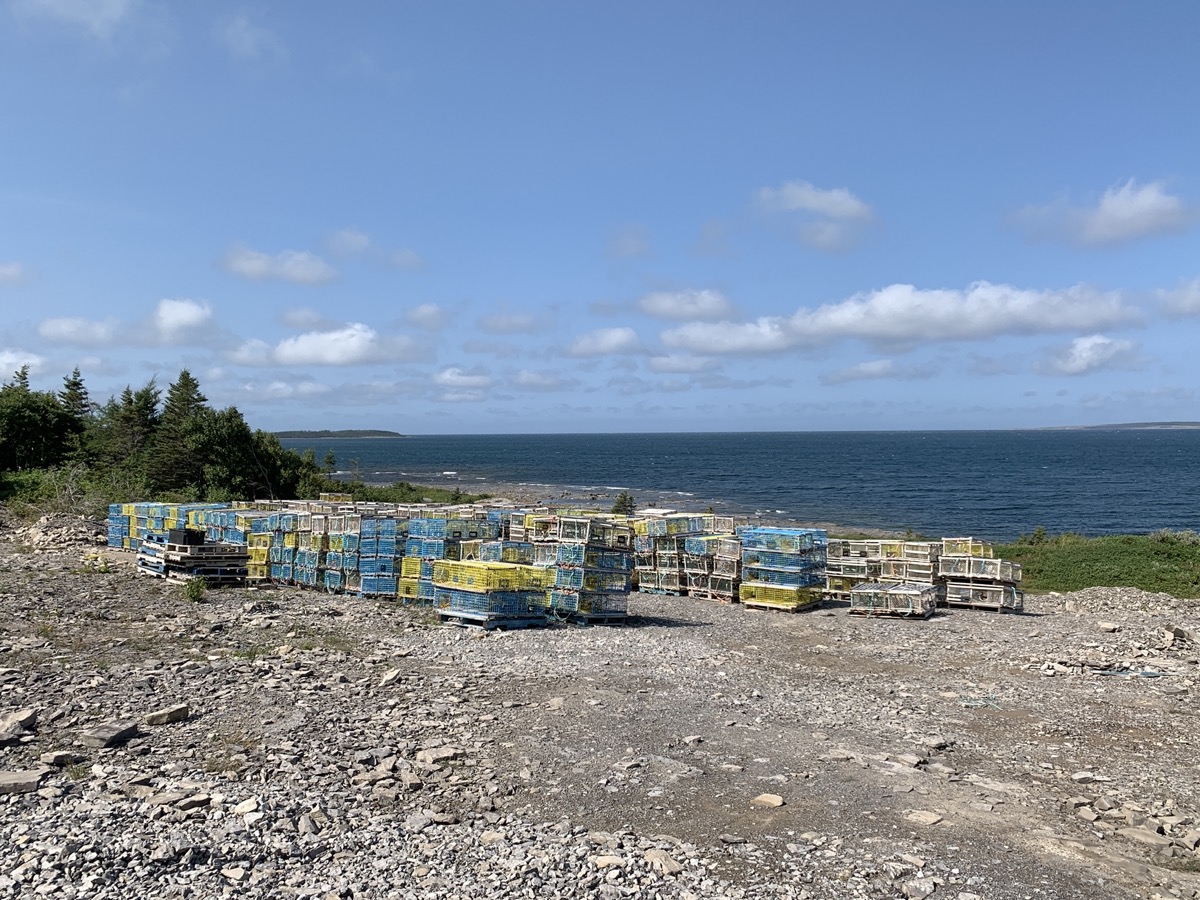
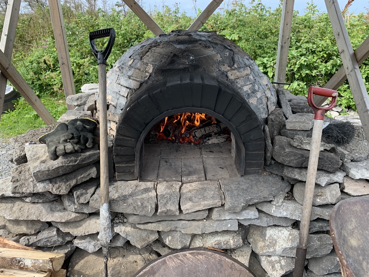
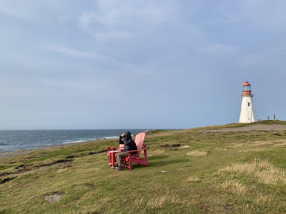
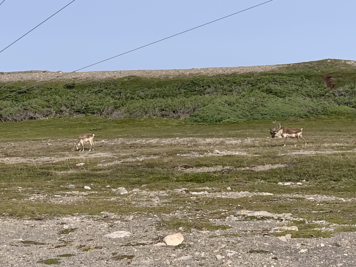
We now continue driving on Rte 432 west across the island and then on Rte 430 south along Gulf of St Lawrence coast line. Just before Eddies Cove West we turned on local road towards the coast and parked for a break on gravel lot used to store lobster traps. Piotr had time for driver’s nap, Joanna investigated fossils on the rocky shore. Port au Choix was next, first to get some bread baked in french oven typical for this part of the country (too early for live demonstartion though), followed by visit to Phillip’s garden for a walk and finally Pointe Riche lighthouse. We also stopped at French Rooms Cultural Center. No luck spotting whales, but we watched small (resident) caribou herd grazing near the lighthouse (surprisingly tourists did not approach the animals to take selfies). We managed short dash on Limestone Barrens trail, fried seafood dinner at Point Riche restaurant and quick look at fishing port in Port au Choix. It was time to go. Driving along the coast near water as the sun was setting down was very pleasant, but no time for breaks.
Main Brook Park
Newfounland interior Rte 432
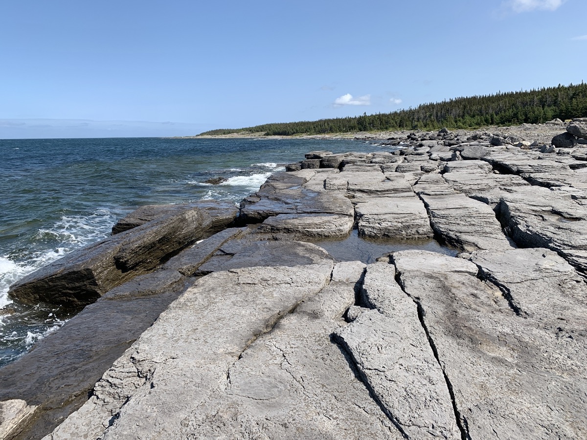
Gulf of St Lawrence…
…Eddies Cove West
French oven in Port au Choix
Philip’s Garden, site of…
…indigenous people settlement(s)
Stone ring historical marker
Pointe Riche
Caribou
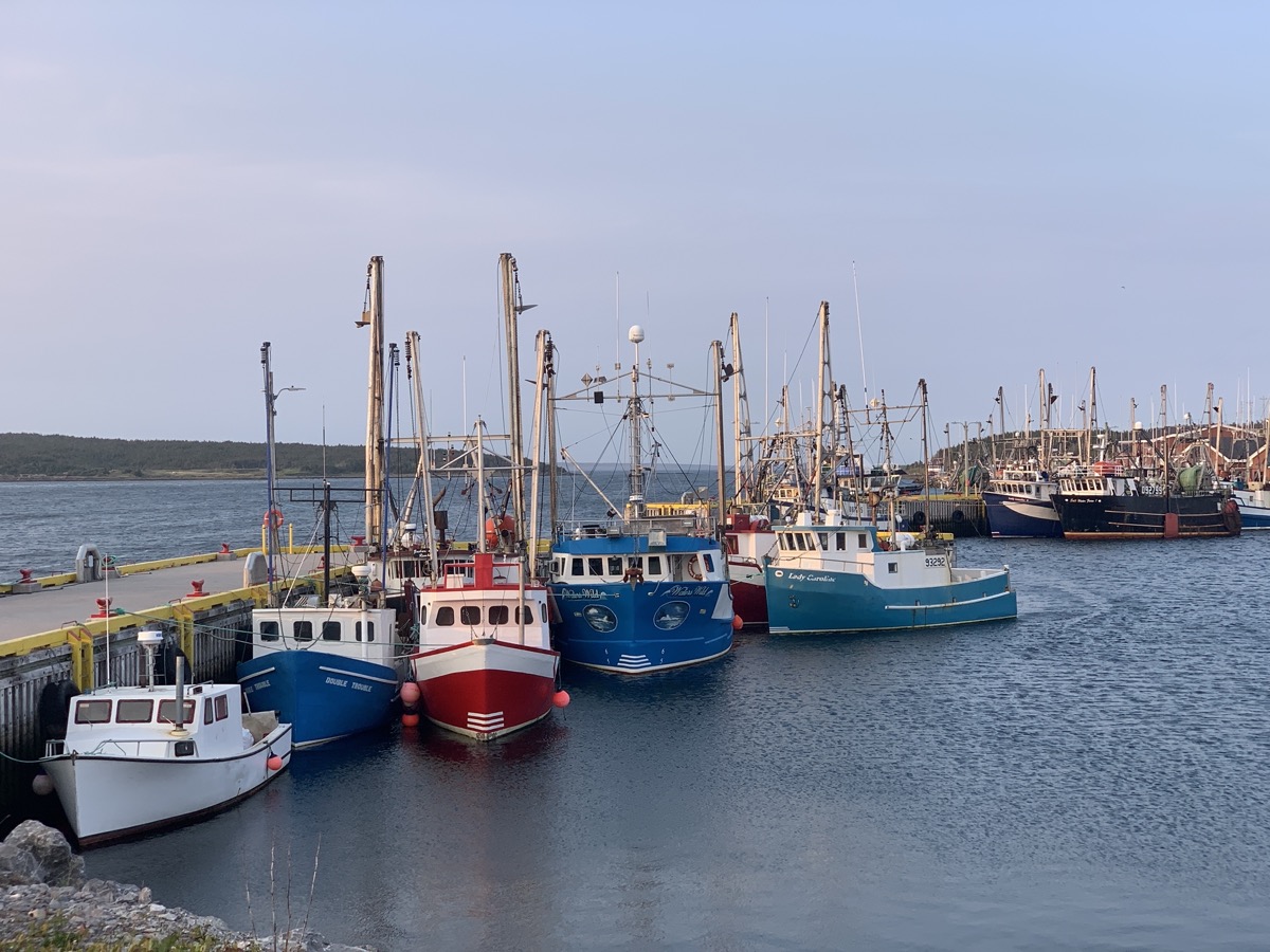
Port au Choix
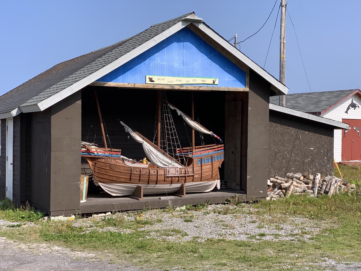
Newfoundland boat garage
We tried to find camping spot off Rte 430. Two recommendations on iOverlander (one was already packed the other was in small park where local people go for walks with their dogs) and a couple of side-dirt-roads with no luck. At least we saw black bear with two cubs while away from main road. It was already dark, almost 9 pm, when we decided to move on and go to Arches Provincial Park – parking lot there was our fall-back plan. 3 other cars were asleep already when we arrived. We took a spot closest to shore. It was nice place to be as we discovered in the morning. And just 10 miles from Gros Morne National Park. Another long day.
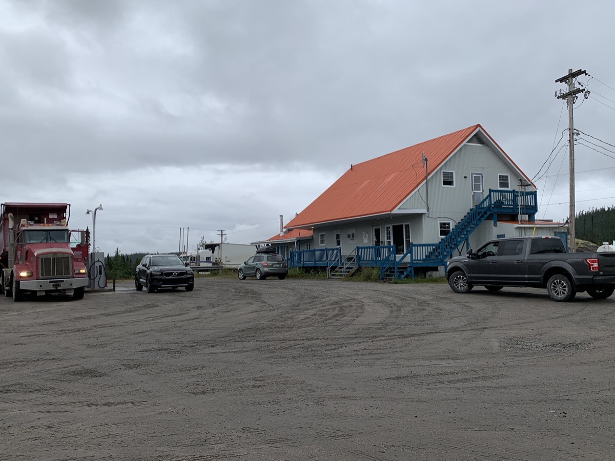
We had overcast/drizzle start of the day with more biting flies (this time we were prepared a lot better). Still got some good viewes of Lac Manicouagan from the road before we reached truck stop at Relais-Gabriel to fill-up the tank. CC terminal did not work – it was one of a few ocassions when we dipped into our cash reserve. We paid $67.12 in notes and coins – at $2.459 per liter the most expensive gasoline of the trip.
Rt 389 to Relais-Gabriel
Lac Manicouagan from Rt 389
Relais-Gabriel truck stop
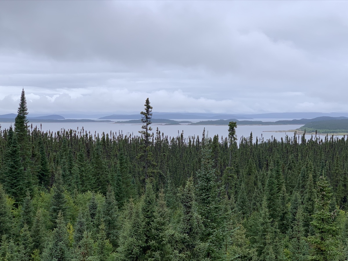
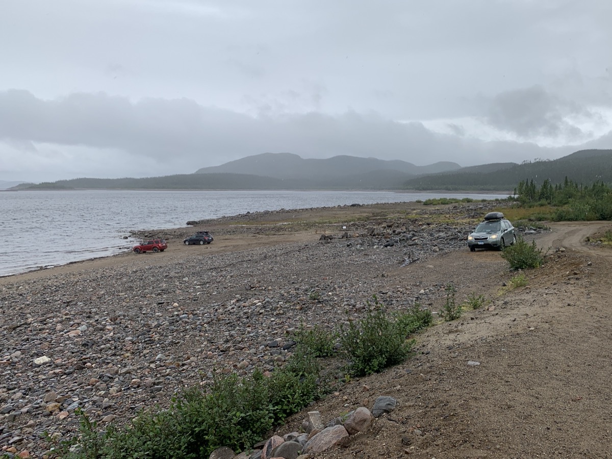
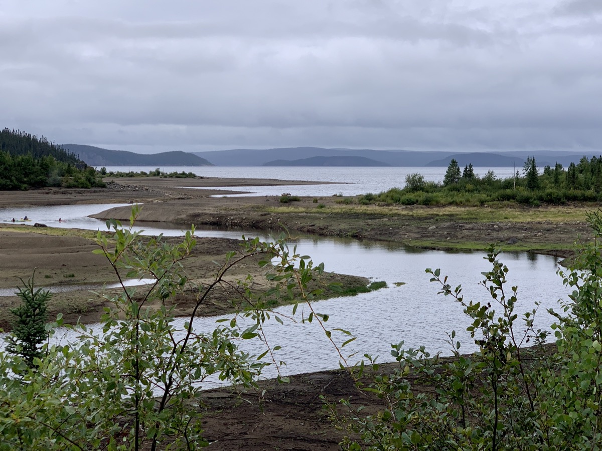
Twelve miles later, we attempted a short forest walk (Sentier Provencher trail), but it was through dense, wet undergrowth (rain pants and ponchos required). Next stop, just across the road in Uapishka Biodiversity Reserve, was longer. First, we checked-out beach-side campsites there, not bad alternative to where we stayed, and then we walked a bit on Sentier trail with good views on Lac Manicouagan. We were certainly fascinated by vegetation on the forest floor, but also jeleaous watching kayakers paddling up one of the river outlets. Breaks in rainy weather were good for walking, but not enough for us to go sailing.
Tajga up-close and wet
Uapishka…
…Biodiversity Reserve…
…
…
Back on the road (Rt 389)
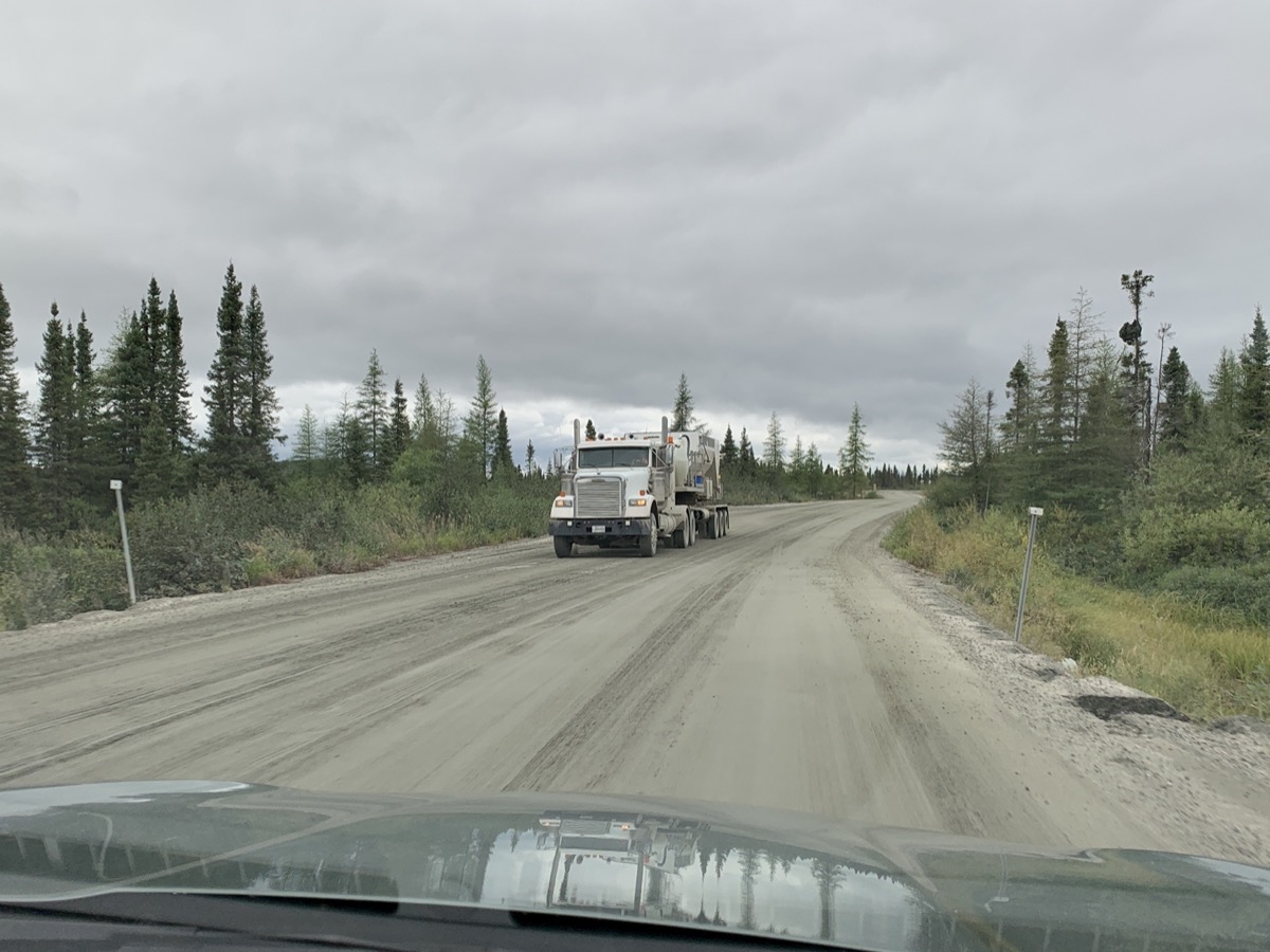
Trafic on Rt 389 was light, very few passanger cars and not too many heavy trucks, most near open-pit mine(s) and Labrador City. The road here is running along railway and has a bit too much of industrial revolution feel, even though interesting on its own. We drove around Labrador City and settled for the night at Two Seasons Inn.
Rt 389 to Fremont and Labrador City
Iron ore mine near Fremont
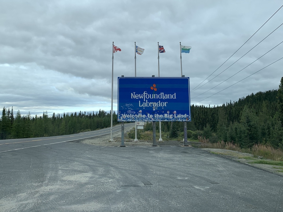
Quebec-Labrador border
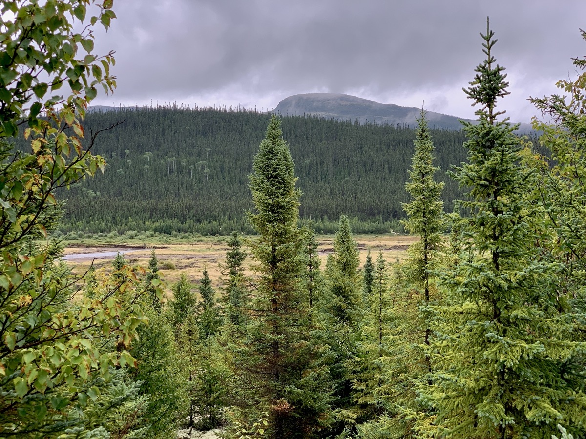
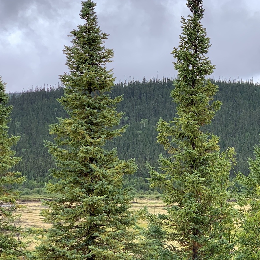
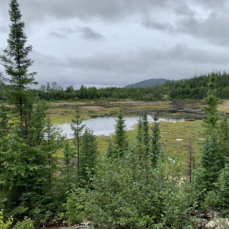
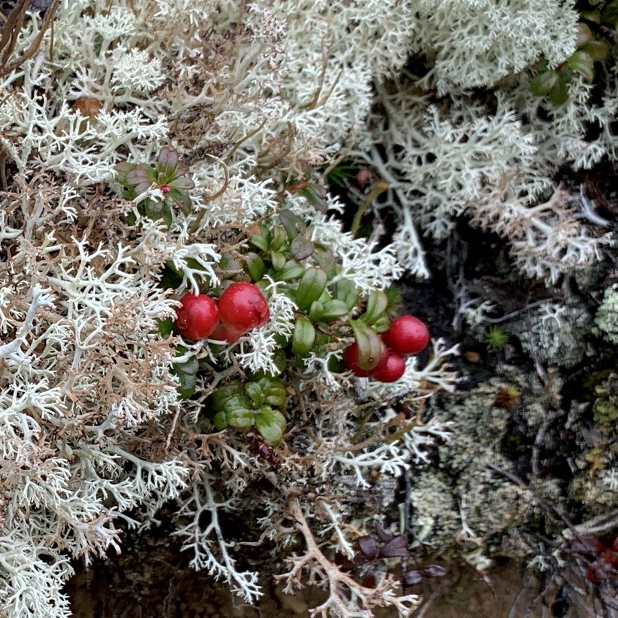
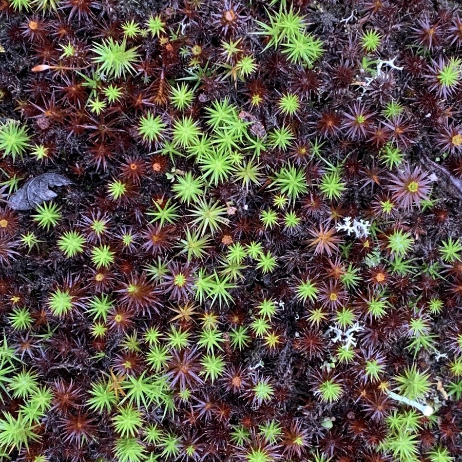
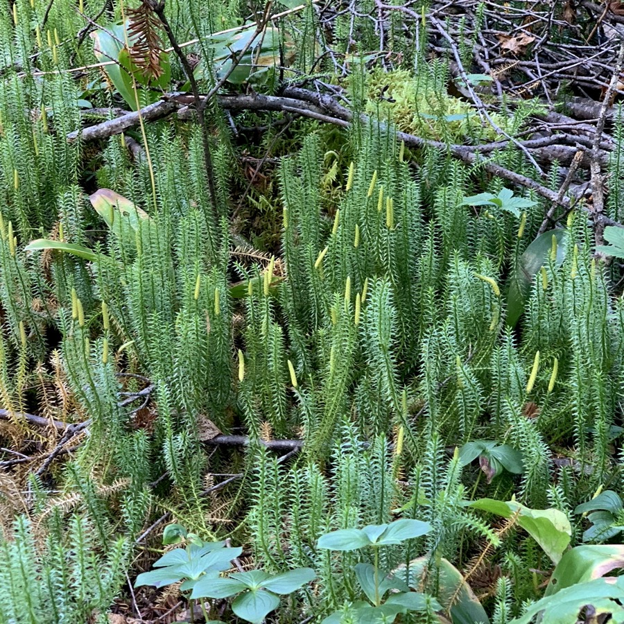
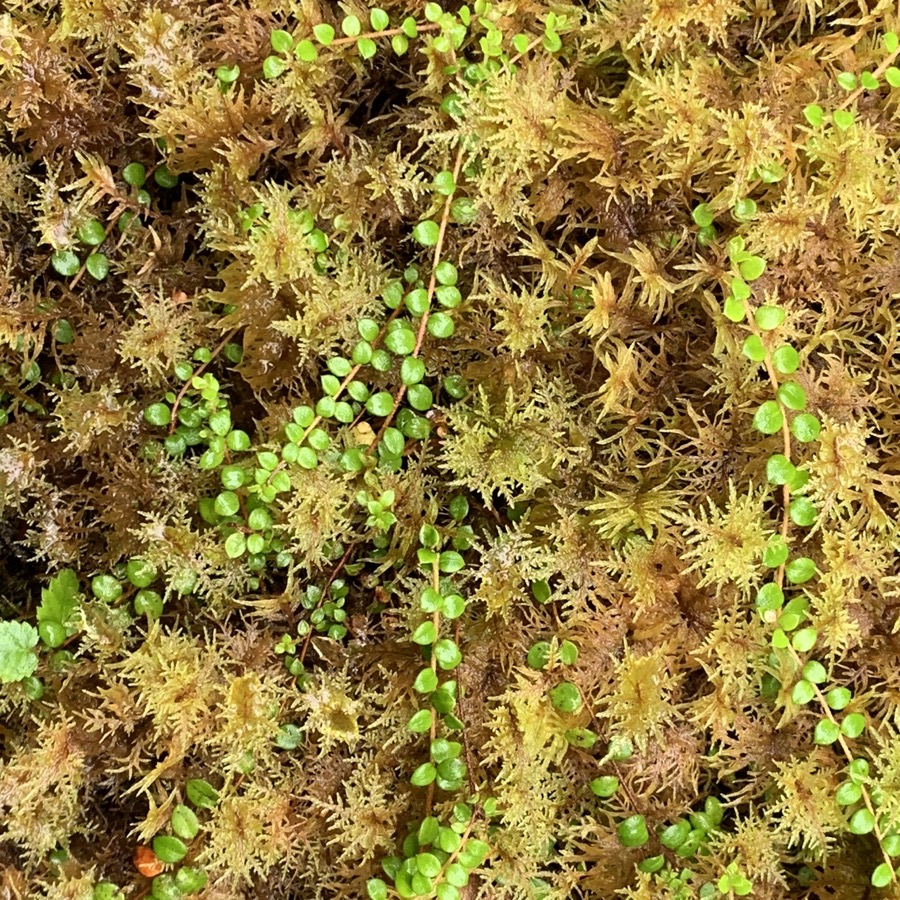
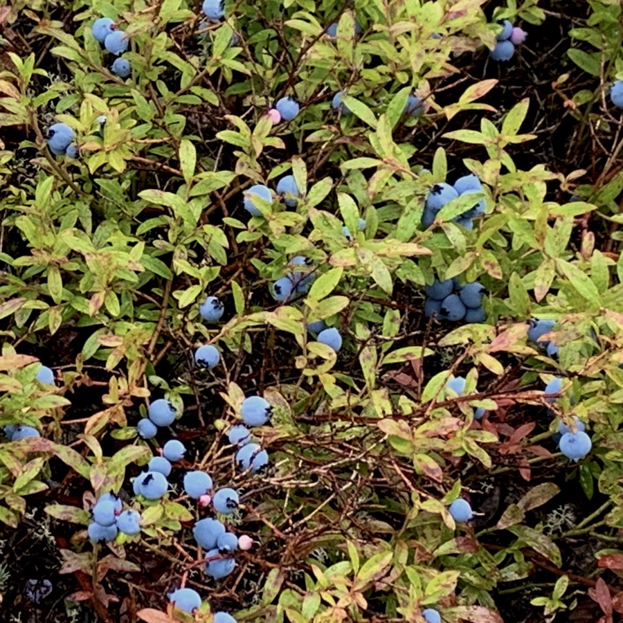
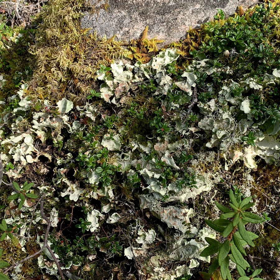
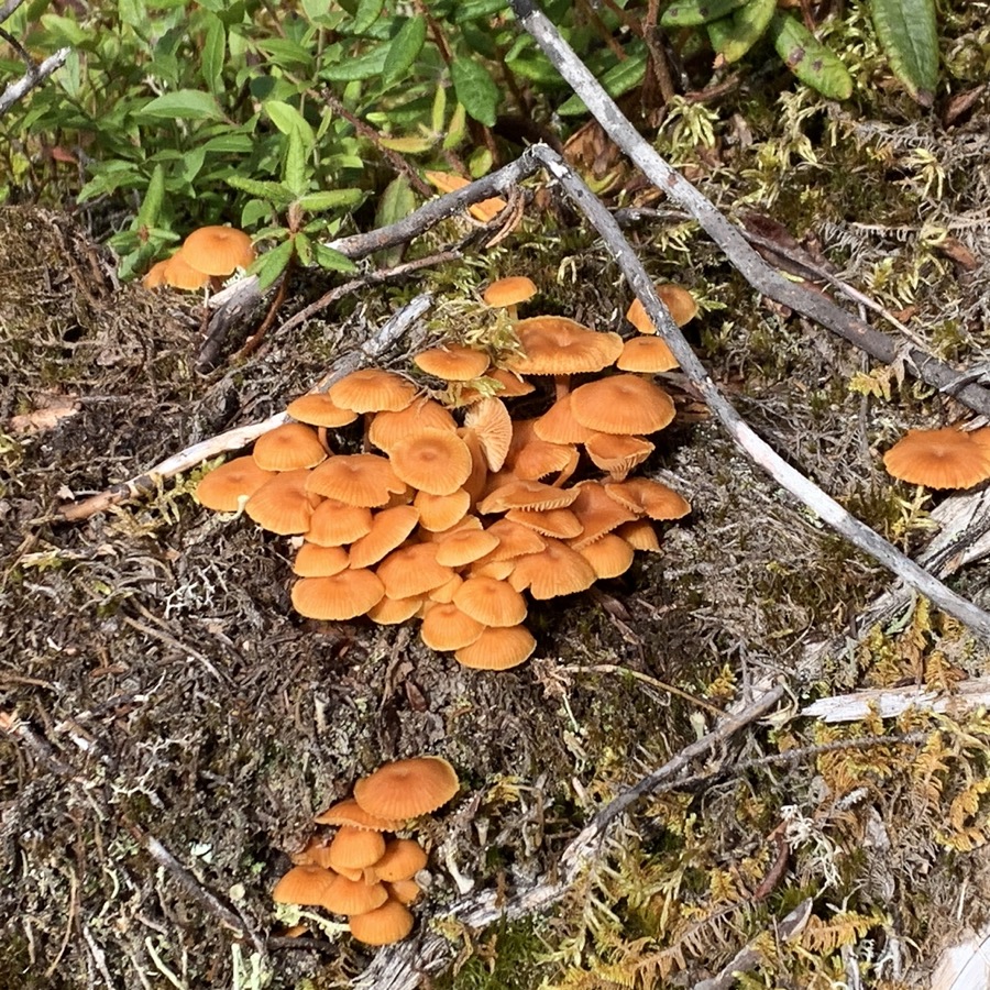
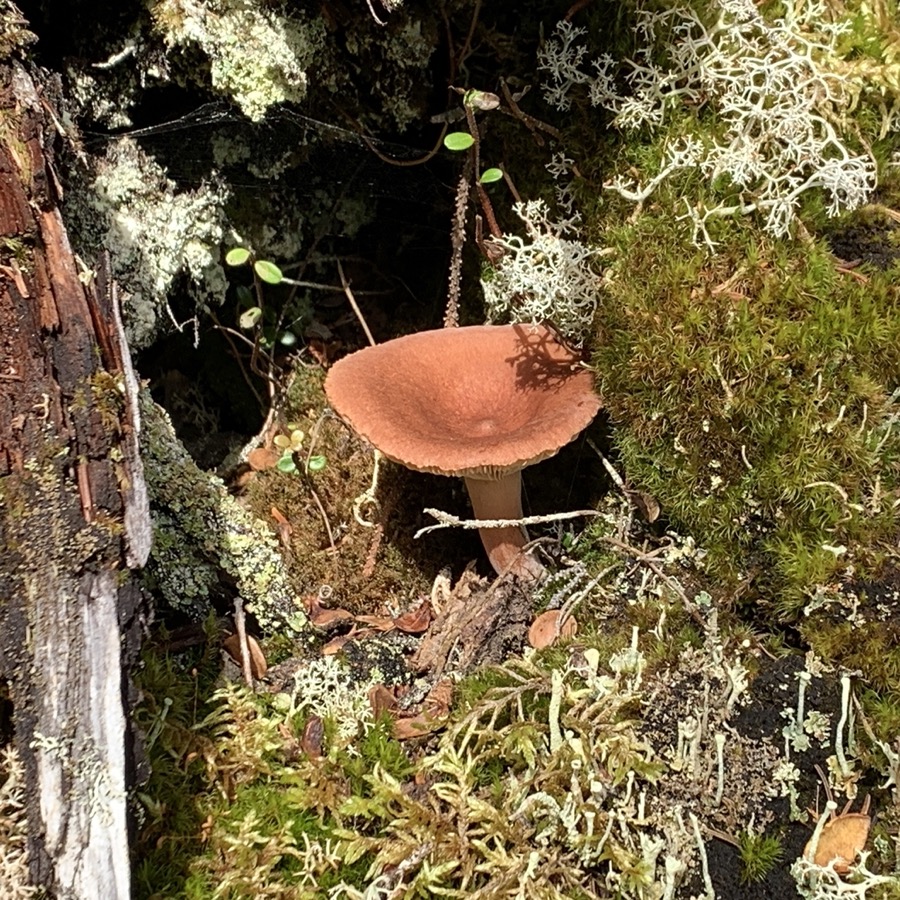
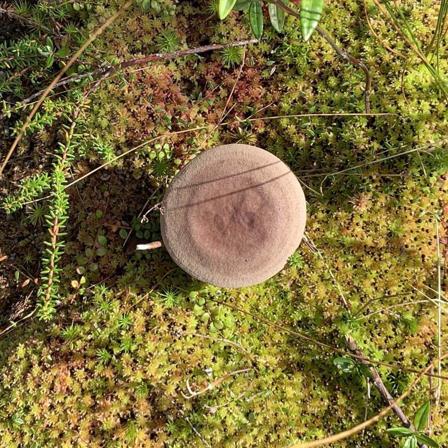
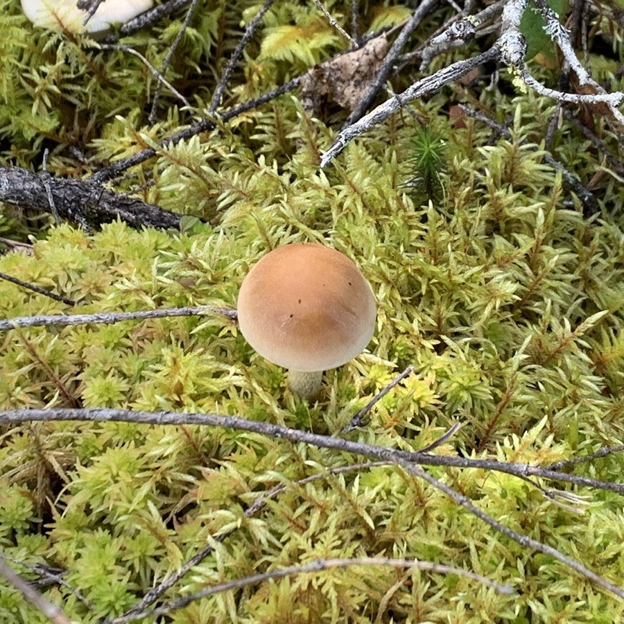
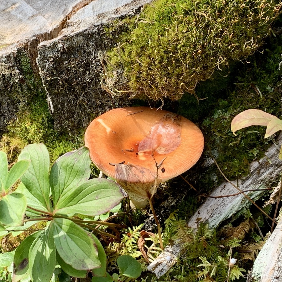
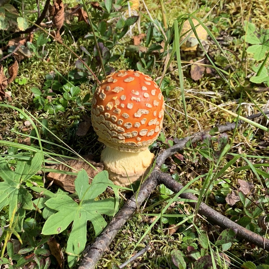
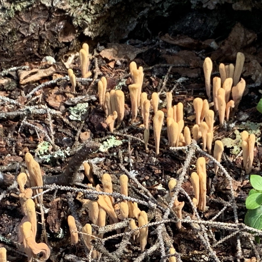
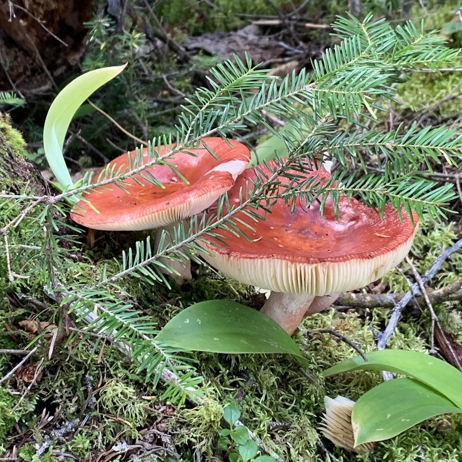
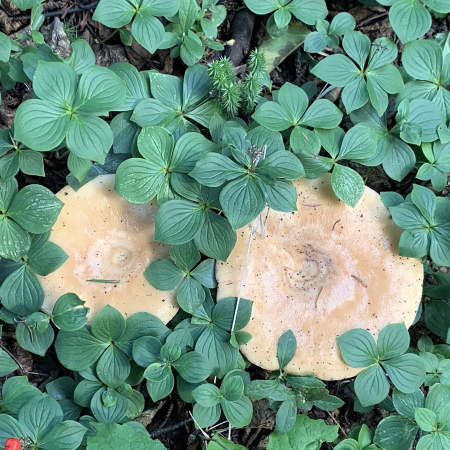
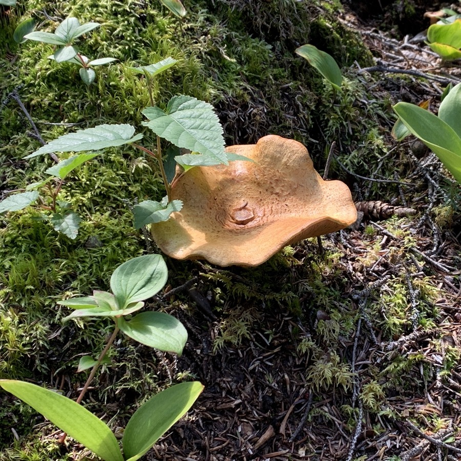
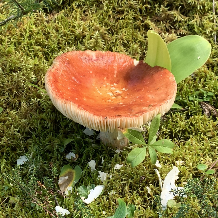
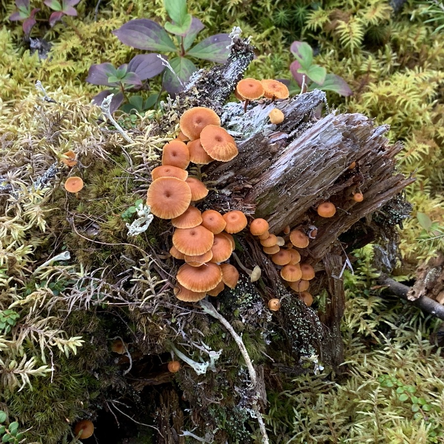
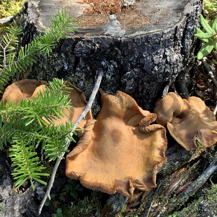
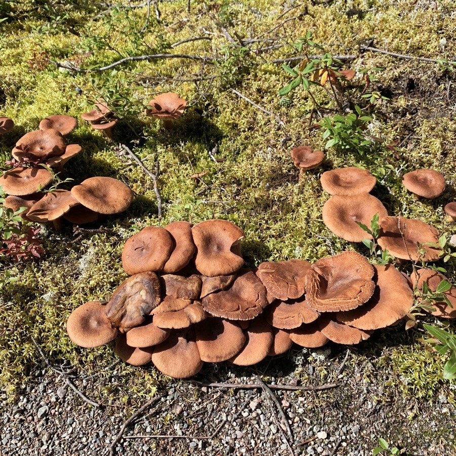
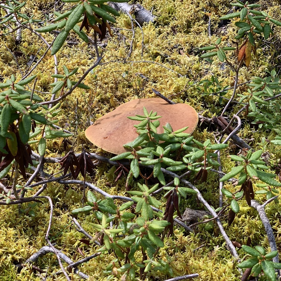
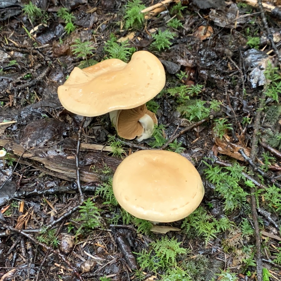
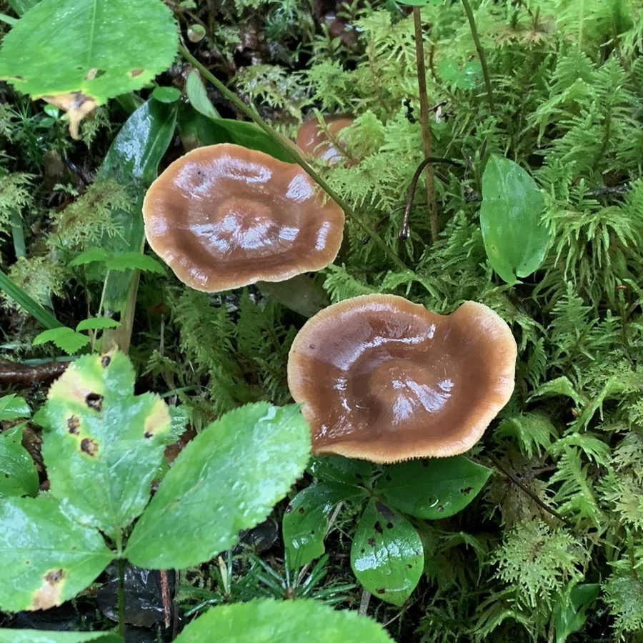
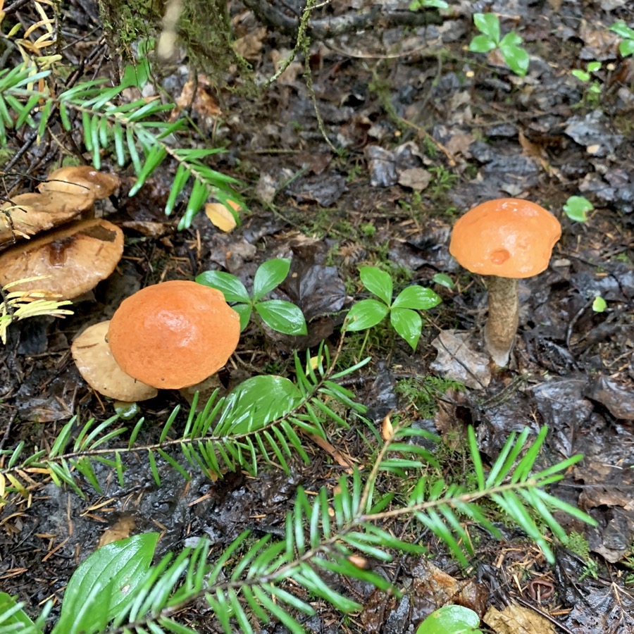
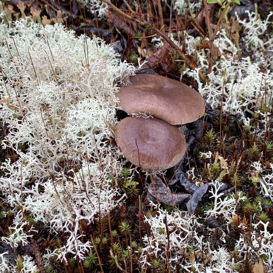
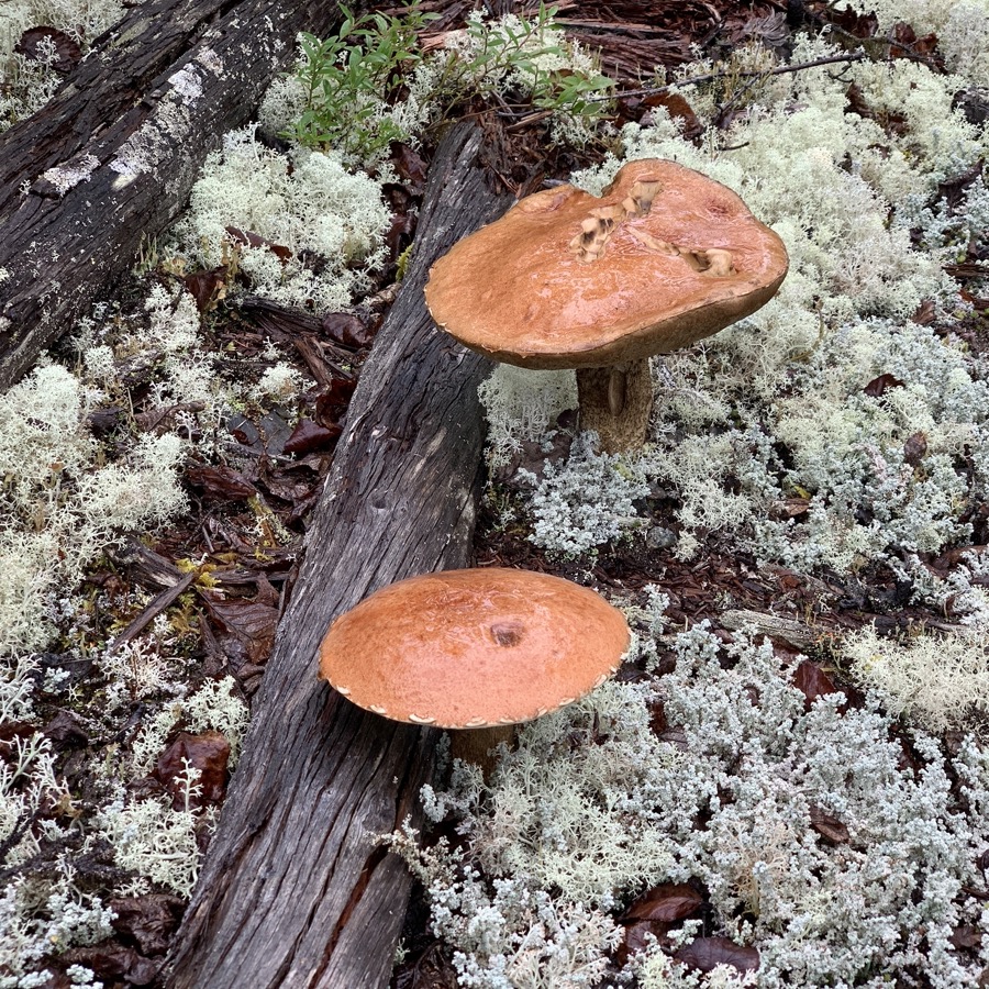
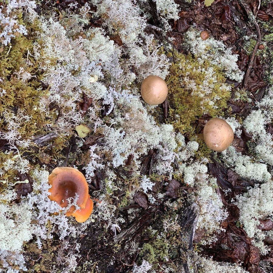
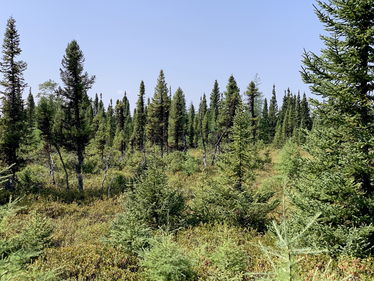
We liked boreal forest: trees on carpet of tajga-style ground-cover of lichen and moss dotted with mushrooms and berries, all quietly surrounded by green hills, and greyish sky and water.
«« Scroll to view more photos »»
Black spruce Picea mariana
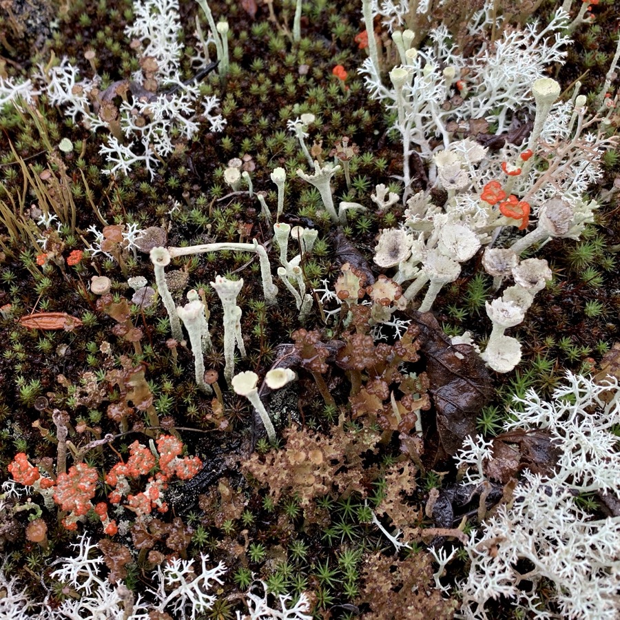
Lichen little zoo
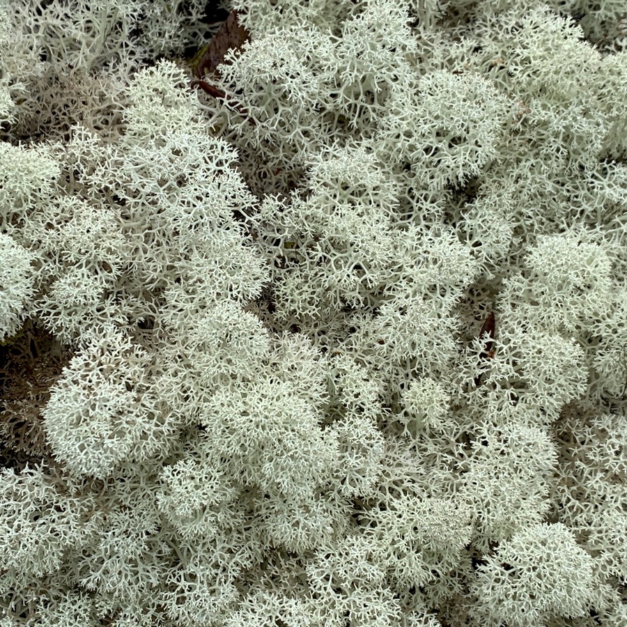
Reindeer lichen Cladonia stellaris
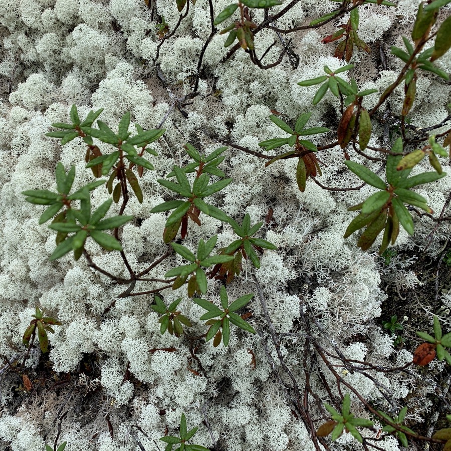
Bog Labrador tea Rhododendron groenlandicum on lichen
Lingonberry Vaccinium vitis-idaea in reindeer lichen
Haircap moss Polytrichum commune
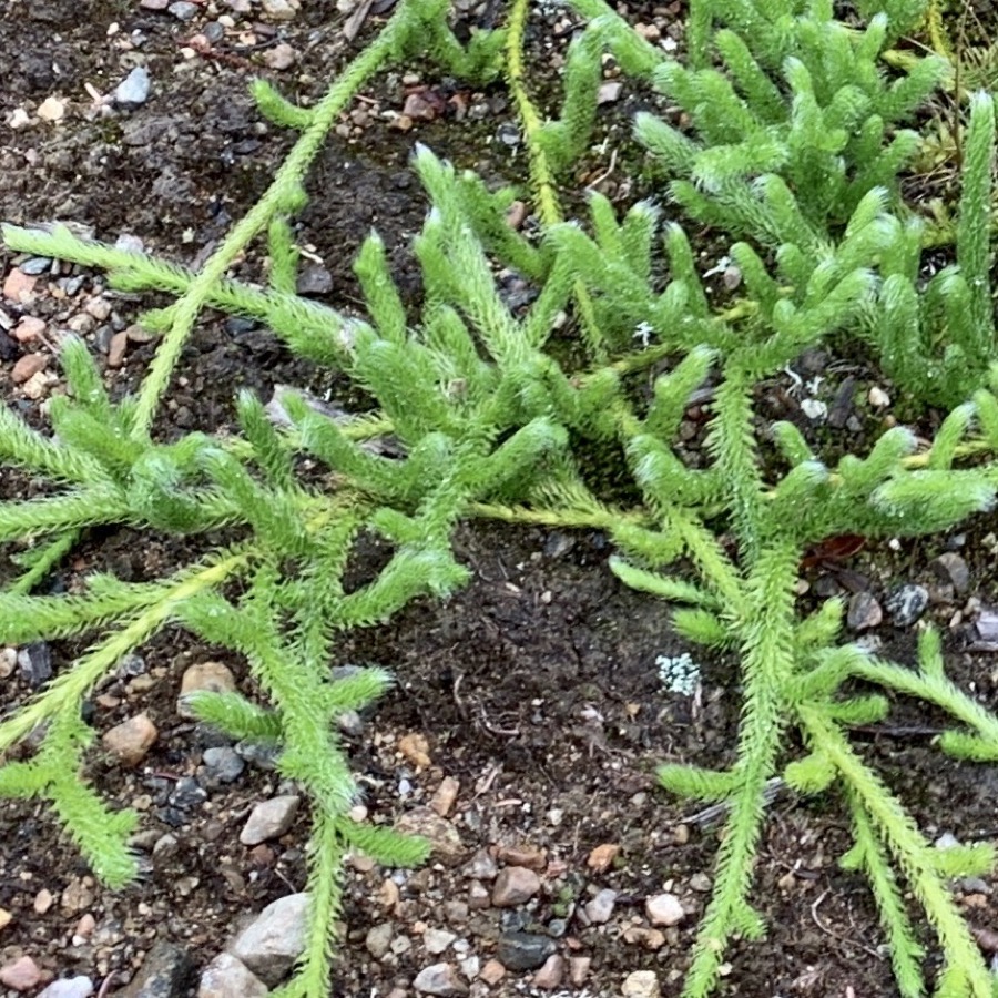
Arctic Stag’s-horn clubmoss Lycopodium lagopus
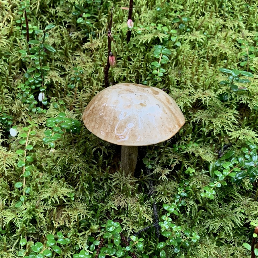
Mashroom, creeping snowberry on peatmoss
Stiff clubmoss Spinulum
Creeping snowberry Gaultheria hispidula on peatmoss
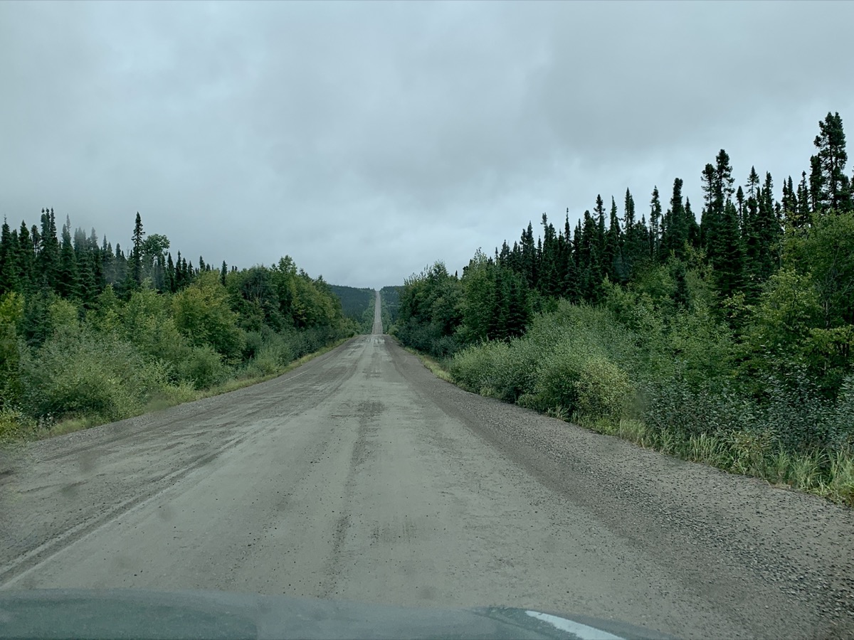
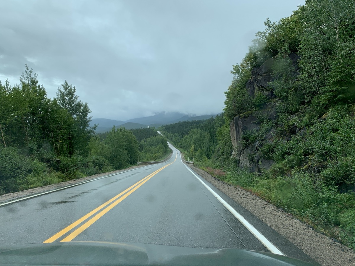
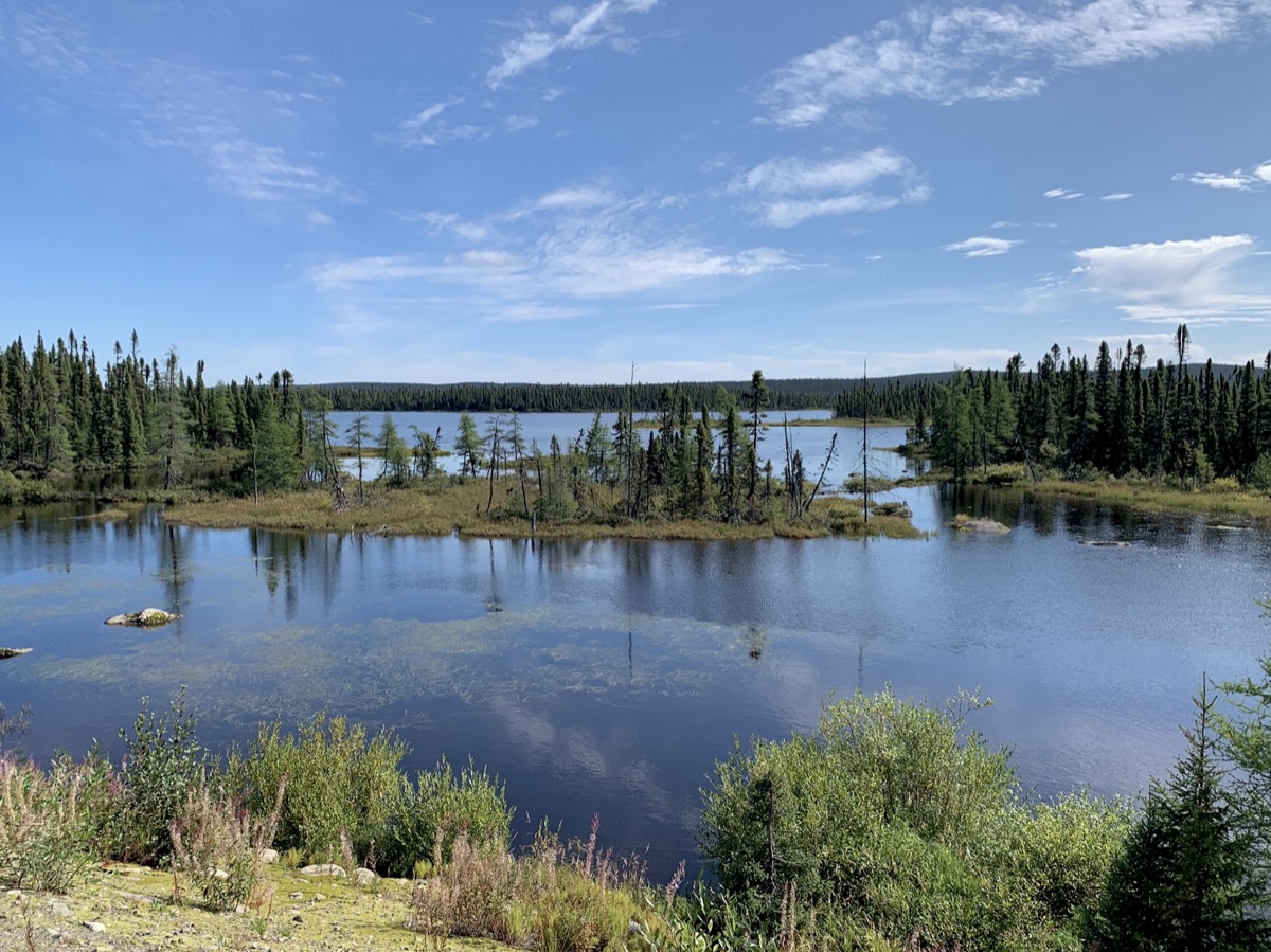
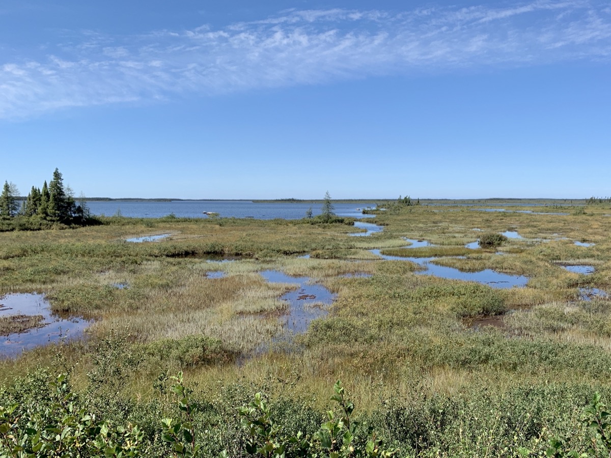
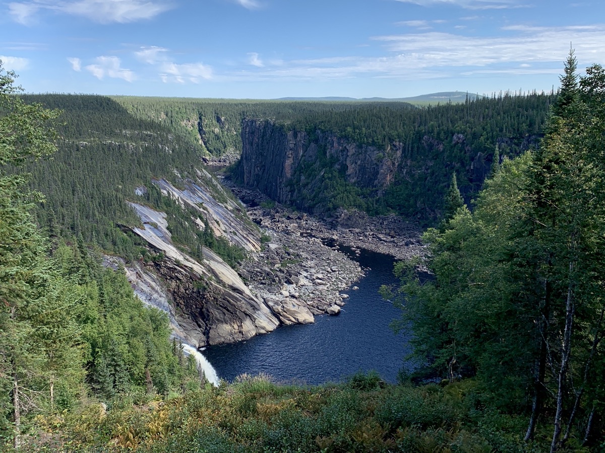
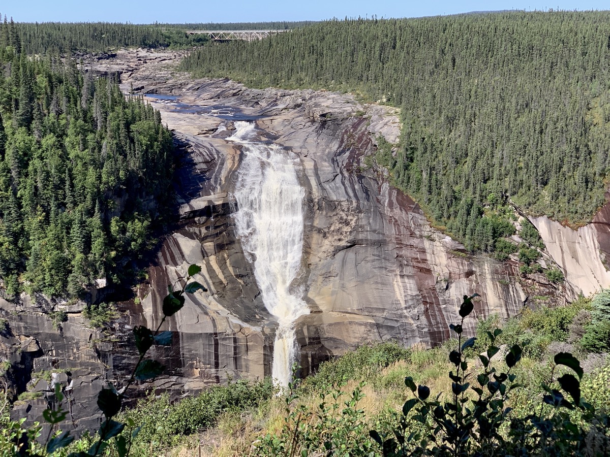
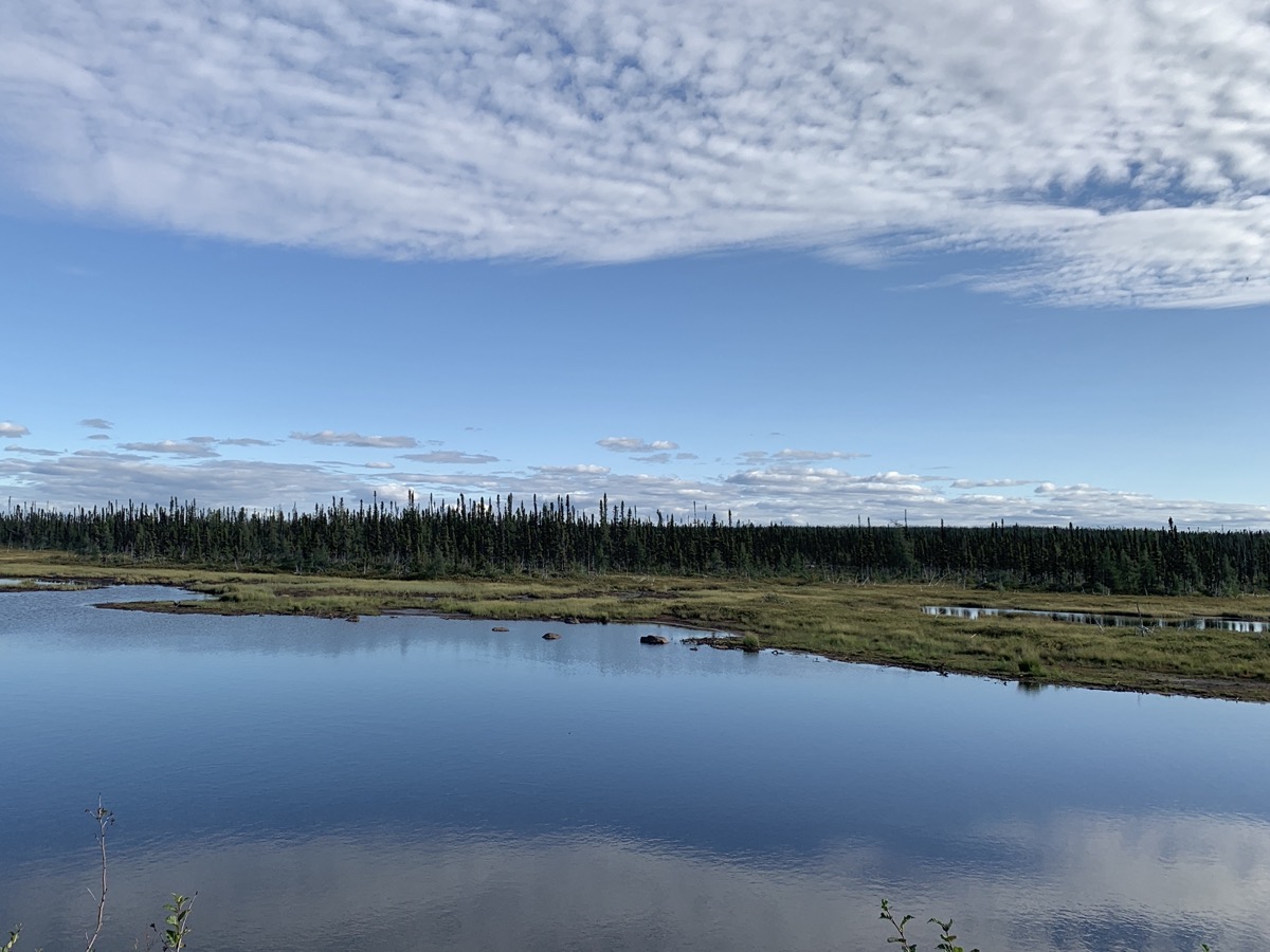
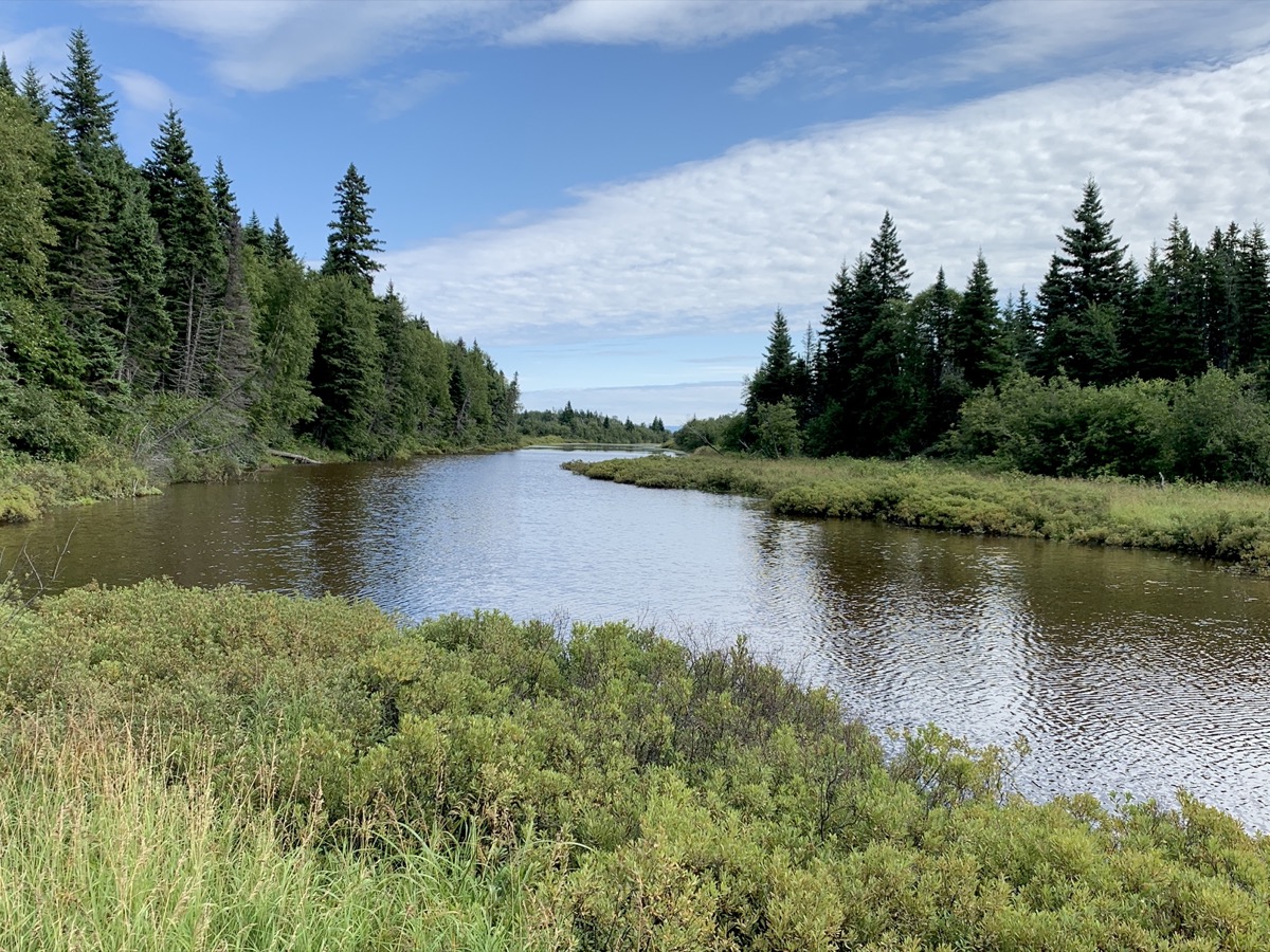
We are now out of Labrador City heading east on Trans Labrador Highway 500. Weather is back to “normal”: sunny with few clouds. We just keep driving enjoying the views from our car, sometimes stopping at road’s edge or on bridges when no other cars were in sight (almost always). The road is all paved from now on and fixed-up recently. With little other traffic, one wonders how good it is to be able to drive through Labrador and just look around. We stopped for a short walk to get a good view of Churchill Falls. More driving and looking around, and finding wild campsite for the night.
From Rt 500, lakes…
…marshes…
…and waterfalls…
…Churchill Falls…
…more rivers and lakes
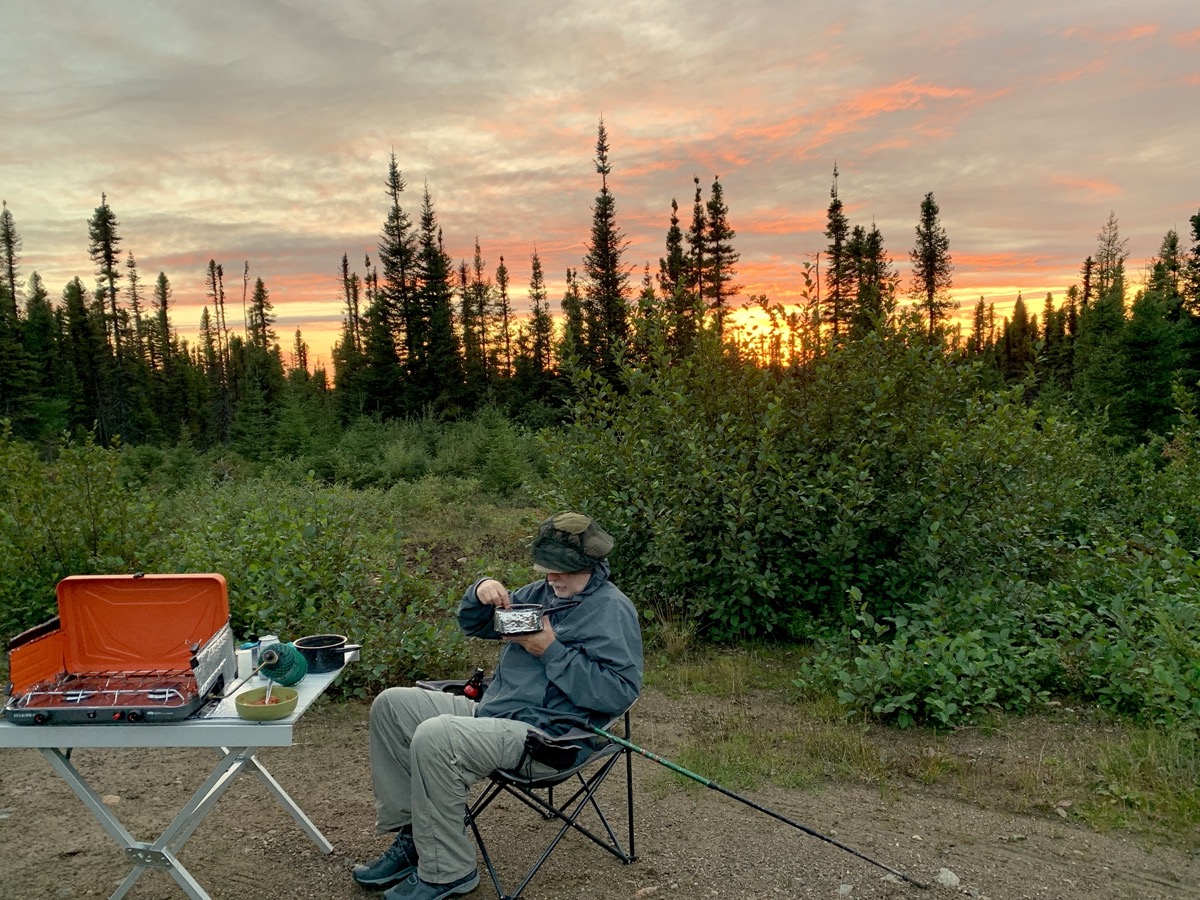
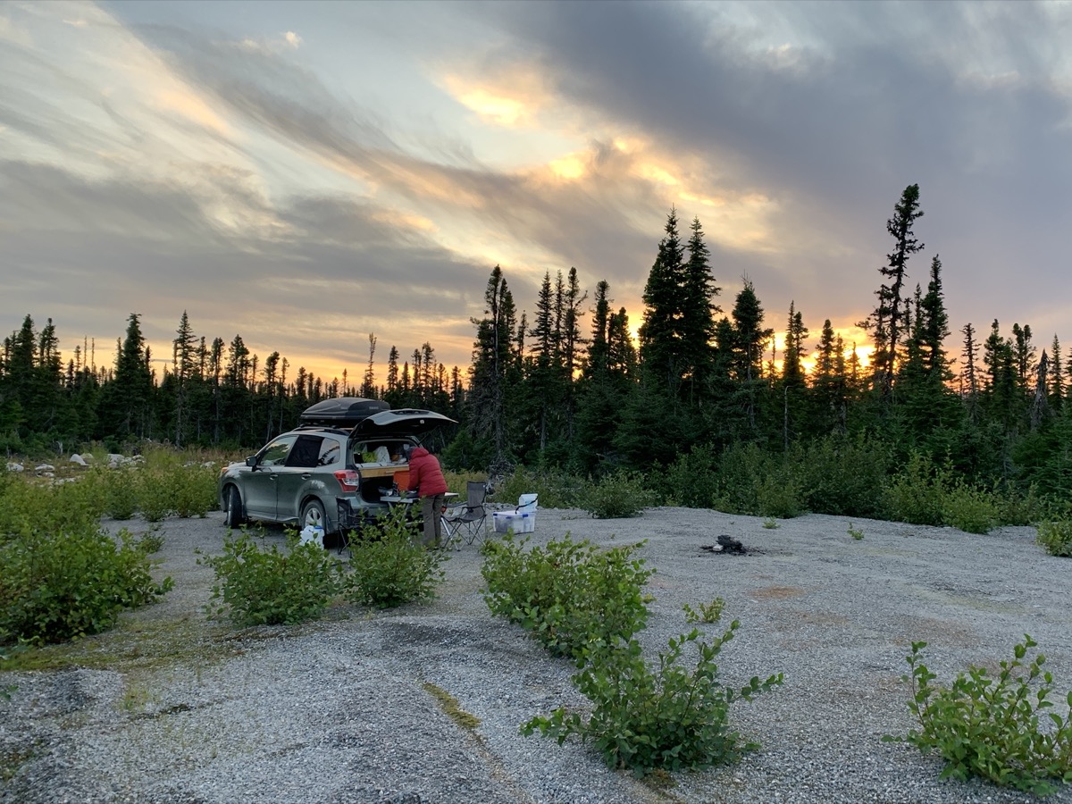
Dinner at sunset (camp off Rt 500)
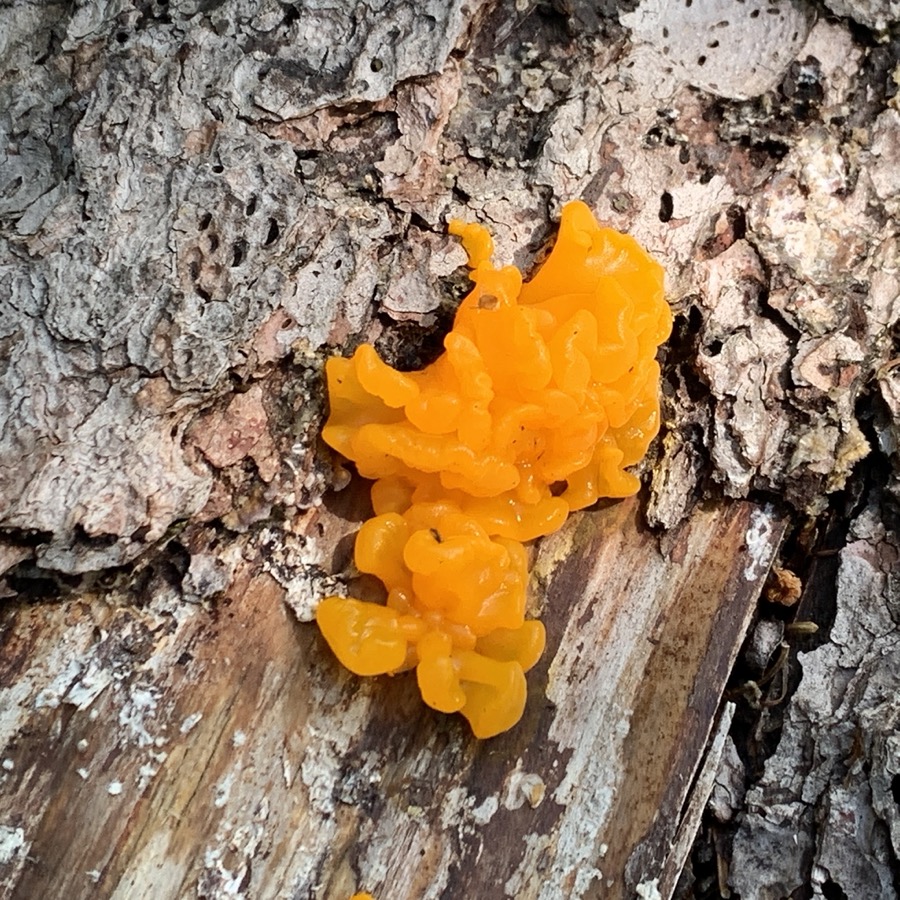
Piotr found new assignment: combing forests to photograph mushrooms.
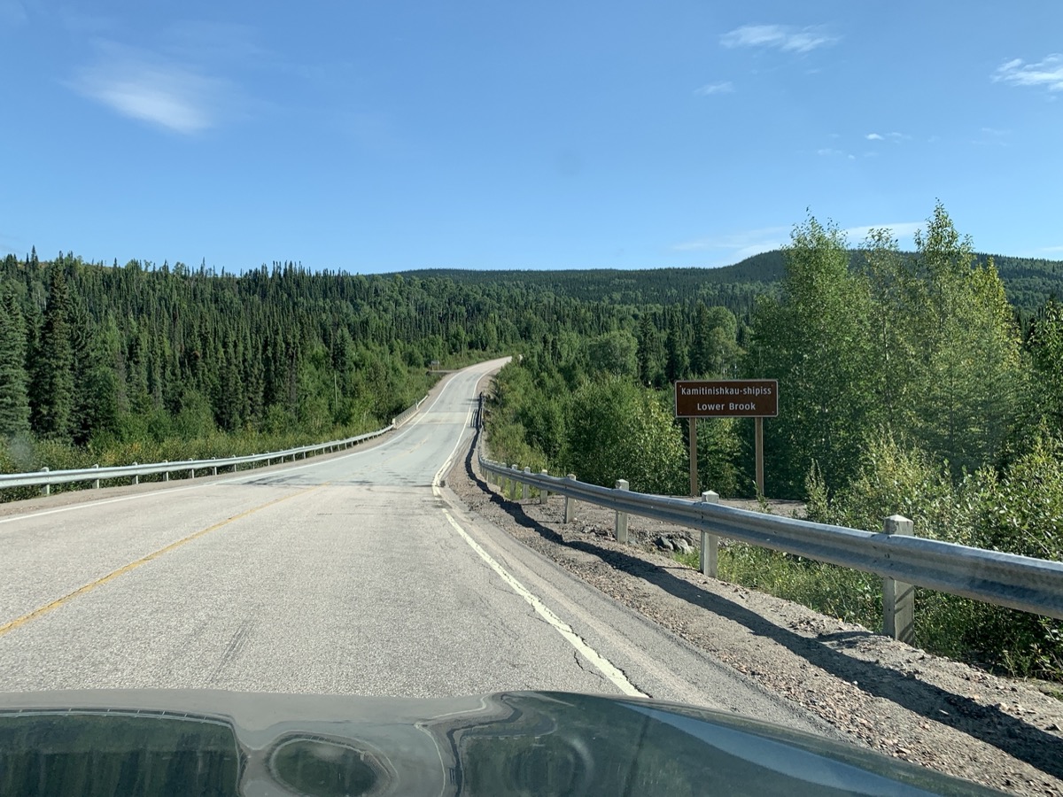
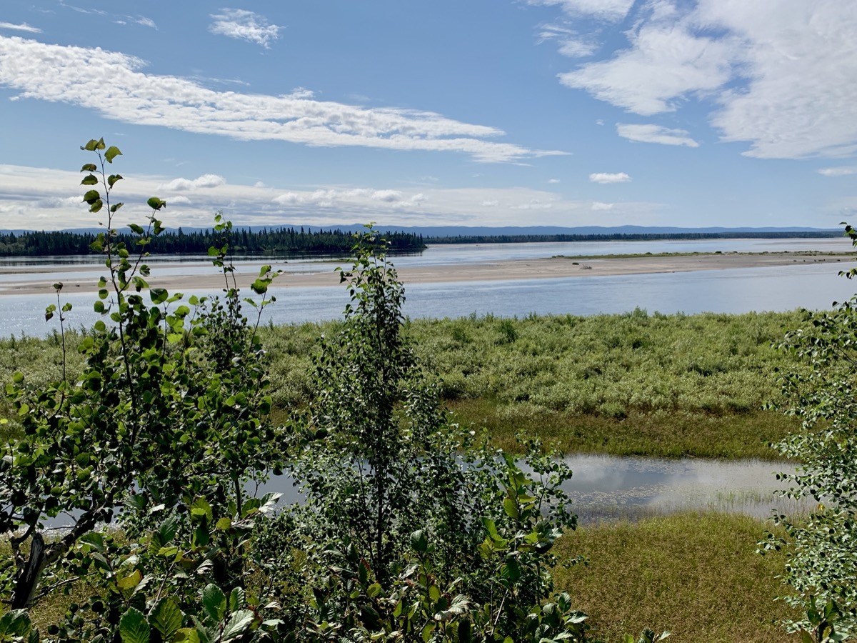
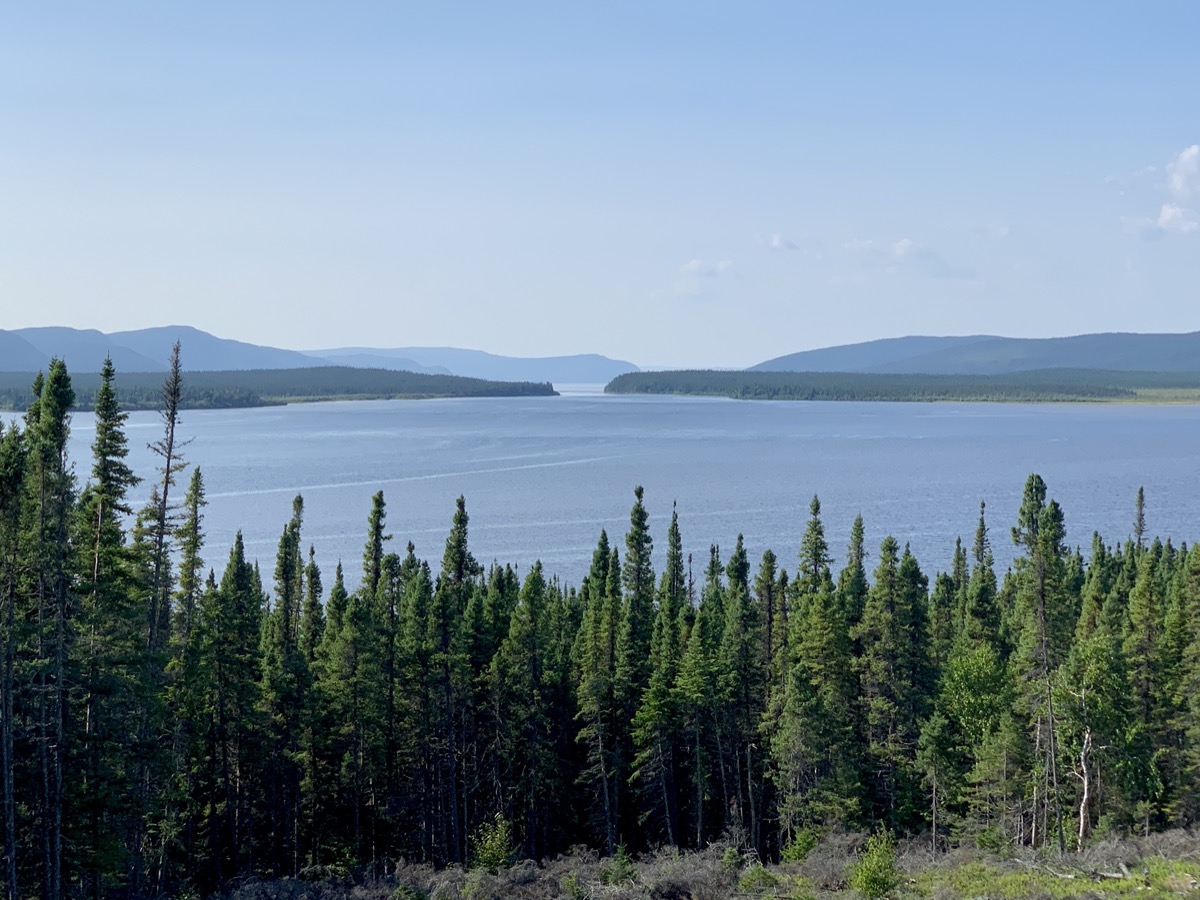
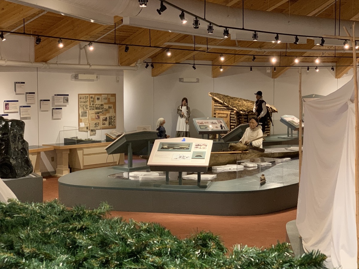
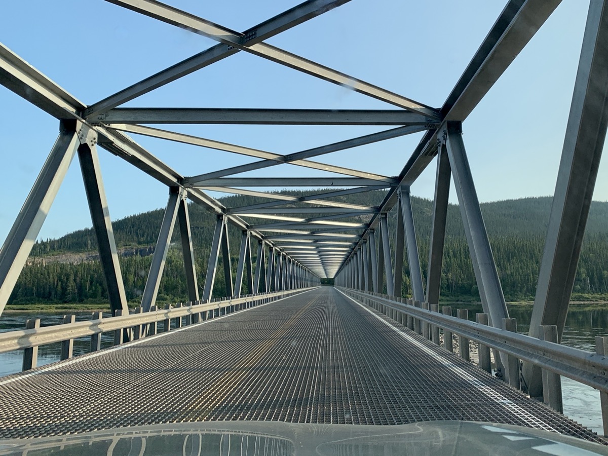
The following day we made it to Happy Valley-Goose Bay. Spent some time wandering along Churchill River’s sandy banks and wetlands. It is all flat here with the river meandering slowly towards open sea still more than 100 miles away. Next destination: Labrador Interpretation Centre (in North West River), after short scramble up to small waterfalls across the road from Gosling Lake. We were the last and only visitors just before the Center closed. We had informative and funny conversation with the guide. Finally somebody tought us how to properly pronounce “Newfoundland” (we had no clue) as we were heading there in a couple of days. At the end of the day, we were back on Trans Labrador Highway heading South-East and South on Rt 510 (a.k.a. South Labrador Highway). We crossed Churchill River and a couple of hours later found a decent camp site just at sunset (dinner with head lamps on). Joanna was ready to visit towns, historical places and more museums.
Rt 500 at Lower Brook
Churchill River looking upstream from Happy Valley-Goose Bay…
…wetlands along Churchill River
Grand Lake from Labrador Interpretation Centre
Labrador Interpretation Centre
Veterans Memorial Bridge over Churchill River
Day 11.
We are driving across Lablador’s interior, but getting closer to the ocean, Port Hope Simpson and Mary’s Harbour. We liked Mary’s Harbour and spent some time looking around and walking on Gin Cove (boardwalk) Path. We briefly considered day-trip to Battle Island ($150 per person, overnight trips are notoriously expensive), but we would have to stay extra day in the area.
Tajga along Rt 510
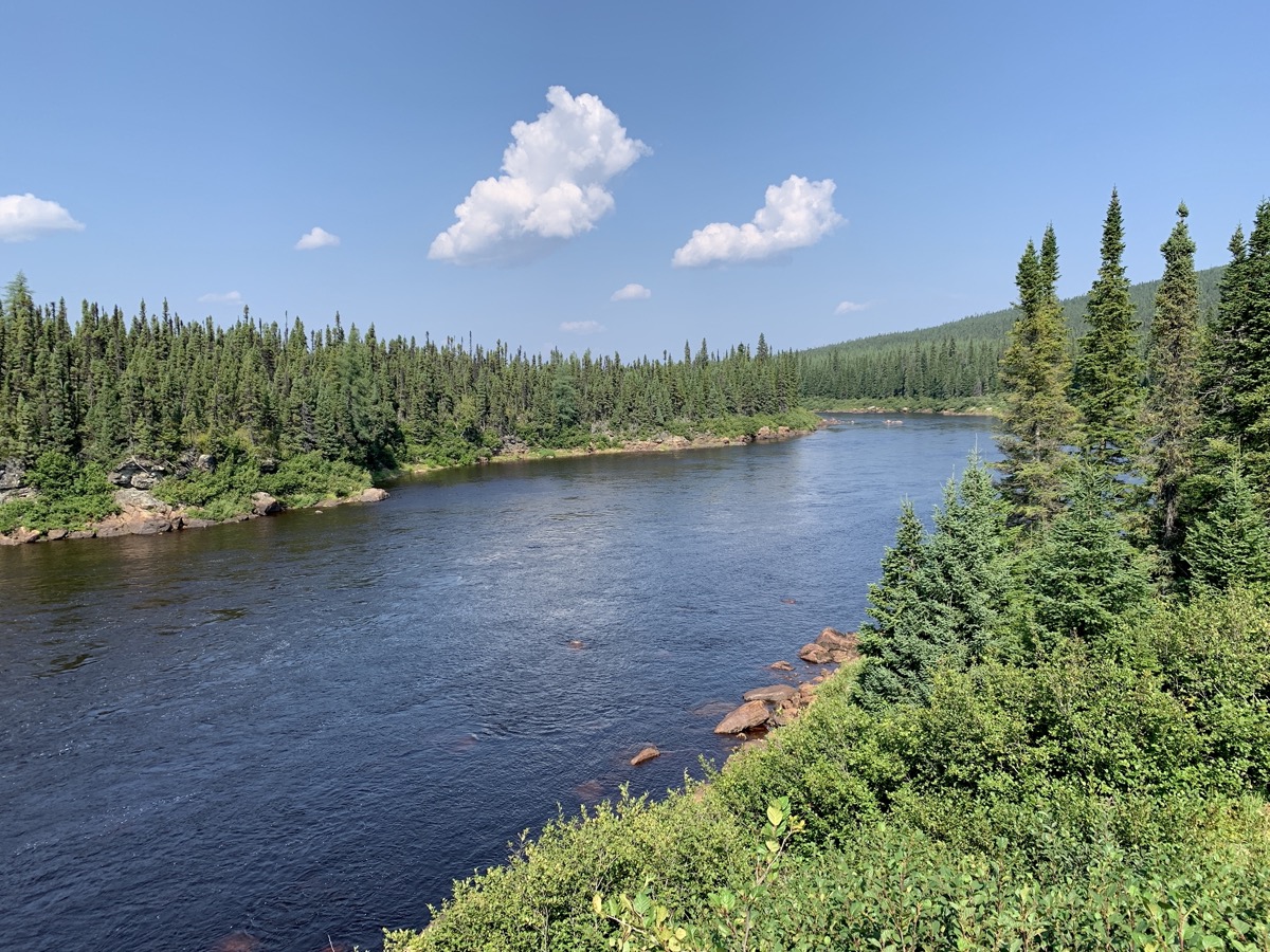
Paradise River
Alexis River…
…Port Hope Simpson
Mary’s Harbour
Camping off Rt 510
Day 12.
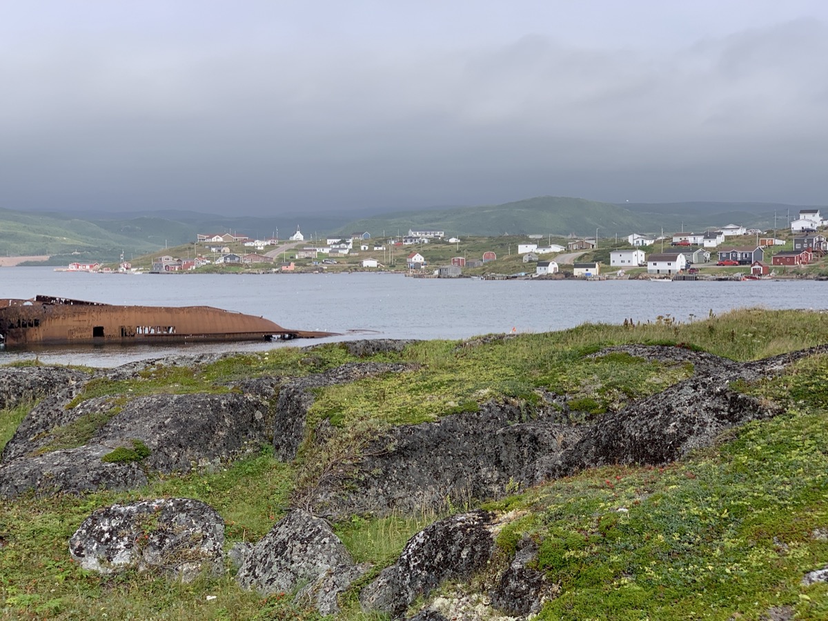
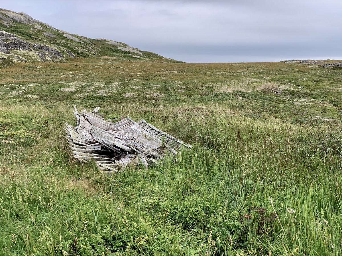
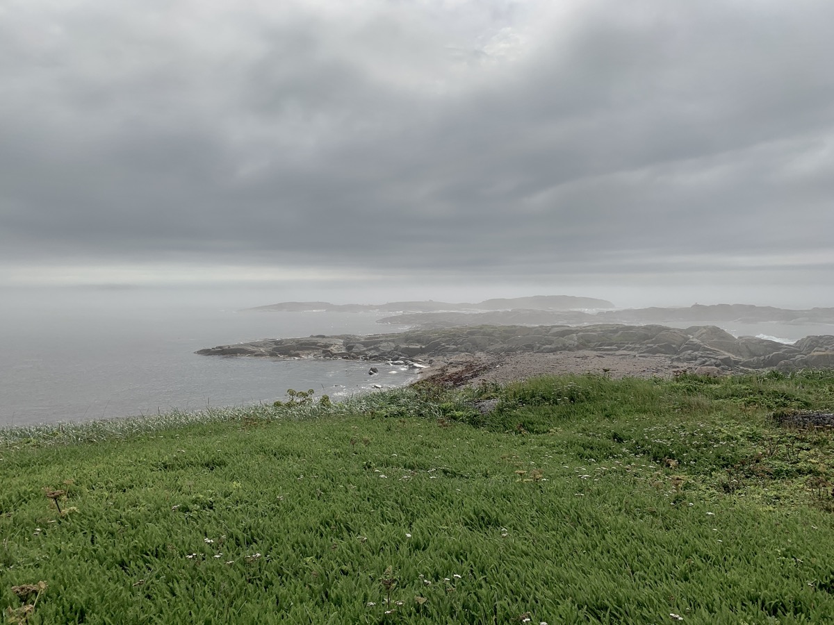
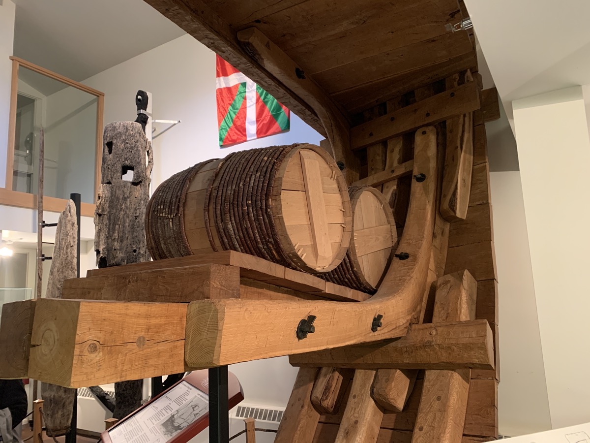
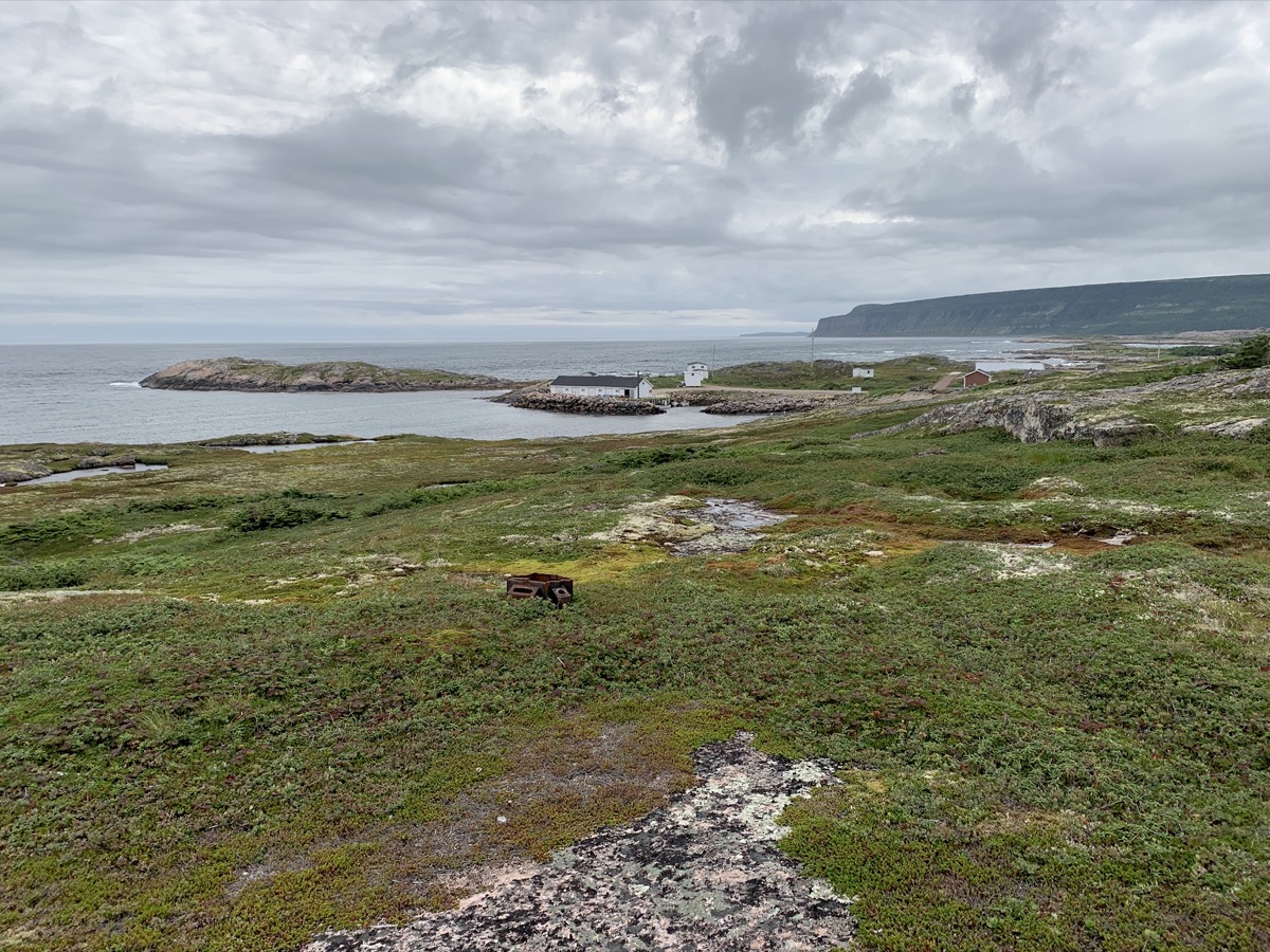
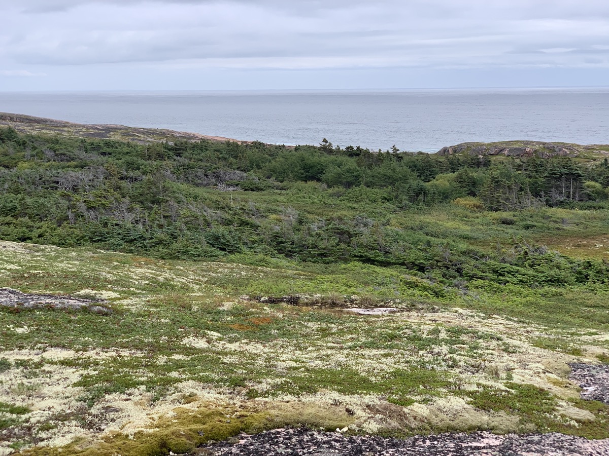
We completed the Labrador part of our trip in the following day and a half, first cutting across the interior to Red Bay. We somehow made it for 10 am one-hour visit to Saddle Island (short boat ride away) and even had half an hour to spare for breakfas in nearby restaurant (our mornings are usually very slow). Piotr had traditional salted cod breakfast and lived. We knew about the English and French, but learning about 16th-century Basque whaling was a good history lesson. There is not much left to see from those times – small exhibition provides good illustration. It was enough time to walk a short loop around the island (mostly boardwalk, some under construction). We were spared heavy rain – it was overcast, foggy with ocassional very light drizzle. The kind of weather that stirs imagination.
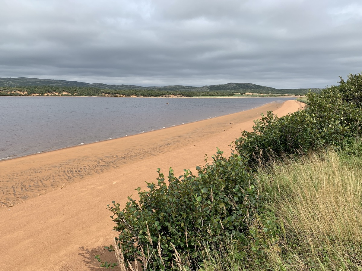
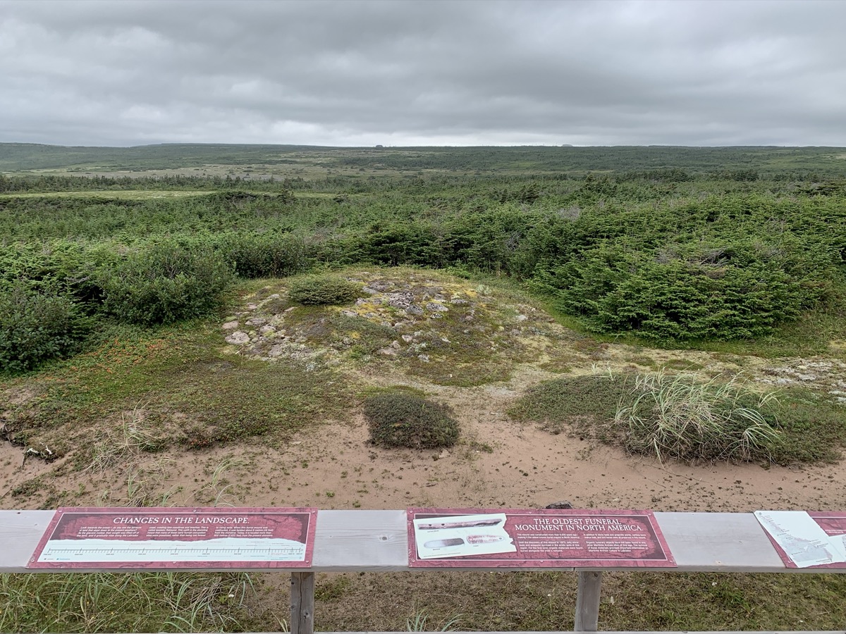
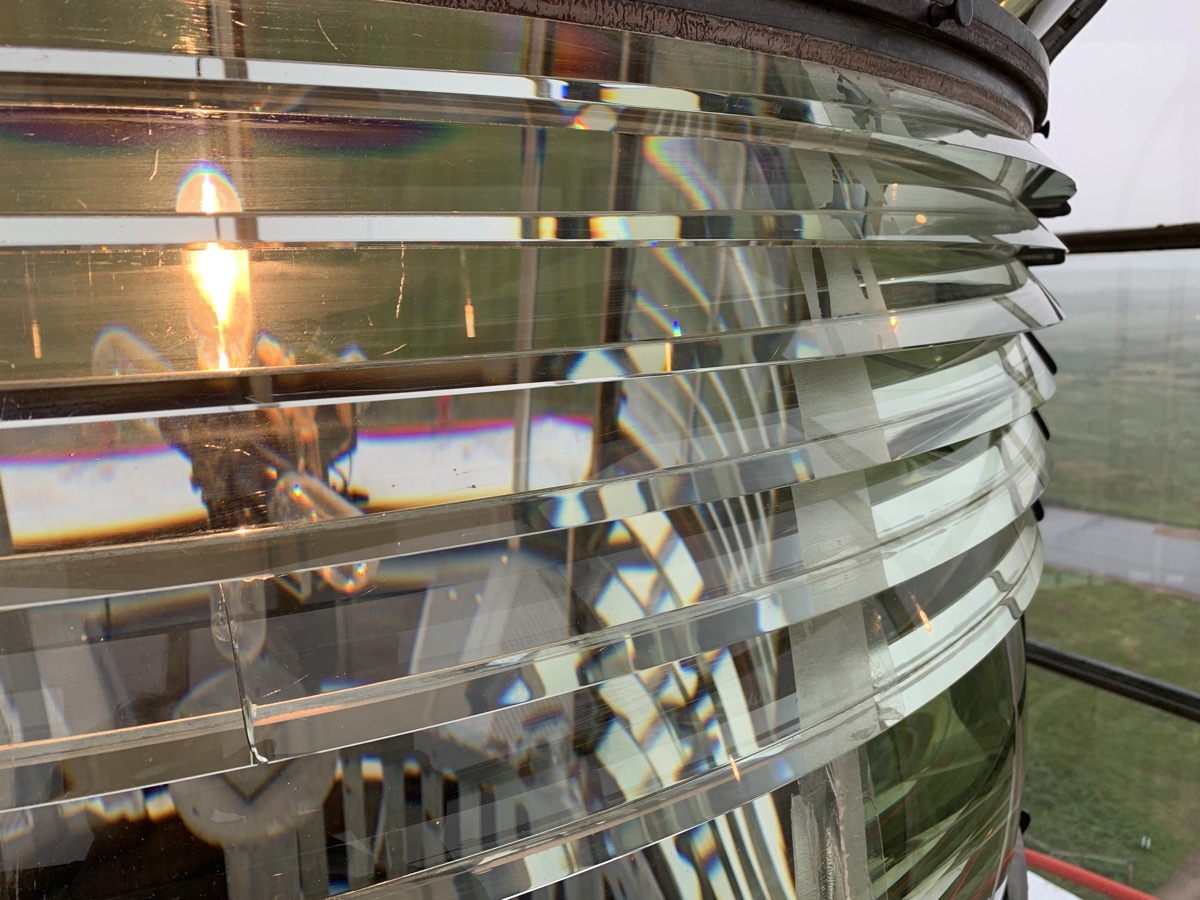
We then jumped to Pinware River Provincial Park for a pleasant walk on beaches (river-side and sea-side). Water in the river is clear but brownish (tanins) and sand is reddish/orange – colors enhanced by sunlight getting through the clouds. It was moderate rain rest of the day and we decided to stay “indoors” for the night – in cottage Grenfell B&B Forteau. We stopped at 7500-year-old burial site at L’Anse-Amour and climbed to the top of L’Anse-Amour lighthouse. We tried Labrador tea for the first time at the lighthouse museum – it grows everywhere and we collected/dried some leaves in Newfoundland.
Red Bay from Saddle Island
Saddle Island (not remnants of Basque vessel)…
…
Red Bay Basque whaling museum
Pinware River Provincial Park
Coast near L’Anse-au-Diable
Strait of Belle Isle
Ancient burial site at L’Anse-Amour
Fresnel lens at L’Anse-Amour lighthouse
Day 13.
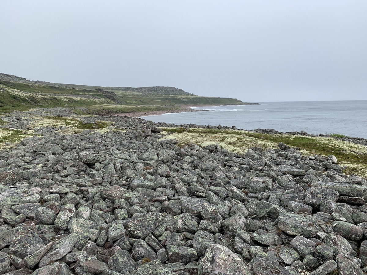
We joined visitors staying in other cottages for home-made breakfast. Nice conversation about travel and some local specialties like bakeapple (cloudberry) jam which we tried for the first time. We drove on Rt 510 west all the way past Blanc-Sablon stopping a few times to view rugged and more barren cost. Joanna walked more on historical Jersey Trail learning about 19th century life of fishermen and sealers, and their families. Early afternoon we were ready to board 3:30 pm Blanc-Sablon to St Barbe ferry. Couple hours later we landed in Newfoundland.