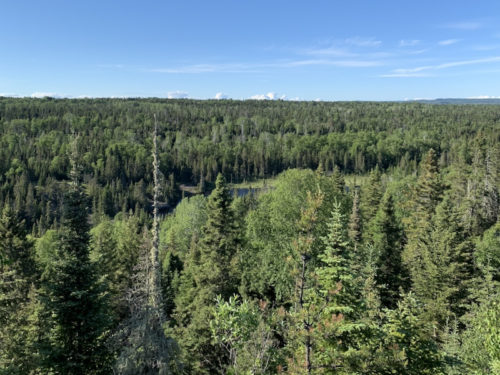
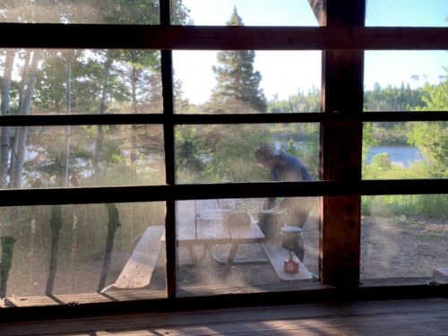
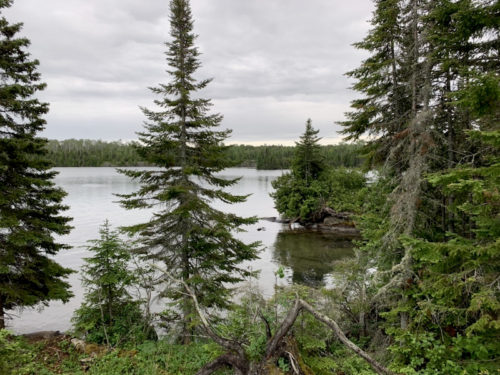
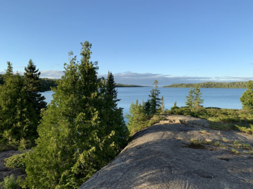
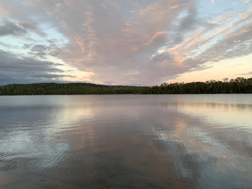
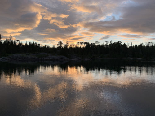
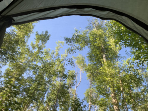
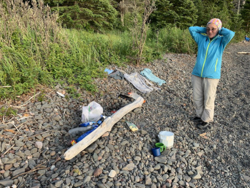
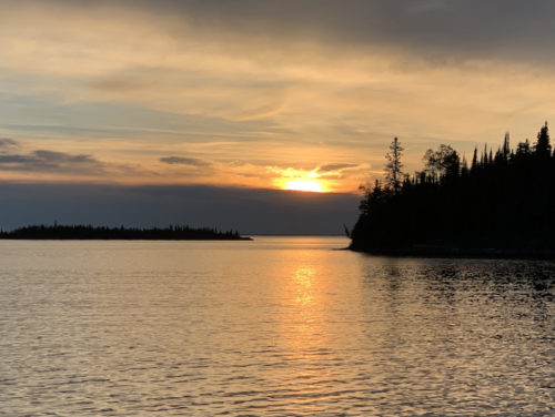
By the time we were making morning coffee everybody else had gone already. We had quiet Moskey Basin all for ourselves. Last hike on Isle Royale. We first walked back final stretch of the trail from previous day to easter tip of Lake Richie, and then down to Chippewa Harbor. We spent an hour debating which shelter to take, 3 out of 4 were available when we arrived. We still had time to explore rocky coast of the bay beyond old fisherman’s house. On the way back to camp we followed short local trail to rocky hilltop with 360° view. We saw osprey coming back from fishing and later a couple of eagles flying by tree line on the other side of the bay. We started the following day earlier to be ready for ferry back to Grand Portage. Waiting at the dock we talked to other hikers and hungry visitor trying to catch fish from kayak for couple of days with no luck (he got some food from fellow hikers), and we got a brief sighting of lone common loon. We used good weather window to the max, clouds and rain returned as we arrived at Grand Portage. We drove to Wisconsin and camped at Pattison Park. Sleeping in our car helped – we did not have to pitch tent in the rain.
Joanna running for more water for coffee
Considering fixing-up my hair
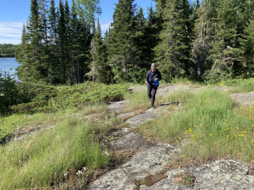
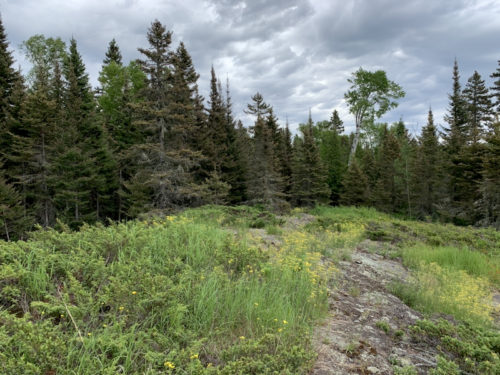
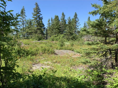
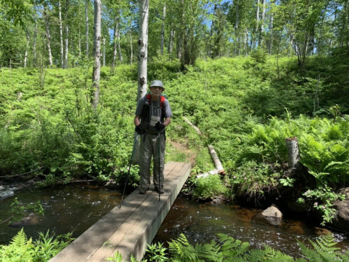
On the trail from Moskey Basin…
…
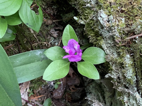
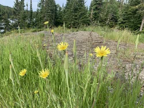
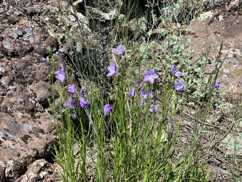
Fringed polygala
…
…to Lake Richie…
…
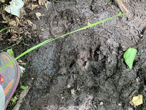
Wolf track
…to Chippewa Harbor
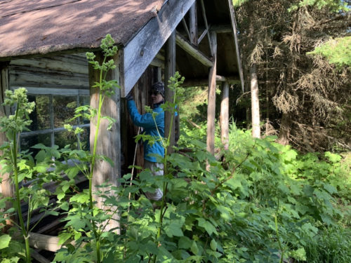
Visiting old fisherman’s cabin
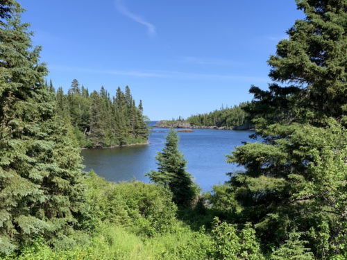
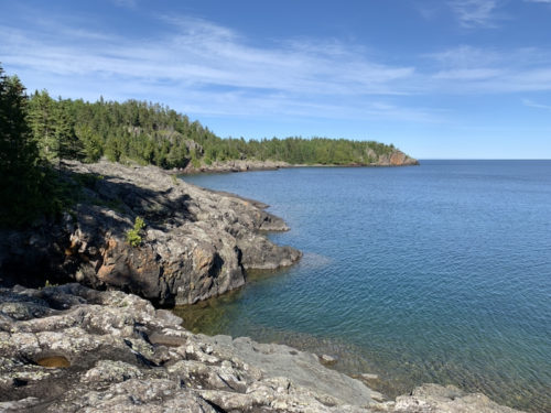
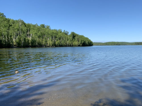
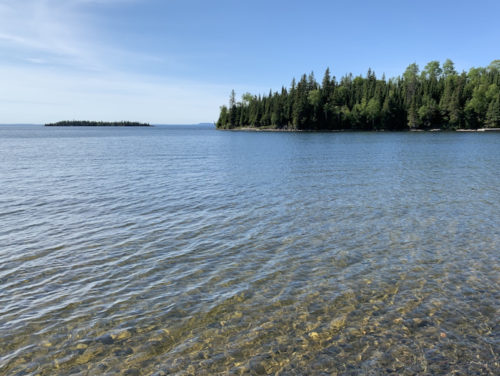
Rocky coast of Chippewa Harbor
…
…
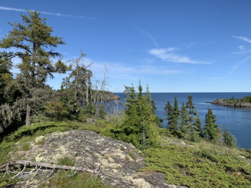
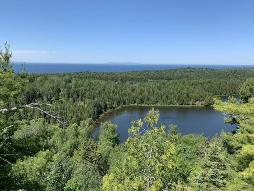
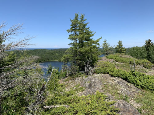
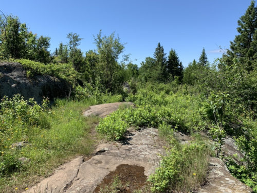
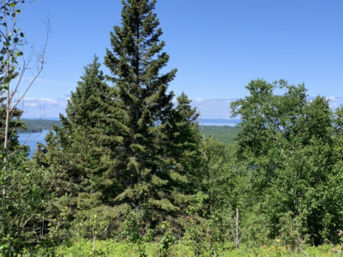
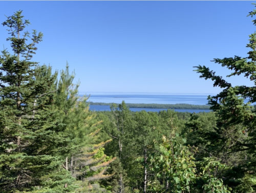
View from nearby hill…
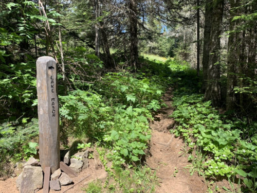
…Lake Mason in opposite direction
…
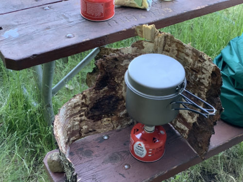
Dinner
Organic wind protector
Next morning, ferry is coming any minute
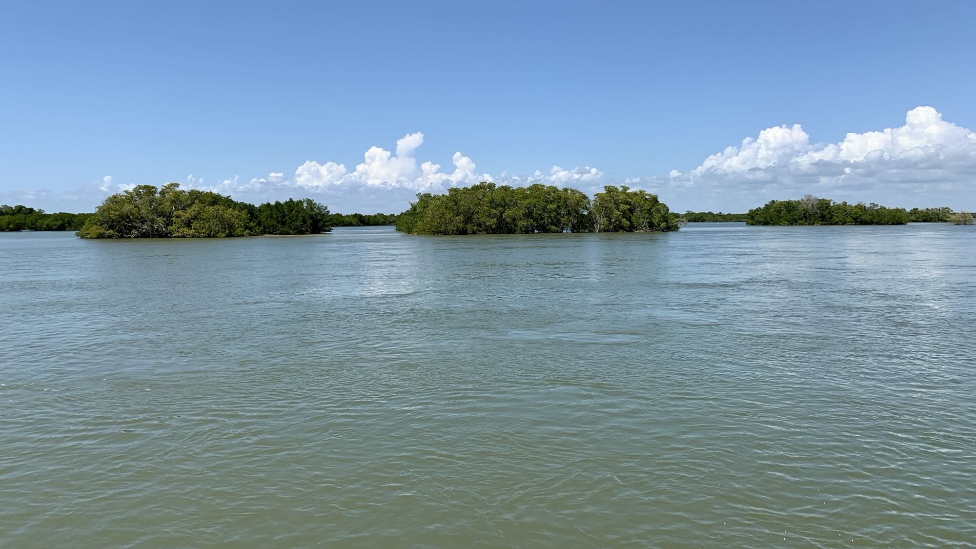
Leaving Isle Royale after short stop at Malone Bay
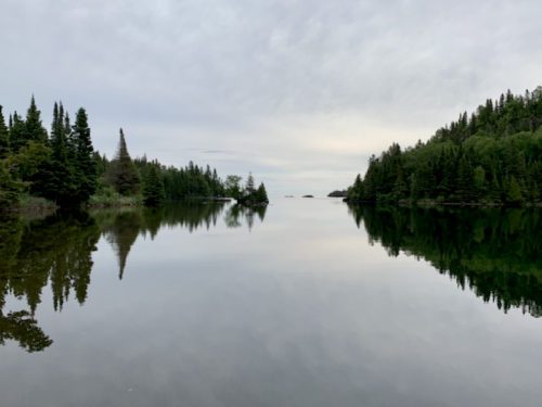
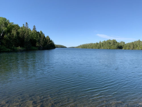
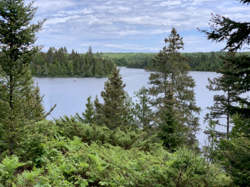
Chippewa Harbor
Day 11 & 12
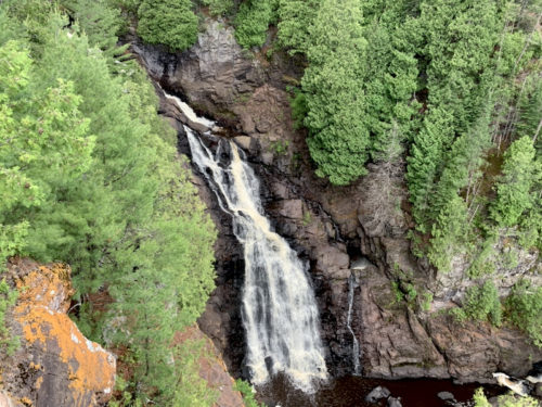
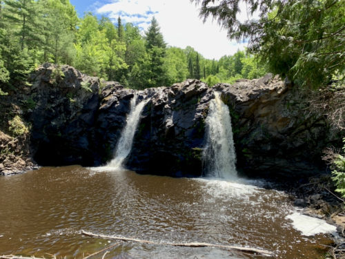
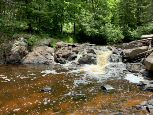
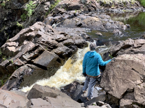
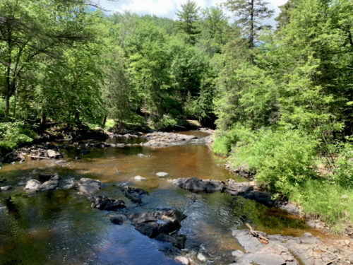
Good sunny weather returned giving us opportunity to spend a few hours exploring Pattison Park WI, visiting Manitou Falls area and walking a bit along Black River, crossing North Country Trail from time to time. Pretty relaxing end of our trip, before driving to Chicago.
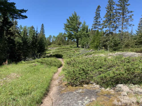
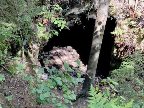
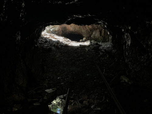
From Todd Harbor we were back on Minong Ridge Trail in no time – this section has a series of open rocky tops with great viewpoints, just a few steps from the trail. It was slow going as we made many stops, sunny day and good visibility made it really good experience. Tasty wild strawberries = more stops. Forest in this part of the island is dominated by conifers. Signs of moose feasts everywhere. We walked down side trail to long defunct Minong Mine (people were digging here for copper nuggets long time ago and in 19th century), spent an hour zig-zagging around the site. Interesting – different experience. We had no problem finding nicely located shelter at McCargoe Cove, not too many people around. A group of scouts running amok collecting firewood, quiet after dinner.
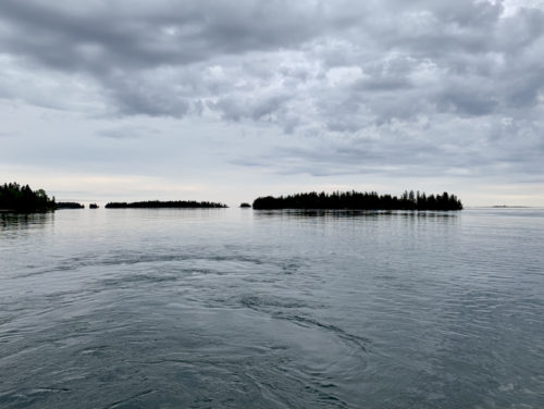
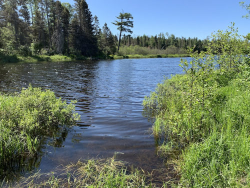
Otter and Beaver Lakes, Lake Superior, Canada…
…
…Minong Ridge Trail
…
Wild strawberries
…
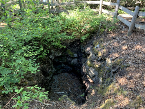
Minong Mine
…
Piles of crashed rock from the mine
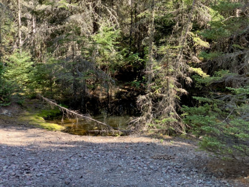
Flooded mine pits/shafts
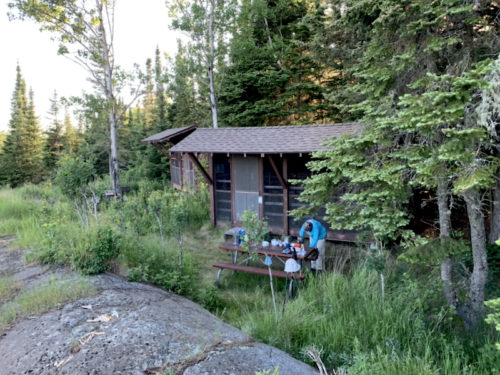
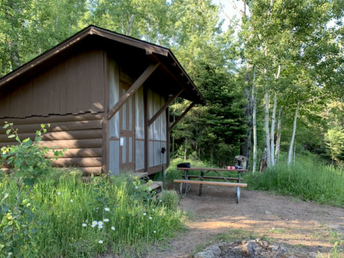
Our shelter at McCargoe Cove
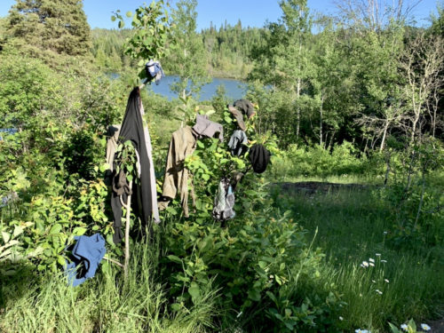
Dry-cleaning
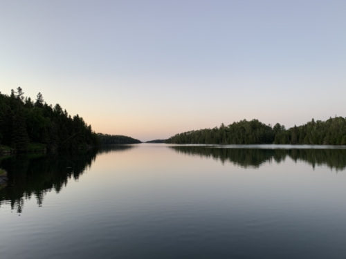
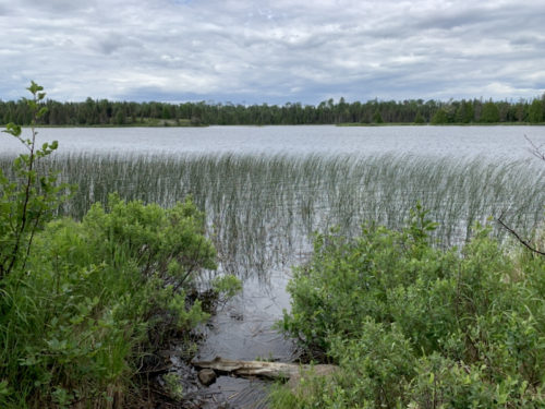
McCargoe Cove
…
…
On Minong Ridge Trail between Hatchet Lake and McCargoe Cove
On Minong Ridge Trail between Hatchet Lake and McCargoe Cove, above Otter and Beaver Lakes
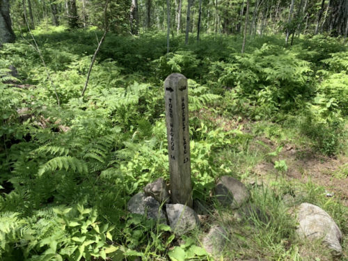
Day 9
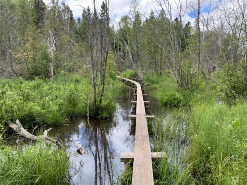
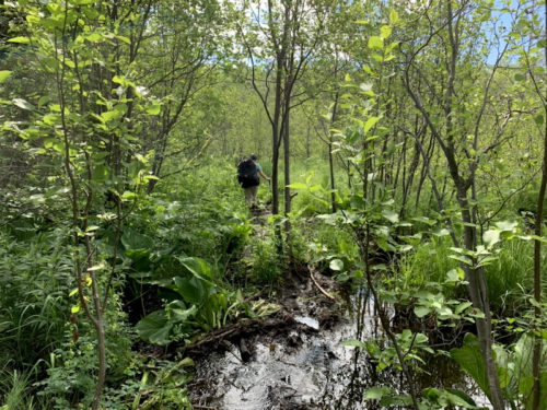
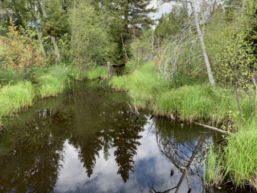
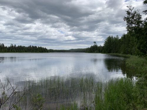
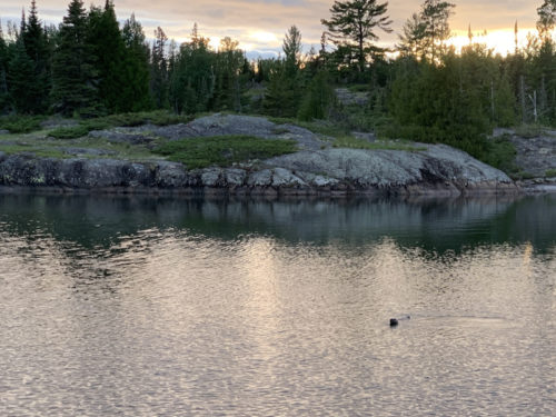
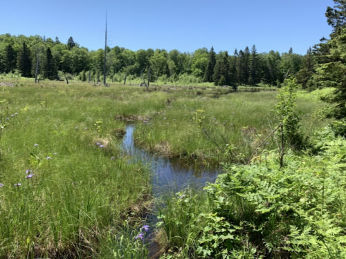
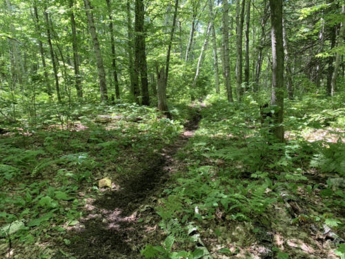
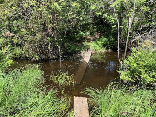
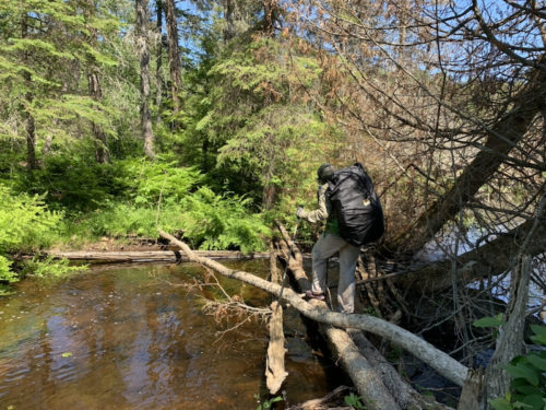
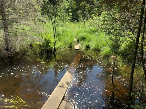
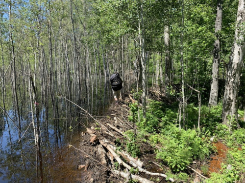
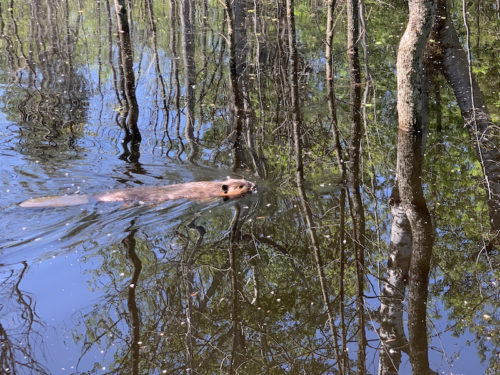
We heard a lot about wet/muddy trails and wetlands difficult to cross, from rangers and other hikers. In some cases caused by beavers flooding the valleys. We saw what they can accomplish on Hatchet Lake Trail. We were warned about possible problems especially near Chickenbone Lake, as we were crossing the island from McCargoe Cove to Moskey Basin.. The difficulties never materialized. Yes trails were muddy in places, but not such a big deal. We were so ready to face the nature, that we followed ribbon-marked detour on approach to Chickenbone Lake campground (Chickenbone Lake inlet) and crossed the marsh without even checking the bridge and connecting boardwalks which we were told were flooded. Yes, everything had already been repaired. No losses though. The day passed on walking from lake to lake, crossing some wetlands and hopping over small ridges separating lakes. We saw many portage points and thought it would be nice to come back with canoe or kayaks (saw a few people with canoes). Lake Richie looked really attractive, but experienced cyanobacteria bloom at the time (no other lakes were affected). Clouds and few raindrops in late afternoon made us walk faster with hope of finding a shelter at Moskey Basin. We had a few choices, but everything got occupied by the end of the day. We had nice spot with “private” rocky peninsula overlooking the “harbor”. We ate dinner there waiting for sunset, when we noticed multiple river otters swimming towards the dock (family of five it turned out). We walked over quickly enough to see some of them up close. We could hear the youngsters talking an eating fish under the dock planks. The biggest otter stayed behind for an hour and we could see it popping-up in different spots of the bay.
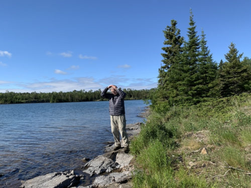
Joanna is up early making coffee…
…I have second thoughts
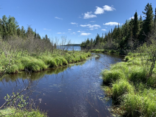
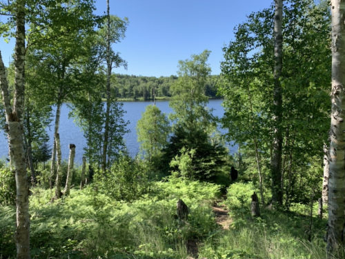
Chickenbone Lake, canoe landing
Chickenbone Lake
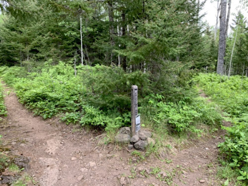
The Detour
Chickenbone Lake inlet
Lake Livermore
crossing wetlands…
…
…and rocky ridges
LeSage Lake
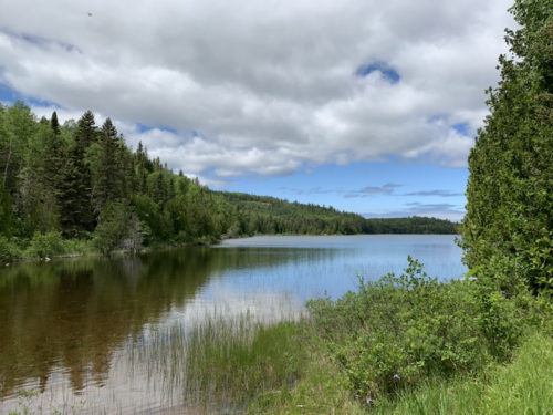
Lake Richie
Trails hiugher on ridges are mostly dry
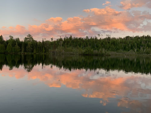
View from out shelter at Moskey Harbor
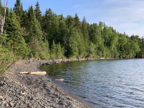
Moskey Harbor
…
Family of river otters swimming towards Moskey Harbor dock
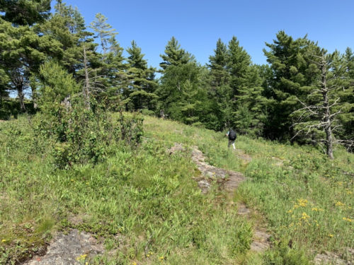
First, we walked over to the lake near group camp sites with better access to the lake (small beach) to get water for the day. Very calm. Then we continued on the Greenstone Ridge Trail. More open spaces and better views from the ridge top, but not without getting our shoes dirty somehow. We saw Hatchet lake, our next destination, between trees. Another day with sunny weather, bumping up and down the hills. The views are getting better, more open.
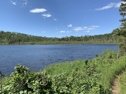
South Desor Lake
Greenstone Ridge Trail
South Desor Lake down below
Crossing more wet lands…
…and forest
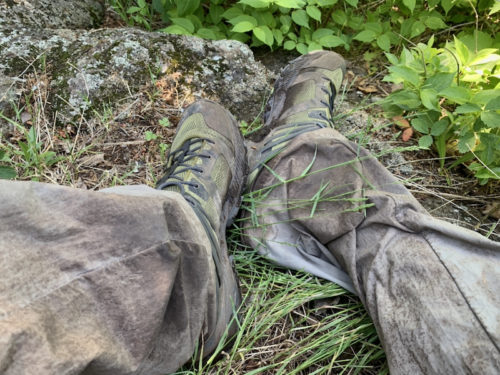
My waterproof boots work well on wet trails
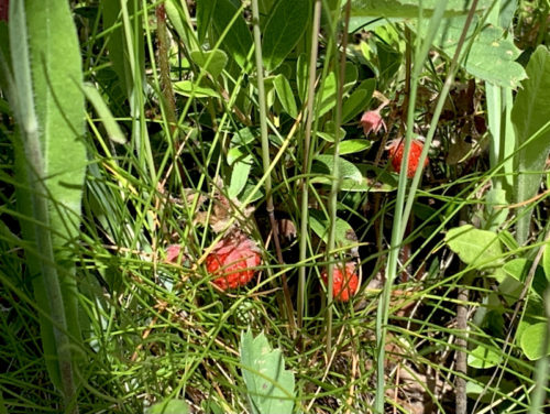
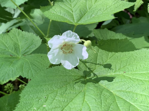
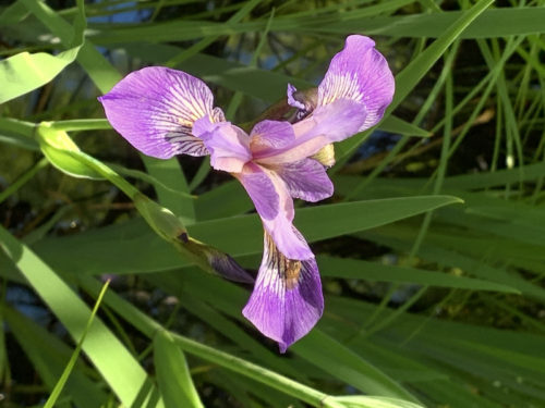
Thimbleberry
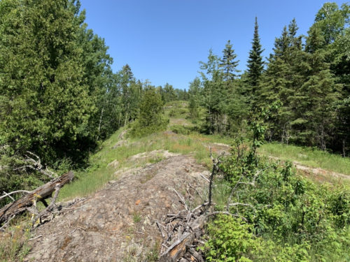
Trail cuts across rocky outcrops on the ridge
Hatchet Lake ( Lake Superior in the background)
Approaching Hatchet Lake
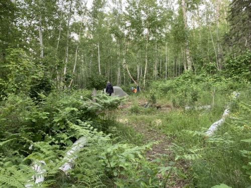
Another nice camp site
Waking-up next morning
South Desor Lake
Greenstone Ridge
Day 7
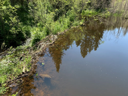
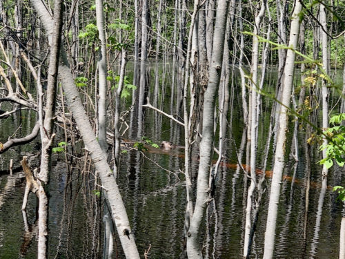
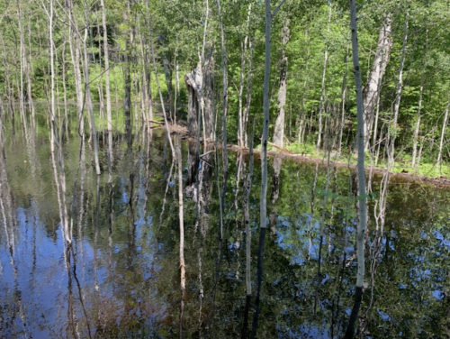
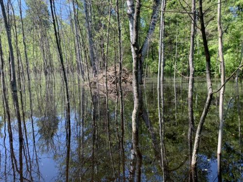
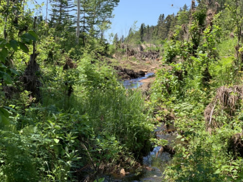
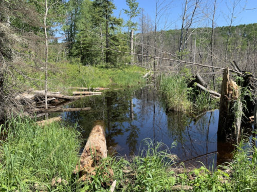
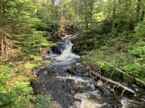
Beaver Day ! We started walking along Hatchet Lake and then on Hatchet Lake Trail to Minong Ridge Trail. This is serious beaver country, with many dams rising water level and in places blocking trails. Beavers migrate from place to place to build new homes. We encountered beaver pond and damaged/submerged trail boards, but it was no too difficult to walk around the obstacles. We did not see beavers on this stretch, but we then arrived at very impressive/long dam and large pond. The trail disappeared. We watched for a while large beaver eating lunch, bark from partially submerged trees. With no easy way around, we had to cross the dam (directed by ribbons). Not as difficult as we initially imagined, still felt adventurous. The same beaver was patrolling the pond along the dam watching for any damage. We were extra careful not to cause any. A bit further, we saw abandoned dams and ponds drained on another stream. It was a shorter hike and we arrived at Todd Harbor earlier. We picked the most remote camp site. The shelter was occupied. We made a quick hike pass Hogtown Mine to upper water falls, but decided not to cross the stream – the only way to get down to the water line to see the lower falls. With sun up and stones on the beach quite warm it was good place to rinse-refresh and quick dry some of our clothes (not really laundry without soap). We spent the rest of the day cooking dinner on the beach and watching sunset. It was the best day so far.