June 24-26
Day 11.
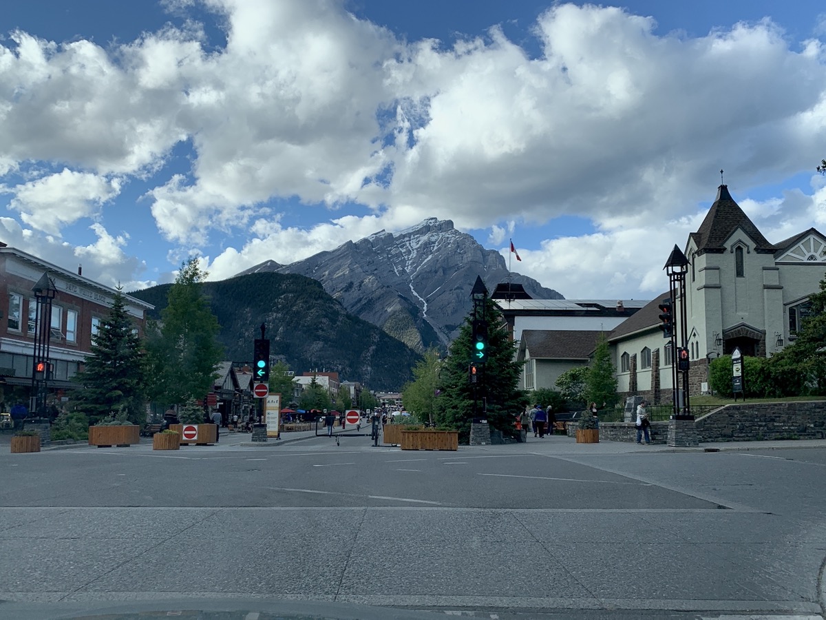
Approaching Banff we were prepared for crowds as the National Park is very popular. Not a big surprise, scenery all around is fantastic. It was crowded, but not overwhelmingly in most places. Fewer people further away from main atractions along roads. Normally we find campsites at the end of the day, but here we secured sites a day or two in advance or in the mornings when campers leave, and sometimes switched to different sites that we liked more.
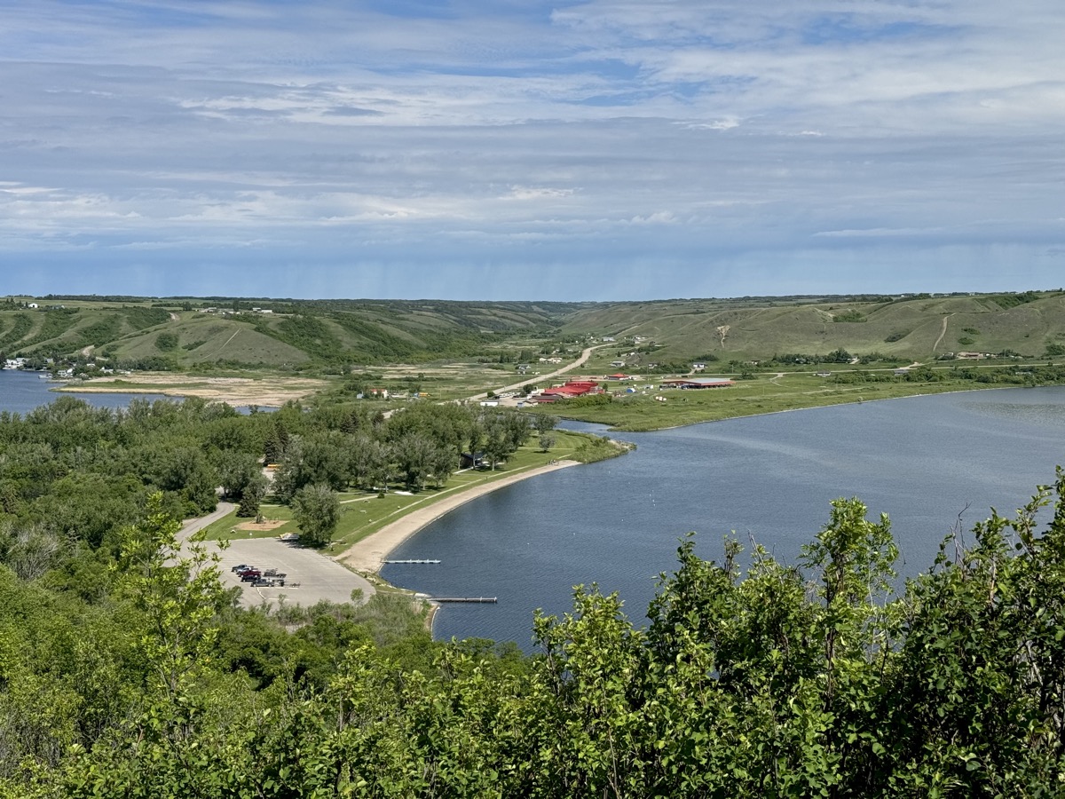
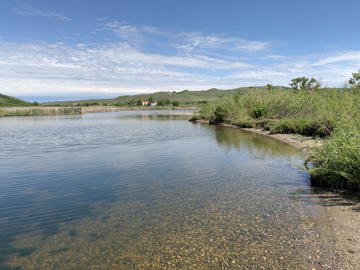
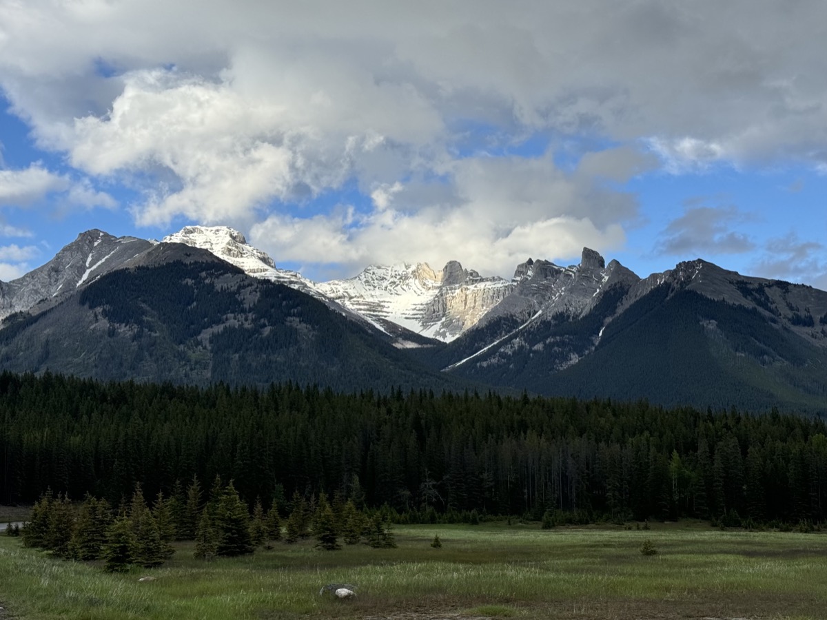
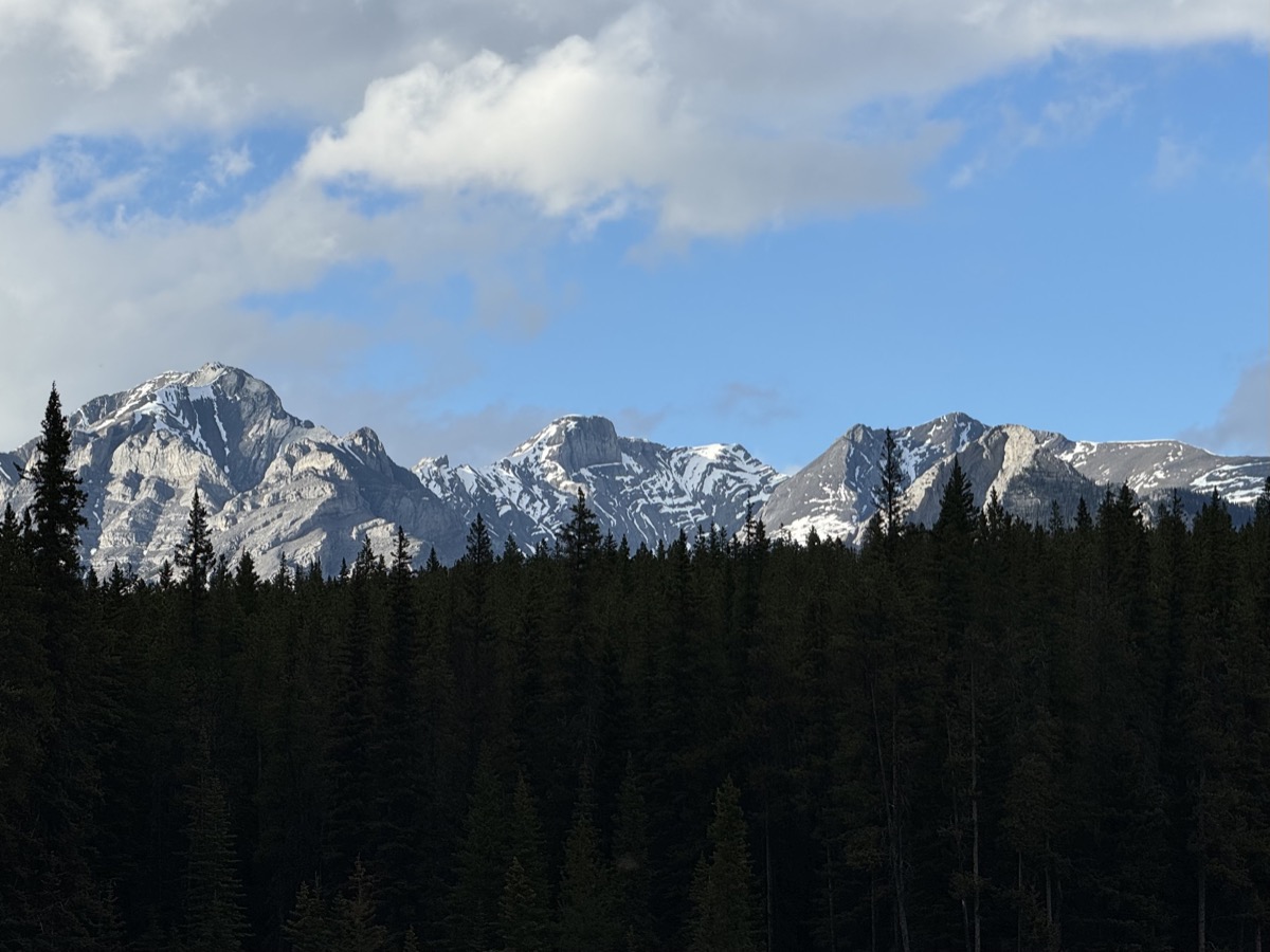
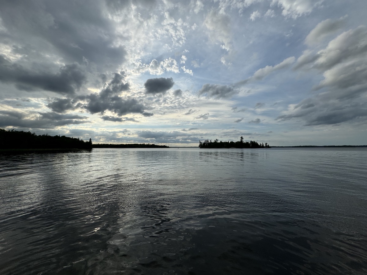
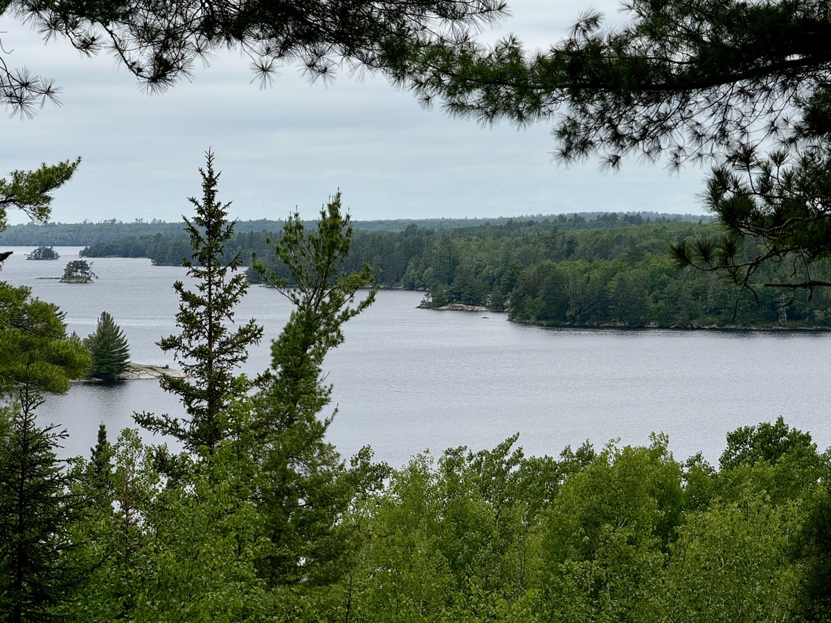
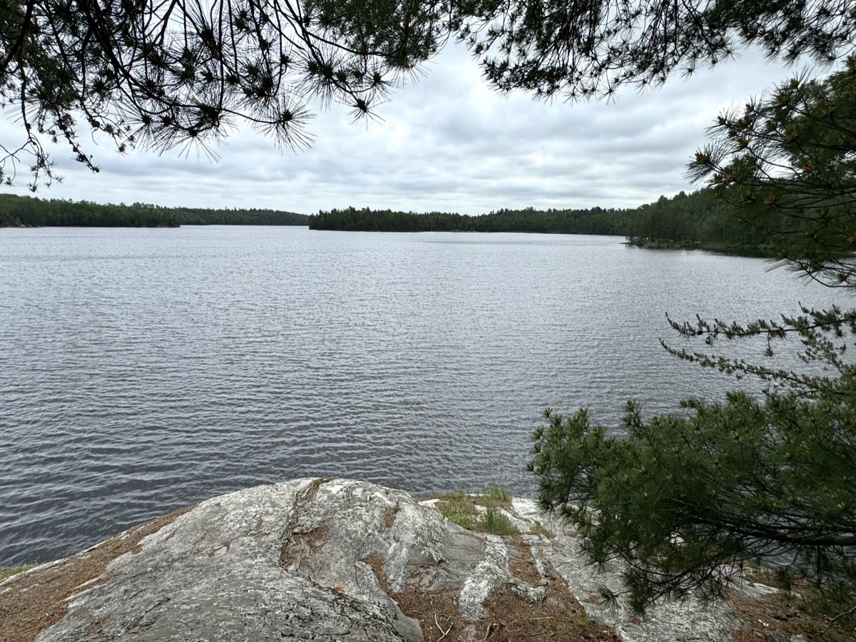
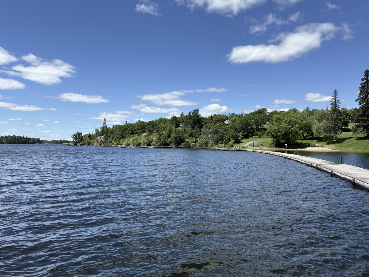
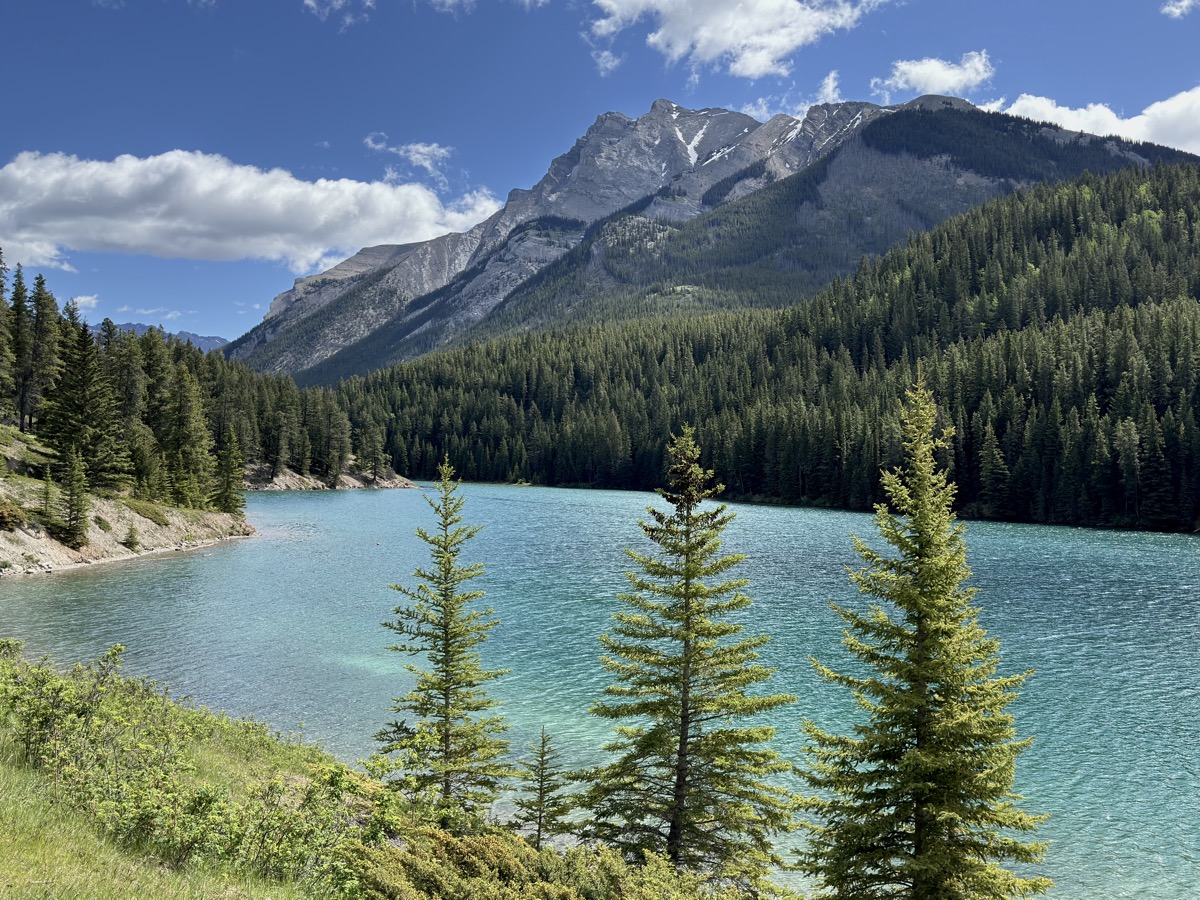
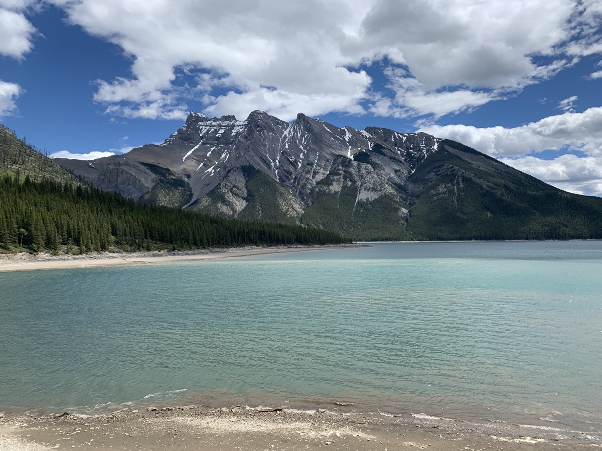
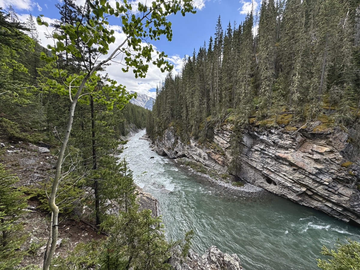
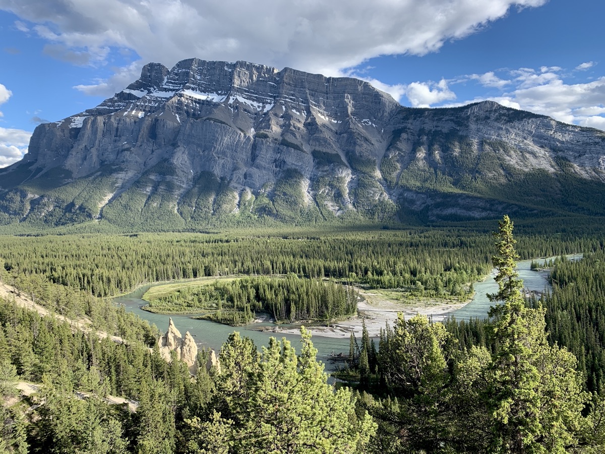
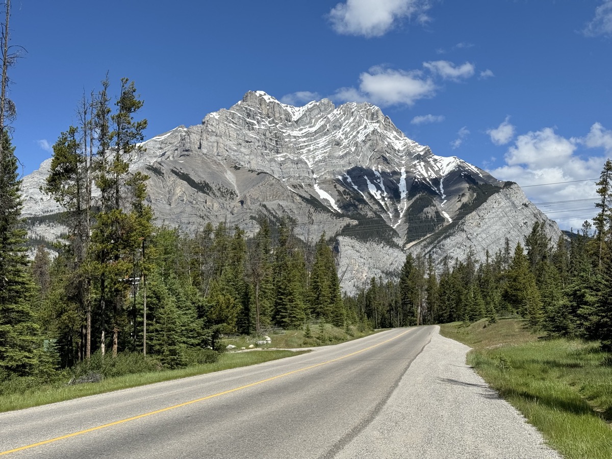
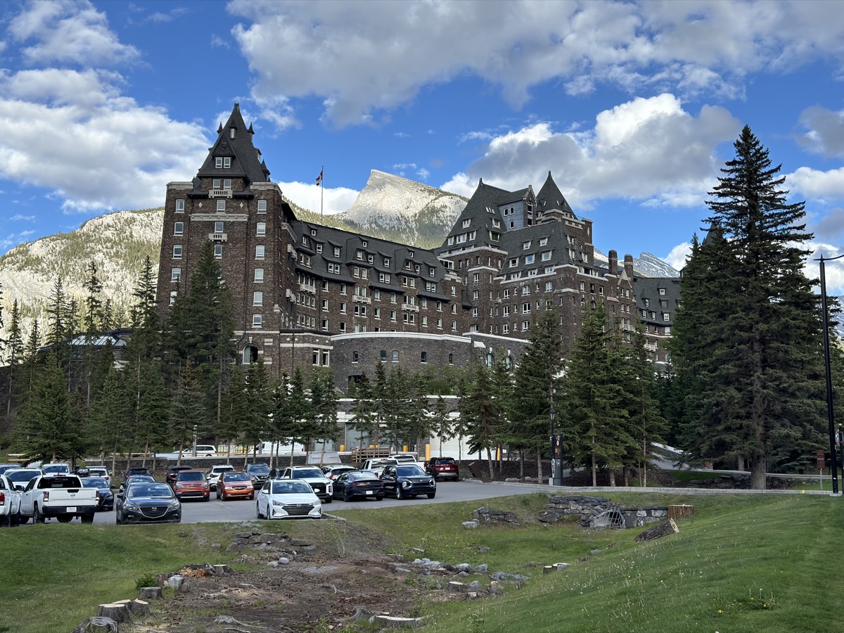
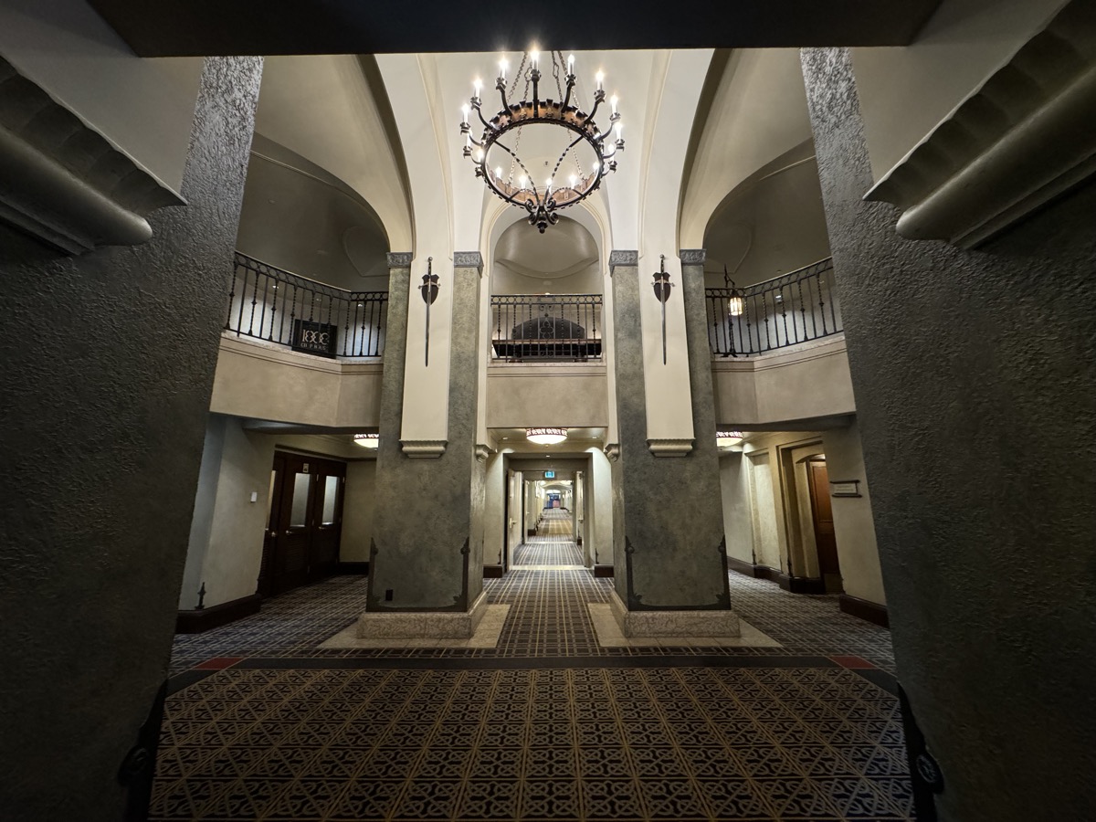
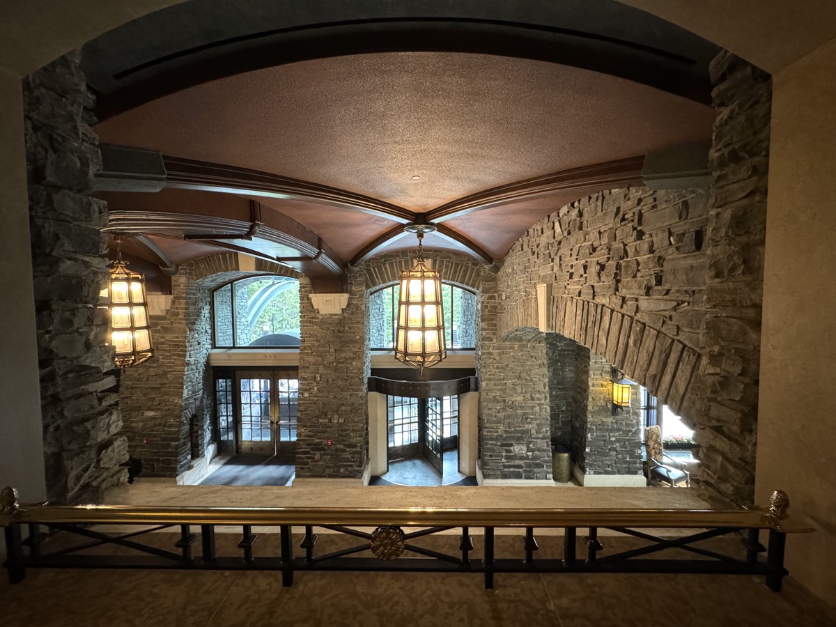
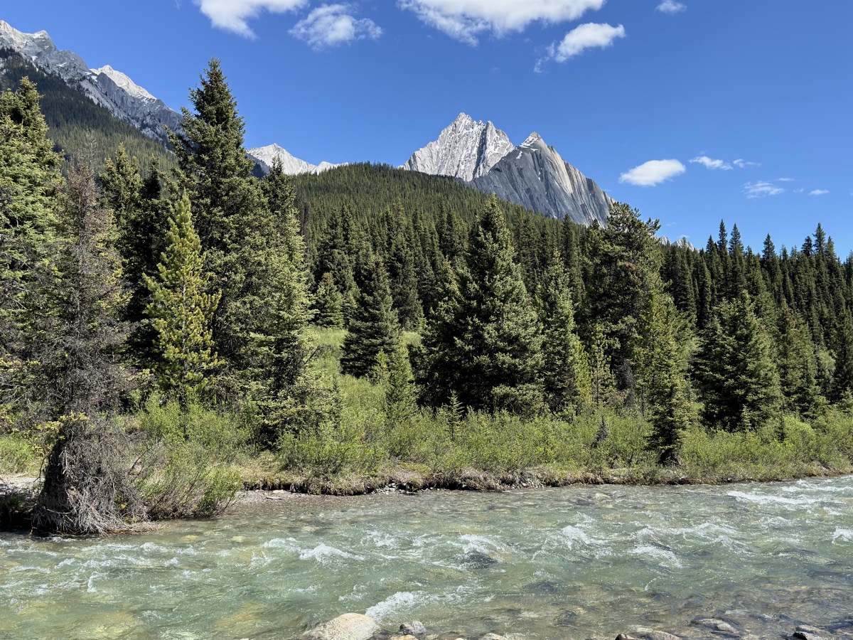
On day 11, with car packed, we drove a short distance from Two Jack Campground along Two Jack Lake to Lake Minnewanka. As we were walking along the lake (crowded), we decided to hike along Cascade River into Stewart Canyon (fewer people up there) – just easy 6.5 km. We did not spend much time in Banff itself, other than talking to rangers at the Visitor Center about day-hikes and possible backcountry backpacking. Higher elevation trails that we were interested in were still closed because of snow. Of course we stopped at the famous Banff Springs Hotel at the end of the day. For the night, we moved to Tunnel Mtn Village I Campground located outside Banff with Tunnel Mountain Rd and Banff Ave wrapping around it – you get great views already from the roads (photos below).
Day 12.
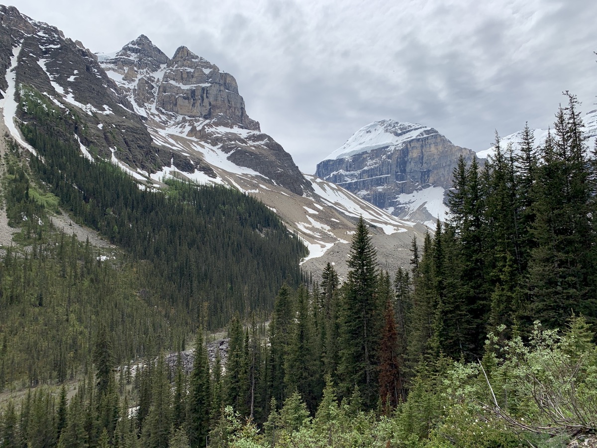
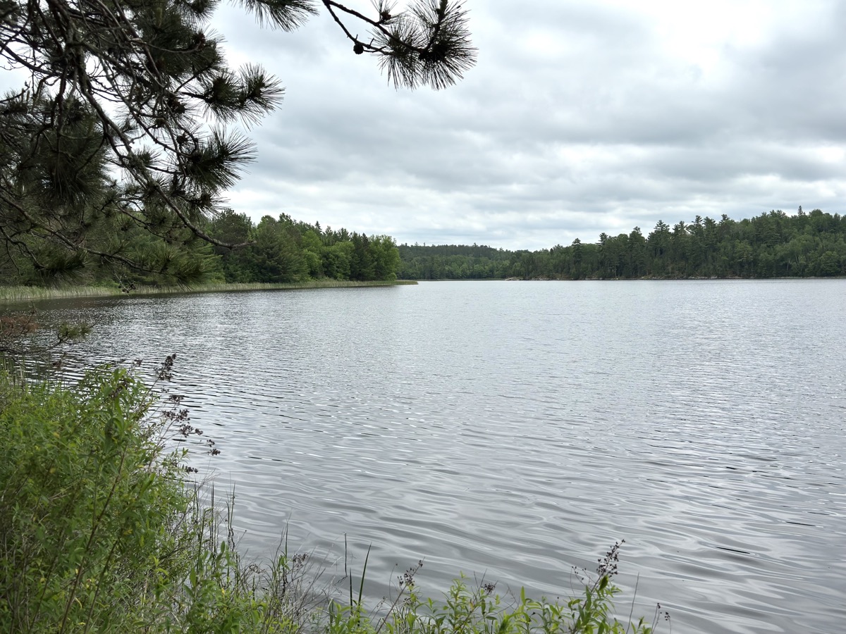
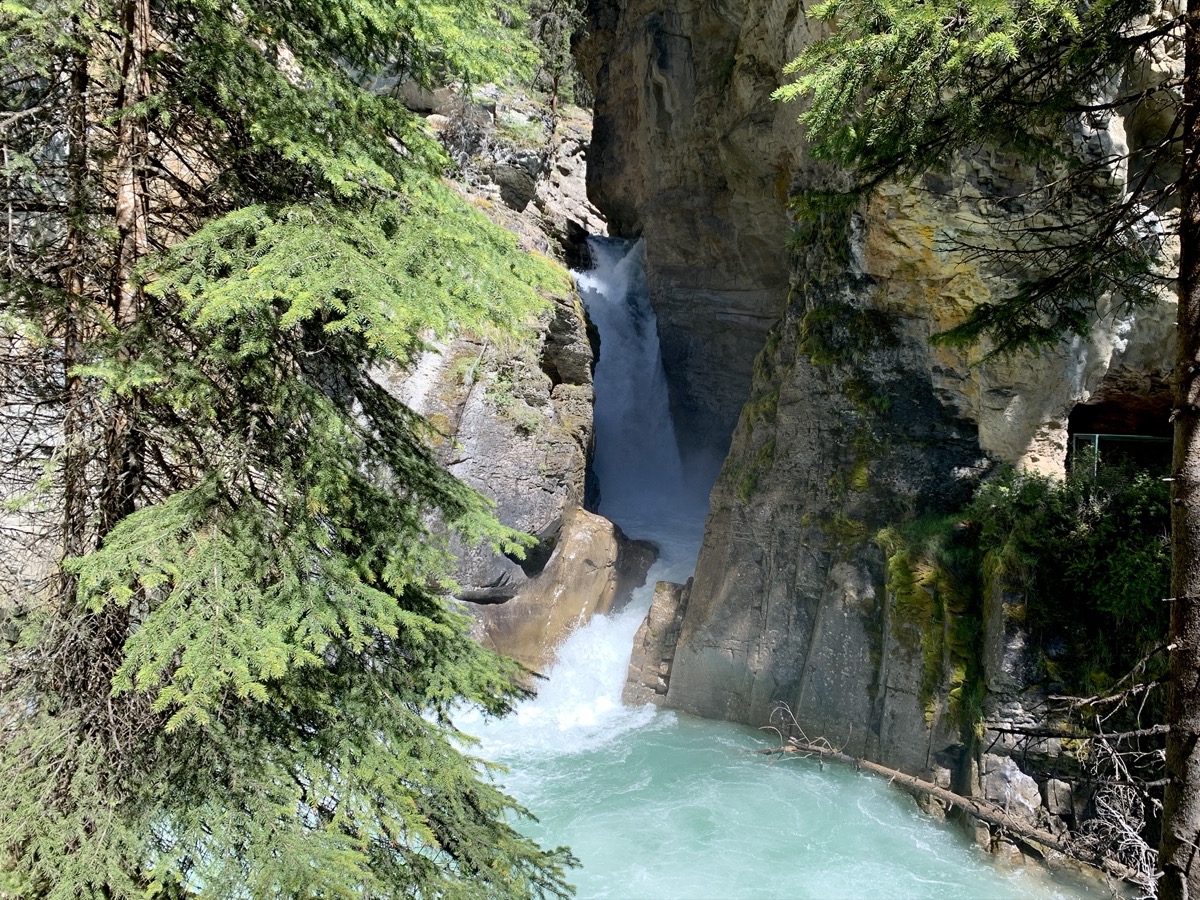
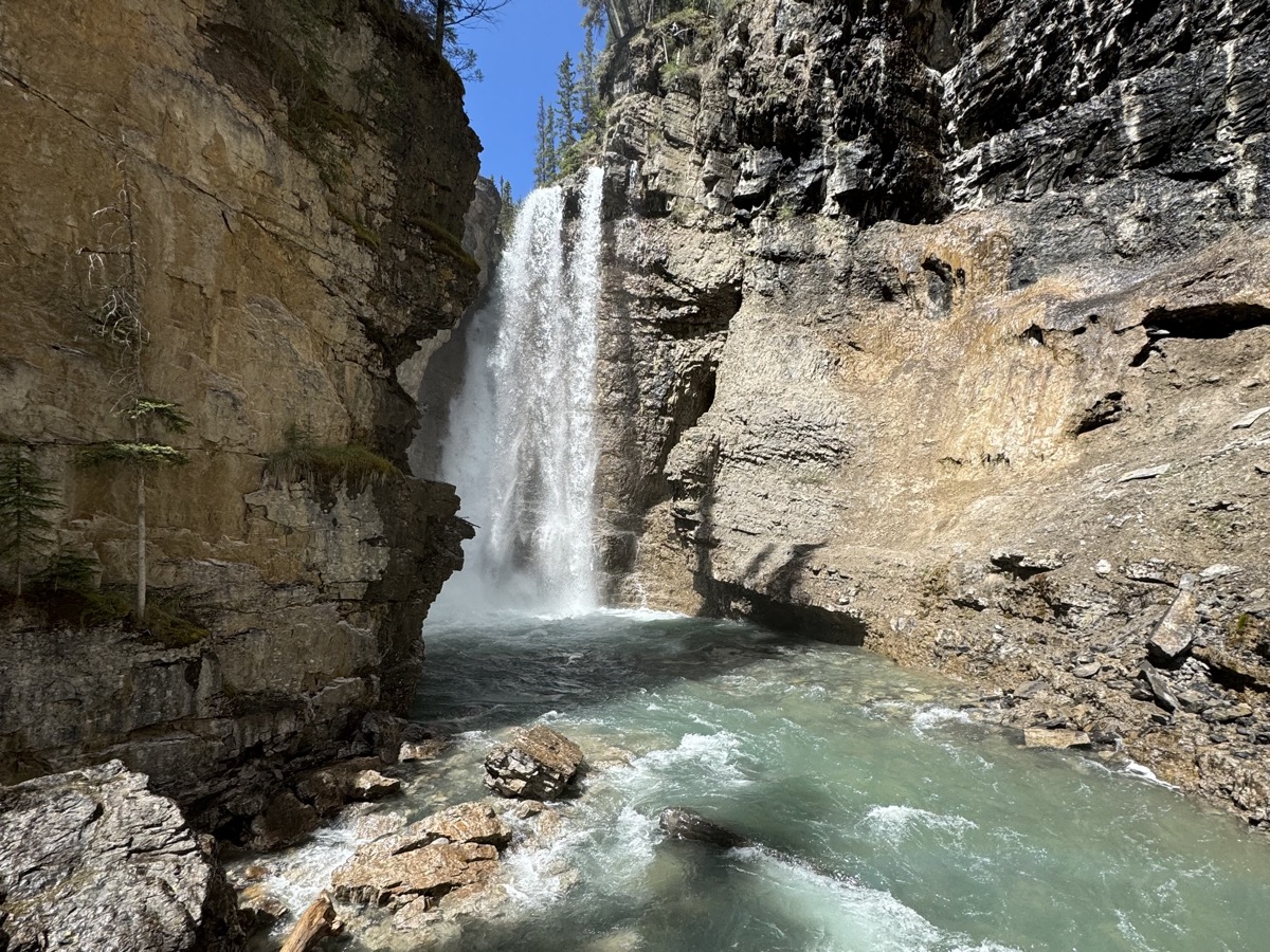
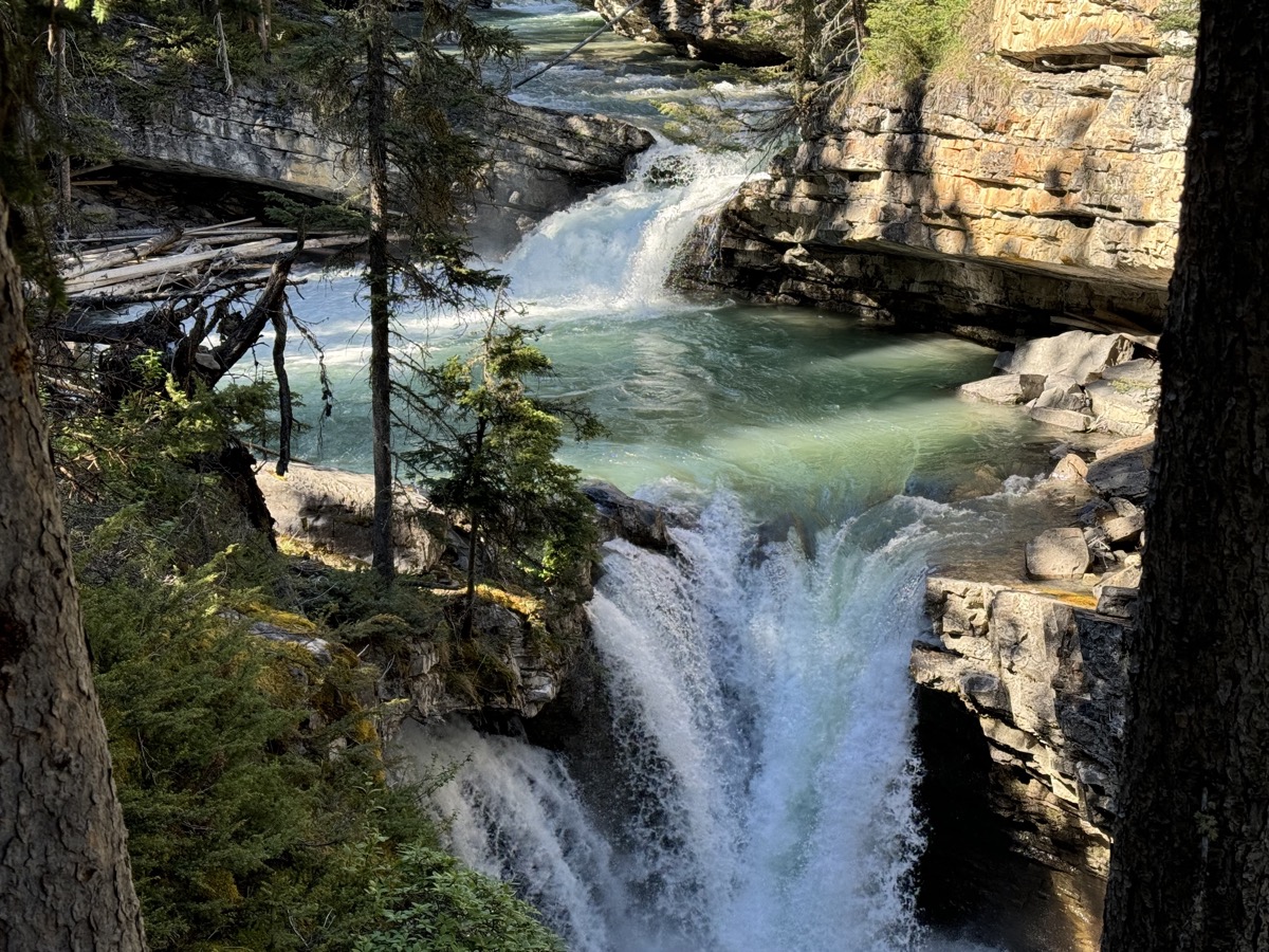
Johnston Canyon is worth visiting, but it was packed with visitors (not even weekend). Walking in line and waiting 20 mins to get to viewing platform at Upper Falls. Beyond this point, along Johnston Creek and around Ink Pots, the crowd thinned quickly making for a nice walk. Springs bubling quietly in the pots are fun to watch. Rocky mountains all around. Good, easy walking (12 km, almost 500 m up and down).
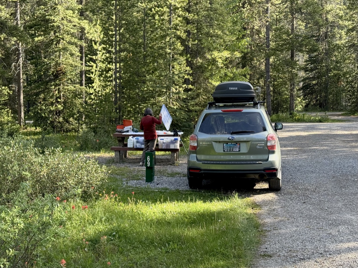
Our Lake Louise campground was called “hard-sided” (cars and campers, but no tents) in case bears come knocking on your door. Trail along Bow River neaby was closed to protect their habitat. Bear warnings are everywhere and park rules for camping are quite strict (same for all parks from now on) – pretty much nothing can be left outside when nobody is around to watch/protect. For us it meant extra packing.

Day 13.
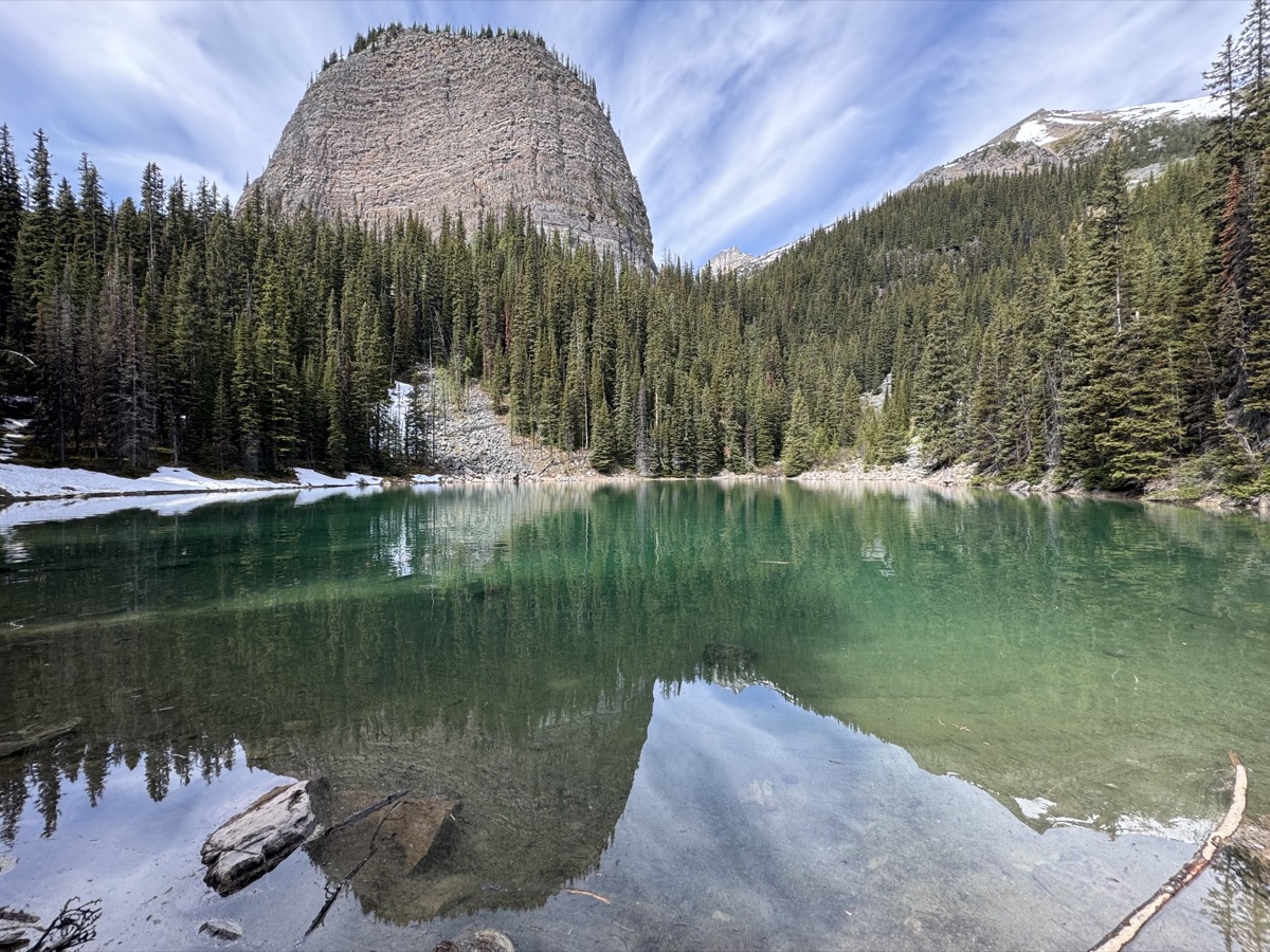
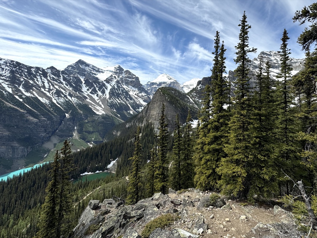
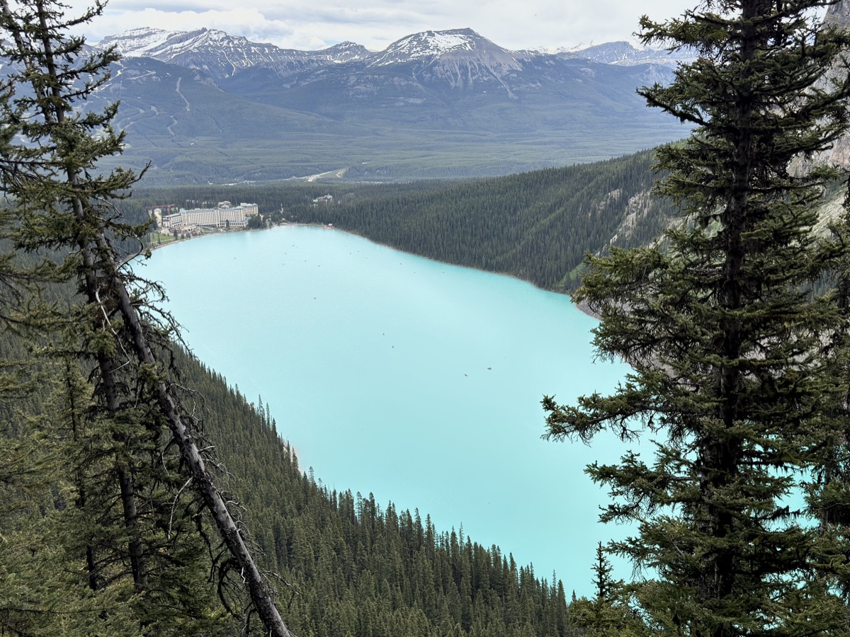
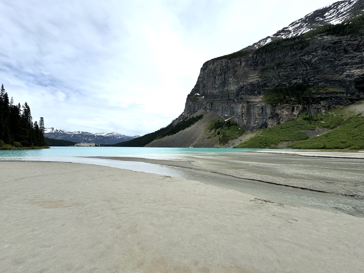
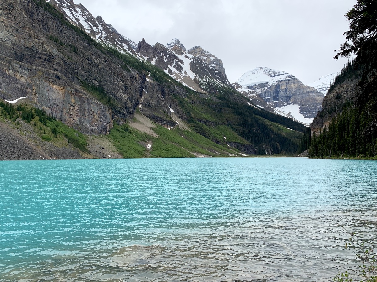
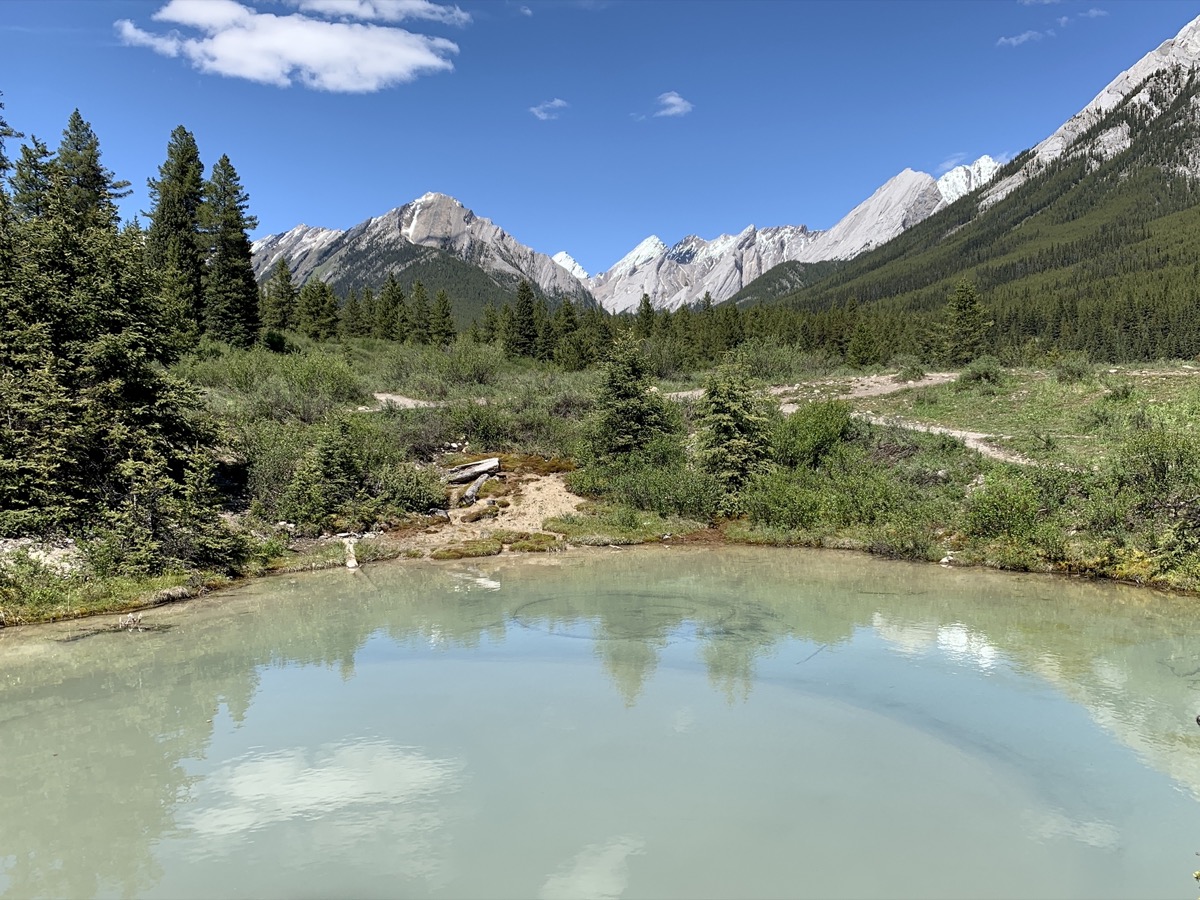
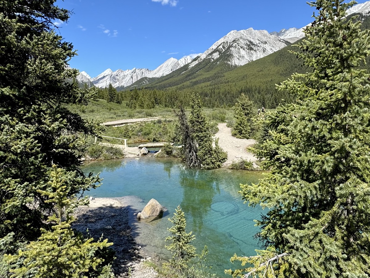
Time for Lake Louise, another popular destination. We took community bus from the village, inexpensive and convenient (good advice from Visitor Center). Parks Canada shuttles were all booked (to Moraine Lake also ). Lake shore near the parking lots and Fairmont Hotel, another famous building, was quite crowded. But we quickly started walking on trails to Mirror and Agnes Lakes and Little Beehive. Still many hikers, but not too bad. Each lake is different and views from the trail higher up are realy nice. With little time to spare (to catch last bus back to the village), we made it a 12-km loop, 550 m up and down. Now we felt like we were hiking in the mountains.
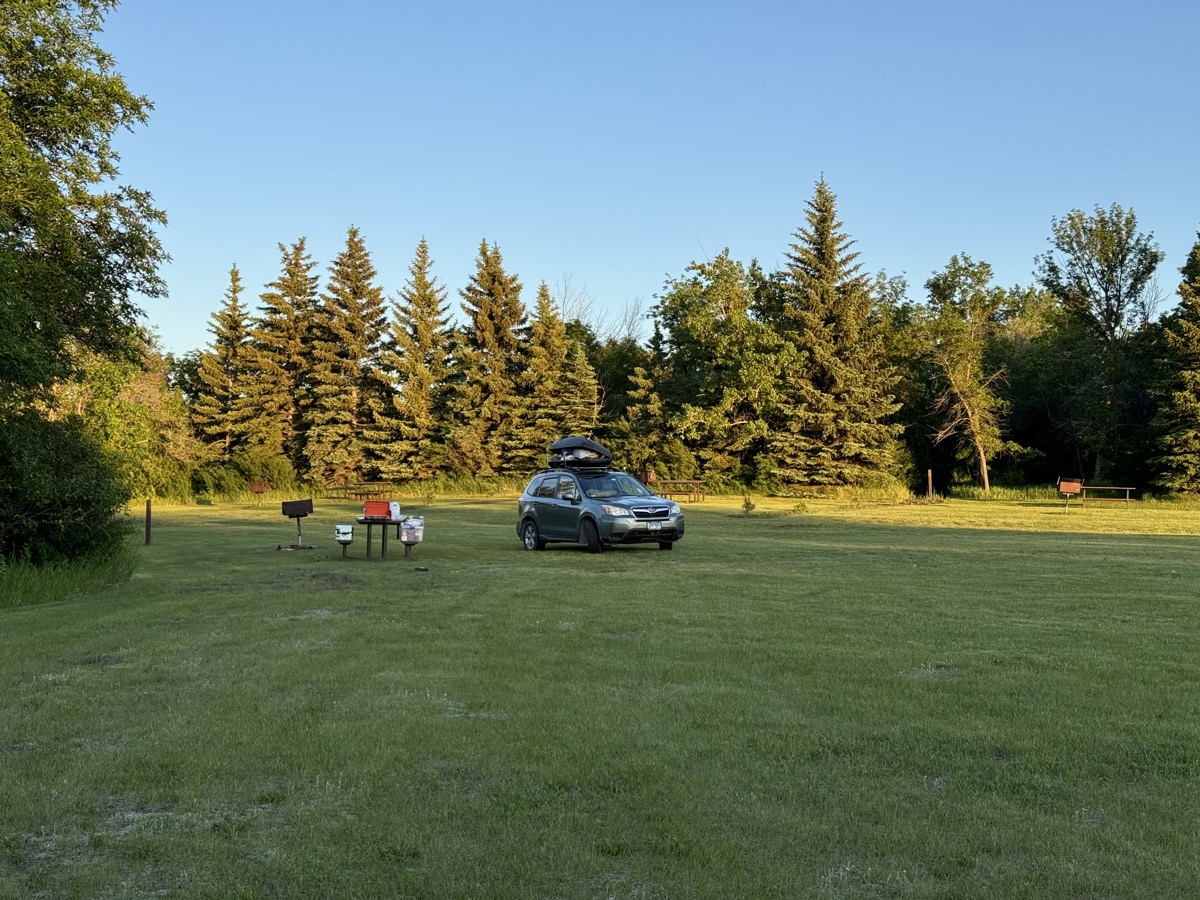
For the second night we moved to soft-sided part of Lake Louise campground complex protected by electric fence. Plus showers. Campgrounds in Banff NP are very good.