Estern Canada road trip days 27-29: Prince Edwars Island

Day 27

We arrived in Charlottetown in quite intense rain. Joanna interogated rangers at the Visitor Center and we stopped at Water Prince Corner Shop for early dinner. Great seafood:  island mussles and lobster roll. Rain slowed down enough for a walk around the neighbourhood. We crossed the island to the north side and took a spot at Cavendish campground in PEI National Park: closest to the beach and next to shelter to stay under roof if heavy rain returned. Campground was partially closed with just some campers. The hurricane was still a couple of days away.

Day 28

Weather improved, time to visit all corners of Prince Edward Island National Park: Cavendish Beach, MacNeills Brook Beach, North Rustico Beach, Brackley Beach, Covehead Harbour Lighthouse,  Cavendish Cliffs, back to Cavendish Beach, Dunelands and Oceanview Lookoff. Green Gables Heritage Place was already closed, so we just walked Haunted Woods Trail where we met nobody,  but lonely fox making its rounds.  It walked within a couple of feet without even acknowledging our presence. The hurricane was still 24 hours away, but weather was changing: red evening sky below low dark clouds, wind gusts and rushing waves. We moved to a different camping spot at Cavendish, perhaps 100m further inland, like it would make any difference.

Day 29

Morning visit to Green Gables Heritage Place, Montgomery Park and Cavendish Cemetery (Cavendish is Avonlea in books about Anne). Late lunch at Carr’s Oyster Bar (recommended) in Stanley Bridge. Finally found the right place to try fresh local oysters (Piotr could not refuse tasting two). Followed by baked oysters and steamed clams.

Drove all the way to Thunder Cove Beach only to discover it was closed for visitors, just looked around. Took diferent local roads to go back. Weather was cleary getting more active: wind gusts, fast moving clouds, passing rains. We were looking for a place to overnight and Joanna found Dreamweavers Cottages and Vacation Homes (recommended) in North Rustico. Fully equipped cottage (kitchen, laundry etc) and very nice host. We parked away from trees and listened to wind gusts becoming stronger. Remnants of the hurricane (just wind and rain)  passed over our heads at night.

Estern Canada road trip days 24-27: Cape Breton Island, Nova Scotia

Day 24

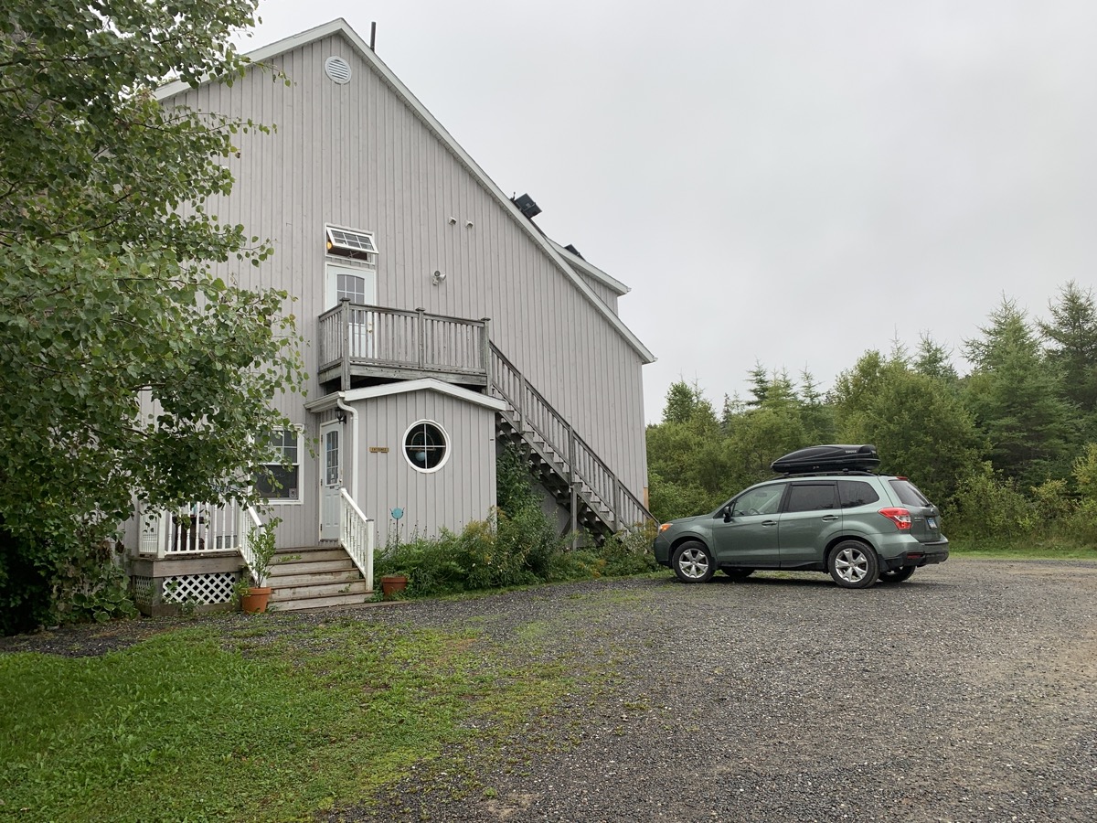
We did sleep quite a bit on ferry, but were not fully rested. The day started with clouds and passing rains as we were driving west and then north toward Cape Breton Highlands National Park. But first, breakfast plus coffee at Chanterelle Inn & Cottages. 
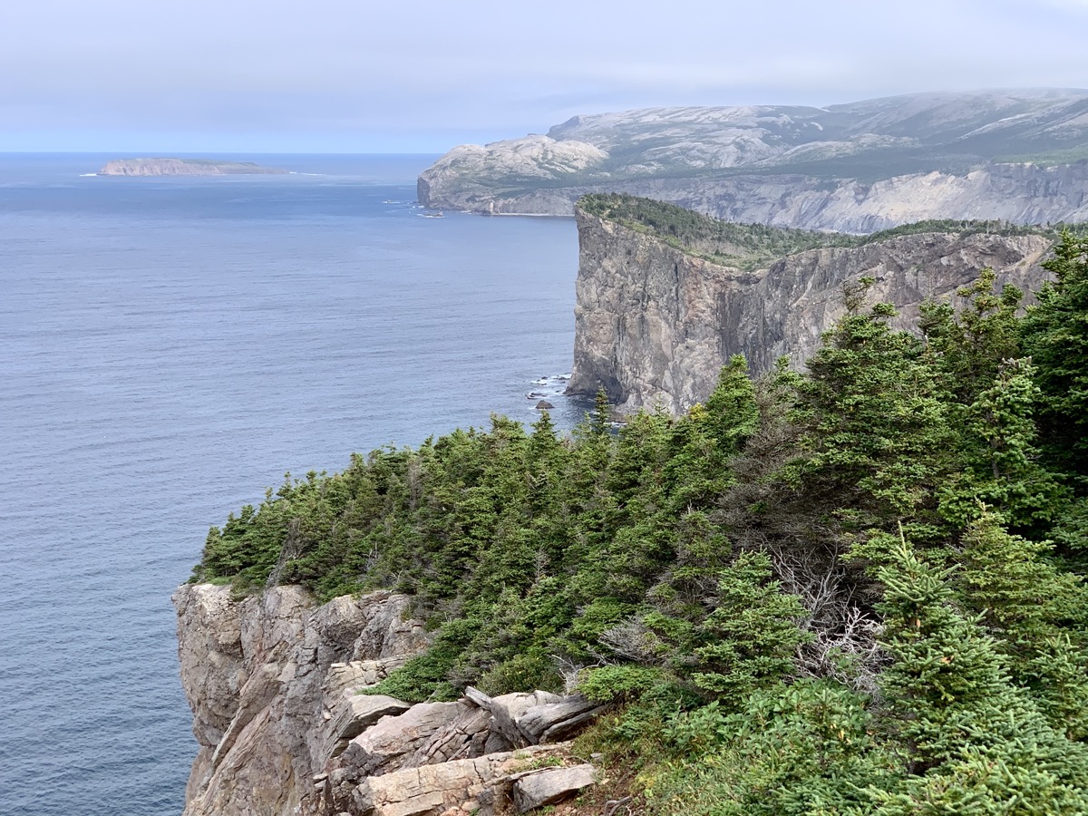
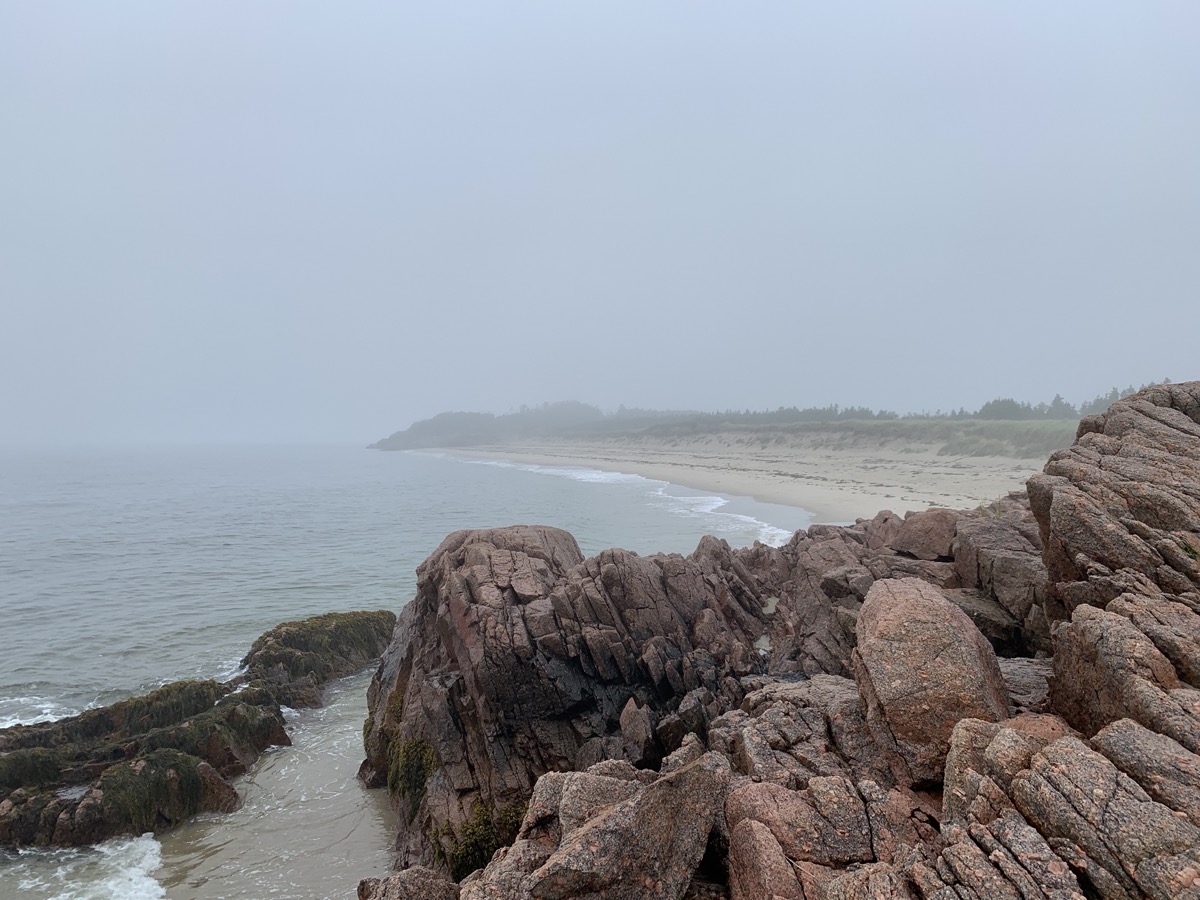
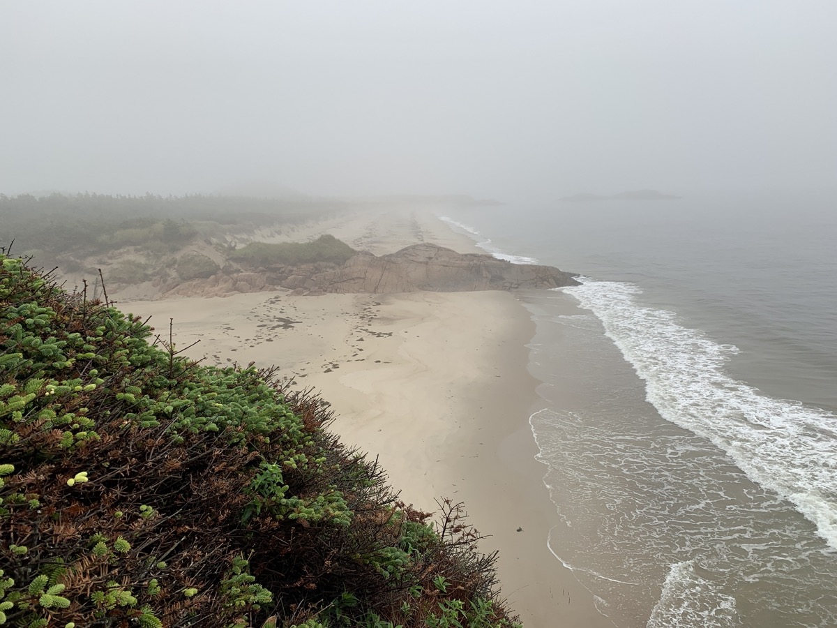
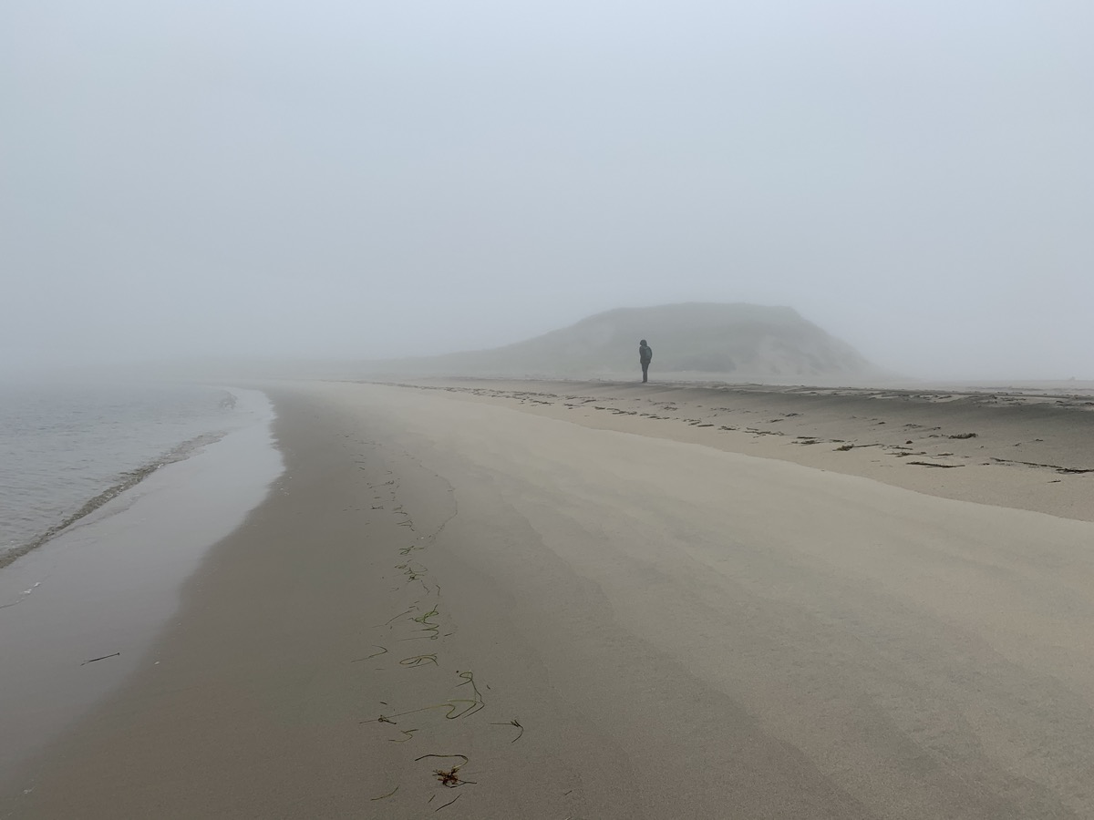
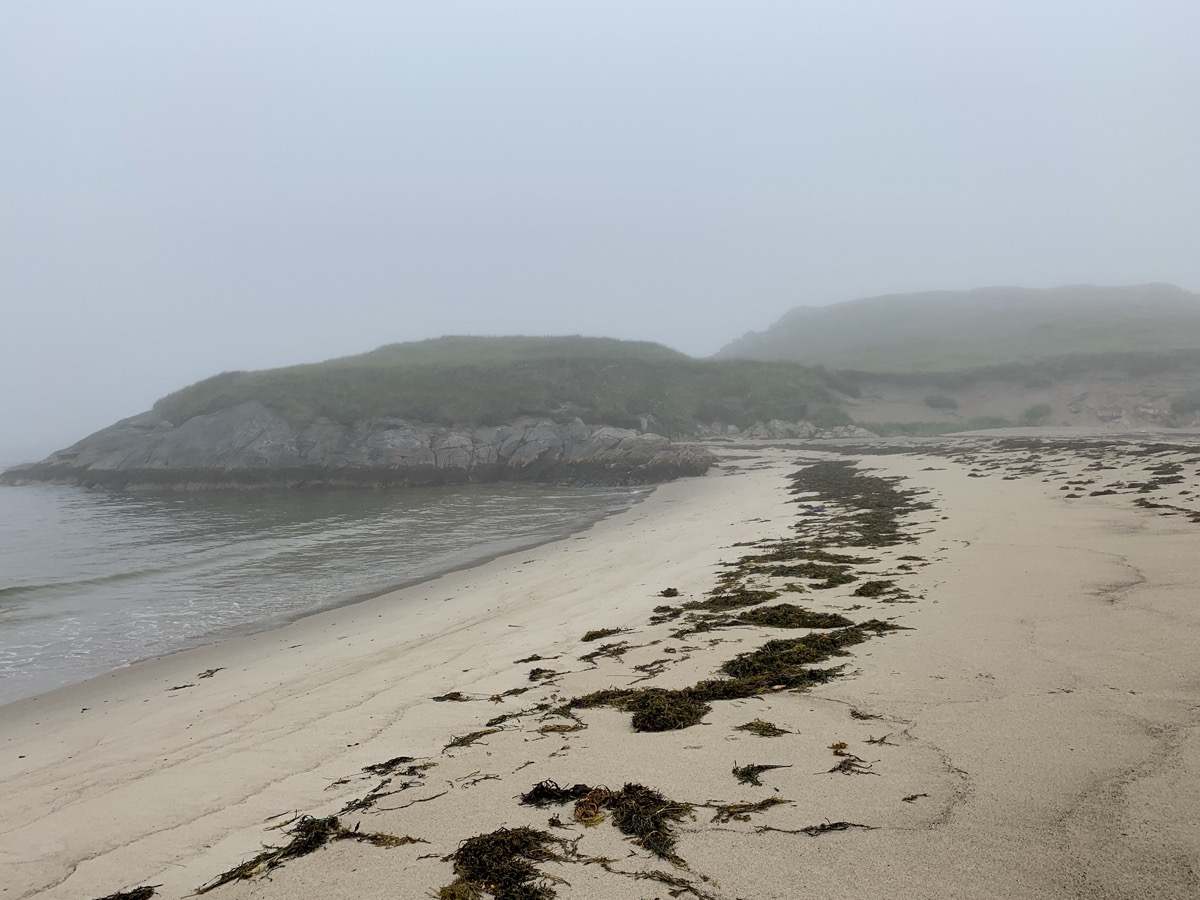
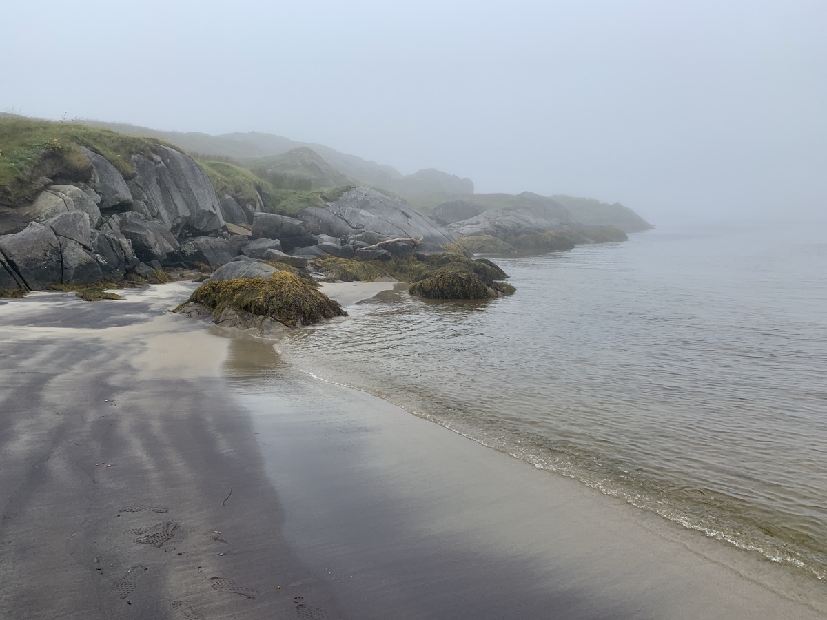
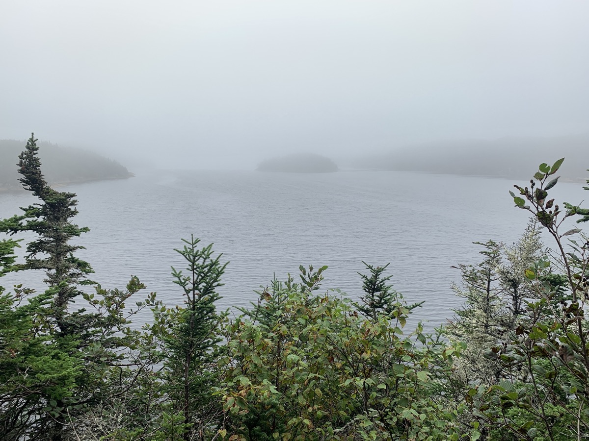
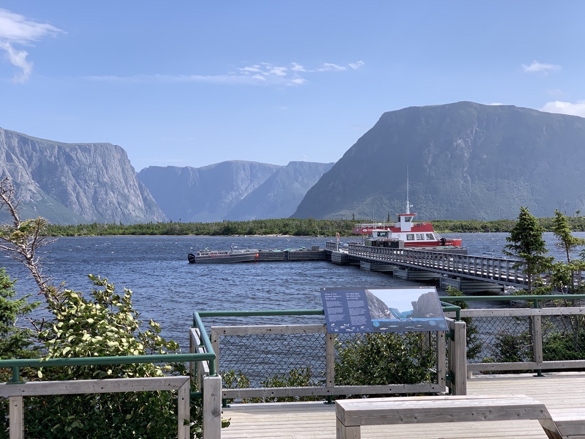
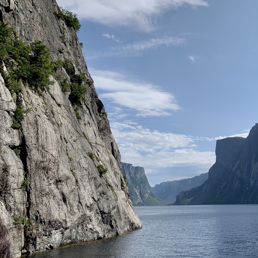
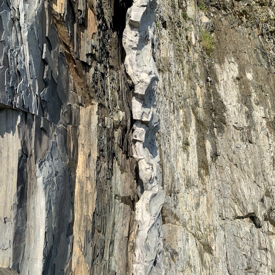
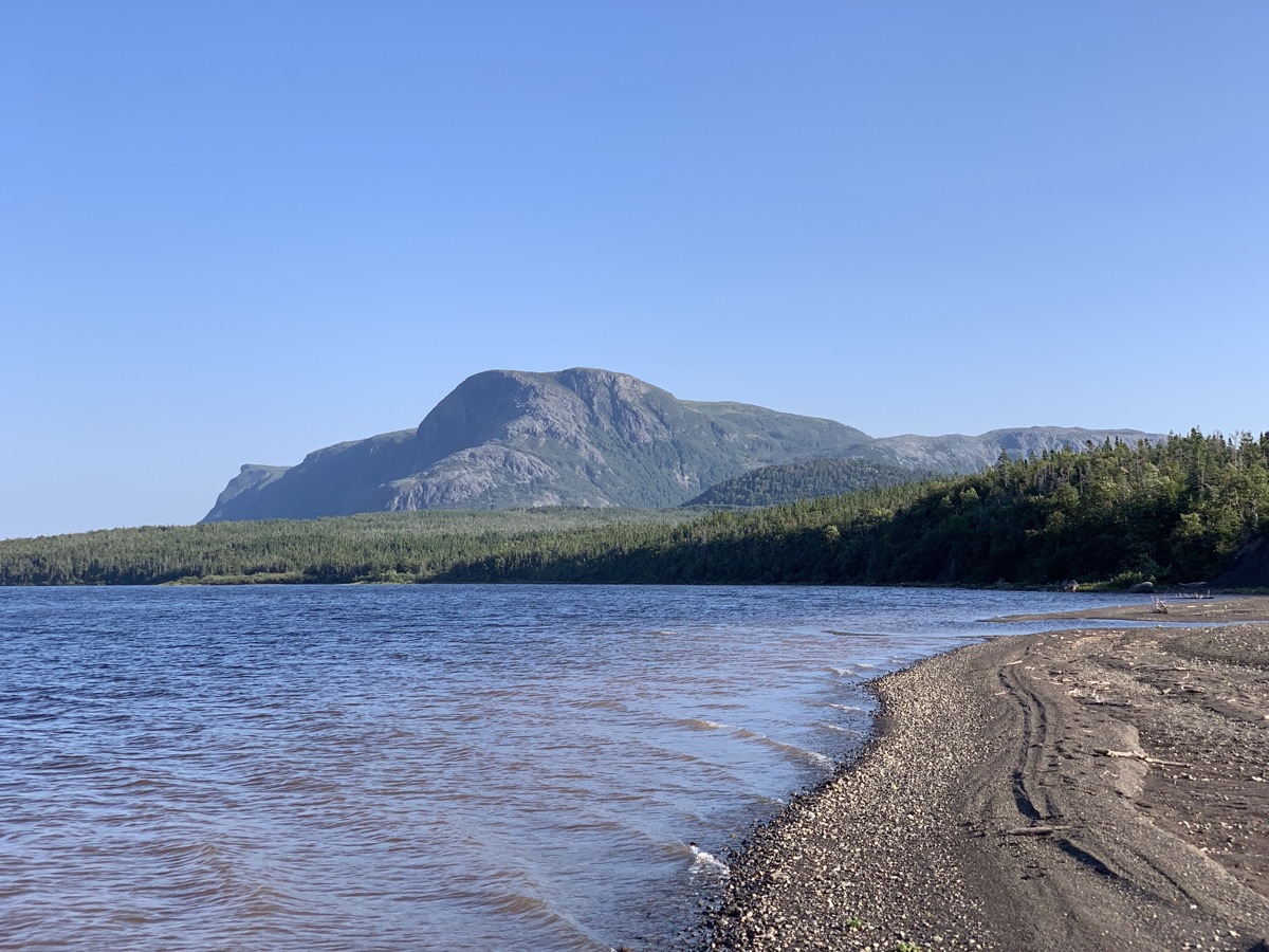
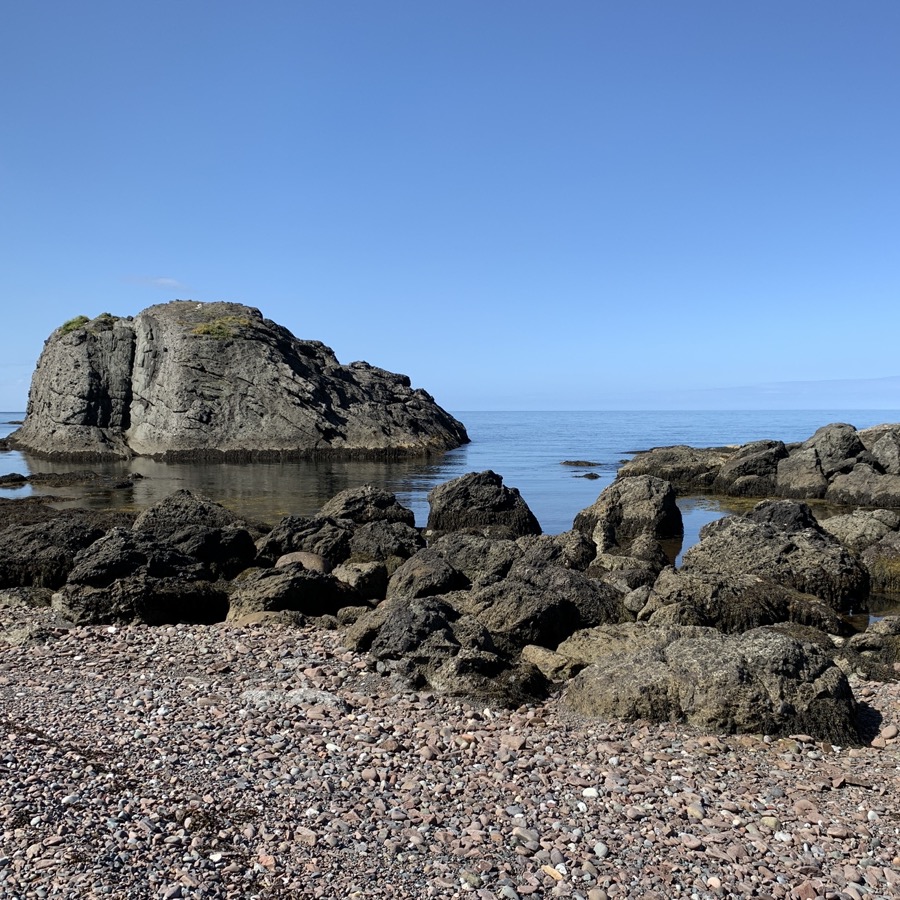
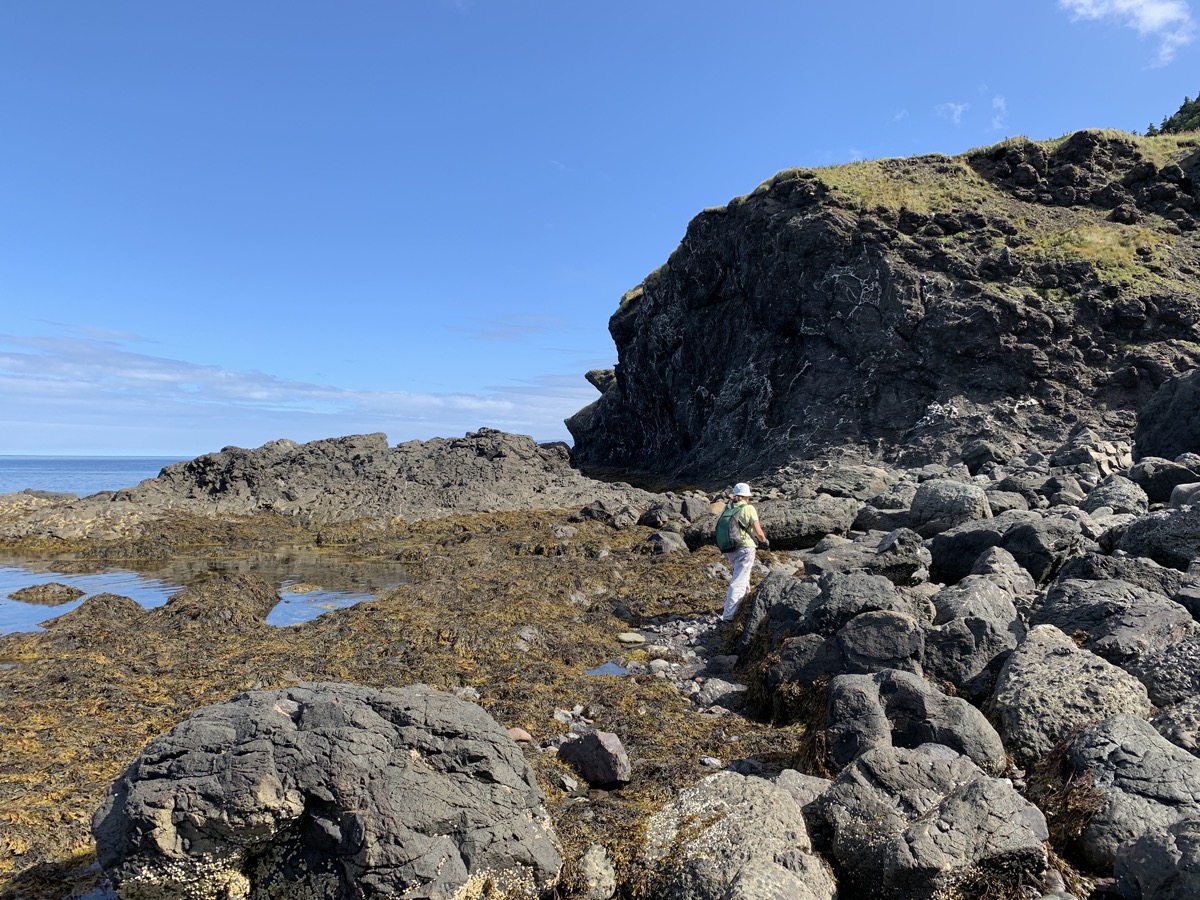
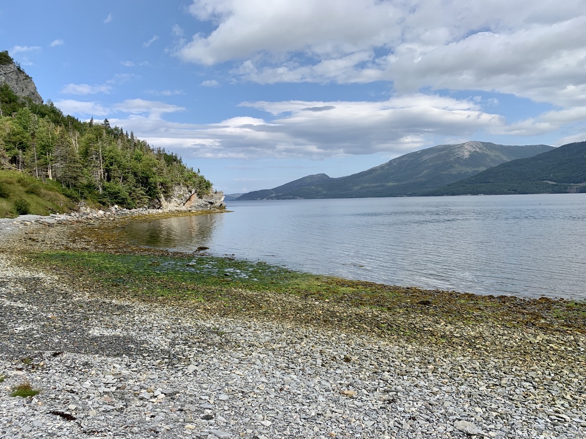
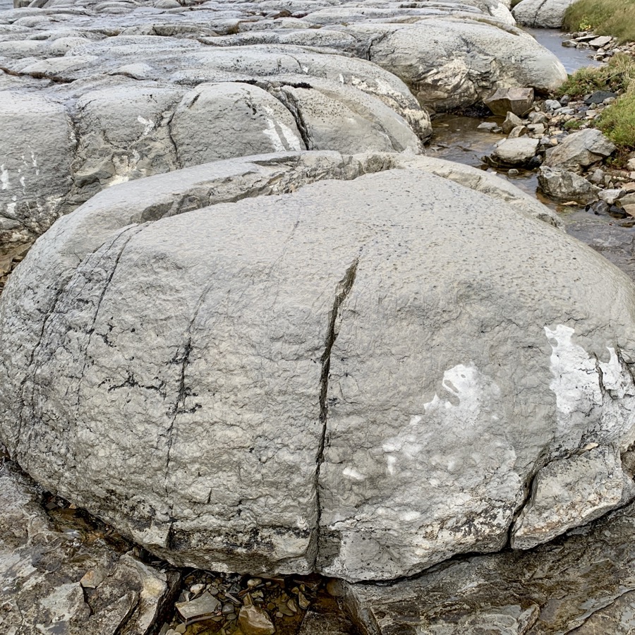
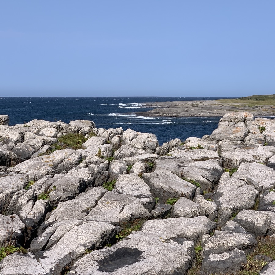
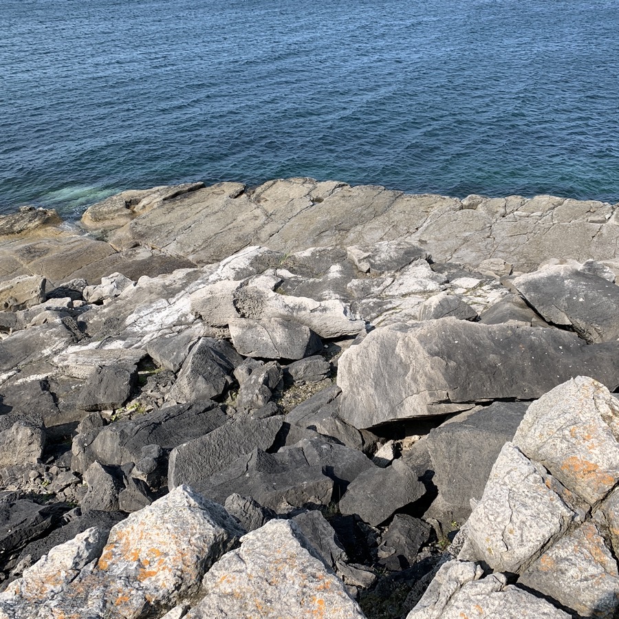
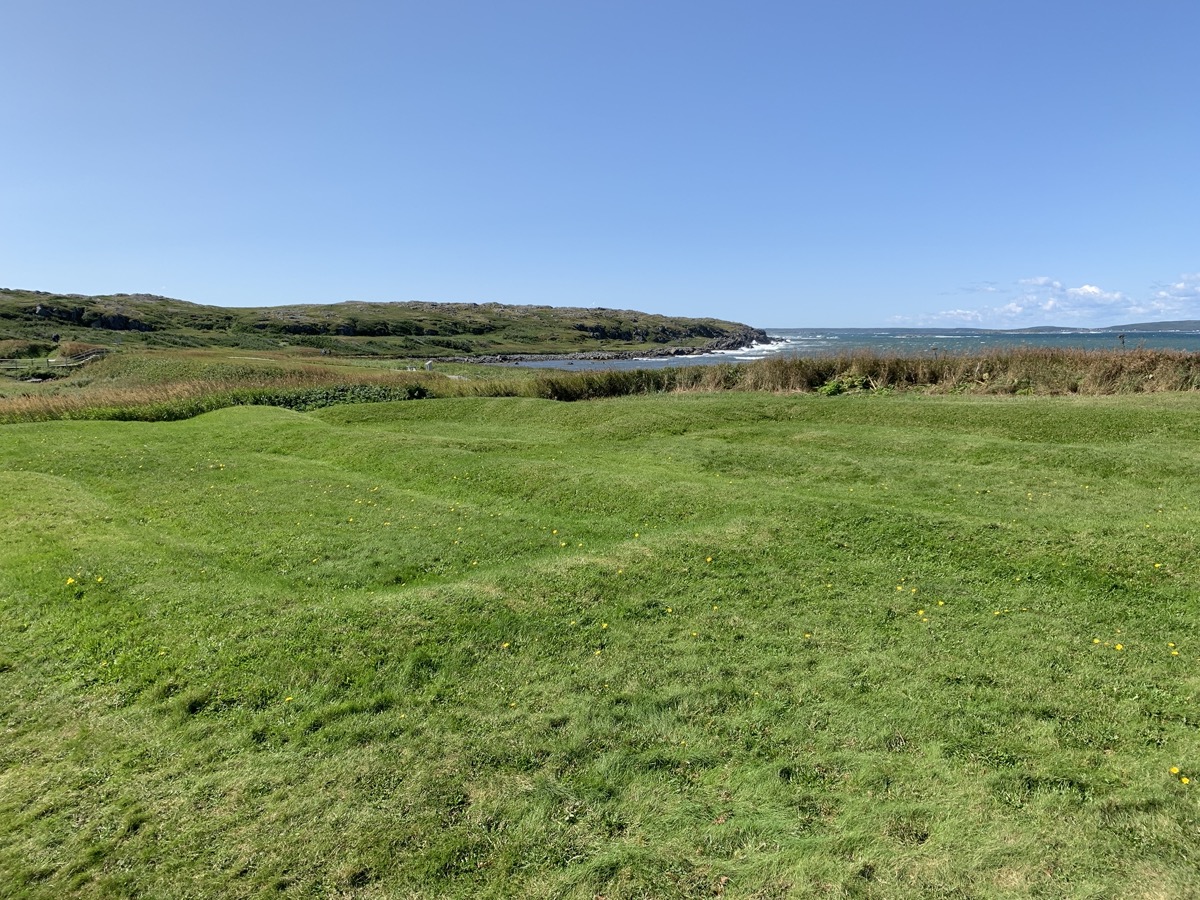
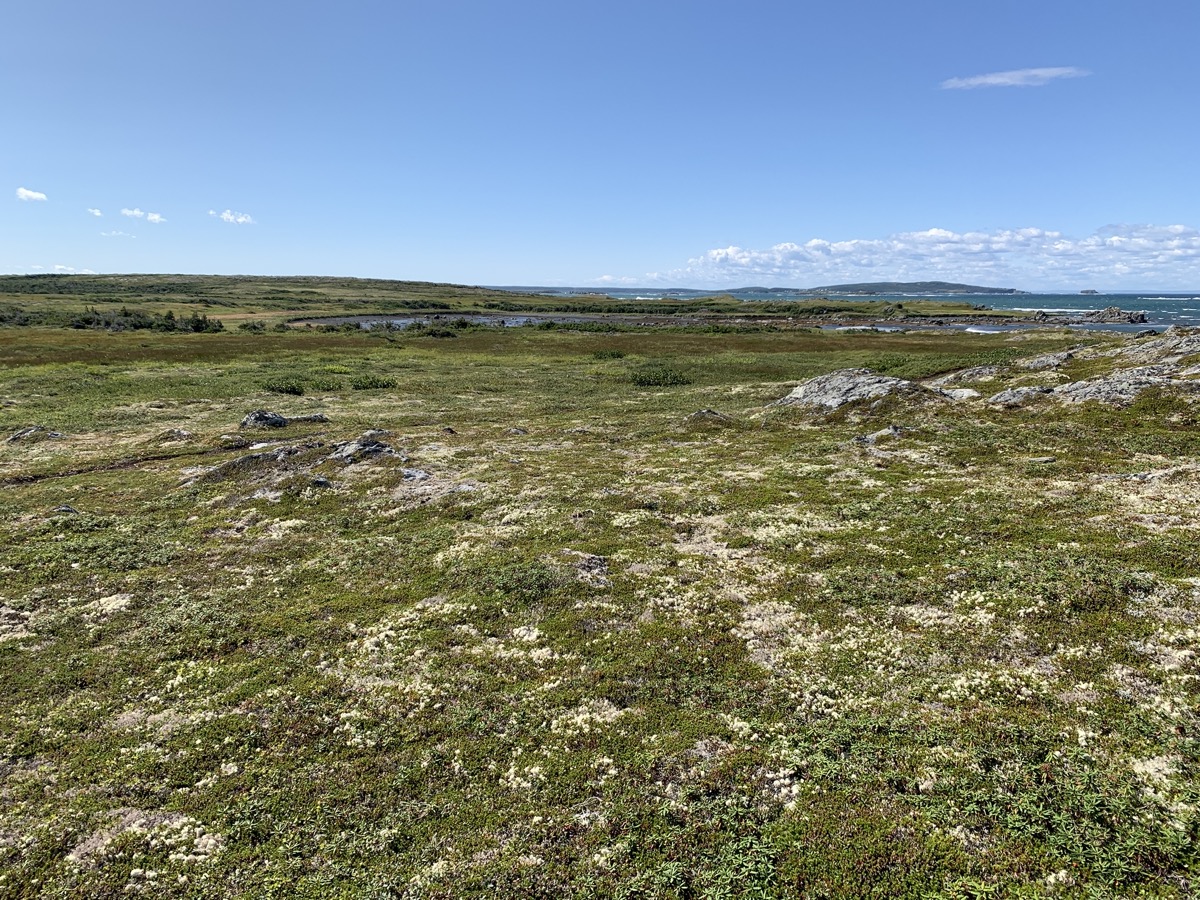
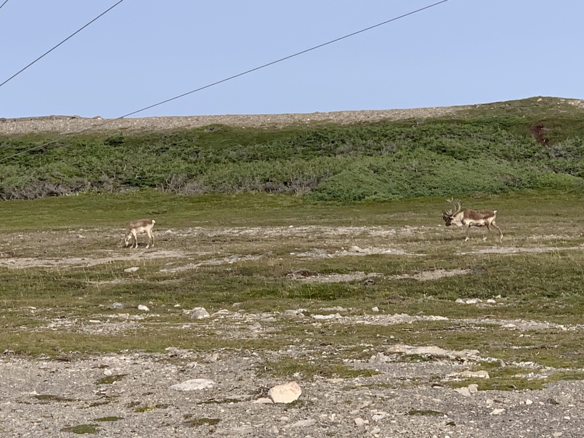
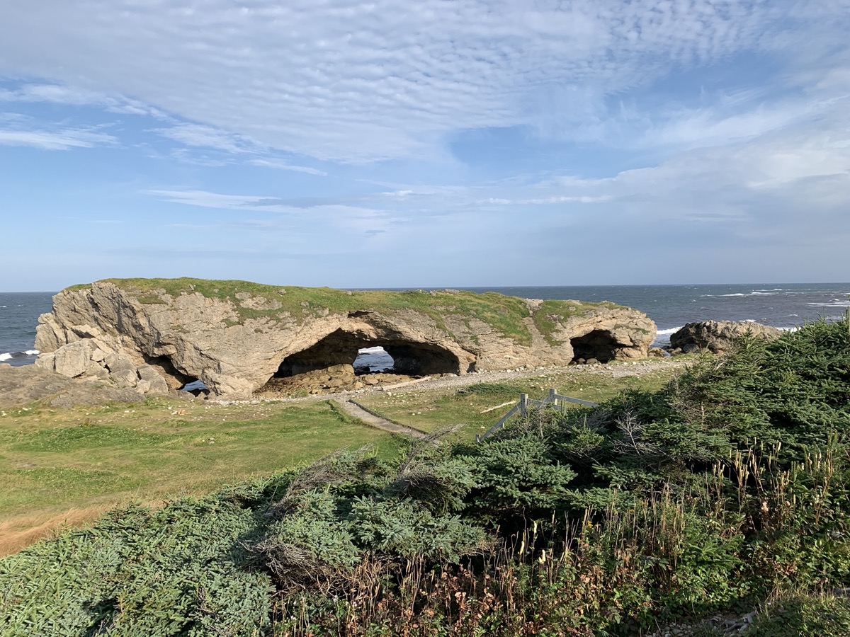
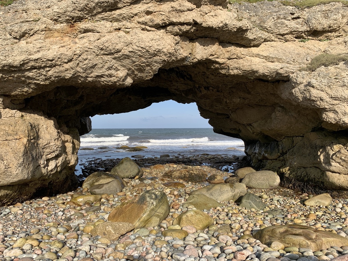
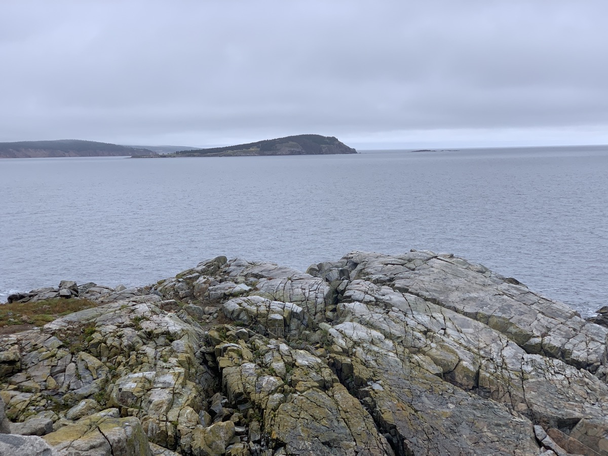
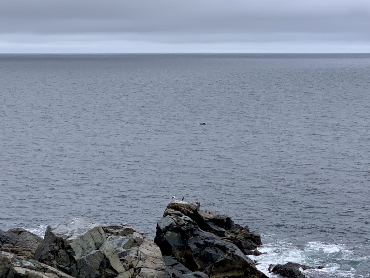
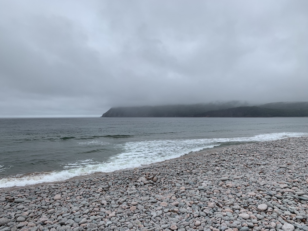
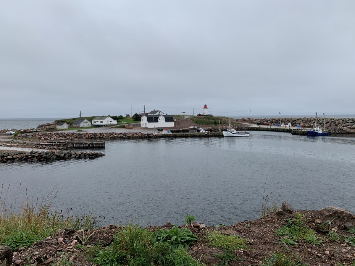
The weather was not encouraging when we arrived at Ingonish Visitor Centre. Rain was breaking at times allowing for decent walks at Middle Head Trail and Ingonish Beach in Cape Breton Highlands National Park. Very good sighting of several pilot whale pods from the tip of the peninsula.

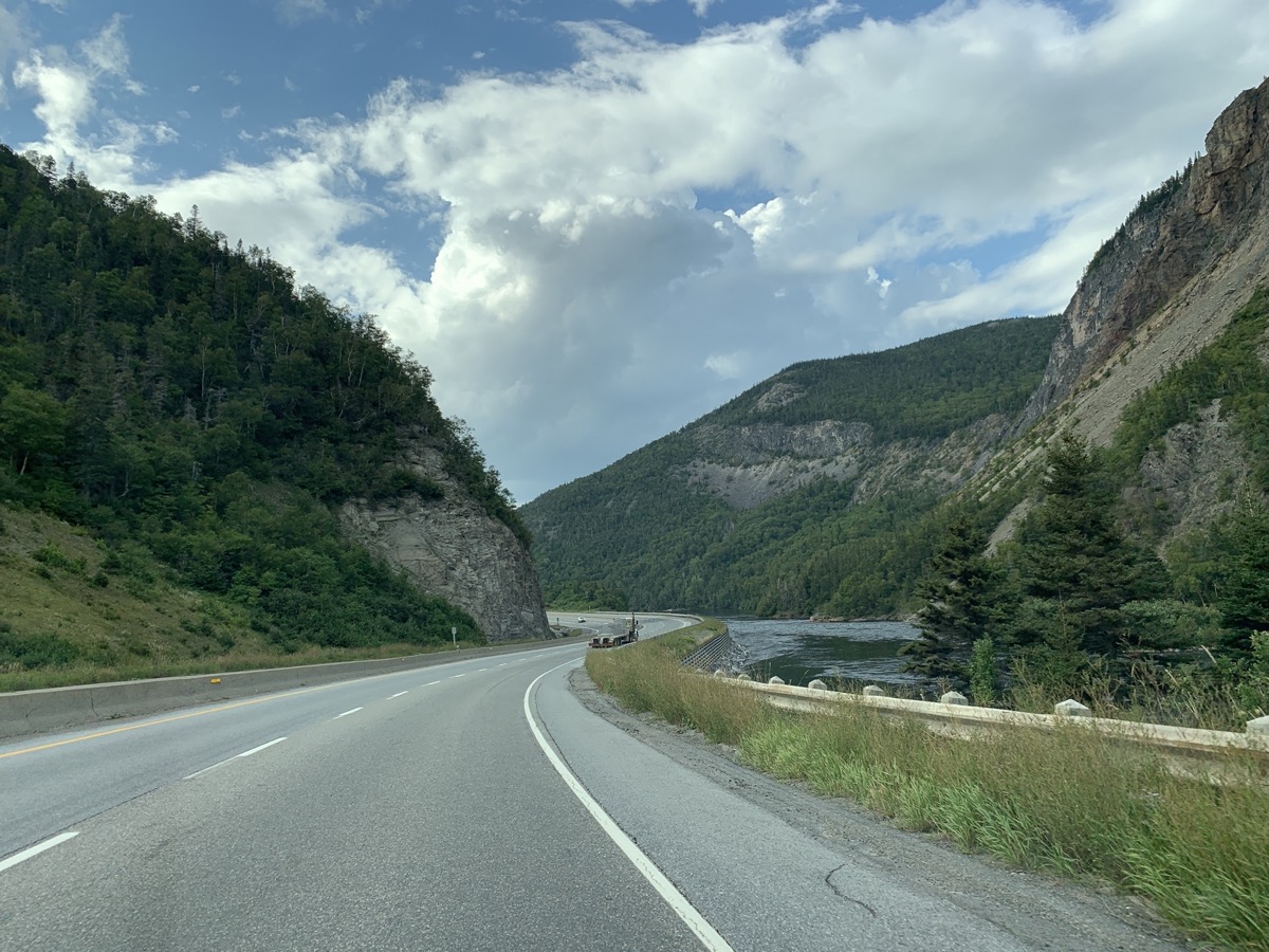
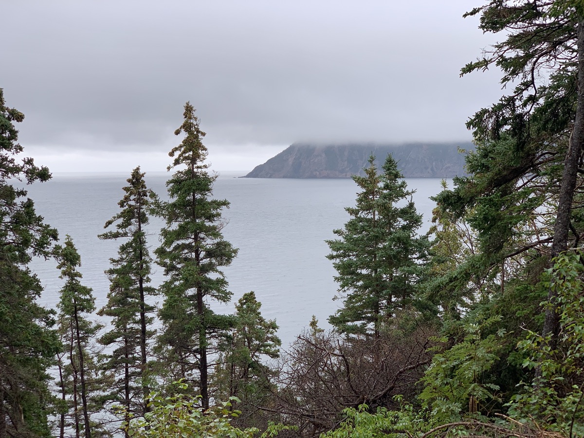
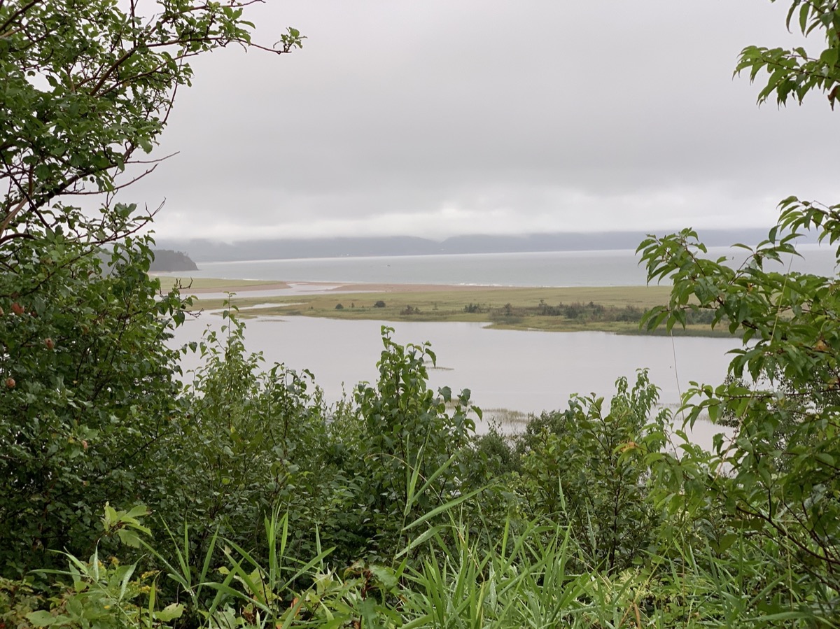
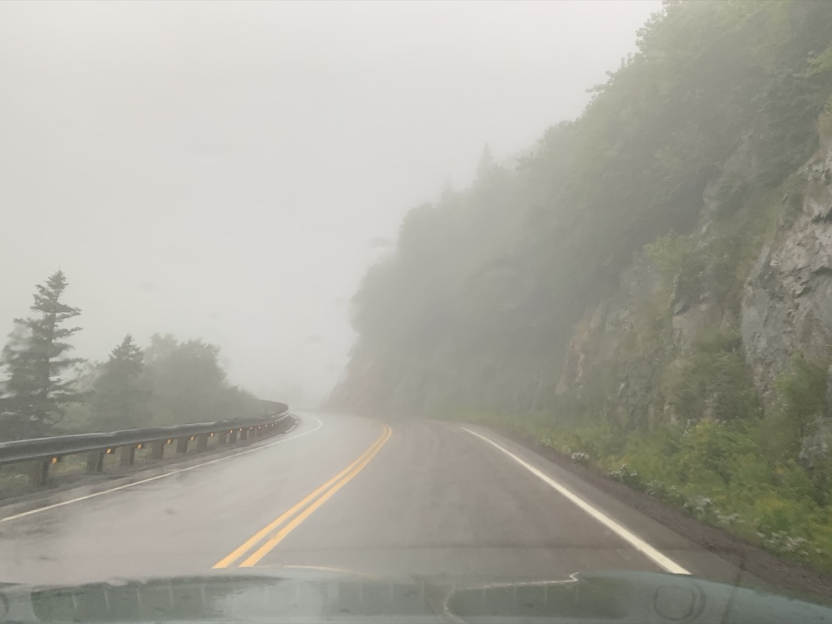
After brief detour to South Harbour, we finished the day in Pleasant Bay. The rain was quite heavy at times, driving was slow and tiring. After extended debate we ended-up in local motel rather than camping at one of the day-time parking lots (a.k.a. National Park campgrounds). We were quite disappointed as we were driving on famous Cabot Trail and weather refused to cooperate all day – this was the  only time it happened during our entire trip.

Day 25

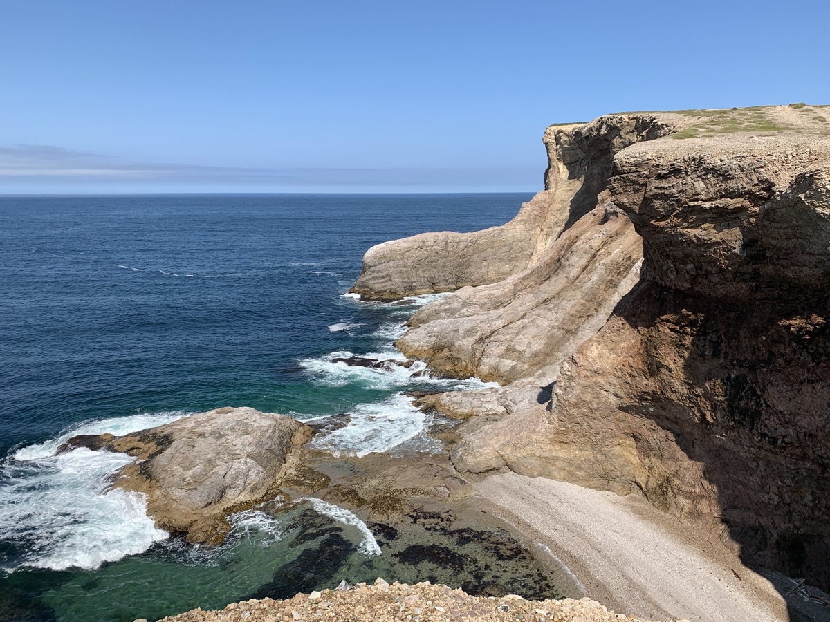
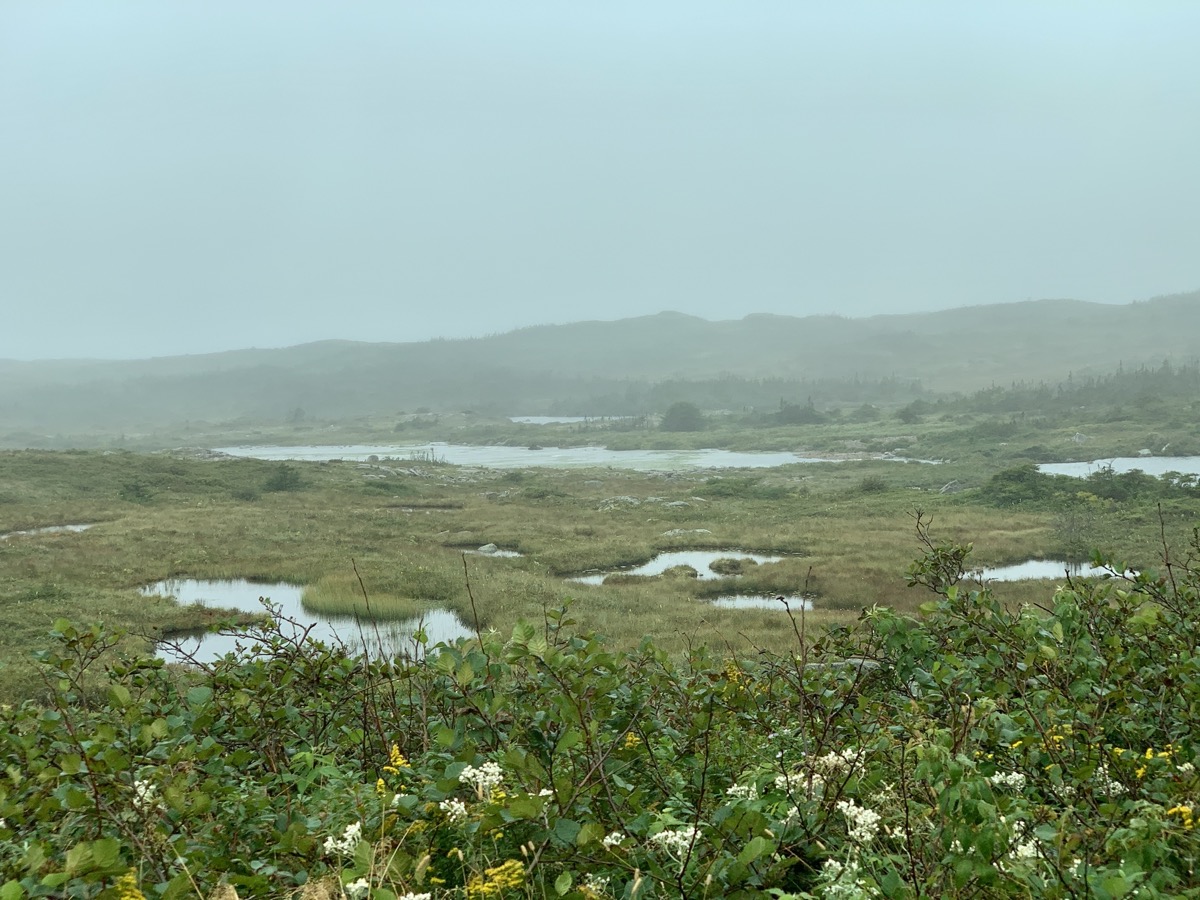
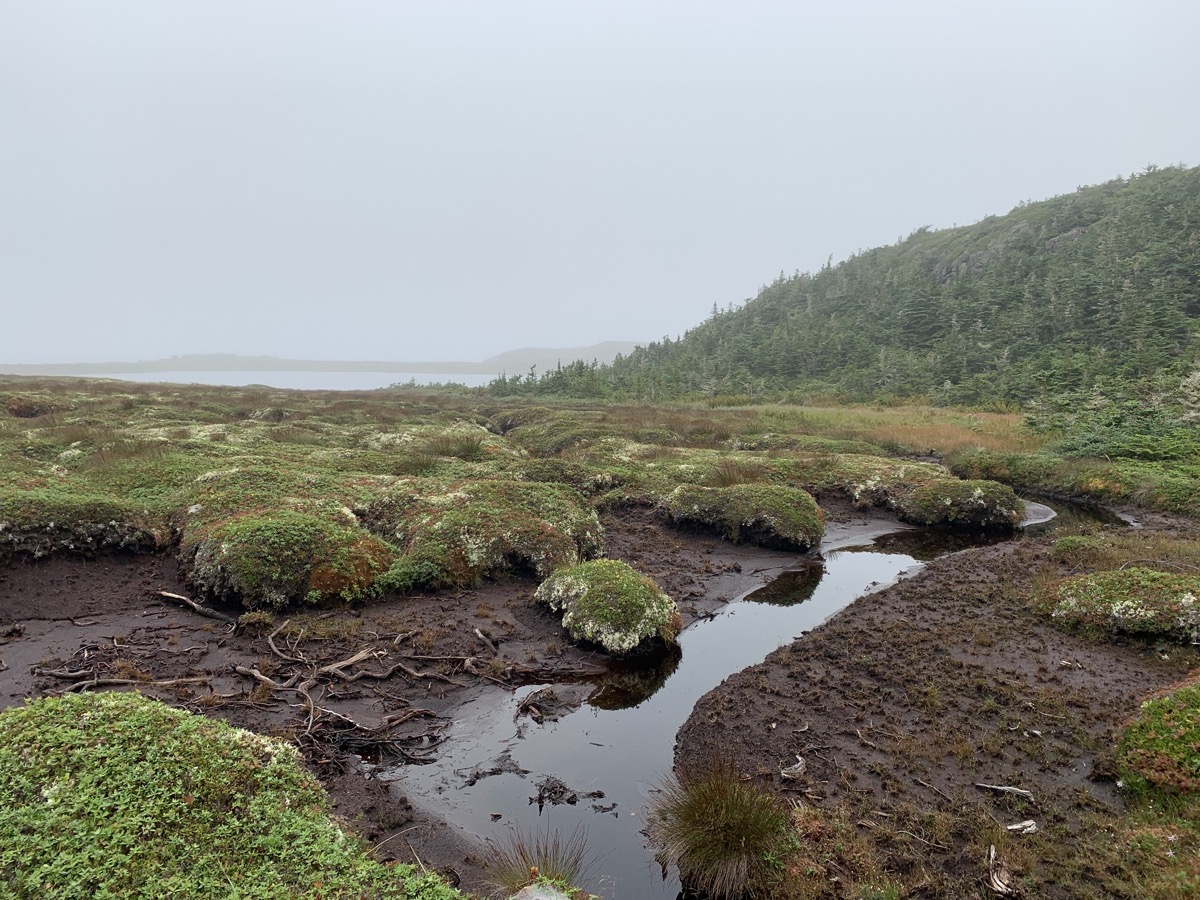
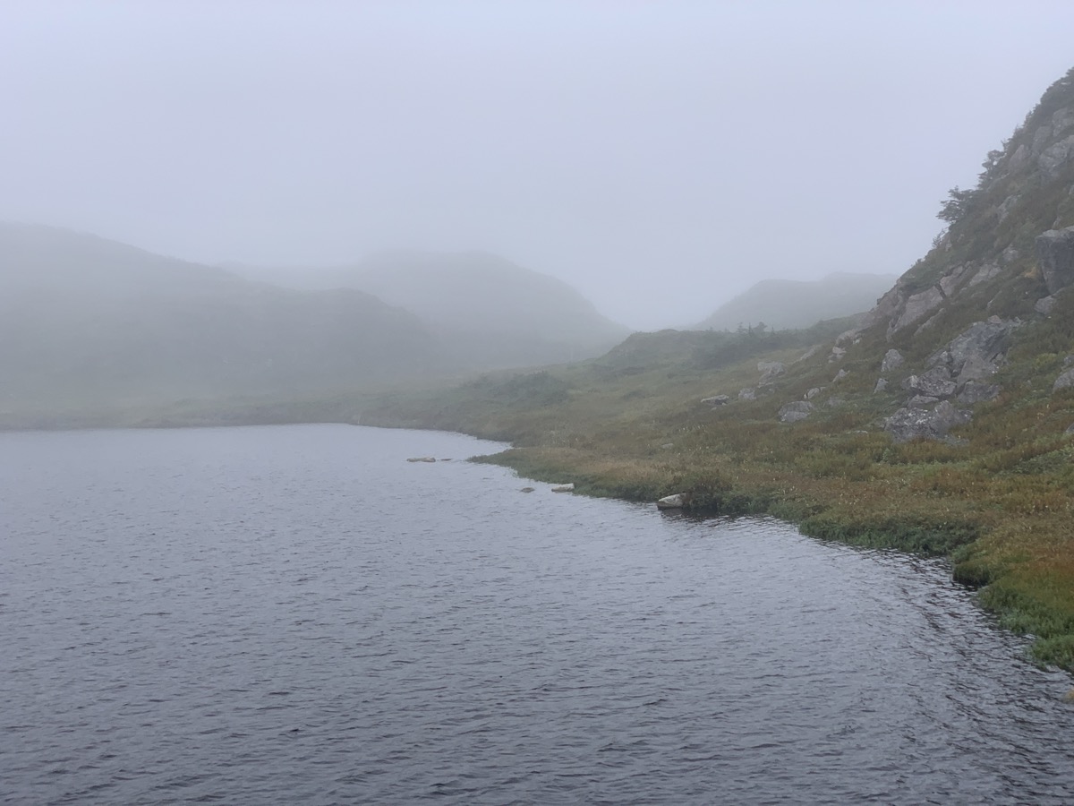
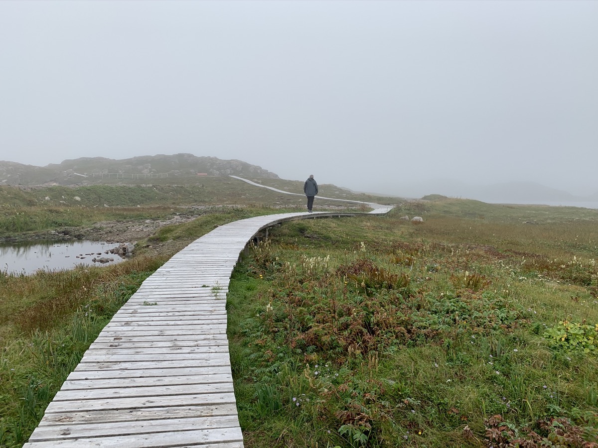
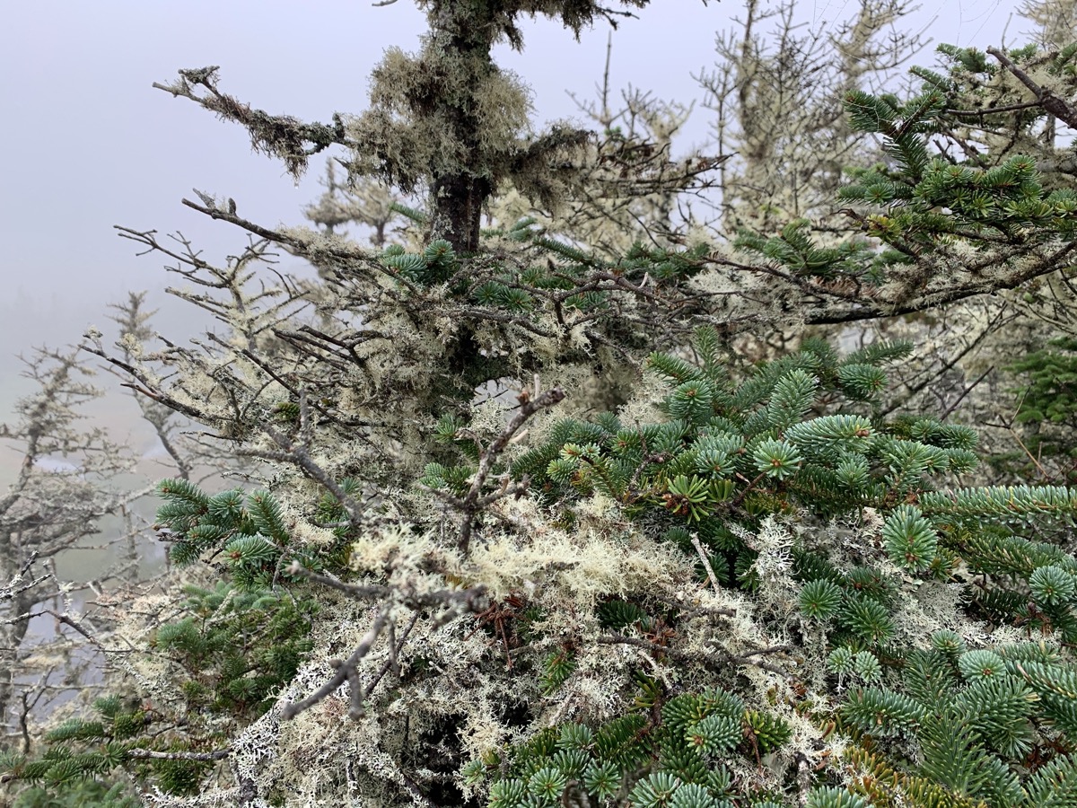
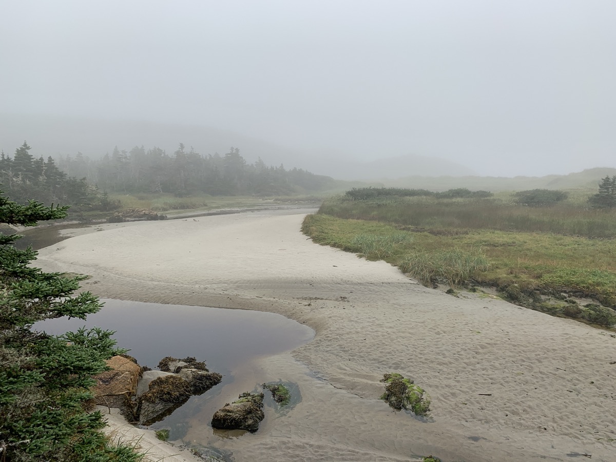
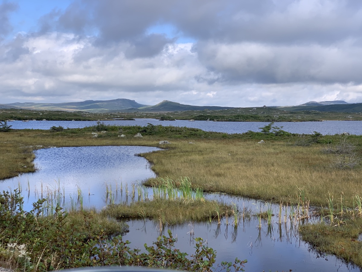
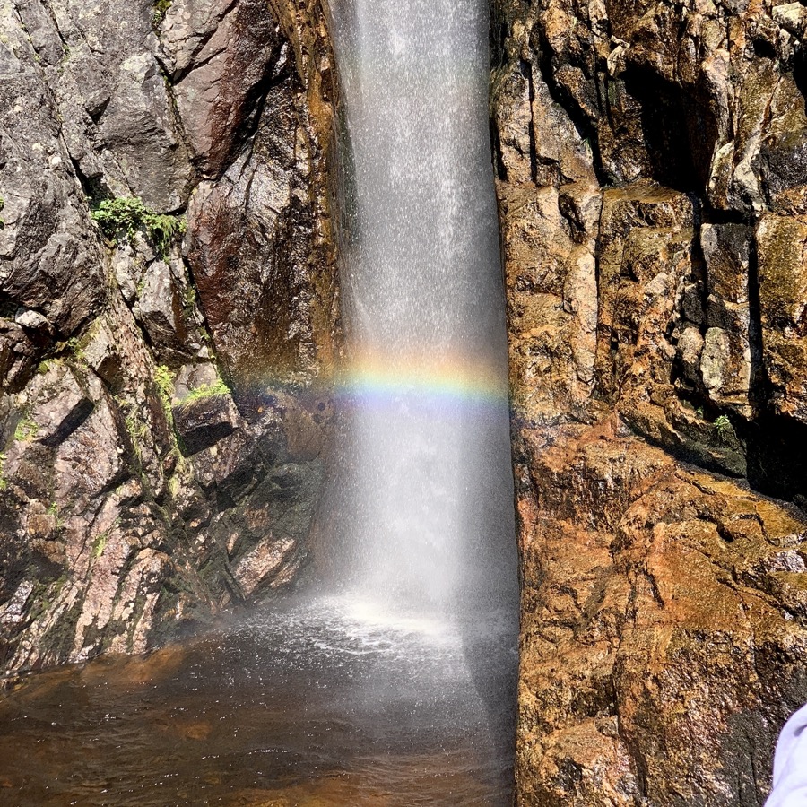
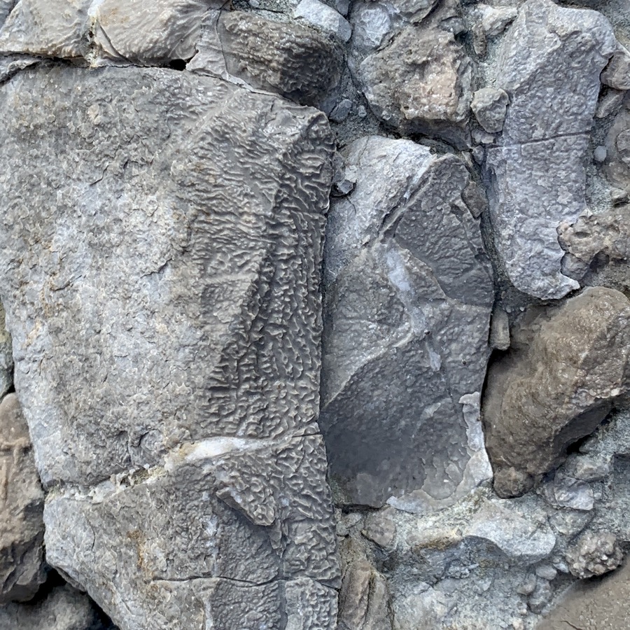
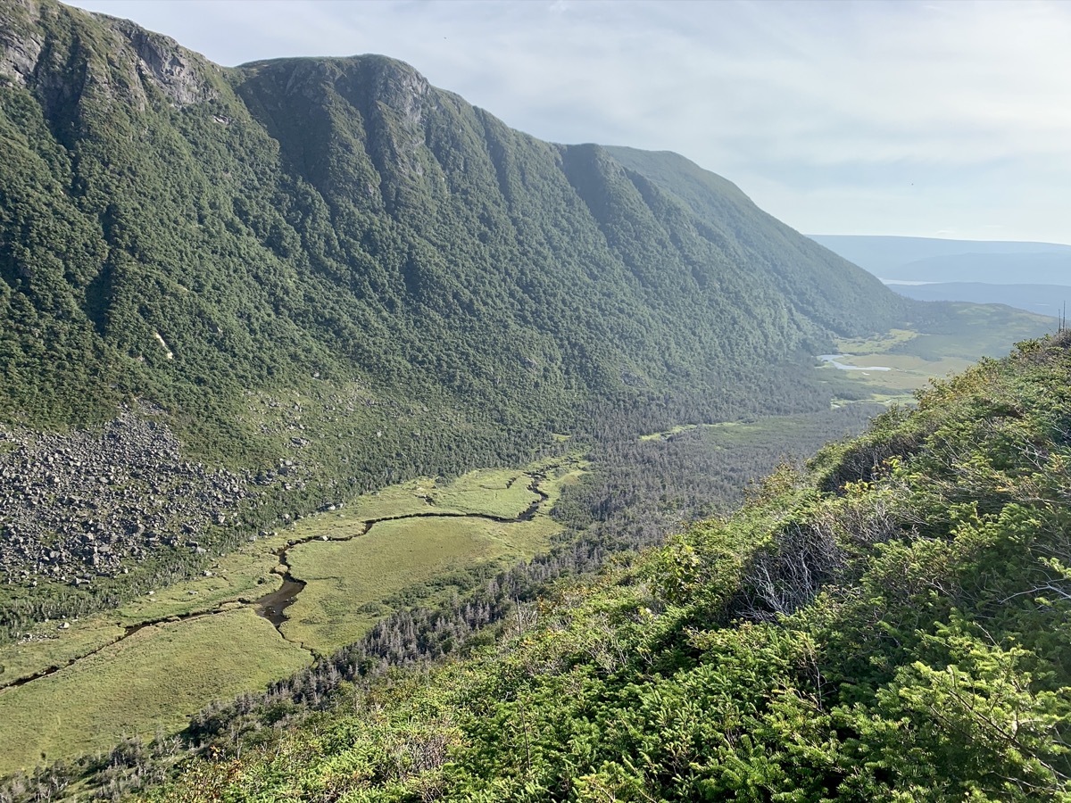
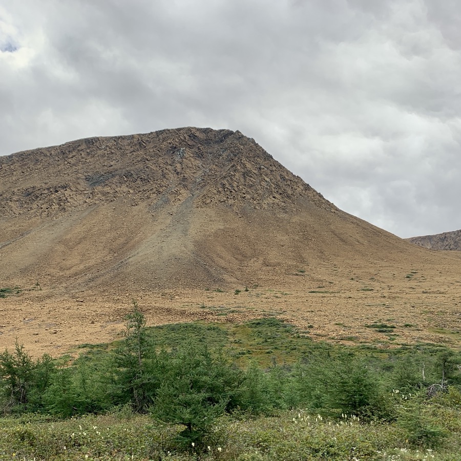
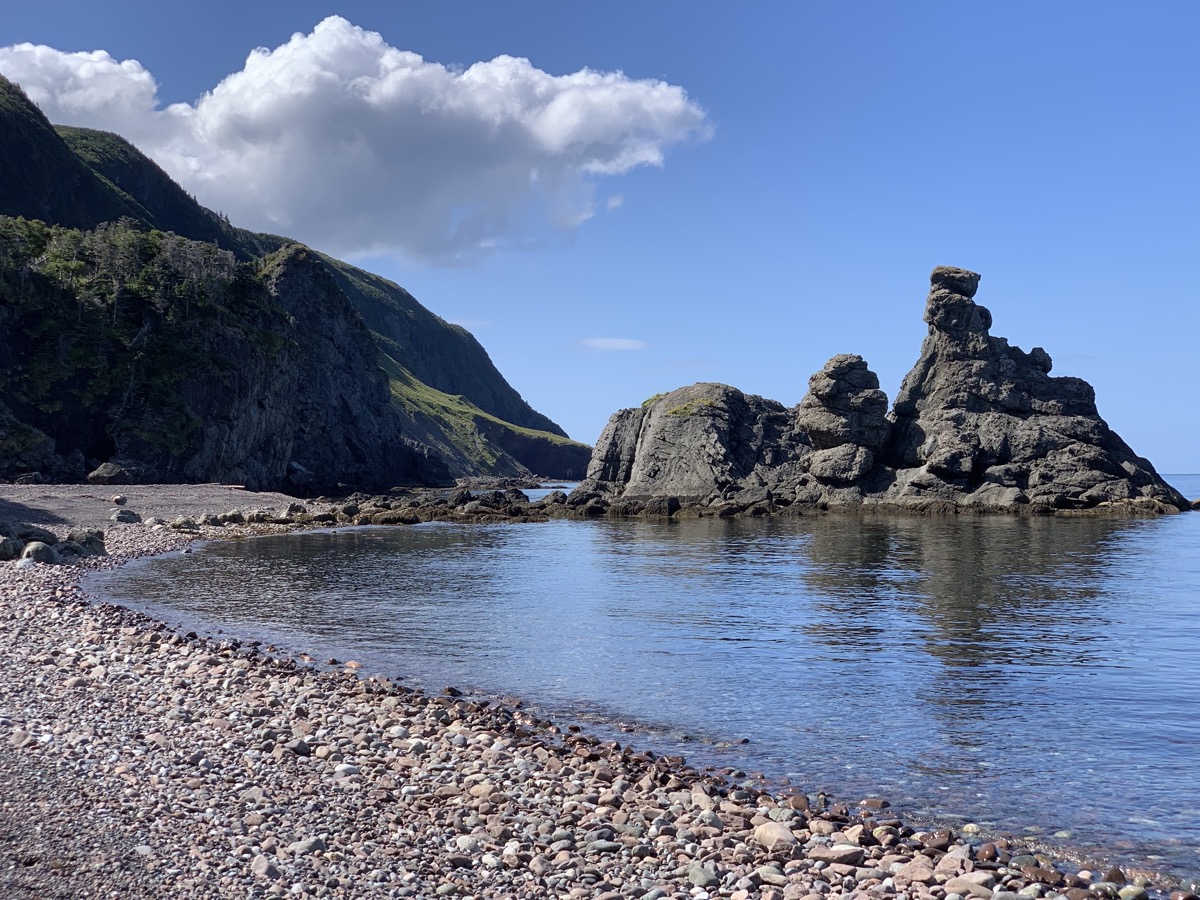
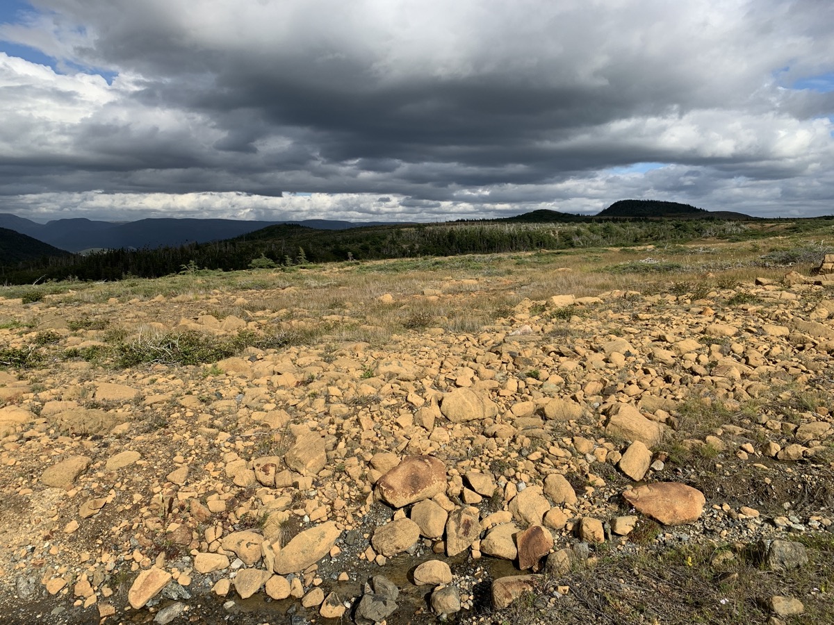
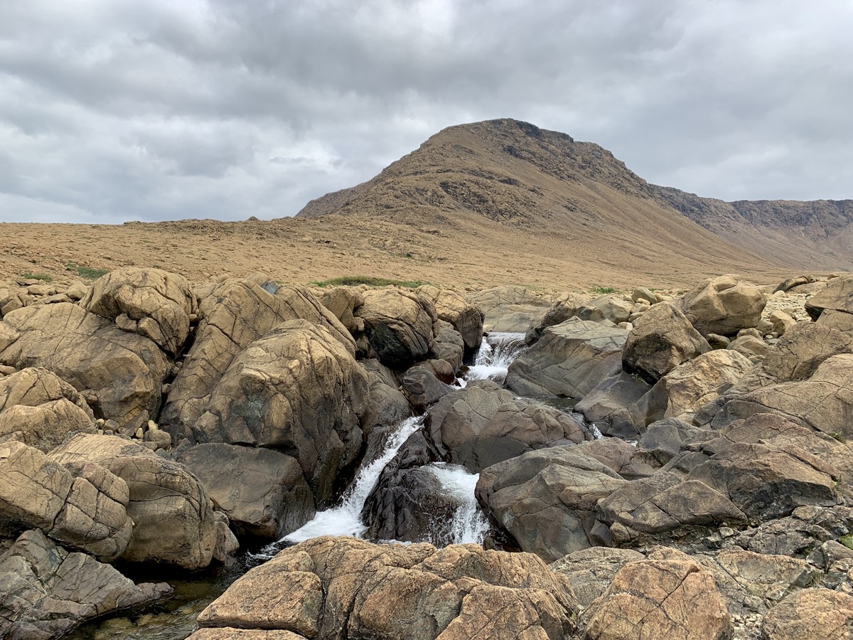
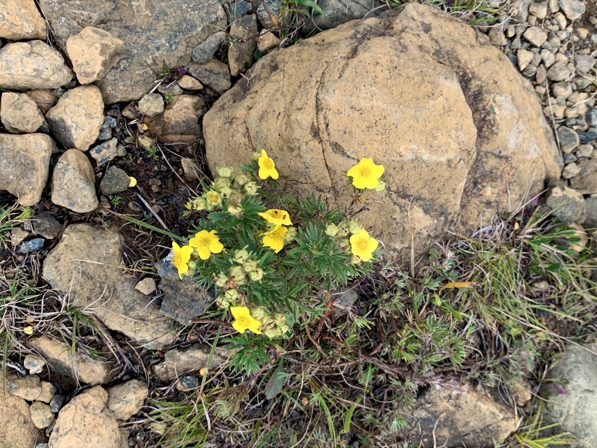
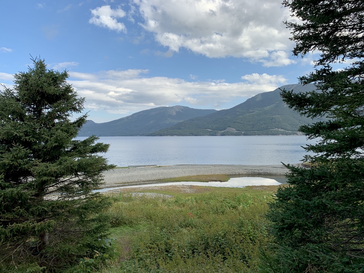
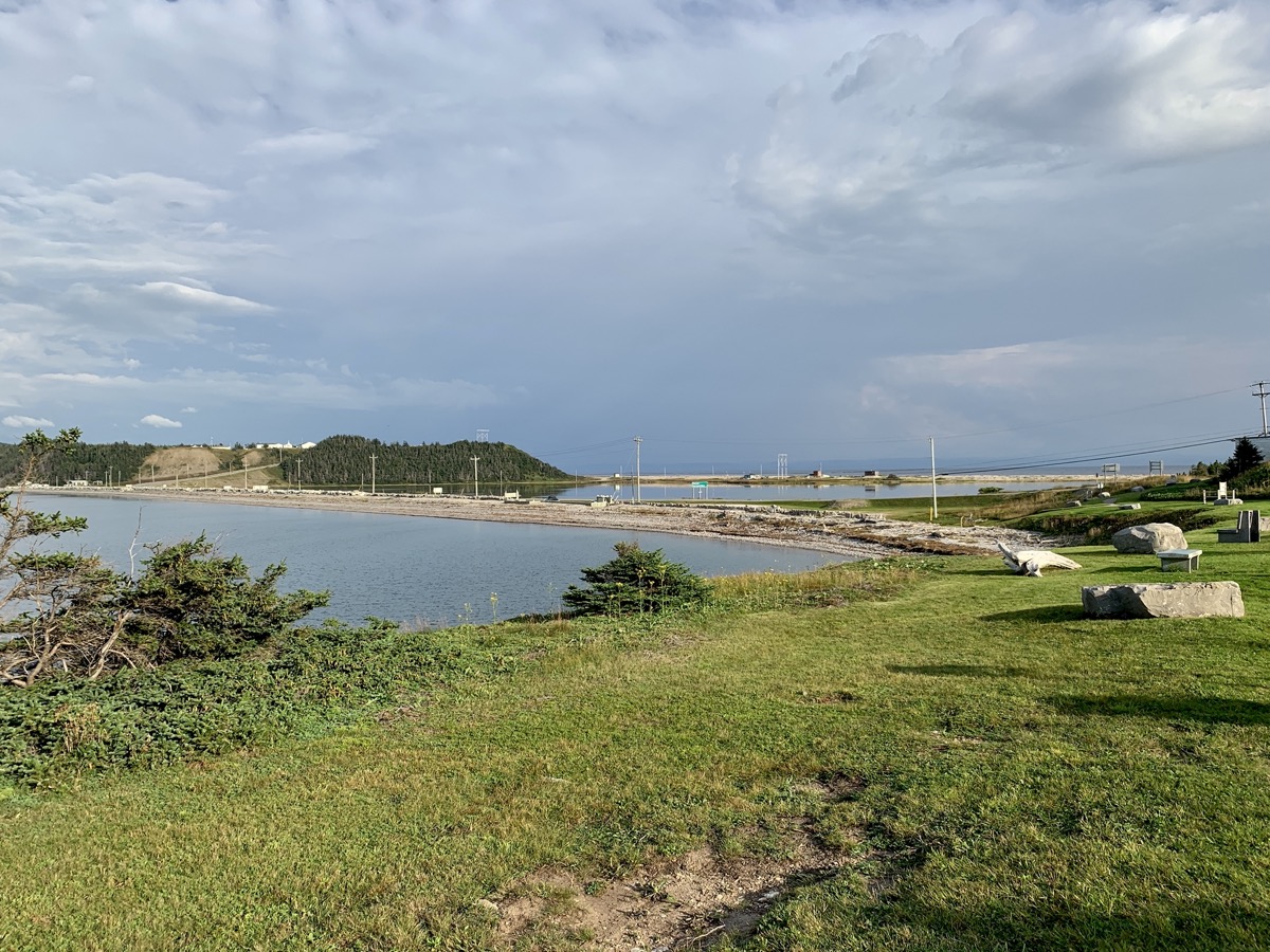
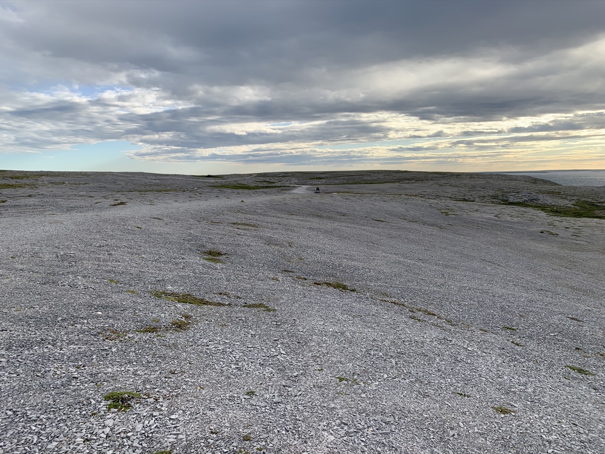
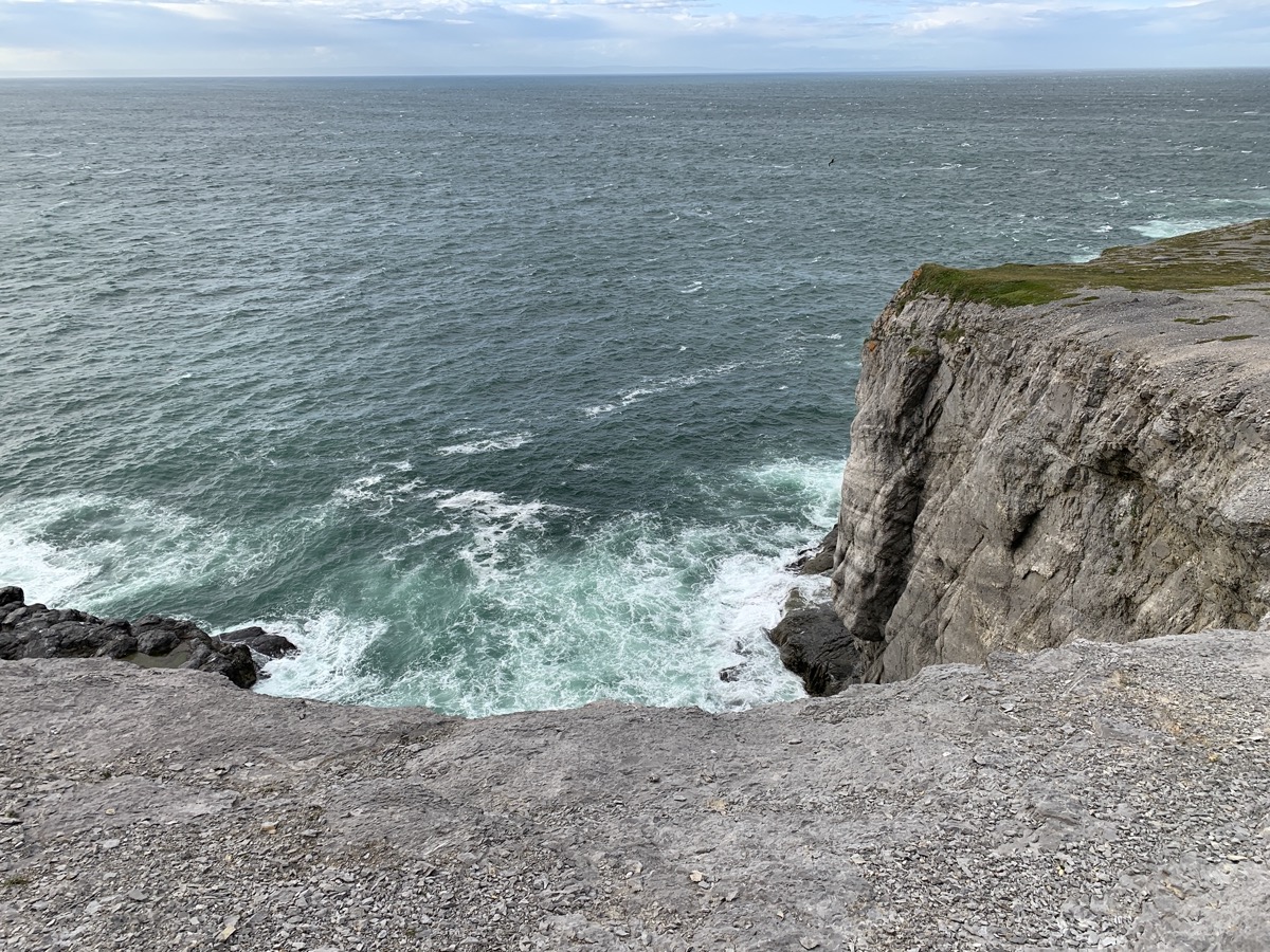
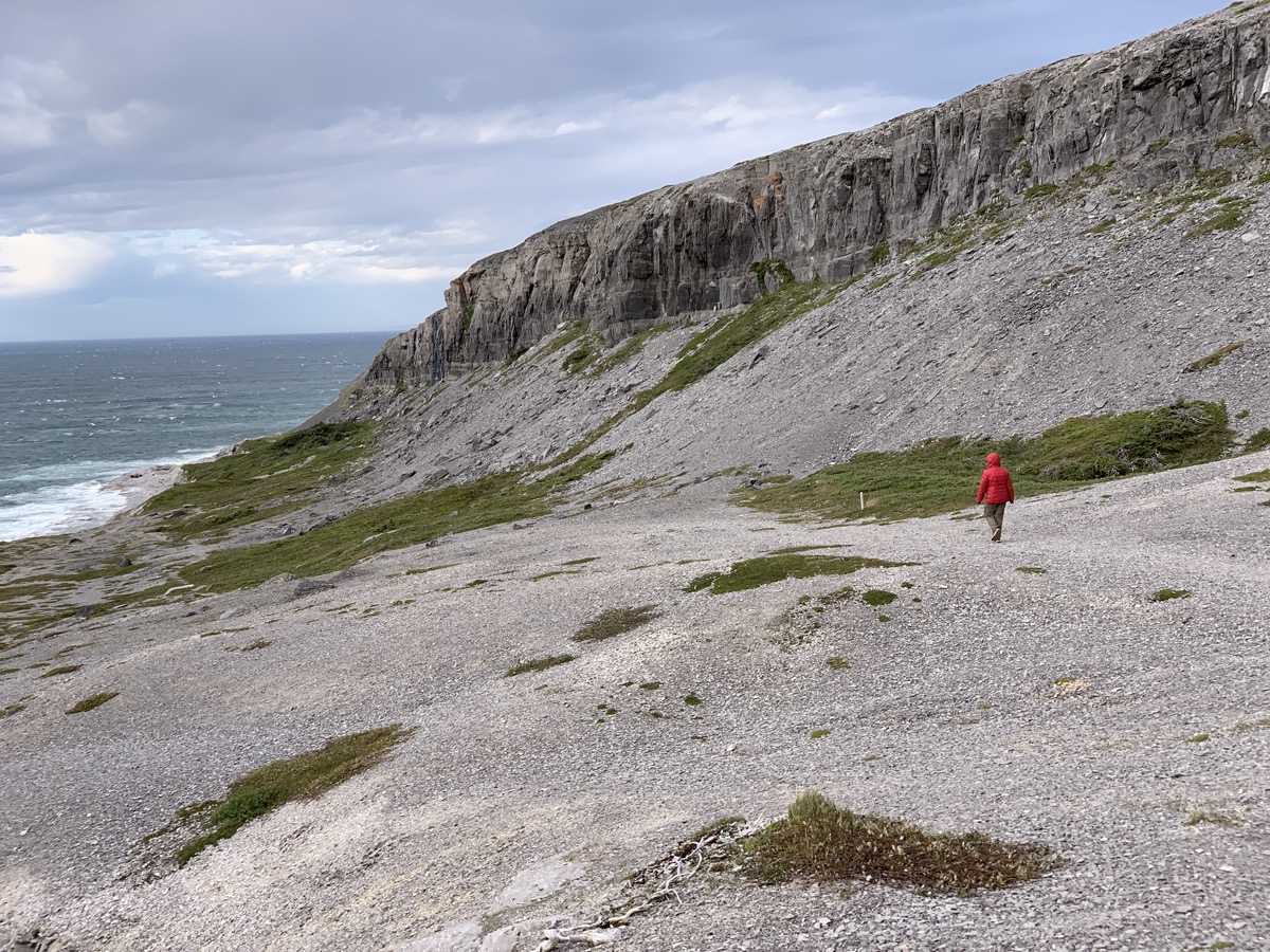
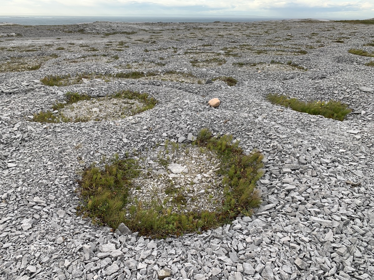
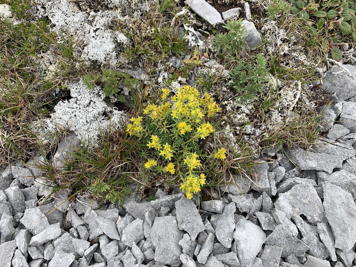
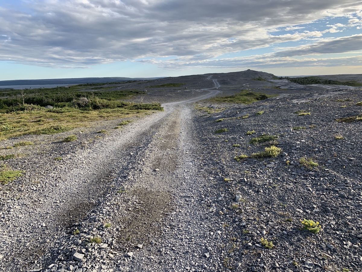
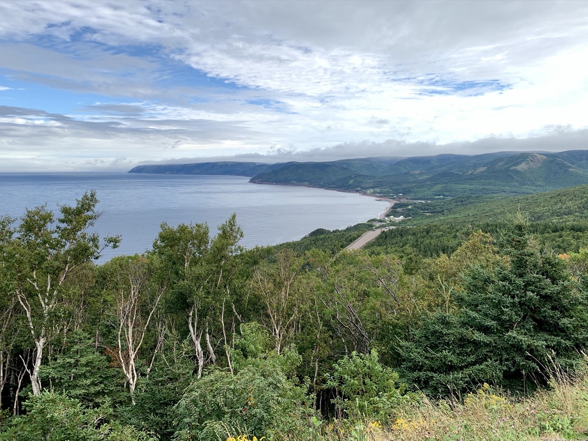
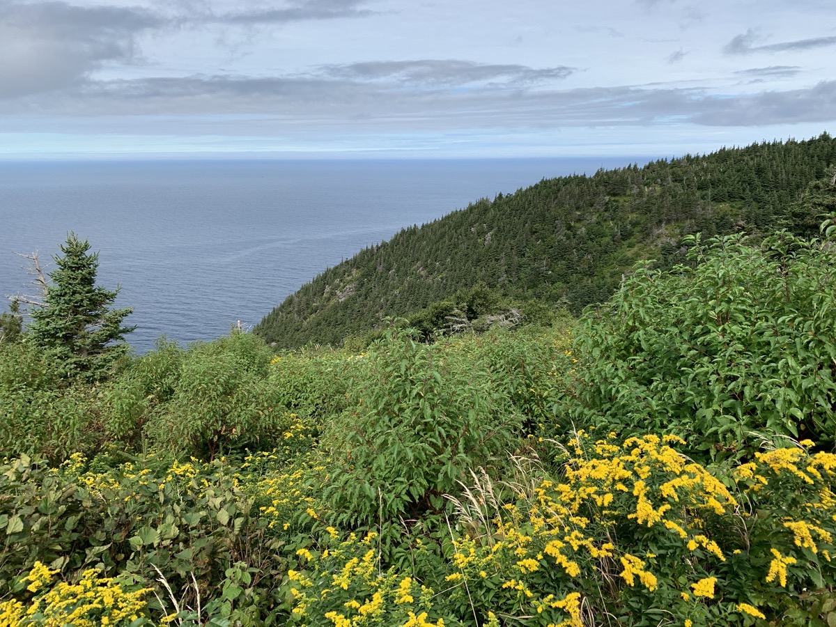
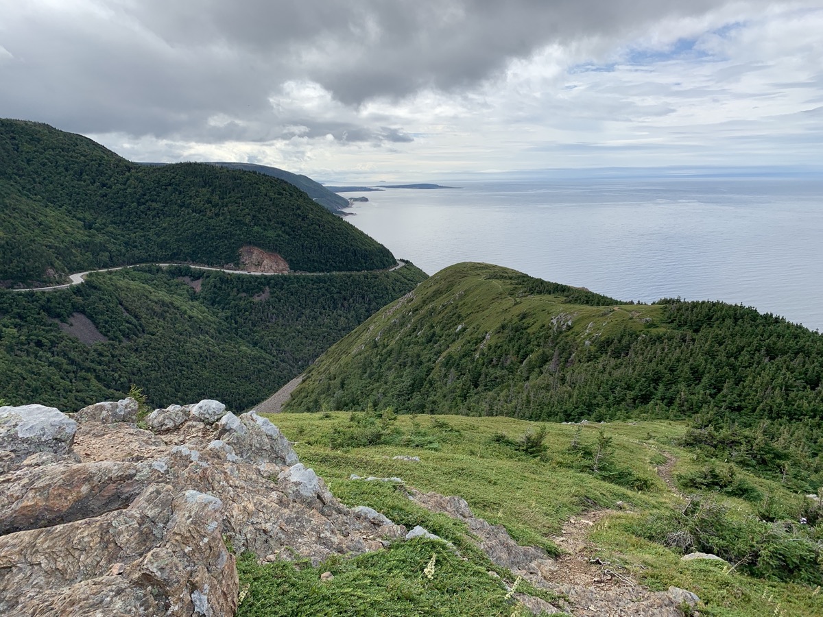
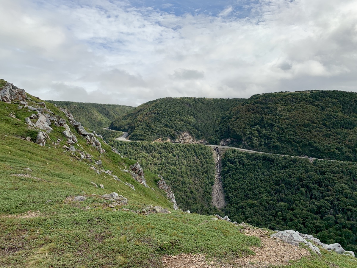
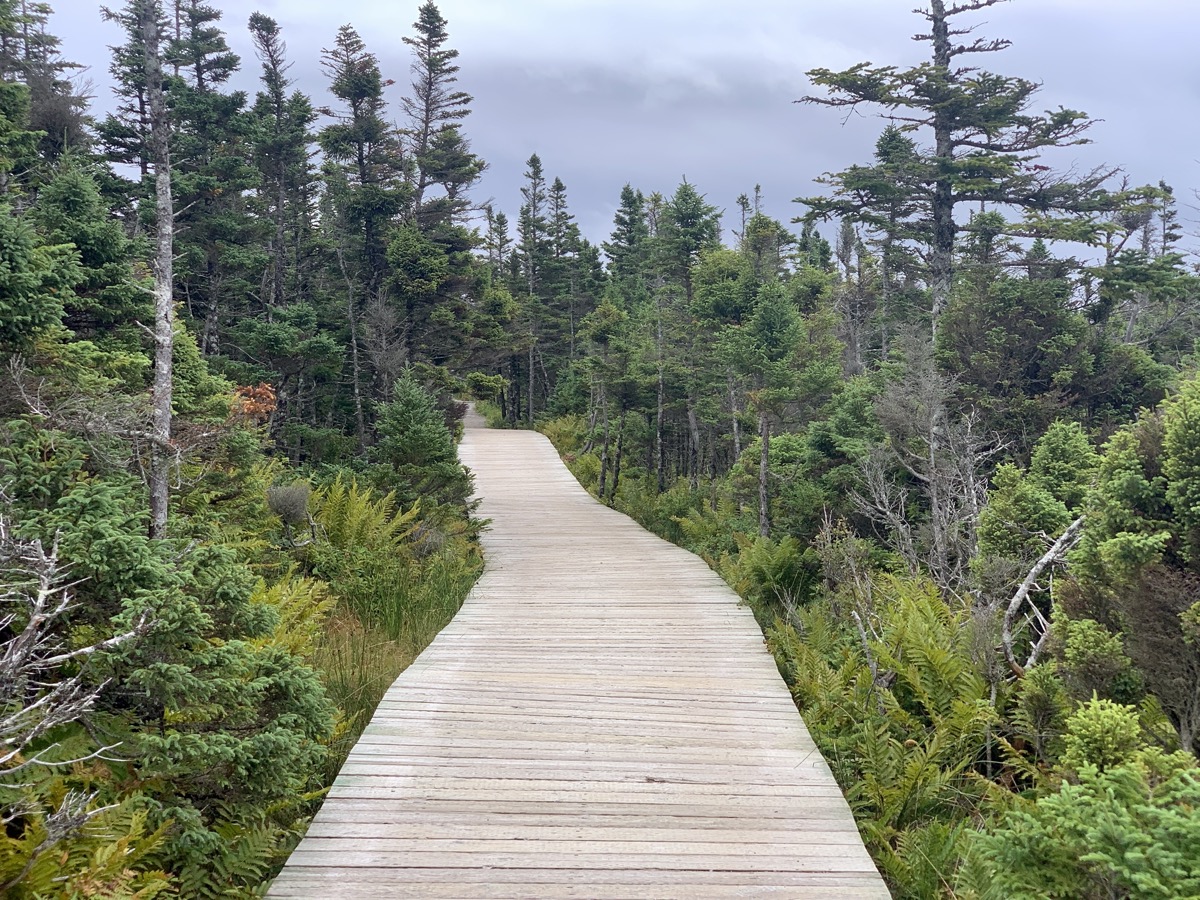
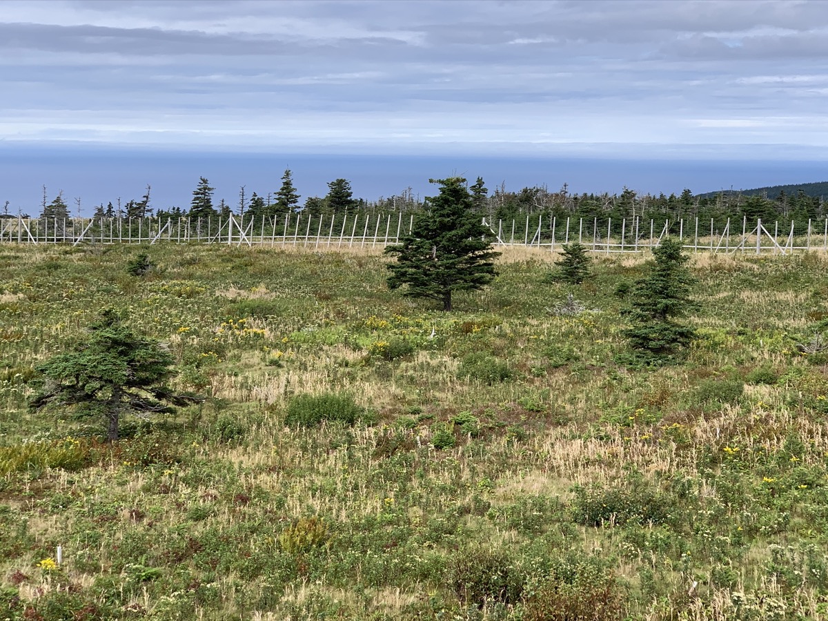
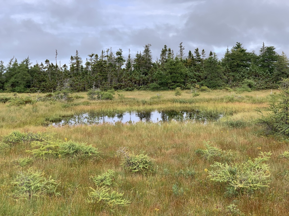
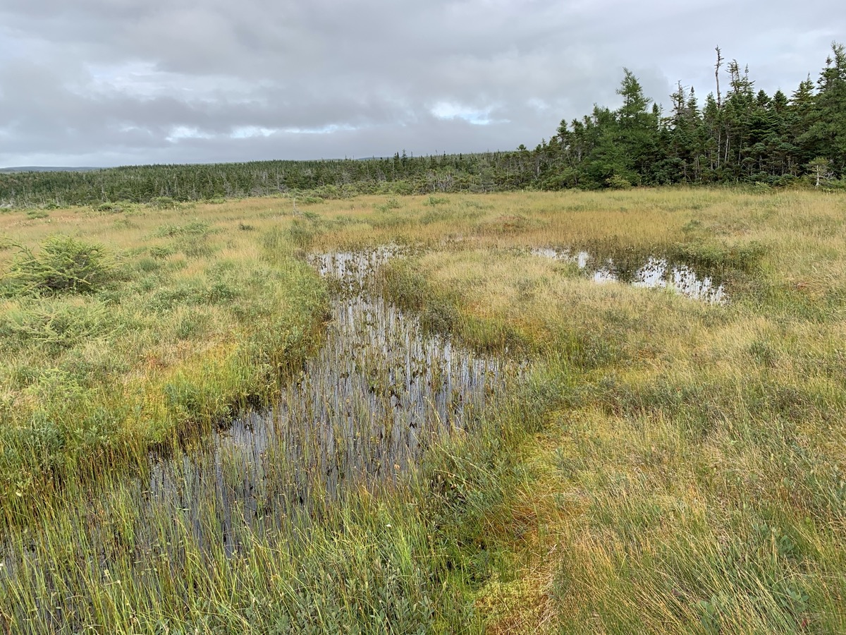
Sunny day with passing clouds. Confirmed at Whale Interpretative Center in Pleasant Bay that what we saw the day before were really pilot whales. Checked-out models of different whales at the beach. We spent the rest of the day on Skyline Trail, Bog Trail and Le Buttereau Trail. Skyline is very popular with many visitors, but offers great vistas, examples of local habitats and moose influence.

Talked with ranger about bog habitat and how plants (e.g. normally larger tamarack) respond to harsh environment, growing smaller and looking (?) half-dead. Hot/cold, windy, wet, acidic bog environment dominated by sphagnum mosses.

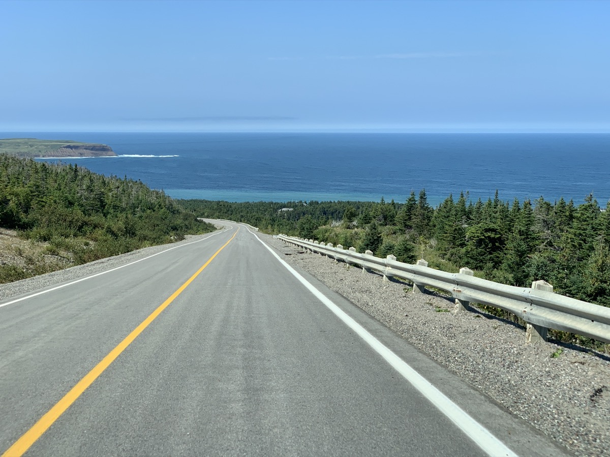
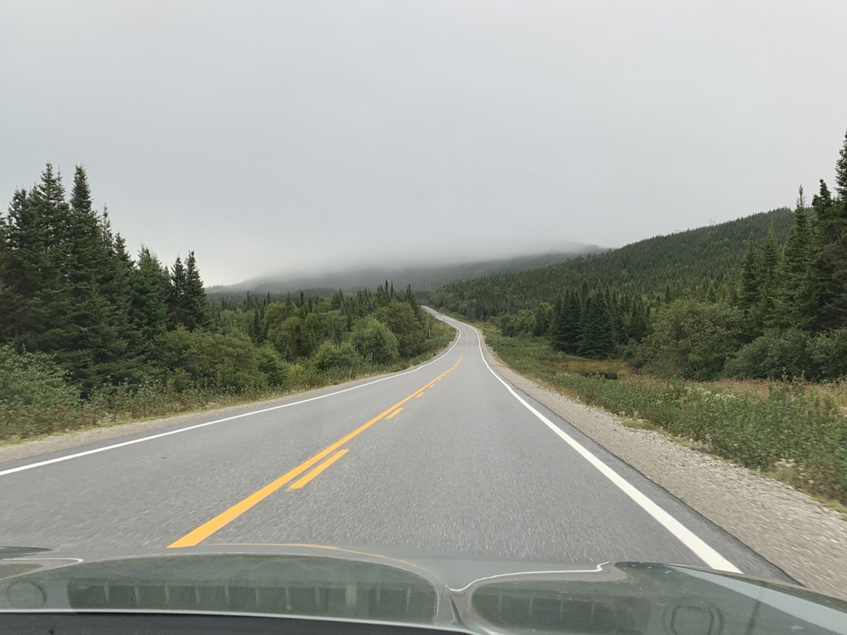
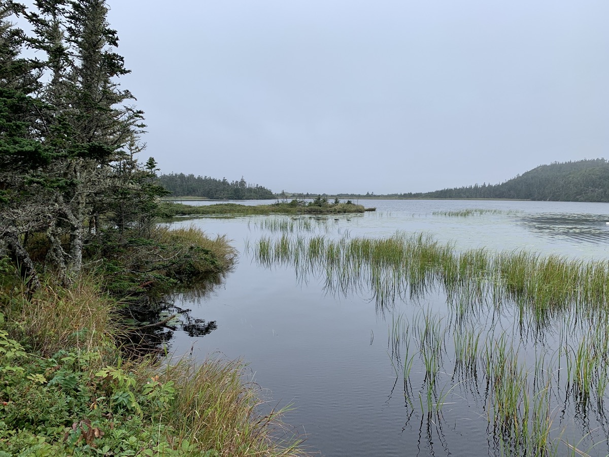
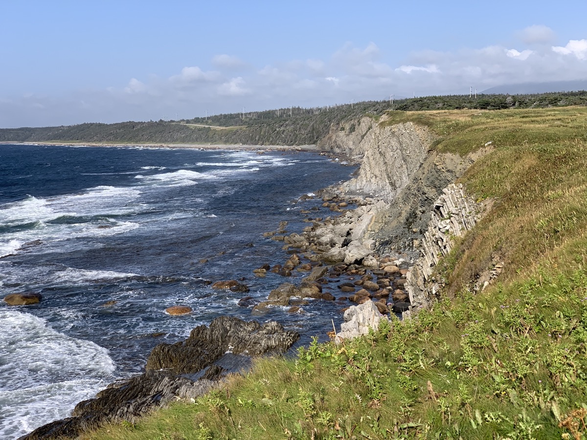
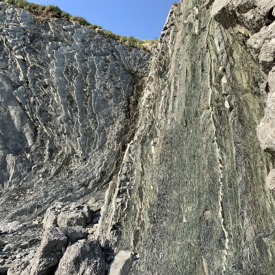
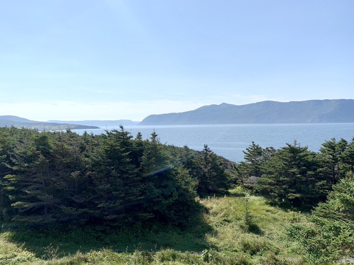
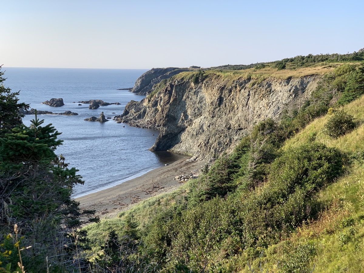
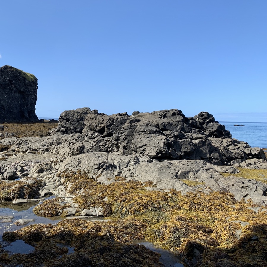
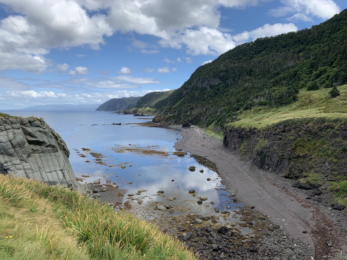
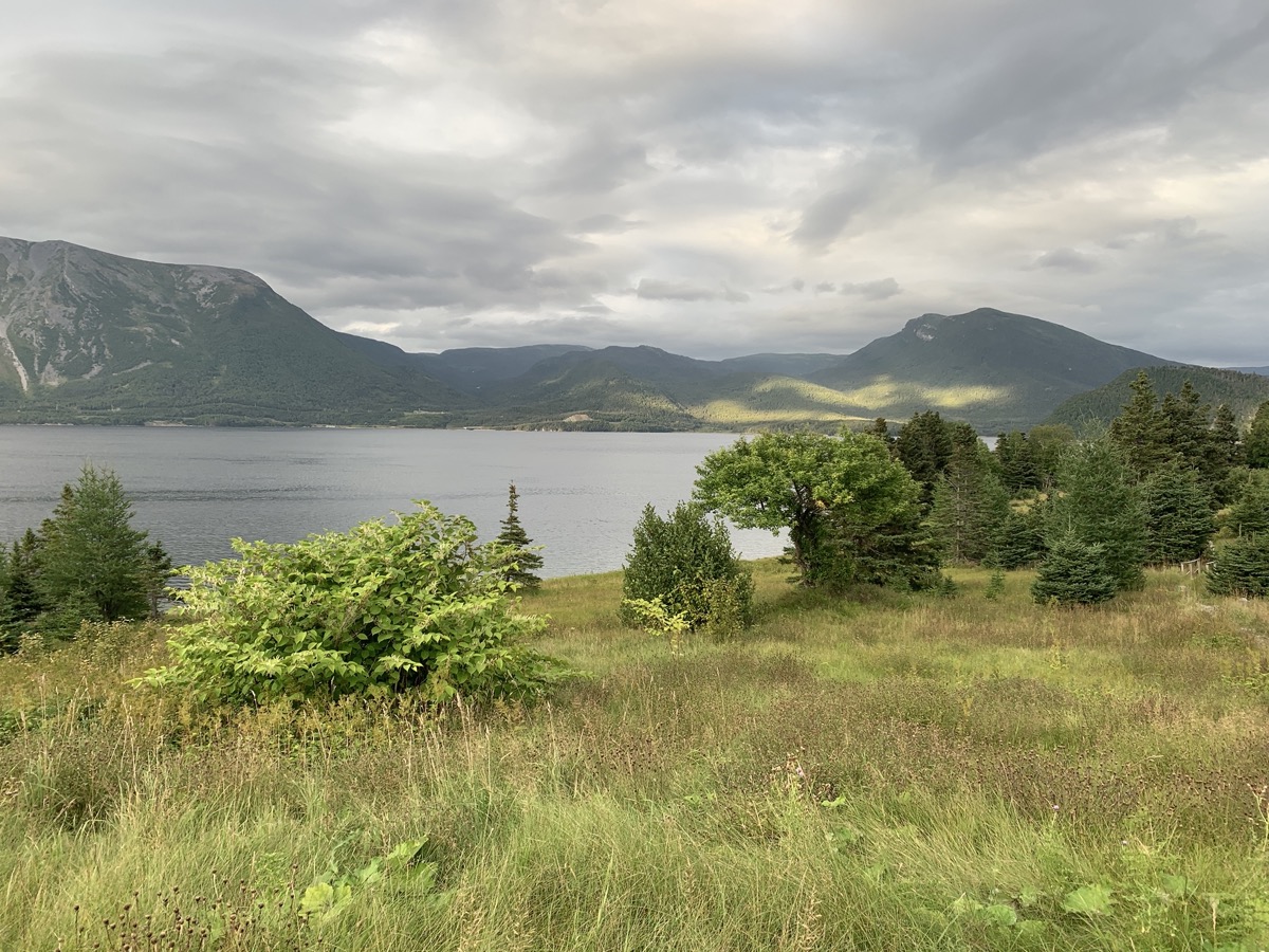
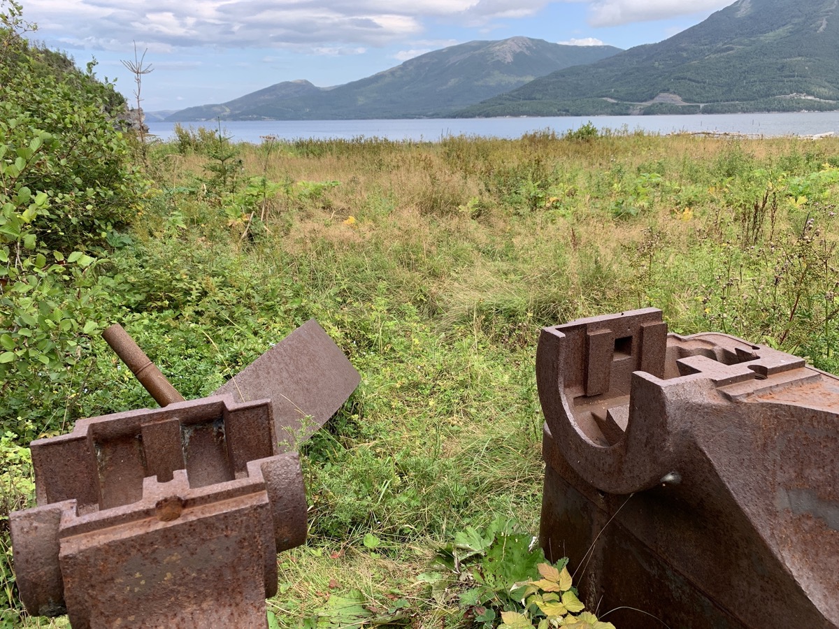
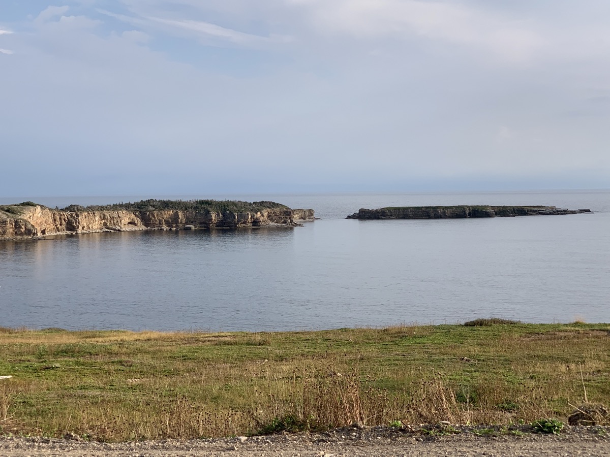
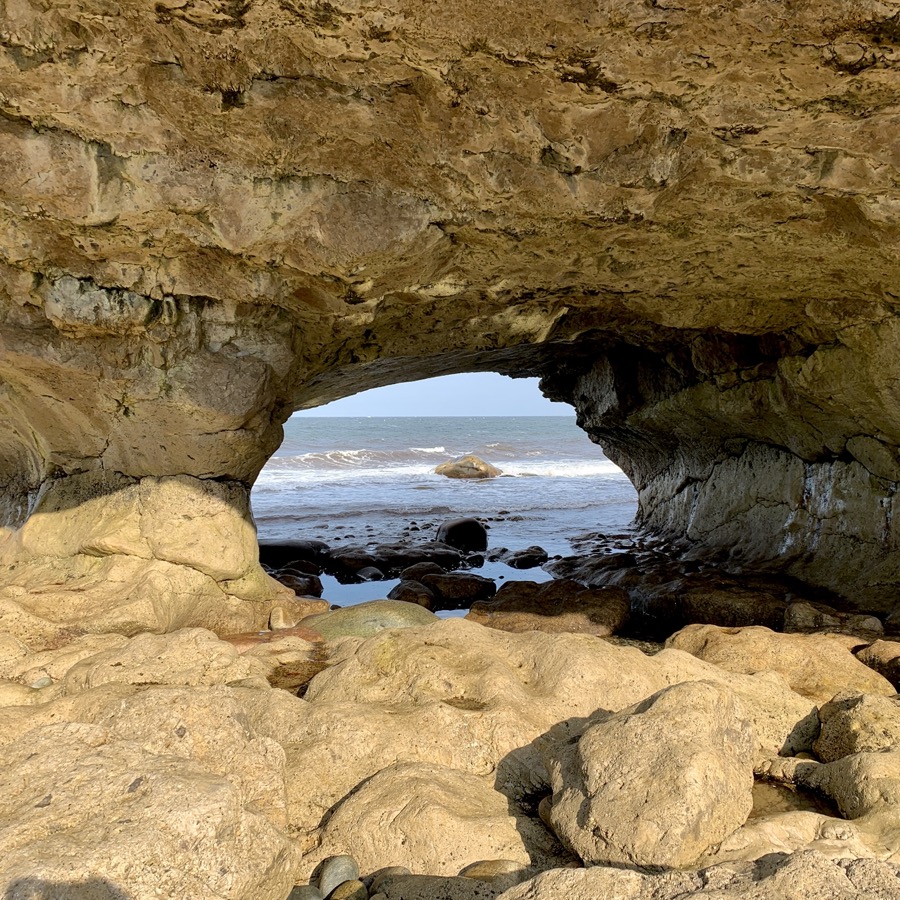
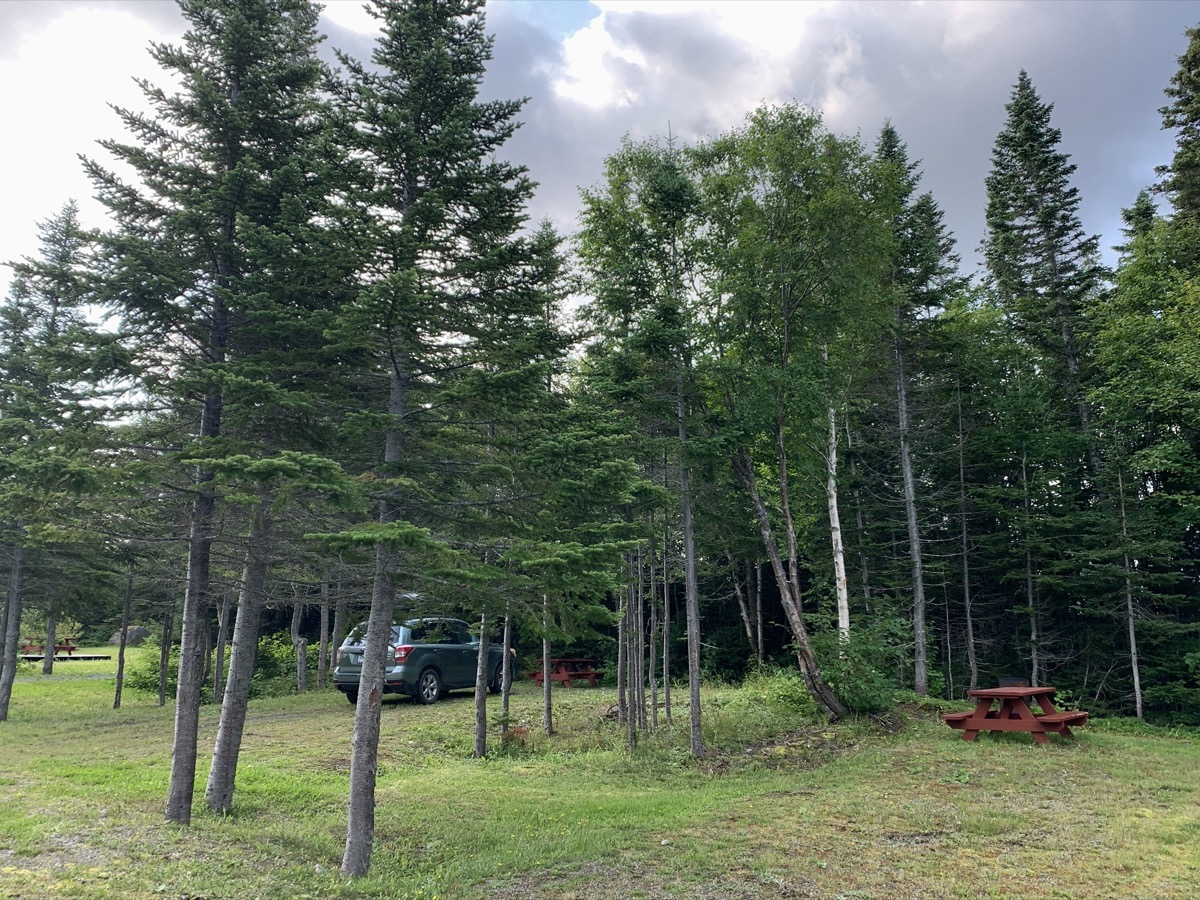
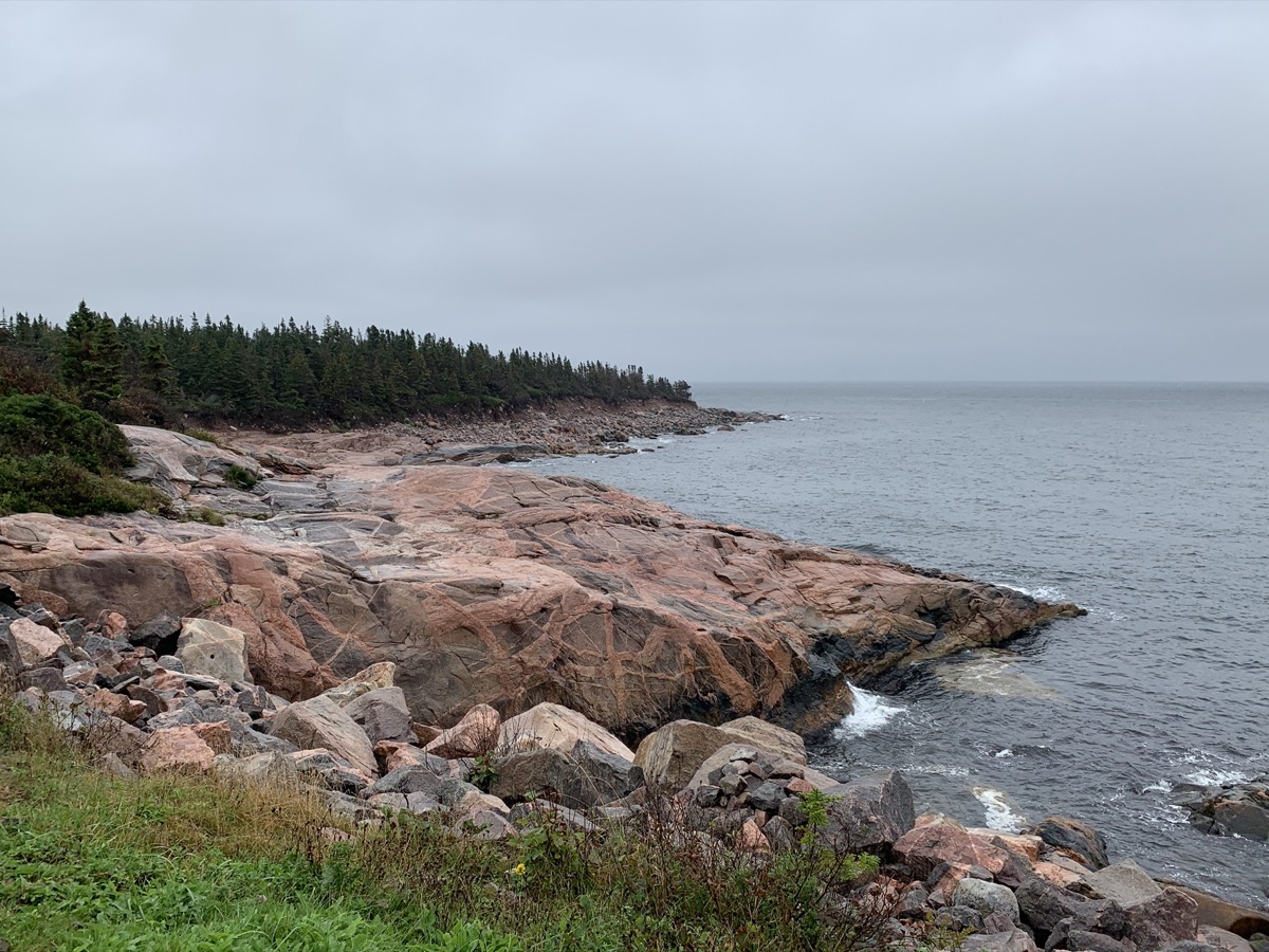
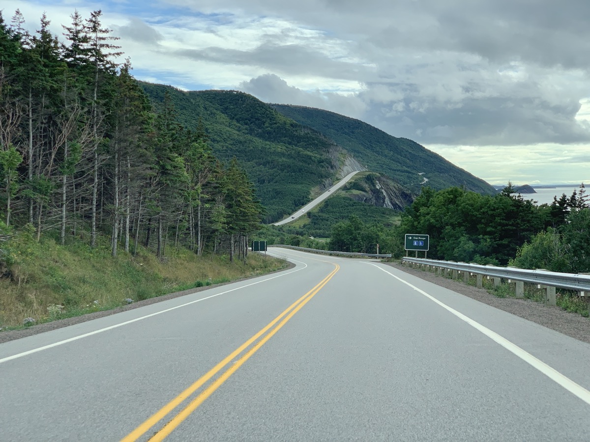
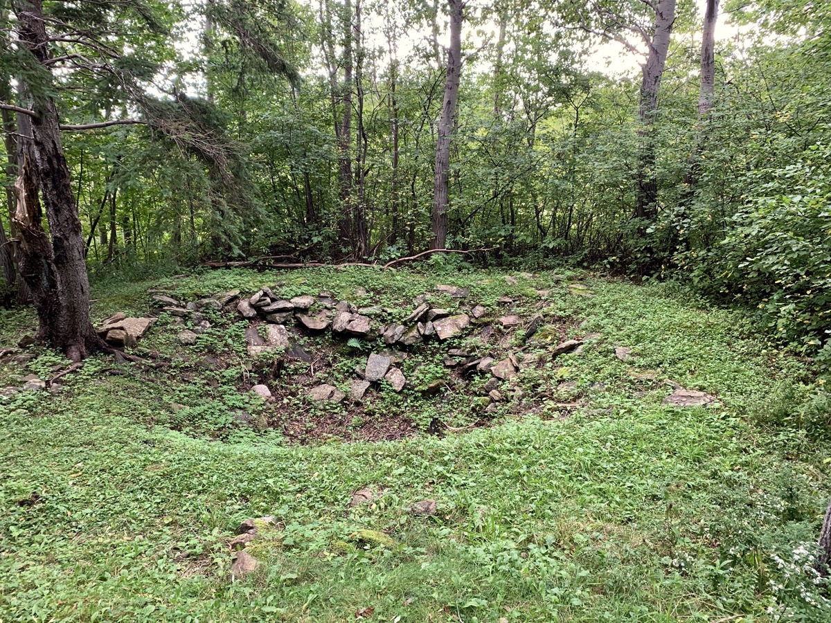
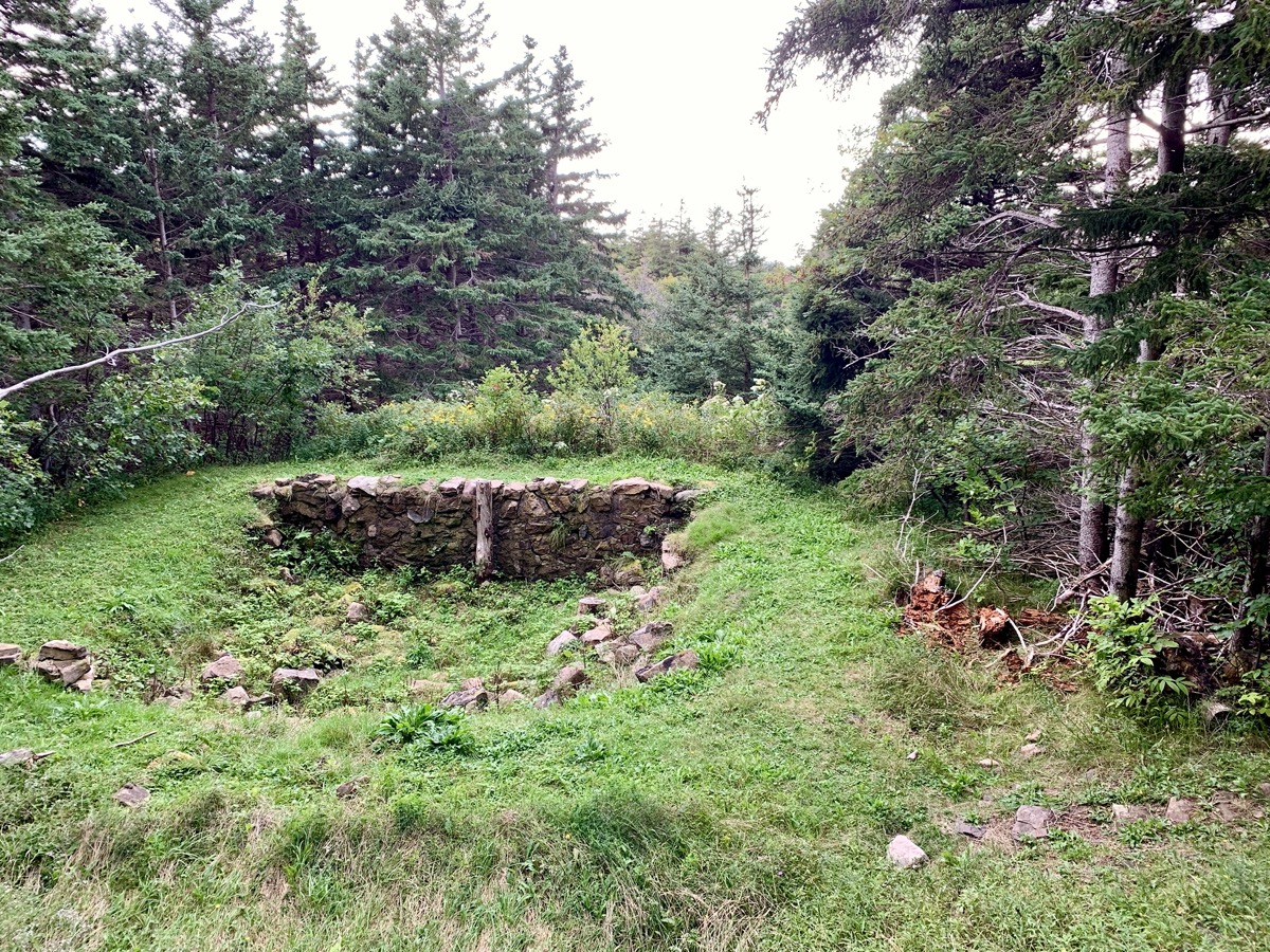
Cabot Trail (road) is very scenic winding south-west along Gulf of St Lawrence coast.  At Buttereau we were learning about Acadians and their settlement. Did not meet a black bear seen walking on the trail,  but once we saw tree full of aromatic, ripe apples we knew why it was there. Settled for the night at Cheticamp Campground (sites too close to one another with no trees, Cape Breton campgrounds are not like we are used to in National Parks).

Day 26

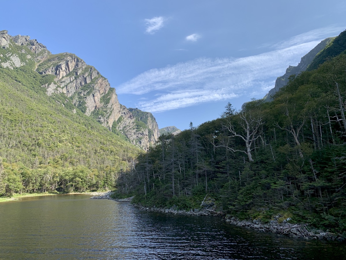
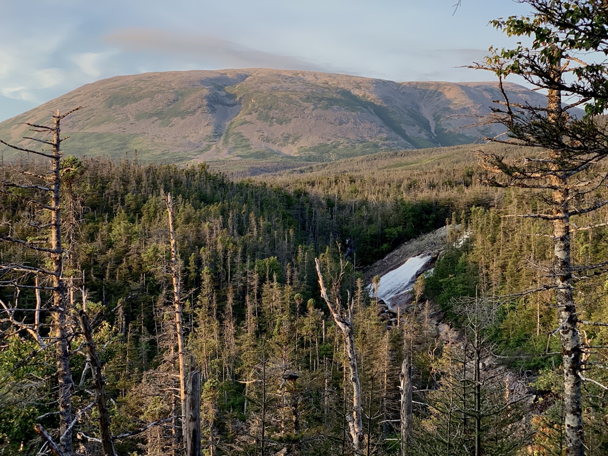
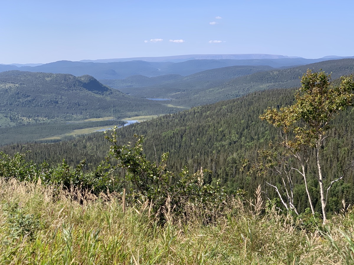
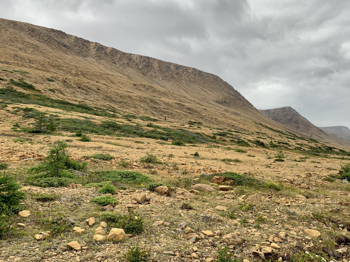
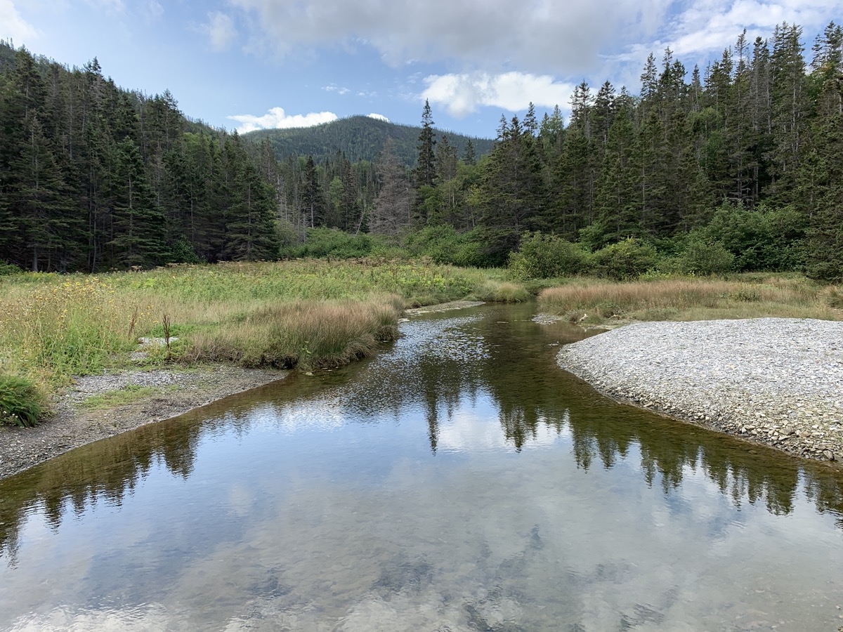
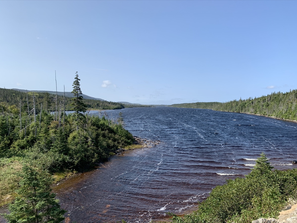
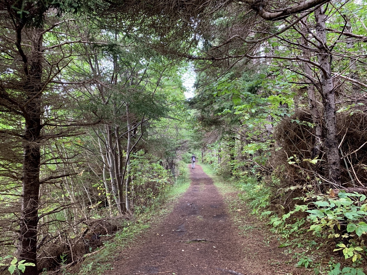
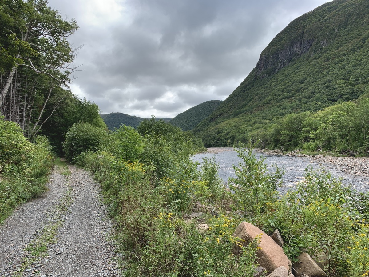
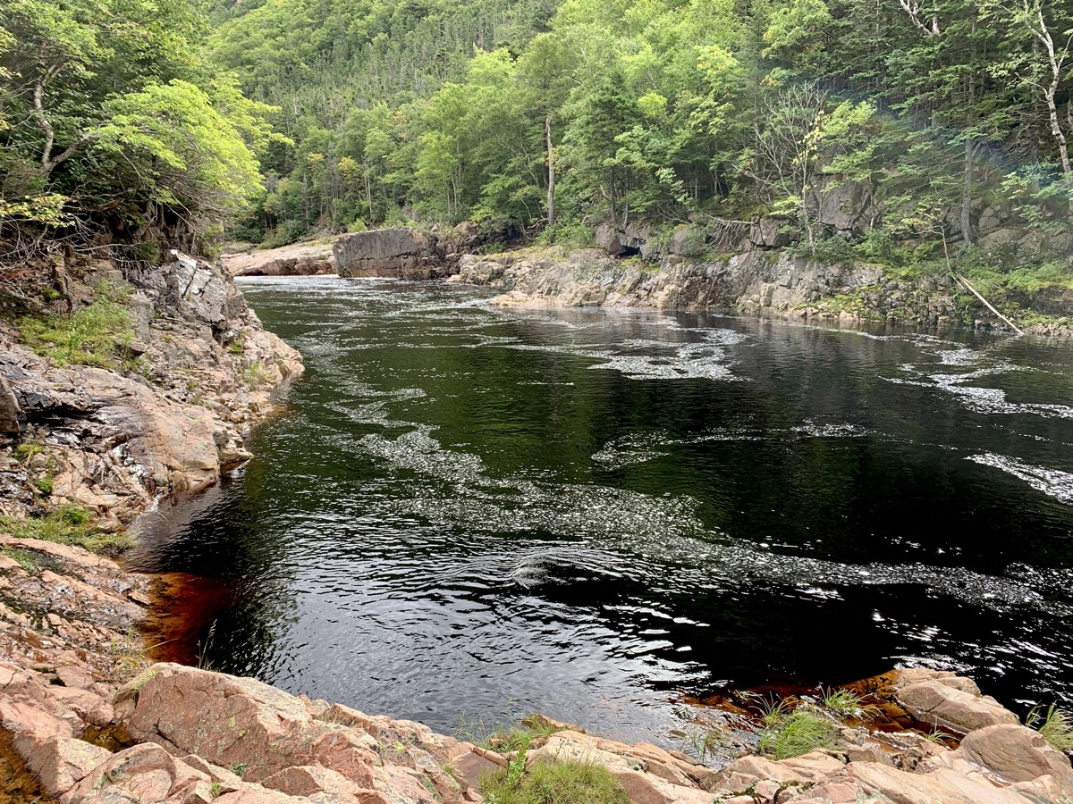
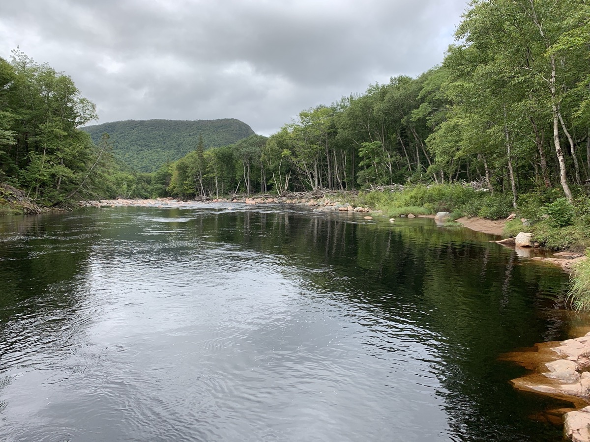
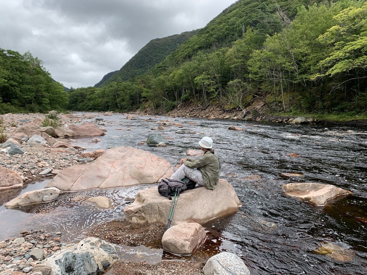
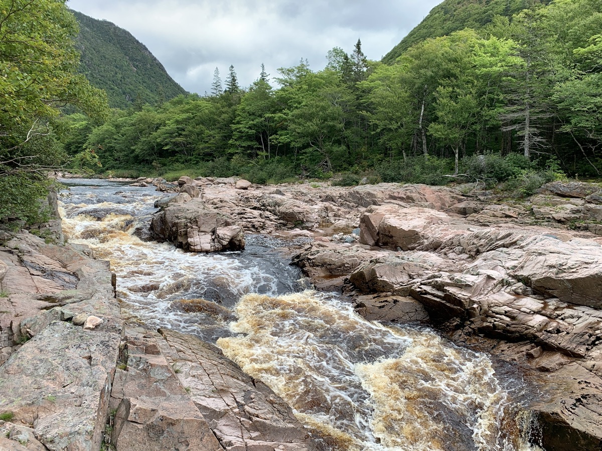
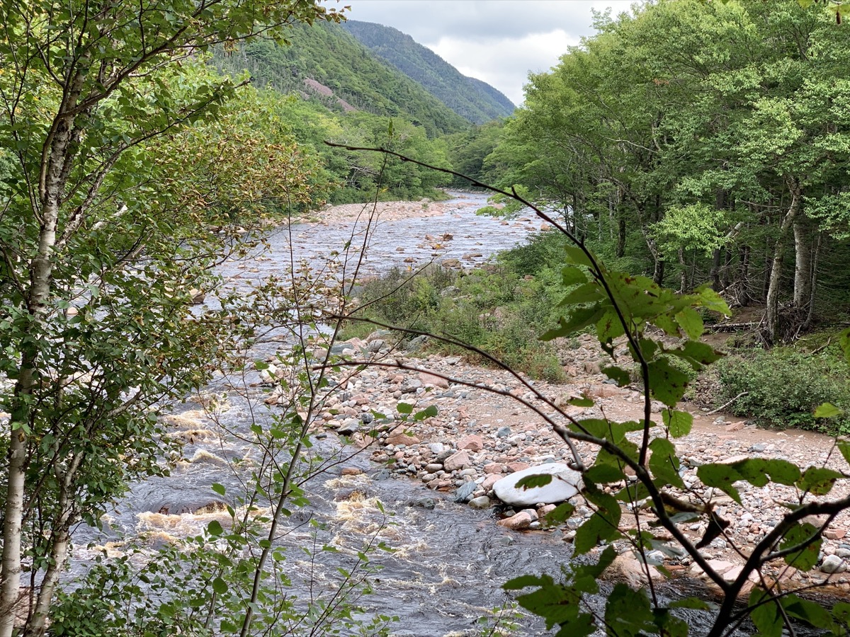
We liked morning hike on Salmon (fishing) Pools Road Trail,  10 km (return) along Cheticamp River, just from the end of Cheticamp campground. Few people, very quiet. Probably busy during fishing season. The river is coloured orange/brown by tanins, quite vivid when iluminated by sun and looked at an angle, then black-dark where water is deep (pools). Contrasting with surrounding greenery. Download Piotr’s GPX file

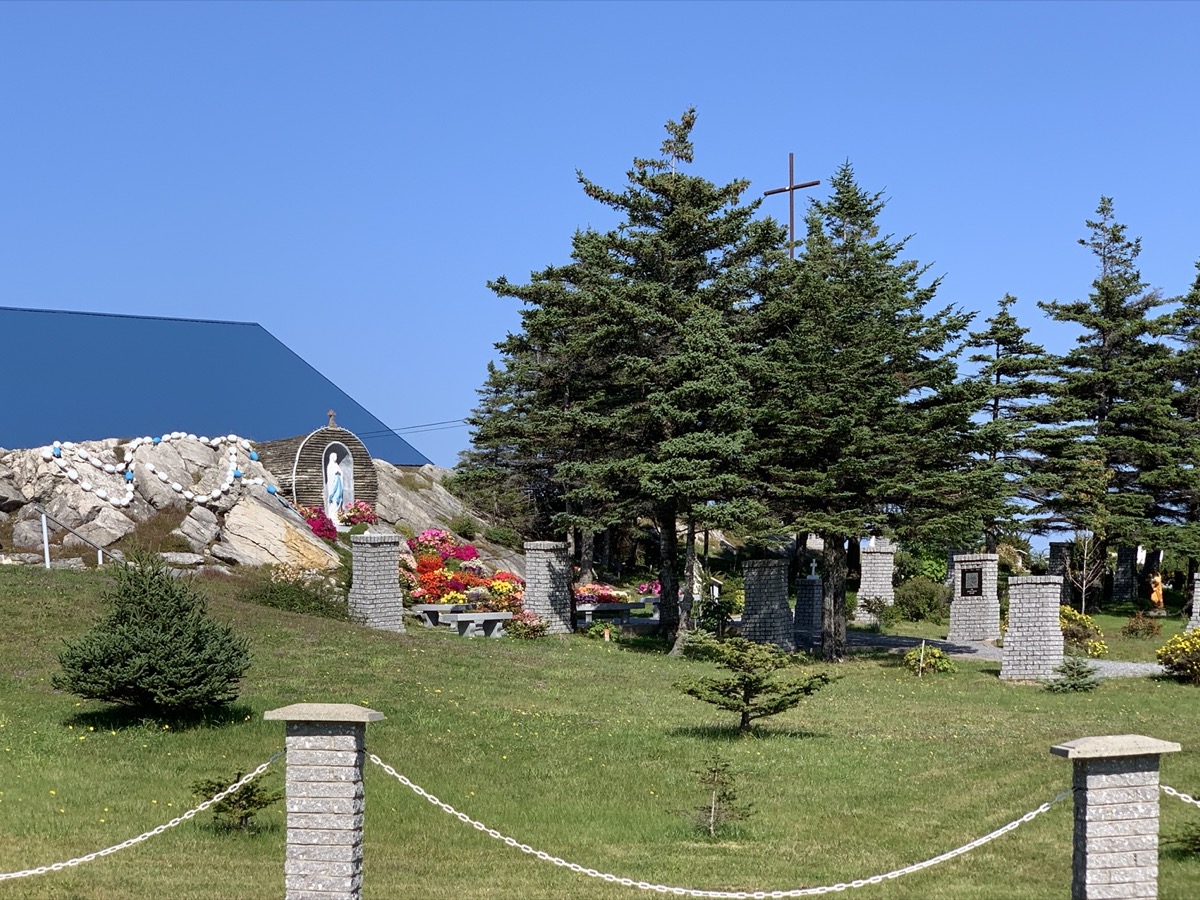
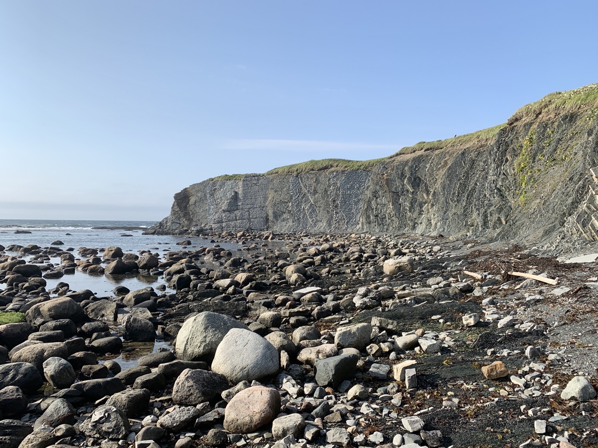
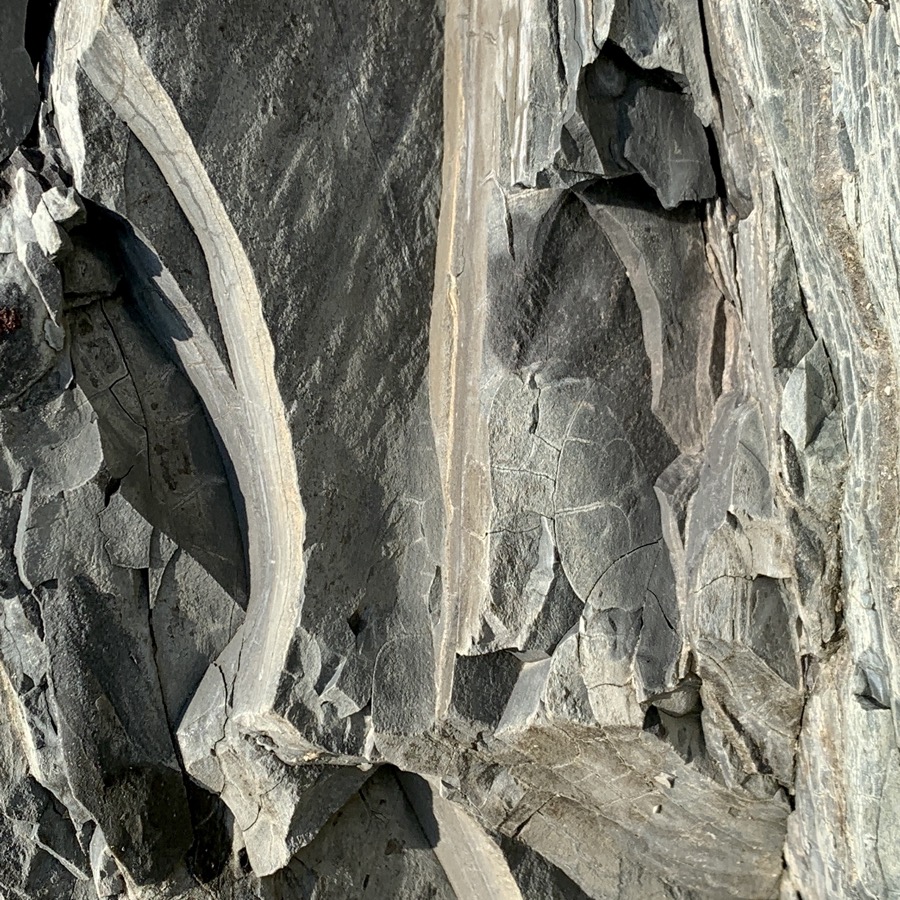
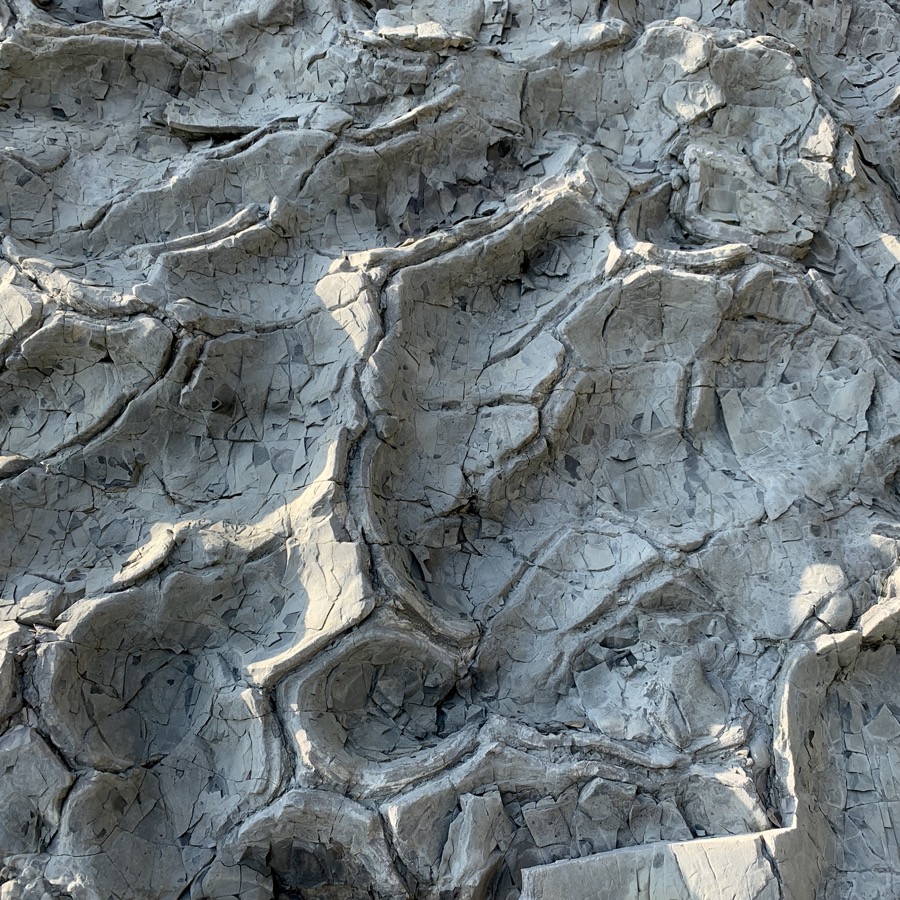
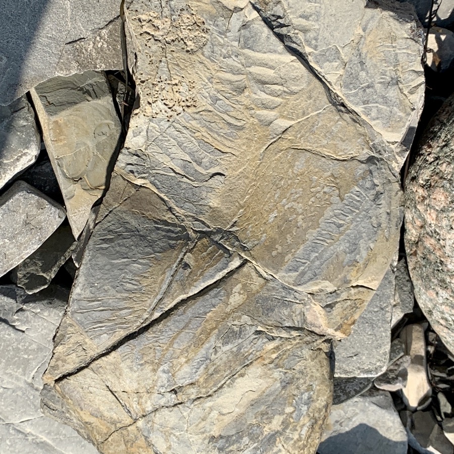
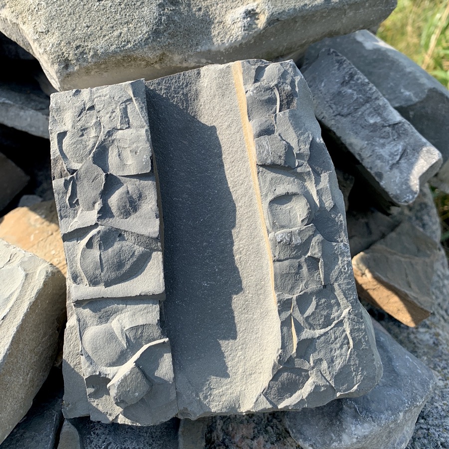
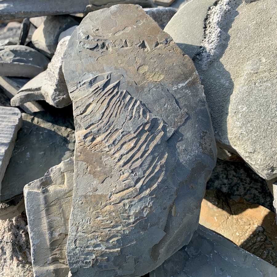
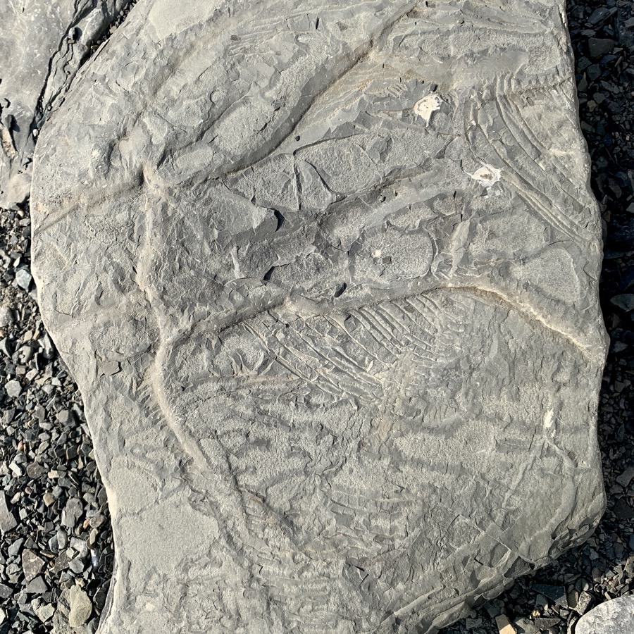
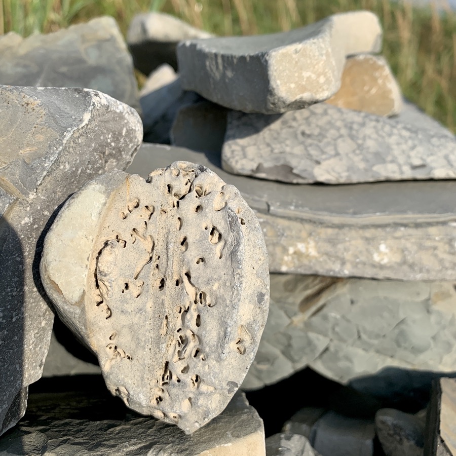
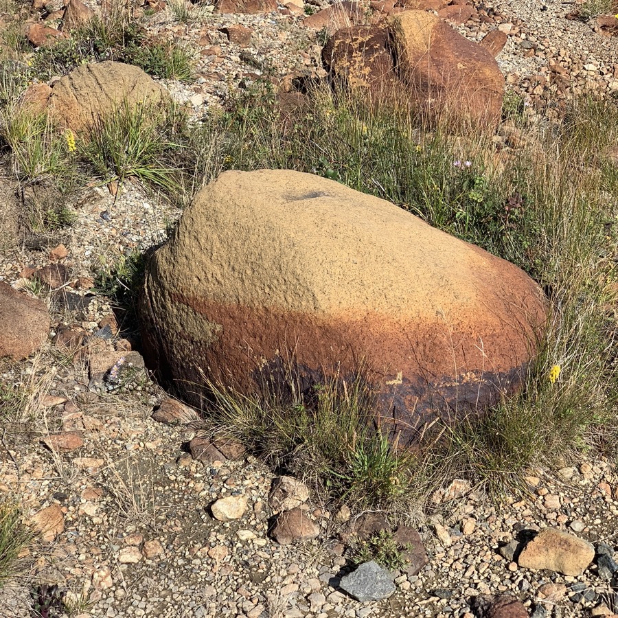
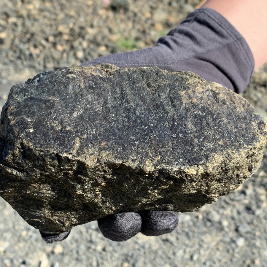
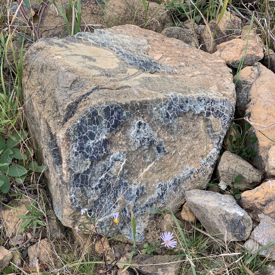
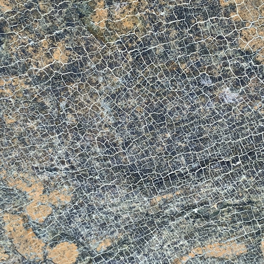
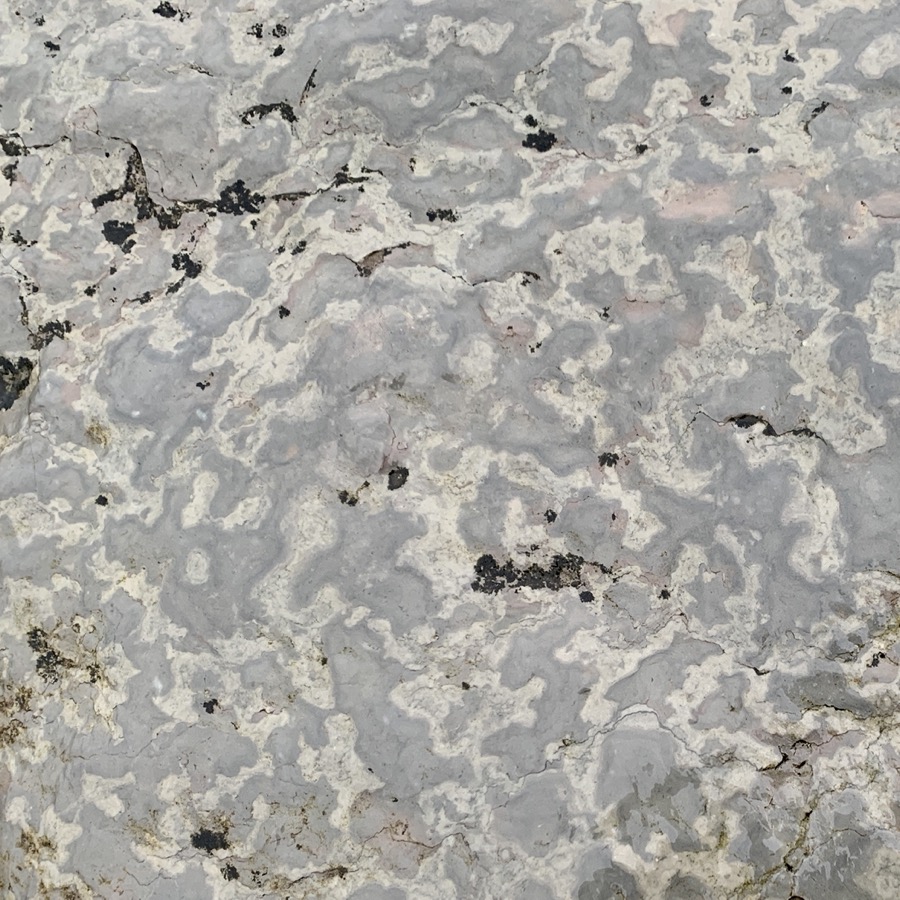
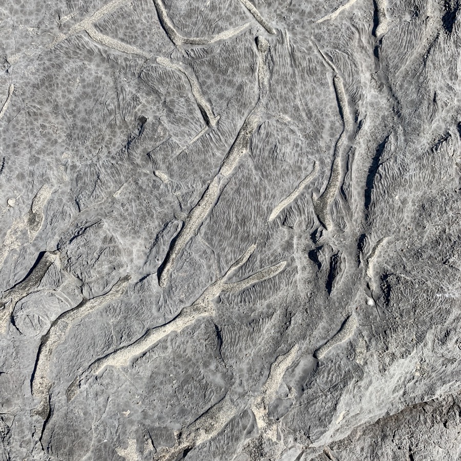
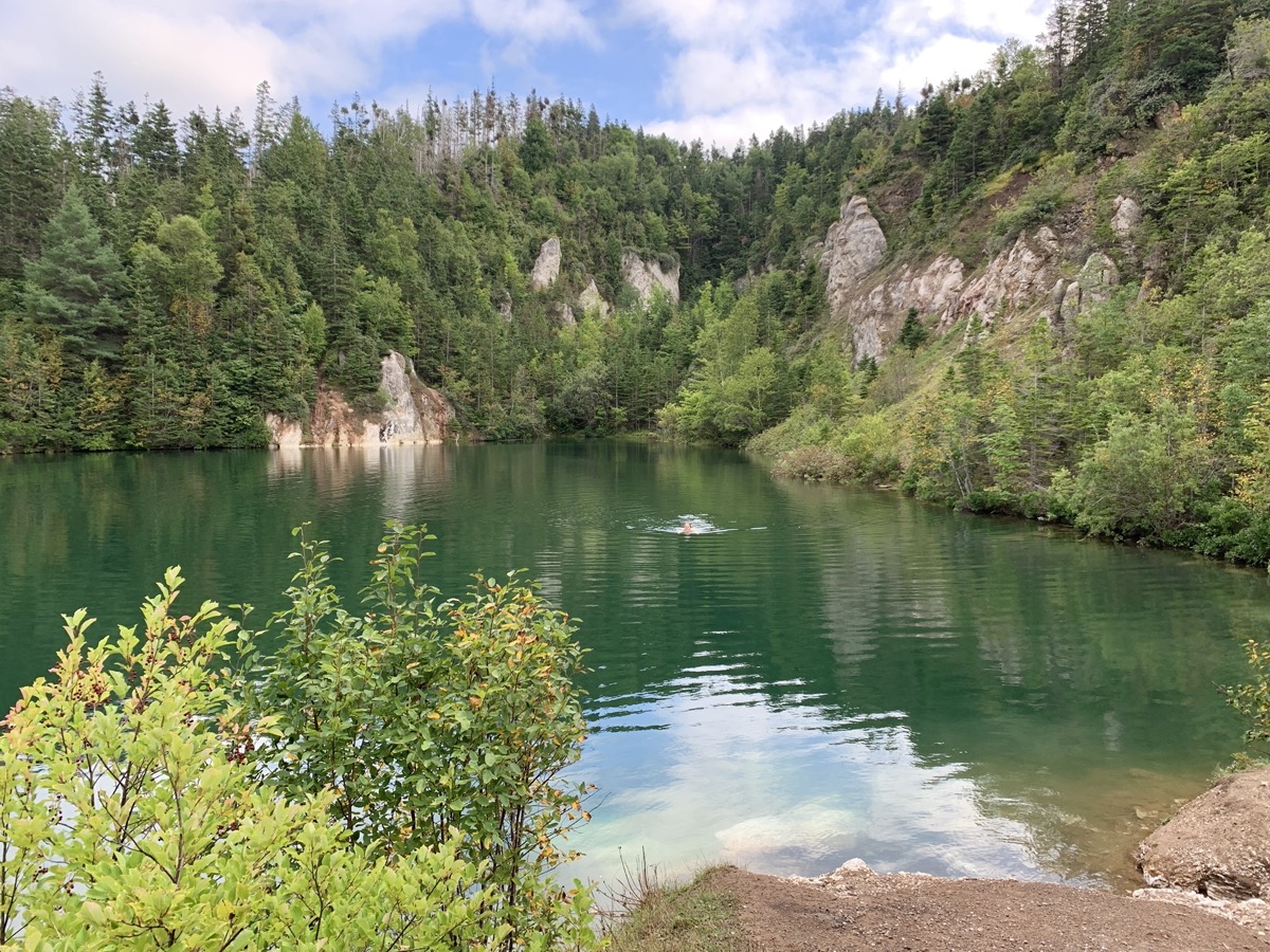
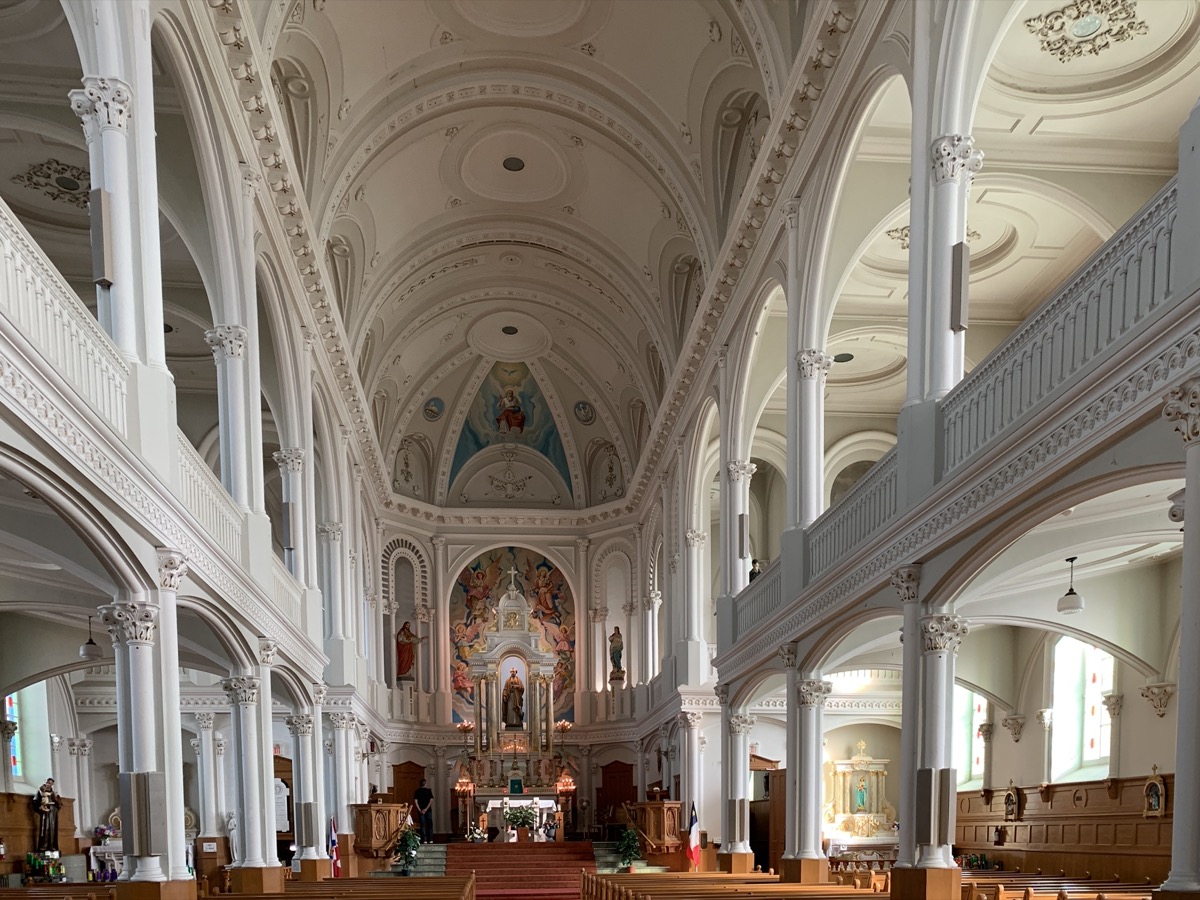
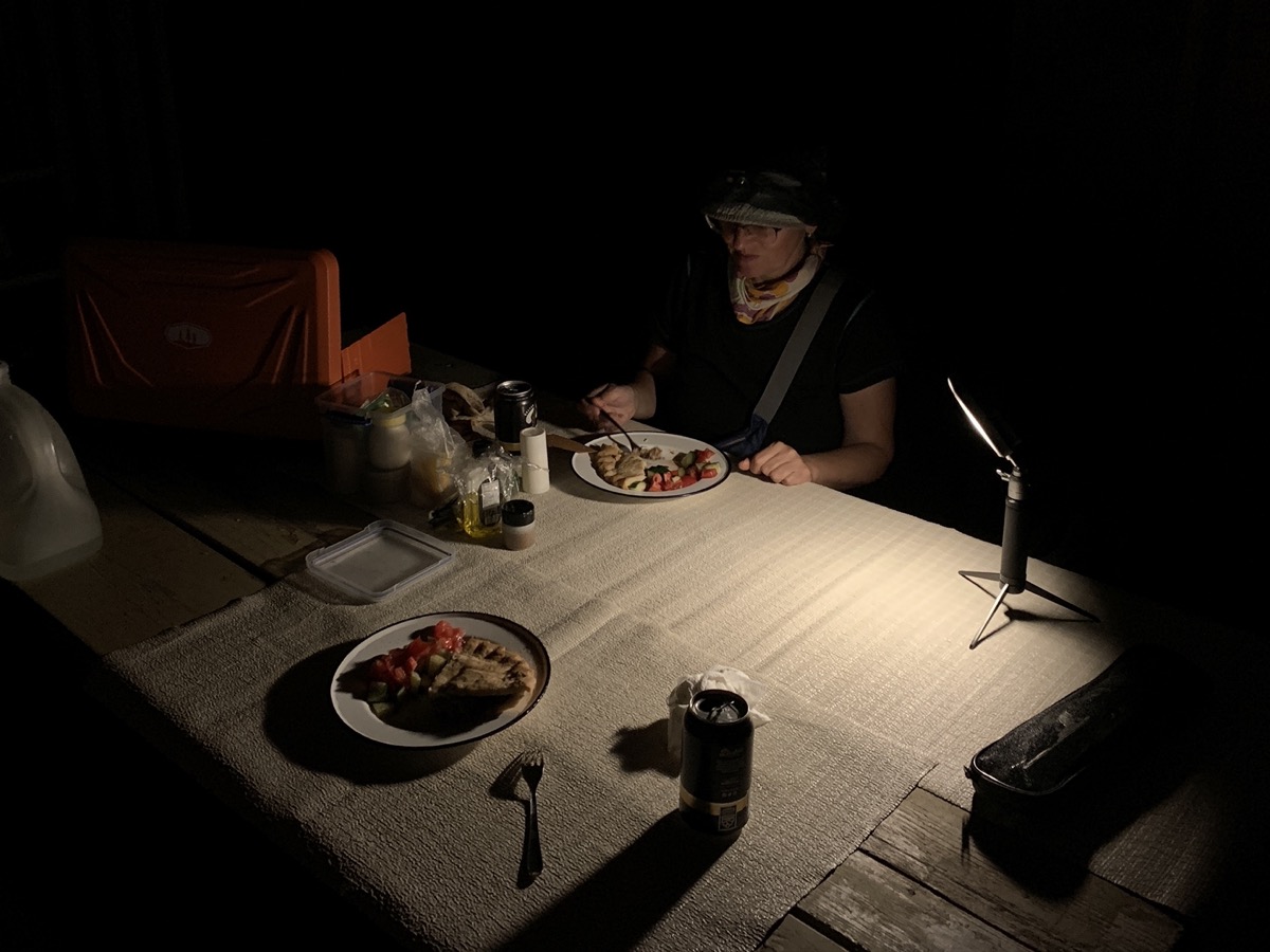
We then stopped for a short walk on Gypsum Mine Trail (near Cheticamp) and quick swim (Joanna) in the pool. Inspected small chips of gypsum minerals (selenite and perhaps alabaster) scattered around. Joanna visited Saint Peter’s Church. We arrived late at Whycocomagh Provincial Park. Acadian meat pie from local bakery for dinner after dark.

Day 27

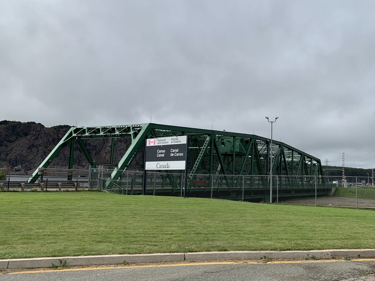
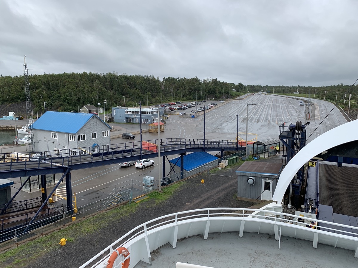
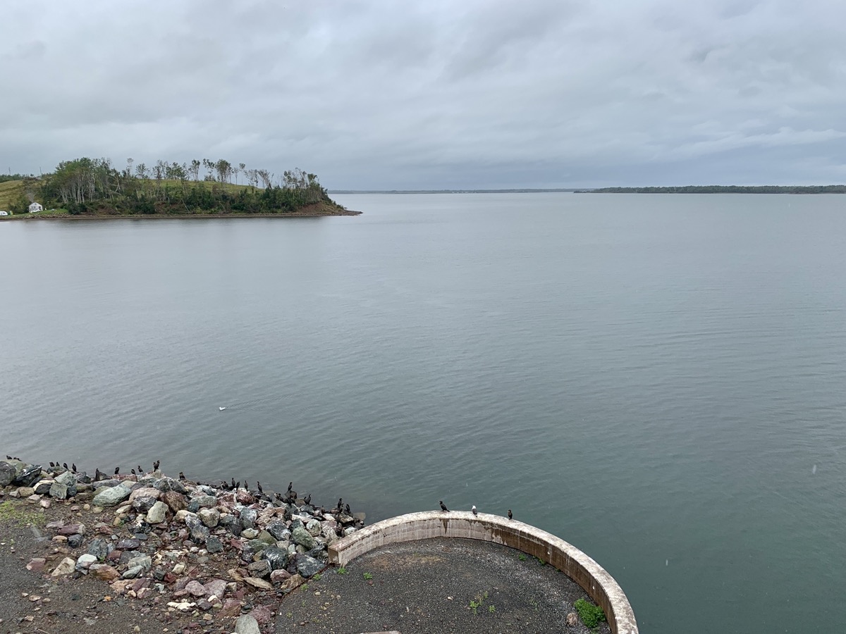
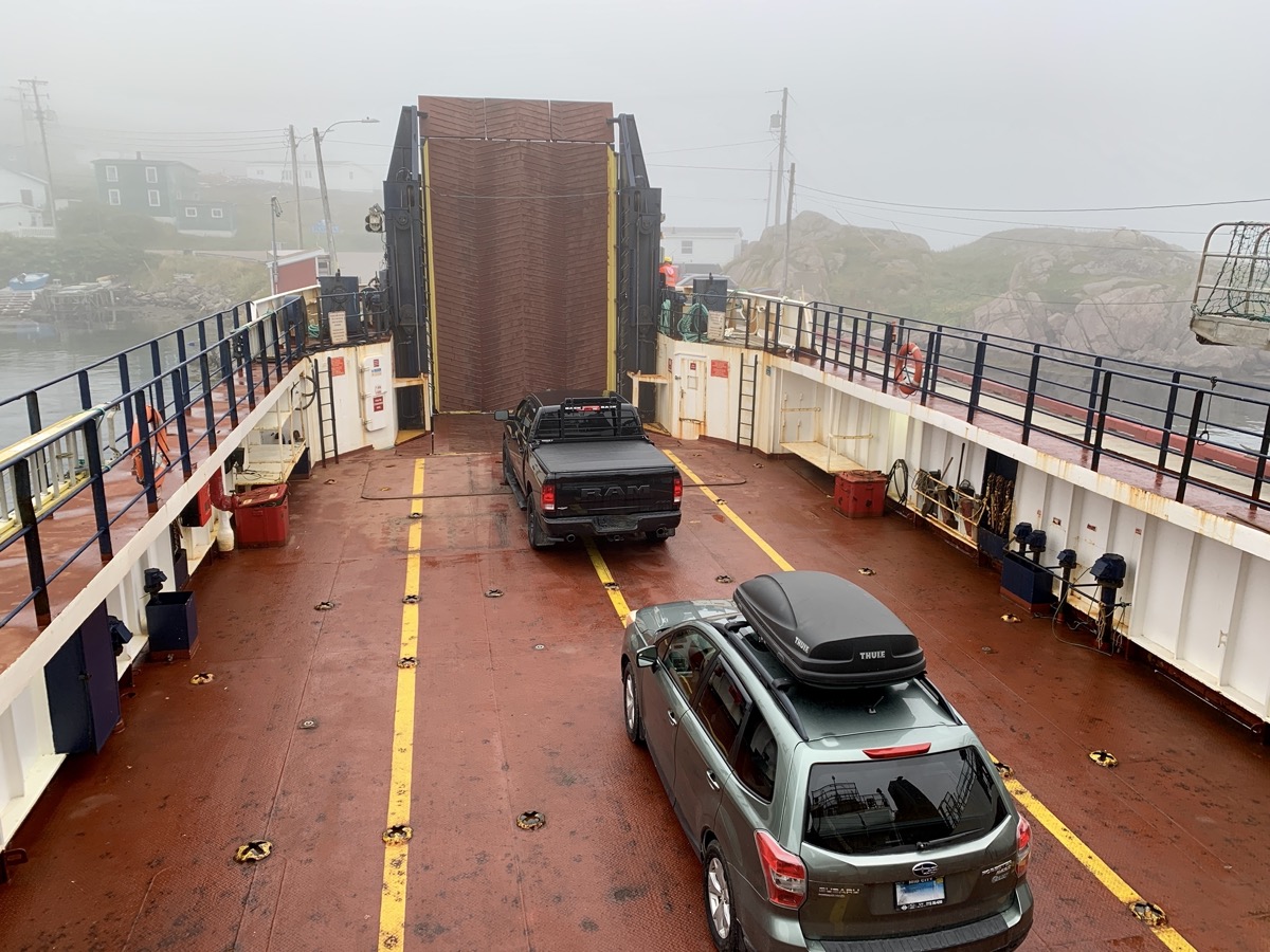
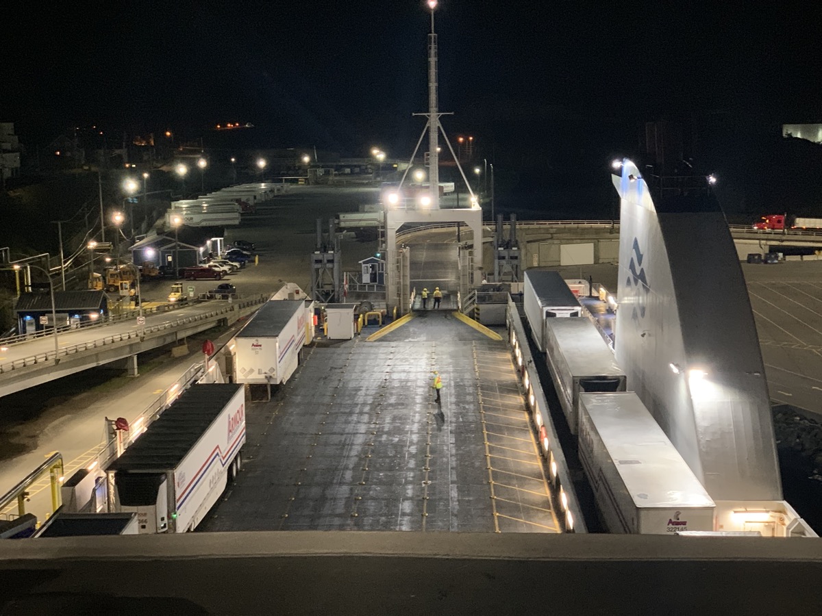
First half of the day passed uneventfully, just driving and looking around, stopping to see Canso Causeway and Bridge connecting Cape Breton Island to Nova Scotia peninsula. Monotony settled-in after 4 weeks of travel. We were following weather forecasts and path of hurricane Lee as it was moving in the same direction as us: Prince Edward Island. It was expected to loose most of its energy and rain. We decided to ignore anxiety and continue as planned. By midday we were in Caribou boarding ferry to Prince Edward Island.

Estern Canada road trip days 21-23: South Newfoundland

Day 21.

The day started with great and sunny view from our room, good breakfast and talk with our host about whale watching. And we are on 7 km high cliff (Boutte du Cap) walk with beautiful views. Watching a few diving gannets, but no whales. Download Piotr’s GPX file

We spent all afternoon driving along the north side of Cape St George (Rte 463 then 460 and 490). Stopped for lunch at Tea By The Sea restaurant. Next stop: Long Point. Parked our car in Blue Beach at the end of the World of easily drivable gravel road. Joanna walked all the way to the very tip of narrow rock bar with sea on both sides, and we scrolled back to our car through grassy peninsula coloured with Alpine Asters. We did not see a person on our walk. Picked-up groceries in Stephenville, home to a former US Air Force base and international airport. We filled-up tank in Stephenville Crossing and shortly after crossing Hwy 1 started looking for a side road to camp as we were driving on Rte 480 toward Burgeo. Stopped at small turn-around on gravel forest road away from “main” road, nice.

Day 22.

The day started with surprise visit by local moose hunters at our campsite (first day of season). Continued south on Rte 480. There was a ferry loading cars at the end of the road in Burgeo. We asked if there was space for us and in no time we were seaborne for Ramea, mysterious behind dense fog. Completly unplanned, spontaneus decission. The island is small – we visited all corners in half a day. Walking slowly on Ramea walking trail (boardwalk) in quite dense fog most of the time, magical. No expansive vistas or whales, but quiet and relaxing. Talked to the man on duty at the lighthouse (fog horn instead of light that day) and had lunch at Eastern Outfitters. We took the ferry back and ended the day at Sandbank Provincial Park campground (only a few visitors there). It was one of the most memorable days of our trip.

Day 23.

We spent the first half of the day walking on endless beaches and  wetlands of Sandbank Provincial Park, very peaceful. In the afternoon we were back on Rte 480 and then Hwy 1 to Port aux Basques to catch 7-hour over-night ferry to New Sydney, Nova Scotia. This time we watched time and ticket availability to make sure we do not miss it. We bought reserved, more comfortable seats on the upper deck (9th level) to catch some sleep. Tried to find  a place to eat dinner  driving narrow streats of Port aux Basques all the way to the tip of the peninsula and Channel Head Lighthouse across water. No luck – settled for food at ferry terminal.

error: Content is protected !!