June 10-21
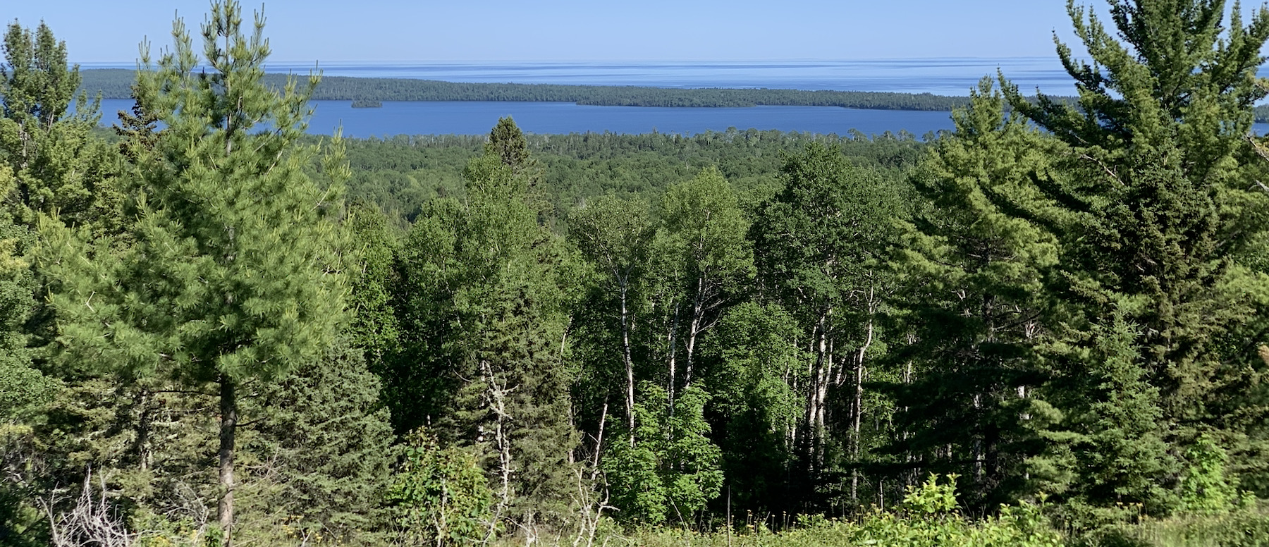
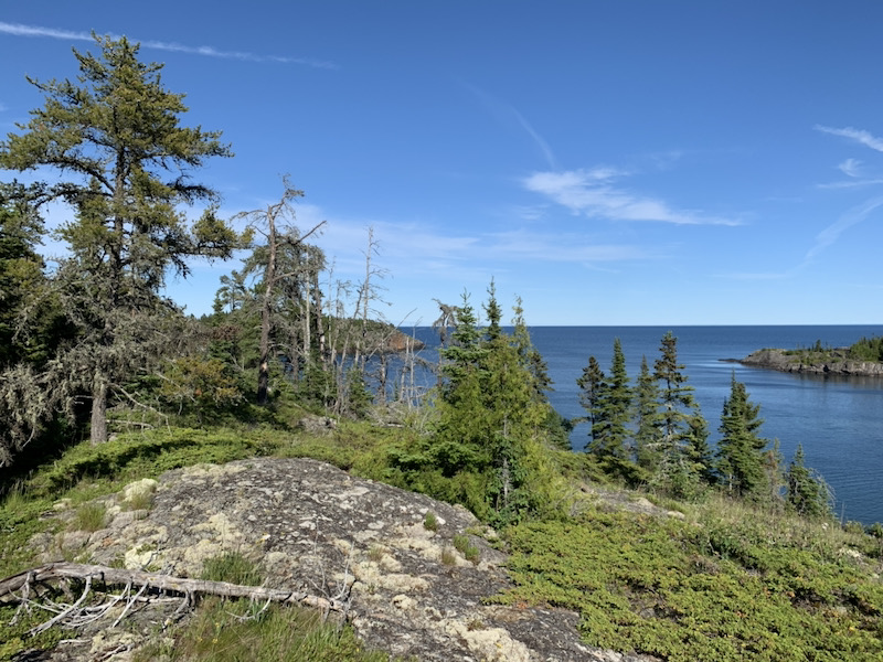
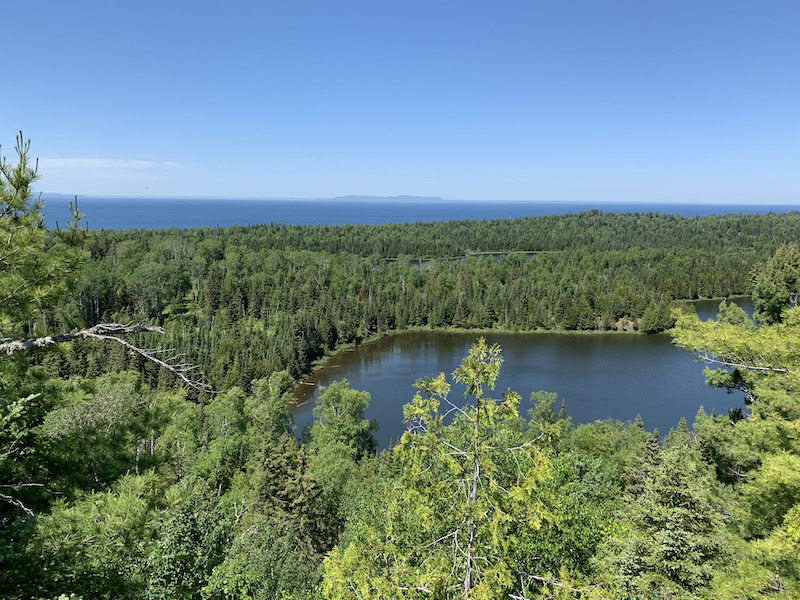
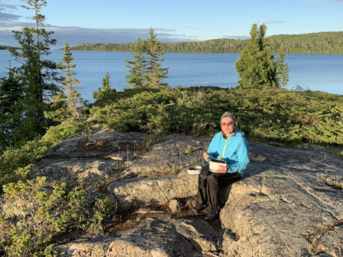
We are back from 12-day trip to Isle Royale NP with two stops in Wisconsin to visit Porcupine Lake Wilderness and Pattison State Park on the way in and out, respectively. We hiked 46.5 miles (1400m total ascent) in 8 days on the main trail from Windigo to Chippewa Harbor, and walked locally some 27 miles more.
First longer trip in our Subaru camper, and testing food and camping gear before John Muir Trail.

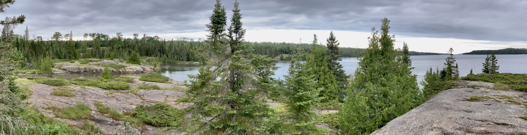
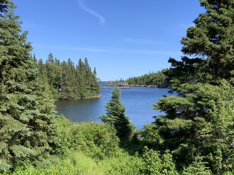
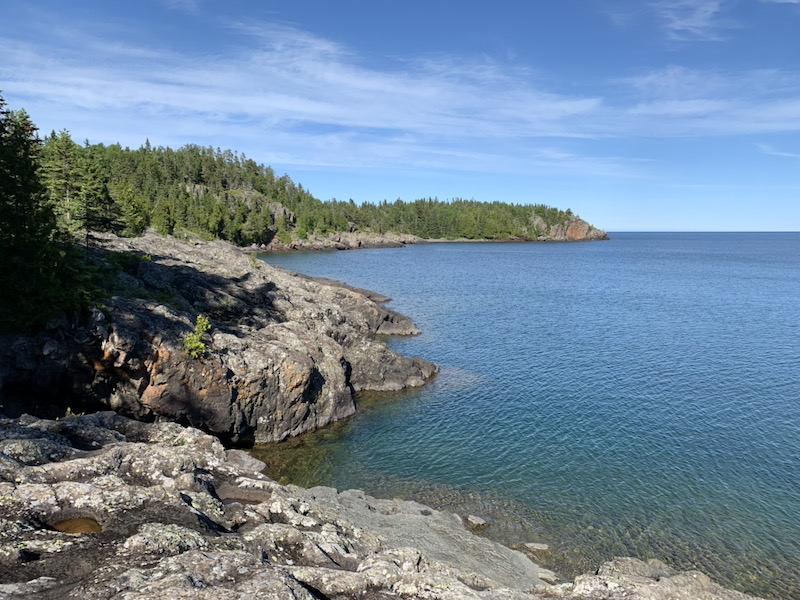
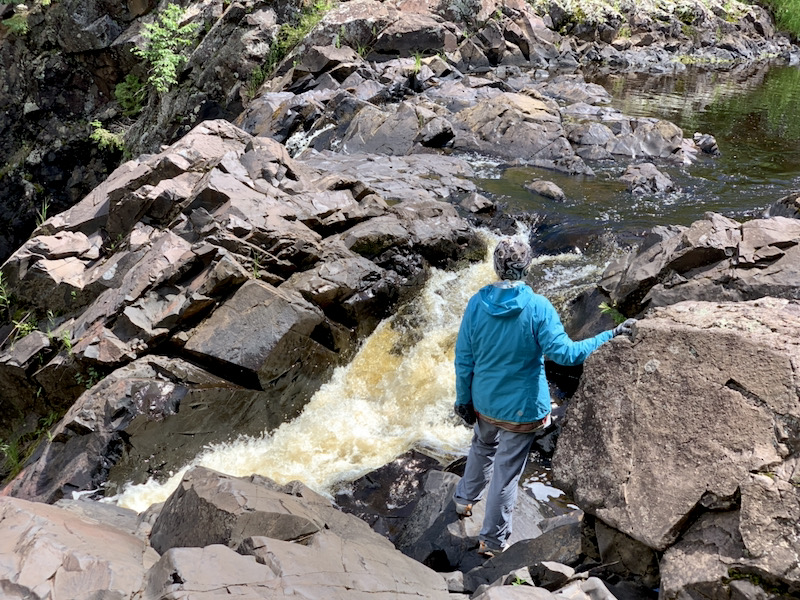
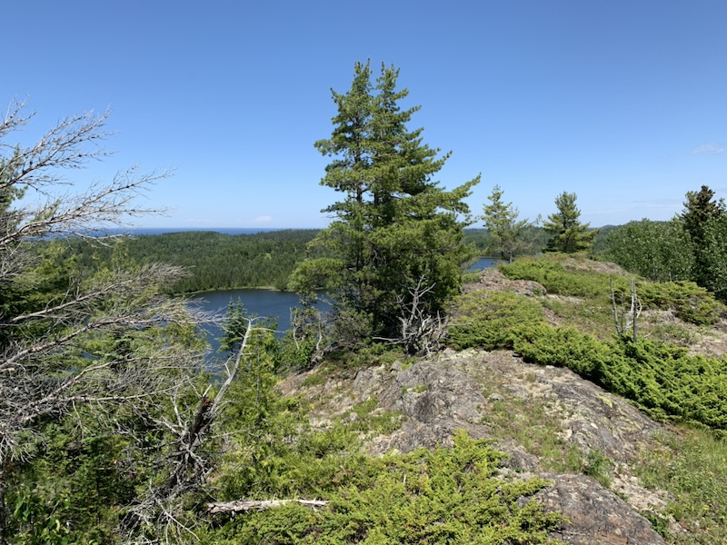
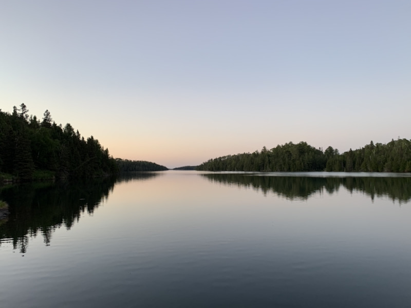
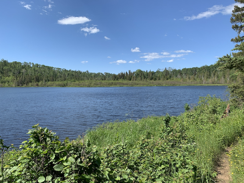
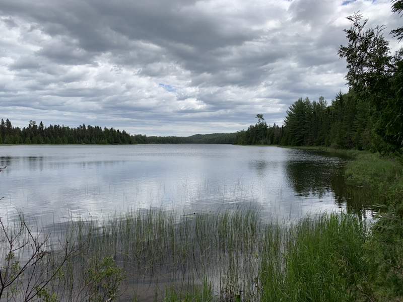
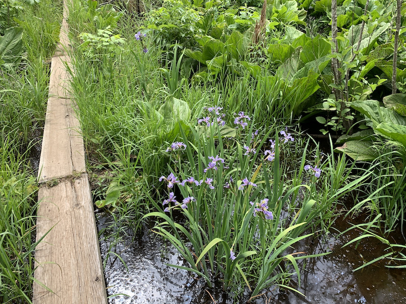
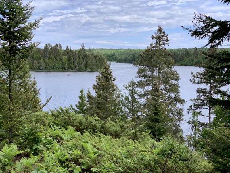
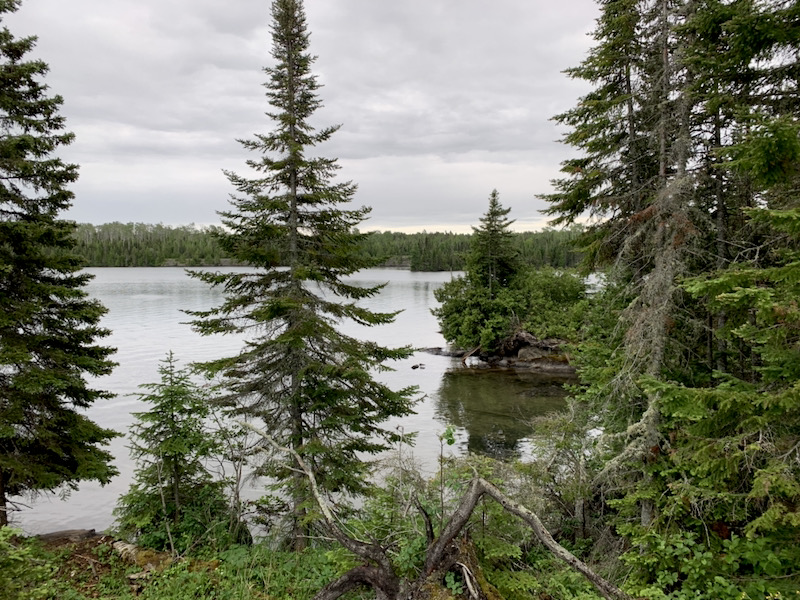
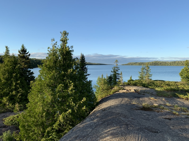
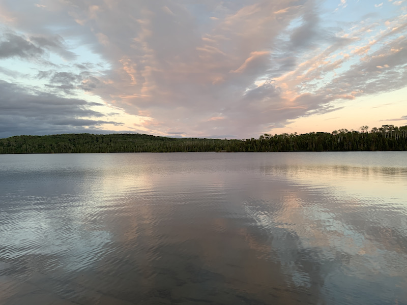
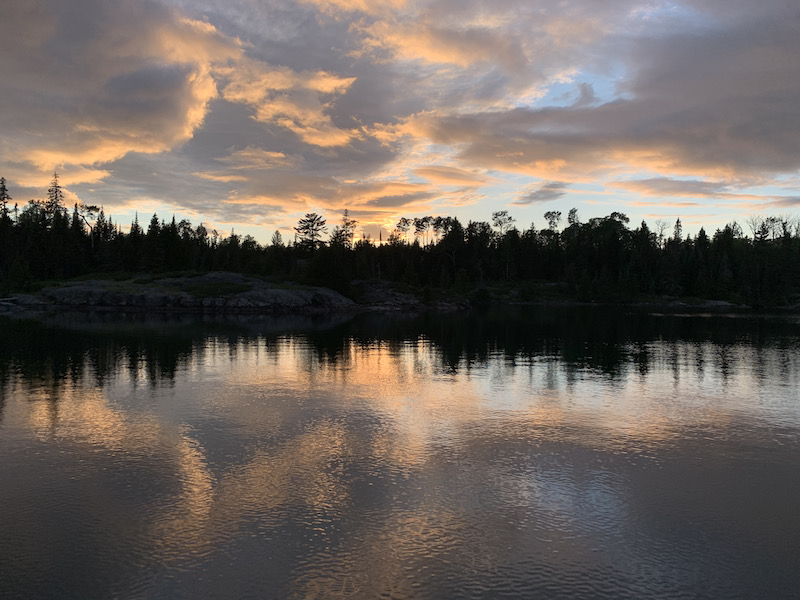
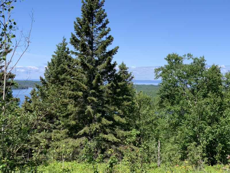
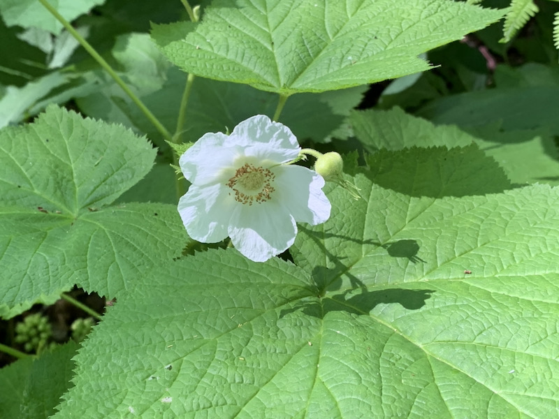
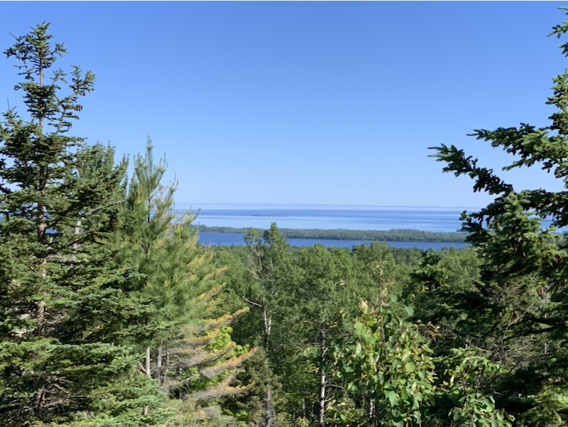
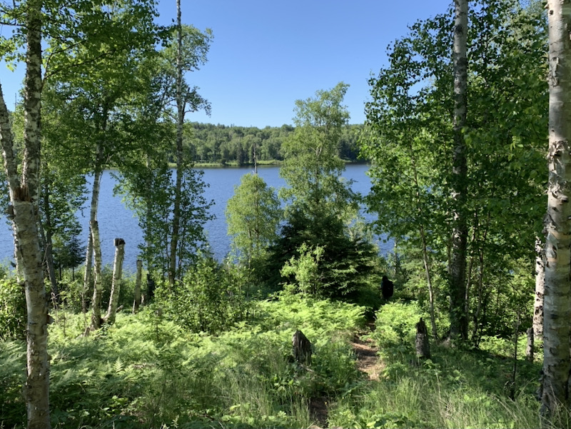
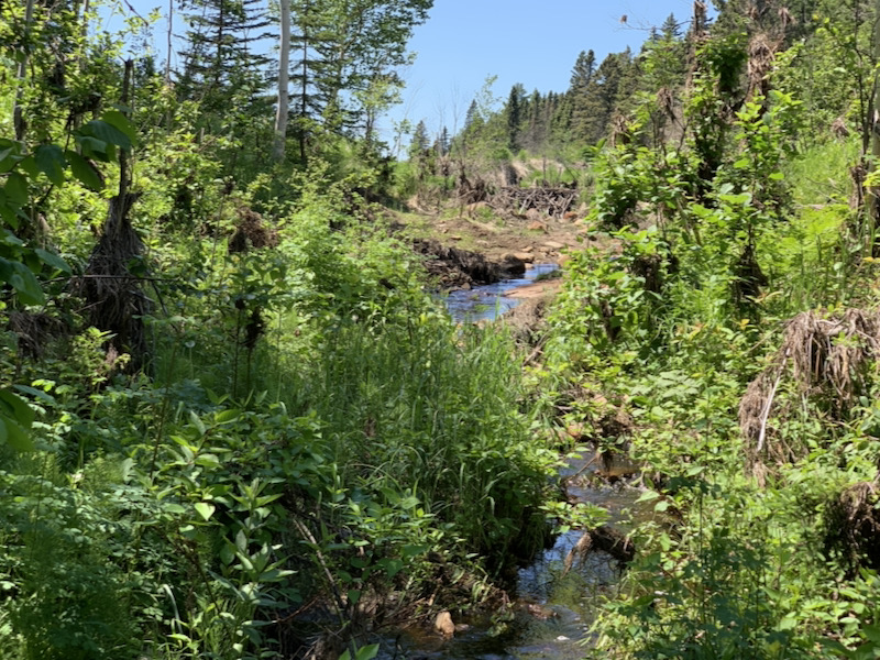
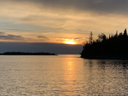
We were very lucky with the weather on Isle Royale, mostly sunny with rain just on the first day of hiking. Temperature was as expected. Daytime hiking temps: up to 17-32°C, Island Mine to S Lake Desor day was the hottest. Sleeping temps: down to 8-17°C, Windigo and Chippewa Harbor nights were the coldest, S Lake Desor and Hatchet Lake nights were the warmest. Rain: 30 min. drizzles followed by 1.5 h continuous rain, Windigo to Island Mine and very short drizzle at Moskey Basin. It was rainy and rather cold in Minnesota on the way in and out. We were surprised by low numbers of mosquitoes and flies in most places, nothing comparing to Porcupine Lake Wilderness where we were swarmed by mosquitoes all the way on the trail to Porcupine Lake, Pattison Park was not bad in this respect.
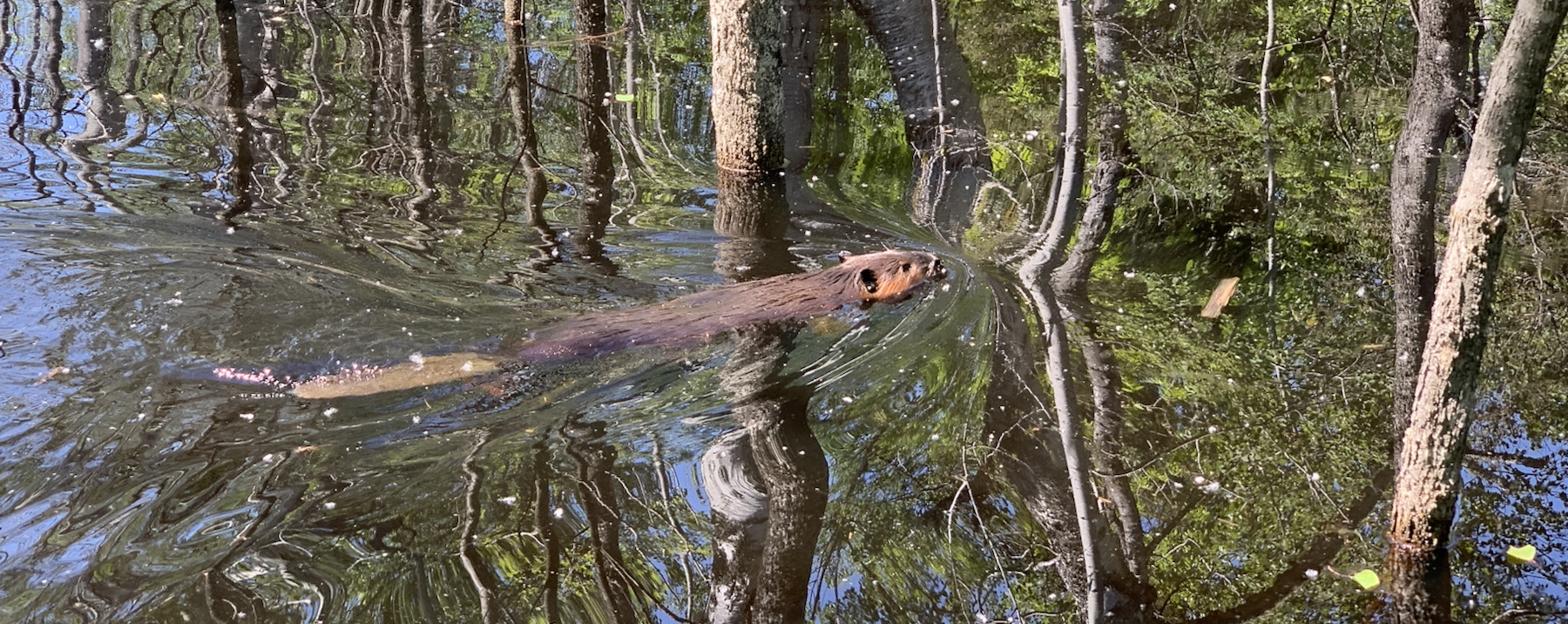
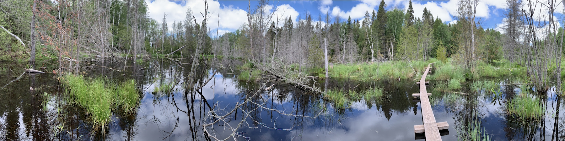
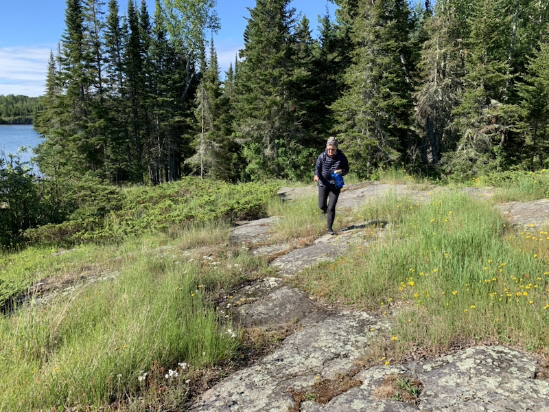
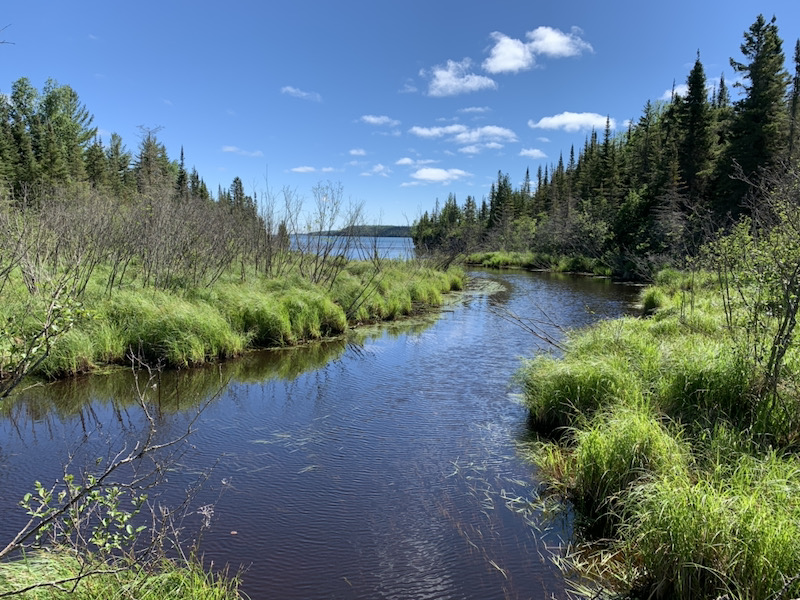
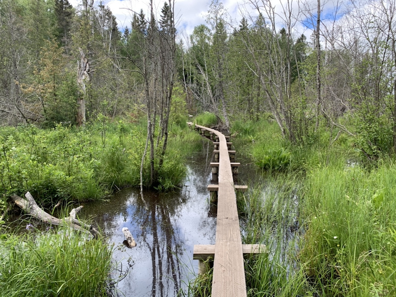
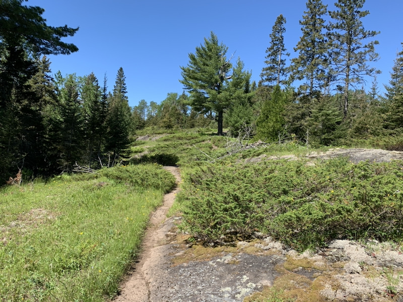
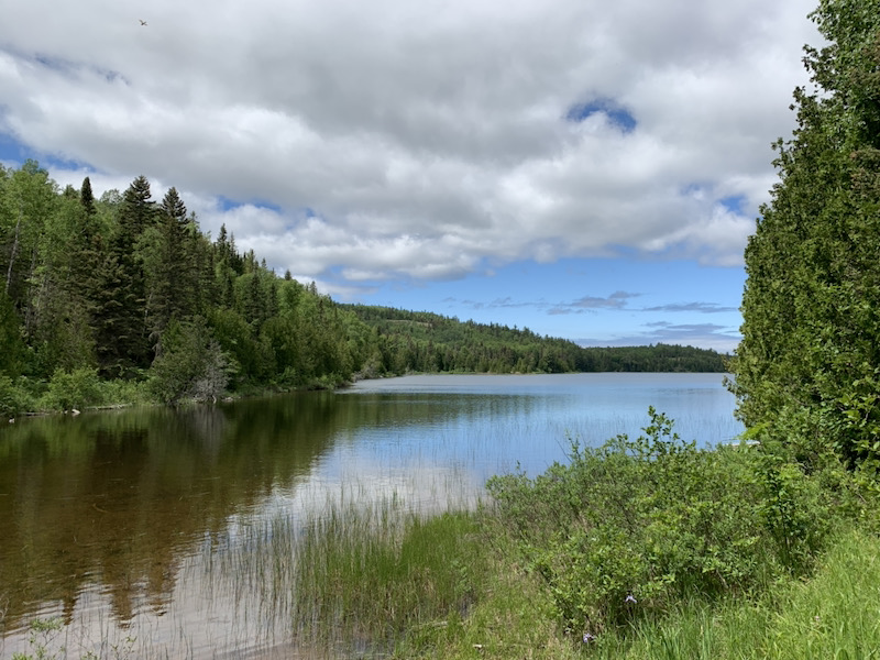
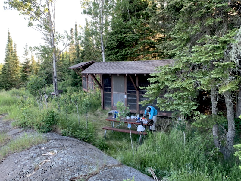
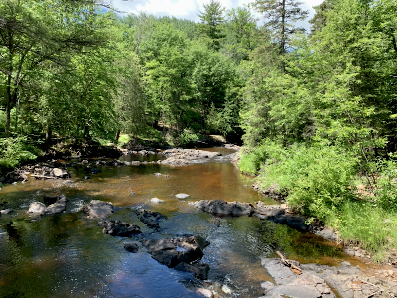
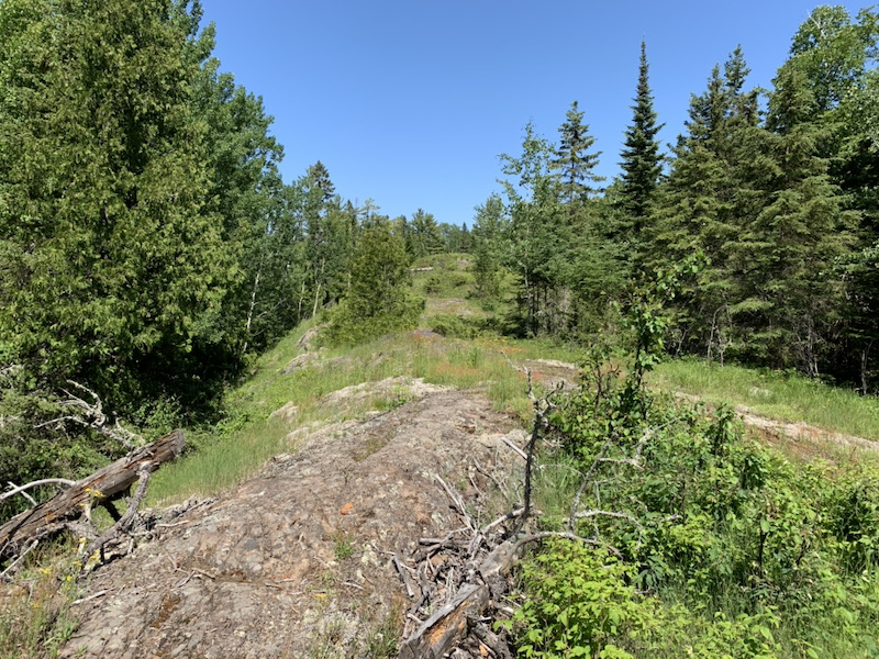
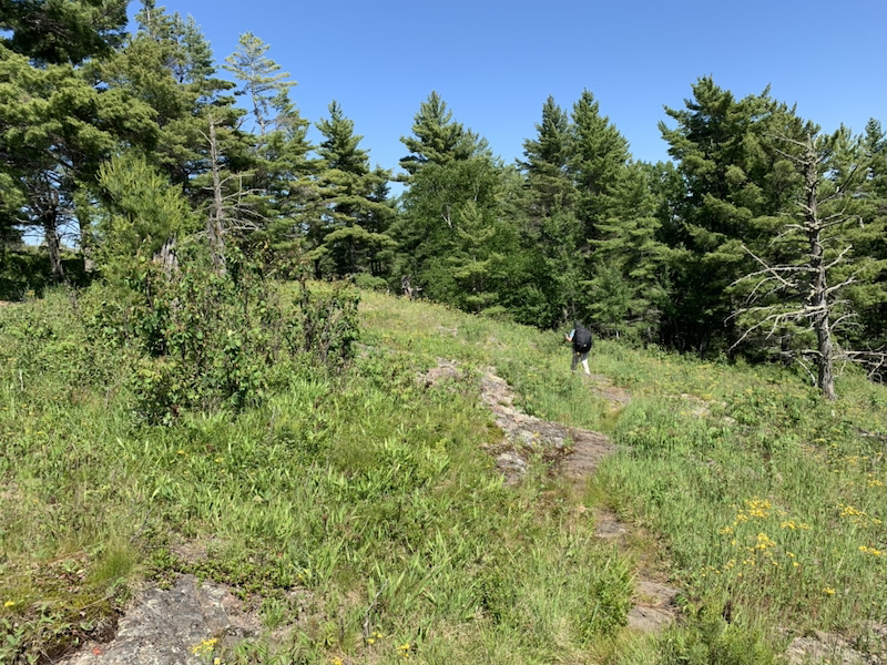
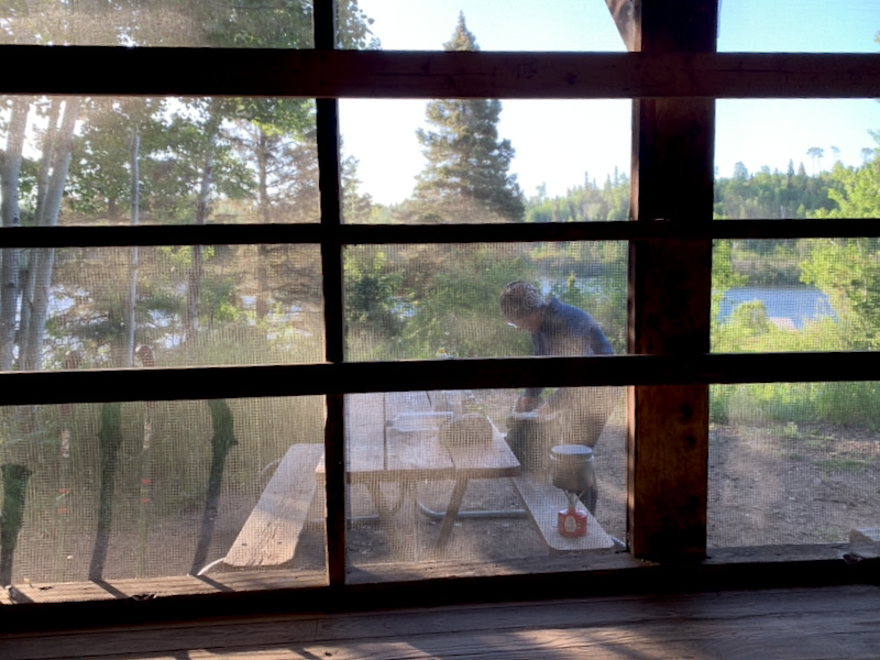
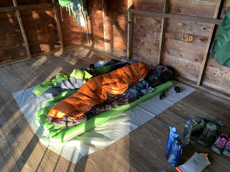
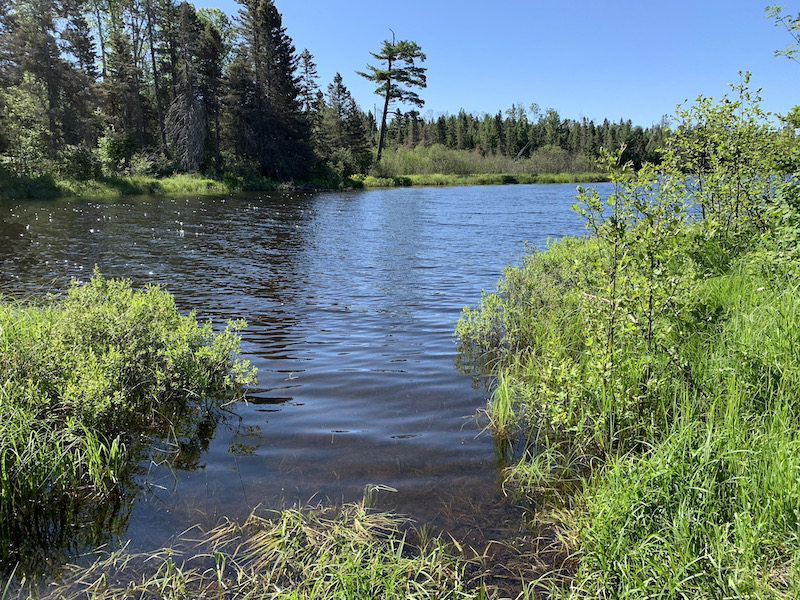
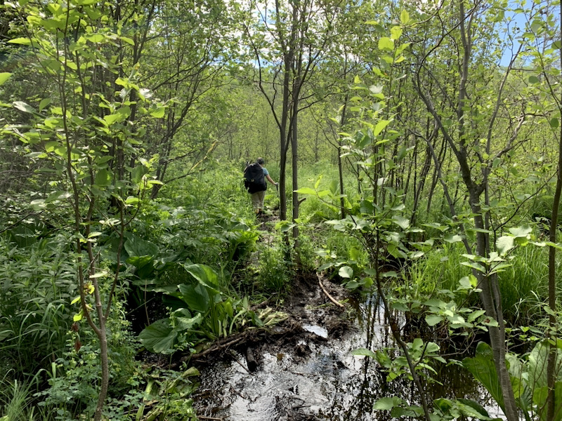
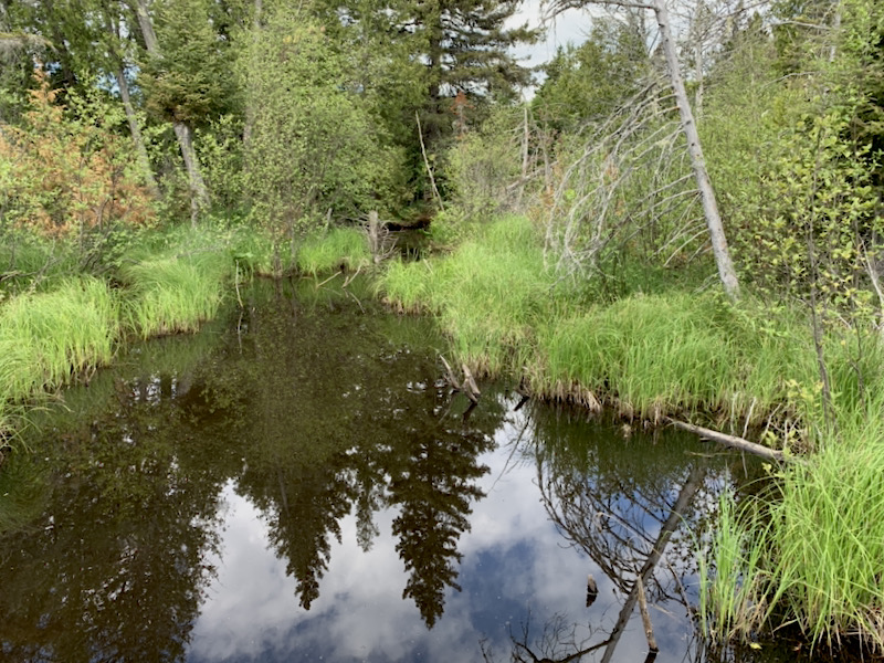
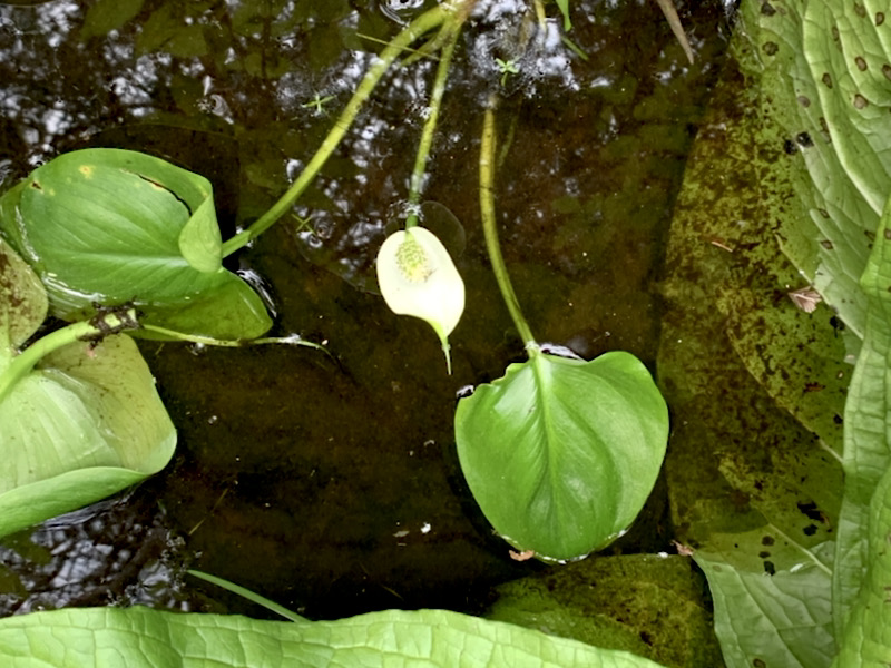
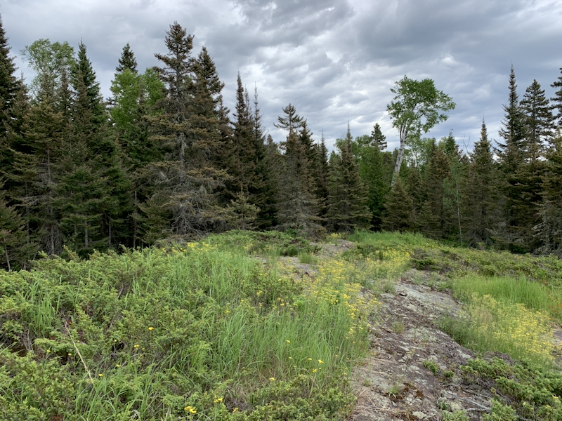
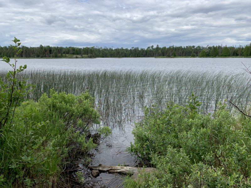
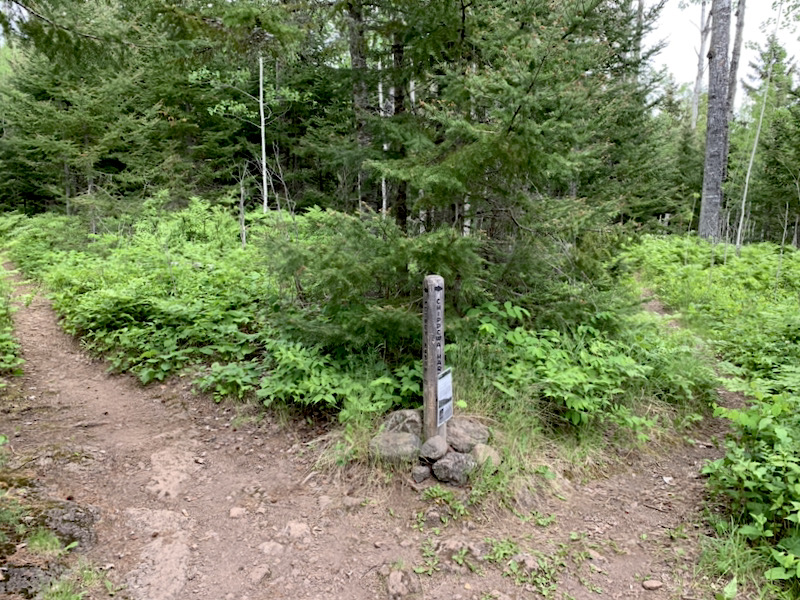
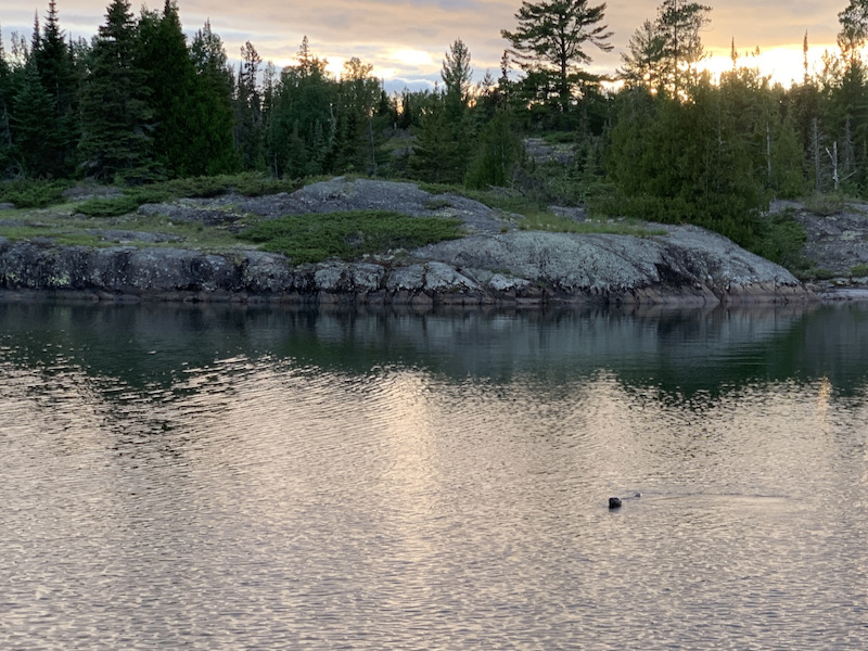
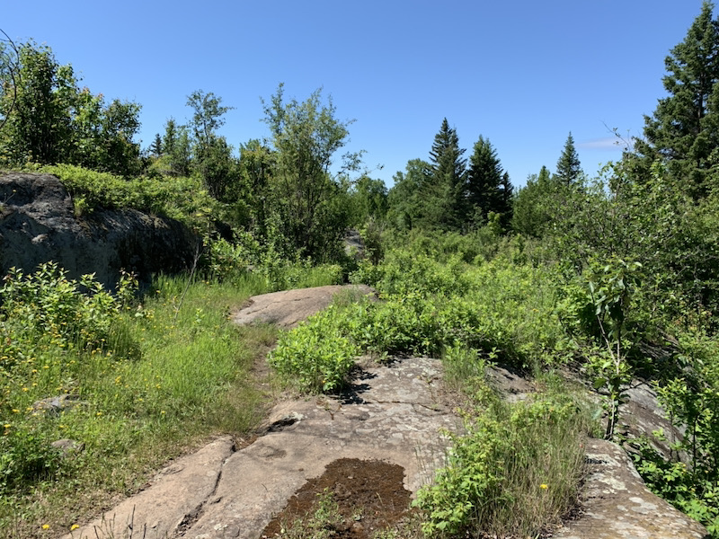
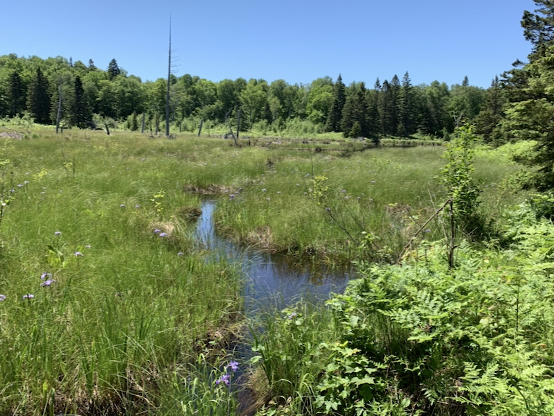
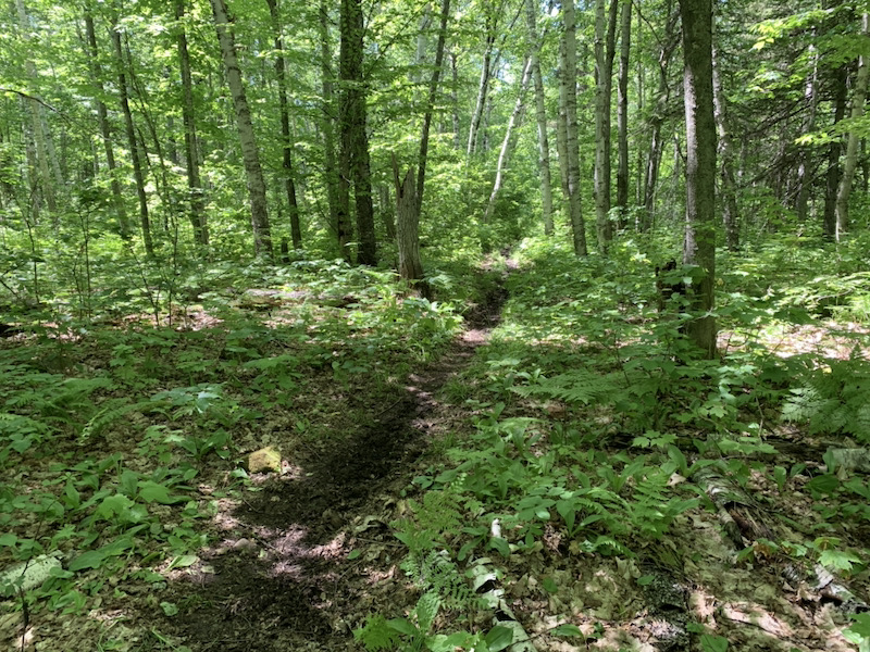
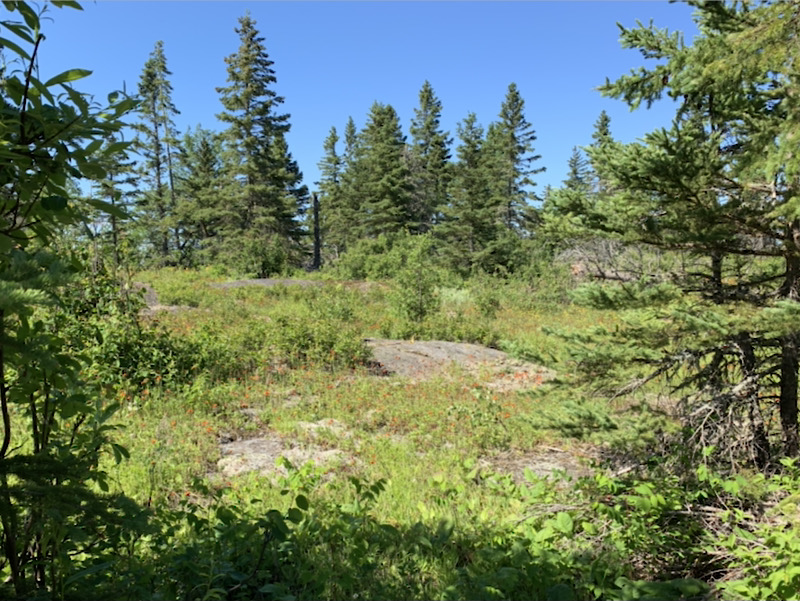
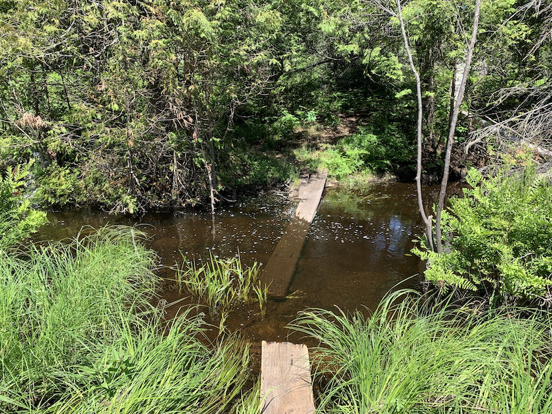
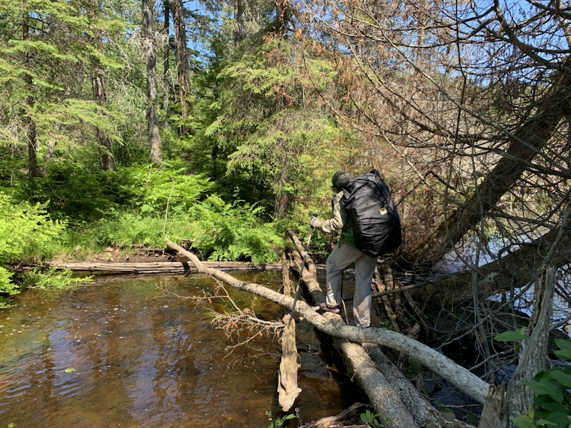
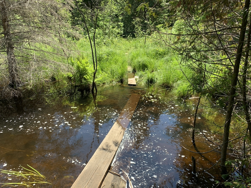
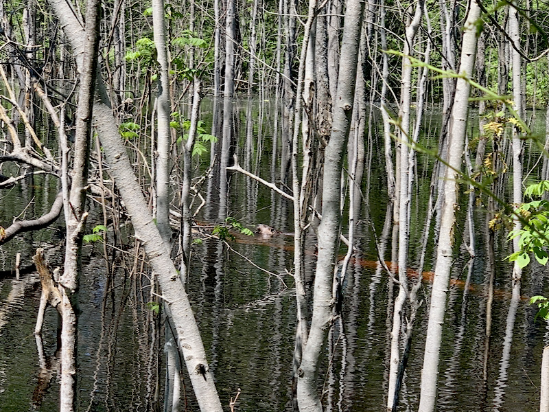
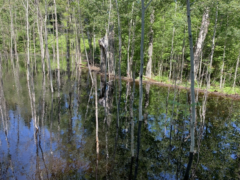
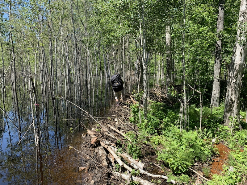
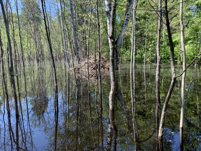
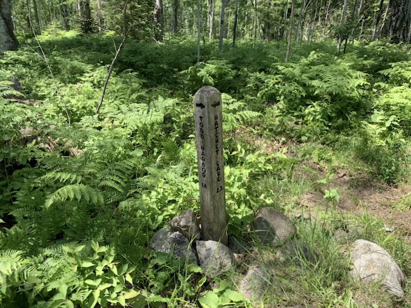
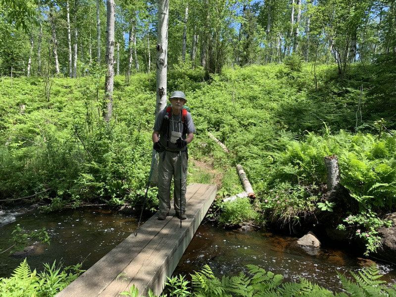
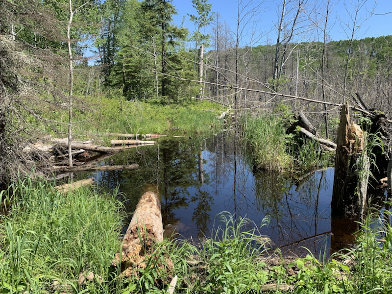
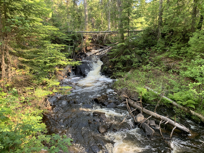
All the trails were in good shape and easy, pretty much flat, and not as muddy/wet as rangers and hikers were warning us. We only had to cross one beaver dam. Mud on the trails away from the inland lakes/wetlands was already somewhat dry after several days without substantial rain, although it was quite wet on Indian Portage trail along Chickenbone Lake and to Chippewa Harbor. No problems with navigation, as we mostly stayed on the main trails. There were fewer people around than we anticipated and we had no problems finding a place to park for the night. We slept 4 nights in shelters and 4 in tent. No problems sourcing water, except for Lake Richie which experienced cyanobacteria contamination. With no bears around logistics becomes easier. The park is very clean, including all campgrounds. It was all pretty much easy going.
 Isle Royale 2021 itinerary
| June | 10 | Thu | Two Lakes | Chicago ➜ (Subaru, 440 mi) ➜ Porcupine Lake Wilderness WI[@ Two Lakes site #61] |
| 11 | Fri | Porcupine Lake Wilderness | Porcupine Lake Wilderness ➜ walk3.6 mi to Porcupine Lake ➜ (Subaru, 220 mi) ➜ Grand Portage MN [@ Grand Portage Marinasite #3] | |
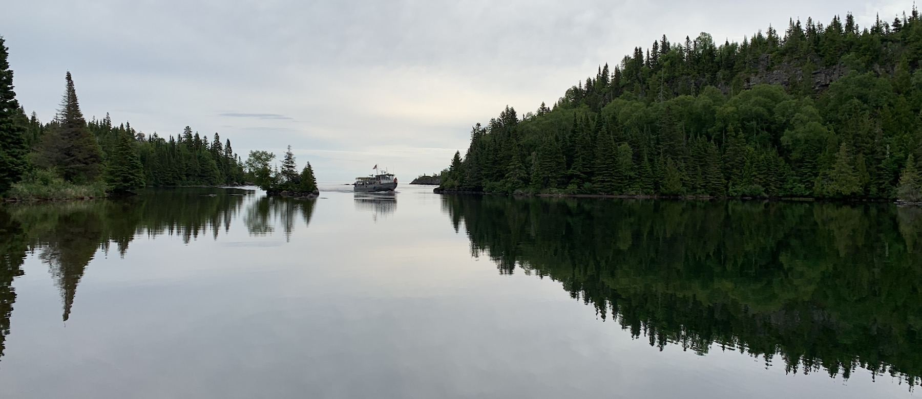
| 12 | Sat | Isle Royale | Grand Portage ➜ (Sea Hunter III, 8:30 am-10 am) ➜ Windigo MI, walk 0.5 mi to camp site, 5.7 mi to Grace Creek Overlook and Moose Exclosure [@ Washington Creek shelter #1] | |
| 13 | Sun | Isle Royale | Hike 6.6 mi ➜ [@ Island Mine individual #3] | |
| 14 | Mon | Isle Royale | Hike 5.5 mi ➜ [@ S Lake Desor individual#6] | |
| 15 | Tue | Isle Royale | Hike 8.1mi ➜ [@ Hatchet Lake group #1] | |
| 16 | Wed | Isle Royale | Hike 3.9mi ➜ [@ Todd Harbor individual #6] | |
| 17 | Thu | Isle Royale | Hike 6.7mi ➜ [@ McCargoe Cove shelter #4] | |
| 18 | Fri | Isle Royale | Hike 8.4 mi ➜ [@ Moskey Basin shelter #1] | |
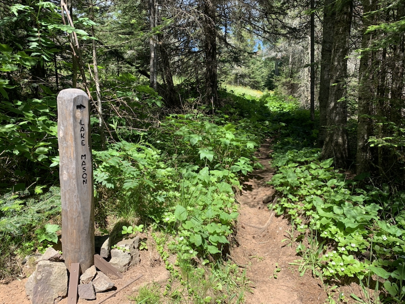
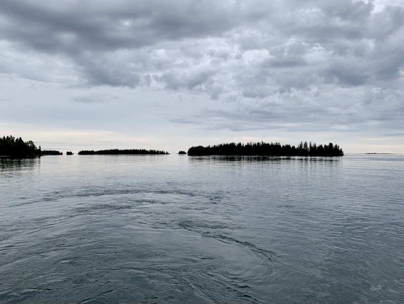
| 19 | Sat | Isle Royale | Hike 6.1 mi ➜Chippewa Harbor ➜ walk 4 mi around Chippewa Harbor [@ Chippewa Harbor shelter #2] | |
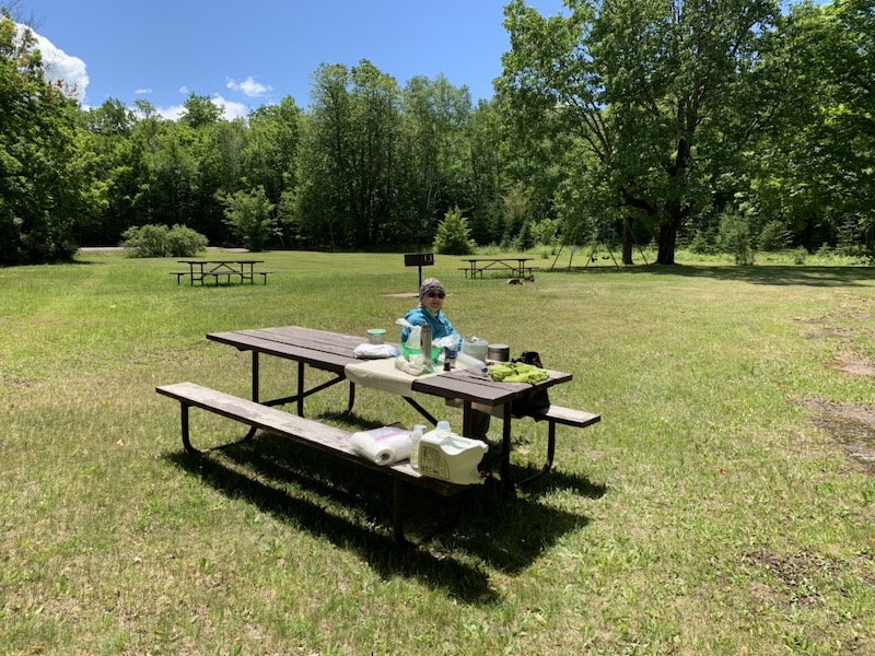
| 20 | Sun | Pattison Park | Walk 0.1 mi to dock Chippewa Harbor MI ➜ (Voyageur II, 9 am-3 pm ➜ Grand Portage ➜ (Subaru, 170 mi) ➜ Pattison State Park WI [@ Pattison State Park site #22] | |
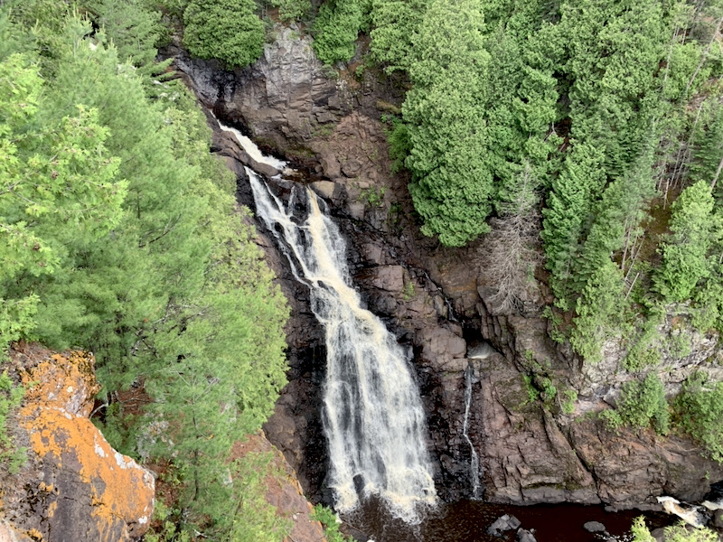
| 21 | Mon | Chicago | Pattison State Park ➜ walk 4 mi around Big and Little Manitou Falls ➜ (Subaru, 470 mi) ➜ Chicago |
 Trail maps
☞ download Isle Royale trail GPX
☞ download Grace Creek Overlook trail GPX
☞ see Porcupine Lake loop trail and drive to Lake Owen picnic area on wikiloc
☞ see short trail to hilltop viewpoint above Chippewa Harbor on wikiloc
 Resources, food and hiking kit
Resources
☞ Isle Royale NP
☞ Isle Royale Maps
☞ Park Maps and Brochures
☞ The Greenstone 2022 (trip planning newspaper)
☞ Trail Mileage Between Campgrounds
☞ National Weather Service – Isle Royale
☞ Grand Portage – Isle Royale Transportation Lines
Food
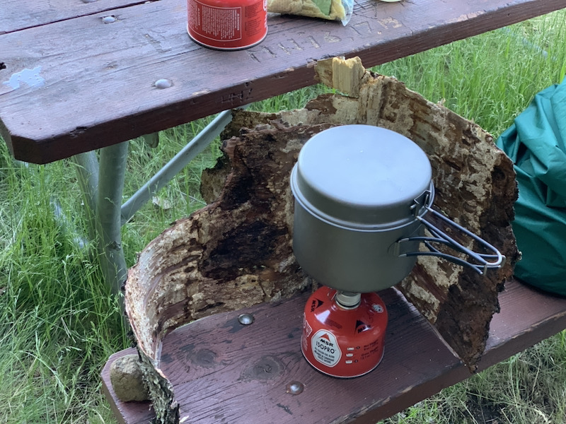
We changed our cooking strategy: we started using filtered water for all meals and hot drinks, heating water just to “bottom boil” (not extended rolling boil) to save fuel, adding all the ingredients (sometimes in certain order, not all at once) and letting the pot rest in a cozy for 10-15 min for all ingredients to rehydrate properly (none requires true cooking). We did some test cooking before the trip, trying to get the recipes right for our taste and then made adjustments on the go (we kept some ingredients separately). Our cozy, taped together pieces of recycled envelope used to deliver cold food, worked very well – everything remained warm for quite a while, comparing to “naked” titanium pot. We ended up with roughly 860 g of dry food per day for two. We were aiming at high calorie content.
| DRINKS | filtered water | Sayer squeeze system | |
| tea | black tea/mint bags | ||
| compote | lyophilized strawberries, pineapple, raspberries | ||
| coffee | Nescafe, heavy cream powder, optional Nutella or sugar | ||
| BREAKFAST | couscous | couscous, peanut butter powder, heavy cream powder, butter, trail mix, salt, optional Nutella | |
| cream of wheat | cream of wheat, dry banana and apple chunks, heavy cream powder, flax seeds, butter, optional Nutella or sugar | ||
| SNACKS | trail mix | homemade: nuts, dry coconut, pumpkin seeds, peanut butter M&M | |
| chocolate | dark IKEA MÖRK | ||
| bars | assorted | ||
| sesame bars | Amki sesame thins | ||
| dry seaweed | roasted seaweed snacks (also used for soup flavoring) | ||
| LUNCH | cheese | Babybel, Laughing cow, asiago | |
| sausage | Italian dry salami | ||
| crackers | multi-grain baked crackers | ||
| DINNER | potatoes & pork | Idahoan mashed potato powder, dry crispy onion, flax seeds, heavy cream powder, lyophilized corn, peas and potatoes, Herbex bouillon cube, butter, dry cooked Korean pork | |
| soup | ramen (3 types), lyophilised corn, peas, potatoes, optional dry tomatoes |
Piotr’s packing list
items not used
| TOTAL | 18.0 | kg | |
| clothing | 4.6 | ||
| equipment | 6.3 | ||
| pantry | 6.1 | ||
| water | 1.0 | L | |
| ON ME | 2.9 | kg | |
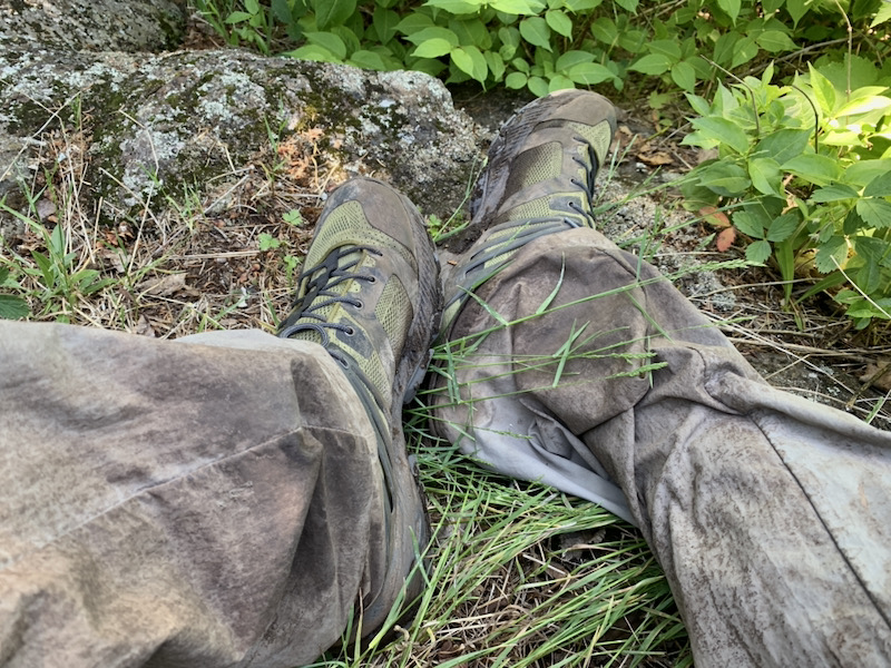
| light boots | 888 | g | Merrell MQM Ace Mid Waterproof |
| wool socks | 90 | Patagonia | |
| underwear | 78 | Calvin Klein | |
| pants | 316 | Columbia Silver Ridge Convertible | |
| belt/suspenders | 103 | – | |
| tshirt | 154 | Patagonia | |
| sun hat | 70 | – | |
| hiking gloves | 74 | Ergodyne ProFlex 812 | |
| trekking poles | 476 | Komperdell | |
| pocket knife | 71 | Gerber Paraframe Serrated | |
| mosquito net | 19 | – | |
| scope | 189 | Alpen 8×25 monocular | |
| phone | 217 | iPhone XS | |
| watch | 38 | Timex Expedition | |
| neck wallet (DL/CCs/$/maps/car key) | 101 | REI | |
| ON MY BACK | 15.1 | kg | |
| backpack/liner/rain cover | 1208 | g | Granite Gear Crown 60 (long 65 L) |
| sleeping bag/sack | 1397 | Sierra Design Ridge Runner | |
| sleeping pad | 694 | Insulated Q Core SLX 25×78 | |
| tarp | 140 | ultra-light Tyvek | |
| sandals | 371 | Crocs Swiftwater Wave | |
| jacket | 365 | Arc’teryx Zeta SL | |
| rain poncho | 200 | – | |
| light down jacket | 416 | – | |
| light fleece | 230 | Merrell | |
| tshirt short | 158 | – | |
| tshirt long | 177 | Patagonia | |
| 2 x wool socks | 147 | Cabot Expelit | |
| 2 x underwear | 123 | Exofficio | |
| sleeping top | 188 | Terramar | |
| sleeping bottom | 168 | Terramar | |
| sleeping socks | 31 | Patagonia | |
| fleece gloves | 48 | Columbia | |
| beanie | 60 | – | |
| shorts | 108 | Hind | |
| towel | 71 | Trespass microfiber | |
| spare glasses & clean | 41 | – | |
| repair kit | 95 | our own set | |
| head light | 146 | Nitecore HC65/3400mAh | |
| power bank | 208 | Anker PowerCore 10000 | |
| chargers/batteries/cables | 248 | – | |
| temp beacon | 14 | Blue Maestro Tempo Disc | |
| 3 x packing bags | 67 | Outdoor Research | |
| Vecto 2L | 85 | CNOC Outdoors | |
| water bottle | 33 | smartwater | |
| water 1L | 1000 | – | |
| pantry (2 x 7 x 430g , 2000 cal) | 6106 | own mix plus pantry bag | |
| 2 x 8oz fuel | 748 | MSR IsoPro | |
| trowel | 17 | Deuce #2 |
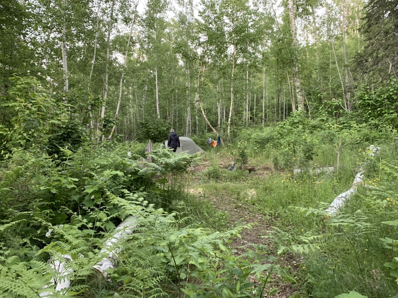
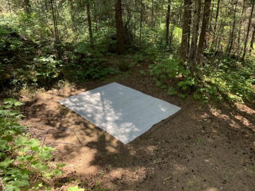
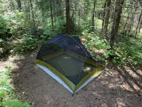
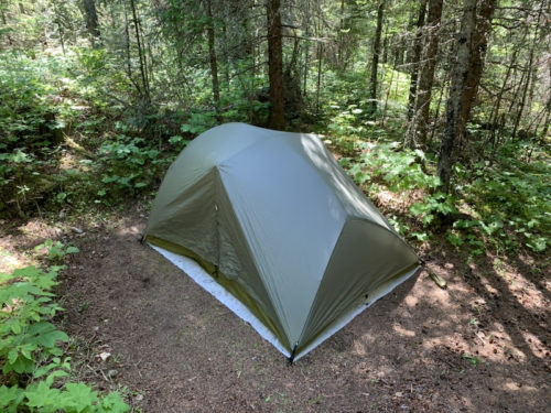
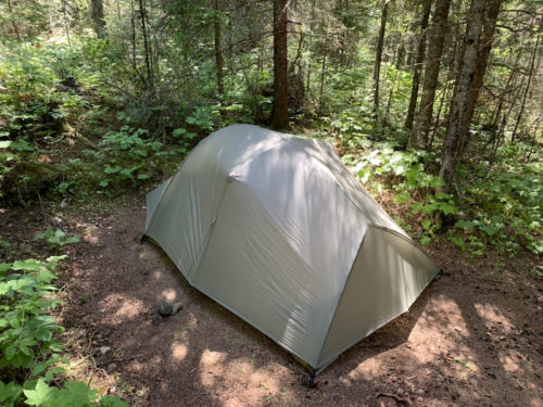
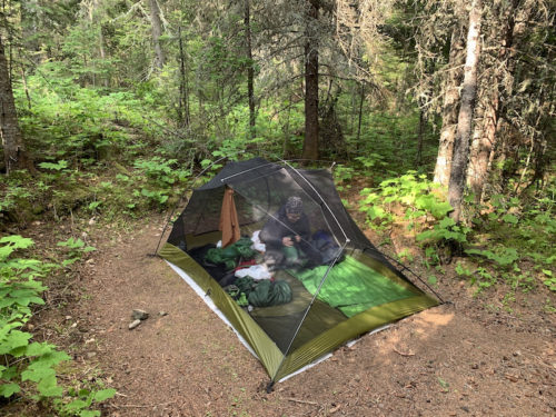
Big Agnes Seedhouse SL3
We like our Big Agnes Seedhouse SL3 tent. It is for 3 persons, but works well for two, with extra space for backpacks. Not too heavy. Here it is at Hatchet Lake, from placing the tarp to drying out and packing next morning.
 Isle Royale video clips
Isle Royale is a great palce for hiking, but for us this trip was also a prep and training for John Muir Trail we are starting in late July. Spent quite a bit of time and effort tinkering with packing lists, testing some new kit and refining food recipes, anything to bring the backpack weight down. 5 posts with more details and photos coming soon.
Highlights…