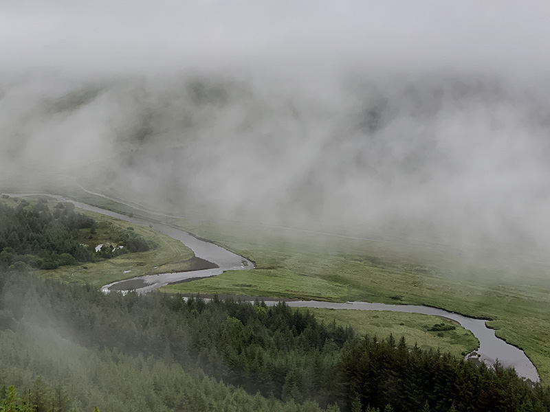
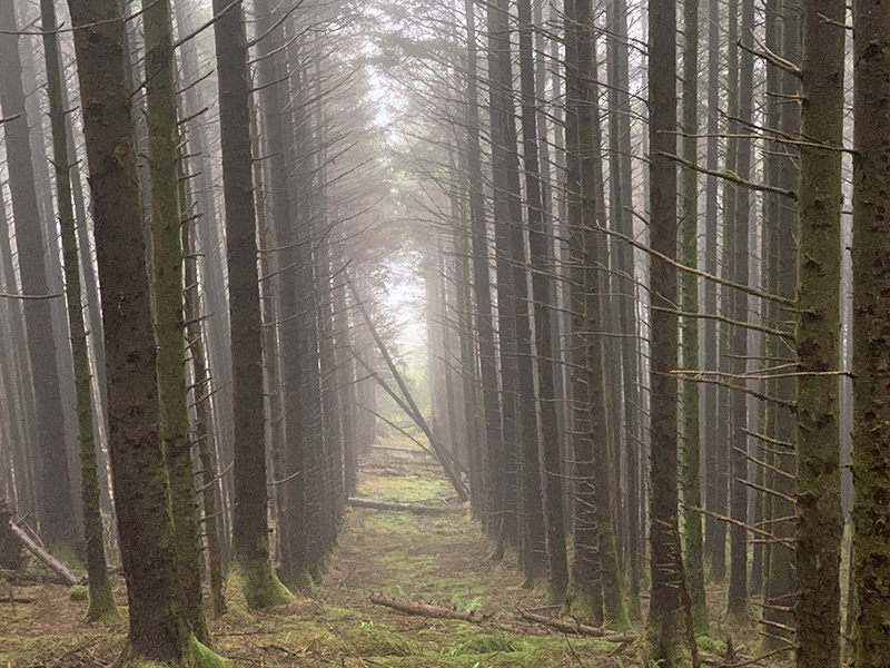
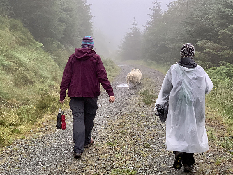
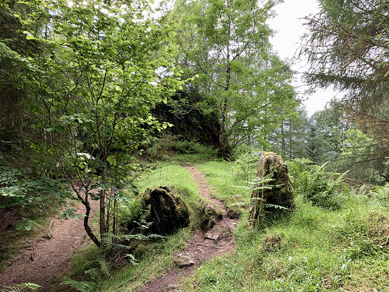
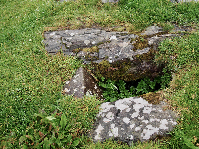
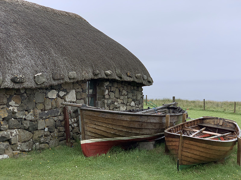
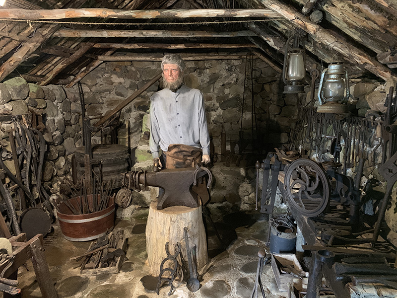
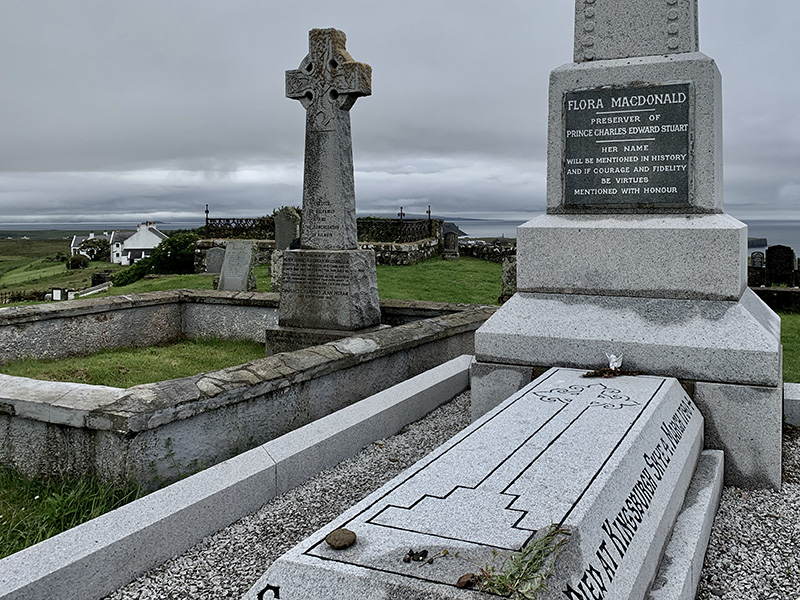
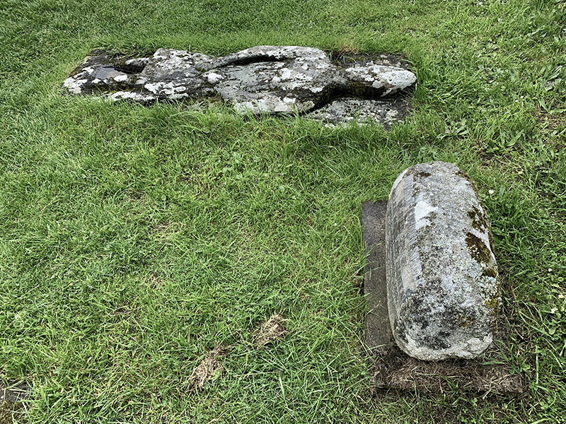
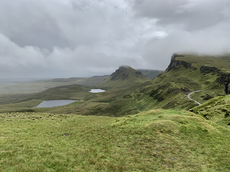
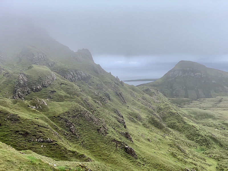
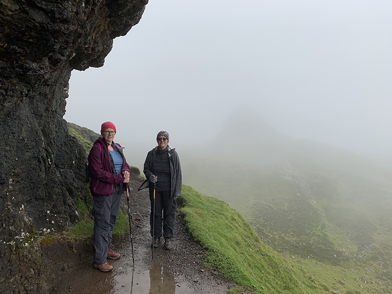
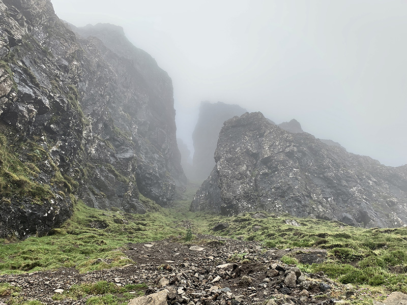
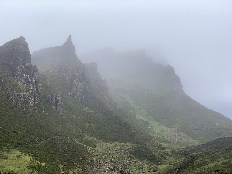
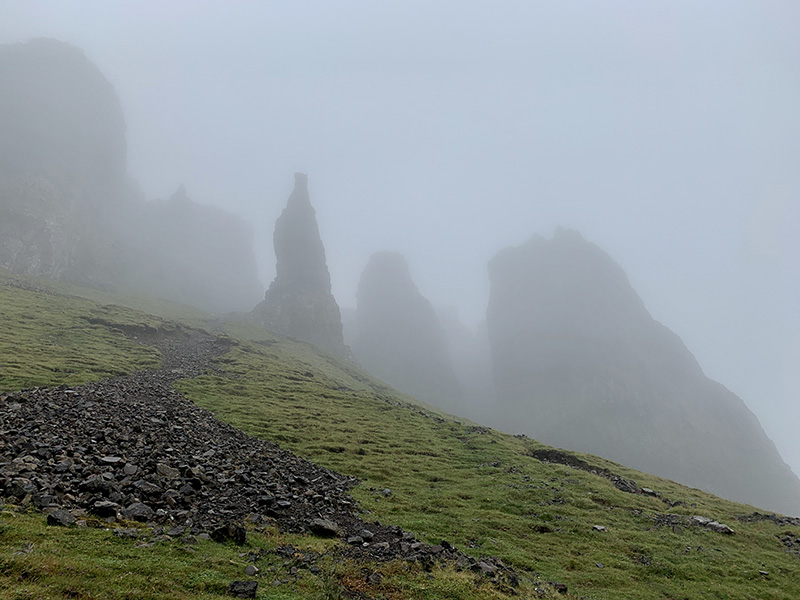
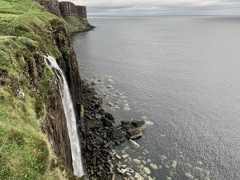
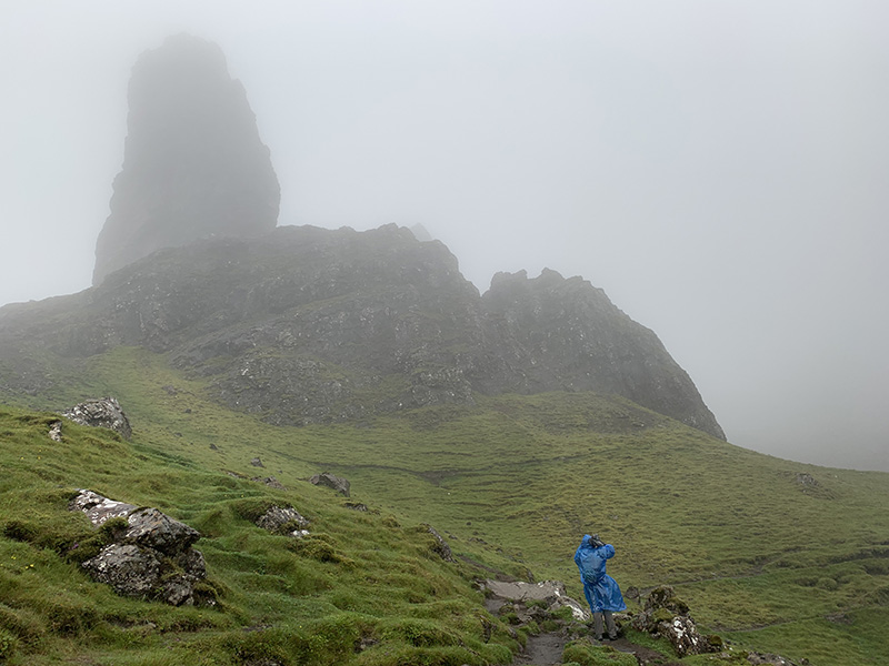
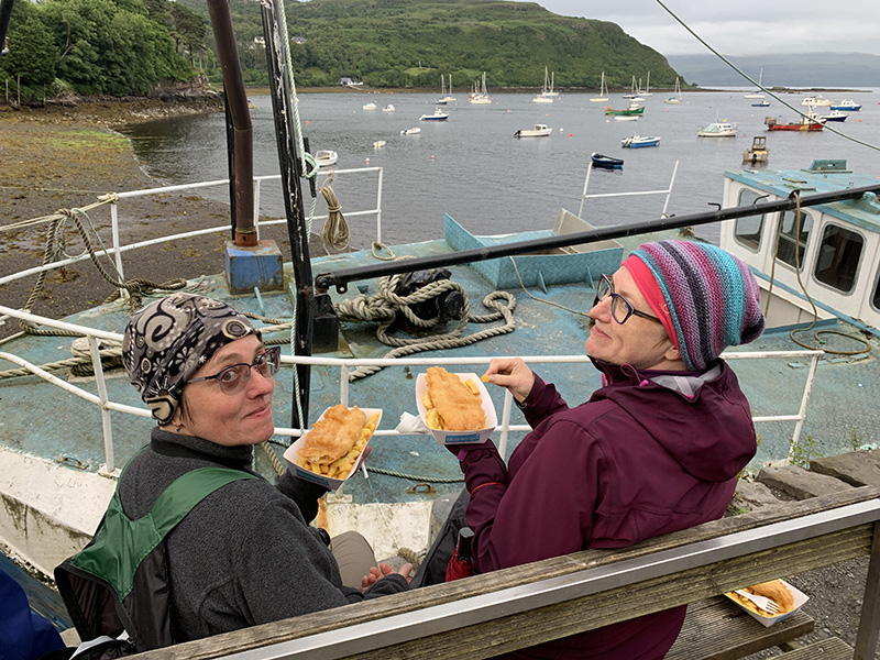
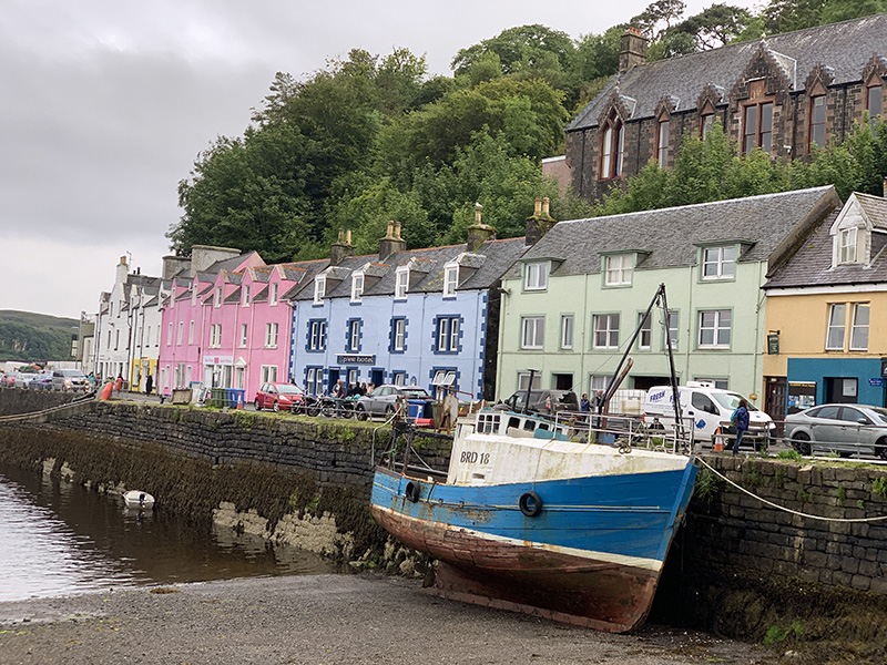
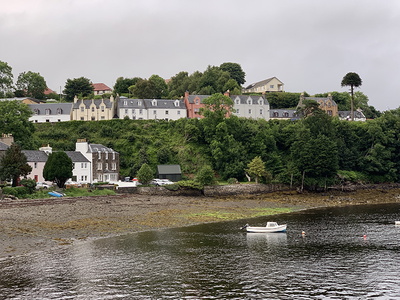
The weather was not good for hiking, clouds and passing rain. We decided to drive north to Portree to be close to Quiraing. On the way, we bought tickets for morning tour and tasting at Talisker (next day) and we bought some beer from Isle of Skye Brewing Co in Uig. We visited archeological site in Kilvaxter, museum and graveyard in Kilmuir. With weather improving somewhat we turned back towards Uig and arrived at the upper Quiraing trailhead (on C1225) just as the Sun started to come out. We walked on the lower trail with quite a few other hikers, fewer and fewer as we kept going in the rain later on. By the time we made it to the top of the loop, the weather was deteriorating and visibility was quite poor. We decided to return the same way anticipating wind to be unpleasantly strong on the upper trail. We were soaked by the time we came back to our car. Not giving up, we stopped at Mealt Waterfall and made a quick run in the rain to Old Man of Storr, and that was enough for the day. The rain stopped by the time we made it to Portee to look around, have late lunch (Fish & Chips on Quay St) and buy groceries (Co-Op).
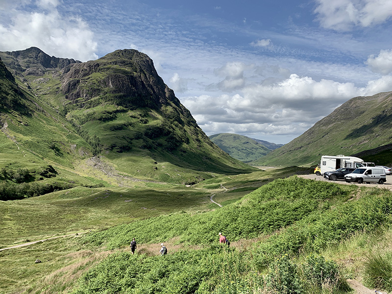
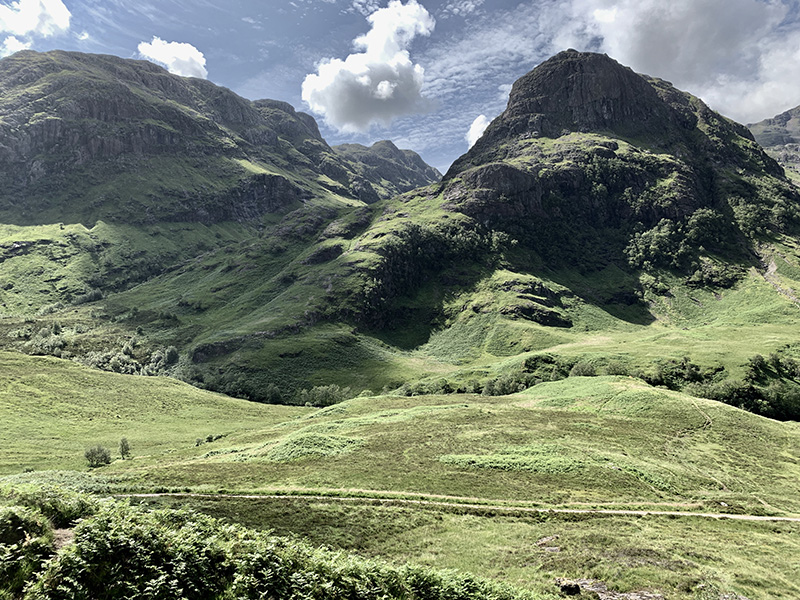
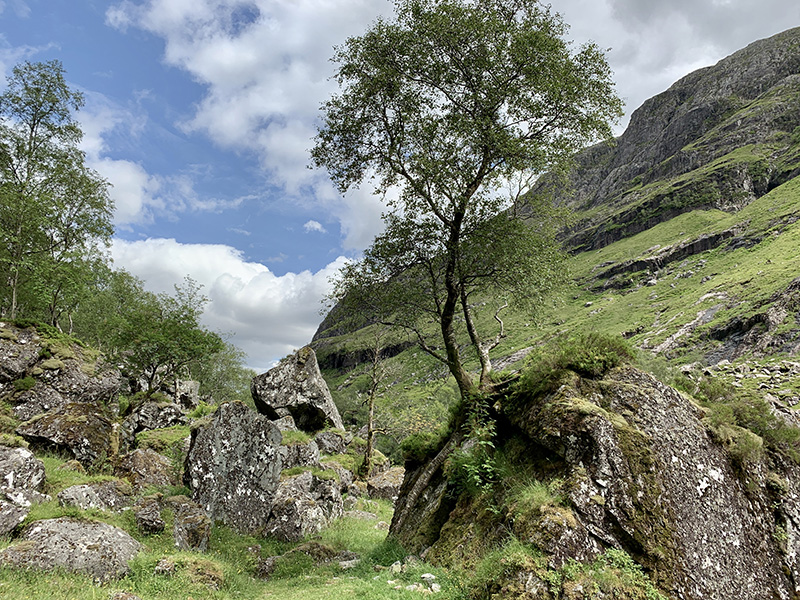
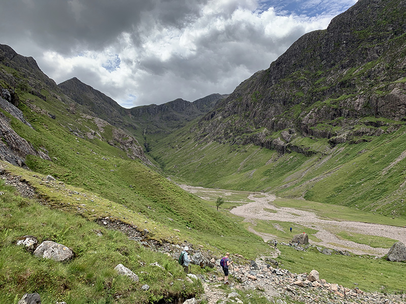
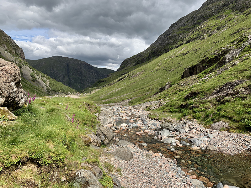
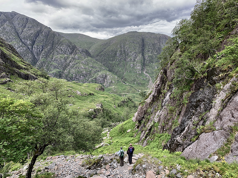
 Quiriang (7 km)
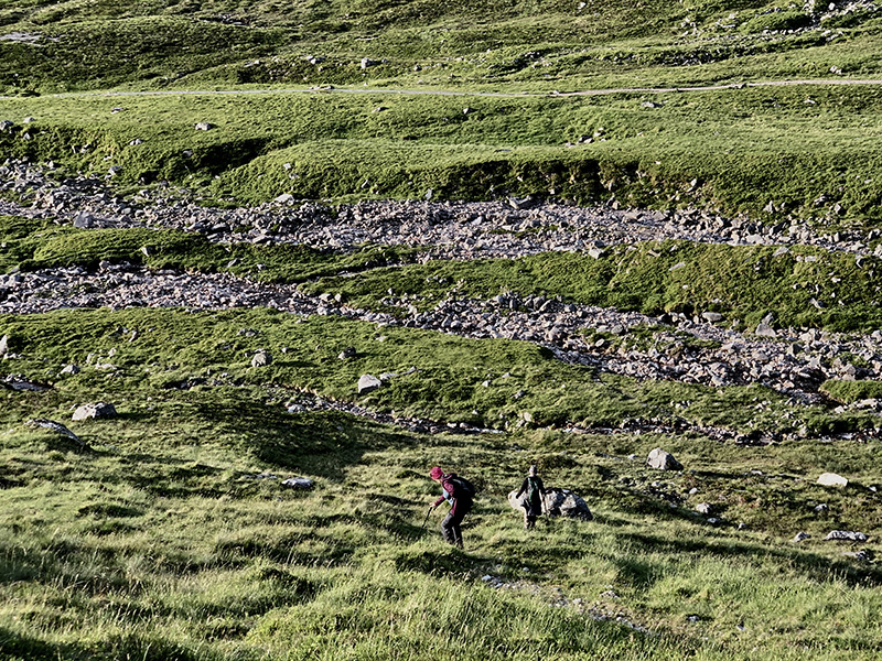
Quiriang from trailhead (upper) on Quiraing Road (C1225) and return. 7 km, 450 m total ascent.Click on wikiloc logo for more info
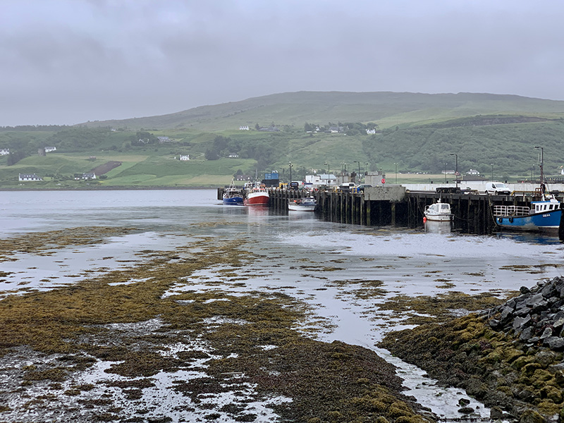
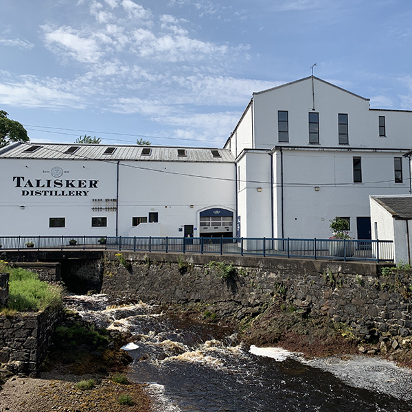
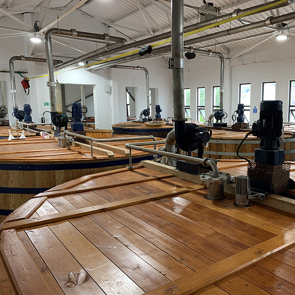
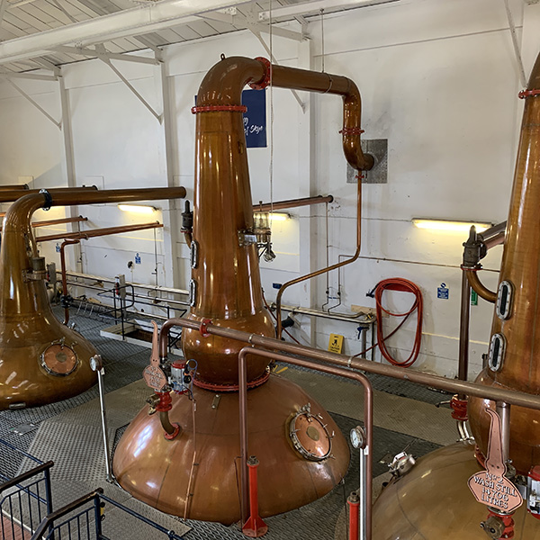
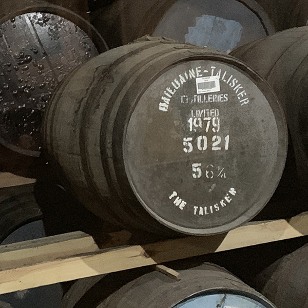
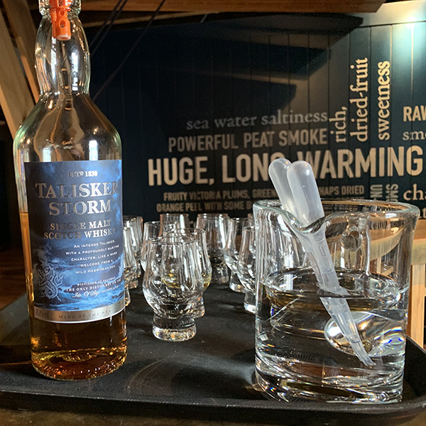
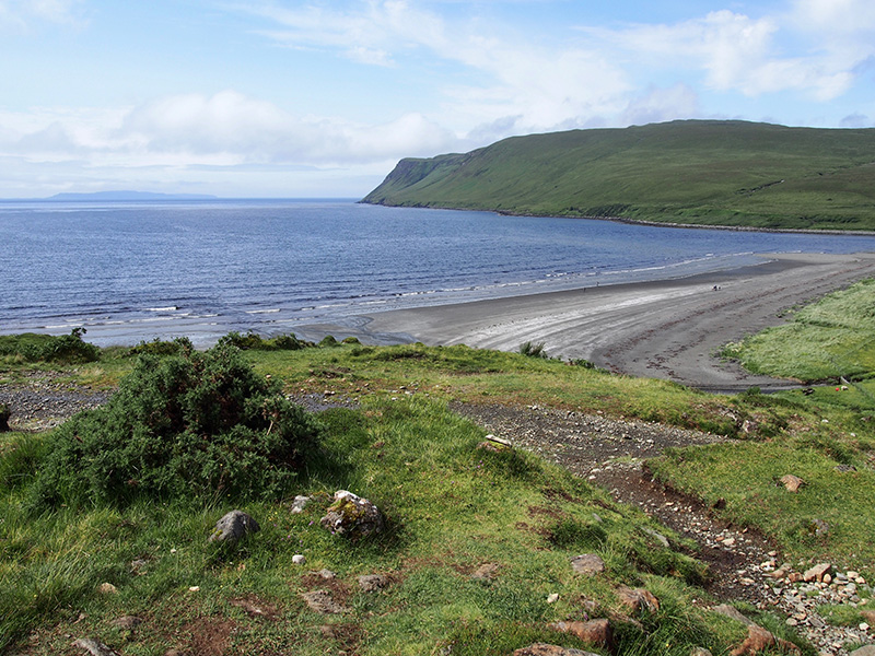
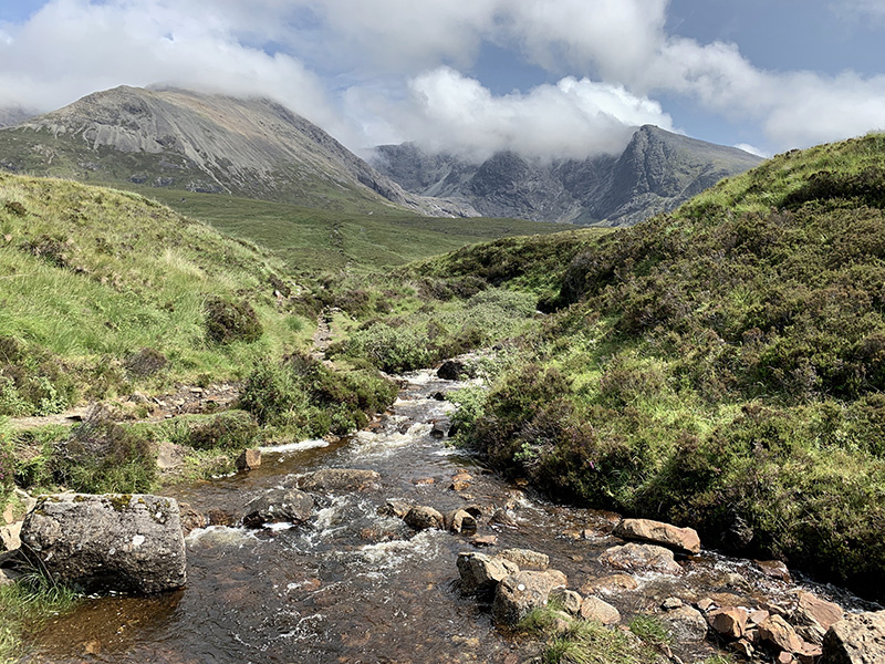
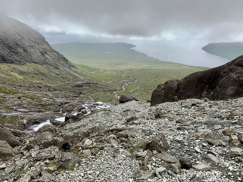
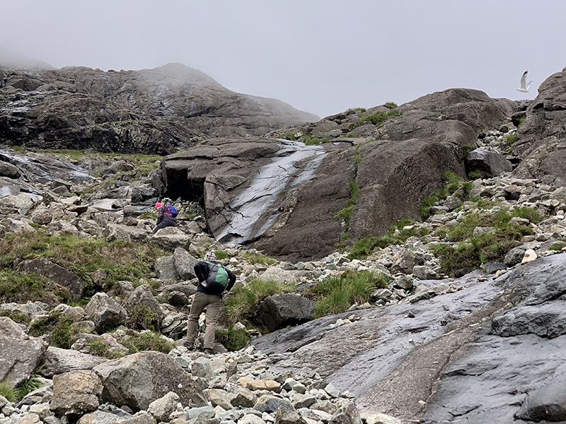
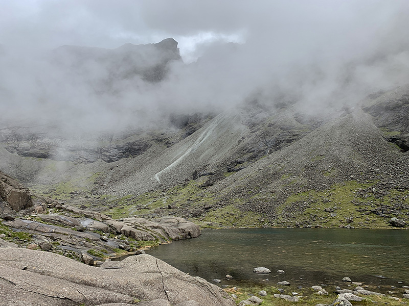
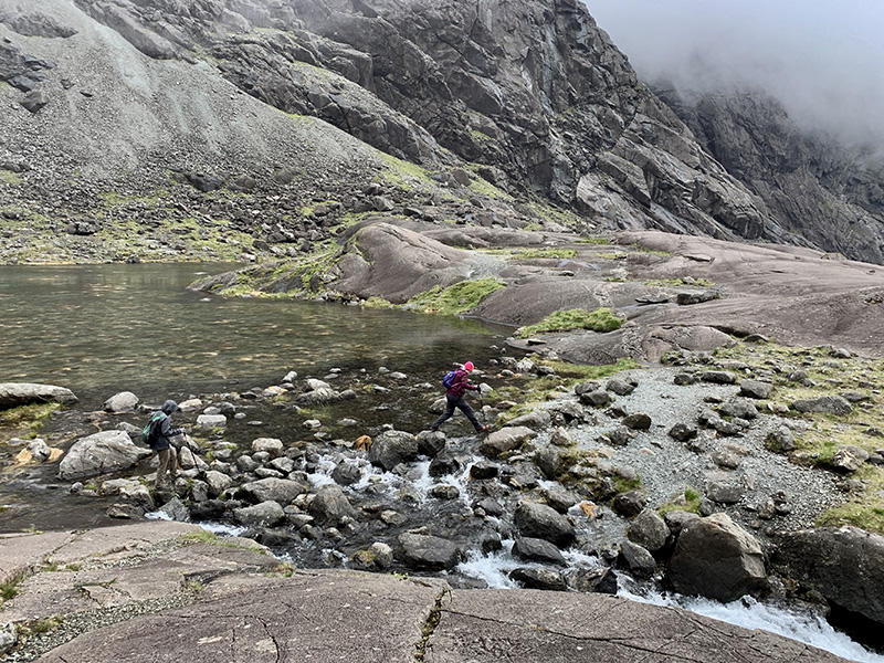
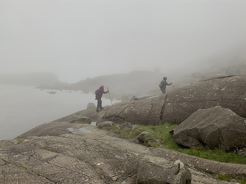
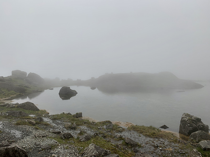
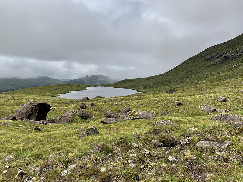
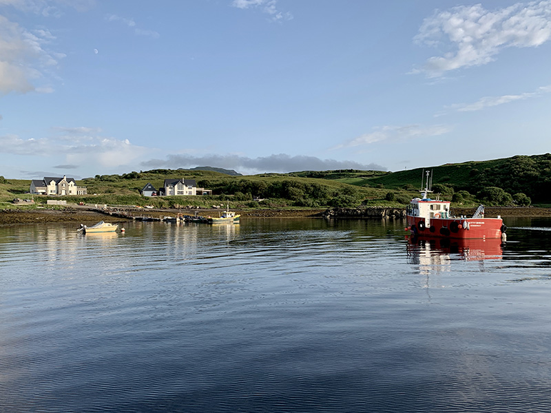
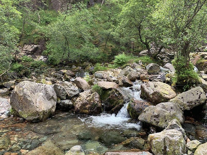
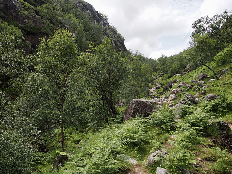
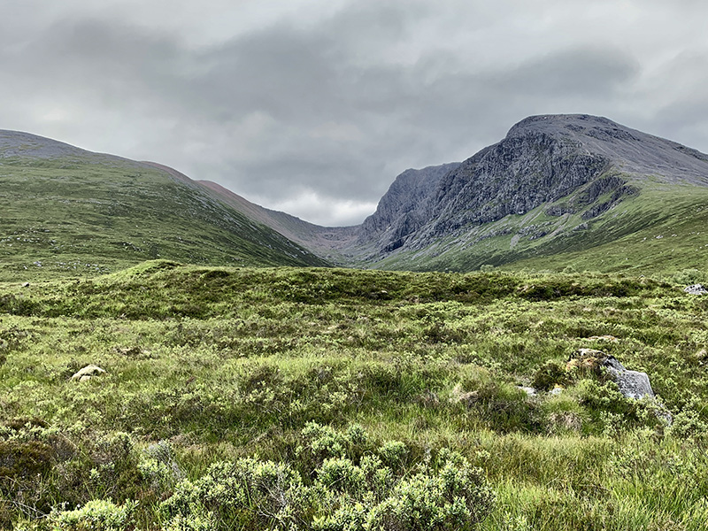
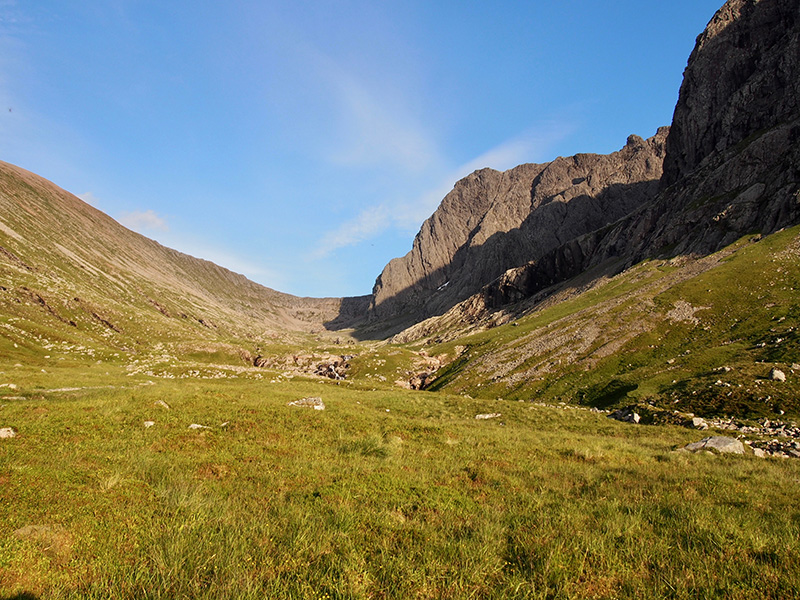
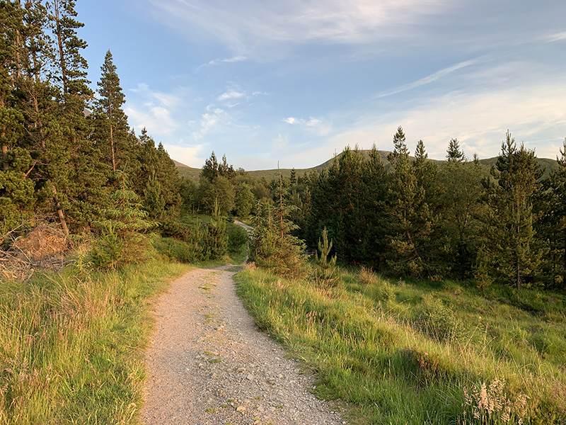
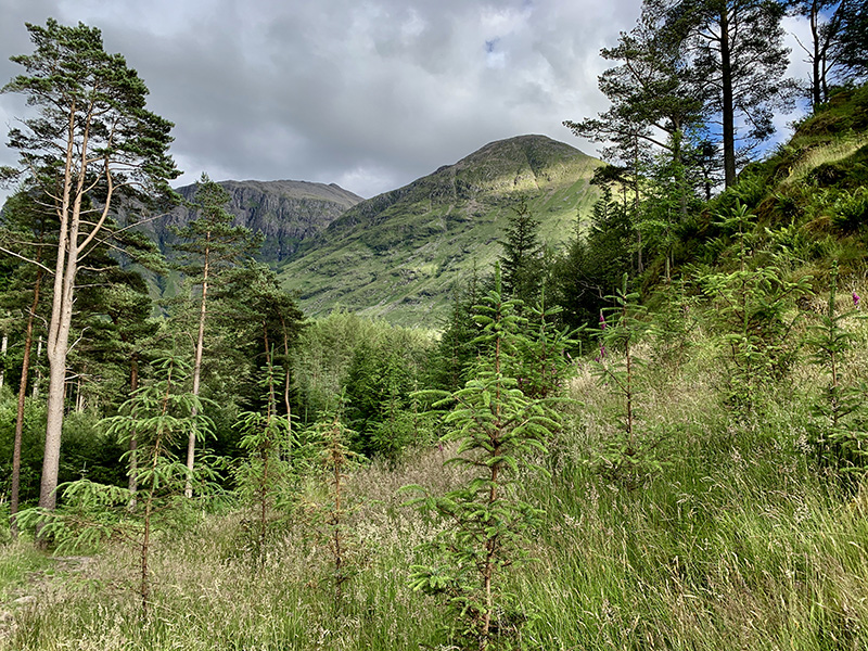
The next day we were ready for another hike, but we started by visiting Talisker Distillery in Carbost ☞ Talisker (recommended), a short drive from Portnalong. The tour was well organized and disciplined, informative. Talisker taste is distinct and takes time to appreciate. We did some prep work in Chicago. We parked our car at Glen Brittle beach, walked through the campsite and up on Lochan Coire Lagan trail (recommended). The trail is easy, with some rock scrambling at the end, it was a beautiful hike. We walked near small waterfall and around the little lake with views changing between sunny and dense fog. We walked down on a different trail, via Loch an Fhir-bhallaich, around the village and back to the beach.We spent an hour strolling on the beach at low tide. We got a good view of Fairy Pools valley and drove to Portnalong pier before returning to But & Ben.
 Lochan Coire Lagan (10 km)
Glen Brittle beach trailhead-Lochan Coire Lagan, return via Loch an Fhir-bhallaich, 10 km, 600 m total ascent.Click on wikiloc logo for more info