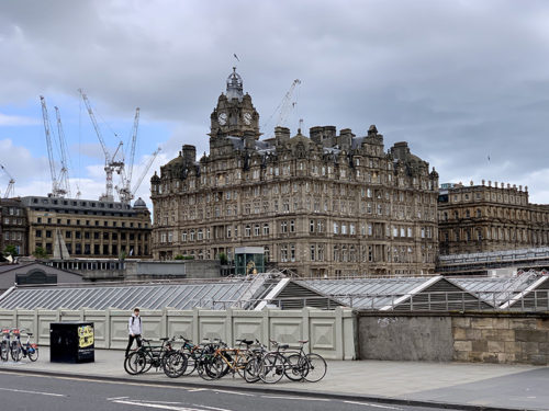
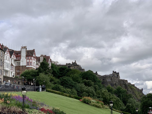
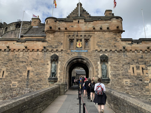
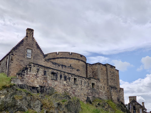
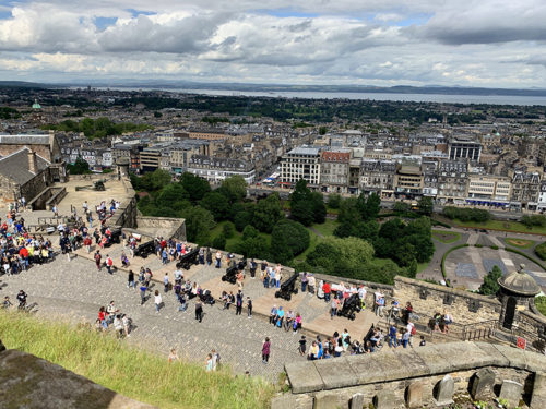
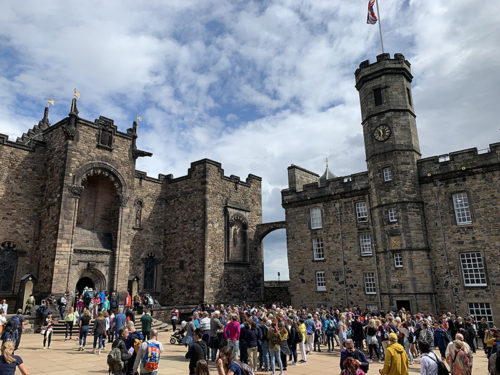
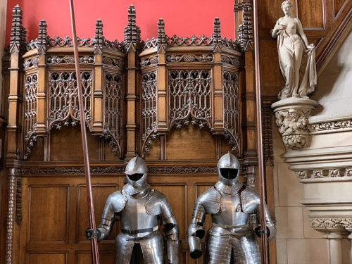
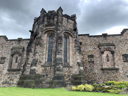
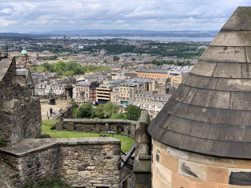
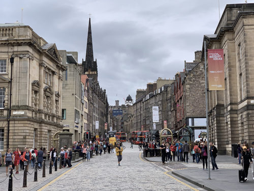
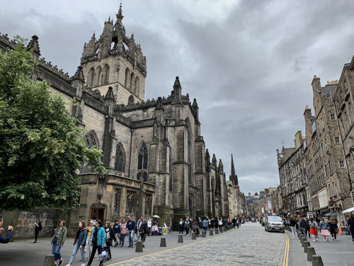
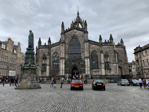
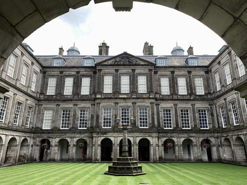
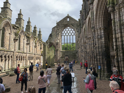
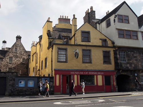
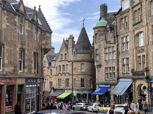
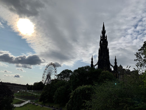
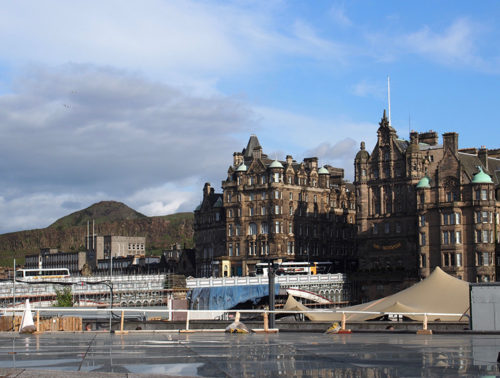
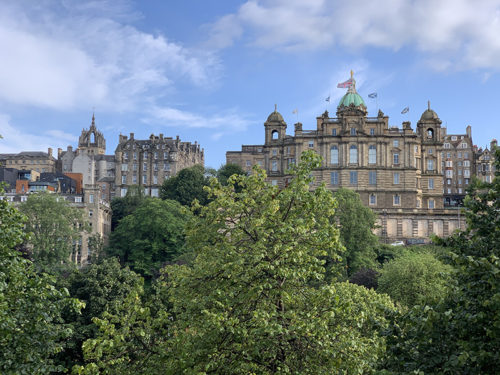
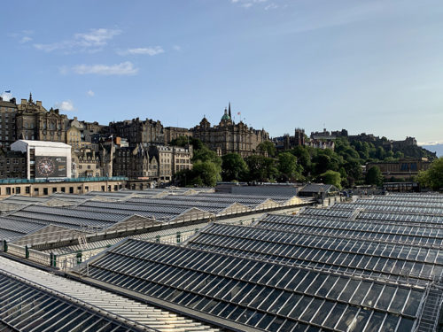
We started our 21-day trip to Scotland visiting Islands of Mull and Skye, then Highlands, and finished in Glasgow, with two day-trips to Edinburgh.Mostly self-driving, self-catering and walking. Rental car (Renault Captur from Enterprise (good service at GLA) gave us flexibility and with two drivers we had no problem driving on the left side nor on single-track roads. Traffic was light most of the time, some roads were pretty much empty. No problems finding parking (only some parking lots filled close to capacity). The weather was much better than anticipated, more sun and less rain, but we made some adjustments to avoid rainy weather for longer hikes (we hiked in light rain only twice). Hiking was meant to be a good part of our trip and we liked all the hikes very much. Quiraing (close to trailhead) and Lost Valley trails were crowded. Despite beautiful weather Ben Nevis summit looked surprisingly empty in late afternoon. There were quite a few hikers still going up and down the main trail, but we expected many more. Edinburgh had many visitors, but fewer than other similar tourist destinations. All the places where we stayed (mentioned in posts) were very good and made our trip easier and more enjoyable, and deserve recommendation.
We started our 21-day trip to Scotland visiting Islands of Mull and Skye, then Highlands, and finished in Glasgow, with two day-trips to Edinburgh.Mostly self-driving, self-catering and walking. Rental car (Renault Captur from Enterprise (good service at GLA) gave us flexibility and with two drivers we had no problem driving on the left side nor on single-track roads. Traffic was light most of the time, some roads were pretty much empty. No problems finding parking (only some parking lots filled close to capacity). The weather was much better than anticipated, more sun and less rain, but we made some adjustments to avoid rainy weather for longer hikes (we hiked in light rain only twice). Hiking was meant to be a good part of our trip and we liked all the hikes very much. Quiraing (close to trailhead) and Lost Valley trails were crowded. Despite beautiful weather Ben Nevis summit looked surprisingly empty in late afternoon. There were quite a few hikers still going up and down the main trail, but we expected many more. Edinburgh had many visitors, but fewer than other similar tourist destinations. All the places where we stayed (mentioned in posts) were very good and made our trip easier and more enjoyable, and deserve recommendation.
Our destinations.
 Scotland 2019 itinerary
| Jul | 1 | Mon | Tarbet | Glasgow Tarbet | Opole ➜ Wroclaw ➜ WRO ➜ (Ryanair) ➜ GLA ➜ Glasgow-Enterprise car rental ➜ Balloch ➜ Luss ➜ Tarbet [@ Innischonain House] |
| 2 | Tue | Ardtun | Tarbet Ardtun | Tarbet ➜ Inveraray Castle ➜ Dun Na Cuaiche walk ➜ Rest and Be Thankful Commemorative Stone ➜ Kilmartin Nether Largie standing stones and Temple Wood stone circles, Museum of Ancient Culture ➜ Oban ➜ Oban-Craignure Ferry ➜ Bunessan ➜ Ardtun [@ Garden Caravan] | |
| 3 | Wed | Ardtun | Iona Staffa | Ardtun ➜ Fionnphort ➜ Staffa Tripsboat tour-Staffa Fingal’s Cave & puffin watching along SW coast ➜ Iona Baile Mor ➜ Nunnery & Abbey ➜ Dun I-NW coast-Baile Mor walk ➜ Fionnphort ➜ Iona Ferry ➜ Fionnphort ➜ Ardtun | |
| 4 | Thu | Ardtun | Carsaig Arches | Ardtun ➜ Carsaig ➜ Carsaig Arches trail ➜ Carsaig ➜ Ardtun | |
| 5 | Fri | Ardtun | Isle of Mull | Ardtun ➜ A849-B8035 ➜ Kilfinichen Bay/Tiroran ➜ Ben More trailhead ➜ B8035 ➜ Salen ➜ A848 ➜ Tobermory ➜ B8083 ➜ Dervaig ➜ Hill Road-B8083-A849 ➜ Ardtun | |
| 6 | Sat | Signal Rock | Ardtun Glencoe | Ardtun ➜ Duart Castle ➜ Fishnish ➜ Lochaline Ferry ➜ A884 ➜ A861 ➜ Ardgour ➜ Corran Ferry ➜ A82 ➜ Ballachulish ➜ Signal Rock trail ➜ Signal Rock/Glencoe [@ Signal Rock Cottage] | |
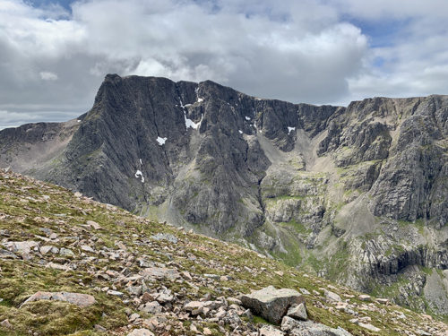
| 7 | Sun | Signal Rock | Ben Nevis | Signal Rock ➜ Torlundy ➜ North Face car park-Carn Mor Dearg-Carn Mor Dearg Arete-Ben Nevis (1345 m)-Lochan Meall an t’Suidhe-Allt a’Mhullim-North Face car park trail ➜Signal Rock | |
| 8 | Mon | Signal Rock | Lost Valley | Signal Rock ➜ Three Sisters trailhead ➜ Lost Valley trail ➜ Glen Etive-Loch Achtriochtan ➜ Clachaig Inn Restaurant ➜ Signal Rock | |
| 9 | Tue | Portnalong | Glencoe Portnalong | Signal Rock ➜ Ballachulish ➜ Fort Wiliam ➜ Invergarry ➜ Eilean Donan Castle ➜ Kyle of Lochalsh ➜ Skye Bridge ➜ Sligachan ➜ Satran ➜ Glen Brittle ➜ Fairy Pools trailhead ➜ Glen Brittle Forest walk ➜ Satran ➜ Portnalong [@ But&Ben/Croft Bunkhouse] | |
| 10 | Wed | Portnalong | Isle of Skye Quiraing | Portnalong ➜ Portee-Uig ➜ Kilvaxter ➜ Kilmuir ➜ Uig ➜ Quiraing trailhead (on C1225) ➜ Quiraing trail ➜ Brogaig ➜ Staffin ➜ Mealt Waterfall ➜ The Old Man of Storr trail ➜ Portee ➜ Sligachan ➜ Portnalong | |
| 11 | Thu | Portnalong | Isle of Skye Lochan Coire Lagan | Portnalong-Talisker Distillery/Carbost-Glen Brittle-Lochan Coire Lagan-Loch an Fhir bhallaich-Glenbrittle beach trail-Fairy Pools trailhead-Carbost-Portnalong | |
| 12 | Fri | Invergarry | Portnalong Invergarry | Portnalong ➜ Broadford ➜ Elgol Camasunary trail ➜ Elgol ➜ Broadford (Creelers of Skye) ➜ Skye Bridge ➜ Invergarry [@ Nursery Cottages] | |
| 13 | Sat | Glasgow | Invergarry Glasgow | Invergarry ➜ Aberfeldy ➜ Balquhidder ➜ Creag an Tuirc trail ➜ Balquhidder ➜ Doune Castle ➜ Stirling Castle ➜ Glasgow [@ Finniestone Flat Blackie Street] | |
| 14 | Sun | Glasgow | Glasgow | Rest day, return rental car at GLA, Joanna attending conference July 14-18 | |
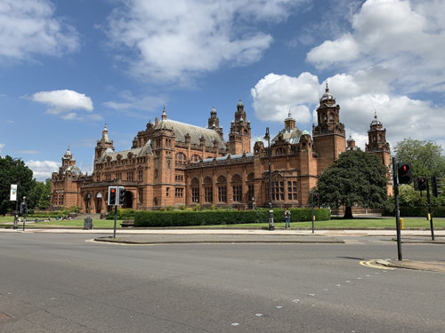
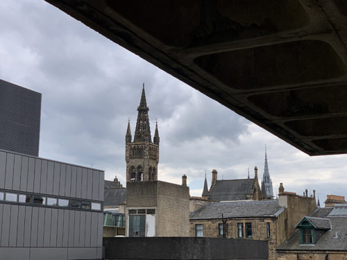
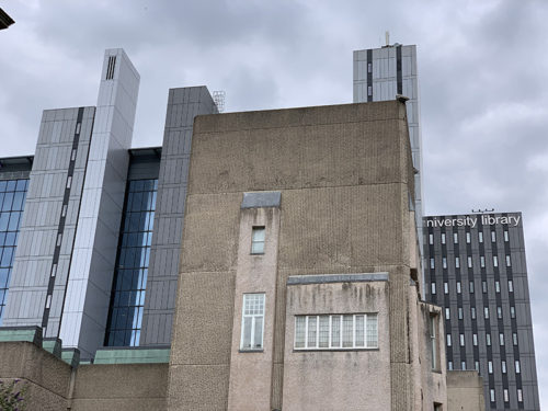
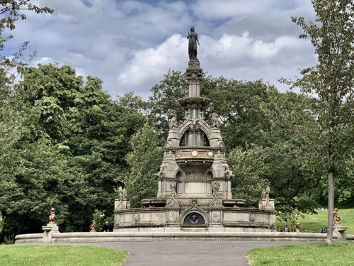
| 15 | Mon | Glasgow | Glasgow | (Piotr) Finnieston and neighborhood: Glasgow University-Kelvingrove Park-Argyle St | |
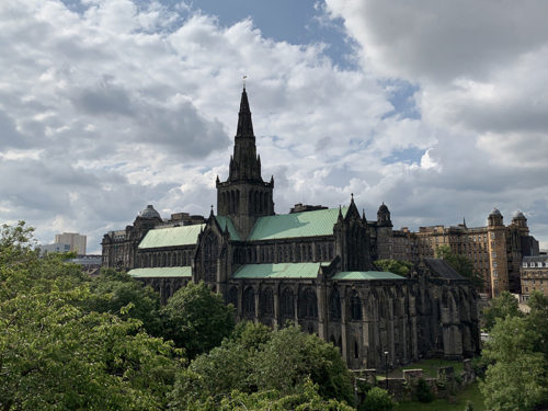
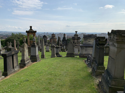
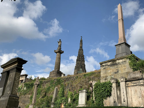
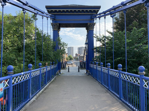
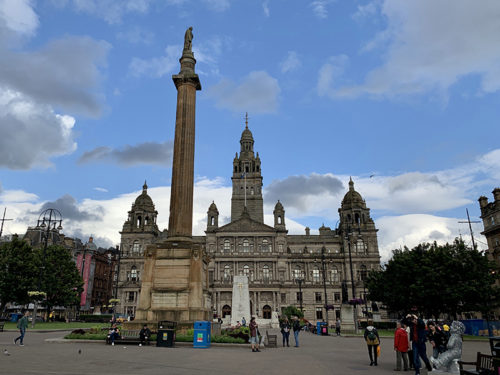
| 16 | Tue | Glasgow | Glasgow | Blackie Street-Exhibition Centre Station ➜ (ScotRail) ➜ Glasgow Central Station-George Square-Cathedral-Necropolis-Glasgow Green-St Andrew’s Suspension Bridge-Victoria Bridge-Buchanan St-Glasgow Central Station ➜ (ScotRail) ➜ Exhibition Centre Station-Blackie St | |
| 17 | Wed | Glasgow | Glasgow | (Piotr) Finnieston and neighborhood: Blackie St-Argyle St-Charing Cross-Sauchiehall St-Berkeley St-Argyle St-Blackie S | |
| 18 | Thu | Glasgow | Glasgow | (Piotr) Finnieston and neighborhood: Blakie St-SEC Centre-River Clyde-Riverside Museum-Old Dumbarton Rd-Argyle St-Blakie St | |
| 19 | Fri | Glasgow | Glasgow | Blackie St ➜ Uber ➜ Queen Street Station ➜ (ScotRail) ➜ Edinburgh ➜ (ScotRail) ➜ Queen Street Station ➜ Blakie St via George Square, Vincent St and Argyle St | |
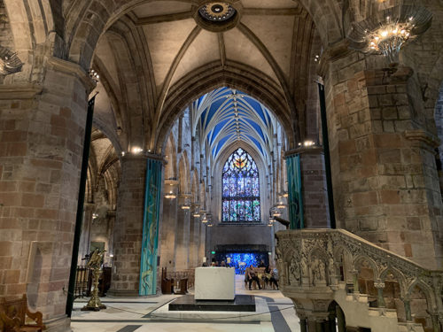
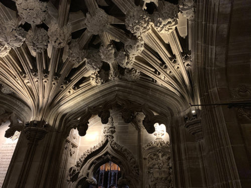
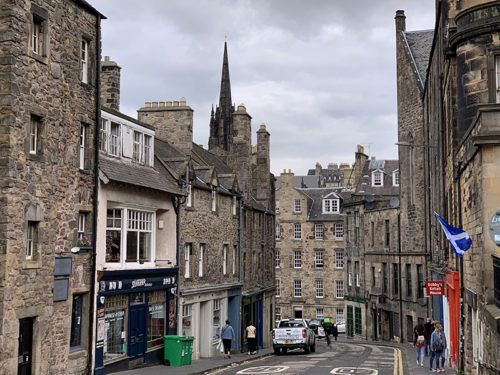
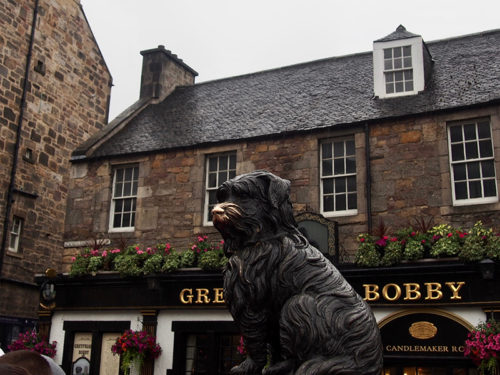
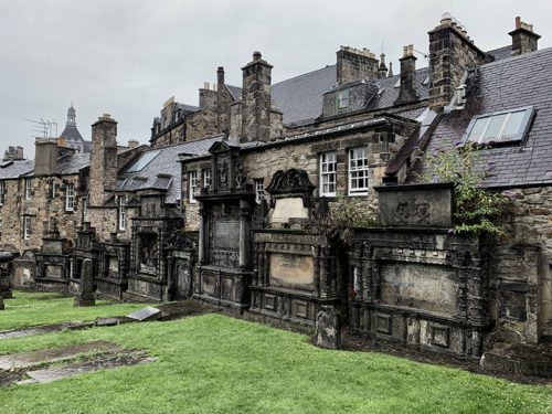
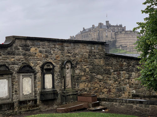
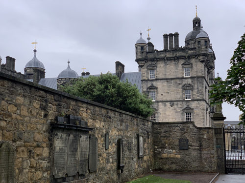
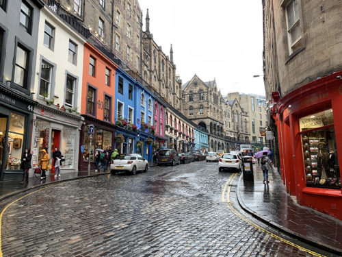
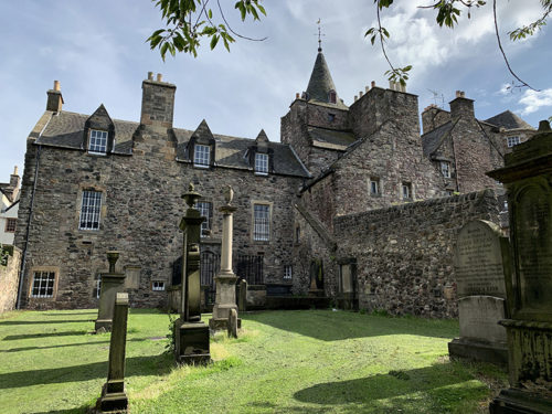
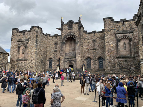
| Edinburgh | Waverley Station ➜ Market St-Castle-High St-St Giles’ Cathedral-George IV Bridge-Greyfriars Kirkyard-Candlemaker Row-Victoria St-High St ➜ Waverley Station | ||||
| 20 | Sat | Glasgow | Glasgow | Walk from Blackie St to Glasgow Queen Street Station via Vincent St ➜ (ScotRail) ➜ Edinburgh ➜ (ScotRail) ➜Queen Street Station ➜ Blakie St via Bath St | |
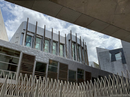
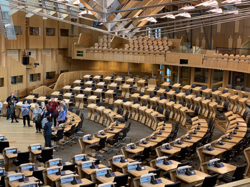
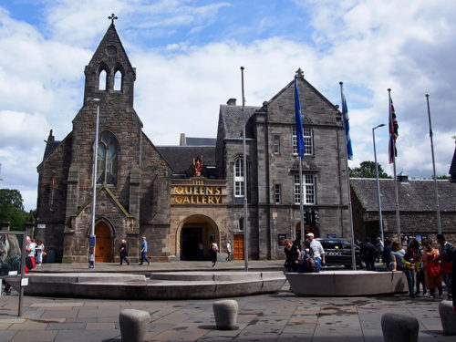
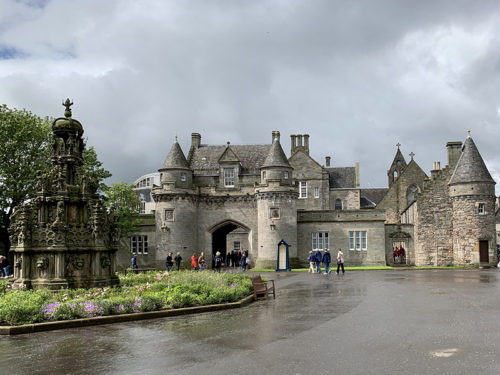
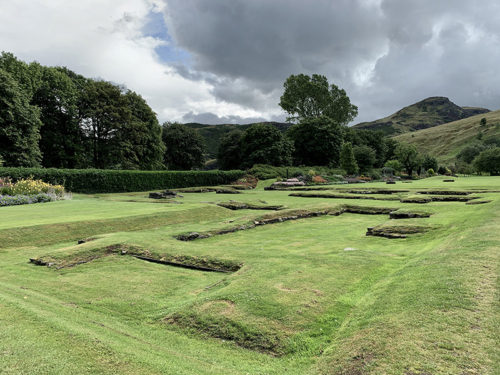
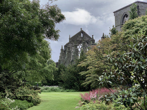
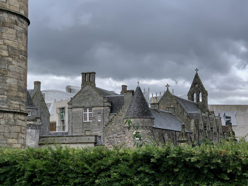
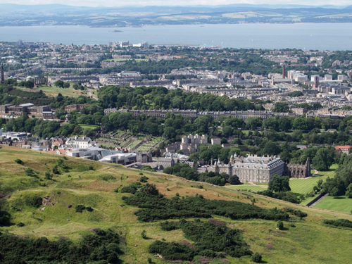
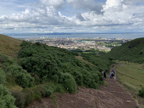
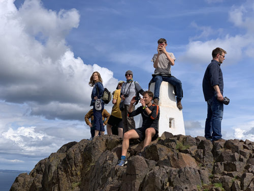
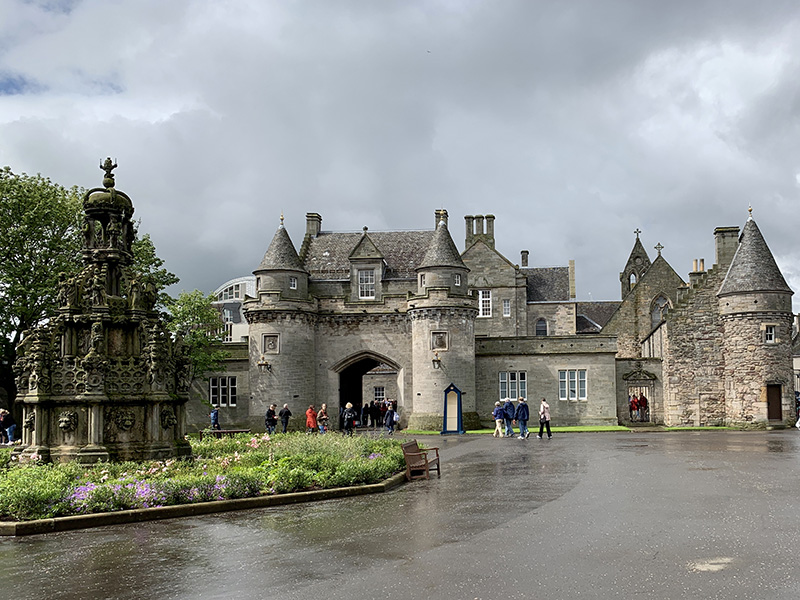
| Edinburgh | Waverley Station ➜ Canongate-Scottish Parliament-Palace of Holyroodhouse ➜ Arthur’s Seat trail ➜ Scottish Parliament-Canongate Kirk-Cockburn St-Waverley Bridge-Princes St-Scott Monument-Scottish National Gallery-Balmoral Hotel ➜ Waverley Station | ||||
| 21 | Sun | Chicago | Finneston ➜ GLA ➜ (United )➜ EWR ➜ ORD |
 Scotland video clips
 Hiking in Scotland
☞ List of our day hikes
☞ Walking Highlands
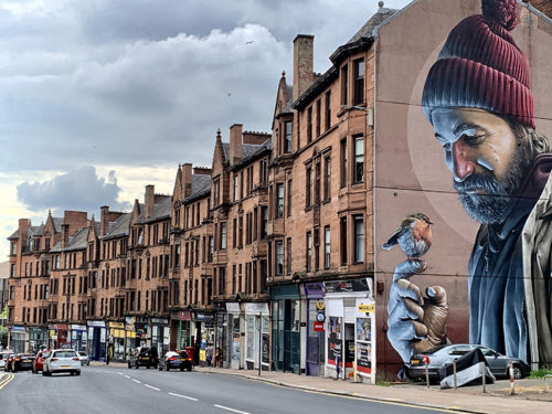
☞ Murals of Glasgow
Highlights

 Arthur’s Seat (3 km)