We planned the road trip for quite sometime, but it was only this year that we were able to pull it off. The initial plan was very ambitious (we skipped some destinations shown in red on overview map) as there are so many places one would want to see across six provinces/teritories (ON, MB, SK, AB, BC, YT) and eight states (IL, WI, MN, WA, ID, MT, ND, AK). We were in Alaska 40 of the 103 days. We crossed US-Canada border 8 times. The interactive map shows places where we stayed O/N, more often in areas explored in-depth.
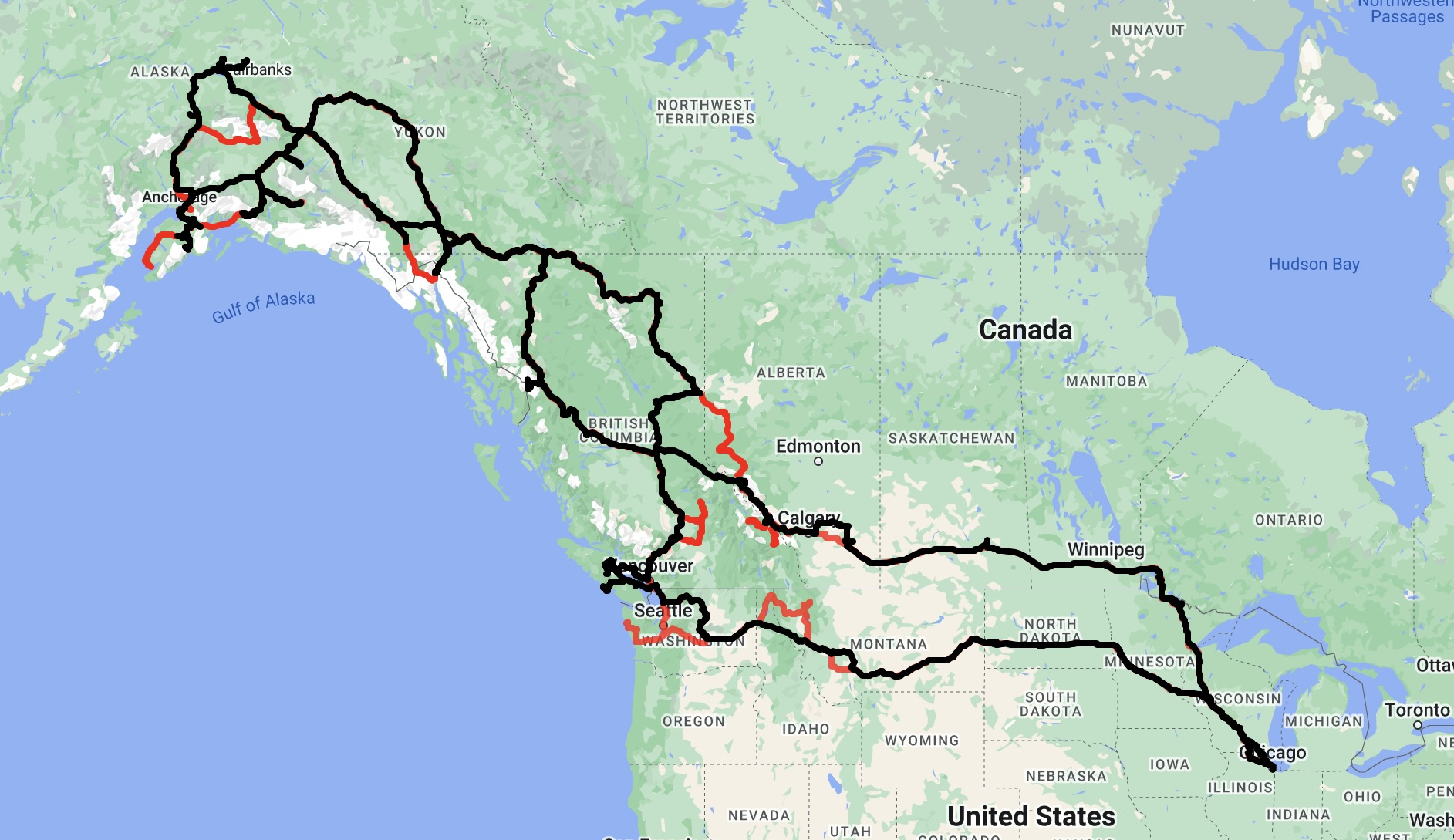
The plan was to drive between major destinations and camp in our car or tent most of the time (campgrounds and wild camping), stay in motels/hotels/cabins from time to time. Altogether we stayed in 76 different destinations. We drove 13000 miles with only several longer driving days (longest was 660 miles on return to Chicago from Fargo). We hiked/walked more than 300 km.
Completed itinerary
| Day | Destinations | Overnight | ||||
| 1 | Jun | 14 | Fri | Harstad Park, Eau Claire River | IL-WI | Harstad CG |
| 2 | 15 | Sat | Voyageurs NP | MN | Woodenfrog CG | |
| 3 | 16 | Sun | Voyageurs NP | MN | RiverFront Hotel, International Falls | |
| 4 | 17 | Mon | Voyageurs NP, Rainy Lake, Rushing River PP | ON | Rushing River CG | |
| 5 | 18 | Tue | Kenora, Anicinabe Park | ON | Kenora Traveloge | |
| 6 | 19 | Wed | Trans Canada Hwy, Portage Spillway PP | MB | Trans Canada Hwy wild camping | |
| 7 | 20 | Thu | Echo Valley PP | SK | Echo Valley CG | |
| 8 | 21 | Fri | Echo Valley PP, Trans Canada Hwy | SK-AB | Tel Star Motor Inn, Brooks | |
| 9 | 22 | Sat | Dinosaur PP hiking, Little Fish PP | AB | Little Fish CG | |
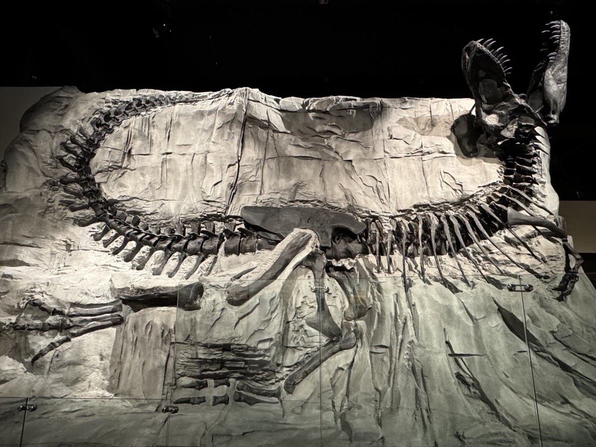
| 10 | 23 | Sun | Midland PP hiking, Royal Tyrrell Museum | AB | Two Jack Main CG | |
| 11 | 24 | Mon | Banff NP: Minnewanka Lake, Cascade River, Banff | AB | Banff Tunnel Mtn Village I CG | |
| 12 | 25 | Tue | Banff NP: Johnston Canyon, Ink Pots | AB | Lake Louise (hardsided) CG | |
| 13 | 26 | Wed | Banff NP: Lake Louise, Lake Agnes & Little Beehive | AB | Lake Louise (softsided) CG | |
| 14 | 27 | Thu | Yoho NP: Takakkaw Falls, Emarald Lake, Banff NP: Icefields Pkwy | BC-AB | Waterfowl Lakes CG | |
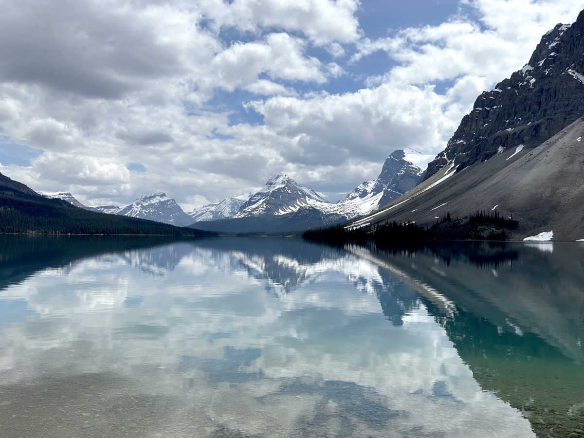
| 15 | 28 | Fri | Icefields Pkwy, Banff NP: Peyto & Bow Lake, Bow Glacier Falls | AB | Waterfowl Lakes CG | |
| 16 | 29 | Sat | Banff NP: Chephren & Cirque Lakes | AB | Waterfowl Lakes CG | |
| 17 | 30 | Sun | Banff NP: Waterfowl Lakes, Mistaya River | AB | Waterfowl Lakes CG | |
| 18 | Jul | 1 | Mon | Icefields Pkwy, Banff NP: Mistaya Canyon, Parker Ridge, Saskatchewan Glacier | AB | Wilcox CG |
| 19 | 2 | Tue | Icefields Pkwy, Jasper NP: Wilcox Pass trail, Athabasca Glacier | AB | Wilcox CG | |
| 20 | 3 | Wed | Icefields Pkwy, Jasper NP: Sunwapta Falls, Athabasca River & Falls | AB | Jasper Becker’s Chalets | |
| 21 | 4 | Thu | Jasper NP: Medicine, Maligne & Moose Lakes | AB | Jasper Becker’s Chalets | |
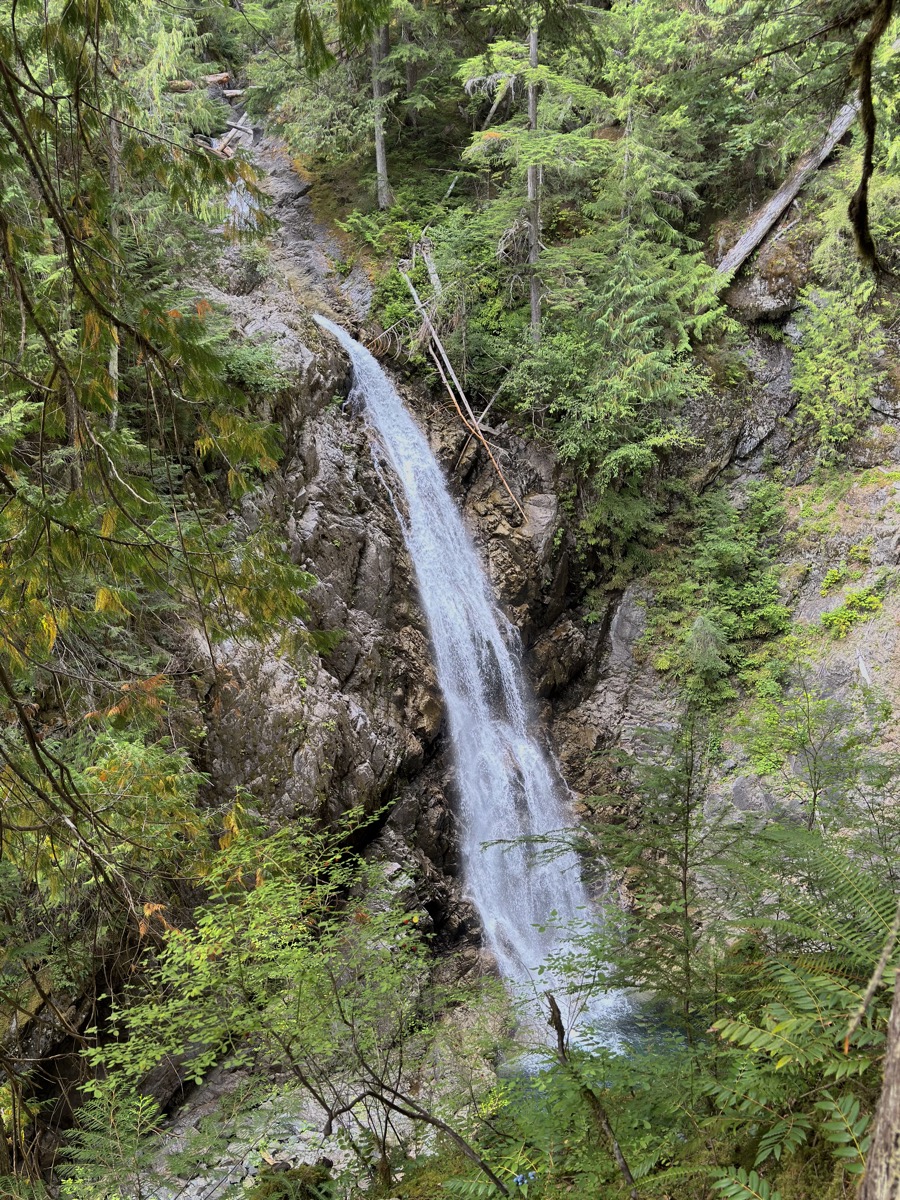
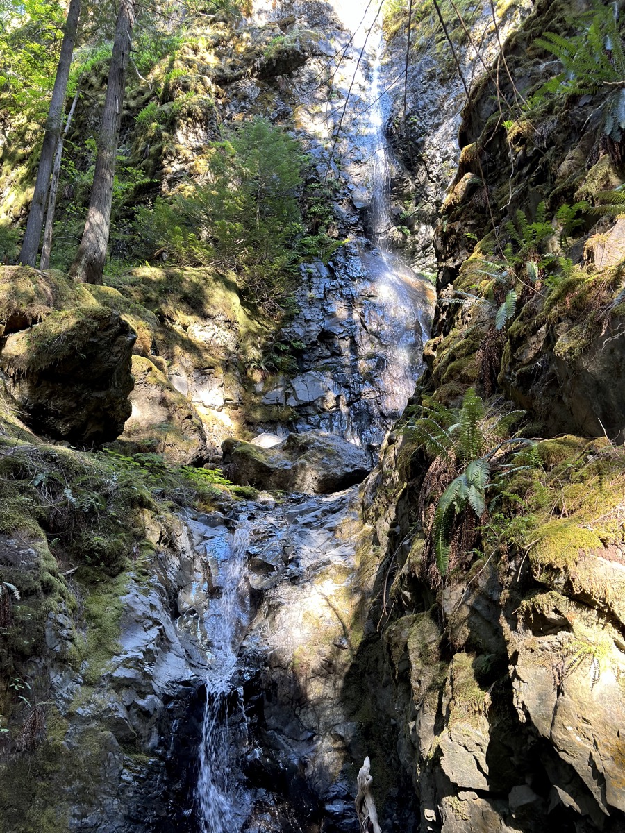
| 22 | 5 | Fri | Jasper NP: Maligne Canyon trail, Mt Robson PP: Overlander Falls | AB-BC | Robson Meadows CG | |
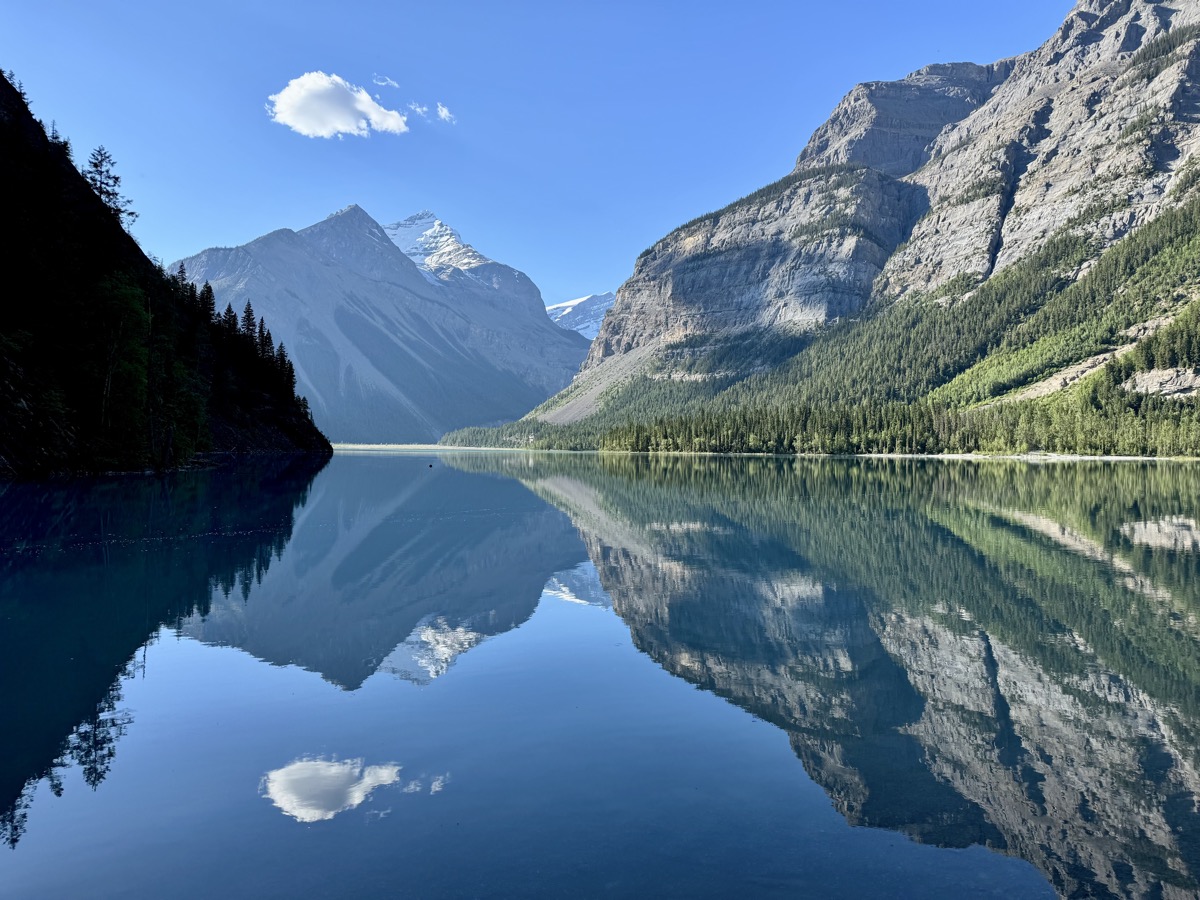
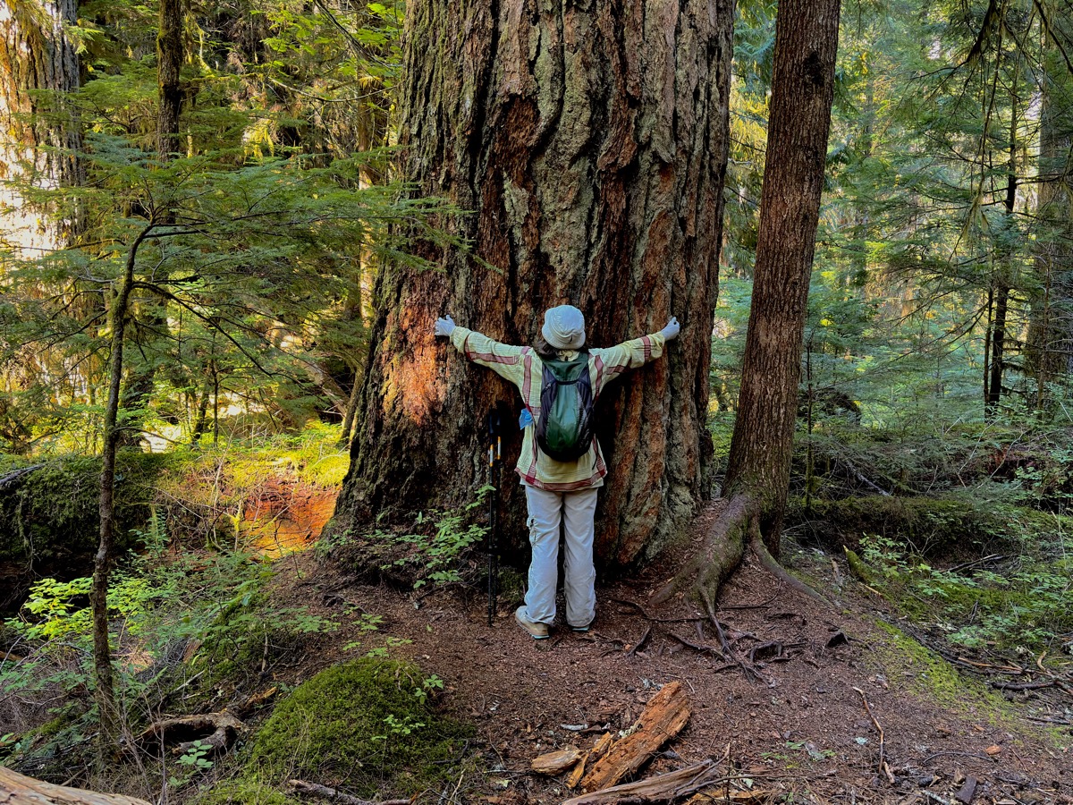
| 23 | 6 | Sat | Mt Robson PP: Kinney Lake, Valley of Thousand Falls | BC | Robson Meadows CG | |
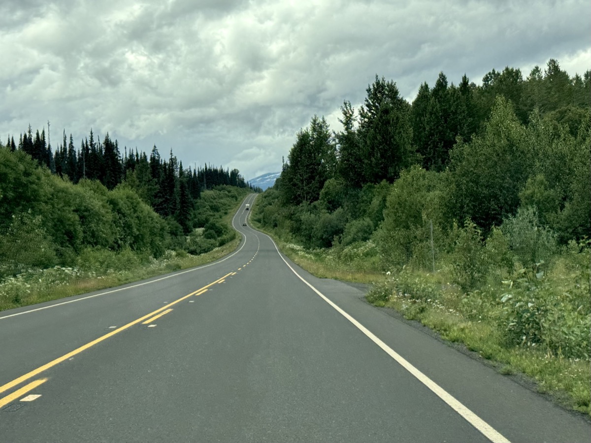
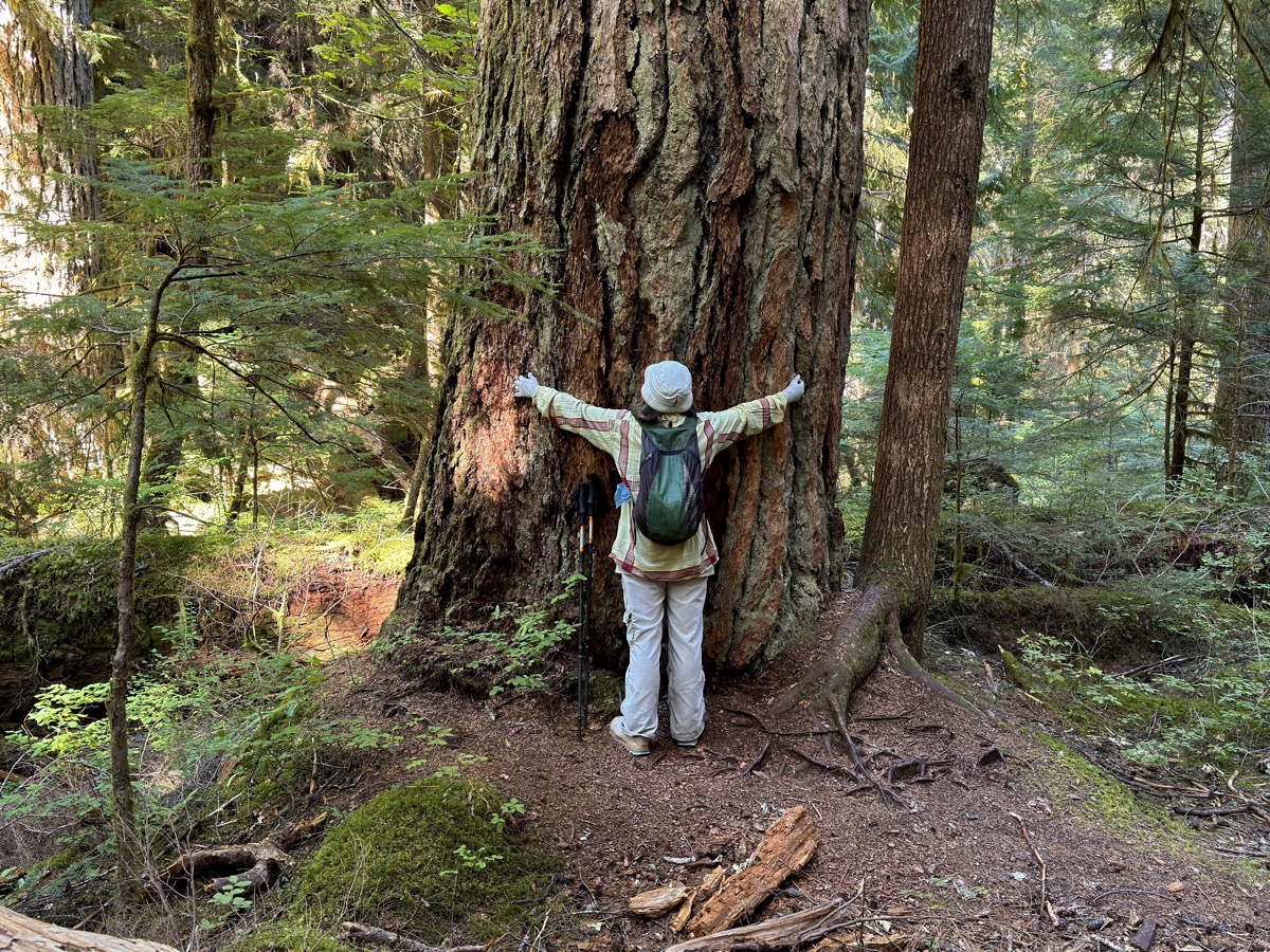
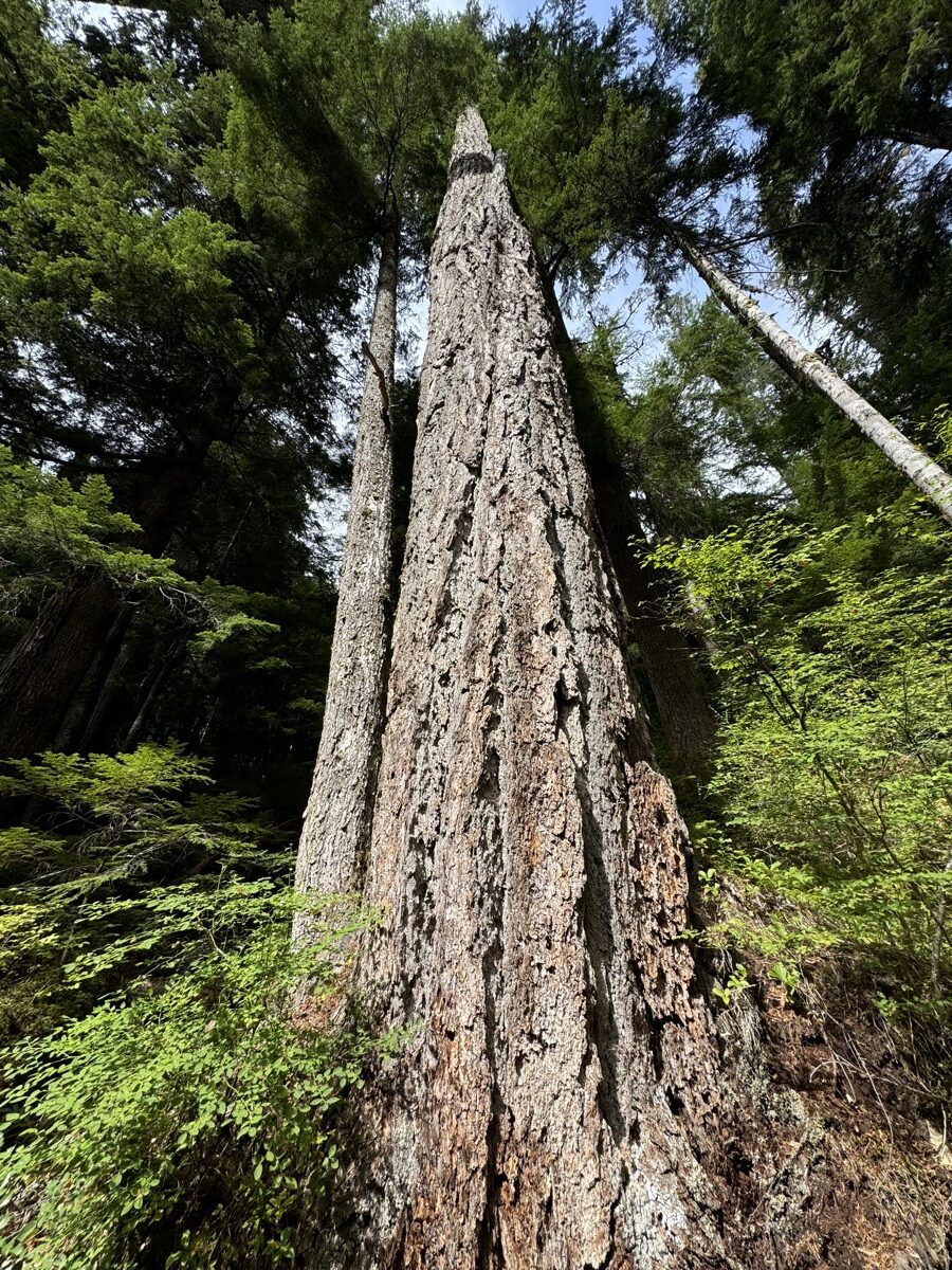
| 24 | 7 | Sun | Yellowhead Hwy: Rearguard Falls PP, Ancient Forest PP | BC | Yellowhead Hwy wild camping | |
| 25 | 8 | Mon | Yellowhead Hwy: Vanderhoof, Hagwilget, Hazelton, Ksan Village, Kitwanga | BC | Kitwanga Municipal CG | |
| 26 | 9 | Tue | Cassiar Hwy: Gitanyow Totems, Bear Glacier, Clements Lake, Stewart, Salmon Glacier | BC | Granduc Rd wild camping | |
| 27 | 10 | Wed | Stewart-Cassiar Hwy: Salmon Glacier, Fish Creek, Hyder AK, Bear Glacier | AK-BC | Dease Lake Water’s Edge cabin | |
| 28 | 11 | Thu | Cassiar Hwy: Boya Lake, Alaska Hwy | BC-YT | Alaska Hwy wild camping 1 | |
| 29 | 12 | Fri | Alaska Hwy: Teslin, Johnsons Crossing, Marsh Lake, Whitehorse | YT | Caribou RV PK | |
| 30 | 13 | Sat | Whitehorse: Yukon River, Miles Canyon | YT | Kaleido Lodge Whitehorse | |
| 31 | 14 | Sun | Klondike Hwy: Carmacks, Five Finger Rapids, Moose Creek | YT | Moose Creek CG | |
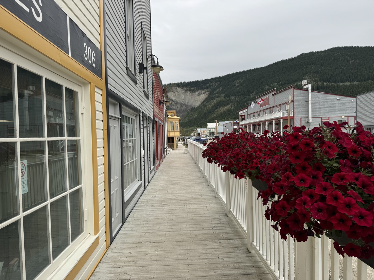
| 32 | 15 | Mon | Klondike Hwy, Dawson City, Diamond Tooth Gerties | YT | Dawson City private room | |
| 33 | 16 | Tue | Dawson City: Dredge No. 4, Bonanza Creek, Midnight Dome, Klondike & Yukon Rivers | YT | Dawson City private room | |
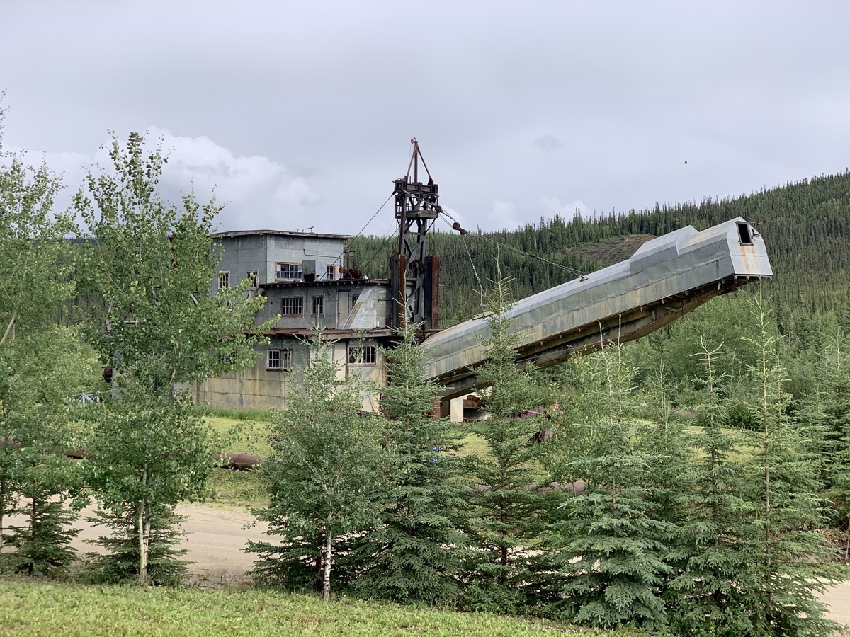
| 34 | 17 | Wed | Yukon ferry, Top of the World Hwy, Taylor Hwy, Chicken AK, Pedro Dredge | YT-AK | Taylor Hwy wild camping | |
| 35 | 18 | Thu | Alaska Hwy, Delta Junction, Richardson Hwy | AK | Chatanika Lodge | |
| 36 | 19 | Fri | Fairbanks, Chatanika | AK | Chatanika Lodge | |
| 37 | 20 | Sat | Fairbanks: Pioneer Park, Tanana River | AK | Chatanika Lodge | |
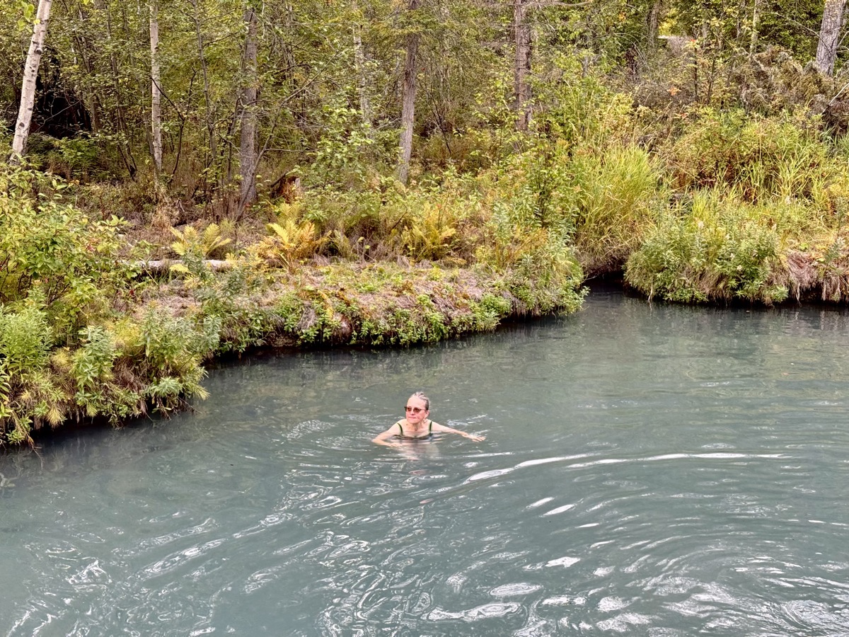
| 38 | 21 | Sun | Chena River, Angel Rocks, Chena Hot Springs | AK | Granite Tors CG | |
| 39 | 22 | Mon | Parks Hwy, Nenana, Denali NP | AK | Riley Creek CG | |
| 40 | 23 | Tue | Denali NP: Savage Alpine Trail | AK | Riley Creek CG | |
| 41 | 24 | Wed | Denali NP: East Fork Toklat River, Cathedral Mountain | AK | Riley Creek CG | |
| 42 | 25 | Thu | Denali NP: Savage River, Horseshoe Lake, Nenana River | AK | Riley Creek CG | |
| 43 | 26 | Fri | Parks Hwy, Talkeetna | AK | Talkeetna Cabin | |
| 44 | 27 | Sat | Talkeetna, Parks Hwy, Hatcher Pass, Independence Mine | AK | Eklutna Lake CG | |
| 45 | 28 | Sun | Chugach SP, Eklutna Lake | AK | Eklutna Lake CG | |
| 46 | 29 | Mon | Eklutna, Anchorage, Ship Creek | AK | Anchorage Airbnb | |
| 47 | 30 | Tue | Seward Hwy: Turnagain Arm, Mt Alyeska | AK | Granite Creek CG | |
| 48 | 31 | Wed | Chugach NF: Carter and Crescent Lakes, Kenai Lake | AK | Primrose CG | |
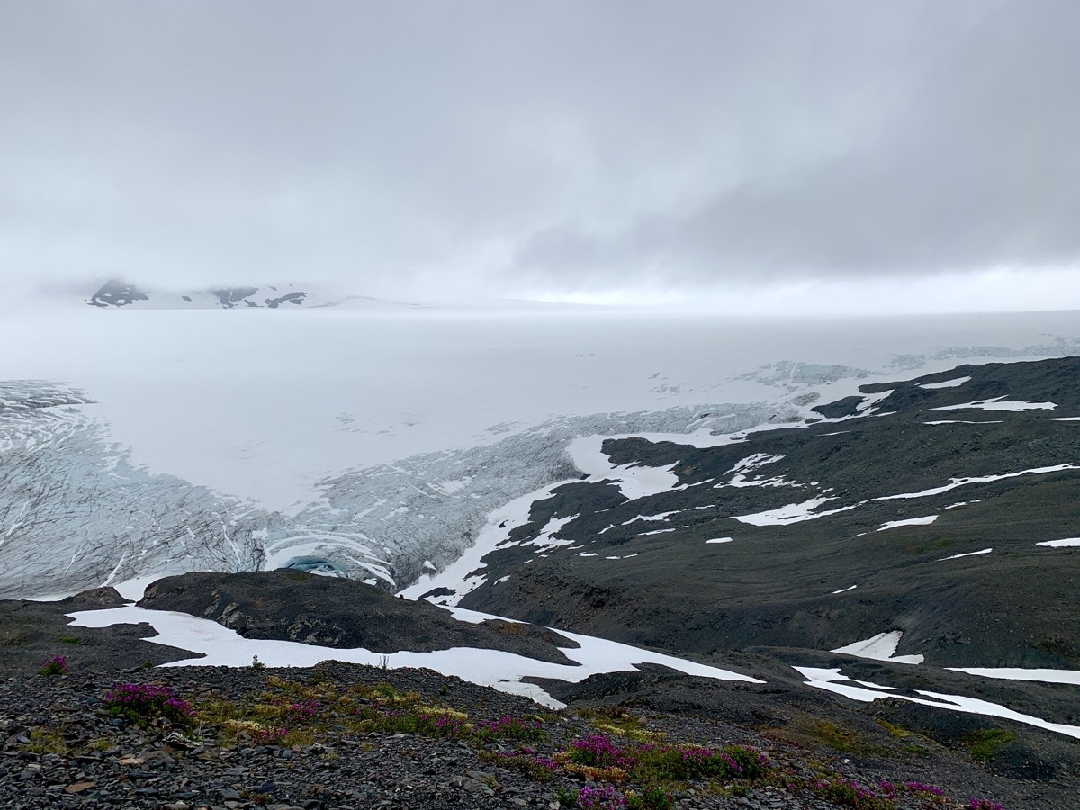
| 49 | Aug | 1 | Thu | Kenai Fjords NP: Exit Glacier, Harding Icefield | AK | Resurection River wild camping |
| 50 | 2 | Fri | Resurection River, Kenai Fjords NP: Exit Glacier, Seward | AK | Nauti Otter Inn Seward | |
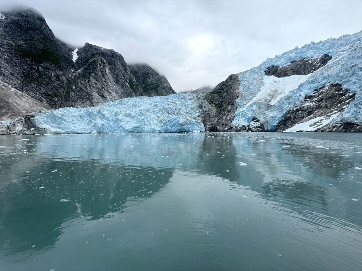
| 51 | 3 | Sat | Kenai Fjords NP: Northwestern Glacier | AK | Trail River CG | |
| 52 | 4 | Sun | Ptarmigan Lake trail, Tern Lake, Kenai Lake | AK | Kenai Lake wild camping | |
| 53 | 5 | Mon | Kenai River (Russian River Ferry) | AK | Cooper Creek CG | |
| 54 | 6 | Tue | Russian River & Falls, Sterling & Seward Hwy | AK | Williwaw CG | |
| 55 | 7 | Wed | Portage Lake, Whittier, Williwaw Creek, Portage Valley, Anchorage | AK | Anchorage Airbnb | |
| 56 | 8 | Thu | Glenn Hwy, Chugach Mountains, Matanuska Glacier, Tazlina Glacier | AK | Lake Louise Rd wild camping | |
| 57 | 9 | Fri | Richardson Hwy, Tonsina, Worthington Glacier, Thompson Pass | AK | Sheep Creek wild camping | |
| 58 | 10 | Sat | Richardson Hwy, Valdez, Columbia Glacier | AK | Valdez Airport Mancamp Hotel | |
| 59 | 11 | Sun | Valdez Glacier Lake, Duck Flats, Old Valdez, Richardson Hwy, Edgerton Hwy | AK | Gilpatricks Hotel Chitina | |
| 60 | 12 | Mon | Chitina, Chitina & Copper Rivers, O’Brien Creek | AK | Gilpatricks Hotel Chitina | |
| 61 | 13 | Tue | McCarthy Rd, Kennecott, Wrangell-St. Elias NP | AK | McCarthy CG | |
| 62 | 14 | Wed | Wrangell-St. Elias NP: Root Glacier | AK | Root Glacier moraine backpacking | |
| 63 | 15 | Thu | Wrangell-St. Elias NP: Root Glacier | AK | Root Glacier moraine backpacking | |
| 64 | 16 | Fri | Wrangell-St. Elias NP: Kennicott & Root Glaciers, Erie Mine | AK | Root Glacier moraine backpacking | |
| 65 | 17 | Sat | Wrangell-St. Elias NP: Root Glacier, Wrangell Mts, Gilahina Trestle | AK | Gilahina Trestle wild camping | |
| 66 | 18 | Sun | Wrangell-St. Elias NP: Crystalline Hills, McCarthy Rd | AK | Snowshoe Haven Cabins Gakona | |
| 67 | 19 | Mon | Wrangell-St. Elias NP: Nabesna Rd, Caribou Creek | AK | Kendesnii CG | |
| 68 | 20 | Tue | Wrangell-St. Elias NP: Nabesna Rd, Skookum Volcano | AK | Kendesnii CG | |
| 69 | 21 | Wed | Nabesna Rd, Tok Cutoff, Alaska Hwy | AK | Deadman Lake CG | |
| 70 | 22 | Thu | Alaska Hwy | AK-YT | Haines Junction Airbnb | |
| 71 | 23 | Fri | Kluane NP: King’s Throne | YT | Kathleen Lake CG | |
| 72 | 24 | Sat | Kluane NP: Rock Glacier, St Elias Lake | YT | Kathleen Lake CG | |
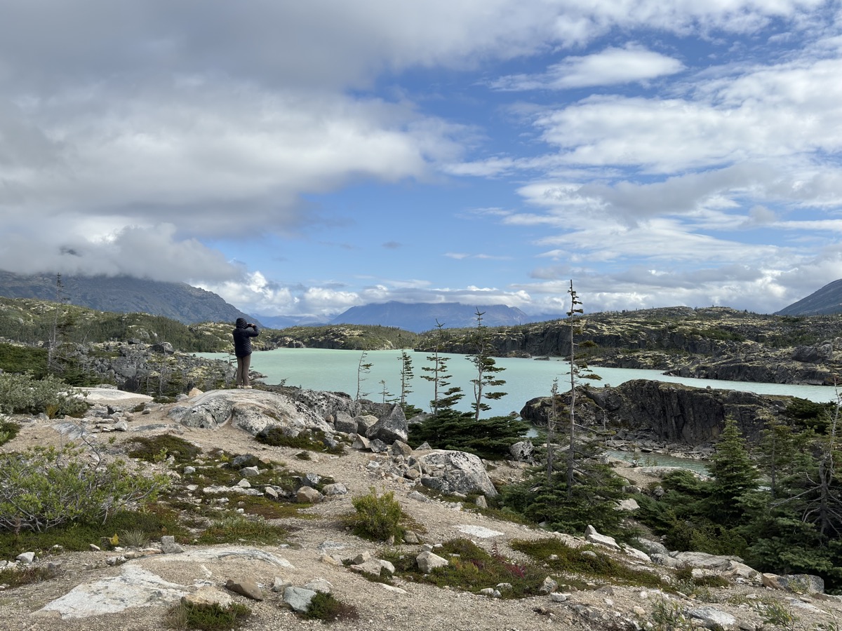
| 73 | 25 | Sun | Alaska Hwy, Klondike Hwy, Carcross Desert, Carcross, Bennett & Tagish Lakes | YT | Conrad CG | |
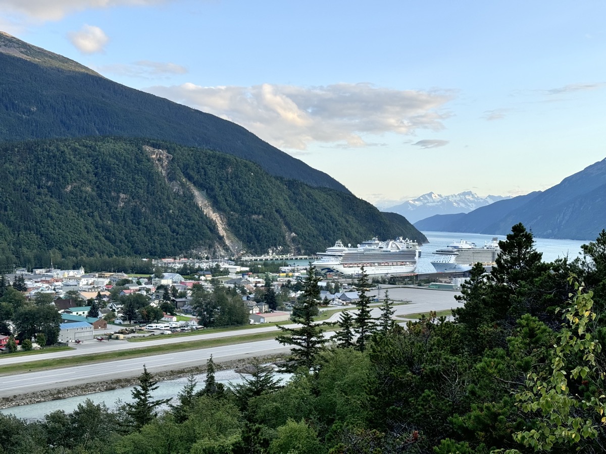
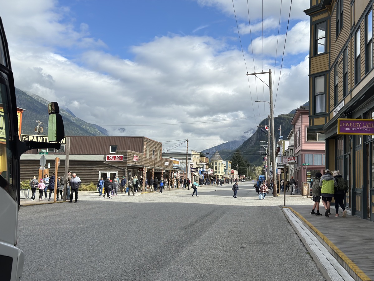
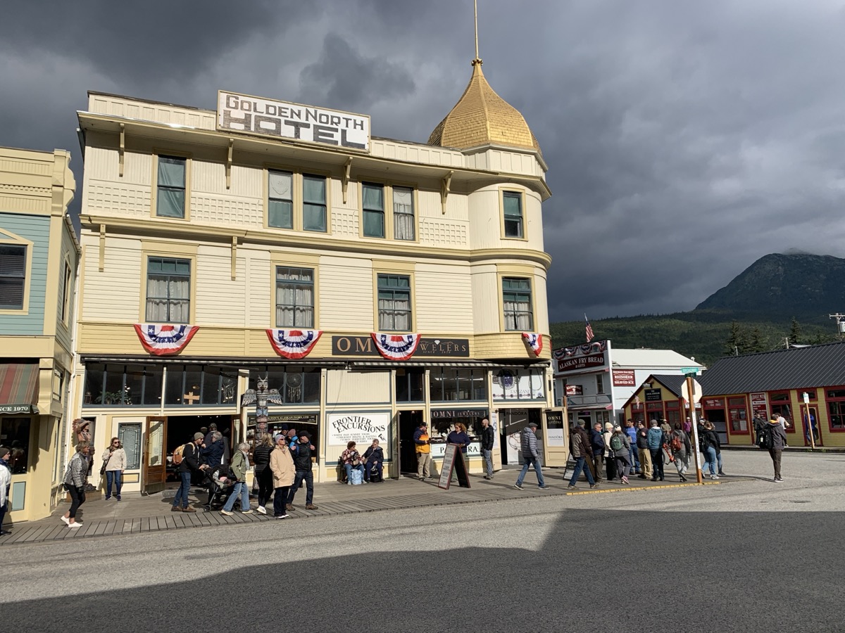
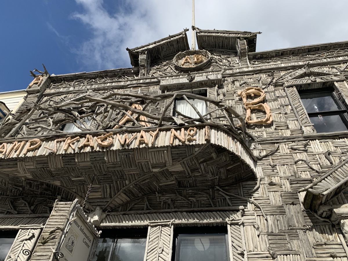
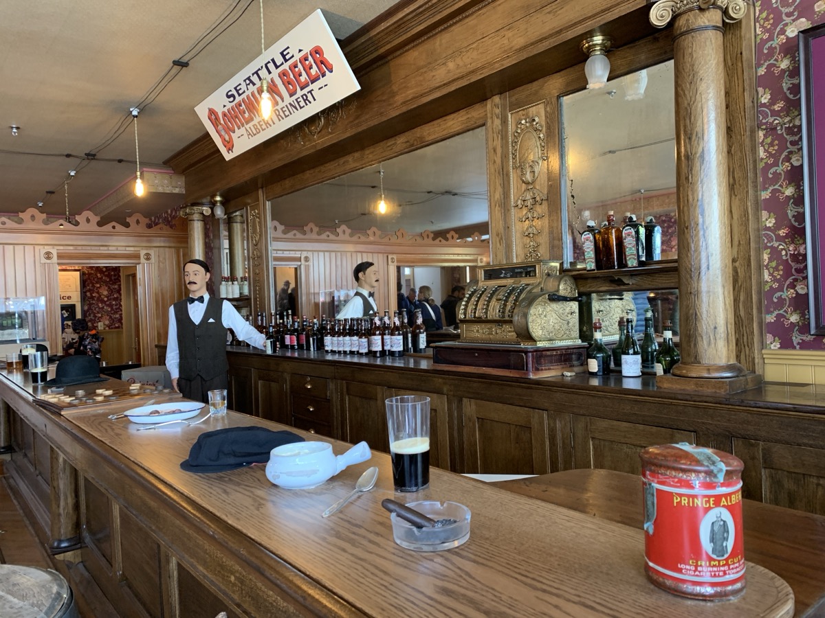
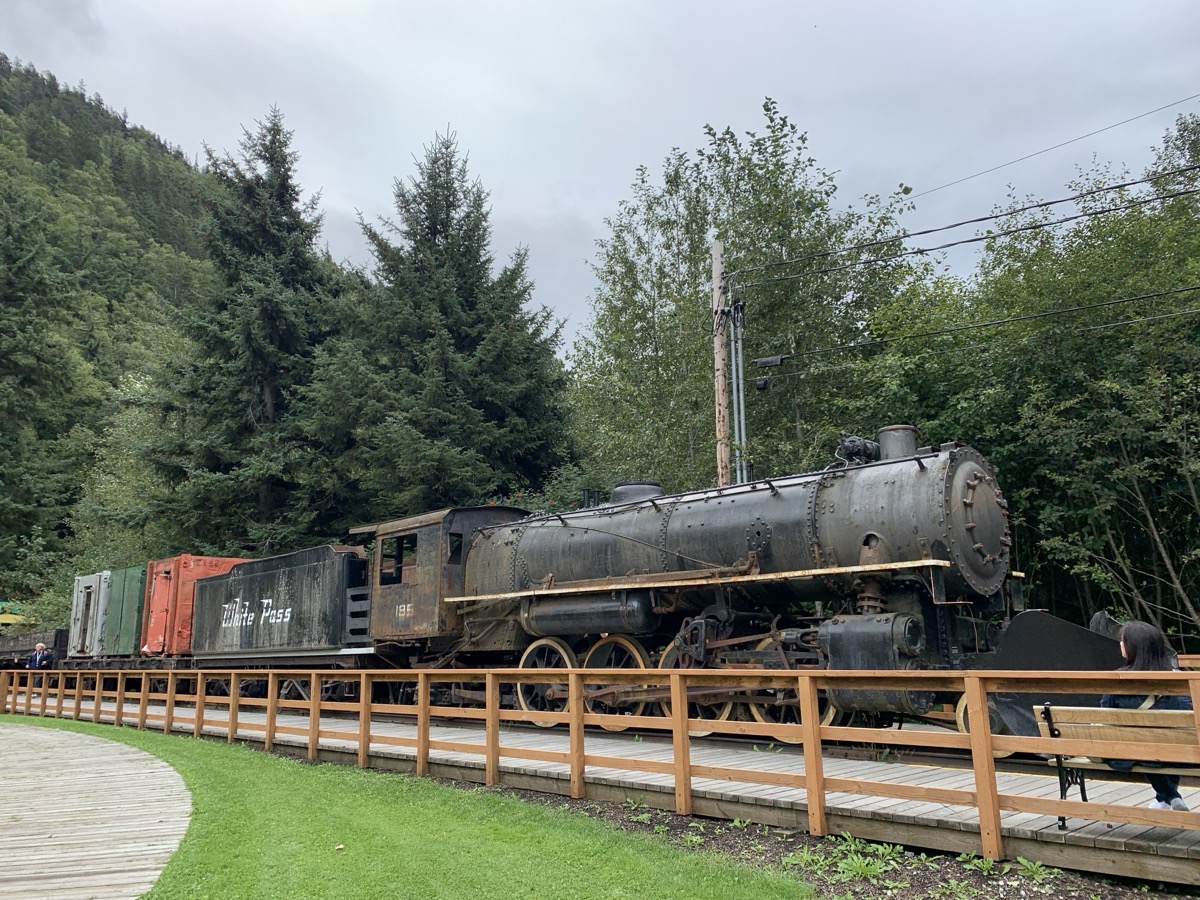
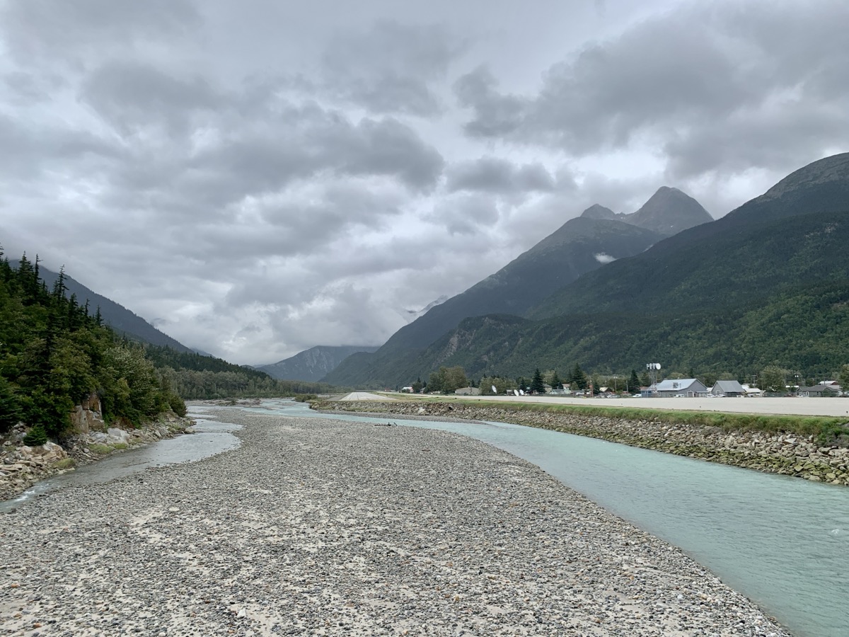
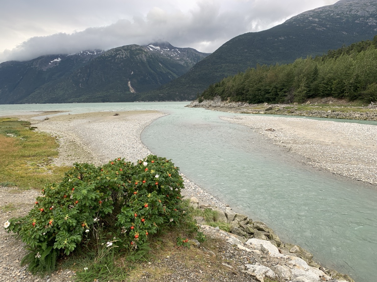
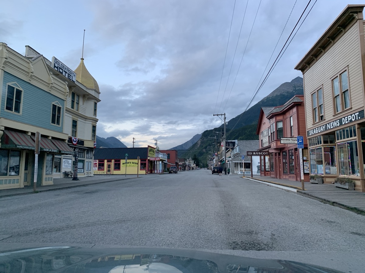
| 74 | 26 | Mon | Klondike Hwy, Summit Lake, White Pass, Dyea, Skagway | YT-AK | Westmark Skagway Hotel | |
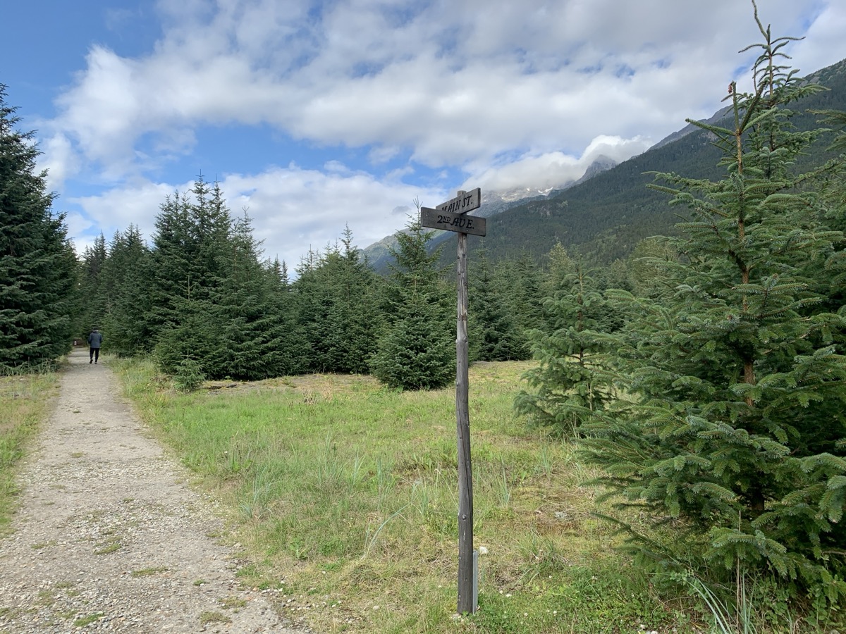
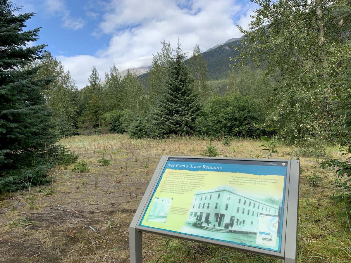
| 75 | 27 | Tue | Skagway, Klondike Gold Rash, Yakutania Point | AK | Westmark Skagway Hotel | |
| 76 | 28 | Wed | Klondike Hwy, Tutshi Lake, Alaska Hwy | YT | Alaska Hwy wild camping 2 | |
| 77 | 29 | Thu | Alaska Hwy, Watson Lake, Liard River Hot Springs | YT-BC | Toad River Community CG | |
| 78 | 30 | Fri | Toad River, Alaska Hwy, Stone Mt PP, Summit Lake | BC | Andy Bailey CG | |
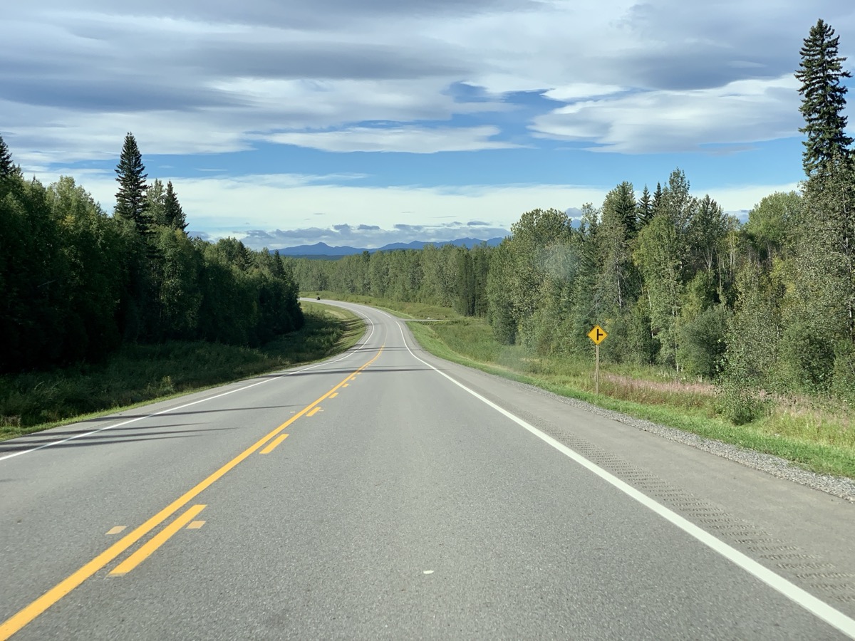
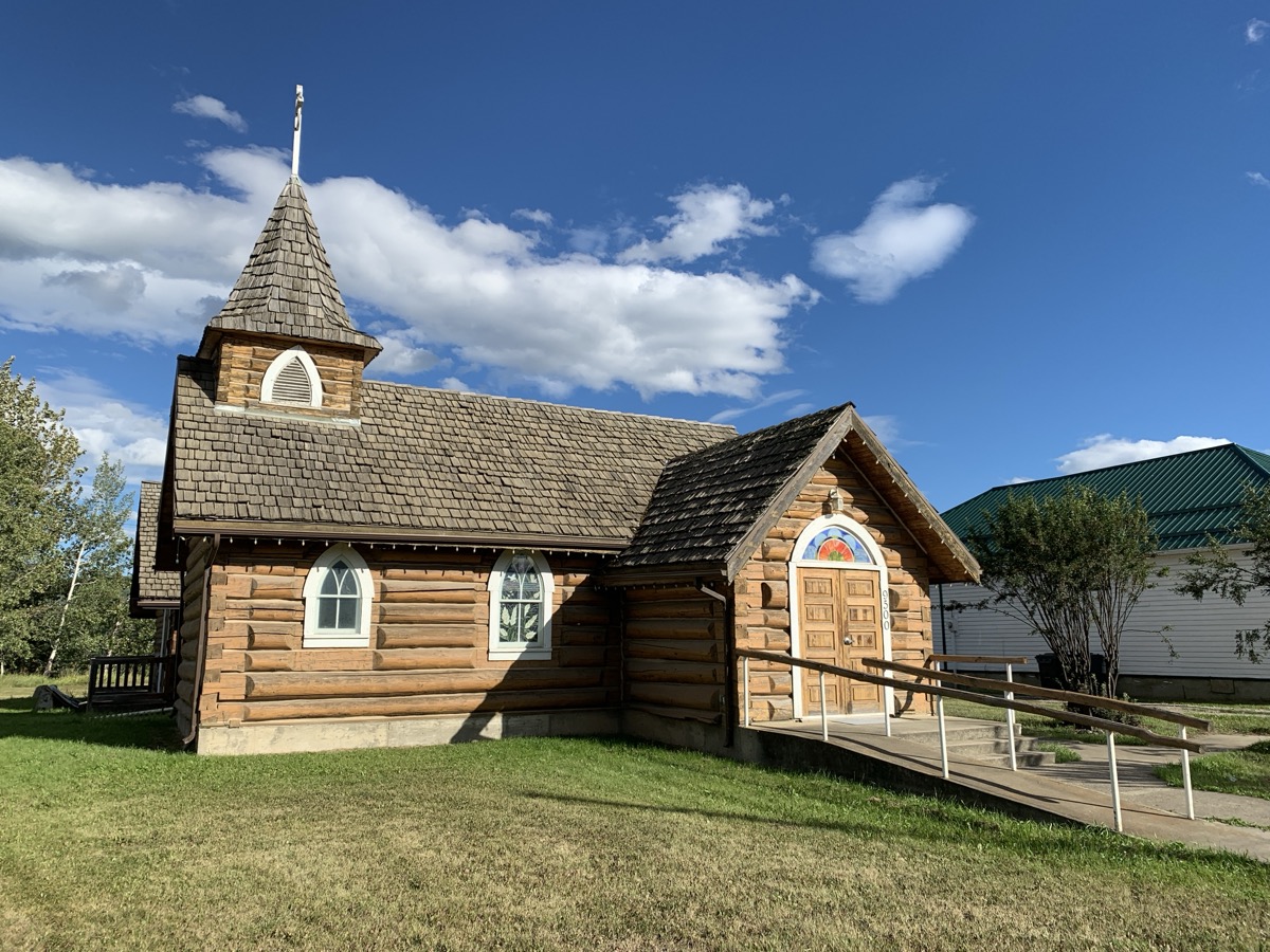
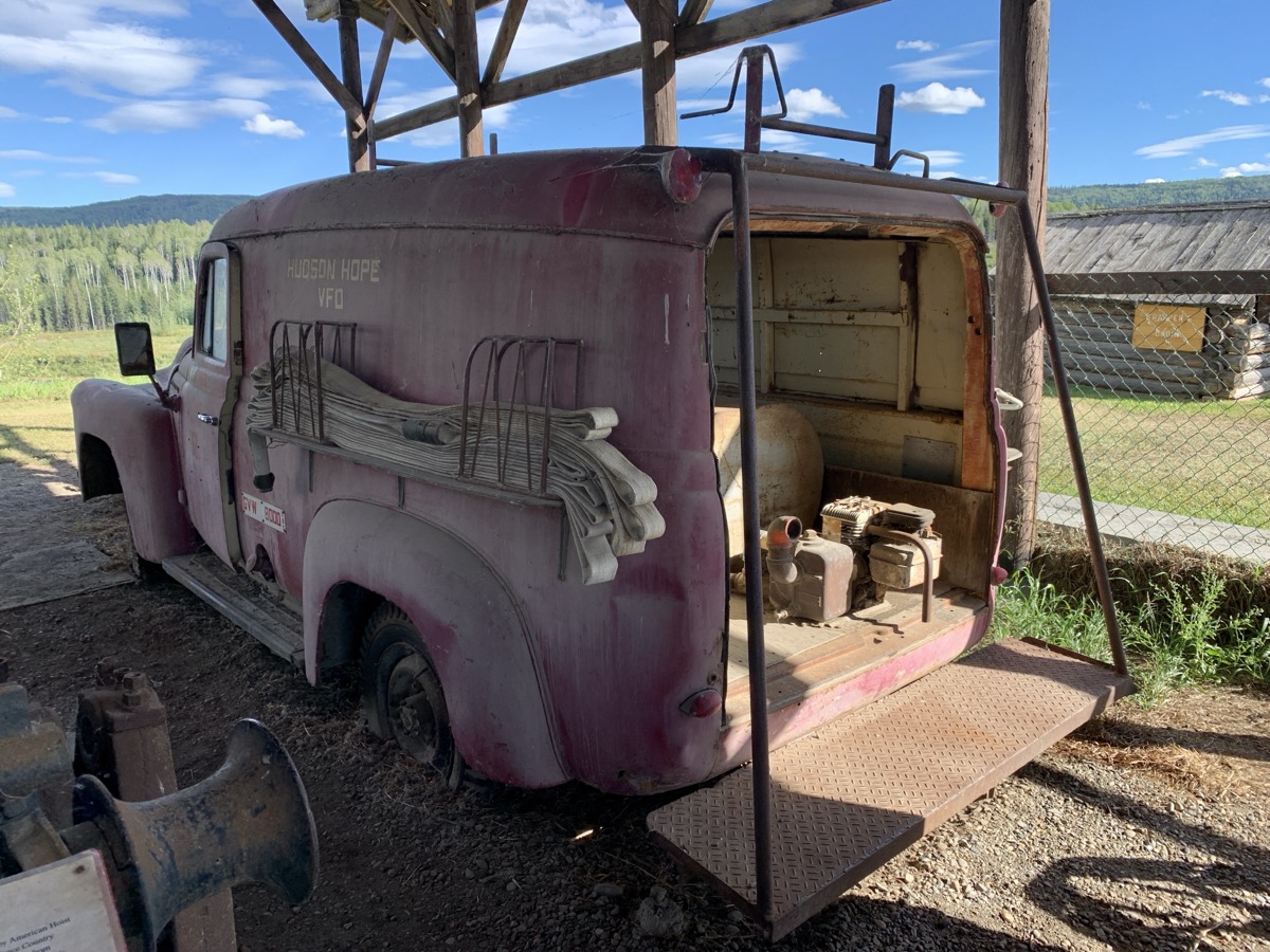
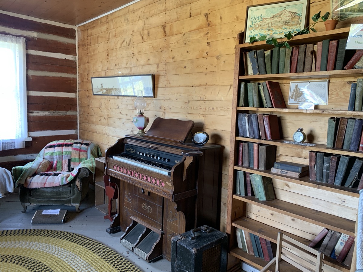
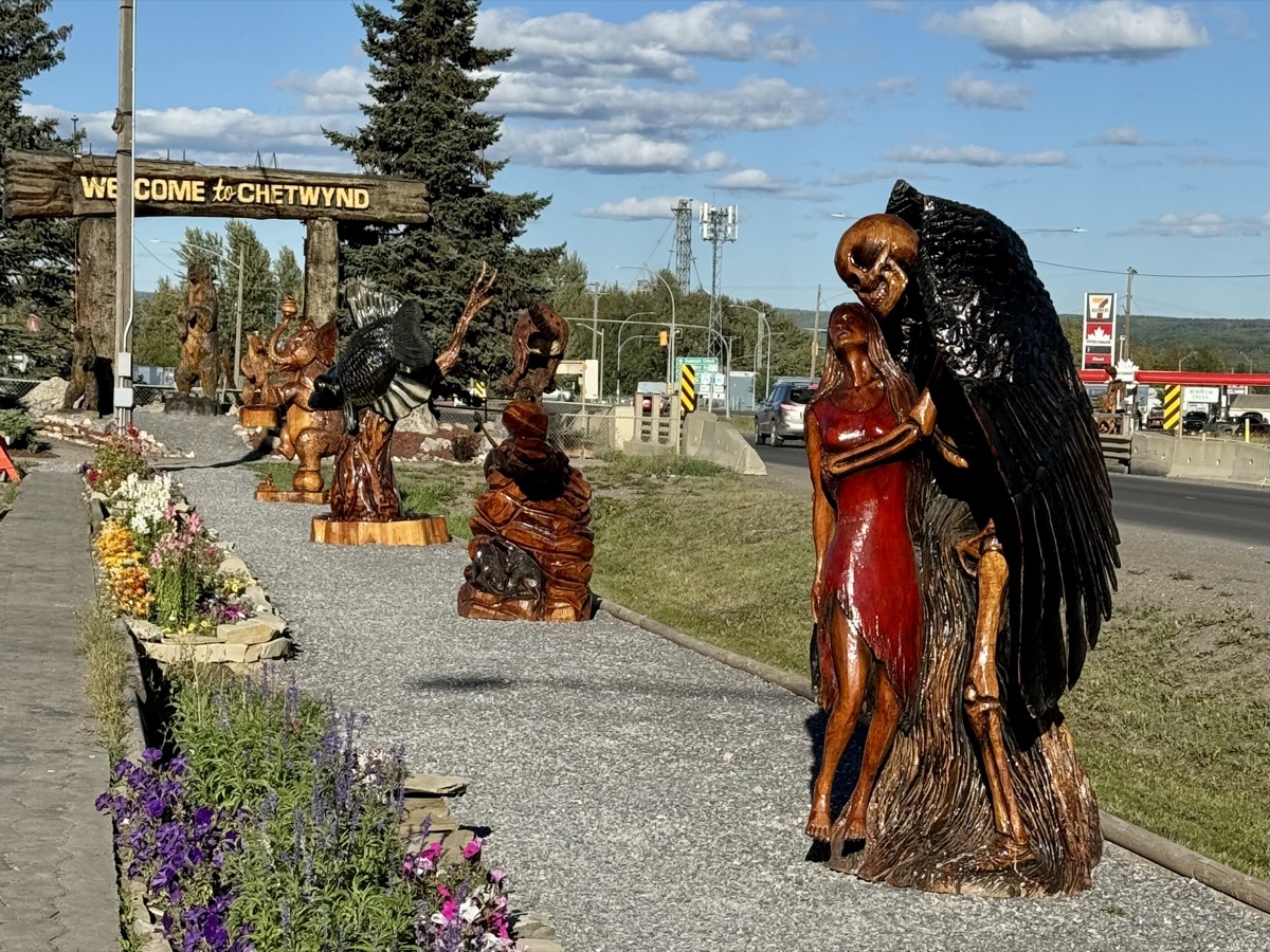
| 79 | 31 | Sat | Alaska Hwy, Hudson’s Hope, Chetwynd, Pine Le Moray PP | BC | Heart Lake CG | |
| 80 | Sep | 1 | Sun | John Hart Hwy, Bijoux Falls, Crooked River PP, Prince George | BC | Prince George Airbnb |
| 81 | 2 | Mon | Cariboo Hwy, Green Lake | BC | Green Lake Arrowhead CG | |
| 82 | 3 | Tue | Cariboo Hwy, Chasm, Hwy 99, Marble Canyon PP, Fraser River | BC | Nairn Falls CG | |
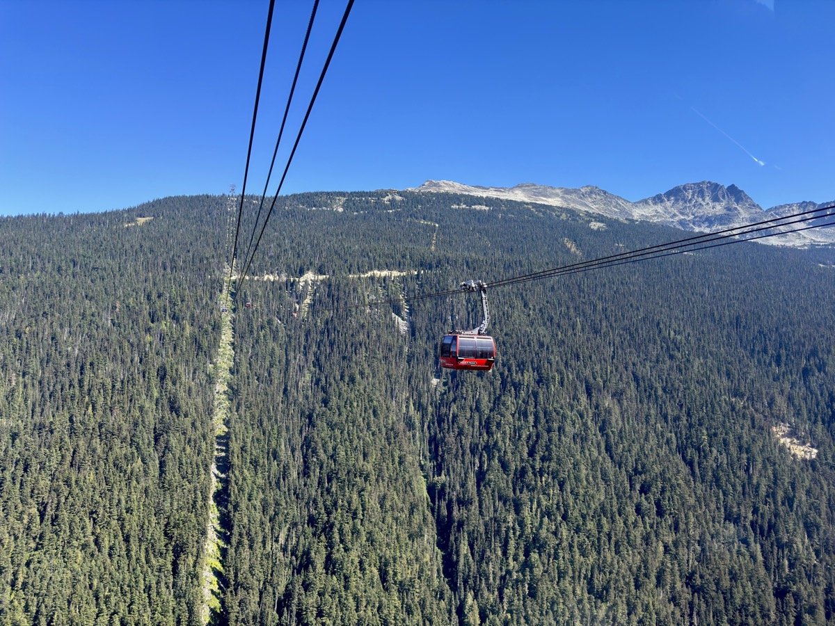
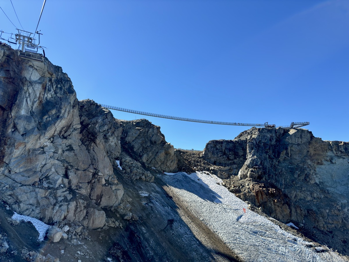
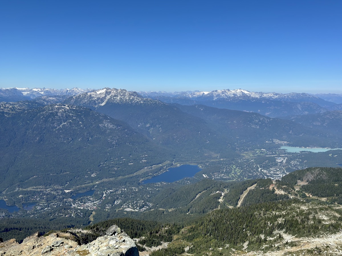
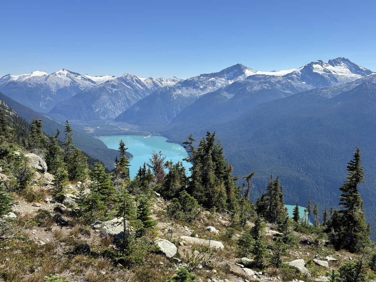
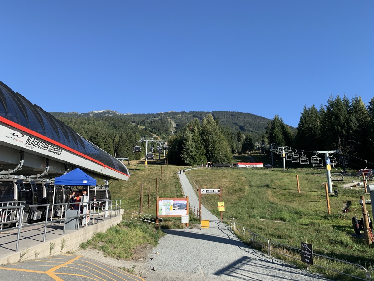
| 83 | 4 | Wed | Whistler: Blackcomb & Whistler Mt, Half Note Trail | BC | Whistler RV PK | |
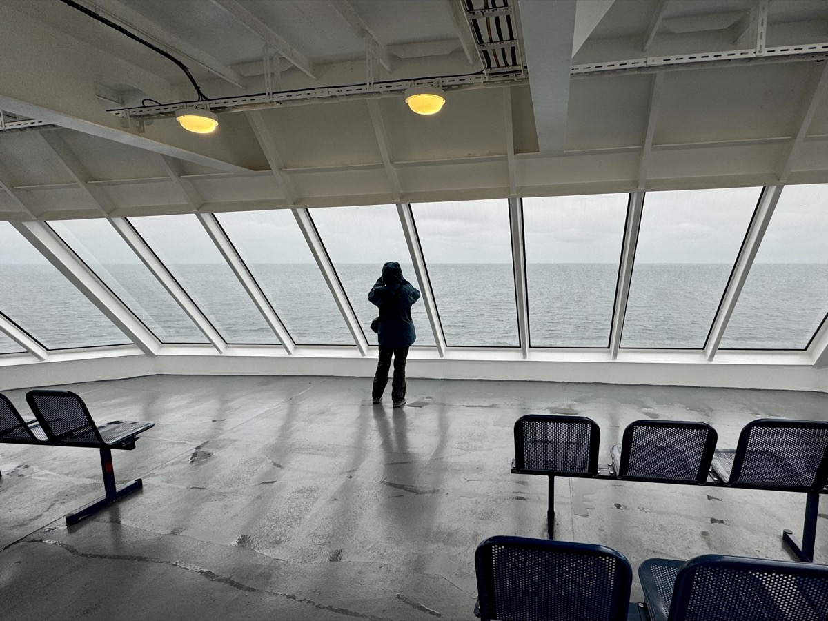
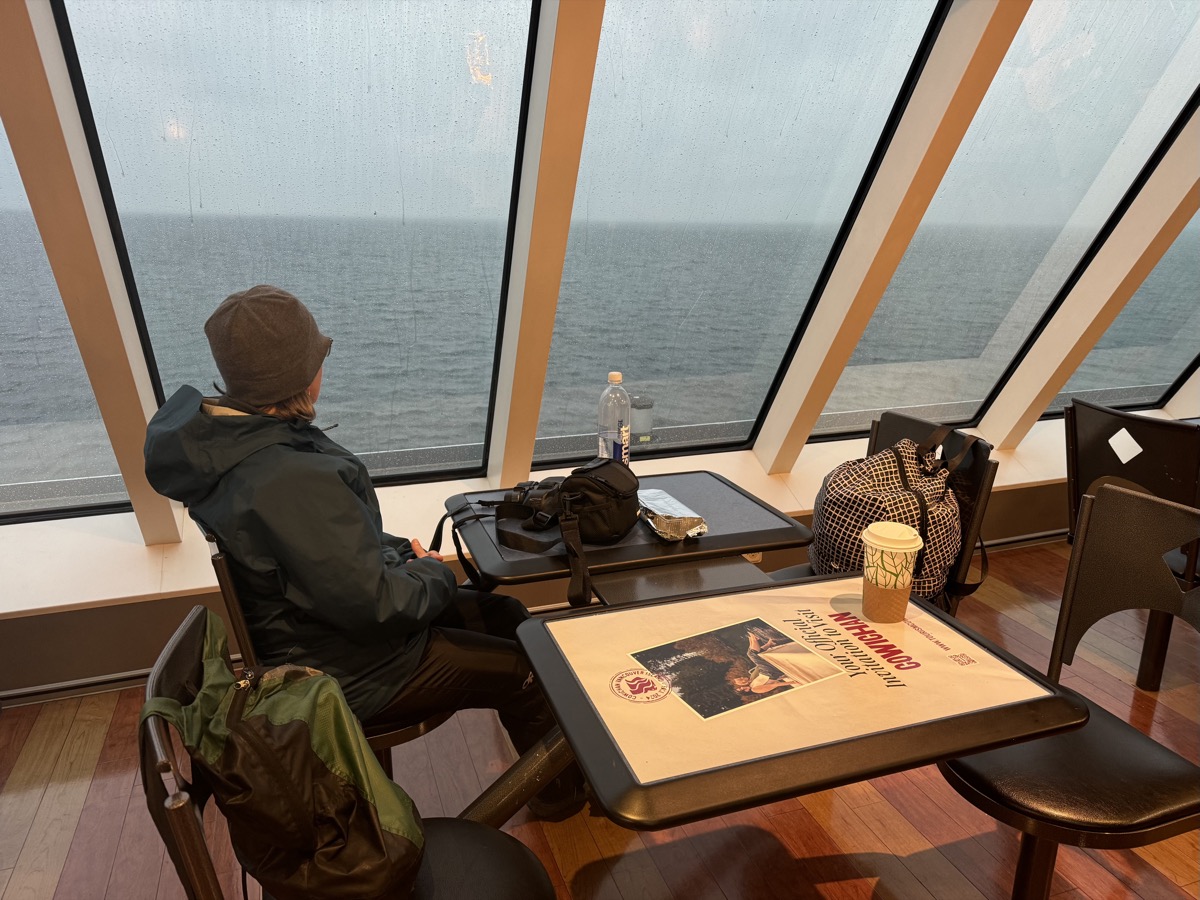
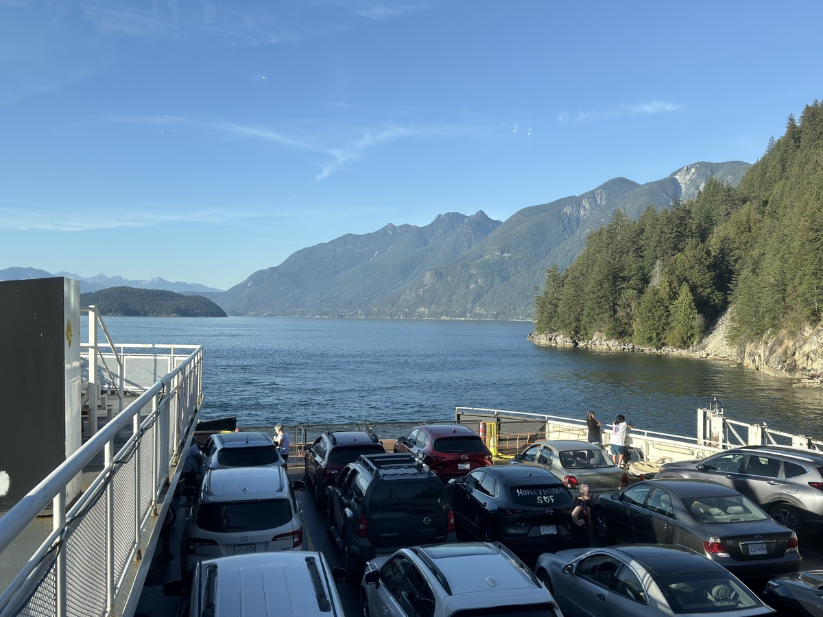
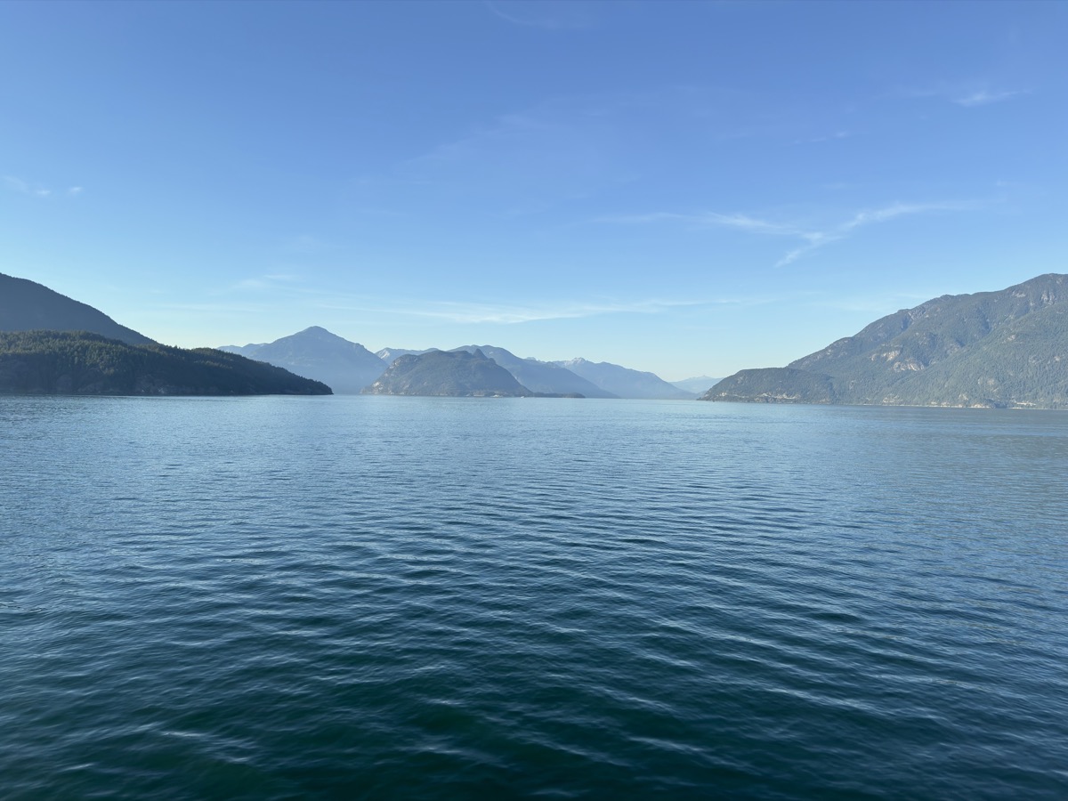
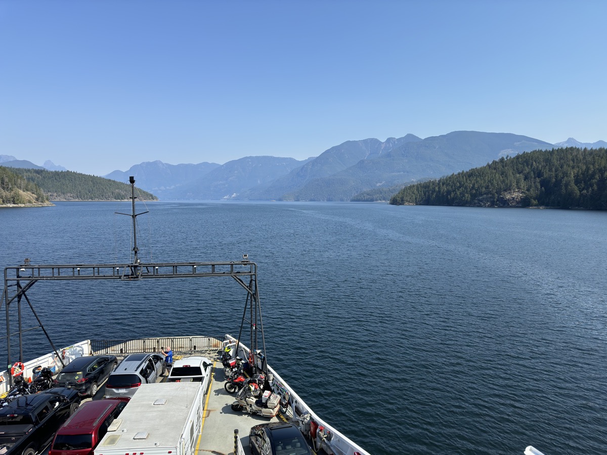
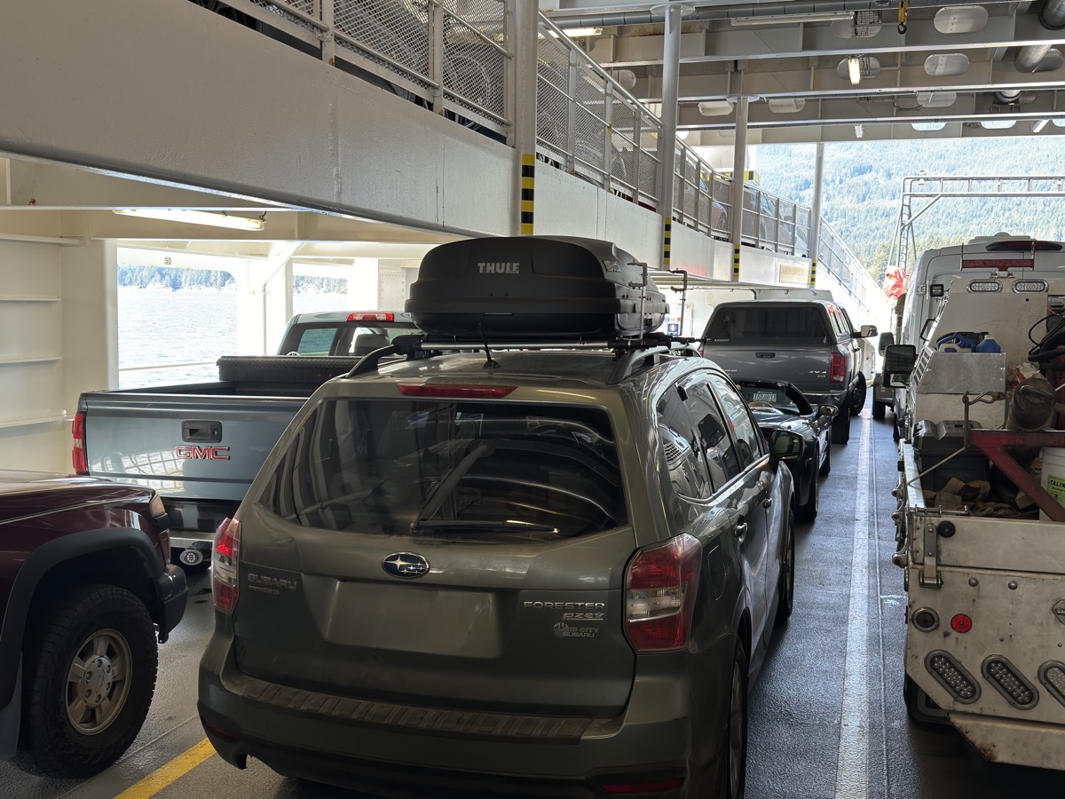
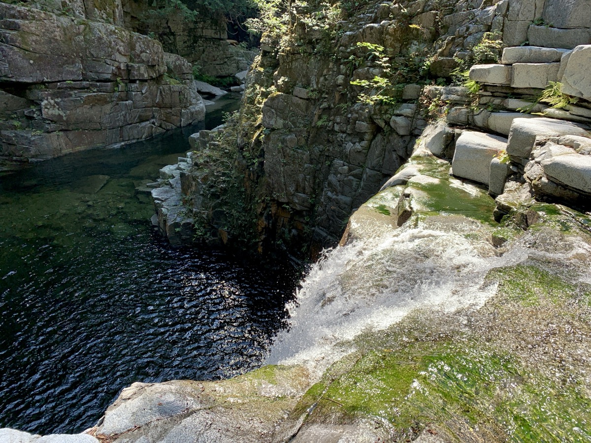
| 84 | 5 | Thu | Sea-to-Sky Hwy, Brandywine & Shannon Falls, Howe Sound, Porteau Cove, Horseshoe Bay to Langdale Ferry | BC | Porpoise Bay CG | |
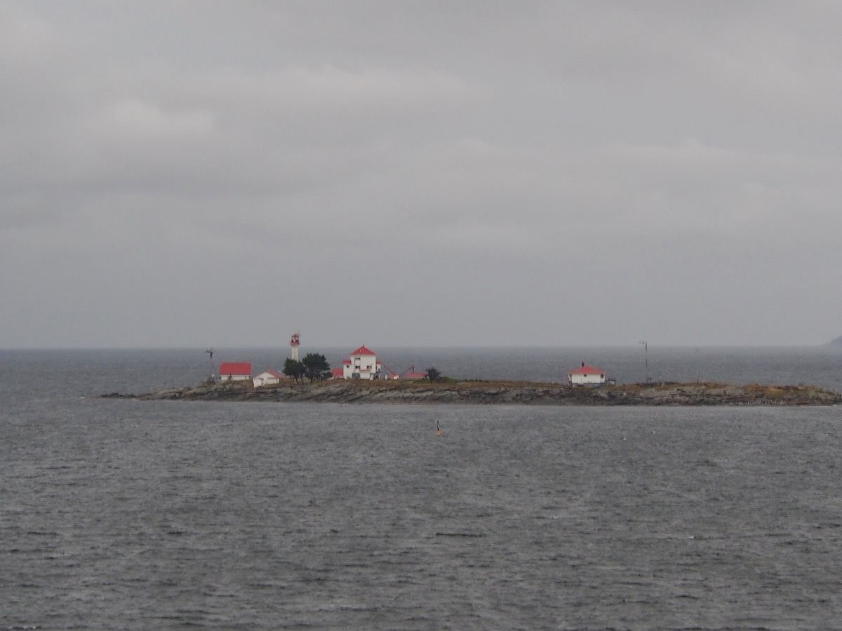
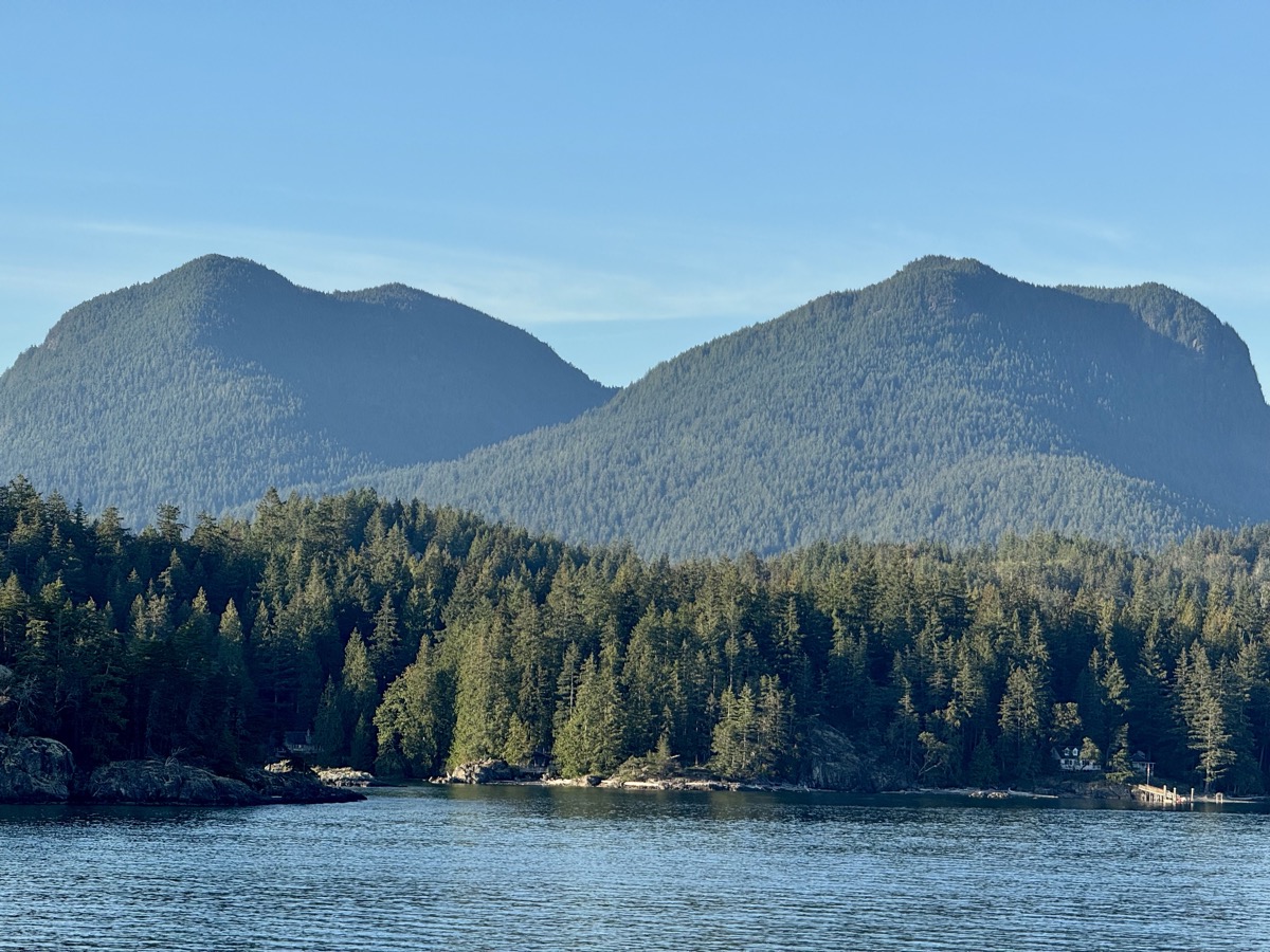
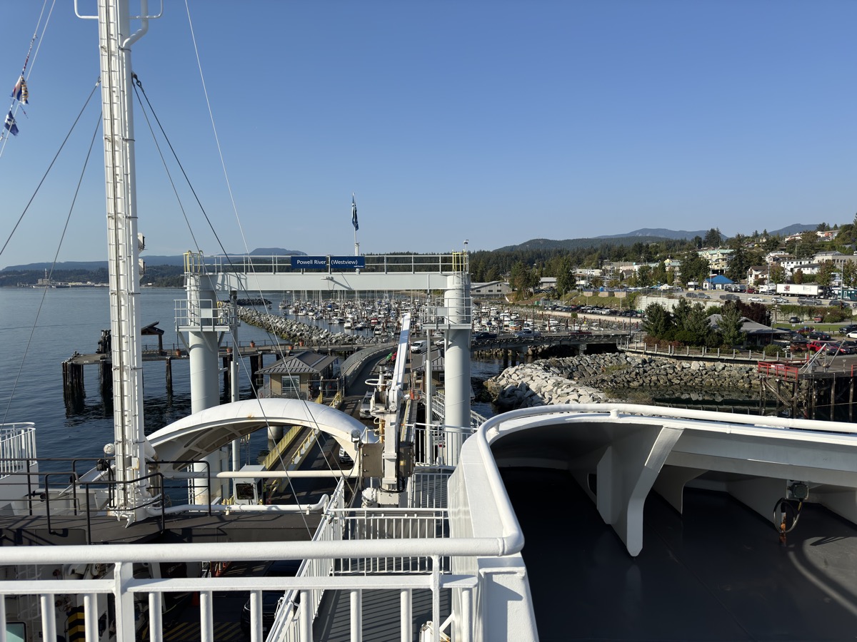
| 85 | 6 | Fri | Sunshine Coast, Porpoise Bay, Earls Cove to Saltery Bay Ferry, Eagle River Falls, Power River to Comox Ferry, Vancouver Island | BC | Seal Bay RV PK | |
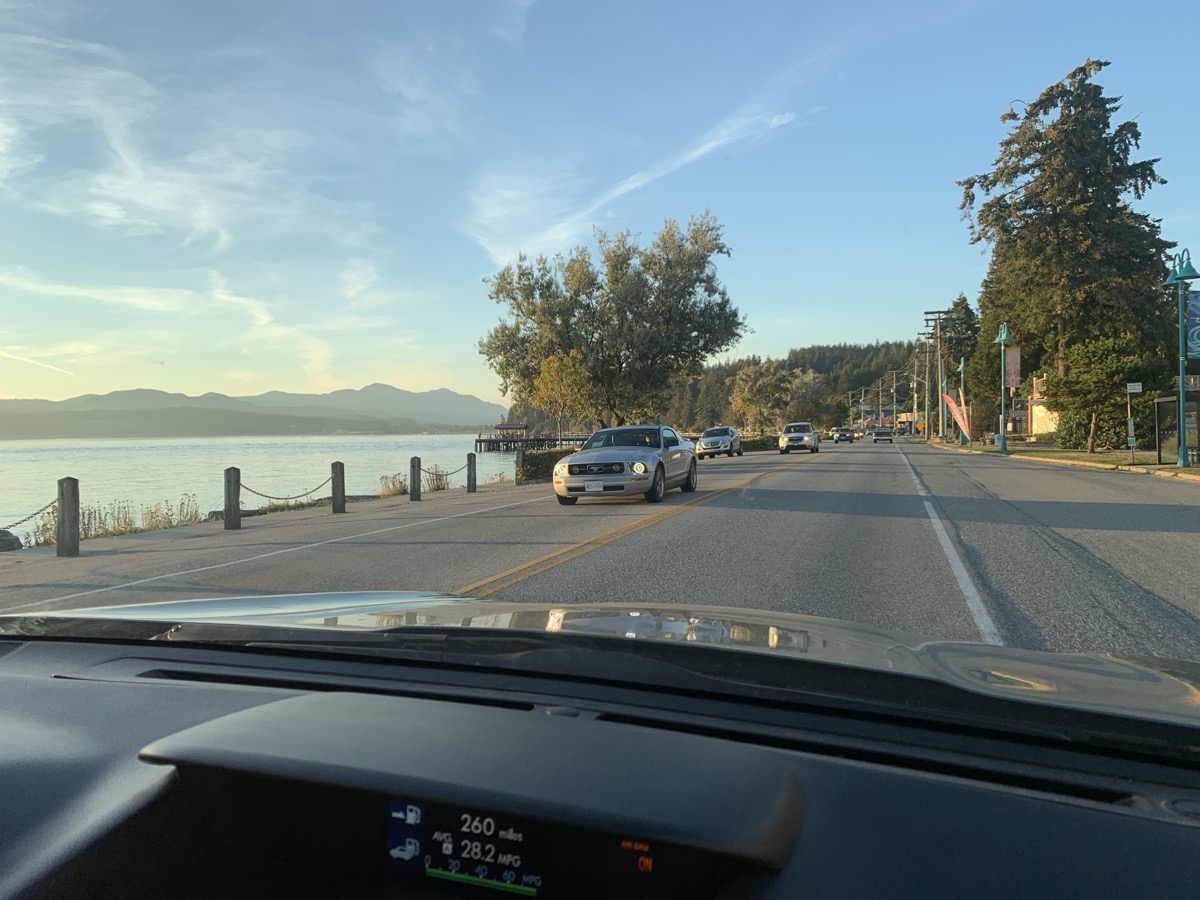
| 86 | 7 | Sat | Vancouver Island. Comox: Goose Spit, Seal Bay Park | BC | Seal Bay RV PK | |
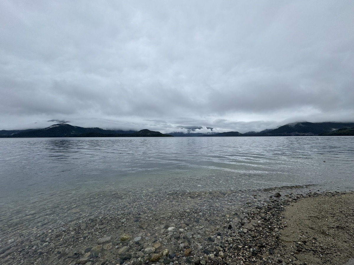
| 87 | 8 | Sun | Strachona PP: Karst Creek & Wild Ginger Trail, Buttle Lake | BC | Ralph River CG | |
| 88 | 9 | Mon | Comox; Strachona PP: Lower & Upper Myra Falls, Lupin Falls | BC | Comox Airbnb | |
| 89 | 10 | Tue | Strachona PP, Mt Washington: Paradise Meadows, Battleship, Lady & Croteau Lakes | BC | Comox Airbnb | |
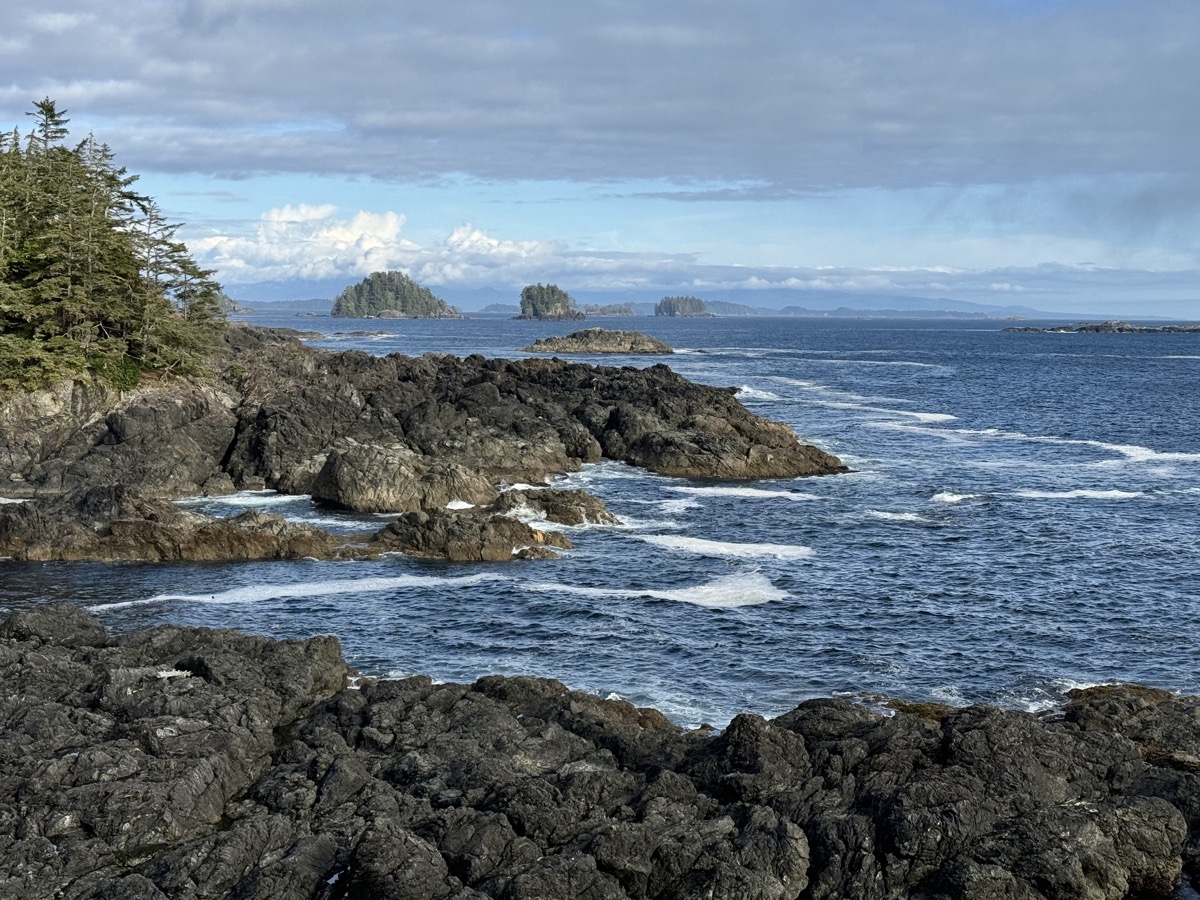
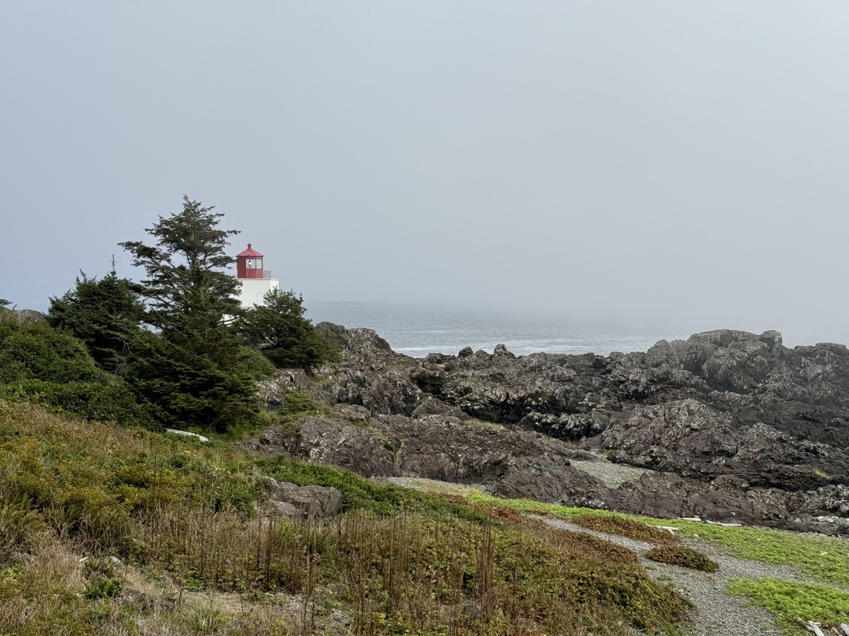
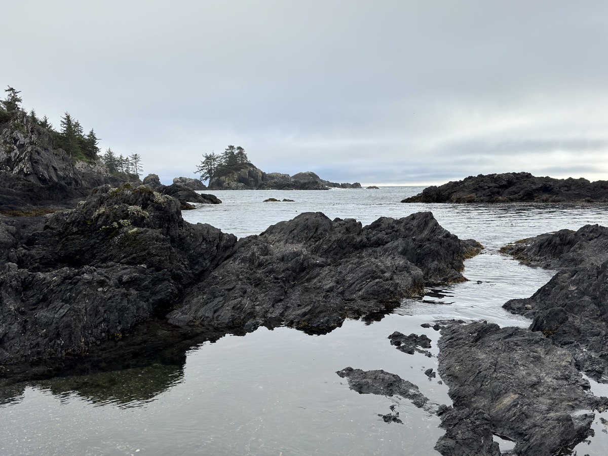
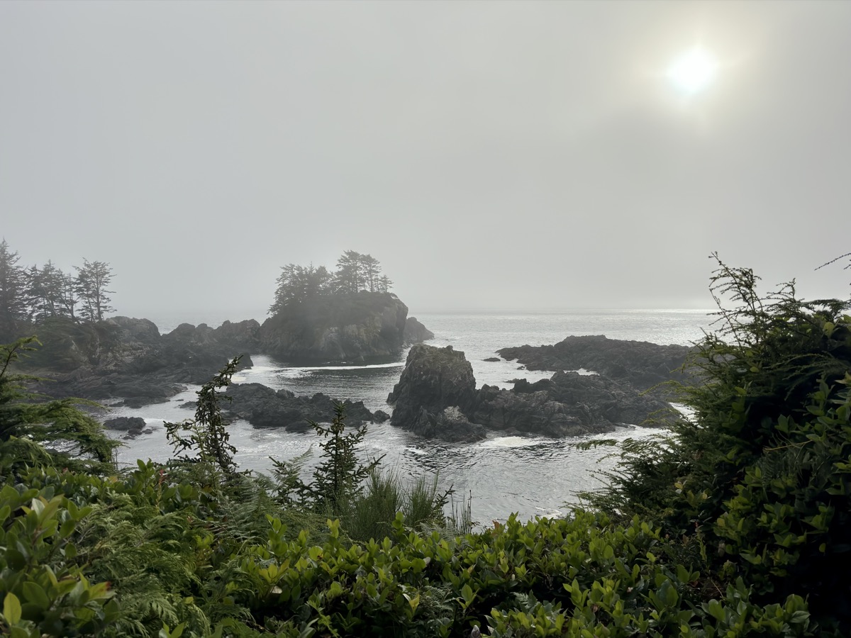
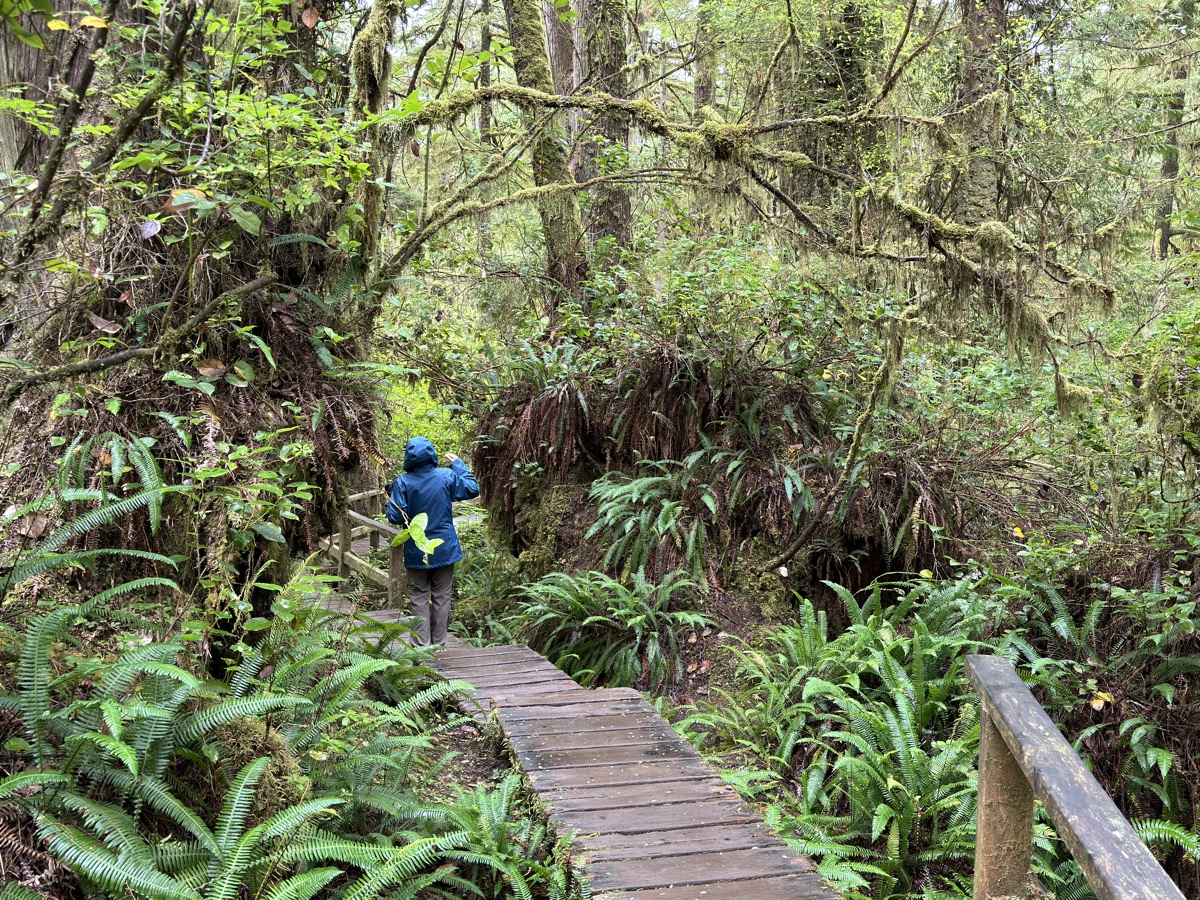
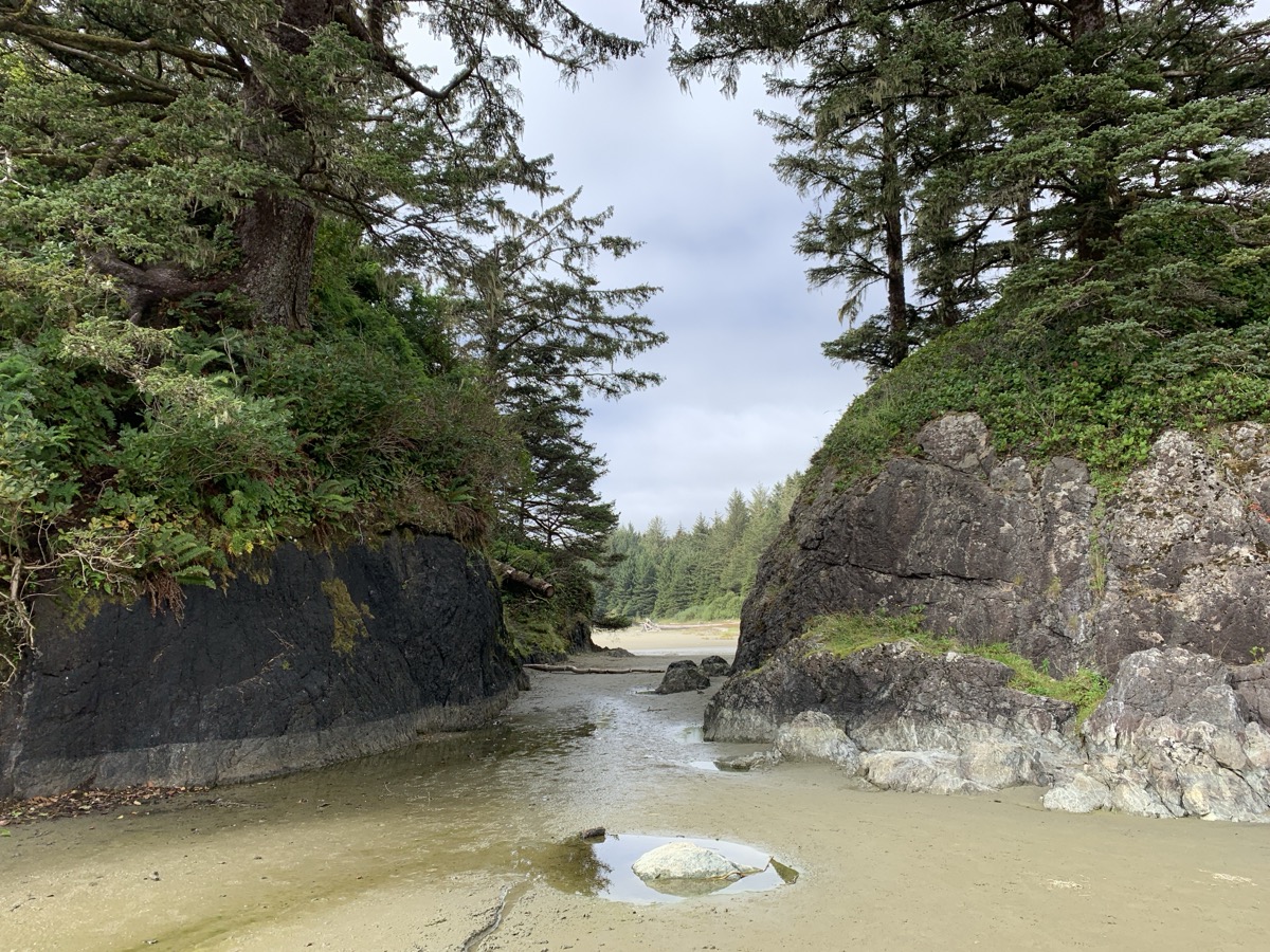
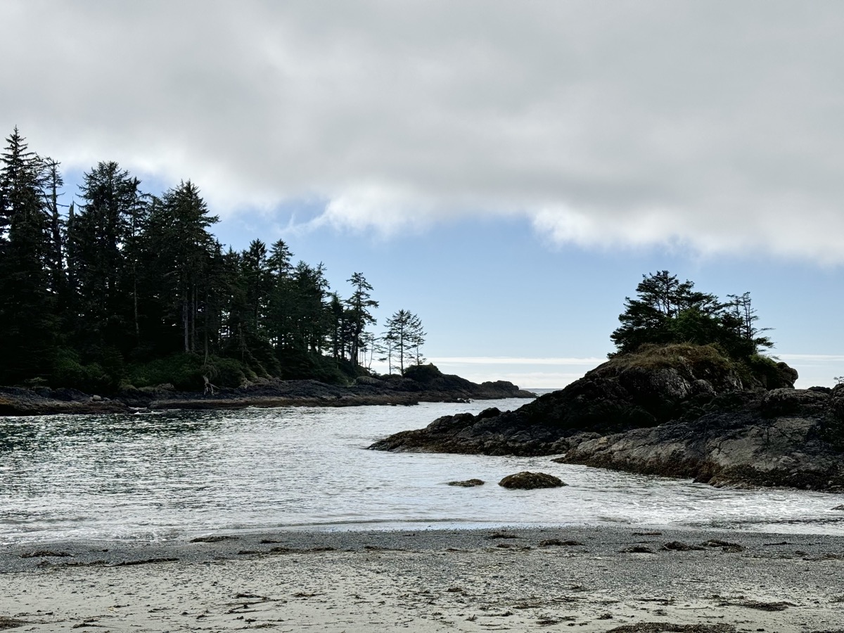
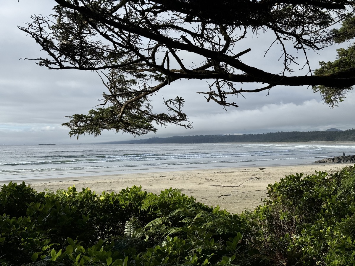
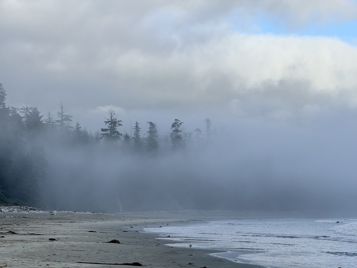
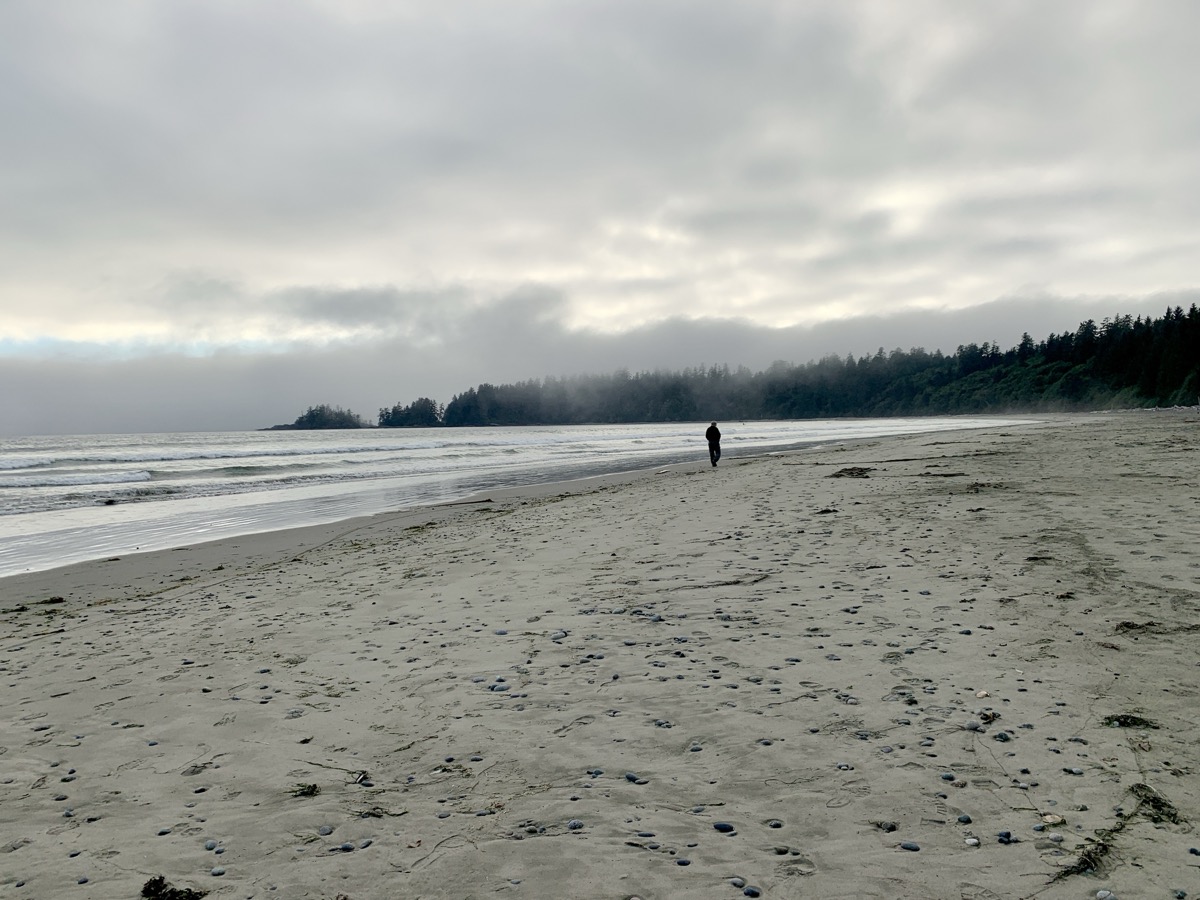
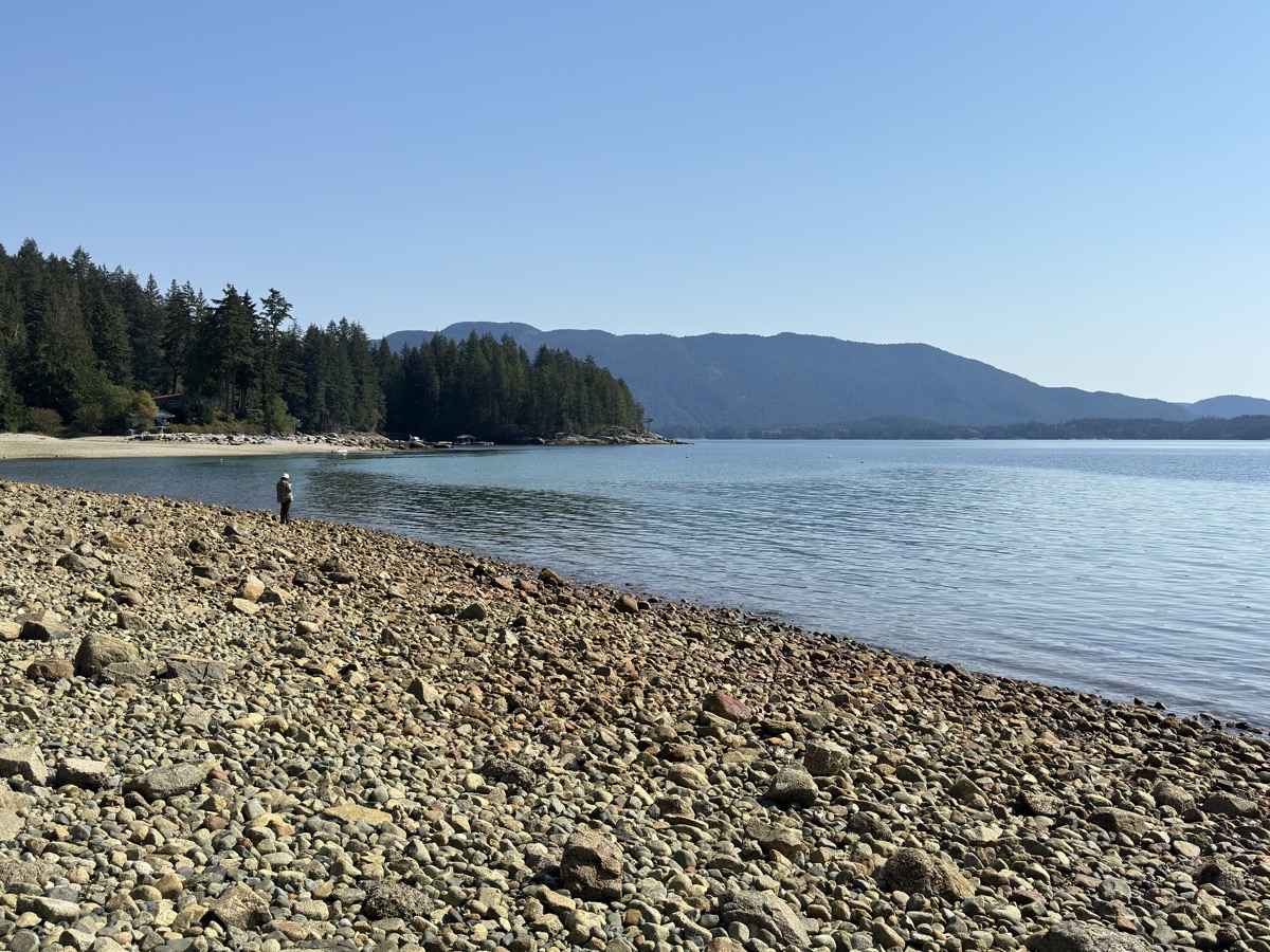
| 90 | 11 | Wed | Catherdla Grove (MacMillan PP), Ucluelet: Wild Pacific Trail | BC | Surf Junction CG | |
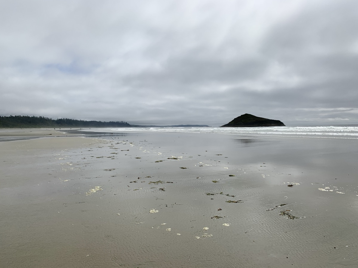
| 91 | 12 | Thu | Pacific Rim NP: Rainforest Trails, Long & Wickaninnish & South Beaches, Florencia Bay | BC | Surf Junction CG | |
| 92 | 13 | Fri | Pacific Rim & Island Hwy, Sproat Lake PP, Nanaimo-Vancouver Ferry | BC | Surrey Airbnb | |
| 93 | 14 | Sat | Surrey, Hwy I-5 & 20 | BC-WA | Newhalem Creek CG | |
| 94 | 15 | Sun | North Cascades NP: Skagit River, Rock Shelter, Trail of the Cedars, Ladder Falls, Gorge dam | WA | Newhalem Creek CG | |
| 95 | 16 | Mon | North Cascades NP: Gorge & Diablo Lakes, Thunder Knob, Ruby Arm | WA | Newhalem Creek CG | |
| 96 | 17 | Tue | Okanogan NF: Lake Ann, Washington Pass | WA | Klipchuck CG | |
| 97 | 18 | Wed | Driving: Hwy 20, 155, 2, I-90, Coulee Dam | WA-ID | Coeur d’Alene LaQuinta | |
| 98 | 19 | Thu | Driving: I-90, Hwy 20, MacDonald Pass | ID-MT | Helena Baymont Hotel | |
| 99 | 20 | Fri | Driving: Hwy 12 (89, 294) Helena to Forsyth, I-94, Medora | MT-ND | Sully Creek SP CG | |
| 100 | 21 | Sat | T. Rosevelt NP, Wind Canyon, Buck Hill & Coal Vein | ND | Cottonwood CG | |
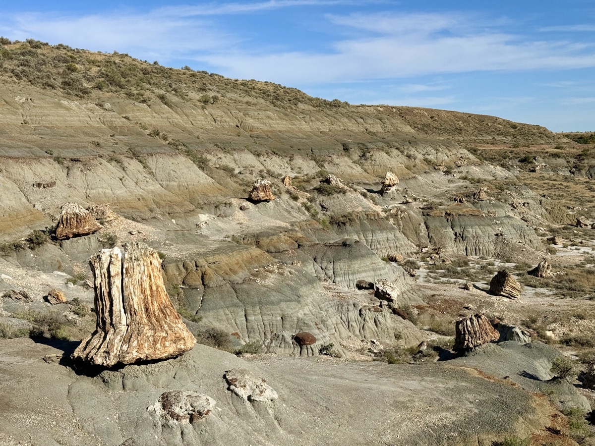
| 101 | 22 | Sun | T. Rosevelt NP: Roosevelt Cabin, Petrified Forest South & North | ND | Cottonwood CG | |
| 102 | 23 | Mon | T. Rosevelt NP: Skyline Vista, Painted Canyon trail; I-94 to Fargo | ND | Fargo Expressway Suites | |
| 103 | 24 | Tue | Driving: I-94, I-90 | MN-WI-IL | Chicago |
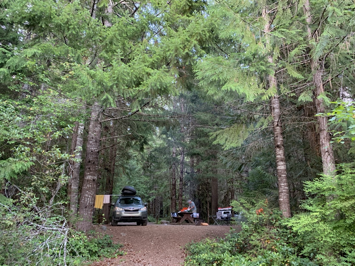
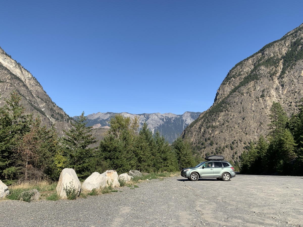
We like our converted Subaru and it works well for two as transportation (normal, small car) and camper (even if minimalistic). Roof cargo box lowers fuel efficiency on highways, but streamlines daily packing and “day-night-day” switch. Subaru life took some practicing and adjustments.
We traveled 26800 miles during ☞ 6 long road trips, plus some shorter trips. We drove more often on unpaved not so good, bumpy and dusty roads which accelerated wear on mechanical systems. It all cought-up with us on this long trip. We had problems with breaks (fixed in Kenora) and tires (fixed in Fairbanks), and ran into first signs of worn suspension-bearings (diagnosed in Surrey, fixed in Chicago after the trip). Rotated tires in Bellingham. Luckily, we were able to fix unexpected car mechanical problems on the go, but wasted energy and precious time (~4 days).
Piotr spent quite a bit of time designing, building and testing our Subaru minimalistic camper which made the road trips possible.

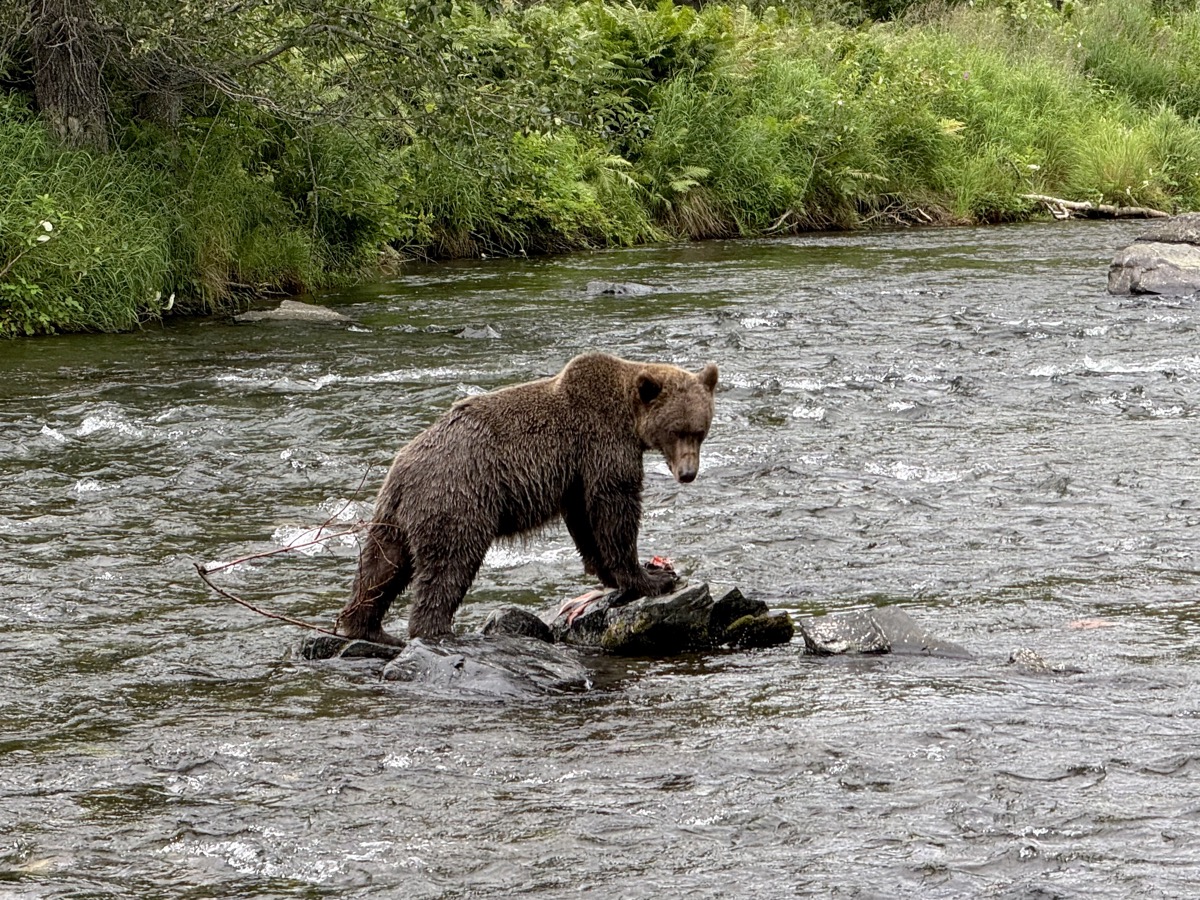
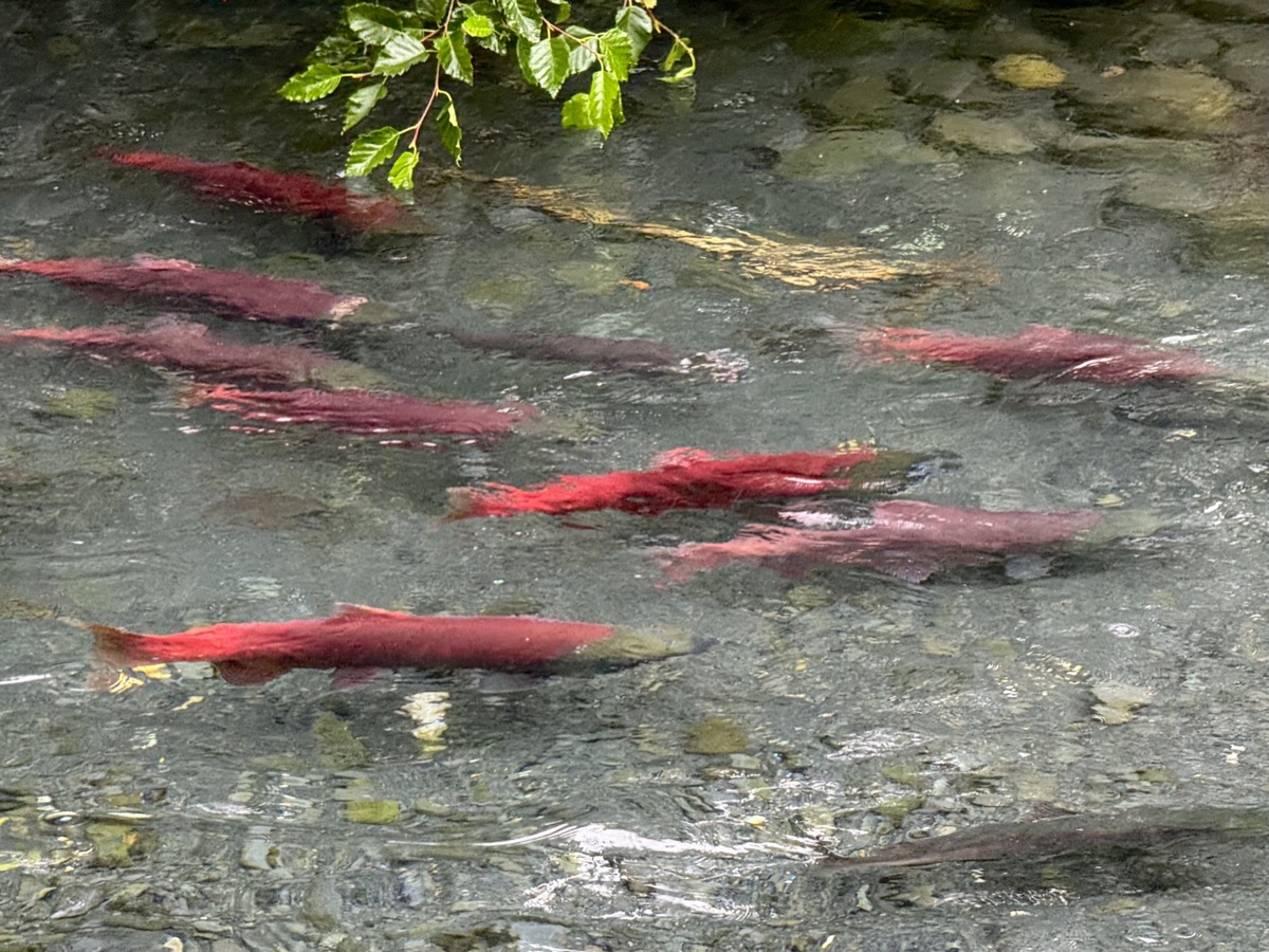
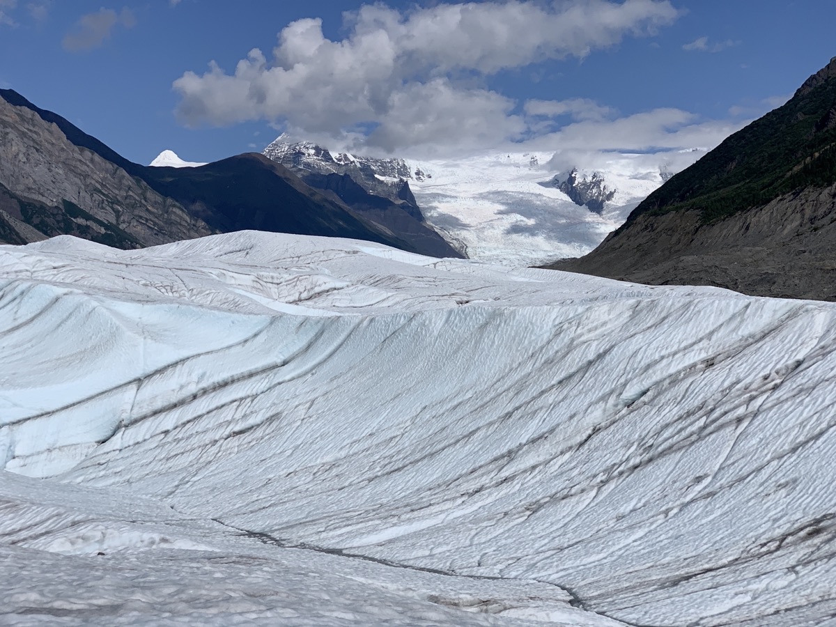
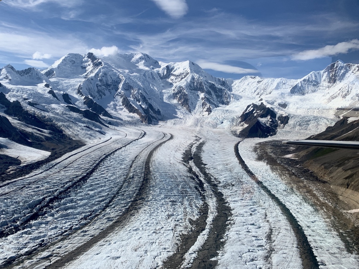
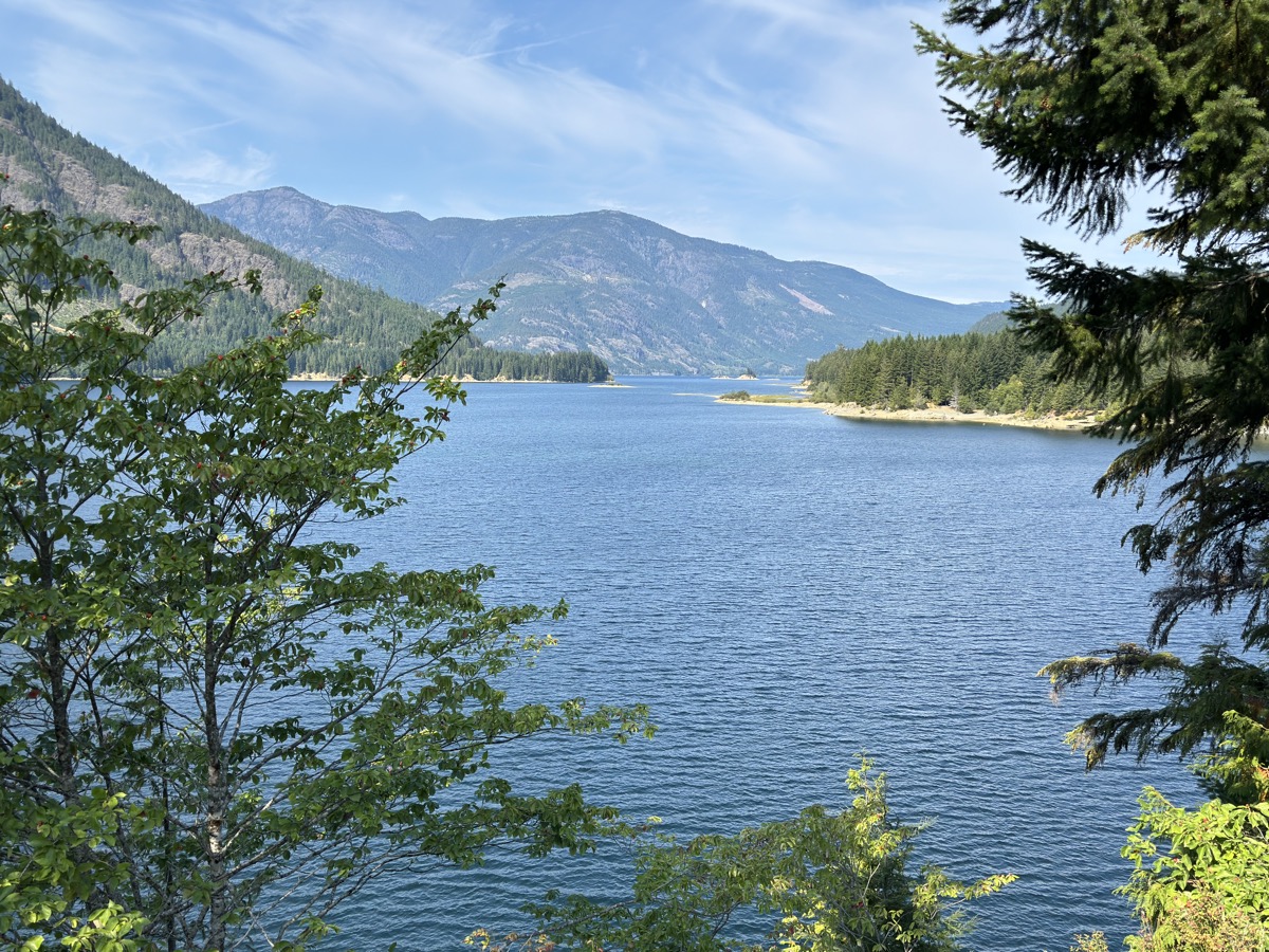
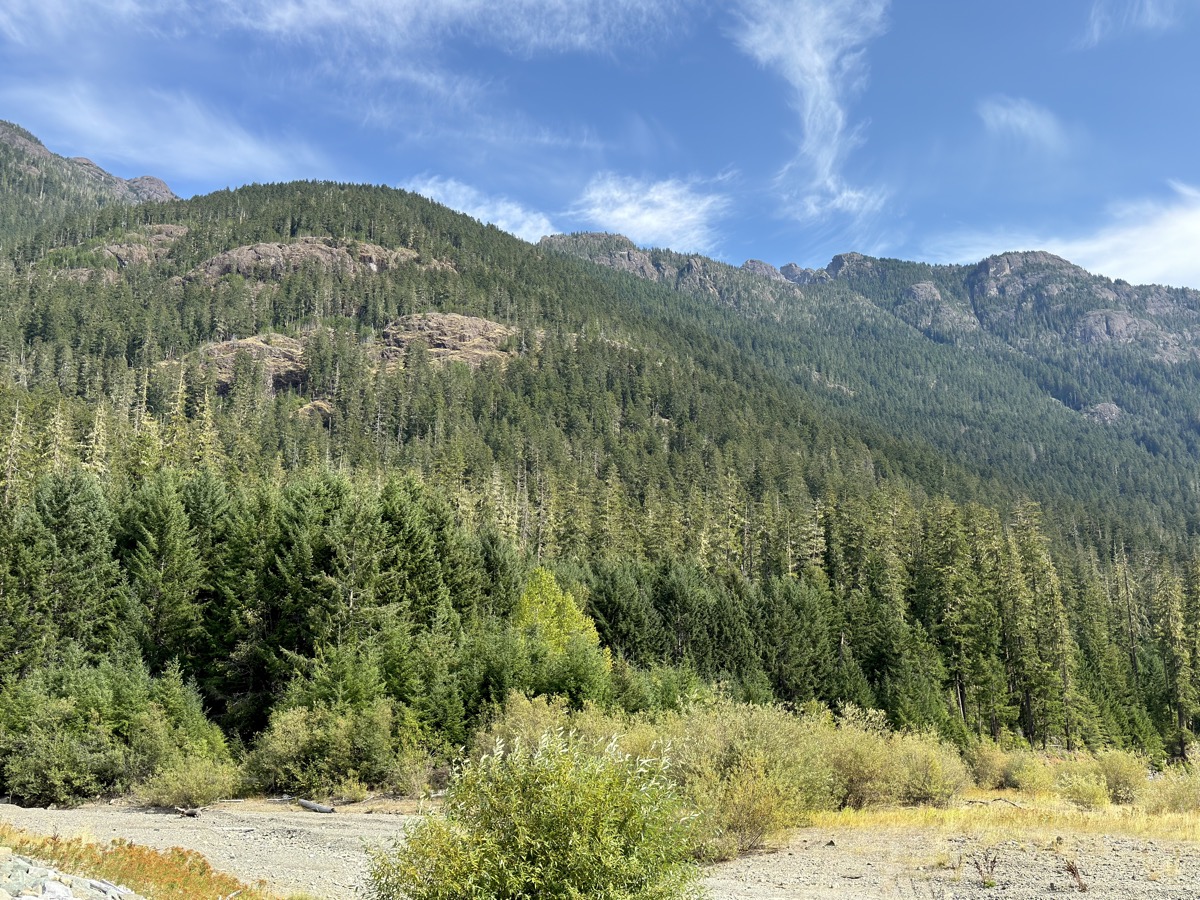
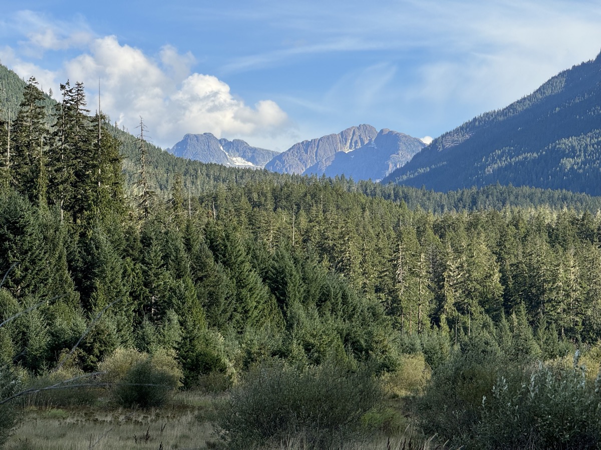
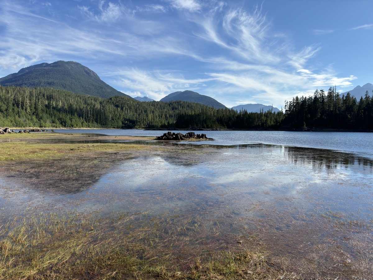
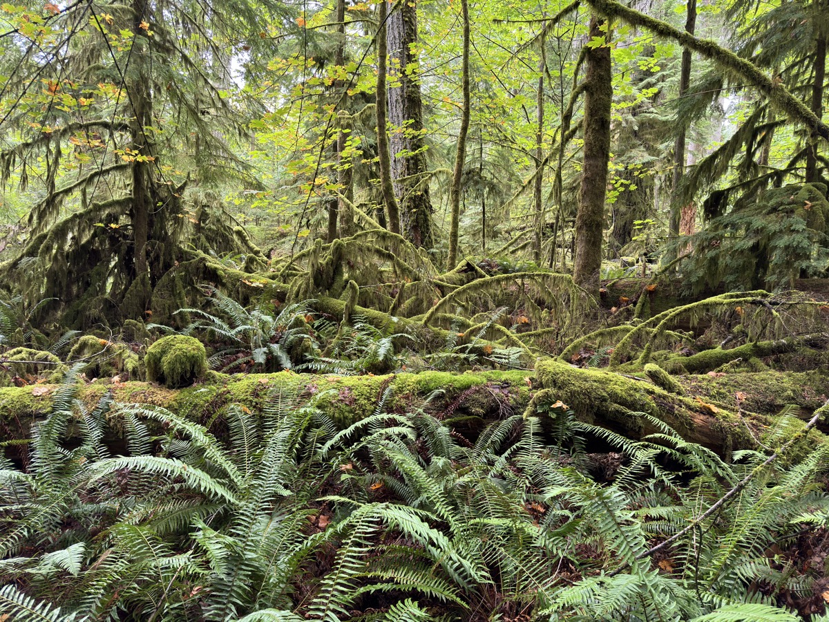
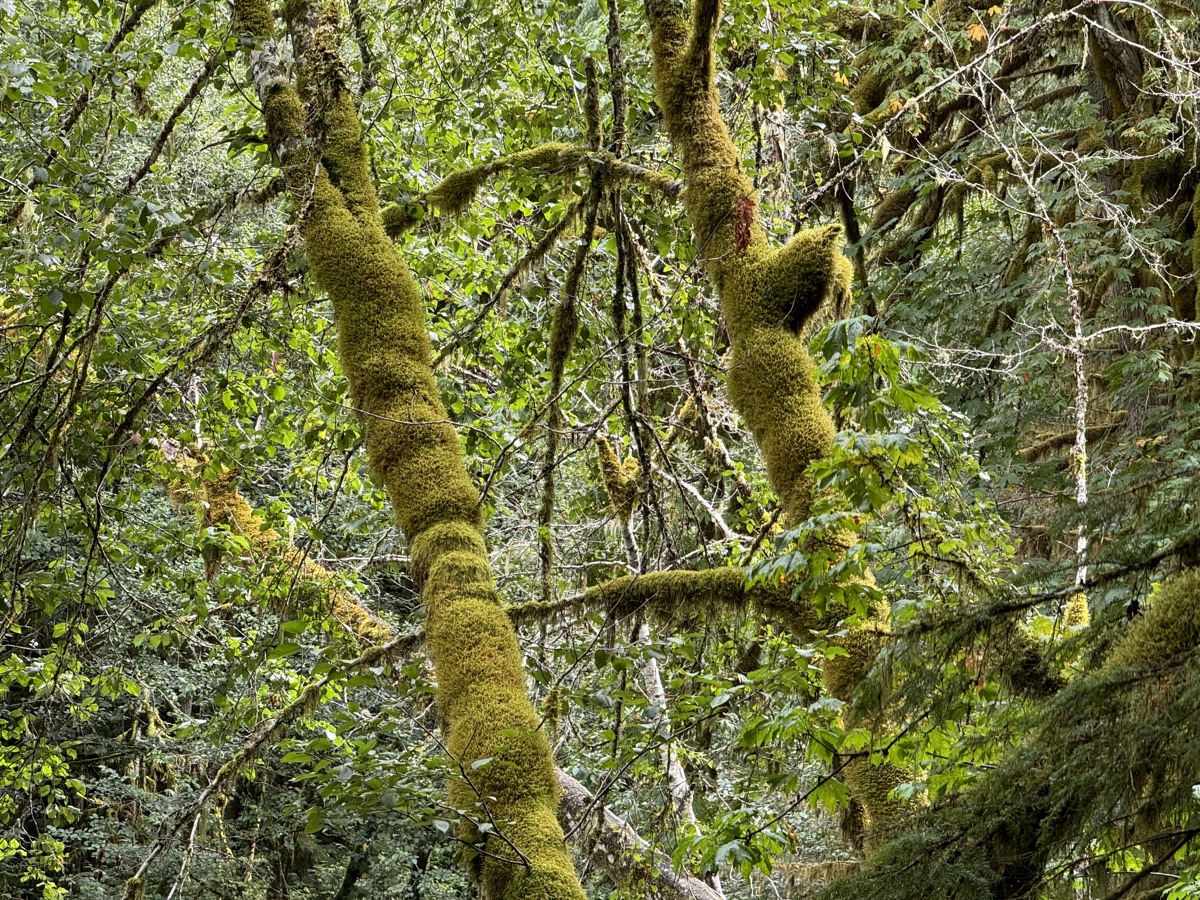
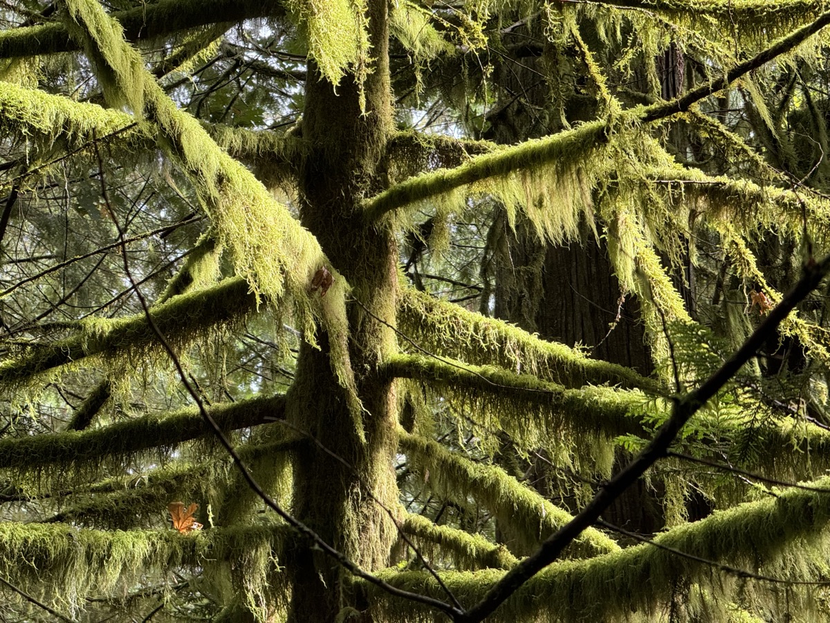
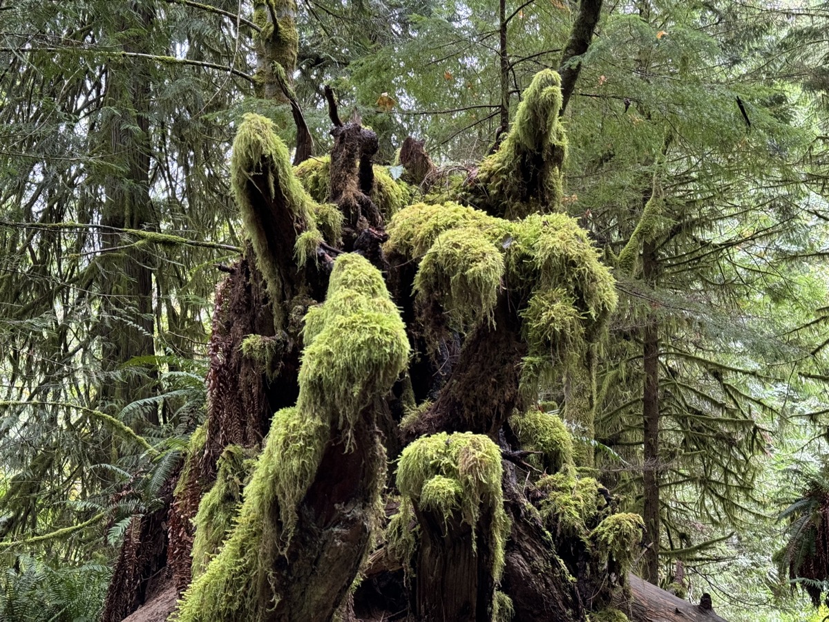
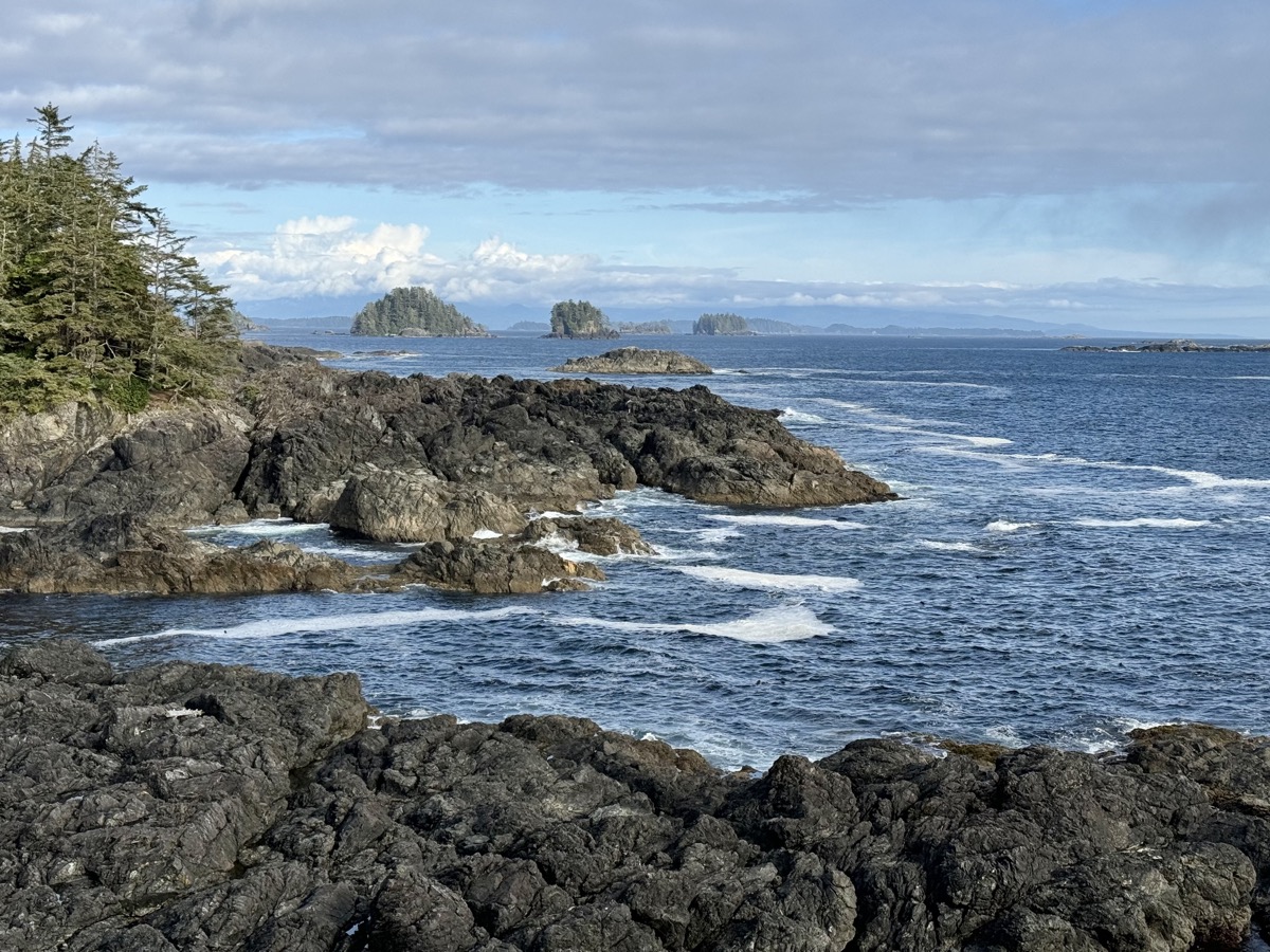
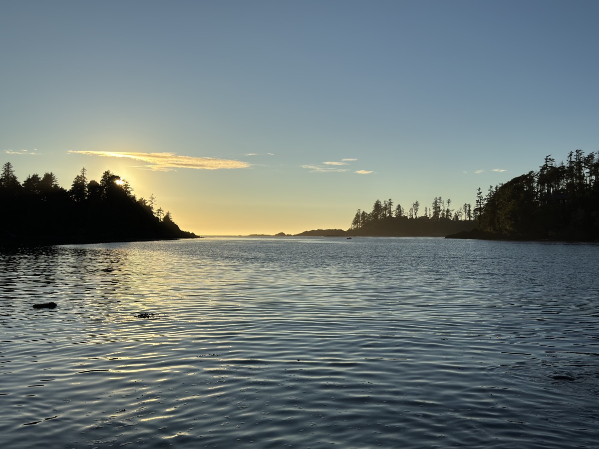
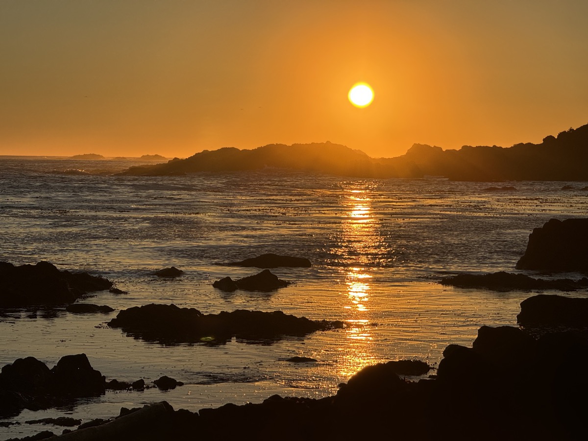
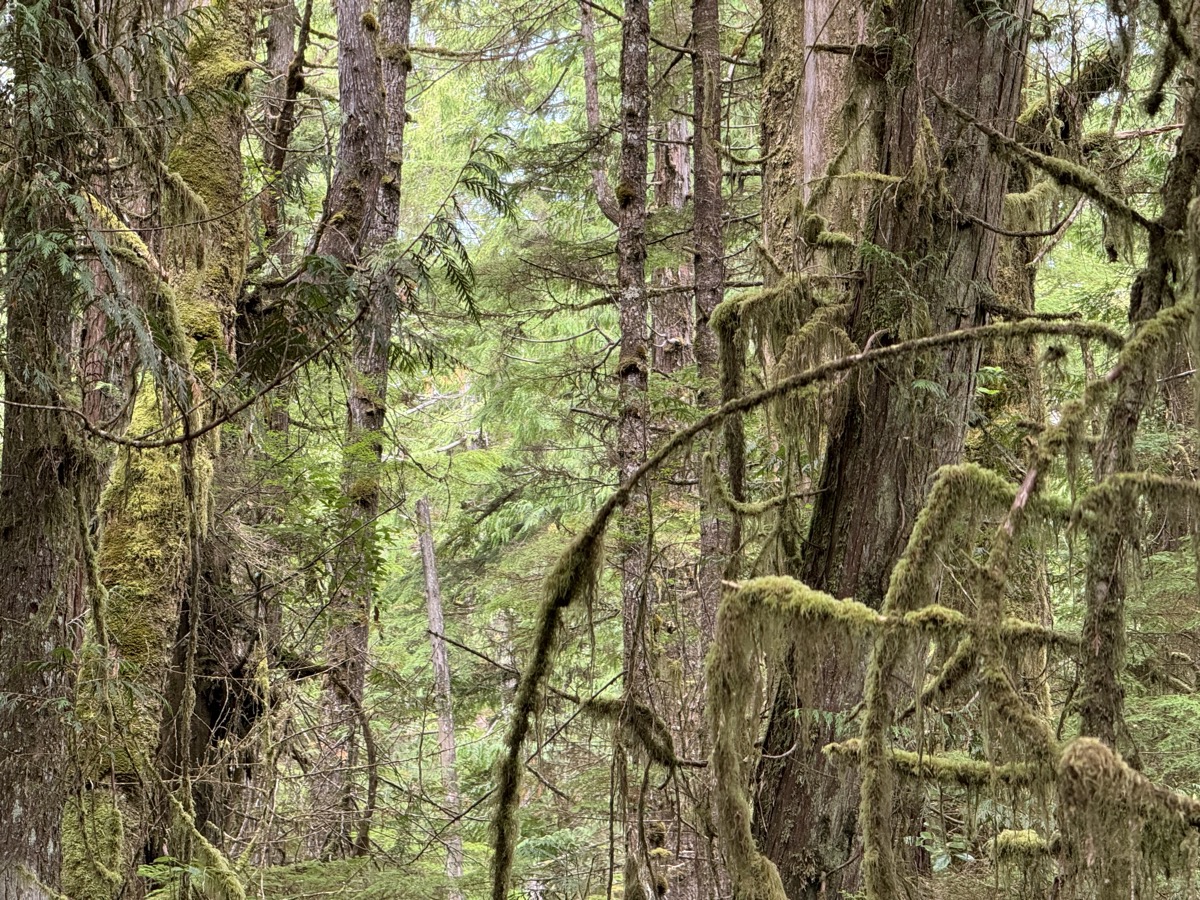
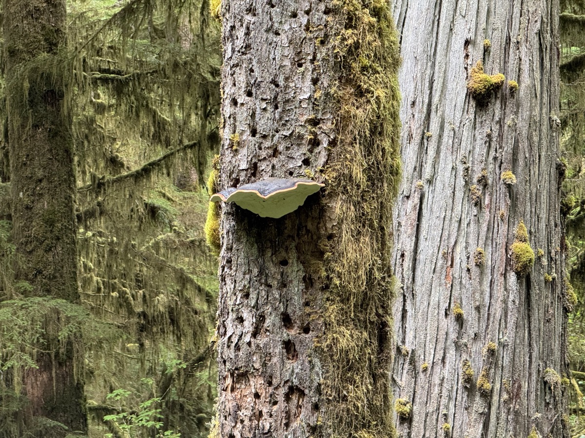
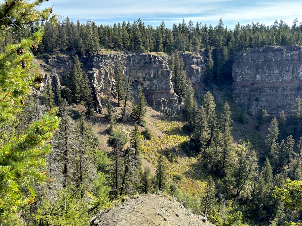
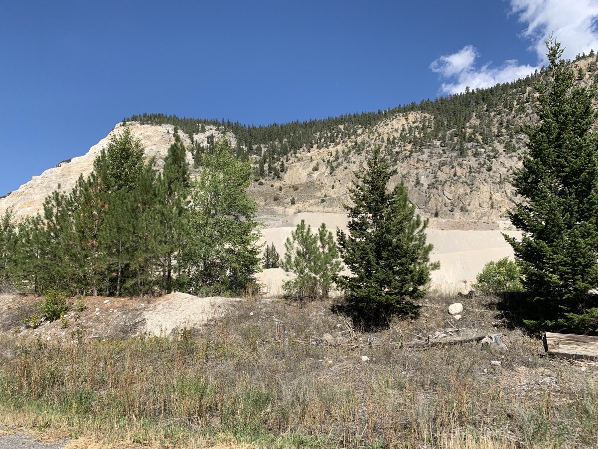
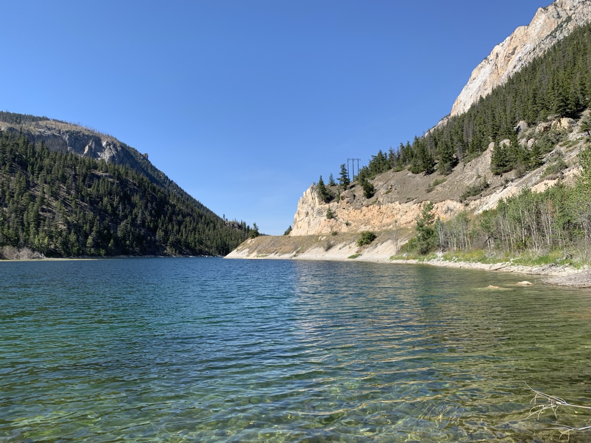
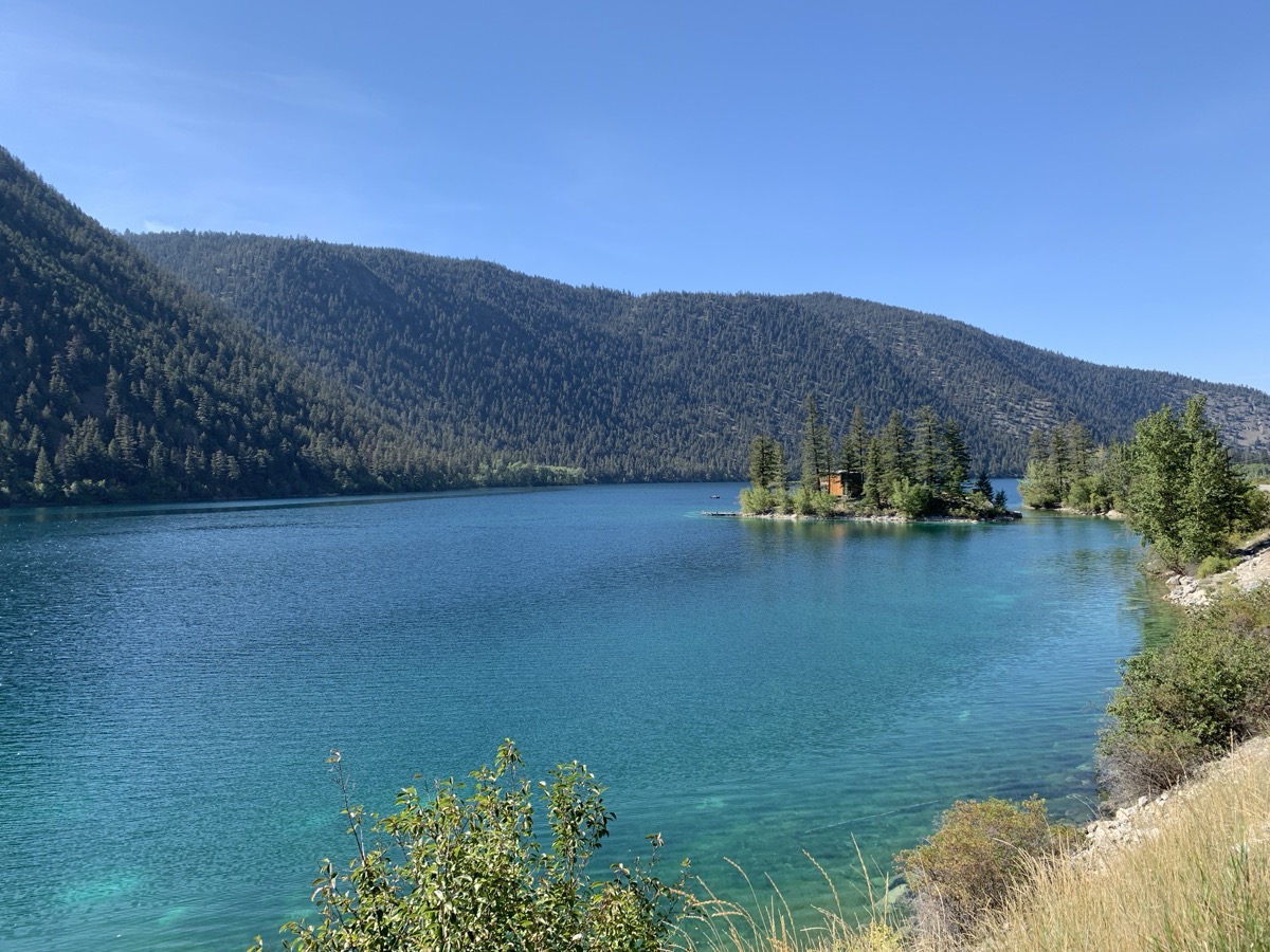
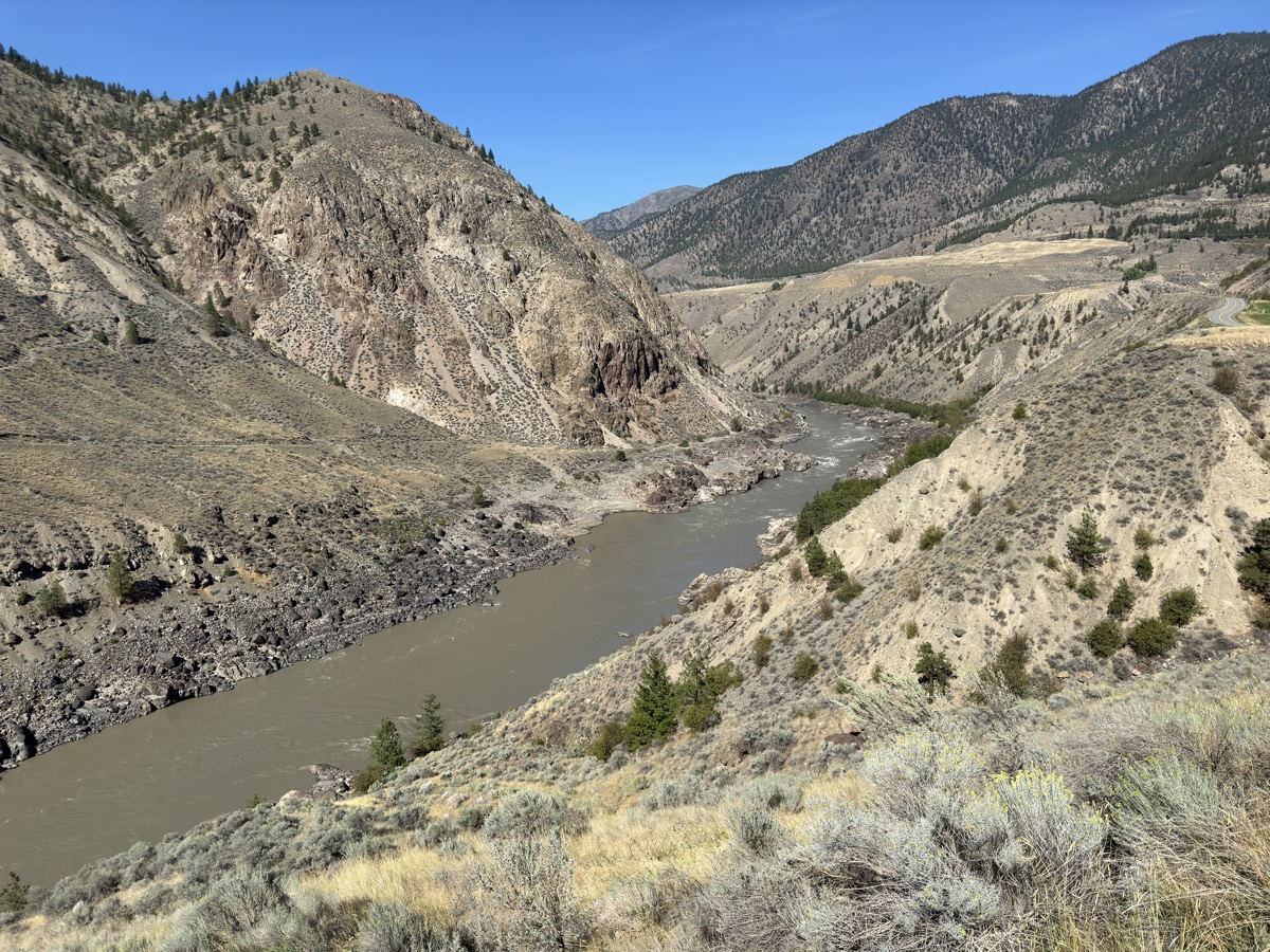
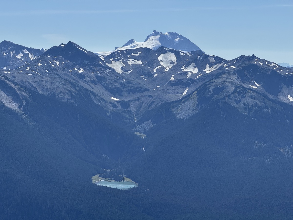
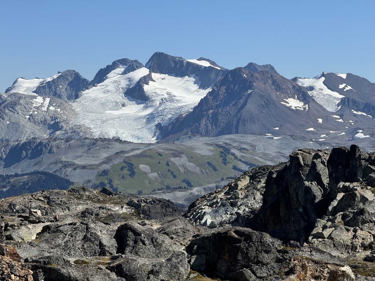
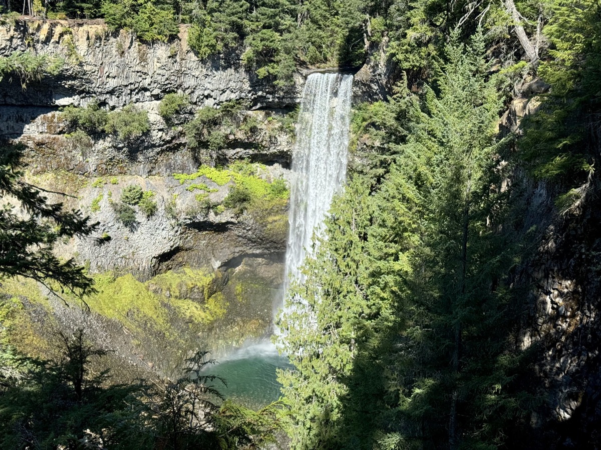
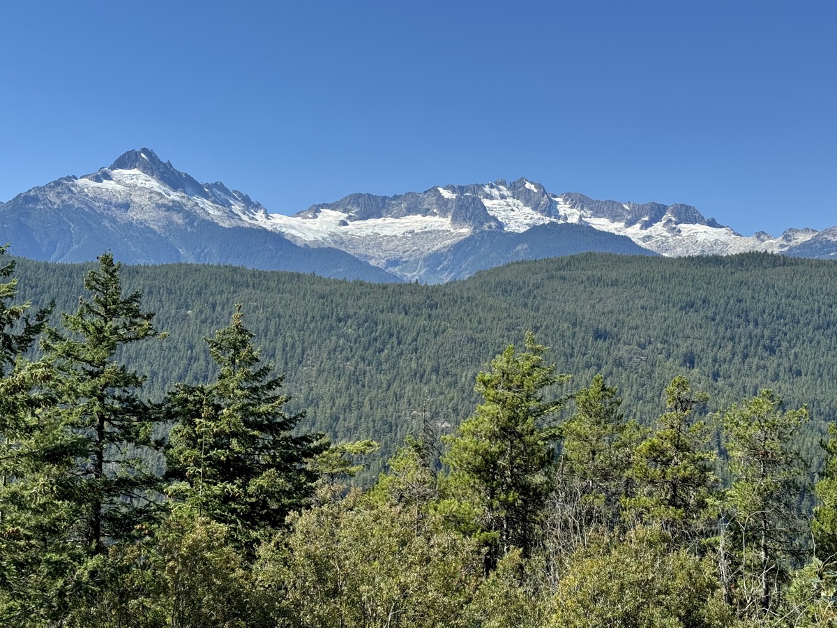
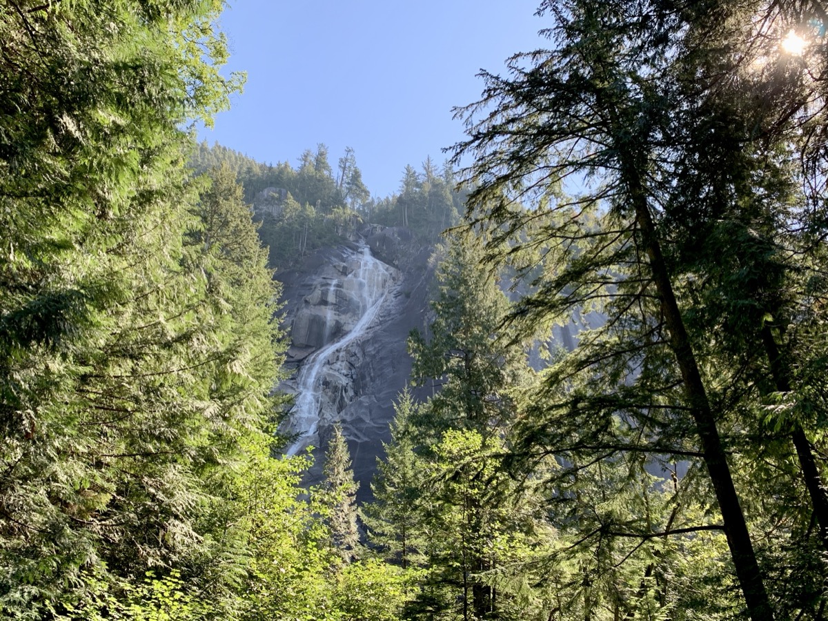
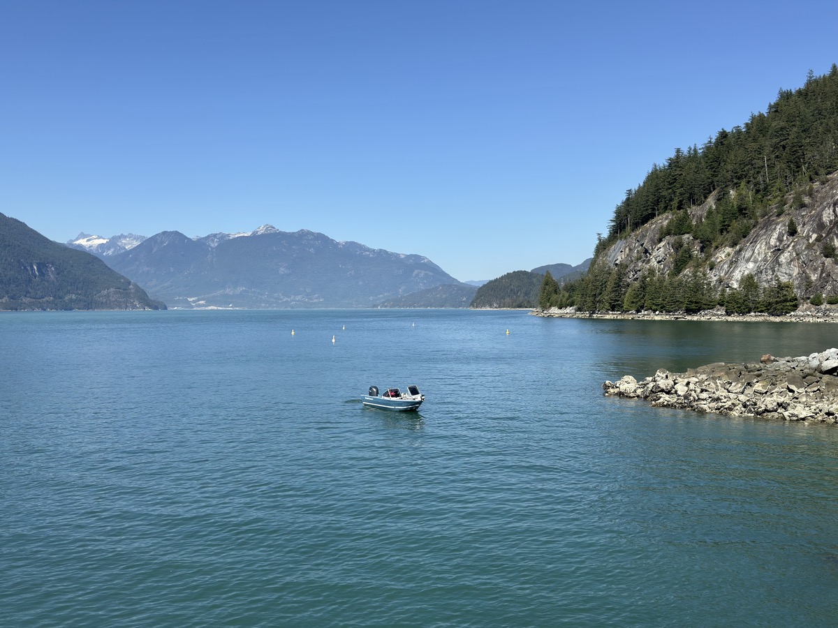
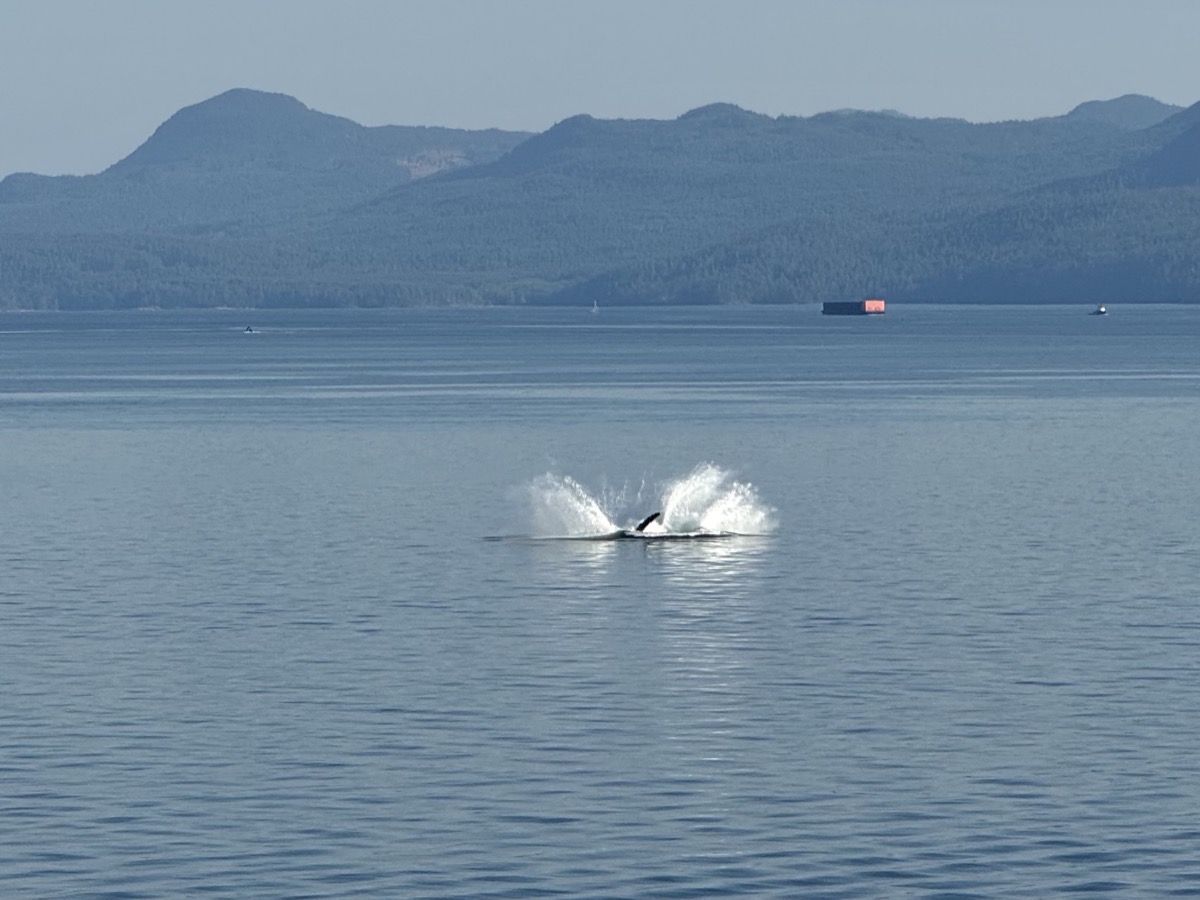
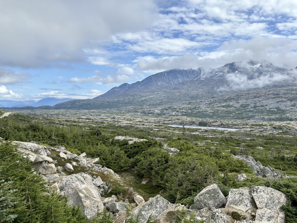
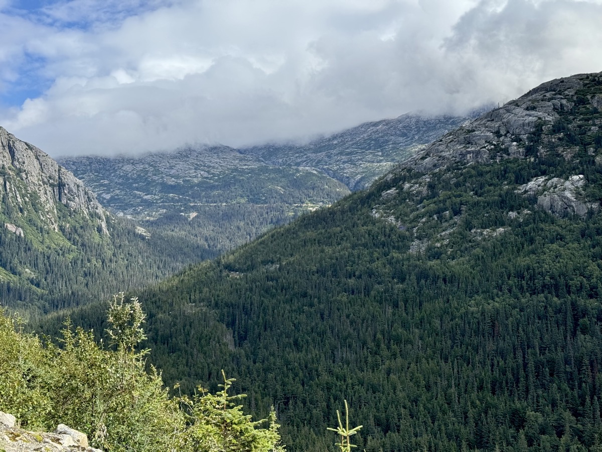
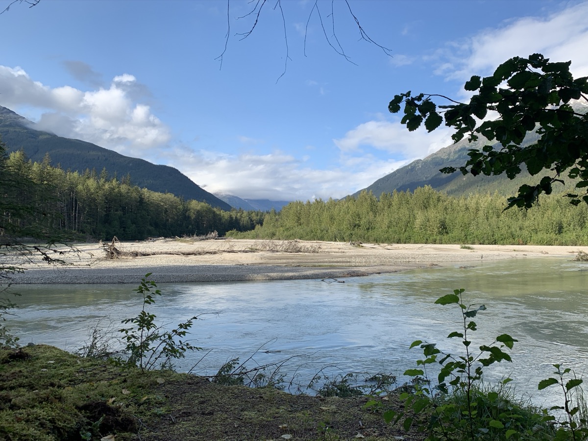
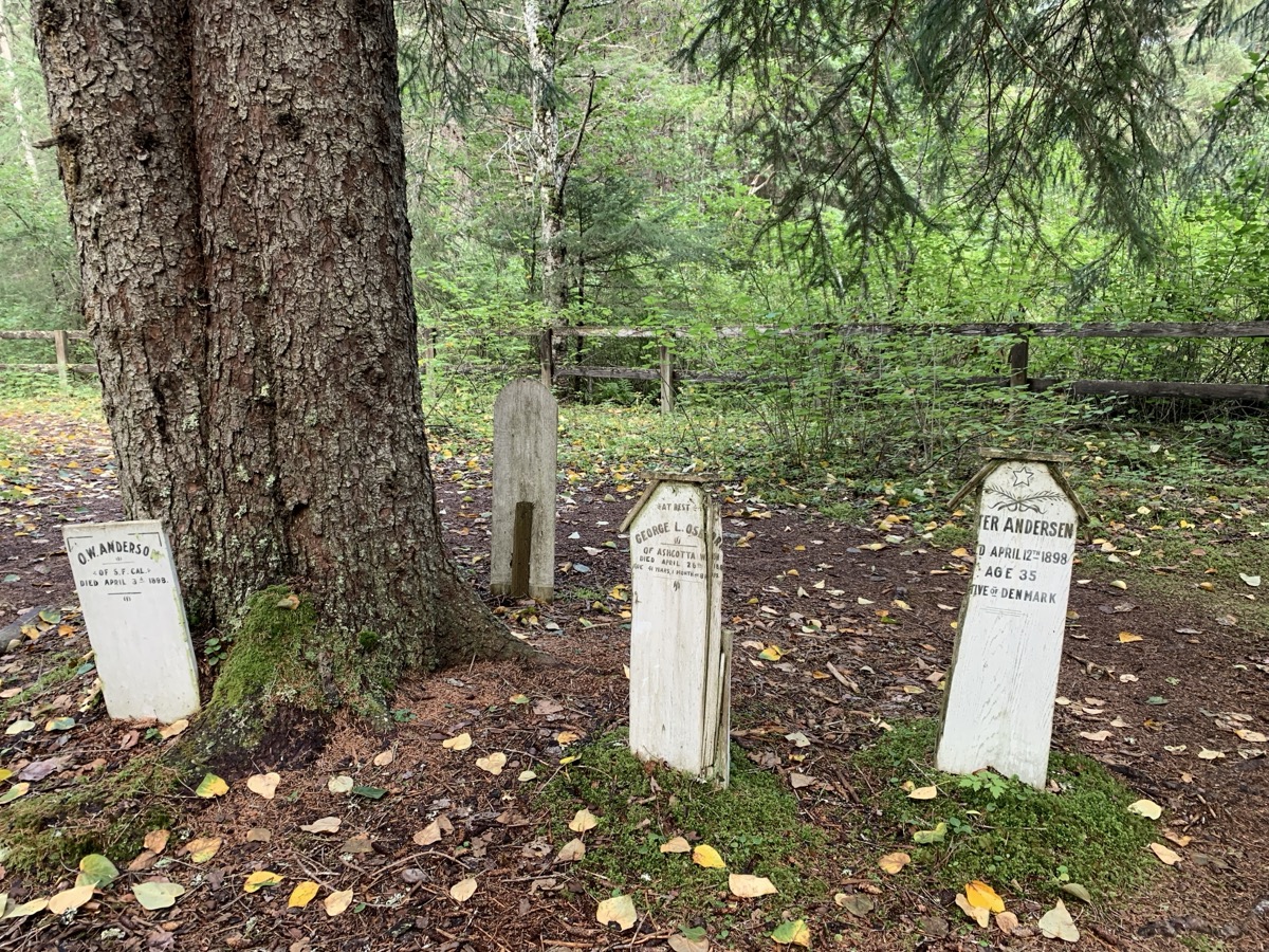
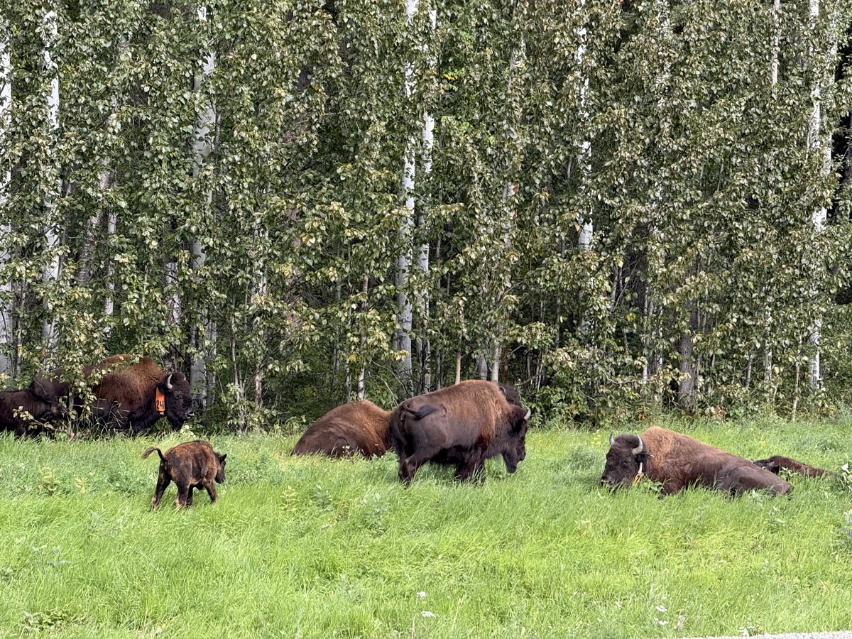
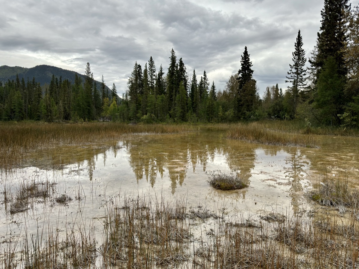
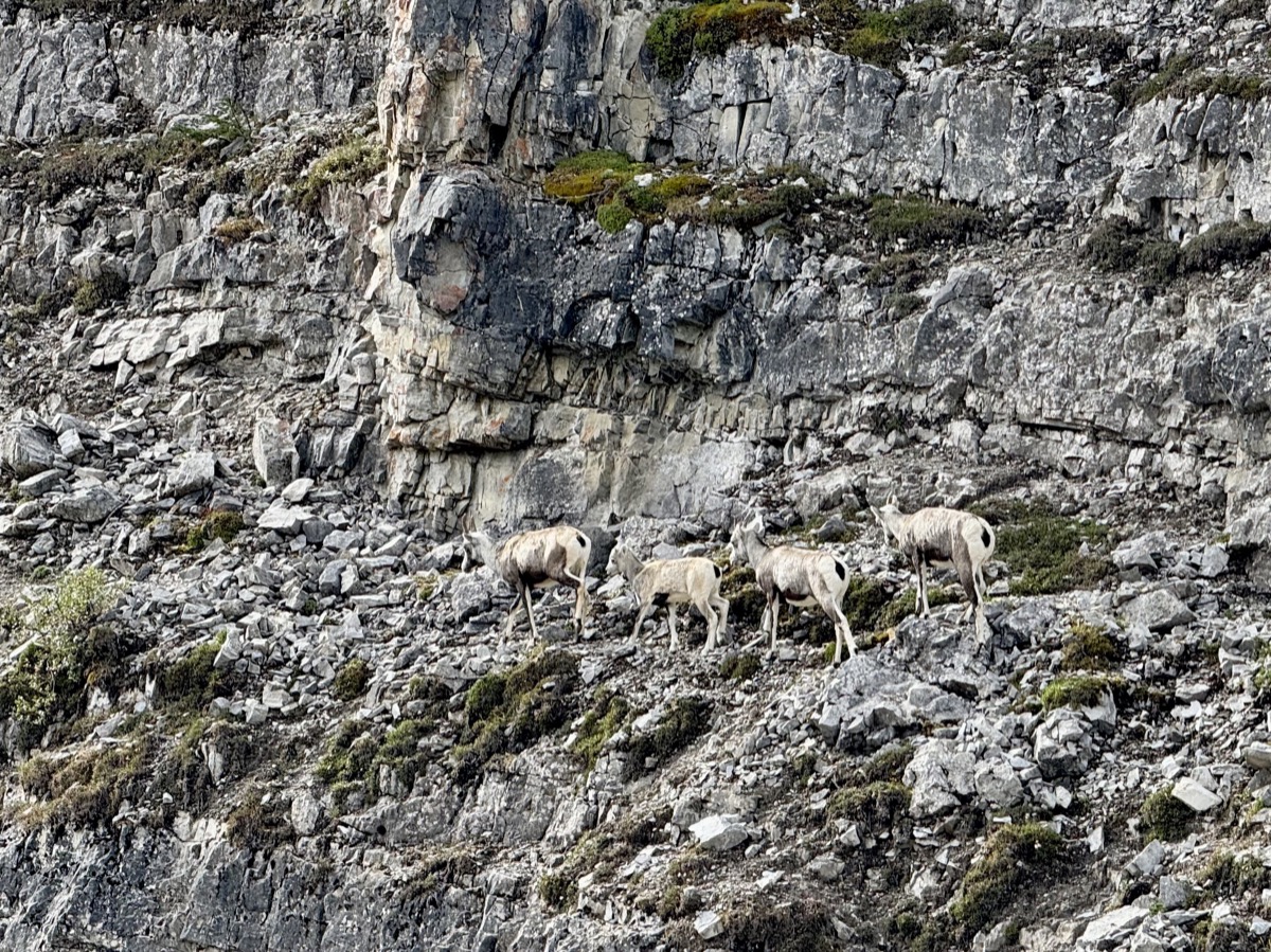
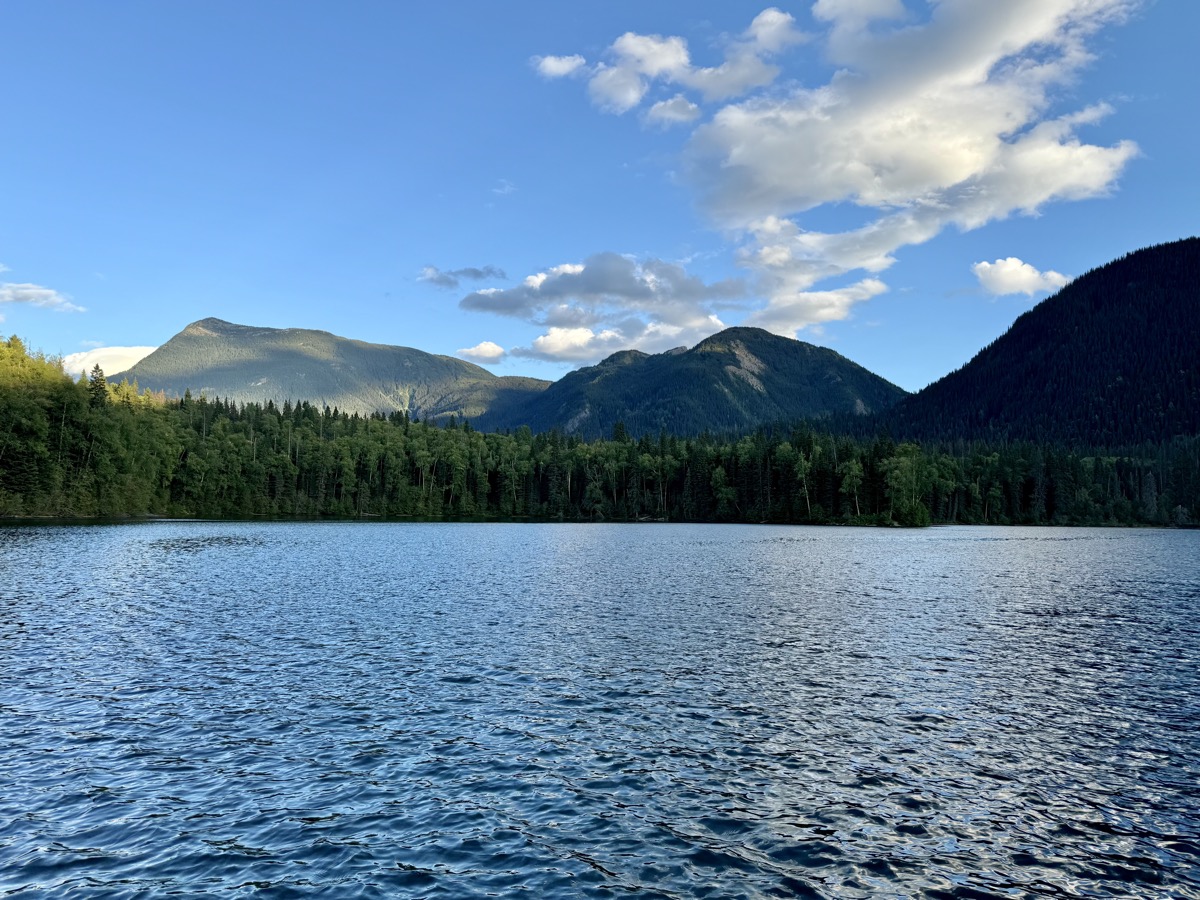
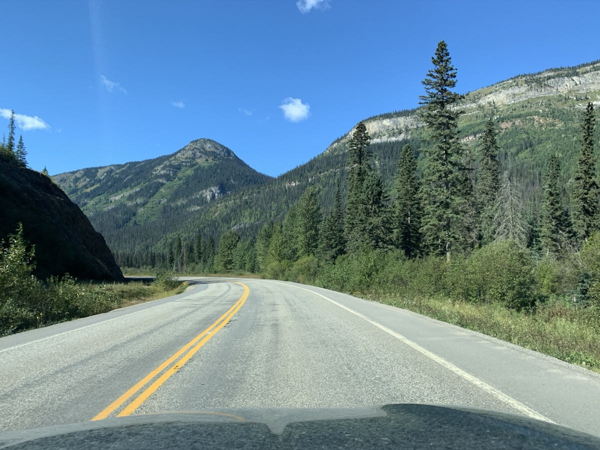
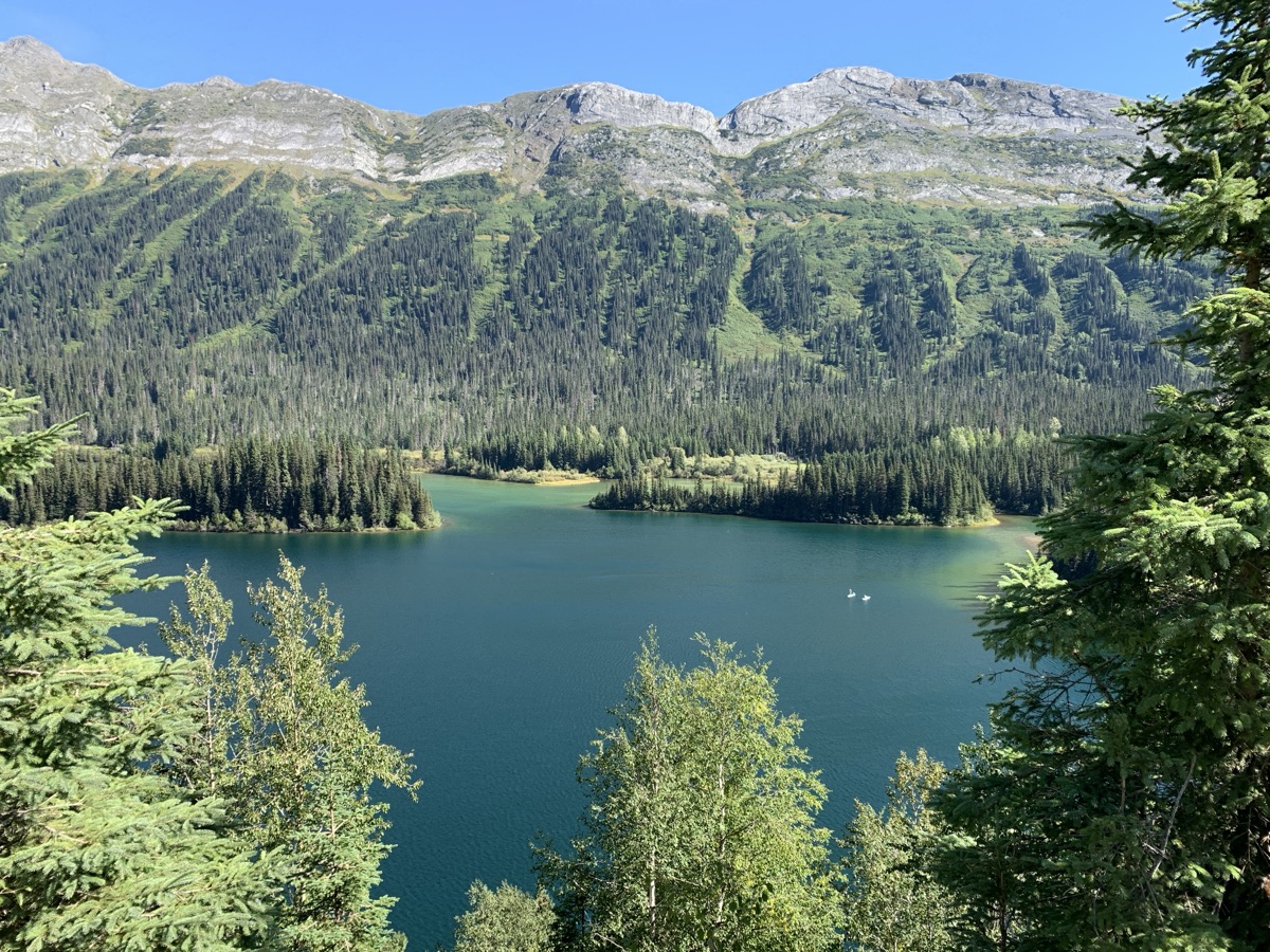
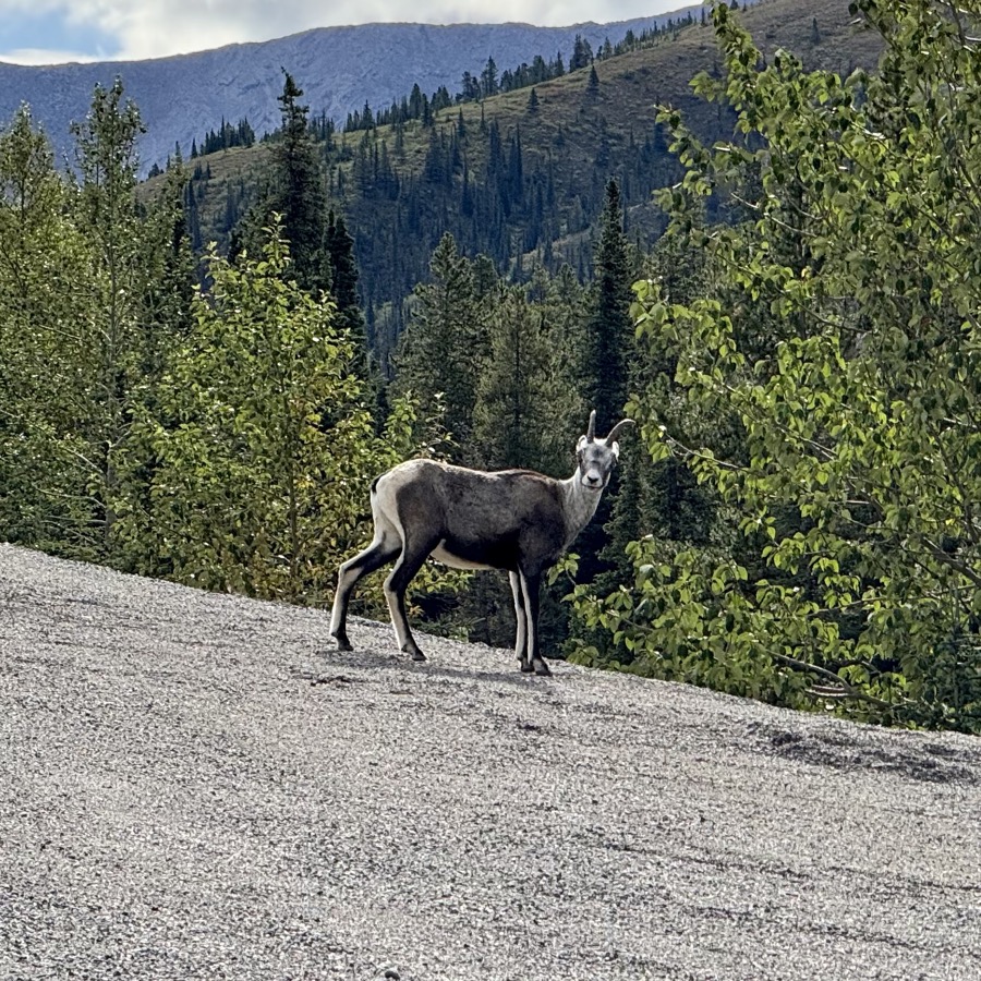
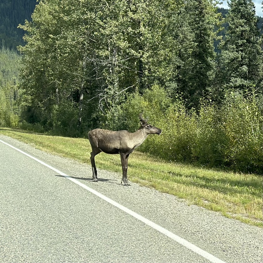
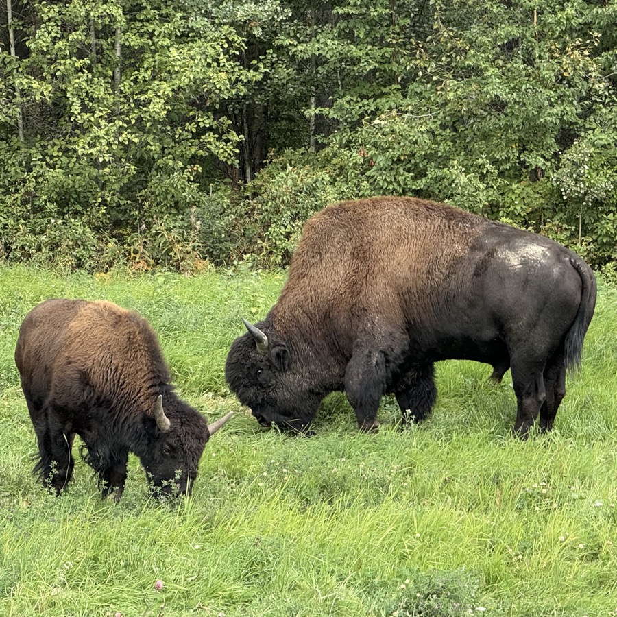
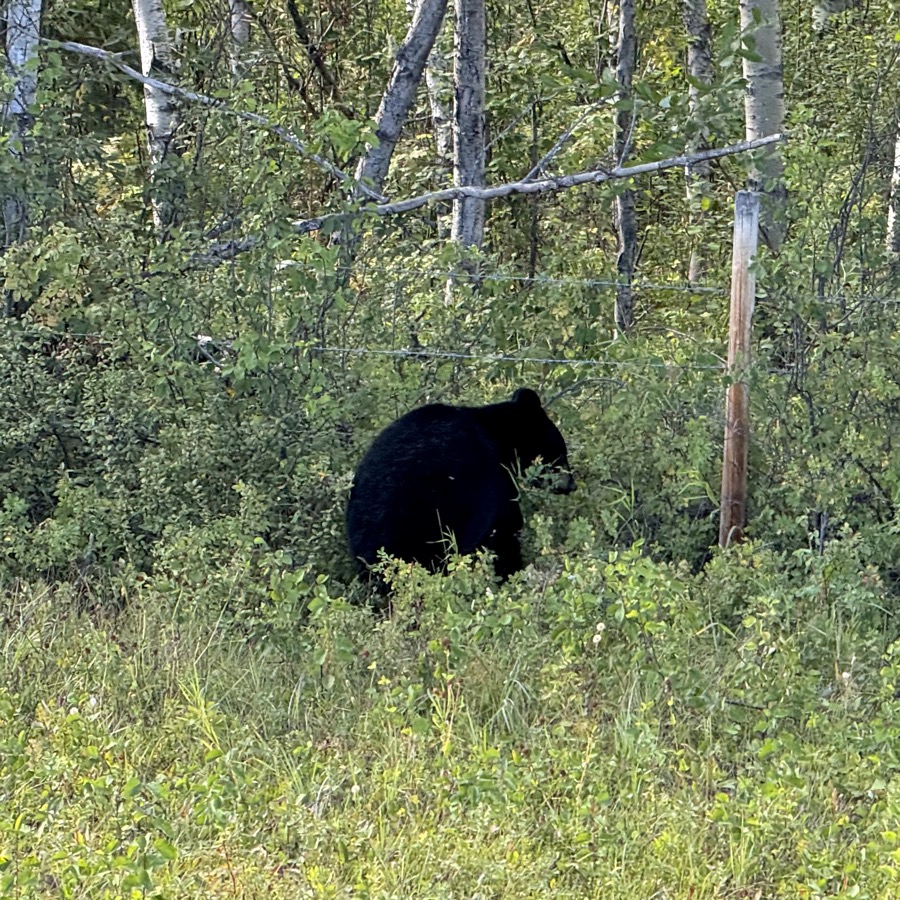
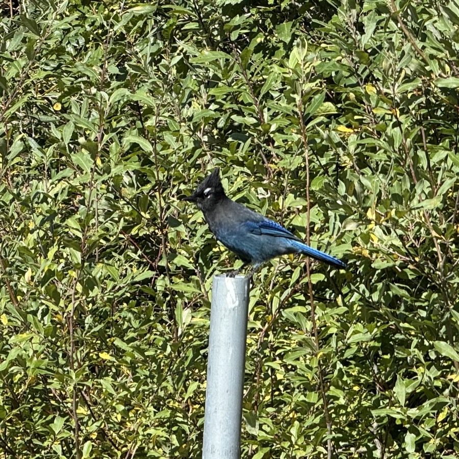
It was wide range of scenery and activities. Mountains, glaciers, lakes, rivers, fjords, temperate rain forest and old tree stands, sand dunes, badlands, Pacific coast. Dinosaurs. Wildlife watching (salmon, bears, orcas, whales…). Driving through areas destroyed by wildfires, some recently. Historical towns and sites from gold rush era. Changing views along highways. Changing weather. In retrospect, our schedule was very interesting travel-wise, but also very intense with little time to rest.
We managed only one short backcountry hike/camping from Kennecott to Root Glacier, disappointing as we were prepared for more. But we did many day-walks/hikes. Memorable several hours on Root Glacier, long day on Harding Icefield Trail and long, but relaxing hike to Kinney Lake and beyond. Two off-trail “wild” hikes: one on slopes of Cathedral Mountain in Denali NP and one exploring petrified forest in badlands of Theodore Roosevelt NP. Kayaking half of Eklutna Lake. Walking along rivers to watch salmon. Exploring gold rush history. Add sightseeing fly-over from McCarthy to Mt Blackburn in Wrangell-St Elias NP, and two ship cruises: from Seward to Northwestern Glacier and from Valdez to Columbia Glacier. Just to name some highlights.
Even with last minute daily planning, we did not have any problems, other than a couple of times, finding places to overnight. There were many campgrounds with good locations and layouts. Most had no running water, flush toilets or showers. We were sometimes surprised by dilapidated infrastructure and poor maintenance. Some automated fee collection stations were technologically top notch. We found very good old-fashioned campgrounds too. We stayed at established campgrounds most of the time (61 nights/42 destinations). Wild car-camping was fine (11 nights/11 destinations). Weather (rain), tight schedule, restocking and laundry, car repairs and long driving was a factor: renting a place to stay overnight was then the only viable/comfortable option (30 nights/23 destinations). Found many excellent and some interesting ones, not always expensive.
We experienced two travel health problems, but both resolved quickly.
Main expenses: gasoline $1980 ($2.80 to $6 per gallon), three ferries $200, rental overnight accommodations $3600 (average $120 per night), paid campgrounds $1060 (average $19 per night), tickets (airplane/ship excursions, mountain gondolas, museums etc.) $2120. Plus we camped 17 nights for free. Total $8970 = $88 per day. Spending on food and drinks was no more than at home. Car repairs and maintenance totaled $2180, but were not directly related to this trip other than by added mileage.
Highligts…