Day 53-57: Russian River-Whittier-Anchorage-Chugach Mountains

August 5-9

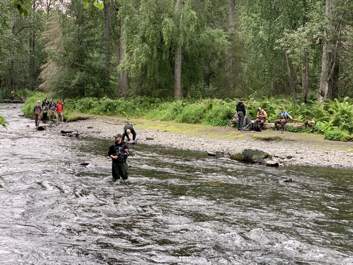
Day 53. Fishing day. With fishing rod in the box and license picked-up on the way, we drove to Russian River Ferry, crossed Kenai River and joined many other people catching salmon. We were busy all afternoon and did not waste time to take pictures. Everybody around was pulling fish, but not us. Clearly our understanding of the problem and technique were poor. It was interesting experience anyway. We drove to nearby Cooper Creek CG (Russian River CG was full) and cooked veggies for dinner.

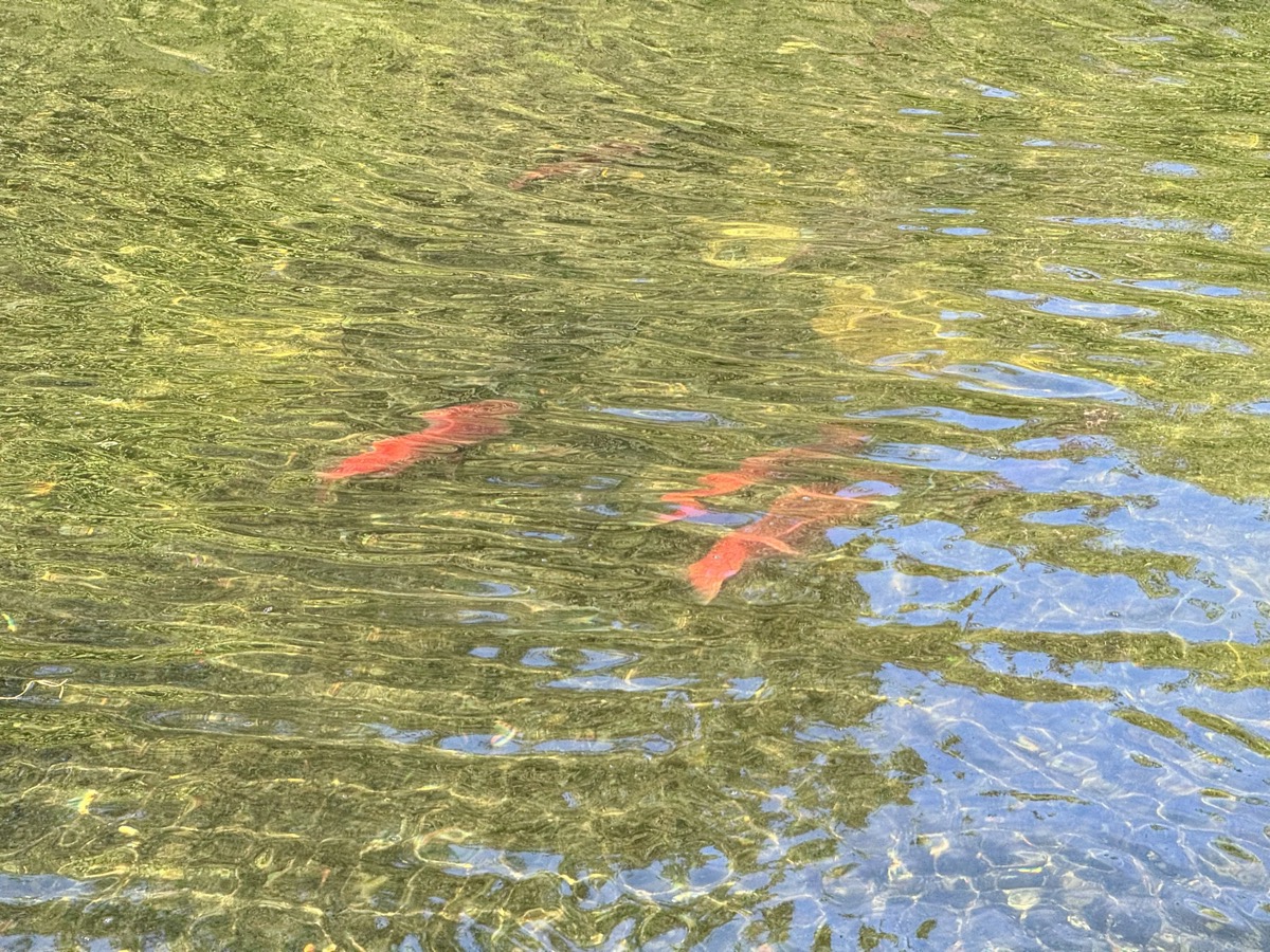
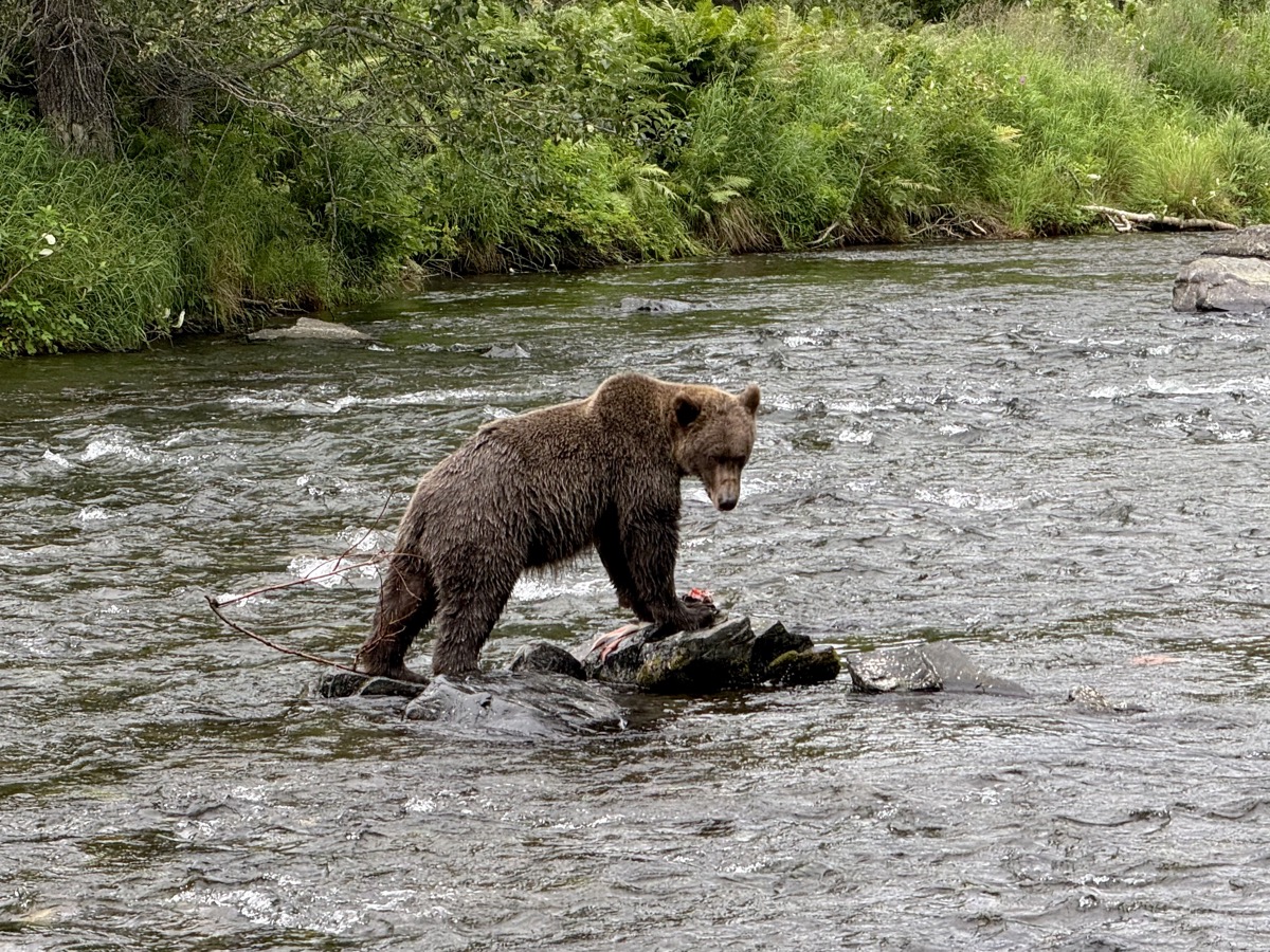
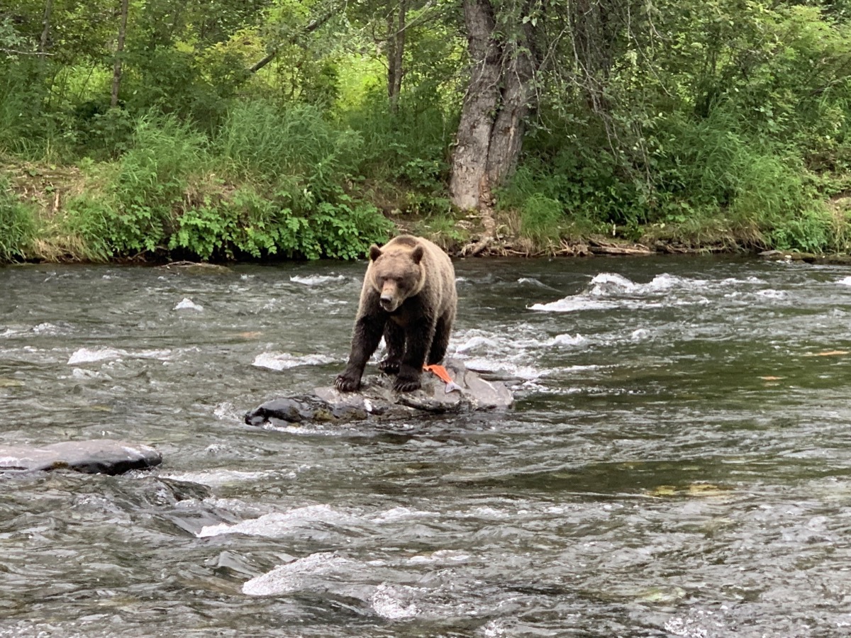
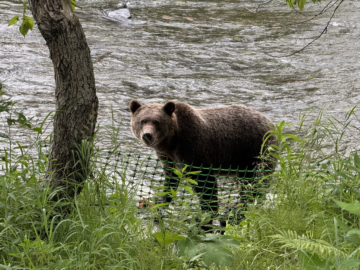
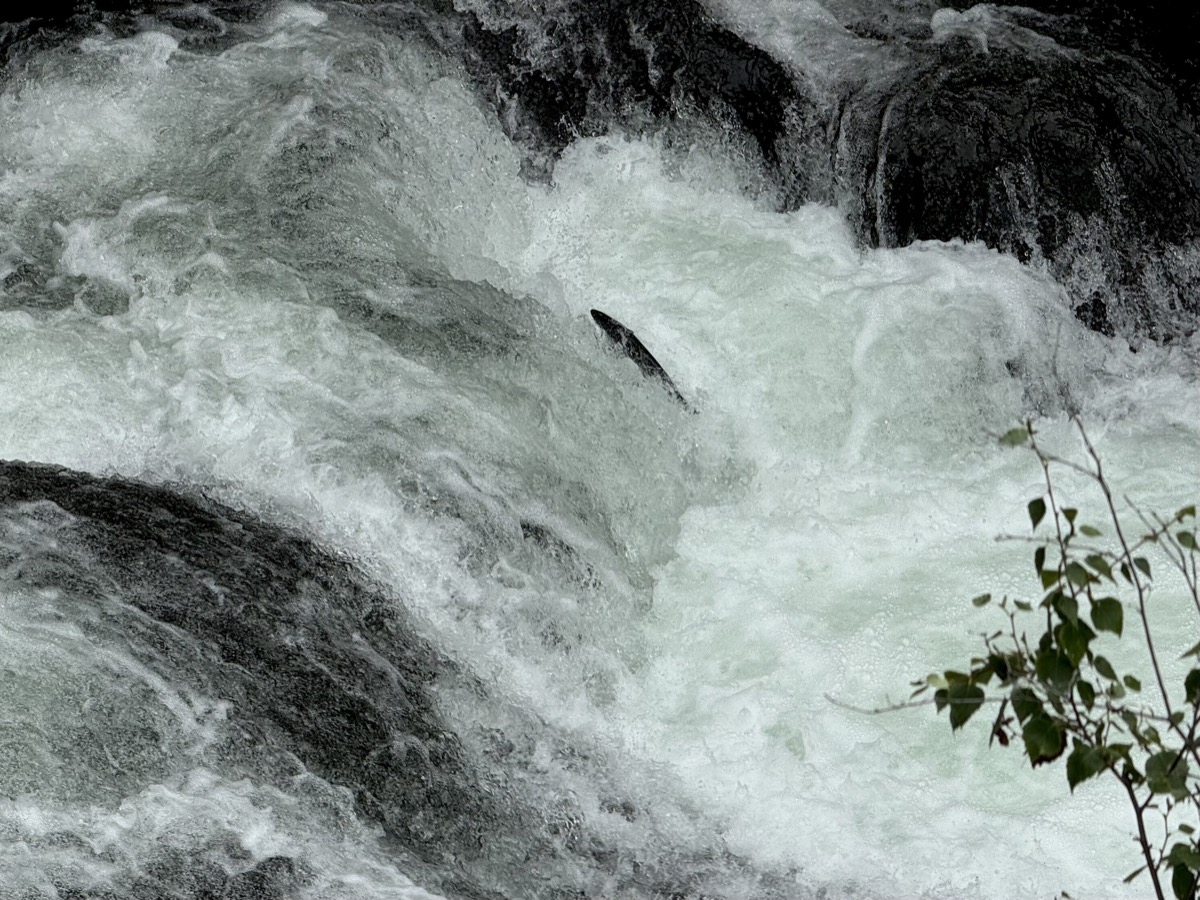
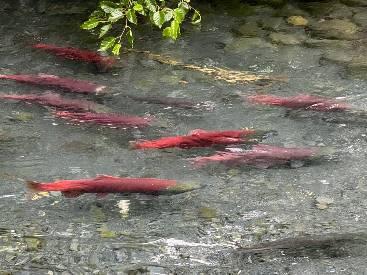
Day 54. Next morning we drove back to look at salmon one more time. Walking along Russian River we were rewarded by good sighting (quite long observation) of grizzly bear. It didn’t even have to catch anything, more than enough leftovers (discarded by people) to go through. We then walked to Russian River Falls, nice and easy hike, where we watched many salmon still going upstream, struggling to pass the rapids. Everybody comes here in season to fish as salmon pushes upstream to spawn.

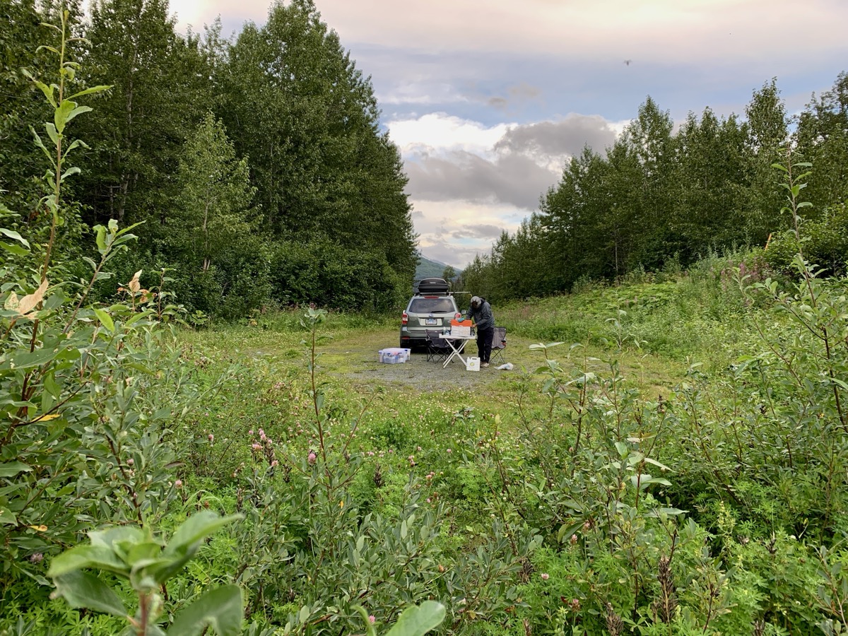
We hit Sterling and Seward Highways knowing this stretch already. The weather changed to rain of different intensity. Stopped at Summit Lodge for late lunch/dinner. Good food. With not so good weather we did not want to cook dinner later. Short breaks in heavier rain helped us settle at Williwaw Campground. It was good campground, many sites to choose from and close to next destination. We just walked in light rain to the creek to explore possible stop on the way back.

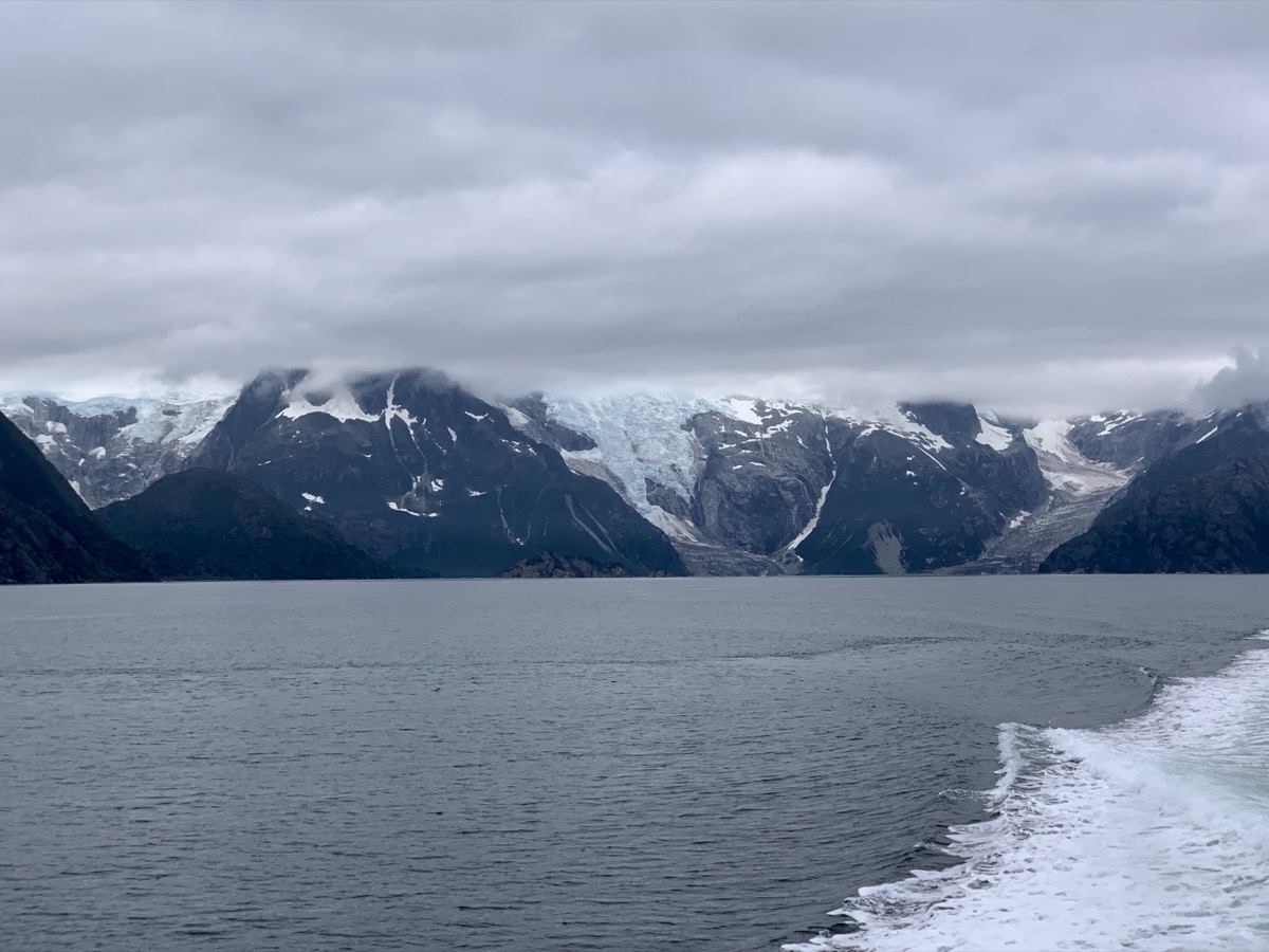
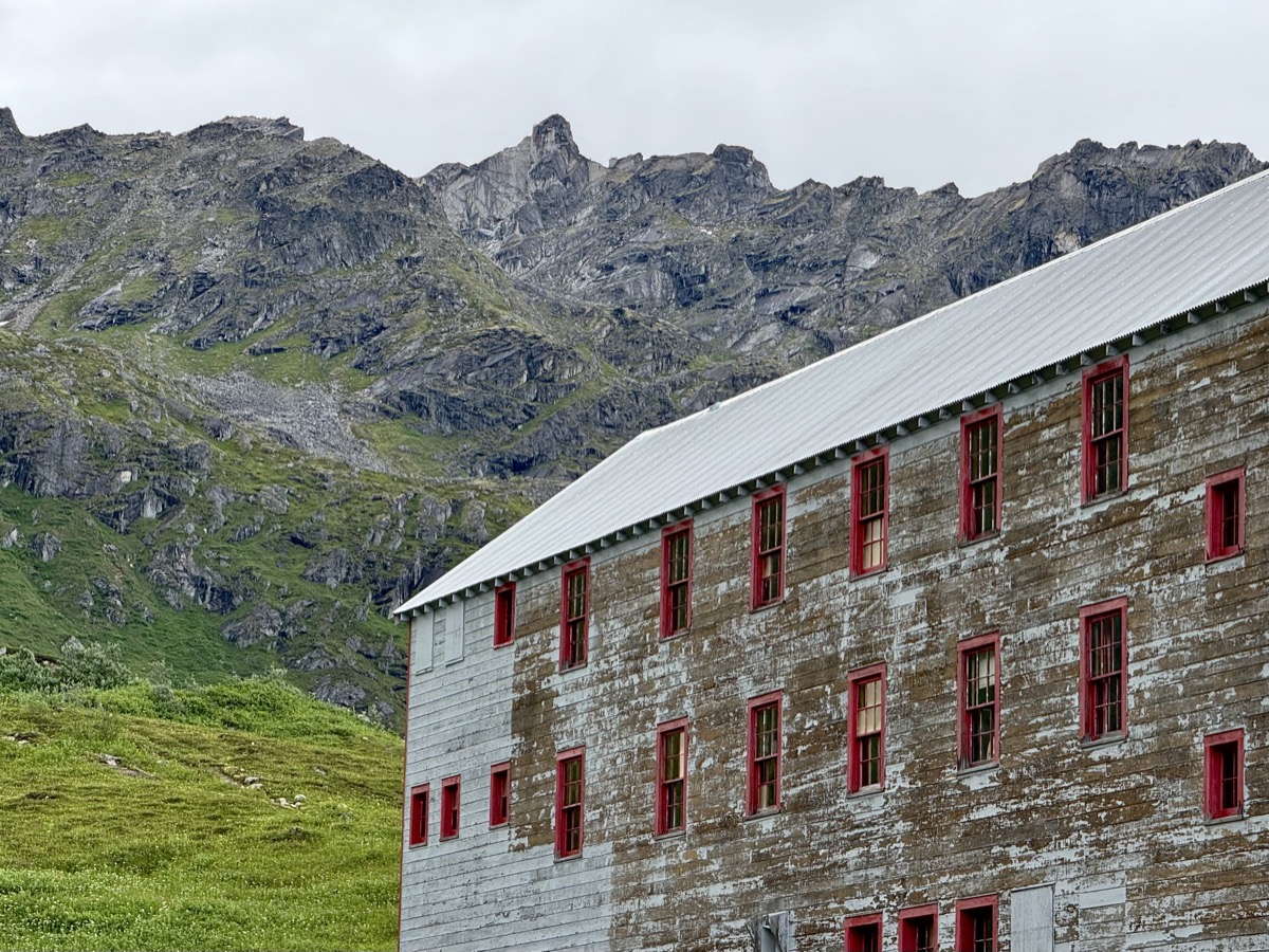
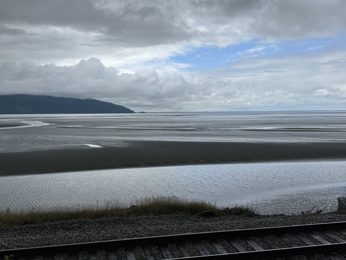
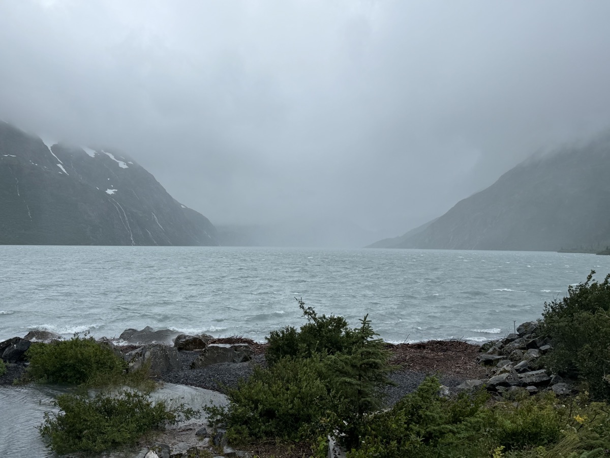
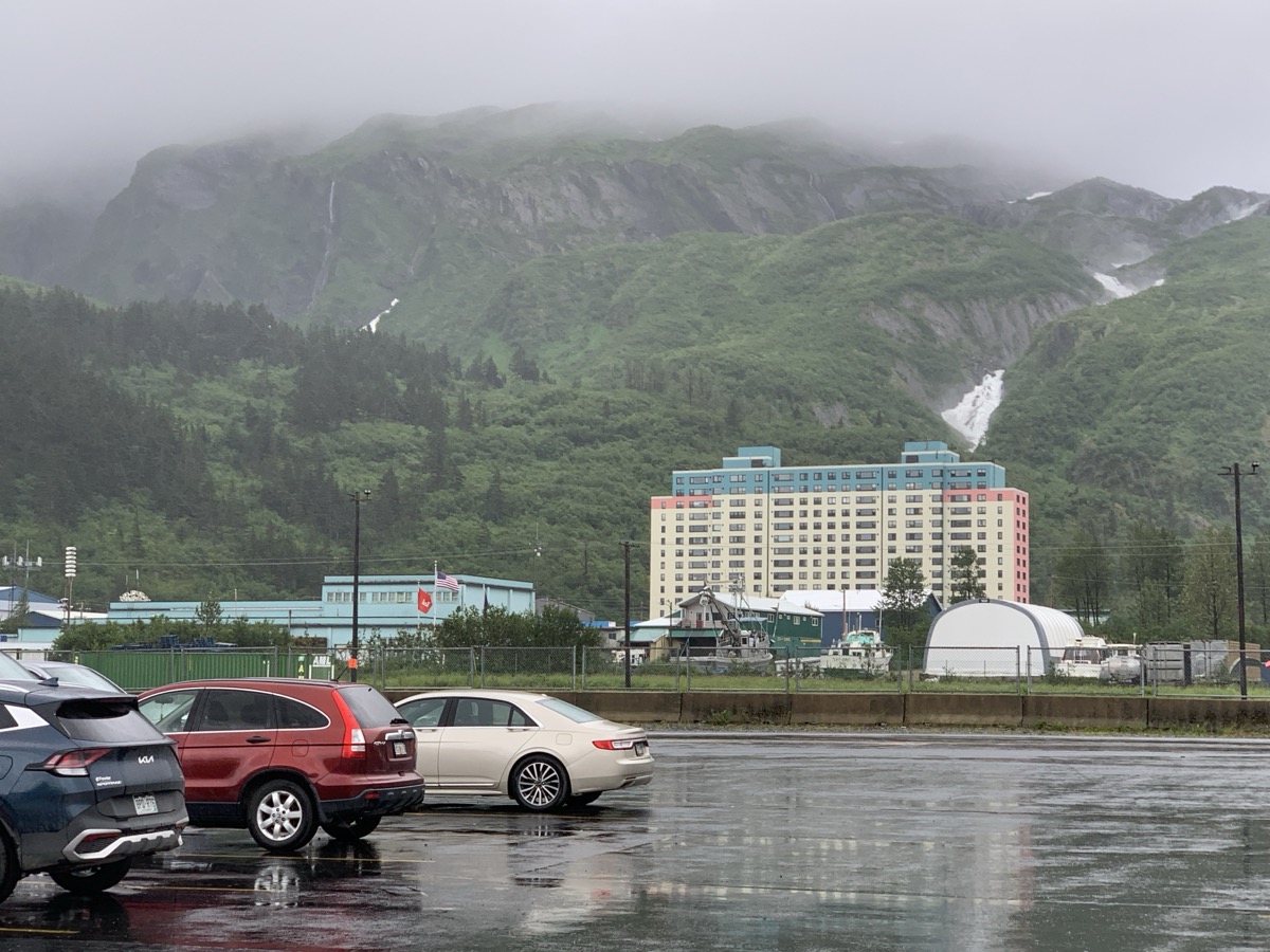
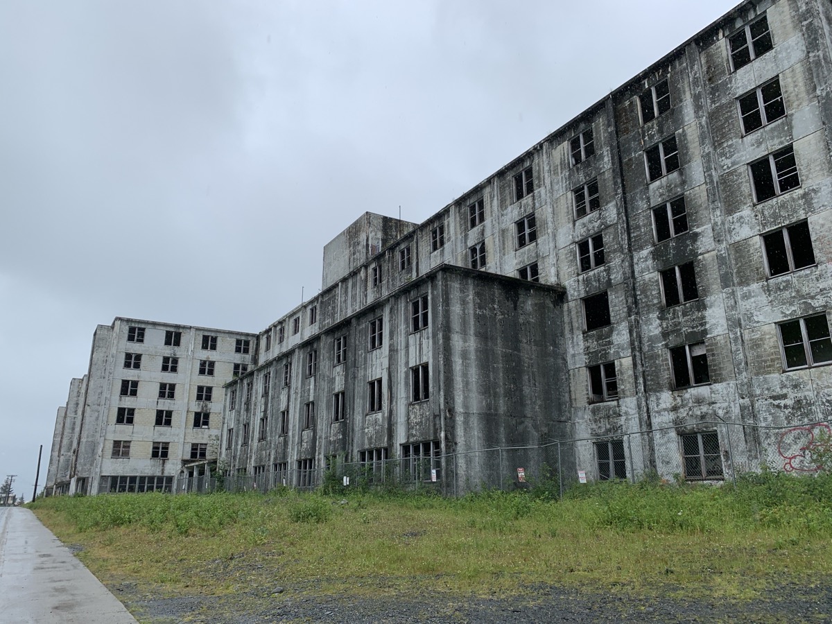
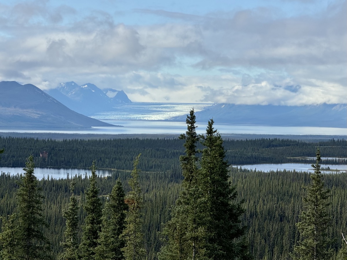
Day 55. Next destination: the historic town of Whittier (built from scratch for military purposes). The town can be only accessed through road tunnel which is interesting. Wanted also to see if we could get on a ferry to Valdez. But first, at Portage Lake we got a full taste of different Alaskan weather: cutting rain and strong wind. No chance for a hike to Portage Glacier and no view. We warmed up at the Visitor Center. There was not much to do in Whittier. Rain didn’t help. No luck with ferry. We drove around to get a closer look at some historic buildings and one apartment building where nearly entire town population lives, complete with store, post office, laundry, church and more. It is interesting “town” to see.

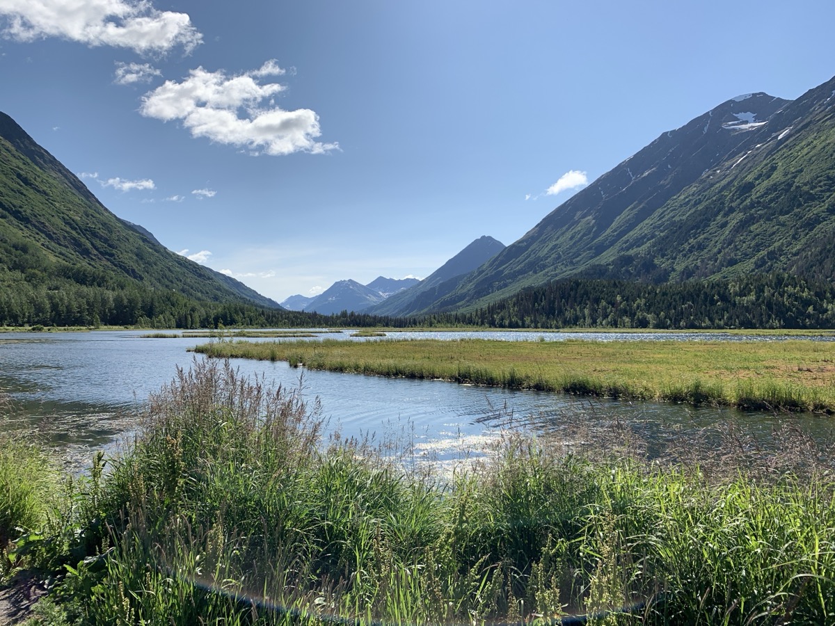
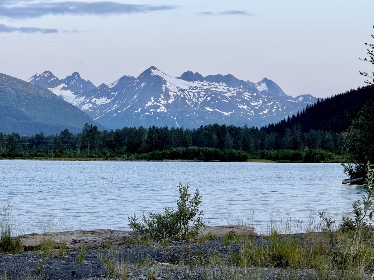
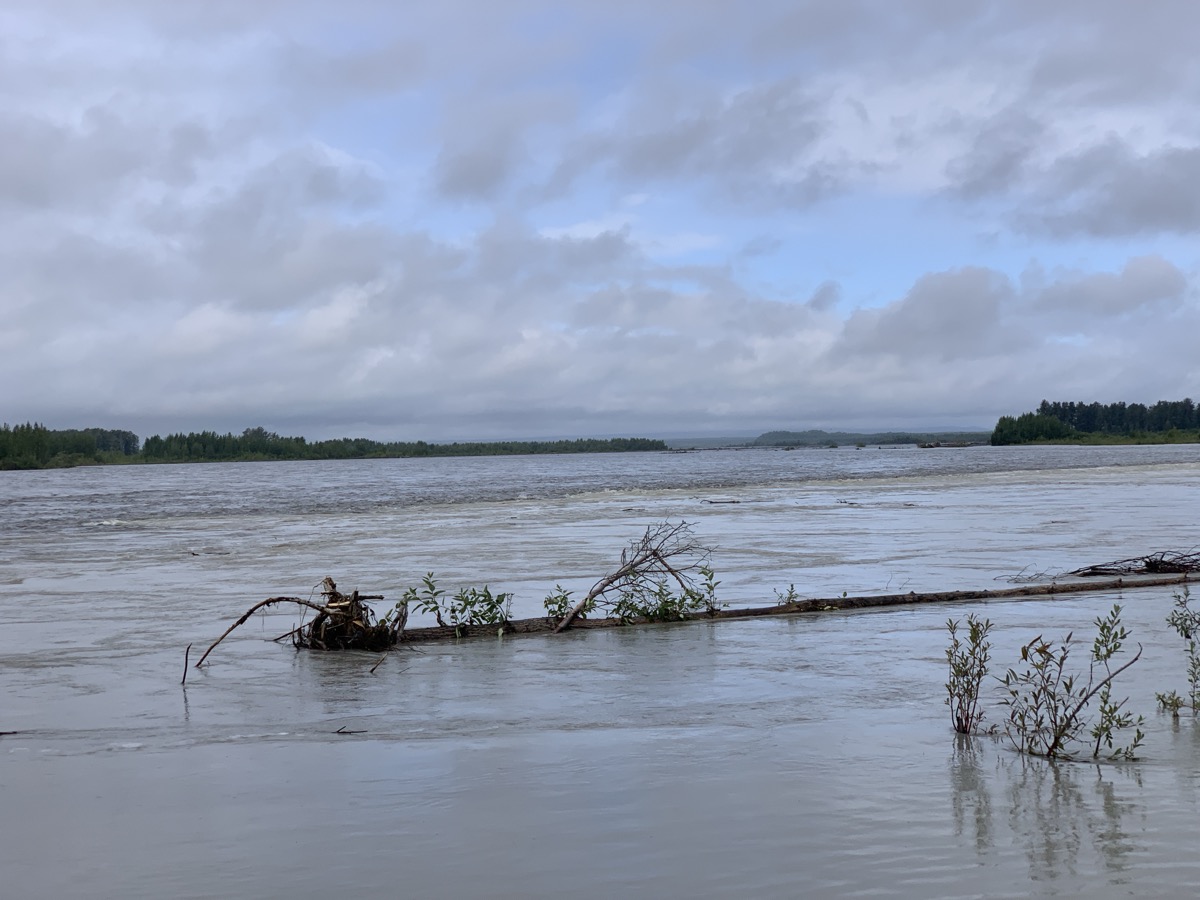
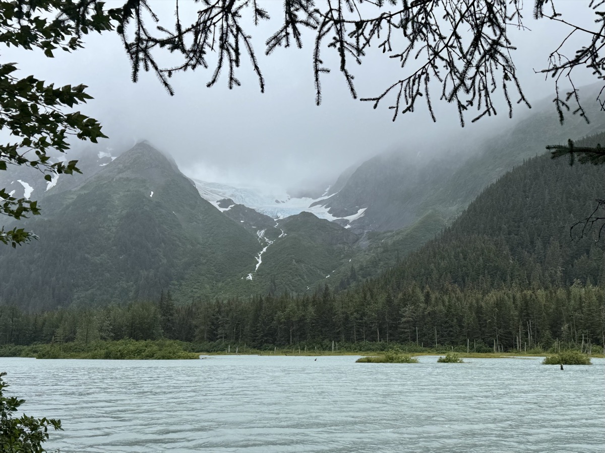
We headed back out in the afternoon stopping on the way at viewpoints to look at mountains and glaciers across flooded Portage Valley and then to watch spawning salmon in Williwaw Creek from trail with access to the stream every 100 m or so to peek in. As we were walking between two such points Piotr turned around (instinctively) and saw a medium-size black bear running quietly across the trail 30 m behind us. It was interested in salmon, we guessed, and did not want to be seen. They know how to disappear. We drove in the rain to Anchorage, it was quite tiring. We had better weather on the way in. Stayed at airbnb. Restocking and laundry.

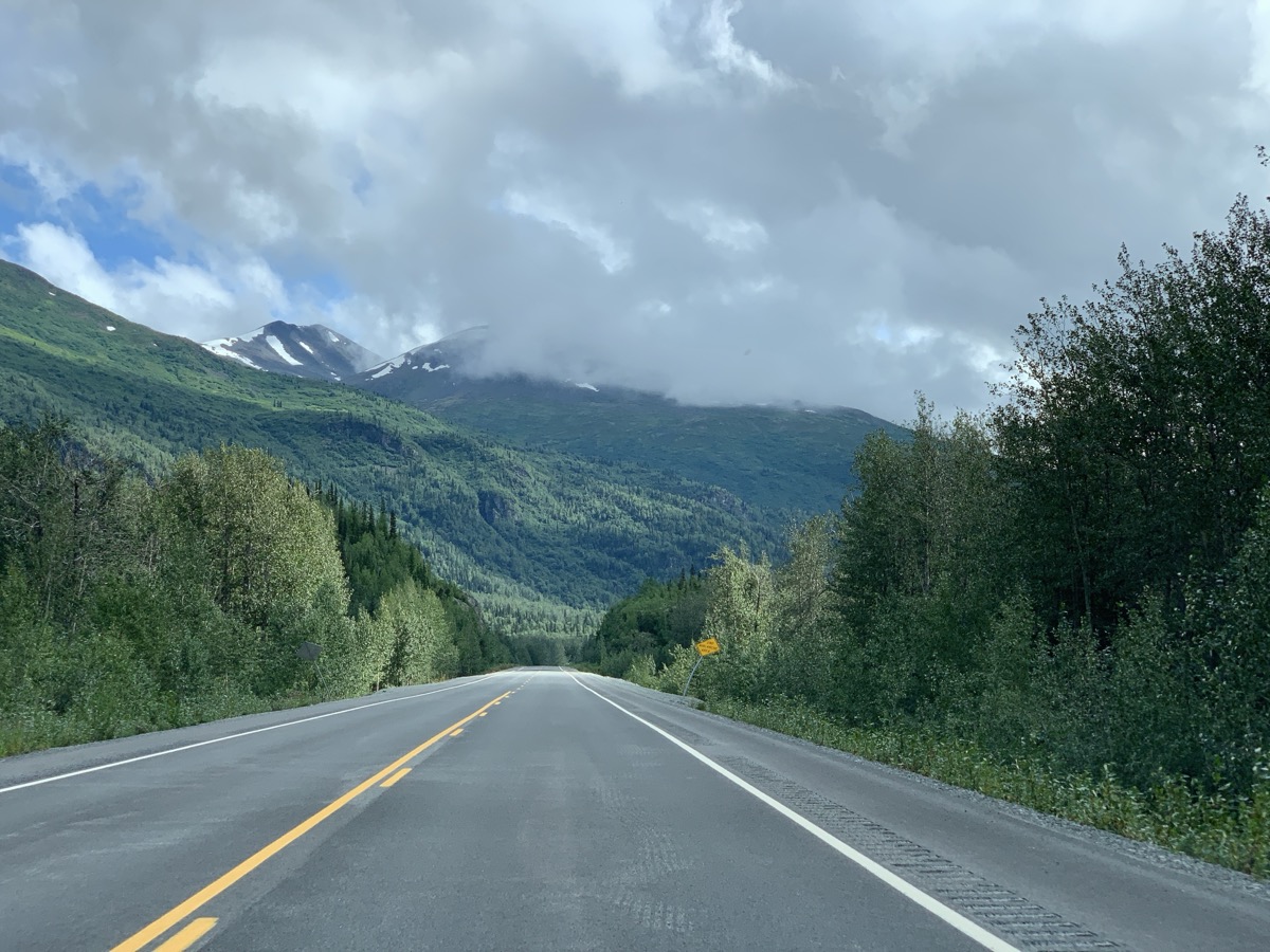
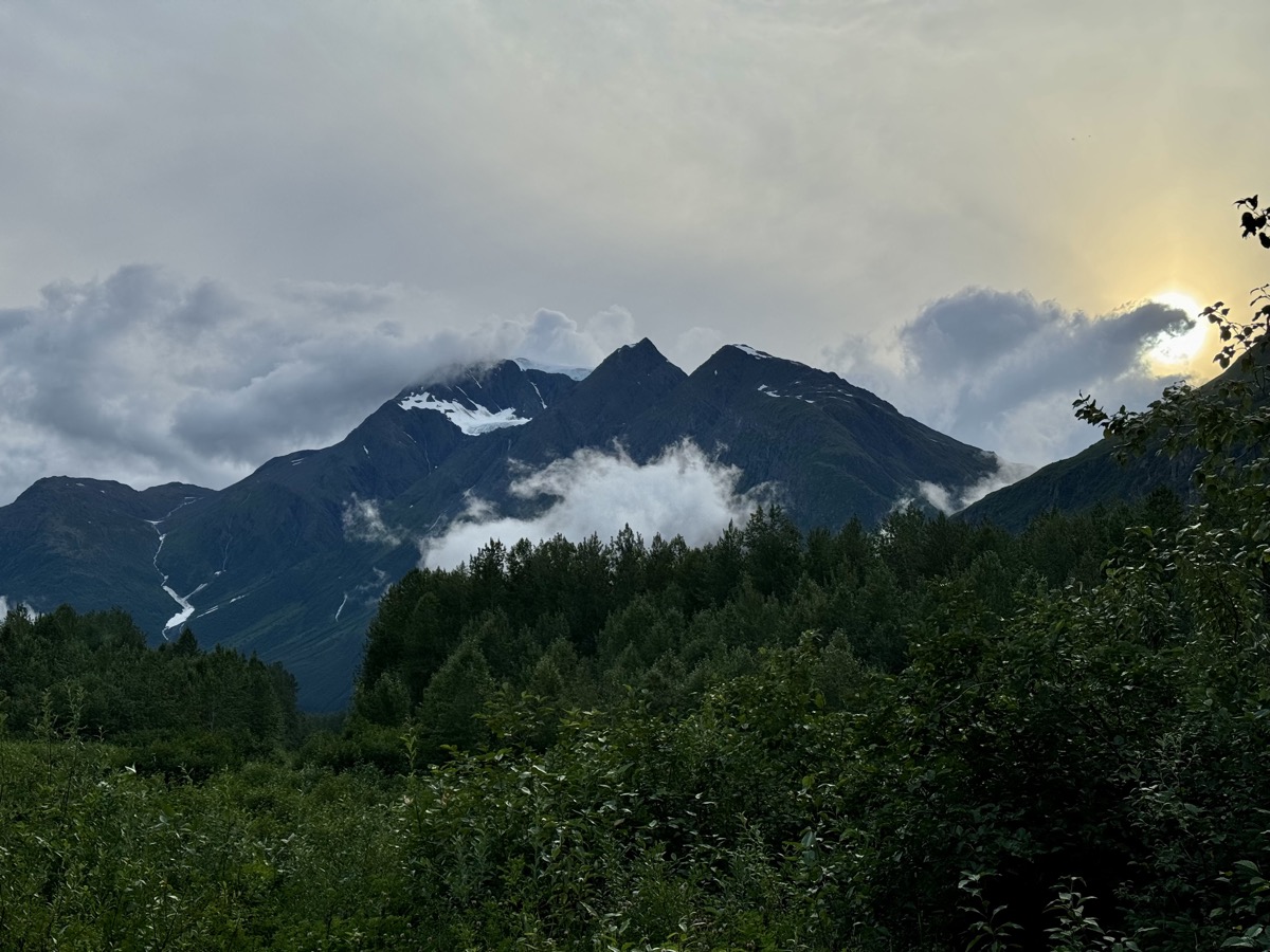
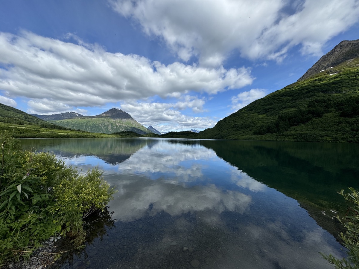
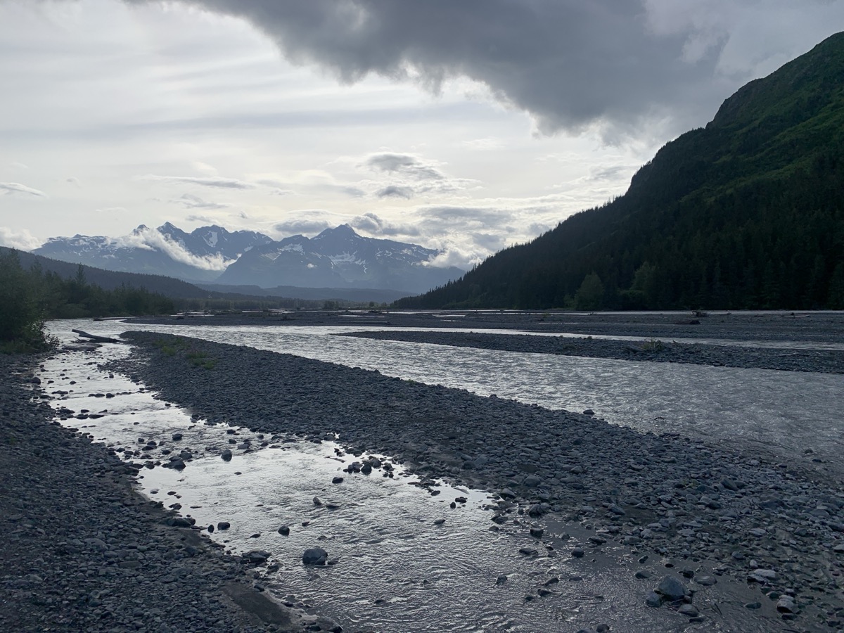
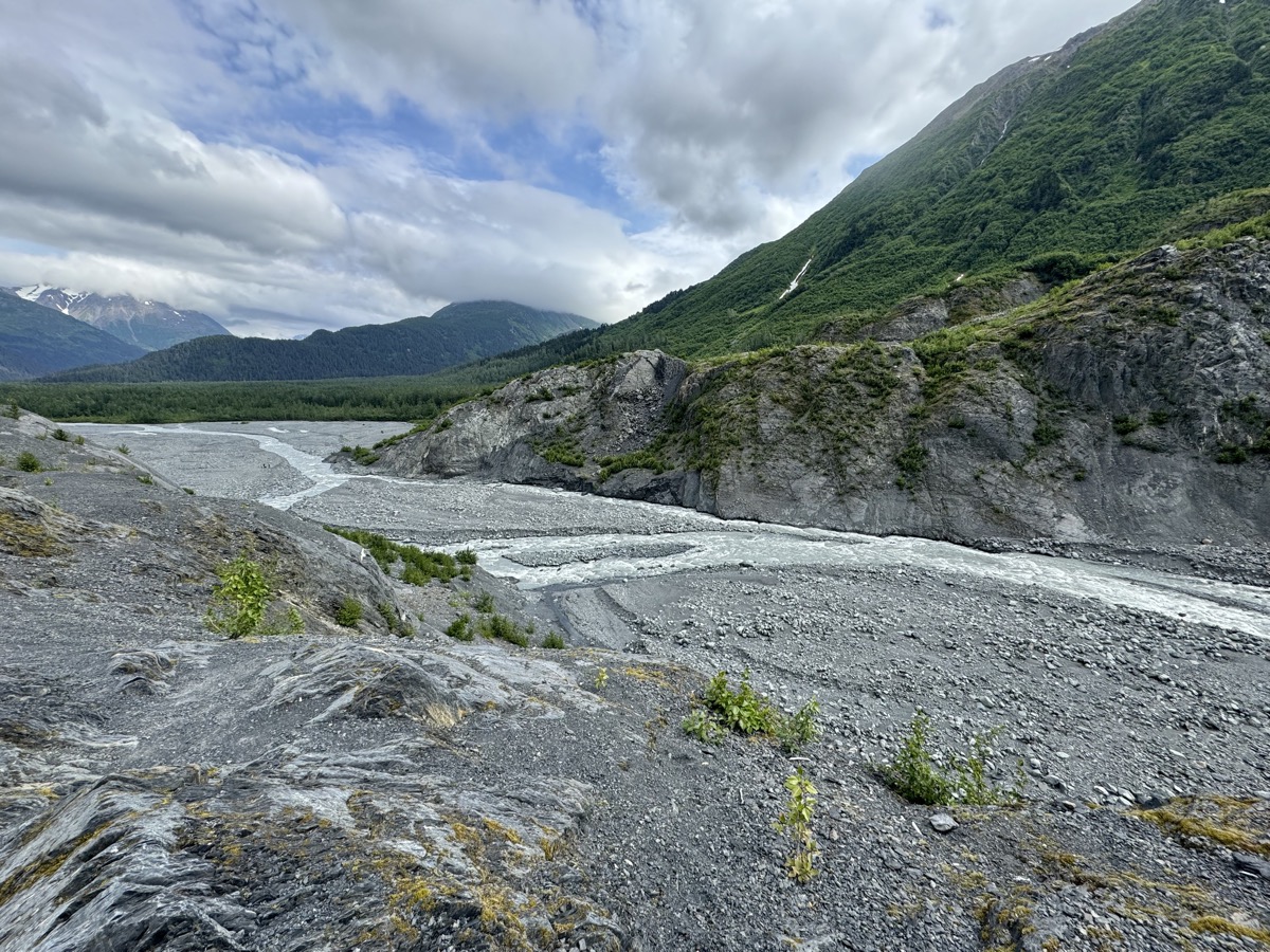
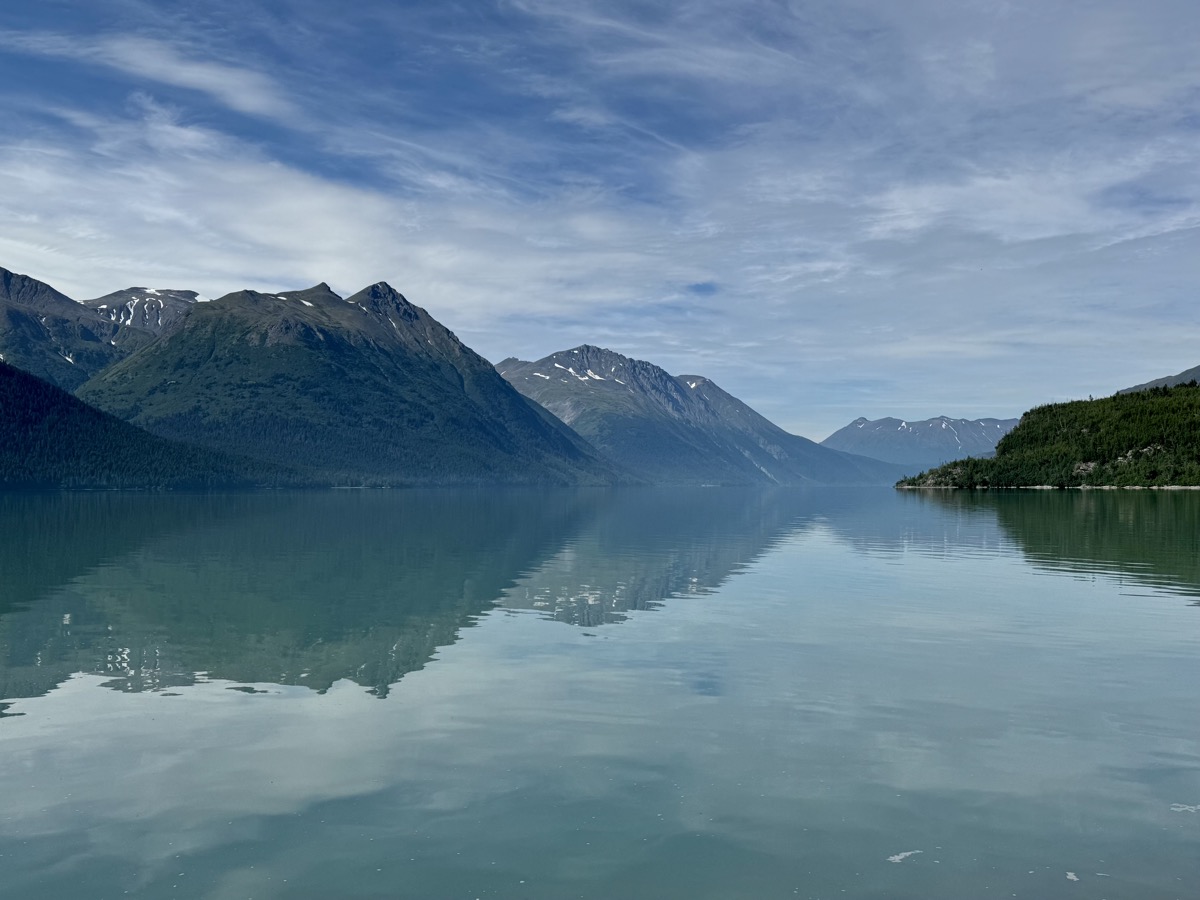
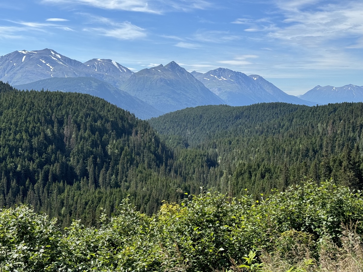
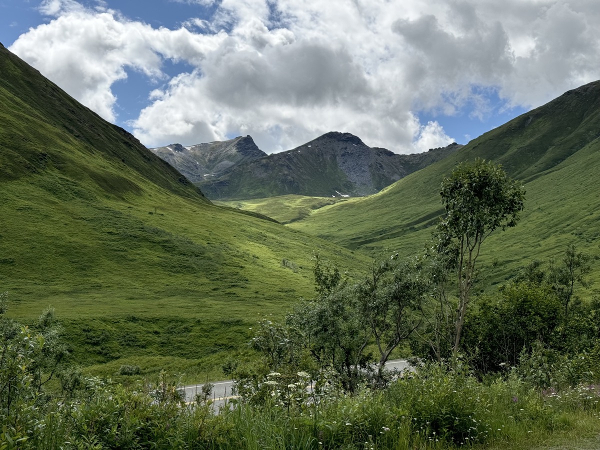
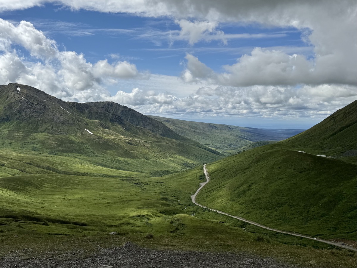
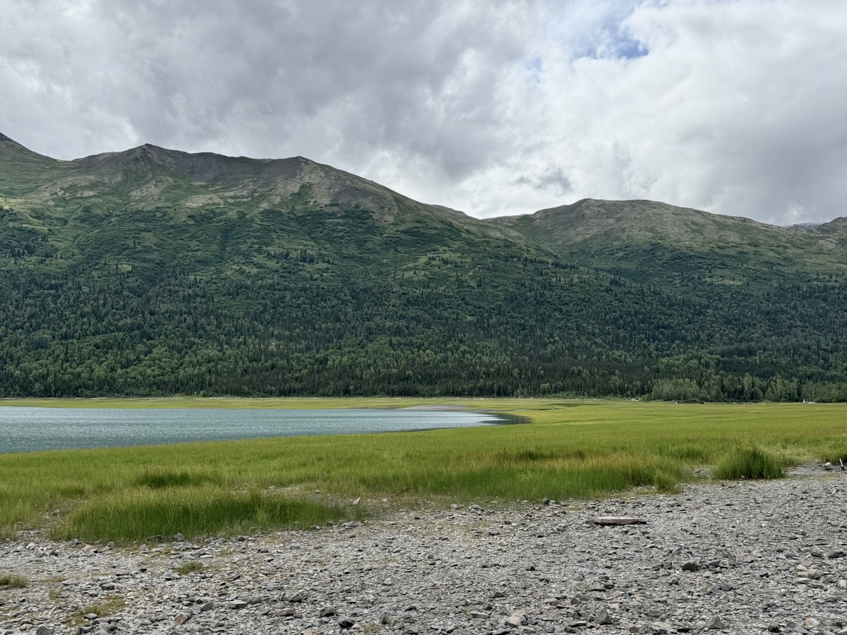
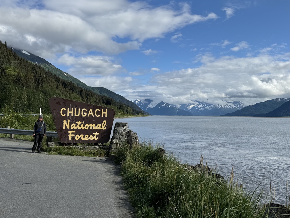
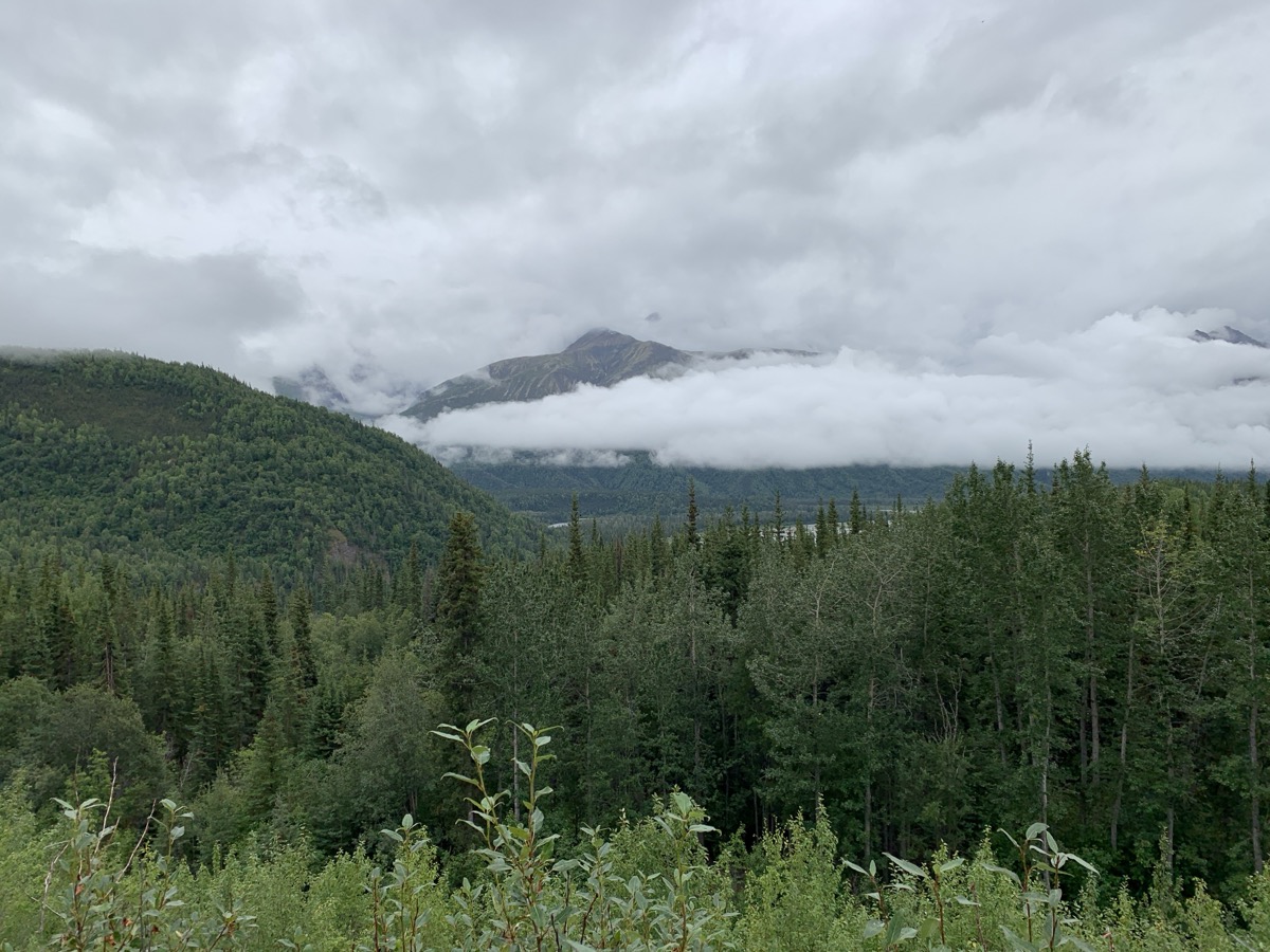
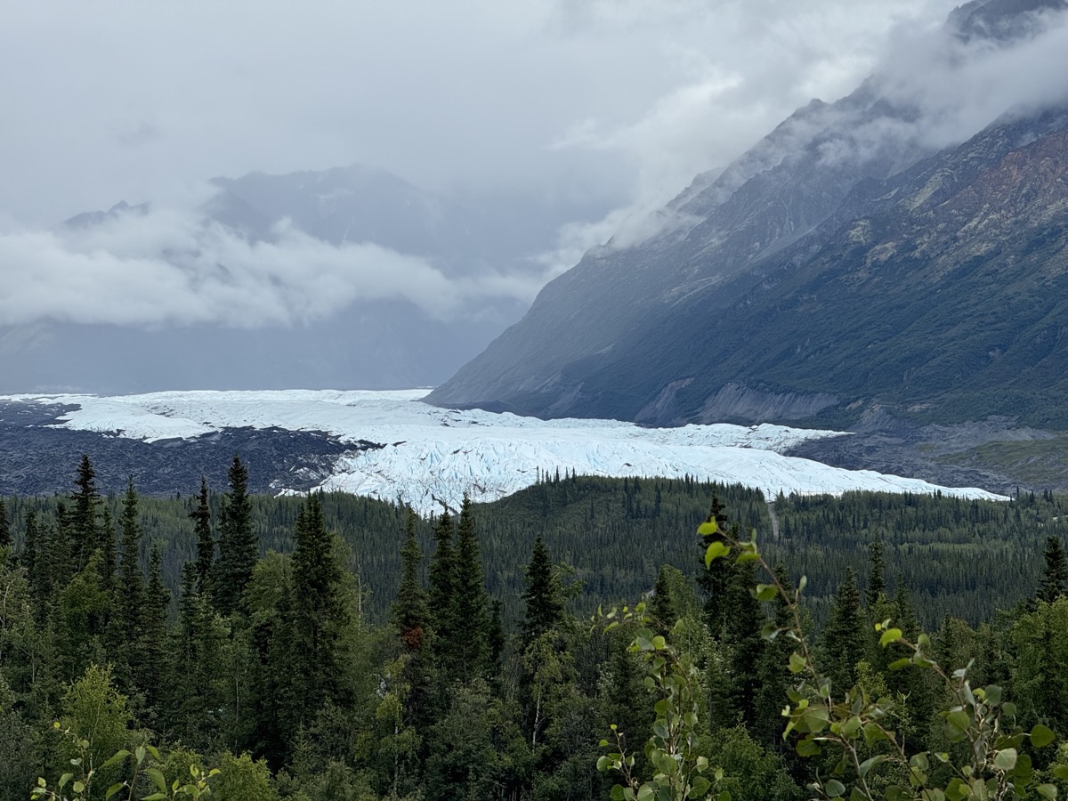
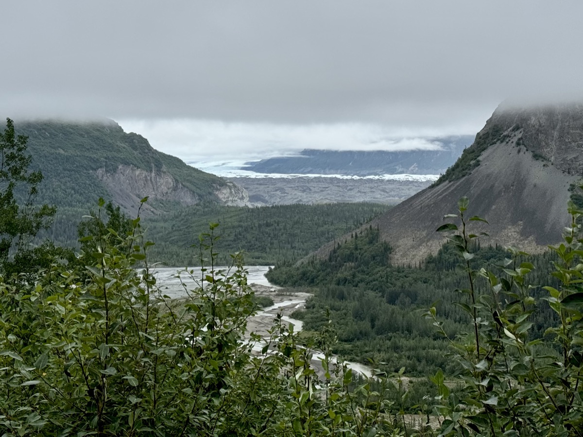
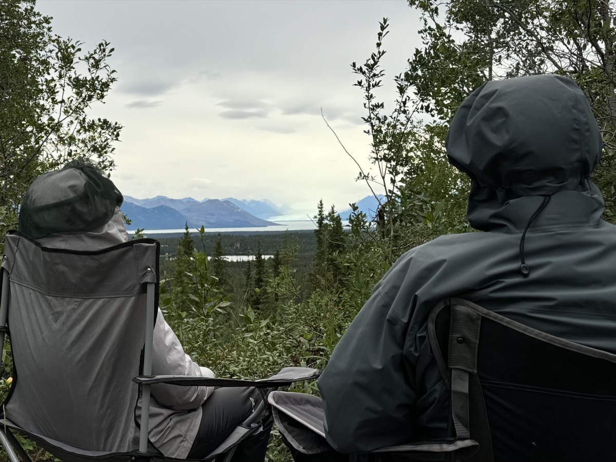
Day 56. We could not take the ferry, but decided to go to Valdez anyway. Started driving east on Glenn Hwy through Chugach Mountains. Just 280 km ride took us most of the day. The highway is scenic with good viewpoints. We planned to walk to quite famous Matanuska Glacier. We knew about private enterprise blocking access to public land and were prepared to pay an entrance fee, but expensive guided tour offering little was the only option. Retreat. Glacier views from the highway and short trail at one of the stops were distant, panoramic but quite good. The weather improved. In late afternoon, we reached good camping spot with great view (Joanna found recommendation somewhere) on short stretch of old road running for a while along paved Lake Louise Rd. We walked it in the morning. Many camping options, but nobody around.

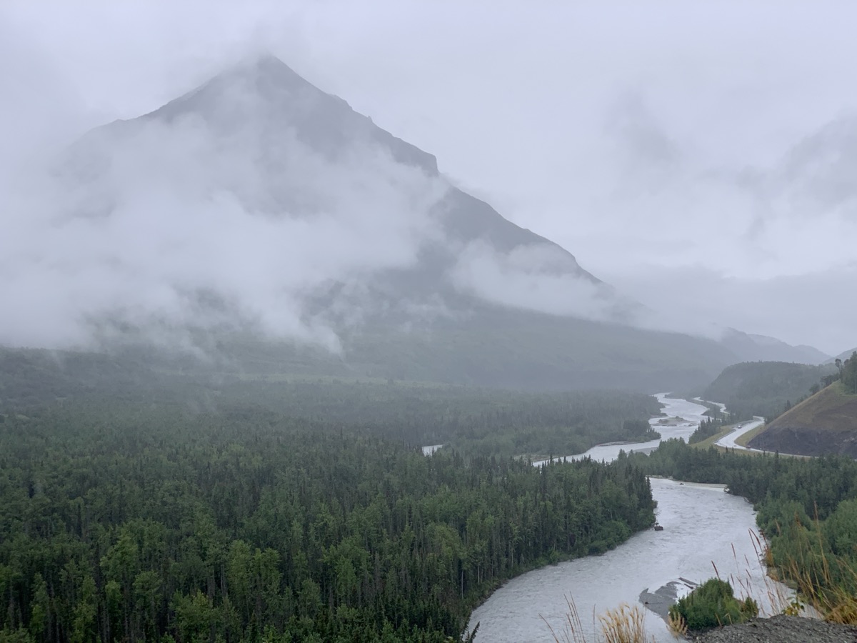
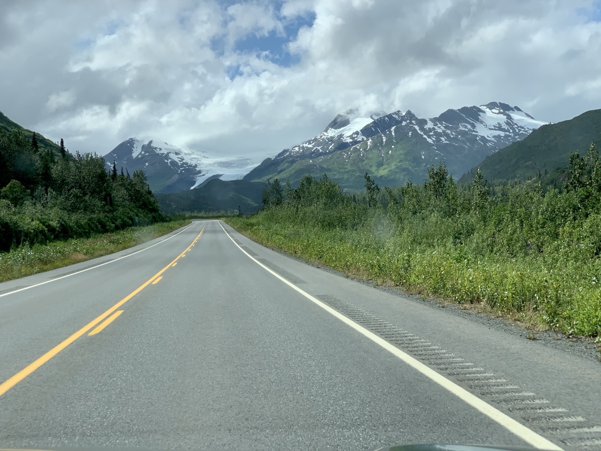
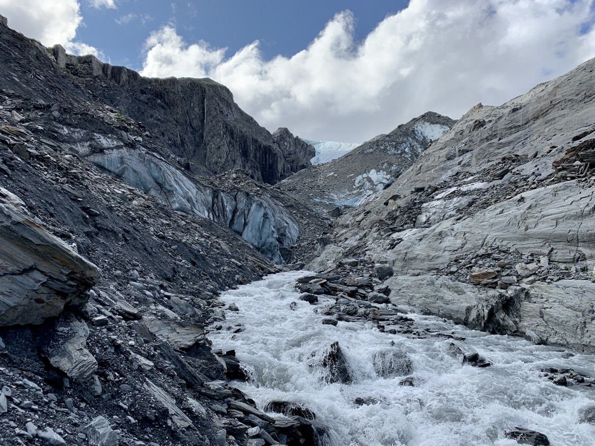
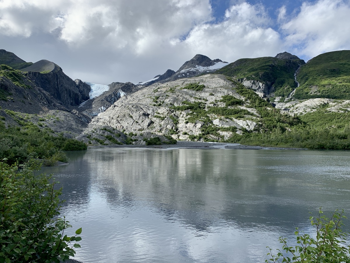
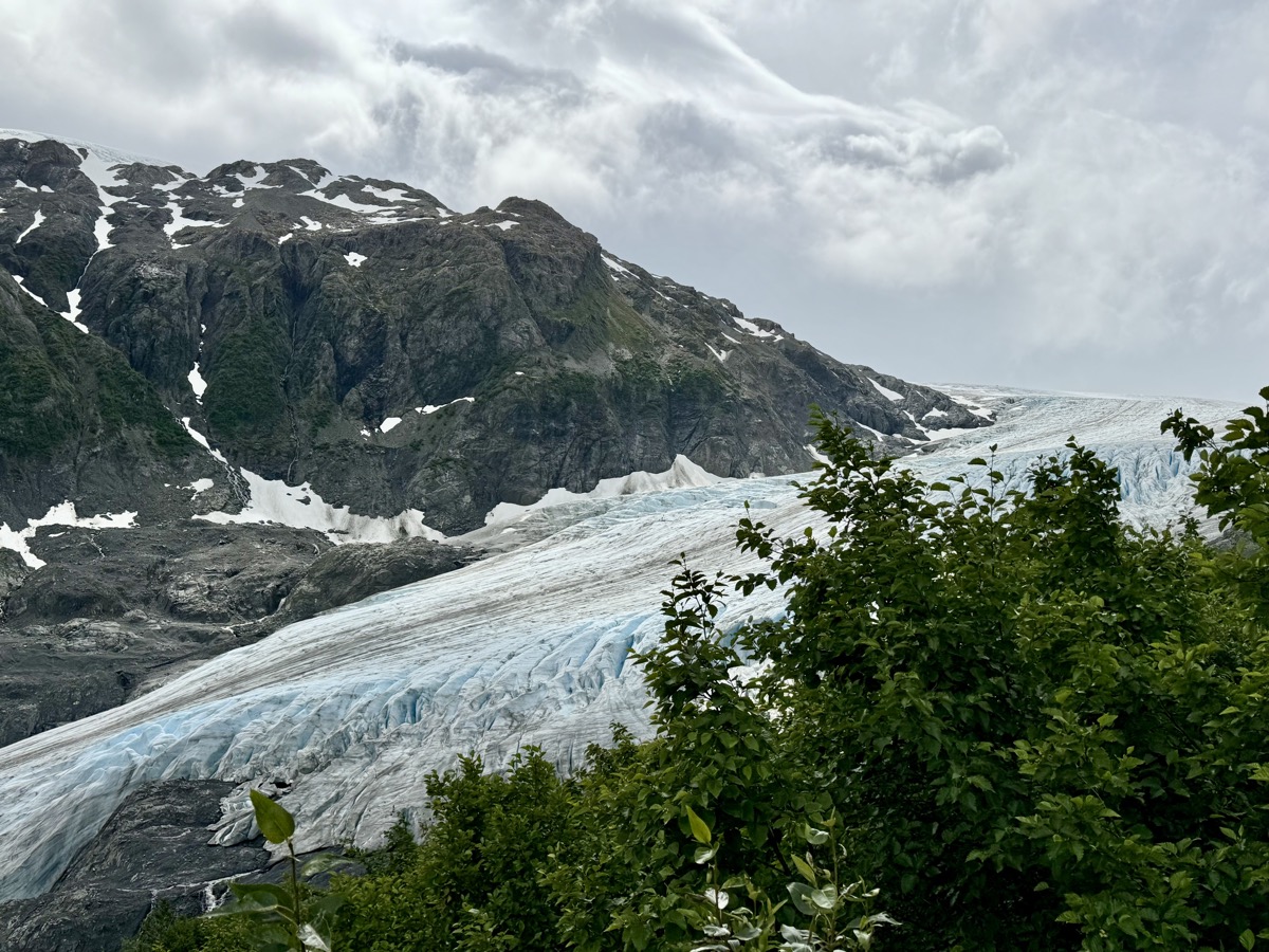
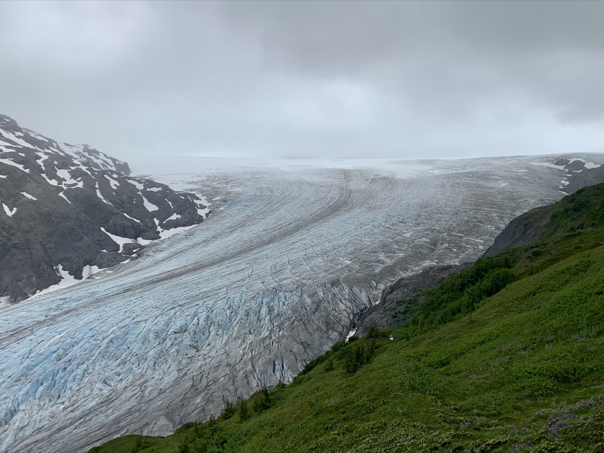
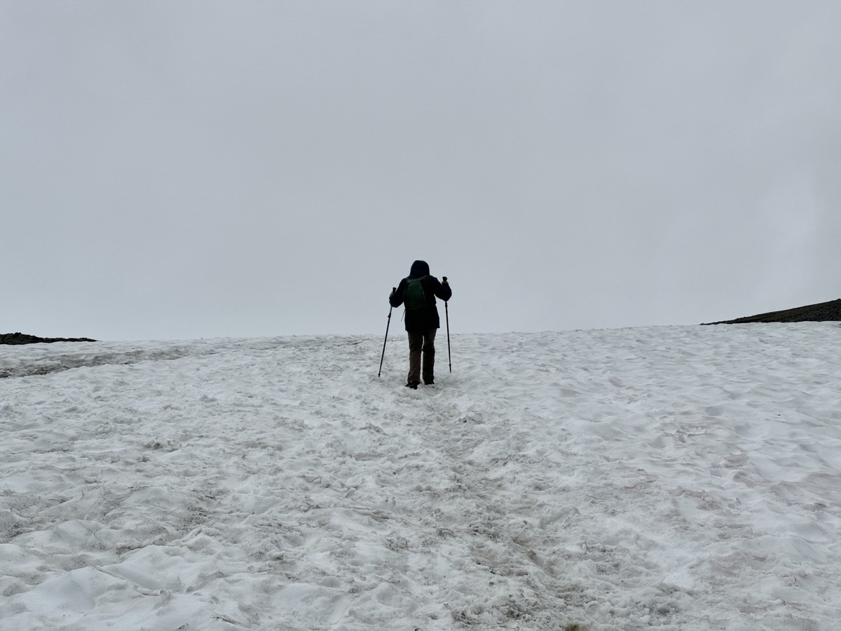
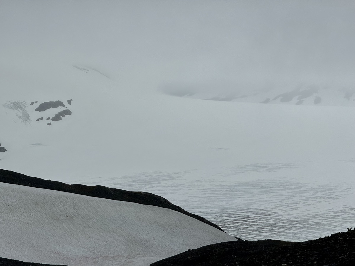
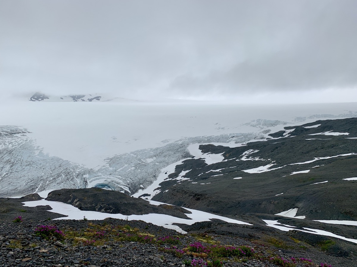
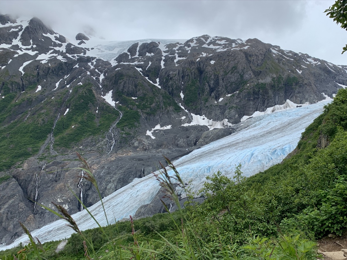
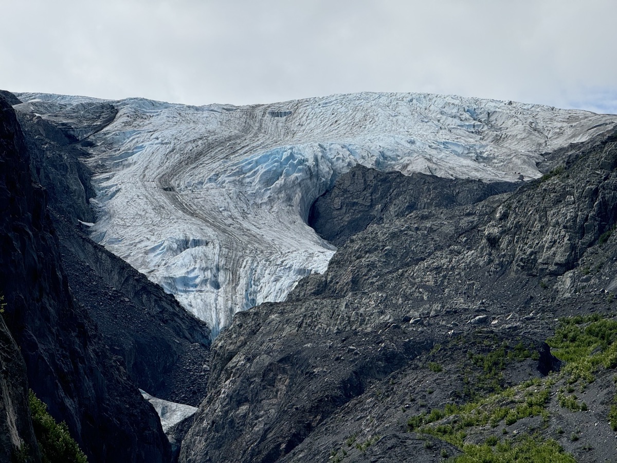
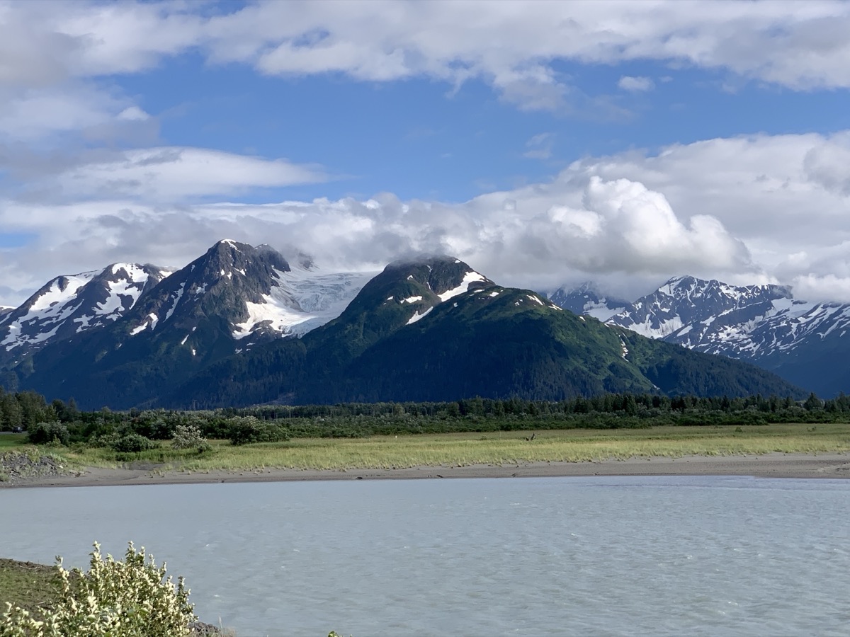
Day 57. In Glenallen we turned south on Richardson Hwy to Valdez. Stopped at Wrangell-St Elias Visitor Center to collect good info about the park and hikes (where to go later) and refill water containers, and then at Tonsina River Lodge for Russian lunch (borscht and pelmeni). Nice weather, easy driving. Next stop: Joanna was hoping to reach the edge of Worthington Glacier, but ice already retreated too far since a few years ago when she read about it on her favorite travel blog. No easy access now. She tried to climb-up, Piotr stayed around the lake as back-up and taking pictures.

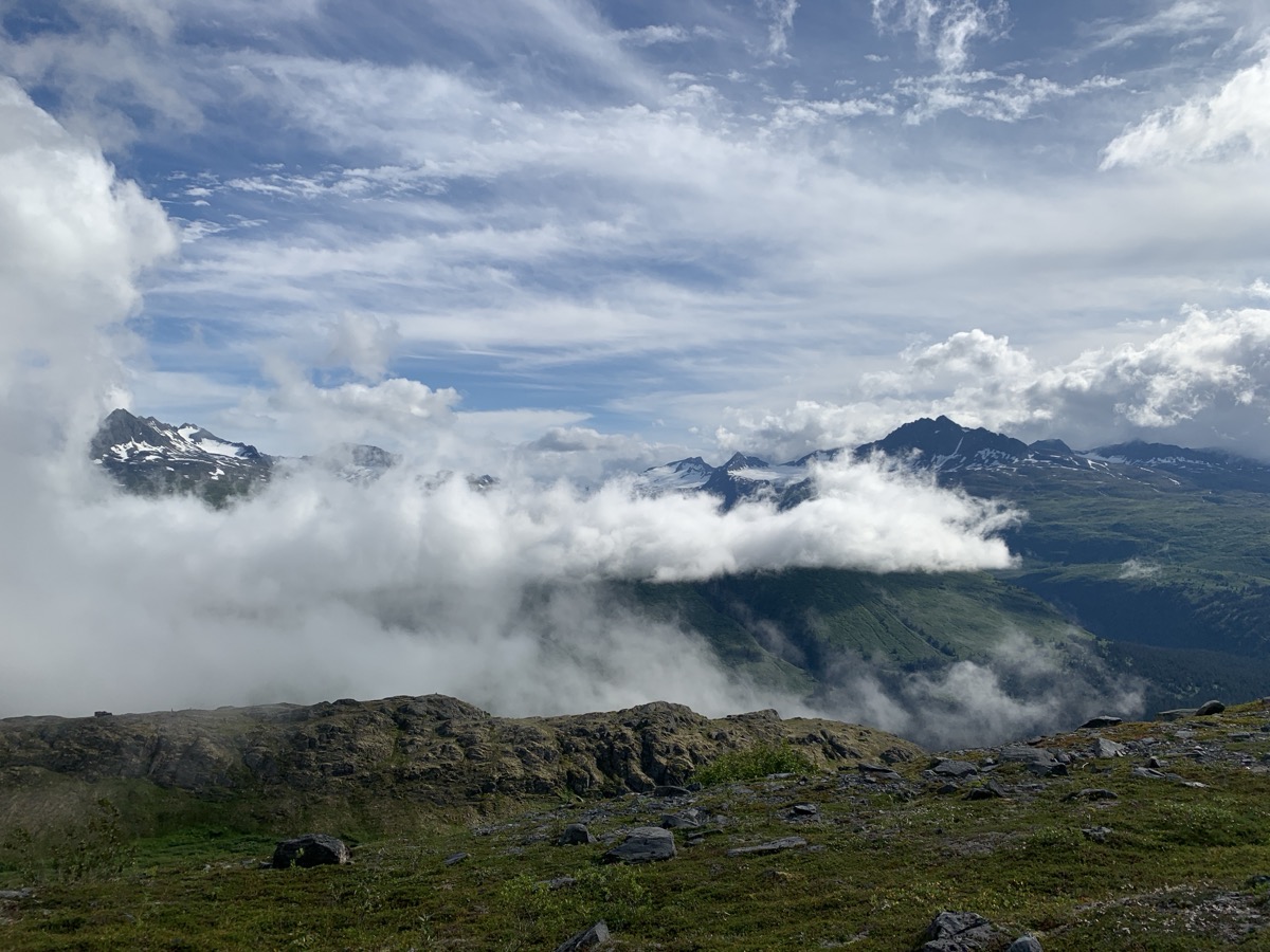
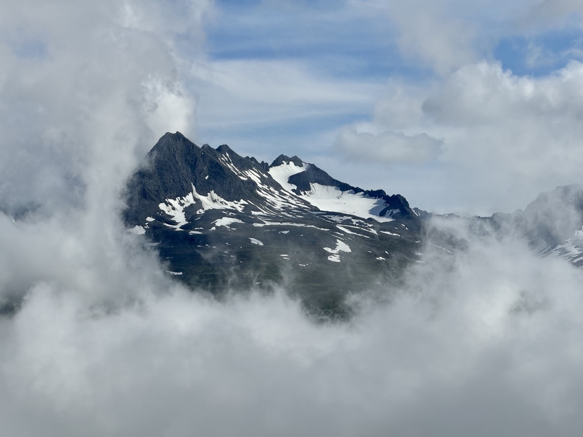
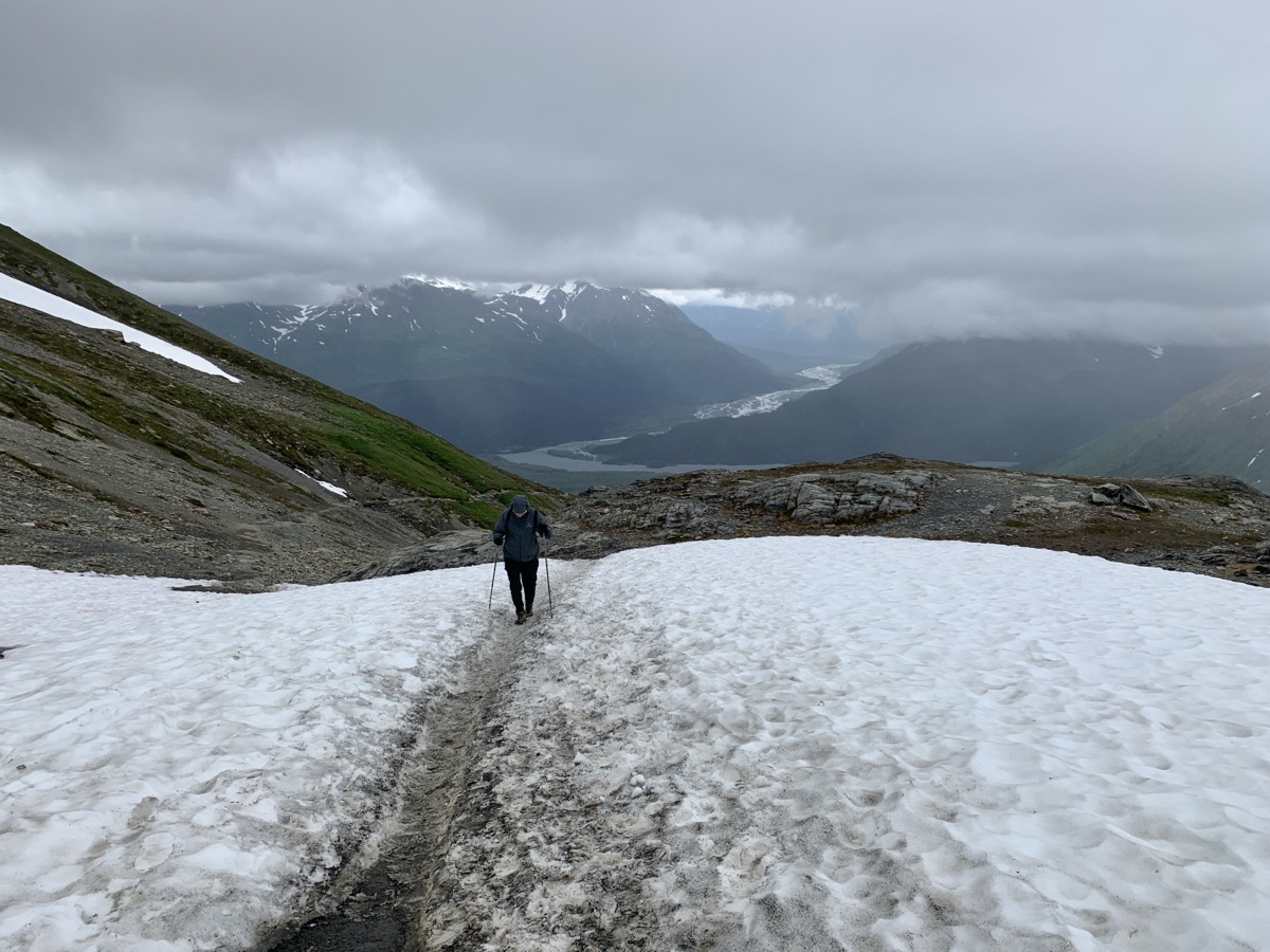
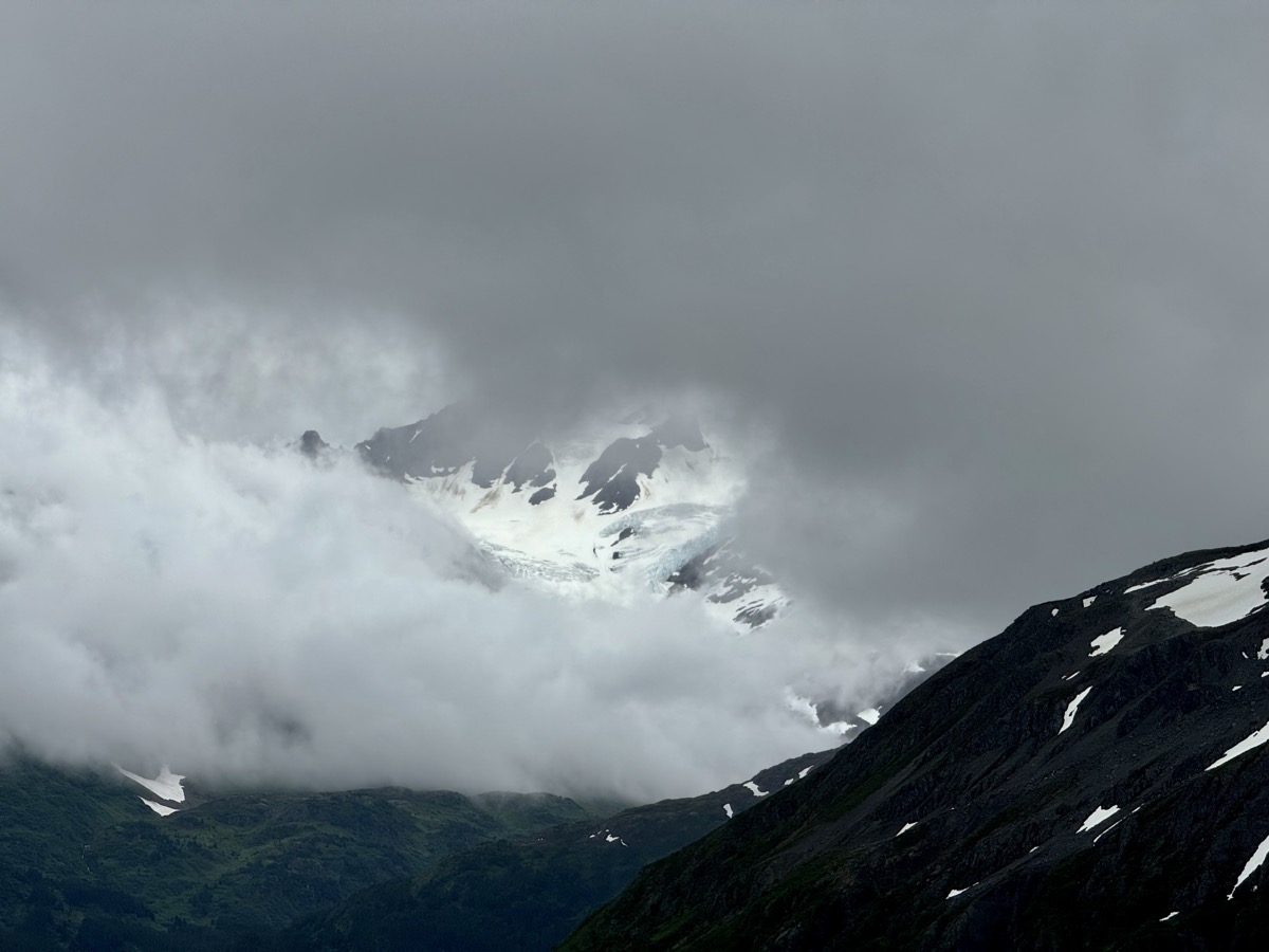
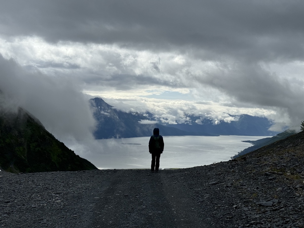
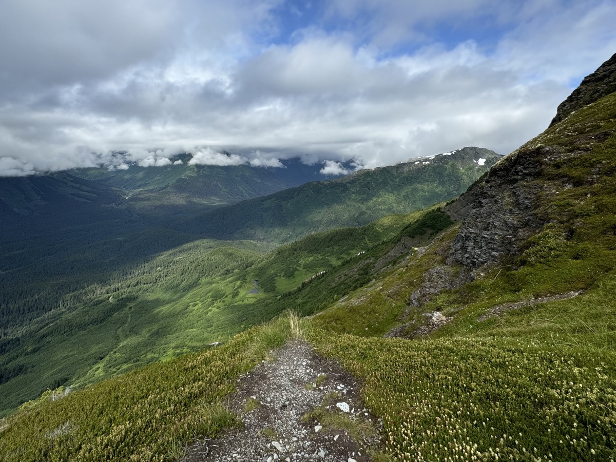
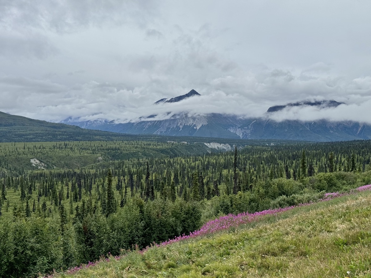
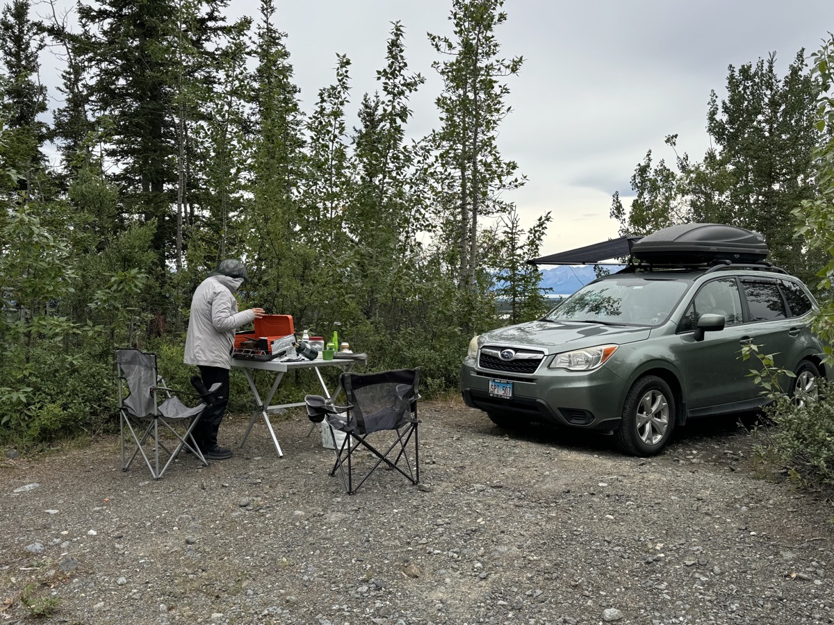
At Thompson Pass we just parked at the entrance of a service road and walked-up to the highest point with great views, not really hiking as we spent most of the time watching changing clouds and fog fast running through mountains and valleys. Very nice Blueberry Lake campground was full, except for a couple not so good overflow spots. We decided to continue and somehow found our way on (pipeline) service roads ending at Sheep Creek and we stayed there. An evening runner on local trail was very surprised to see us. We were happy it was not a bear coming out of the bushes as we just started cooking dinner. He was happy we took all (abundant) mosquitoes away from him.

Day 48-52: Carter and Crescent Lakes-Exit Glacier and Harding Icefield-Seward and Northwestern Glacier-Ptarmigan Lake-Kenai Lake

July 31-August 4

We stopped briefly at Seward and Sterling Hwy crossroads to look at the wetlands (Tern Lake) and decide where to go first – we continued south towards Seward. Experienced ranger at Kenai Lake Ranger Station patiently answered all our questions with good recommendations where to hike and camp. Probably the first person not really trying to instill bear panic in us. In no time we started hiking to Carter and Crescent lakes (11 km return, 370 m gain, recommended). Sunny weather, stream, lakes and flowering meadows between rows of mountains – very beautiful. Ran through short stretches of mosquito territory to slowly enjoy Alpine (like) habitat. Few people we met were trout fishing, some using barbless hooks not to hurt the fish (catch-and-release). To end the day, we drove to Primrose campground at the end of Kenai Lake. Warm day before returning to glaciers.

After slow start and visit at Exit Glacier Nature Station (missed ranger walk) we were hiking to Harding Icefield (19 km return, 1050 m total altitude gain, recommended). We knew it would take the rest of the day. At face value it looked like well maintained, moderate trail just up and up. It turn out to be quite hard and steep. We came back tired and camped nearby on Resurrection River gravel flats (decent wild site recommended by the ranger). It was good hiking day with weather changing from good to clouds, fog and freezing drizzle. We had good views of Exit Glacier and (between clouds) Harding Icefield. The trail tops quite high on the mountain slope, but still we could only get a glimpse of the edge the enormous ice field.

Good weather in the morning encouraged us to go directly to Seward to book boat trip to one of the tidewater glaciers. It worked. With tickets in hand we had plenty of time to go back and explore Exit Glacier some more – this time from the bottom (gravel flats). We were not in big hurry, stopped at Le Barn Appetit Inn & Creperie for good, old fashioned, hand made crepes (recommended) and meandered around the base of the glacier. Looking at date markers one has no doubt glaciers are retreating. Viewpoints were designed/built a while ago and now are not close to ice flow anymore.

We already had room at Nauti Otter Inn booked for the night not to waste time before 8:30 am boat departure (from Stewart, only short drive away) next morning. The inn was very well organized, with shared kitchen and dinning room, very nice host, good hostel vibe. Old wood structure was not too good at blocking noise even from normal activity.

Boat trip from Seward to Northwestern Glacier was one of the highlights of our entire trip. We decided to go with ☞ Kanai Fjords Tours (recommended) and chose longer (8-hr) trip on Ocean Explorer to Northwestern Glacier. Surrounding high mountains have many glaciers flowing down from the same Harding Icefield, but rocky shores and small islands are great habitat for birds and other animals, waters are rich too. We saw humpback whales feeding in group, seals and sea lions, otters, porpoises, eagles, puffins, black-legged kittiwake, common murre  and other birds. Blue water and dark rocks surrounding fjords. With calm seas it was pleasant excursion.

In the afternoon we had time to walk around town and for dinner at (packed) Flamingo Lounge (tanner crab and halibut). And to buy inexpensive fishing gear at Bay Traders. It was time to go back. We made it only to Trail River Campground – for us one of the best state campgrounds in Alaska (recommended).

Next morning we drove just across the highway and hiked Ptarmigan Lake Trail, first on old road along the creek, then higher above the valley floor (11 km return, total 210 m gain). Saw only a few people including small group of young summer workers improving the trail (cutting down overgrown vegetation). We stopped again at Tern Lake to watch salmon and this time turned west to Sterling Highway. After driving around Lake Kenai (Copper Landing) we found wild-camping spot, Joanna’s wish. We did not risk bringing our car to the beach (bad end of access road wasn’t really that risky), but cooked dinner and went for a short walk on the shore.

Days 43-47: Talkeetna-Hatcher Pass-Eklutna Lake-Anchorage-Alyeska-Chugach National Forest

July 26-30

The following five days we were driving south towards Kenai Fjords National Park without any specific plan where to stop. Of course we wanted to see Denali one more time from one of the view points along the highway, but weather was clouds and rain all day. Made it to Talkeetna late afternoon and stayed in very good all new Talkeetna Cabin (recommended). We had no electricity for a few hours, so we just walked around the small, but quite famous town. Visited small museum and old cemetery. Dinner and laundry was late. Next morning the weather improved somewhat and we heard Denali sightseeing planes taking off. We looked across Susitna River where the mountain is, but decided to move on as clouds were still dense. We were then supposed to get back to wilderness and wild-camp somewhere near Hatcher Pass (along Willow Fishhook Road). Scenery was nice and weather much better, but the road was packed, in places bumper-to-bumper (Saturday). We managed to find parking spot at the pass, looked around a bit but decided against open trail to the summit in a bitterly cold wind. Instead we spent the rest of the day visiting Independence Mine (State Park). It was good choice, the mostly outdoor museum is interesting and we learned about different method of gold mining. As always, Piotr photographed all old, rusting machines.

Small “campgrounds” down the road turn out to be regular parking spots on small road-side lots, rented at night for a fee. Not appealing for us and most already taken anyway, nice Finger Lake campground was full as well (Saturday). We tried a couple other options, but ended up driving to Eklutna Lake, which was on our destinations list. Found last double-spot site for the first night, but stayed at the campground for two nights. The campground has good location and layout, but the infrastructure is dilapidated, some toilets were upgraded, fee collection station was new and top-notch technology.

Eklutna Lake starts between smaller mountains, quite green meadow. The far end goes deeper into Chugach Mountains where bigger, snow-patched mountains are (2000 masl) . With no rain or strong wind good day for kayaking – we used the day to paddle about half-way to the other end of the lake, ~6 km (12 total). Moved to a different/better camping spot and cooked dinner. Next morning we visited native village of Eklutna with interesting native/Russian Orthodox cemetery and headed to Anchorage. Visit to Anchorage Museum (Alaska-centric, recommended) then stop at Ship Creek to watch salmon fishing. Grocery shopping and getting rain pants for Piotr from REI. Joanna found nice Airbnb, one of those places where you can still meet and talk with the (very nice) owners.

Seward Highway from Anchorage to Portage runs right on the water’s edge (Turnagain Arm of Cook Inlet), with several viewpoint stops. Muddy tidal plains and Chugach Mountains in the background. We could not agree on short hikes until it was time for mid-day coffee – found a good coffee shop in Girdwood and drove up the valley road to Alyeska Resort. The valley was devastated by 1964 earthquake. Once we saw cable-car to the top of the mountain, the decision was quick: spend a few hours wandering above the top cable-car station on the slopes of Mt Alyeska.

We ended the day at Granite Creek Campground, along Seward Highway, but deeper inland and into Church National Forest. Nice spot, few people, small creek behind the site, campfire, salmon and Alaskan beer for dinner, good view on surrounding meadows and mountains. No bears.

error: Content is protected !!