January 17-23
Day 5-7: Mexico City
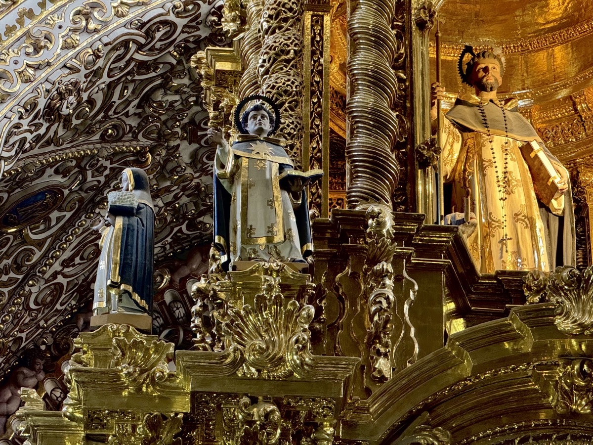
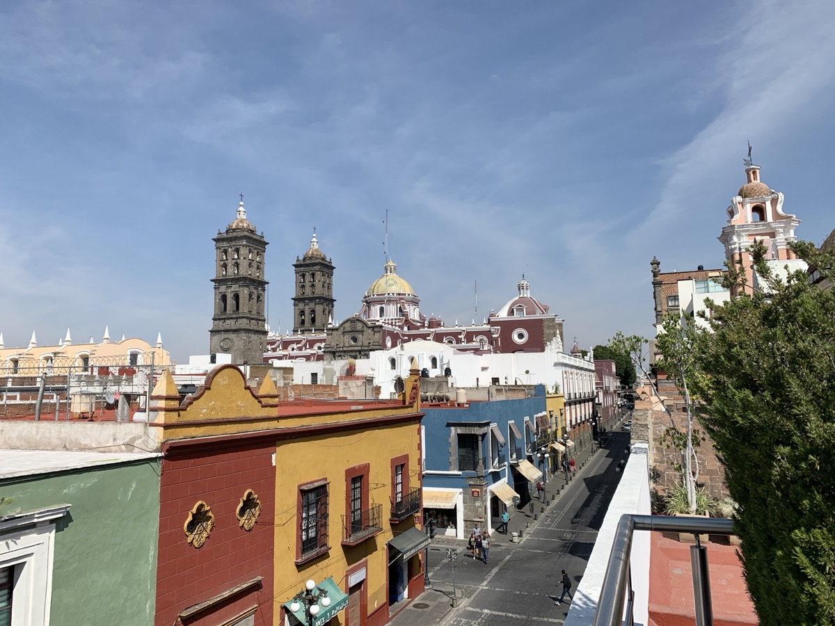
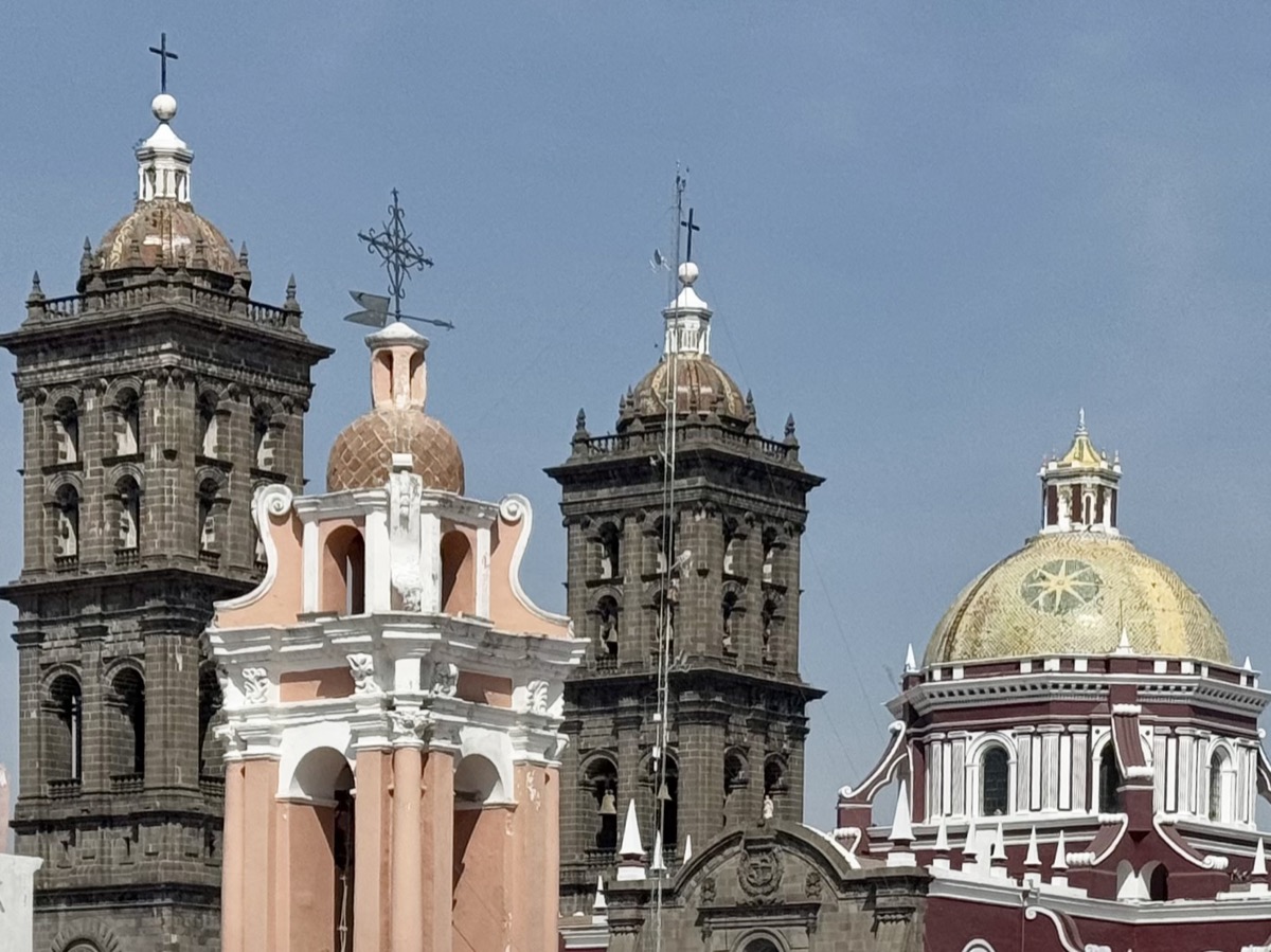
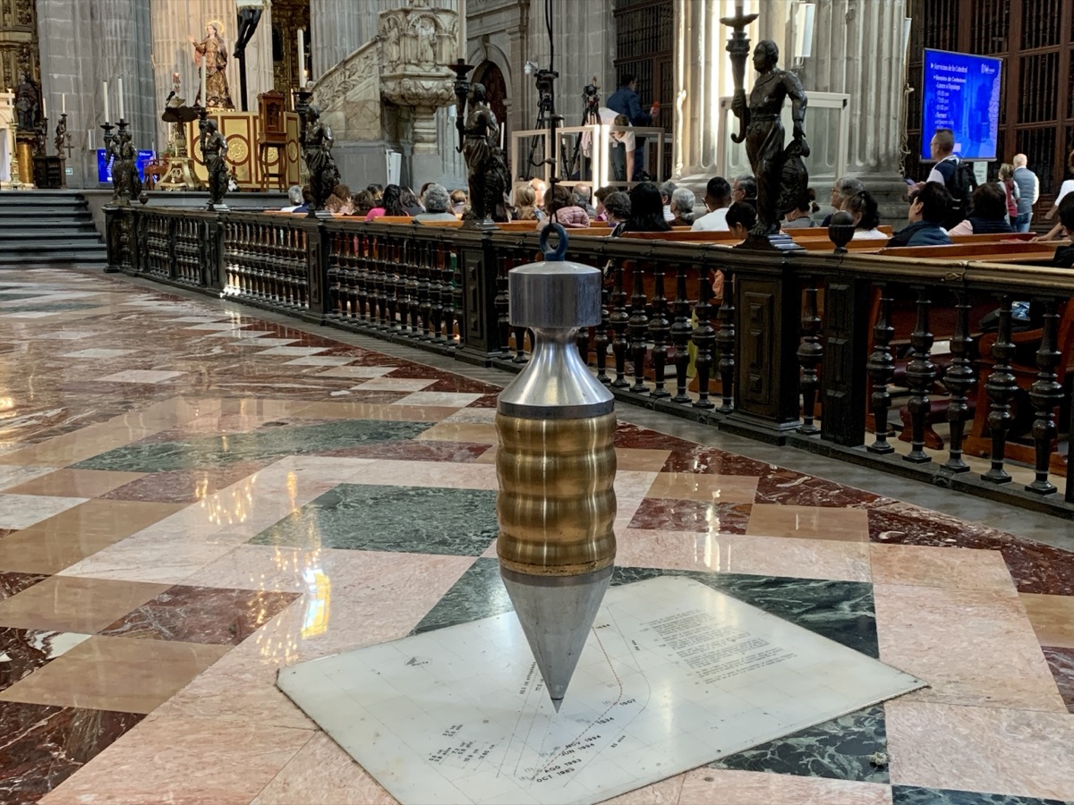
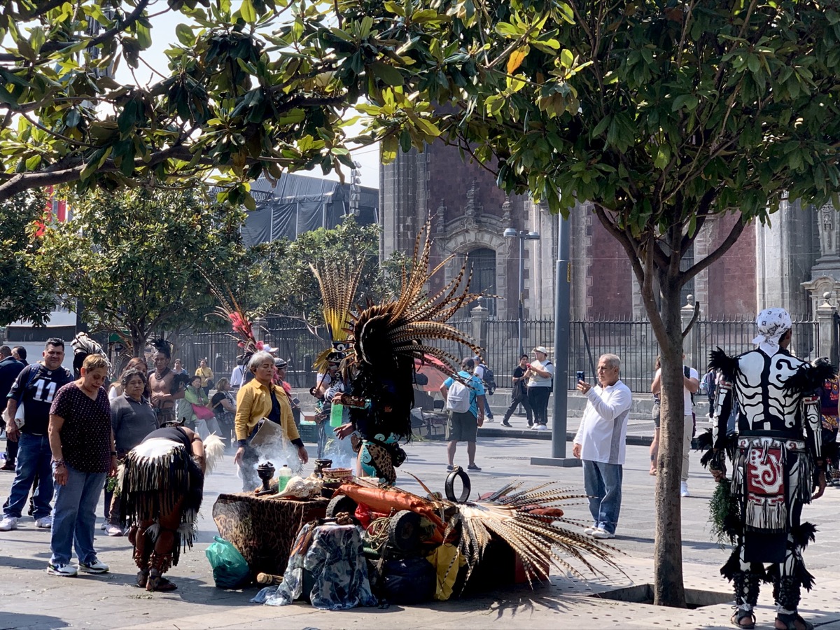
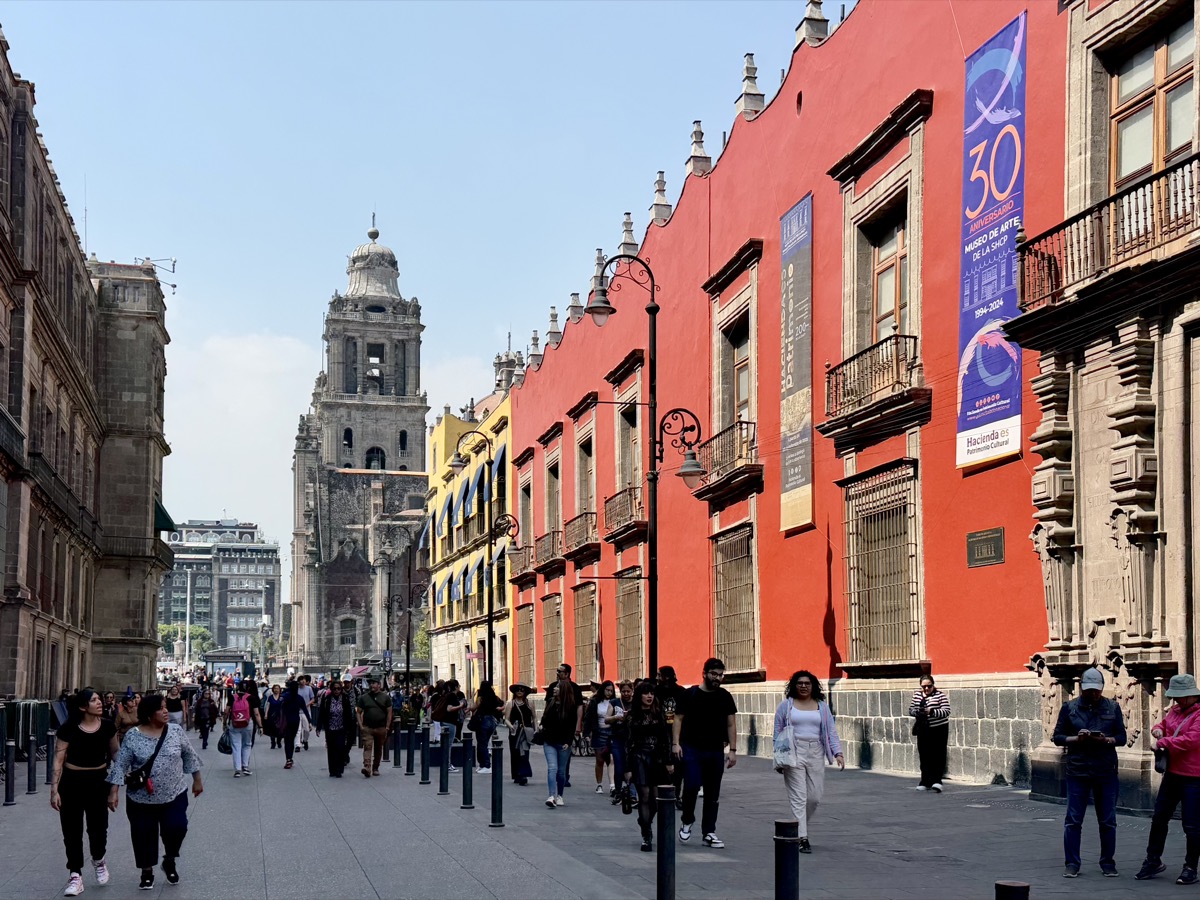
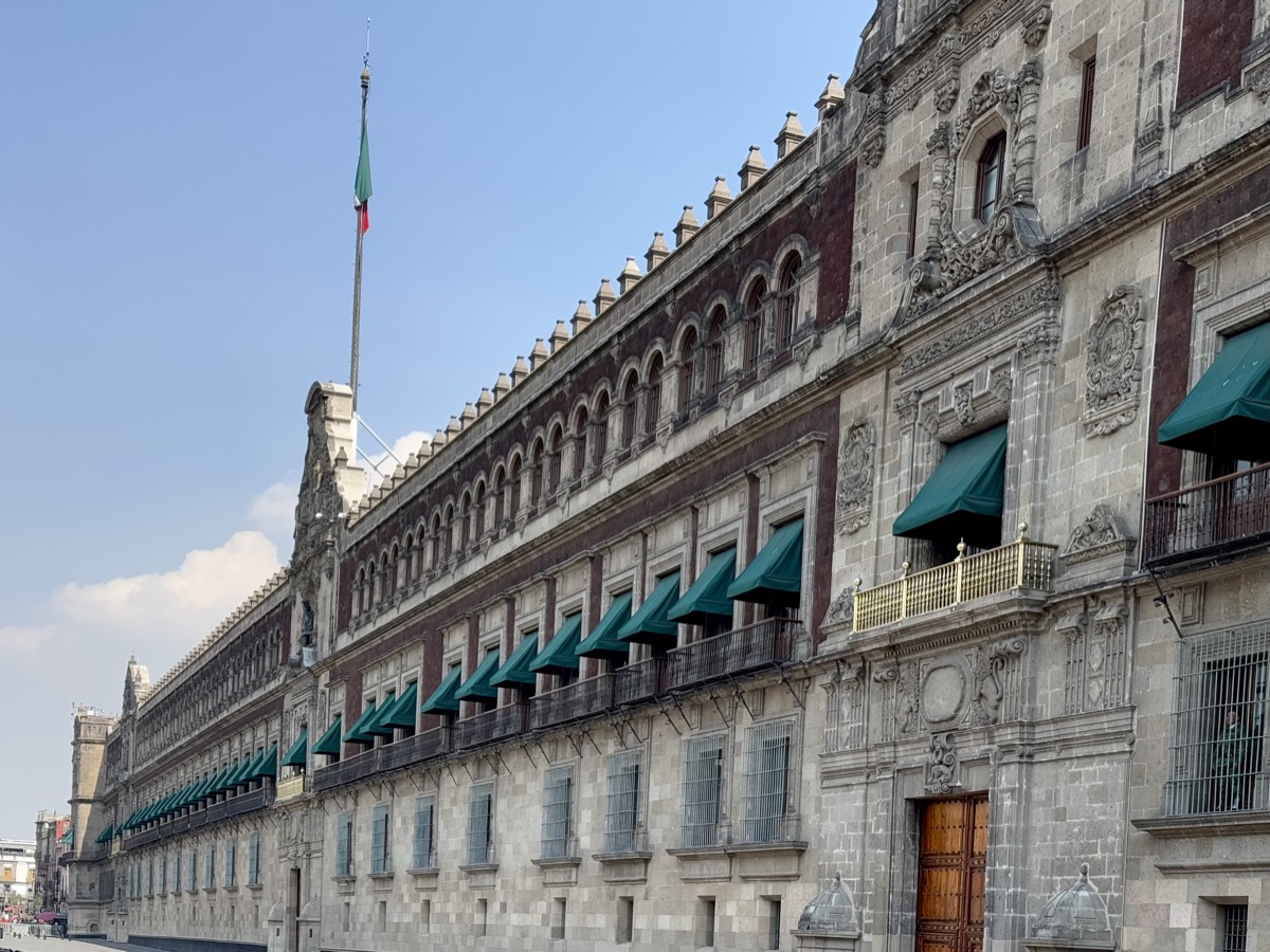
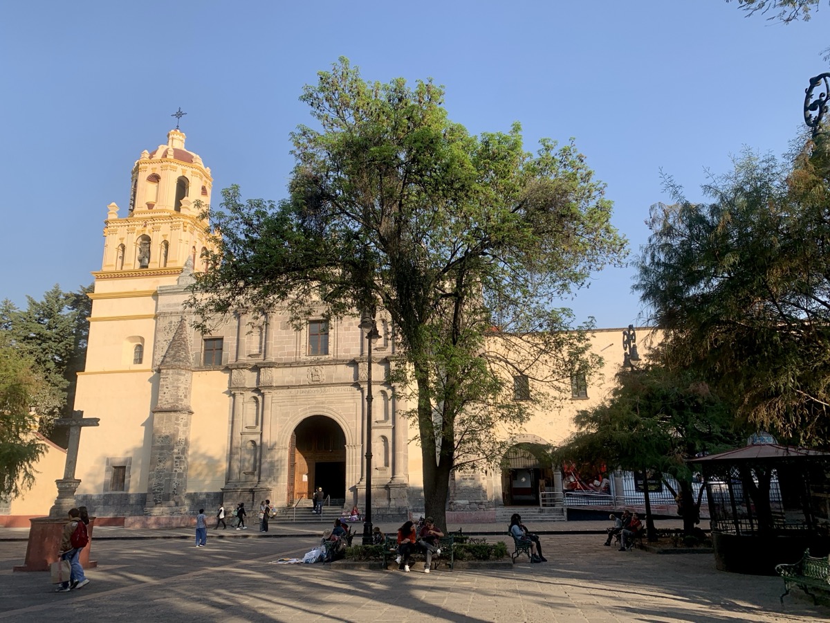
Day 5. After we walked over to Cuauhtémoc station, we discovered the metro line was closed. Joanna was disappointed because she looked for and chose apartment close to metro. We walked to Balderas (next stop) and took Metro 1 and then Metro 2 to Catedral Metropolitana. First experience with public transportation – very good, frequent, efficient, but information often lacking, navigating the system requires fluency in moving with local crowd, as we learned during our visit. Part of huge Zócalo (main square) was fenced off for a future event. Cathedral, also huge, built over centuries in different styles using some material from pre-Hispanic temples, quite impressive outside and inside. Towers are leaning like many heavy buildings built on ancient lake island. Later, we searched for entrance to Palacio National, as it was open to public on that day, but we circled it in wrong direction and (free) tickets were gone already for the day.


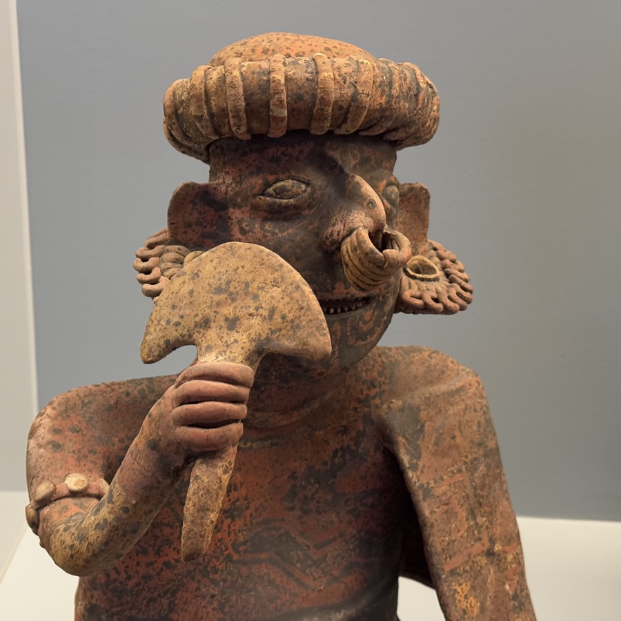
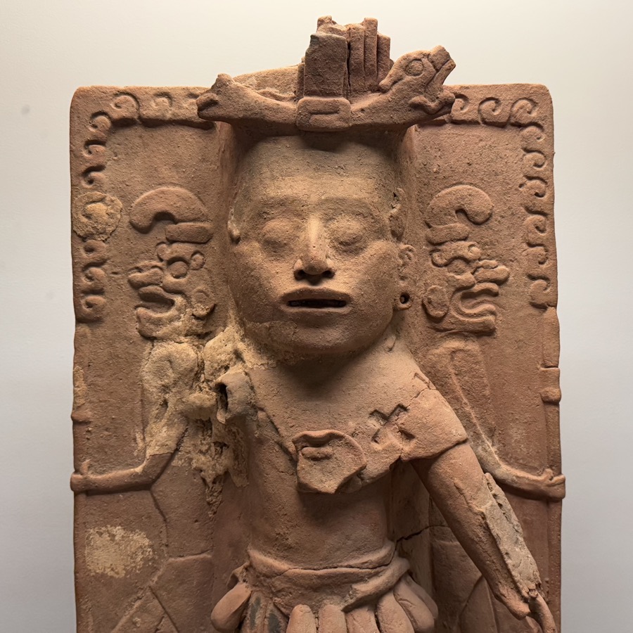
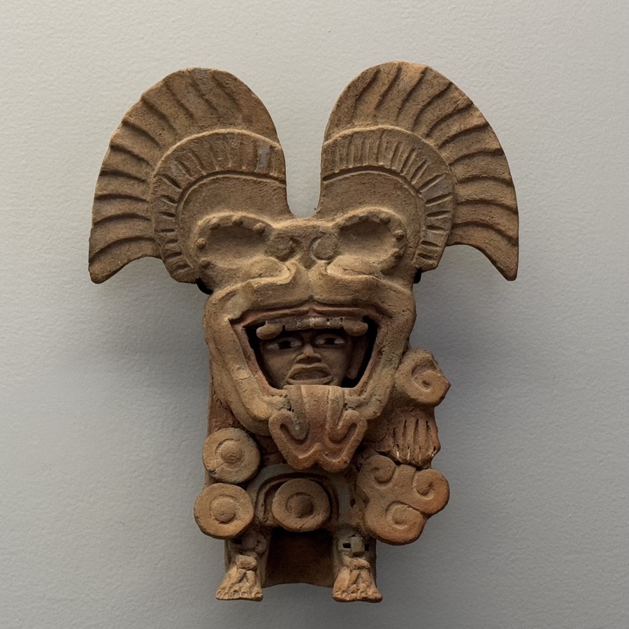
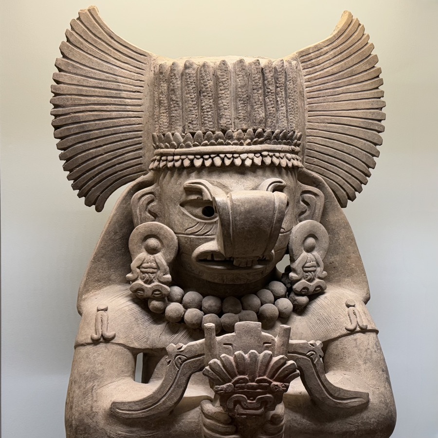
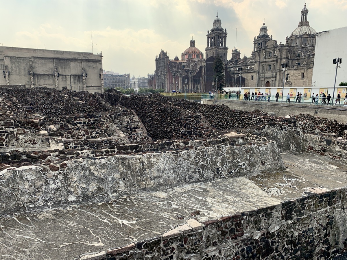
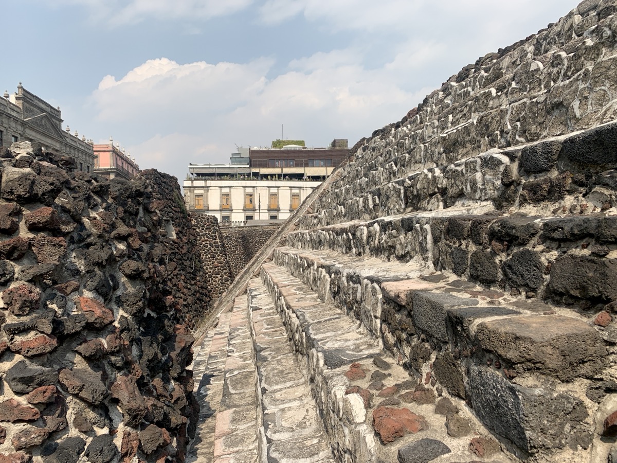
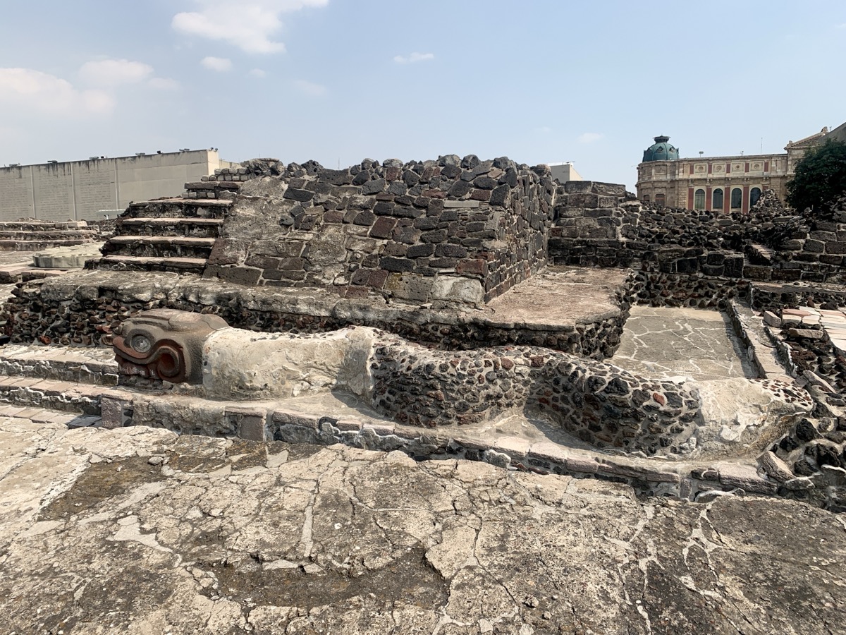
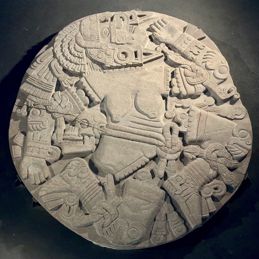
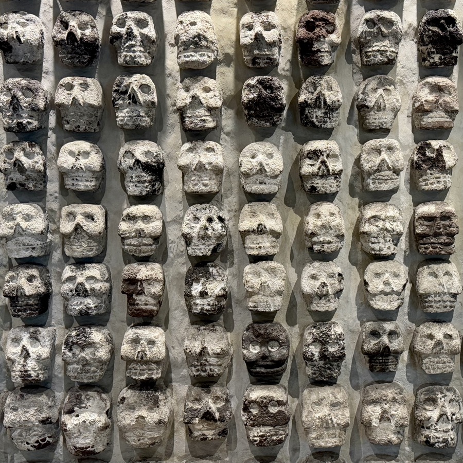
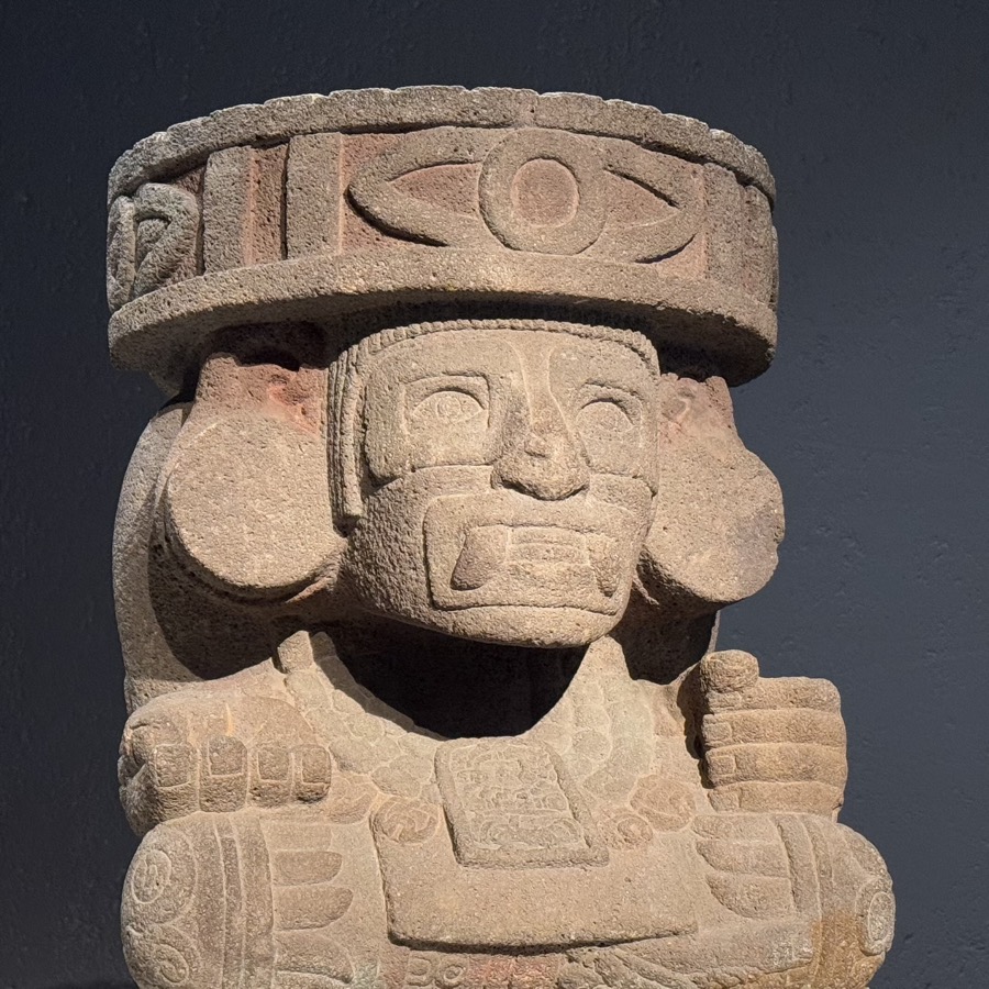
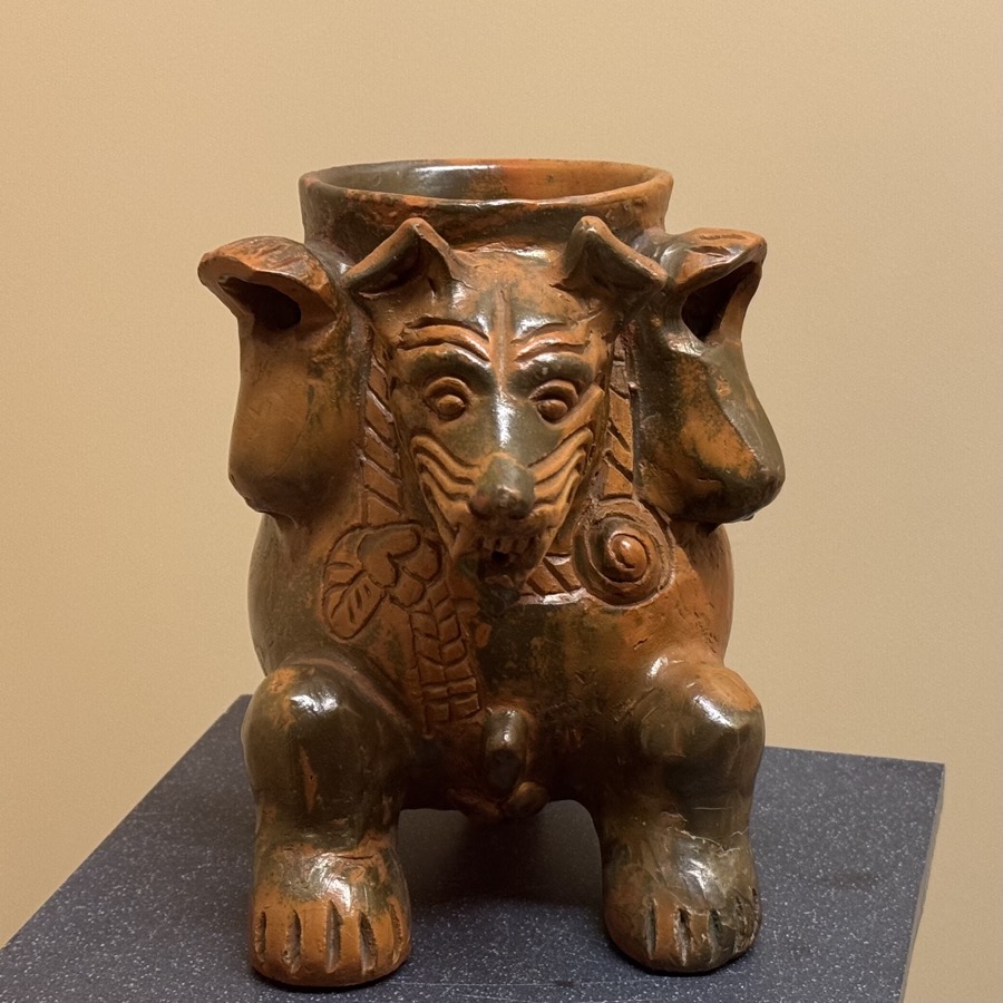
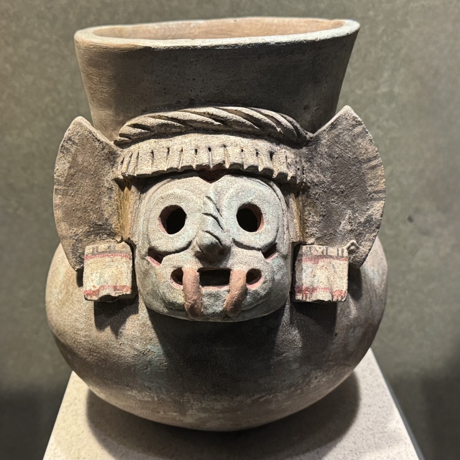
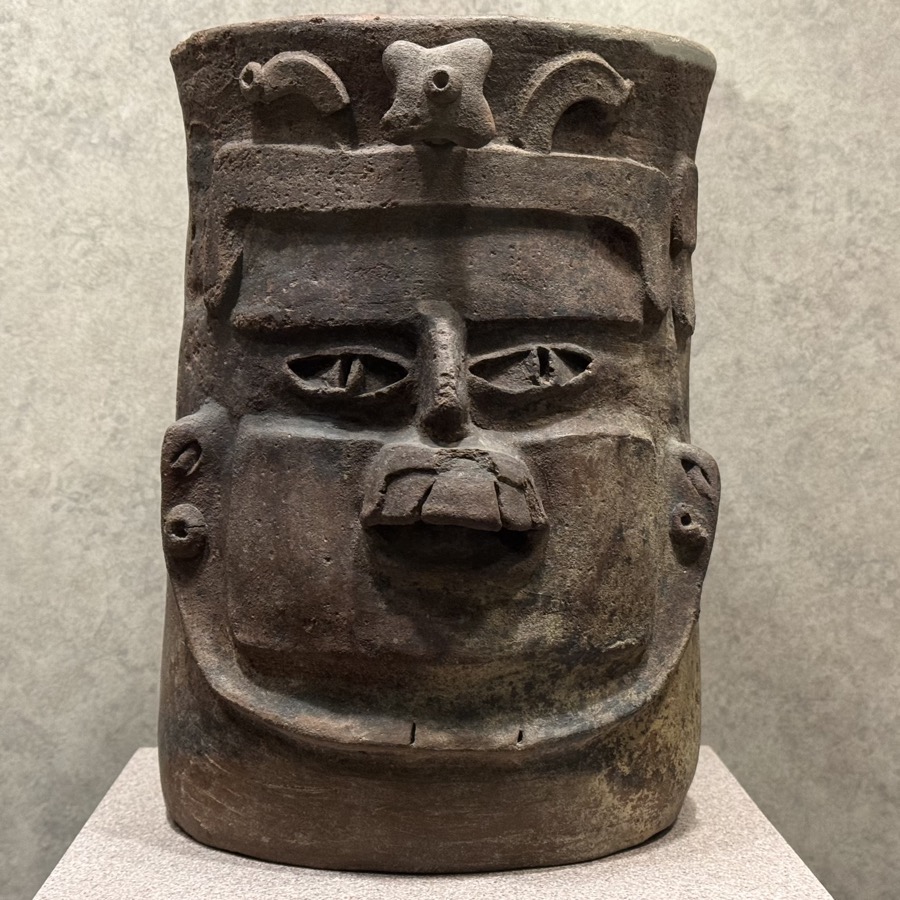
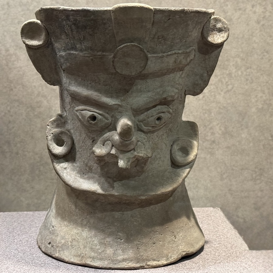
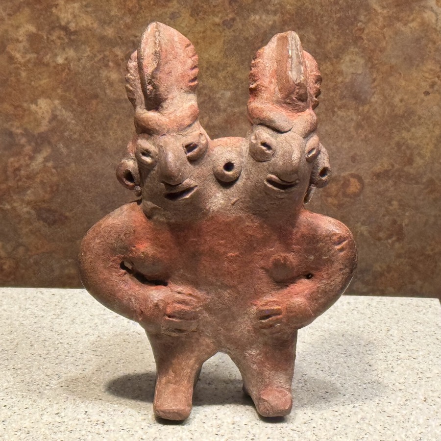
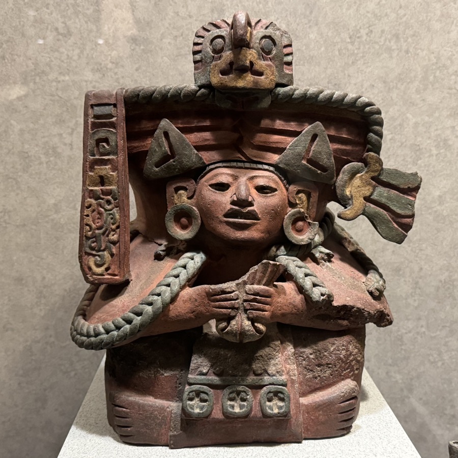
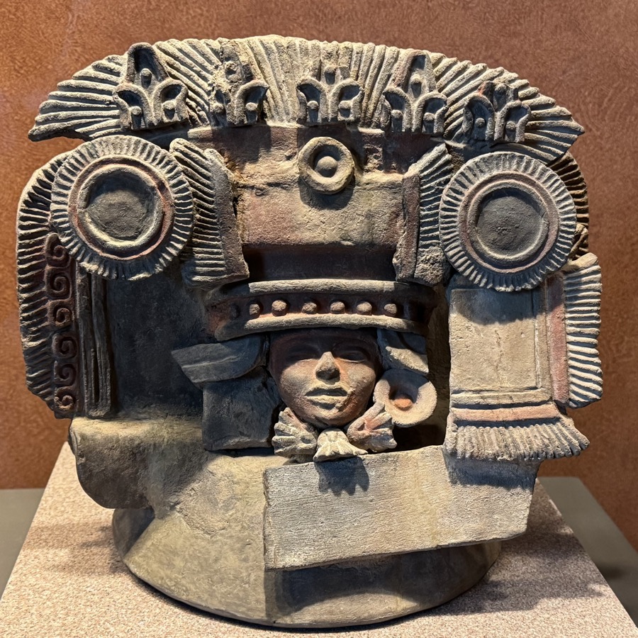
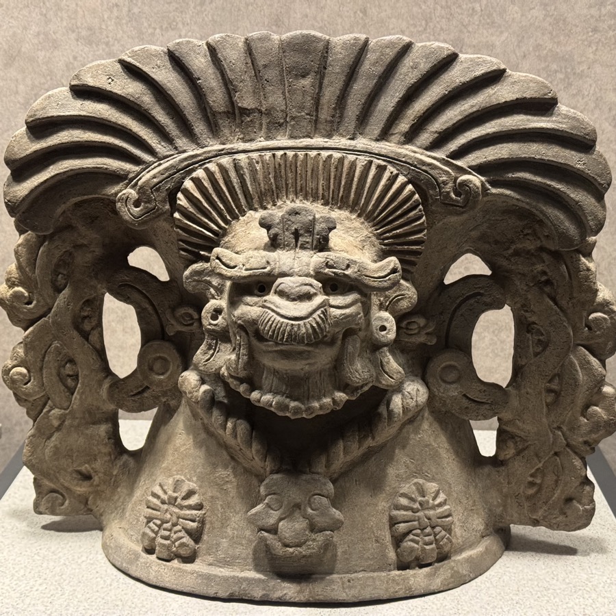
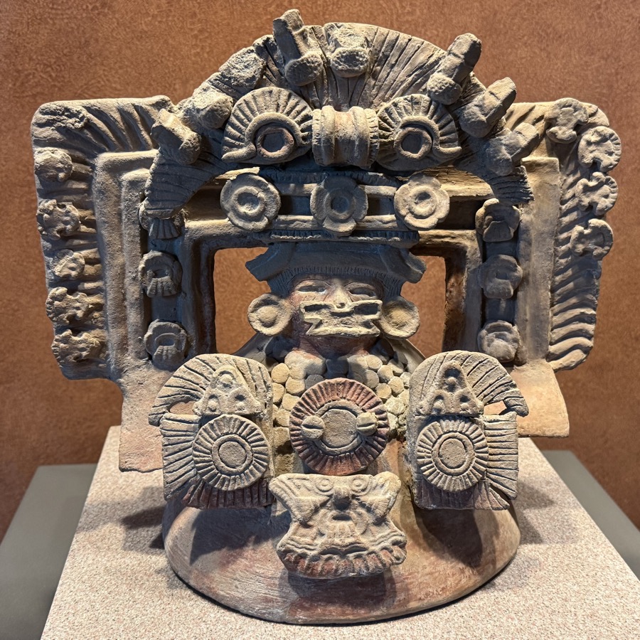
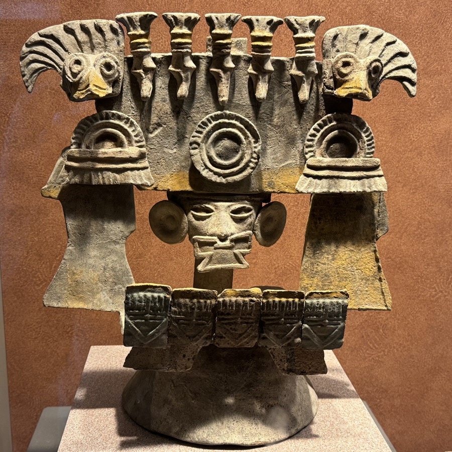
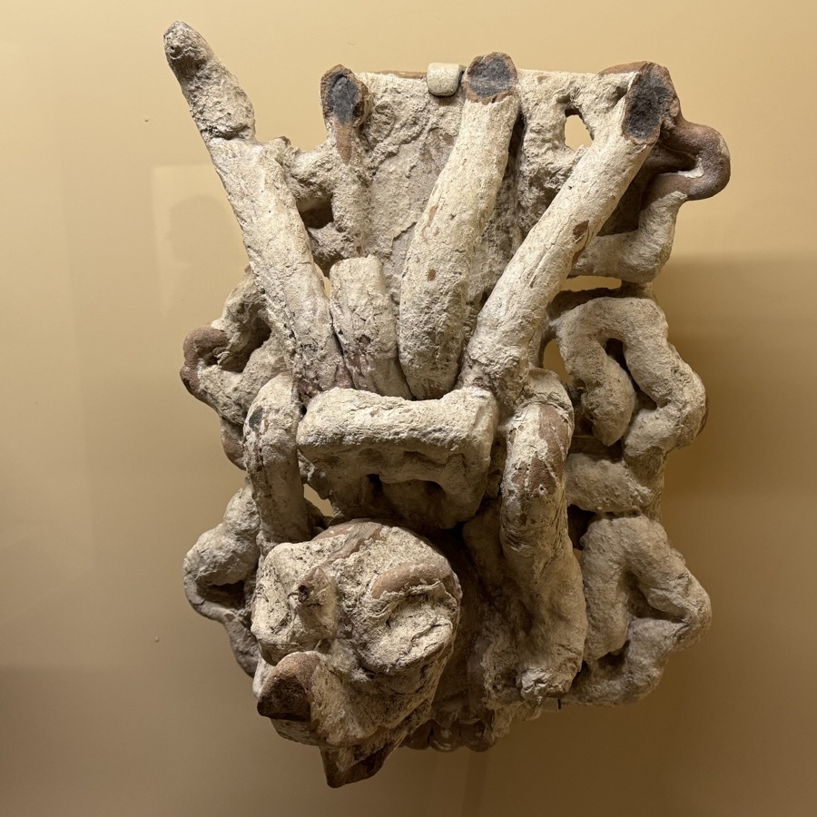
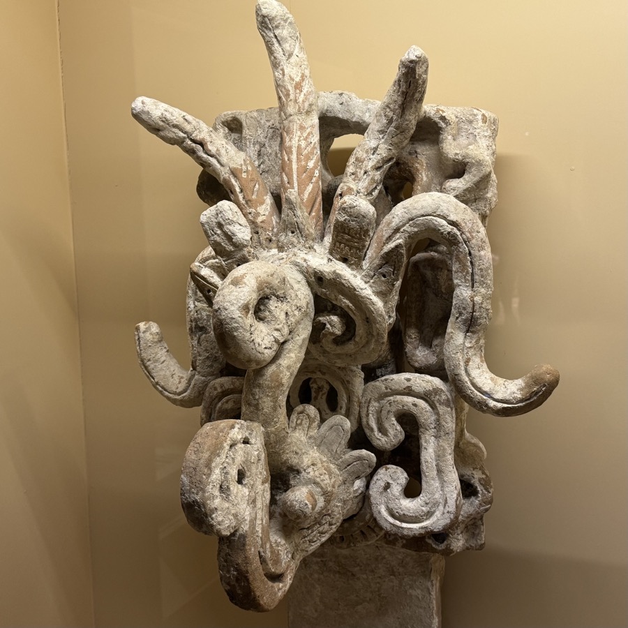
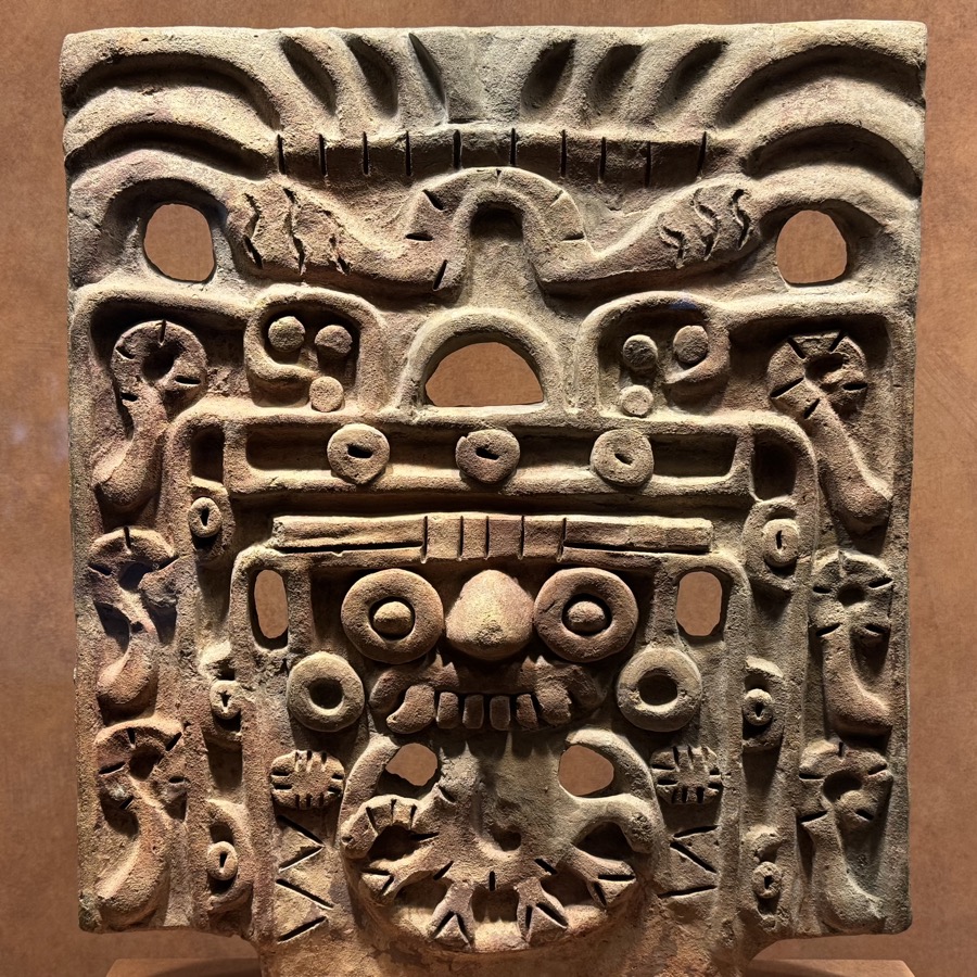
We returned to Zócalo and interesting Templo Mayor ruins. It was the main pyramid temple of Mexica/Aztec in Tenochtitlan (now Mexico City), as usual built over time in several layers, with temples of war and rain gods at the top. Remains of the pyramid and some other structures from the old days have been excavated and restored. Museum has many interesting artifacts (from the site), many offerings were buried and survived above-ground demolition.
«« Scroll to view more photos »»


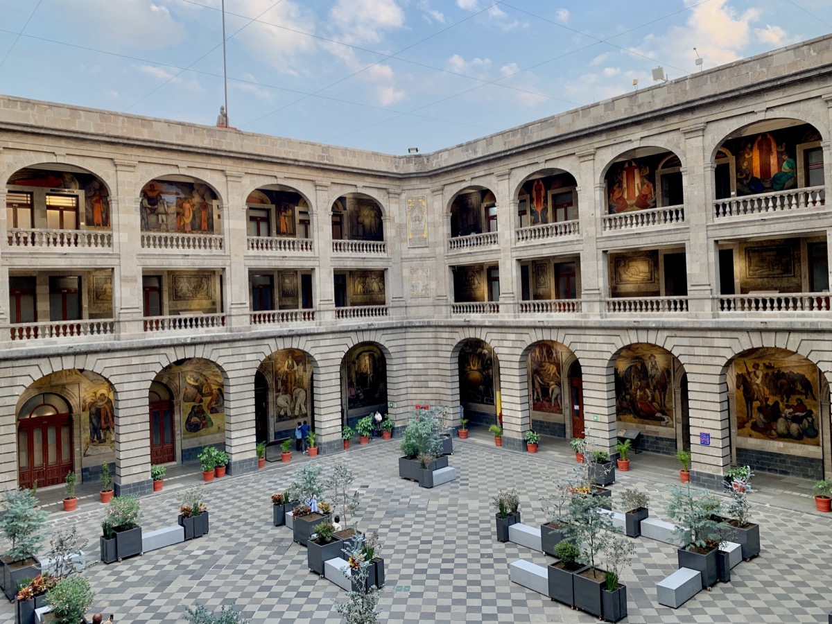
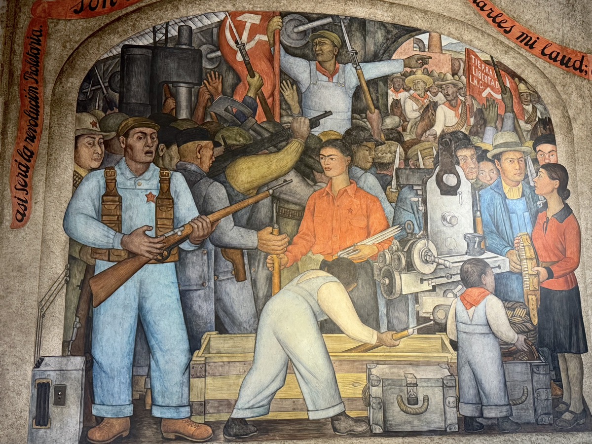
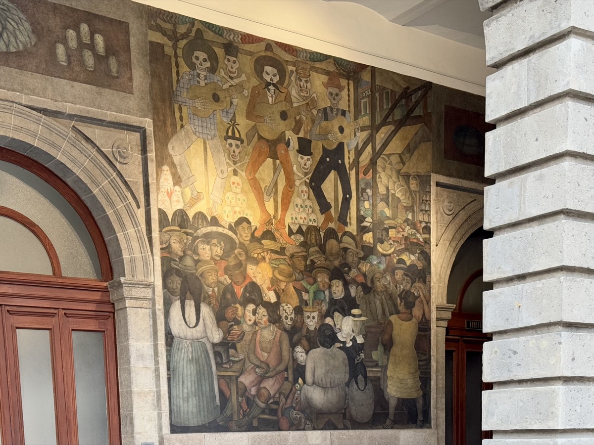
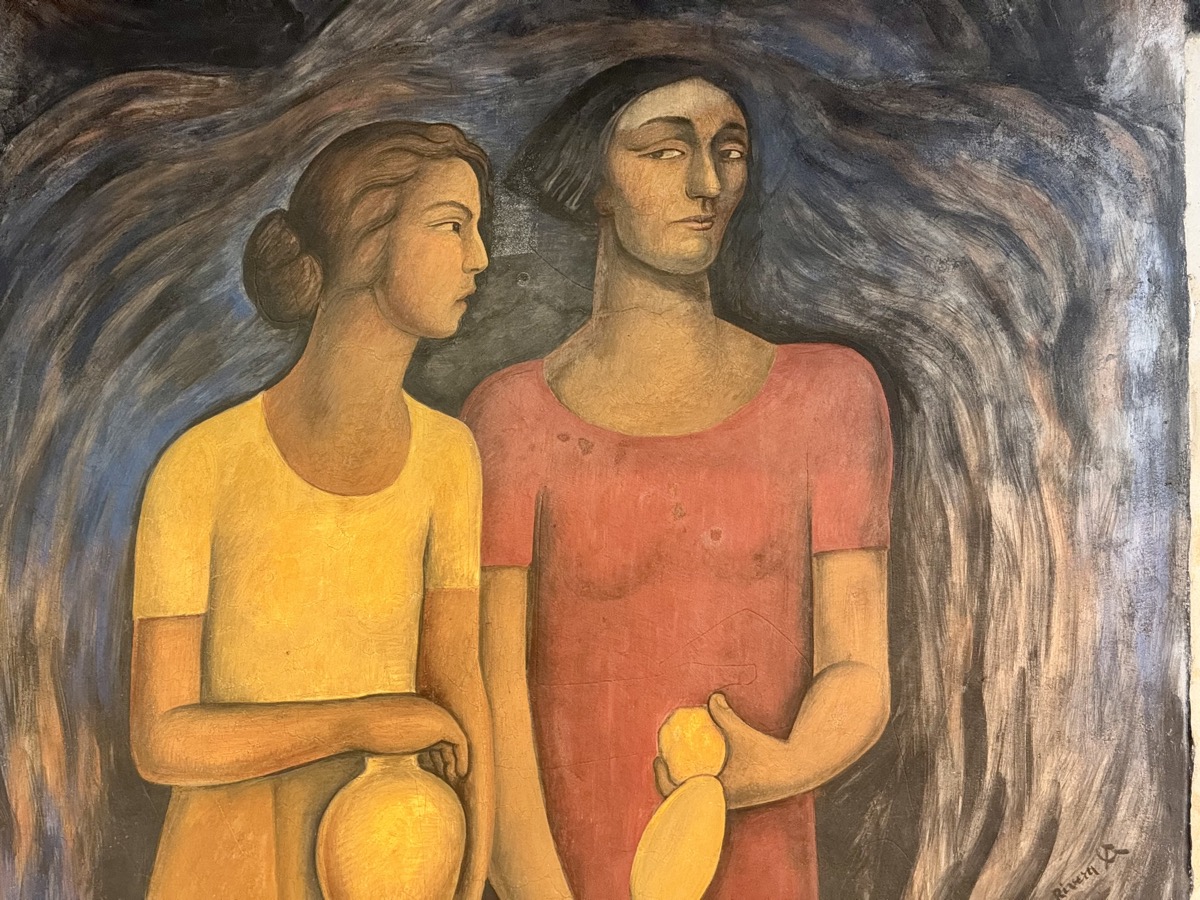
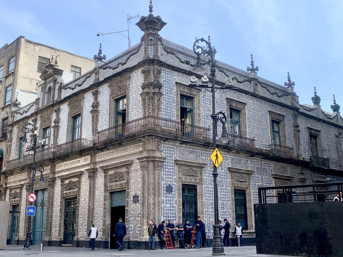
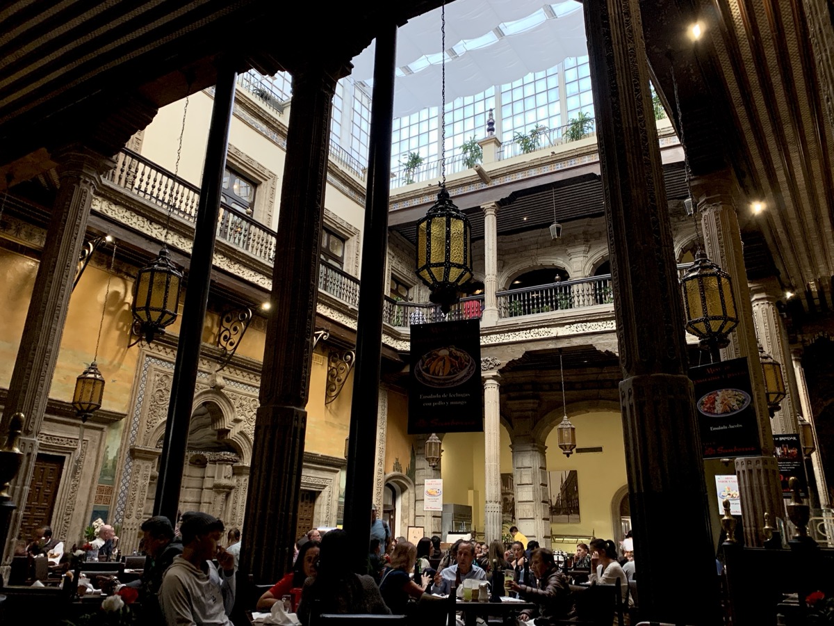
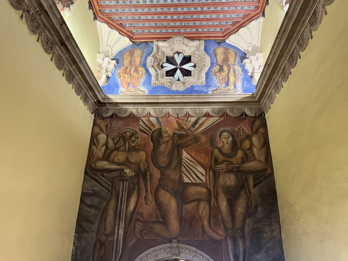
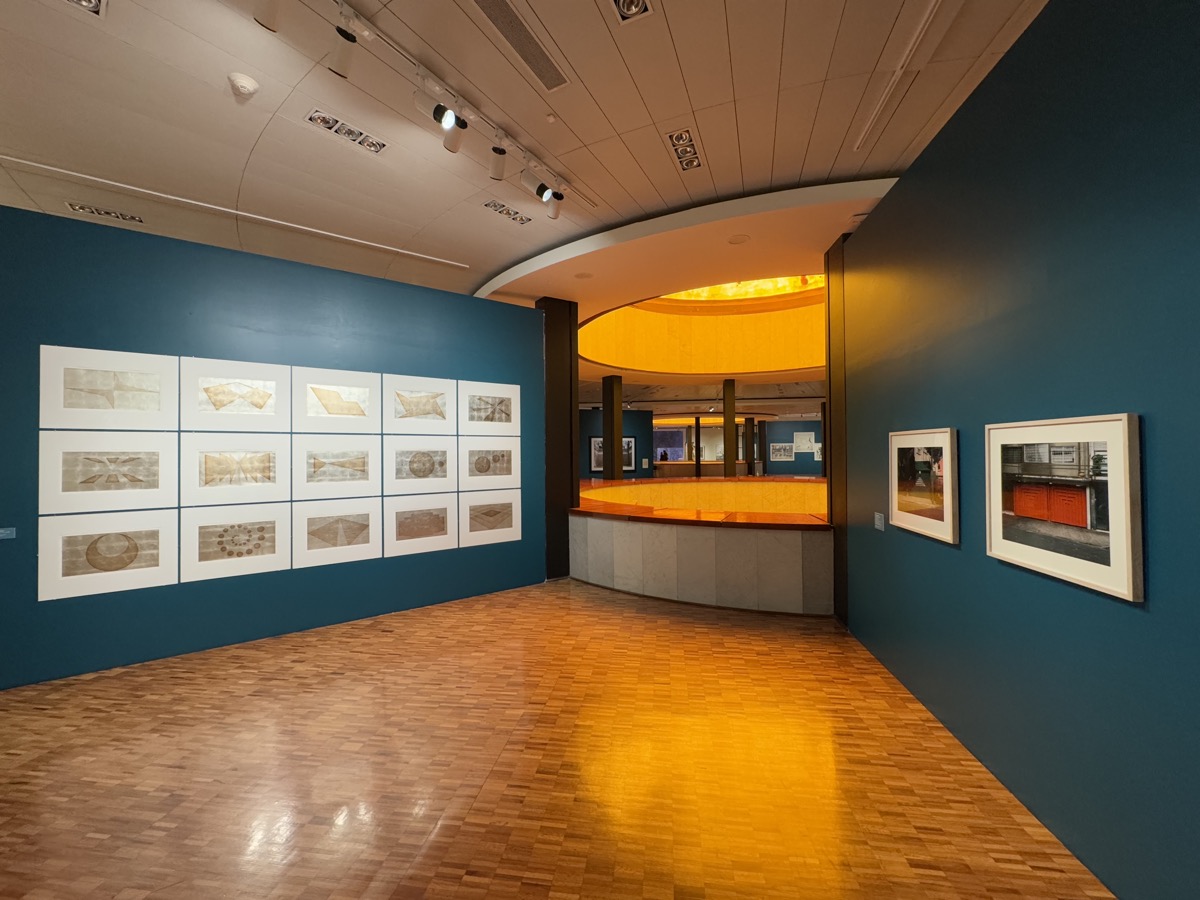
Since we missed murals in Palacio National, we checked excellent Murales de la Secretaría de Educación Pública (Museo Vivo del Muralismo opened in 2024) with hundreds of murals by Diego Rivera and others, surrounding several courtyards on 3 levels. Signs and directions are confusing to reinforce the idea that people should get lost here (museo vivo) and find what they like by chance. We then walked around the neighborhood a bit looking for place to eat (some restaurants were already closing) and decided to stay at nearby Restaurante Catedral for dinner (Quesadillas Vegetarianas and Taquitos del Chef). On return to Cuauhtémoc (Uber – metro was not going to our station and we had not yet figured out bus routes) we stopped at Tiendas 3B to get some basics for breakfast. We saw many food vendors around the city, but we had not yet found any better-stocked grocery stores near our accommodation.

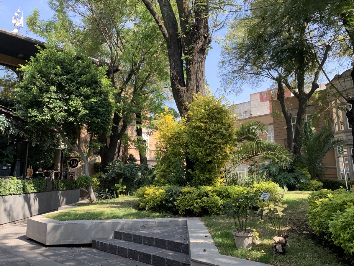
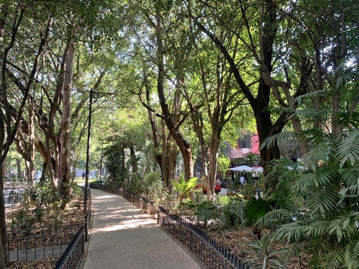
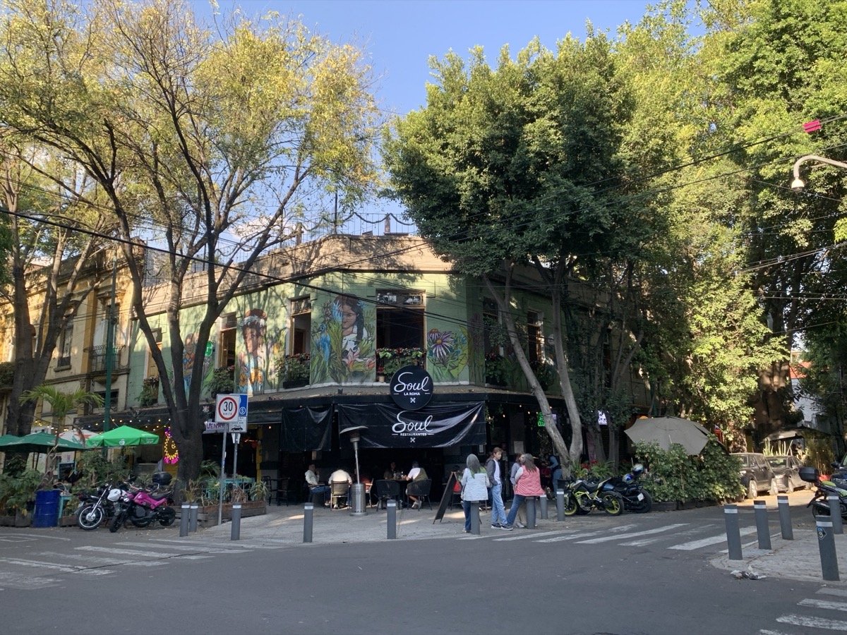
Day 6. After days of intense sightseeing, rather than visiting more museums and historical places, we decided to spend the day just walking around. It would be hard to retrace our route precisely. We started with la Romita, once independent pre-Hispanic village, and then strayed in Roma Norte, our neighborhood, further away from home than on the first evening. Our strategy for this entire trip was to try to stroll smaller, side-streets and as many parks as possible to break more tiring (mega) city walking.
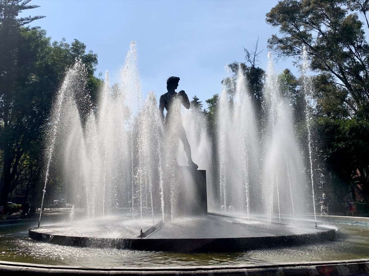
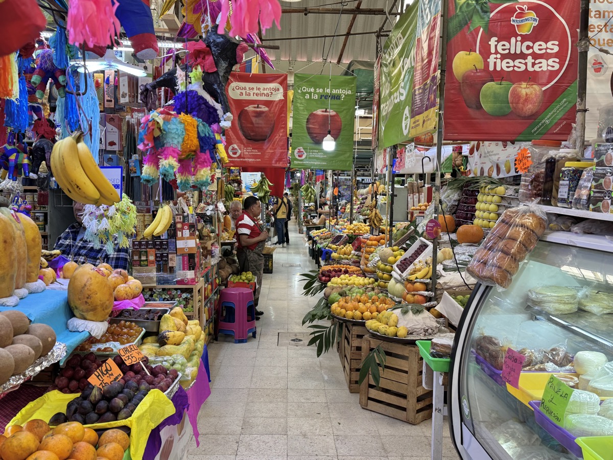
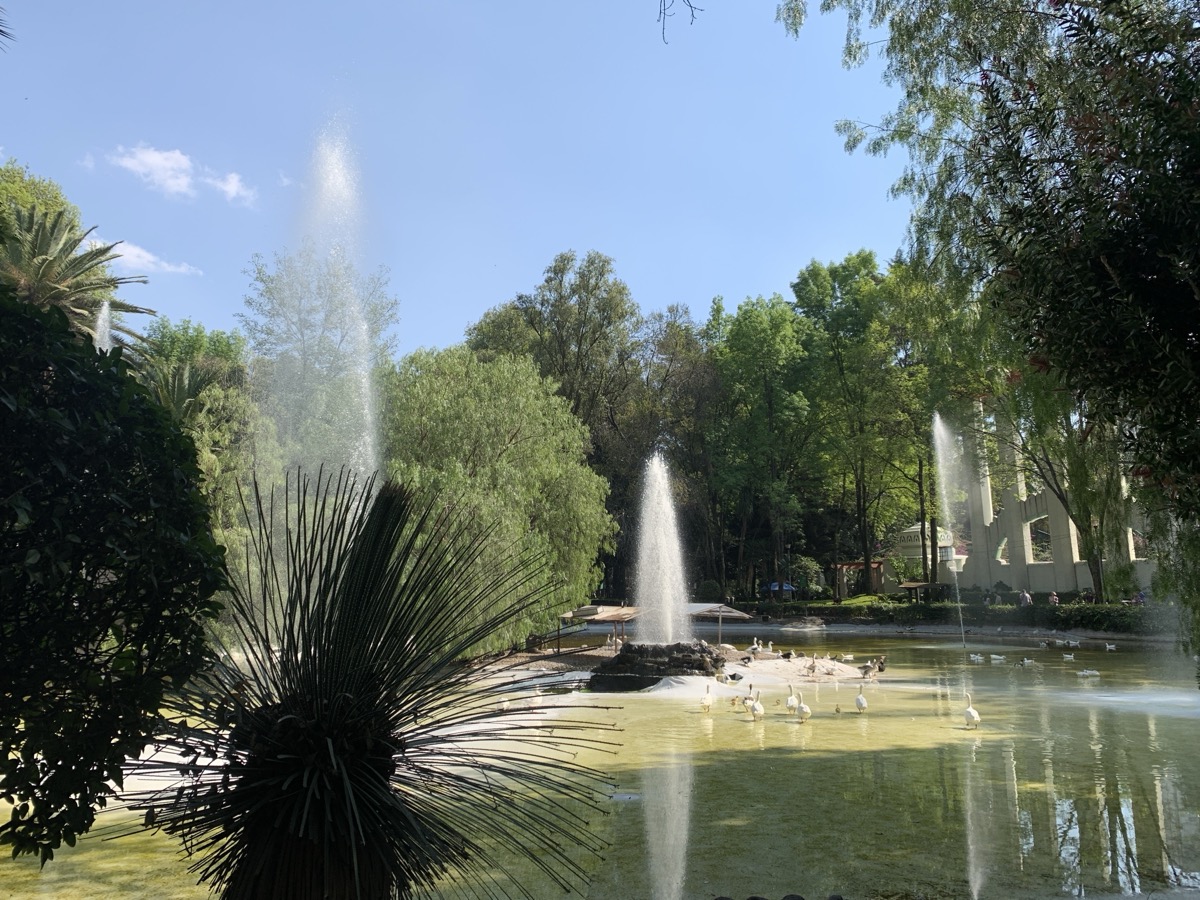
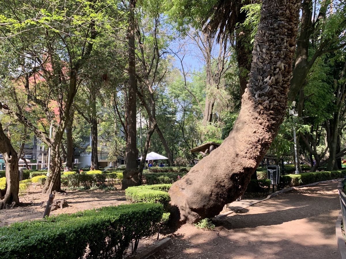
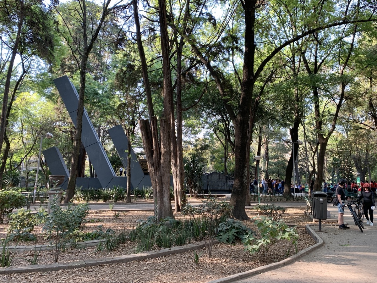
We looked-up grocery stores on map – this time we came across small, but well stocked Sumesa Colima. We looped around Plaza Río de Janeiro with small park and David statue fountain. Mercado Medellín in Roma Sur was next – now we knew where to get fruits and veggies (other stuff was of lesser interest to us on a short trip). People were friendly and relaxed, none of the hustles we experienced in markets in some other parts of the World. We saw food tours there, but Piotr was not ready for lunch at the market. Continued into La Condesa (or was it Hipodromo?), even nicer and more posh neighborhood, and rested in very pleasant Parque México – walking, sitting, watching people walking with dogs and pond with ducks and geese.

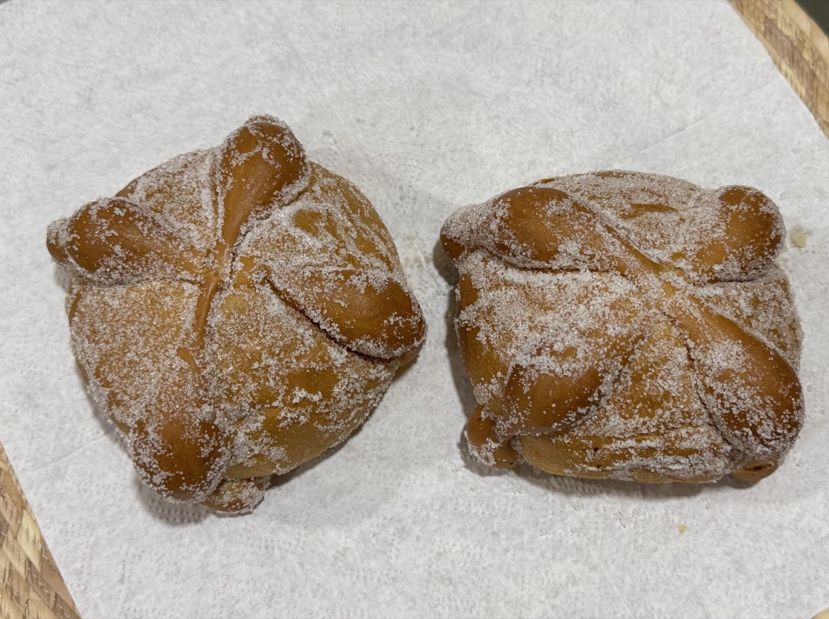
Most of the time on this trip we would buy fruits and veggies, baked goods and other food items stopping in different places as we were walking around, buying something here and something there, rather than making special grocery shopping trips. We found some items in local mini-markets, a lot of stuff at markets, learned how to find good bakeries and coffee shops. Non-diary food is hard to find – everything is con queso or con crema. Fortunately lactose-free milk is available everywhere. Here we shopped at La Espiga Panificadora to get bread and pastries for supper and breakfast.
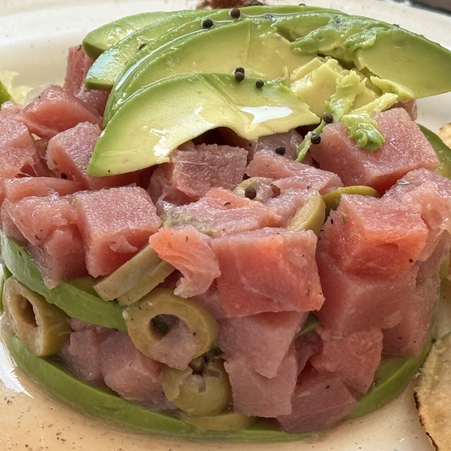
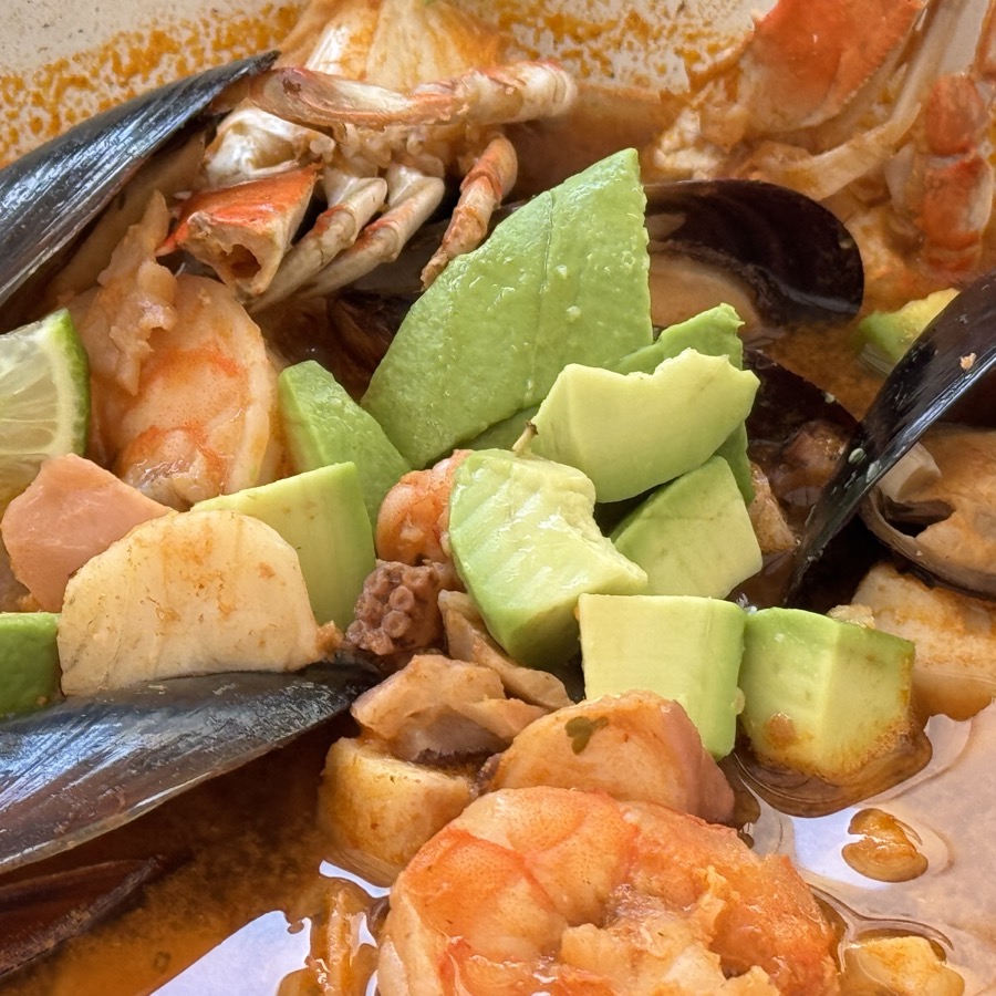
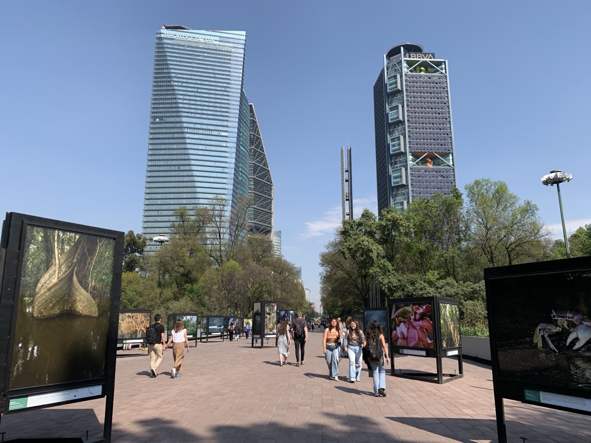
There are many restaurants in Mexico City, hard to choose on the go, if you have only time for a few. Lunch at El Pez Azul (recommended). Simple street-side table and tasteful seafood. After lunch, we started walking along Ave Insurgenes Sur and somehow found our way home, stopping in Parque España (even more dogs around here). Piotr had to stop at the Sumesa again to get more sweets (Abrazos con Crema) and of all things Jamon Iberico for Joanna.
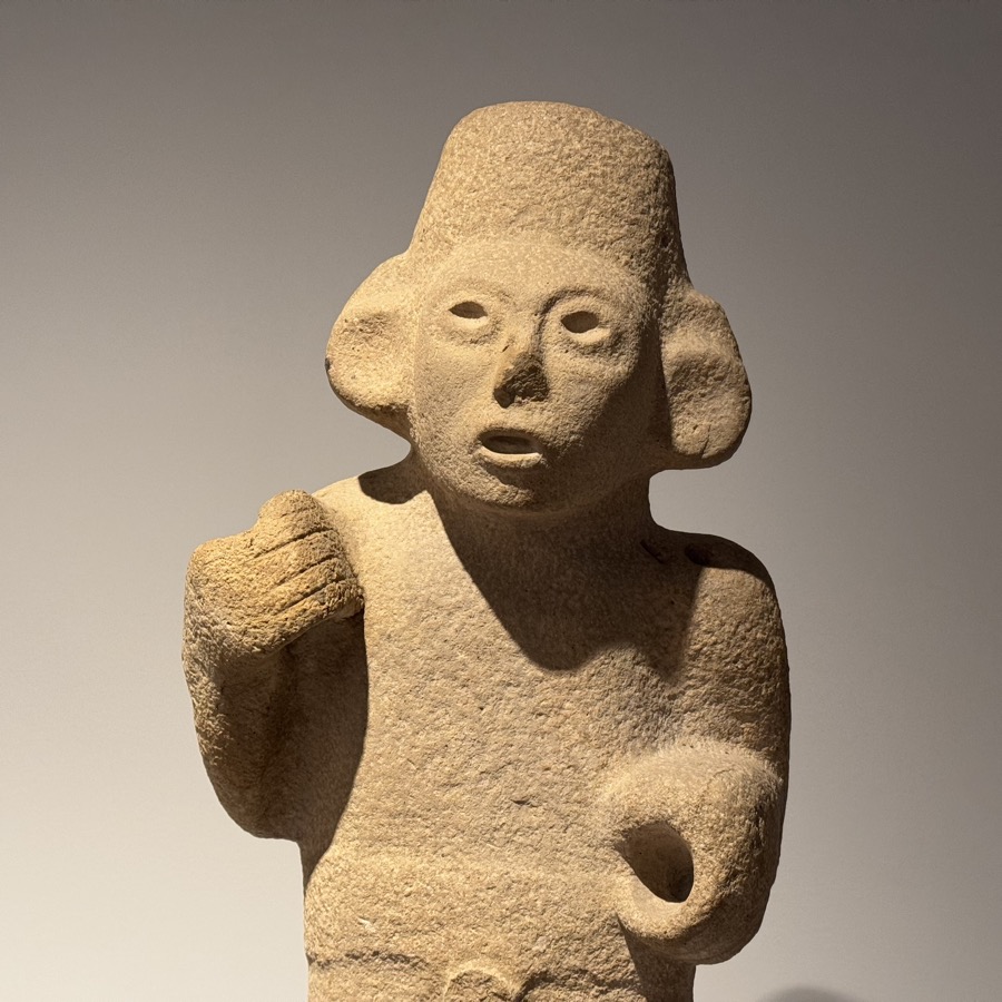
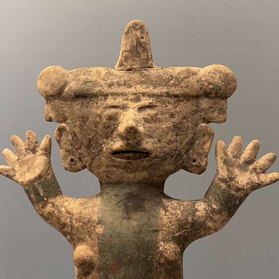
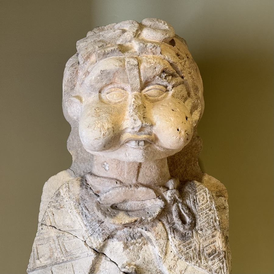
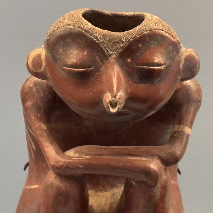
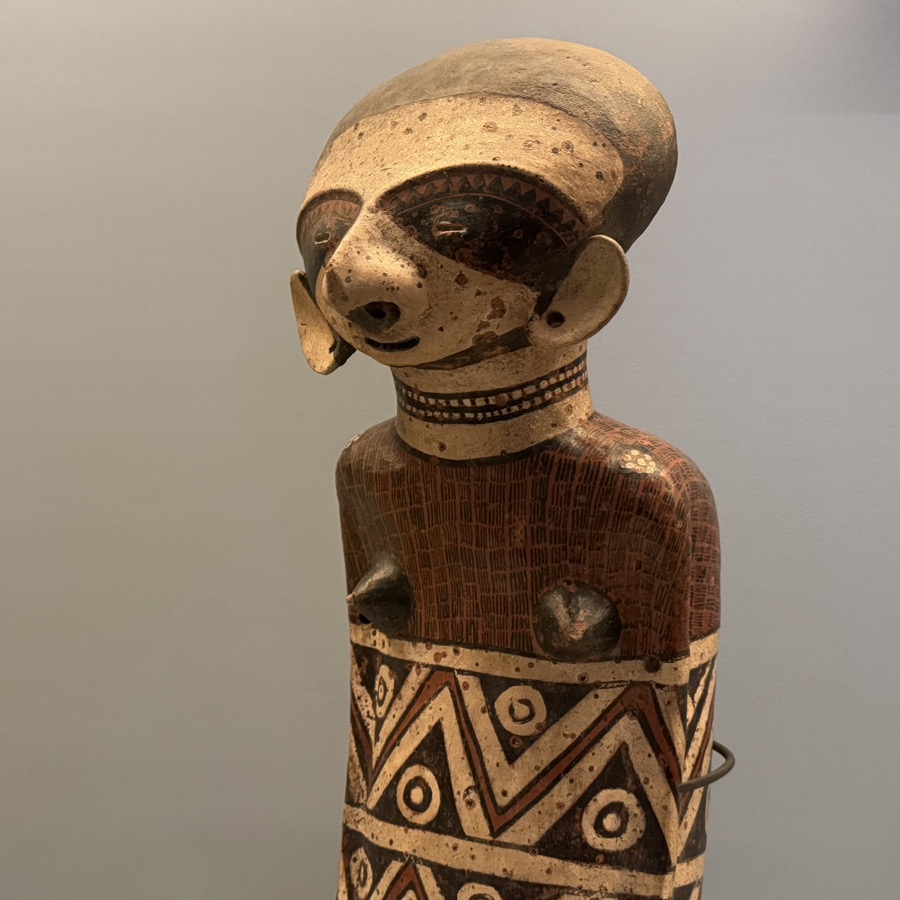
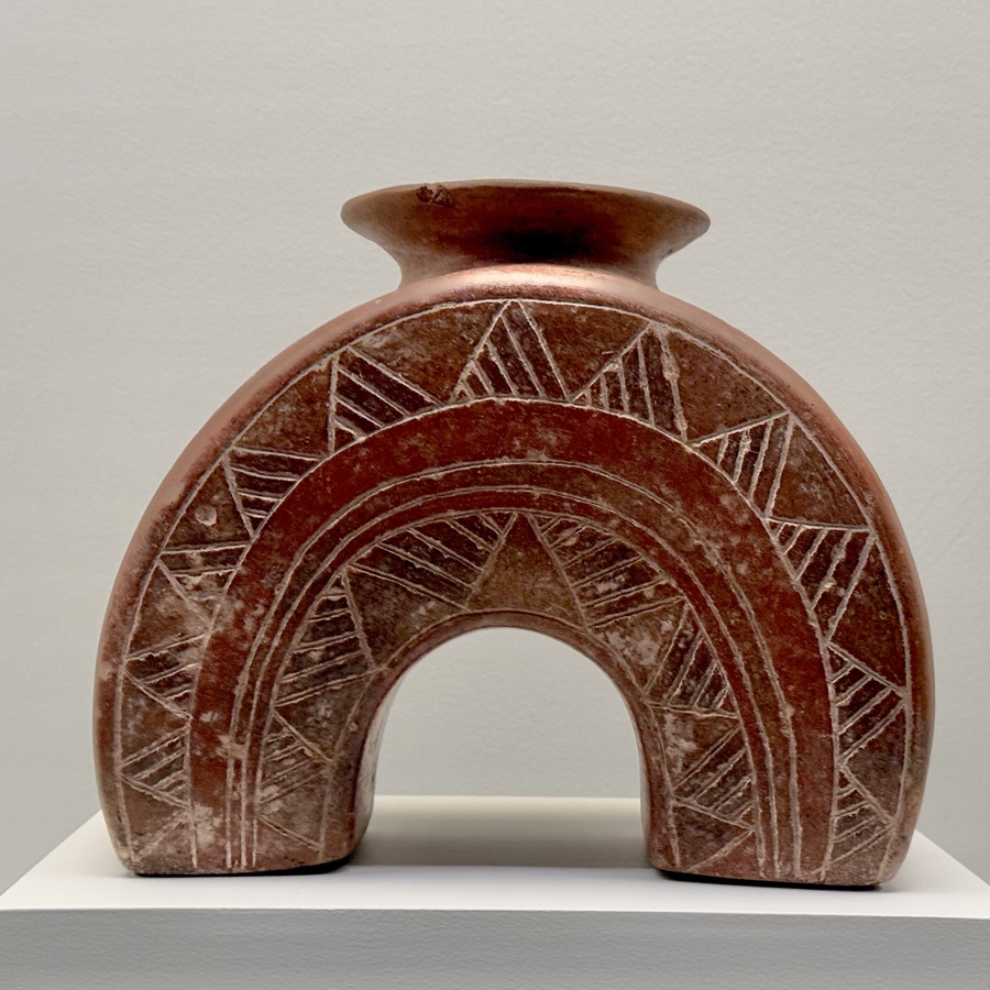
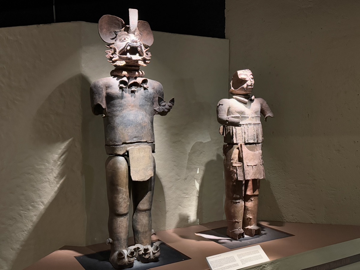
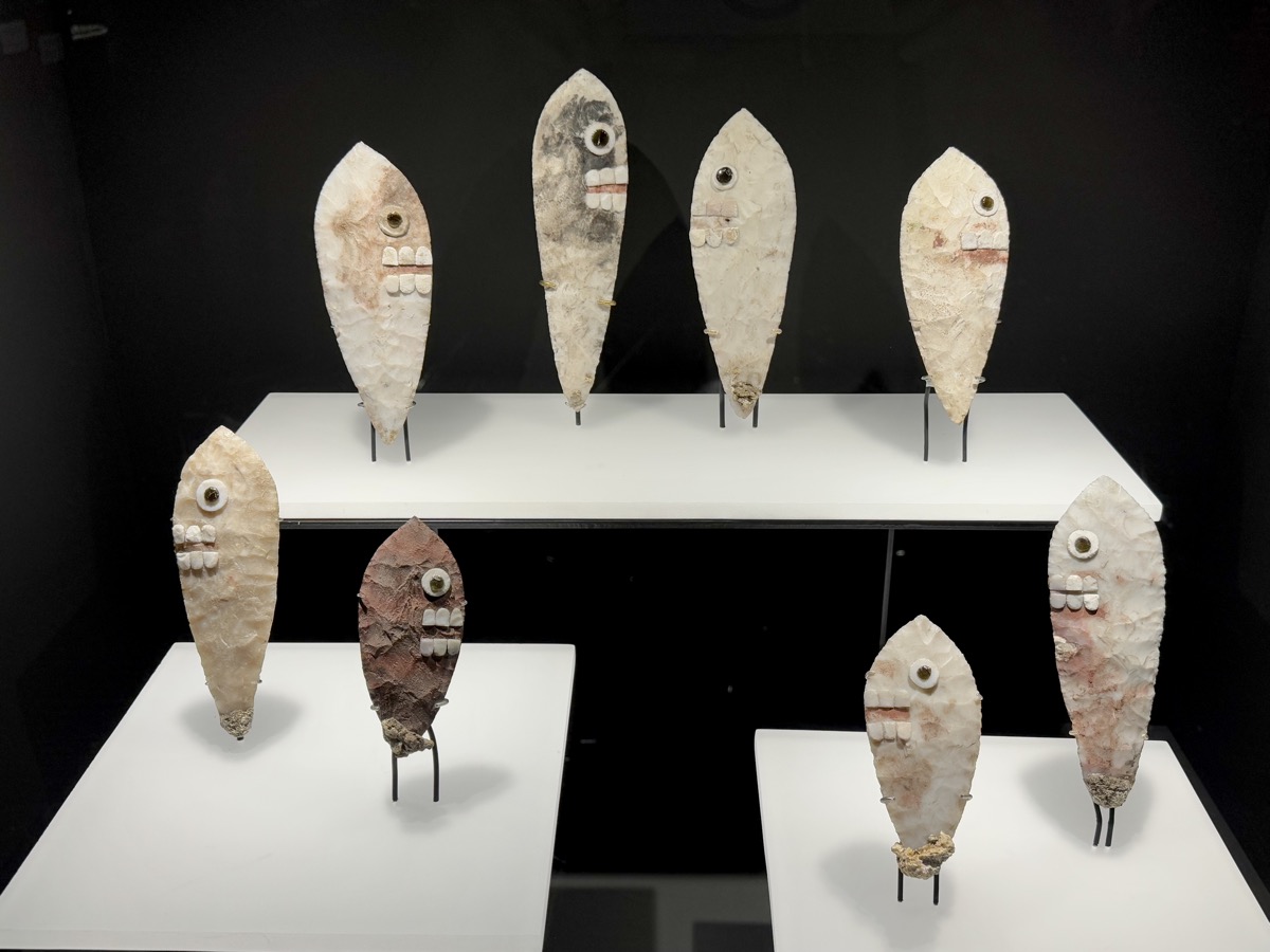
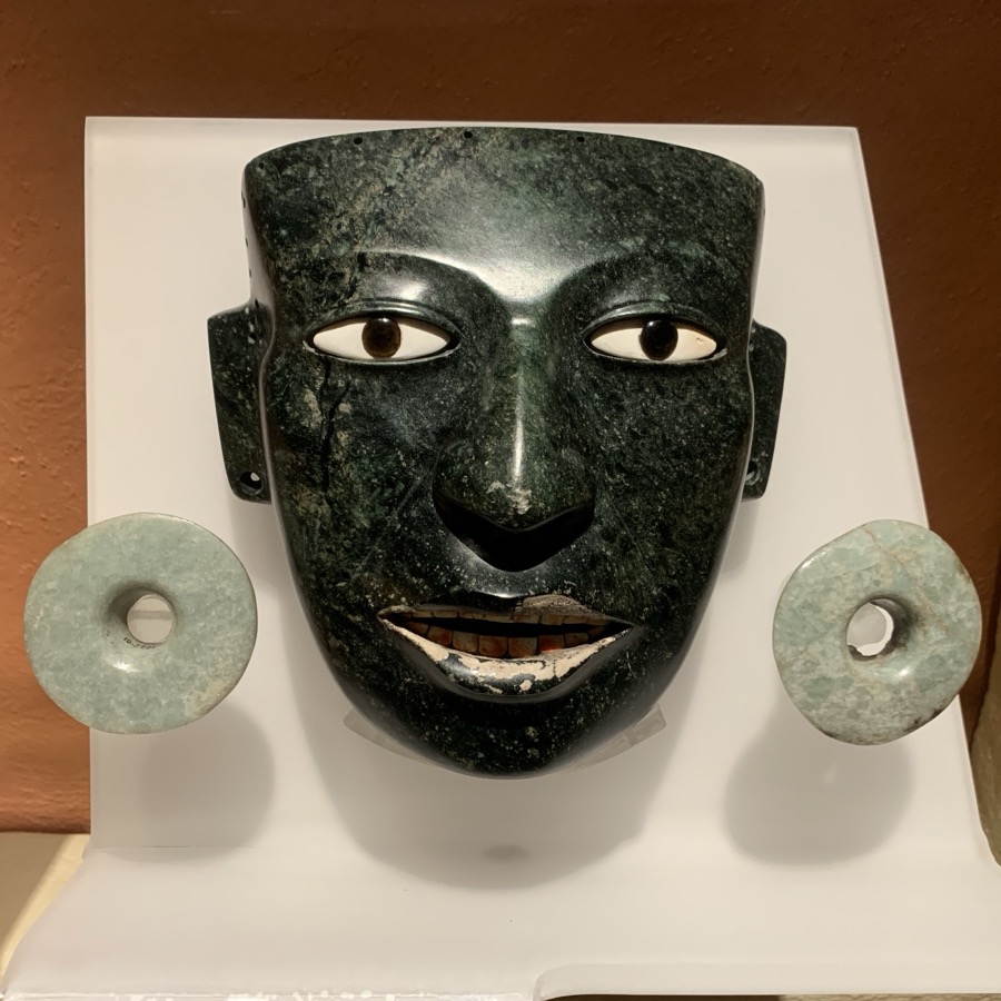
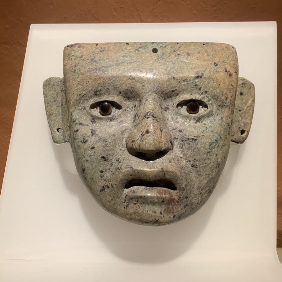
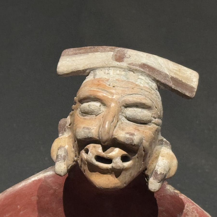
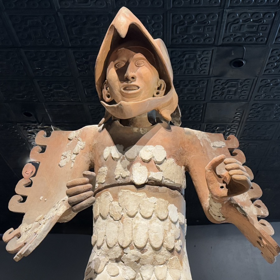
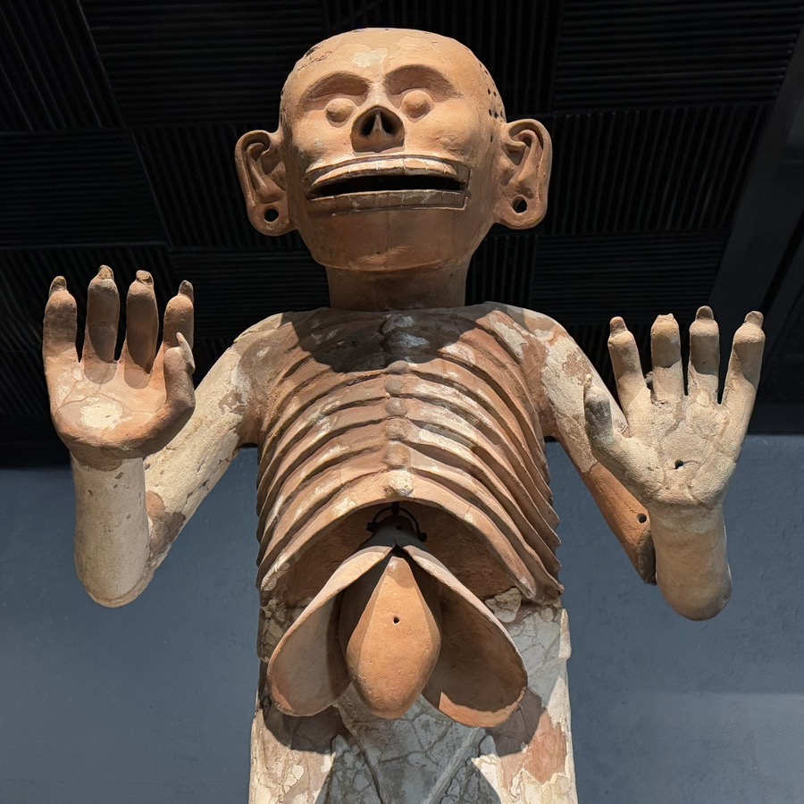
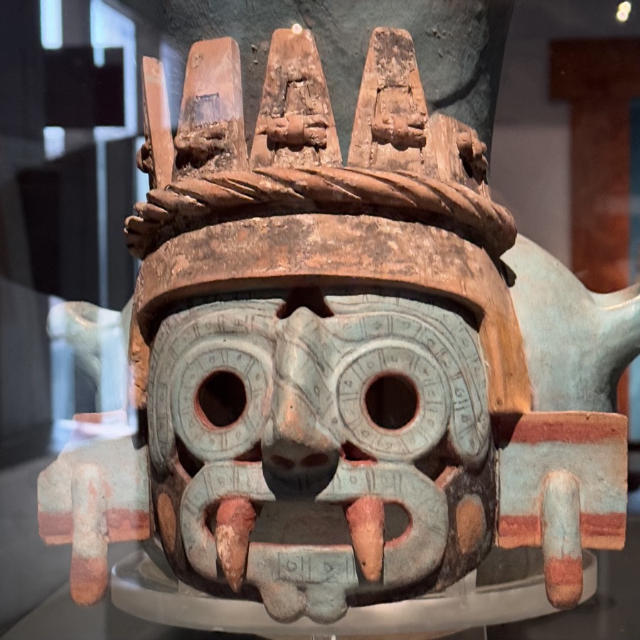
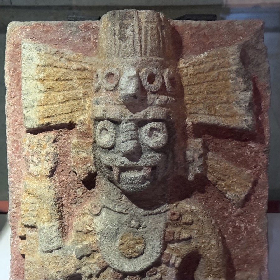
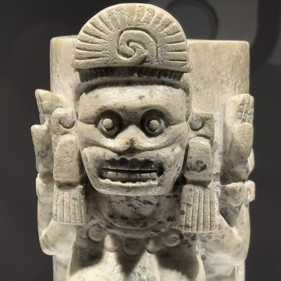
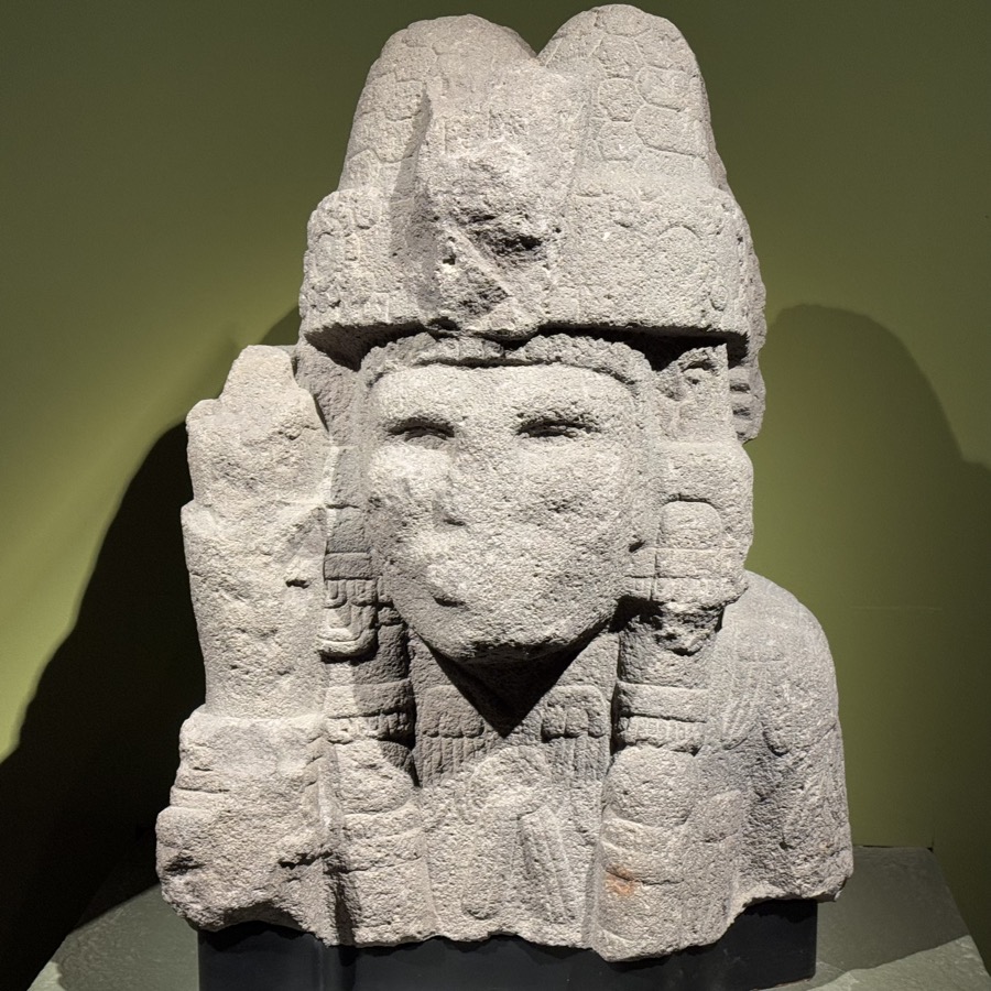
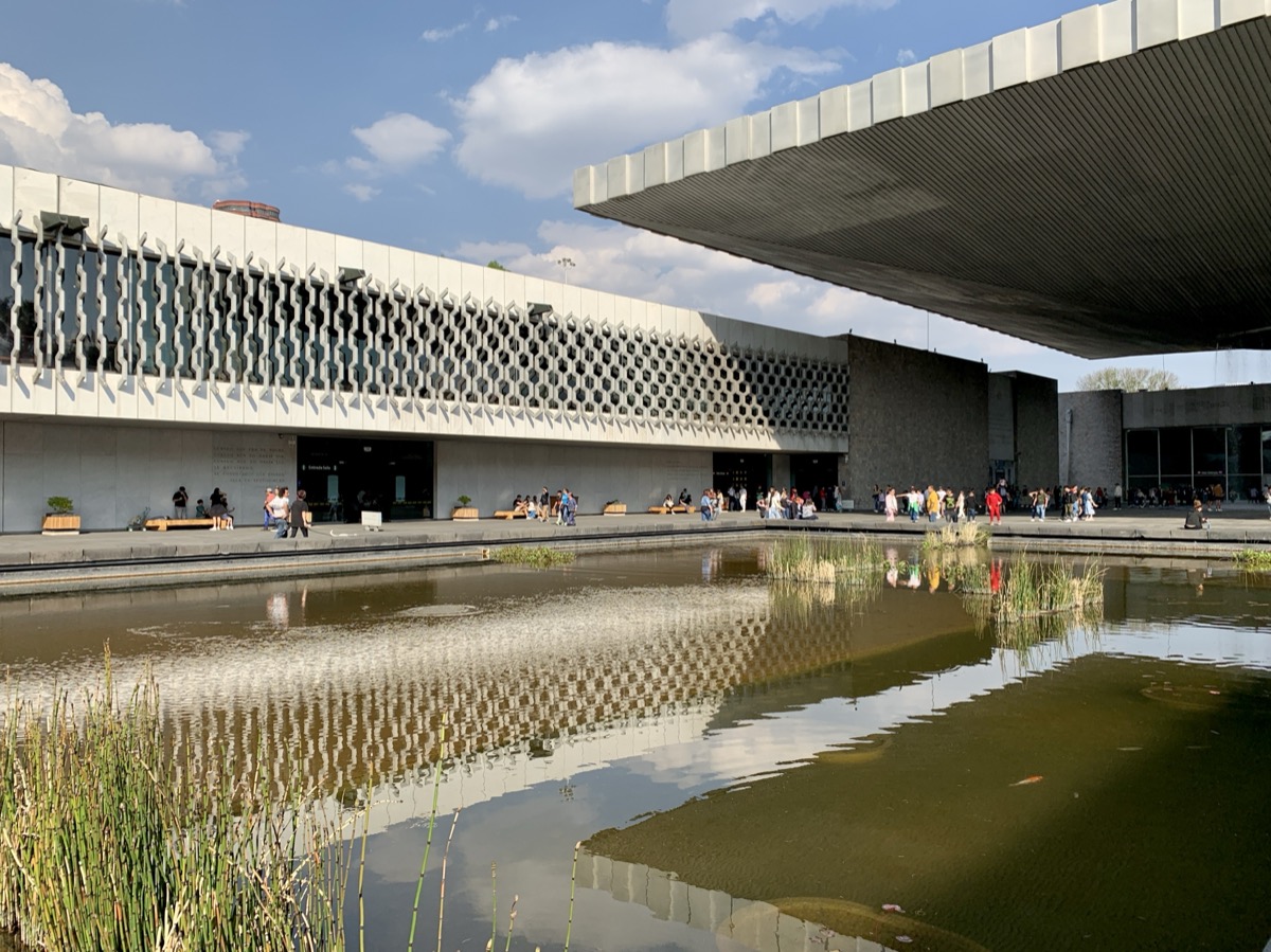
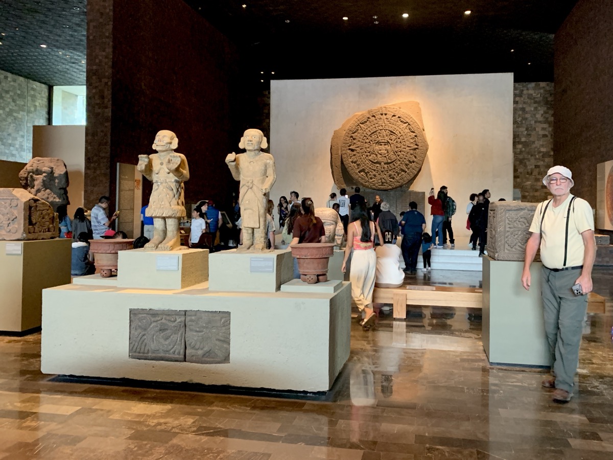
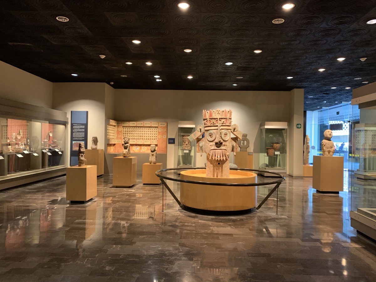
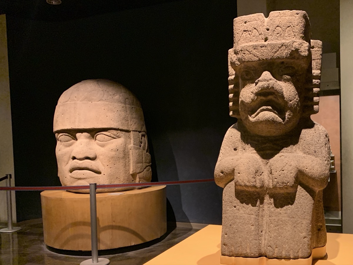
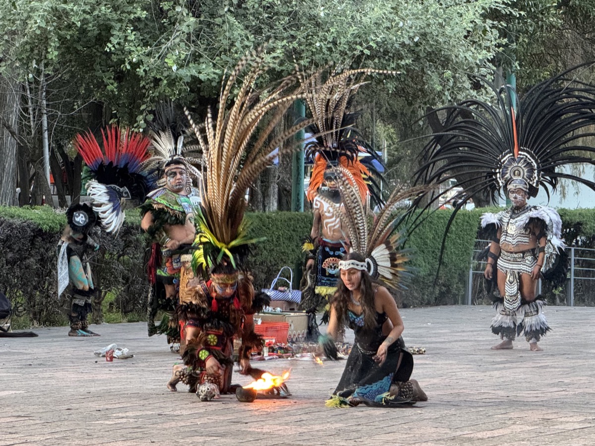
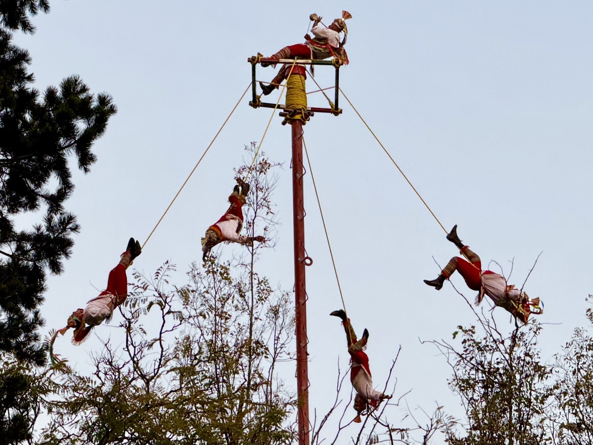
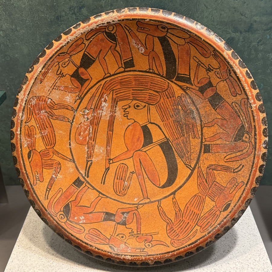
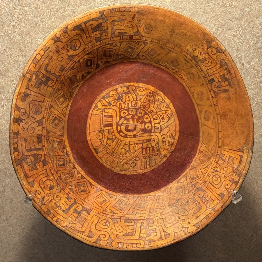
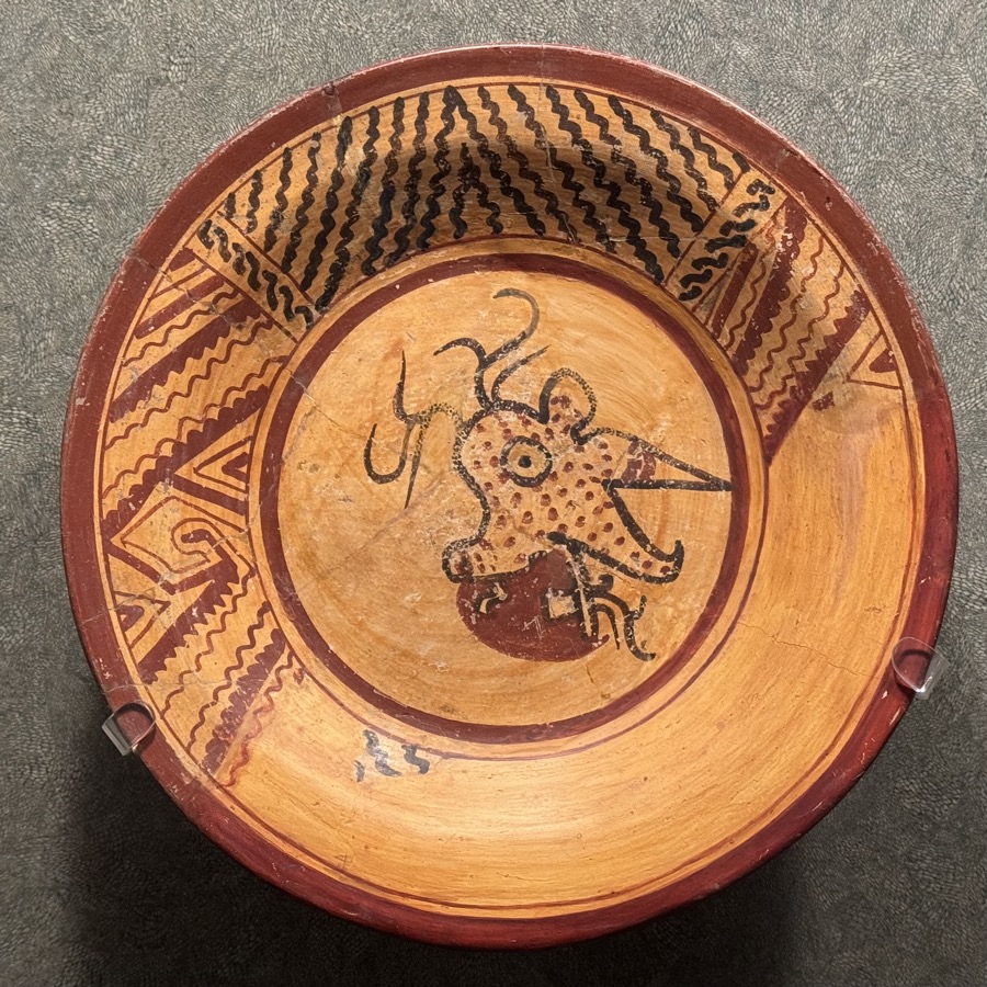
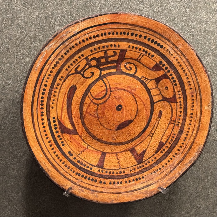
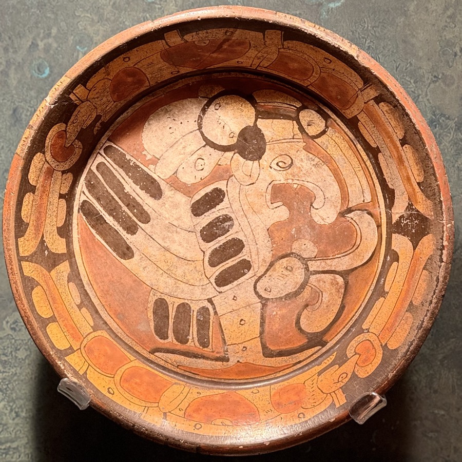
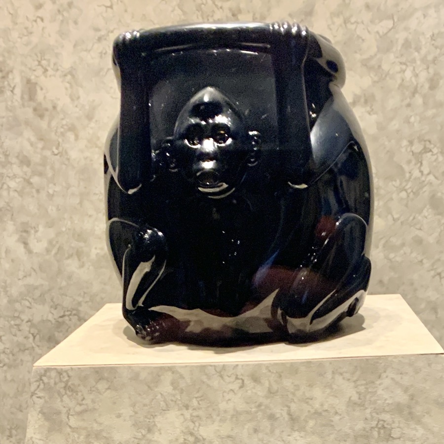
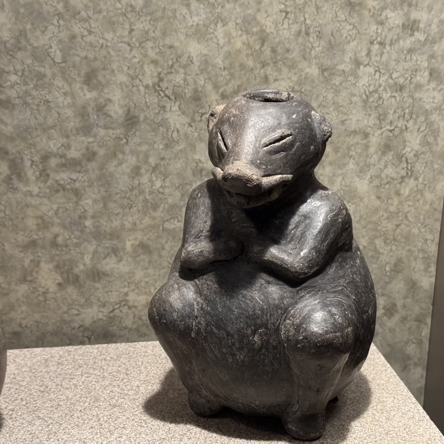
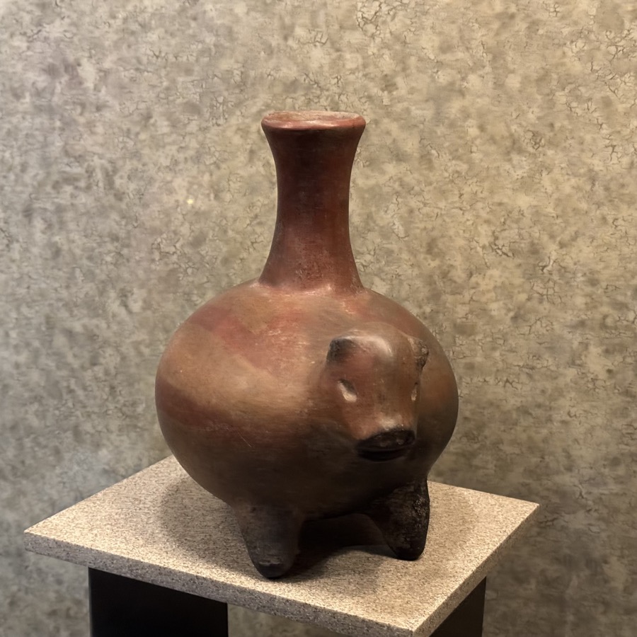
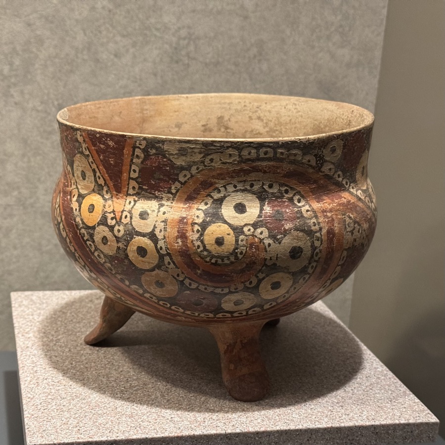
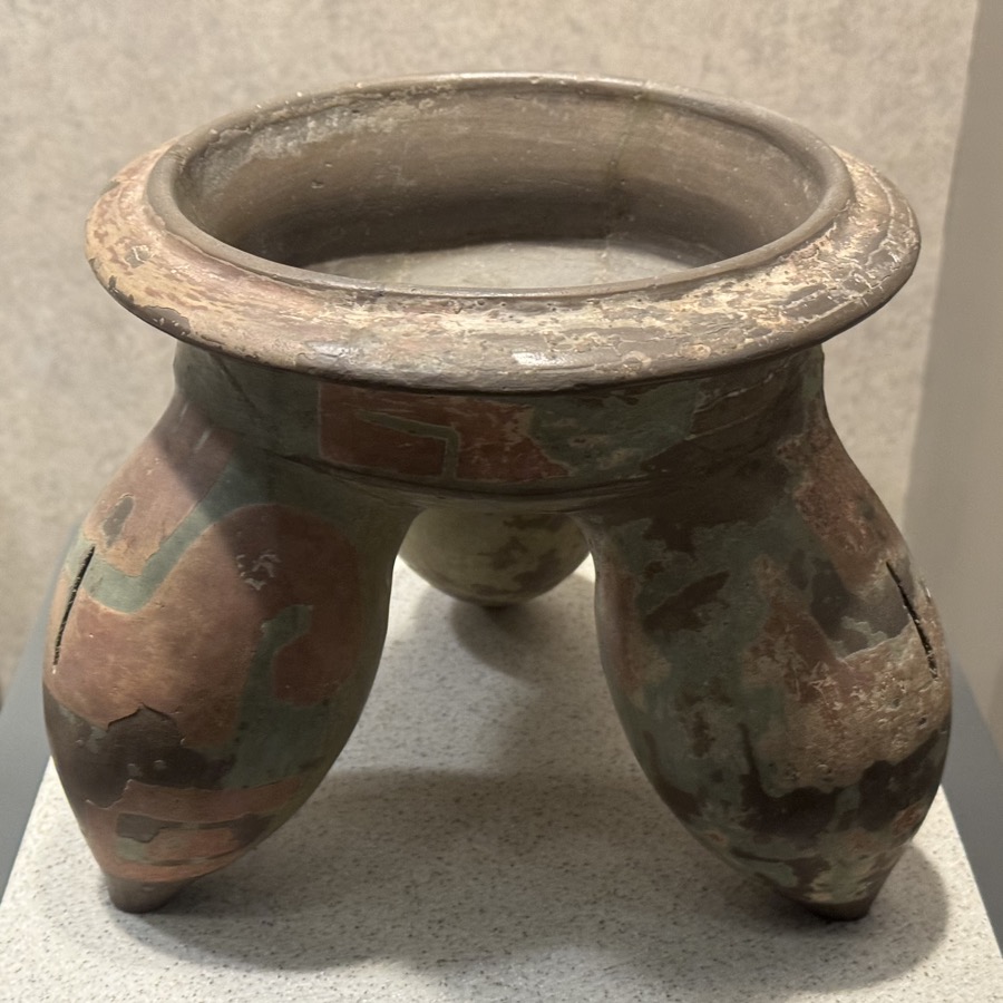
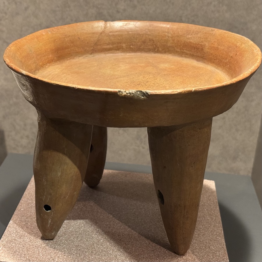
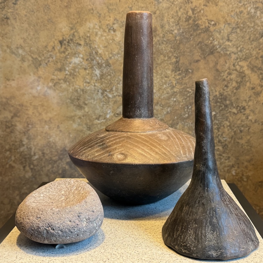
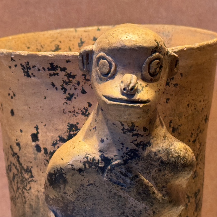
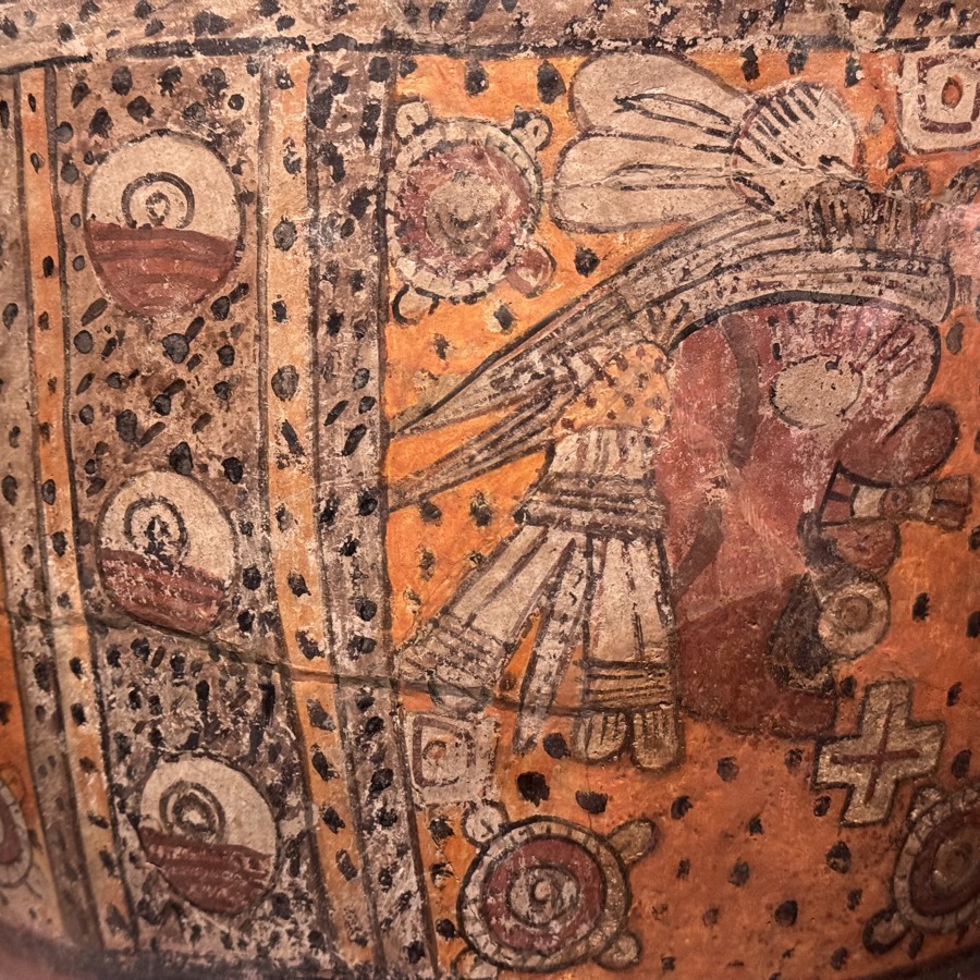
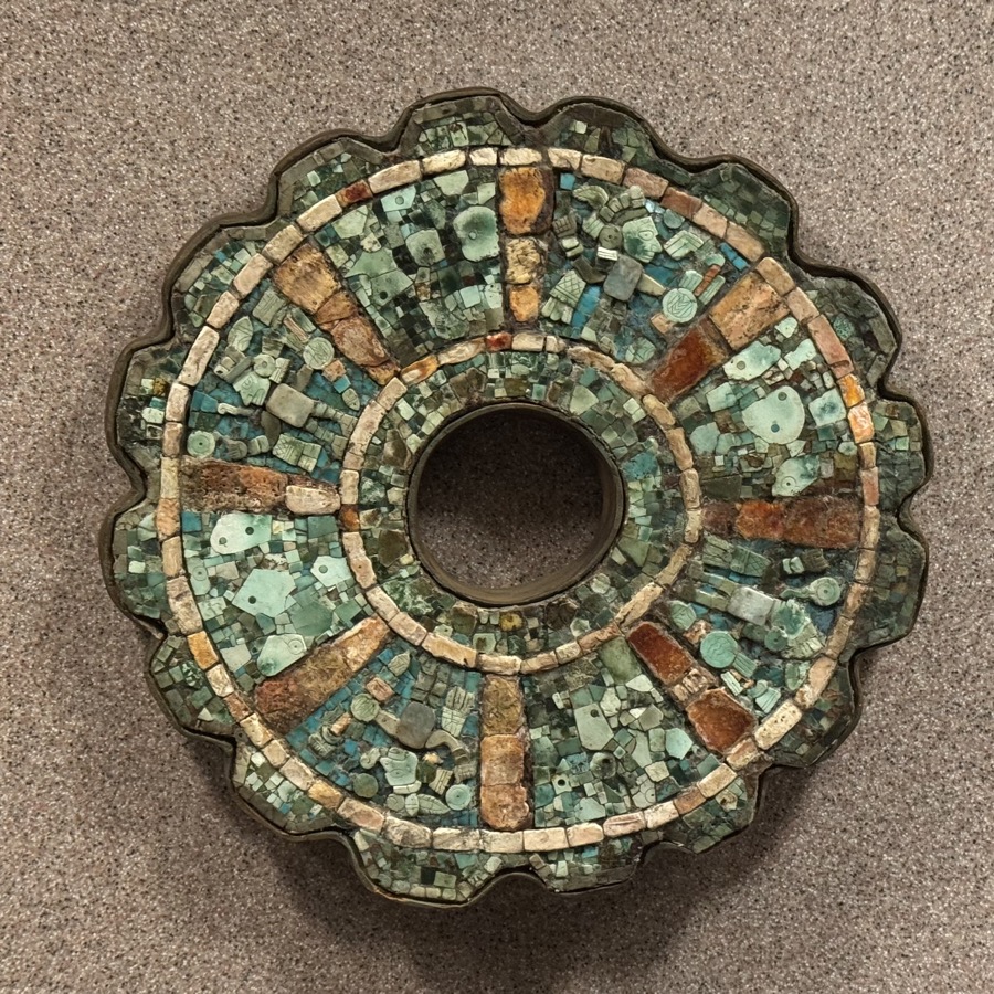
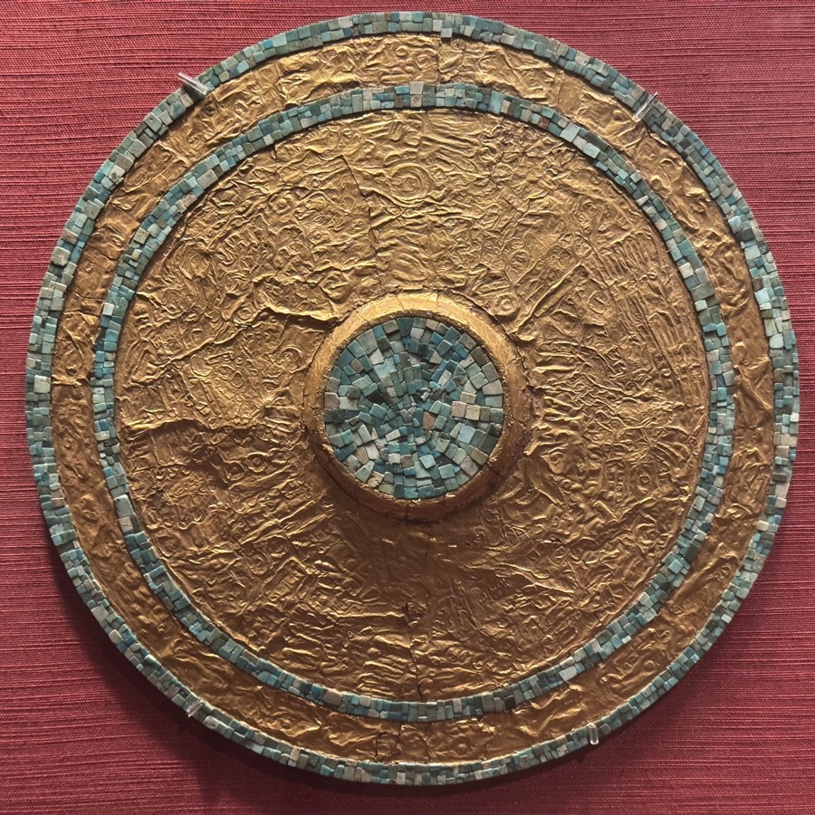
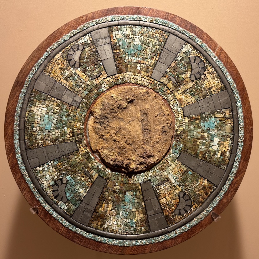
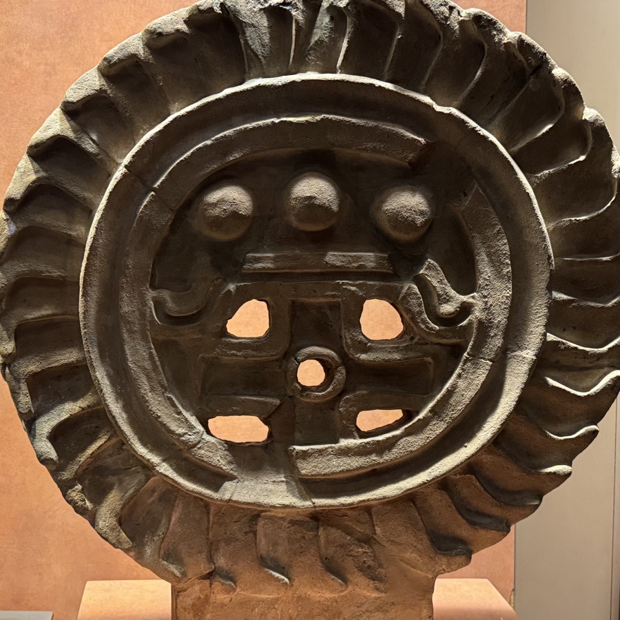
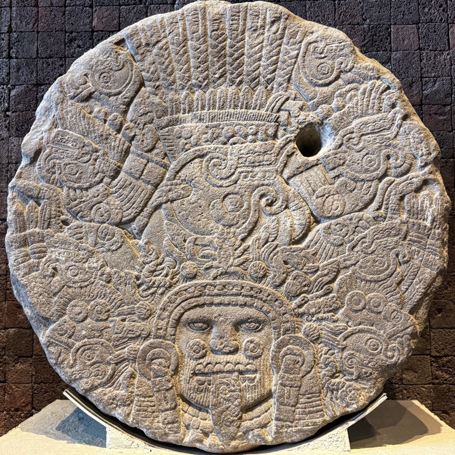
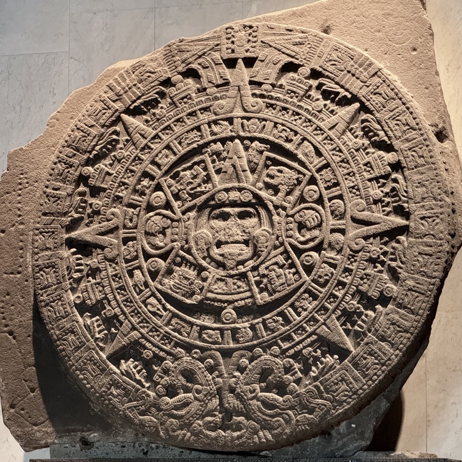
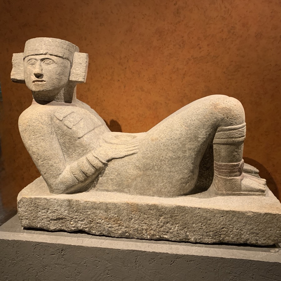
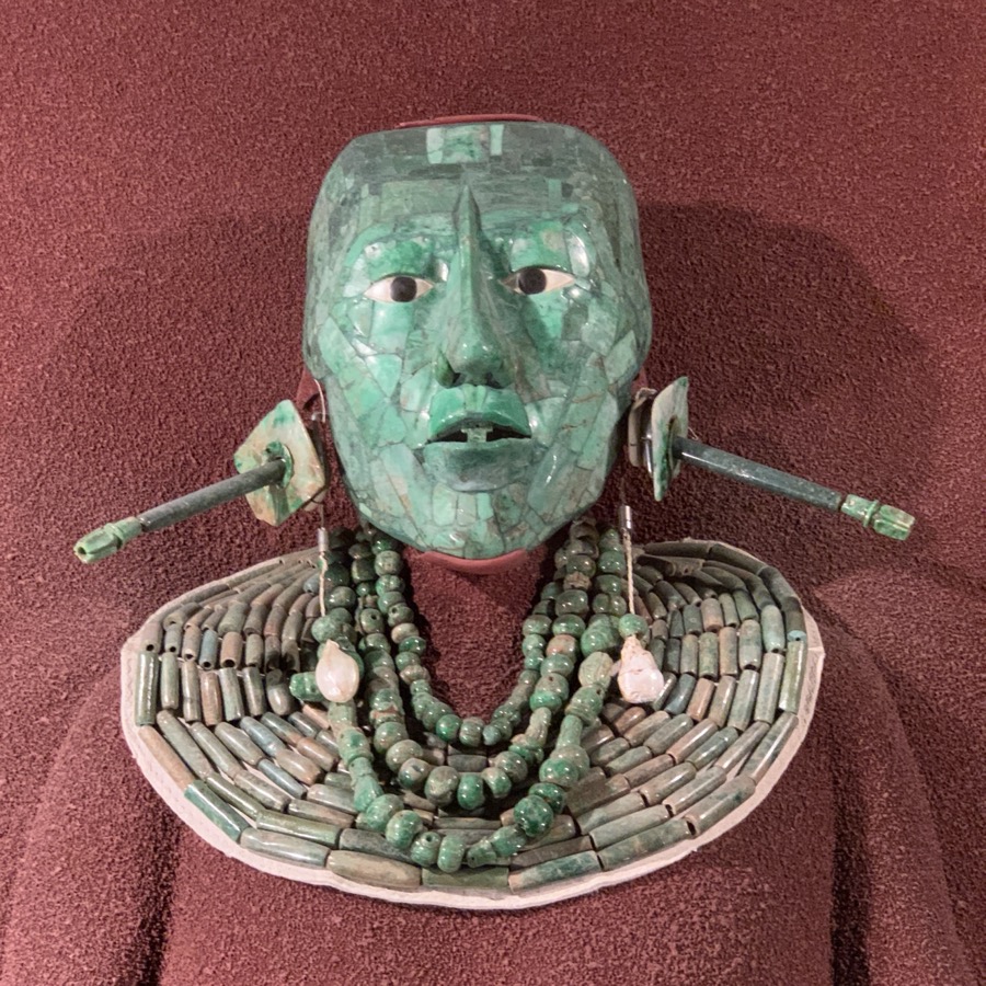
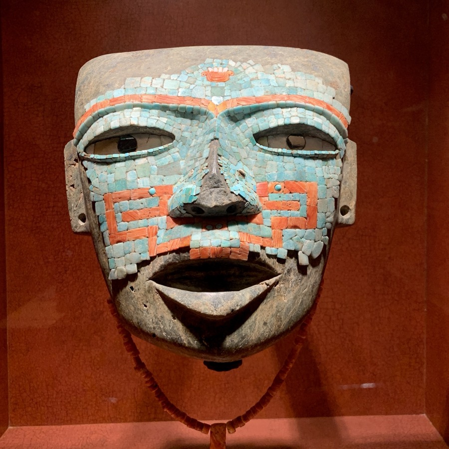
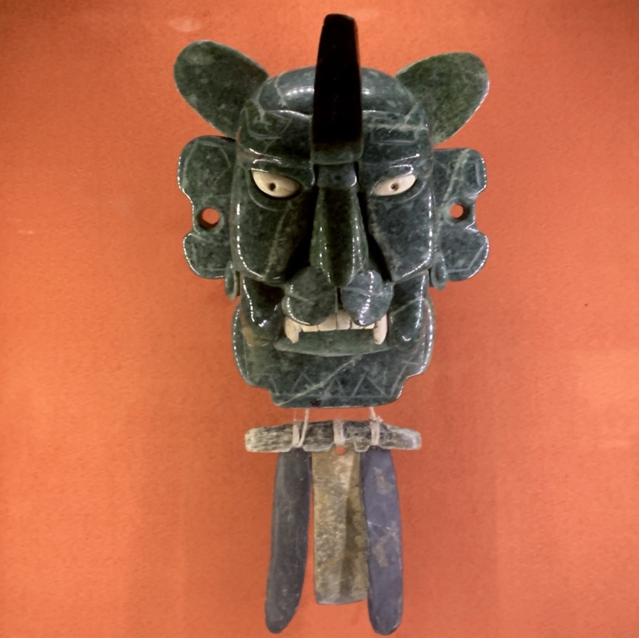
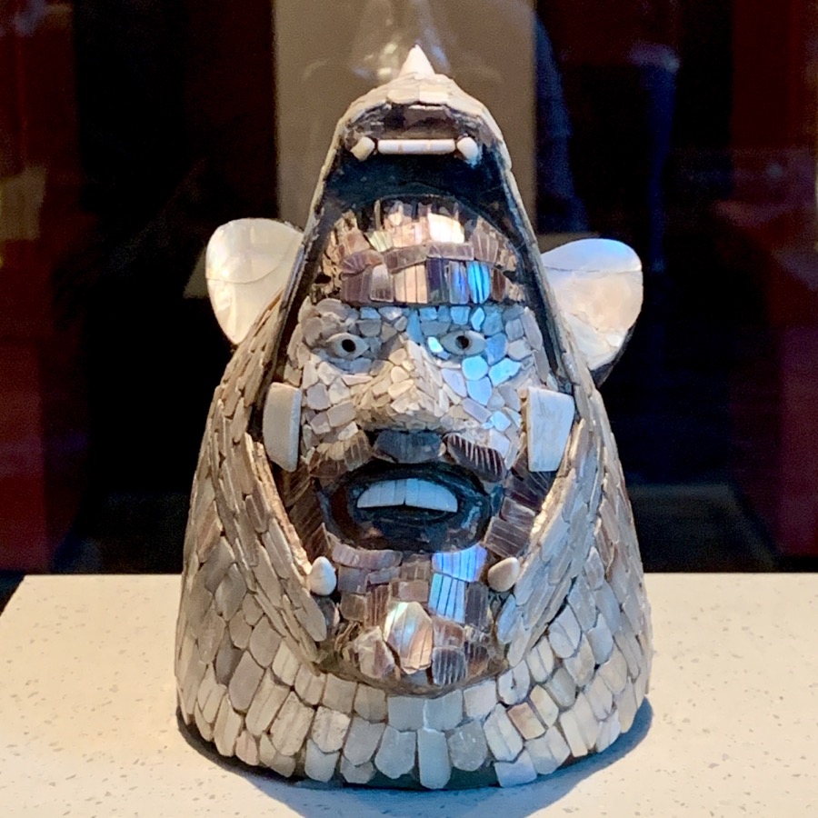
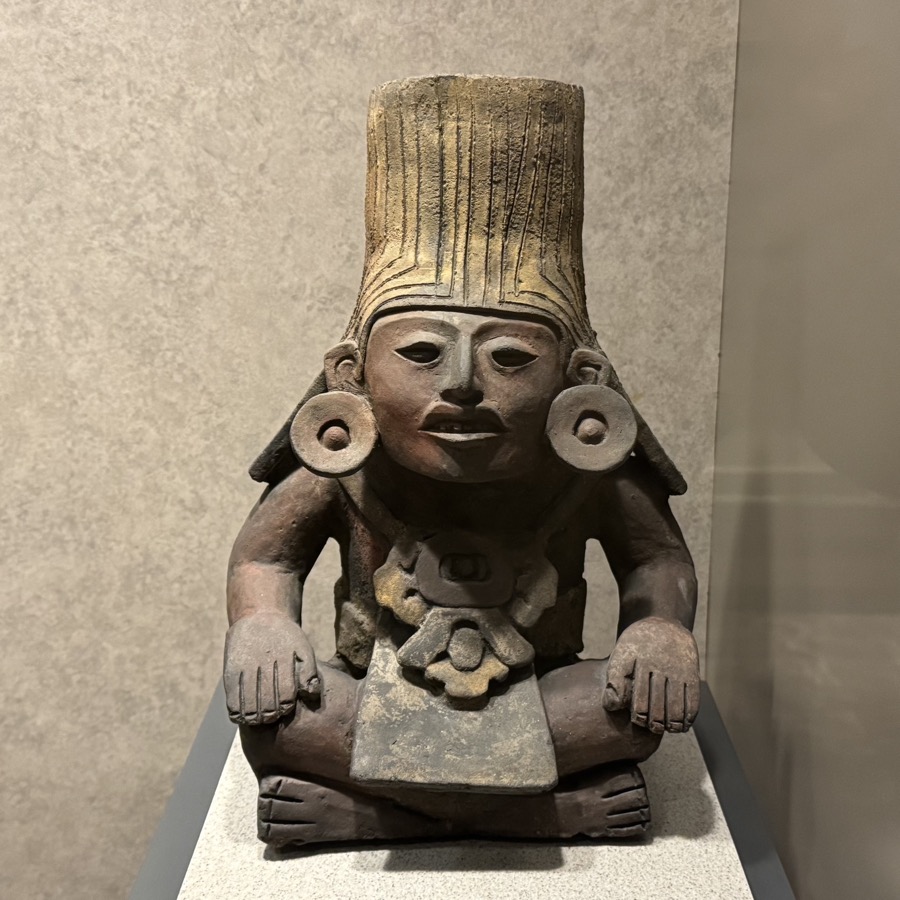
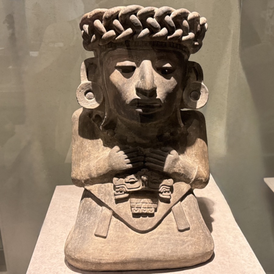
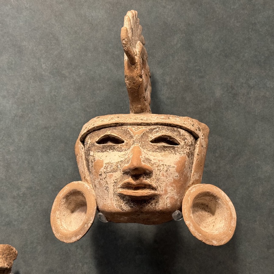
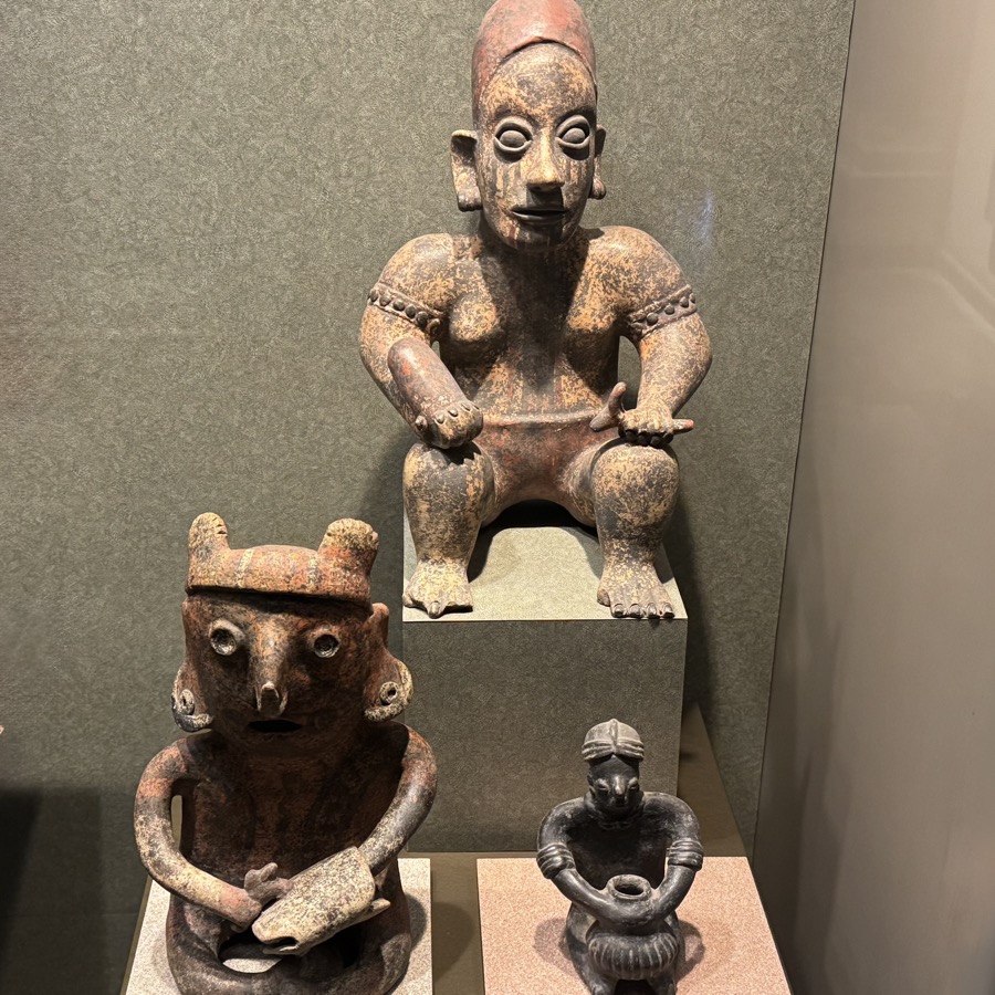
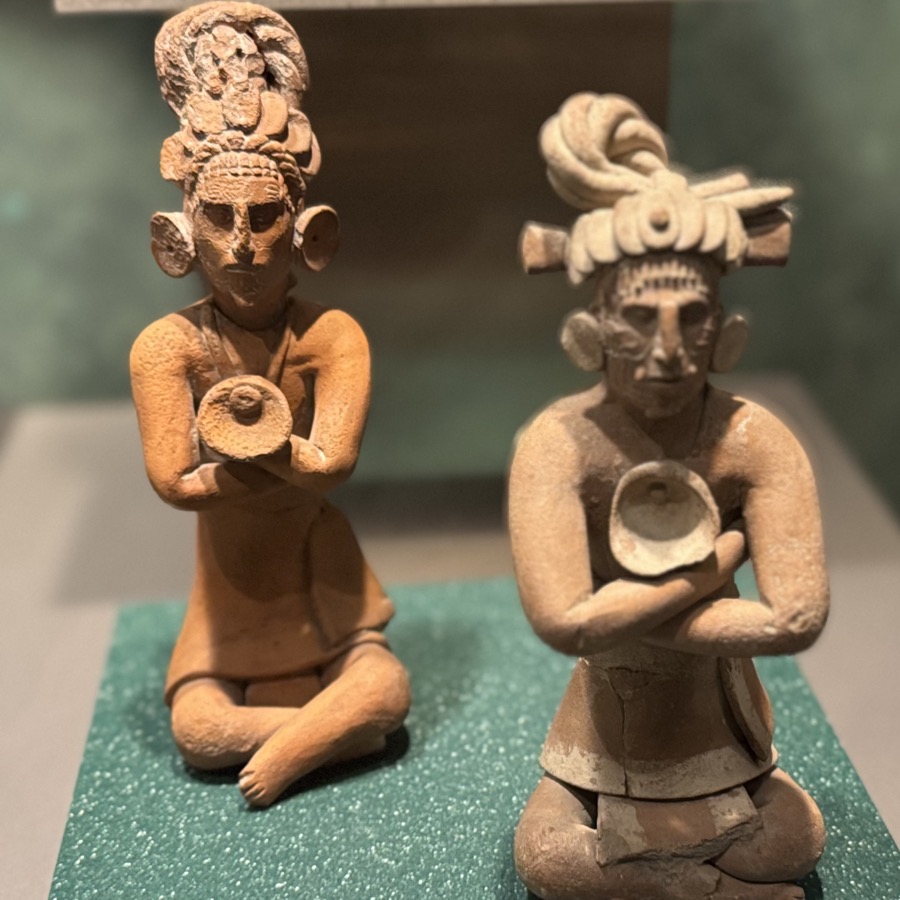
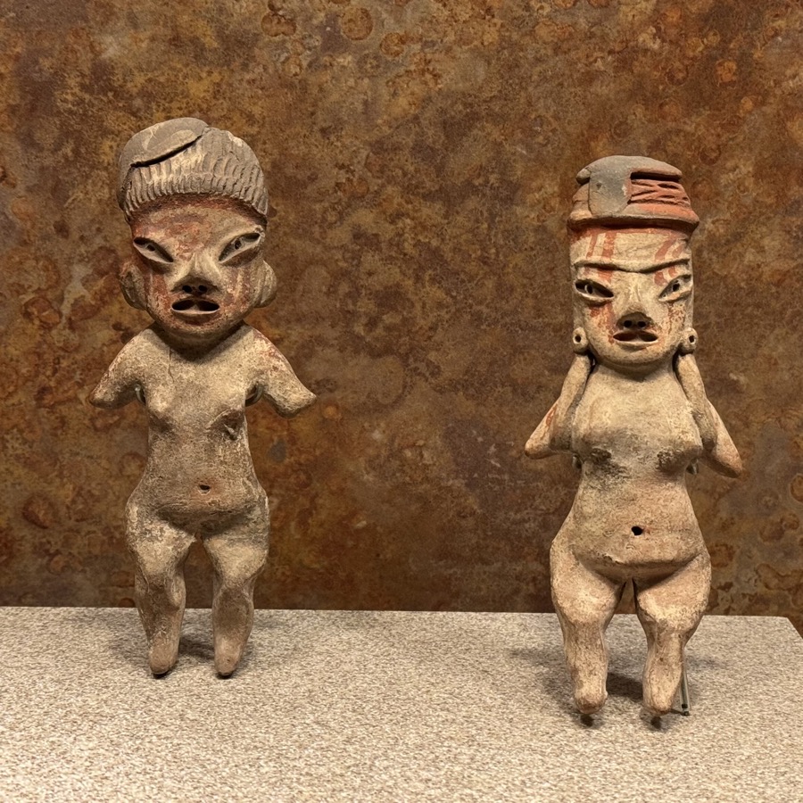
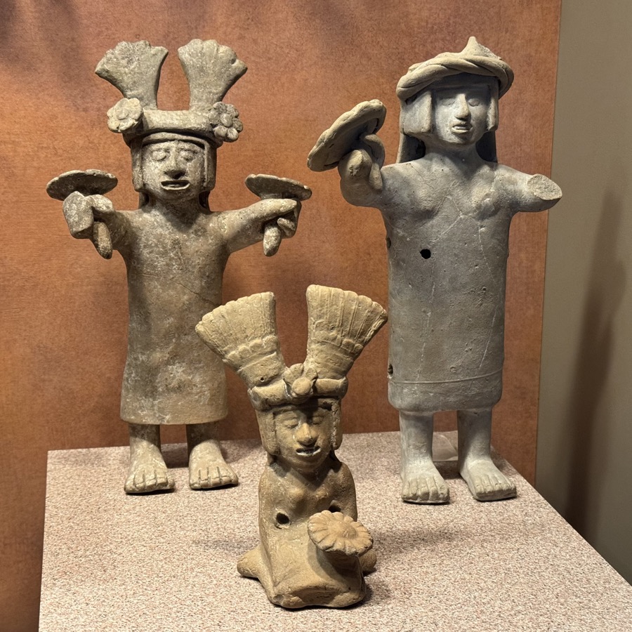
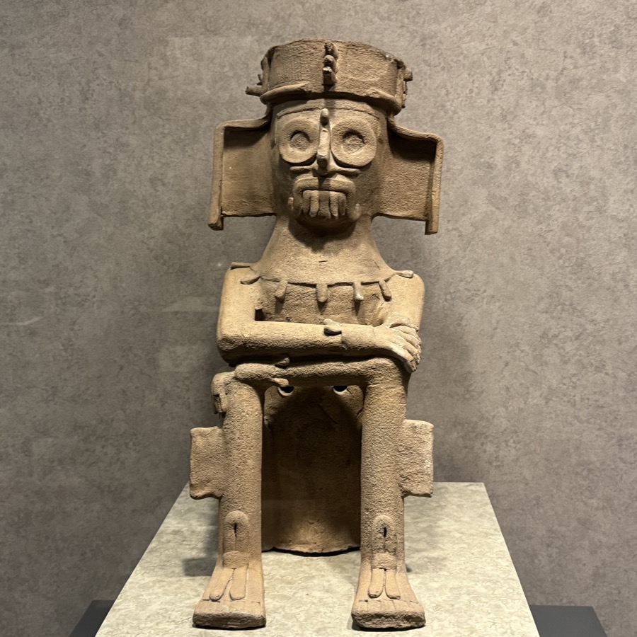
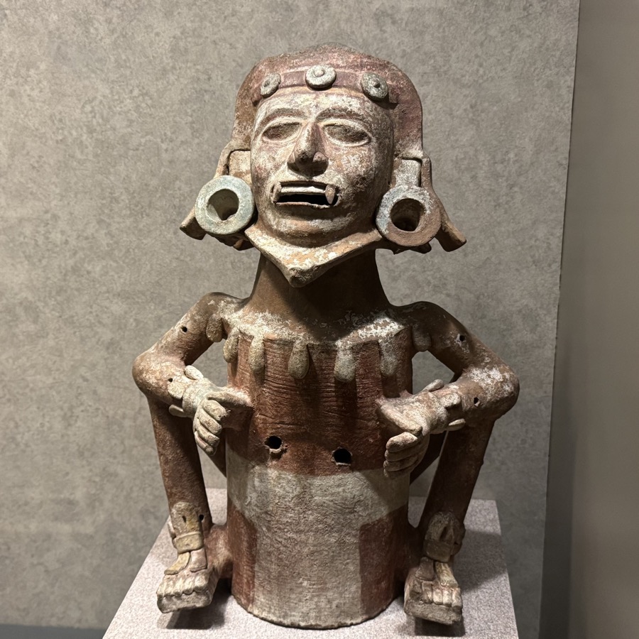
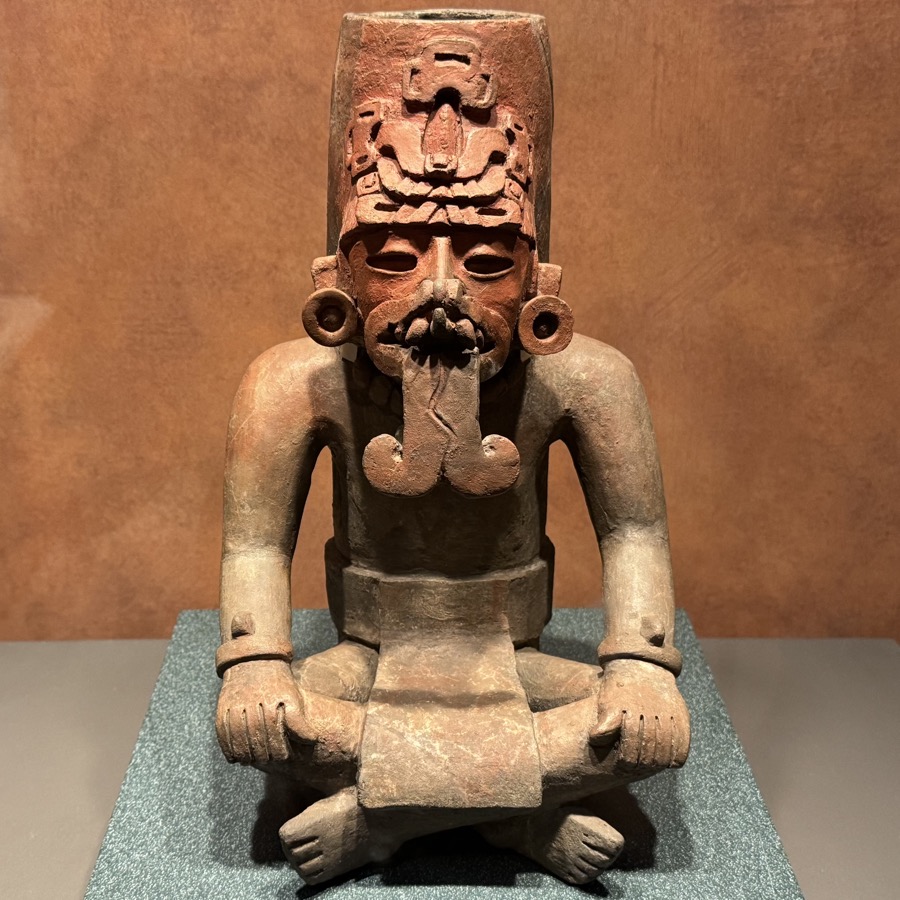
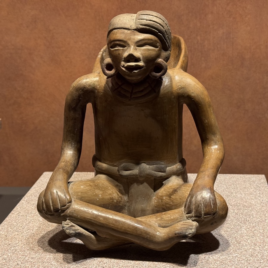
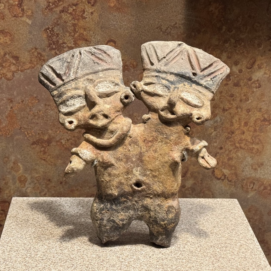
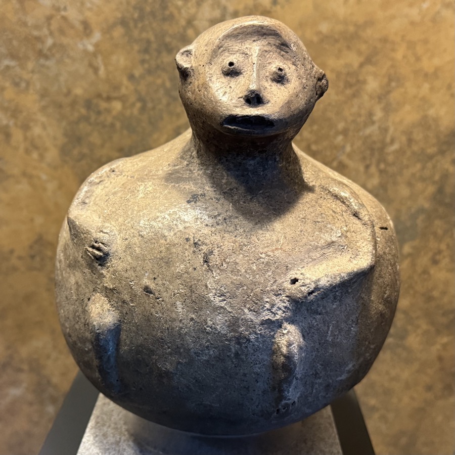
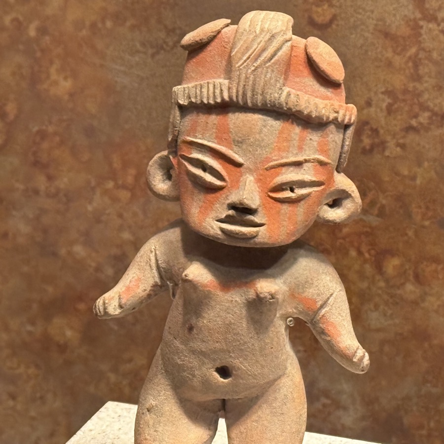
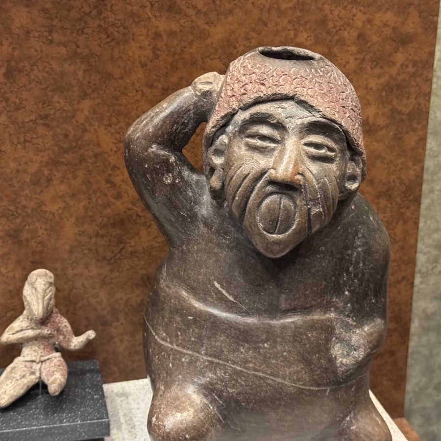
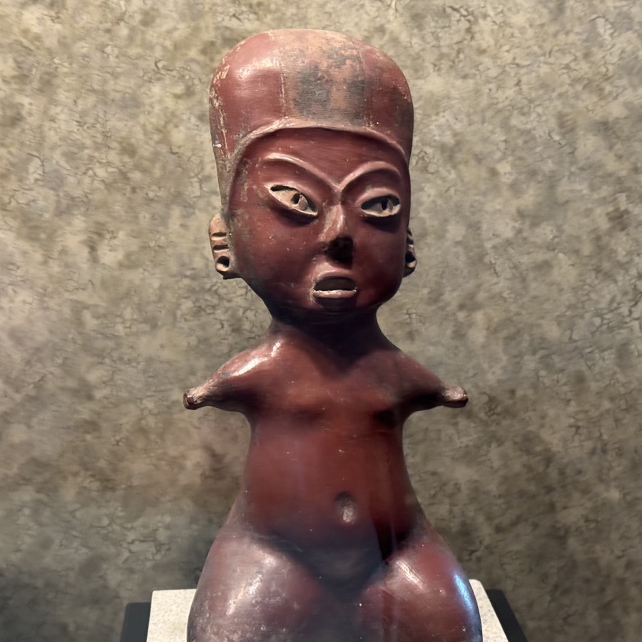
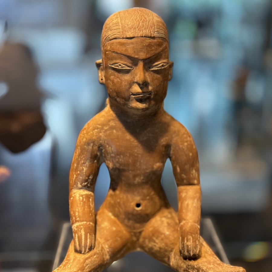
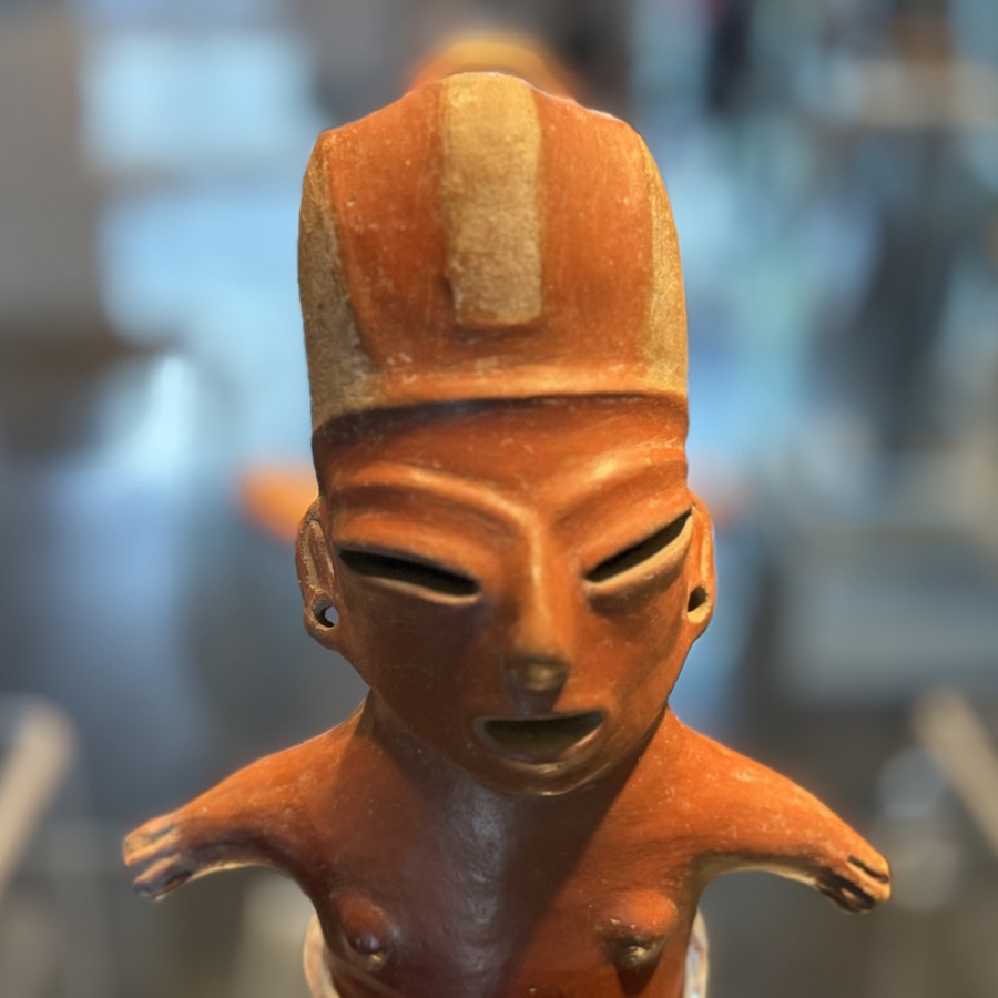
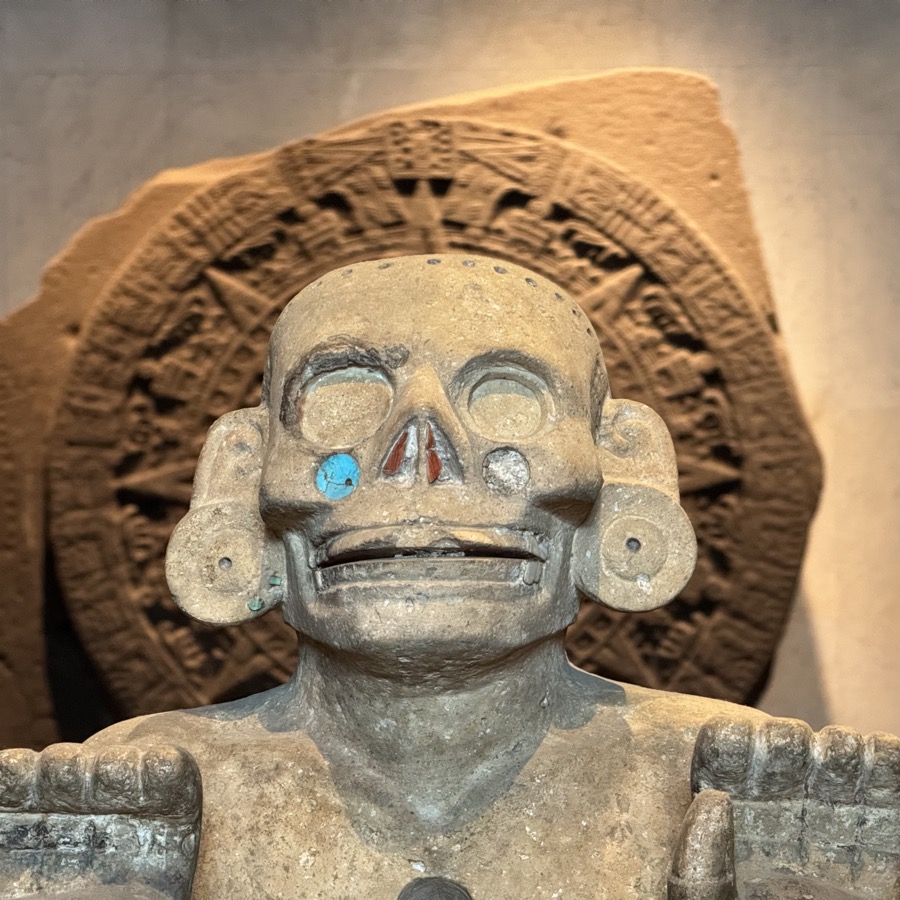
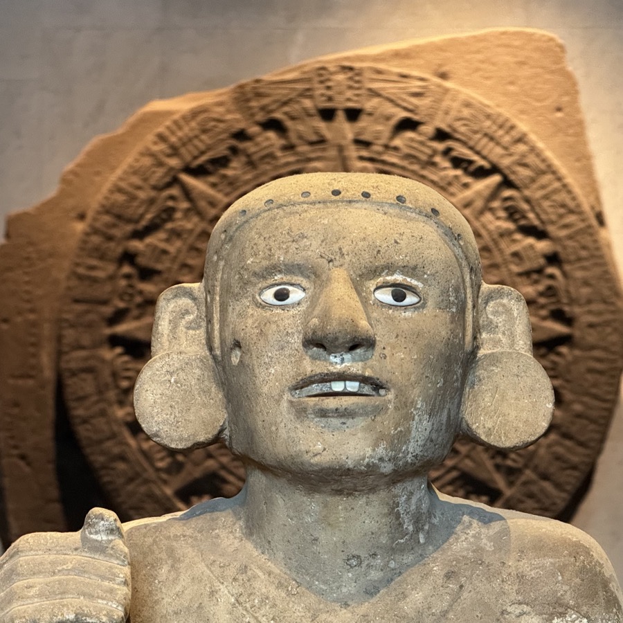
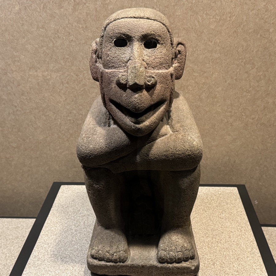
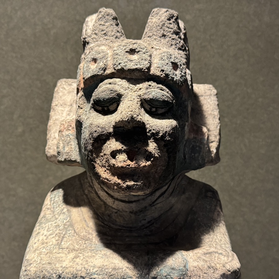
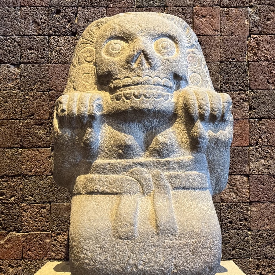
Day 7. We spent almost all day at Museo Nacional de Antropología and it was worth it. The museum covers a lot of ground from Olmecs and Maya to Aztecs. There are many interesting artifacts and some models (reconstructions) from different cultures. After one-day and rather fast visit it all got mixed up in our heads, as we focused more on overall picture rather than discerning historical and cultural details. We have more than 600 photos to sort through. We took Uber to get there faster in the morning and stayed until it closed. We watched dancers and voladores performing in front of the museum, and then walked into Polanco (upscale neighbourhood) checking out restaurants (on expensive side). We chose Taquería El Califa (recommended) for dinner (Gaona, Taco de Pastor, Costra Gaona, Quesadilla Champiñones Portobello, Frijoles de la Olla). Cafeteria-style, fast service, good food, not expensive. Uber home.
«« Scroll to view more photos »»

«« Scroll to view more photos »»

Day 8: Mexico City and Teotihuacan
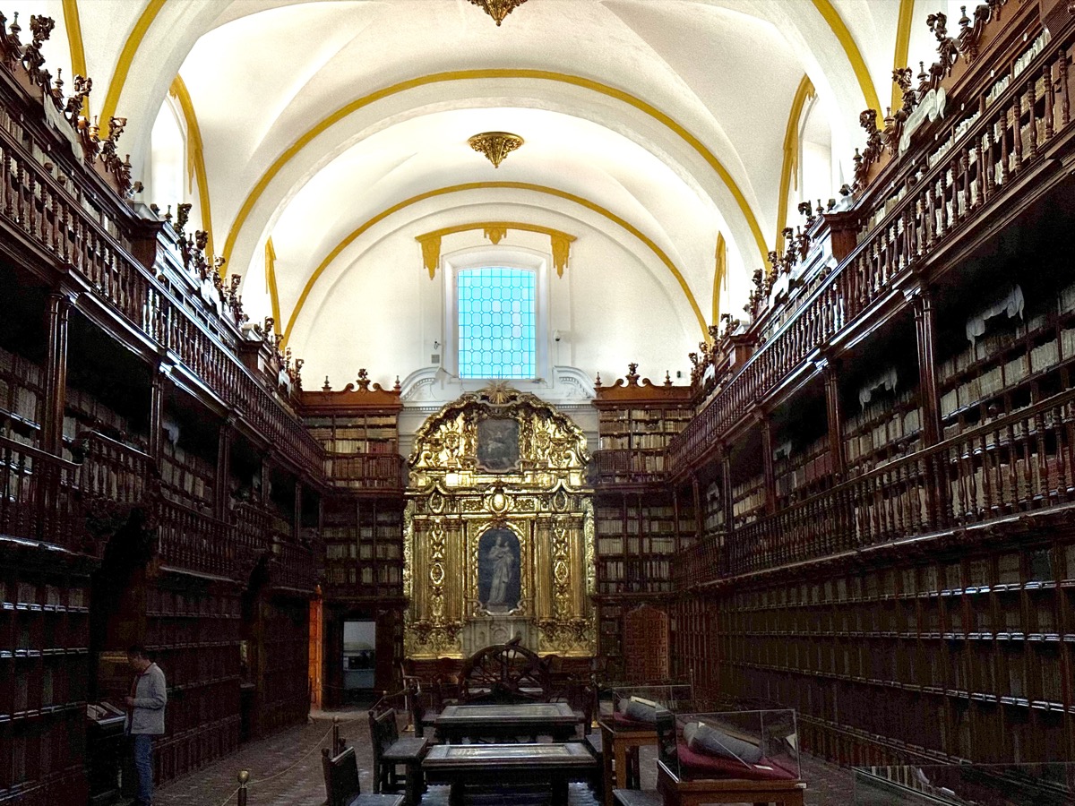
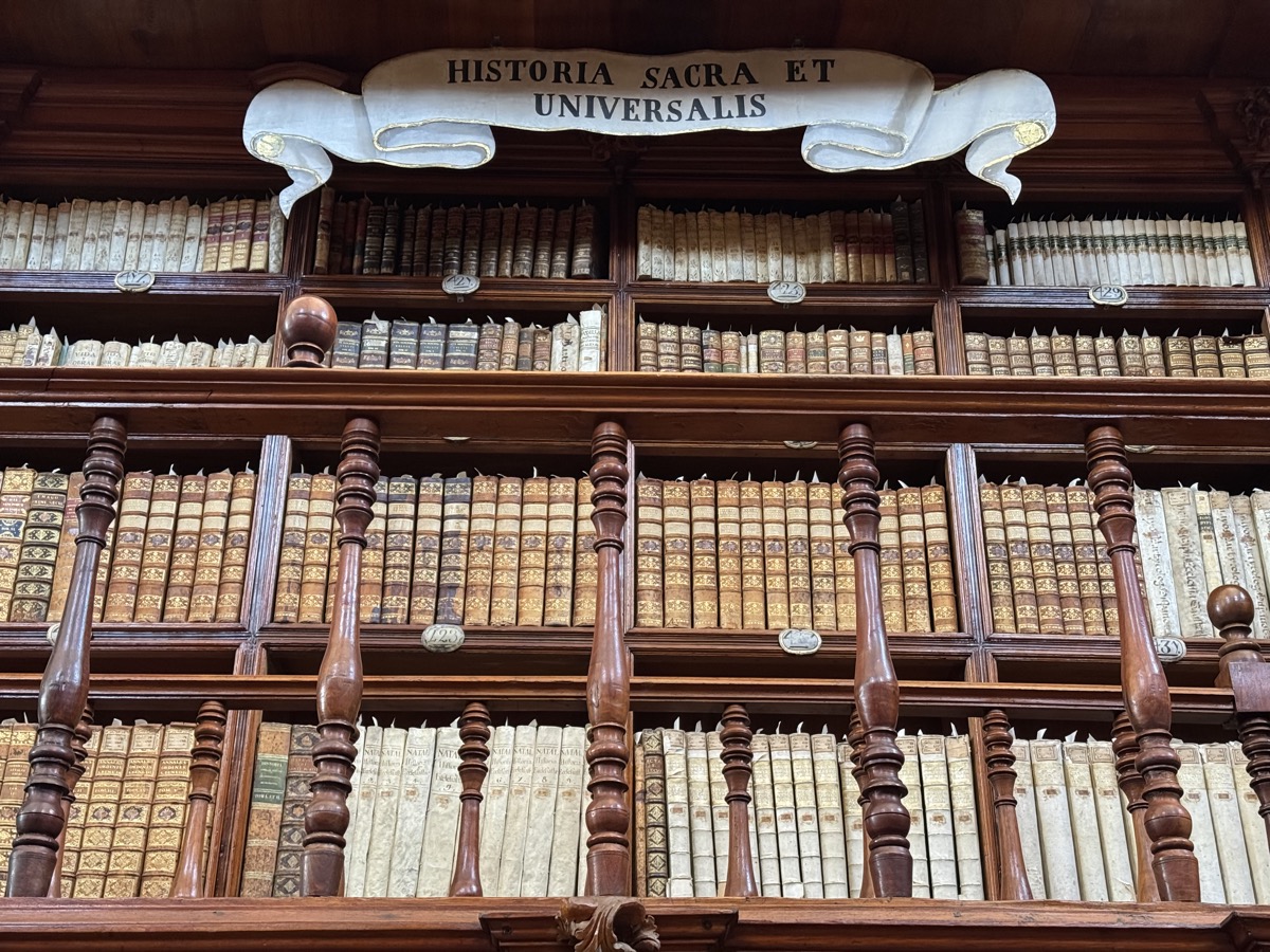
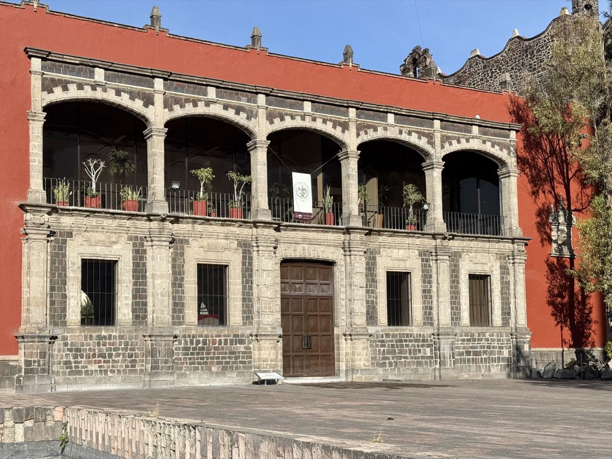
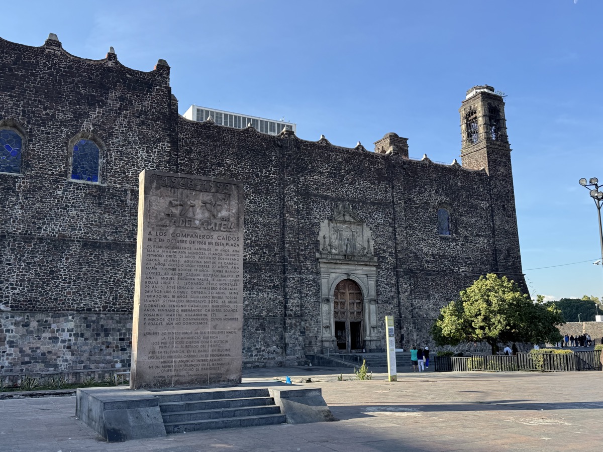
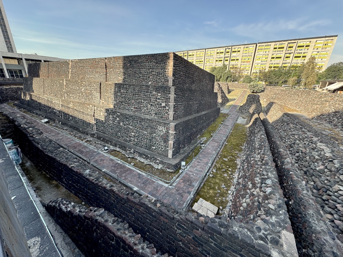
We decided to go on organized tour with Amigo Tours (recommended), so we could stop at two other sites on the way to pyramids. Uber to group meeting point at Miga Cafe . First was Tlatelolco – second Aztec city in central valley of Mexico. We looked at the ruins (similar to Templo Major), 16th century church (built with temple stones) and the earliest college in the Americas (Colegio de Santa Cruz) from large Plaza de las Tres Culturas (pre-Colombian, colonial and modern Mexican). Tragic events took place here not only during conquest: in 1968 student protests were suppressed in military massacre.
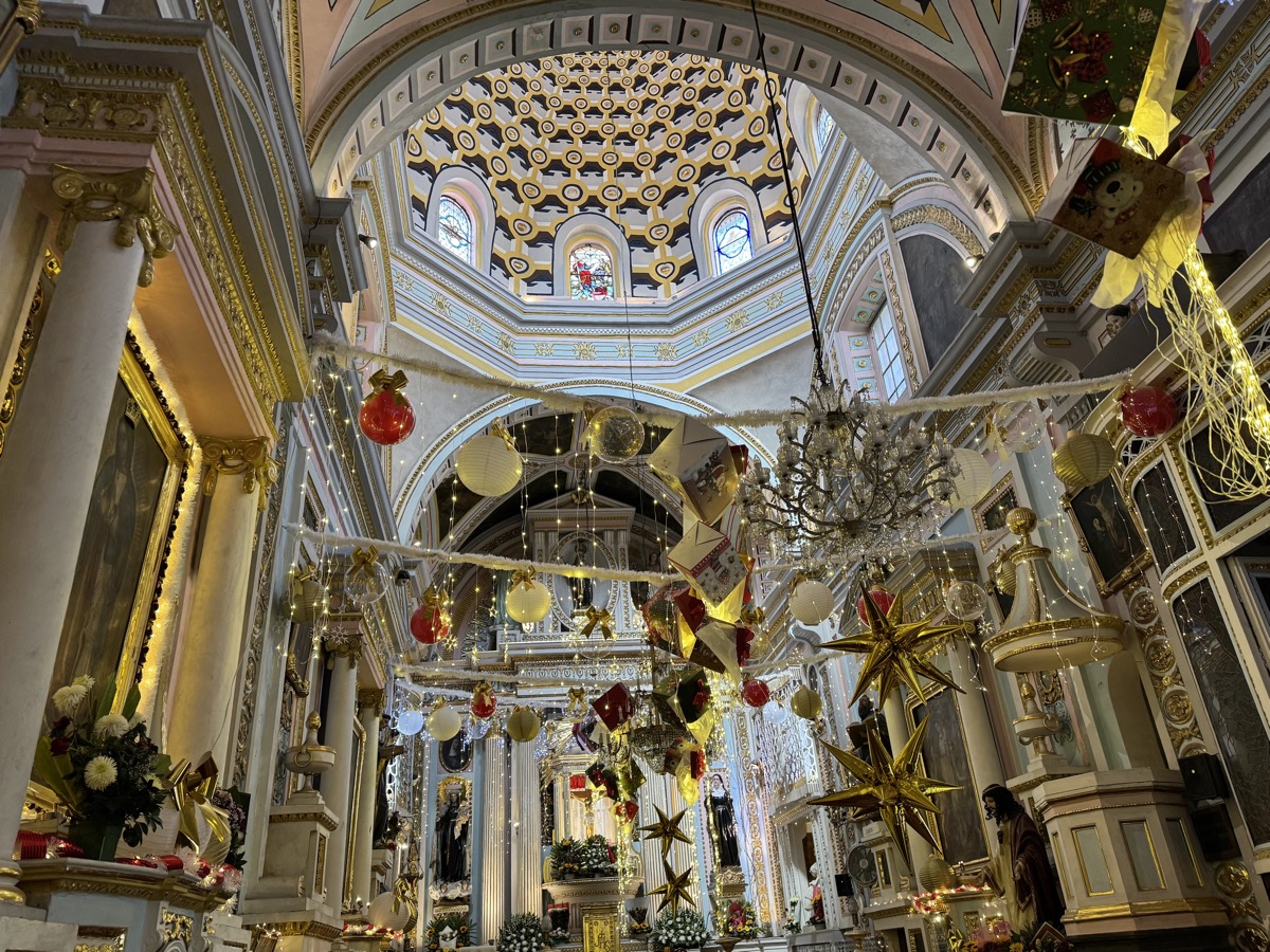
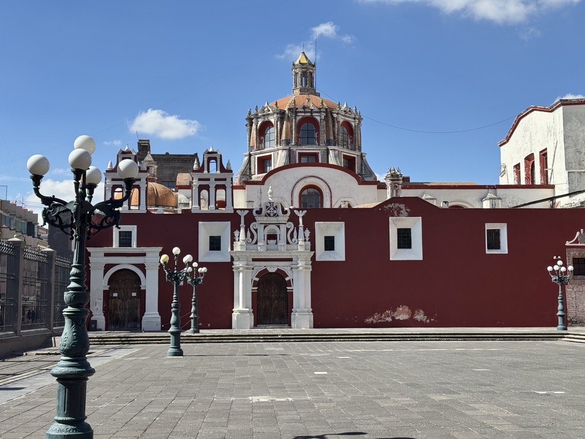
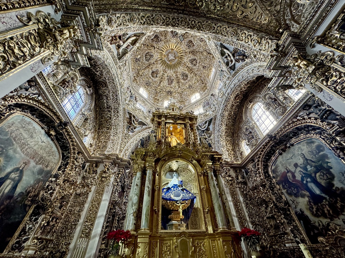
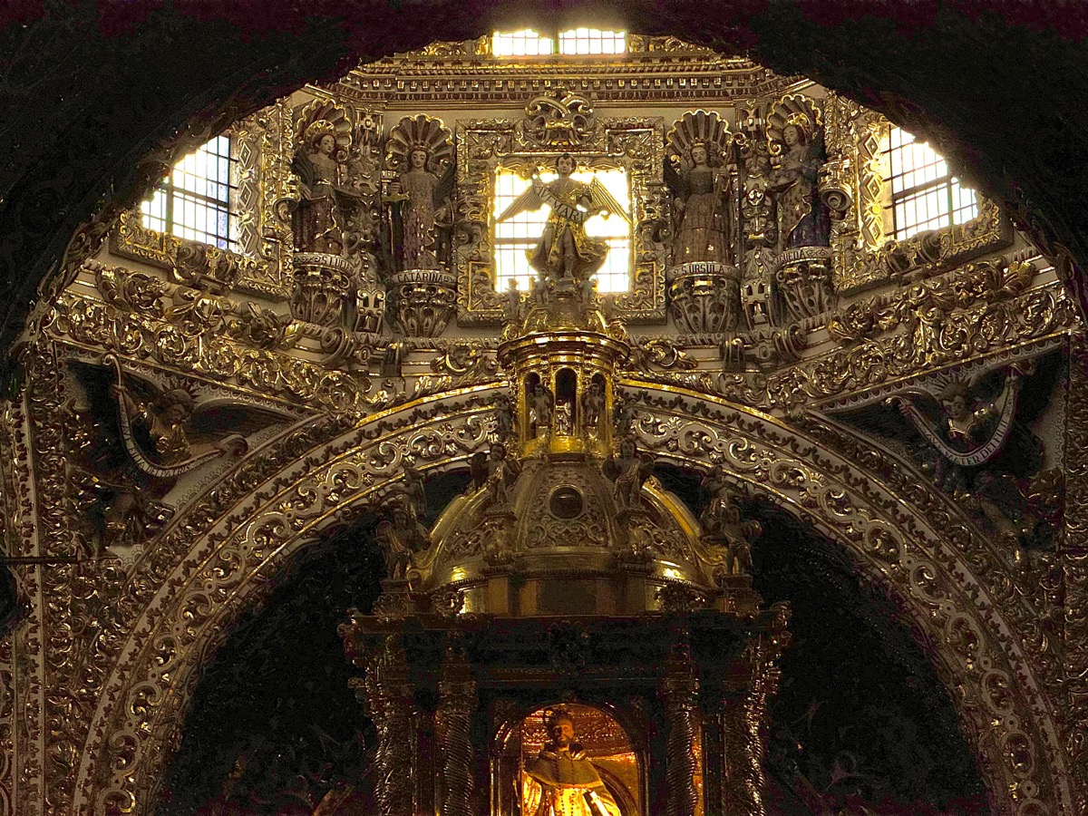
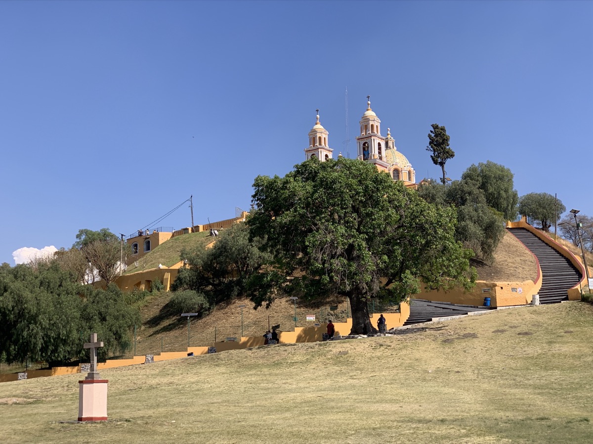
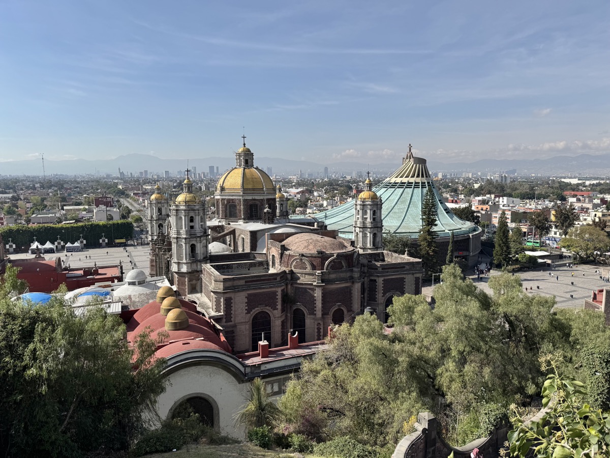
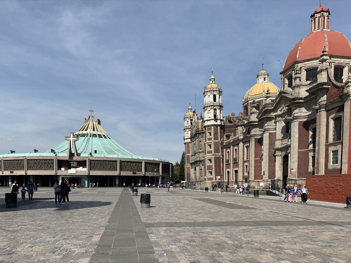
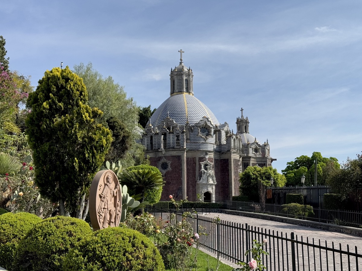
Next we went to Basílica de Santa María de Guadalupe, major religious and pilgrimage site in Mexico where Virgin Mary is believed to appear to indigenous peasant Juan Diego. It is a large complex with old and modern basilicas, several chapels (mass for Polish pilgrims in one of them), including one on the hill above basilica (great views) where apparitions took place. Many religious and souvenir shops, restaurants and services outside. Not crowded on week-day, we had good look at everything and nice stroll over and on both sides of the hill.
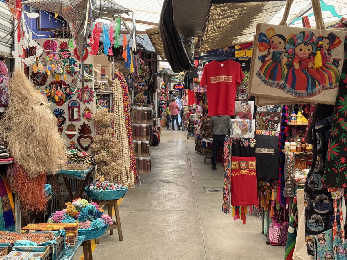
Next was obligatory touristy stop at souvenir market, but it included good explanations (weaving, pottery, stonework) and tasting drinks made from agave (pulque, mezcal and tequila), and then lunch. We had to wait 45 min for our (essentially pre-cooked) food – way too long.
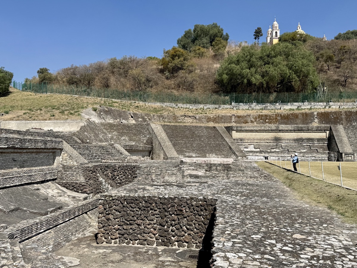
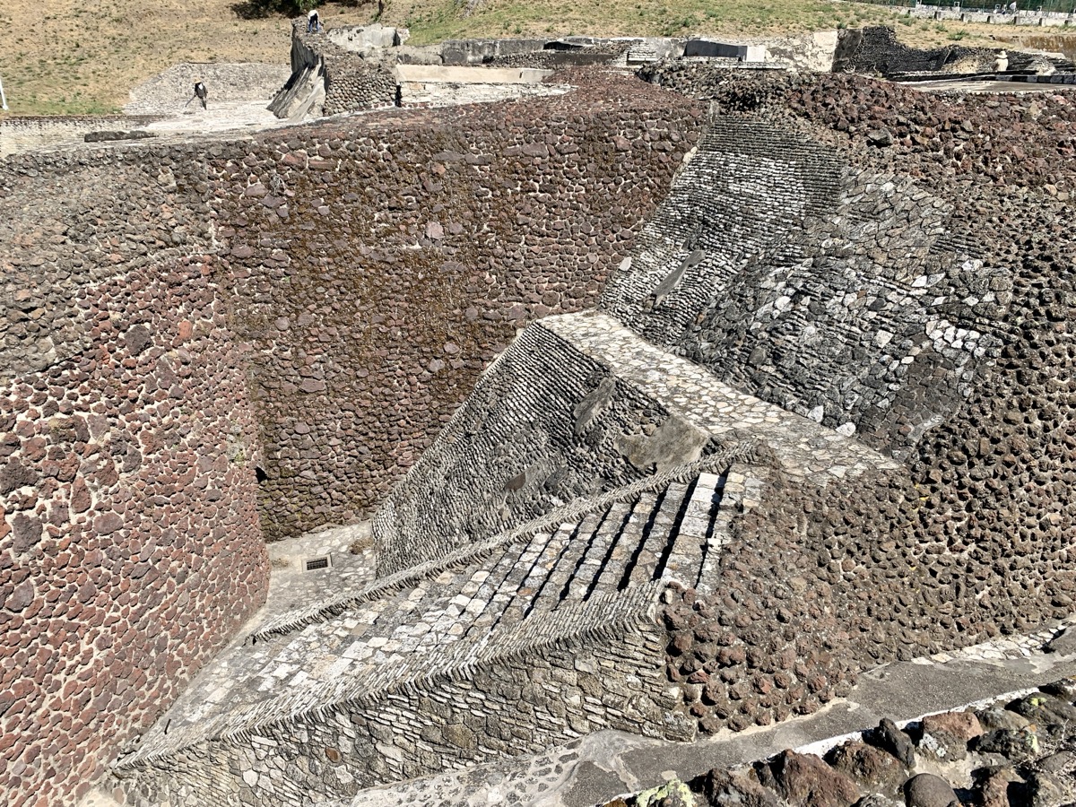
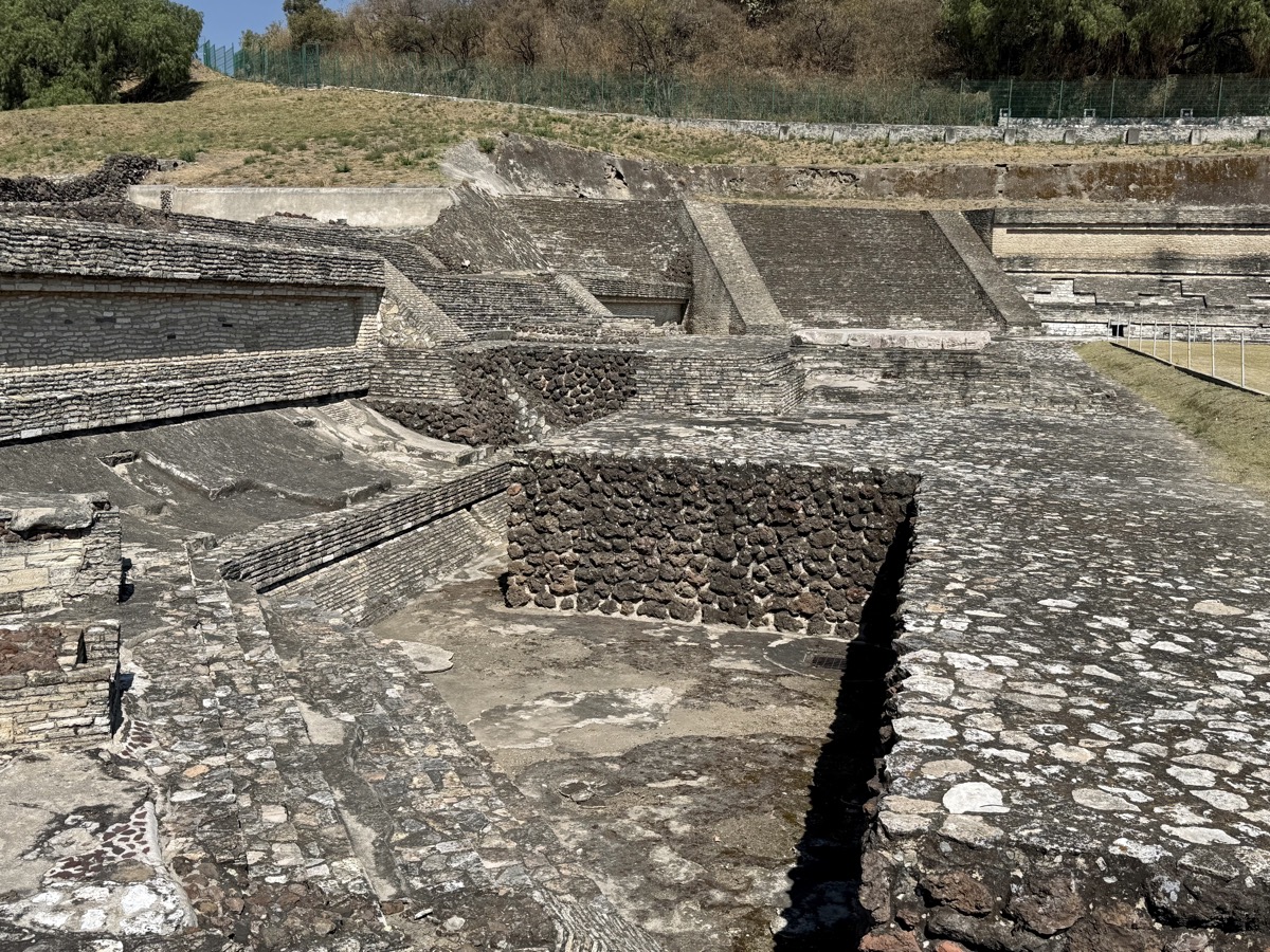
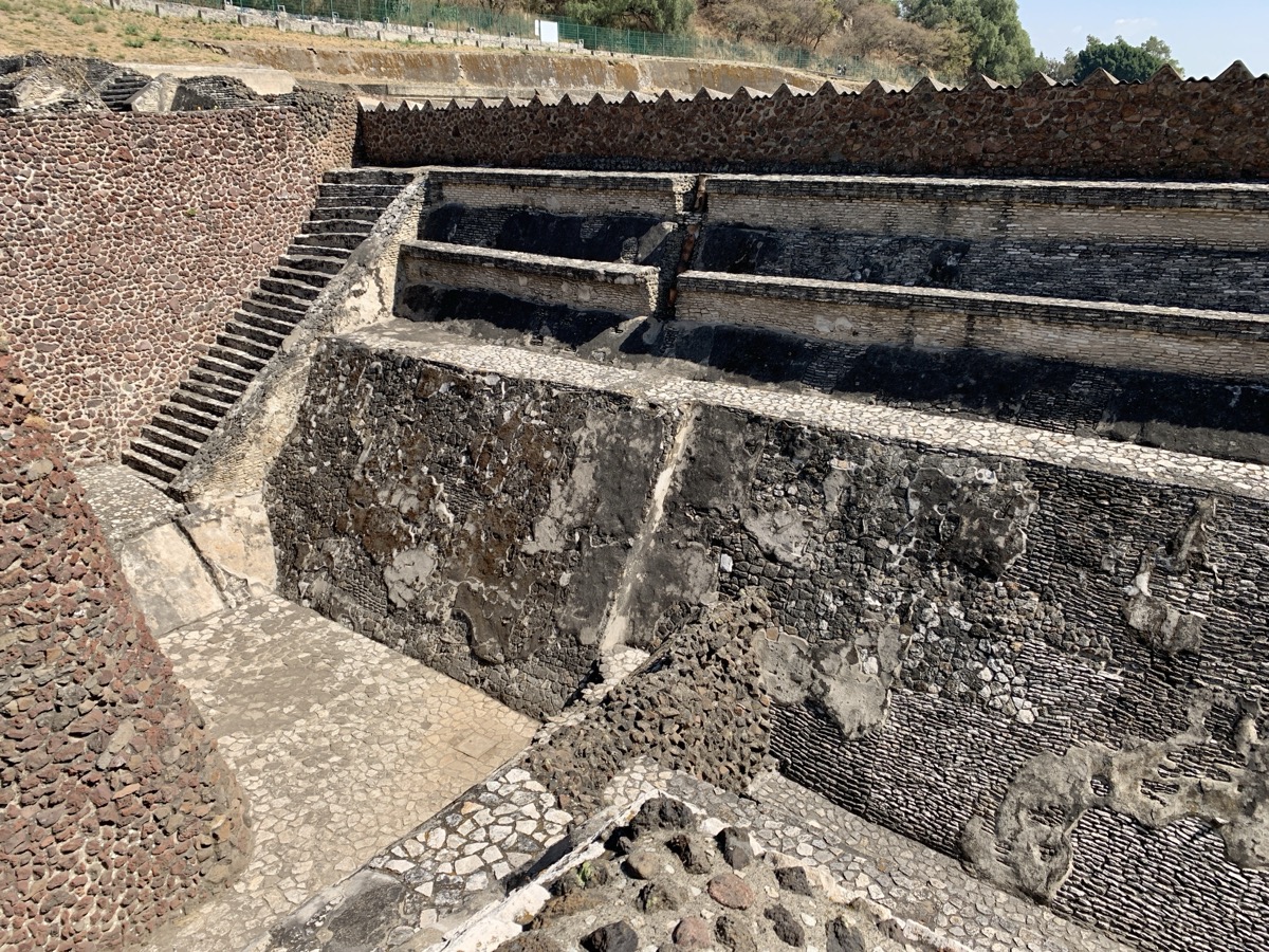
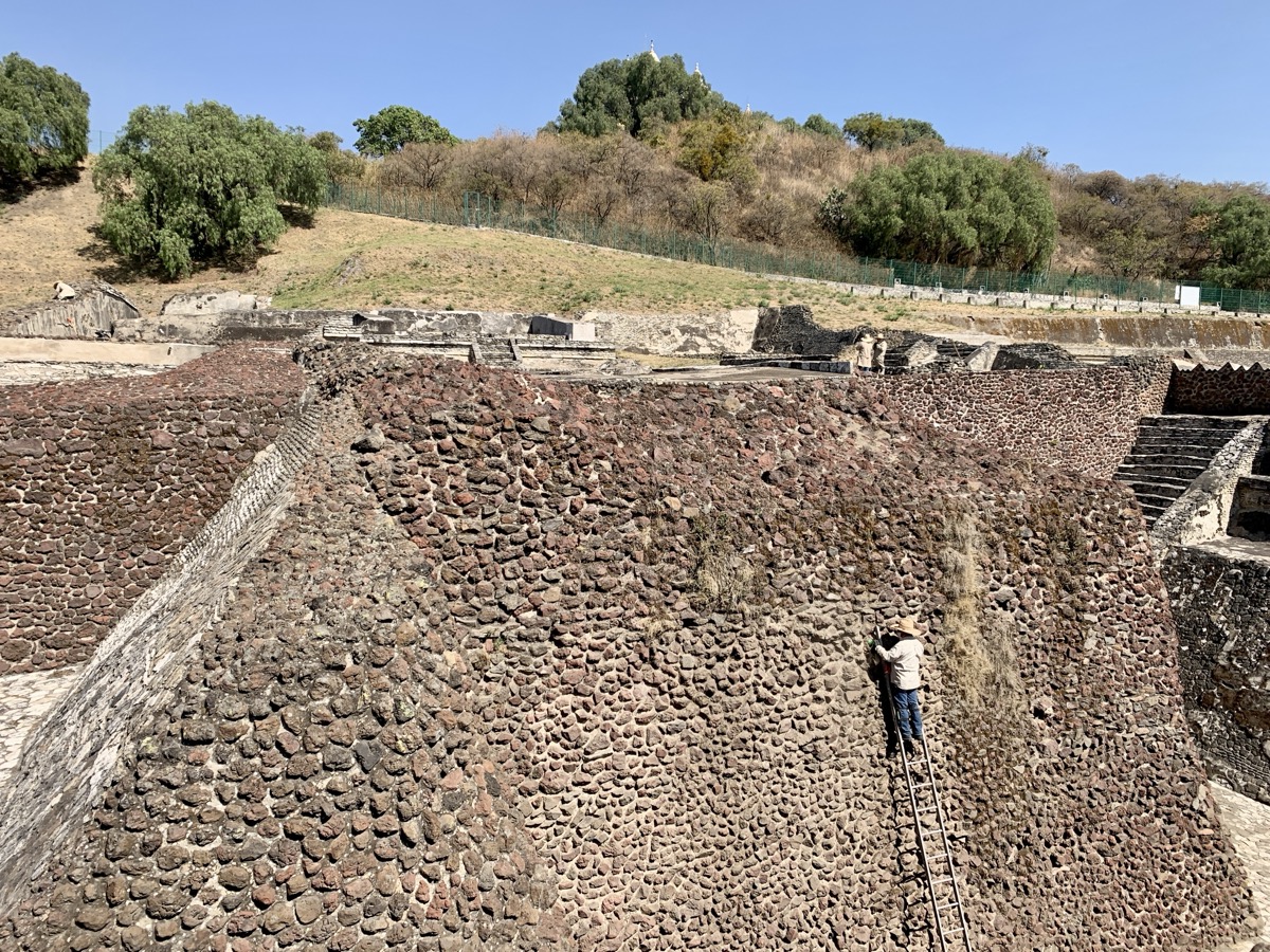
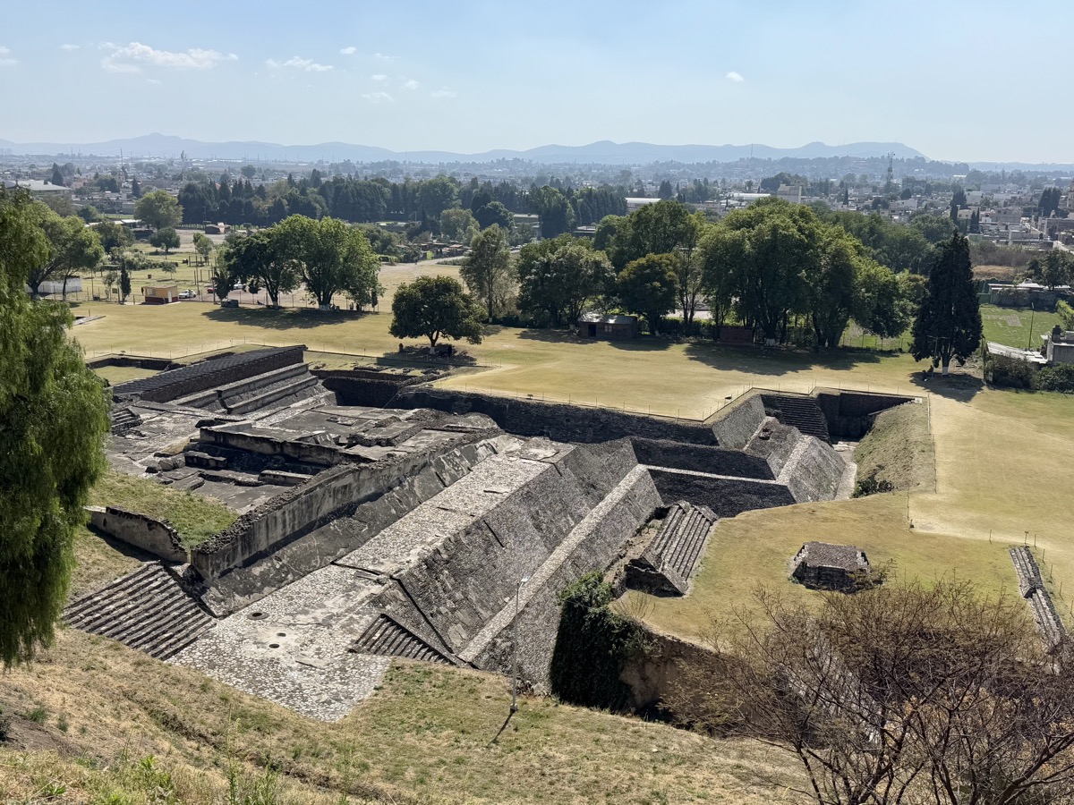
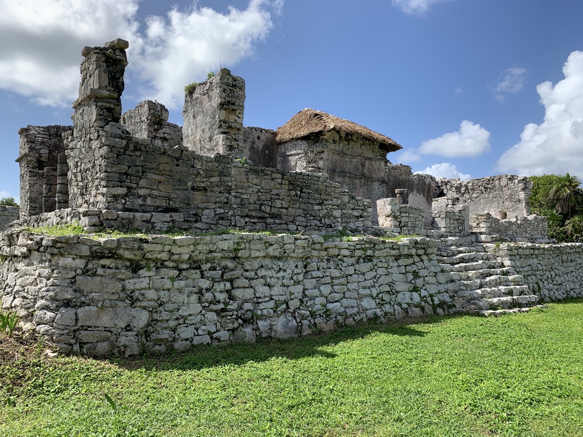
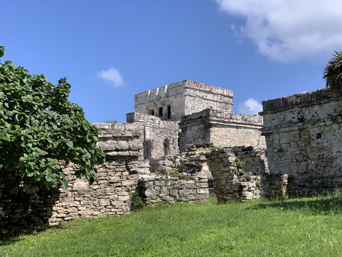
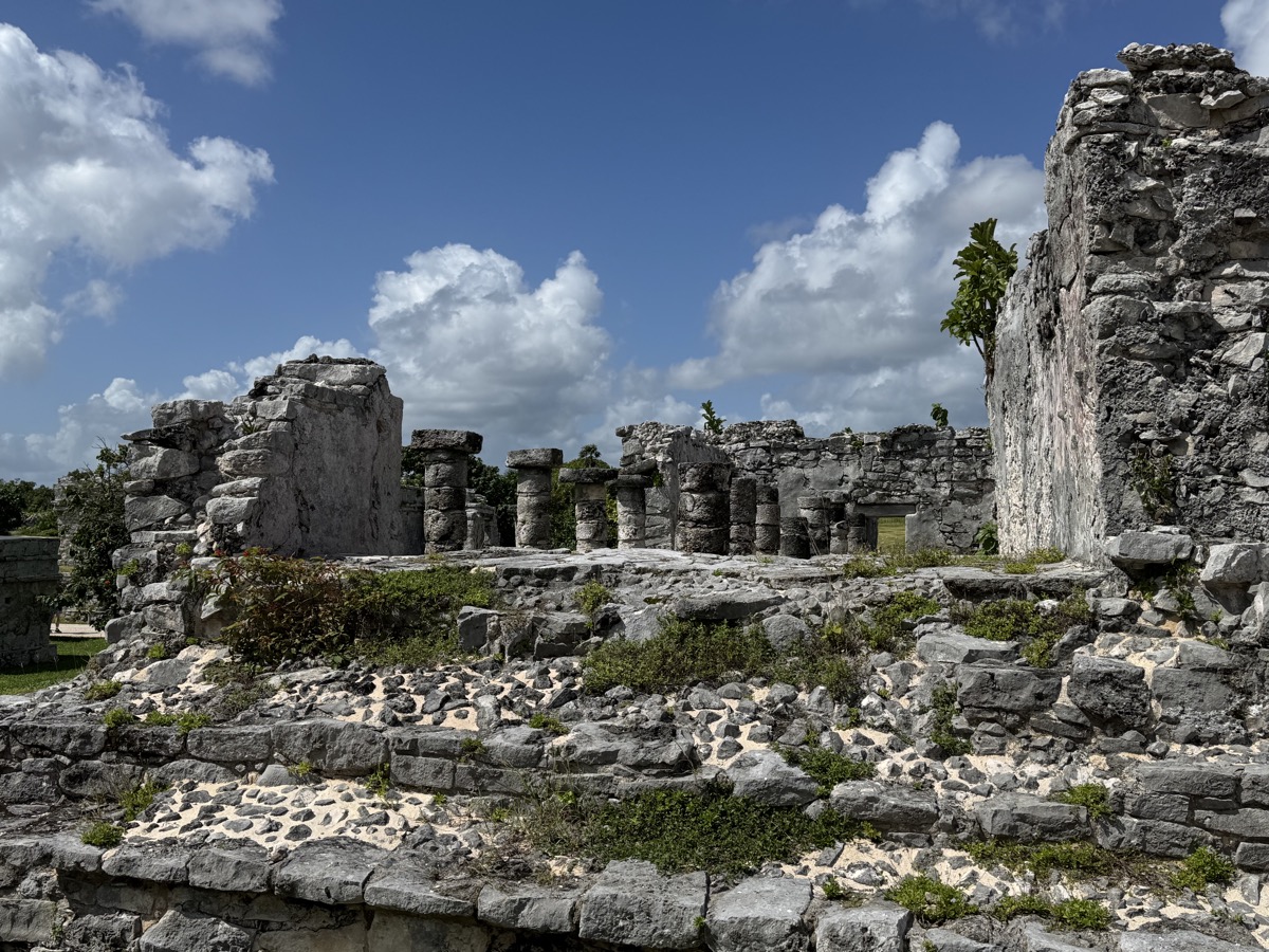
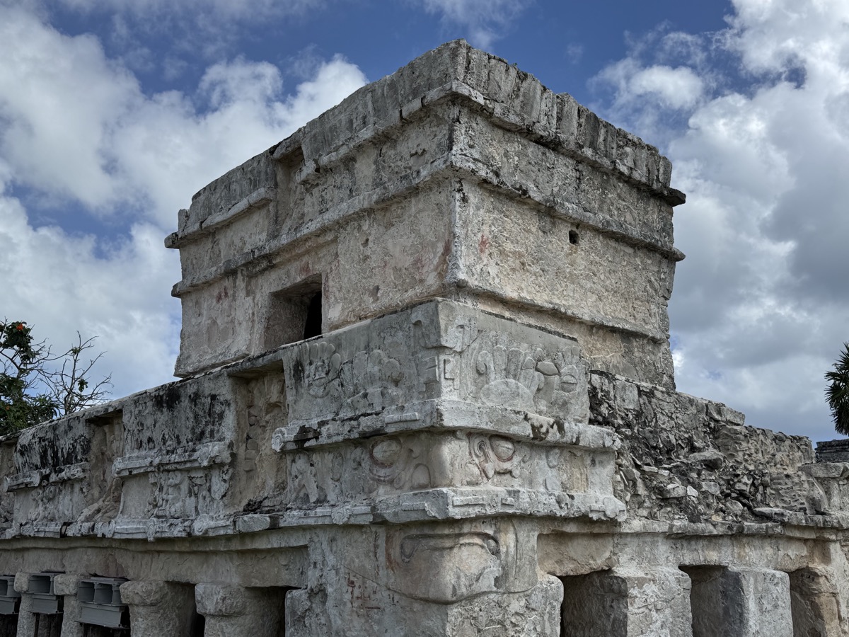
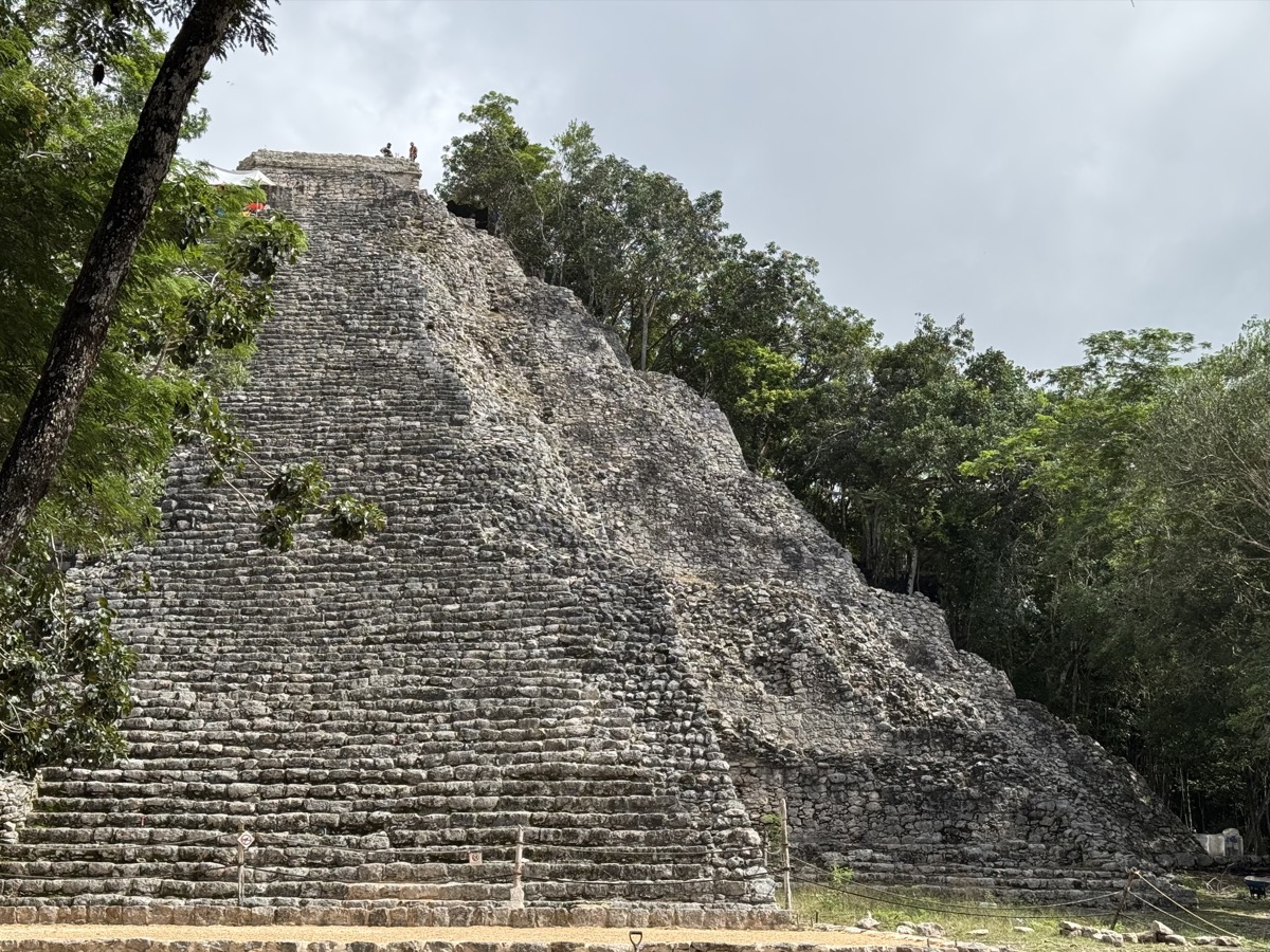
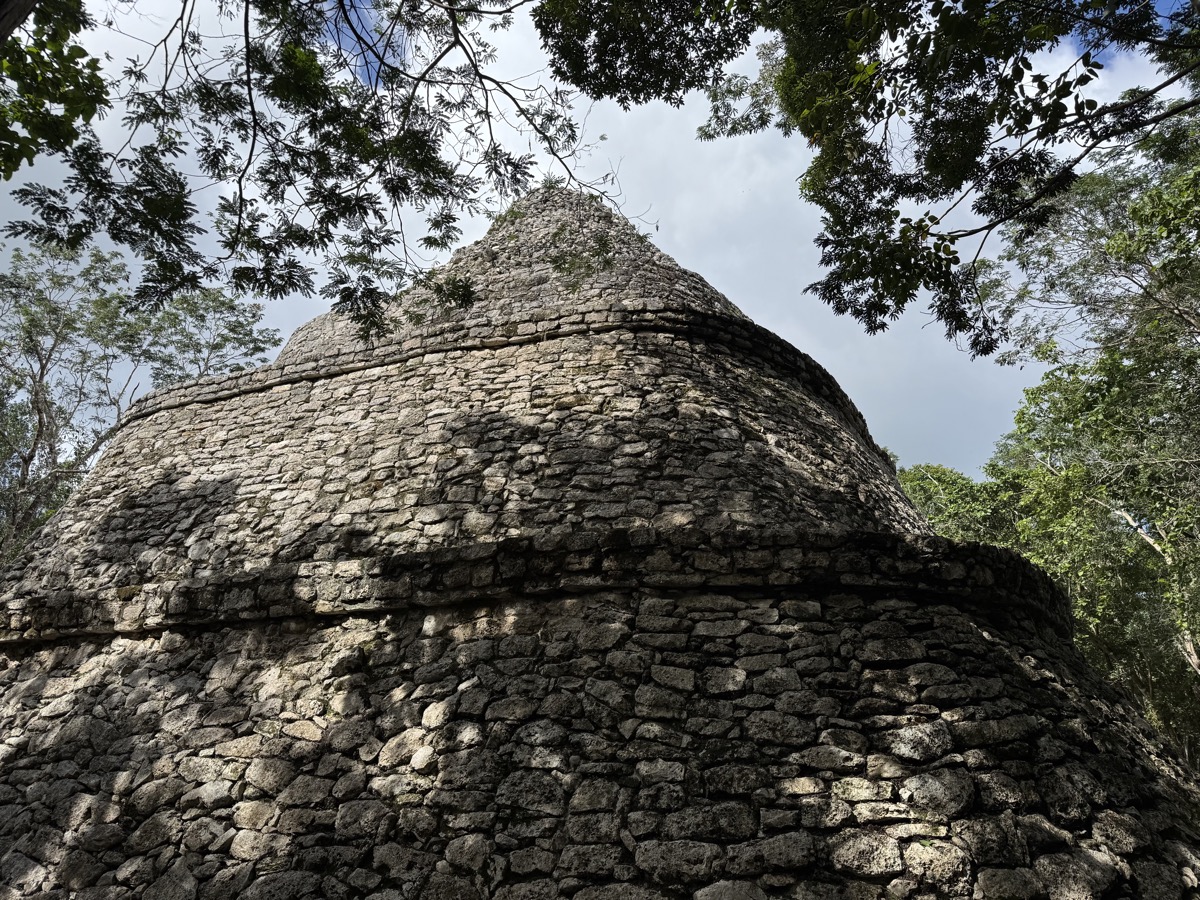
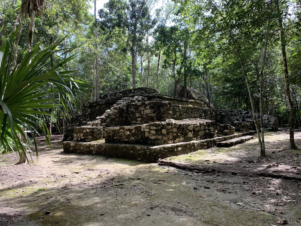
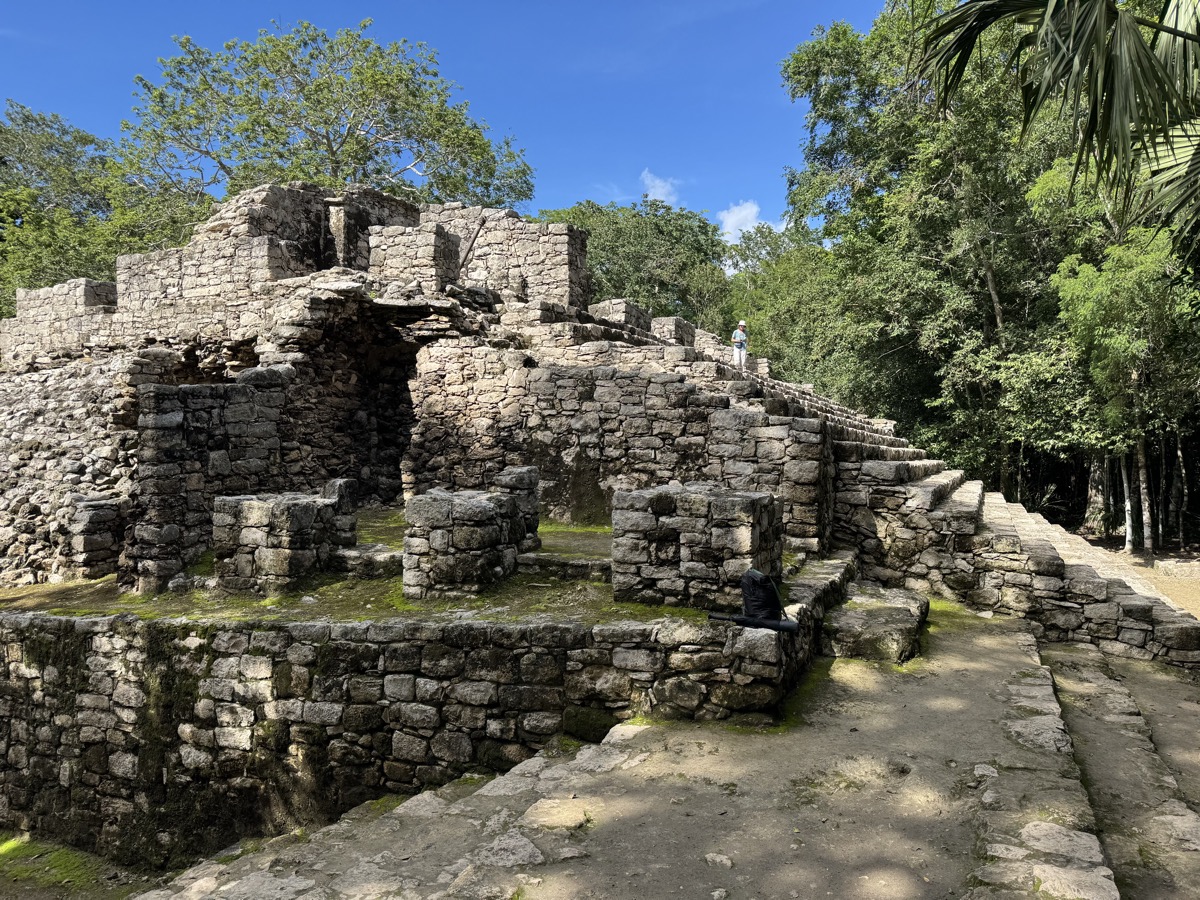
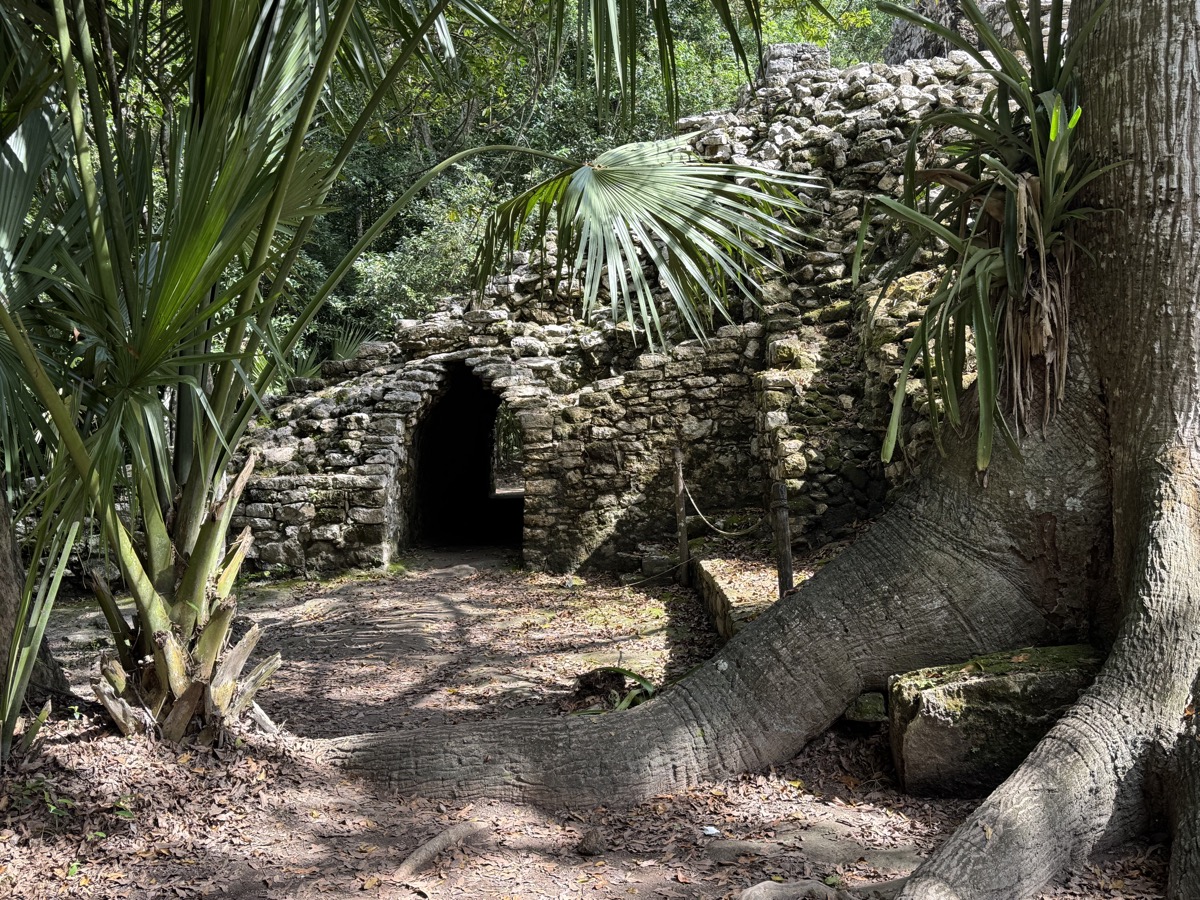
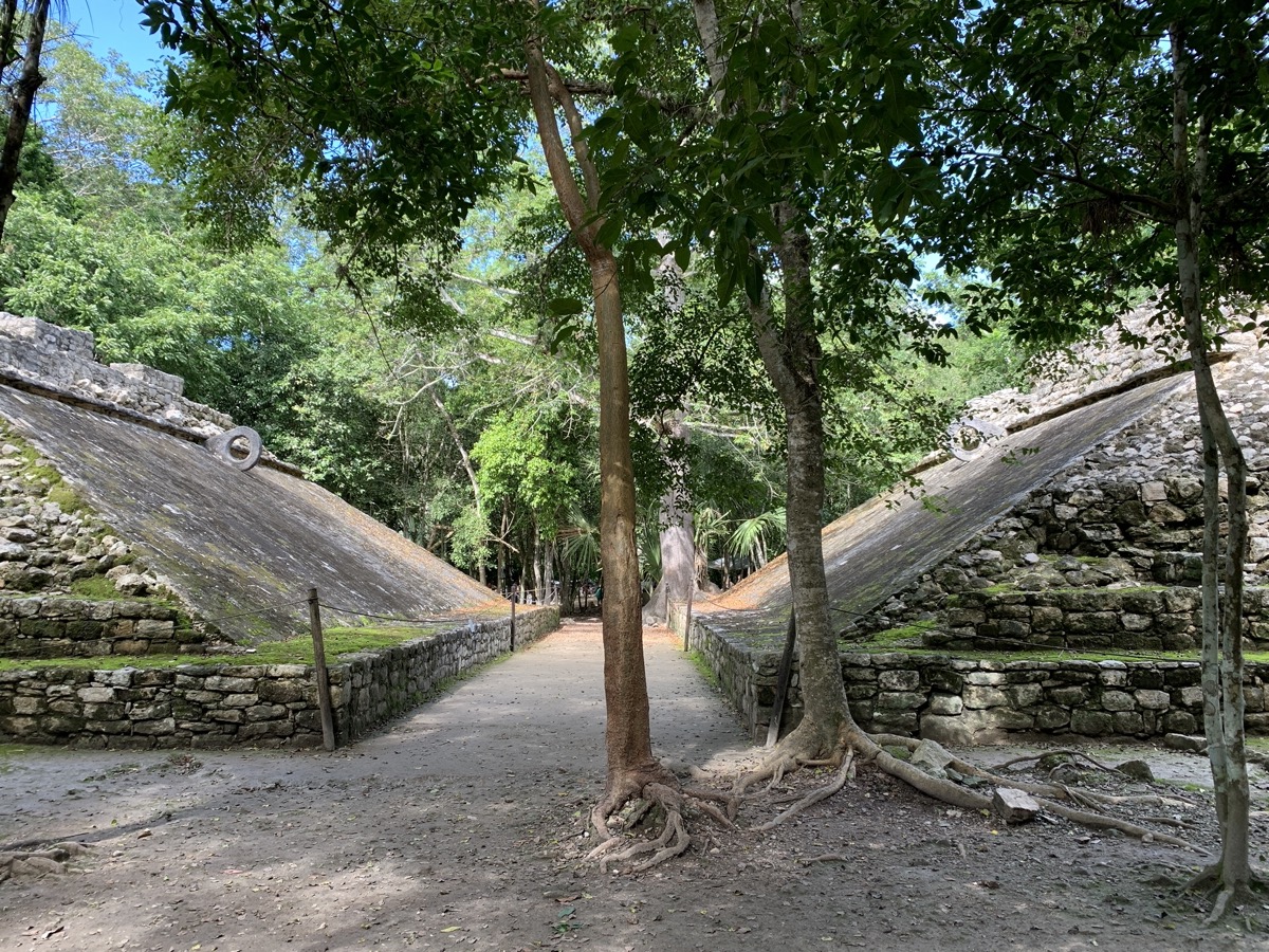
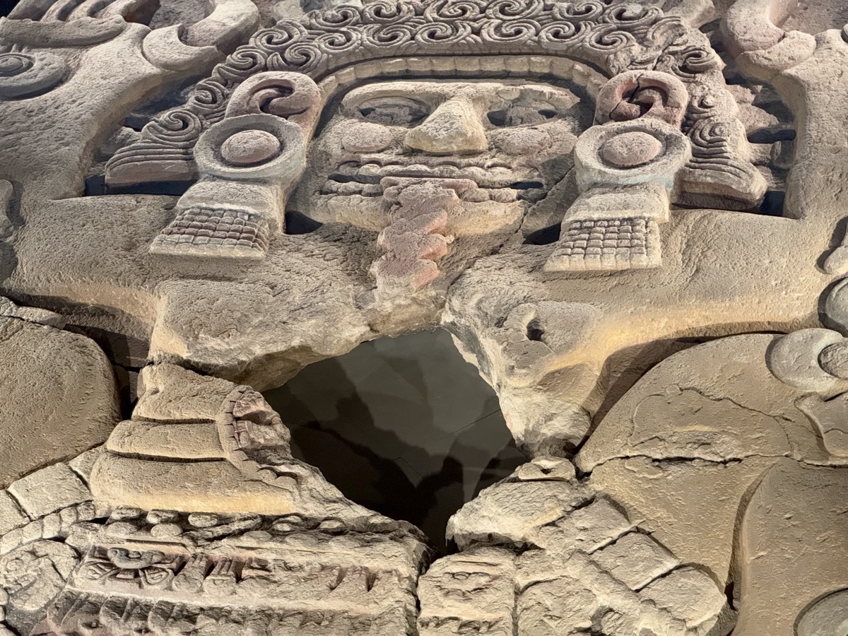
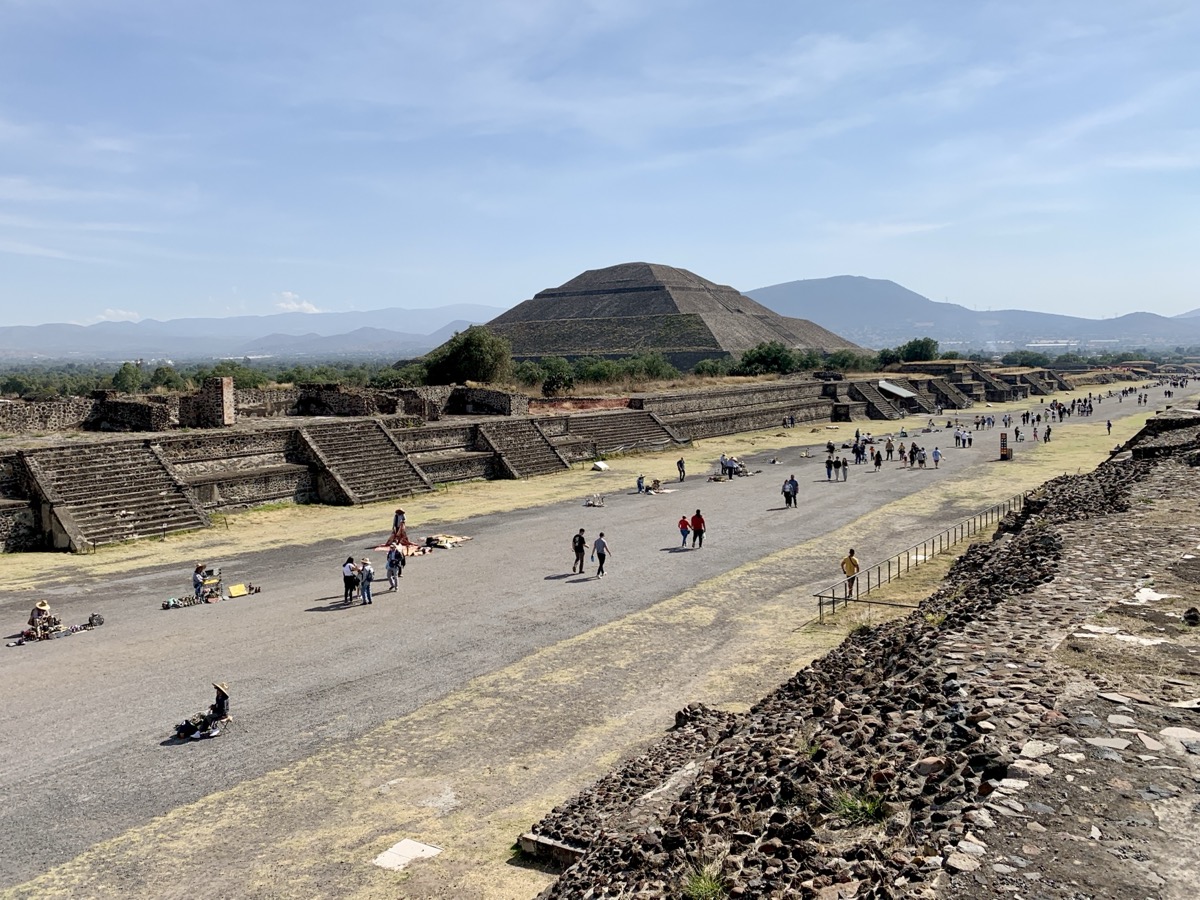
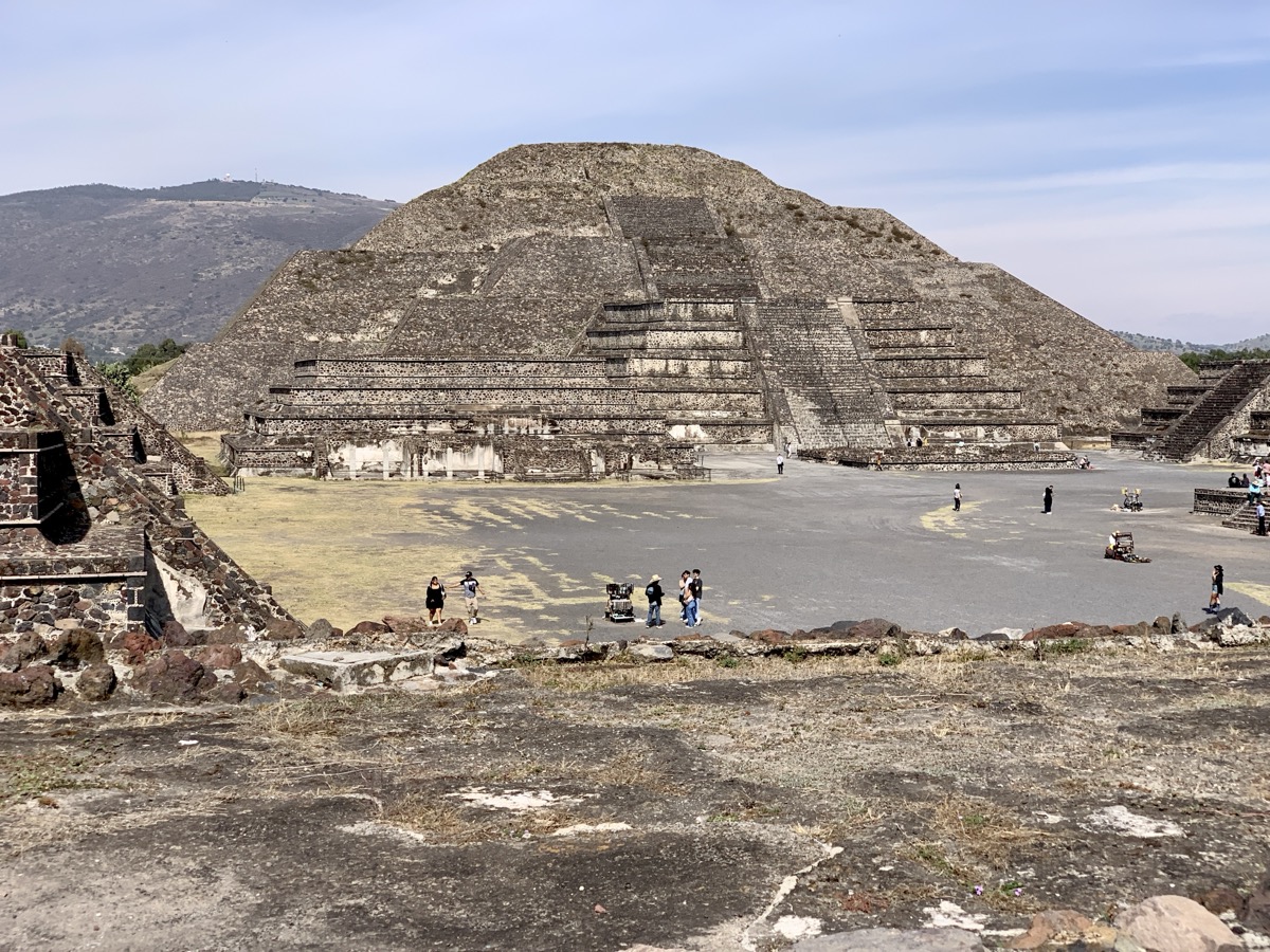
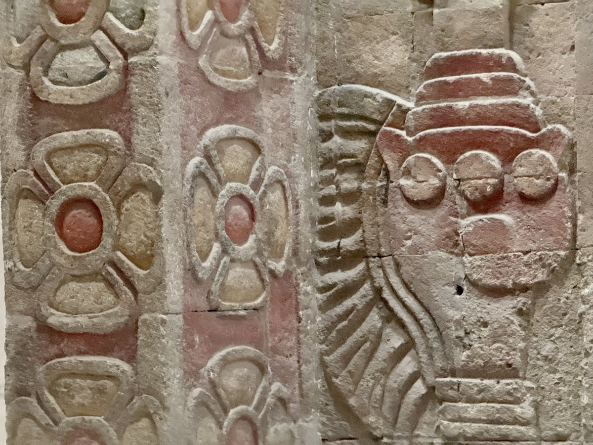
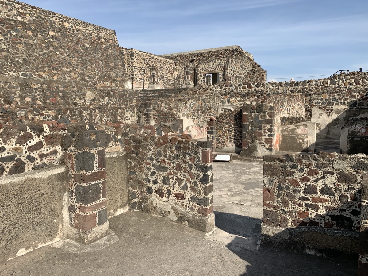
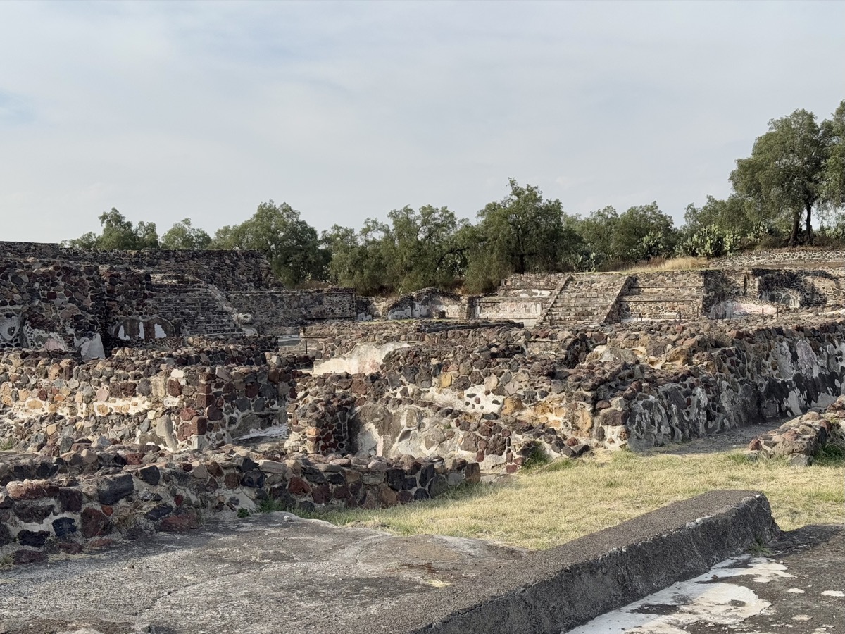
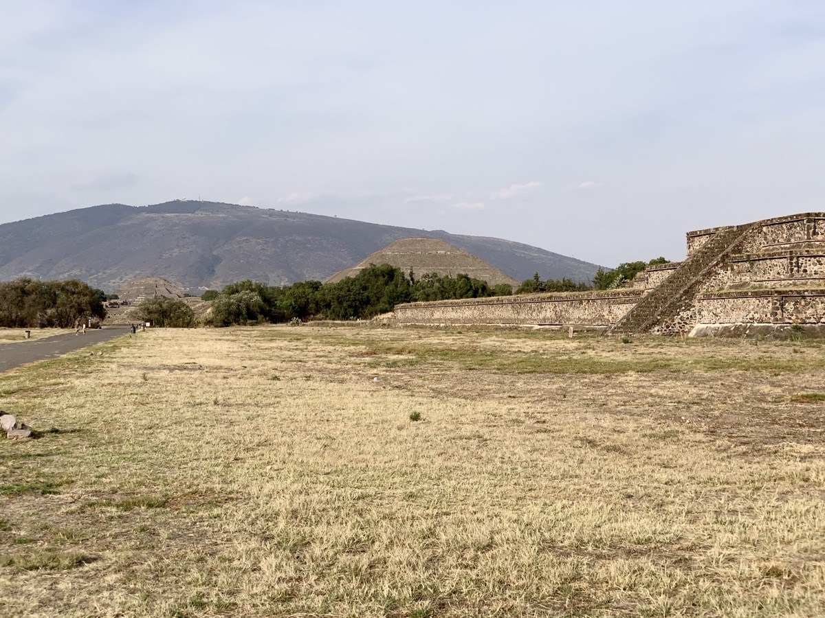
Finally we got to Teotihuacan (Zona Arqueológica). Huge ancient city was long abandoned when Aztec arrived. They gave it its name (place where gods were born) and called pyramids of Sun and Moon, but the civilization that built the city 2000 years ago remains unknown and it was discovered that rain gods were worshipped here, not Sun and Moon. City grew and flourished thanks to control and processing of obsidian.
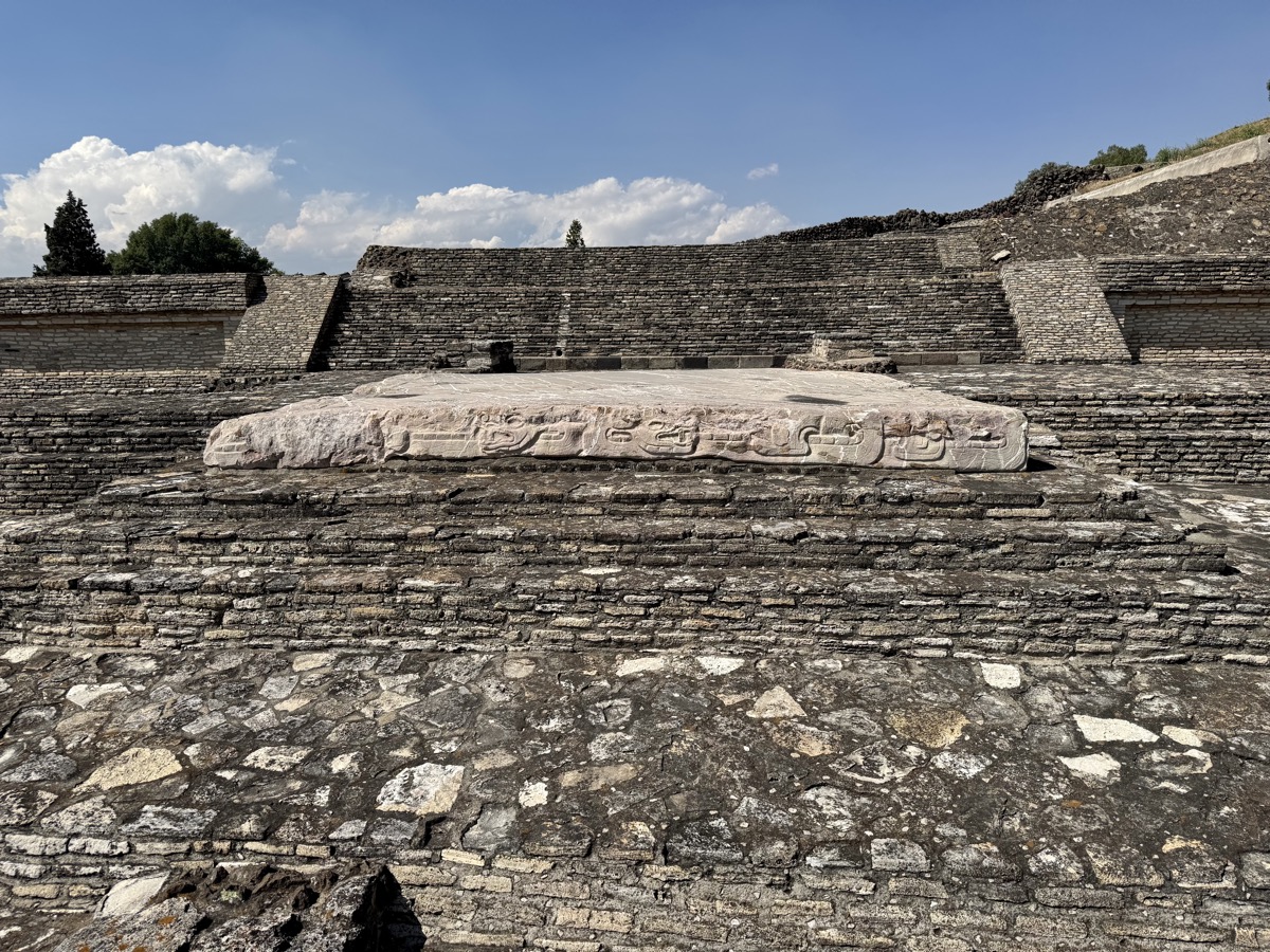
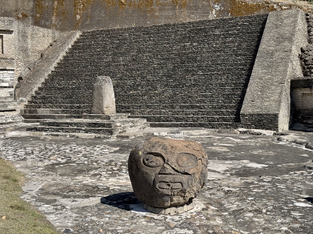
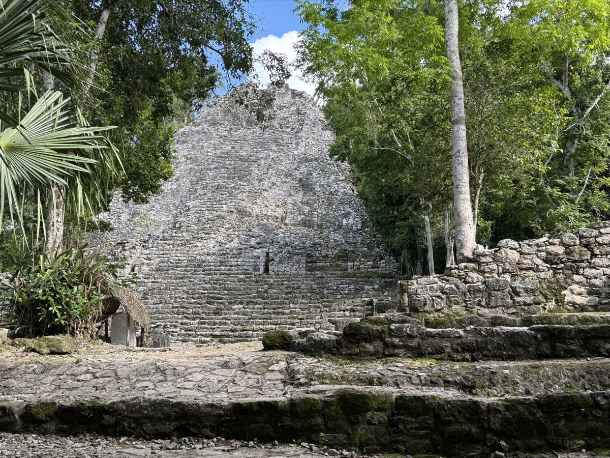
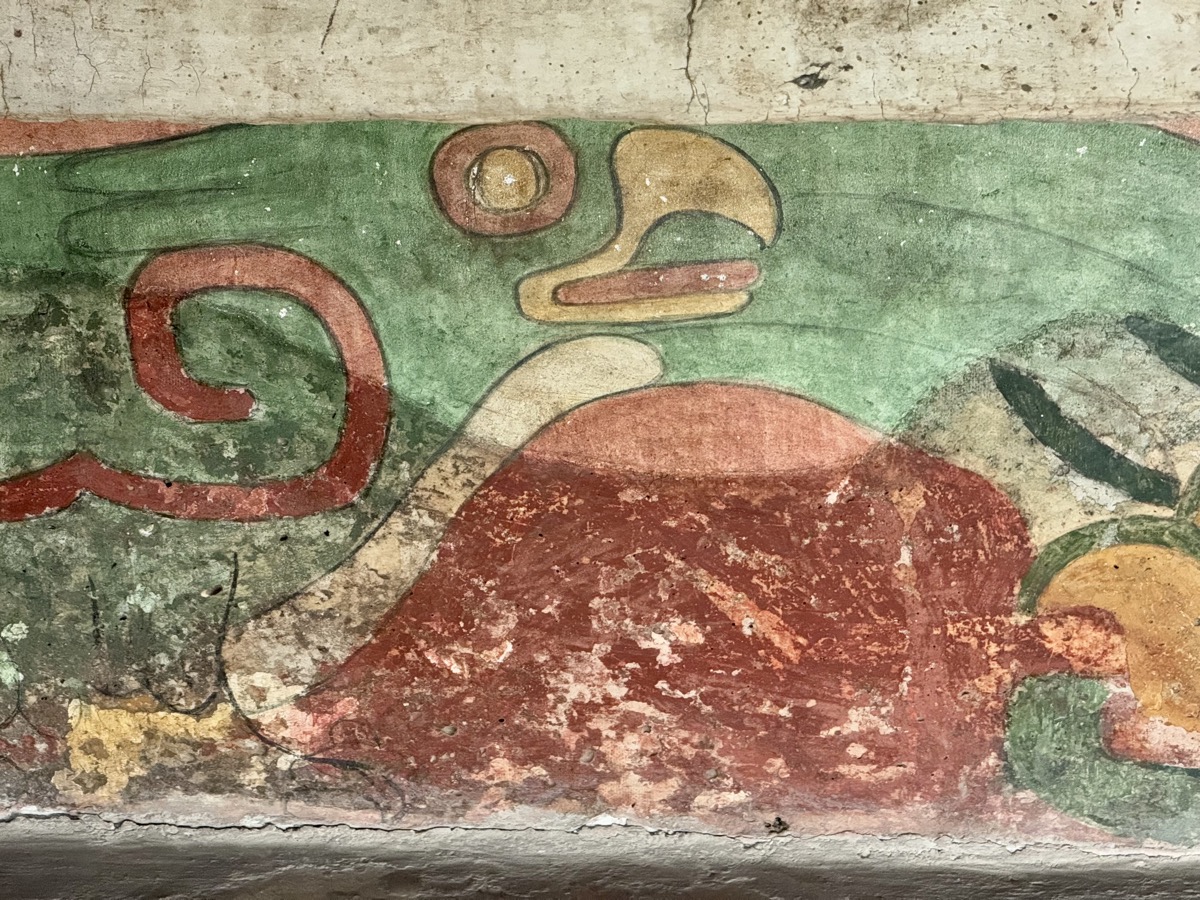
We started exploration in Palacio de Quetzalpapálotl with some well preserved frescos – interesting and quite rare in ruined ancient cities. Next was impressive Moon Pyramid at the beginning of Avenue of the Dead. The guide gave very informative and engaging explanations, but a little lengthy. We briefly stopped at the largest Sun Pyramid where the tour ended (2 hours at archaeological site). We decided to stay an hour longer and return by bus on our own. Unfortunately by the time we got to Ciudadela and Templo de Quetzalcóatl the temple was already shutting down and we were not allowed to visit it up close. Still it was an interesting walk and we saw areas not included in the tour. Bus back to Indios Verde and Metro 3 to Balderas. Stopped at small Panadería Chapultepec (rolls and more pastries) on the way home.


Day 9-11: Mexico City
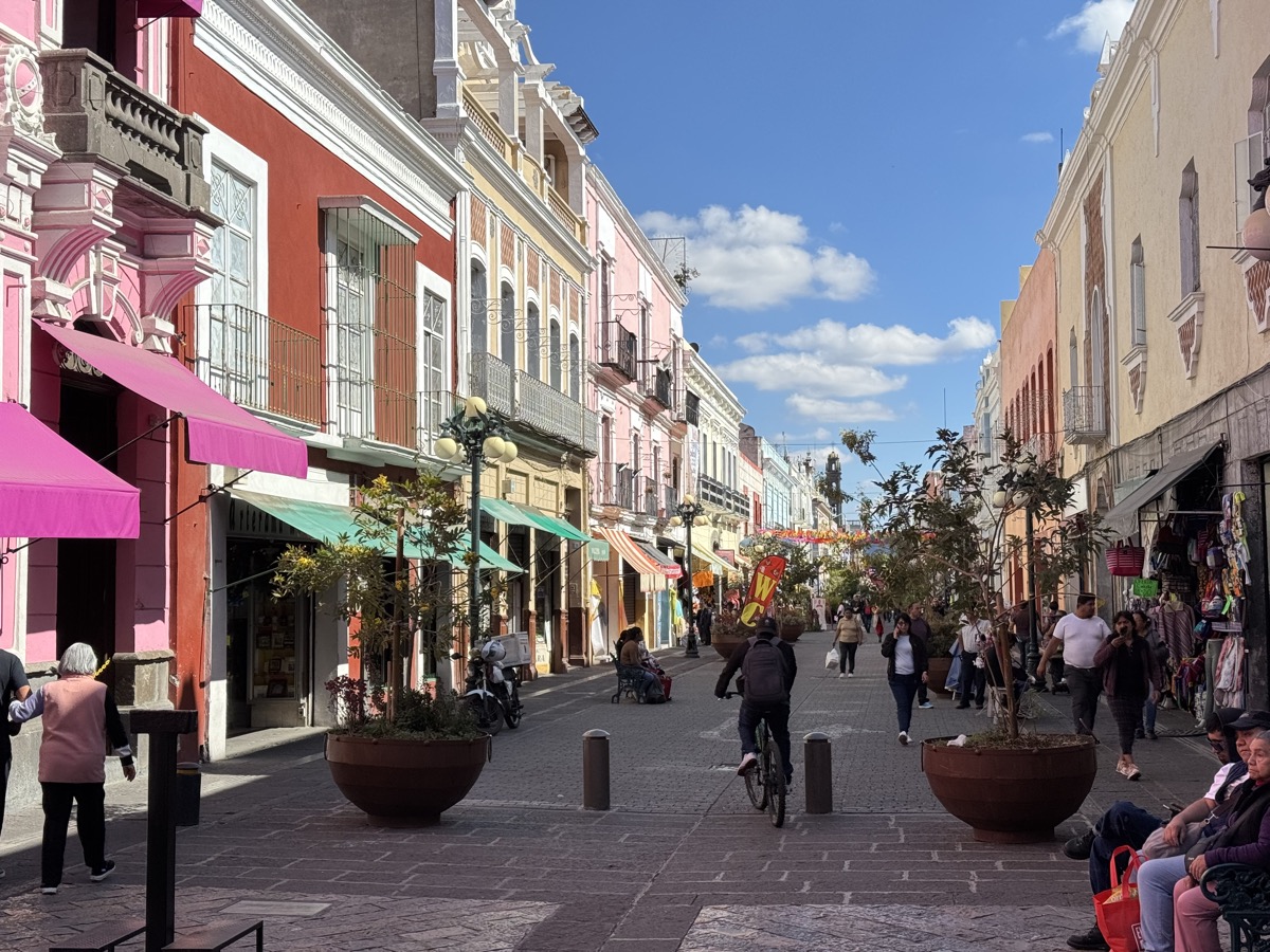
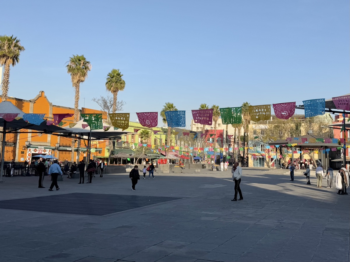
Day 9. Walking day in Centro again. This time we were not in a hurry and “found” Mercado Juarez just behind closed Cuauhtémoc metro station – came back in the evening to buy food. First destination of the day: Parque de la Ciudadela and Mercado de Artesanías La Ciudadela. The art market was surprisingly peaceful. There are many stalls packed-full with souvenirs dominated by bright, vibrant colors often emanating from clusters of objects, like small animal figurines, arranged in large numbers on shelves. Again enjoyed very relaxed interaction with sellers. Bought three small souvenirs for ourselves (cat from pictured collection, of course, and two small tiles).
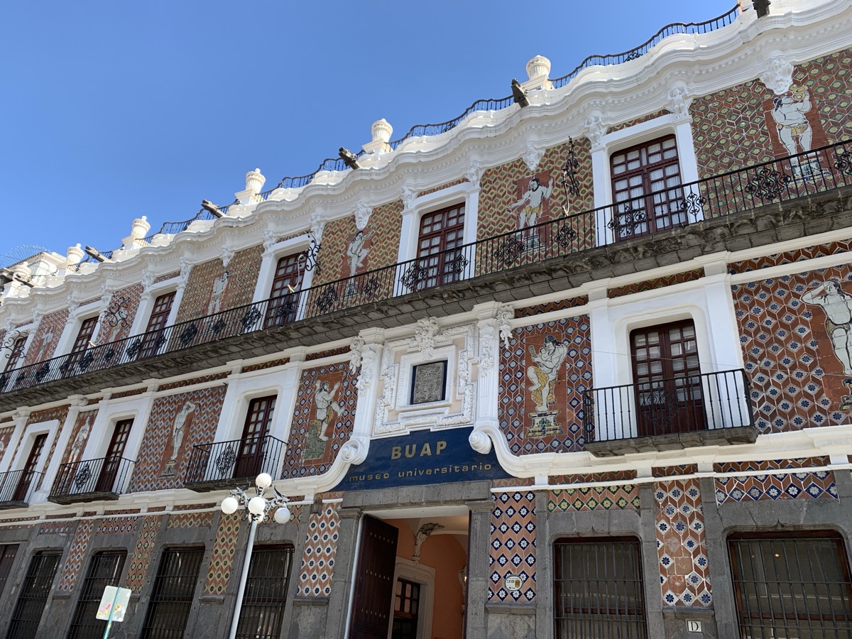
And time came for colorful and large mural “Dream of a Sunday Afternoon at Alameda Central Park” at dedicated Museo Mural Diego Rivera. We spent some time there reading the explanation of who is who, rather unusual way to learn history. Then real walk across Alameda Central, the oldest park in the city and apparently in Americas, with many fountains, wide marble alleys (how they walk there when it rains?) and very clean (saw several maintenance crews).
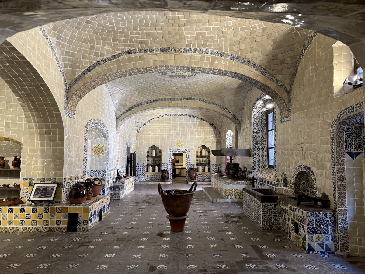
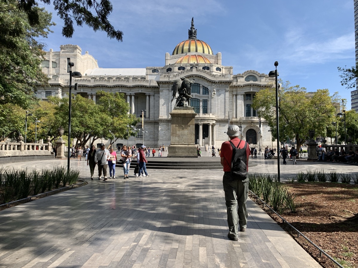
We strolled past palaces, museums, peeked into old post office and had lunch in beautiful Casa de los Azulejos (Sanborns Madero Restaurante). Looked at modernist Torre Latinoamericana and came back to Palacio de Bellas Artes – Art Nouveau outside, beautiful Art Deco inside.
We walked to Plaza Garibaldi to end the day. A little disappointing – many mariachi bands waiting, but almost no clients and little music. We still had not figured out buses, so Uber back home. We quickly walked over to Mercado Juarez to buy bread and pastries (no time for anything else) as it closed (literally) at 7 PM – we had to find our way through stall-labyrinth to small side-gate to escape.

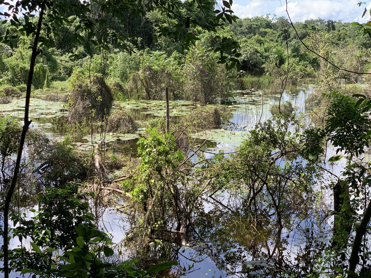
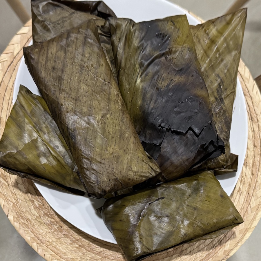
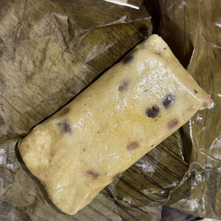
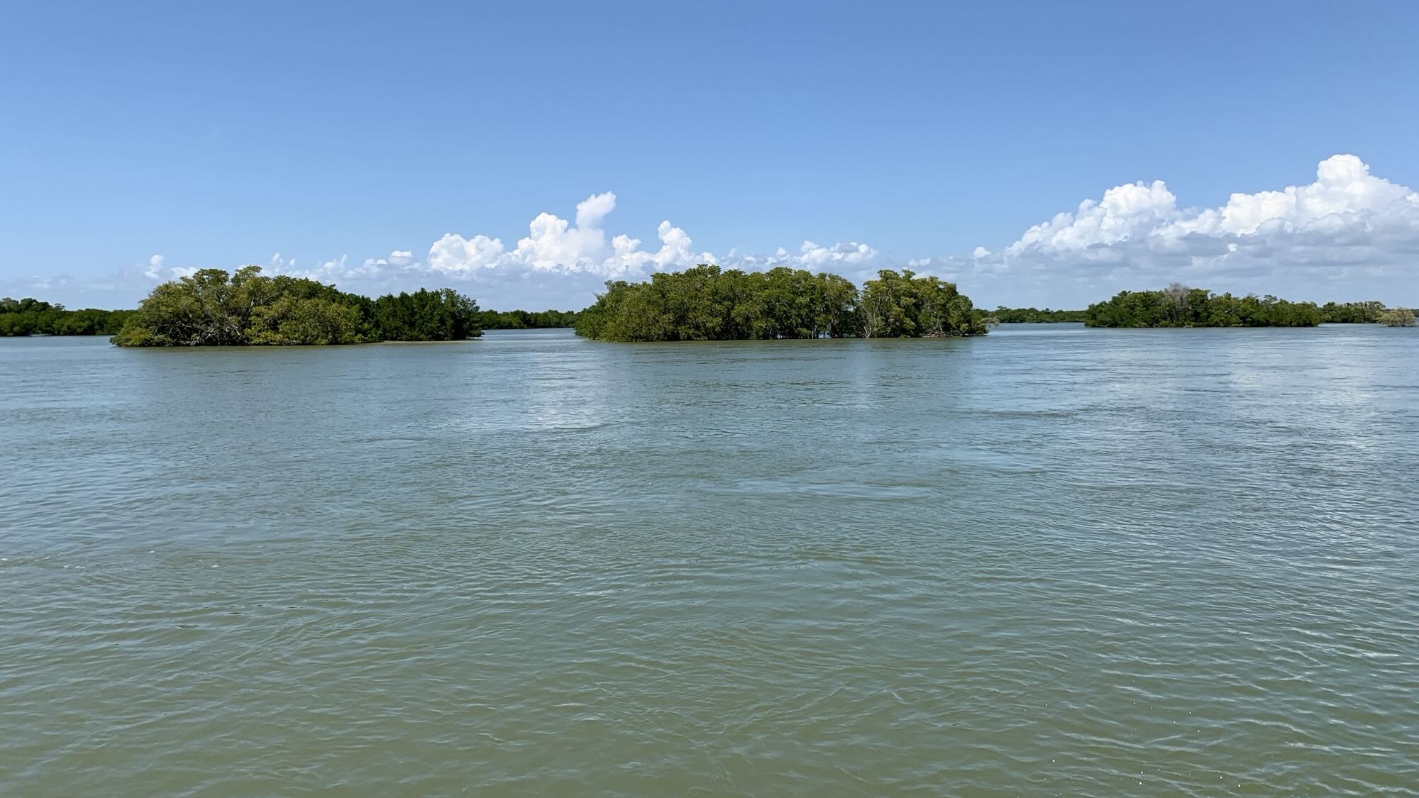
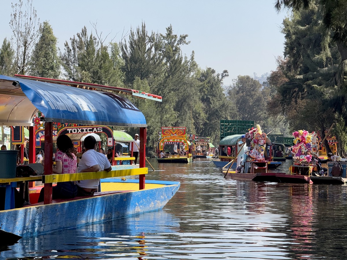
Day 10. Relaxing day in southern neighborhoods and many forms of transport. Metrobus 3 and Metro 2 to Tasqueña, then Train 1 (Tren Ligero) to Xochimilco – less polished neighborhood where we visited market, checked-out a few boat docks (trajinera embarcaderos) and settled on Salitre. Very nice 1-hour slow ride on canals from Aztec times between houses and chinampas – floating gardens and fields. Lunch: tlacoyos (thick tortillas with beans and chicken) delivered to our boat from restaurant on one of the islands.
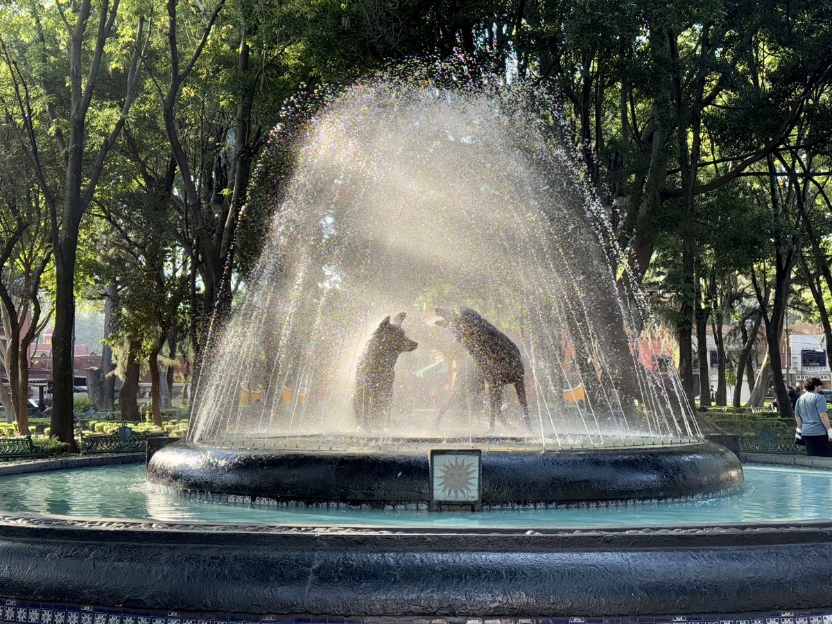
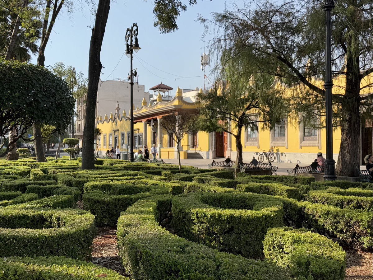
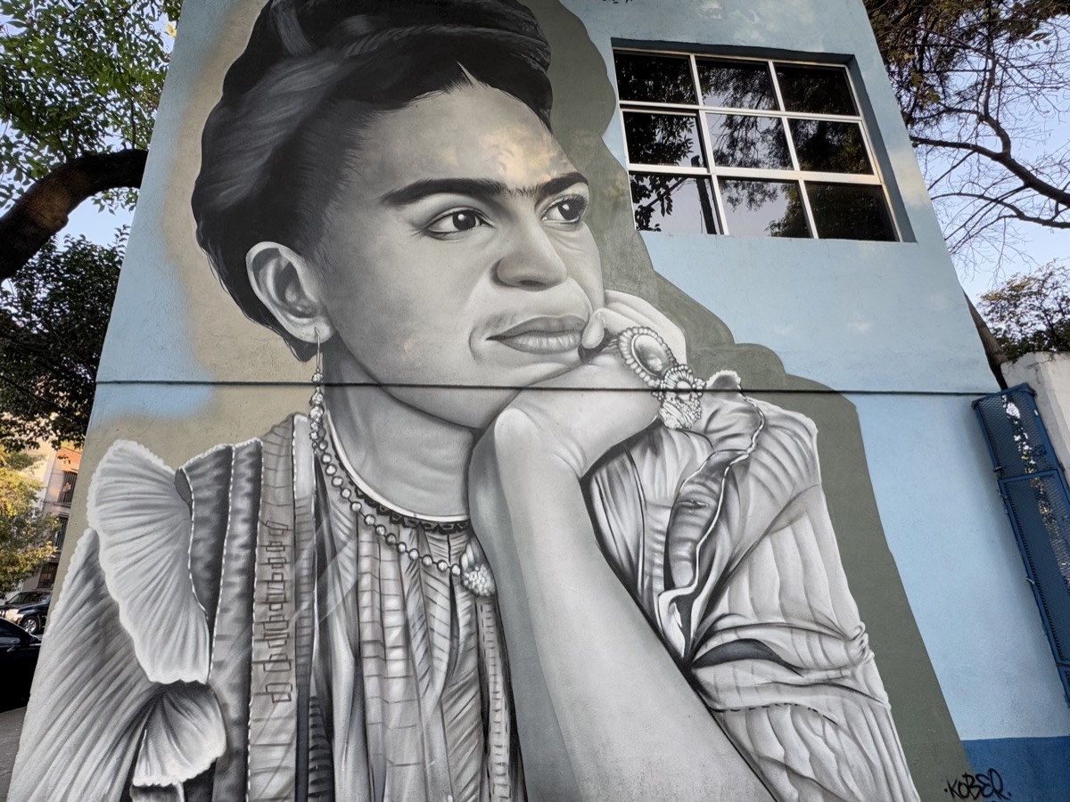
Tren Ligero back to Las Torres and Uber to Plaza de la Conchita in Coayacan. Very nice neighborhood with several plazas, parks and houses of Cortez (one for La Malinche, his native mistress), Frida Kahlo and Trotsky. Had coffee and hot chocolate, sat at Plaza Coyoacán (Jardin Centenarian) and Plaza Jardin Hidalgo, visited San Juan church, found Frida mural. Finally, walked through Mitikah Centro Comercial to Metro 3 (Coyoatan to Balderas). Stopped again at Mercado Juarez Cuauhtémoc to buy fruits and veggies. Joanna cooked dinner at home.
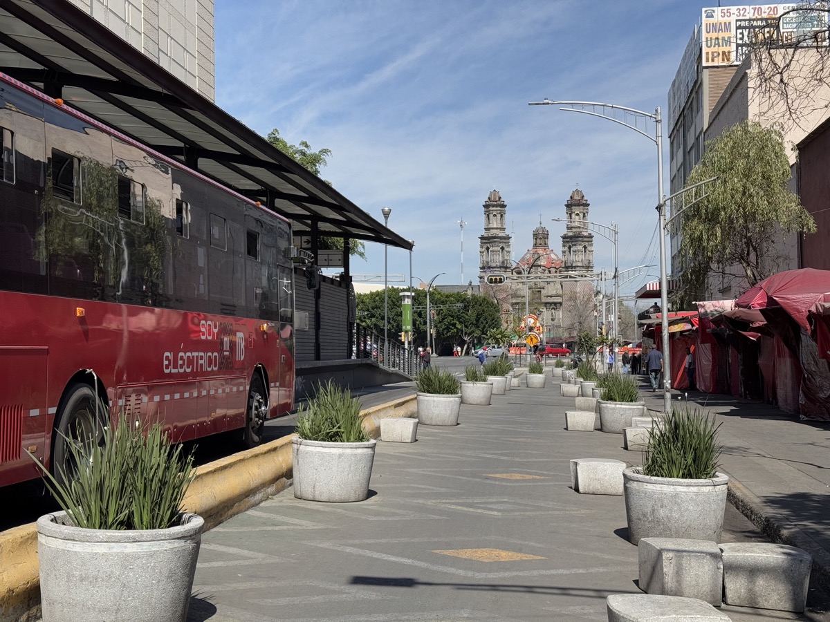
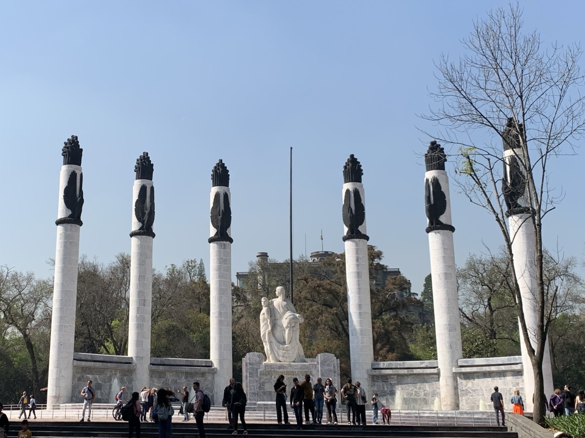
Day 11. We jumped on first RTP bus heading to Bosque de Chapultepec. Did not really have enough time for everything and decided to skip Museo Nacional de Historia Castillo de Chapultepec. Instead we walked full circle in the park around the hill, starting with visit at Museo de Arte Moderno: sculpture garden and all galleries where we finally saw a few Frida’s paintings. Then fountains, monuments, archaeological sites (aqueduct, baths), lakes and squirrels, followed by short walk and coffee in Polanco. It was quite slow and lazy day until it was time to go to the airport. We ran for RTP bus, picked-up our backpacks and took Uber to airport, enough time left for late lunch. We landed at ORD almost at midnight ready for cold weather (it was really cold in Chicago: down to -20ºC, when we enjoyed Mexican sun: mid 20s ºC), quick Lift ride and we were back home.
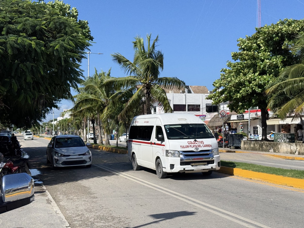
During our time in Mexico City we traveled northeast from the center (Roma Norte) to Teotihuacan and another time south to Xochimilco across the city (straight-line distance of ca. 40 plus 20 km) and realized how big the 20-million people metropolitan area is. Great majority of buildings are small, but densely packed. With some effort and planning it looks like park all around though, very walkable, We liked it. We were surprised how different each district was, the city felt like a conglomerate of separate towns (which they were in the past), each with its own main square, parks, markets etc. and distinct character. Combination of public transport and Uber (fast, inexpensive) made moving around easy.