Puerto Rico day 9-11: Bosque de Guánica and north coast (Arecibo – San Juan)

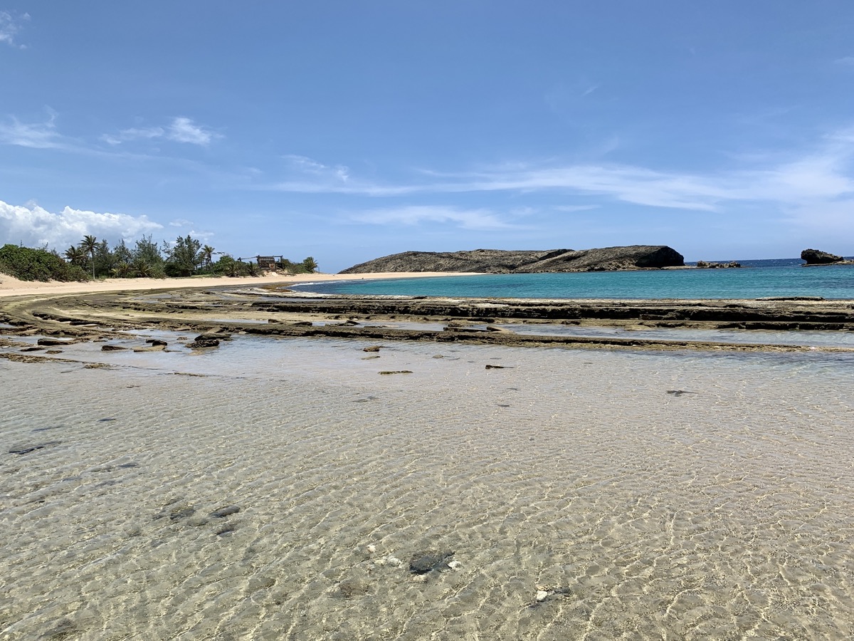
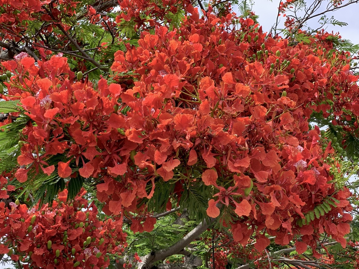
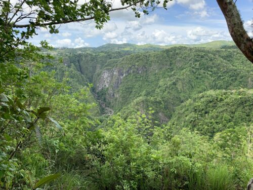
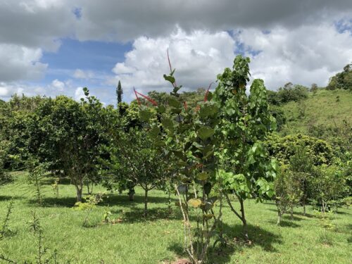
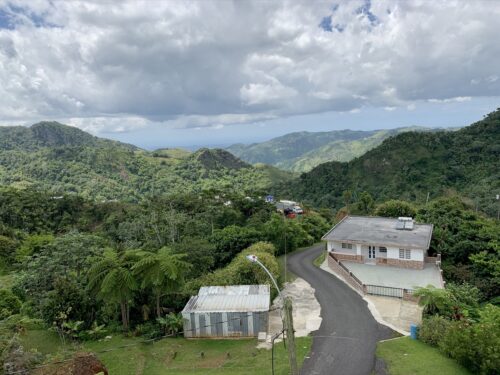
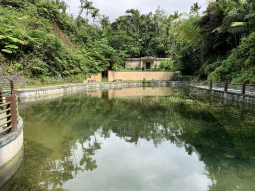
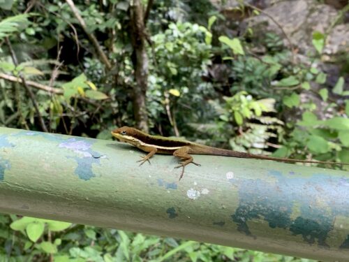
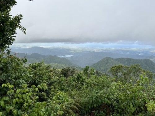
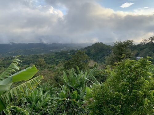
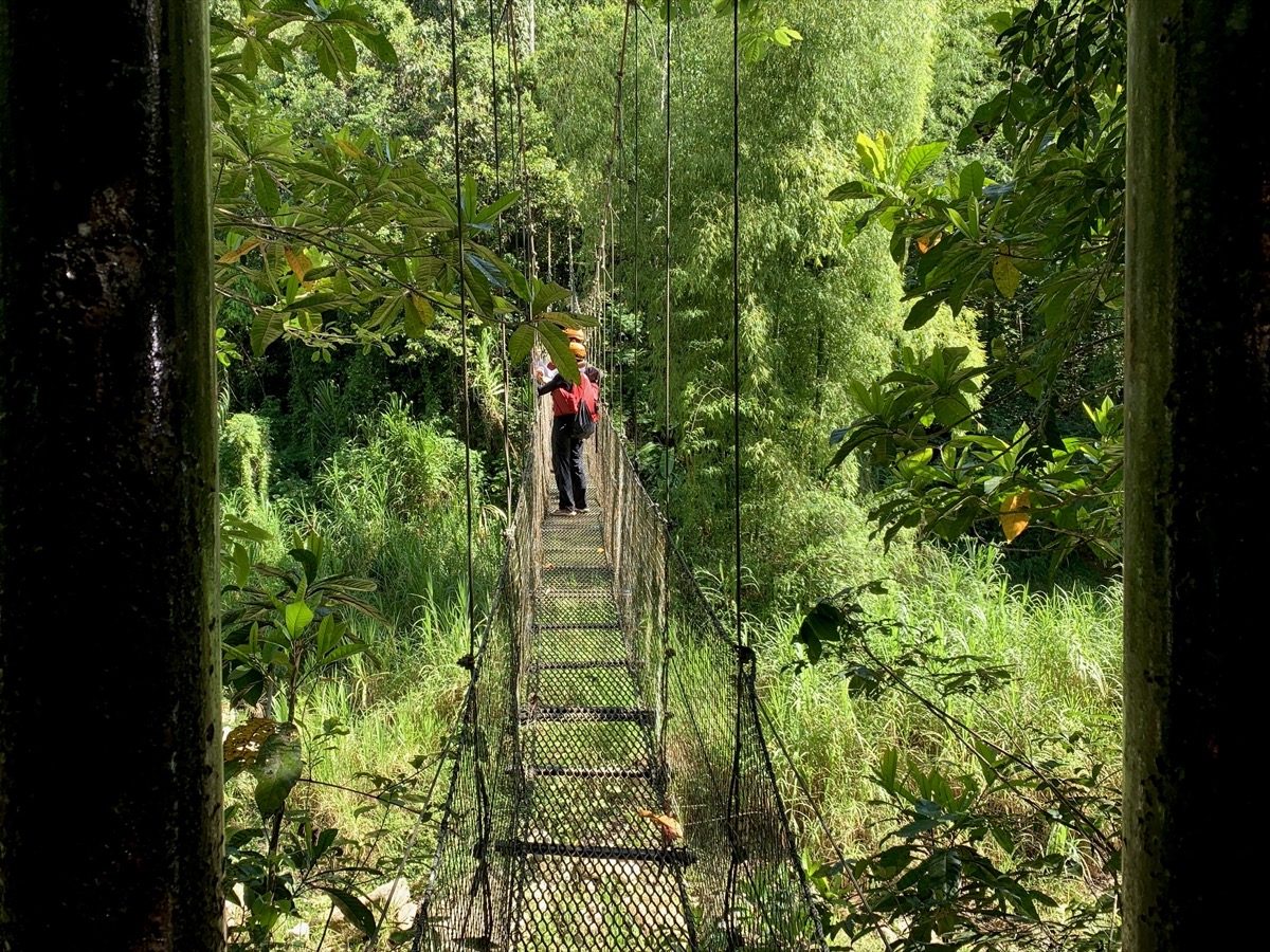
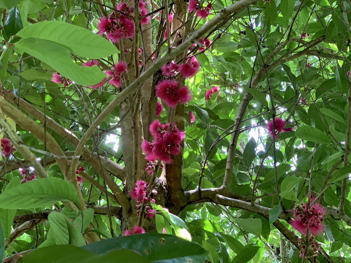
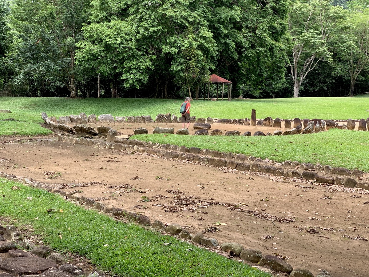
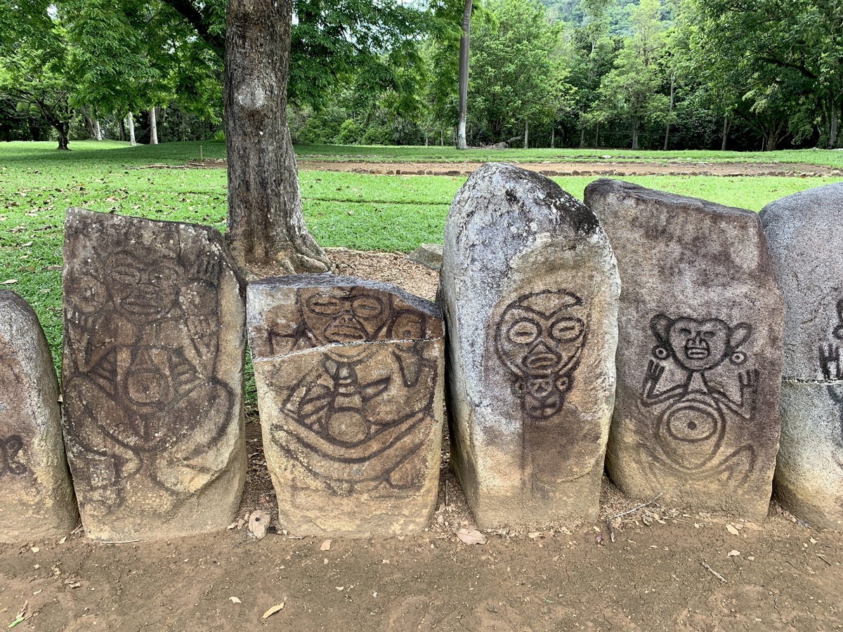
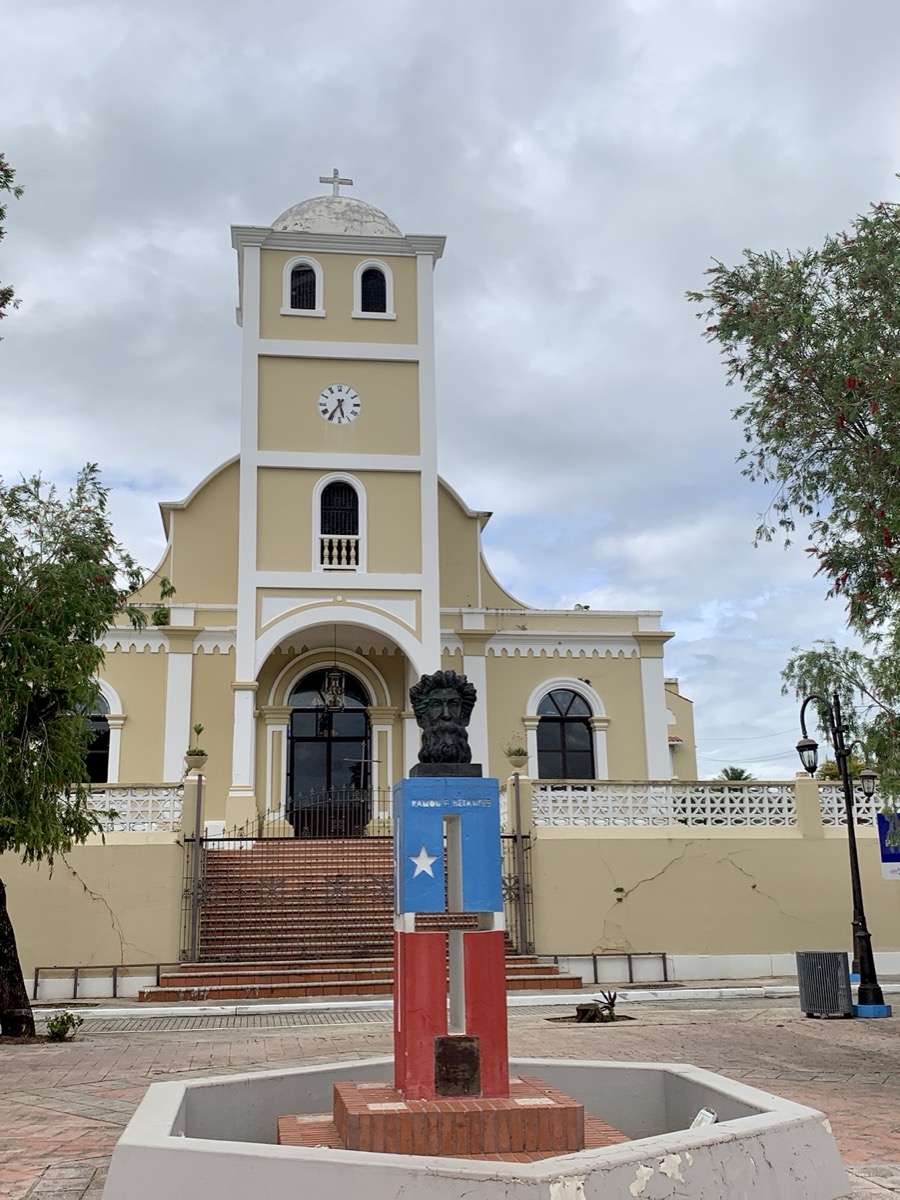
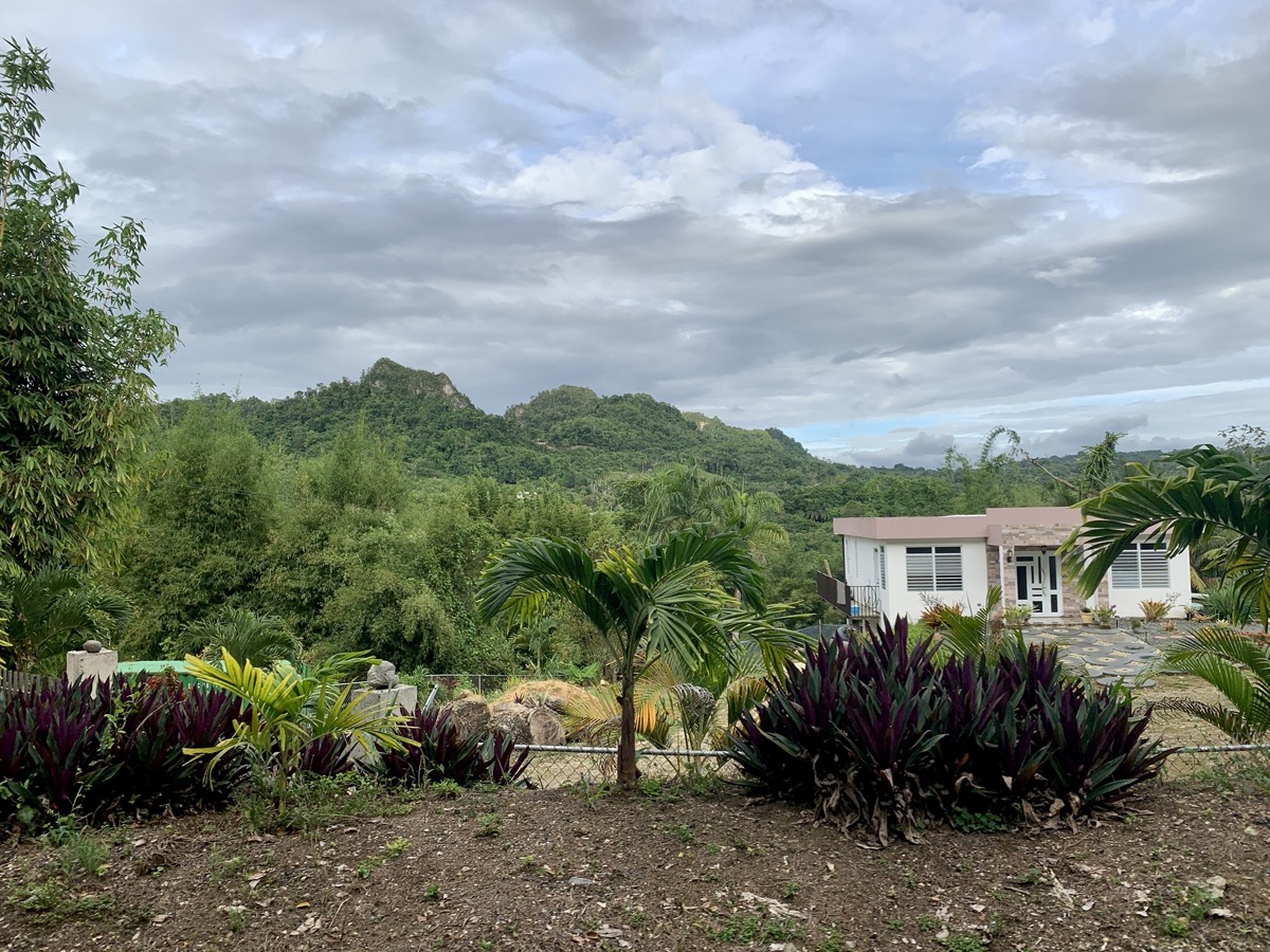
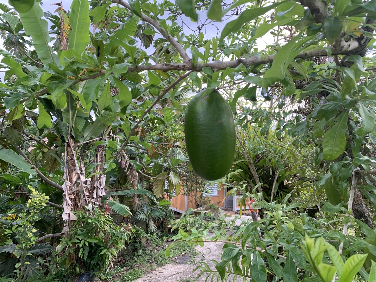
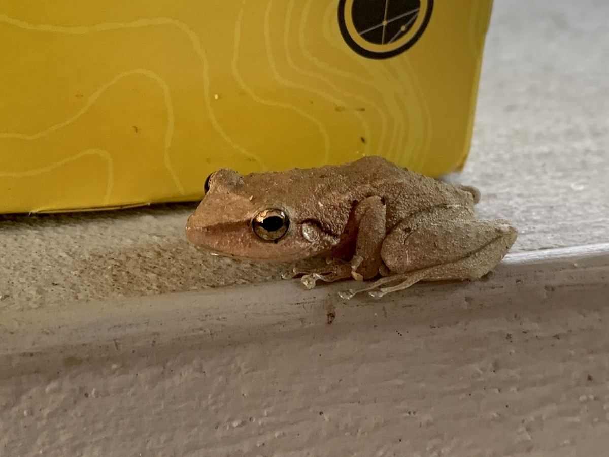
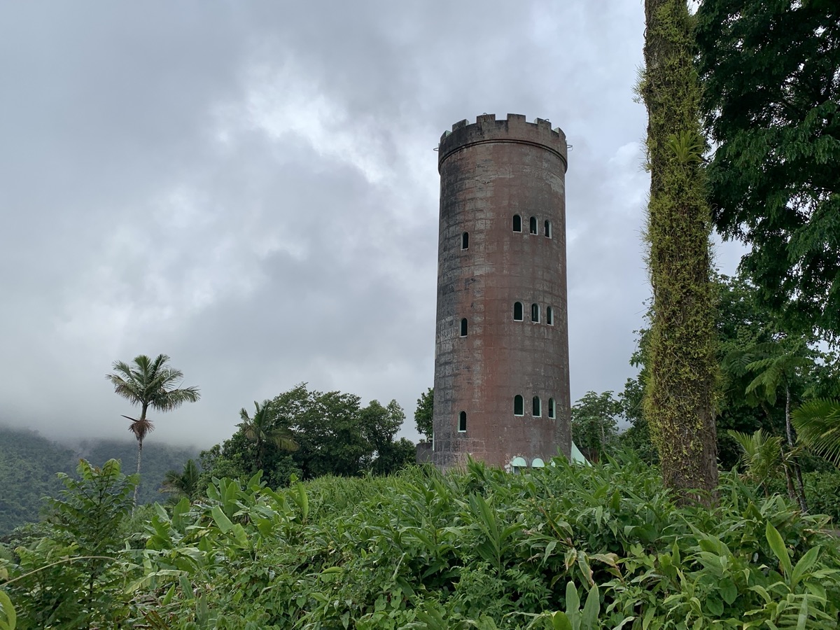
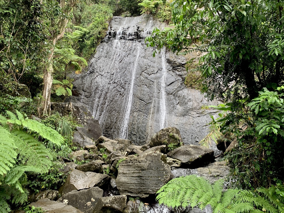
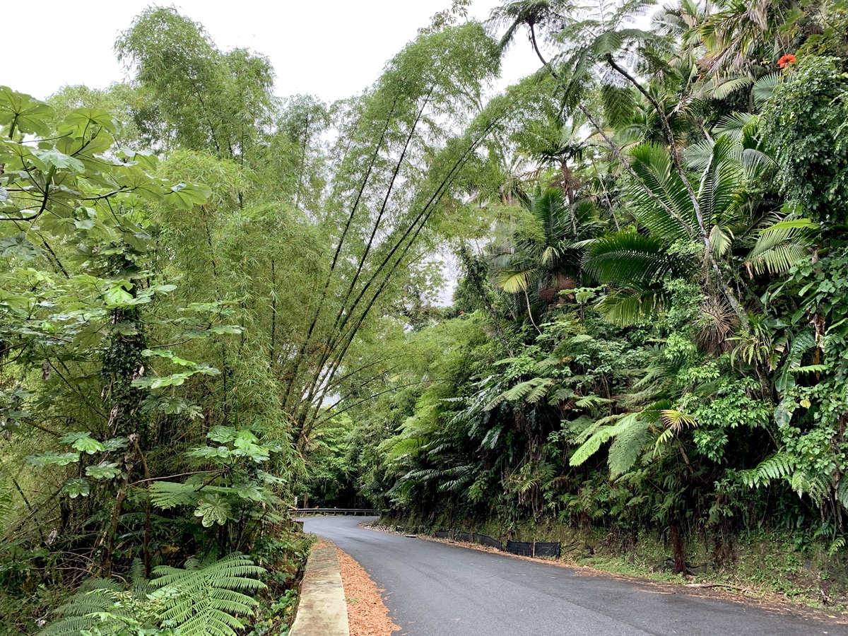
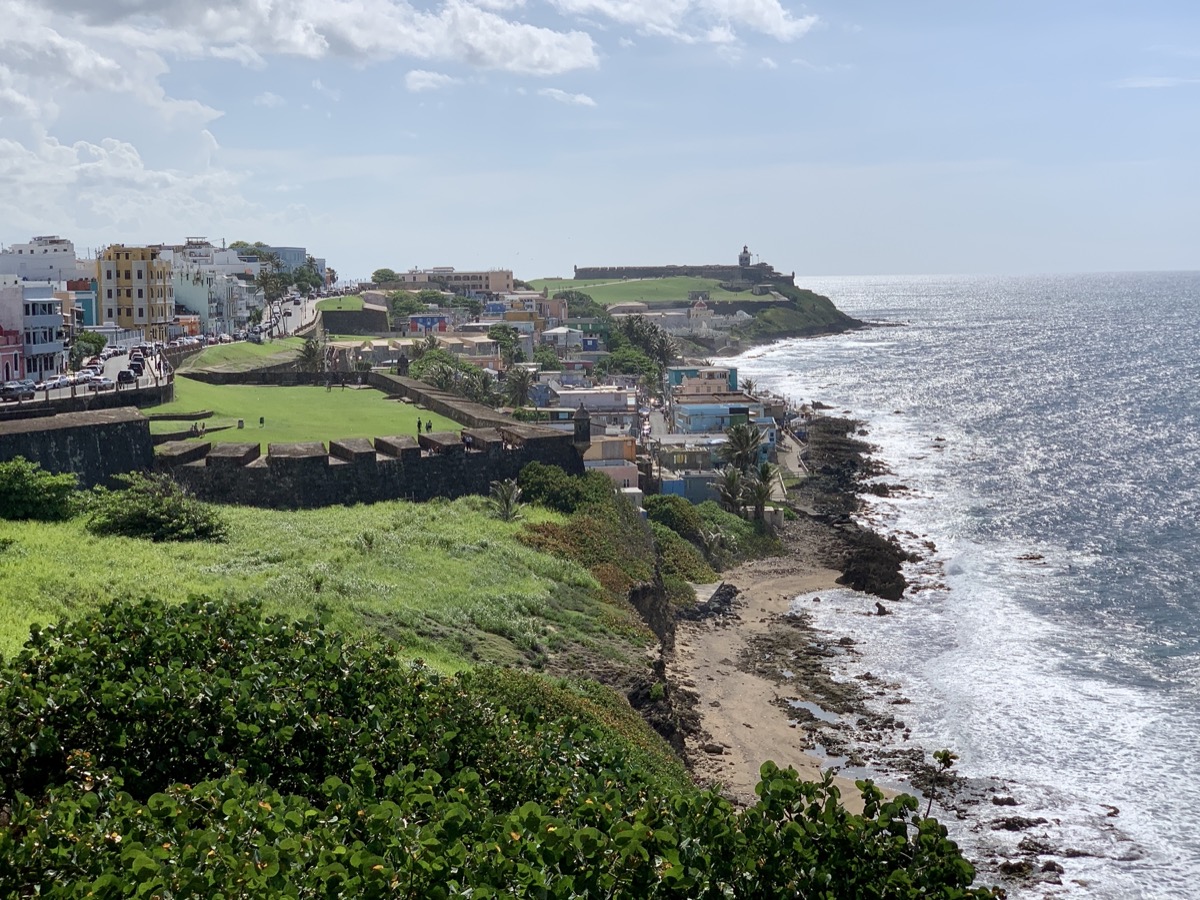
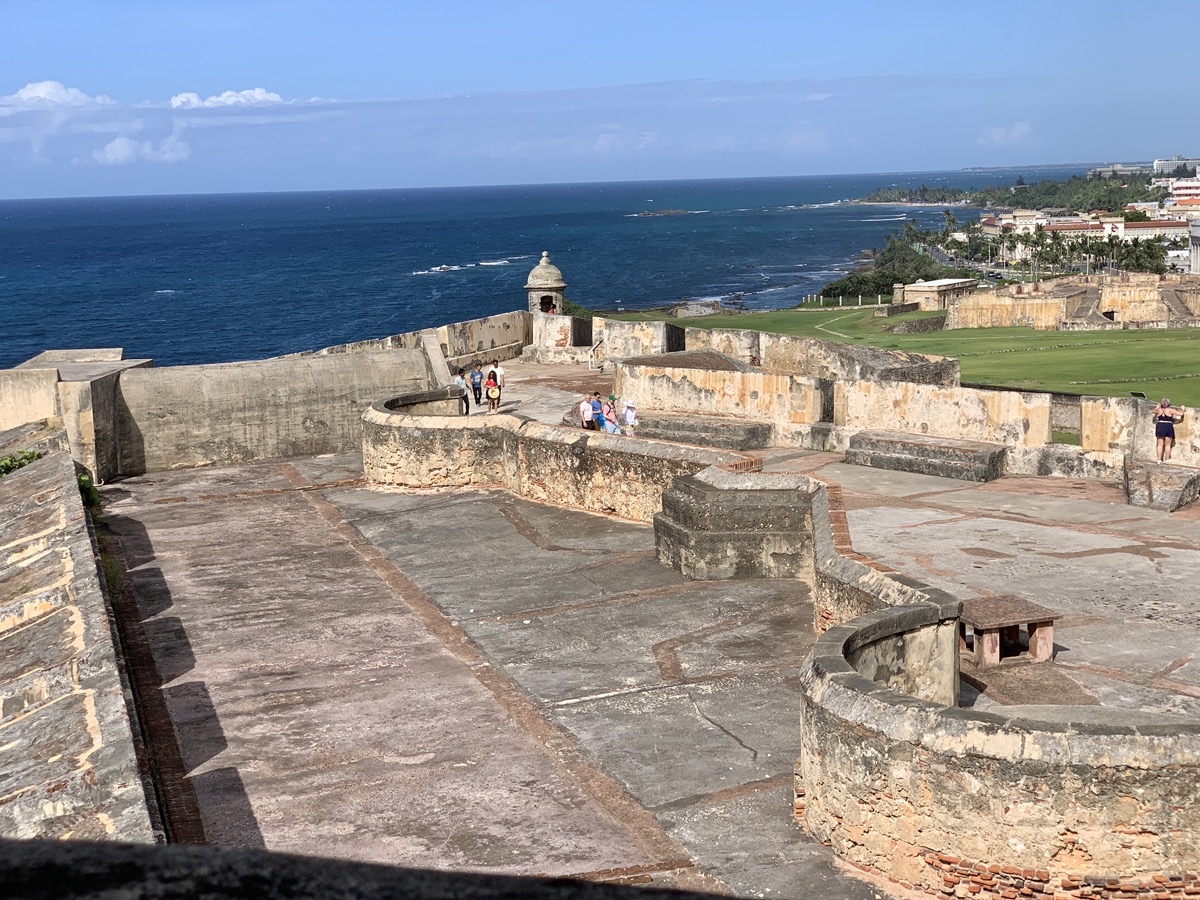
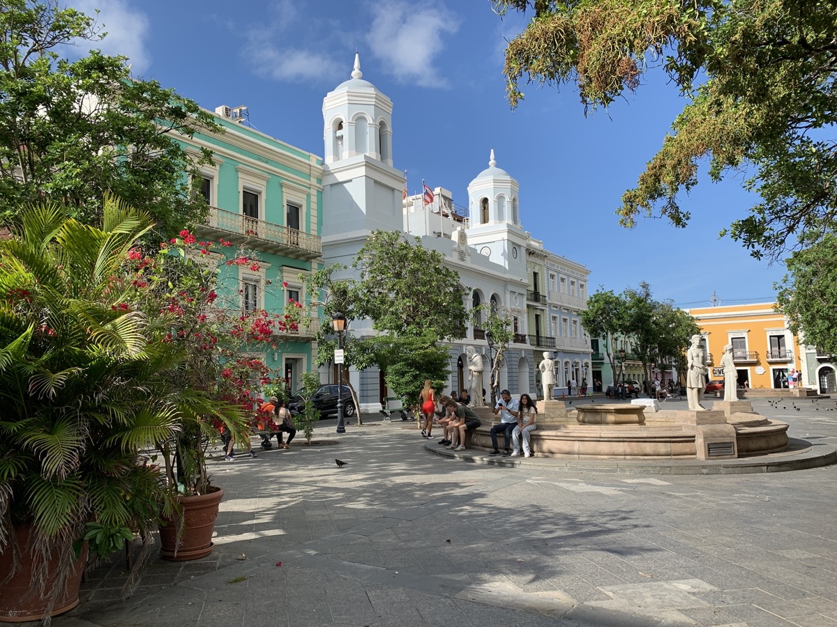
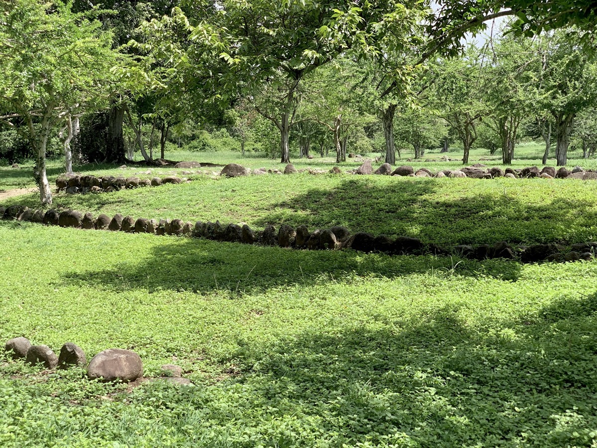
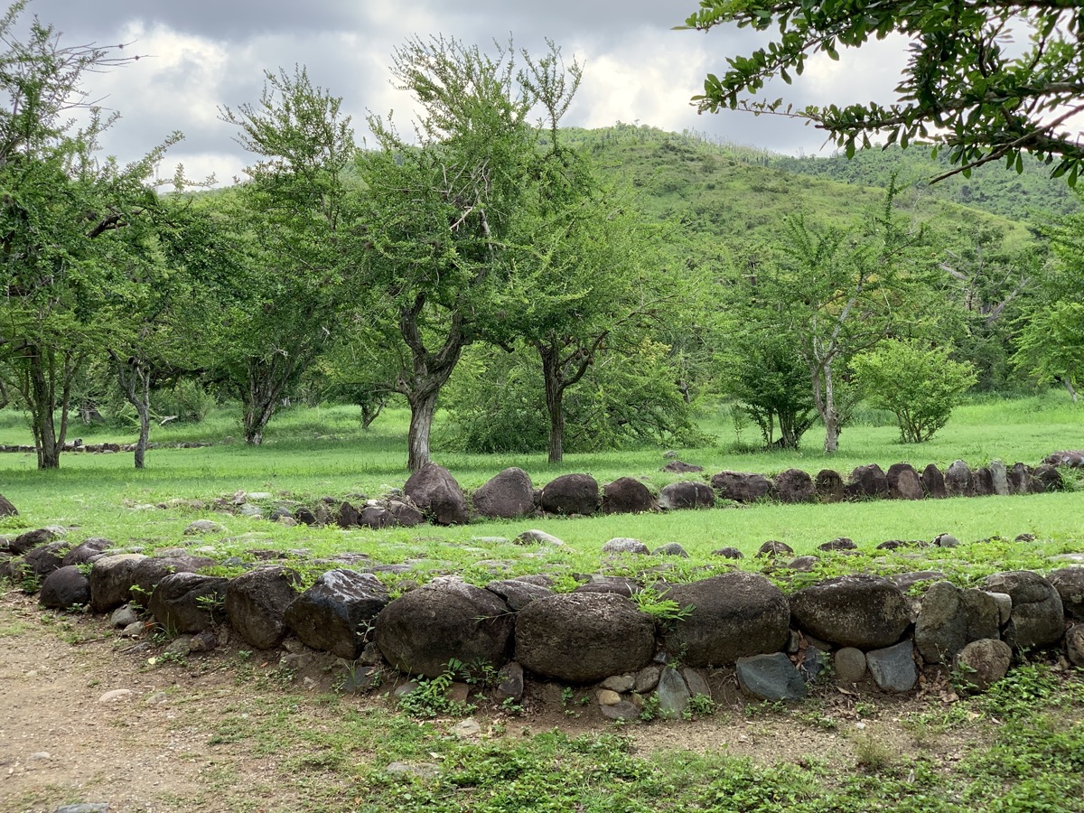
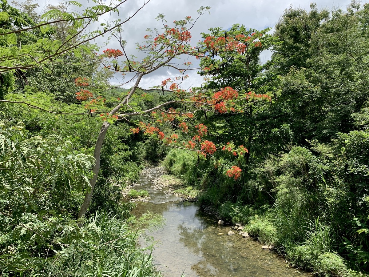
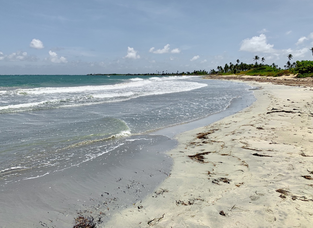
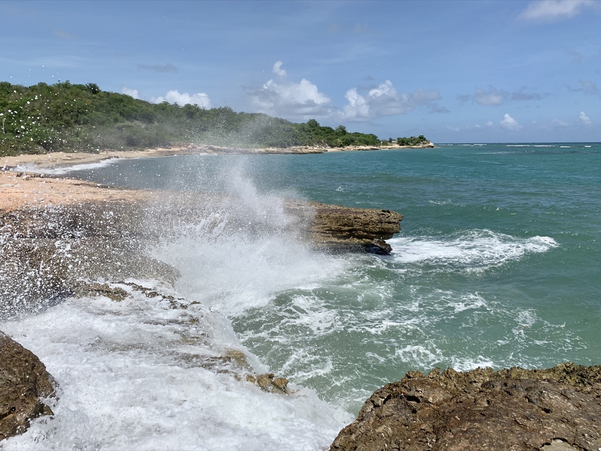
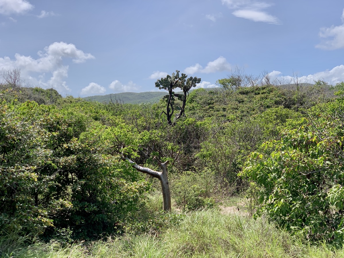
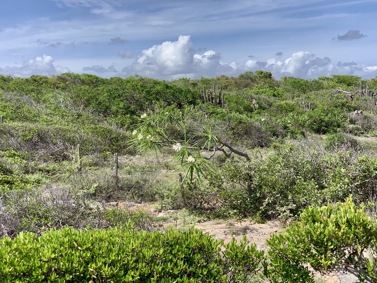
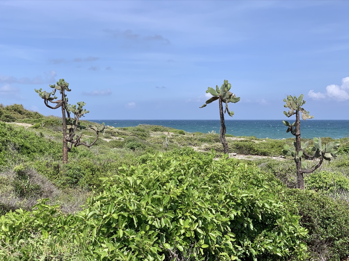
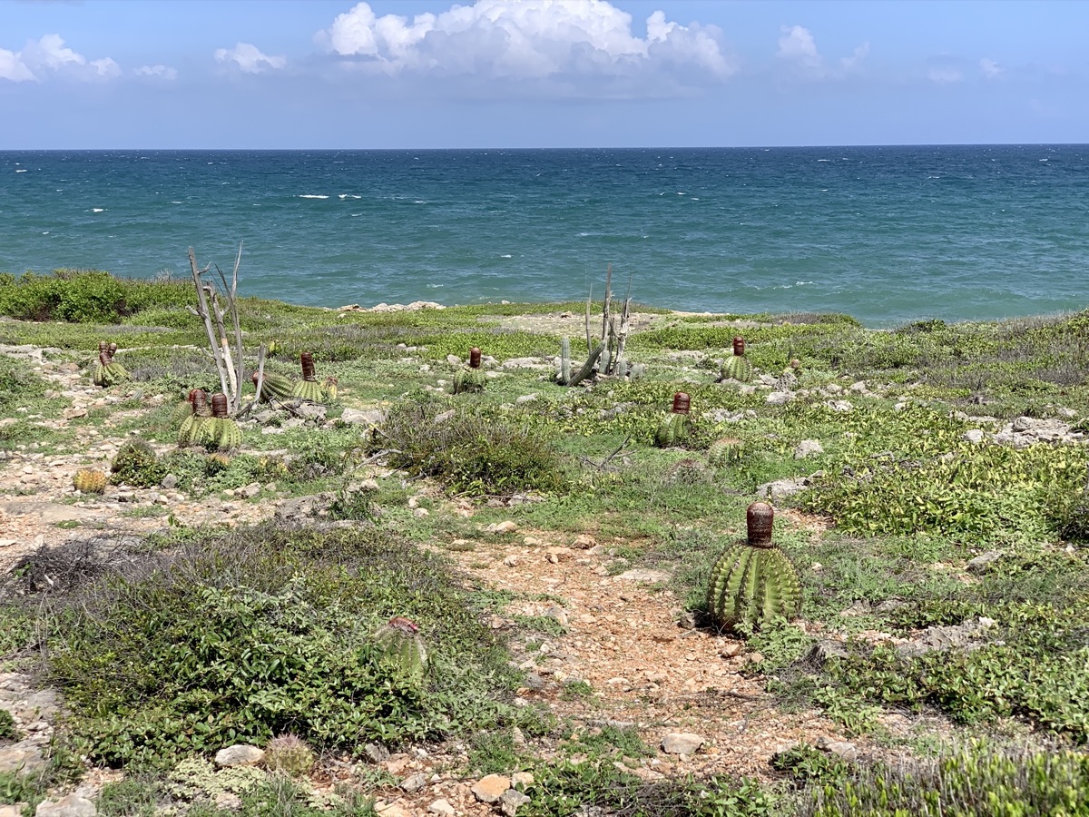
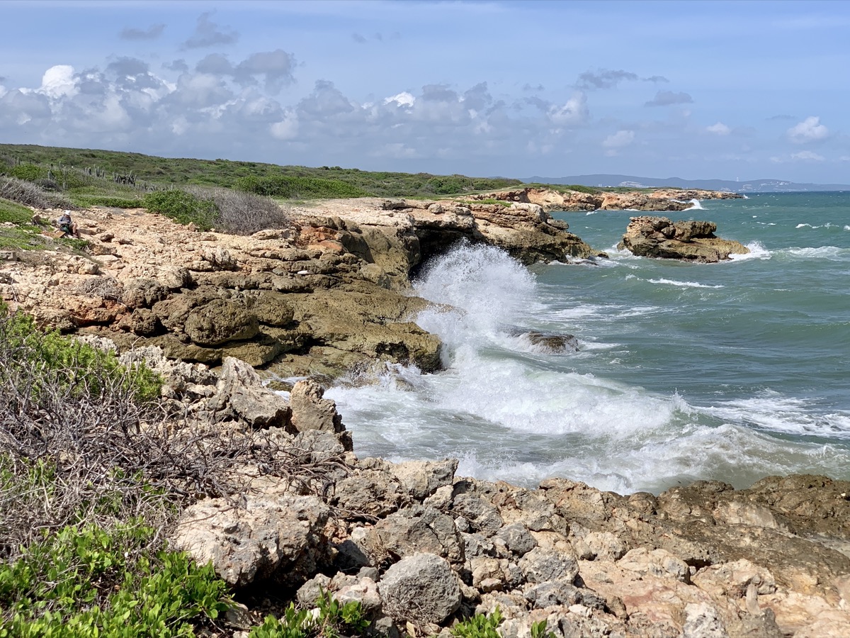
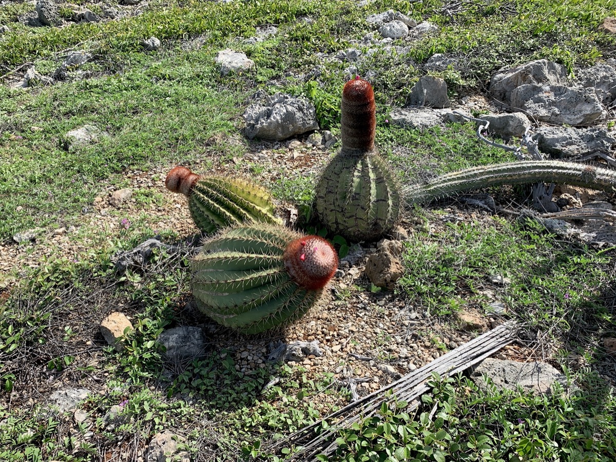
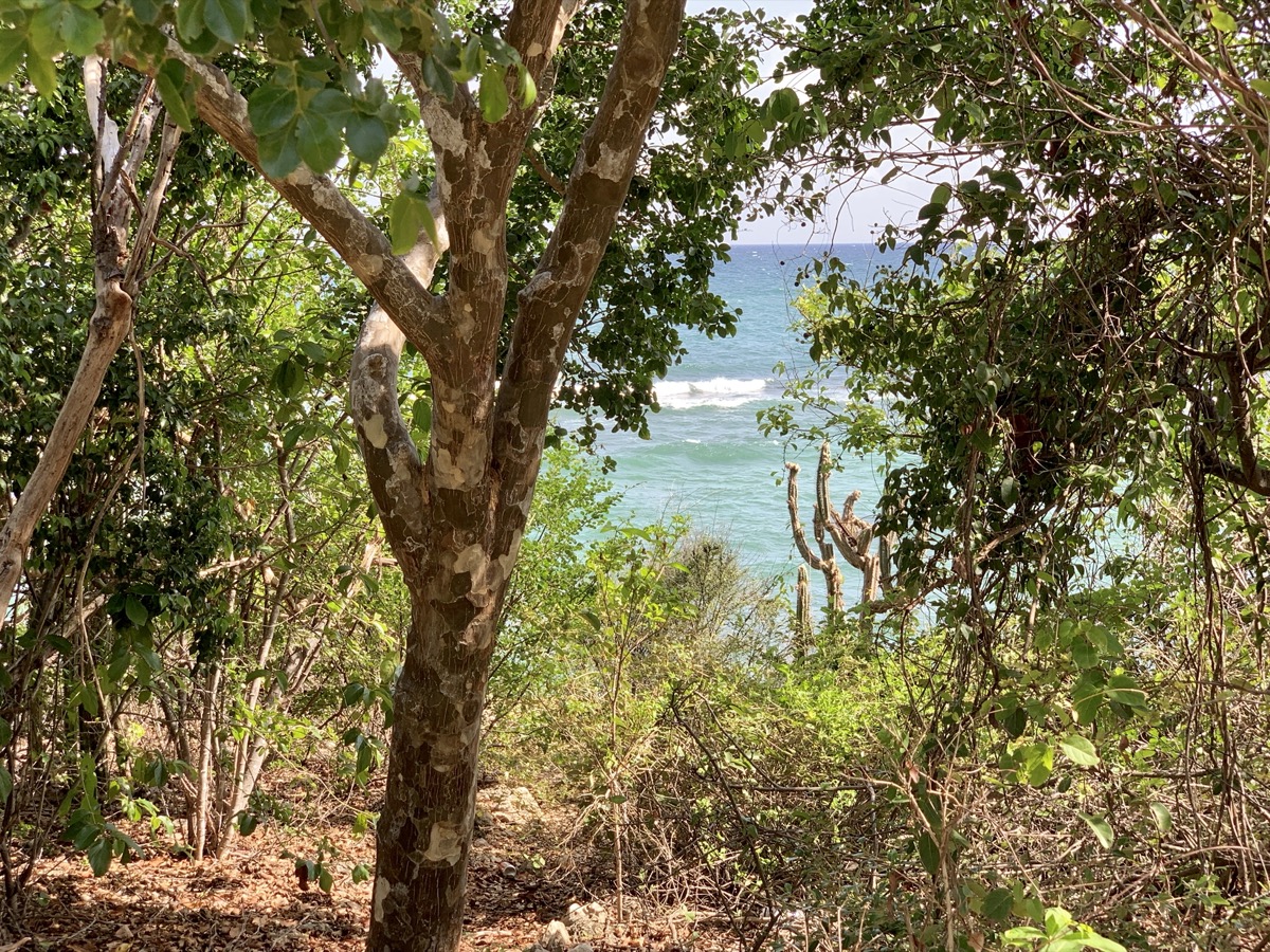
Guánica State Forest was our next destination for its unique, considered largest and most pristine tropical dry coastal forest ecosystem (and Biosphere Reserve). It is located on the south shore (southeast of the island) facing Carribean Sea. Driving to Guanica was quite slow and boring. First stop was at Tibes Indigenous Ceremonial Center and botanical garden on the outskirts of Ponce with interesting plants used by indigenous Taino. We then drove along the coast to Playa Tamarindo, parked our car at the end of the road and walked part of Meseta Trail along the coast stopping frequently to examin often unique (to us) plants and birds. Plus swiming at Tamarindo beach afterwards. It was much hotter than in the mountains. Altogether we spent just four hours there and came back to Utuado at dusk. More photos of plants from the forest are in our ☞ Puerto Rico nature photo album.

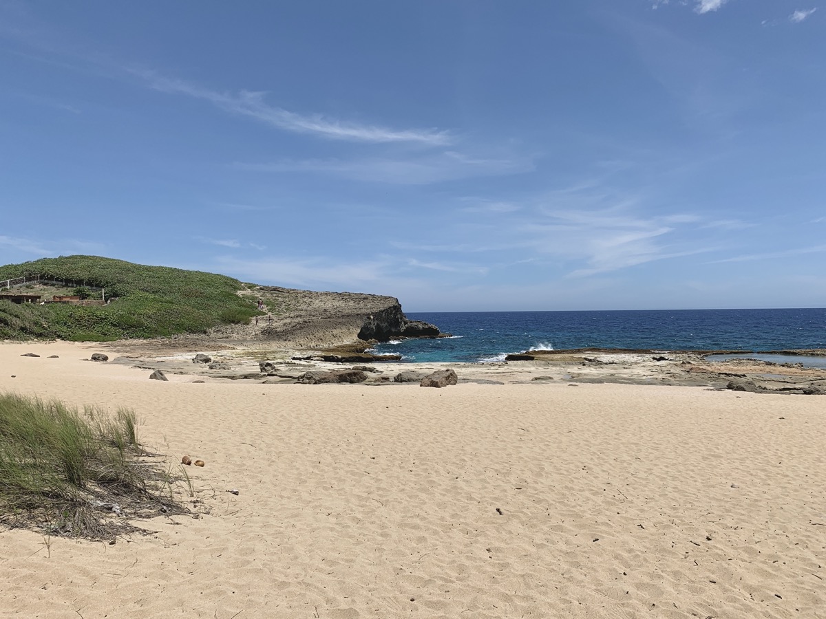
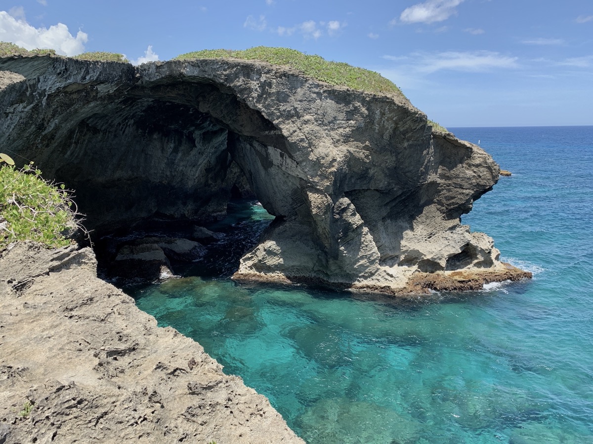
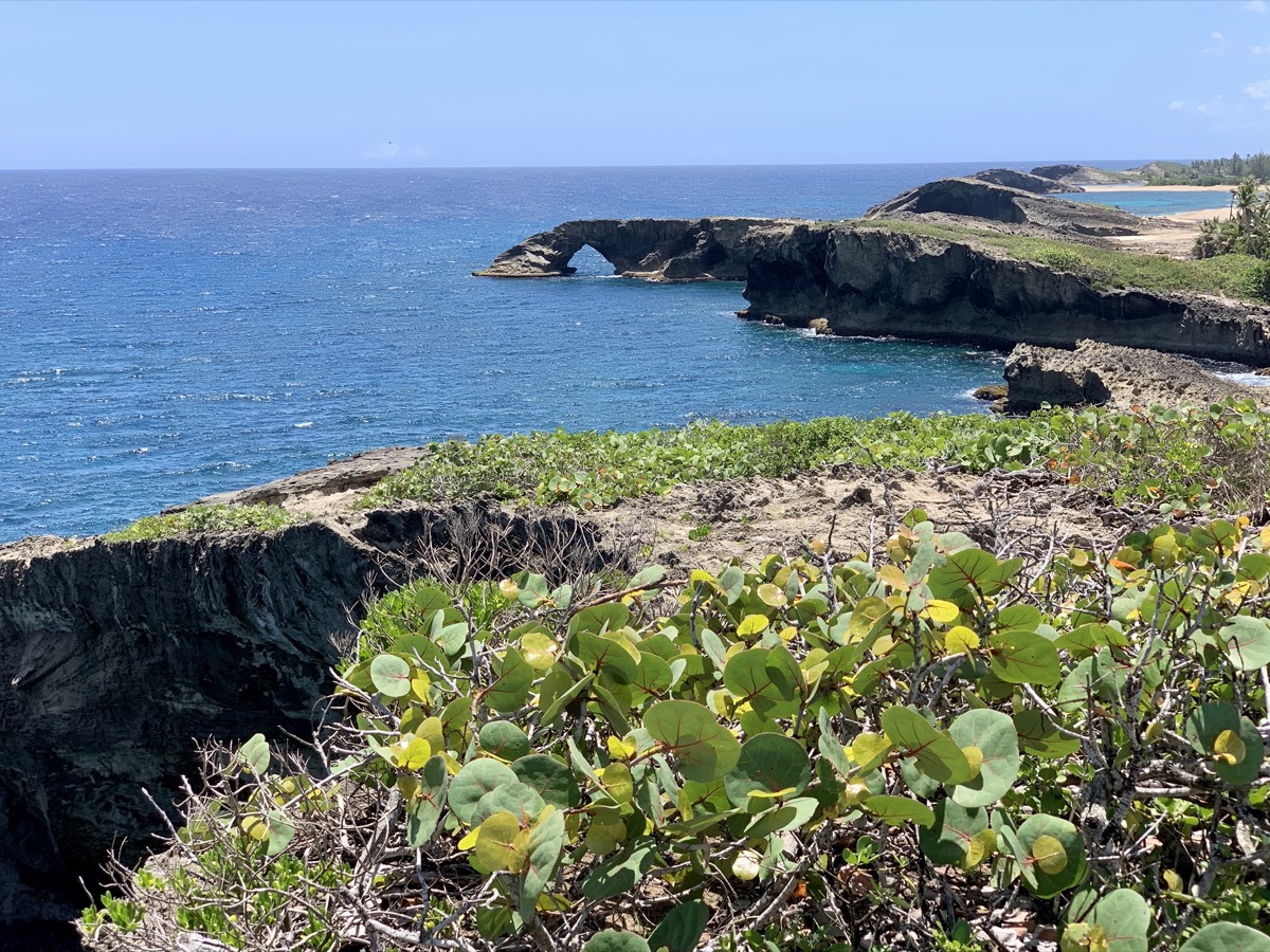
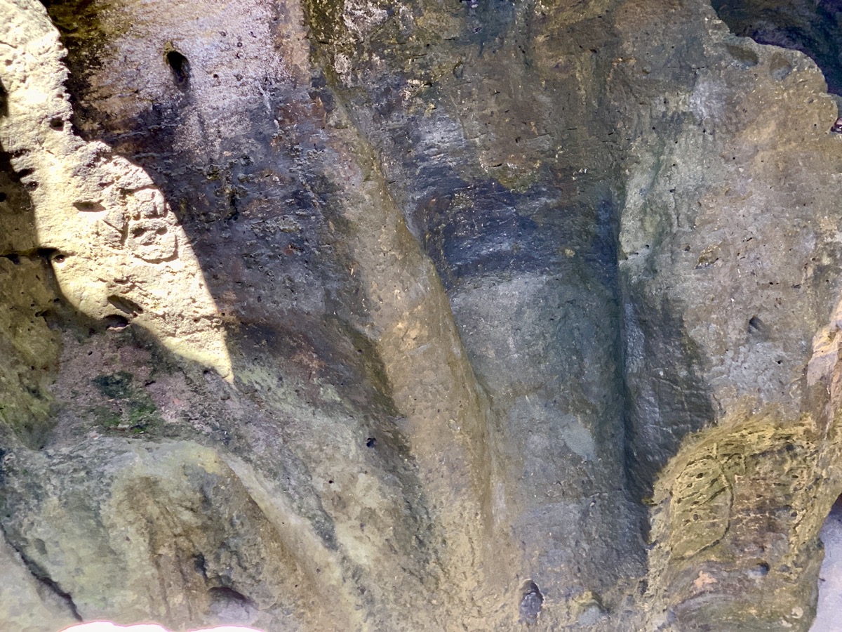
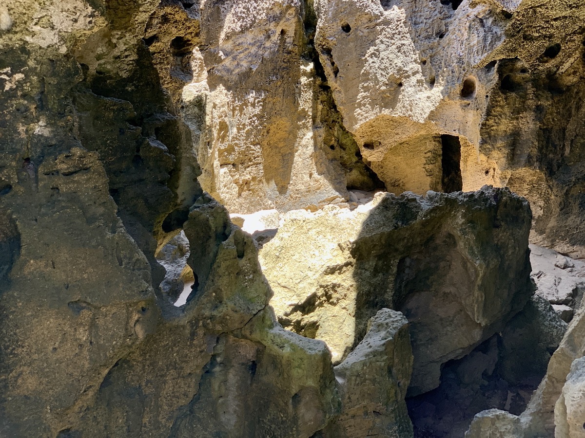
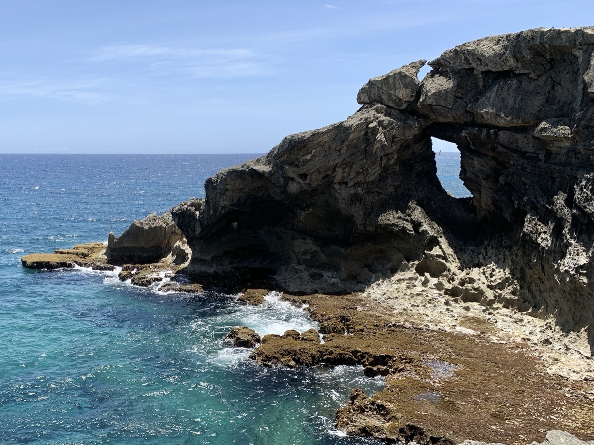
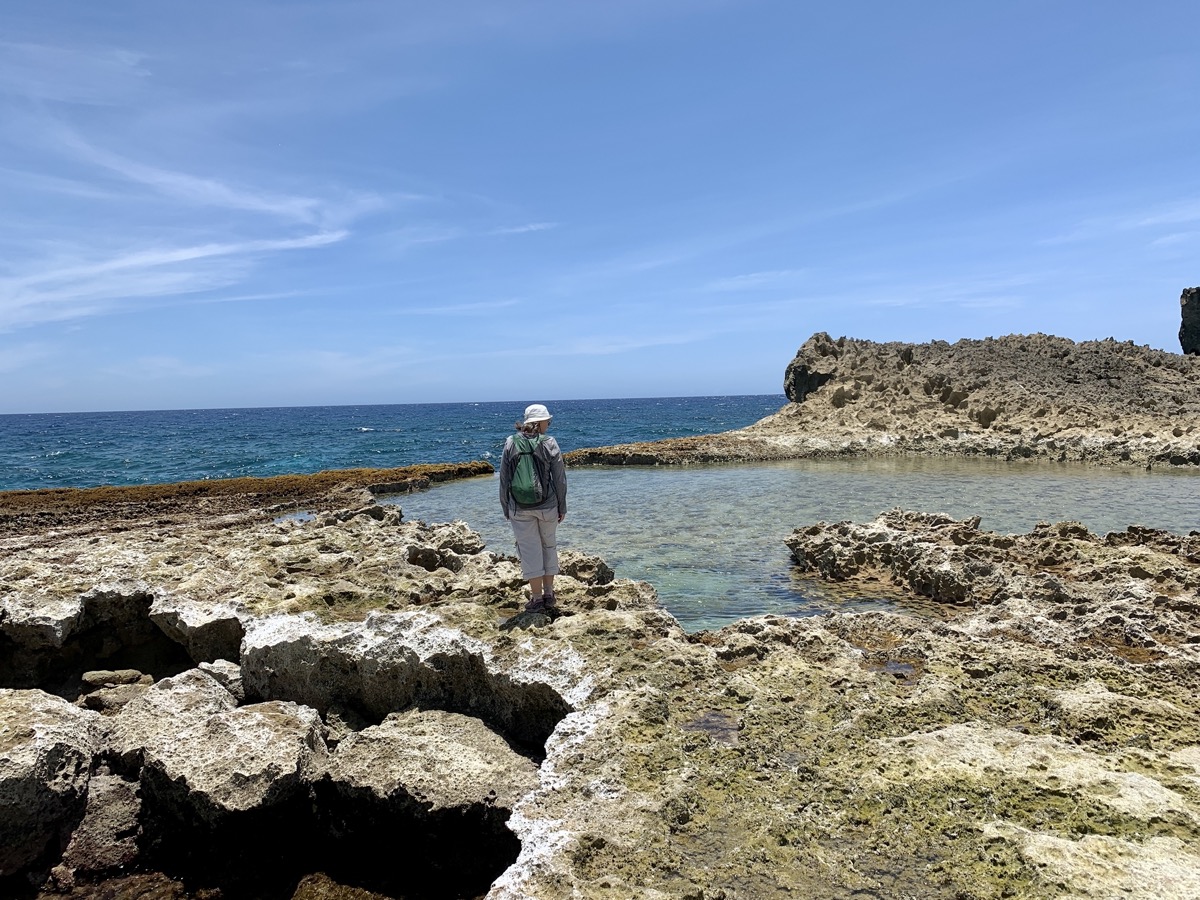
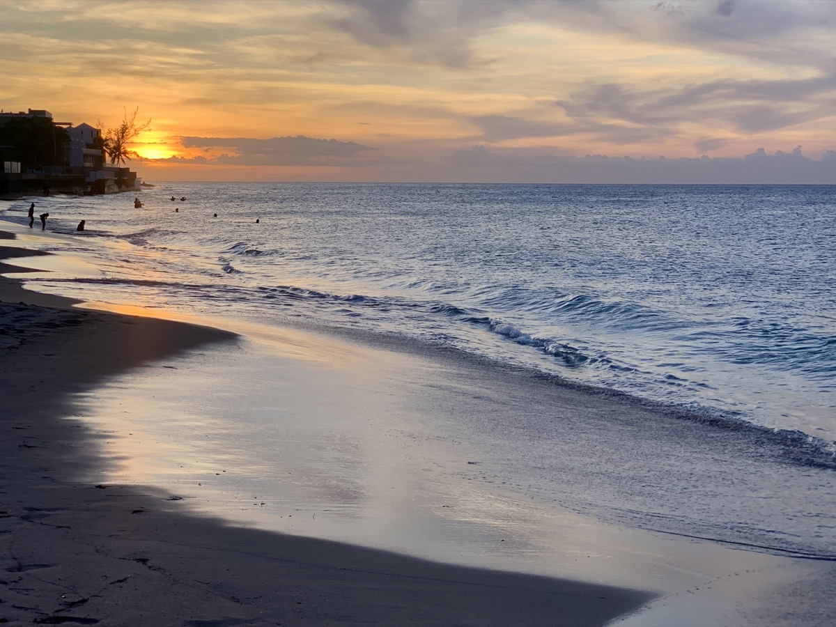
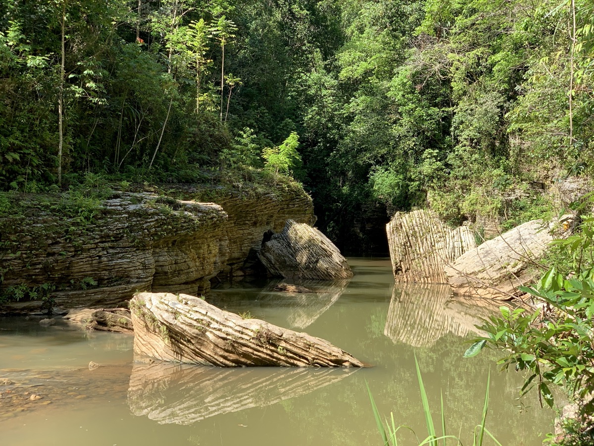
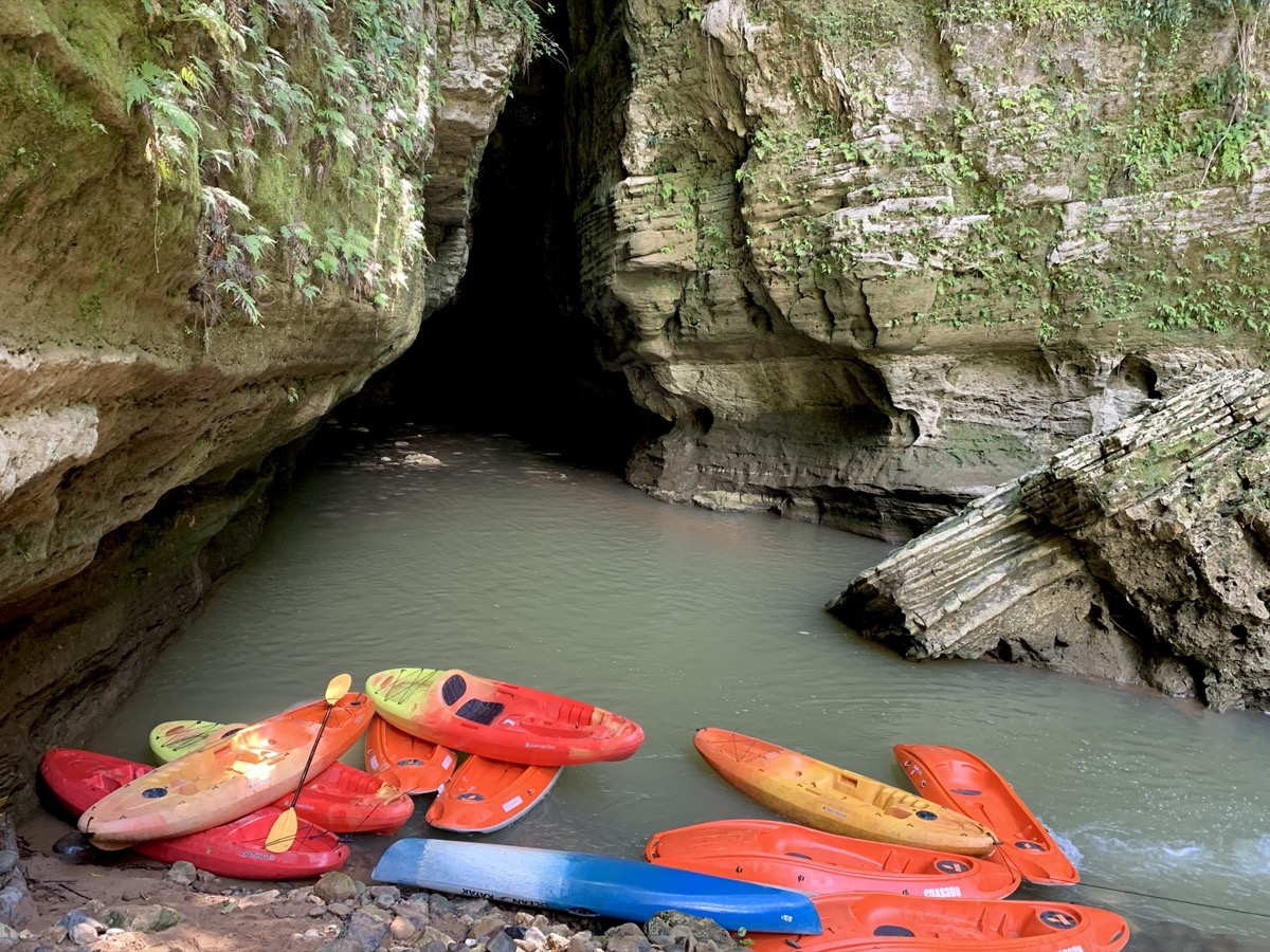
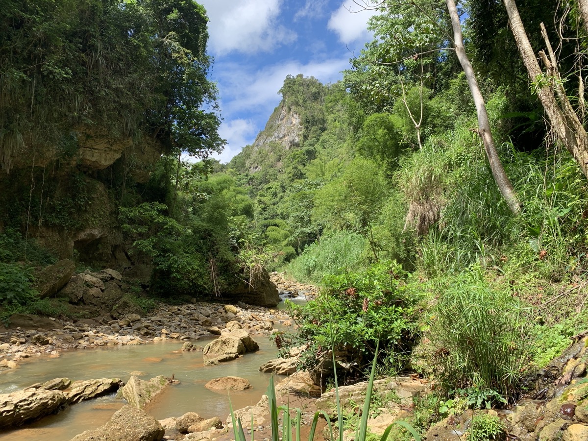
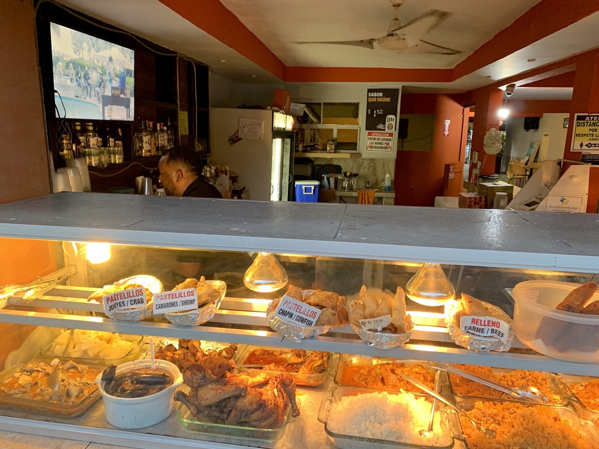
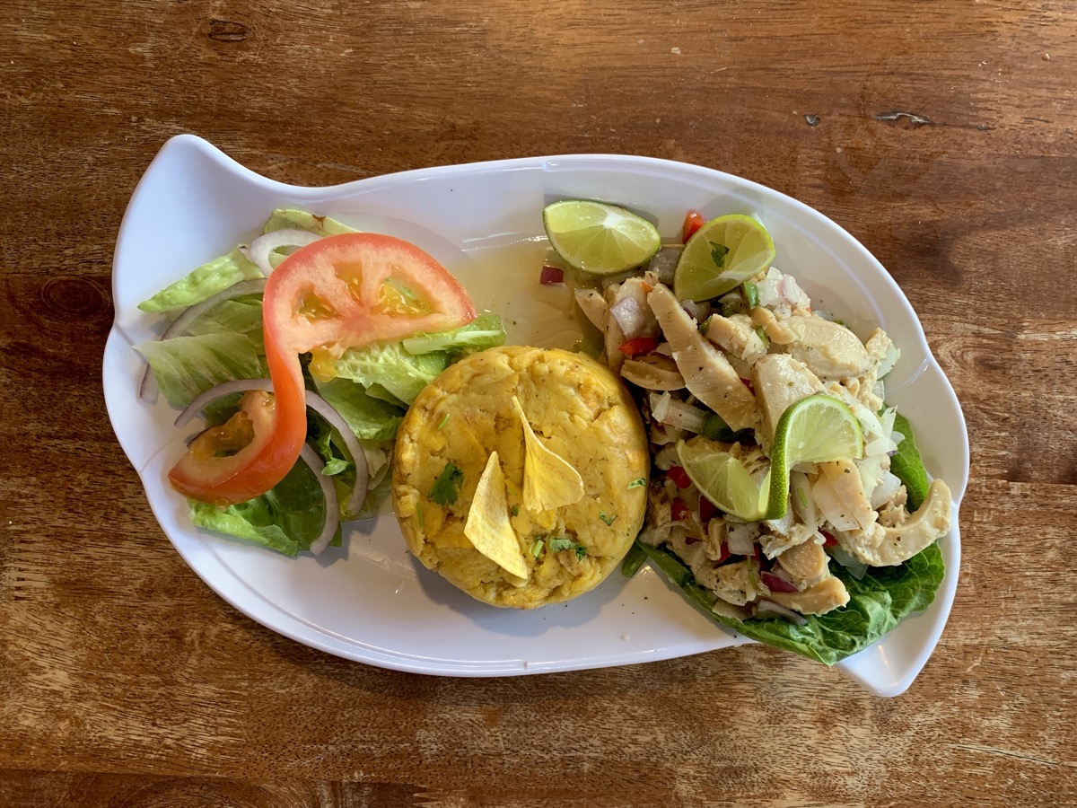
On what we thought was our last day in Puerto Rico, we drove north to Arecibo for last swim at La Poza del Obispo, spent an hour exploring Cueva del Indio Nature Reserve which we realy enjoyed,  stopped briefly at Playa Caracoles, ate late lunch at Pura Pesca (recommended) in Barcenoleta, beat traffic to San Juan to return our rental, took bus to the airport and checked-in for our flight back. Only to discover a moment later that our flight departure was delayed by full 2 hours, more than our layover in Atlanta.  Quick decission to stay in San Juan rather than being stranded over night in Atlanta. Luckily we were rebooked for a better=direct flight next day. Our apartment that we quickly booked was nice and clean, but in less than perfect location. With extra time, in the evening we walked to Playa Ocean Park and back home through gated neighbourhood. And then again to the same beach for morning swim. Lunch at Degetau Sea Food Restaurant and we were back at the airport for an easy flight to Chicago. The day was very hot so we used Uber for transportation (efficient but requires patience to get good rates).

Puerto Rico day 7 & 8: Ruta Panorámica and Rio Tanamá

Ruta Panorámica runs 250 km from Maunabo in Southeast to Mayagüez in the West,  but we had one day to cover only 60-km PR143-section between Barranquitas and Adjuntas. We first drove quickly to Cidra and then followed PR172 and PR156 (already interesting) to Mirador Suñé (Barranquitas) for a quick look at Cañón San Cristóbal. A short drive later we joined Ruta Panorámica proper. The road winds along the central mountain range (Cordillera Central) most of the time staying on top of the hills/ridges with great views on surrounding forest, fields and small villages. The green had many shades from bright and yellowish in full sun to dark and bluish when the sky was overcast. We made several stops on the way: in Barranquitas, at a  small store looking for some food (not much choice), at  Al Horno Bakery & Coffee Shop for lunch break for good coffee and sweets (recommended), at Mirador Orocovis-Villalba, at Charco de los Suspiros to hike to Torre de Toro Negro (5.5-km loop), and at El Banquillo (best views). We followed PR10/ PR123 to  PR111  in Utuado and then to comfortable Mi Casita (recommended) with wonderful hosts, our base for 3 night, across the road from Capilla Perpetuo Socorro just off PR611 (winding and narrow).

Excellent practice of driving on narrow, winding roads with many potholes – all day just  135 km, not rushed. We had enough time for hikes which proved excellent: a short and well maintened Vereda Suñé to see a deep Cañón San Cristóbal and a longer trail in Toro Negro rainforest, much less popular than El Yunque. All tourist amenities (information, bathrooms, picknic areas) were closed at all viewpoints and trails but parking and limited number of trails were available.

Cañón San Cristóbal, view from Mirador Suñé

View from Torre de Toro Negro

Next day we made a trip to Rio Tanamá to kayak through Cueva El Portillo and then walk in the river and swim to Cueva Del Arco. The kayaking part was with a large group, but the second part was just us and our guide. We just wished the river exploration and swimming part was longer. The tour was very well organized by ☞ Batey Adventures (recommended ☞ TA review). Edwin, our guide, turn out to be also a gifted naturalist with good knowledge of local nature and very easy to interact with. After the tour, we walked across the street (PR111) from Batey’s office to Caguana Ceremonial Indigenous Heritage Center to learn about Taino past. Interesting archeological site and small botanical garden (recommended). We continued west on PR111 to Lares to try rosted pork at Lechonera Rancho T (very good), Piotr explored Heladería Lares and we walked around the town center to check out some murals. When we came back to Mia Casite we finally got to see coqui that we heard everywhere, all the time.

Puerto Rico day 5 & 6: El Yunque and San Juan

El Yunque National Forest (☞ reservation required) has the tropical magic: rainforest, fast moving low clouds, fog, passing drizzles and green vegetation.  On the way from Fajardo, we took really local road (google map challenge): narrow, winding, with potholes, but luckily no traffic. We drove to the last parking lot on PR 191. Trail status was not clear, what was closed, what had been opened. We started on the El Yunque Peak trail only to learn at the junction that the last section was closed. We walked to Los Picachos instead – very nice trail with a good viewpoint – and returned the same way with a short detour to Mt Britton Tower. We stopped a few times along PR 191 on the way back to visit historic pools/baths (long closed) and observation towers (open) constructed by Civilian Conservation Corps in 1930s and some small waterfalls. We arrived at Luquillo at what looked like serious rush hour – of course, we wanted to check out Kioskos. We had  dinner there and a quick swim at a very popular beach, and then beating heavy local traffic we came back to Fajardo.

It was now time to go back and visit San Juan old town. Prep work paid off – we quickly found our way to paid parking lot near the harbor ($3 per day), just where we wanted to be.  Street parking may be permitted in this part of town, but looked impossible. And we walked – first outside city walls on a lovely path along the bay, via San Juan gate near La Fortaleza and to Castillo San Felipe del Morro. After exploring the fortress we wandered through the old town, visiting beautiful gardens of Casa Blanca and to Castillo San Cristobal, another fortress on the oposite side of old town, both with great views of town and sea. We drove to Caguas in the evening to be closer to Ruta Panoramica next morning.

error: Content is protected !!