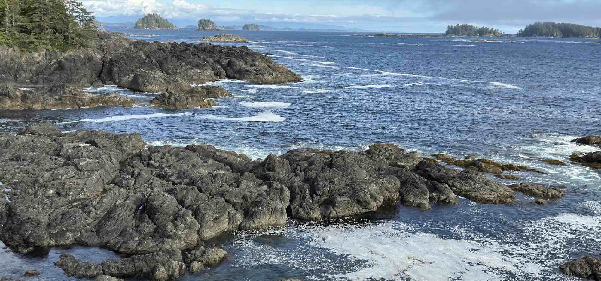
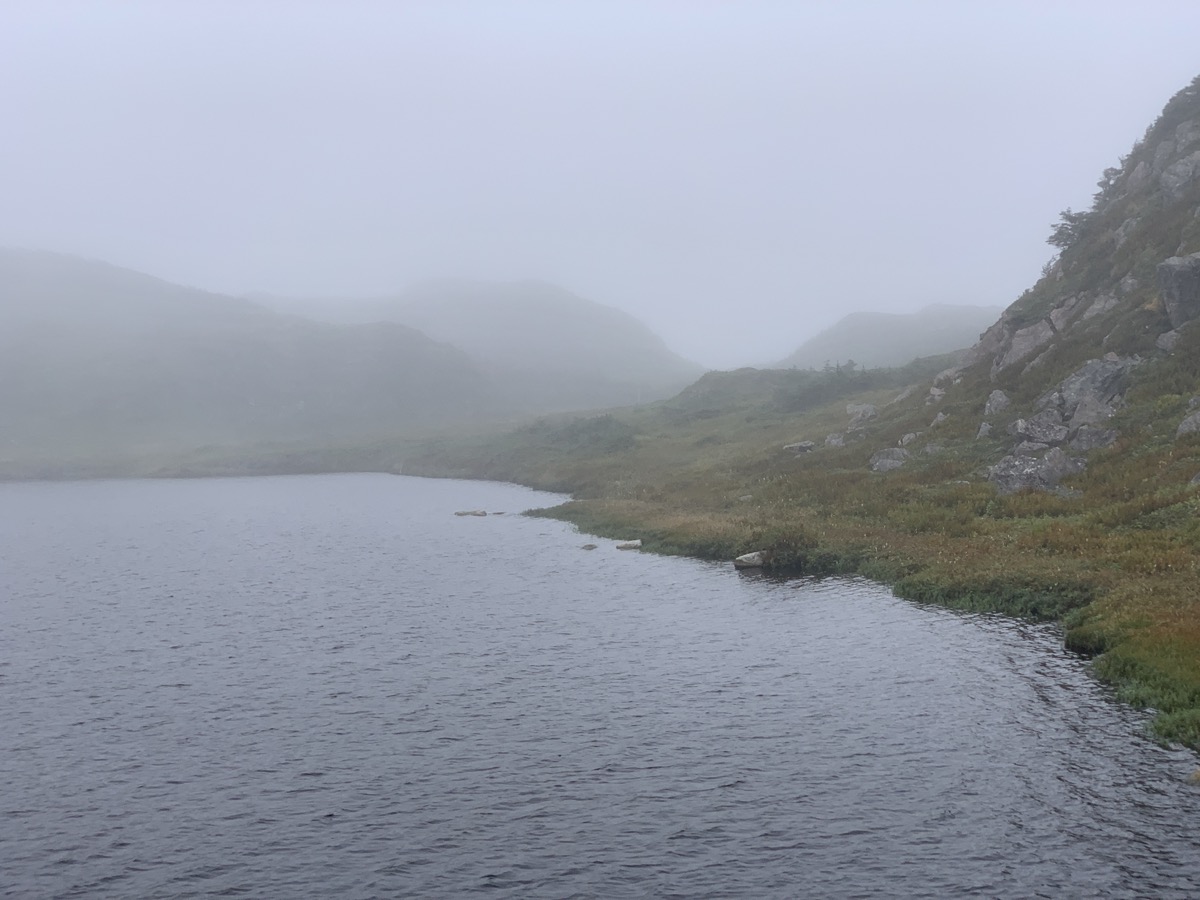
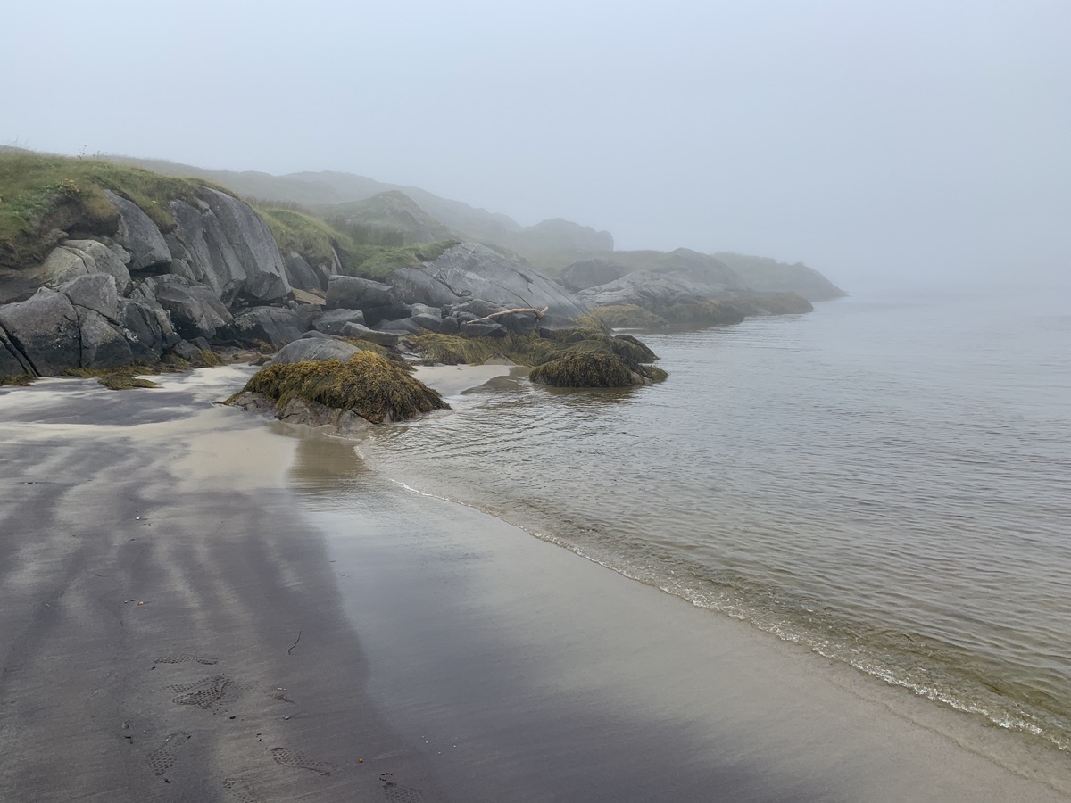
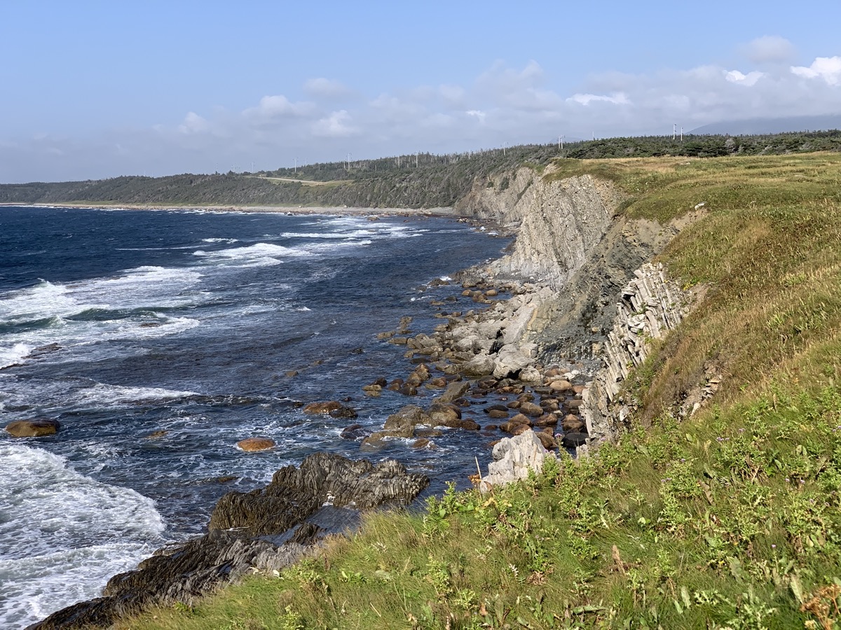
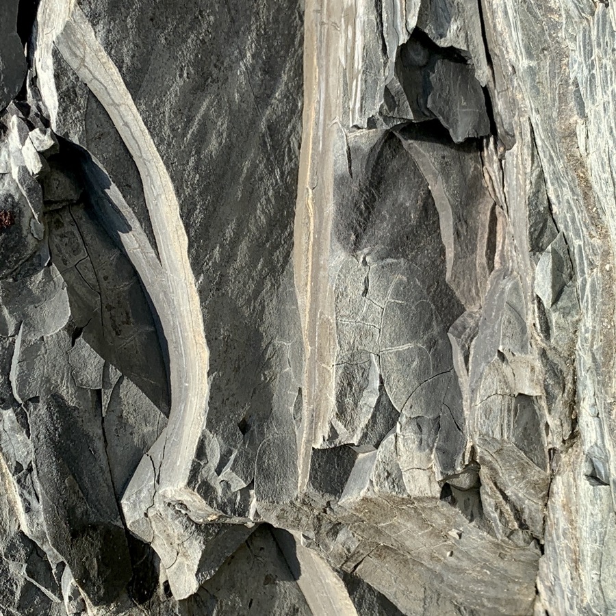
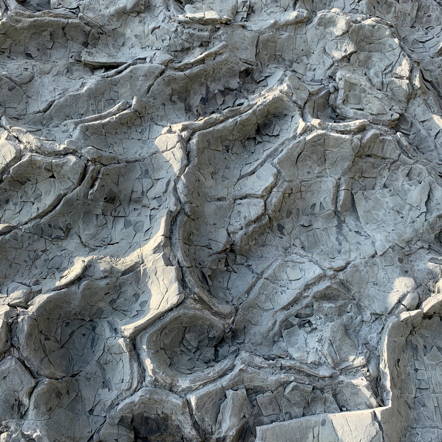
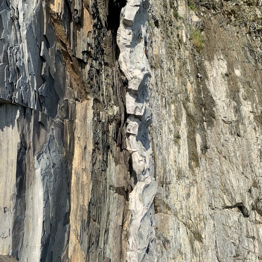
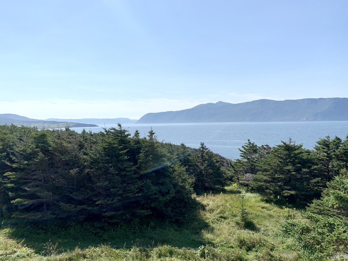
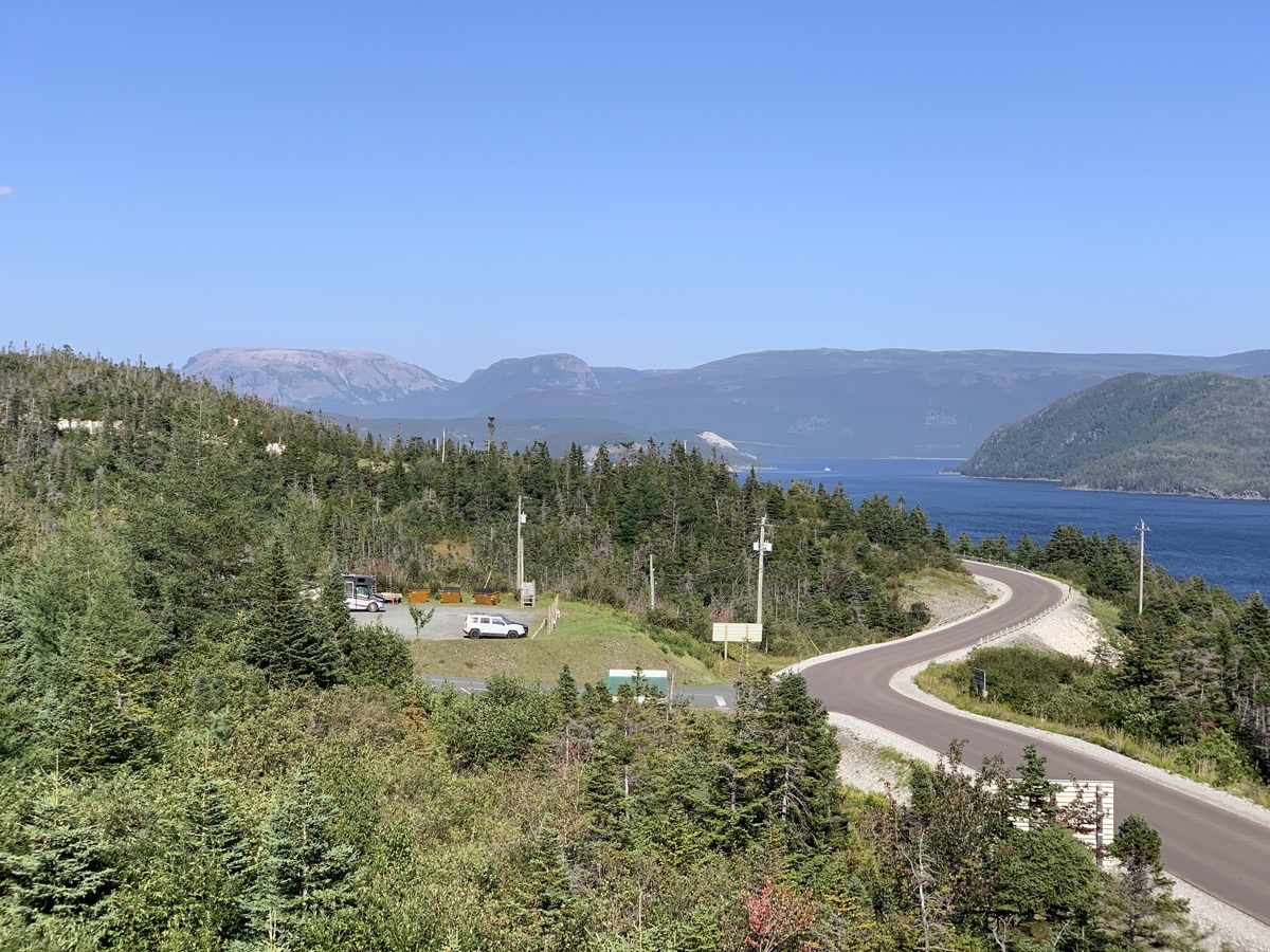
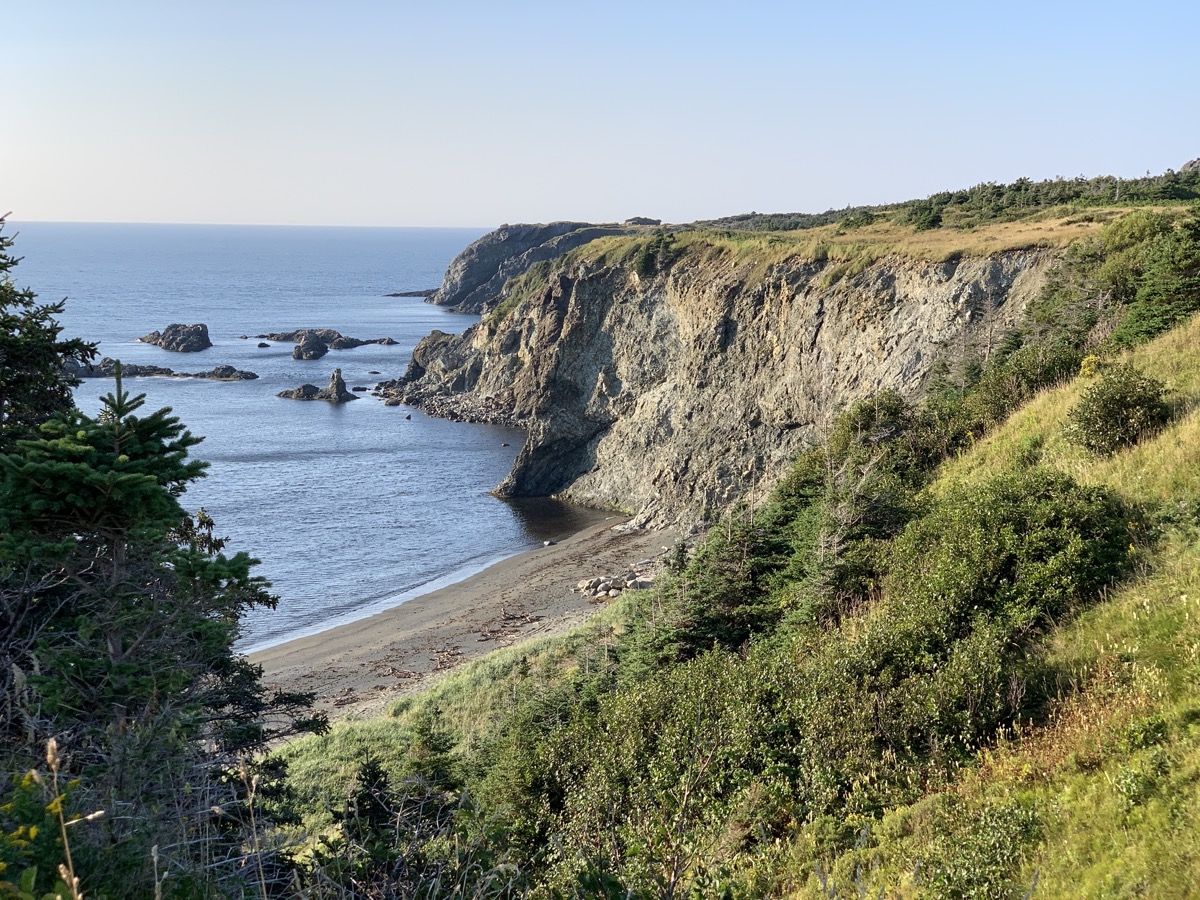
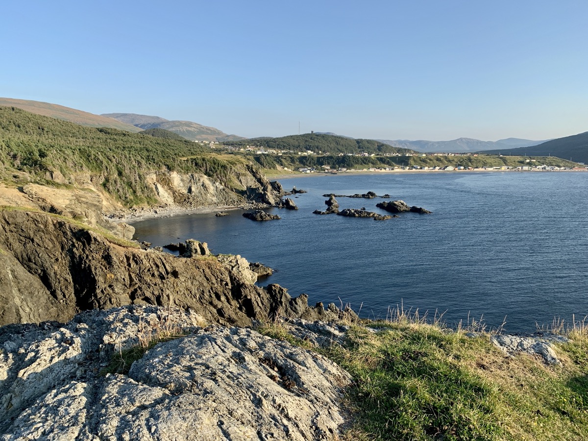
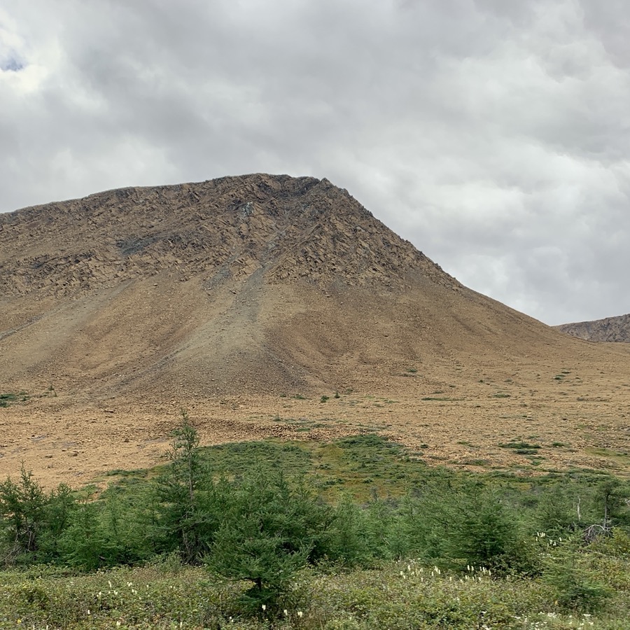
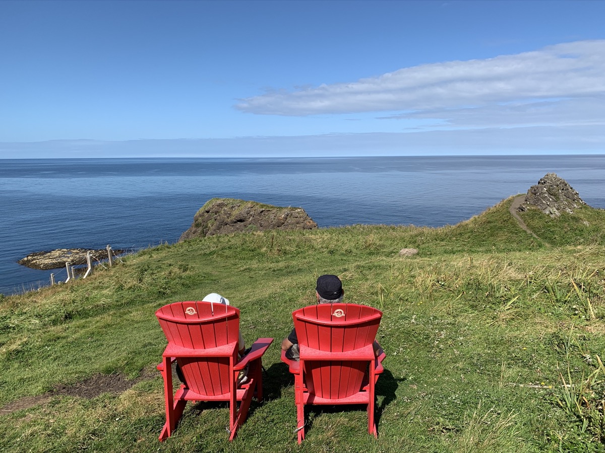
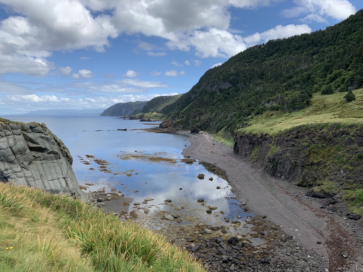
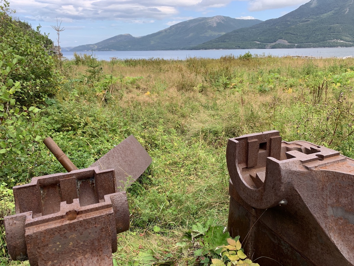
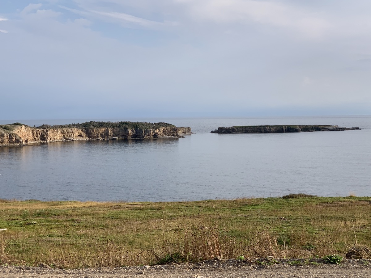
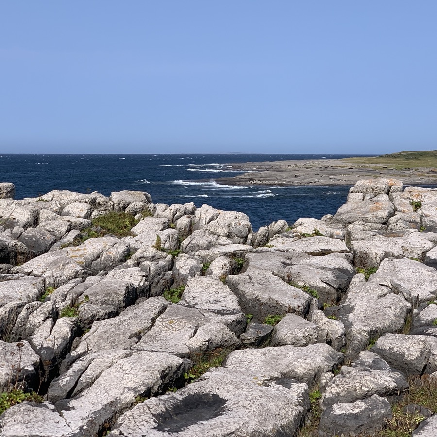
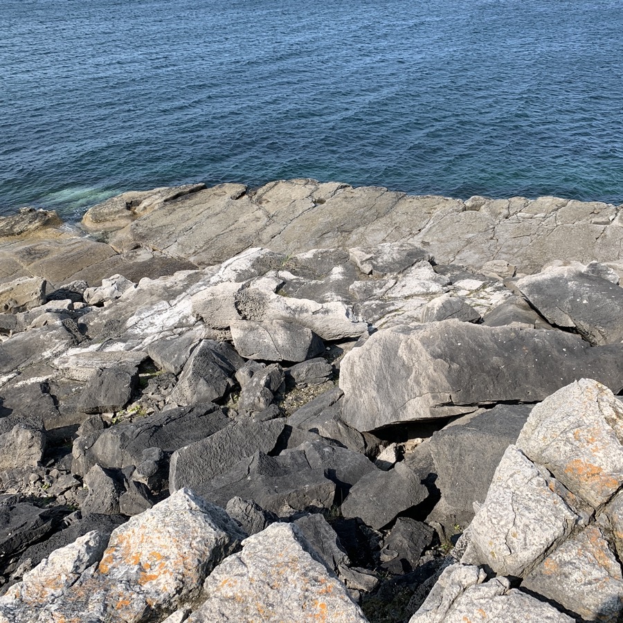
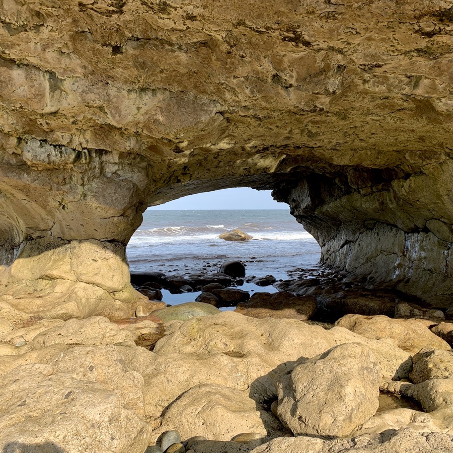
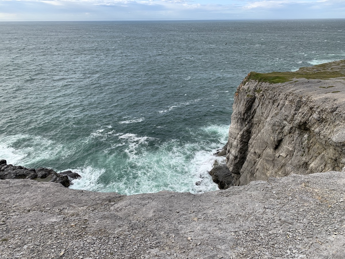
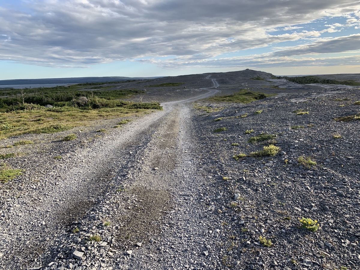
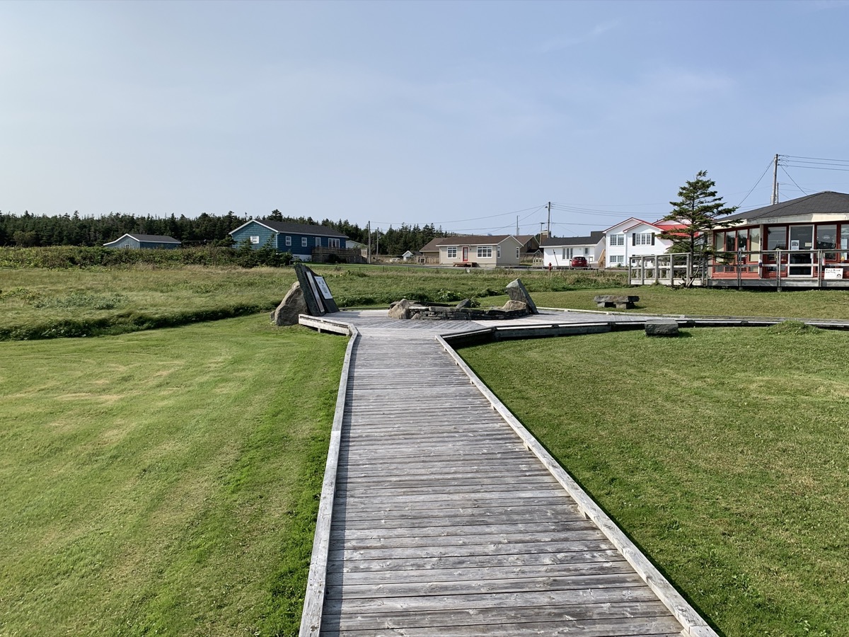
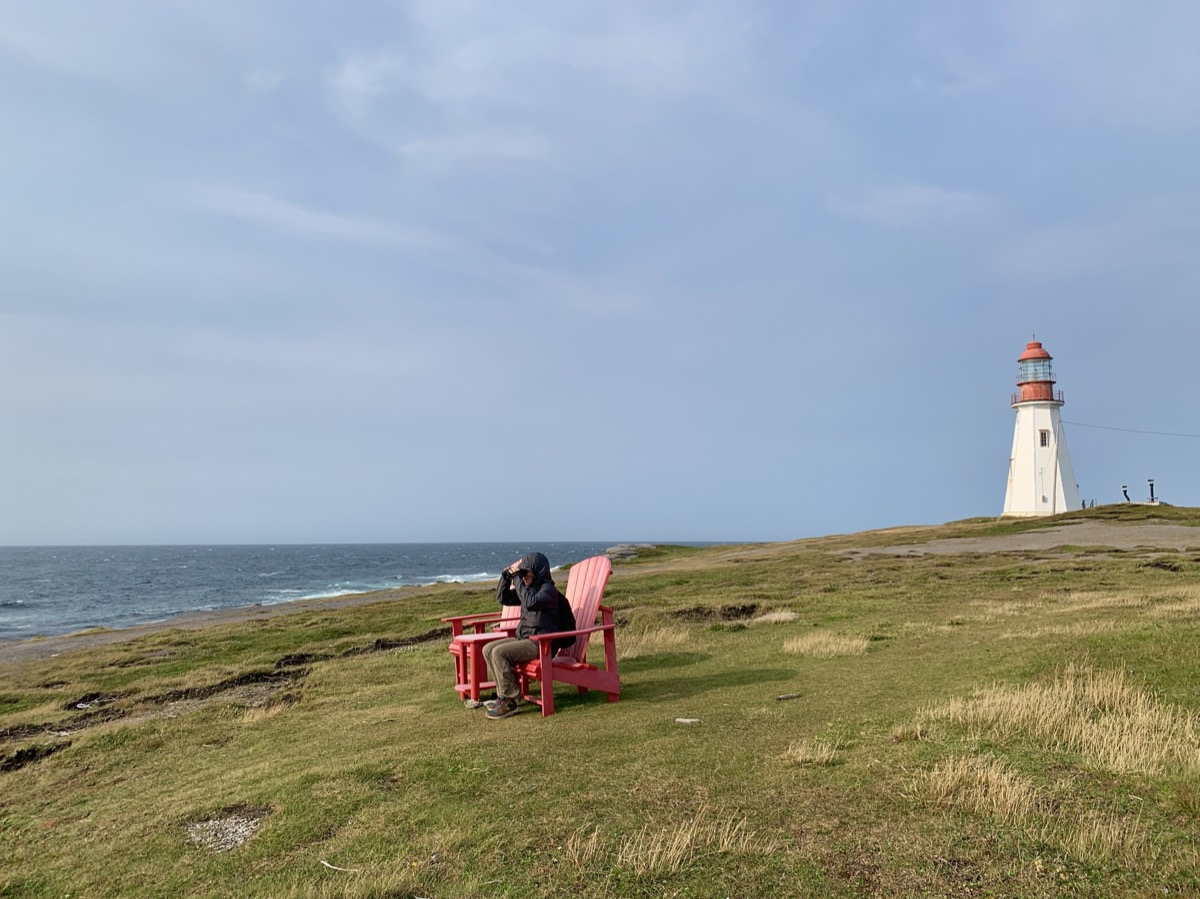
The day started with great and sunny view from our room, good breakfast and talk with our host about whale watching. And we are on 7 km high cliff (Boutte du Cap) walk with beautiful views. Watching a few diving gannets, but no whales. Download Piotr’s GPX file
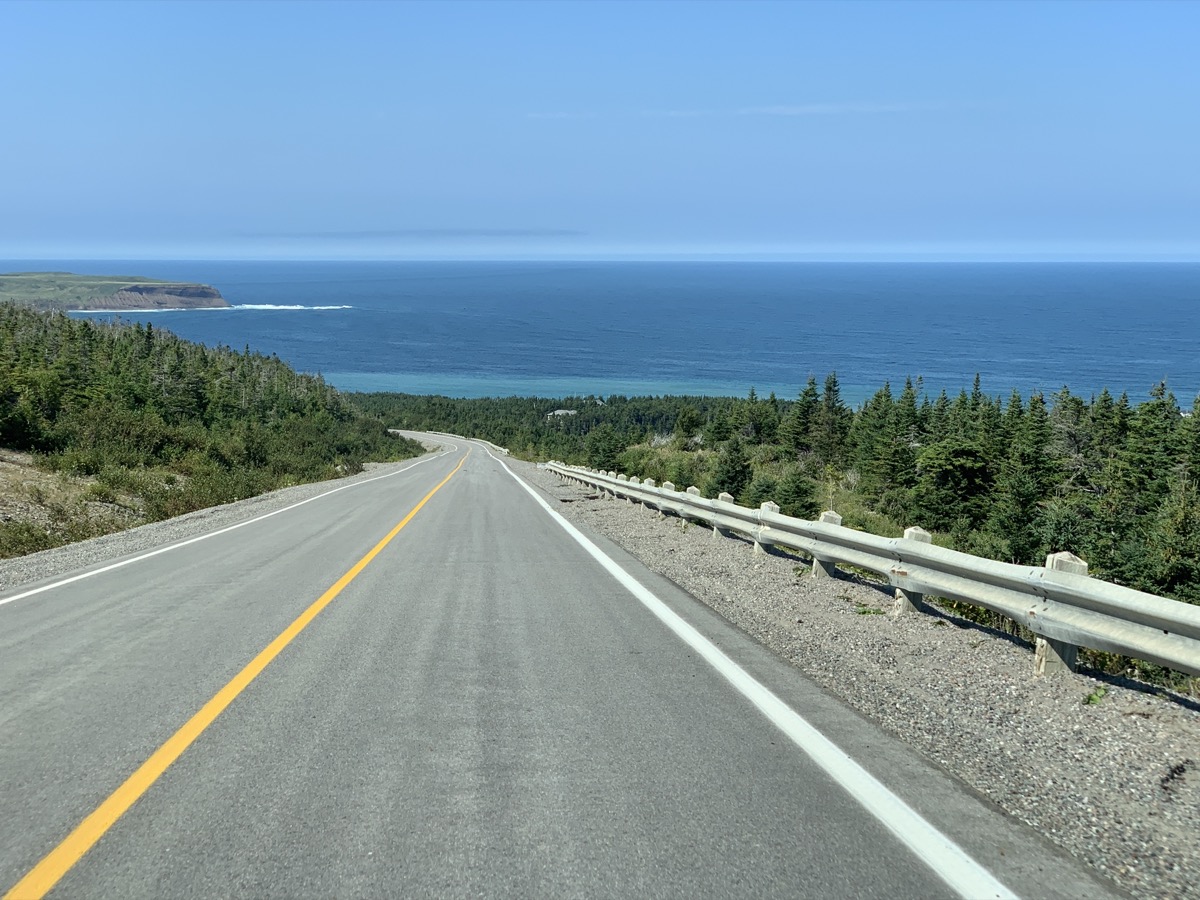
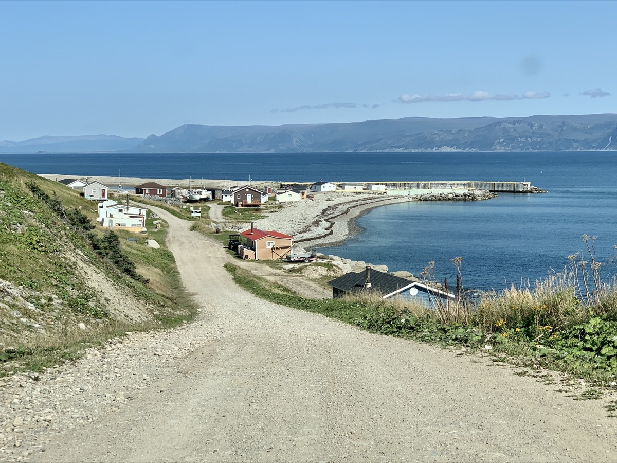
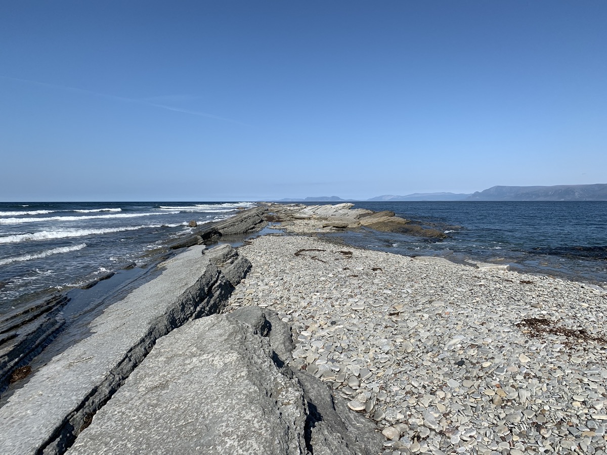
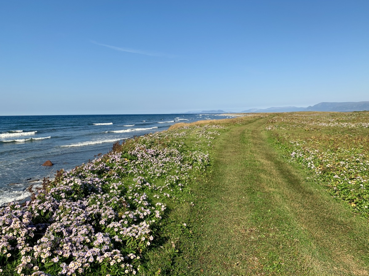
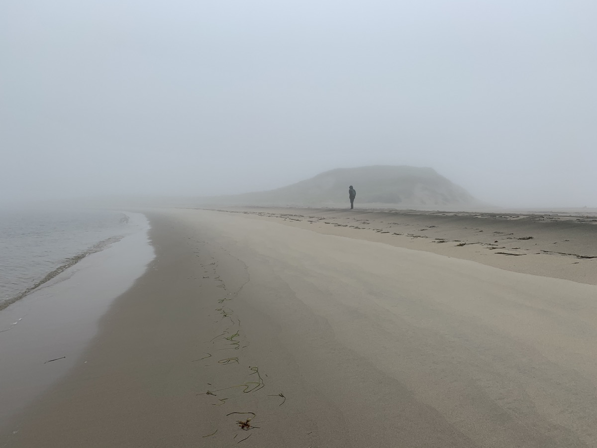
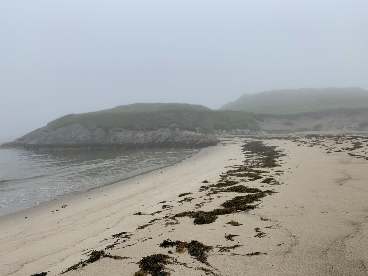
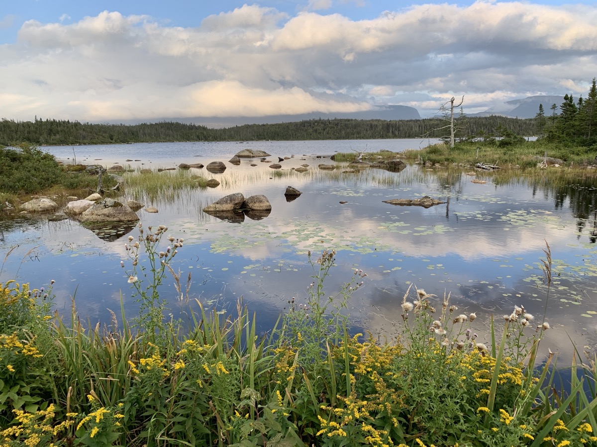
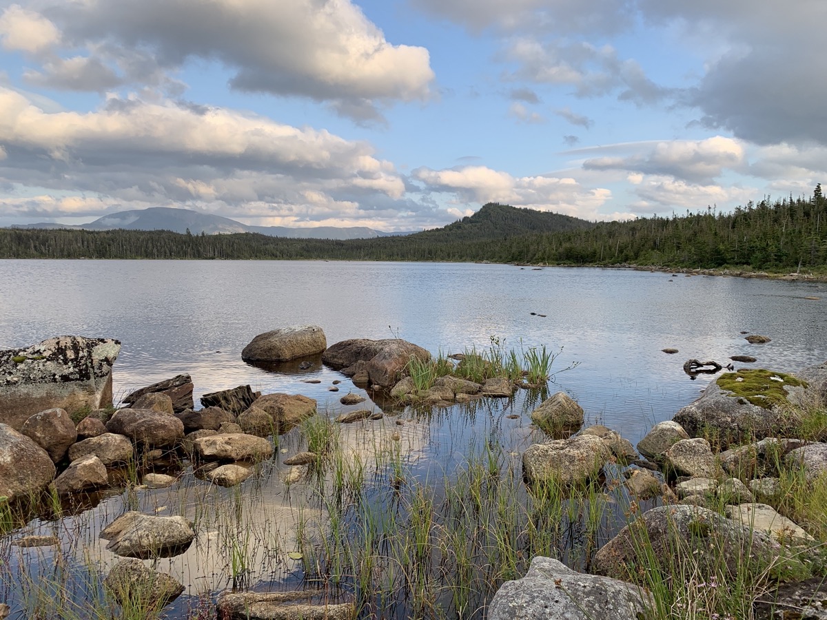
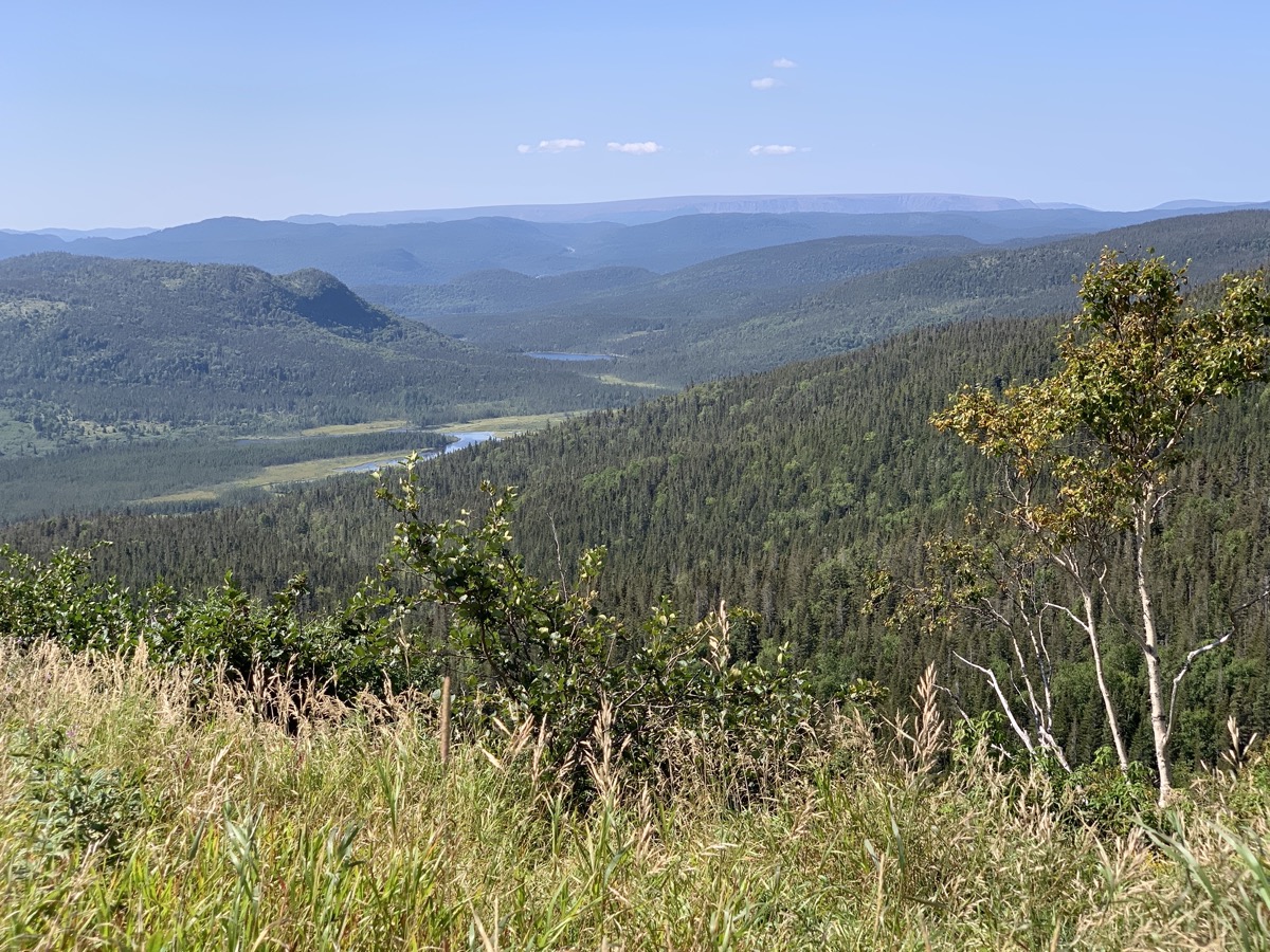
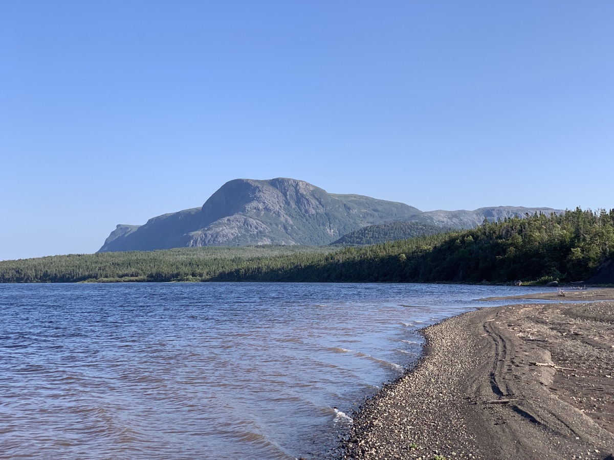
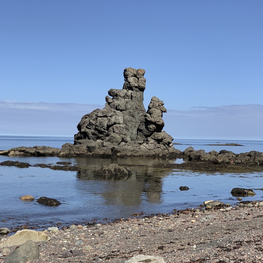
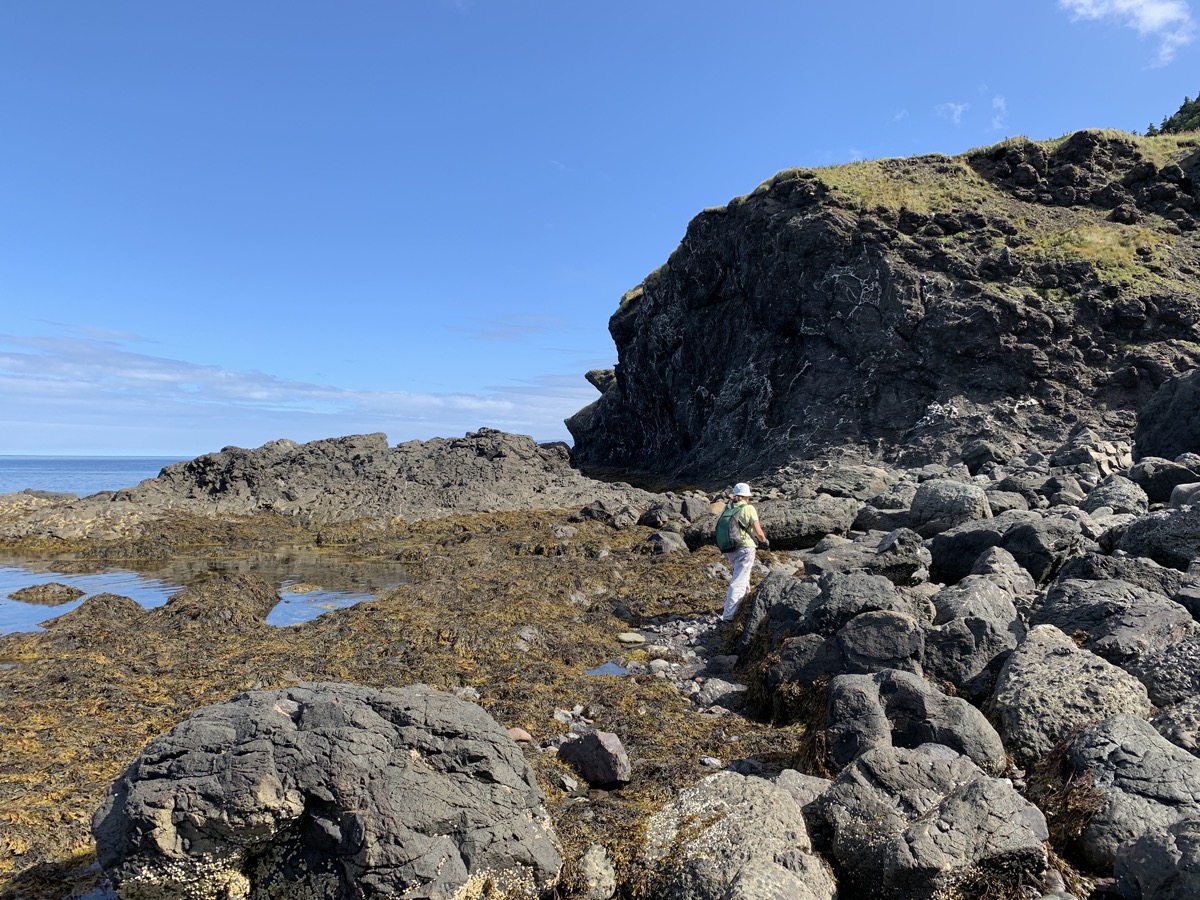
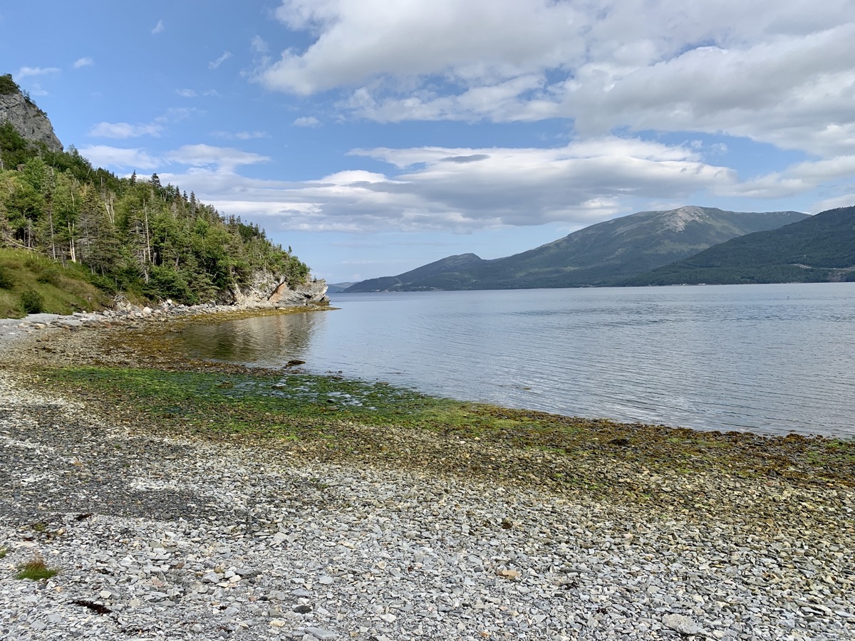
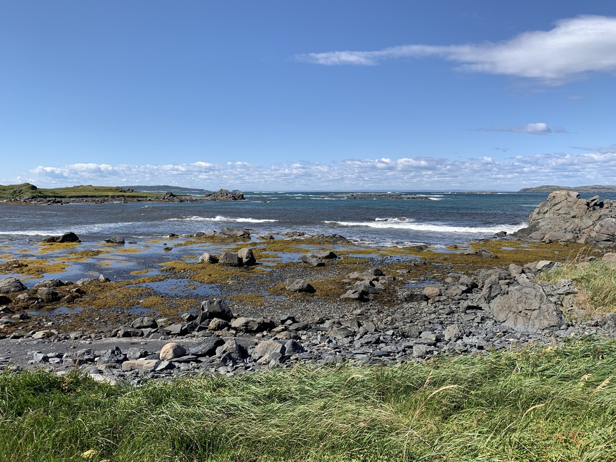
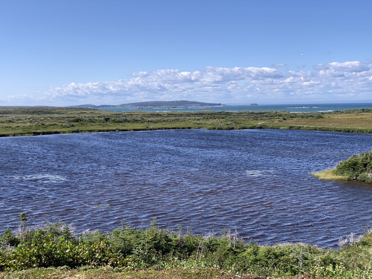
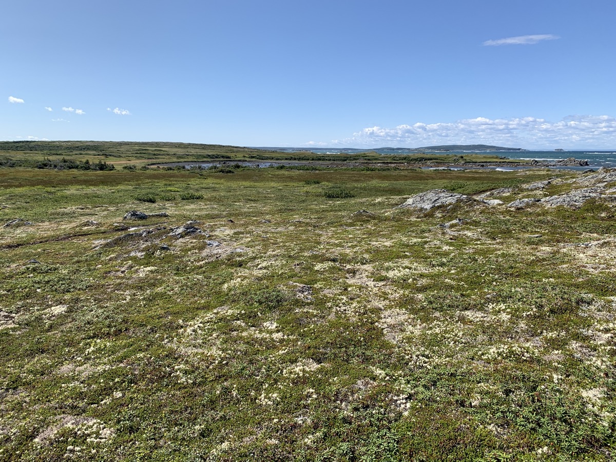
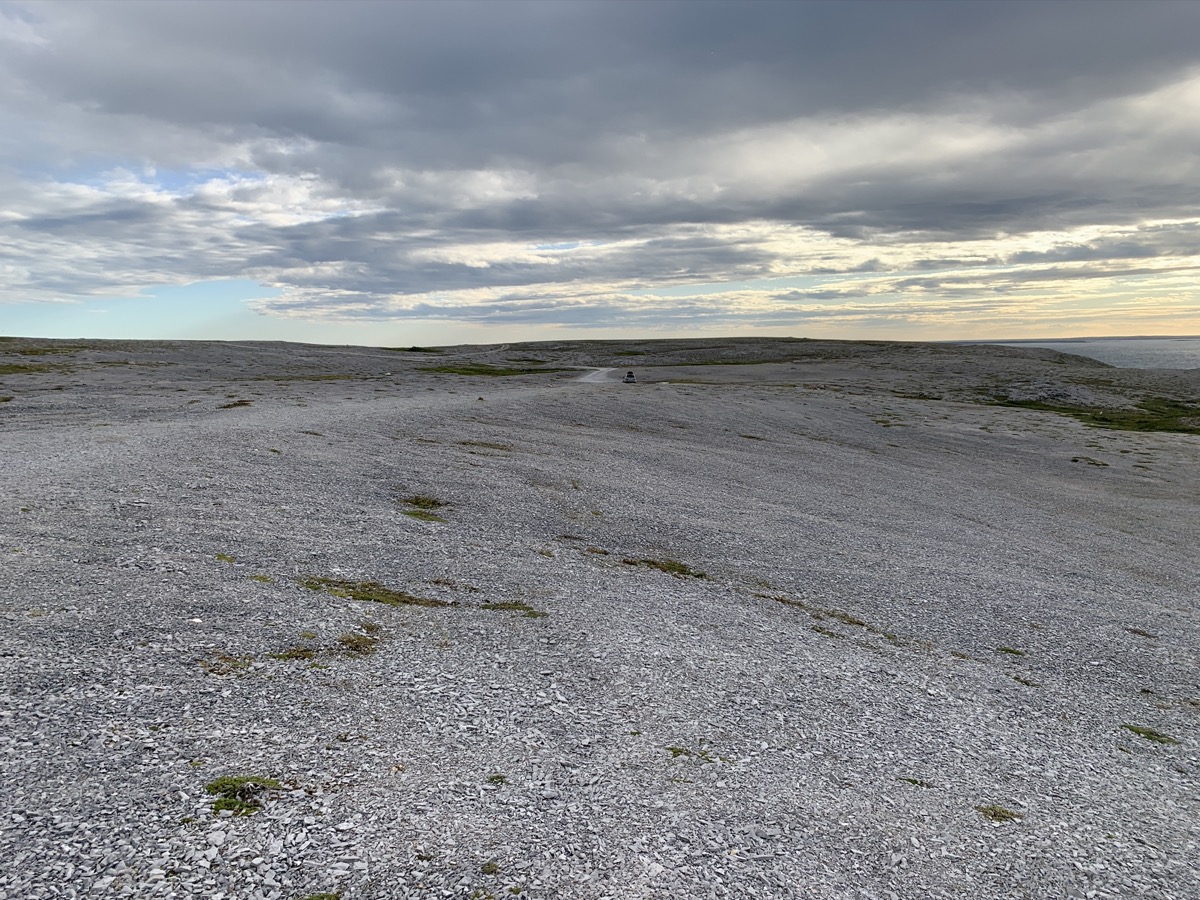
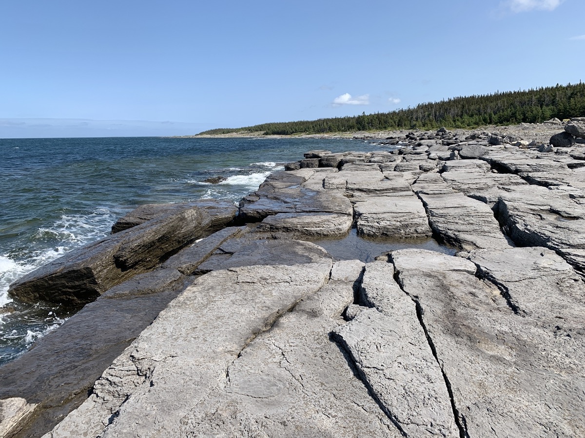
We spent all afternoon driving along the north side of Cape St George (Rte 463 then 460 and 490). Stopped for lunch at Tea By The Sea restaurant. Next stop: Long Point. Parked our car in Blue Beach at the end of the World of easily drivable gravel road. Joanna walked all the way to the very tip of narrow rock bar with sea on both sides, and we scrolled back to our car through grassy peninsula coloured with Alpine Asters. We did not see a person on our walk. Picked-up groceries in Stephenville, home to a former US Air Force base and international airport. We filled-up tank in Stephenville Crossing and shortly after crossing Hwy 1 started looking for a side road to camp as we were driving on Rte 480 toward Burgeo. Stopped at small turn-around on gravel forest road away from “main” road, nice.
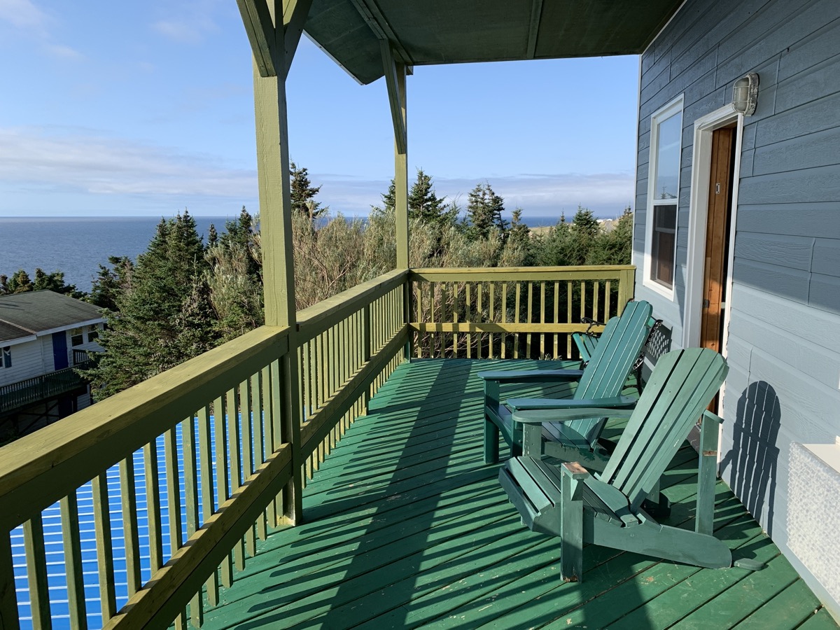
Inn at the Cape
On high cliff trail, Red Island in the distance
The Boot
Rte 463
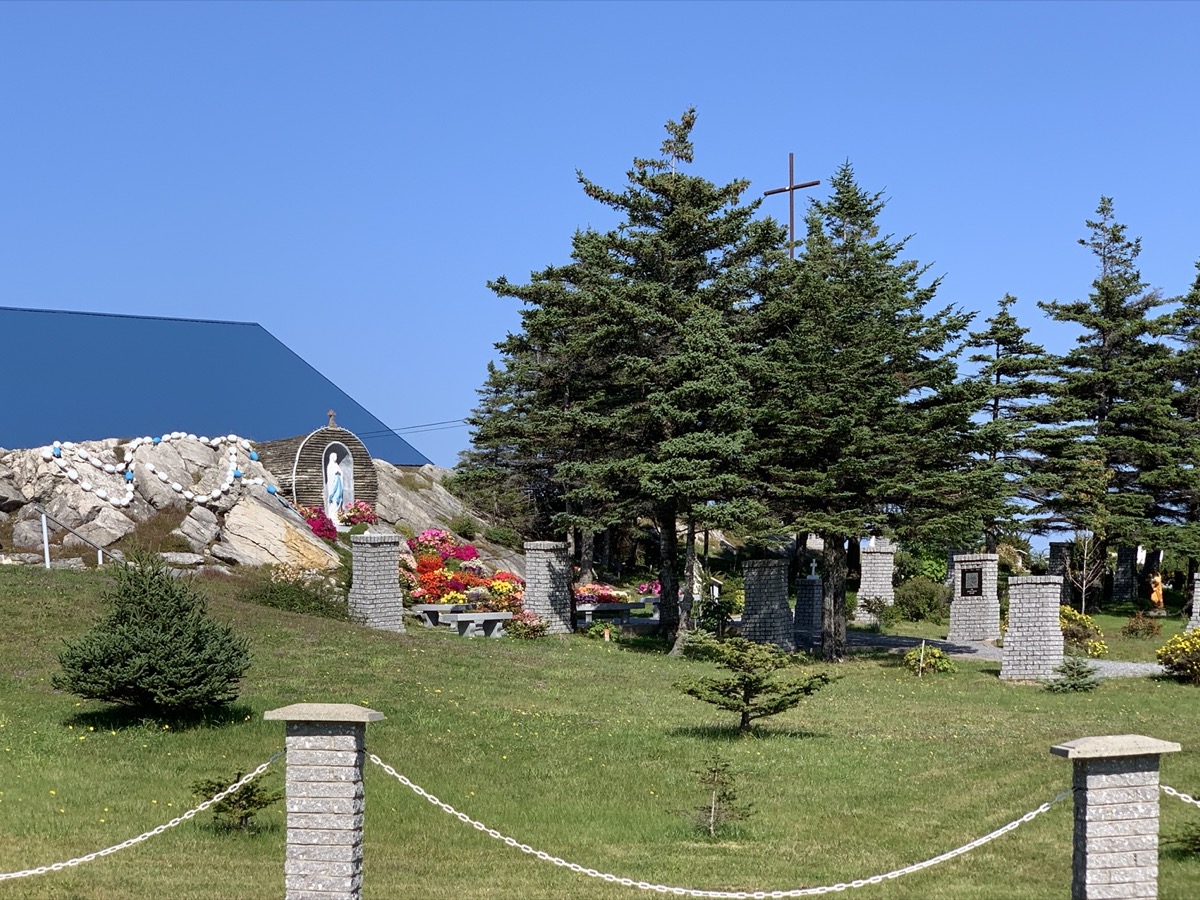
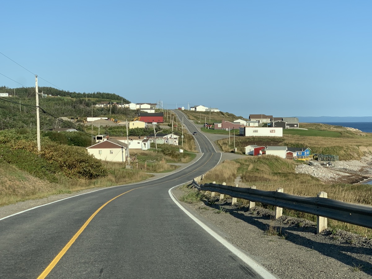
Lourdes Newfoundland
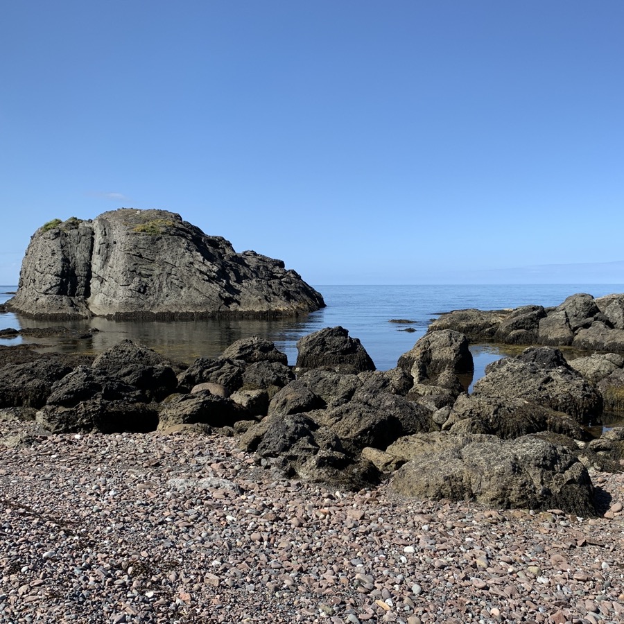
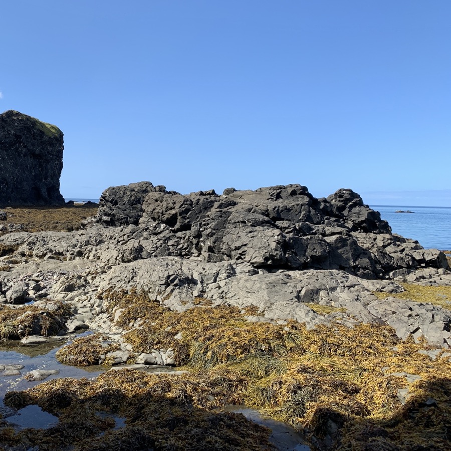
Blue Beach
Long Point
…
Rte 460
Day 22.
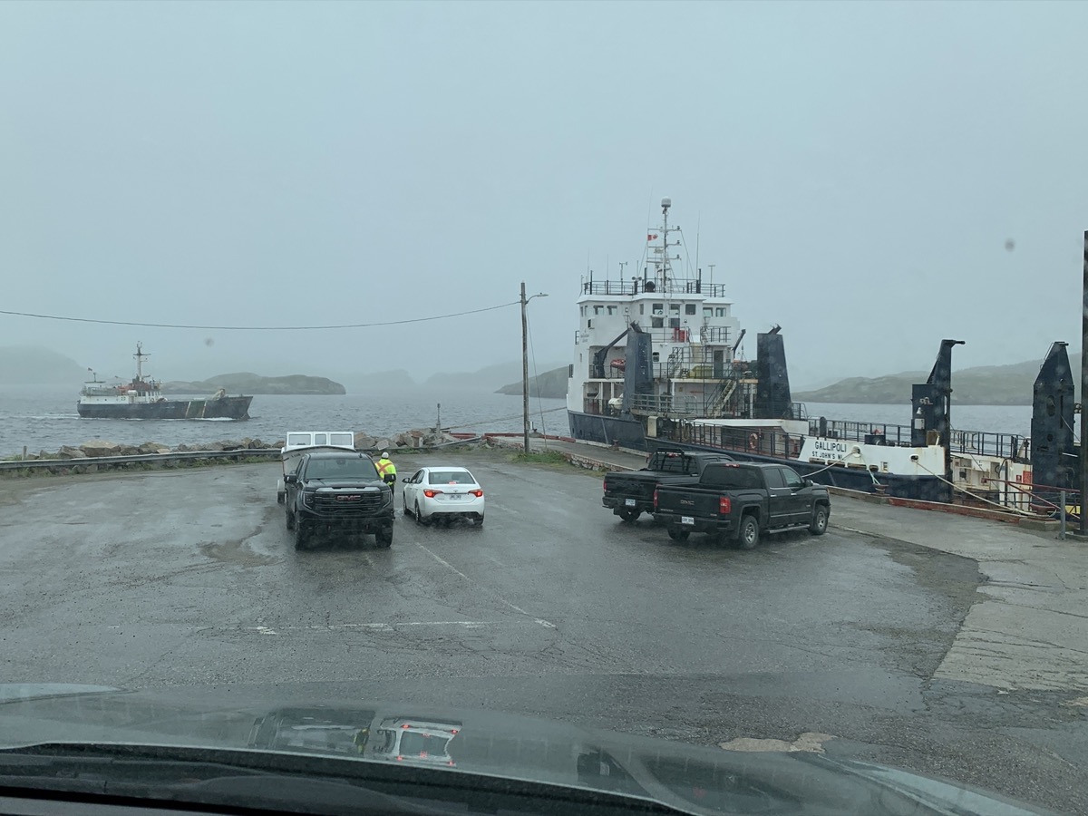
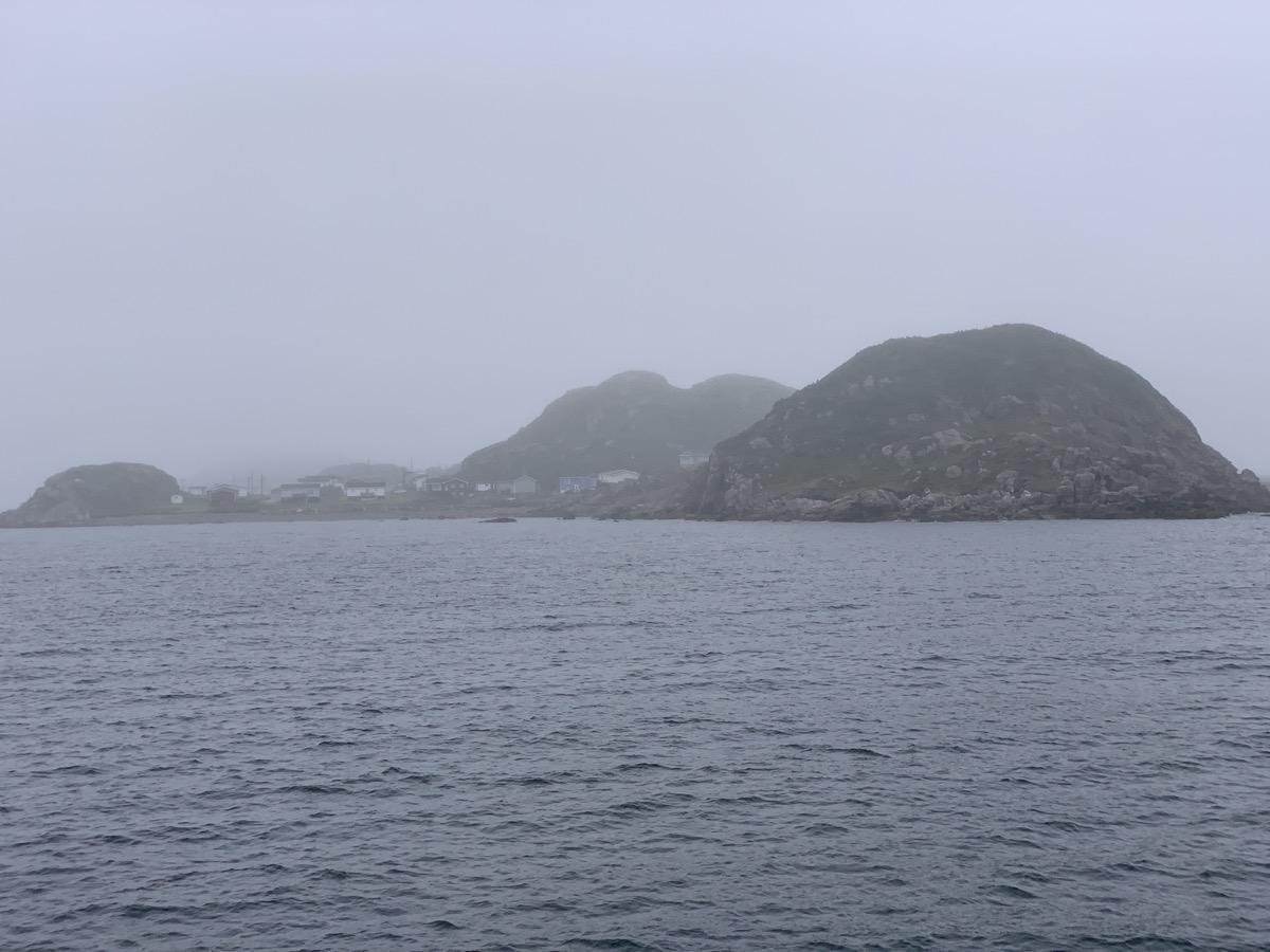
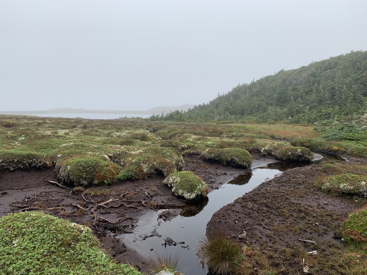
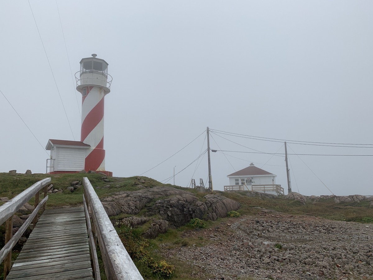
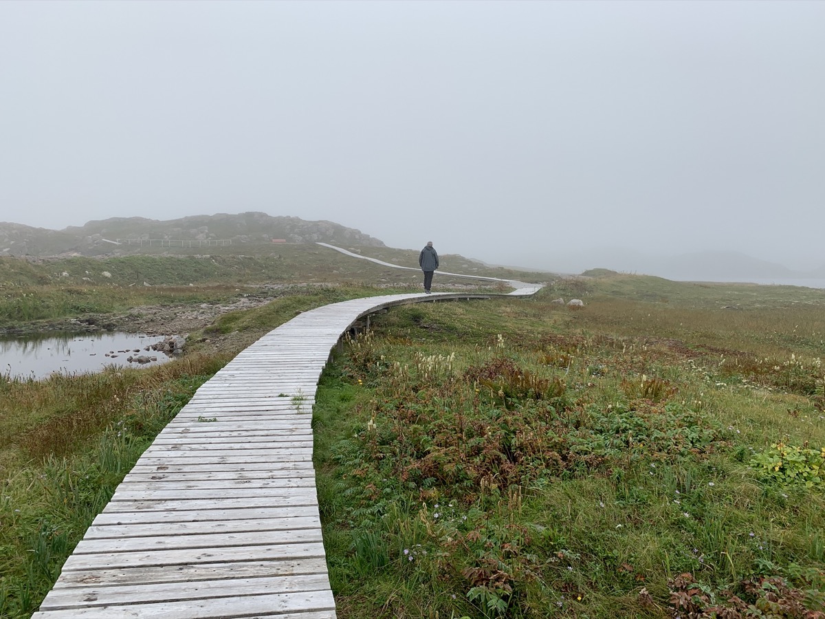
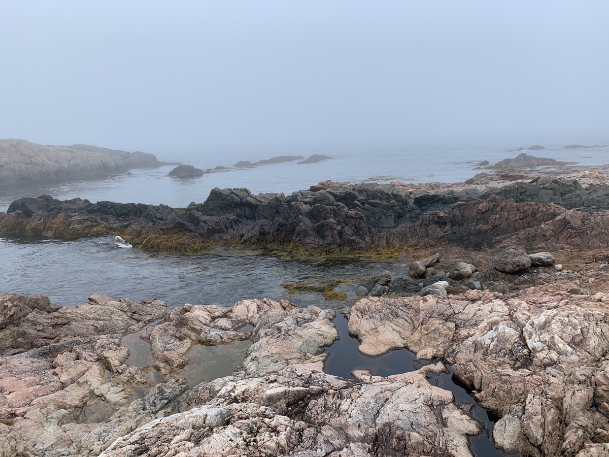
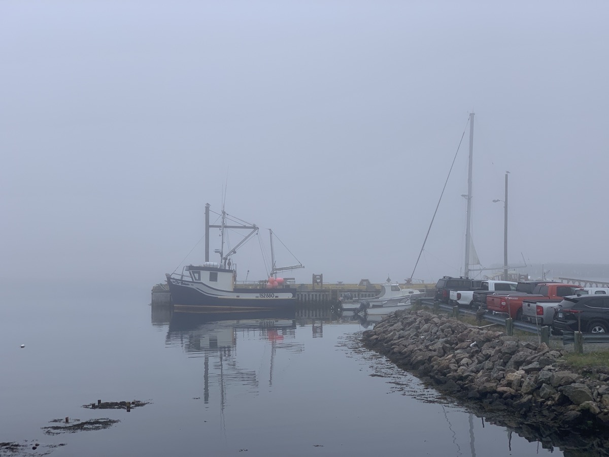
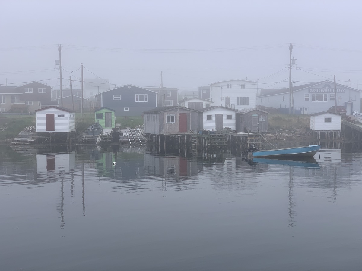
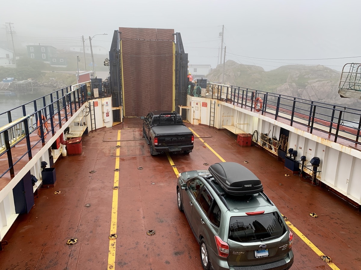
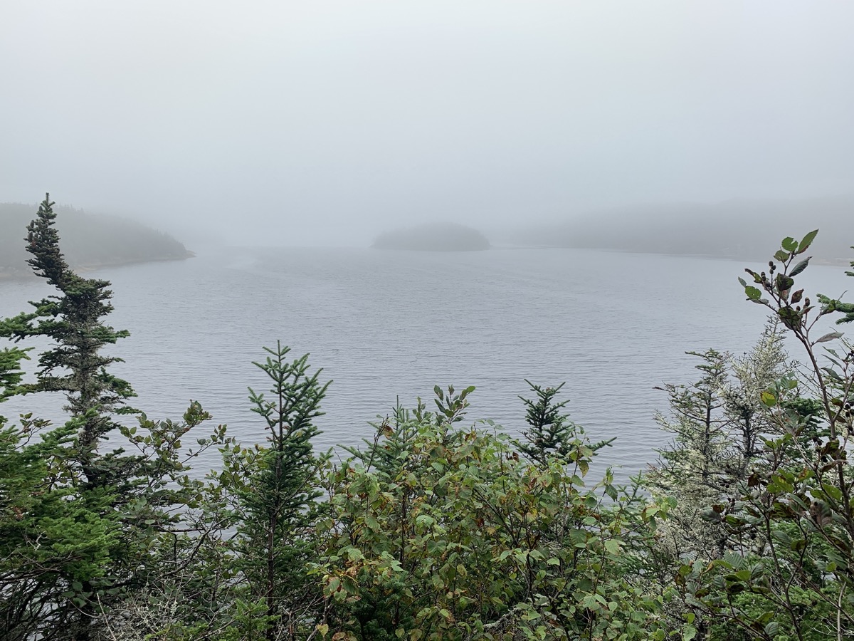
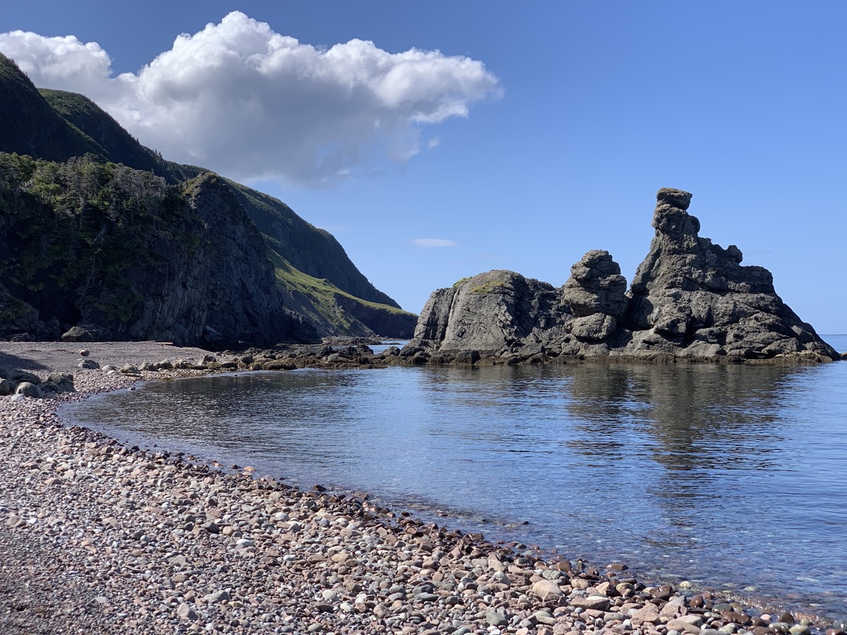
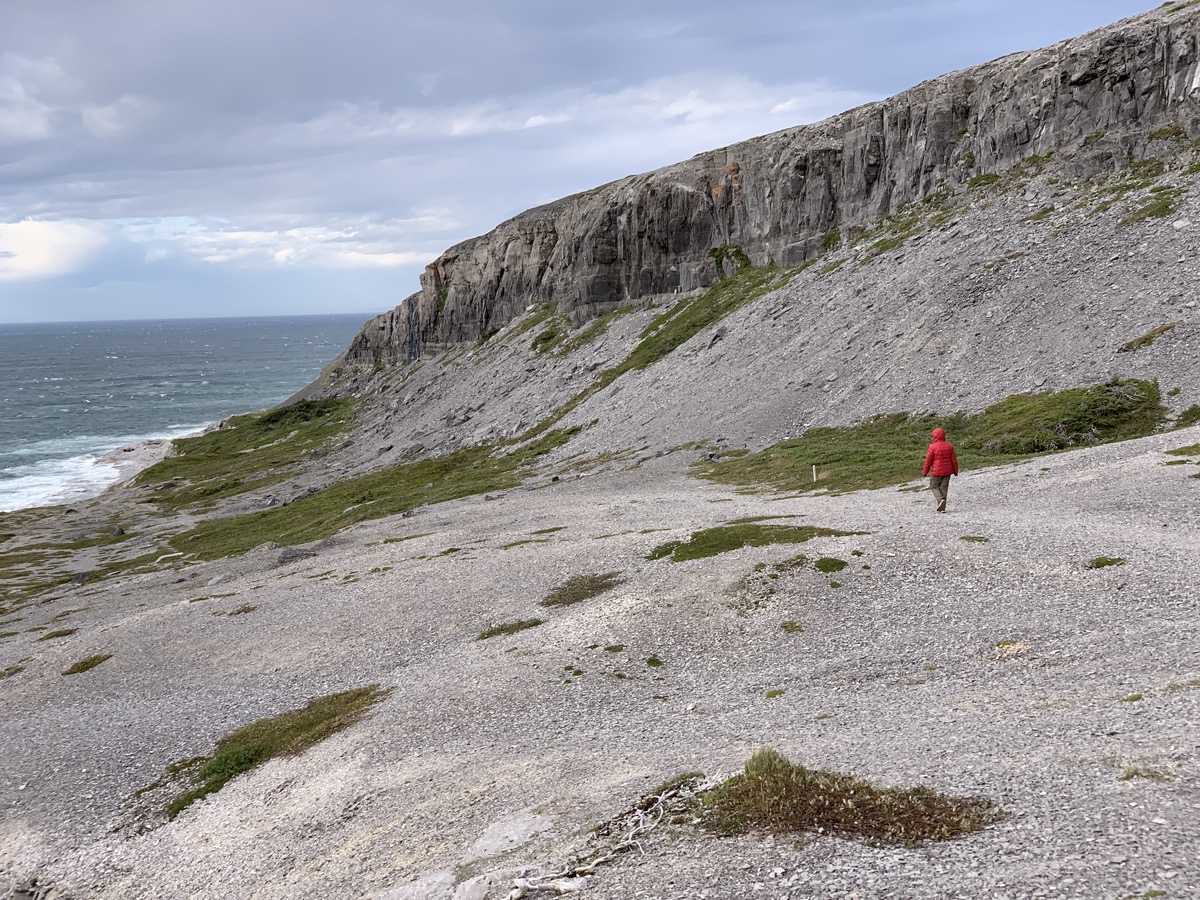
The day started with surprise visit by local moose hunters at our campsite (first day of season). Continued south on Rte 480. There was a ferry loading cars at the end of the road in Burgeo. We asked if there was space for us and in no time we were seaborne for Ramea, mysterious behind dense fog. Completly unplanned, spontaneus decission. The island is small – we visited all corners in half a day. Walking slowly on Ramea walking trail (boardwalk) in quite dense fog most of the time, magical. No expansive vistas or whales, but quiet and relaxing. Talked to the man on duty at the lighthouse (fog horn instead of light that day) and had lunch at Eastern Outfitters. We took the ferry back and ended the day at Sandbank Provincial Park campground (only a few visitors there). It was one of the most memorable days of our trip.
Rte 480…
…
Burgeo-Ramea ferry
Approaching Ramea
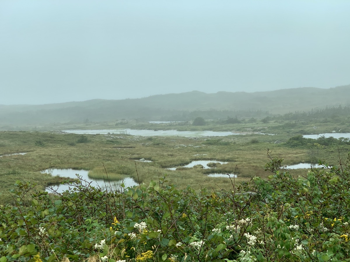
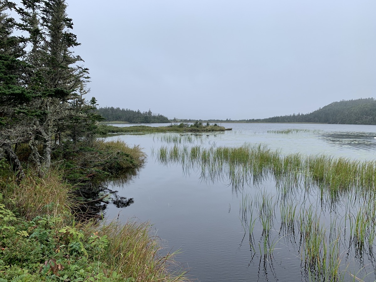
Ramea peatland…
…lighthouse…
…coast..
…boardwalks through marshes…
…interesting rocks on the coast…
…fishing…
…village
Departing for Burgeo
Day 23.
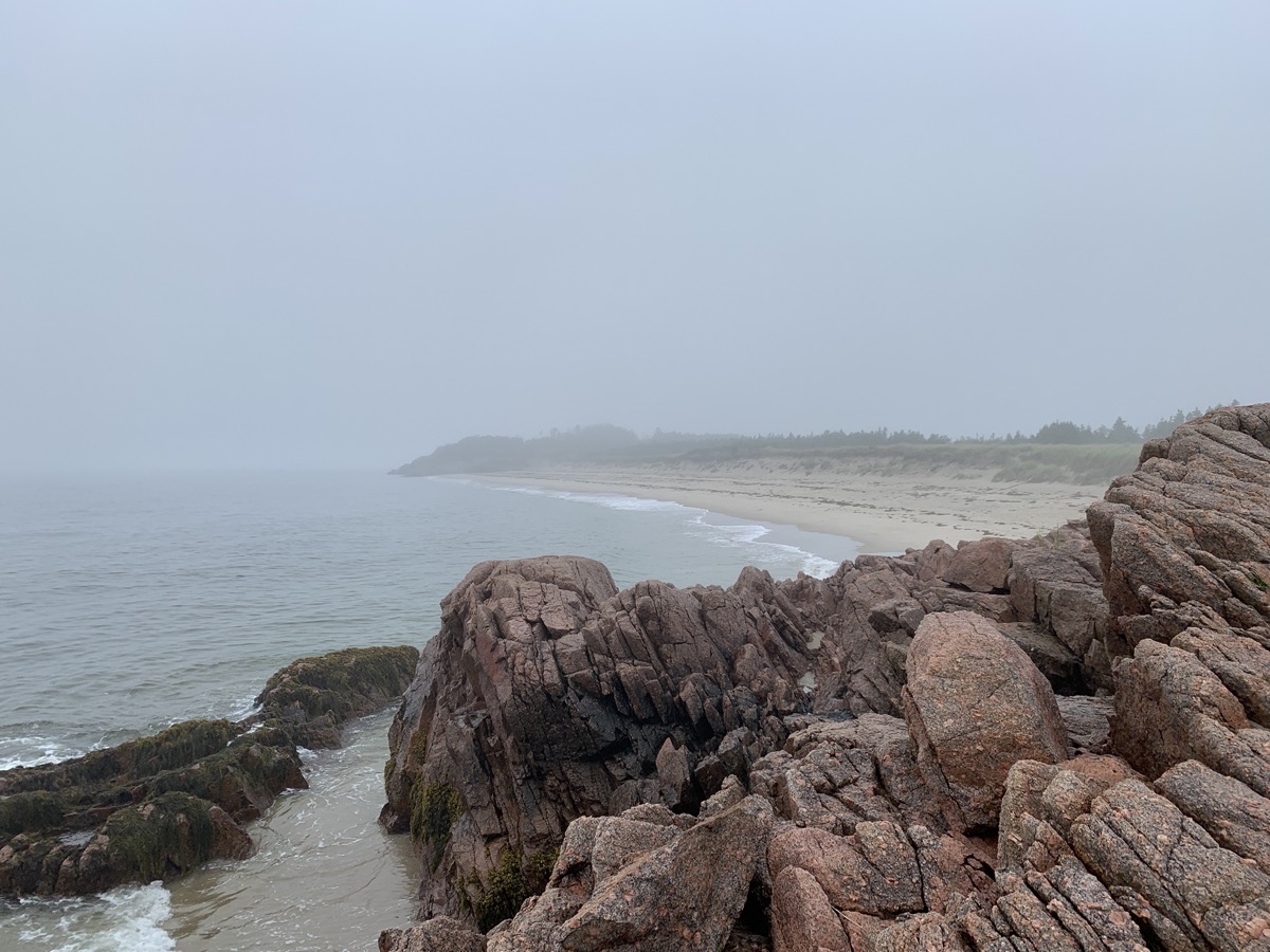
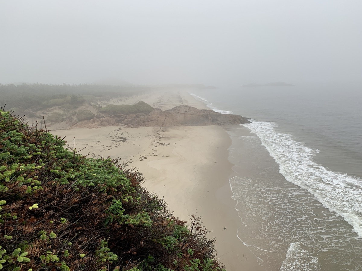
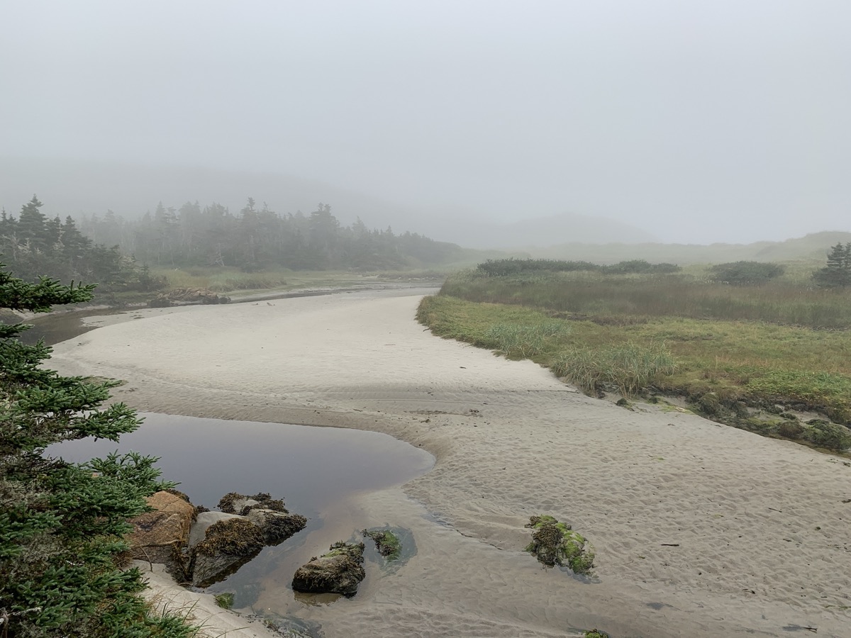
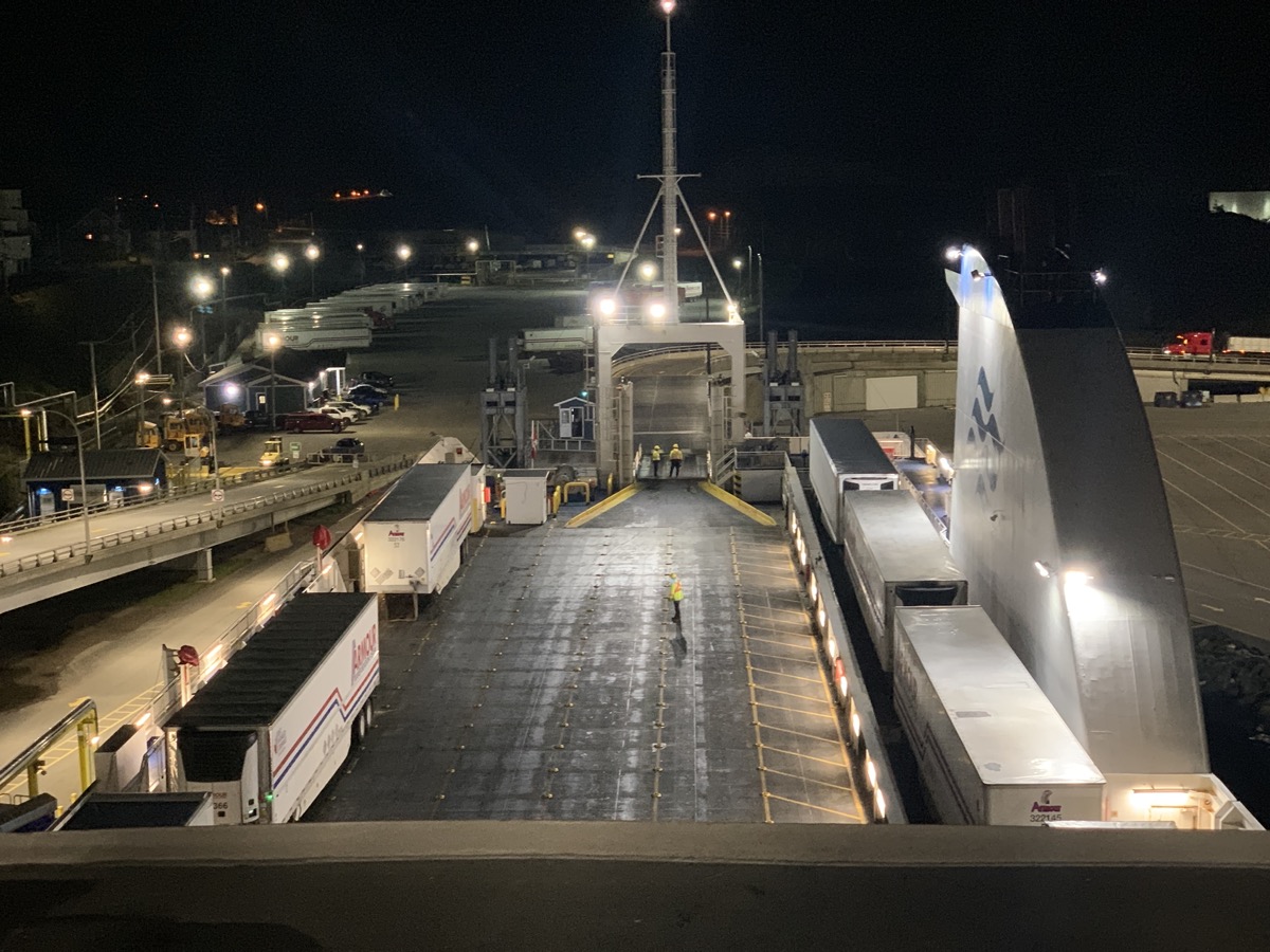
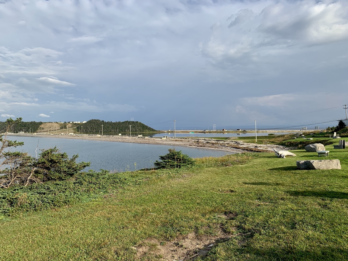
We spent the first half of the day walking on endless beaches and wetlands of Sandbank Provincial Park, very peaceful. In the afternoon we were back on Rte 480 and then Hwy 1 to Port aux Basques to catch 7-hour over-night ferry to New Sydney, Nova Scotia. This time we watched time and ticket availability to make sure we do not miss it. We bought reserved, more comfortable seats on the upper deck (9th level) to catch some sleep. Tried to find a place to eat dinner driving narrow streats of Port aux Basques all the way to the tip of the peninsula and Channel Head Lighthouse across water. No luck – settled for food at ferry terminal.
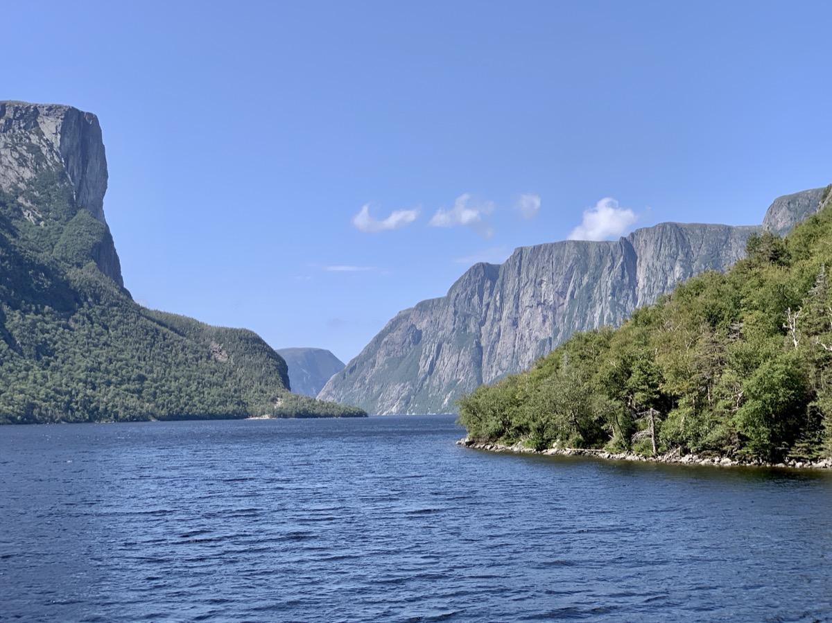
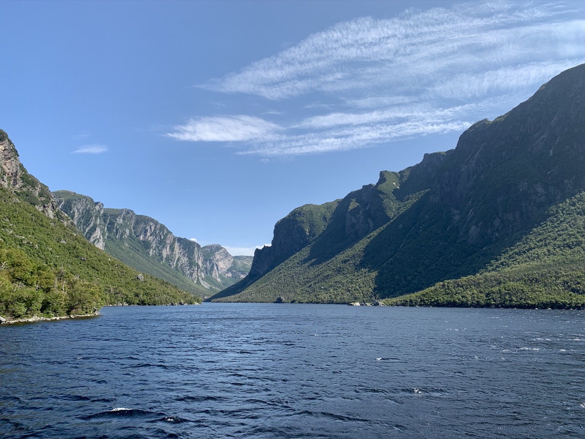
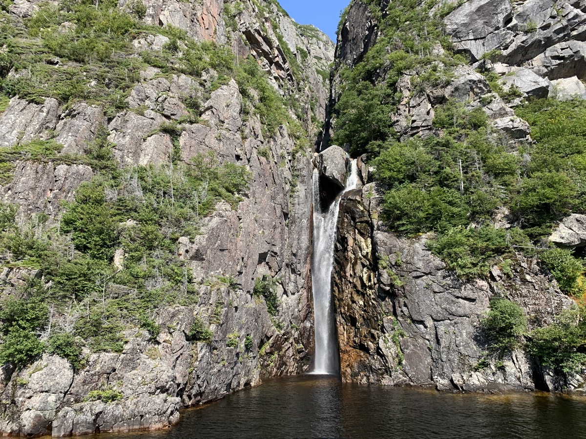
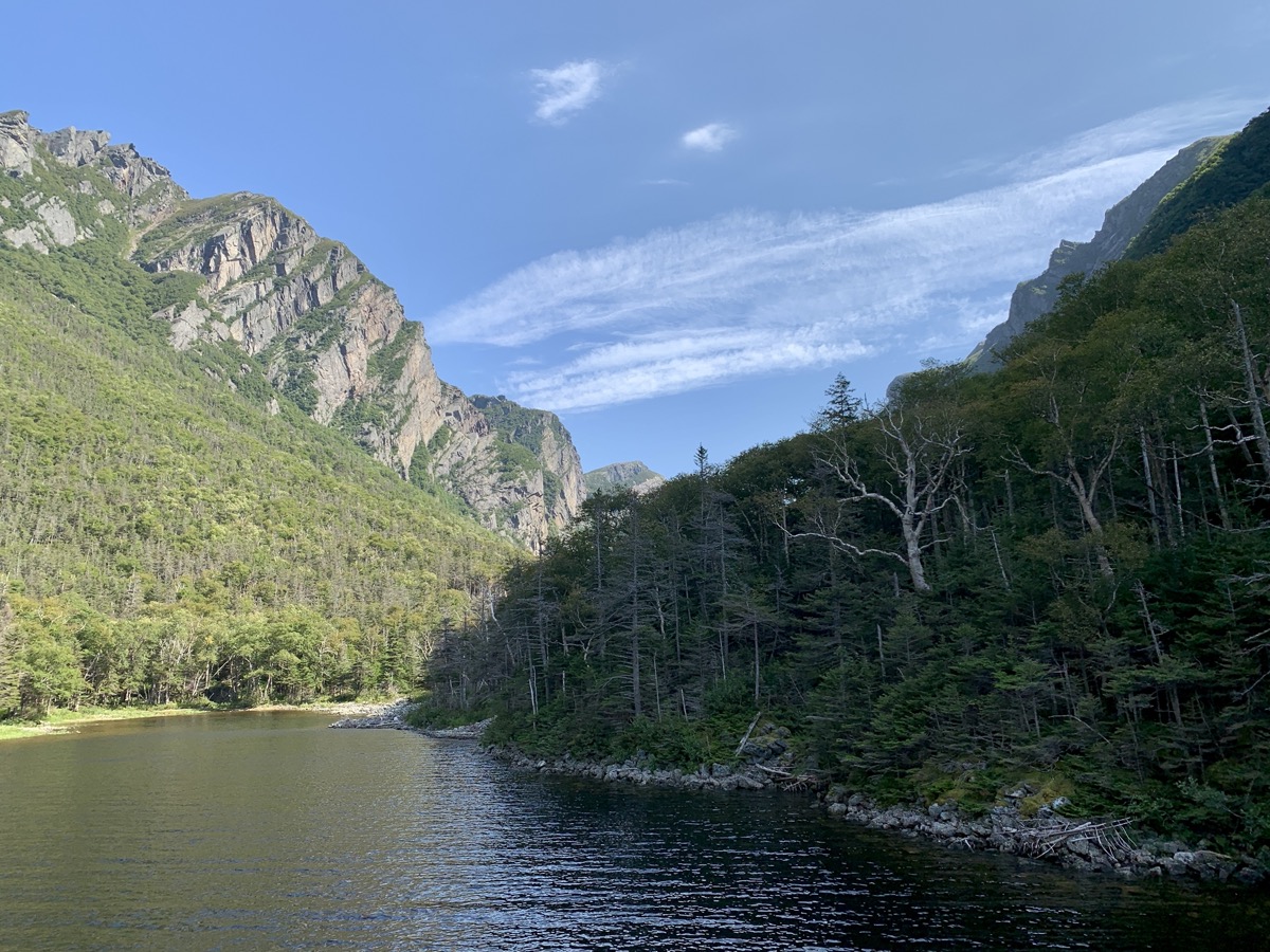
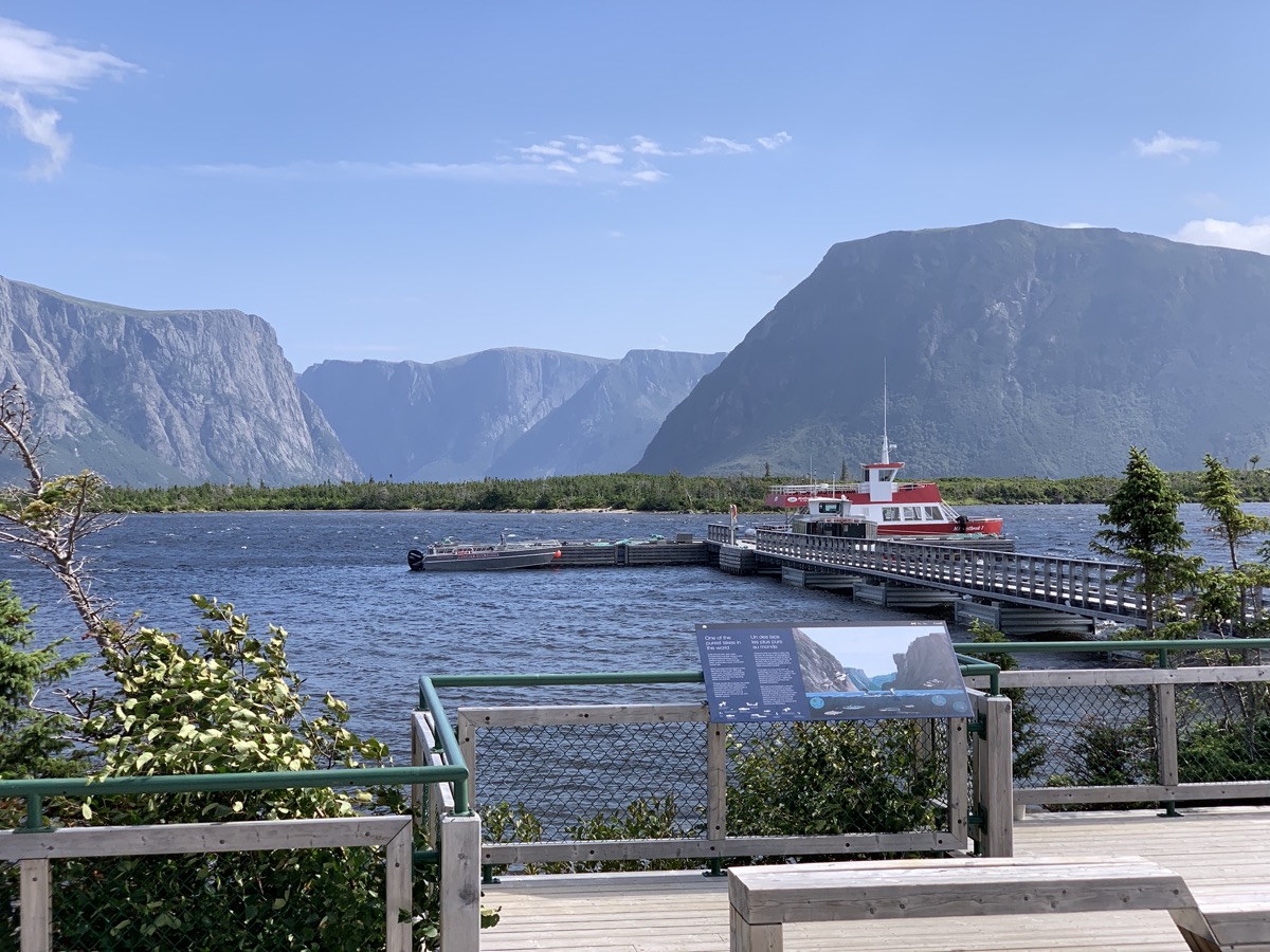
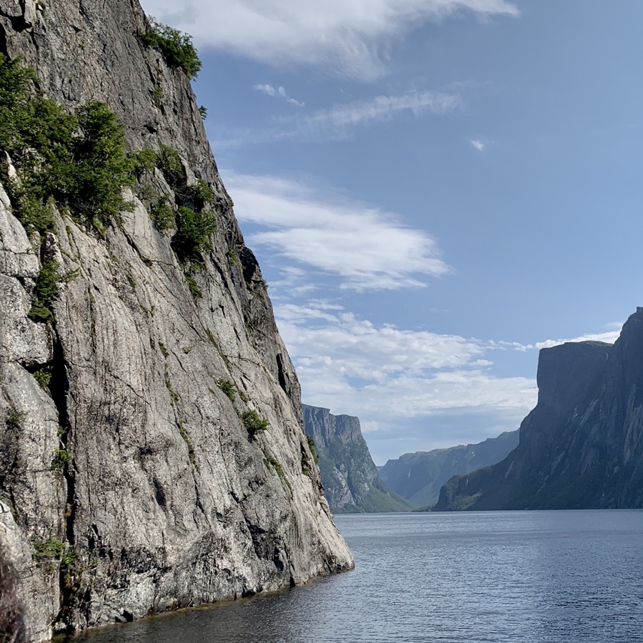
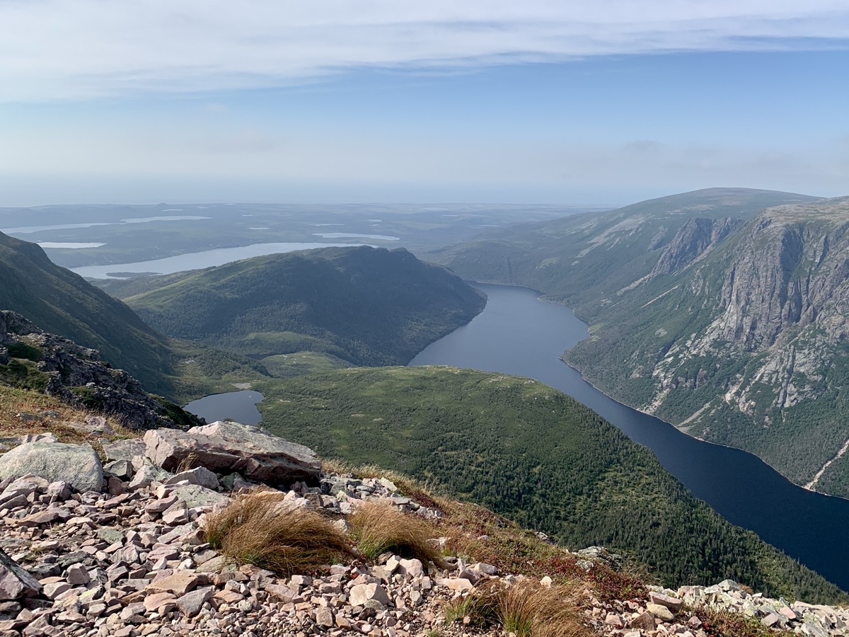
Quick action and Joanna secured two tickets (lucky for us last minute cancellation) for boat tour of West Brook Pond as we were driving to Gros Morne National Park. We arrived just in time for short, lazy walk from parking lot to boat dock (on return we took different trail). Good opportunity to observe boreal ecosystem along the trail. West Brook Pond is ex-fjord, now cut off from the sea due to lower sea level. The boat was packed. Guides were good. It was relaxing and informative experience.
West Brook Pond…
…
…
…
…
…by boat
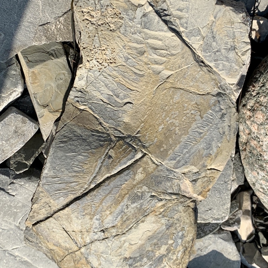
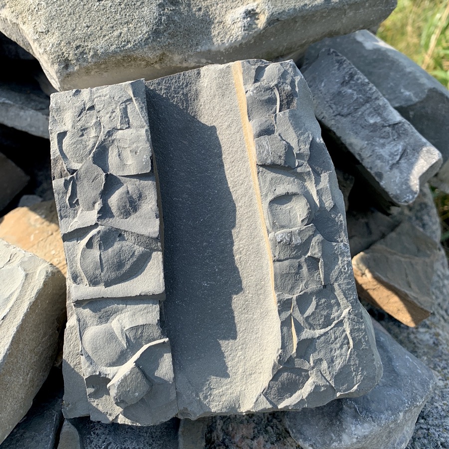
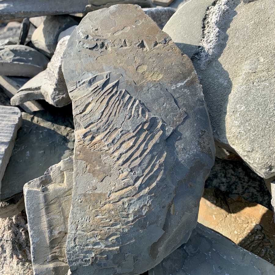
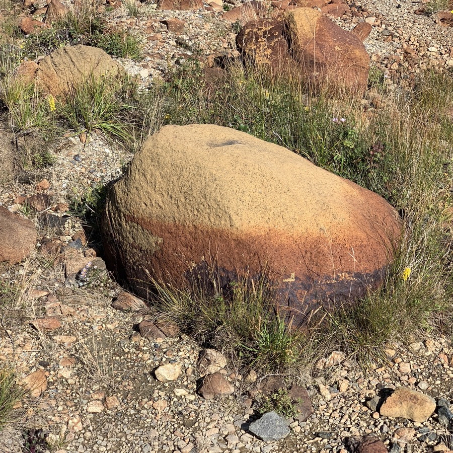
In the afternoon we spent some time at Green Point, wandering on stony beach, investigating rocks, deposits and fossils from 500 MYA Cambrian-Ordovician boundary exposed in cliff and on shore, somewhere between almost vertical layers. We still had some time left for short walk to Gull Pond near Berry Hill Campground where we settled for two nights.
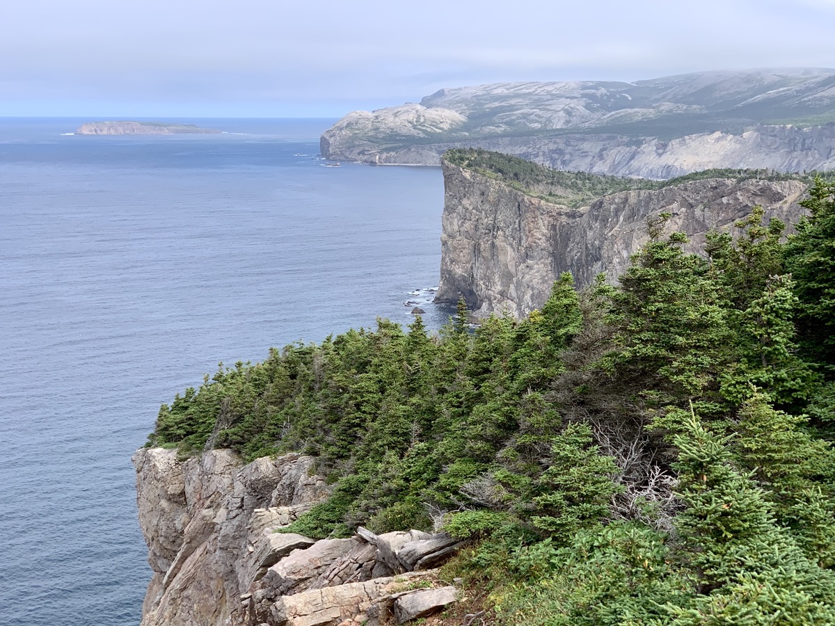
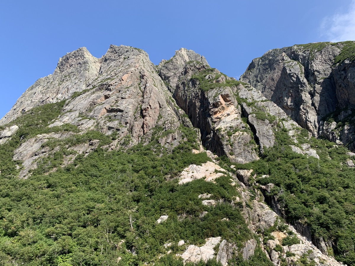
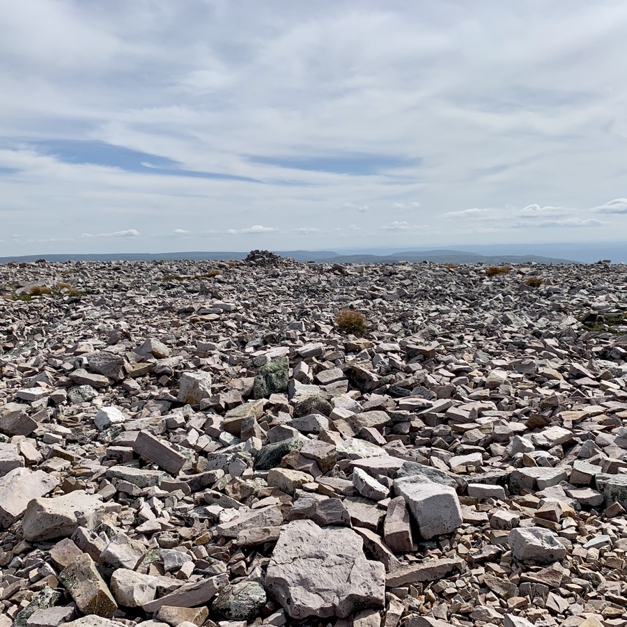
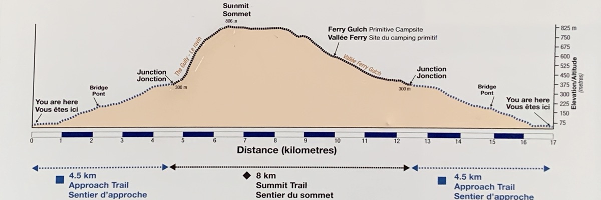
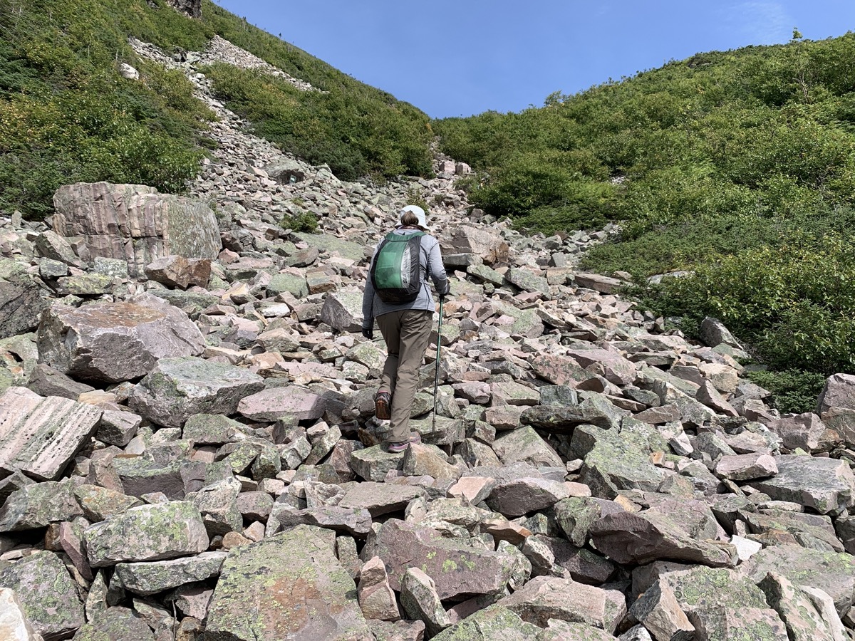
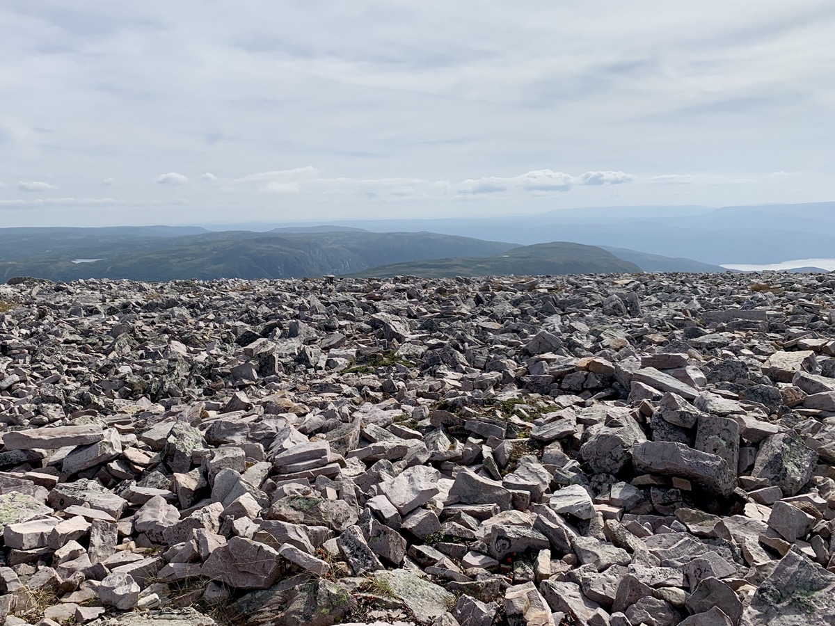
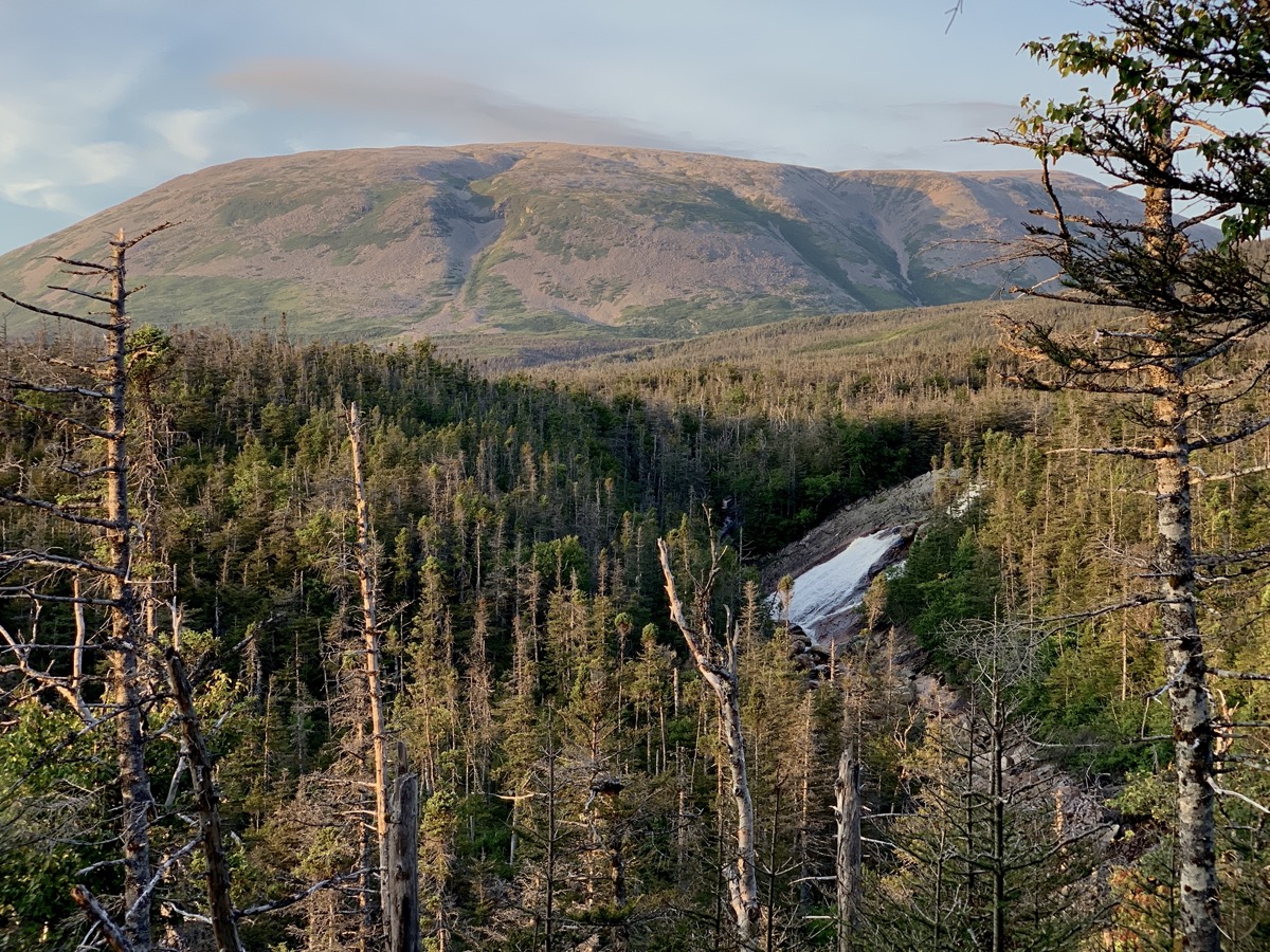
Plan for the day is clear: summit Gros Morne. 17-km loop (we walked 19 km with extra viewpoints etc.), 750m elevation gain and decent scramble on the way up (The Gully). We knew it was steep but, it execeeded our expectation. We left our car at the trailhead parking lot and started walking on good, well marked trail. Not too many hikers that day. Weather perfect. Download GPX file
Diagram posted at trailead says it all
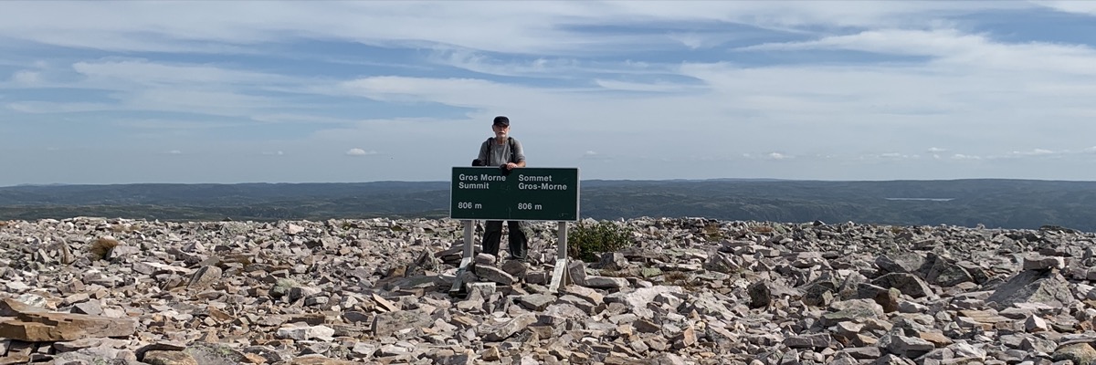
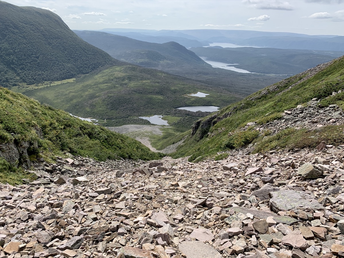
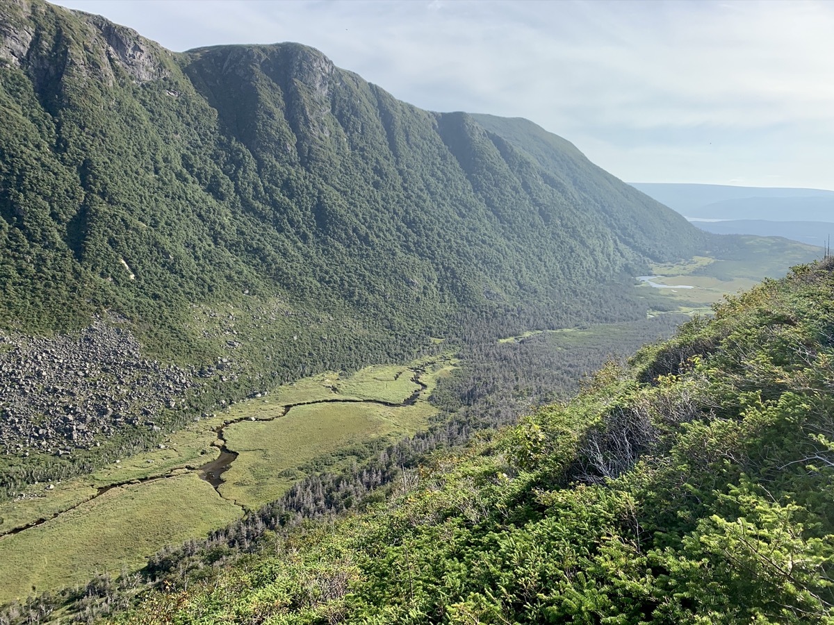
Yes, we struggled a bit in The Gully, but once on top we did ok and descent was easy. No rush. We were rewarded by great views, especially on the other side of the summit. Distant views were quite hazy. No way we could not remember Ben Nevis hike in Scotland and final scramble on that famous pile of stones with panoramic 360° view from top. We spent all day on the mountain before retreating, quite tired, to Berry Hill Campground.
We are 2/3 up…
…The Gully…
…and the top
View on the other side…
…and valley on the way out
Last check on the Mountain
Day 18.
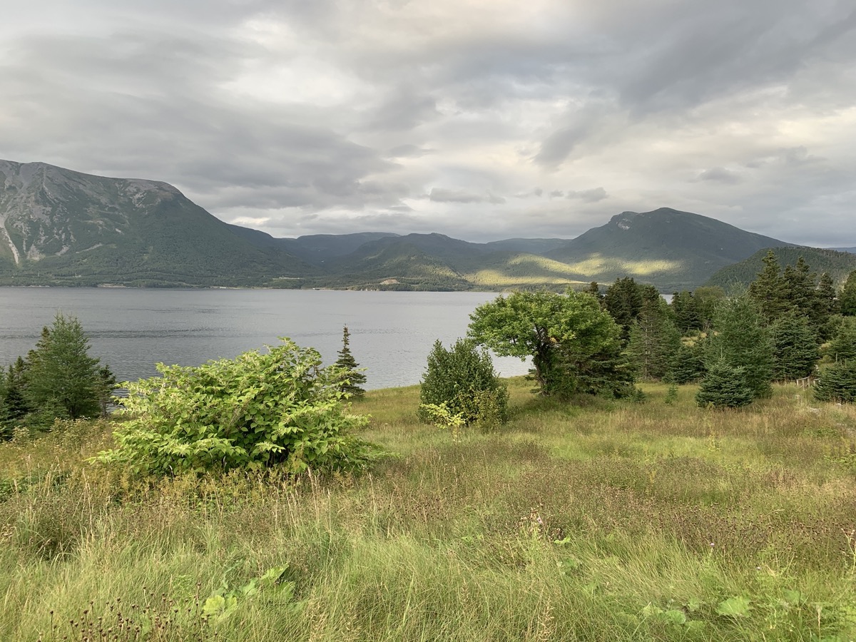
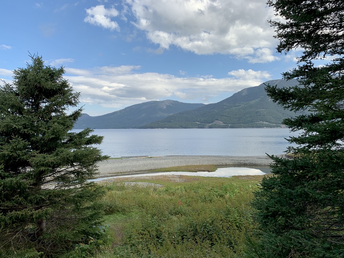
“Rest day” as we were still feeling The Gully in our legs. We are transferring to Trout River (campground) driving with stops on the way at Woody Cove, Woody Point and Discovery Centre. Many good views across water surrounded by green hills. At the end of the day we walked to Trout River Little Pond (next to campground) and short Estern Point Trail along cliff above Trout River village for sunset. Finished the day with scalops and seafood chowder dinner at Seaside Restaurant.
Woody Cove
View from Birchy Head Rte 430
South Arm
View from Bonny Bay lookout
Woody Point Lighthouse
View from Woody Point Discovery Centre
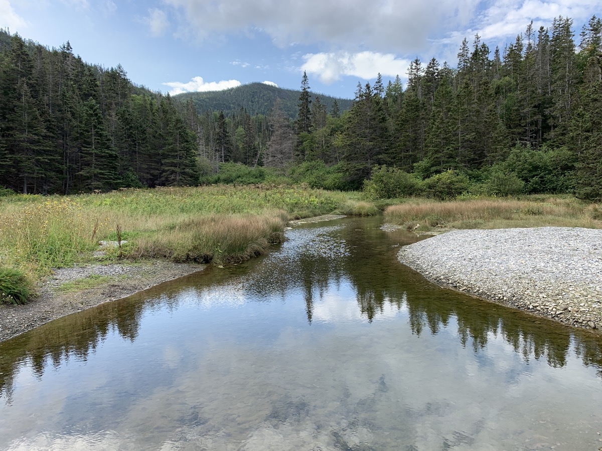
Trout River Little Pond
Trout River…
…Eastern Point Trail
Day 19.
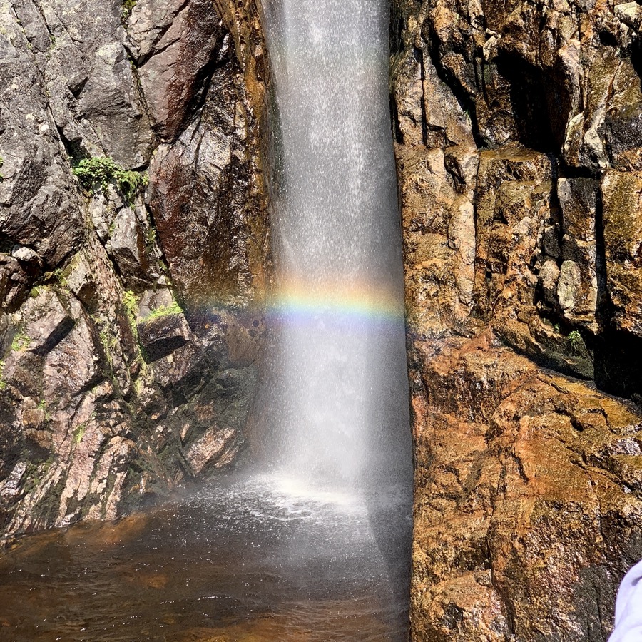
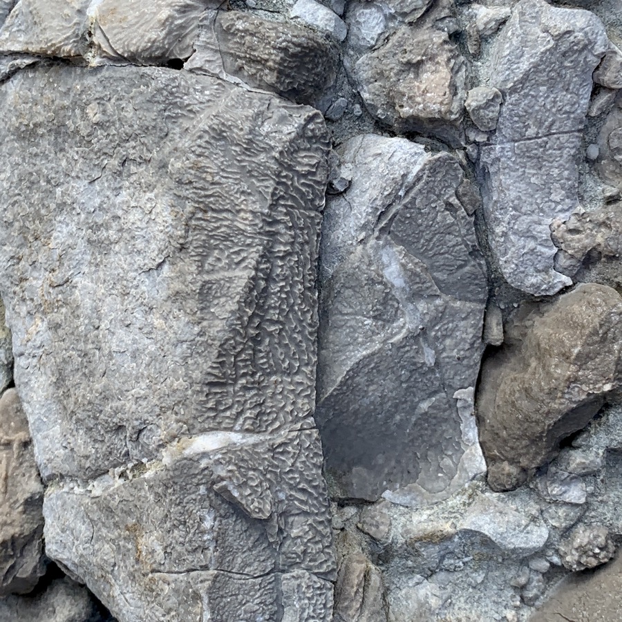
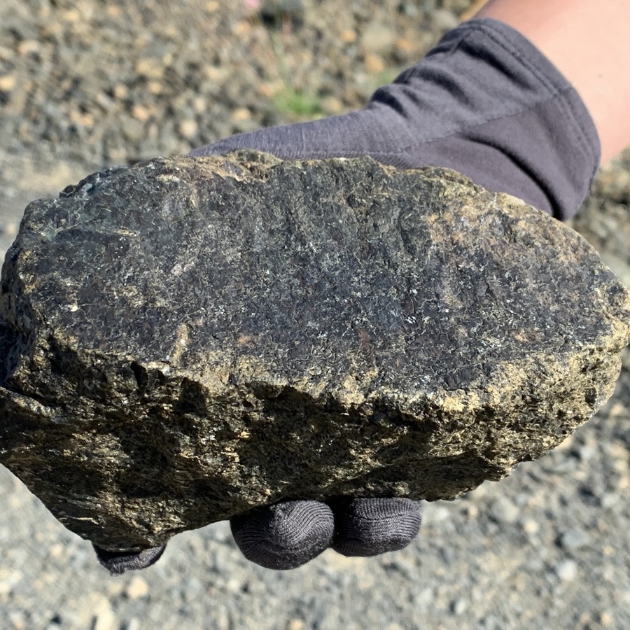
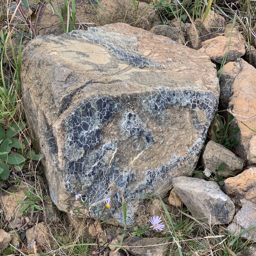
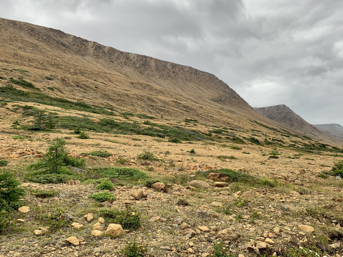
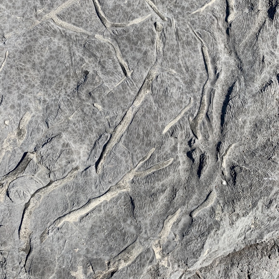
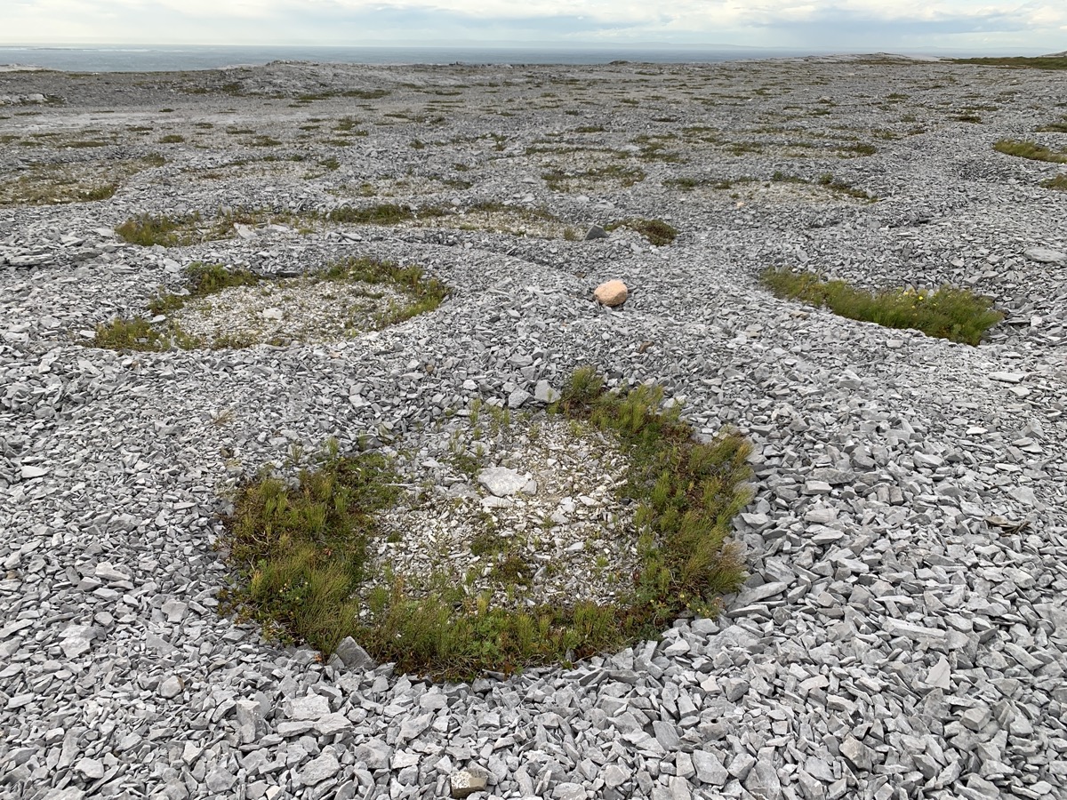
We started the day by walking to Green Gardens and exploring the shoreline, followed by short walk on Tablelands Trail. The day was about rocks derived from the Earth upper mantle deep underneath ocean crest, thrown all over the place. Peridotite: light rusty to dark orange on the surface, dark green inside, and metamorphosed to serpentinite, heavy and rich in iron. And volcanic rocks (basalts) on the coast. Download Piotr’s GPX file
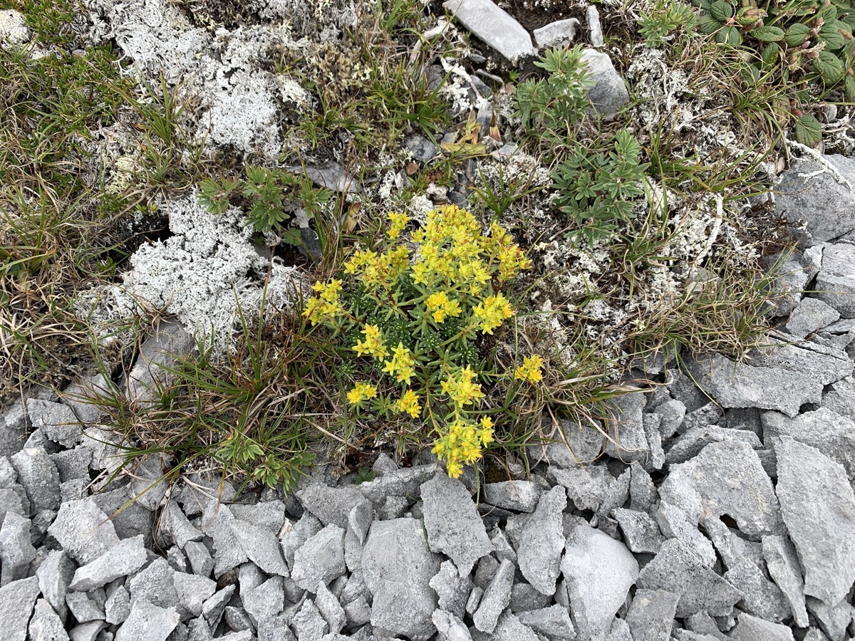
Joanna was a bit disappointed and thought it would be more interesting to spend entire day exploring Tablelands rather than hiking Gros Morne (although it was good hike too and apparenly with best views). Lack of prep work showed this time, we did not know that “no trail” route to the top of Tablelands was well shown on a map and almost a trail. We found some time to investigate small plants growing between rocks. Ended the day at Lomond Campground, Piotr setting up our camper and tending camp fire, Joanna cooking. Another great 19 km walking day.
Green Gardens…
…exploring the coast at low tide…
…
…
Tablelands…
…
…
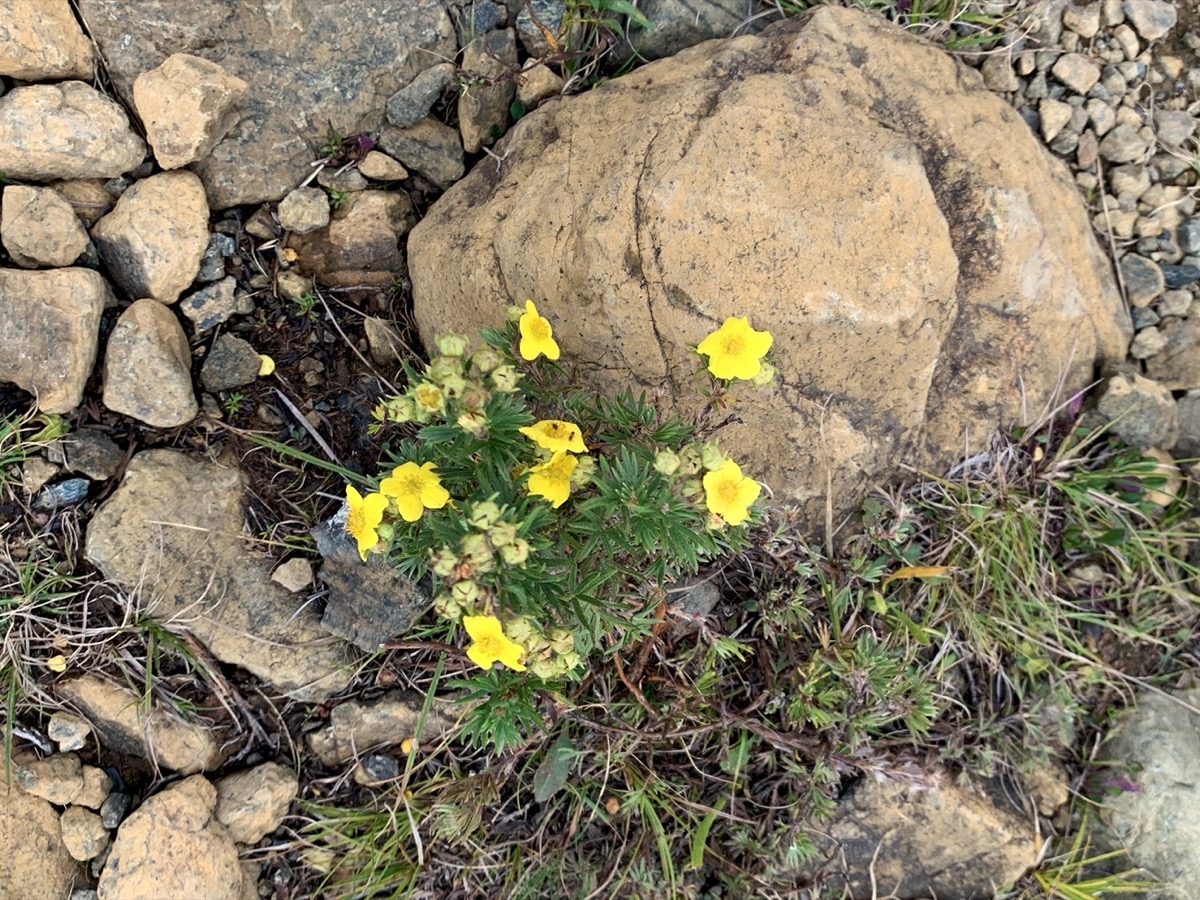
Dasiphora fruticosa
East Arm at Lomond
Day 20.
Joanna decided to walk in the morning to Stanleyville, abandoned logging village, Piotr packed the camp and we were leaving Gros Morne. We stopped in Deer Lake to pick-up some supplies and talk to rangers at Visitor Center. Grabbed quick lunch from Off The Hook Fish & Chips food truck (fresh and good). With a tip from the rangers we found Gros Morne Coffee Roasters (recommended). Great place to buy good coffee and try some fresh brew, and talk.
It was decission time where to go next. Decided to visit Cape St George and next day continue south-east across the island to Burgeo and Sandbanks Provincial Park. We are leaving eastern part of Newfoundland for a future visit.
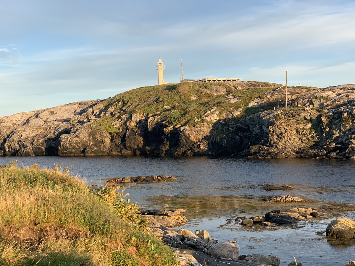
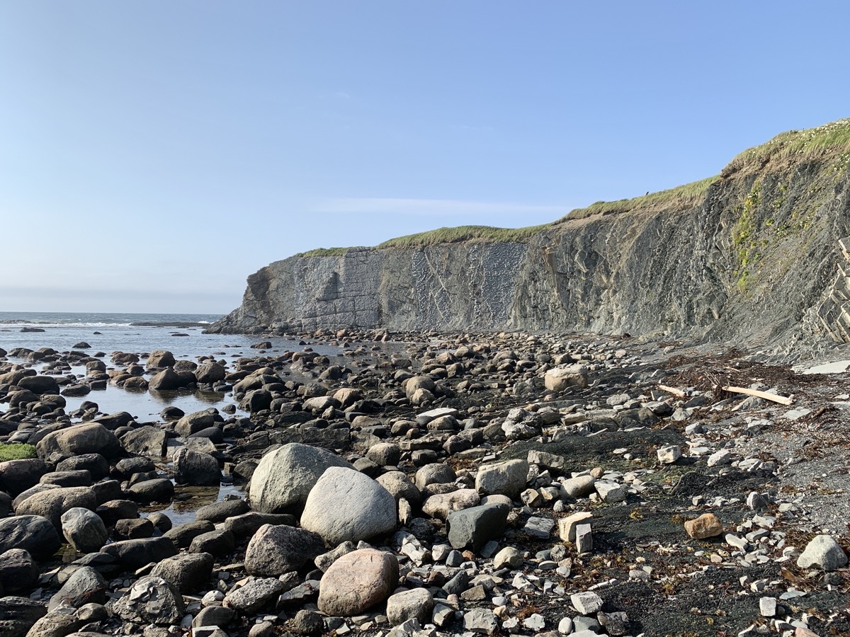
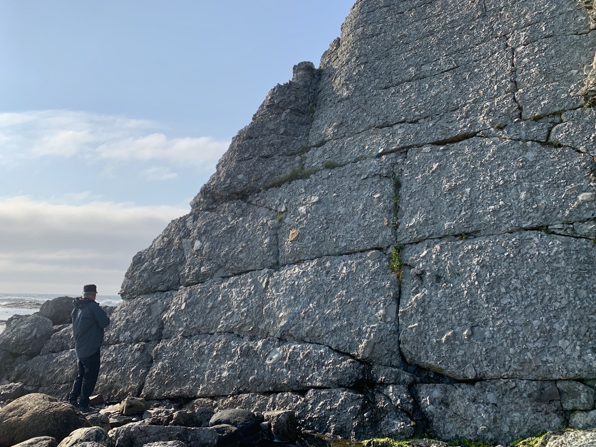
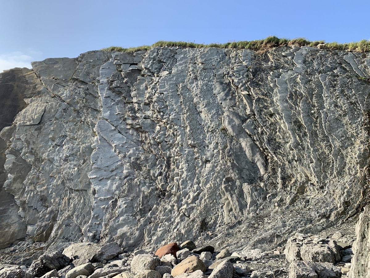
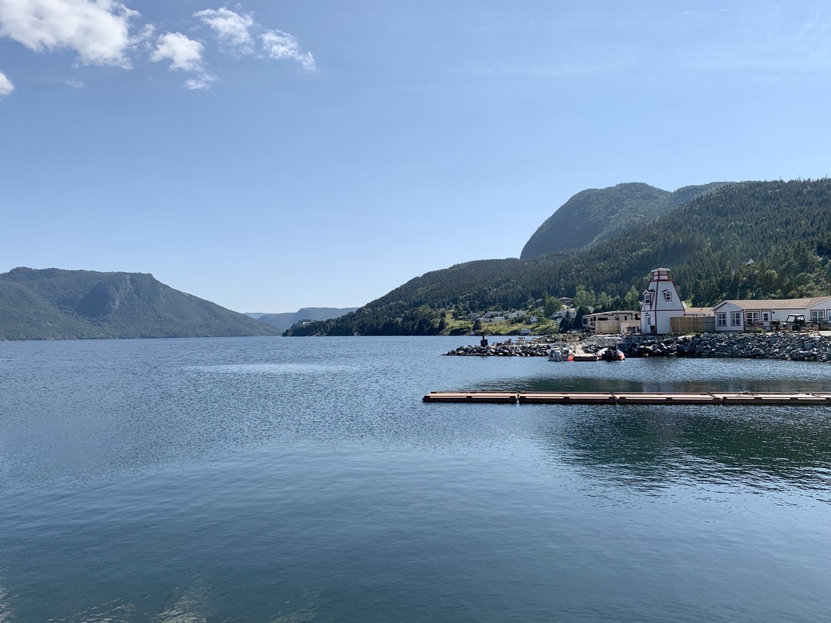
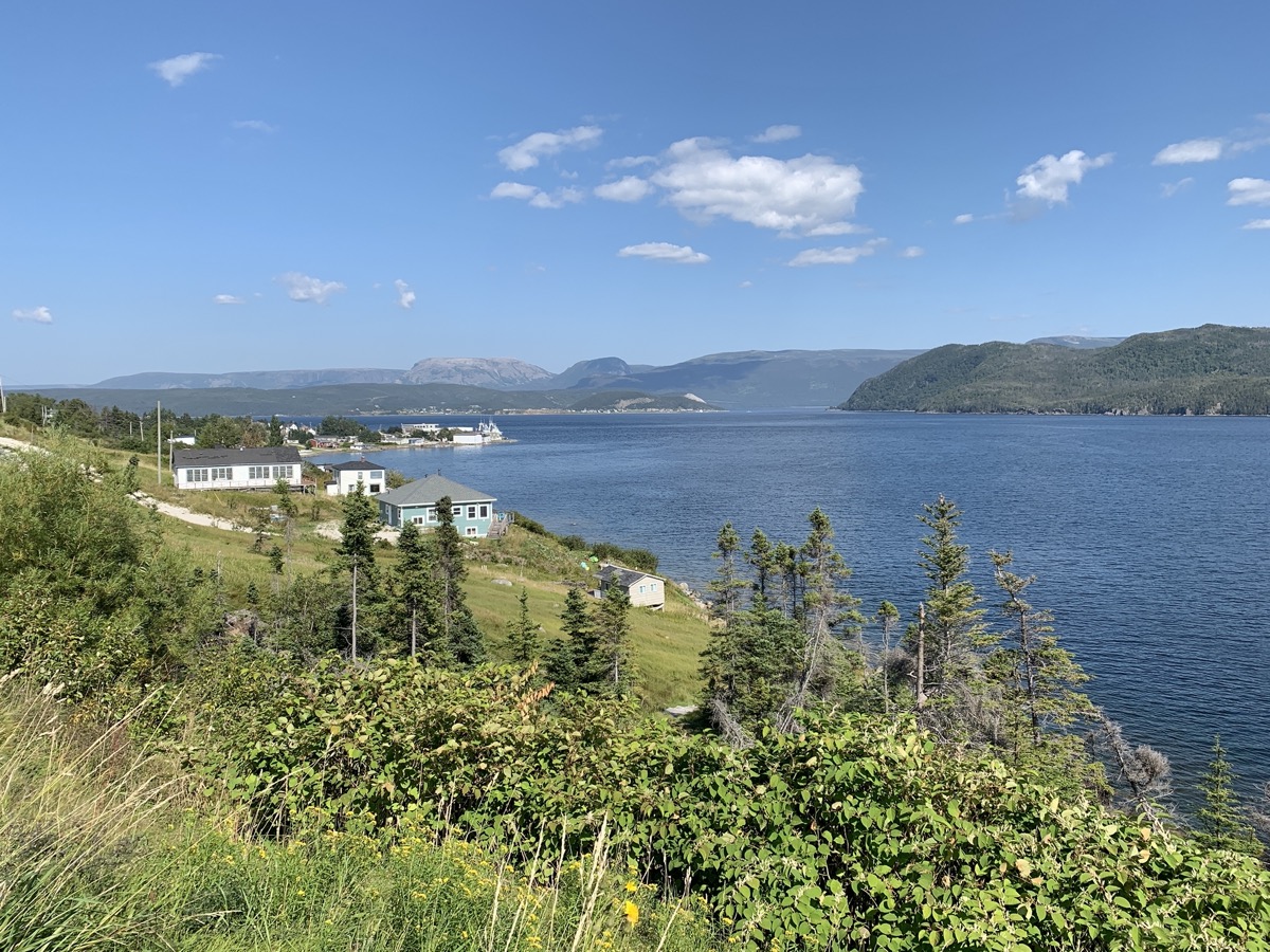
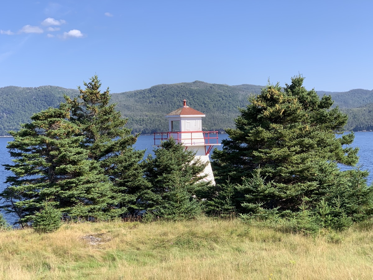
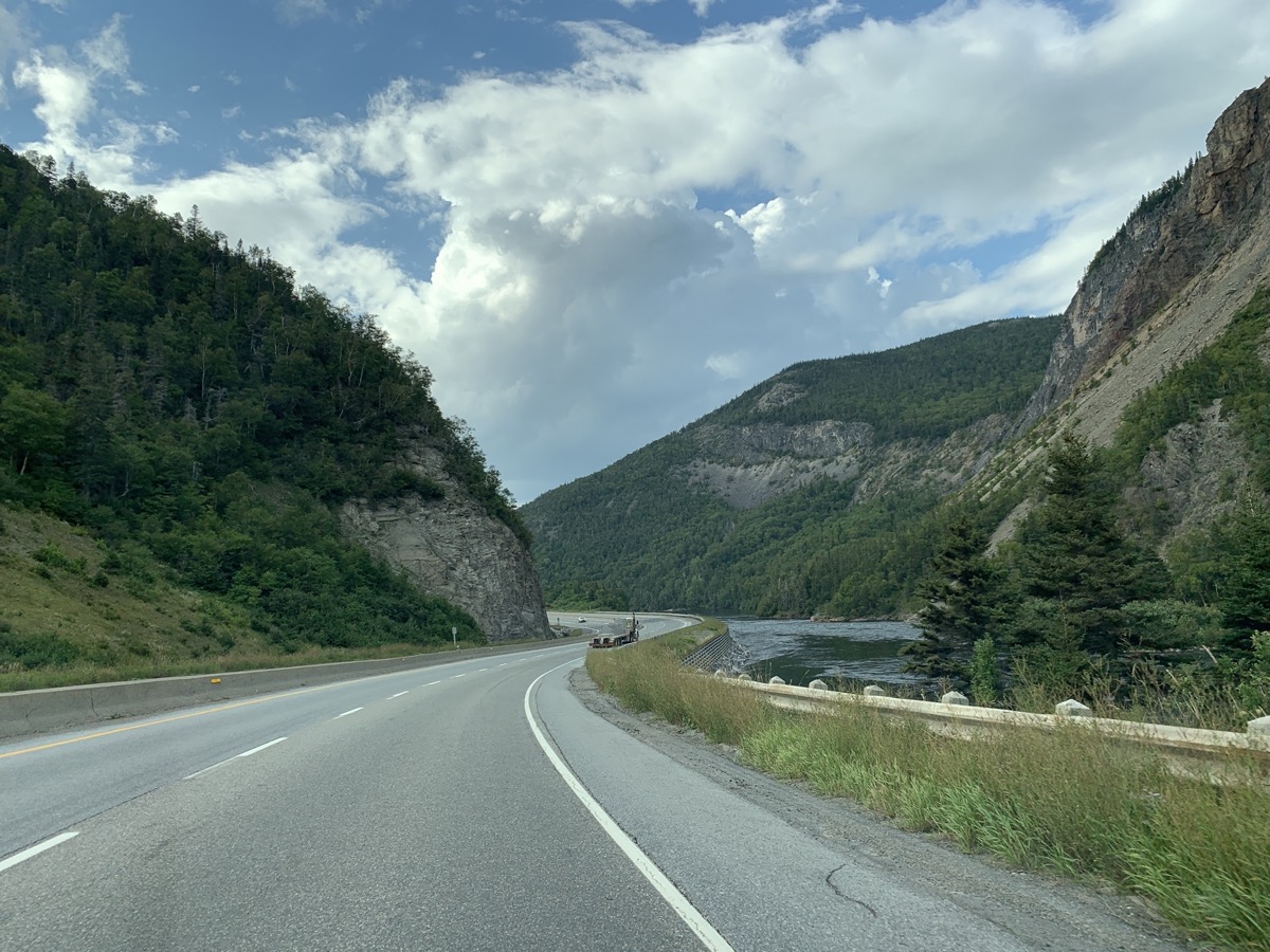
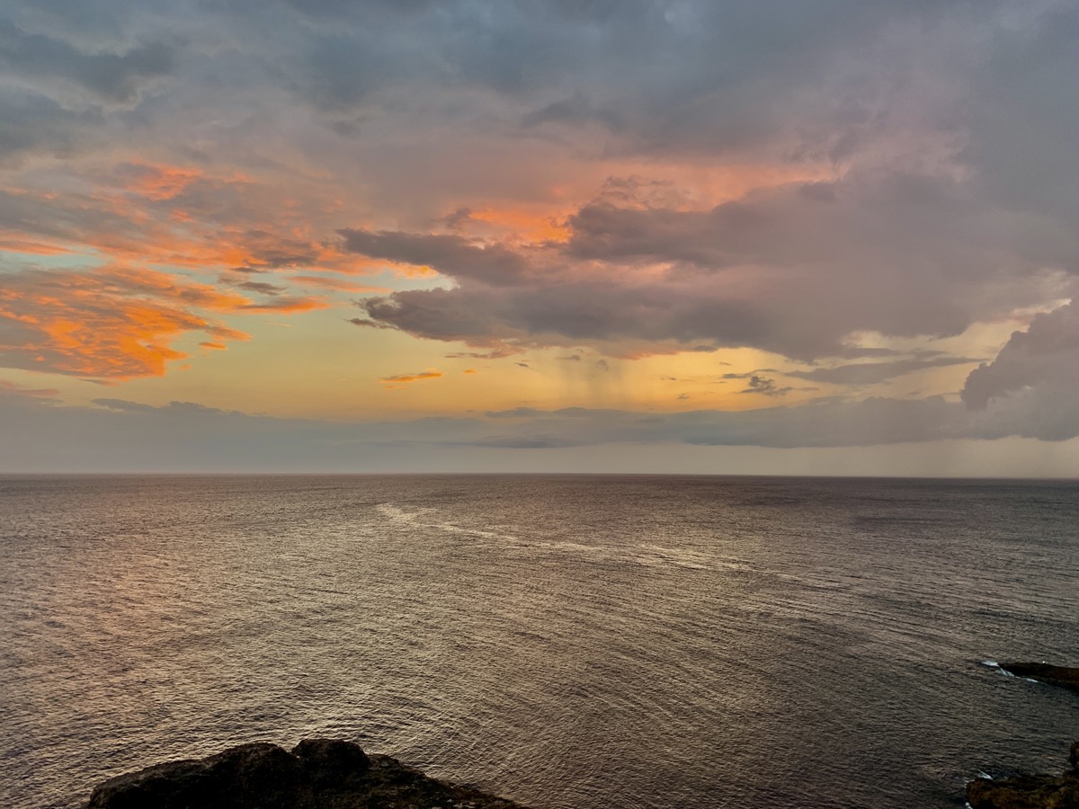
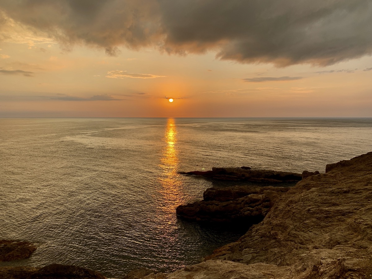
The rest of the afternoon was just driving, good part of it on Trans Canada Hwy 1. Rather uneventful. We stopped at The Gravels (Port au Port) and then followed Rte 460 along south coast all the way to the tip of Cape St George. We decided to stay at Inn at the Cape rather than camp at Boutte du Cap Park. The Inn was the best guesthouse of our entire trip (recommended). Very comfortable, well organized (laundry room, home made breakfast) and great hosts. The campground has great (tempting) location though. We made a run for the Boutte viewpoint to catch sunset. Serious clouds, but big rain never materialized.
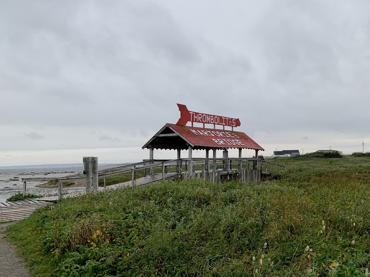
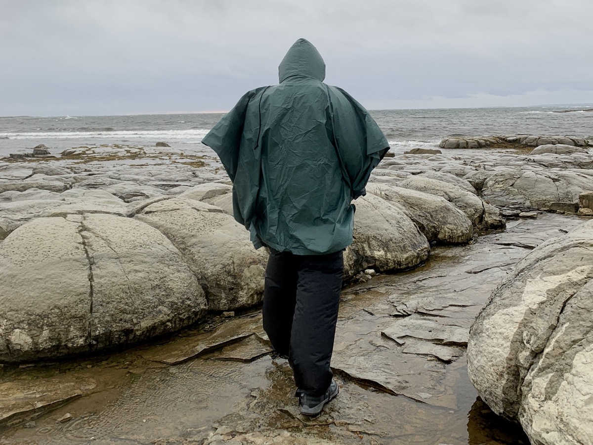
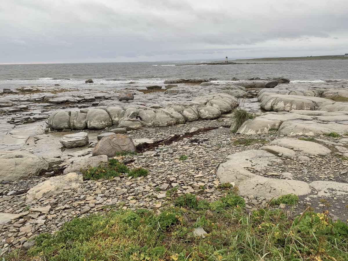
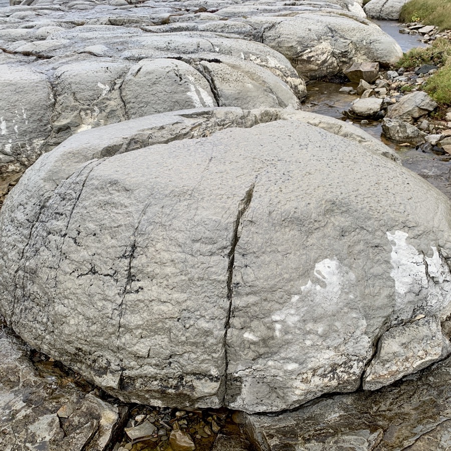
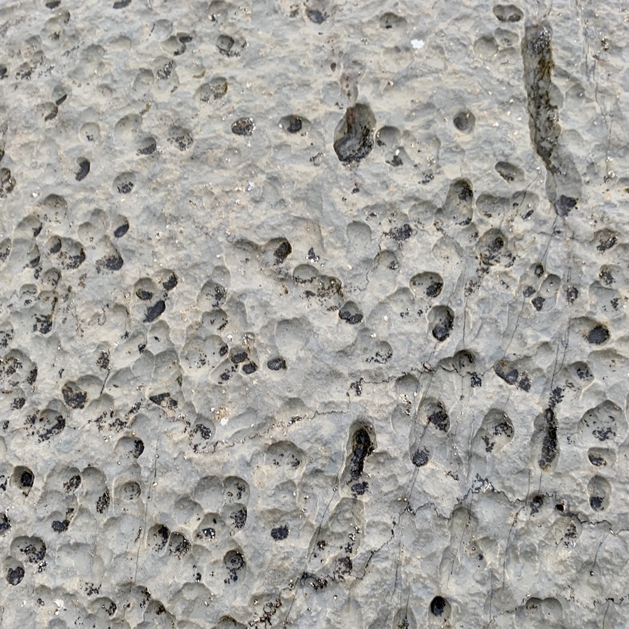
The ferry ride from Blanc-Sablon to Saint Barbe was short and quite comfortable. By the time we arrived wind was strong and our boat waited for a while for quieter moment to dock. Despite wind, rain and cold we walked (in rain pants and ponchos) short Marjorie Bridge & Thrombolites Walking Trail at Flowers Cove, located some 20 km from St Barbe. We then continued in light rain on Rte 430 until sunset. We found a decent spot on little pond (gravel pit) just past Eddies Cove. No weather for cooking dinner, just quick snacks and hope for sunny morning coffee.
Marjorie Bridge
…
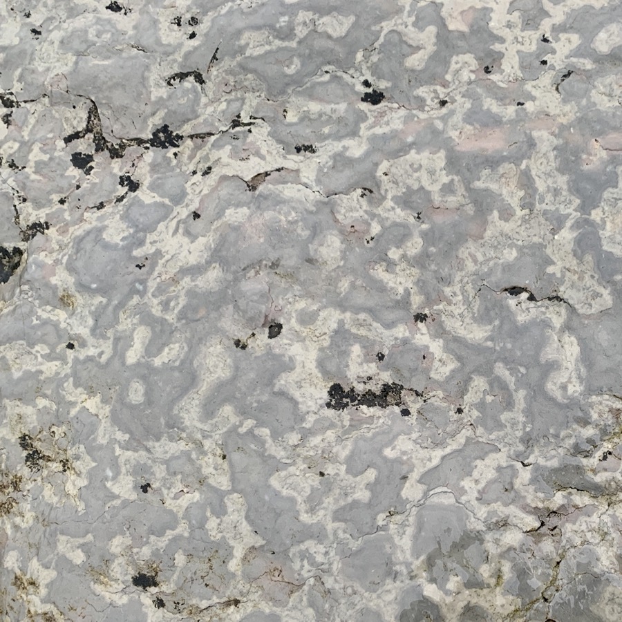
Thrombolites
That also meant new task: photographing rocks and fossils, starting with thrombolites.
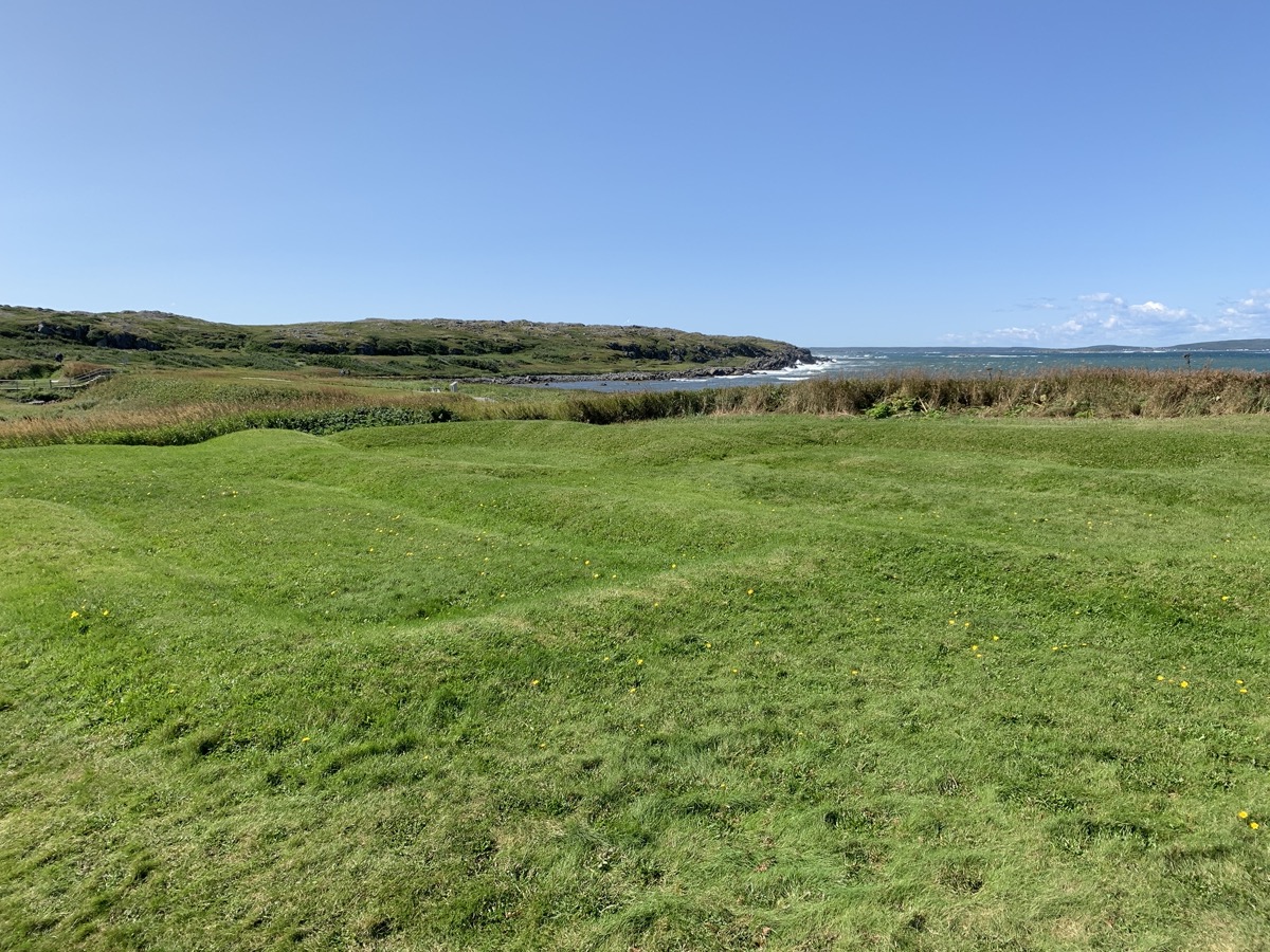
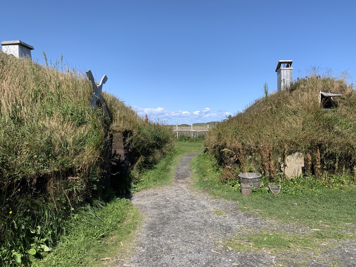
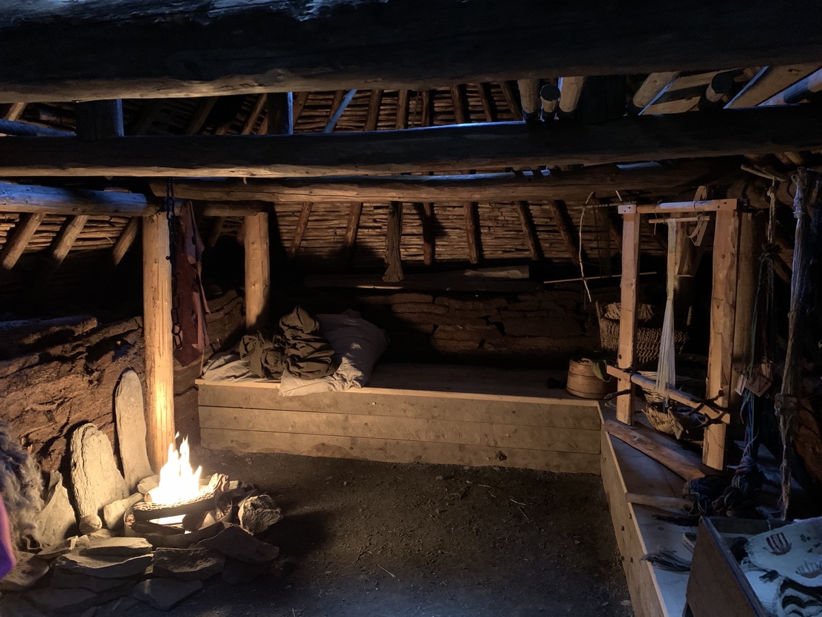
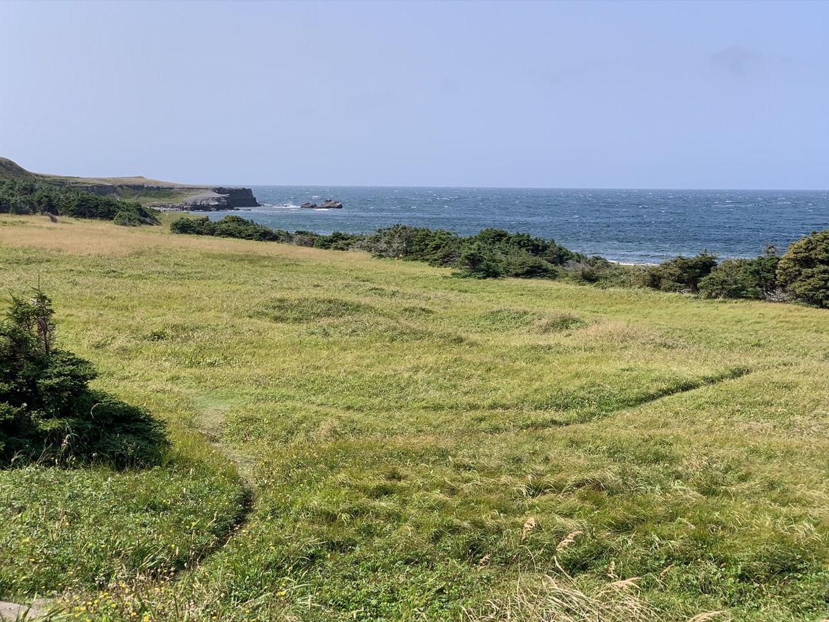
Sunny weather returns. We are heading east and then north-east to L’Anse aux Meadows to learn what Vikings were doing there. North part of Newfoundland has some of the remoteness we felt in Newfoundland and Labrador. First stop at Dark Tickle shop in St Lunaire. Too early – no coffee served yet (10:30 am ?). We watched bakeapple (cloudberry) preserves being made “home-style” (we bought a small jar). An hour later we were at the archeological site (UNESCO World Heritage Site) – the only firmly confirmed Norse settlement in North America, also occupied earlier by indigenous people. We joined good guided tour, visited “Viking Settlement” exhibition and park museum, finished by walking short loop along the coast and through meadows.
Norse settlement was here (building mound outlines)…
…how we imagine they lived…
…
What the Vikings saw…
…
…probably more trees then
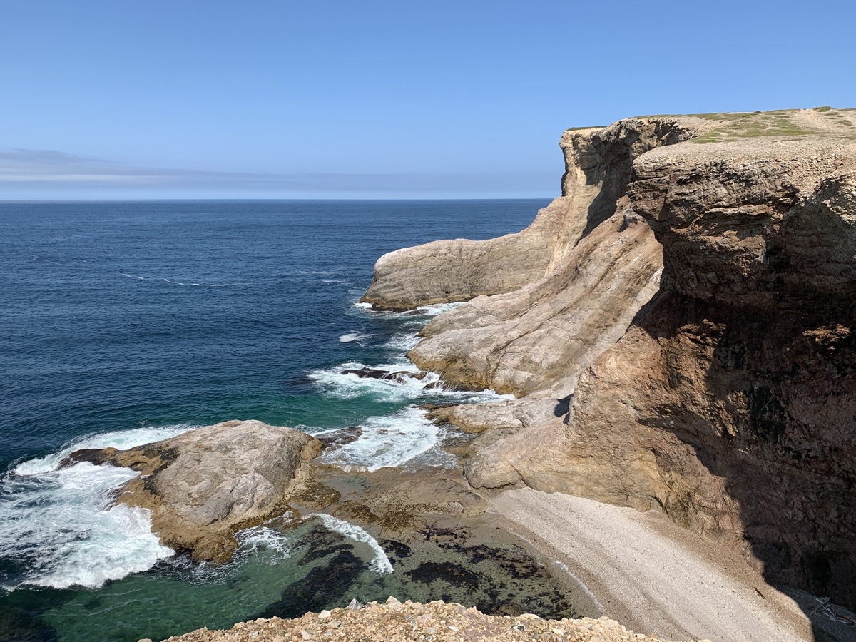
In the afternoon we drove back the same way we came and then north-west to Burnt Cape Ecological Reserve near Raleigh to look for rare plants among rock barrens. With substantial lunch on the way at The Daily Catch restaurant (recommended) in St Lunaire-Griquet – probably best seafood of the enitre trip. Simple but great freshness and taste: cod gratin, seafood chowder and black mussles. Good french bread to go. Good location right on the coast (Rte 436).
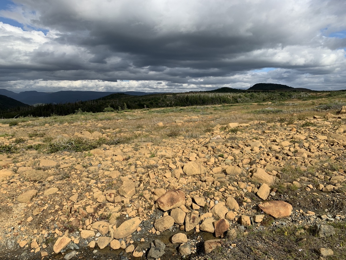
We arrived at the Reserve not really knowing what to expect – we first parked at the entrance only to learn we can explore it by car so we drove to the end of the gravel road. It is open, barren land on top of high, rocky cliff with waves breaking below. Sun was already low, but gray clouds moving in pushed it even lower and wind was howling. Quite a scenery. We looked around for a while, Joanna investigated interesting pockets of vegetation.
Burnt Cape…
…
…
…
…
…Ecological Reserve
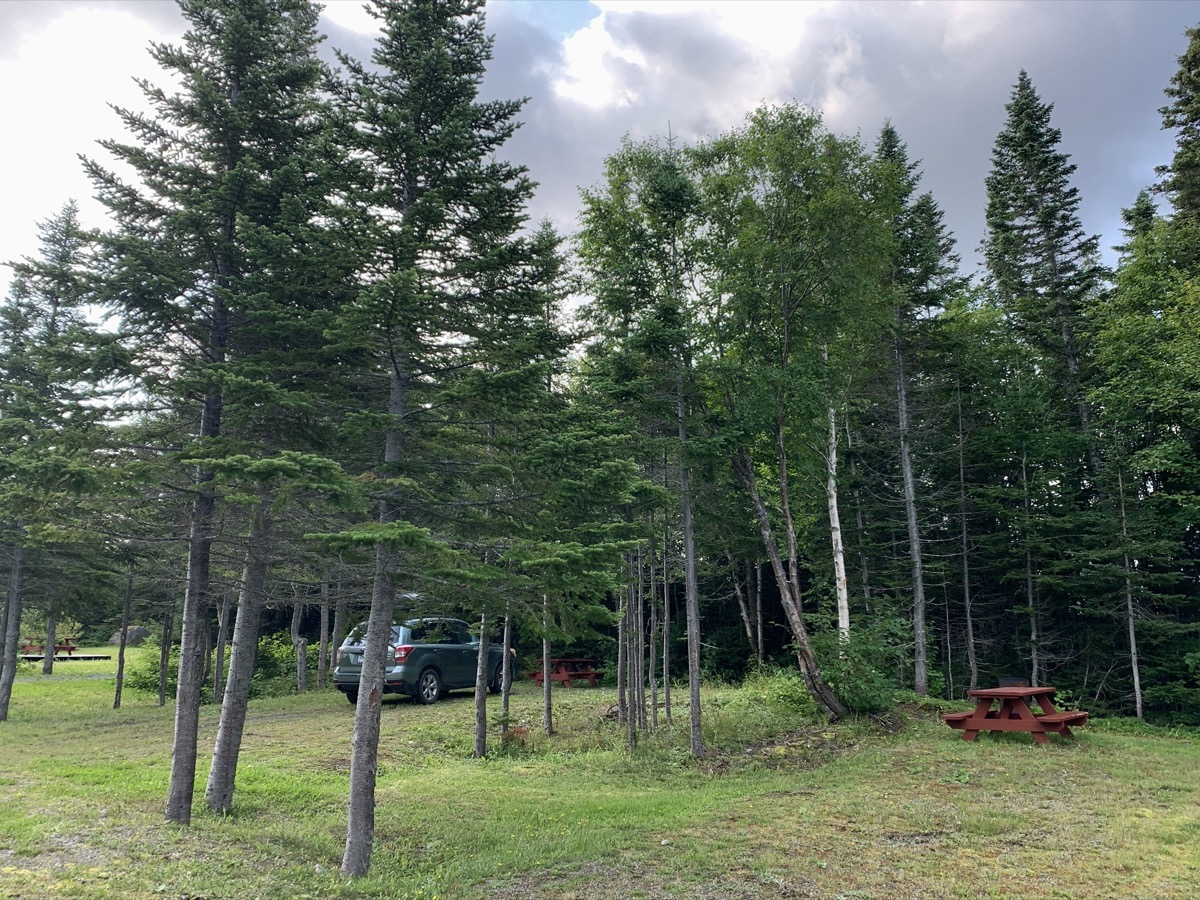
It was already getting dark when we started making our way south. By the time we arrived at Main Brook Park campground the office was already closed, but the owner who lives nearby came to check us in, and was kind to wait while we took quick shower. Great! End of very long day.
Day 15.
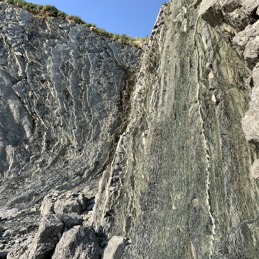
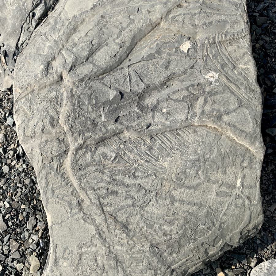
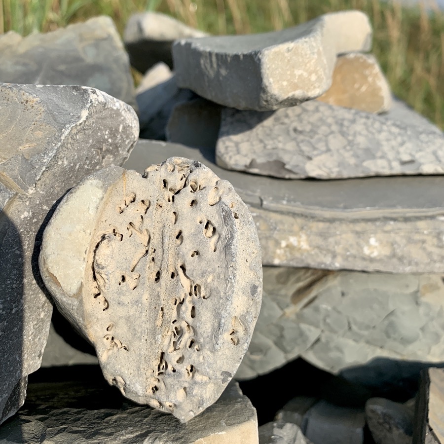
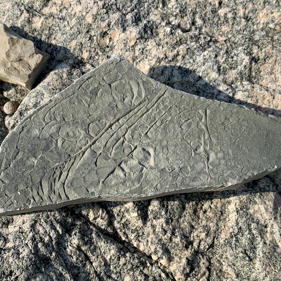
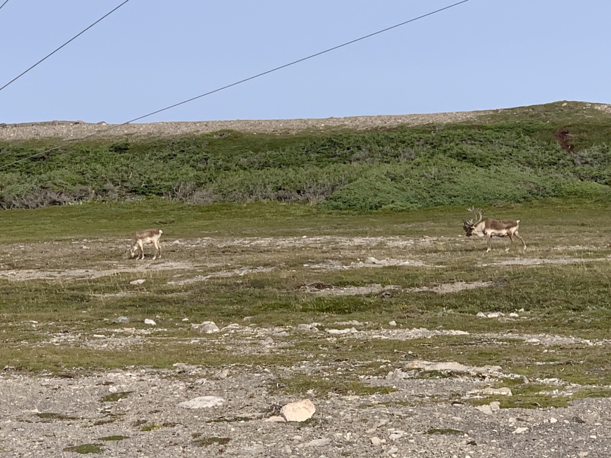
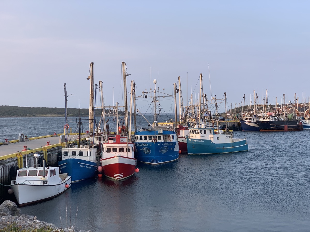
We now continue driving on Rte 432 west across the island and then on Rte 430 south along Gulf of St Lawrence coast line. Just before Eddies Cove West we turned on local road towards the coast and parked for a break on gravel lot used to store lobster traps. Piotr had time for driver’s nap, Joanna investigated fossils on the rocky shore. Port au Choix was next, first to get some bread baked in french oven typical for this part of the country (too early for live demonstartion though), followed by visit to Phillip’s garden for a walk and finally Pointe Riche lighthouse. We also stopped at French Rooms Cultural Center. No luck spotting whales, but we watched small (resident) caribou herd grazing near the lighthouse (surprisingly tourists did not approach the animals to take selfies). We managed short dash on Limestone Barrens trail, fried seafood dinner at Point Riche restaurant and quick look at fishing port in Port au Choix. It was time to go. Driving along the coast near water as the sun was setting down was very pleasant, but no time for breaks.
Main Brook Park
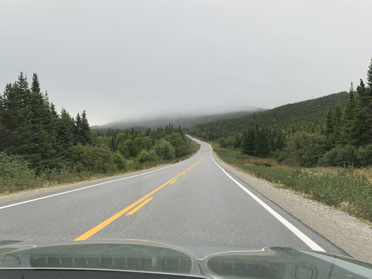
Newfounland interior Rte 432
Gulf of St Lawrence…
…Eddies Cove West
French oven in Port au Choix
Philip’s Garden, site of…
…indigenous people settlement(s)
Stone ring historical marker
Pointe Riche
Caribou
Port au Choix
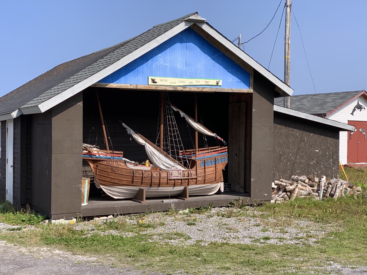
Newfoundland boat garage
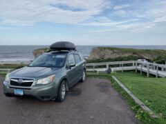
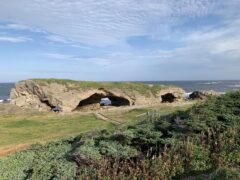
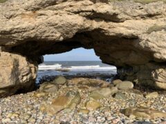
We tried to find camping spot off Rte 430. Two recommendations on iOverlander (one was already packed the other was in small park where local people go for walks with their dogs) and a couple of side-dirt-roads with no luck. At least we saw black bear with two cubs while away from main road. It was already dark, almost 9 pm, when we decided to move on and go to Arches Provincial Park – parking lot there was our fall-back plan. 3 other cars were asleep already when we arrived. We took a spot closest to shore. It was nice place to be as we discovered in the morning. And just 10 miles from Gros Morne National Park. Another long day.