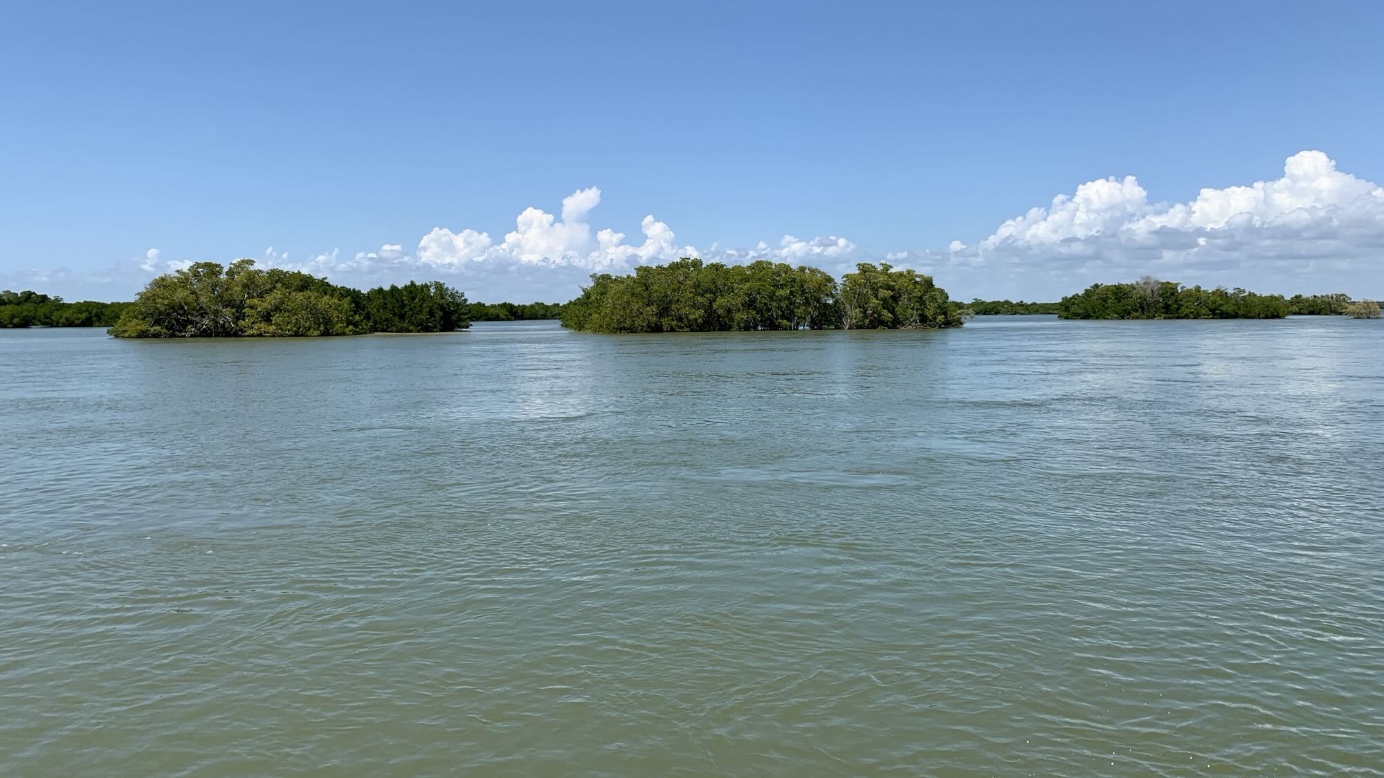
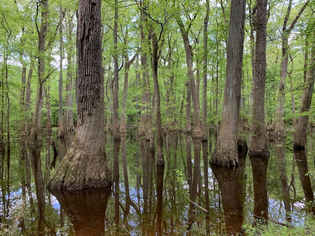
Header photo: Everglades National Park
Trip reports/posts are recorded in chronological order on last day of each segment.
Our photo travel log
Header photo: Everglades National Park
Trip reports/posts are recorded in chronological order on last day of each segment.
March 23 – April 14
Summary – detailed reports/posts coming soon below.
After traveling far north to Alaska last year (Chatanika AK, 65ºN), we decided to go as far south in Florida as we could (Flamingo FL, 25ºN) – 4000 miles away straight line (?). Two trips, 125 days, 17000 miles of driving.
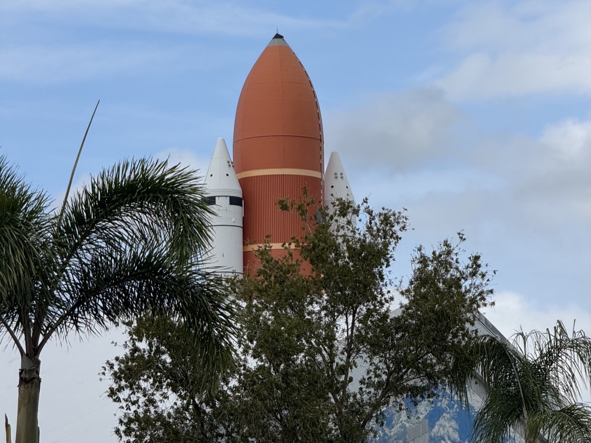
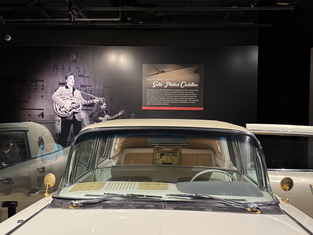
This time, our main destination was National Parks: Everglades, Biscayne and Congaree – we added 3 to our list of visited Parks (new total 39 out of 63). Did not make it to Key West, as originally planned. On this trip we spent more time than usual visiting several cities and museums, but also did many short day-hikes and spent a lot of time watching wildlife: birds, alligators, crocodiles and of course manatees. We are becoming bird-watchers (beginners) – on this trip we watched, photographed and identified 37, others flew by too fast. Spent almost full day at Kennedy Space Center.
We drove 3600 miles and stayed in 16 places, 8 campgrounds and 8 motels/airbnbs. Joanna had a good plan where to go and what to see, but we made specific decisions each day. We left cold weather in Chicago and arrived in sunny Florida with temps reaching 90ºF – April is already beginning of low season here – some sites were preparing to shut down for the summer (too hot). We avoided big crowds, but were still able to observe a few manatees in the wild. No problems finding places to overnight (campgrounds were mostly empty).
As for Subaru camping, additional moonroof ventilation would be good on hot nights, but we did not have anything to use as insect screen. No car mechanical problems this time.
 Completed itinerary
| Destinations | Overnight | |||||
| Mar | 23 | Sun | 1 | Chicago-Nashville, I-94, I-65 | IL-IN-KY-TN | Nashville Music Row airbnb |
| 24 | Mon | 2 | Nashville | TN | Nashville Music Row airbnb | |
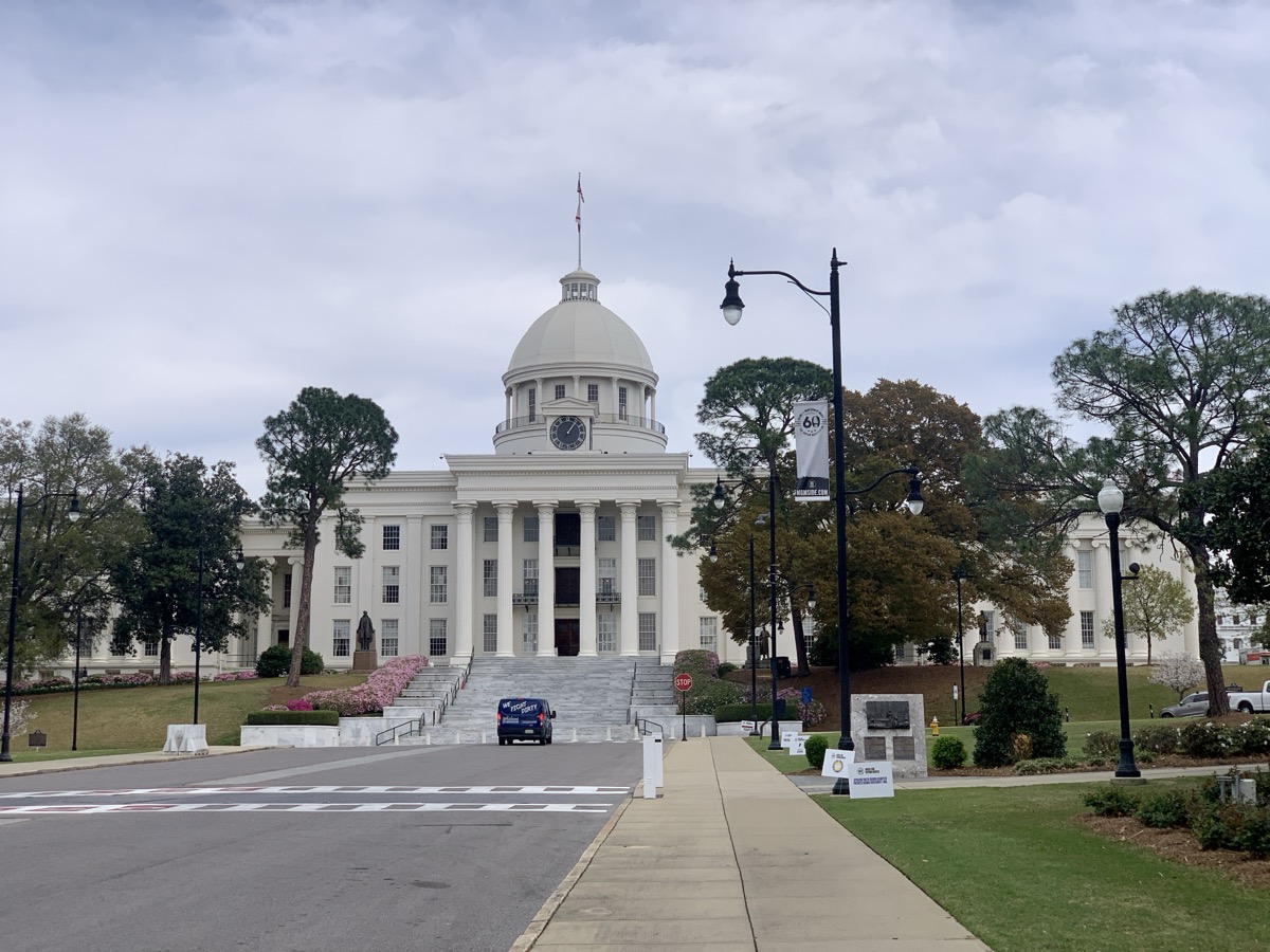
| 25 | Tue | 3 | Birmingham, Montgomery | AL | Montgomery airbnb | |
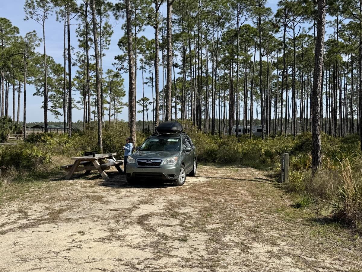
| 26 | Wed | 4 | Montgomery | AL-FL | Tate’s Hell State Forest Cash Creek CG | |
| 27 | Thu | 5 | Manatee Springs | FL | Manatee Springs SP Magnolia 1 CG | |
| 28 | Fri | 6 | Manatee Springs | FL | Manatee Springs SP Magnolia 1 CG | |
| 29 | Sat | 7 | Crystal River, Homosassa Springs Wildlife State Park | FL | Tarpon Springs Quality Inn & Suites | |
| 30 | Sun | 8 | Big Cypress National Preserve | FL | Monument Lake CG | |
| 31 | Mon | 9 | Big Cypress National Preserve | FL | Monument Lake CG | |
| Apr | 1 | Tue | 10 | Loop Road (Big Cypress), Everglades National Park | FL | Long Pine Key CG |
| 2 | Wed | 11 | Everglades National Park, Biscayne National Park | FL | Long Pine Key CG | |
| 3 | Thu | 12 | Everglades National Park | FL | Flamingo CG | |
| 4 | Fri | 13 | Everglades National Park | FL | Flamingo CG | |
| 5 | Sat | 14 | Miami | FL | Miami River Inn | |
| 6 | Sun | 15 | Miami Beach | FL | Miami River Inn | |
| 7 | Mon | 16 | Miami murals, Pineda Beach, Cocoa Beach | FL | Travel Inn of Titusville | |
| 8 | Tue | 17 | Kennedy Space Center | FL | Anastasia State Park CG | |
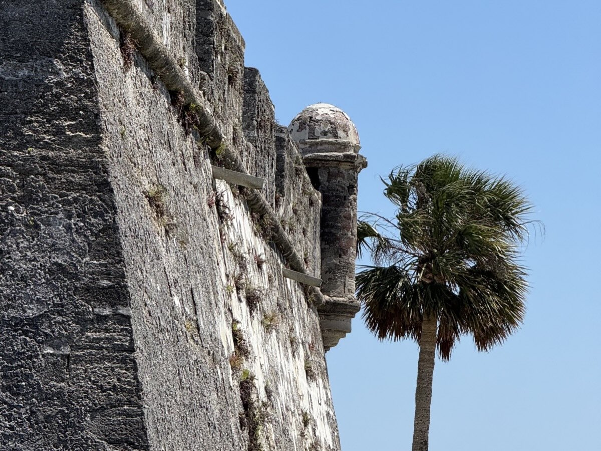
| 9 | Wed | 18 | Anastasia State Park, Saint Augustine | FL-GA | The Isetta Inn | |
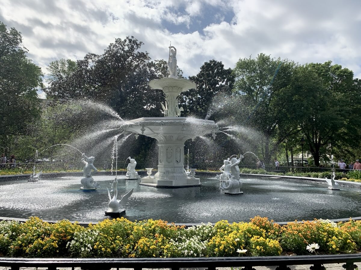
| 10 | Thu | 19 | Savannah | GA-SC | Best Western Charleston Inn | |
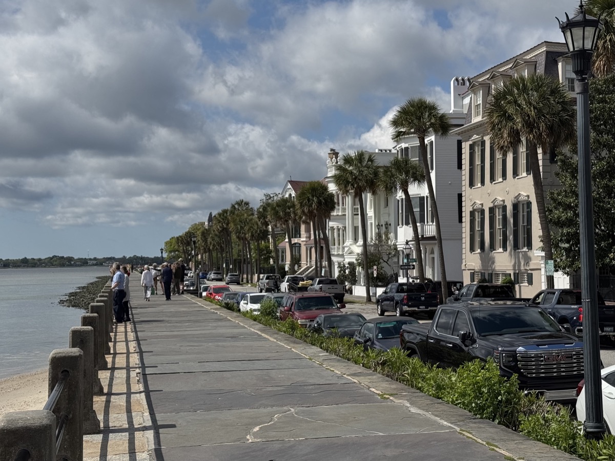
| 11 | Fri | 20 | Charleston | SC | Poinsett State Park CG | |
| 12 | Sat | 21 | Congaree National Park | SC | Brick House CG | |
| 13 | Sun | 22 | I-26, I-40, I-75 | SC-NC-TN-KY | Berea Comfort Inn & Suites | |
| 14 | Mon | 23 | I-75, I-275, I-74, I-65, I-94 | KY-OH-IN-IL | Chicago |

Snapshots…
March 23 – 29
We started the trip several days late and worried about hot weather and all manatees moving out to sea.
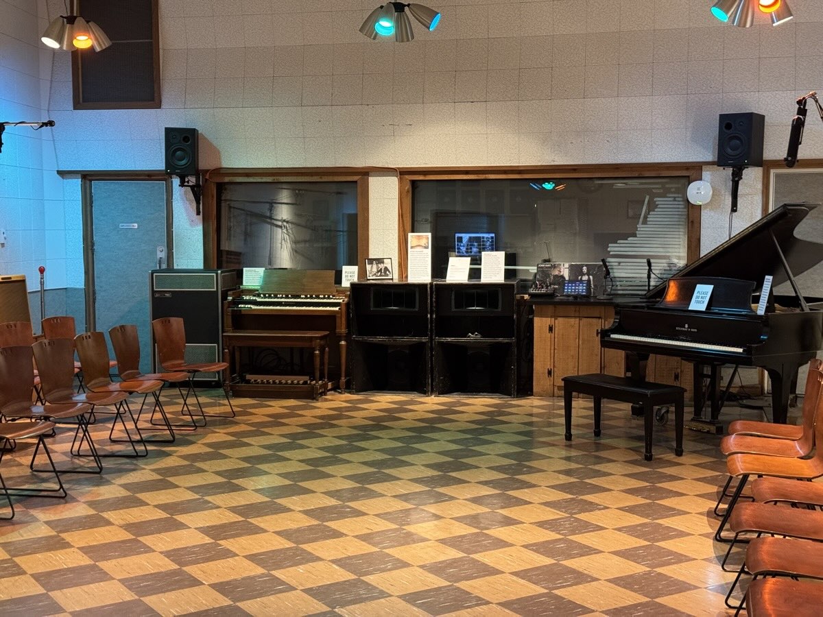
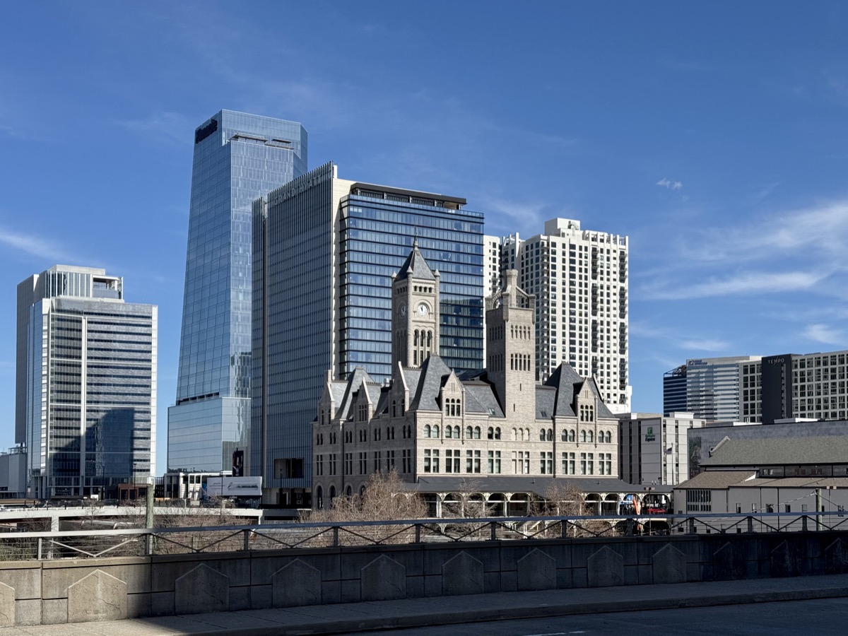
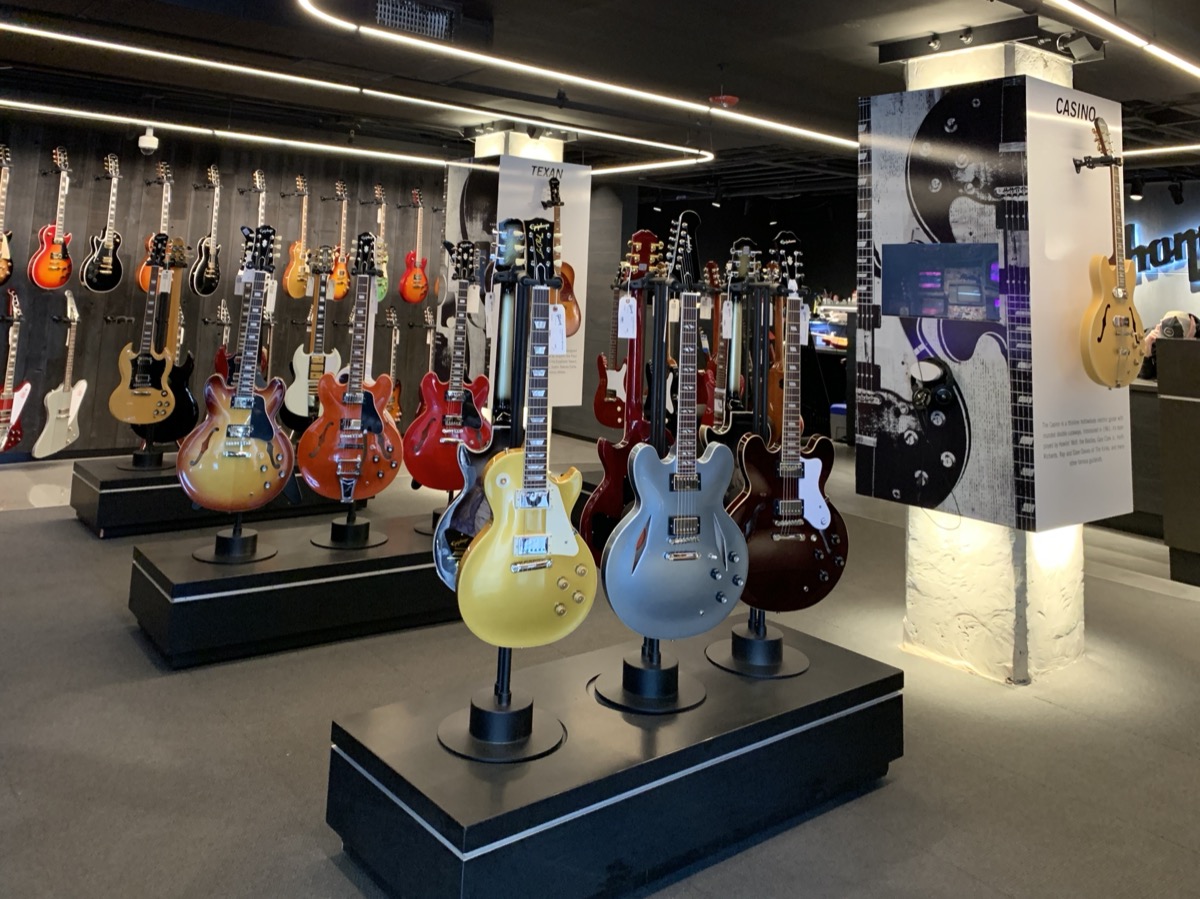
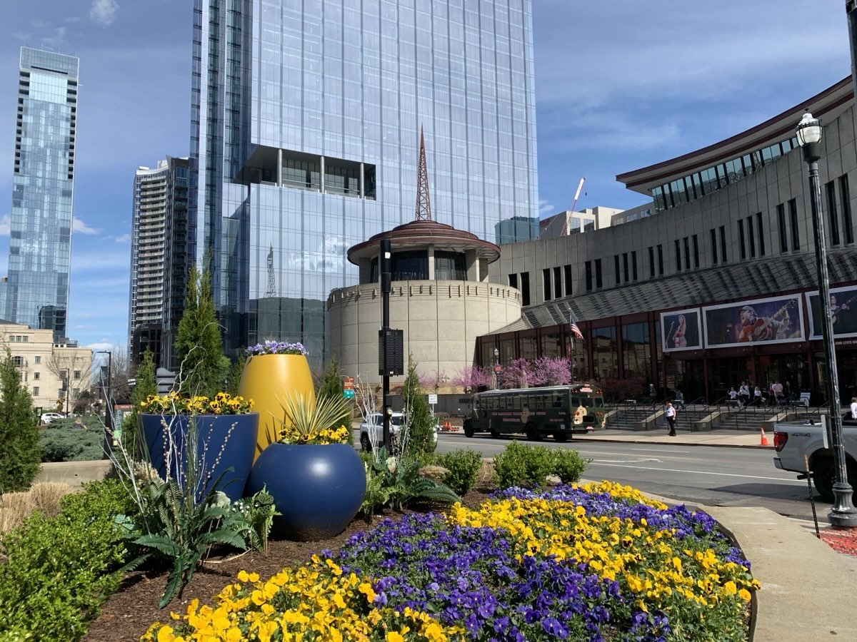
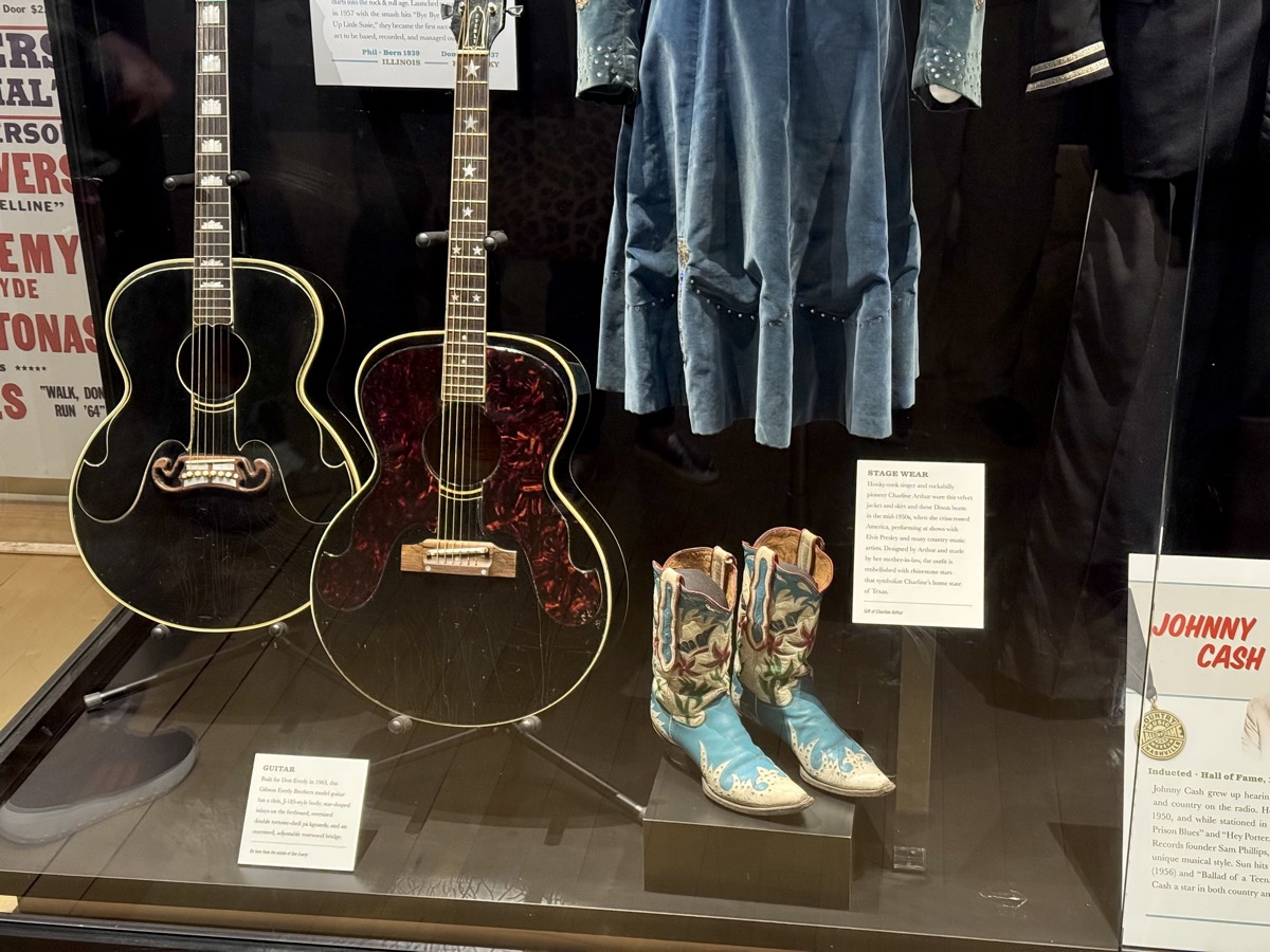
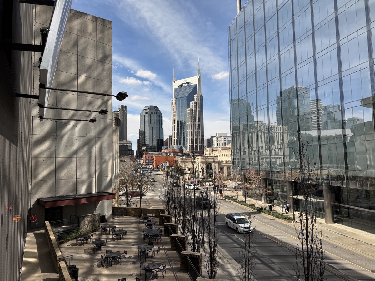
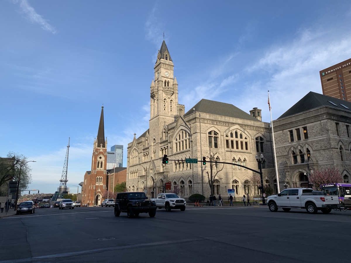
First day was just fast driving to Nashville. We checked-in to old college (Scarritt) residence hall converted to hotel/airbnb. It has good location in Music Row neighborhood, still walking distance to downtown. We spent the following day walking around, first to RCA Studio B which unfortunately was only accessible for tours from different location – we just walked there. We stopped at Gibson Garage (guitar center). After first take at Country Music Hall of Fame and Museum we took shuttle to RCA Studio B for a short tour and back. We then spent more time at the museum. Even though it is not our favorite music, we felt connection to the artists. Nashville was full of tourist but not crowded, very clean and nice to walk in perfect spring weather.


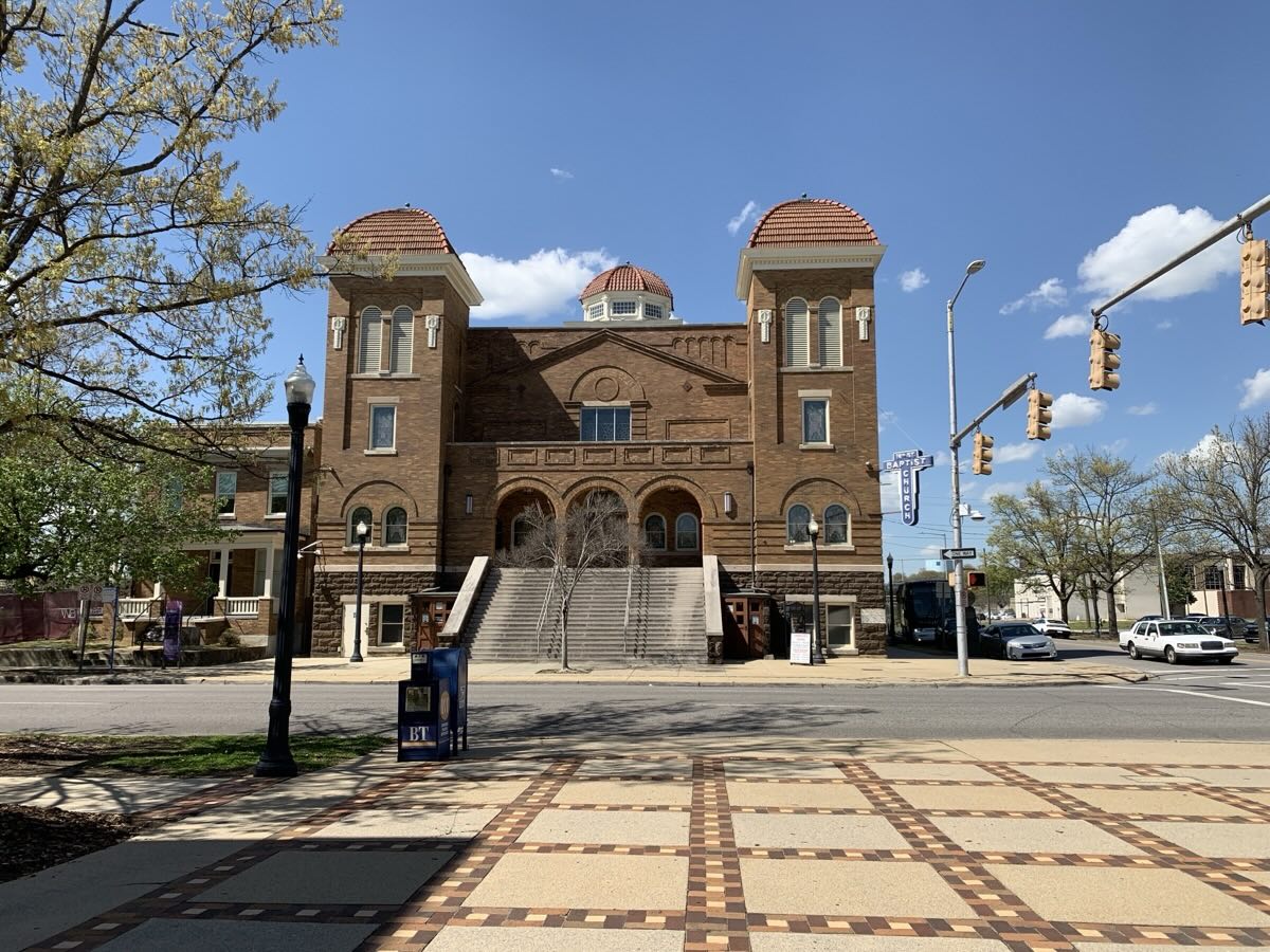
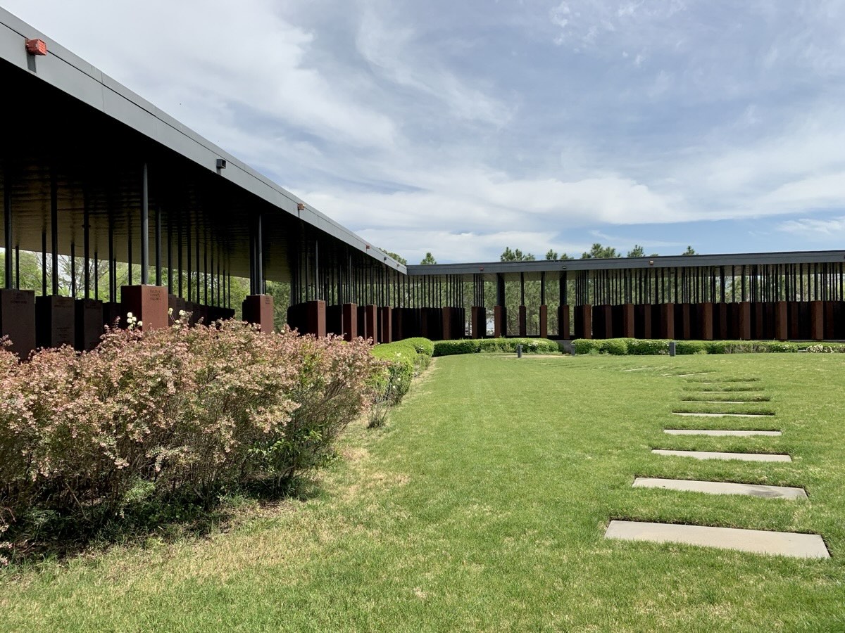
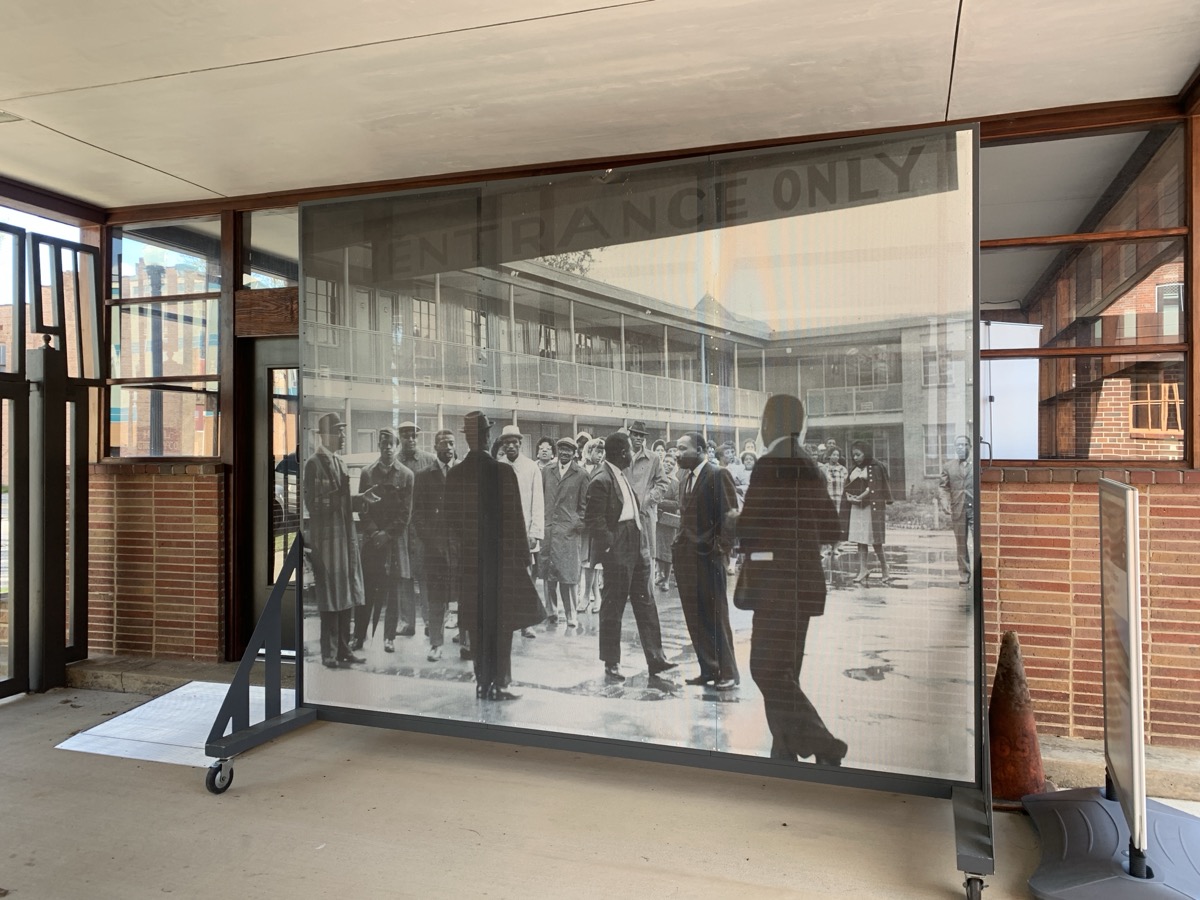
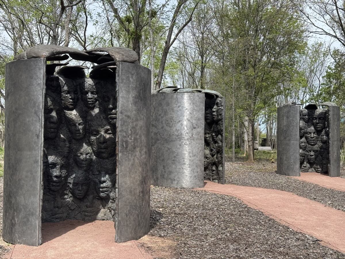
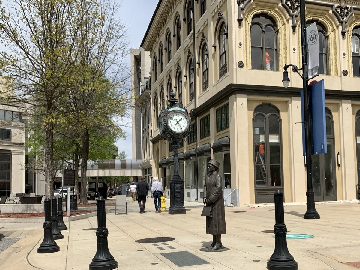
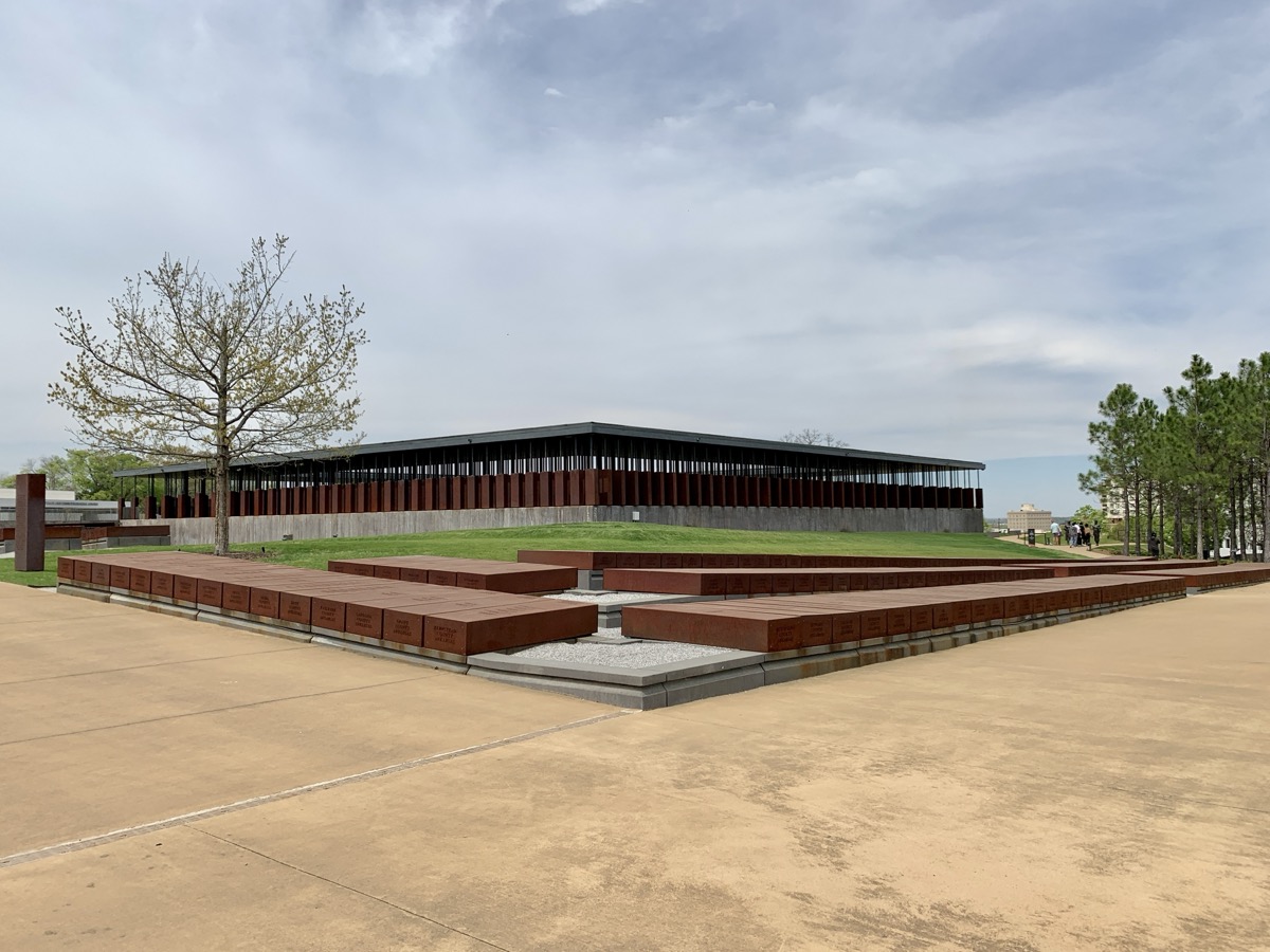
Days 3 and 4 were about civil rights history in Alabama. We stopped in Birmingham at Sixteenth Street Baptist Church, visited Birmingham Civil Rights Institute (museum) learning details about not so distant past, and walked in Kelly Ingram Park, stopped for coffee at Alicia’s Coffee in A.G. Gaston Motel. We arrived in Montgomery in late afternoon, found our airbnb and made it to Dreamland BBQ for dinner (very tasty). Next day we spent several hours visiting Legacy Museum, Freedom Monument Sculpture Park and National Memorial for Peace and Justice. Important for us reminder of history we learned from afar.
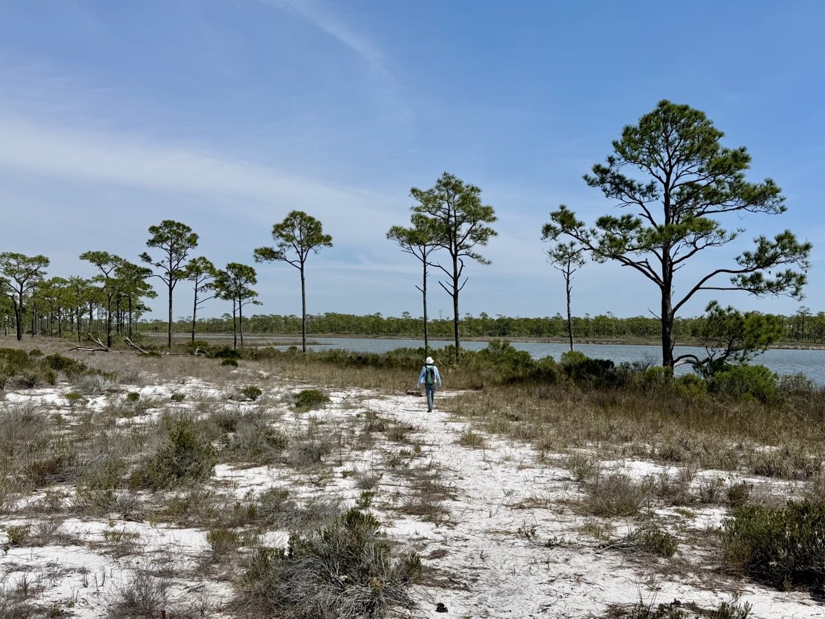
In the afternoon we drove across Apalachicola National Forest in north Florida where we stayed at nice and quiet Tate’s Hell State Forest Cash Creek Campground.
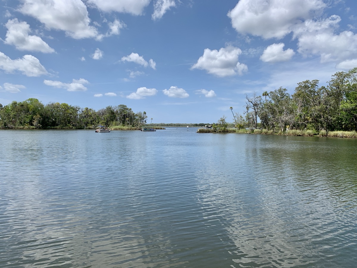
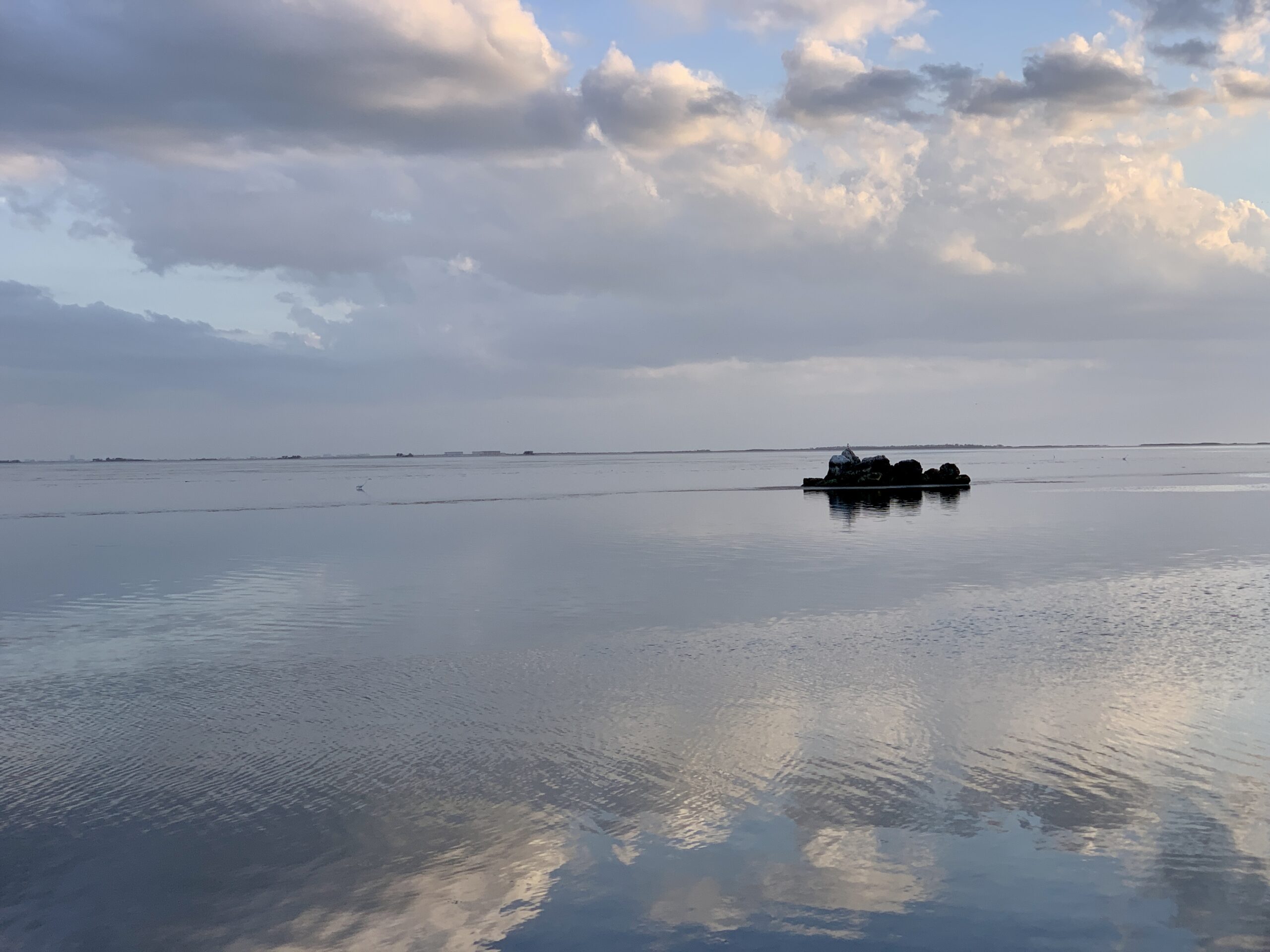
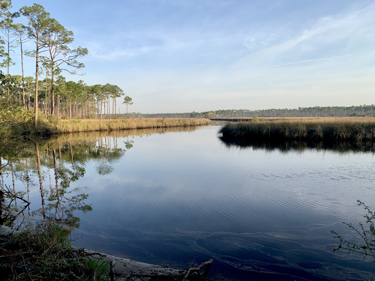
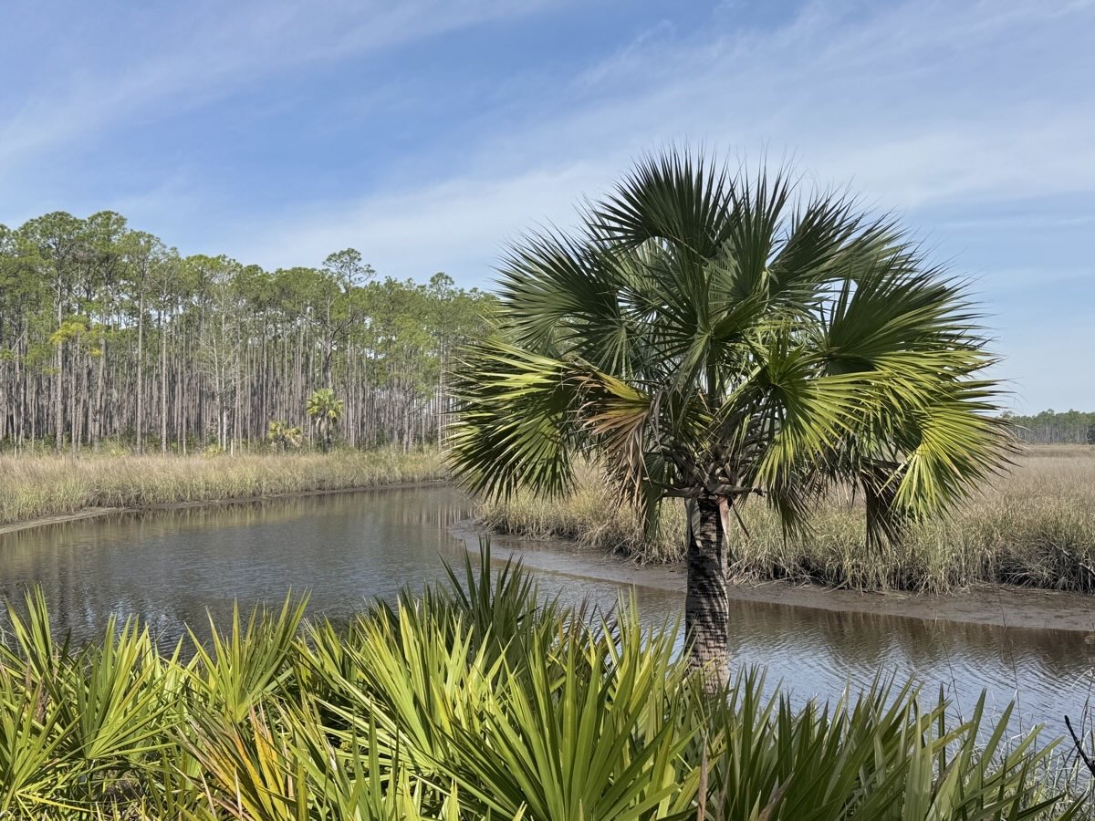
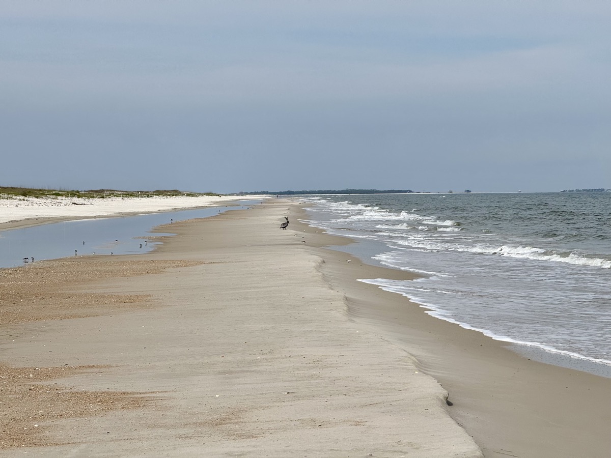
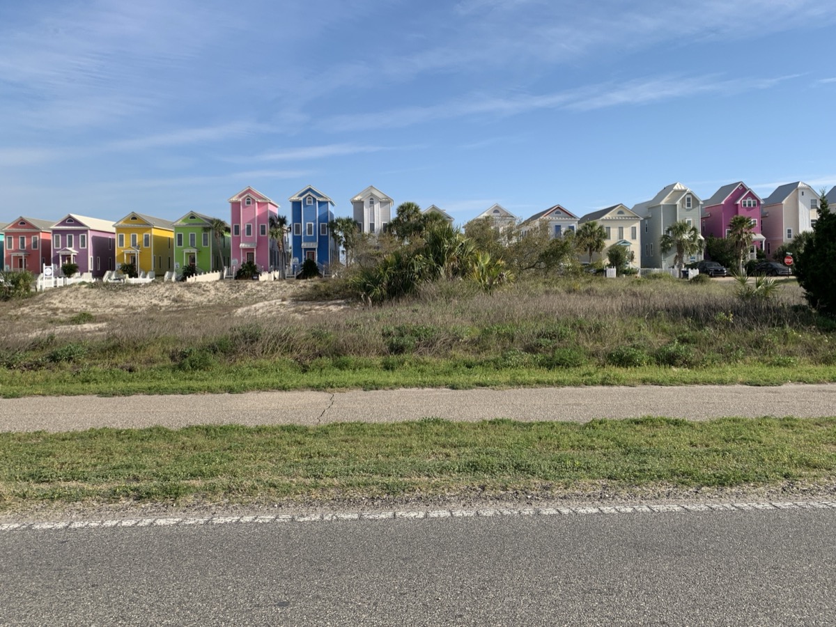
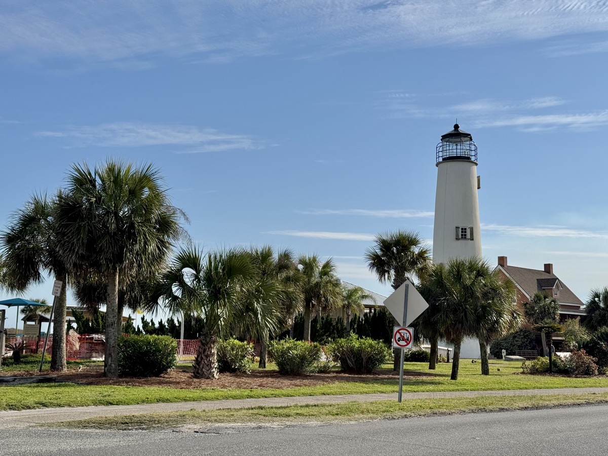
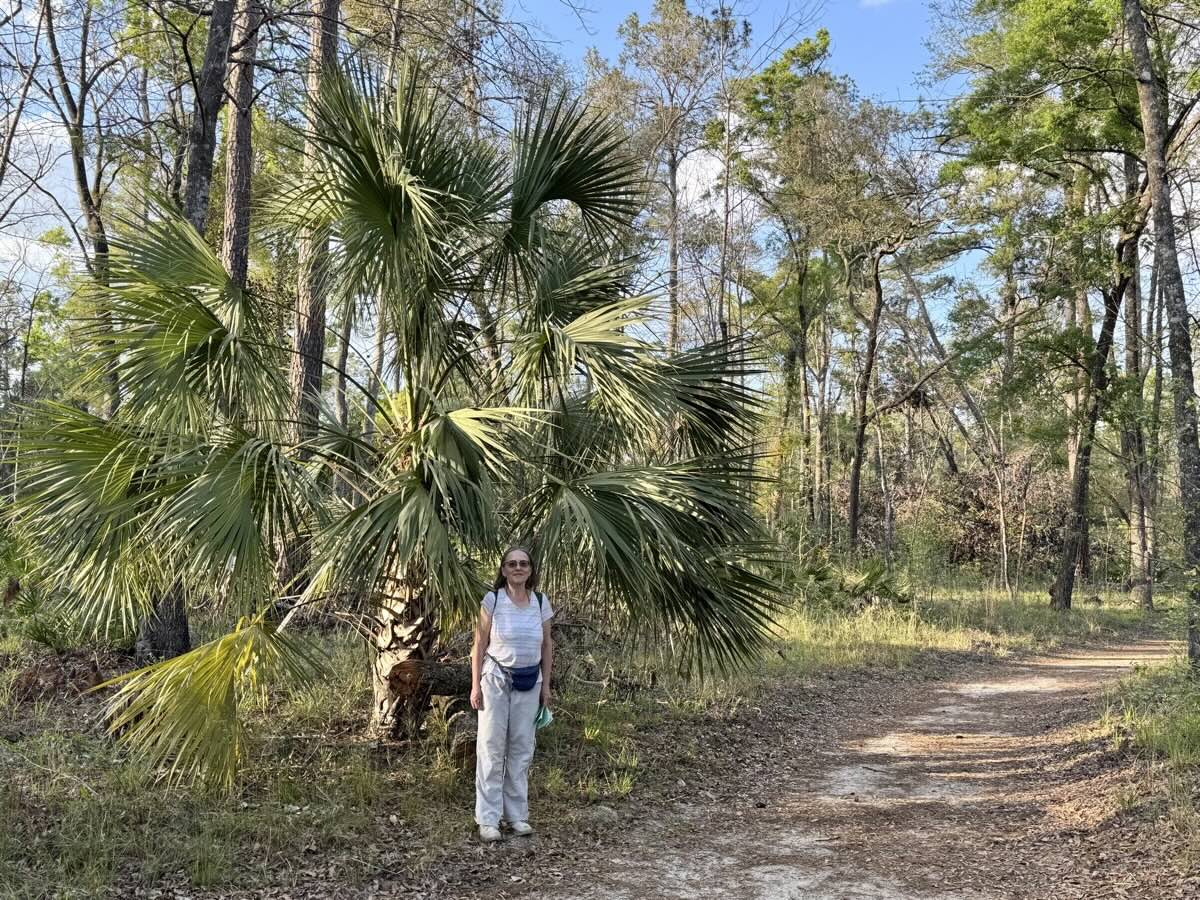
Day 5. After a short, morning walk along Crash Creek in pine flatwoods and saw palmettos, we spent the rest of the day walking on dunes and beaches of St George Island. Island had very relaxed vacation feel, state park with long beaches and woodlands was almost empty – still low season.
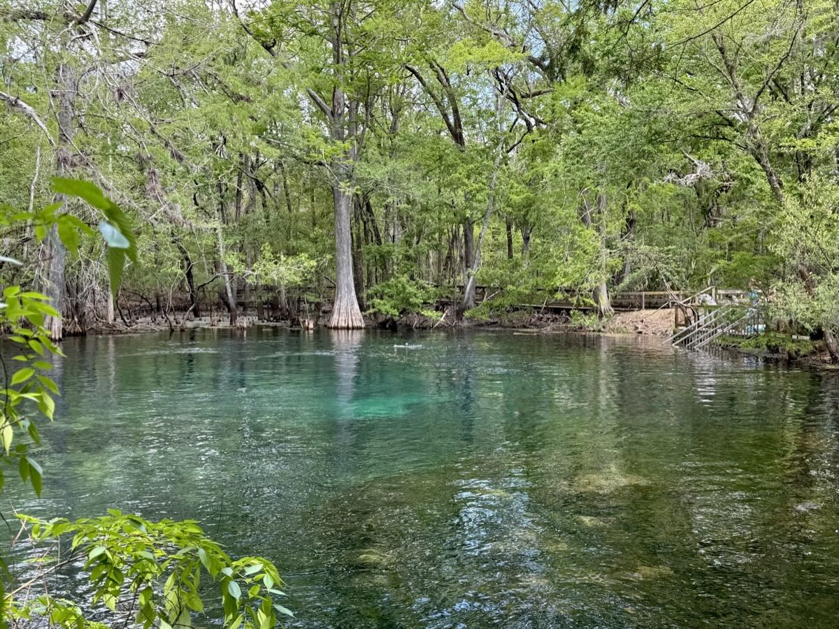
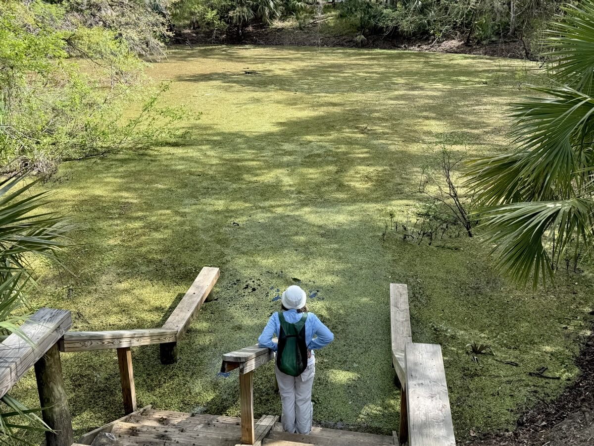
Settled at Magnolia 1 Campground in Manatee Springs State Park and immediately went for a walk to look for manatees (no luck that evening). Here it was high season, campground was full and neighbors very loud, but springs were not very crowded and trails empty.

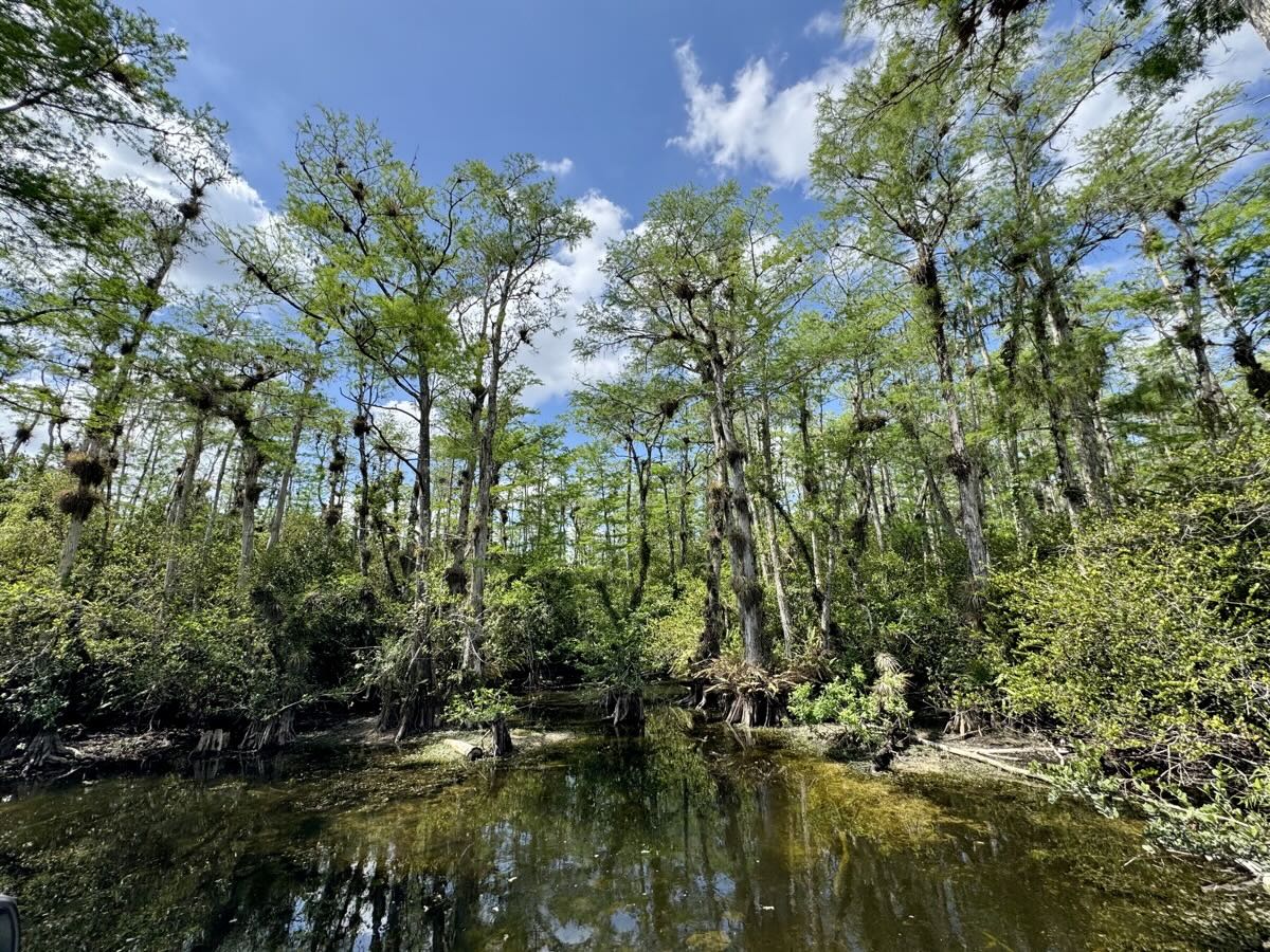
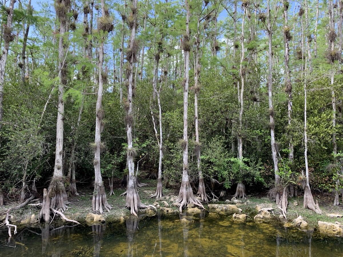
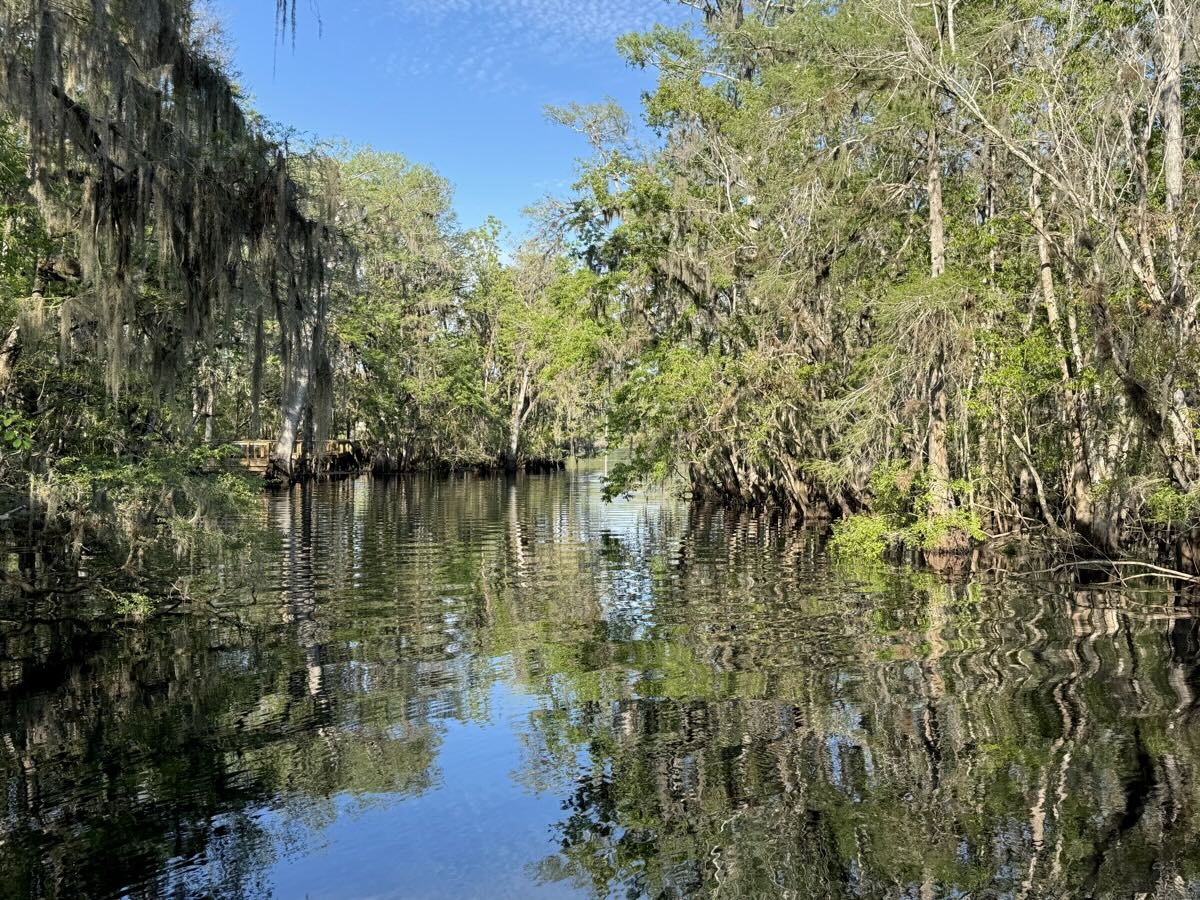
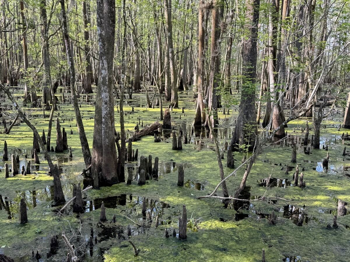
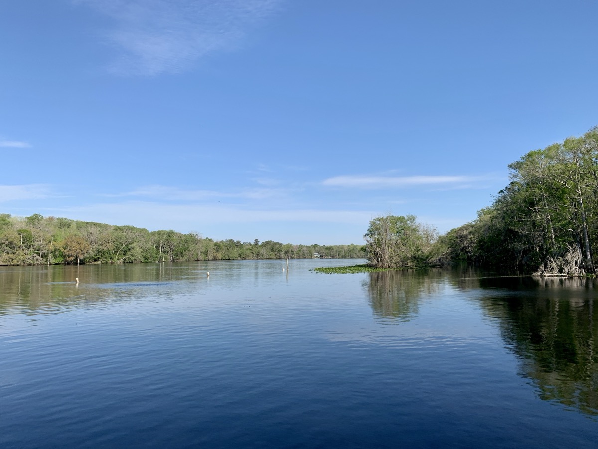
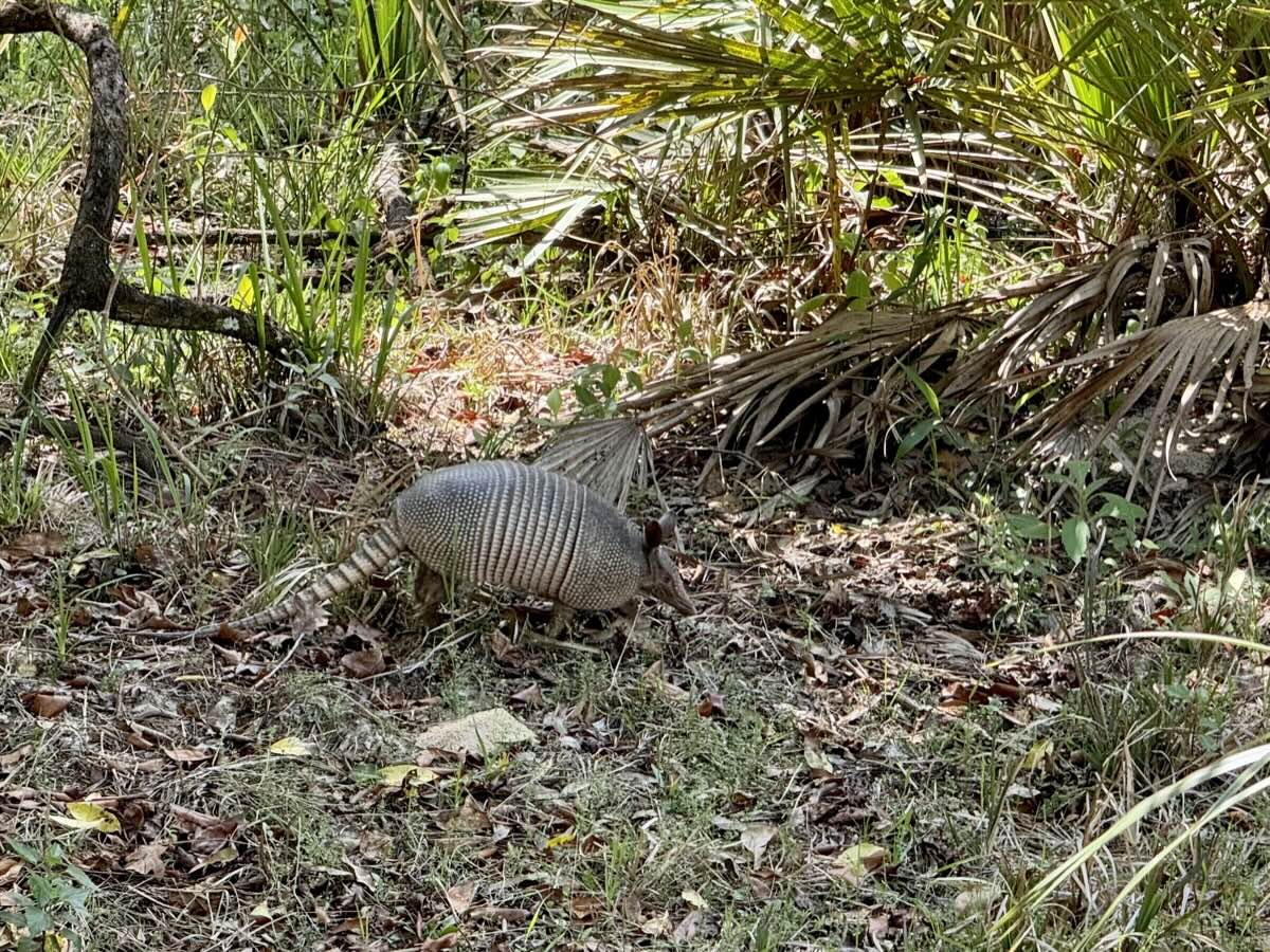
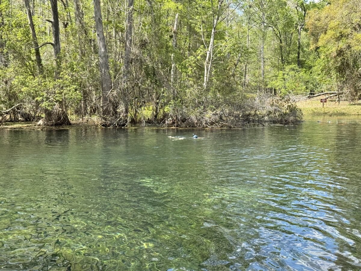
Day 6 was all about finding manatees – we were lucky and spotted three in spring’s channel: one swimming with a small baby, and separately another one sleeping/floating. We saw manatees before, but clear spring water make them much more visible then in sea lagoons. We walked around in loops all day, along water’s edge, on boardwalks, through wetlands and forest. We had time for swimming and snorkeling in the spring. Springs are beautiful with very clear water, surrounded by swamps with cypresses, tupelos, Spanish moss and alligators. In the evening we walked in woodlands and saw barred owl at twilight.


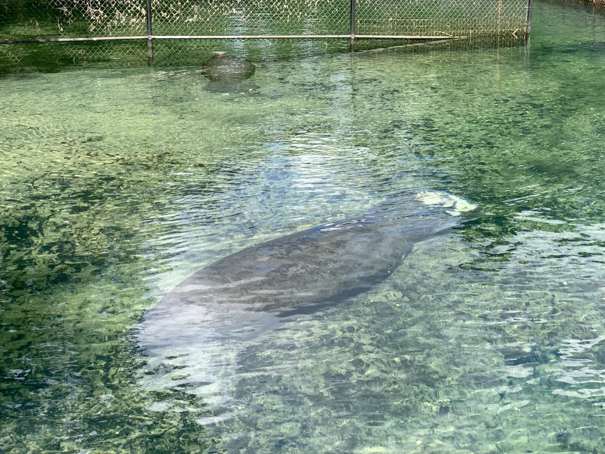
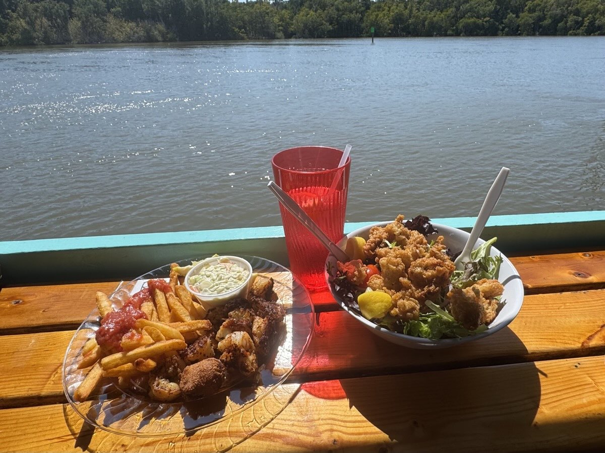
Day 7 started with another walk to the springs and we continued to Crystal River looking for water activity and place to swim – too crowded/noisy vacation spot, disappointing beach, so we decided to visit Homosassa Springs Wildlife State Park. It is refuge for rescued Florida animals (we are not great enthusiasts of zoo-type set-ups, but the walk was educational). They had 3 or 4 manatees in large enclosure, one possibly ready for release. We could see up close how huge they are. One more attempt to find swimming beach ended with just a walk at Sunset Beach in Tarpon Spring. We had good dinner at nearby H’ours Creole Smokehouse (second take on southern food) and stayed at Tarpon Springs Quality Inn & Suites.