Day 24
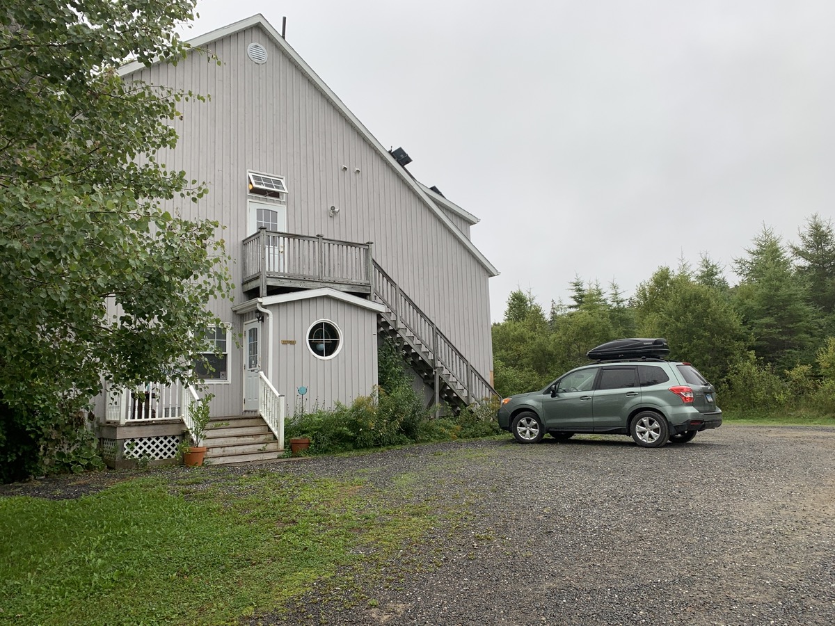
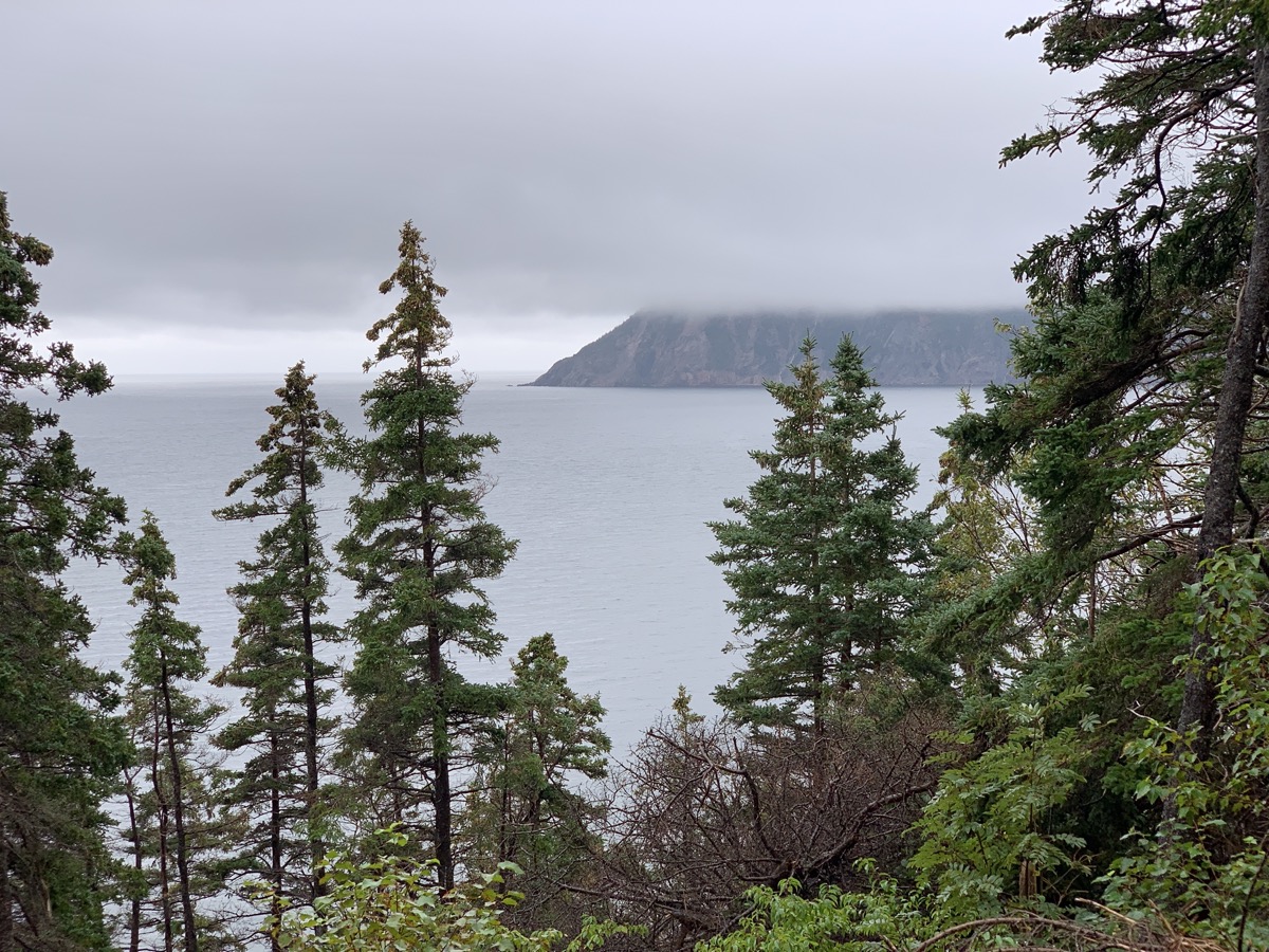
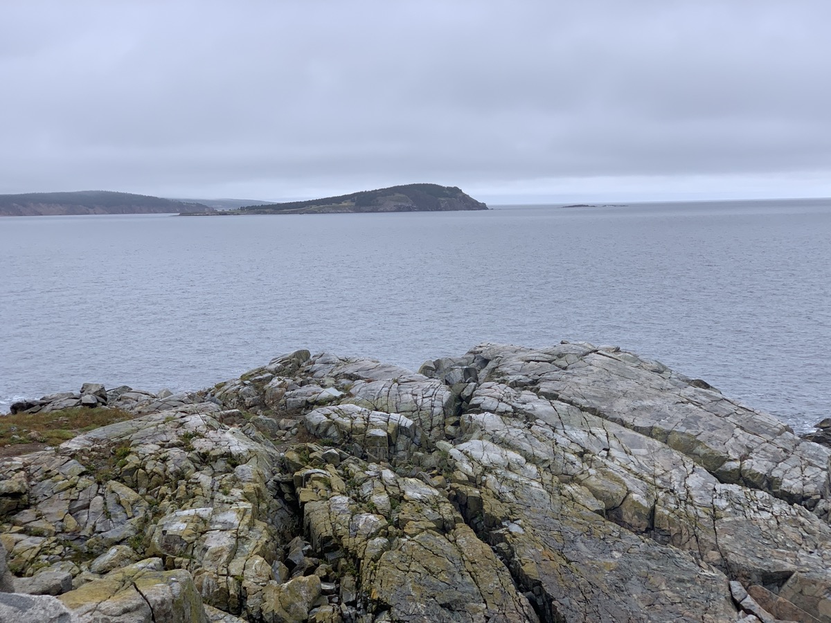
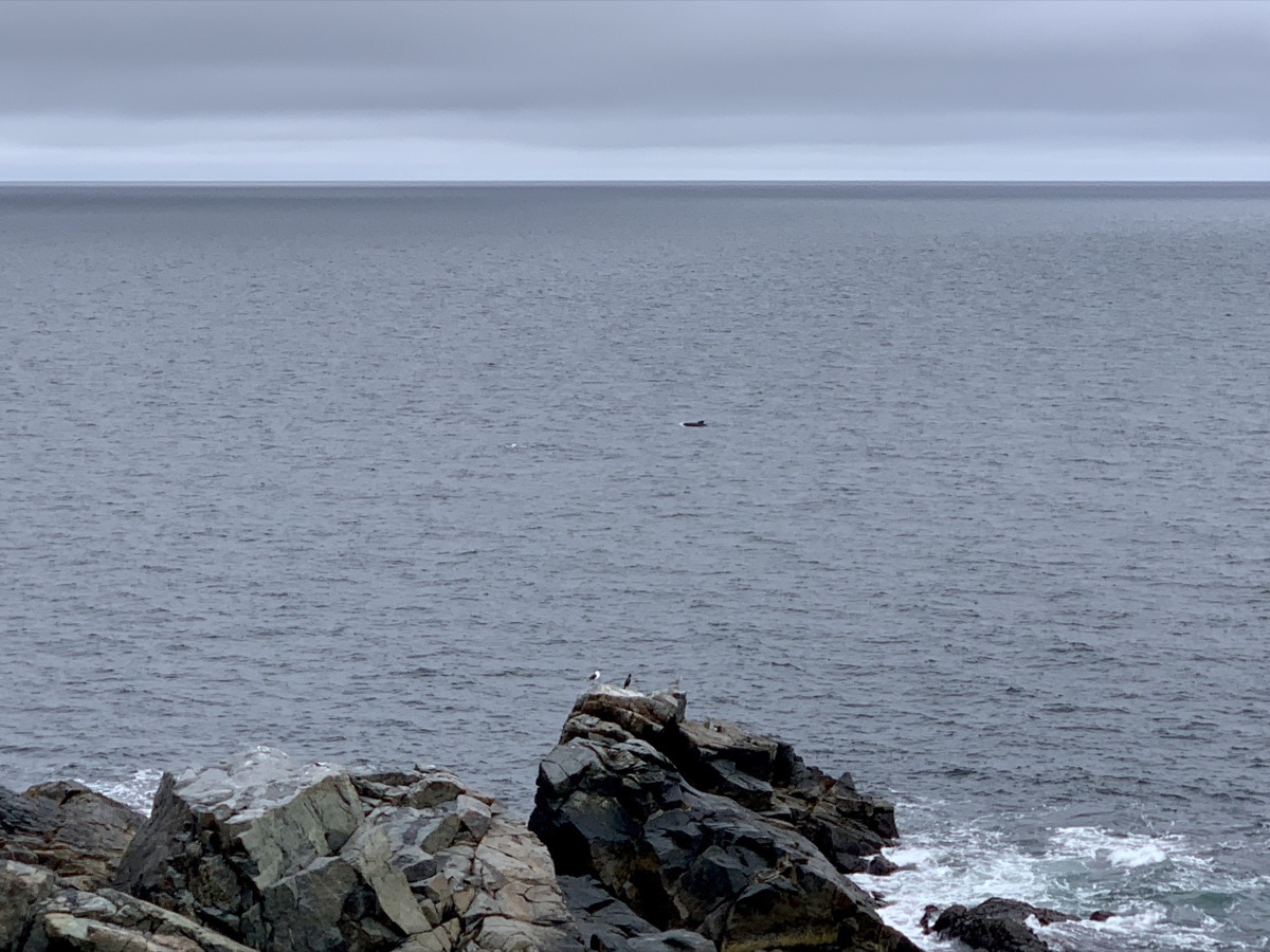
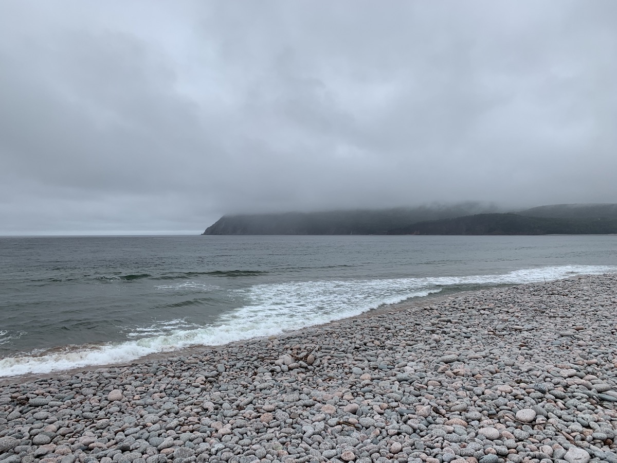
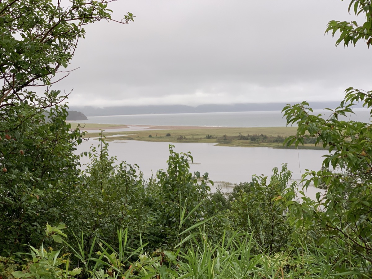
We did sleep quite a bit on ferry, but were not fully rested. The day started with clouds and passing rains as we were driving west and then north toward Cape Breton Highlands National Park. But first, breakfast plus coffee at Chanterelle Inn & Cottages. The weather was not encouraging when we arrived at Ingonish Visitor Centre. Rain was breaking at times allowing for decent walks at Middle Head Trail and Ingonish Beach in Cape Breton Highlands National Park. Very good sighting of several pilot whale pods from the tip of the peninsula.
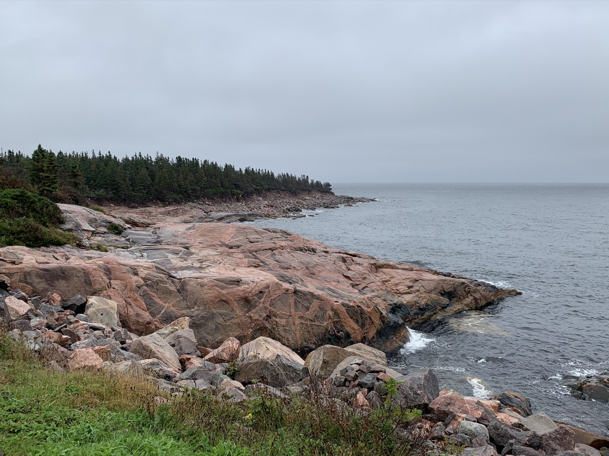
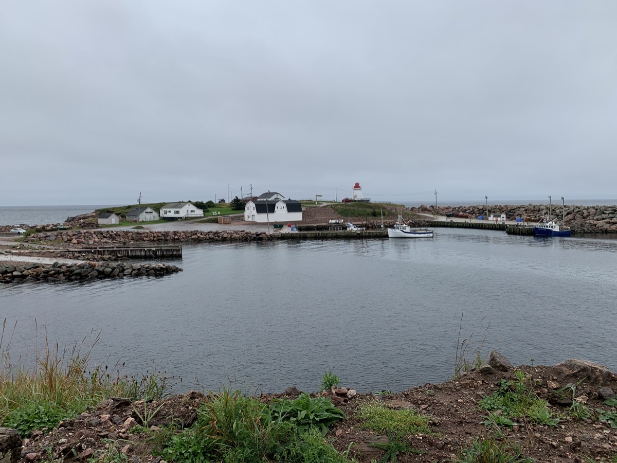
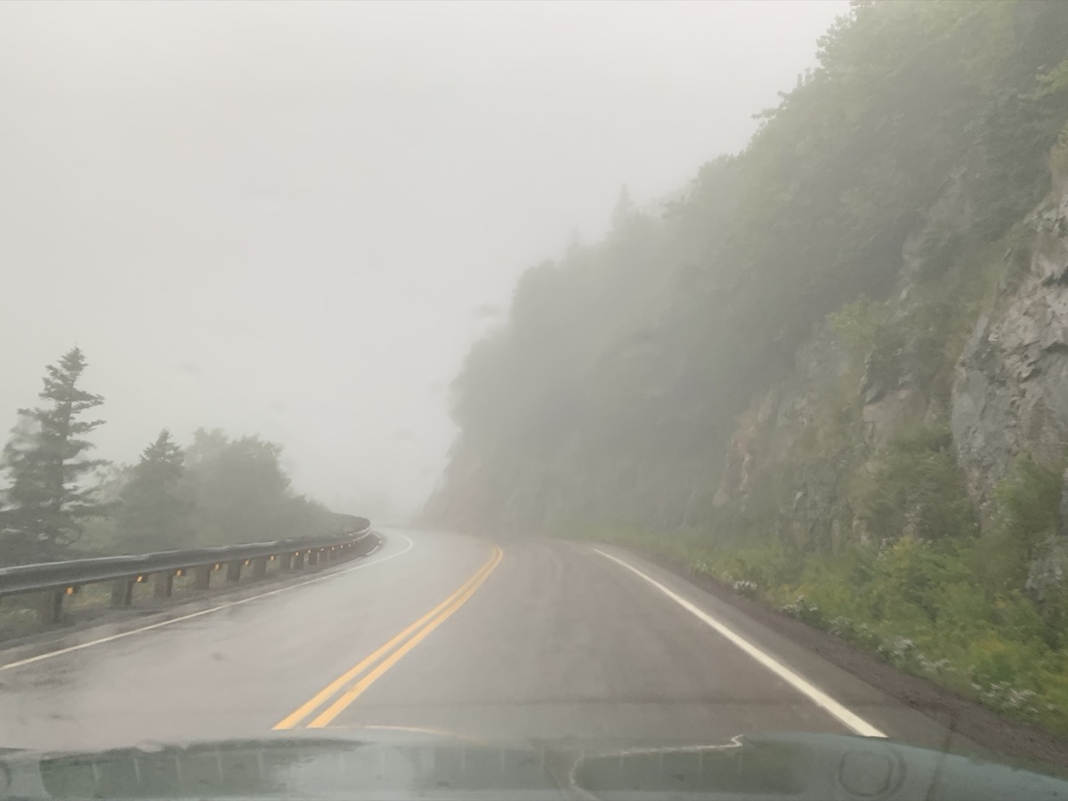
After brief detour to South Harbour, we finished the day in Pleasant Bay. The rain was quite heavy at times, driving was slow and tiring. After extended debate we ended-up in local motel rather than camping at one of the day-time parking lots (a.k.a. National Park campgrounds). We were quite disappointed as we were driving on famous Cabot Trail and weather refused to cooperate all day – this was the only time it happened during our entire trip.
Day 25
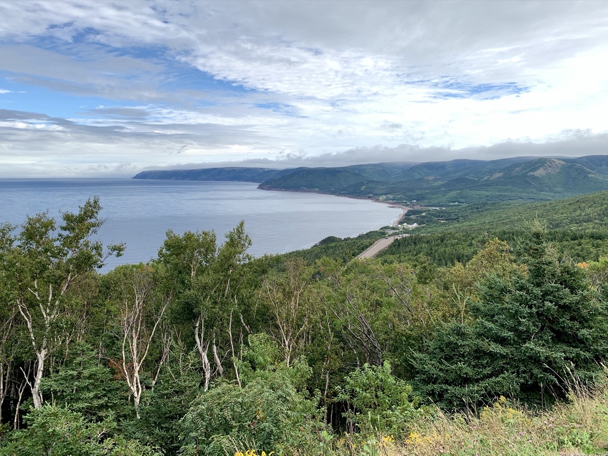
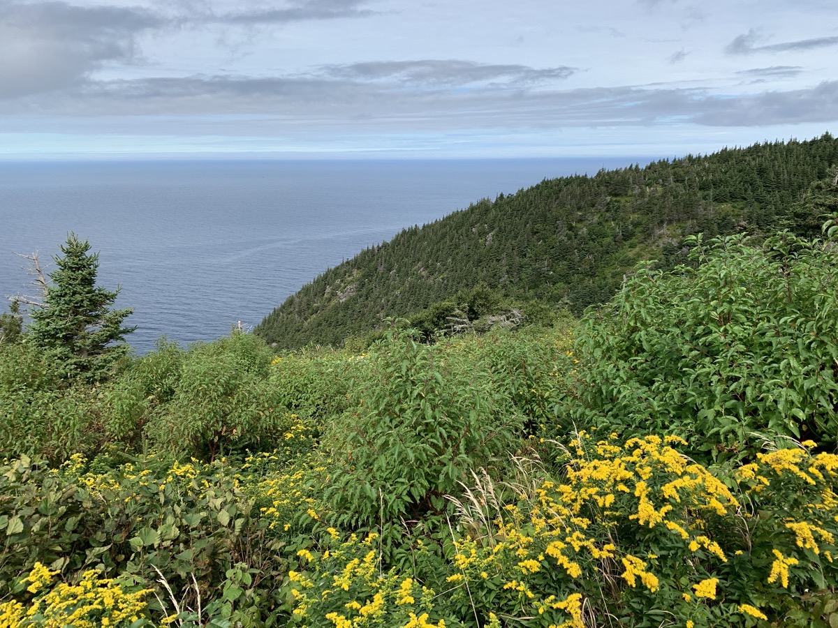
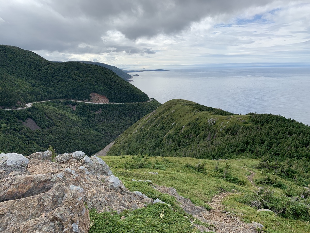
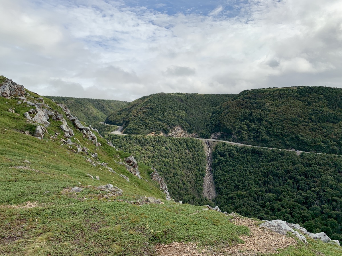
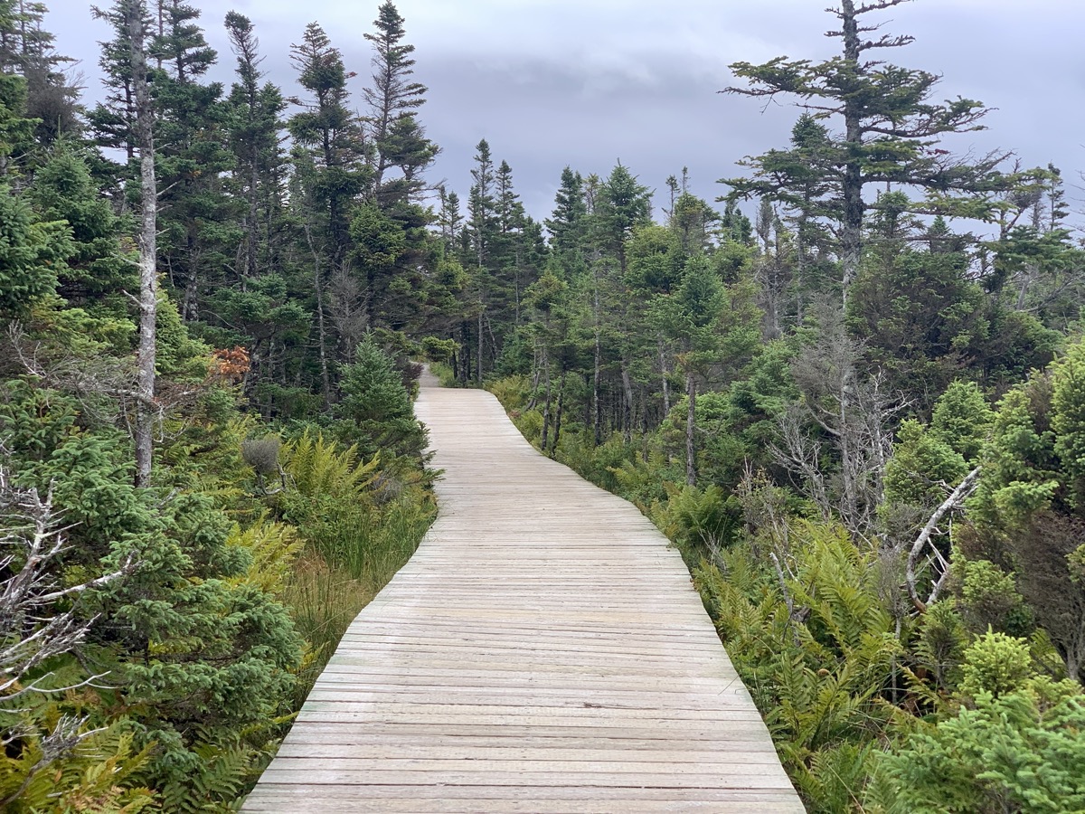
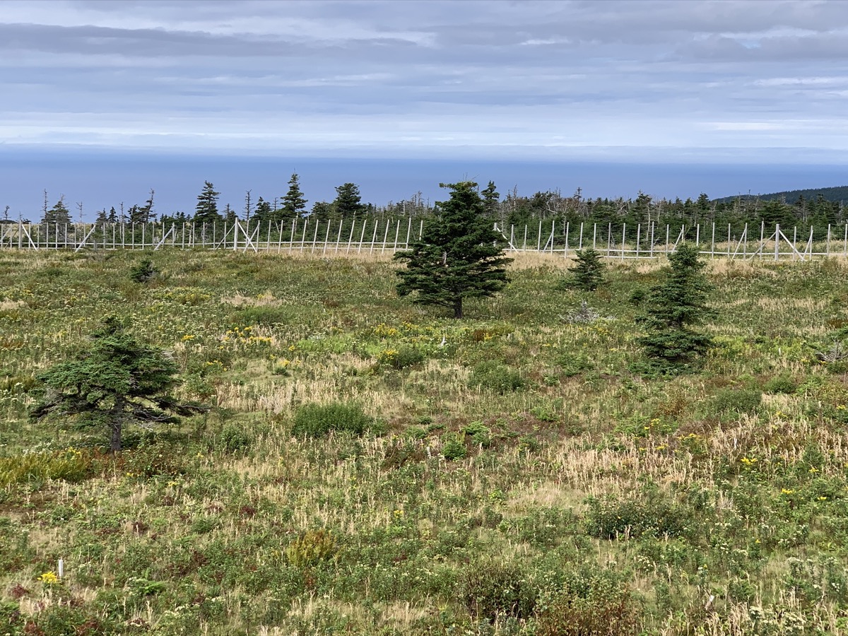
Sunny day with passing clouds. Confirmed at Whale Interpretative Center in Pleasant Bay that what we saw the day before were really pilot whales. Checked-out models of different whales at the beach. We spent the rest of the day on Skyline Trail, Bog Trail and Le Buttereau Trail. Skyline is very popular with many visitors, but offers great vistas, examples of local habitats and moose influence.
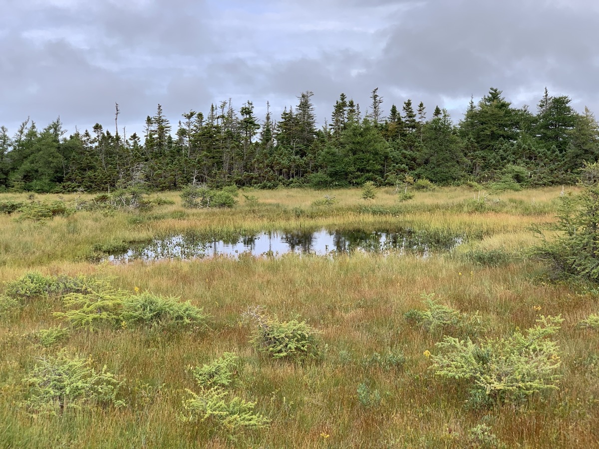
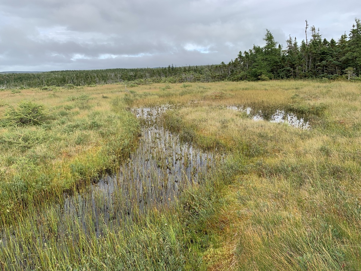
Talked with ranger about bog habitat and how plants (e.g. normally larger tamarack) respond to harsh environment, growing smaller and looking (?) half-dead. Hot/cold, windy, wet, acidic bog environment dominated by sphagnum mosses.
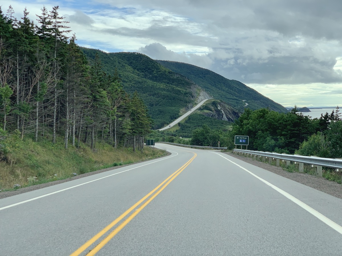
Cabot Trail (road) is very scenic winding south-west along Gulf of St Lawrence coast. At Buttereau we were learning about Acadians and their settlement. Did not meet a black bear seen walking on the trail, but once we saw tree full of aromatic, ripe apples we knew why it was there. Settled for the night at Cheticamp Campground (sites too close to one another with no trees, Cape Breton campgrounds are not like we are used to in National Parks).
Day 26
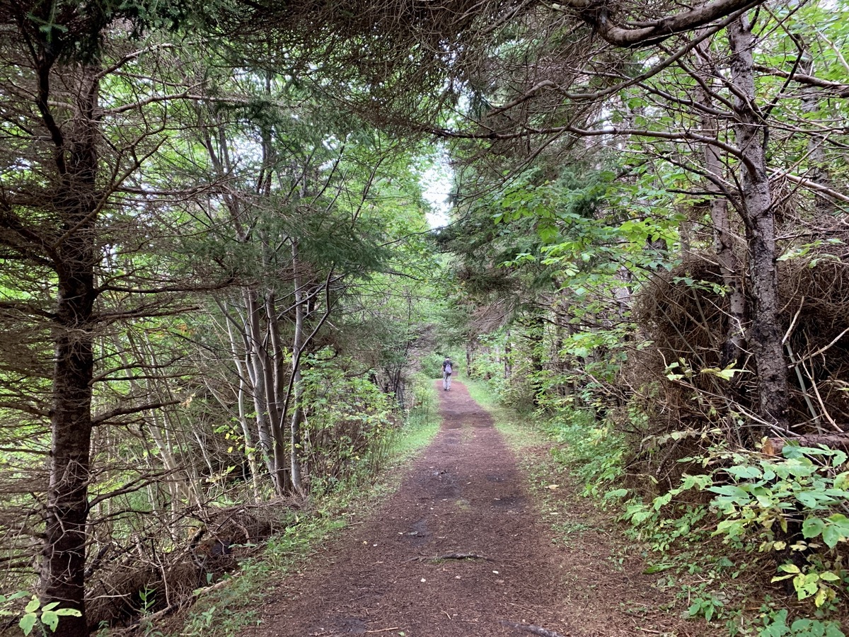
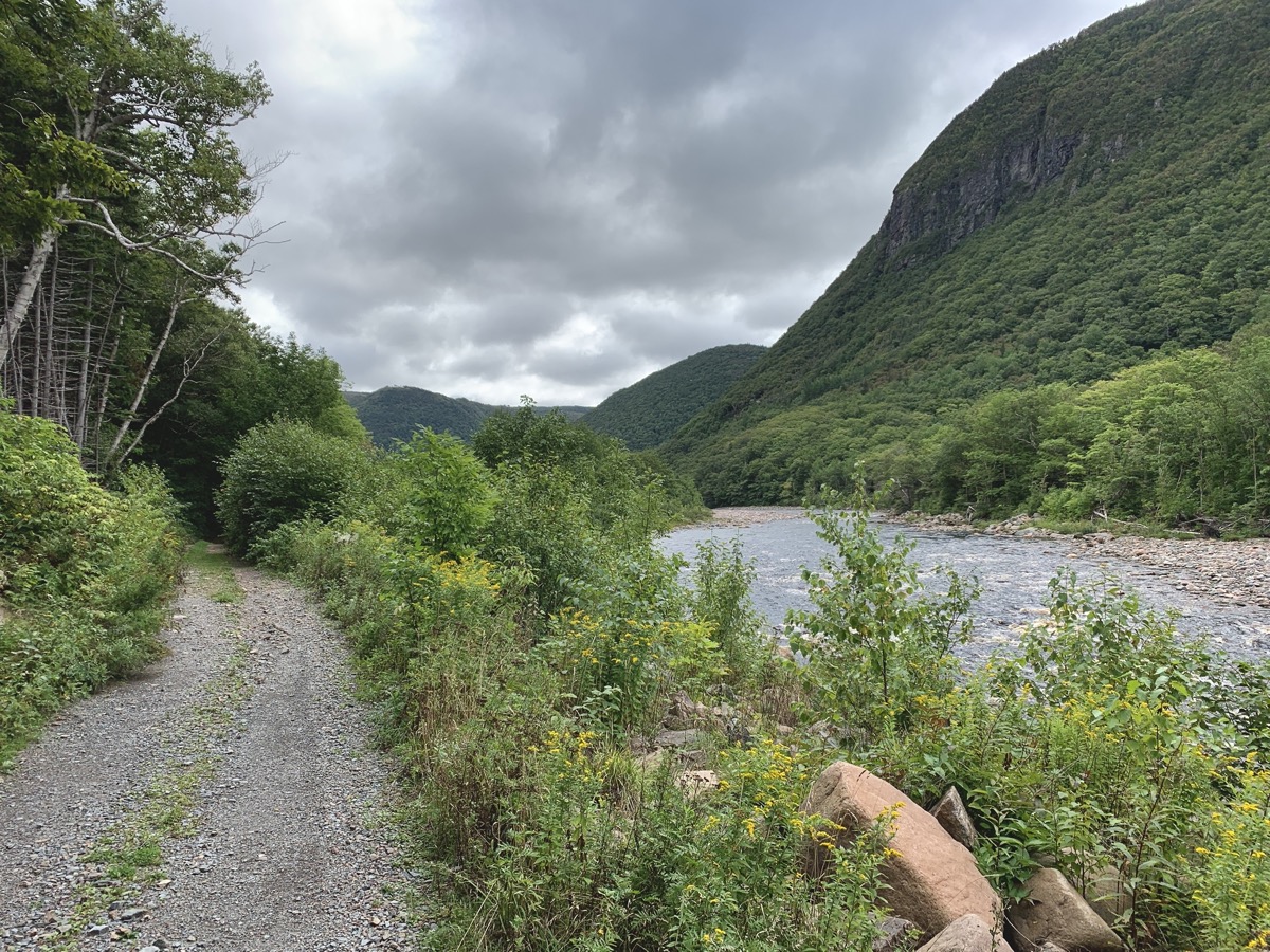
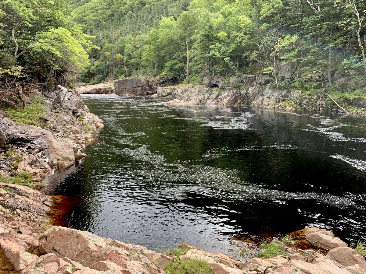
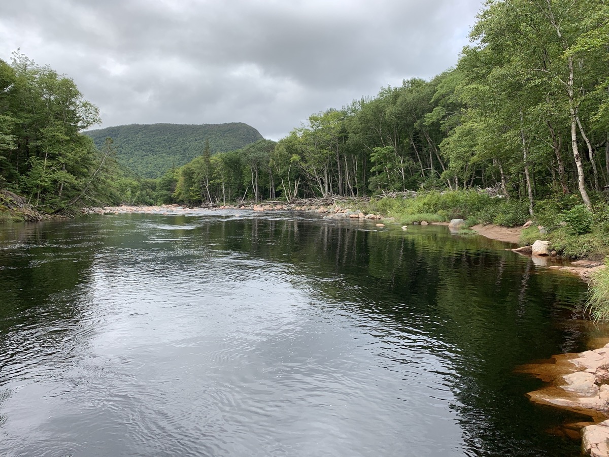
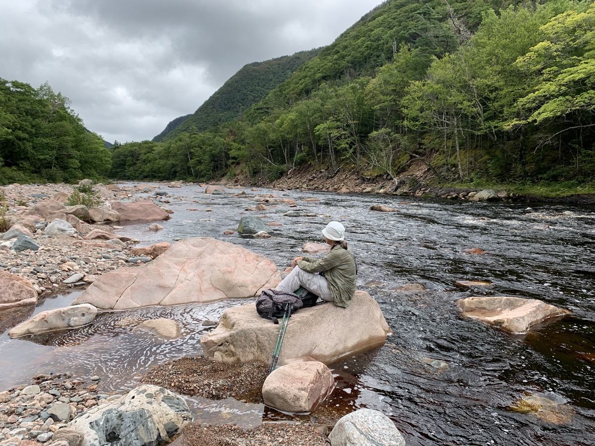
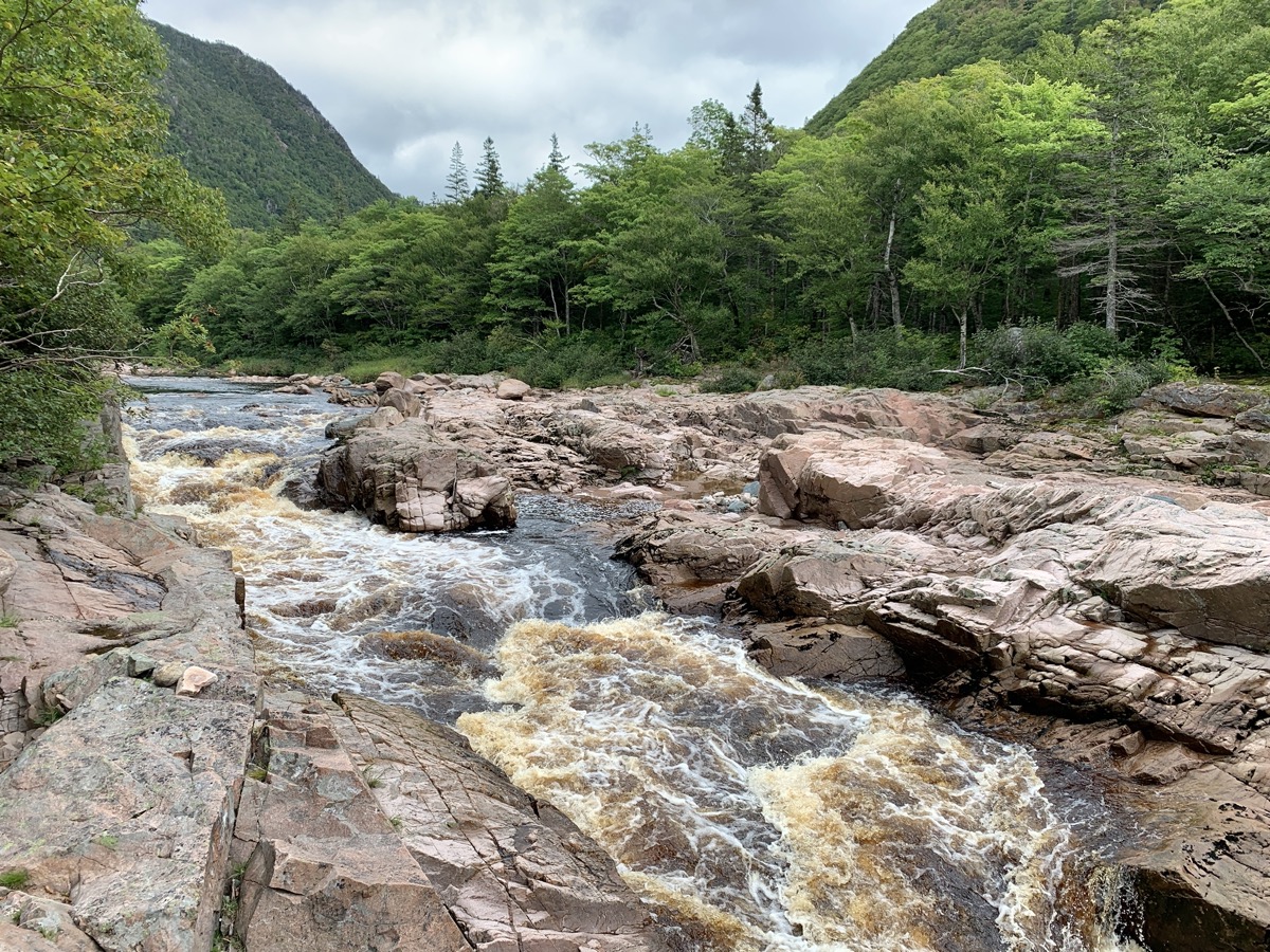
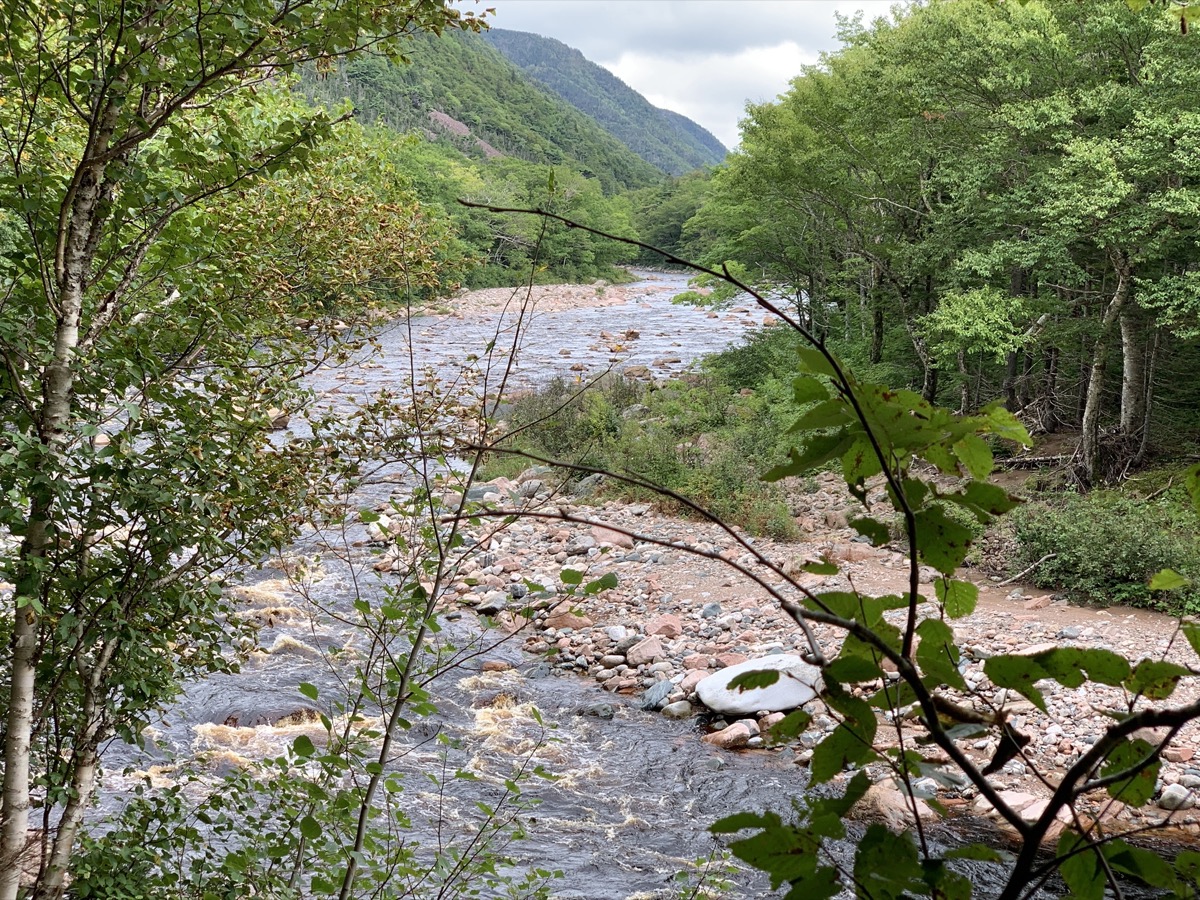
We liked morning hike on Salmon (fishing) Pools Road Trail, 10 km (return) along Cheticamp River, just from the end of Cheticamp campground. Few people, very quiet. Probably busy during fishing season. The river is coloured orange/brown by tanins, quite vivid when iluminated by sun and looked at an angle, then black-dark where water is deep (pools). Contrasting with surrounding greenery. Download Piotr’s GPX file
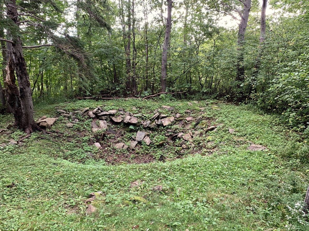
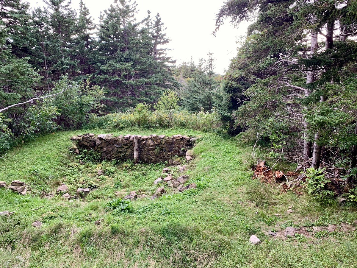
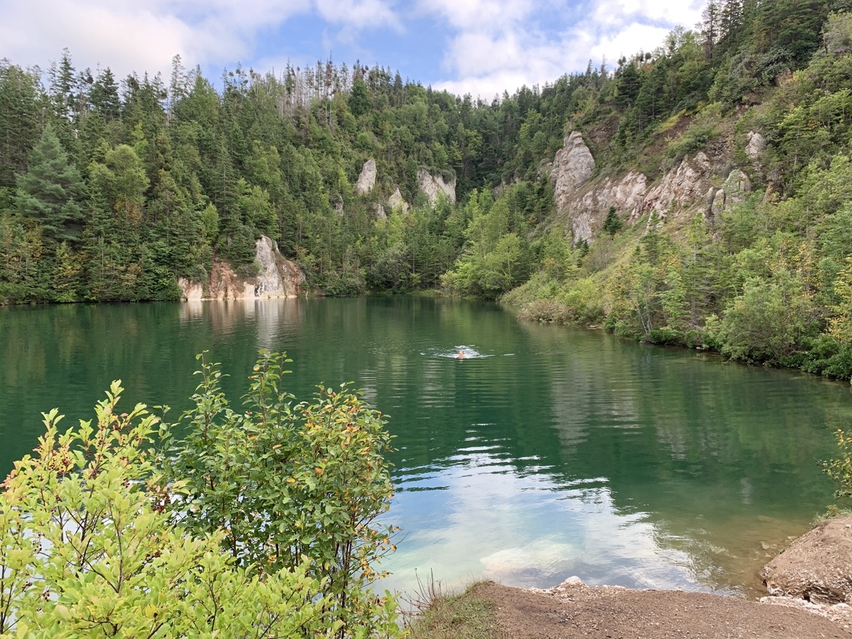
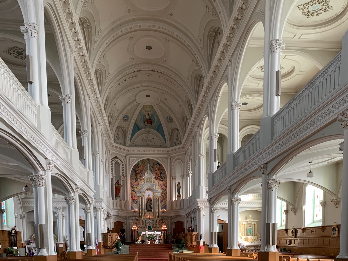
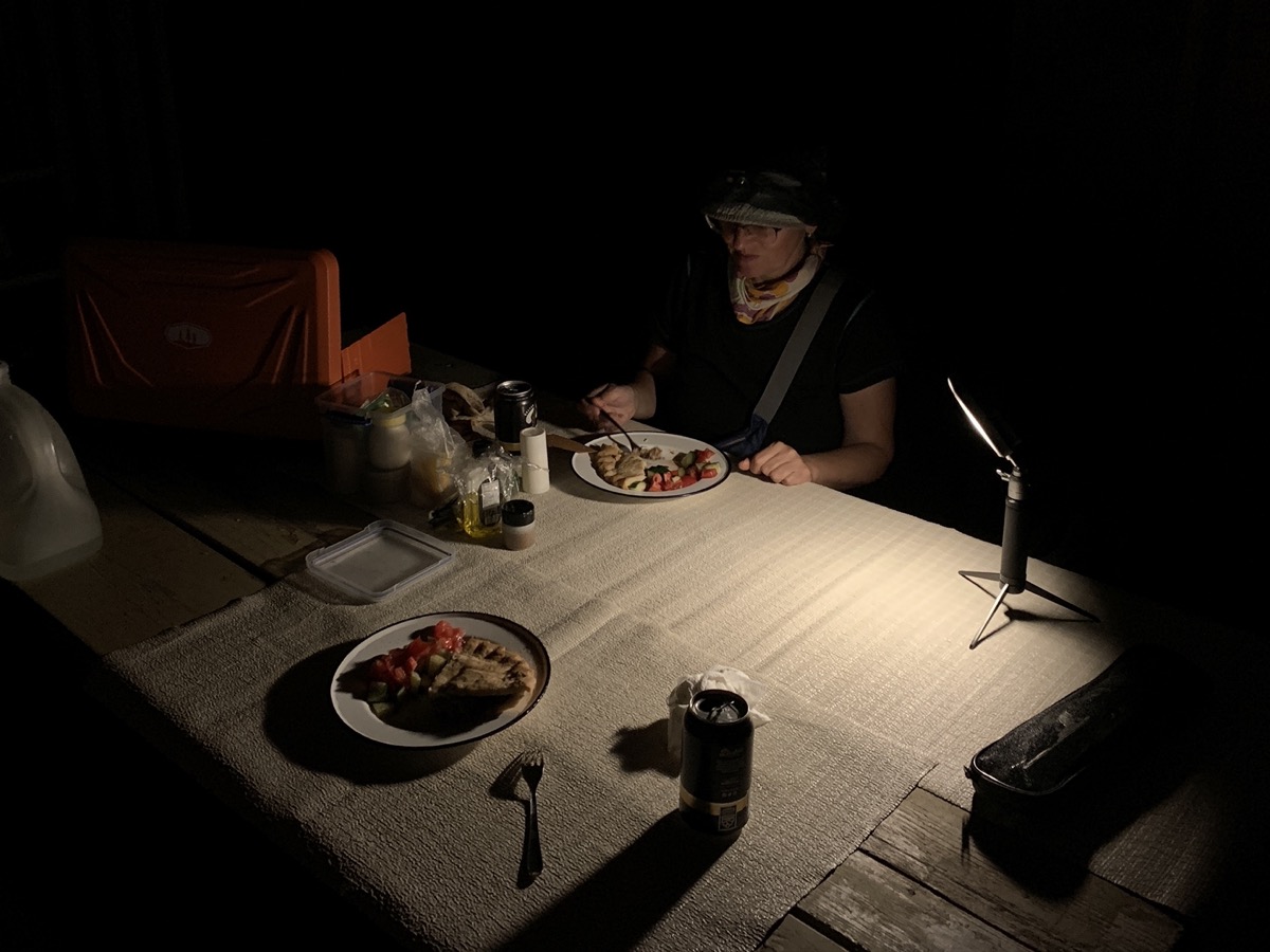
We then stopped for a short walk on Gypsum Mine Trail (near Cheticamp) and quick swim (Joanna) in the pool. Inspected small chips of gypsum minerals (selenite and perhaps alabaster) scattered around. Joanna visited Saint Peter’s Church. We arrived late at Whycocomagh Provincial Park. Acadian meat pie from local bakery for dinner after dark.
Day 27
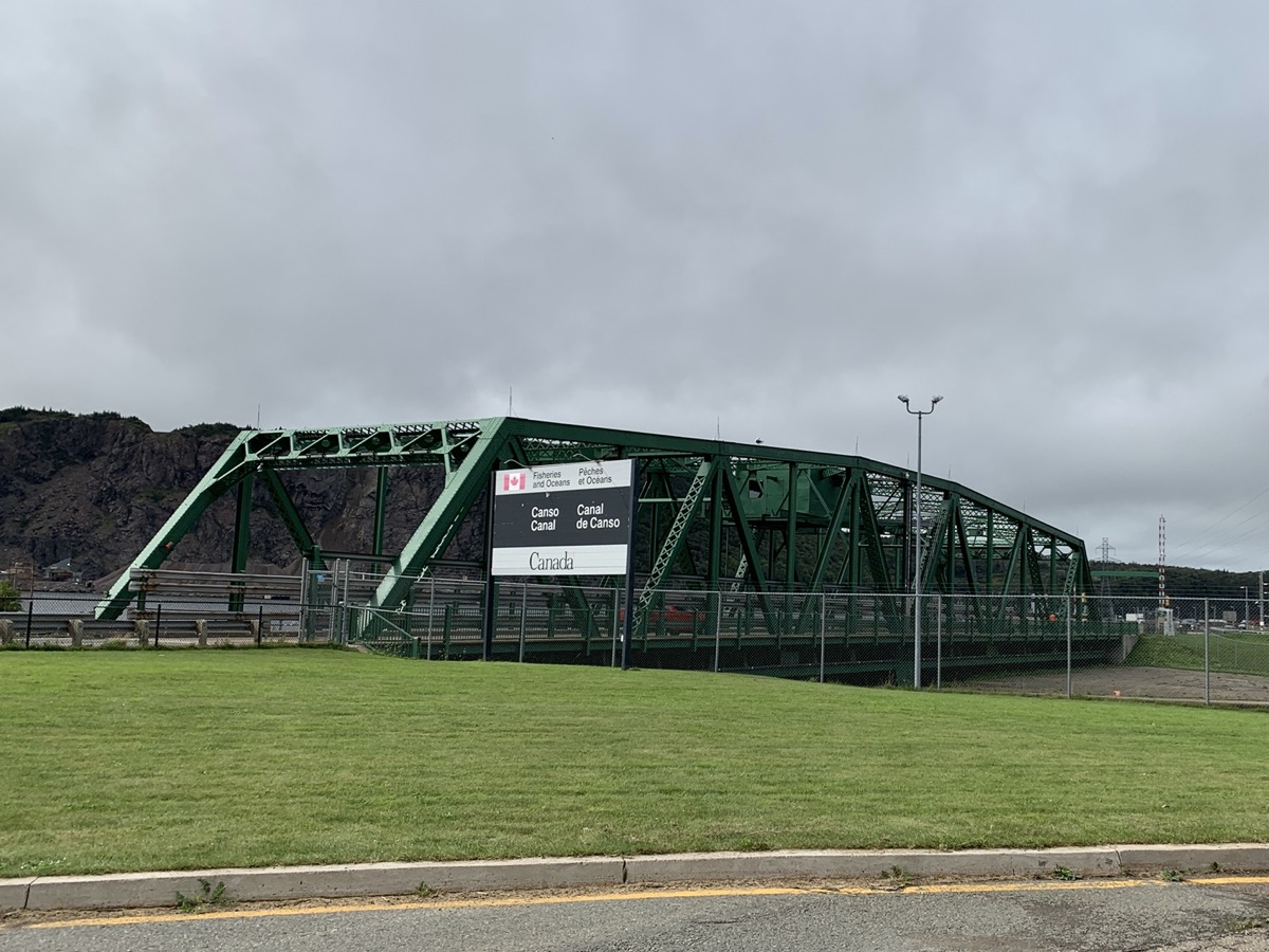
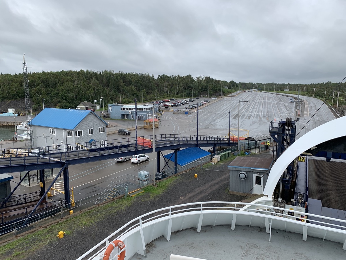
First half of the day passed uneventfully, just driving and looking around, stopping to see Canso Causeway and Bridge connecting Cape Breton Island to Nova Scotia peninsula. Monotony settled-in after 4 weeks of travel. We were following weather forecasts and path of hurricane Lee as it was moving in the same direction as us: Prince Edward Island. It was expected to loose most of its energy and rain. We decided to ignore anxiety and continue as planned. By midday we were in Caribou boarding ferry to Prince Edward Island.
