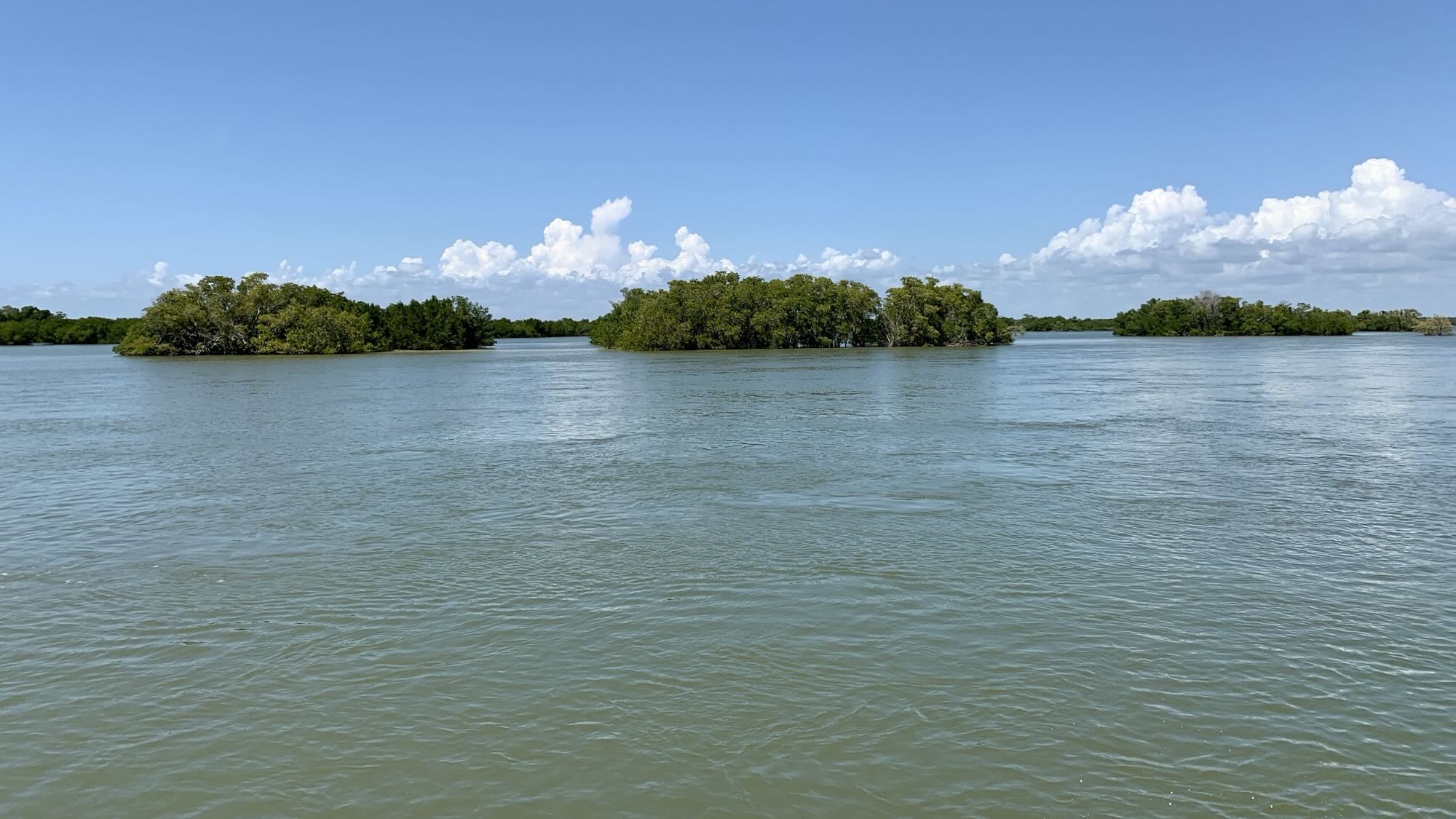
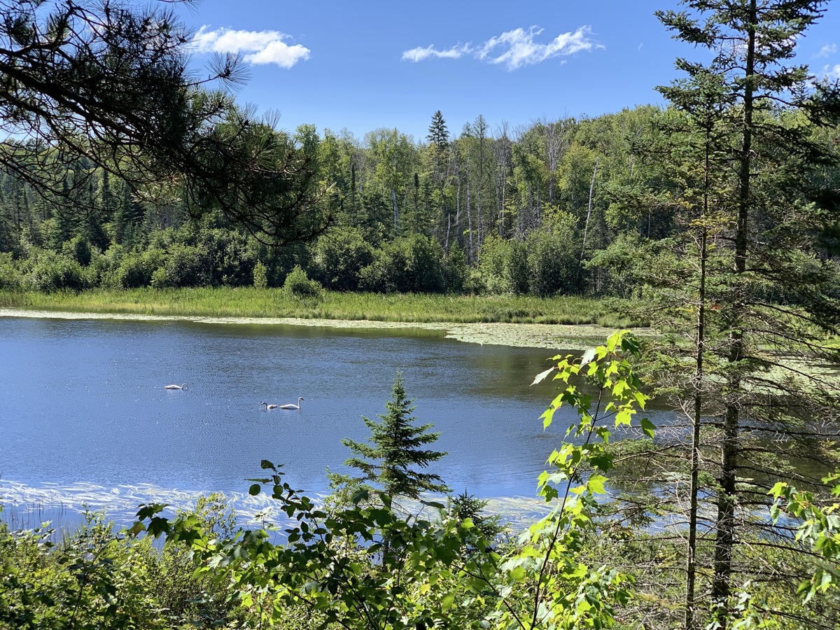
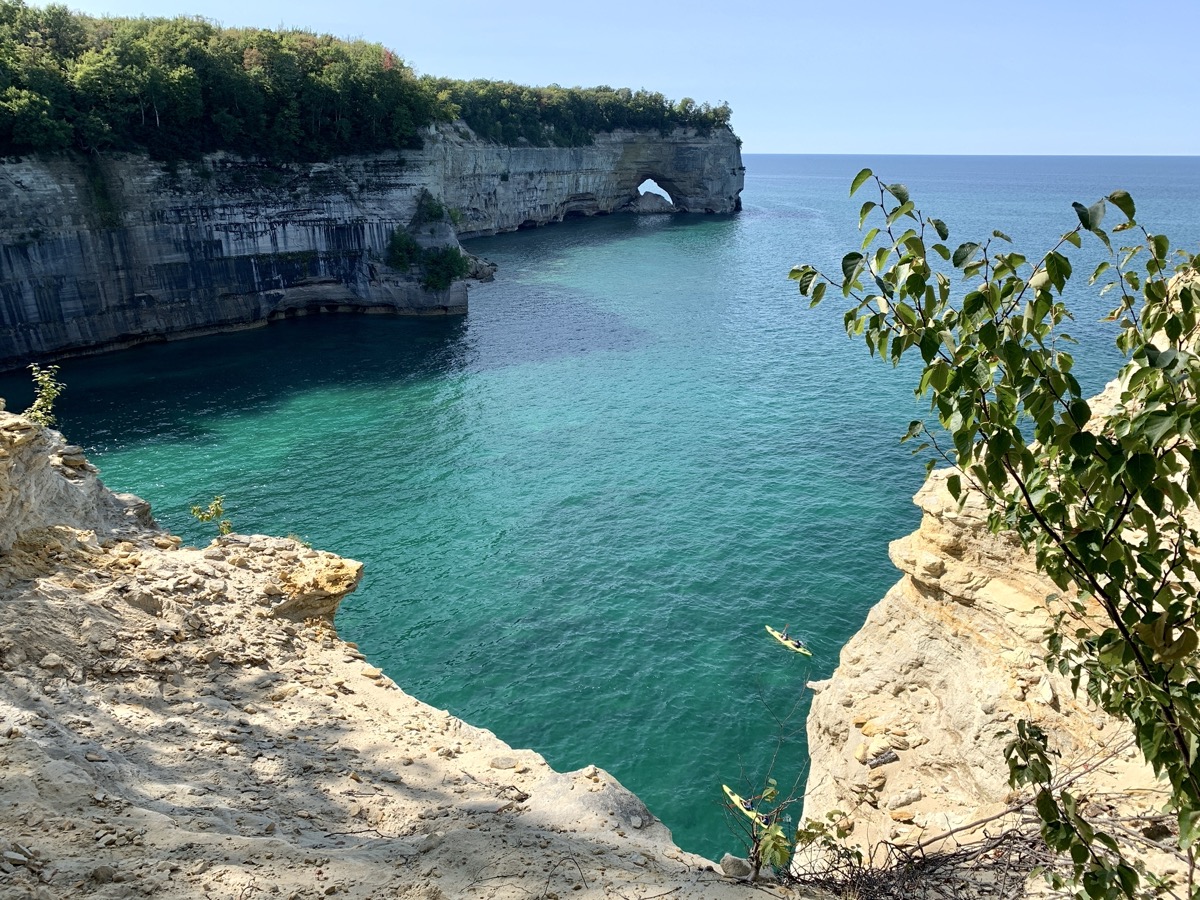
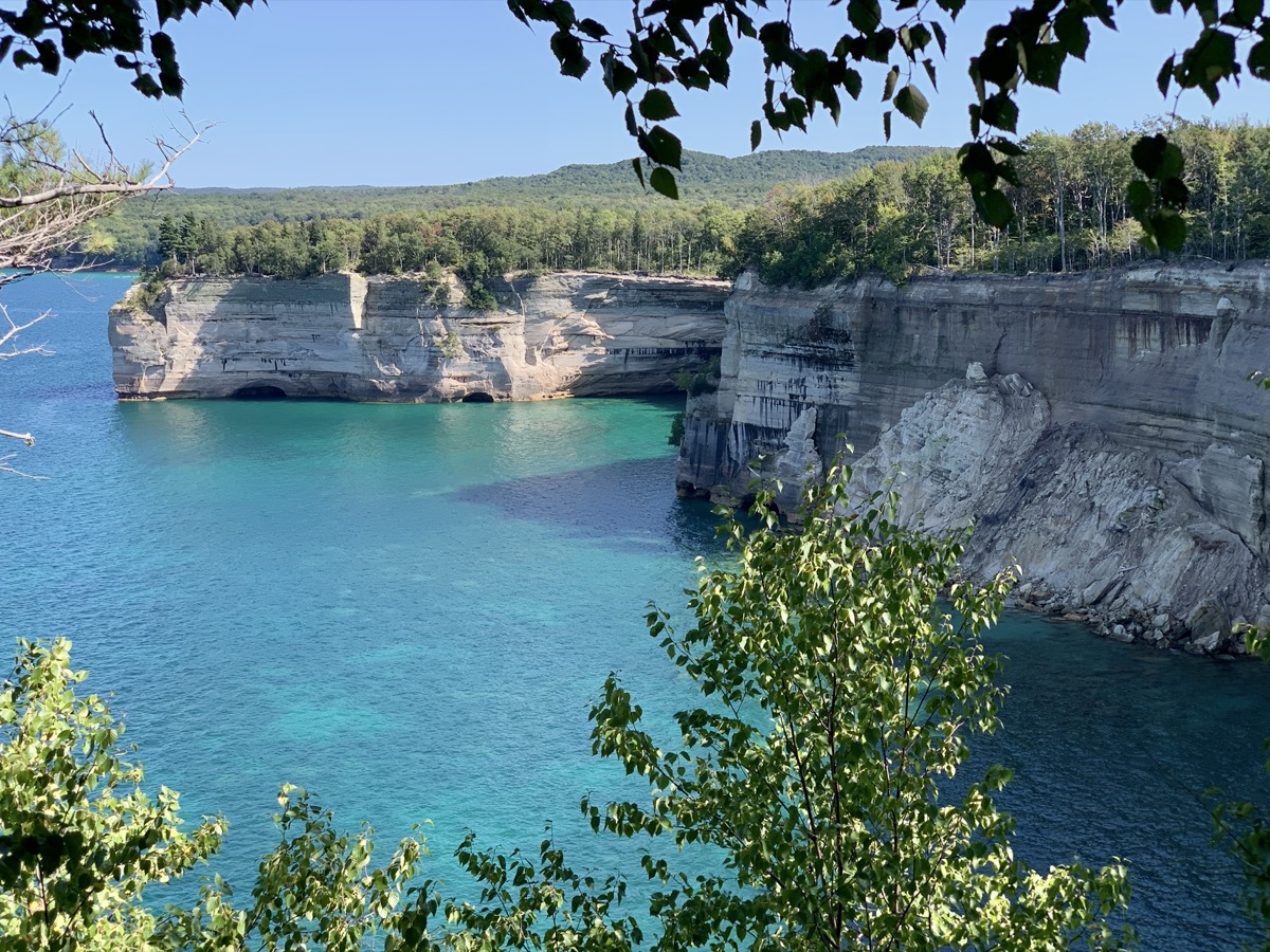
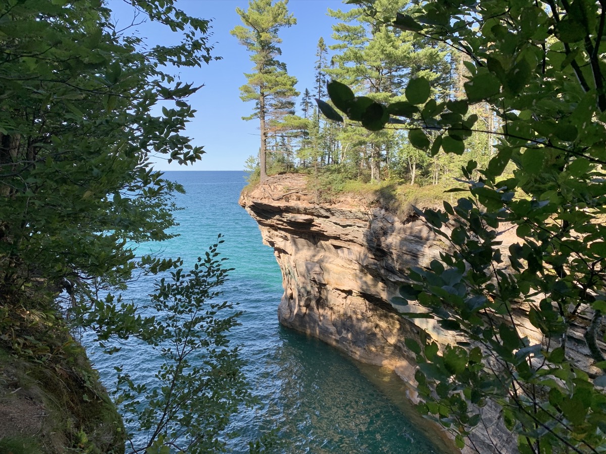
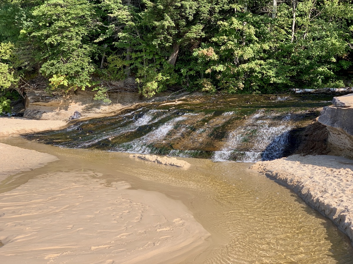
Our first trip to Michigan Upper Peninsula was very nice and relaxing. 1180 miles of driving, 65 miles of walking in total plus a few miles in canoe.
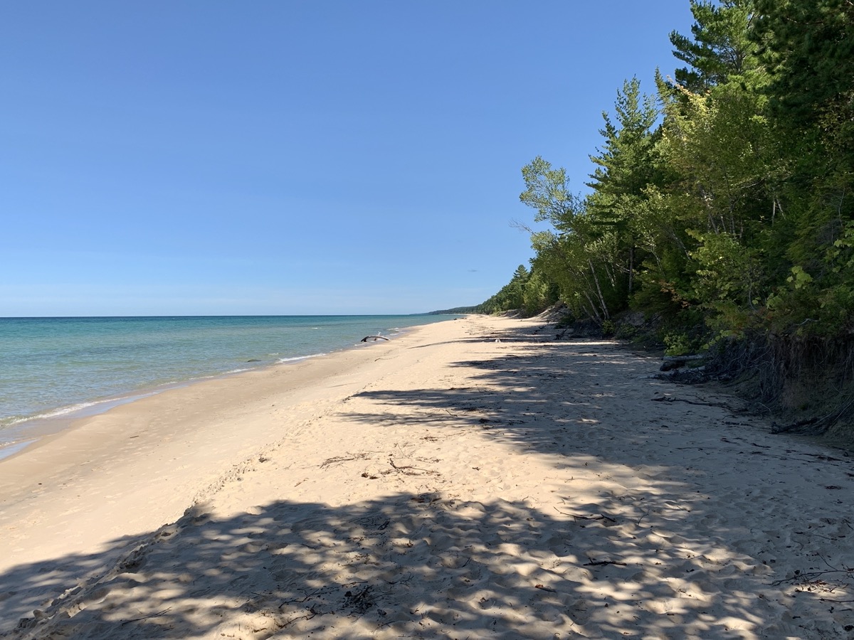
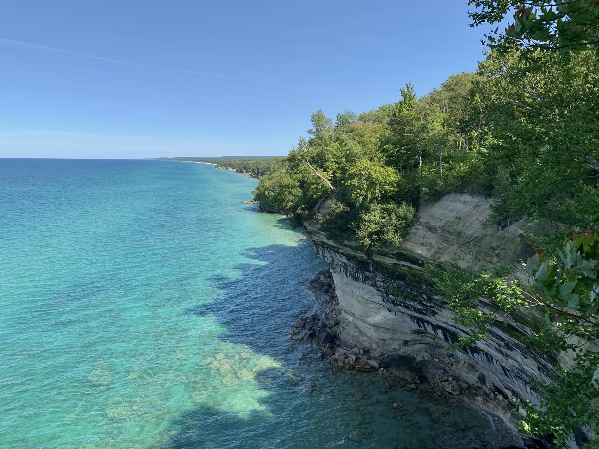
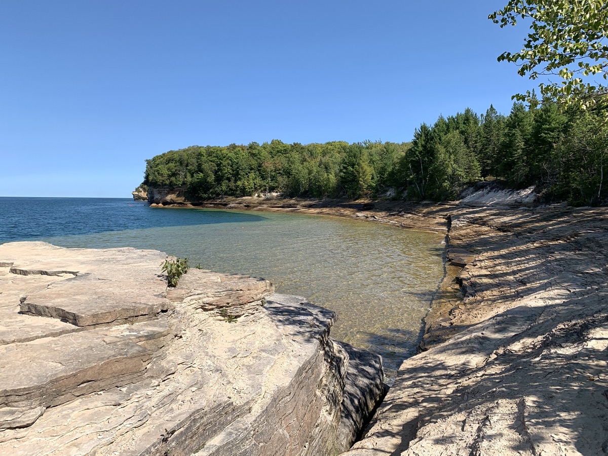
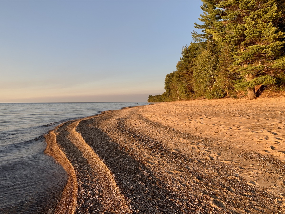
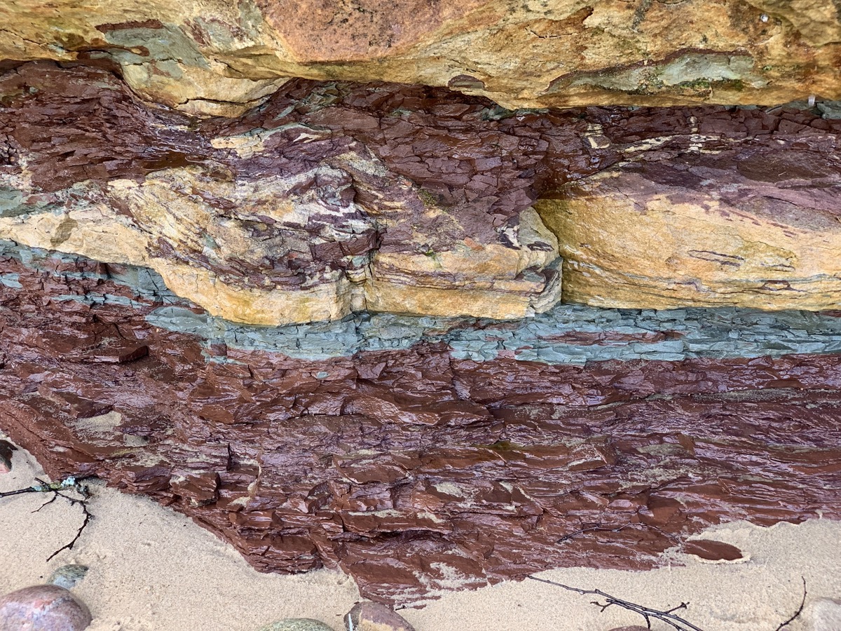
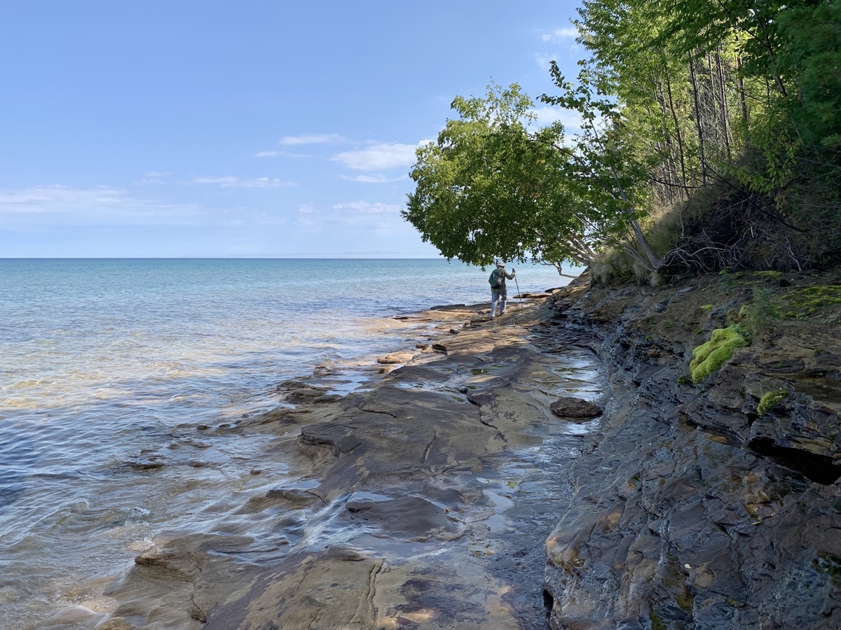
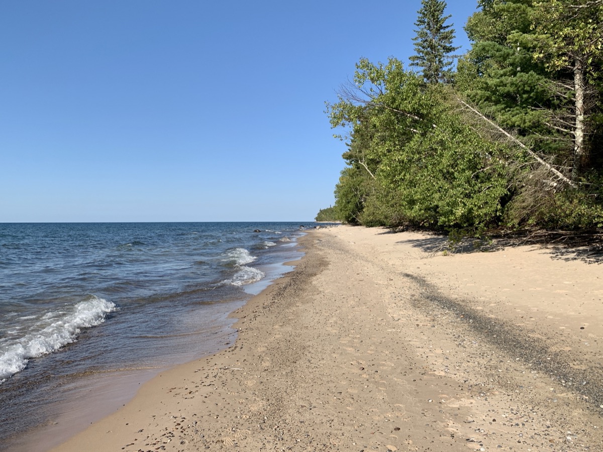
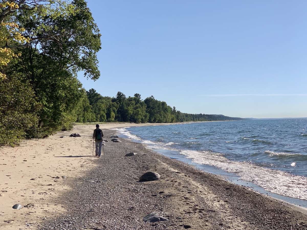
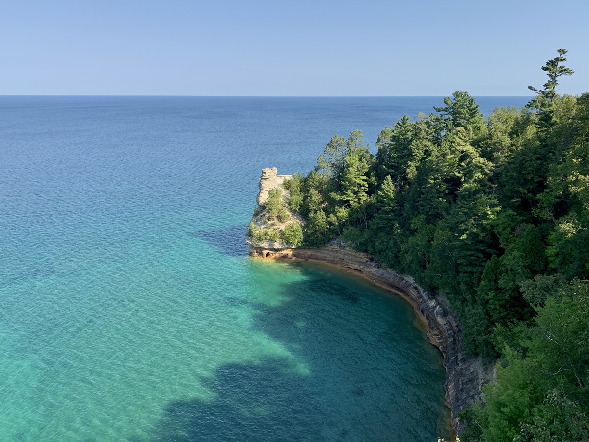
This time around we were organized a bit better and mostly packed the day before the trip. Still driving 405 miles to Beaver Lake CG in ☞ Pictured Rocks National Lakeshore was slow. Piotr was tired and we had to stop multiple time for short breaks, sometimes in nice spots along Lake Michigan. We traveled in this part of the Upper Peninsula north of Green Bay for the first time. We arrived at small Little Beaver Lake CG, forested but with sites close to one another, quite late. We had reservation, so it was not a big deal. Next morning we were ready for our first hike: 8.5 miles around Little Beaver Lake and Beaver Lake, down Beaver Creek to Lake Superior, west along Twelvemile Beach towards Spray Falls (though did not make it that far), returning to Little Beaver Lake and our campground. We were learning how to cross-over between the trail running on top of the cliff and sandy beach. And we were adding miles (throughout this entire trip) hiked on North Country Trail, our favorite. Water in Lake Superior was surprisingly warm and had intense, changing color. Our pictures do not lie – it looked like a tropical sea, not a northern lake. In the evening we moved to Upper Hurricane River CG for three nights.
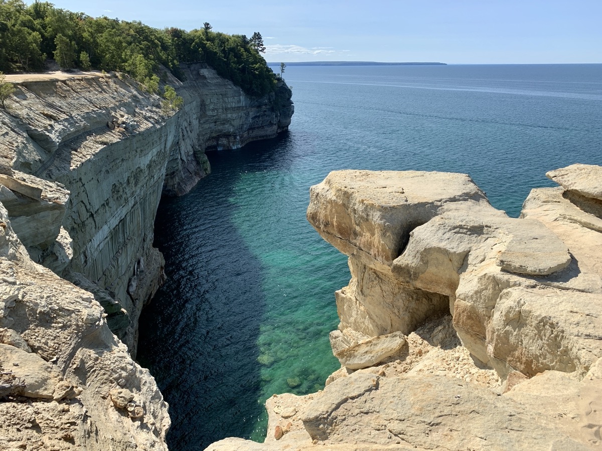
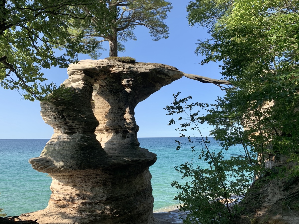
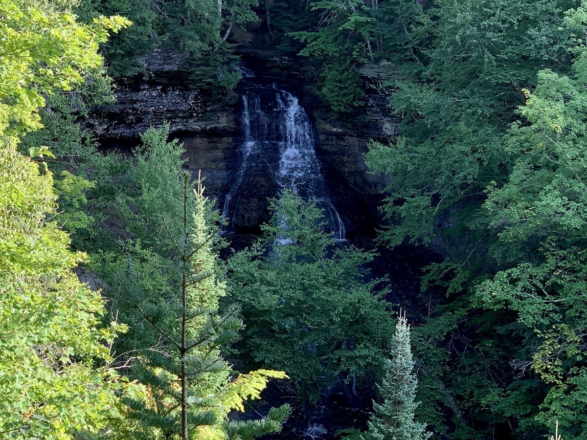
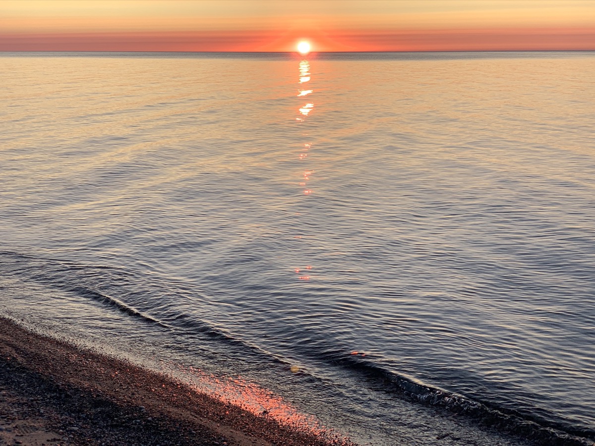
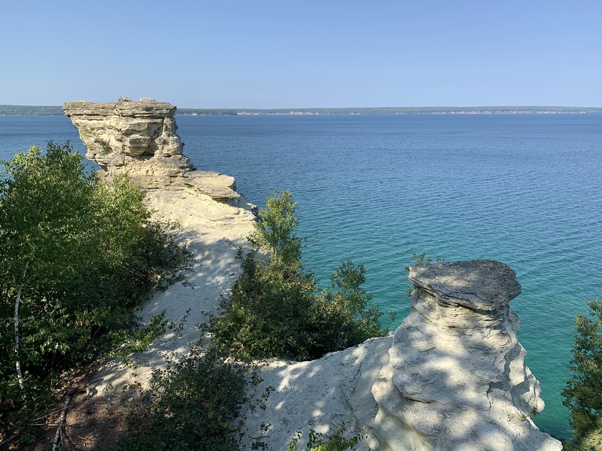
Next morning we drove to Chapel Falls trailhead and walked 10.5-mile loop to Mosquito Falls and Mosquito Beach, Grand Portal Rock, Chapel Beach and Rock, Chapel Falls. Beatiful views of the clifs and turquoise water. Many people, but this was Memorial Day weekend and great weather. On the way back to our campground, we stopped for a short sunset walk on Twelvemile Beach near Lake Superior (Sulivan Creek) Overlook.
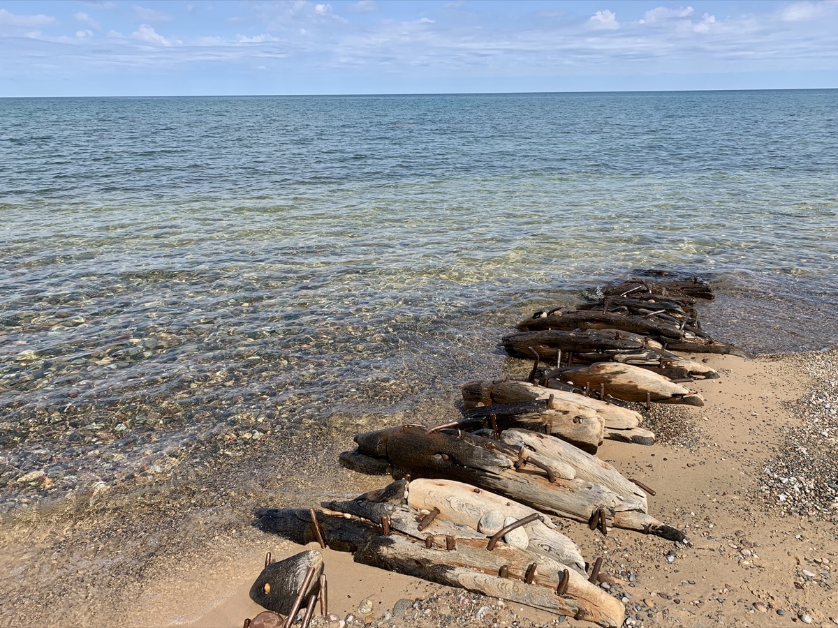
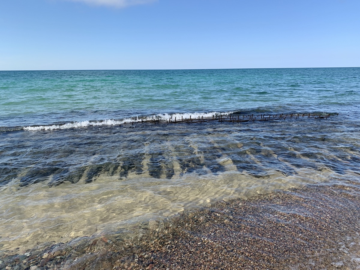
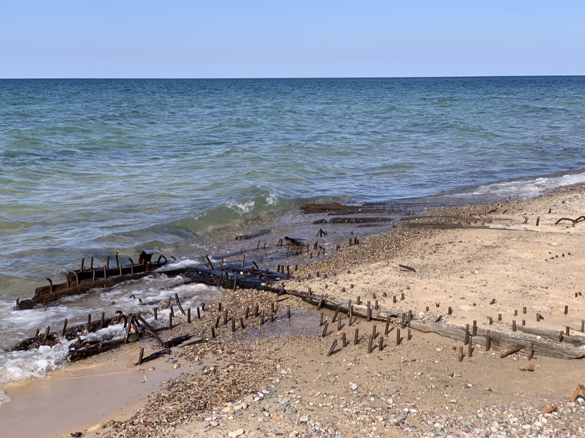
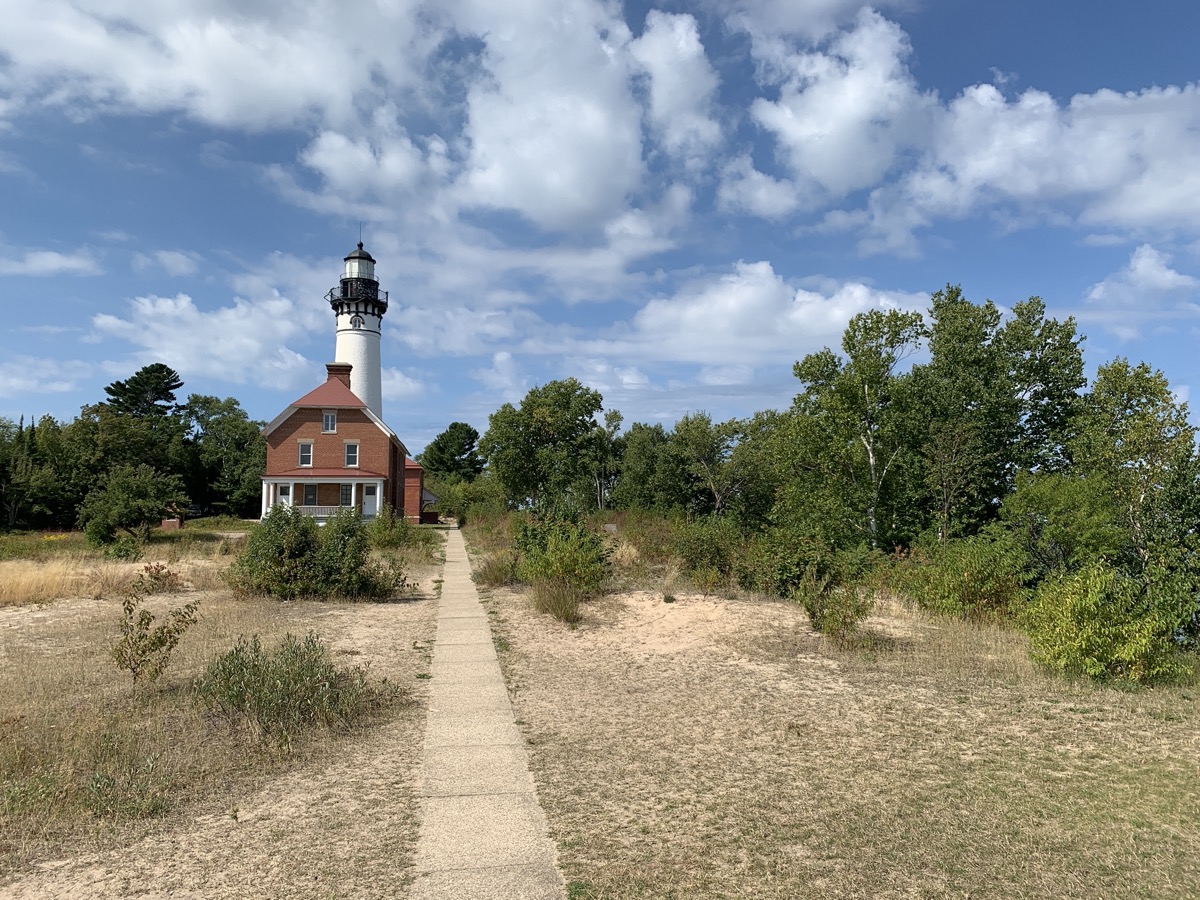
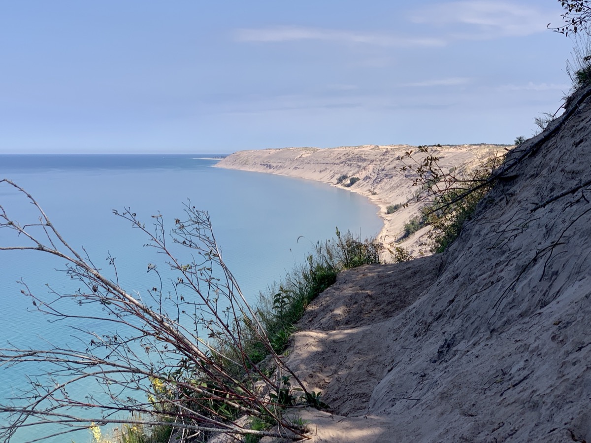
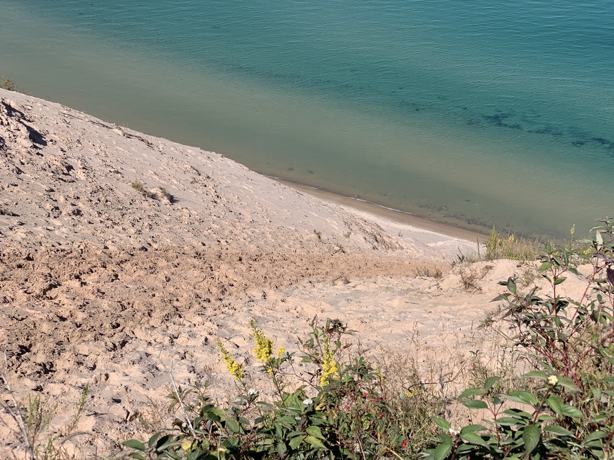
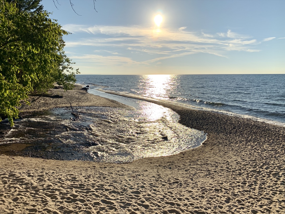
Day four, we drove very short distabce to Huricane River parking lot and walked 9 miles (return) to Au Sable Light Station, investigating ship wrecks clearly visible close to shore, than continued to steep Grand Sable Dunes (log slide point), returning the same way and finishing the day at sunset on the beach near Huricane River outlet. During lunch time at the Sable log slide we discussed extensively rolling down the slide to the lake shore, but did not do it.
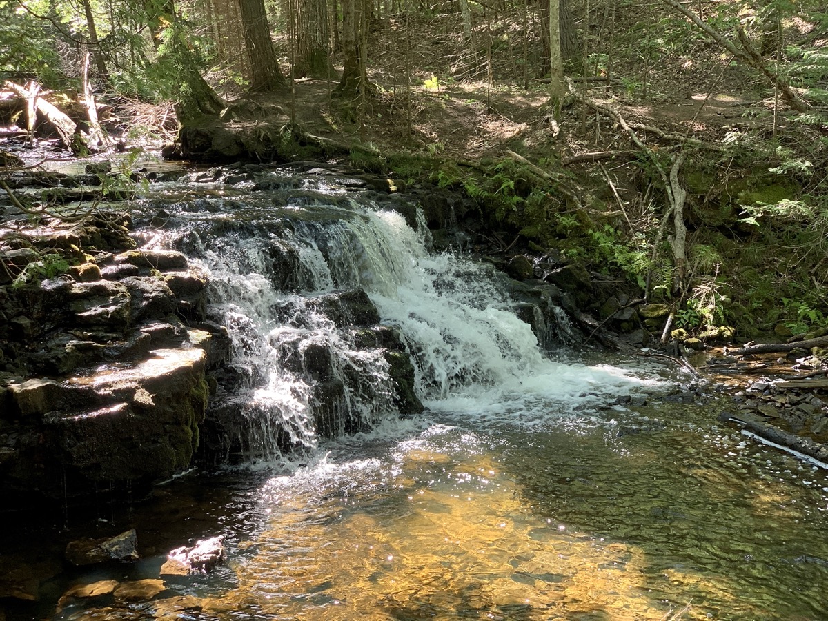
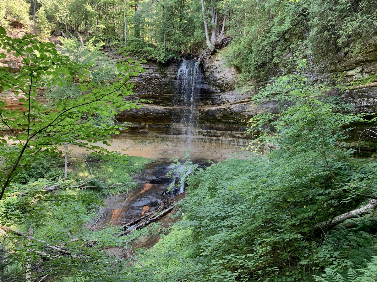
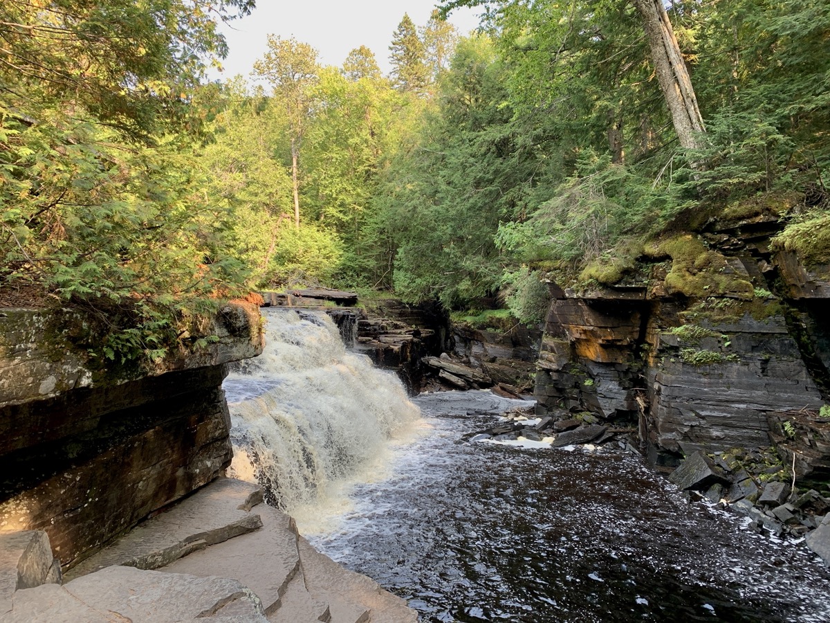
The following day, we drove 230 miles to Porcupine Mountains after visiting Miners Beach and two short breaks on the way to walk to Munsing Falls and Canyon Falls. We enjoyed sunny and mild weather the first five days of the trip and we loved the scenery. It would be nice to backpack the whole lenghth of Pictured Rocks Lakeshore, but we were late to planning and happy to score any campsites at all.
We arrived quite early at ☞ Porcupine Mountains Visitor Center to check-in for one night at Union River Outpost CG. We had to come back next morning to get backcountry permit, but a bigger problem was brewing: serious rain sweeping through the area the following 24 hours. We spent the evening preping for the multi-day hike, packing and waterproofing our backpacks, eating extra calories and taking extra long shower at Union Bay CG. The rain came late next morning.
