Finally we are ready to go !
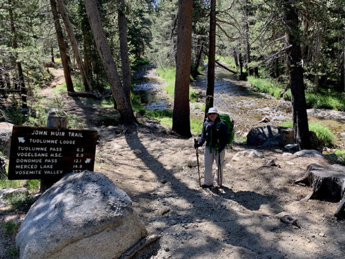
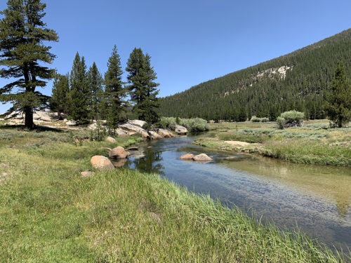
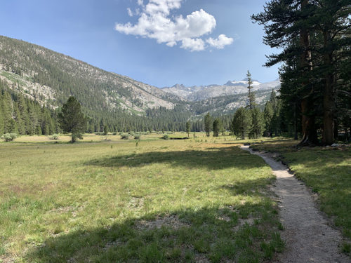
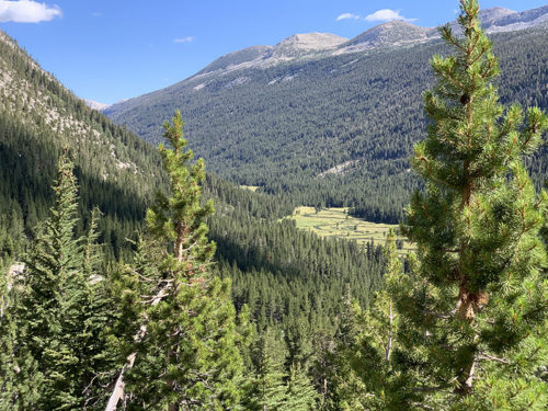
After two years of research and preparations we are talking to ranger at Tuolumne Wilderness Station, permit in hand, discussing rules on the trail, about dealing with bears etc. We were rested and carried only light load (food) for the first 5-day section. The plan was to walk the first 35 miles slowly to warm-up and get used to new routine. But our legs were spring-loaded and we made it to Red’s Meadow, our first resupply point, in 4 days. True, walking up Lyell Canyon was easy, not much elevation gain, very relaxing landscape.
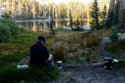
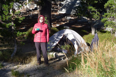
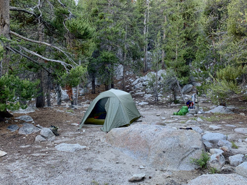
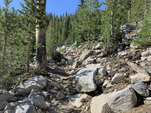
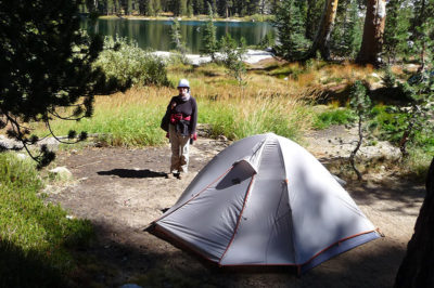
We decided to stop at established campsite on Lyell Fork, just before the trail hits first round of switchbacks. Scouting for site and water source, pitching the tent, dry-cleaning day-clothes (read: airing), cooking dinner. Nice talk with our neighbors hiking Pacific Crest Trail, which overlaps in part with JMT. Listening to footsteps around tent after dark (Is it a bear?). In the morning all in reverse and we are on switchbacks. Elevation gain from this point to Donohue Pass is 600 m.
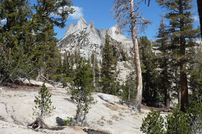
We were learning to talk to other hikers to gather information about the trail, where to find good water source, where to camp next, and just chat. As we were getting closer to high mountains, we started playing new game, repeated every time we were heading for a pass: placing bets on where the trail goes and where next high pass is, just looking at valleys and mountains, not by reading the map. We were wrong more often than not. Mountains often look impassable, then the trail zig-zags between lakes, creeks and rocks, and we are on the other side of the pass, but mountains do not end there.
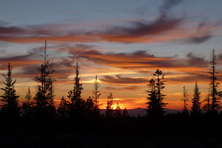
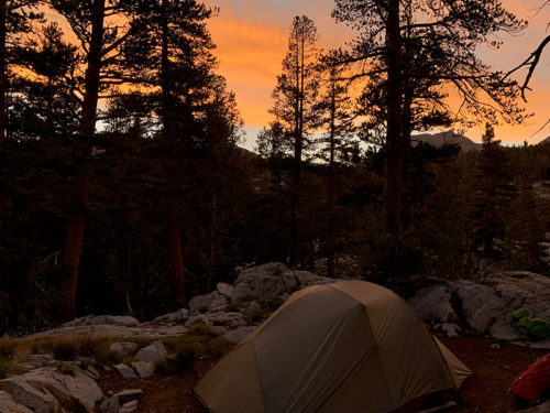
We made it to Rush Creek without clear info on camp sites. We were learning quickly where to look, flat areas between trees etc. Just wandered around for a while and found nice spot on rocky platform slightly above the creek along Rush Creek Trail which intersects with JMT. We were the only campers there. Orange-red-pink sunset was a bonus. Some hikers came after dark (fast walking with headlights) as we were eating dinner. They spent the night on the trail on other side of the creek and were gone by the time we had breakfast. Speaking of divergent approaches to hiking JMT.
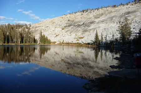
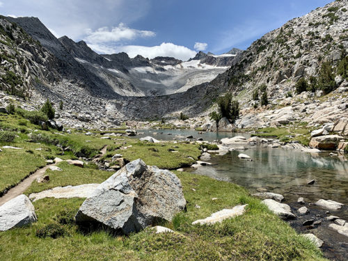
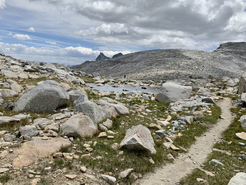
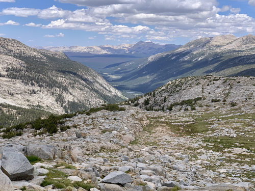
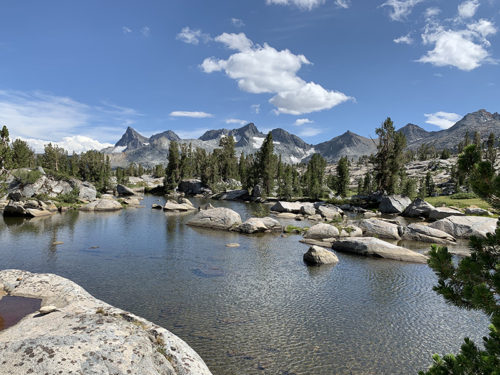
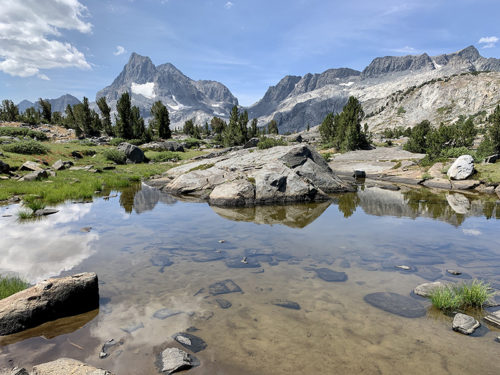
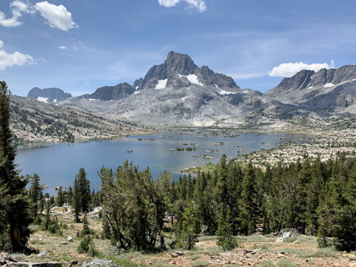
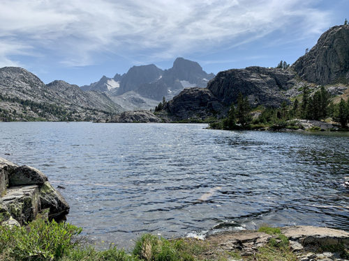
The next day, we hiked out of Rush Creek to Island Pass, which we crossed without even knowing it (not like all other passes). Then we started lake hopping: down to a lake, up to a little “pass”, down to another lake, up again and repeat (continued the following day). Each lake is different, great spots to rest, eat snacks and to get water, we stopped for a long lunch at beautiful Thousand Island Lake. We were hoping to stay at Shadow Lake, but after talking to ranger about camp sites (camping is restricted around Shadow Lake) we decided to stop earlier, at Ediza Lake Junction. He showed us where to look for spots a bit further away from the trail (quite a few people camped already near the trail). We picked what looked like perfect spot, with nice view on Shadow Lake below. Until heavy clouds came, if it rained heavily we would be swimming – for the rest of the hike we paid much more attention and looked for somewhat more waterproof spots (it did not rain that night).
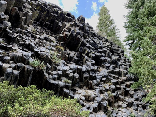
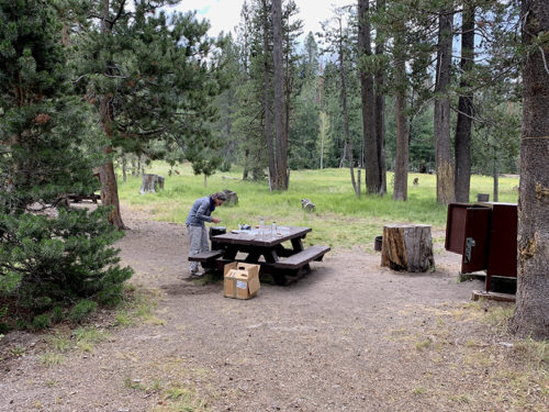
The fourth day was more lakes and then forest with big pines, all the way down to Red’s Meadow. It was longer day, 10 miles, but not difficult. The landscape was changing — we were walking on volcanic ash, quite dry. The region is home to Mono-Inyo Craters (Panum Crater on Mono Lake in Lee Vining is one of them). And of course basalt columns of Devil’s Postpile, result of different volcanic activity. We camped at individual site at Red’s Meadow Campground.
We mailed our first resupply to Red’s Meadow Resort. It is vacation resort and resupply/rest stop busy with hikers and many visitors who come on buses from Mammoth Lake for day hikes. They have small store and restaurant, and hiker supply exchange. We got all the stuff we needed for next 7 days, ate double hamburgers (best on this trip), drank cafe late, talked and managed to get enough tokens for shower. Charged all the batteries late into the night, did laundry and showered for full 8 minutes at midnight. The following morning we sorted and packed our supplies, and headed to the resort for lunch, before making our way back to JMT. We were not in big hurry: with one day saved already and easier/shorter afternoon hike.
The first four days were good for acclimatization, we crossed 3000 m mark on the way to Donohue Pass (3373 m) and Island Pass (3117 m), and slept at 2760-2940 m before descending to Red’s Meadow (2330 m) for rest.
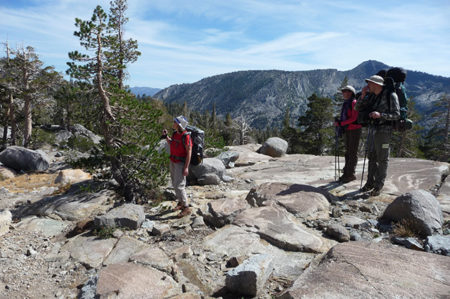
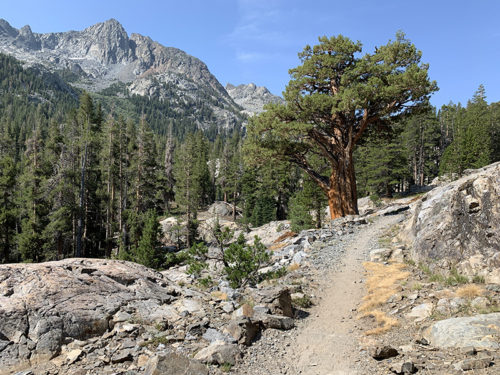
 On trail from Rush Creek to Island Pass
On trail from Rush Creek to Island Pass
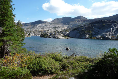
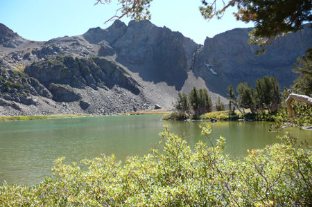
 Thousand Island Lake
Thousand Island Lake
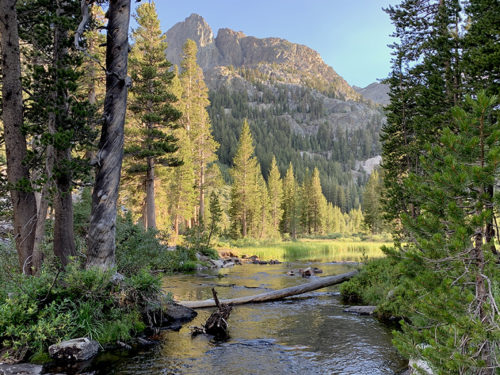
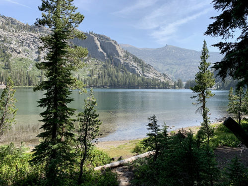
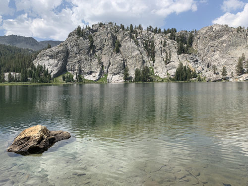
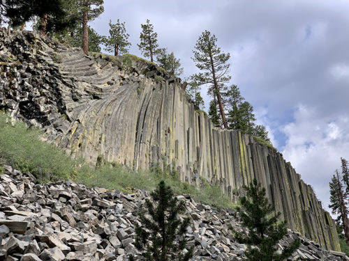
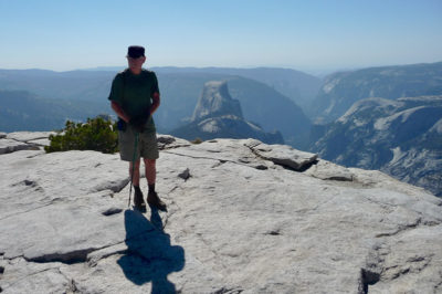
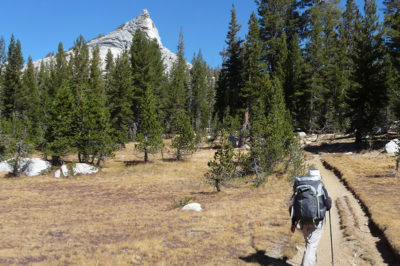
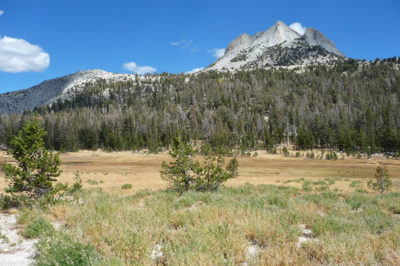
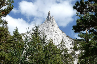
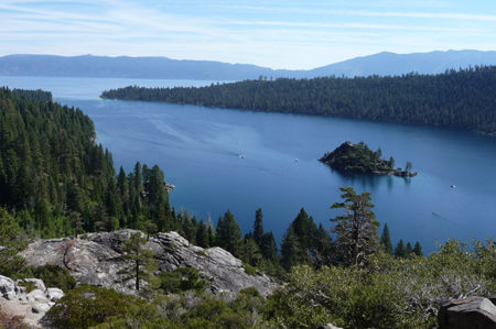
 Desolation Wilderness (32 km, 1300 m total ascent, 2000-2600 masl)