Western Canada and Alaska say 82-86: Crossing Coast Mountains and ferries to Vancouver Island

Day 82.

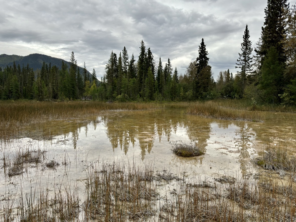
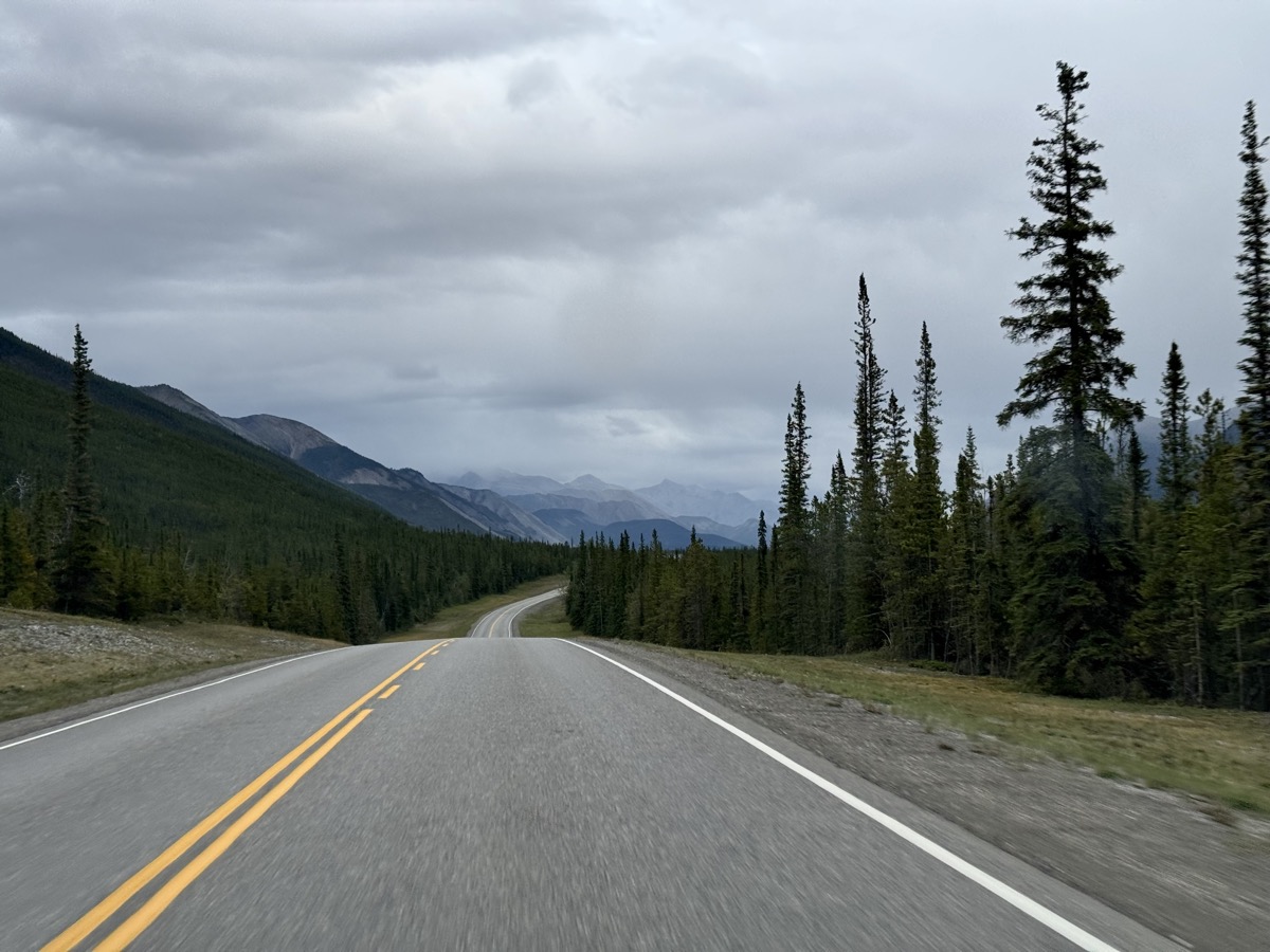
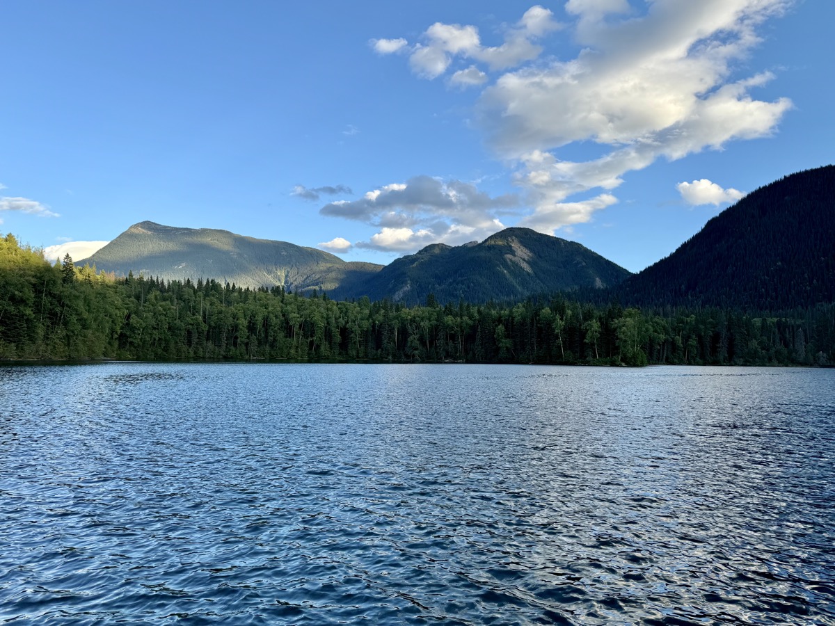
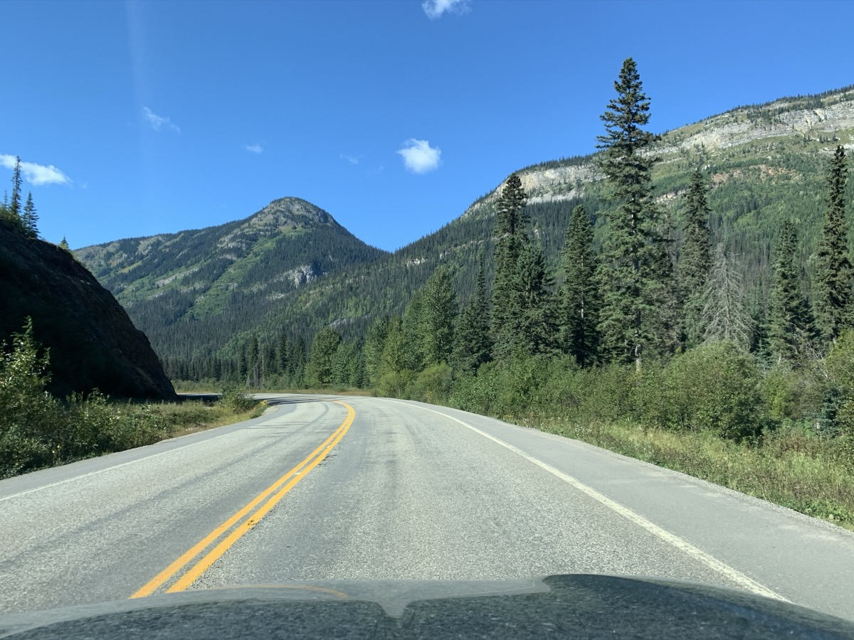
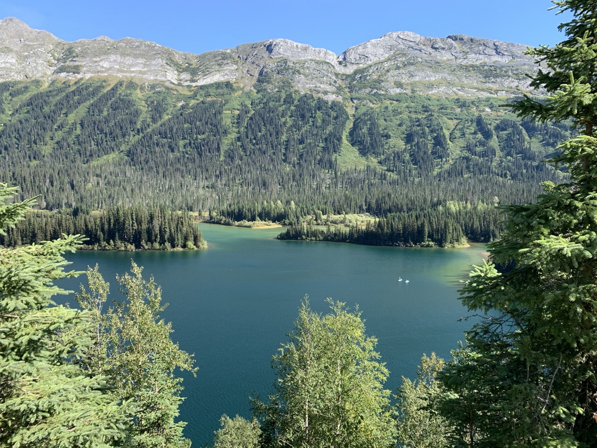
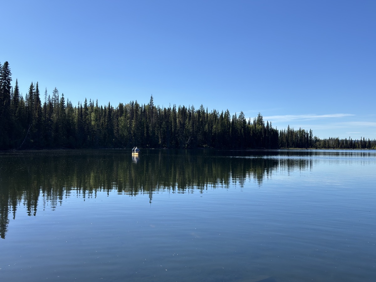
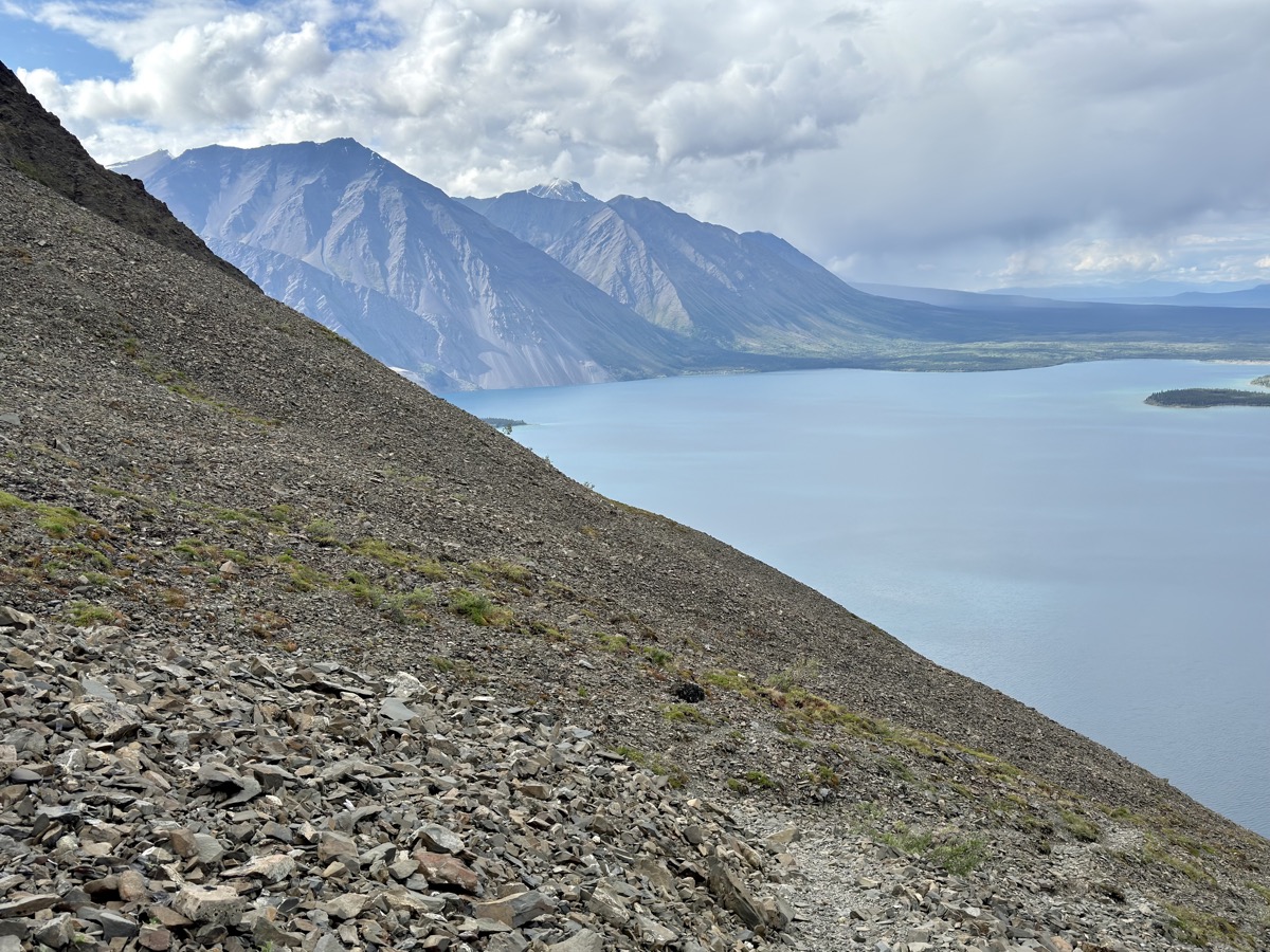
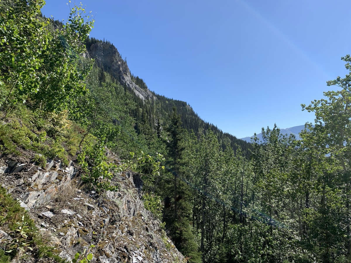
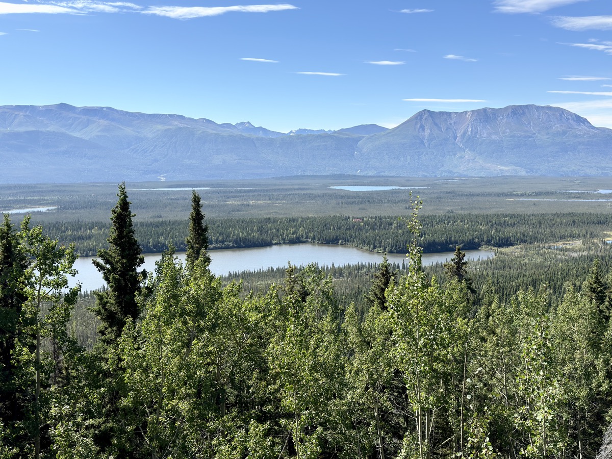
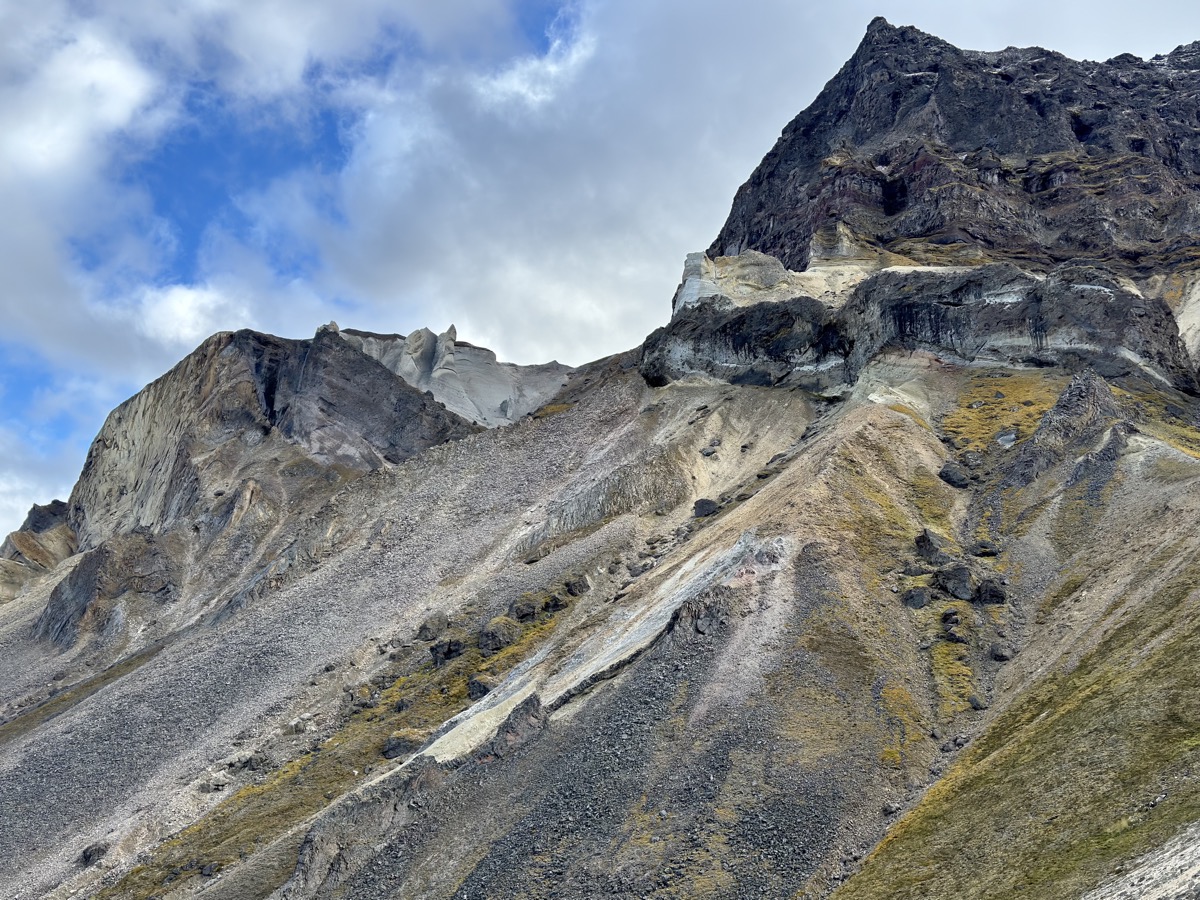
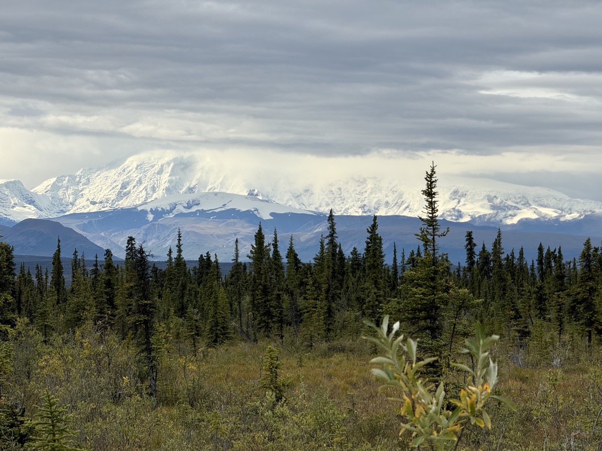
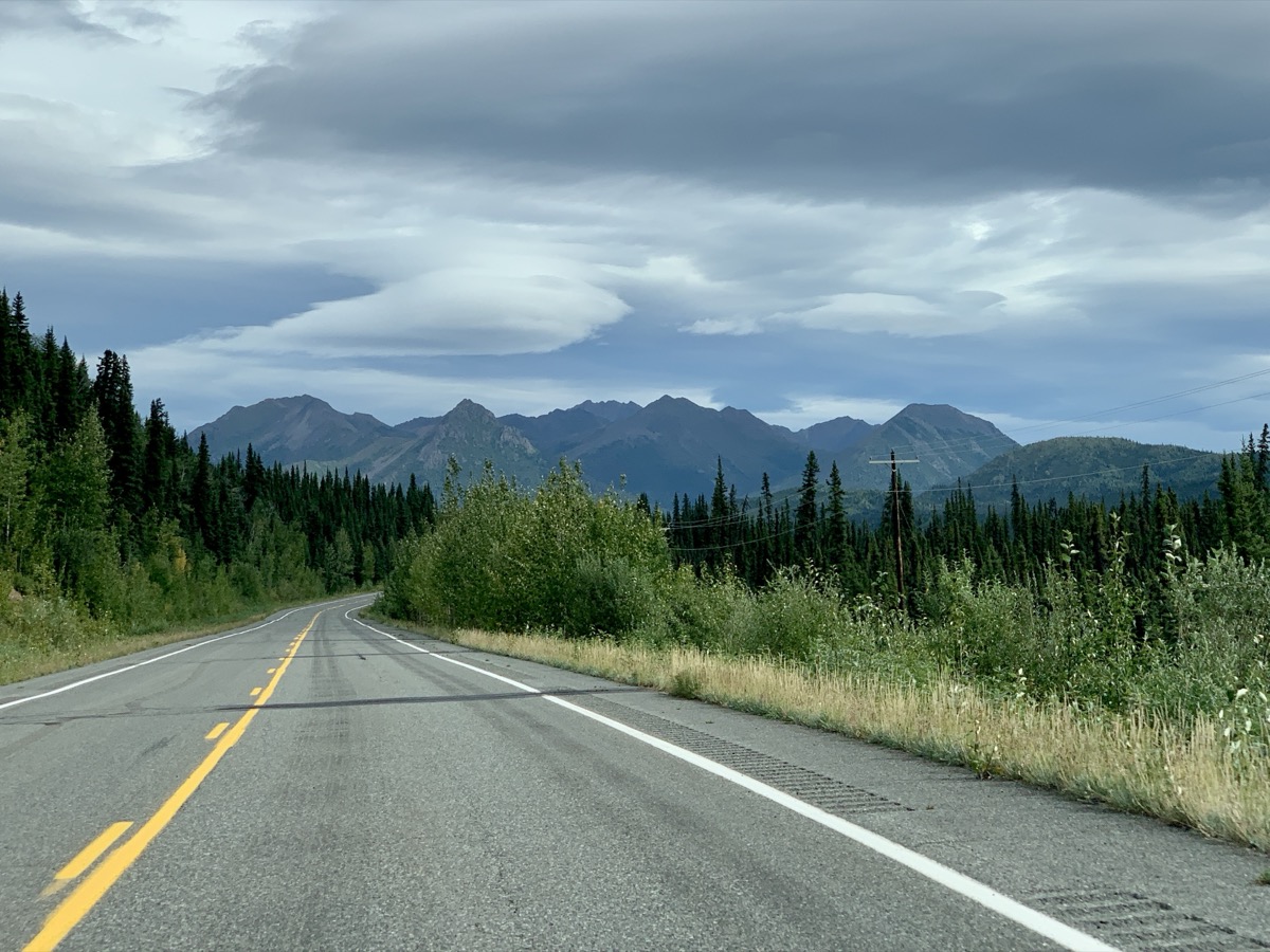
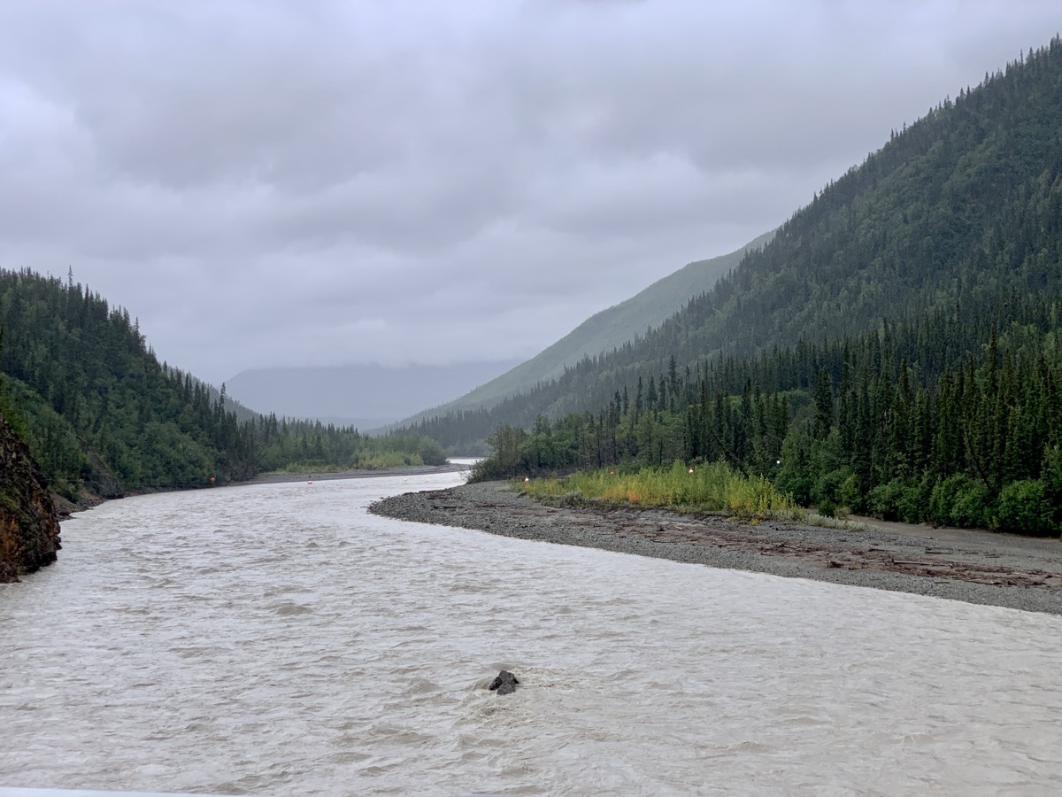
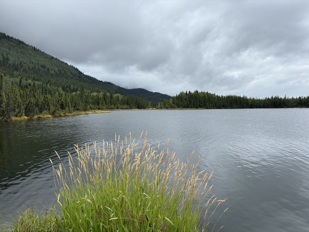
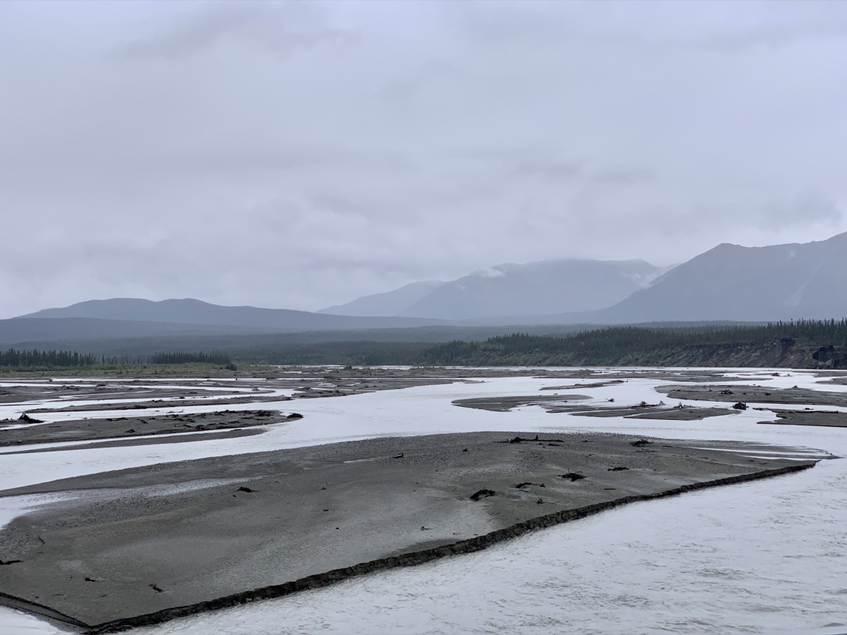
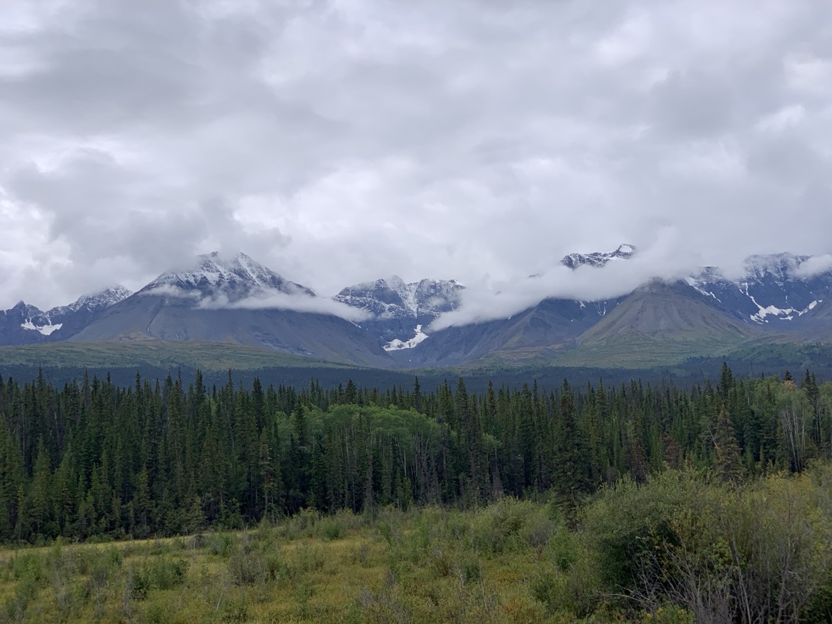
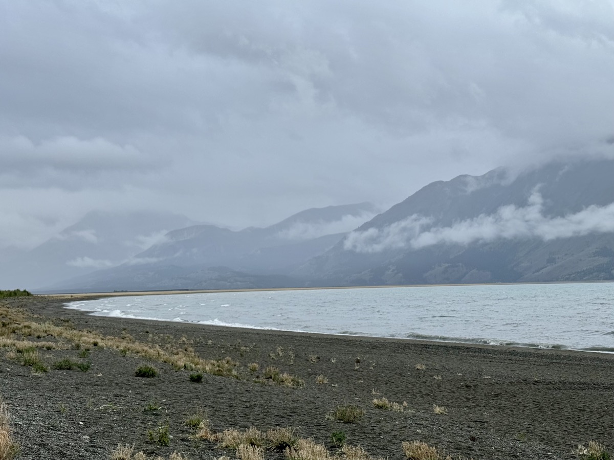
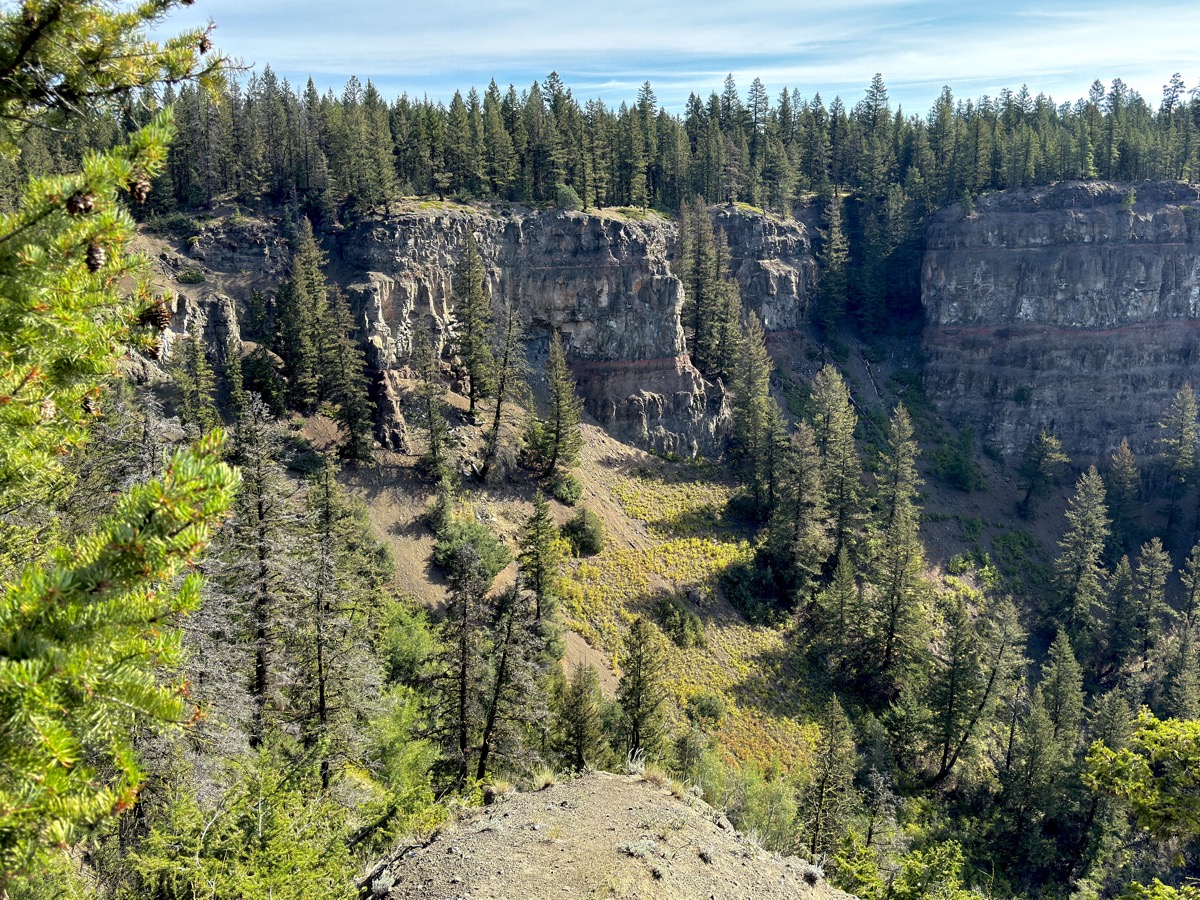
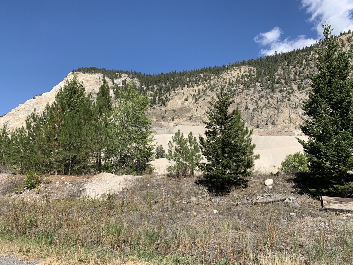
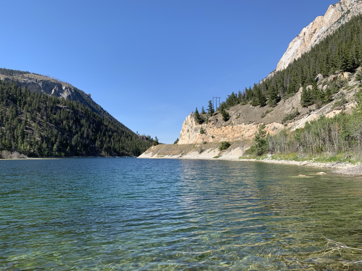
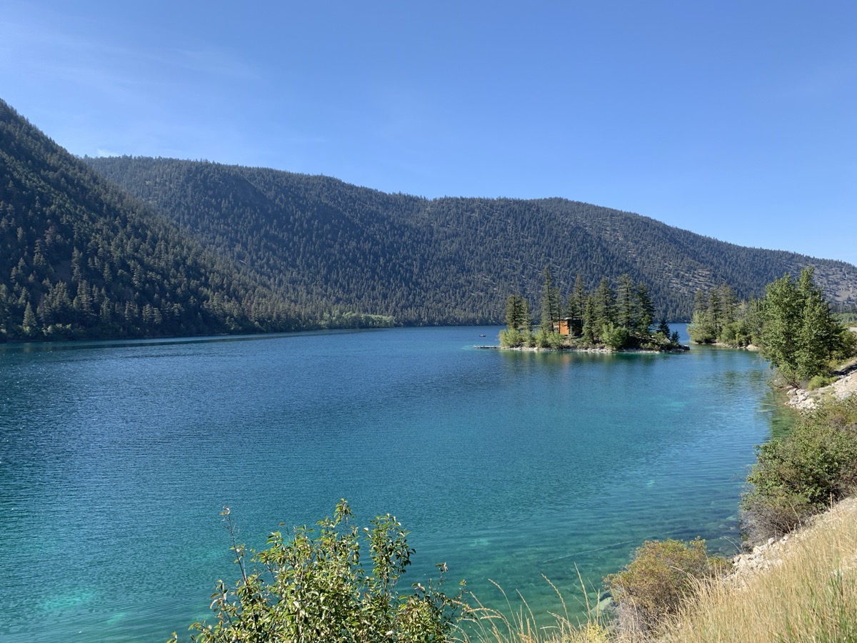
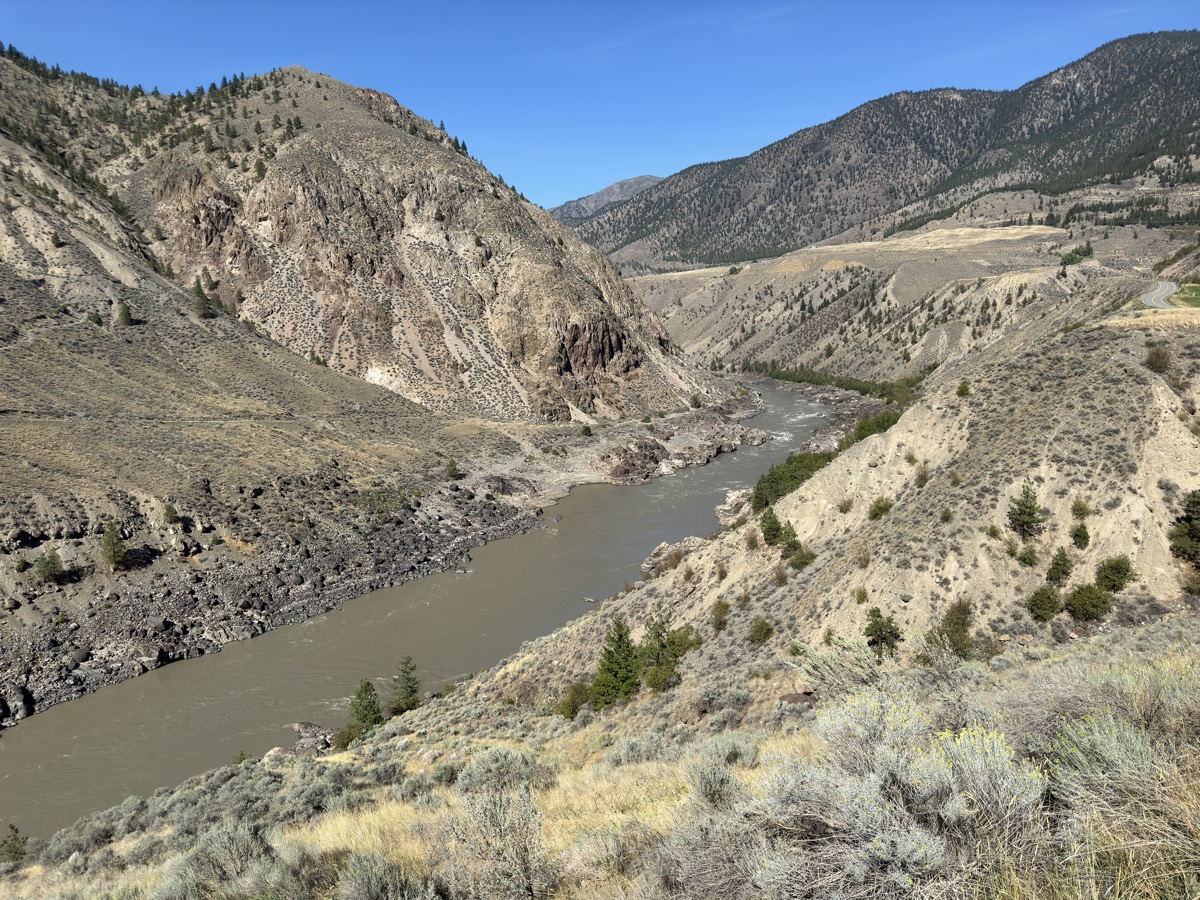
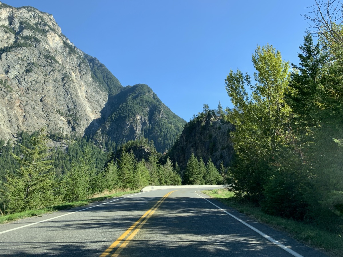
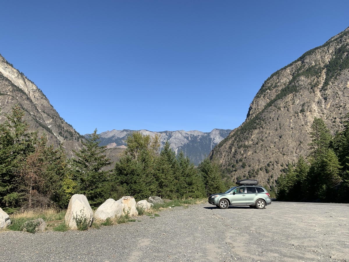
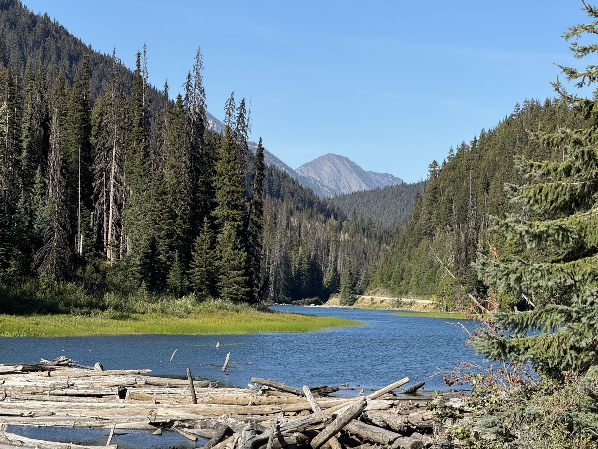
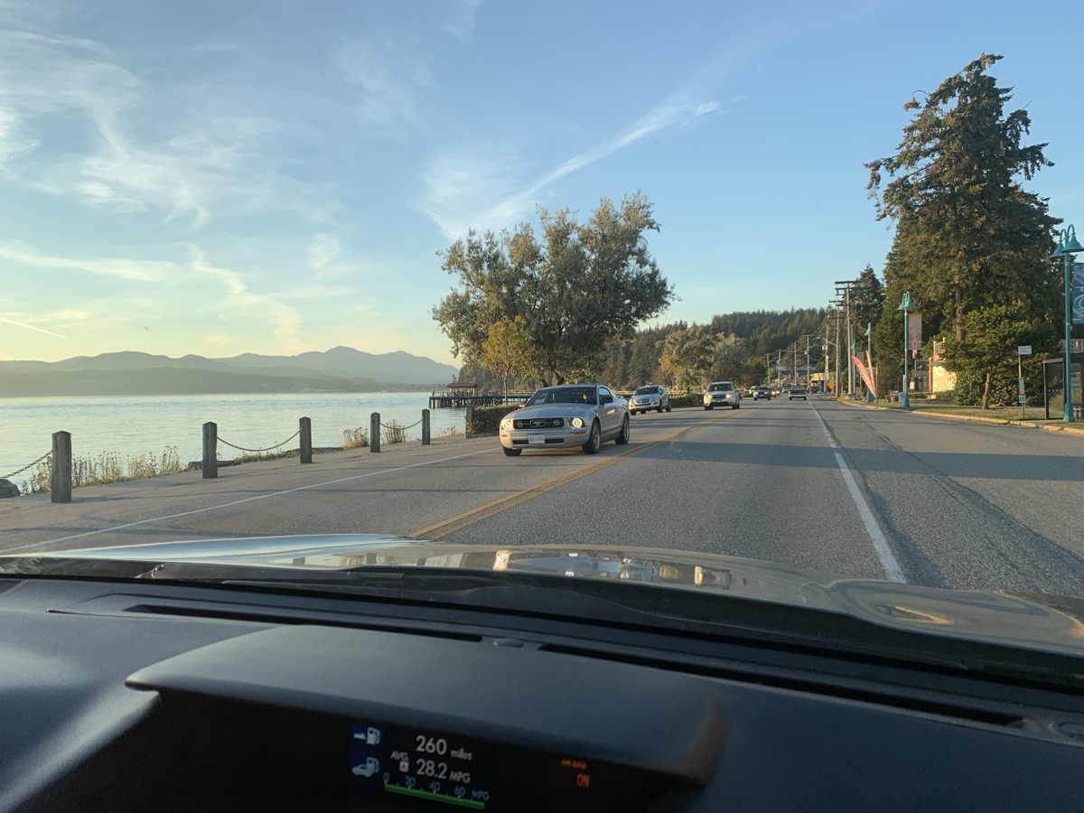
We stayed on local roads for a while to get back to Rt 97 (Cariboo Hwy) and then short detour to “The Chasm” Ecological Reserve: ice age melt water cut through and exposed many layers of old lava flows. Short walk in pine forest around it. Next, Marble Canyon and series of lakes along Rt 99. This is Canada, mountains and/or lakes are always everywhere. When we approached Lillooet scenery changed dramatically – Frasier River was flowing through semi-desert. And it was hot, at least by our last Alaska reference standard. Then another change – to steep mountains covered with forest as we started crossing Coast Range. Road was winding and traffic was brisk, not too many opportunities to stop and enjoy views. Driving down on patchy roads through small towns/villages was relaxing. We wanted to stay close, but not in Whistler itself = Nairn Falls CG just off Rt 99.

Day 83.

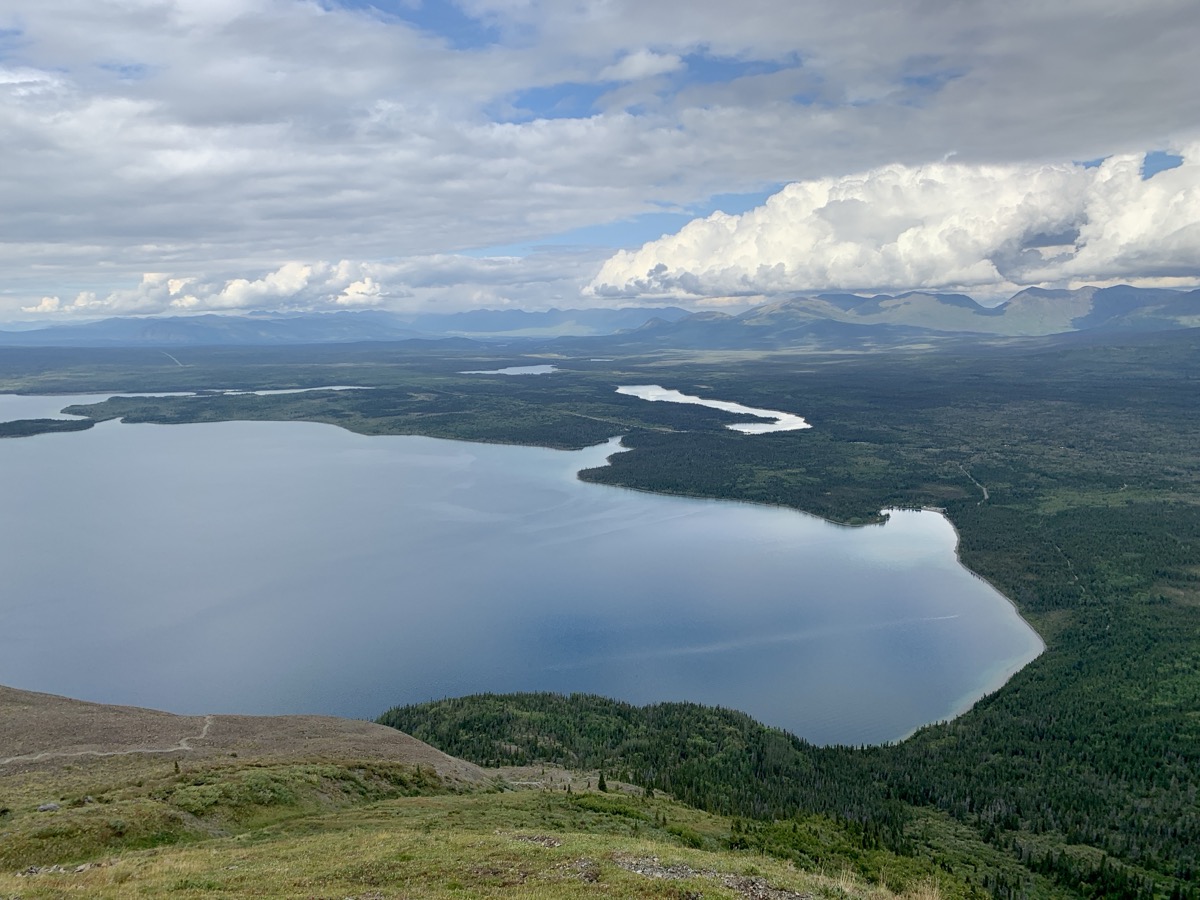
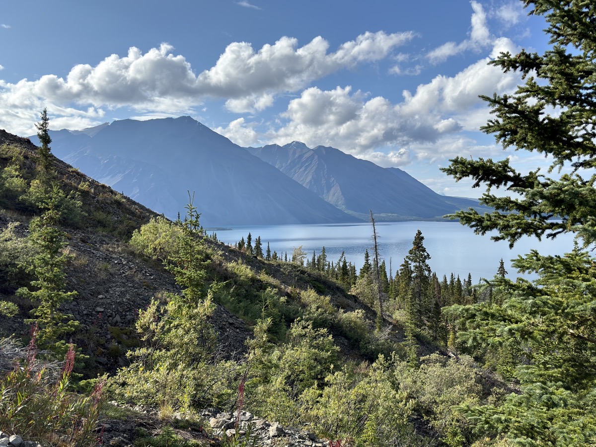
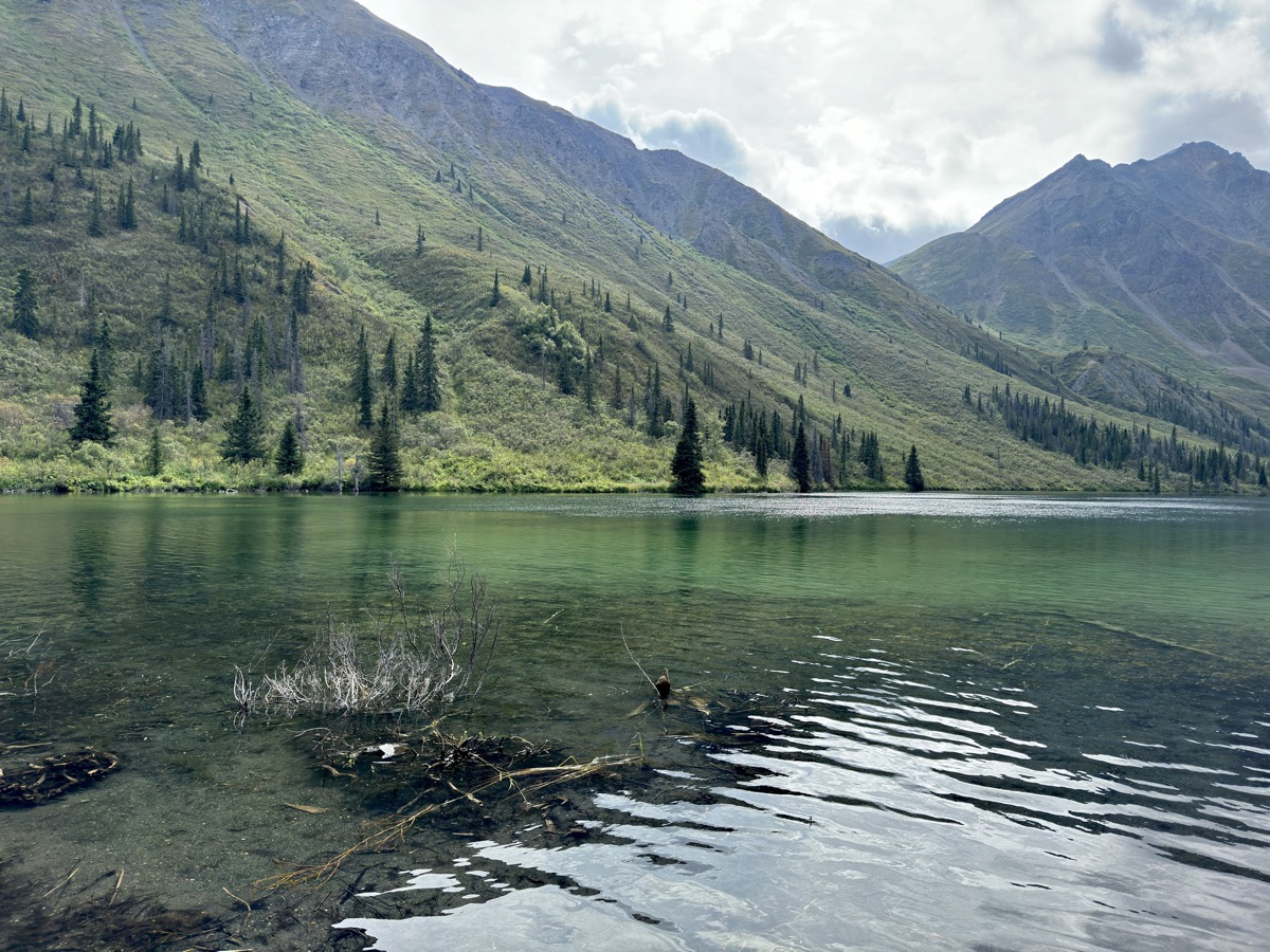
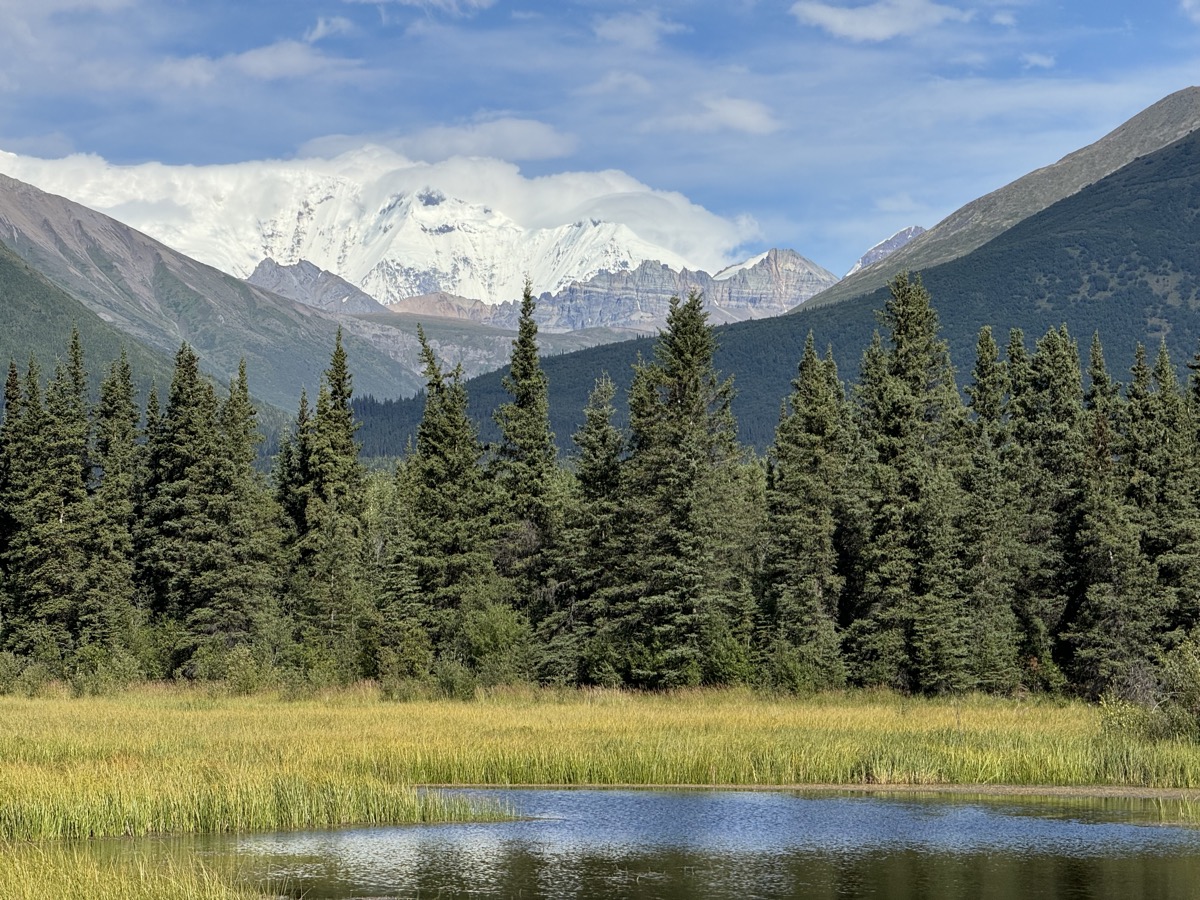
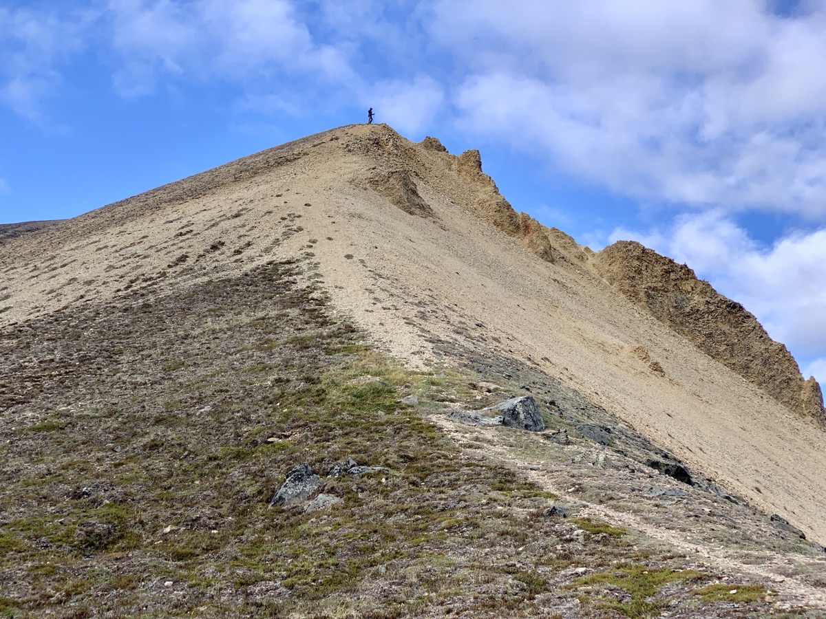
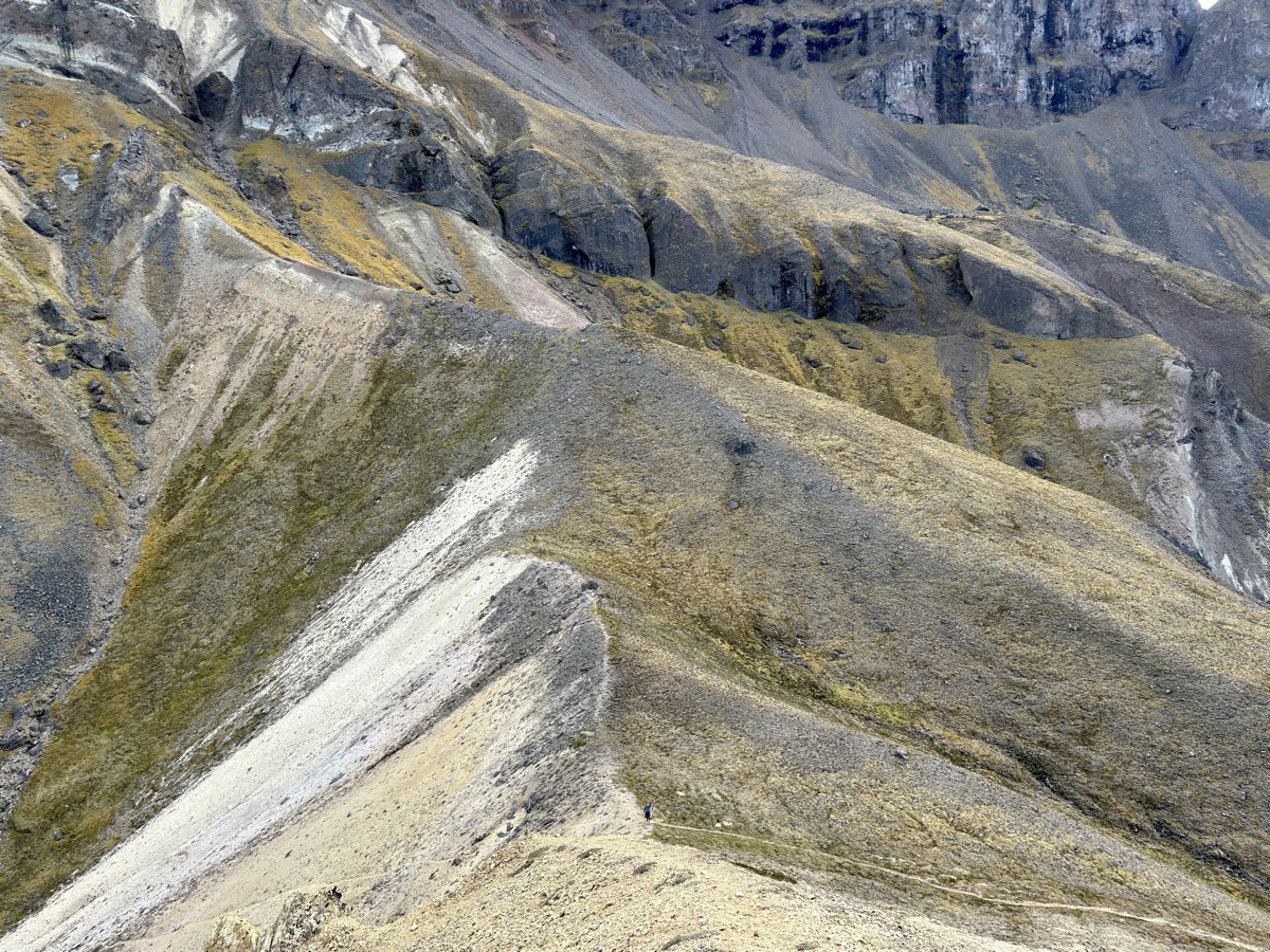
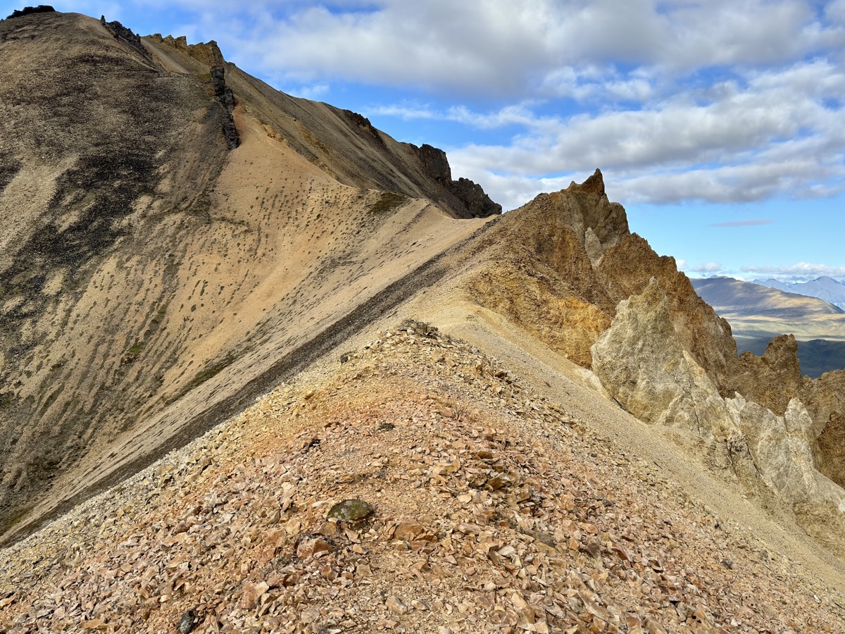
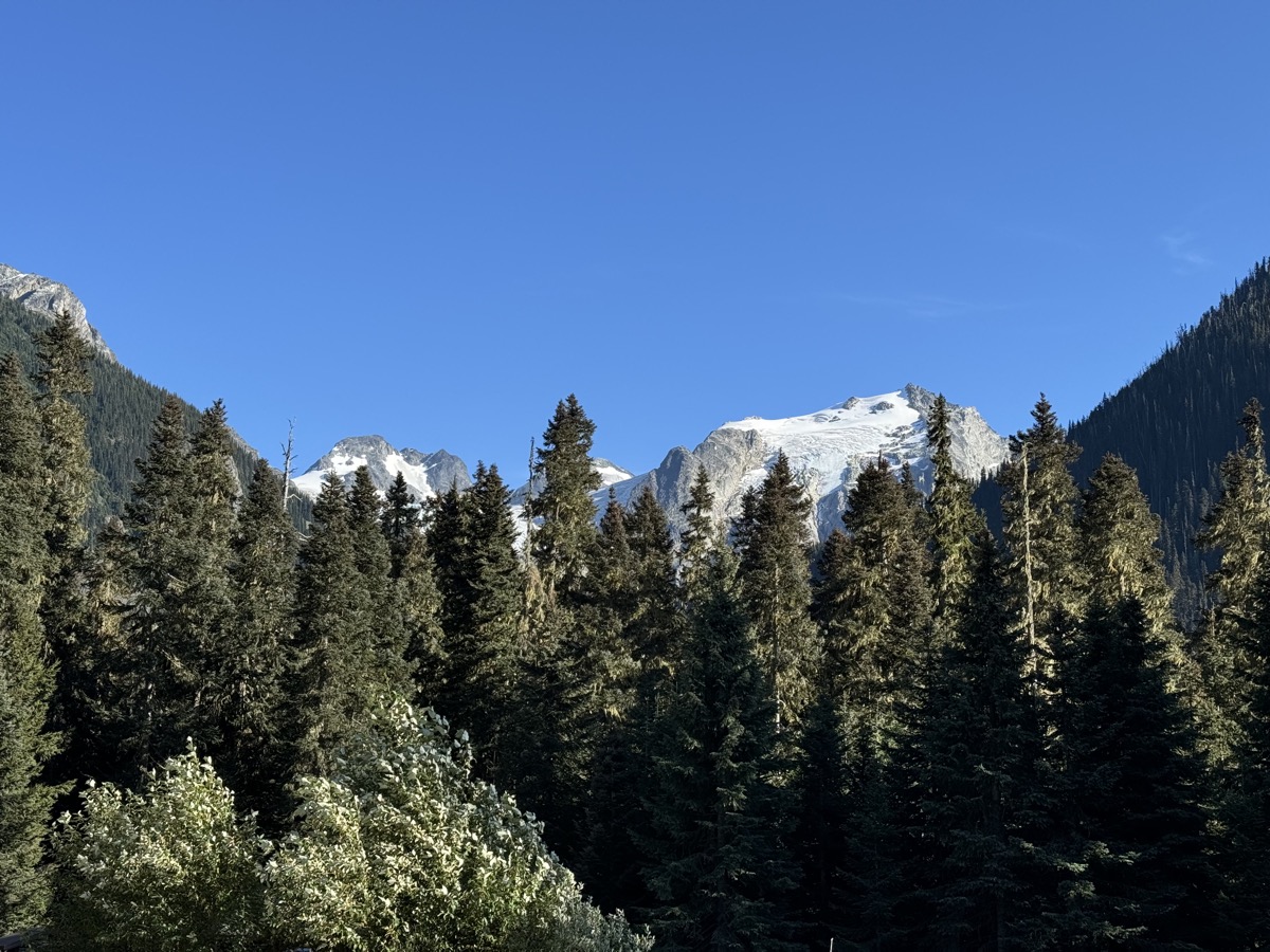
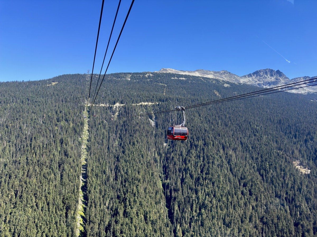
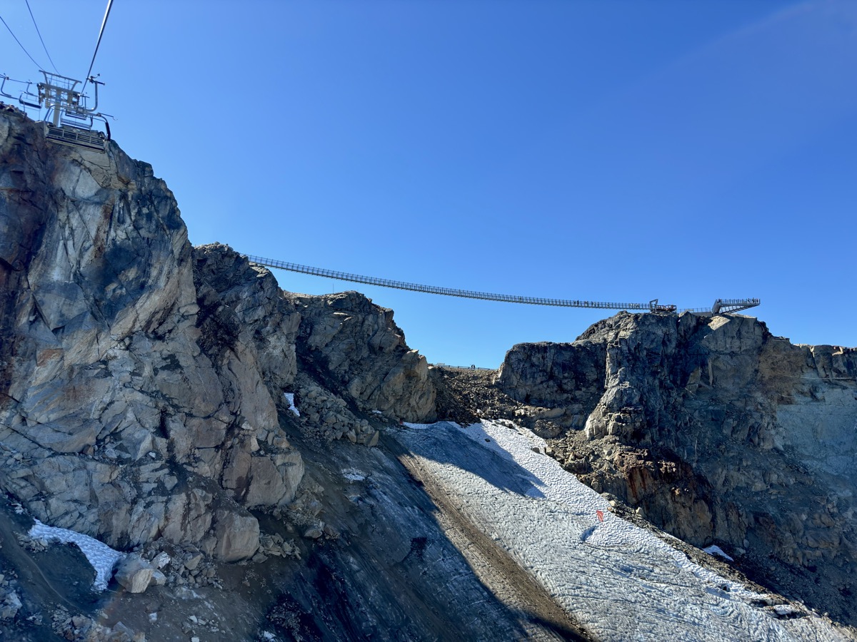
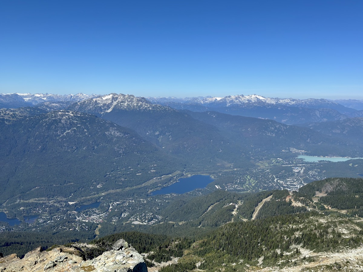
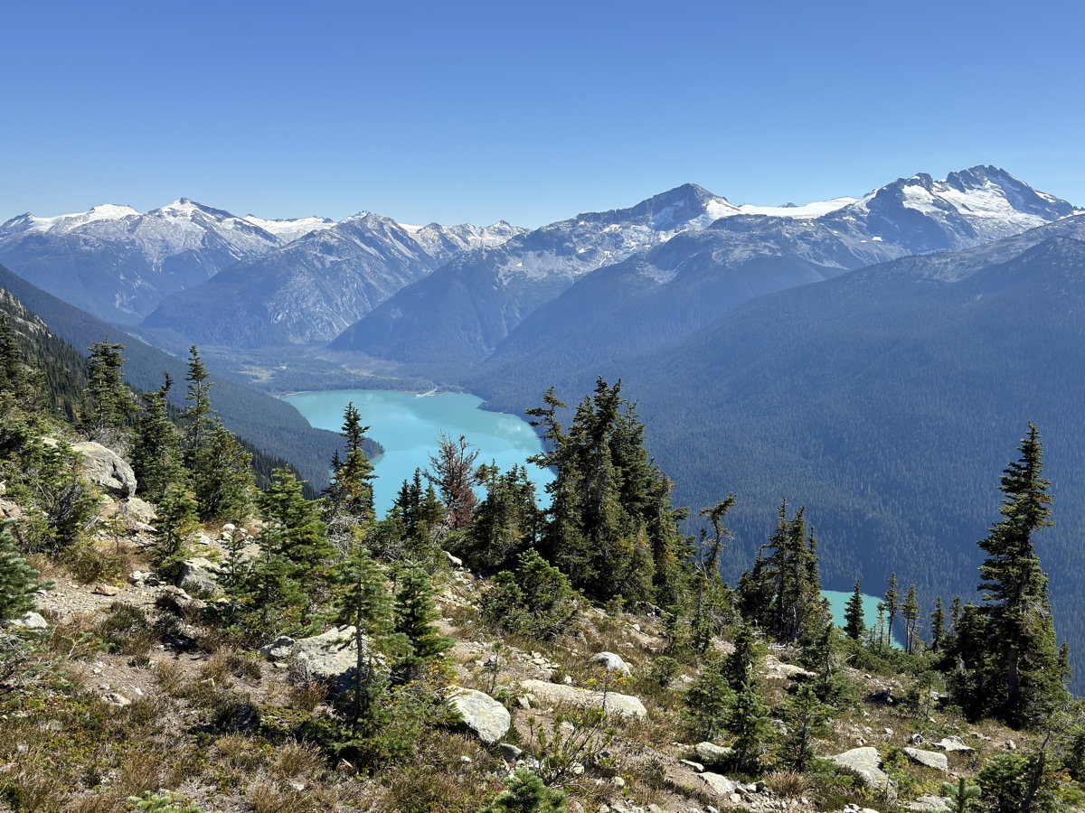
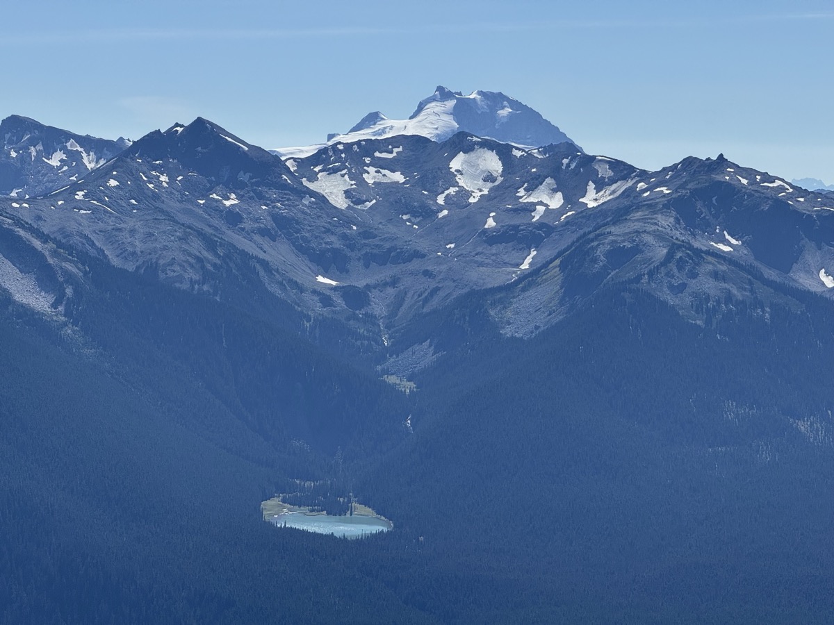
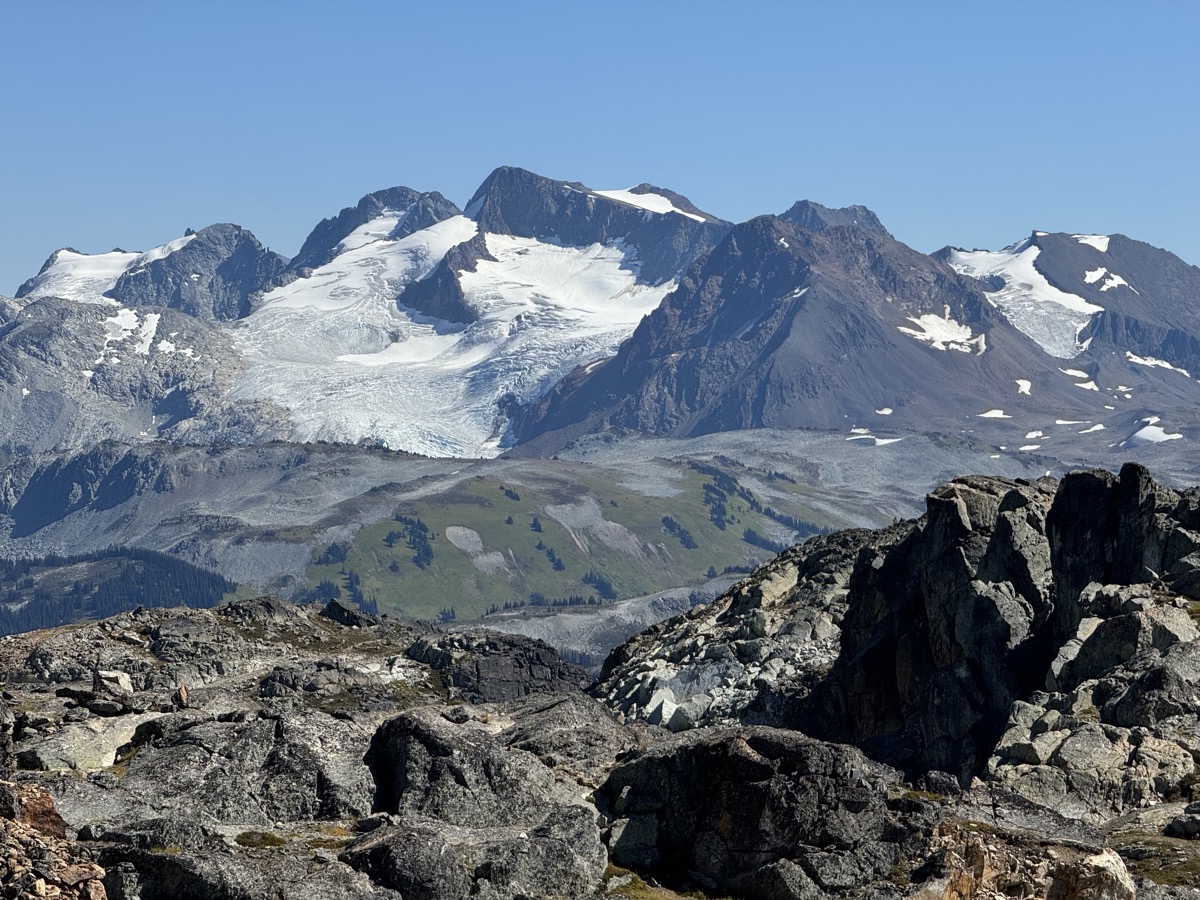
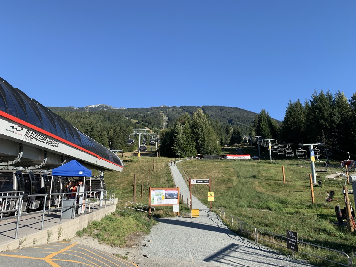
Whistler is nice, but touristy, not overwhelmingly though and no problem getting tickets for gondolas. We went on 4-gondola plus one chair lift excursion to Blackcomb Peak and Whistler Mountain, but hiking Half Note Trail around Whistler Mt was the event of the day – 360ยฐ view of surrounding mountain ranges and last sightings of glaciers on our trip – beautiful. Lazy hike turned into a run at the end as we almost missed last gondola. We had to come back via Blackcomb Peak – direct gondola to Whistler Mountain closed for the season that day. Grocery shopping and we landed at private, well managed Whistler RV Park. We stay away from RV campgrounds as they are usually densely packed with big campers, not quite compatible with our camping style. It was OK.

Day 84.

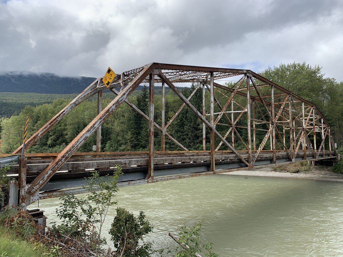
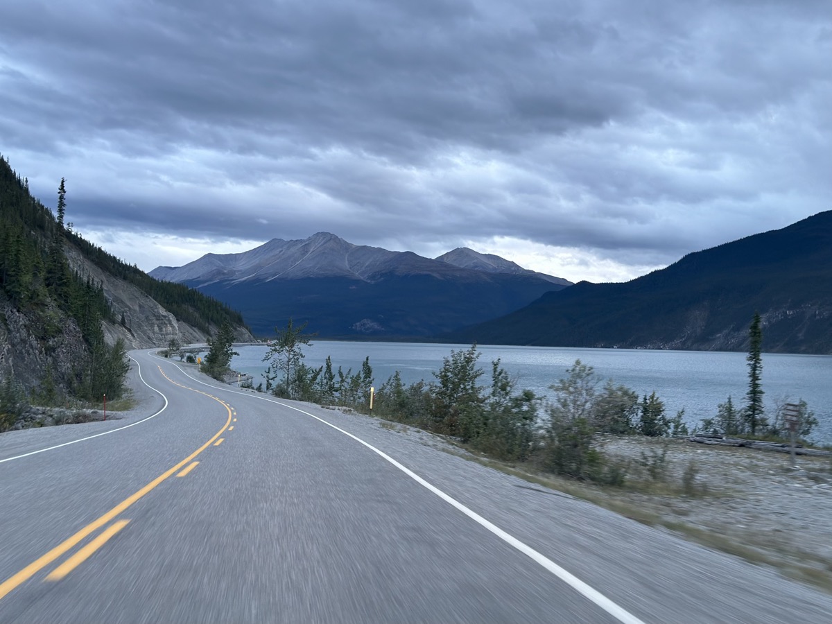
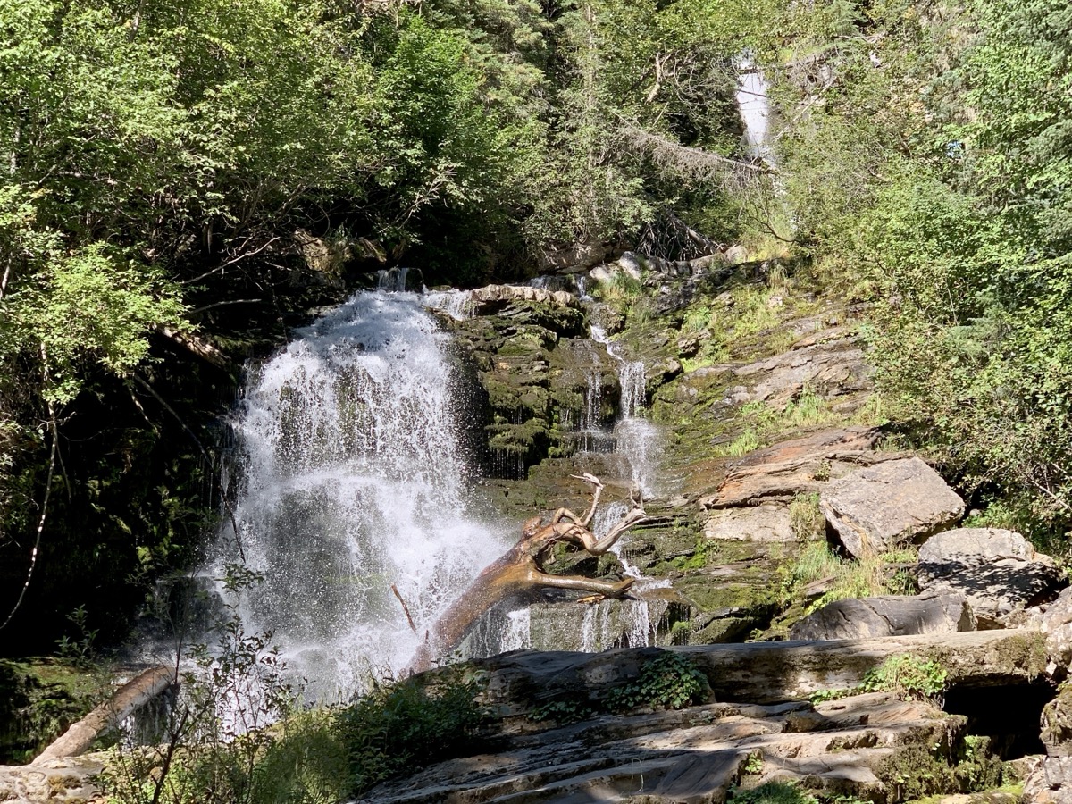
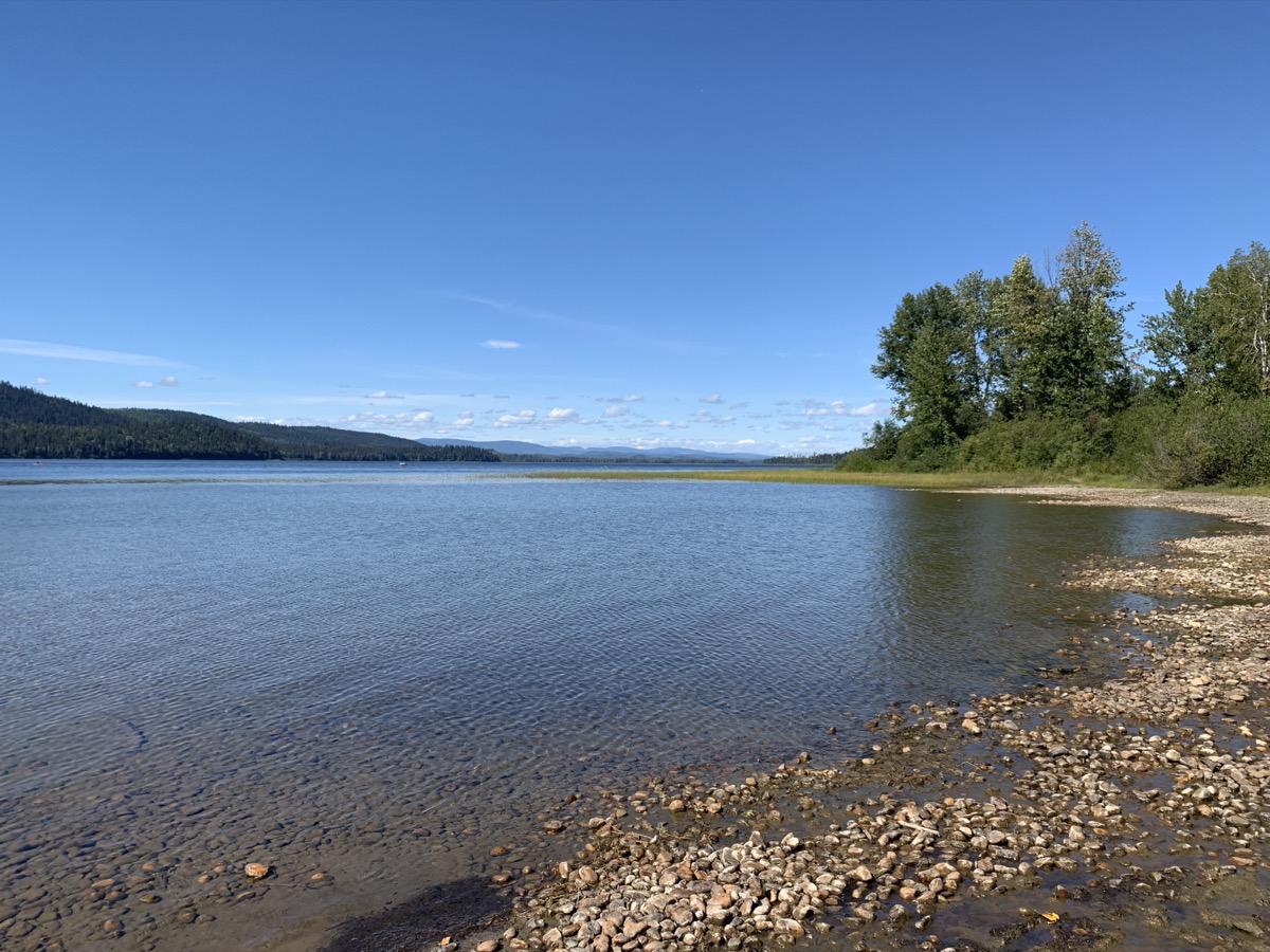
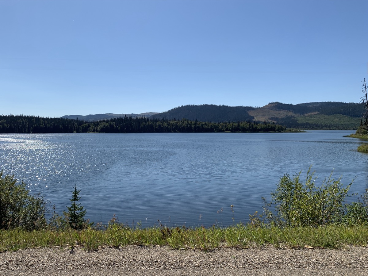
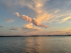
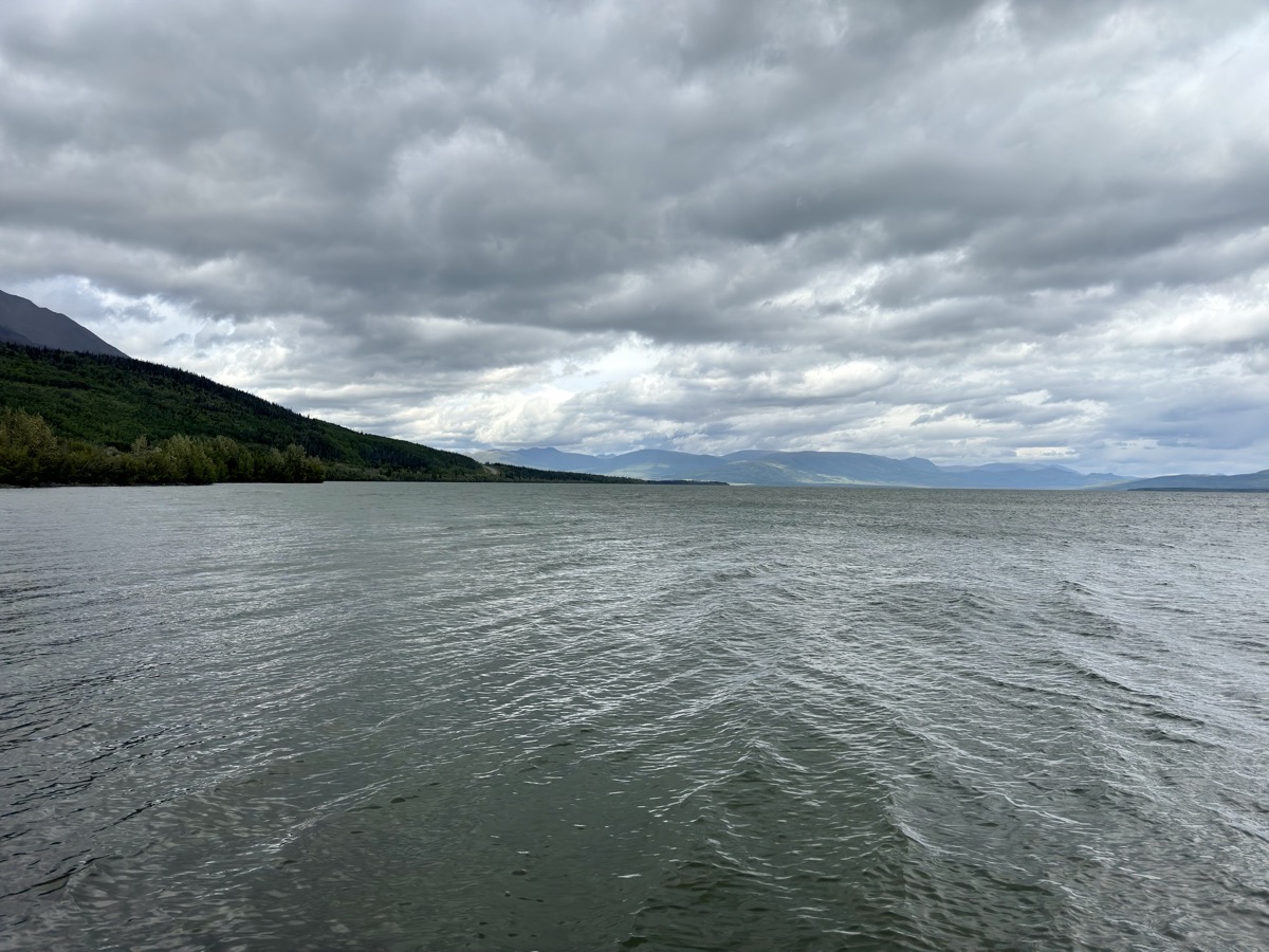
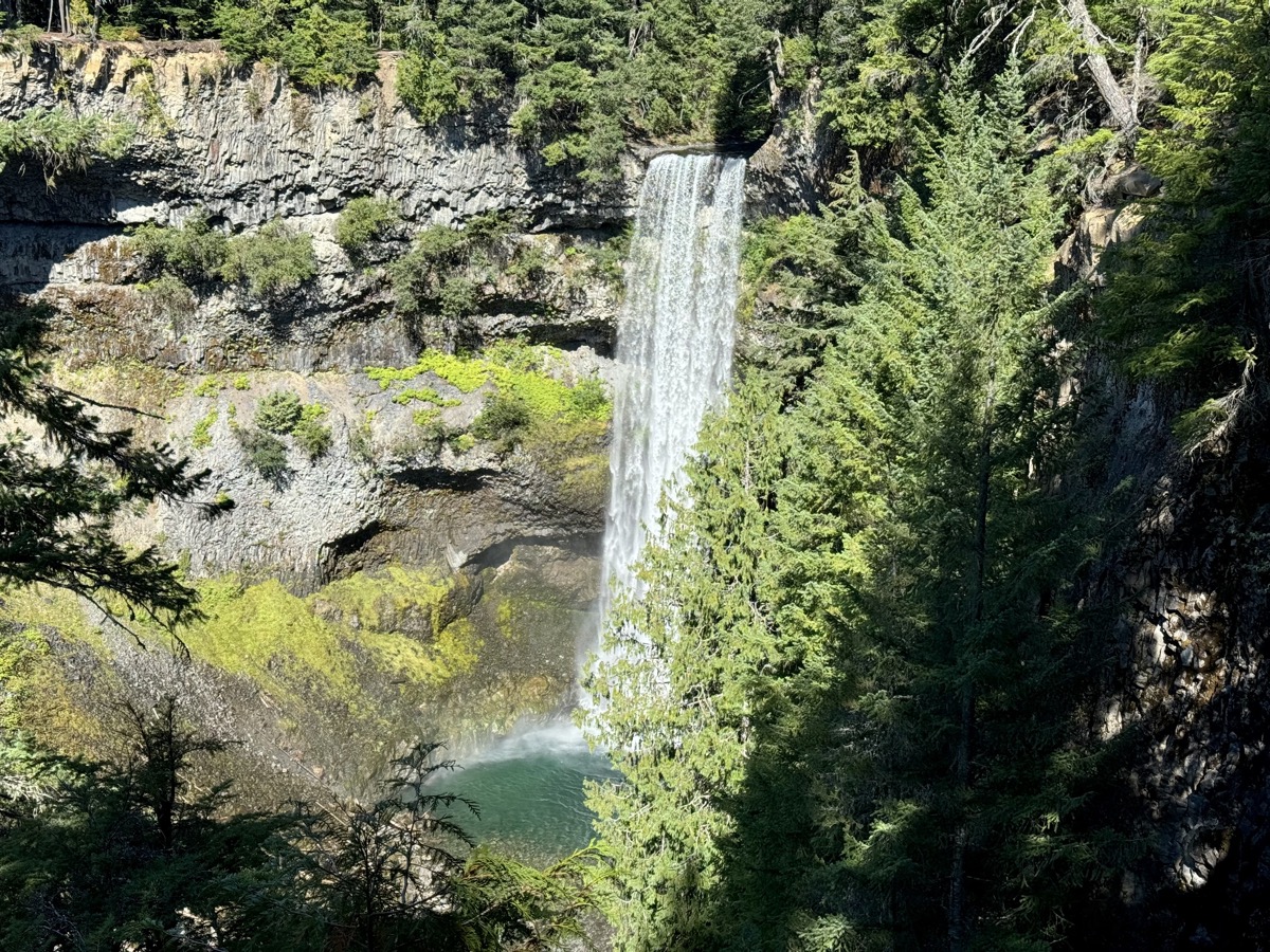
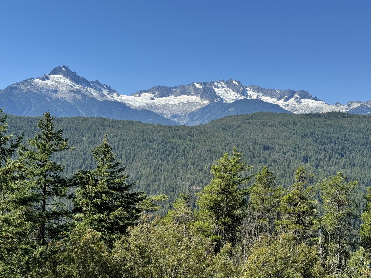
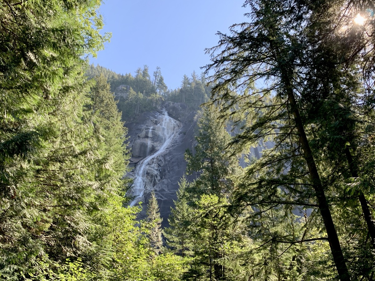
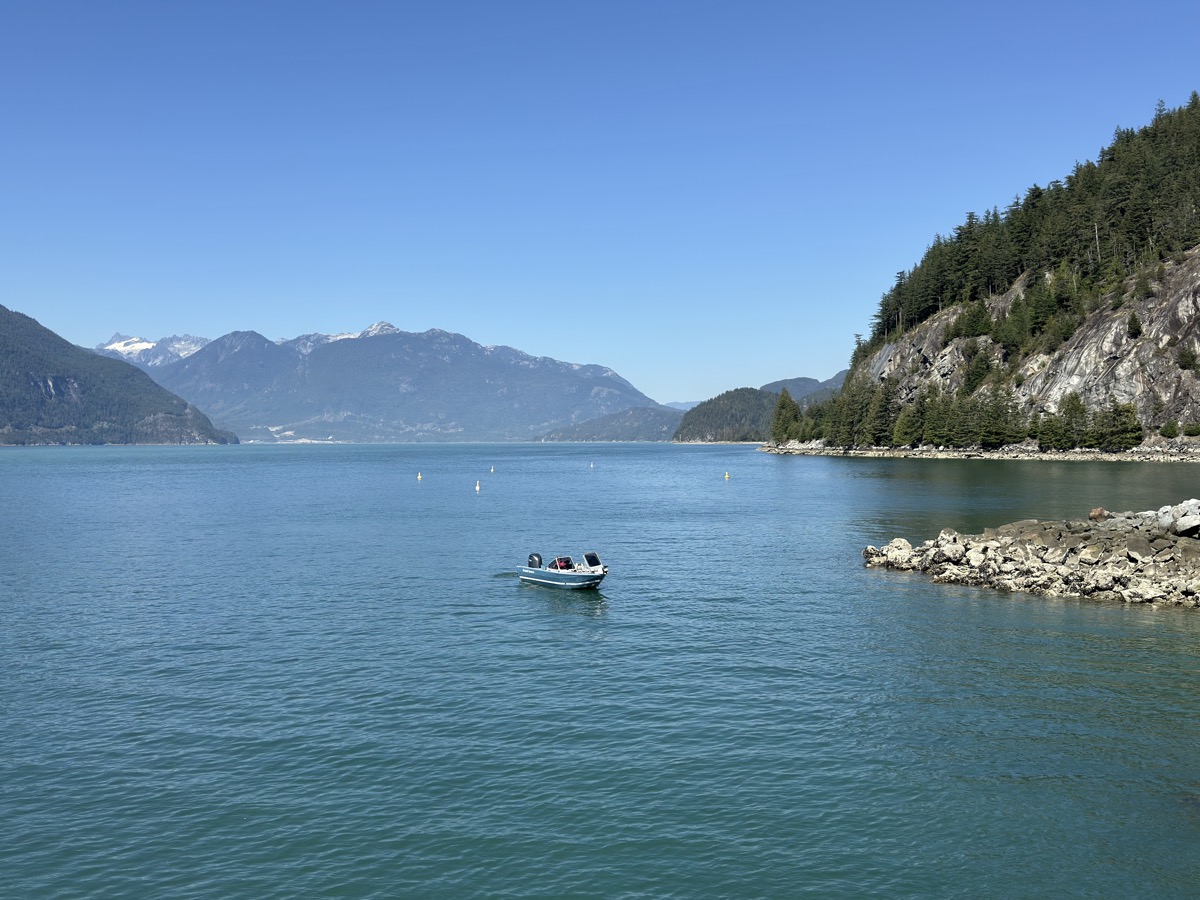
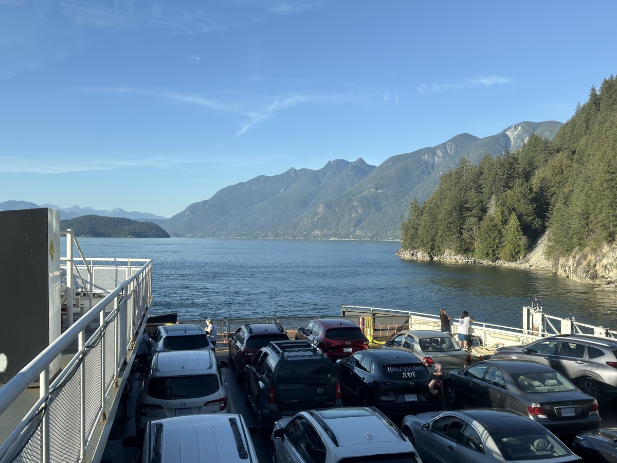
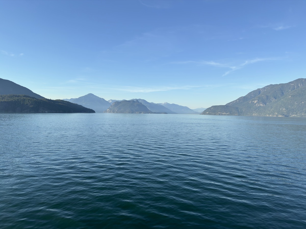
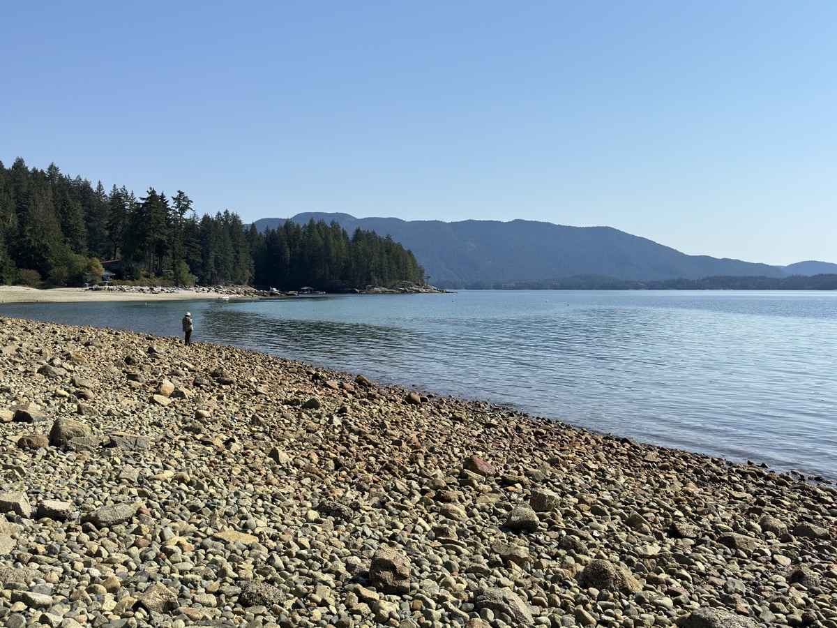
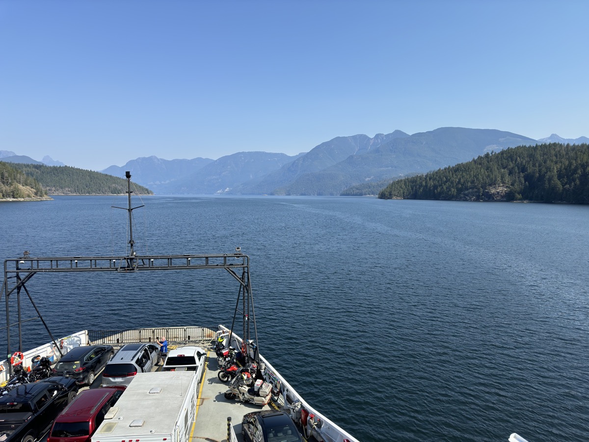
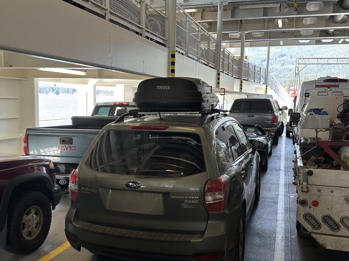
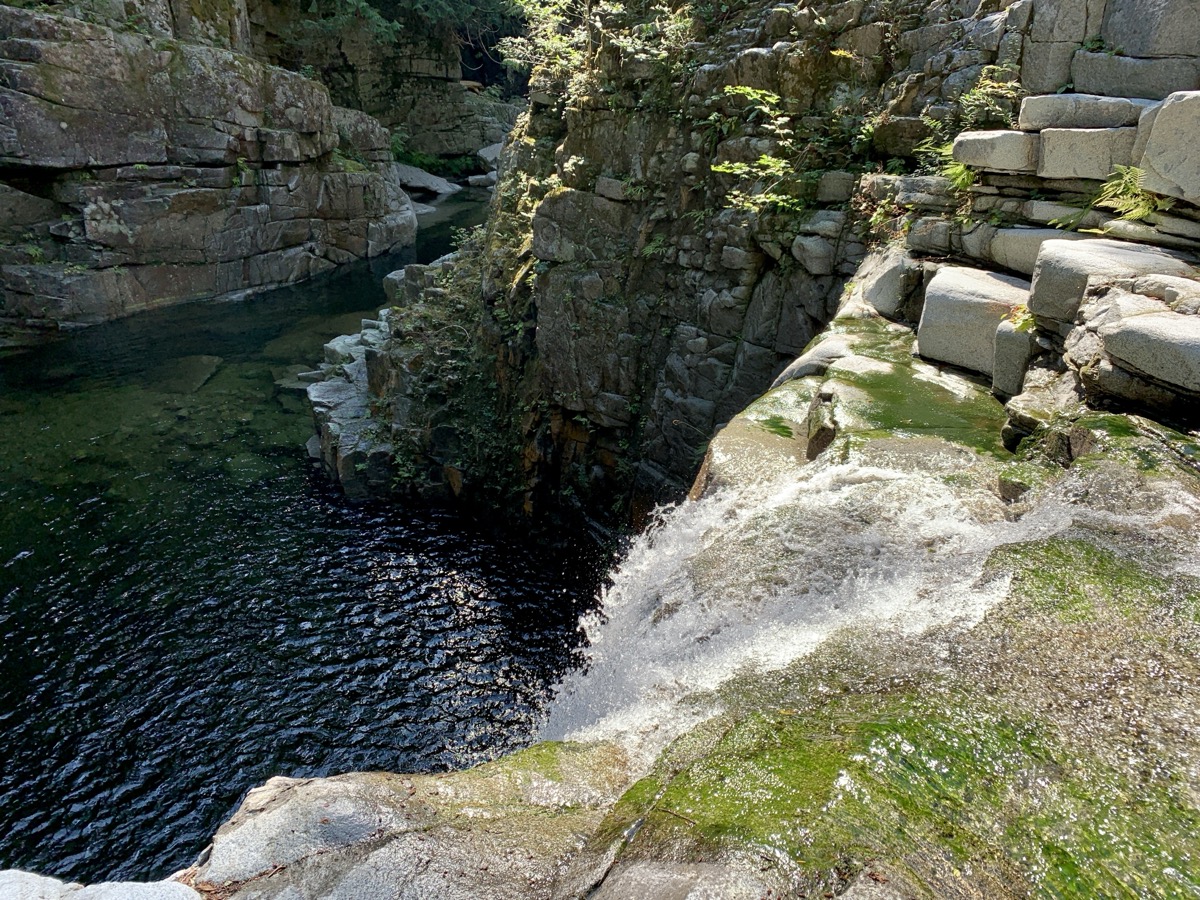
Next two days were organized around 3 ferry rides, but we stopped here and there at look-outs and for short walks. Ferries were like mini-cruises with fjord, and mountain views and chance to spot whales. We drove (part) of scenic Sea-to-Sky Hwy stopping at Brandywine and Shannon Falls, and Tantalus Range viewpoint. Then along Howe Sound stopping at Porteau Cove. When we arrived at Horseshoe Bay the lines for the ferry were long and we were worried if we could get on one the two runs left that day (last was very late). Without ticket bought in advance, we had to wait in separate line. Luckily 2.5 hours later we were on board. Piotr got extra driving test as we were sent to wrong deck at first – too low for Subaru with rooftop cargo box. Backing-out of loading ramp through a maze of orange traffic cones on big plaza to another ramp leading to different deck. Zigzagging, but no scratches. No long waiting or problems on other ferries. Slow drive on Sunshine Coast Highway through small towns/villages and local road to Porpoise Bay Campground.
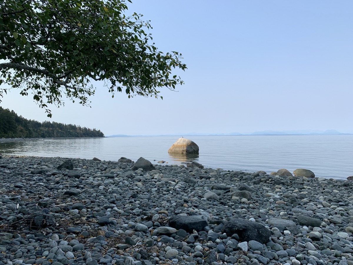
Day 85.

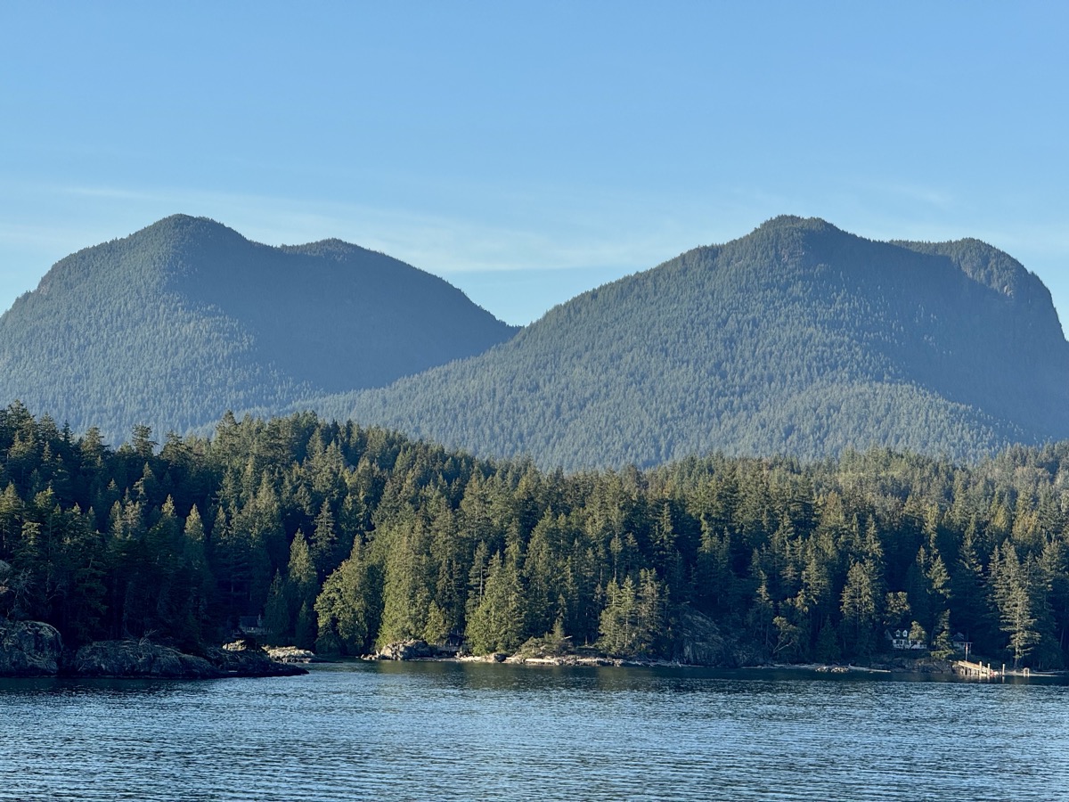
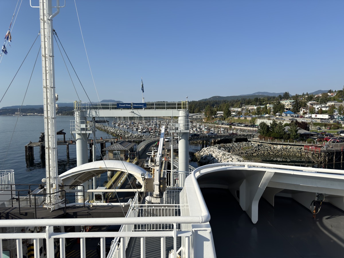
From Porpoise Bay we continued on Sunshine Coast Highway to catch Earls Cove to Saltery Bay Ferry, stopping only briefly at Eagle River Falls. And continued right away to Power River to catch ferry to Comox (Vancouver Island). Sunshine Coast Highway is in fact small, winding summer vacation-style road.

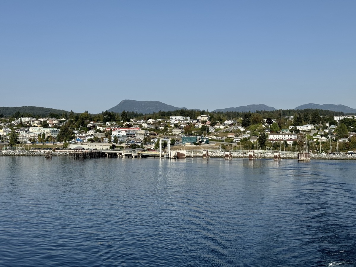
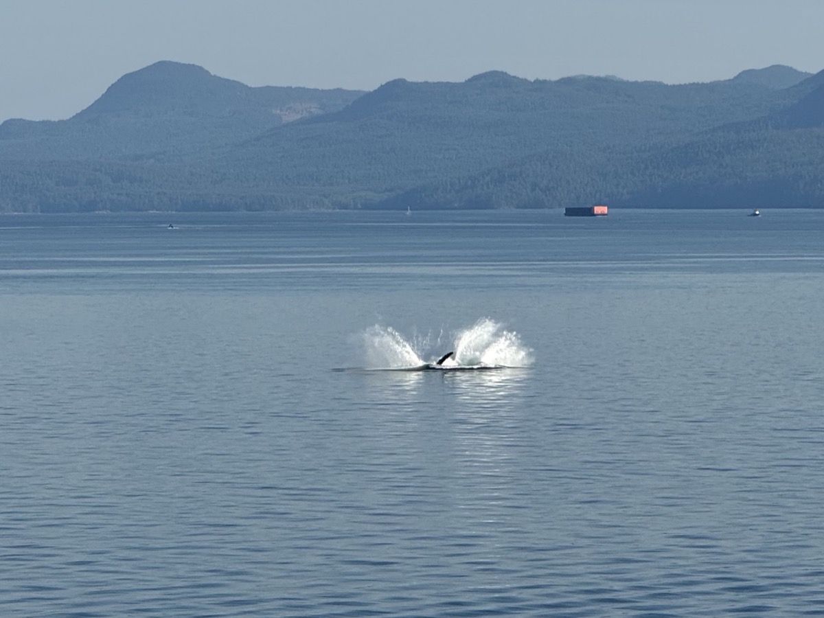
Powell River is nice seaside town. We had time for seafood lunch (Thaidal Zone Restaurant), bought good bread from small bakery and local beer (Townsite Brewing), all in one block. On the ferry run just out of Powell River we got great show by humpback whales, some close, some further away.

Humpback whale

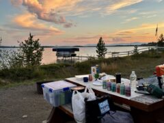
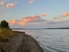
We arrived at Seal Bay quite late. RV Park office was already closed, but following info posted on the door and with help from other campers we somehow figured out what to do. It is probably the best private campground we have ever stayed at – large spaces for campers and separate area for tents where we stayed. Top notch facilities. On top of it, the host gave us good discount and we stayed there two nights.

Day 86.

Our windshield had been sprayed with stones a few times during this trip without causing any significant damage. So we thought. Then, out of nowhere a 12-inch crack appeared (after driving on a bumpy Eagle River Falls access road and temps going up quickly ?). We heard one louder bang days earlier, but we thought stone hit metal – it hit glass close to the edge, hard to see. We made arrangements in Comox (Coastline Glass) to replace the windshield. It was Saturday and they ordered glass for Tuesday.

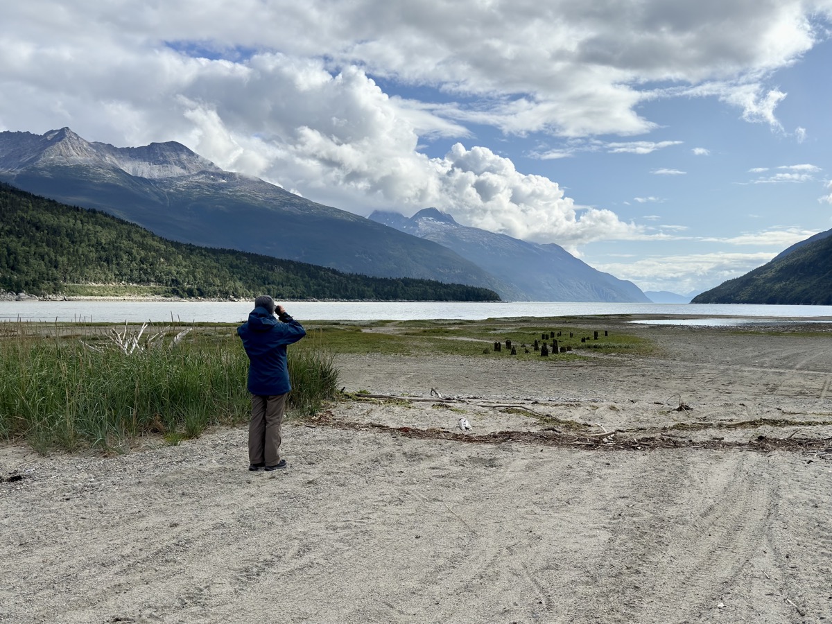
Piotr called rest day (?) with less driving and more relaxing (?). We drove around Comox, starting with the glass repair shop, shopping and visiting Goose Spit. Joanna took off for walk in Seal Bay Park by the coast. We had good place to stay, cooked dinner and tasted the beer. No to mention laundry and hot shower (two days in a row). With next campground booked for Sunday we were ready to explore Vancouver Island.

Western Canada and Alaska day 74-81: Skagway and on to Prince George

Day 74 -75.

Our next destination was Skagway, but we already set our eyes on destination further down the road: Vancouver Island. To get there, we decided to go back to Watson Lake, but then take Alaska, Caribou and John Hart Hwys to Prince George via Fort Nelson and Dawson Creek (which we actually bypassed), not to return the same way we came in and to at least get a glimpse of Northern Rocky Mountains. We knew we had days with more driving ahead, 2000 km across Yukon and British Columbia from Skagway to Prince George in 4 days camping along the way. We then added another day of driving 370 km on Carcross Hwy to Green Lake Provincial Park. Warm days of Summer slowly returned as we were moving south quite fast. But Skagway first.

From Conrad to Skagway is a short drive including border crossing. The views are quite spectacular, both in the Summit Lake area and then down from White Pass of gold rush fame. White Pass and Yukon Railway runs on opposite slope of the valley then modern highway. Tourist train still runs between Skagway and Carcross (previous post). We made it to Skagway by lunch-time and checked-in to Westmark Hotel. Very good choice, comfortable accommodation and quick access to nearby attractions. We had time to visit nearby Dyea to learn more about gold rush history. Few visitors there. Dyea was rival entry port leading to Klondike via more difficult Chilkot pass, but was abandoned after Palm Sunday Avalanche (1898).

We actually liked Skagway, small town, milling around with thousands of visitors arriving daily on cruise ships. We knew what to expect and it somehow did not bother us. Streets felt deserted in the evening when visitors returned to their ships for dinner. We ended the visit with dinner at Salty Siren (fish&chips and salmon sandwich). On this trip, we visited key historic places of Klondike Gold Rush (1897-1898).

Day 76.

Time to return. Two days of driving on Klondike and Alaska Hwys – we knew most of this section already. Just made several short stops, mostly near White Pass to enjoy scenery. We re-visit our old wild campsite just outside Watson Lake. We liked it and it was exactly where we needed it.

Day 77.

First stop next morning was at signpost forest in Watson Lake trying to find any familiar signage and in late evening we soaked in Liard Hot Springs. Even just driving through Northern Rockies was worth it for great scenery, in the evening along popular Muncho Lake – could not stay there because campgrounds were full for Labour Day. Yes, we also hit a stretch of highway under construction with heavy trucks kicking-up blinding dust. We continued after dark to primitive Toad River Community CG, just open space in forest by the river, but we were happy we found it.

Day 78.

Next day, we stopped for hike on Erosion Pillar Trail (Joanna, Piotr needed driver’s nap) and then made longer stop for lunch and short hike at Summit Lake, both in Stone Mountain Provincial Park. Ended the day at Andy Bailey CG away from highway, found several large and shady spots to choose from and had dinner at tables on grassy shore of very peacefull lake.

Day 79.

Hudson’s Hope, Chetwynd, Pine Le Moray Provincial Park. Small campground at Heart Lake CG was full except for one site – not really usable, uneven and without table, but we took it. Now, it never hurts to talk to fellow travelers. Another couple found two unoccupied spots, not obvious and not clearly marked on the map. They took one, we quickly moved to the other – nice and close to the lake. Dinner and short walk on the lake.

Day 80.

Cariboo (or Caribou) Hwy, Bijoux Falls, Crooked River Provincial Park – definitely highway and lakes day. Joanna walked short trails in Crooked River Park. We arrived in Prince George in late afternoon. All the driving started wearing Piotr down – it was time for good rest. Joanna rented small apartment on airbnb – entire first floor in newly built house in new subdivision. All high quality and well organized. Nice host. We had time to re-stock, cook and laundry before more camping.

Day 81.

Easy day, good weather, highway and small towns on the way. Green Lake Provincial Park is a short distance from main highway, but worth the extra drive. Quality campground, well maintained, nice host and we had spot right on the lake.


We were lucky to spot iconic animals of the region: Rock Sheep, Caribou, Wood Bison, Black Bear and Stellar Jay.

Western Canada and Alaska day 71-73: Kluane National Park

Day 71-72.

After short visit at Haines Junction (Kluane NP) Visitor Information Centre, with supplies loaded, we drove short distance and settled quickly at Kathleen Lake Campground (for two nights). With weather improved, mix of sun and clouds, we were ready for a hike. We decided summiting King’s Throne Peak was probably too much for that day, but hiked up to King’s Throne “seat”- bottom of the bowl below it. Trail starts easy at Kathleen Lake (near campground). It then turns into good workout on steep rocky slope, almost scramble with fading trail in places. Joanna again could not resist and hiked higher to see what’s on the other side of the mountain. Piotr just guessed – more mountains. Upon return, we relaxed on lake’s shore. Enjoyed long day with sunny weather to cook dinner. Piotr refreshed his skills chopping wood logs. It was good, well organized NP campground.

Next day weather was mixed and hard to predict. We used the day for two short hikes. On Rock Glacier – a pile of frozen rocks, rather than a big chunk of ice like the other glaciers we visited. Interesting feature to explore, even in light rain. Then very easy, almost flat trail (old forest road) to St Elias Lake, enjoyable in better weather.

We left the final decision whether to go to Haines for the following morning.

Day 73.

With rain in the forecast on the coast and car ferry sold-out, we decided to skip Haines, turn inland and drive around to Skagway. It was all day of slow driving watching mountains and valleys, rivers and lakes passing by – car tourism. We passed Whitehorse again (without stopping this time), but spent some time in Carcross. Important station on White Pass & Yukon Railway during gold rush. We liked the small town, now just tourist destination, visitor center, good coffee and pastries. We walked a bit on Carcross Desert (large dune, not true desert) – what a change after walking on glaciers. Plus short evening walk on Lake Bennett.

We settled for the night further along Klondike Hwy at almost empty Conrad Campground on shore of Windy Arm of Tagish Lake. It is located on the grounds of long closed and dismantled copper mining operation.

Western Canada and Alaska day 66-70: Wrangell-St Elias NP-Nabesna Rd-Skookum Volcano-Alaska Hwy-Haines Junction

Day 66.

After short, morning hike to Crystalline Hills we were heading back to Chitina to the end of McCarthy Rd and then to Glennallen – we came that way. Just driving around Wrangell Mountains without much stopping. Weather was mixed, but we could see the high peaks: Blackburn (we saw its other side from airplane), Wrangell and Sanford, although their tops were in clouds. In Glennallen we ignored low fuel warning and continued to Gakona only to discover that gas stations there were closed. So we had to go back. Joanna was making phone calls from the road to find a place to stay in Gakona. Nothing worked, but one place (Snowshoe Haven Cabins in Gakona) called back with an offer: no cabins available, but we could rent an old house under renovation for the night. Very nice hosts. Bedrooms upstairs and kitchen/living room were already done, bathroom was still old. We had entire house for ourselves, good opportunity to regroup. Another case on this trip when interesting opportunity came along on the go.

Day 67.

Another day of driving – interesting, scenic Tok Cut-Off Highway to Nabesna Road to enter Wrangell Mountains, this time from north – spontaneous decision, as we liked this NP a lot. We talked to rangers at Slana Station, filled-up water containers, we had enough food. Nabesna Rd is first paved and then good gravel. Not much traffic and many camping options. We chose to stay at excellent Kendesnii Campground (NP). Like camping on the edge of taiga. Small lakes and mountain views everywhere. We had only a couple of neighbors – one was also Subaru camper. Enough time left for afternoon hike to Caribou Creek. To cook dinner we had to dress like winter time – temps dropped a few degrees below freezing at night and local mountaintops were dusted with snow in the morning. Not even the end of August and winter made its first move.

Days 68.

We drove, after same hesitation, further up Nabesna Rd to Skookum Volcano trailhead and spent several hours going up and down the mountain. Steep trail to Skookum Volcano Pass with great colorful rock formations and view of Alaska Range. Good, mostly sunny weather, nice experience. We then drove to the end of drivable road (Subaru) to the site where Nabesca Mine used to be for evening view of Alaska Range. Our Forester got tested on not so good stretches of road and crossing streams. Back to Kendesnii Campground for another wintery night. Joanna tried to rent one of the backcountry cabins, but everything was booked (?). We were glad we came this way: nice scenery, interesting volcano hike with Dall sheep sightings and we liked relaxing camping in taiga despite freezing weather.

Day 69-70.

Now it was time to go to Kluane NP. Two days of easy, but somewhat monotonous driving despite interesting scenery starting with short opening in clouds to view (base of massive) Mt Wrangell. First back on Nabesna Rd to Tok Cut-Off Hwy and then Alaska Hwy to nice Deadman Lake CG. We stopped in Tok for lunch at Fast Eddy’s Restaurant and to pick-up groceries (plus Denali Beer Variety Pack and Jagermeister) at Three Bears. Some small businesses already started shutting down for winter. We stopped in Tok earlier on the way to Alaska. We were lucky to get camping spot and had only little time to walk to Deadman Lake and on short nature trail. The following day, we crossed the border and continued on Alaska Hwy to Haines Junction where we rented (Airbnb) room in newly renovated small house with two bedrooms, modern shared living room and kitchen. Rainy and cold weather was a factor in deciding to stay there. Despite end of season hotels were full as everybody (campers) tried to stay indoors. Piotr showed his skills quickly starting fire in wood stove to warm the house (our host came later to start gas furnace). We spent the evening cooking, drinking beer and talking to French couple from Martinique, travelers (bikers) staying in the other bedroom.

error: