Scotland, day 10 & 11: Isle of Skye

The weather was not good for hiking, clouds and passing rain. We decided to drive north to Portree to be close to Quiraing. On the way, we bought tickets for morning tour and tasting at Talisker (next day) and we bought some beer from Isle of Skye Brewing Co in  Uig. We visited archeological site in Kilvaxter, museum and graveyard in Kilmuir. With weather improving somewhat we turned back towards Uig and arrived at the upper Quiraing trailhead (on C1225) just as the Sun started to come out. We walked on the lower trail with quite a few other hikers, fewer and fewer as we kept going in the rain later on. By the time we made it to the top of the loop, the weather was deteriorating and visibility was quite poor. We decided to return the same way anticipating wind to be unpleasantly strong on the upper trail. We were soaked by the time we came back to our car. Not giving up, we stopped at Mealt Waterfall and made a quick run in the rain to Old Man of Storr, and that was enough for the day. The rain stopped by the time we made it to Portee to look around, have late lunch (Fish & Chips on Quay St) and buy groceries (Co-Op).

Quiriang (7 km)Quiriang from trailhead (upper) on Quiraing Road (C1225) and return. 7 km, 450 m total ascent.
Click on wikiloc logo for more info

The next day we were ready for another hike, but we started by visiting Talisker Distillery in Carbost  ☞ Talisker  (recommended), a short drive from Portnalong. The tour was well organized and disciplined, informative. Talisker taste is distinct and takes time to appreciate. We did some prep work in Chicago. We parked our car at Glen Brittle beach, walked through the campsite and up on Lochan Coire Lagan trail (recommended). The trail is easy, with some rock scrambling at the end, it was a beautiful hike. We walked near small waterfall and around the little lake with views changing between sunny and dense fog. We walked down on a different trail, via Loch an Fhir-bhallaich, around the village and back to the beach.We spent an hour strolling on the beach at low tide. We got a good view of Fairy Pools valley  and drove to Portnalong pier before returning to But & Ben.

Lochan Coire Lagan (10 km)Glen Brittle beach trailhead-Lochan Coire Lagan, return via Loch an Fhir-bhallaich, 10 km, 600 m total ascent.
Click on wikiloc logo for more info

Scotland, day 8 & 9: Glen Coe and on to Isle of Skye

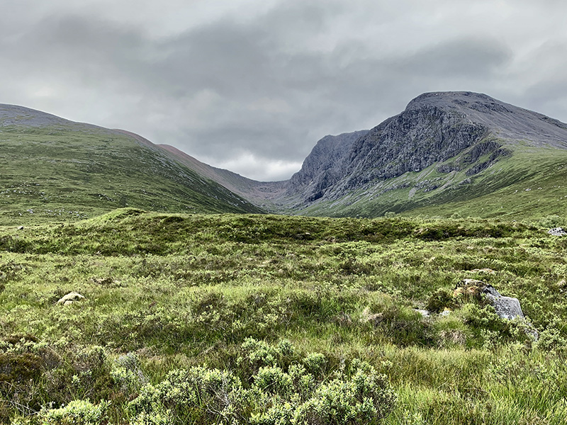
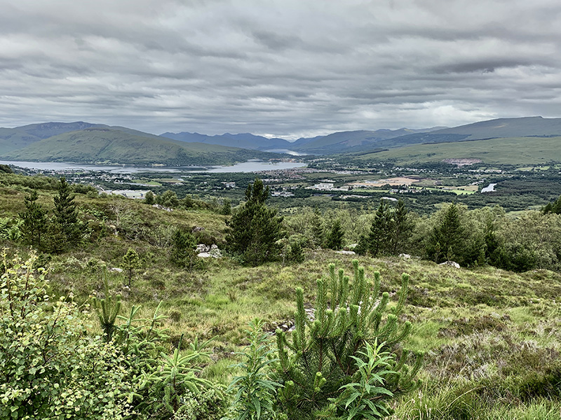
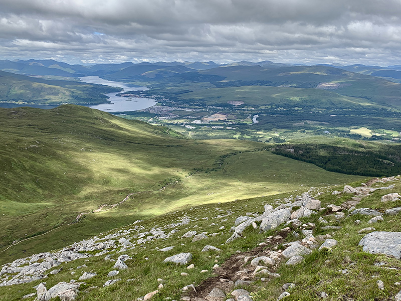
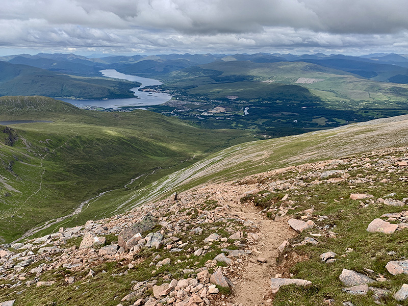
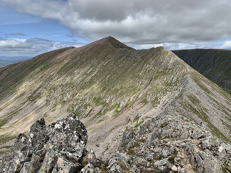
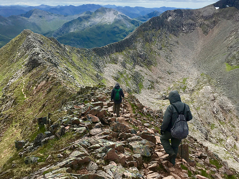
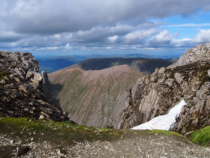
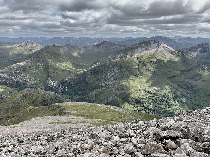
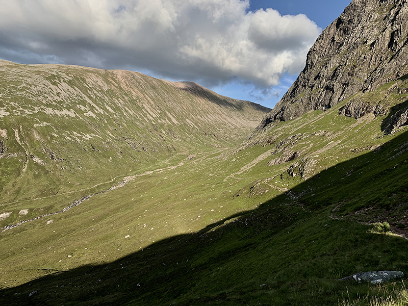
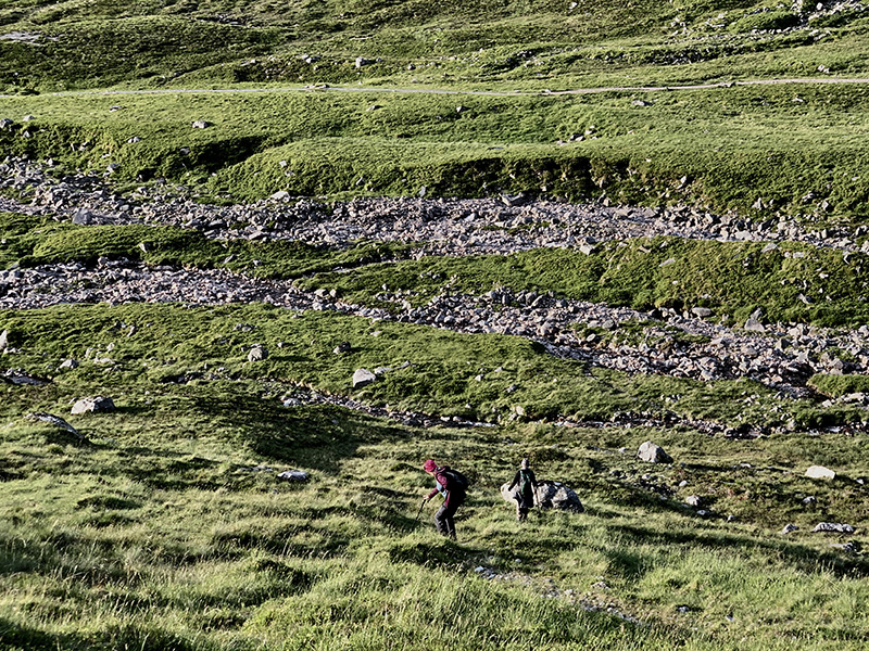
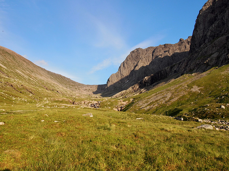
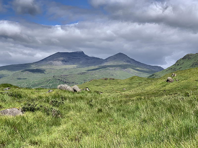
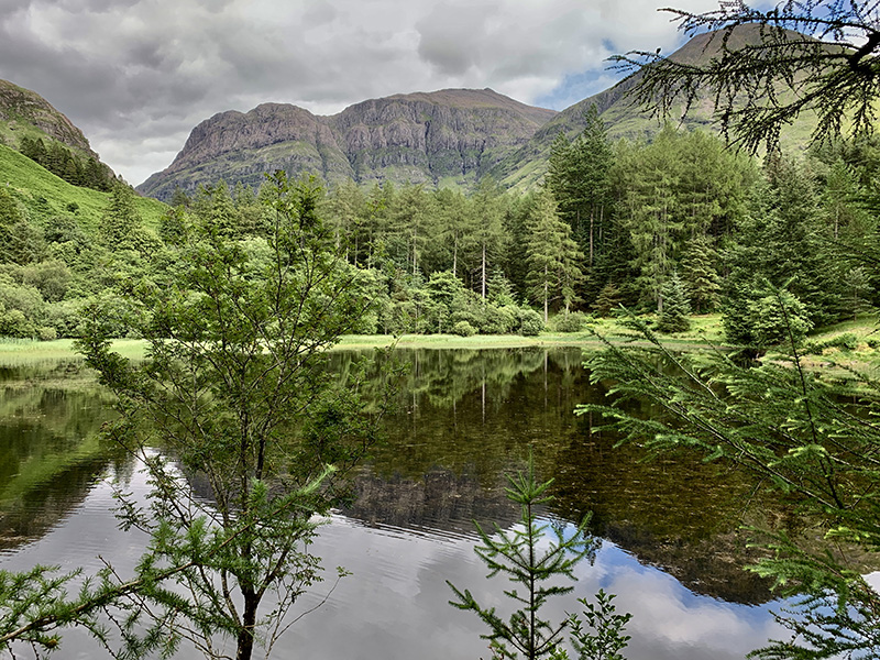
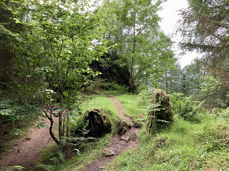
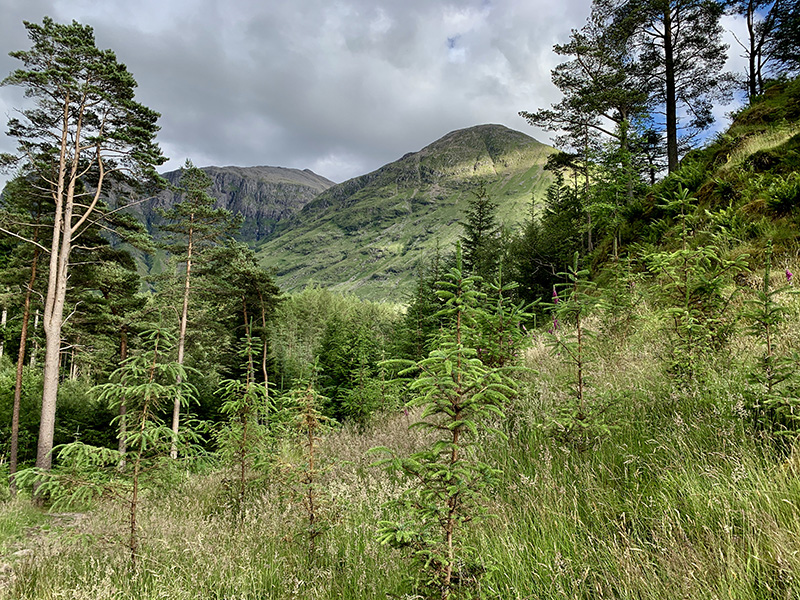
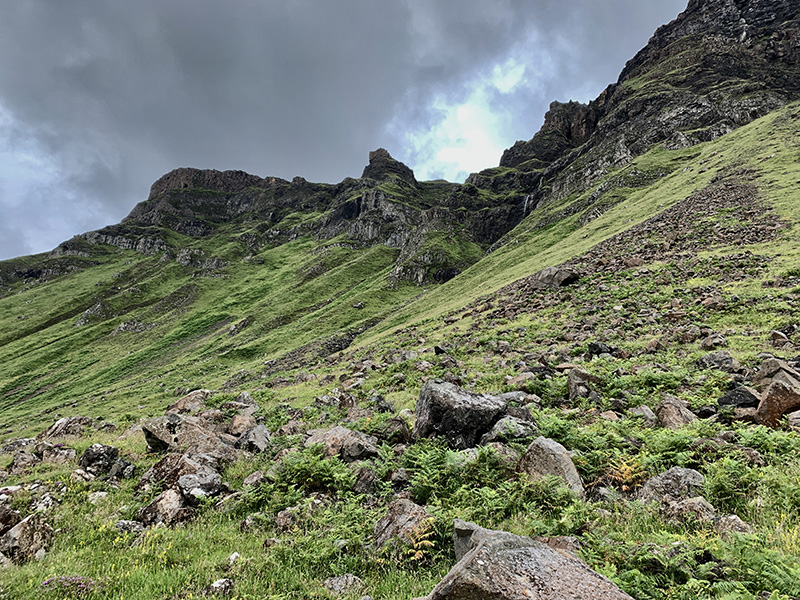
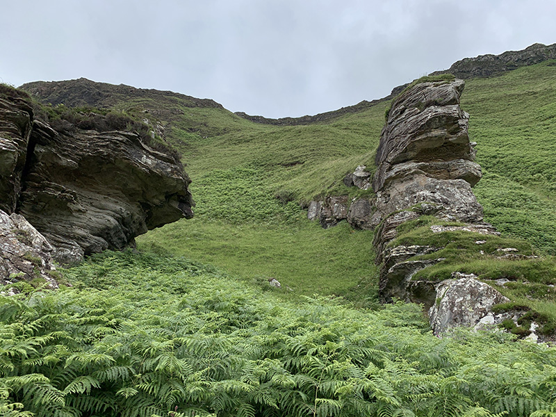
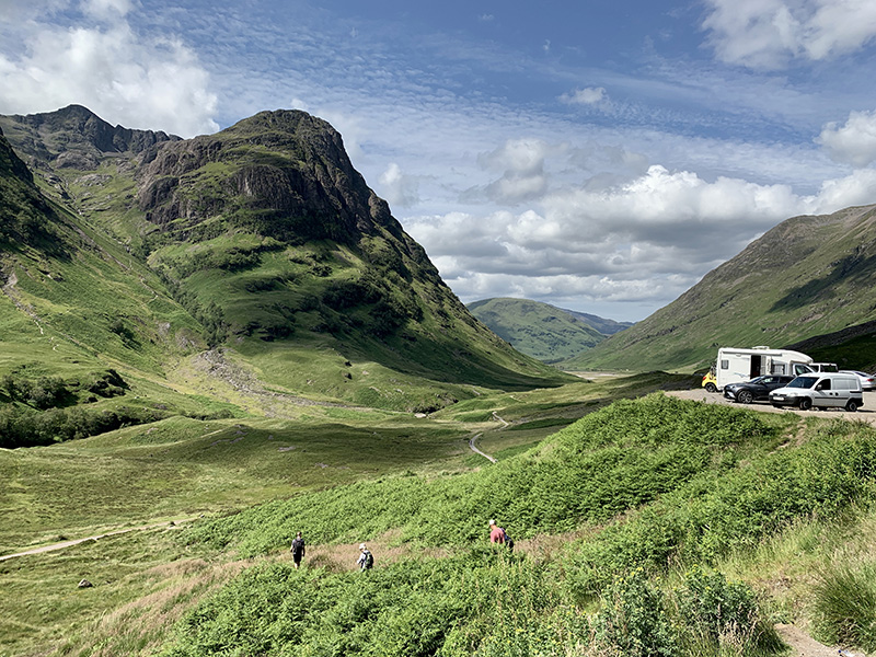
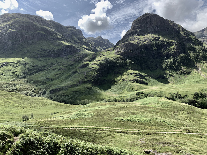
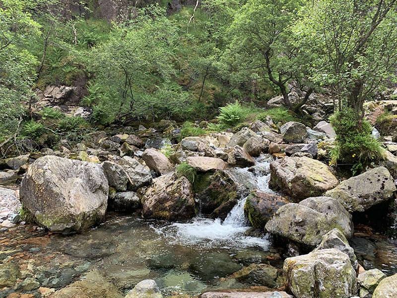
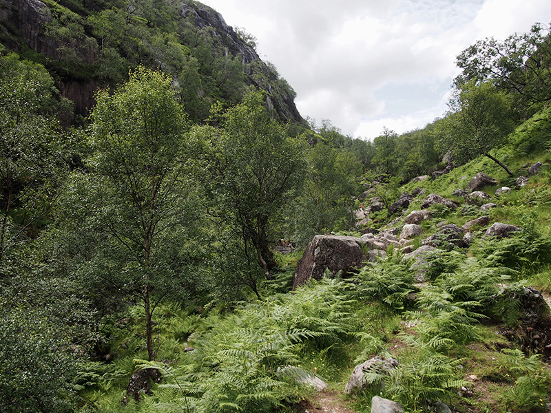
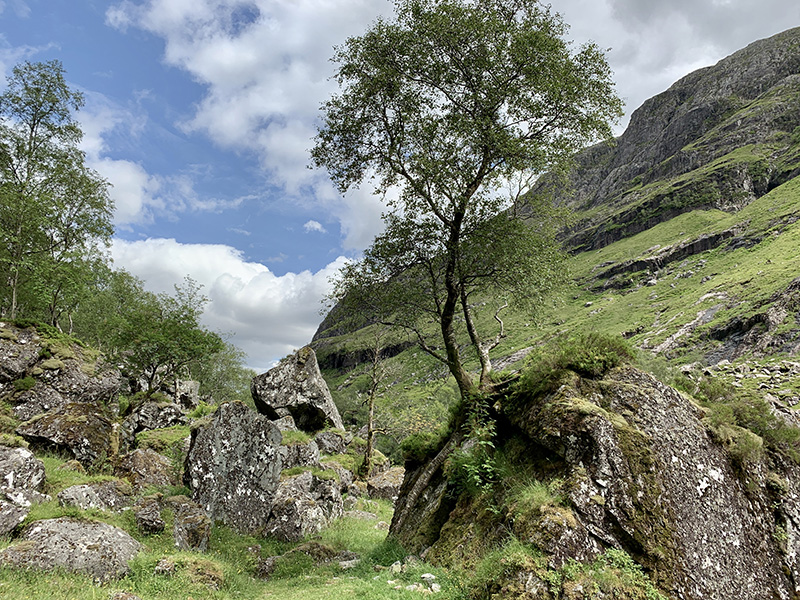
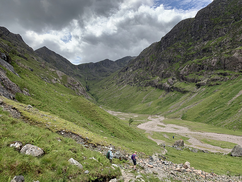
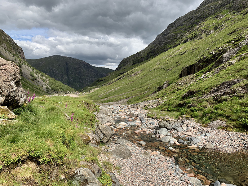
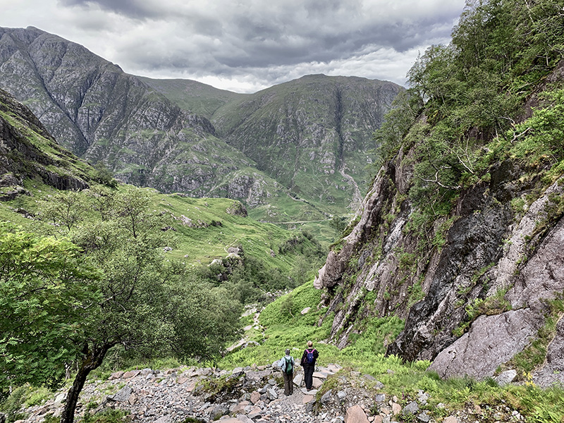
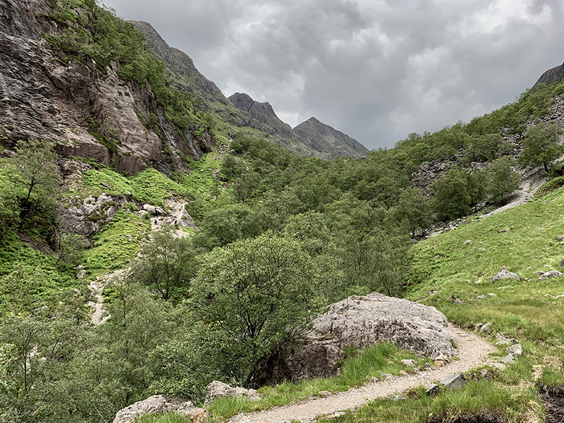
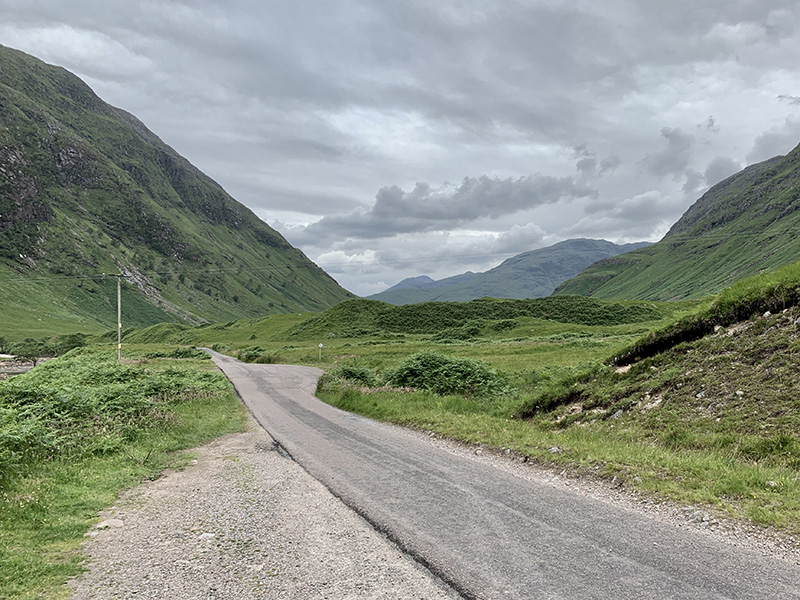
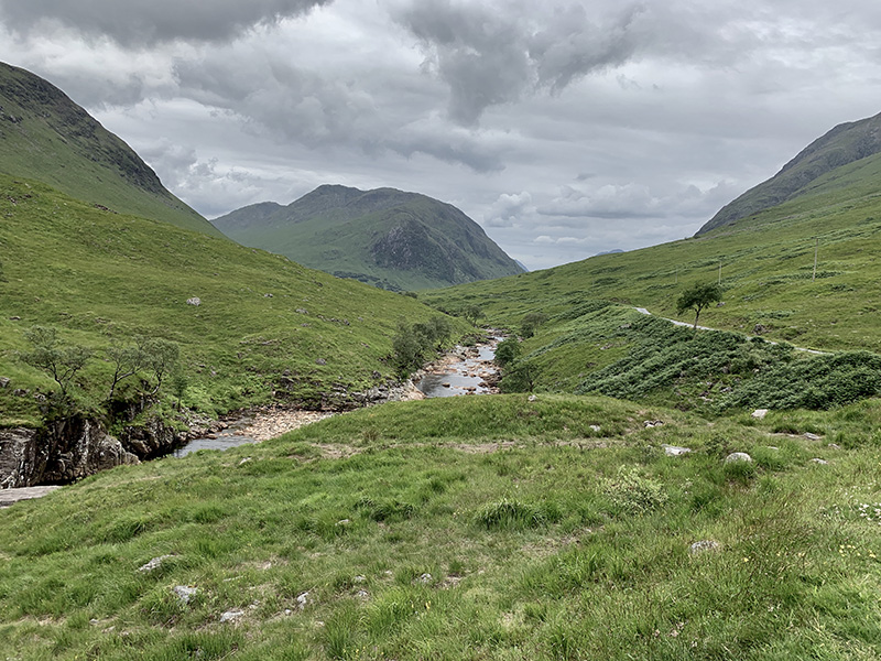
After full-day Ben Nevis hike we decided to take it easy = short walk to Lost (Hidden) Valley. The weather was very nice, mostly sunny and the trail was packed, the hike was still very pleasant. Three Sisters trailhead parking lot (on A82) was full, not well organized mix of cars and buses. By the time we walked to the top-end of the valley the crowd thinned. We looked up towards Bidean Nam Bian, alternative trail in case we could not hike Ben Nevis. Looking at the trail climbing up was enough for us that day. On the way down we took a different, less popular trail with good views over the valley.

Lost Valley (5.5 km)Lost Valley from Three Sisters trailhead (on A82), 5.5 km, 300 m total ascent.
Click on wikiloc logo for more info

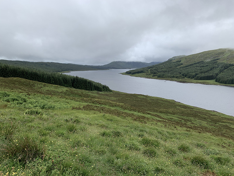
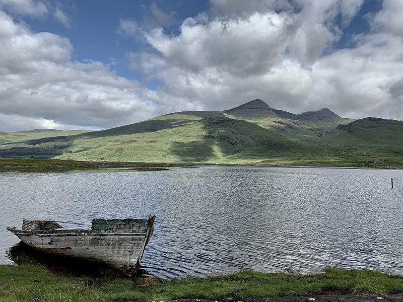
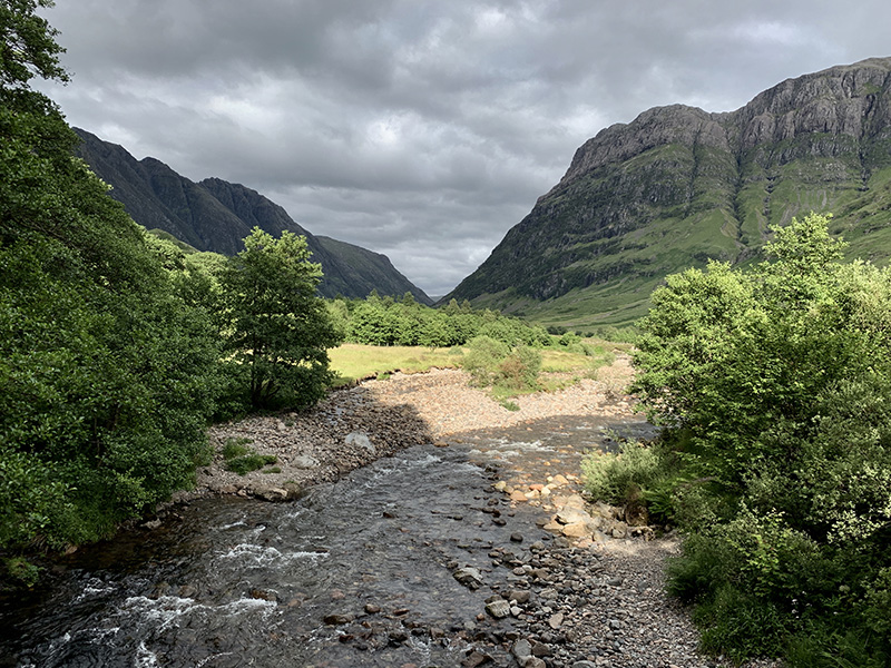
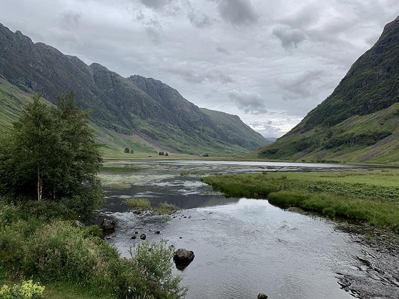
We then drove to Glen Etive and stopped at Loch Achtriochtan on the way back. Martyna took our car to Signal Rock Cottages and we had dinner at Clachaig Inn Restaurant, a short walk from our cottage. Scottish food (smoked haddock, highland game pie) and beers with unfamiliar names (Red MacGregor/Orkney, Rubus/Windswept).

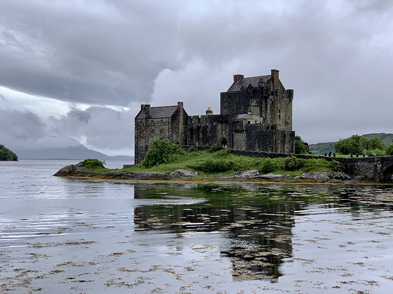
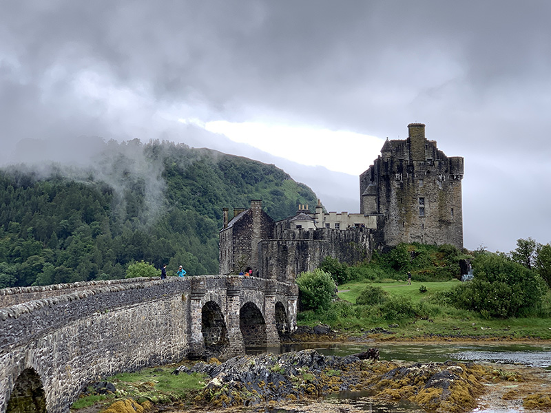
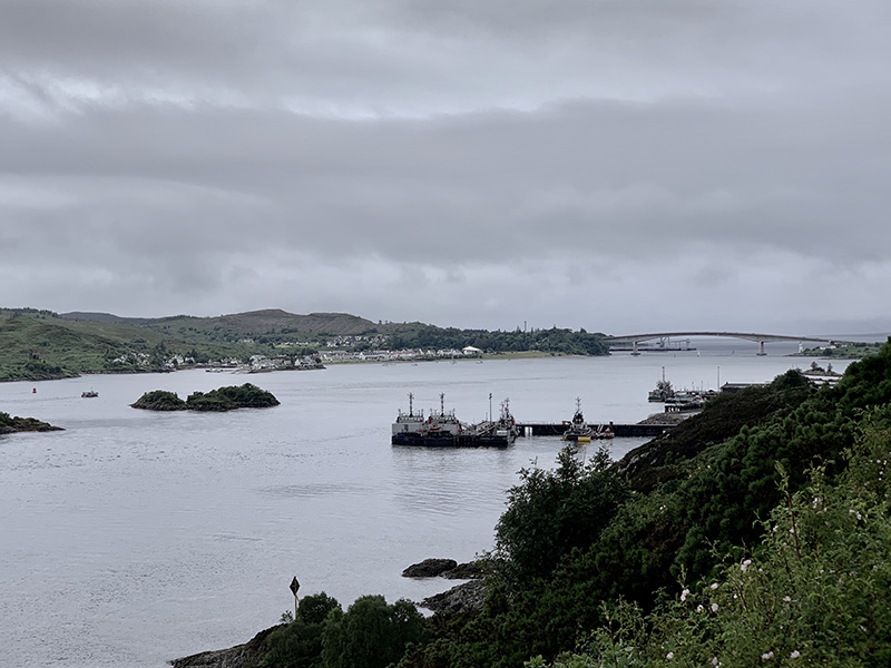
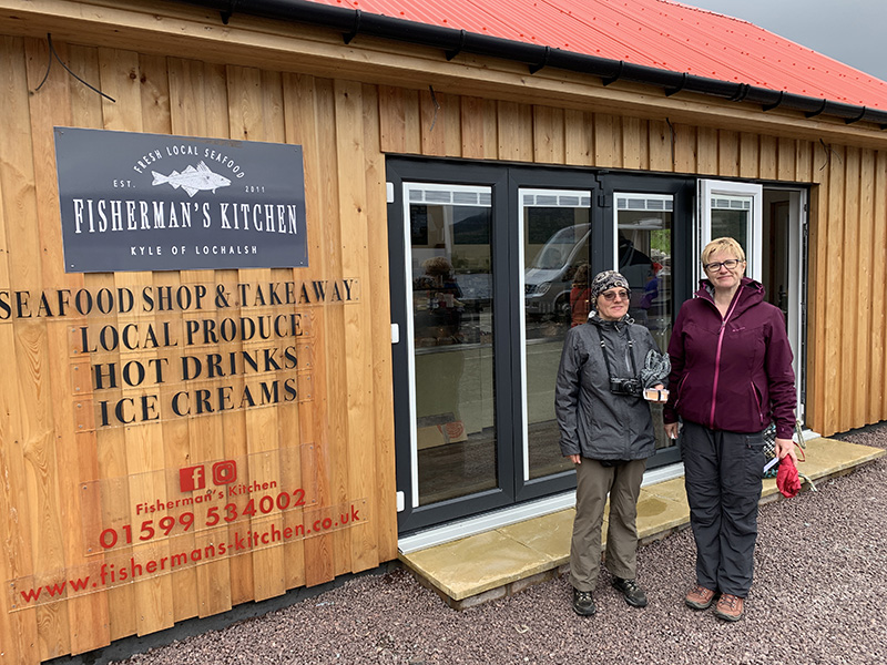
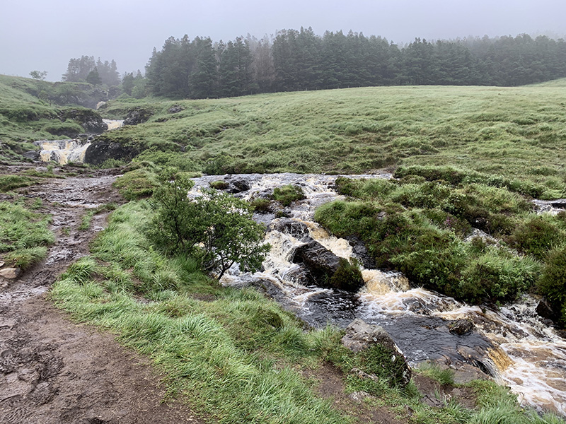
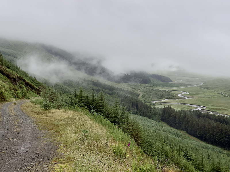
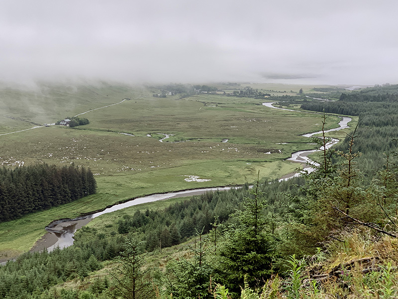
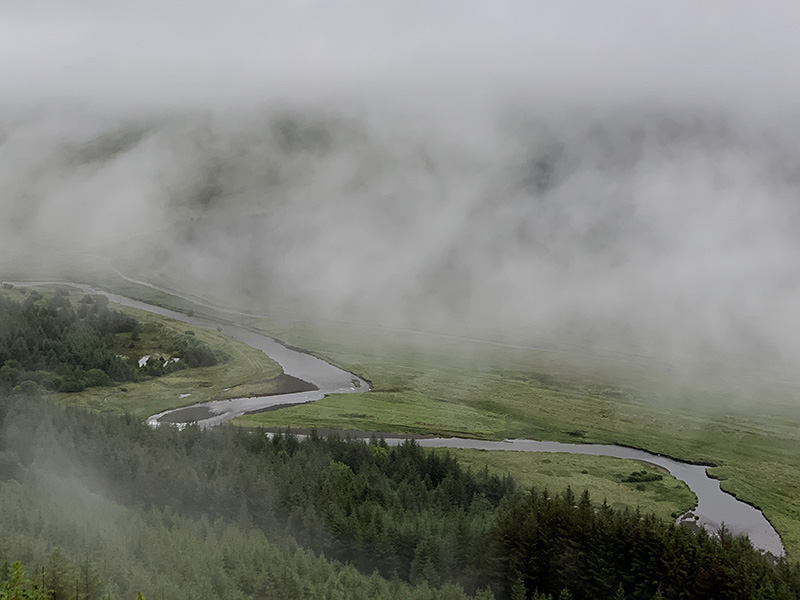
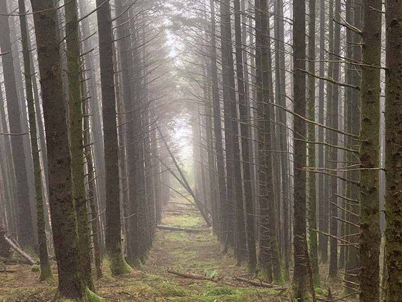
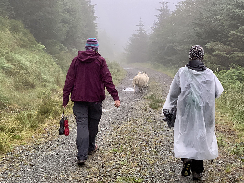
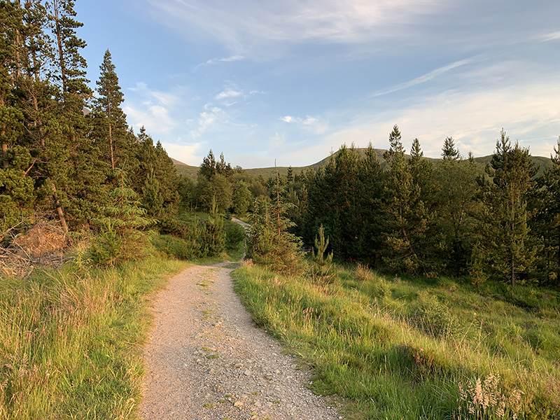
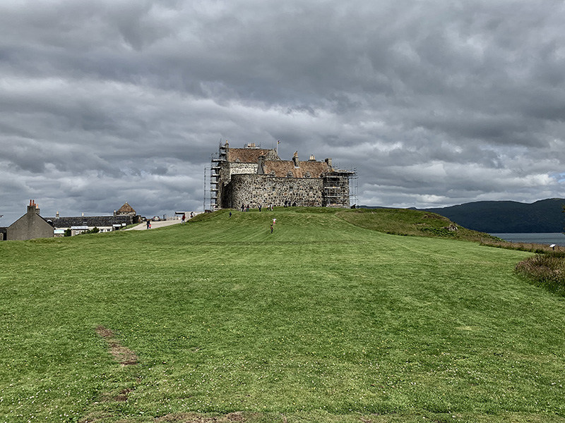
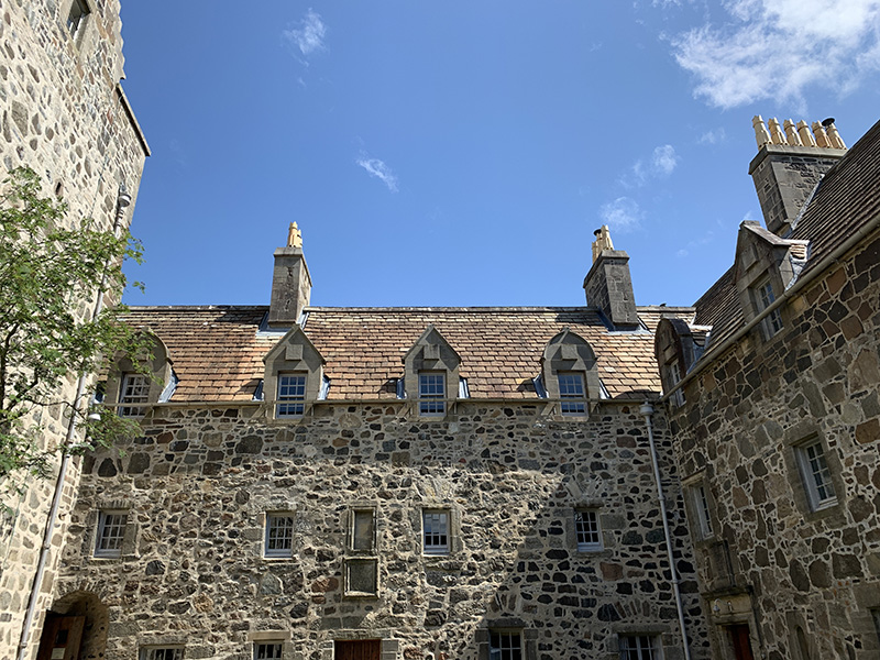
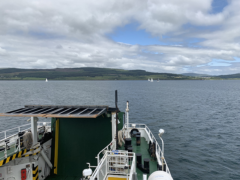
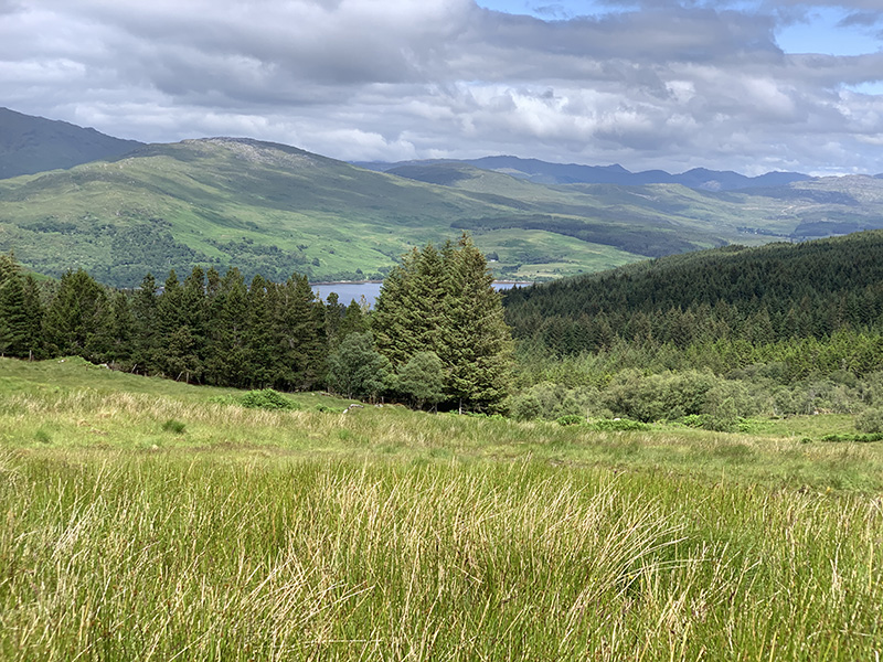
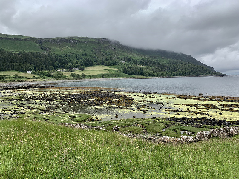
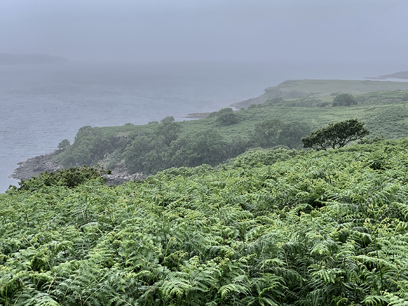
The following day we were ready to go to Skye. We drove from Signal Rock to Skye Bridge via Ballachulish (grocery shopping at Co-Op), Fort Wiliam, Invergarry, Eilean Donan Castle and Kyle of Lochalsh. The view of the castle is quite impressive/dramatic (we did not have time or desire to go inside). Seafood at ☞ Fishermen’s Kitchen (opened recently in new place) was really good, despite fast-food type set-up (cullen skink (smoked haddock soup), seafood salad, crab salad with baked potato, boiled langoustines). On Skye, we drove to Fairy Pools trailhead via Sligachan and Satran. The ground was soaked after recent rain and the trail was muddy, which did not stop many visitors  having fun. Parking lot was half-empty. Our plan was to go up too, but we decided to go for Glen Brittle Forest walk instead. With fog and light rain coming and going it was good decision. We were a bit higher above the valley with panoramic views of Glenn Brittle from easy forest road, when the fog partially lifted. We settled at But&Ben in Portnalong   ☞ Croft Bunkhouse  (recommended), our Skye base. Great, remote location, comfortable bedroom and large, fully equipped kitchen/living room.

Glen Brittle Forest Rd (11 km)From Fairy Pools car park (on C1237) to Fairy Pools trailhead then SE on Glen Brittle forest road and return. 11 km, 350 m total ascent.
Click on wikiloc logo for more info

Scotland, day 7: Ben Nevis via Carn Mor Dearg

The weather was really good and it was an easy decision to hike Ben Nevis via Carn Mor Dearg (recommended). We drove past Fort William to Inverlochy and took a side road going around aluminum smelter, but the road was gated and we were not sure how serious the sign about the gate being closed was. We knew we were coming back late and did not want to take any risk of being stuck there after hours. To save time we decided not to explore alternatives to get to parking spot higher up along the trail. We decided to do what hikers do best:  walk, adding couple km for the day. We were at the North Face trailhead parking  lot in Torlundy around 9 am. The parking lot was actually full, with some people camping around it. Surprisingly we saw only few people on the trail. Avoiding possible crowds on the main trail (Mountain Path) was part of the decision to hike this route. Of course it is also much more interesting and scenic. The trail starts very easy and gains altitude steadily all the way to Carn Mor Dearg (1220 m). The views opened in all directions. We descended a bit before crossing Carn Mor Dearg Arete and final ascent to Ben Nevis (1345 m). The last stretch was more difficult with no obvious trail and many large boulders to go around. Navigation was not difficult, with marker posts on top well visible.  GPS was showing we were near the trail, but the trail itself often was not obvious. Parts of the last segment  (1 km, 300 m ascent) were quite steep. The summit is flat. Most hikers were already gone, but a few, like us, were still coming up. We met Polish hikers. We just stumbled around looking in all directions.

Ben Nevis summit

Rather than returning the same way, we decided to take different route down:  Mountain Path to Lochan Meall an t’Suidhe and around the massif to Allt a’Mhullim, shortcut across the valley and back to North Face car park. The descent was easy, quiet and at the end with no people in sight. We took advantage of long day to hike 20 km/1500 m total ascent loop at comfortable pace. We returned to Signal Rock after 11 pm, quite tired.

Ben Nevis via Carn Mor Dearg (20 km)North Face trailhead-Carn Mor Dearg-Carn Mor Dearg Arete-Ben Nevis- Lochan Meall an t’Suidhe-Allt a’Mhullim-North Face trailhead. 20 km, 50-1345 masl, 1500 m total ascent.
Click on wikiloc logo for more info
error: Content is protected !!