Scotland, day 14 – 21: Glasgow

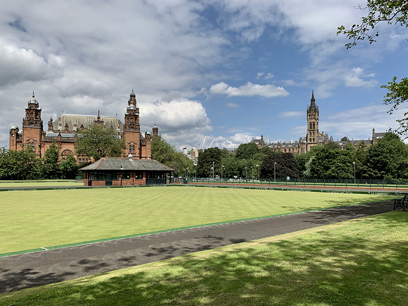
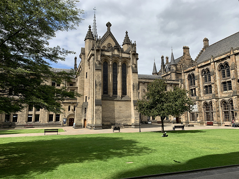
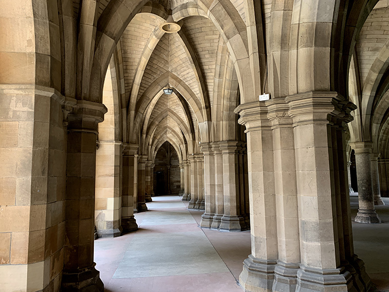
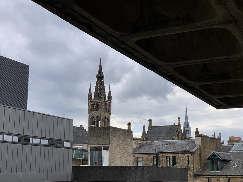
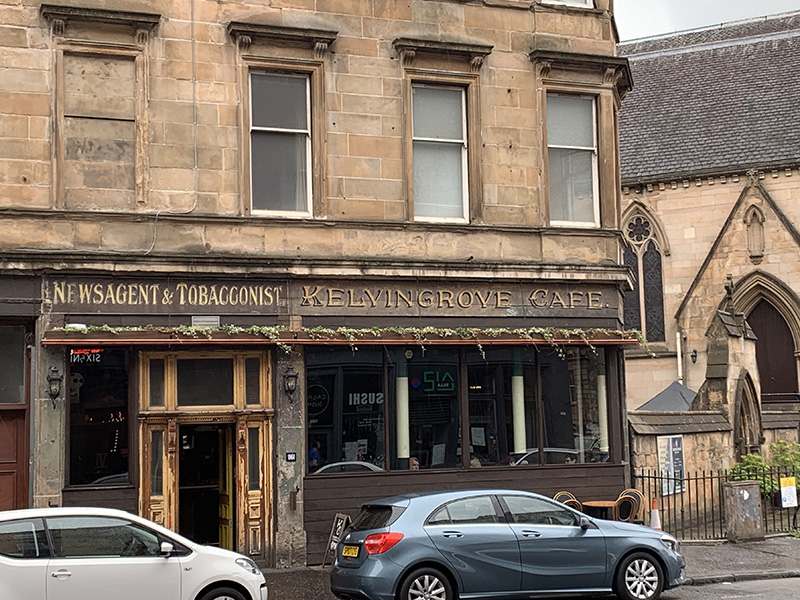
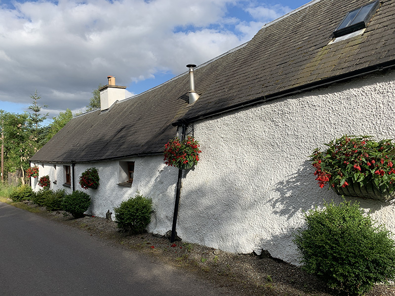
July 14 was transition and rest day. Martyna drove to the airport to catch her early morning flight home. She returned our rental car – quick and no hassle. We  slept longer, did laundry. In the afternoon we walked over to the Exhibition Centre where Joanna registered for the conference (July 14-18). Piotr walked around the neighborhood, checking out restaurants and grocery shopping. Next day, Piotr continued to explore Finnieston: Glasgow University ➜  Kelvingrove Park ➜ Argyle St.

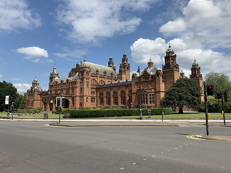
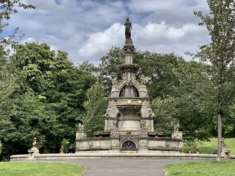
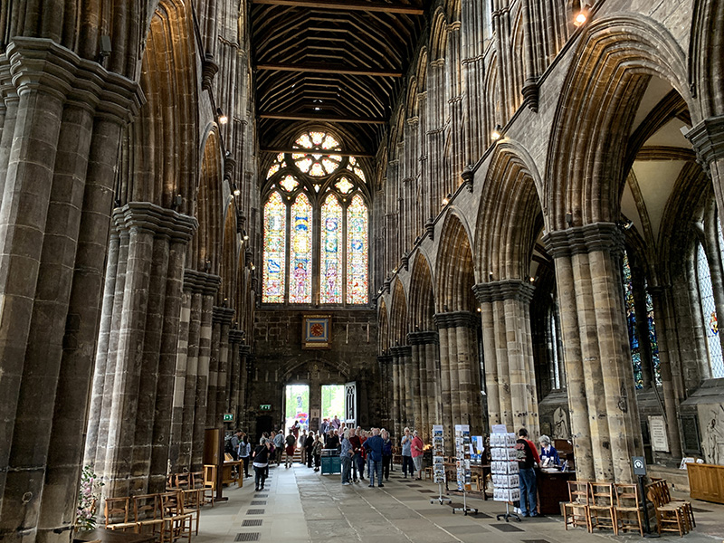
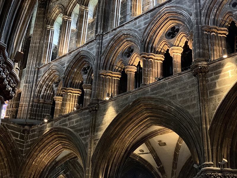
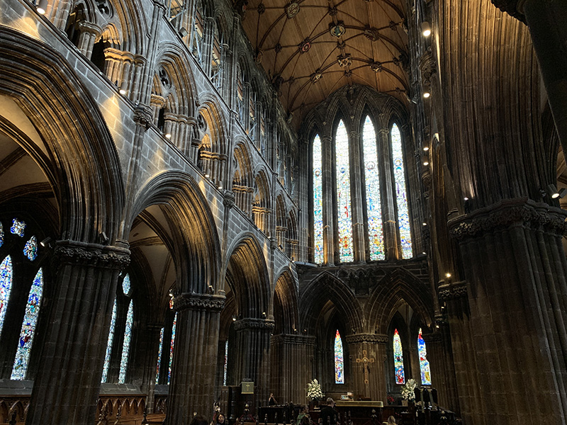
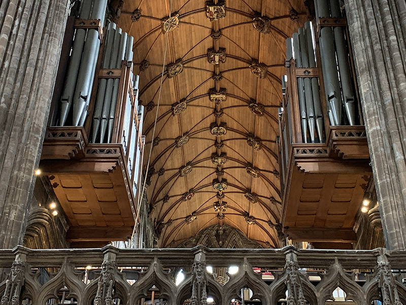
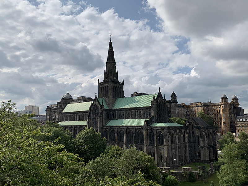
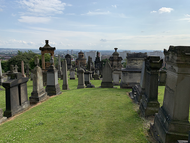
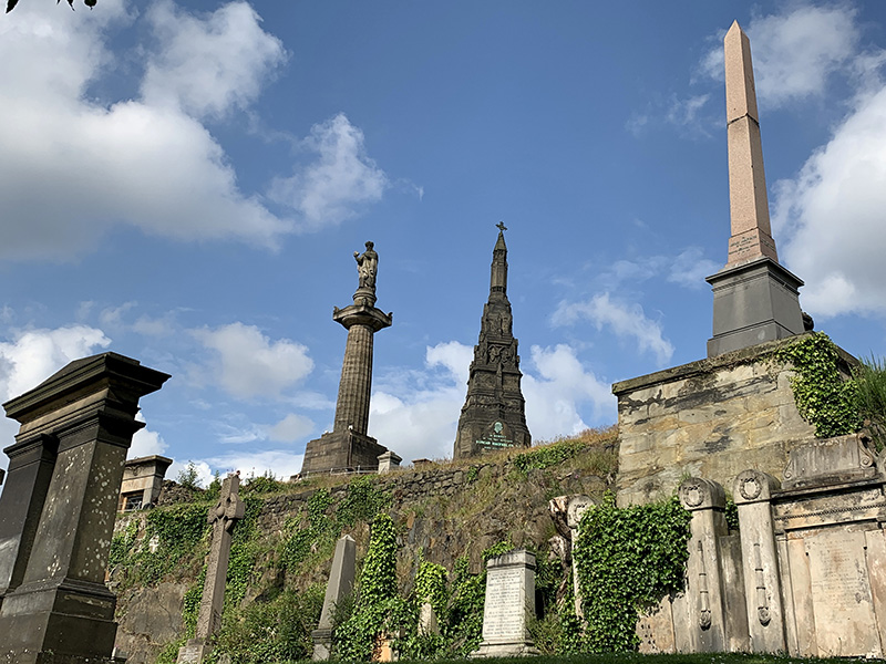
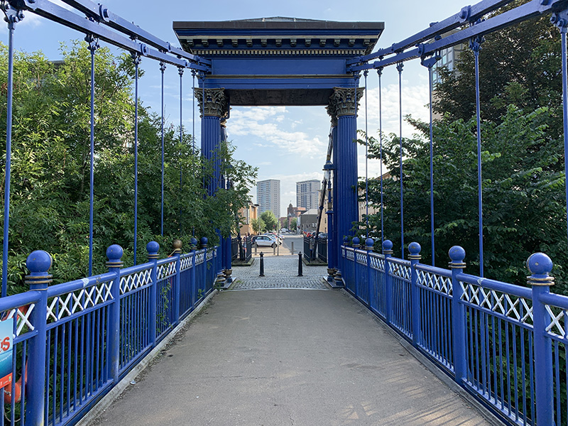
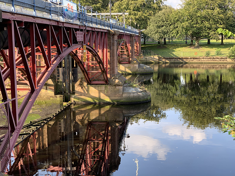
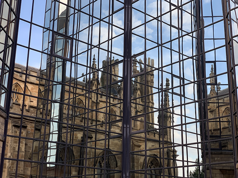
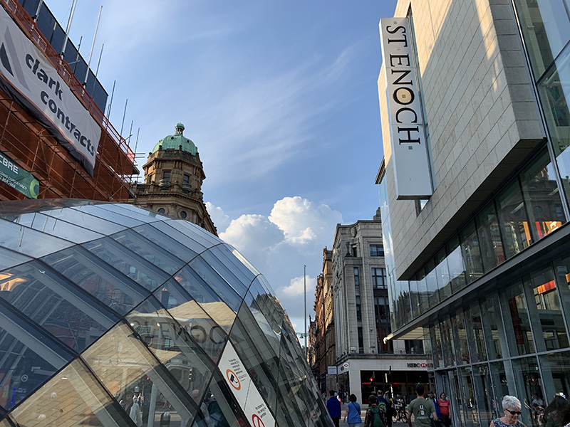
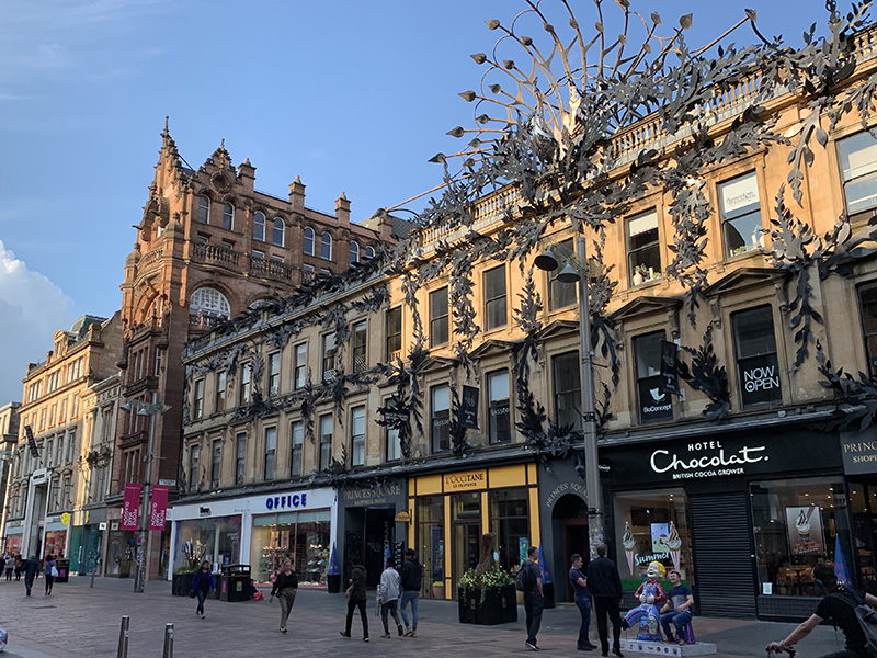
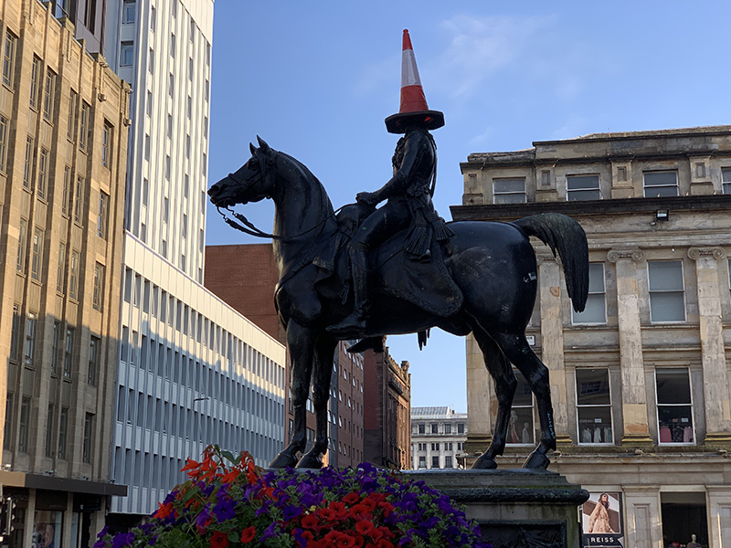
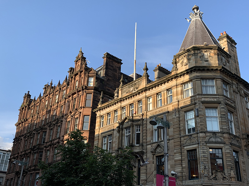
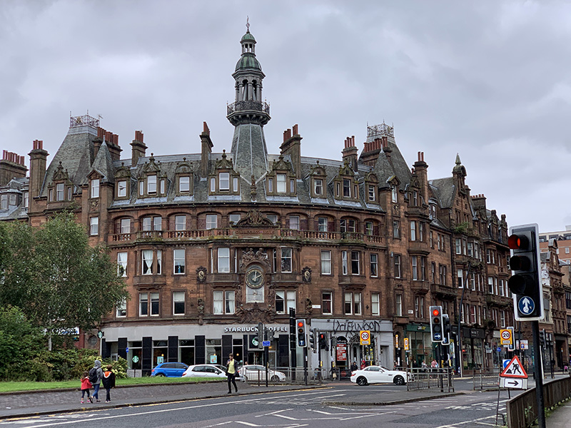
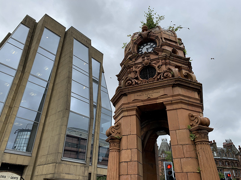
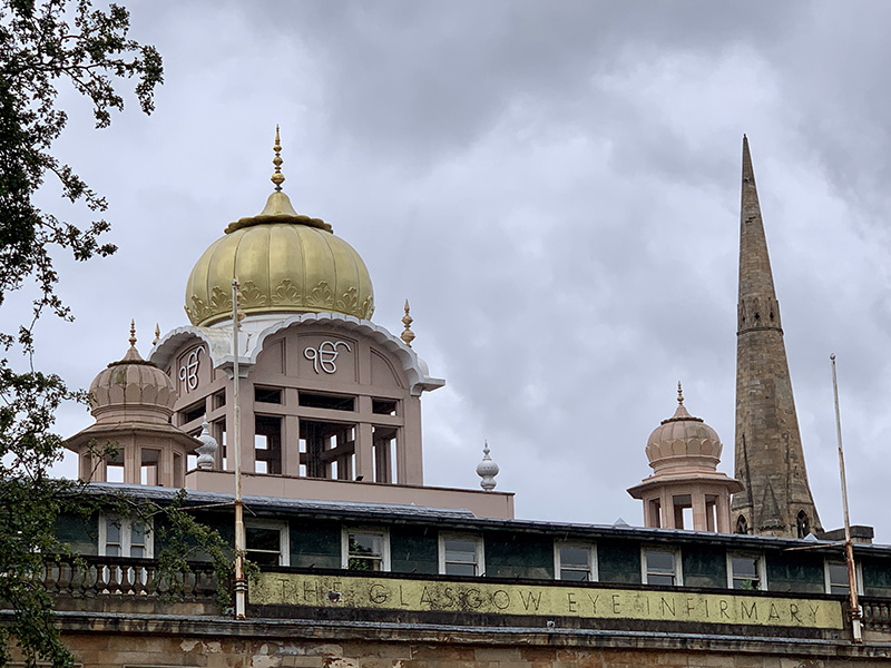
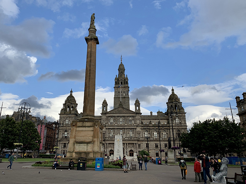
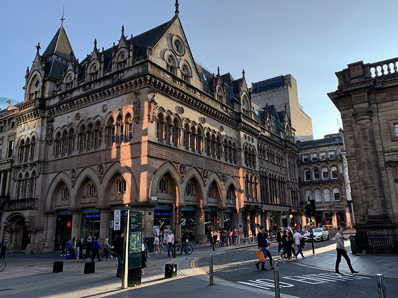
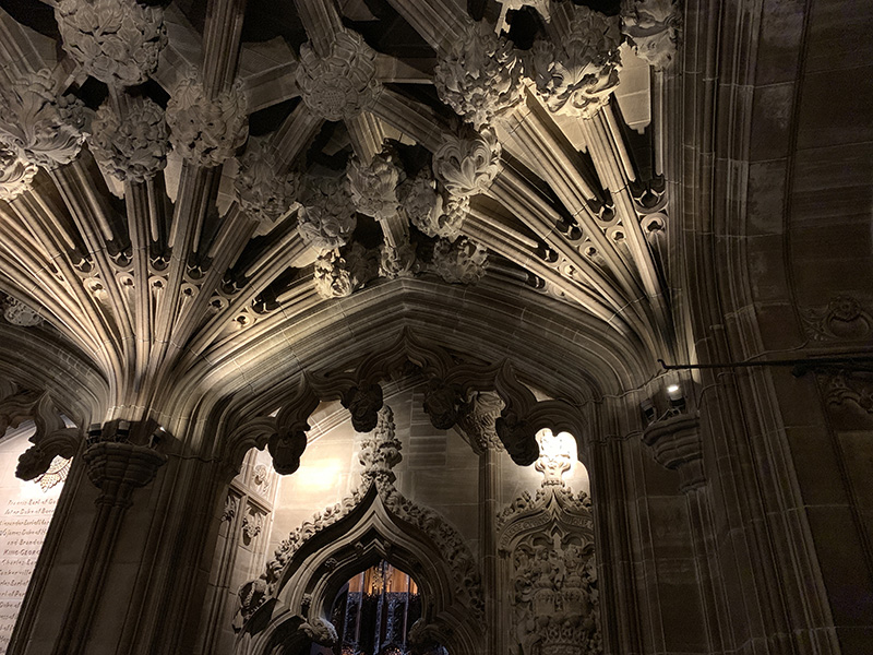
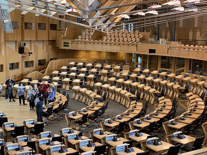
On the 16th, Joanna had a break from business. We took ScotRail train from Exhibition Centre Station to Glasgow Central Station and walked a big loop across and around city center: George Square ➜ Cathedral ➜  Necropolis ➜ Glasgow Green ➜ St Andrew’s Suspension Bridge ➜ Victoria Bridge ➜ Buchanan St ➜ Glasgow Central Station. We returned by train to Exhibition Centre Station and walked to Blackie St.

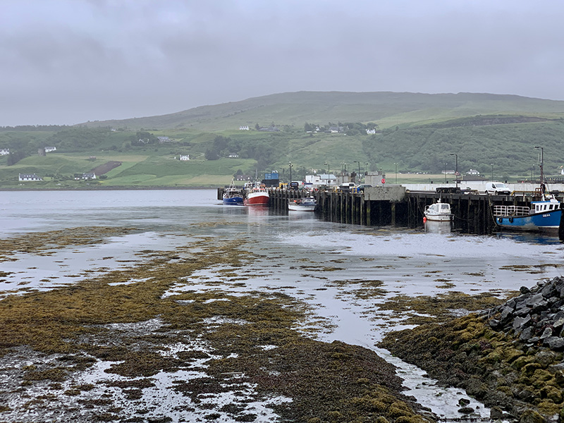
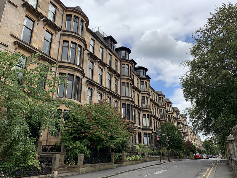
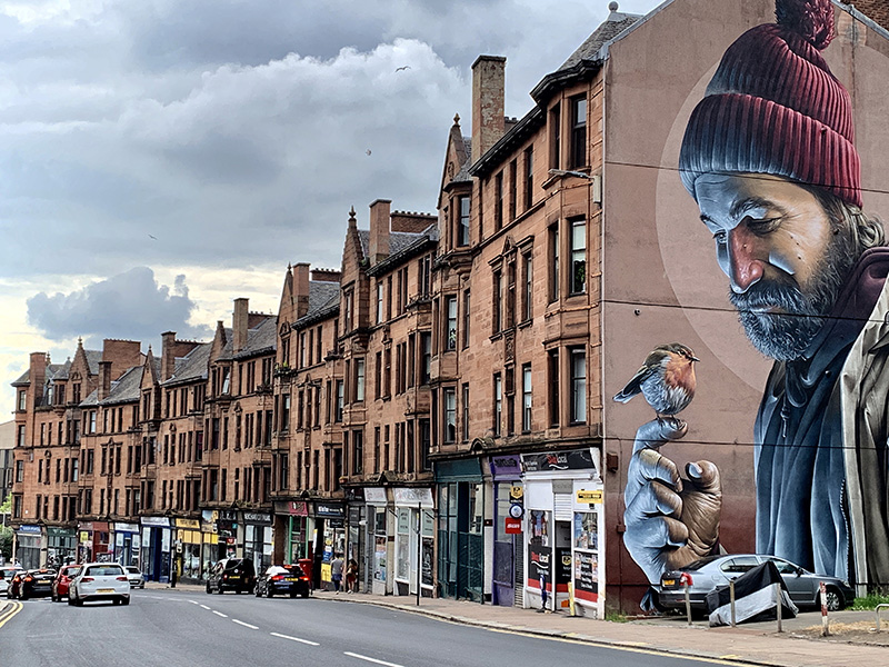
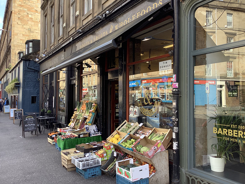
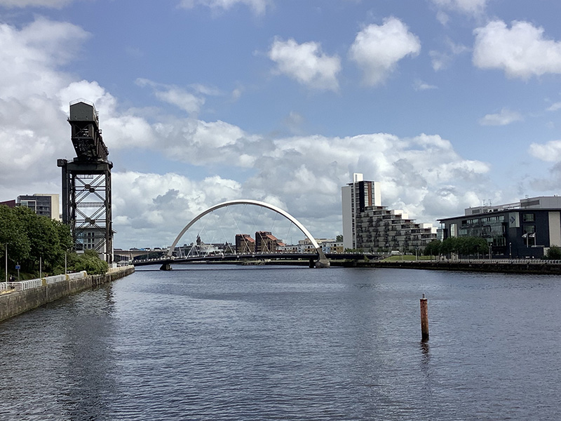
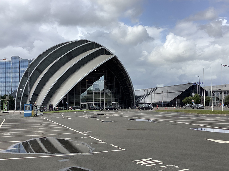
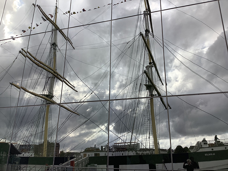
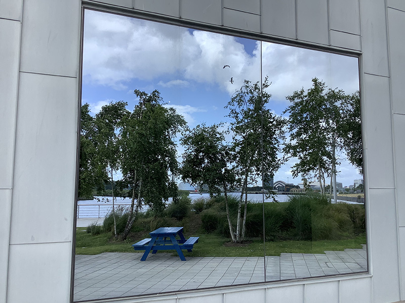
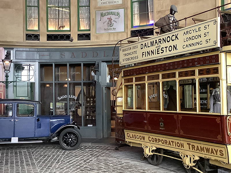
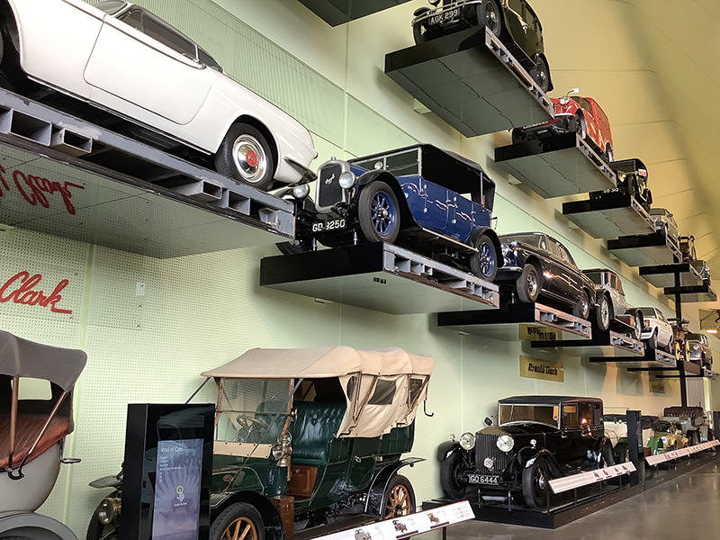
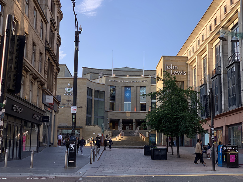
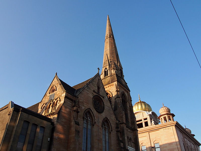
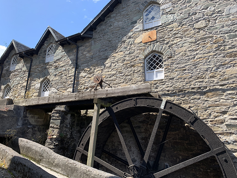
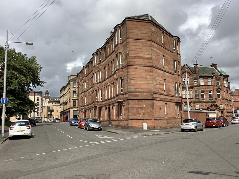
The following two days, with Joanna at the conference, Piotr explored Finnieston and neighborhood: Blackie St ➜ Argyle St ➜ Charing Cross ➜ Sauchiehall St ➜ Berkeley St ➜ Argyle St ➜ Blackie St. And next day: SEC Centre ➜ River Clyde walk ➜ Riverside Museum ➜ Old Dumbarton Rd ➜ Argyle St – Blakie St.

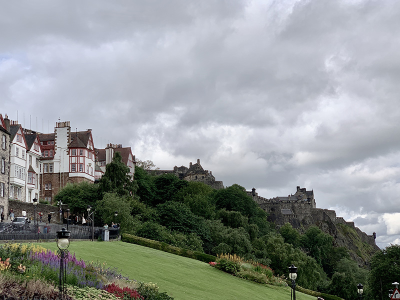
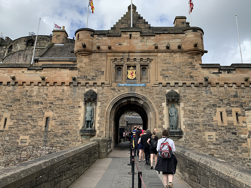
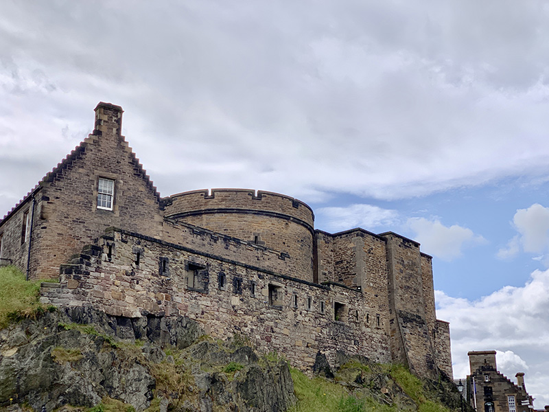
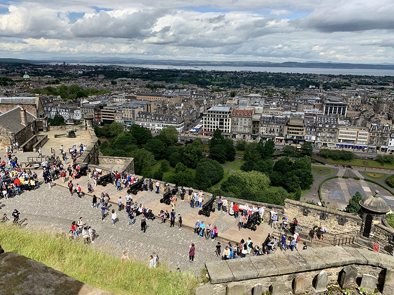
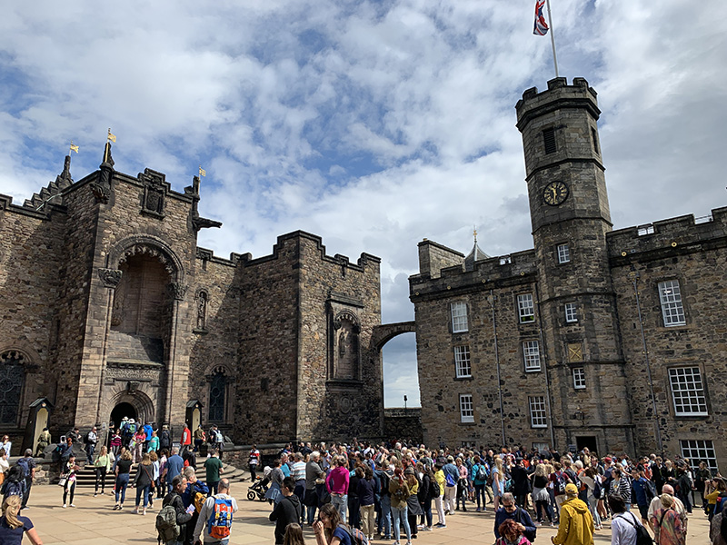
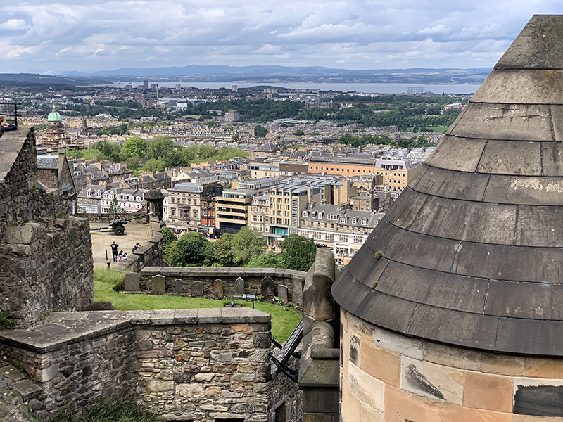
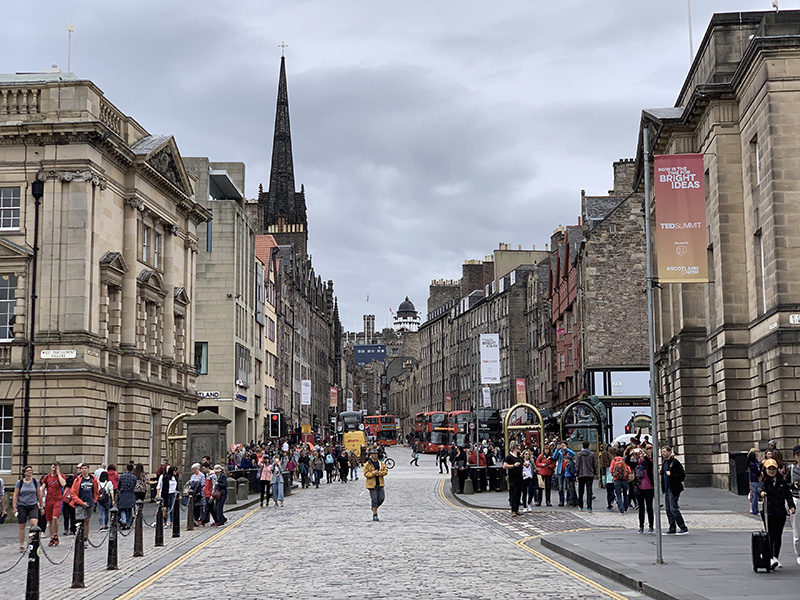
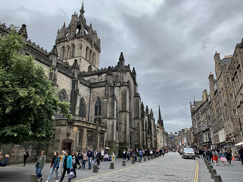
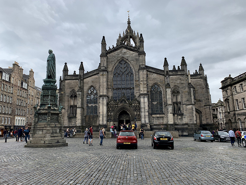
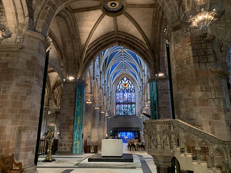
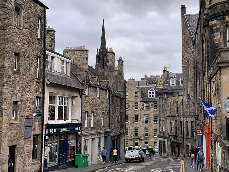
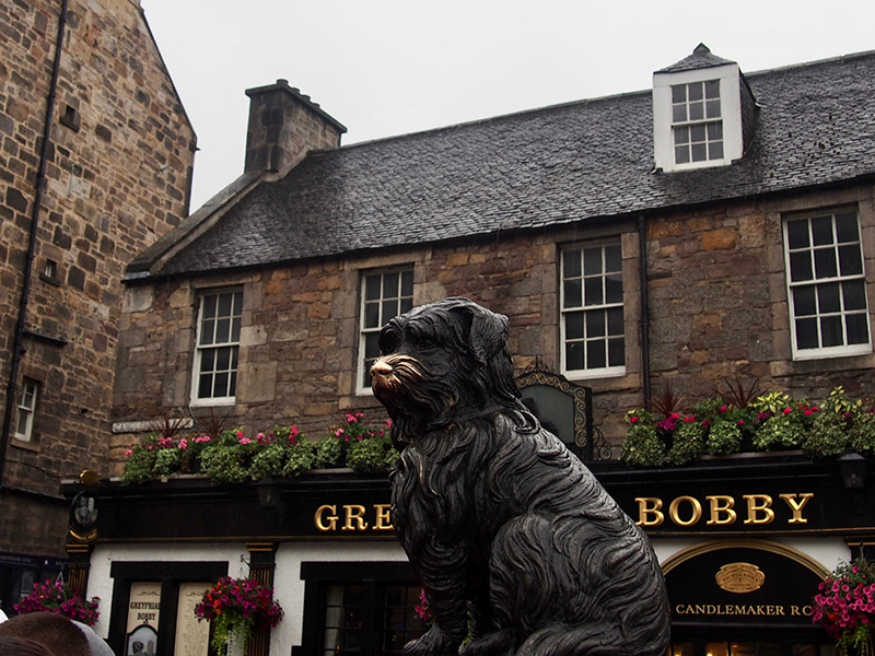
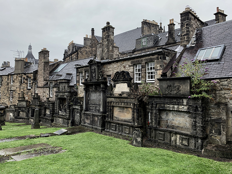
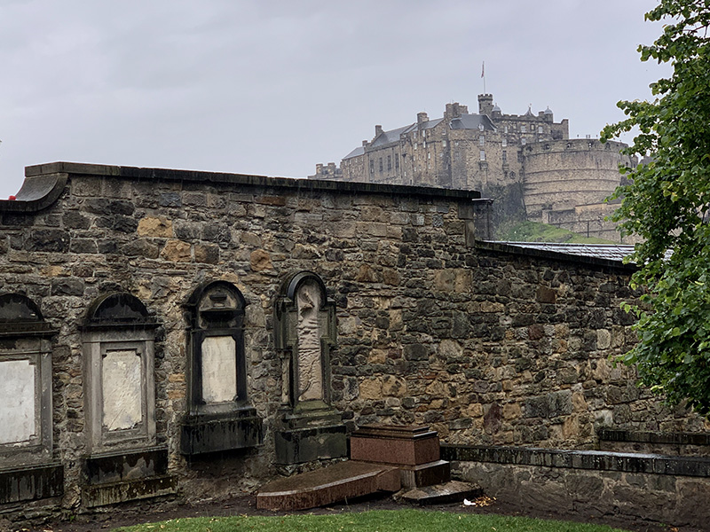
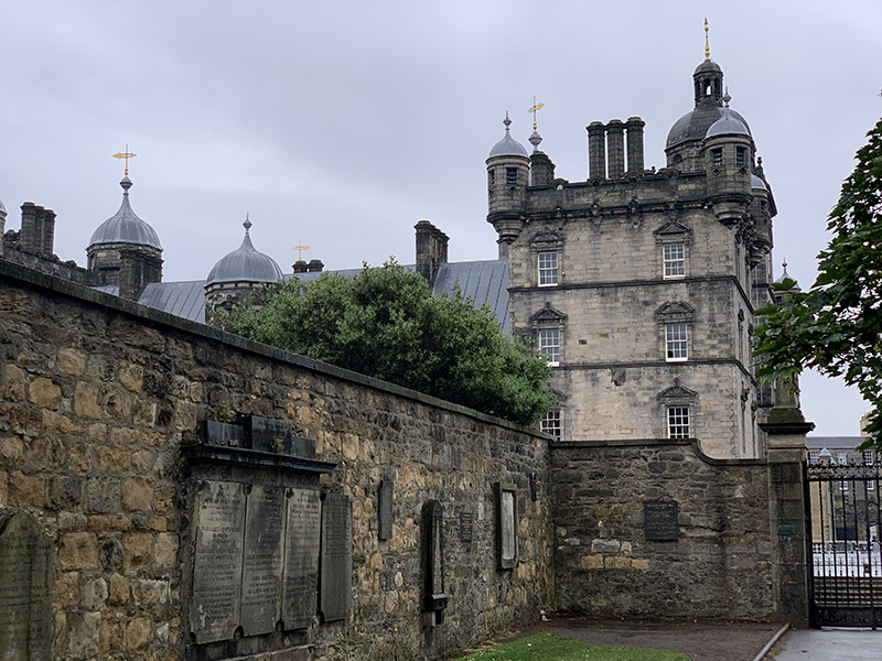
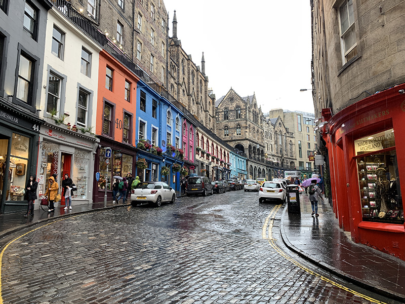
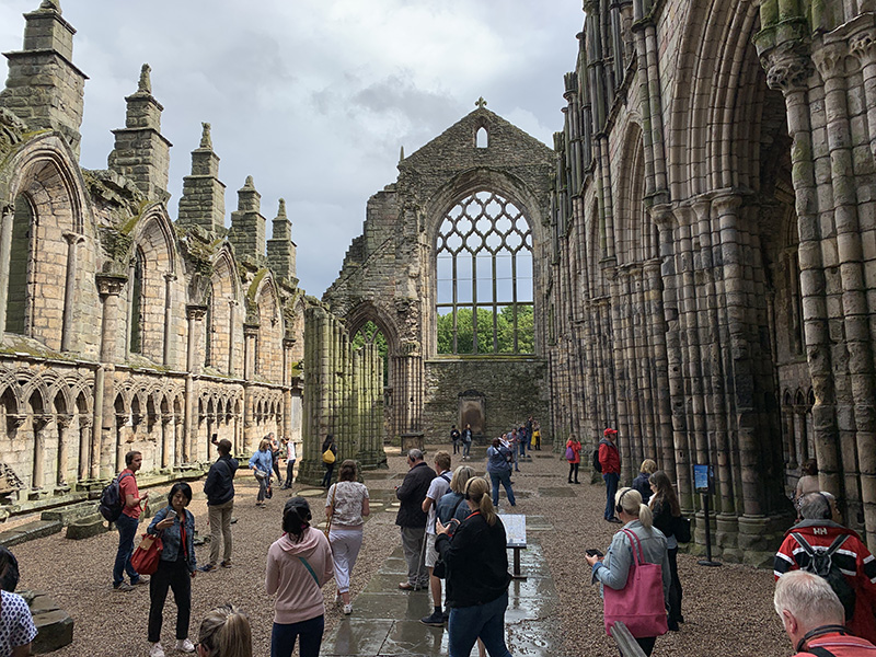
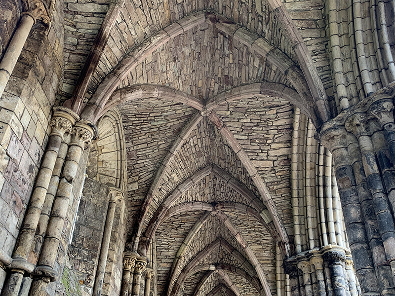
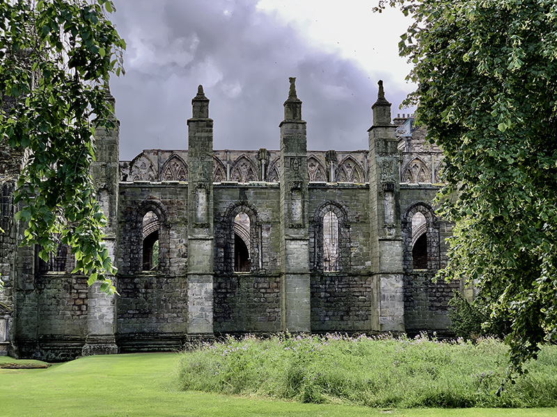
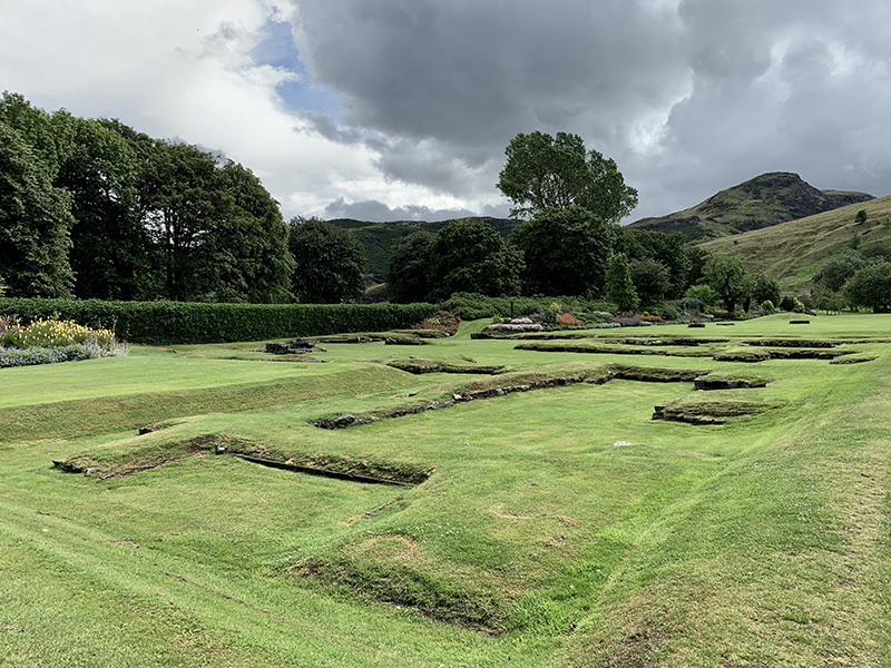
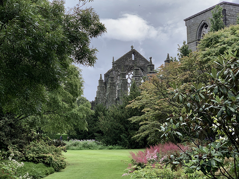
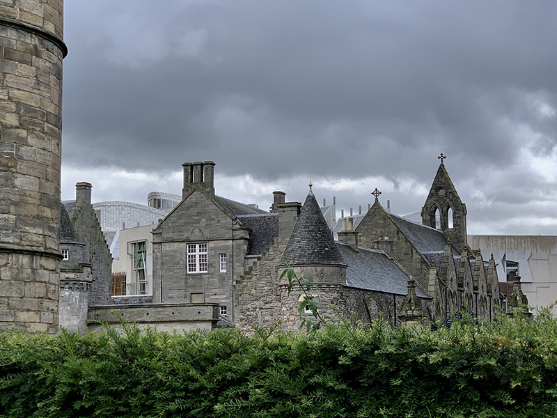
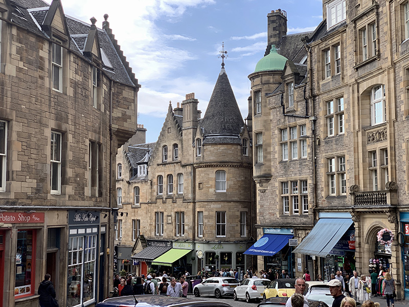
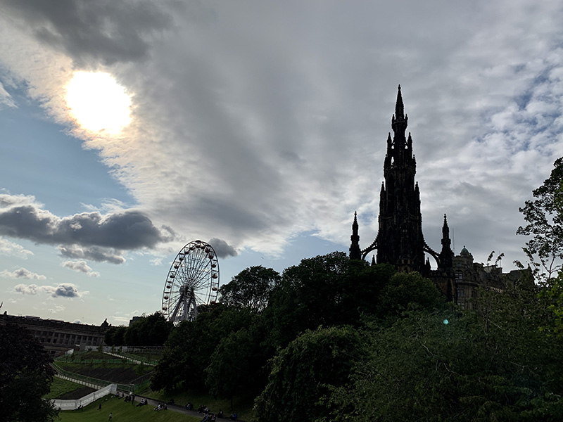
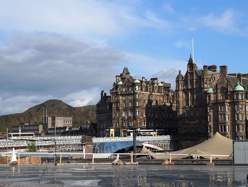
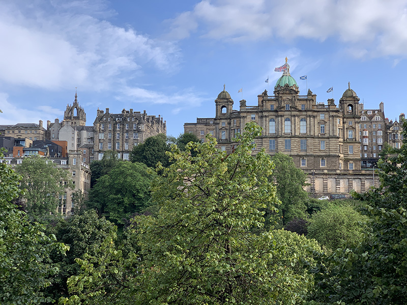
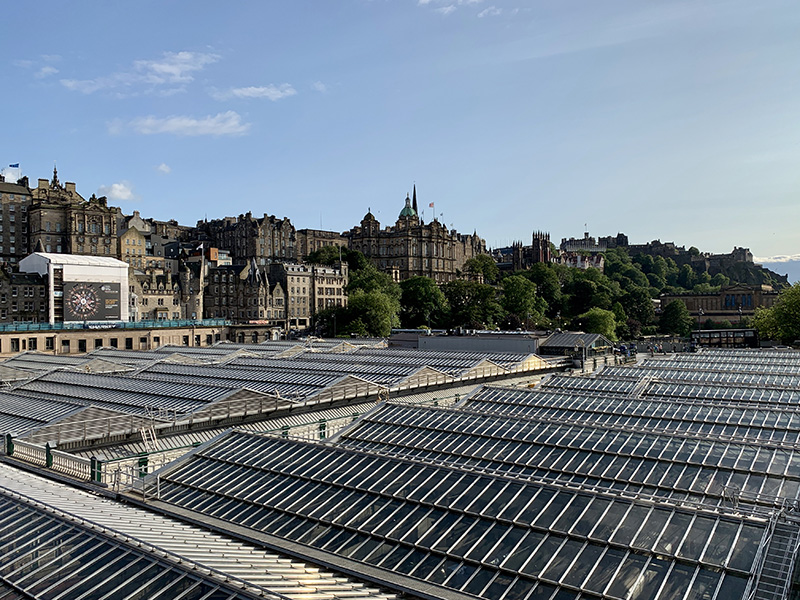
On July 19 and 20 we travelled by train to ☞ Edinburgh  (Glasgow Queen Street Station to Waverly Station). The first day we took Uber – drove around Glasgow centre to avoid traffic, adding distance but saving time. Second time around we just walked to Queen Street Station. On both days we walked back home from the train station, via George Square, Vincent St and Argyle St and via Bath St. With good weather we were able to see more of Glasgow.

Finally, on July 21 we took Uber to the airport for early morning flight to Chicago via Newark.

Scotland, day 19 & 20: Edinburgh

We made two day-trips by train from ☞ Glasgow. Our itinerary covered the most important sites, we walked everywhere.

Day 1: Waverley Station âžœ Market St âžœ Castle âžœ High St âžœ St Giles’ Cathedral âžœ George IV Bridge  âžœ Greyfriars Kirkyard âžœ Candlemaker Row âžœ Victoria St âžœ High St âžœ  Waverley Station.

Day 2: Waverley Station âžœ Canongate âžœ Scottish Parliament âžœ Palace of Holyroodhouse âžœ Arthur’s Seat âžœ Scottish Parliament âžœ Canongate Kir âžœ Cockburn St âžœ  Waverley Bridge âžœ Princes St âžœ Scott Monument âžœ Scottish National Gallery âžœ almoral Hotel âžœ Waverley Station.

In perfect weather on Saturday afternoon atmosphere on Arthur’s Seat trail was festive and panoramic view of the city was really nice. So was the view of the old town from Princes St (Scott Monument).

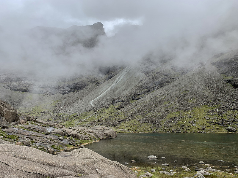
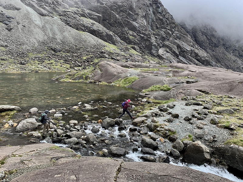
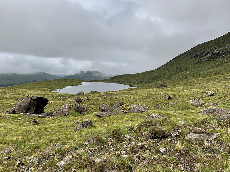
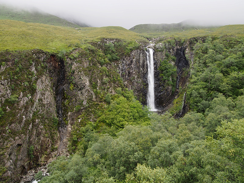
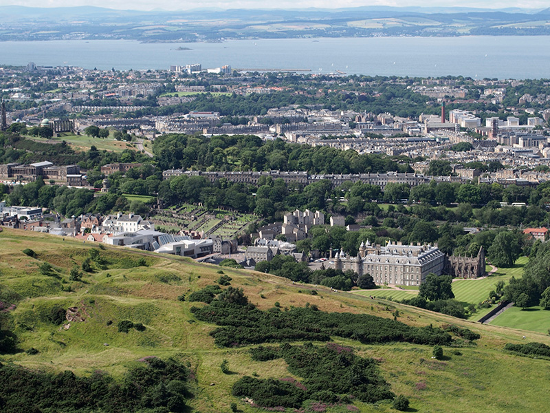
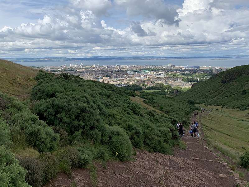
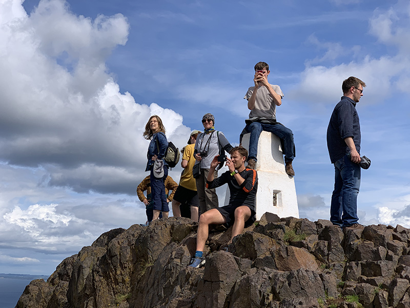
Arthur’s Seat (3 km)
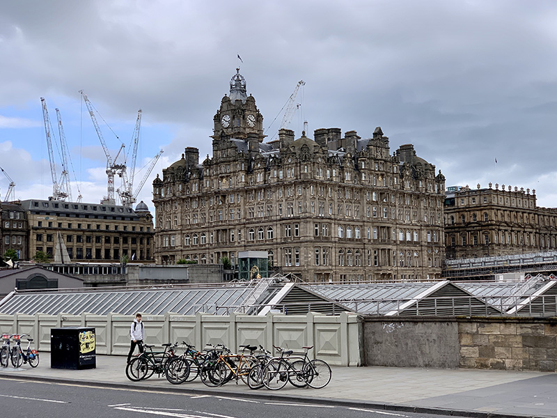
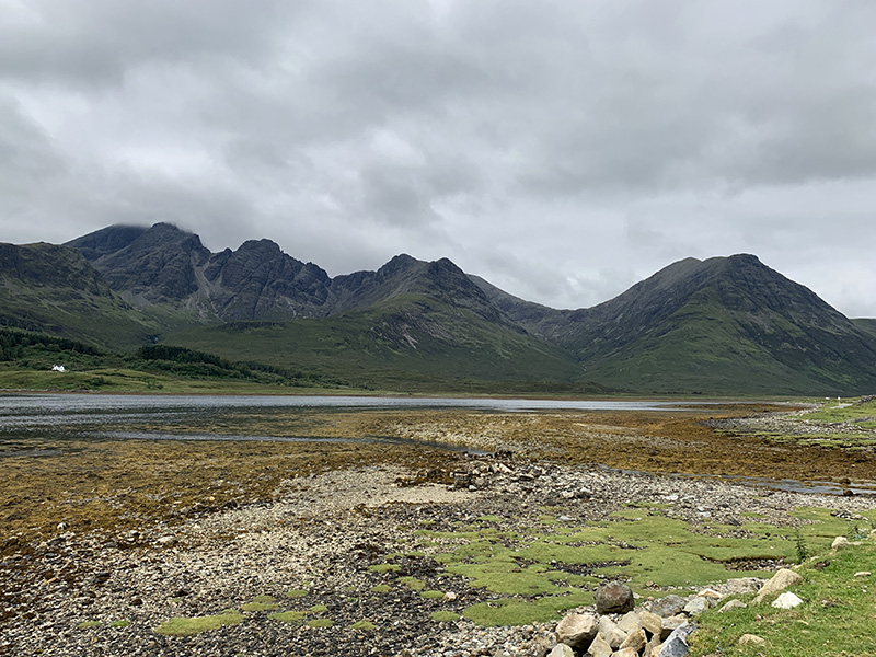
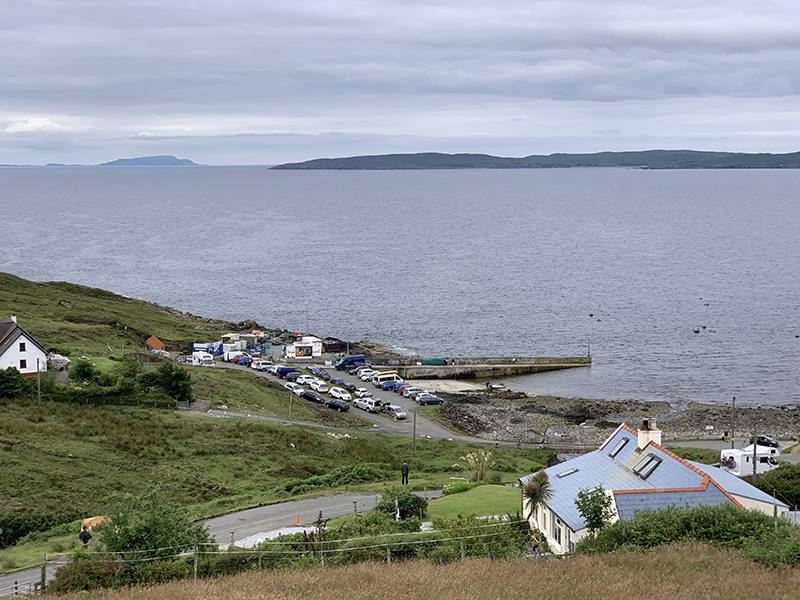
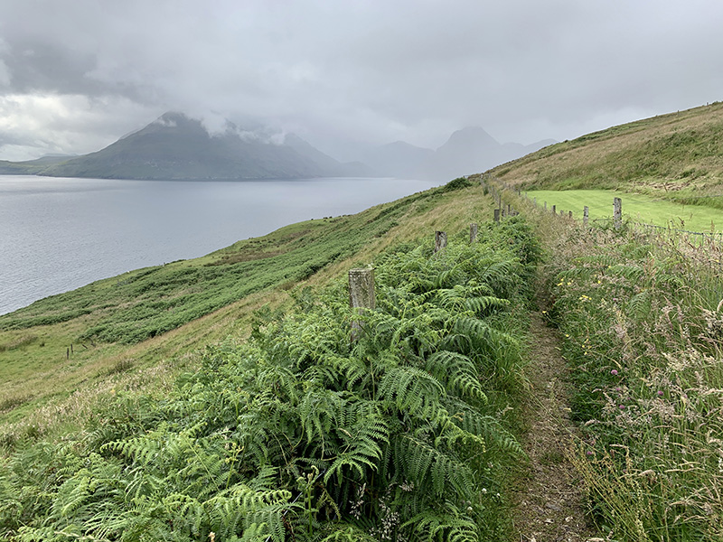
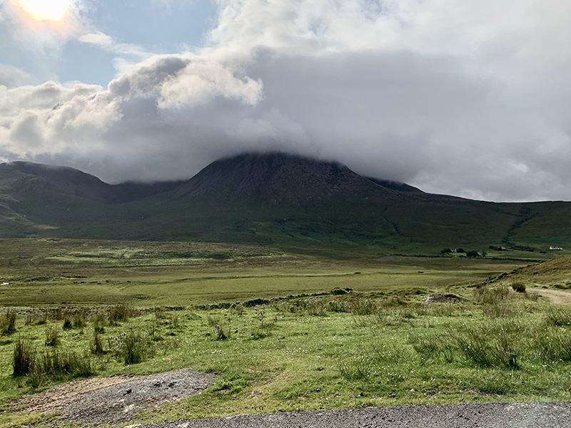
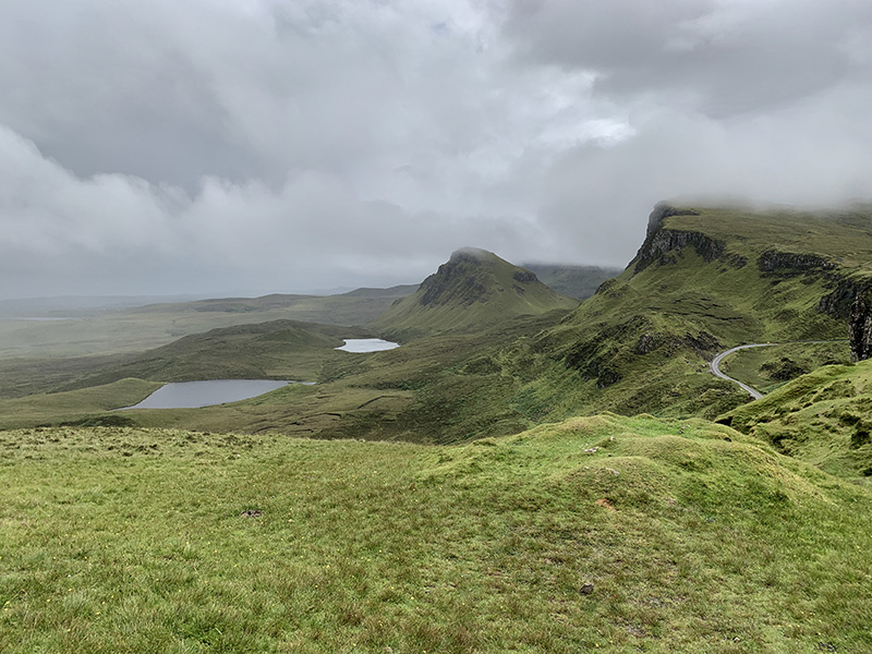
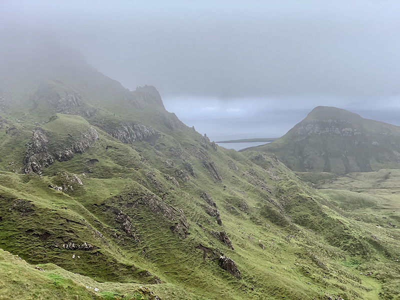
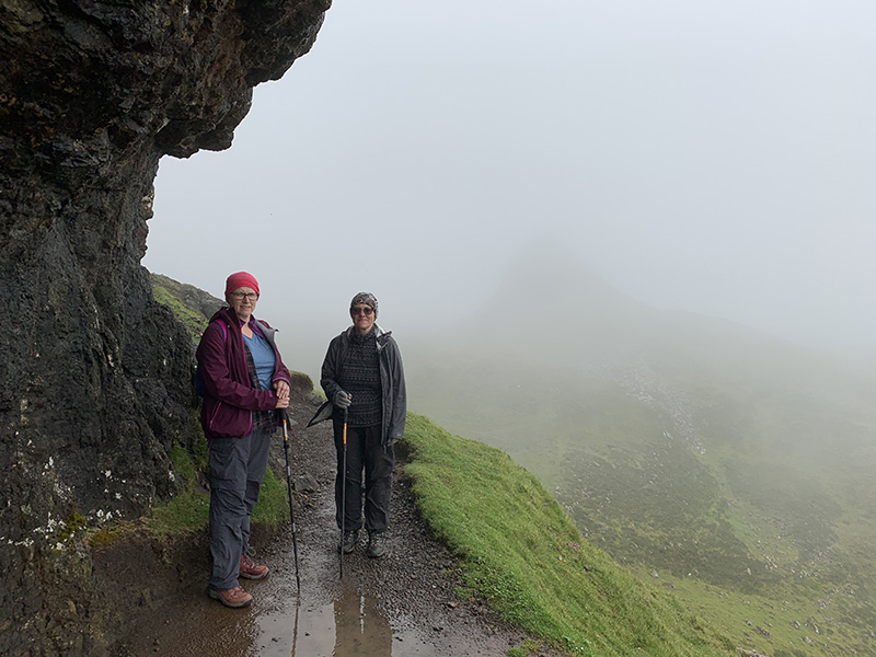
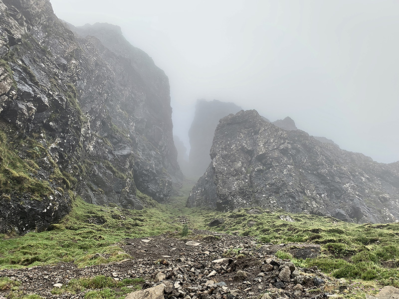
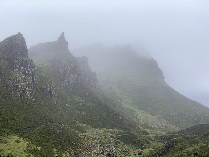
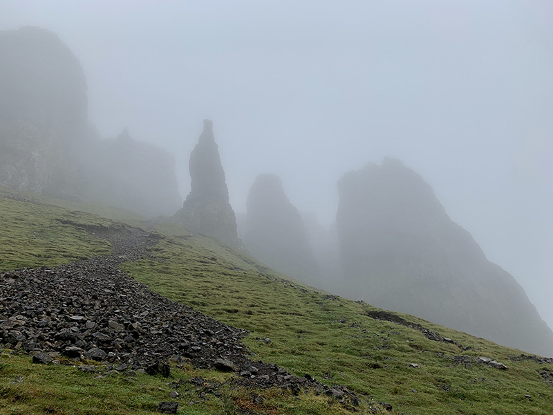
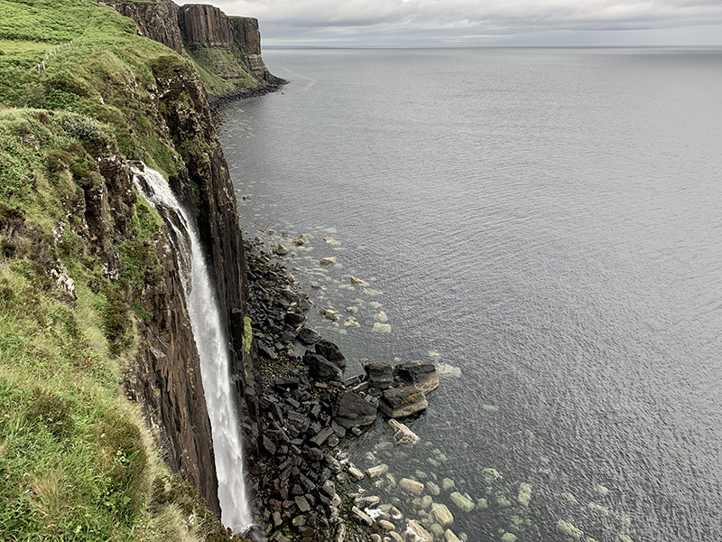
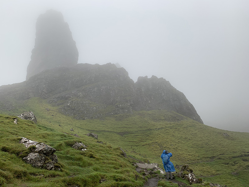
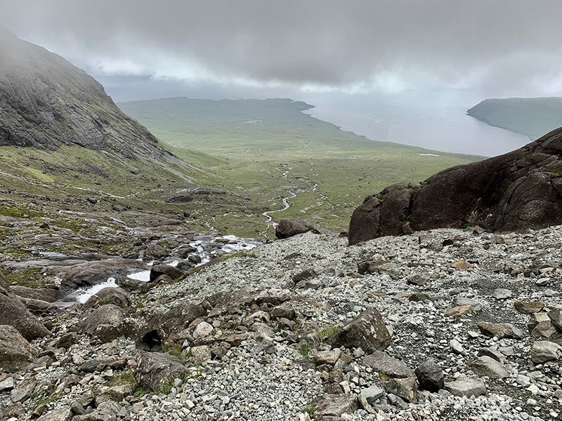
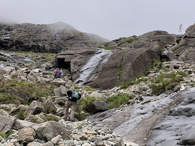
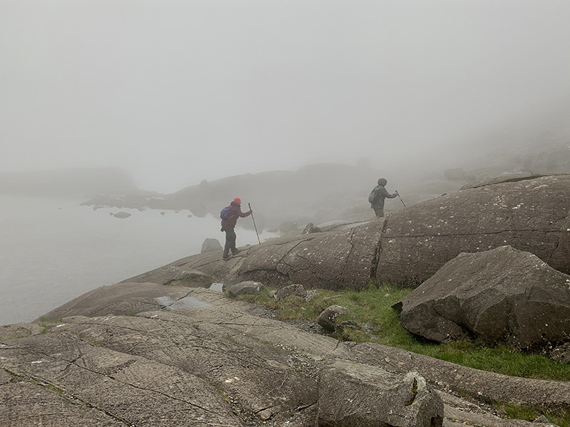
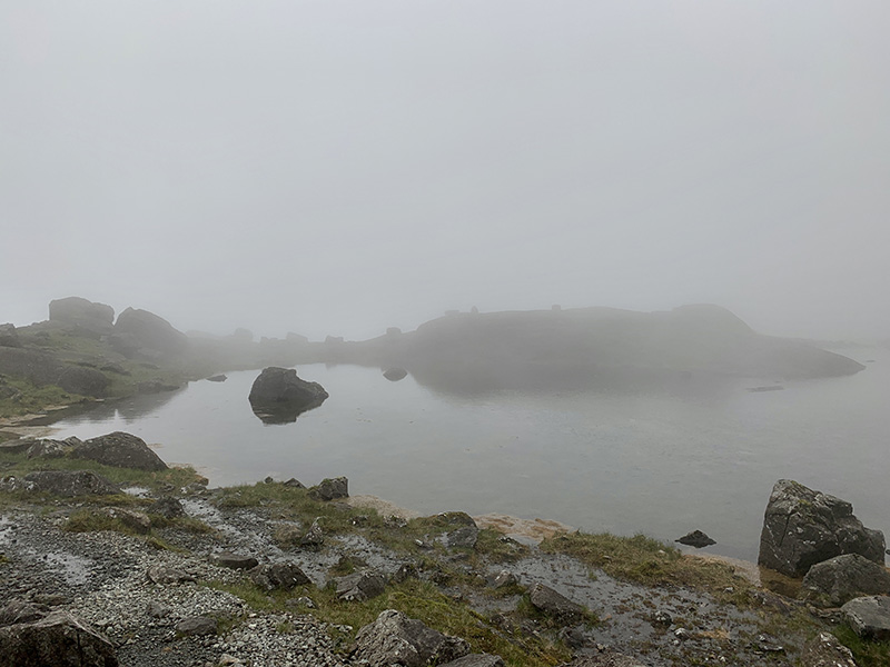
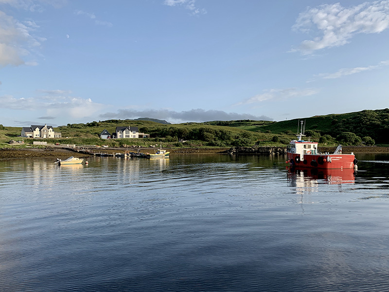
rthur’s Seat loop. 3 km, 200 m total ascent.
Click on wikiloc logo for more info


View from Arthur’s Seat


View from Princes St

Scotland, day 12 & 13: Isle of Skye to Invergarry to Glasgow

We started our two-day return to Glasgow by driving to Elgol and hiking along the coast towards Camasunary. The objective was to get good look at Black Cuillin – first from B8083 on the way to Elgol. The weather was not surprising anymore, between partial Sun, clouds and light rain.

Black Cuillin from B8083

Black Cuillin from B8083

Black Cuillin from B8083

Black Cuillin from B8083

Elgol is a small village, compact and packed with cars and visitors, but we found parking spot by Elgol Shop (coffee and scones) and were on the move shortly. The trail was easy, but quite muddy at times, just along the coast, sometimes on top of the cliff, sometimes on the beach. Very good view on the Cuillin peaks across the water. Late lunch at Creelers of Skye in Broadford, Skye Bridge and Nursery Cottages in Invergarry   ☞ Nursery Cottages  (recommended). We cooked dinner in our comfortable and well organized cottage. Few groceries our host gathered for us turned out to be large amount of food to prepare true Scottish breakfast next morning.

Elgol to Camasunary (10 km)From Elgol towards Camasunary beach and return. 10 km, 300 m total ascent.
Click on wikiloc logo for more info

Black Cuillin from Elgol to Camasunary trail

The following day was mostly driving, from Invergarry to Aberfeldy, Balquhidder, Doune Castle, Stirling Castle and Glasgow. On some stretches of the road driving required a lot of concentration: it was Saturday and many drivers were pushing it real hard. We visited Dewar’s Aberfeldy Distillery and had coffee at the Watermill in town. We visited Balquhidder church and cemetery (Rob Roy and MacGregors), and enjoyed last walk of the trip to Creag an Turin.

Balquhidder to Creag an Tuirc (3 km)Balquhidder-Creag an Tuirc loop. 3 km, 150 m total ascent.
Click on wikiloc logo for more info

We had little time left for Doune Castle (just walked around it) and spent the rest visiting Stirling Castle (also just outside) and nearby sites on the hill. To save time we navigated narrow streets to the parking lot just next to the castle. All that was left was driving on main highway (easy traffic) to Glasgow and finding the way to our flat on Blackie St  in Finniestone (fantastically complicated exit from the highway, but we made it with help from google). We had enough time to get food from Tesco on Argyle St.

Scotland, day 10 & 11: Isle of Skye

The weather was not good for hiking, clouds and passing rain. We decided to drive north to Portree to be close to Quiraing. On the way, we bought tickets for morning tour and tasting at Talisker (next day) and we bought some beer from Isle of Skye Brewing Co in  Uig. We visited archeological site in Kilvaxter, museum and graveyard in Kilmuir. With weather improving somewhat we turned back towards Uig and arrived at the upper Quiraing trailhead (on C1225) just as the Sun started to come out. We walked on the lower trail with quite a few other hikers, fewer and fewer as we kept going in the rain later on. By the time we made it to the top of the loop, the weather was deteriorating and visibility was quite poor. We decided to return the same way anticipating wind to be unpleasantly strong on the upper trail. We were soaked by the time we came back to our car. Not giving up, we stopped at Mealt Waterfall and made a quick run in the rain to Old Man of Storr, and that was enough for the day. The rain stopped by the time we made it to Portee to look around, have late lunch (Fish & Chips on Quay St) and buy groceries (Co-Op).

Quiriang (7 km)Quiriang from trailhead (upper) on Quiraing Road (C1225) and return. 7 km, 450 m total ascent.
Click on wikiloc logo for more info

The next day we were ready for another hike, but we started by visiting Talisker Distillery in Carbost  ☞ Talisker  (recommended), a short drive from Portnalong. The tour was well organized and disciplined, informative. Talisker taste is distinct and takes time to appreciate. We did some prep work in Chicago. We parked our car at Glen Brittle beach, walked through the campsite and up on Lochan Coire Lagan trail (recommended). The trail is easy, with some rock scrambling at the end, it was a beautiful hike. We walked near small waterfall and around the little lake with views changing between sunny and dense fog. We walked down on a different trail, via Loch an Fhir-bhallaich, around the village and back to the beach.We spent an hour strolling on the beach at low tide. We got a good view of Fairy Pools valley  and drove to Portnalong pier before returning to But & Ben.

Lochan Coire Lagan (10 km)Glen Brittle beach trailhead-Lochan Coire Lagan, return via Loch an Fhir-bhallaich, 10 km, 600 m total ascent.
Click on wikiloc logo for more info

Scotland, day 8 & 9: Glen Coe and on to Isle of Skye

After full-day Ben Nevis hike we decided to take it easy = short walk to Lost (Hidden) Valley. The weather was very nice, mostly sunny and the trail was packed, the hike was still very pleasant. Three Sisters trailhead parking lot (on A82) was full, not well organized mix of cars and buses. By the time we walked to the top-end of the valley the crowd thinned. We looked up towards Bidean Nam Bian, alternative trail in case we could not hike Ben Nevis. Looking at the trail climbing up was enough for us that day. On the way down we took a different, less popular trail with good views over the valley.

Lost Valley (5.5 km)Lost Valley from Three Sisters trailhead (on A82), 5.5 km, 300 m total ascent.
Click on wikiloc logo for more info

We then drove to Glen Etive and stopped at Loch Achtriochtan on the way back. Martyna took our car to Signal Rock Cottages and we had dinner at Clachaig Inn Restaurant, a short walk from our cottage. Scottish food (smoked haddock, highland game pie) and beers with unfamiliar names (Red MacGregor/Orkney, Rubus/Windswept).

The following day we were ready to go to Skye. We drove from Signal Rock to Skye Bridge via Ballachulish (grocery shopping at Co-Op), Fort Wiliam, Invergarry, Eilean Donan Castle and Kyle of Lochalsh. The view of the castle is quite impressive/dramatic (we did not have time or desire to go inside). Seafood at ☞ Fishermen’s Kitchen (opened recently in new place) was really good, despite fast-food type set-up (cullen skink (smoked haddock soup), seafood salad, crab salad with baked potato, boiled langoustines). On Skye, we drove to Fairy Pools trailhead via Sligachan and Satran. The ground was soaked after recent rain and the trail was muddy, which did not stop many visitors  having fun. Parking lot was half-empty. Our plan was to go up too, but we decided to go for Glen Brittle Forest walk instead. With fog and light rain coming and going it was good decision. We were a bit higher above the valley with panoramic views of Glenn Brittle from easy forest road, when the fog partially lifted. We settled at But&Ben in Portnalong   ☞ Croft Bunkhouse  (recommended), our Skye base. Great, remote location, comfortable bedroom and large, fully equipped kitchen/living room.

Glen Brittle Forest Rd (11 km)From Fairy Pools car park (on C1237) to Fairy Pools trailhead then SE on Glen Brittle forest road and return. 11 km, 350 m total ascent.
Click on wikiloc logo for more info
error: Content is protected !!