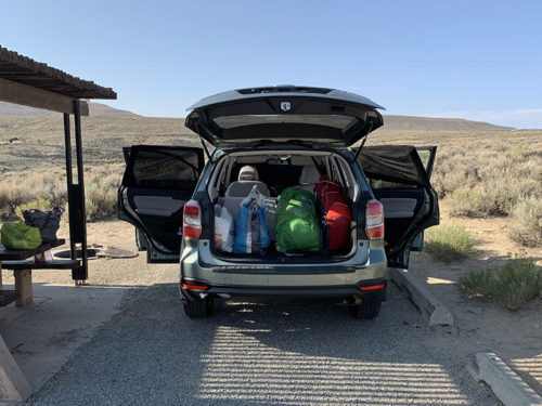
We had many long discussions on flying vs driving. Joanna was in favor of flying to Reno or Fresno, Piotr was for driving to Lee Vining. Both options required travel on public buses and overnight stays somewhere. Finding good parking spot near trailhead was an issue too. We decided to drive to avoid airports and to have greater flexibility. With focus on JMT, we did not spend much time sightseeing on the way. First day we just drove all day, 893 miles to Ogallala NE, and stayed in big chain motel (not good experience).
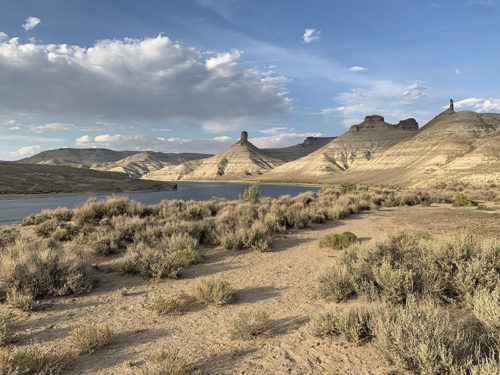
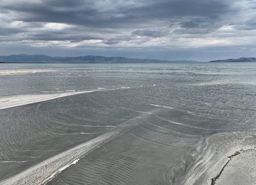
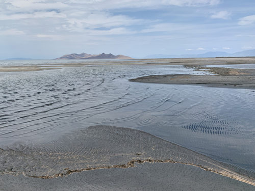
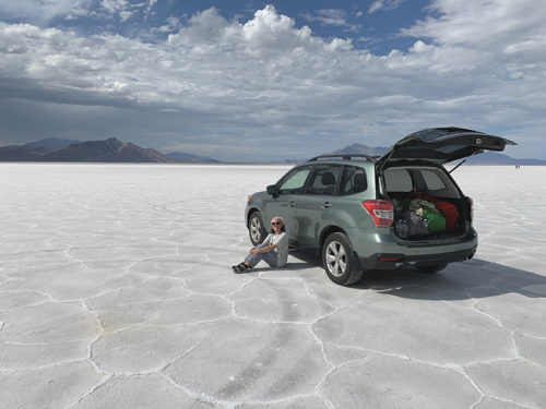
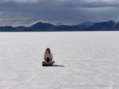
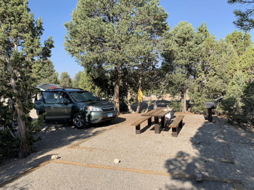
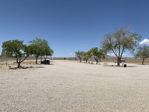
There was less driving second and third day, together 963 miles, across Wyoming, Utah and Nevada. We stayed at campgrounds and slept in our converted car, and enjoyed it: Flaming Gorge Firehole Canyon Campground near Green River, WY (recommended) and at Ward Mountain Campground near Ely, NV (recommended). Both very good, except there was no water at Ward Mountain (not big deal, if we were notified in advance when we made reservation – we had to drive back to Ely to buy extra water). Firehole Canyon campground was excellent, with showers and very nice host. We had little time for evening walk along the lake in Flaming Gorge, but following day we made two one-hour stops: to check-out Great Salt Lake (water level was very low, we walked to the water’s edge on muddy/salty lake bed), and for short drive and lunch on Great Salt Desert’s salt flat near Wendover — great experience.
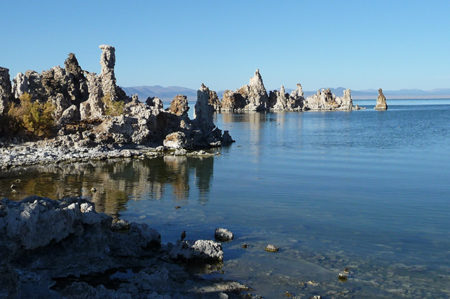
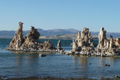
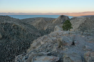
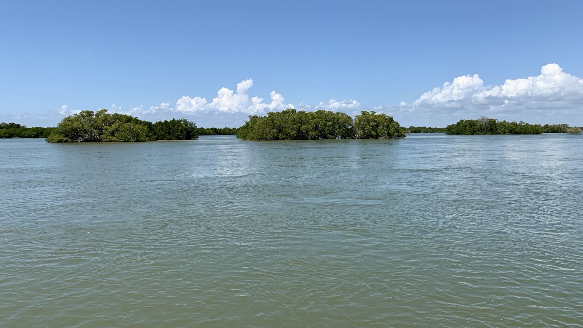
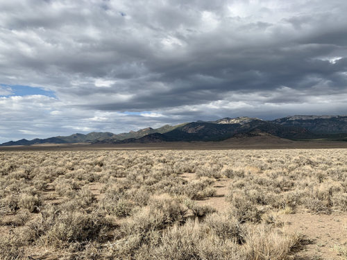
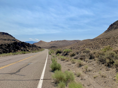
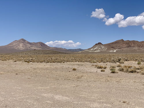
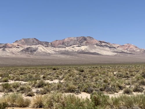
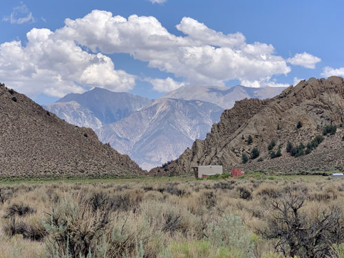
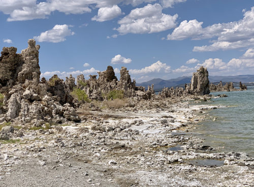
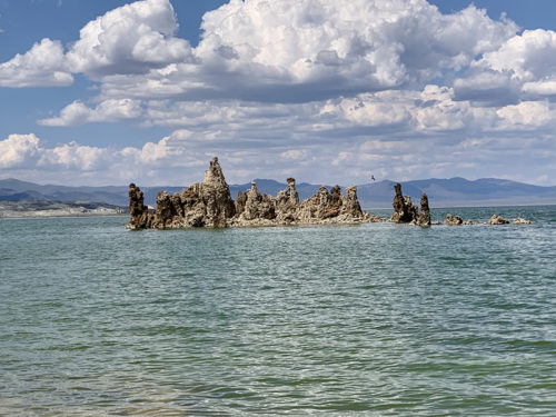
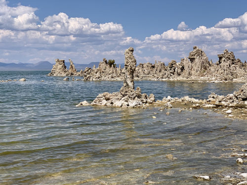
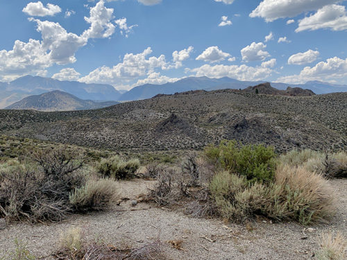
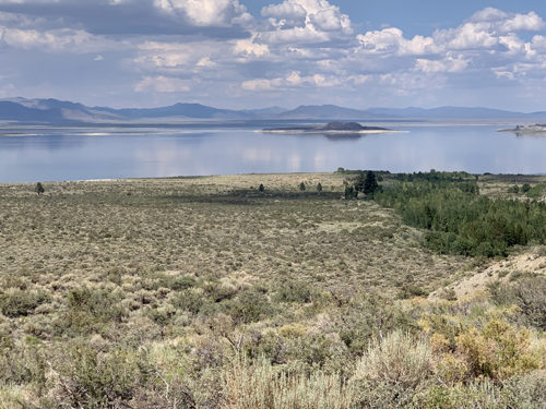
Driving across Nevada is interesting, for the landscapes and empty roads often in straight line all the way to the horizon, and then winding through hills and mountains. The longest stretch of our route without services/gas stations and pretty much anything else was 163 miles. On the last day we drove only 294 miles, had time to revisit Mono Lake South Tufa and remember exploration of Panum Crater (visited in 2012). Checked-in to Murphy’s Motel in Lee Vining, did some grocery shopping and visited Mono Basin Visitor Center to get advice from the rangers regarding where to park our car for a month. We decided to leave it in their large parking lot. We were worried new wild fires could cut-off access to Tuolumne Meadow/Tioga Road (another parking option we considered), and of course we were also saving time by avoiding backtracking from Lee Vining to Tuolumne Meadow to retrieve the car after JMT.
It all worked out very well: we were all packed and ready at the motel in the evening. Early next morning, we just drove to the Visitor Center, parked the car and waited a few moments for YARTS bus to take us some 20 miles to Tuolumne Meadow, the starting point of our hike.
 Flaming Gorge Reservoir
Flaming Gorge Reservoir
 Great Salt Lake Desert
Great Salt Lake Desert
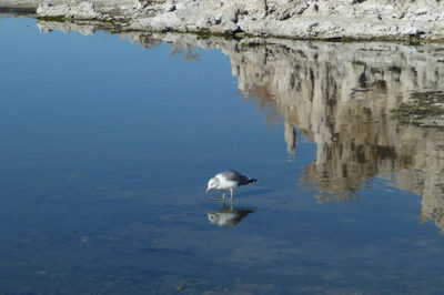
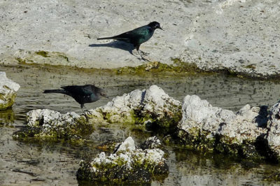
 Mono Lake South Tufa
Mono Lake South Tufa
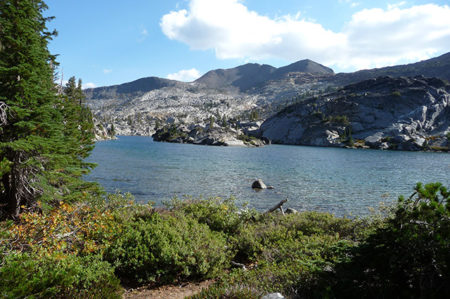
 Desolation Wilderness (32 km, 1300 m total ascent, 2000-2600 masl)