August 17-18
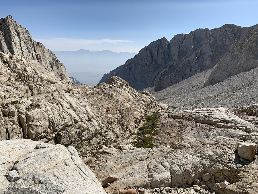
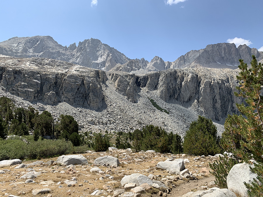
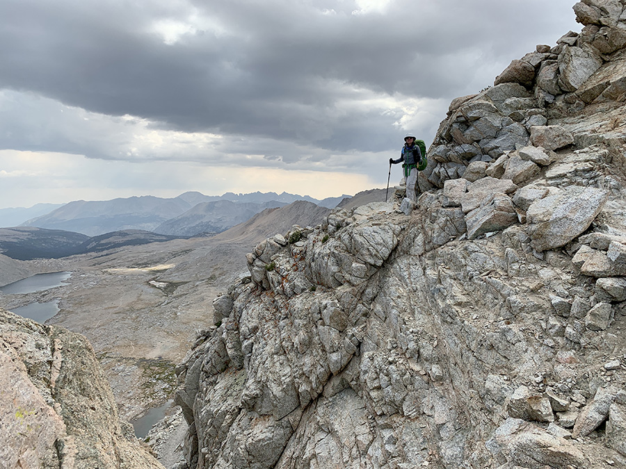
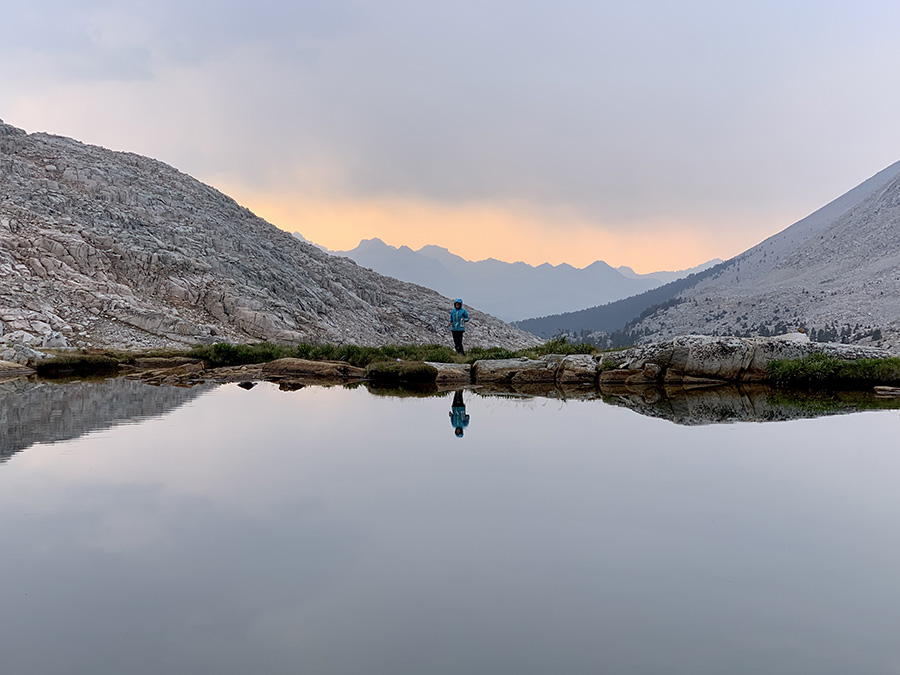
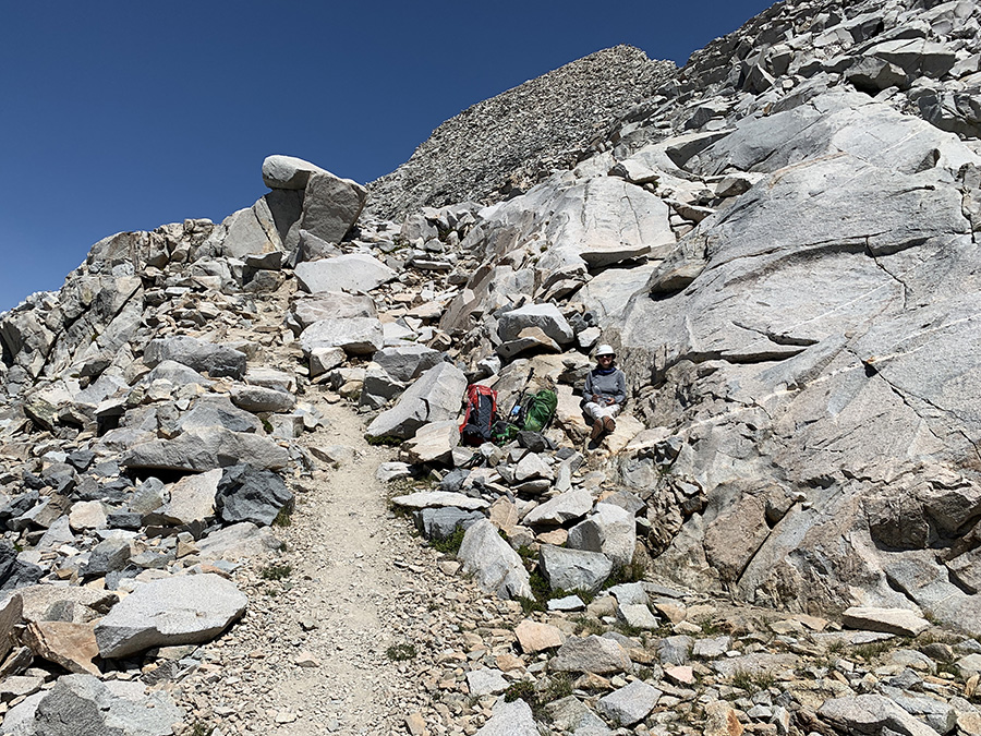
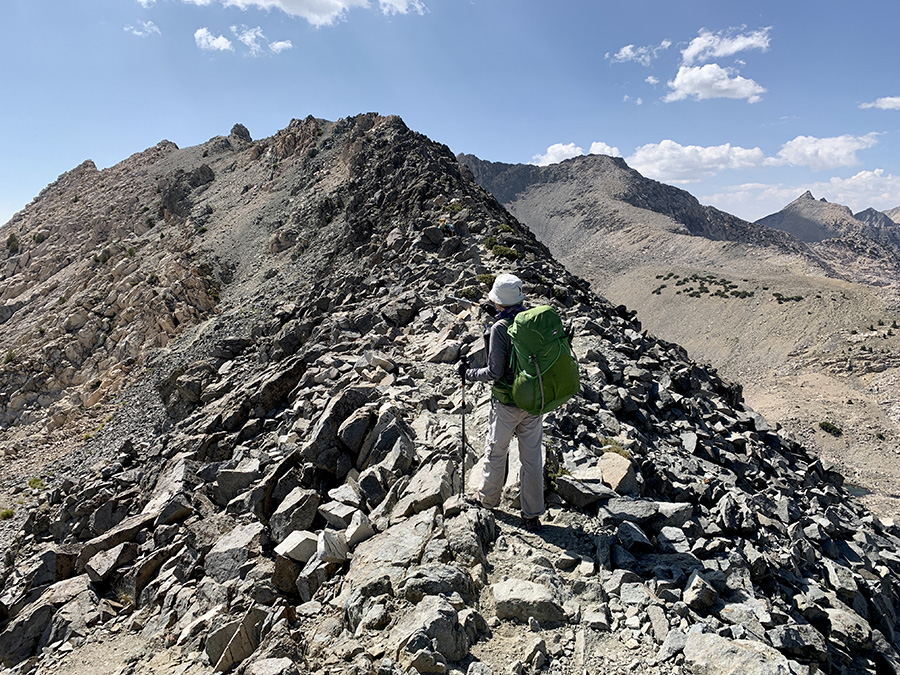
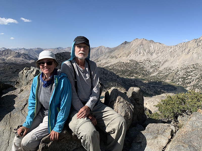
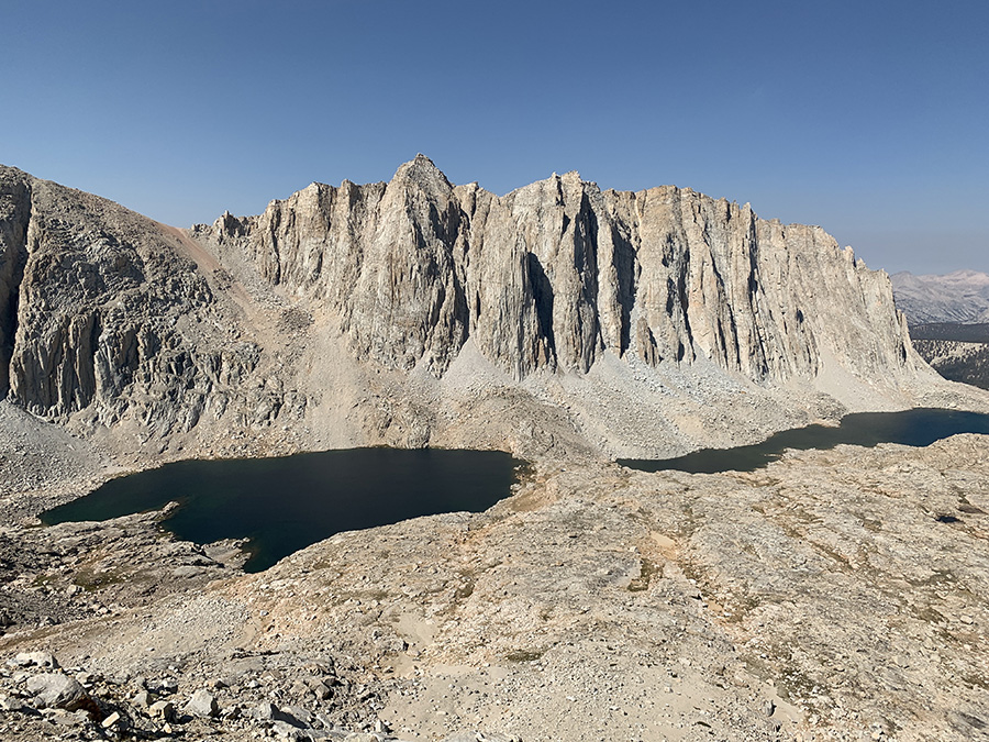
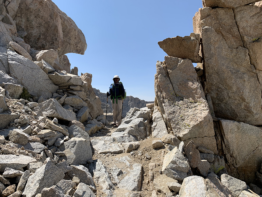
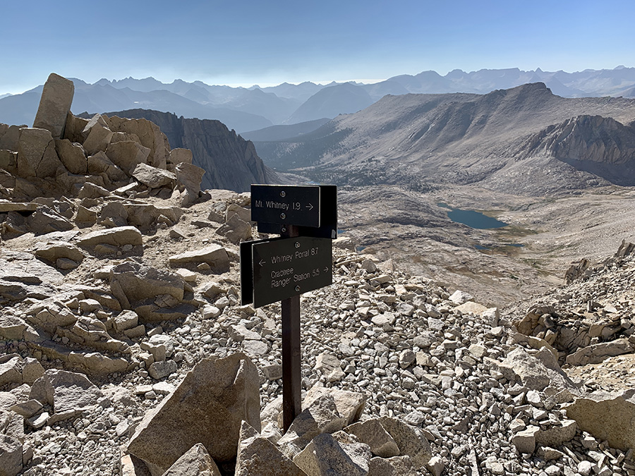
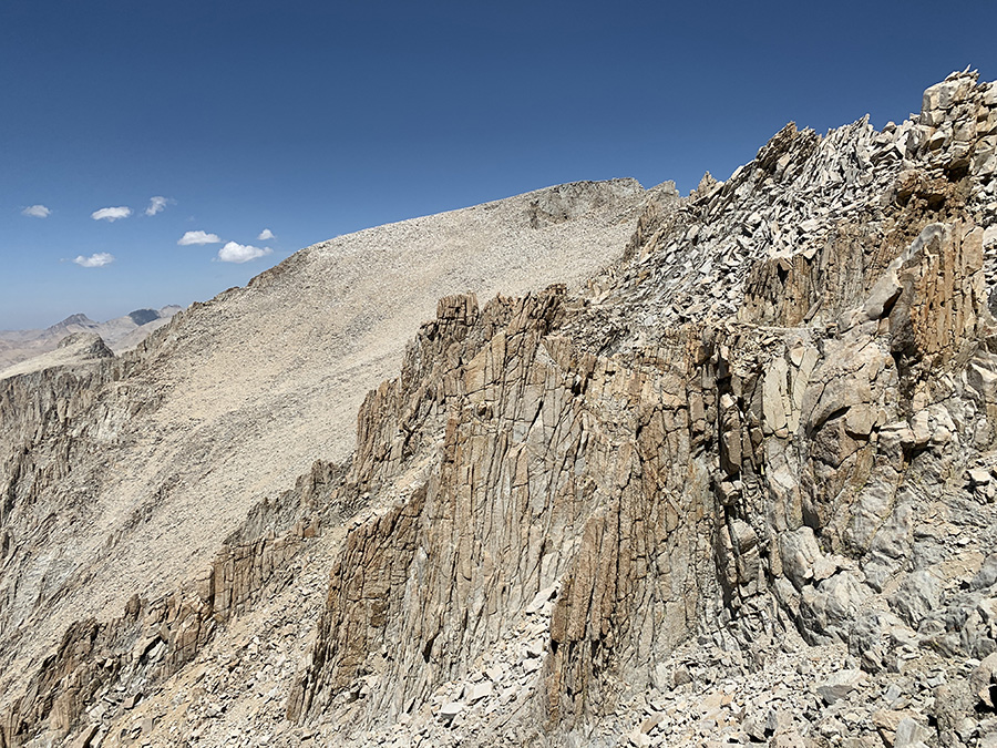
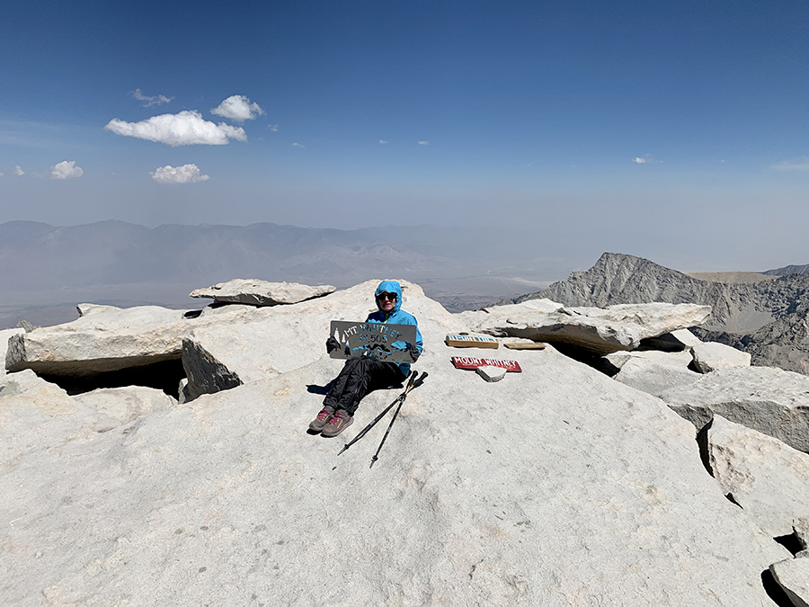
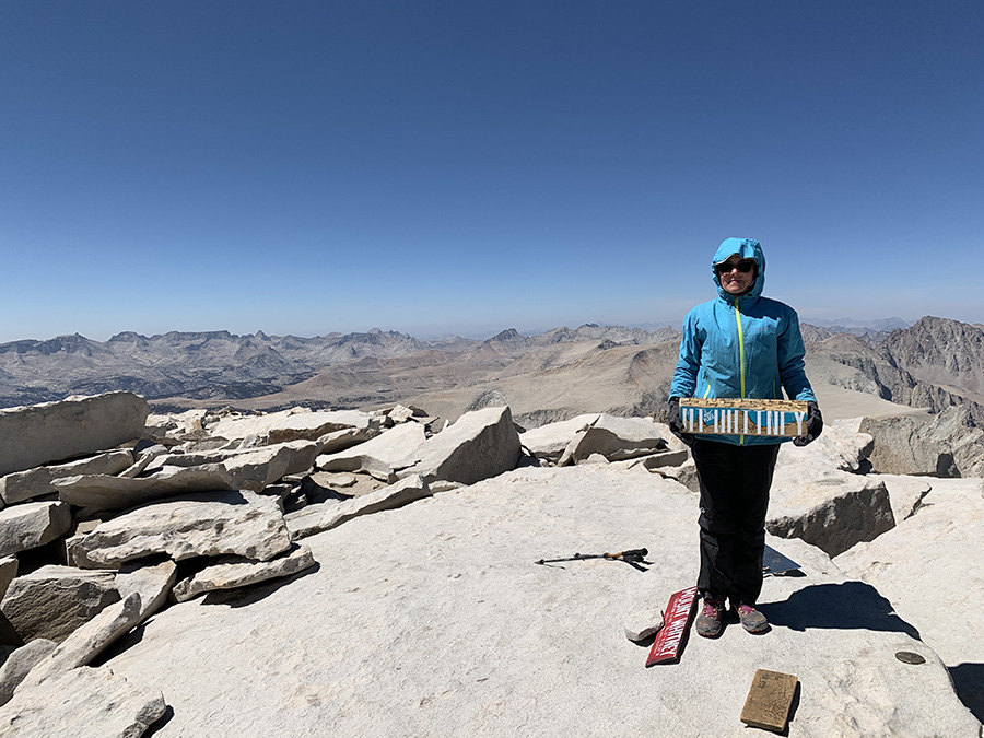
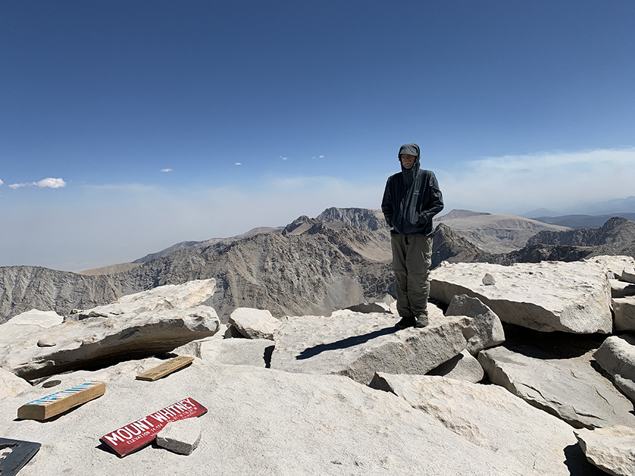
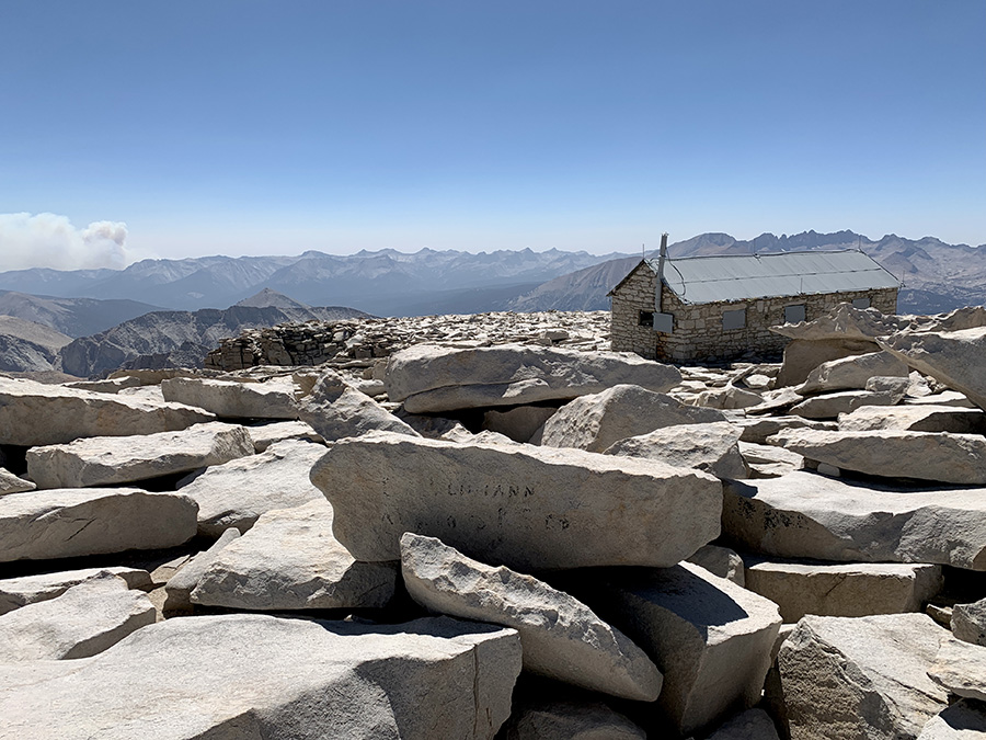
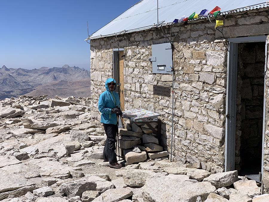
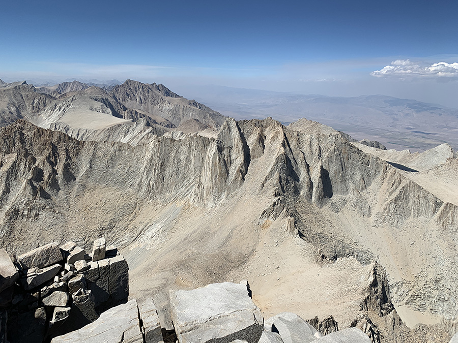
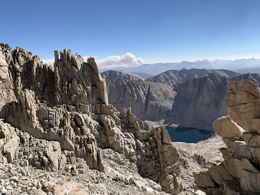
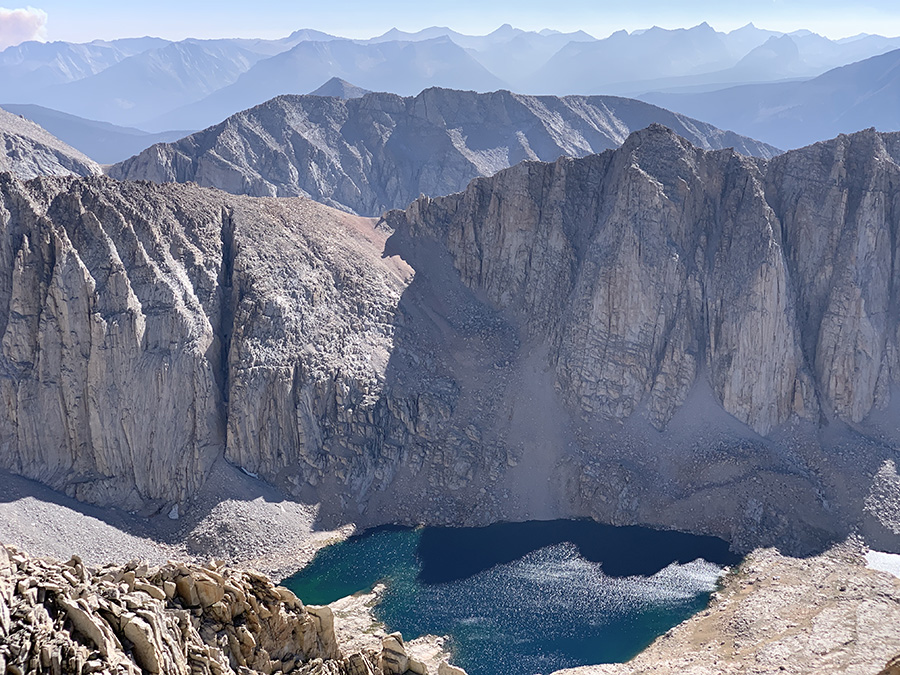
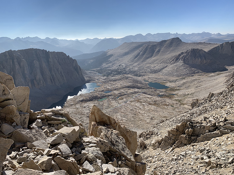
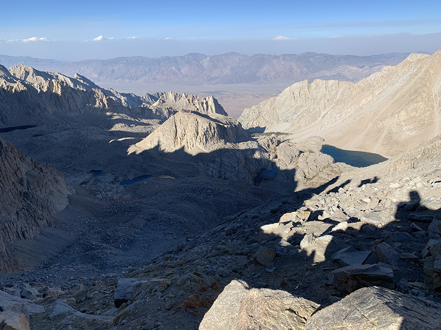
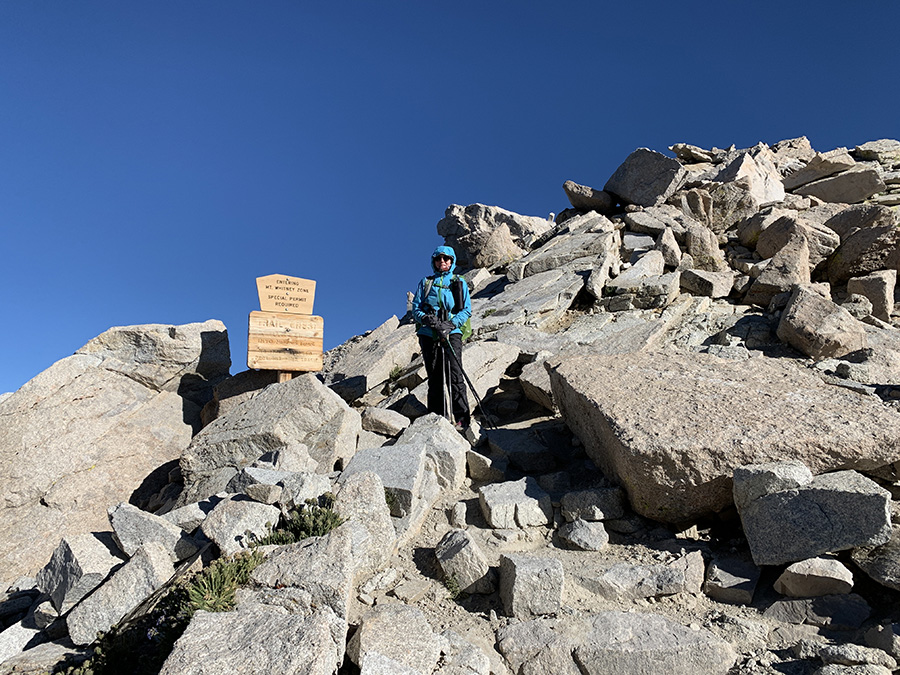
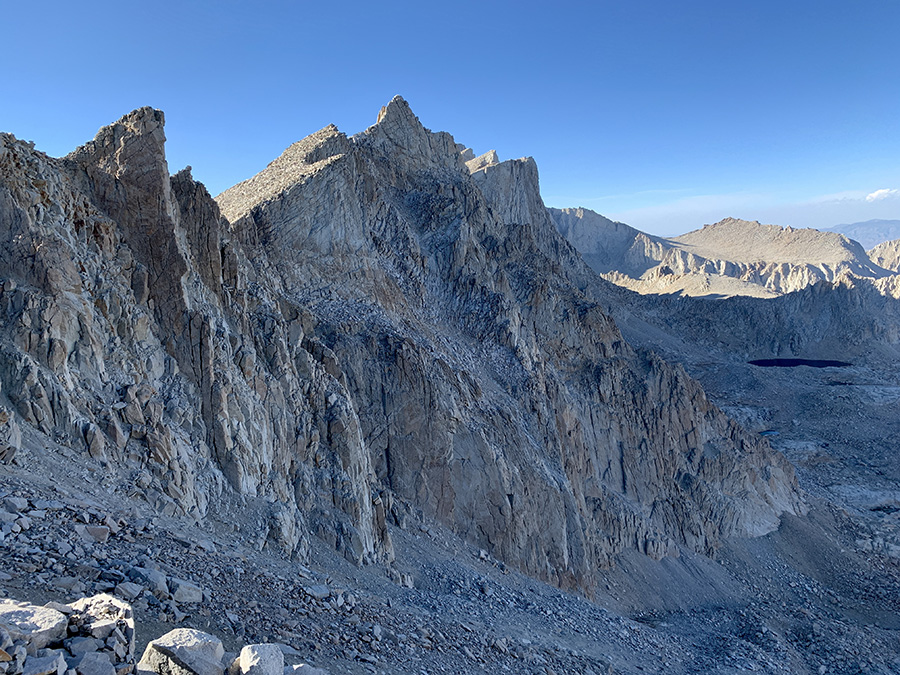
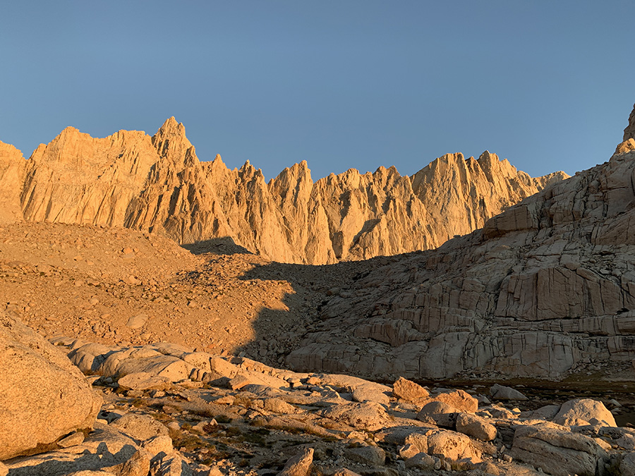
Mt Whitney (4421 m) day started shortly after midnight – we heard voices of quite a few hikers moving up the trail to catch sunrise on the summit. After breakfast we were on the move too, at 9 am. Some people already came down from the summit. The trail is not particularly difficult or steep, just steady going up 900 m. In addition, last 3 km and 350 m ascent was without backpacks (left them at trail junction). To Piotr final approach looked somewhat reminiscent of Ben Nevis (hiking from north face), grander scale of course – both summits are flat piles of stones with precipice on one side. We were hiking in full sun and in comfortable temperatures, but wind gusts were getting very strong. We watched big plum of smoke developing from very recent fire. Distant sky looked hazy (smoke), as most of the days – more so during second half of our hike (even more smoke in Onion and Owens and Valleys). All what looked before like big mountains were now below us. We spent an hour on the summit which was deserted (all but a few people hiked down already) and very windy. Finally, we had cell connection to check messages and e-mails, and call friend – we always tried to keep our friends and family informed about our whereabouts.
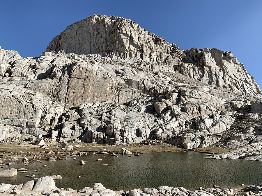
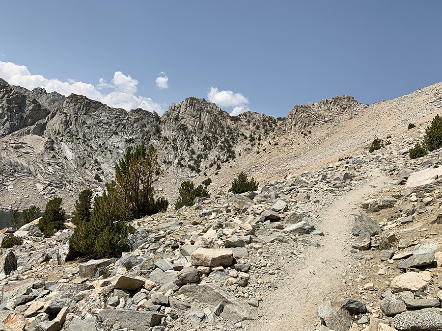
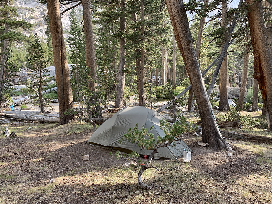
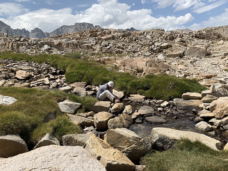
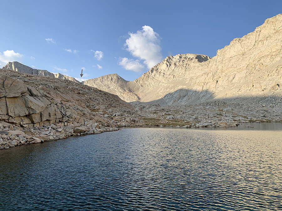
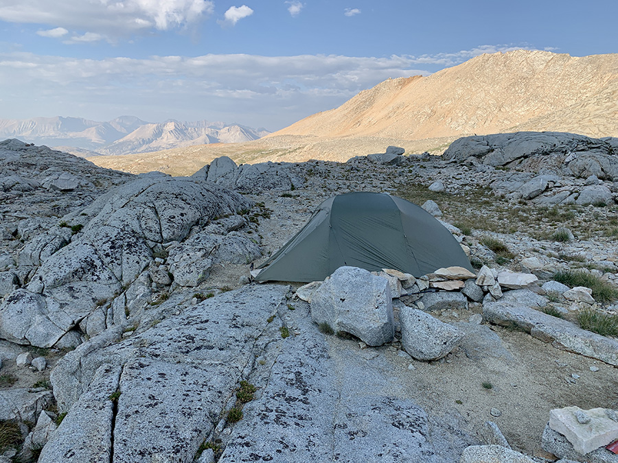
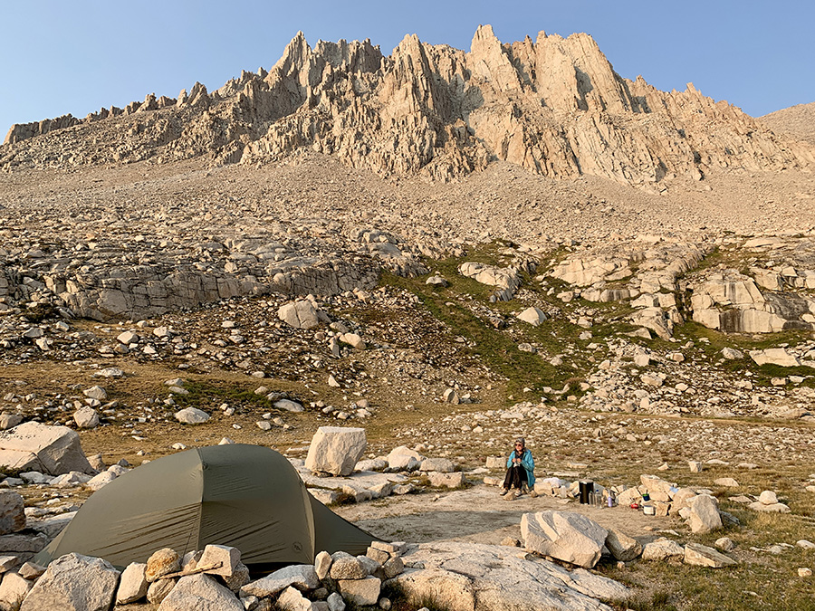
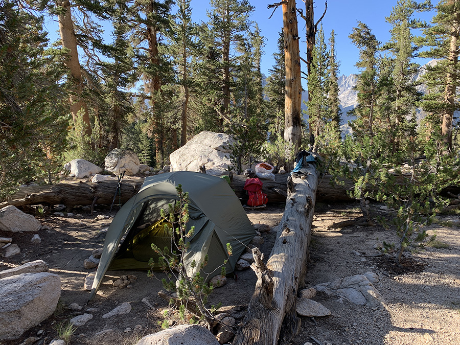
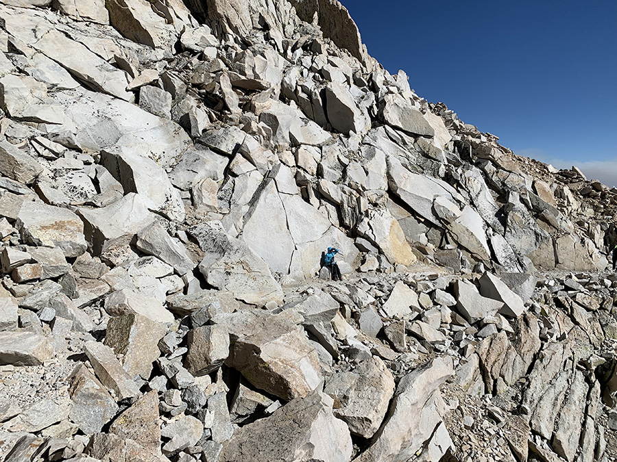
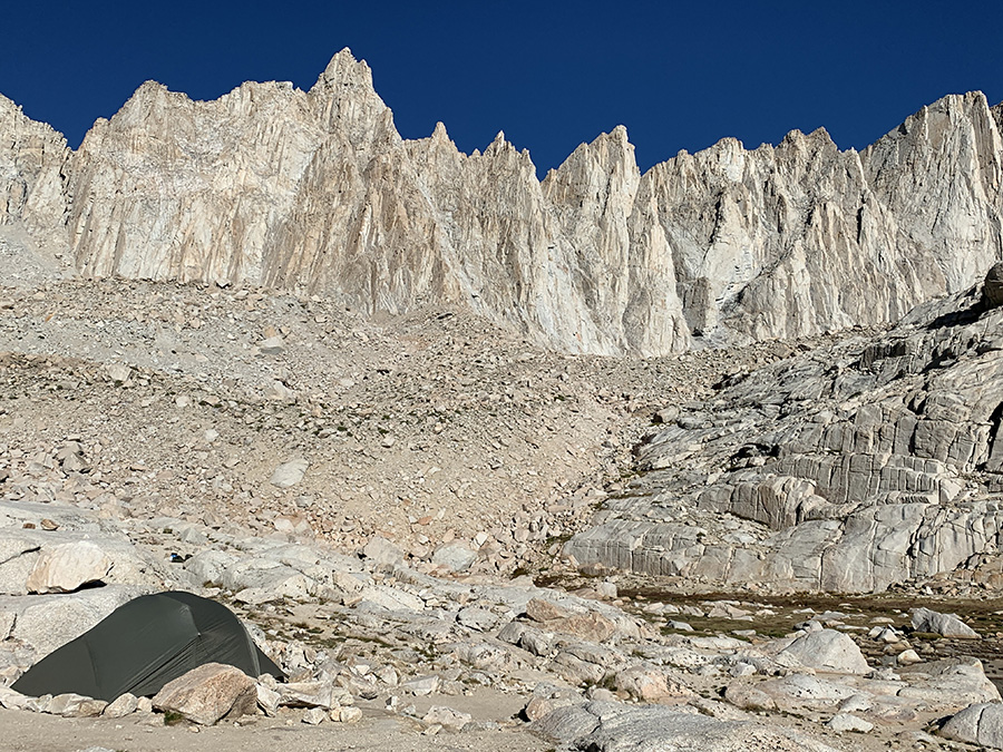
We walked down back to the trail junction to collect our backpacks, crossed over Trail Crest (4166 m) couple hundred meters away and started descending to Trail Camp Tarn on 99 switchbacks. When we arrived late in the afternoon many camp sites were already occupied and we spent quite a bit of time looking for something suitable for our tent and at least partially shielded from wind coming down from the crest. Joanna preferred less windy spots under rock walls, but Piotr did not like a threat of puddle or stream under the tent in case of rain nor driving stakes into granite. One strong wind gust caught us just as we were unfolding our tent, we managed to hold on to the sail, but next gust bent one of aluminum posts (remained usable). Once everything got nailed down we were OK. It was clear our larger tent was not suitable to camp on the summit – yes, crazy idea to dry-camp there crossed our minds.
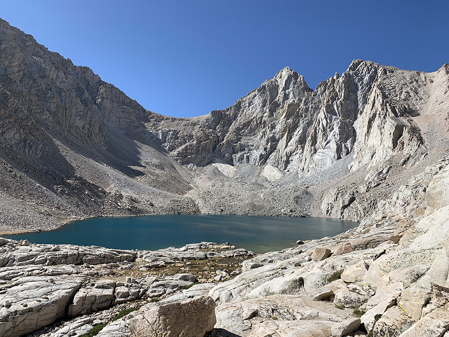
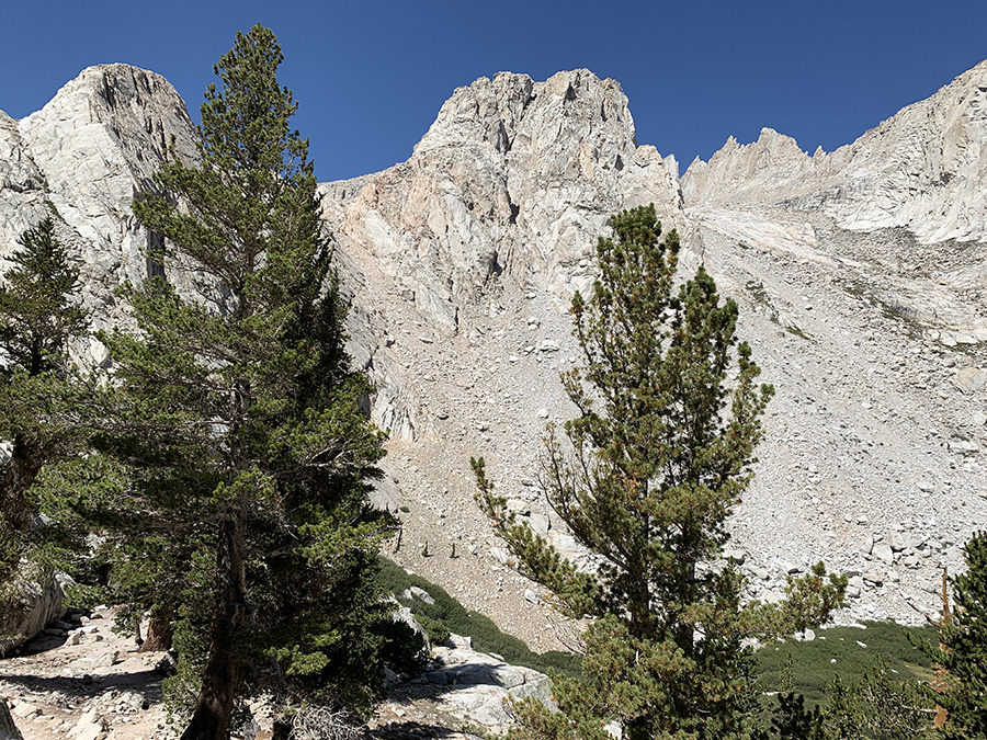
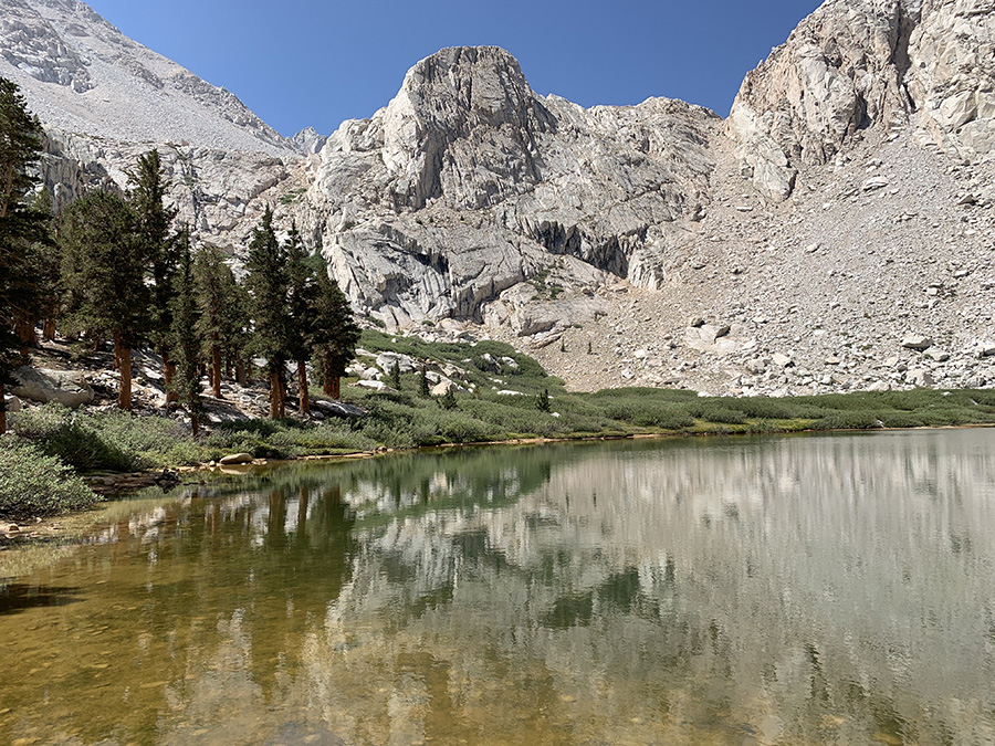
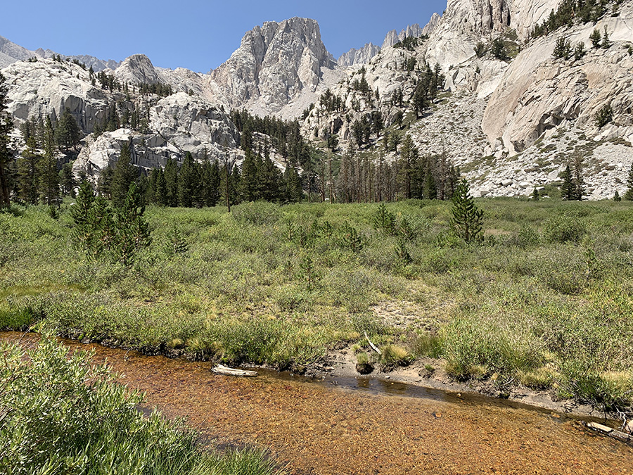
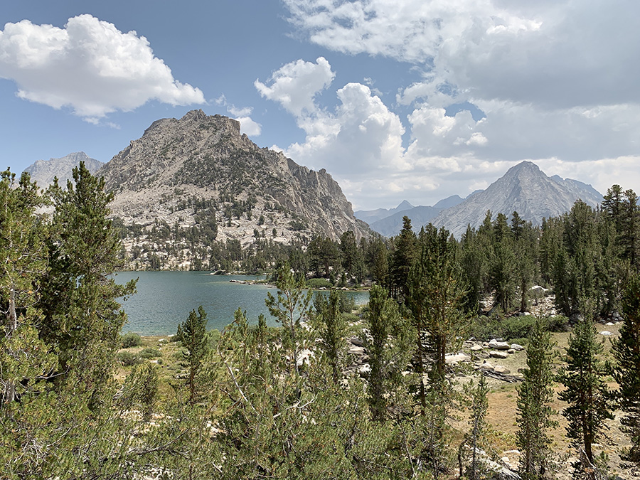
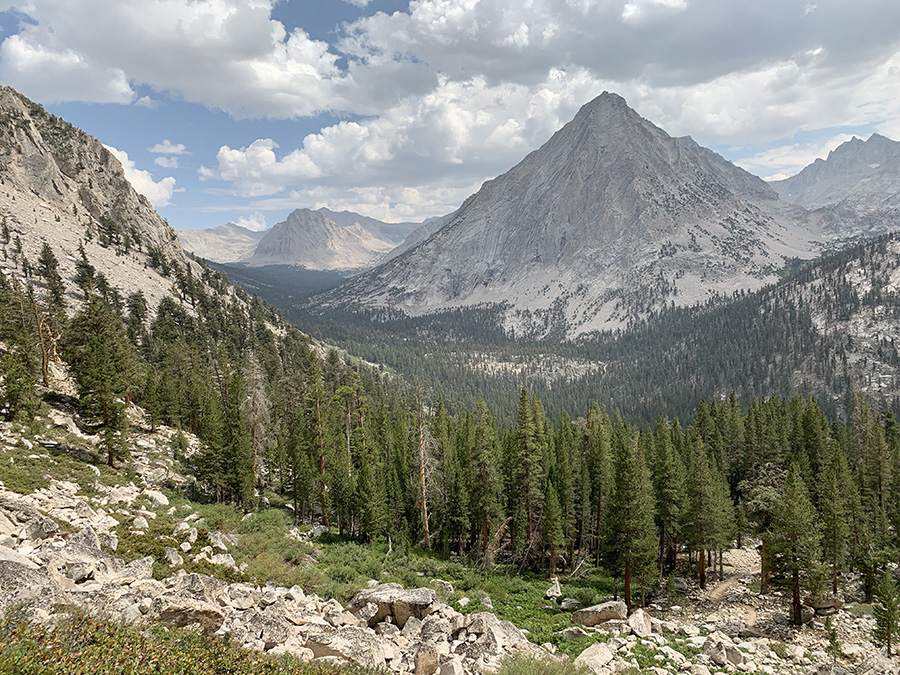
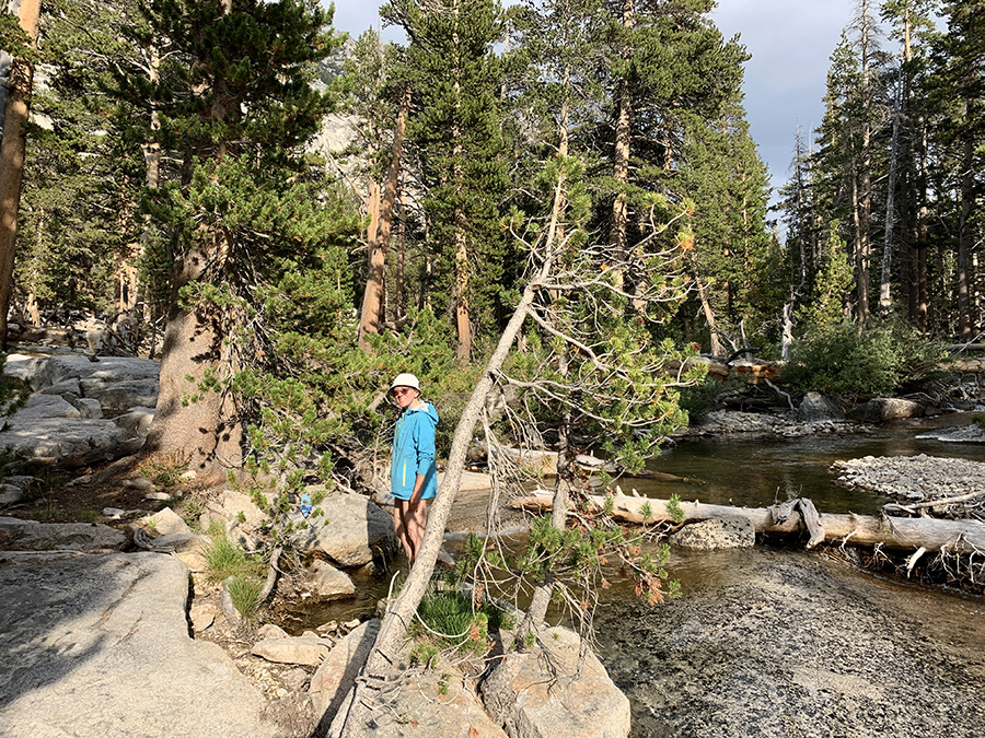
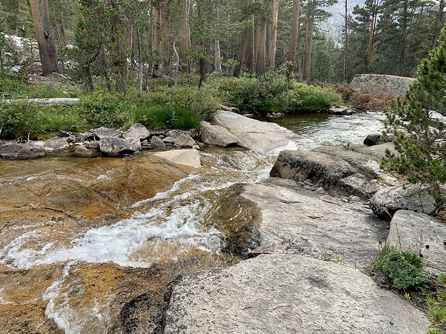
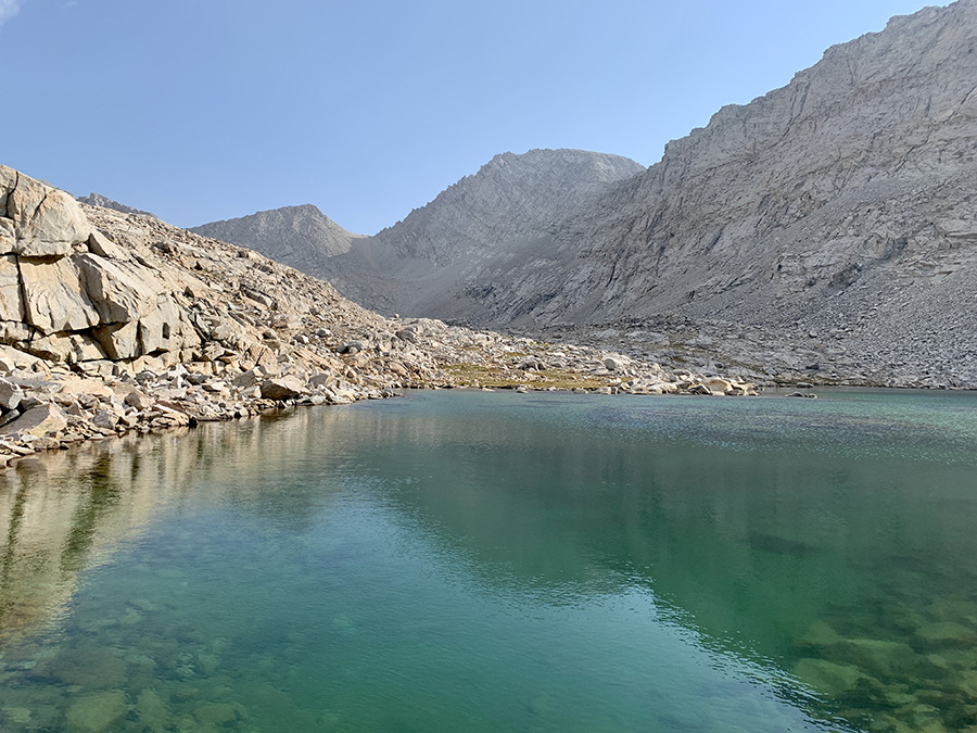
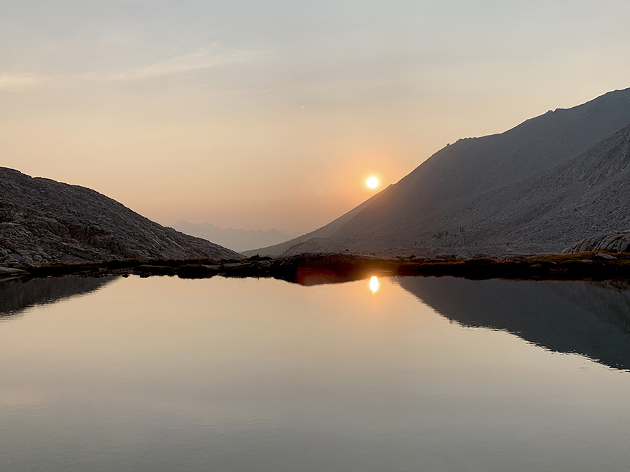
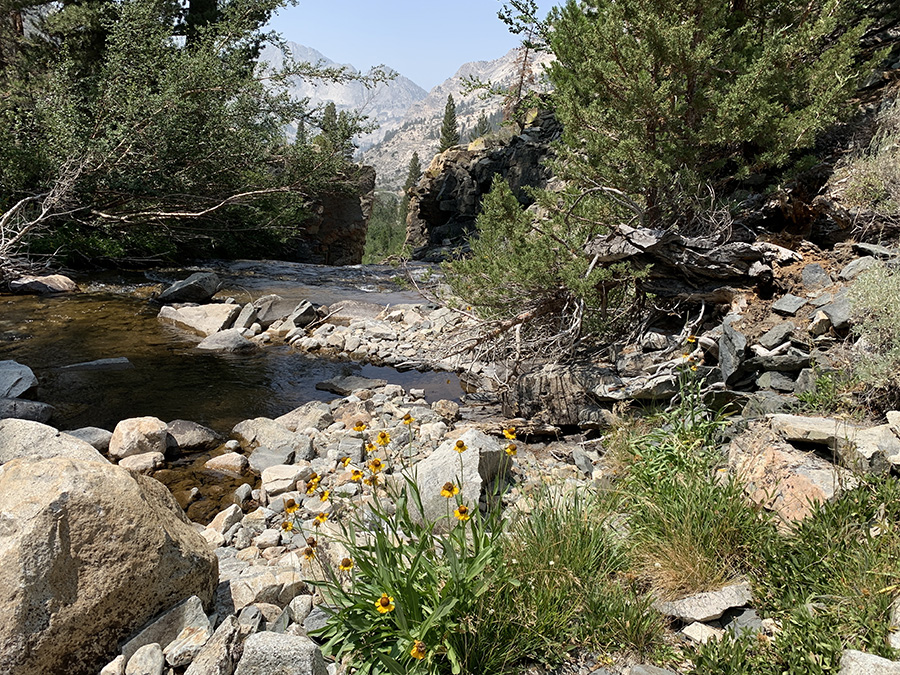
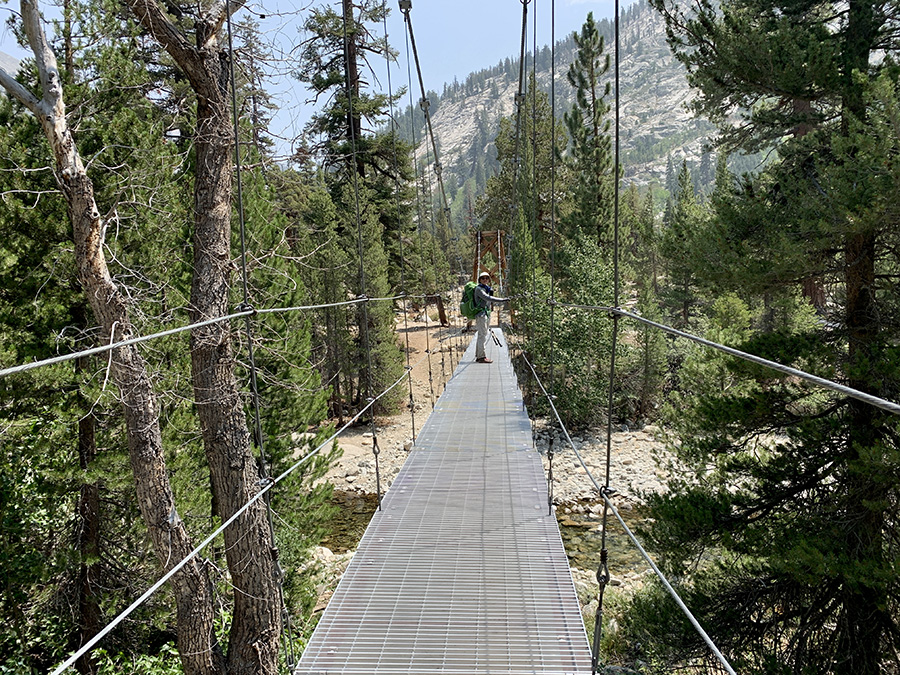
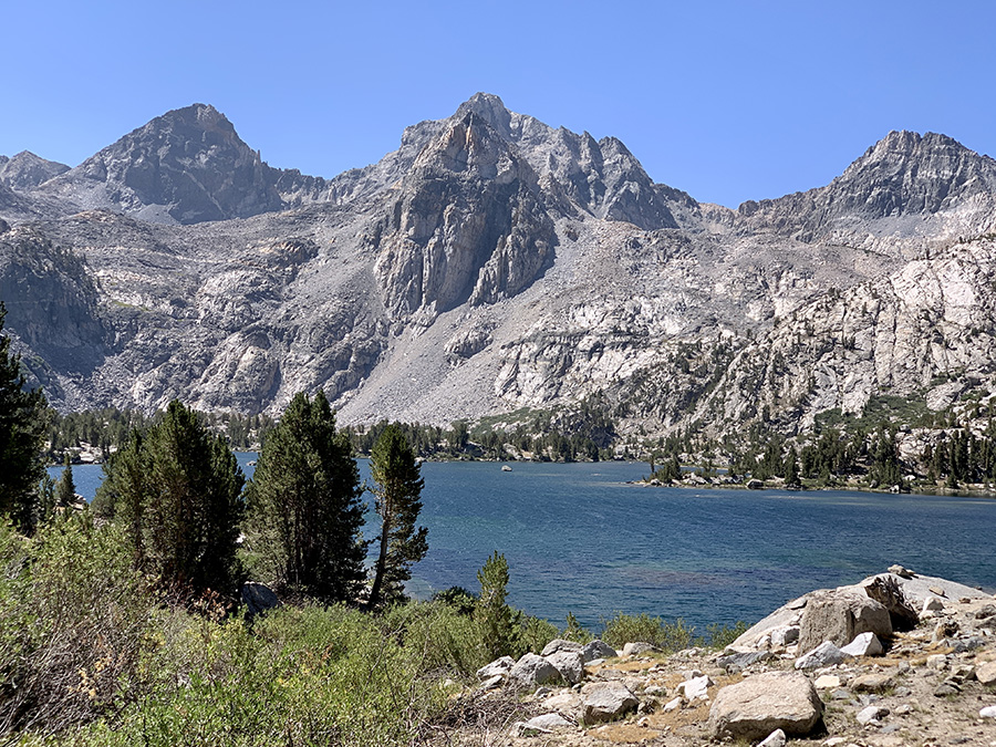
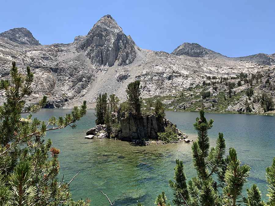
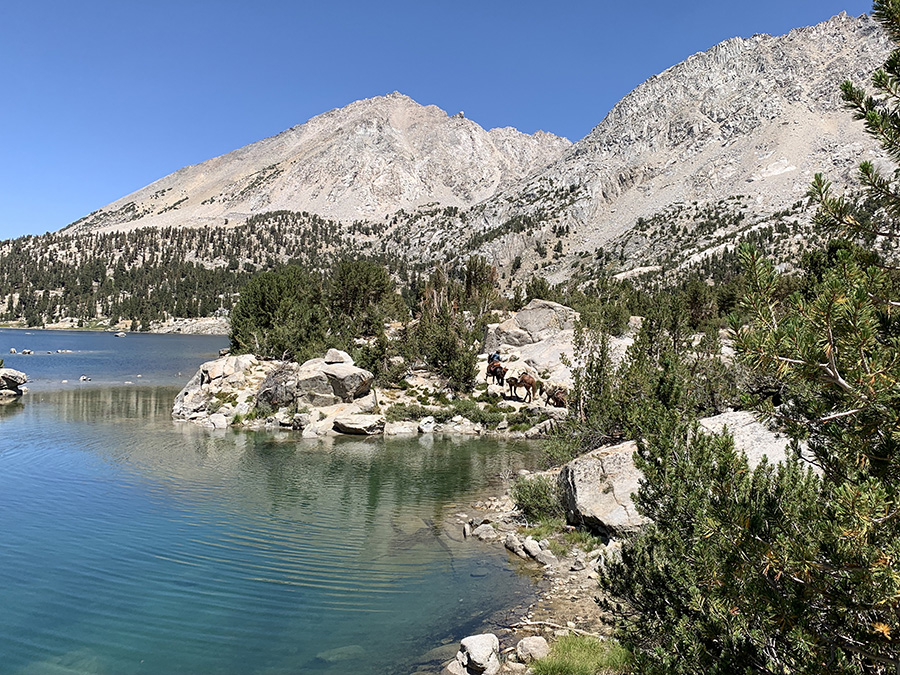
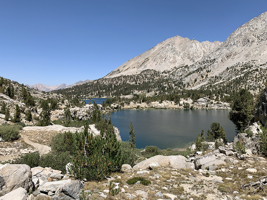
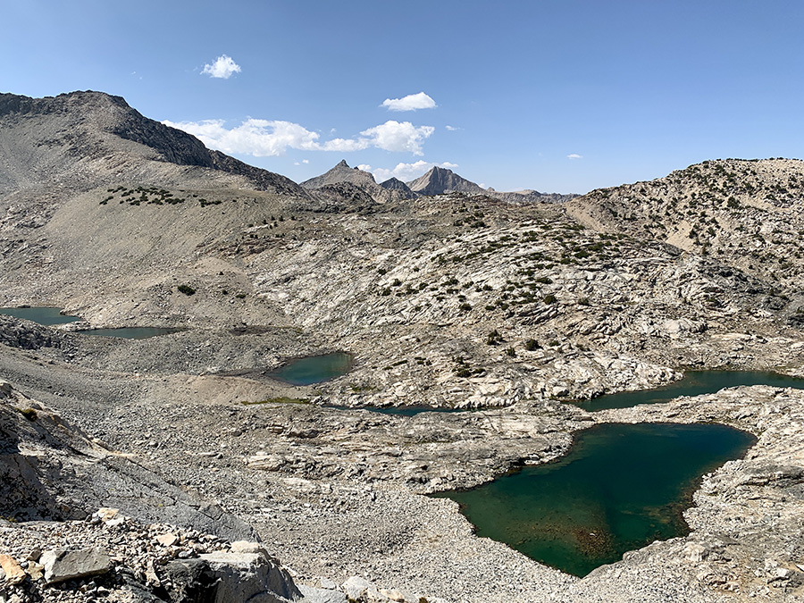
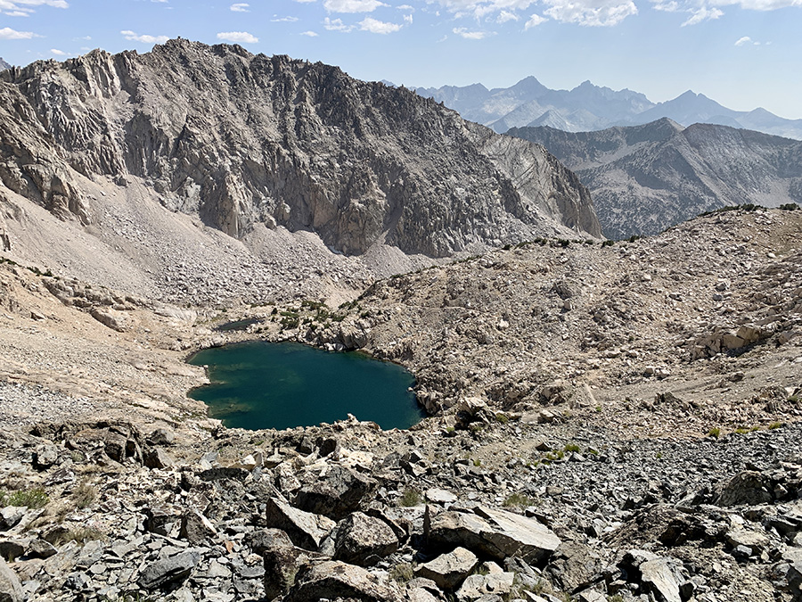
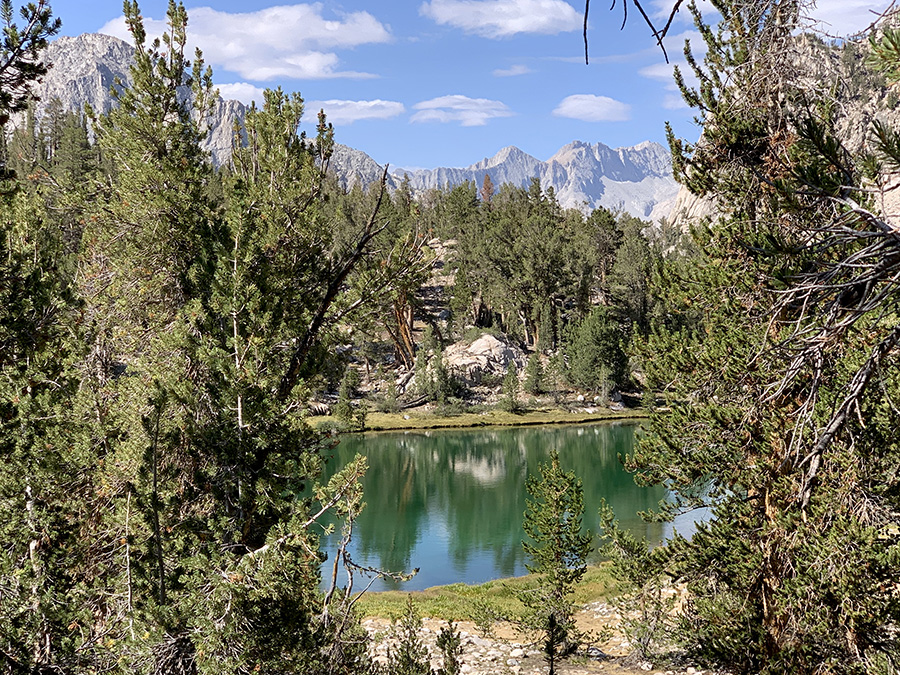
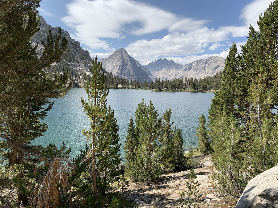
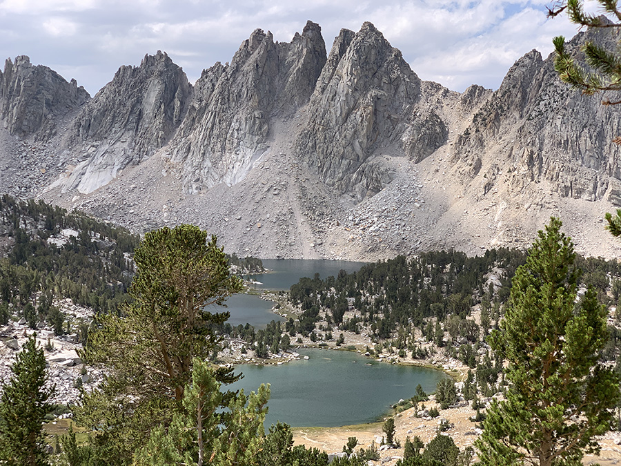
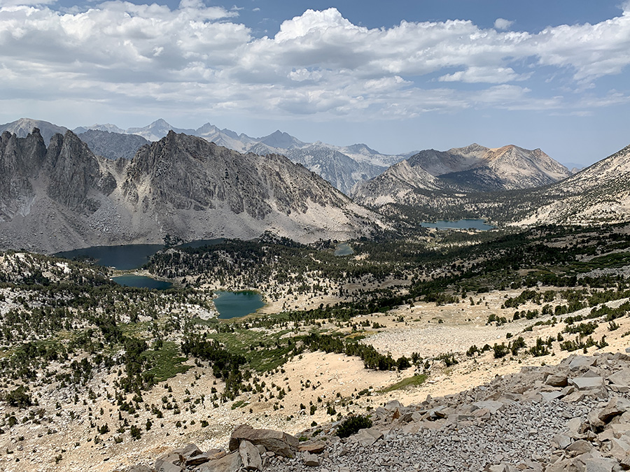
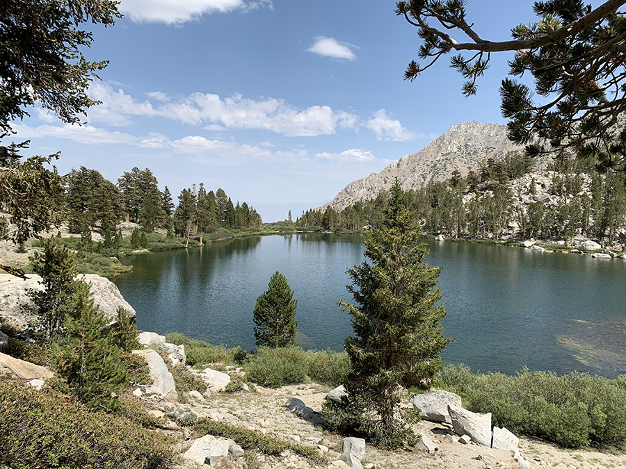
We were rewarded in the morning with nice views towards Mt Whitney, although its summit was not visible from this spot. Joanna cooked last backpacker’s breakfast and coffee, and we were on the way to the trailhead. Then nice scenery with lakes and Lone Pine Creek, greener and greener.
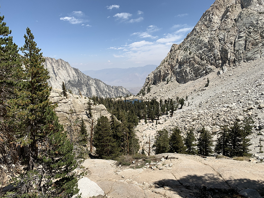
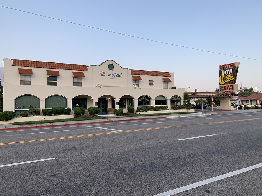
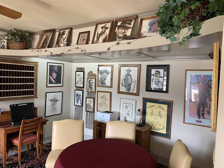
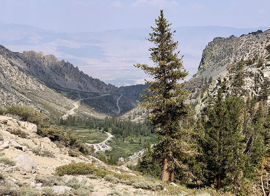
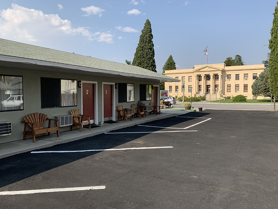
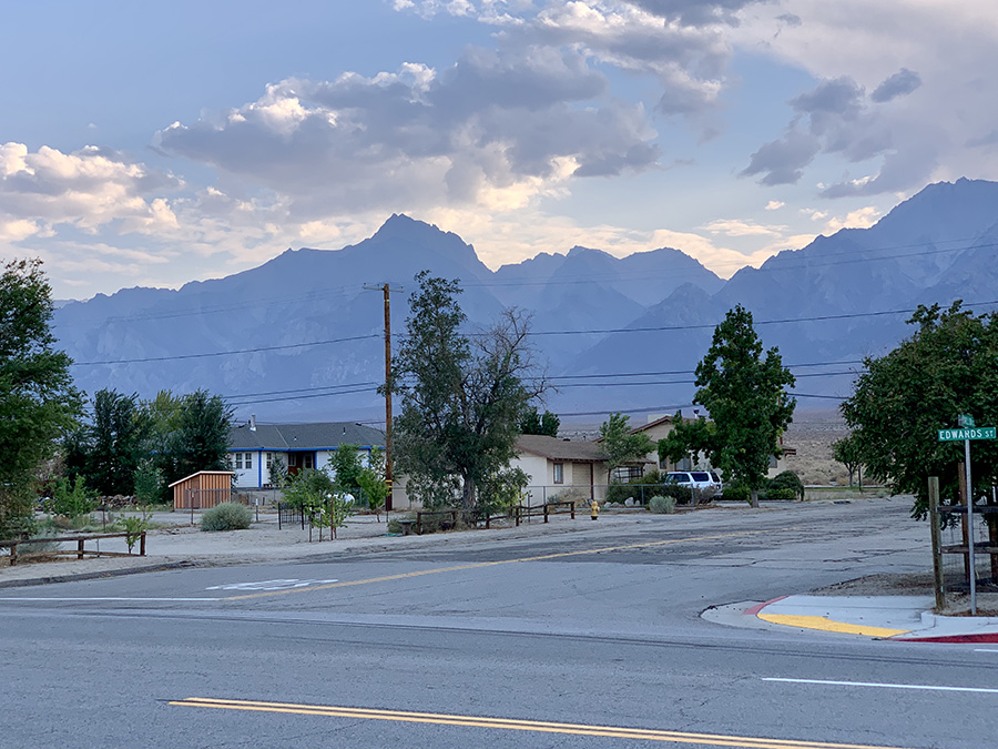
At a rest stop Joanna lost her favorite beanie hat which she had on all treks, on four continents. Many more people on this side of the mountain, often on day-hikes. We were greeted and cheered on arrival – finishing JMT is considered quite an accomplishment.We ate big lunch at the store at Whitney Portal and started asking around to hitch a ride to Lone Pine. Not difficult, but took longer than in Onion Valley. We, and another hiker, got a ride all the way to Dow Villa Hotel where we stayed for the night. In the past, many actors stayed at the hotel when filming at nearby Alabama Hills. We ate, did laundry and shopped to get ready for return to Chicago.