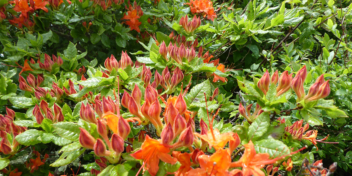
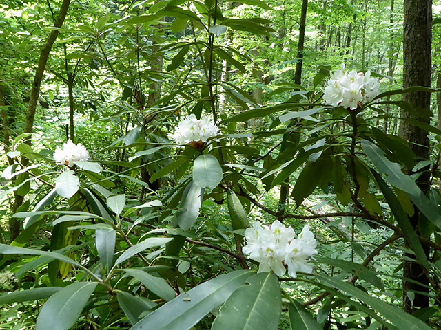
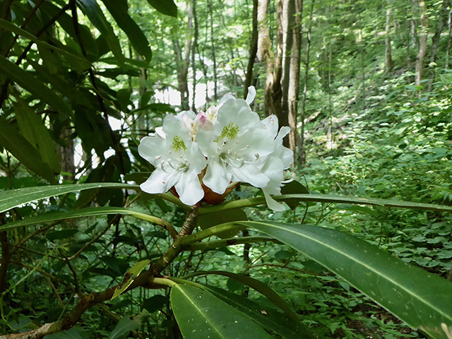
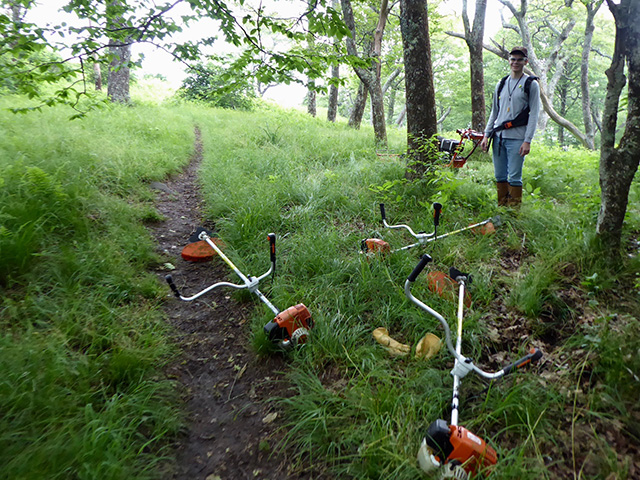
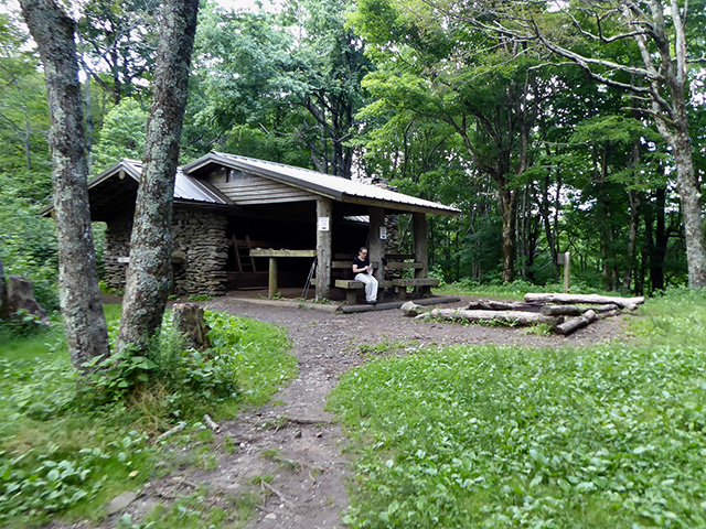
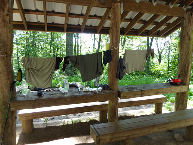
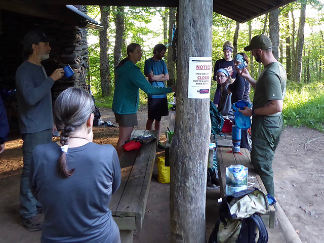
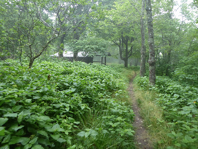
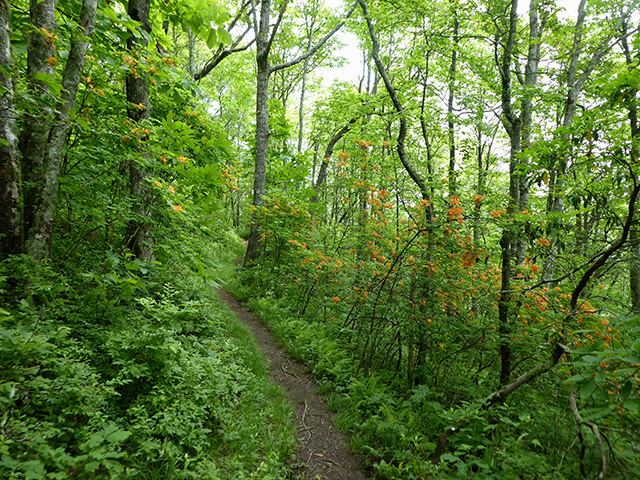
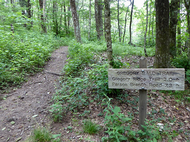
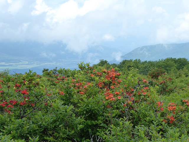
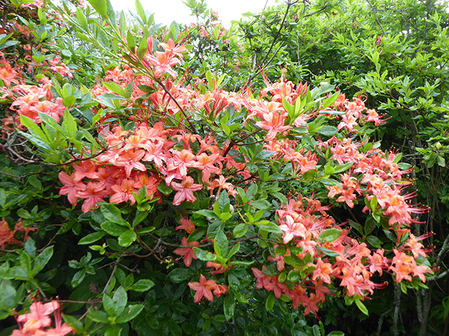
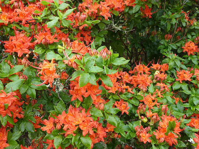
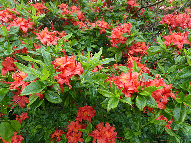
Our trip was timed for watching synchronous fireflies (Photinus carolinus), blooming flame azaleas (Rhododendron calendulaceum), mountain laurels (Kalmia latifolia) and even some rhododendrons (Rhododendron maximum). The weather was warm and humid, but only a few hours of continuous rain. Hike completed in 2018: from Elkmont to Tremont by car ➜ Spence Field 110 ➜ Mollies Ridge 112 ➜ Sheep Pen Gap 13 ➜ Spence Field 110 ➜ Derrick Knob 109 ➜ Marks Cove 28 ➜ Tremont West Prong trailhead. 88 km, total elevation gain 4000 m, 415 – 1684 masl.
We had good time hiking in Smokys, this time and in 2015 ☞ Mammoth Cave & Smoky Mountains. We enjoyed shorter side-walks as well and altogether walked 143 km, 6.8 km total ascent, on 3 longer trails including two multi-day hikes (map).
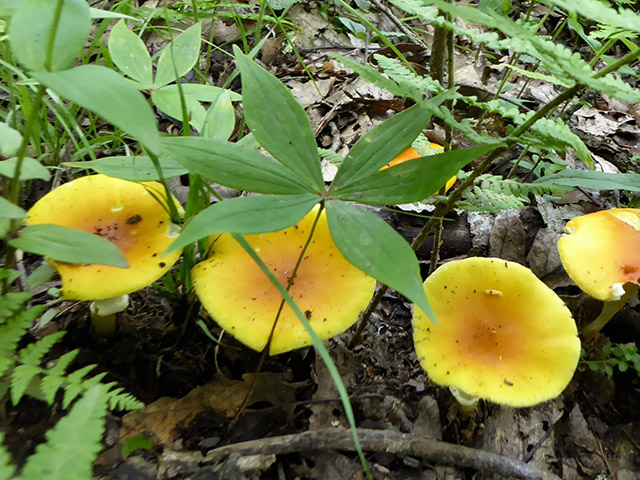
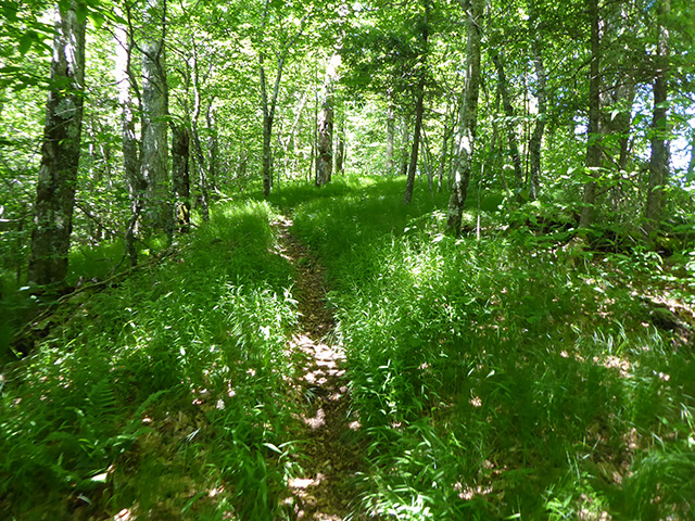
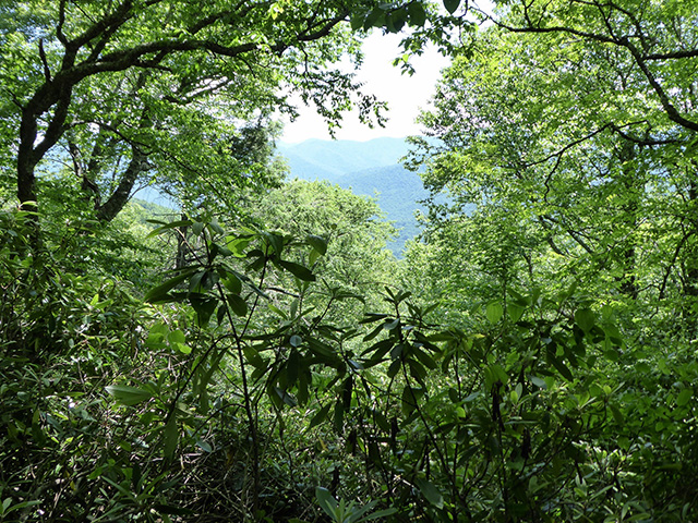
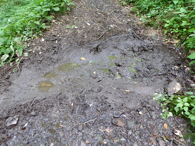
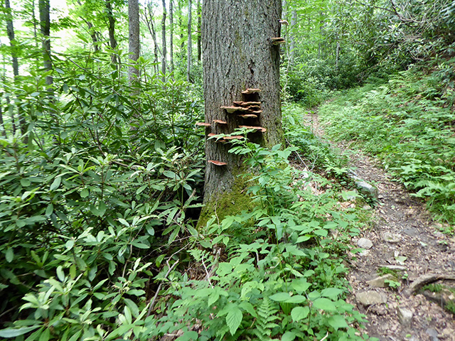
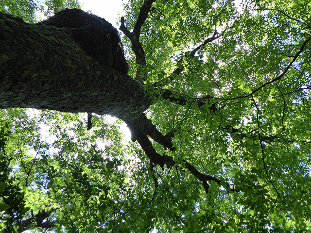
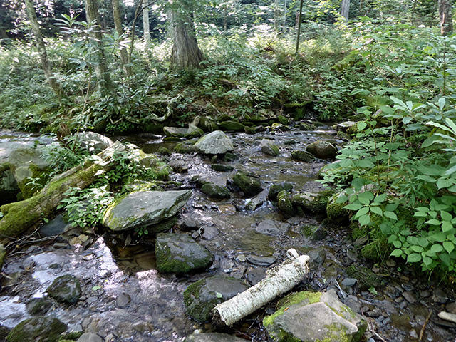
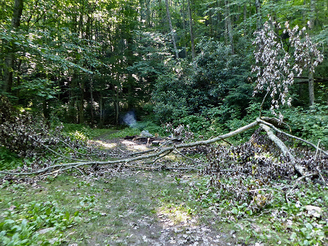
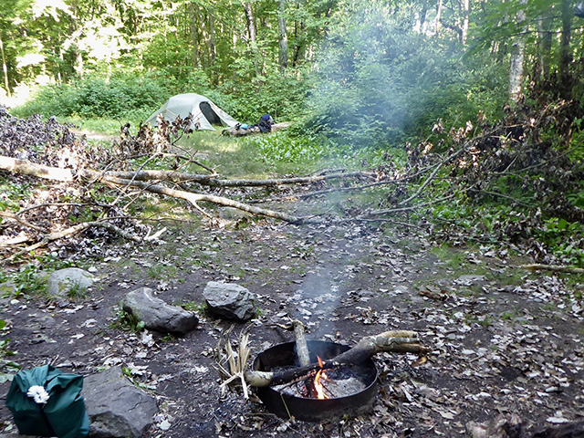
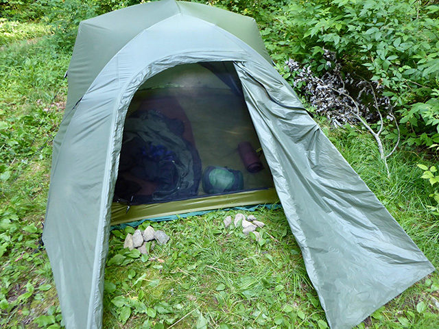
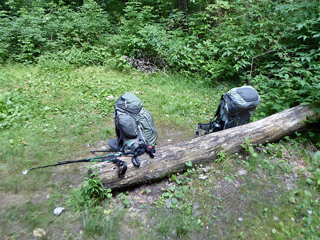
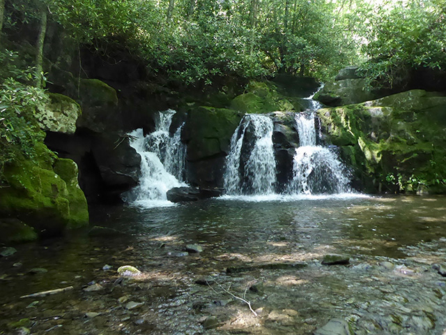
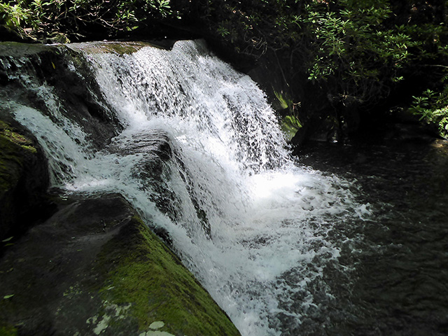
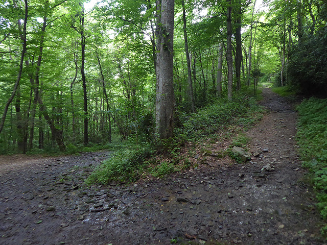
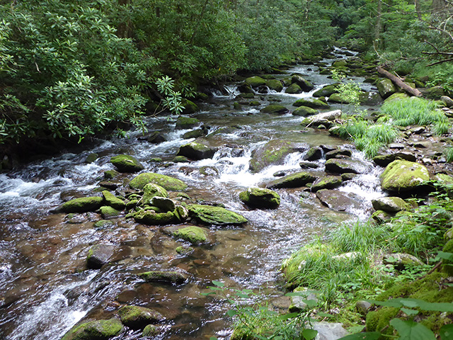
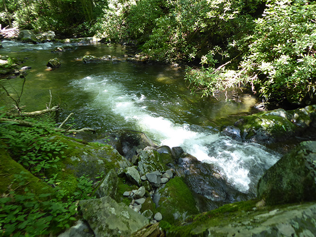
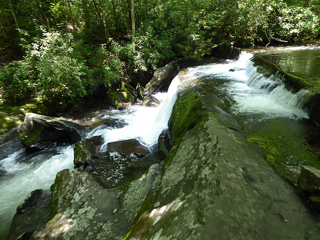
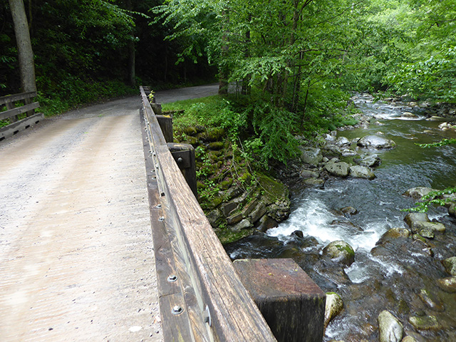
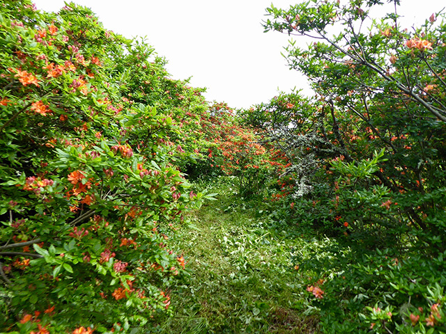
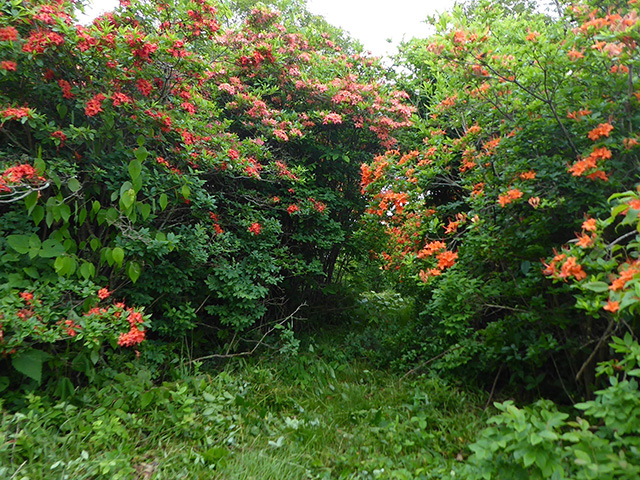
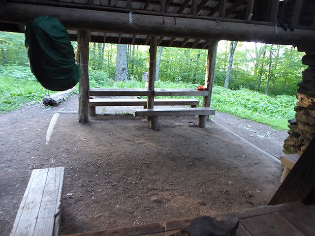
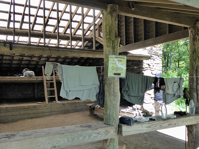
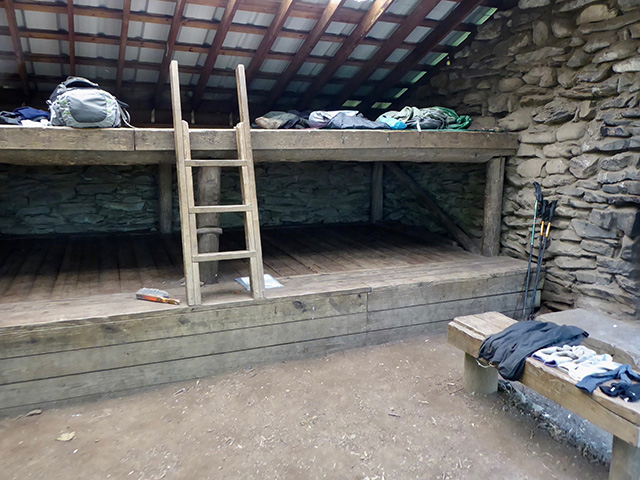
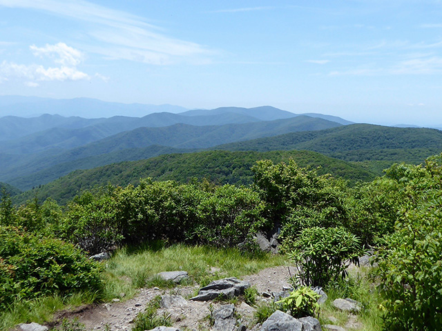
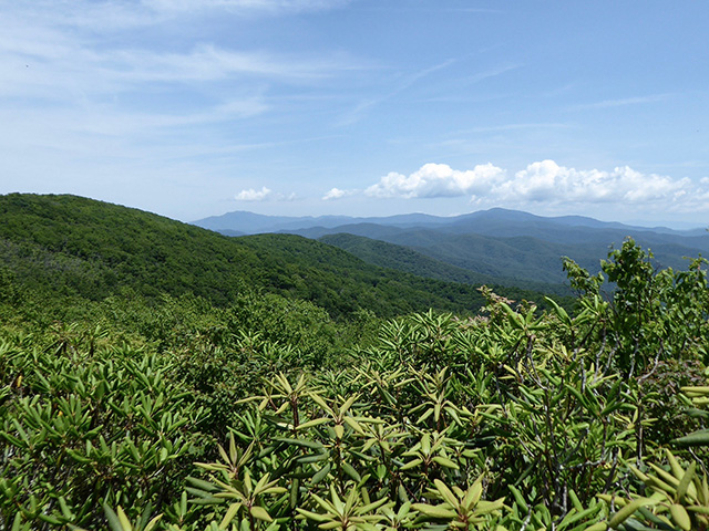
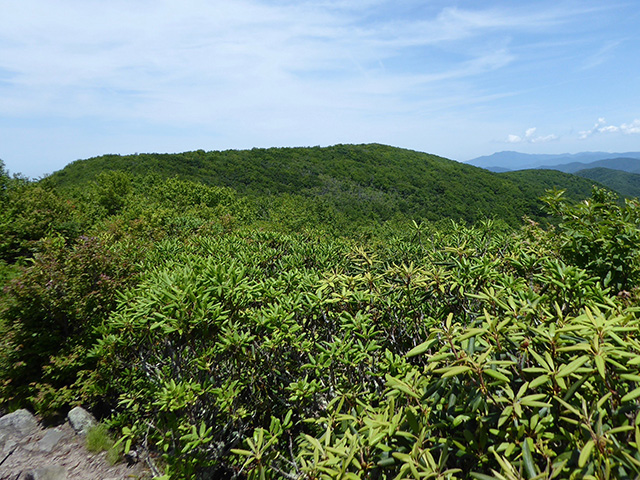
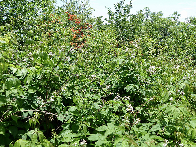
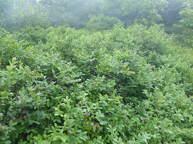
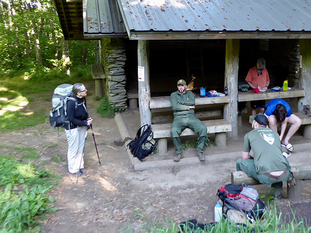
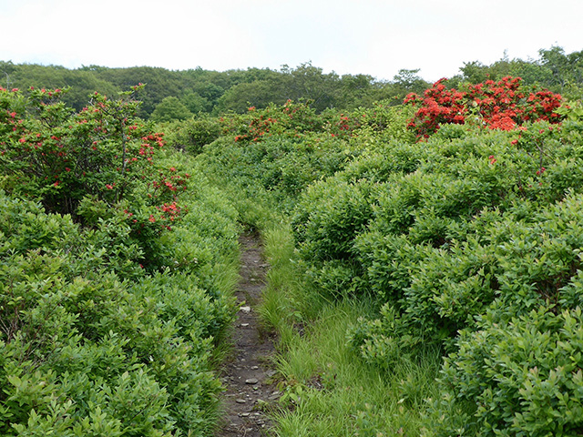
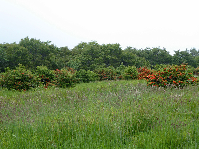
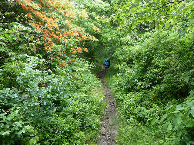
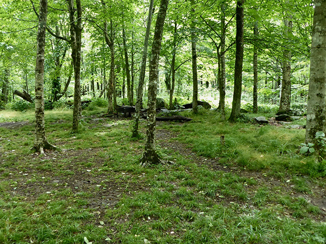
 From Tremont West Prong trailhead
Great Smoky Mountains loop from Tremont/West Prong trailhead. 88 km, total elevation gain 4000 m, 415 – 1684 masl.
Click on wikiloc logo to see more details
Elkmont loop
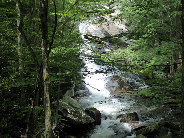
Elkmont campground-Little River trail-Cucumber Gap trail-Jakes Creek trail-Elkmont resort, 10.5 kmClick on wikiloc logo to see more details
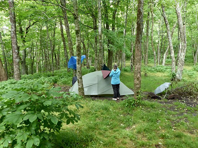
 Hiking in Smoky Mountains
☞ Hiking in the Smoky Mountains
☞ Smoky Mountains NP trail map
 Smoky Mountains video clips