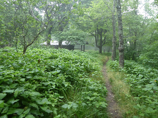
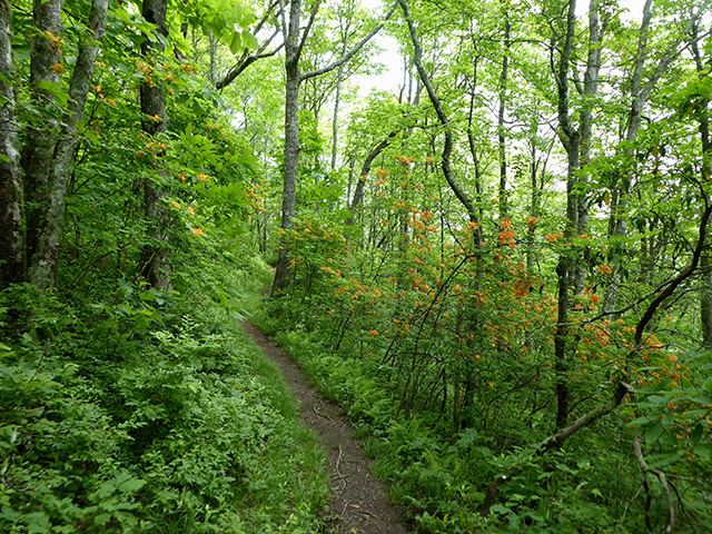
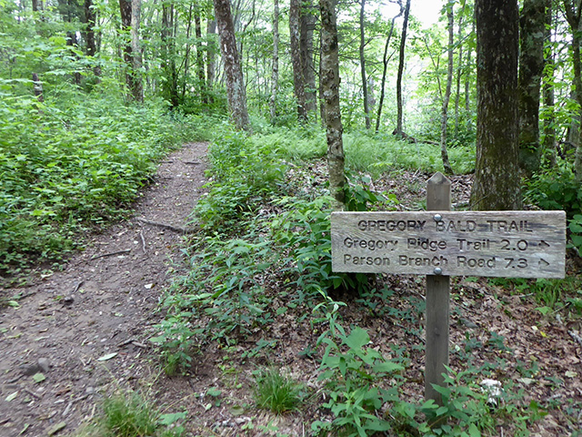
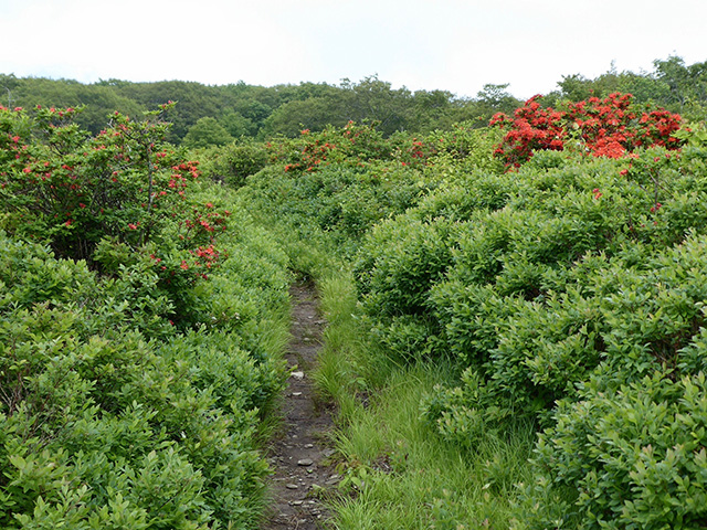
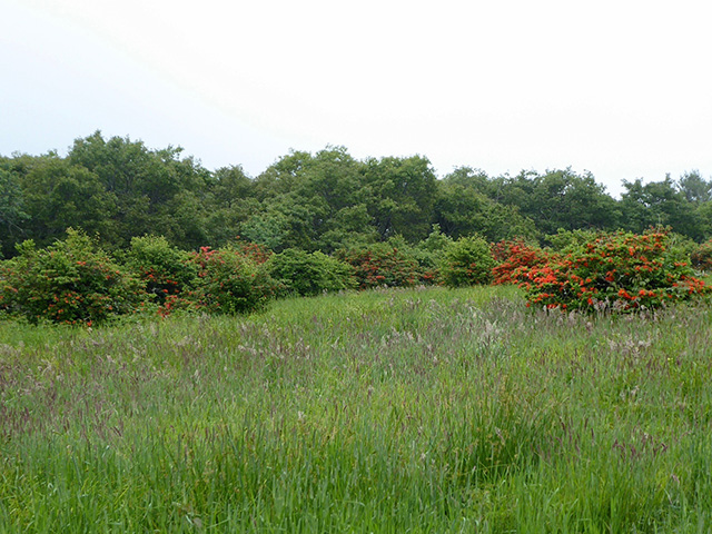
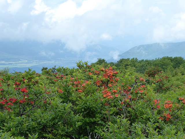
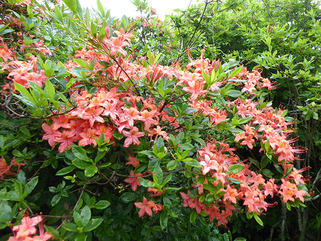
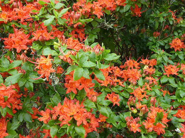
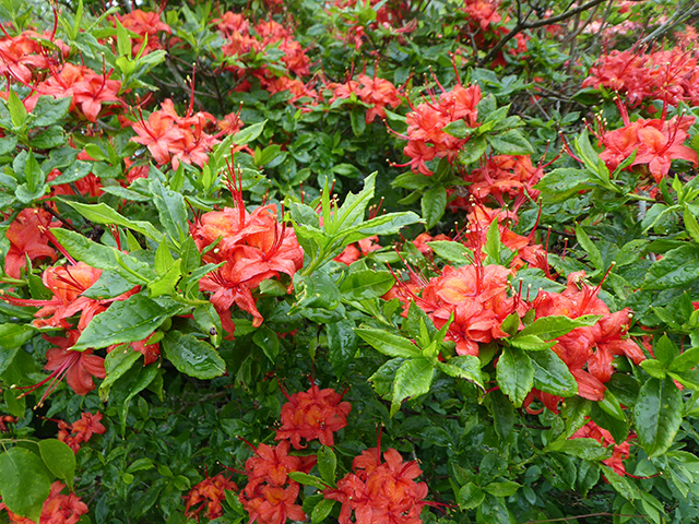
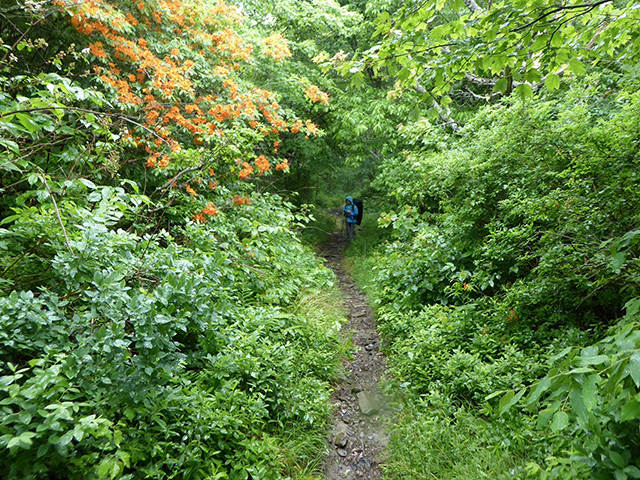
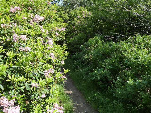
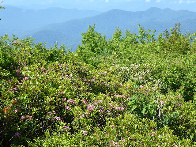
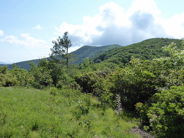
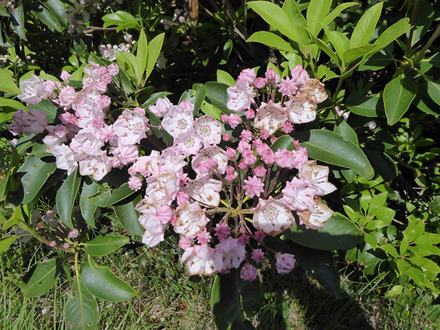
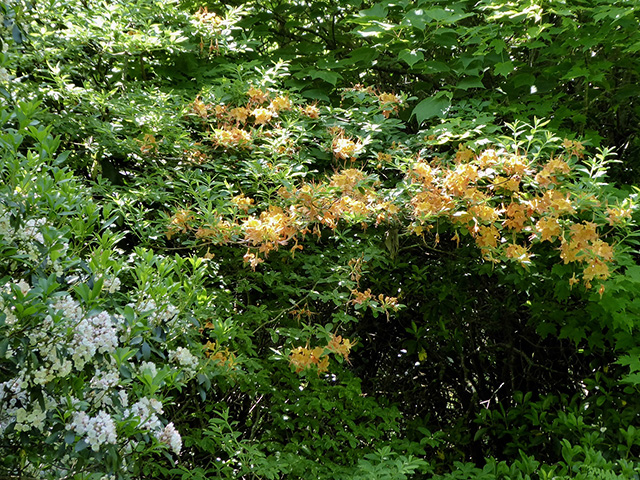
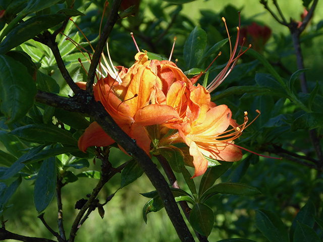
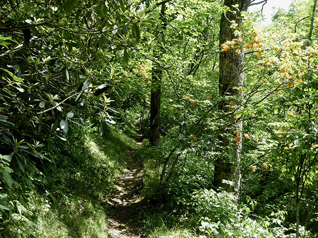
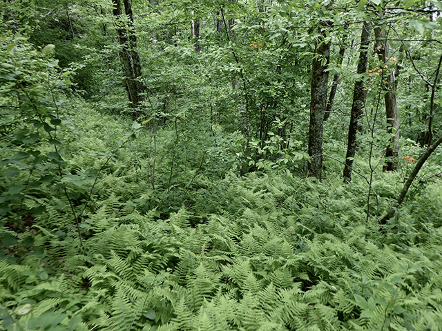
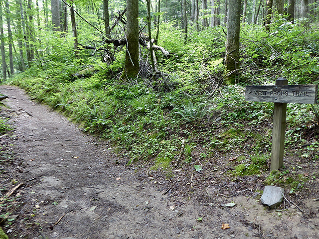
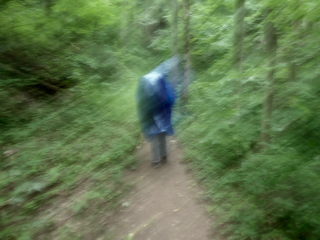
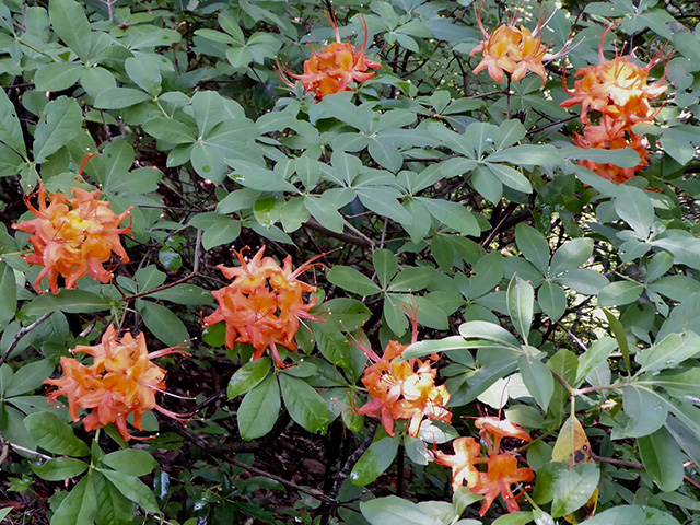
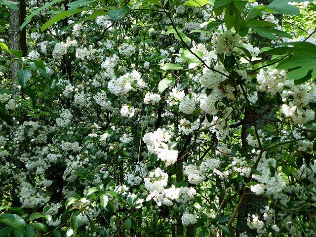
Our trip was timed to see blooming azaleas on Gregory Bald, one of two balds in the park managed to promote azalea growth. Another easy day, 10 km 500 m total altitude gain. We had some light rain/fog and a bit of Sun. Walking through azalea labyrinth was exceptional experience, colors ranging from pink to orange to red, more like visit to botanical garden.
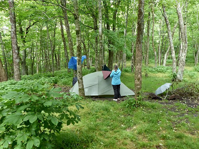
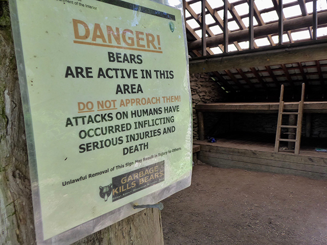
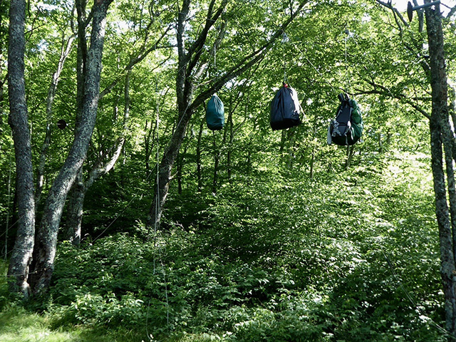
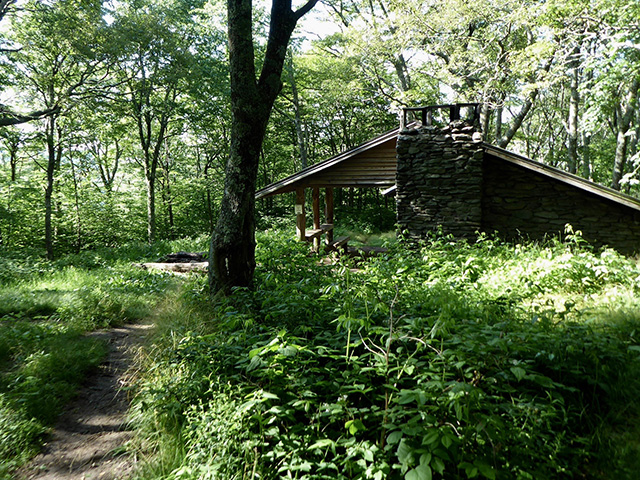
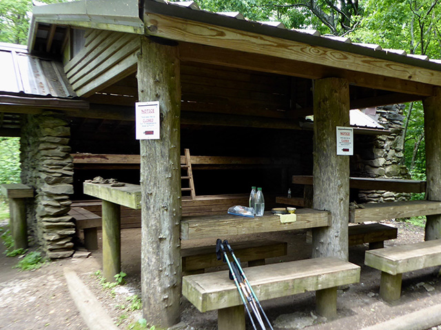
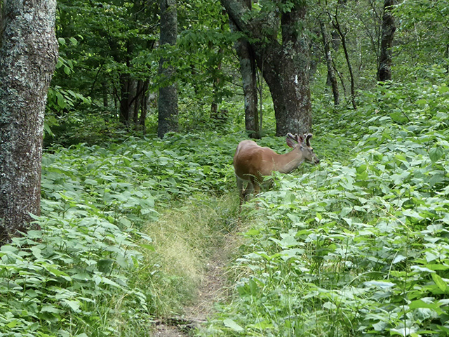
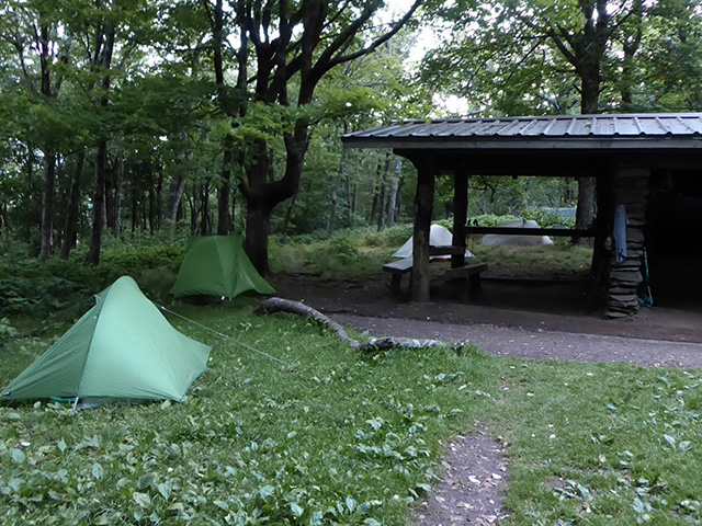
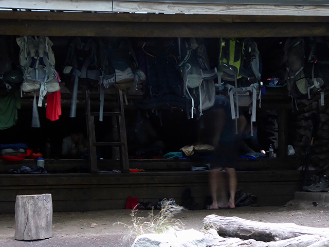
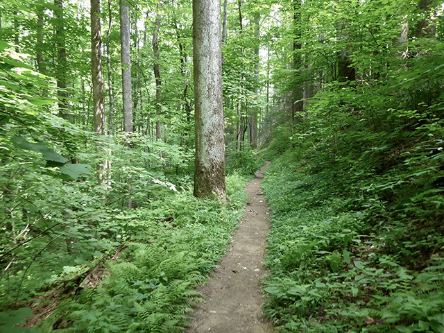
There is no big problem with invasive plants here competing with native azaleas, but population of wild boar (invasive in Appalachia) has to be actively managed. We saw many signs of wild pig activity. At Sheep Pen Gap campsite, we pitched our tent when the rain stopped and were getting ready to cook dinner when a strange noice coming from the forest prompted closer investigation: bear was passing down the slope behind our tent (Joanna saw cub too). We spent an hour looking around, but she never came back. Large group of hikers arrived around 10 pm, so we had numbers to relax and sleep.