May 21-May 24
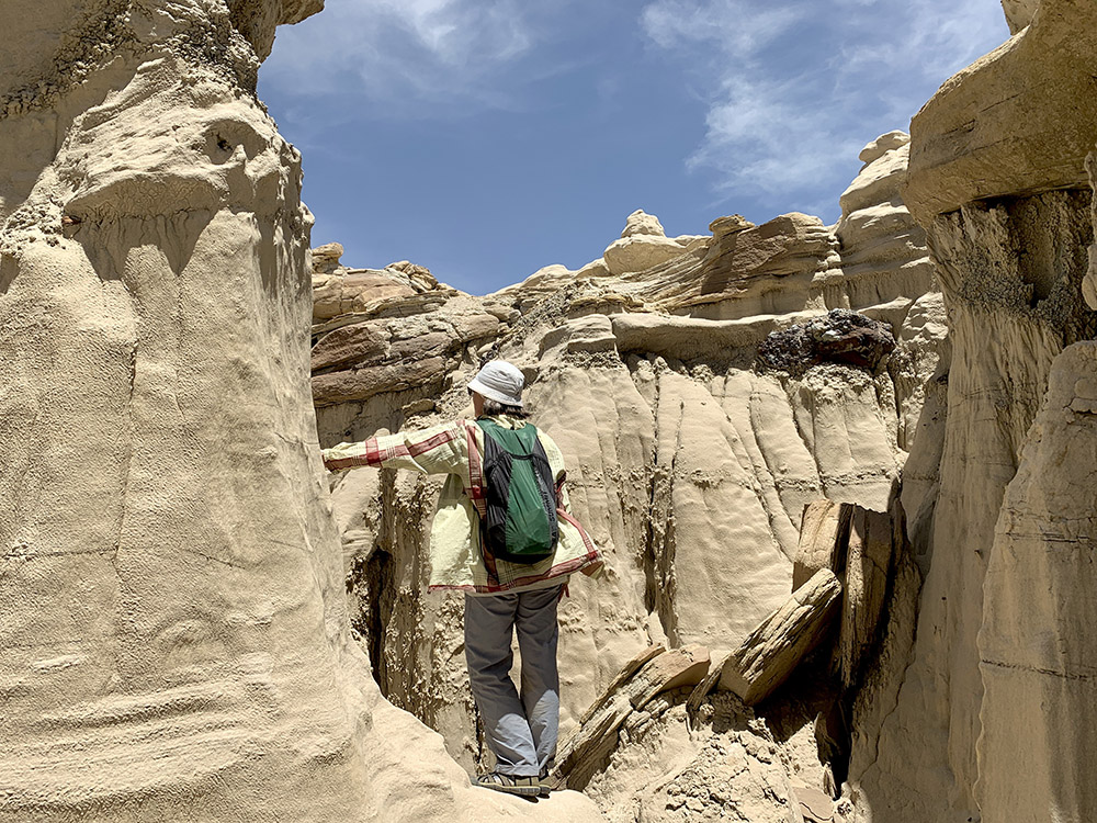
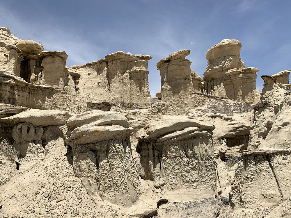
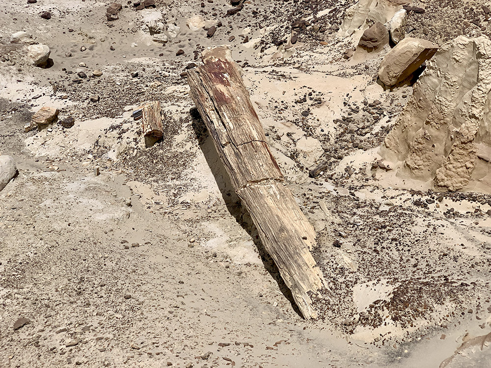
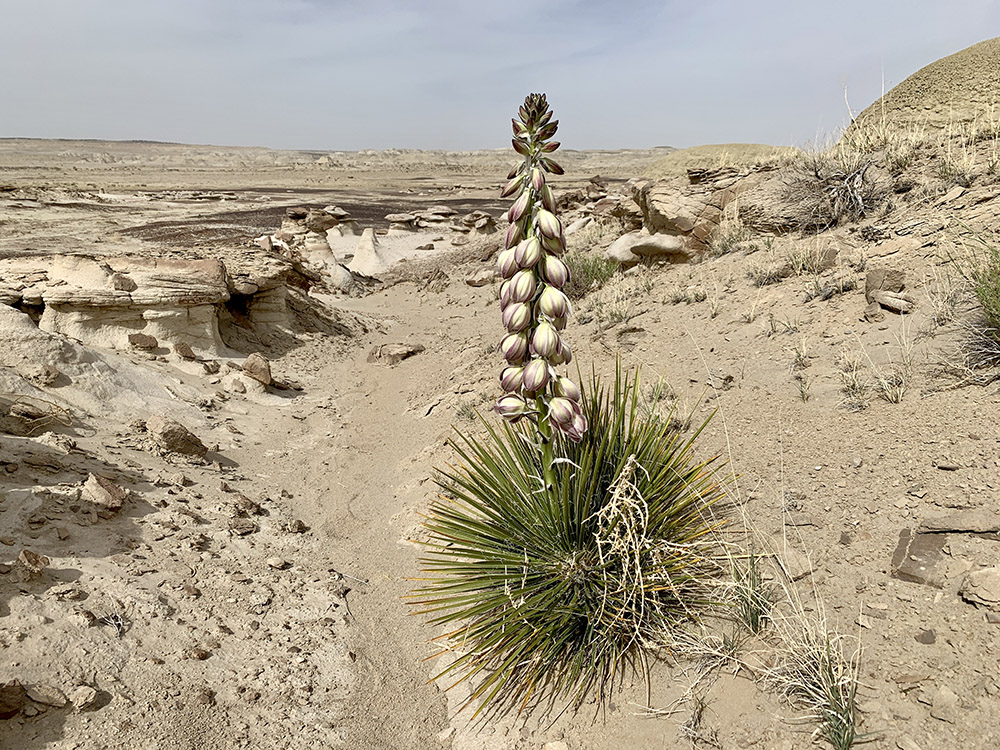
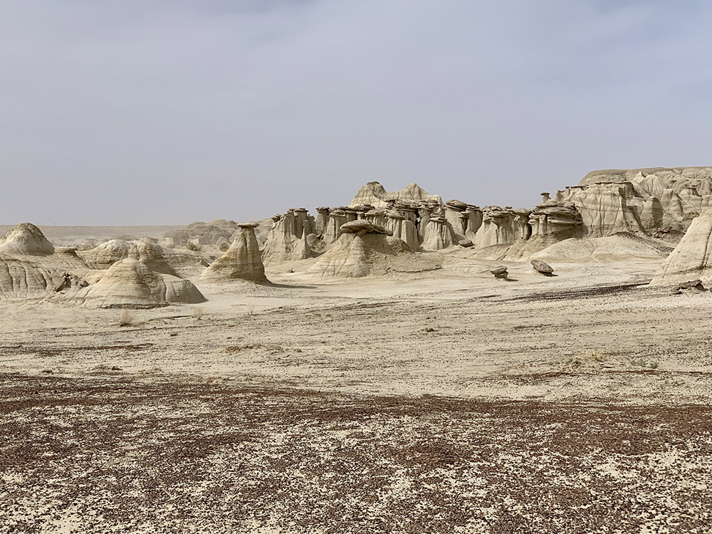
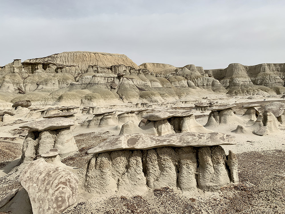
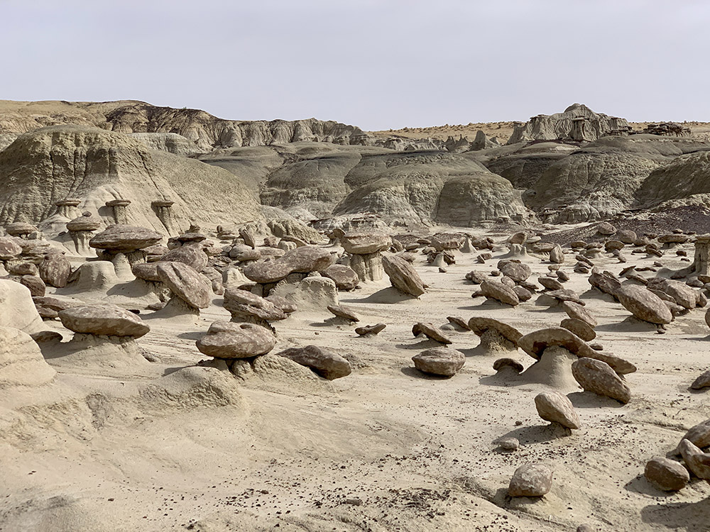
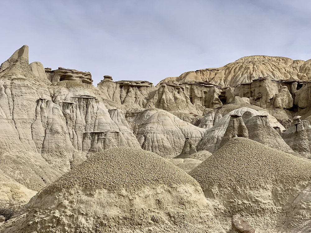
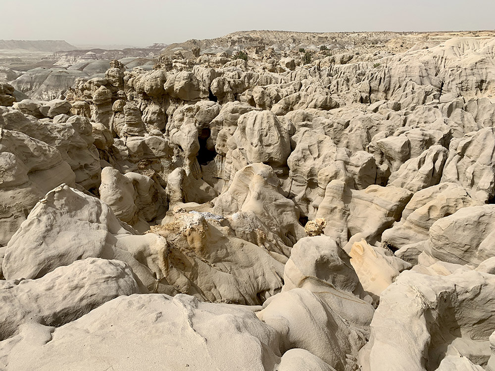
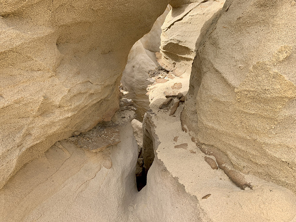
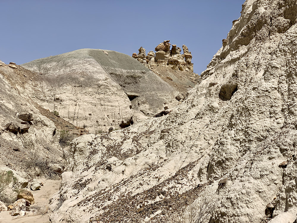
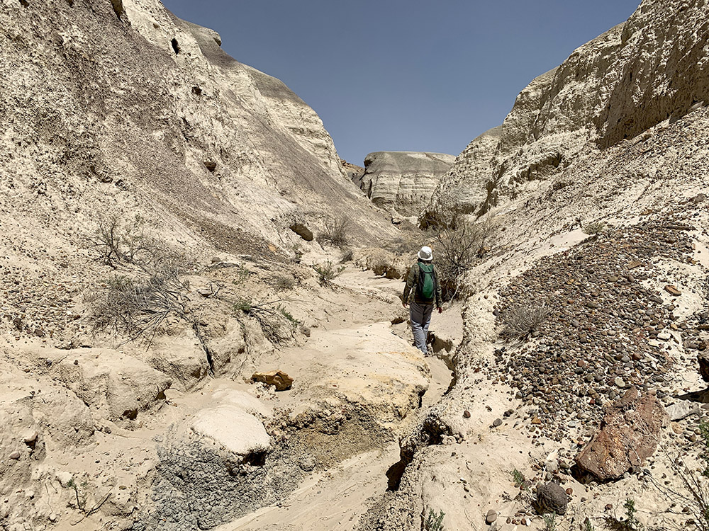
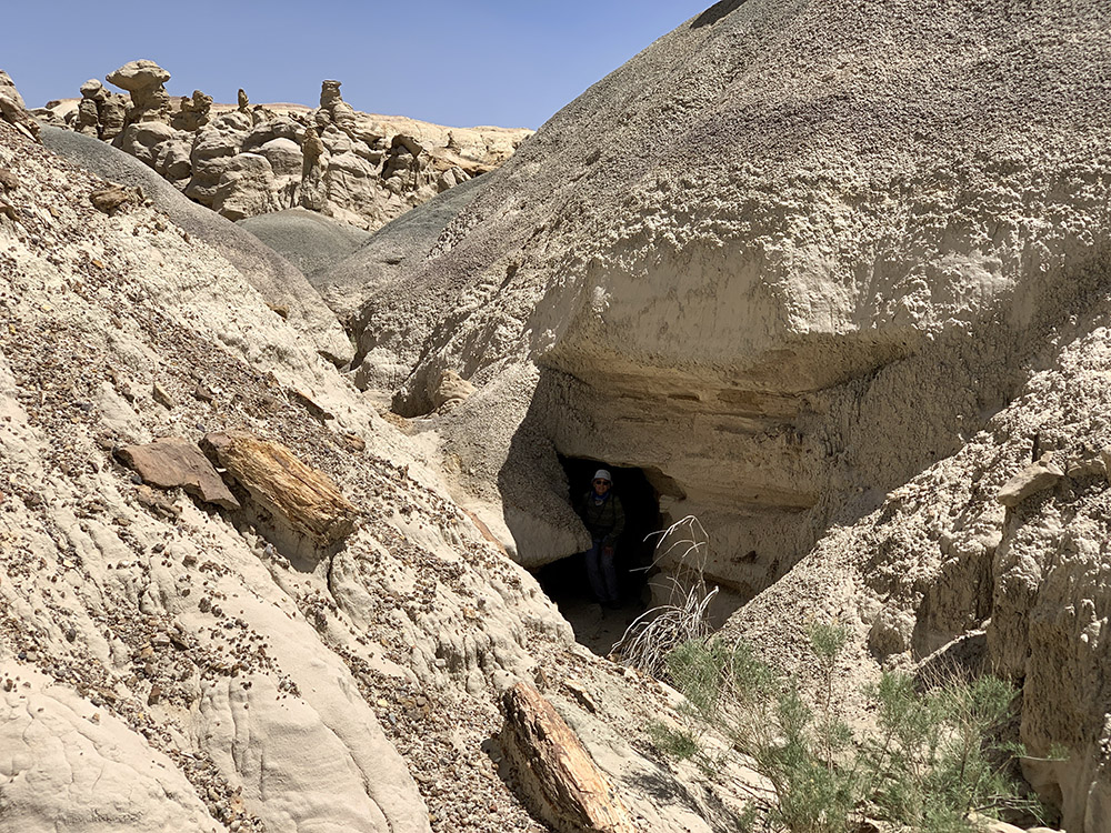
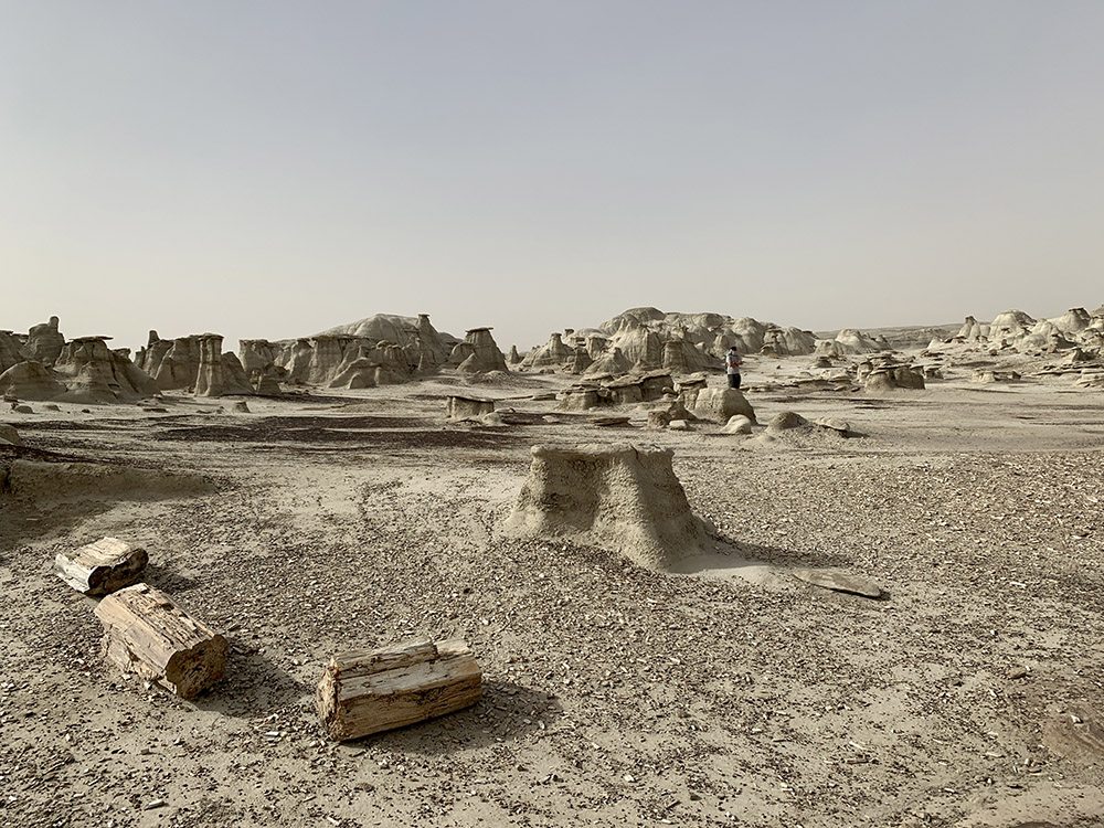
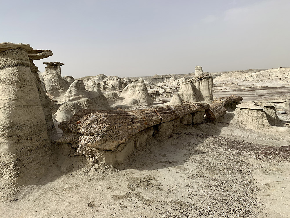
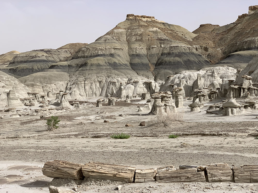
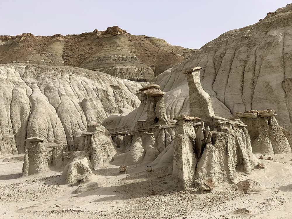
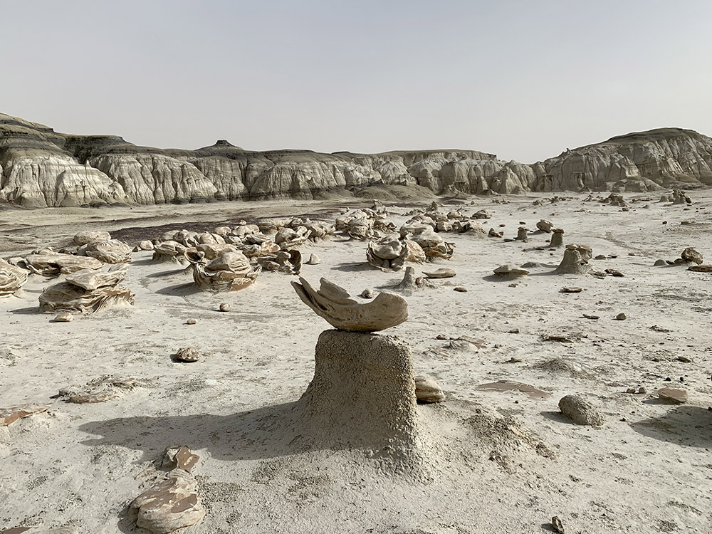
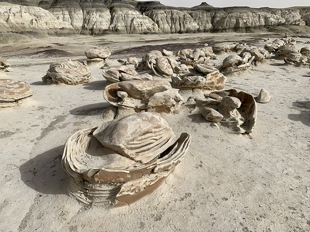
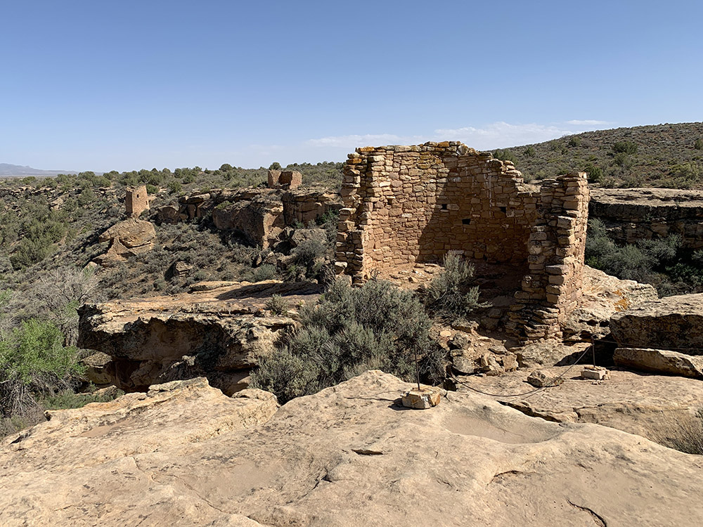
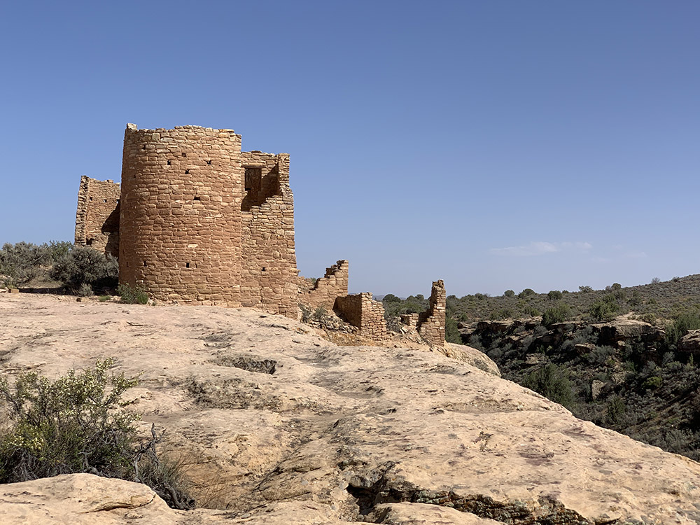
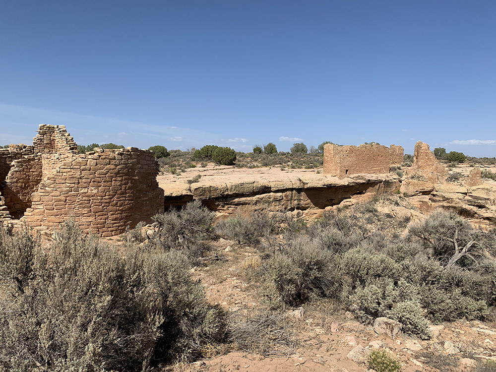
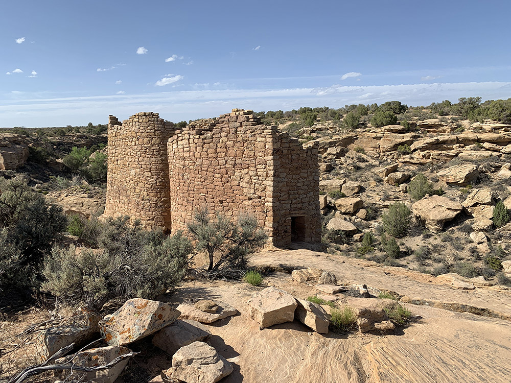
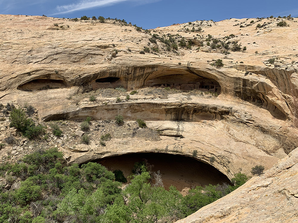
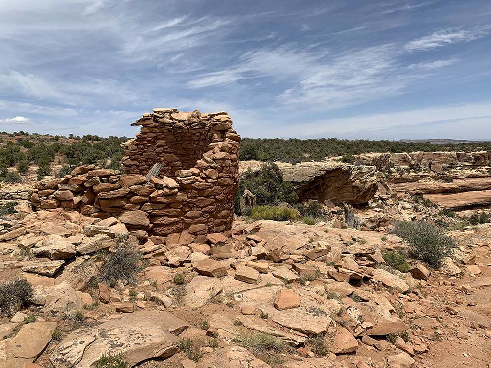
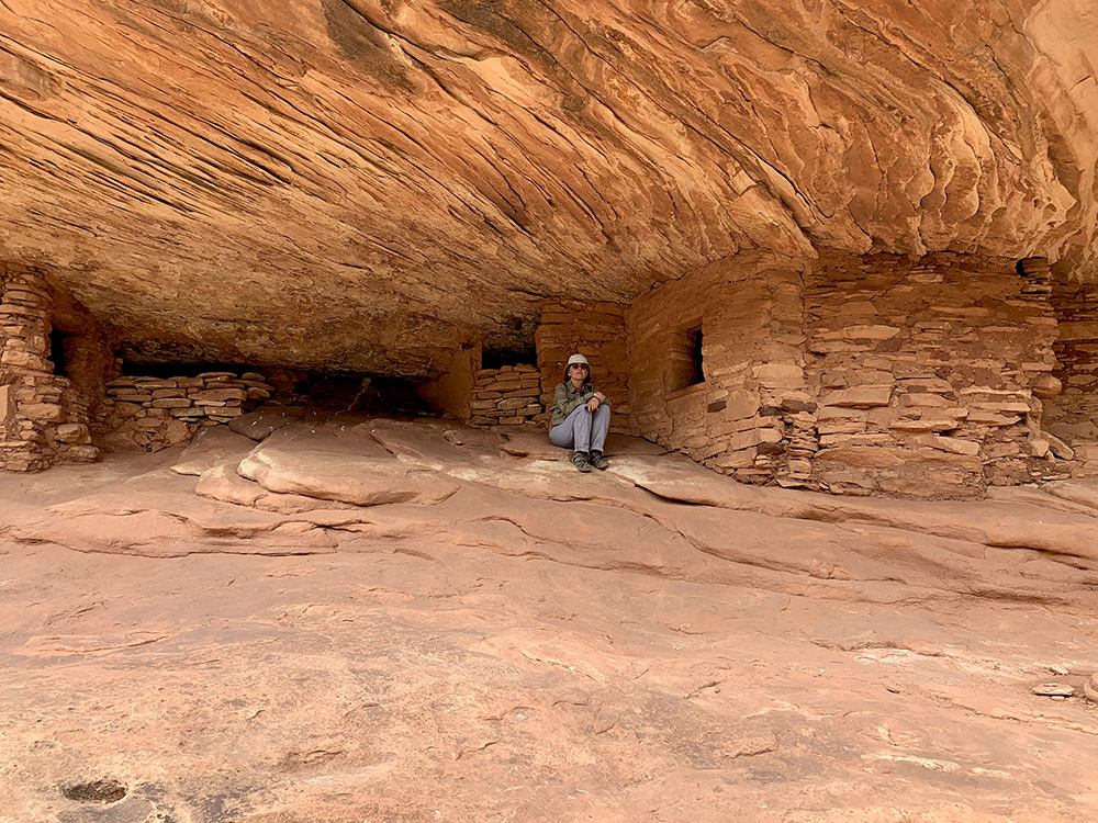
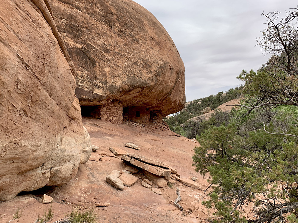
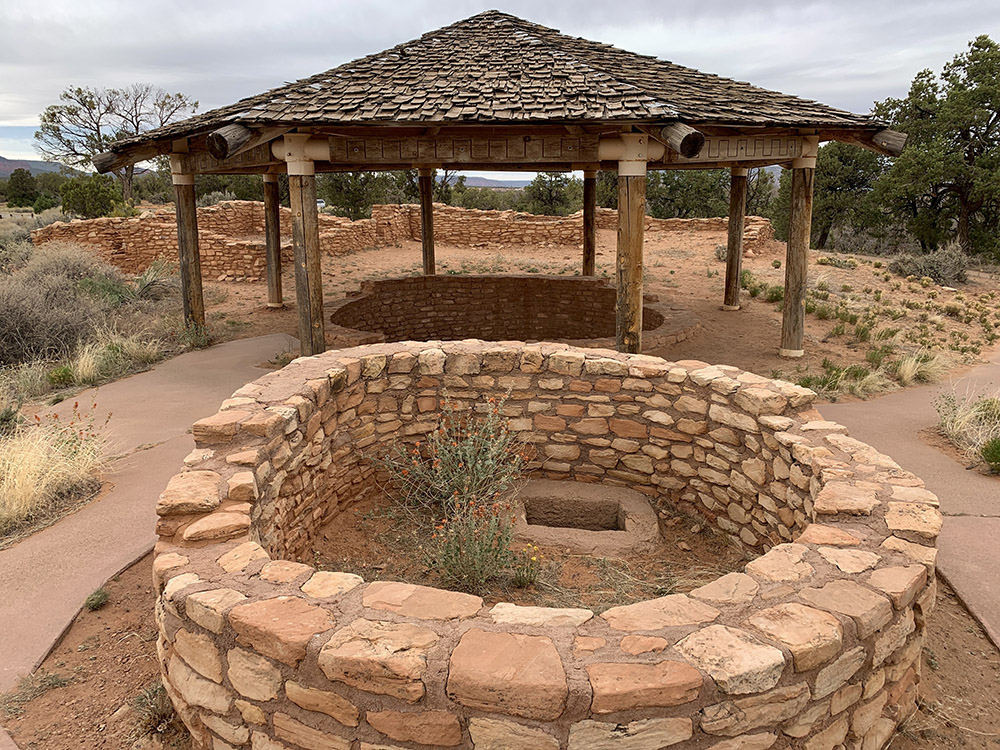
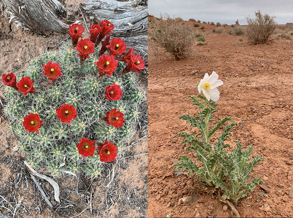
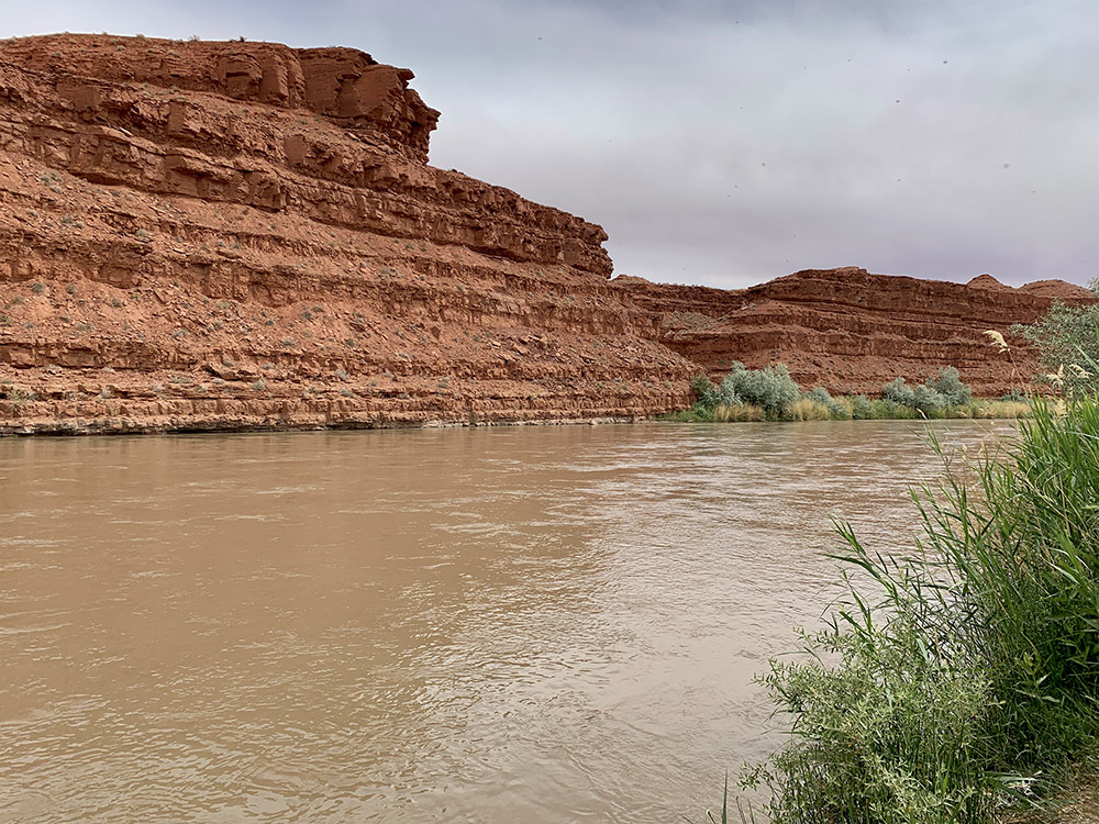
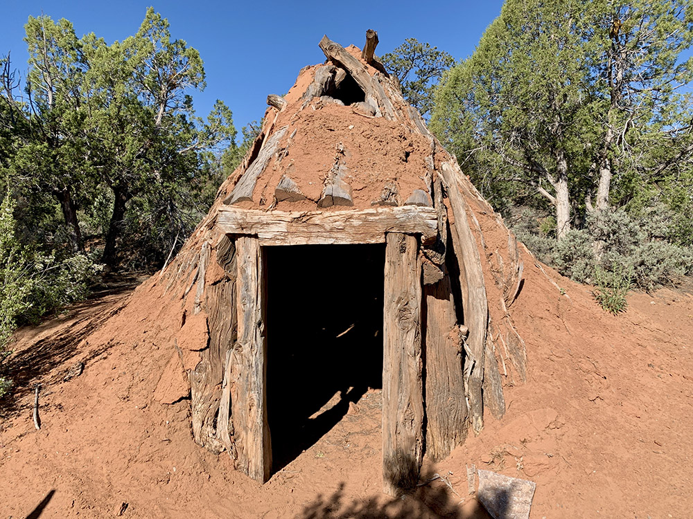
When we decided to go to El Malpais and El Morro we also decided to skip Petrified Forest NP (we saw many petrified trees on previous days) and head north from Farmington to Utah instead. We made a small detour to “Four Corners” and drove through four states in an hour: NM, AZ, CO and UT. We arrived at ☞ Hovenweep NM early enough to walk 2-mile loop around small canyon dotted with ruins of Ancient Puebloan villages (towers) on top of the cliffs. These ruins are from later period, 1200-1300 AD. Next morning we were ready to visit more historical sites along Hwy 95: ☞ Butler Wash (short walk to ruin overlook), ☞ House on Fire (3-mile walk), ☞ Cave Towers (short, very bumpy unmarked drive behind closed but unlocked gate and 2-mile walk) and ☞ Mule Canyon Roadside Kiva (ruins just off the highway). There are many more scattered ruins and hiking trails everywhere in ☞ Bears Ears NM. House on Fire was the highlight, as you can walk close to the houses and peek inside. Topography is also very interesting because pueblos were build in or above canyons, close to seasonal water. We saw many spring flowers and some animals (e.g. 2 large snakes). Hovenweep had surprisingly many people, but other sites very few.
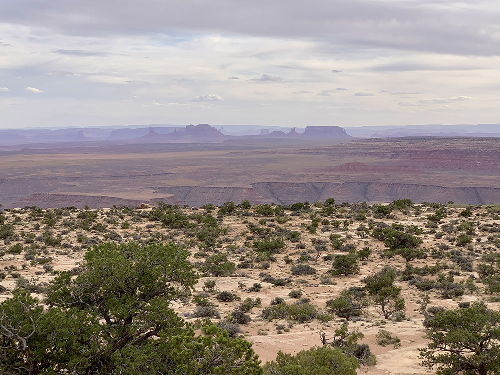
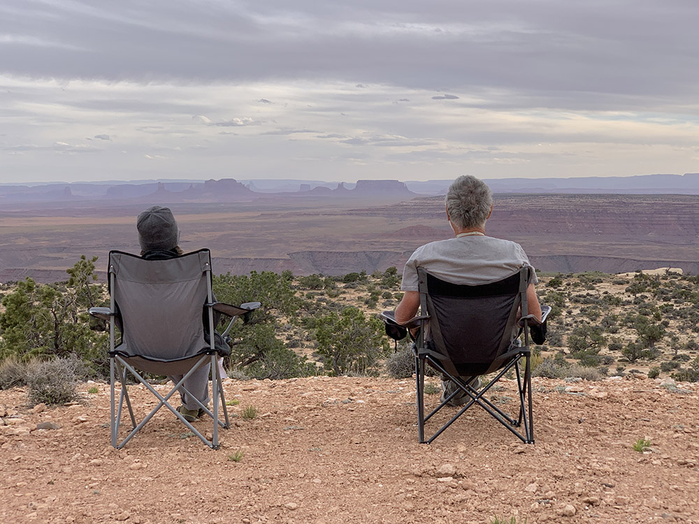
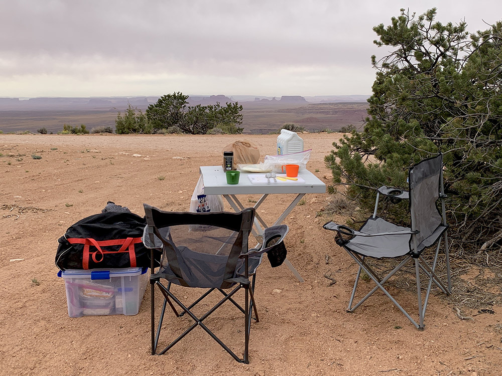
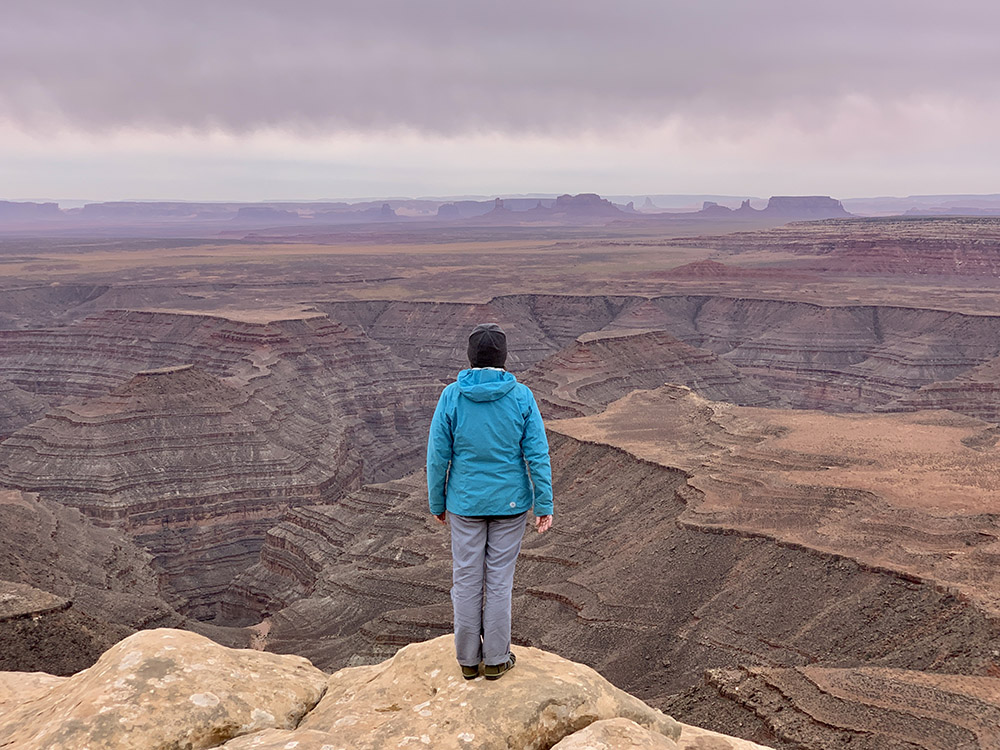
We made it to dispersed camping at Muley Point (Glen Canyon NRA) on top of Cedar Mesa in time for good evening views of San Juan River Canyon, just at our feet, and Monument Valley on the horizon. This was the best camping spot so far, there were 2 other families camping in the area, but very far from us. Views were amazing. It became quite windy in late evening. We were glad we parked behind some bushes and not on the windy canyon edge. We enjoyed more great views from nearby Muley Point next morning after breakfast.
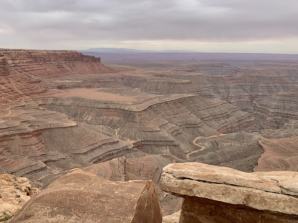
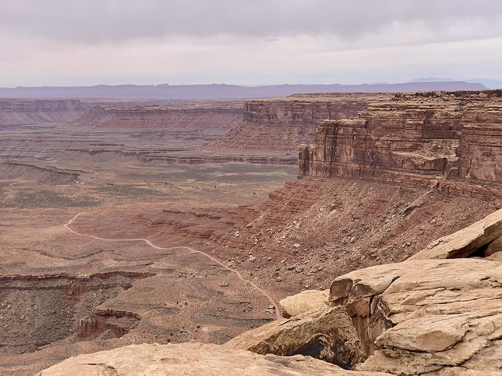
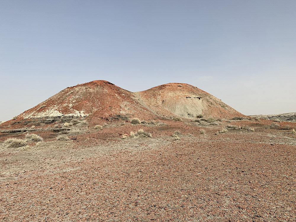
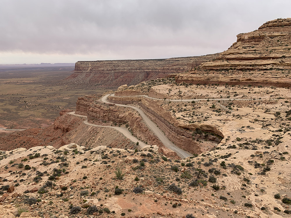
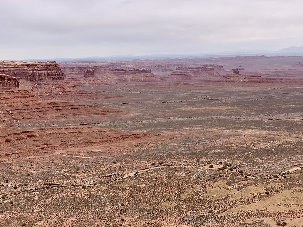
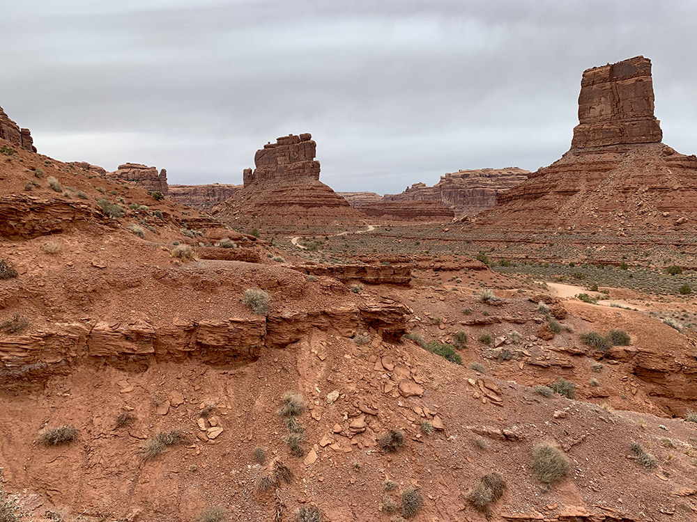
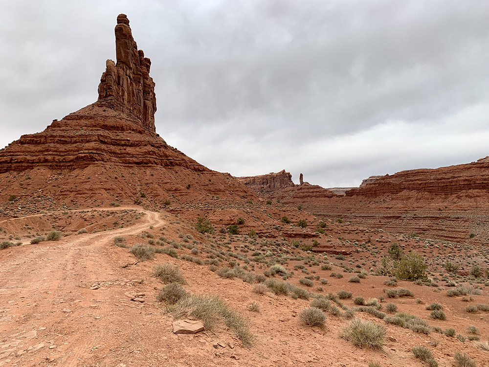
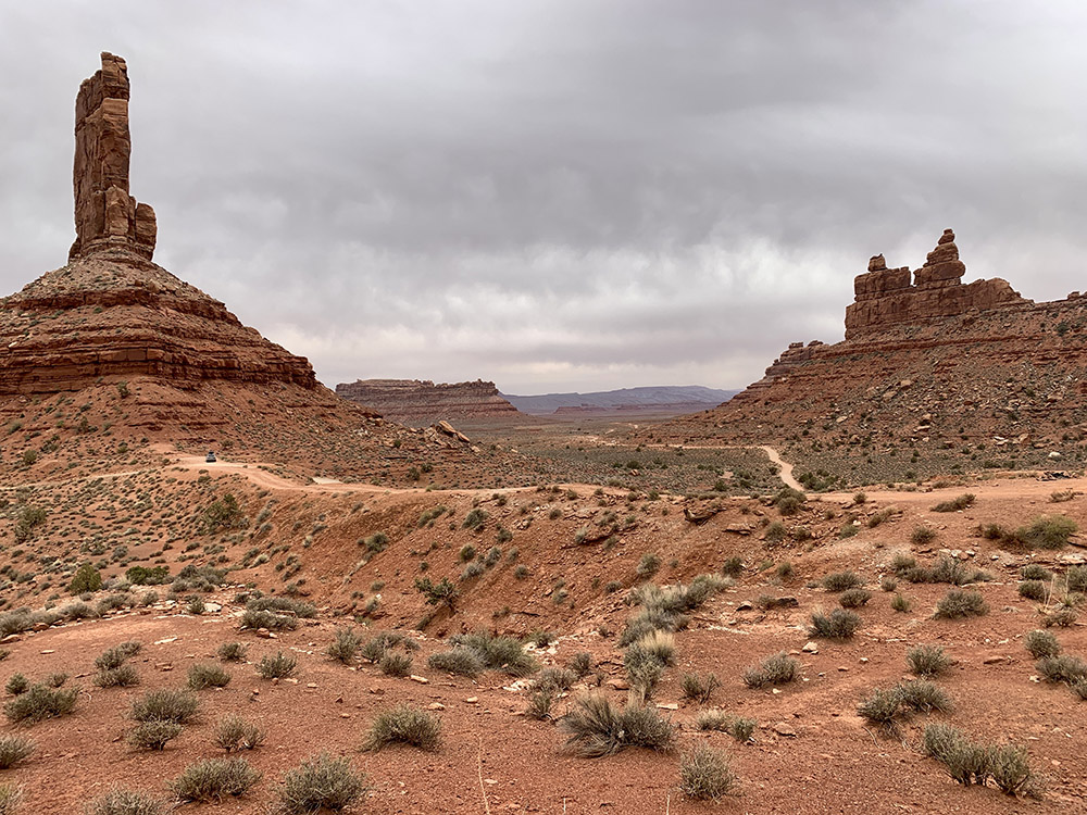
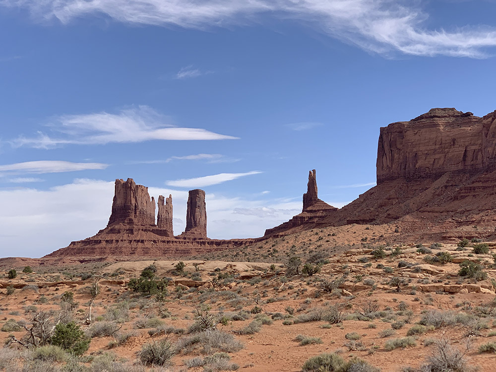
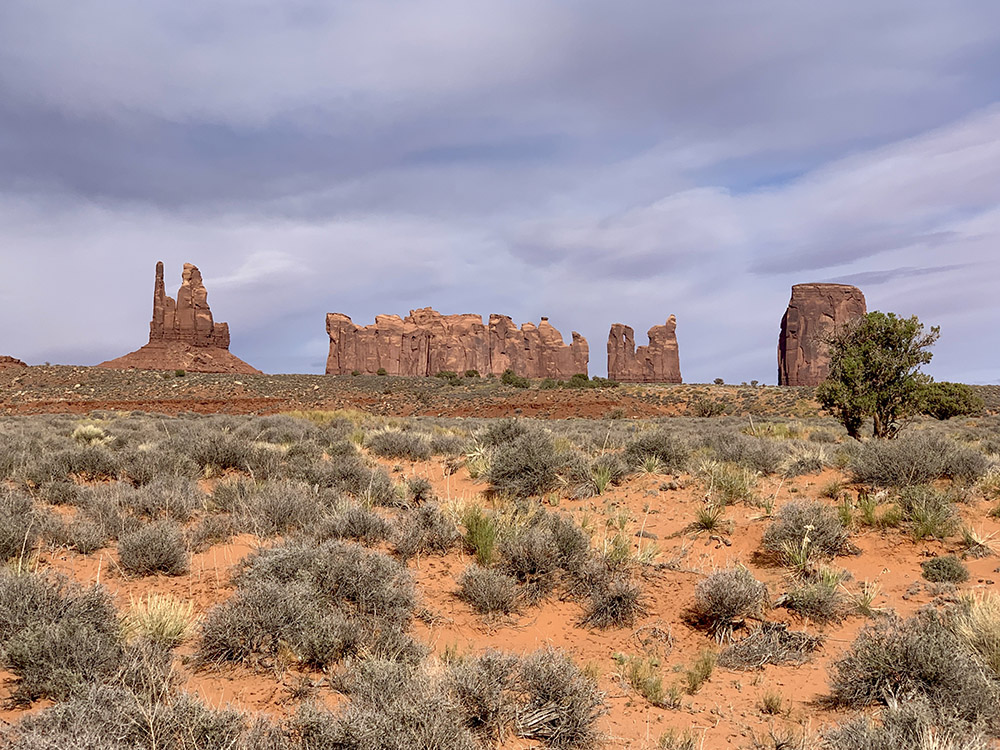
From top of Cedar Mesa (250 million year old permian sandstone) we dropped 400 m down snaking ☞ Moki Dugway (Rt 261) to Valley of the Gods – 17-mile unpaved loop meandering between interesting rock formations carved in the mesa. We drove slowly and stopped a few times to walk around the base of Rudolf and Santa Clause and up above the road near Castle Butte. Valley of the Gods is like a miniature Monument Valley, but the word about it is out and it is becoming popular – there were quite a few cars around. We then stopped for lunch at boat launch picnic site in Mexican Hat and drove by Monument Valley NM (we already visited it many years ago).
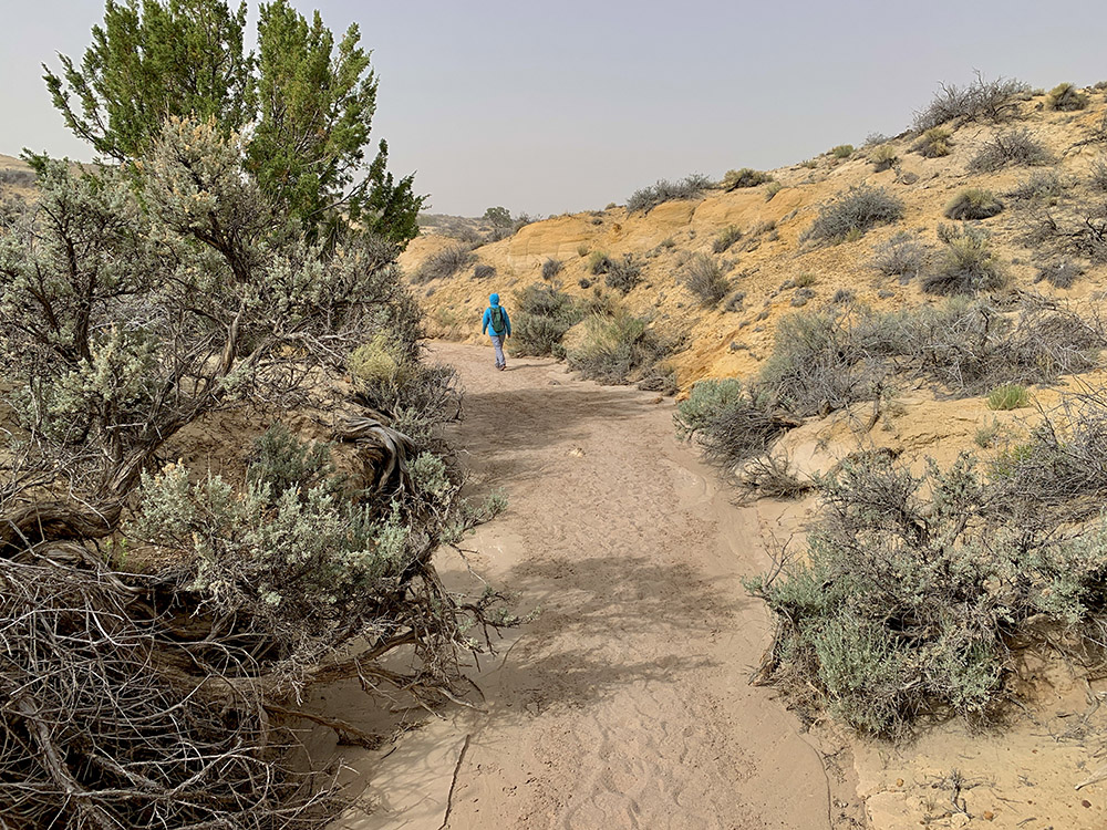
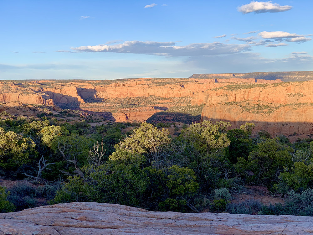
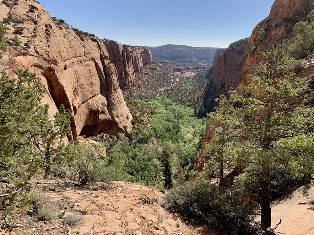
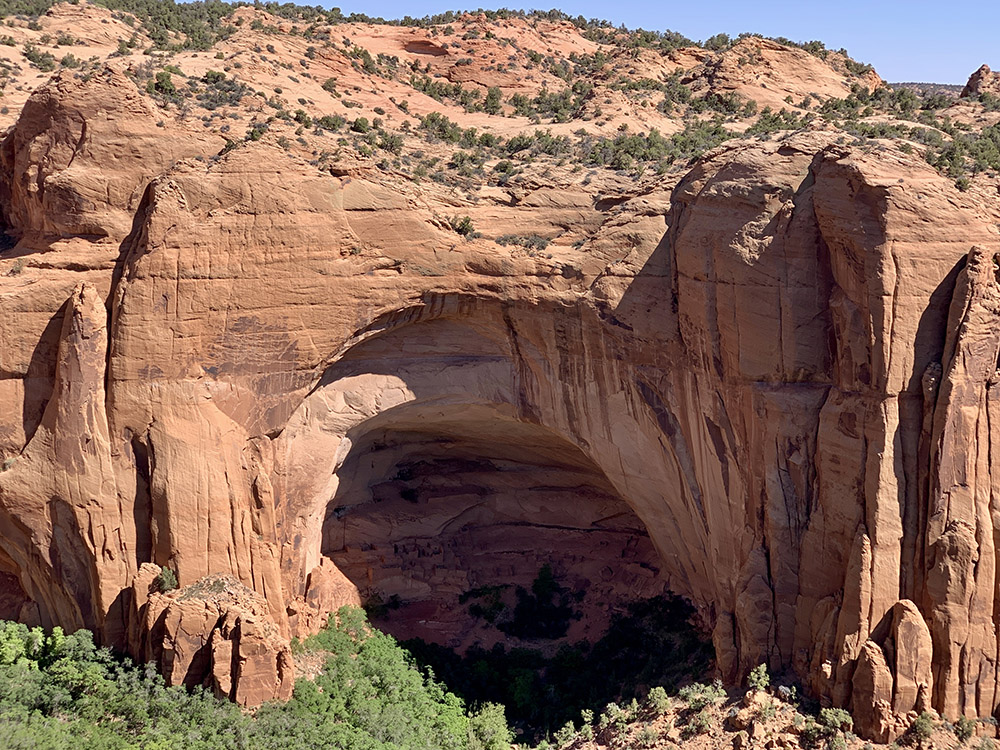
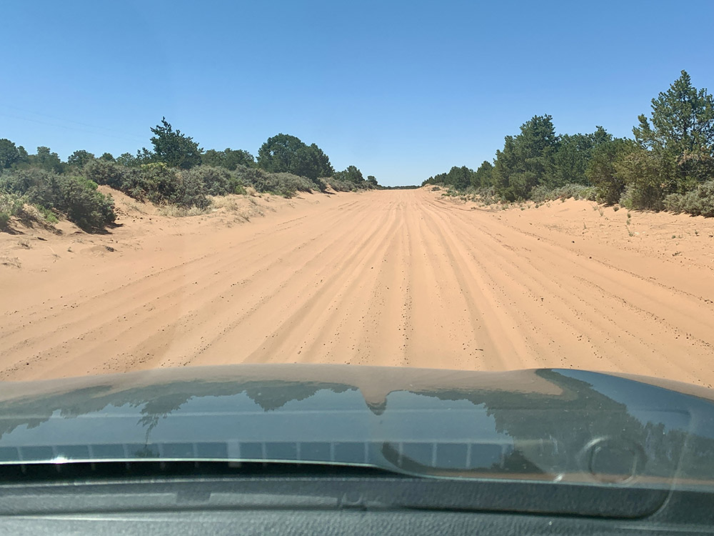
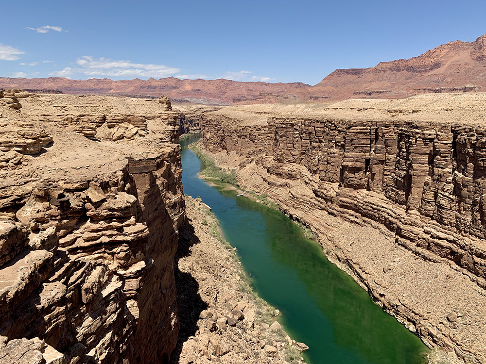
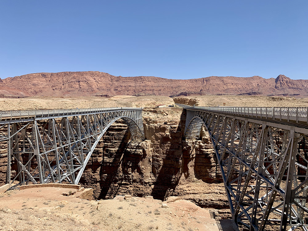
We found nice campsite at CanyonView Campground in ☞ Navajo NM, with panoramic views of the canyons from flat sandstone platform just a few steps away. One of the best organized campgrounds, and it was free! Next morning, we walked a couple of miles on three short trails: Aspen (towards canyon floor), Sandal (to Betatakin Cliff Dwellings overlook) and Canyon View (to historic ranger station). The rest of the day was just driving to Cliff Dwellers Lodge in Marble Canyon. We started on unpaved and sandy shortcut via Shonto (fun test driving) and later stopped at Navajo Bridge (Colorado River). We spent afternoon preparing for the hike next day and had good dinner on the eve of Piotr’s birthday.
 Resources