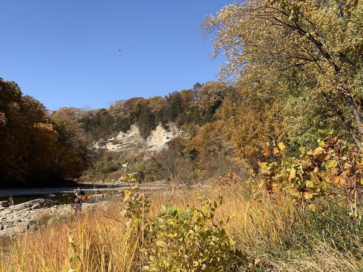
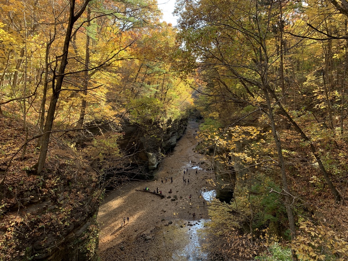
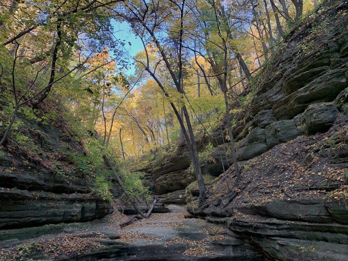
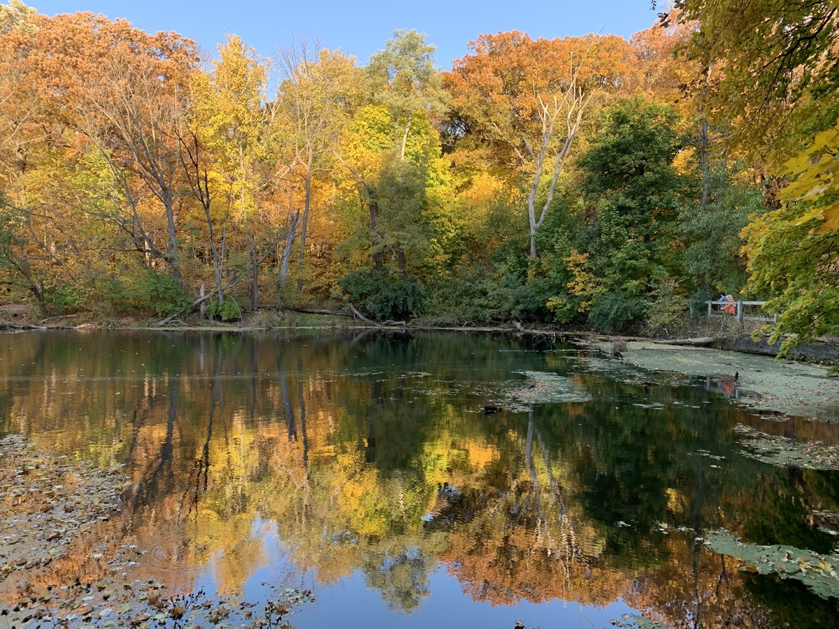
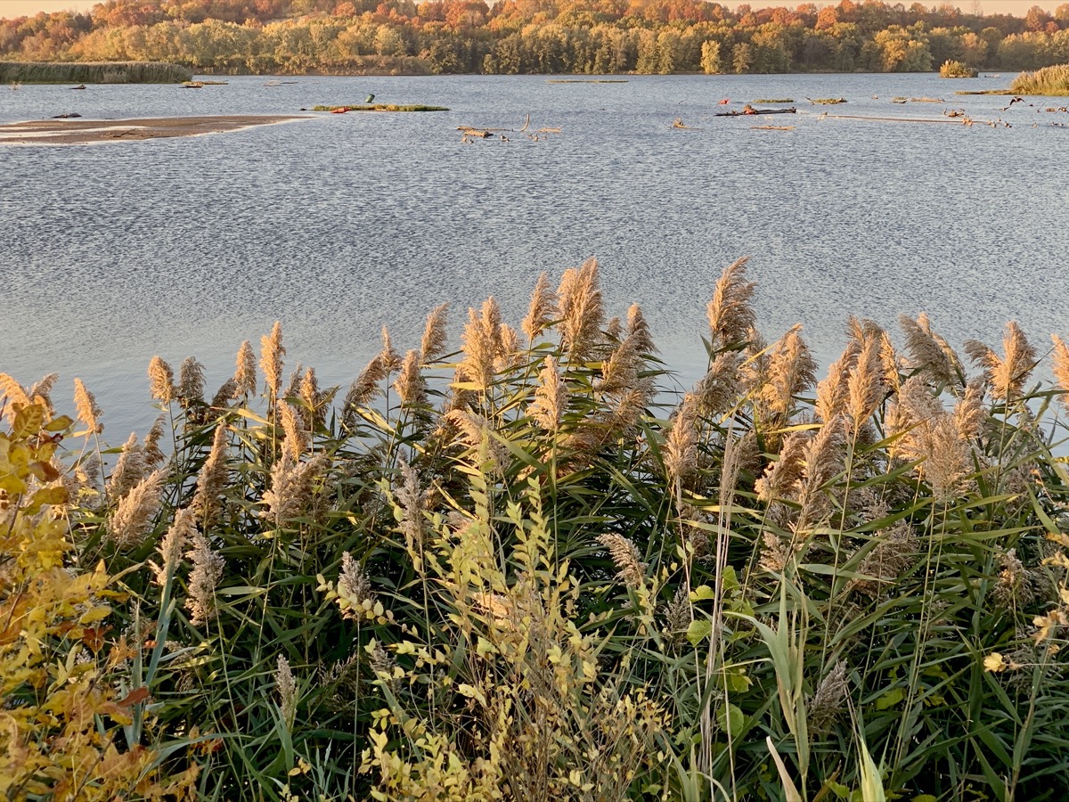
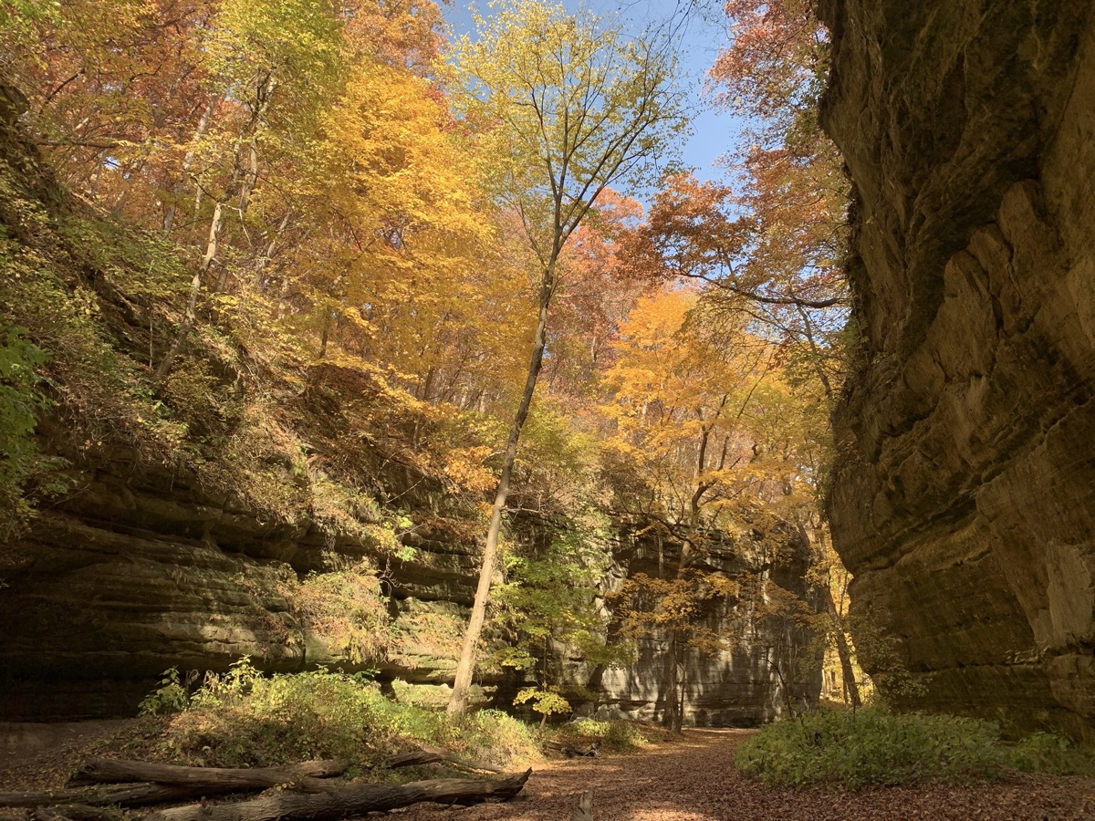
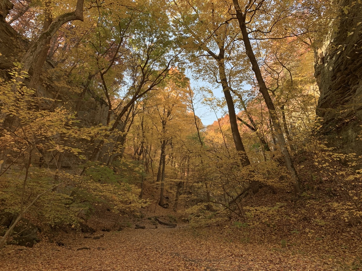
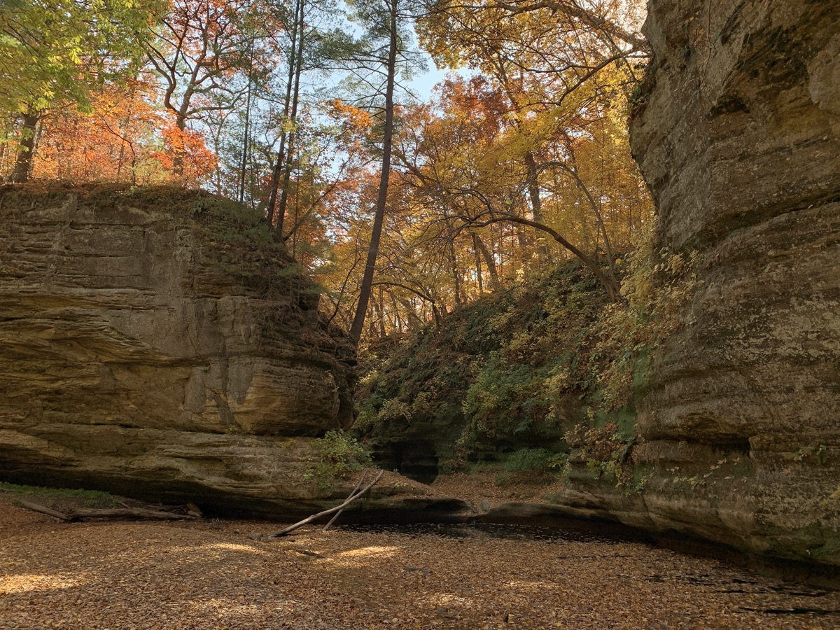
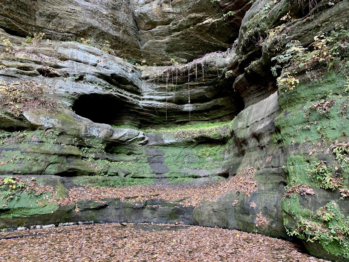
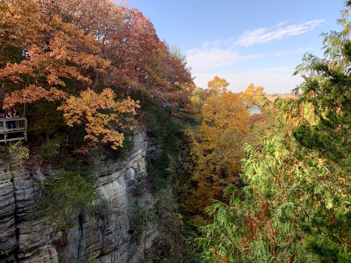
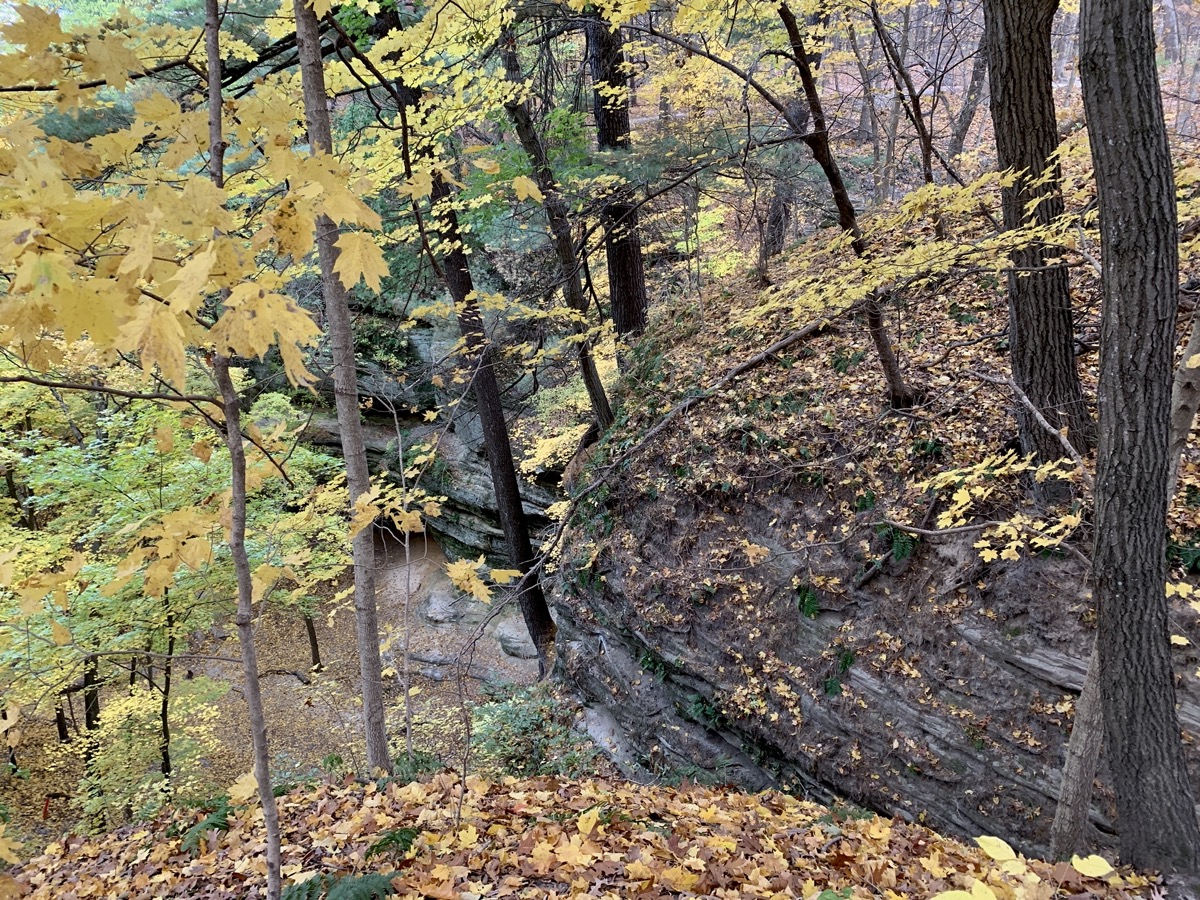
We visited ☞ Matthiessen State Park and ☞ Starved Rock State Park in the past, but never in late Fall. This year it was a last minute decision based on weather – very sunny and warm for late October. Many people had the same weekend idea – both parks were packed with visitors. We stayed for two nights at Great Falls CG in ☞ Illini State Park only short drive away (very good campground where spots are always available). We walked 6-7 miles each day, bits and pieces of different trails. First in Vermillion and Dell areas of Matthiessen SP. The following day in Starved Rock SP: Illinois, Kaskasia and Ottava Canyons, River and Bluff trails between LaSalle, Lonetree and Wildcat Canyons. Fall colors were beautifull, weather was great and we expected crowds, so it was all good.
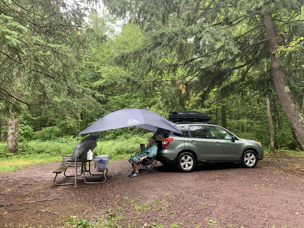
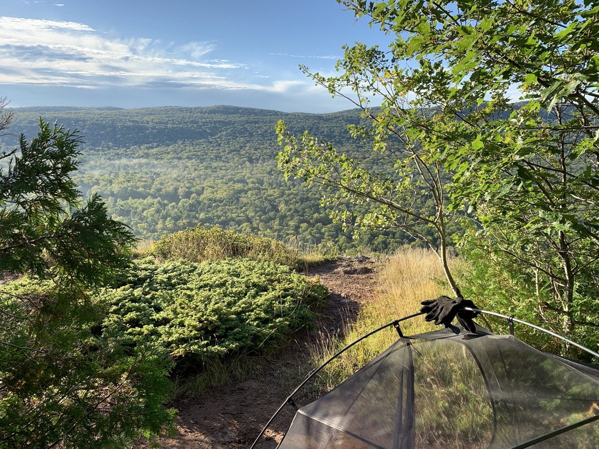
Second part of our trip focused on 4D/3N 29-mile backcountry hike in ☞ Porcupine Mountains Wilderness State Park. When we arrived the night before, we knew weather front with continous rain would be coming through just on the first day of hiking. Very patient ranger at ☞ Porcupine Mountains Visitor Center was able to change reservations of all campsites for one day later and found us a spot at Lost Creek Outpost Campground (recommended) for the extra day. We were waiting the bad weather out. We drove to Lake of the Clouds overlook – the view was completly blocked by wall of fog, and we walked a short loop around long abandoned Union (copper) Mine in light rain. It rained pretty much the rest of the day.
Our new canopy gave us decent protection. We killed time cooking and relaxing, showered (again) in the evening. It all worked out very well. The rain passed during the night and we had nice, mostly sunny weather for the rest of the trip.
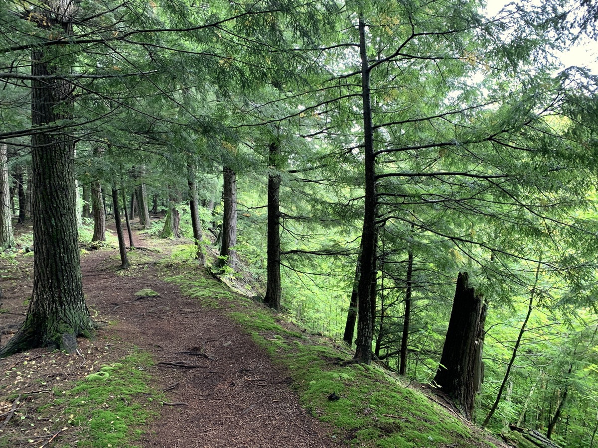
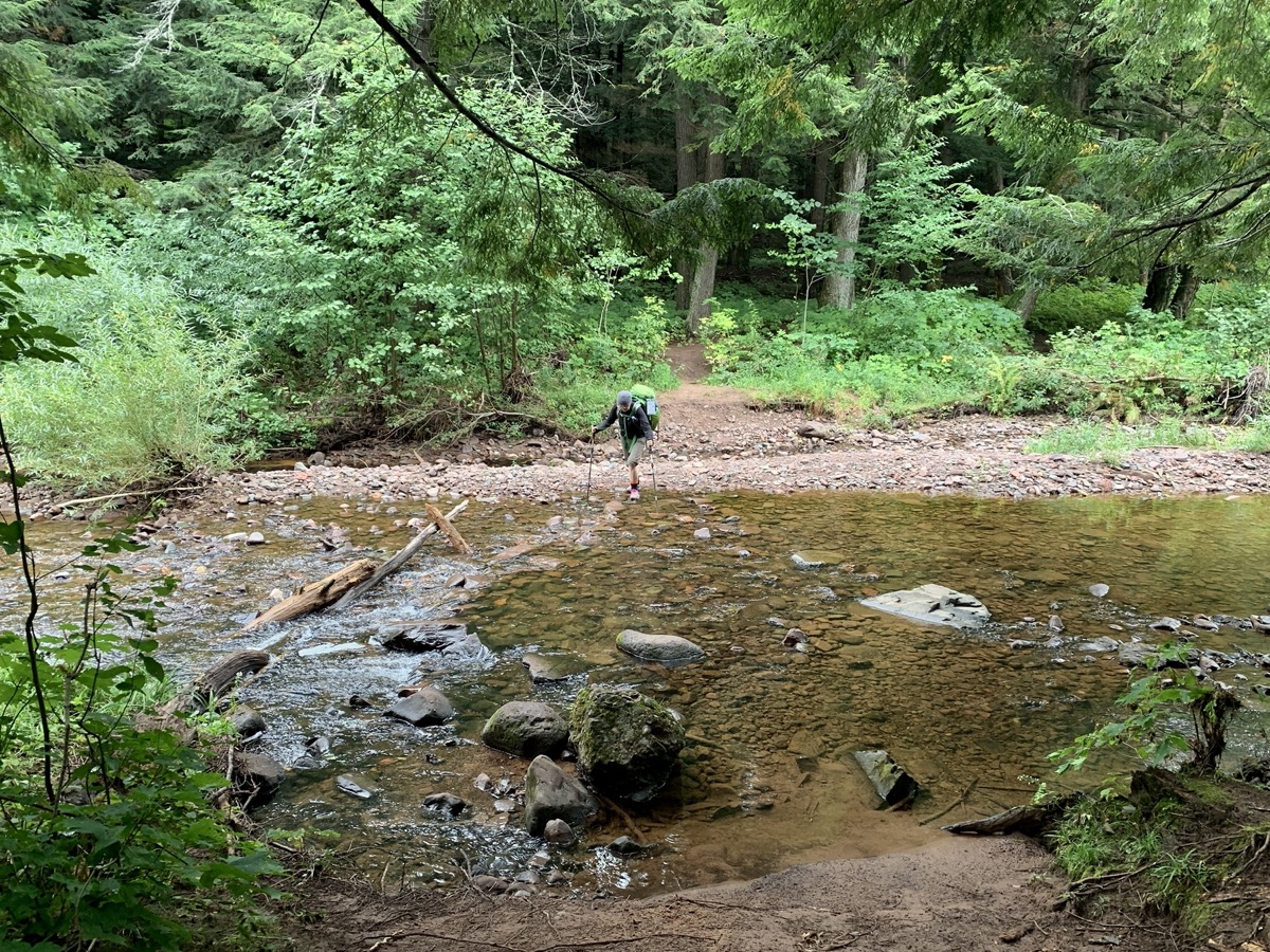
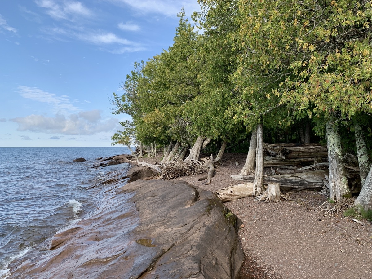
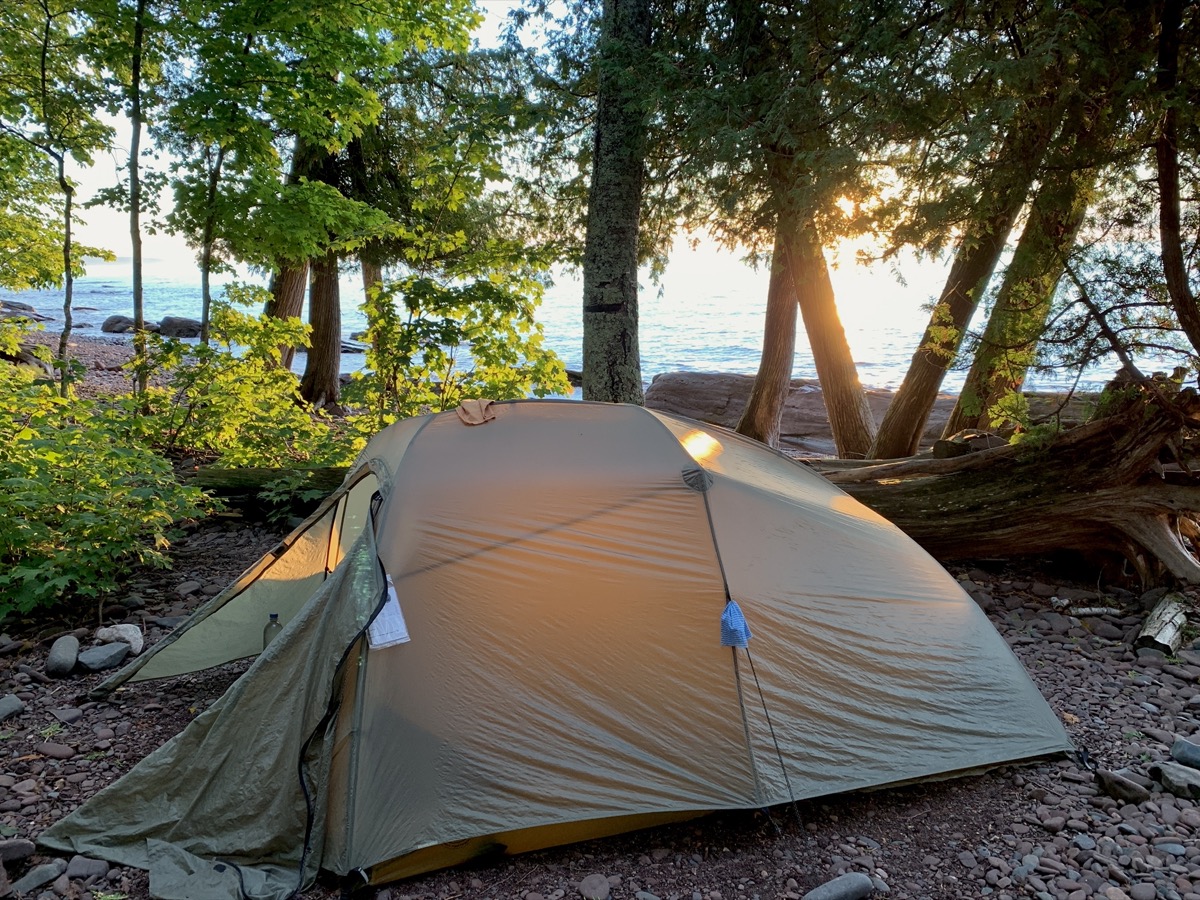
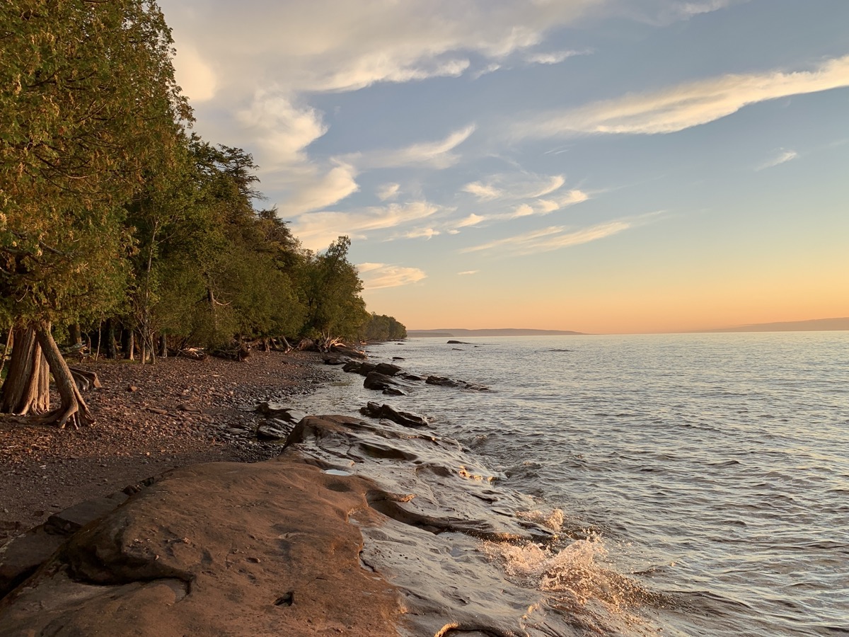
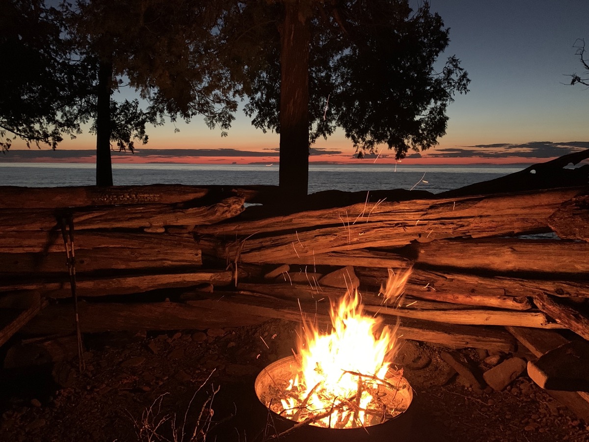
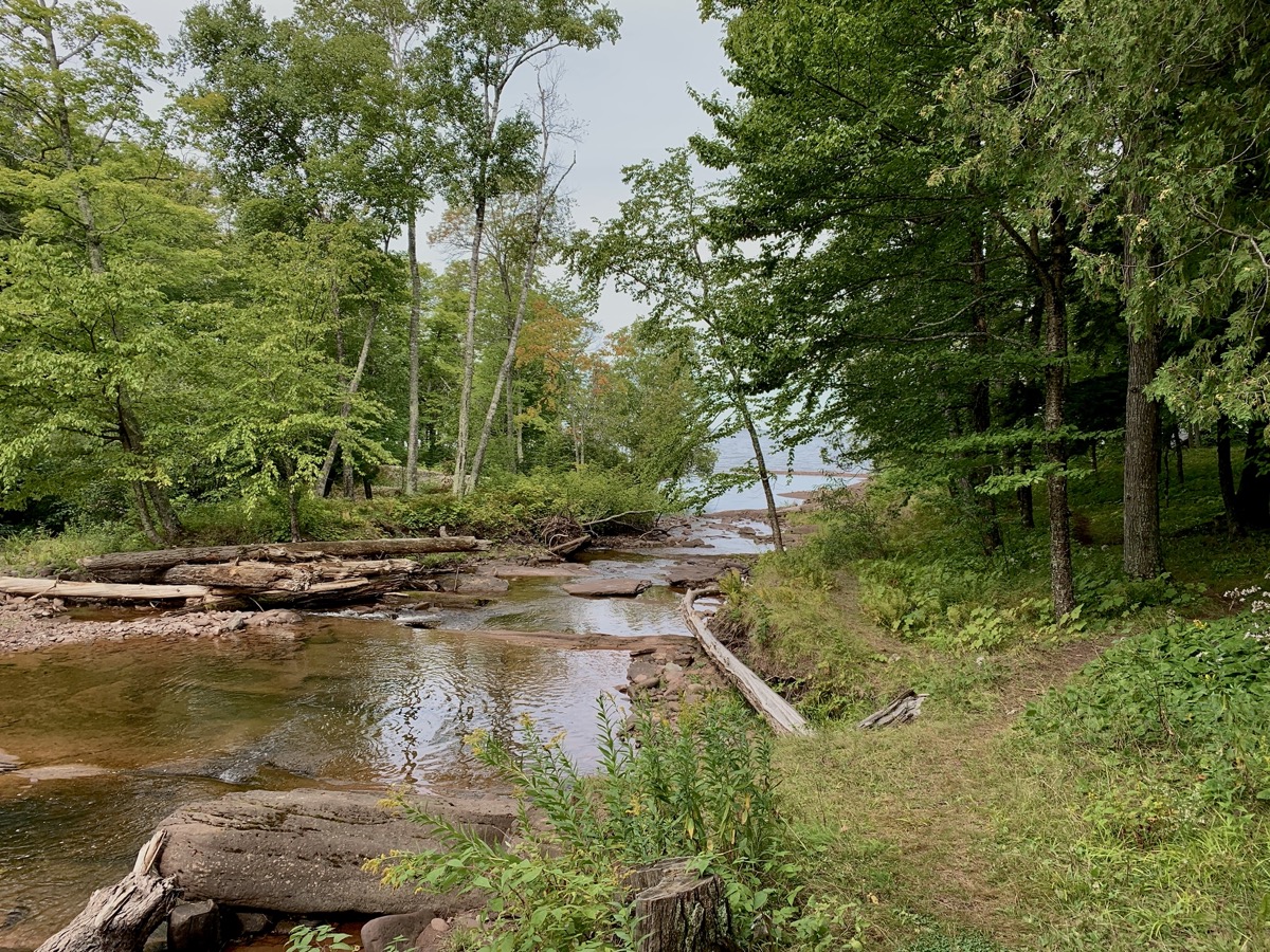
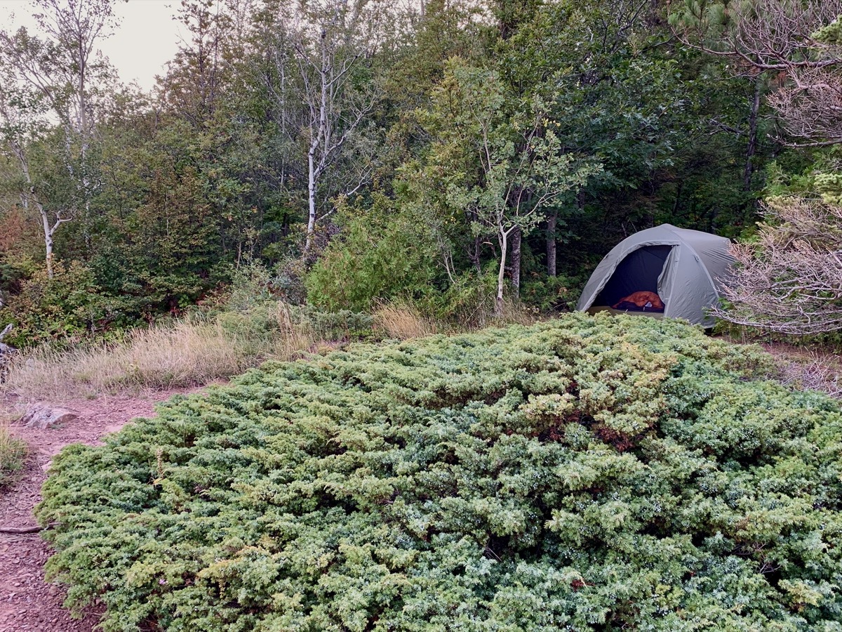
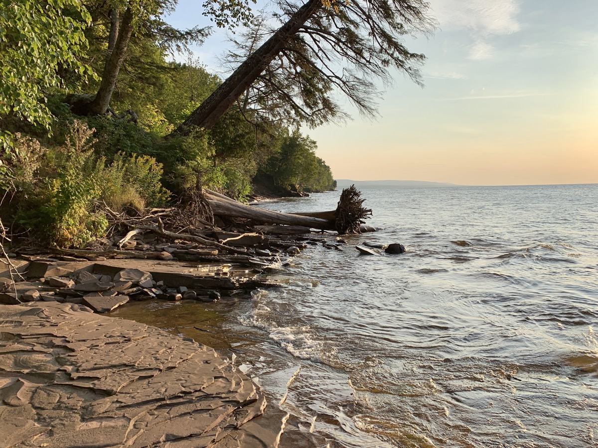
The first hiking day was quite easy 7.5 miles along Little Carp River (dry crossing) all the way to the Lake Superior and then along the coast to our campsite. We left our car at trailhead parking lot and ate early lunch there. Despite late start we had enough time to soak (quickly, although it was warmer than we expected) in the lake , cook dinner and end the day with camp fire. Great campsite right on the lake shore and away from others, beatiful sunset, very calm weather – no wind at all. Bear pole (to hang food) was quite a ditanstance away and completly bent – probably a motivated bear could get to food.
Lost Creek Outpost CG
Little Carp River escarpment
Little Carp River…
…
…outlet to Lake Superior
LS 9 campsite…
…
…on Lake Superior
…
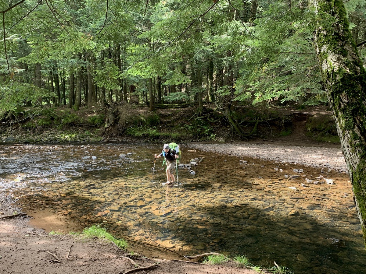
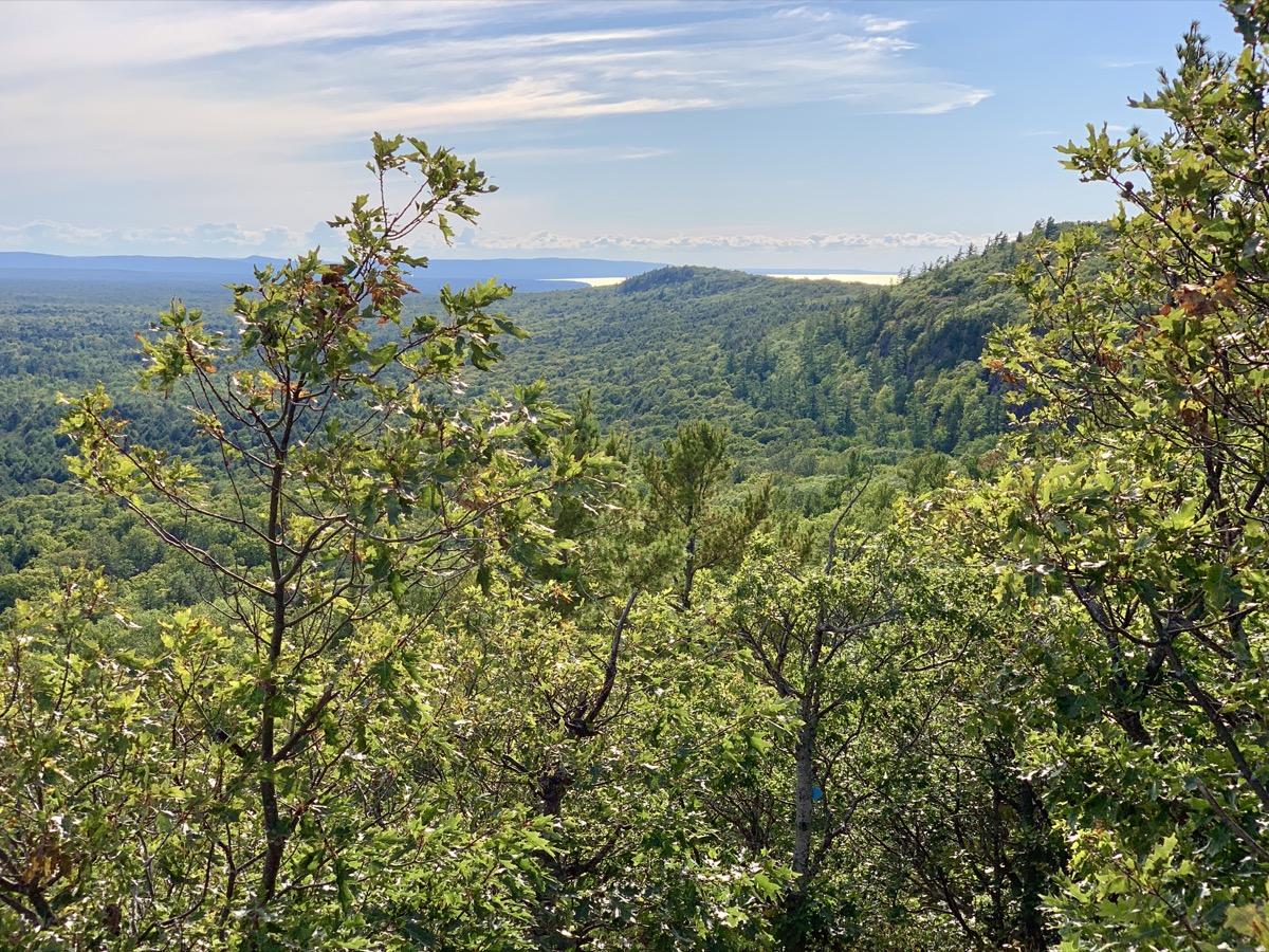
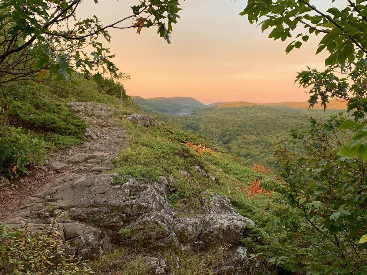
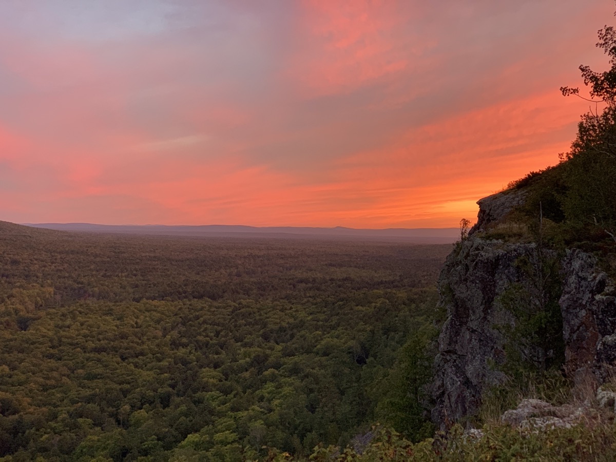
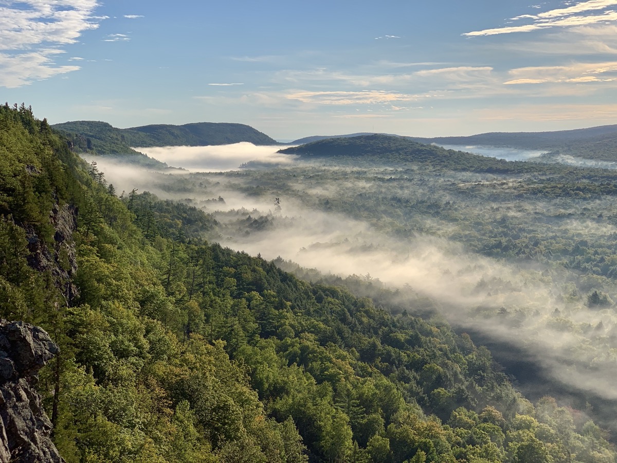
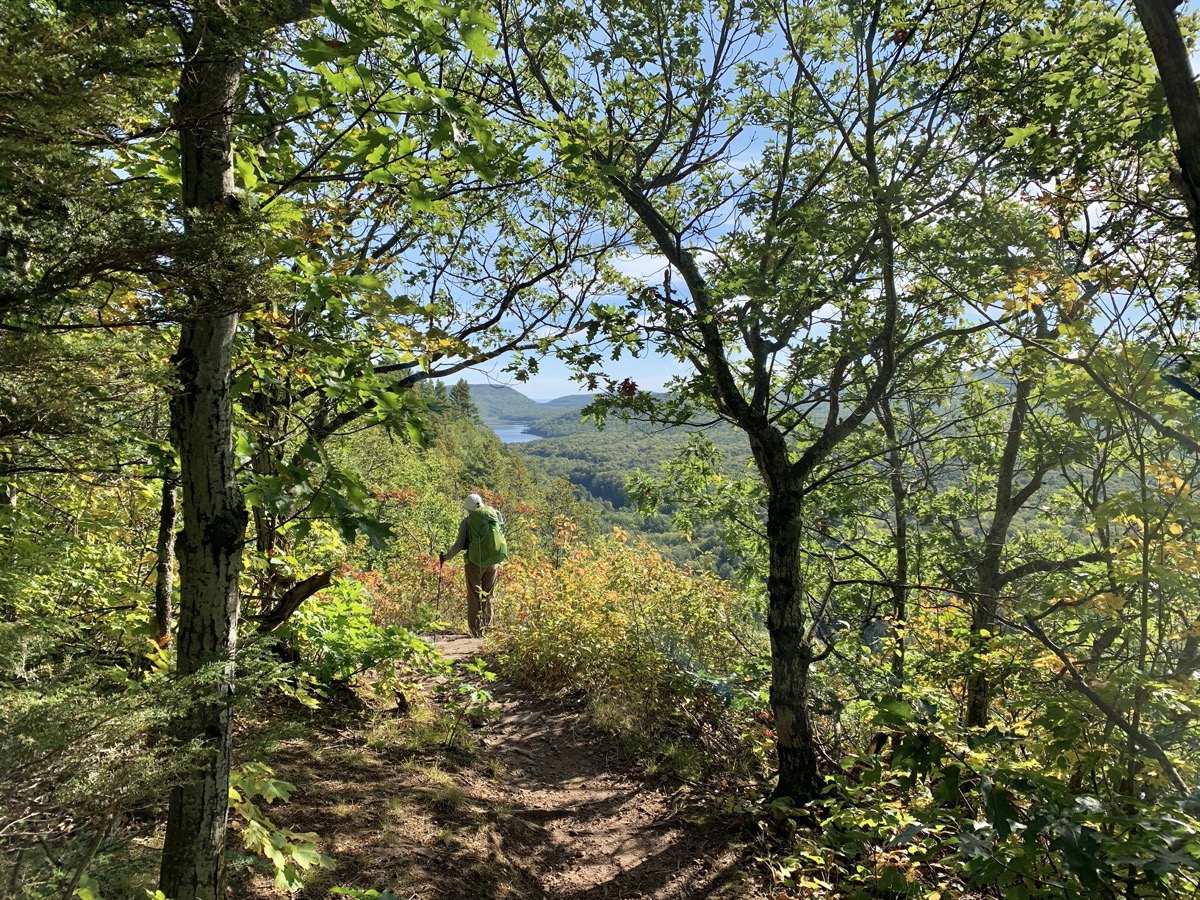
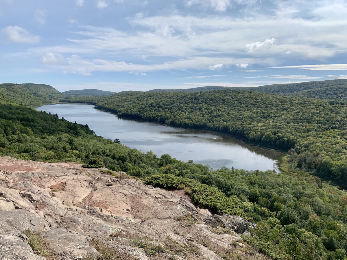
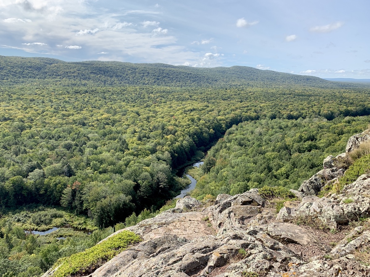
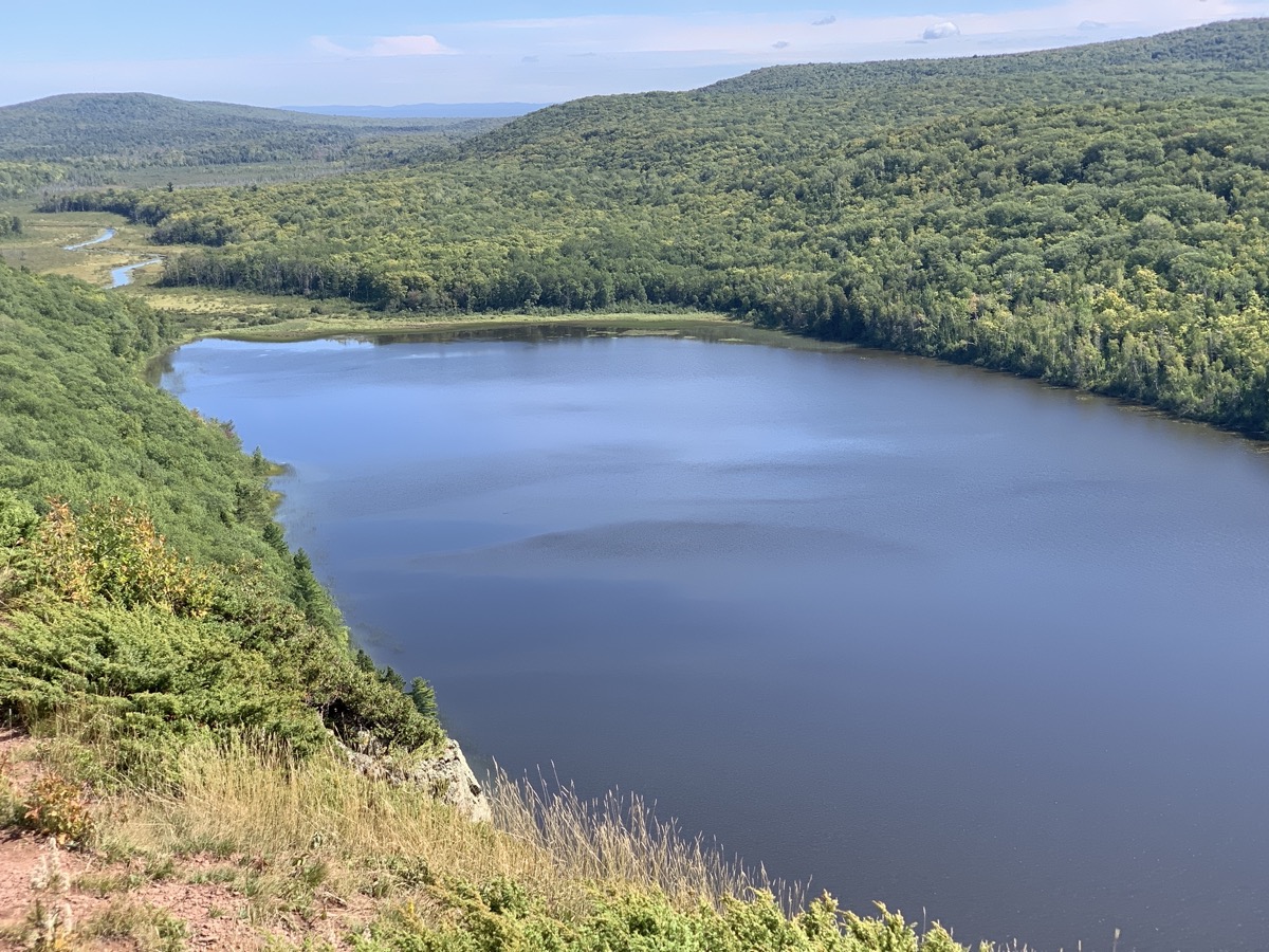
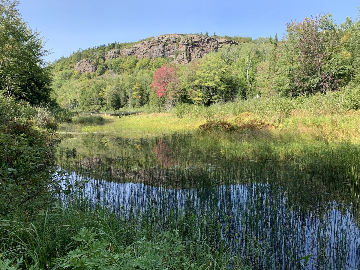
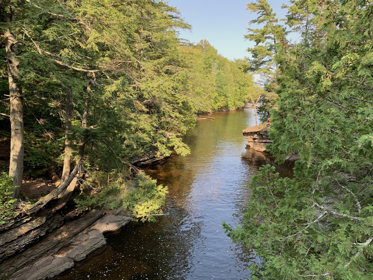
Next day was another 7.5-mile hike: to and then upstream Big Carp River. First half of the hike was along the river (with wet crossing) and then we walked on top of high escrapment with the river meandering in the valley below. We camped on the edge of the escrapment – beatiful location, although very close to trail (trail was pasing through “cooking and dining” area). Joanna wanted to camp right on the edge, but Piotr was affraid of possible strong wind (didn’t come) – so we camped a little back near trees, but still open to cliffs. Many spots to choose. Piotr hung our food very high on a tree – far from trunk, far from ground. We had great views when hiking this day and from our camp: looking backwards we could see at some points Lake Superior (we came from this direction) and looking forward we could see Lake of the Clouds. Forest on the hills was still very green with only a hint of Fall colors. Sunset was colorful. In the morning the valley was at first filled with fog coming from Lake of the Clouds, which than disappeared quickly as the sun was coming up higher – magical.
Big Carp River…
…
High on the escarpment…
…Lake of the Clouds on the horizon…
…BC 1 campsite…
…in the evening…
…
…and in the morning
…and in the morning
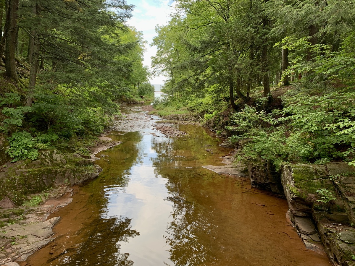
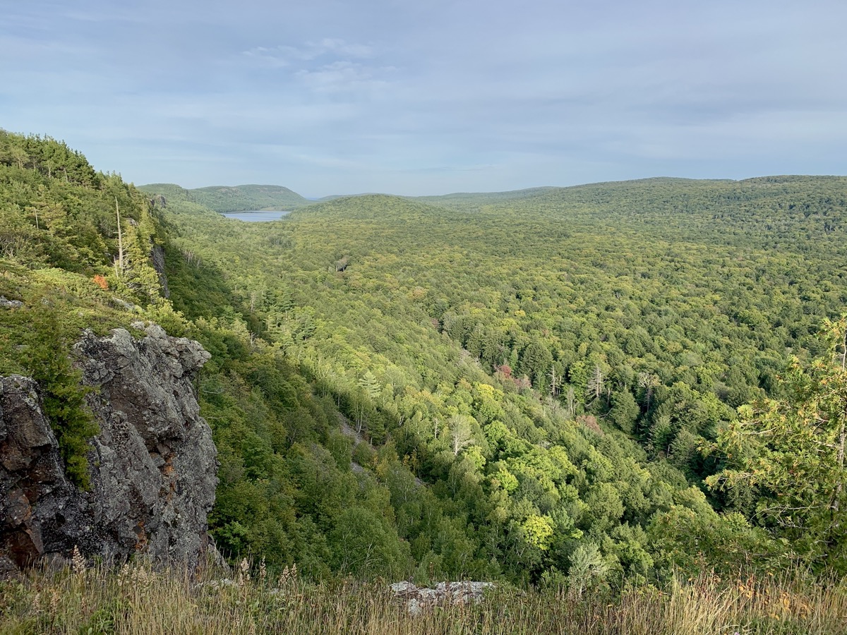
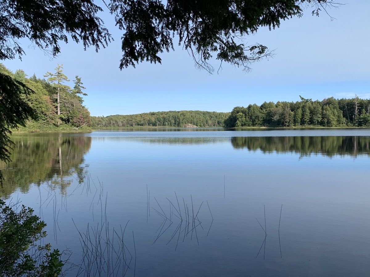
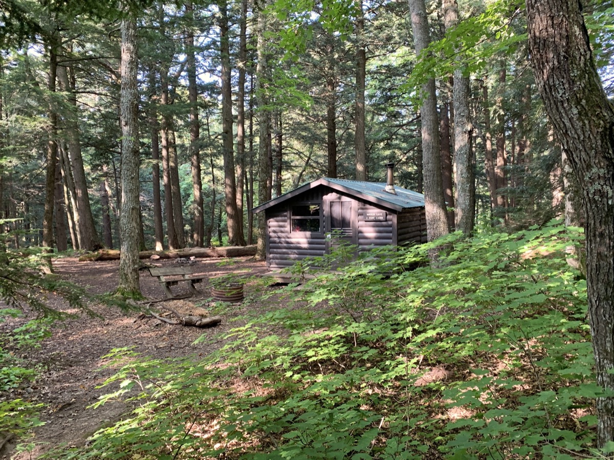
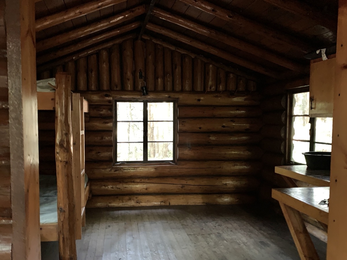
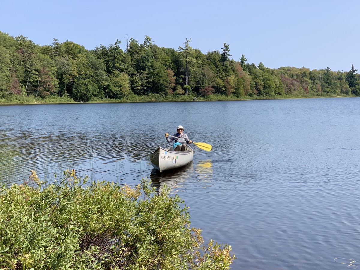
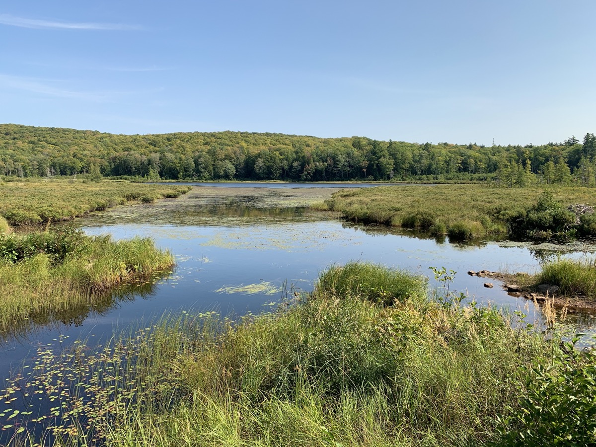
On the last two days in the backcountry we hiked 8.5 and 5.5 miles. We started by walking on the escarpment to the Lake of the Clouds viewpoint, hung our backpacks on a tree and continued for a while on the high trail above the lake. We came back to collect our backpacks and walk down to the river lake outlet. We hiked back up on the other side of the valley through hills and wetlands to Mirror Lake. Before we settled in our cabin, we conoed across the lake and Joanna went for a swim near a rock outcrop there. We started fire in wood stove to heat the cabin and cook dinner. The cabin was very nice and it came with a canoe – the main reason to stay there. With sunny, warm and calm weather next morning, we decided to spend a couple of hours canoeing slowly around the lake. The hike back to our car was easy, passing beautiful Lily Pond and some wetlands. We arrived at Presque Isle Campground quite early (nice location but sites cramped next to each other), after a short stop to view Manabezho Falls. We collected a big bunch of firewood in nearby forest, dipped in the lake on stony beach just below the campground, dinner and camp fire.
Trail on high escarpment
Lake of the Clouds
Big Carp River
Lake of the Clouds
…
…
Mirror Lake
Cabin ML 2…
…
Canoeing on Mirror Lake
Lily Pond
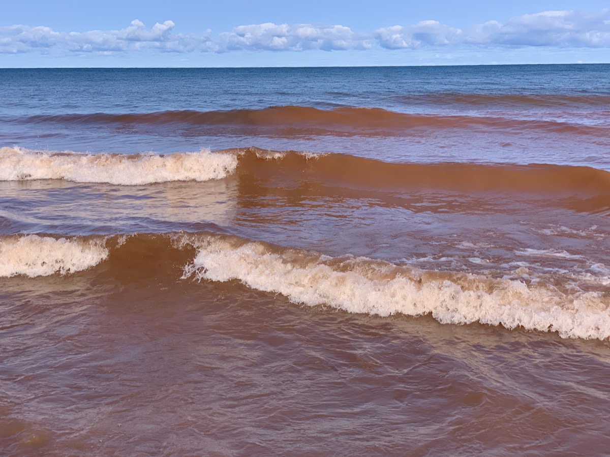
Lake Superior near Presque Isle River
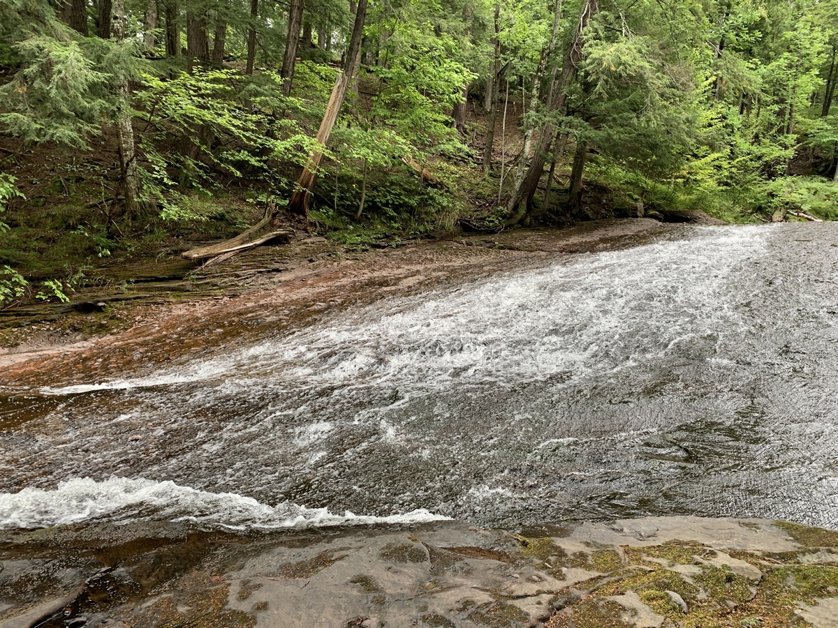
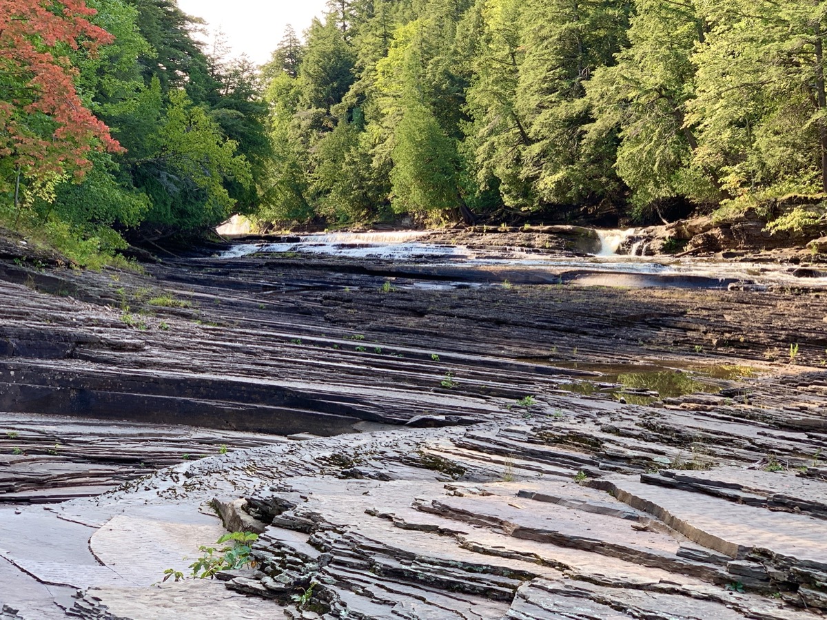
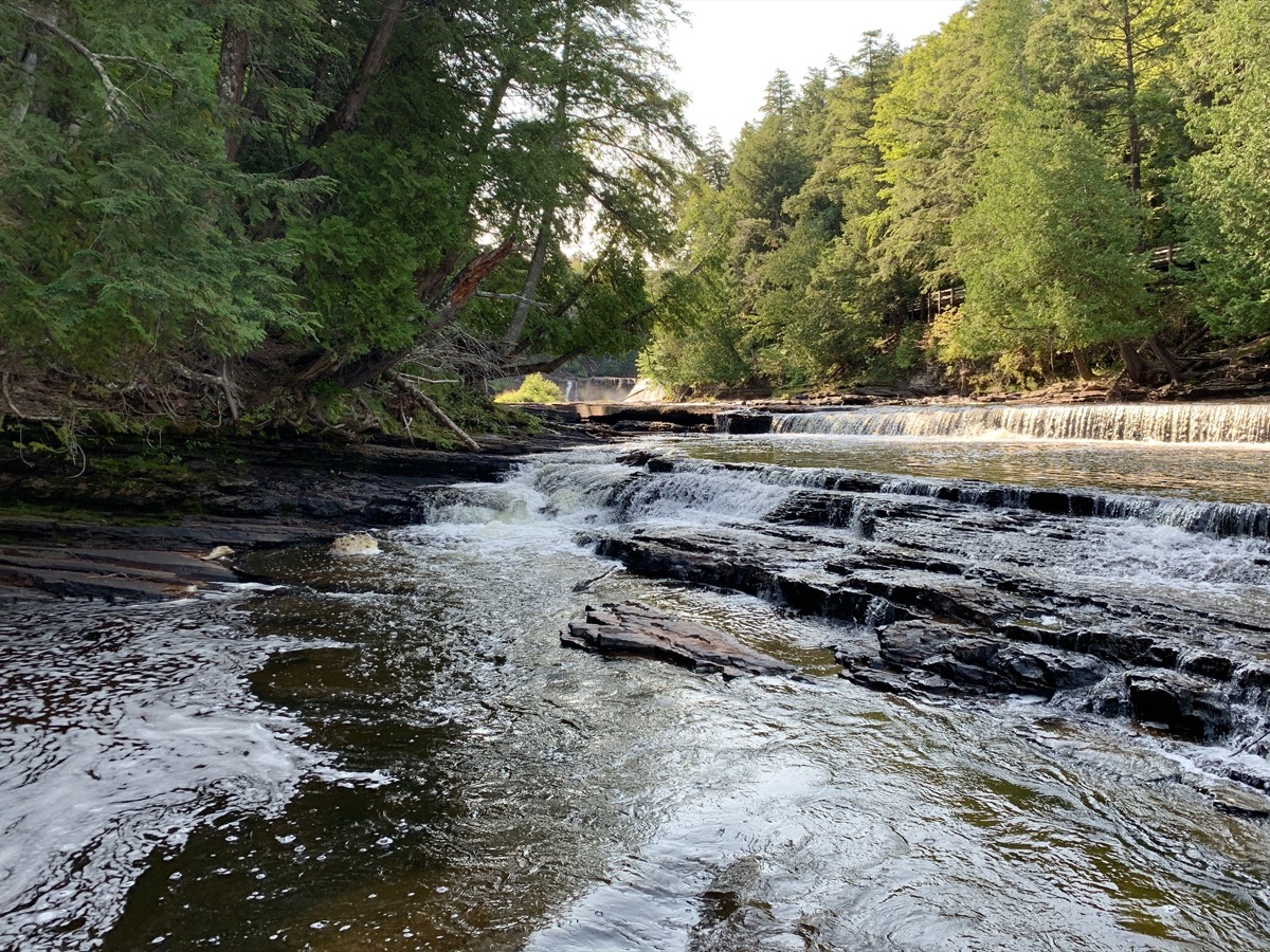
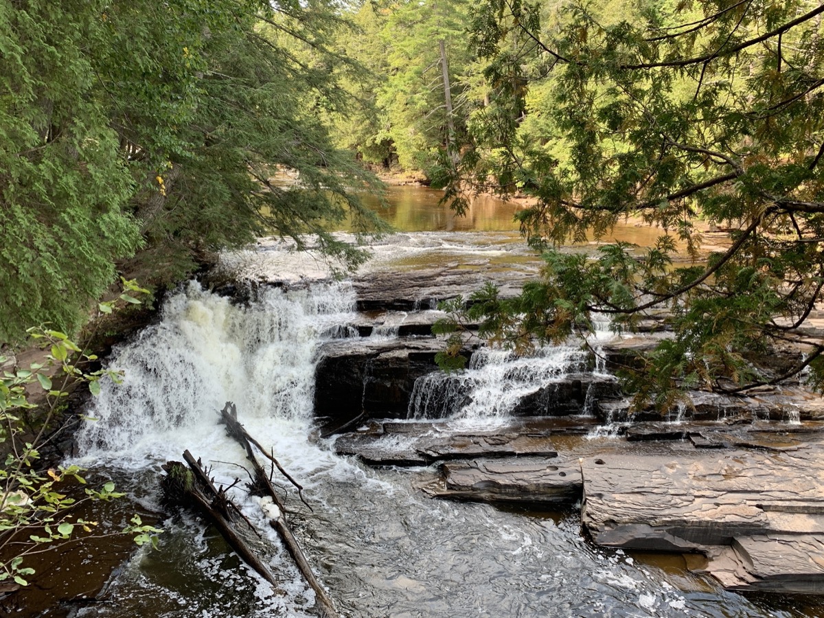
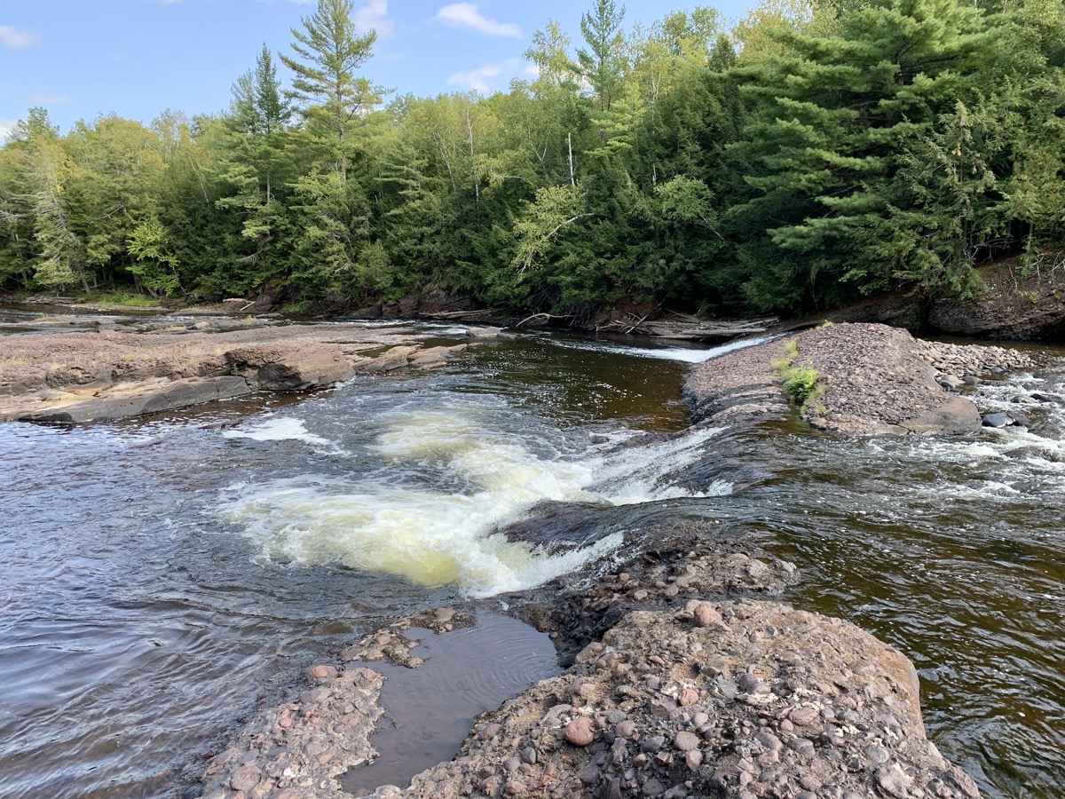
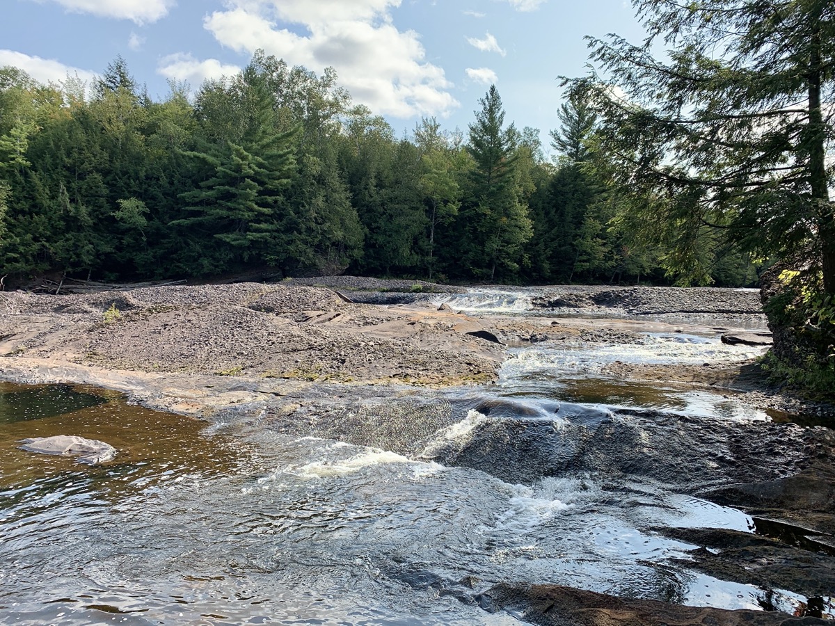
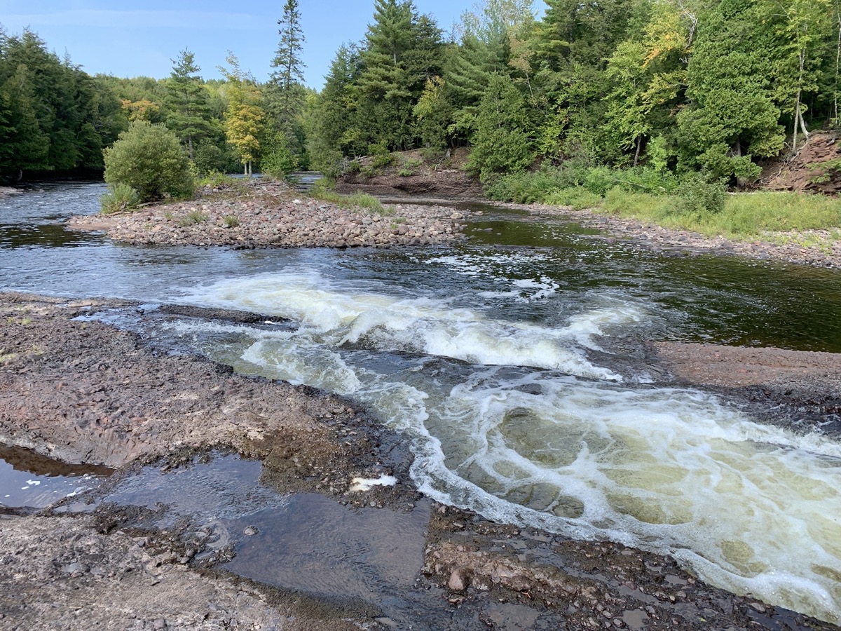
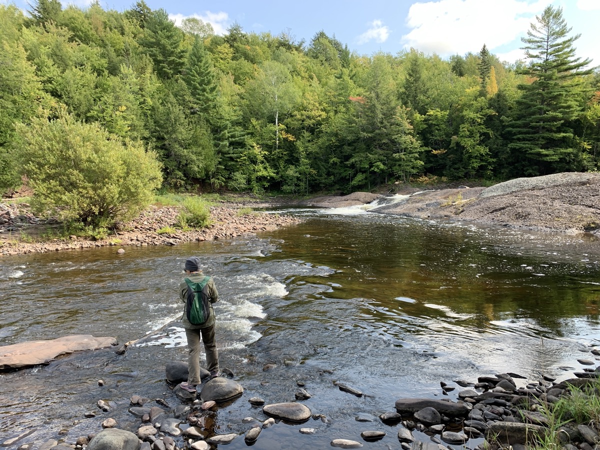
In the morning, we walked a loop from Presque Isle (red) Beach, east and west river trails around multiple waterfalls. We then drove to the end of passable side forest road and spent some time exploring Lepisto and Iagoo Falls – the most remote on this trip. Started driving 430 miles home in the afternoon.